Trails near Aigle
186 hikes starting within 15 km, nearest first.
Nearest first, page 3 of 4
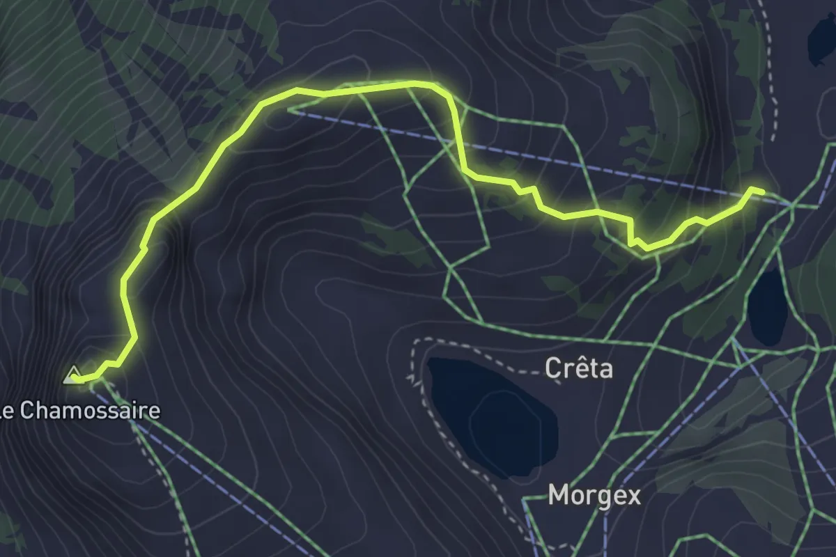
Medium · Summit
Le Chamossaire – Lac Noir
4.0 km · ↑ 377 m · 1 h 46 min · 9 km away
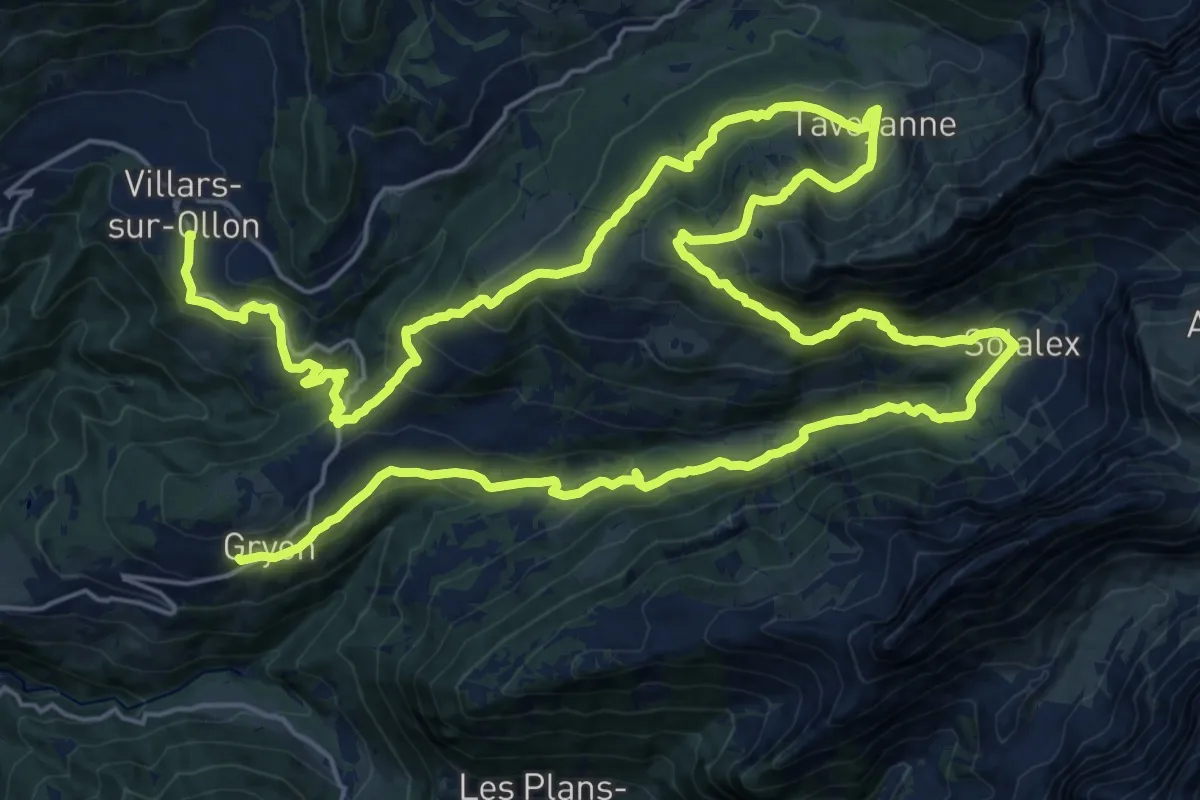
Demanding · Trail
Tour des Alpes Vaudoises Étape 7
21.1 km · ↑ 1059 m · 7 h 31 min · 9 km away
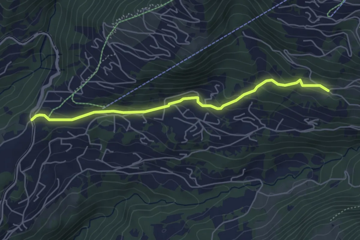
Easy · Trail
La Barboleusaz – Les Ernets
4.6 km · ↑ 190 m · 1 h 31 min · 9 km away
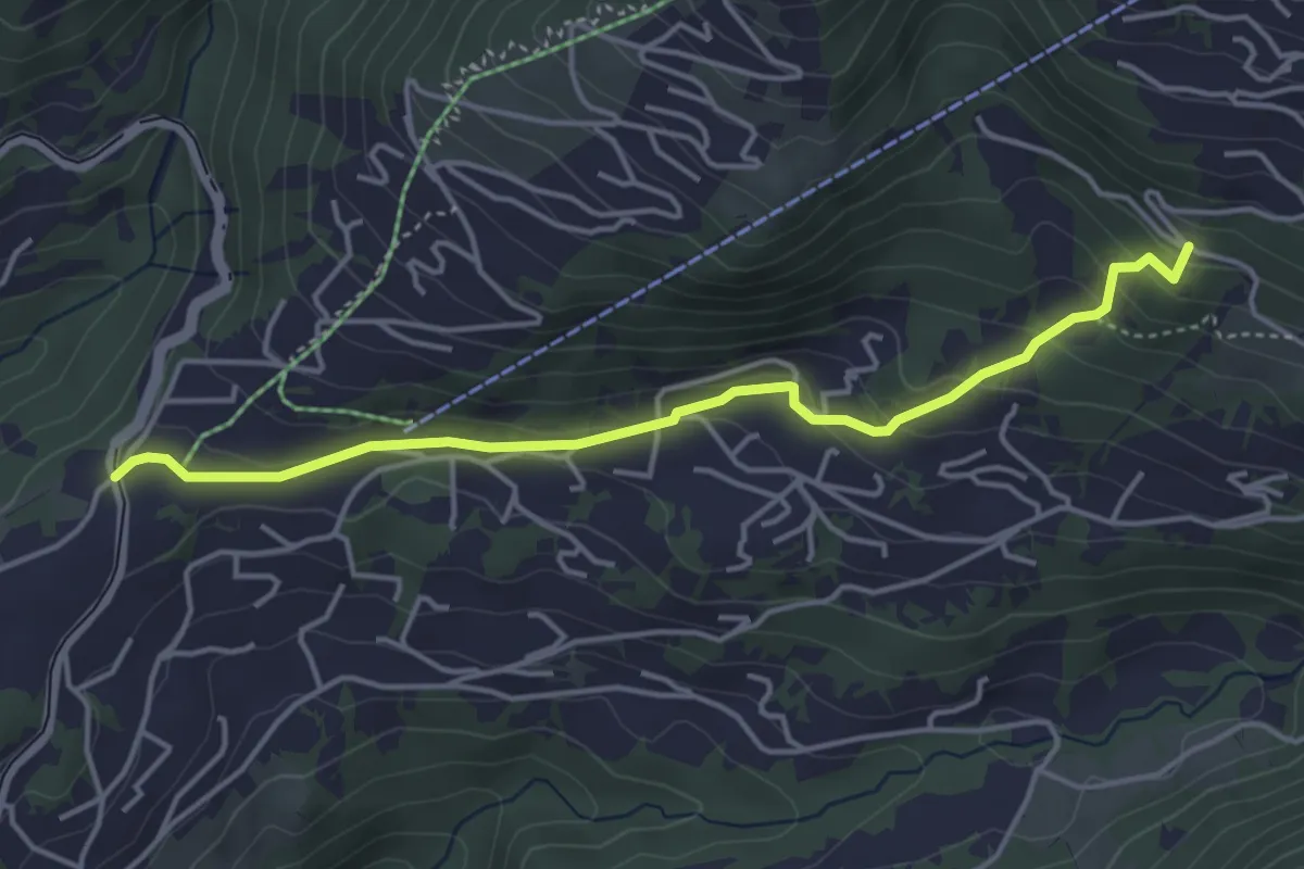
Easy · Trail
La Barboleusaz – Frience/Alpe des Chaux?
4.3 km · ↑ 198 m · 1 h 27 min · 9 km away
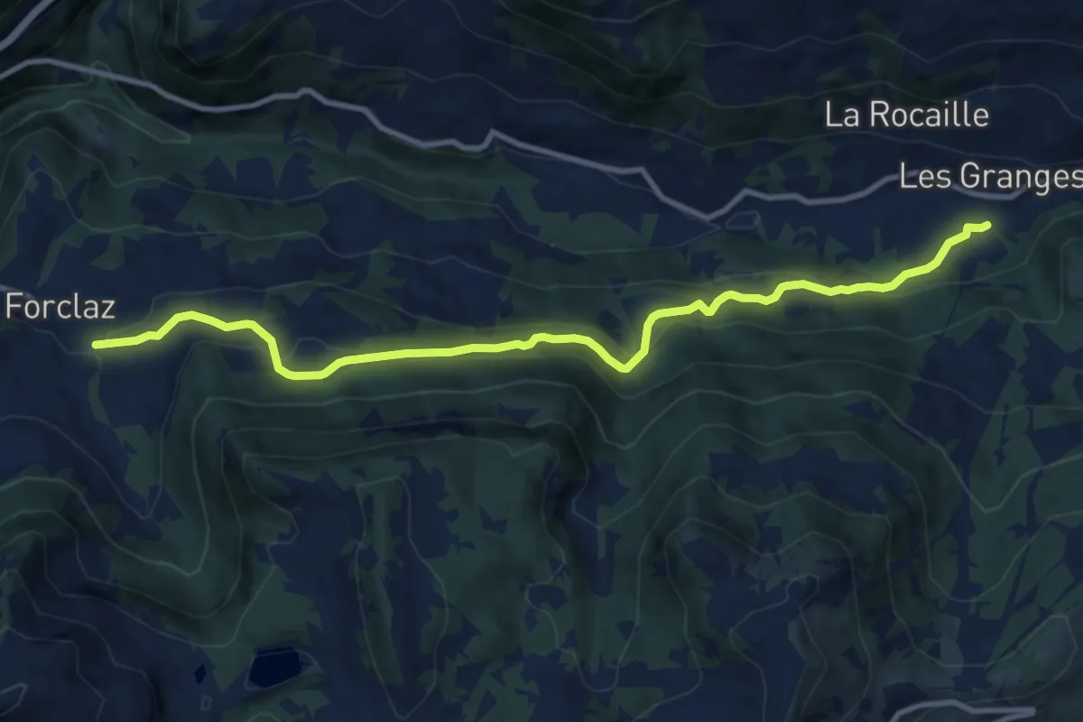
Medium · Trail
Vers l'Eglise – La Forclaz
10.8 km · ↑ 475 m · 3 h 34 min · 9 km away
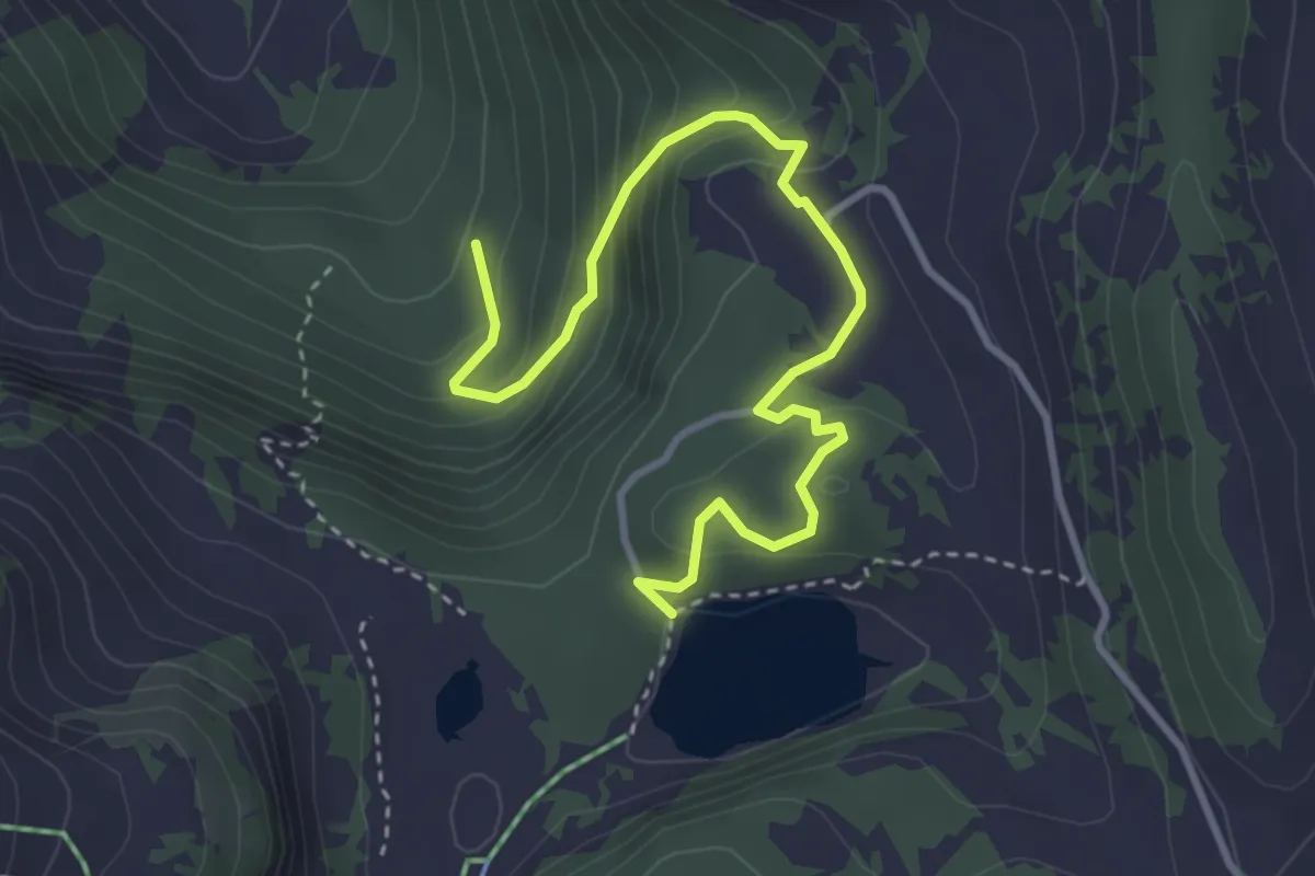
Easy · Trail
Lac des Chavonnes – Les Fontaines
4.0 km · ↑ 270 m · 1 h 32 min · 9 km away
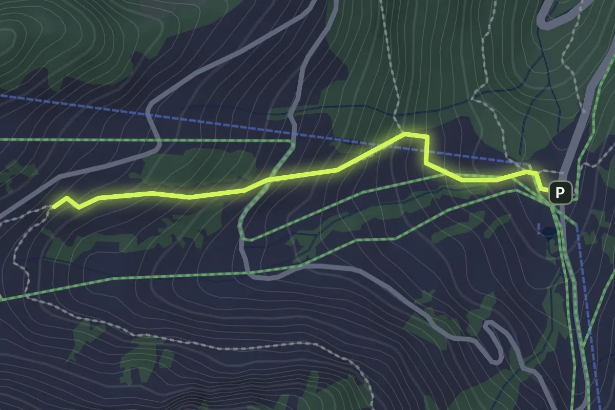
Easy · Trail
Plan du Croix - Recon
2.2 km · ↑ 237 m · 1 h 2 min · 9 km away
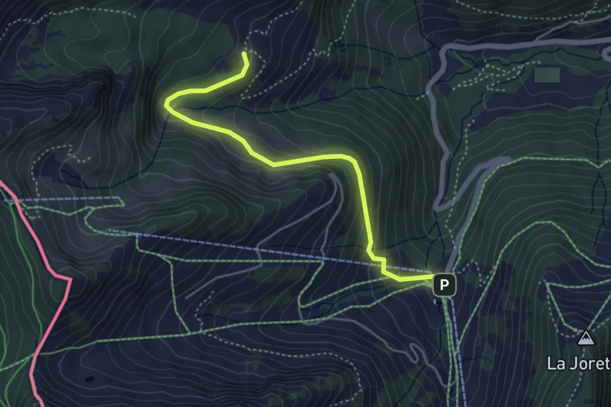
Easy · Trail
Plan du Croix – Dravers
4.3 km · ↑ 242 m · 1 h 32 min · 9 km away
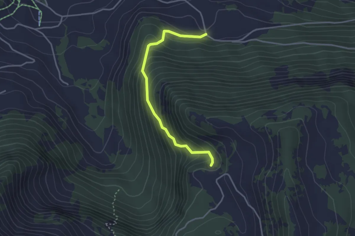
Easy · Trail
Temeley – Chavonnes
3.0 km · ↑ 283 m · 1 h 20 min · 9 km away
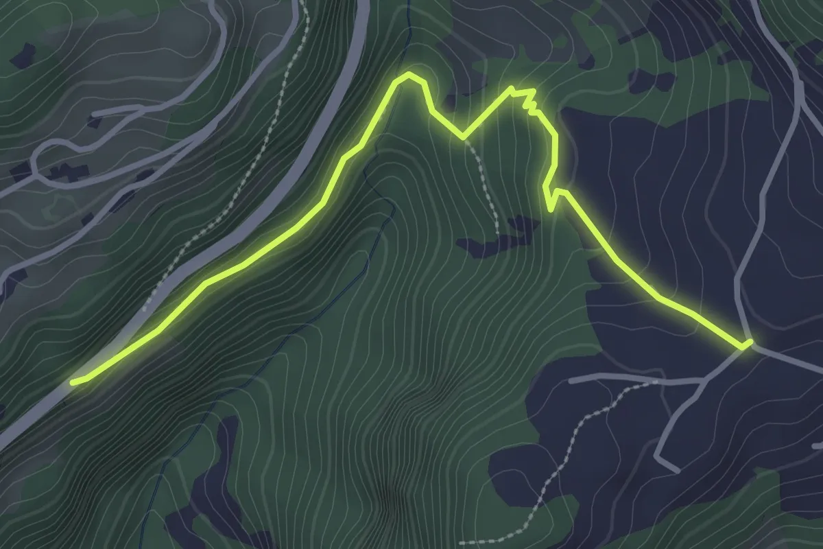
Easy · Trail
Les Voëttes – Aux Caudreys
3.4 km · ↑ 134 m · 1 h 5 min · 9 km away
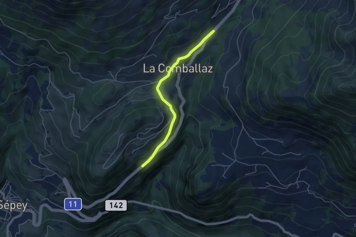
Easy · Trail
La Comballaz – Aux Caudreys
4.0 km · ↑ 144 m · 1 h 16 min · 9 km away
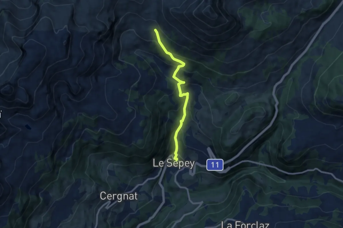
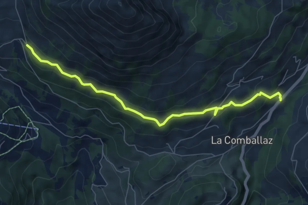
Medium · Trail
Le Sépey – Pierre du Moëllé
6.9 km · ↑ 577 m · 2 h 53 min · 10 km away
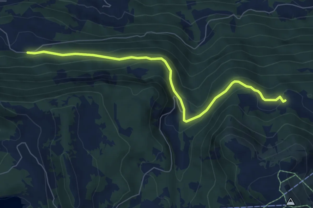
Medium · Trail
La Comballaz – Pierre du Moëllé
6.7 km · ↑ 344 m · 2 h 20 min · 10 km away
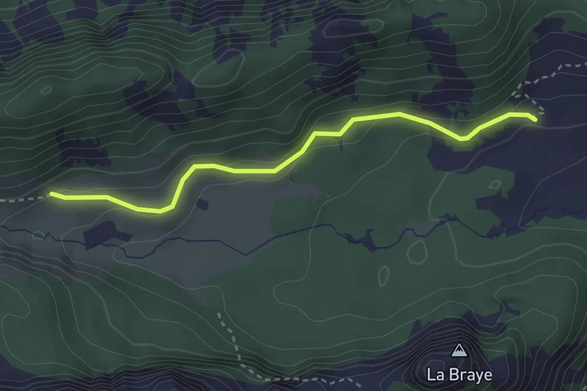
Easy · Trail
Temeley – La Bierlaz
6.5 km · ↑ 298 m · 2 h 11 min · 10 km away
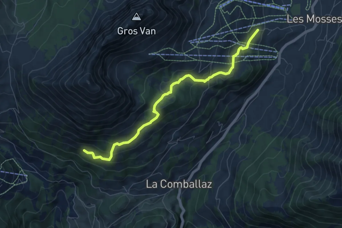
Easy · Trail
Chalet de Blancsex – Savalène
2.8 km · ↑ 170 m · 1 h 2 min · 10 km away
Medium · Trail
La Comballaz – Les Mosses
7.6 km · ↑ 407 m · 2 h 40 min · 10 km away
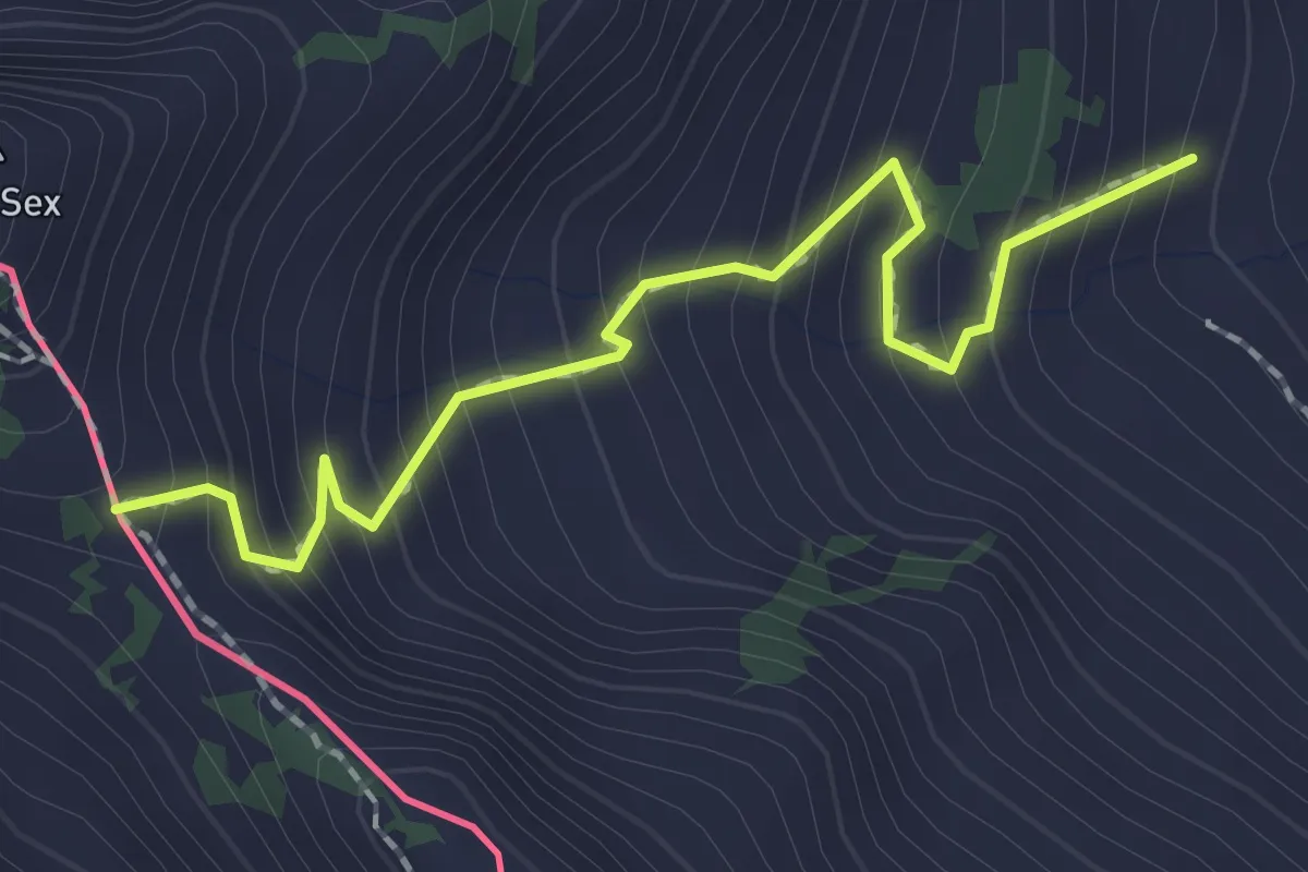
Medium · Trail
Chétillon – Col de Chétillon
2.0 km · ↑ 272 m · 1 h 4 min · 10 km away
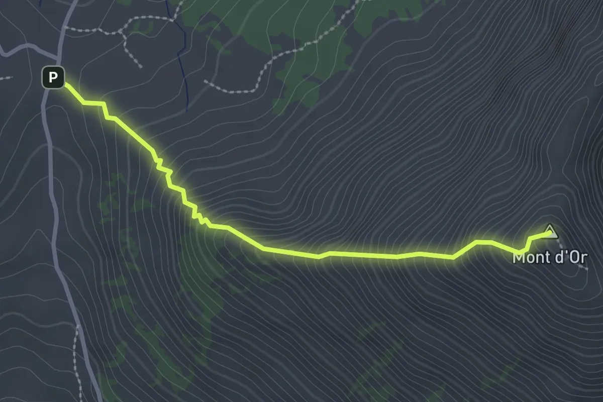
Medium · Summit
Pierre du Moëllé – Mpnt d'Or
2.7 km · ↑ 450 m · 1 h 37 min · 10 km away
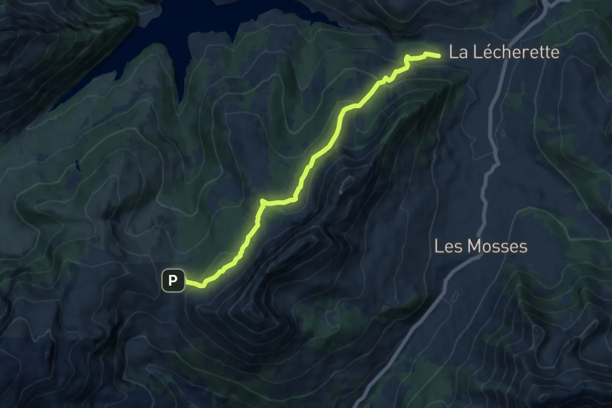
Medium · Trail
Pierre du Moëllé – La Lécherette
11.7 km · ↑ 562 m · 3 h 58 min · 10 km away
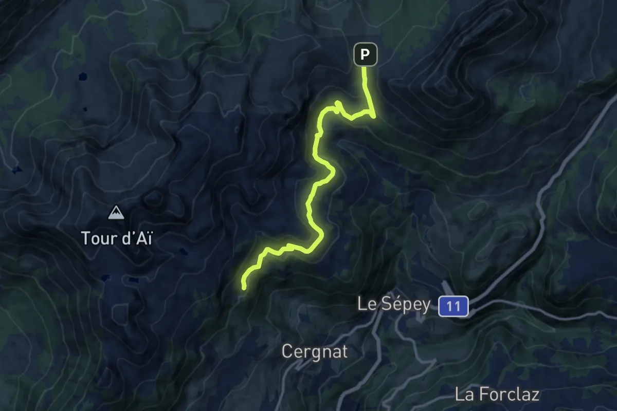
Medium · Trail
Les Plans – Pierre du Moëllé
11.4 km · ↑ 472 m · 3 h 43 min · 10 km away
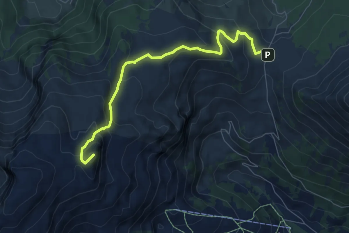
Medium · Summit
Pierre du Moëllé – Tour de Famelon
6.7 km · ↑ 439 m · 2 h 32 min · 10 km away
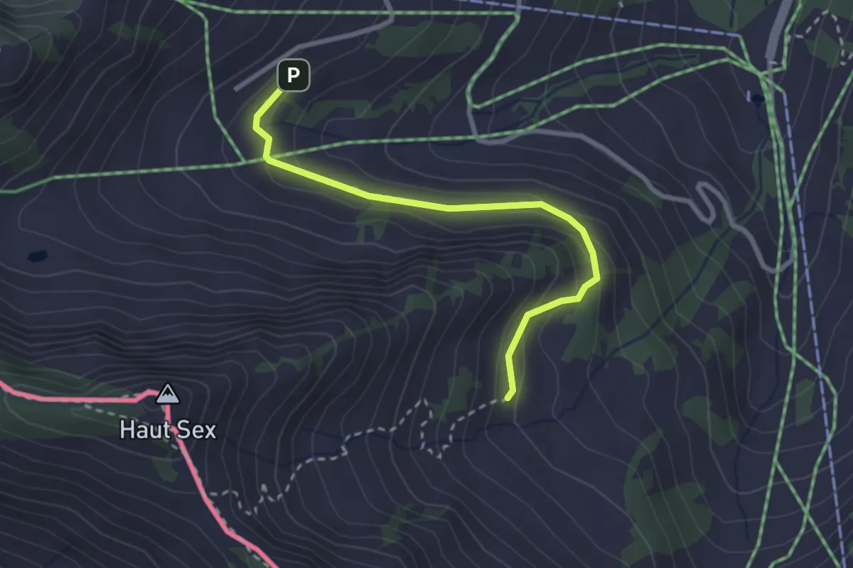
Easy · Trail
Recon – Chétillon
2.7 km · ↑ 155 m · 58 min · 10 km away
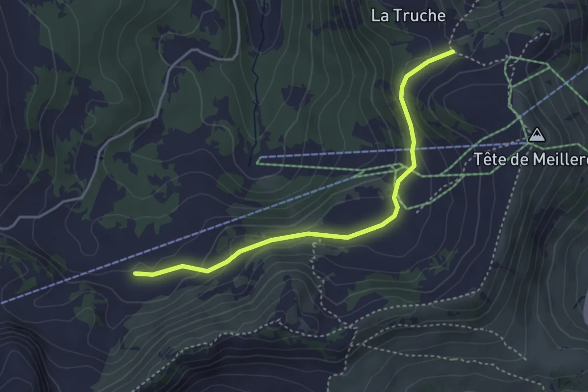
Medium · Trail
Tête de Meilleret – Perche
3.7 km · ↑ 133 m · 1 h 10 min · 10 km away
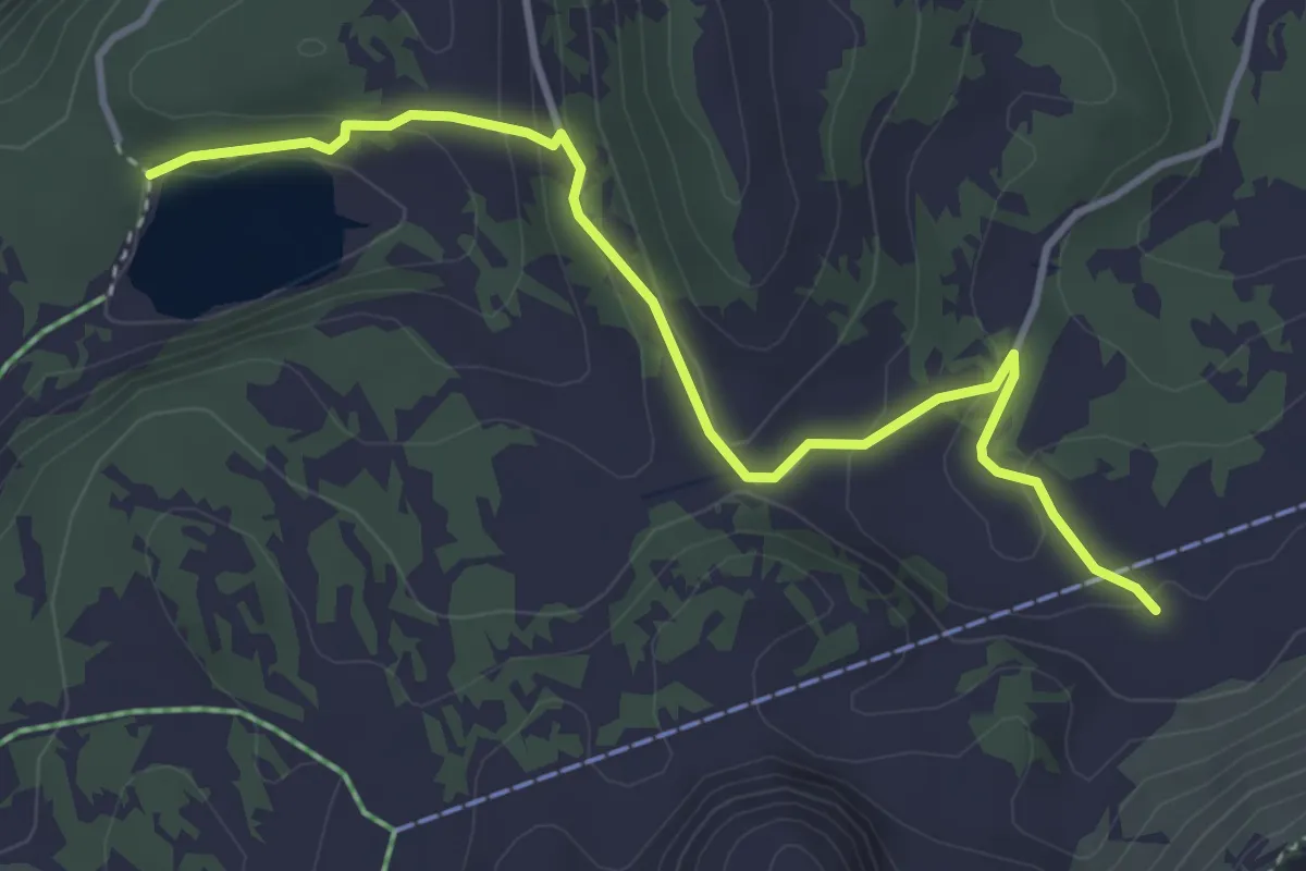
Easy · Trail
Perche – Lac des Chavonnes
4.0 km · ↑ 175 m · 1 h 19 min · 10 km away
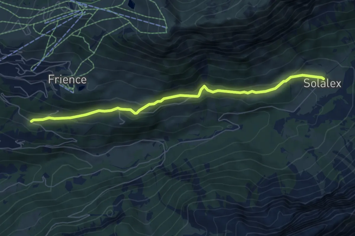
Easy · Trail
Solalex – Les Ernets
6.5 km · ↑ 283 m · 2 h 9 min · 11 km away
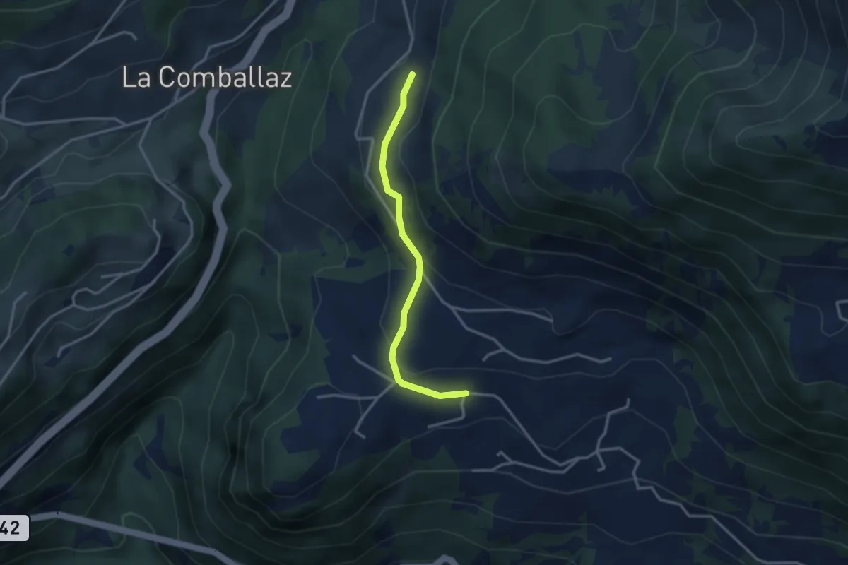
Easy · Trail
Mimont – Les Voëttes
2.8 km · ↑ 130 m · 56 min · 11 km away
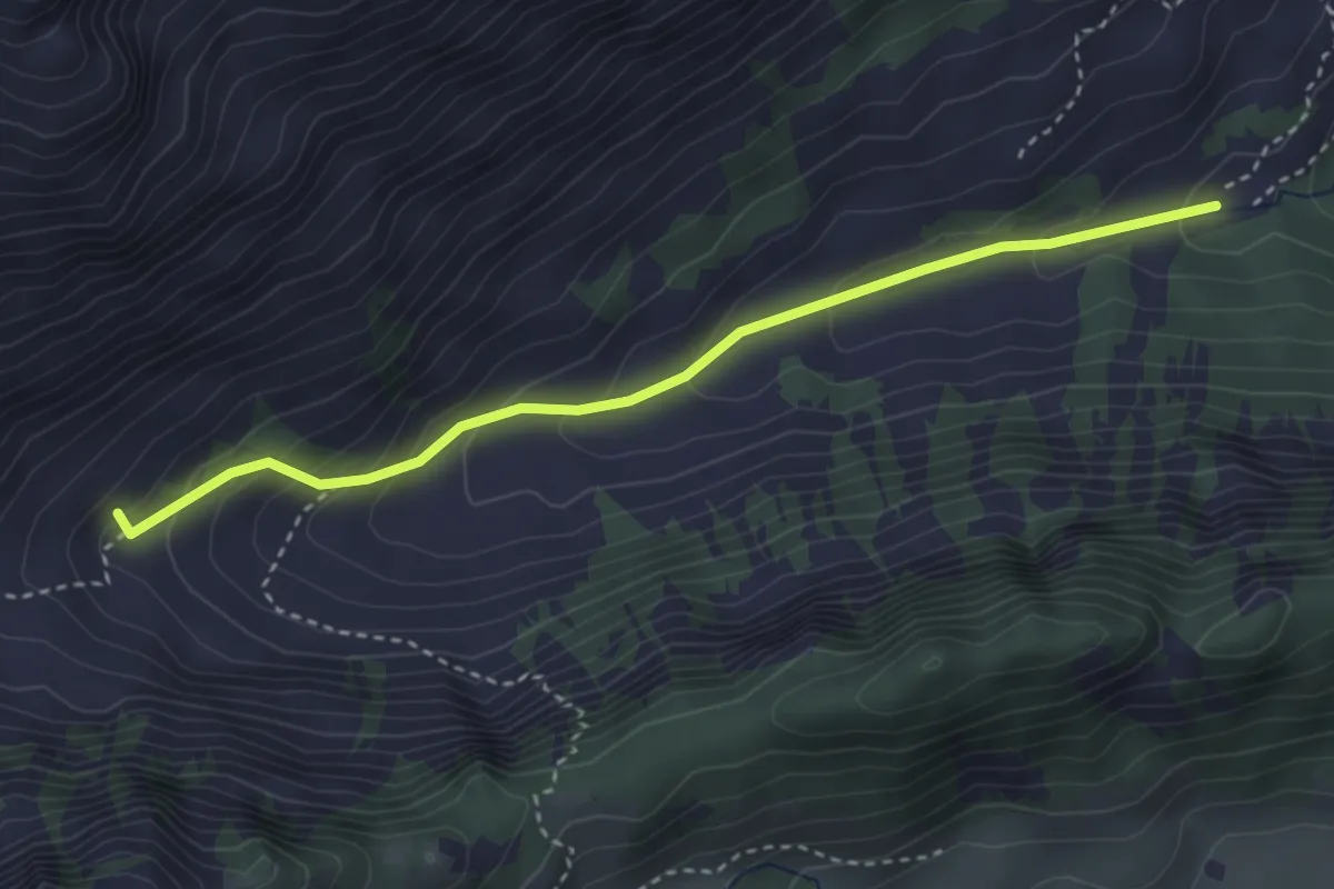
Easy · Trail
Chemin de la Crossette
3.4 km · ↑ 229 m · 1 h 18 min · 11 km away
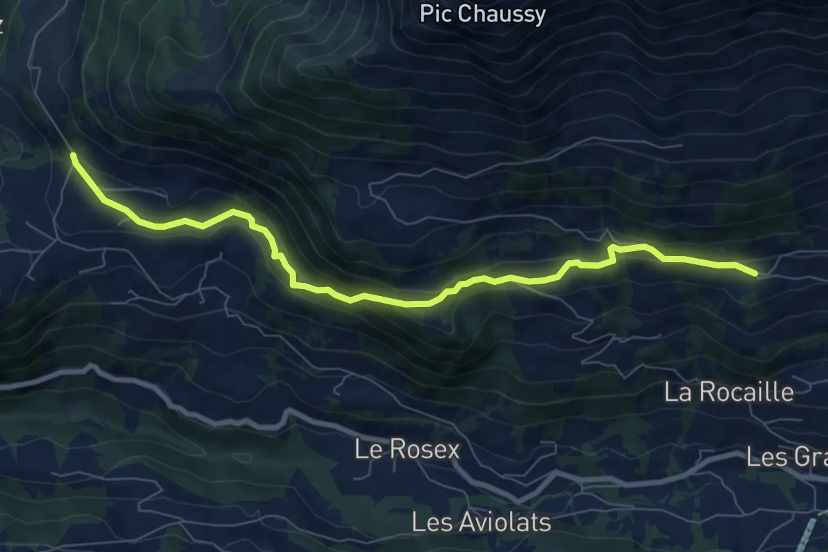
Medium · Trail
La Ville – Les Voëttes
7.9 km · ↑ 320 m · 2 h 34 min · 11 km away
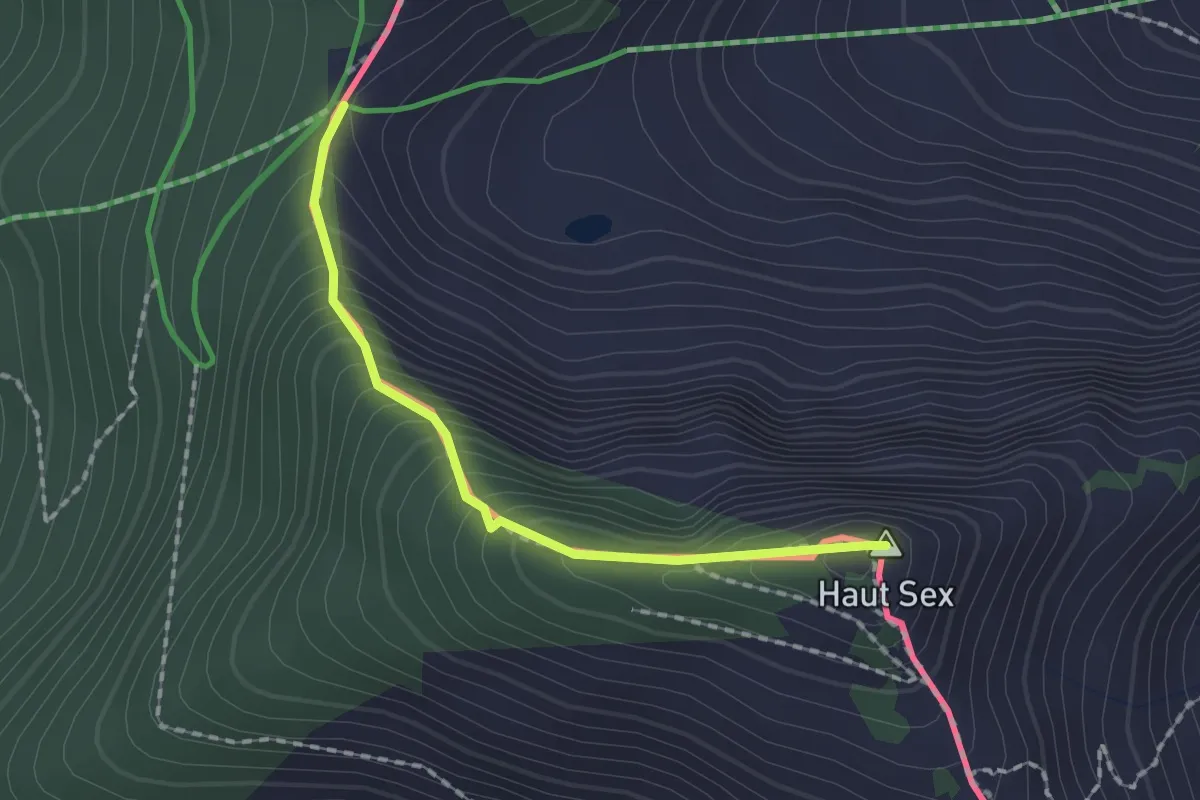
Demanding · Summit
Col de Chétillon – Col de Recon
1.6 km · ↑ 194 m · 48 min · 11 km away
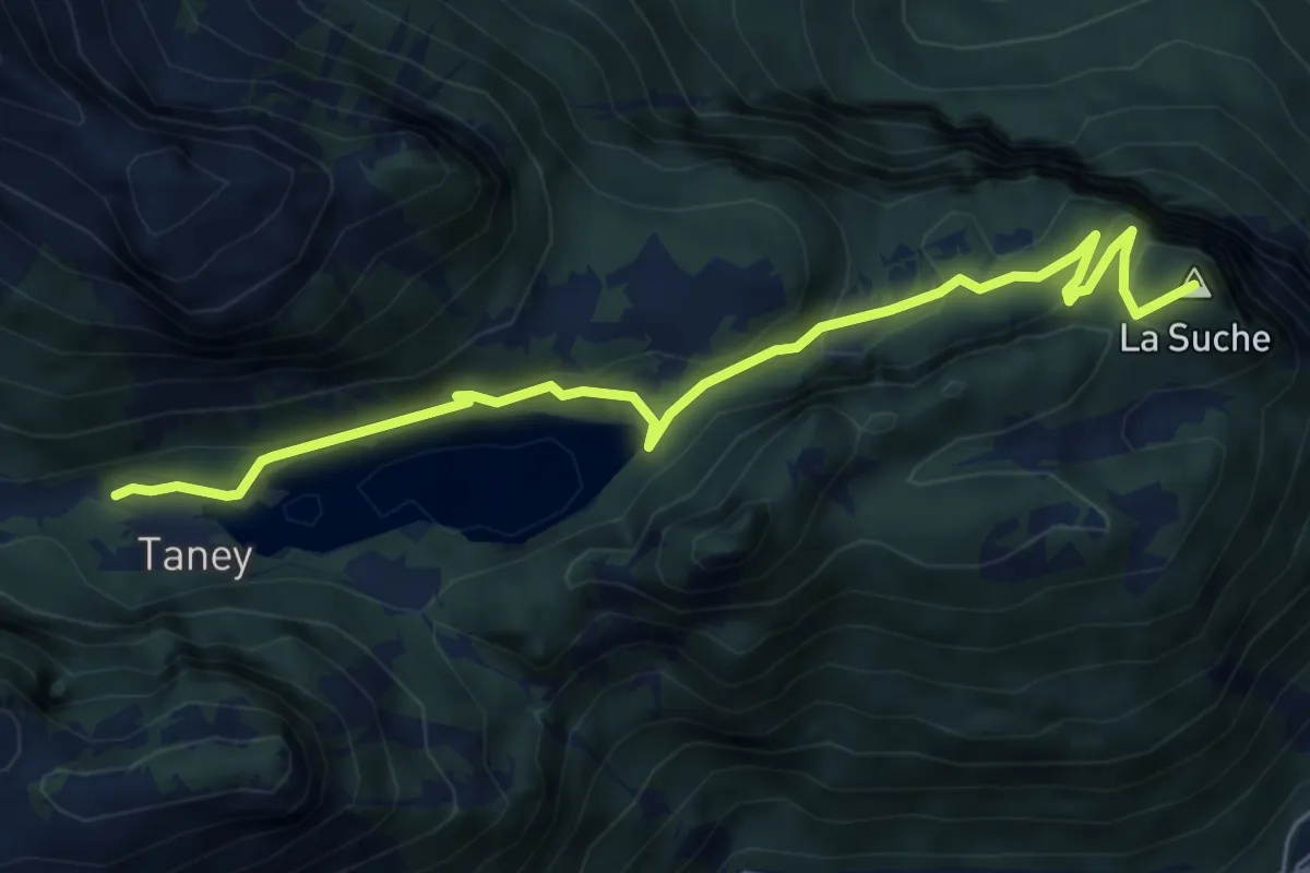
Easy · Summit
Miex-Lac de Taney (via Prélagine)
6.0 km · ↑ 315 m · 2 h 7 min · 11 km away
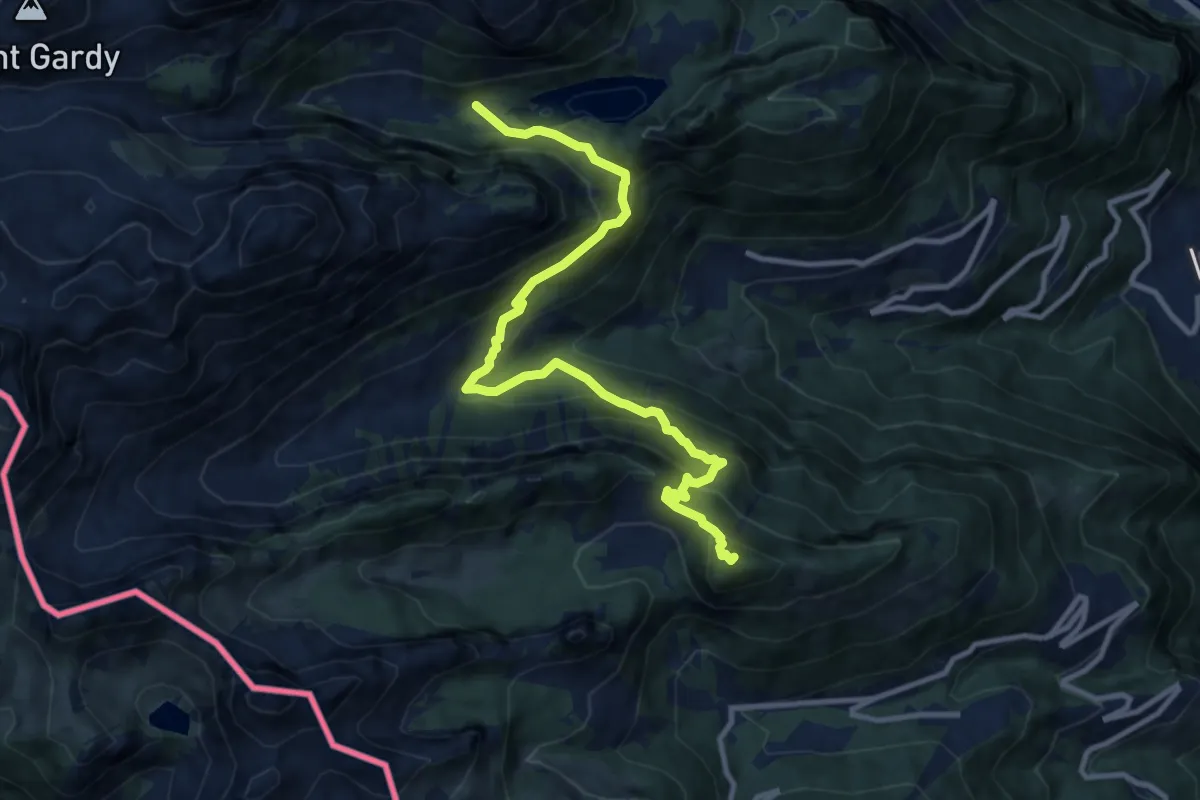
Demanding · Summit
42-Chemin des cols alpins
11.2 km · ↑ 993 m · 4 h 48 min · 11 km away
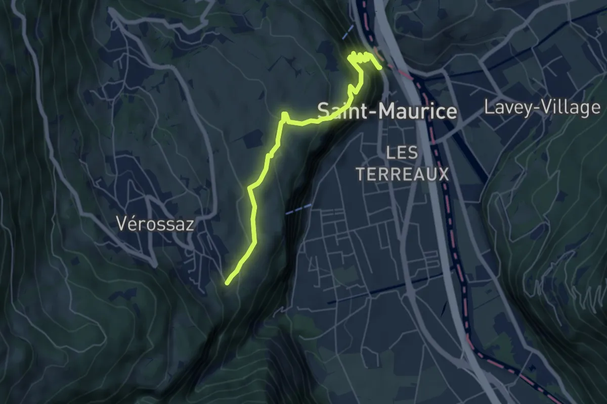
Medium · Trail
Bassays – Château de St-Maurice
5.6 km · ↑ 395 m · 2 h 11 min · 11 km away
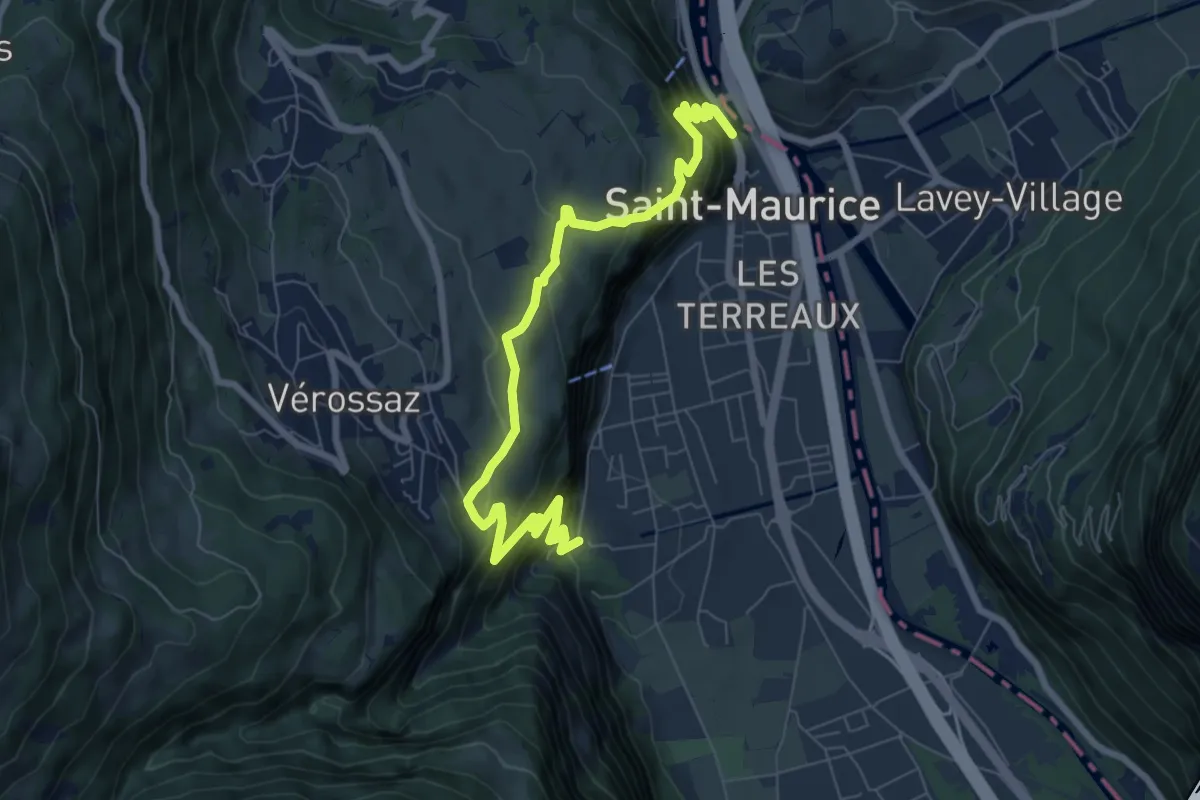
Demanding · Trail
Itinéraire du Plateau de Vérossaz
4.3 km · ↑ 367 m · 1 h 50 min · 11 km away
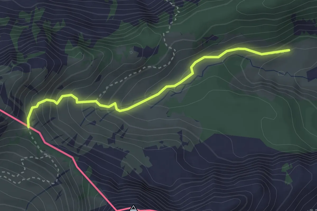
Medium · Trail
Savalène – Col de Savalène
3.0 km · ↑ 275 m · 1 h 18 min · 11 km away
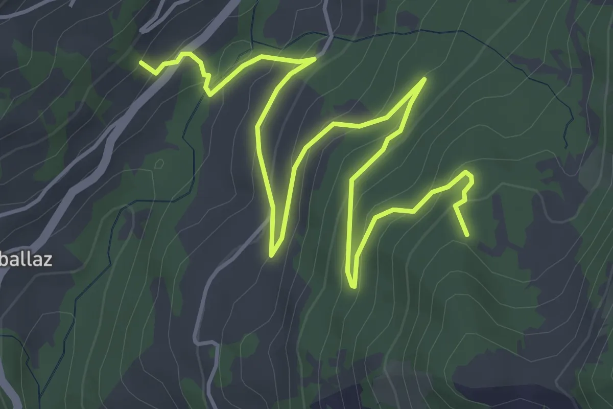
Easy · Trail
La Comballaz – Plan des Moilles
6.1 km · ↑ 305 m · 2 h 6 min · 11 km away
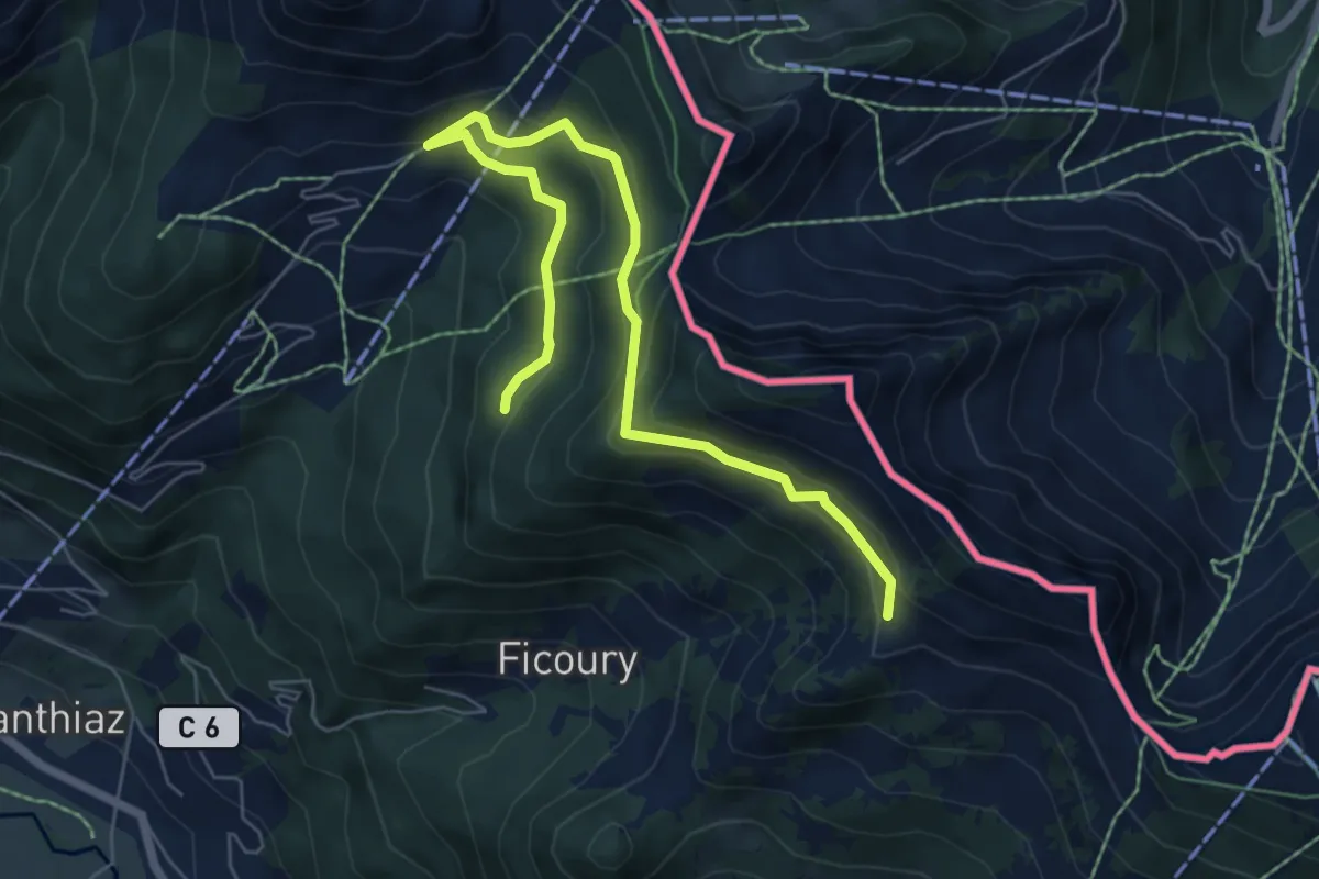
Medium · Trail
Les Chalets du Mouet
7.4 km · ↑ 397 m · 2 h 36 min · 11 km away
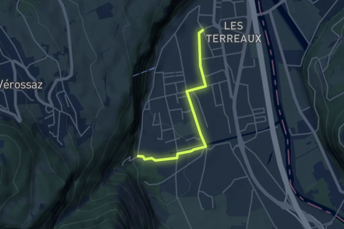
Easy · Trail
St-Maurice Gare – Les Cases
3.3 km · ↑ 77 m · 57 min · 12 km away
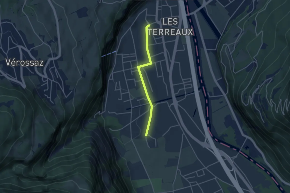
Easy · Trail
St-Maurice Gare – Vérolliez
2.9 km · ↑ 18 m · 43 min · 12 km away
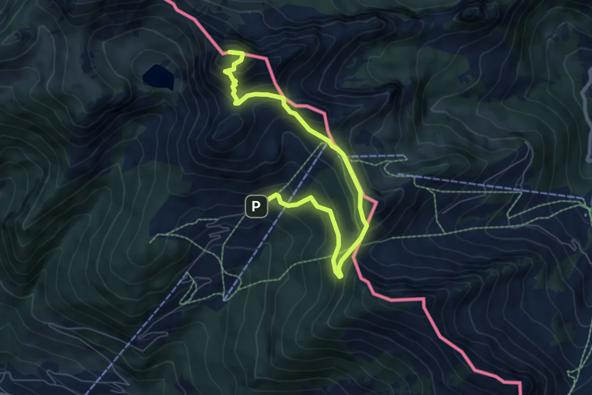
Medium · Summit
Le Linleu par les quatre cols
7.6 km · ↑ 529 m · 2 h 57 min · 12 km away
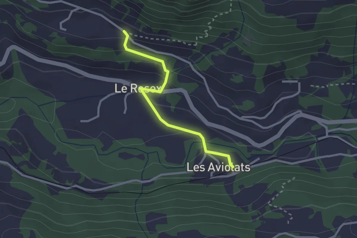
Easy · Trail
Grangettes – Les Aviolats
2.2 km · ↑ 112 m · 46 min · 12 km away
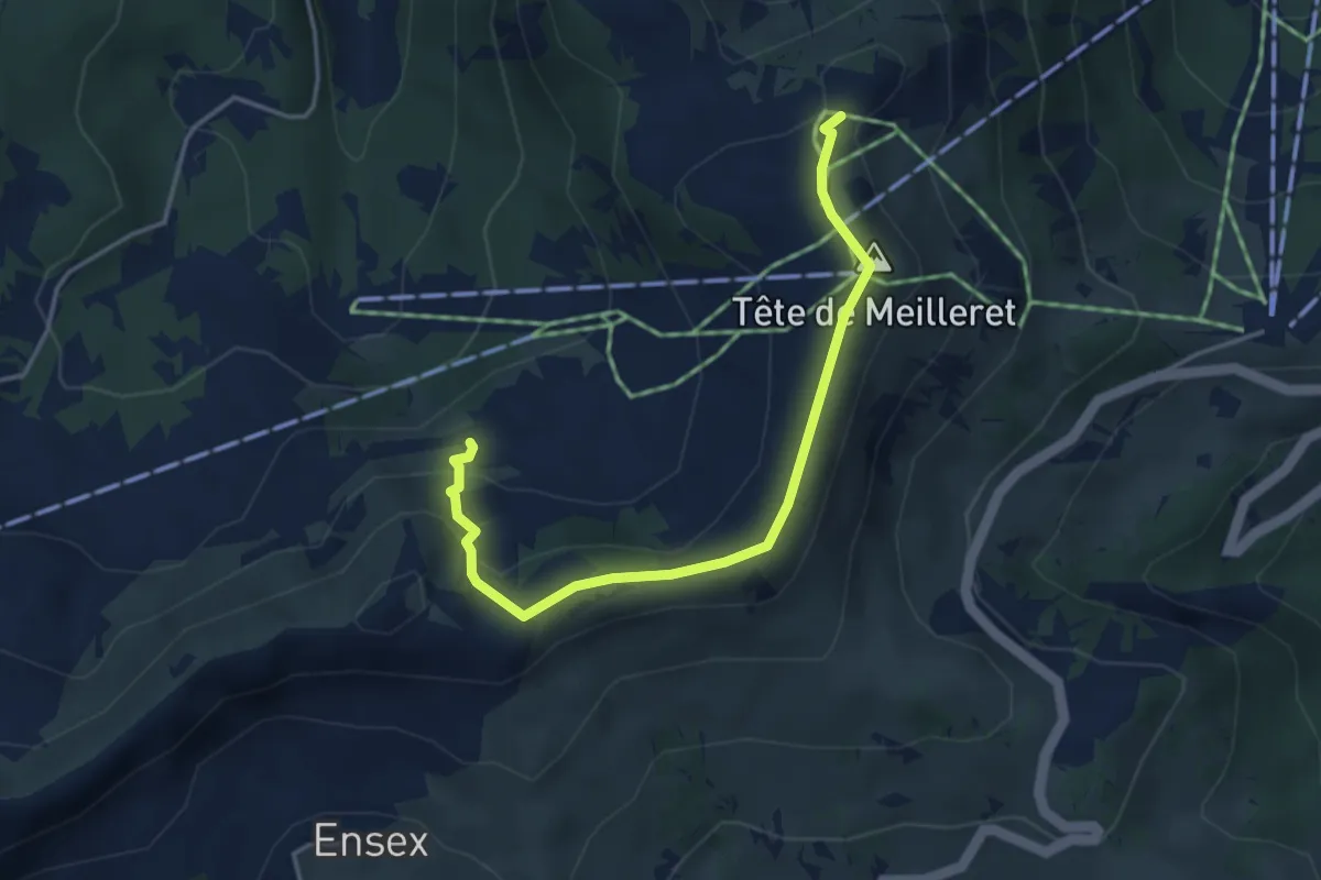
Medium · Trail
Tête de Meilleret – l'Encrène
4.1 km · ↑ 217 m · 1 h 26 min · 12 km away
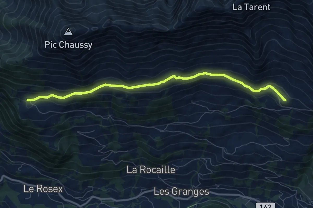
Medium · Trail
Marnex – Chersaule
8.2 km · ↑ 283 m · 2 h 32 min · 12 km away
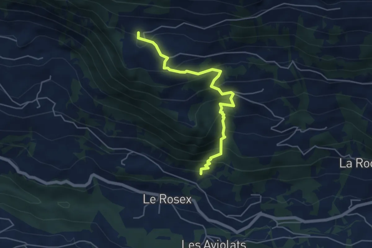
Medium · Trail
Chersaule – Grangettes
4.4 km · ↑ 478 m · 2 h 4 min · 12 km away
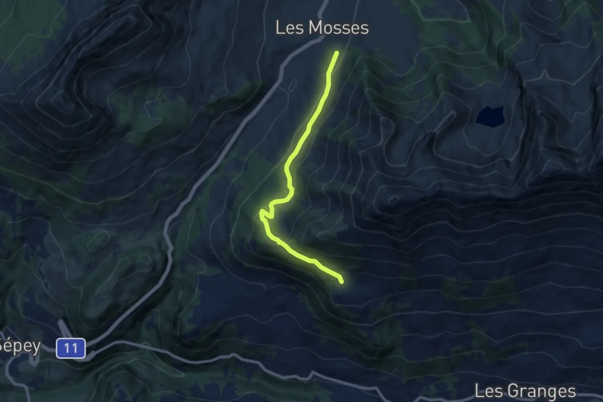
Medium · Trail
Les Mosses – Chersaule
7.7 km · ↑ 332 m · 2 h 33 min · 12 km away
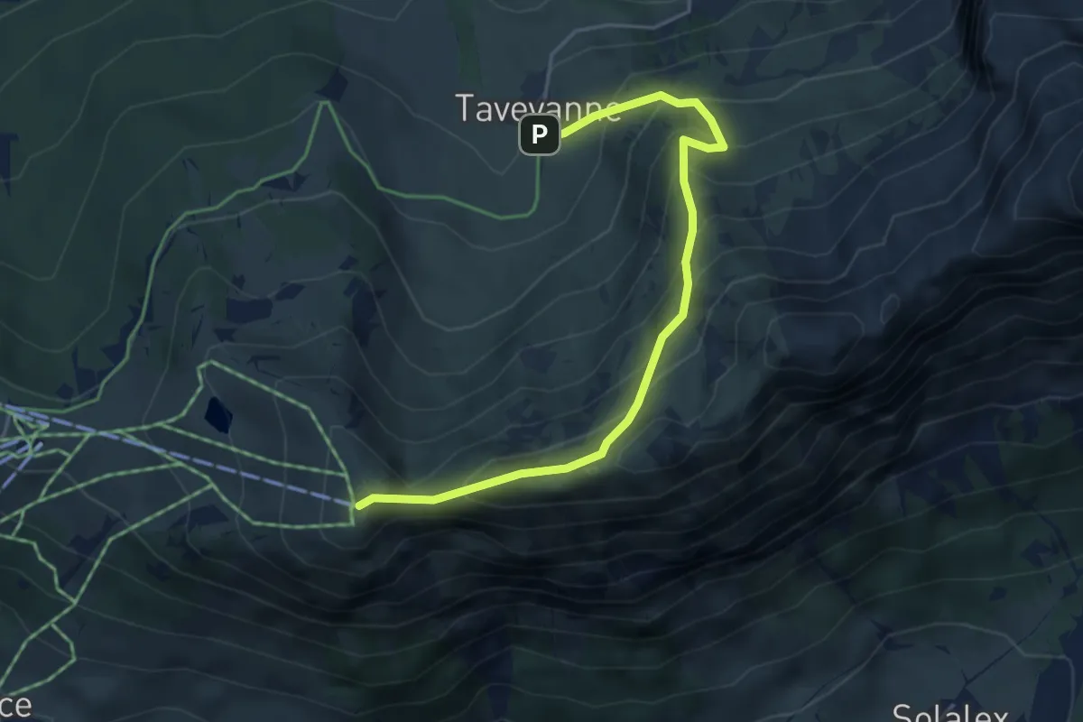
Medium · Summit
Taveyannaz – Croix des Chaux
4.6 km · ↑ 494 m · 2 h 10 min · 12 km away
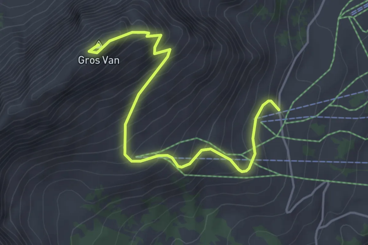
Medium · Summit
Sonnaz – Gros Van
4.5 km · ↑ 470 m · 2 h 5 min · 12 km away
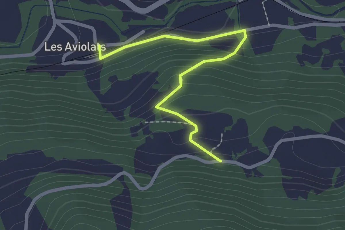
Easy · Trail
Les Aviolats – Rionzey
2.2 km · ↑ 125 m · 47 min · 12 km away
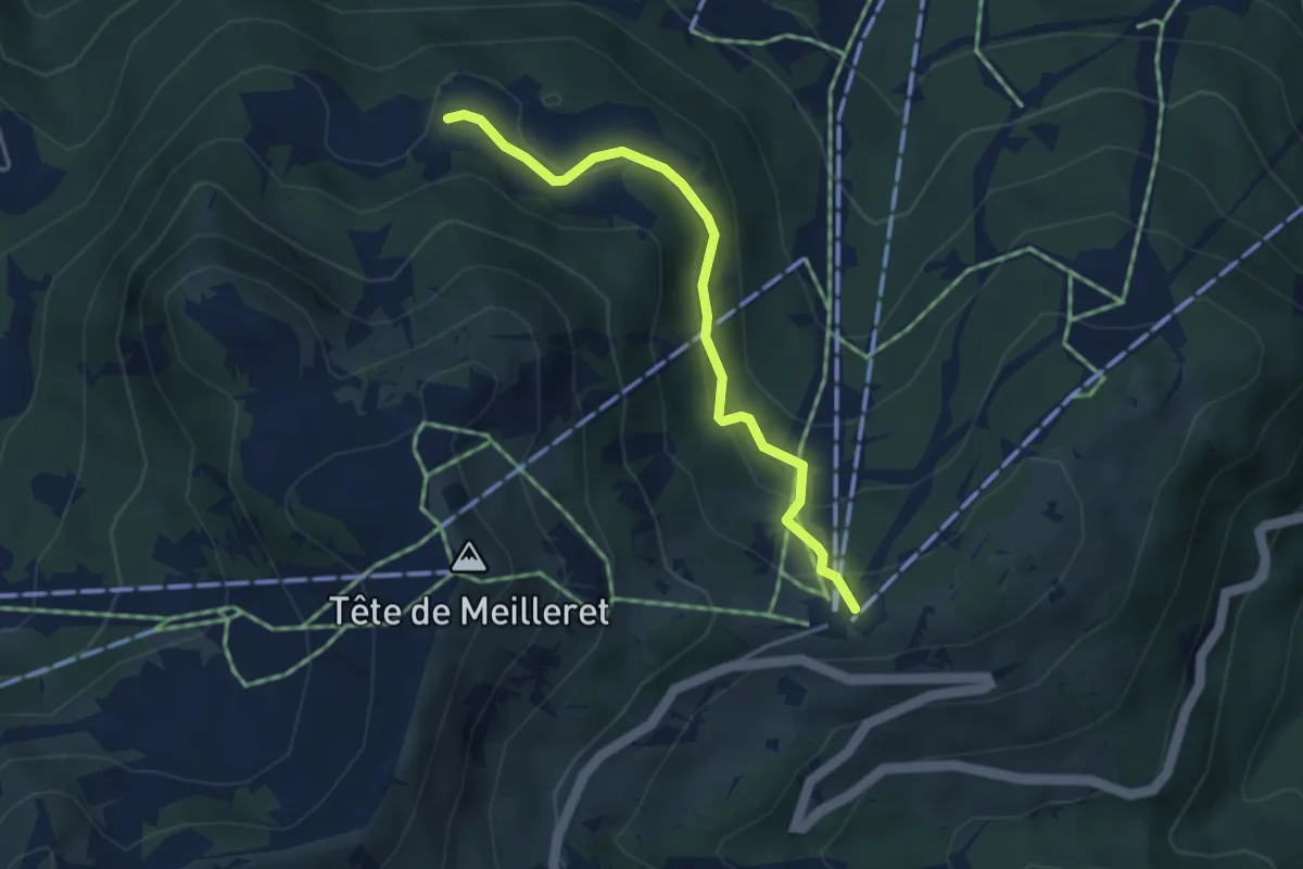
Easy · Trail
Les Mazots – La Bierlaz
3.7 km · ↑ 168 m · 1 h 14 min · 12 km away