Trails near Aigle
186 hikes starting within 15 km, nearest first.
Nearest first, page 4 of 4
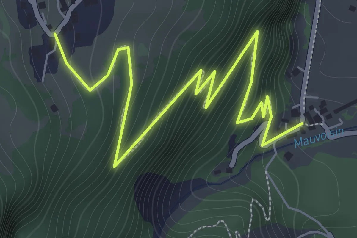
Demanding · Trail
Les Cases – Bassays
2.9 km · ↑ 275 m · 1 h 17 min · 12 km away
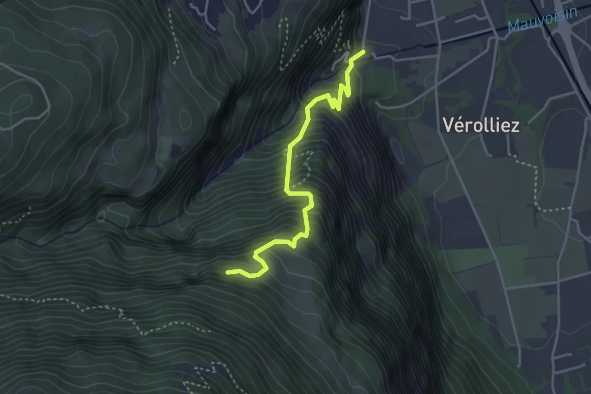
Medium · Trail
Les Cases – Les Praz
3.4 km · ↑ 542 m · 1 h 59 min · 12 km away
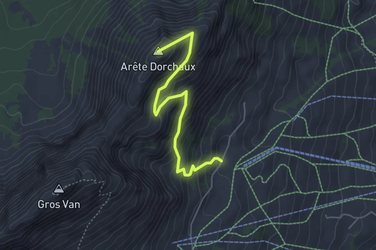
Medium · Summit
Sonnaz – Arête Dorchaux
4.1 km · ↑ 341 m · 1 h 42 min · 12 km away
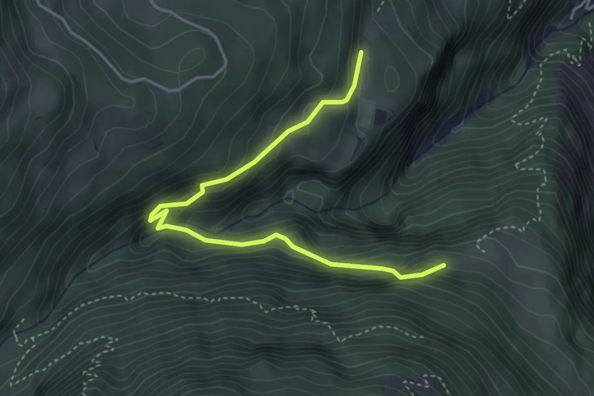
Medium · Trail
Les Praz – La Daille
4.2 km · ↑ 365 m · 1 h 47 min · 12 km away
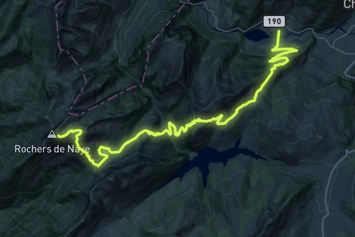
Demanding · Trail
Via Alpina
18.7 km · ↑ 754 m · 6 h 50 min · 13 km away
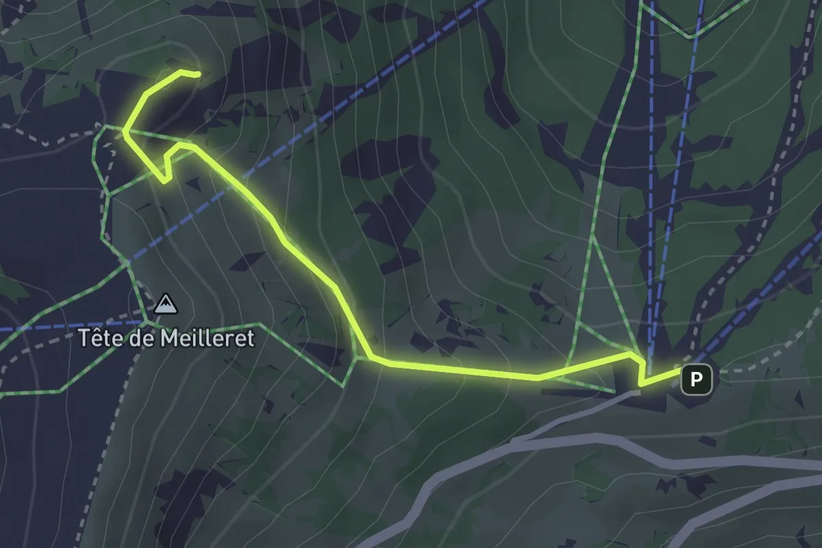
Medium · Summit
Les Mazots – Tête de Meilleret
3.0 km · ↑ 210 m · 1 h 9 min · 13 km away
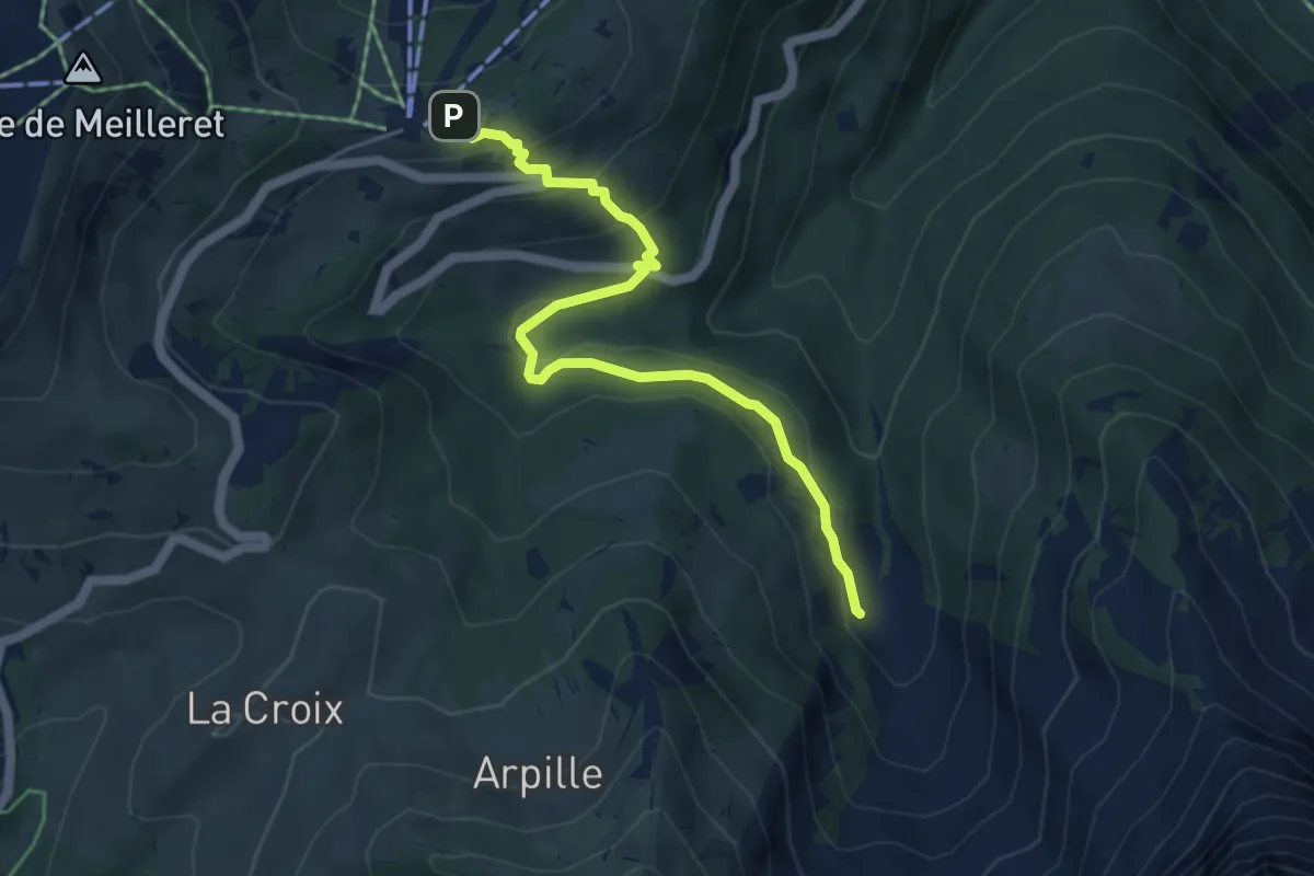
Medium · Trail
Les Mazots – Creux de Culan
5.2 km · ↑ 212 m · 1 h 42 min · 13 km away
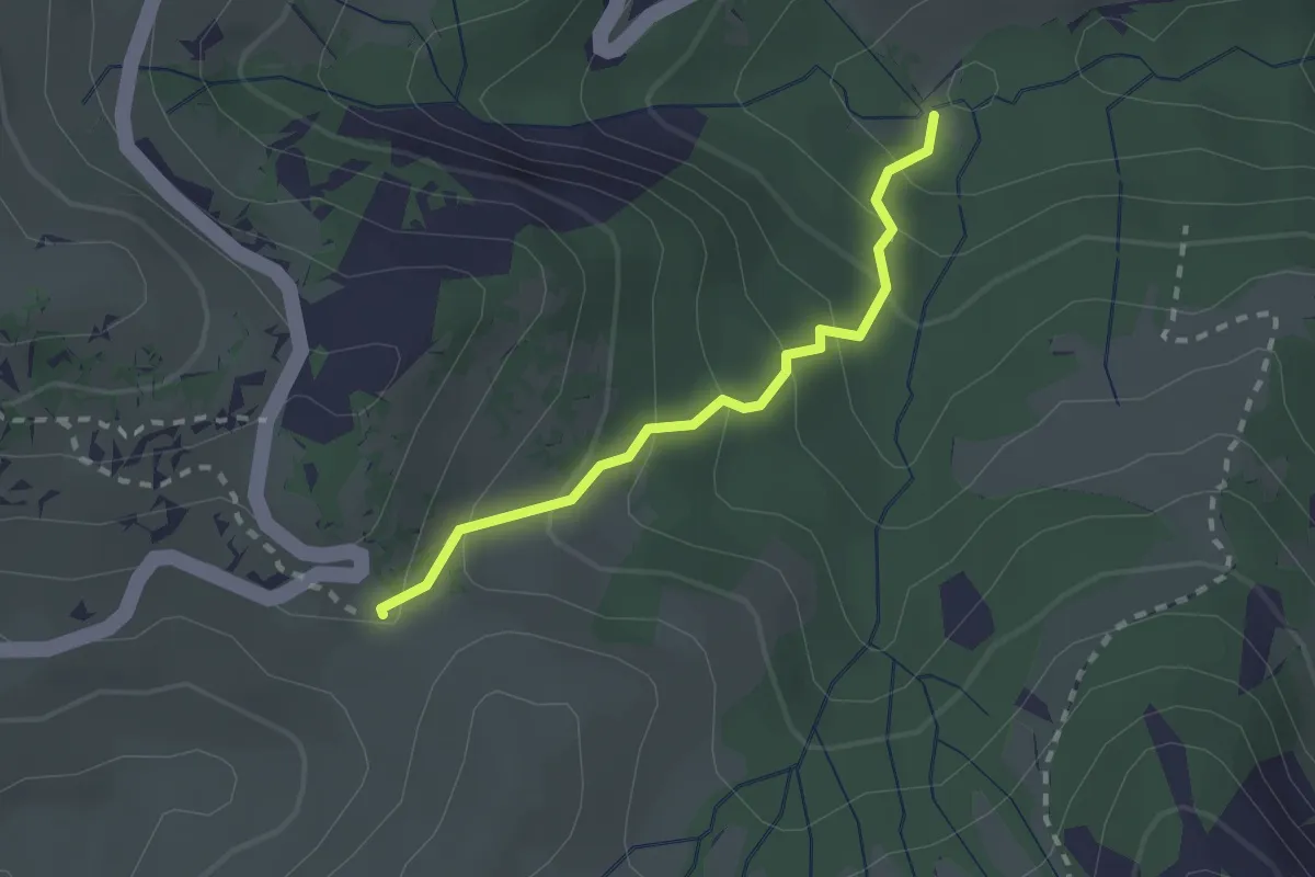
Easy · Trail
La Tailla – Col de la Croix
2.0 km · ↑ 183 m · 53 min · 13 km away
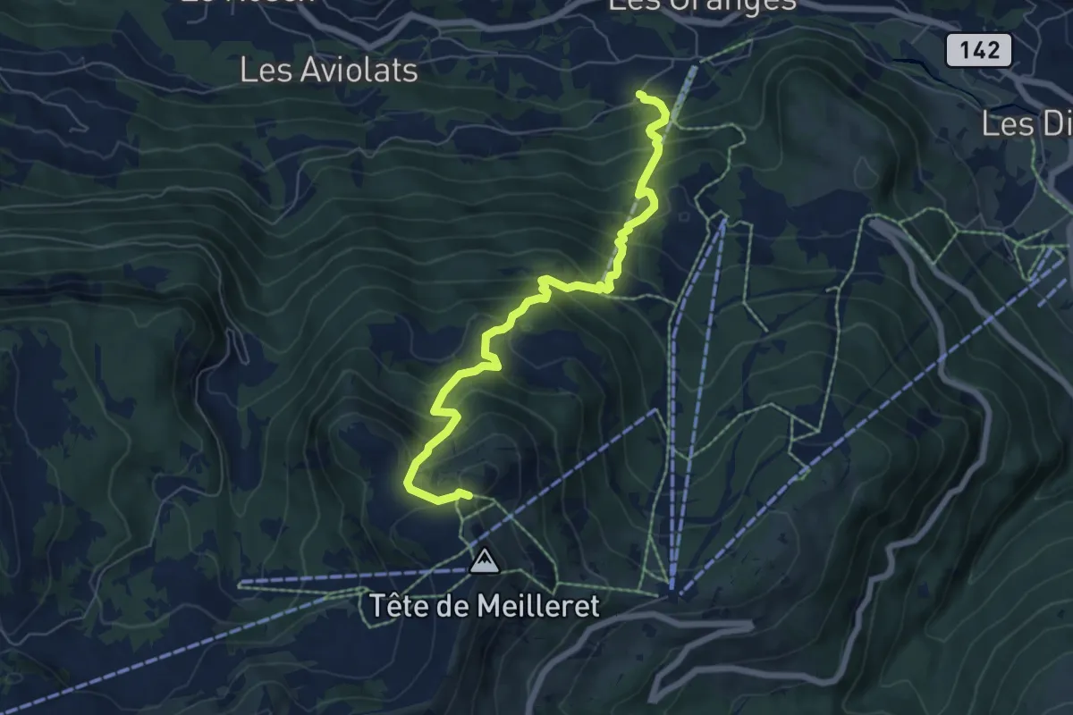
Medium · Trail
Vers l'Eglise – Tête de Meilleret
6.7 km · ↑ 762 m · 3 h 14 min · 13 km away
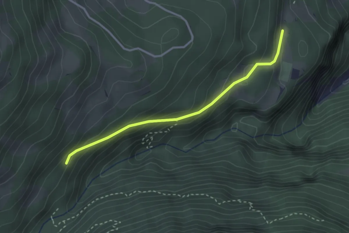
Easy · Trail
La Daille – La Sachia
2.7 km · ↑ 180 m · 1 h 2 min · 13 km away
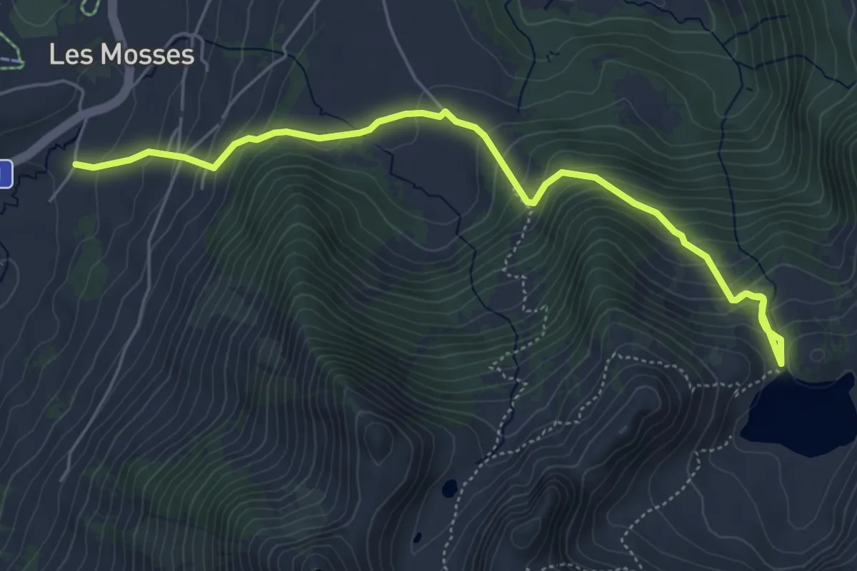
Medium · Trail
Les Mosses – Lac Lioson
6.1 km · ↑ 490 m · 2 h 30 min · 13 km away
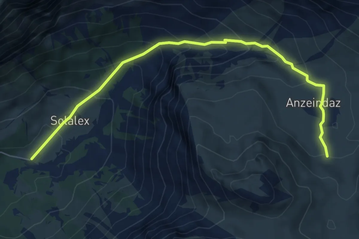
Medium · Trail
Tour de l'Argentine
3.3 km · ↑ 454 m · 1 h 35 min · 13 km away
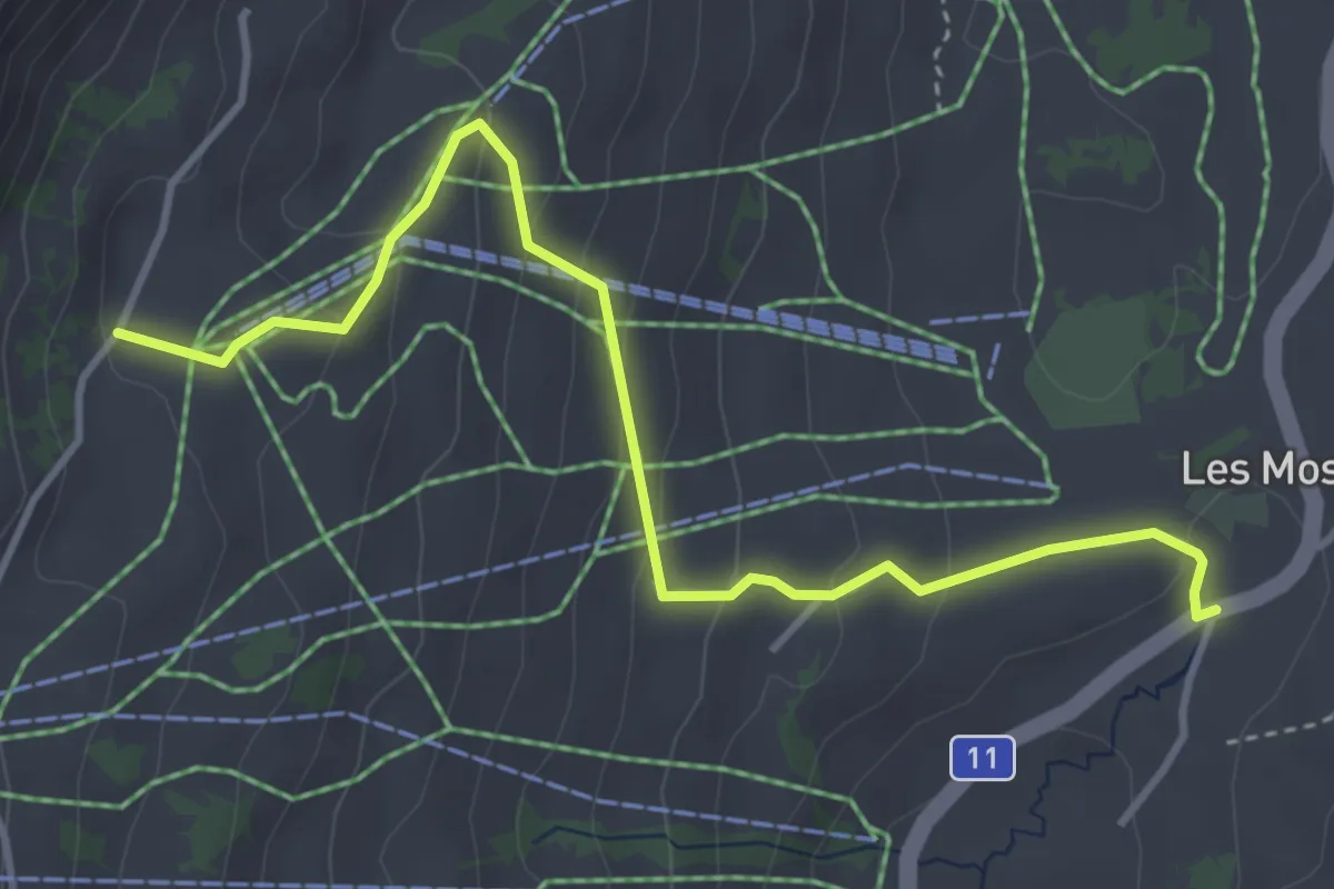
Easy · Trail
Col de Mosses – Sonnaz
4.3 km · ↑ 229 m · 1 h 30 min · 13 km away
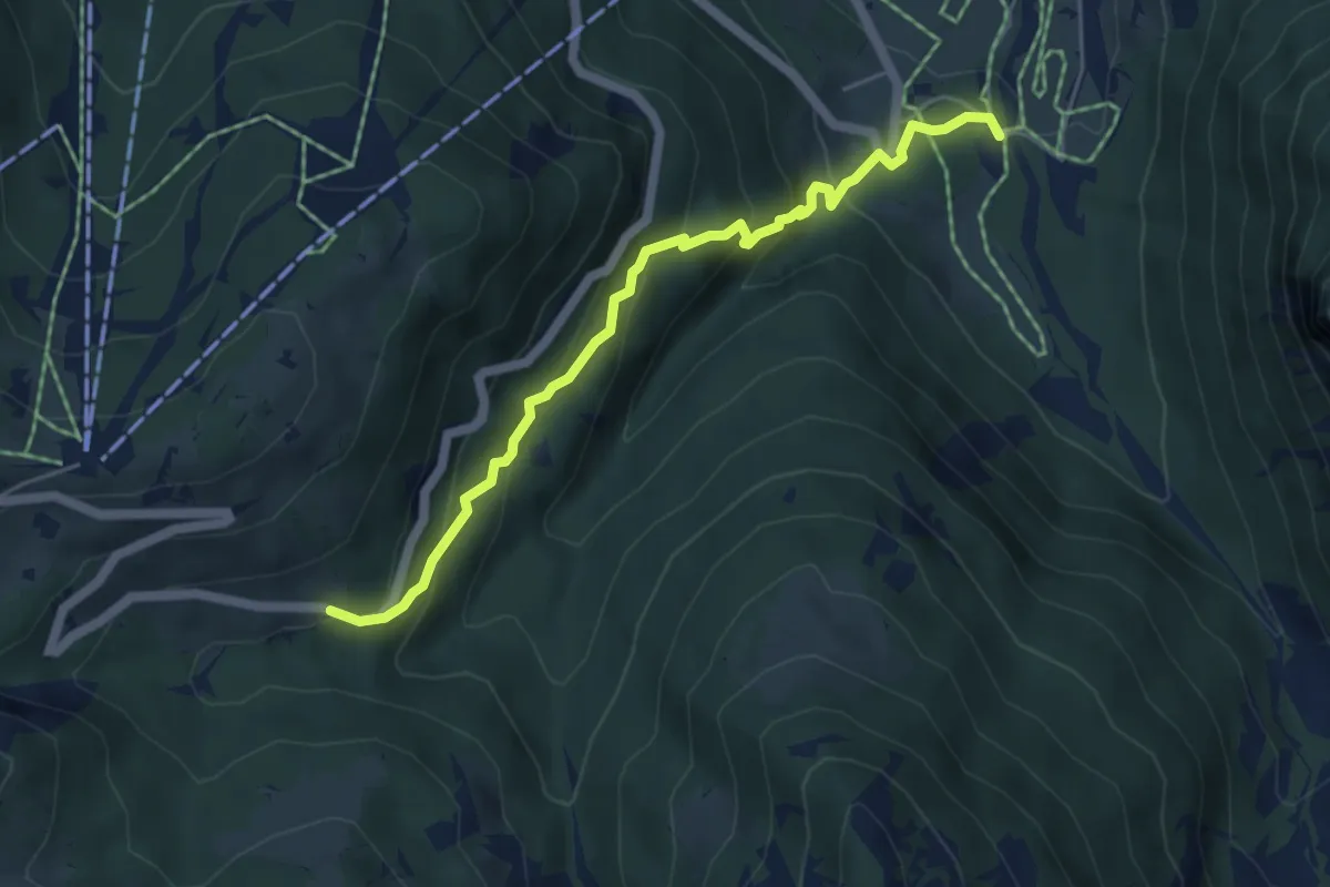
Medium · Trail
Le Droutsay – Fond des Mazots
5.2 km · ↑ 421 m · 2 h 8 min · 13 km away
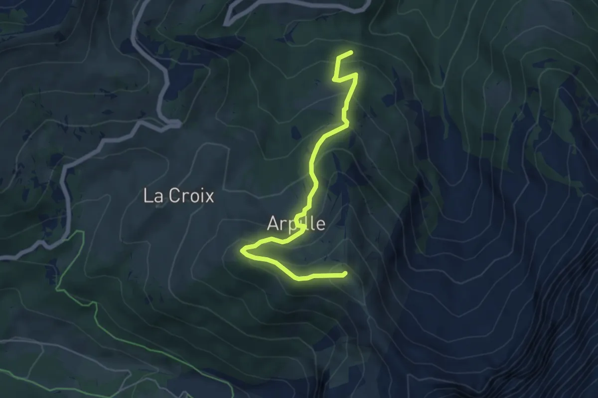
Medium · Summit
La Tailla – Pointe d'Arpille
5.1 km · ↑ 394 m · 2 h 4 min · 13 km away
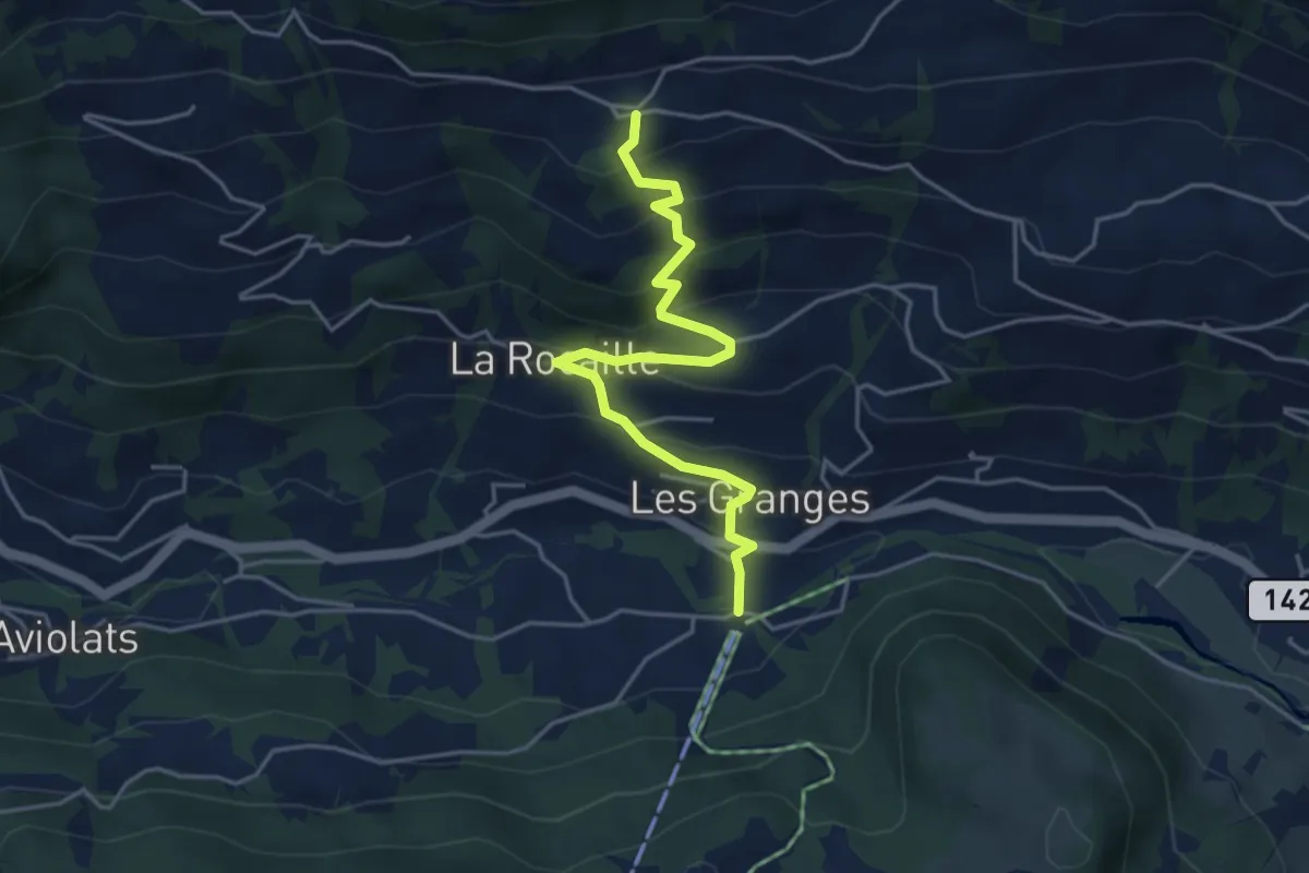
Medium · Trail
Vers l'Eglise – La Ville
4.5 km · ↑ 358 m · 1 h 50 min · 13 km away
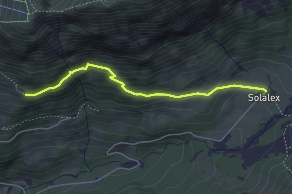
Easy · Trail
Solalex – Les Chaux
3.8 km · ↑ 273 m · 1 h 30 min · 13 km away
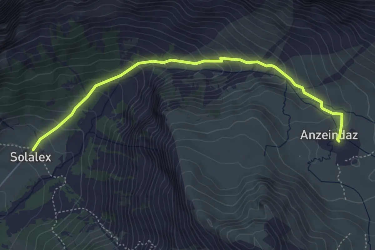
Medium · Cabin
Anzeindaz – Solalex
4.9 km · ↑ 416 m · 2 h 4 min · 13 km away
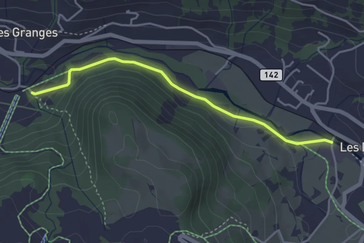
Easy · Trail
Vers l'Eglise – Les Diablerets
3.3 km · ↑ 69 m · 56 min · 13 km away
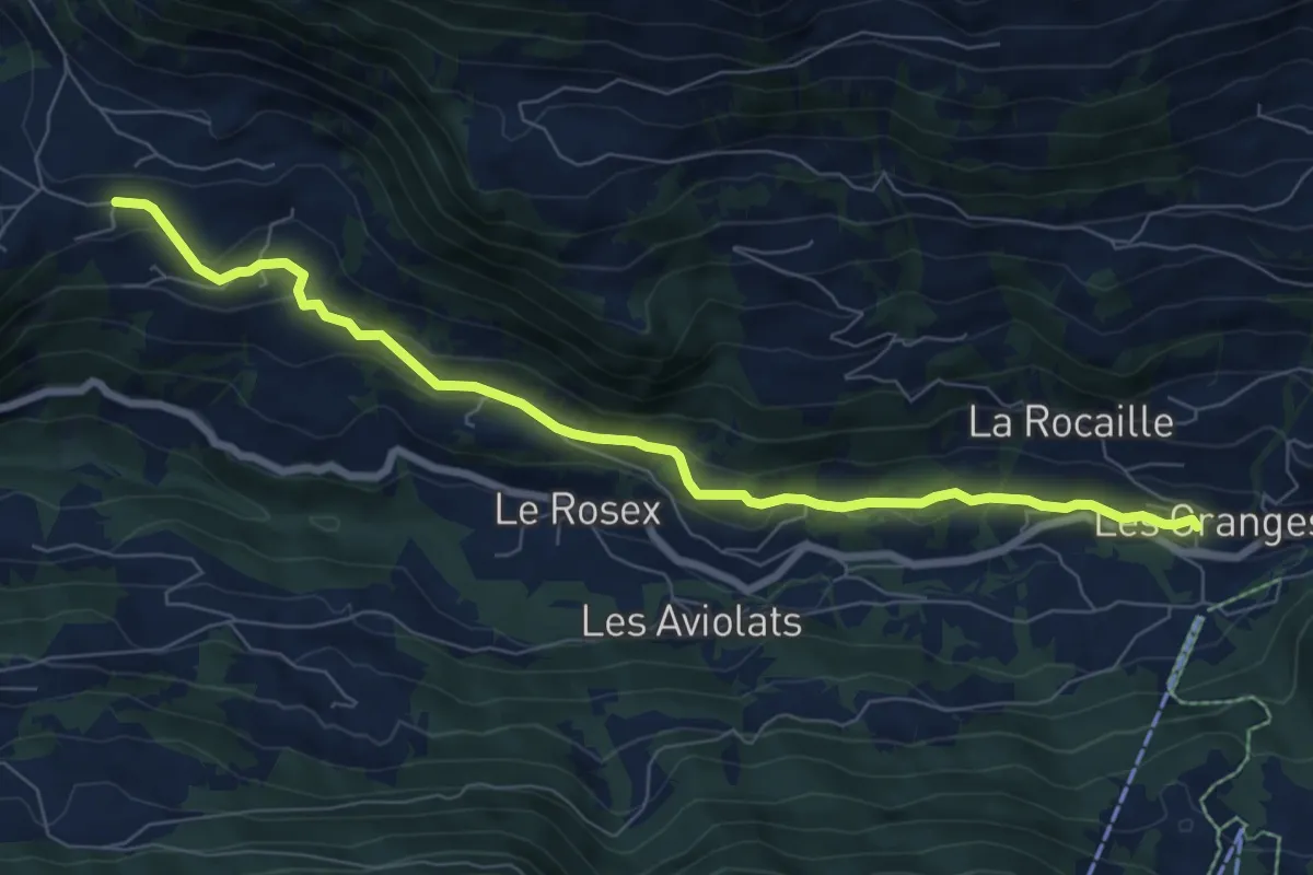
Easy · Trail
Les Voëttes – Vers l'Eglise
8.0 km · ↑ 248 m · 2 h 25 min · 13 km away
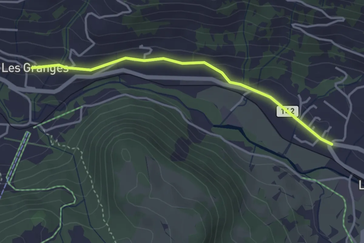
Easy · Trail
Les Granges – Les Diablerets
3.1 km · ↑ 48 m · 51 min · 13 km away
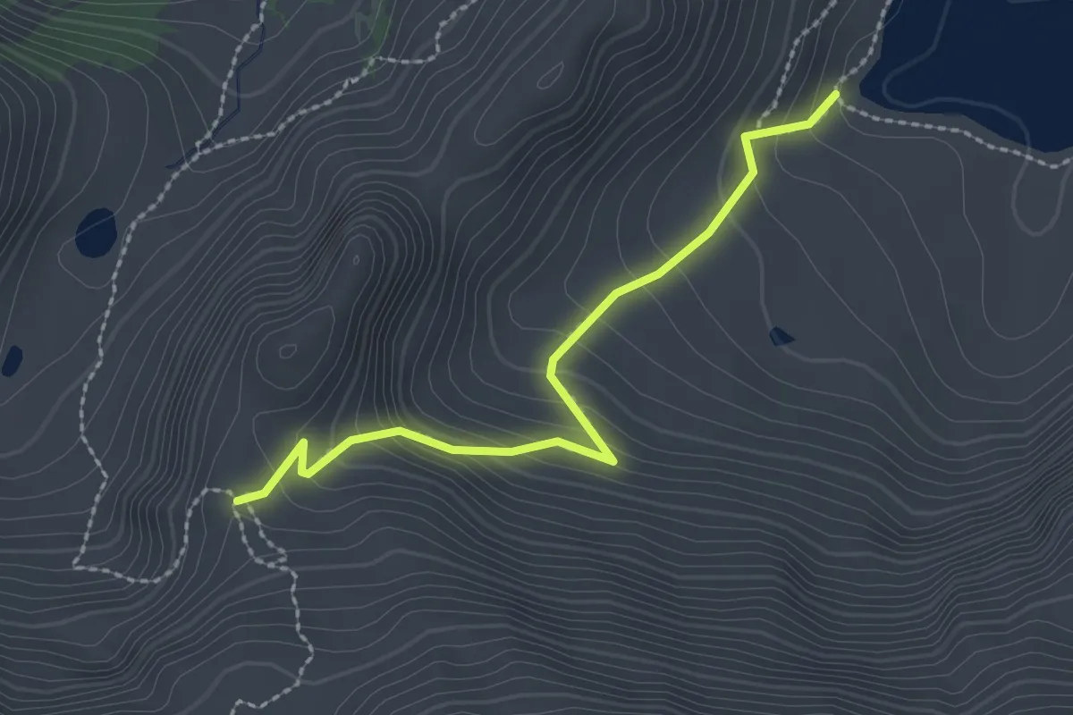
Medium · Trail
Lac Lioson – 2079
2.3 km · ↑ 197 m · 58 min · 13 km away
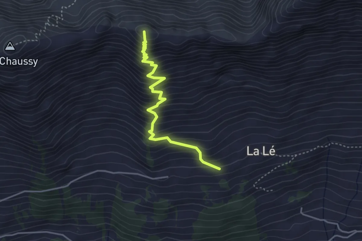
Medium · Summit
La Lé – Pic Chaussy
3.6 km · ↑ 494 m · 1 h 54 min · 14 km away
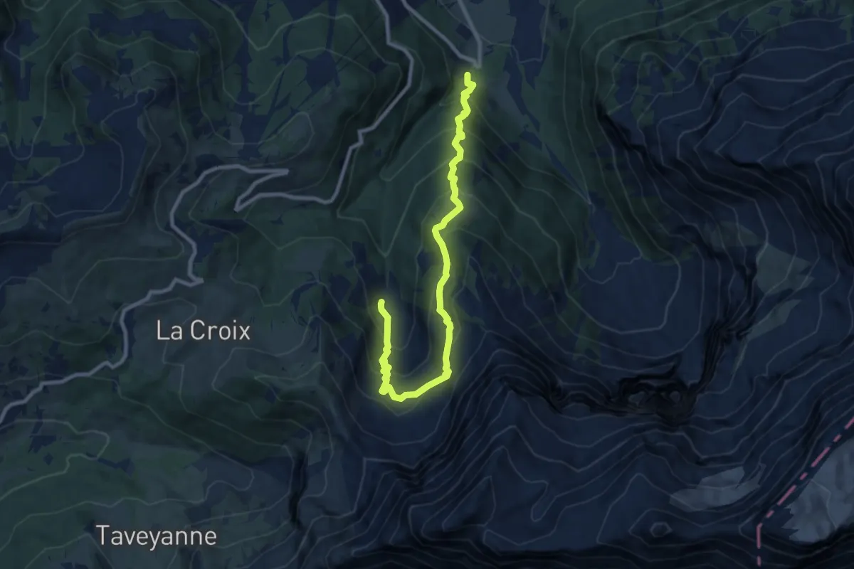
Demanding · Trail
Le Droutsay – Fond de Culan
9.5 km · ↑ 945 m · 4 h 17 min · 14 km away
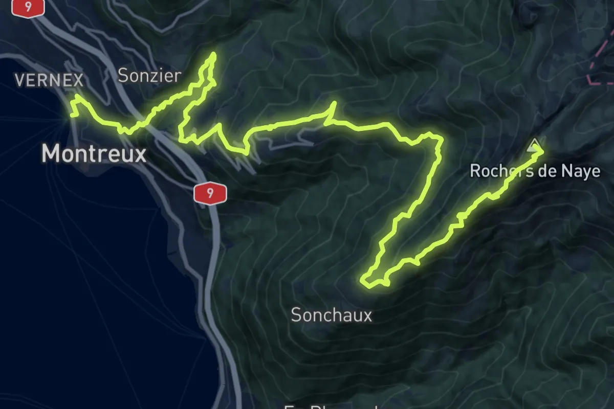
Demanding · Summit
Via Alpina
26.6 km · ↑ 2058 m · 10 h 44 min · 14 km away
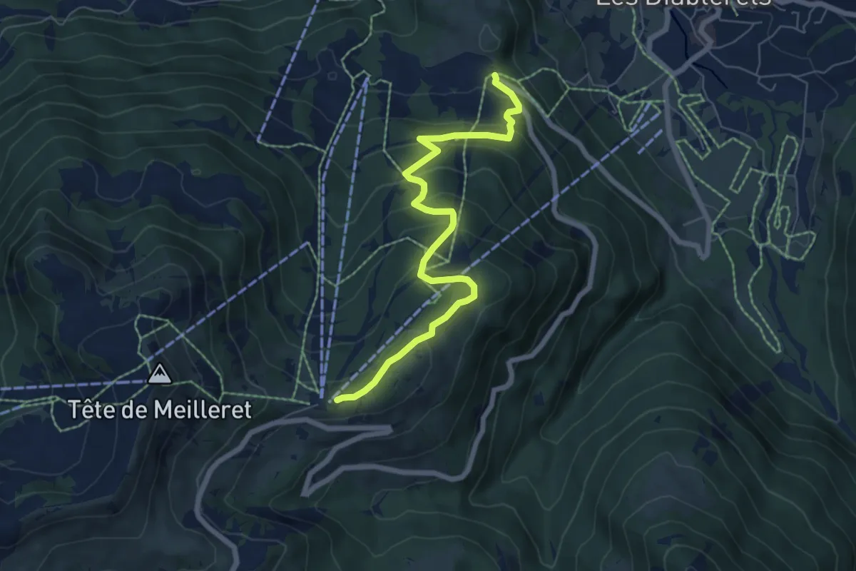
Medium · Trail
Le Rachy – Les Mazots
6.6 km · ↑ 418 m · 2 h 28 min · 14 km away
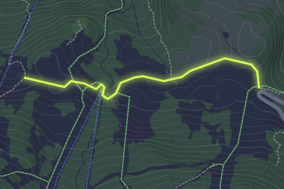
Easy · Trail
Le Rachy – La Ruvine
2.4 km · ↑ 65 m · 42 min · 14 km away
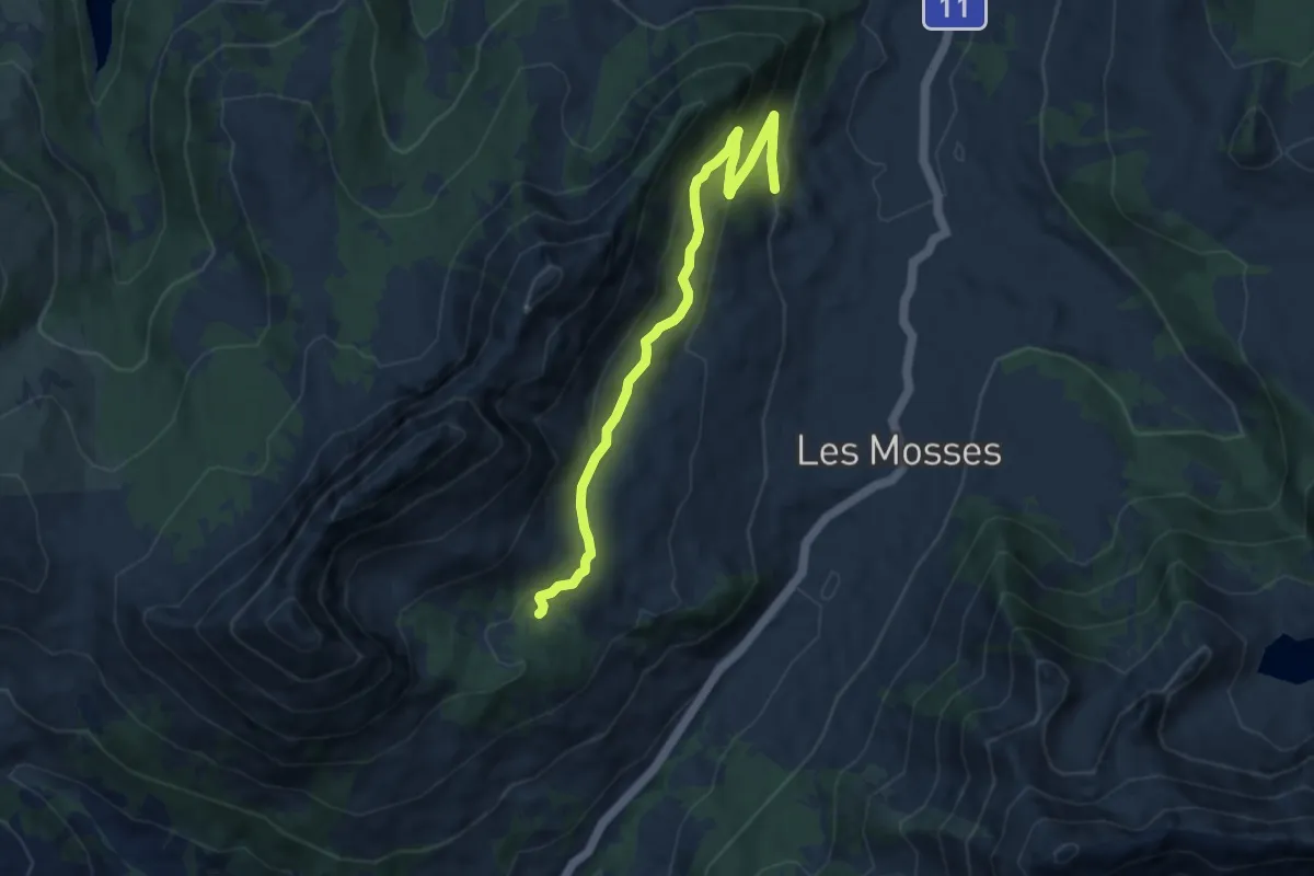
Medium · Trail
Le Larzey – L'Arsaz
8.4 km · ↑ 374 m · 2 h 48 min · 14 km away
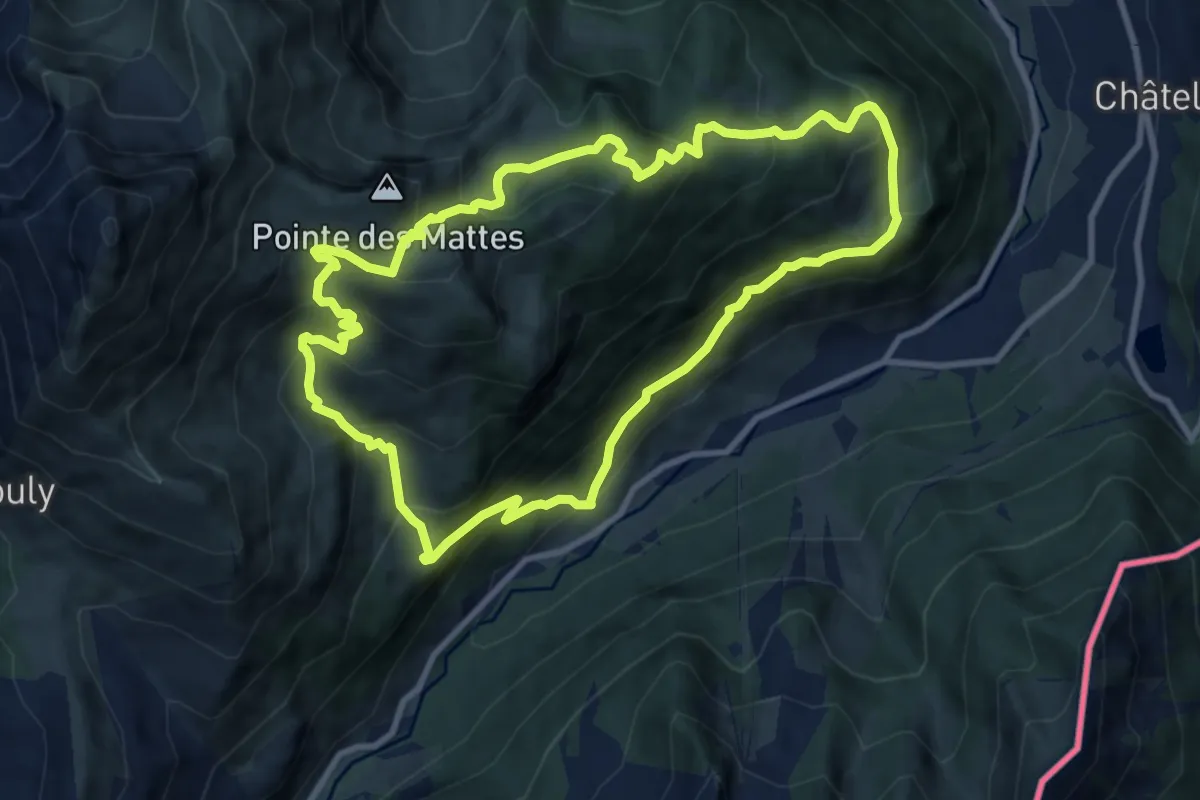
Demanding · Trail
Boucle des Mattes
9.4 km · ↑ 815 m · 4 h 7 min · 14 km away
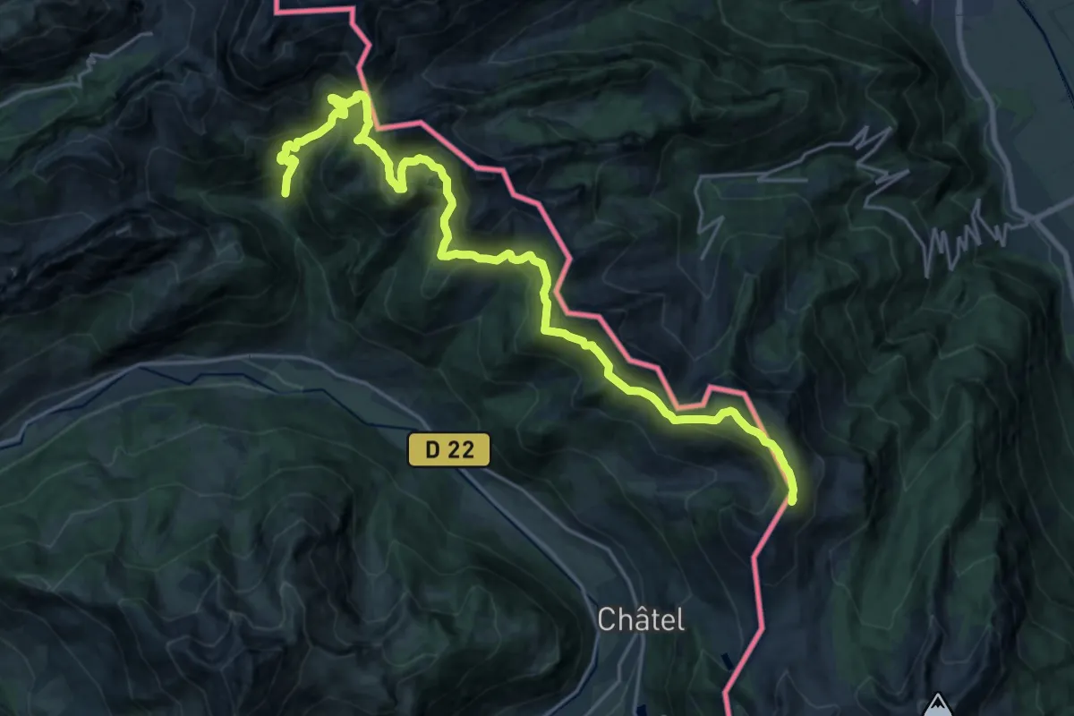
Demanding · Summit
Tour des Portes du Soleil
24.7 km · ↑ 1577 m · 9 h 15 min · 14 km away
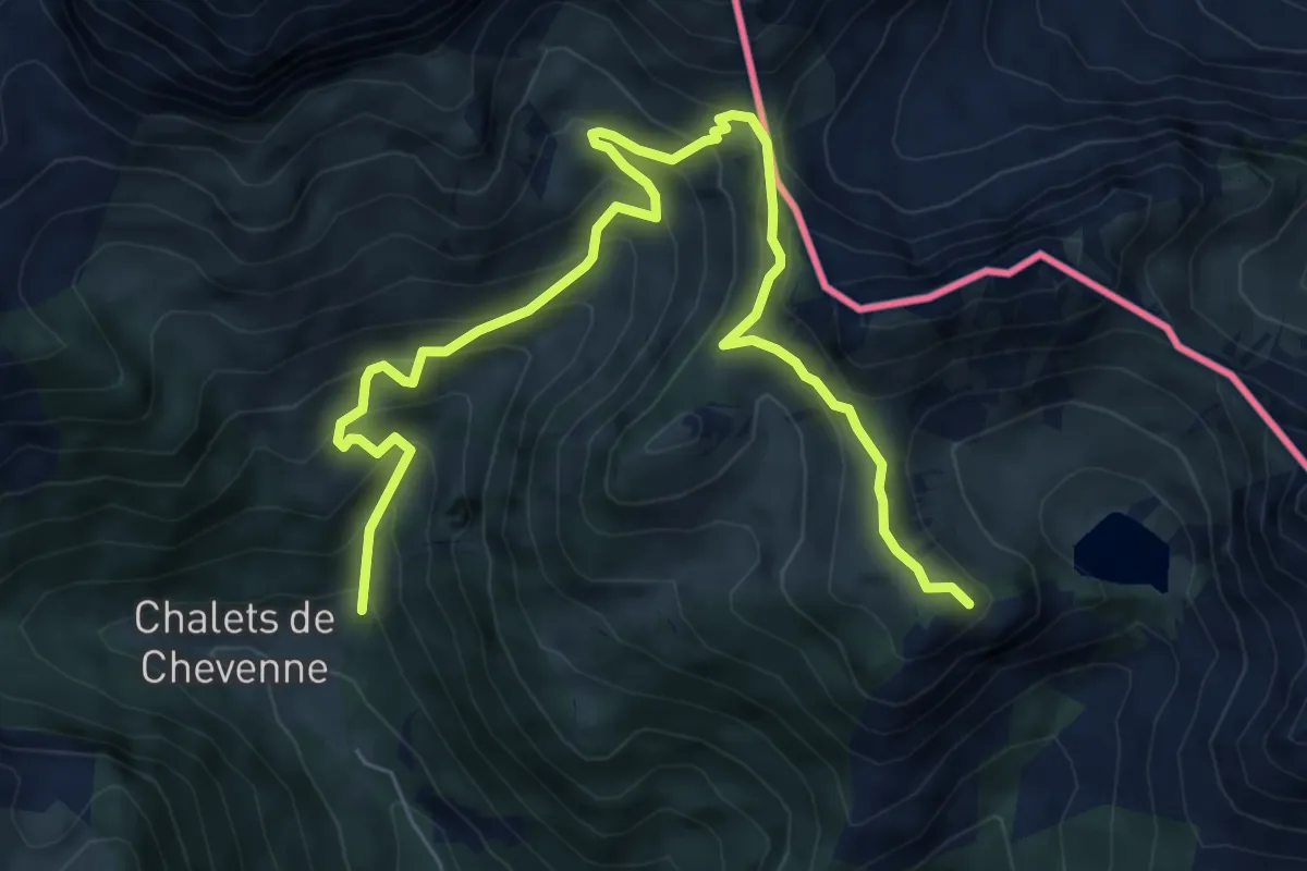
Demanding · Summit
Boucle des Thoules au lac d'Arvouin
8.2 km · ↑ 702 m · 3 h 27 min · 14 km away
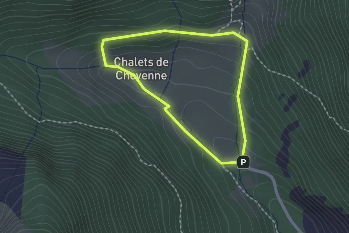
Medium · Trail
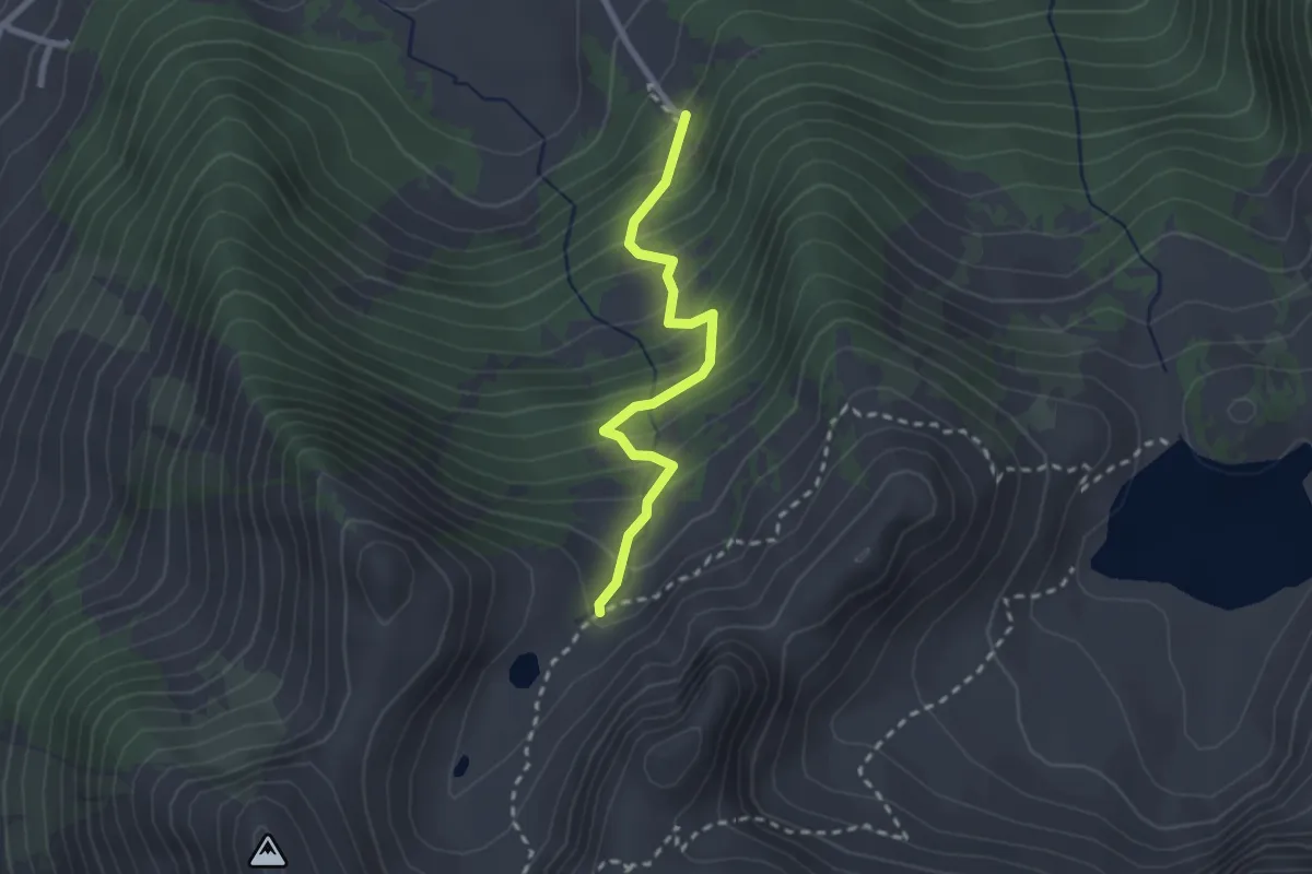
Parcours Santé et Découverte Chevenne
1.4 km · ↑ 76 m · 30 min · 14 km away
Medium · Trail
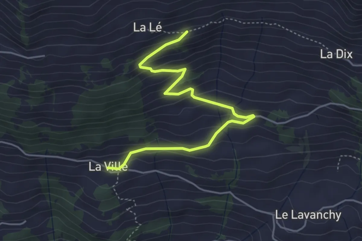
Chemin du Lioson – Buvette des Petit-Lacs
2.3 km · ↑ 289 m · 1 h 10 min · 14 km away
Easy · Trail
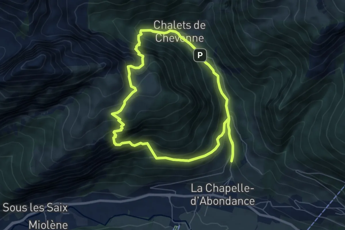
La Ville – La Lé
4.6 km · ↑ 289 m · 1 h 43 min · 14 km away
Medium · Trail
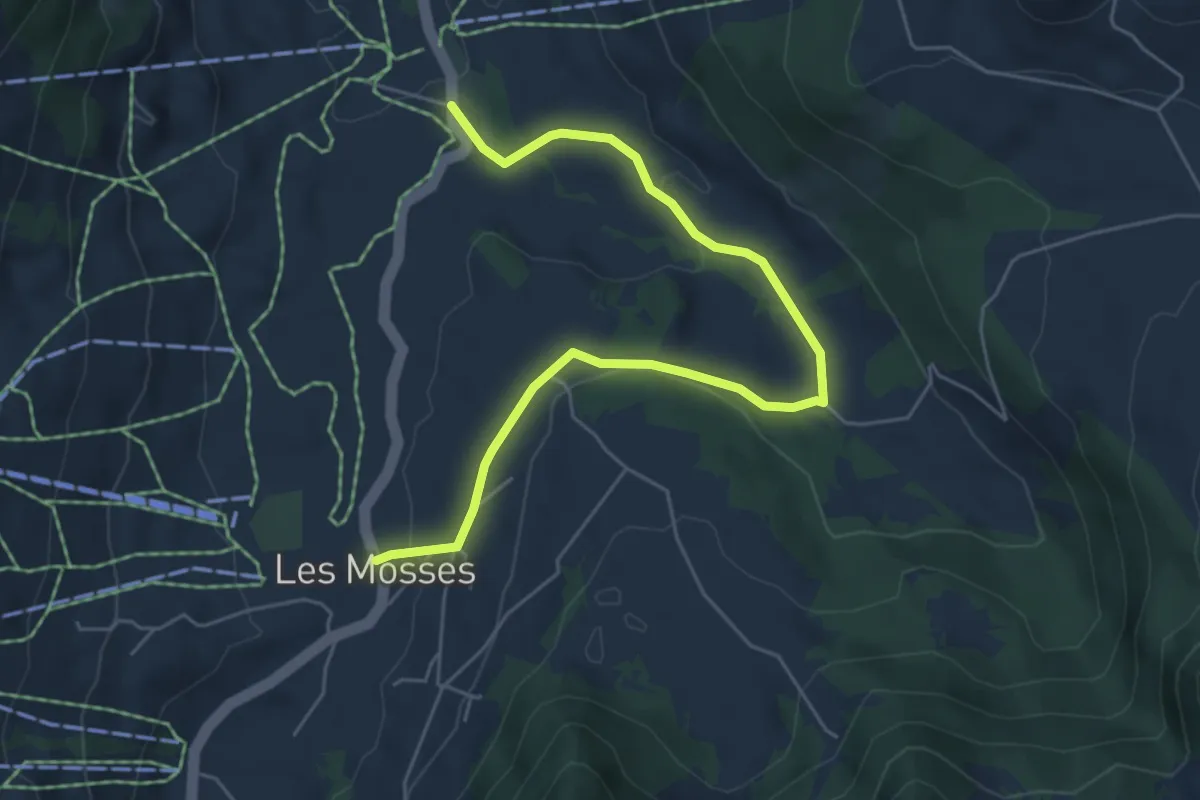
Chalet de la Raille par la Plagne
6.4 km · ↑ 535 m · 2 h 45 min · 14 km away
Easy · Trail
Les Mosses – L'Arsaz
6.1 km · ↑ 147 m · 1 h 46 min · 14 km away
Easy · Trail
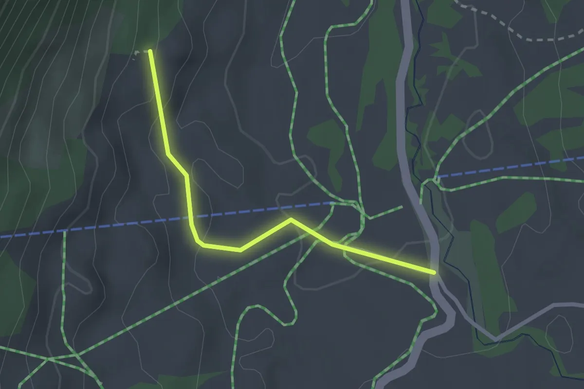
Communs des Mosses – L'Arsaz
2.1 km · ↑ 61 m · 38 min · 14 km away
Medium · Summit
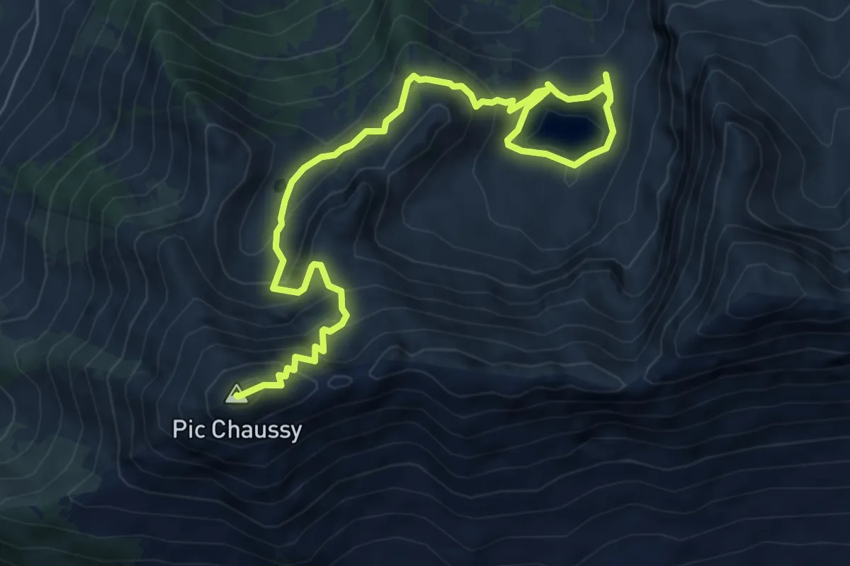
Lac Lioson – Pic Chaussy
8.5 km · ↑ 611 m · 3 h 19 min · 14 km away
Easy · Trail
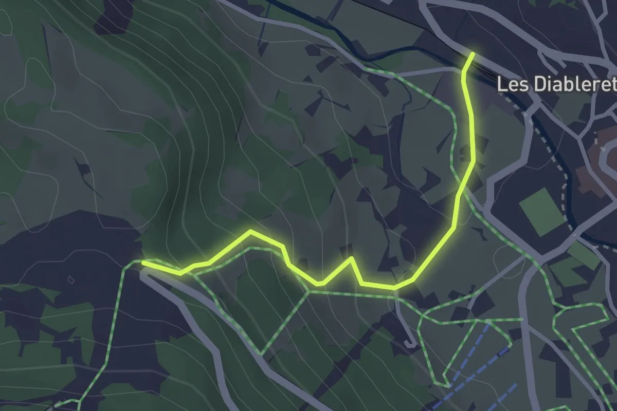
Le Rachy – Les Diablerets
2.7 km · ↑ 177 m · 1 h 1 min · 15 km away
Medium · Trail
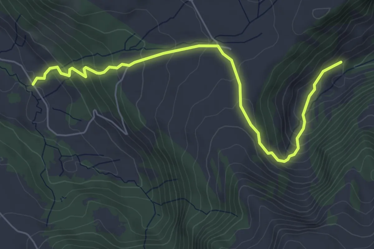
Communs de l'Hongrin – Les Fonds
6.2 km · ↑ 389 m · 2 h 18 min · 15 km away
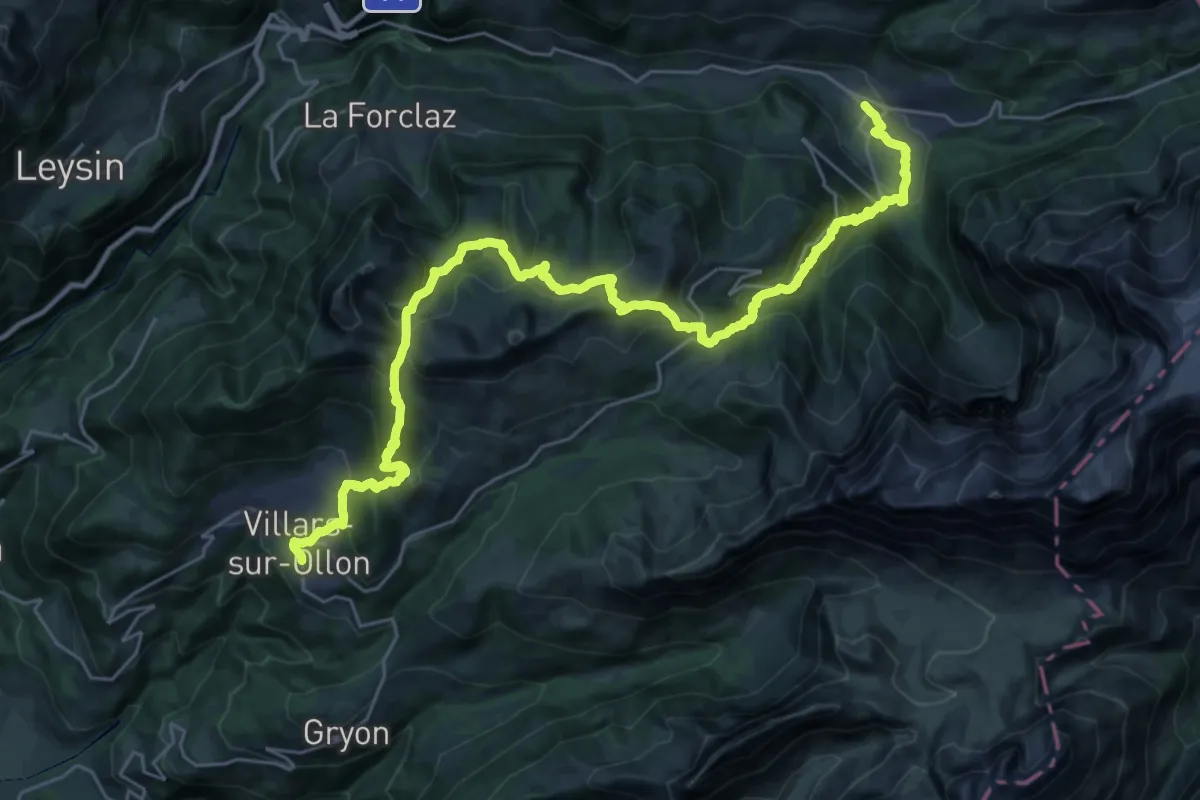
Demanding · Trail
Tour des Alpes Vaudoises Étape 6
17.5 km · ↑ 1002 m · 6 h 29 min · 15 km away
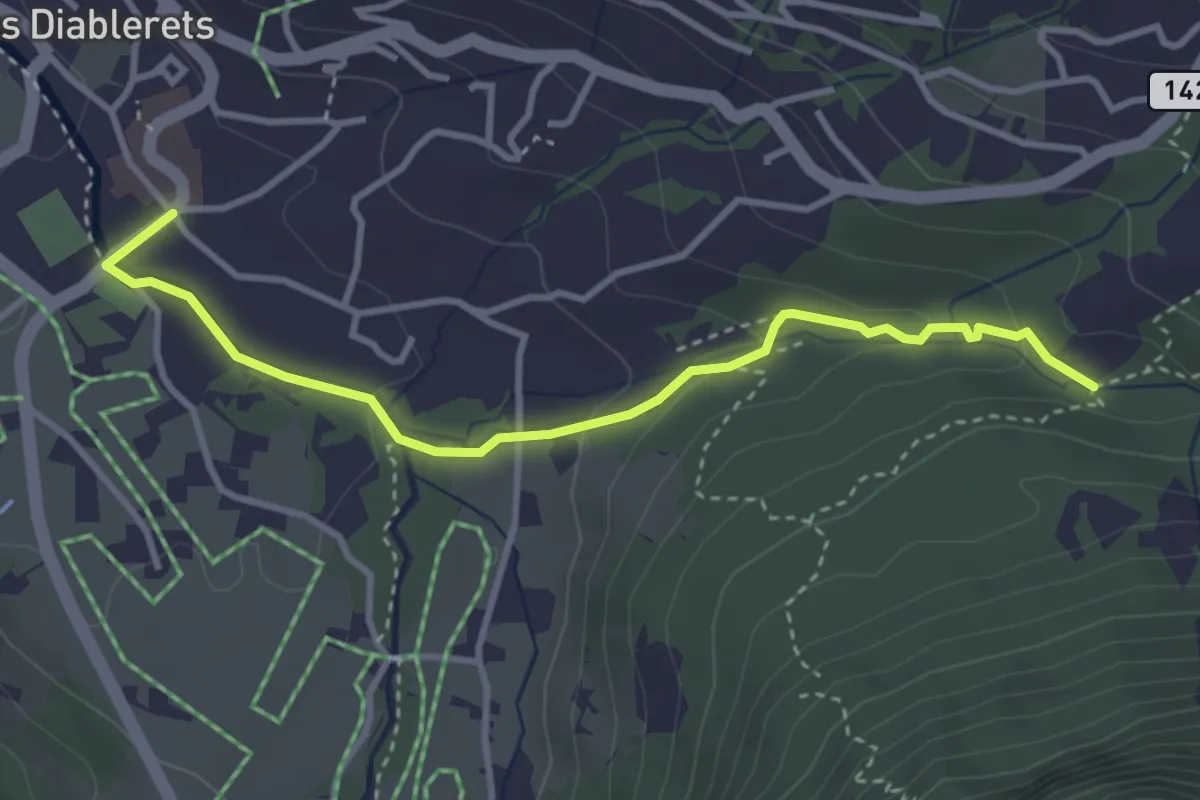
Easy · Trail
Les Diablerets – La Palanche
3.6 km · ↑ 104 m · 1 h 5 min · 15 km away