Trails near Altdorf UR
351 hikes starting within 15 km, nearest first.
Nearest first, page 5 of 8
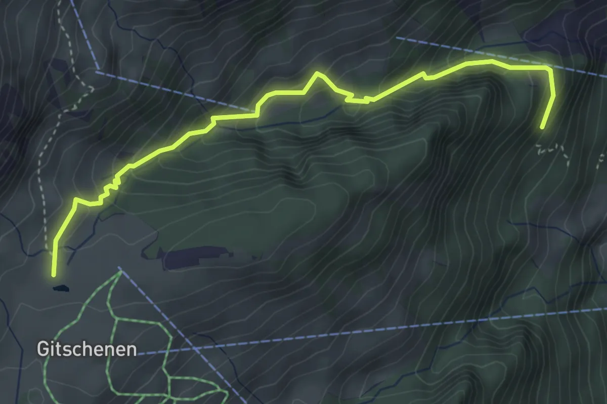
Medium · Trail
Chneuwies – Staldeli
4.2 km · ↑ 321 m · 1 h 41 min · 11 km away
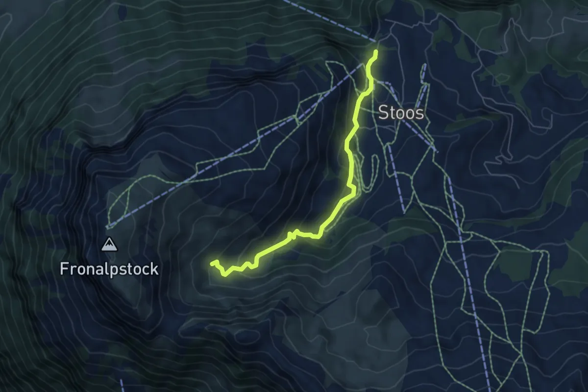
Easy · Trail
Stoos - Obere Frontalhütte
5.5 km · ↑ 317 m · 2 h · 11 km away
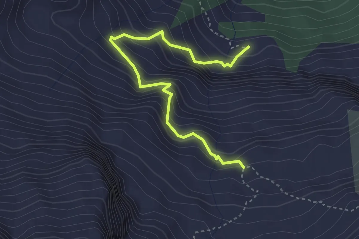
Demanding · Trail
Färnital - Wandeli
3.4 km · ↑ 484 m · 1 h 50 min · 11 km away
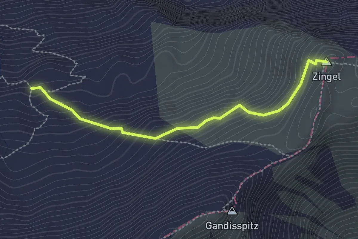
Demanding · Summit
Zingel - Färbital
2.5 km · ↑ 227 m · 1 h 5 min · 11 km away
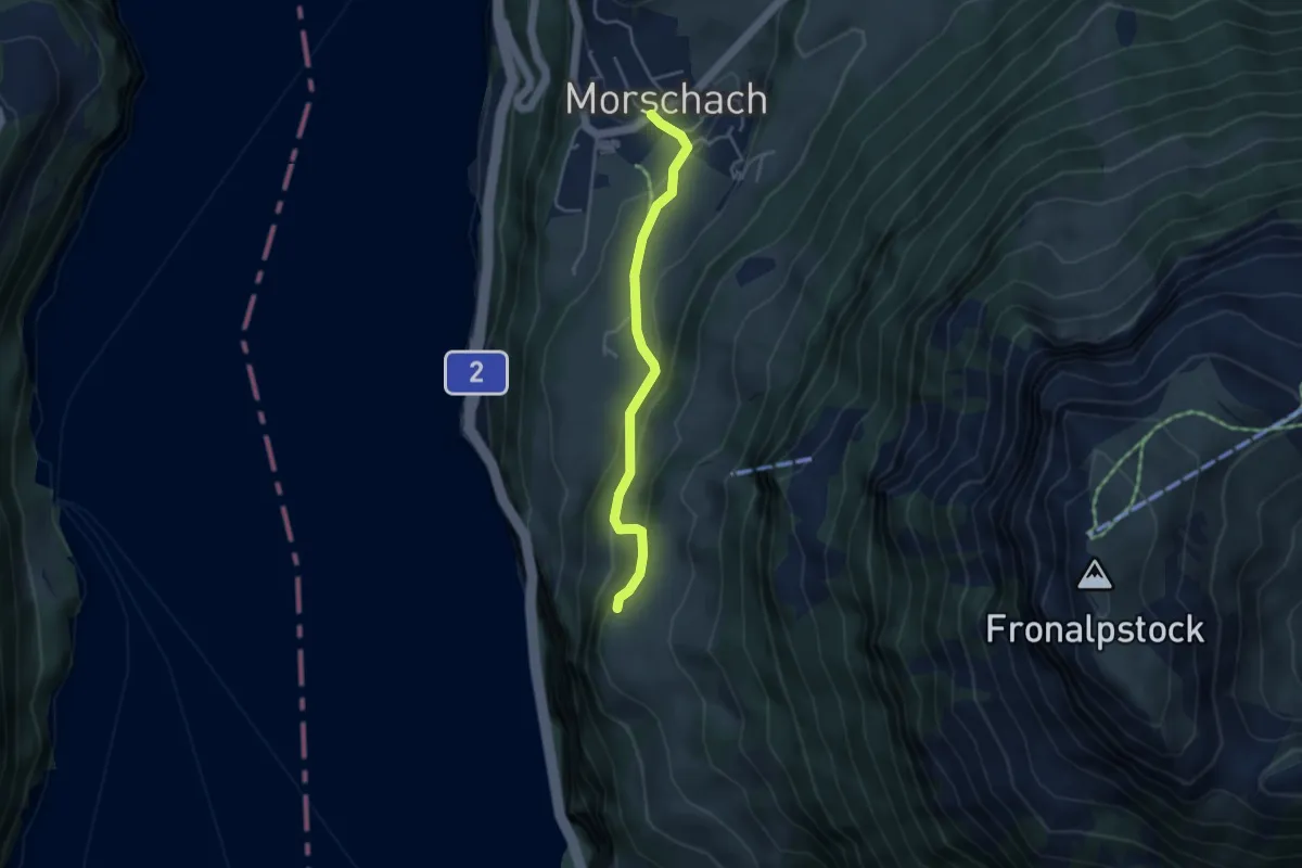
Easy · Trail
Schilti - Morschach
3.7 km · ↑ 167 m · 1 h 14 min · 11 km away
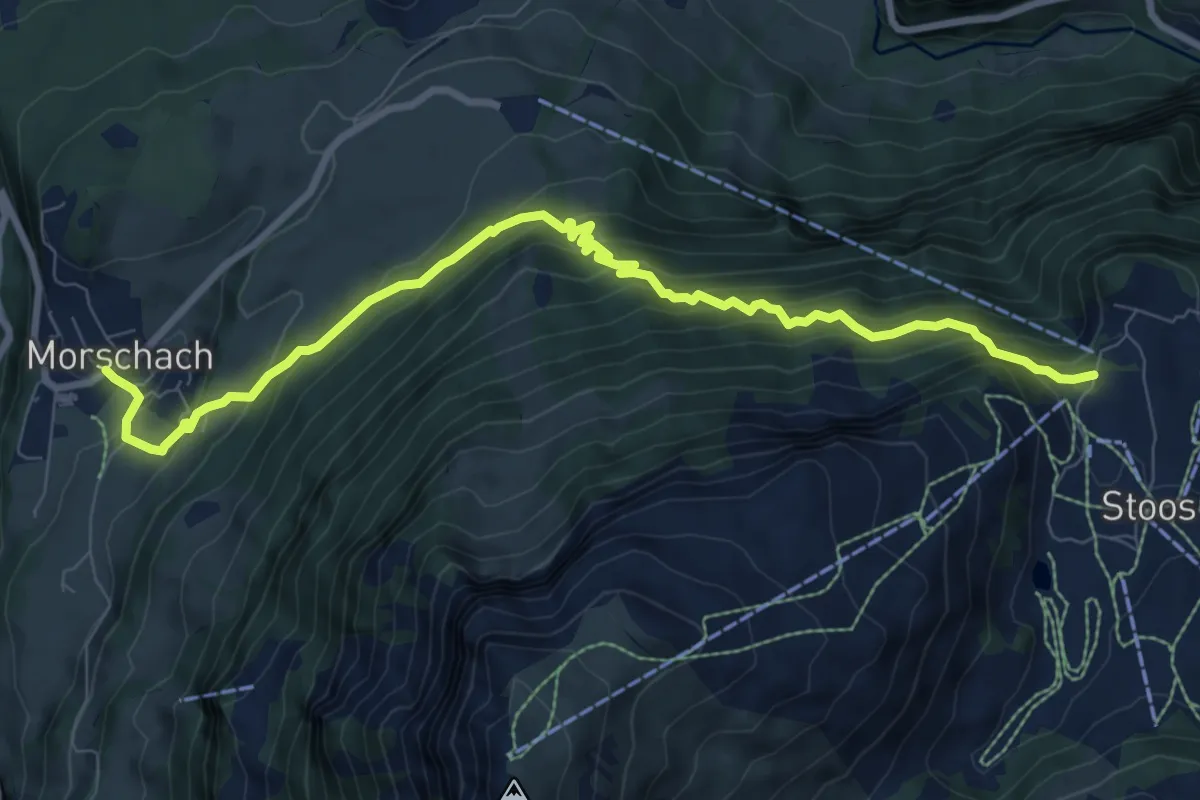
Demanding · Trail
Morschach - Stoss
9.5 km · ↑ 868 m · 4 h 8 min · 11 km away
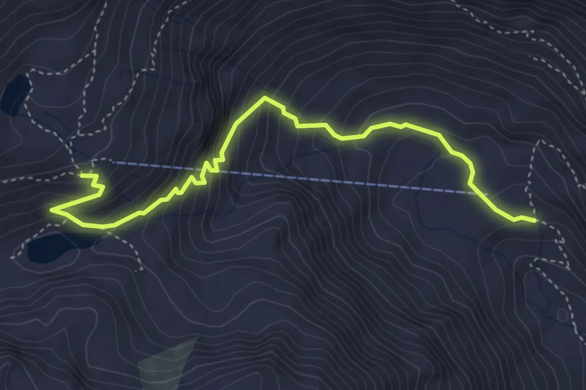
Expert · Cabin
Furt – Leutschachhütte SAC
4.3 km · ↑ 445 m · 1 h 59 min · 11 km away
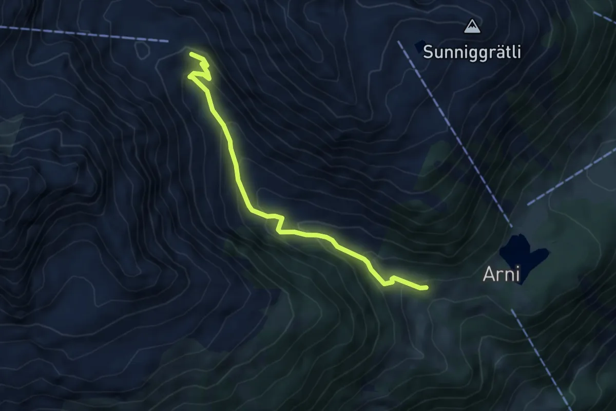
Medium · Trail
Furt – Schwändi
5.0 km · ↑ 368 m · 1 h 59 min · 11 km away
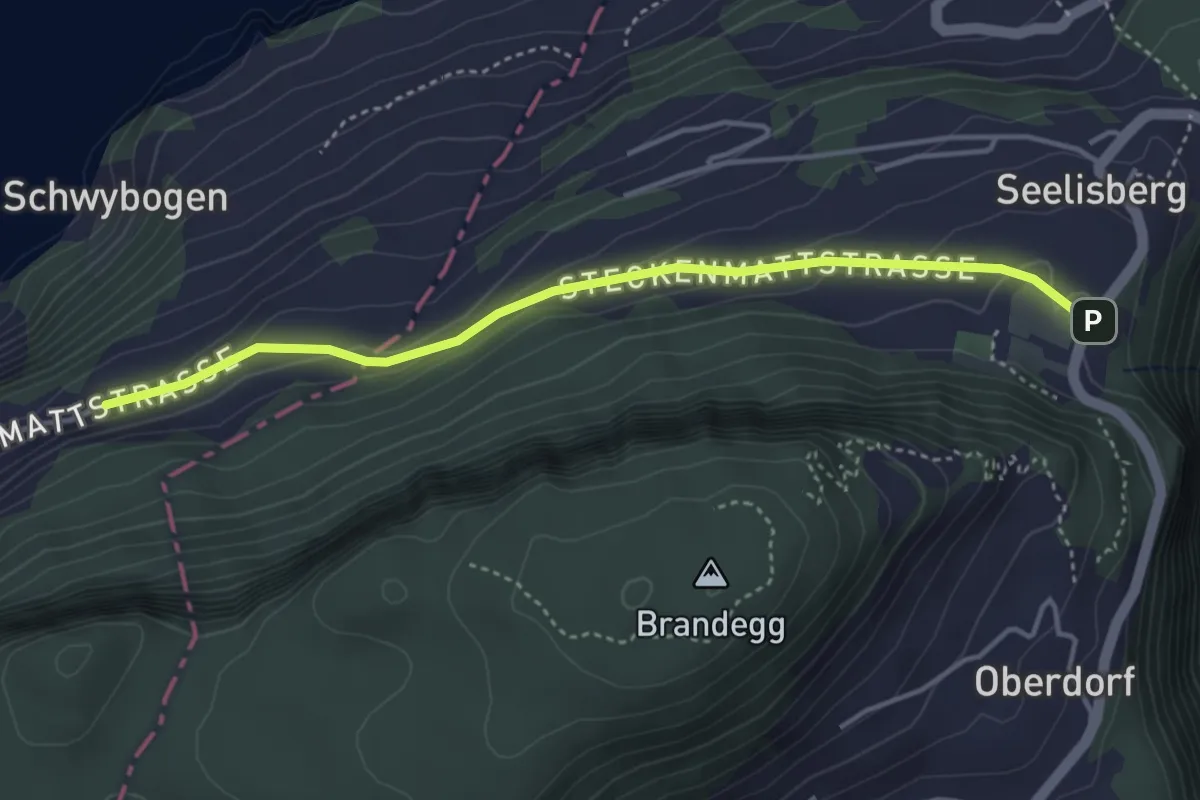
Easy · Trail
Chilendorf – Triglis
4.0 km · ↑ 154 m · 1 h 17 min · 11 km away
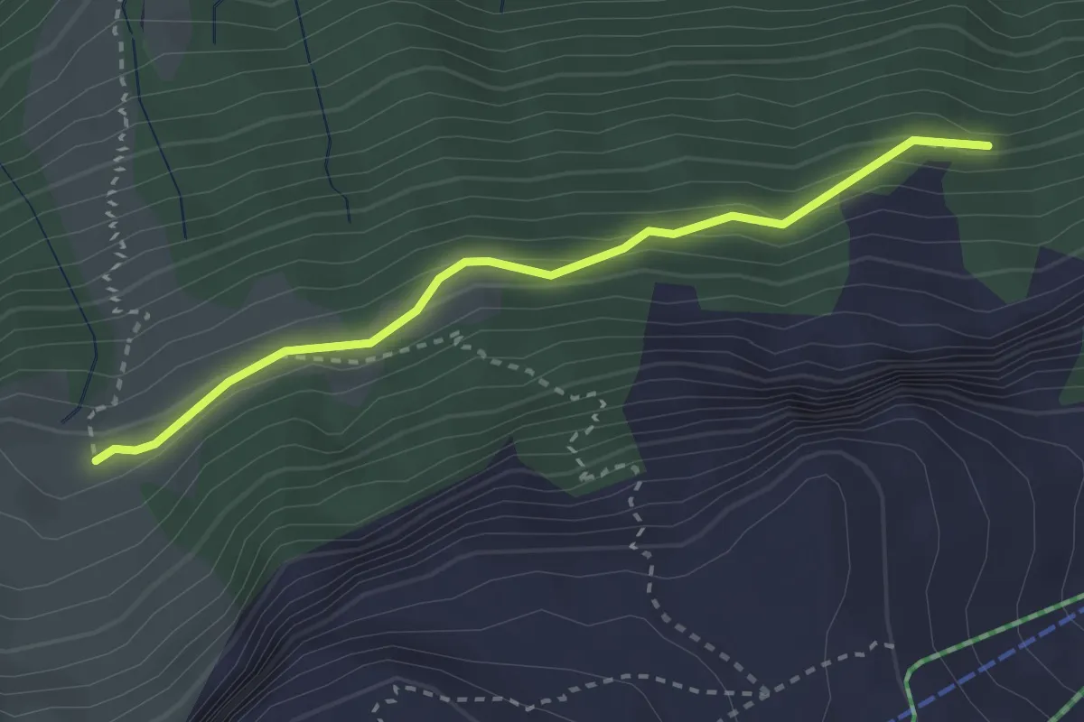
Medium · Trail
Eu - Stosswald
2.8 km · ↑ 162 m · 1 h 1 min · 11 km away
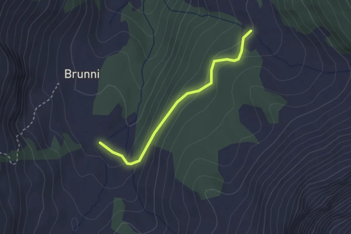
Easy · Trail
Niderlammerbach – Brunni
2.3 km · ↑ 125 m · 49 min · 11 km away
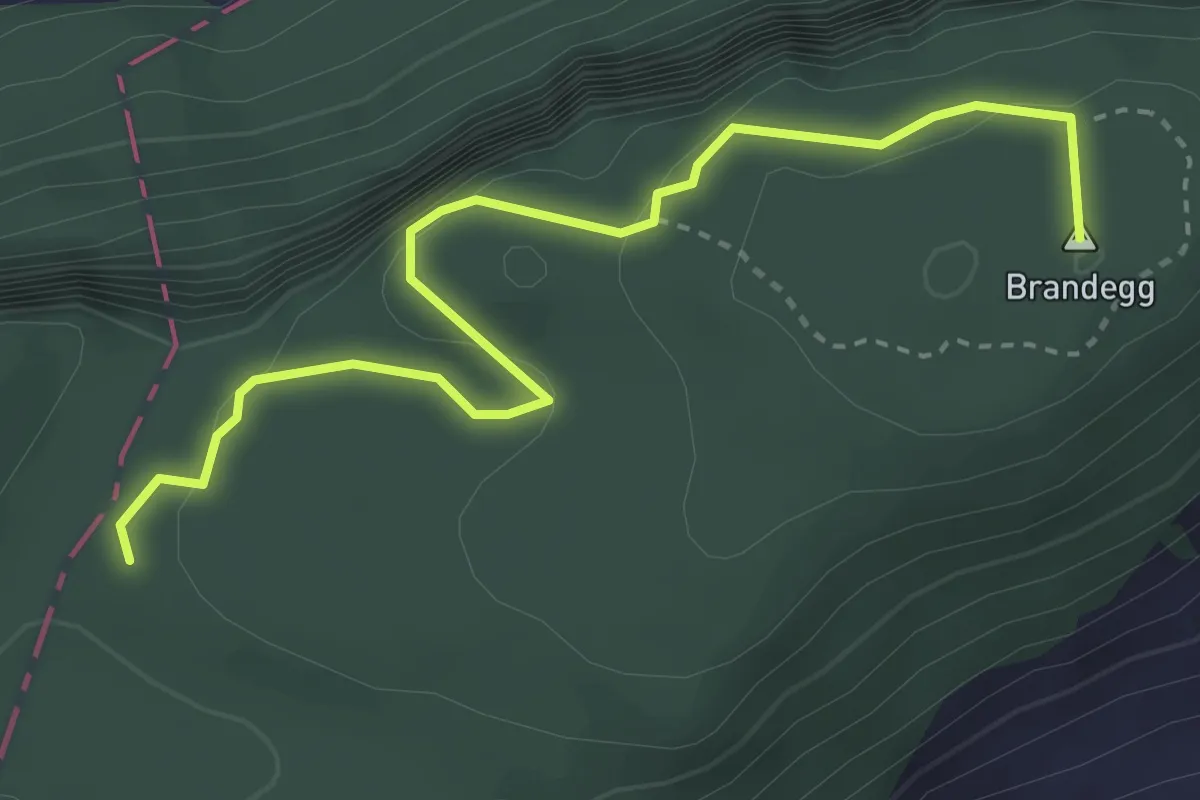
Medium · Summit
Plattenzug – Höch Flue
3.7 km · ↑ 351 m · 1 h 38 min · 11 km away
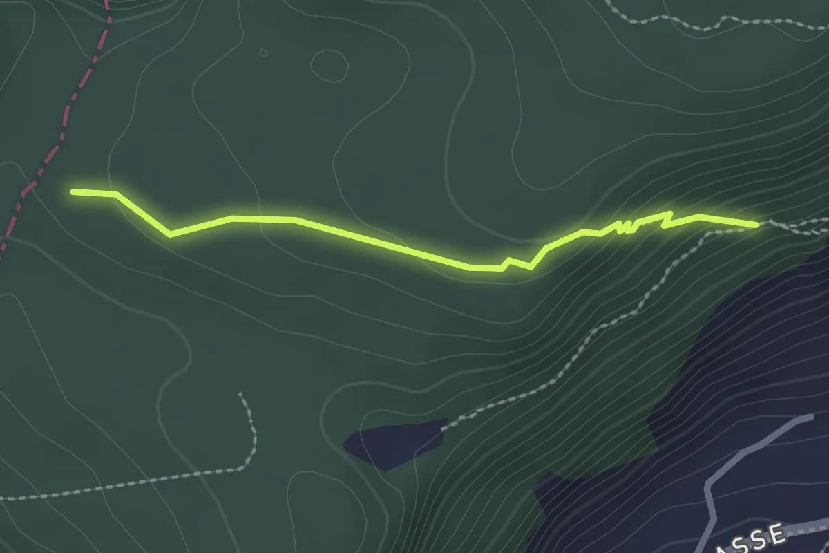
Easy · Trail
Plattenzug – Fällmätteli
2.1 km · ↑ 84 m · 41 min · 11 km away
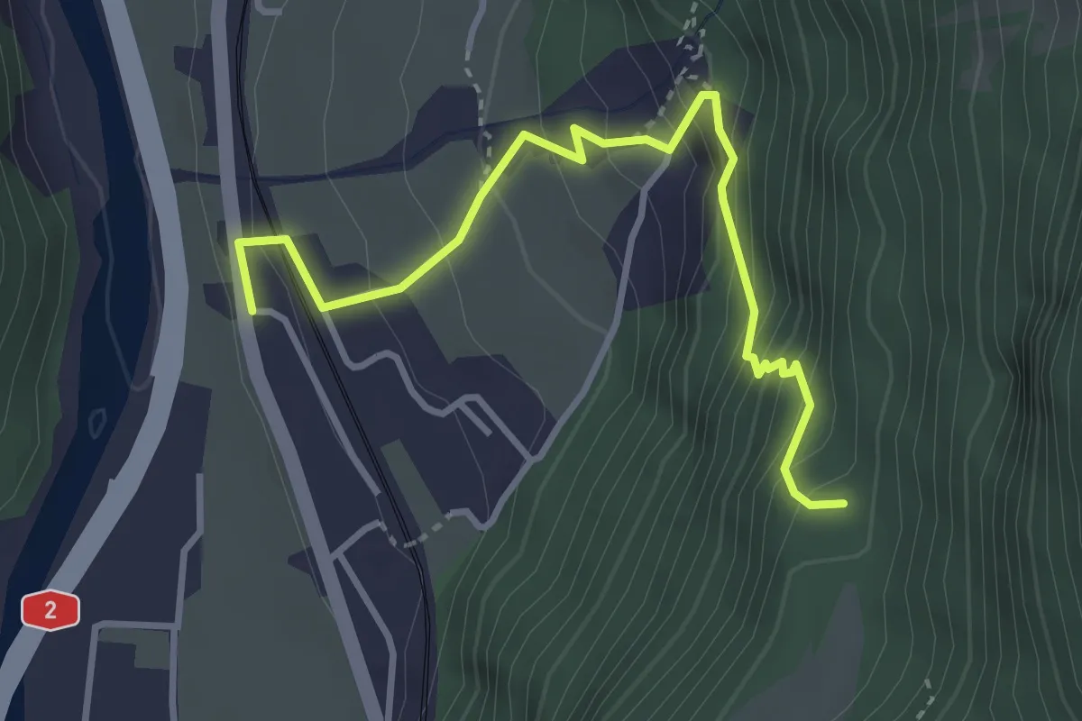
Medium · Trail
Silenen – Schiferzug
3.6 km · ↑ 399 m · 1 h 43 min · 11 km away
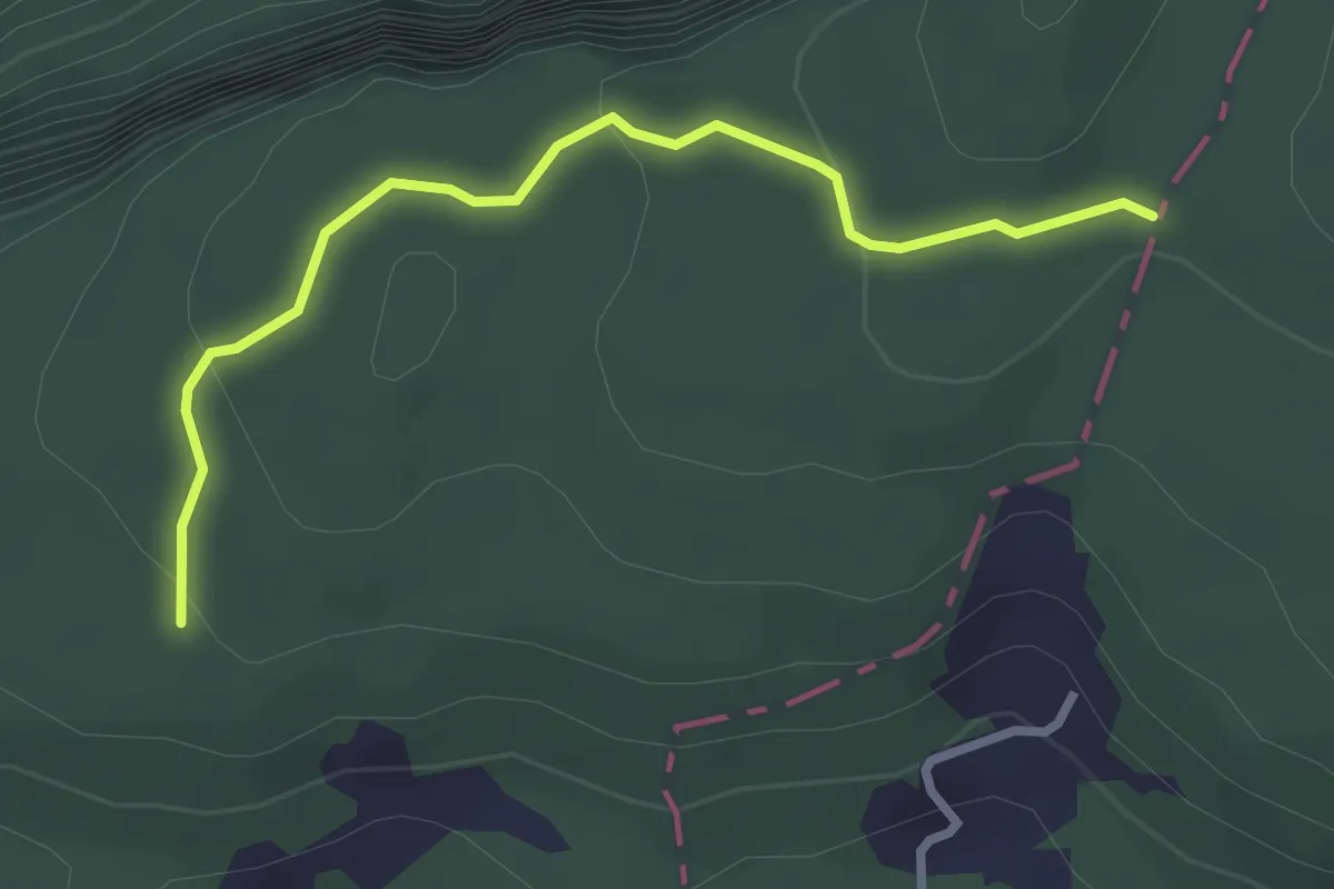
Easy · Trail
Brennwald – Plattenzug
2.9 km · ↑ 182 m · 1 h 4 min · 11 km away
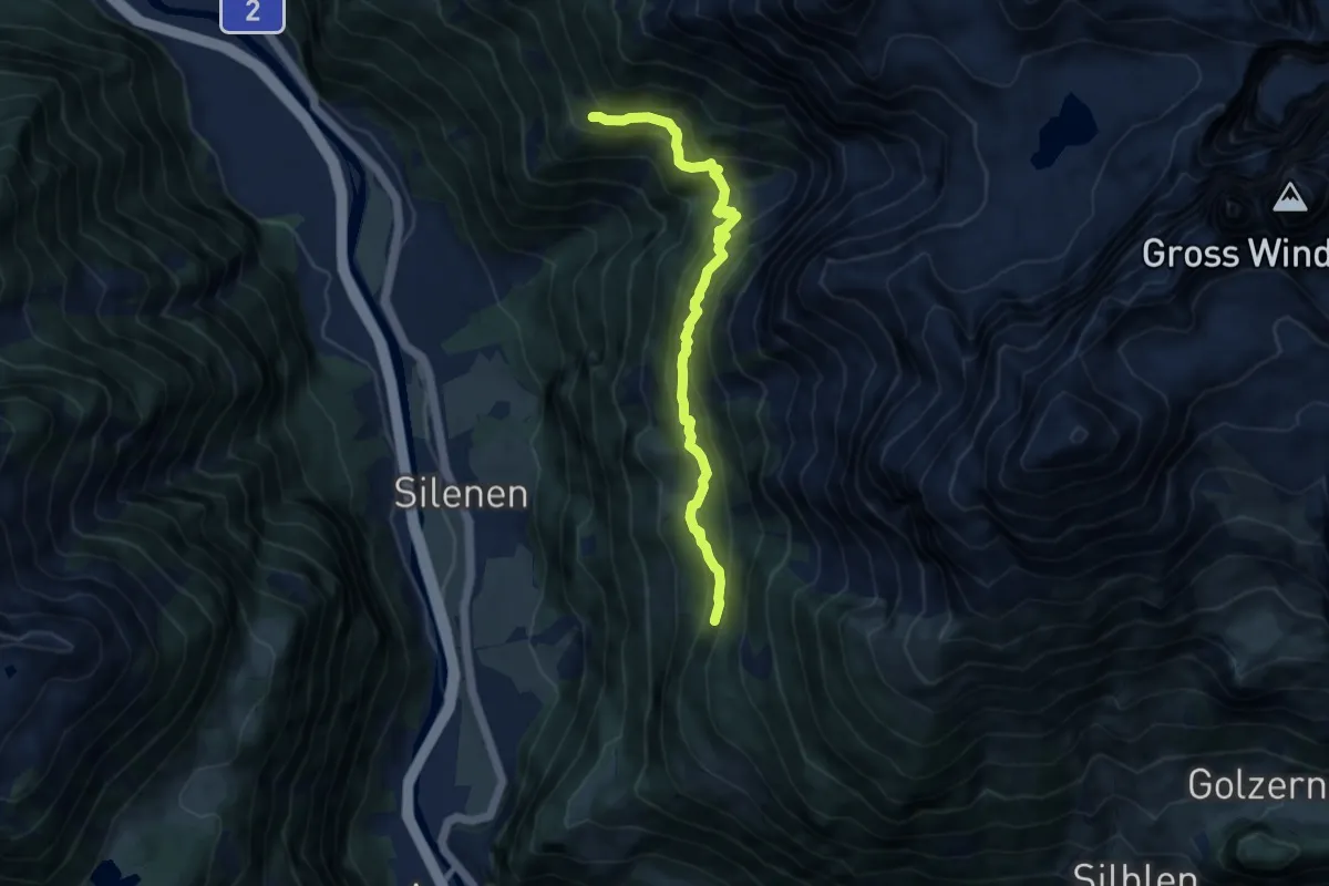
Demanding · Trail
Geissnossen – Strängmatt
8.5 km · ↑ 765 m · 3 h 40 min · 11 km away
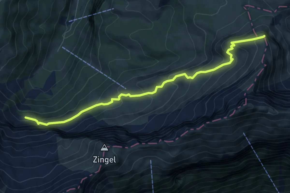
Medium · Summit
Wandeli - Fulberg
7.8 km · ↑ 555 m · 3 h 3 min · 11 km away
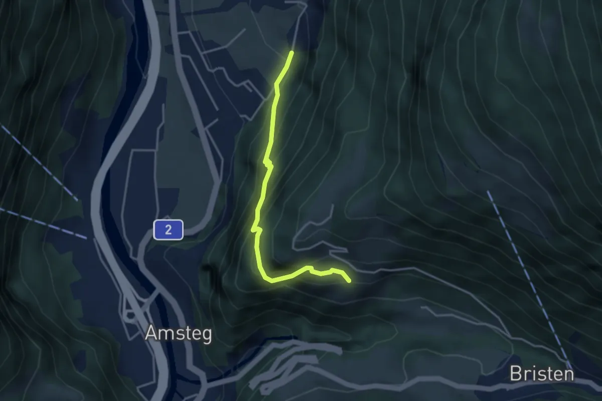
Medium · Trail
Frentschenberg – Ledi
3.2 km · ↑ 388 m · 1 h 36 min · 11 km away
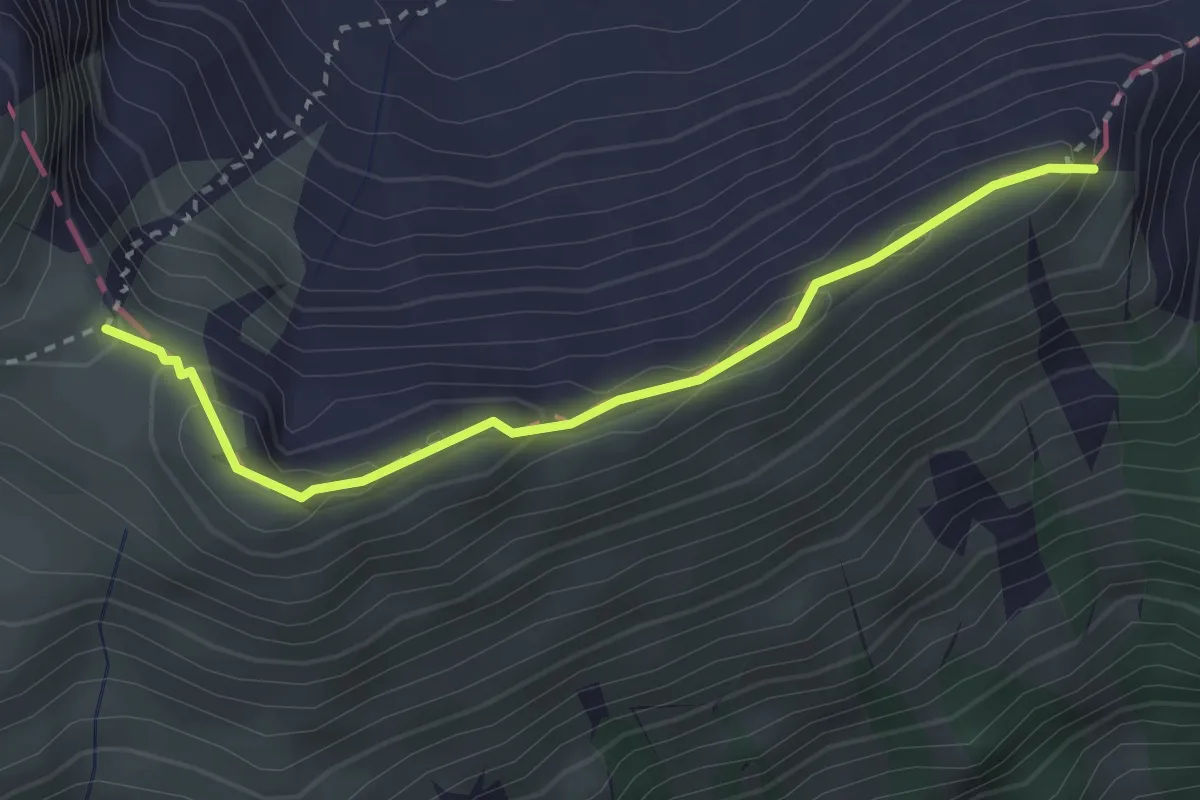
Expert · Summit
Gandispitz - Vorderjochli
2.8 km · ↑ 151 m · 1 h · 11 km away
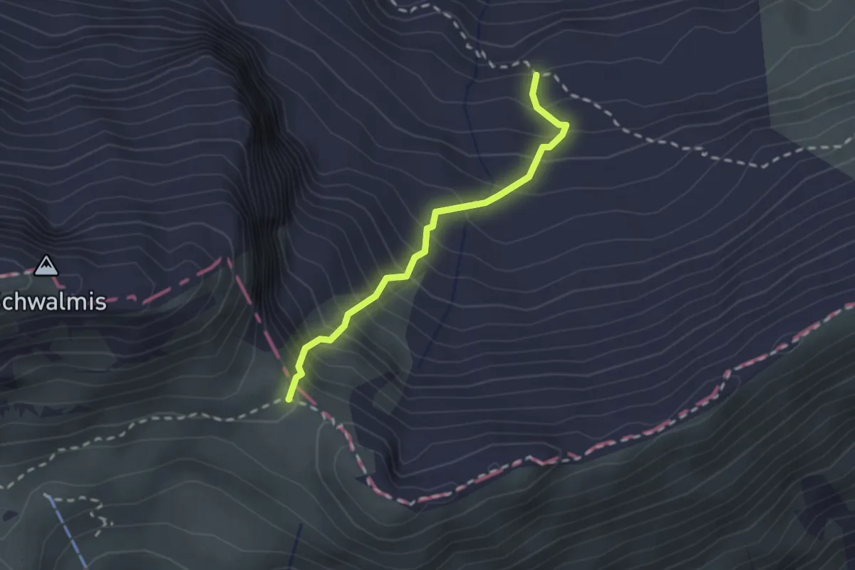
Demanding · Trail
Vorderjochli - Färnital
2.0 km · ↑ 368 m · 1 h 16 min · 11 km away
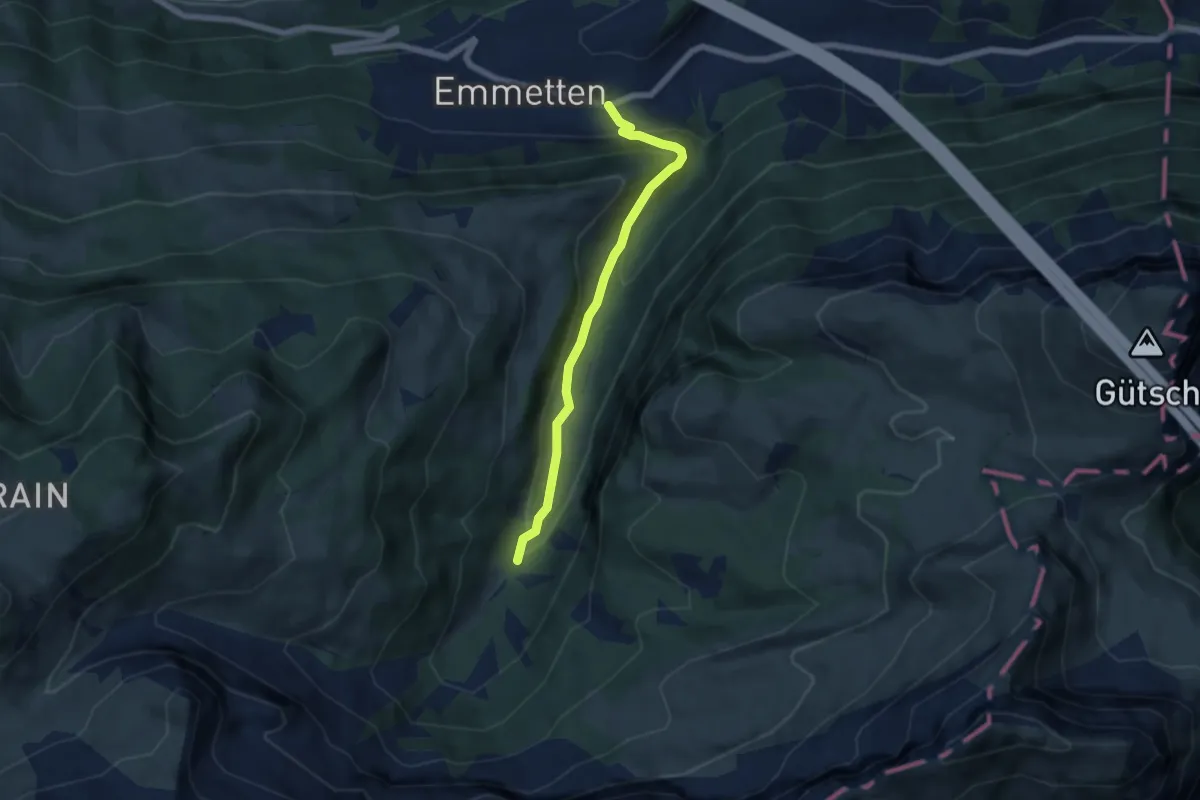
Medium · Trail
Cholstrasse - Emmetten
5.7 km · ↑ 371 m · 2 h 9 min · 11 km away
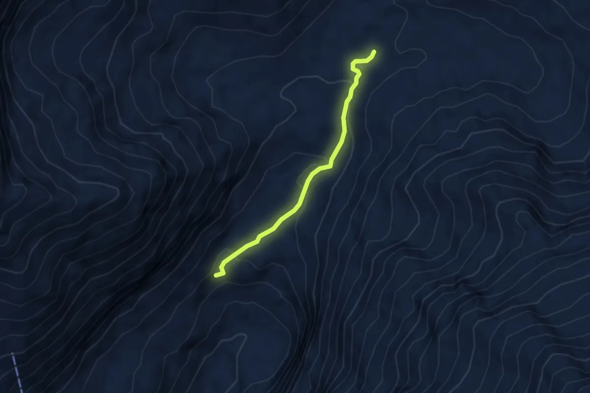
Easy · Trail
Blackenalp – Stäuber
3.5 km · ↑ 156 m · 1 h 10 min · 11 km away
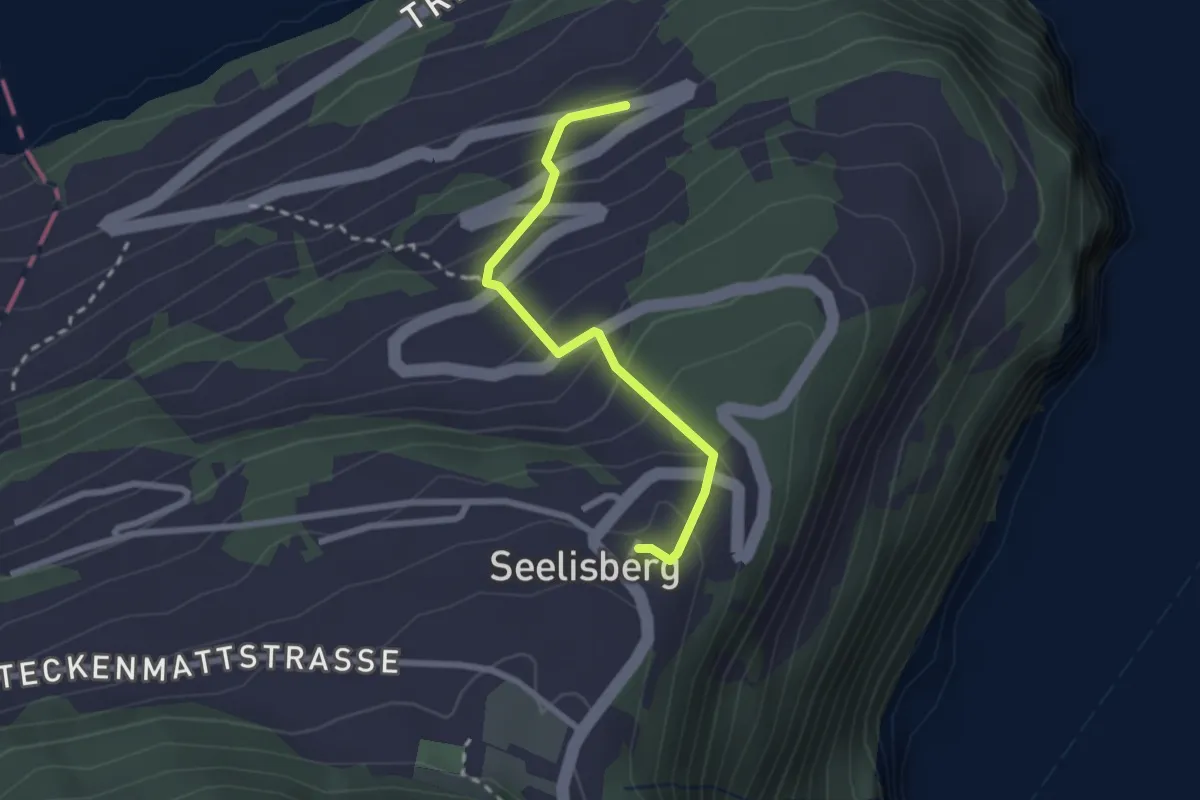
Medium · Trail
Seelisberg Bahnhof – Treibbort
2.3 km · ↑ 212 m · 1 h · 11 km away
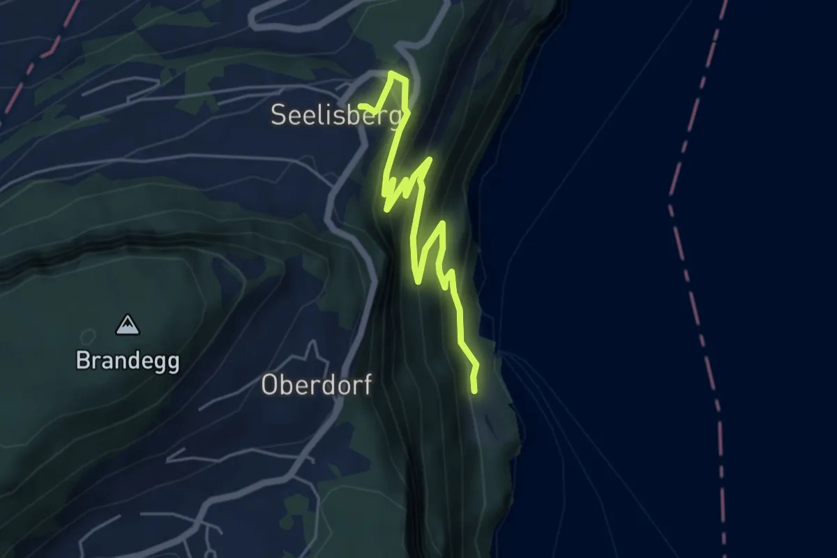
Medium · Trail
Rütlihaus – Seelisberg Bahnhof
5.1 km · ↑ 335 m · 1 h 56 min · 11 km away
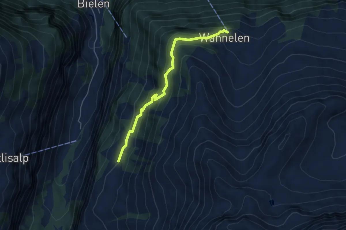
Easy · Trail
Wannelen Bergstation – Trogenalp
4.2 km · ↑ 302 m · 1 h 38 min · 11 km away
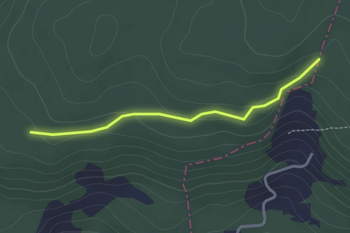
Easy · Trail
Brennwald – Plattenzug
2.0 km · ↑ 56 m · 36 min · 12 km away
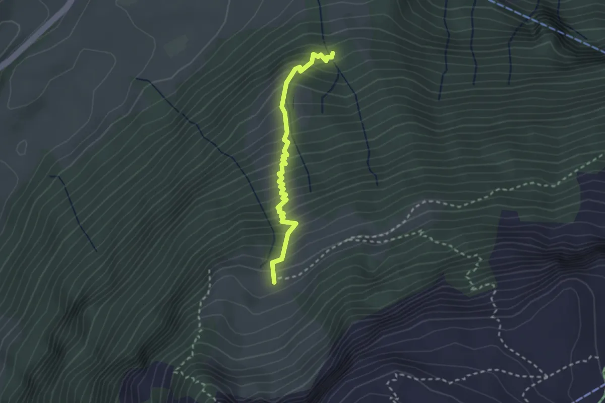
Medium · Trail
Eu -Strasse
2.4 km · ↑ 383 m · 1 h 23 min · 12 km away
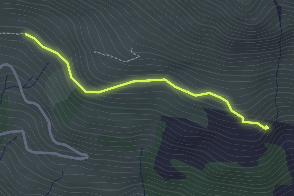
Medium · Trail
Alt Stafel – Mettenen
2.0 km · ↑ 143 m · 47 min · 12 km away
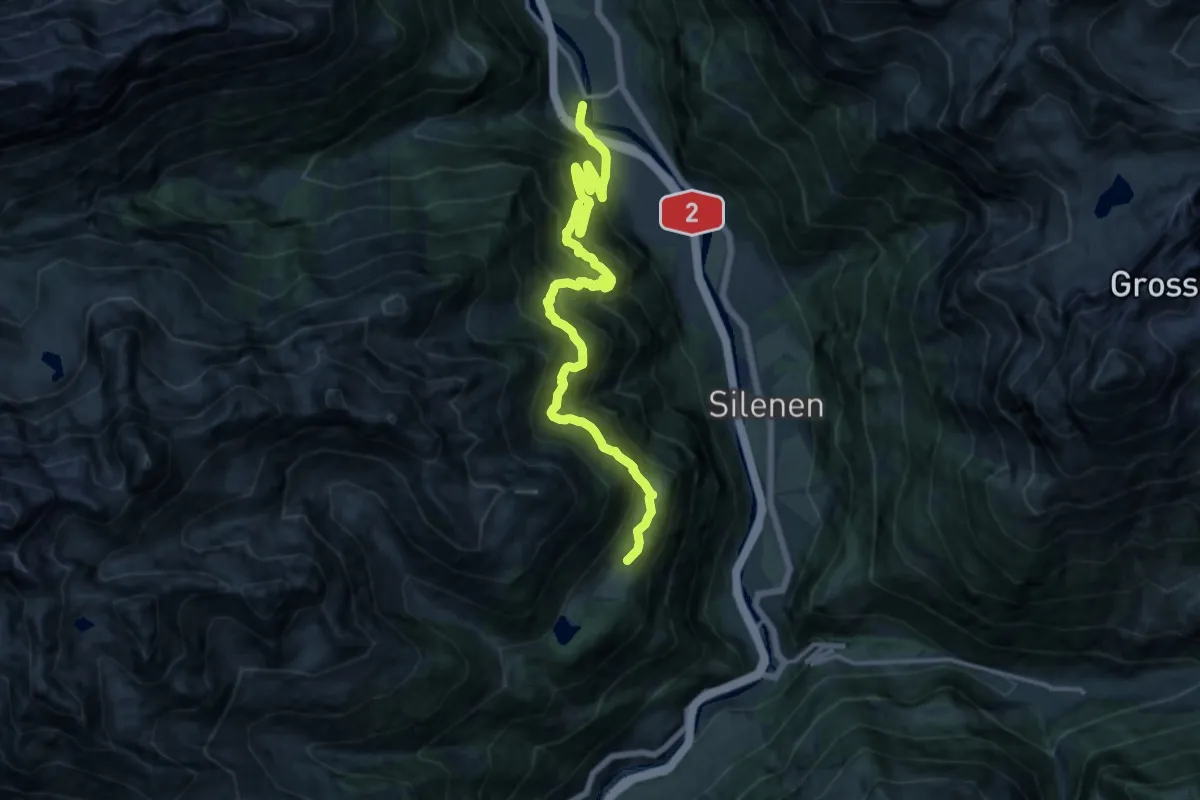
Demanding · Trail
Erstfleld Arnisee
8.8 km · ↑ 521 m · 3 h 44 min · 12 km away
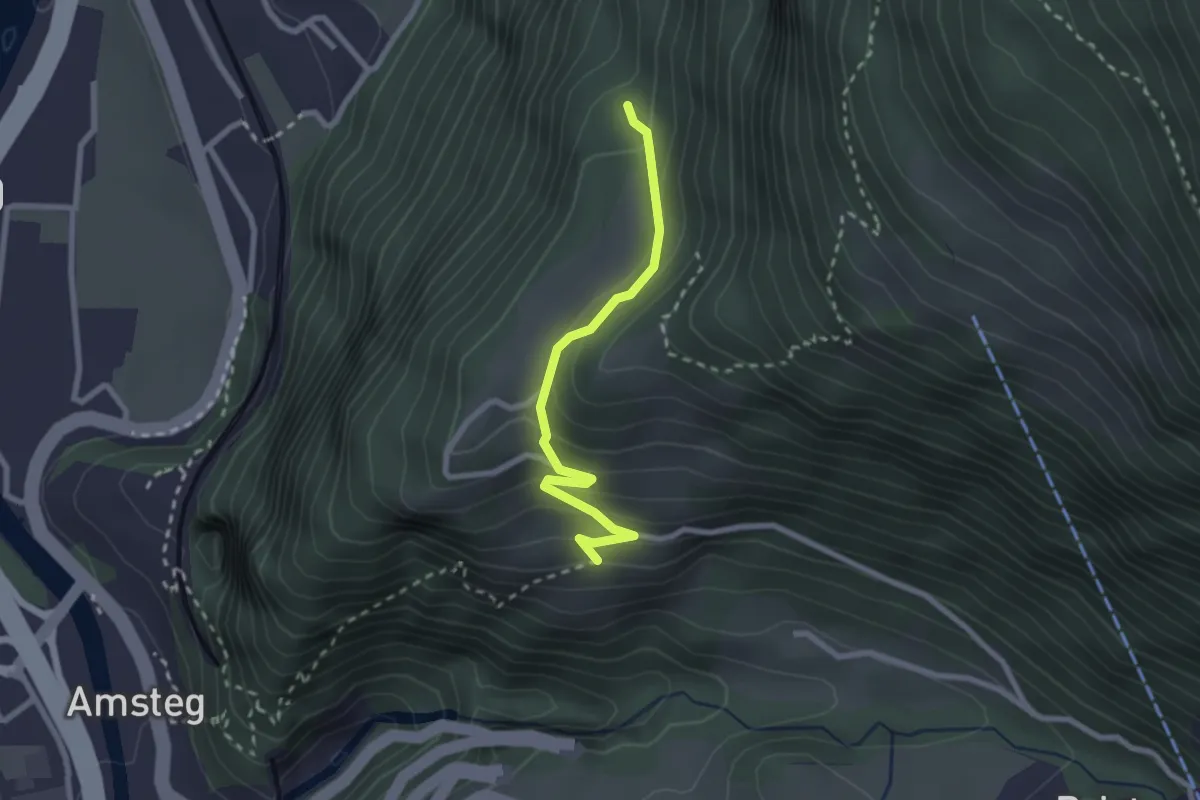
Easy · Trail
Schiferzug – Frentschenberg
2.3 km · ↑ 158 m · 54 min · 12 km away
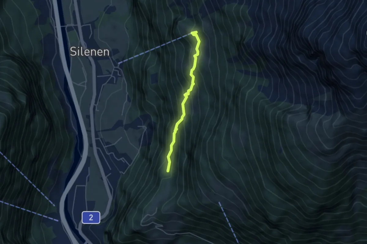
Medium · Trail
Schiferzug – Chilcherbergen Bergstation
3.8 km · ↑ 343 m · 1 h 38 min · 12 km away
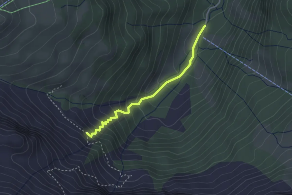
Medium · Trail
Haseneggli - Choltal
2.6 km · ↑ 242 m · 1 h 9 min · 12 km away
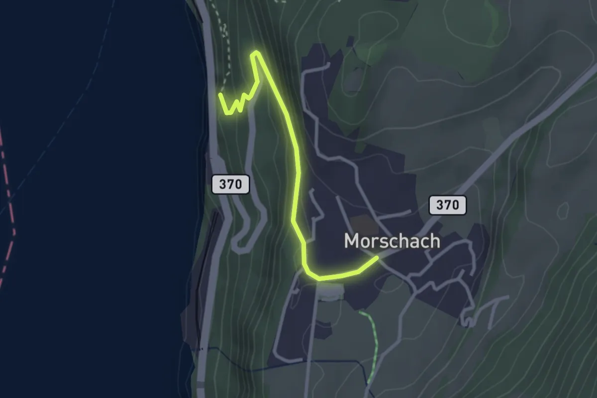
Easy · Trail
Morschach - Brunnen
2.6 km · ↑ 195 m · 1 h 2 min · 12 km away
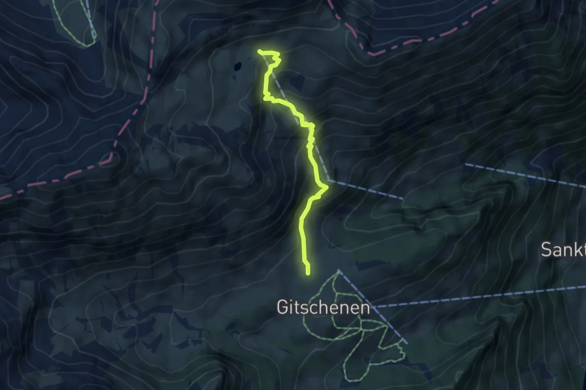
Medium · Trail
Chneuwies – Bi den Seelen
4.0 km · ↑ 405 m · 1 h 49 min · 12 km away
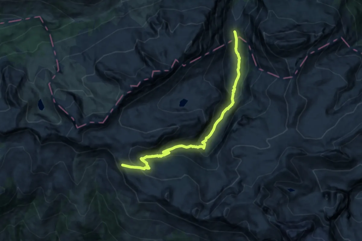
Demanding · Cabin
Chinzig Chulm – Alt Stäfeli
15.2 km · ↑ 853 m · 5 h 27 min · 12 km away
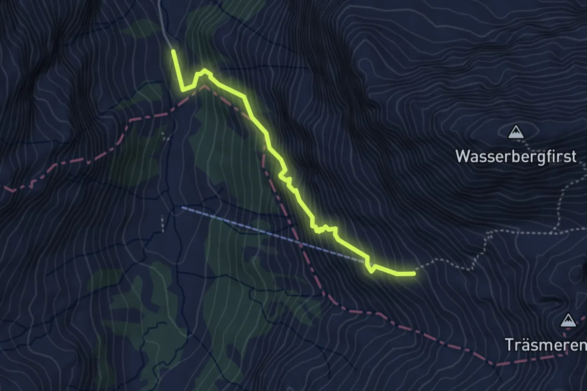
Medium · Trail
Alt Stäfeli - fixme
3.7 km · ↑ 586 m · 2 h 9 min · 12 km away
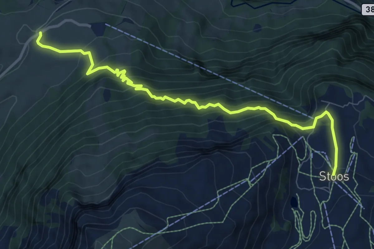
Demanding · Trail
Schwyzerhöchi – Stoos
8.9 km · ↑ 831 m · 3 h 55 min · 12 km away
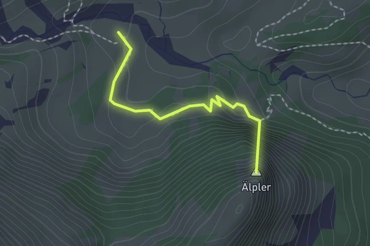
Easy · Summit
Geissboden – Alpeler Wald
1.6 km · ↑ 115 m · 37 min · 12 km away
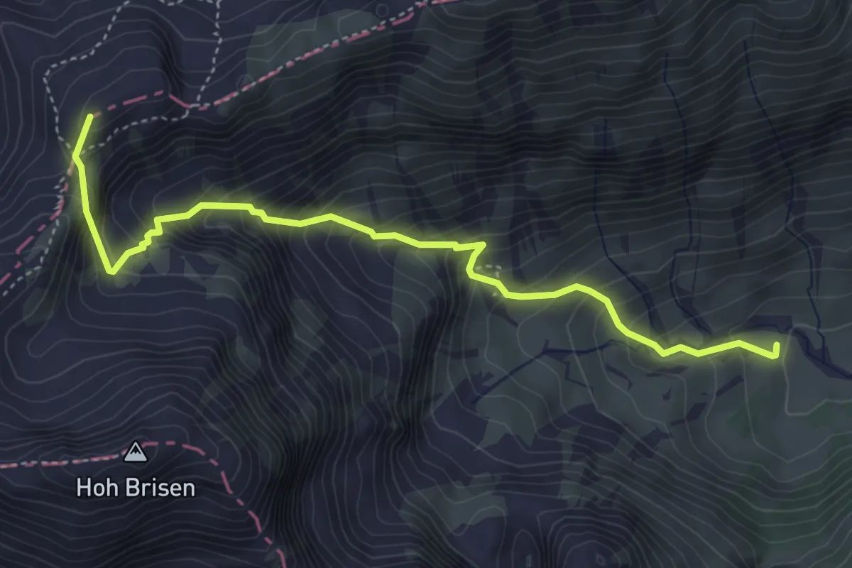
Demanding · Summit
Geissboden – Steinalper Jochli
4.7 km · ↑ 580 m · 2 h 23 min · 12 km away
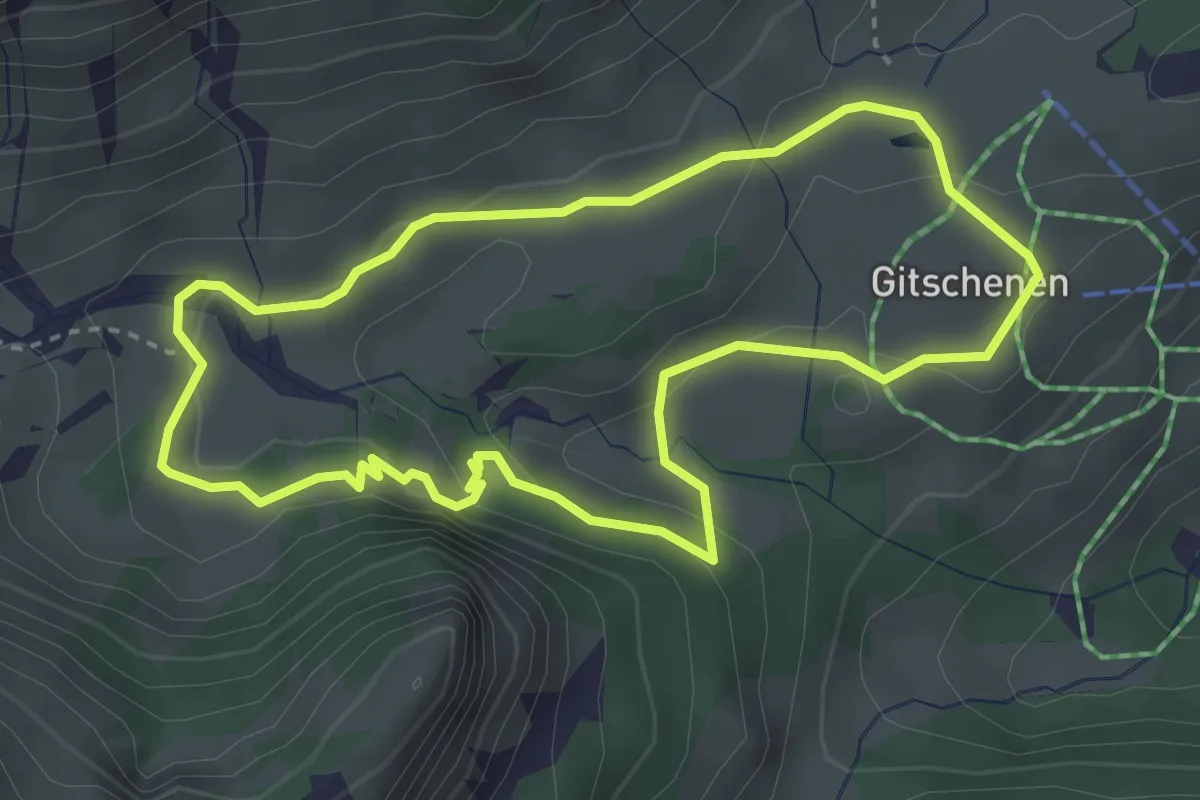
Easy · Summit
Rundweg Gitschenen
3.2 km · ↑ 84 m · 59 min · 12 km away
Medium · Trail
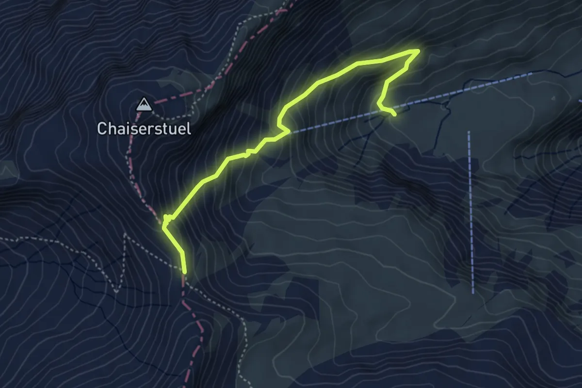
Bannalper Schonegg - Sankt Jakob
4.4 km · ↑ 520 m · 2 h 10 min · 12 km away
Medium · Trail
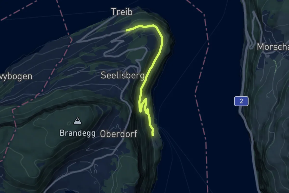
Rütlihaus – Treibport
5.9 km · ↑ 379 m · 2 h 12 min · 12 km away
Demanding · Summit
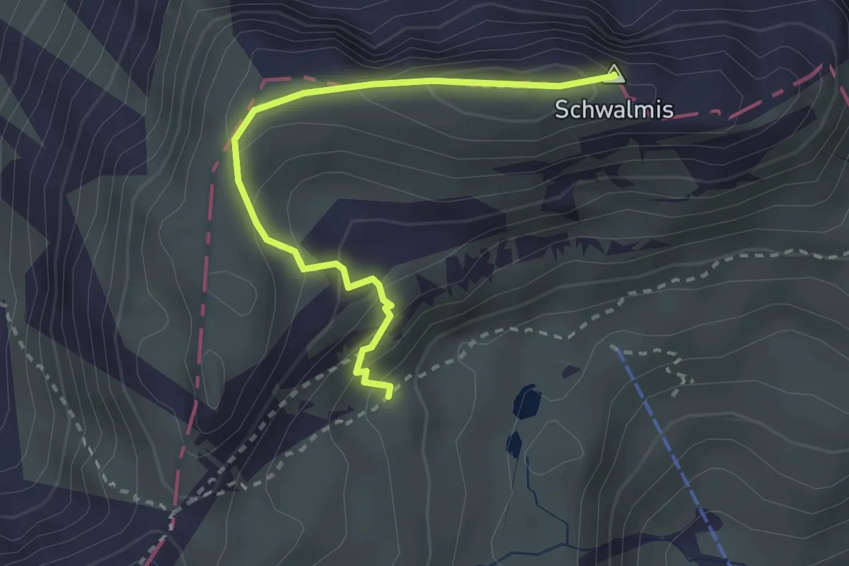
Schwalmisgaden – Schwalmis
2.7 km · ↑ 283 m · 1 h 15 min · 12 km away
Medium · Trail
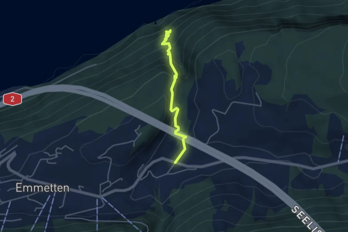
Sagendorf – Risleten
2.9 km · ↑ 330 m · 1 h 24 min · 12 km away
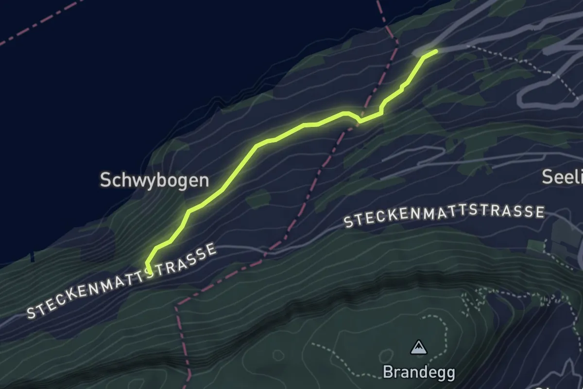
Easy · Trail
Triglis – Volligen
3.4 km · ↑ 216 m · 1 h 17 min · 12 km away
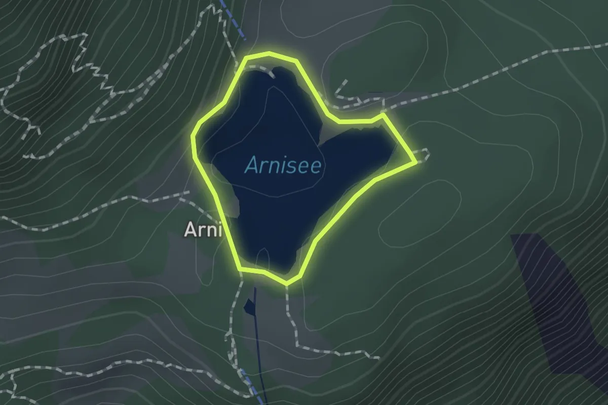
Easy · Trail
Seerundgang
1.0 km · ↑ 19 m · 18 min · 12 km away
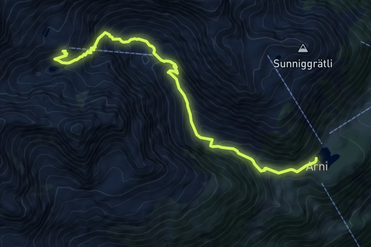
Expert · Cabin
Leutschachhütte SAC Hüttenweg
10.3 km · ↑ 849 m · 4 h 17 min · 12 km away
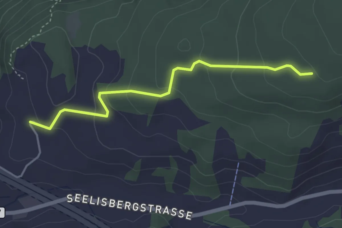
Easy · Trail
Sunnwil – Brennwald
3.5 km · ↑ 173 m · 1 h 12 min · 12 km away