Trails near Altdorf UR
351 hikes starting within 15 km, nearest first.
Nearest first, page 6 of 8
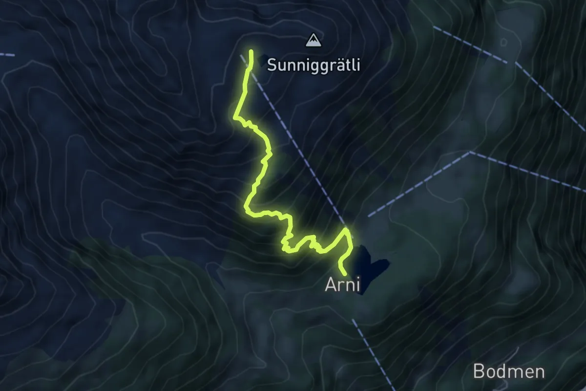
Medium · Cabin
Arnisee – Sunniggrätli Hütte
5.3 km · ↑ 608 m · 2 h 34 min · 12 km away
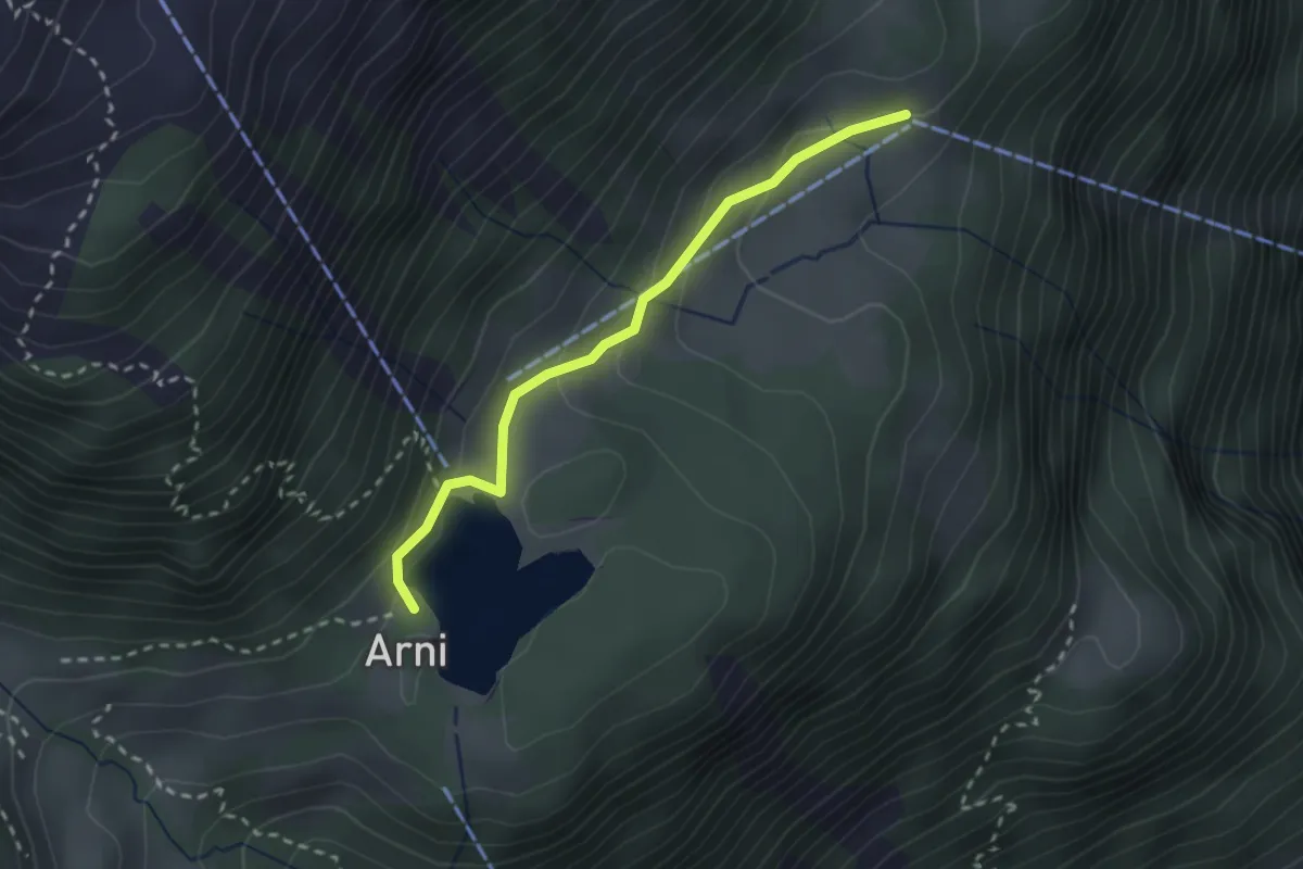
Easy · Trail
Mittelarni – Arnisee
2.4 km · ↑ 112 m · 48 min · 12 km away
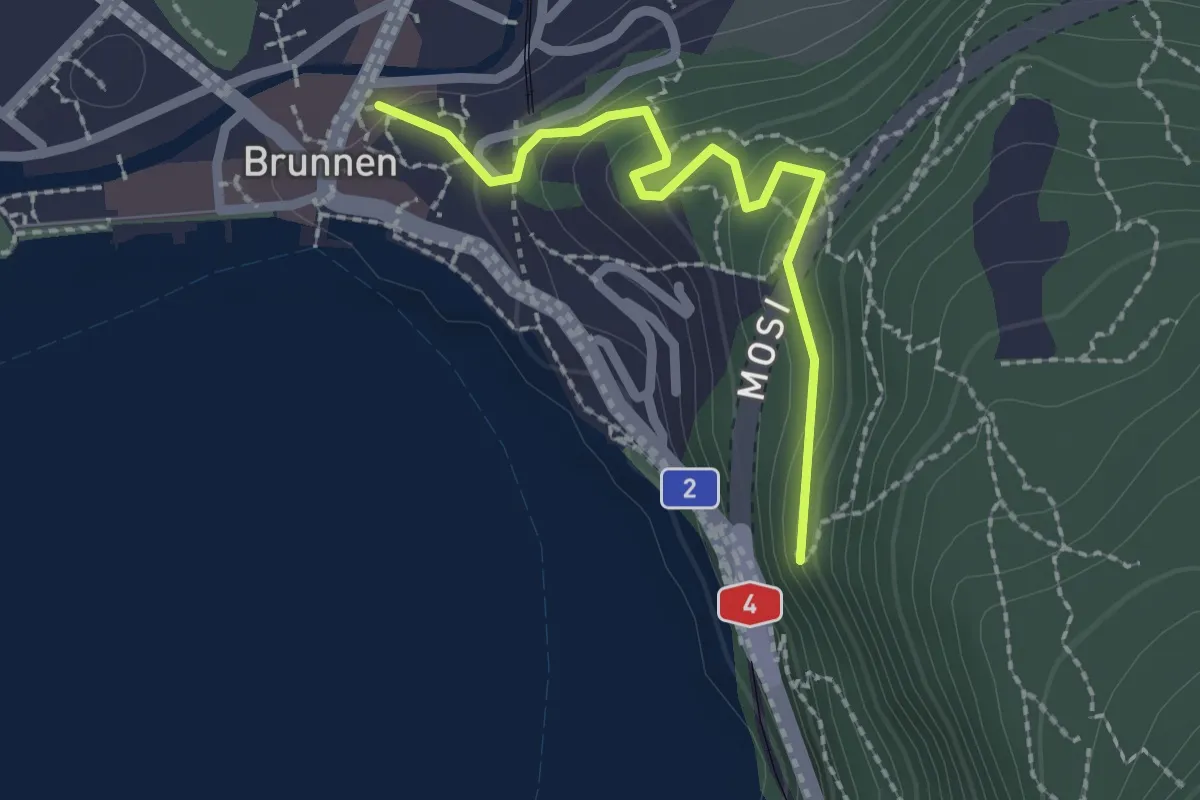
Easy · Trail
Chänzeli - Brunnen
2.1 km · ↑ 93 m · 41 min · 12 km away
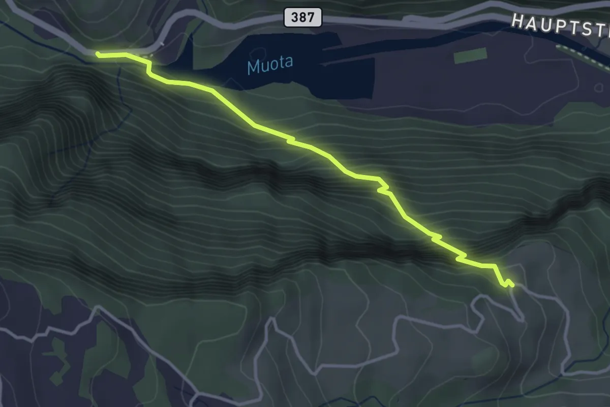
Medium · Trail
Schlattli - Chälenberg
3.5 km · ↑ 496 m · 1 h 54 min · 12 km away
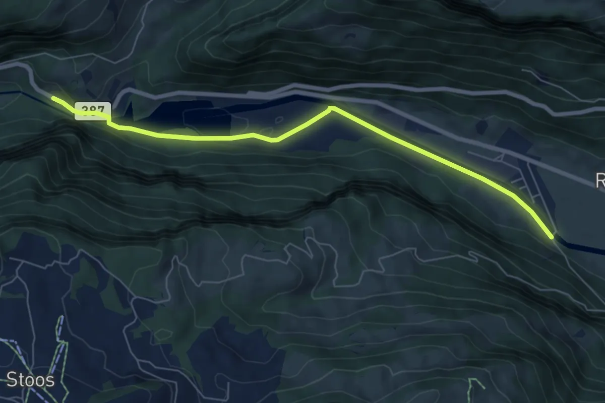
Easy · Trail
Schlattli - Bläckerli
6.5 km · ↑ 156 m · 1 h 52 min · 12 km away
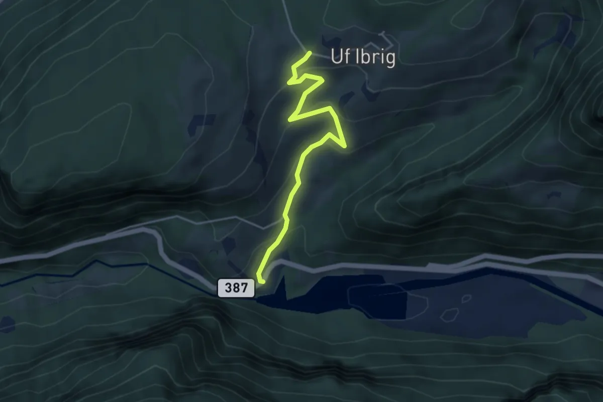
Easy · Trail
Schlattli - Uf Ibrig
3.8 km · ↑ 197 m · 1 h 20 min · 12 km away
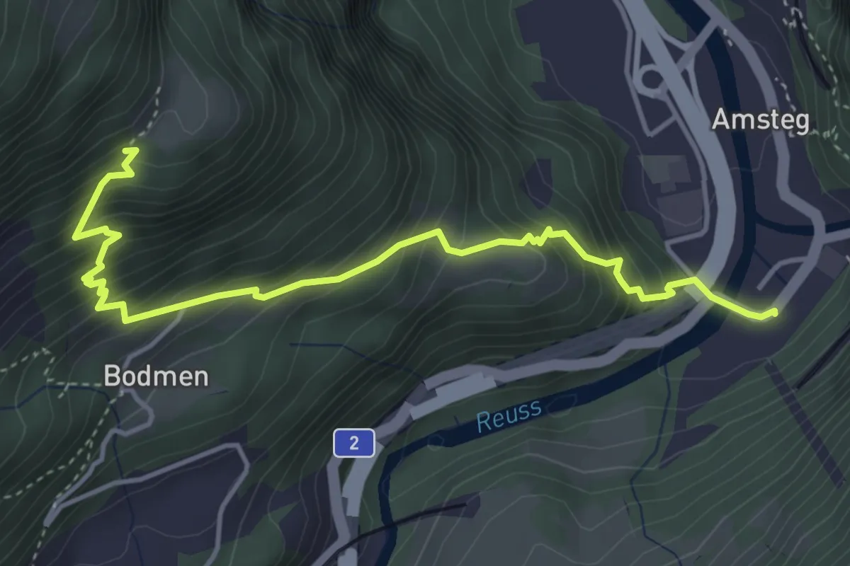
Medium · Trail
Amsteg Kraftwerk – Unter Axeli
4.5 km · ↑ 567 m · 2 h 18 min · 12 km away
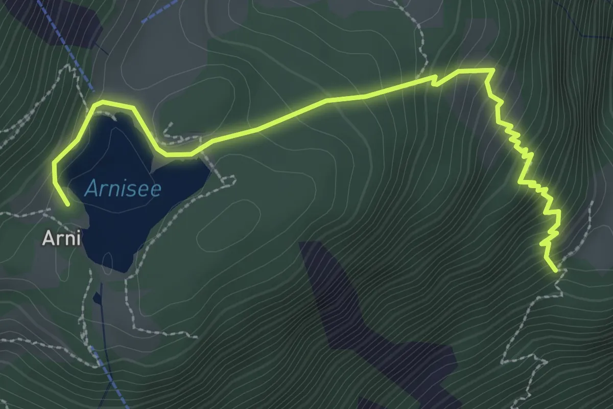
Medium · Trail
Unter Axeli – Arnisee
3.4 km · ↑ 328 m · 1 h 30 min · 12 km away
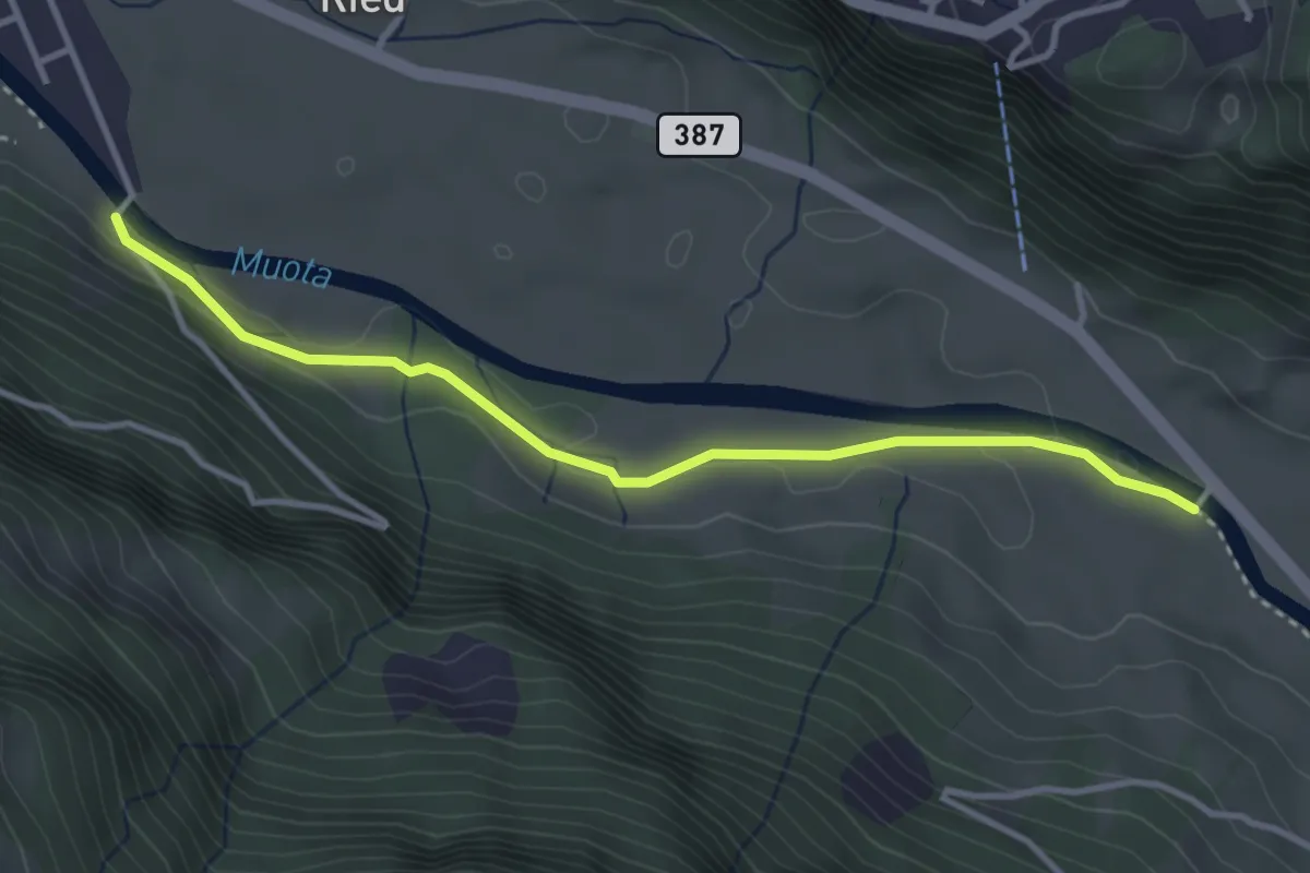
Easy · Trail
Vordere Brügg - Bläckerli
3.5 km · ↑ 34 m · 55 min · 12 km away
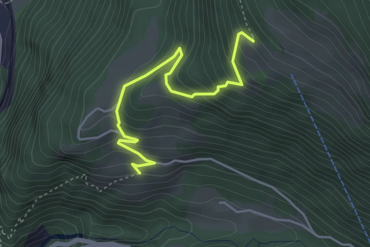
Demanding · Trail
Waldiberg – Frentschenberg
3.6 km · ↑ 378 m · 1 h 40 min · 12 km away
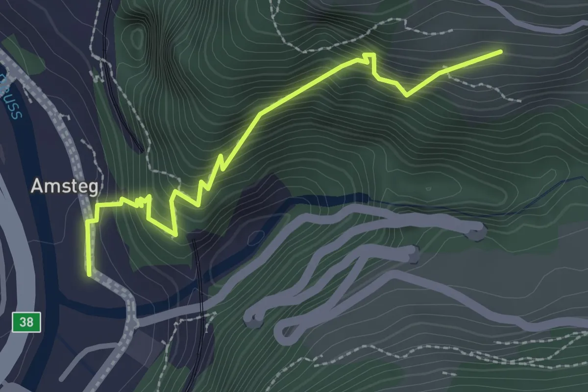
Demanding · Trail
Amsteg – Frentschenberg
2.6 km · ↑ 408 m · 1 h 30 min · 12 km away
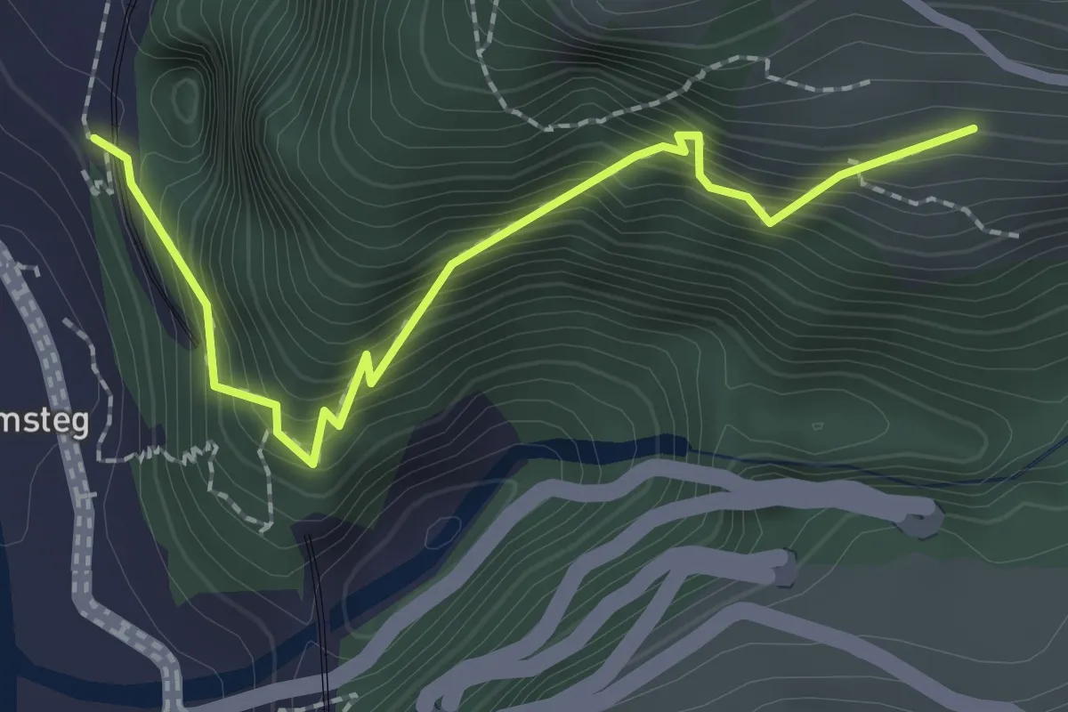
Demanding · Trail
Ruine Zwing Uri – Frentschenberg
2.3 km · ↑ 386 m · 1 h 23 min · 12 km away
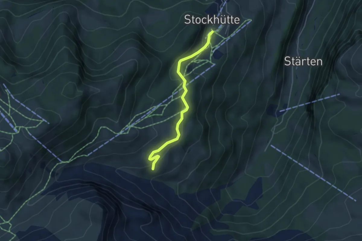
Easy · Trail
Stockhütte - Lochhütte
3.8 km · ↑ 164 m · 1 h 15 min · 12 km away
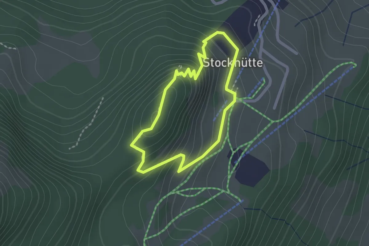
Easy · Trail
Atupri Trail
1.5 km · ↑ 103 m · 37 min · 12 km away
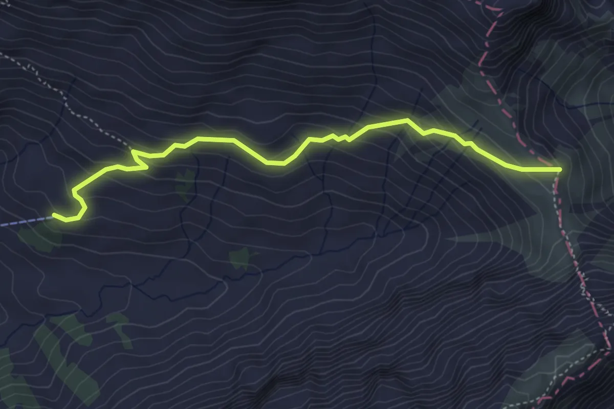
Easy · Trail
Widderen - Sinsgäuer Schonegg
4.5 km · ↑ 286 m · 1 h 41 min · 13 km away
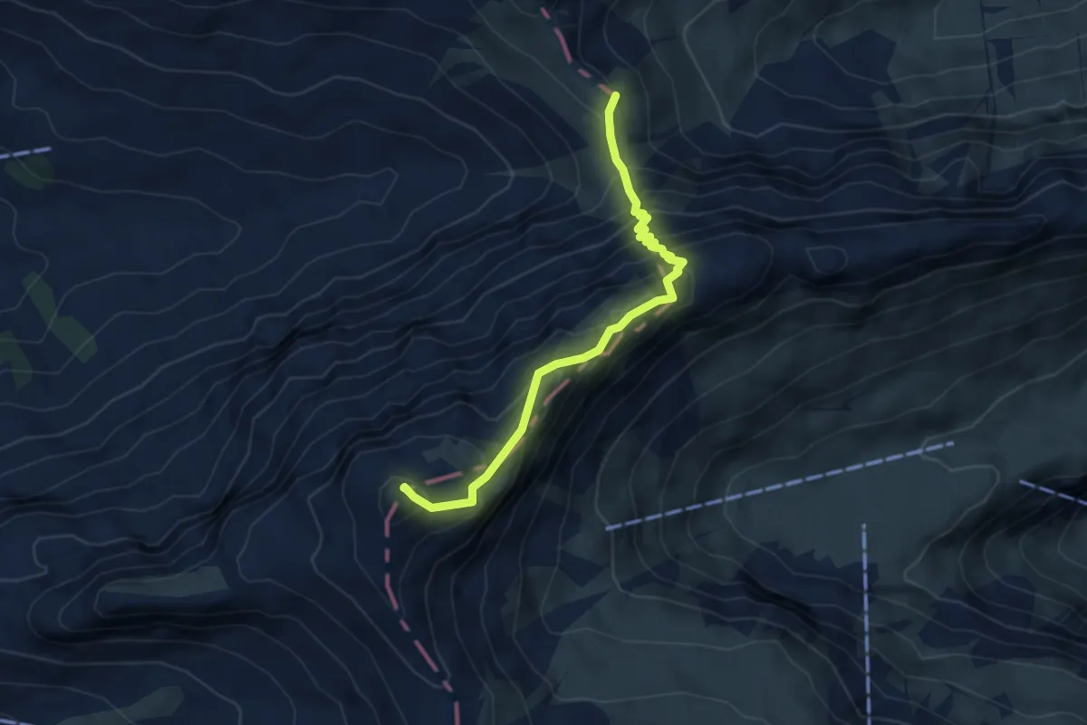
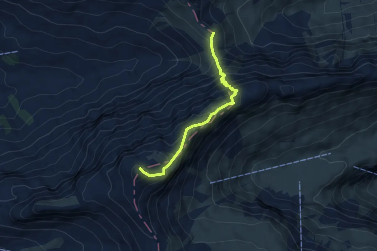
Demanding · Summit
Sinsgäuer Schonegg - Chaiserstuel
4.3 km · ↑ 510 m · 2 h 7 min · 13 km away
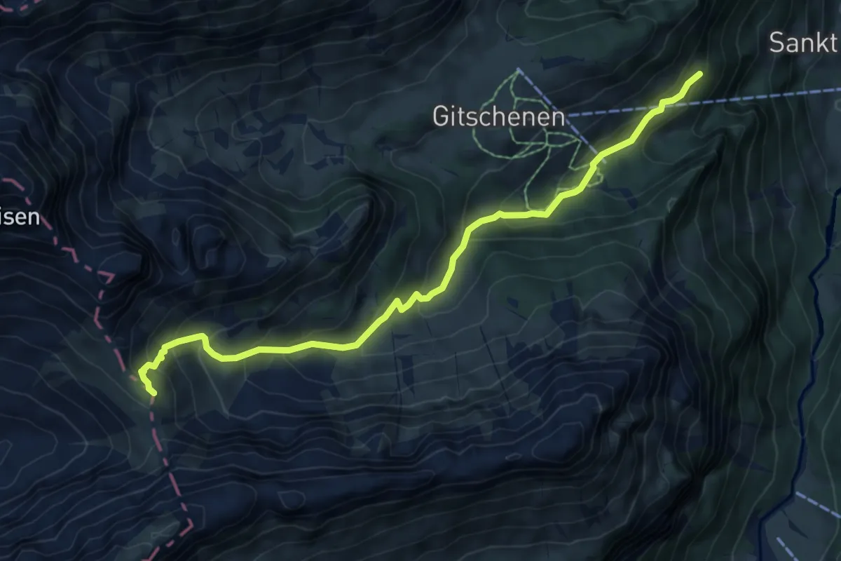
Demanding · Summit
Sinsgäuer Schonegg - Oberalp
4.3 km · ↑ 510 m · 2 h 7 min · 13 km away
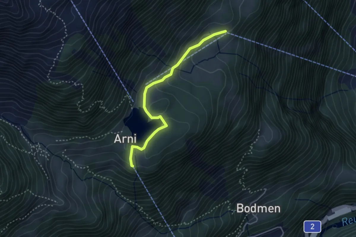
Medium · Trail
Sankt Jakob - Sinsgäuer Schonegg
7.4 km · ↑ 554 m · 2 h 57 min · 13 km away
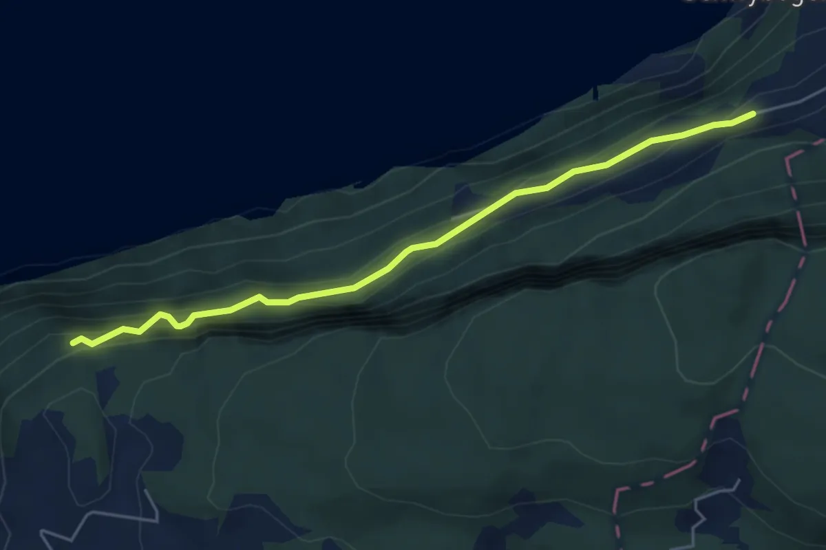
Easy · Trail
Erstfeld Arnisee
3.2 km · ↑ 115 m · 1 h 1 min · 13 km away
Medium · Trail
Triglis – Haselholz
4.9 km · ↑ 389 m · 2 h · 13 km away
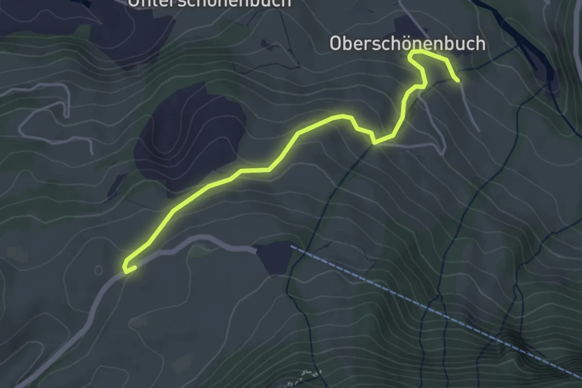
Easy · Trail
Schwyzerhöchi - Ober-Schönenbuch
4.1 km · ↑ 213 m · 1 h 25 min · 13 km away
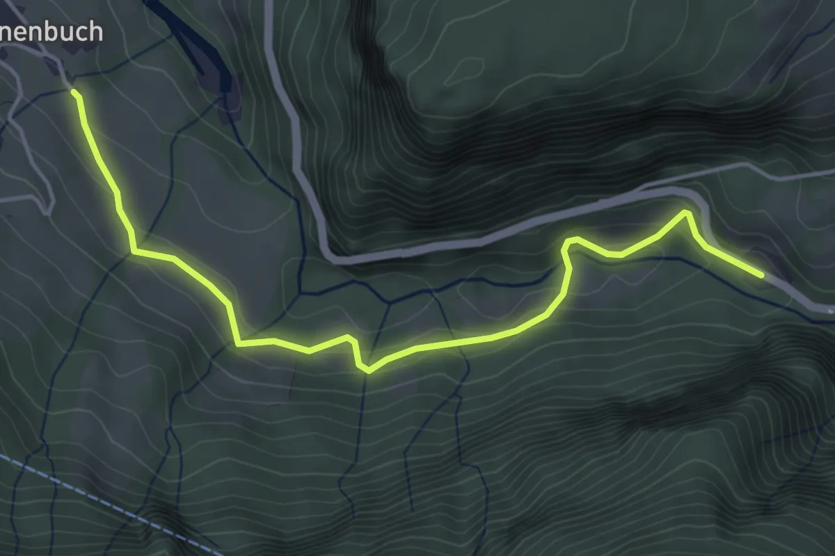
Easy · Trail
Schlattli - Ober-Schönenbuch
4.7 km · ↑ 194 m · 1 h 31 min · 13 km away
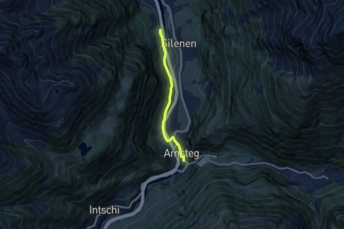
Easy · Trail
Oppli – Amsteg
6.4 km · ↑ 79 m · 1 h 41 min · 13 km away
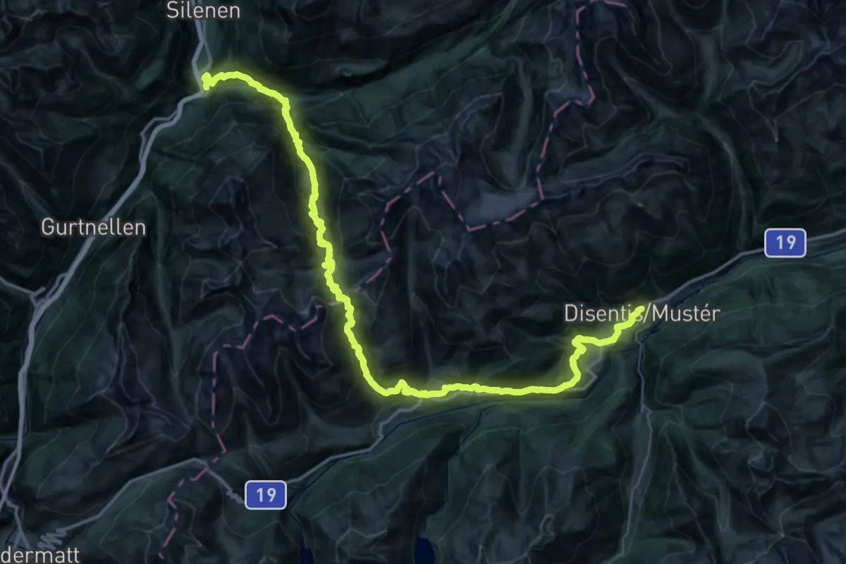
Demanding · Trail
Via son Giachen
29.6 km · ↑ 2541 m · 12 h 36 min · 13 km away
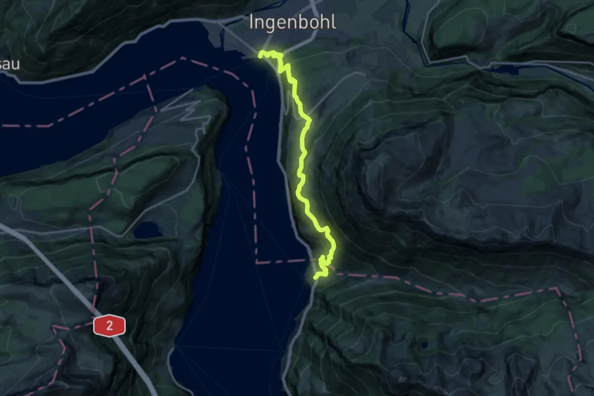
Demanding · Trail
Weg der Schweiz
16.0 km · ↑ 1070 m · 6 h 6 min · 13 km away
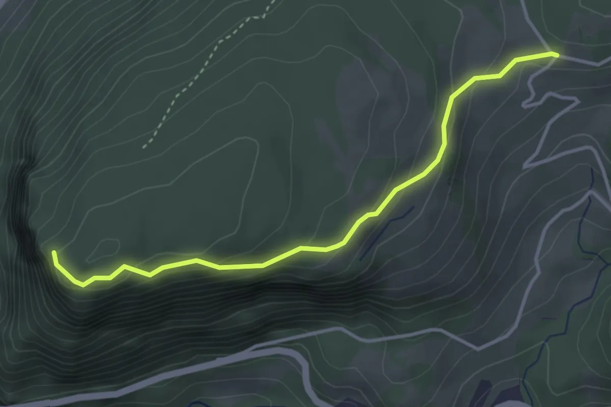
Easy · Trail
Uf Ibrig - Gibelhorn
3.6 km · ↑ 203 m · 1 h 17 min · 13 km away
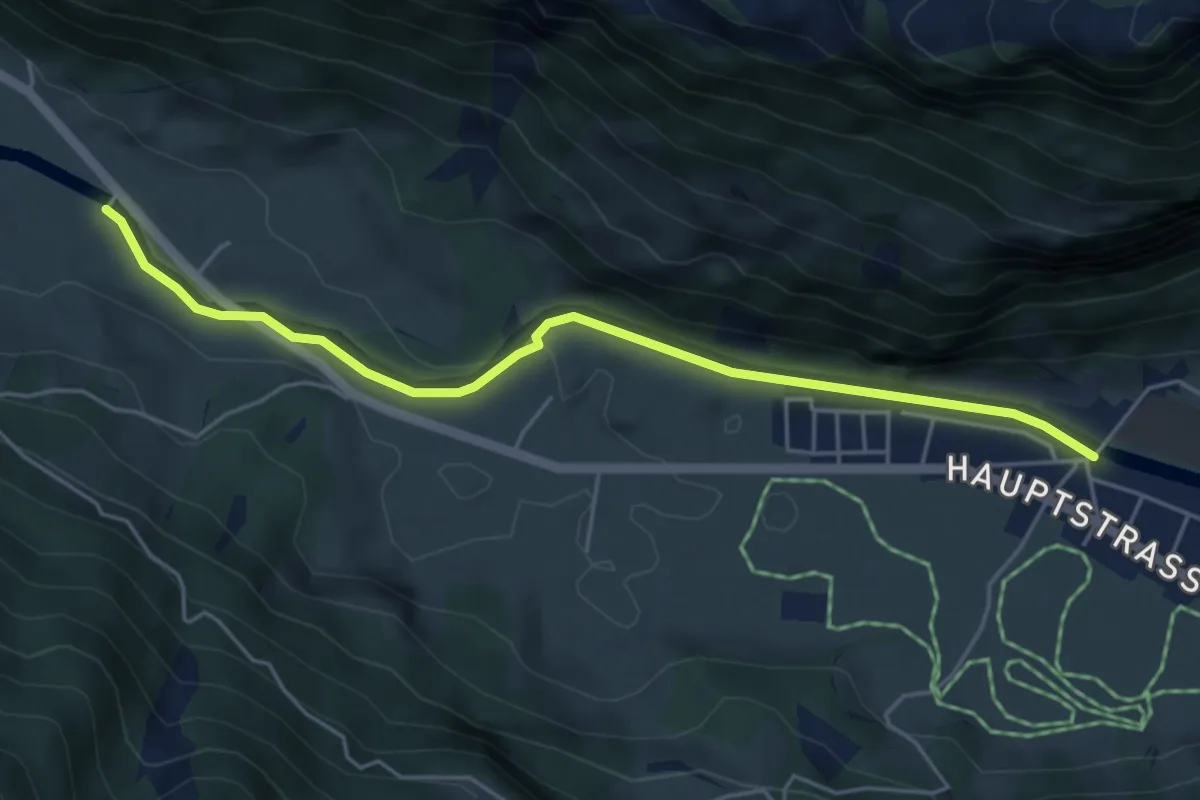
Easy · Trail
Vordere Brügg – Muotathal
5.0 km · ↑ 45 m · 1 h 17 min · 13 km away
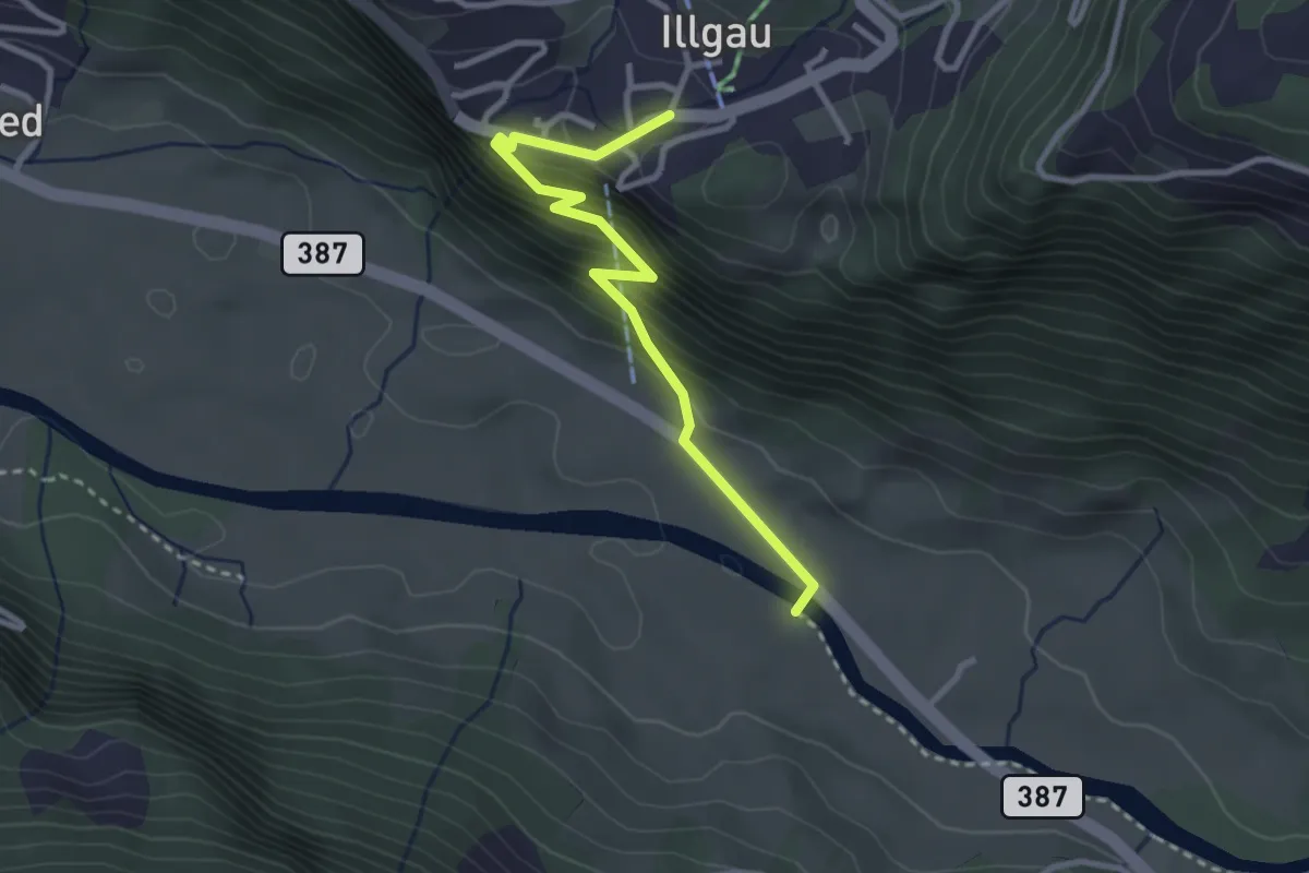
Easy · Trail
Vordere Brügg – Illgau
2.9 km · ↑ 295 m · 1 h 20 min · 13 km away
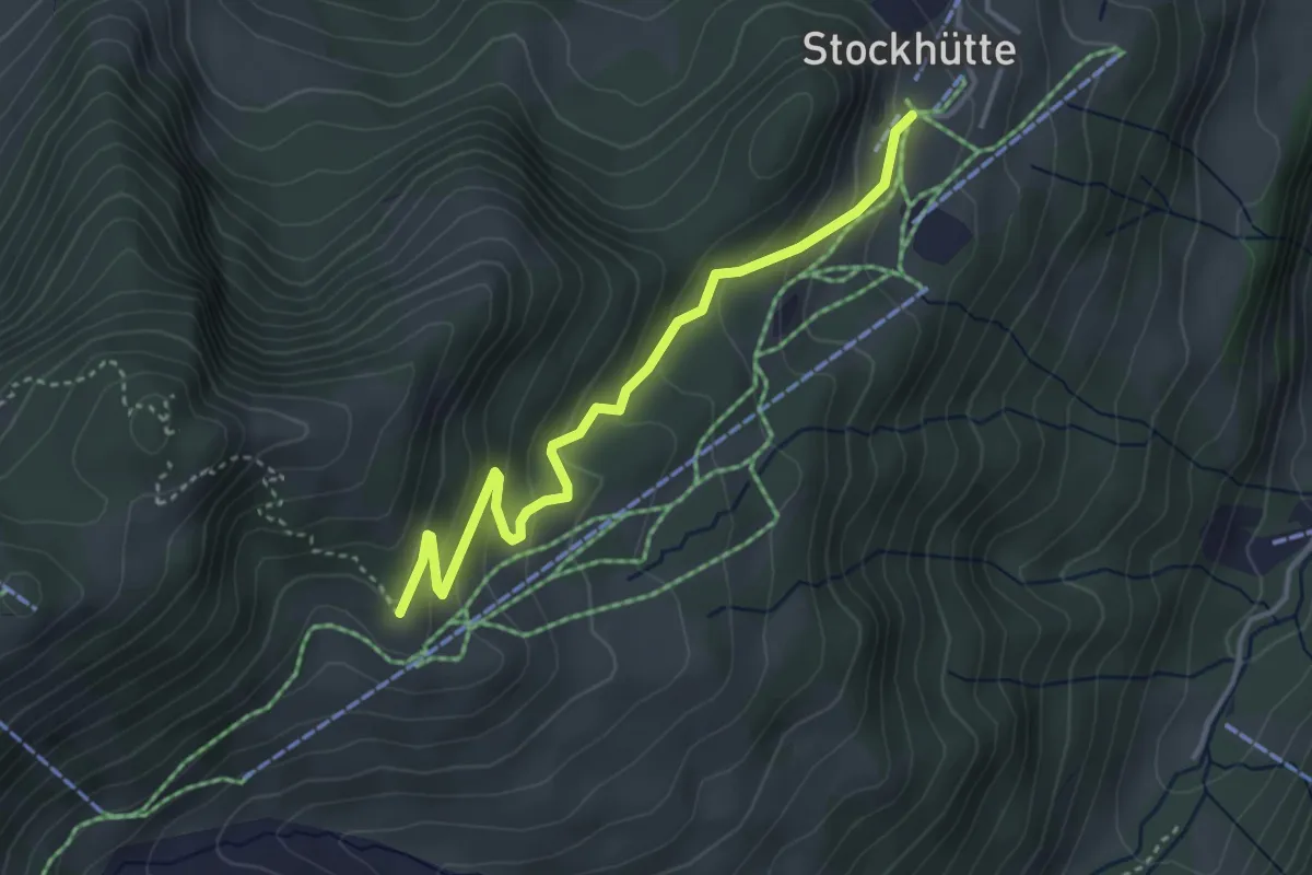
Easy · Trail
Stockhütte - Twäregg
3.7 km · ↑ 268 m · 1 h 27 min · 13 km away
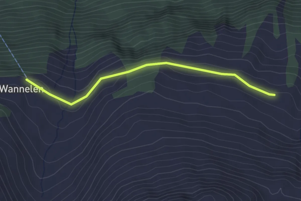
Easy · Trail
Nideralp – Wannelen Bergstation
3.0 km · ↑ 60 m · 51 min · 13 km away
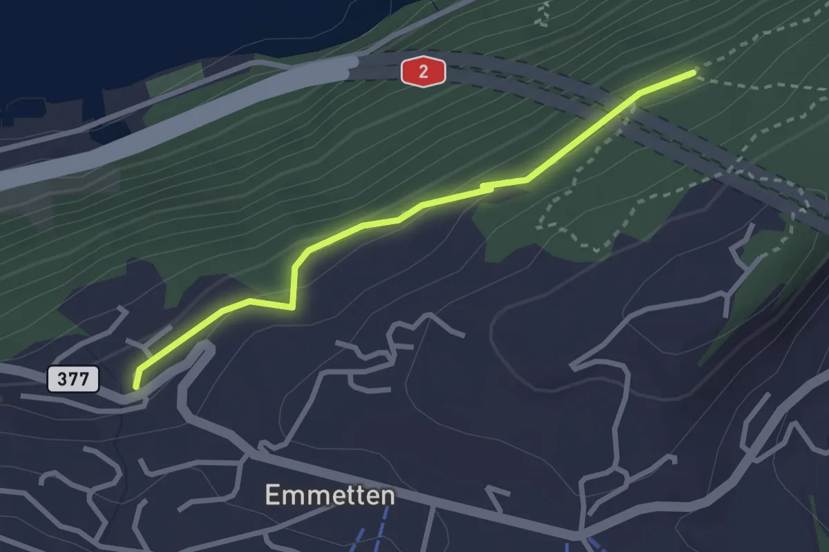
Easy · Trail
Schönegg – Bleiki
2.5 km · ↑ 116 m · 51 min · 13 km away
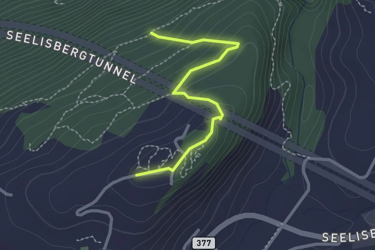
Easy · Trail
Seeblick – Bleiki
2.1 km · ↑ 127 m · 46 min · 13 km away
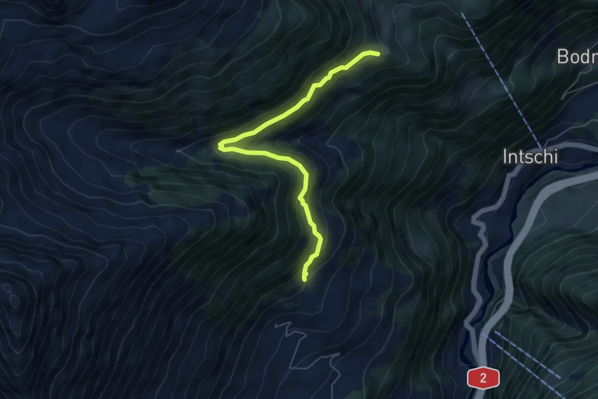
Medium · Trail
Heissigegg - Breitmoos
5.8 km · ↑ 369 m · 2 h 10 min · 13 km away
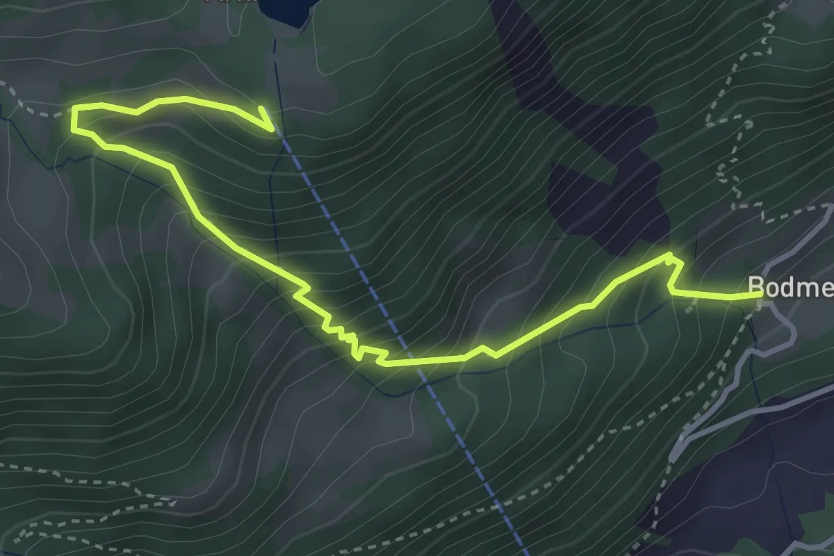
Medium · Trail
Arnisee Bergstation – Bodmen
4.1 km · ↑ 537 m · 2 h 8 min · 13 km away
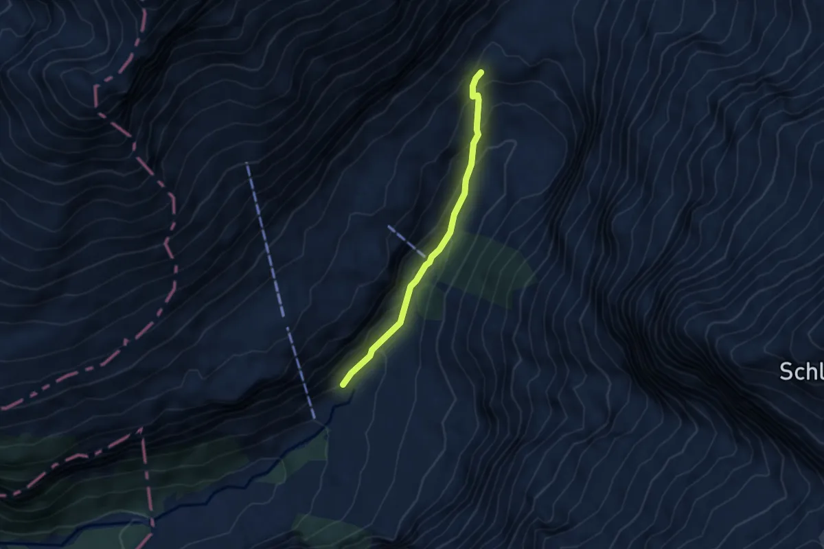
Medium · Trail
Stäfeli – Stäuber
3.6 km · ↑ 231 m · 1 h 21 min · 13 km away
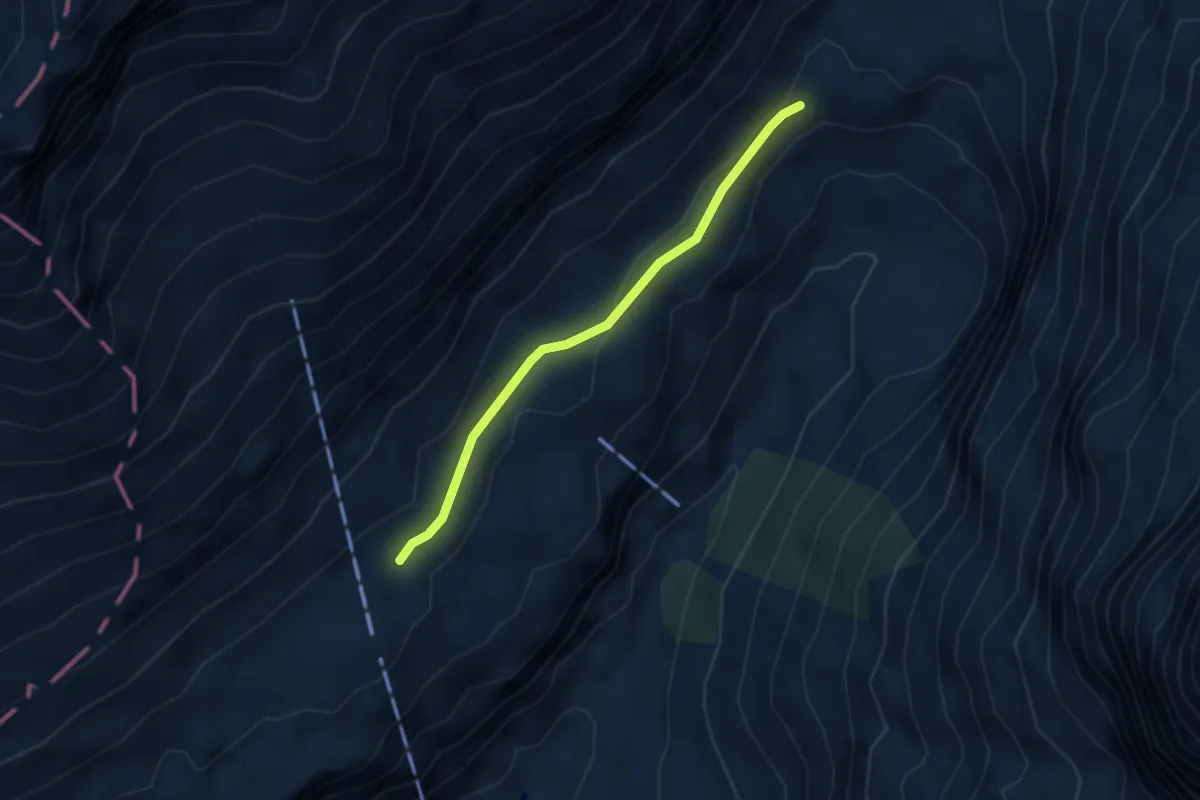
Medium · Trail
Stäuber – Usser Äbnet
2.9 km · ↑ 69 m · 50 min · 13 km away
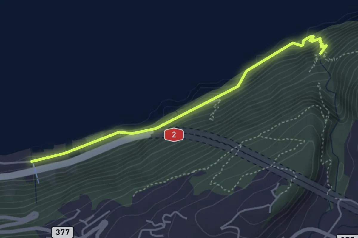
Medium · Trail
Risleten – Rütenen
4.2 km · ↑ 223 m · 1 h 28 min · 13 km away
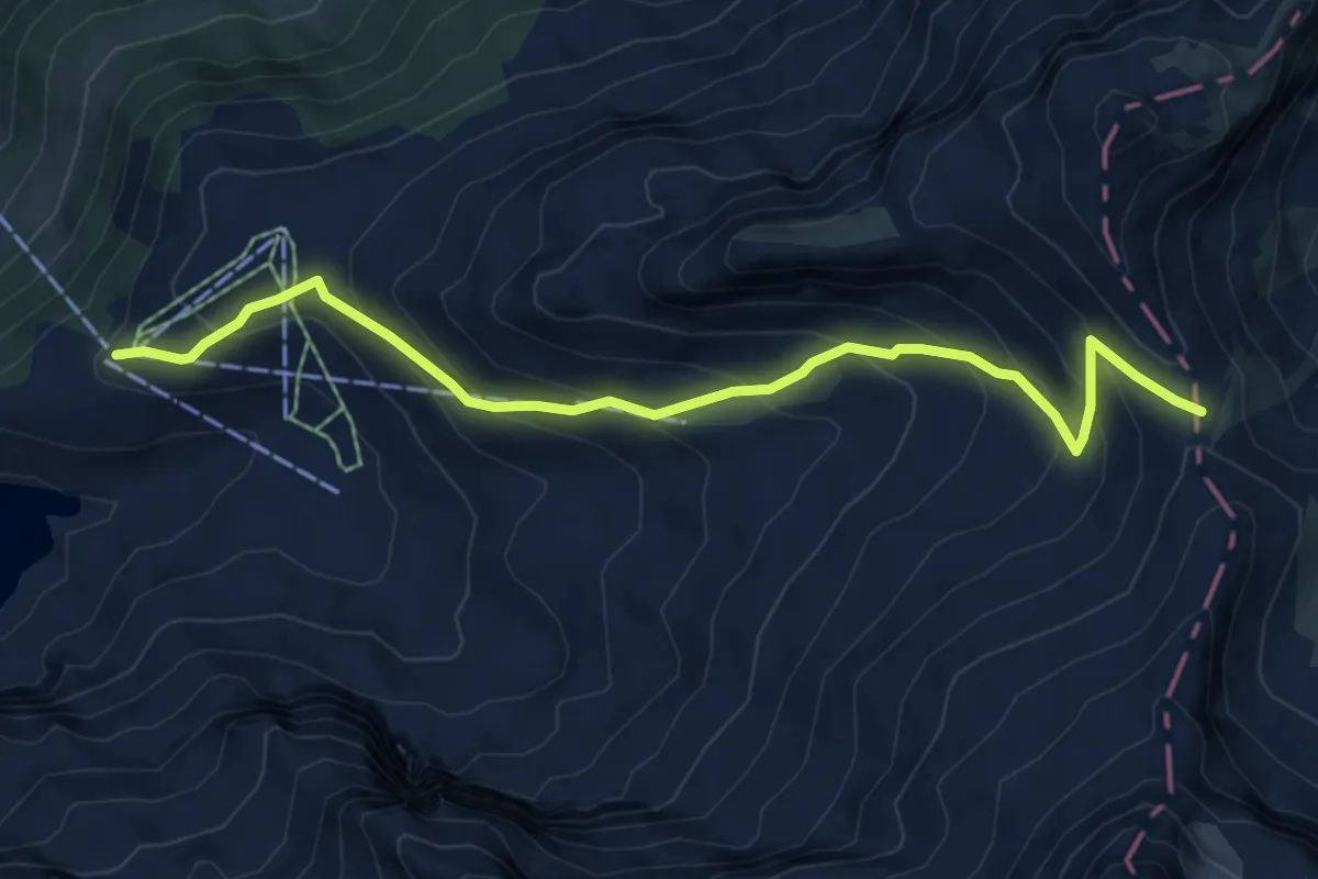
Medium · Cabin
Banalp / Chrüzhütte - Bannalper Schonegg
6.5 km · ↑ 523 m · 2 h 41 min · 13 km away
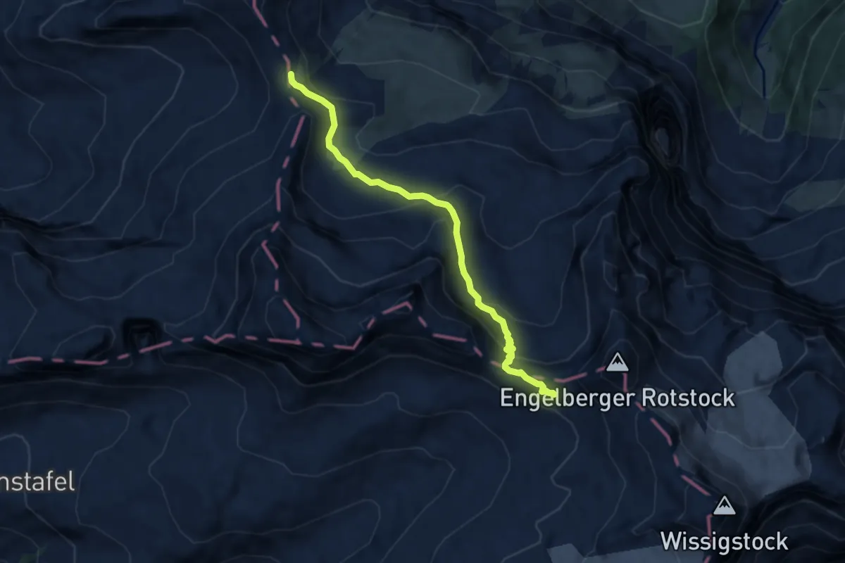
Expert · Trail
Bannalper Schonegg - Rot Grätli
6.5 km · ↑ 410 m · 2 h 25 min · 13 km away
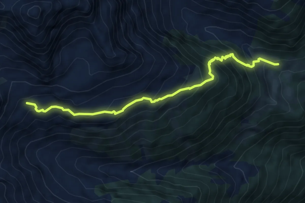
Medium · Trail
Schwändli – Schindlachtalhütte
6.7 km · ↑ 626 m · 2 h 56 min · 13 km away
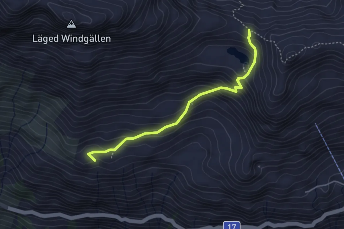
Easy · Trail
Heidmannegg – Ruosalper Chulm
3.6 km · ↑ 294 m · 1 h 29 min · 13 km away
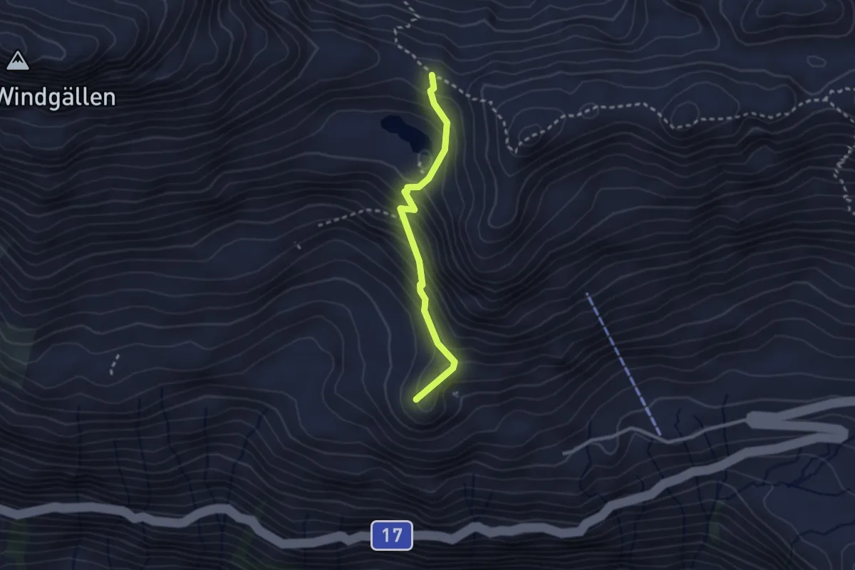
Easy · Summit
Vorderen Rustigen – Ruosalper Chulm
2.3 km · ↑ 250 m · 1 h 6 min · 13 km away
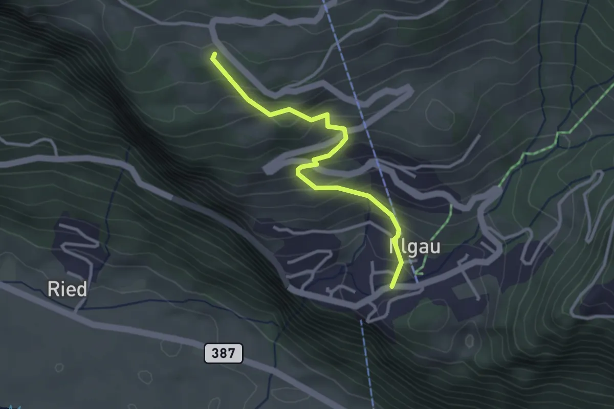
Easy · Trail
Illgau – Wart
2.8 km · ↑ 243 m · 1 h 11 min · 13 km away
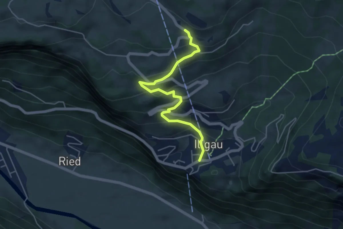
Easy · Trail
Zimmerstalden – Illgau
4.1 km · ↑ 317 m · 1 h 39 min · 13 km away
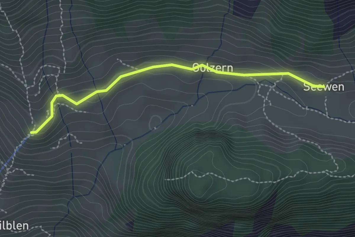
Easy · Trail
Golzeren Bergstation – Seewen
2.3 km · ↑ 78 m · 43 min · 13 km away
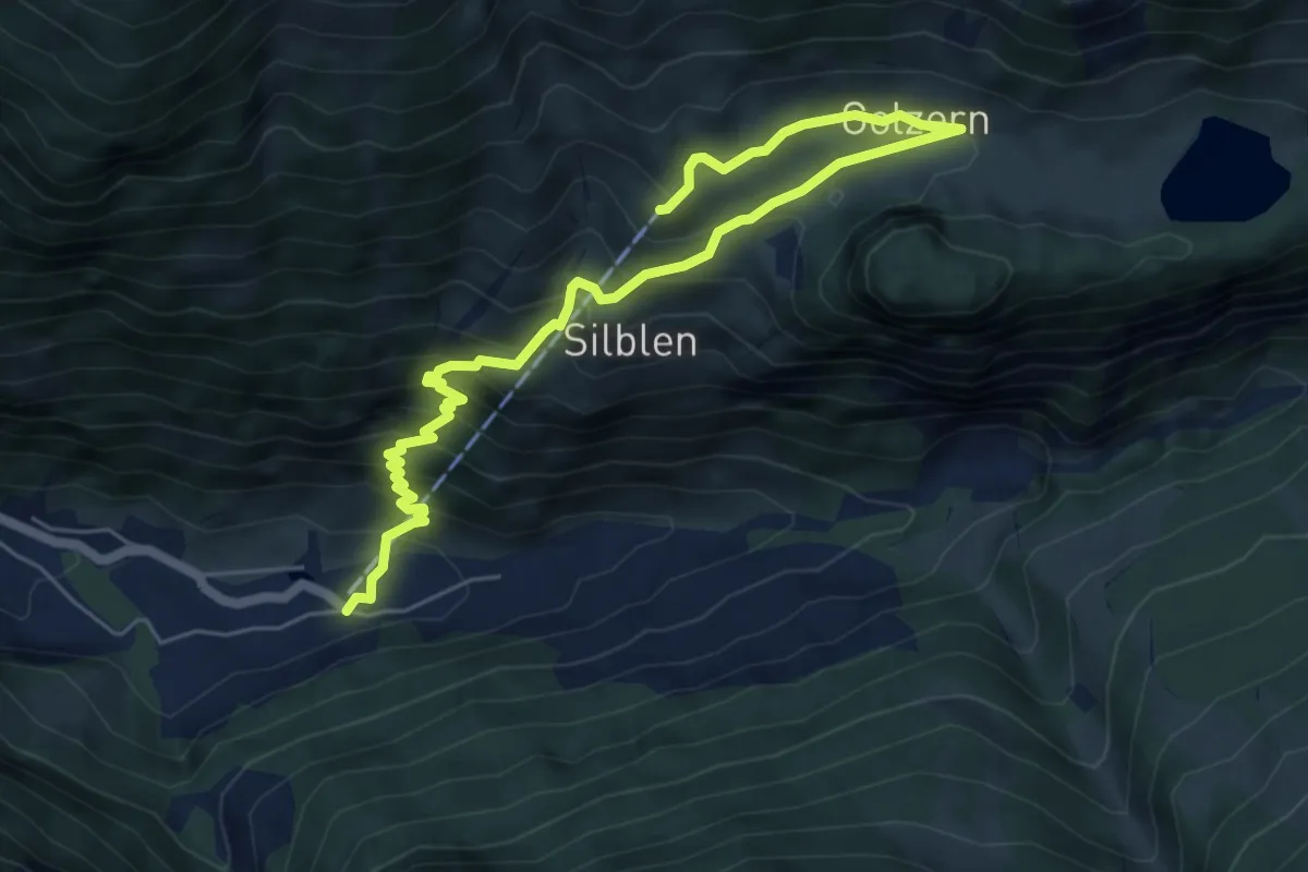
Medium · Trail
Golzeren Bergstation – Golzeren Talstation
7.3 km · ↑ 657 m · 3 h 8 min · 13 km away
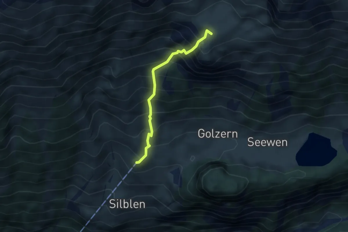
Demanding · Summit
Golzeren Bergstation – Oberchäseren
2.9 km · ↑ 548 m · 1 h 53 min · 13 km away
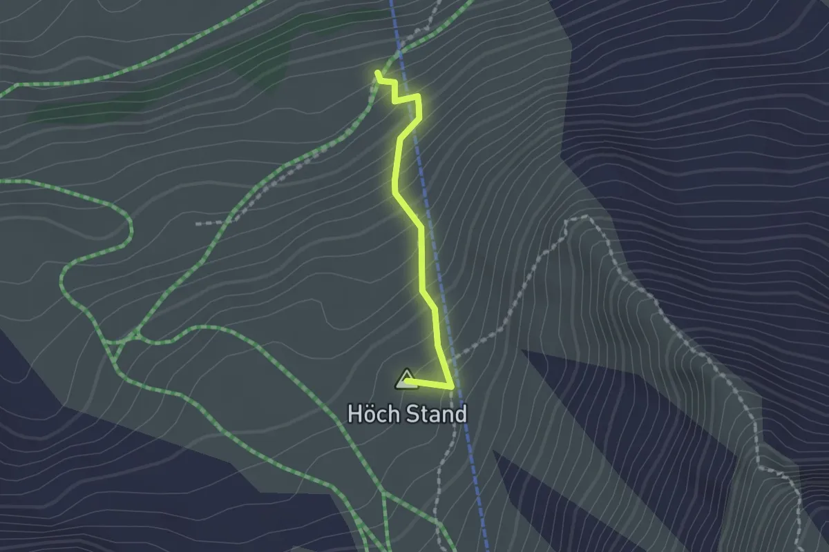
Medium · Summit
Melchgädeli – Hinterjochli
1.3 km · ↑ 168 m · 40 min · 13 km away