Trails near Arth
673 hikes starting within 15 km, nearest first.
Nearest first, page 13 of 15
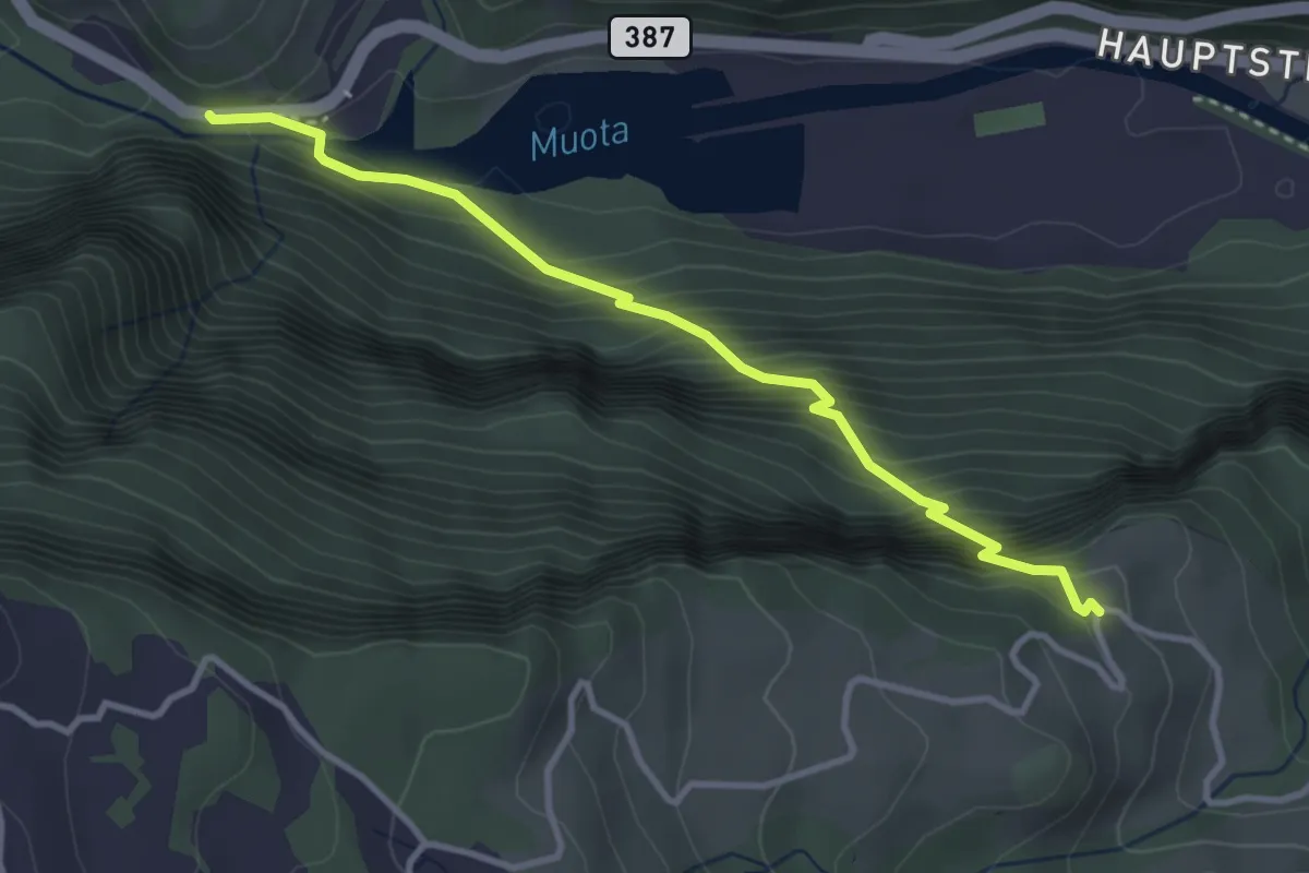
Medium · Trail
Schlattli - Chälenberg
3.5 km · ↑ 496 m · 1 h 54 min · 14 km away
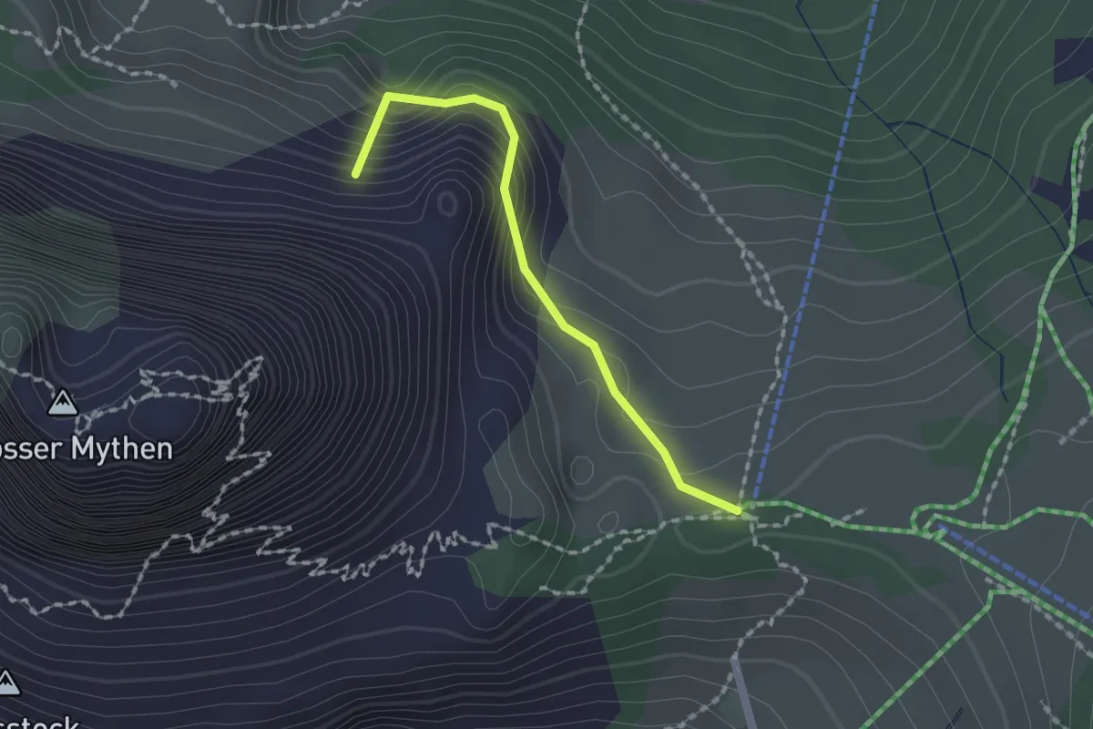
Medium · Summit
Holzegg - Alp Zwüschet Mythen
1.5 km · ↑ 203 m · 48 min · 14 km away
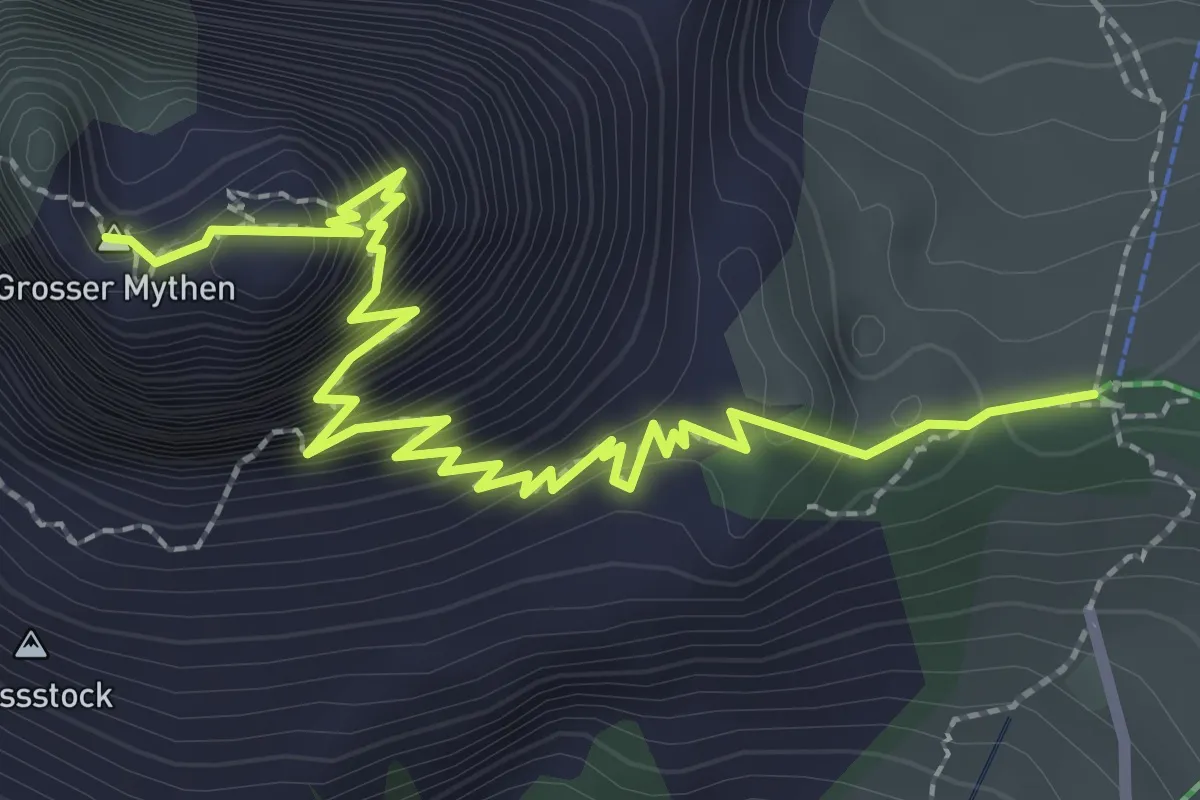
Demanding · Summit
Holzegg - Grosser Mythen
3.4 km · ↑ 598 m · 2 h 6 min · 14 km away
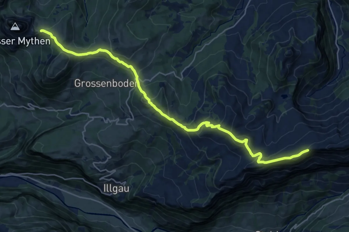
Demanding · Summit
Ybriger 7-Egg-Weg
20.6 km · ↑ 987 m · 7 h · 14 km away
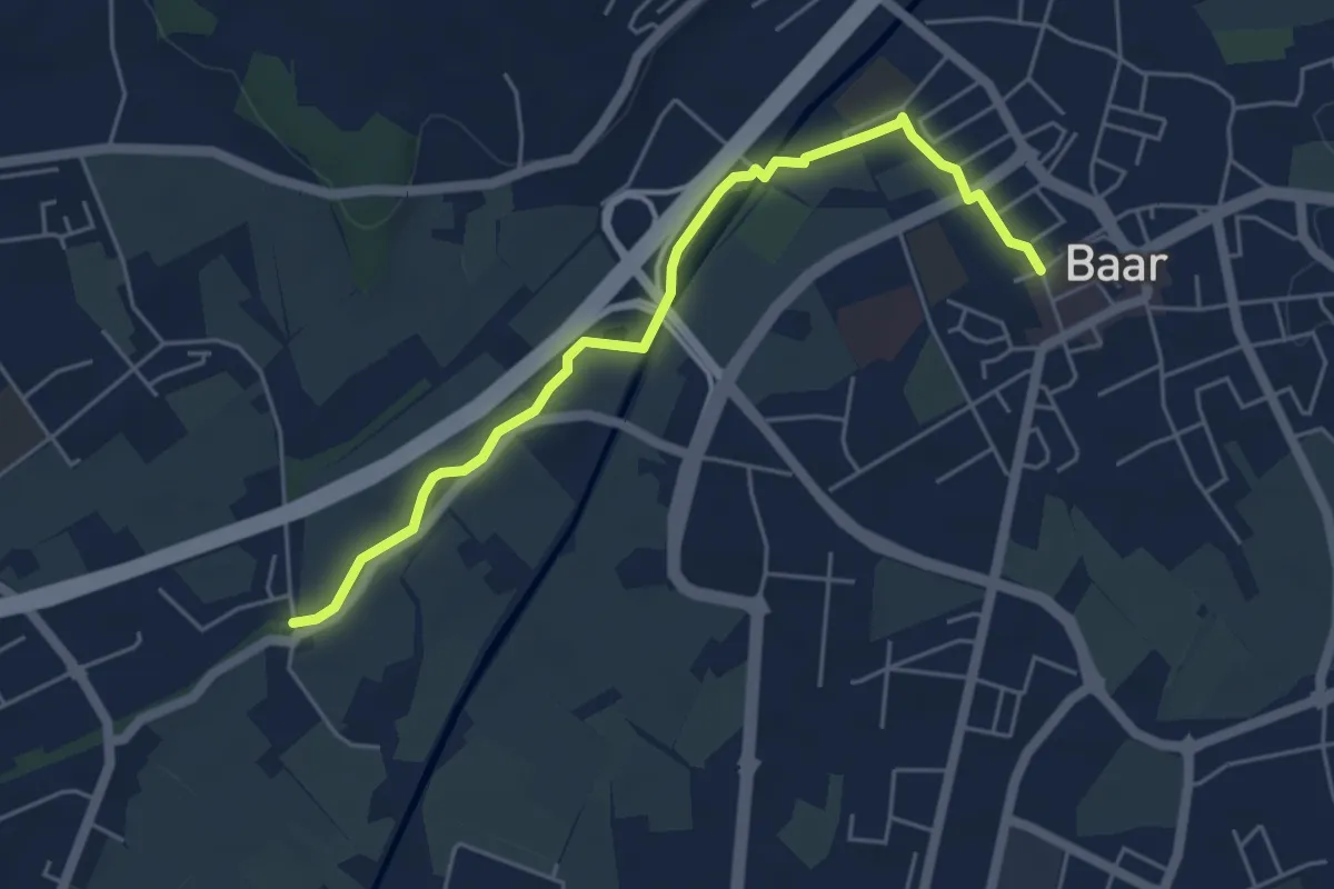
Easy · Trail
Schochenmühle - Baar
5.2 km · ↑ 17 m · 1 h 15 min · 14 km away
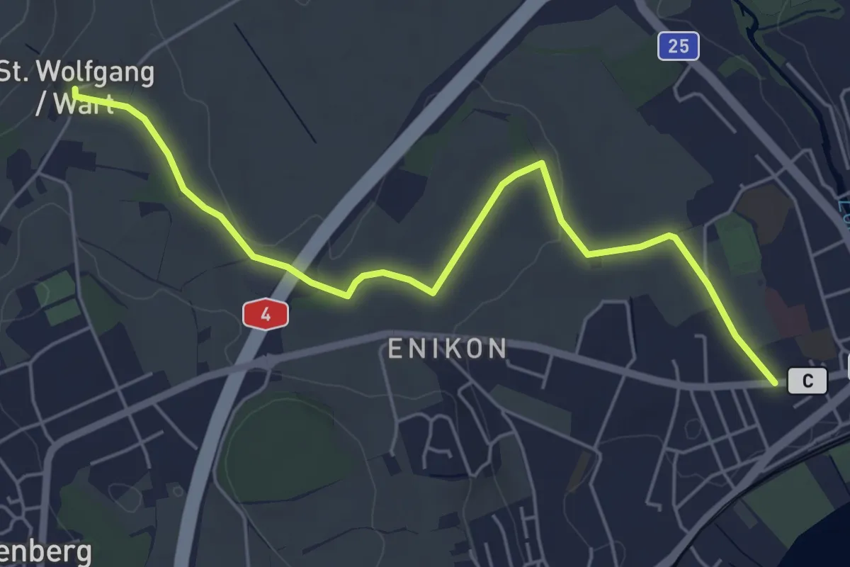
Easy · Trail
Cham - Sankt Wolfgang
5.8 km · ↑ 41 m · 1 h 27 min · 14 km away
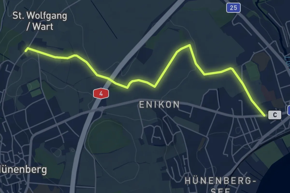
Easy · Trail
Cham - Wart
5.8 km · ↑ 50 m · 1 h 28 min · 14 km away
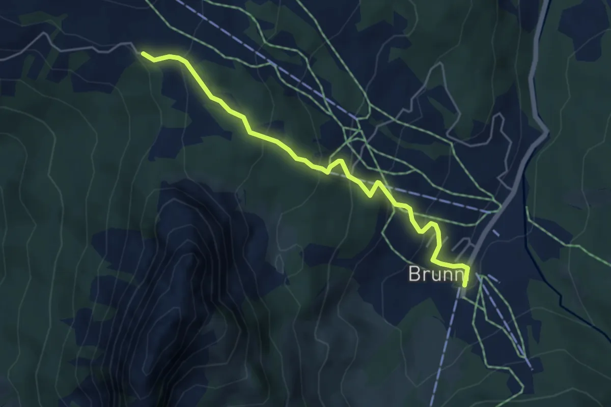
Medium · Trail
Haggenegg - Brunni
4.6 km · ↑ 311 m · 1 h 46 min · 14 km away
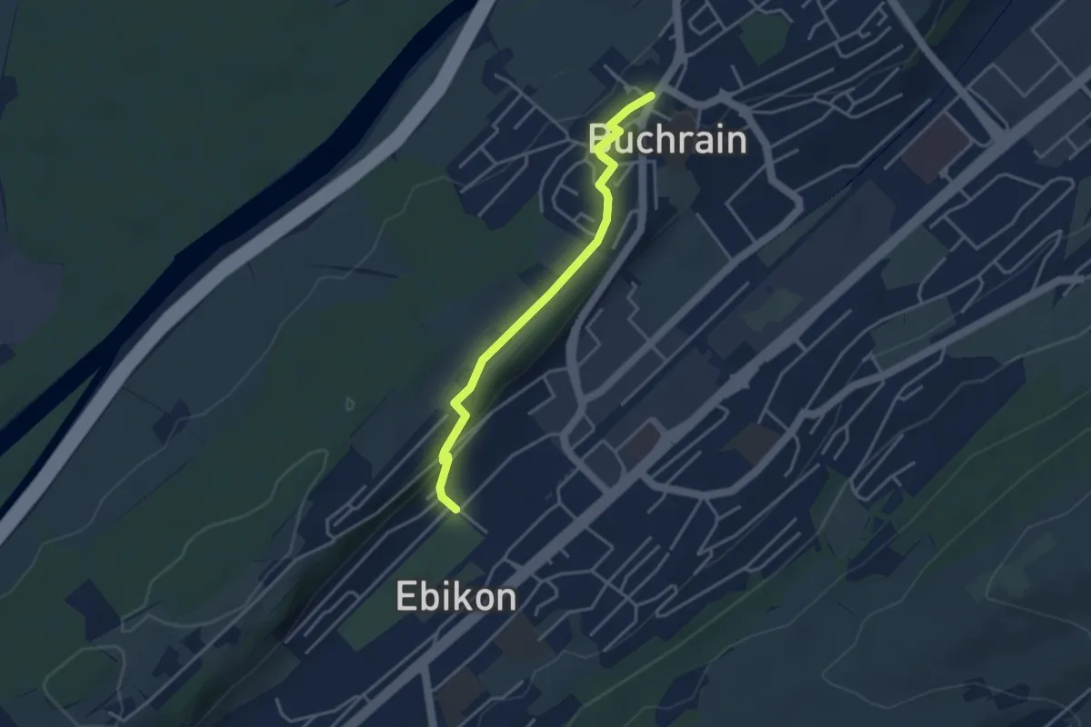
Easy · Trail
Ebikon - Buchrain
3.5 km · ↑ 74 m · 59 min · 14 km away
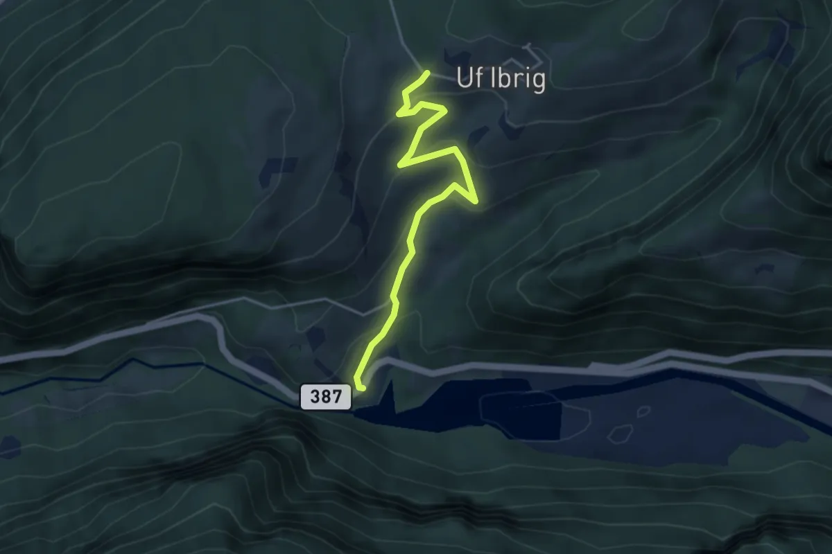
Easy · Trail
Schlattli - Uf Ibrig
3.8 km · ↑ 197 m · 1 h 20 min · 14 km away
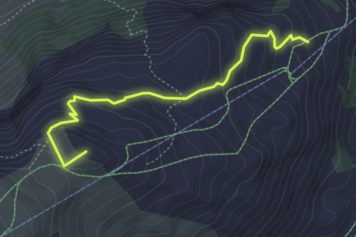
Medium · Summit
Mettlen - Charenstöckli
4.1 km · ↑ 328 m · 1 h 41 min · 14 km away
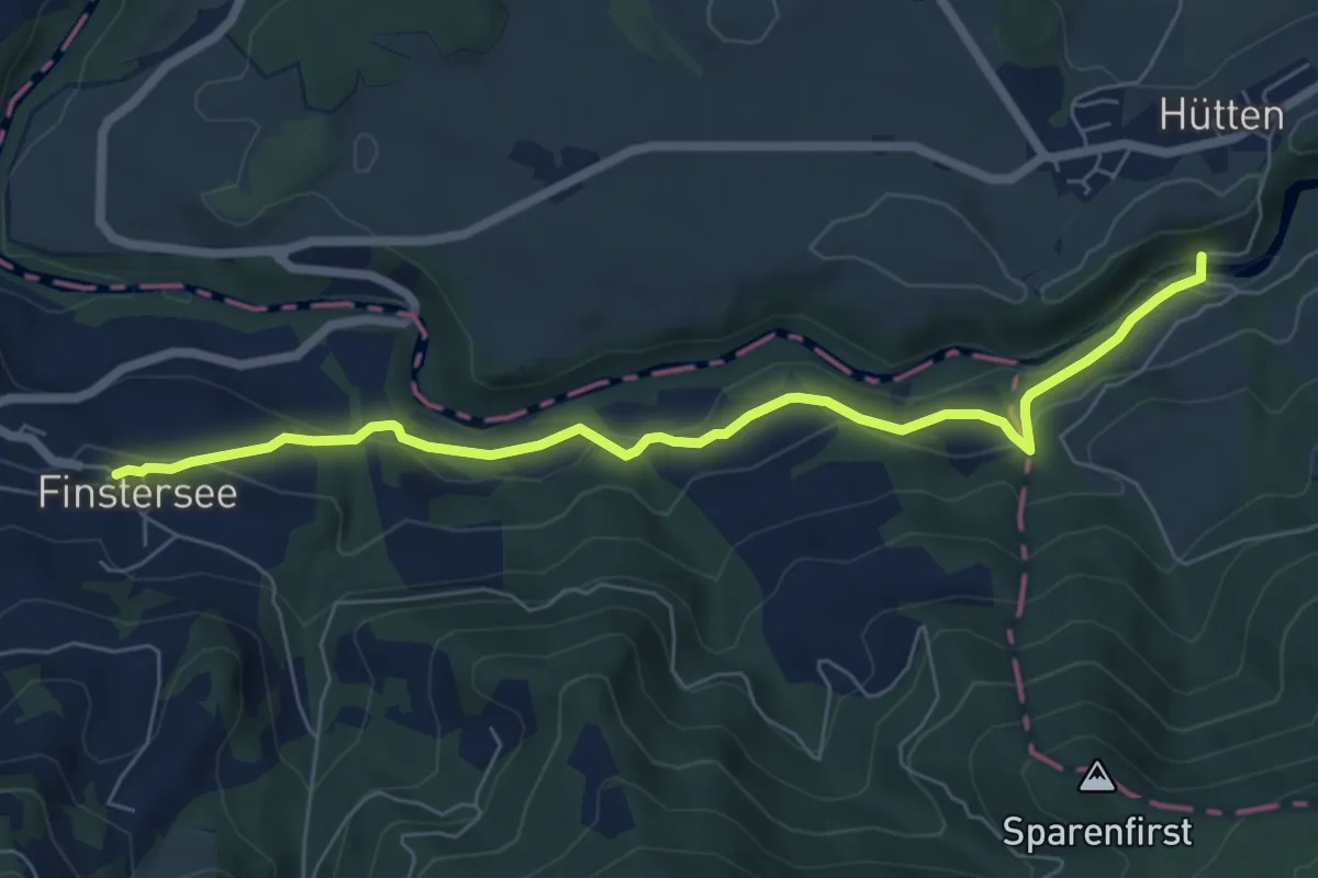
Easy · Trail
Hüttner Brugg - Finstersee - fixme
6.8 km · ↑ 315 m · 2 h 18 min · 14 km away
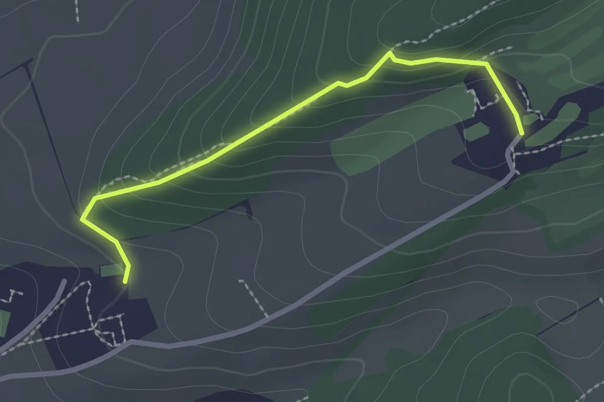
Easy · Trail
Dietschiberg - Utenberg
2.2 km · ↑ 144 m · 49 min · 14 km away
Easy · Trail
Greit Höhe - Bellevue
2.4 km · ↑ 180 m · 58 min · 14 km away
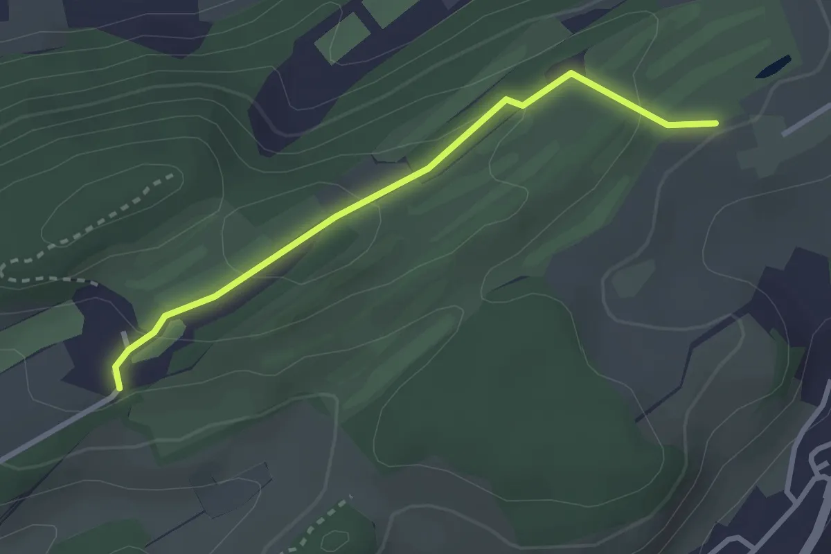
Easy · Trail
Talacheri - Dietschiberg
2.6 km · ↑ 95 m · 49 min · 14 km away
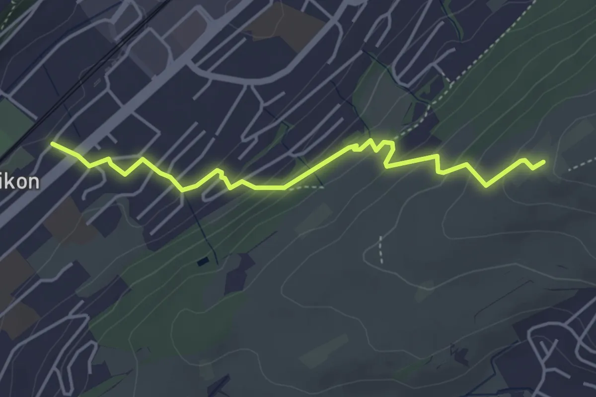
Easy · Trail
Ebikon – Ober Äbrüti
4.1 km · ↑ 228 m · 1 h 28 min · 14 km away
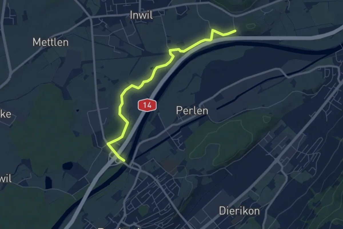
Easy · Trail
St.Katrine - Perlenbrücke
6.9 km · ↑ 18 m · 1 h 40 min · 14 km away
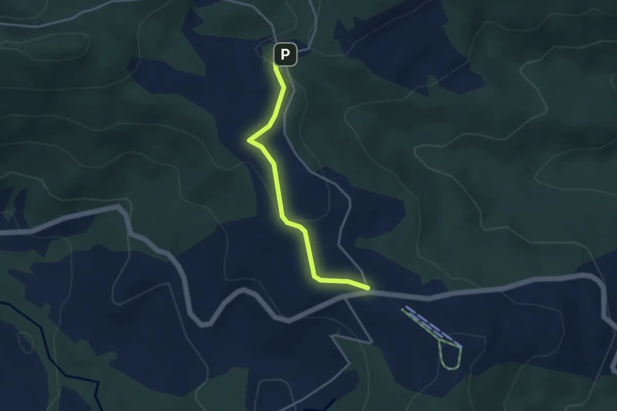
Easy · Trail
Raten – Chlausenchappeli
2.8 km · ↑ 63 m · 48 min · 14 km away
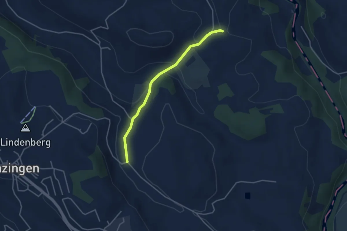
Easy · Trail
Schwand - Brättigen
2.9 km · ↑ 85 m · 52 min · 14 km away
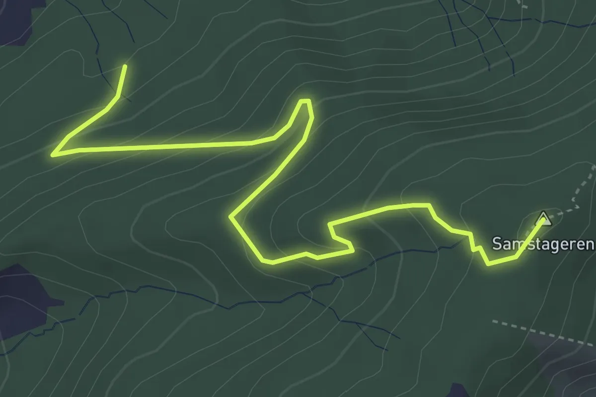
Medium · Summit
Cholholz – Windwurf
5.0 km · ↑ 321 m · 1 h 53 min · 14 km away
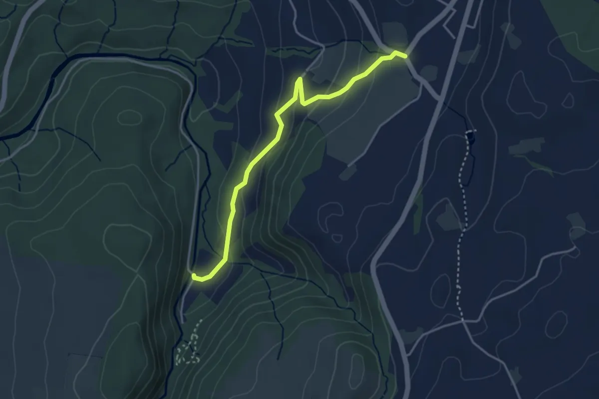
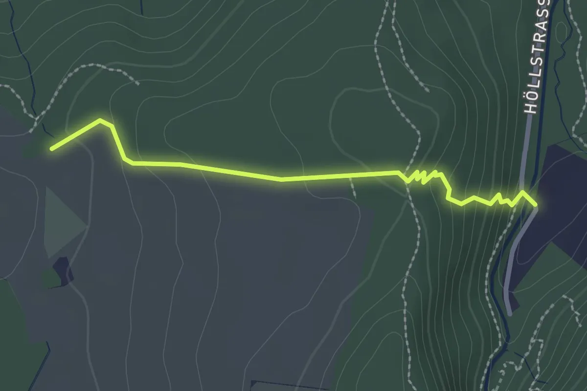
Easy · Trail
Höllbrücke - Hinterburg
3.4 km · ↑ 150 m · 1 h 8 min · 14 km away
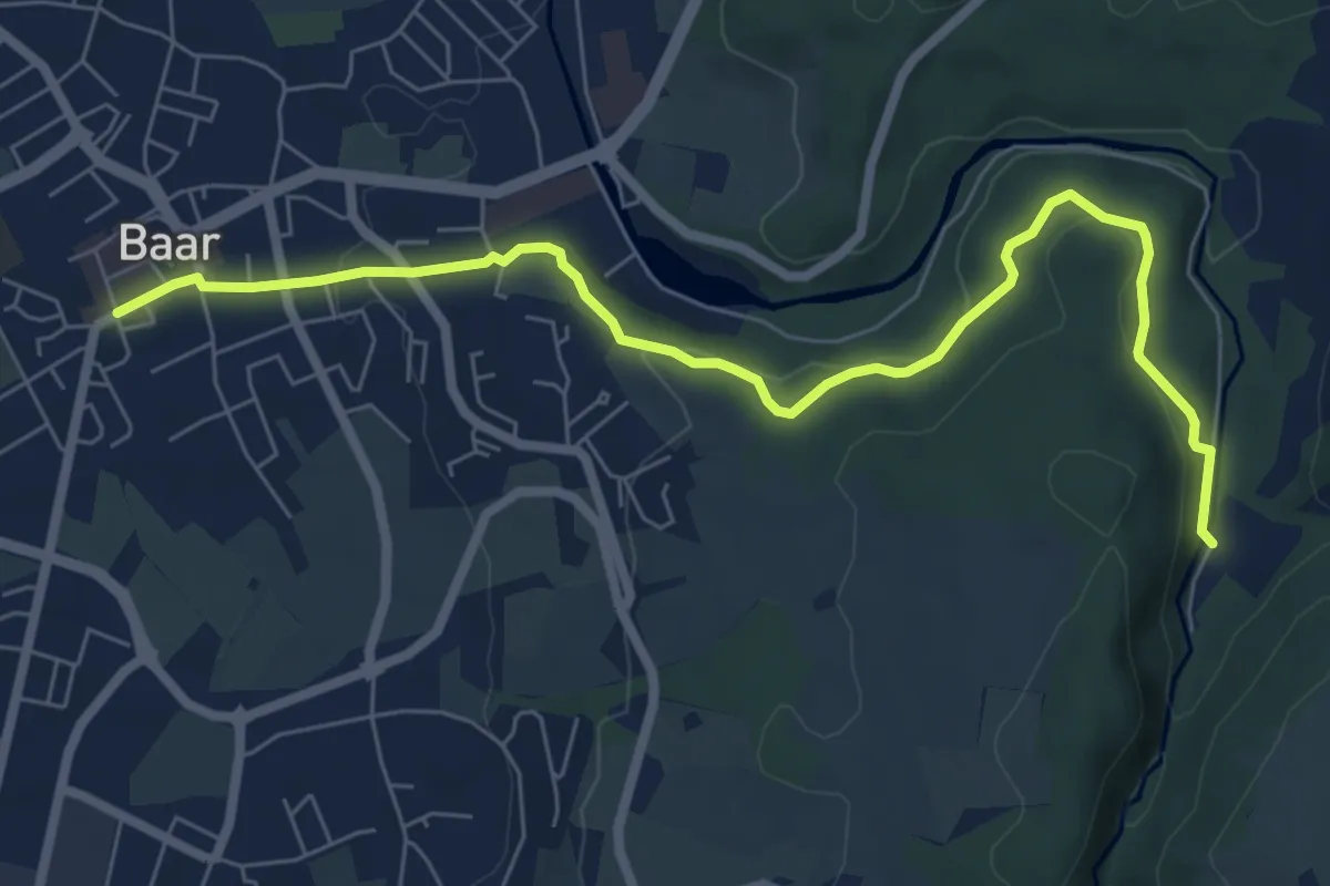
Easy · Trail
Höllbrücke - Ober Allmend
2.3 km · ↑ 128 m · 49 min · 14 km away
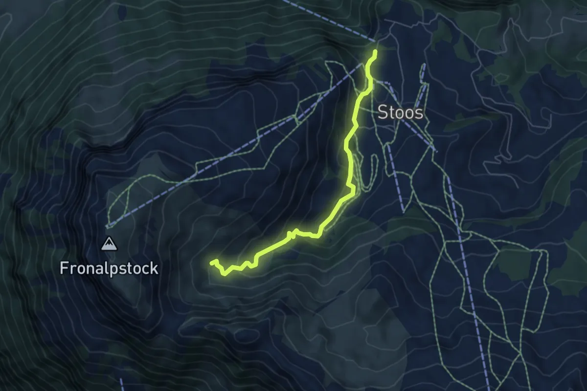
Easy · Trail
Höllbrücke - Dorfstrasse
7.6 km · ↑ 194 m · 2 h 13 min · 14 km away
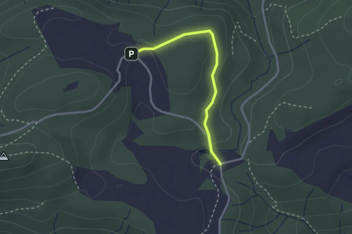
Easy · Trail
Stoos - Obere Frontalhütte
5.5 km · ↑ 317 m · 2 h · 14 km away
Easy · Trail
Chlausenchappeli – Gottschalkenberg
2.1 km · ↑ 47 m · 35 min · 14 km away
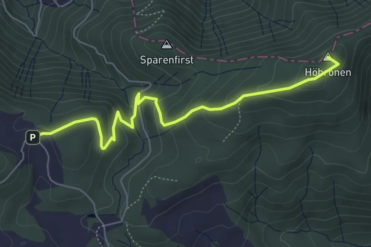
Easy · Summit
Höhboden – Gottschalkenberg
5.3 km · ↑ 249 m · 1 h 47 min · 14 km away
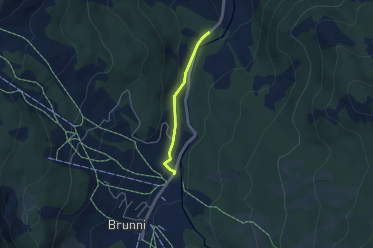
Easy · Trail
Stei-Brunni
2.3 km · ↑ 77 m · 43 min · 14 km away
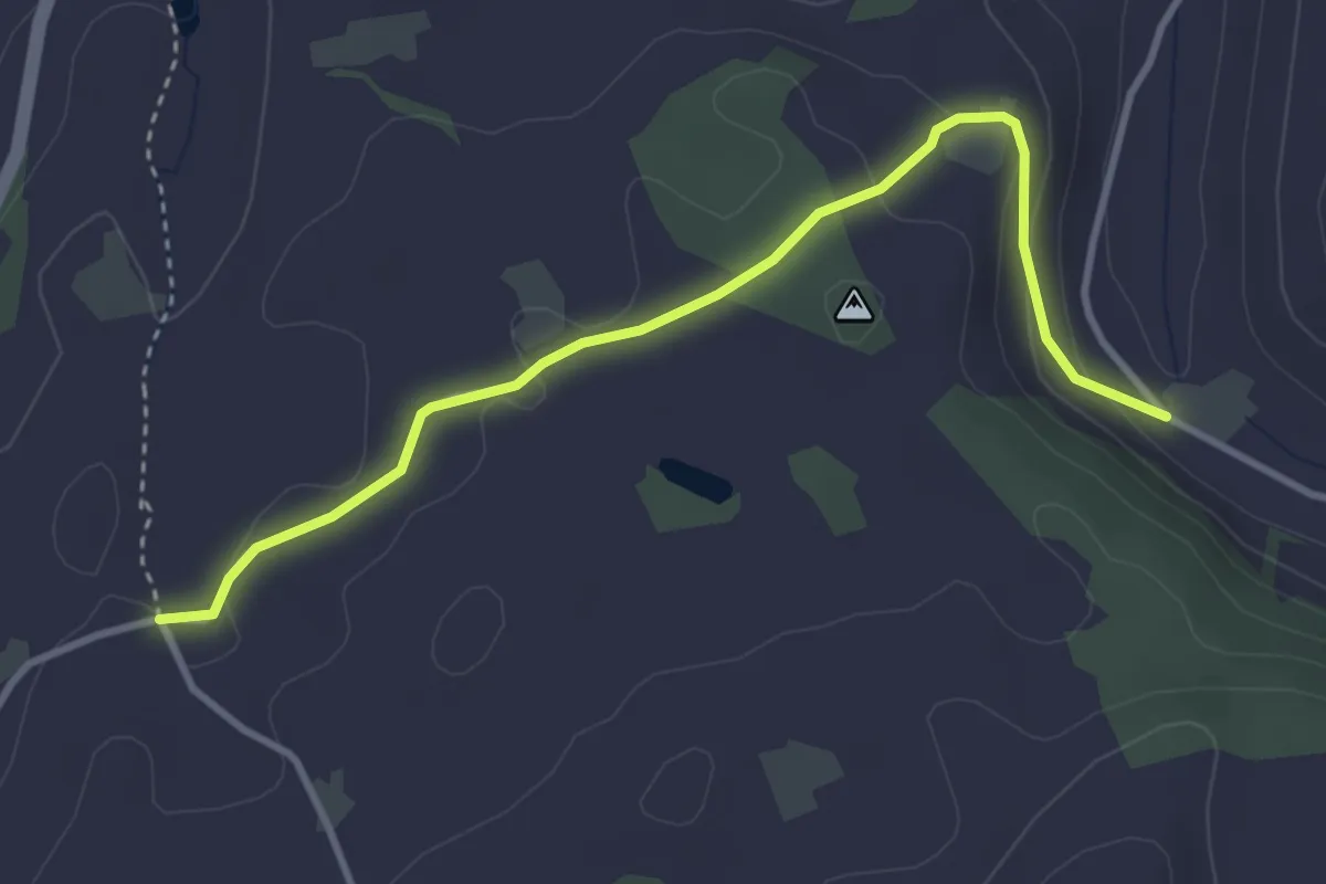
Easy · Trail
Lüthärtigen - Erlenbach
3.7 km · ↑ 97 m · 1 h 5 min · 14 km away
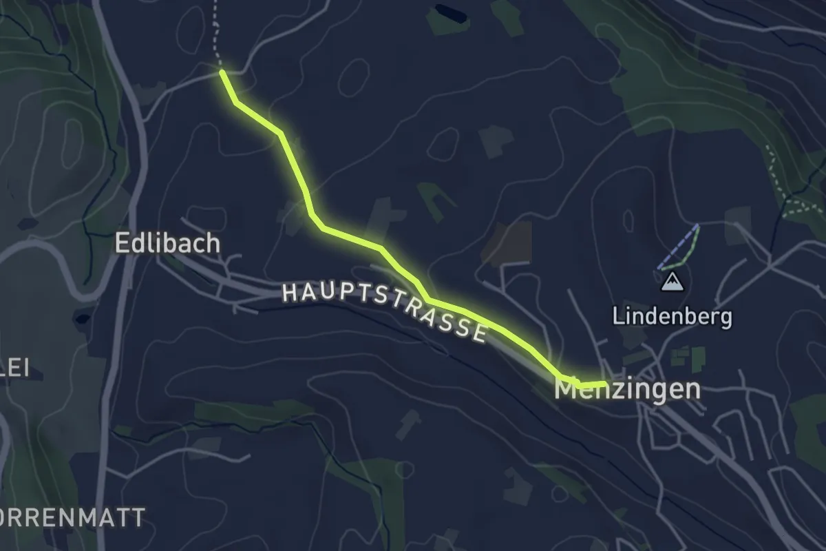
Easy · Trail
Lüthärtigen - Menzingen
3.2 km · ↑ 83 m · 57 min · 14 km away
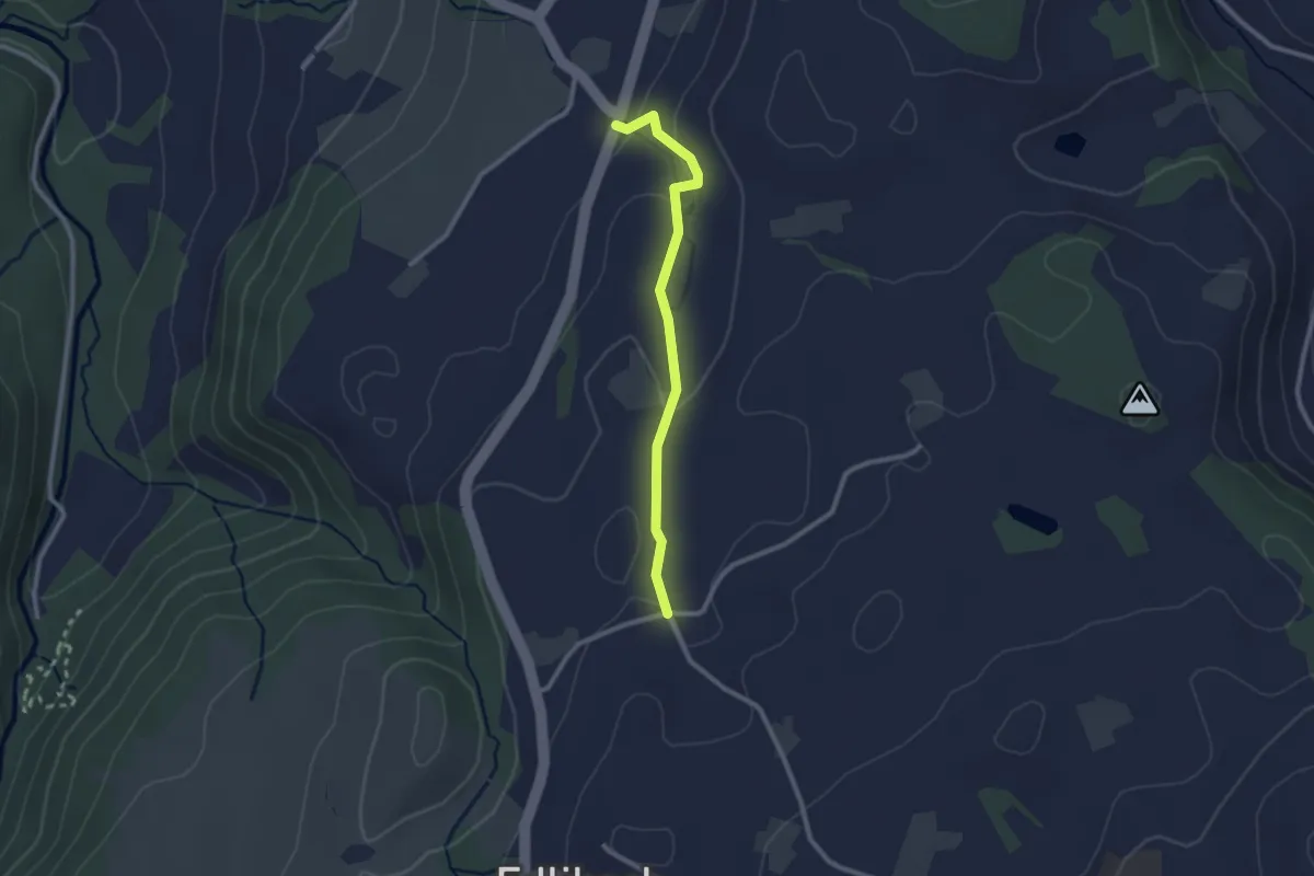
Easy · Trail
Lüthärtigen - Hinterburg-Müll
2.3 km · ↑ 62 m · 40 min · 14 km away
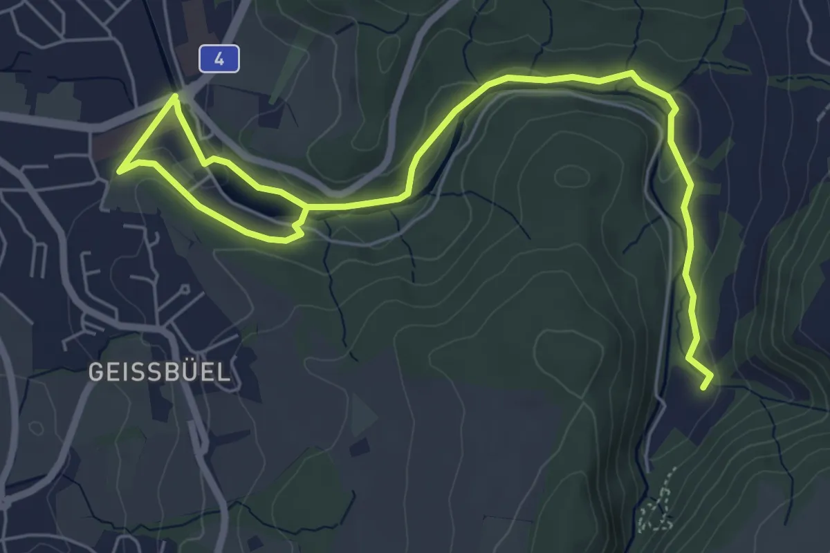
Easy · Trail
Baar - Höllgrotten
7.7 km · ↑ 130 m · 2 h 6 min · 14 km away
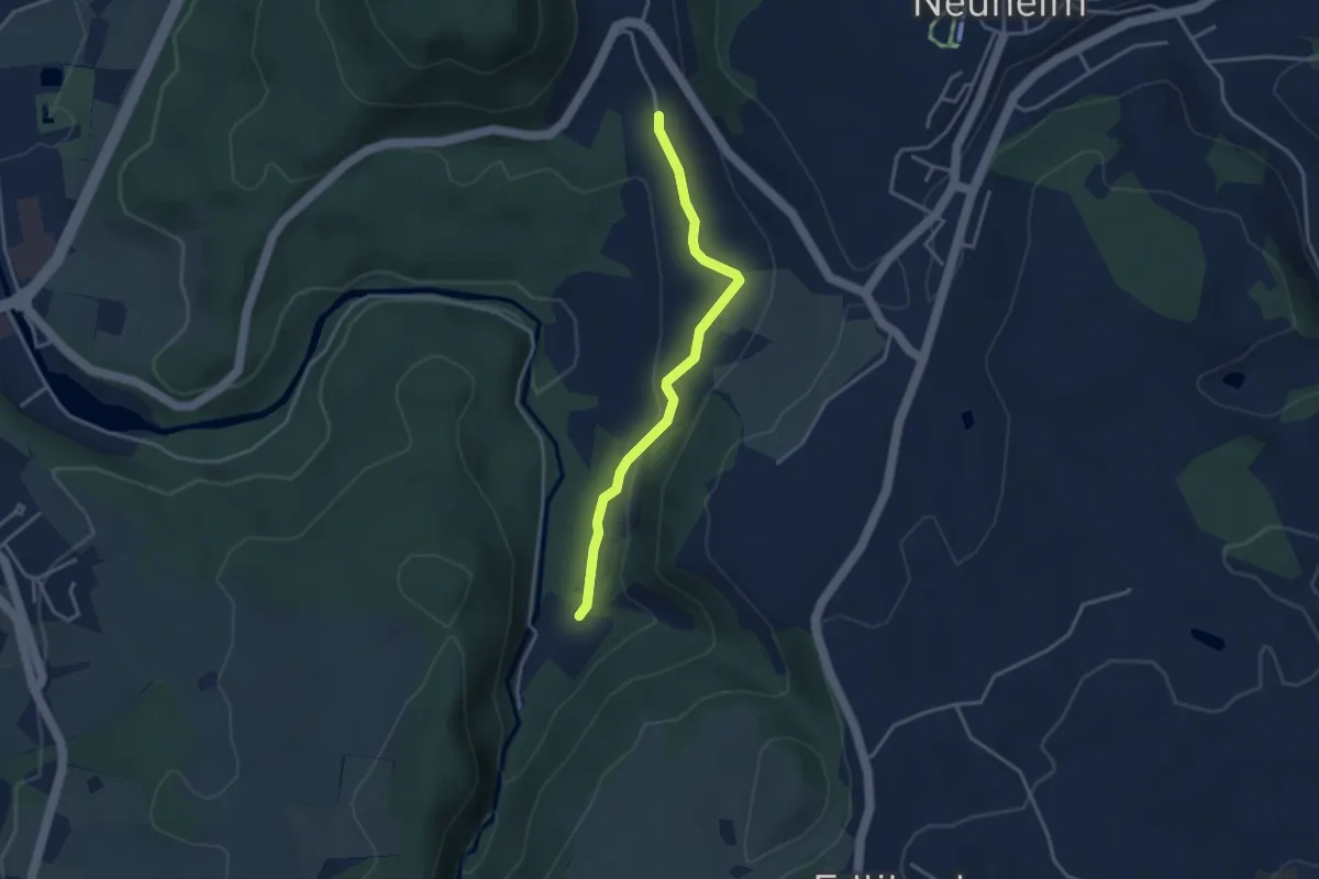
Easy · Trail
Baarburg - Höll
3.3 km · ↑ 93 m · 59 min · 14 km away
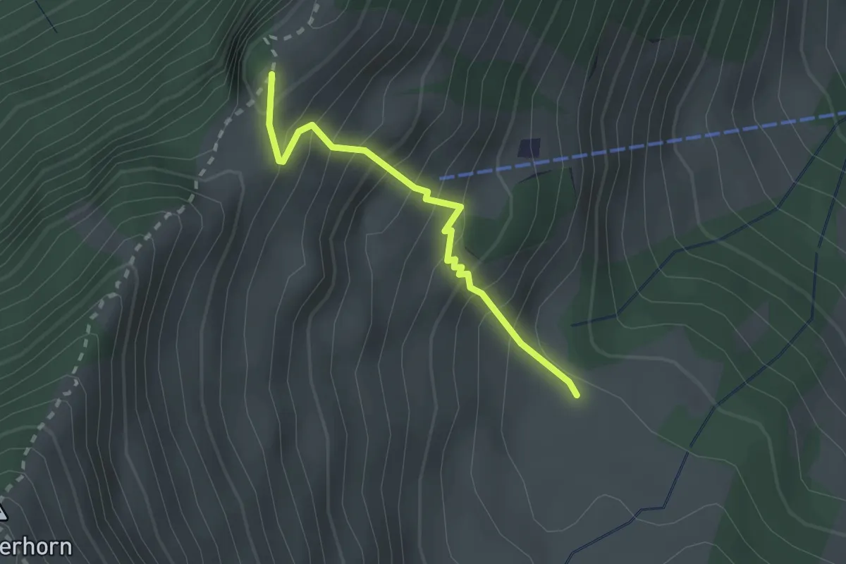
Expert · Trail
Unter Spis – Guberengrätli
2.0 km · ↑ 275 m · 1 h 4 min · 14 km away
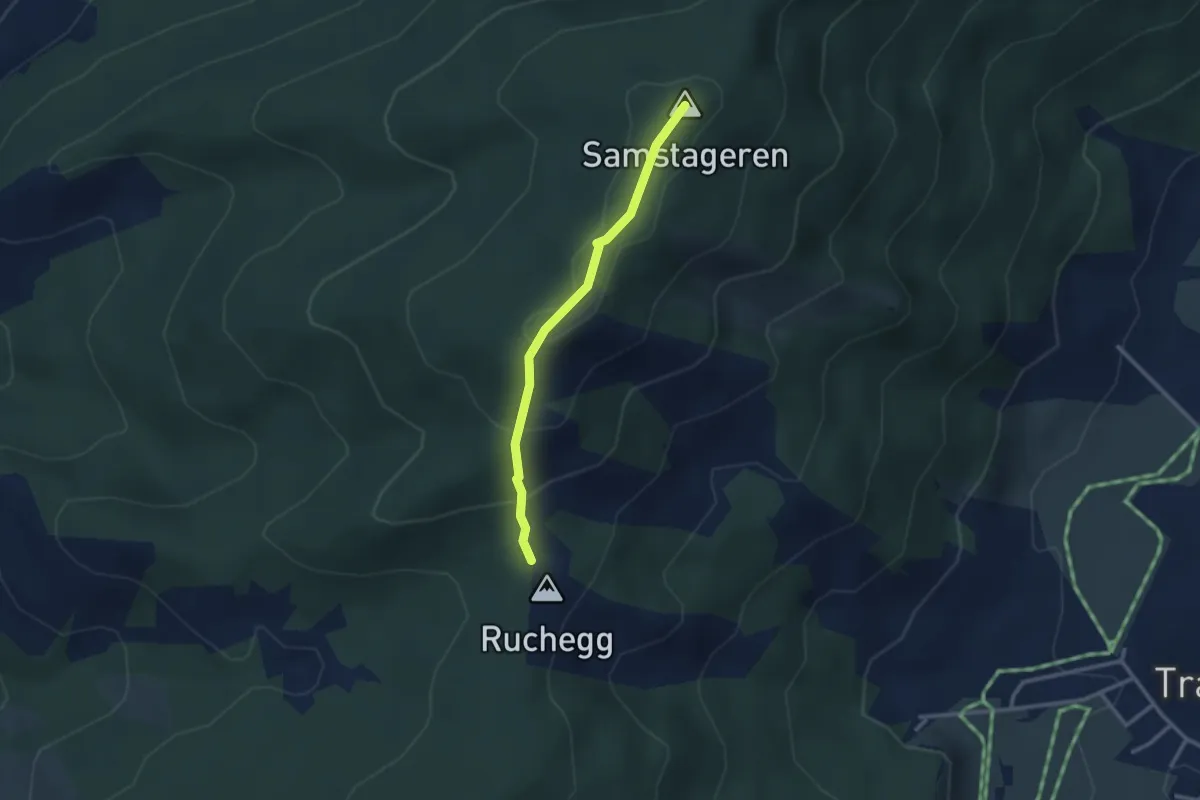
Easy · Summit
Ruchegg – Windwurf
2.5 km · ↑ 145 m · 54 min · 14 km away
Easy · Trail
Greit Höhe - Finstersee
3.7 km · ↑ 217 m · 1 h 20 min · 14 km away
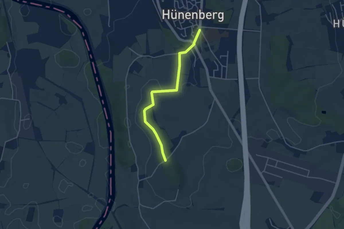
Easy · Trail
Hünenberg - Lohwald
3.5 km · ↑ 35 m · 53 min · 14 km away
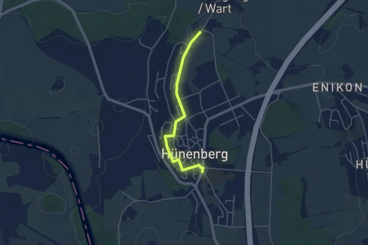
Easy · Trail
Hünenberg - Wart
3.4 km · ↑ 27 m · 52 min · 14 km away
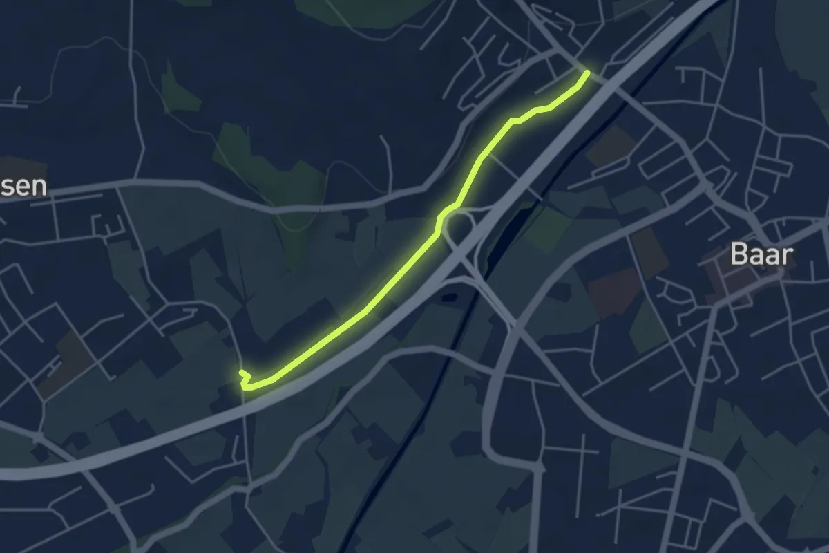
Easy · Trail
Blickensdorf-Hint. Höfen
3.7 km · ↑ 8 m · 54 min · 14 km away
Easy · Trail
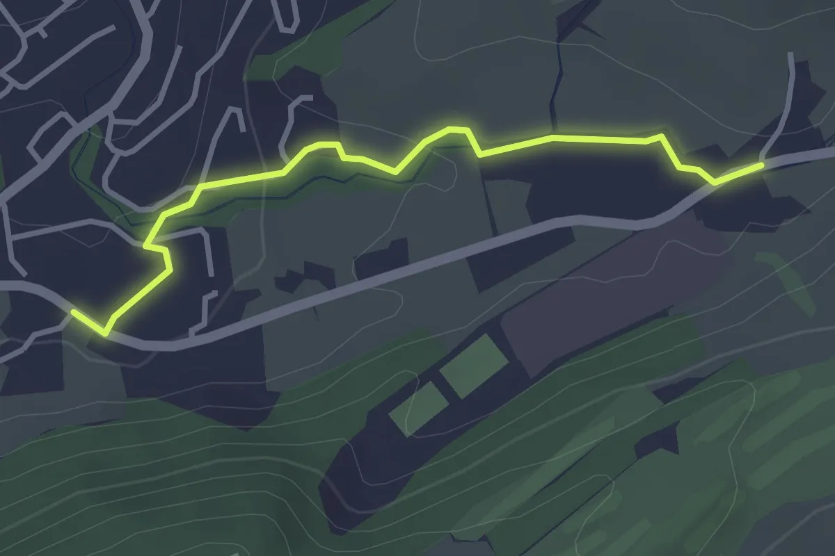
Stube - Schlössli
3.0 km · ↑ 57 m · 50 min · 14 km away
Easy · Trail
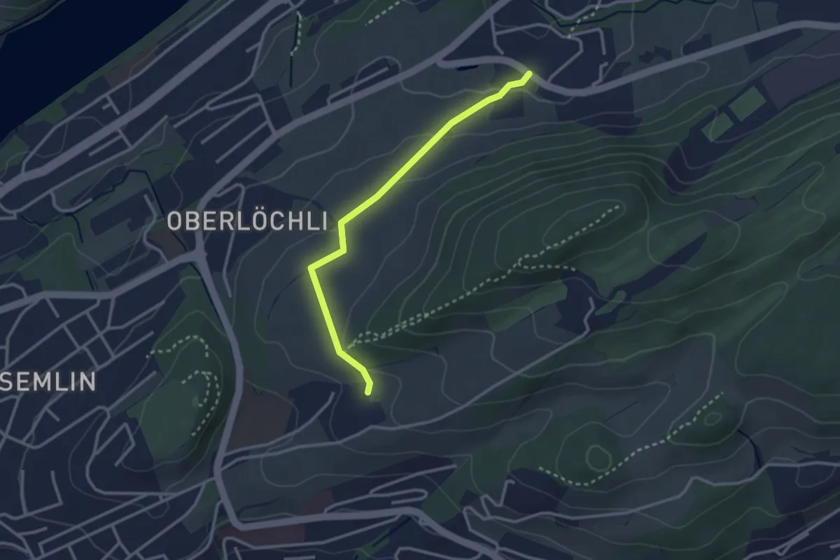
Schlössli - Uteneberg
2.8 km · ↑ 73 m · 48 min · 14 km away
Easy · Trail
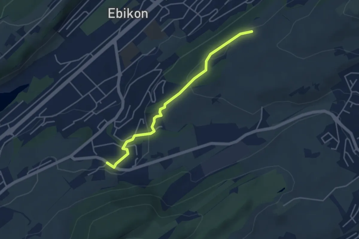
Under Äbrüti - Schlössli
3.5 km · ↑ 113 m · 1 h 5 min · 14 km away
Easy · Trail
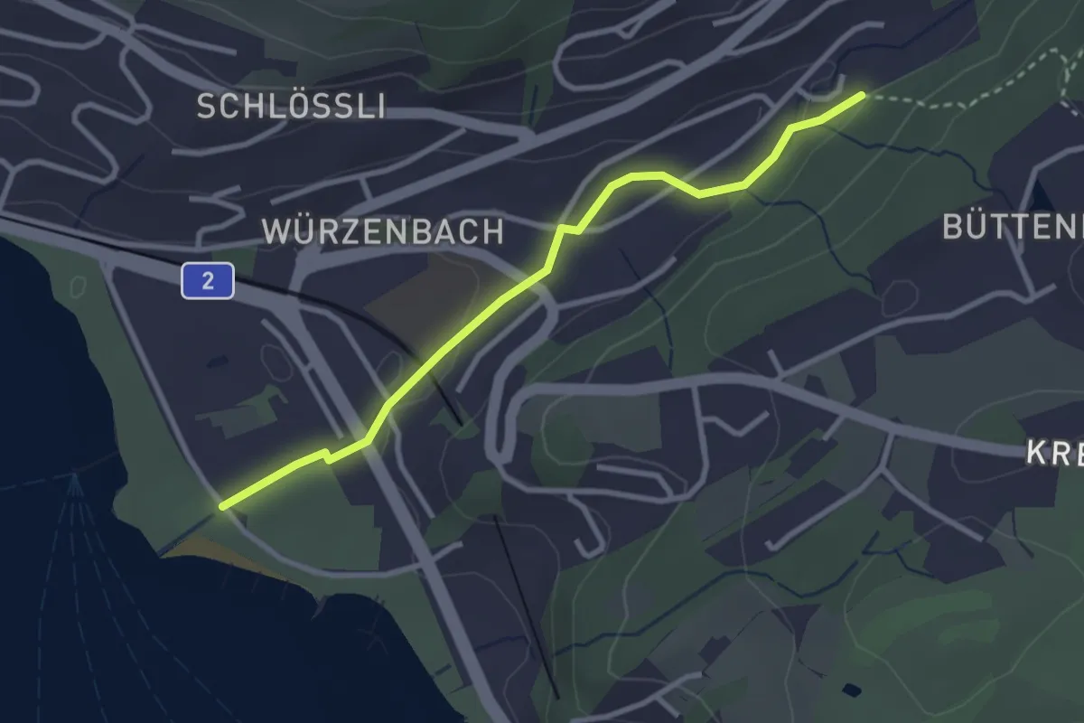
Lido - Würzenbach
2.9 km · ↑ 34 m · 46 min · 14 km away
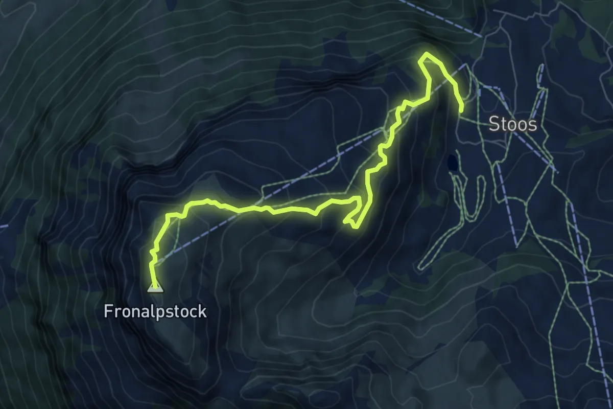
Medium · Summit
Stoos - Fronalpstock
8.0 km · ↑ 570 m · 3 h 7 min · 14 km away
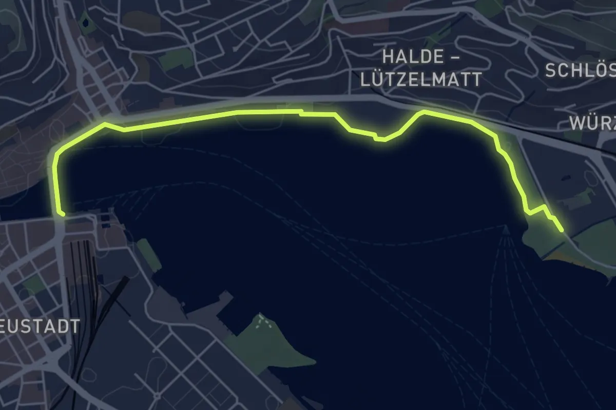
Easy · Trail
Luzern - Lido
5.6 km · ↑ 27 m · 1 h 23 min · 14 km away
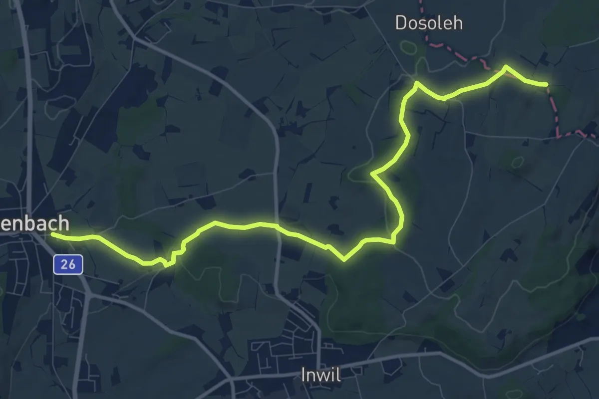
Medium · Trail
Eschenbach - Sulzberg
11.9 km · ↑ 153 m · 3 h 9 min · 14 km away
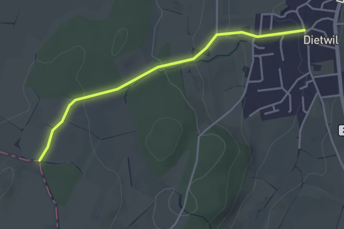
Easy · Trail
Dietwil - Sulzberg
3.1 km · ↑ 96 m · 57 min · 14 km away
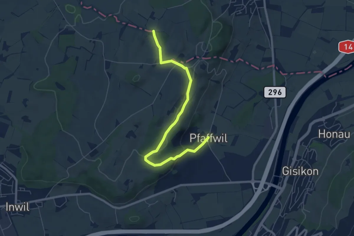
Easy · Trail
Pfaffwil - Sulzberg
6.5 km · ↑ 159 m · 1 h 53 min · 14 km away
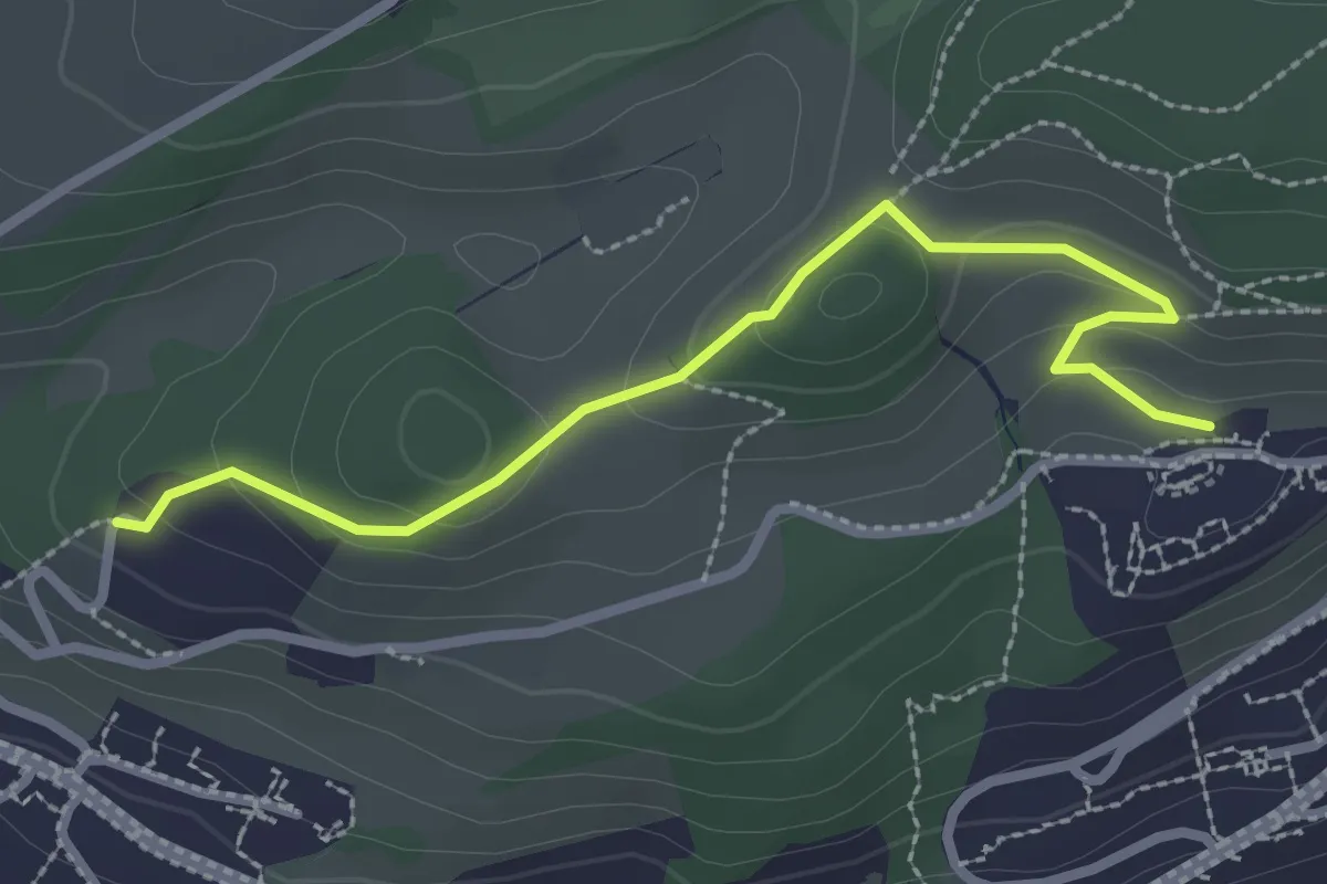
Easy · Trail
Sonnmatt - Gerlisberg
2.7 km · ↑ 127 m · 54 min · 14 km away