Trails near Arth
673 hikes starting within 15 km, nearest first.
Nearest first, page 12 of 15
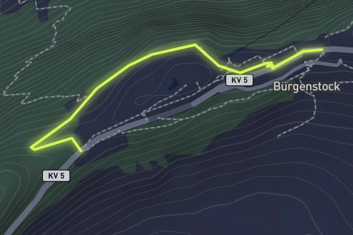
Easy · Trail
Taverna - Bürgenstock
2.1 km · ↑ 149 m · 49 min · 13 km away
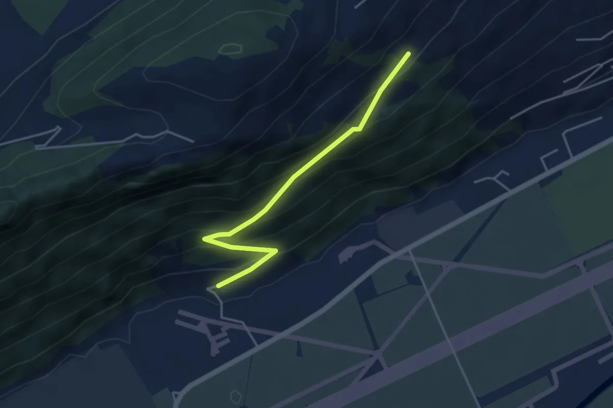
Easy · Trail
Ätschenried – Pilatuswerke
3.7 km · ↑ 296 m · 1 h 31 min · 13 km away
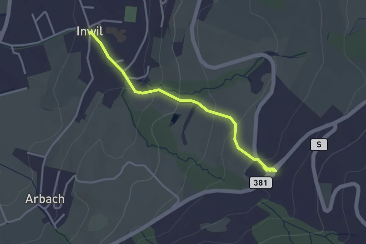
Easy · Trail
Inwil - Talacher
2.7 km · ↑ 119 m · 54 min · 13 km away
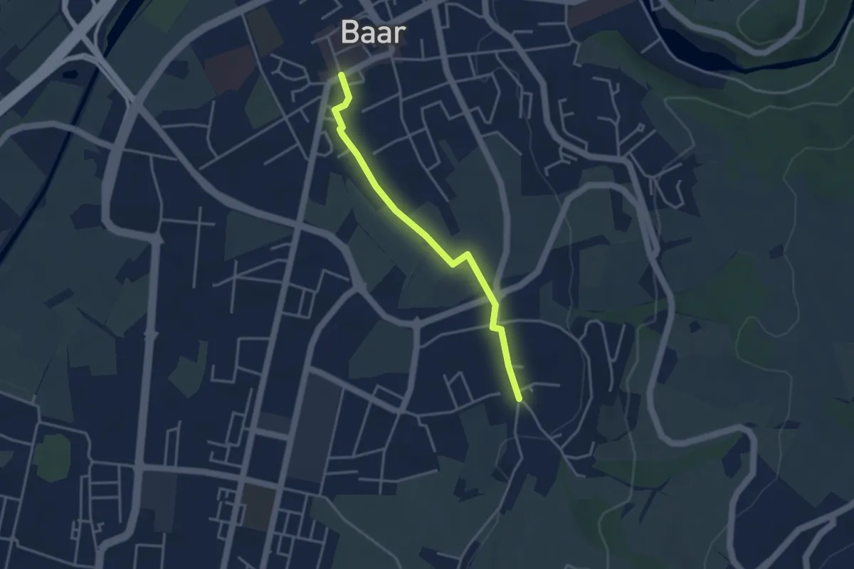
Easy · Trail
Baar Dorfstrasse - Inwil
3.3 km · ↑ 17 m · 48 min · 13 km away
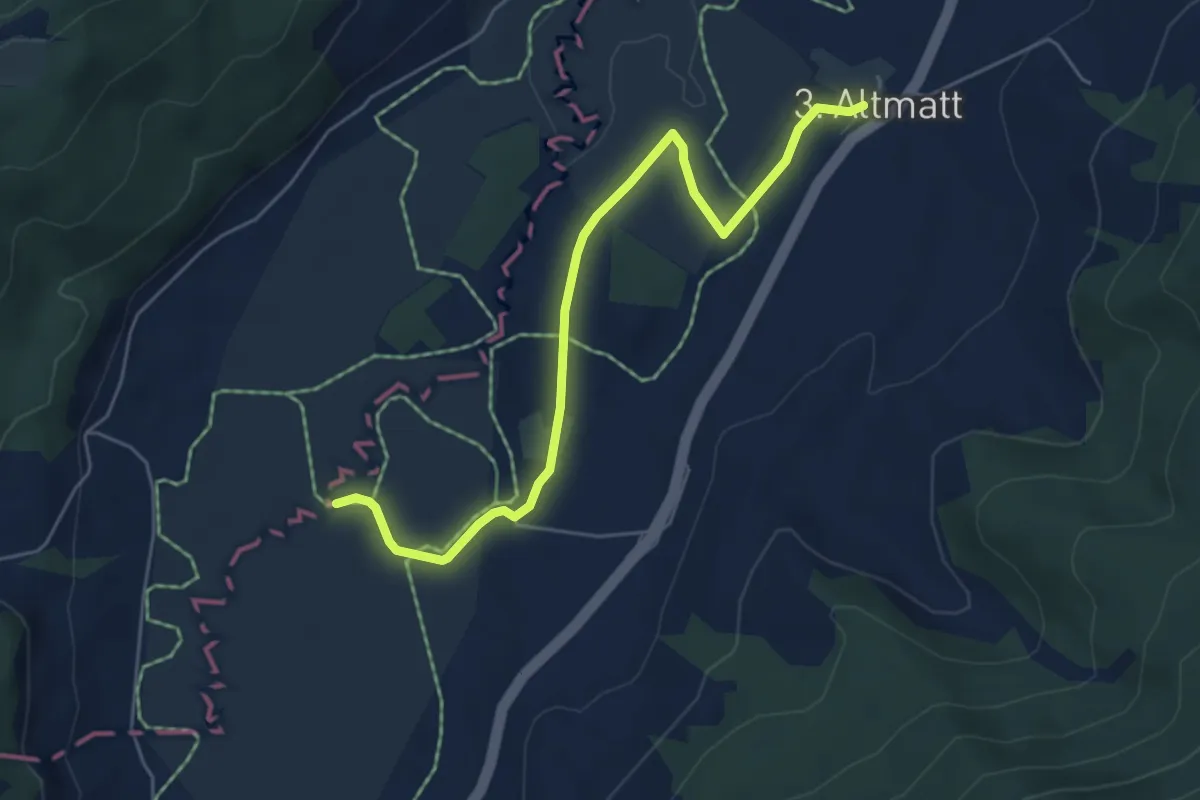
Easy · Trail
Dritte Altmatt - Bubrugg
5.6 km · ↑ 37 m · 1 h 24 min · 13 km away
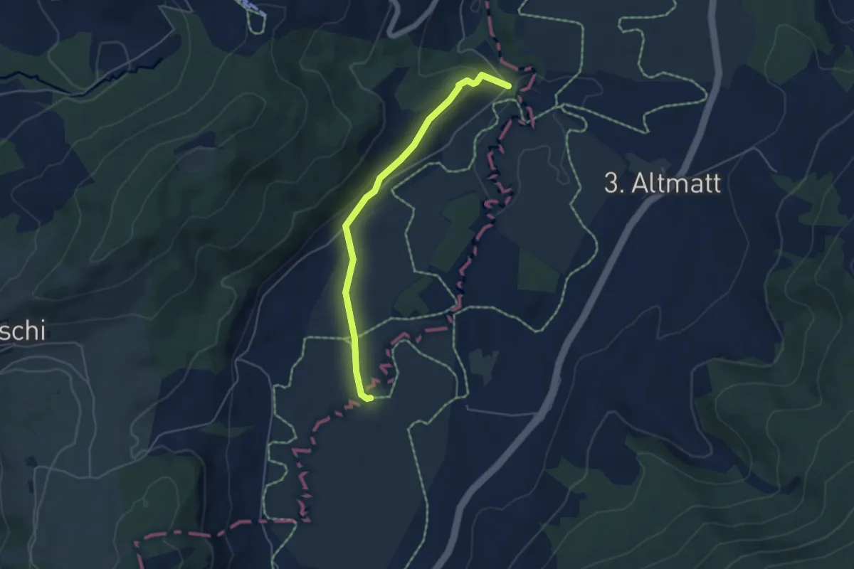
Easy · Trail
Bibersteg - Bubrugg
4.5 km · ↑ 140 m · 1 h 21 min · 13 km away
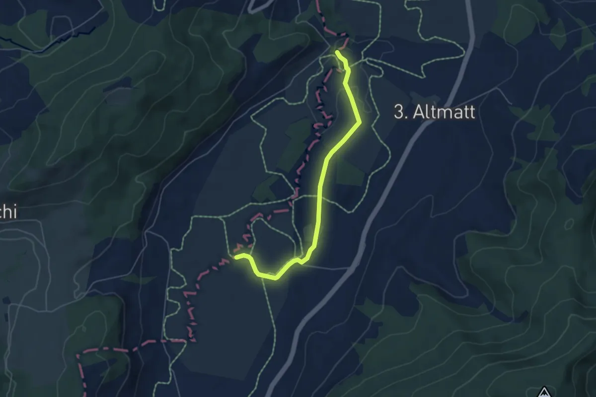
Easy · Trail
Bibersteg – Bubrugg
5.0 km · ↑ 45 m · 1 h 16 min · 13 km away
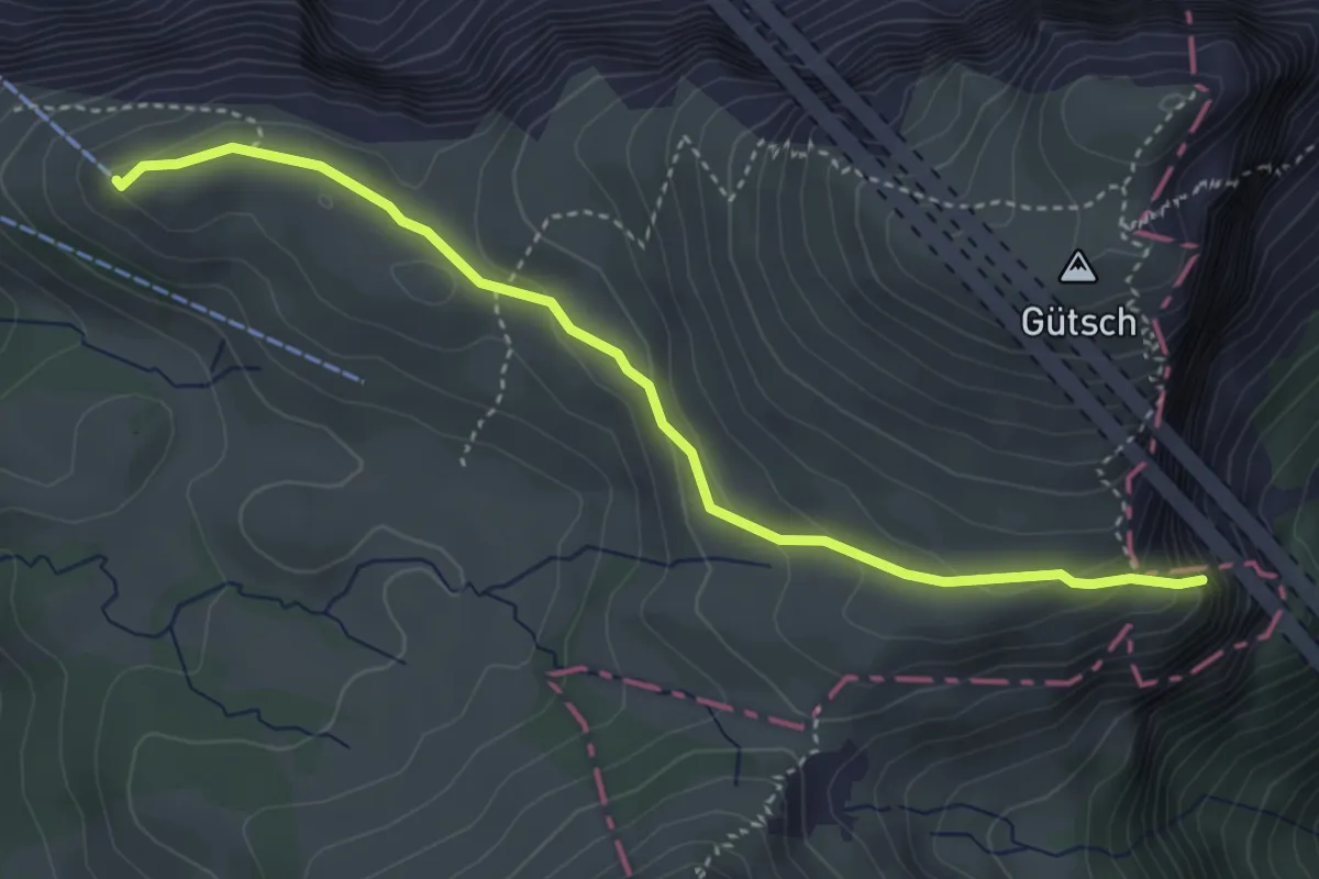
Easy · Trail
Bergstation Niderbawen - Hundschopf
4.0 km · ↑ 196 m · 1 h 22 min · 13 km away
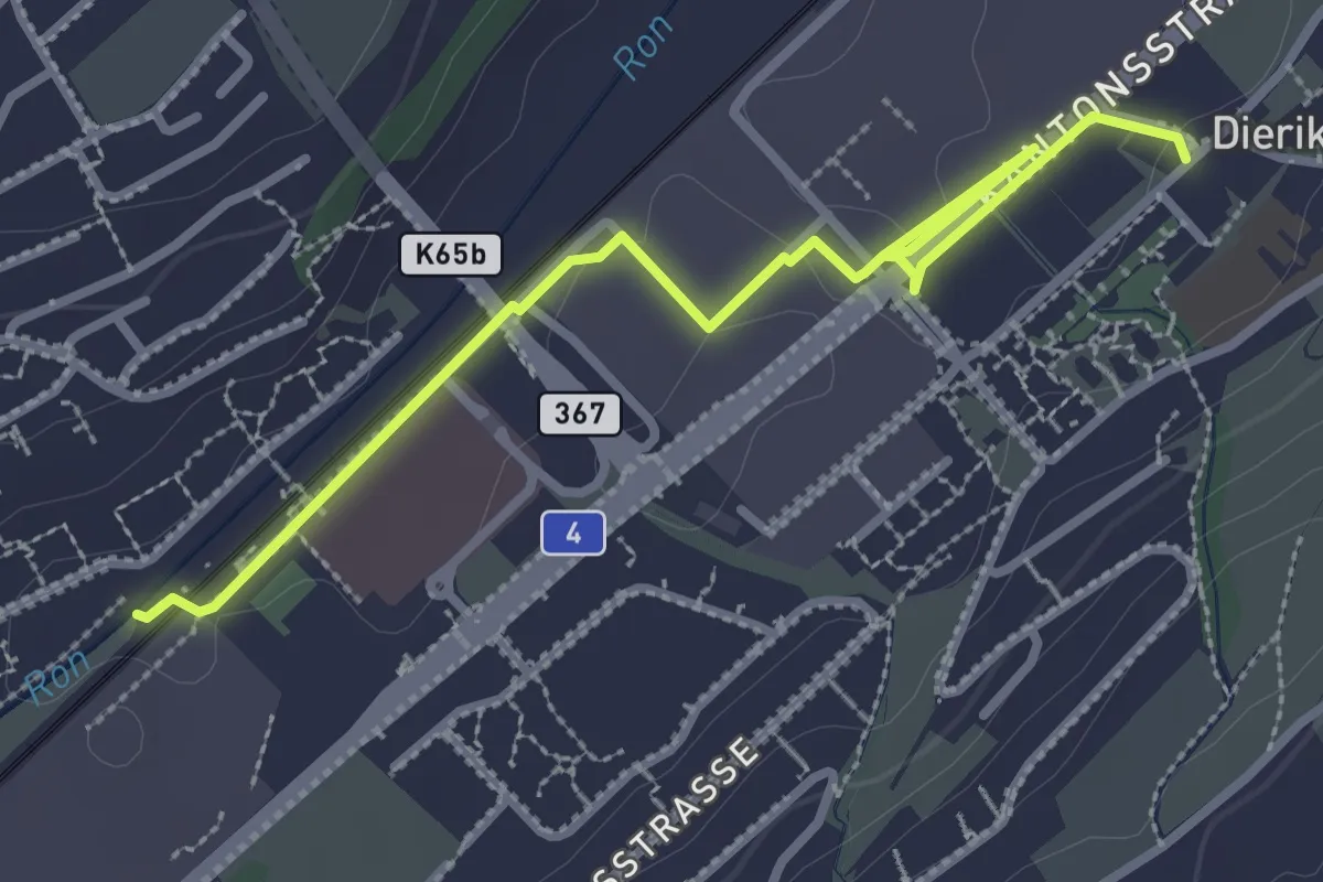
Easy · Trail
Buchrain Station – Dierikon
3.4 km · ↑ 0 m · 48 min · 13 km away
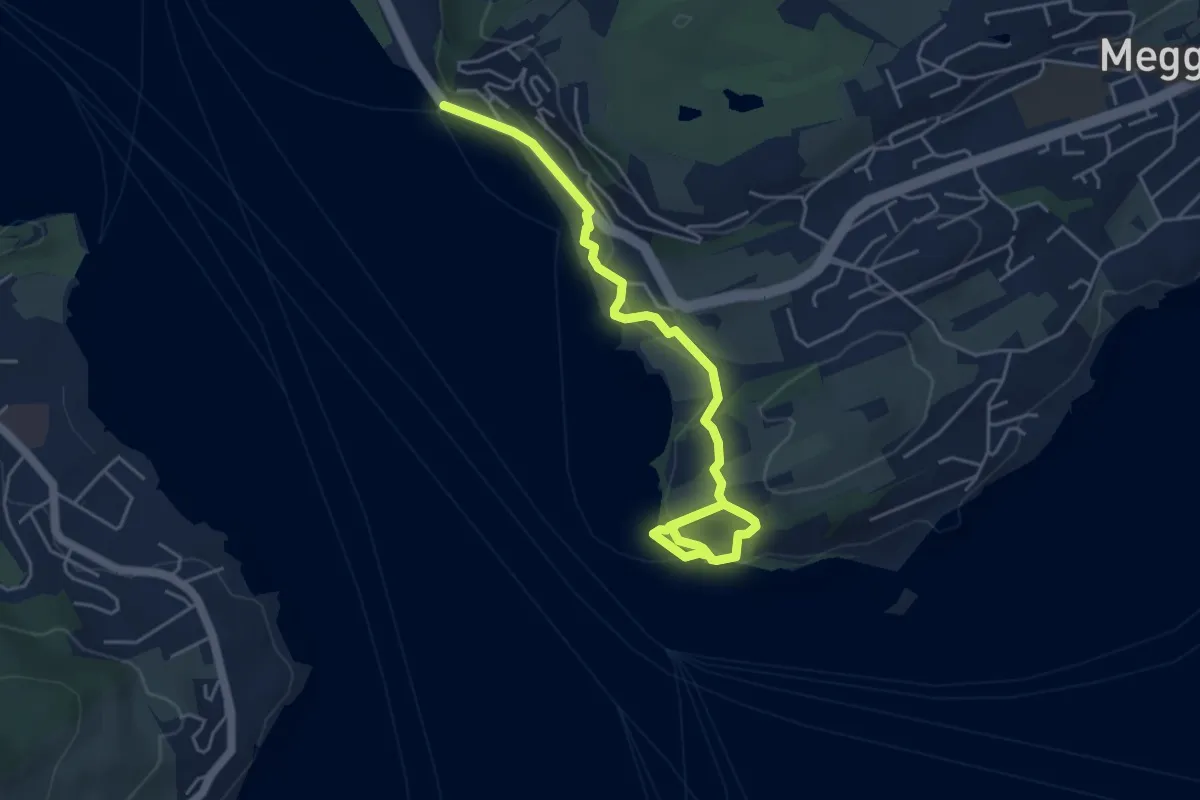
Easy · Trail
Seeburg - Meggenhorn
5.6 km · ↑ 209 m · 1 h 47 min · 13 km away
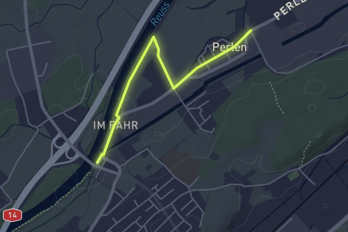
Easy · Trail
Perlenbrücke - Perlen
3.9 km · ↑ 4 m · 56 min · 13 km away
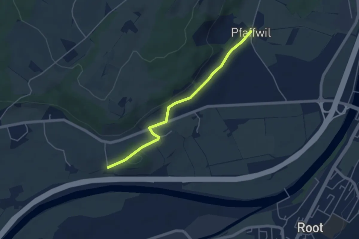
Easy · Trail
St.Katrine - Pfaffwil
3.7 km · ↑ 61 m · 1 h 1 min · 13 km away
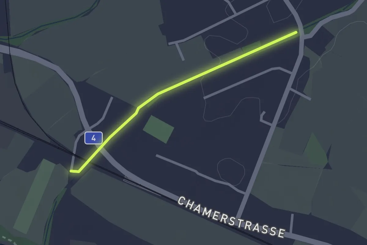
Easy · Trail
Chollermülli - Steinhauserbrücke
2.0 km · ↑ 5 m · 29 min · 13 km away
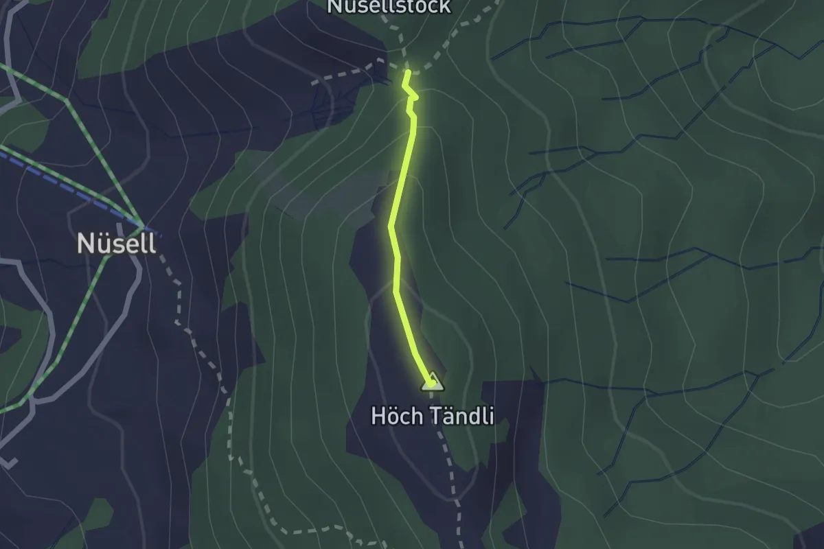
Medium · Summit
Teuffeli – Chli Tändli
1.2 km · ↑ 81 m · 27 min · 13 km away
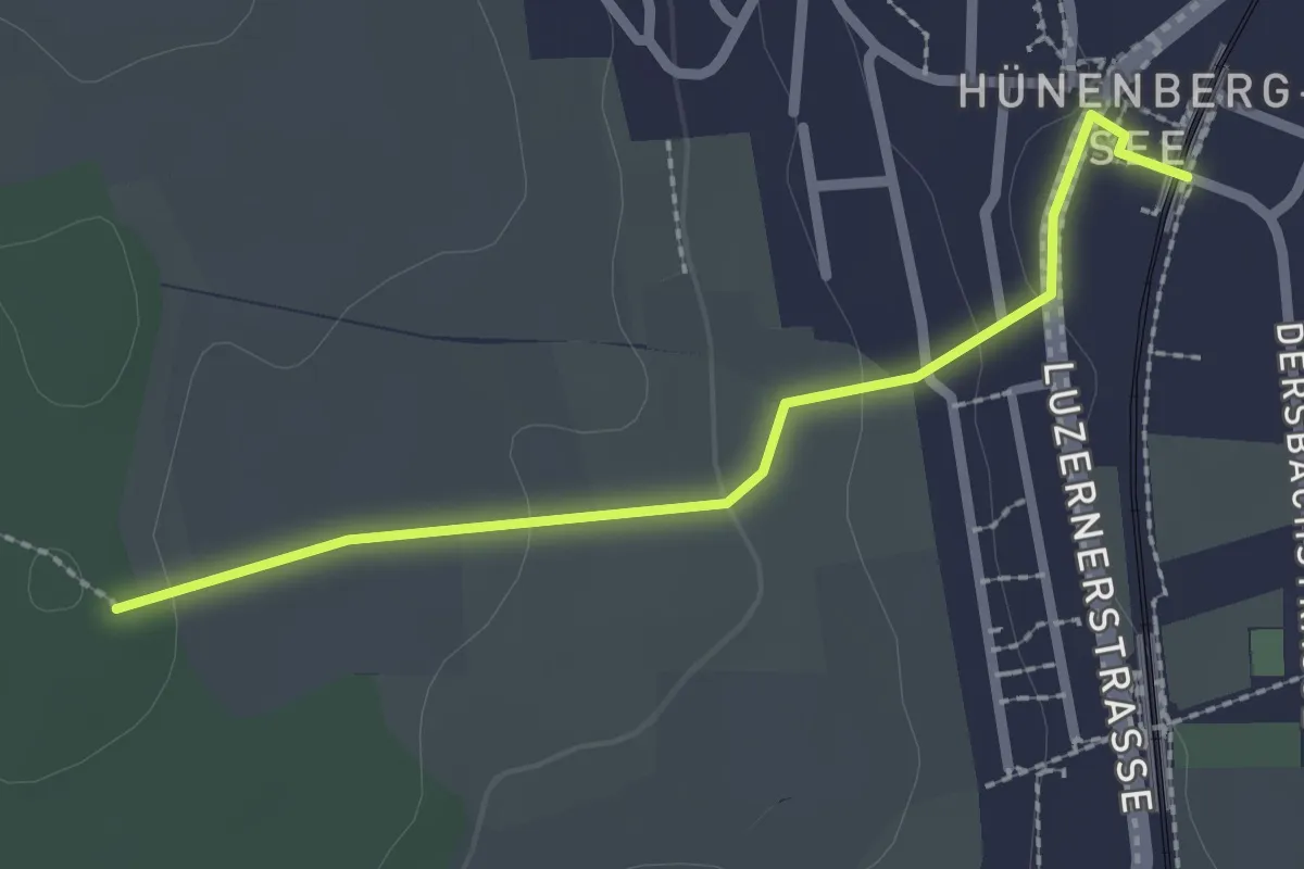
Easy · Trail
Zythus - Langholz
2.3 km · ↑ 60 m · 41 min · 13 km away
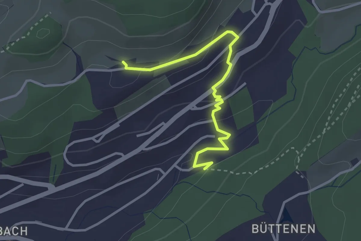
Easy · Trail
Sonnmatt - Würzenbach
2.8 km · ↑ 108 m · 54 min · 13 km away
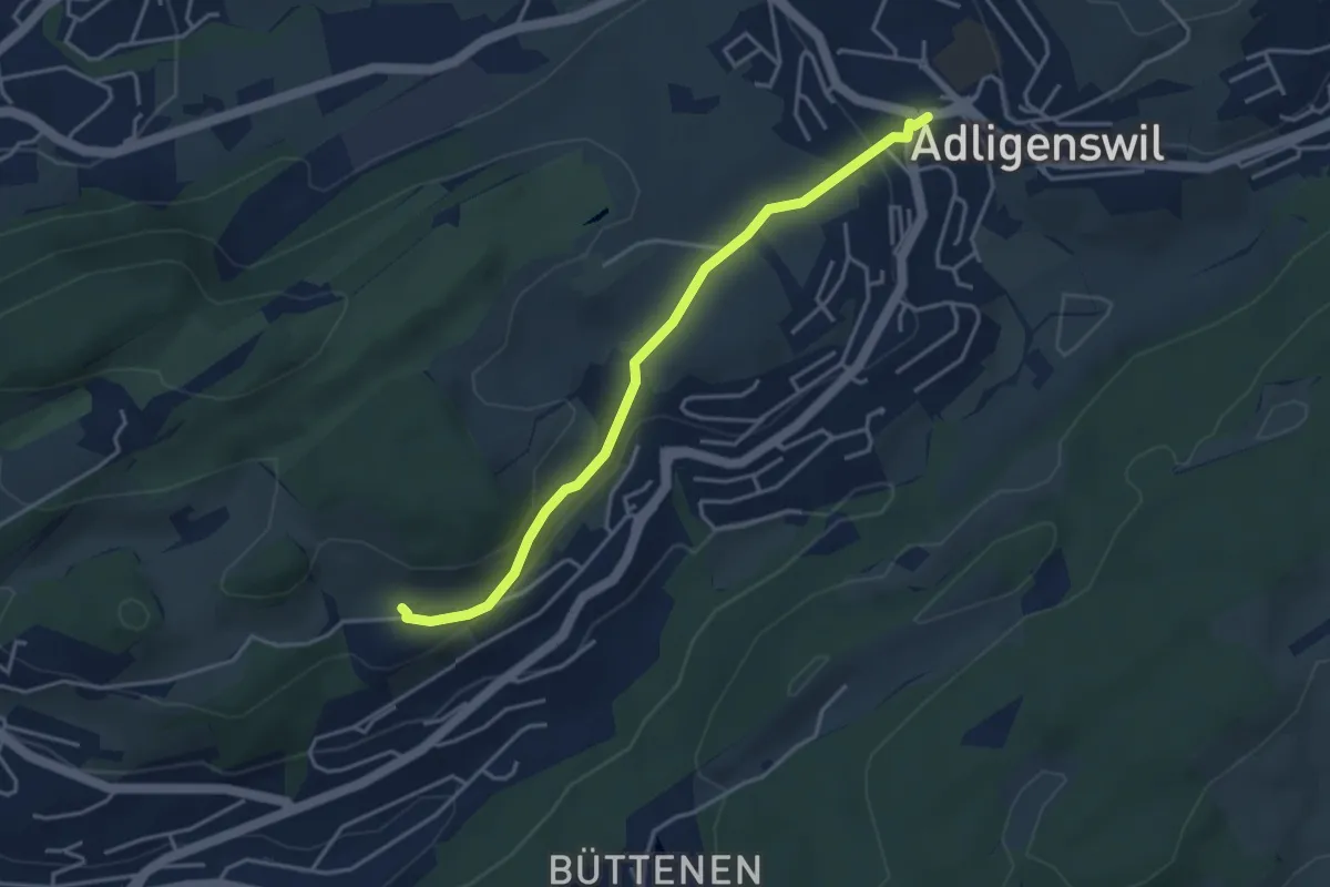
Easy · Trail
Adligenswil - Sonnmatt
3.8 km · ↑ 127 m · 1 h 11 min · 13 km away
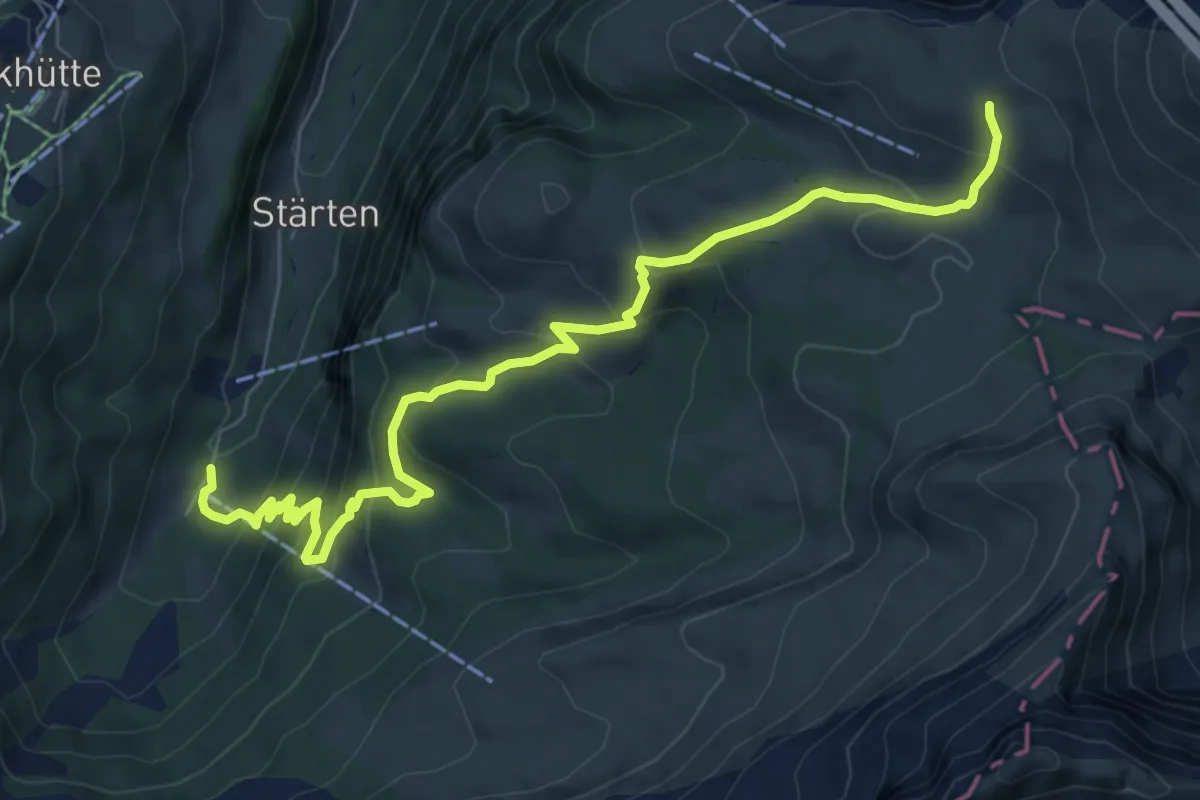
Medium · Trail
Tritthütte - Cholstrasse
8.5 km · ↑ 576 m · 3 h 15 min · 13 km away
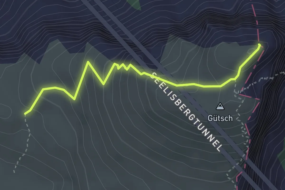
Medium · Summit
Niderbauen-Chulm - Tritthütte
3.2 km · ↑ 310 m · 1 h 25 min · 13 km away
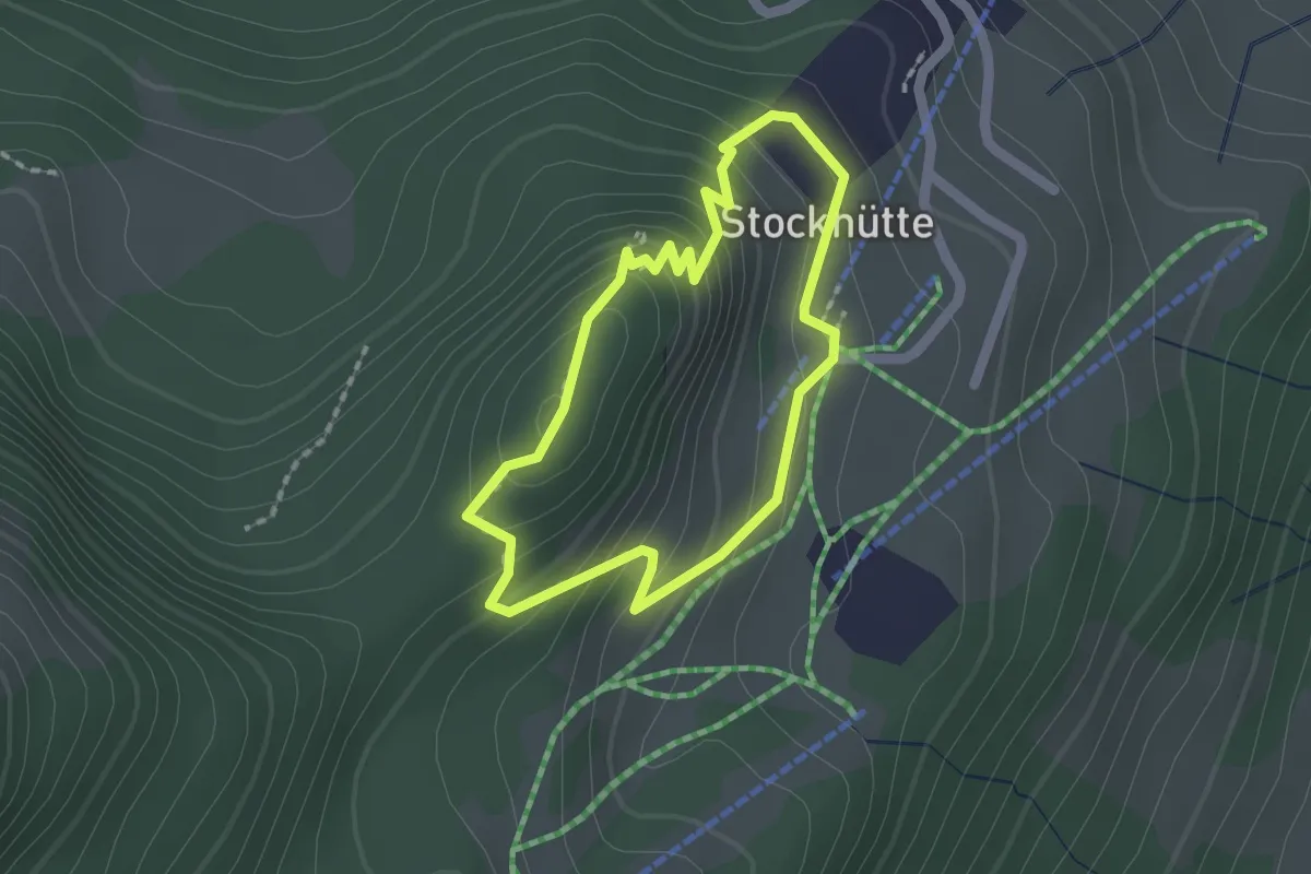
Easy · Trail
Atupri Trail
1.5 km · ↑ 103 m · 37 min · 13 km away
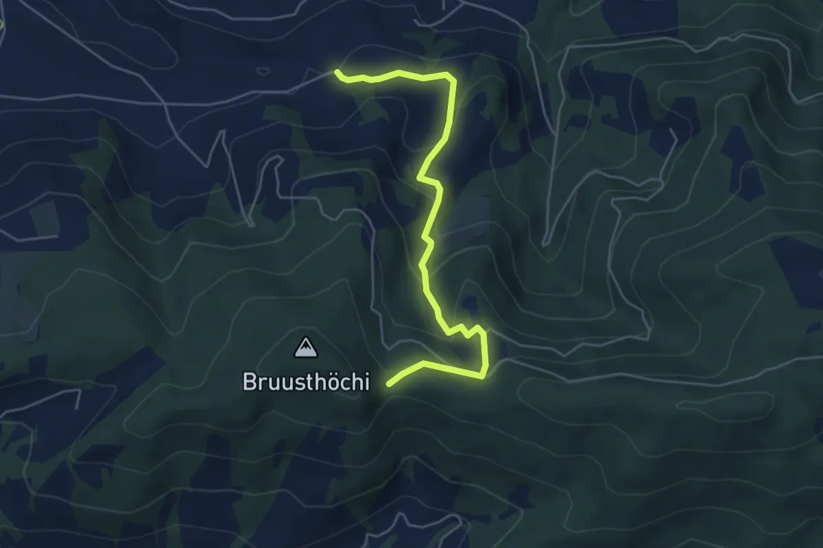
Easy · Trail
Mangelhöhe - Usser Black
4.9 km · ↑ 294 m · 1 h 48 min · 13 km away
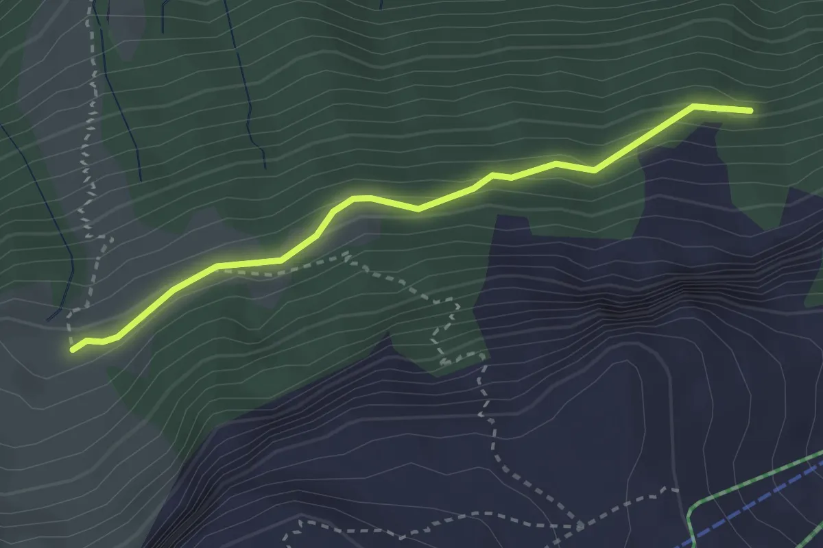
Medium · Trail
Eu - Stosswald
2.8 km · ↑ 162 m · 1 h 1 min · 13 km away
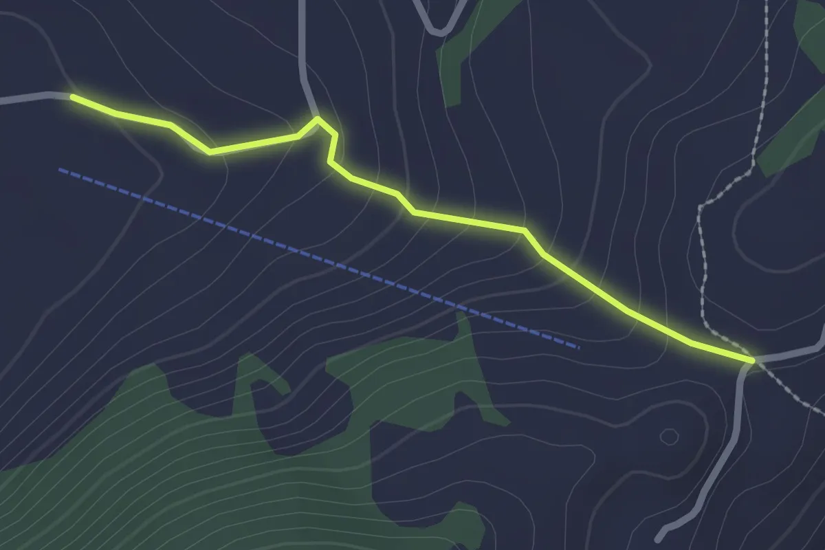
Easy · Trail
Vorderegg – Boden
2.0 km · ↑ 132 m · 46 min · 13 km away
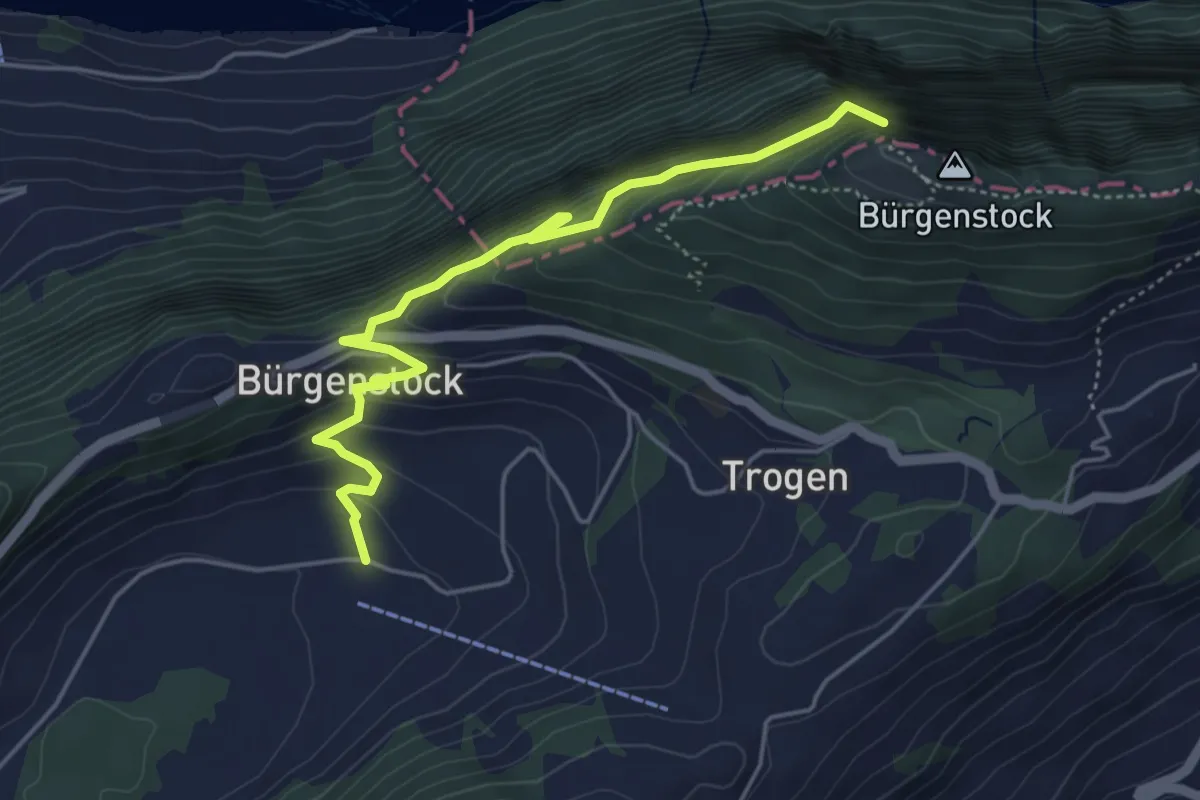
Medium · Trail
Hametschwand Lift - Boden
5.0 km · ↑ 587 m · 2 h 27 min · 13 km away
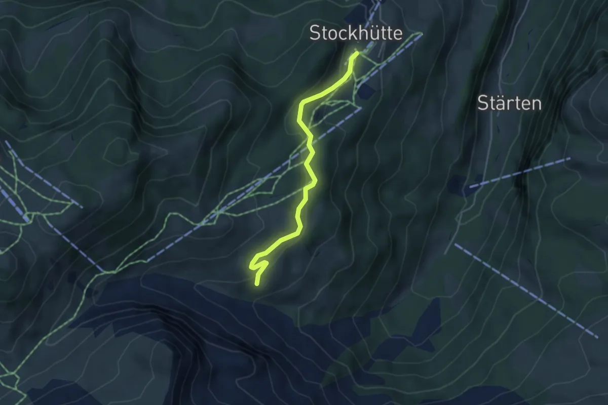
Easy · Trail
Stockhütte - Lochhütte
3.8 km · ↑ 164 m · 1 h 15 min · 13 km away
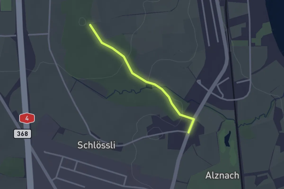
Easy · Trail
Langholz - Langrüti
2.1 km · ↑ 45 m · 35 min · 13 km away
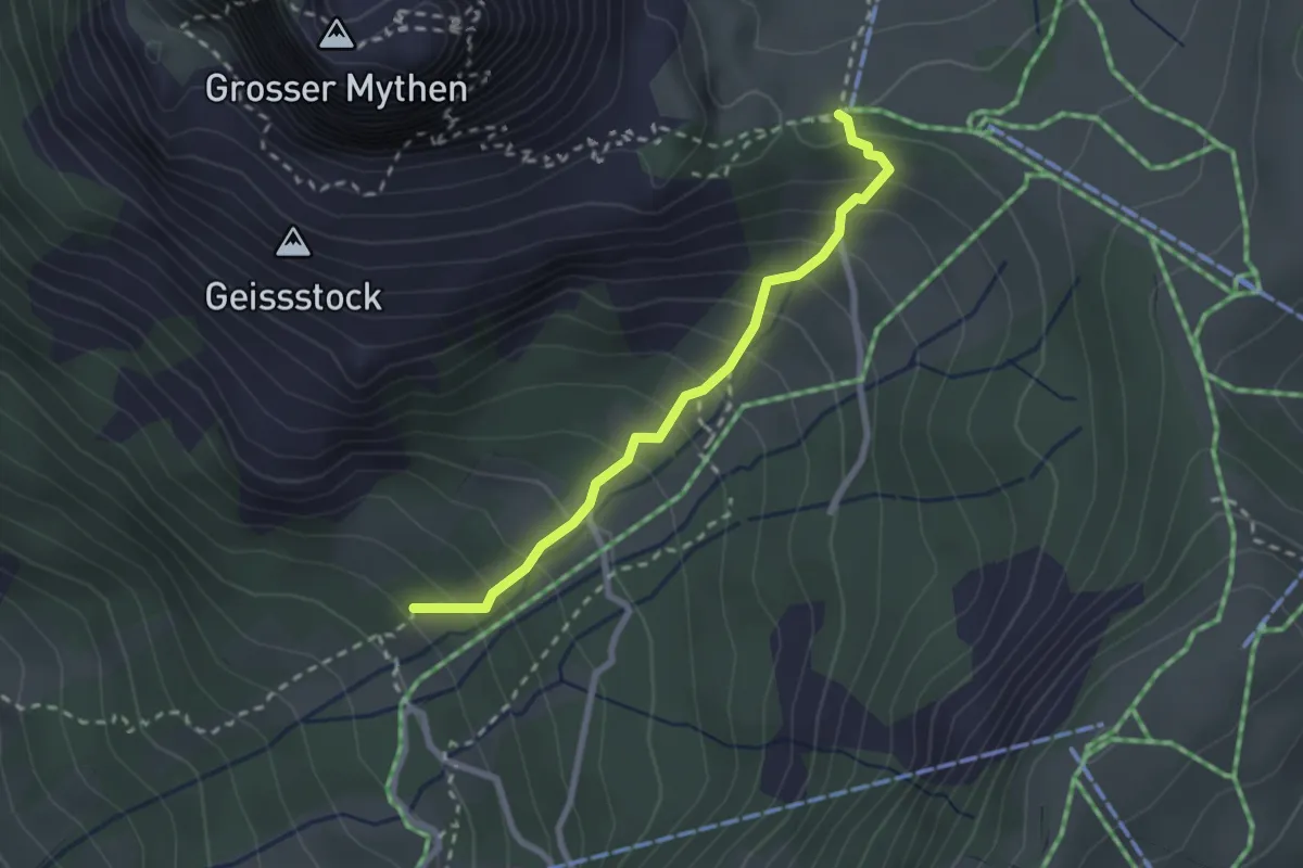
Easy · Trail
Hasli - Holzegg
2.3 km · ↑ 270 m · 1 h 8 min · 13 km away
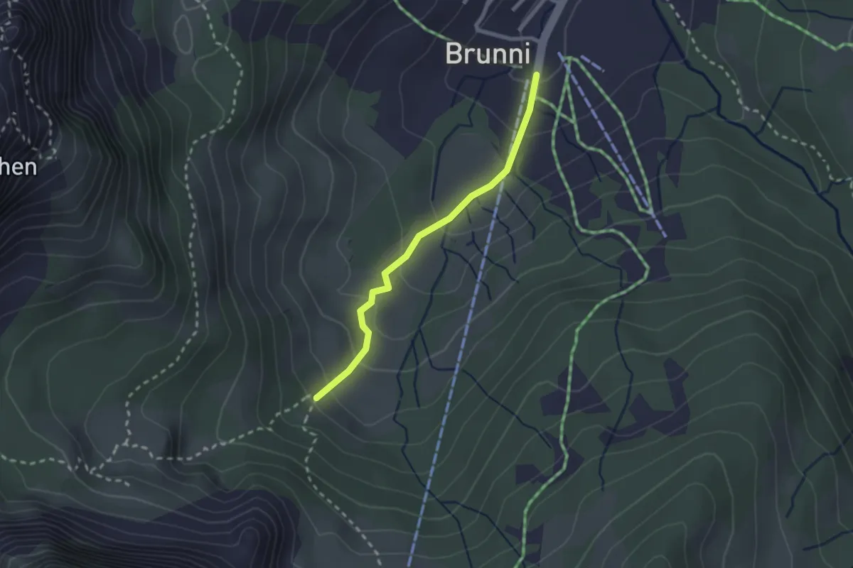
Medium · Trail
Brunni -
2.1 km · ↑ 130 m · 47 min · 13 km away
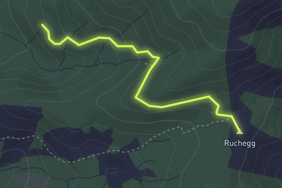
Easy · Summit
Herrenwald – Ruchegg
3.1 km · ↑ 159 m · 1 h 4 min · 13 km away
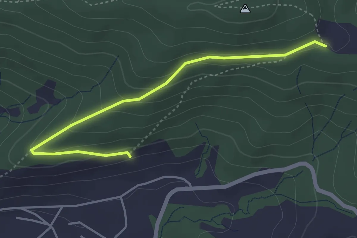
Easy · Trail
Gireggwald - Abschwändi
3.8 km · ↑ 159 m · 1 h 15 min · 13 km away
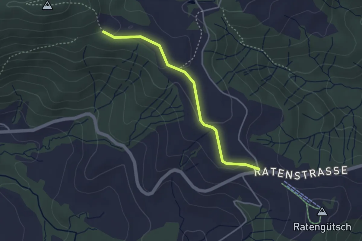
Easy · Trail
Raten – Abschwändi
3.0 km · ↑ 65 m · 52 min · 13 km away
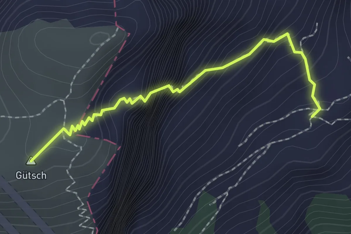
Expert · Summit
Lauweli - Niderbauen
1.9 km · ↑ 335 m · 1 h 11 min · 13 km away
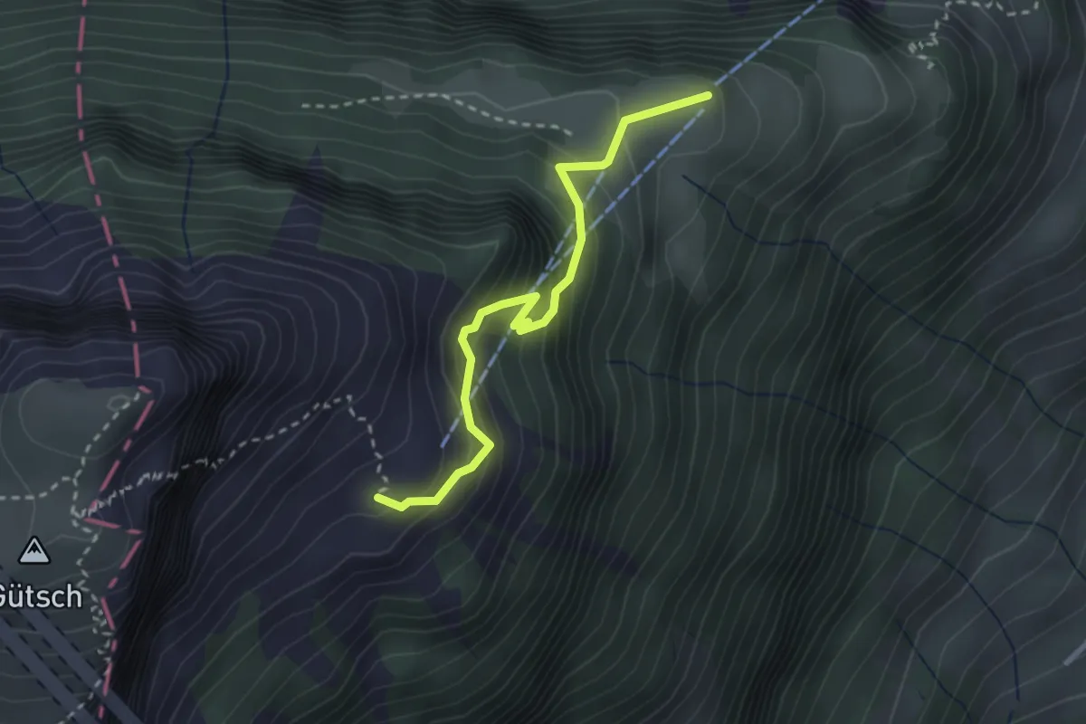
Medium · Trail
Weid - Lauweli
2.7 km · ↑ 338 m · 1 h 23 min · 13 km away
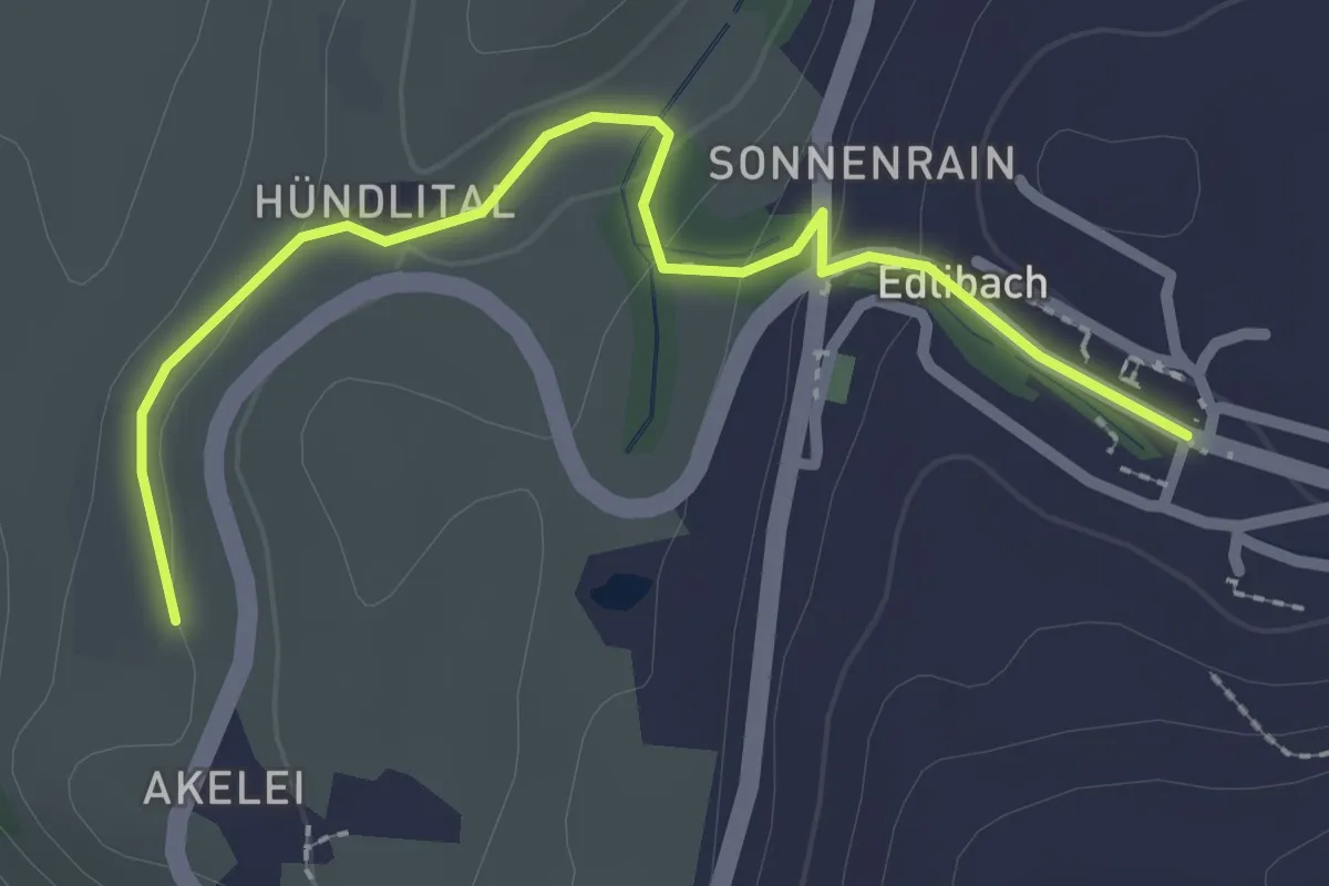
Easy · Trail
Wulfligen - Edlibach
2.5 km · ↑ 76 m · 46 min · 14 km away
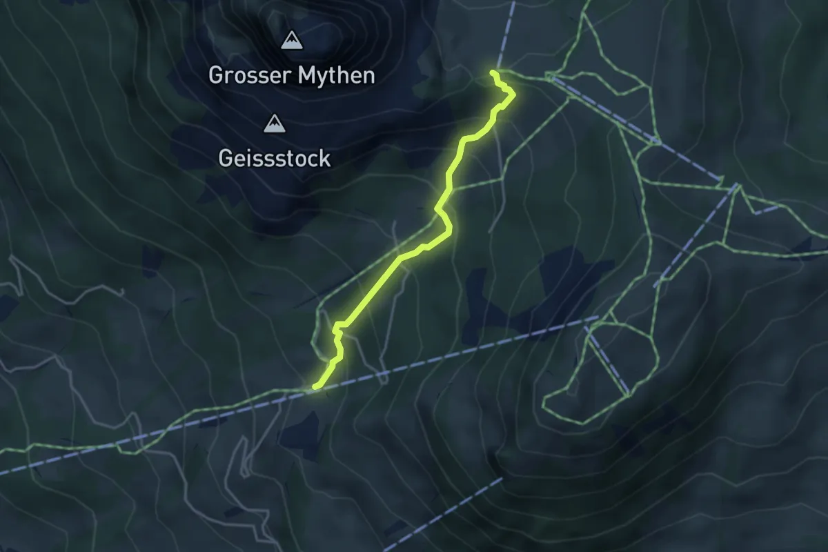
Medium · Trail
Rätigs – Holzegg
3.2 km · ↑ 325 m · 1 h 27 min · 14 km away
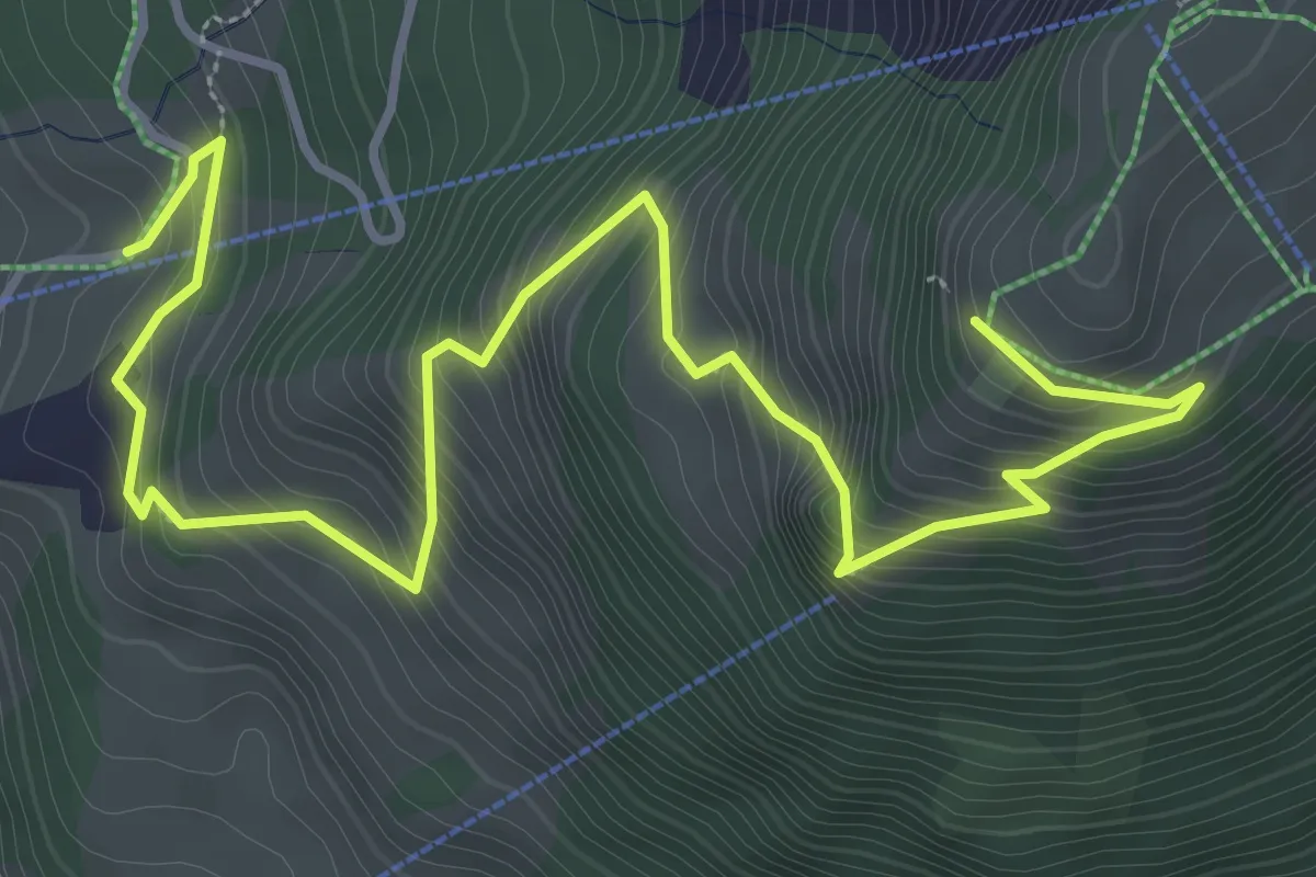
Medium · Trail
Rätigs – Rotenflue
5.2 km · ↑ 519 m · 2 h 21 min · 14 km away
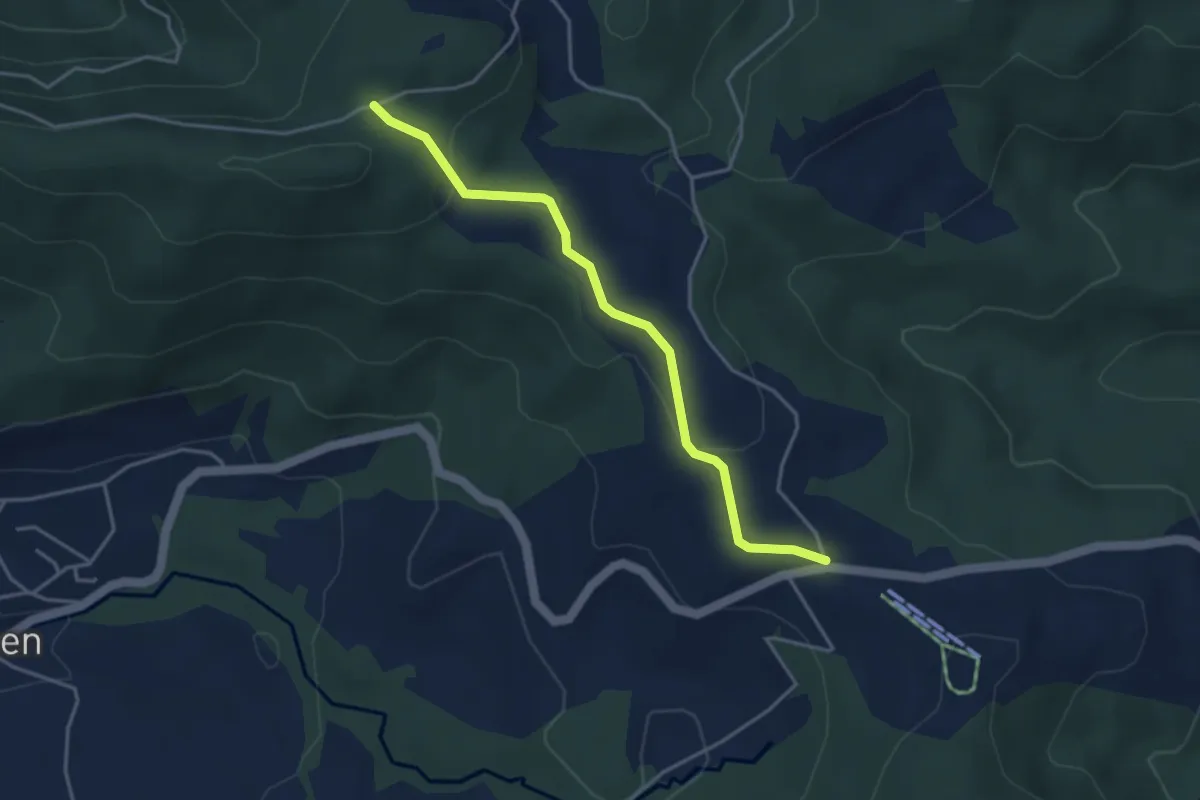
Easy · Trail
Charenboden – Raten
3.8 km · ↑ 100 m · 1 h 7 min · 14 km away
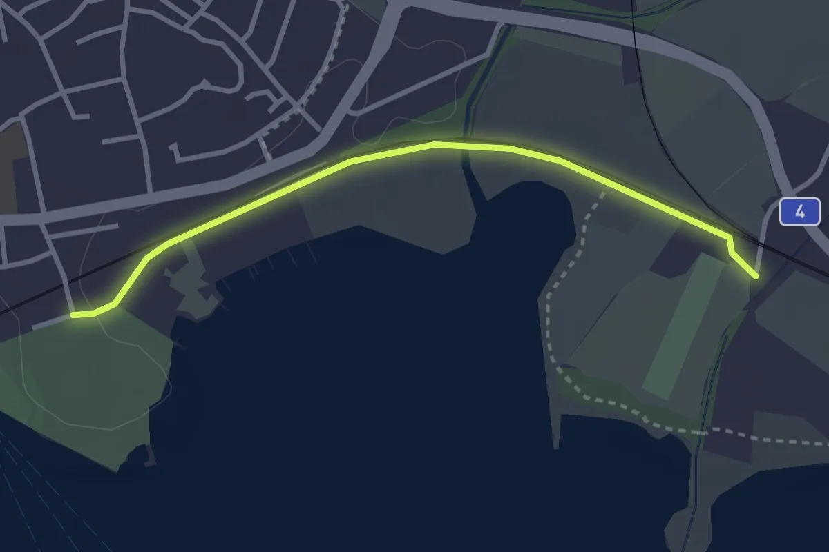
Easy · Trail
Chollermühli - Cham
2.9 km · ↑ 12 m · 43 min · 14 km away
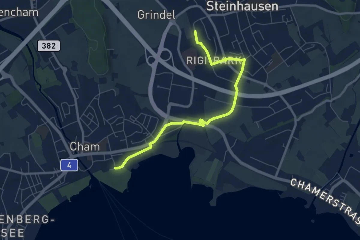
Easy · Trail
Steinhausen SBB - Cham
6.9 km · ↑ 35 m · 1 h 42 min · 14 km away
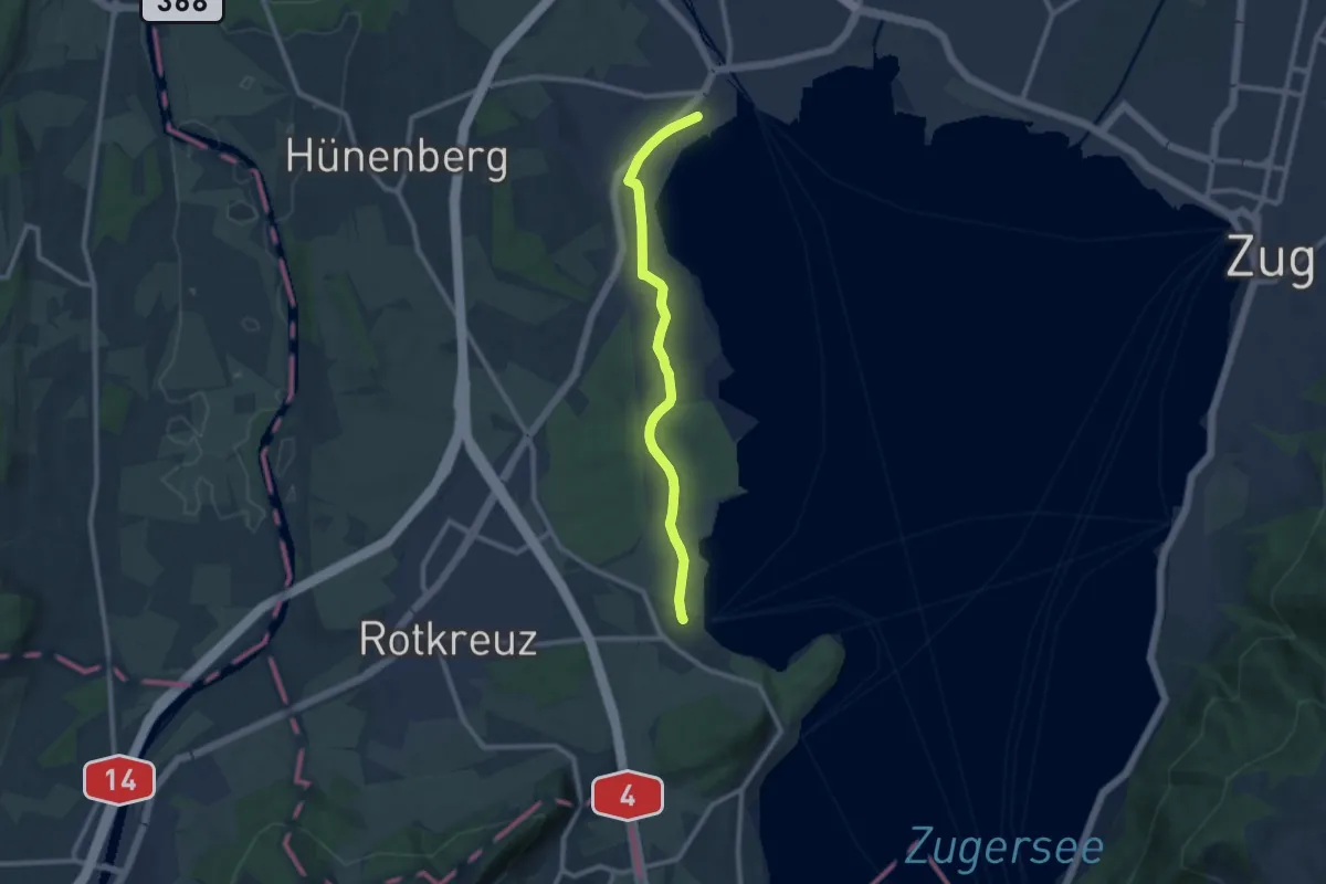
Medium · Trail
Cham-Buonas
9.1 km · ↑ 63 m · 2 h 17 min · 14 km away
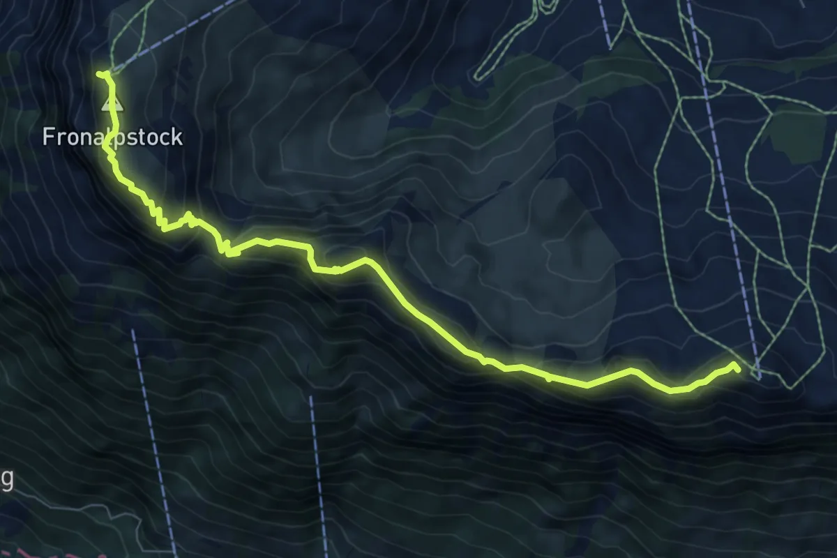
Medium · Summit
Gratweg Stoos
8.6 km · ↑ 654 m · 3 h 27 min · 14 km away
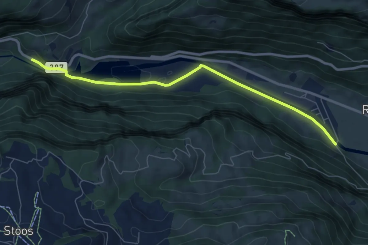
Easy · Trail
Schlattli - Bläckerli
6.5 km · ↑ 156 m · 1 h 52 min · 14 km away
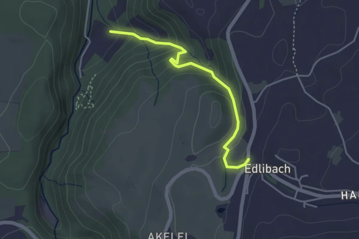
Easy · Trail
Edlibach - Höll
3.2 km · ↑ 254 m · 1 h 19 min · 14 km away
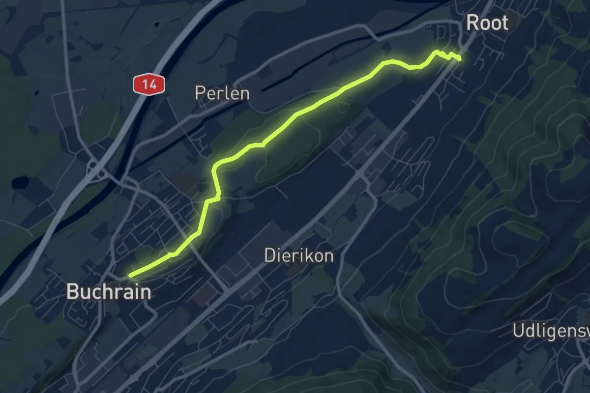
Easy · Trail
Buchrain - Root
8.0 km · ↑ 90 m · 2 h 4 min · 14 km away
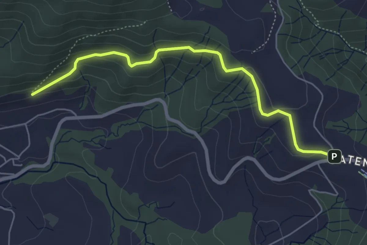
Easy · Trail
Gireggwald – Raten
5.0 km · ↑ 194 m · 1 h 36 min · 14 km away
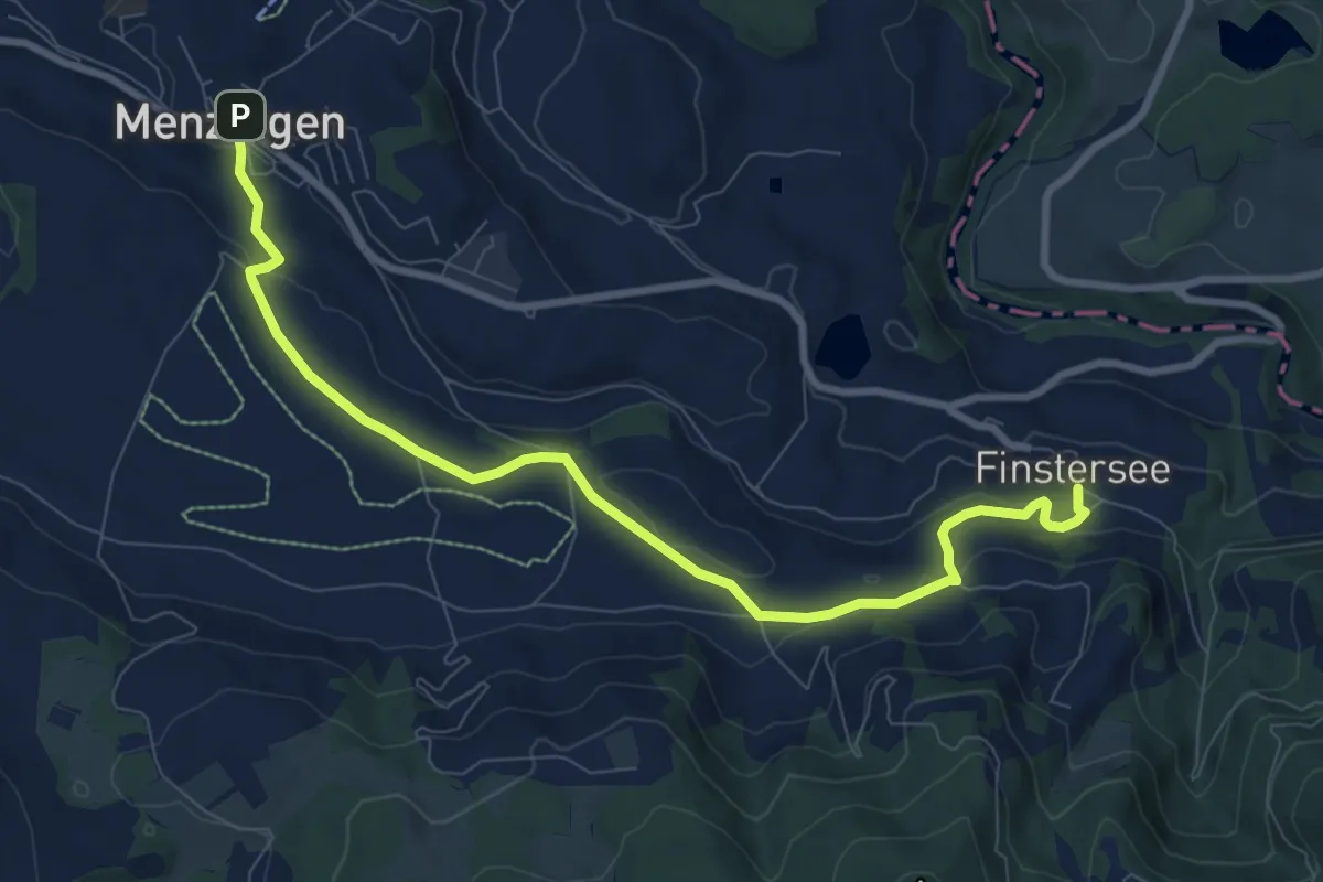
Medium · Trail
Menzingen - Finstersee
9.4 km · ↑ 171 m · 2 h 36 min · 14 km away
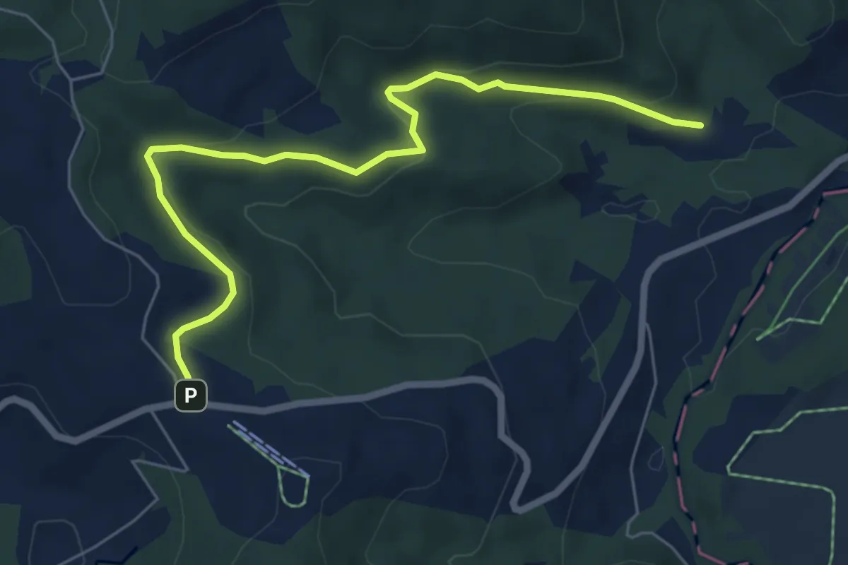
Easy · Trail
Breitried – Raten
6.3 km · ↑ 173 m · 1 h 52 min · 14 km away
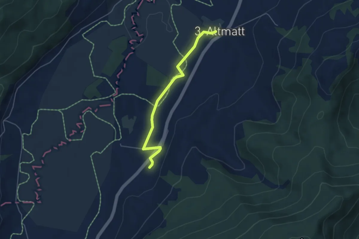
Easy · Trail
Zweite Altmatt - Dritte Altmatt
4.1 km · ↑ 32 m · 1 h 3 min · 14 km away