Trails near Arth
673 hikes starting within 15 km, nearest first.
Nearest first, page 11 of 15
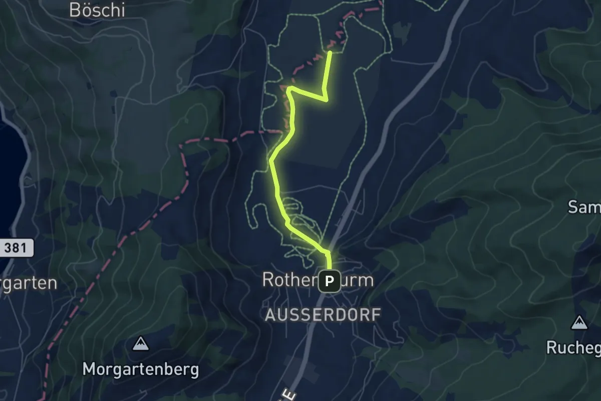
Easy · Trail
Burbrugg – Rothenturm
5.2 km · ↑ 27 m · 1 h 17 min · 12 km away
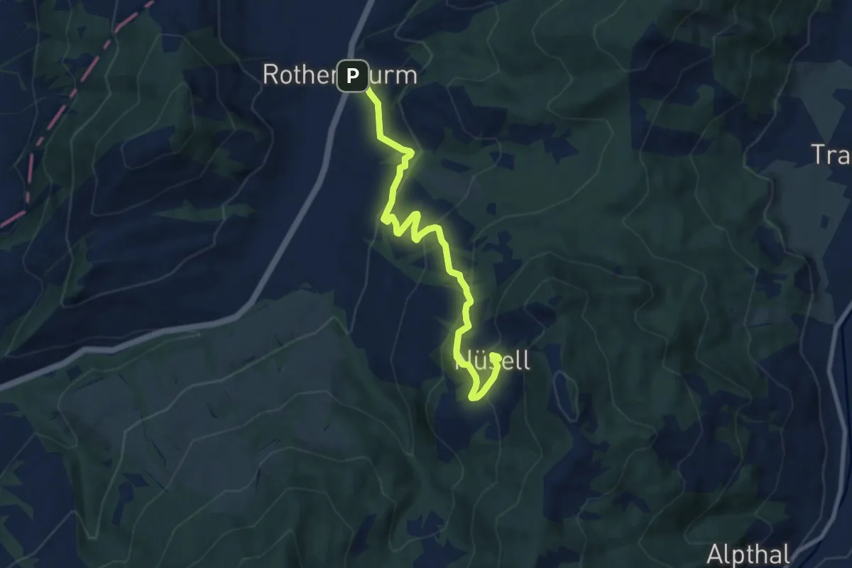
Medium · Trail
Rothenthurm – Nüsell
8.1 km · ↑ 418 m · 2 h 49 min · 12 km away
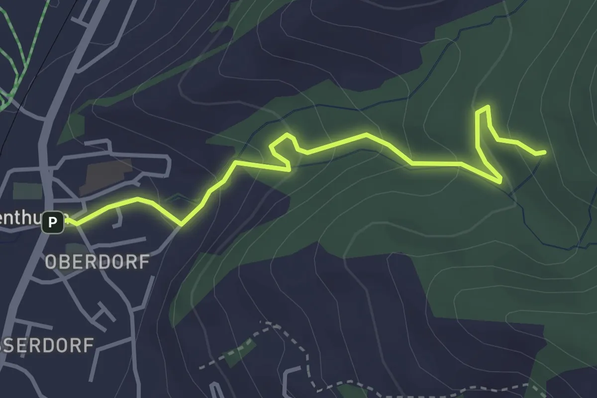
Easy · Trail
Rothenthurm – Herrenwald
3.4 km · ↑ 208 m · 1 h 15 min · 12 km away
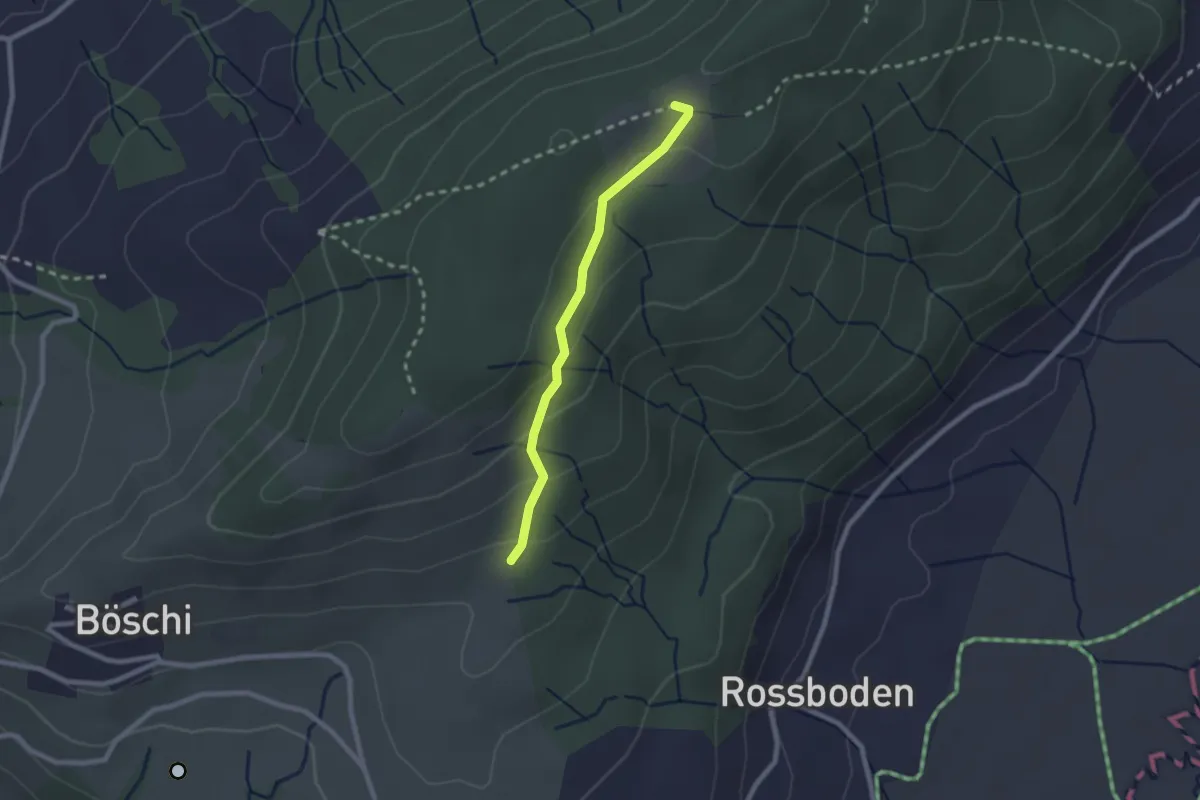
Easy · Trail
Böschirain - St. Jost
2.0 km · ↑ 91 m · 40 min · 12 km away
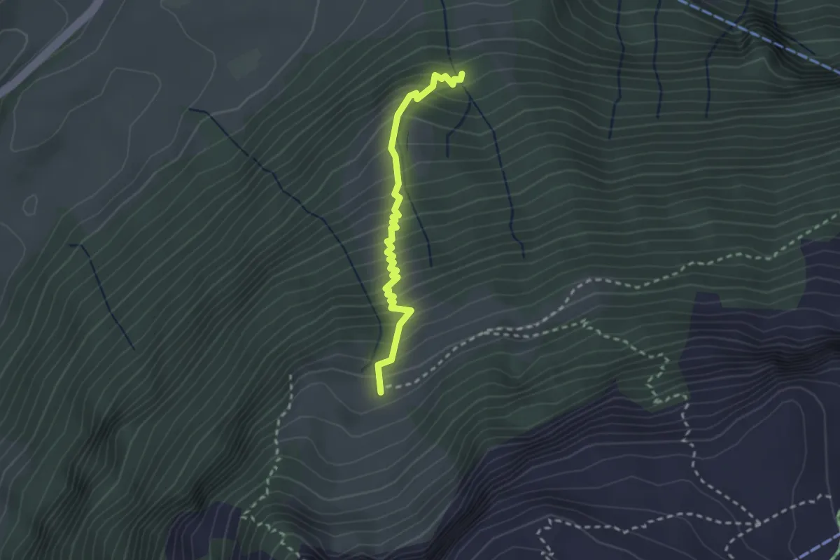
Medium · Trail
Eu -Strasse
2.4 km · ↑ 383 m · 1 h 23 min · 12 km away
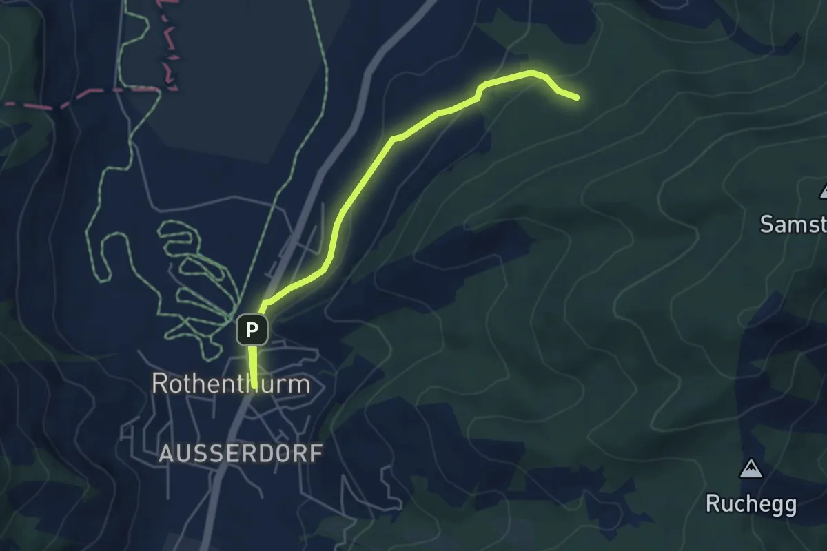
Easy · Trail
Cholholz – Rothenthurm
4.8 km · ↑ 157 m · 1 h 28 min · 12 km away
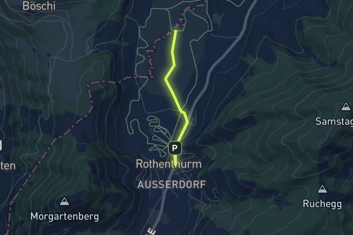
Easy · Trail
Rothenthurm – Bubrugg
4.6 km · ↑ 22 m · 1 h 8 min · 12 km away
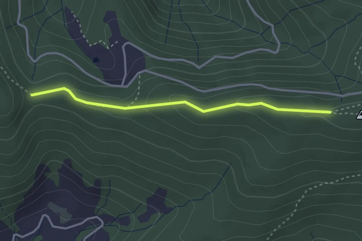
Medium · Trail
Muetegg – Mangelhöhe
2.7 km · ↑ 96 m · 50 min · 12 km away
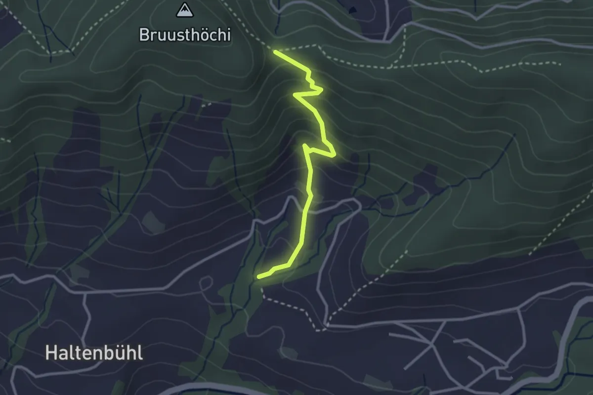
Easy · Trail
Mangelihöhe – Chefibach
2.6 km · ↑ 212 m · 1 h 4 min · 12 km away
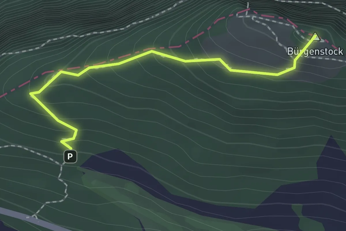
Medium · Summit
Hametschwand - Hauwald
1.9 km · ↑ 182 m · 50 min · 12 km away
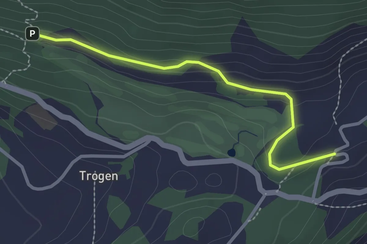
Easy · Trail
Honegg - Hauwald
2.3 km · ↑ 82 m · 44 min · 12 km away
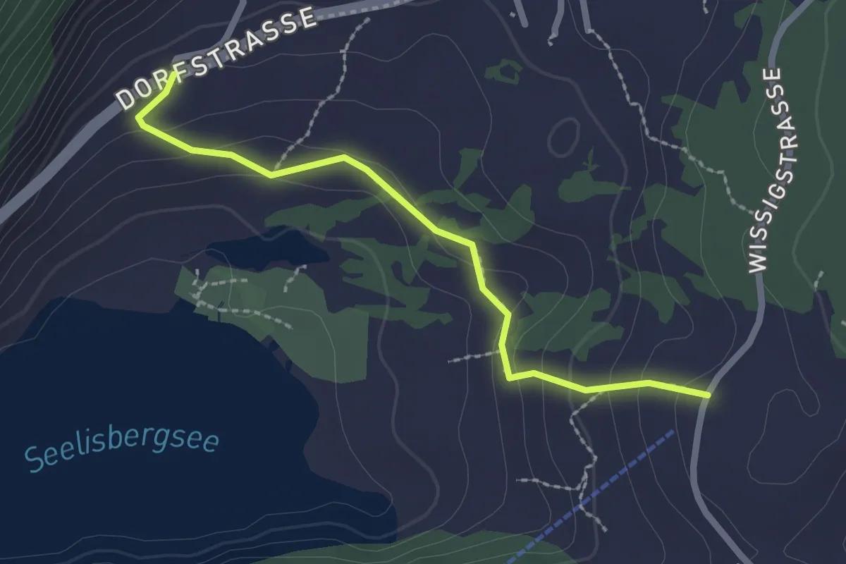
Easy · Trail
Brunni – Geissweg
2.2 km · ↑ 126 m · 47 min · 13 km away
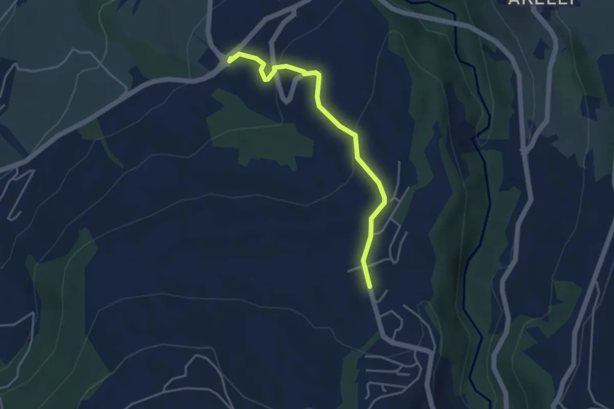
Easy · Trail
Talacher - Grüt Allenwinden
3.4 km · ↑ 114 m · 1 h 3 min · 13 km away
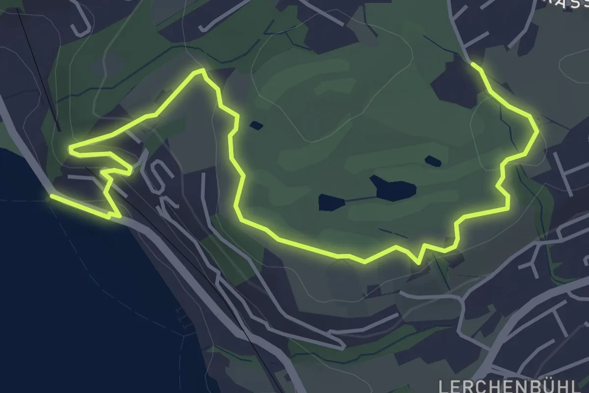
Easy · Trail
Seeburg - Bad
5.7 km · ↑ 155 m · 1 h 40 min · 13 km away
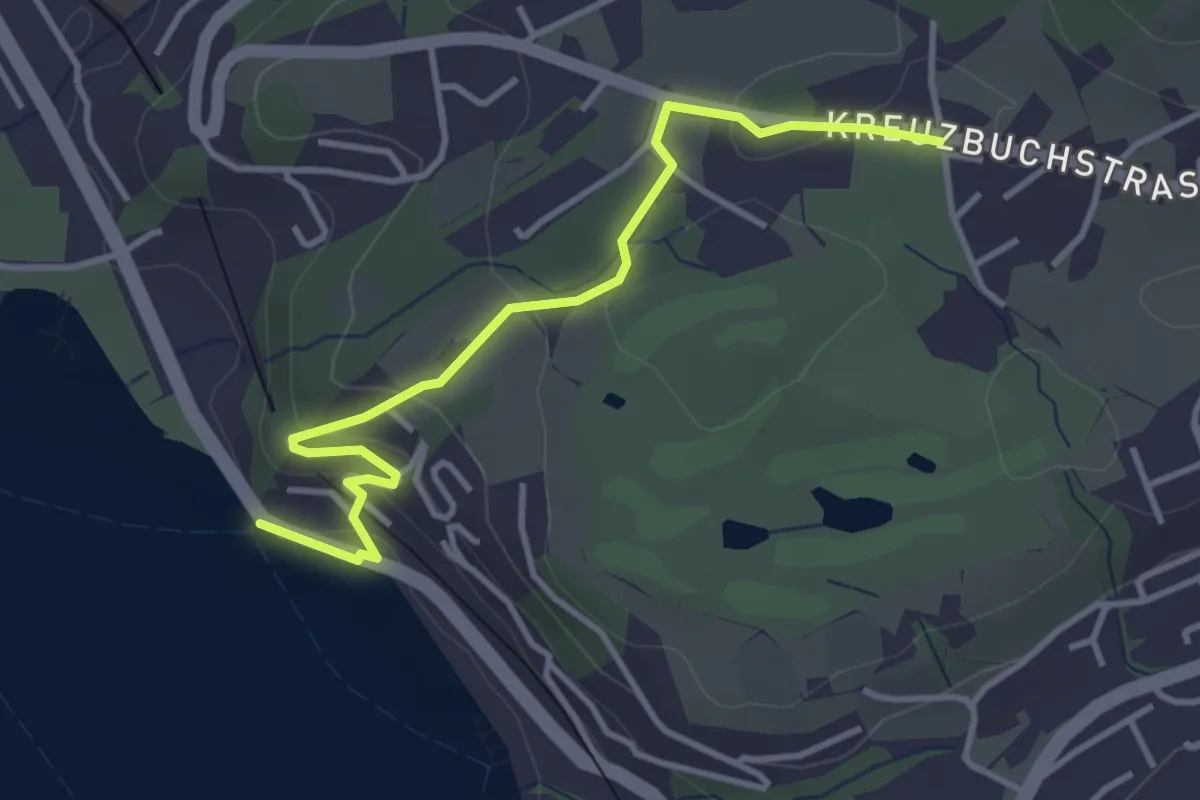
Easy · Trail
Seeburg - Buchmatt
3.8 km · ↑ 138 m · 1 h 11 min · 13 km away
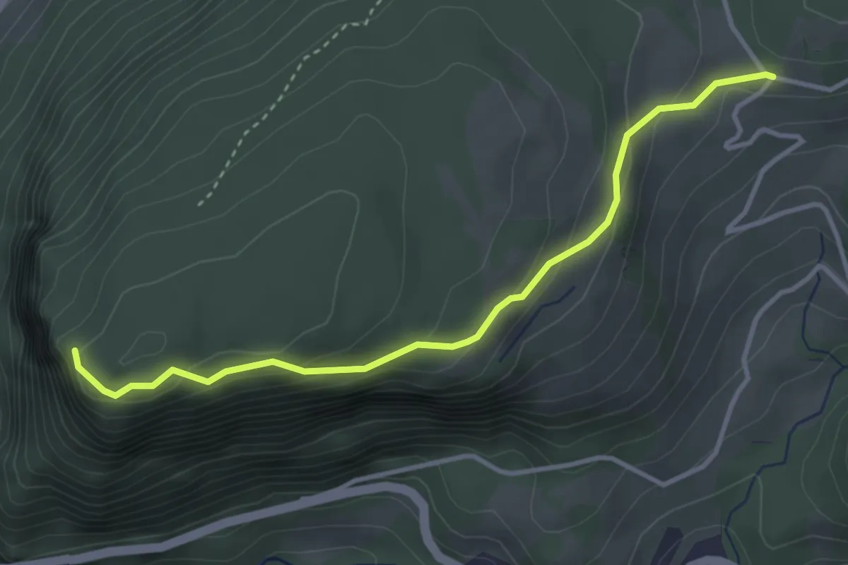
Easy · Trail
Uf Ibrig - Gibelhorn
3.6 km · ↑ 203 m · 1 h 17 min · 13 km away
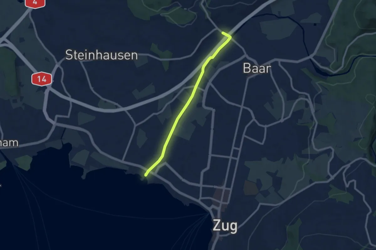
Easy · Trail
Brüggli - Blickensdorf
6.7 km · ↑ 21 m · 1 h 38 min · 13 km away
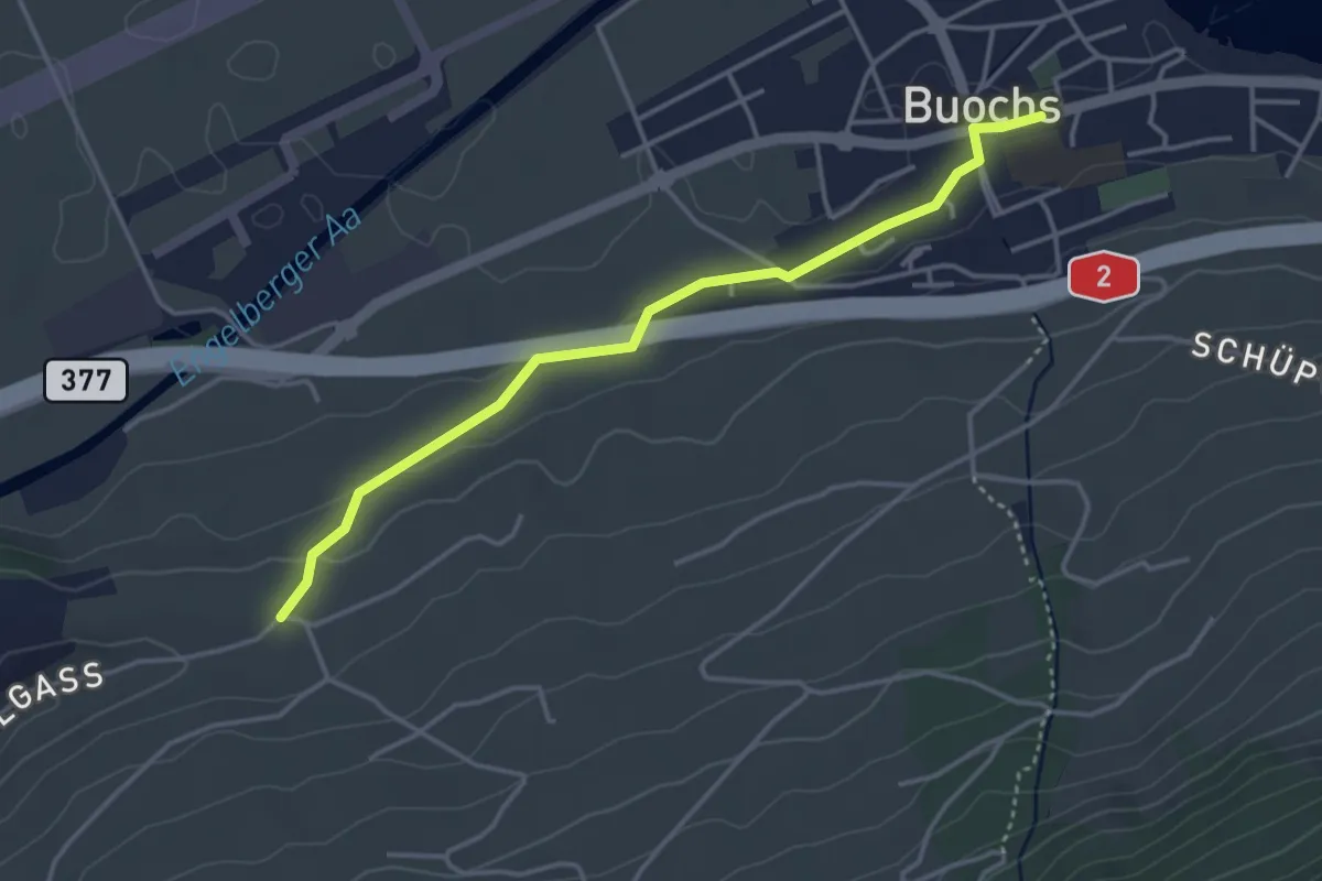
Easy · Trail
Buochs – Ännerberg
3.8 km · ↑ 68 m · 1 h 3 min · 13 km away
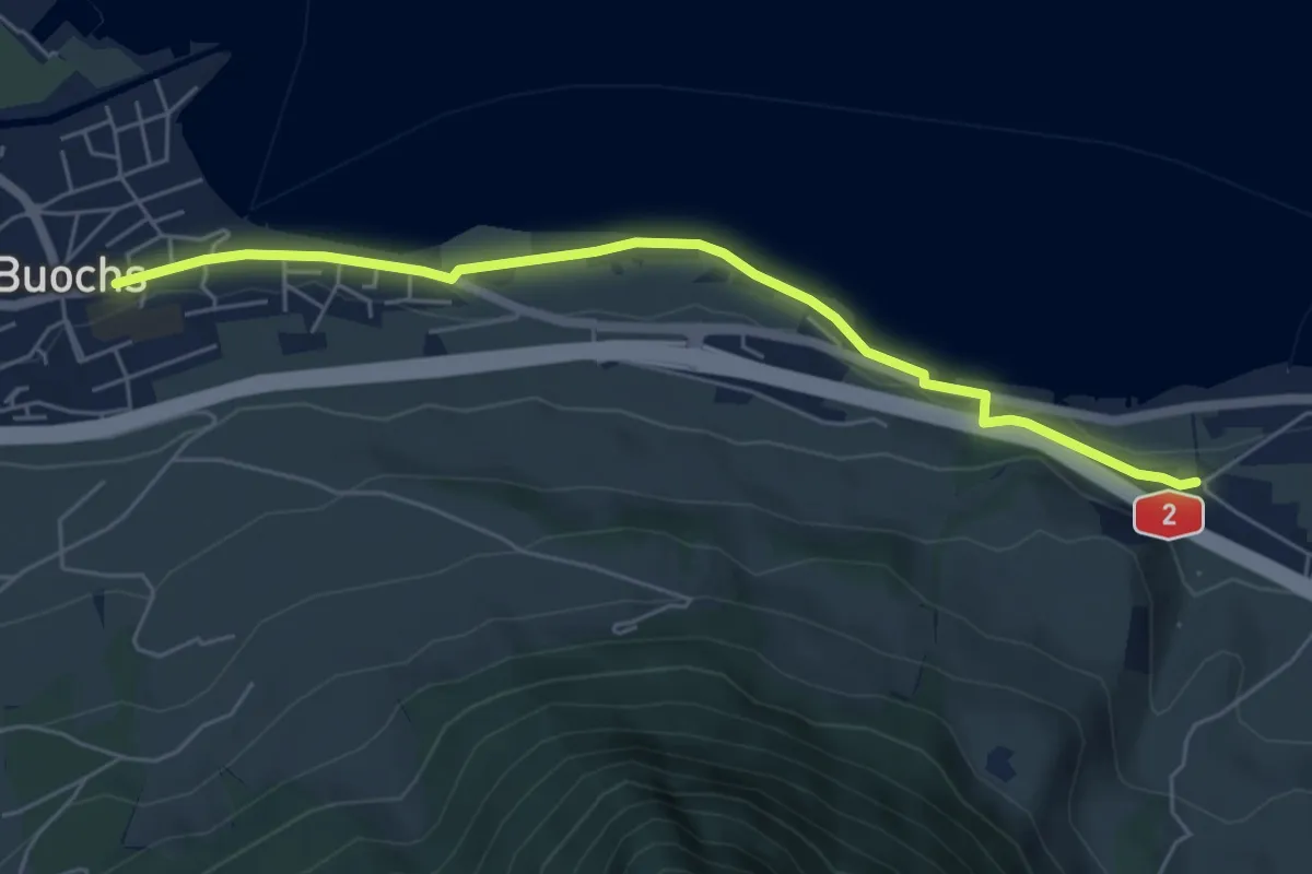
Easy · Trail
Ridli – Buochs
5.7 km · ↑ 53 m · 1 h 28 min · 13 km away
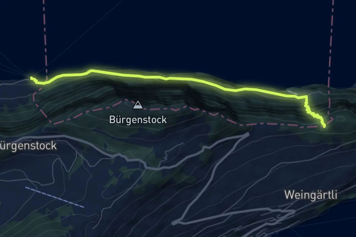
Demanding · Trail
Schlüsselhorn - Untermatt? / Kehrsiten? - fixme
7.9 km · ↑ 821 m · 3 h 38 min · 13 km away
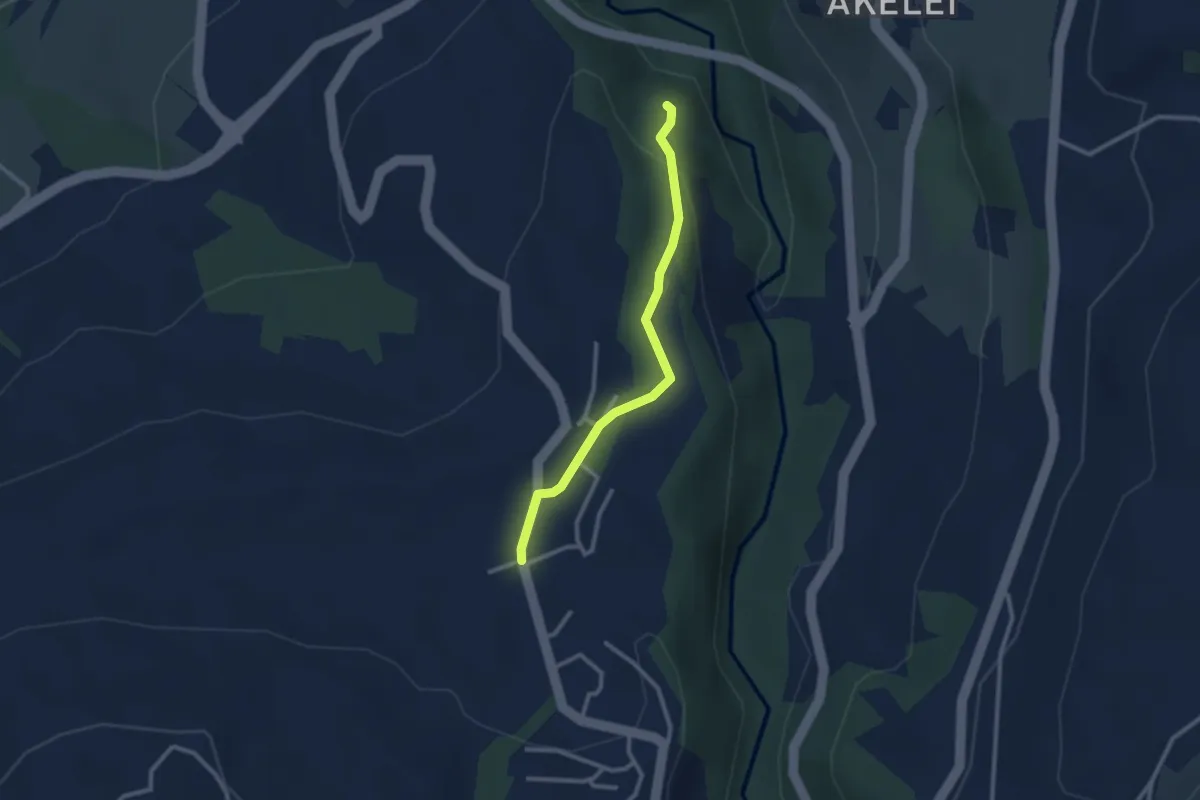
Easy · Trail
Allenwinden - Wildenburg
2.4 km · ↑ 50 m · 41 min · 13 km away
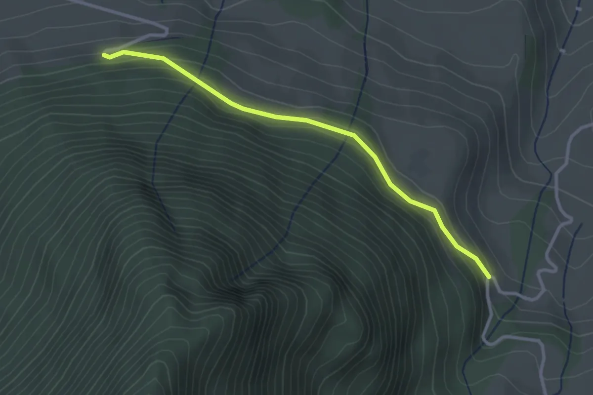
Easy · Trail
Halten – Schüpferi
2.8 km · ↑ 112 m · 55 min · 13 km away
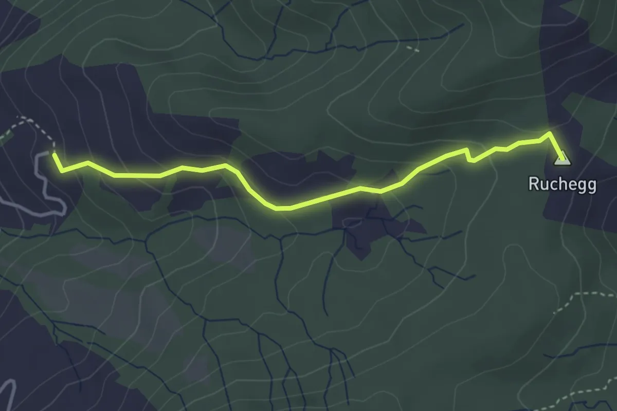
Medium · Summit
Biberstock – Ruchegg
3.4 km · ↑ 182 m · 1 h 12 min · 13 km away
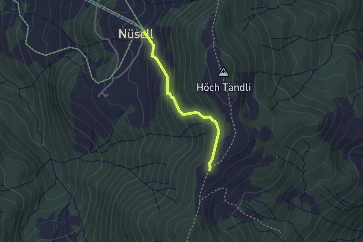
Medium · Summit
Nüsell – Chli Tandli
2.3 km · ↑ 159 m · 53 min · 13 km away
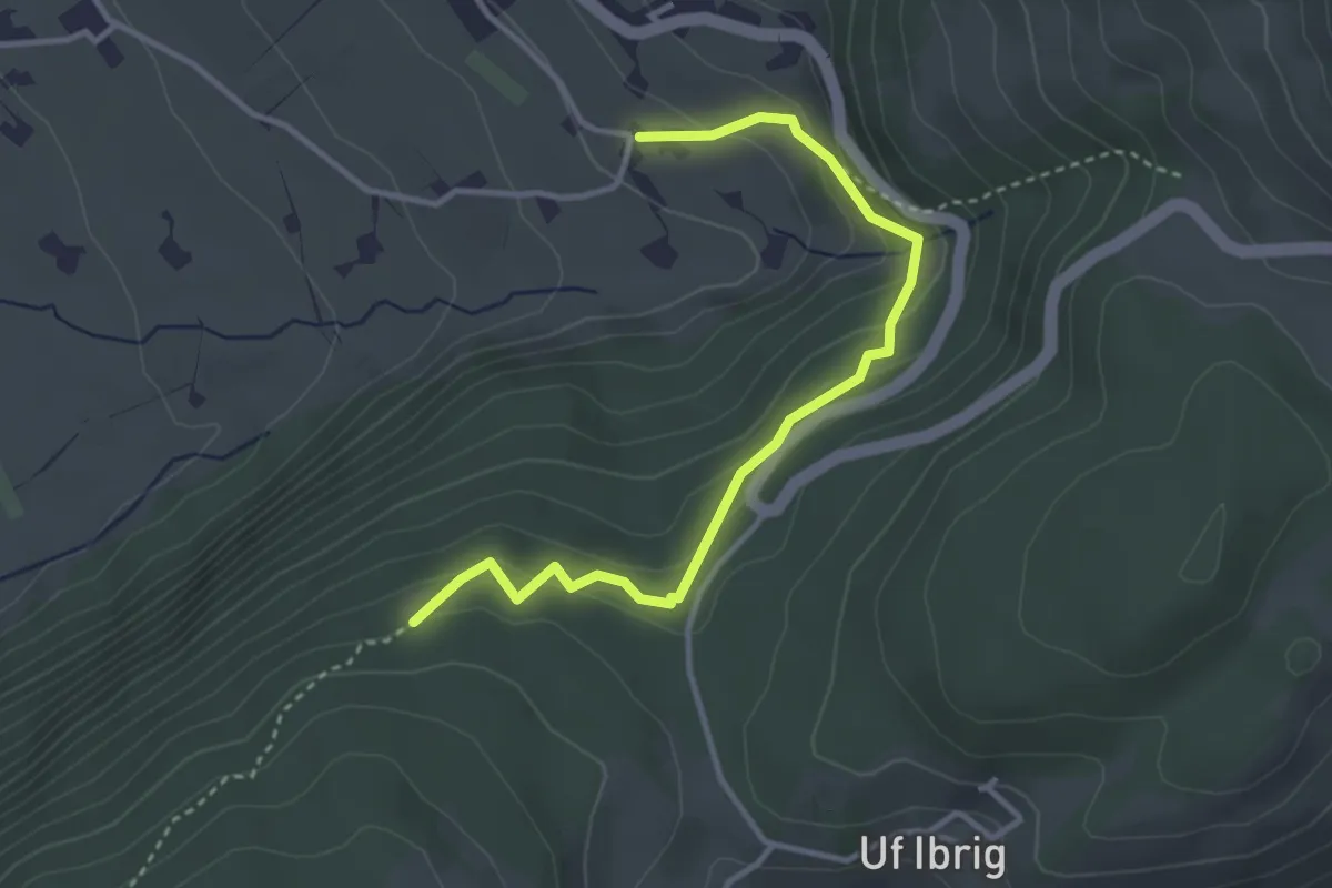
Easy · Trail
Uf Ibrig - Perfiden? - fixme
3.6 km · ↑ 188 m · 1 h 15 min · 13 km away
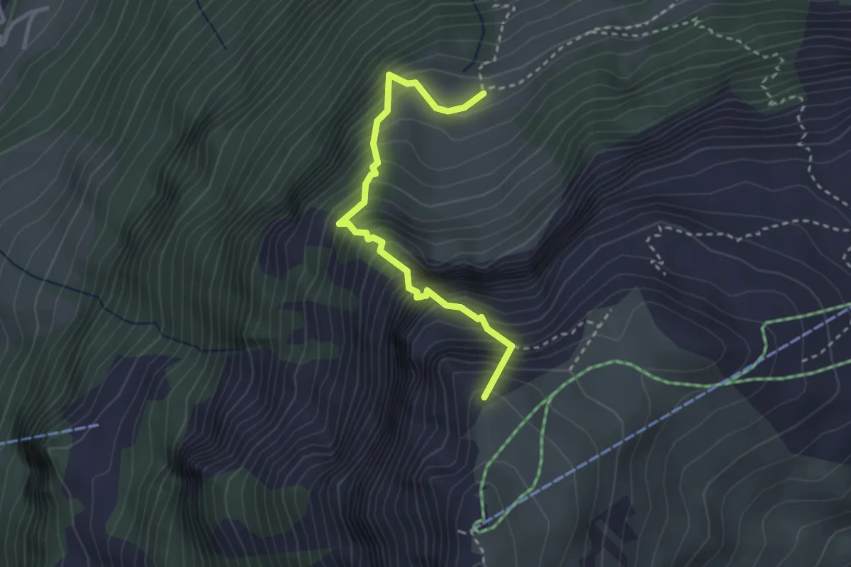
Expert · Summit
Eu - Charenstöckli
2.8 km · ↑ 682 m · 2 h 9 min · 13 km away
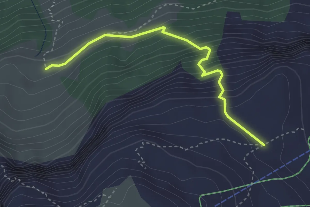
Medium · Trail
Bärentros
2.9 km · ↑ 392 m · 1 h 33 min · 13 km away
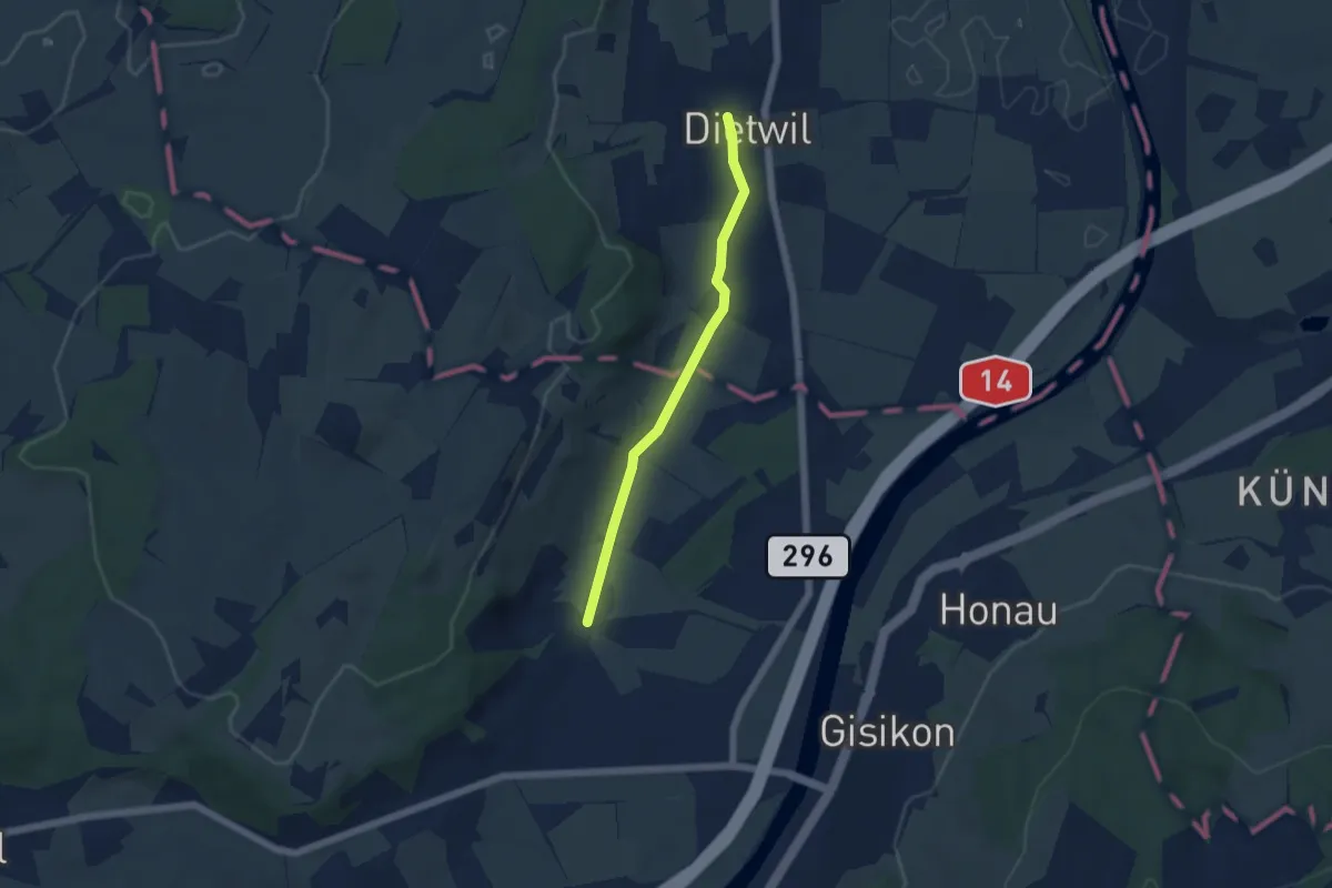
Easy · Trail
Dietwil - Pfaffwil
4.5 km · ↑ 44 m · 1 h 9 min · 13 km away
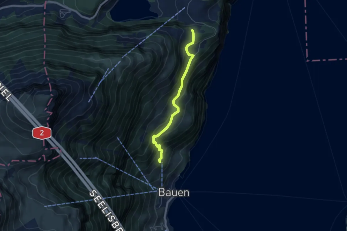
Medium · Trail
Schloss Beroldingen - Hinter Barchi
4.8 km · ↑ 353 m · 1 h 53 min · 13 km away
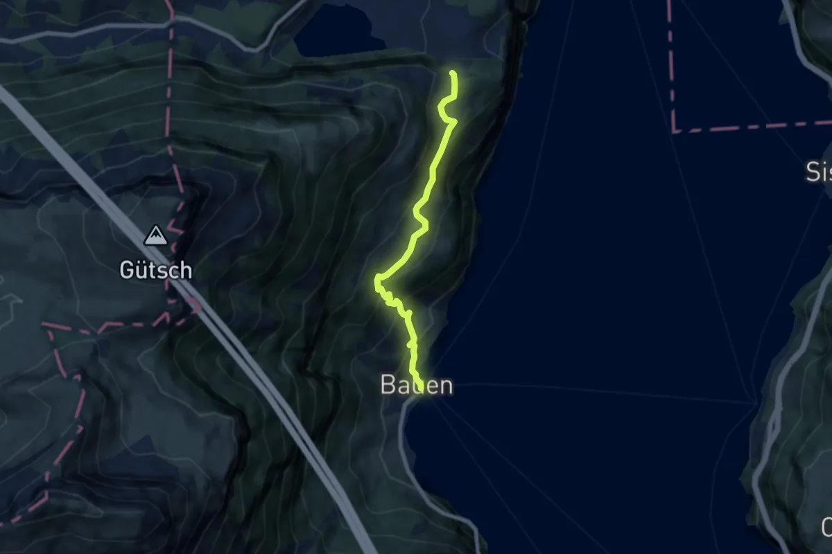
Medium · Trail
Bauen-Schloss Beroldingen
6.1 km · ↑ 526 m · 2 h 34 min · 13 km away
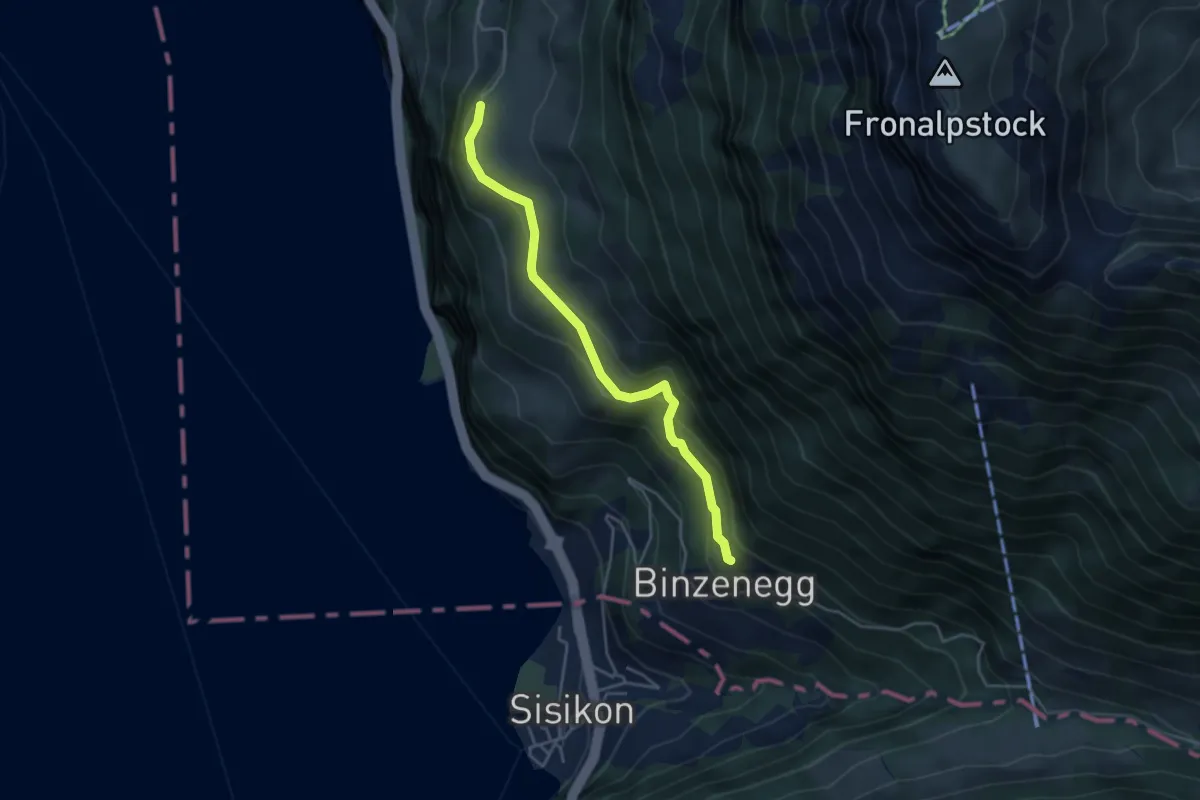
Easy · Trail
Schilti - Fronwald
4.0 km · ↑ 247 m · 1 h 29 min · 13 km away
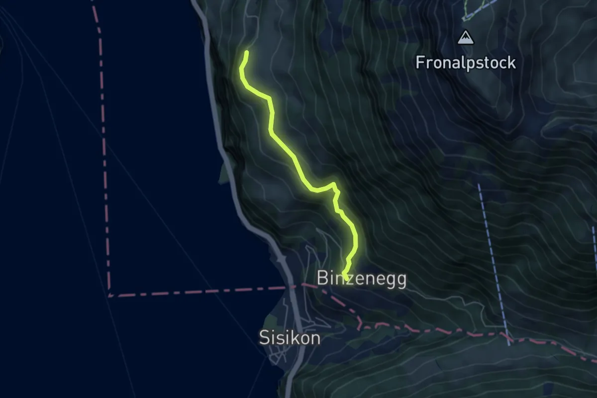
Easy · Trail
Binzenegg - Schilti
4.2 km · ↑ 293 m · 1 h 38 min · 13 km away
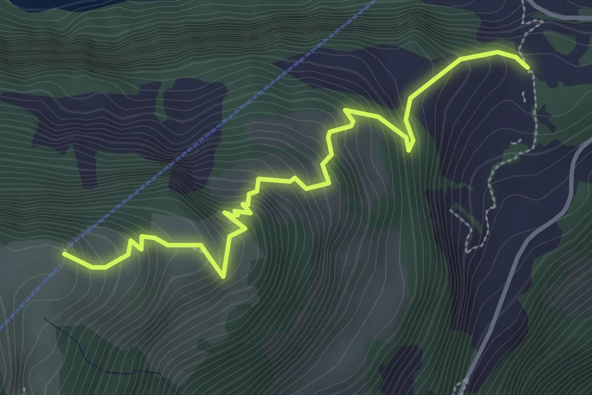
Medium · Trail
Schloss Beroldingen - Weid
3.6 km · ↑ 414 m · 1 h 44 min · 13 km away
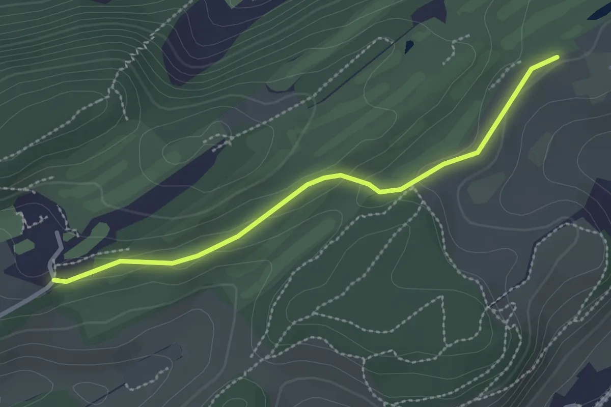
Easy · Trail
Talacheri - Dietschiberg
2.5 km · ↑ 44 m · 41 min · 13 km away
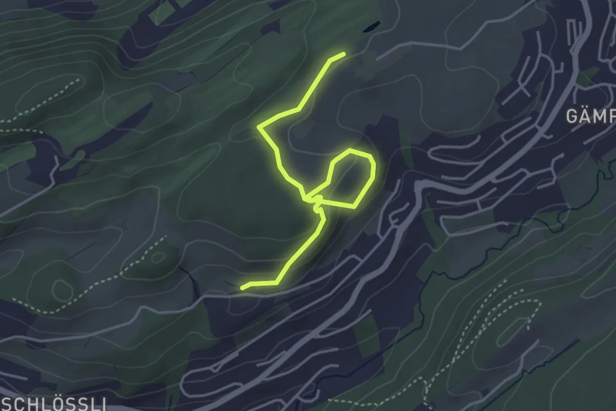
Easy · Trail
Sonnmatt - Talacheri
4.1 km · ↑ 138 m · 1 h 16 min · 13 km away
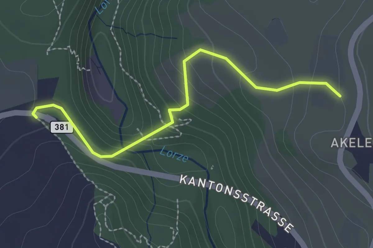
Easy · Trail
Talbrücke - Wulfligen
2.4 km · ↑ 152 m · 53 min · 13 km away
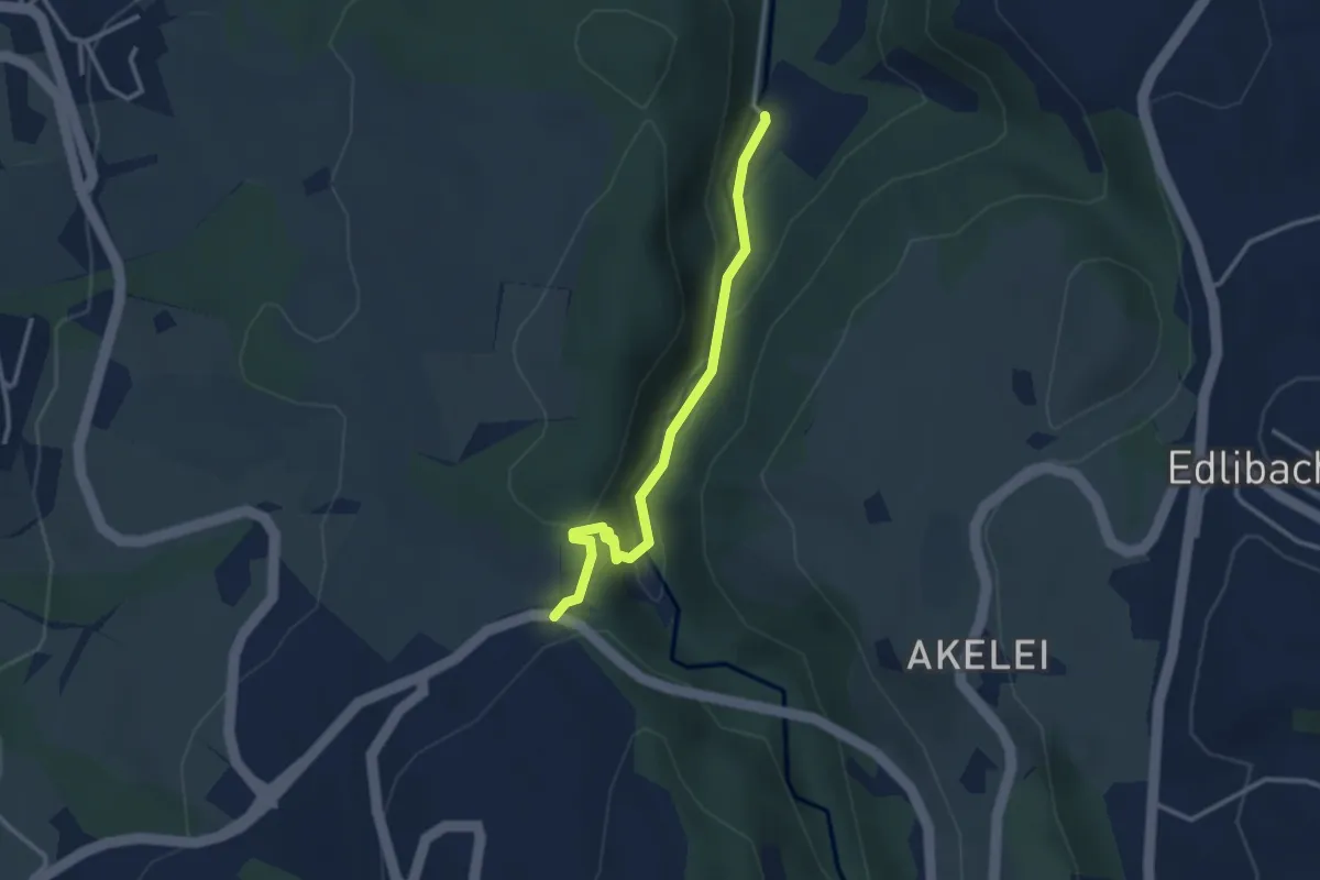
Easy · Trail
Höllbrücke - Talbrücke
2.9 km · ↑ 116 m · 56 min · 13 km away
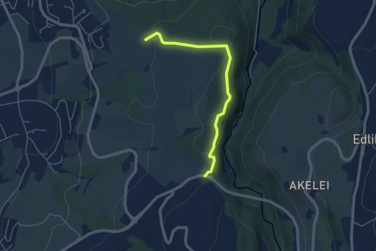
Easy · Trail
Talbrücke - Ober Allmend
3.9 km · ↑ 130 m · 1 h 12 min · 13 km away
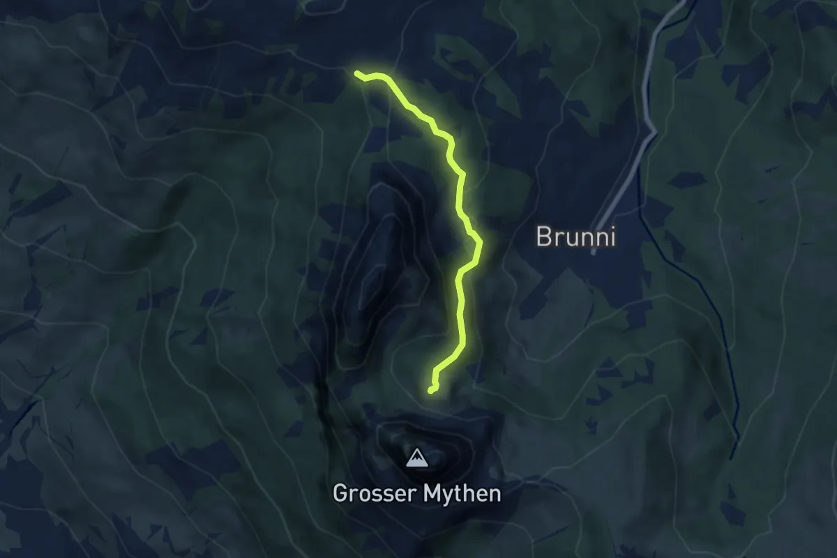
Medium · Trail
Haggenegg - Alp Zwüschet Mythen
5.2 km · ↑ 214 m · 1 h 42 min · 13 km away
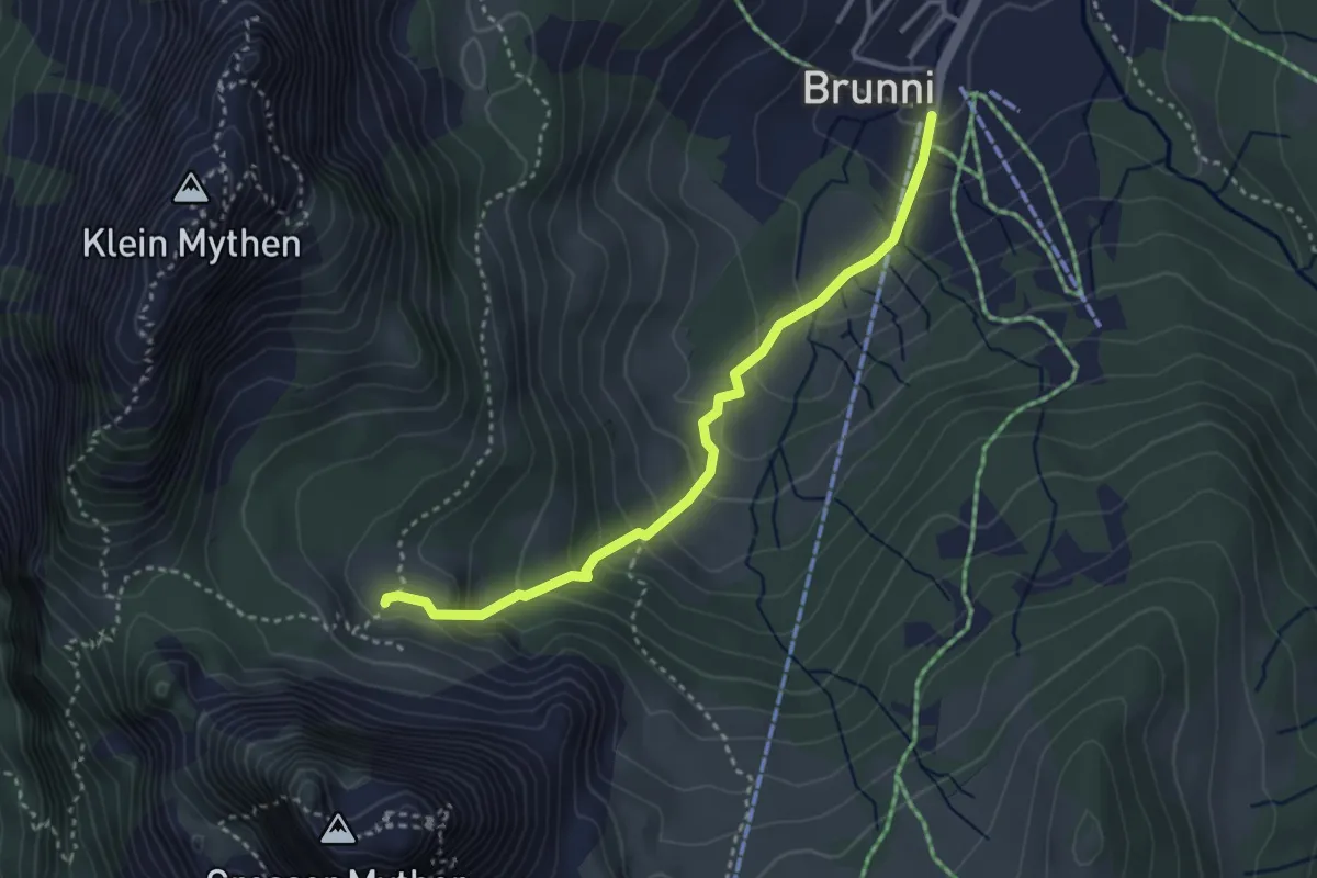
Medium · Trail
Alp Zwüschet Mythen - Brunni
3.3 km · ↑ 251 m · 1 h 19 min · 13 km away
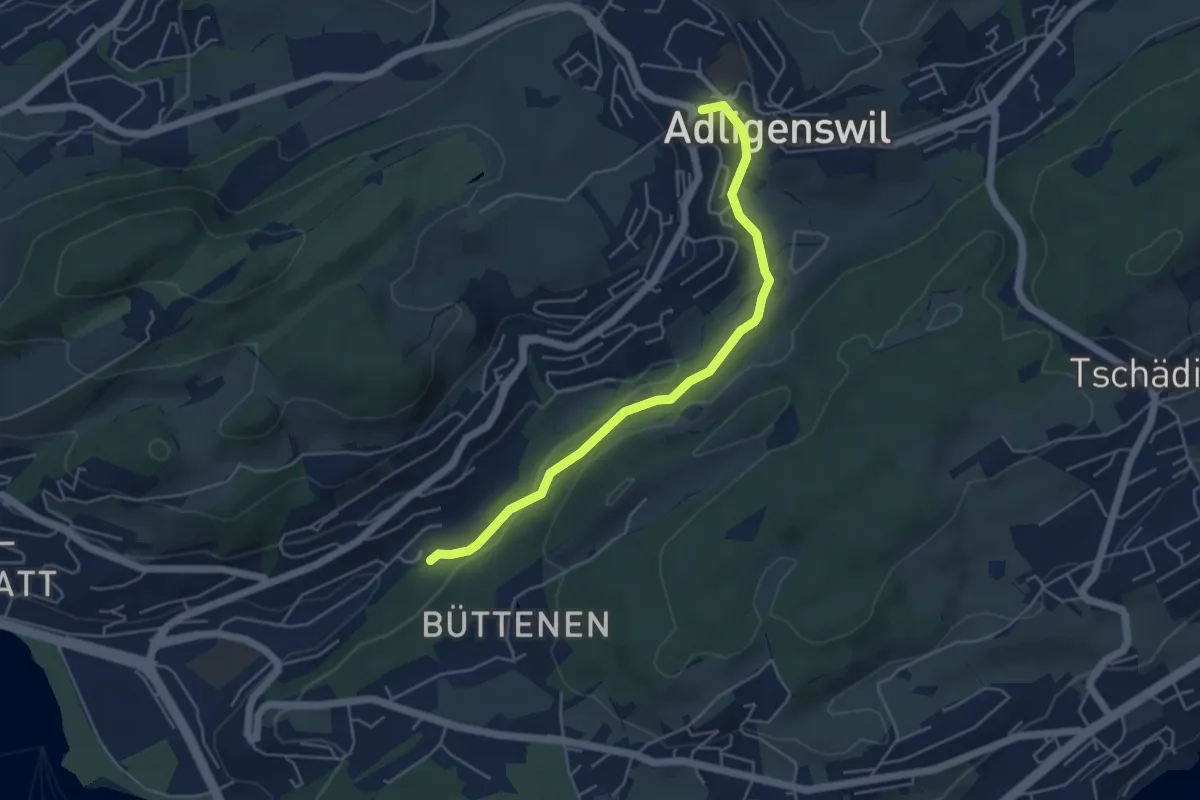
Easy · Trail
Aldligenswil - Würzenbach
4.8 km · ↑ 110 m · 1 h 23 min · 13 km away
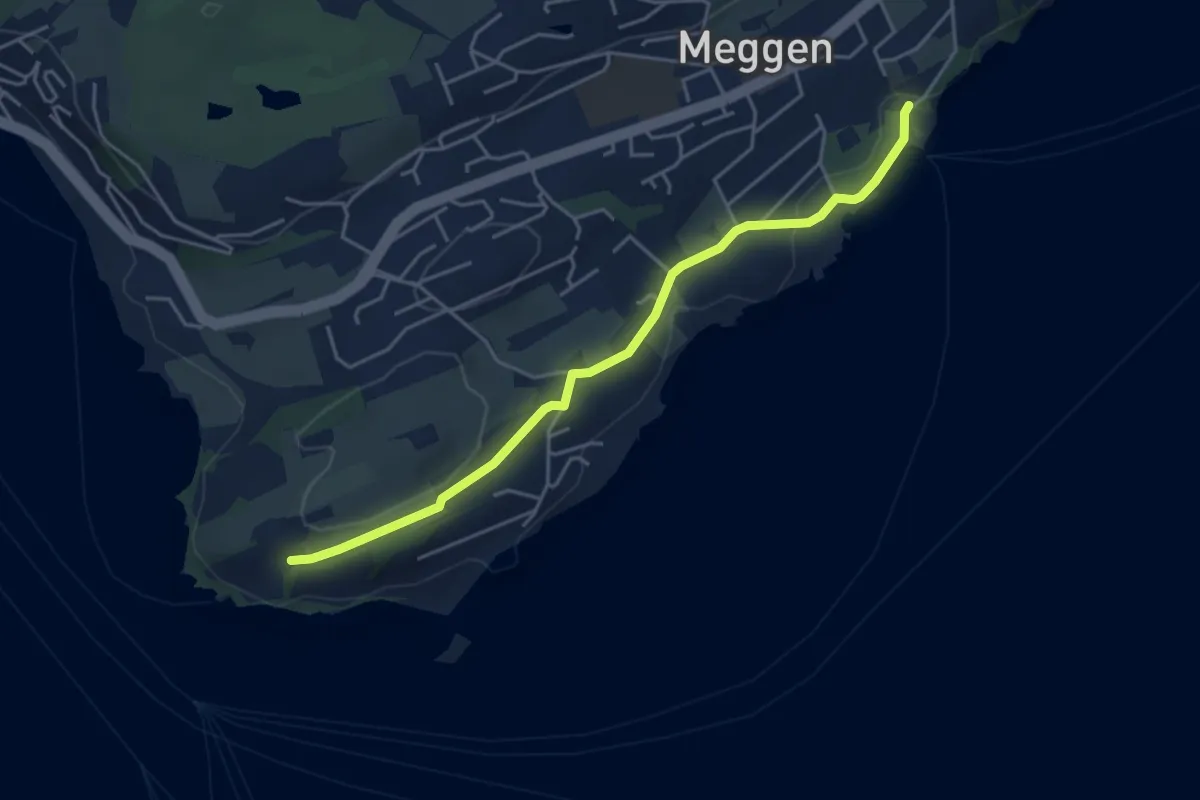
Easy · Trail
Meggenhorn - Meggen (Schiff)
4.5 km · ↑ 98 m · 1 h 16 min · 13 km away
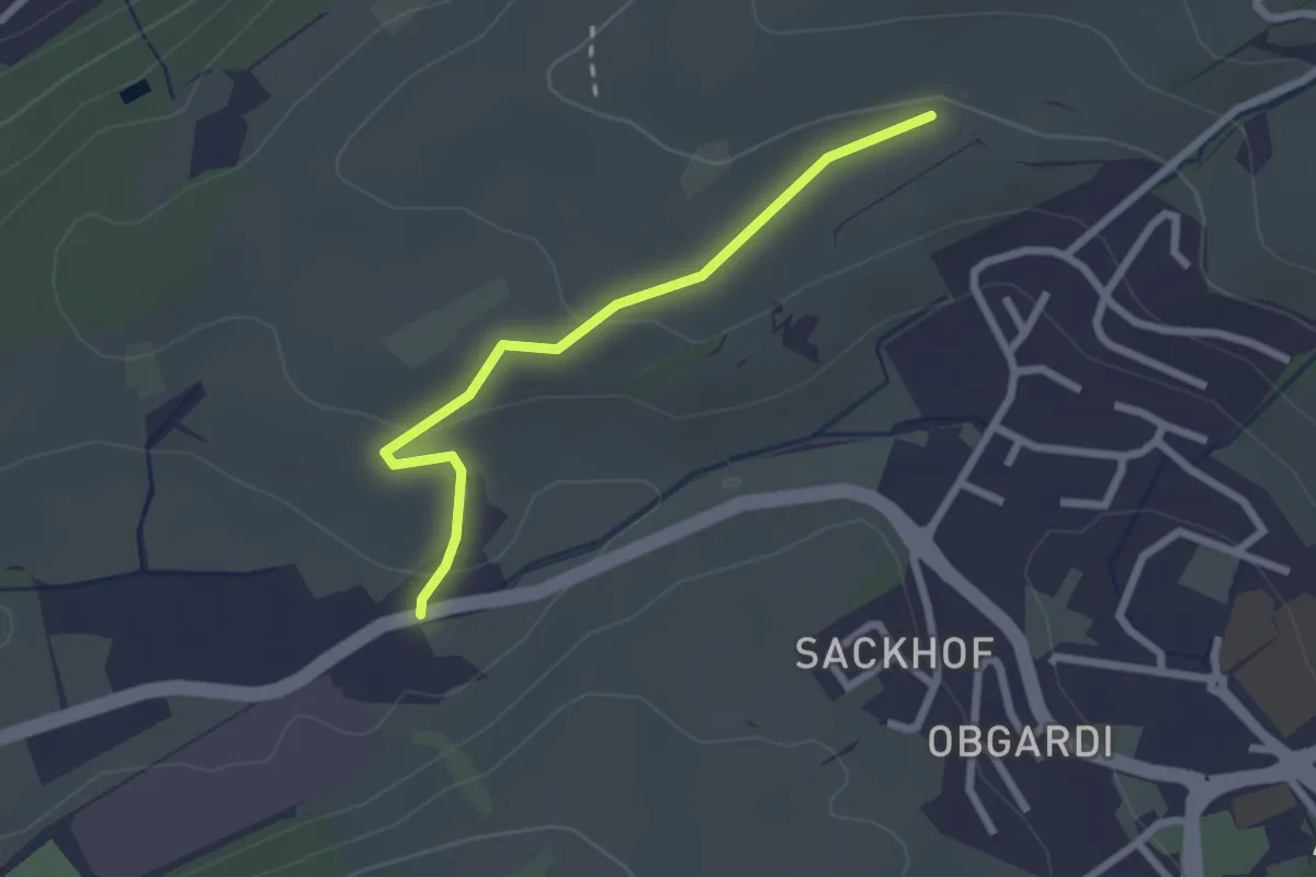
Easy · Trail
Stube - Lätten
2.3 km · ↑ 61 m · 40 min · 13 km away
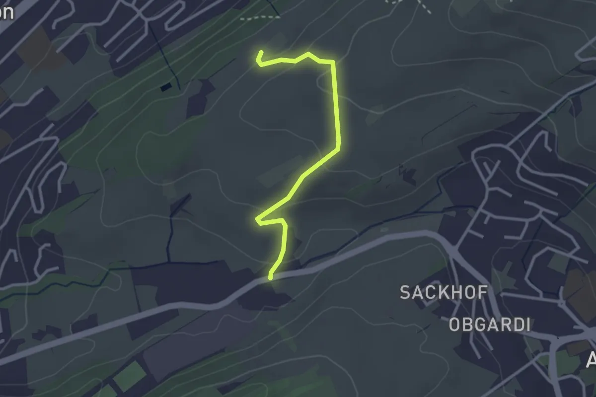
Easy · Trail
Stube - Under Äbrüti
2.5 km · ↑ 111 m · 51 min · 13 km away
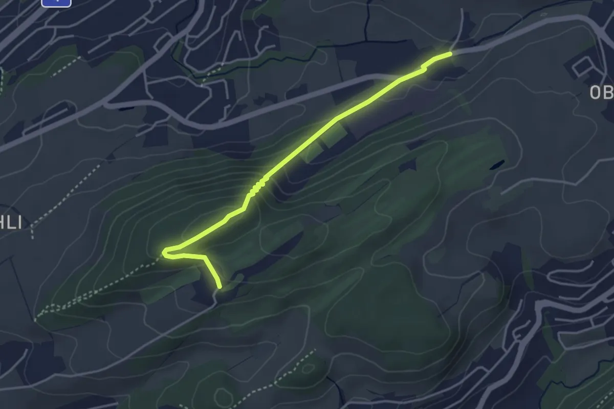
Easy · Trail
Dietschiberg - Stube
3.7 km · ↑ 184 m · 1 h 16 min · 13 km away
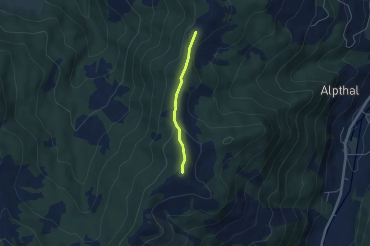
Medium · Summit
Chli Tändli – Brüschrainhöchi
2.9 km · ↑ 133 m · 58 min · 13 km away
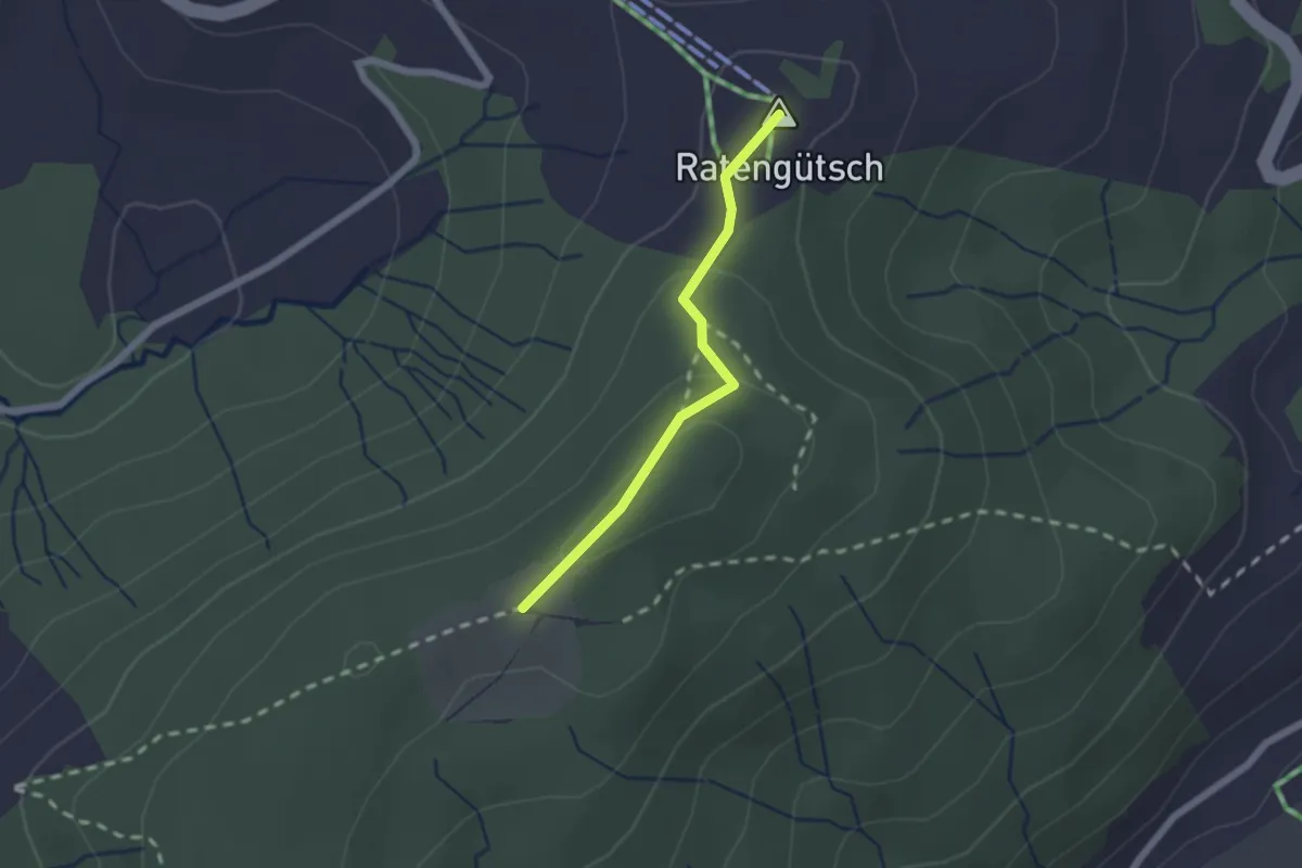
Easy · Summit
Raten – St. Jost
1.7 km · ↑ 56 m · 31 min · 13 km away
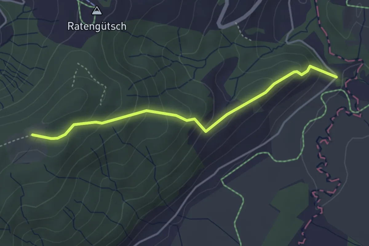
Easy · Trail
Bibersteg – St. Jost
3.7 km · ↑ 247 m · 1 h 24 min · 13 km away