Trails near Arth
673 hikes starting within 15 km, nearest first.
Nearest first, page 10 of 15
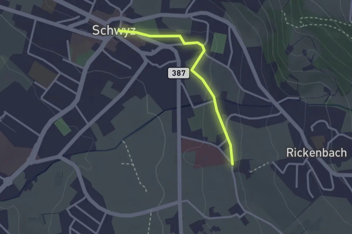
Easy · Trail
Schwyz Hauptplatz – Waldegg
2.2 km · ↑ 28 m · 35 min · 12 km away
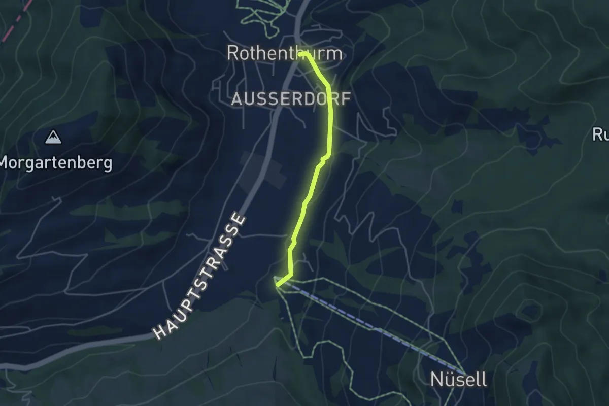
Easy · Trail
Biberegg – Rothenturm
3.3 km · ↑ 57 m · 54 min · 12 km away
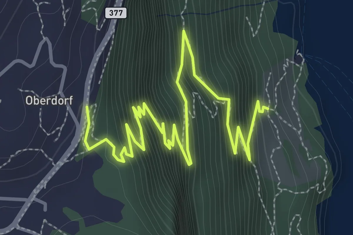
Medium · Trail
Rütlihaus – Seelisberg
4.3 km · ↑ 434 m · 1 h 58 min · 12 km away
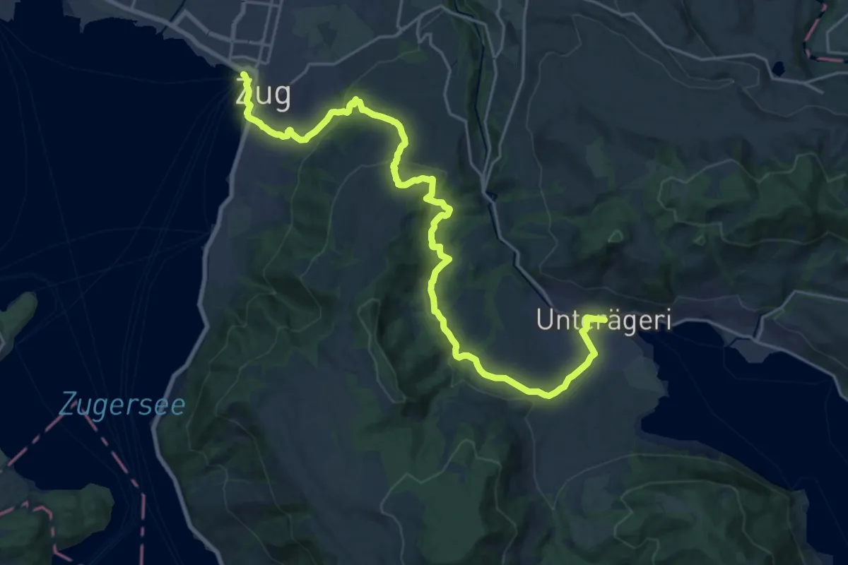
Demanding · Trail
Alpenpanorama-Weg
24.5 km · ↑ 796 m · 7 h 30 min · 12 km away
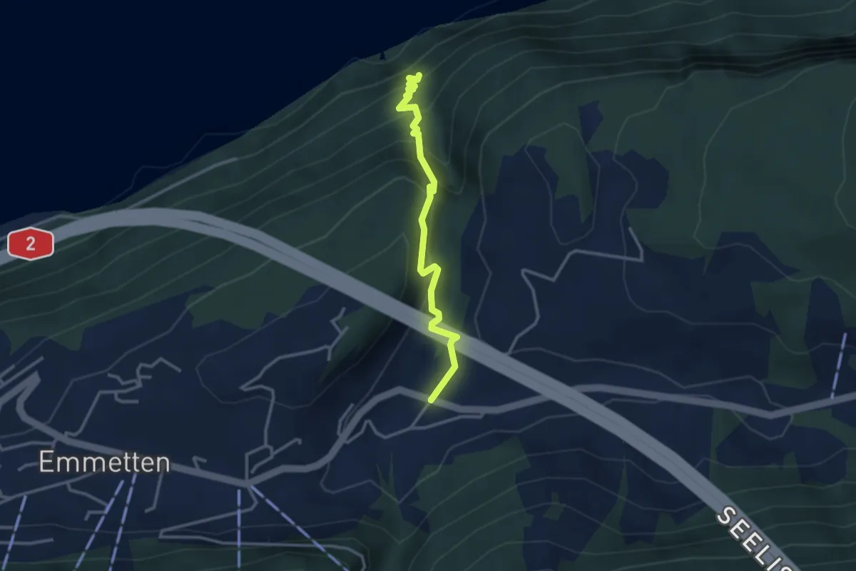
Medium · Trail
Sagendorf – Risleten
2.9 km · ↑ 330 m · 1 h 24 min · 12 km away
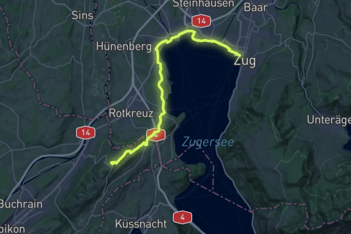
Demanding · Summit
Alpenpanorama-Weg
31.0 km · ↑ 452 m · 8 h 17 min · 12 km away
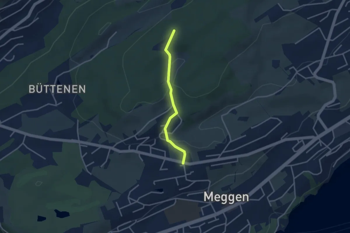
Easy · Trail
Scheidegg - Meggen Zentrum
2.4 km · ↑ 87 m · 45 min · 12 km away
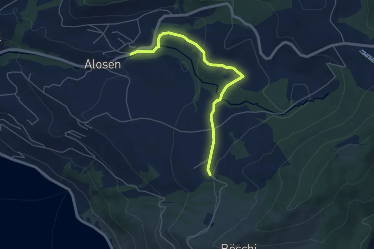
Easy · Trail
Waldschlagchrüz - Alosen
4.8 km · ↑ 102 m · 1 h 21 min · 12 km away
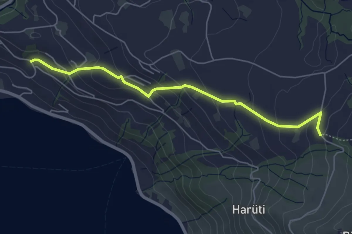
Easy · Trail
Bättenbüel – Waldschlagchrüz
4.7 km · ↑ 237 m · 1 h 38 min · 12 km away
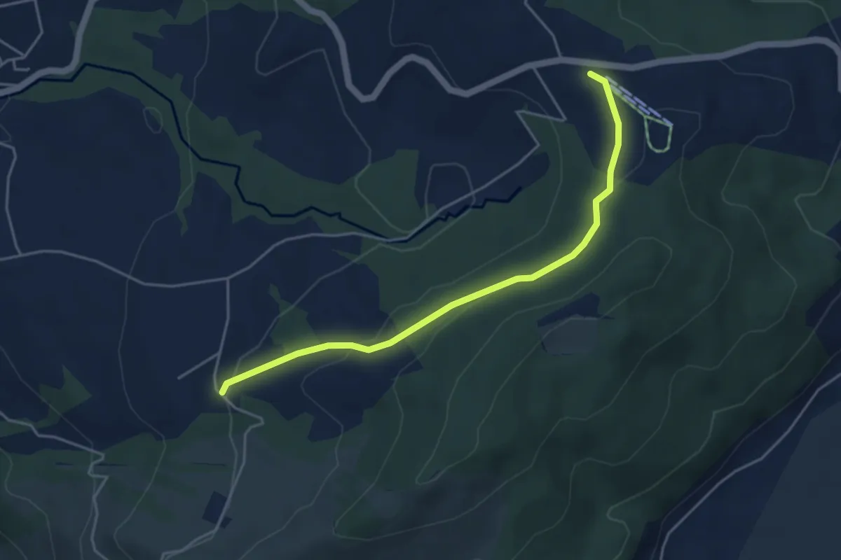
Easy · Trail
Raten - Waldschlagchrütz
4.3 km · ↑ 156 m · 1 h 21 min · 12 km away
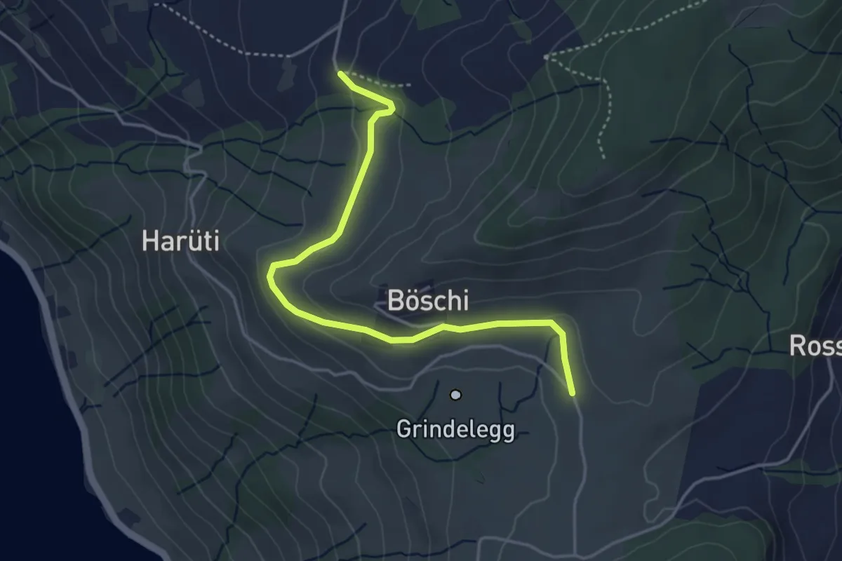
Easy · Trail
Ob Tännli - Grindel - Waldschlagchrüz
4.1 km · ↑ 102 m · 1 h 12 min · 12 km away
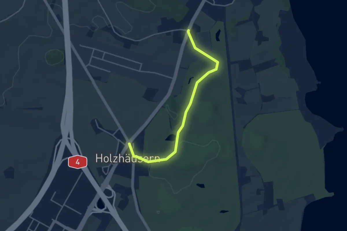
Easy · Trail
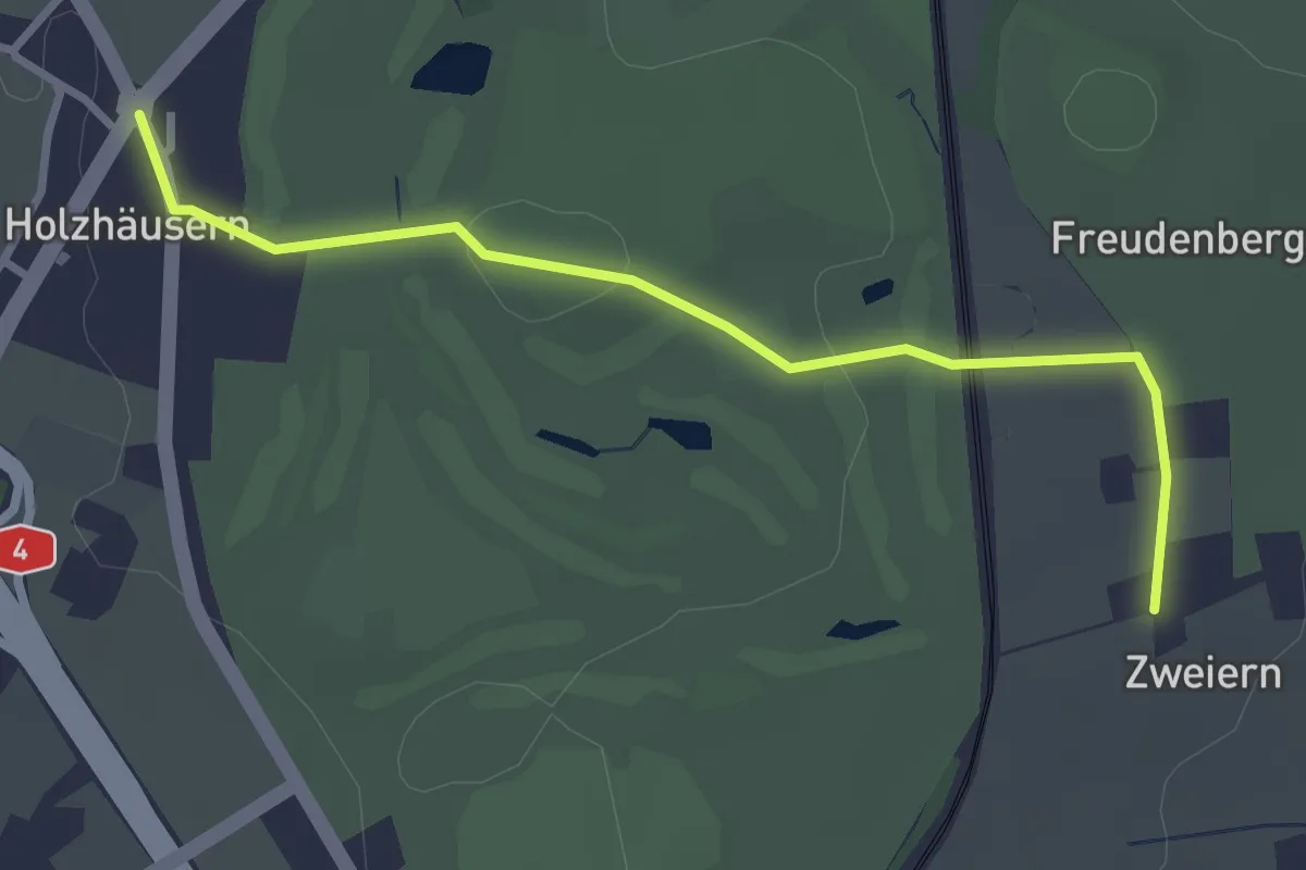
Langrüti - Holzhäusern
3.5 km · ↑ 28 m · 54 min · 12 km away
Easy · Trail
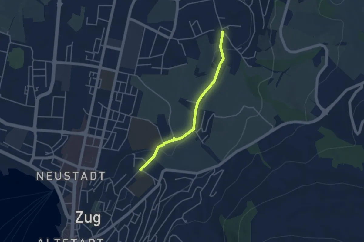
Holzhäusern - Zwijeren
3.1 km · ↑ 45 m · 49 min · 12 km away
Easy · Trail
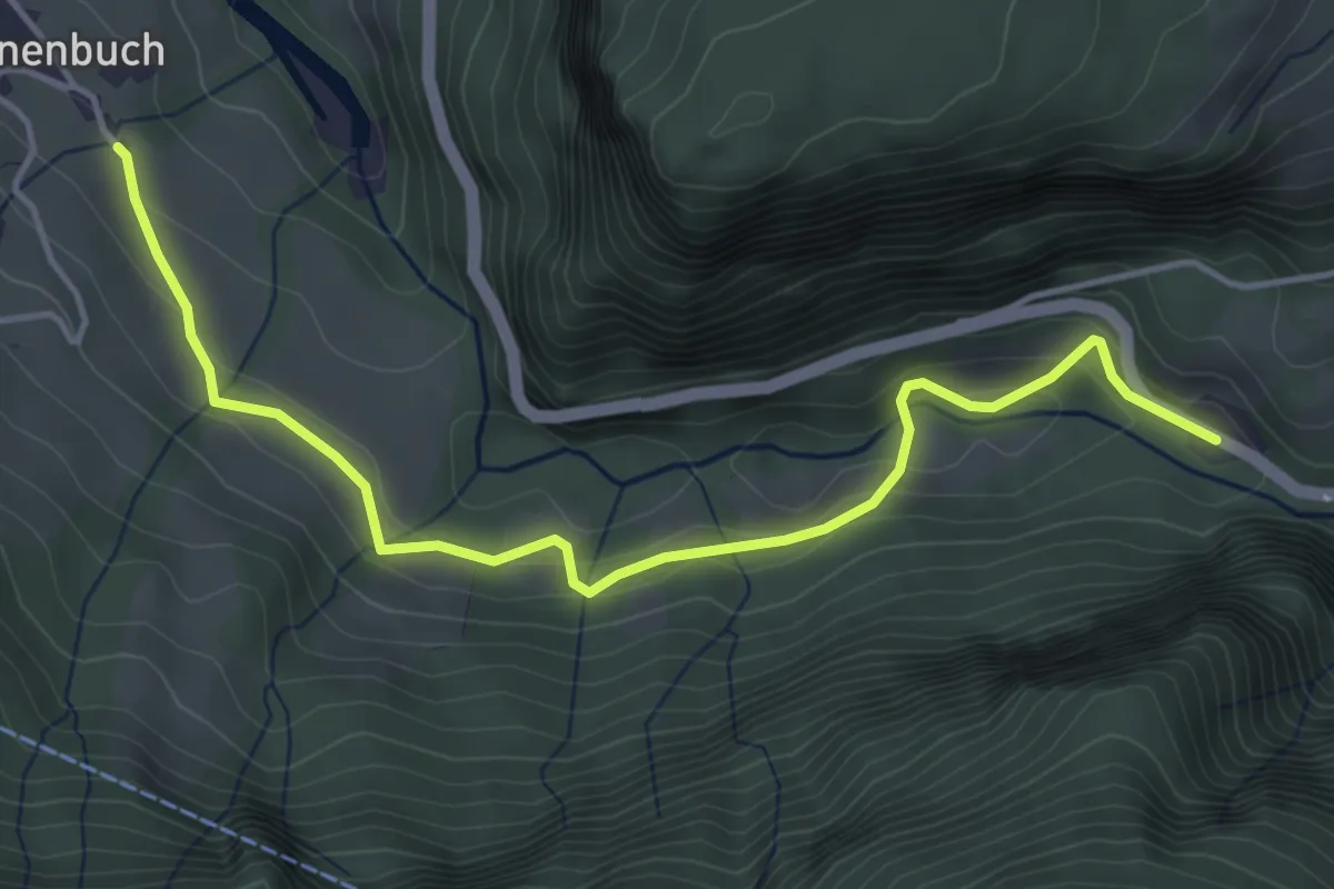
Inwil – Loreto
3.1 km · ↑ 32 m · 48 min · 12 km away
Easy · Trail
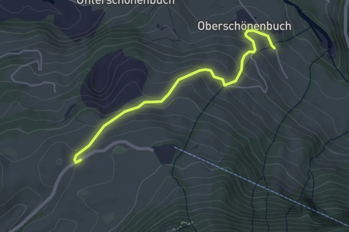
Schlattli - Ober-Schönenbuch
4.7 km · ↑ 194 m · 1 h 31 min · 12 km away
Easy · Trail
Schwyzerhöchi - Ober-Schönenbuch
4.1 km · ↑ 213 m · 1 h 25 min · 12 km away
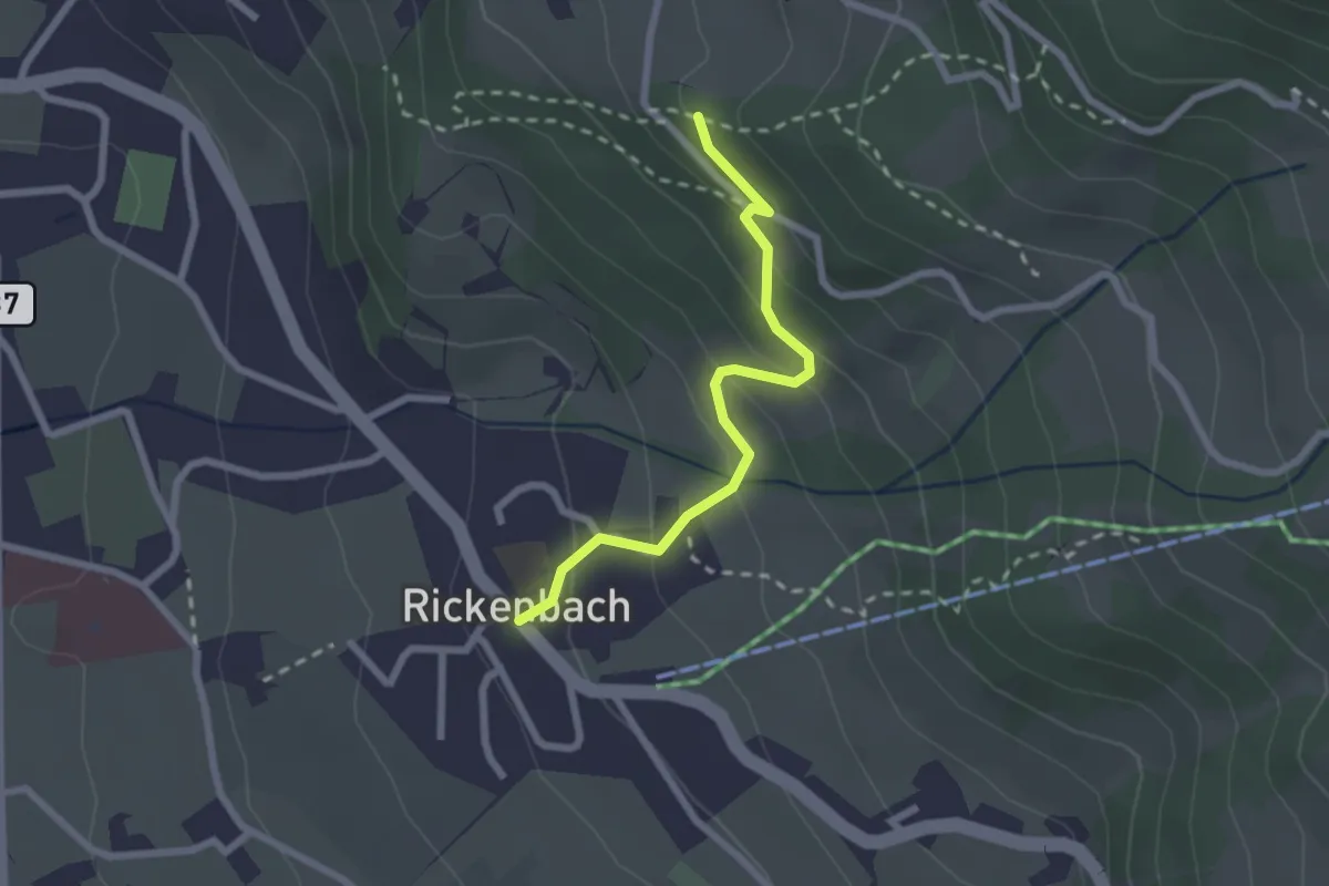
Easy · Trail
Rickenbach – Tschütschiwald
2.2 km · ↑ 158 m · 52 min · 12 km away
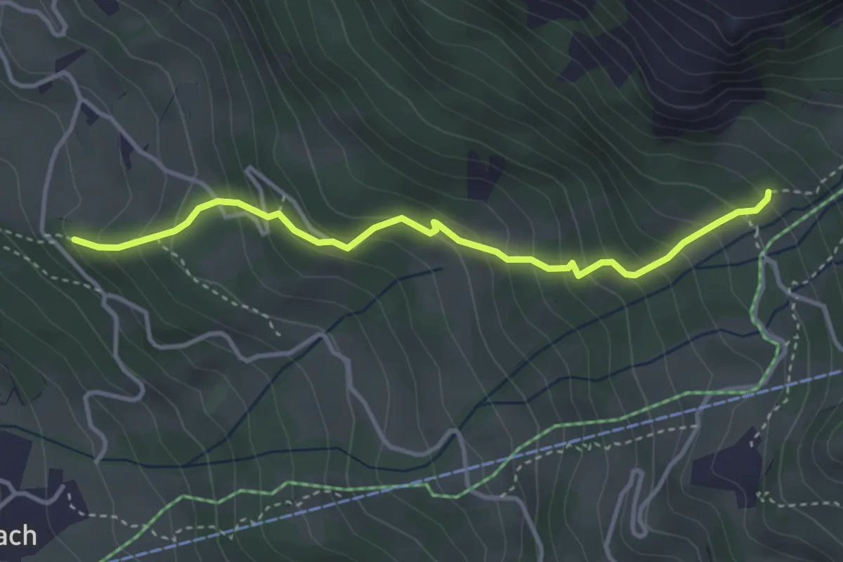
Medium · Trail
Tschütschiwald – Hasli
3.5 km · ↑ 377 m · 1 h 39 min · 12 km away
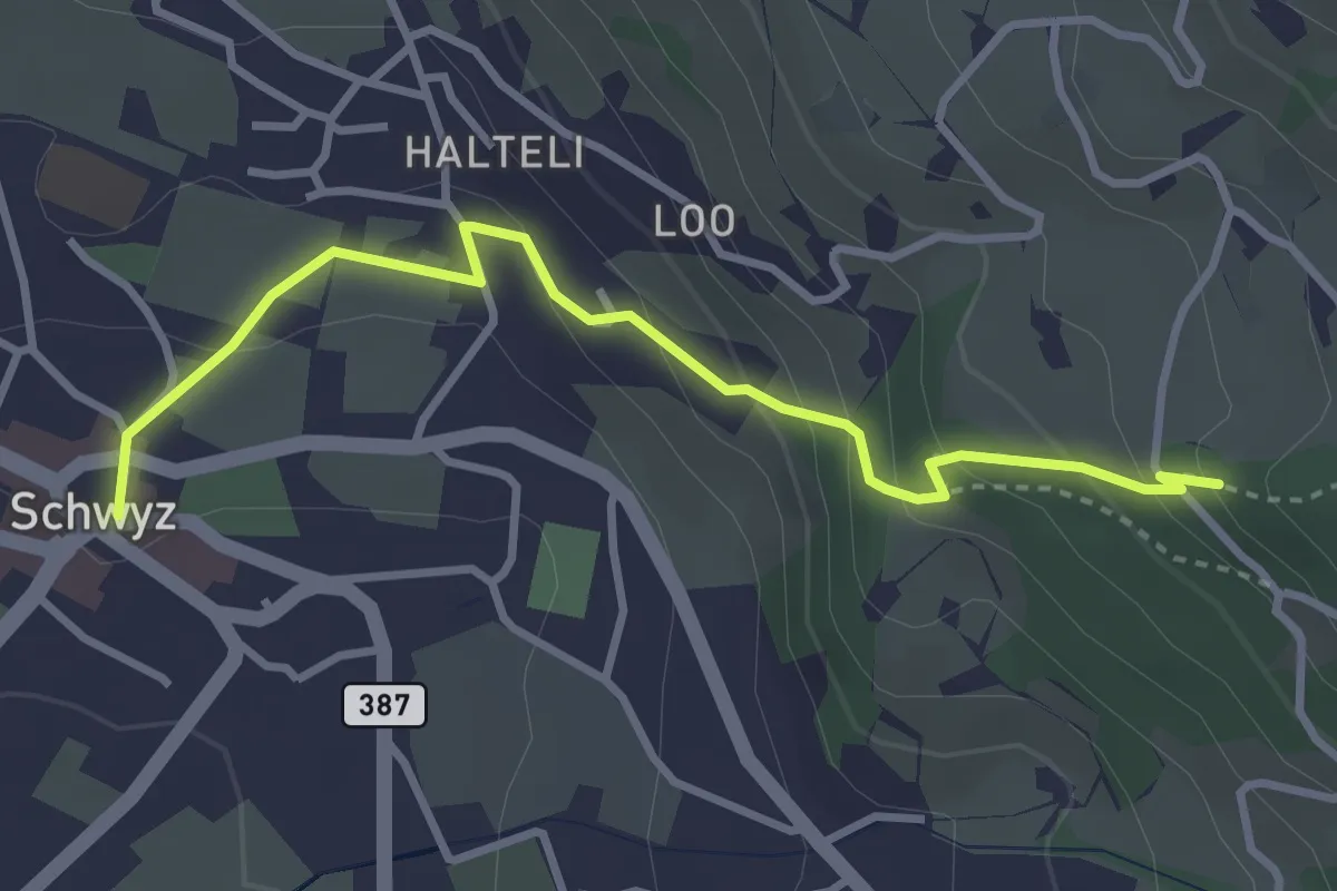
Medium · Trail
Schwyz Hauptplatz – Tschütschiwald
3.4 km · ↑ 211 m · 1 h 16 min · 12 km away
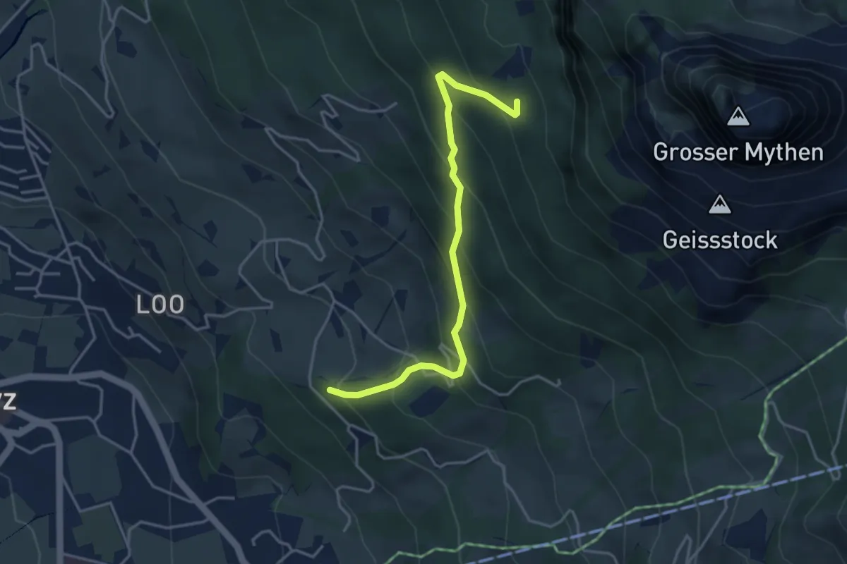
Medium · Trail
Tschütschiwald – Günterigs
3.8 km · ↑ 374 m · 1 h 42 min · 12 km away
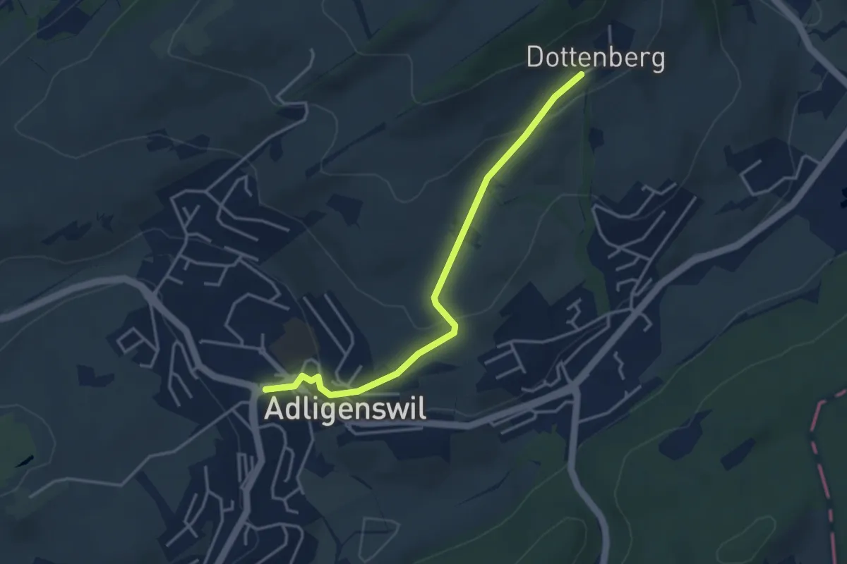
Easy · Trail
Dottenberg – Adlingswil
3.6 km · ↑ 126 m · 1 h 7 min · 12 km away
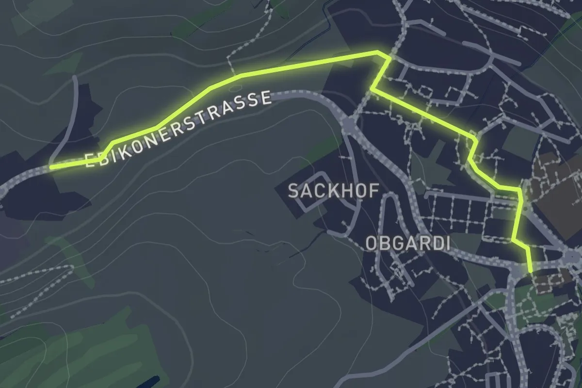
Easy · Trail
Adligenswil - Stube
2.9 km · ↑ 14 m · 43 min · 12 km away
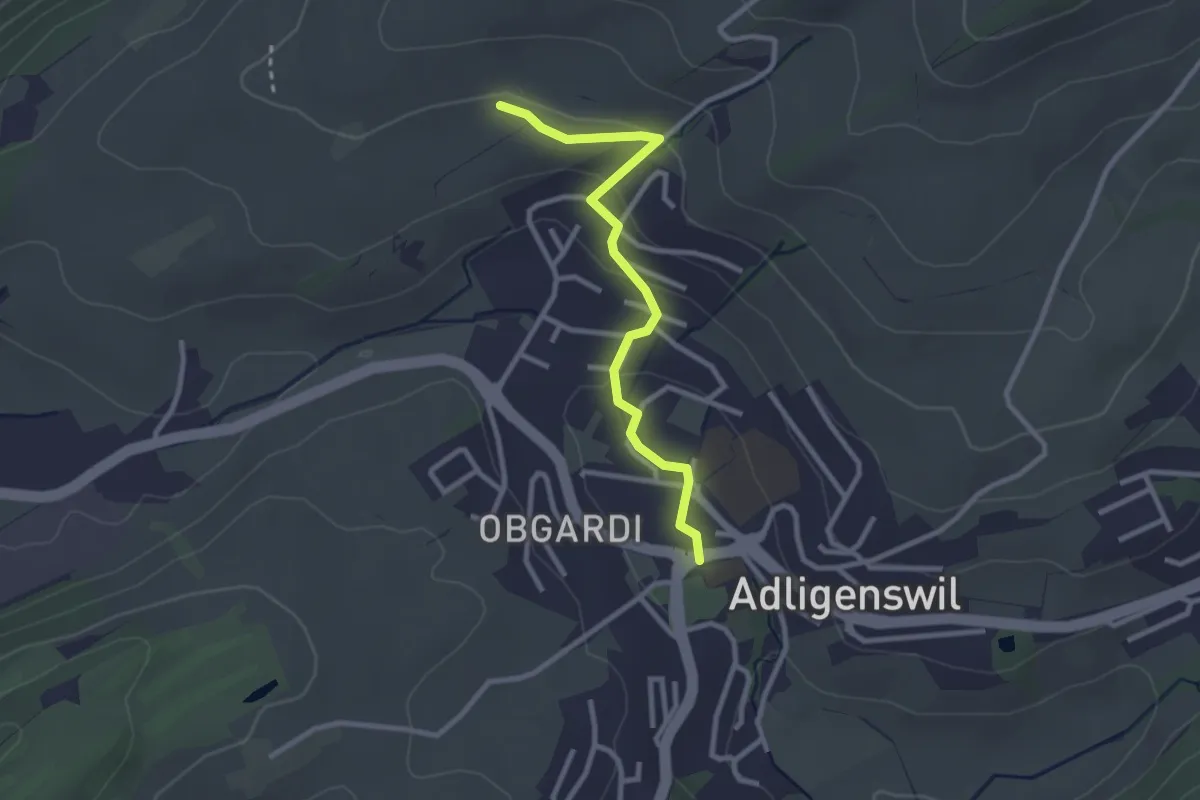
Easy · Trail
Adligenswil - Lätten
2.7 km · ↑ 82 m · 48 min · 12 km away
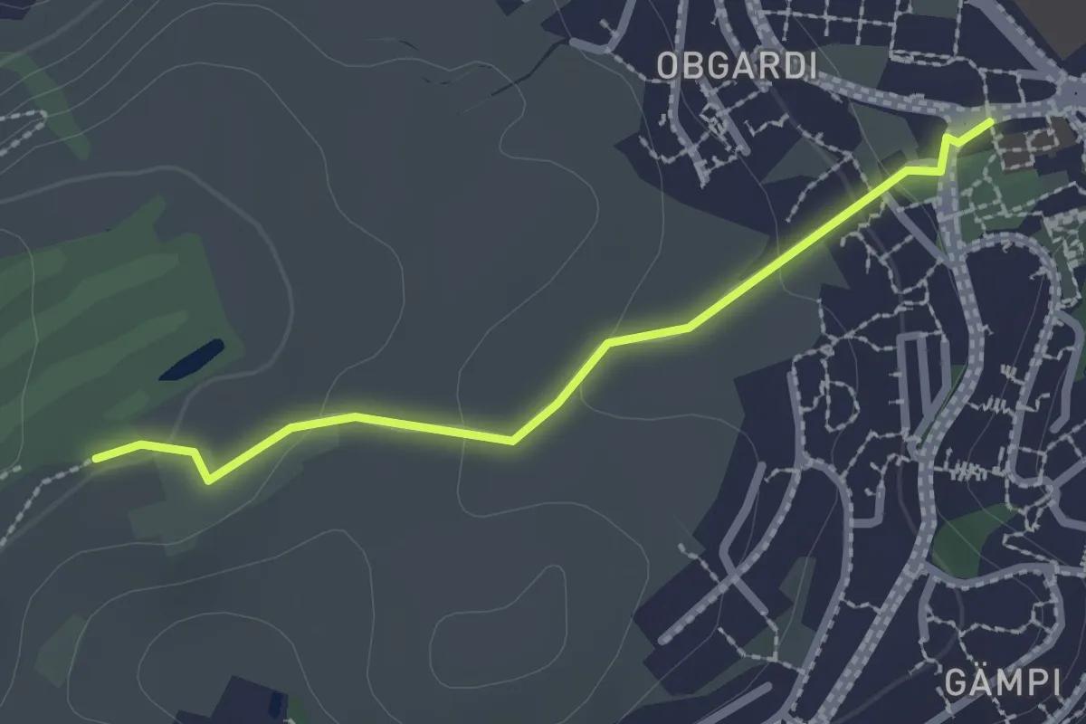
Easy · Trail
Adligenswil-Talacheri
2.1 km · ↑ 68 m · 39 min · 12 km away
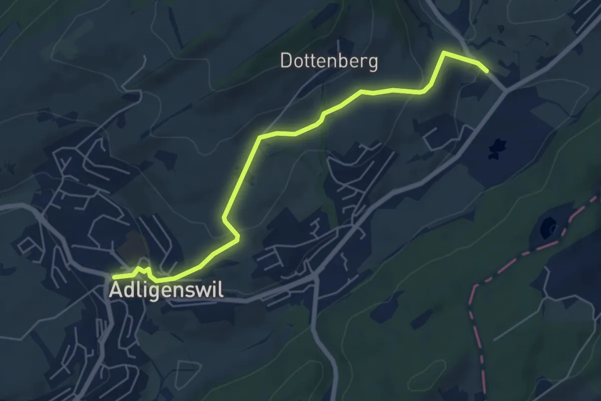
Easy · Trail
Stegmatt – Adligenswil
5.5 km · ↑ 178 m · 1 h 41 min · 12 km away
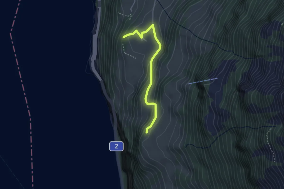
Easy · Trail
Schilti - Mattli
2.9 km · ↑ 156 m · 1 h 2 min · 12 km away
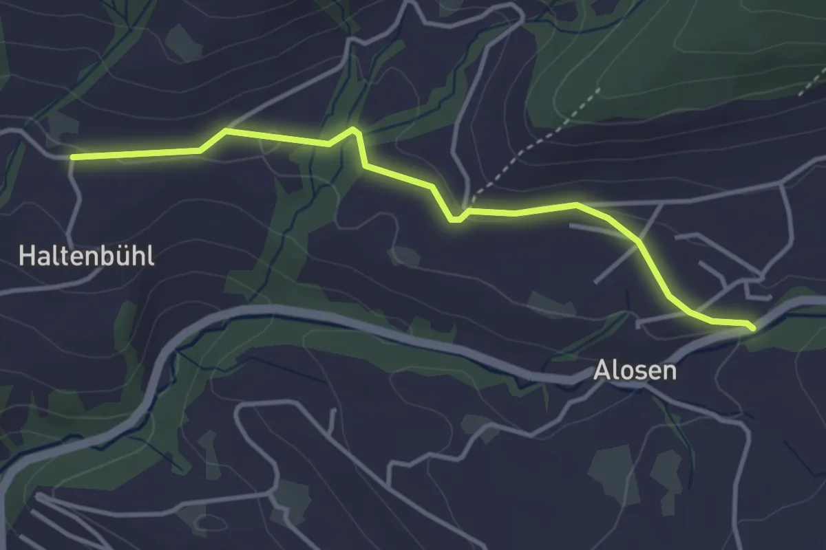
Easy · Trail
Alosen - Oberhaltenbüel
3.5 km · ↑ 52 m · 57 min · 12 km away
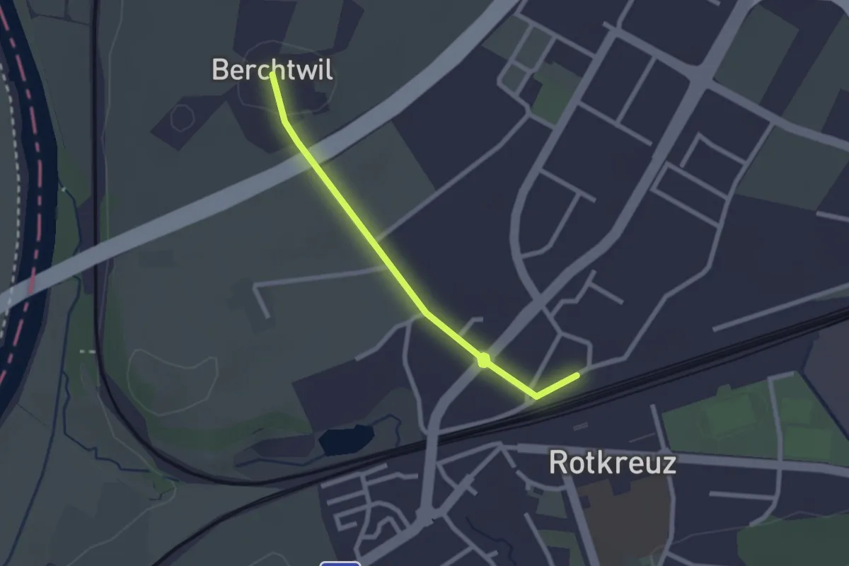
Easy · Trail
Rotkreuz - Berchtwil
2.2 km · ↑ 19 m · 33 min · 12 km away
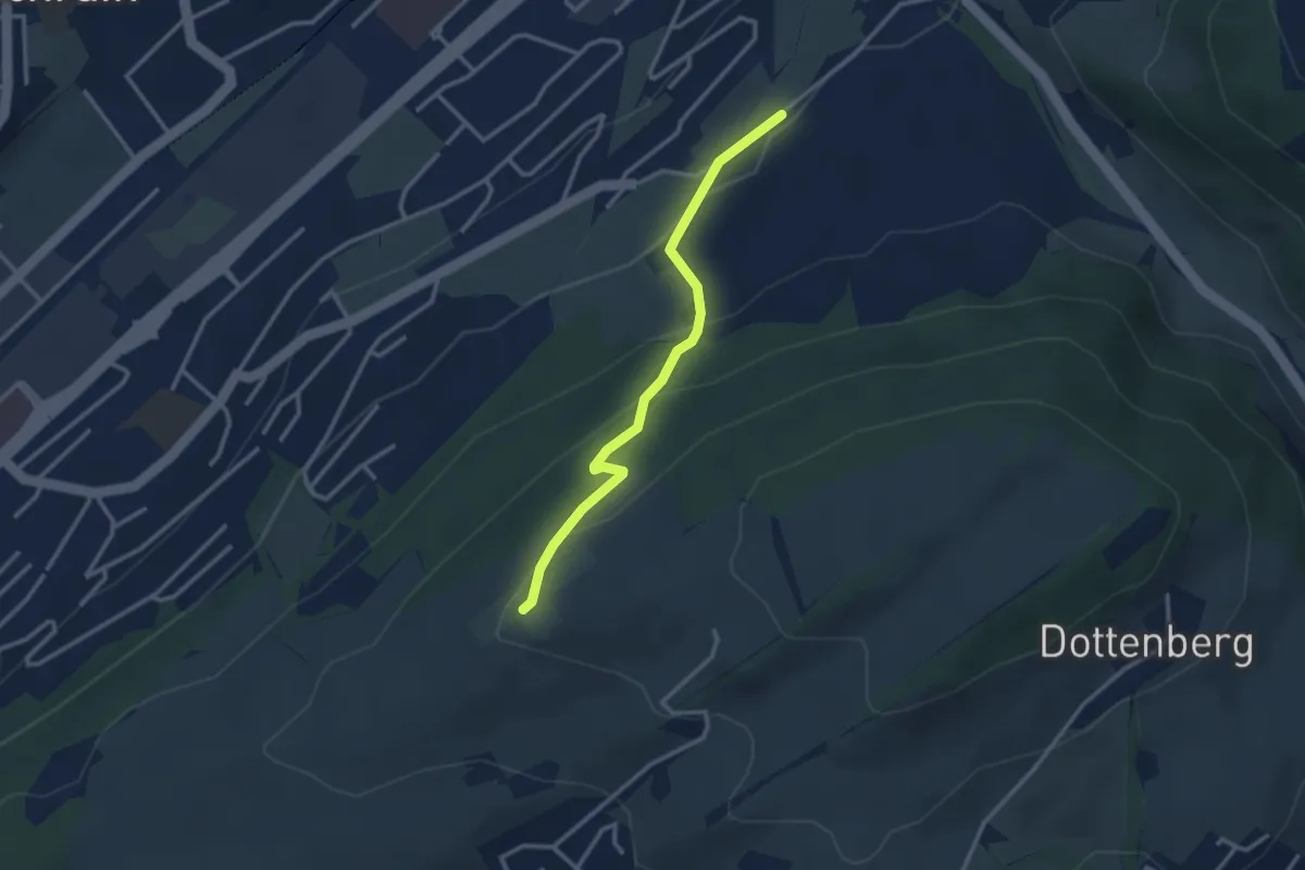
Easy · Trail
Ober Äbrüti – Spächten
2.9 km · ↑ 155 m · 1 h 1 min · 12 km away
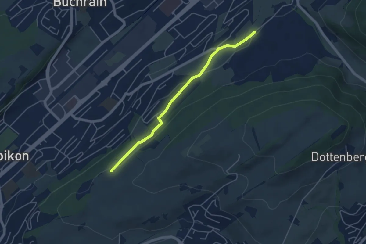
Easy · Trail
Spächte – Under Äbrüti
3.9 km · ↑ 92 m · 1 h 8 min · 12 km away
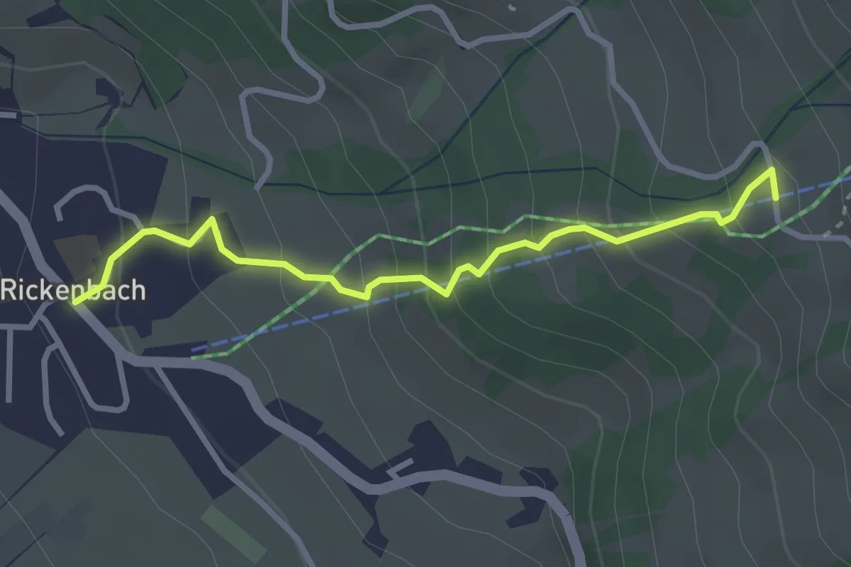
Easy · Trail
Rickenbach – Huserenberg
2.8 km · ↑ 272 m · 1 h 15 min · 12 km away
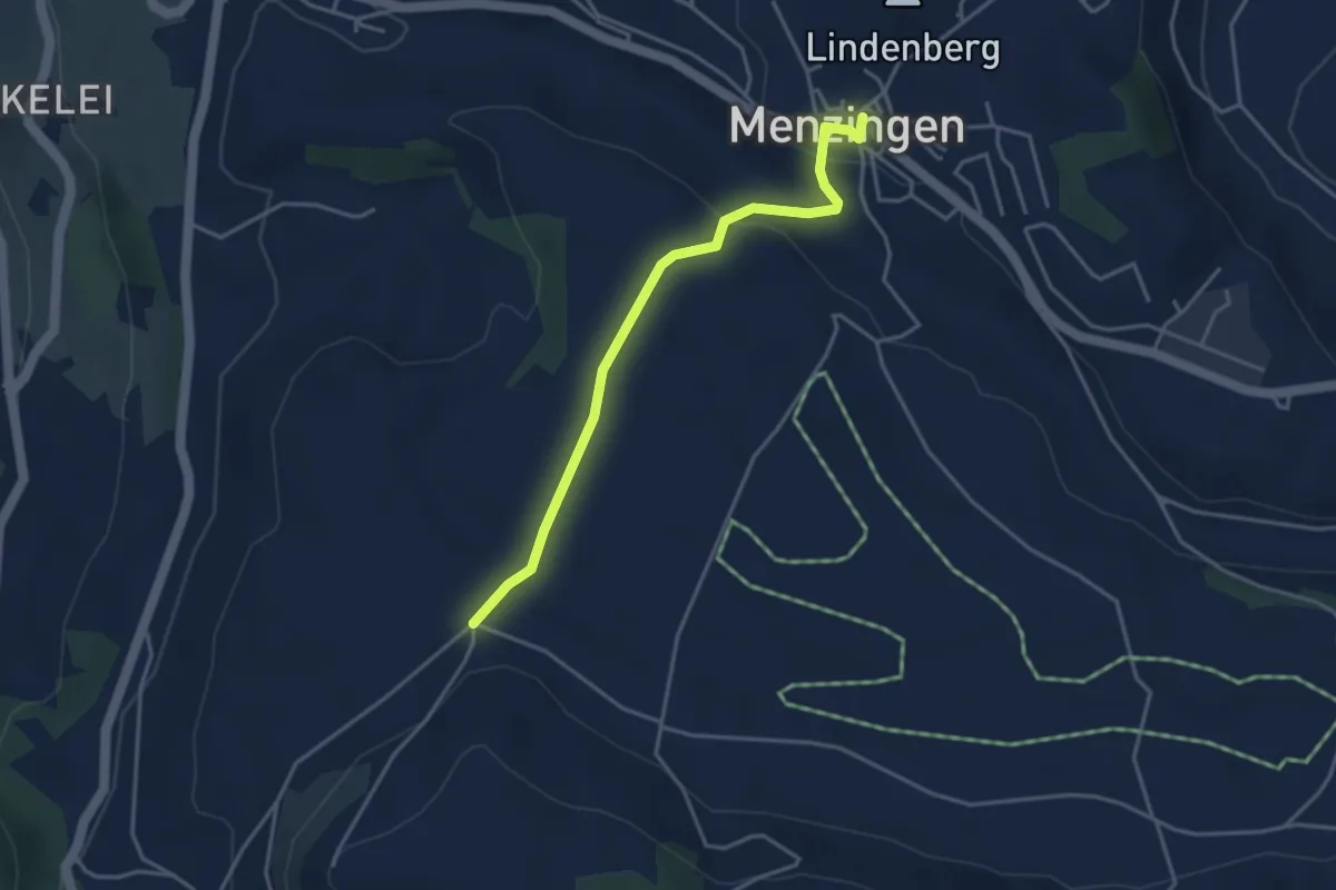
Easy · Trail
Menzingen - Bolzli
3.7 km · ↑ 70 m · 1 h 2 min · 12 km away
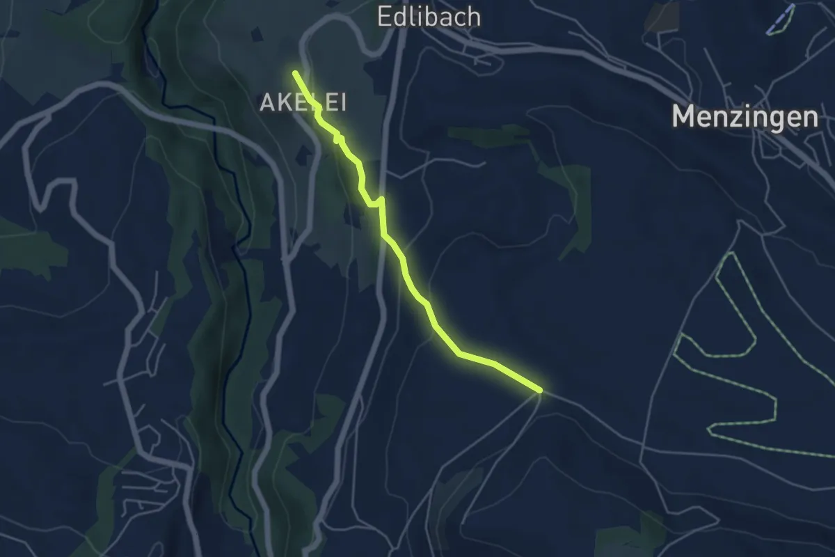
Easy · Trail
Bolzli - Wulfligen
4.0 km · ↑ 150 m · 1 h 16 min · 12 km away
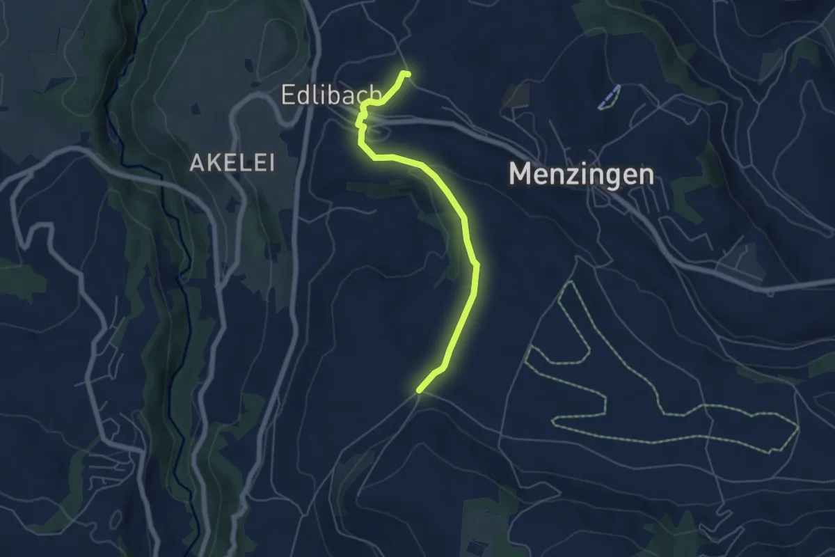
Easy · Trail
Edlibach – Bolzli
4.9 km · ↑ 91 m · 1 h 22 min · 12 km away
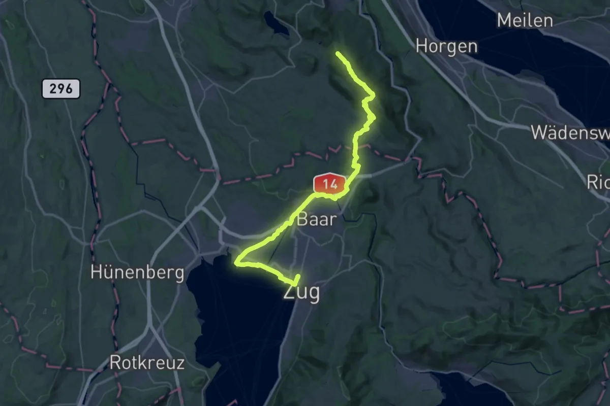
Demanding · Summit
Zürich-Zugerland-Panoramaweg - Etappe 2
35.3 km · ↑ 671 m · 9 h 47 min · 12 km away
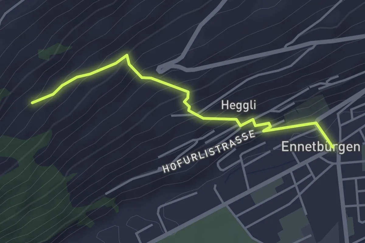
Medium · Trail
Ennetbürgen Post – Holzen
3.4 km · ↑ 321 m · 1 h 30 min · 12 km away
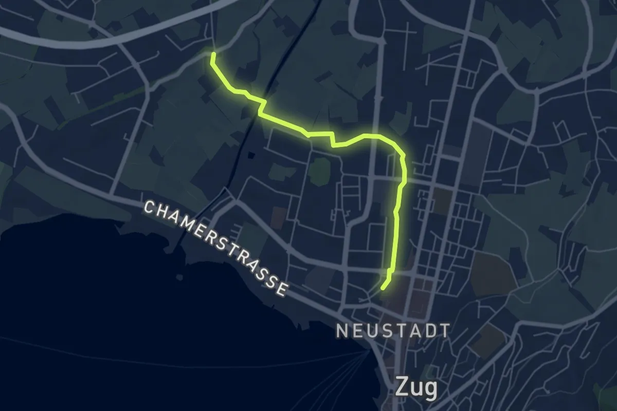
Easy · Trail
Zug Bahnhof - Chollermühli
5.2 km · ↑ 0 m · 1 h 13 min · 12 km away
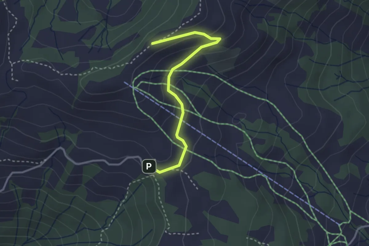
Easy · Trail
Haggenegg - Brüschrainhöchi
2.8 km · ↑ 112 m · 55 min · 12 km away
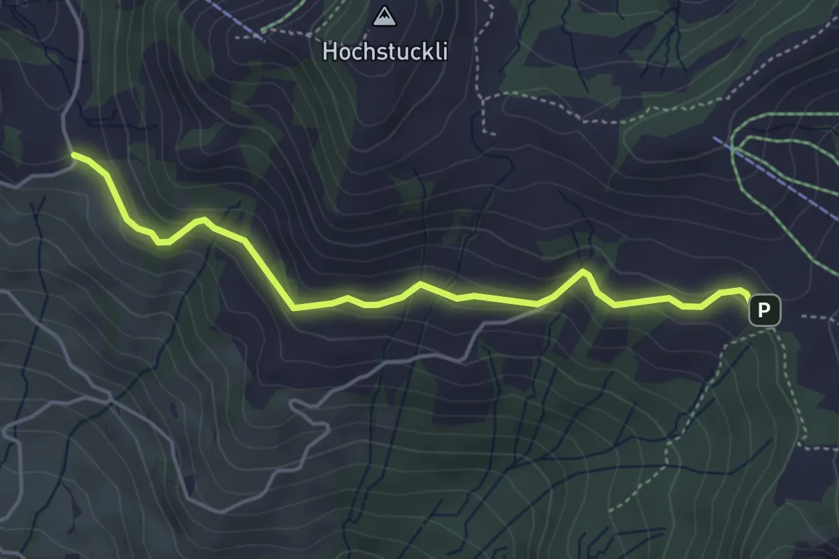
Easy · Trail
südlich Mostelegg - Haggenegg
4.3 km · ↑ 195 m · 1 h 26 min · 12 km away
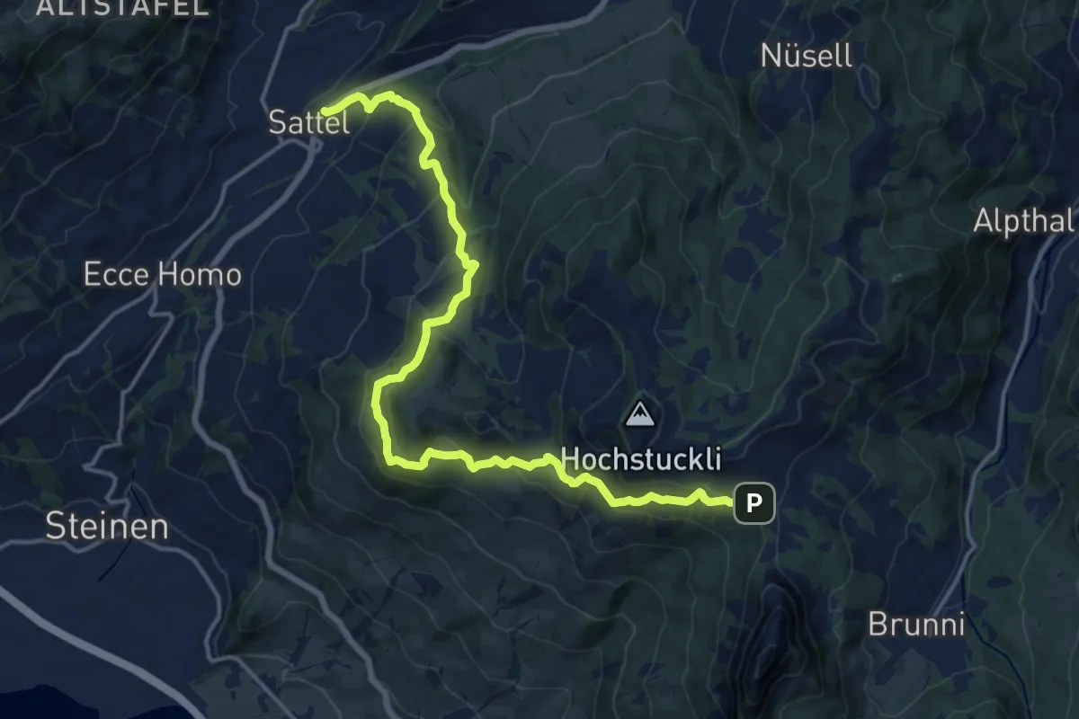
Demanding · Trail
Schwyzer Höhenweg - Etappe 4
17.1 km · ↑ 897 m · 5 h 59 min · 12 km away
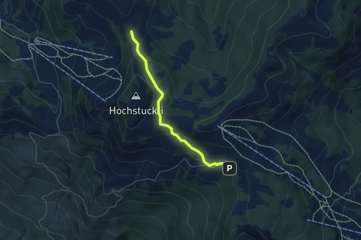
Medium · Trail
Haggenegg - Bannegg
4.1 km · ↑ 147 m · 1 h 17 min · 12 km away
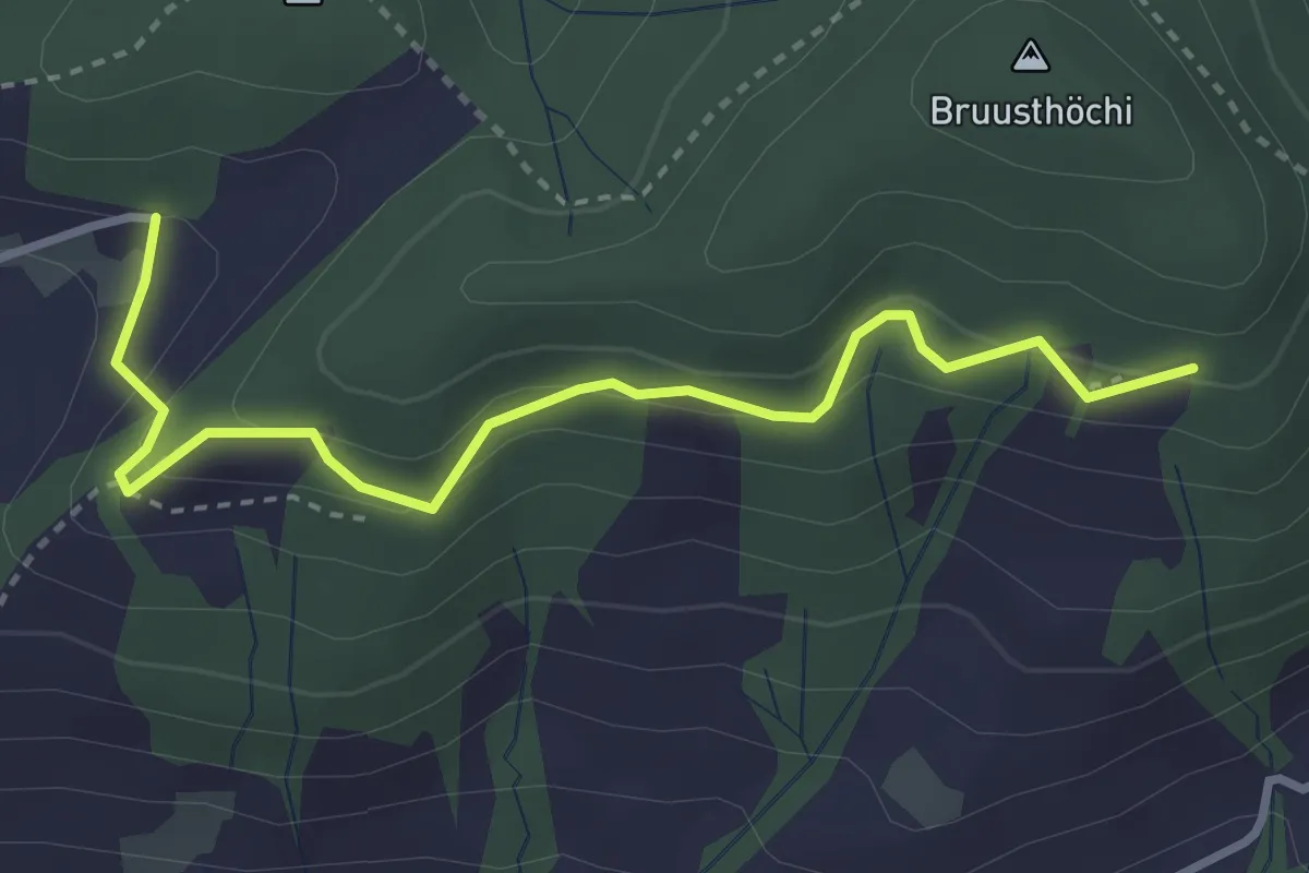
Medium · Trail
Bruustweid – Hintertann
3.4 km · ↑ 190 m · 1 h 13 min · 12 km away
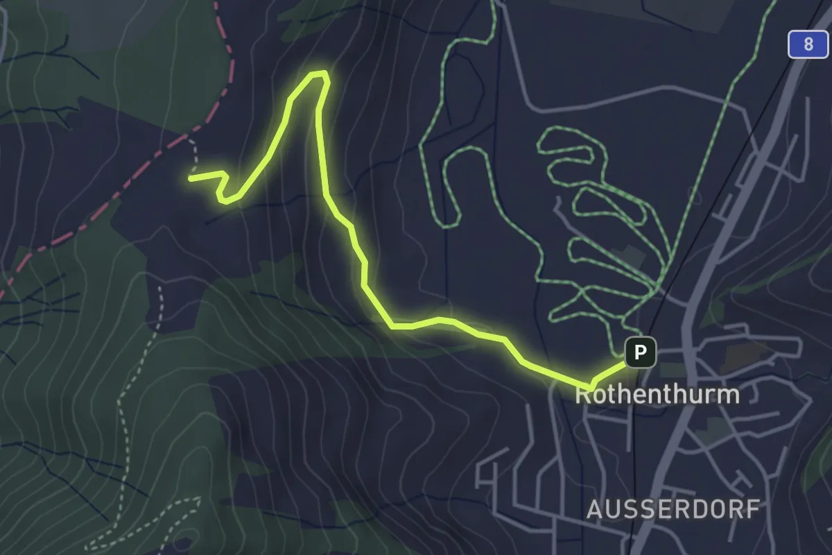
Easy · Trail
Chli Morgarten - Rotenthurm Bahnhof
4.1 km · ↑ 147 m · 1 h 17 min · 12 km away
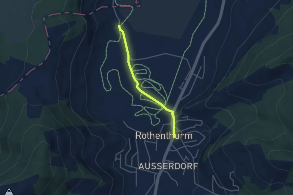
Easy · Trail
Rothenthurm – Möslibrugg
2.6 km · ↑ 19 m · 39 min · 12 km away
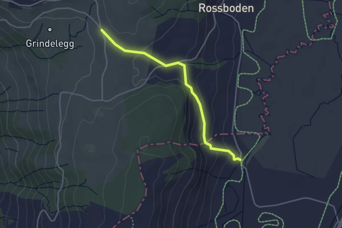
Easy · Trail
Ob Tännli - Tännli Chappeli - Möslibrugg
3.1 km · ↑ 114 m · 58 min · 12 km away
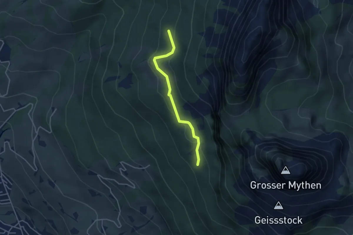
Medium · Trail
Günterigs - Stockwald? / Haggenegg? - fixme
2.9 km · ↑ 144 m · 1 h · 12 km away
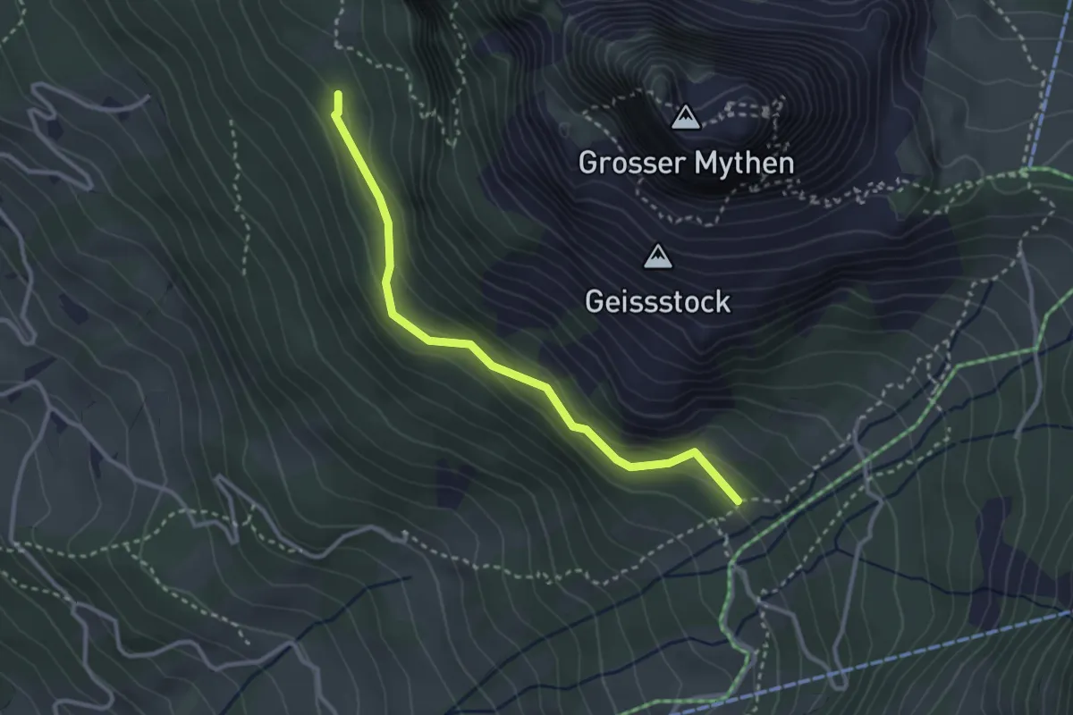
Medium · Trail
Günterigs - Hasli
2.9 km · ↑ 138 m · 59 min · 12 km away
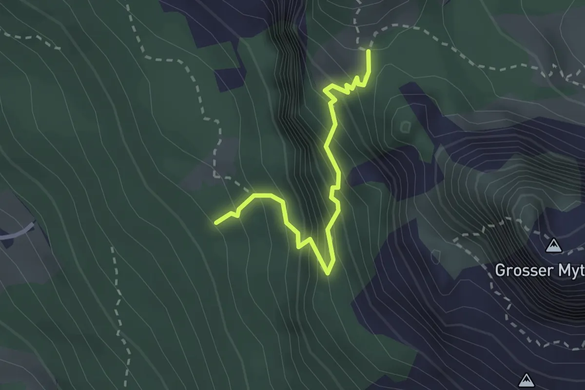
Medium · Trail
Günterigs - Zwüschet Mythen
2.2 km · ↑ 346 m · 1 h 16 min · 12 km away