Trails near Arth
673 hikes starting within 15 km, nearest first.
Nearest first, page 9 of 15
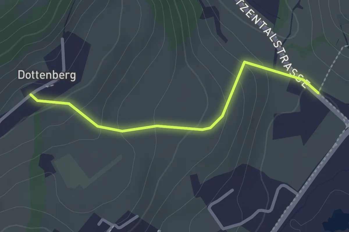
Easy · Trail
Dottenberg – Stegmatt
2.1 km · ↑ 108 m · 43 min · 11 km away
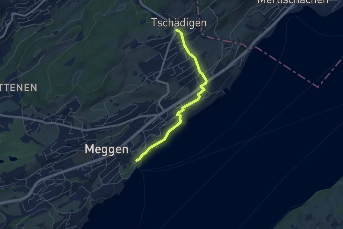
Easy · Trail
Meggen (Schiff) - Tschädigen
5.1 km · ↑ 156 m · 1 h 32 min · 11 km away
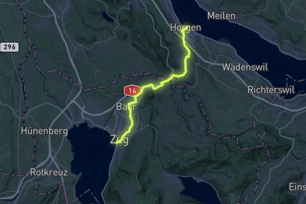
Medium · Trail
Saumweg
17.4 km · ↑ 376 m · 5 h 10 min · 11 km away
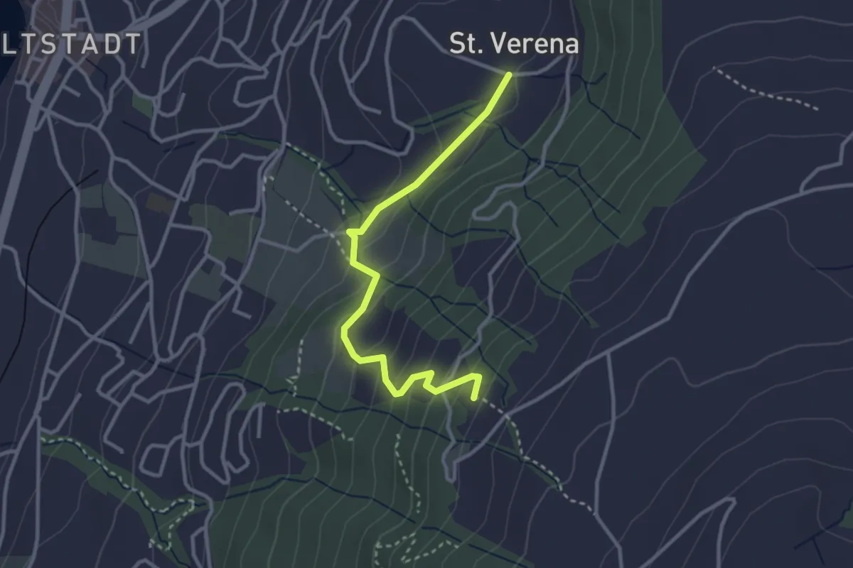
Easy · Trail
St. Verena – Blasenberg
3.1 km · ↑ 219 m · 1 h 12 min · 11 km away
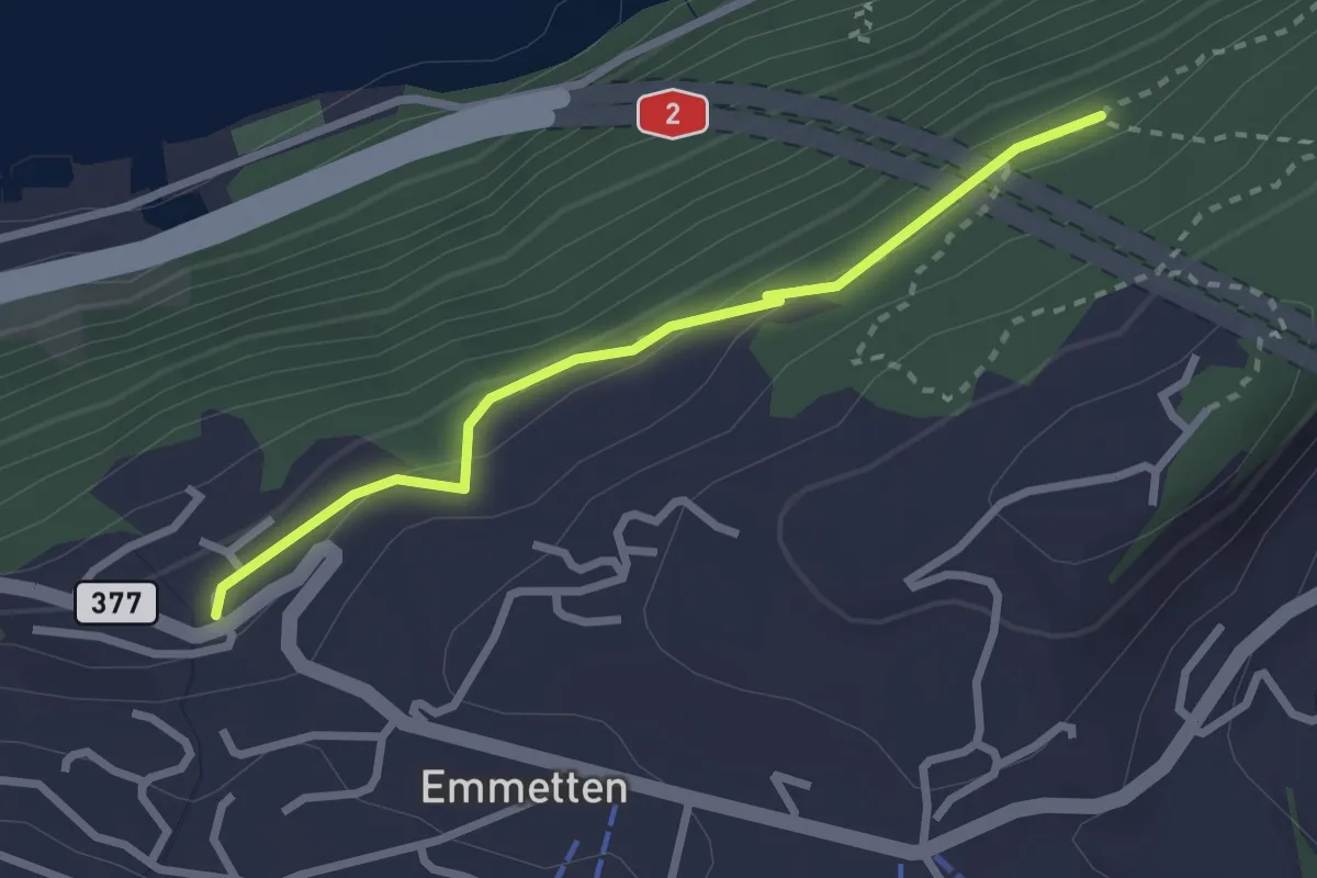
Easy · Trail
Schönegg – Bleiki
2.5 km · ↑ 116 m · 51 min · 11 km away
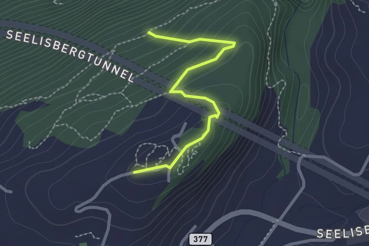
Easy · Trail
Seeblick – Bleiki
2.1 km · ↑ 127 m · 46 min · 11 km away
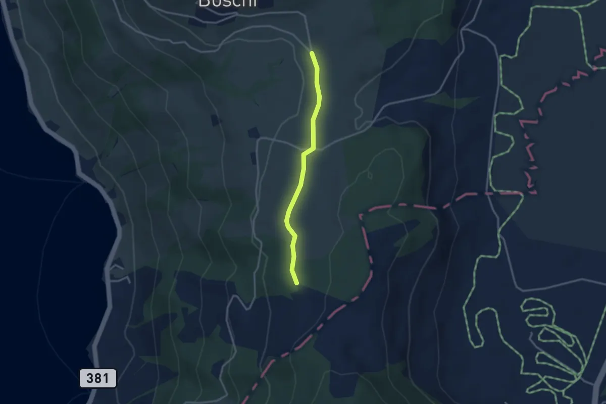
Easy · Trail
Teufiwald Süd - Ob Tännli
2.5 km · ↑ 23 m · 39 min · 11 km away
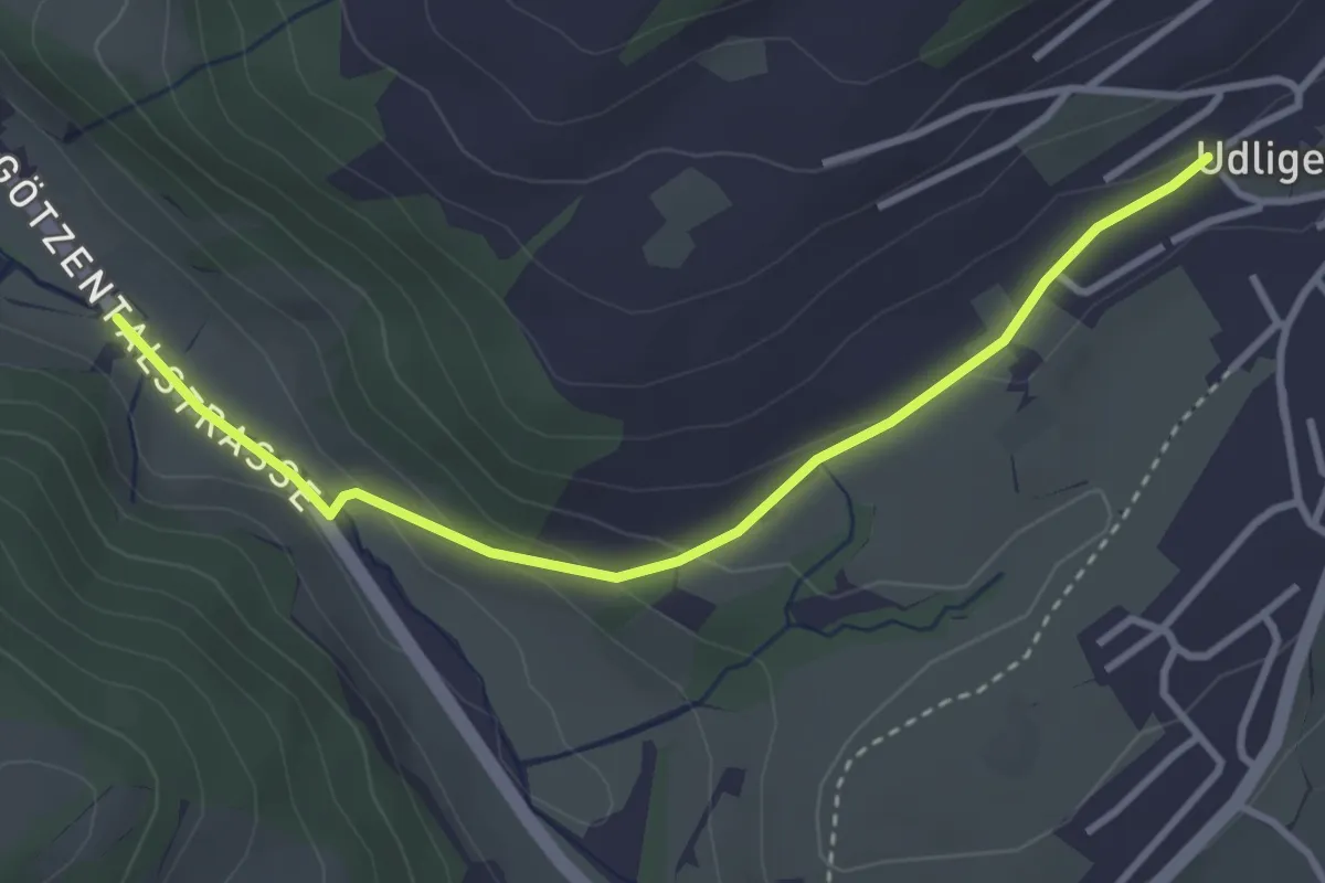
Easy · Trail
Udligenswil - Götzetal
3.4 km · ↑ 106 m · 1 h 2 min · 11 km away
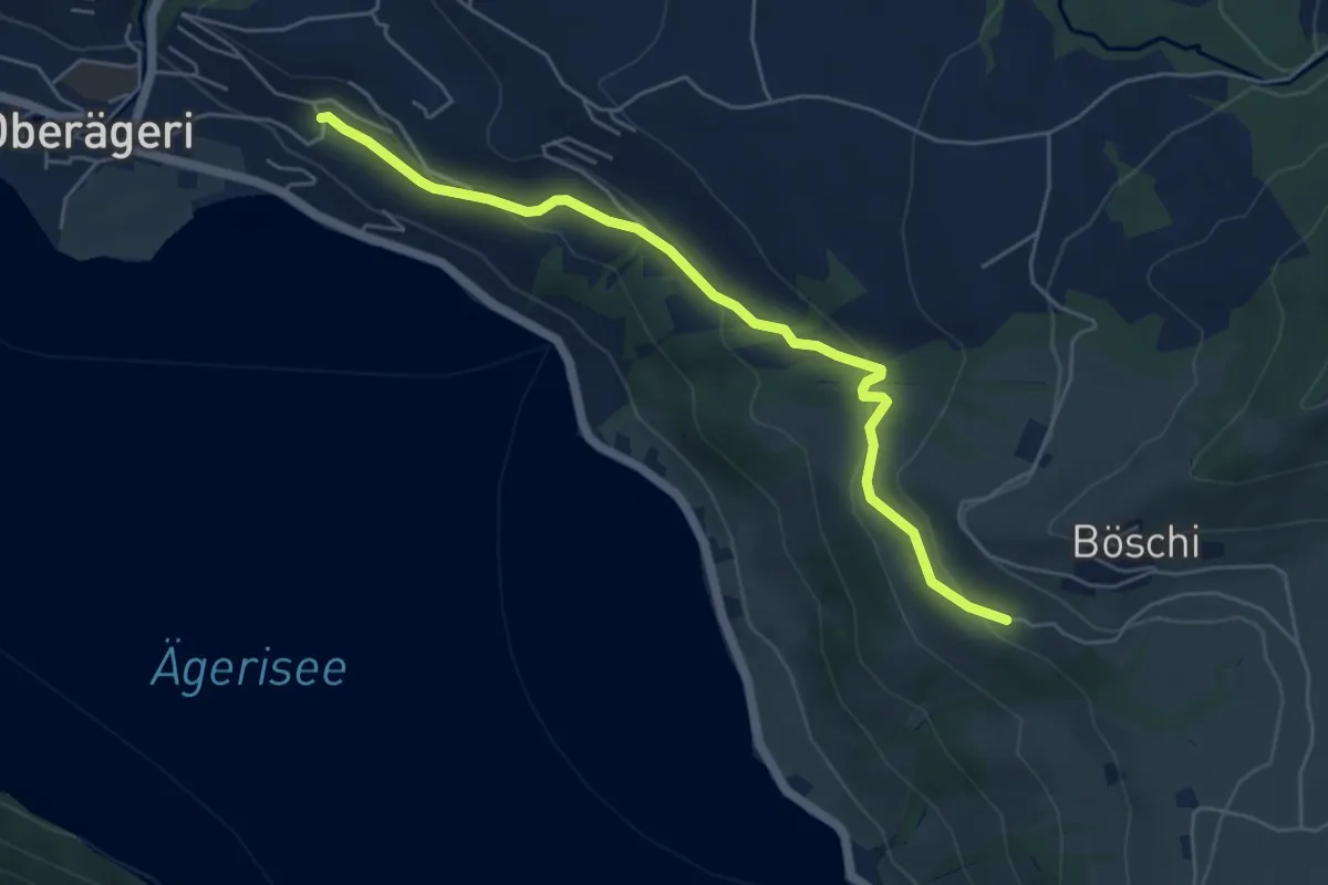
Easy · Trail
Rämsli - Oberägerie
5.4 km · ↑ 204 m · 1 h 43 min · 11 km away
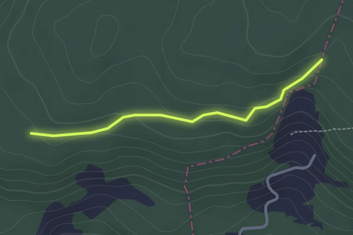
Easy · Trail
Brennwald – Plattenzug
2.0 km · ↑ 56 m · 36 min · 11 km away
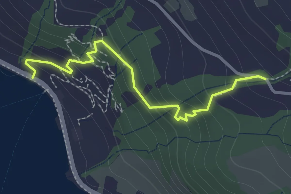
Easy · Trail
Zwüschenbäch - Ländli
2.2 km · ↑ 165 m · 53 min · 11 km away
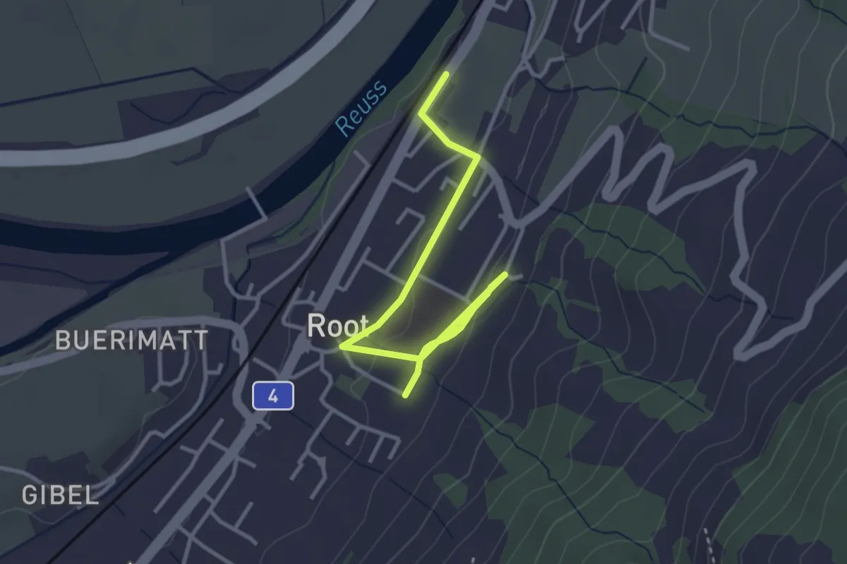
Easy · Trail
Gisikon Root Station - Root
3.5 km · ↑ 73 m · 59 min · 11 km away
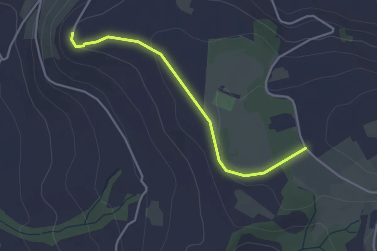
Easy · Trail
Brämen-Höchi - Gubel
2.9 km · ↑ 65 m · 49 min · 11 km away
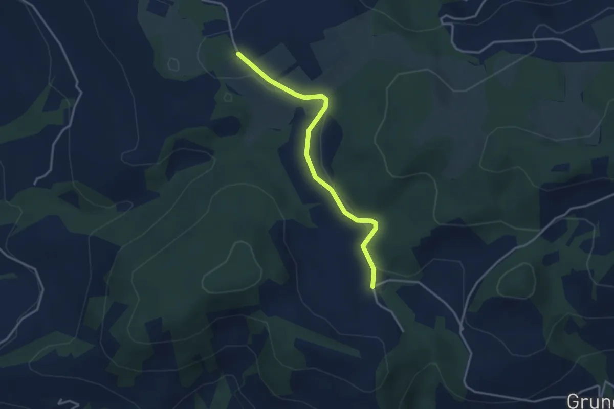
Easy · Trail
Hinterwiden - Brämen-Höchi
3.0 km · ↑ 21 m · 45 min · 11 km away
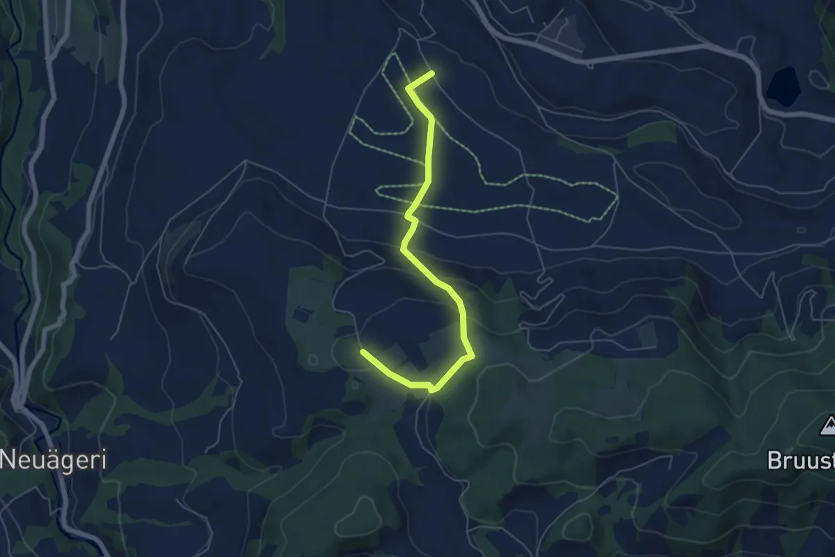
Easy · Trail
Brämen-Höchi - Grund
5.5 km · ↑ 172 m · 1 h 41 min · 11 km away
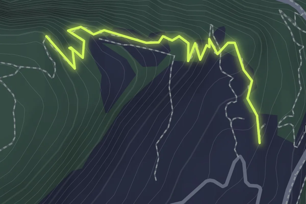
Medium · Trail
Höch Flue – Frutt
2.3 km · ↑ 158 m · 53 min · 11 km away
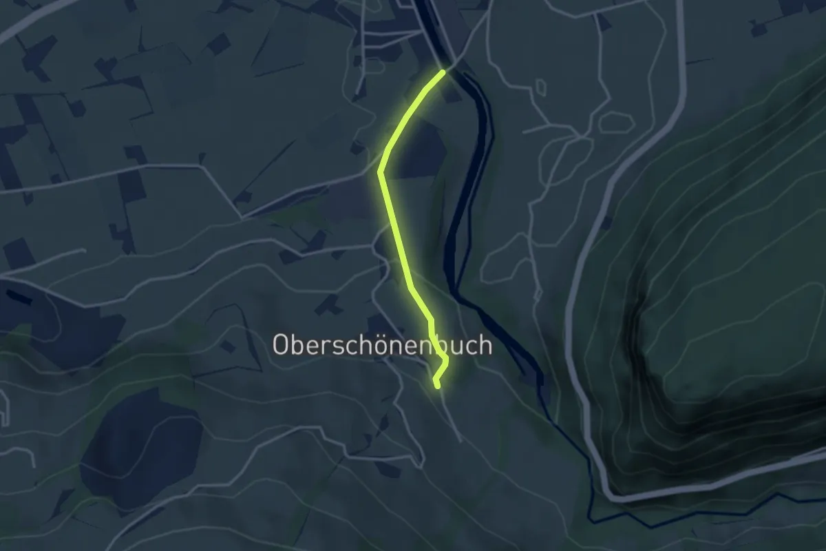
Easy · Trail
Hinter Ibach - Ober-Schönenbuch
2.5 km · ↑ 86 m · 46 min · 11 km away
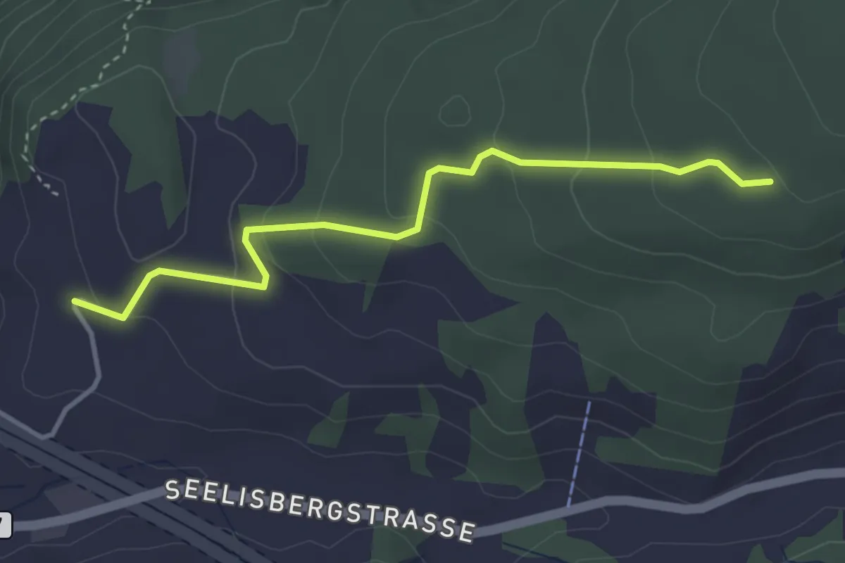
Easy · Trail
Sunnwil – Brennwald
3.5 km · ↑ 173 m · 1 h 12 min · 11 km away
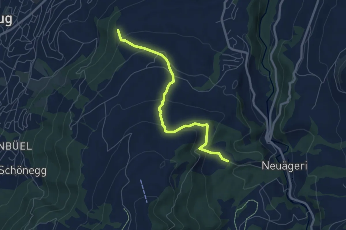
Easy · Trail
Steren-Unter Brunegg
6.0 km · ↑ 296 m · 2 h 3 min · 11 km away
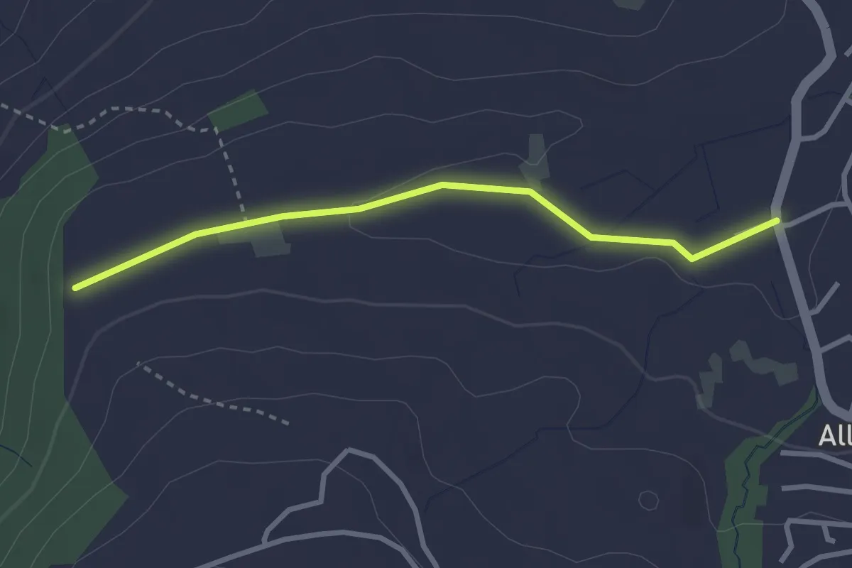
Easy · Trail
Steren - Allenwinden
2.7 km · ↑ 25 m · 41 min · 11 km away
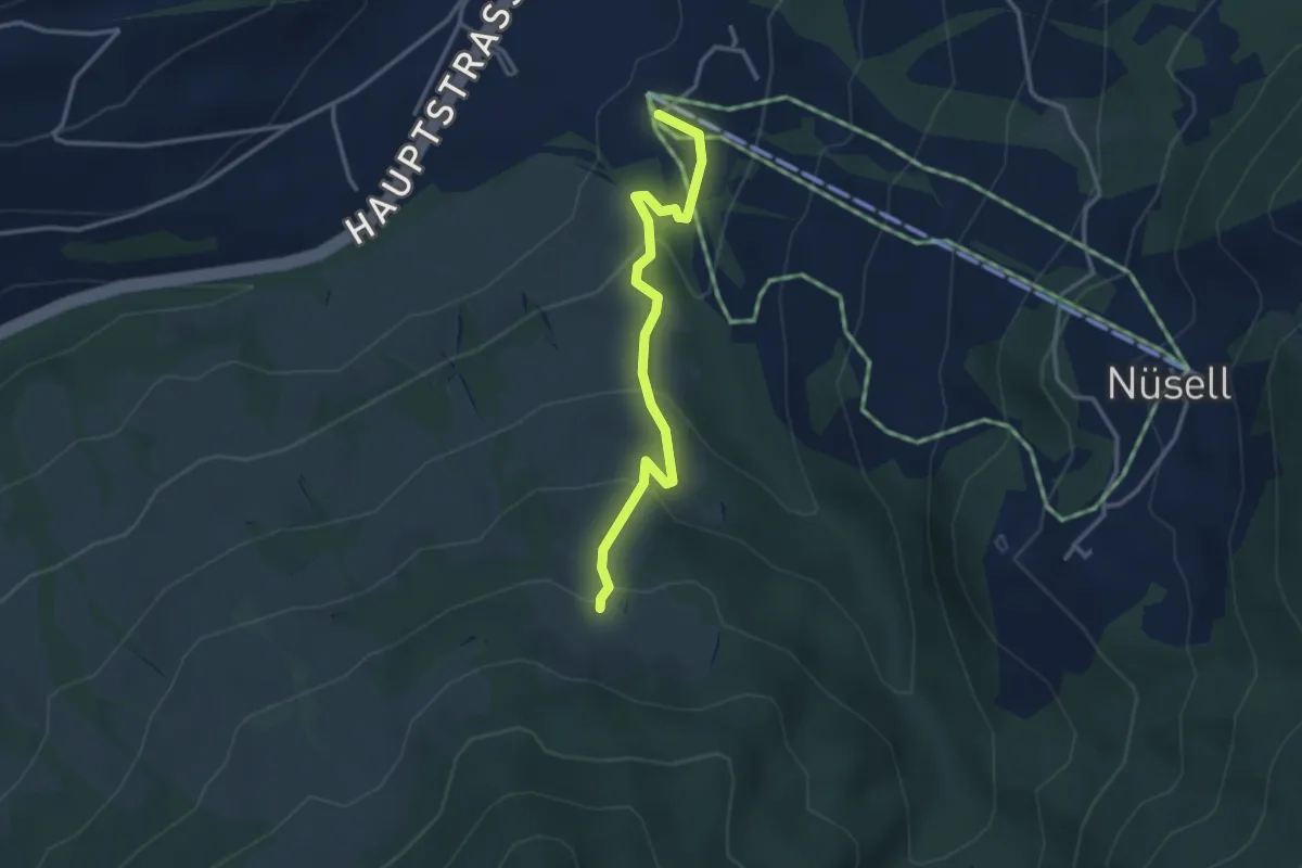
Easy · Trail
Biberegg – Mäderen
3.2 km · ↑ 194 m · 1 h 10 min · 11 km away
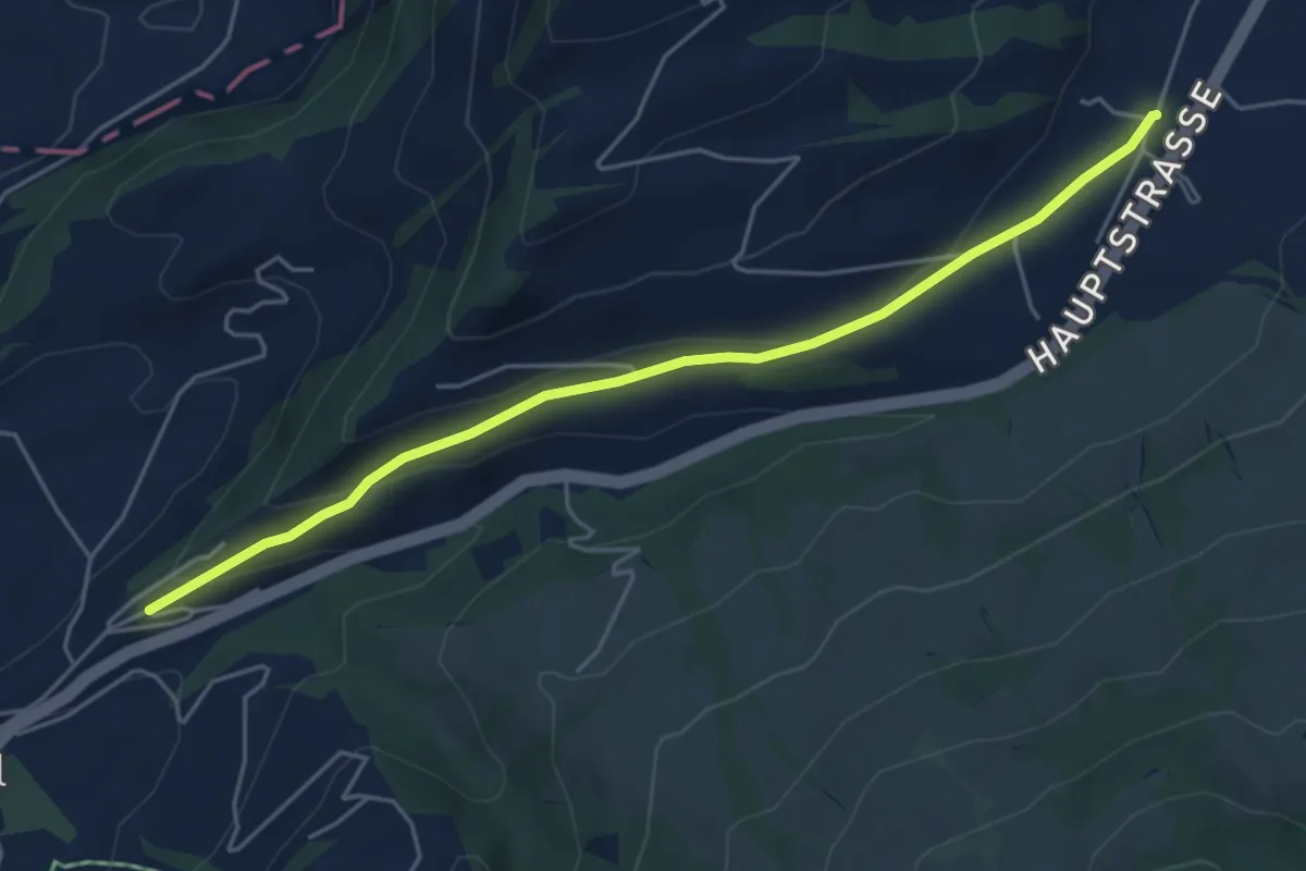
Easy · Trail
Hasenmatt - Lustnau? / Sattel? - fixme
5.1 km · ↑ 142 m · 1 h 31 min · 11 km away
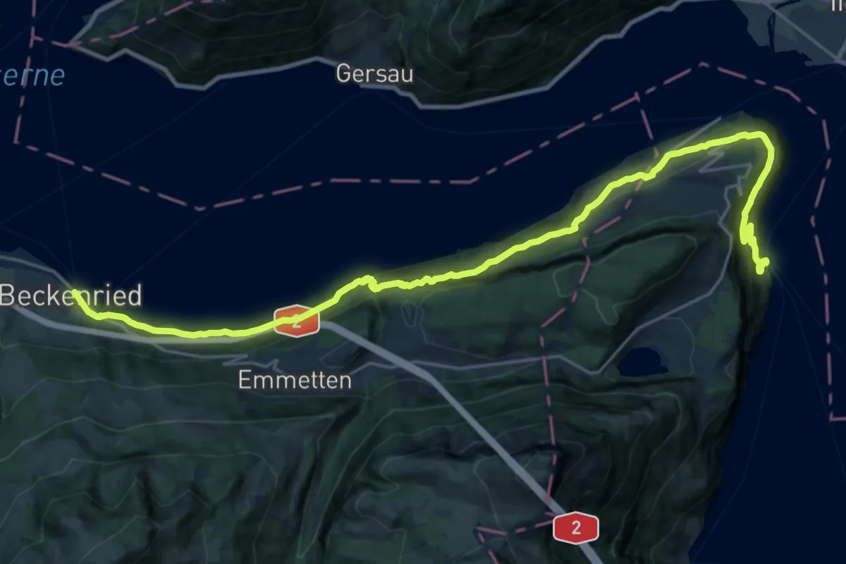
Medium · Trail
Waldstätterweg - Etappe 7
13.2 km · ↑ 769 m · 4 h 58 min · 11 km away
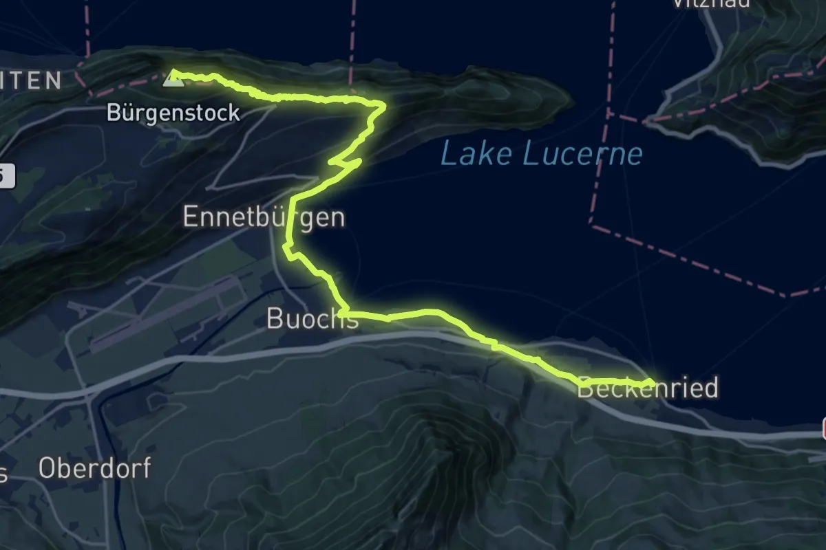
Demanding · Summit
Waldstätterweg - Etappe 6
23.1 km · ↑ 1185 m · 8 h 2 min · 11 km away
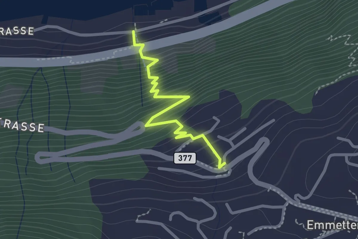
Easy · Trail
Schönegg – Rütenen
2.2 km · ↑ 268 m · 1 h 6 min · 11 km away
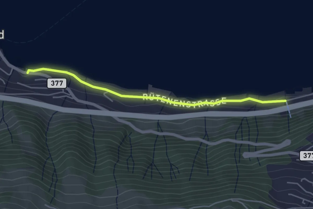
Easy · Trail
Rütenen – Boden
3.9 km · ↑ 28 m · 59 min · 11 km away
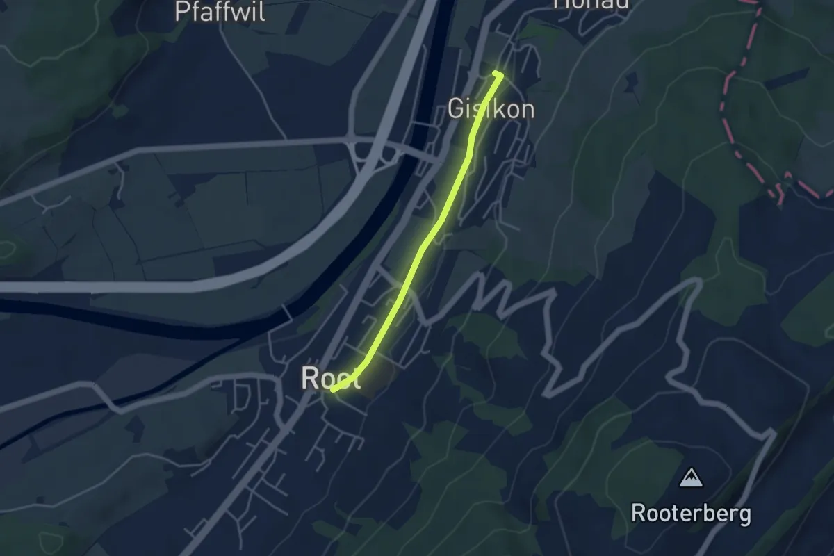
Easy · Trail
Gisikon - Root
3.3 km · ↑ 28 m · 51 min · 12 km away
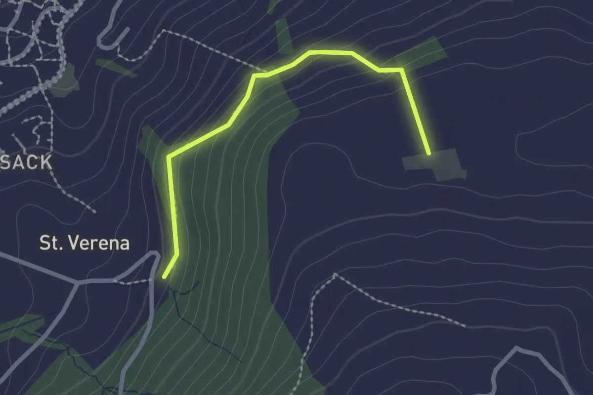
Easy · Trail
Wildenburg - Schönegg - fixme
2.1 km · ↑ 121 m · 45 min · 12 km away
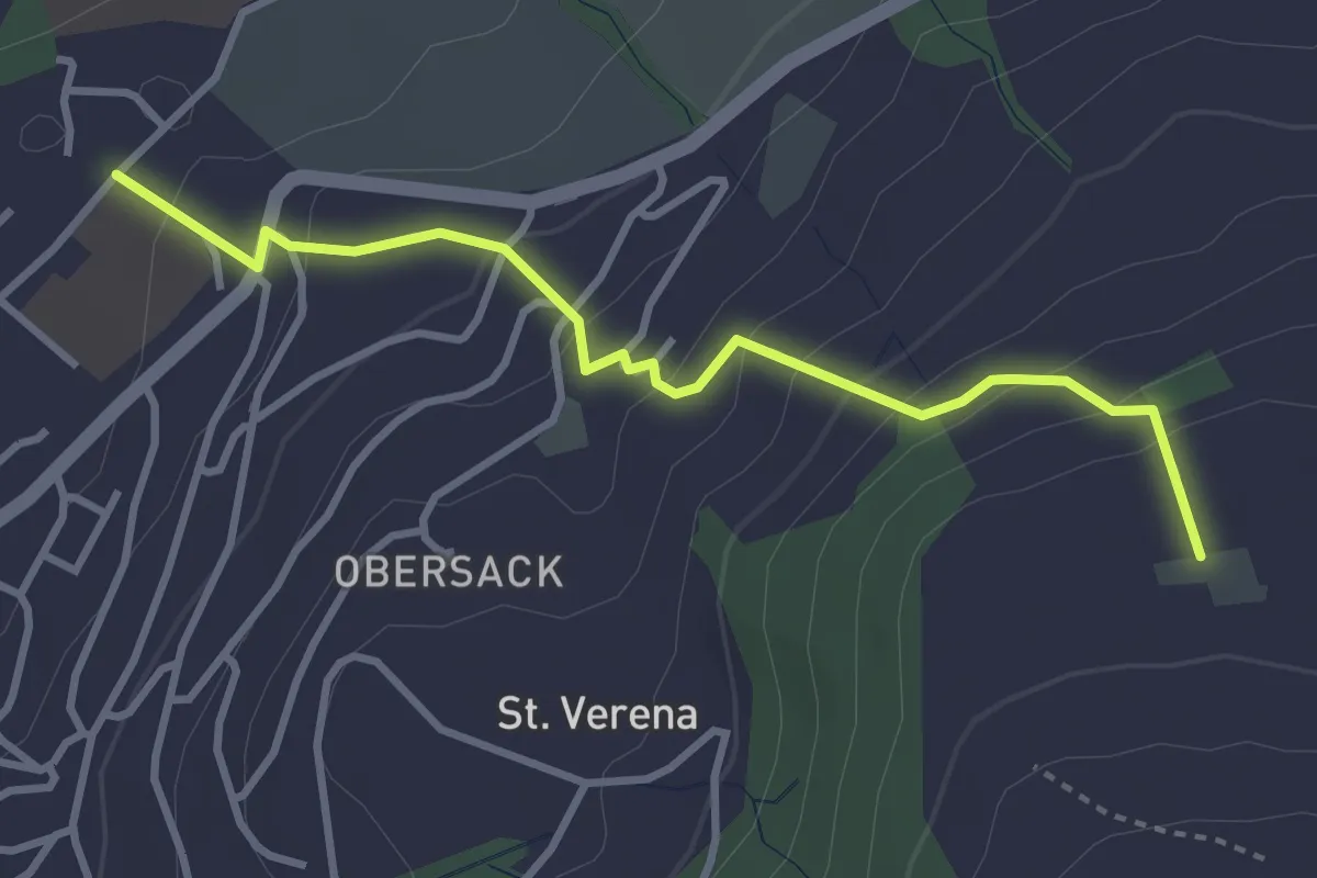
Easy · Trail
Loreto - Wildenburg
3.4 km · ↑ 225 m · 1 h 17 min · 12 km away
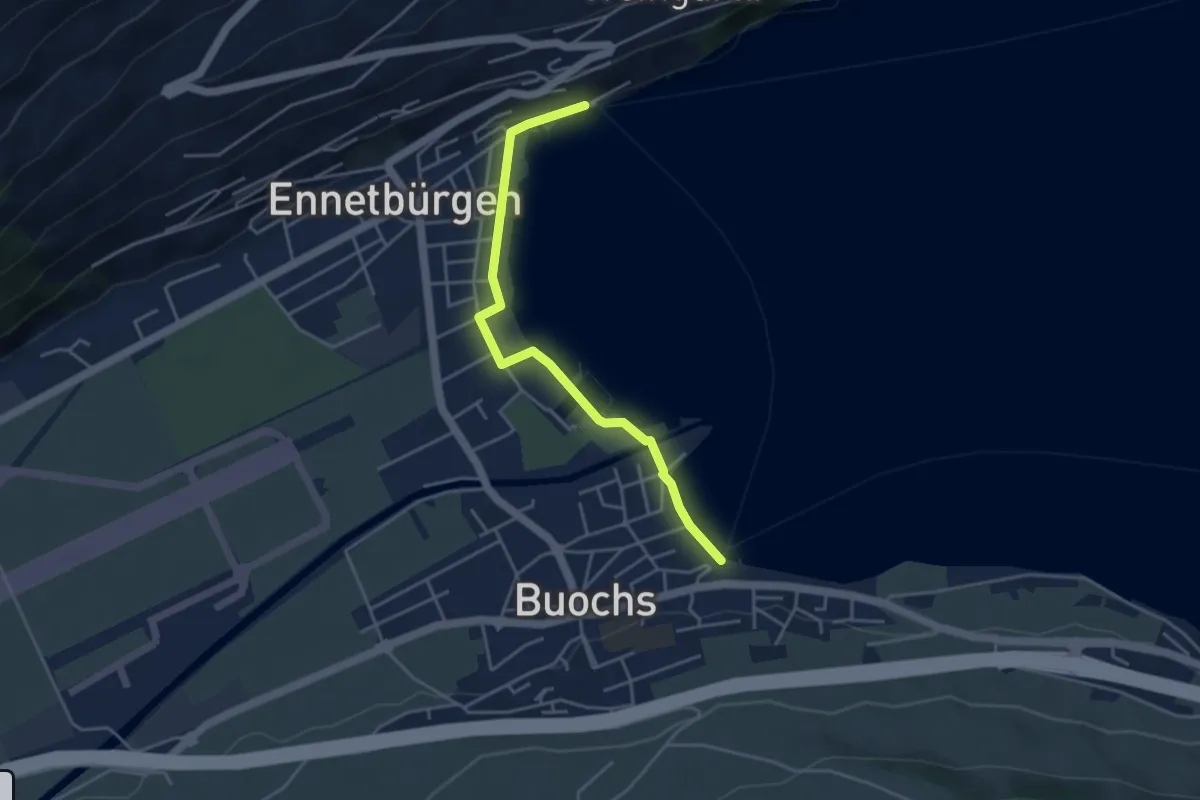
Easy · Trail
Buochs Schiffländi - Ennetbürgen Schiffländi
4.1 km · ↑ 25 m · 1 h 1 min · 12 km away
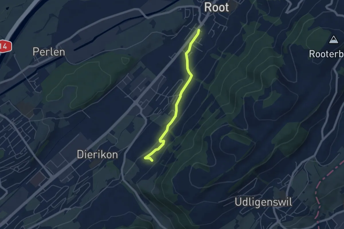
Easy · Trail
Widacher - Root
4.5 km · ↑ 131 m · 1 h 21 min · 12 km away
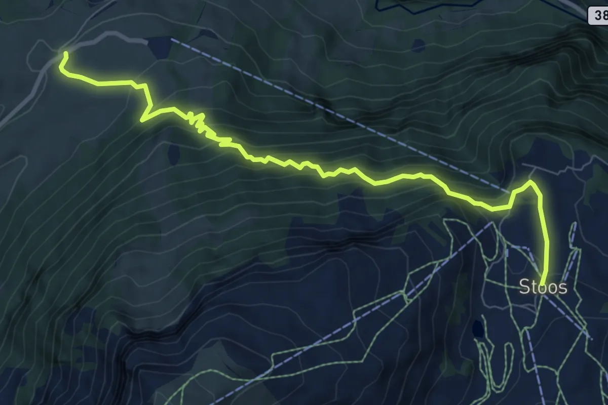
Demanding · Trail
Schwyzerhöchi – Stoos
8.9 km · ↑ 831 m · 3 h 55 min · 12 km away
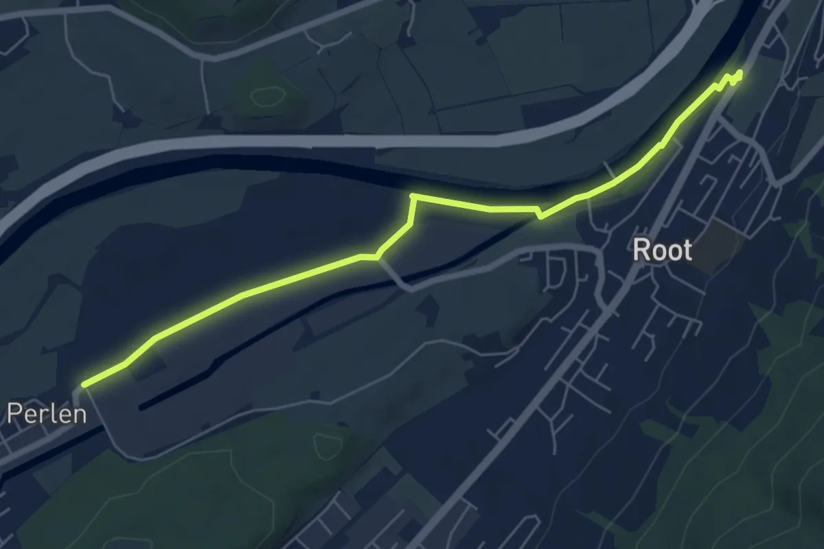
Easy · Trail
Gisikon Root - Perlen
6.1 km · ↑ 12 m · 1 h 28 min · 12 km away
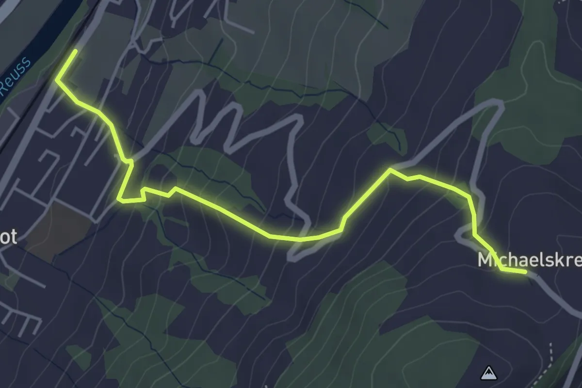
Medium · Trail
Michaelskreuz - Gisikon-Root
4.7 km · ↑ 346 m · 1 h 51 min · 12 km away
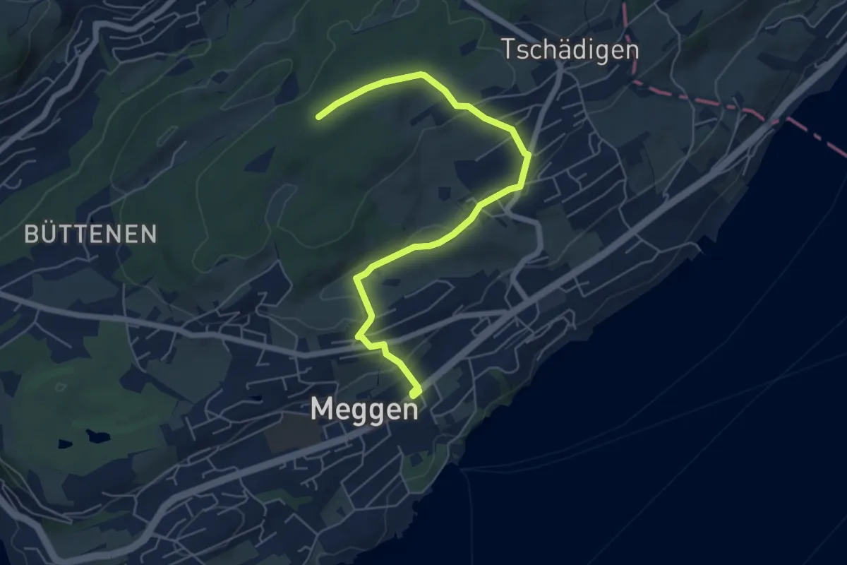
Easy · Trail
Meggen Schulhaus - Meggerwald
6.3 km · ↑ 176 m · 1 h 52 min · 12 km away
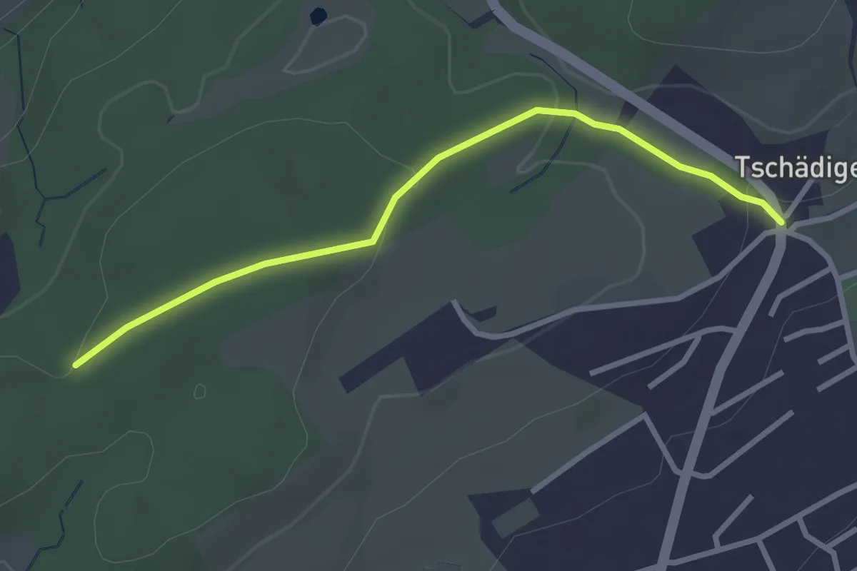
Easy · Trail
Meggerwald - Tschädigen
2.7 km · ↑ 61 m · 46 min · 12 km away
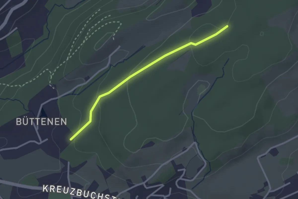
Easy · Trail
Büttenen - Meggerwald
2.4 km · ↑ 73 m · 43 min · 12 km away
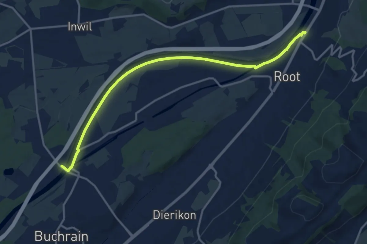
Medium · Trail
Perlenbrücke - Gisikon Root
9.5 km · ↑ 17 m · 2 h 17 min · 12 km away
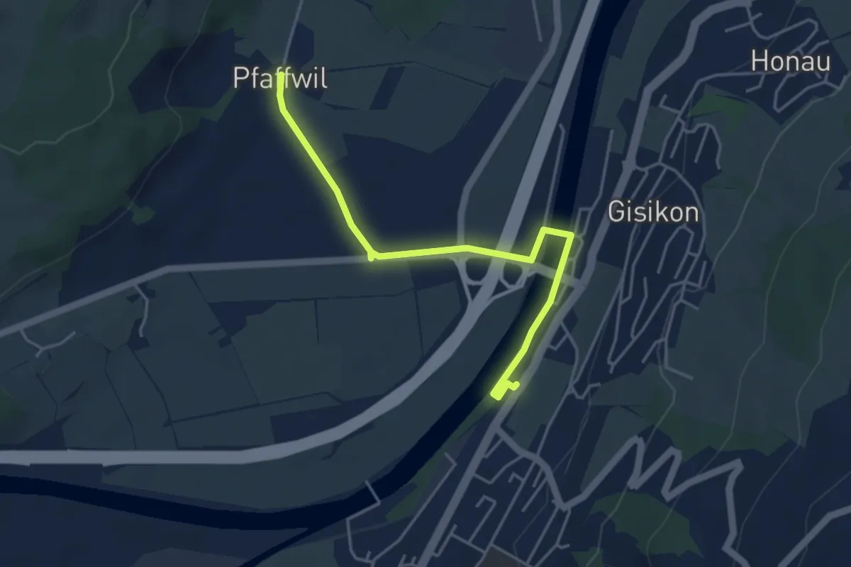
Easy · Trail
Gisikon-Root - Pfaffwil
4.3 km · ↑ 10 m · 1 h 2 min · 12 km away
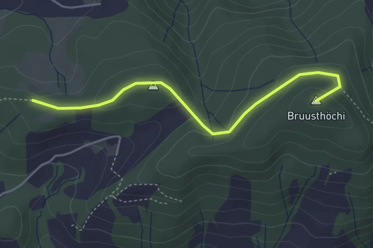
Easy · Summit
Mangelihöche - Chnollenweid Sätteli
3.7 km · ↑ 142 m · 1 h 11 min · 12 km away
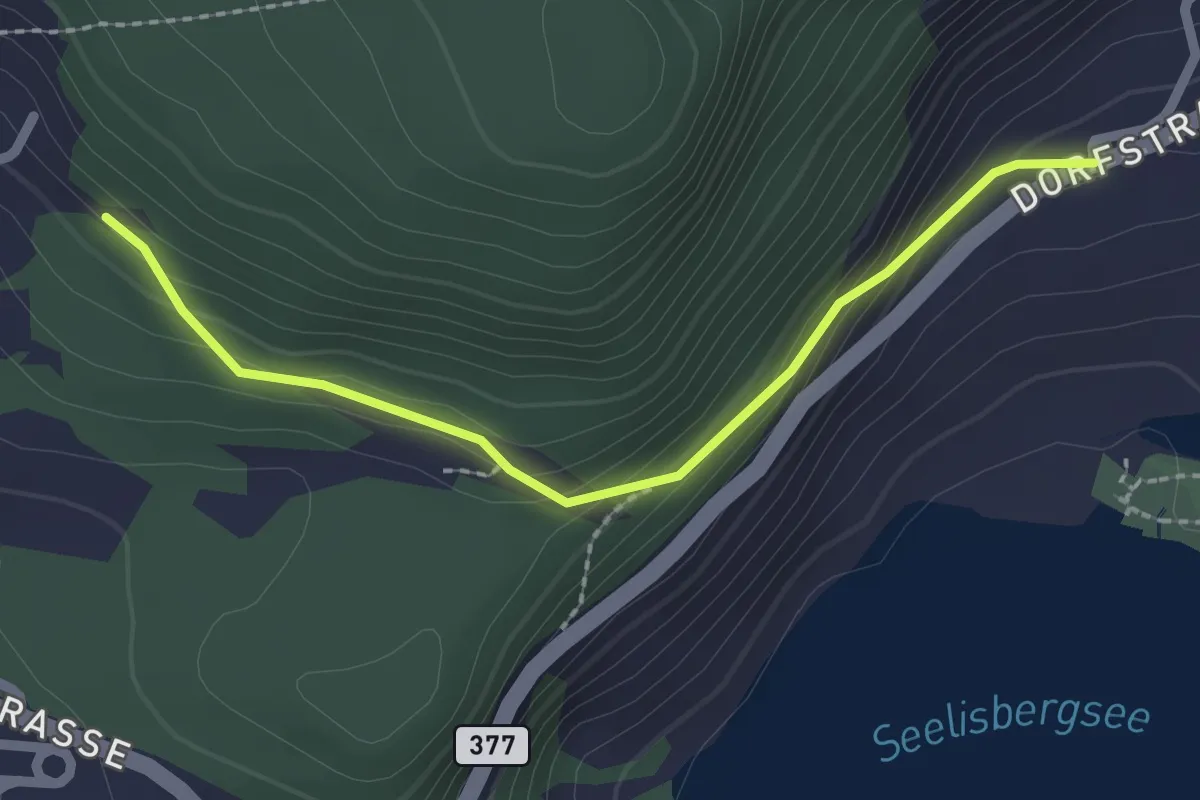
Easy · Trail
Geissweg – Oberschwand
2.2 km · ↑ 121 m · 47 min · 12 km away
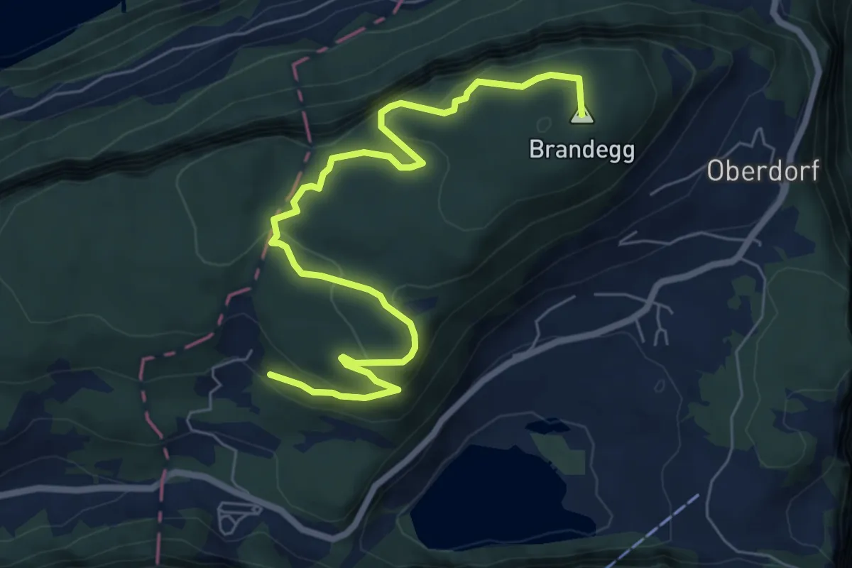
Medium · Summit
Oberschwand – Kapelle
7.5 km · ↑ 499 m · 2 h 52 min · 12 km away
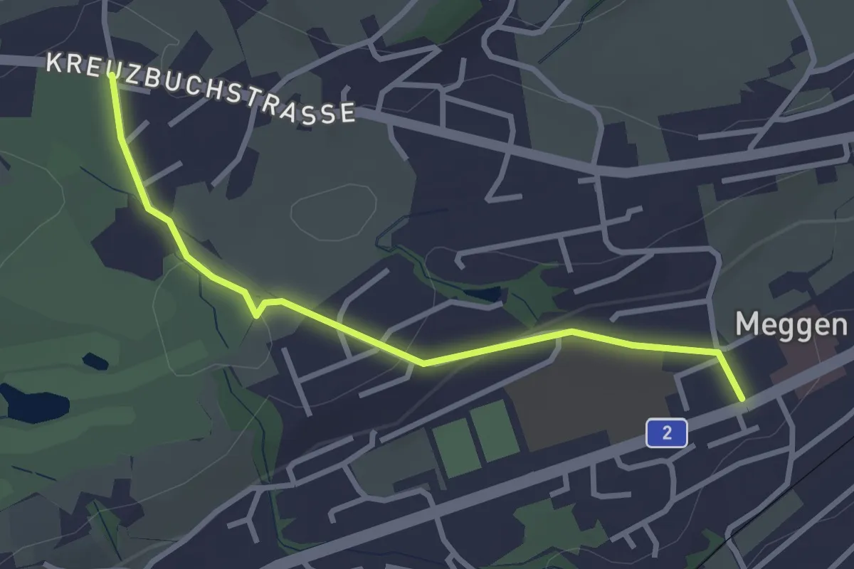
Easy · Trail
Meggen - Buchmatt
2.8 km · ↑ 52 m · 47 min · 12 km away
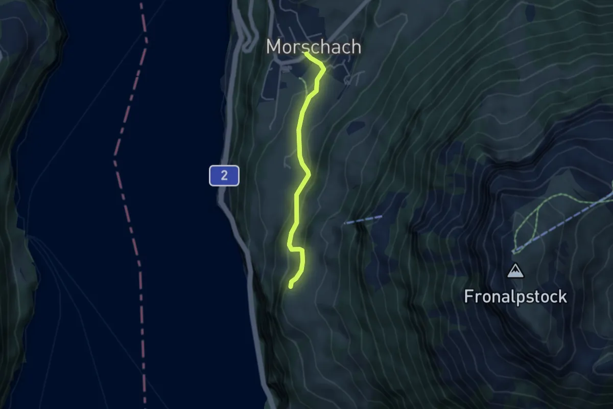
Easy · Trail
Schilti - Morschach
3.7 km · ↑ 167 m · 1 h 14 min · 12 km away
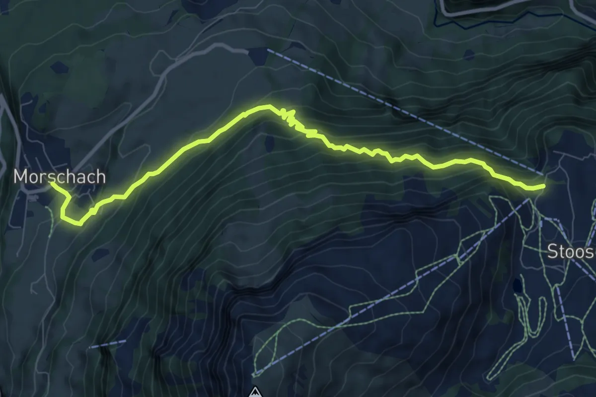
Demanding · Trail
Morschach - Stoss
9.5 km · ↑ 868 m · 4 h 8 min · 12 km away
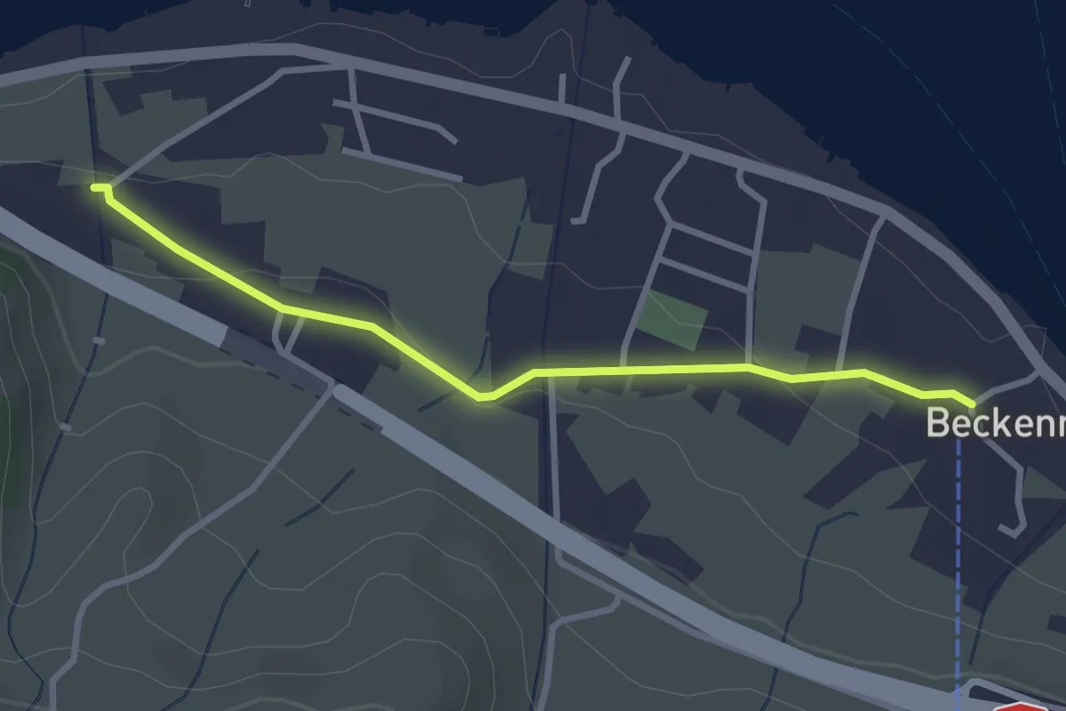
Easy · Trail
Talstation Klewenbahn – Ridli
2.8 km · ↑ 73 m · 49 min · 12 km away
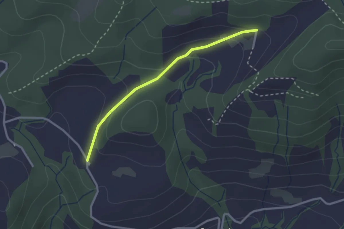
Easy · Trail
Hintertann – Hinterschneit
2.1 km · ↑ 98 m · 43 min · 12 km away
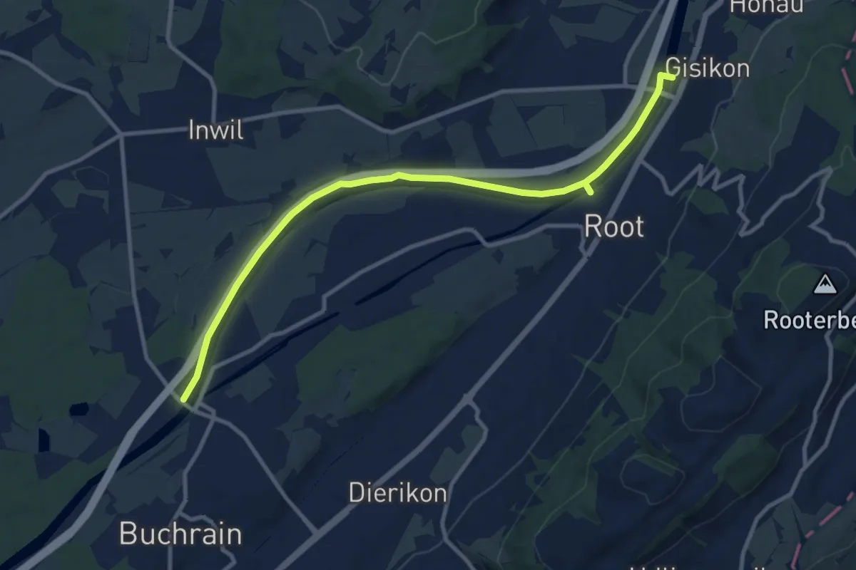
Medium · Trail
Perlenbrücke - Gisikon
10.6 km · ↑ 17 m · 2 h 33 min · 12 km away