Trails near Arth
673 hikes starting within 15 km, nearest first.
Nearest first, page 8 of 15
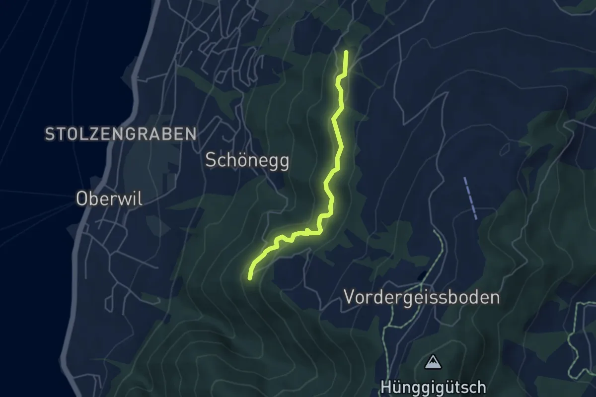
Easy · Trail
Blasenberg – Lärch
4.1 km · ↑ 213 m · 1 h 26 min · 10 km away
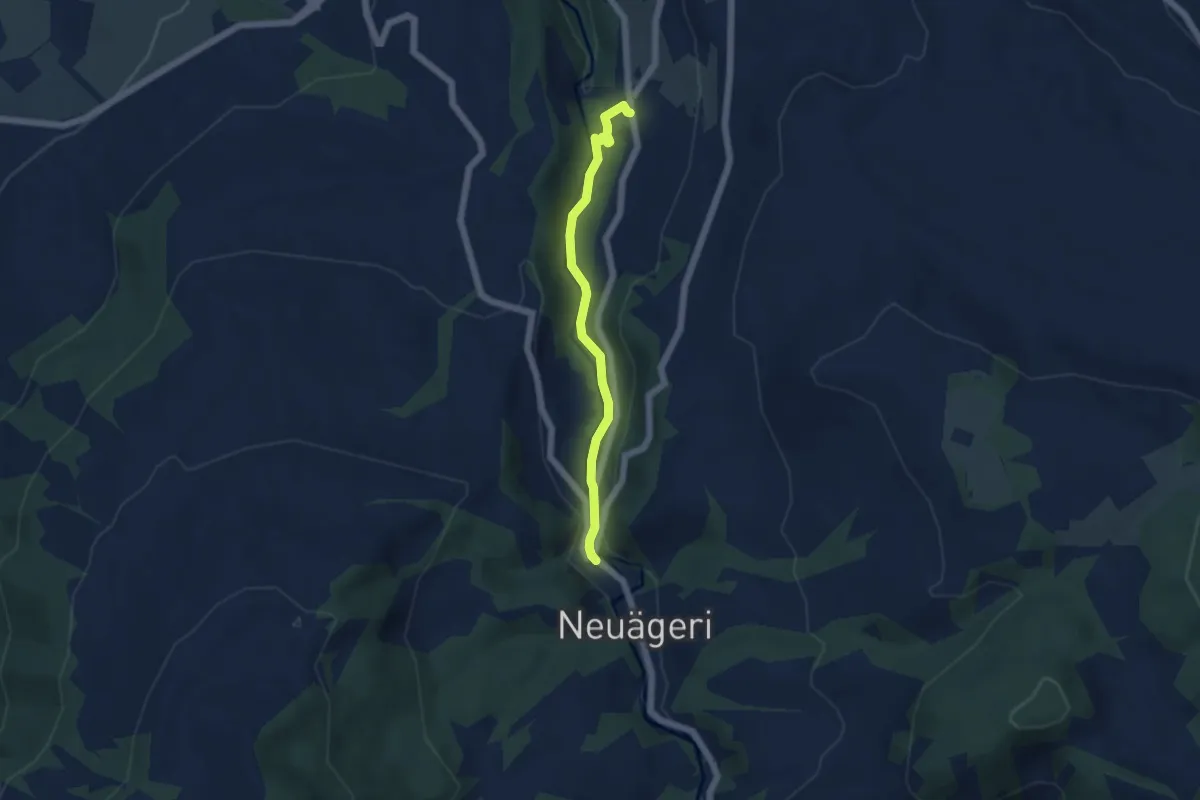
Easy · Trail
Schmittli - fixme
4.6 km · ↑ 118 m · 1 h 21 min · 10 km away
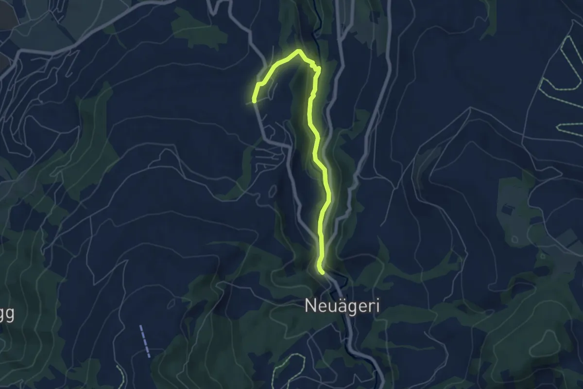
Easy · Trail
Schmittli - Allenwinden
5.6 km · ↑ 136 m · 1 h 37 min · 10 km away
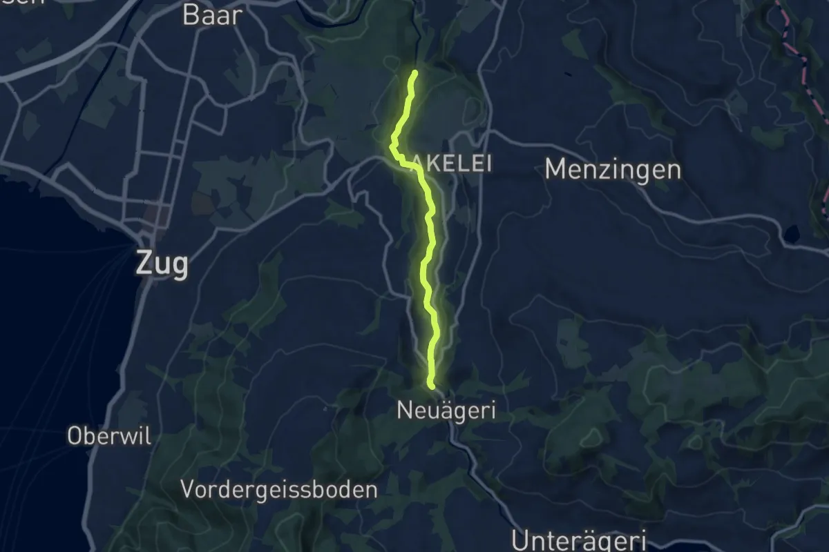
Medium · Trail
Höllbrücke - Schmittli
8.7 km · ↑ 242 m · 2 h 34 min · 10 km away
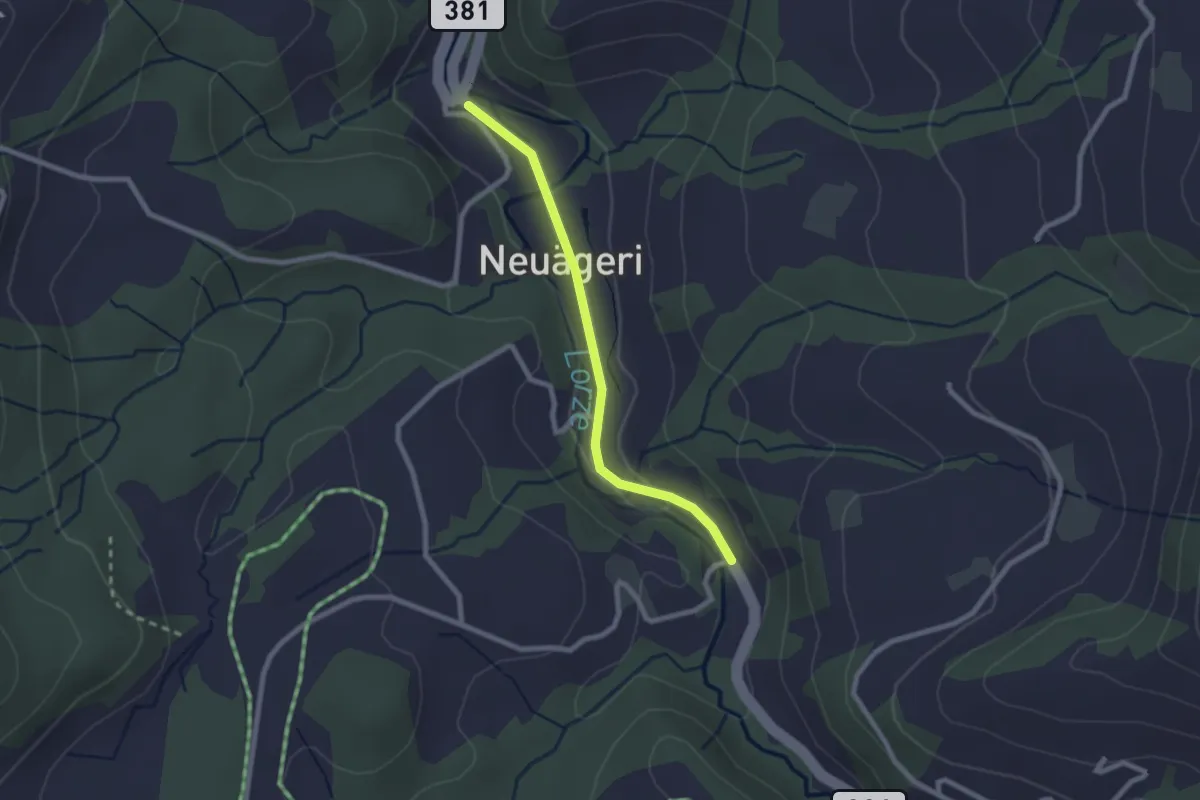
Easy · Trail
Schmittli - Mülischwändi Brücke
2.1 km · ↑ 36 m · 35 min · 10 km away
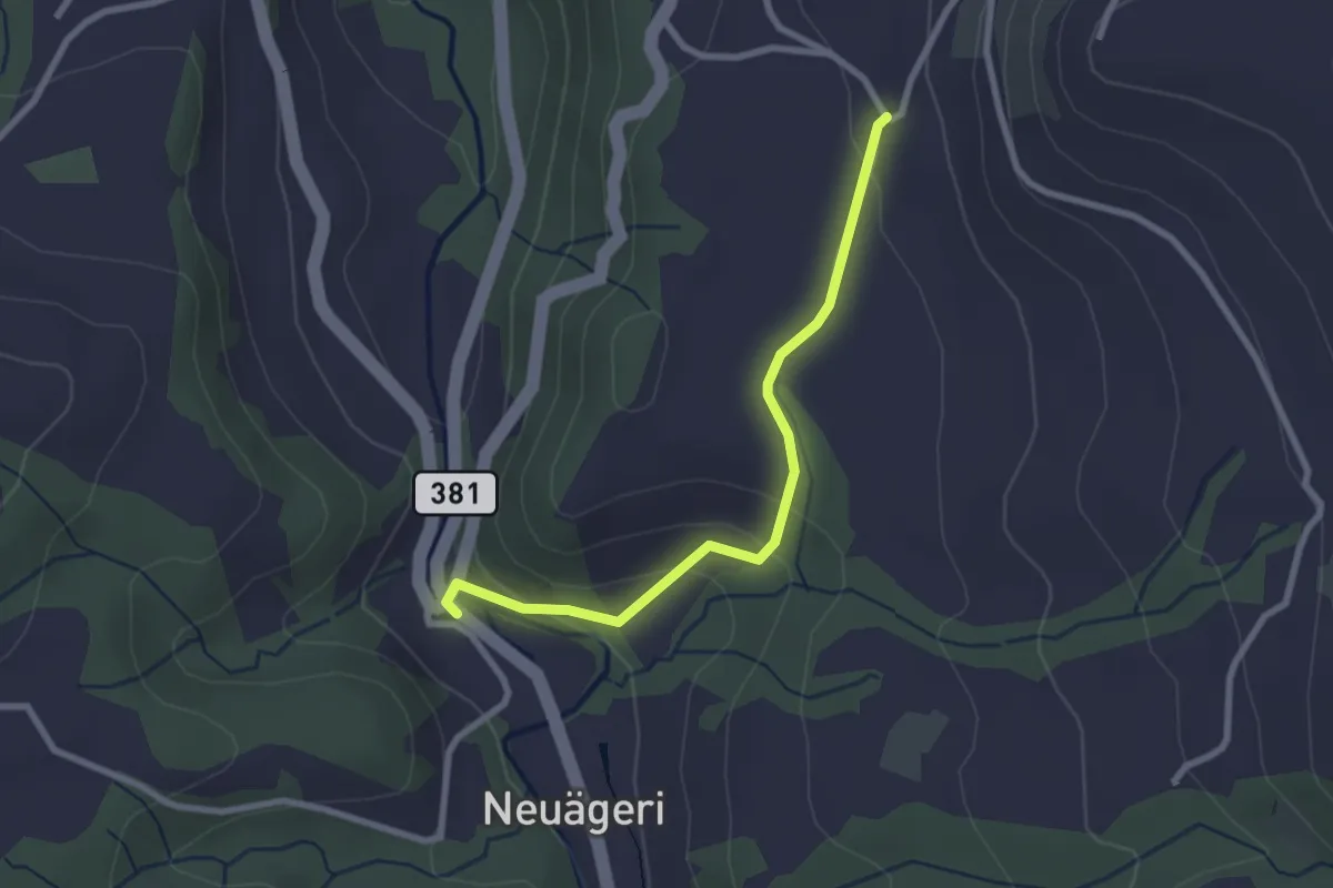
Easy · Trail
Schmittli - Heiterstalden
2.5 km · ↑ 99 m · 49 min · 10 km away
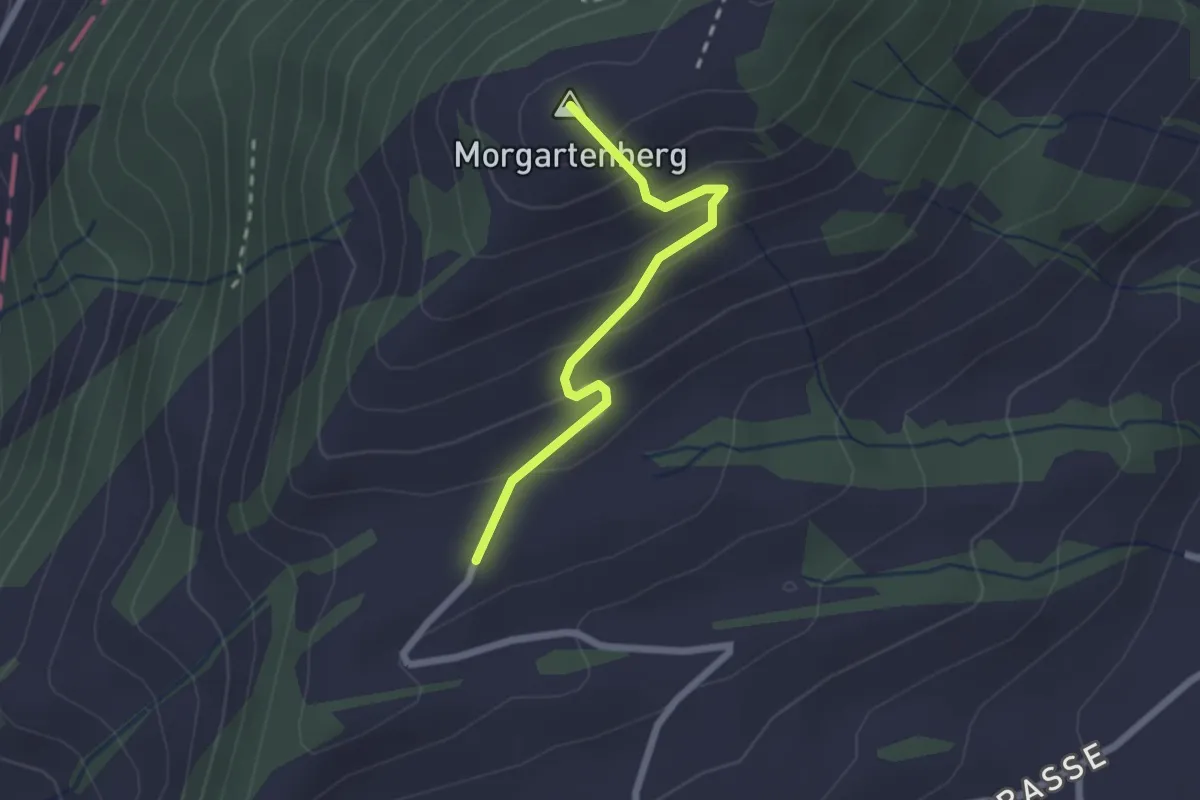
Easy · Summit
Morgartenberg - Lustnau? / Sattel? - fixme
2.0 km · ↑ 152 m · 49 min · 10 km away
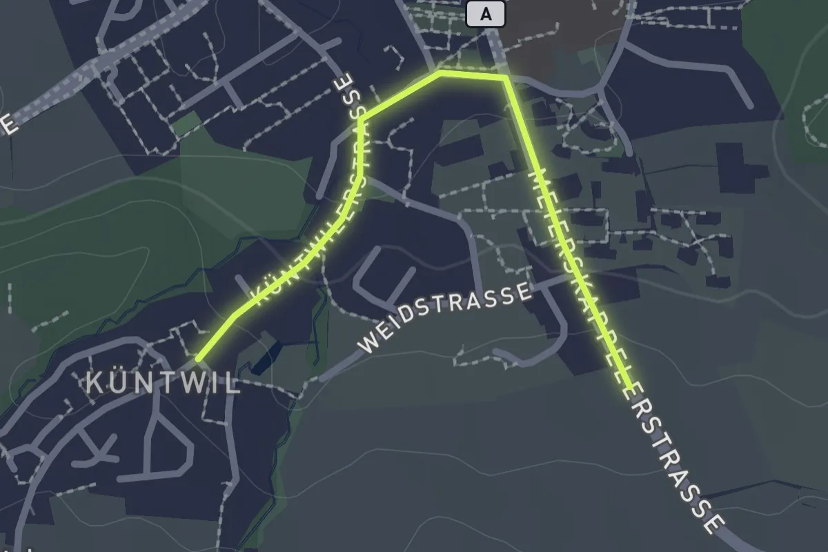
Easy · Trail
Rotkreuz - Chüntwil
2.1 km · ↑ 52 m · 36 min · 10 km away
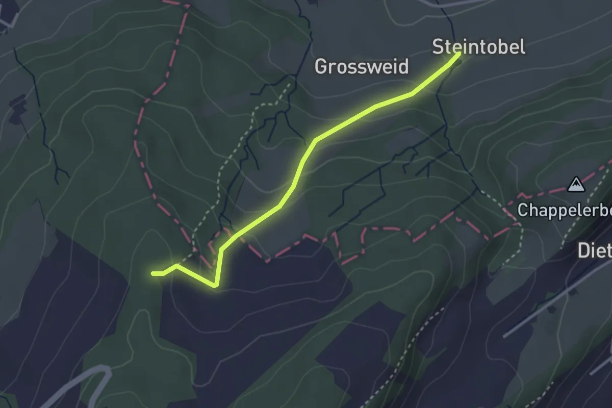
Easy · Trail
Steintobel - Mittler Sonderi
2.9 km · ↑ 164 m · 1 h 3 min · 10 km away
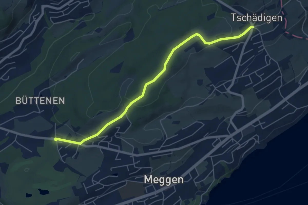
Easy · Trail
Buchmatt - Tschädigen
5.5 km · ↑ 125 m · 1 h 34 min · 10 km away
Easy · Trail
Tschädigen - Merlischachen
5.3 km · ↑ 158 m · 1 h 35 min · 10 km away
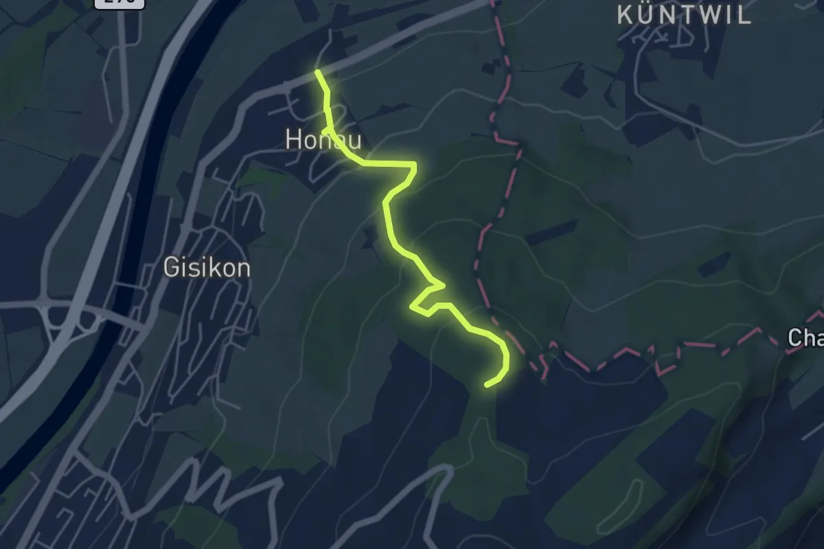
Easy · Trail
Honau - Mittler Sonderi
4.1 km · ↑ 241 m · 1 h 29 min · 10 km away
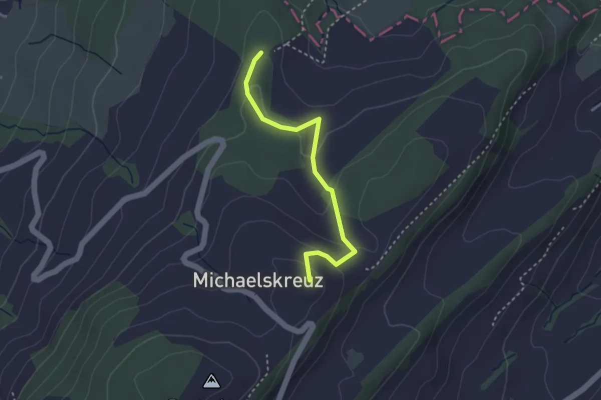
Easy · Summit
Mittler Sonderi - Michaelskreuz
2.7 km · ↑ 120 m · 54 min · 10 km away
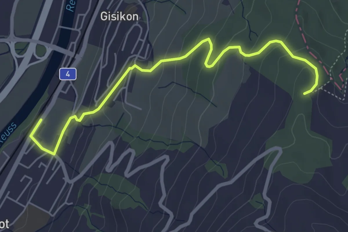
Easy · Trail
Gisikon Root - Mittler Sonderi
5.5 km · ↑ 258 m · 1 h 51 min · 10 km away
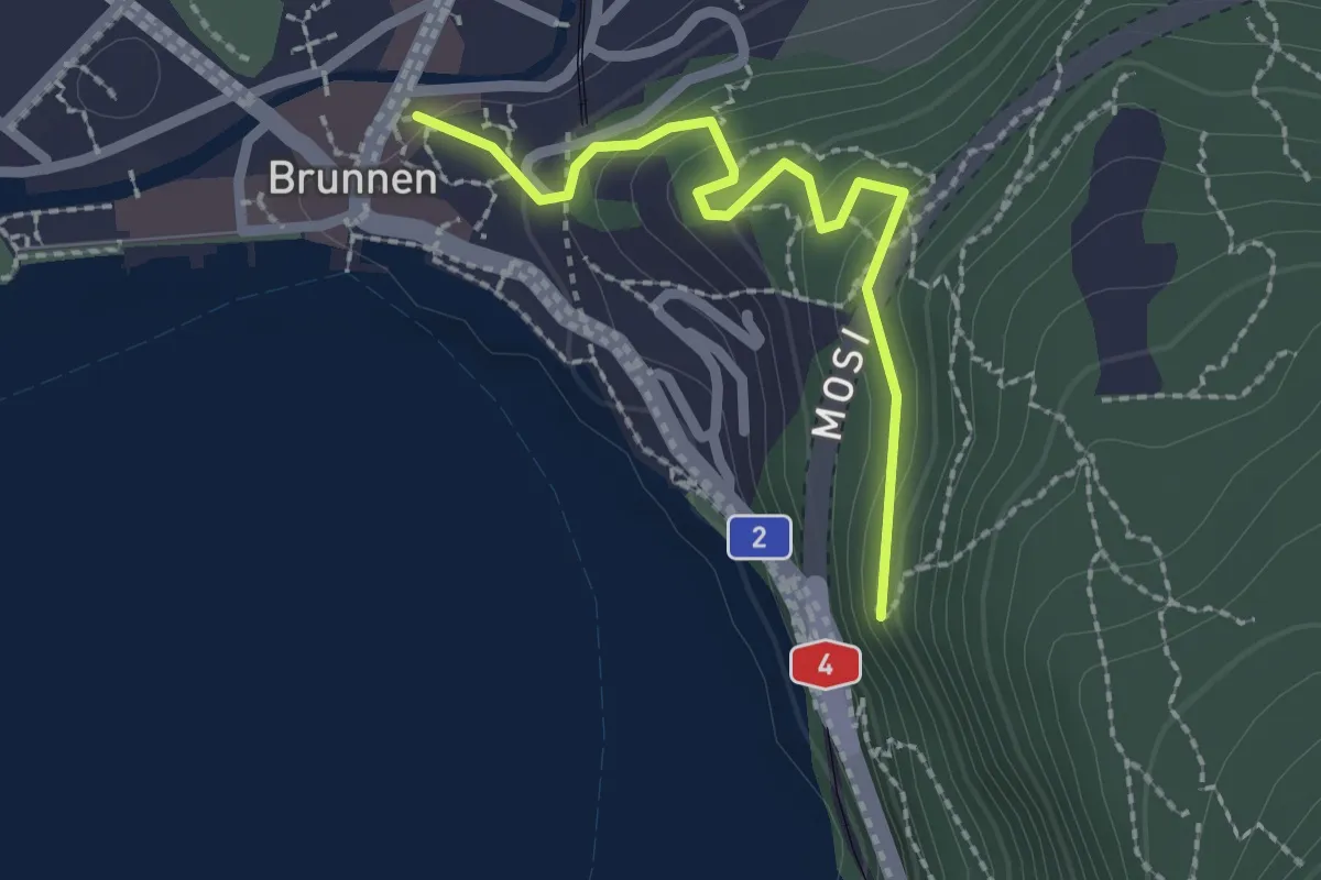
Easy · Trail
Chänzeli - Brunnen
2.1 km · ↑ 93 m · 41 min · 11 km away
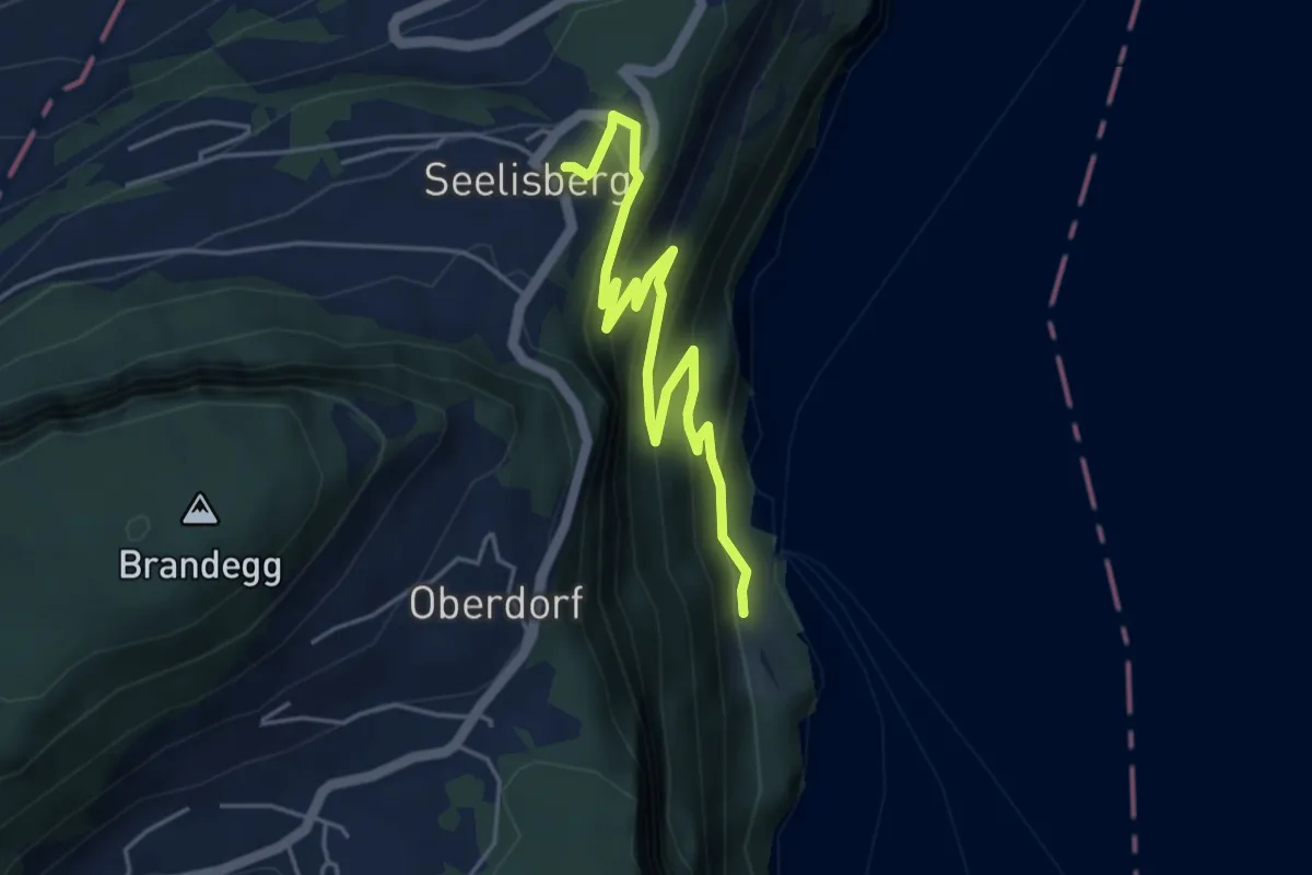
Medium · Trail
Rütlihaus – Seelisberg Bahnhof
5.1 km · ↑ 335 m · 1 h 56 min · 11 km away
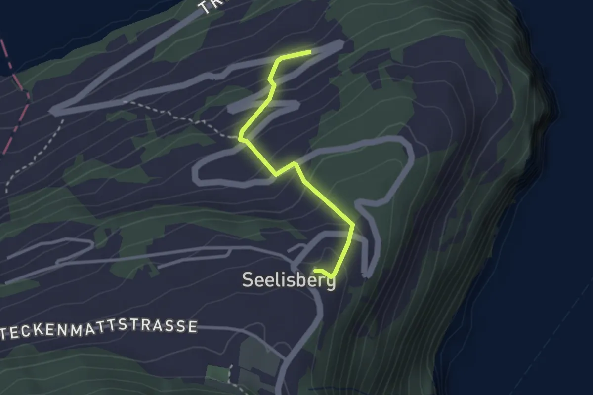
Medium · Trail
Seelisberg Bahnhof – Treibbort
2.3 km · ↑ 212 m · 1 h · 11 km away
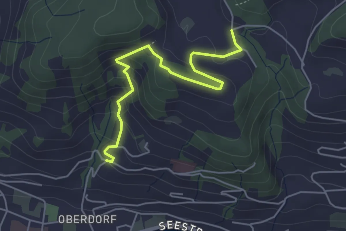
Medium · Trail
Heimhusen - Hinterwiden
4.4 km · ↑ 193 m · 1 h 28 min · 11 km away
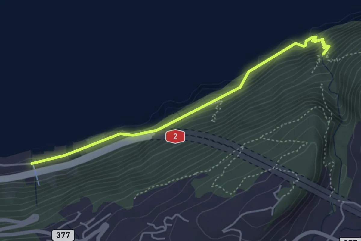
Medium · Trail
Risleten – Rütenen
4.2 km · ↑ 223 m · 1 h 28 min · 11 km away
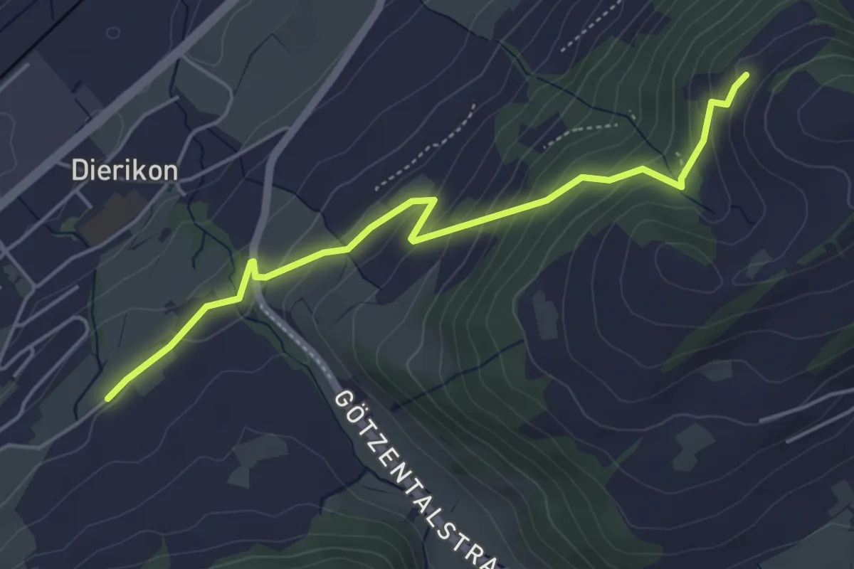
Easy · Trail
Hinter Charen - Spächten
4.8 km · ↑ 297 m · 1 h 46 min · 11 km away
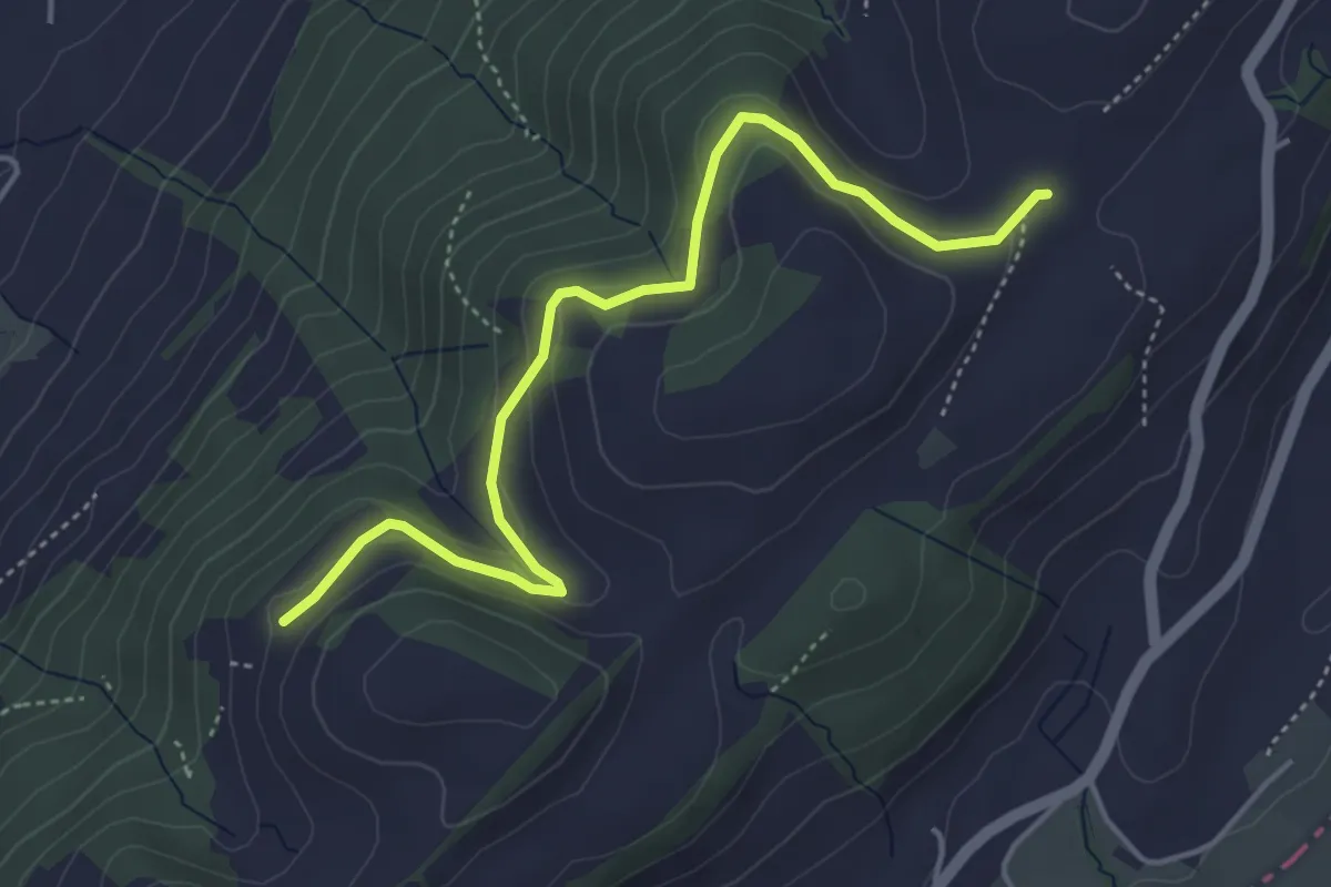
Easy · Trail
Schiffmannshof - Hinter Charen
4.6 km · ↑ 147 m · 1 h 25 min · 11 km away
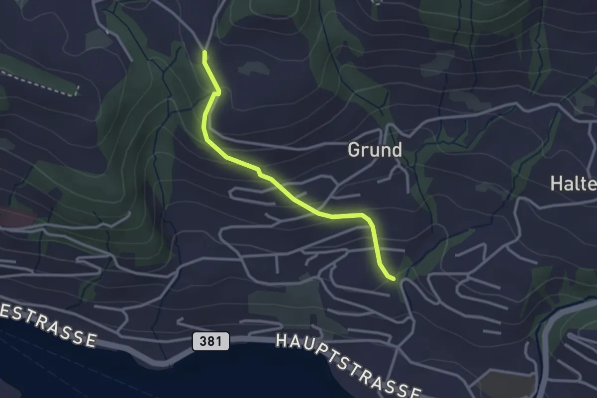
Easy · Trail
Hinterschneit - Gruben
2.5 km · ↑ 154 m · 55 min · 11 km away
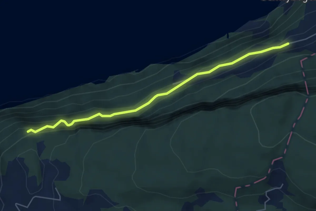
Medium · Trail
Triglis – Haselholz
4.9 km · ↑ 389 m · 2 h · 11 km away
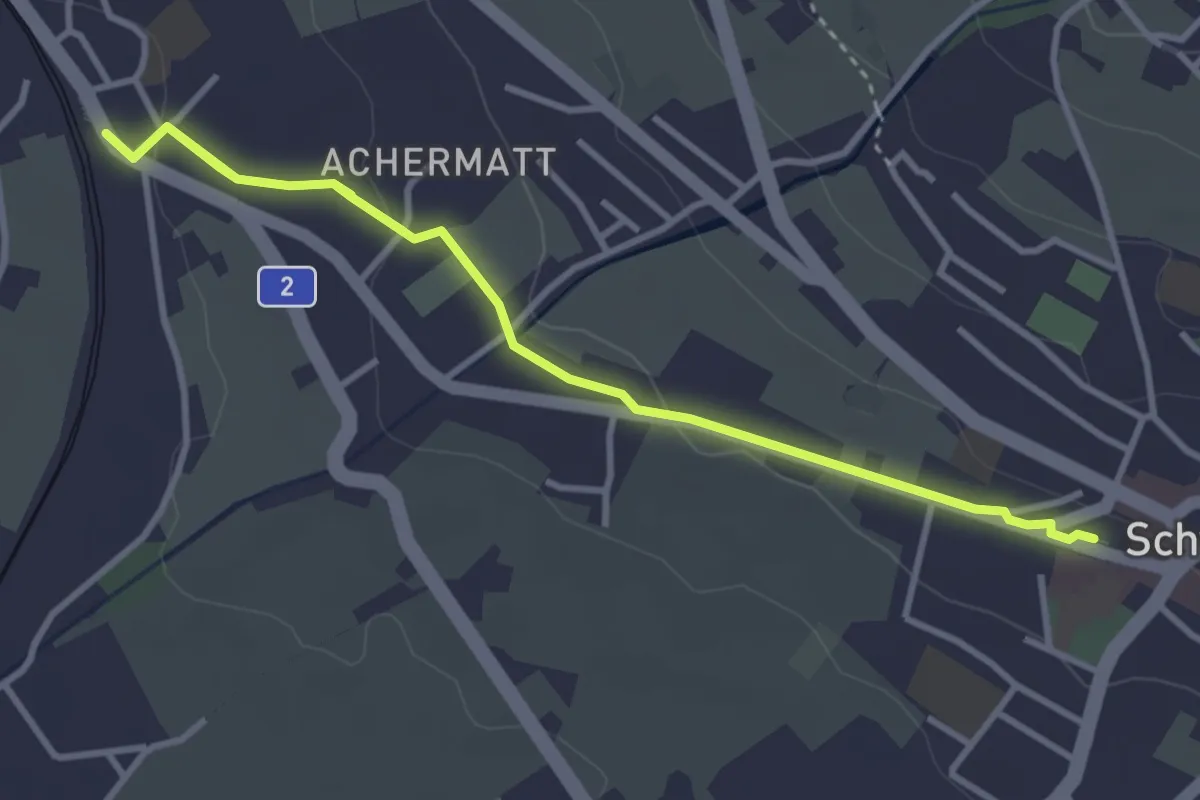
Easy · Trail
Seewen / Schwyz – Schwyz
5.0 km · ↑ 99 m · 1 h 23 min · 11 km away
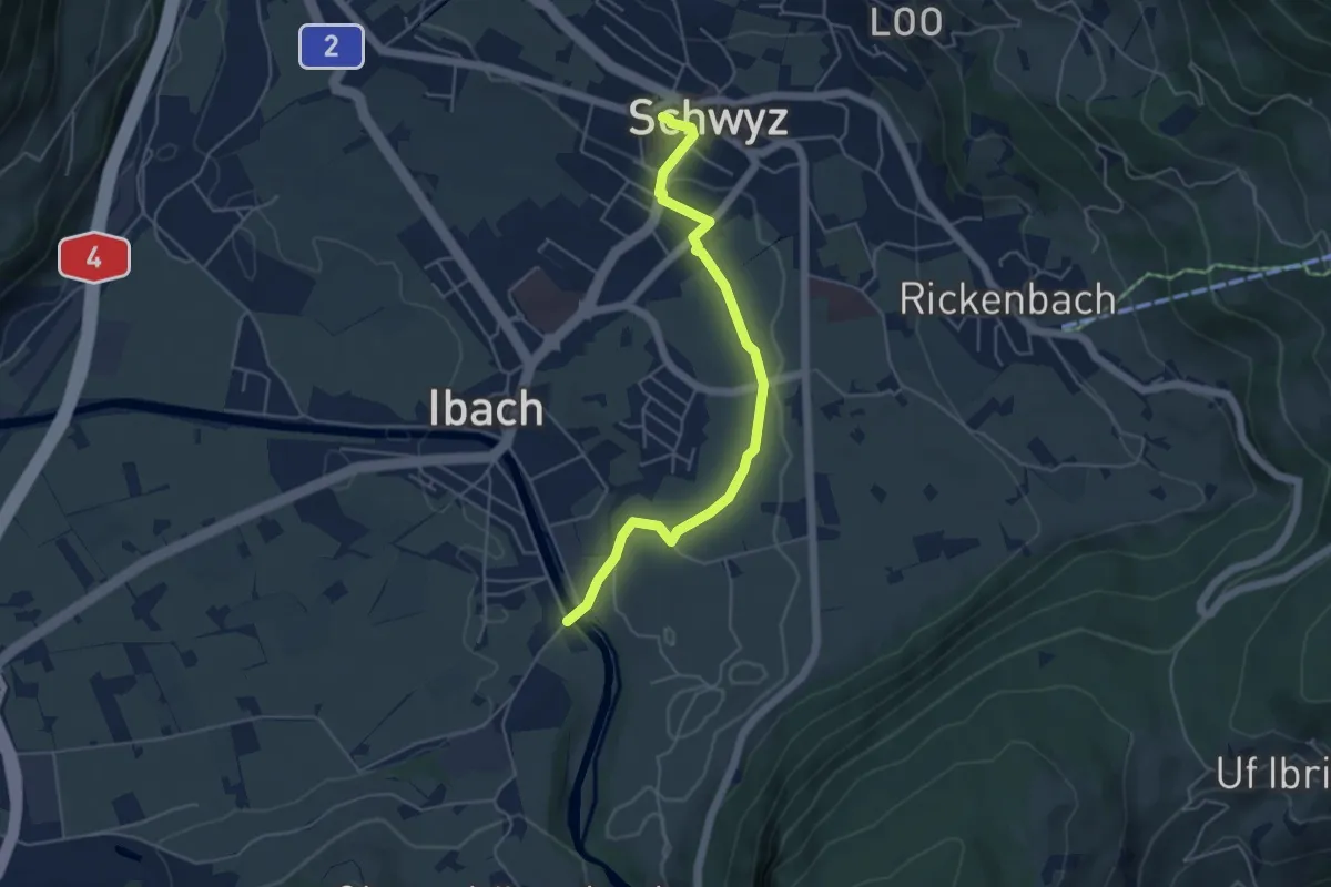
Easy · Trail
Hinter Ibach – Schwyz
4.9 km · ↑ 69 m · 1 h 19 min · 11 km away
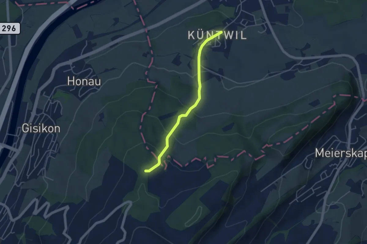
Easy · Trail
Chünten - Mittler Sonderi
3.7 km · ↑ 221 m · 1 h 21 min · 11 km away
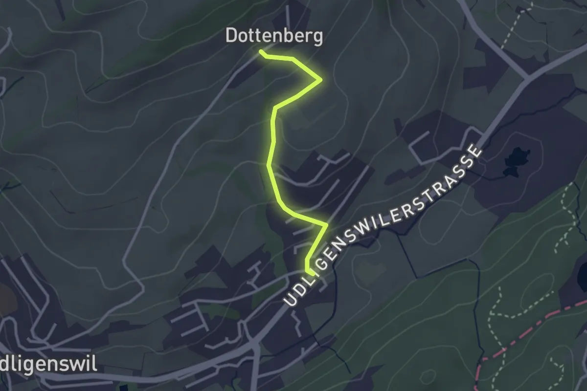
Easy · Trail
Chli Äbnet – Dottenberg
2.3 km · ↑ 110 m · 48 min · 11 km away
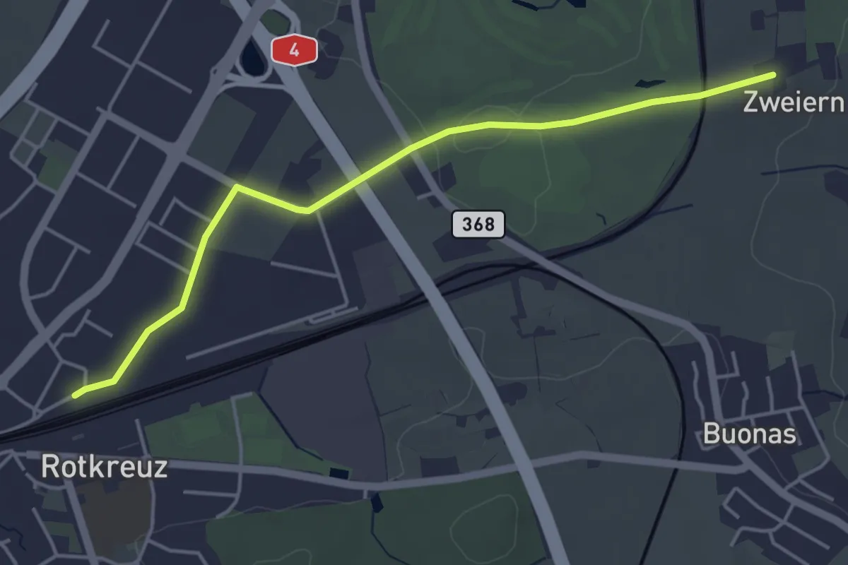
Easy · Trail
Rotkreuz - Zwijeren
4.5 km · ↑ 17 m · 1 h 6 min · 11 km away
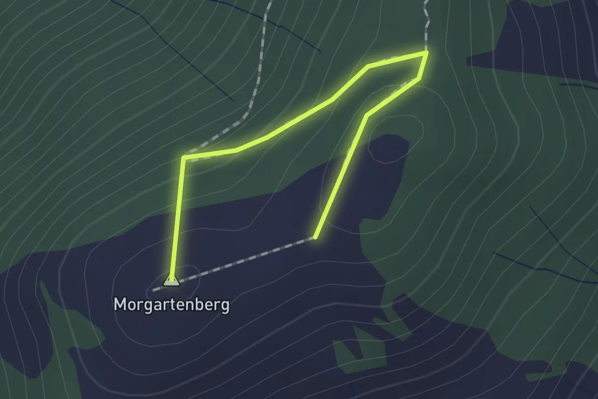
Easy · Summit
Morgartenberg - Chli Morgarten?
1.5 km · ↑ 84 m · 32 min · 11 km away
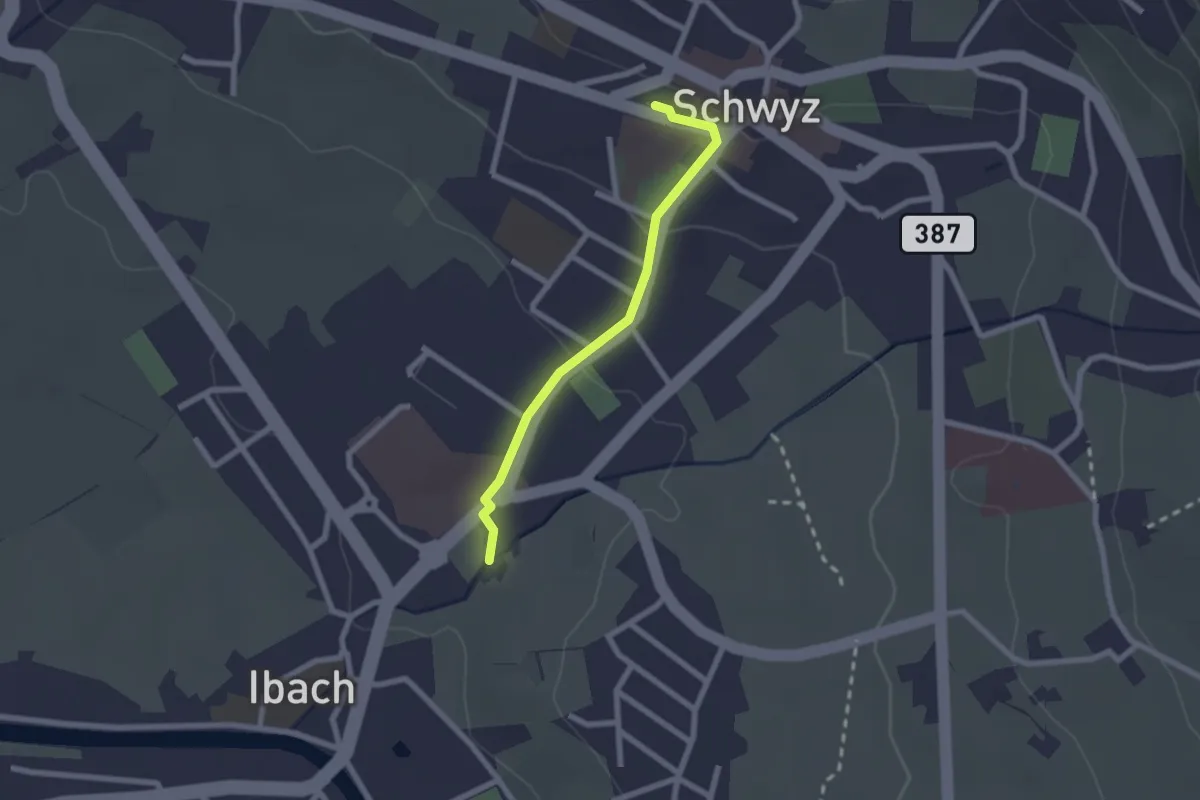
Easy · Trail
Schwyz – Ibach
2.0 km · ↑ 54 m · 35 min · 11 km away
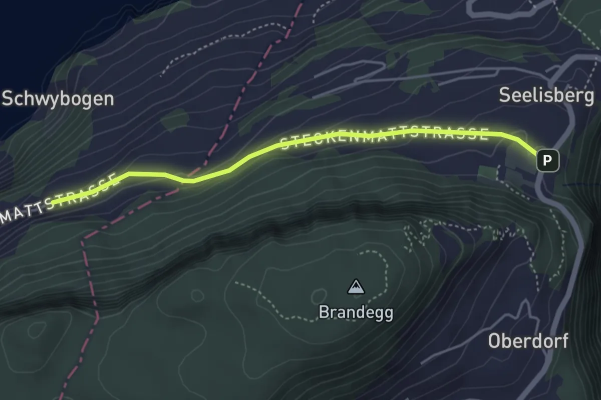
Easy · Trail
Chilendorf – Triglis
4.0 km · ↑ 154 m · 1 h 17 min · 11 km away
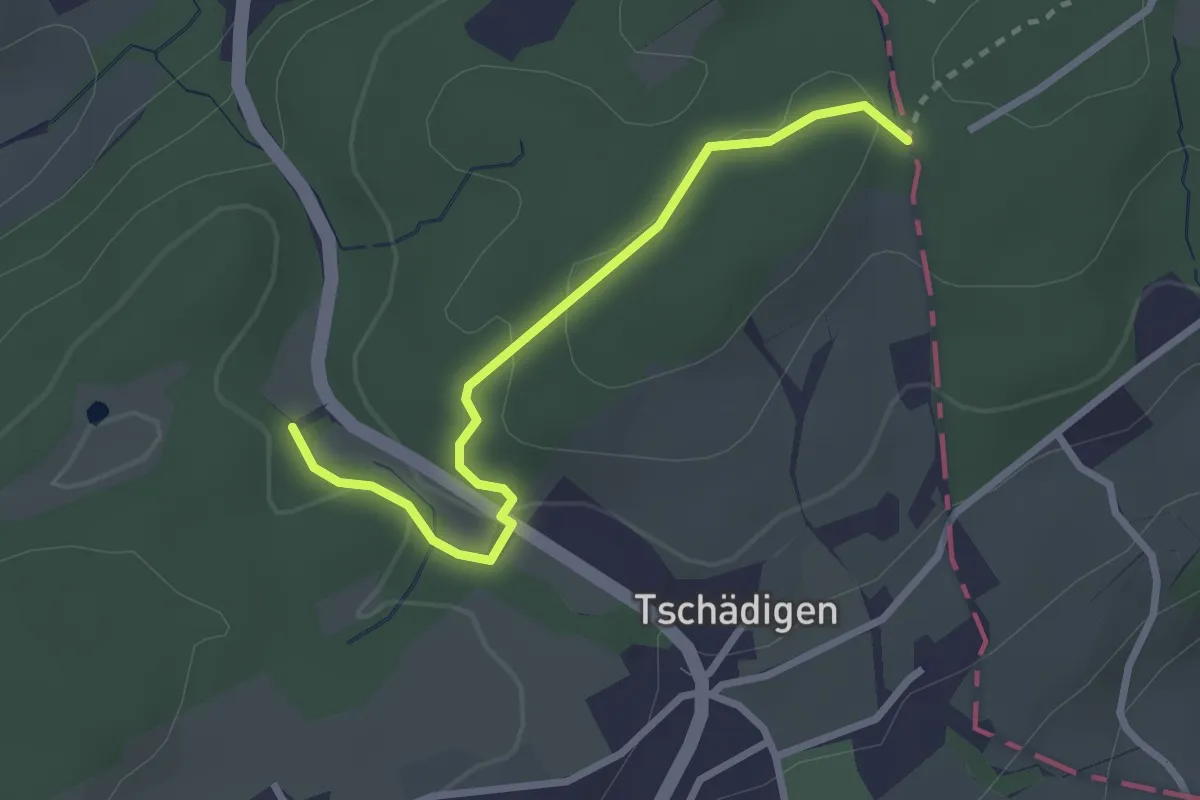
Easy · Trail
Gränzetürli - Längeried
2.7 km · ↑ 71 m · 47 min · 11 km away
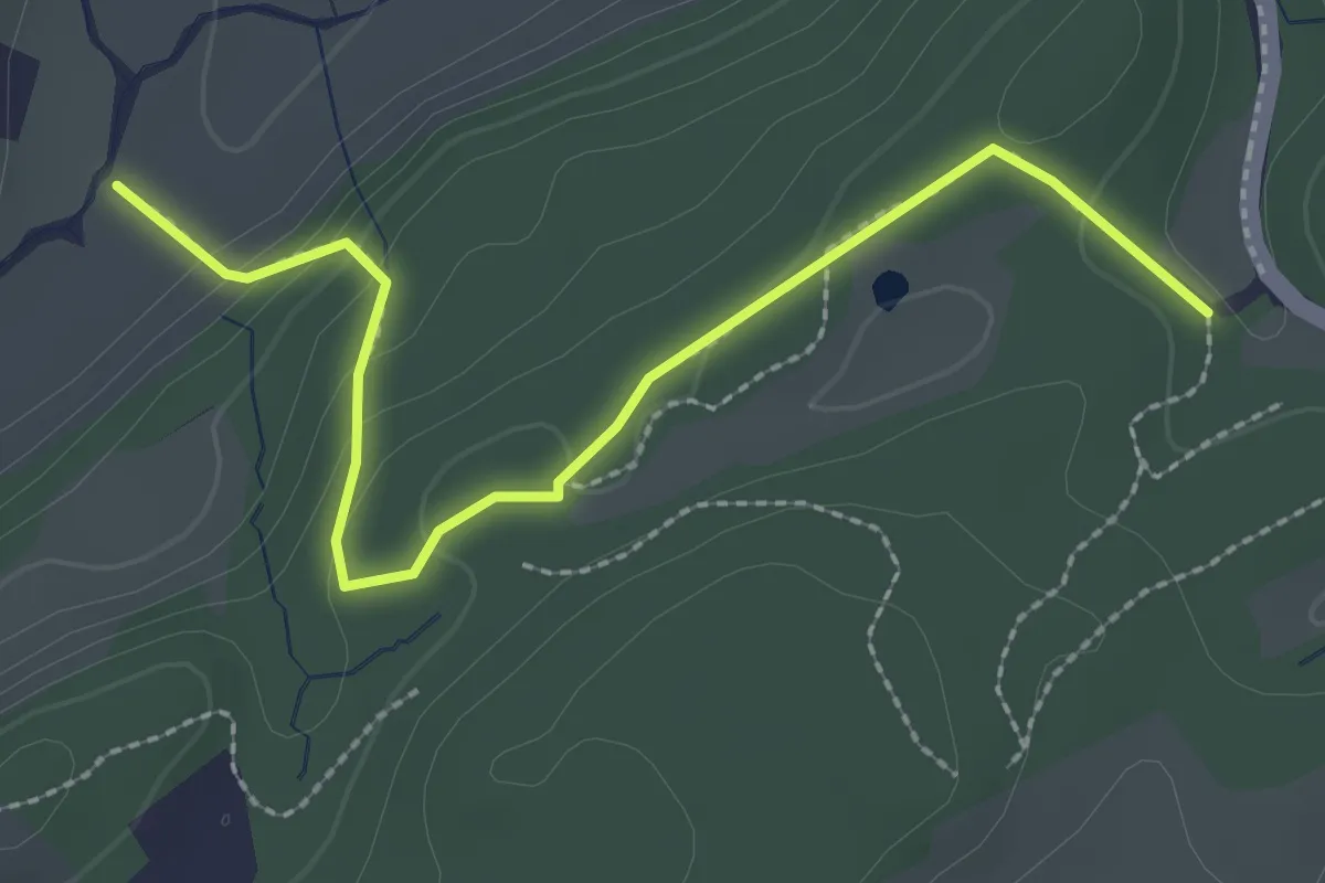
Easy · Trail
Längeried - Risiboden
2.7 km · ↑ 114 m · 53 min · 11 km away
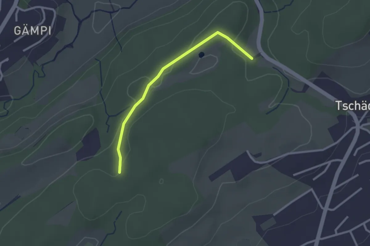
Easy · Trail
Längeried - Meggerwald
2.2 km · ↑ 37 m · 36 min · 11 km away
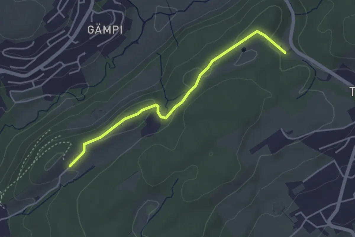
Easy · Trail
Längeried - Mülegg
3.5 km · ↑ 61 m · 58 min · 11 km away
Demanding · Trail
ViaJacobi
19.0 km · ↑ 978 m · 6 h 41 min · 11 km away
Demanding · Trail
ViaJacobi
30.2 km · ↑ 902 m · 9 h 32 min · 11 km away
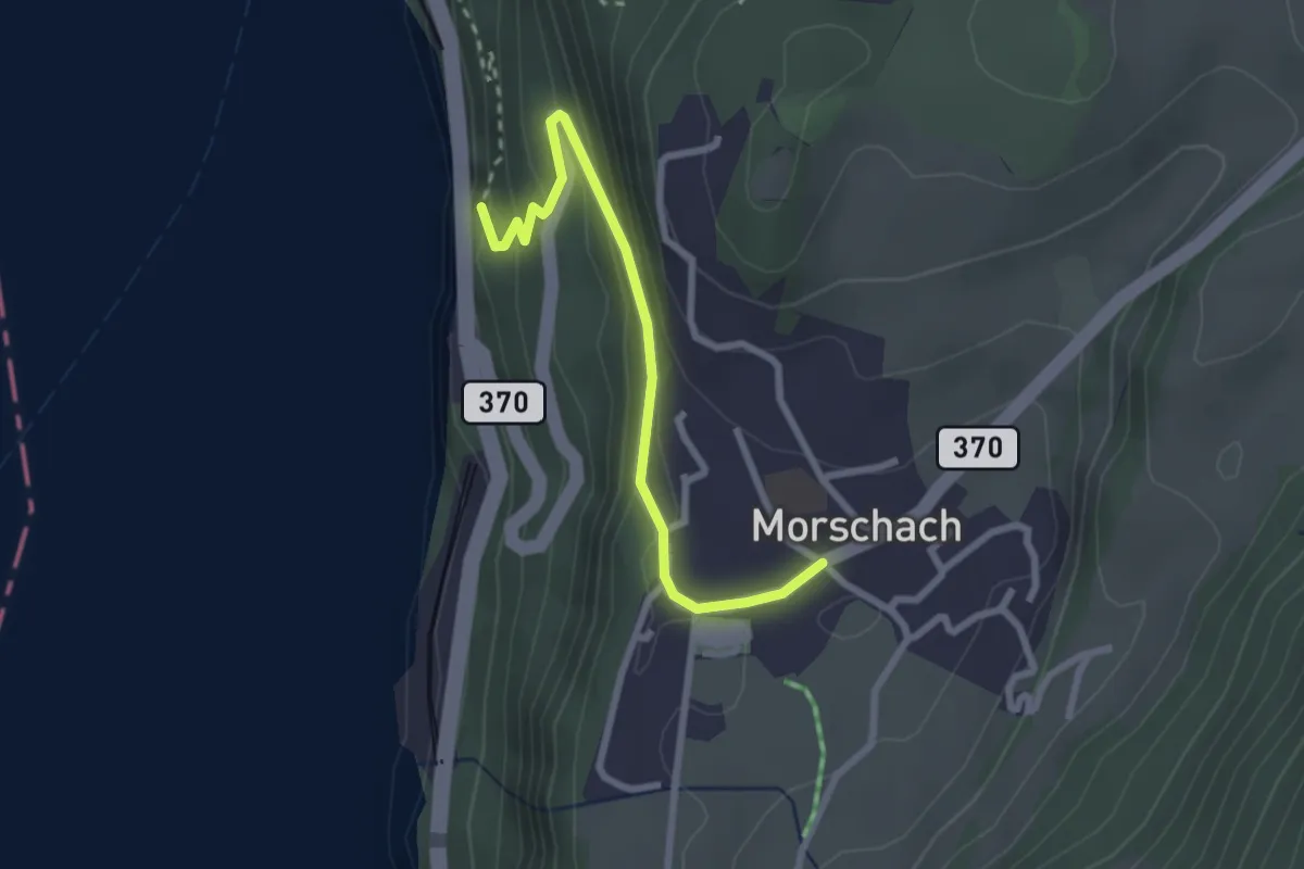
Easy · Trail
Morschach - Brunnen
2.6 km · ↑ 195 m · 1 h 2 min · 11 km away
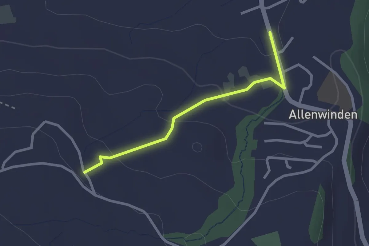
Easy · Trail
Bilgerighof - Allenwinden
2.1 km · ↑ 75 m · 40 min · 11 km away
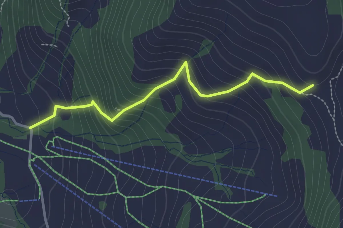
Medium · Trail
Bannegg - Herrenboden
2.5 km · ↑ 264 m · 1 h 10 min · 11 km away
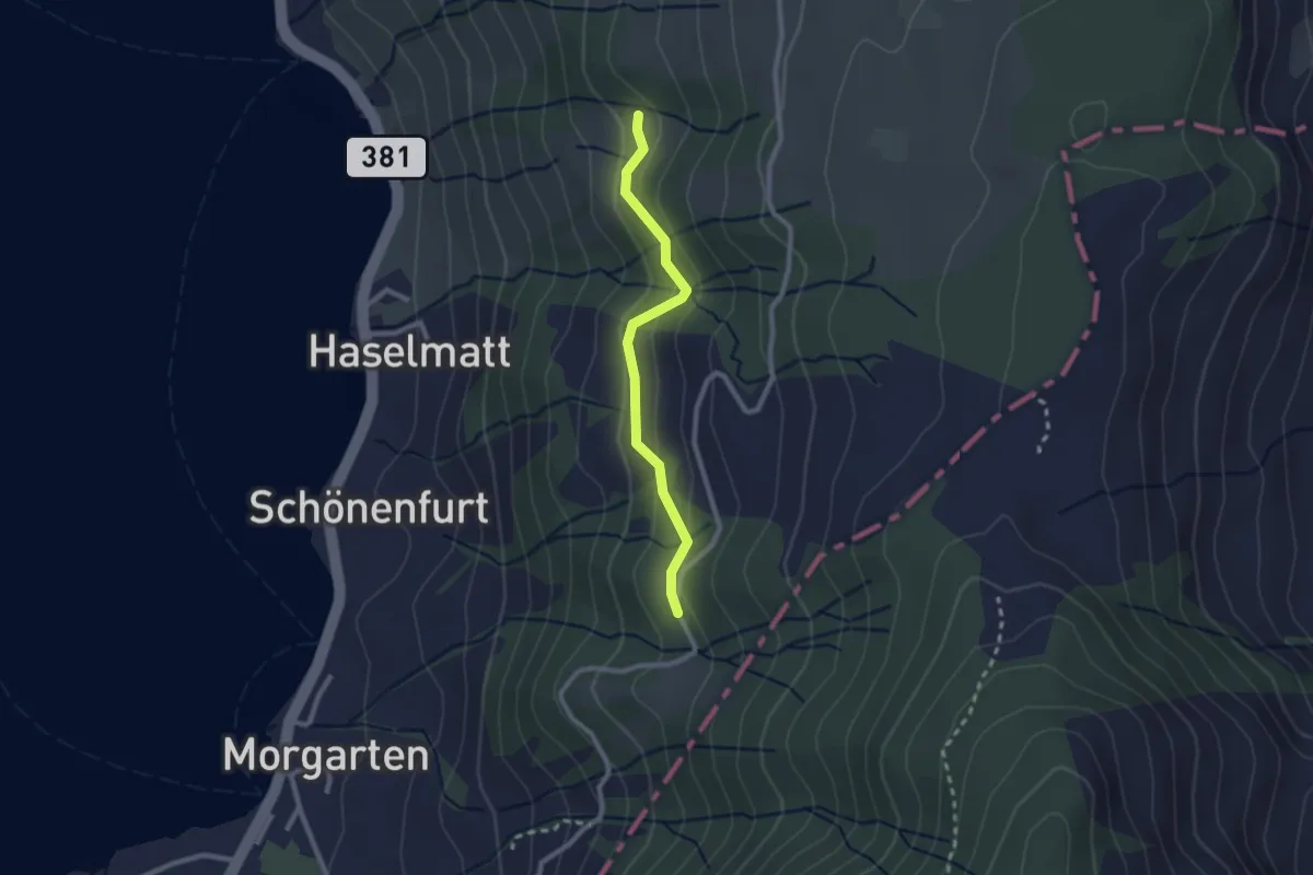
Easy · Trail
Mattli - Brestenberg
2.2 km · ↑ 129 m · 48 min · 11 km away
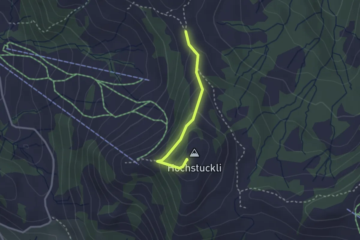
Medium · Summit
Bannegg - Hochstückli
2.1 km · ↑ 168 m · 51 min · 11 km away
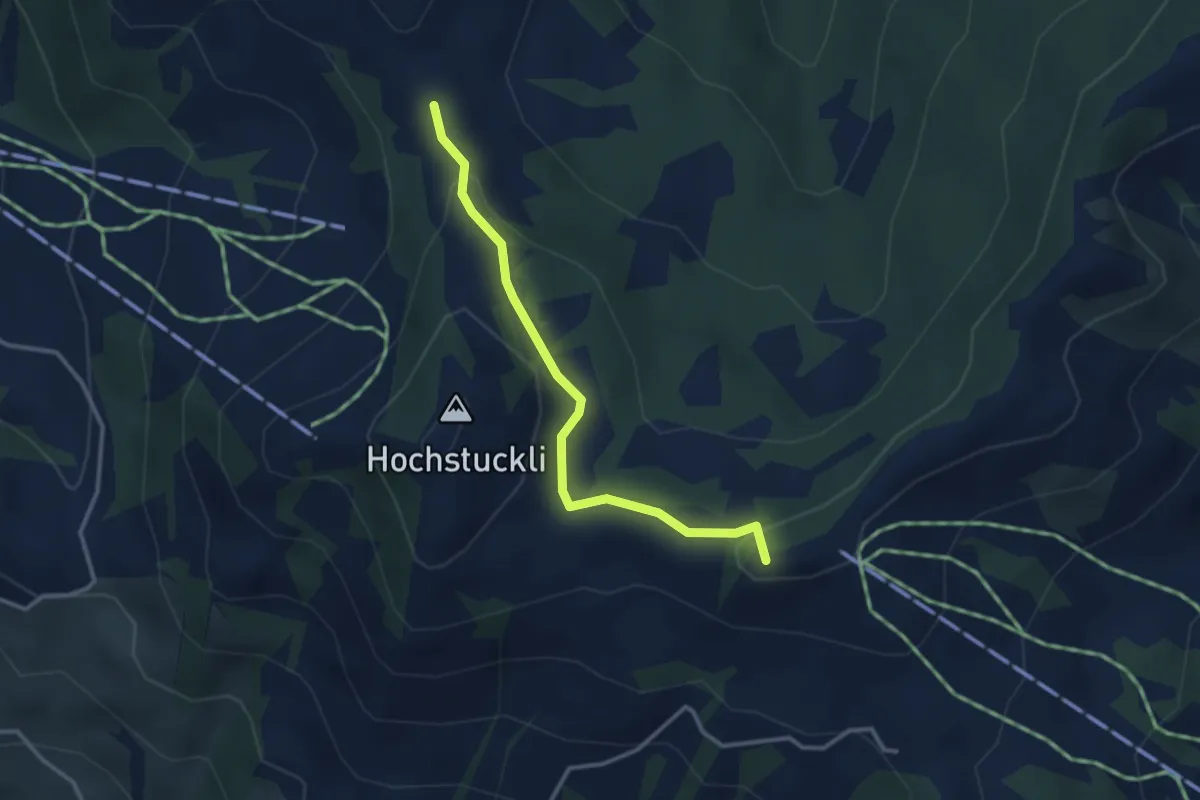
Medium · Summit
Brüschrainhöchi - Bannegg
3.0 km · ↑ 96 m · 55 min · 11 km away
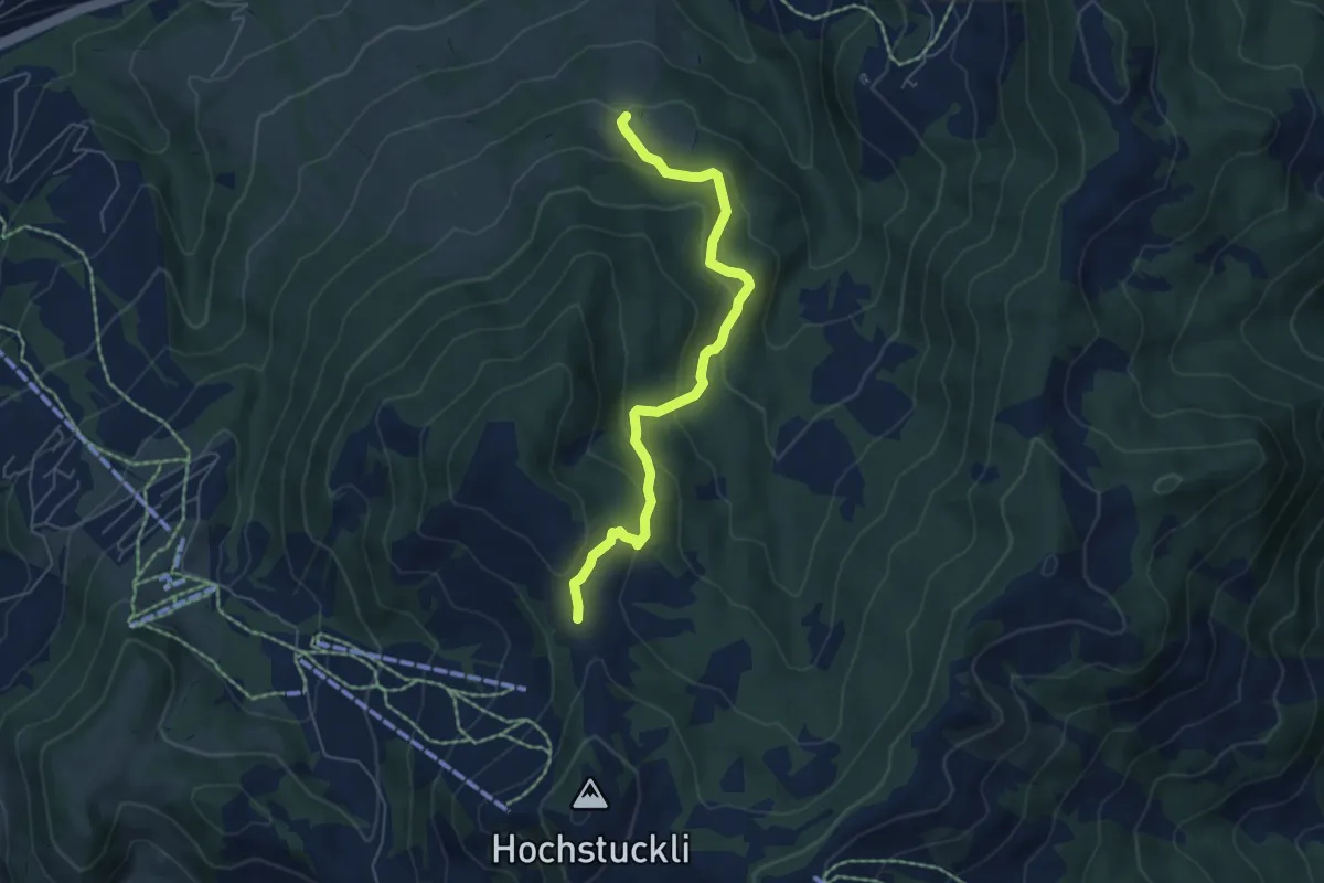
Medium · Trail
Bannegg - Mäderen
5.6 km · ↑ 320 m · 2 h 1 min · 11 km away
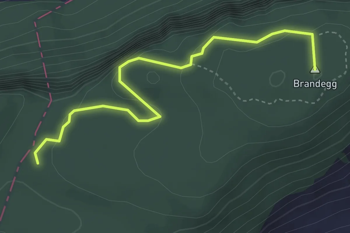
Medium · Summit
Plattenzug – Höch Flue
3.7 km · ↑ 351 m · 1 h 38 min · 11 km away
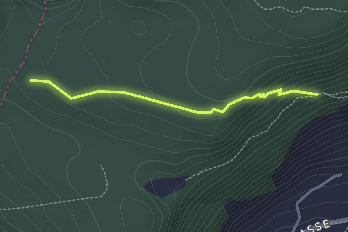
Easy · Trail
Plattenzug – Fällmätteli
2.1 km · ↑ 84 m · 41 min · 11 km away
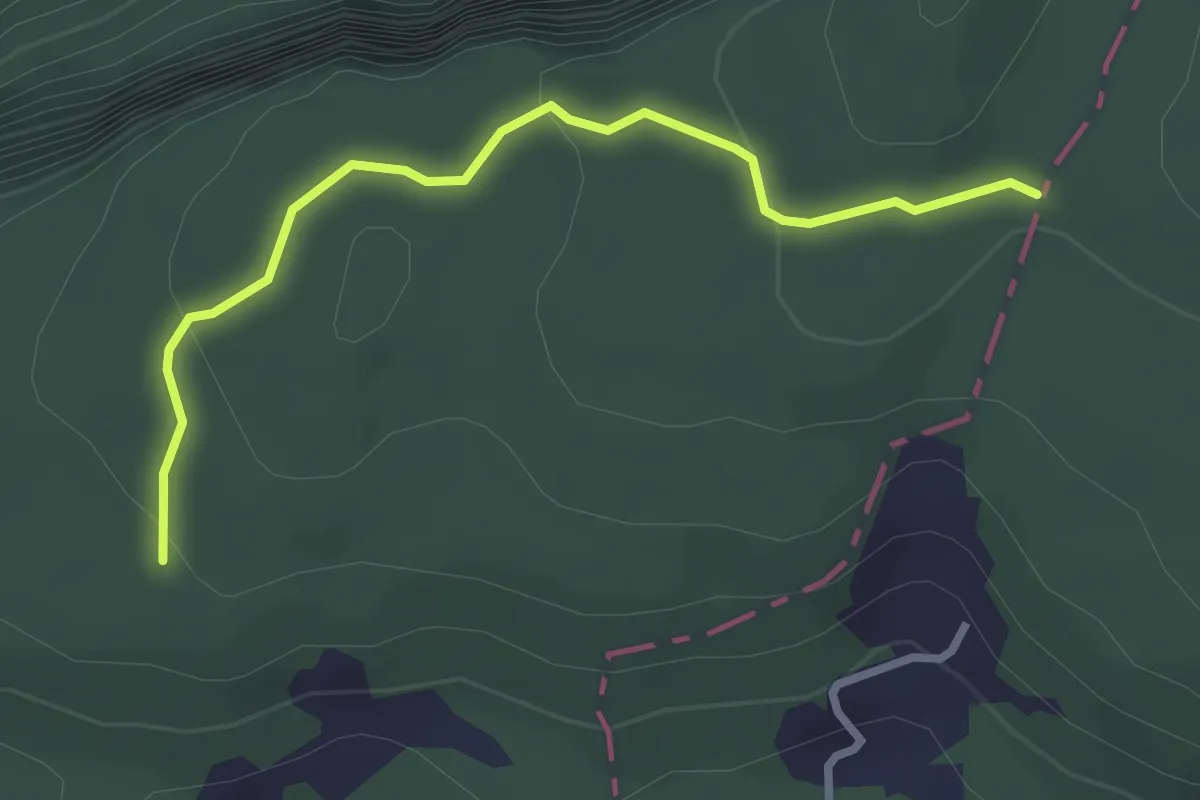
Easy · Trail
Brennwald – Plattenzug
2.9 km · ↑ 182 m · 1 h 4 min · 11 km away
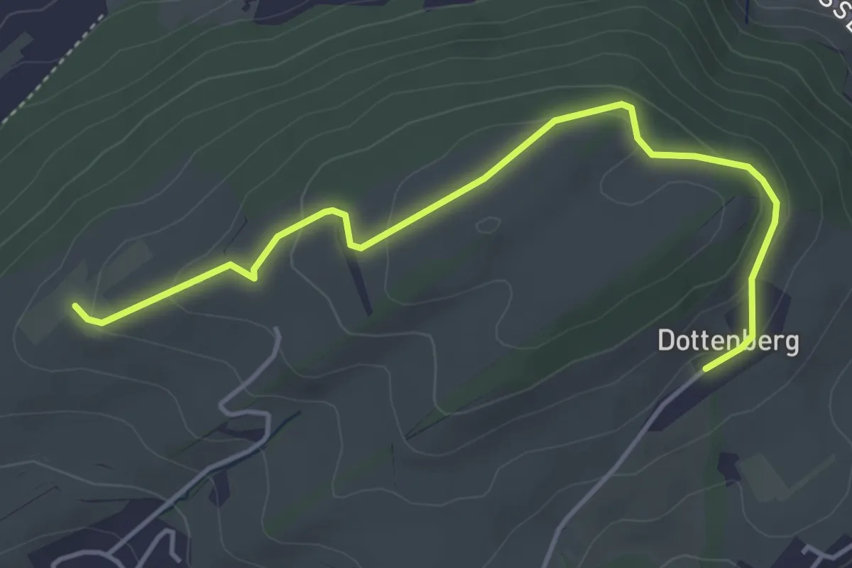
Easy · Trail
Ober Äbrüti – Dottenberg
4.5 km · ↑ 134 m · 1 h 21 min · 11 km away