Trails near Baar
615 hikes starting within 15 km, nearest first.
Nearest first, page 12 of 13
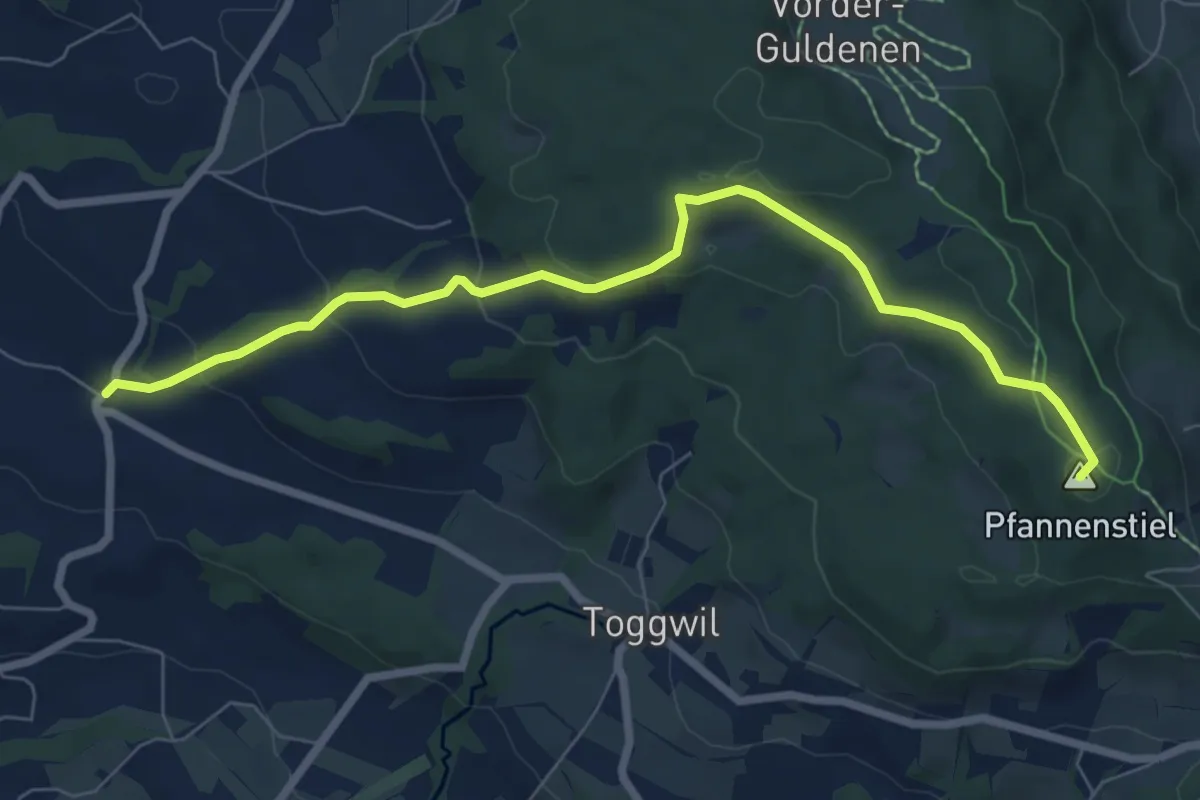
Easy · Summit
Wetzwil – Pfannenstiel Hochwacht
7.6 km · ↑ 294 m · 2 h 26 min · 14 km away
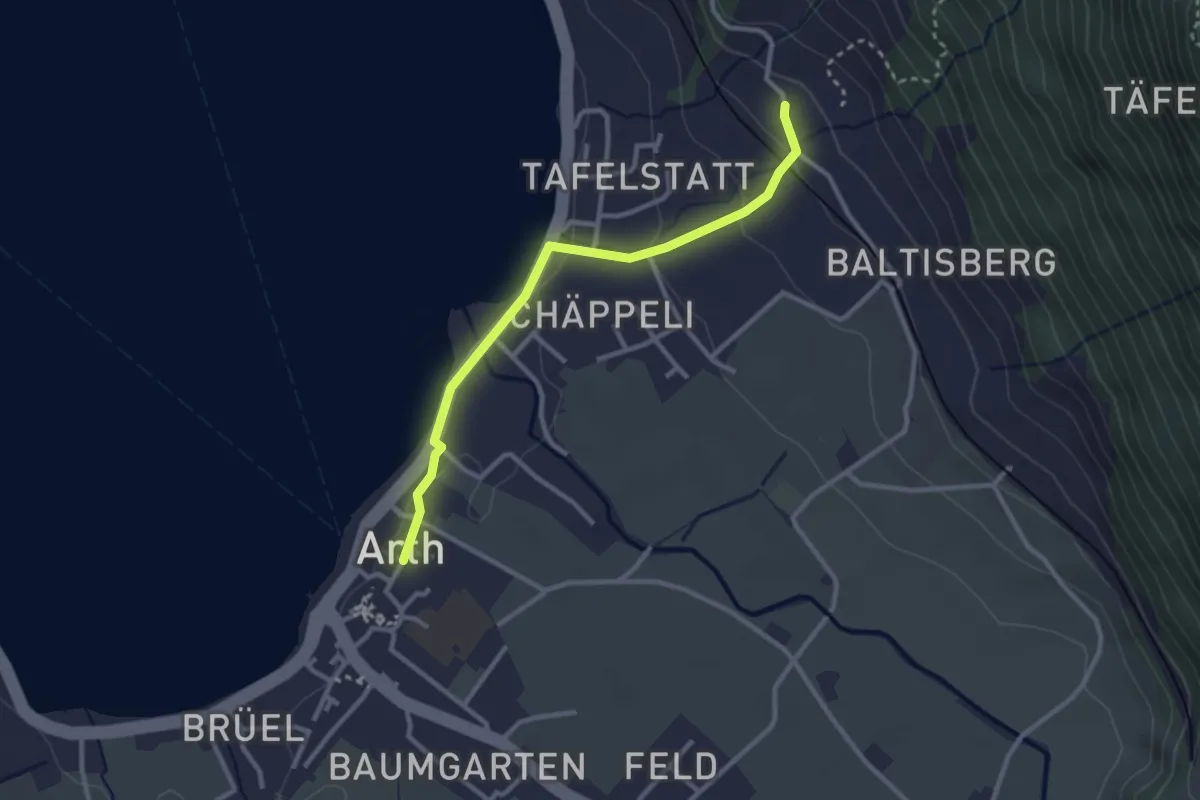
Easy · Trail
Arth - Sunnenberg
2.8 km · ↑ 92 m · 51 min · 14 km away
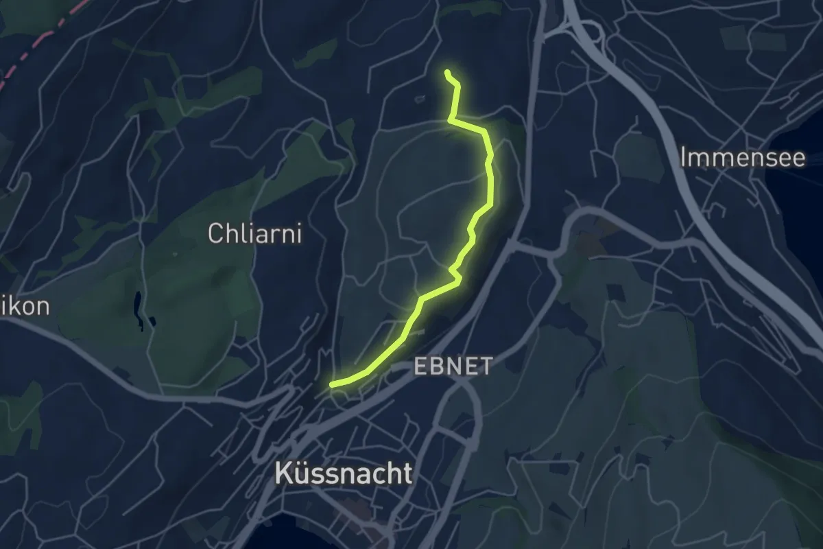
Easy · Trail
Küssnacht - St. Martin
3.9 km · ↑ 69 m · 1 h 5 min · 14 km away
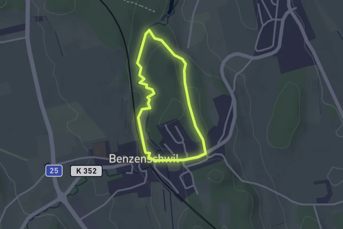
Easy · Trail
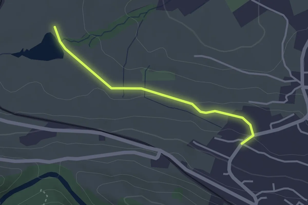
Kinderweg
2.1 km · ↑ 38 m · 37 min · 14 km away
Easy · Trail
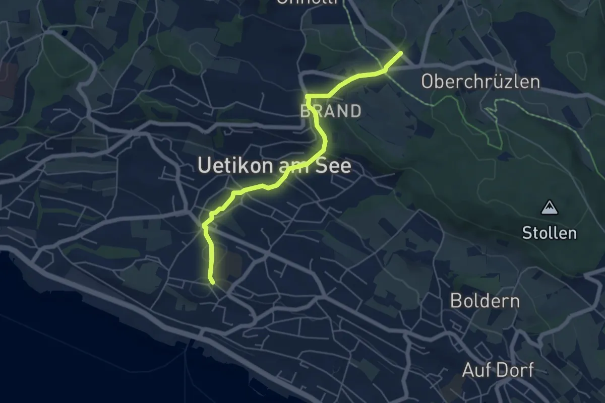
Freyenweijer - Äsch
2.7 km · ↑ 45 m · 44 min · 14 km away
Easy · Trail
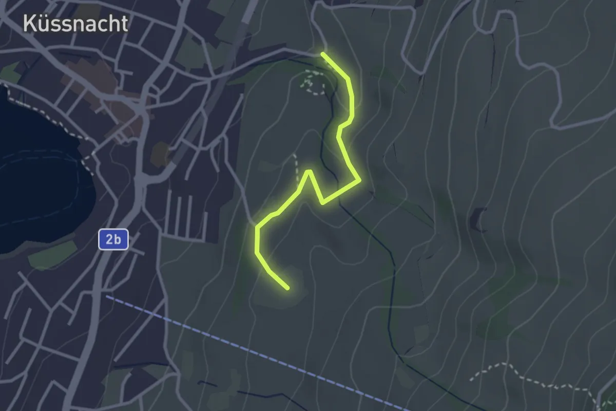
Uetikon Dorf – Gibisnüd
5.0 km · ↑ 196 m · 1 h 36 min · 14 km away
Easy · Trail
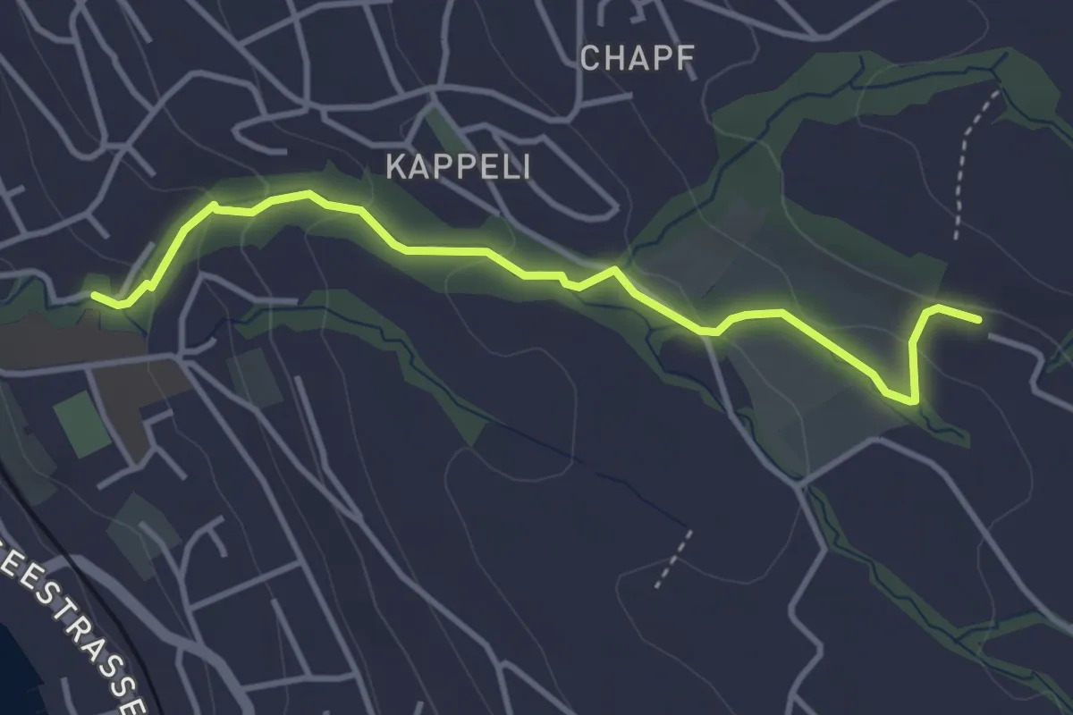
Gesslerber-Alpenhof
2.4 km · ↑ 89 m · 45 min · 14 km away
Easy · Trail
Erlenbach Dorfbach - Blüemlisalp
3.6 km · ↑ 147 m · 1 h 10 min · 14 km away
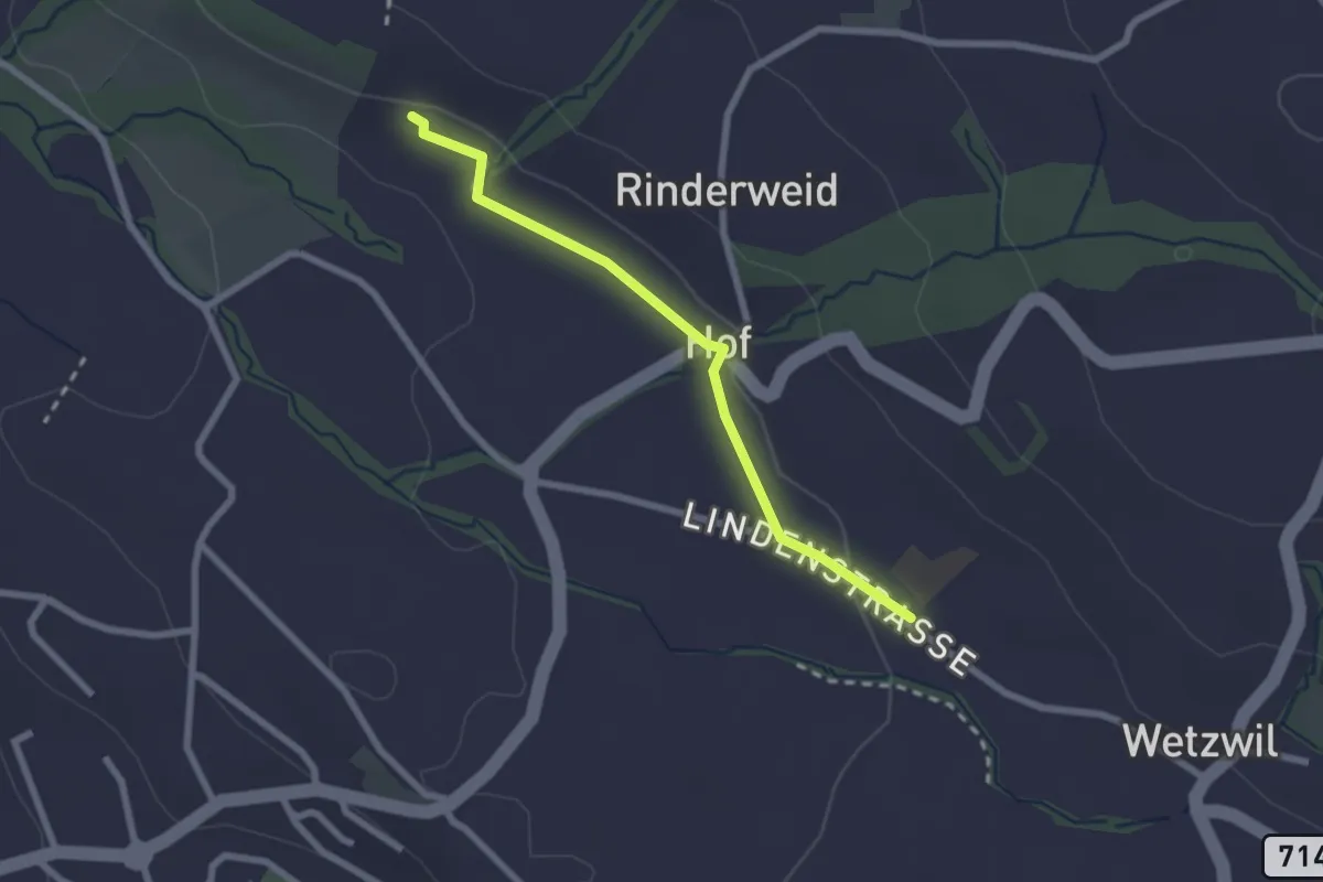
Easy · Trail
Blüemlisalp - Wetzwil Kirche
2.2 km · ↑ 15 m · 33 min · 14 km away
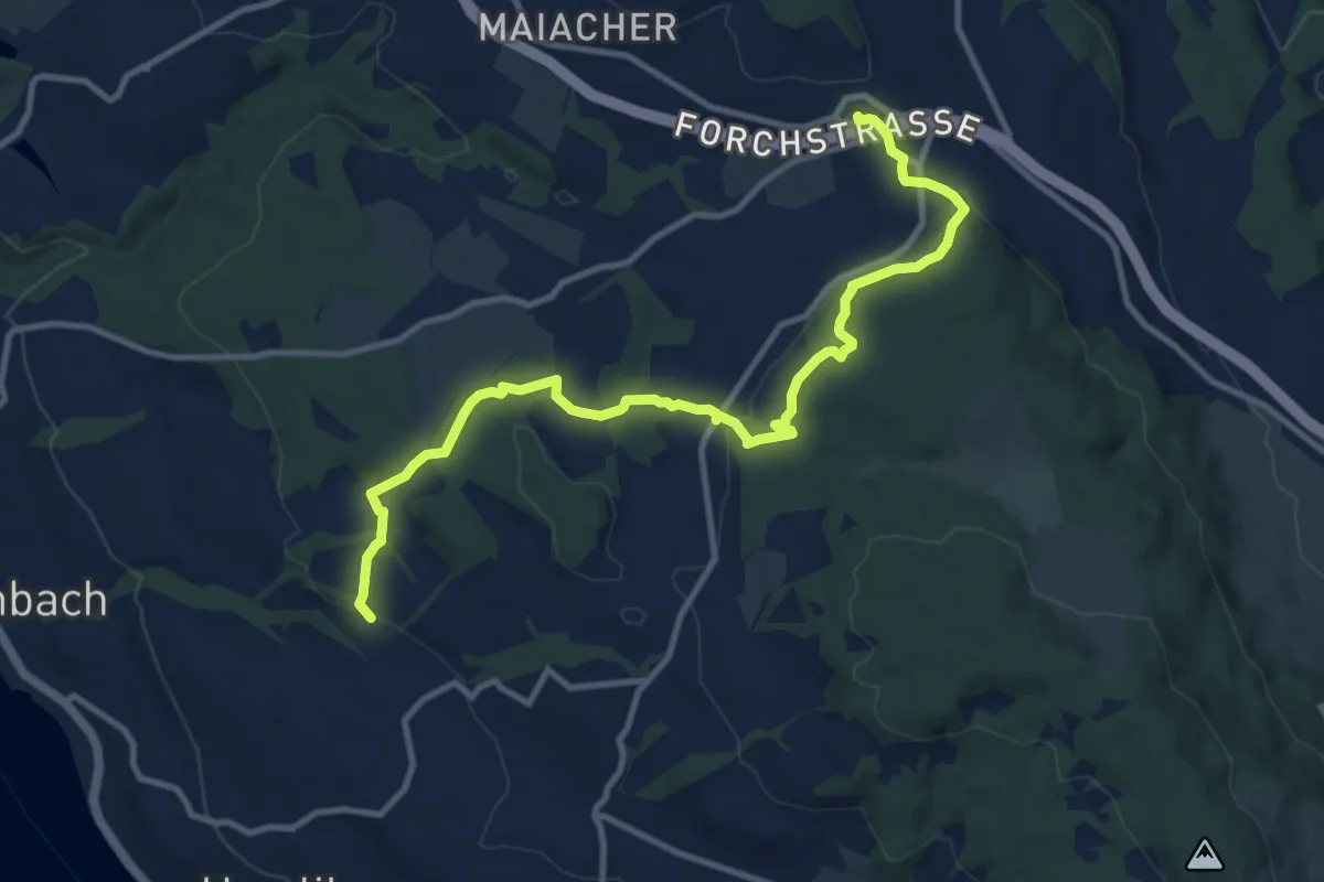
Medium · Trail
Blüemlisalp – Forch
11.9 km · ↑ 335 m · 3 h 33 min · 14 km away
Easy · Trail
Widacher - Root
4.5 km · ↑ 131 m · 1 h 21 min · 14 km away
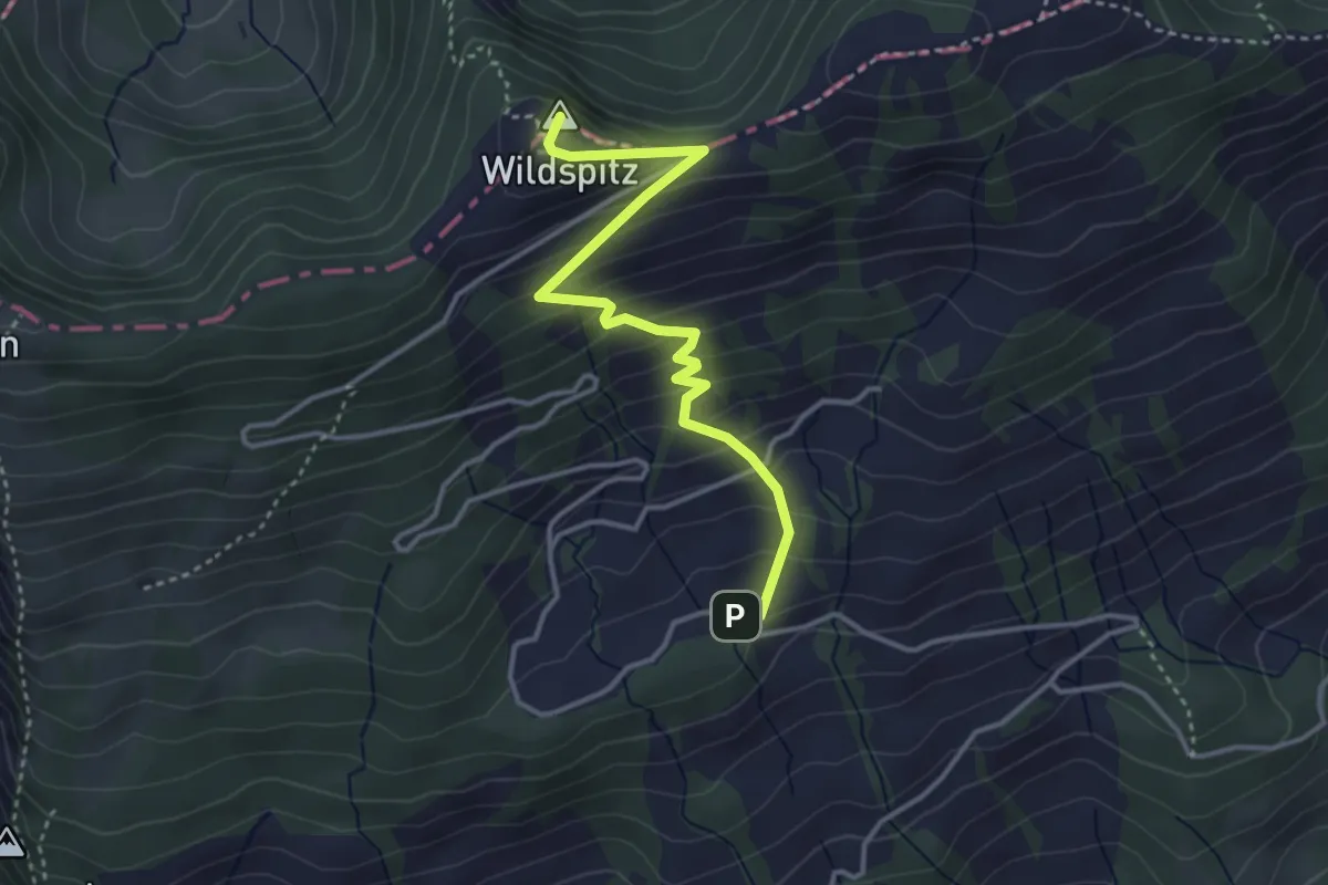
Medium · Summit
Obhegkapelle - Wildspitz
3.7 km · ↑ 323 m · 1 h 35 min · 14 km away
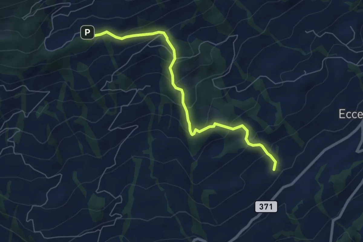
Medium · Trail
Obhegkapelle - Talacher? / Steinen? - fixme
6.0 km · ↑ 491 m · 2 h 29 min · 14 km away
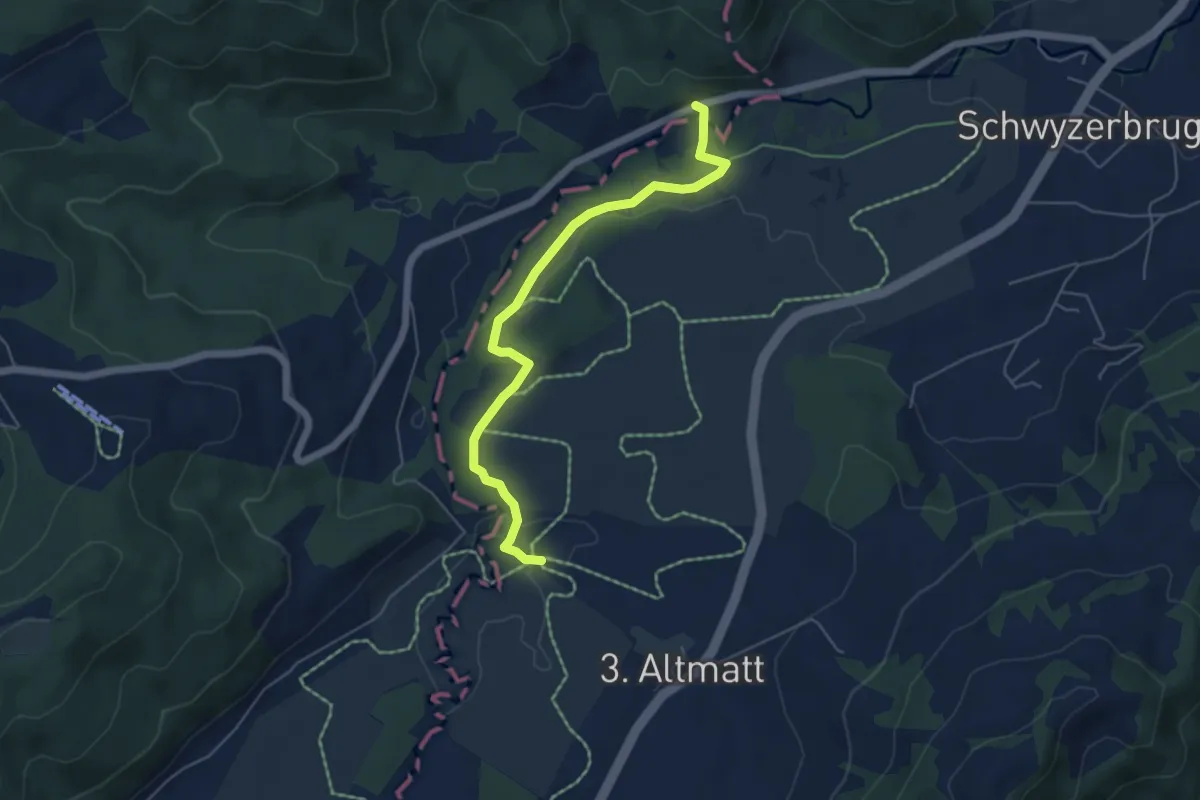
Easy · Trail
Bibersteg - Gutsch-Säge
5.3 km · ↑ 109 m · 1 h 30 min · 14 km away
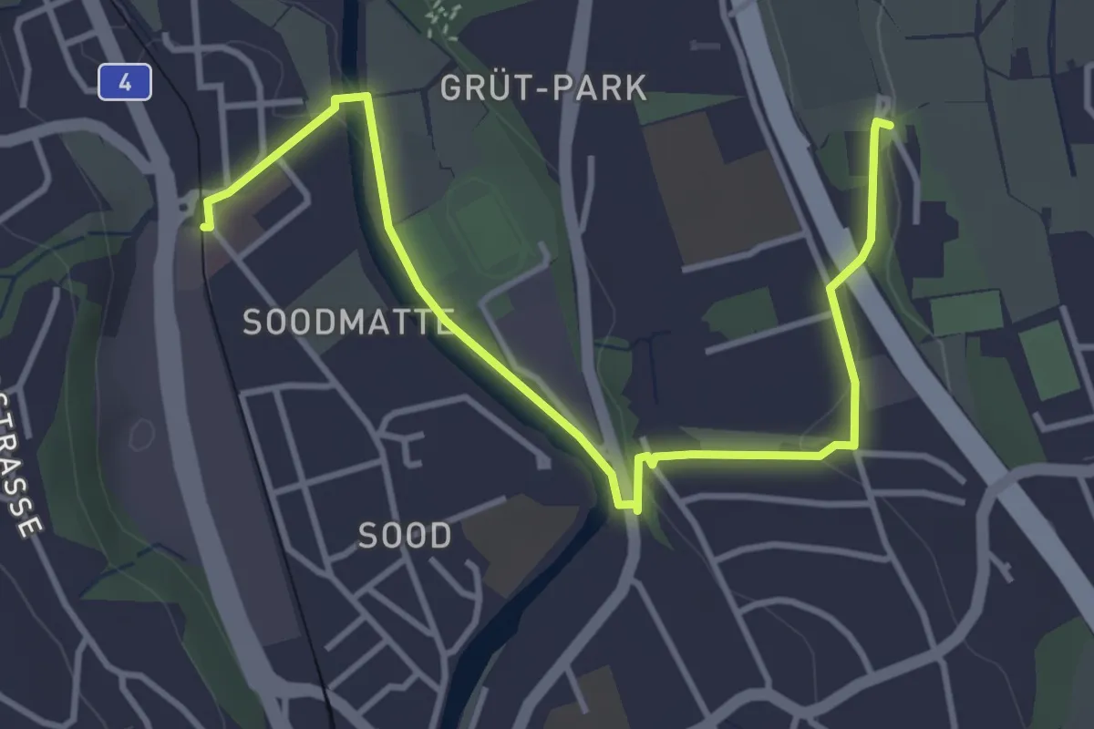
Easy · Trail
Kilchberg Spital - Sood Oberleimbach
4.2 km · ↑ 56 m · 1 h 7 min · 14 km away
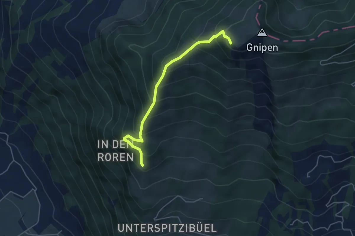
Medium · Trail
Spitzibüel – Gnipen (West)
3.9 km · ↑ 469 m · 1 h 57 min · 14 km away
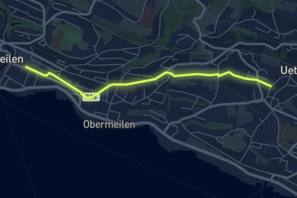
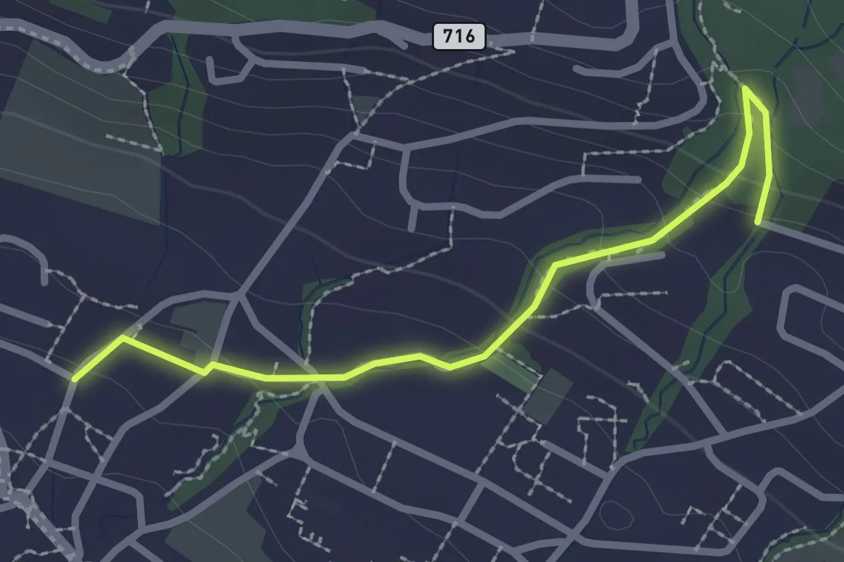
Easy · Trail
Meilen – Uetikon Grossdorf
5.5 km · ↑ 54 m · 1 h 24 min · 14 km away
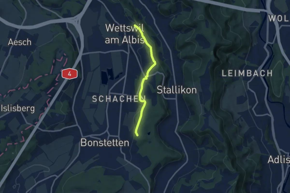
Easy · Trail
Uetikon Grossdorf – Stötzli
2.4 km · ↑ 124 m · 50 min · 14 km away
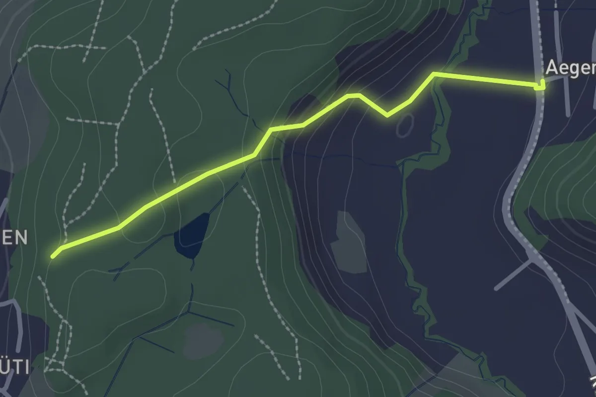
Easy · Trail
Näfenhügel – Buechholz
6.2 km · ↑ 170 m · 1 h 50 min · 14 km away
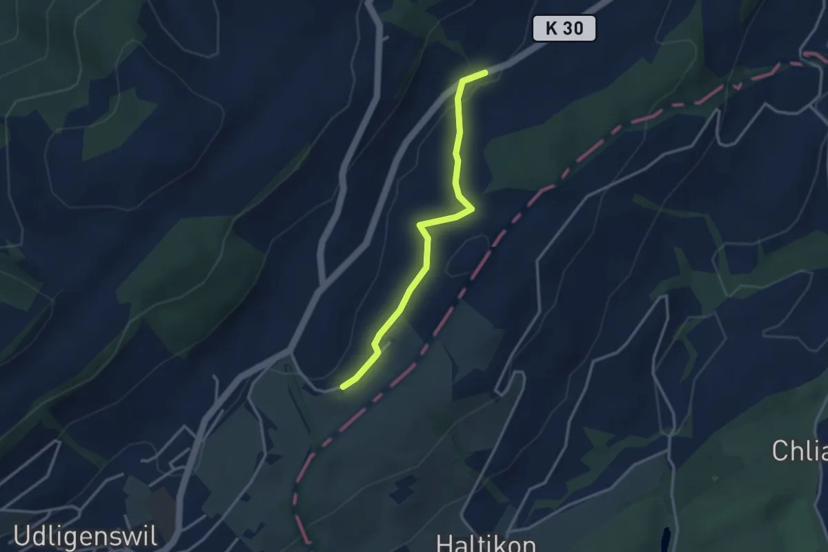
Easy · Trail
Ägerten – Buechholz
2.3 km · ↑ 93 m · 45 min · 14 km away
Easy · Trail
Hasli - Robmatt
2.8 km · ↑ 20 m · 43 min · 14 km away
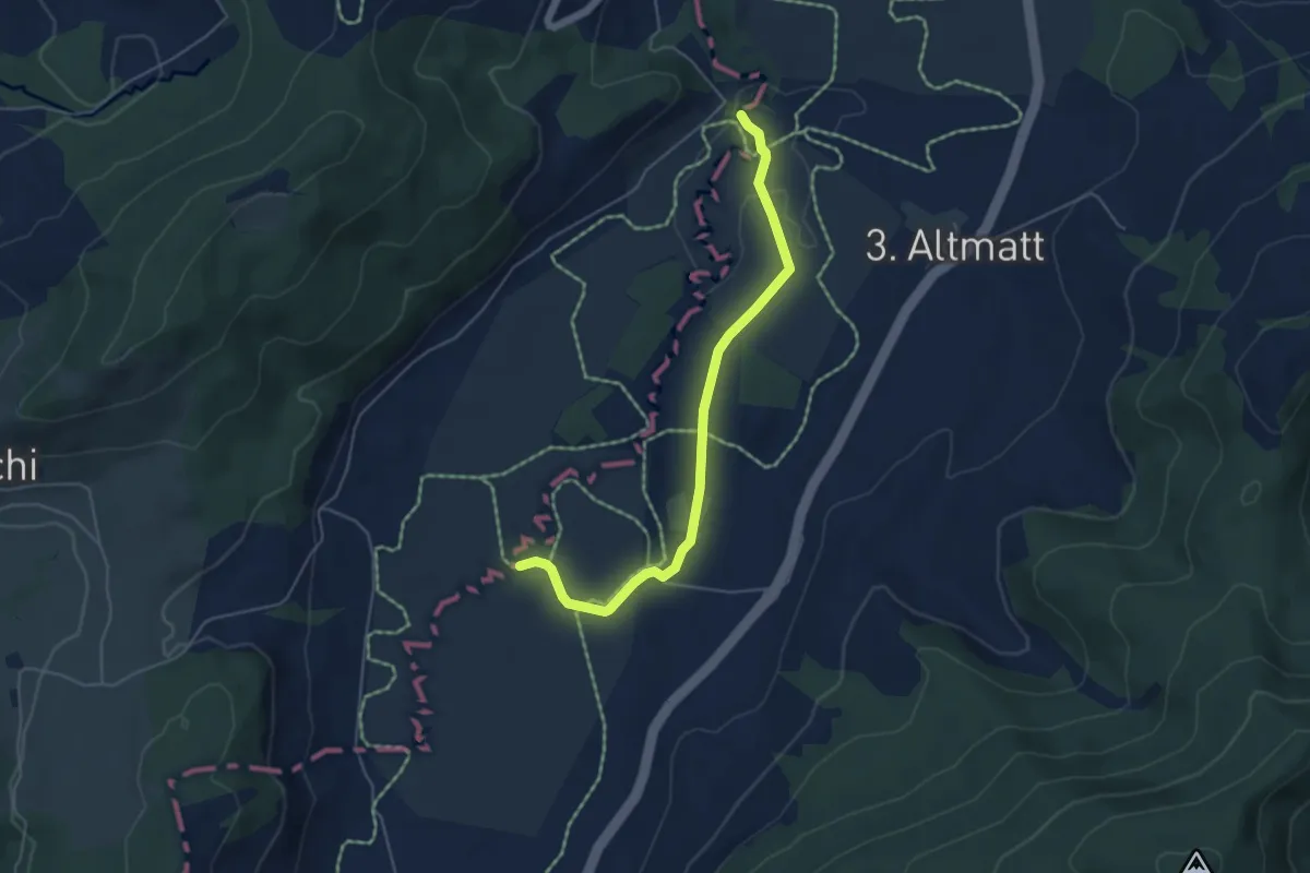
Easy · Trail
Bibersteg – Bubrugg
5.0 km · ↑ 45 m · 1 h 16 min · 14 km away
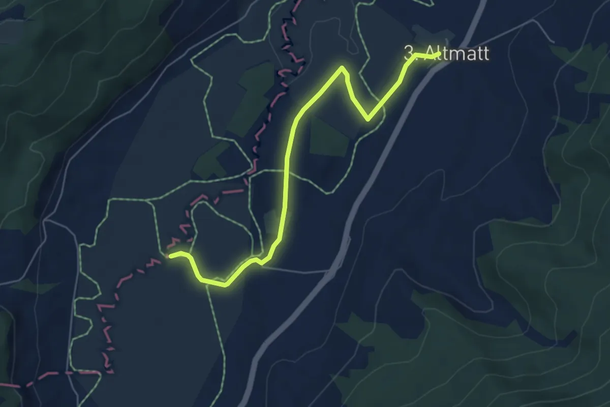
Easy · Trail
Dritte Altmatt - Bubrugg
5.6 km · ↑ 37 m · 1 h 24 min · 14 km away
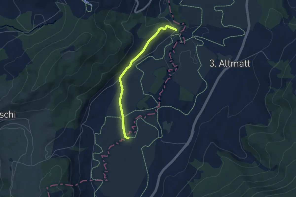
Easy · Trail
Bibersteg - Bubrugg
4.5 km · ↑ 140 m · 1 h 21 min · 14 km away
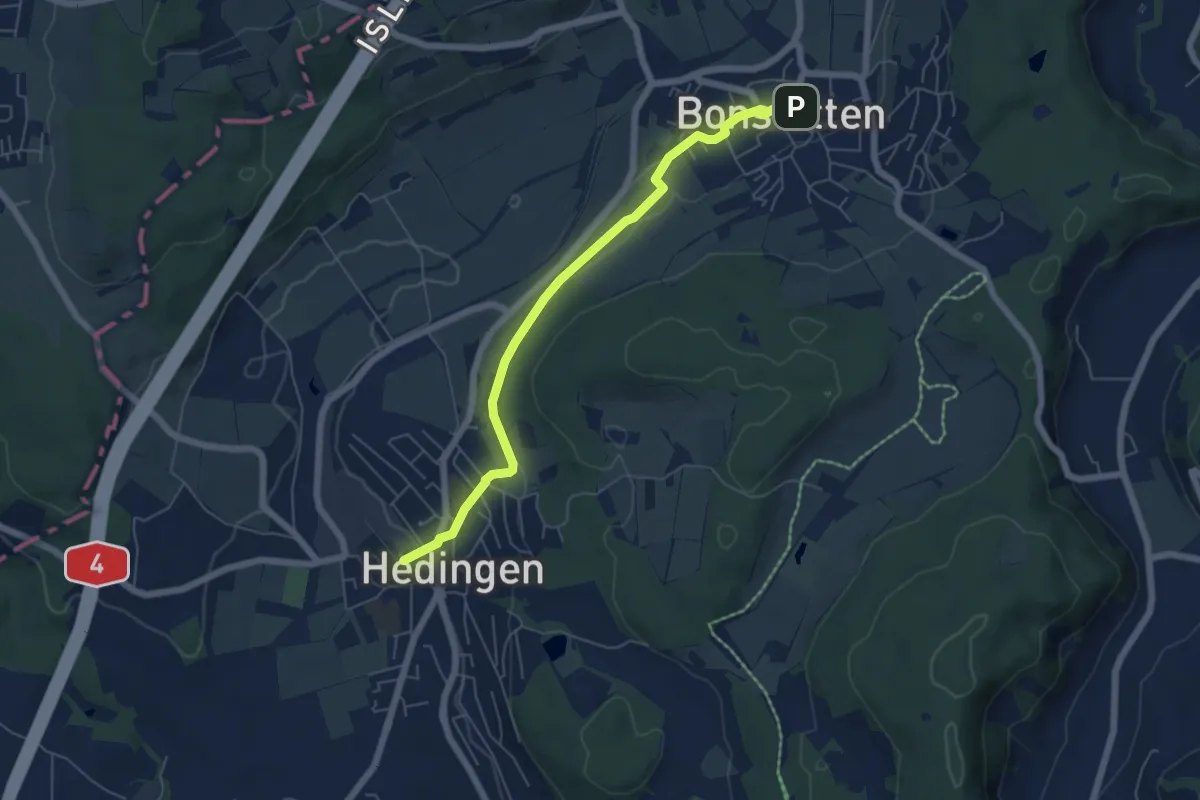
Easy · Trail
Hedingen Station – Bonstetten
5.8 km · ↑ 105 m · 1 h 36 min · 14 km away
Easy · Trail
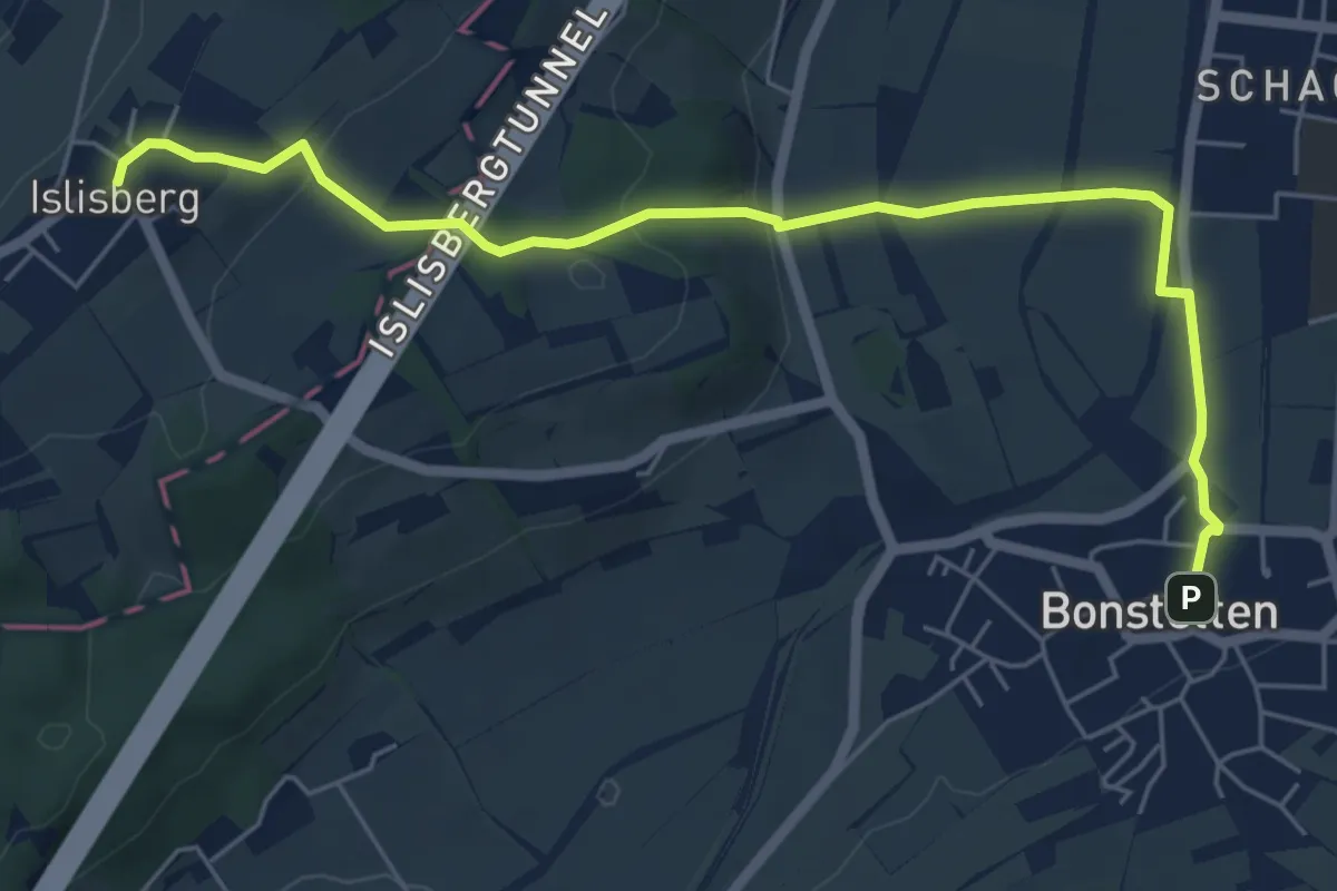
Bonstetten – Islisberg
6.4 km · ↑ 162 m · 1 h 51 min · 14 km away
Easy · Trail
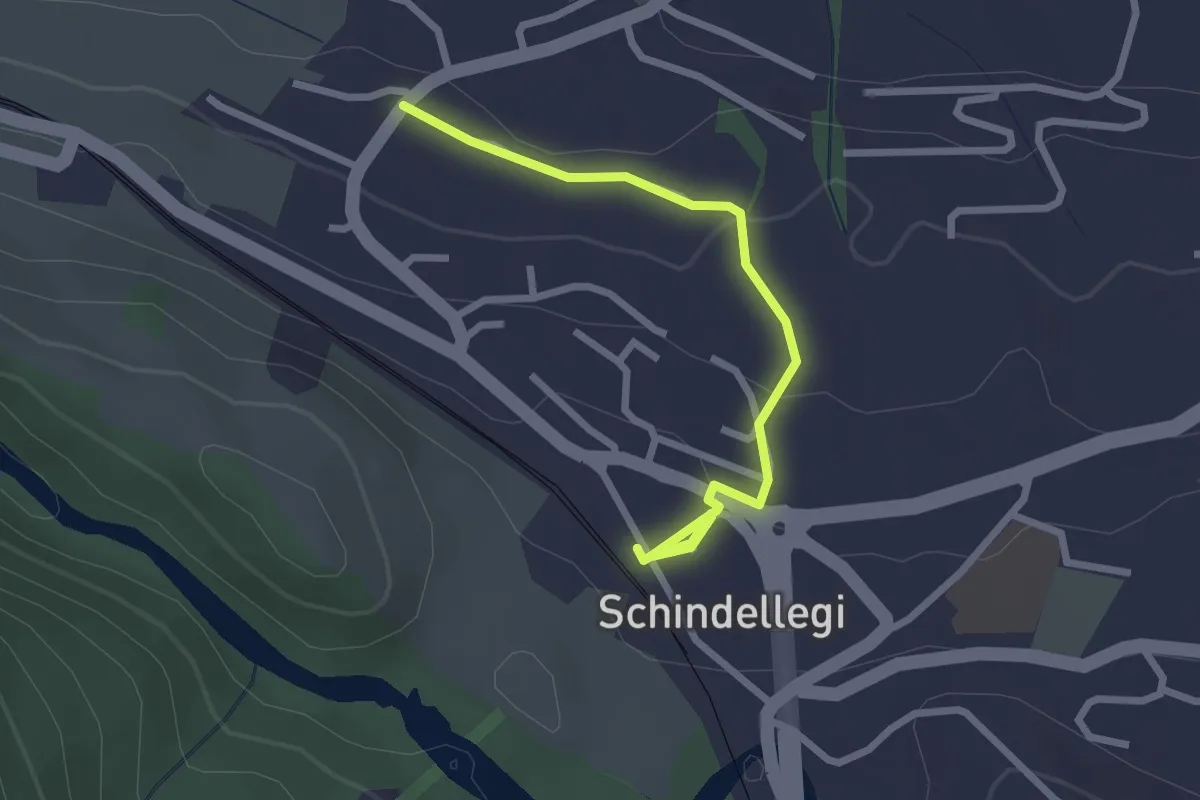
Schindellegi (Bhf) - Äsch
2.6 km · ↑ 77 m · 47 min · 14 km away
Medium · Trail
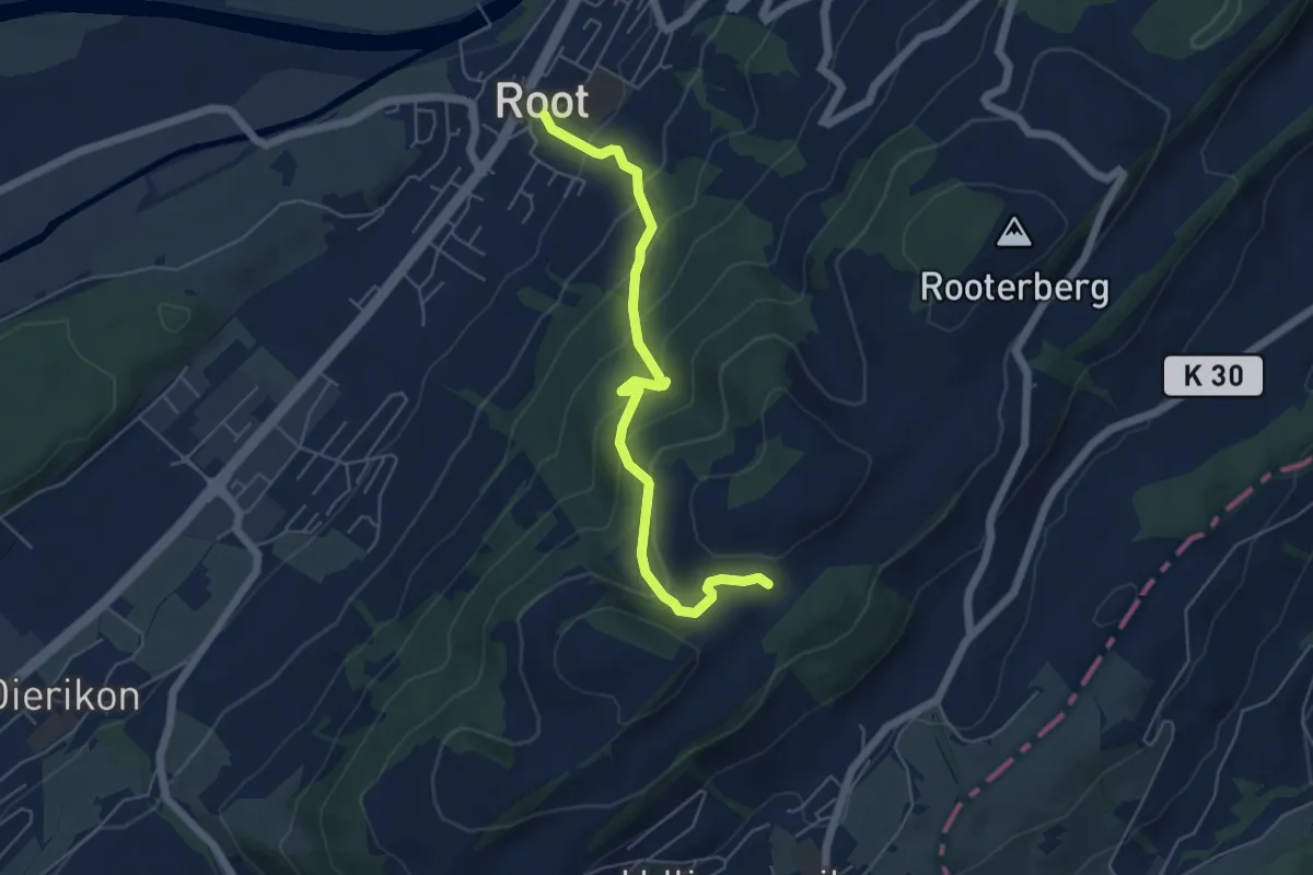
Fusterli - Root
5.4 km · ↑ 410 m · 2 h 10 min · 14 km away
Easy · Trail
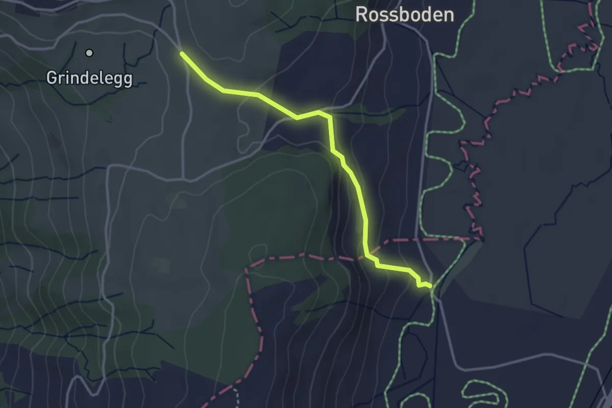
Ob Tännli - Tännli Chappeli - Möslibrugg
3.1 km · ↑ 114 m · 58 min · 14 km away
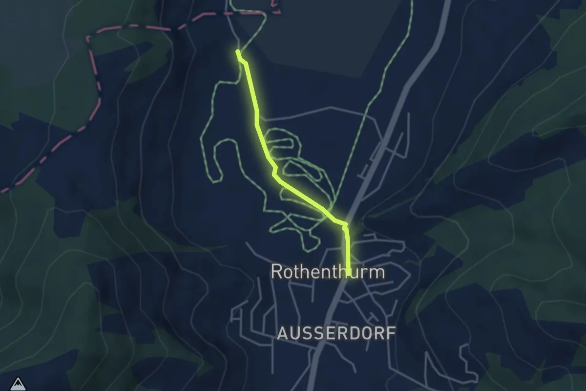
Easy · Trail
Rothenthurm – Möslibrugg
2.6 km · ↑ 19 m · 39 min · 14 km away
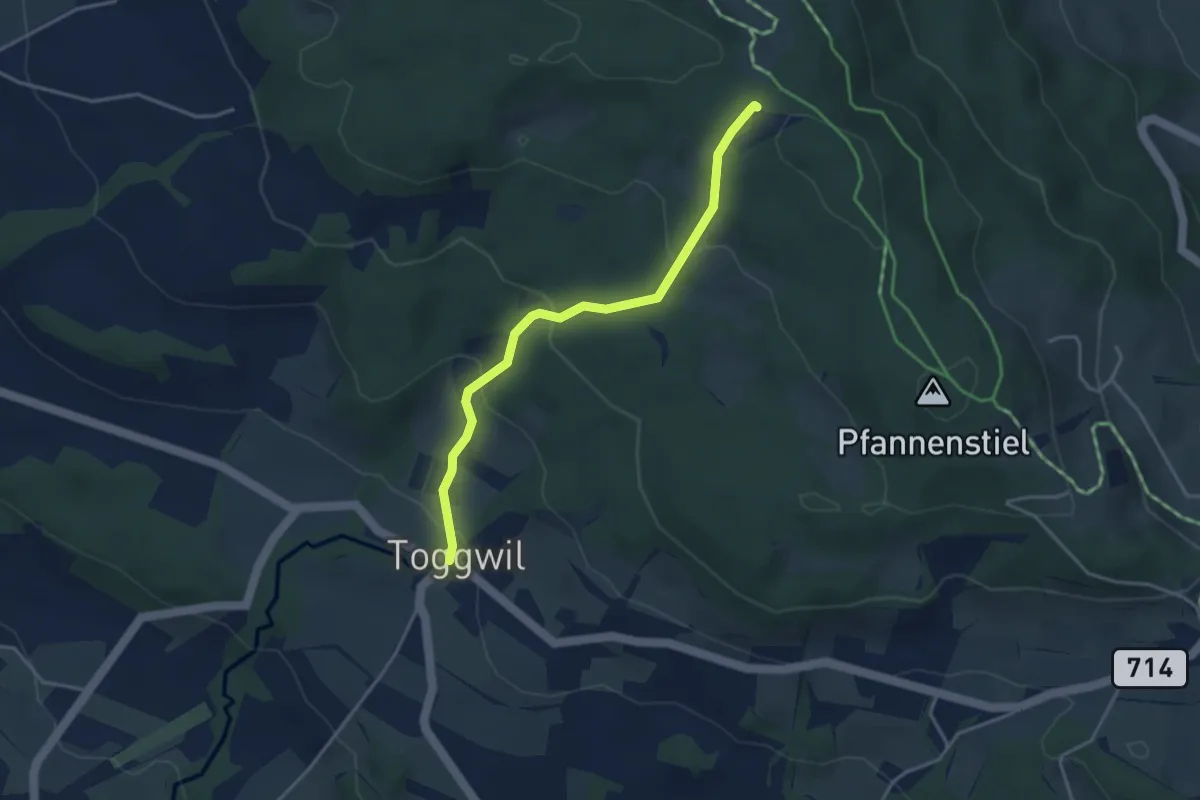
Easy · Trail
Toggwil – Guldener Höchi
3.5 km · ↑ 195 m · 1 h 15 min · 14 km away
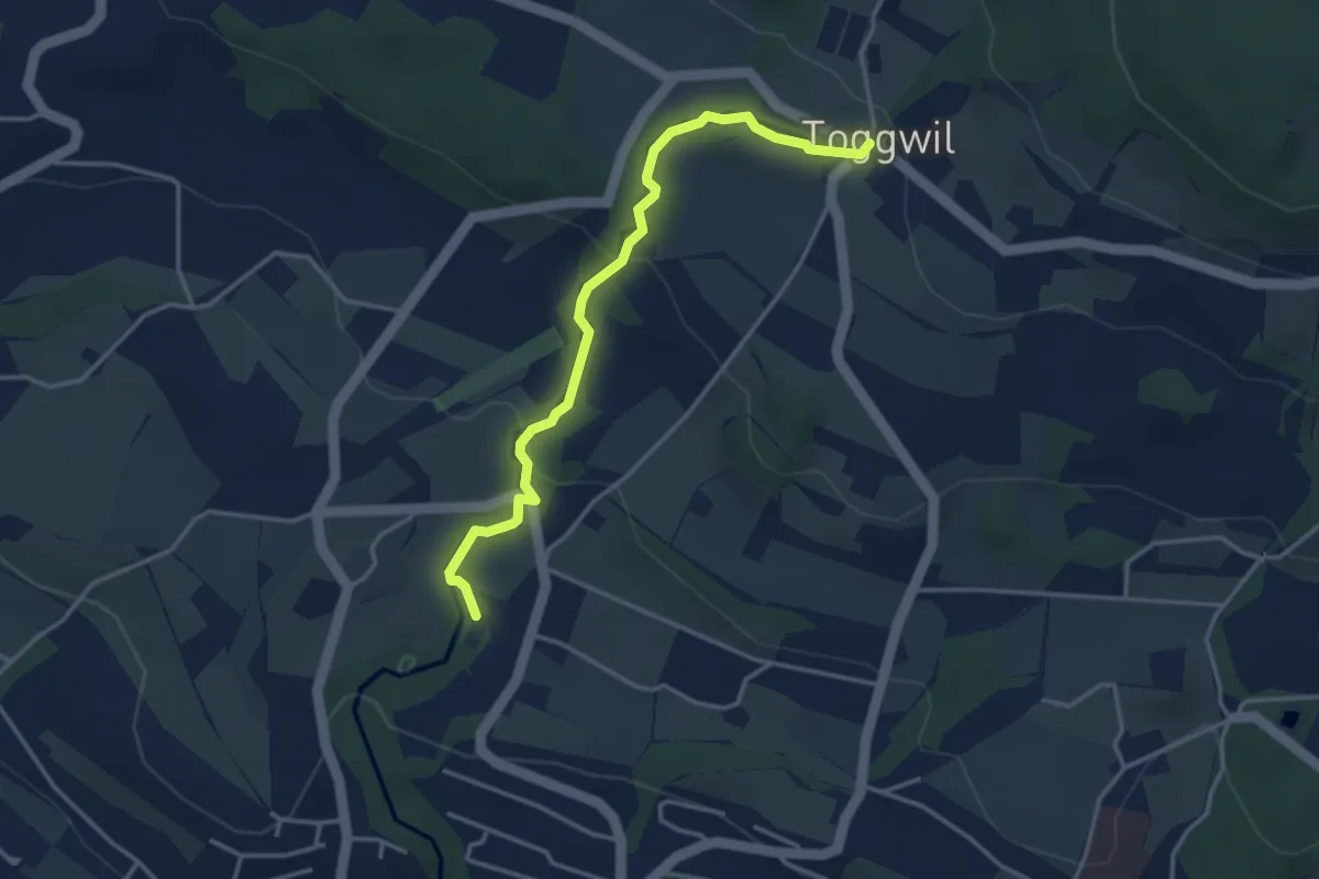
Easy · Trail
Toggwil – Rne. Friedberg
3.7 km · ↑ 134 m · 1 h 9 min · 14 km away
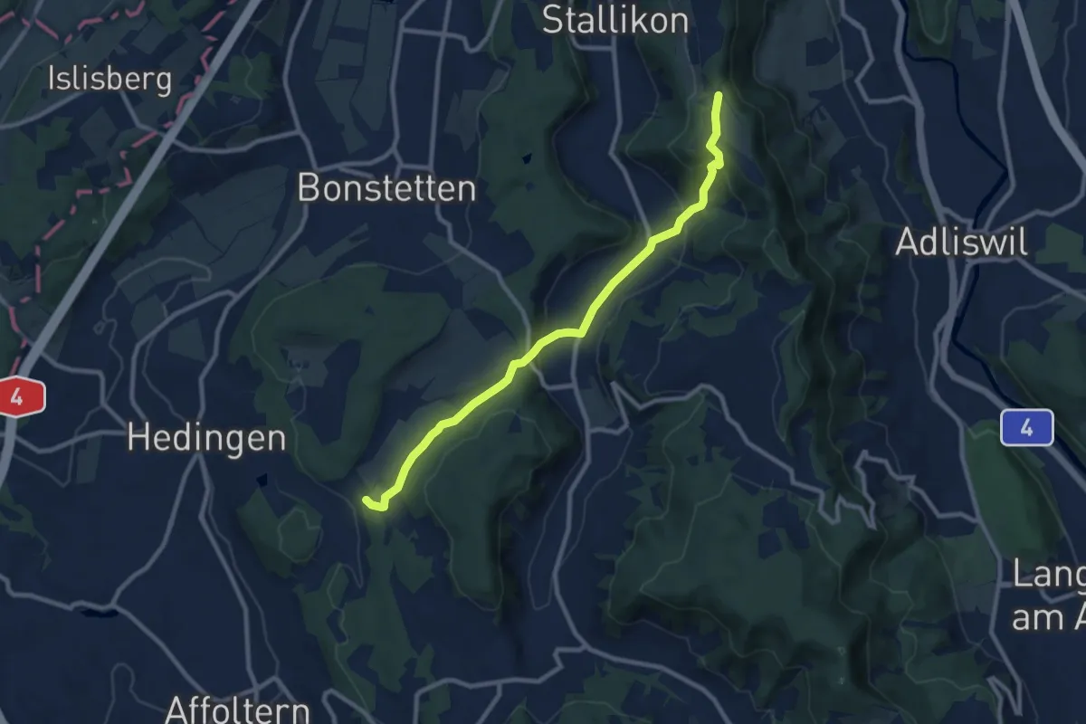
Medium · Trail
Hirslen – Balderen
9.2 km · ↑ 346 m · 2 h 56 min · 14 km away
Easy · Trail
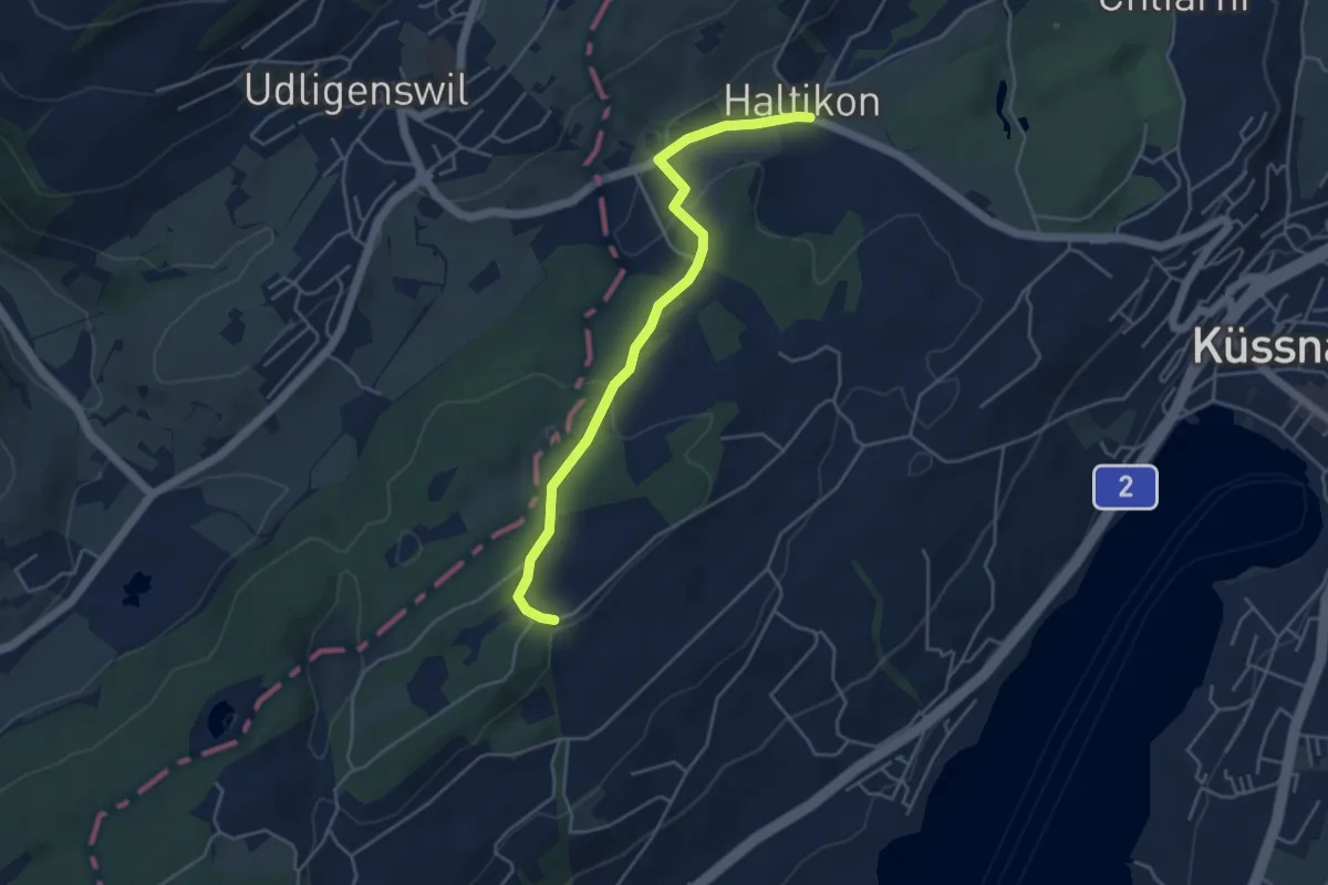
Forenmoos – Haltikon
4.5 km · ↑ 113 m · 1 h 19 min · 14 km away
Easy · Trail
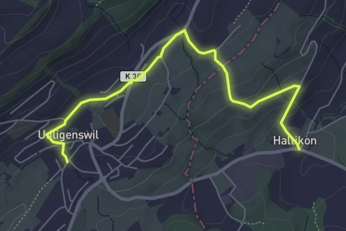
Haltikon - Udligenswil
5.7 km · ↑ 167 m · 1 h 43 min · 14 km away
Demanding · Trail
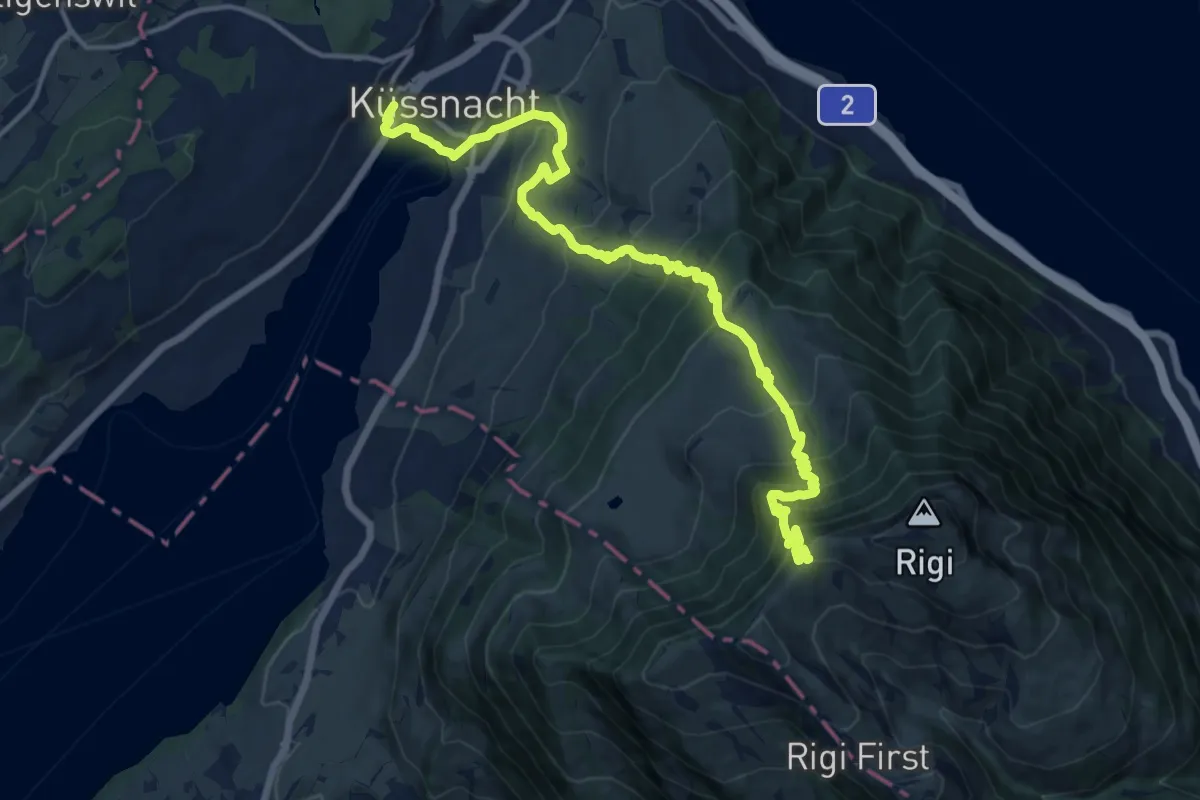
Schwyzer Höhenweg - Etappe 1
16.7 km · ↑ 1217 m · 6 h 34 min · 14 km away
Medium · Trail
Waldstätterweg - Etappe 3
16.9 km · ↑ 334 m · 4 h 57 min · 14 km away
Medium · Trail
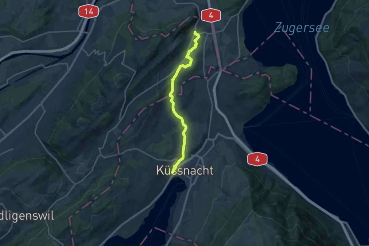
Meierskappel – Küssnacht
11.8 km · ↑ 199 m · 3 h 13 min · 14 km away
Demanding · Trail
Waldstätterweg - Etappe 2
18.4 km · ↑ 803 m · 6 h 21 min · 14 km away
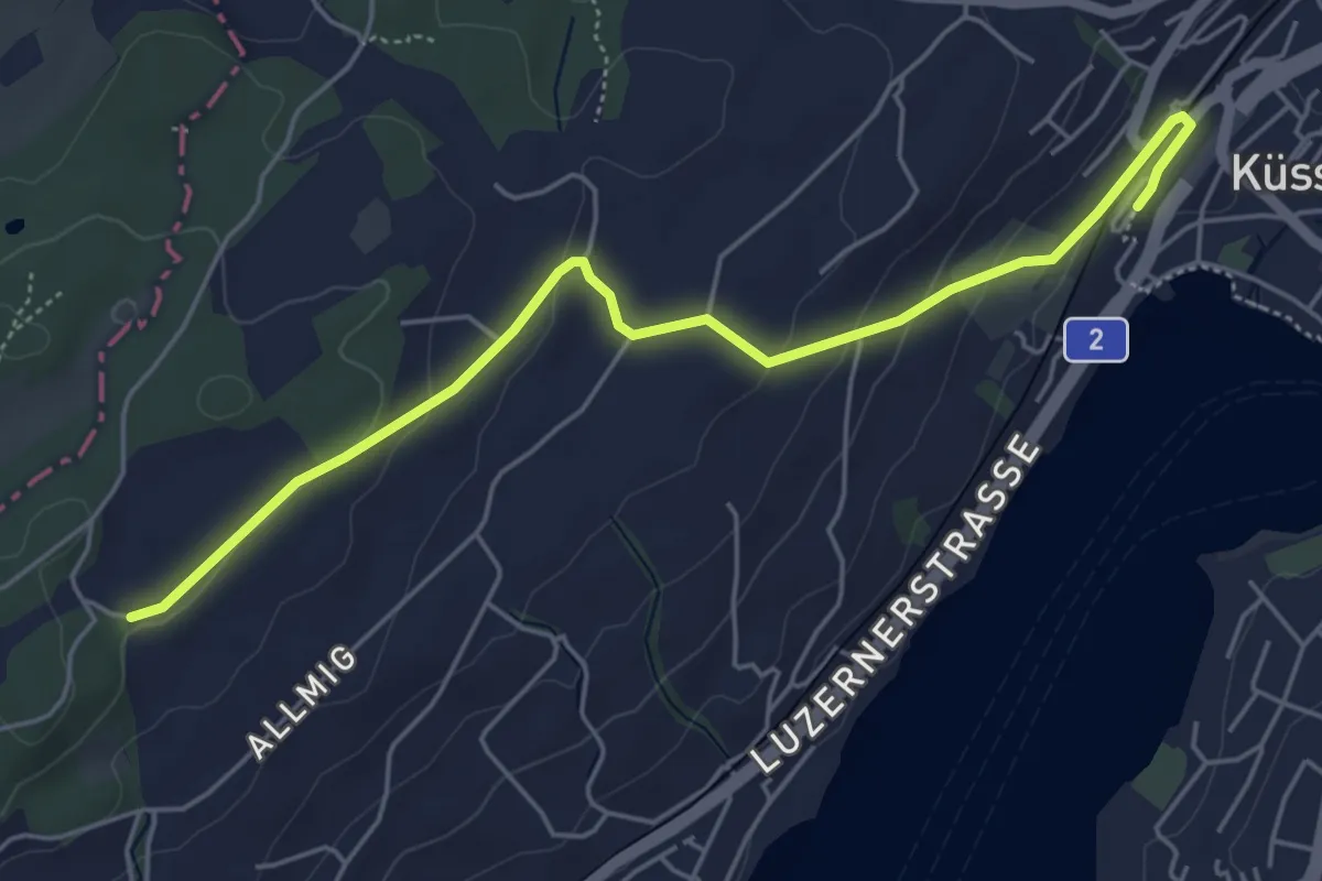
Easy · Trail
Forenmoos – Küssnacht
5.5 km · ↑ 152 m · 1 h 38 min · 14 km away
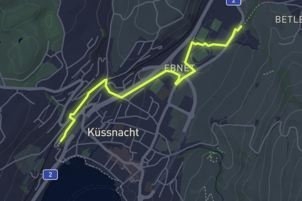
Easy · Trail
Küssnacht – Hohle Gasse
4.7 km · ↑ 57 m · 1 h 14 min · 14 km away
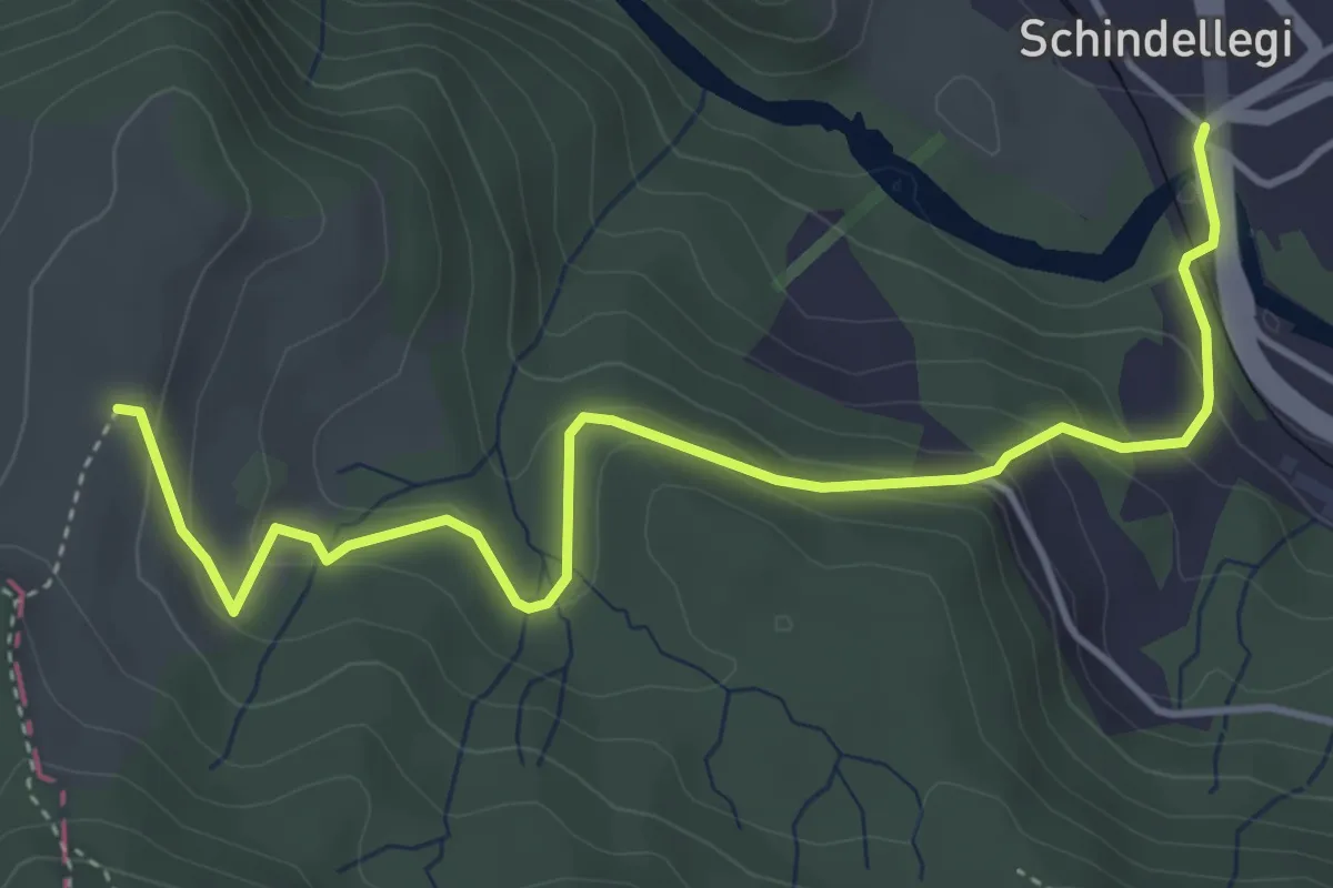
Easy · Trail
Schindellegi - Rossberg
4.9 km · ↑ 284 m · 1 h 46 min · 14 km away
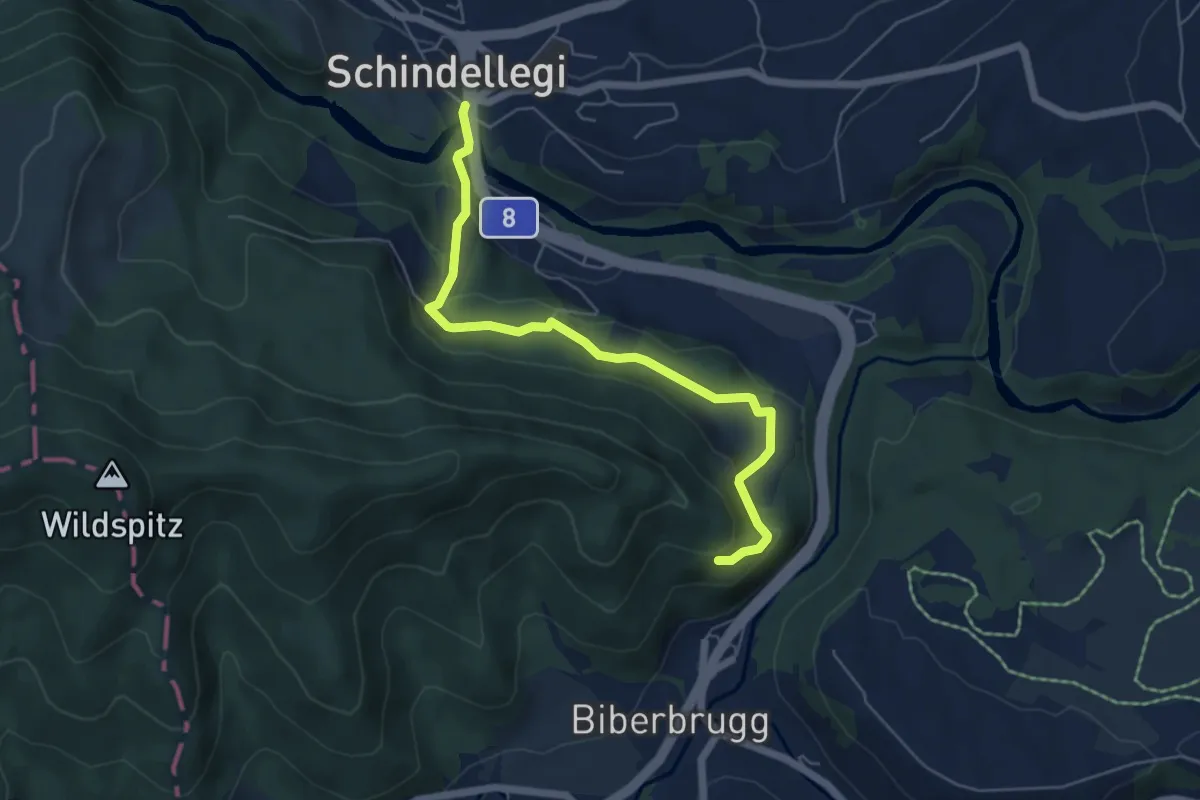
Easy · Trail
Schindellegi – Fuseli
5.7 km · ↑ 251 m · 1 h 53 min · 14 km away
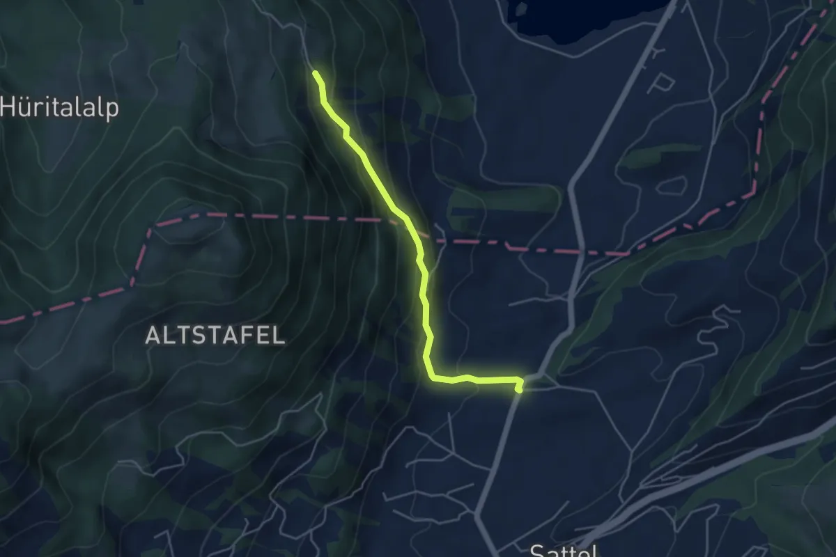
Easy · Trail
Hageggli - Schornerain
4.0 km · ↑ 295 m · 1 h 36 min · 14 km away
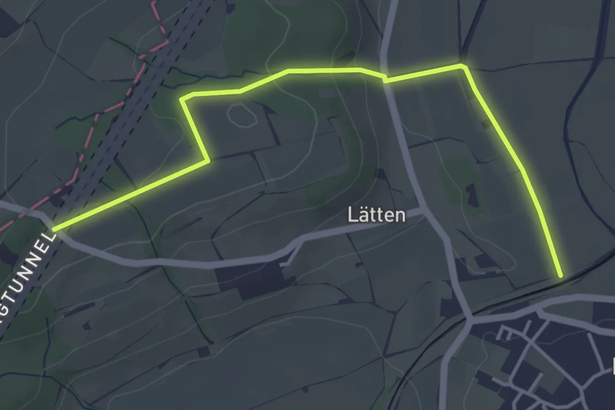
Easy · Trail
Rundweg
4.1 km · ↑ 113 m · 1 h 13 min · 14 km away
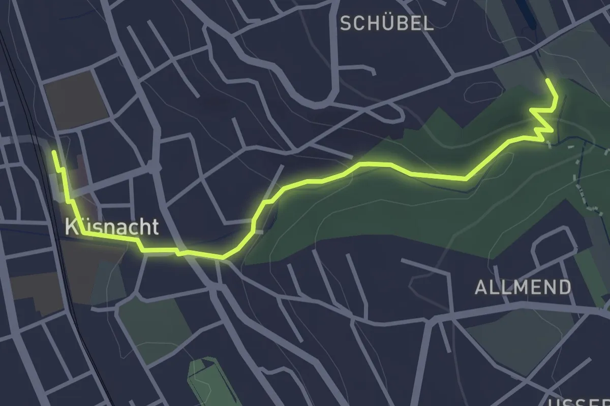
Easy · Trail
Küsnacht – Schübelweiher
3.3 km · ↑ 95 m · 1 h · 14 km away
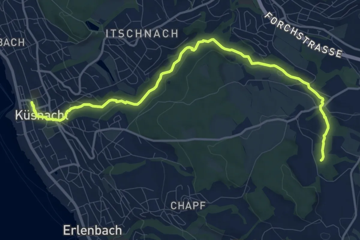
Medium · Trail
Erlenbach Küsnacht Tobelweg
11.9 km · ↑ 300 m · 3 h 27 min · 14 km away
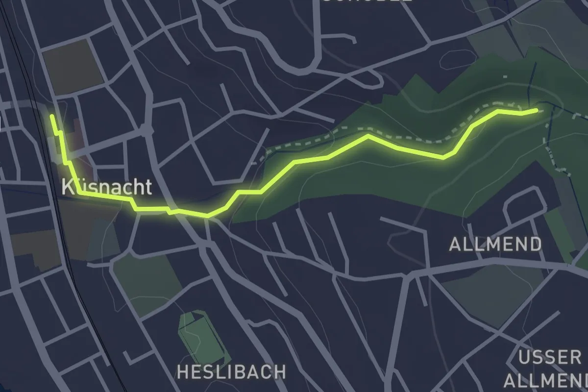
Easy · Trail
Küsnacht – Küsnacht Dorfbach
2.9 km · ↑ 92 m · 53 min · 14 km away