Trails near Baar
615 hikes starting within 15 km, nearest first.
Nearest first, page 13 of 13
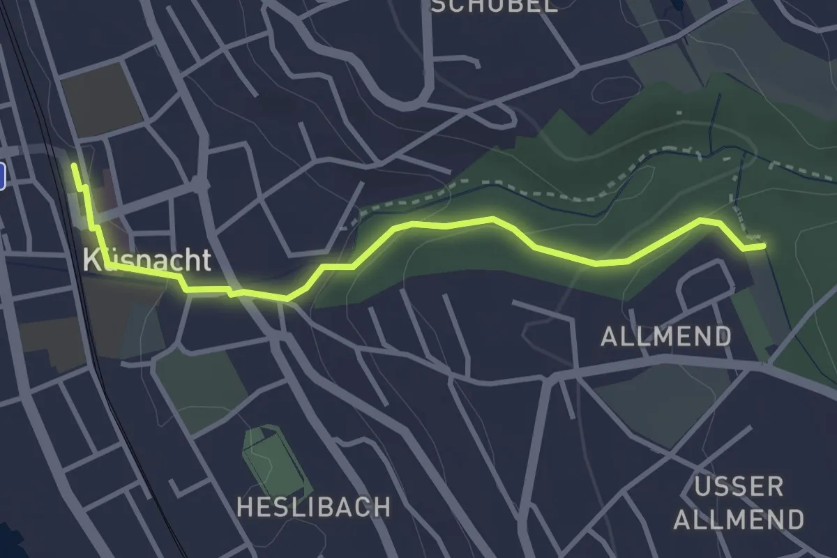
Easy · Trail
Küsnacht – Küsnachter Tobel
3.1 km · ↑ 106 m · 57 min · 14 km away
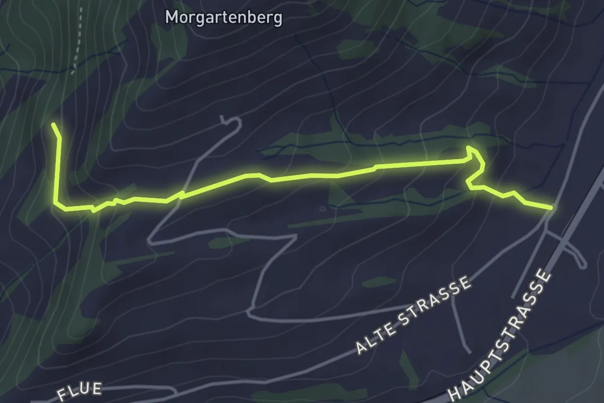
Easy · Trail
Hasenmatt - Rapperen
4.1 km · ↑ 239 m · 1 h 29 min · 14 km away
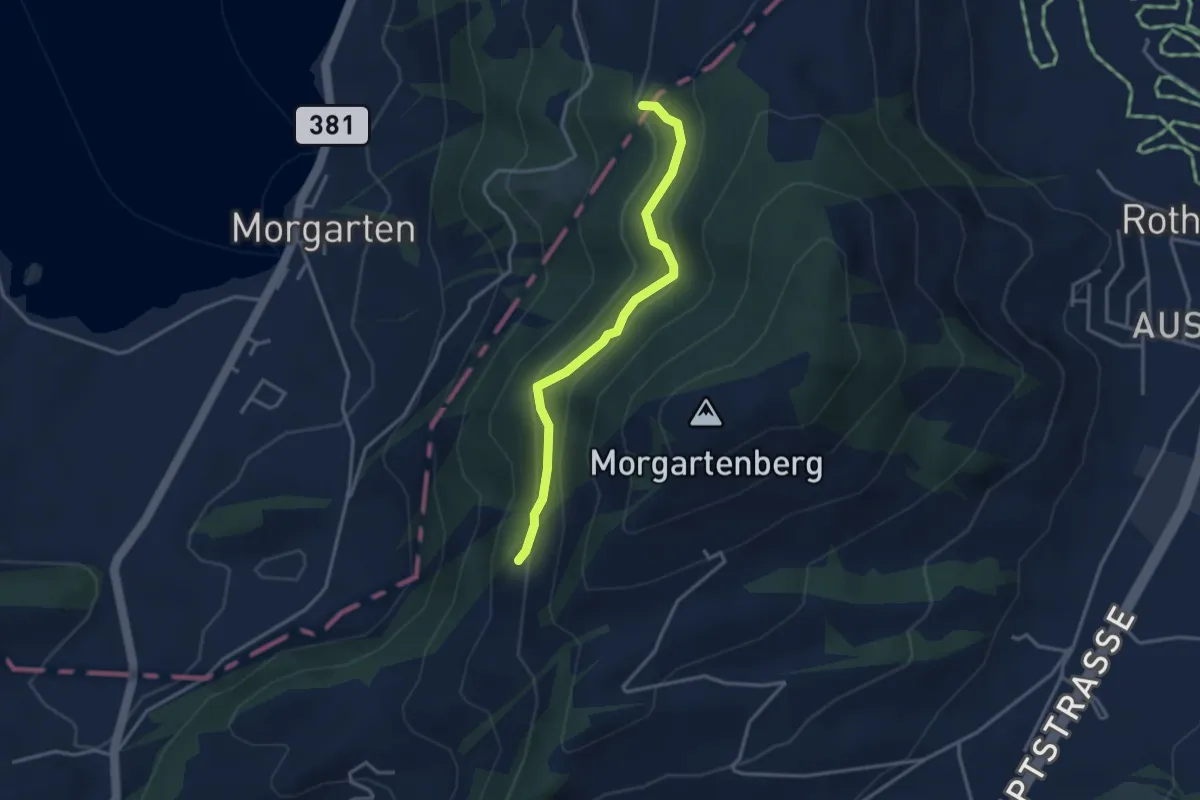
Easy · Trail
Rapperen - Fisterenwald
3.2 km · ↑ 159 m · 1 h 6 min · 14 km away
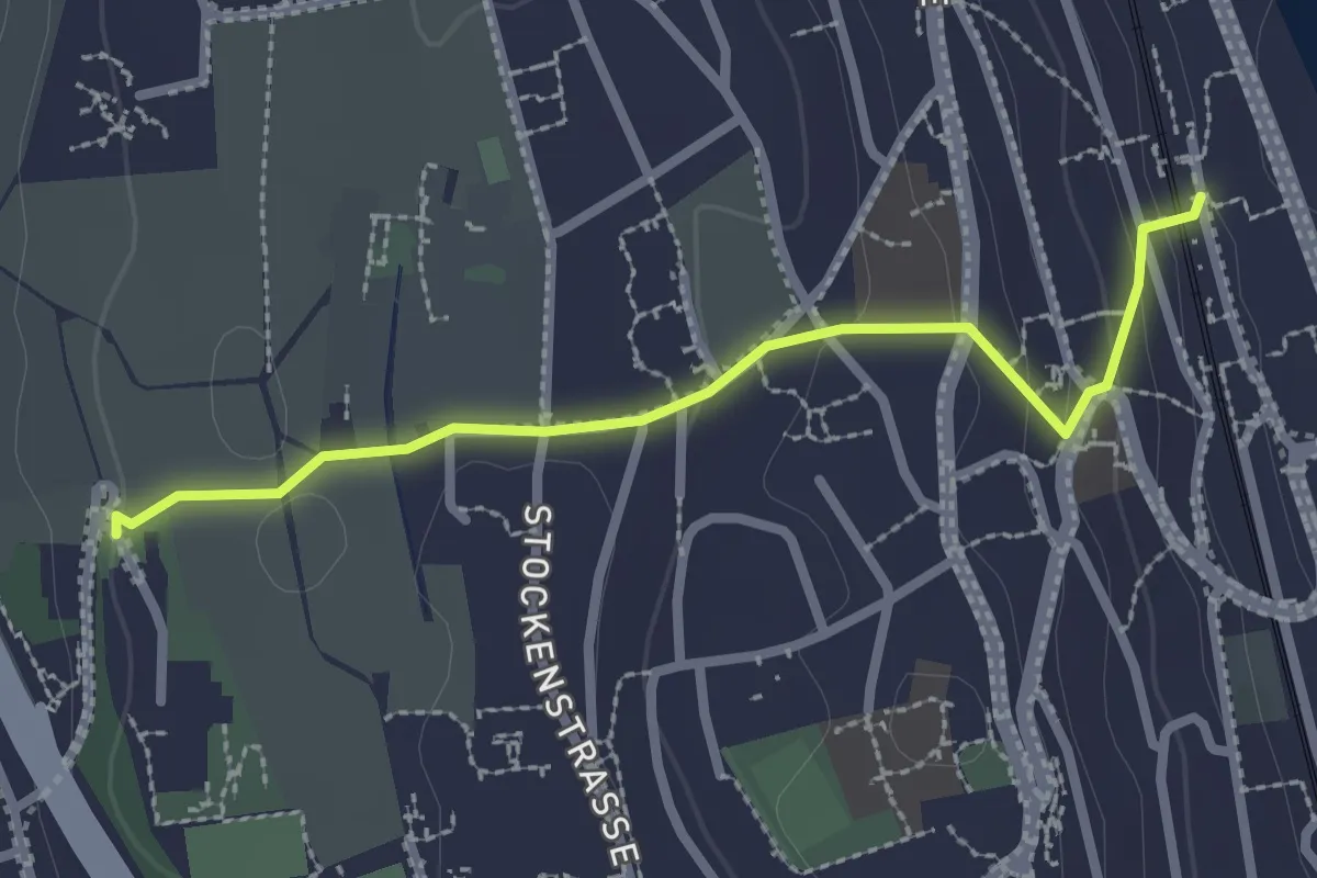
Easy · Trail
Kilchberg (Bahnhof) – Kilchberg Spital
2.5 km · ↑ 86 m · 46 min · 14 km away
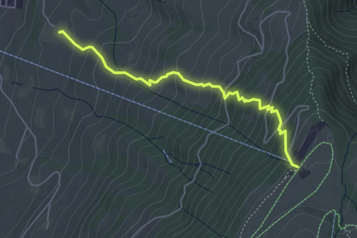
Medium · Trail
Alpenhof – Seebodenalp
4.4 km · ↑ 463 m · 2 h 2 min · 14 km away
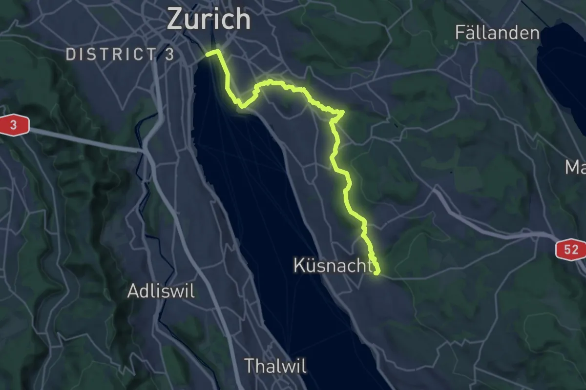
Demanding · Trail
Zürichsee Rundweg - Etappe 10
21.9 km · ↑ 333 m · 5 h 53 min · 14 km away
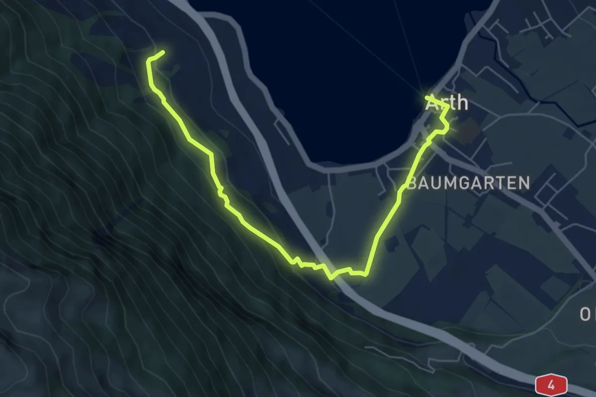
Easy · Trail
Schattenberg - Arth
6.4 km · ↑ 253 m · 2 h 3 min · 15 km away
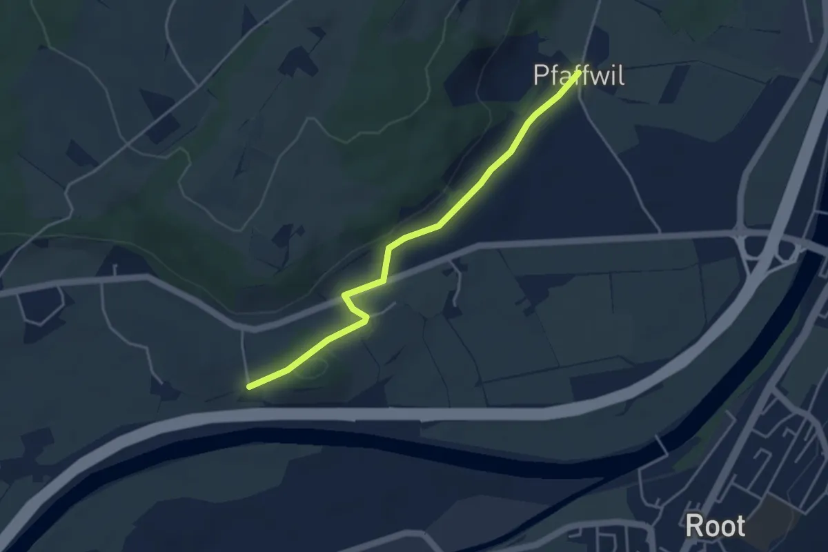
Easy · Trail
St.Katrine - Pfaffwil
3.7 km · ↑ 61 m · 1 h 1 min · 15 km away
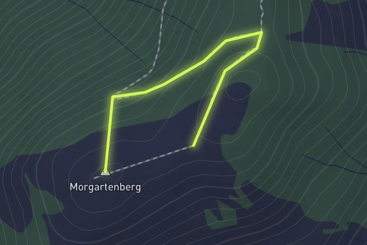
Easy · Summit
Morgartenberg - Chli Morgarten?
1.5 km · ↑ 84 m · 32 min · 15 km away
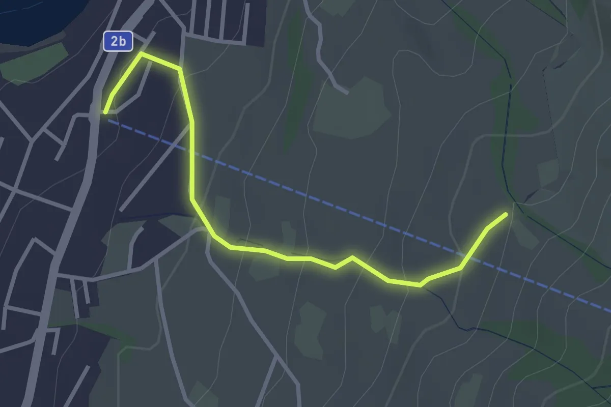
Easy · Trail
Sämpel – Talstation LKüS
2.8 km · ↑ 164 m · 1 h 1 min · 15 km away
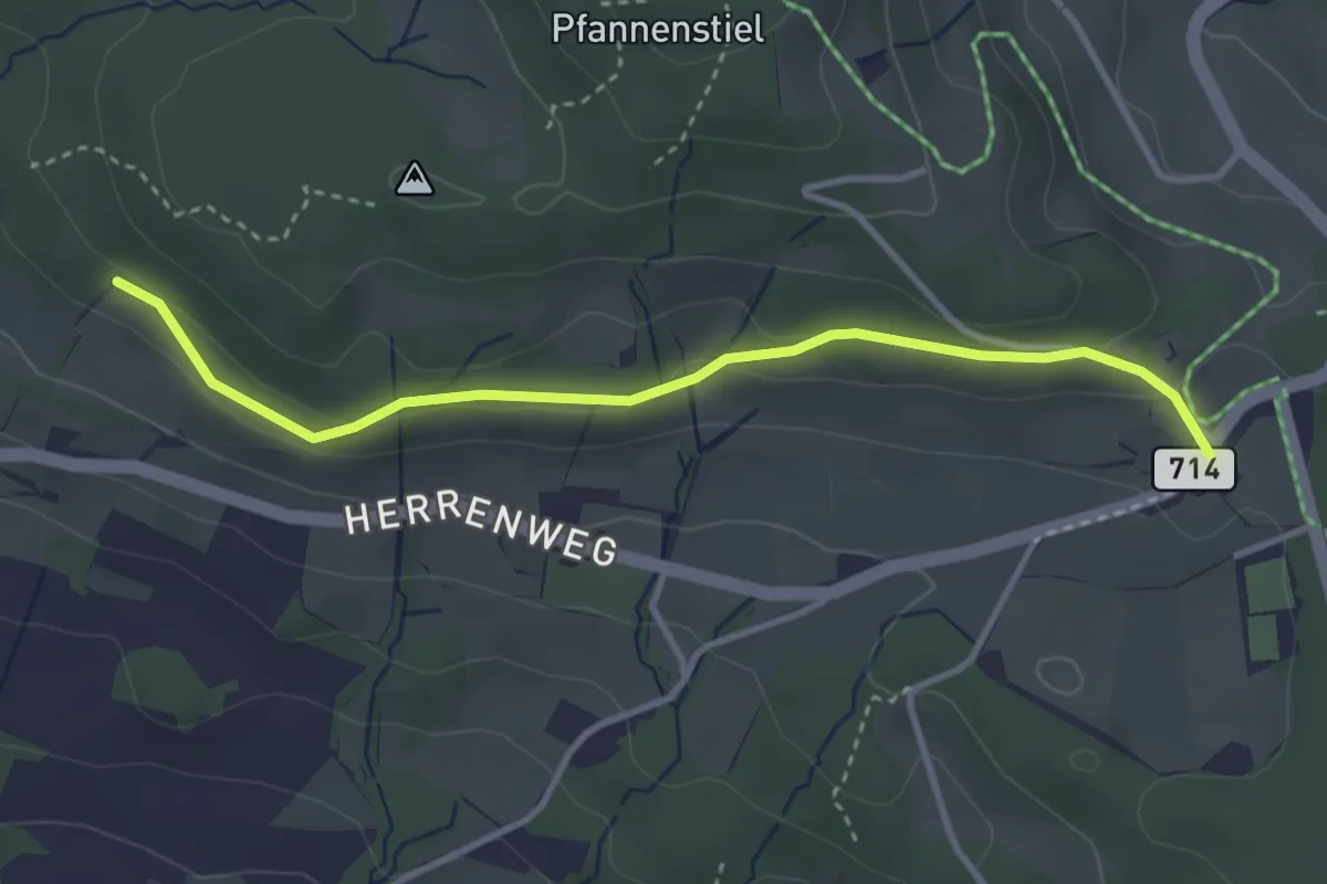
Easy · Trail
Eichhalden – Vorderpfannenstiel
3.4 km · ↑ 100 m · 1 h 1 min · 15 km away
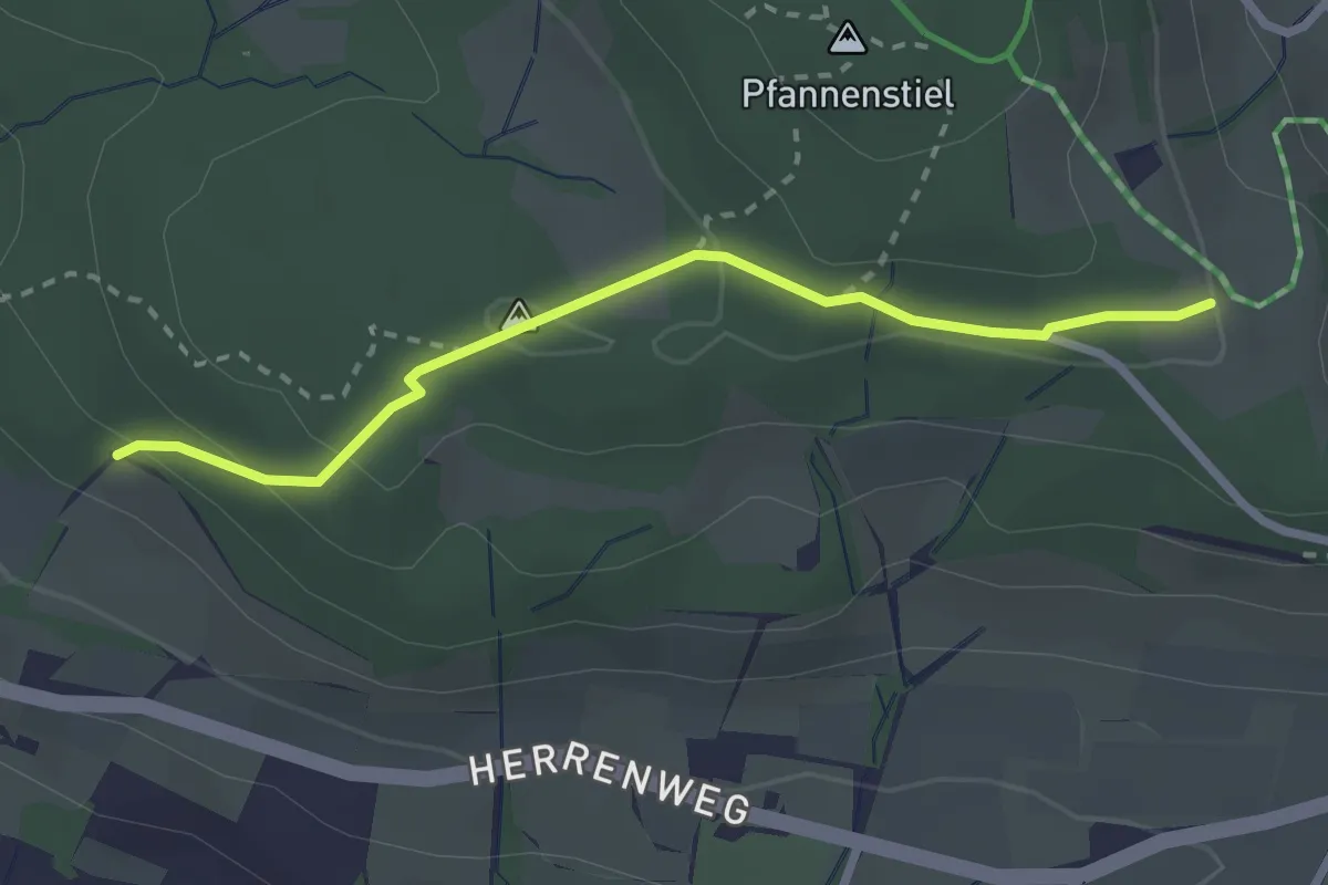
Easy · Trail
Eichhalden – Pfannenstiel Hochwacht
2.5 km · ↑ 87 m · 47 min · 15 km away
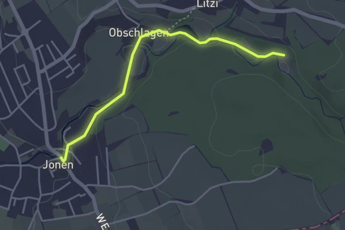
Easy · Trail
Jonen - Kapelle Jonental
3.3 km · ↑ 57 m · 54 min · 15 km away
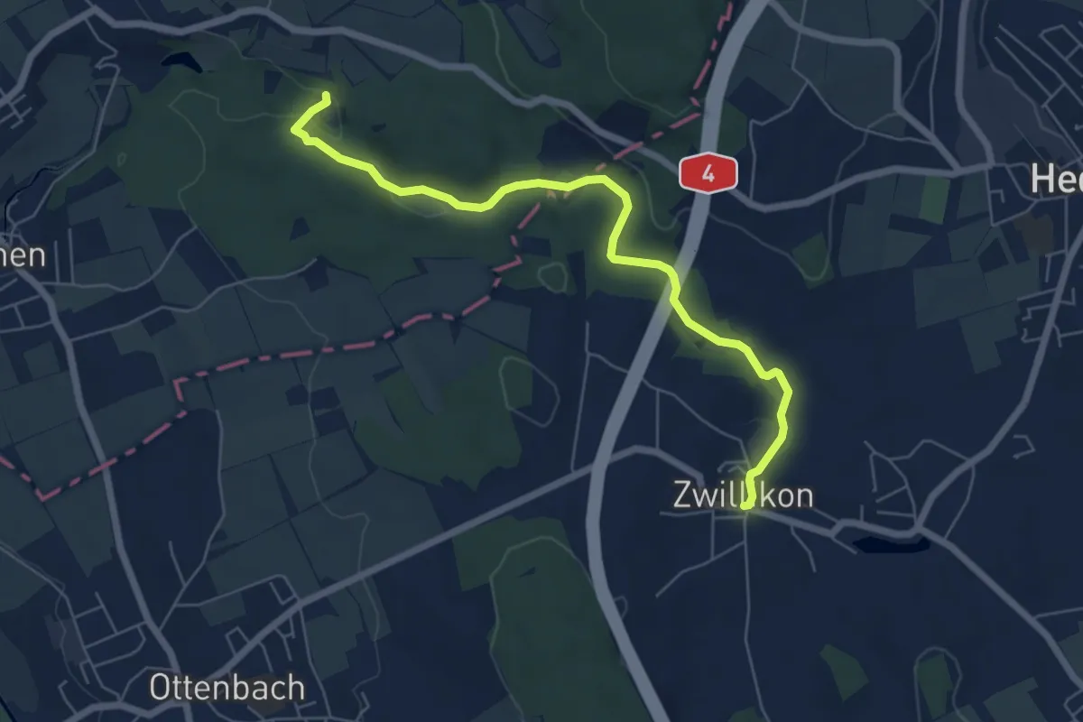
Easy · Trail
Zwillikon - Kapelle Jonental
6.4 km · ↑ 82 m · 1 h 41 min · 15 km away
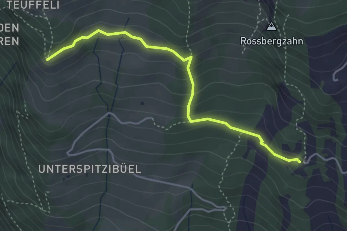
Demanding · Trail
Spitzibüel – Gribsch
3.7 km · ↑ 195 m · 1 h 17 min · 15 km away
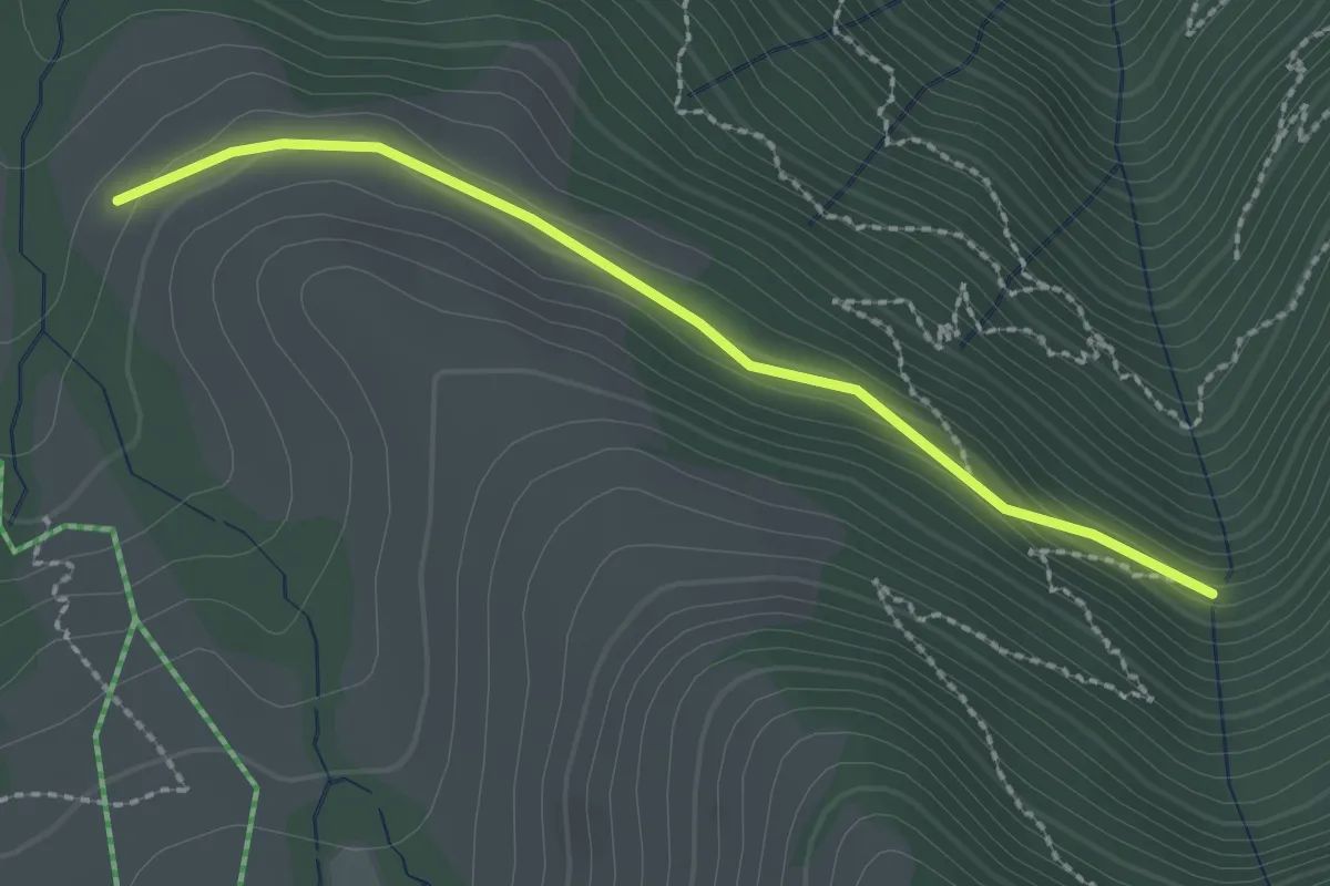
Easy · Trail
Stock – Alpetli
2.3 km · ↑ 41 m · 37 min · 15 km away
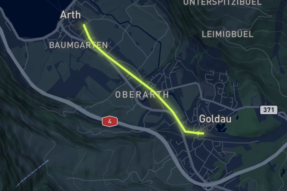
Easy · Trail
Arth - Goldau
4.8 km · ↑ 83 m · 1 h 19 min · 15 km away
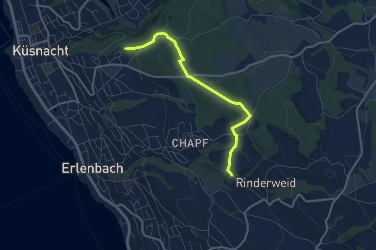
Easy · Trail
Küsnachter Tobel – Blüemlisalp
6.6 km · ↑ 227 m · 2 h 3 min · 15 km away
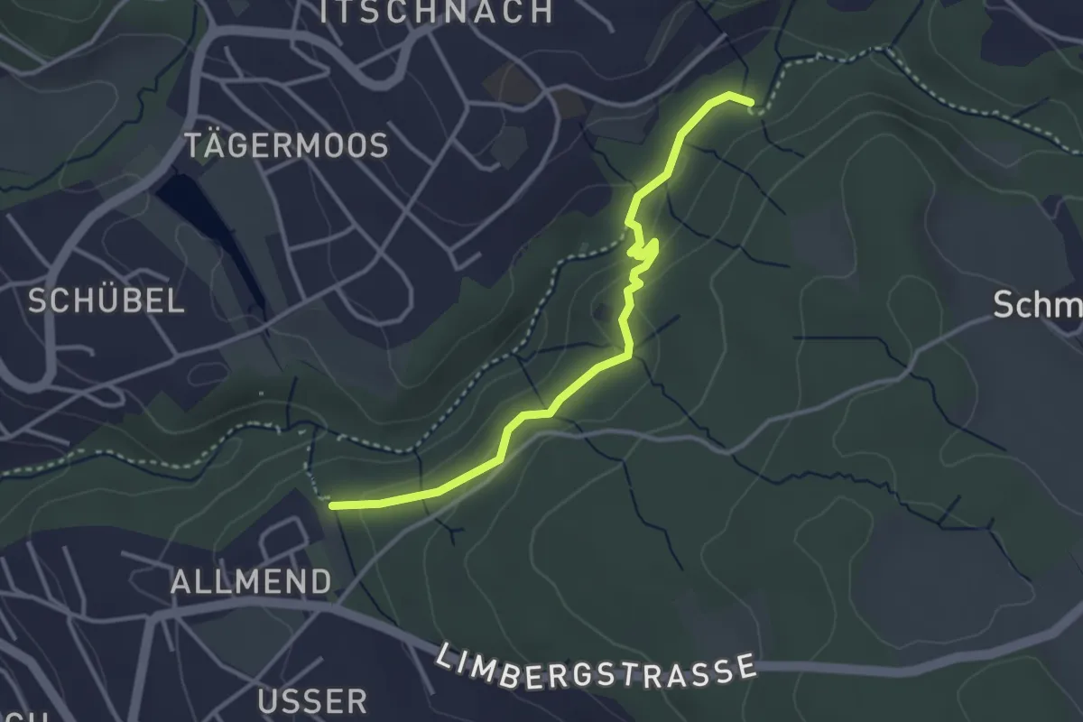
Easy · Trail
Küsnachter Tobel – Johannisburg
3.3 km · ↑ 108 m · 1 h · 15 km away
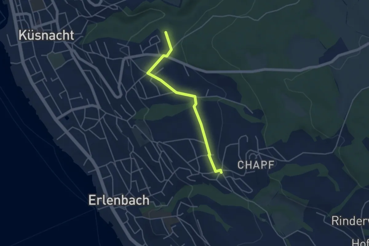
Easy · Trail
Küsnachter Tobel – Erlenbach Allmend
3.6 km · ↑ 47 m · 58 min · 15 km away
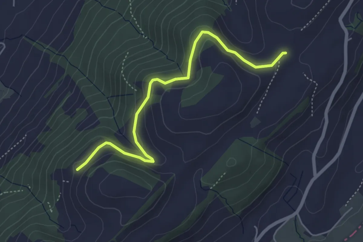
Easy · Trail
Schiffmannshof - Hinter Charen
4.6 km · ↑ 147 m · 1 h 25 min · 15 km away
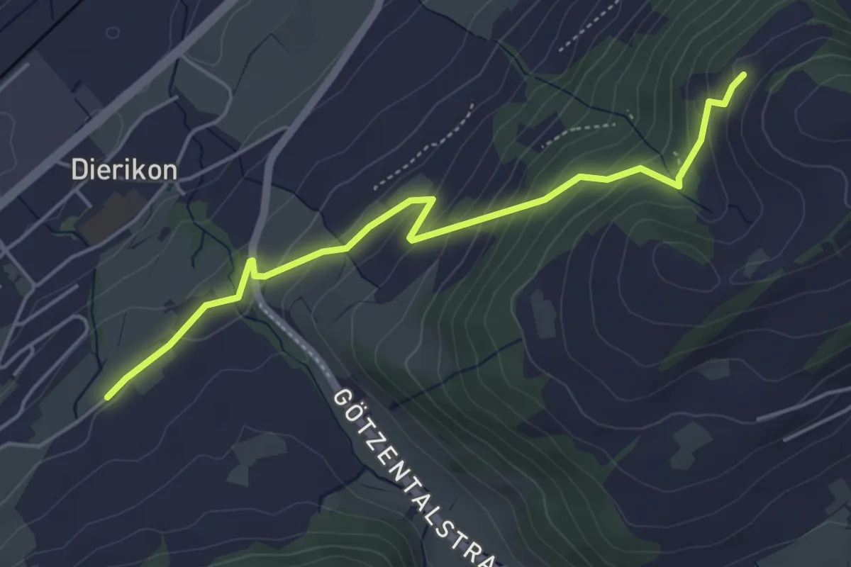
Easy · Trail
Hinter Charen - Spächten
4.8 km · ↑ 297 m · 1 h 46 min · 15 km away
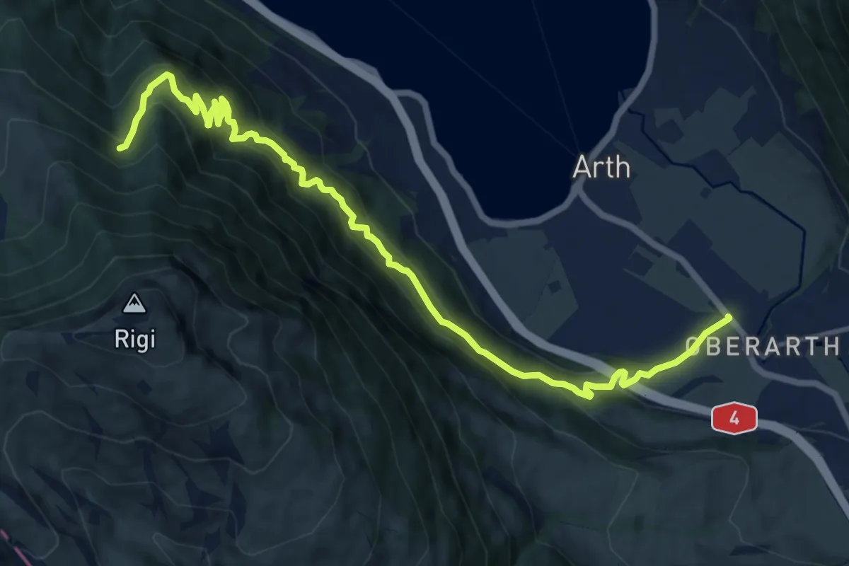
Demanding · Trail
Oberarth – Stock
12.8 km · ↑ 1156 m · 5 h 31 min · 15 km away
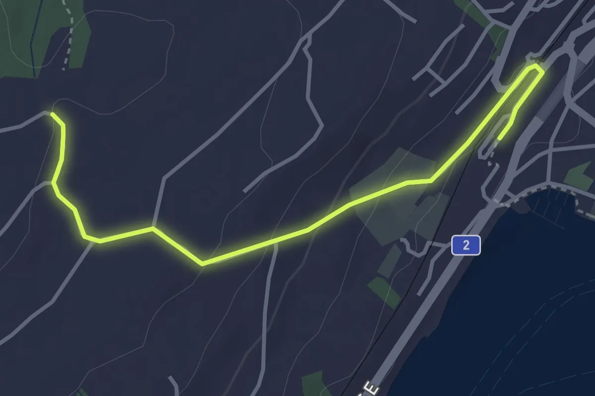
Easy · Trail
Küsnacht – Sunnehöfli
3.6 km · ↑ 111 m · 1 h 6 min · 15 km away
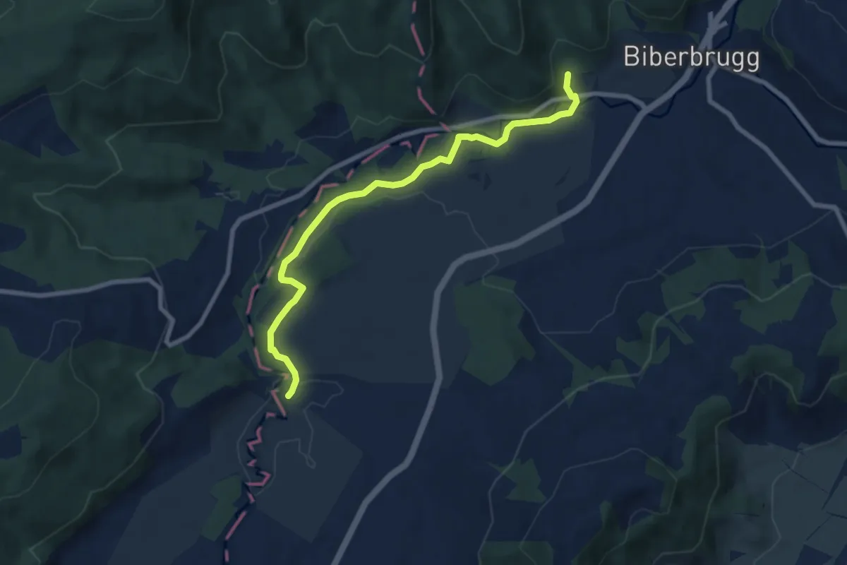
Easy · Trail
Tomisloch – Bibersteg
7.4 km · ↑ 155 m · 2 h 4 min · 15 km away
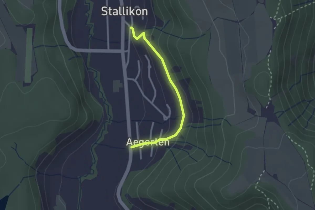
Easy · Trail
Stallikon – Ägerten
2.0 km · ↑ 88 m · 40 min · 15 km away
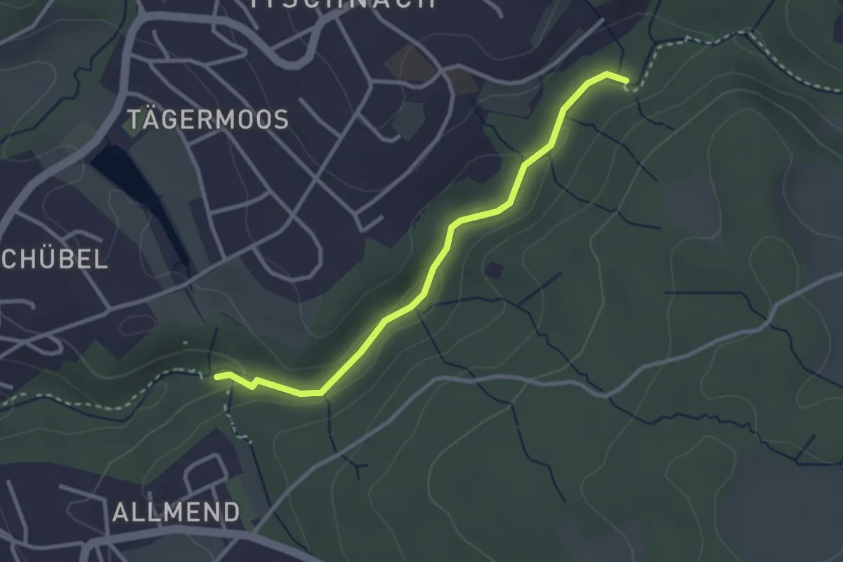
Easy · Trail
Küsnacht Dorfbach – Johannisburg
2.8 km · ↑ 68 m · 48 min · 15 km away
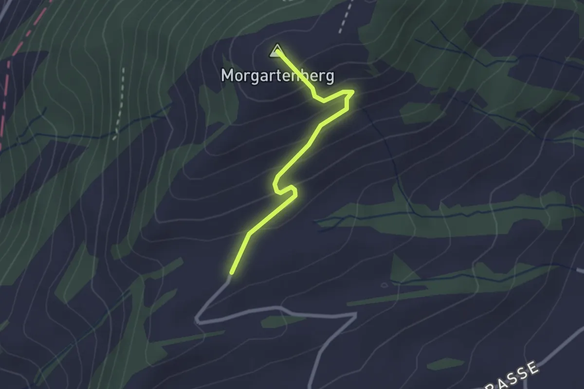
Easy · Summit
Morgartenberg - Lustnau? / Sattel? - fixme
2.0 km · ↑ 152 m · 49 min · 15 km away
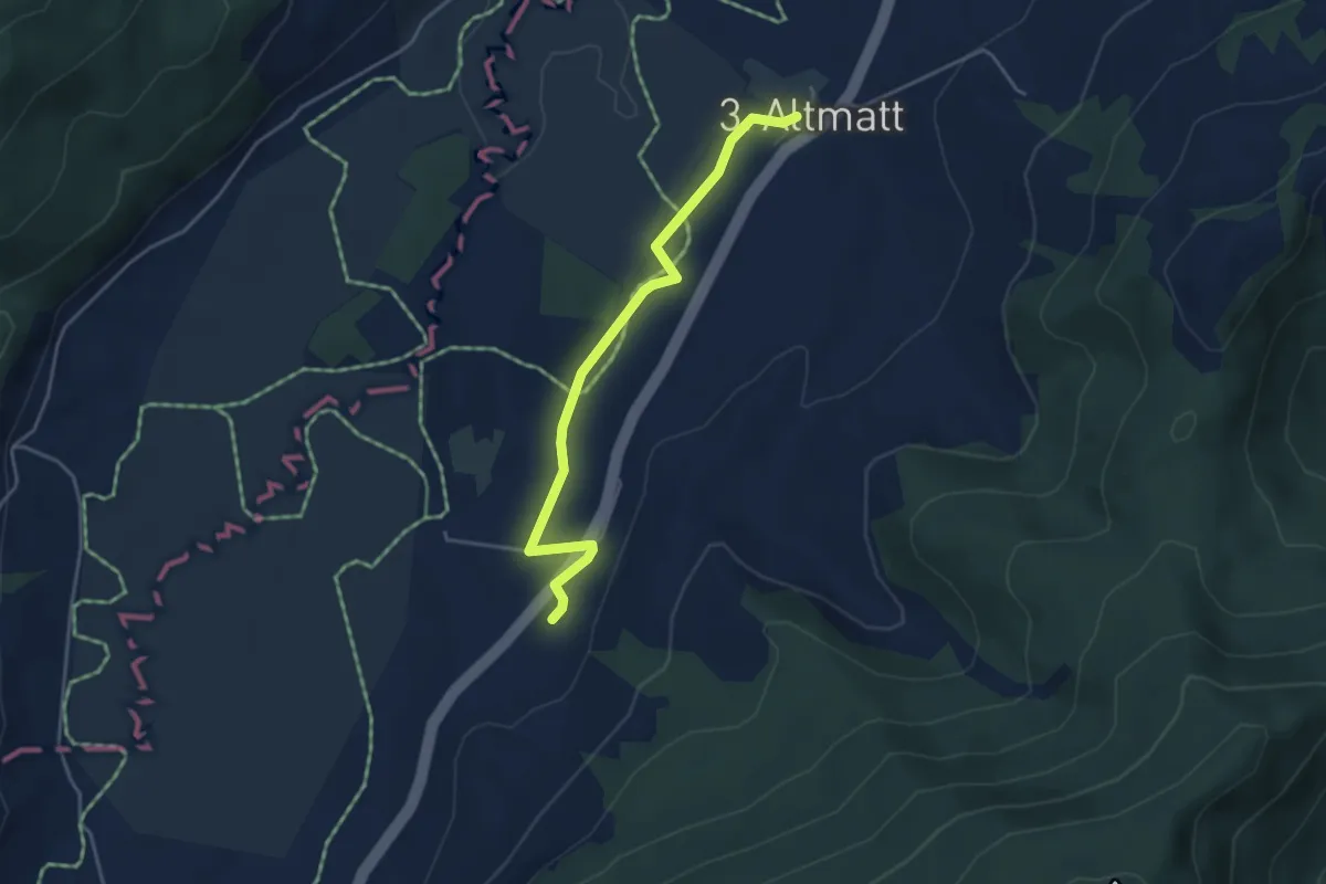
Easy · Trail
Zweite Altmatt - Dritte Altmatt
4.1 km · ↑ 32 m · 1 h 3 min · 15 km away
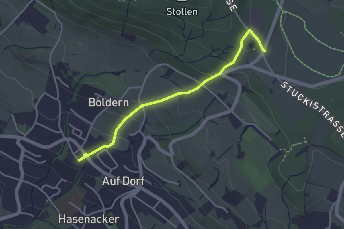
Easy · Trail
Stäfnertürli – Boldernstrasse
3.0 km · ↑ 158 m · 1 h 2 min · 15 km away
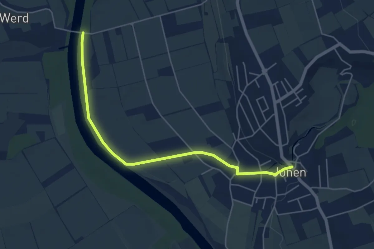
Easy · Trail
Brücke Werd (ost) – Jonen
4.5 km · ↑ 17 m · 1 h 6 min · 15 km away
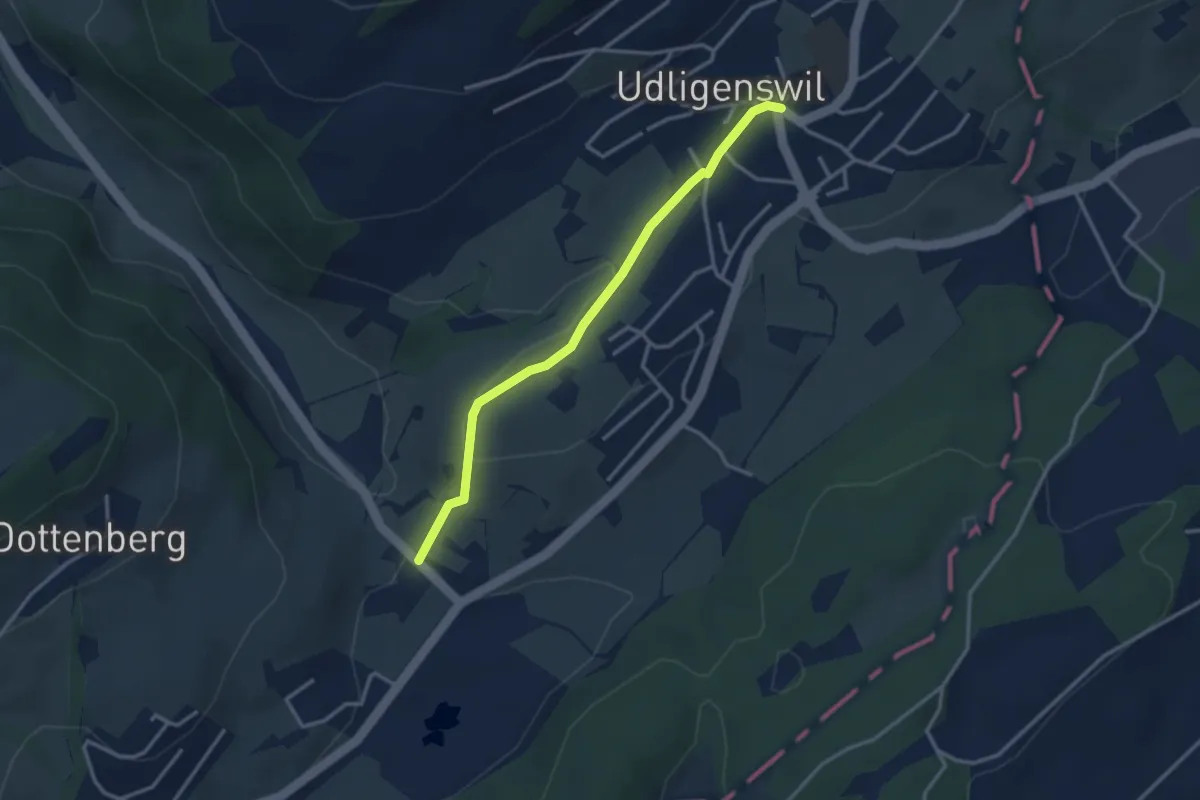
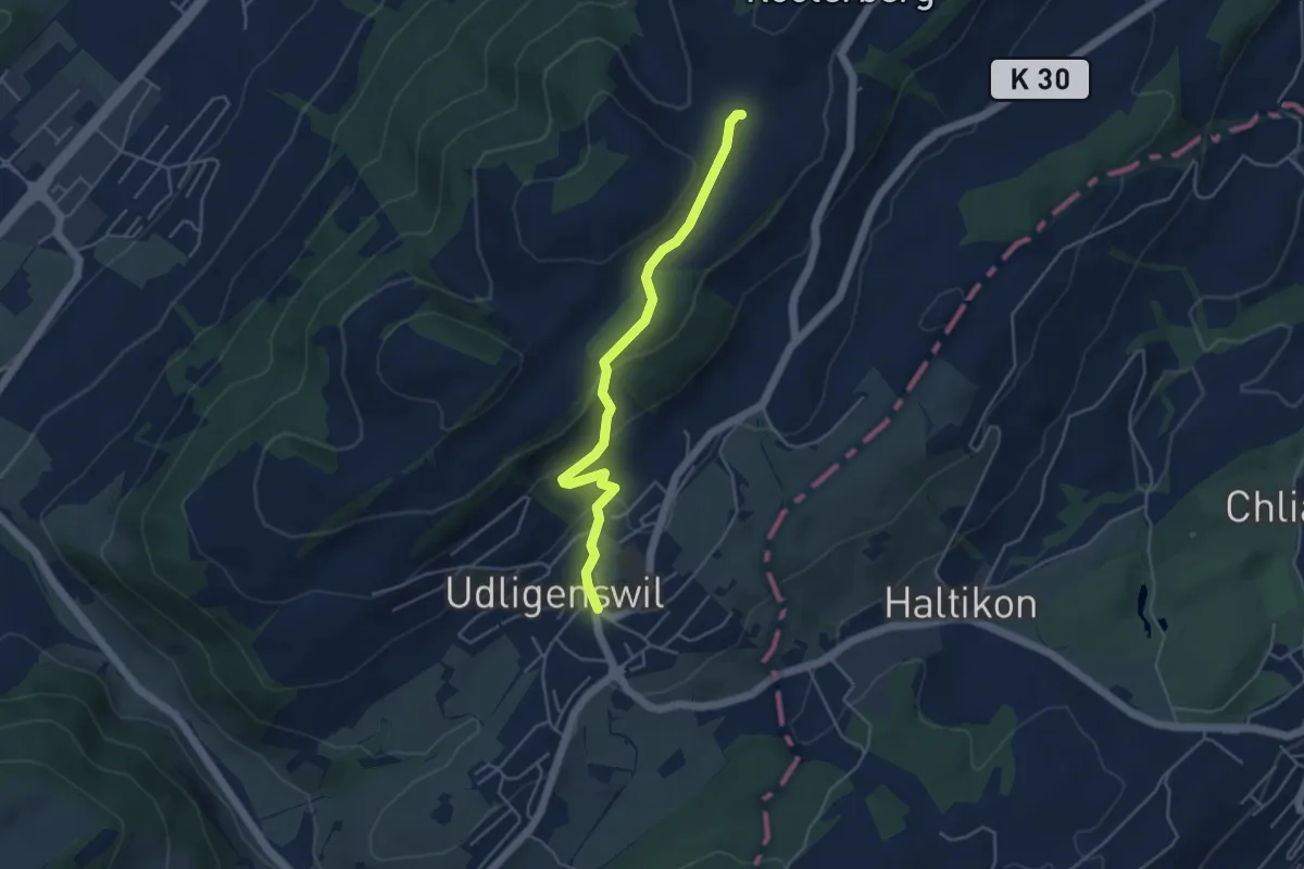
Easy · Trail
Udligenswil – Stegmatt
3.0 km · ↑ 80 m · 53 min · 15 km away
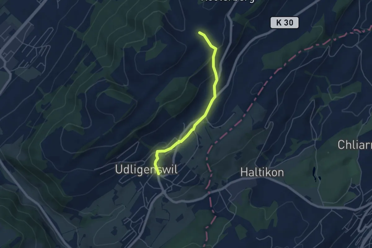
Easy · Trail
Schiffmannshof-Udligenswil
4.4 km · ↑ 177 m · 1 h 26 min · 15 km away
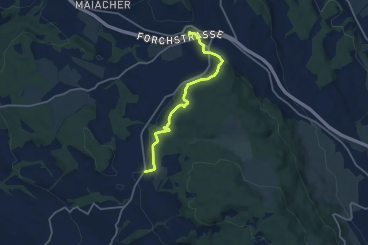
Easy · Trail
Udligenswil - Schiffmannshof
4.3 km · ↑ 145 m · 1 h 20 min · 15 km away
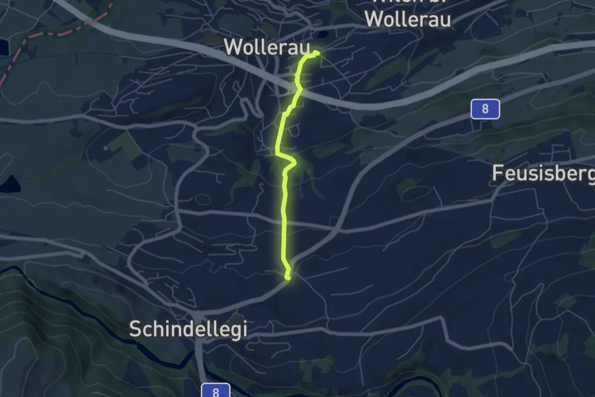
Easy · Trail
Rütihof – Forch
7.2 km · ↑ 229 m · 2 h 12 min · 15 km away
Easy · Trail
Wollerau - Peterschwändi
4.2 km · ↑ 192 m · 1 h 25 min · 15 km away
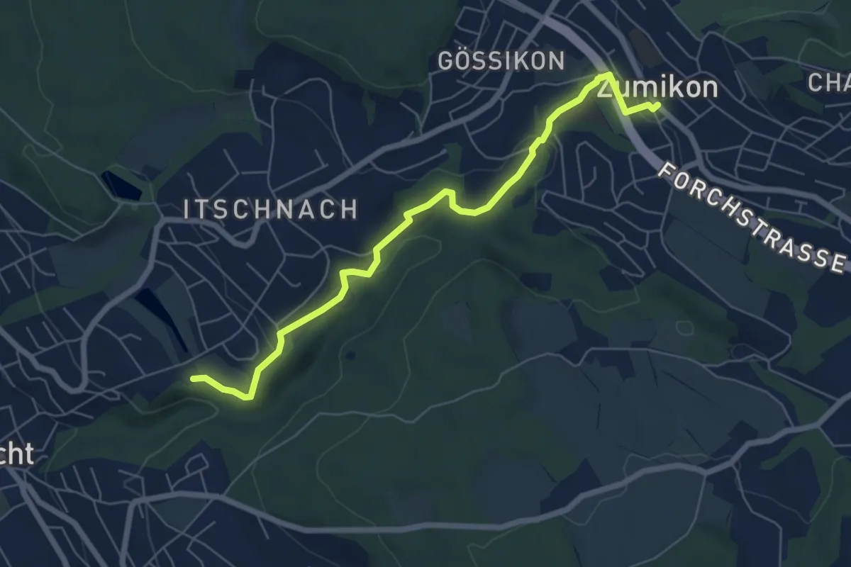
Easy · Trail
Schübelweiher - Zumikon
6.3 km · ↑ 177 m · 1 h 53 min · 15 km away
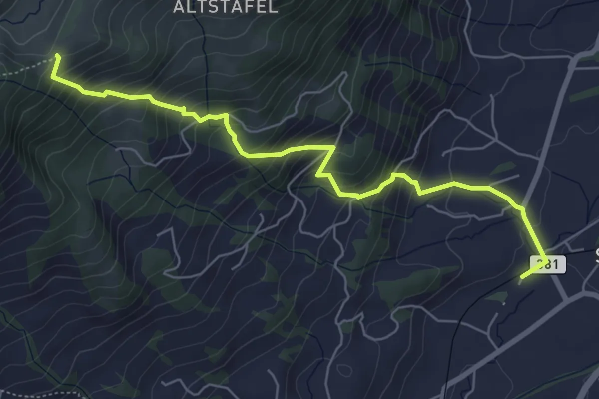
Medium · Trail
Halsegg - Sattel
5.8 km · ↑ 549 m · 2 h 33 min · 15 km away
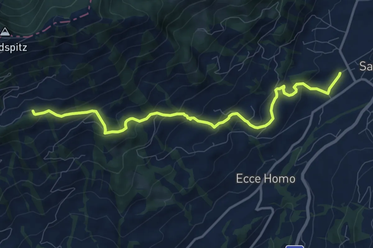
Medium · Trail
Bahnhof Sattel Ägeri - Obhegkapelle
9.6 km · ↑ 486 m · 3 h 20 min · 15 km away