Trails near Bellinzona
182 hikes starting within 15 km, nearest first.
Nearest first, page 1 of 4
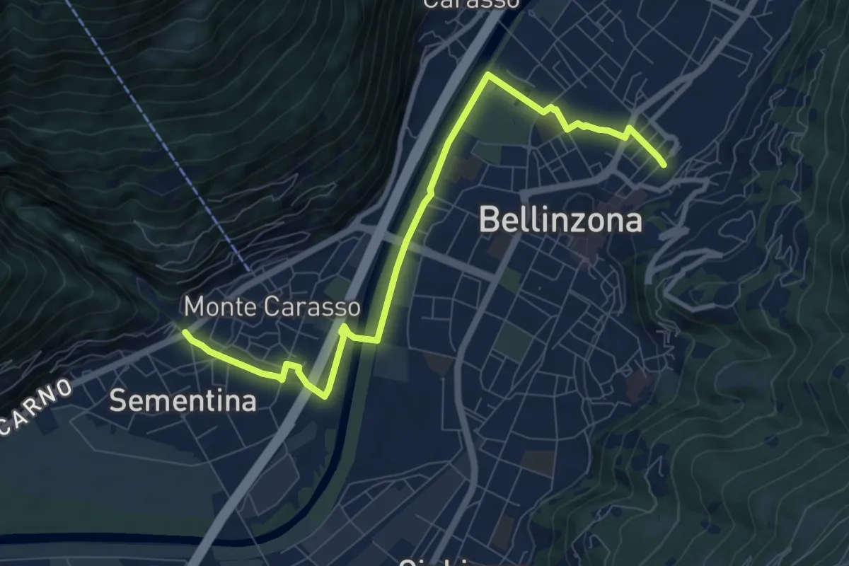
Medium · Trail
Via delle Vigne
9.3 km · ↑ 61 m · 2 h 20 min · 1 km away
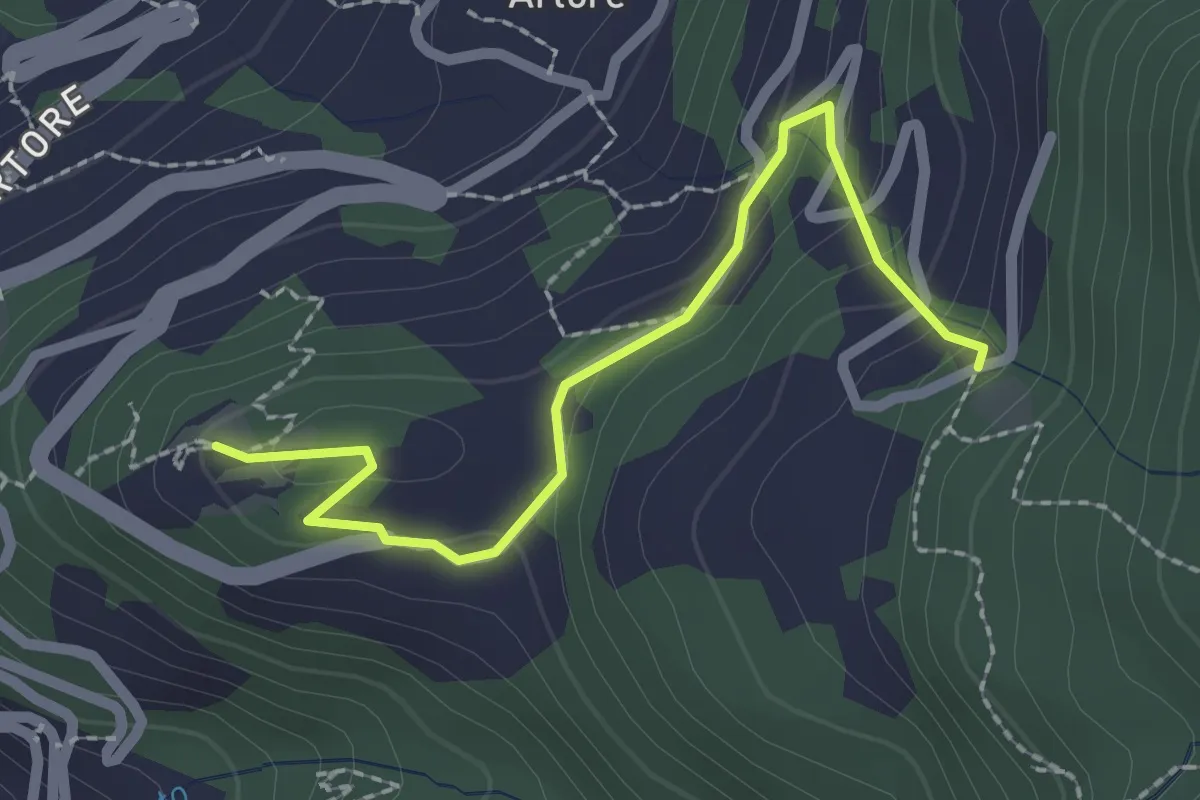
Easy · Trail
Castello Sasso Carbaro - Pian Laghetto
2.3 km · ↑ 99 m · 45 min · 1 km away
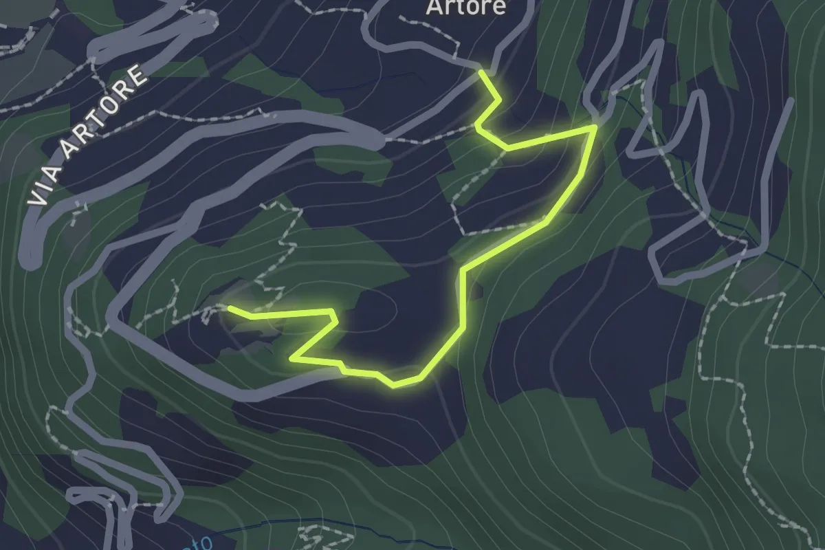
Easy · Trail
Castello Sasso Carbaro - Artore
2.0 km · ↑ 72 m · 38 min · 1 km away
Demanding · Trail
Sentiero Riviera
21.6 km · ↑ 79 m · 5 h 32 min · 1 km away
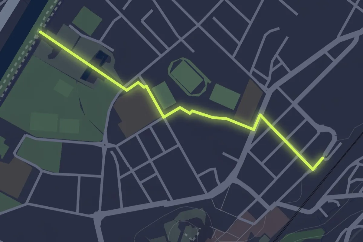
Easy · Trail
Bellinzona FFS - Bellinzona/Piscina
2.7 km · ↑ 13 m · 40 min · 1 km away
Easy · Trail
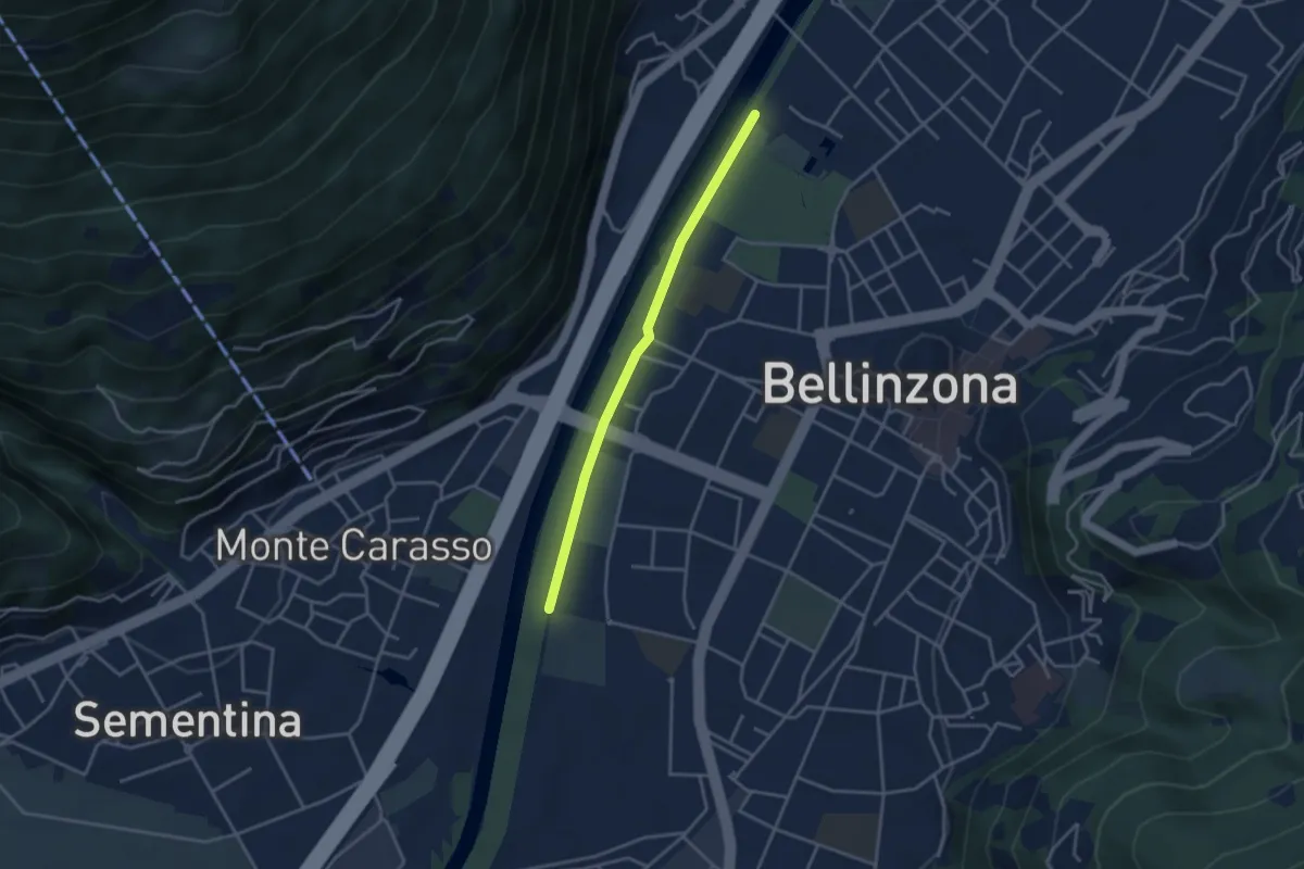
Saleggi - Bellinzona/Piscina
3.3 km · ↑ 8 m · 48 min · 1 km away
Demanding · Trail
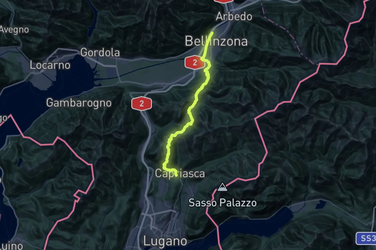
Trans Swiss Trail
23.2 km · ↑ 1339 m · 8 h 32 min · 1 km away
Demanding · Trail
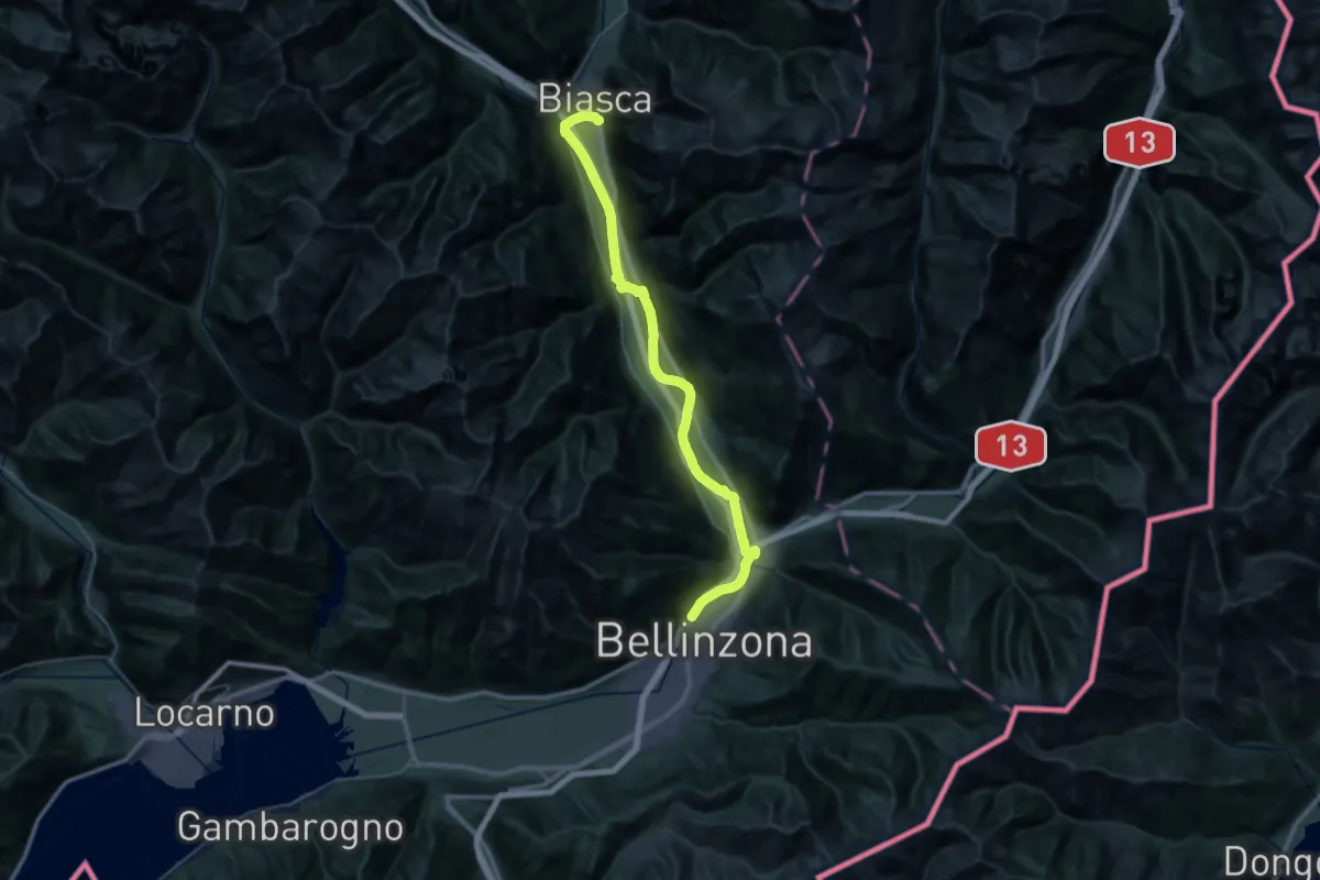
Trans Swiss Trail
23.2 km · ↑ 83 m · 5 h 57 min · 1 km away
Easy · Trail
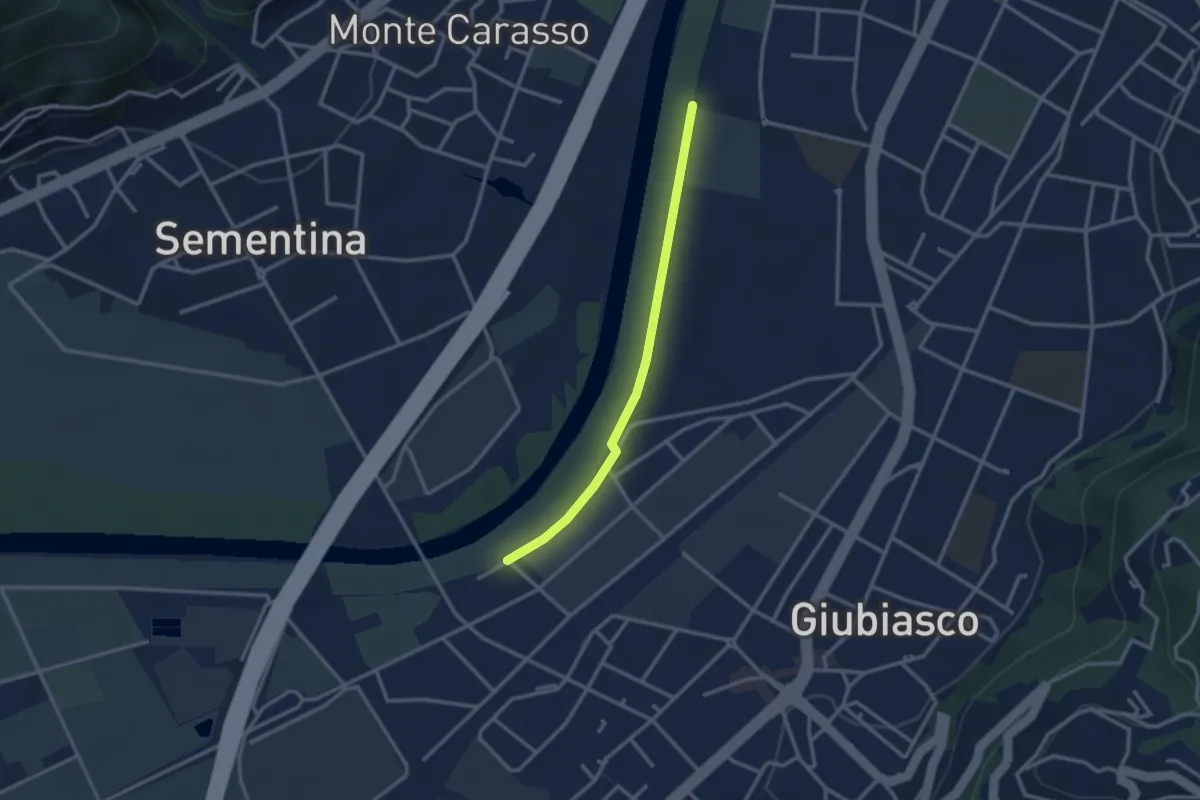
Saleggi - Giubiasco/Centrale FFS
2.7 km · ↑ 0 m · 38 min · 1 km away
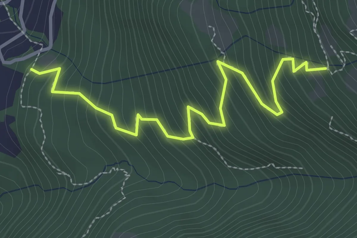
Medium · Trail
Pian Laghetto - Monti di Artore
3.2 km · ↑ 353 m · 1 h 31 min · 1 km away
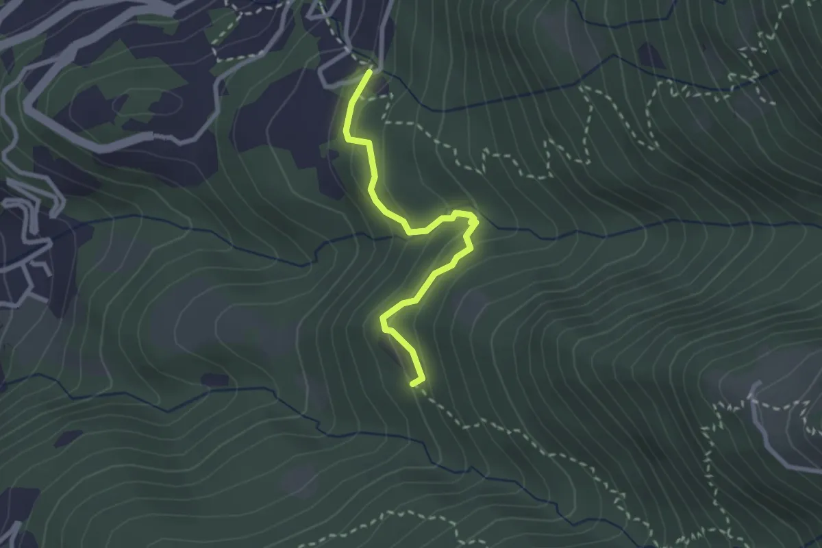
Easy · Trail
Prada - Pian Laghetto
2.3 km · ↑ 158 m · 53 min · 2 km away
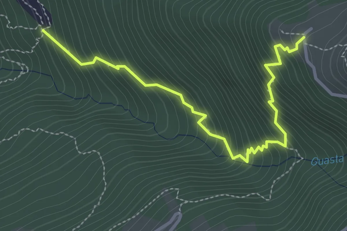
Medium · Trail
Prada - Monti di Ravecchia
3.1 km · ↑ 382 m · 1 h 33 min · 2 km away
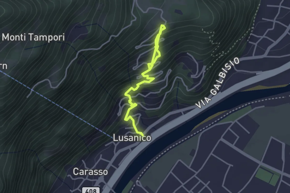
Medium · Trail
Lusanico – Gordola
3.7 km · ↑ 382 m · 1 h 42 min · 2 km away
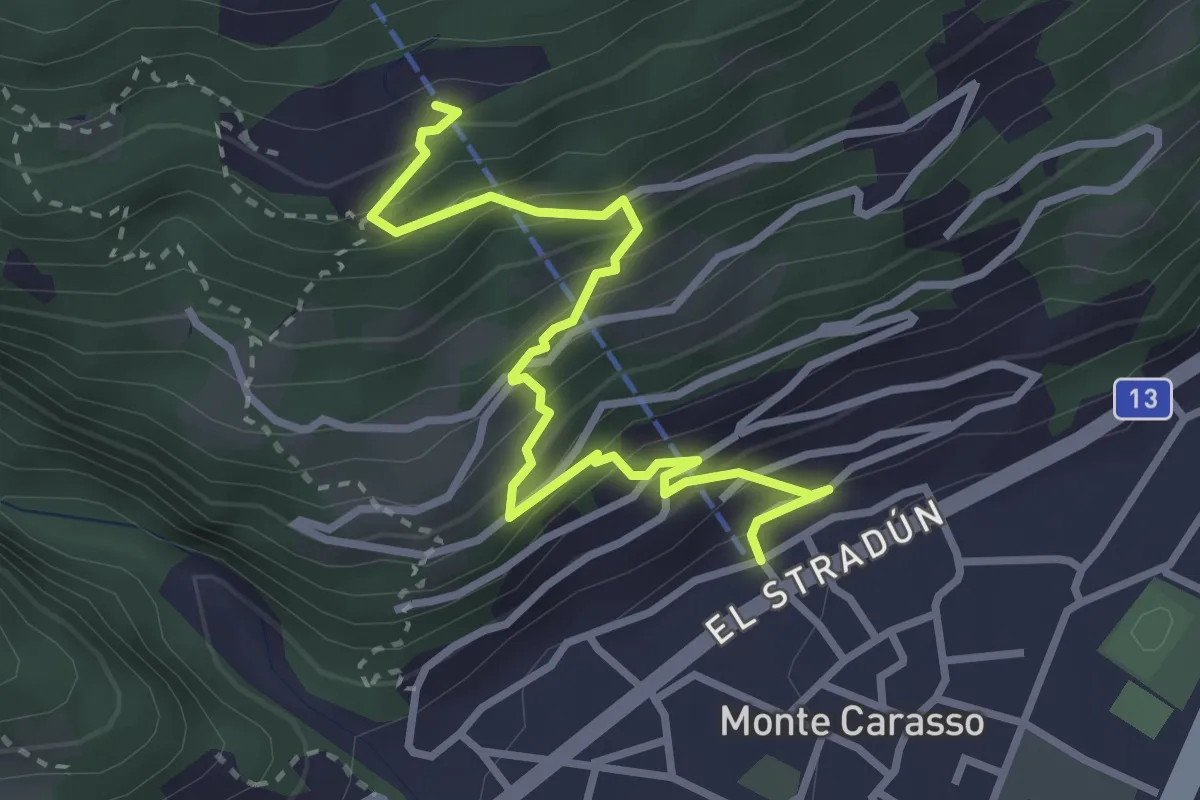
Medium · Trail
Monte Carasso Teleferica – Corte di Sotto Curzútt
3.5 km · ↑ 357 m · 1 h 36 min · 2 km away
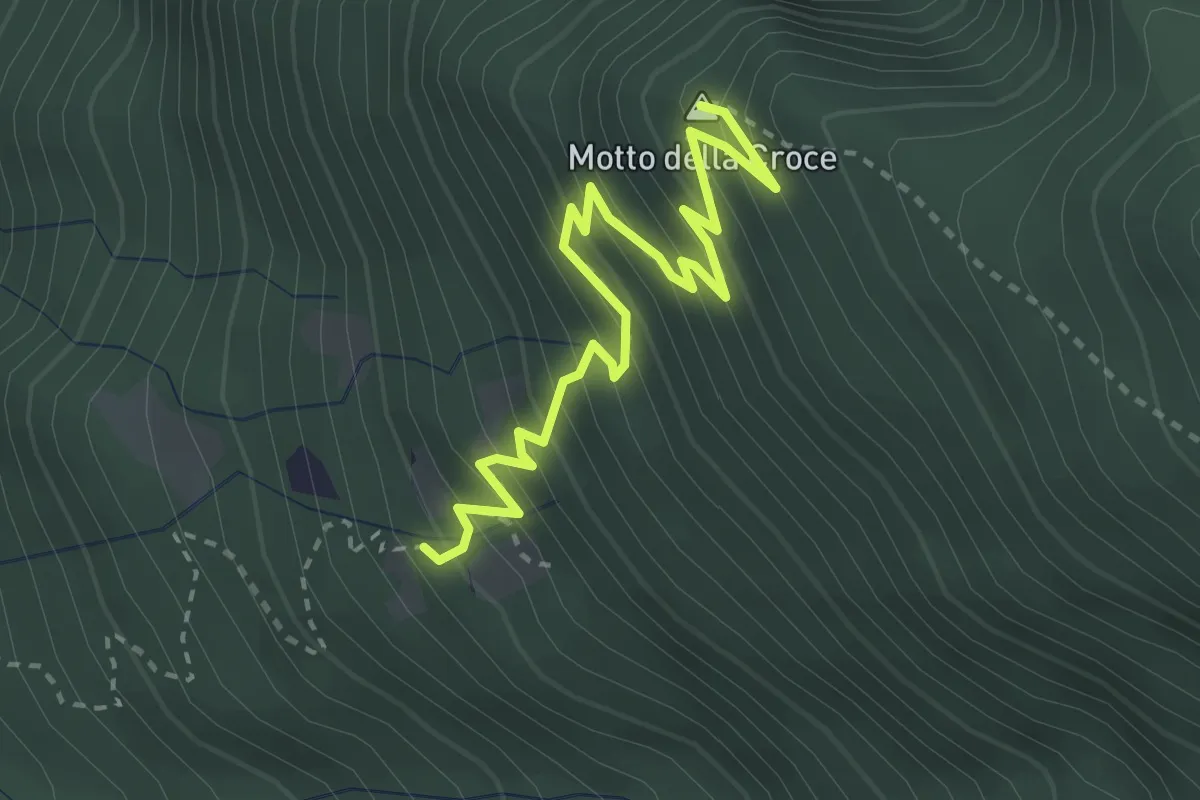
Medium · Summit
Monti di Artore- Motto della Croce
3.4 km · ↑ 458 m · 1 h 48 min · 2 km away
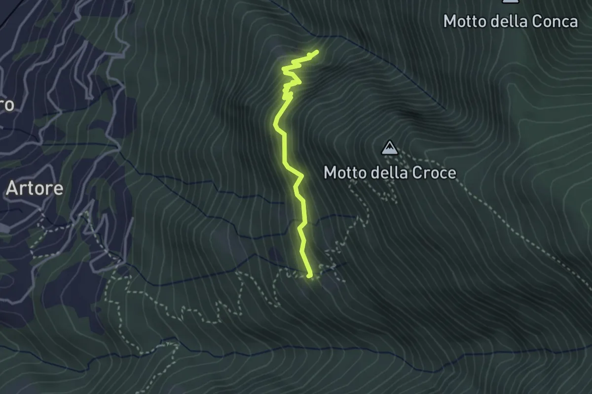
Easy · Trail
Monte Juri-Monte di Artore
2.7 km · ↑ 284 m · 1 h 15 min · 2 km away
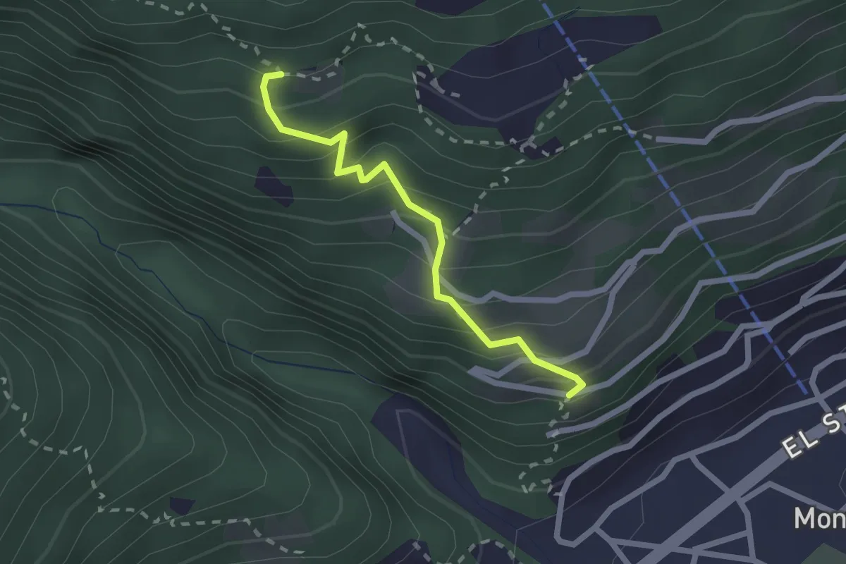
Easy · Trail
S. Bernardo – Gaggio
1.9 km · ↑ 261 m · 1 h 1 min · 2 km away
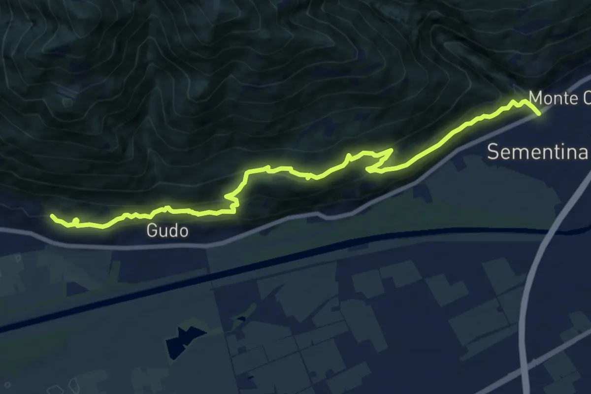
Demanding · Trail
Via delle Vigne
13.5 km · ↑ 823 m · 4 h 58 min · 2 km away
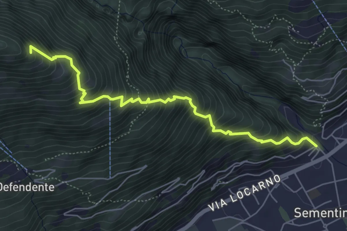
Medium · Trail
Sementina – Monti della Costa?
5.7 km · ↑ 799 m · 3 h 4 min · 2 km away
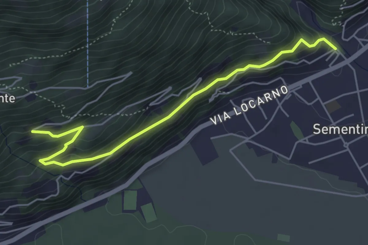
Medium · Trail
Piancalardo – Sementina
5.1 km · ↑ 278 m · 1 h 48 min · 2 km away
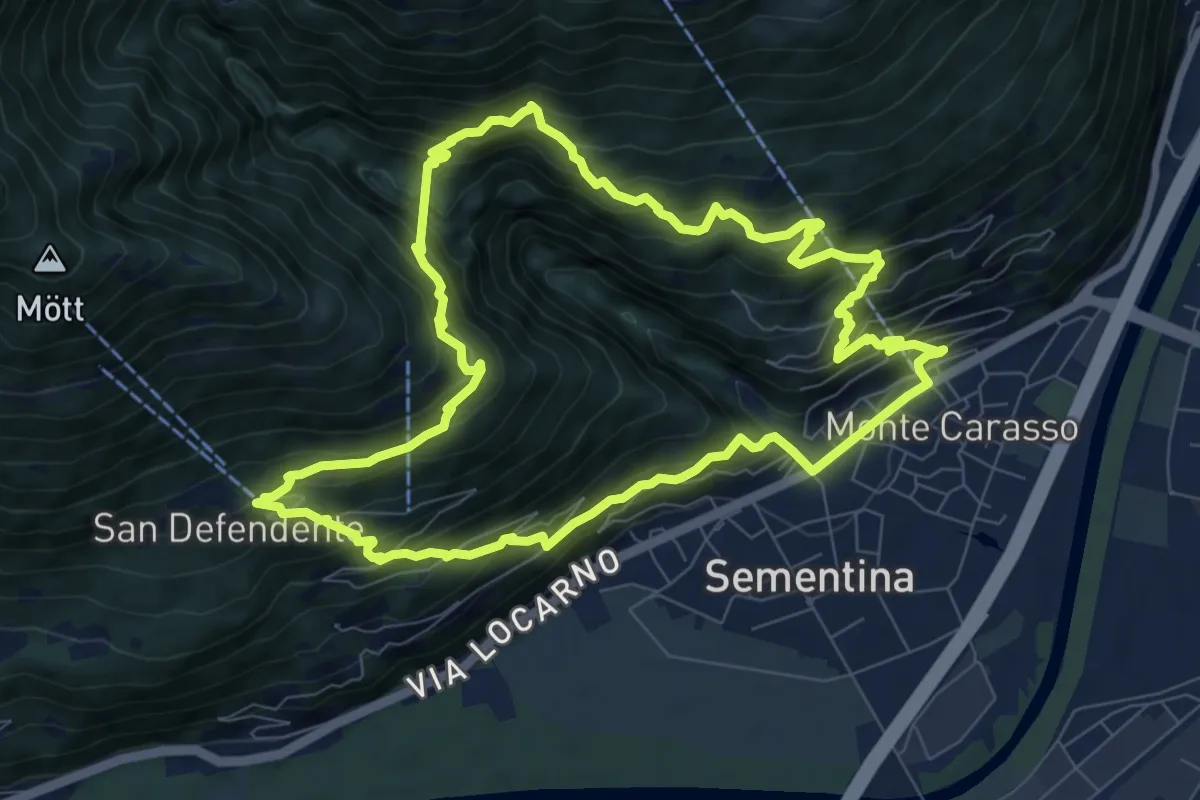
Medium · Trail
Giro del ponte tibetano
8.8 km · ↑ 781 m · 3 h 54 min · 2 km away
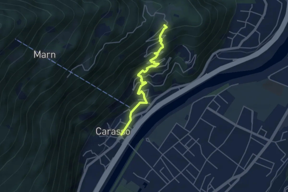
Easy · Trail
Carasso – Gordola
3.7 km · ↑ 297 m · 1 h 31 min · 2 km away
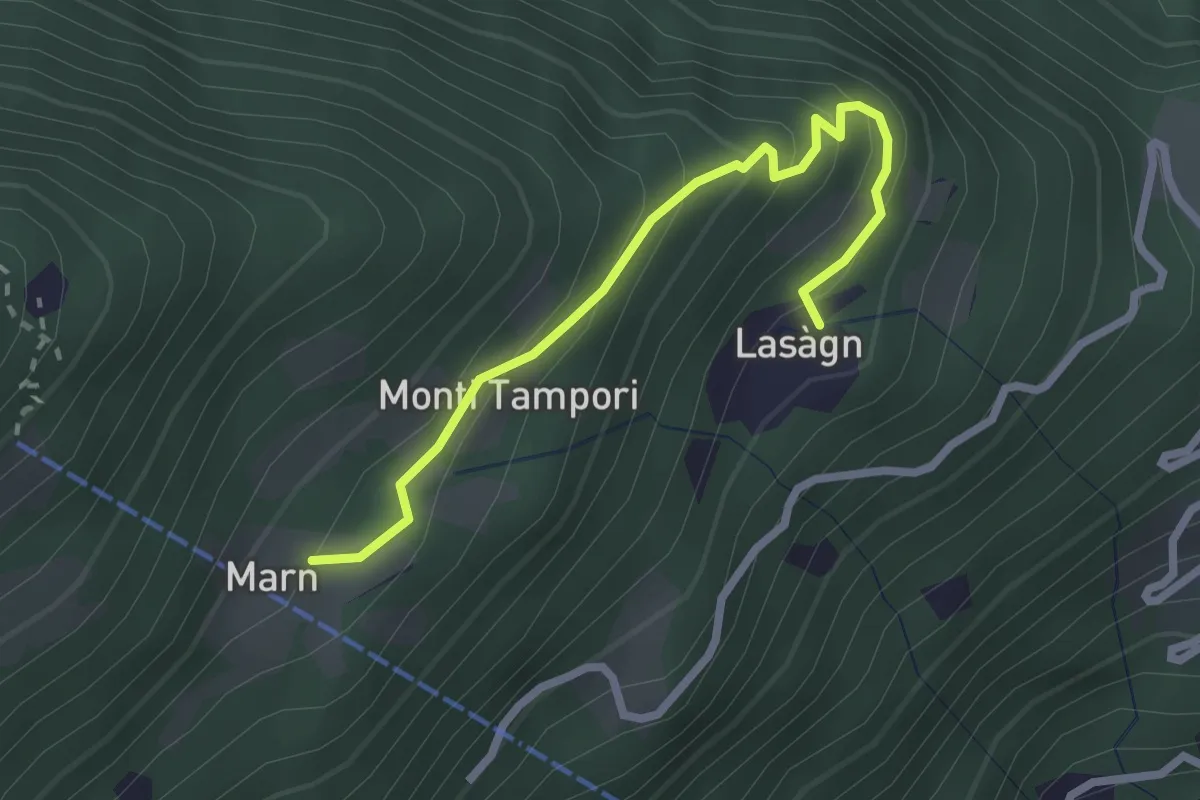
Easy · Trail
Lasagno – Marn
2.6 km · ↑ 251 m · 1 h 9 min · 2 km away
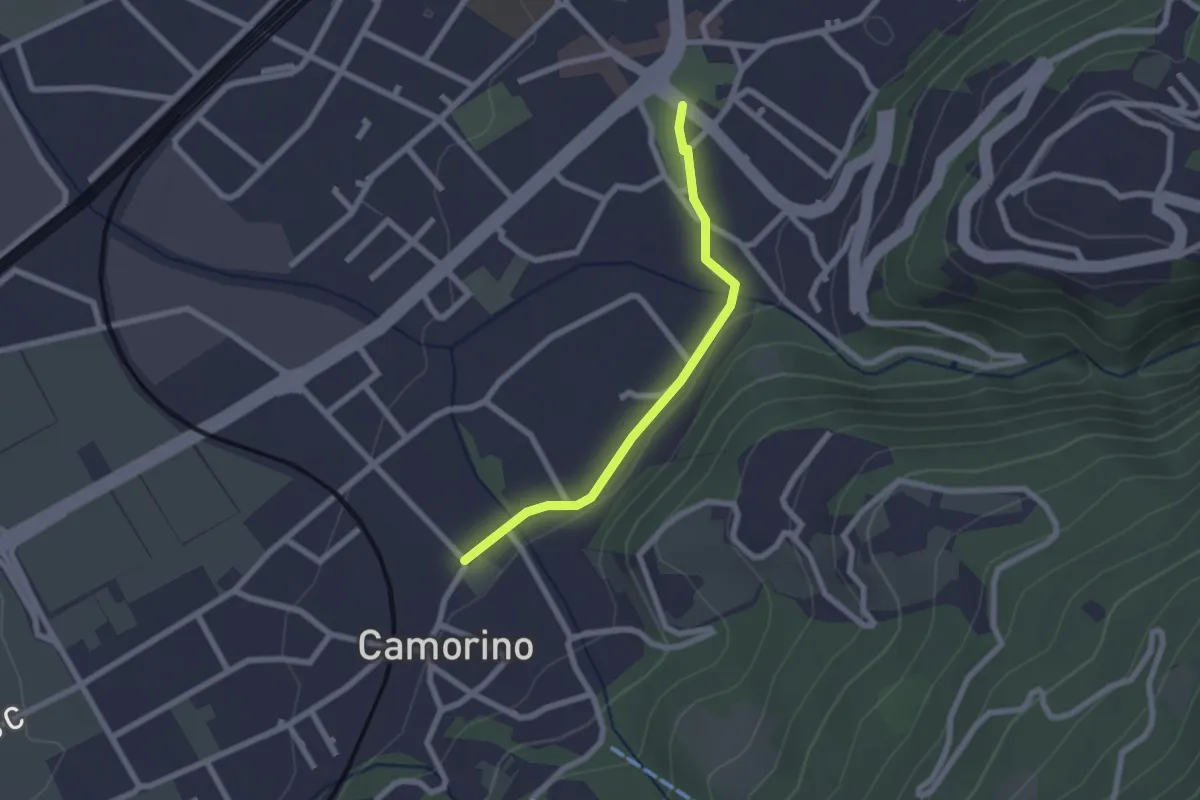
Easy · Trail
Giubiasco Piazza Grande-Camorino
2.0 km · ↑ 13 m · 31 min · 2 km away
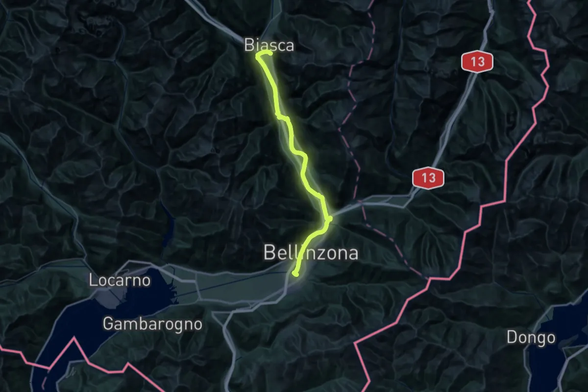
Demanding · Trail
Via Gottardo
26.5 km · ↑ 81 m · 6 h 46 min · 2 km away
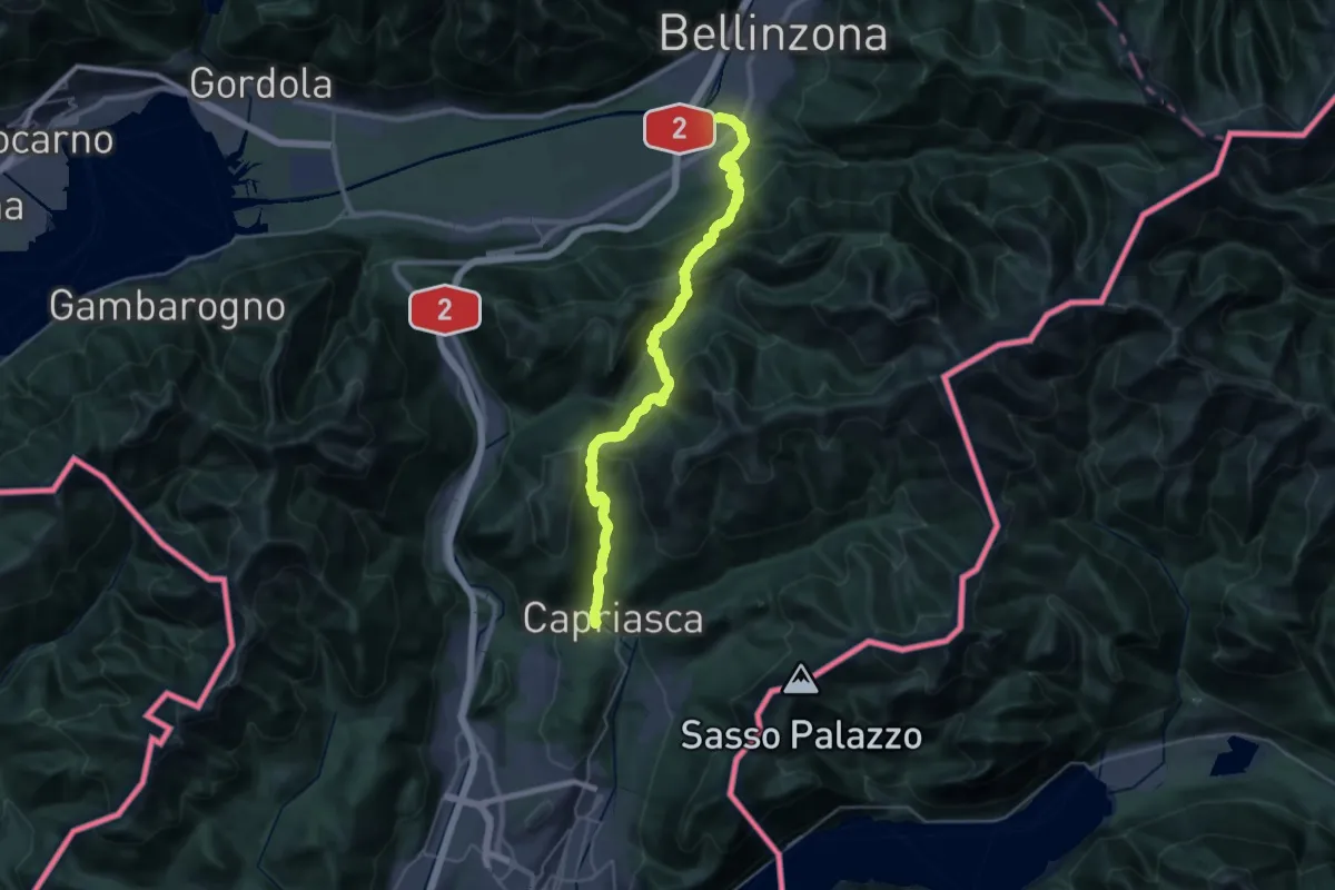
Demanding · Trail
ViaGottardo
17.7 km · ↑ 1153 m · 6 h 47 min · 2 km away
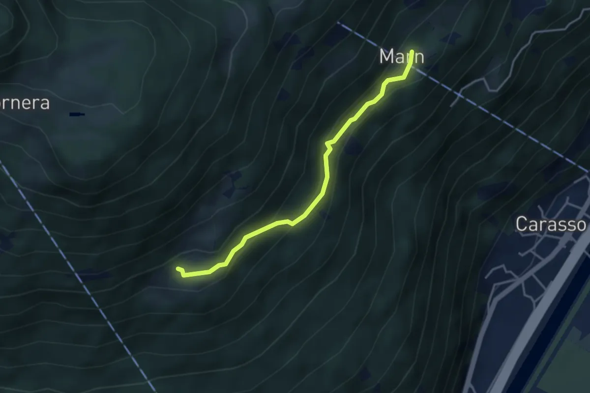
Easy · Trail
Pié Moretti – Marn
3.4 km · ↑ 247 m · 1 h 20 min · 2 km away
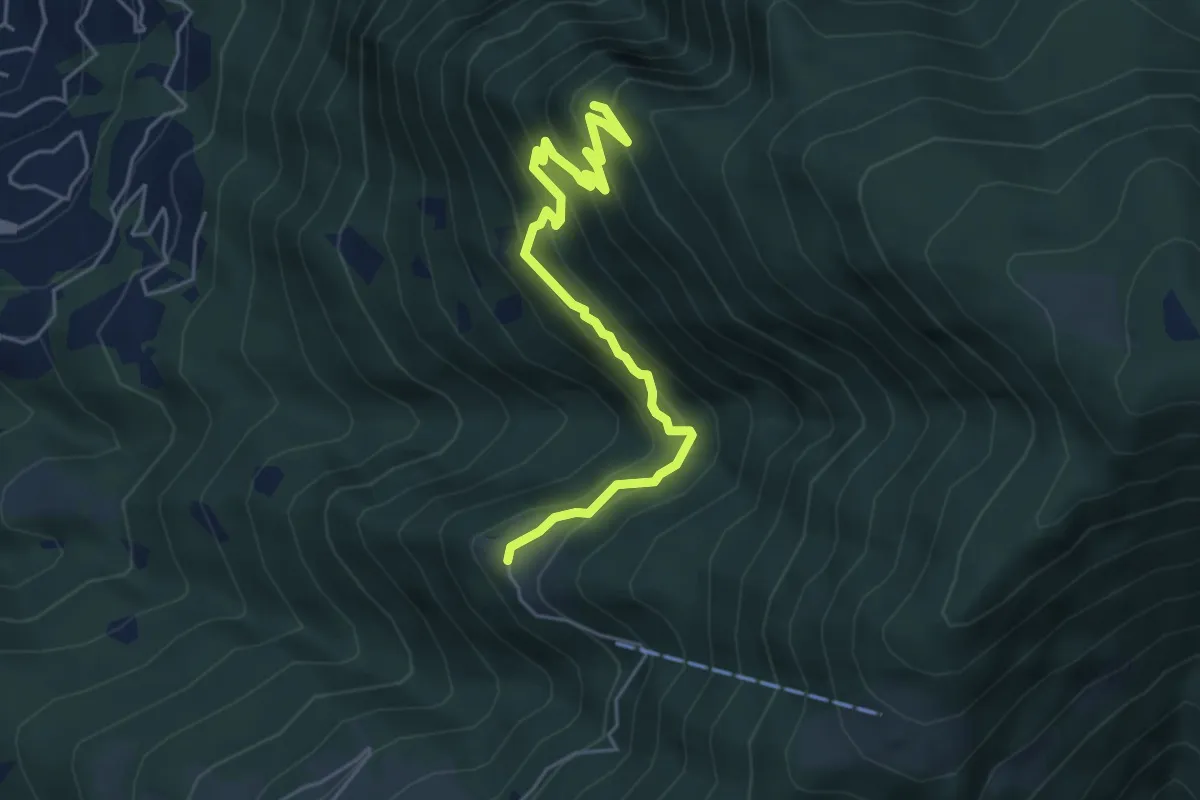
Medium · Summit
Monti di Ravecchia- Motto della Croce
5.3 km · ↑ 568 m · 2 h 29 min · 2 km away
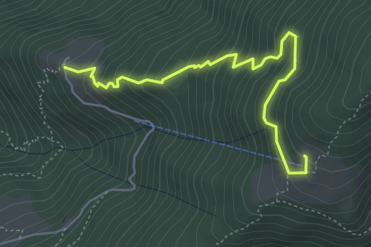
Medium · Cabin
Monti di Ravecchia-Capanna Genzianella
4.4 km · ↑ 488 m · 2 h 5 min · 2 km away
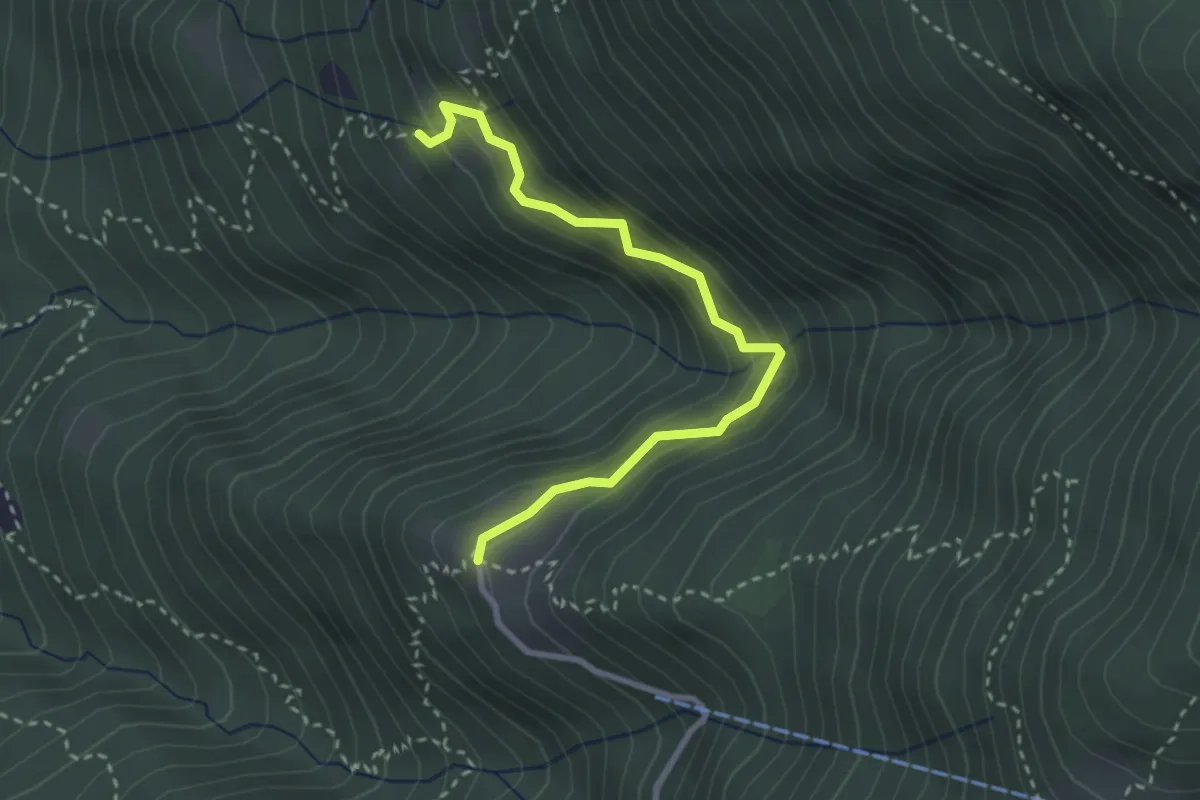
Easy · Trail
Monti di Ravecchia-Monti di Artore
3.0 km · ↑ 269 m · 1 h 18 min · 2 km away
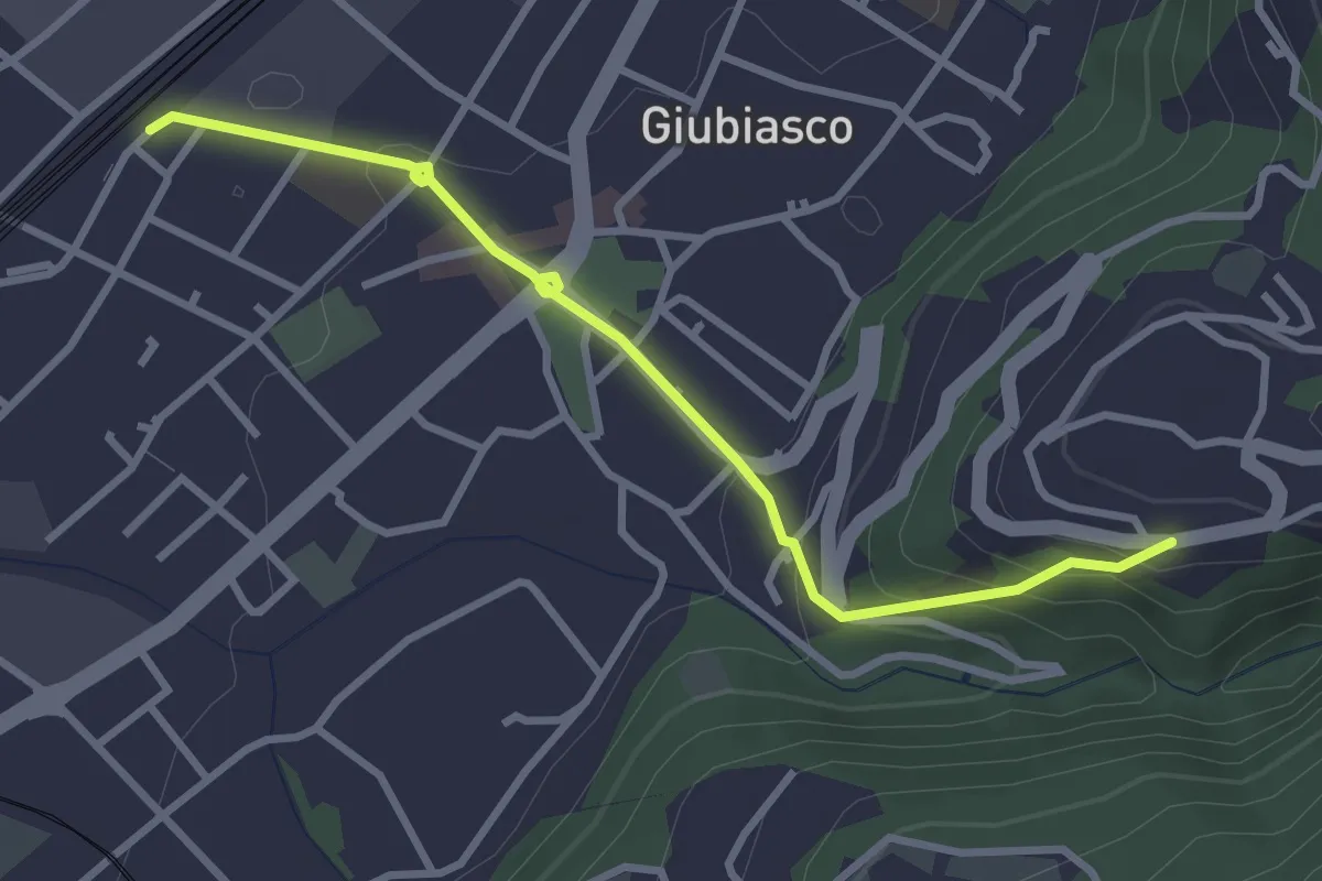
Easy · Trail
Lôro-Giubiasco Stazione
3.3 km · ↑ 161 m · 1 h 8 min · 3 km away
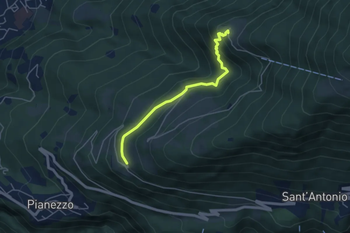
Medium · Trail
Monti di Ravecchia-Paudo
3.9 km · ↑ 232 m · 1 h 26 min · 3 km away
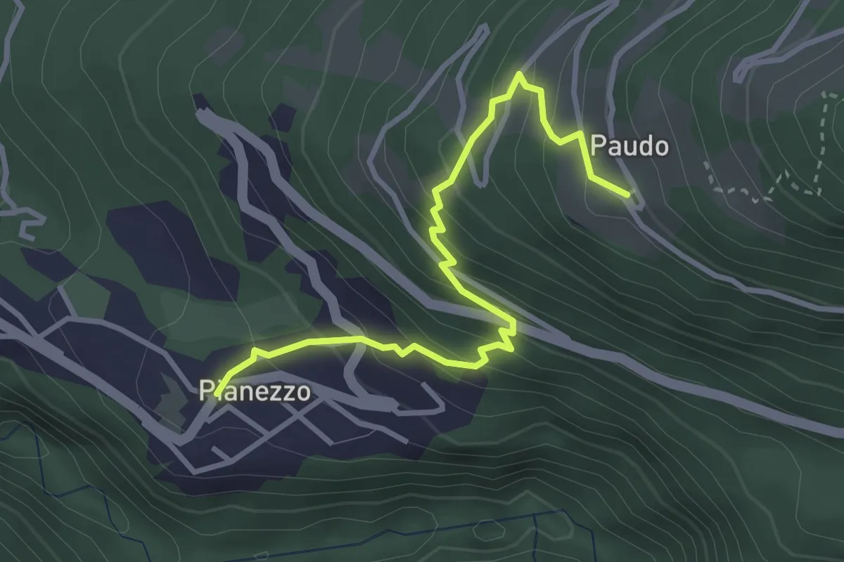
Medium · Trail
Paudo bus-Pianezzo
3.3 km · ↑ 328 m · 1 h 29 min · 3 km away
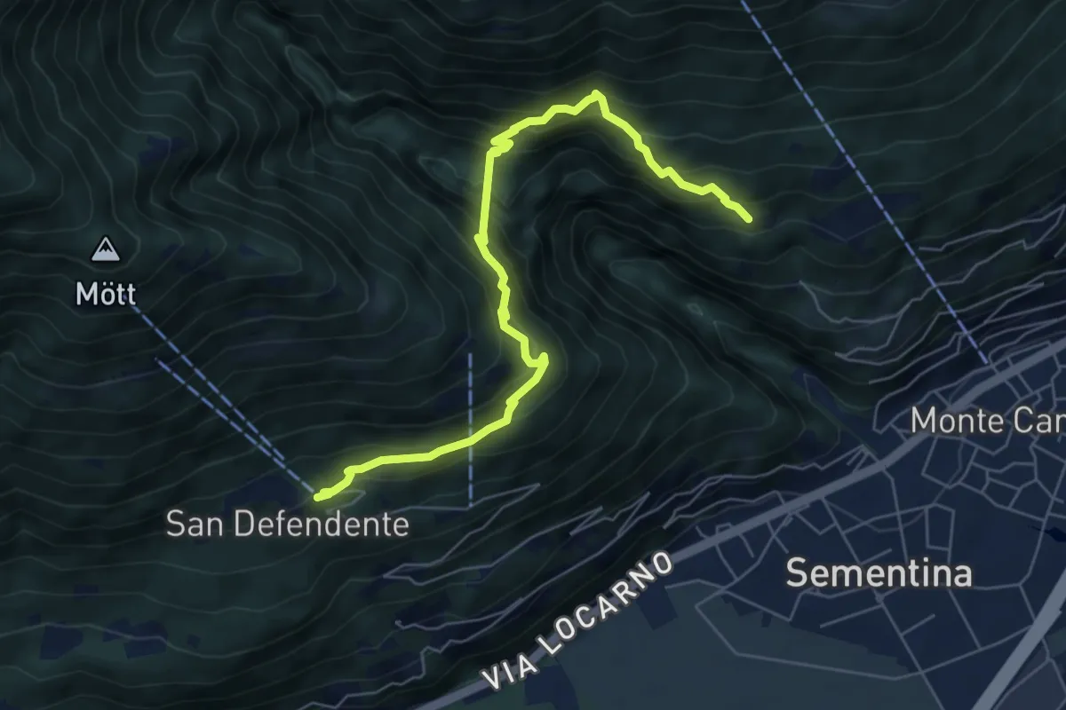
Medium · Trail
S. Bernardo – S. Defendente
6.9 km · ↑ 688 m · 3 h 7 min · 3 km away
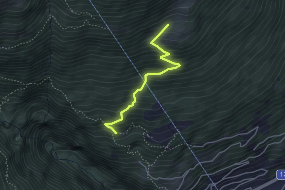
Medium · Trail
Pié Moretti – San Bernardo
3.2 km · ↑ 352 m · 1 h 31 min · 3 km away
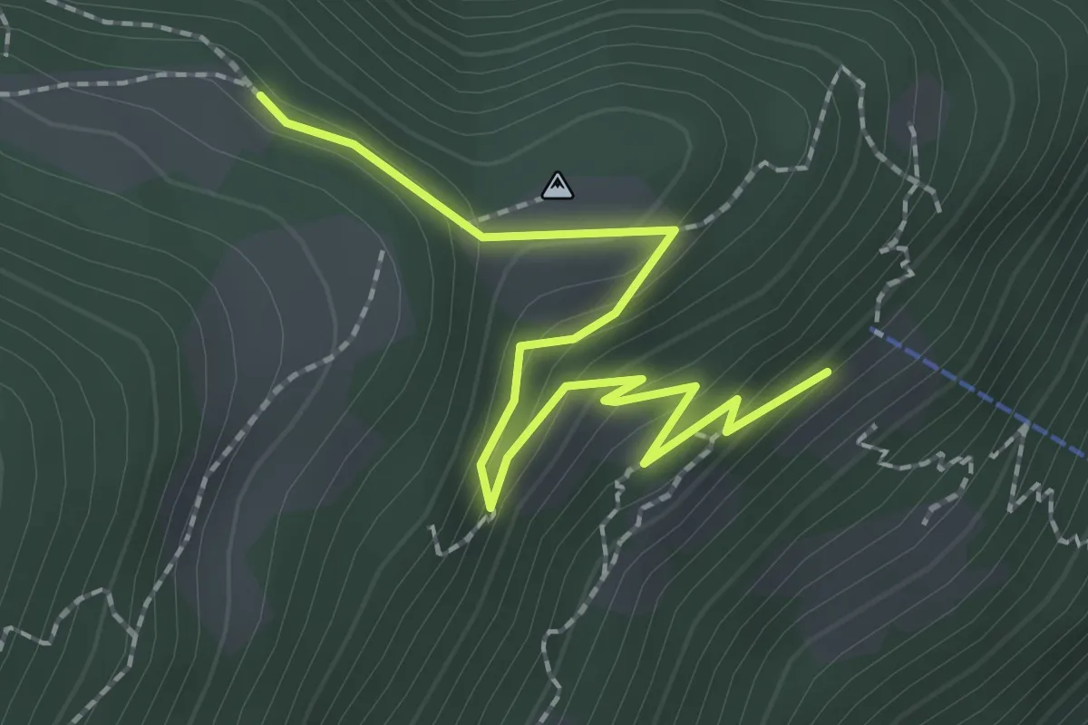
Easy · Trail
Baltico – Monda bivio
2.4 km · ↑ 130 m · 51 min · 3 km away
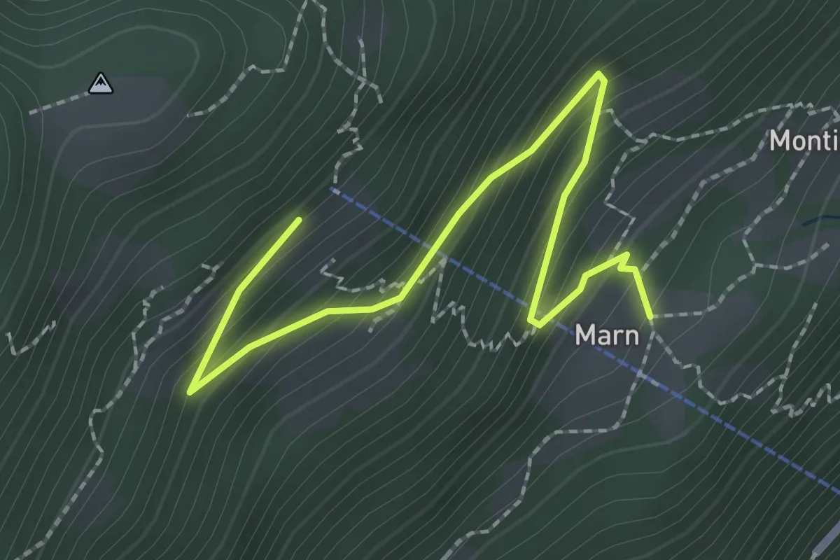
Easy · Trail
Marn – Baltico
2.6 km · ↑ 223 m · 1 h 5 min · 3 km away
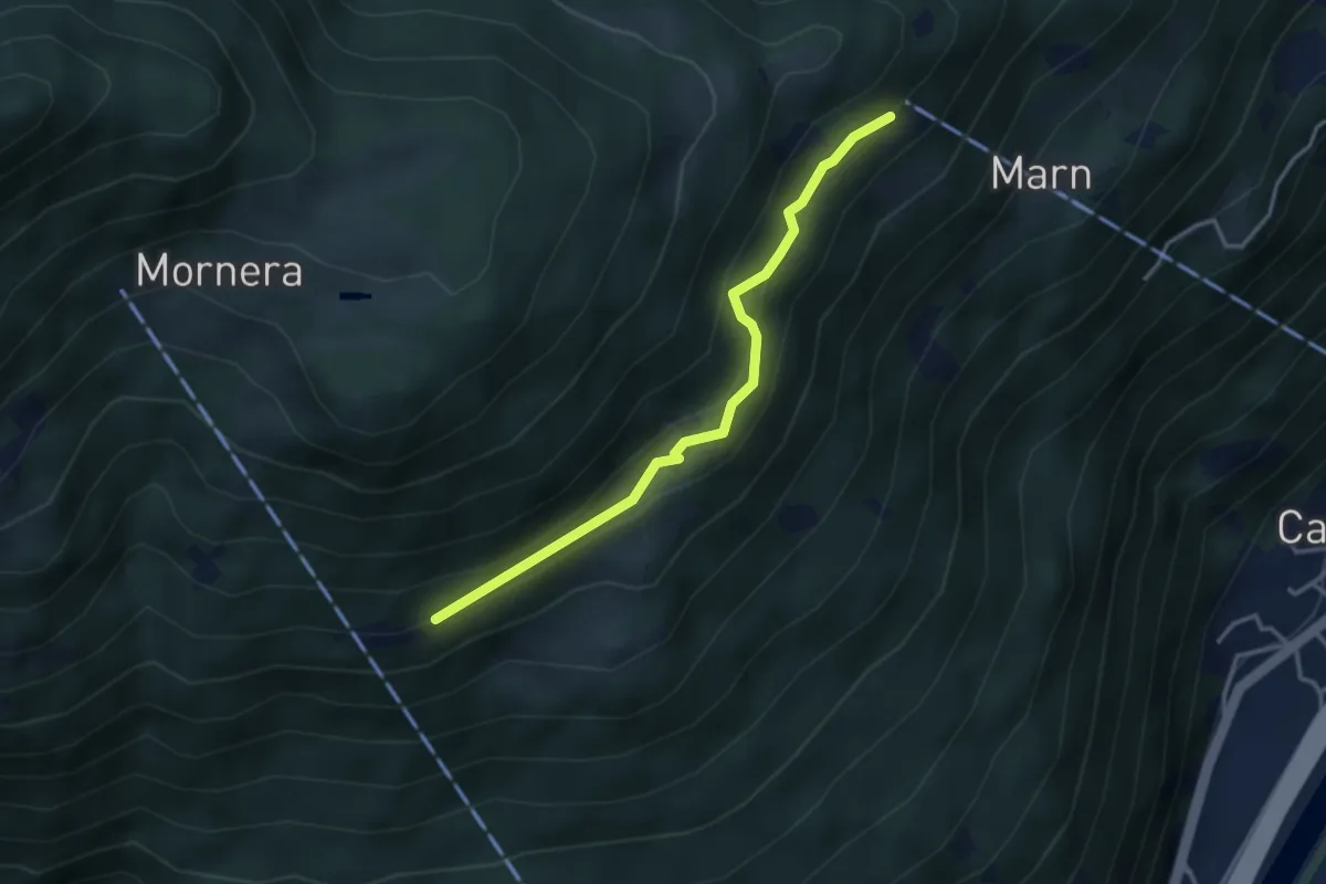
Easy · Trail
Pientina – Baltico
3.3 km · ↑ 204 m · 1 h 14 min · 3 km away
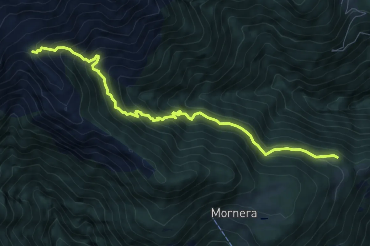
Demanding · Cabin
Monda bivio – A. Cassengo
8.5 km · ↑ 805 m · 3 h 45 min · 3 km away
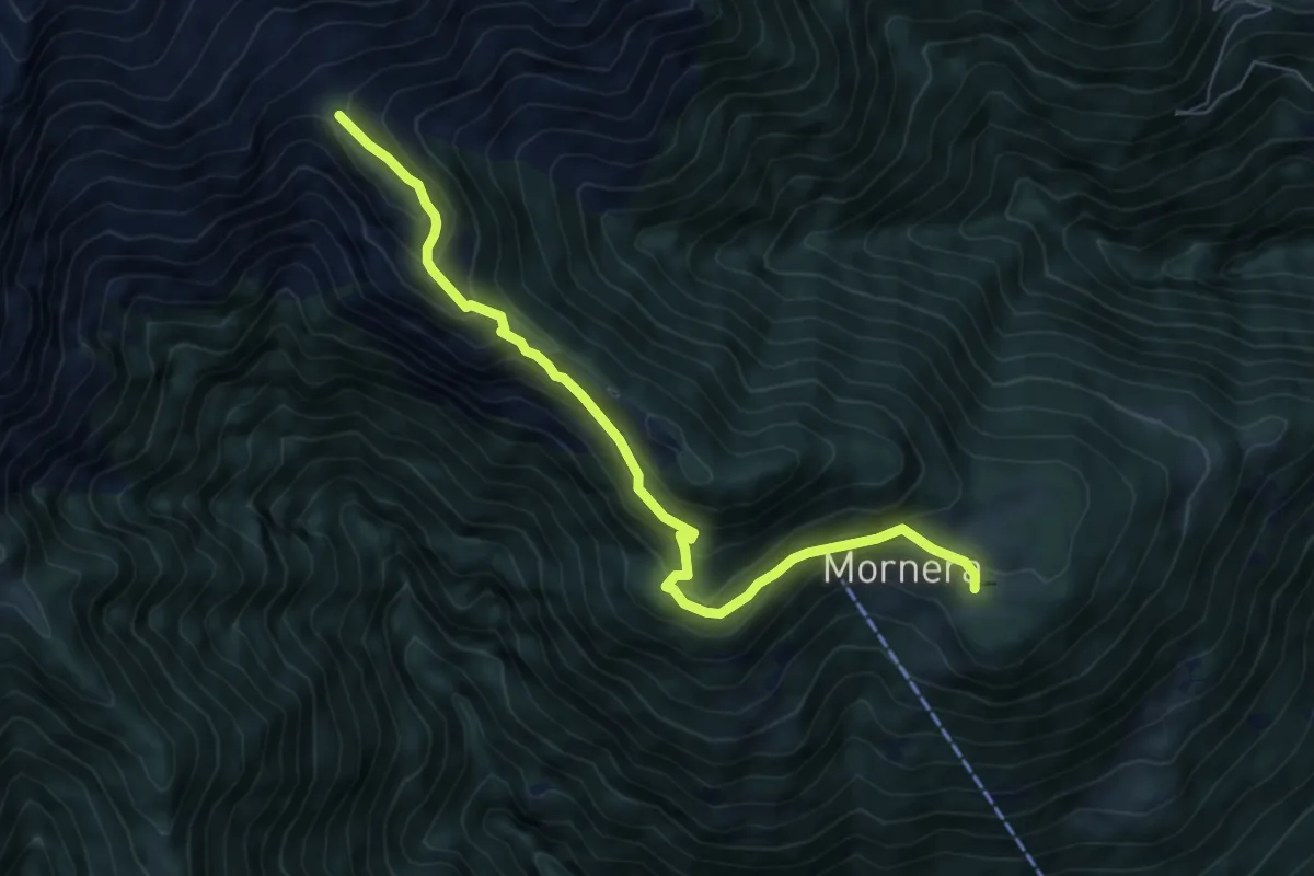
Demanding · Cabin
Mornera / Laghetto – Cap. Albagno UTOE
7.3 km · ↑ 507 m · 2 h 50 min · 3 km away
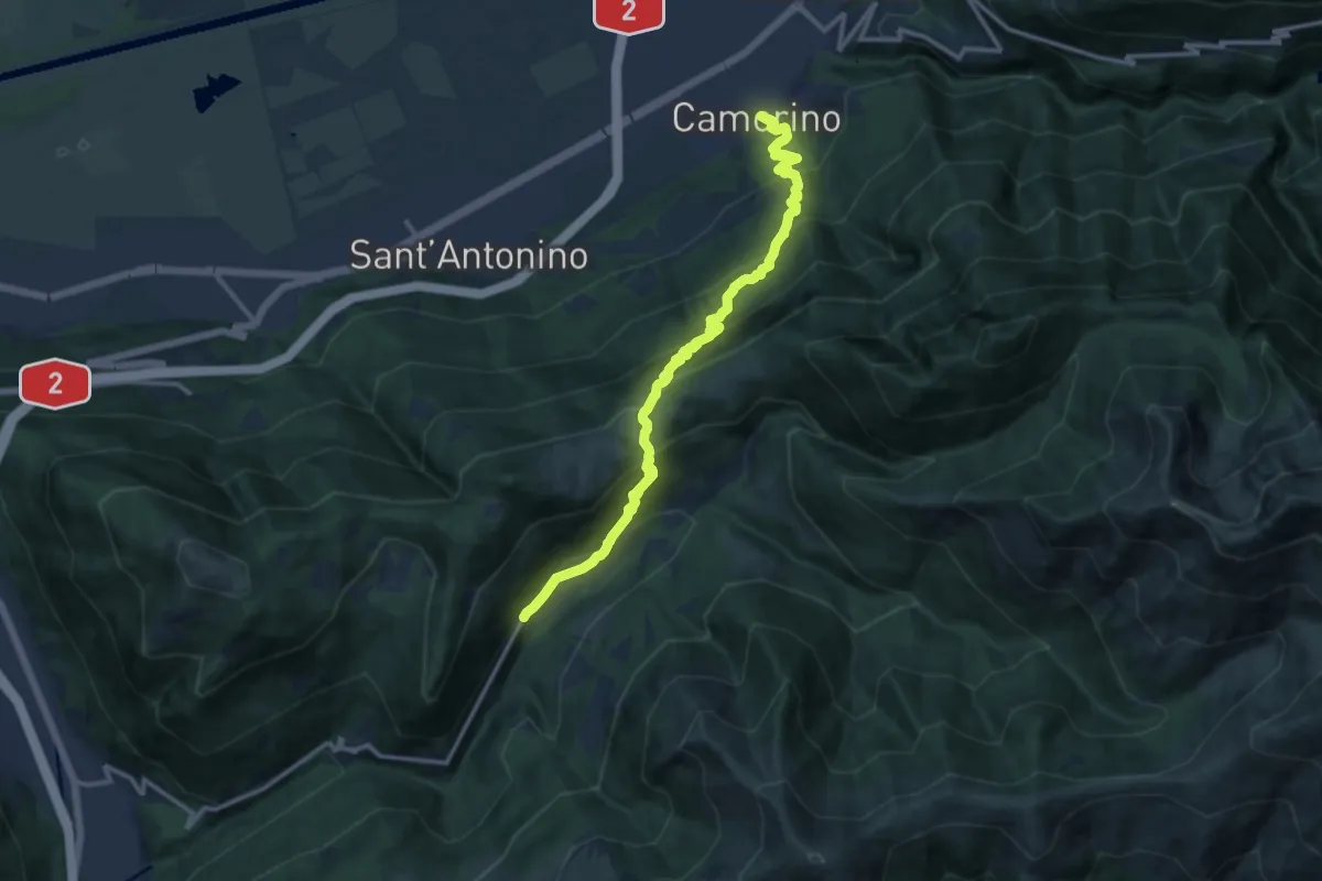
Demanding · Trail
Camerino-Isone
13.9 km · ↑ 1155 m · 5 h 47 min · 3 km away
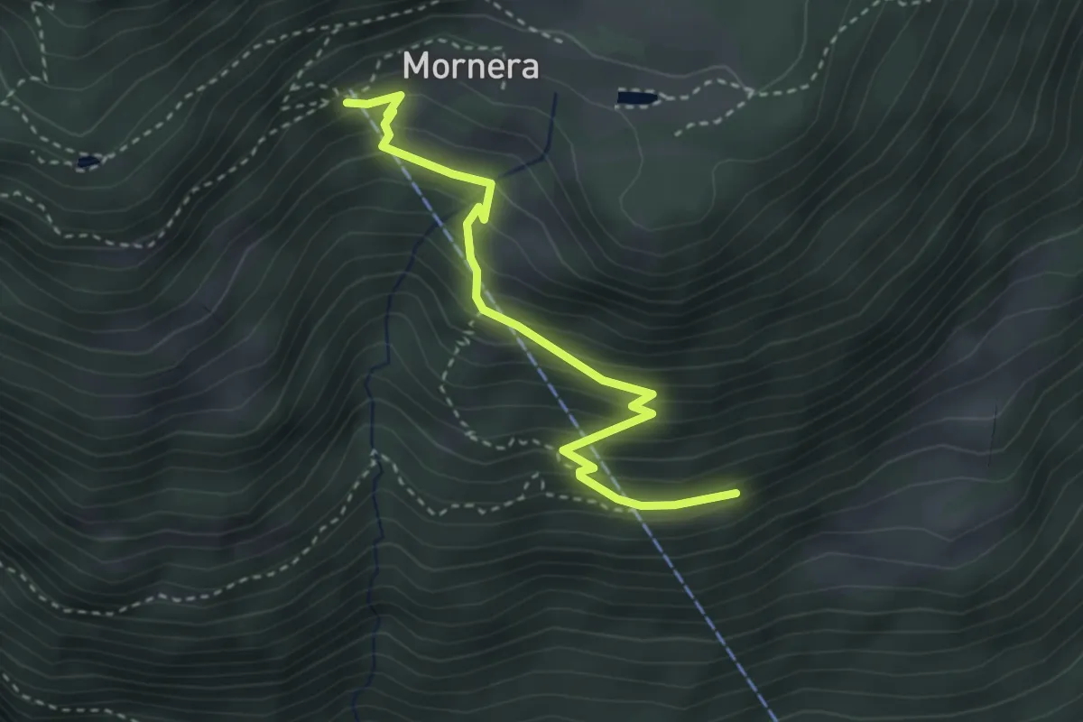
Easy · Trail
Mornera – Pientina 🚡
3.4 km · ↑ 299 m · 1 h 26 min · 4 km away
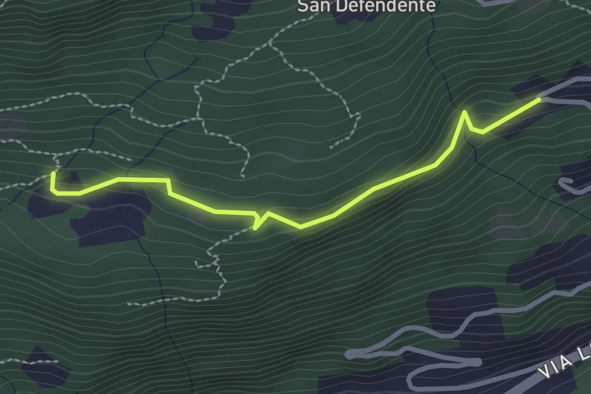
Easy · Trail
Redonda – Piancalardo
2.4 km · ↑ 143 m · 53 min · 4 km away
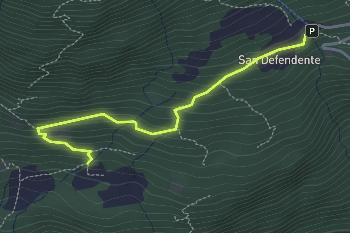
Easy · Trail
Redonda – S. Defendente
2.7 km · ↑ 157 m · 58 min · 4 km away
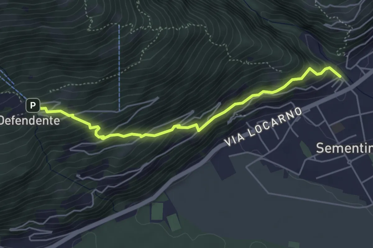
Medium · Trail
Sementina – S. Defendente
4.7 km · ↑ 414 m · 2 h 1 min · 4 km away
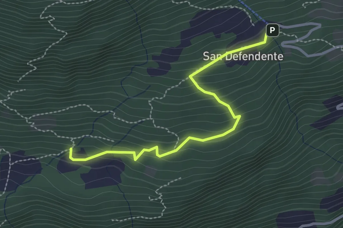
Easy · Trail
S. Defendete – Redonda
2.7 km · ↑ 205 m · 1 h 5 min · 4 km away
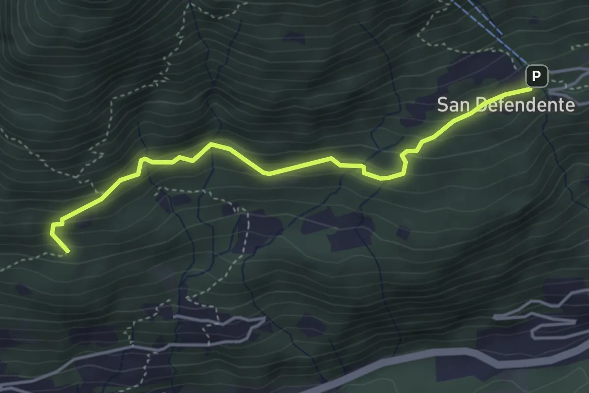
Easy · Trail
San Defendente – Pian Palerm
4.0 km · ↑ 317 m · 1 h 38 min · 4 km away
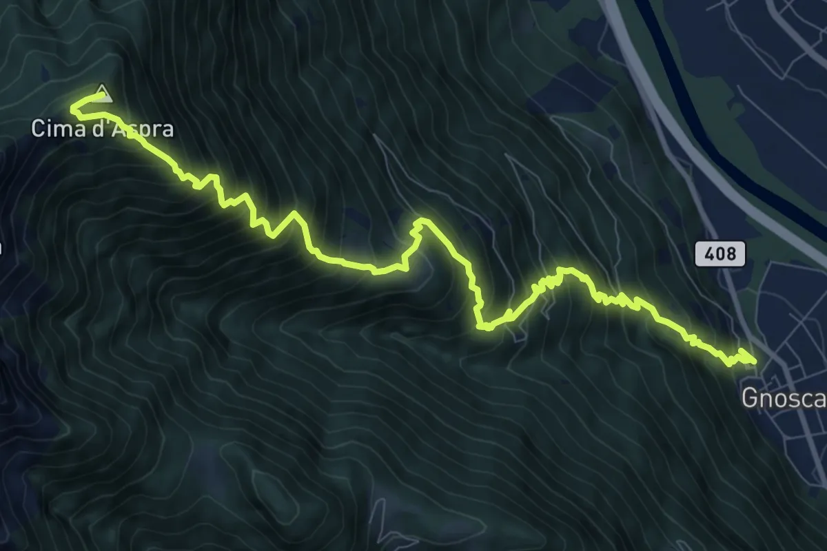
Demanding · Summit
Gnosca – Cima d Aspra
11.9 km · ↑ 1585 m · 6 h 14 min · 5 km away