Trails near Bellinzona
182 hikes starting within 15 km, nearest first.
Nearest first, page 2 of 4
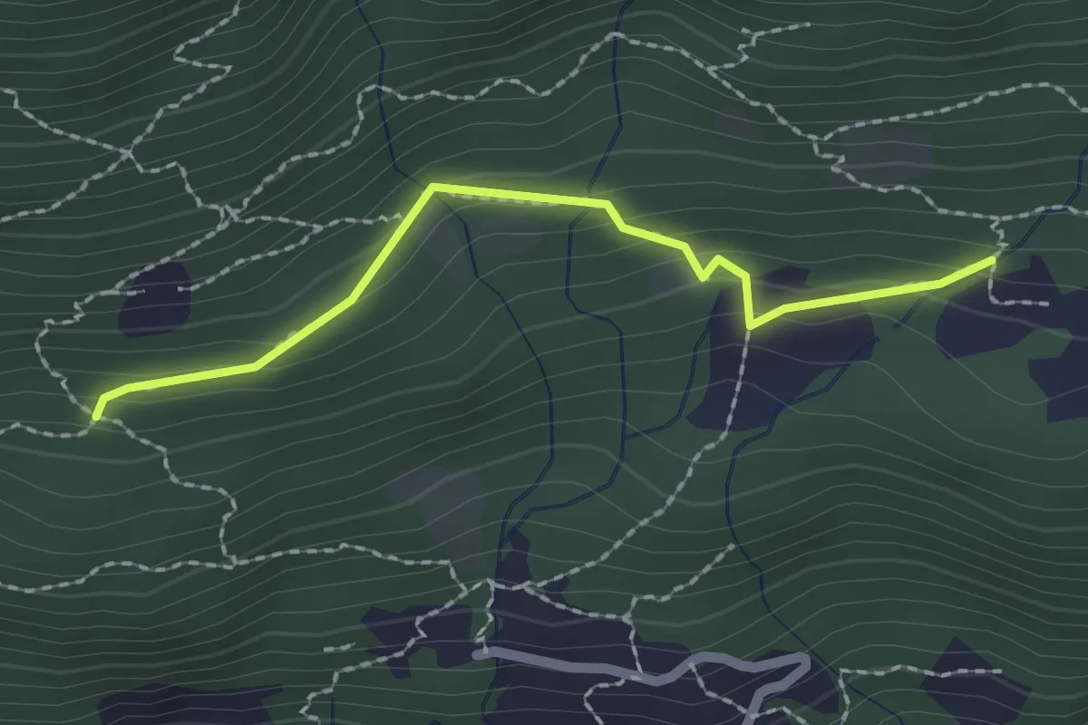
Medium · Trail
Pian Palerm – Redonda
2.0 km · ↑ 135 m · 45 min · 5 km away
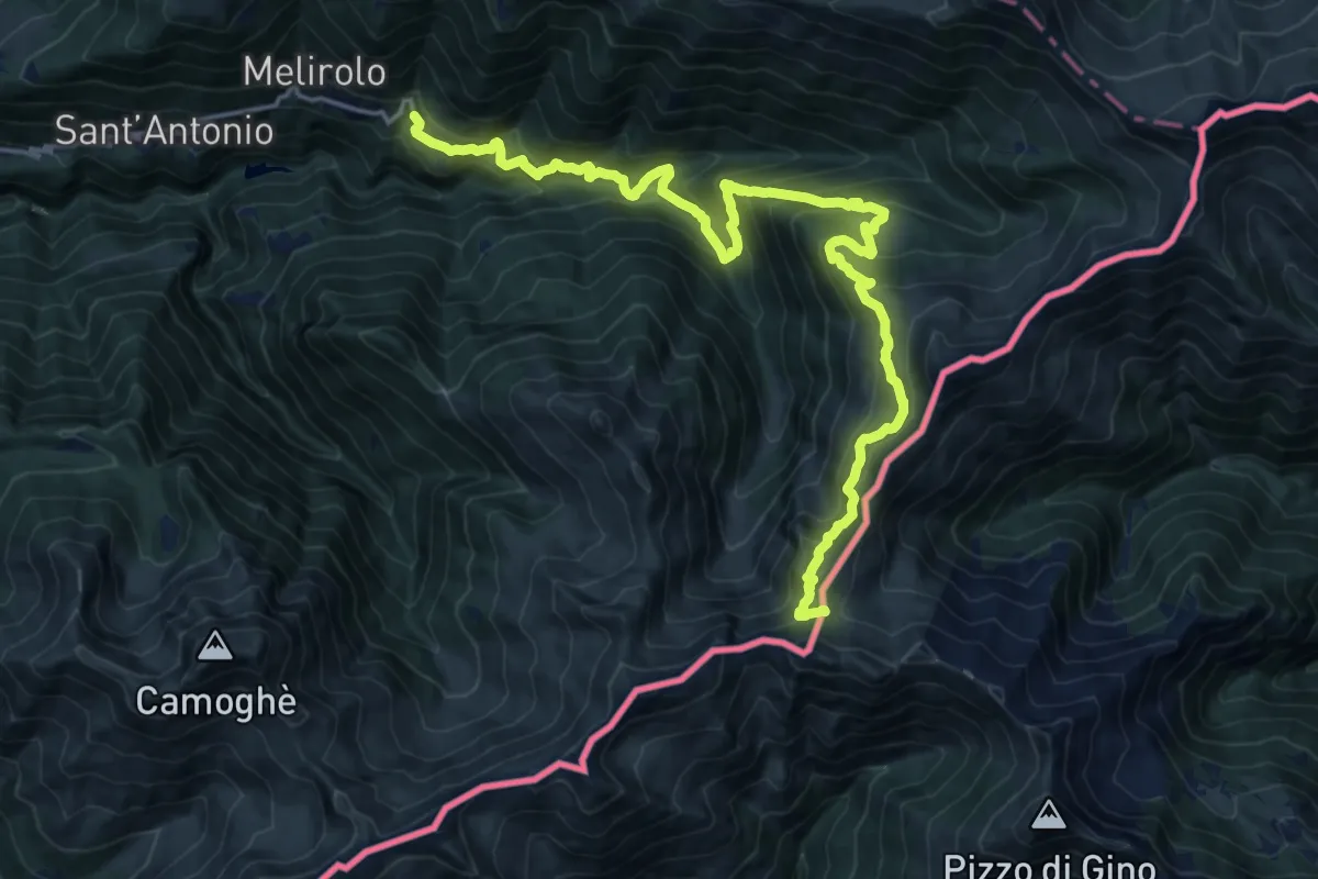
Demanding · Trail
Via del Ferro
10.2 km · ↑ 1281 m · 4 h 51 min · 5 km away
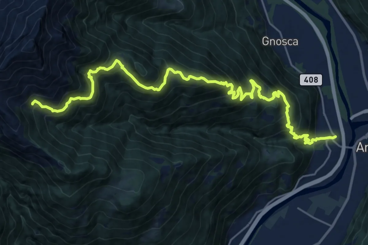
Medium · Trail
Gorduno – Cabanna Albagna
10.1 km · ↑ 180 m · 3 h 36 min · 5 km away
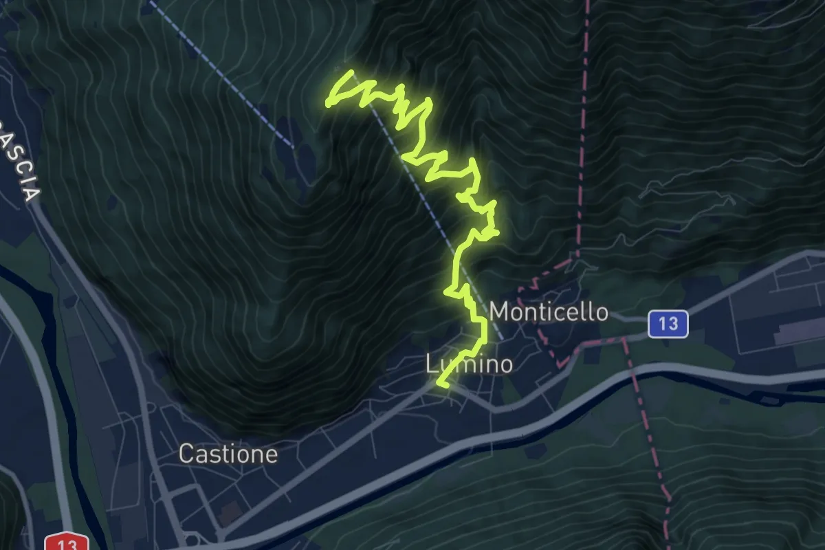
Demanding · Trail
Lumino Monti Saurù
11.2 km · ↑ 1201 m · 5 h 16 min · 6 km away
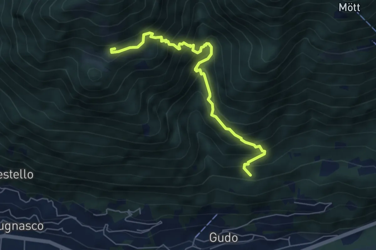
Medium · Trail
A Laghètt – Pian Palerm
5.5 km · ↑ 745 m · 2 h 55 min · 6 km away
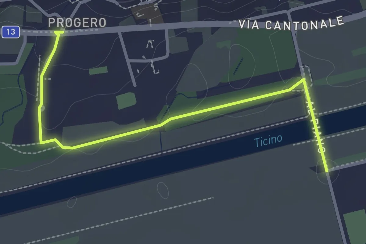
Easy · Trail
Gudo Progero – Ponte per Gudo
3.0 km · ↑ 31 m · 47 min · 6 km away
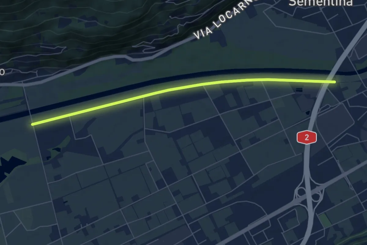
Easy · Trail
F. Morobbia - Ponte per Gudo
6.9 km · ↑ 9 m · 1 h 39 min · 6 km away
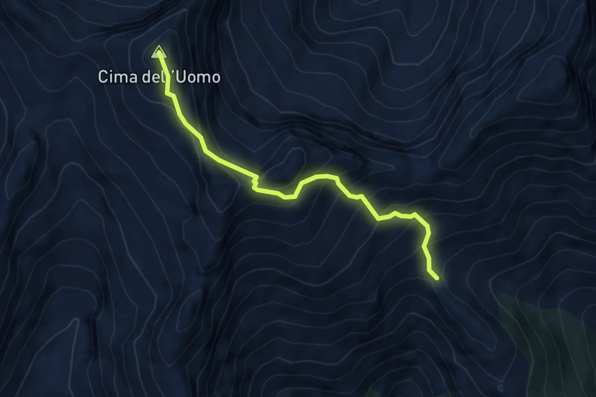
Expert · Summit
Capanna Borgna – Capanna Albagno
4.6 km · ↑ 591 m · 2 h 22 min · 6 km away
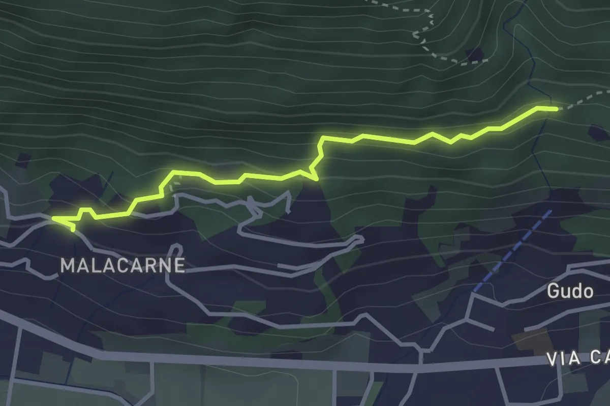
Easy · Trail
Rastrello – Al Bosco
2.9 km · ↑ 203 m · 1 h 7 min · 6 km away
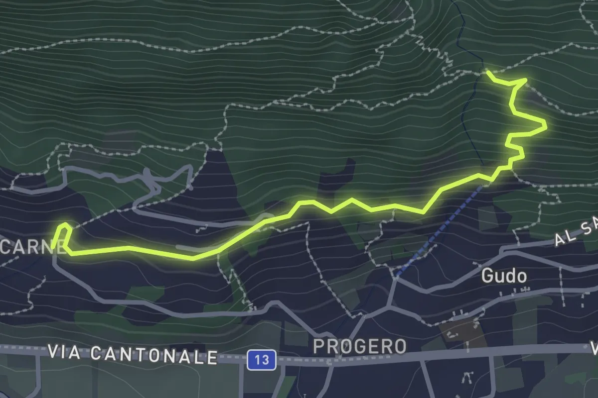
Medium · Trail
Malacarne – Rastrello
3.1 km · ↑ 264 m · 1 h 19 min · 6 km away
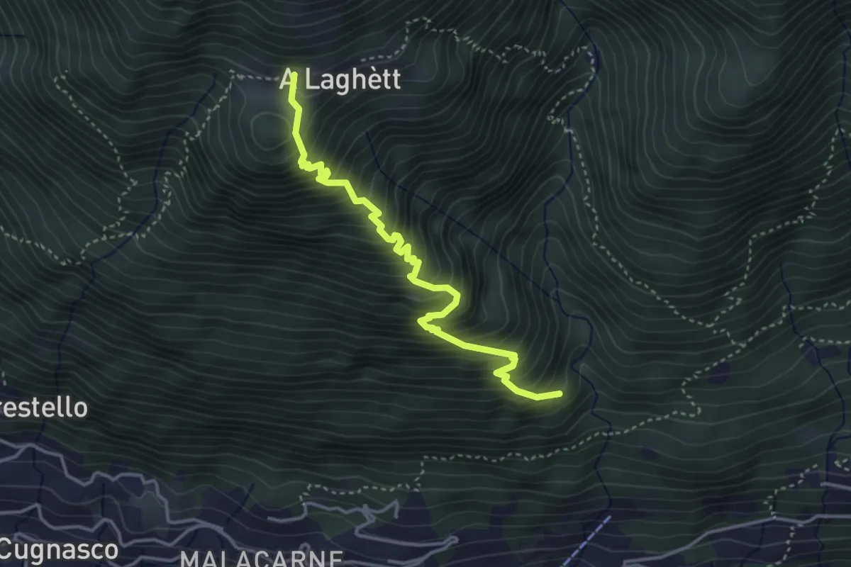
Medium · Trail
Monti del Laghetto – Orlo Valle
3.9 km · ↑ 573 m · 2 h 9 min · 6 km away
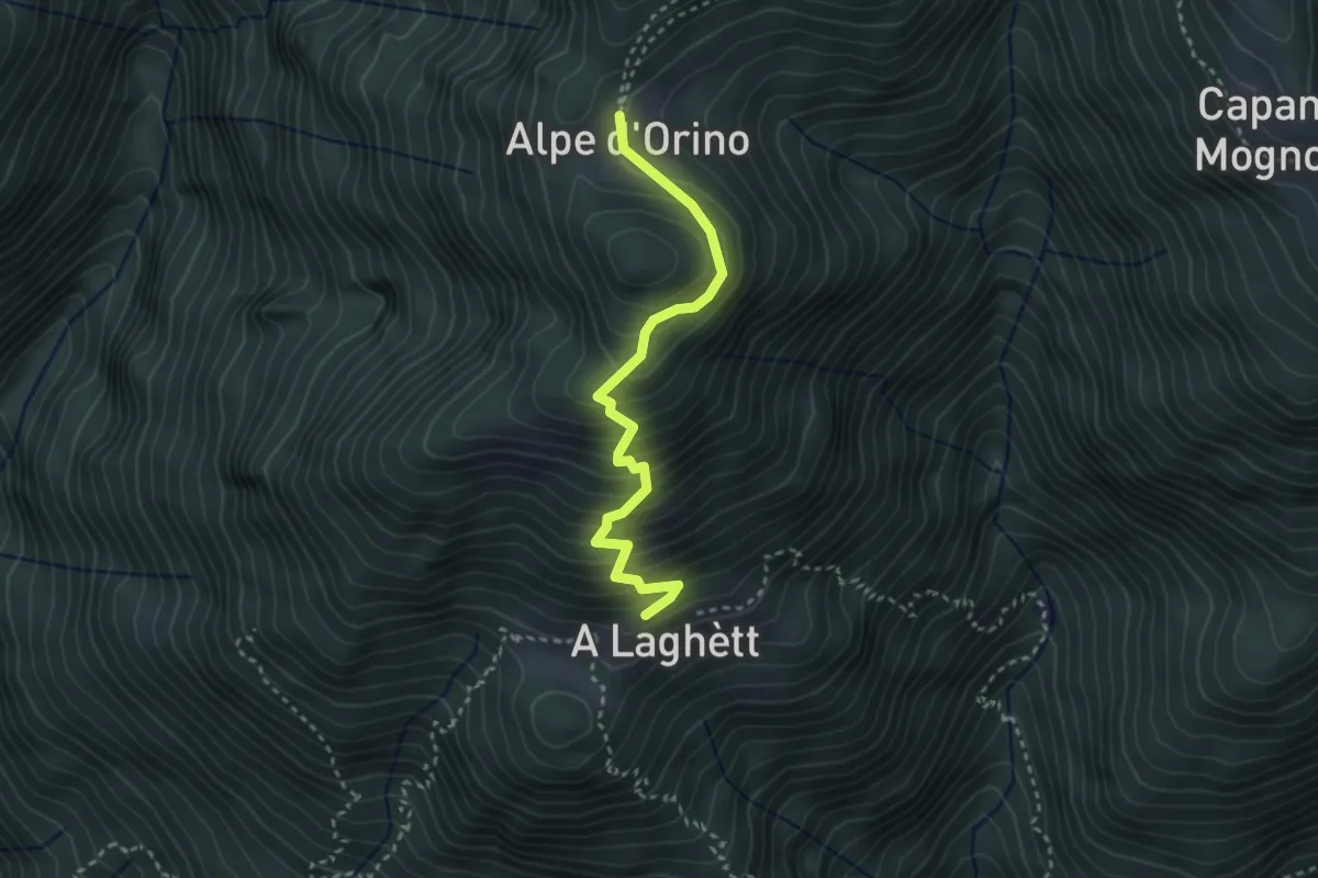
Medium · Cabin
A Laghètt – Cap. Alpe Orino
3.0 km · ↑ 359 m · 1 h 29 min · 7 km away
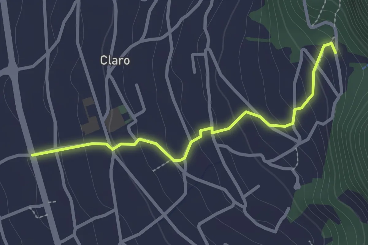
Easy · Trail
Claro S.Ambrogio
2.4 km · ↑ 151 m · 54 min · 7 km away
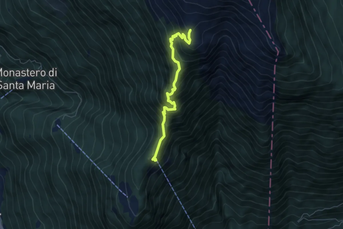
Medium · Cabin
Saurù Brogoldone
5.5 km · ↑ 668 m · 2 h 45 min · 7 km away
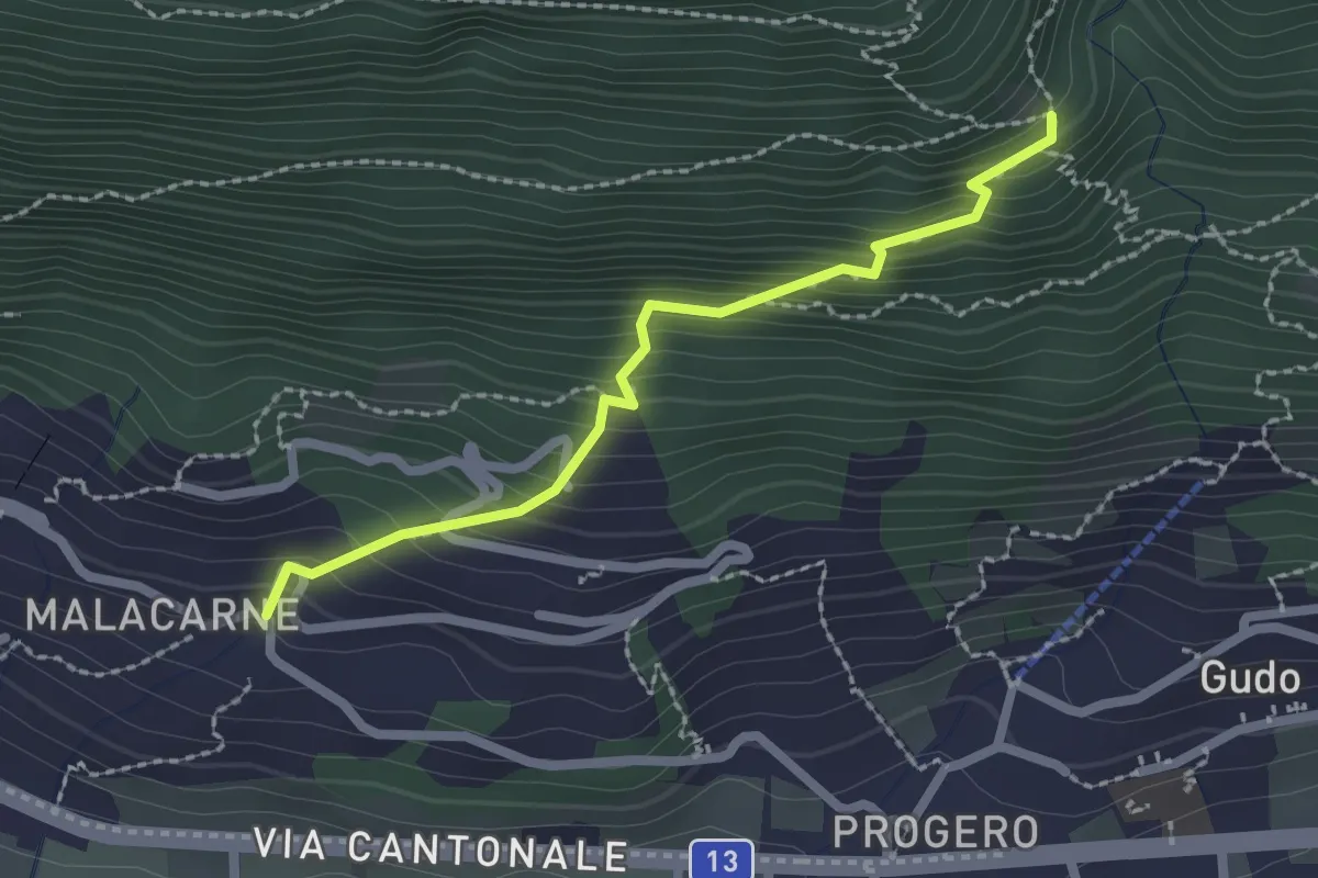
Easy · Trail
Malacarne – Orlo Valle
2.1 km · ↑ 264 m · 1 h 4 min · 7 km away
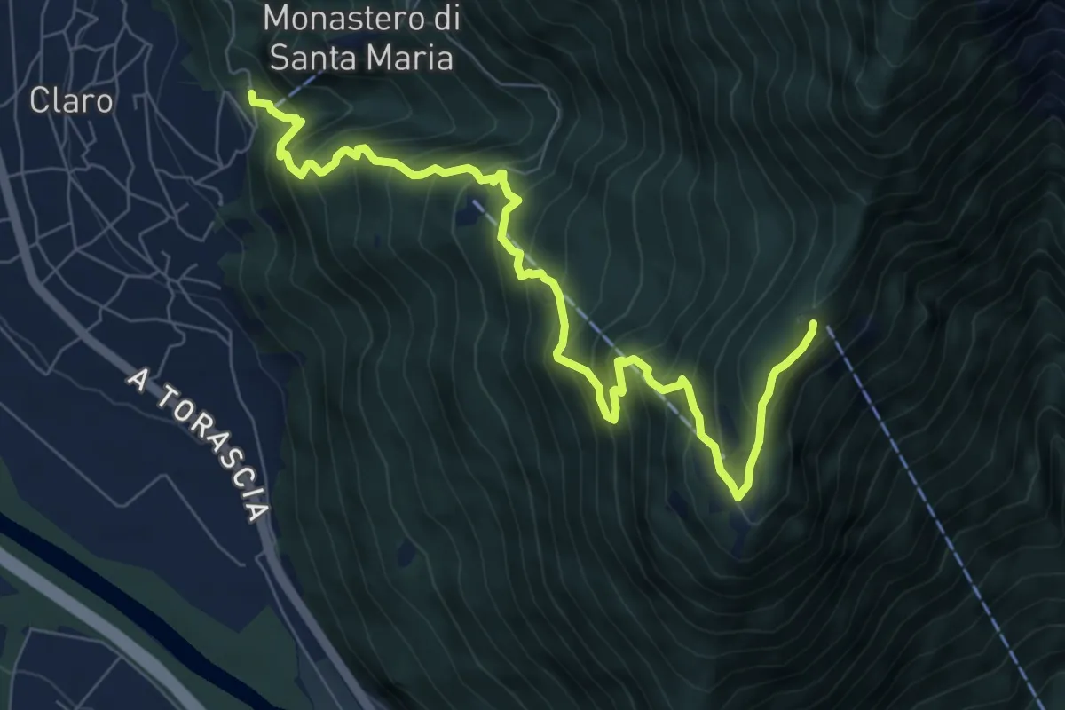
Demanding · Trail
Claro Saurù
8.7 km · ↑ 980 m · 4 h 10 min · 7 km away
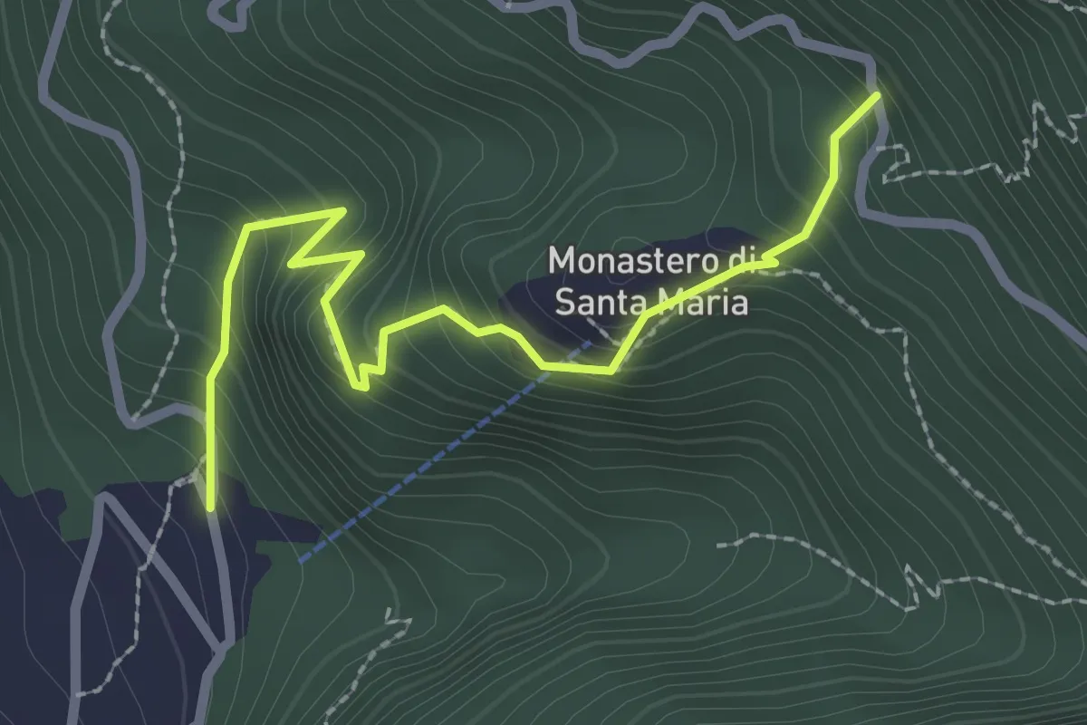
Medium · Trail
S.Ambrogio Monastero
2.5 km · ↑ 291 m · 1 h 14 min · 7 km away
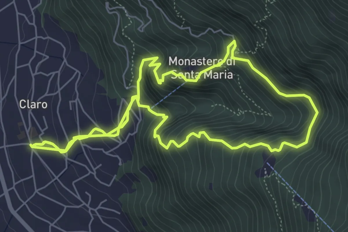
Medium · Trail
Claro e il suo Monastero
6.6 km · ↑ 521 m · 2 h 50 min · 7 km away
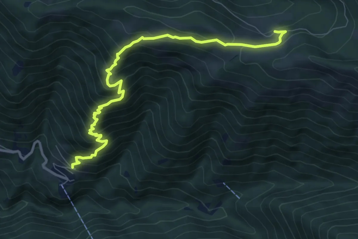
Demanding · Trail
Carena – Alpe di Gesero
8.6 km · ↑ 833 m · 3 h 51 min · 7 km away
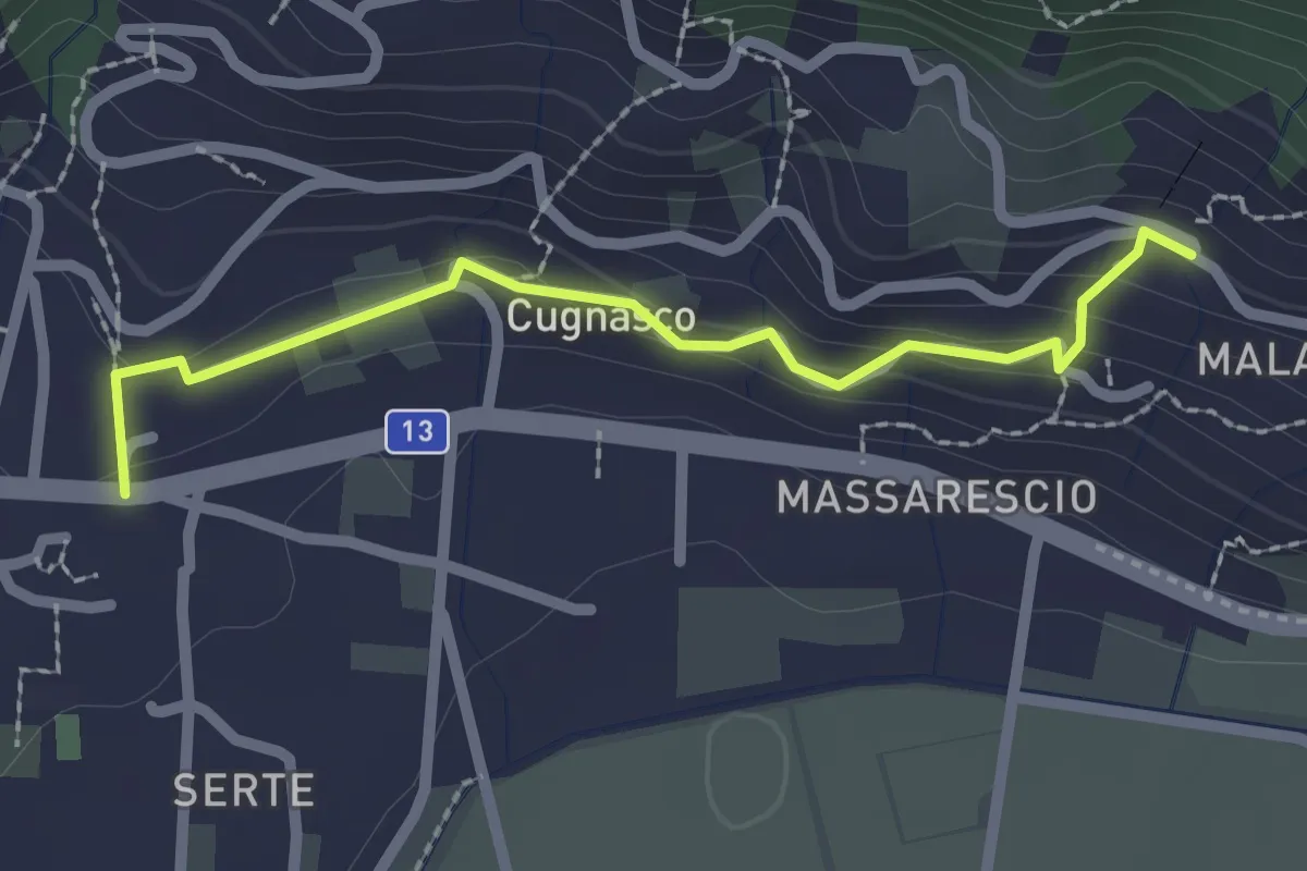
Easy · Trail
Via della Vigne
2.2 km · ↑ 106 m · 46 min · 7 km away
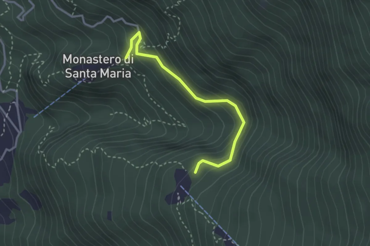
Easy · Trail
Cavri – Monastero S. Maria
2.6 km · ↑ 253 m · 1 h 10 min · 7 km away
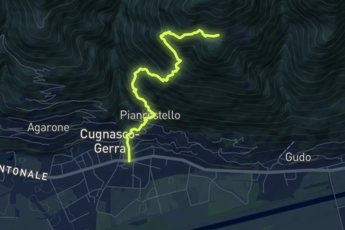
Demanding · Trail
Cugnasco – Monti del Laghetto
7.2 km · ↑ 953 m · 3 h 45 min · 8 km away
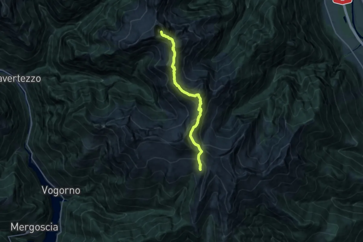
Expert · Summit
Via Alta della Verzasca Tappa 1
13.4 km · ↑ 1551 m · 6 h 31 min · 8 km away
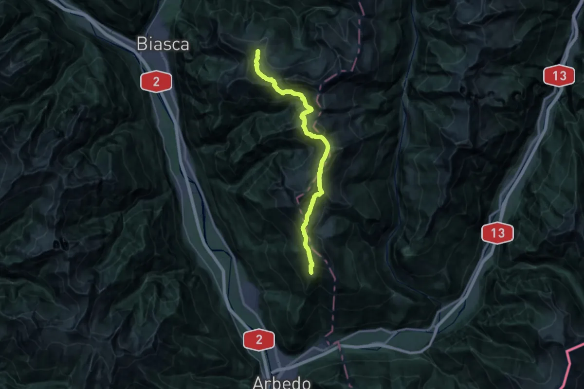
Demanding · Cabin
01-Via Alta Crio
14.6 km · ↑ 1248 m · 6 h 16 min · 9 km away
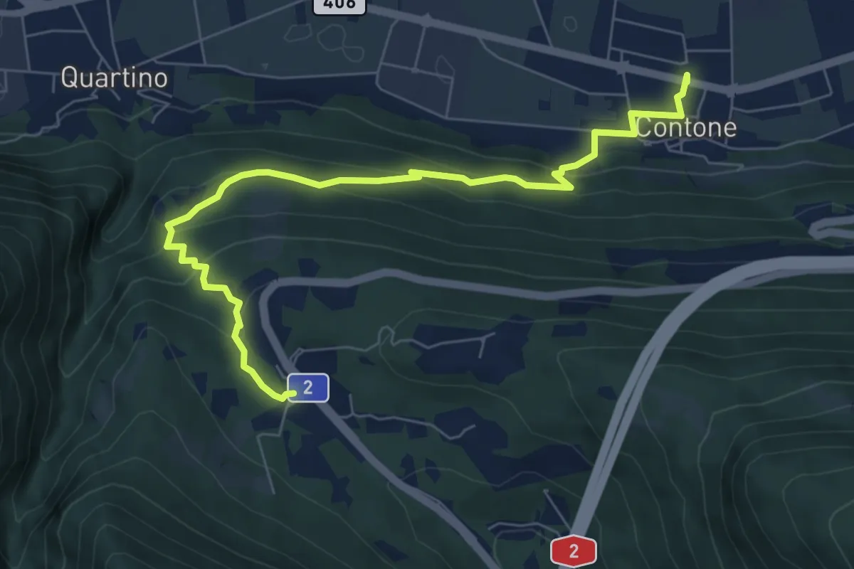
Medium · Trail
Monte Ceneri – Contone
7.8 km · ↑ 385 m · 2 h 40 min · 9 km away
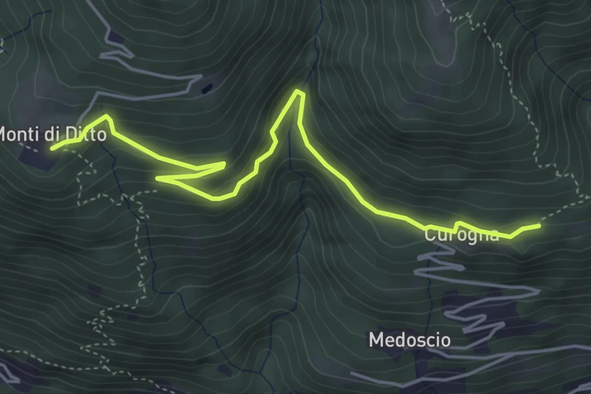
Easy · Trail
Curogna – Monti di Ditto
5.0 km · ↑ 255 m · 1 h 44 min · 9 km away
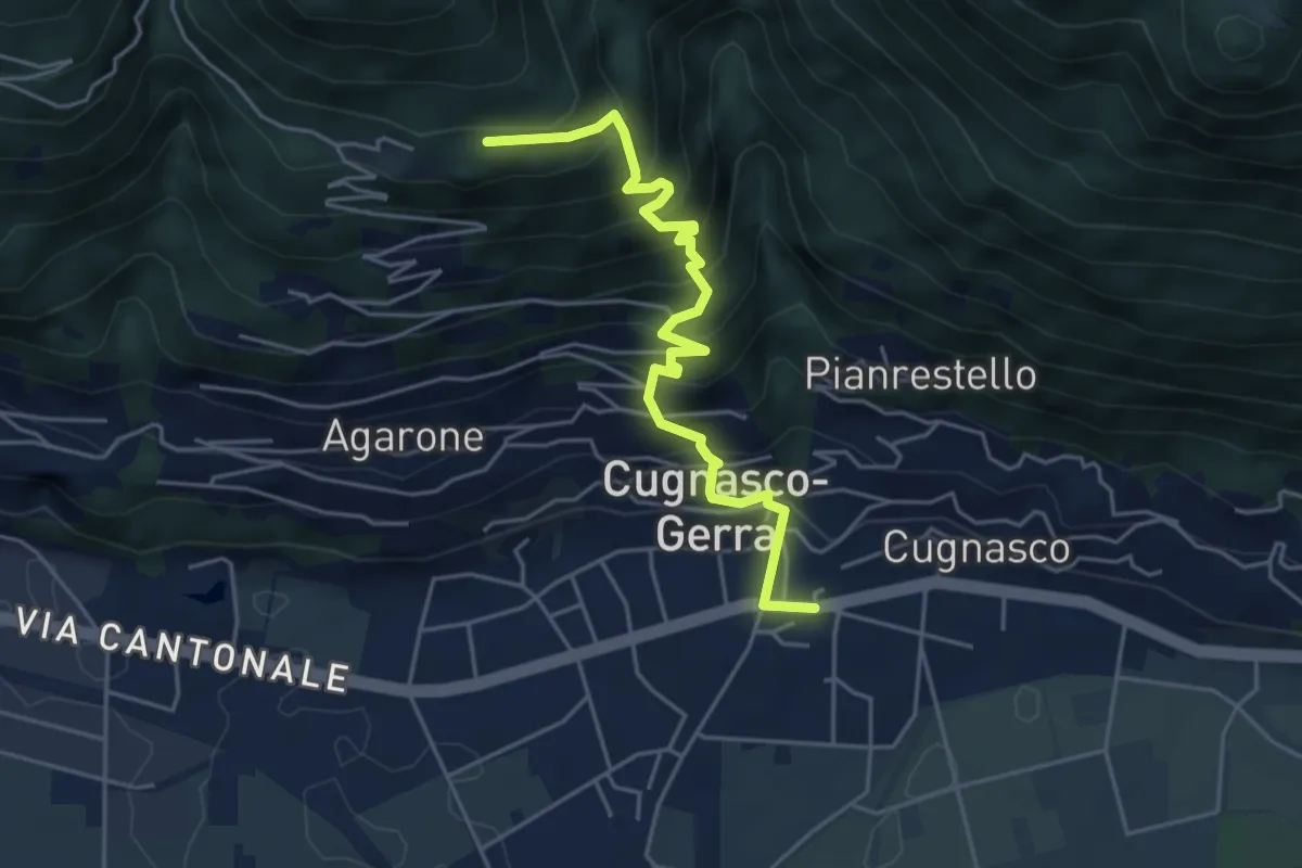
Medium · Trail
Cugnasco – Curogna
4.9 km · ↑ 534 m · 2 h 19 min · 9 km away
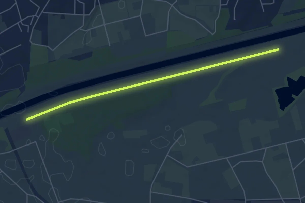
Easy · Trail
Golene - Alta Monda
5.1 km · ↑ 4 m · 1 h 12 min · 9 km away
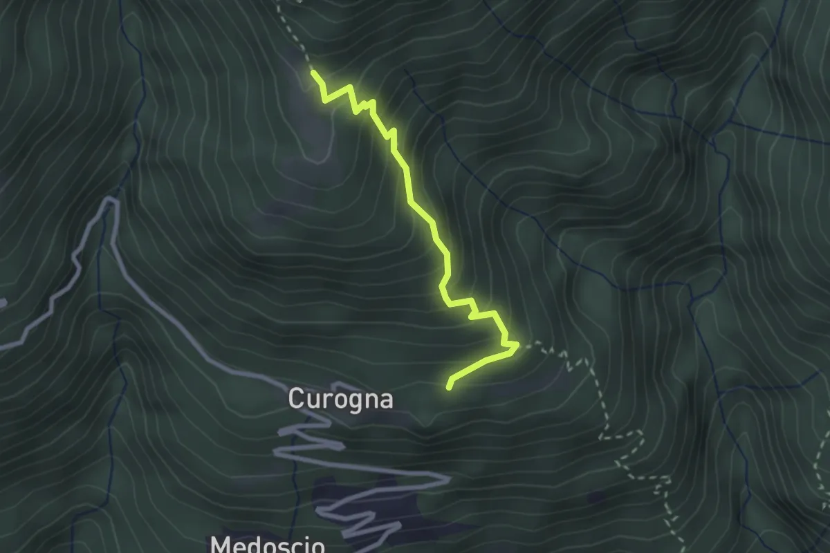
Medium · Trail
Curogna – Monti Velloni
2.4 km · ↑ 278 m · 1 h 10 min · 9 km away
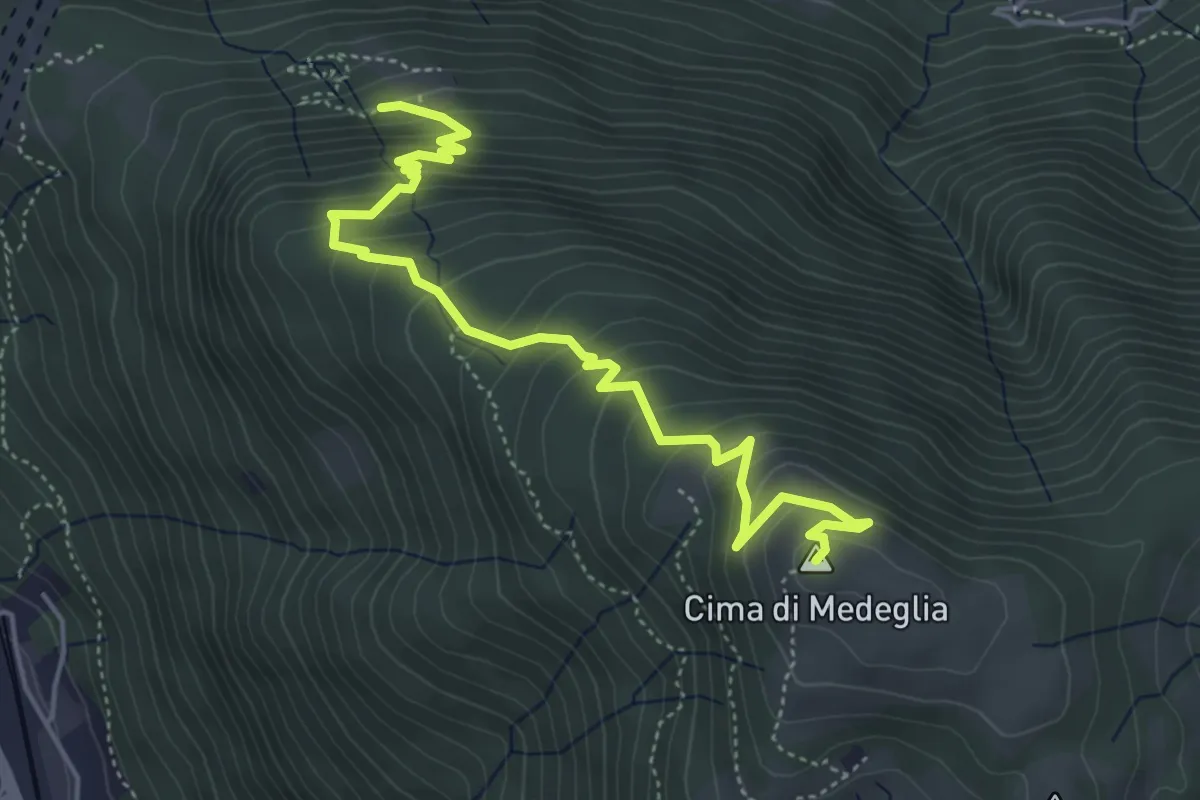
Medium · Summit
Cima di Medeglia – Prato Grasso
5.5 km · ↑ 454 m · 2 h 17 min · 9 km away
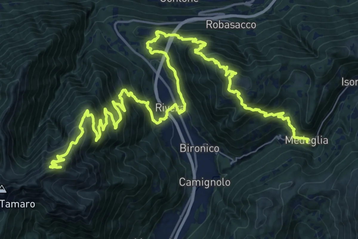
Demanding · Summit
Sentiero Lago di Lugano
44.0 km · ↑ 3142 m · 17 h 12 min · 9 km away
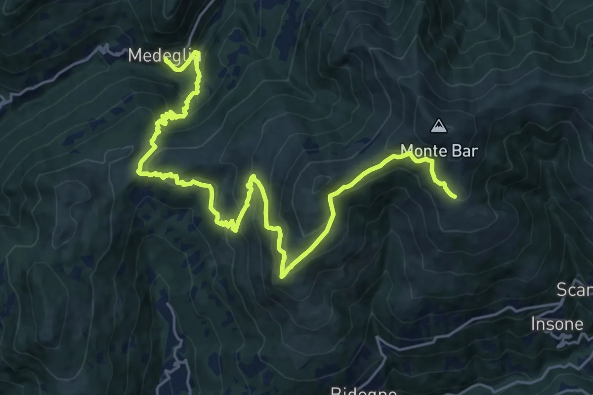
Demanding · Cabin
Sentiero Lago di Lugano
20.5 km · ↑ 1349 m · 7 h 46 min · 9 km away
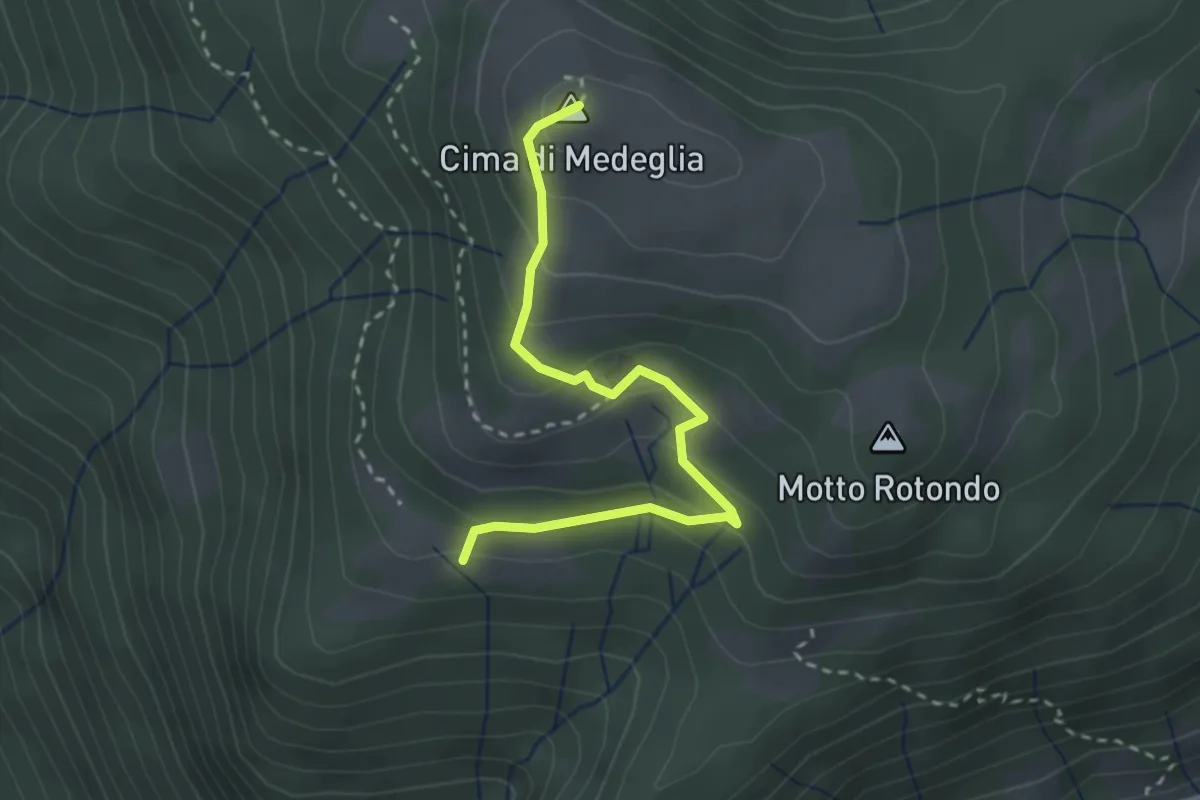
Medium · Summit
Troggiano – Cima di Medeglia
2.9 km · ↑ 169 m · 1 h 3 min · 10 km away
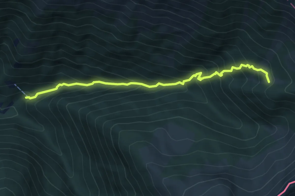
Medium · Trail
Carena – Giggio
6.3 km · ↑ 673 m · 2 h 56 min · 10 km away
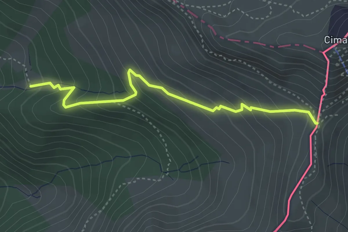
Medium · Cabin
Giggio – Passo San Jorio
3.7 km · ↑ 327 m · 1 h 34 min · 10 km away
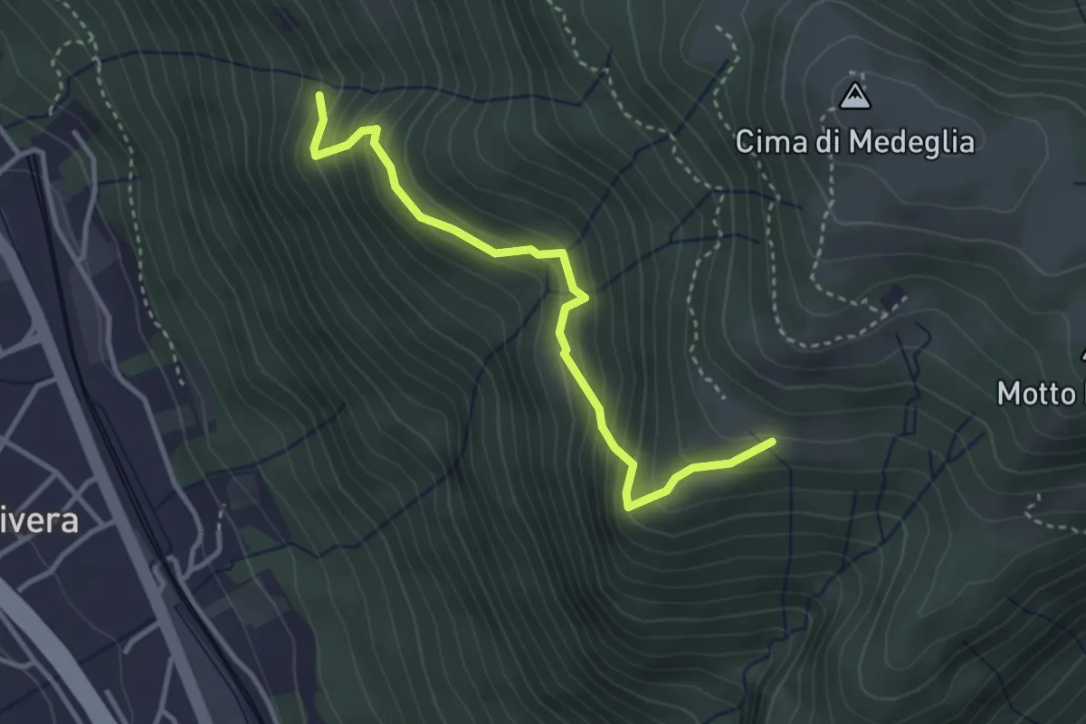
Medium · Trail
Troggiano – Revera St.ne (via Predlè)?
3.3 km · ↑ 368 m · 1 h 35 min · 10 km away
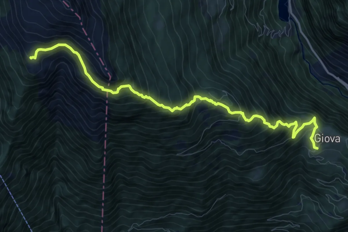
Demanding · Cabin
Giova Capanna Brogoldone
12.0 km · ↑ 1130 m · 5 h 17 min · 10 km away
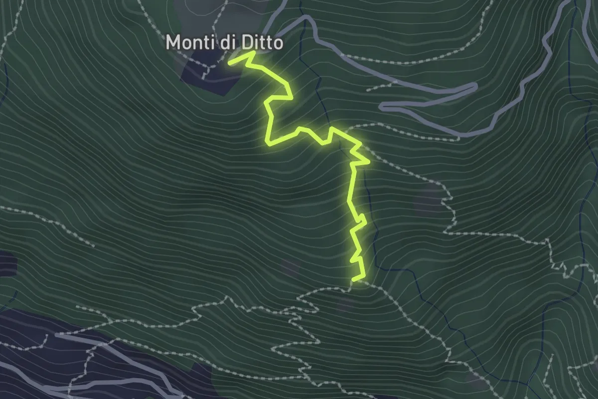
Easy · Trail
Monti di Ditto – Peross
2.1 km · ↑ 253 m · 1 h 3 min · 10 km away
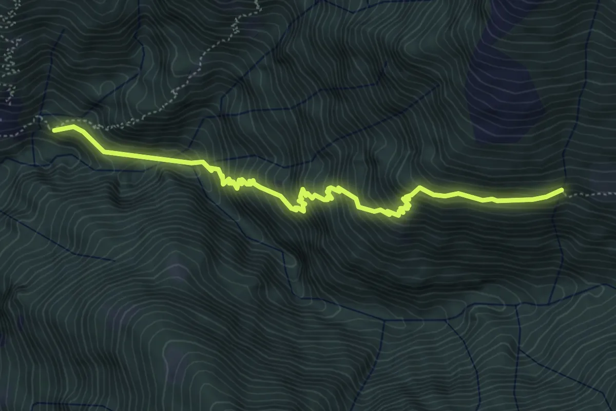
Medium · Trail
Colleta - ?
6.0 km · ↑ 755 m · 3 h 4 min · 10 km away
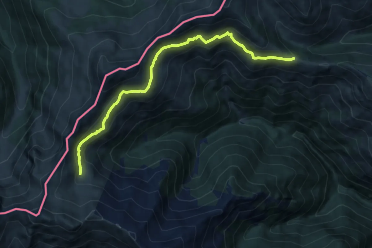
Medium · Trail
Alta Via del Lario (rifugio Giovo - Rifugio Menaggio)
9.9 km · ↑ 527 m · 3 h 28 min · 10 km away
Medium · Trail
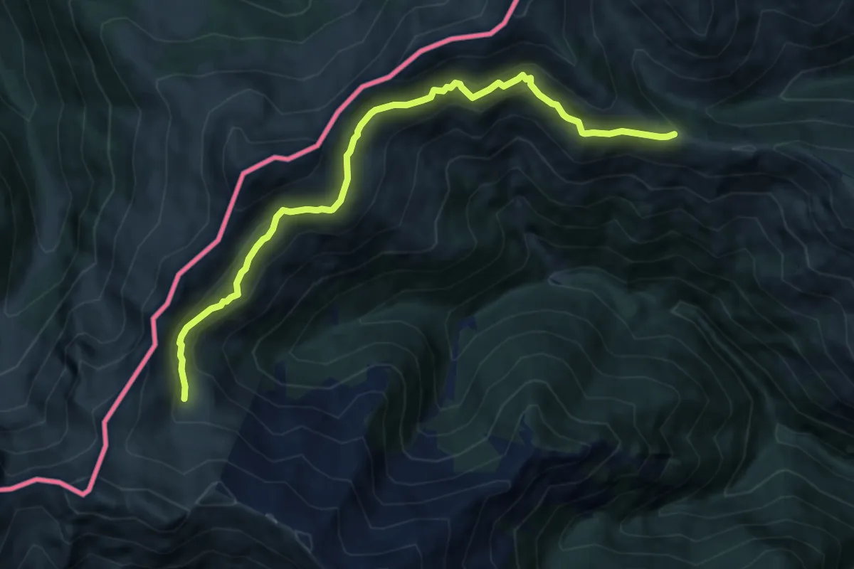
Alta Via del Lario - Tappa 3
9.9 km · ↑ 527 m · 3 h 28 min · 10 km away
Demanding · Summit
Sentiero Lago di Lugano
12.1 km · ↑ 1055 m · 5 h 9 min · 10 km away
Medium · Trail
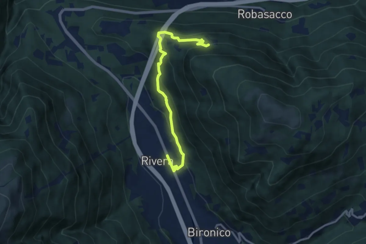
Prato Grasso – Rivera St.ne
7.5 km · ↑ 405 m · 2 h 38 min · 11 km away
Medium · Trail
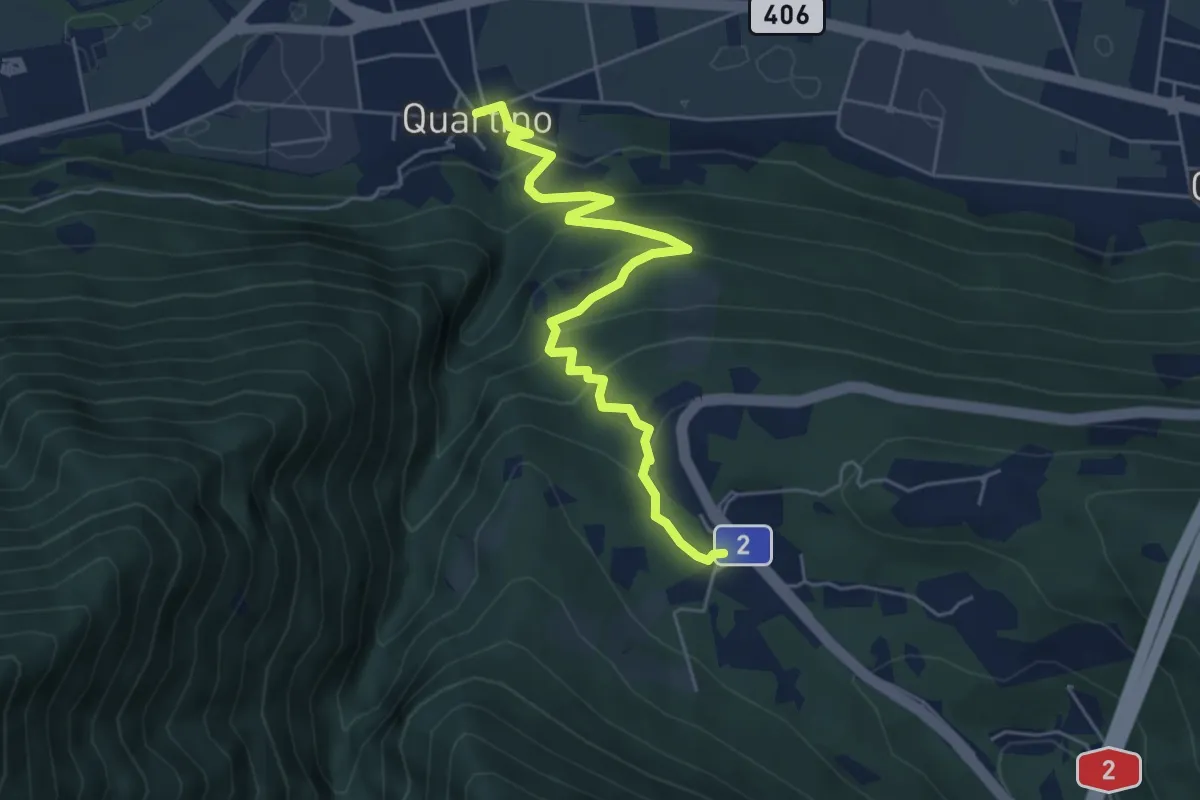
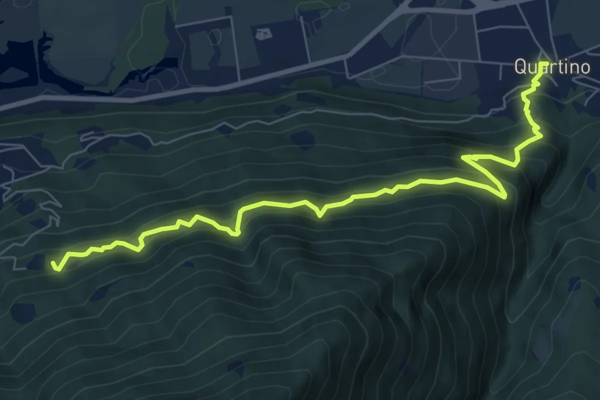
Quartino – Monte Ceneri
5.7 km · ↑ 343 m · 2 h 5 min · 11 km away
Demanding · Trail
Bruno - Quartino
7.5 km · ↑ 974 m · 3 h 53 min · 11 km away
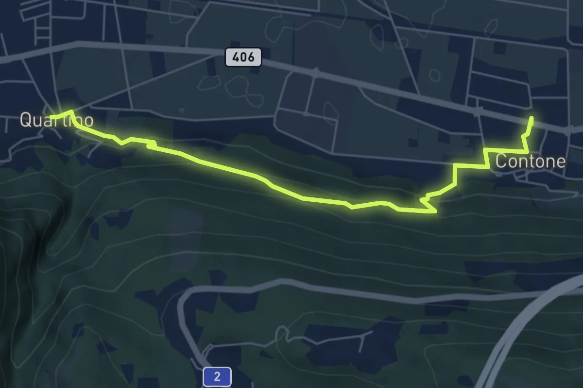
Easy · Trail
Contone – Quartino
6.1 km · ↑ 275 m · 2 h 3 min · 11 km away
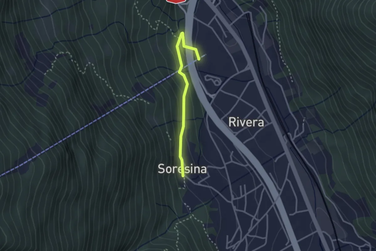
Easy · Trail
Soresina – Rivera funivia
2.4 km · ↑ 105 m · 48 min · 11 km away
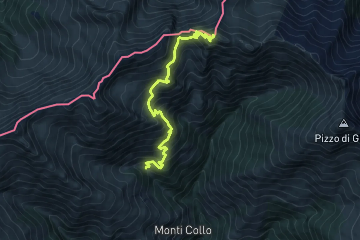
Medium · Summit
Via del Ferro
8.4 km · ↑ 759 m · 3 h 38 min · 11 km away