Trails near Bellinzona
182 hikes starting within 15 km, nearest first.
Nearest first, page 3 of 4
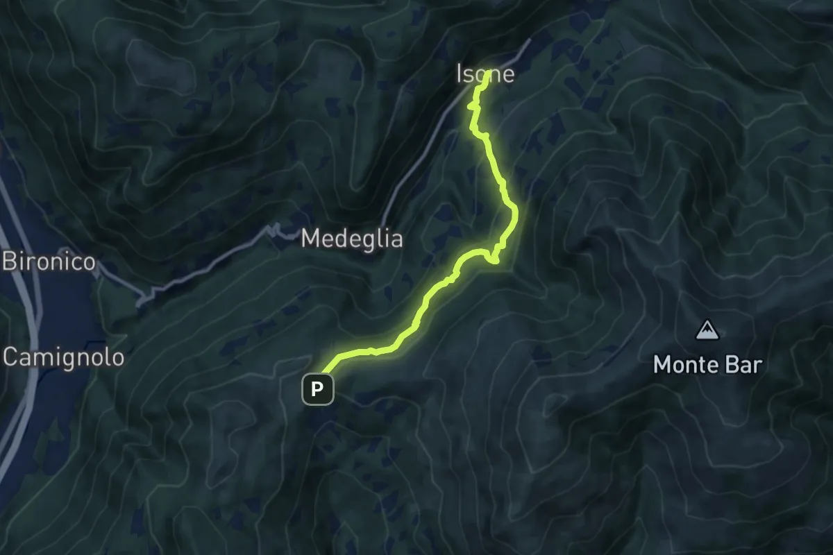
Medium · Trail
Isone – Gola di Lago
9.2 km · ↑ 488 m · 3 h 14 min · 11 km away
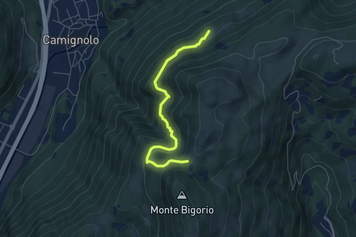
Medium · Trail
Stinchè – Busio
5.2 km · ↑ 466 m · 2 h 15 min · 11 km away
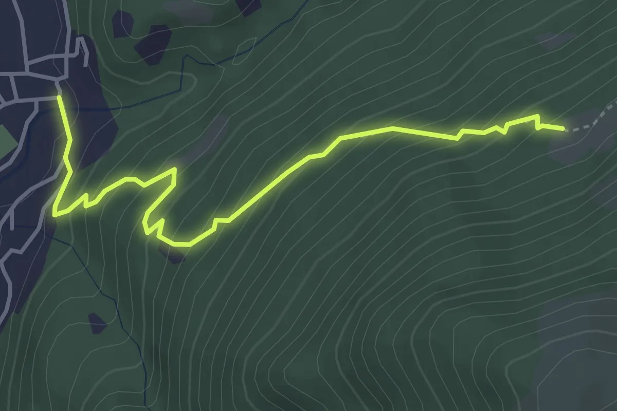
Medium · Trail
Busio – Camignolo
4.1 km · ↑ 368 m · 1 h 45 min · 11 km away
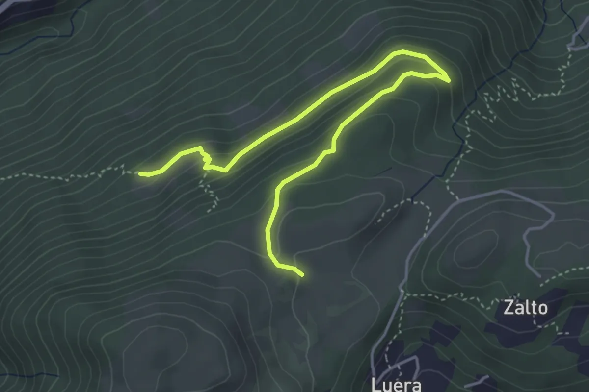
Medium · Trail
Alpe Santa Maria – Busio
4.9 km · ↑ 265 m · 1 h 44 min · 11 km away
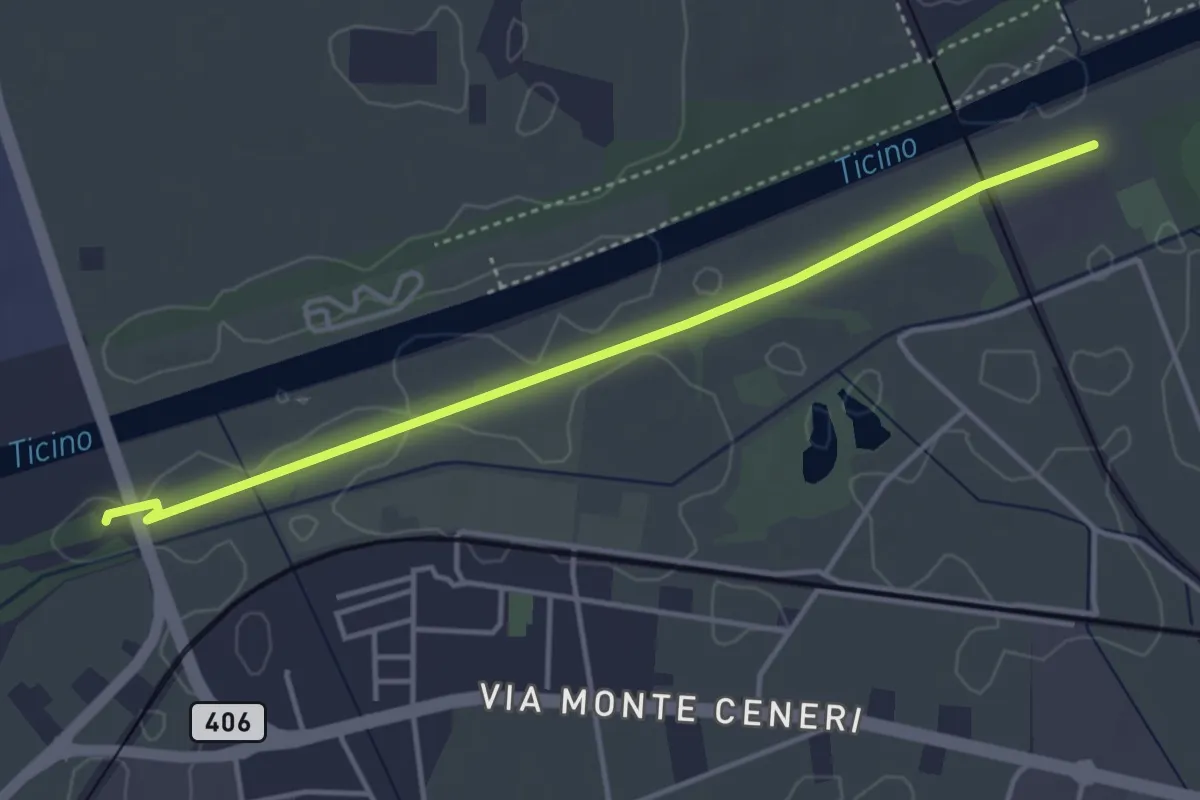
Easy · Trail
Ponte Fiume Ticino Quartino - Alta Monda
4.1 km · ↑ 4 m · 59 min · 11 km away
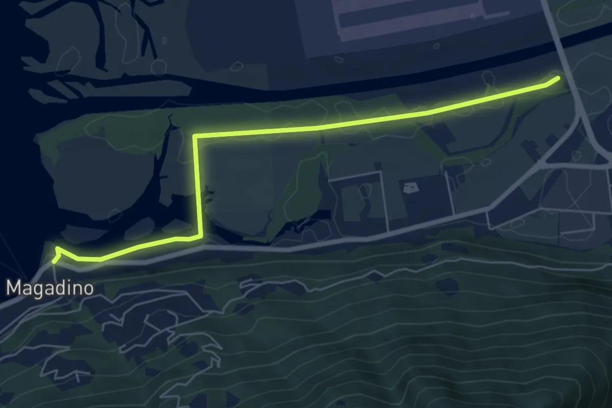
Easy · Trail
Magadino - Ponte Fiume Ticino Quartino
6.3 km · ↑ 4 m · 1 h 30 min · 11 km away
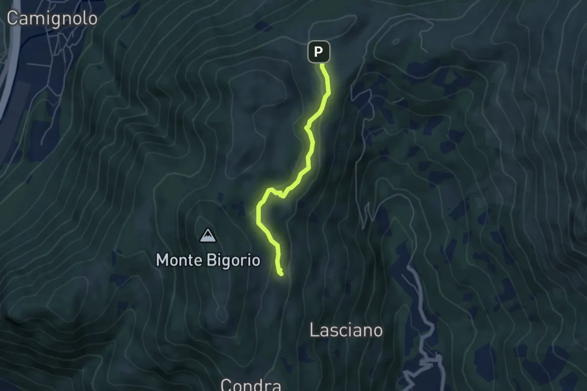
Medium · Trail
Monti di Cima – Alpe Santa Maria
4.3 km · ↑ 163 m · 1 h 22 min · 11 km away
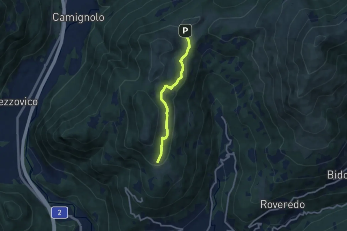
Easy · Trail
Alpe Santa Maria – Condra
6.0 km · ↑ 199 m · 1 h 51 min · 11 km away
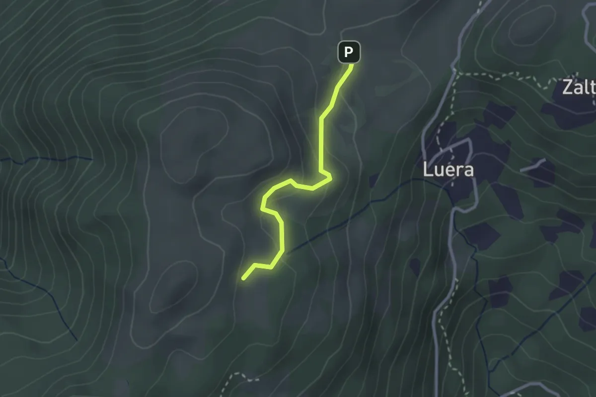
Easy · Trail
Alpe Santa Maria – Matro di Stinchè
2.2 km · ↑ 137 m · 49 min · 11 km away
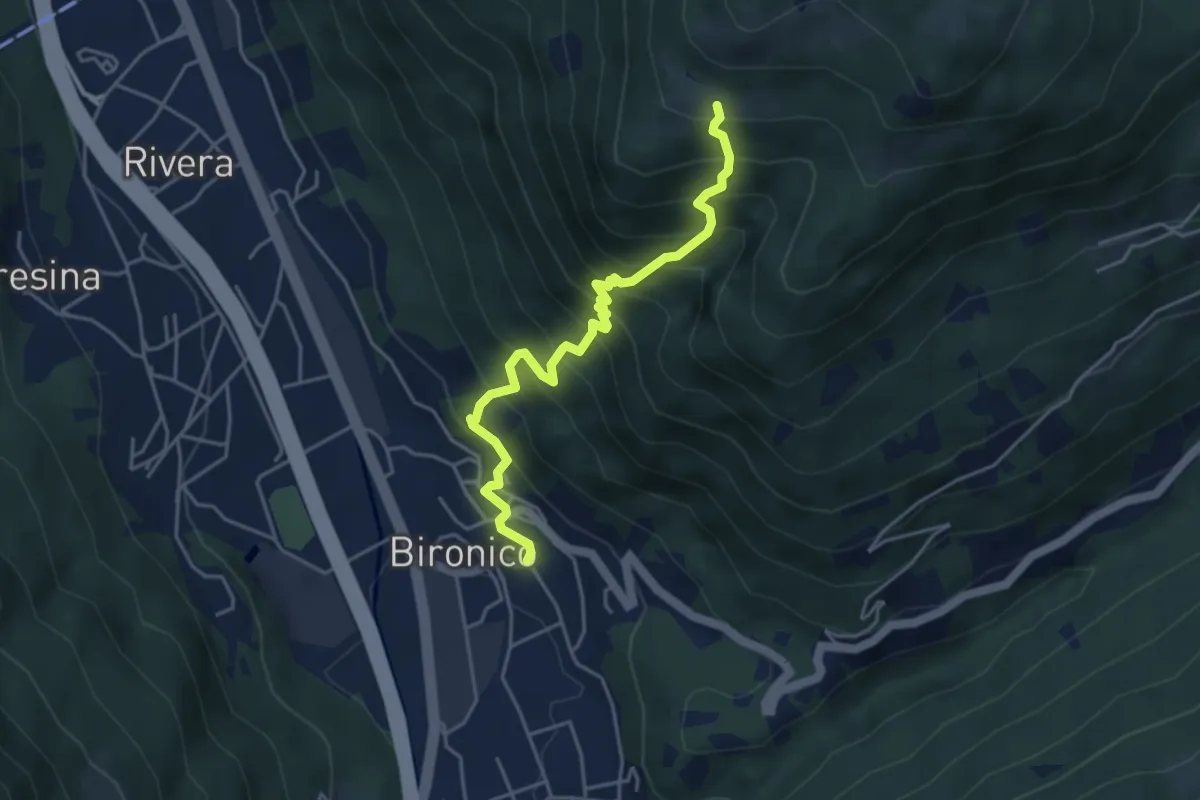
Medium · Trail
Bironico – Troggiano
4.5 km · ↑ 612 m · 2 h 23 min · 11 km away
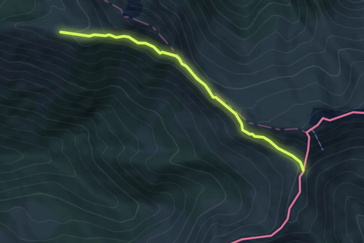
Expert · Cabin
Biscia – Passo San Jorio
5.3 km · ↑ 306 m · 1 h 54 min · 11 km away
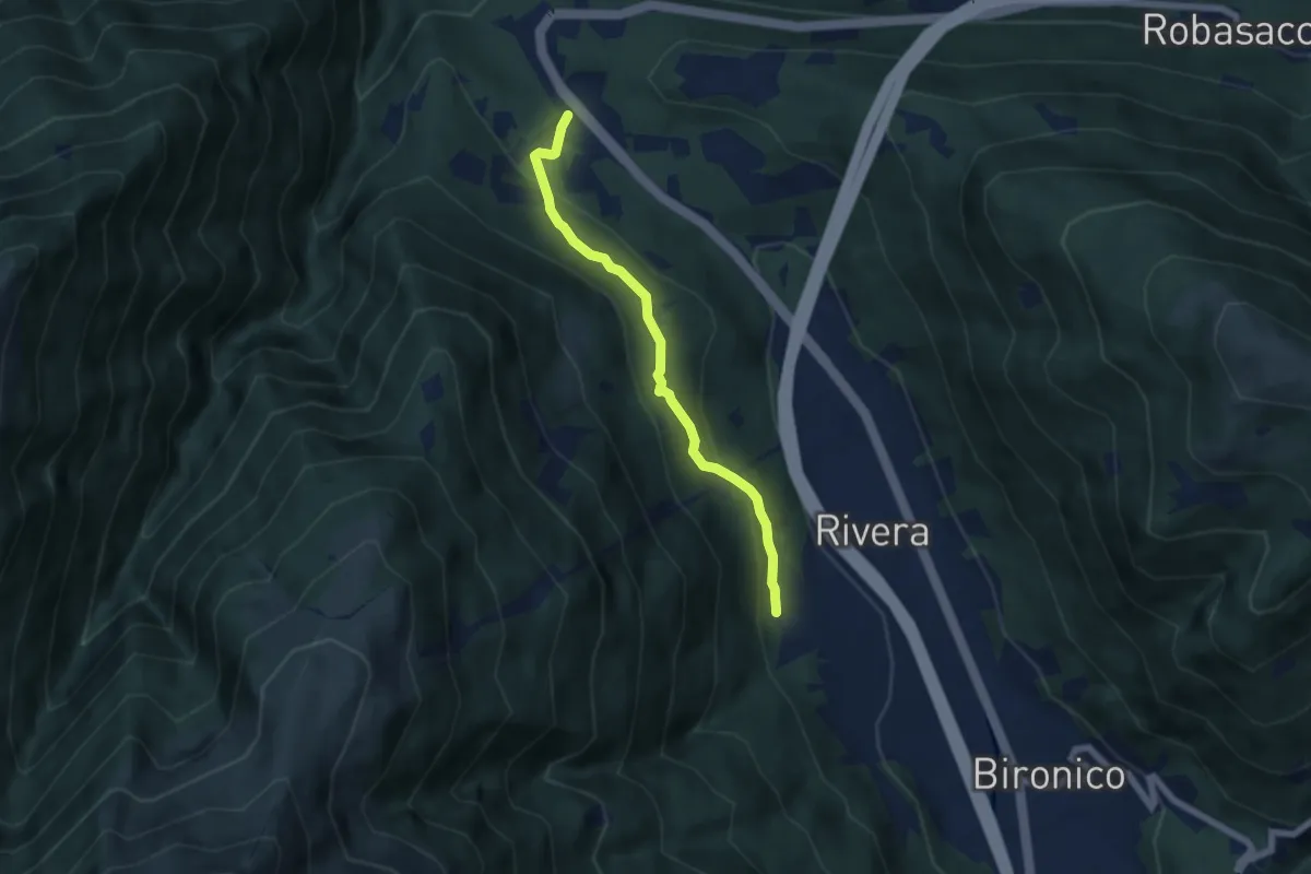
Easy · Trail
Monte Ceneri – Soresina
5.4 km · ↑ 236 m · 1 h 48 min · 11 km away
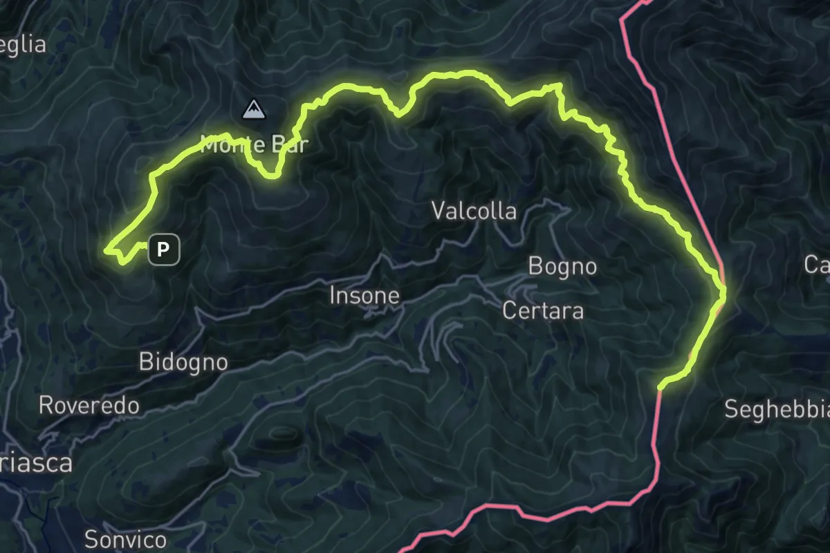
Demanding · Summit
Cattle Trail
30.4 km · ↑ 1812 m · 11 h 6 min · 11 km away
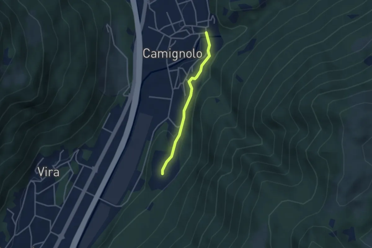
Easy · Trail
Piazzeno – Camignolo
2.5 km · ↑ 66 m · 44 min · 11 km away
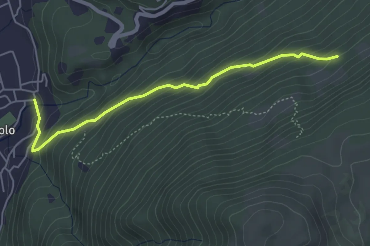
Medium · Trail
Camignolo – Monti di Camignolo
4.2 km · ↑ 335 m · 1 h 44 min · 11 km away
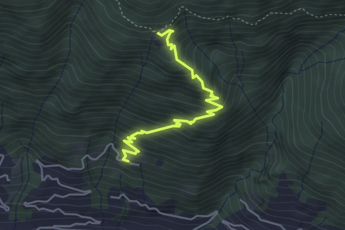
Medium · Trail
Bazzadee – Sotto Sassalto
3.8 km · ↑ 452 m · 1 h 52 min · 11 km away
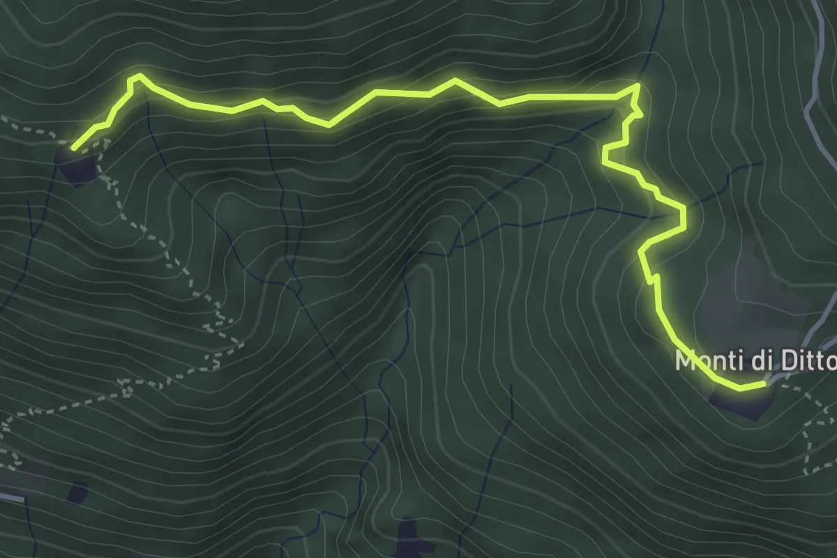
Demanding · Trail
Monti di Ditto – Bazzadee
4.3 km · ↑ 432 m · 1 h 57 min · 11 km away
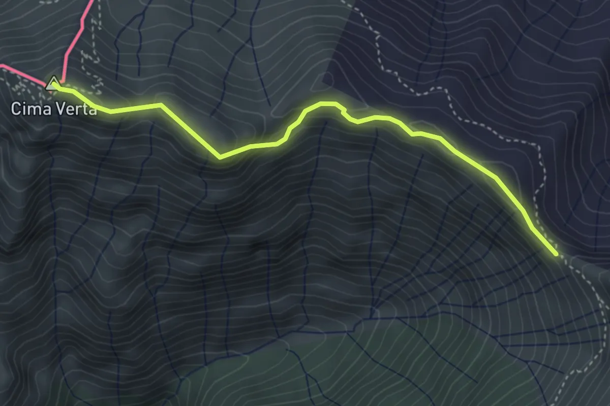
Demanding · Summit
Cima Verta VF – Bocchetta di Sengio AVL
3.9 km · ↑ 221 m · 1 h 24 min · 12 km away
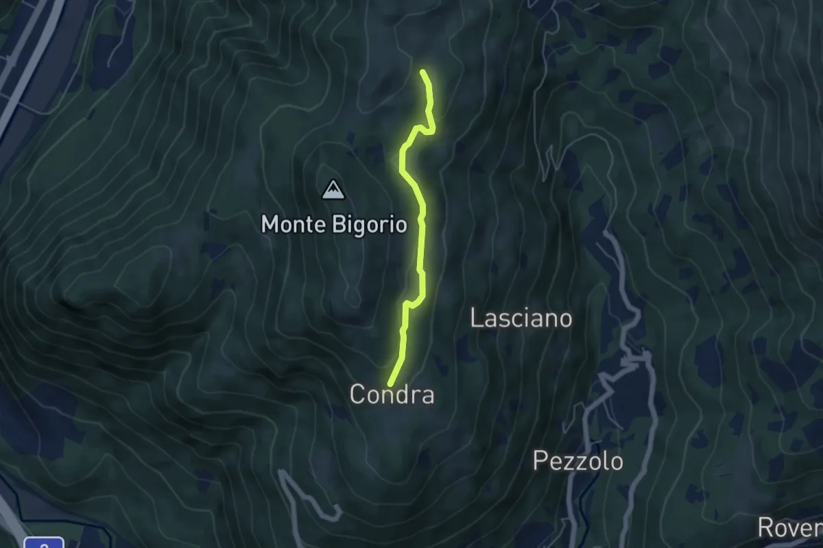
Easy · Trail
Matro di Stinchè – Condra
4.1 km · ↑ 147 m · 1 h 16 min · 12 km away
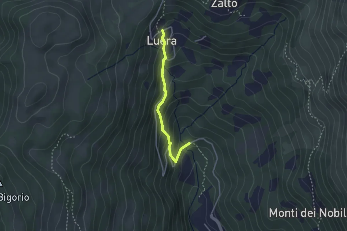
Medium · Trail
Luera – Marca
2.4 km · ↑ 210 m · 1 h 1 min · 12 km away
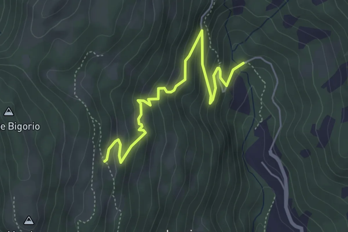
Medium · Trail
Monti di Cima – Marca
4.9 km · ↑ 348 m · 1 h 54 min · 12 km away
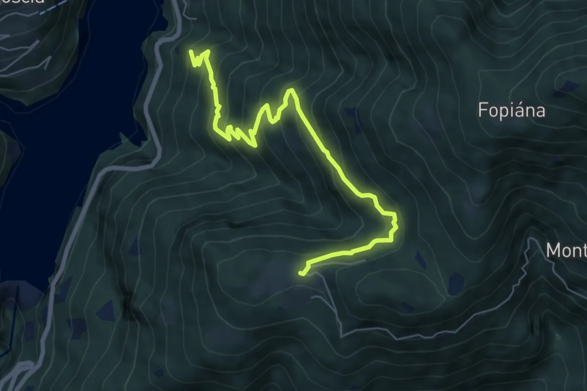
Medium · Trail
Monti di Motti -
6.8 km · ↑ 601 m · 2 h 54 min · 12 km away
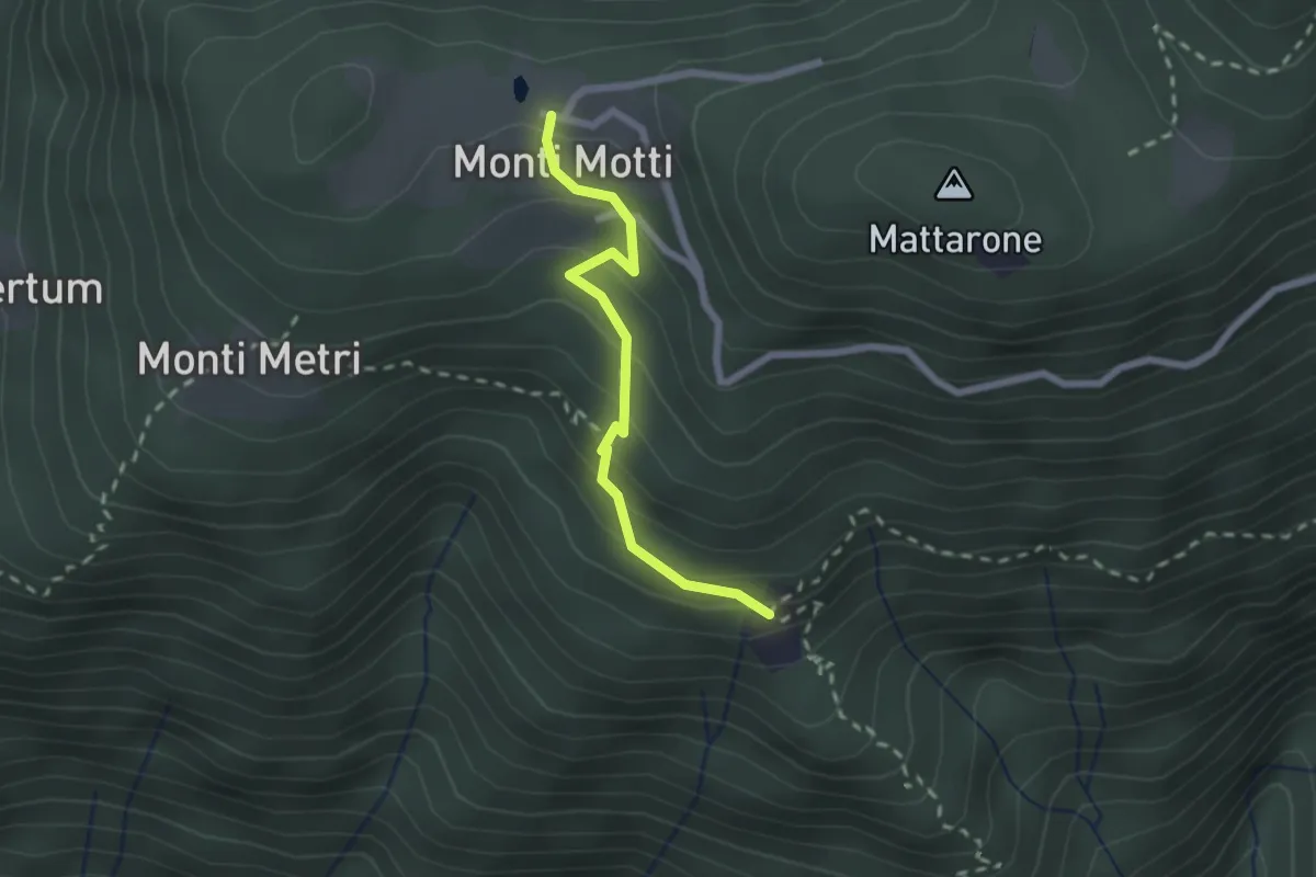
Medium · Trail
Monti di Motti – Bazzadee
2.0 km · ↑ 170 m · 51 min · 12 km away
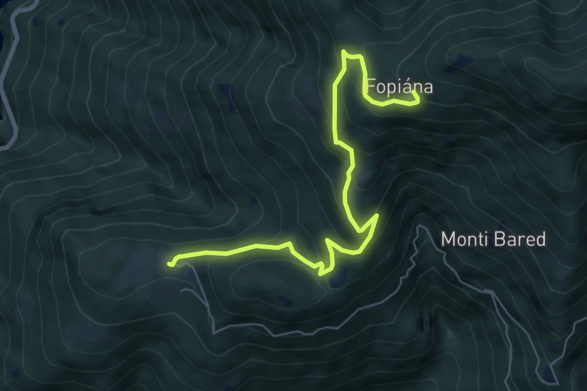
Medium · Trail
Monti di Motti - Alpe di Foppiana
6.5 km · ↑ 471 m · 2 h 33 min · 12 km away
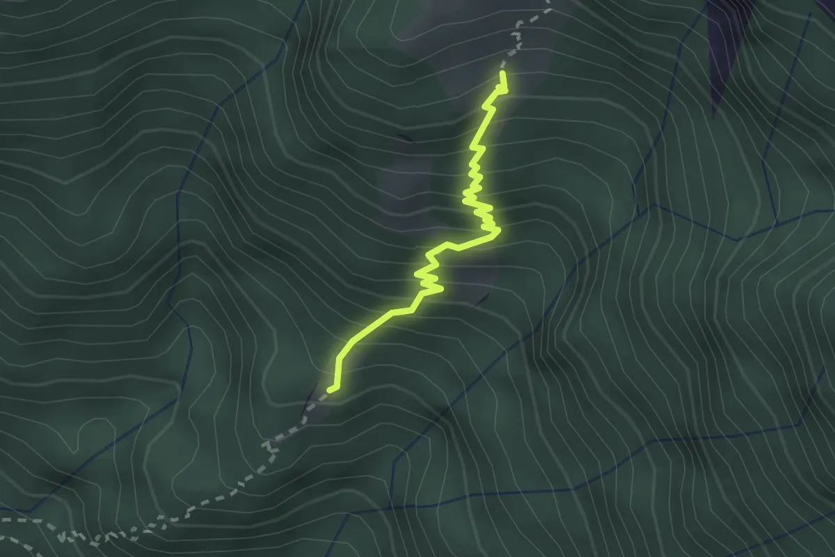
Medium · Cabin
Stavello - Odro
2.0 km · ↑ 316 m · 1 h 10 min · 12 km away
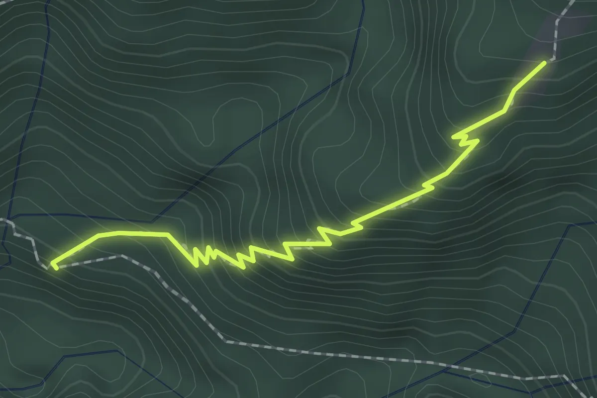
Medium · Trail
Colletta - Stavello
2.0 km · ↑ 286 m · 1 h 6 min · 12 km away
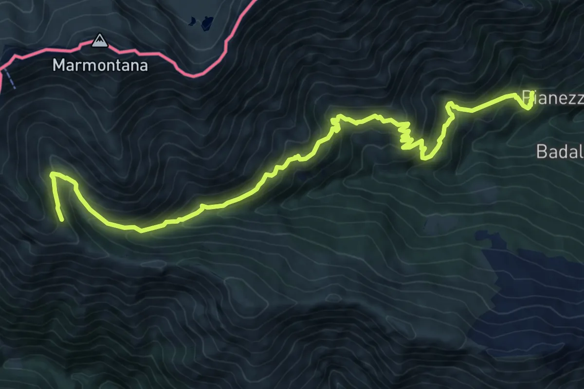
Demanding · Trail
Pianezza - Alpe Pozzolo
13.5 km · ↑ 995 m · 5 h 21 min · 12 km away
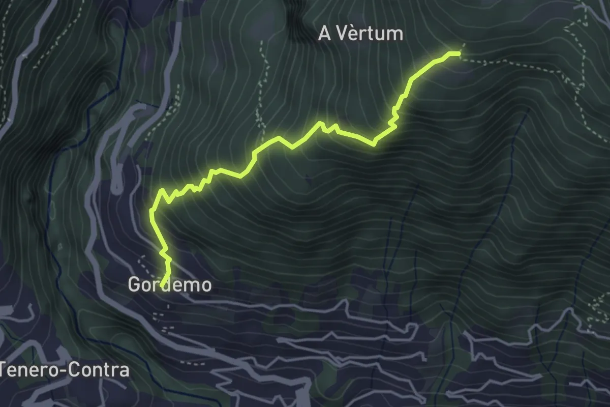
Medium · Trail
Monti di Metri - Gordemo
3.9 km · ↑ 591 m · 2 h 13 min · 12 km away
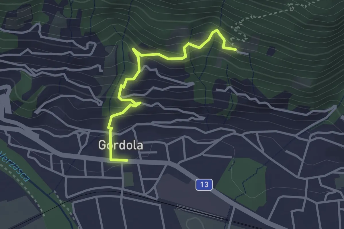
Easy · Trail
Sotto Sassalto – Gordola
3.0 km · ↑ 304 m · 1 h 22 min · 12 km away
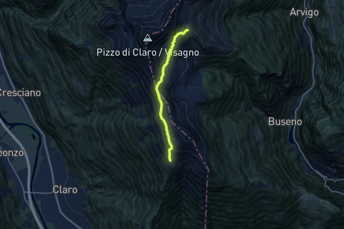
Medium · Cabin
Capanna Brogoldone – P2238
8.8 km · ↑ 590 m · 3 h 22 min · 12 km away
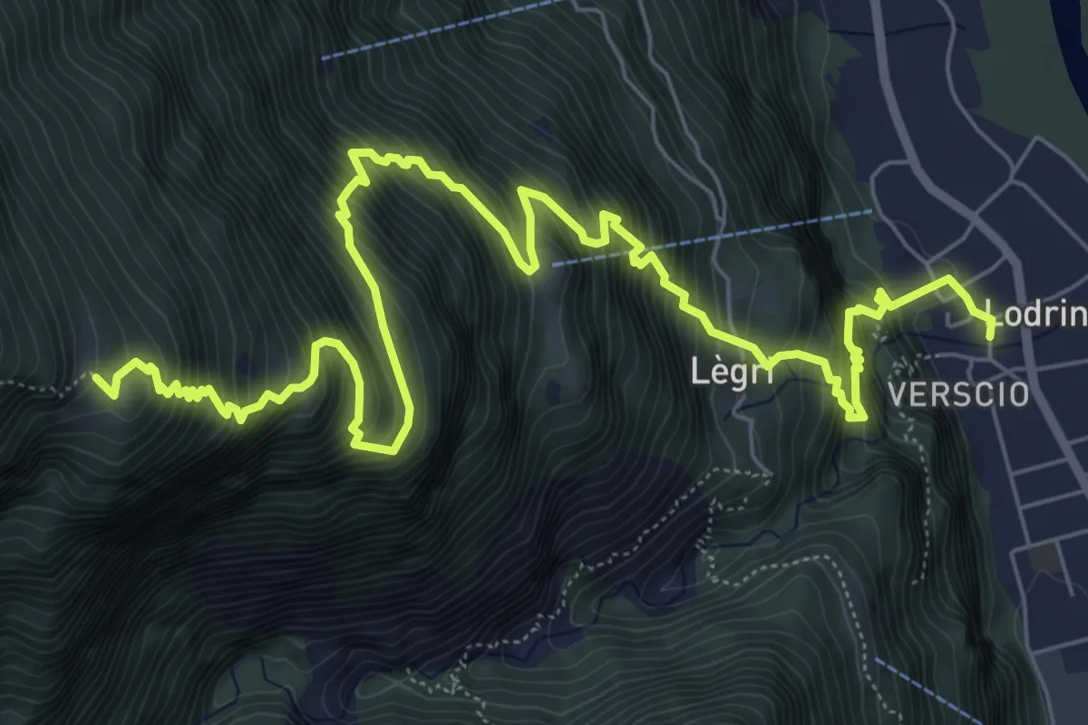
Demanding · Cabin
Lodrino-Alpe d,Alva
10.0 km · ↑ 1377 m · 5 h 21 min · 12 km away
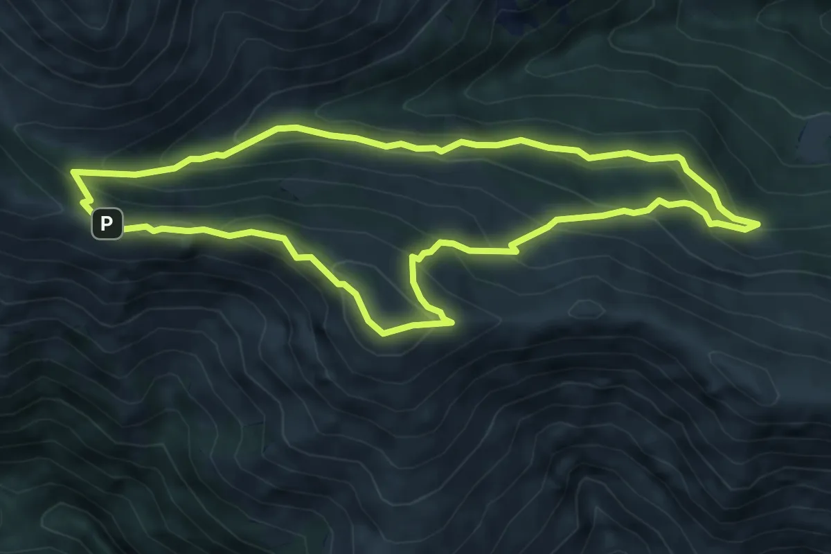
Expert · Summit
Giro trincee Giovo
6.1 km · ↑ 460 m · 2 h 31 min · 12 km away
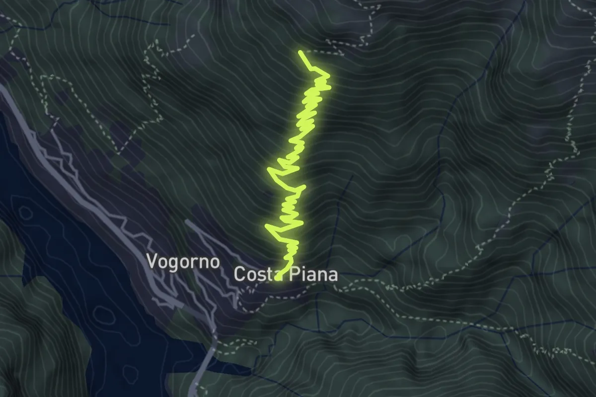
Medium · Trail
Costapiana - Corte Nuovo
5.4 km · ↑ 557 m · 2 h 28 min · 12 km away
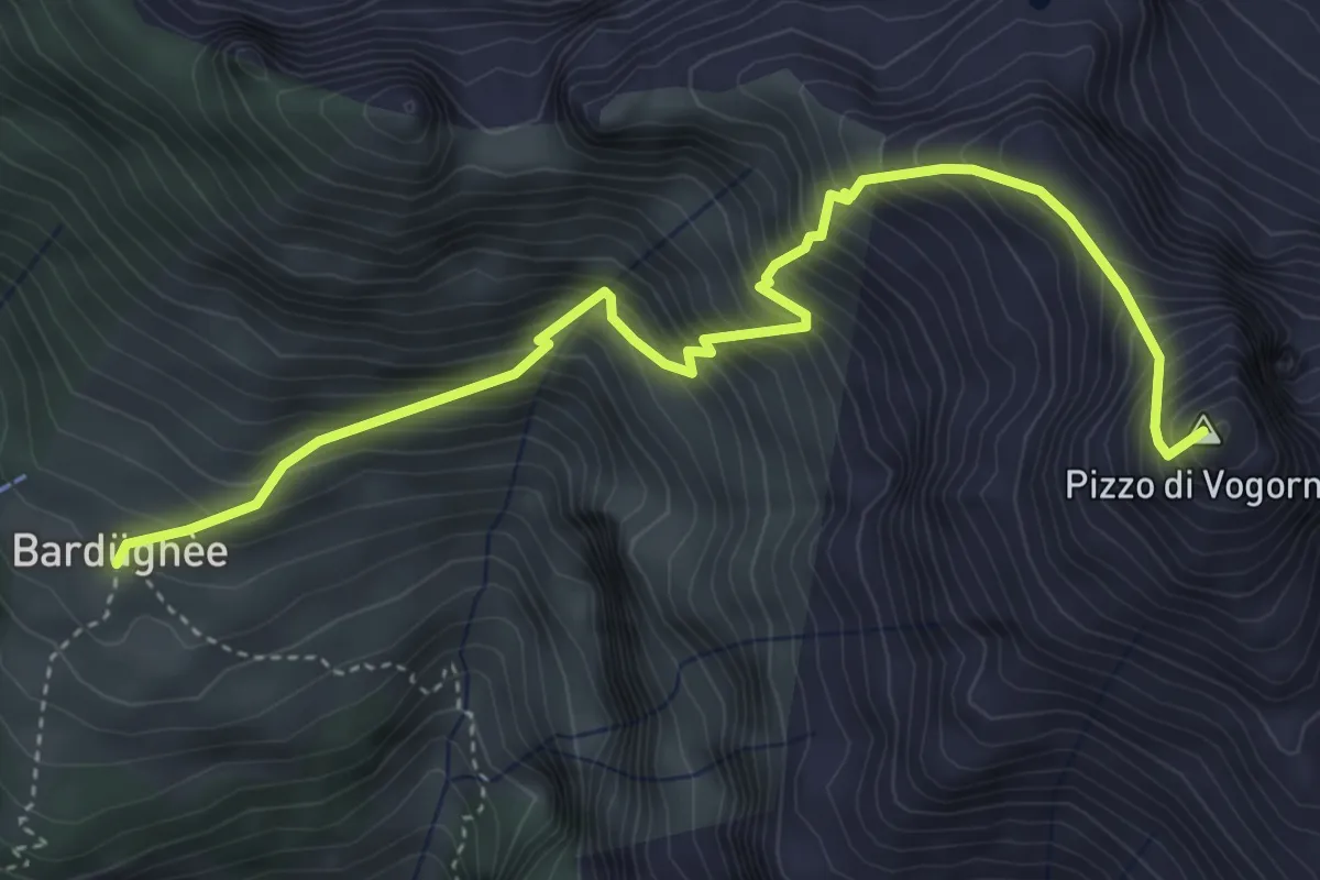
Demanding · Summit
Alpe Bardughè - Pizzo di Vogorno
4.9 km · ↑ 824 m · 2 h 56 min · 12 km away
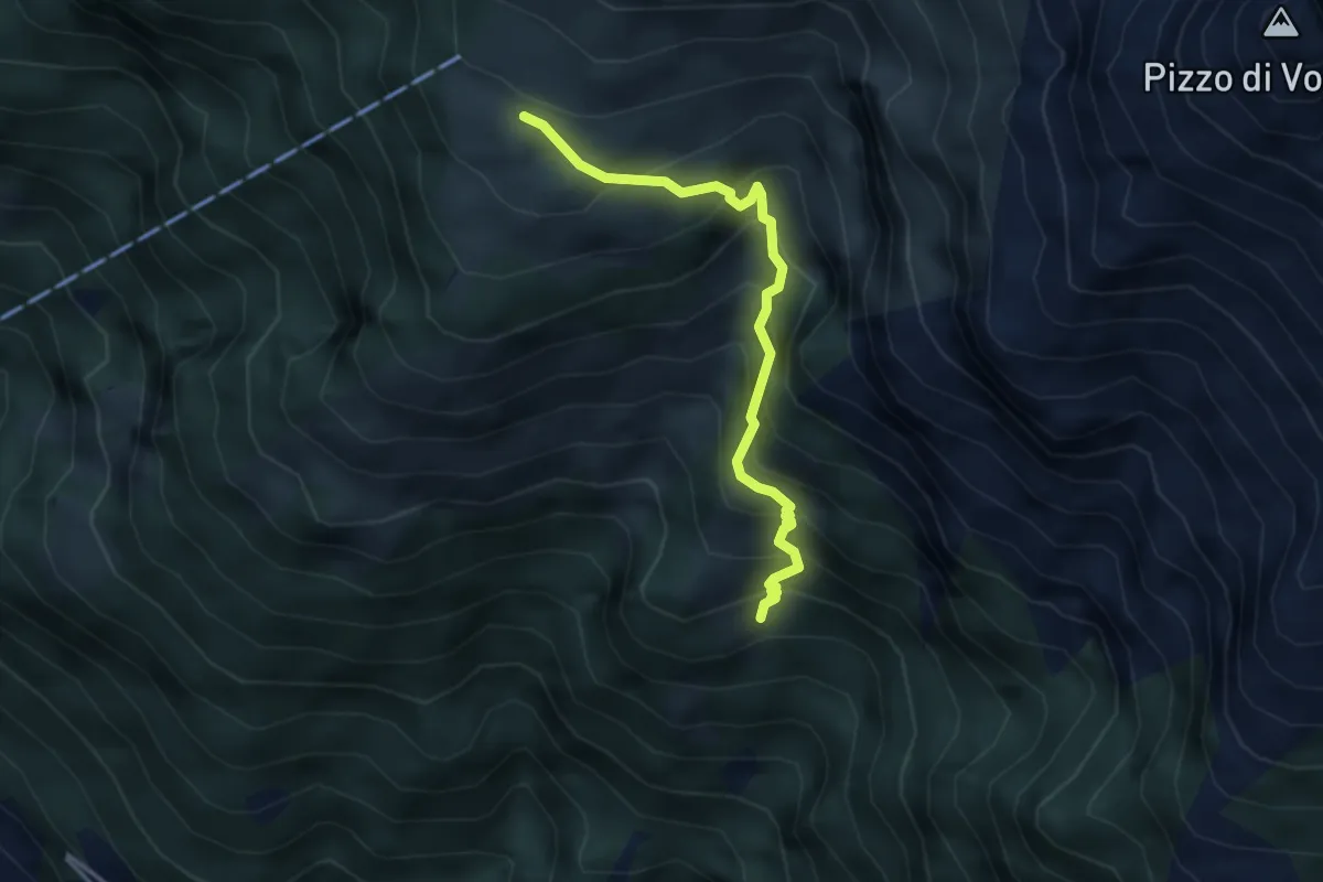
Medium · Cabin
Odro - Alpe Bardughè
3.5 km · ↑ 448 m · 1 h 48 min · 12 km away
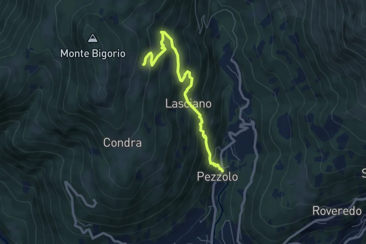
Medium · Trail
Pezzolo – Monti di Cima
5.8 km · ↑ 442 m · 2 h 20 min · 13 km away
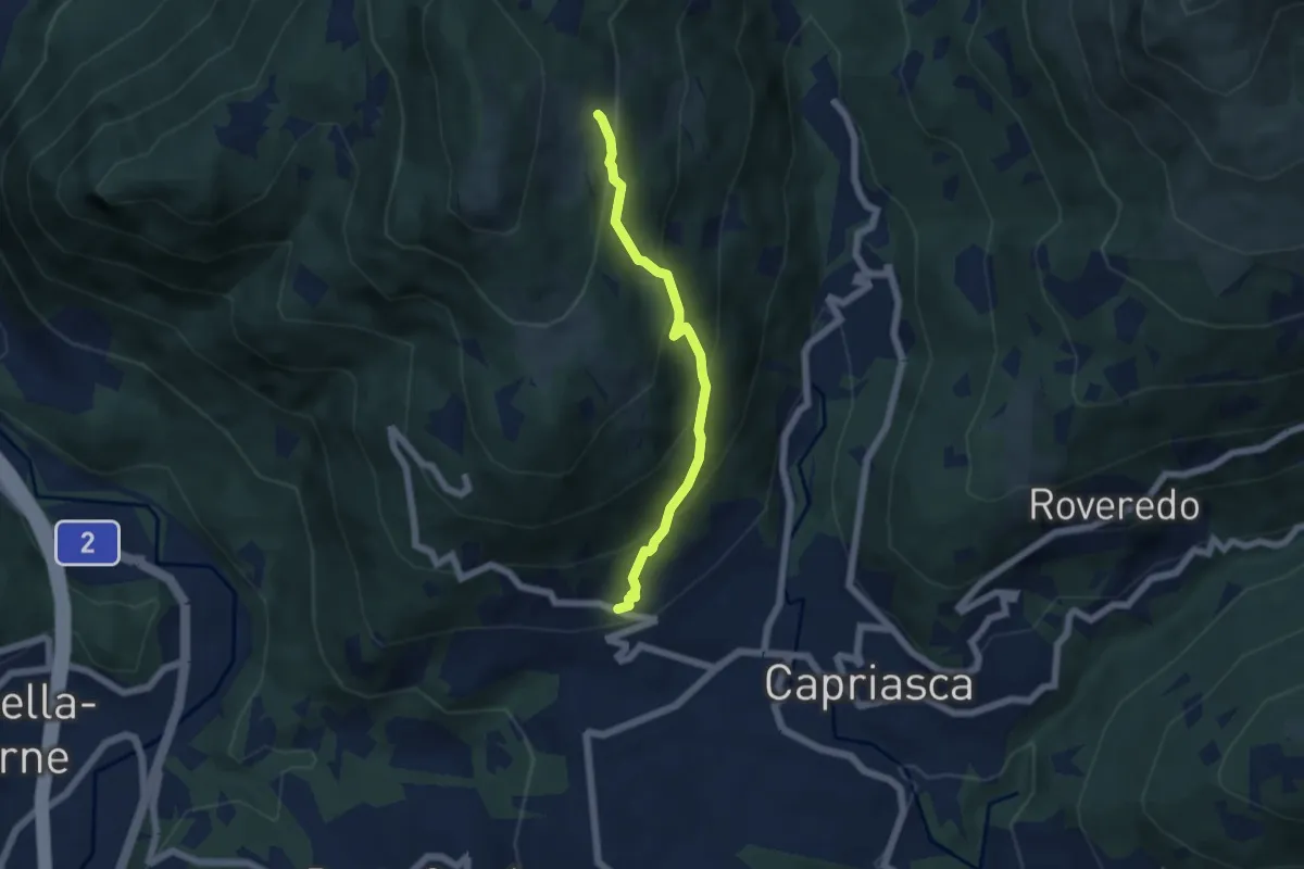
Medium · Trail
Bigorio – Monti di Cima
4.9 km · ↑ 397 m · 2 h 1 min · 13 km away
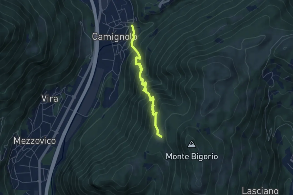
Medium · Trail
Monti Soldini – Camignolo
5.1 km · ↑ 547 m · 2 h 24 min · 13 km away
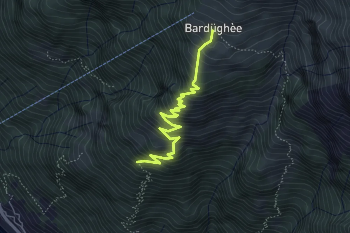
Medium · Cabin
Corte Nuovo - Alpe Bardughè
4.7 km · ↑ 530 m · 2 h 15 min · 13 km away
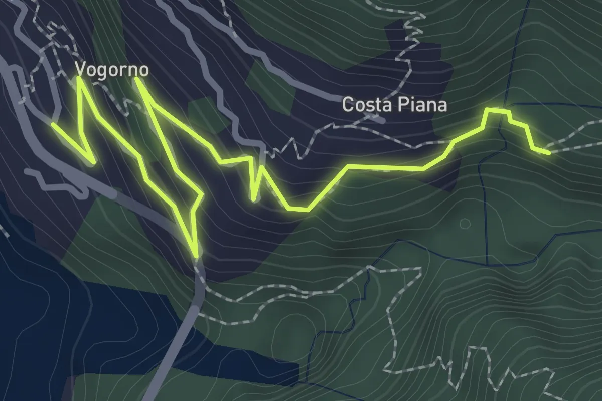
Medium · Trail
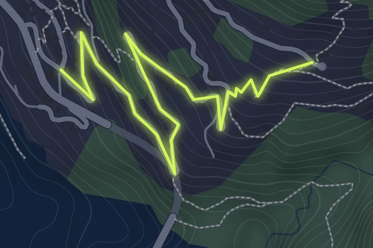
Vogorno - Colletta
3.1 km · ↑ 239 m · 1 h 15 min · 13 km away
Medium · Trail
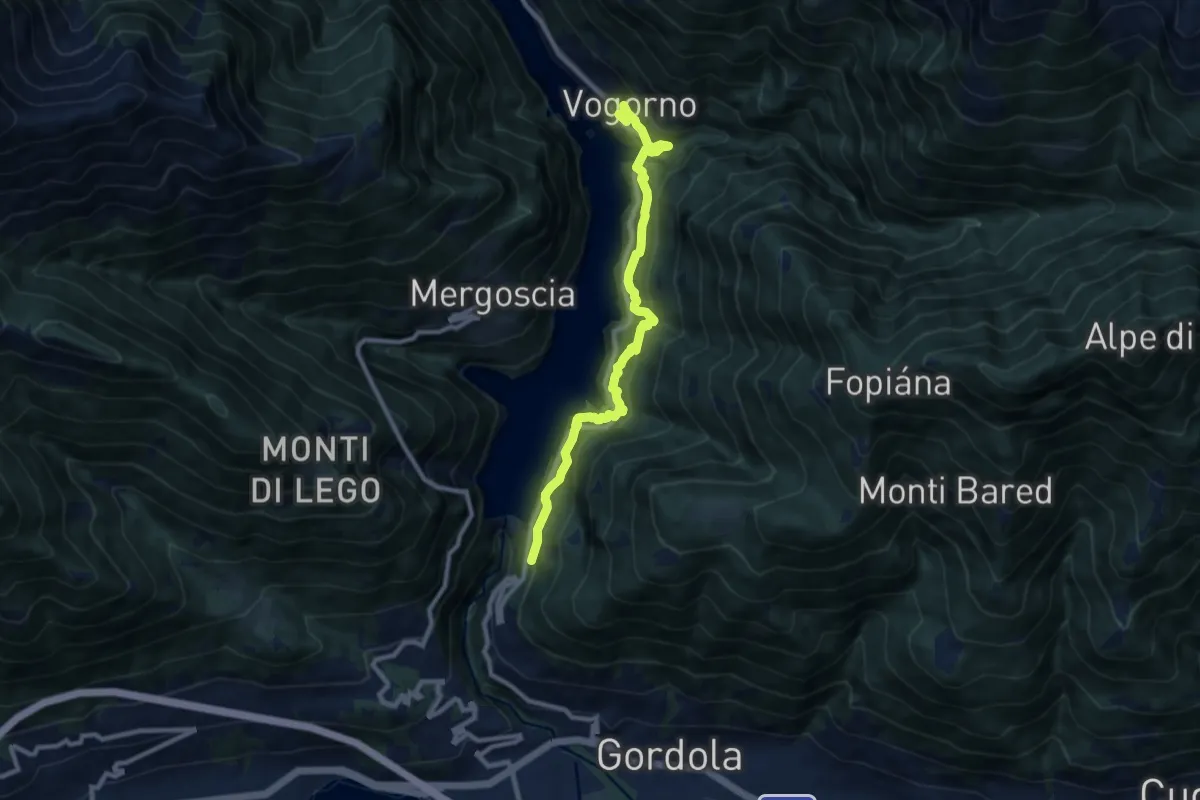
Vogorno - Costapiana
2.5 km · ↑ 220 m · 1 h 5 min · 13 km away
Demanding · Trail
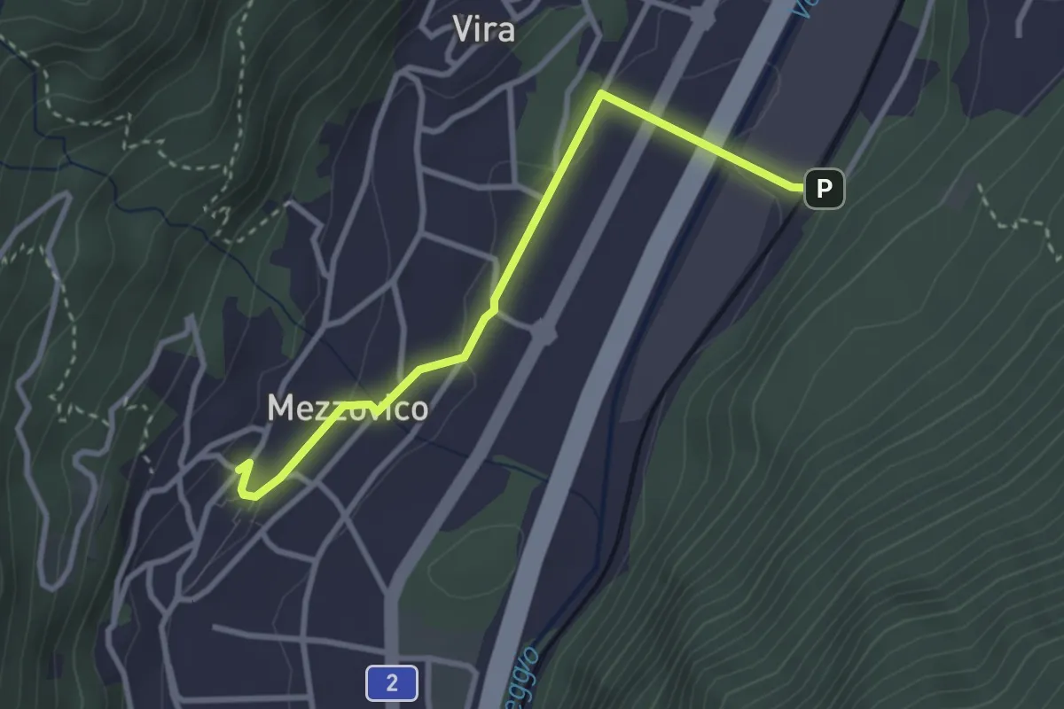
Vogorno Selvatica
9.4 km · ↑ 976 m · 4 h 21 min · 13 km away
Easy · Trail
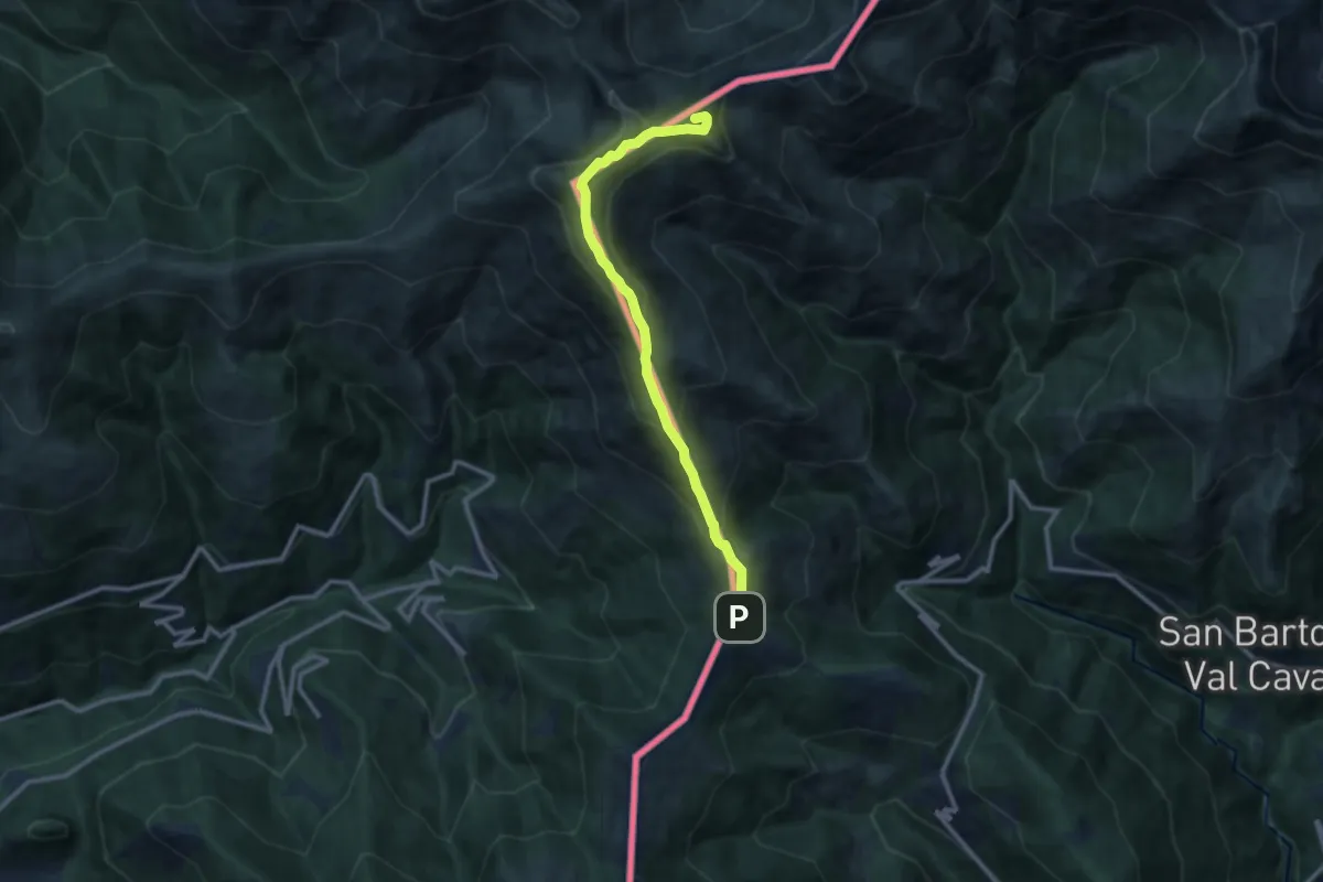
Mezzovico – Mezzovico Stazione
3.0 km · ↑ 61 m · 50 min · 13 km away
Medium · Summit
Monte Garzirola
10.7 km · ↑ 703 m · 4 h 3 min · 13 km away
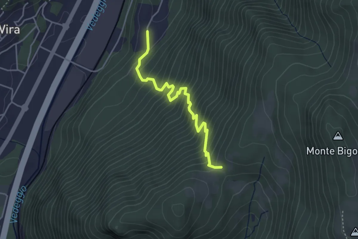
Medium · Trail
Monti di Brena – Piazzeno
3.6 km · ↑ 435 m · 1 h 47 min · 13 km away
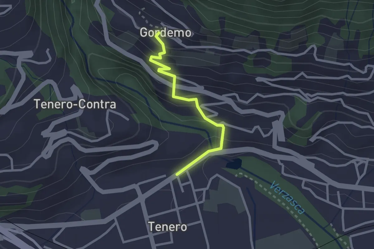
Easy · Trail
Tenero - Gordemo
2.2 km · ↑ 173 m · 53 min · 13 km away
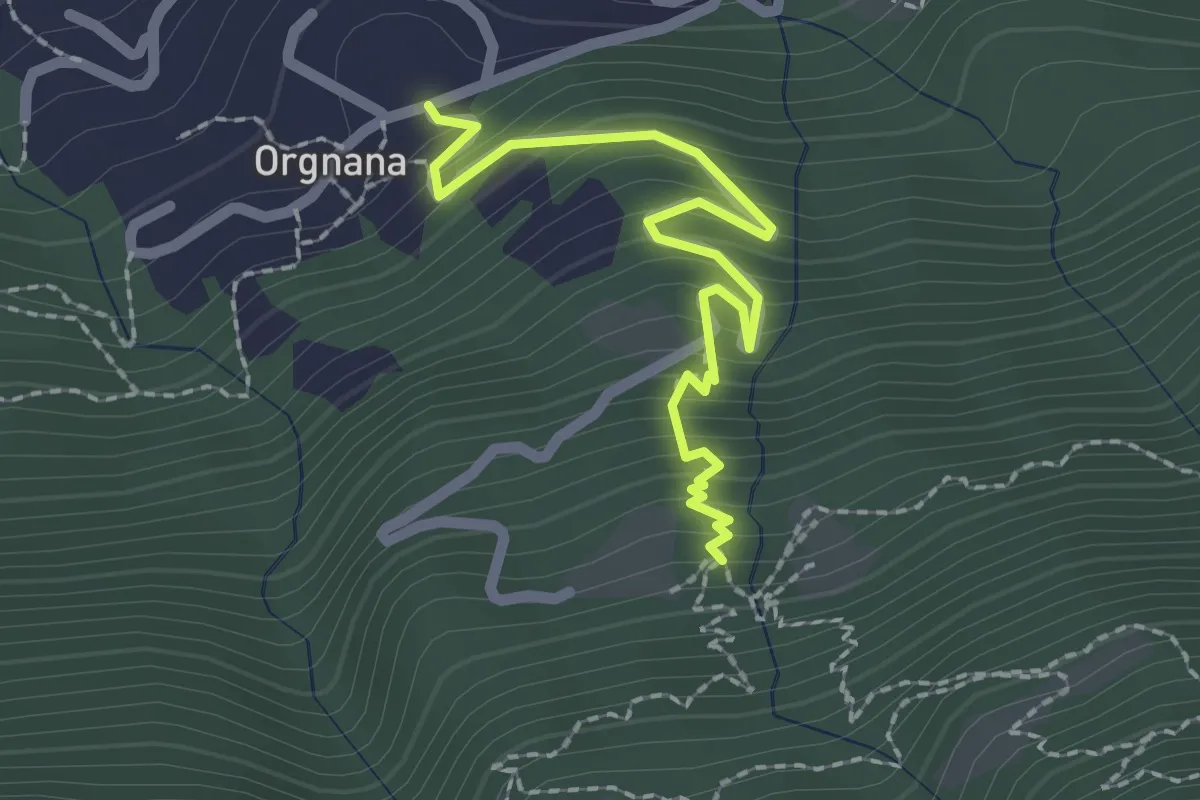
Medium · Trail
Orgnana - Bruno
2.2 km · ↑ 252 m · 1 h 4 min · 13 km away
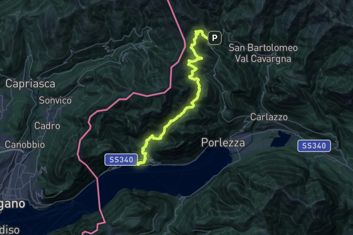
Medium · Trail
CamminaForeste - Tappa 8C
15.7 km · ↑ 634 m · 5 h 41 min · 13 km away