Trails near Bellinzona
182 hikes starting within 15 km, nearest first.
Nearest first, page 4 of 4
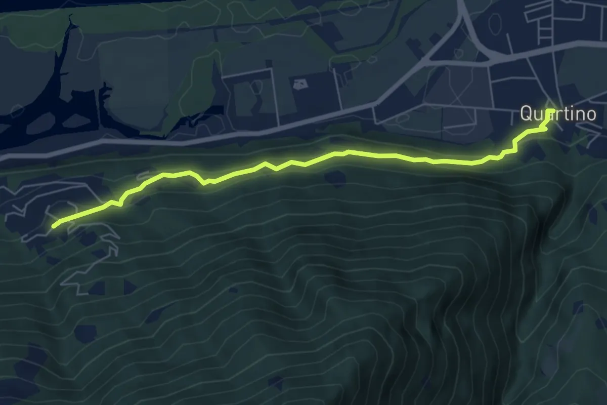
Easy · Trail
Orgnana - Quartino
5.9 km · ↑ 275 m · 2 h · 13 km away
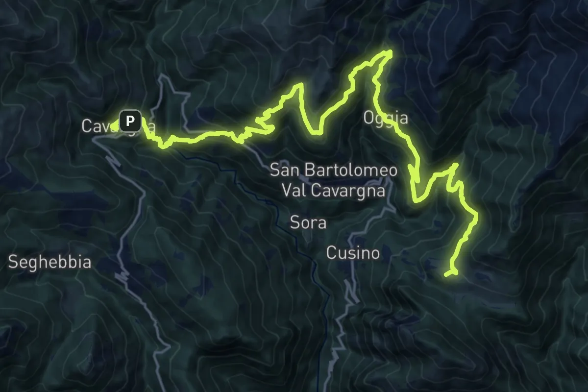
Demanding · Summit
CamminaForeste - Tappa 8B
27.3 km · ↑ 2162 m · 11 h 7 min · 13 km away
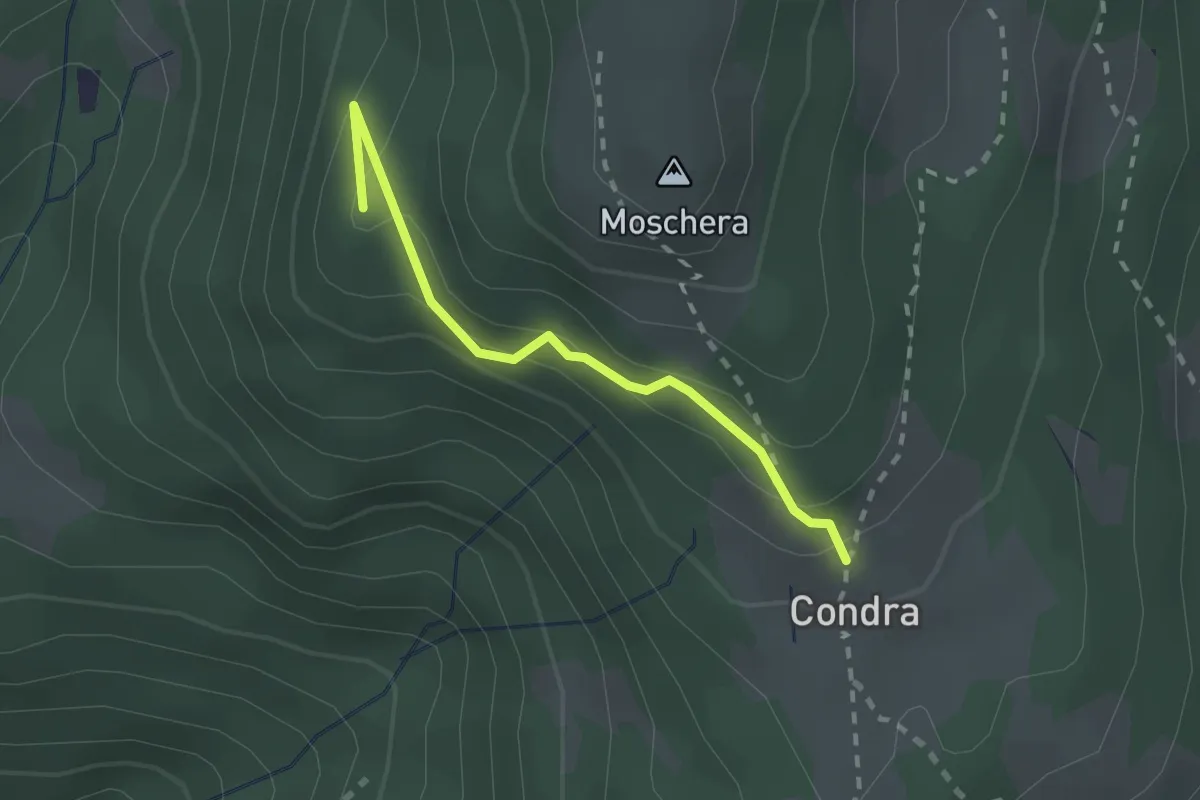
Easy · Summit
Monti Soldini – Condra
2.0 km · ↑ 127 m · 45 min · 13 km away
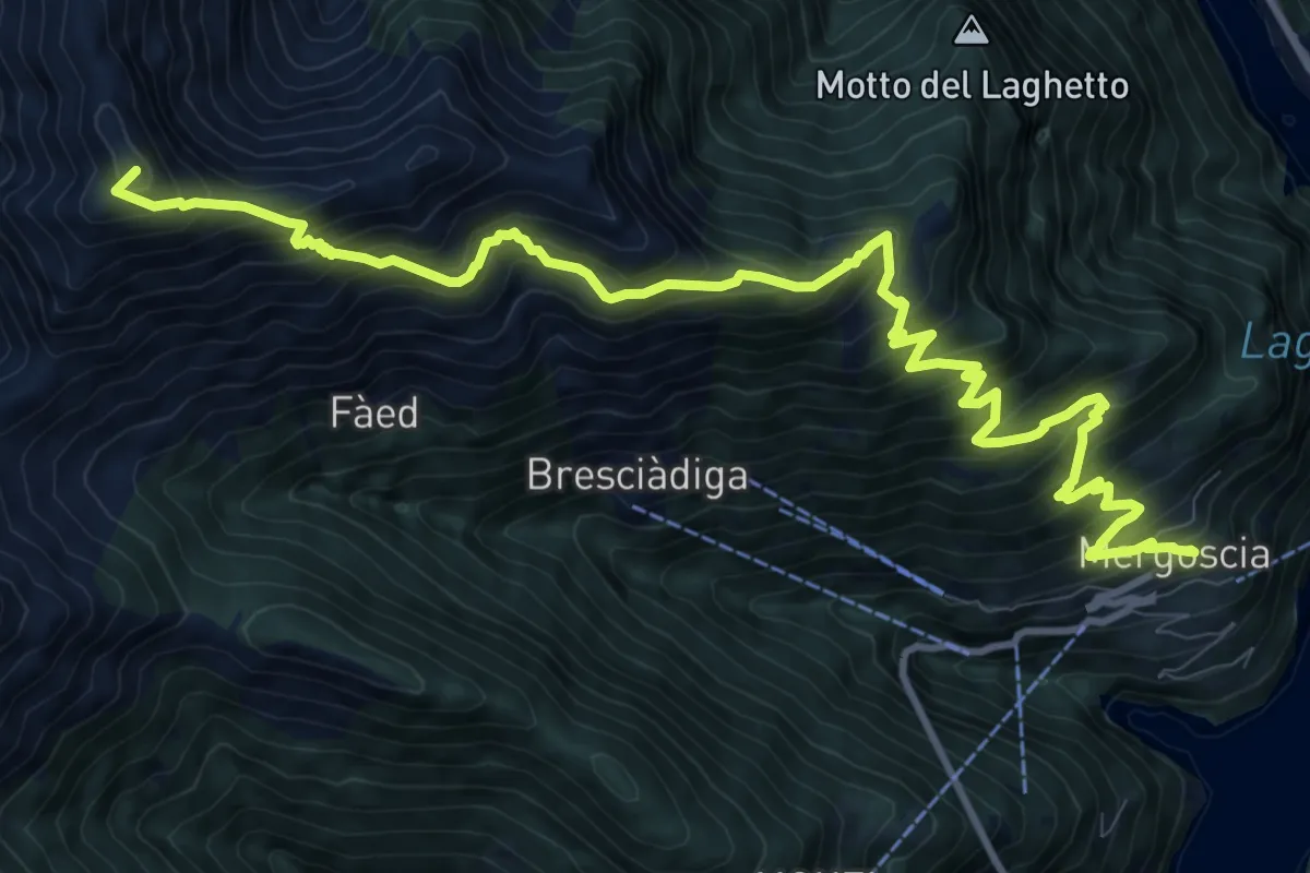
Demanding · Summit
Mergoscia-Madone
13.9 km · ↑ 1338 m · 6 h 11 min · 13 km away
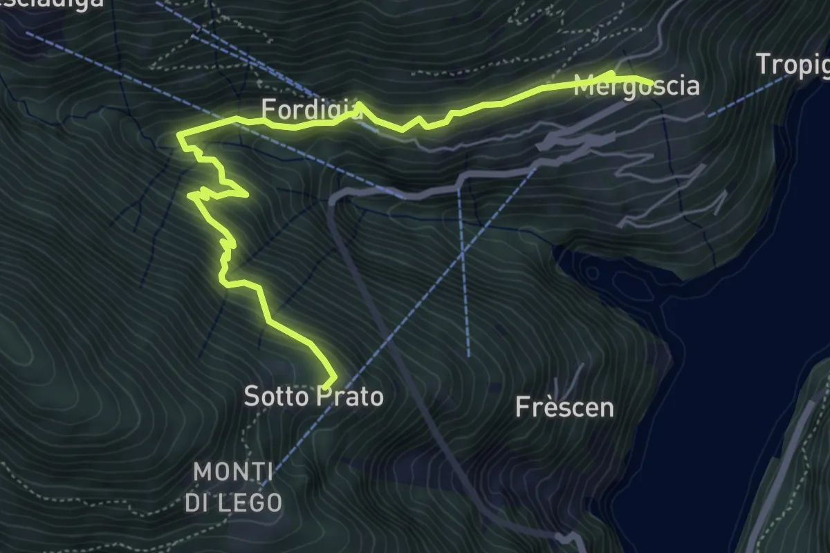
Medium · Trail
Al Passo - Mergoiscia
6.3 km · ↑ 543 m · 2 h 39 min · 13 km away
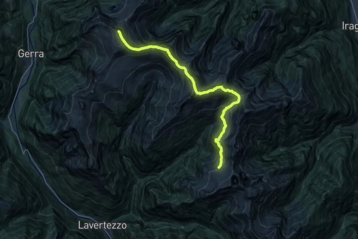
Expert · Summit
Via Alta della Verzasca Tappa 2
20.0 km · ↑ 2080 m · 9 h 14 min · 14 km away
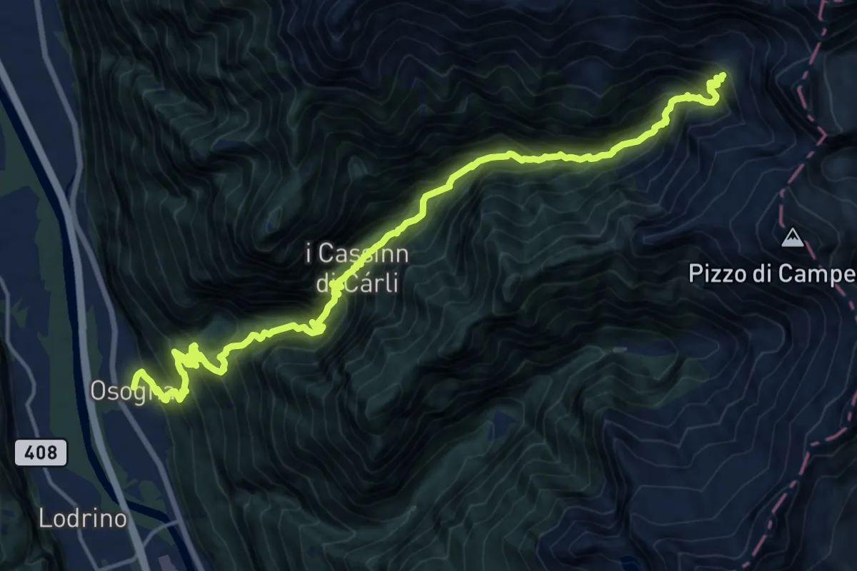
Demanding · Cabin
Osogna – Alpe Dörz Rifiugo
9.5 km · ↑ 1921 m · 5 h 39 min · 14 km away
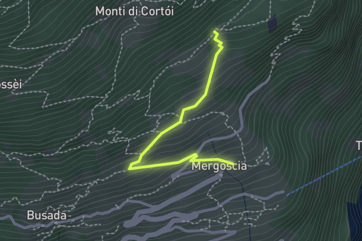
Easy · Trail
Mergoscia - Perbioi
2.0 km · ↑ 171 m · 51 min · 14 km away
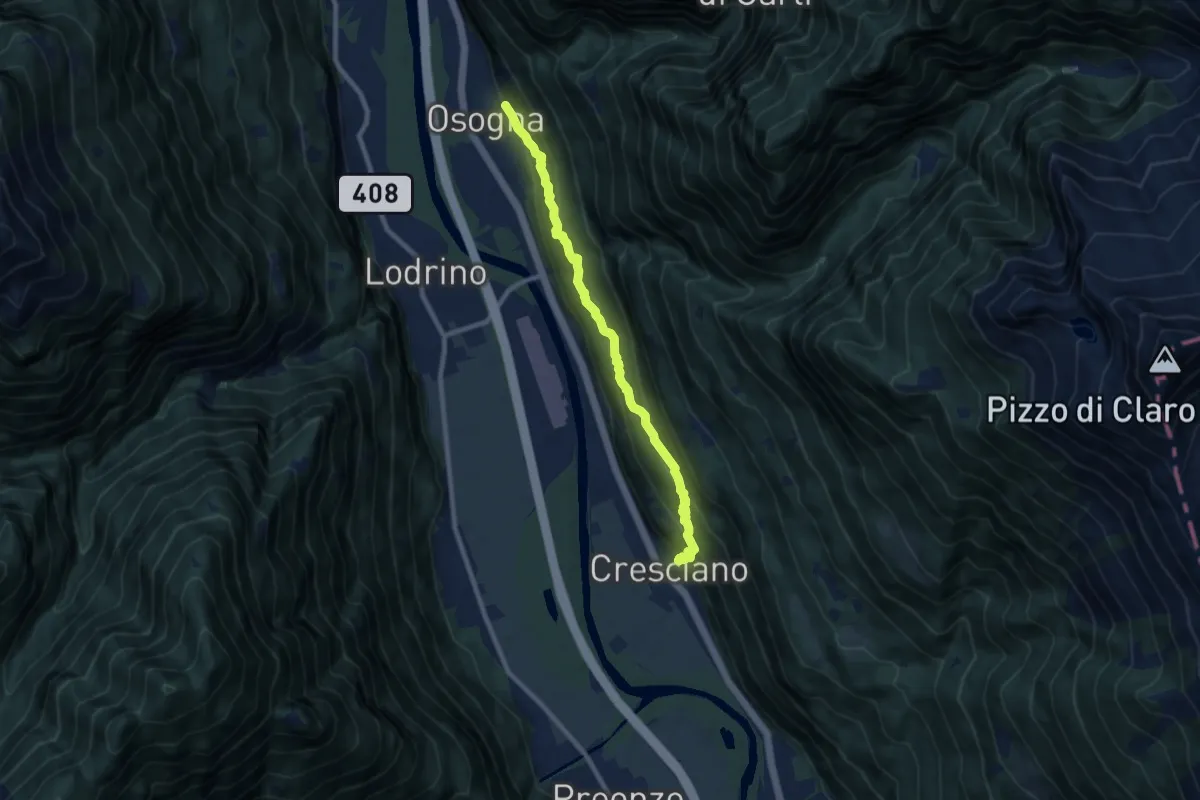
Medium · Trail
Osogna – Cresciano
8.7 km · ↑ 667 m · 3 h 30 min · 14 km away
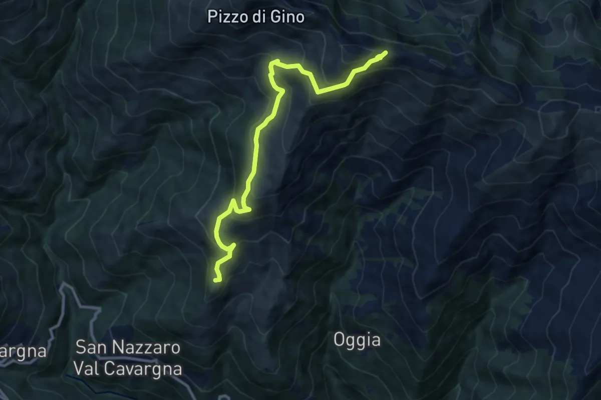
Medium · Summit
Piazza Vacchera - Alta Via del Lario
9.5 km · ↑ 680 m · 3 h 43 min · 14 km away
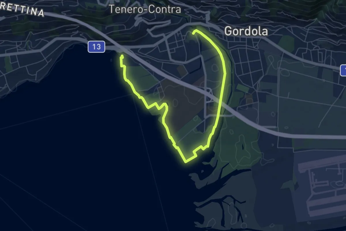
Medium · Trail
Sentiero delle Rive
9.0 km · ↑ 25 m · 2 h 10 min · 14 km away
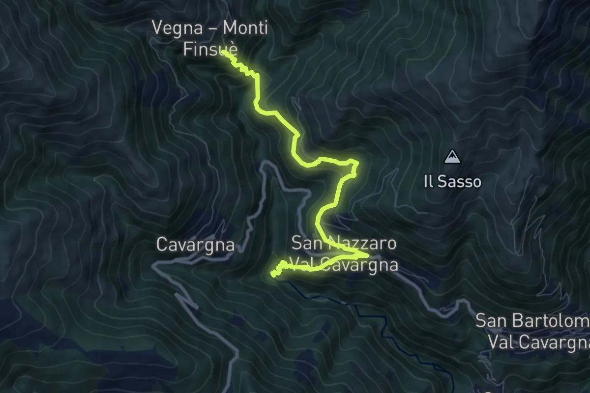
Medium · Trail
Forni Vecchi – Vegna
8.5 km · ↑ 725 m · 3 h 34 min · 14 km away
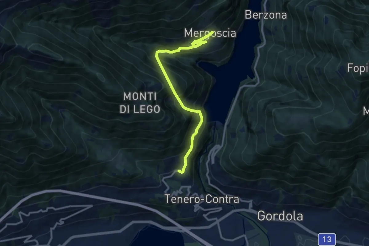
Demanding · Trail
Contra
8.5 km · ↑ 1027 m · 4 h 14 min · 14 km away
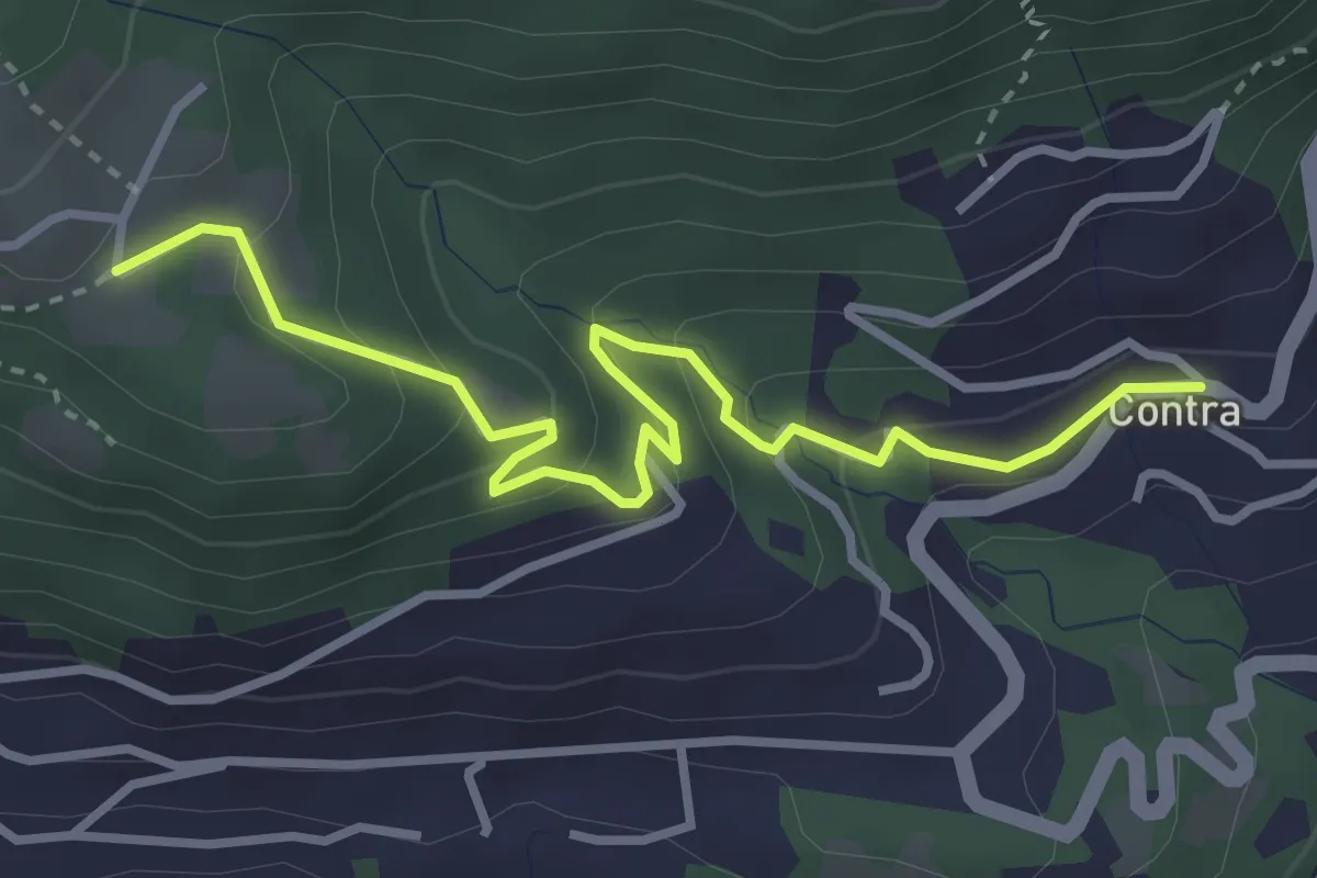
Easy · Trail
Tendrasca - Contra
3.7 km · ↑ 261 m · 1 h 26 min · 14 km away
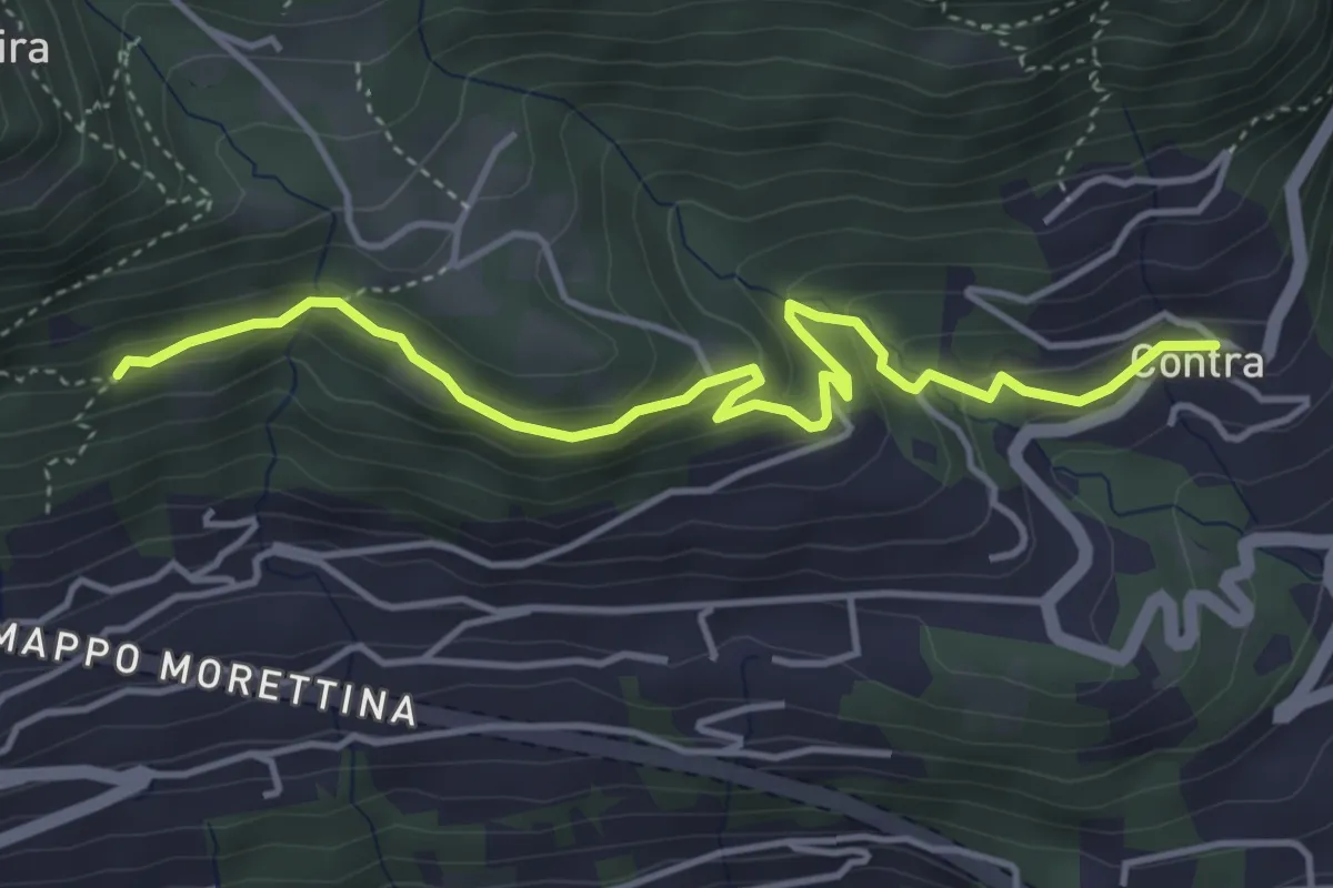
Easy · Trail
Capela rota - Contra
4.6 km · ↑ 256 m · 1 h 39 min · 14 km away
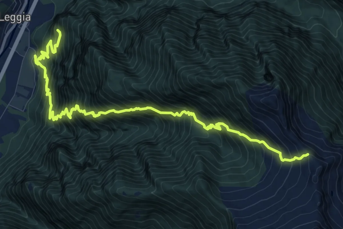
Demanding · Trail
Leggia Ost rot
8.1 km · ↑ 1840 m · 5 h 14 min · 14 km away
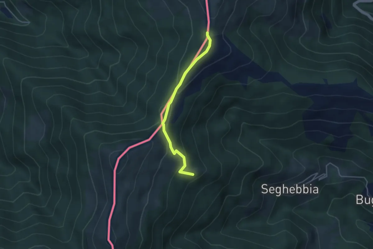
Easy · Cabin
Alpe Colmine
3.3 km · ↑ 136 m · 1 h 4 min · 14 km away
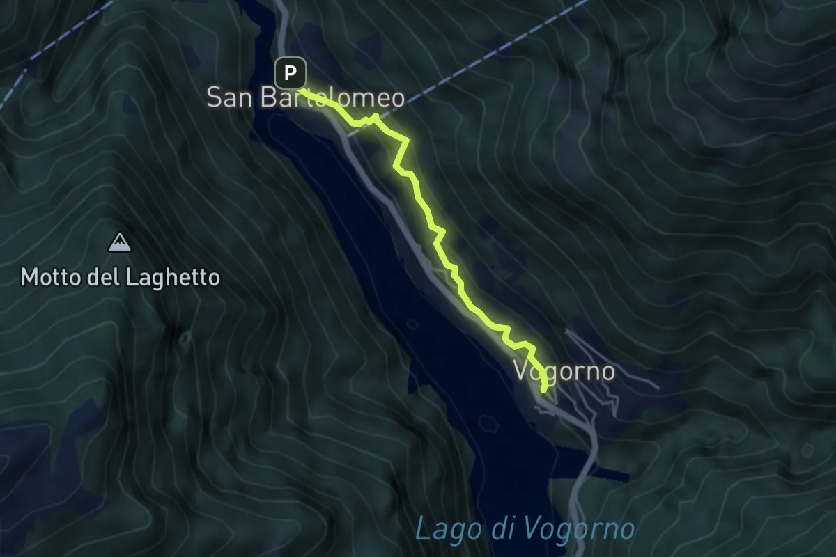
Medium · Trail
Vogorno - S. Bartolomeo
3.7 km · ↑ 350 m · 1 h 38 min · 14 km away
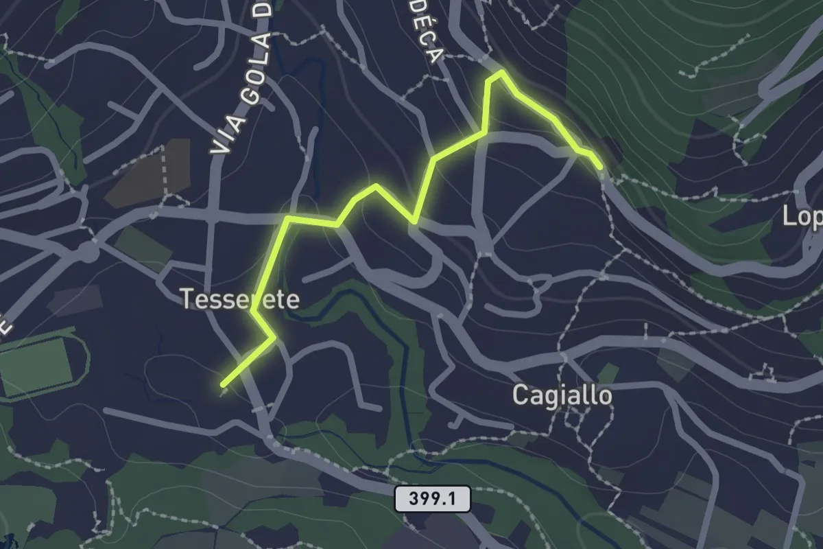
Easy · Trail
Tesserete – Campestro
2.0 km · ↑ 77 m · 38 min · 14 km away
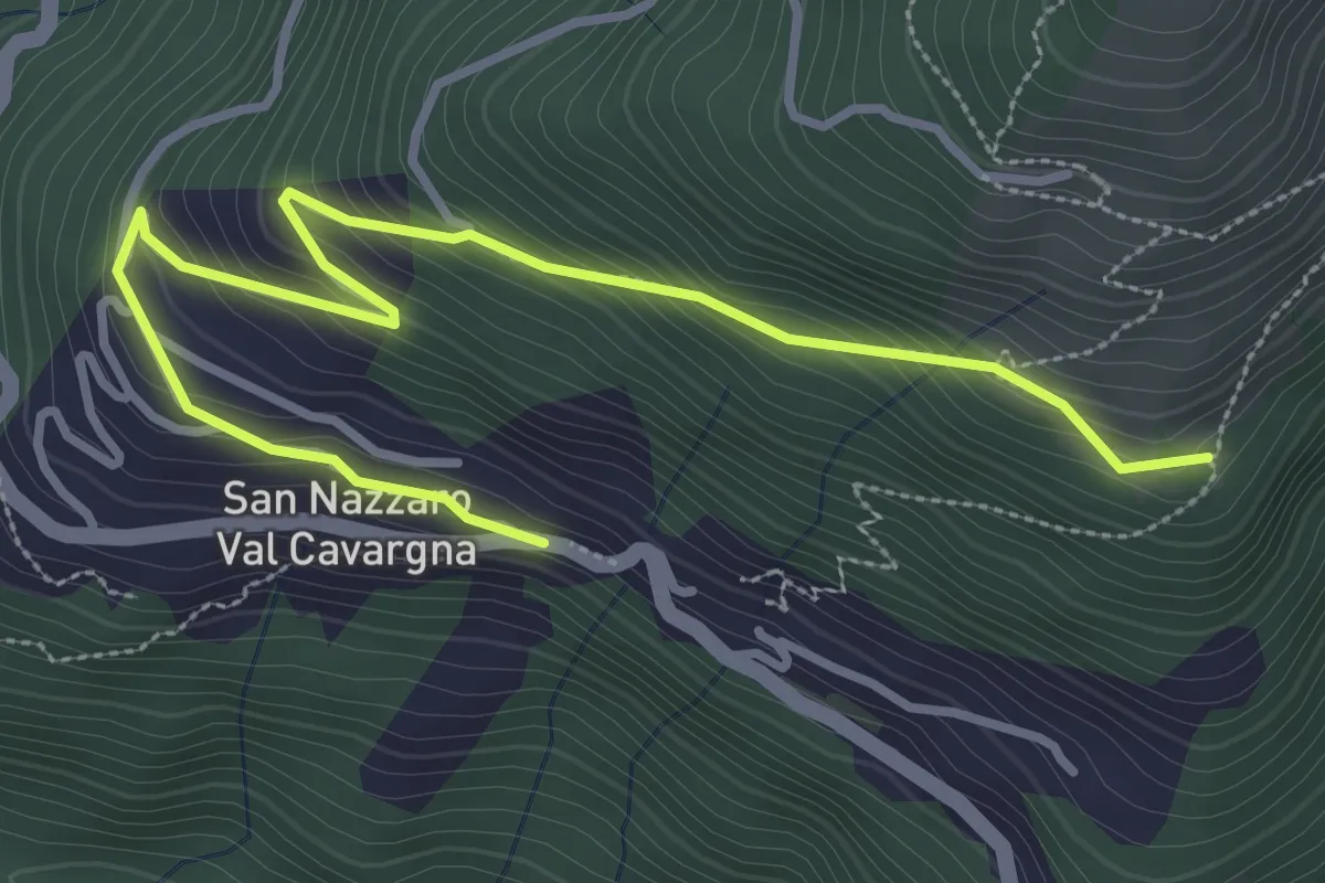
Easy · Trail
Giro Miniera tappa 3b
4.0 km · ↑ 256 m · 1 h 31 min · 14 km away
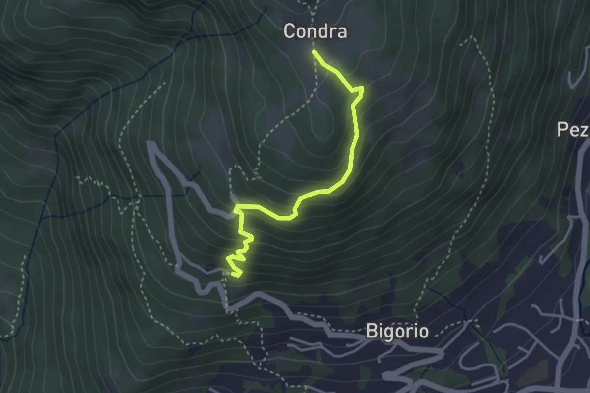
Easy · Trail
Condra – Convento Santa Maria
3.1 km · ↑ 255 m · 1 h 17 min · 14 km away
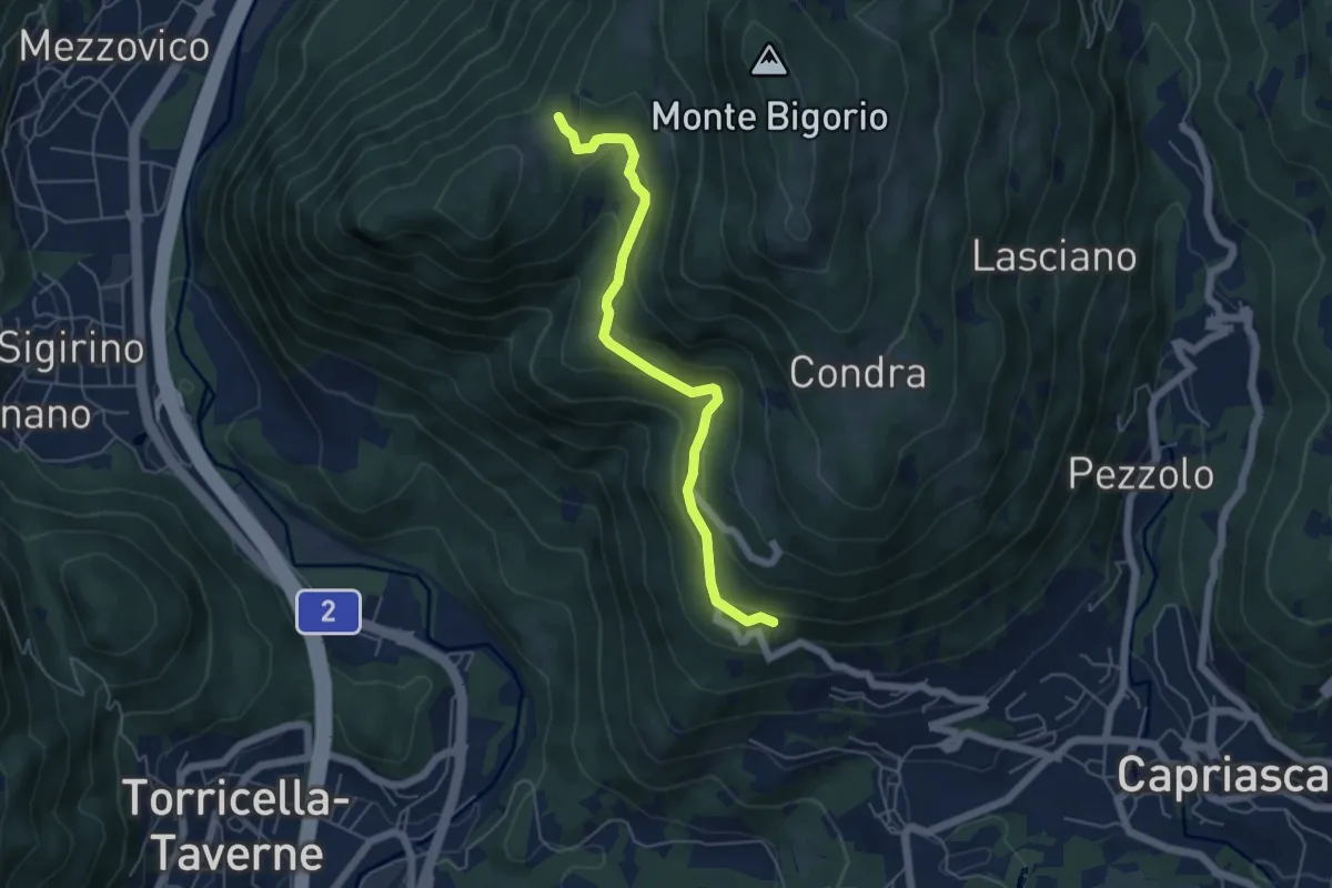
Easy · Trail
Monti di Brena – Convento Santa Maria
5.3 km · ↑ 252 m · 1 h 48 min · 14 km away
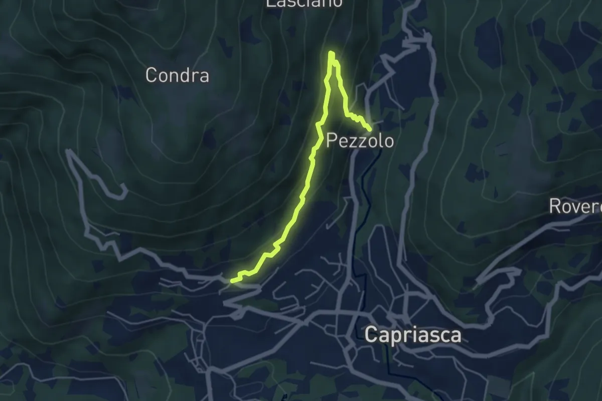
Medium · Trail
Bigorio – Pezzolo
4.4 km · ↑ 330 m · 1 h 46 min · 14 km away
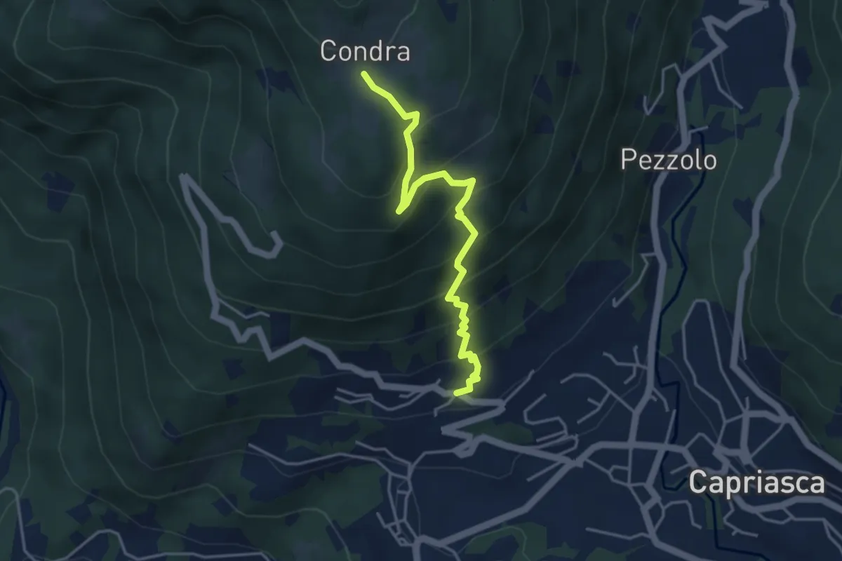
Medium · Trail
Bigorio – Condra
3.9 km · ↑ 375 m · 1 h 45 min · 14 km away
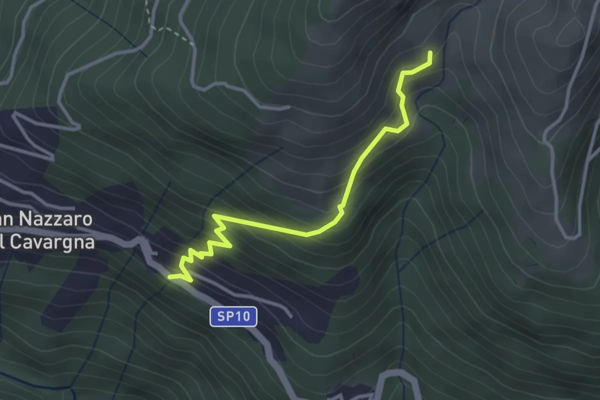
Medium · Trail
Giro Miniere Tappa 3a
2.9 km · ↑ 345 m · 1 h 26 min · 14 km away
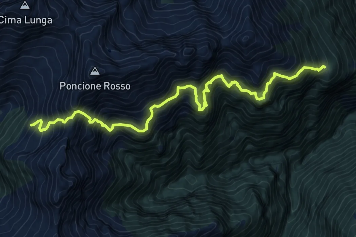
Expert · Cabin
Alpe d,Alva-Capanna Alpe Fümegna
13.0 km · ↑ 1932 m · 7 h 15 min · 15 km away
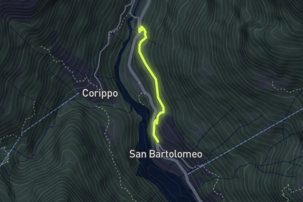
Easy · Trail
Bivio di Corippio-S. Bartolomeo
2.1 km · ↑ 187 m · 55 min · 15 km away
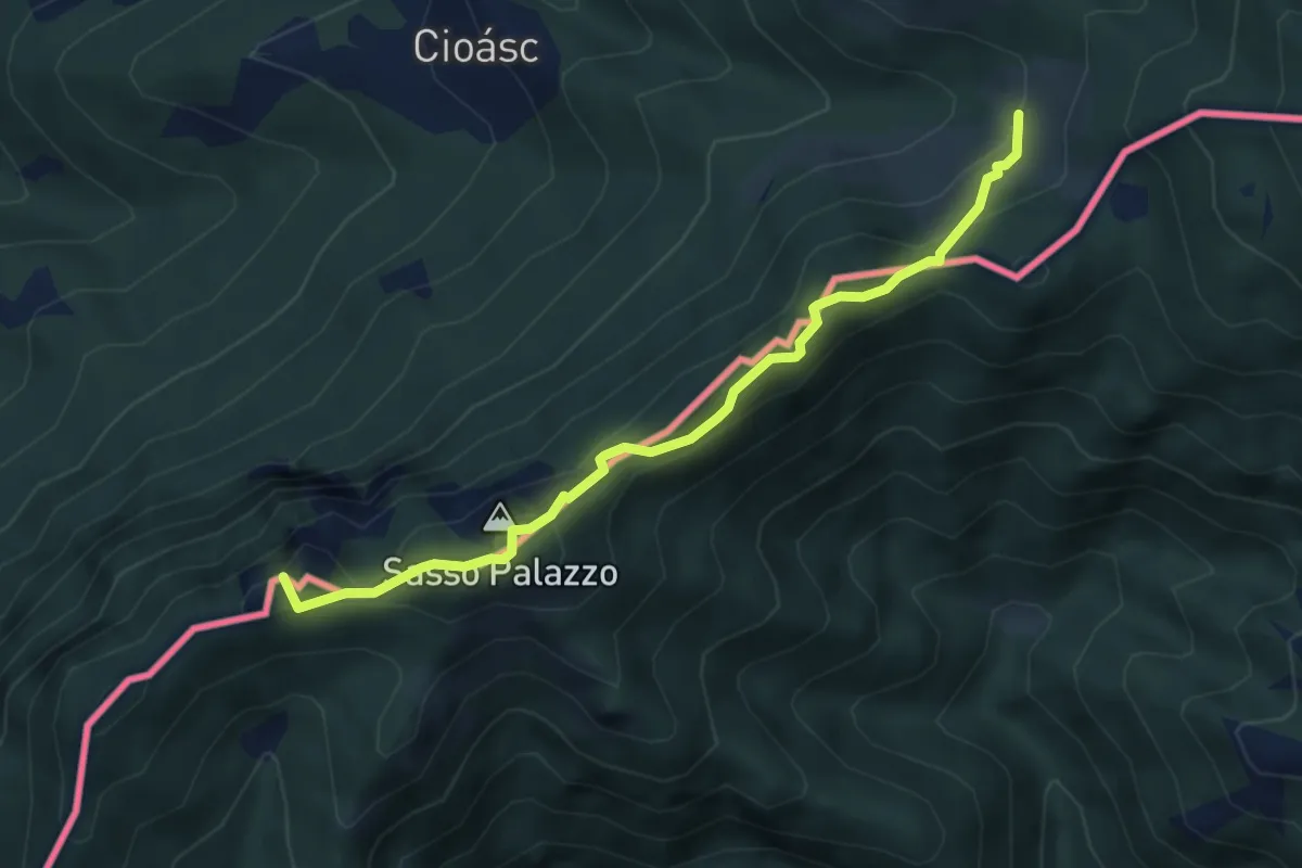
Medium · Summit
Pian di Scagn – Cap. Pairolo
4.7 km · ↑ 224 m · 1 h 36 min · 15 km away
Demanding · Summit
Sentiero Lago di Lugano
11.9 km · ↑ 813 m · 4 h 34 min · 15 km away
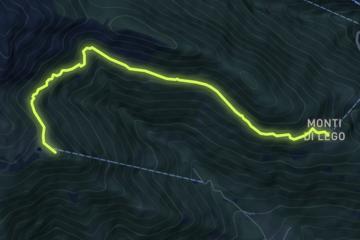
Medium · Summit
Monti di Lego-Alpe Cardada
8.0 km · ↑ 564 m · 3 h 7 min · 15 km away
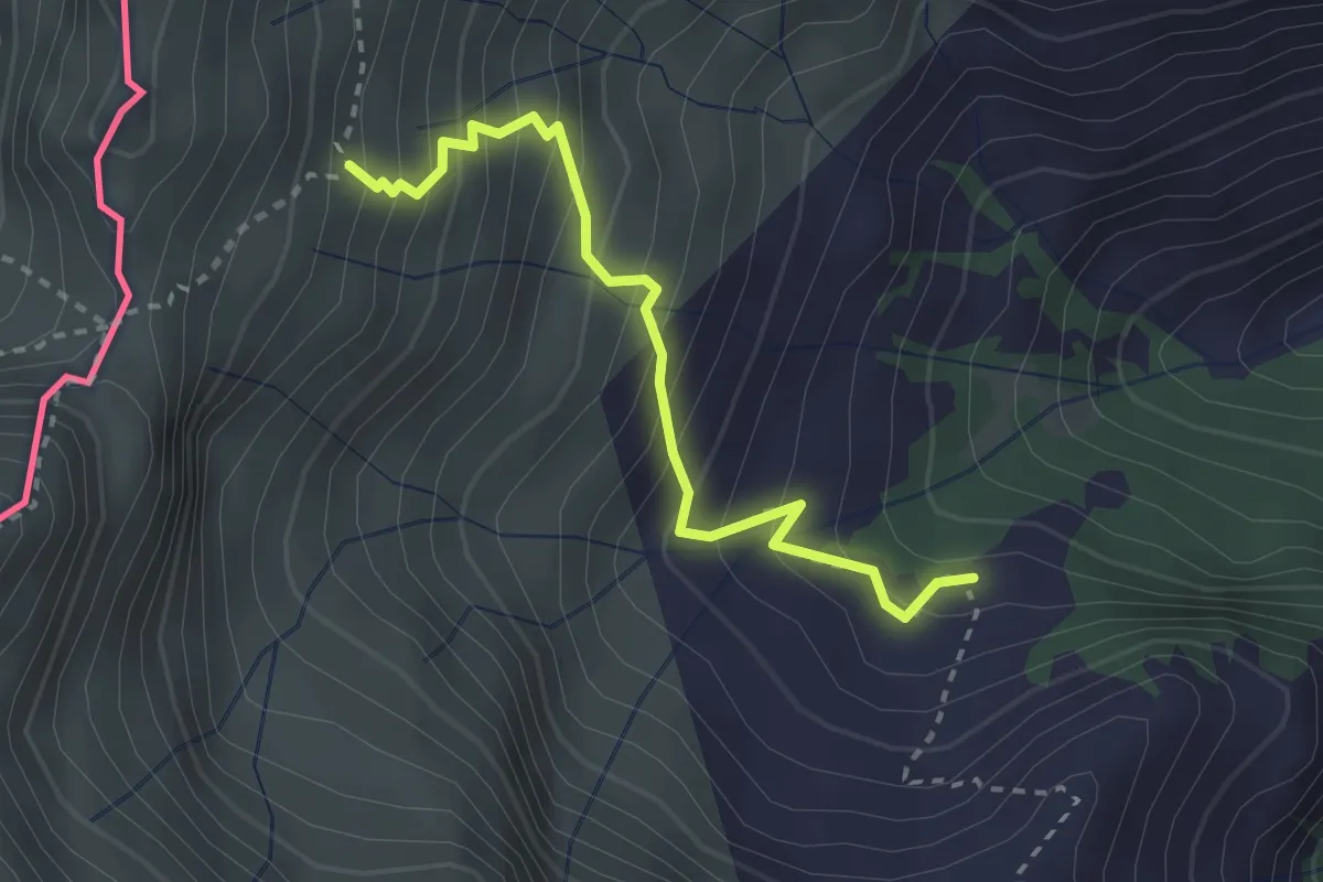
Medium · Trail
RIfugio Vincino - Camedo
2.7 km · ↑ 358 m · 1 h 25 min · 15 km away
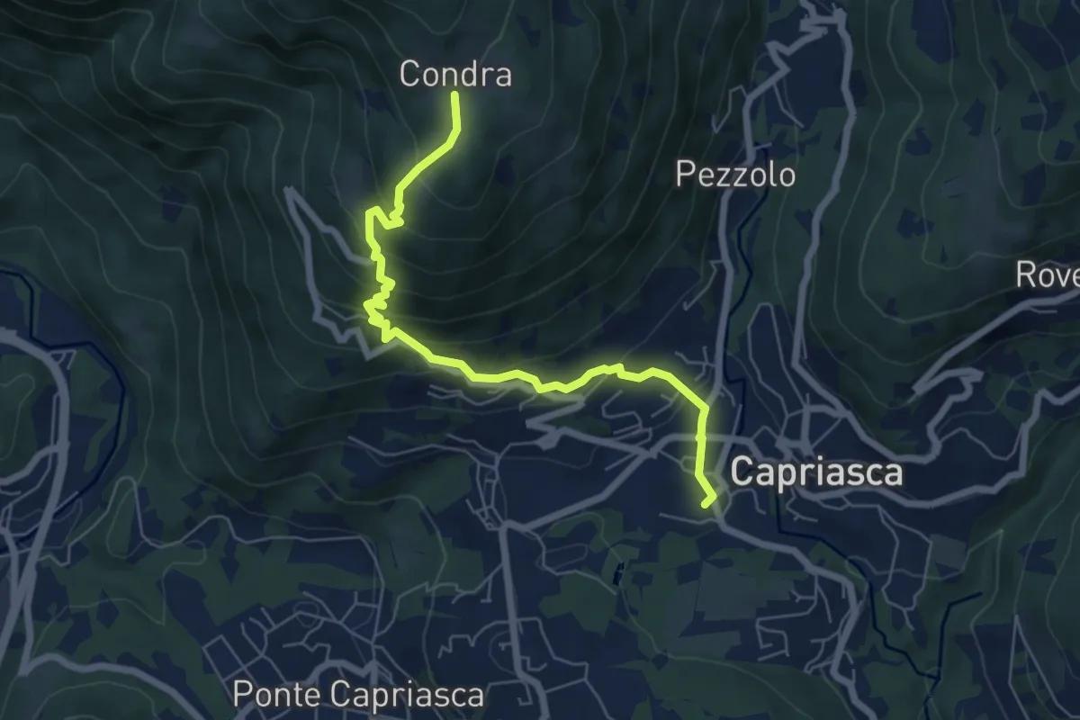
Medium · Trail
Condra – Tesserete
6.5 km · ↑ 469 m · 2 h 33 min · 15 km away
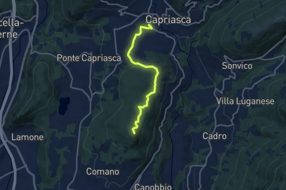
Medium · Summit
Tesserete – Comano
7.2 km · ↑ 224 m · 2 h 11 min · 15 km away
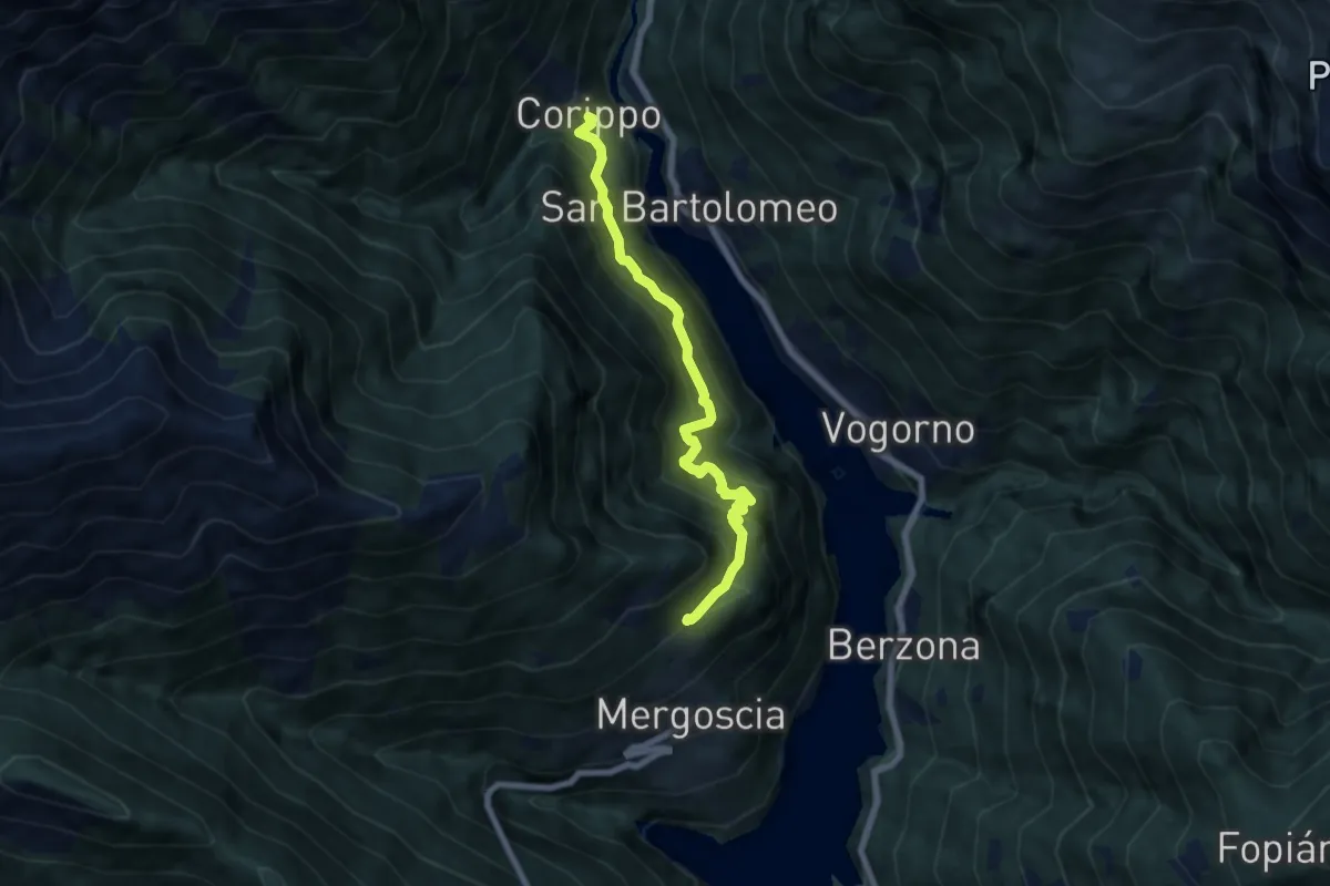
Medium · Trail
Corippo - Perbioi
6.8 km · ↑ 738 m · 3 h 13 min · 15 km away
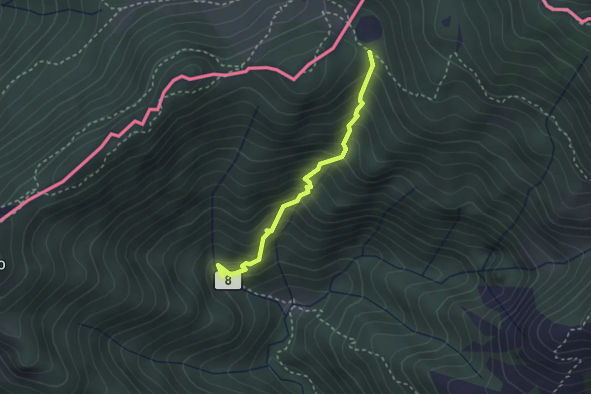
Medium · Trail
Ponte di Bizzo – Passo Pairolo
2.4 km · ↑ 328 m · 1 h 17 min · 15 km away
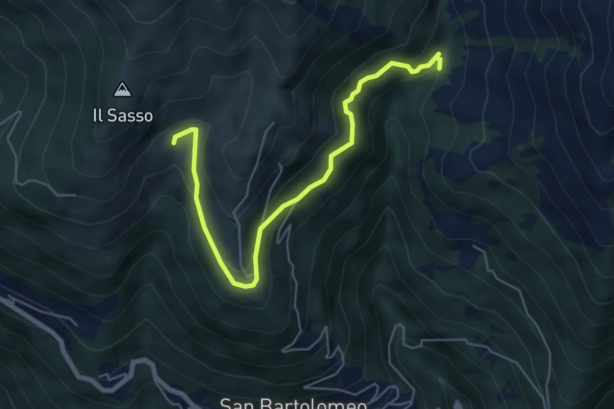
Medium · Trail
Giro miniere tappa 1
5.2 km · ↑ 322 m · 1 h 56 min · 15 km away
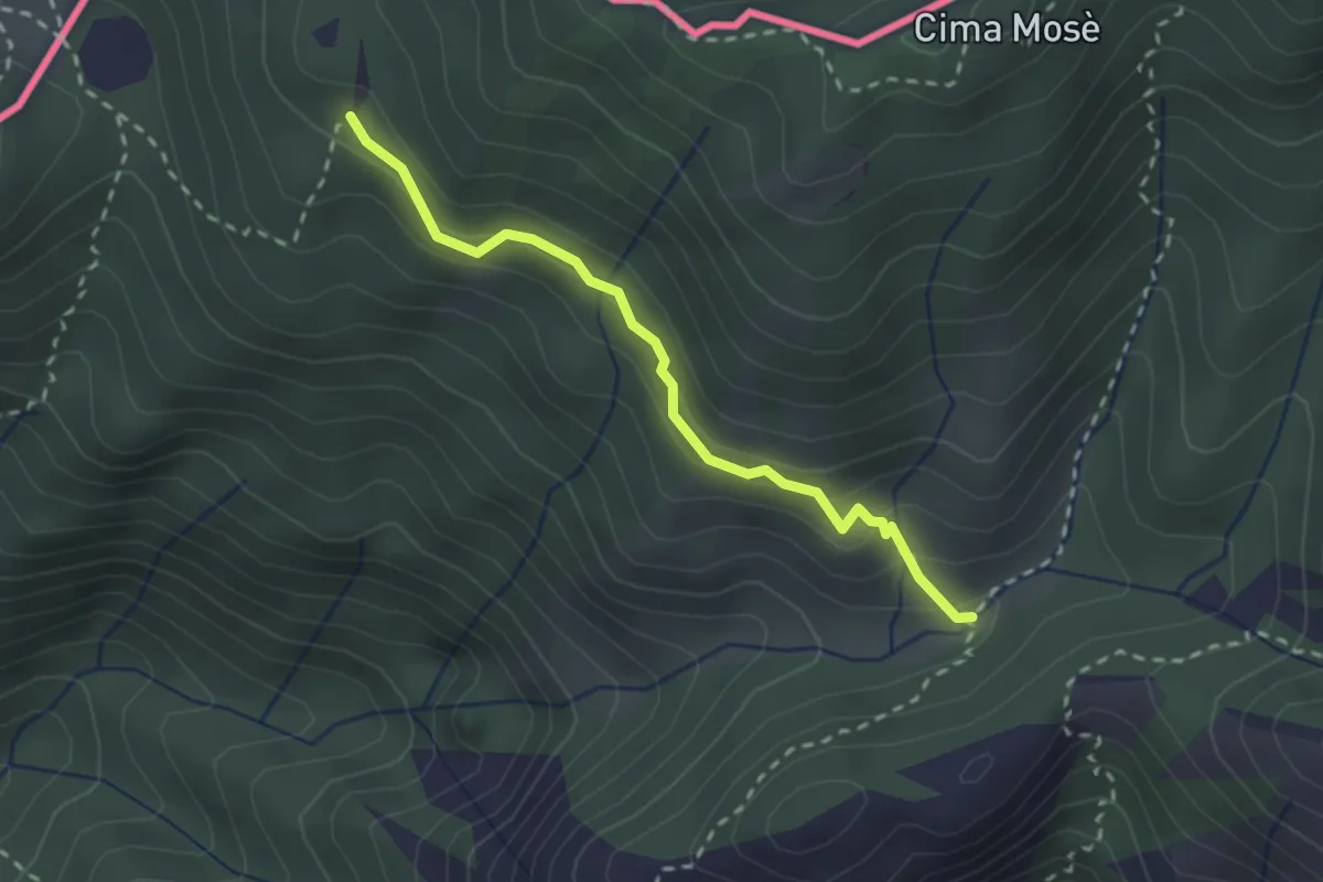
Medium · Trail
Alpet de Sceresa – Alpe Riccola
2.4 km · ↑ 159 m · 54 min · 15 km away
Demanding · Trail
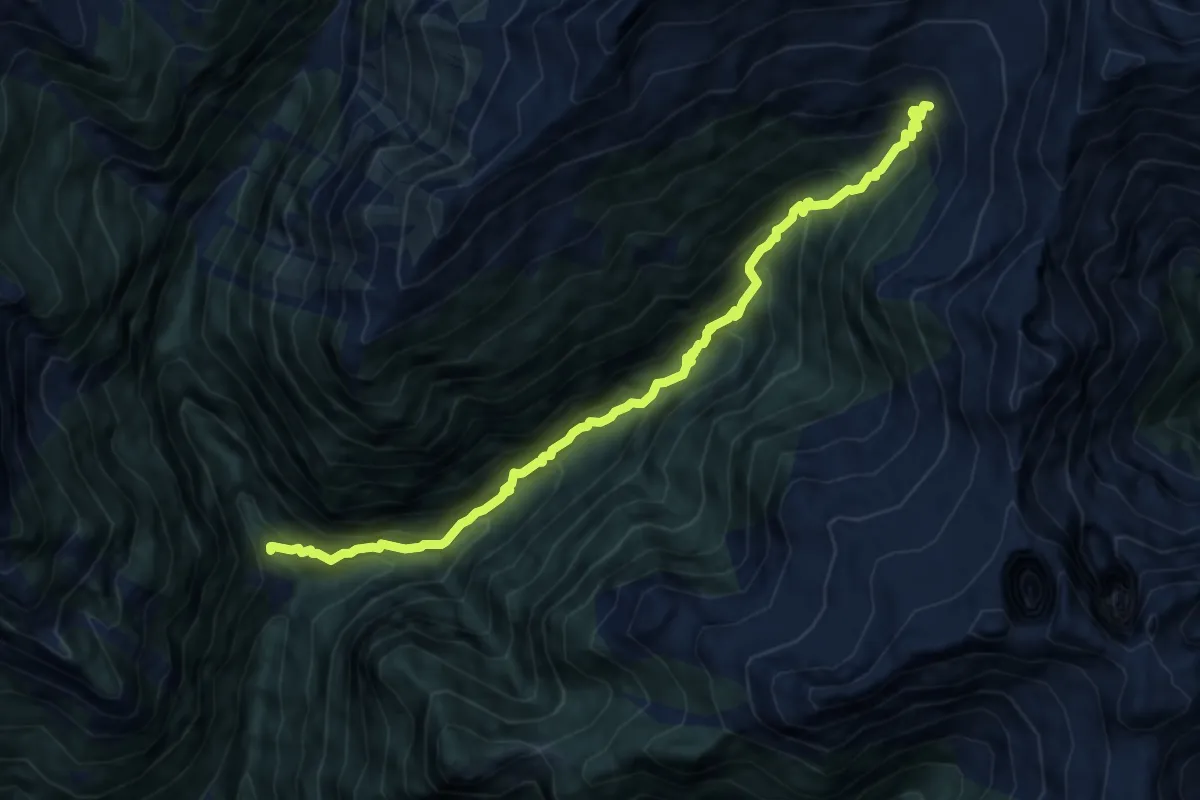
Lavertezzo Cornovosa
10.4 km · ↑ 1111 m · 4 h 52 min · 15 km away