Trails near Belp
495 hikes starting within 15 km, nearest first.
Nearest first, page 10 of 11
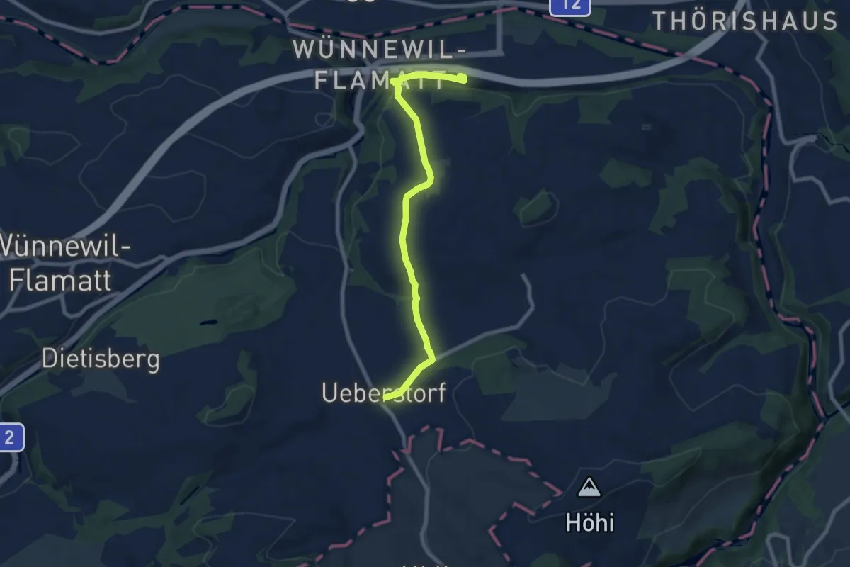
Easy · Trail
Flamatt / Station - Ueberstorf
7.5 km · ↑ 195 m · 2 h 11 min · 14 km away
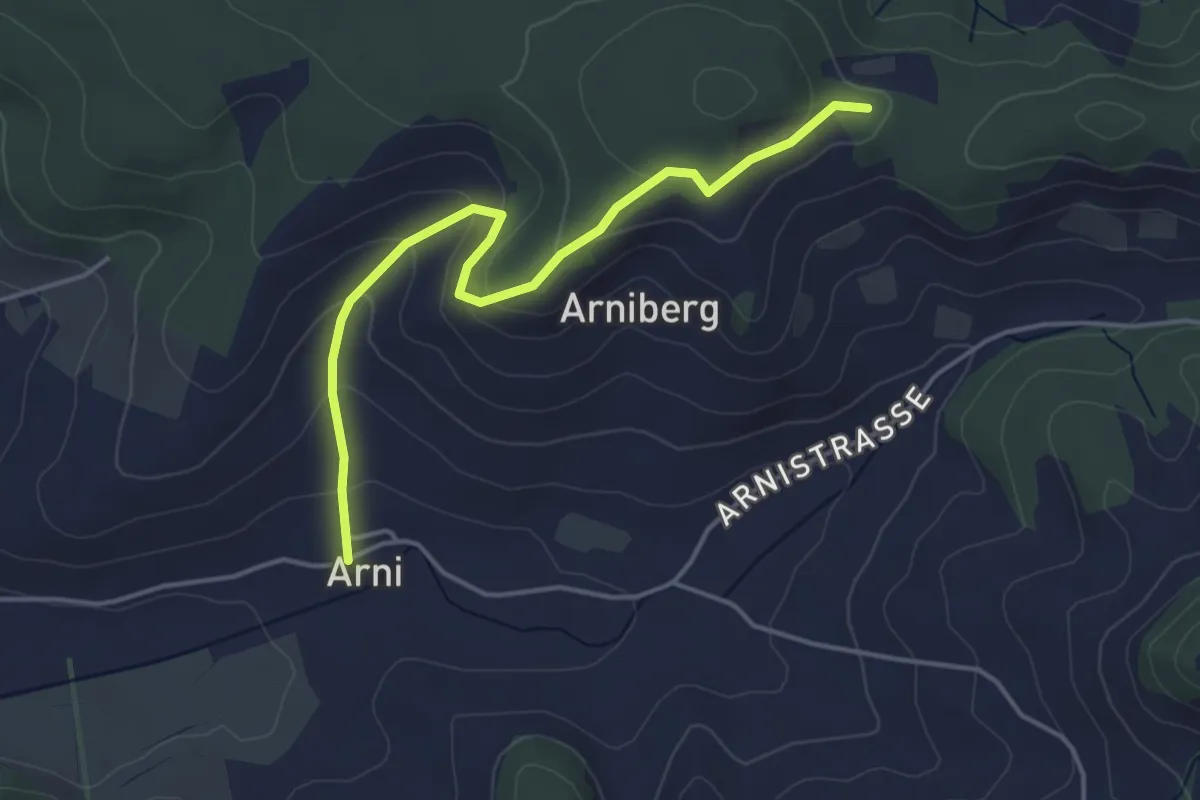
Easy · Trail
Spränzel – Arni
4.2 km · ↑ 213 m · 1 h 28 min · 14 km away
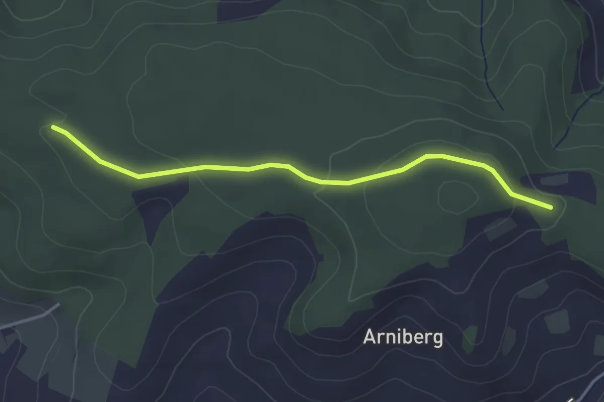
Easy · Trail
Spittelwald – Spränzel
3.4 km · ↑ 78 m · 58 min · 14 km away
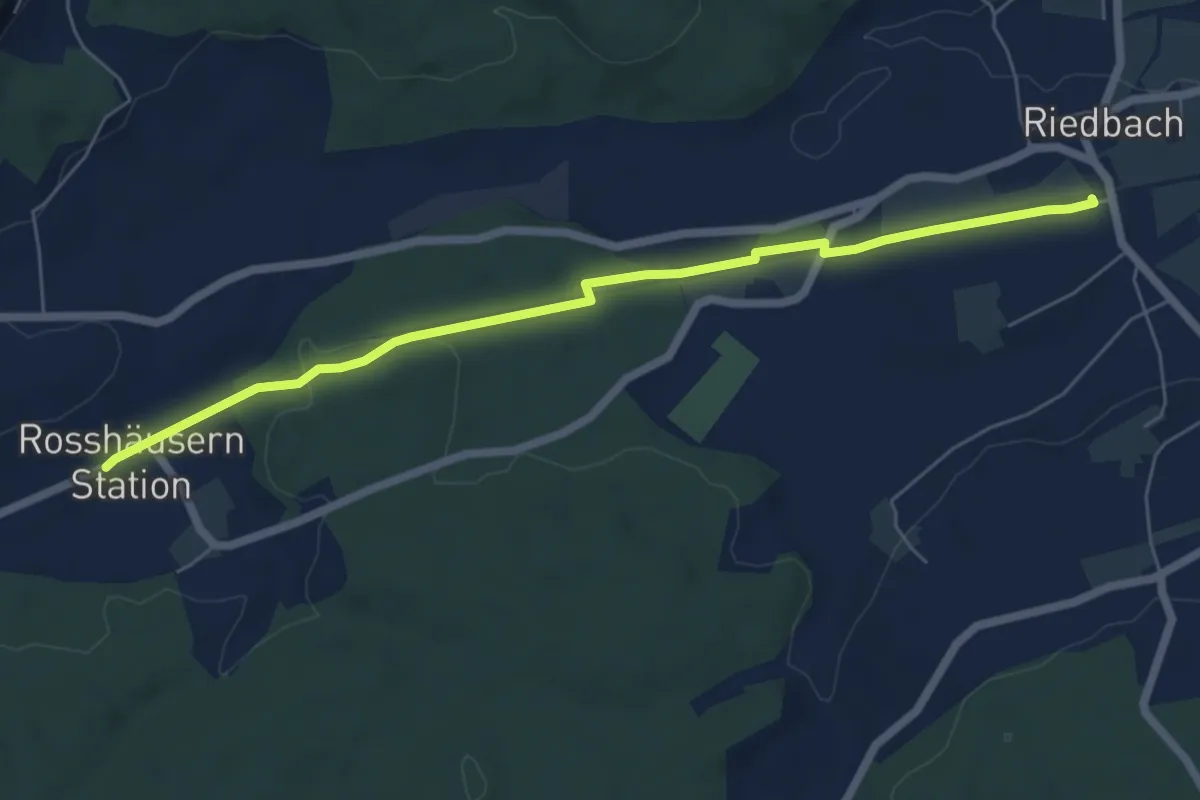
Easy · Trail
Rosshäusern/Station - Riedbach/Station
6.4 km · ↑ 72 m · 1 h 40 min · 14 km away
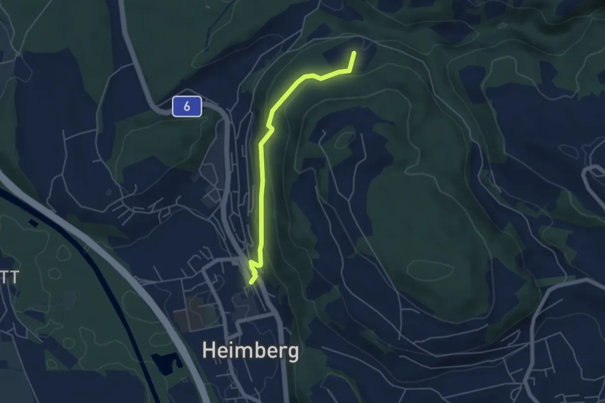
Easy · Trail
Heimberg – Spittelsheimberg
4.2 km · ↑ 211 m · 1 h 27 min · 14 km away
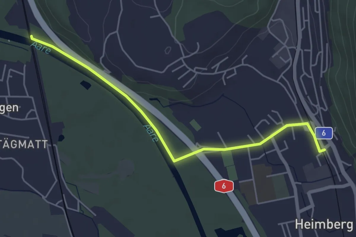
Easy · Trail
Heimberg – Uttigenbrücke
4.7 km · ↑ 0 m · 1 h 6 min · 14 km away
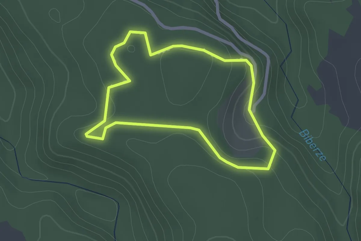
Easy · Trail
Walderlebnisweg Gantrisch
1.8 km · ↑ 60 m · 35 min · 14 km away
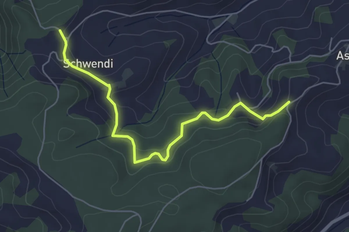
Easy · Trail
Vorder Schwändi – Aspiegg
5.0 km · ↑ 197 m · 1 h 37 min · 14 km away
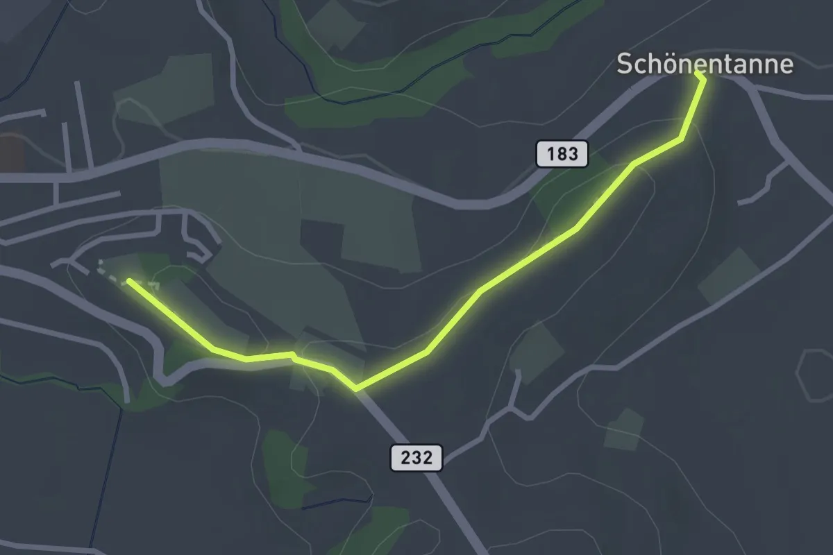
Easy · Trail
Schönentannen – Galgenzelg
2.7 km · ↑ 76 m · 48 min · 14 km away
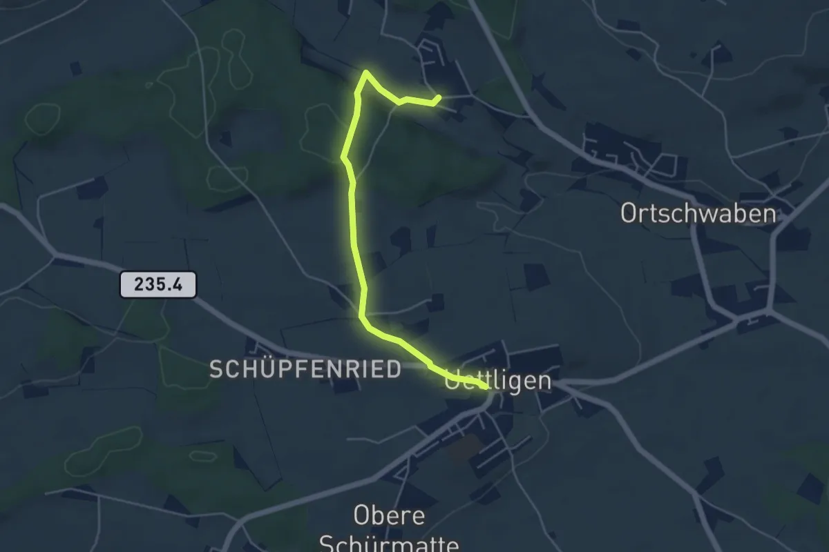
Easy · Trail
Uettligen/Linde - Weissenstein
4.6 km · ↑ 64 m · 1 h 13 min · 14 km away
Easy · Trail
Tscharner - Marchweg Pt. 1105
3.7 km · ↑ 132 m · 1 h 10 min · 14 km away
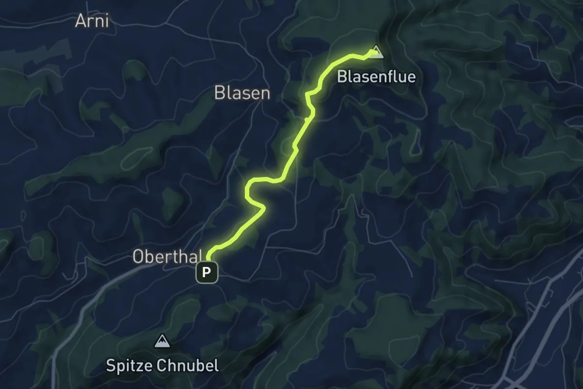
Easy · Summit
Blaseflue – Chäneltal
6.1 km · ↑ 316 m · 2 h 7 min · 14 km away
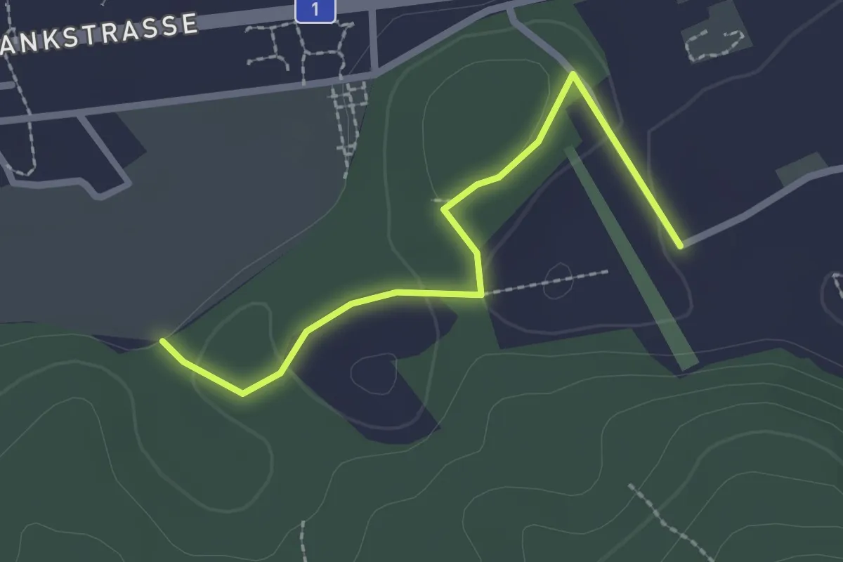
Easy · Trail
Wasebode – Holzmatt
2.2 km · ↑ 19 m · 33 min · 14 km away
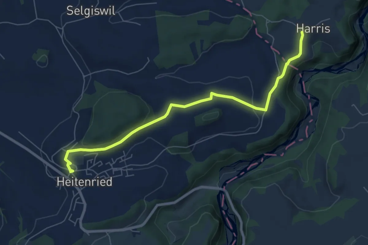
Easy · Trail
Heitenried – Harris
6.5 km · ↑ 116 m · 1 h 48 min · 14 km away
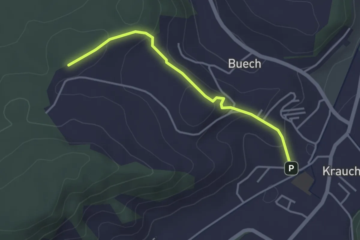
Easy · Trail
Längenberg – Sandhole
3.2 km · ↑ 100 m · 59 min · 14 km away
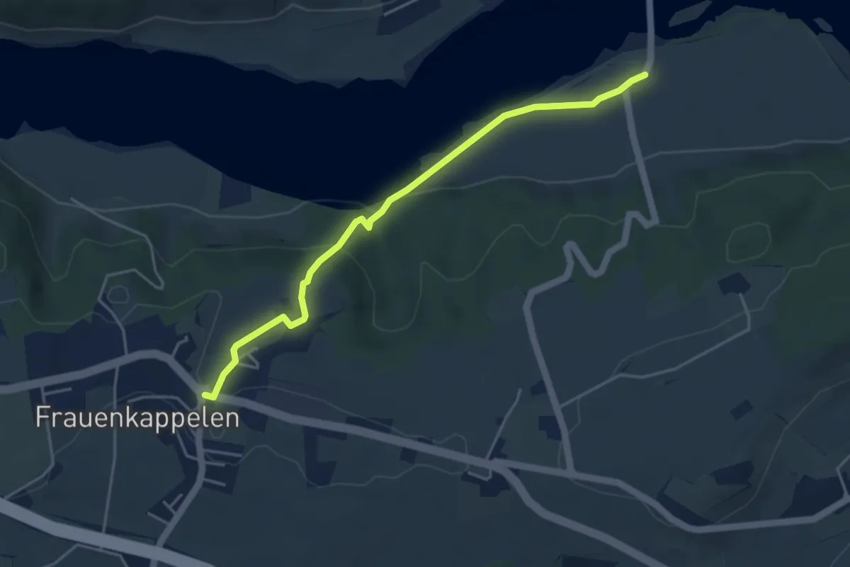
Easy · Trail
Wohlei - Frauenkappelen/Post
4.2 km · ↑ 160 m · 1 h 21 min · 14 km away
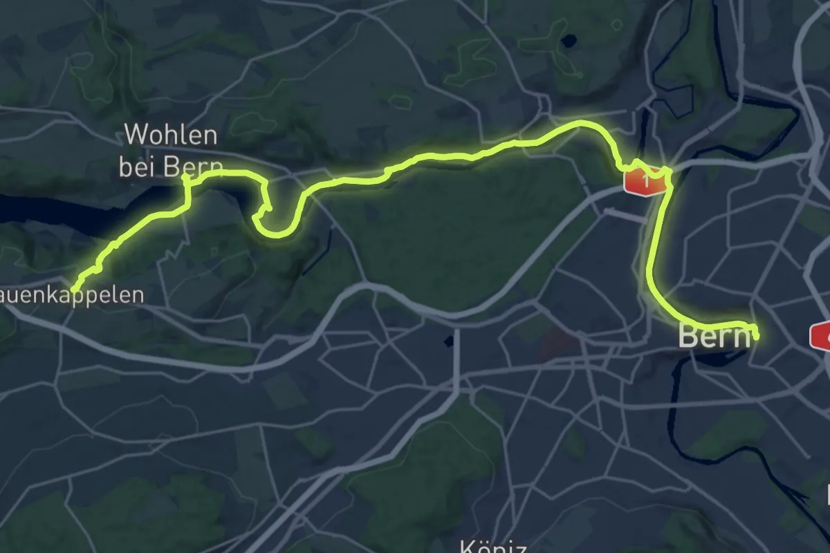
Medium · Trail
ViaBerna Etappe 8
14.8 km · ↑ 242 m · 4 h 16 min · 14 km away
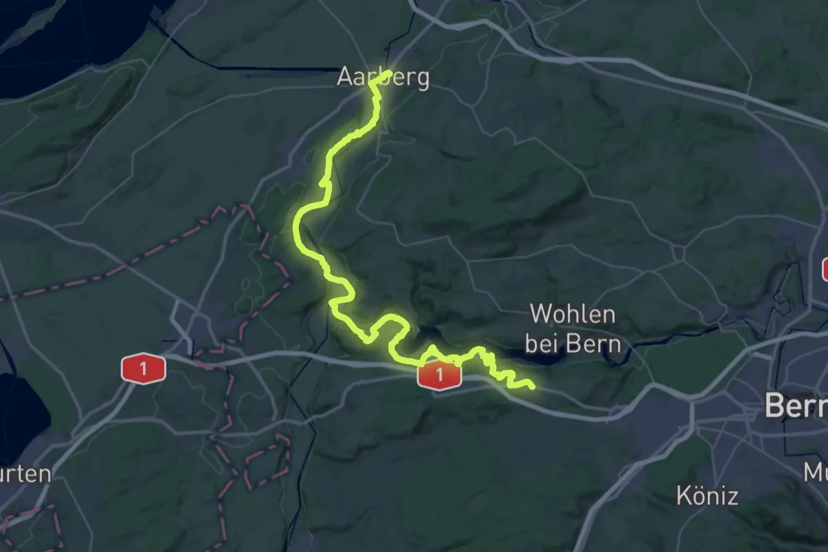
Demanding · Trail
ViaBerna Etappe 7
24.1 km · ↑ 499 m · 7 h 11 min · 14 km away
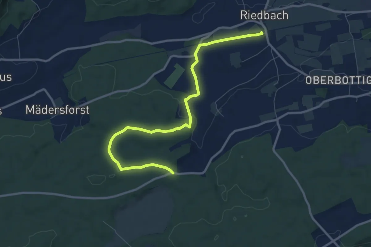
Medium · Trail
Riedbach/Station - Fuessacher
8.6 km · ↑ 147 m · 2 h 21 min · 14 km away
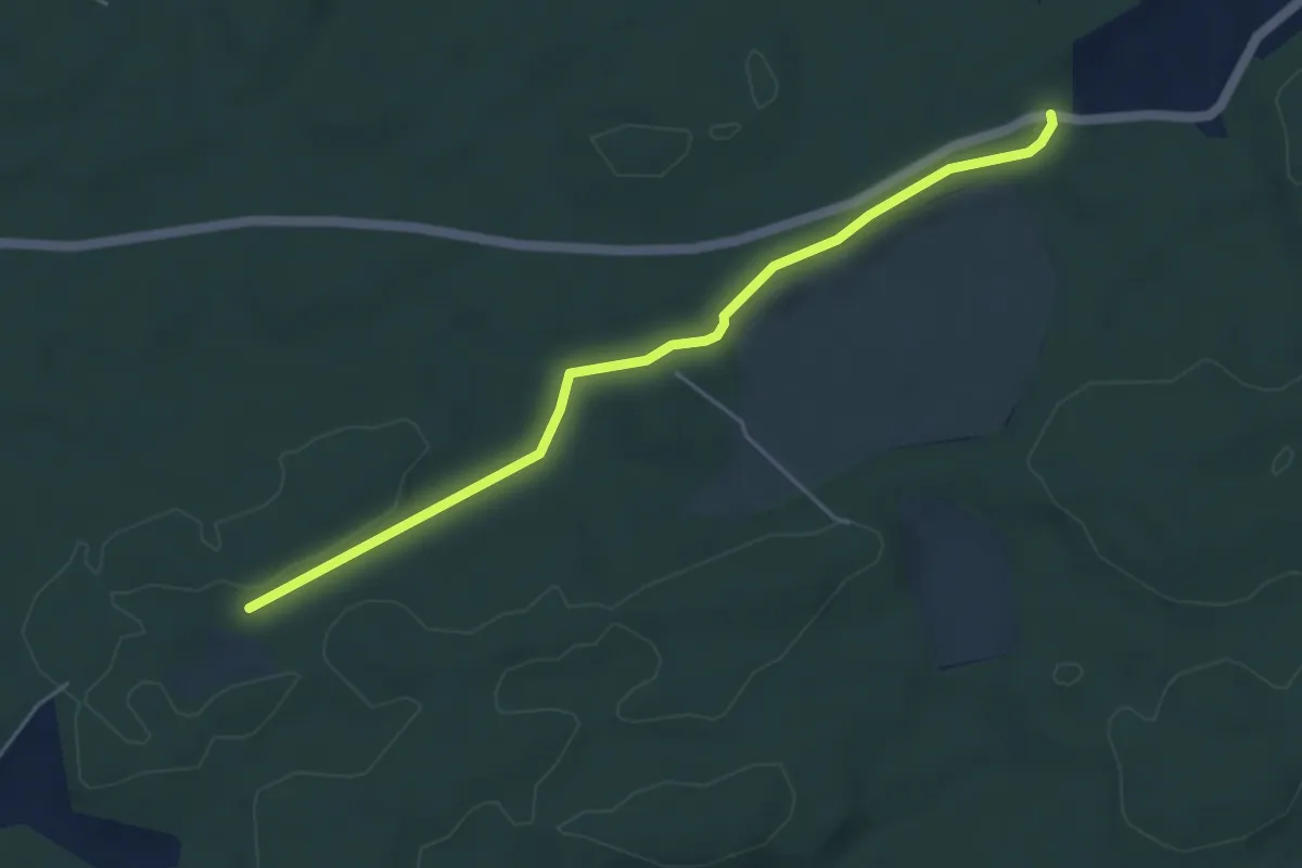
Easy · Trail
Mösli - Fuessacher
4.8 km · ↑ 53 m · 1 h 14 min · 14 km away
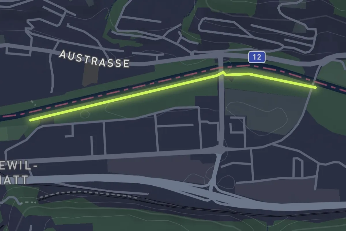
Easy · Trail
Ober Flamatt – Flamatt Sportplatz
2.6 km · ↑ 9 m · 38 min · 14 km away
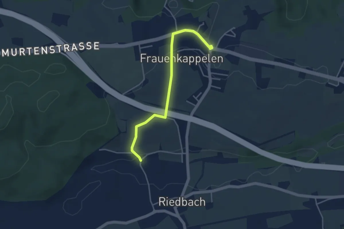
Easy · Trail
Frauenkappelen/Post - Riedbach/Mühle
3.2 km · ↑ 67 m · 54 min · 14 km away
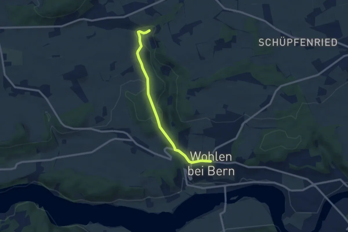
Easy · Trail
Wohlen - Grabenmüli
5.8 km · ↑ 156 m · 1 h 42 min · 14 km away
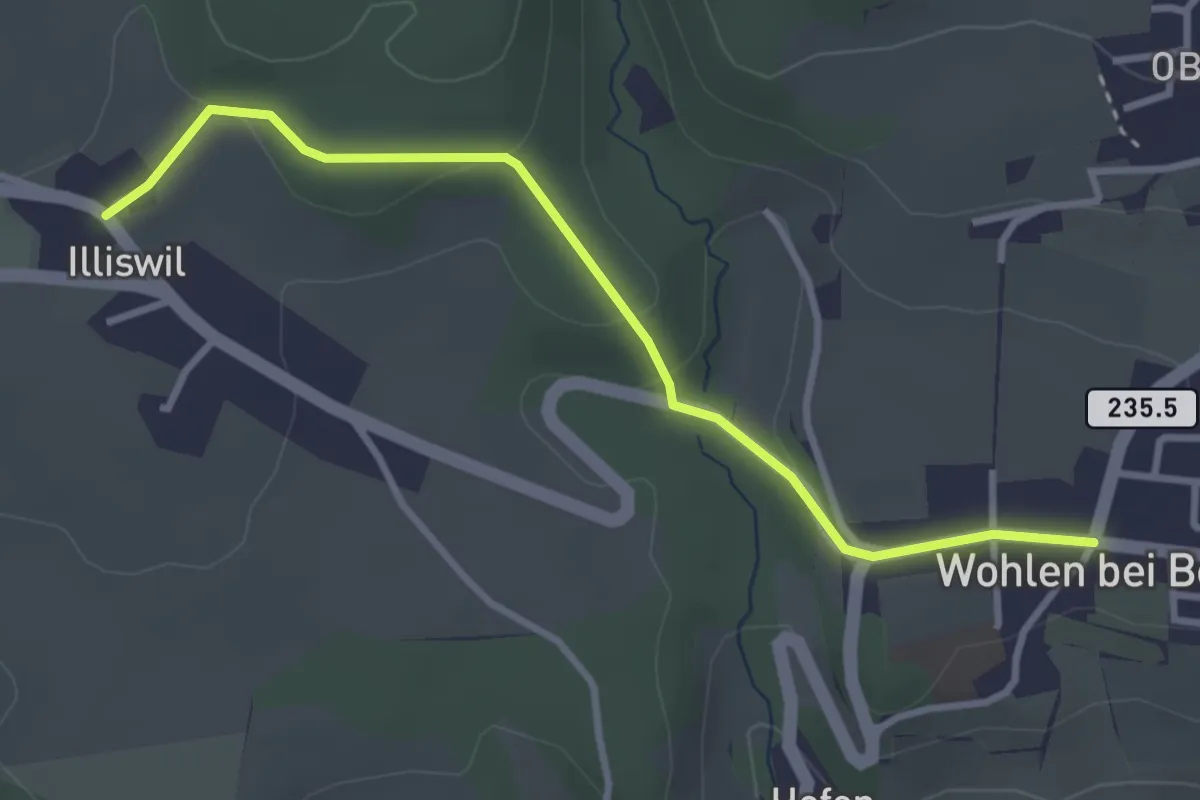
Easy · Trail
Illiswil - Wohlen
3.4 km · ↑ 79 m · 58 min · 14 km away
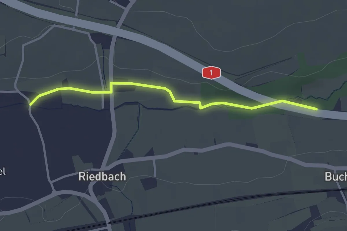
Easy · Trail
Autobahnviadukt - Riedbach/Mühle
2.8 km · ↑ 8 m · 41 min · 14 km away
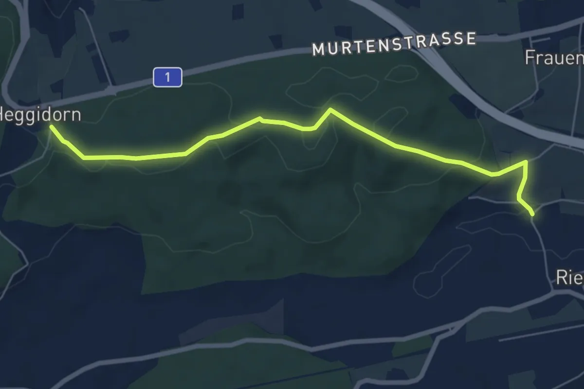
Easy · Trail
Heggidorn - Riedbach/Mühle
5.9 km · ↑ 125 m · 1 h 40 min · 14 km away
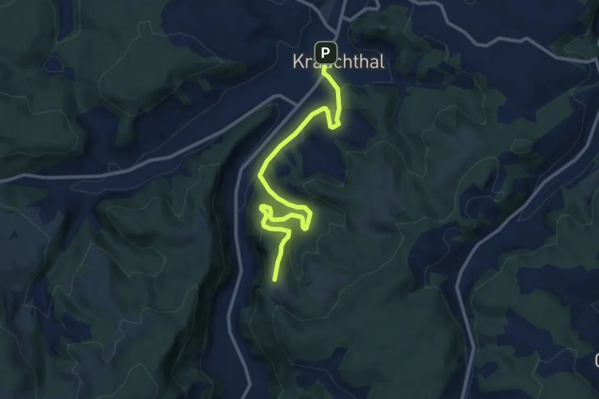
Medium · Trail
Krauchthal – Vordere Geisme
8.1 km · ↑ 340 m · 2 h 39 min · 14 km away
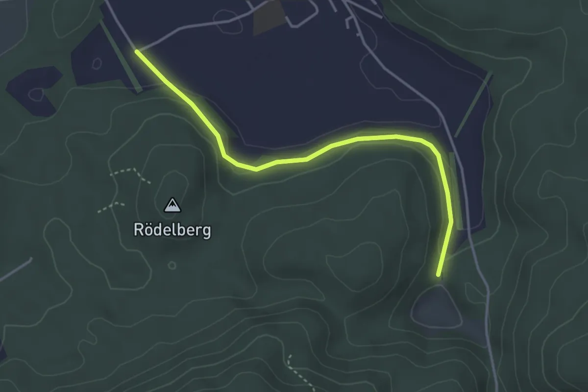
Easy · Trail
Wasebode – Wannetal
3.7 km · ↑ 69 m · 1 h 1 min · 14 km away
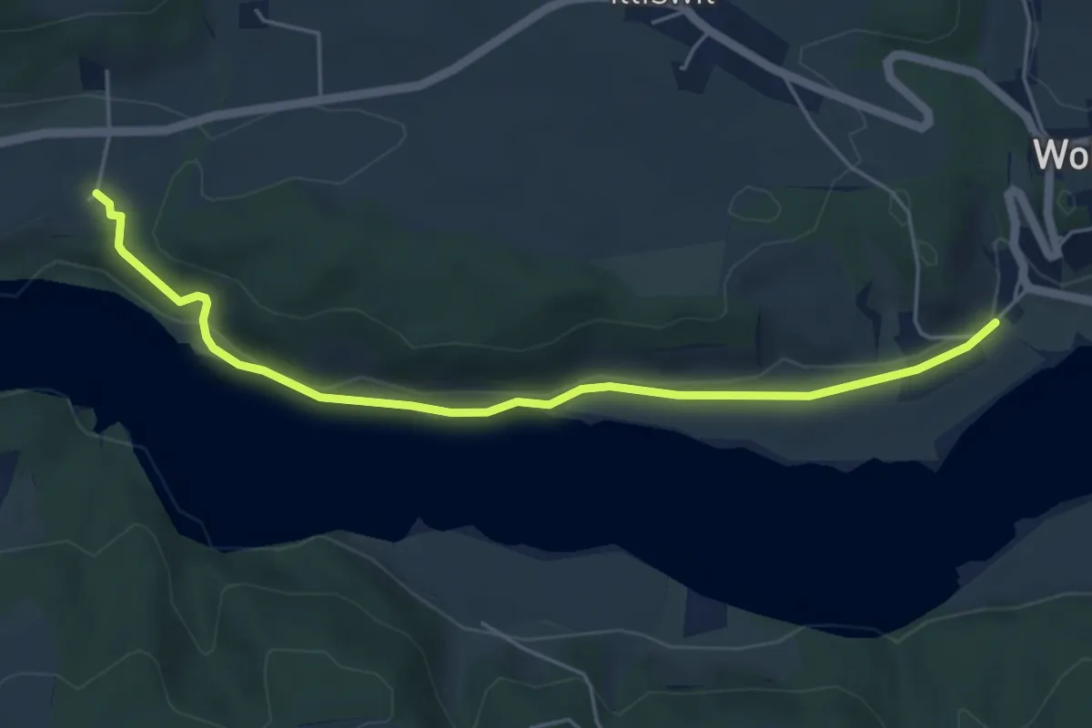
Easy · Trail
Steinisweg - Hofe
5.3 km · ↑ 112 m · 1 h 30 min · 14 km away
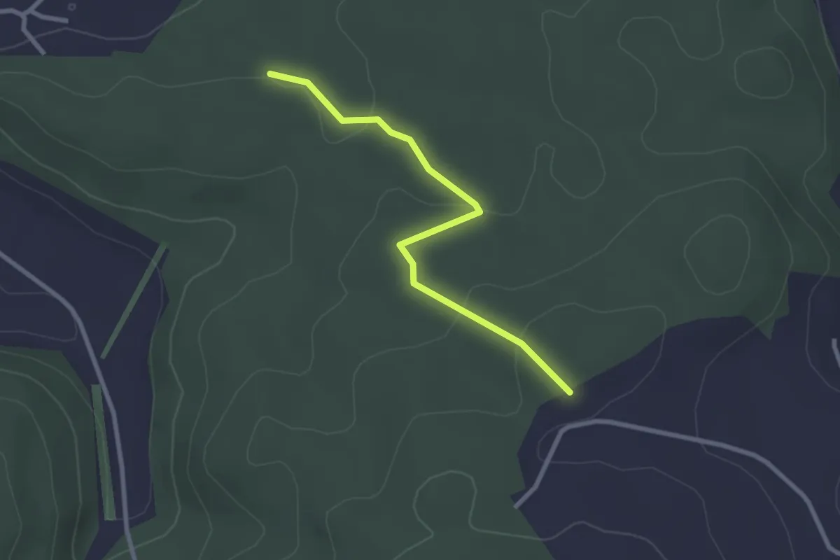
Easy · Trail
Chriegsholz – Längenberg
2.5 km · ↑ 70 m · 45 min · 14 km away
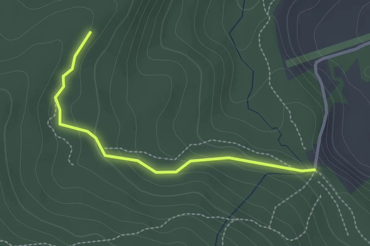
Easy · Trail
Marchweg Pt. 1105 - Stafelalp
2.3 km · ↑ 122 m · 49 min · 14 km away
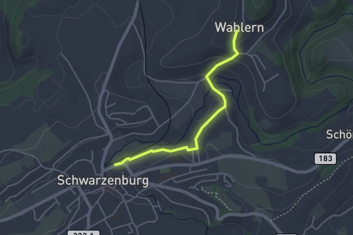
Easy · Trail
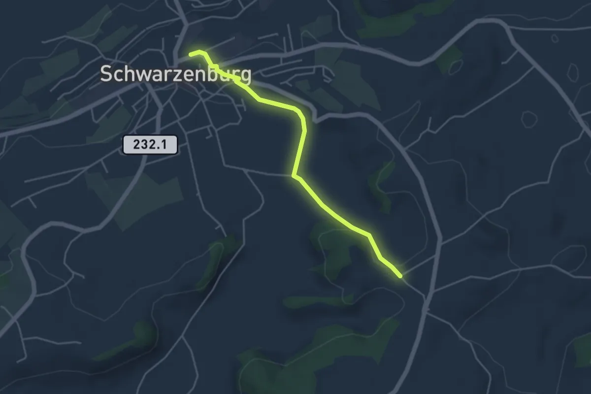
Wahlern – Schwarzenburg
3.2 km · ↑ 67 m · 55 min · 14 km away
Easy · Trail
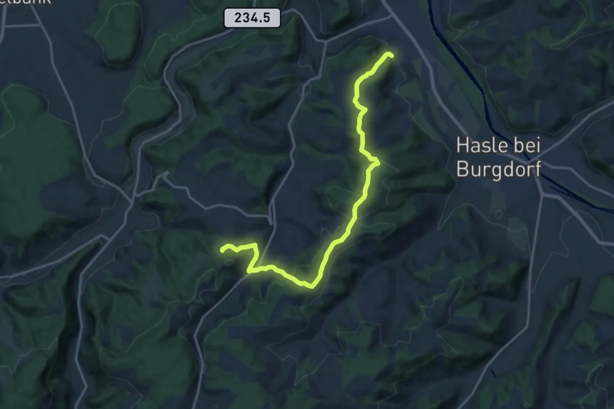
Schwarzenburg – Stiersacker
3.9 km · ↑ 79 m · 1 h 5 min · 14 km away
Medium · Trail
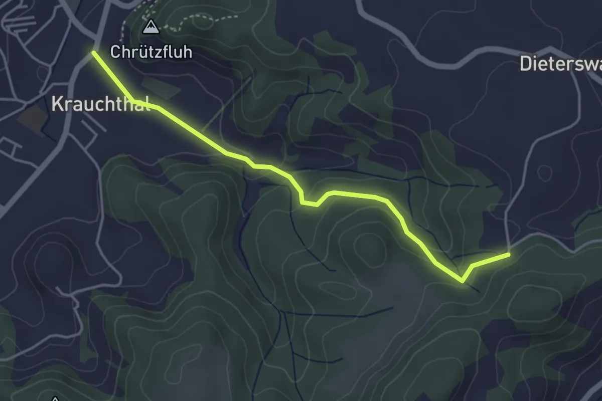
Oberburg – Buechwald
14.7 km · ↑ 578 m · 4 h 44 min · 14 km away
Easy · Trail
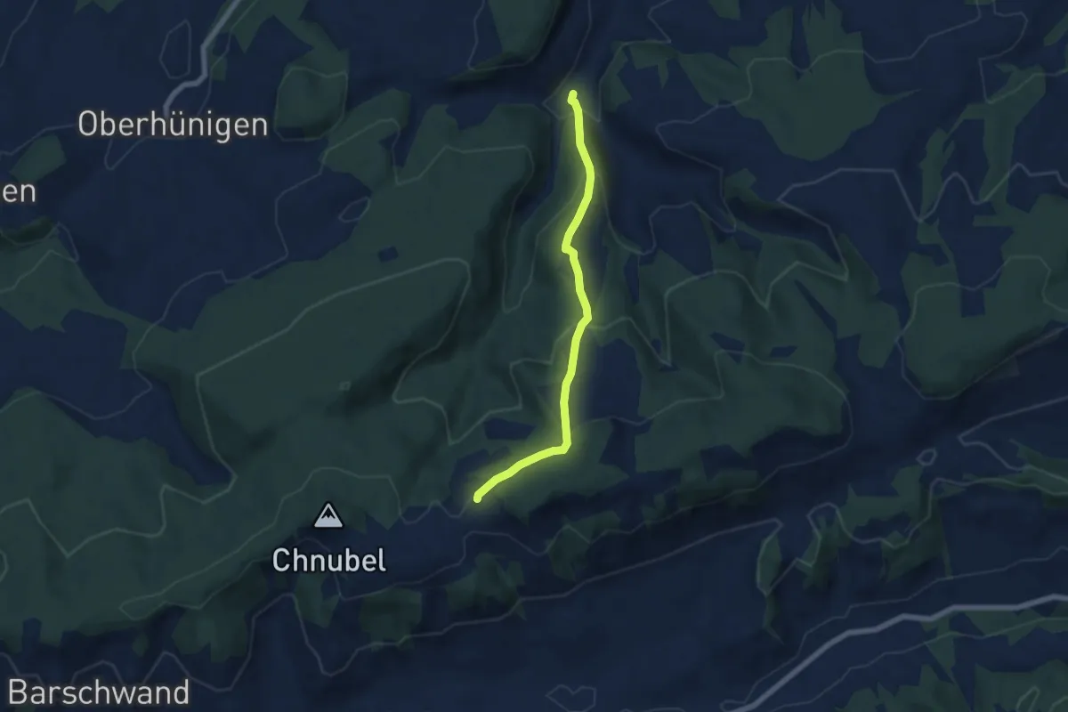
Krauchthal – Buechwald
4.0 km · ↑ 191 m · 1 h 21 min · 14 km away
Medium · Trail
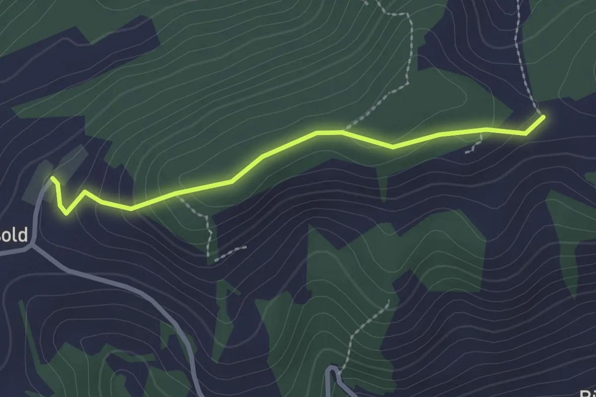
Äbersold – Längeney
5.7 km · ↑ 321 m · 2 h 3 min · 14 km away
Easy · Trail
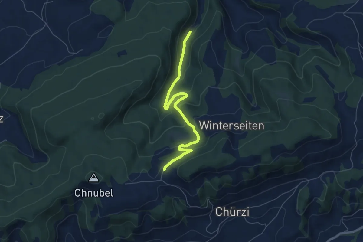
Äbersold – Ringgis
2.2 km · ↑ 109 m · 45 min · 14 km away
Easy · Trail
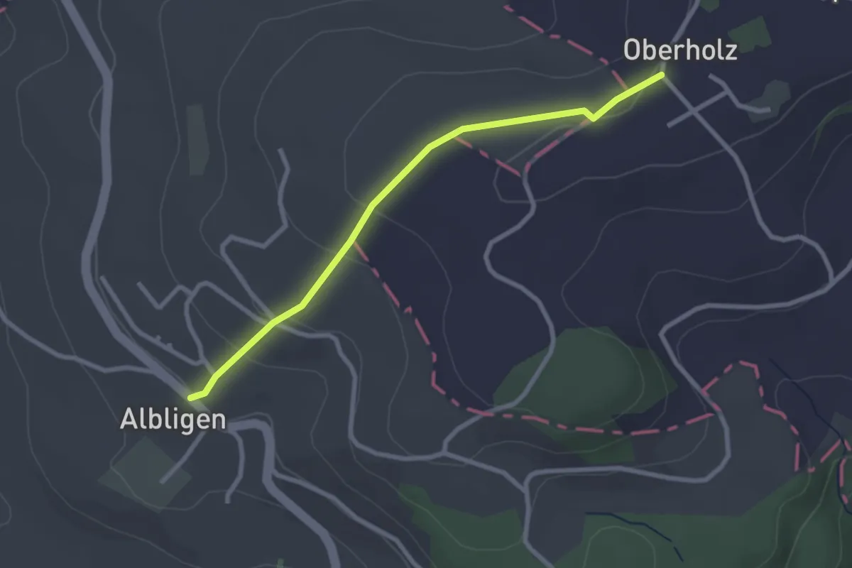
Äbersold – Wildeneybad
6.0 km · ↑ 279 m · 2 h 2 min · 14 km away
Easy · Trail
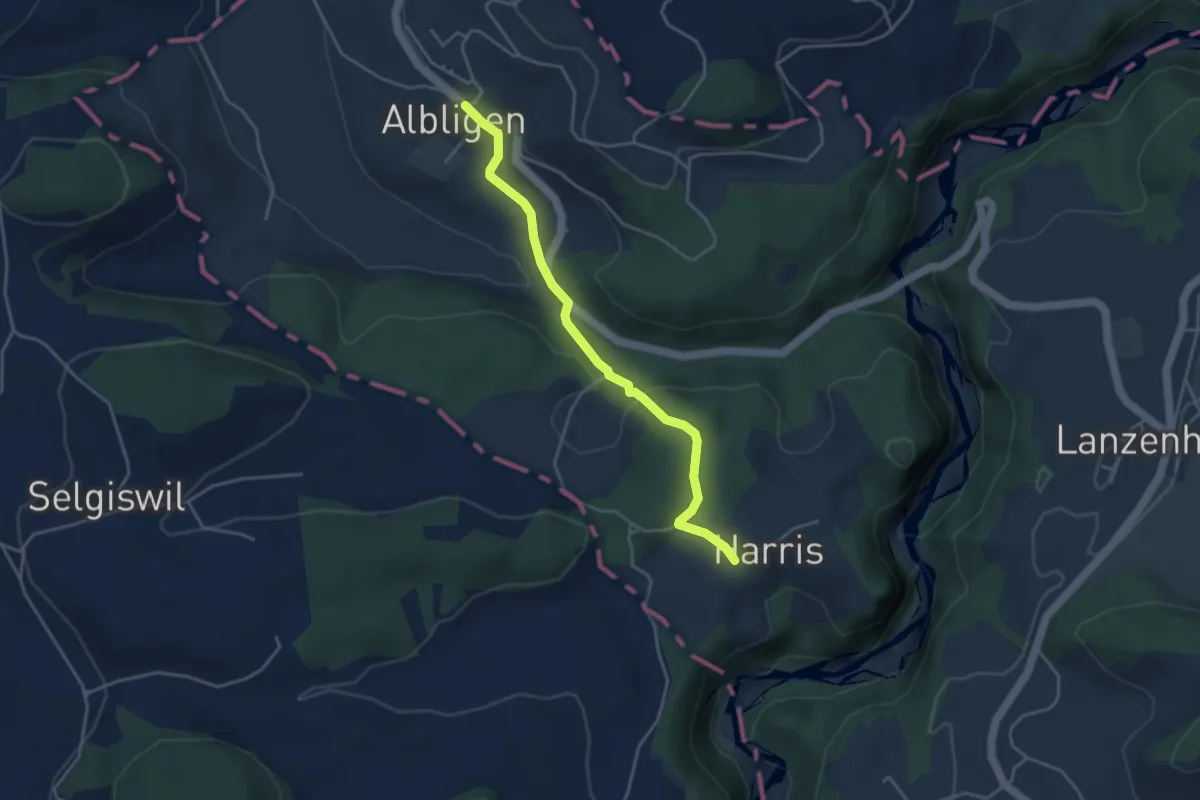
Albligen - Sommerauhöchi
2.6 km · ↑ 95 m · 49 min · 14 km away
Easy · Trail
Albligen - Harris
3.9 km · ↑ 121 m · 1 h 11 min · 14 km away
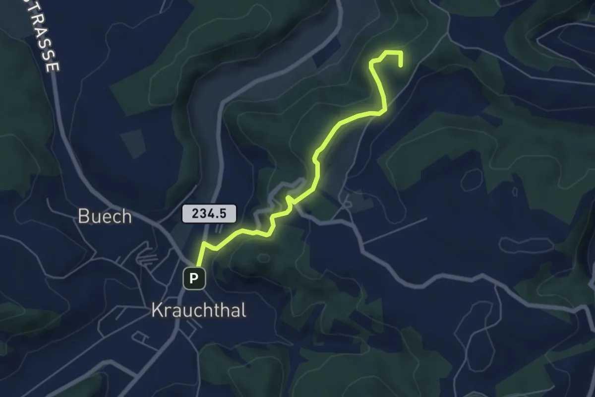
Easy · Summit
Krauchthal – ?
4.9 km · ↑ 215 m · 1 h 37 min · 14 km away
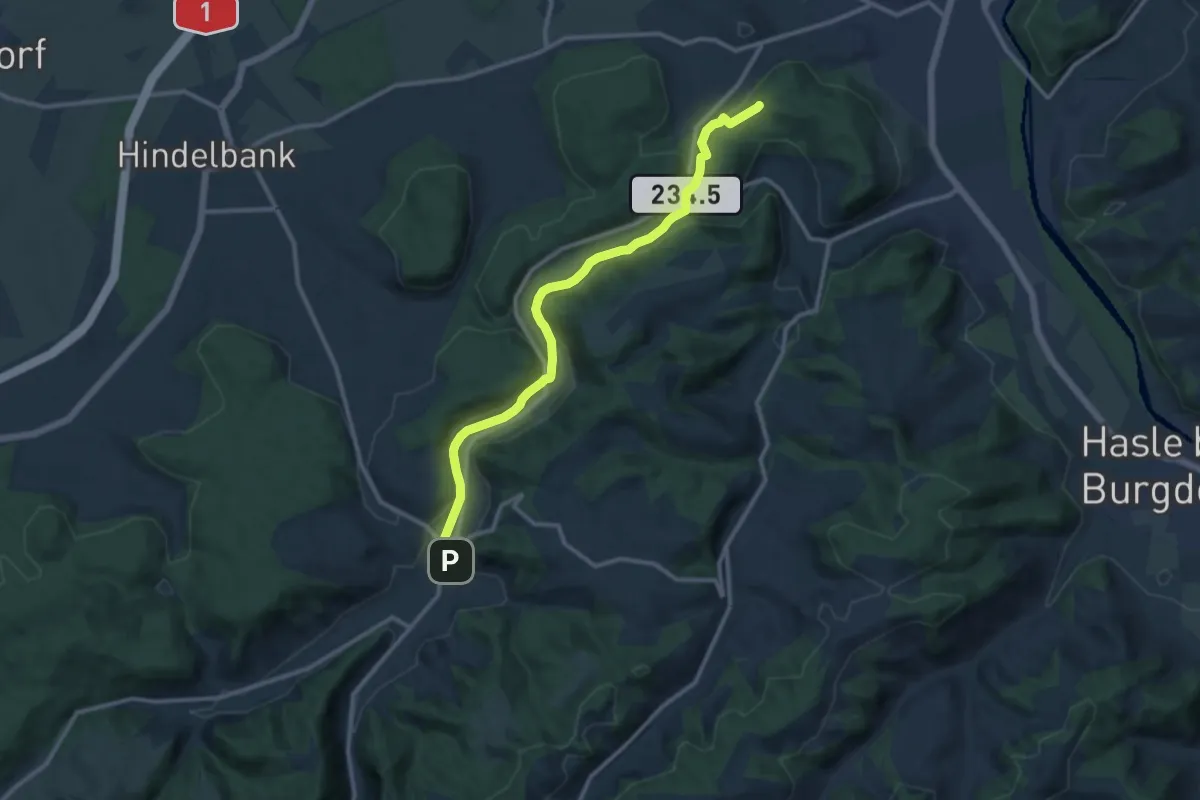
Medium · Trail
Siebenwegeplatz – Krauchthal
11.7 km · ↑ 236 m · 3 h 16 min · 14 km away
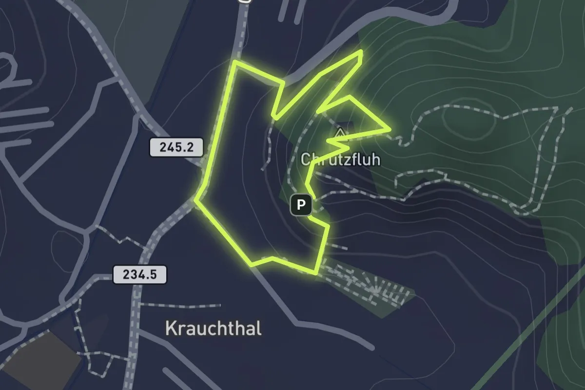
Demanding · Summit
Krauchthal – Krauchthal
1.4 km · ↑ 98 m · 33 min · 14 km away
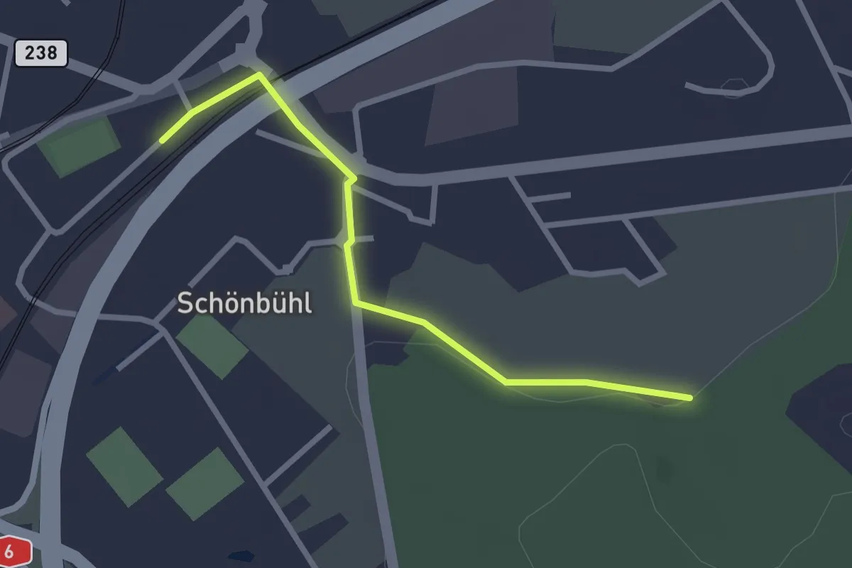
Easy · Trail
Schönbühl SBB – Holzmatt
2.4 km · ↑ 13 m · 35 min · 14 km away
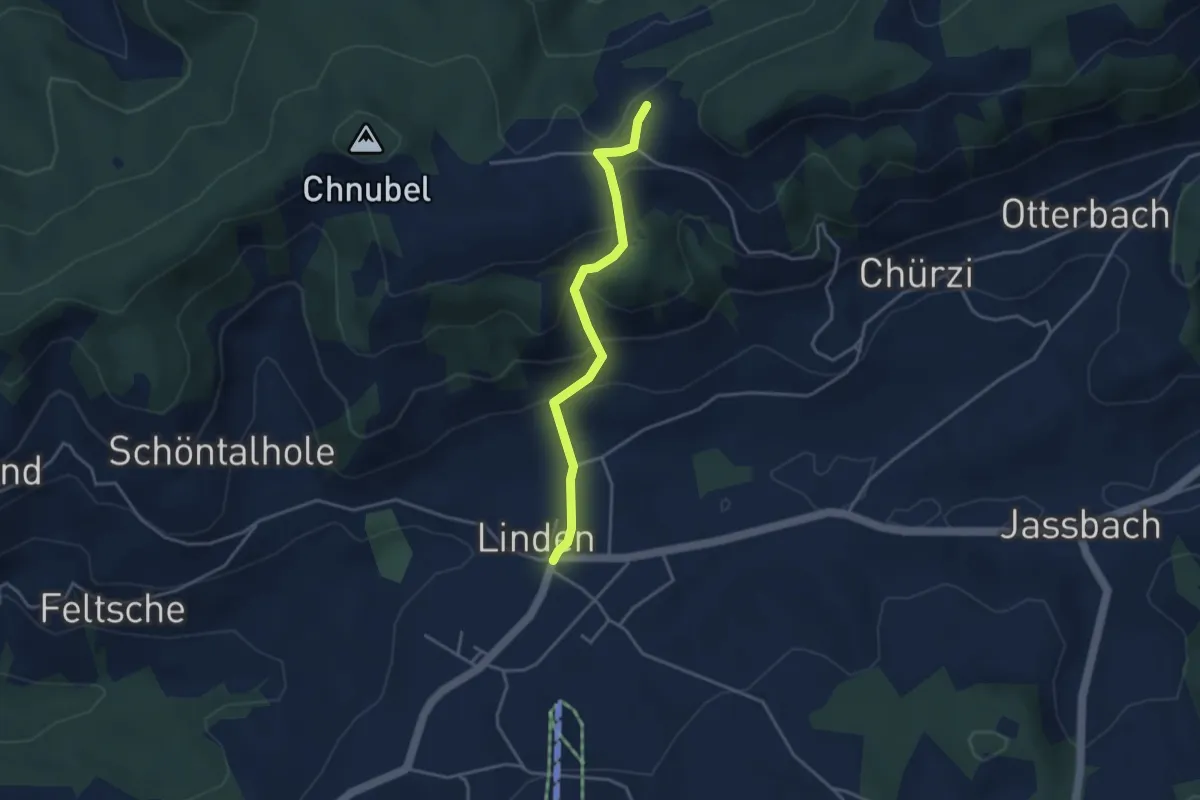
Easy · Trail
Äbersold – Linden
3.5 km · ↑ 188 m · 1 h 14 min · 14 km away
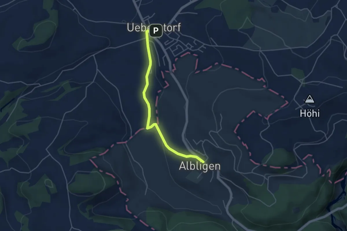
Easy · Trail
Ueberstorf - Albligen
4.1 km · ↑ 81 m · 1 h 9 min · 14 km away
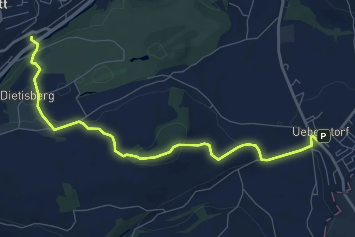
Easy · Trail
Wünnewil SBB - Ueberstorf
7.1 km · ↑ 225 m · 2 h 9 min · 14 km away
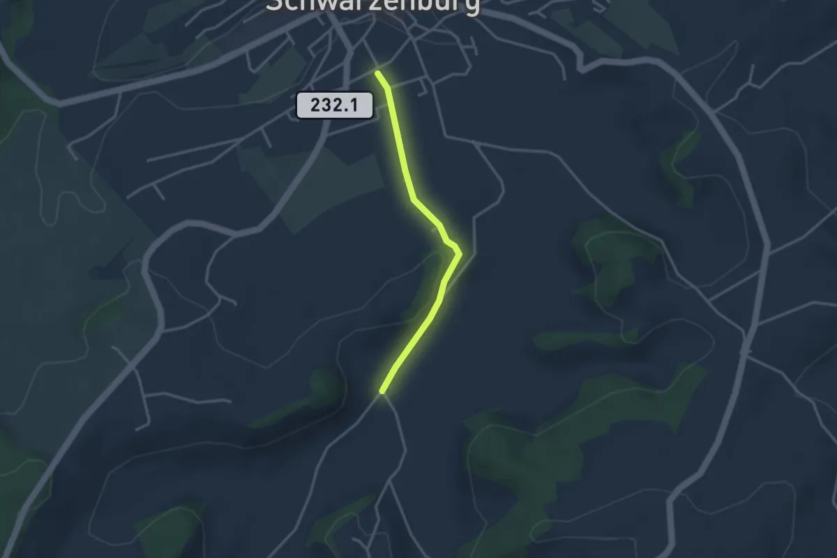
Easy · Trail
Schwarzenburg/Schloss – Schönenboden
2.7 km · ↑ 23 m · 41 min · 15 km away