Trails near Belp
495 hikes starting within 15 km, nearest first.
Nearest first, page 9 of 11
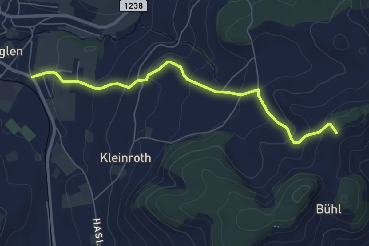
Easy · Trail
Chrutberg – Biglen
5.2 km · ↑ 200 m · 1 h 40 min · 13 km away
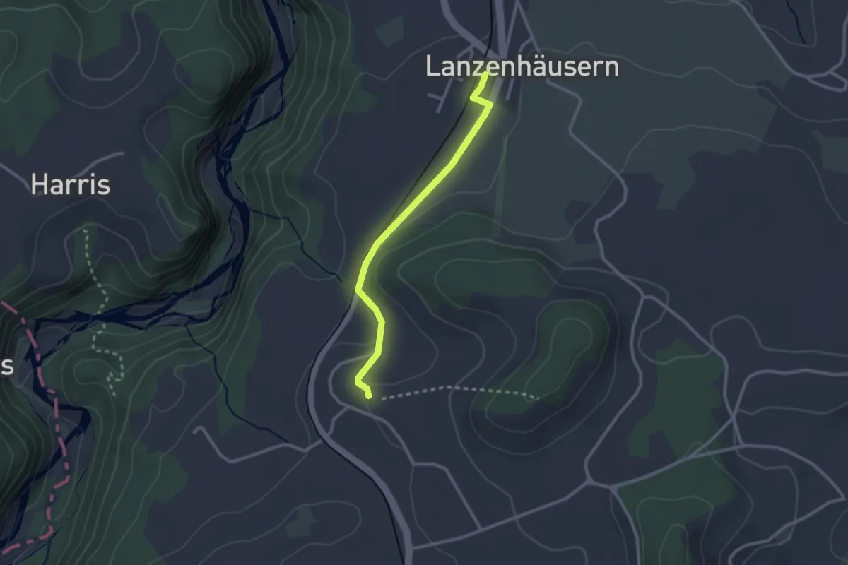
Easy · Trail
Steinhus - Lanzenhäusern
2.4 km · ↑ 30 m · 38 min · 13 km away
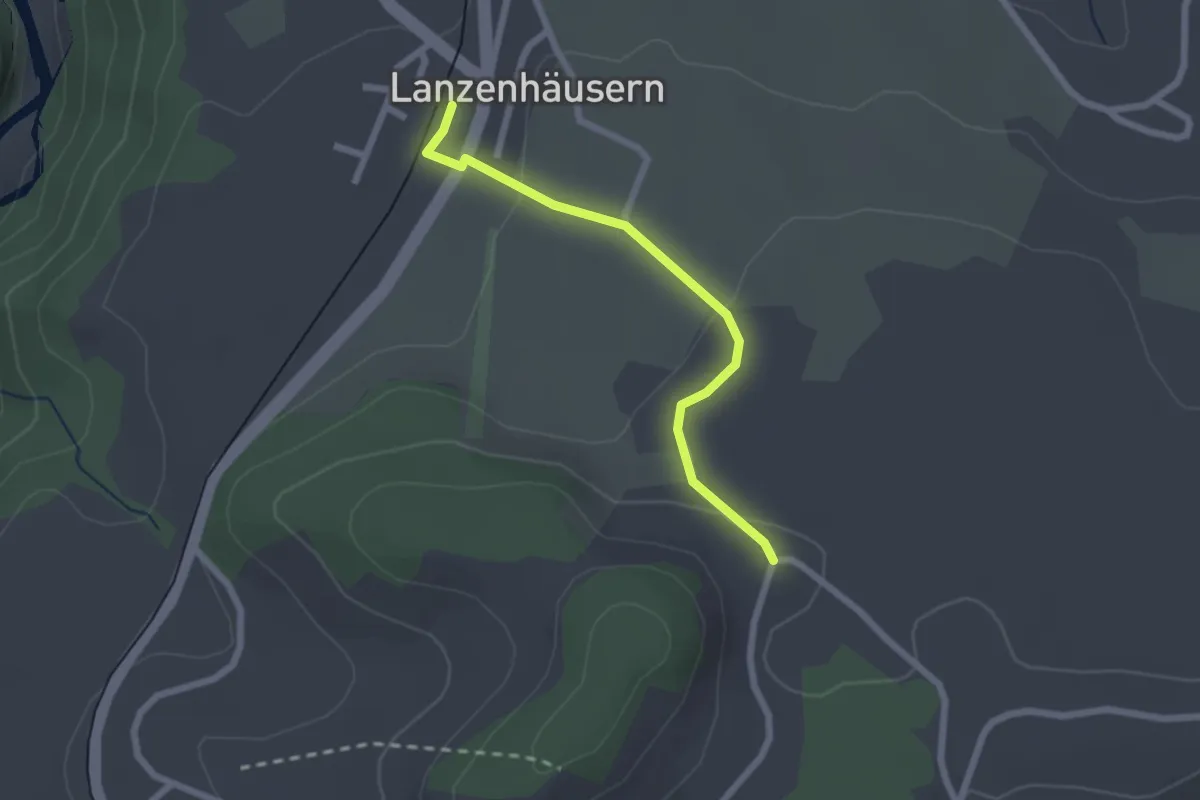
Easy · Trail
Lanzenhäusern - Obereichi
2.1 km · ↑ 58 m · 37 min · 13 km away
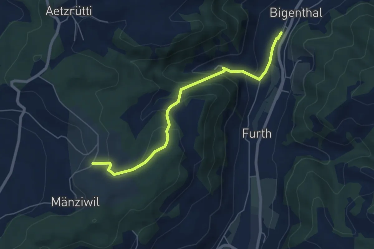
Easy · Trail
Mänziwilegg – Bigenthal
5.1 km · ↑ 272 m · 1 h 47 min · 13 km away
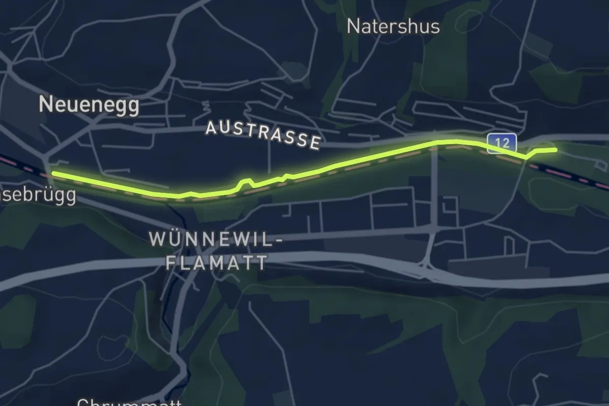
Easy · Trail
Sensebrücke – Steinige Brücke
4.7 km · ↑ 26 m · 1 h 11 min · 13 km away
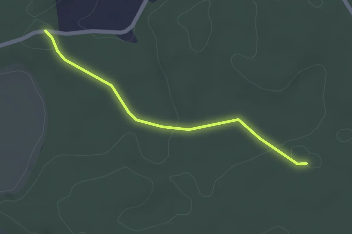
Easy · Trail
Fuessacher - Bruucheren
3.0 km · ↑ 40 m · 48 min · 13 km away
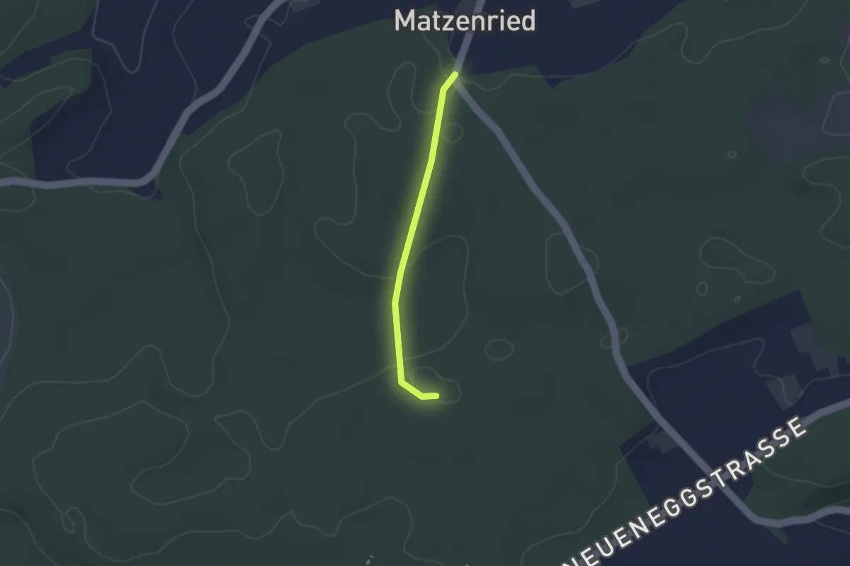
Easy · Trail
Holzeggen - Bruucheren
2.1 km · ↑ 39 m · 35 min · 13 km away
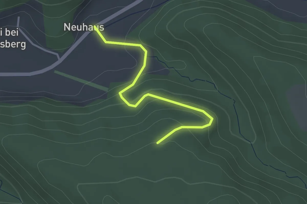
Easy · Trail
Schönenbodenwald - Neuhus
2.9 km · ↑ 179 m · 1 h 4 min · 13 km away
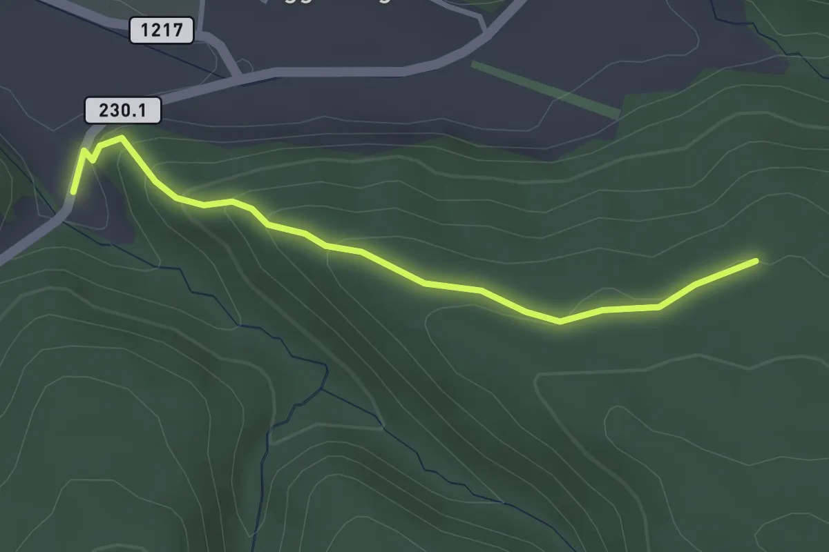
Easy · Trail
Dürrbach - Schönenbodenwald
2.9 km · ↑ 169 m · 1 h 3 min · 13 km away
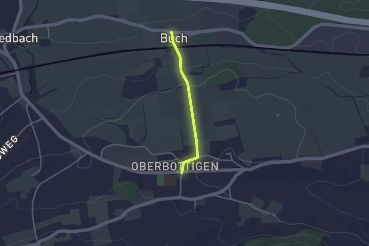
Easy · Trail
Buech - Oberbottigen
2.0 km · ↑ 43 m · 34 min · 13 km away
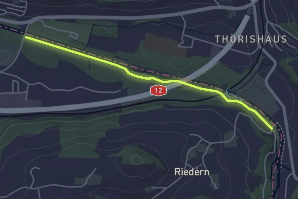
Easy · Trail
Riederenbrücke – Ober Flamatt
3.9 km · ↑ 45 m · 1 h 1 min · 13 km away
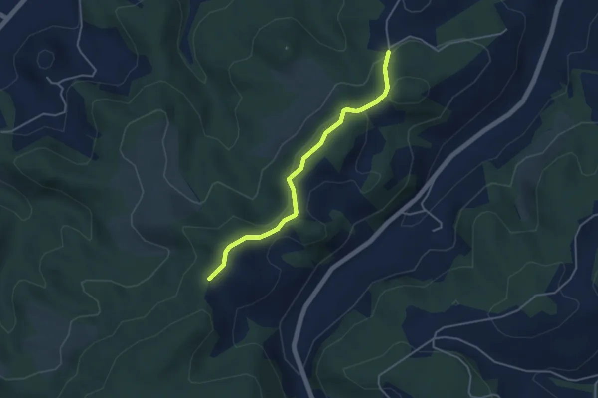
Easy · Trail
Buechwald – Mueleren
3.3 km · ↑ 139 m · 1 h 5 min · 13 km away
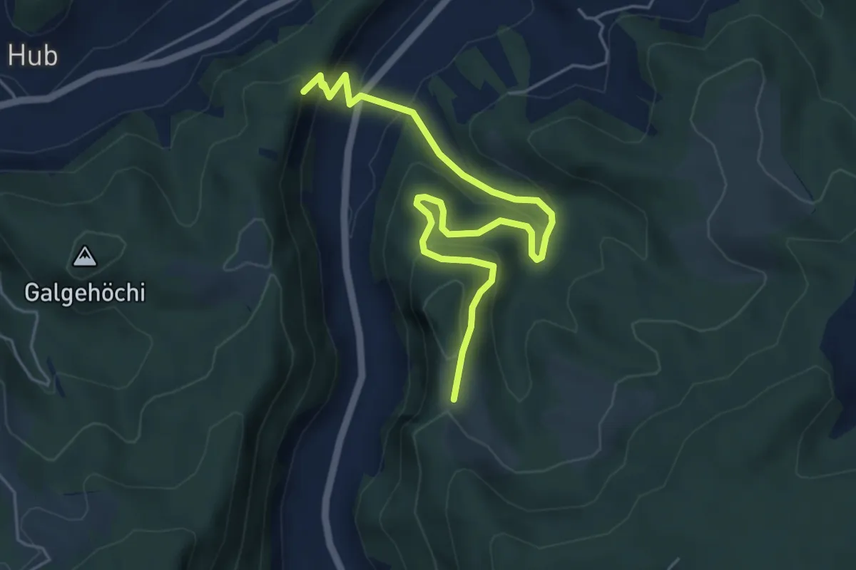
Medium · Trail
Fluehüsli – Vordere Geisme
5.6 km · ↑ 361 m · 2 h 6 min · 13 km away
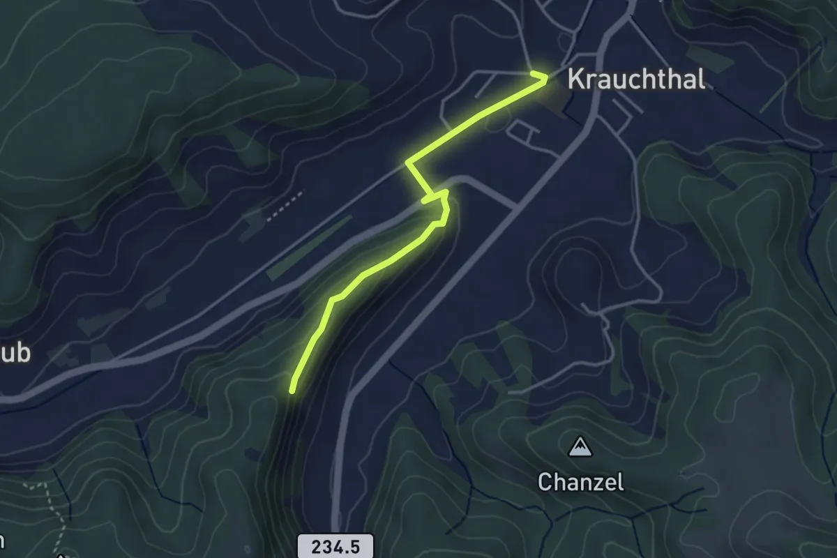
Easy · Trail
Sandhole – Fluehüsli
3.2 km · ↑ 113 m · 1 h · 13 km away
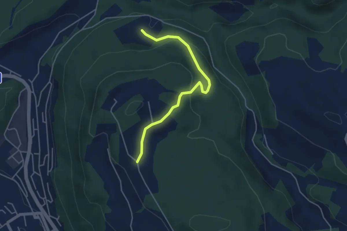
Easy · Trail
Oberi Riedere – Spittelsheimberg
3.6 km · ↑ 136 m · 1 h 8 min · 13 km away
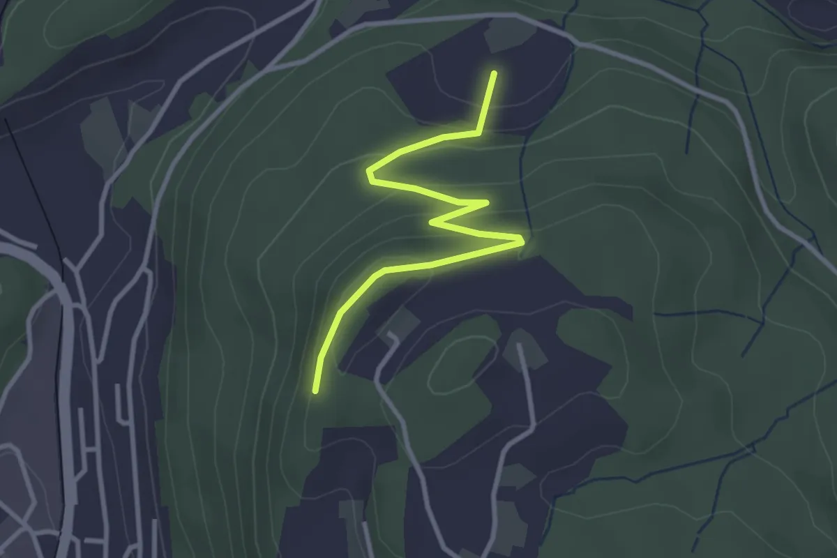
Easy · Trail
Heimbergflue – Spittelsheimberg
3.0 km · ↑ 143 m · 1 h 2 min · 13 km away
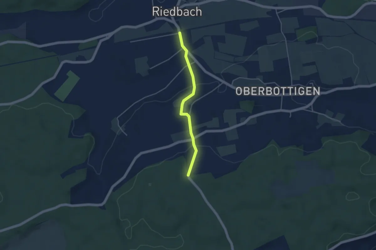
Easy · Trail
Riedbach/Station - Holzeggen
3.3 km · ↑ 93 m · 59 min · 13 km away
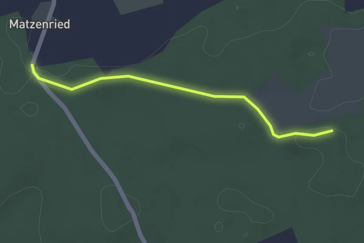
Easy · Trail
Holzeggen - Ried
2.6 km · ↑ 19 m · 39 min · 13 km away
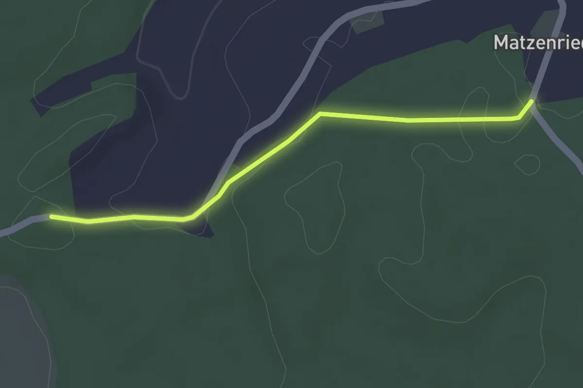
Easy · Trail
Holzeggen - Fuessacher
2.8 km · ↑ 63 m · 48 min · 13 km away
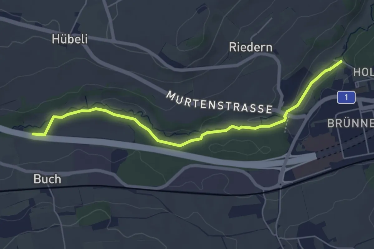
Easy · Trail
Gäbelbachbrücke - Autobahnviadukt
4.9 km · ↑ 37 m · 1 h 15 min · 13 km away
Easy · Trail
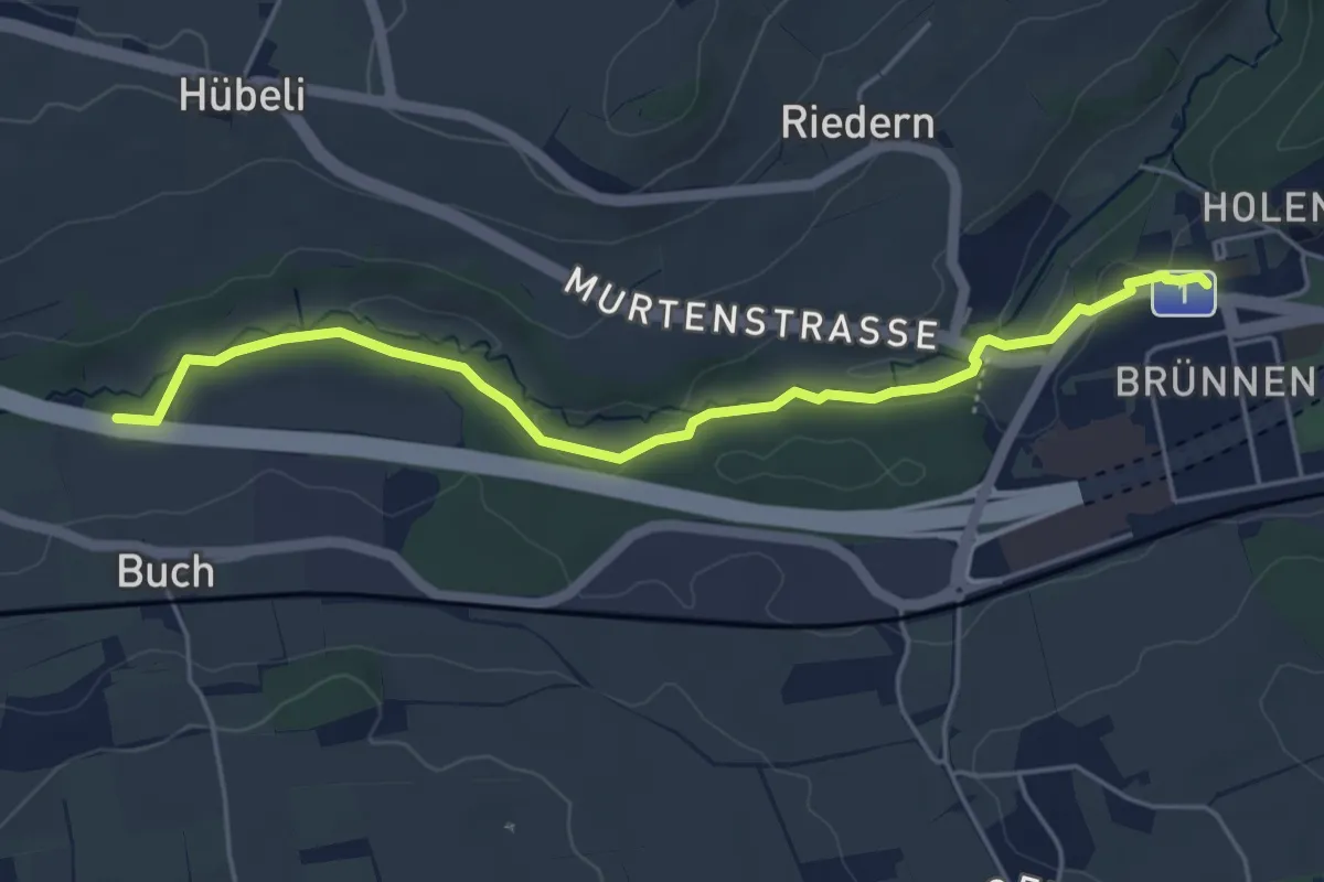
Gäbelbach – Autobahnviadukt
5.0 km · ↑ 49 m · 1 h 17 min · 13 km away
Easy · Trail
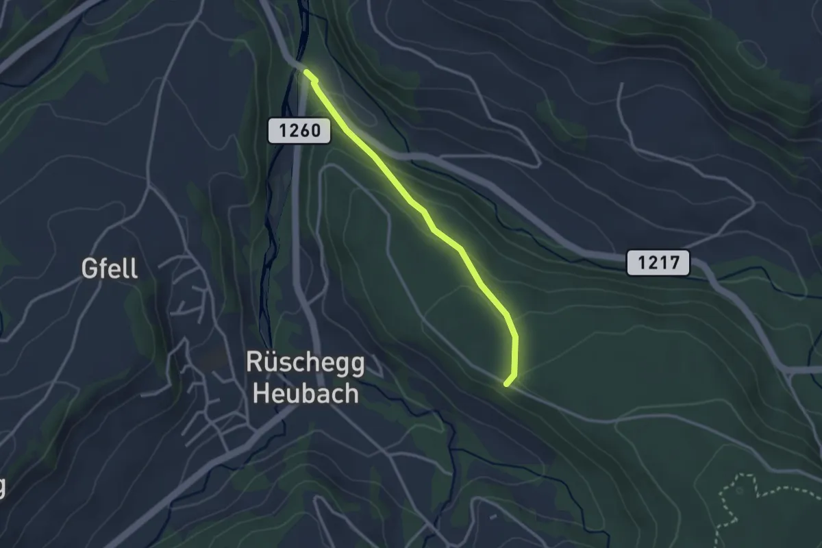
Rüschegg / Rütiplötsch - Längeneiwald
2.5 km · ↑ 125 m · 51 min · 13 km away
Easy · Trail
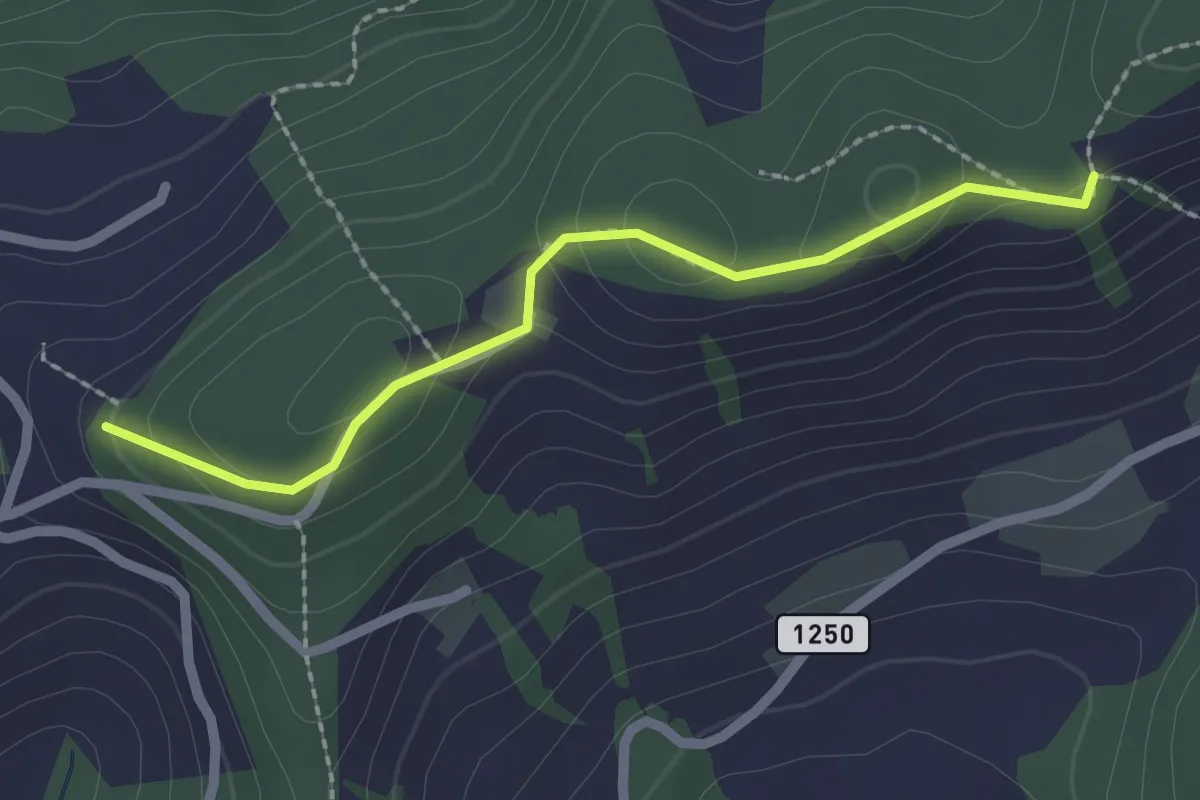
Falkeflue – Sattelwald
2.1 km · ↑ 61 m · 38 min · 13 km away
Easy · Trail
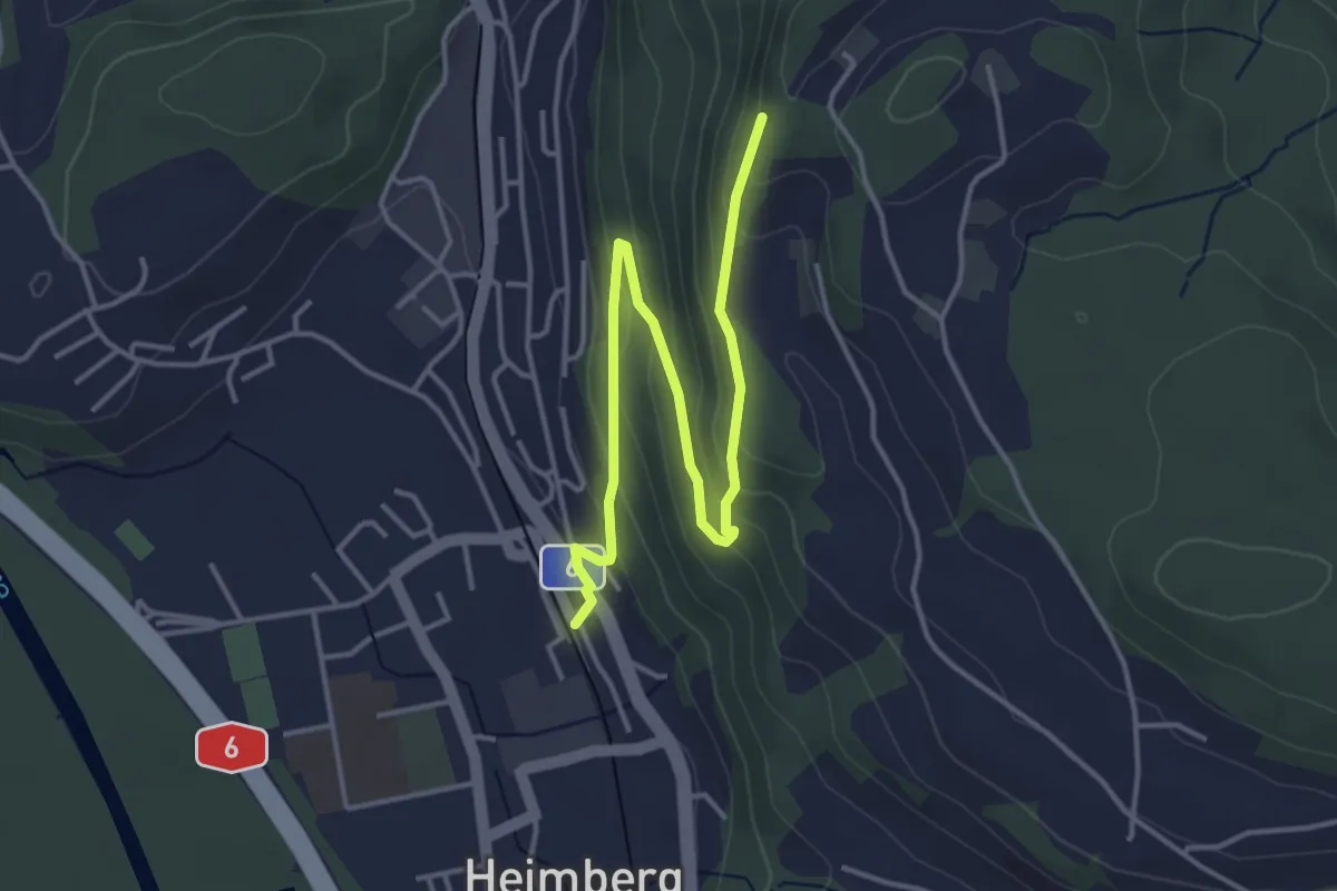
Heimberg – Heimbergflue
4.5 km · ↑ 224 m · 1 h 33 min · 13 km away
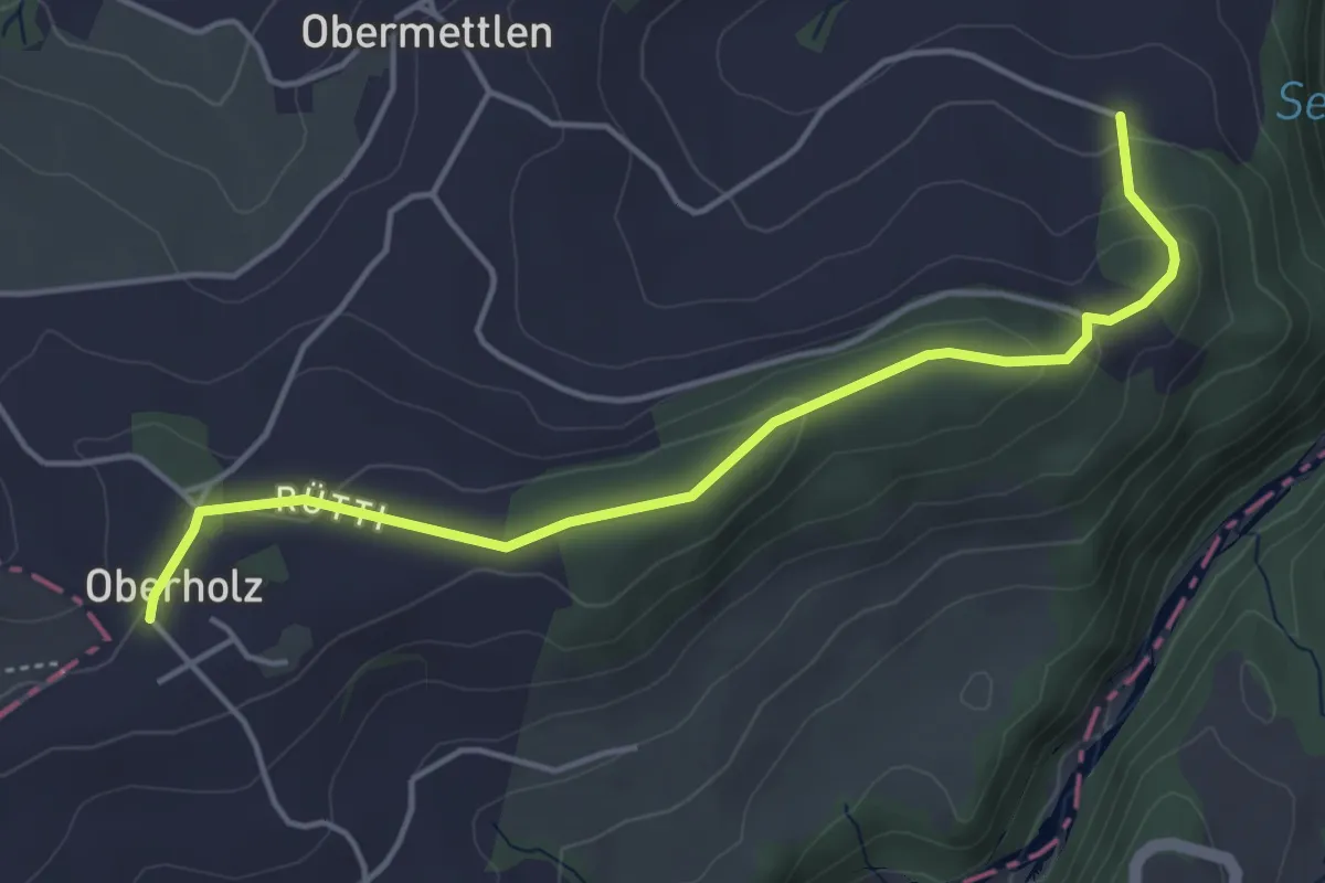
Easy · Trail
Burlingen - Summerauhöchi
4.6 km · ↑ 160 m · 1 h 26 min · 13 km away
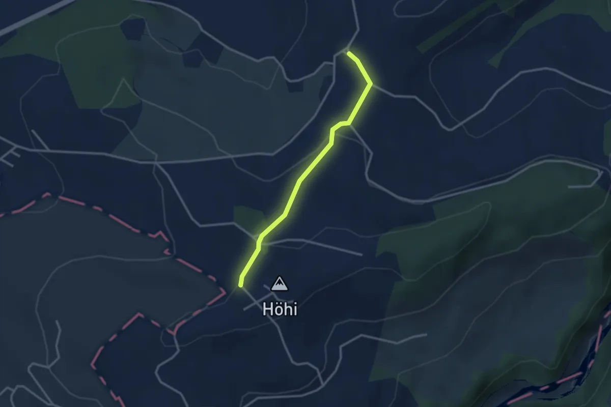
Easy · Trail
Sommerauhöchi – Obermettlen
2.5 km · ↑ 63 m · 44 min · 13 km away
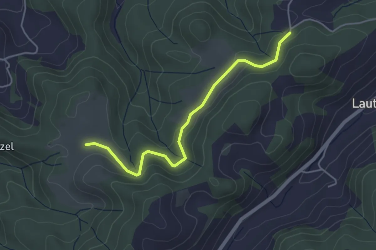
Easy · Trail
Buechwald – Schwändi
3.8 km · ↑ 169 m · 1 h 16 min · 13 km away
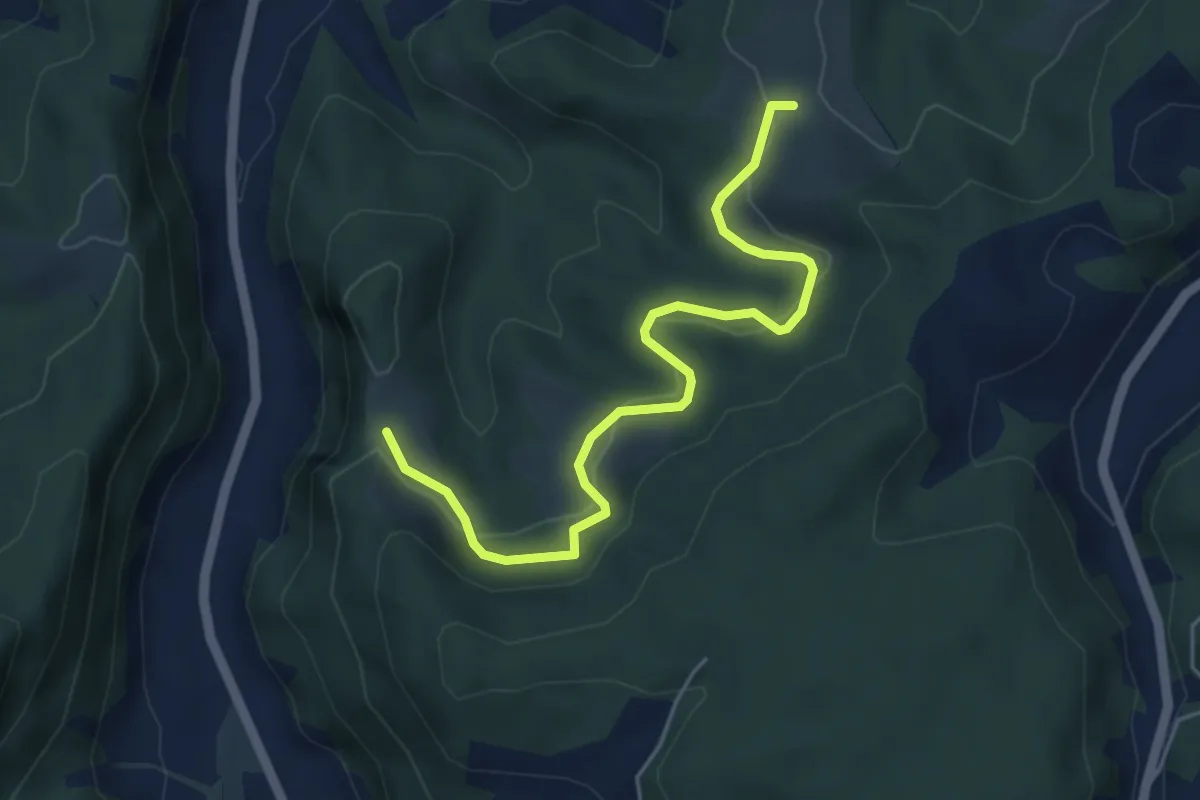
Easy · Trail
Schwändi – Vordere Geisme
5.0 km · ↑ 203 m · 1 h 38 min · 13 km away
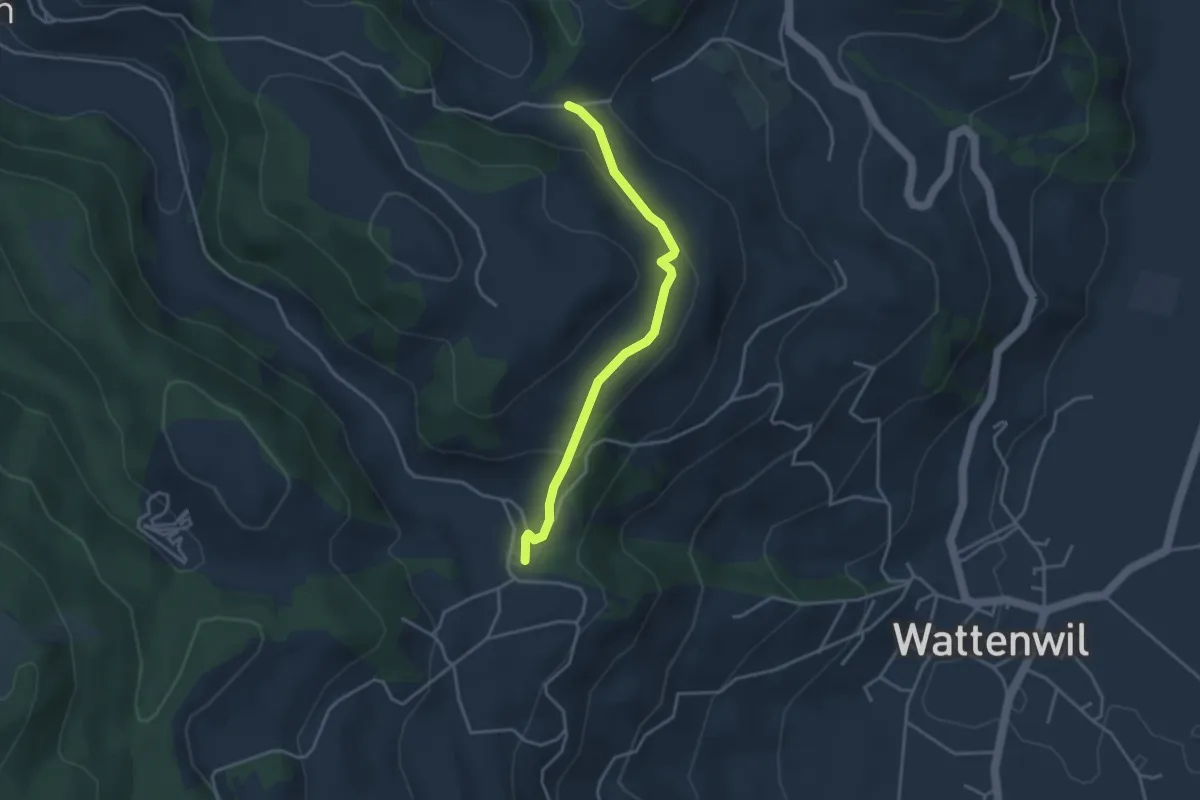
Easy · Trail
Grundbach/Käserei – Fluhweid
3.4 km · ↑ 139 m · 1 h 7 min · 13 km away
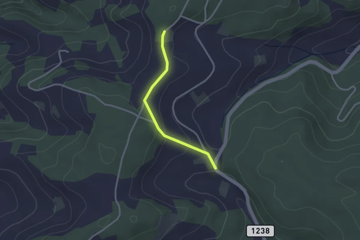
Easy · Trail
Hammegg – Tanne
2.1 km · ↑ 63 m · 38 min · 13 km away
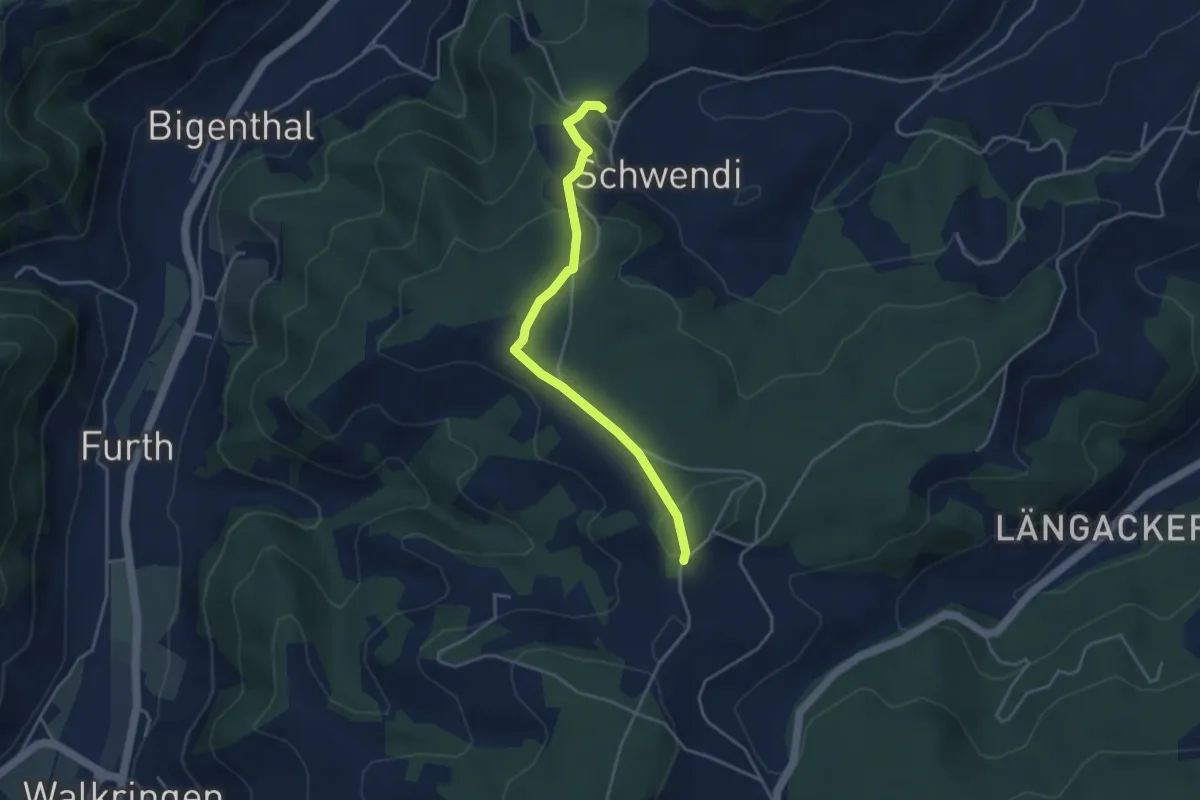
Easy · Trail
Hammwegg – Vorder Schwändi
3.8 km · ↑ 123 m · 1 h 10 min · 13 km away
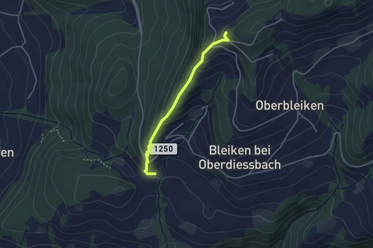
Easy · Trail
Niederbleiken – Falkeflue
2.7 km · ↑ 239 m · 1 h 9 min · 13 km away
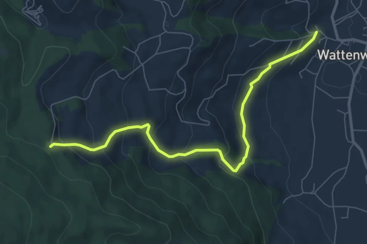
Medium · Trail
Wattenwil Kirche – Stafelalp
6.5 km · ↑ 406 m · 2 h 25 min · 13 km away
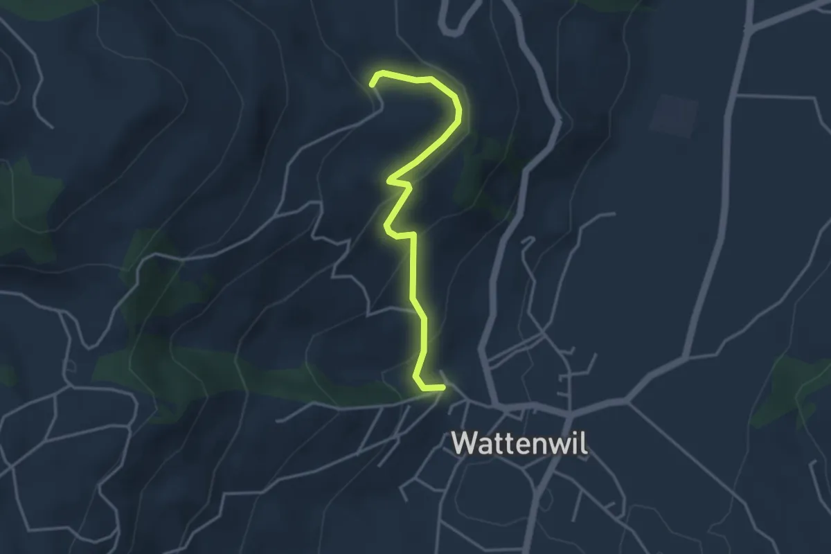
Easy · Trail
Wattenwil Kirche – Lörtscherei
3.1 km · ↑ 187 m · 1 h 9 min · 13 km away
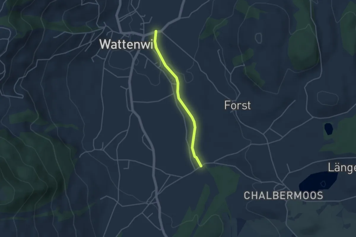
Easy · Trail
Wattenwil - Längmoos
3.1 km · ↑ 26 m · 48 min · 13 km away
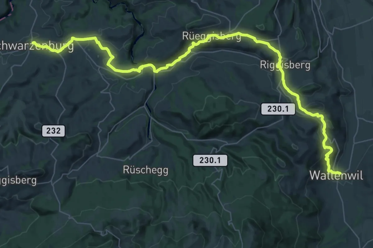
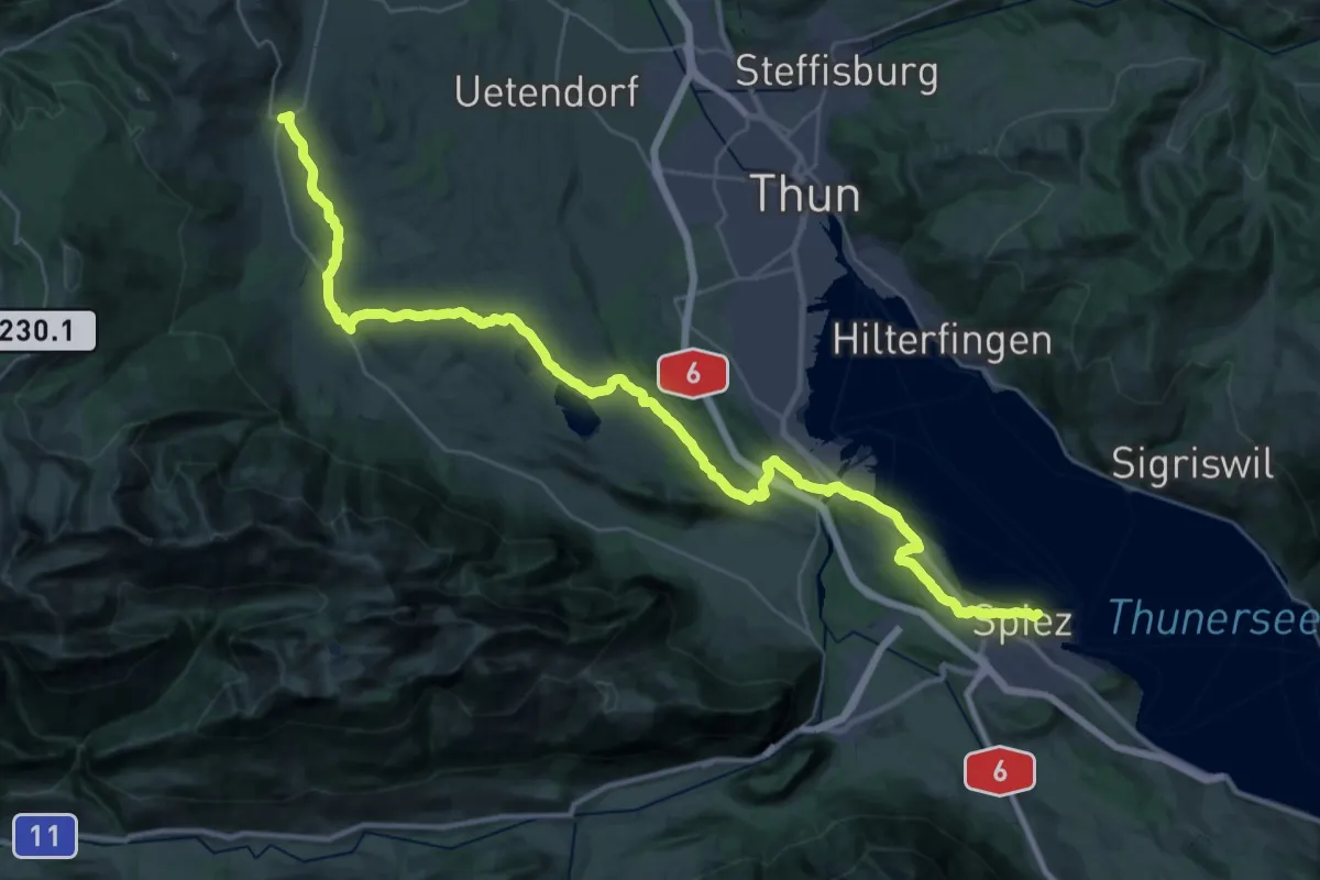
Demanding · Trail
ViaJacobi
20.9 km · ↑ 641 m · 6 h 31 min · 13 km away
Demanding · Summit
ViaJacobi
42.5 km · ↑ 648 m · 11 h 26 min · 13 km away
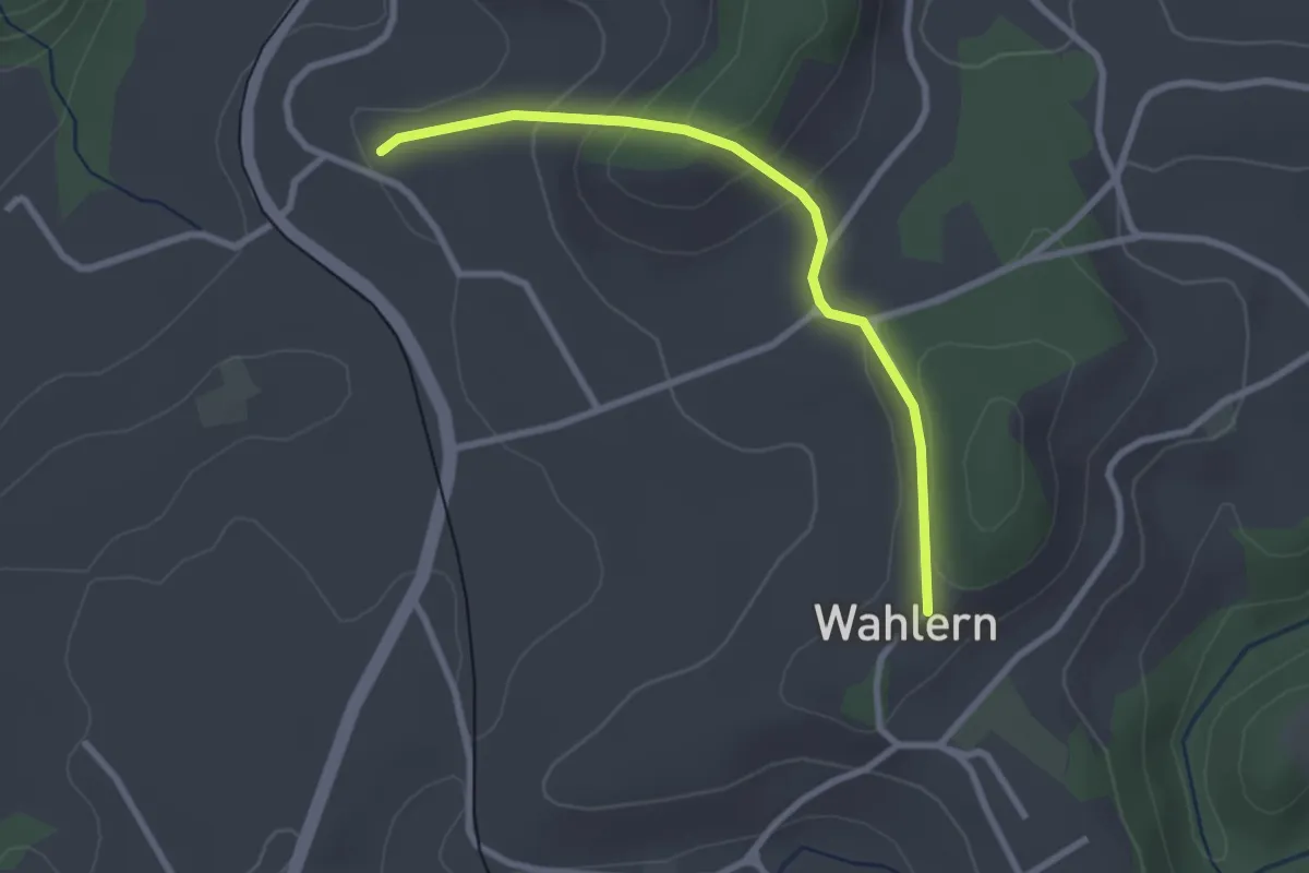
Easy · Trail
Steinhaus – Wahlern
2.6 km · ↑ 138 m · 55 min · 13 km away
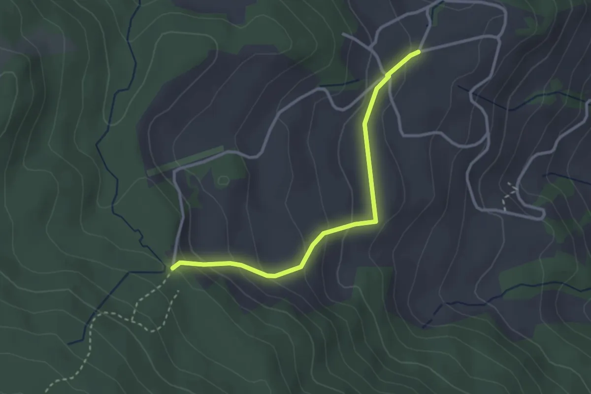
Easy · Trail
Stafelalp – Grundbach
2.9 km · ↑ 160 m · 1 h 1 min · 13 km away
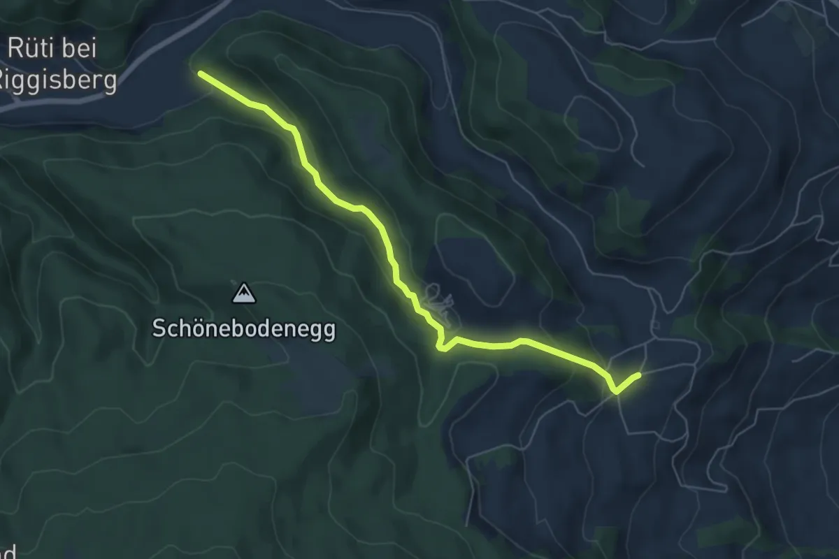
Easy · Trail
Grundbach – Geisshaus
6.0 km · ↑ 211 m · 1 h 52 min · 13 km away
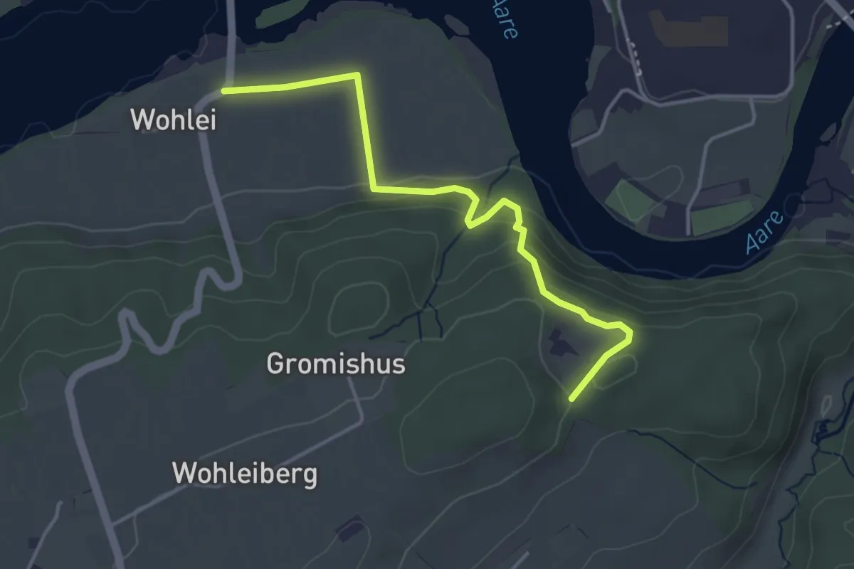
Easy · Trail
Stürleren – Wohlei
3.8 km · ↑ 176 m · 1 h 17 min · 13 km away
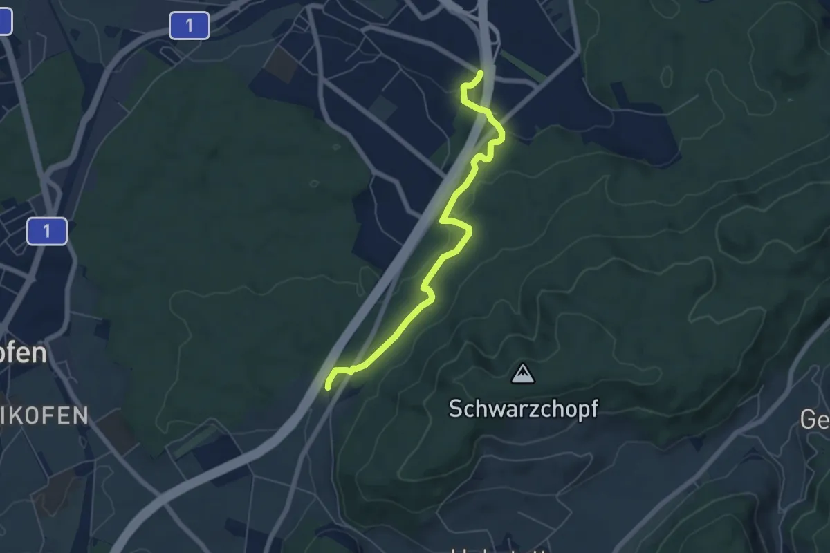
Easy · Trail
Grauholzdenkmal – Forsthus
5.6 km · ↑ 122 m · 1 h 36 min · 13 km away
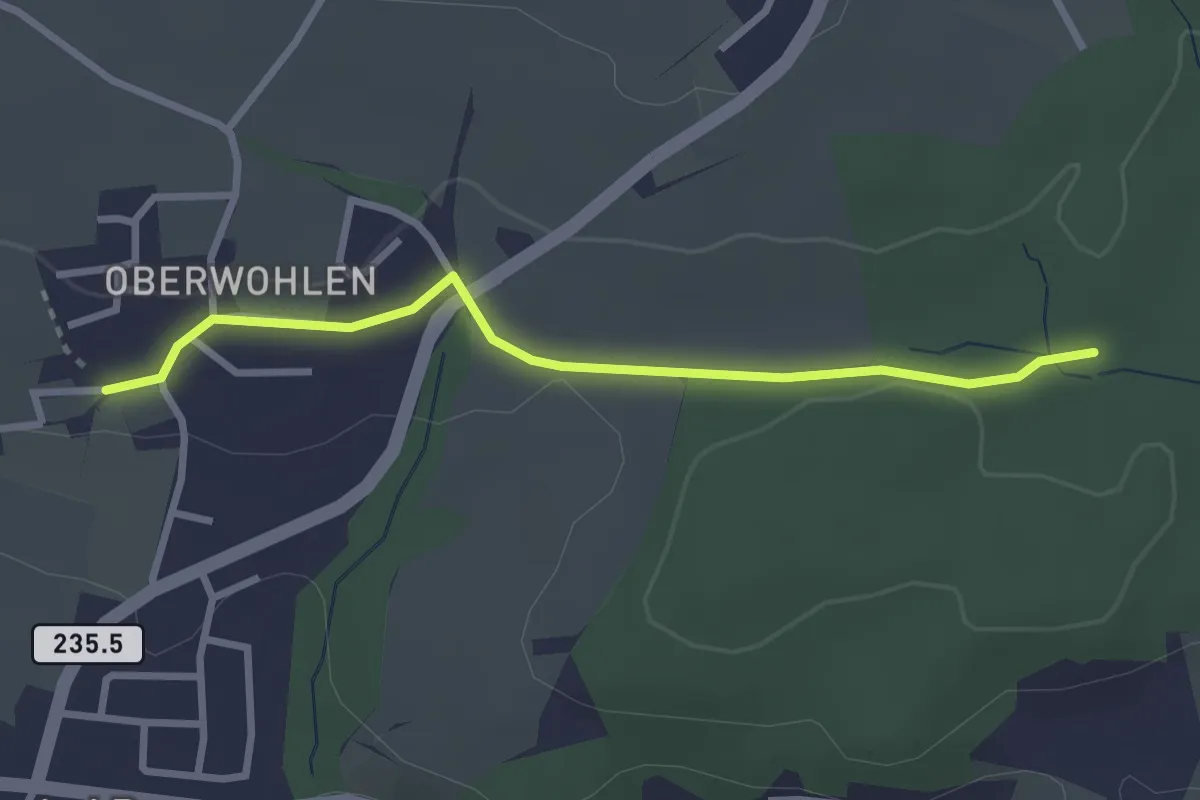
Easy · Trail
Buechholz – Oberwohlen
2.7 km · ↑ 45 m · 45 min · 13 km away
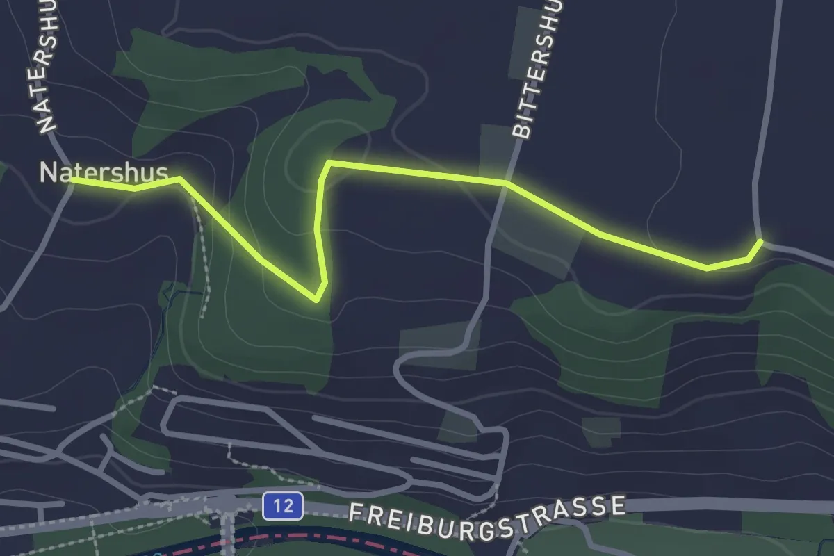
Easy · Trail
Natershus - Ufem Shoren
2.7 km · ↑ 58 m · 46 min · 14 km away
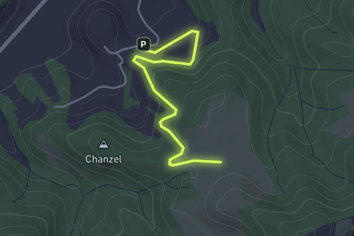
Easy · Trail
Thorberg - Schwändi
3.2 km · ↑ 218 m · 1 h 14 min · 14 km away
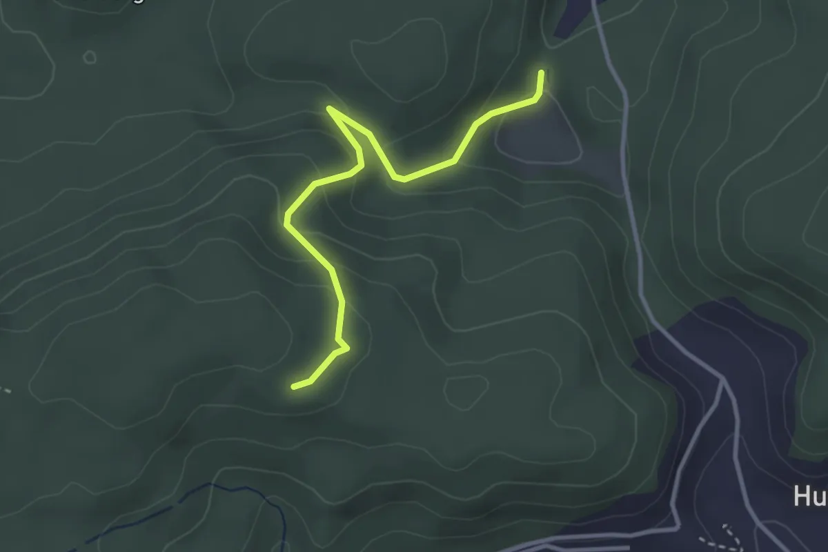
Easy · Trail
Wannetal – Mattstettenberg
3.0 km · ↑ 175 m · 1 h 6 min · 14 km away
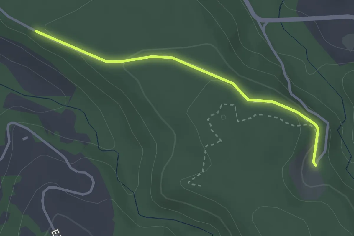
Easy · Trail
Längeneiwald - Längeneibad
2.7 km · ↑ 91 m · 50 min · 14 km away
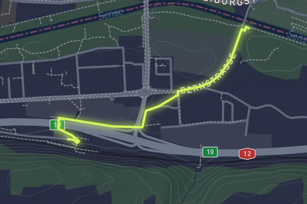
Easy · Trail
Ober Flamatt – Flamatt / Station
2.5 km · ↑ 21 m · 38 min · 14 km away