Trails near Belp
495 hikes starting within 15 km, nearest first.
Nearest first, page 8 of 11
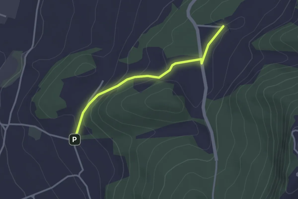
Easy · Trail
Wydibühl – Unterhus
2.5 km · ↑ 101 m · 49 min · 12 km away
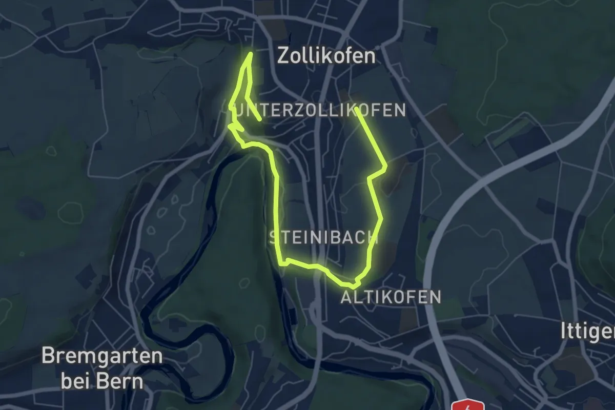
Medium · Trail
Landschaftsweg Zollikofen
8.5 km · ↑ 142 m · 2 h 19 min · 12 km away
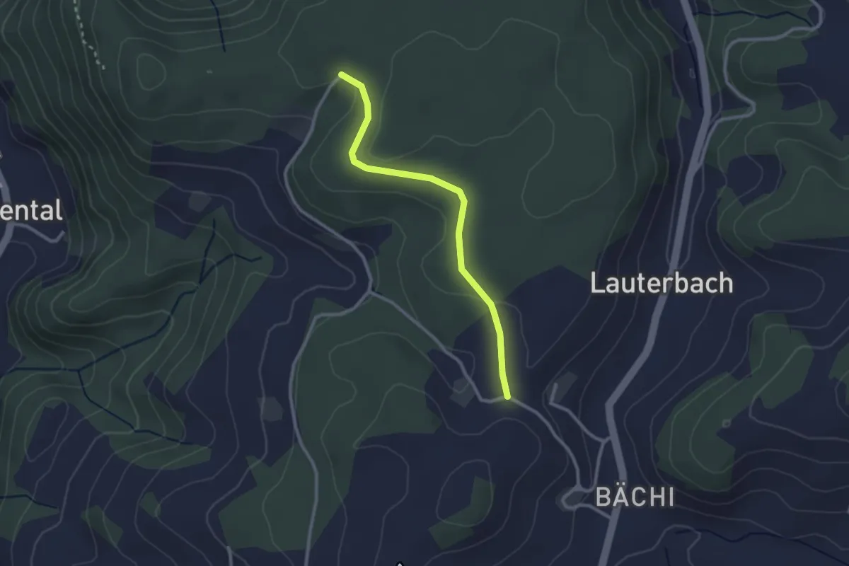
Easy · Trail
Aebnit/Klosterweg – Rötelismatt
2.5 km · ↑ 32 m · 40 min · 12 km away
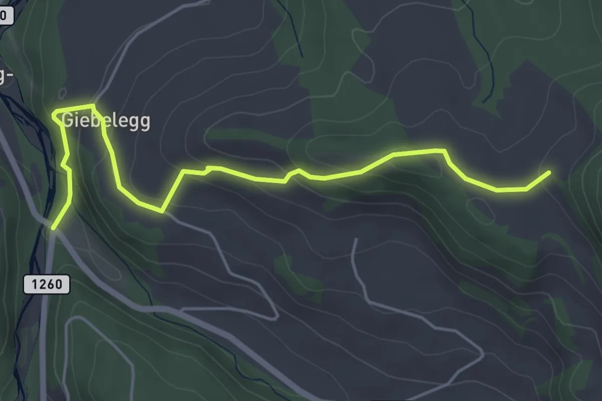
Easy · Trail
Feli - Rüschegg / Rütiplötsch
5.0 km · ↑ 212 m · 1 h 38 min · 12 km away
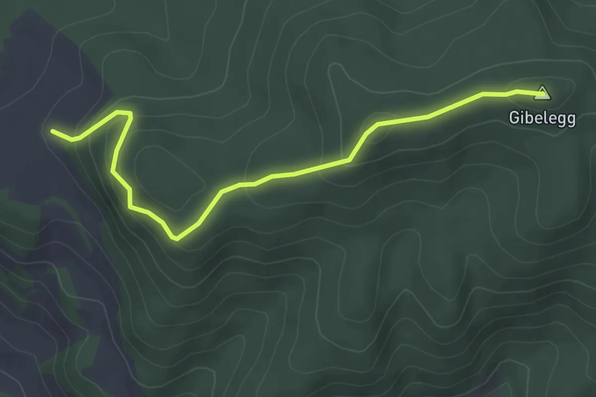
Easy · Summit
Feli - Gibelegg
4.0 km · ↑ 206 m · 1 h 24 min · 12 km away
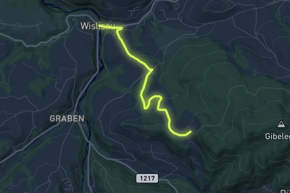
Easy · Trail
Wislisau - Feli
7.0 km · ↑ 263 m · 2 h 13 min · 12 km away
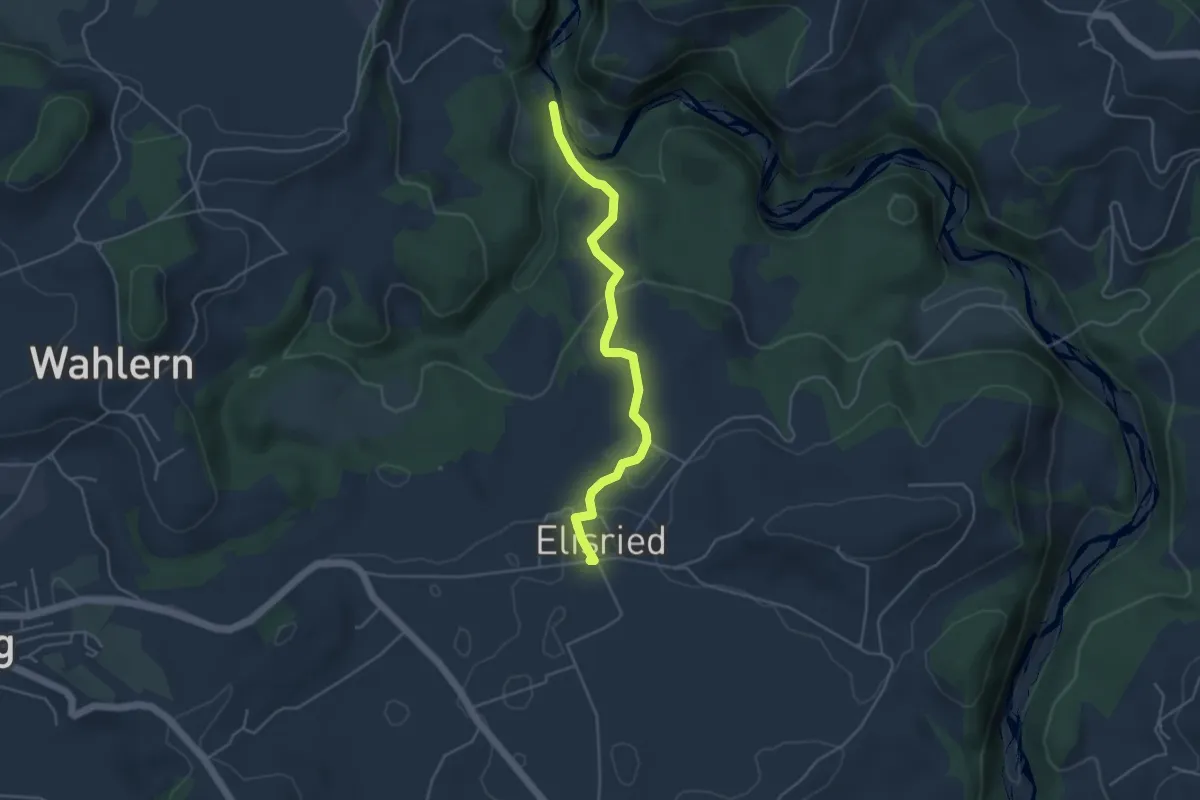
Easy · Trail
Burgbachstäg – Elisried
4.3 km · ↑ 154 m · 1 h 20 min · 12 km away
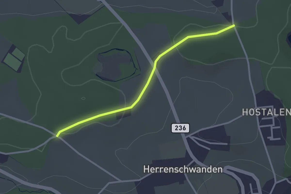
Easy · Trail
Burrishus – Lörwald
2.4 km · ↑ 34 m · 39 min · 12 km away
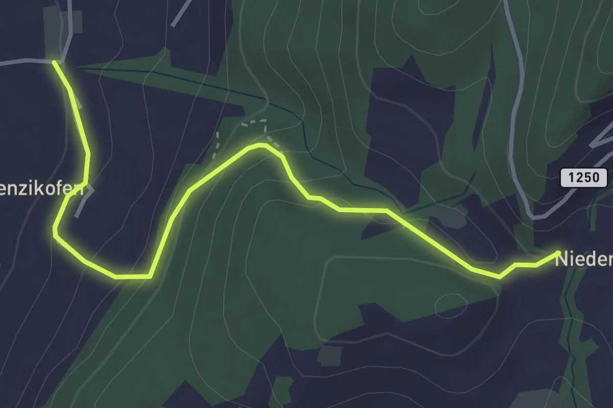
Easy · Trail
Brenzikofen – Niederbleiken
3.8 km · ↑ 209 m · 1 h 21 min · 12 km away
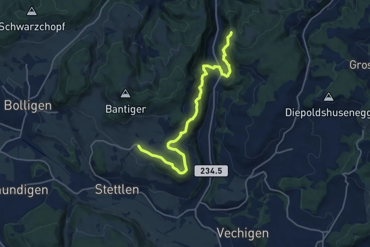
Medium · Trail
Vordere Geisme – Ferenberg
12.7 km · ↑ 592 m · 4 h 17 min · 12 km away
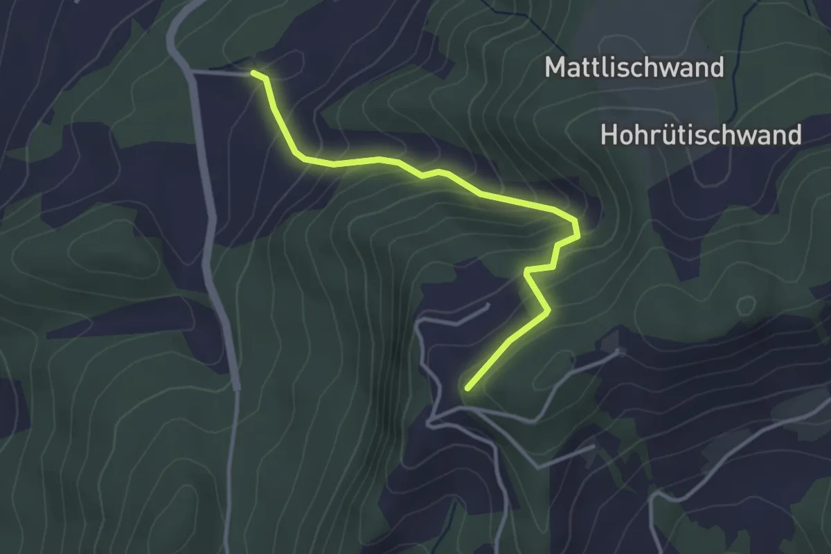
Easy · Trail
Falkeflue – Unterhus
3.2 km · ↑ 291 m · 1 h 23 min · 12 km away
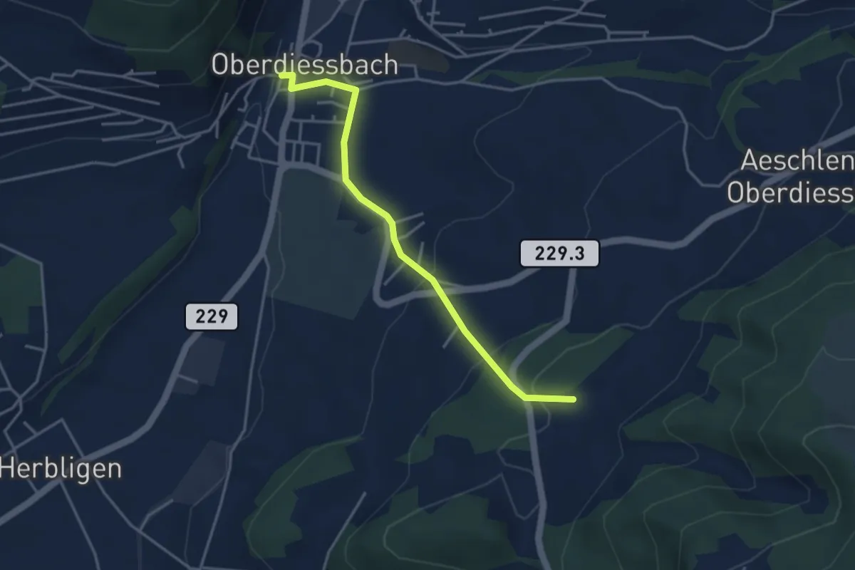
Easy · Trail
Unterhus – Oberdiessbach
3.6 km · ↑ 150 m · 1 h 10 min · 12 km away
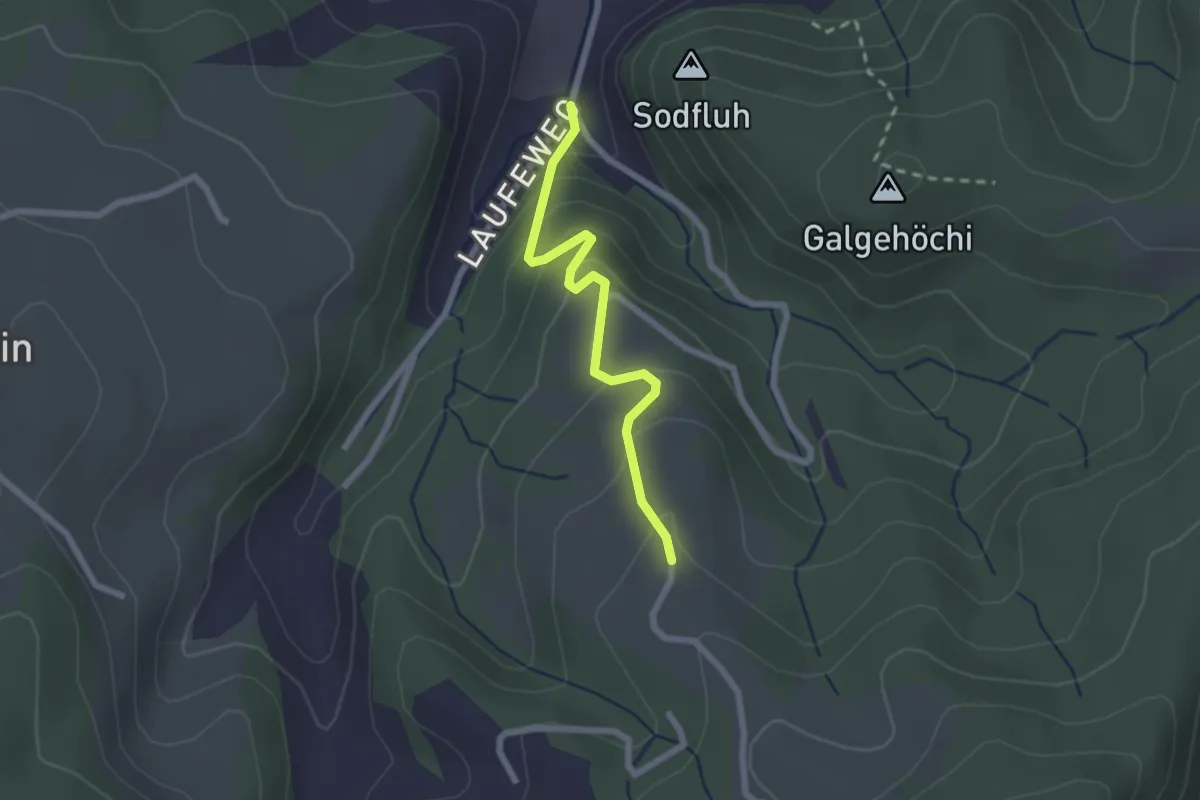
Easy · Trail
Laufe – Vordere Jucke
2.1 km · ↑ 151 m · 49 min · 12 km away
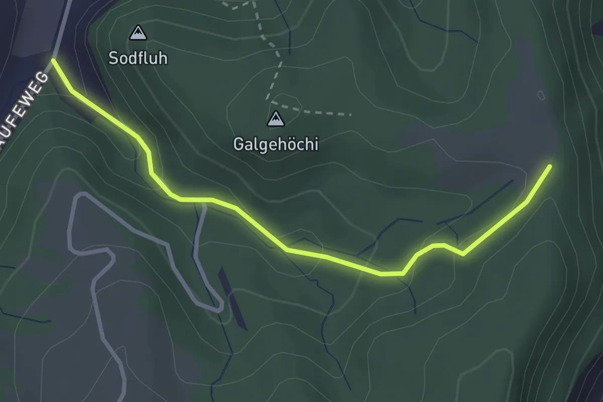
Easy · Trail
Chlosteralp – Laufe
2.7 km · ↑ 148 m · 58 min · 12 km away
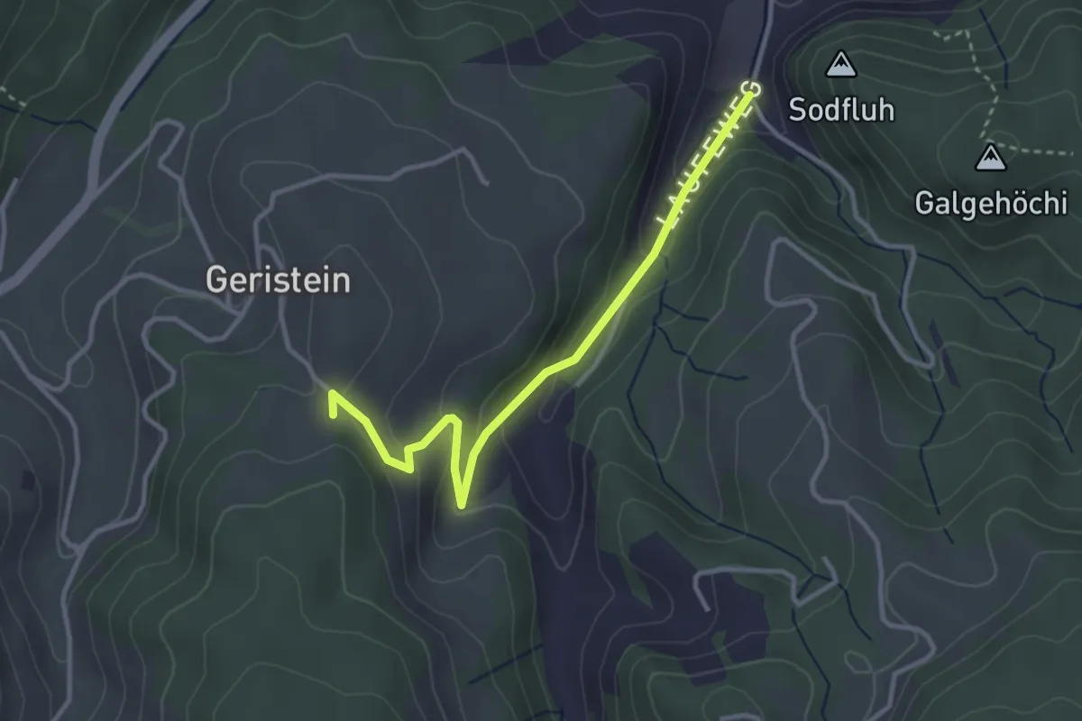
Easy · Trail
Laufe – Geristein
3.2 km · ↑ 163 m · 1 h 7 min · 12 km away
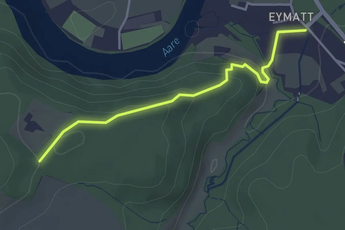
Easy · Trail
Eimatt – Stürleren
2.8 km · ↑ 116 m · 55 min · 12 km away
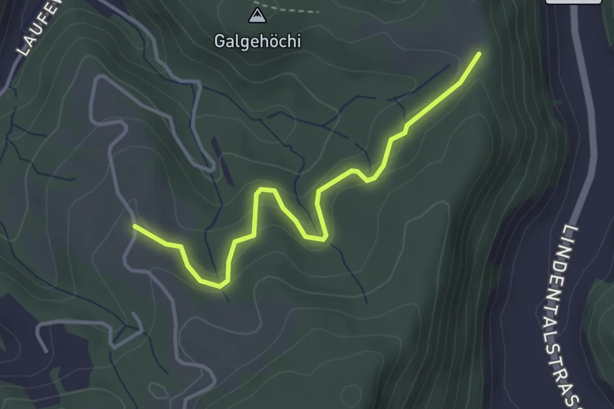
Easy · Trail
Chlosteralp – Vorder Jucke
3.2 km · ↑ 193 m · 1 h 11 min · 12 km away
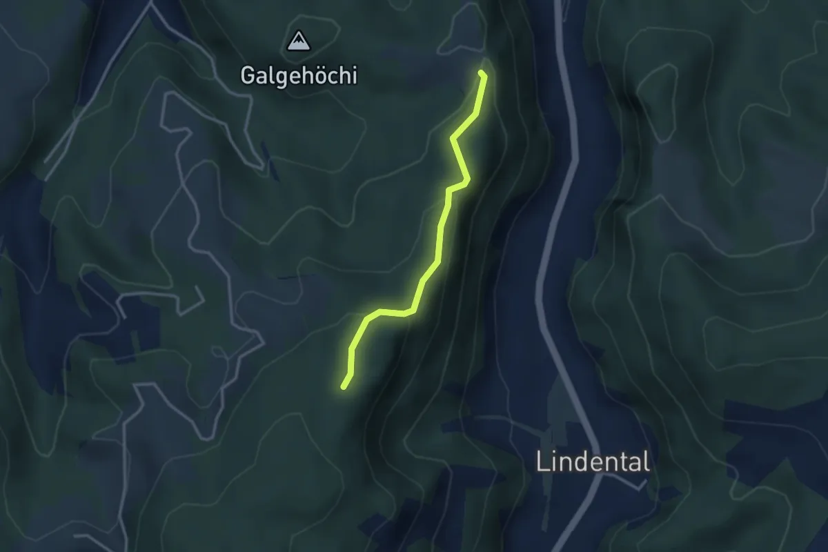
Easy · Trail
Chlosteralp – Mühlestein
2.6 km · ↑ 138 m · 54 min · 12 km away
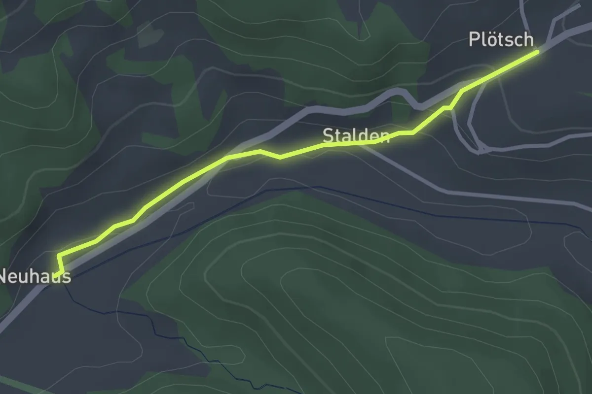
Easy · Trail
Neuhus - Oberplötsch
2.7 km · ↑ 83 m · 49 min · 12 km away
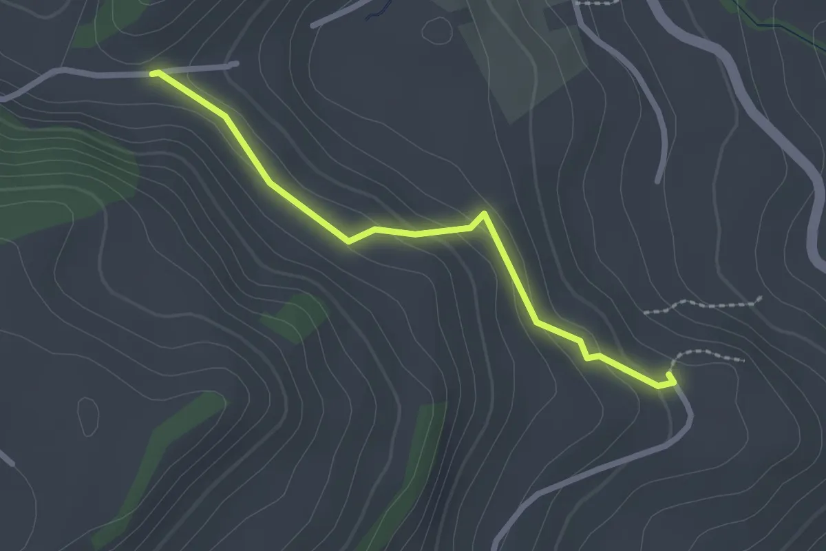
Easy · Trail
Fluhweid – Lörtscherei
2.2 km · ↑ 86 m · 42 min · 12 km away
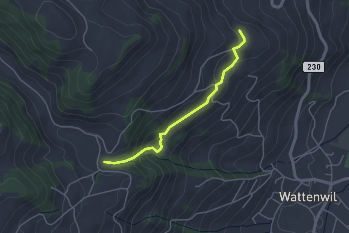
Easy · Trail
Grundbach/Käserei – Lörtscherei
3.2 km · ↑ 158 m · 1 h 6 min · 12 km away
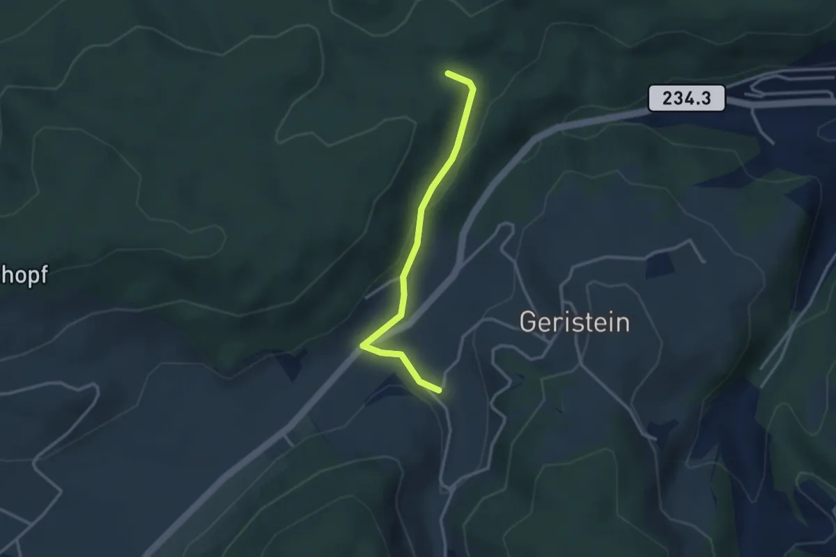
Easy · Trail
Sädelbachhüttli – Lutzere
2.7 km · ↑ 47 m · 44 min · 12 km away
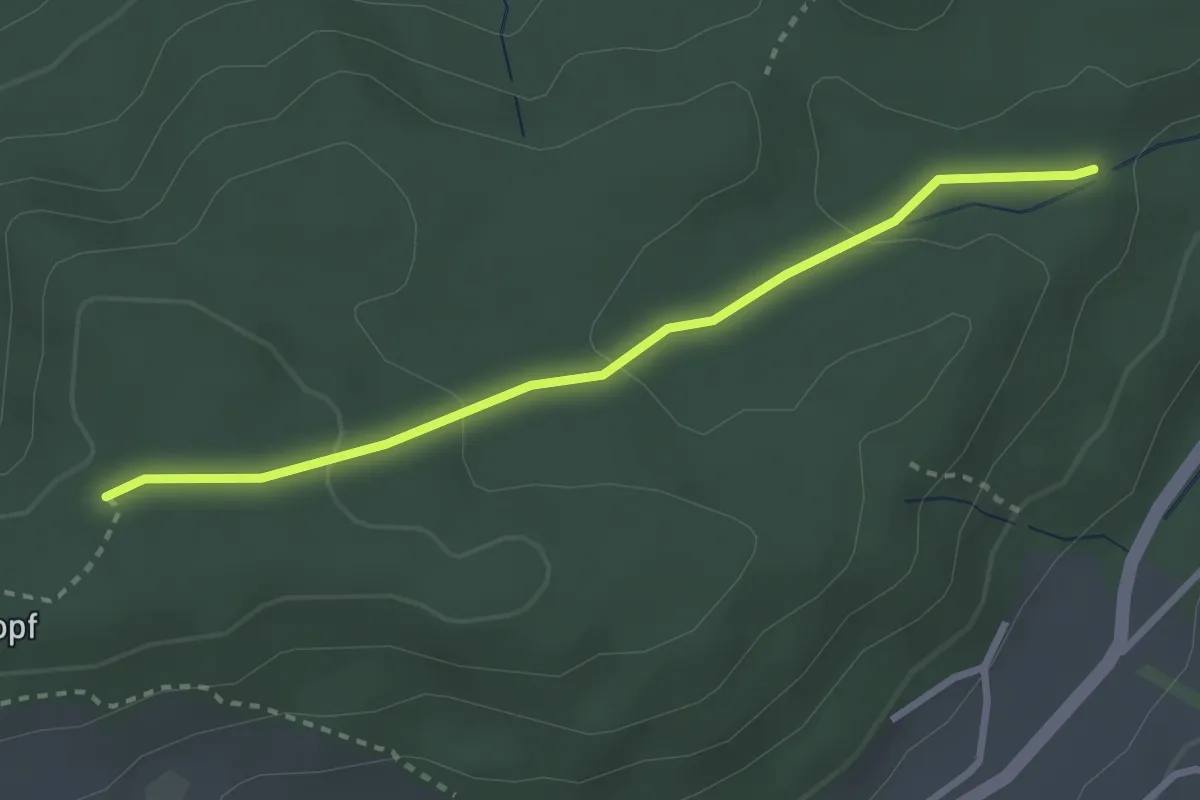
Easy · Trail
Sädelbachhüttli – Bannholz
2.8 km · ↑ 83 m · 50 min · 12 km away
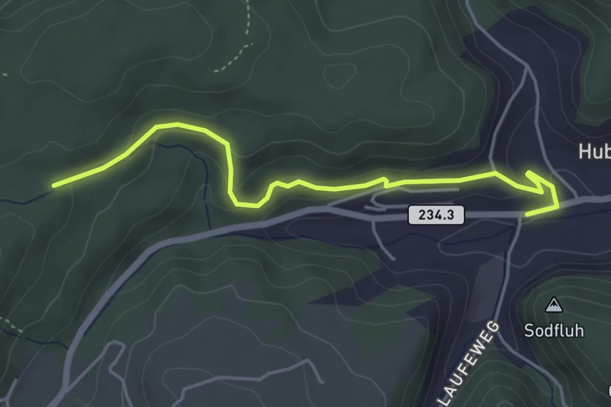
Easy · Trail
Sädelbachhüttli – Hueb
4.2 km · ↑ 167 m · 1 h 22 min · 12 km away
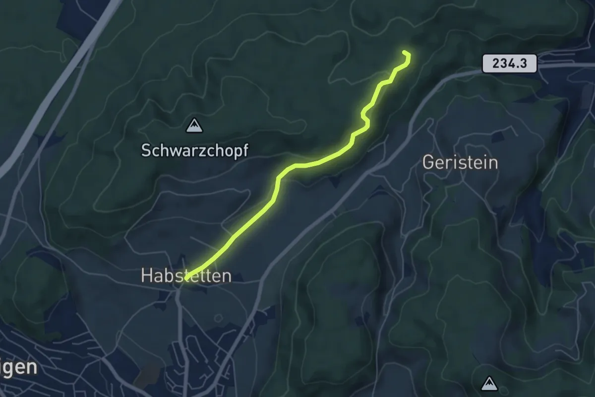
Easy · Trail
Sädelbachhüttli – Habstetten
5.0 km · ↑ 180 m · 1 h 35 min · 12 km away
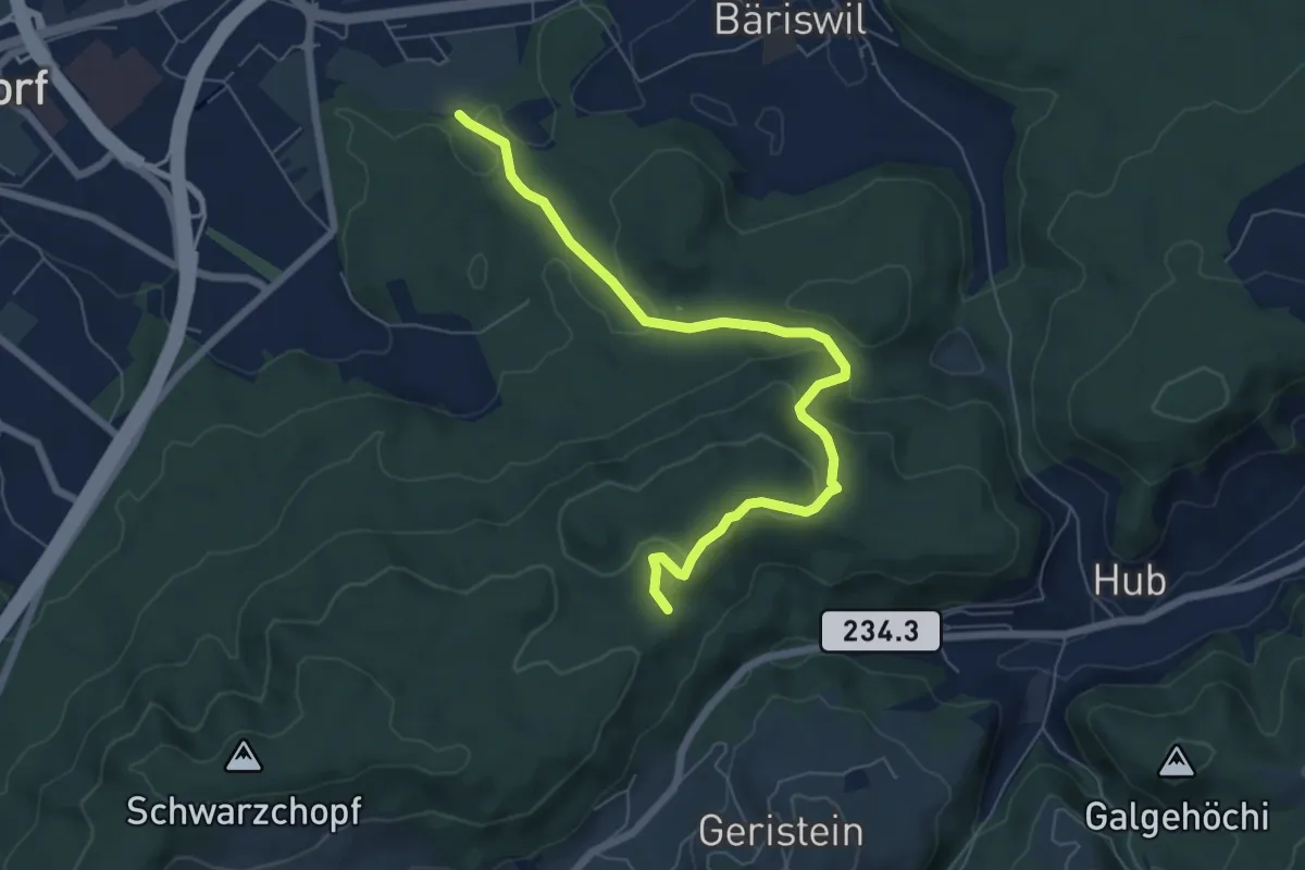
Easy · Trail
Holzmatt – Mattstettenberg
6.9 km · ↑ 277 m · 2 h 14 min · 12 km away
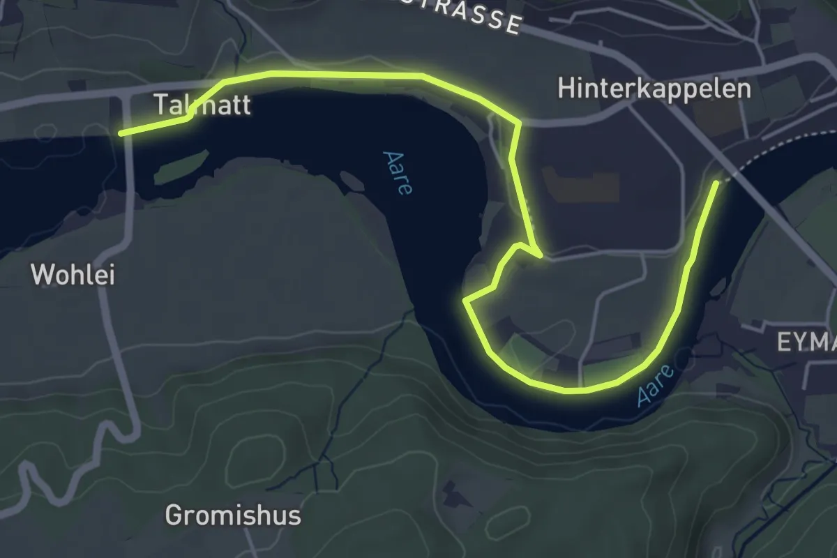
Easy · Trail
Wohleibrügg – Kappelenbrügg
5.9 km · ↑ 60 m · 1 h 31 min · 12 km away
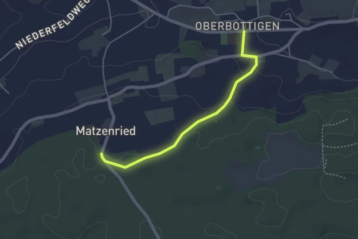
Easy · Trail
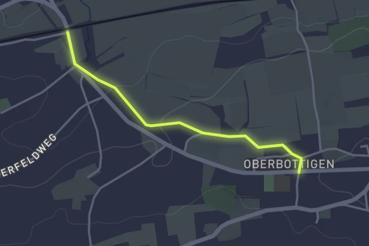
Oberbottigen - Holzeggen
3.4 km · ↑ 57 m · 56 min · 12 km away
Easy · Trail
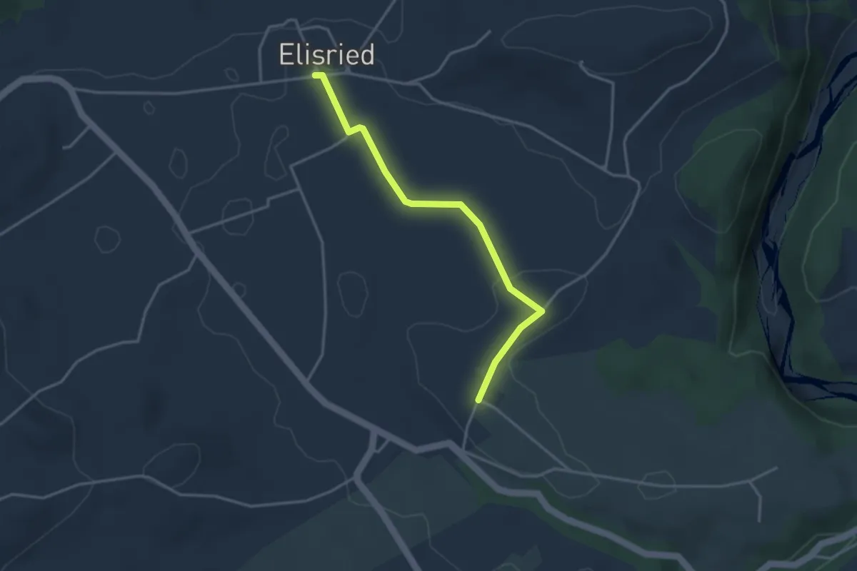
Oberbottigen - Riedbach/Station
2.9 km · ↑ 46 m · 47 min · 12 km away
Easy · Trail
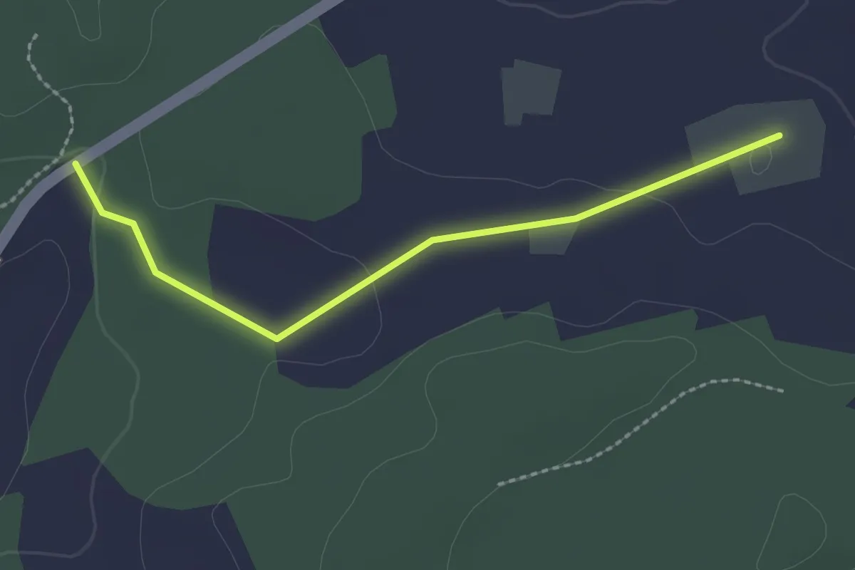
Elisried – Henzischwand
3.2 km · ↑ 9 m · 47 min · 12 km away
Easy · Trail
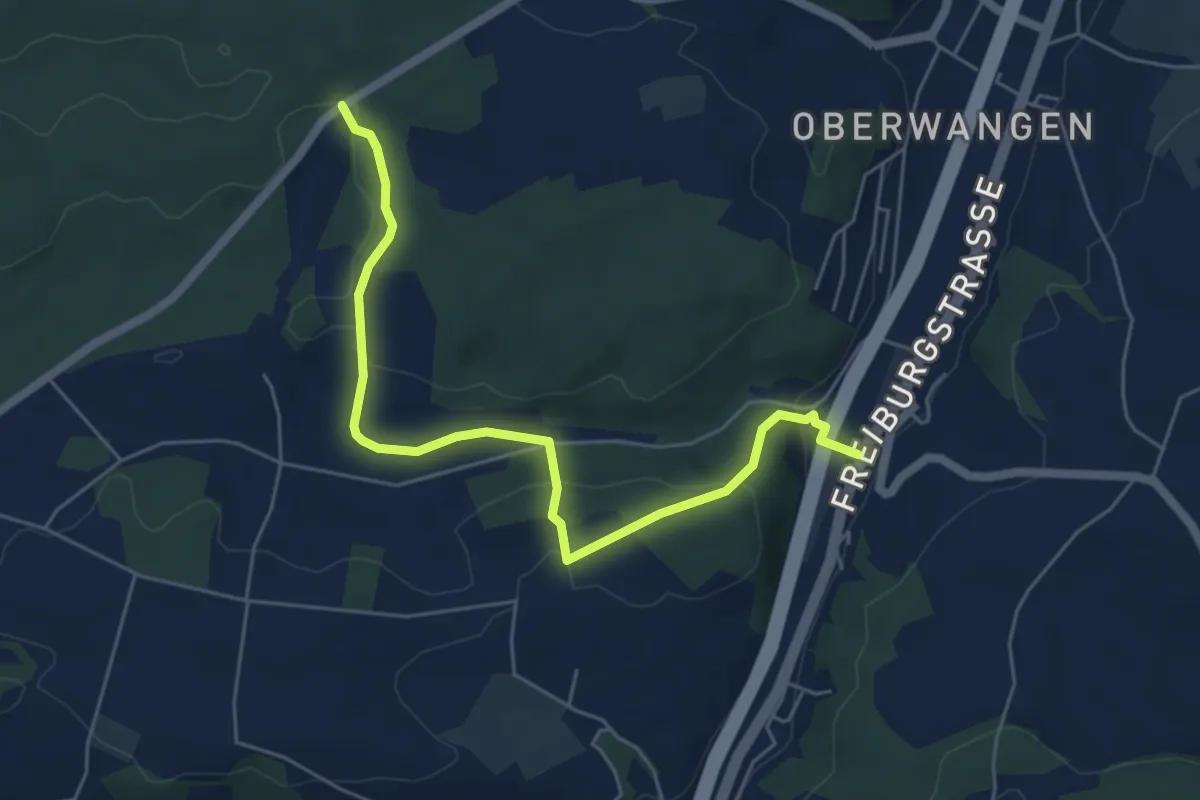
Bim Stundstei - Oberwangenhubel
2.2 km · ↑ 22 m · 34 min · 12 km away
Easy · Trail
Bim Stundstei - Thörishaus Station
5.9 km · ↑ 146 m · 1 h 42 min · 12 km away
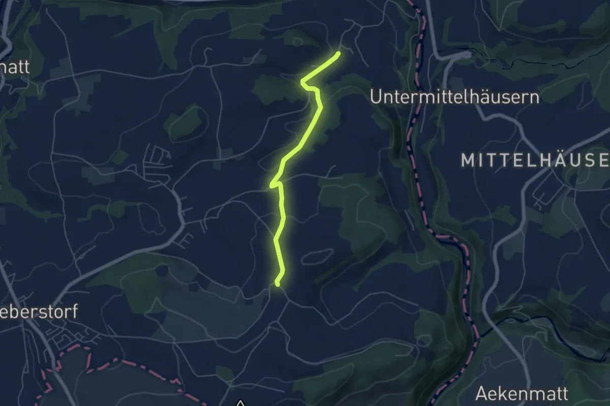
Easy · Trail
Obermettlen – Riederen
4.8 km · ↑ 129 m · 1 h 24 min · 12 km away
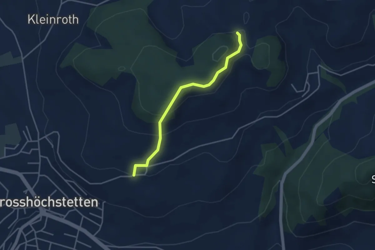
Easy · Trail
Möschberg – Büel
3.0 km · ↑ 156 m · 1 h 3 min · 12 km away
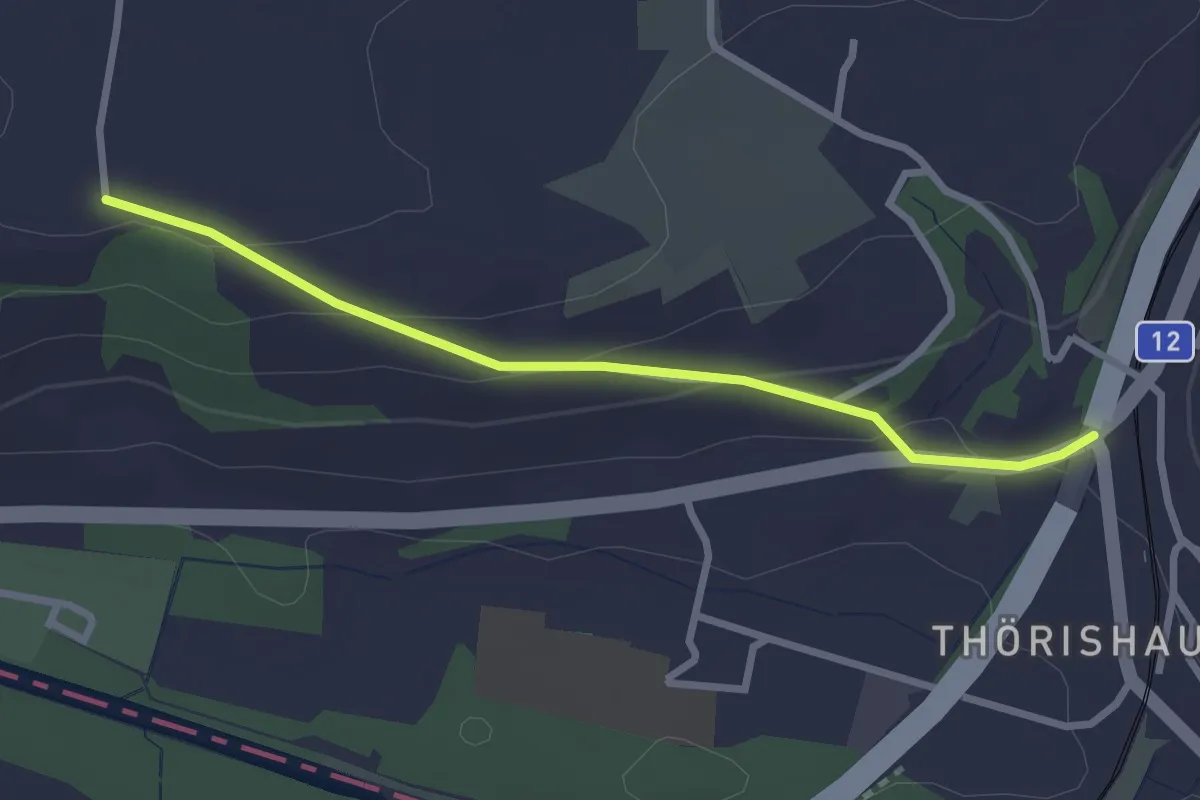
Easy · Trail
Ufem Shoren - Thörishaus
2.6 km · ↑ 85 m · 49 min · 12 km away
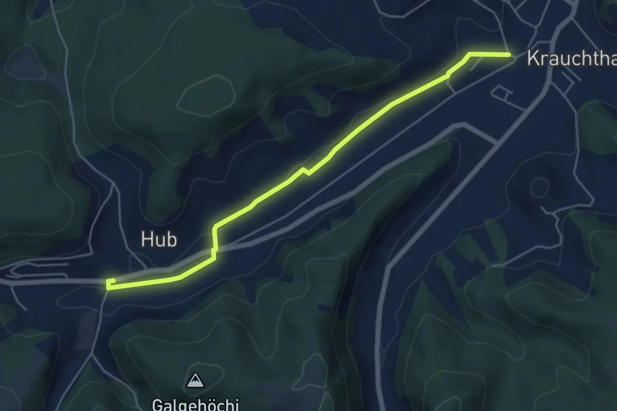
Easy · Trail
Sandhole – Hueb
4.7 km · ↑ 50 m · 1 h 14 min · 12 km away
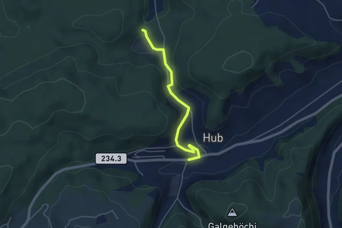
Easy · Trail
Wannetal – Hueb
3.5 km · ↑ 169 m · 1 h 11 min · 12 km away
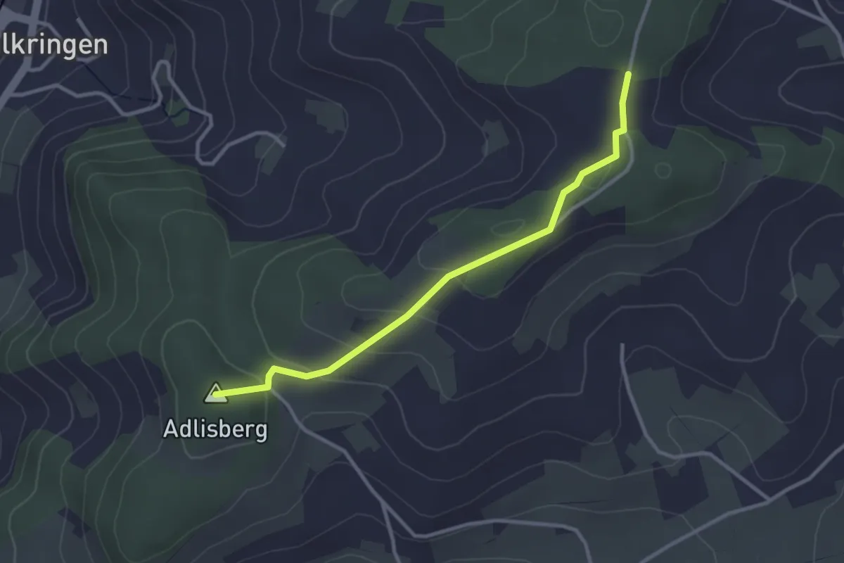
Easy · Summit
Adlisberg – Neunhaupt
3.0 km · ↑ 91 m · 55 min · 13 km away
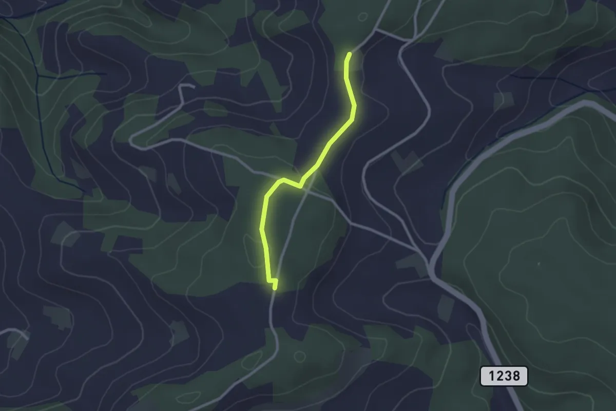
Easy · Trail
Neunhaupt – Hammegg
2.1 km · ↑ 27 m · 33 min · 13 km away
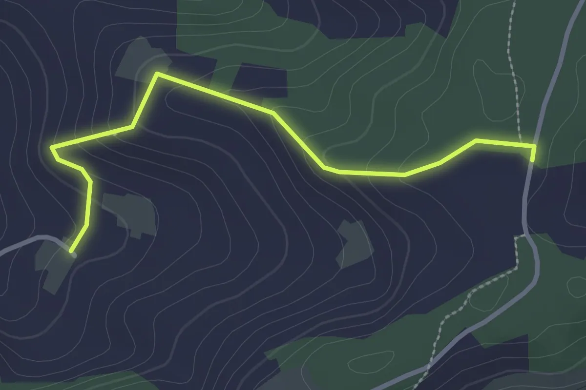
Easy · Trail
Neunhaupt – Golpisberg
2.7 km · ↑ 131 m · 56 min · 13 km away
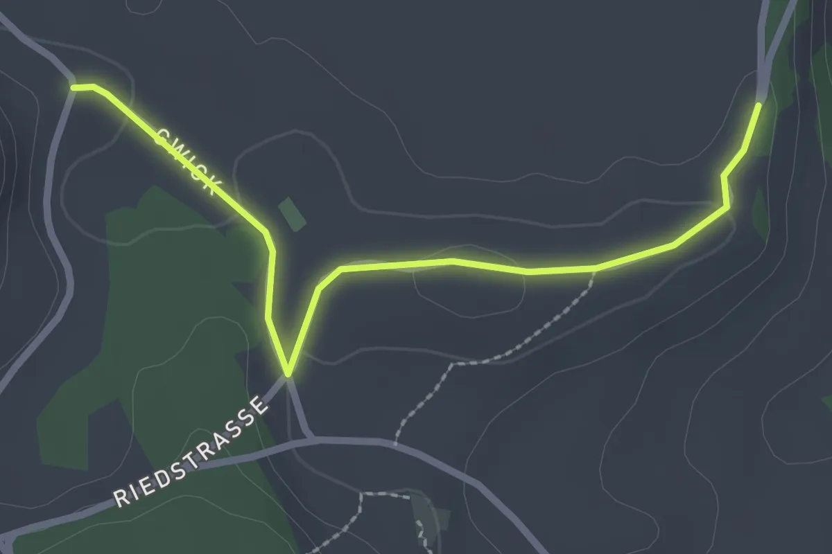
Easy · Trail
Obereichi - Ried
2.6 km · ↑ 29 m · 40 min · 13 km away
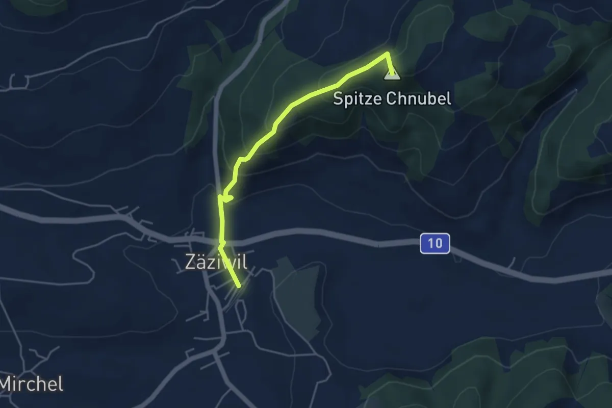
Easy · Summit
Chäneltal – Zäziwil
3.9 km · ↑ 260 m · 1 h 28 min · 13 km away
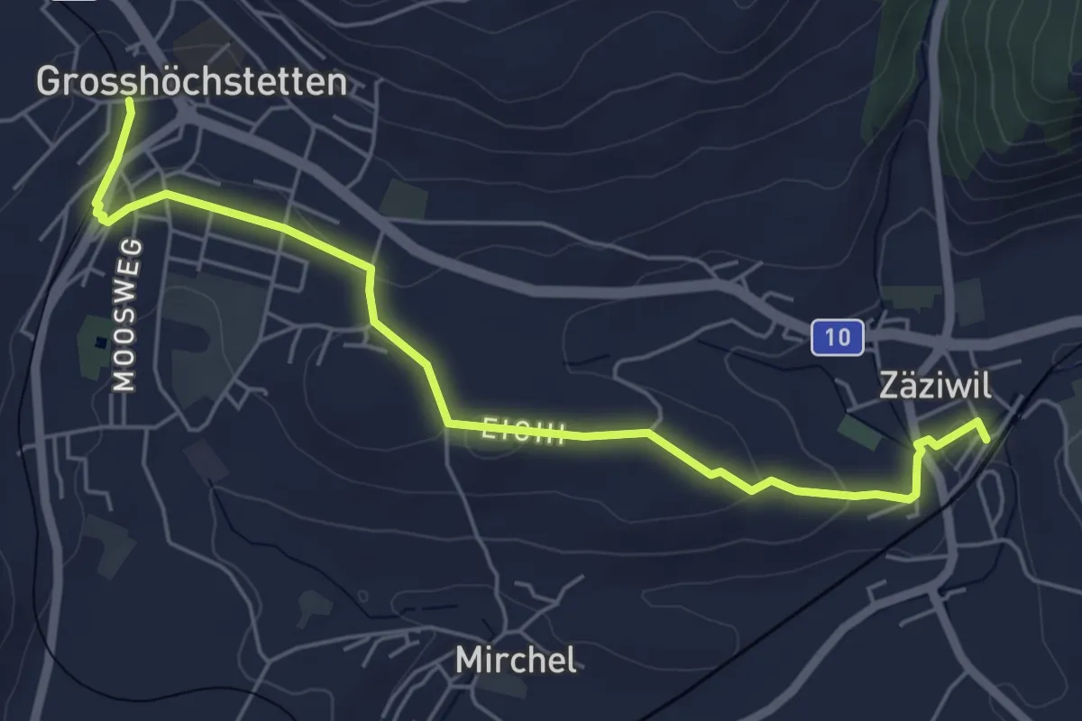
Easy · Trail
Grosshöchstetten – Zäziwil
5.9 km · ↑ 78 m · 1 h 33 min · 13 km away
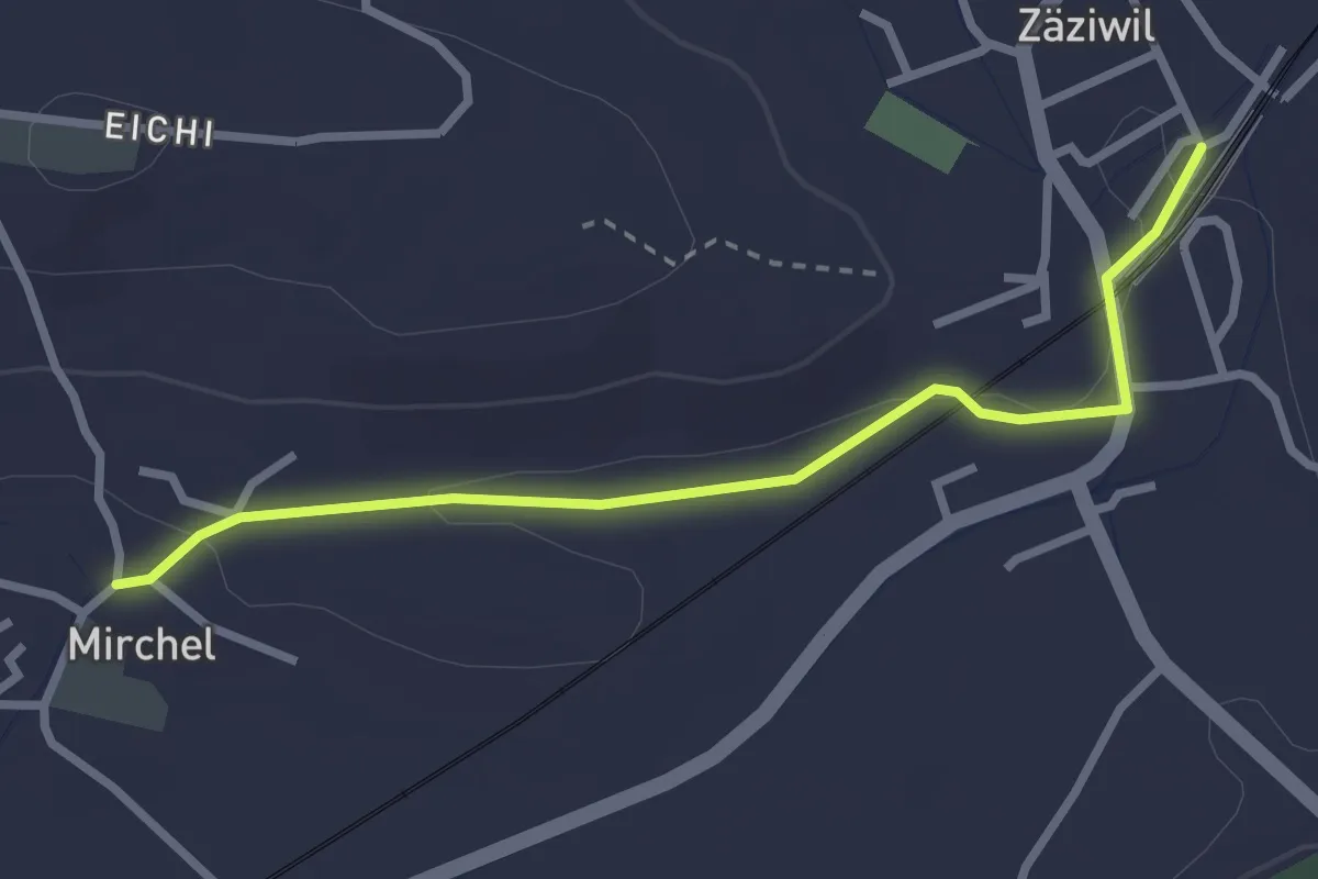
Easy · Trail
Zäziwil – Mirchel
2.9 km · ↑ 14 m · 42 min · 13 km away
Easy · Trail
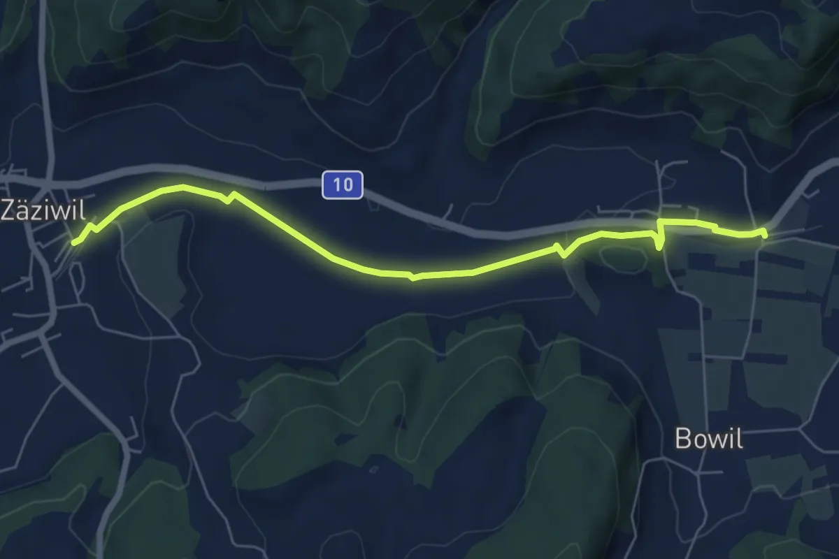
Bowil – Zäziwil
6.2 km · ↑ 63 m · 1 h 36 min · 13 km away
Easy · Trail
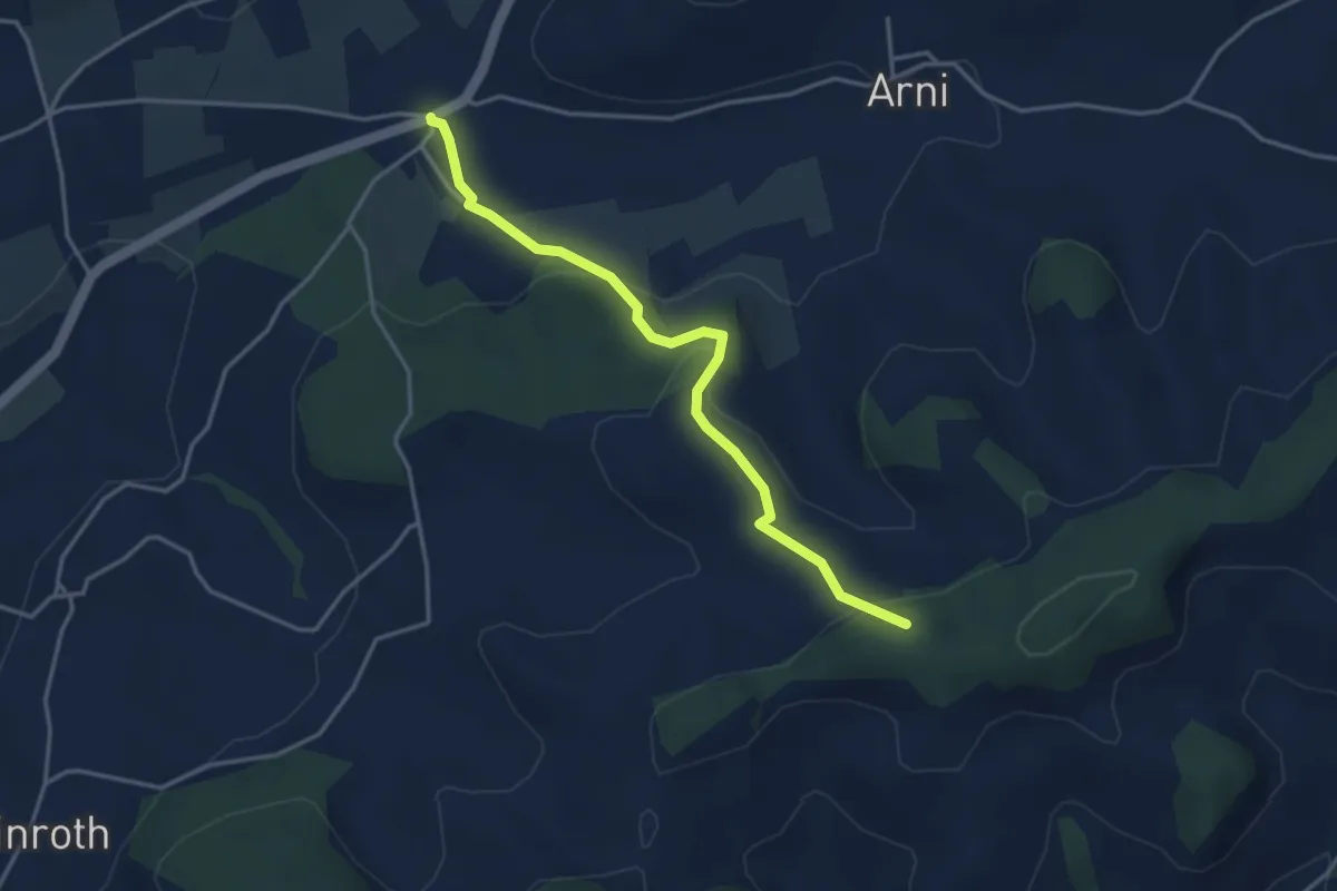
Arnisäge – Chapfwald
3.7 km · ↑ 134 m · 1 h 11 min · 13 km away
Easy · Trail
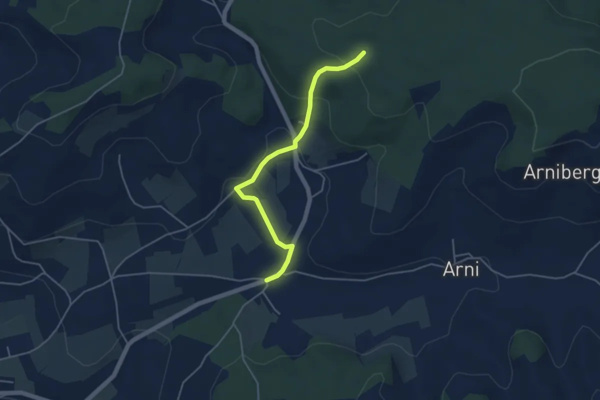
Spittelwald – Arnisäge
3.8 km · ↑ 146 m · 1 h 13 min · 13 km away
Easy · Trail
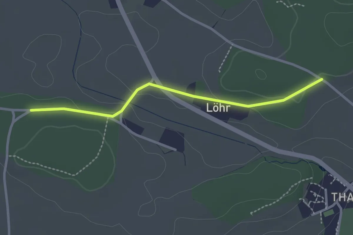
Buechwald – Lörwald
2.3 km · ↑ 29 m · 36 min · 13 km away