Trails near Belp
495 hikes starting within 15 km, nearest first.
Nearest first, page 7 of 11
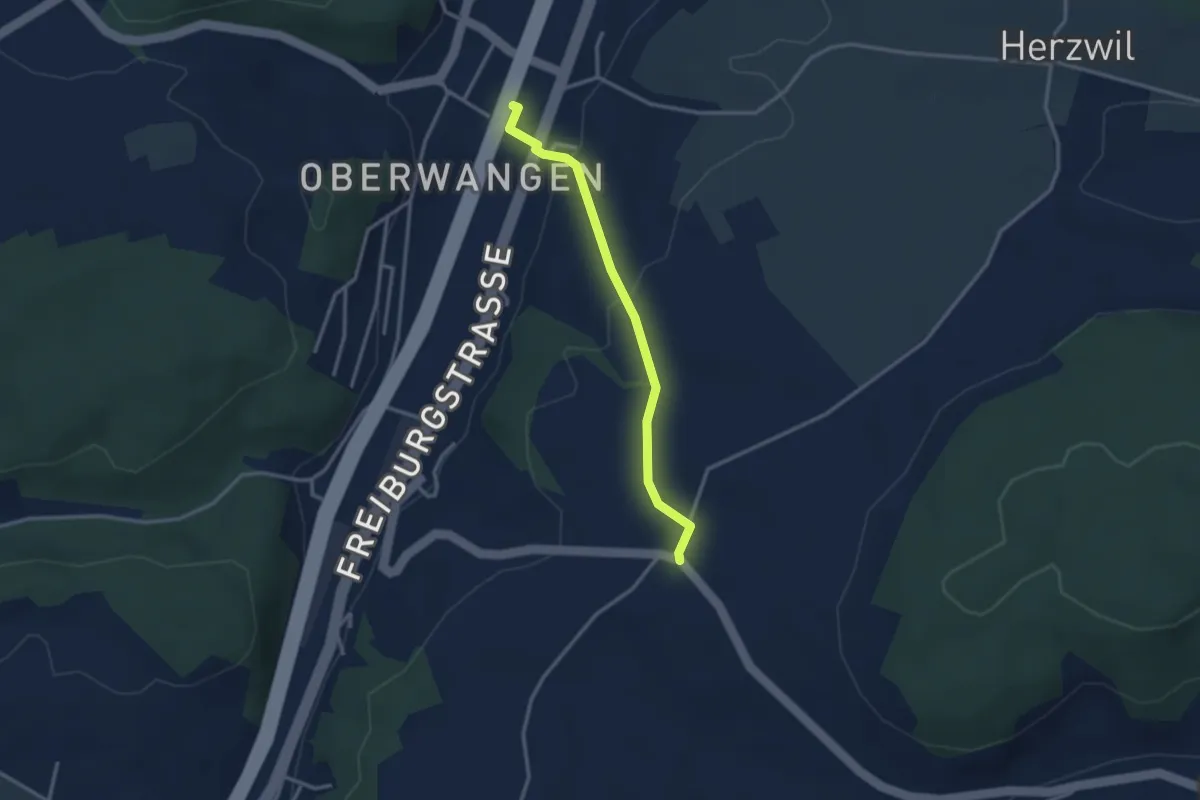
Easy · Trail
Oberwangen Station - Liebewil
2.8 km · ↑ 93 m · 51 min · 11 km away
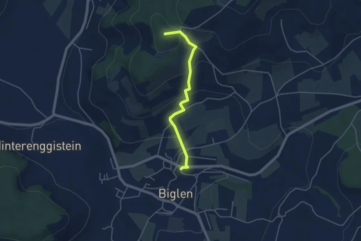
Easy · Summit
Biglen – Adlisberg
3.4 km · ↑ 169 m · 1 h 10 min · 11 km away
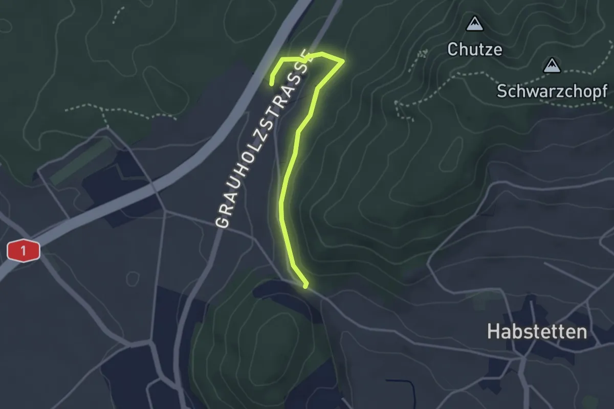
Easy · Trail
Forsthus – Schlupf
2.8 km · ↑ 40 m · 45 min · 11 km away
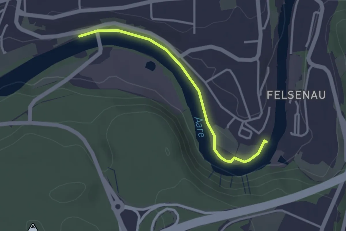
Easy · Trail
Neubrügg – Seftausteg
2.6 km · ↑ 9 m · 38 min · 11 km away
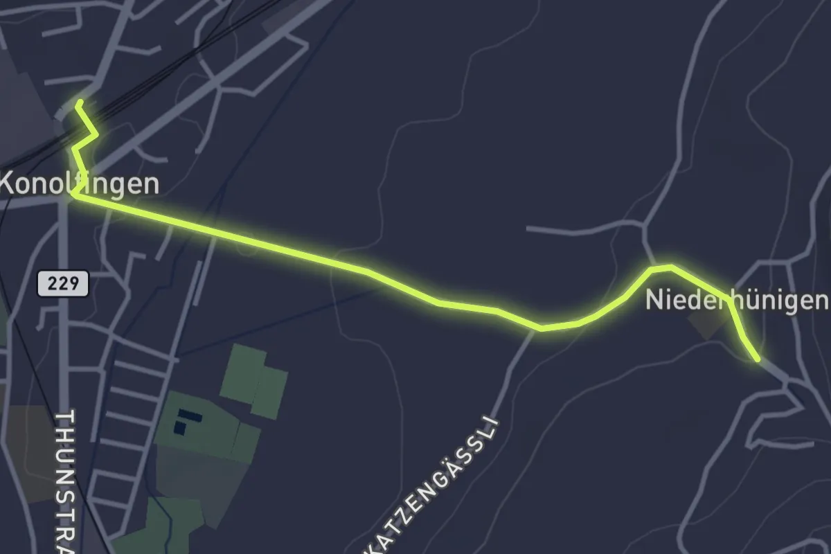
Easy · Trail
Niederhünigen – Konolfingen
3.6 km · ↑ 43 m · 57 min · 11 km away
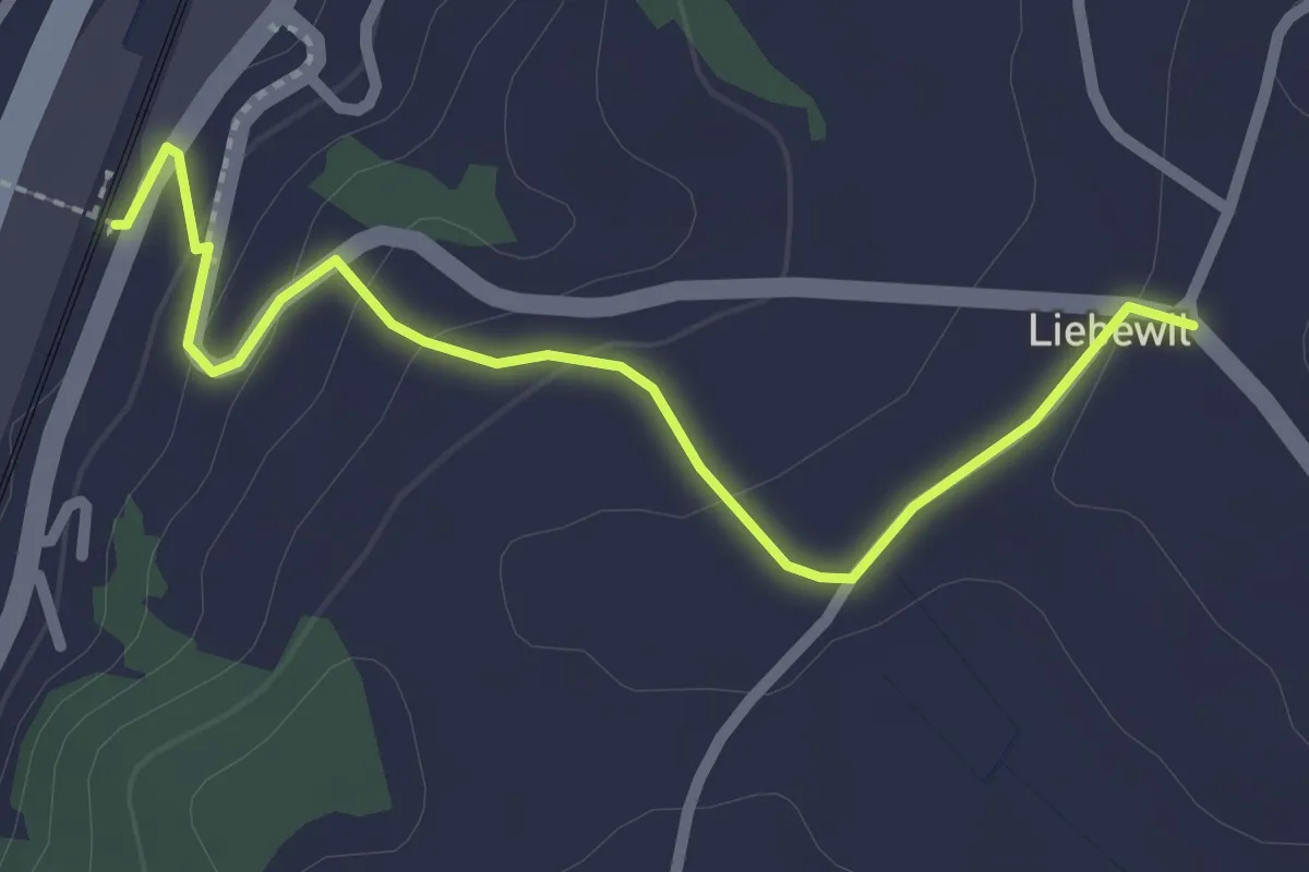
Easy · Trail
Liebewil - Thörishaus Station
2.5 km · ↑ 82 m · 46 min · 11 km away
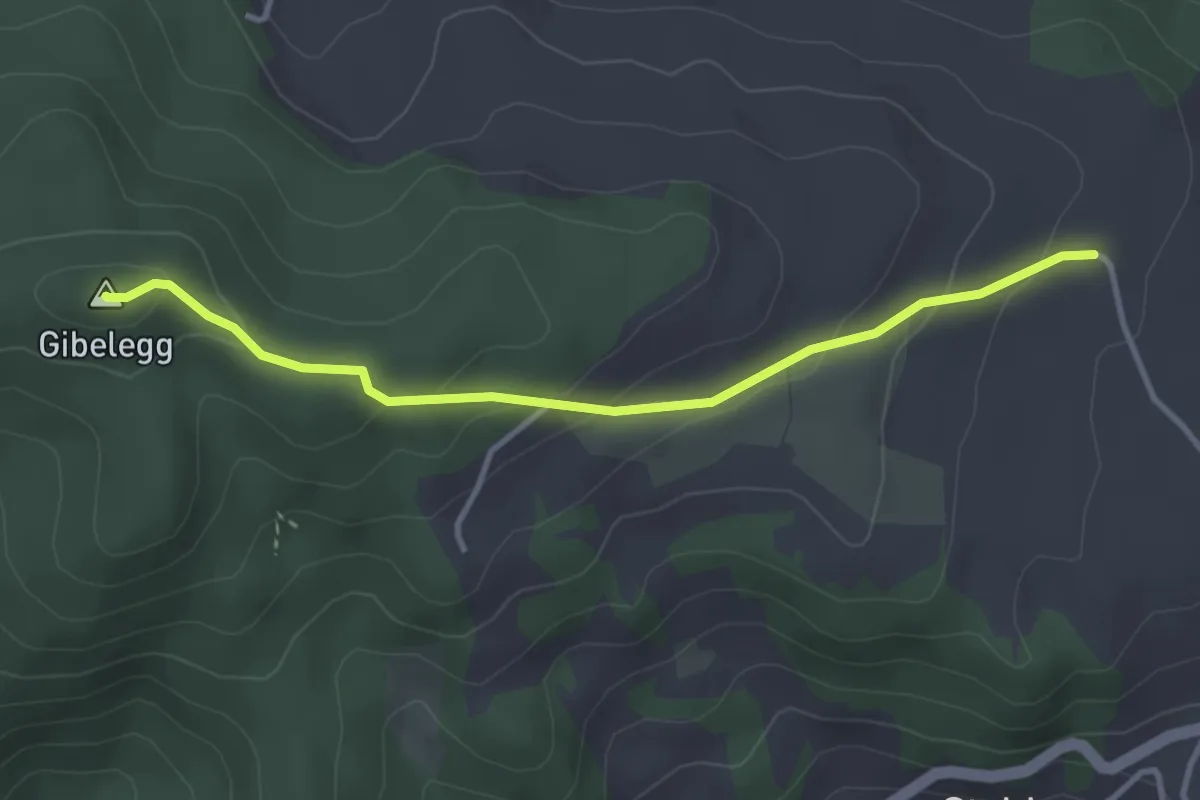
Easy · Summit
Plötschweid - Gibelegg
3.4 km · ↑ 145 m · 1 h 7 min · 11 km away
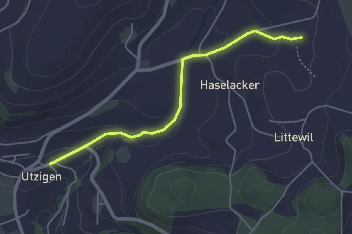
Easy · Trail
Sänggi – Utzigen
3.7 km · ↑ 98 m · 1 h 5 min · 11 km away
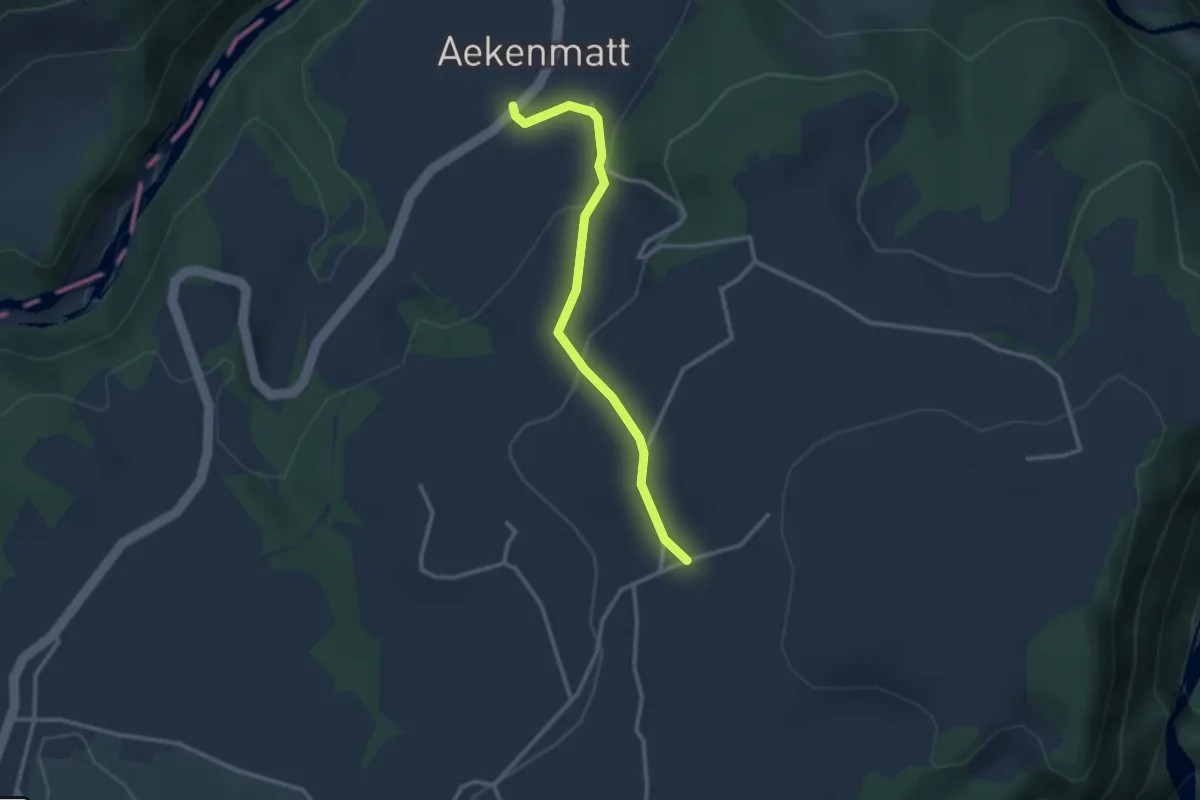
Easy · Trail
Steinenbrünnen – Aeckenmatt
2.7 km · ↑ 121 m · 54 min · 11 km away
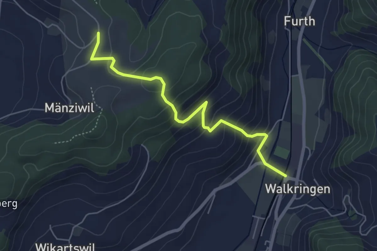
Easy · Trail
Mänziwilegg - Walkringen
4.7 km · ↑ 274 m · 1 h 43 min · 11 km away
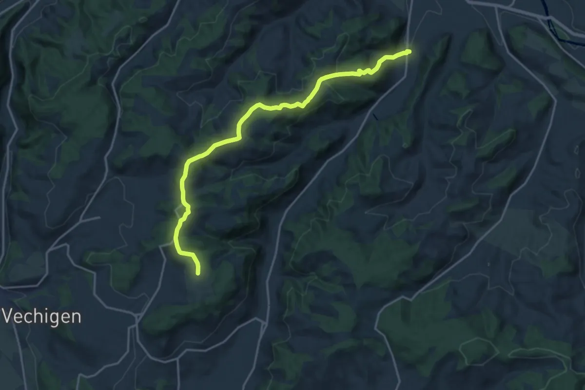
Medium · Trail
Mänziwilegg – Schafhausen
16.2 km · ↑ 533 m · 4 h 58 min · 11 km away
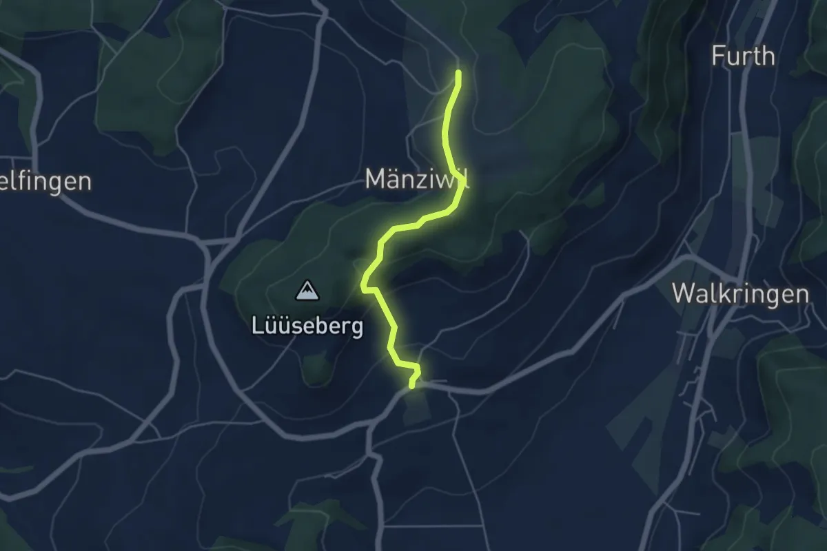
Easy · Trail
Wikartswil – Mänziwilegg
3.9 km · ↑ 187 m · 1 h 20 min · 11 km away
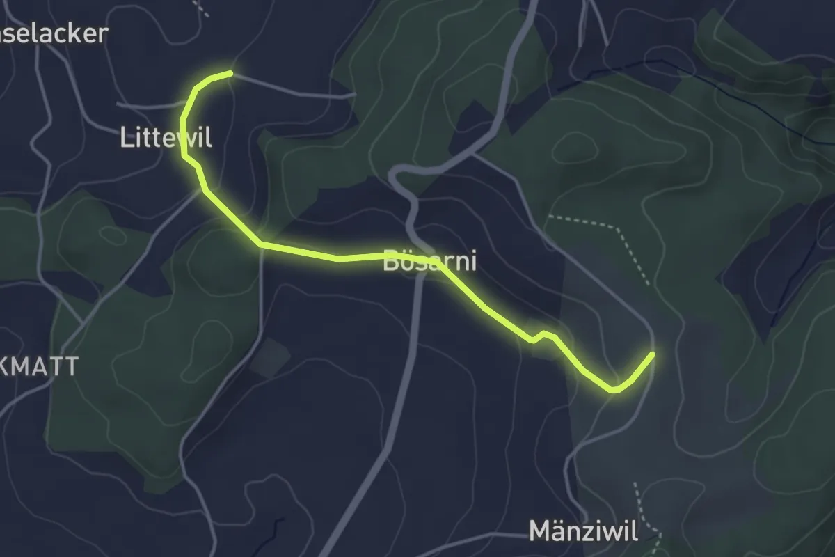
Easy · Trail
Littiwil – Vechigen
3.9 km · ↑ 120 m · 1 h 11 min · 11 km away
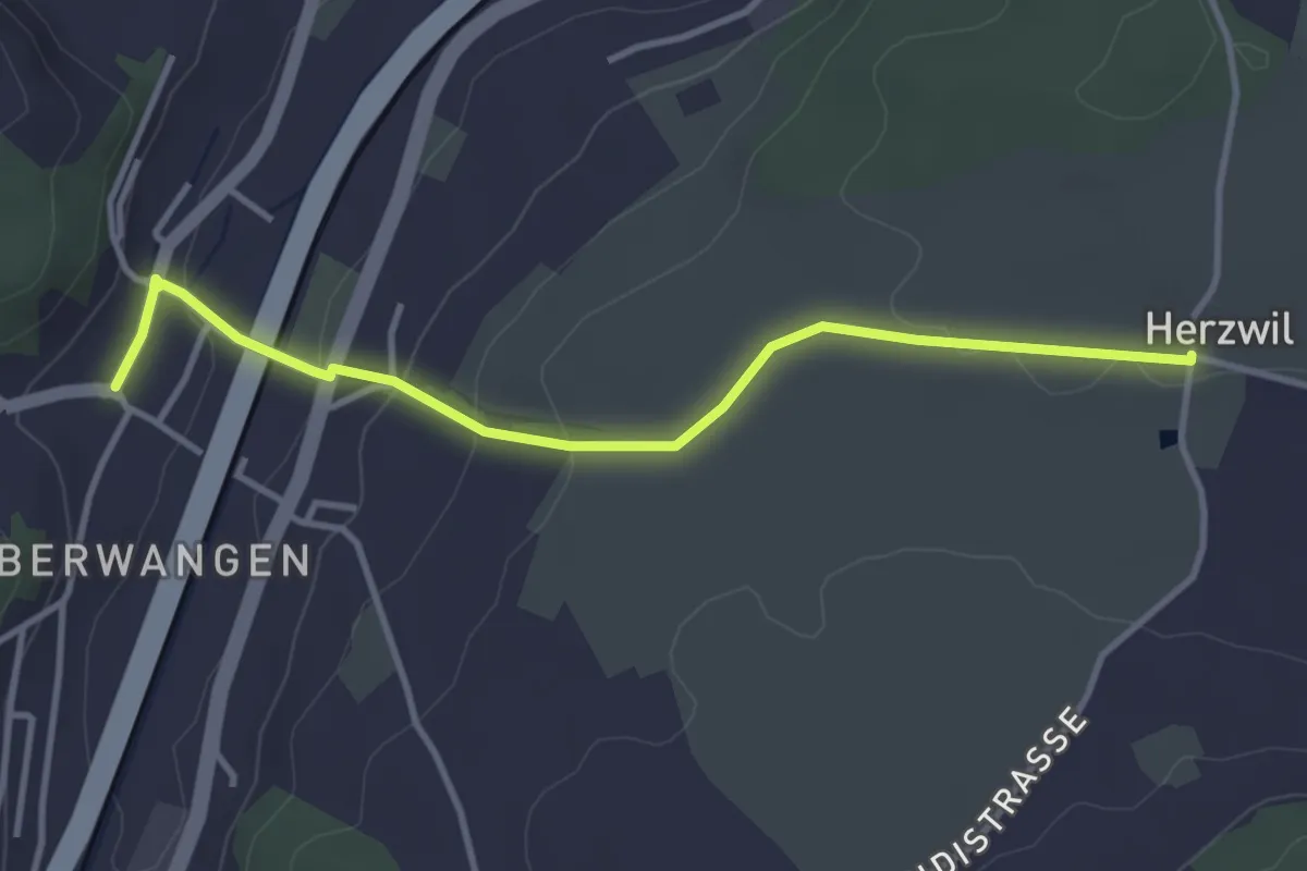
Easy · Trail
Herzwil - Oberwangen
3.7 km · ↑ 93 m · 1 h 4 min · 11 km away
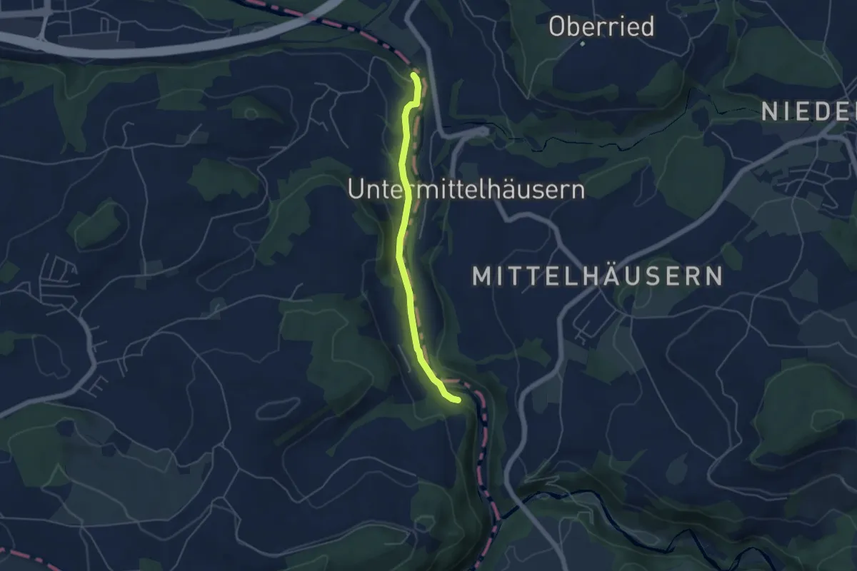
Easy · Trail
Riederenbrücke – Hangried
4.2 km · ↑ 137 m · 1 h 18 min · 11 km away
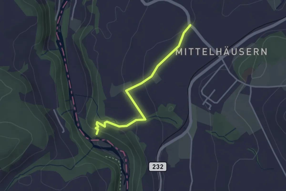
Easy · Trail
Mittelhäusern – Sensematt
2.8 km · ↑ 94 m · 52 min · 11 km away
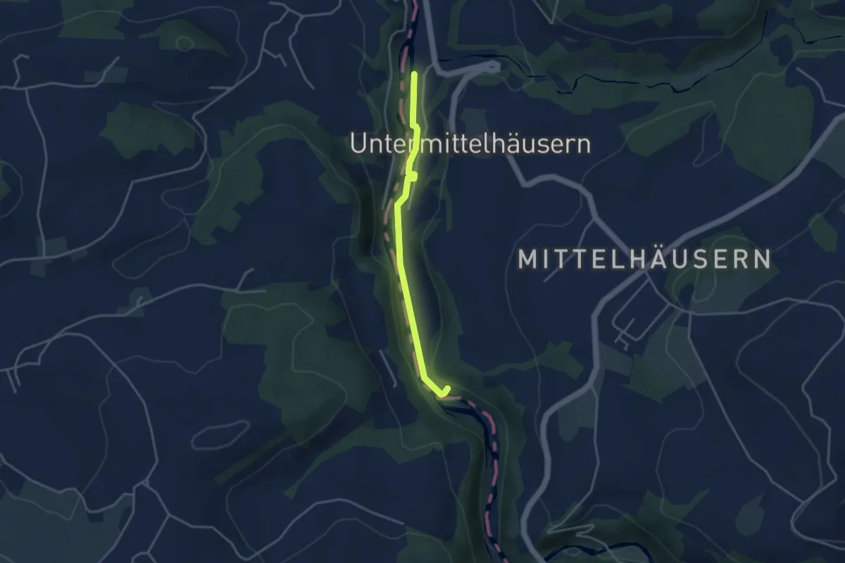
Easy · Trail
Sensegrabe / Büffel – Sensematt
3.2 km · ↑ 50 m · 52 min · 11 km away
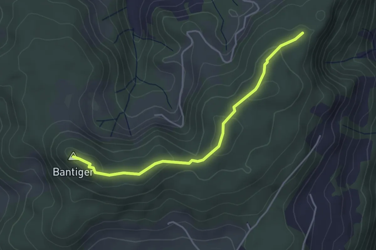
Easy · Summit
Mühlestein – Bantiger
3.7 km · ↑ 89 m · 1 h 4 min · 11 km away
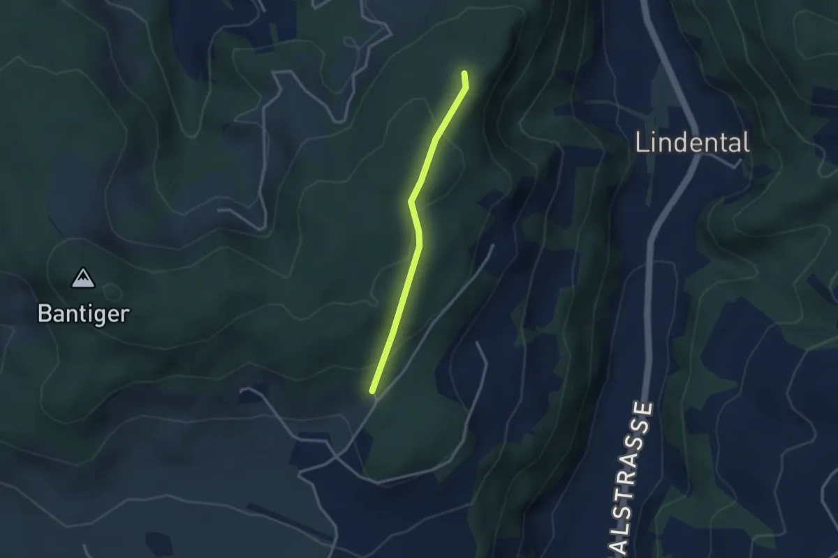
Easy · Trail
Mühlestein – Cholegruebe
2.4 km · ↑ 114 m · 49 min · 11 km away
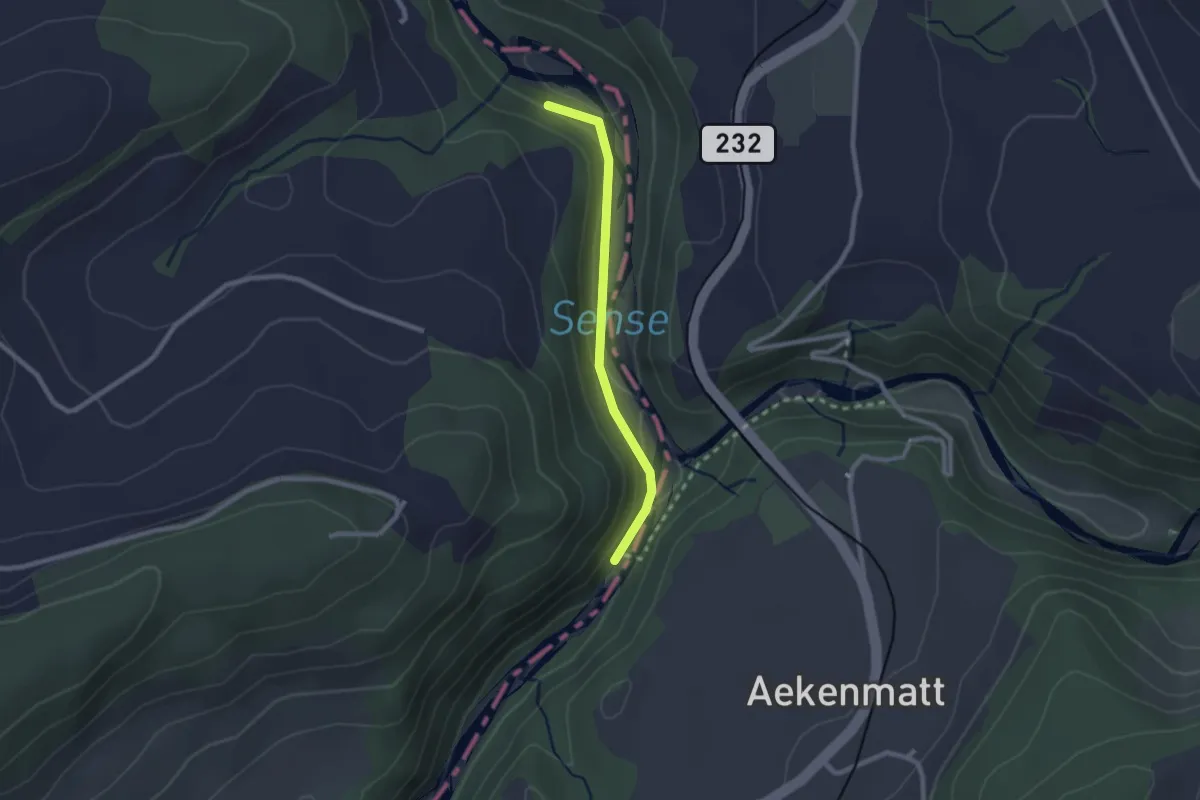
Easy · Trail
Hangried - Hängebrüggli
2.1 km · ↑ 62 m · 37 min · 11 km away
Easy · Trail
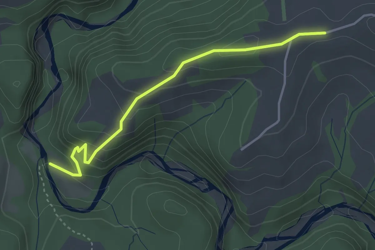
Krommen – Schwarzwasser / Steiglenau
3.3 km · ↑ 260 m · 1 h 20 min · 11 km away
Demanding · Trail
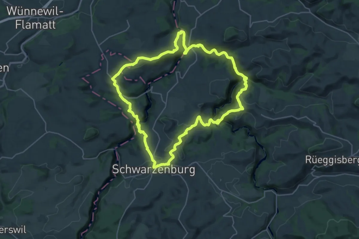
Schwarzwasser Sense Schluchtenweg
21.9 km · ↑ 939 m · 7 h 31 min · 11 km away
Easy · Trail
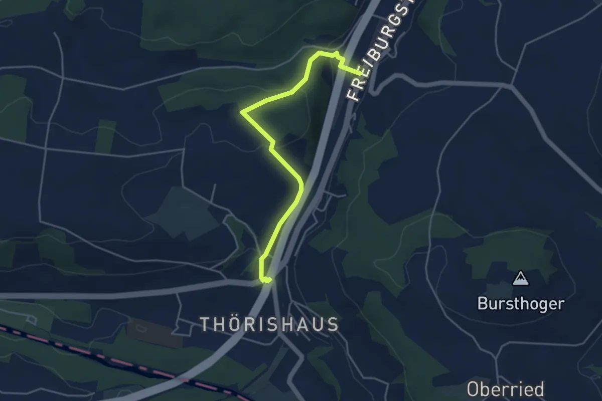
Thörishaus/Station - Thörishaus
4.0 km · ↑ 138 m · 1 h 15 min · 11 km away
Easy · Trail
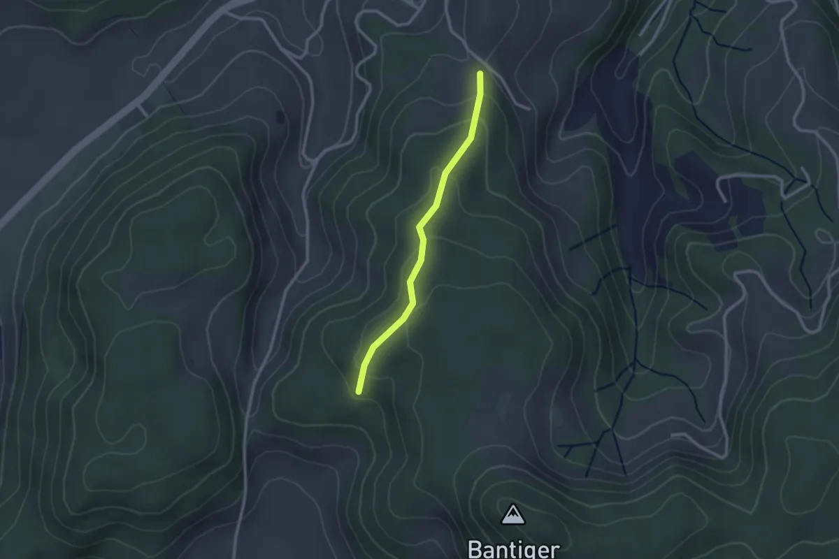
Geristein – Geristeinwald
2.2 km · ↑ 89 m · 42 min · 11 km away
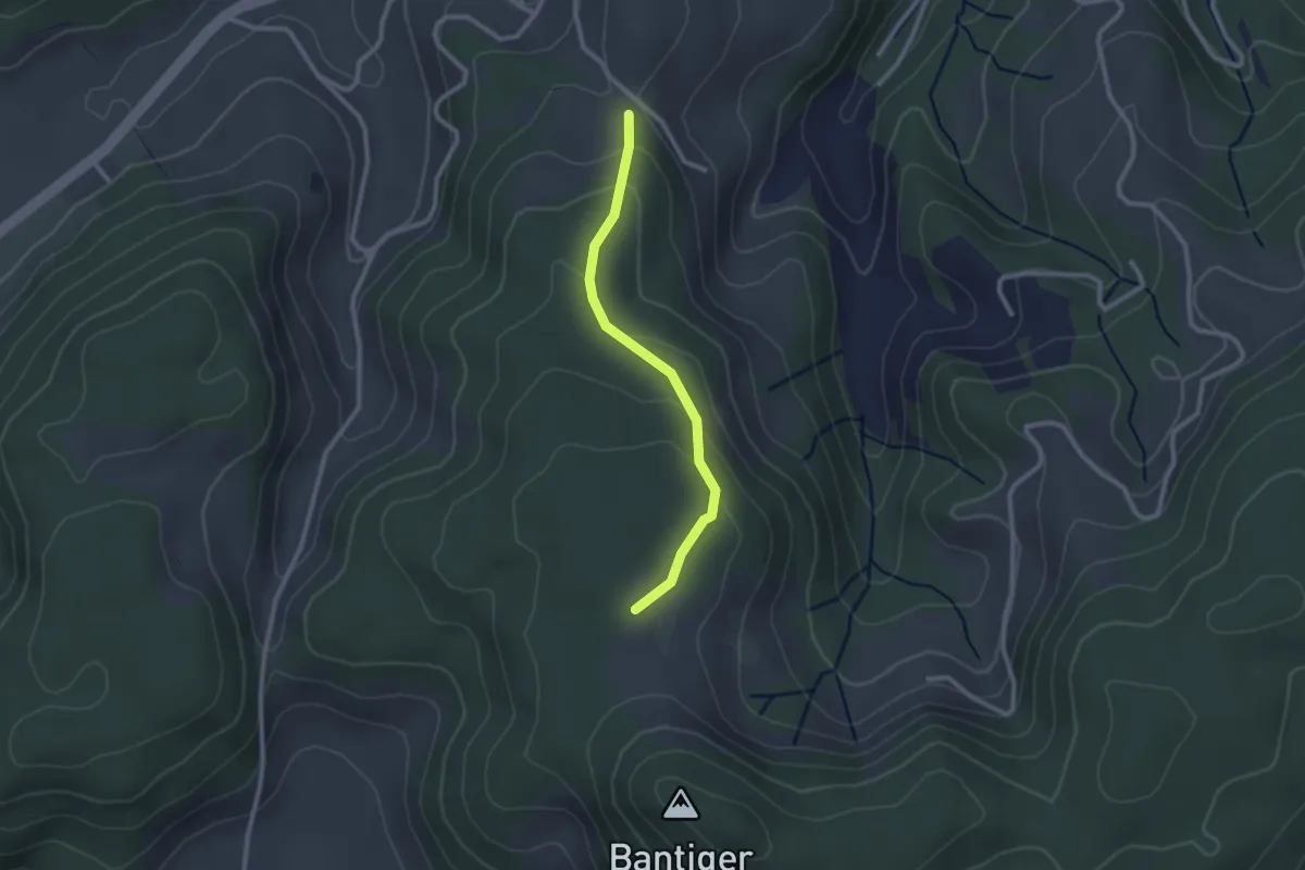
Easy · Trail
Geristein – Bantigenhubel
2.3 km · ↑ 111 m · 46 min · 11 km away
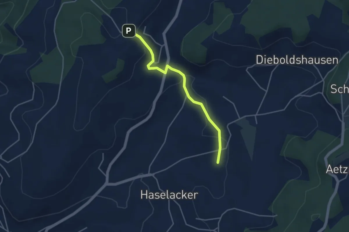
Easy · Trail
Rötelismatt – Sänggi
3.3 km · ↑ 88 m · 58 min · 11 km away
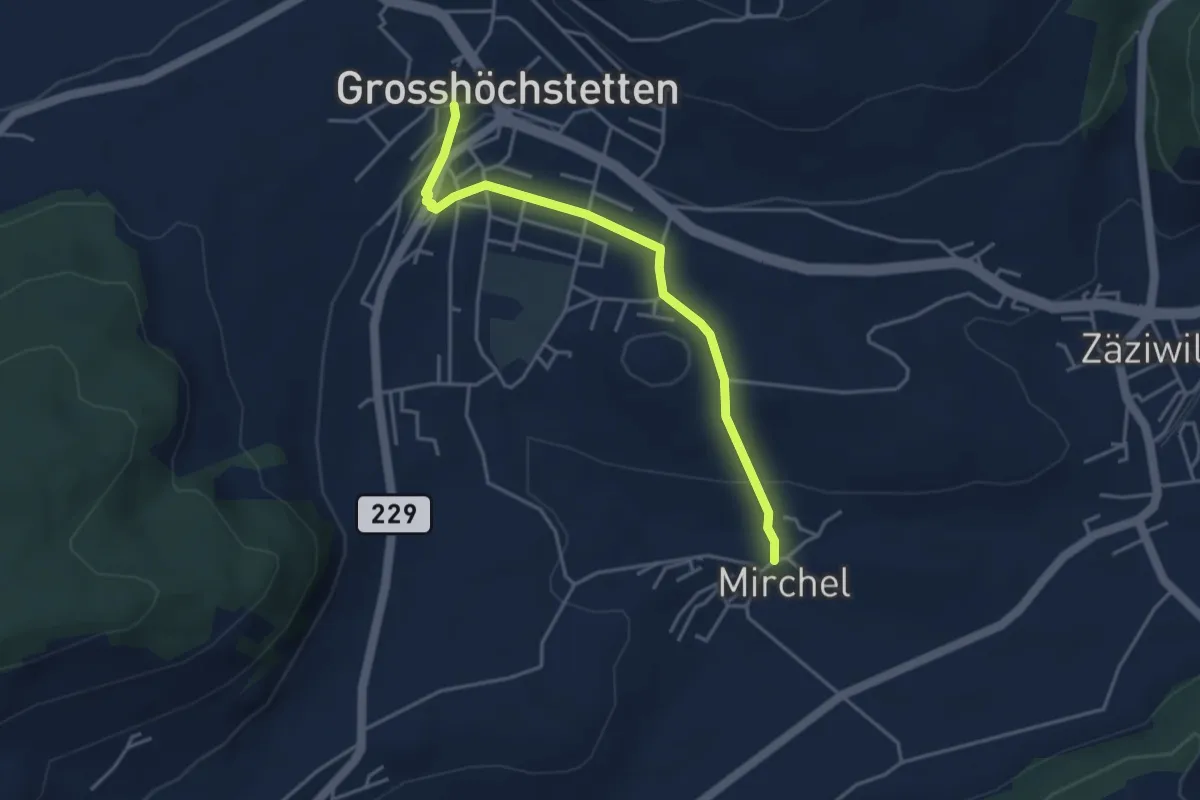
Easy · Trail
Grosshöchstetten – Mirchel
3.9 km · ↑ 89 m · 1 h 7 min · 11 km away
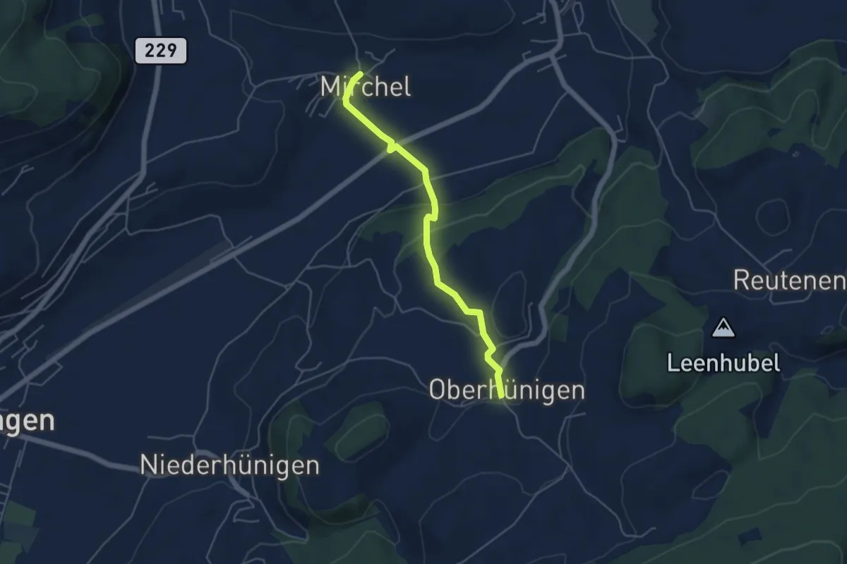
Easy · Trail
Oberhünigen – Mirchel
4.4 km · ↑ 136 m · 1 h 20 min · 11 km away
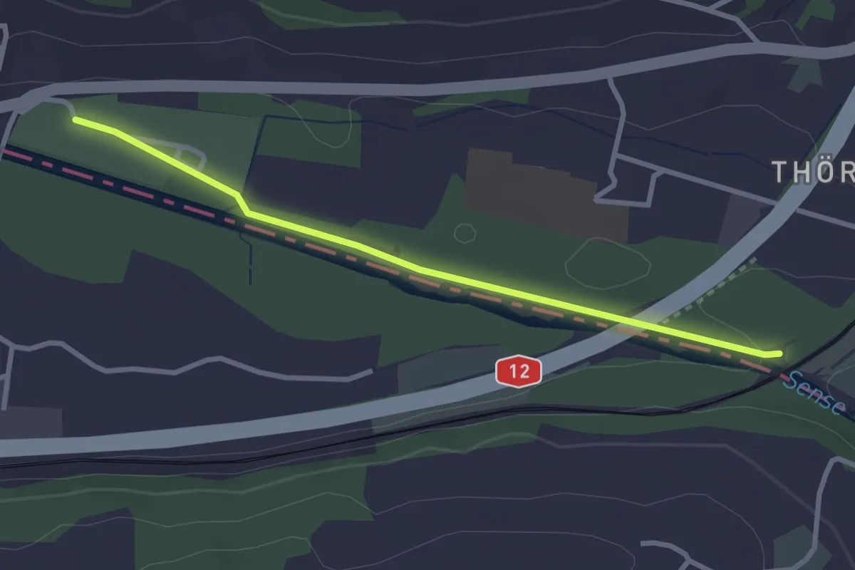
Easy · Trail
Steinerne Brücke – Thörishaus Au
2.8 km · ↑ 22 m · 42 min · 11 km away
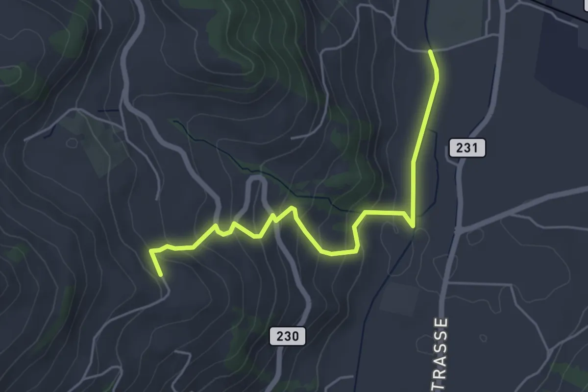
Easy · Trail
Lörtscherei - Neuhus
4.7 km · ↑ 224 m · 1 h 35 min · 11 km away
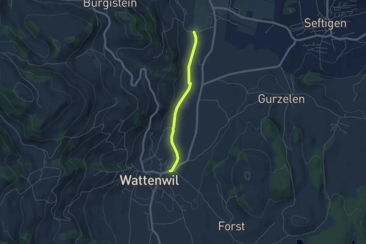
Easy · Trail
Neuhus - Wattenwil
4.2 km · ↑ 31 m · 1 h 3 min · 11 km away
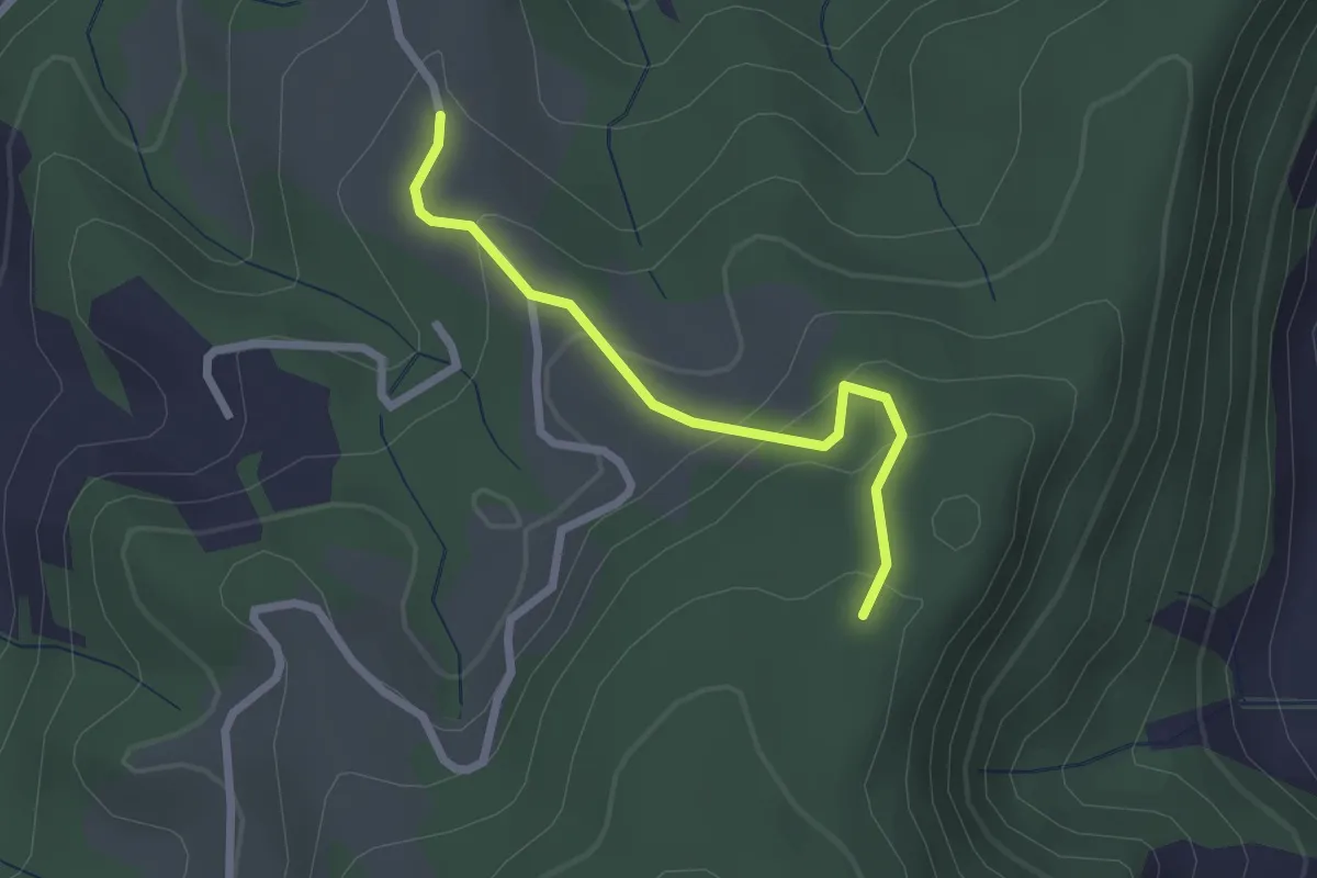
Easy · Trail
Vorder Jucke – Mühlestein
2.1 km · ↑ 142 m · 48 min · 12 km away
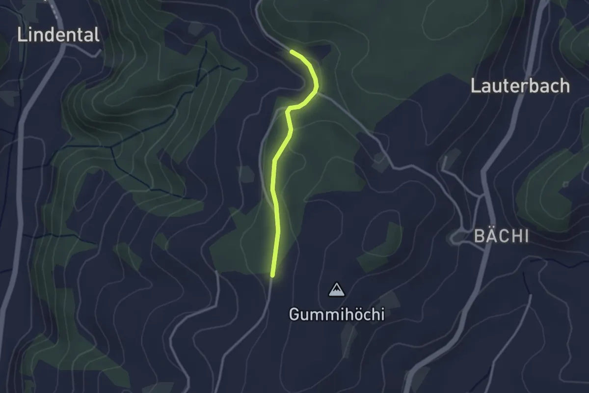
Easy · Trail
Sunnerain – Utzigenwull
2.1 km · ↑ 23 m · 33 min · 12 km away
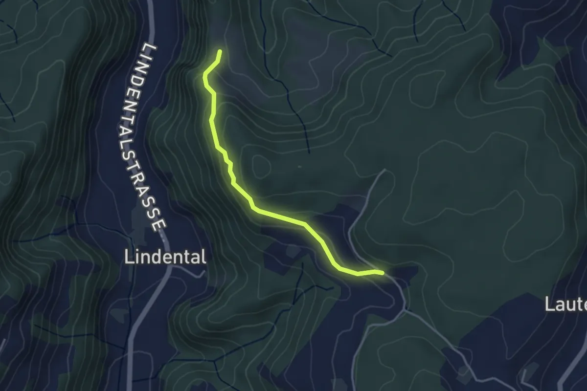
Easy · Trail
Vordere Geisme – Sonnenrain
3.0 km · ↑ 144 m · 1 h 1 min · 12 km away
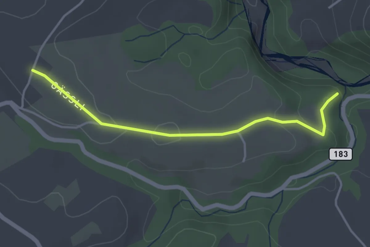
Easy · Trail
Henzischwand - Granegg/Burgruine
3.3 km · ↑ 78 m · 57 min · 12 km away
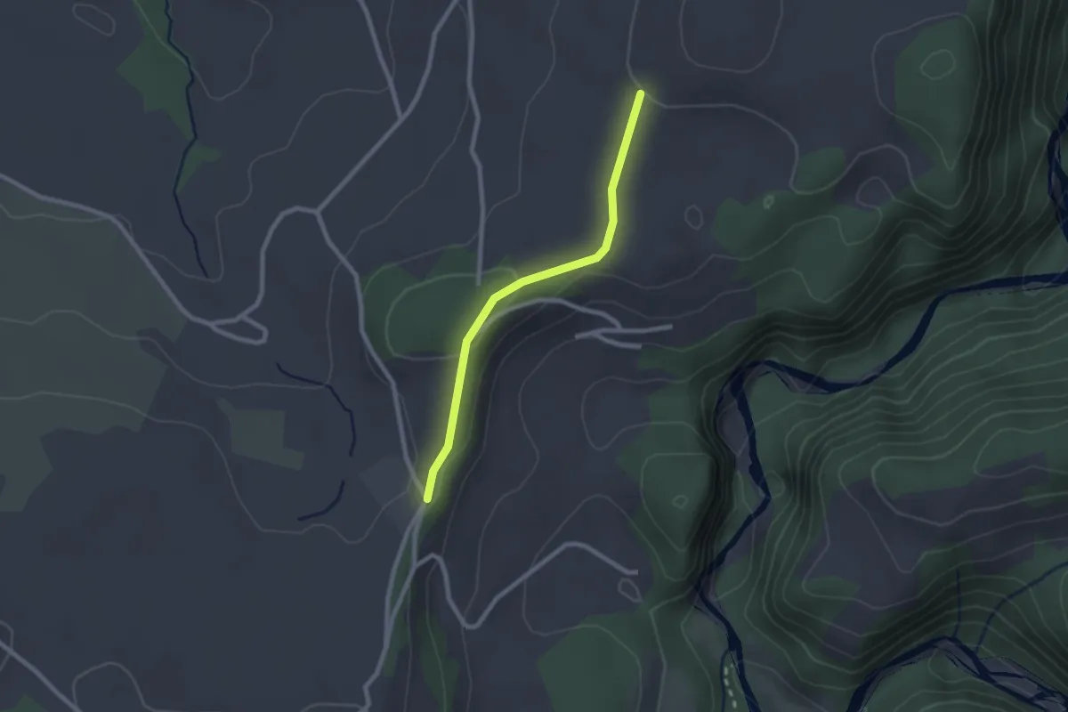
Easy · Trail
Chrummoos - Ried
2.1 km · ↑ 47 m · 36 min · 12 km away
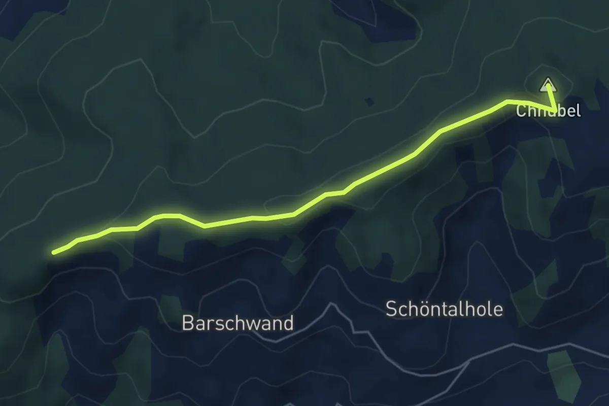
Easy · Summit
Güggel – Äbersold
5.0 km · ↑ 147 m · 1 h 30 min · 12 km away
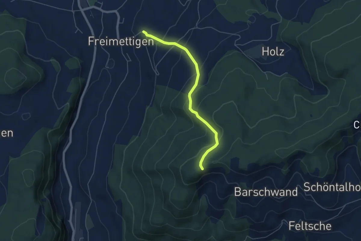
Easy · Trail
Güggel – Freimettigen
4.9 km · ↑ 314 m · 1 h 50 min · 12 km away
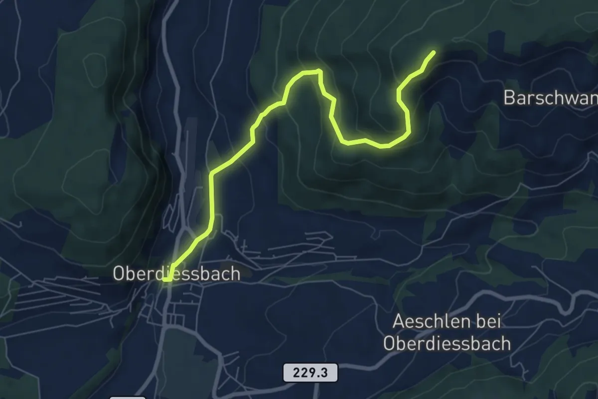
Medium · Trail
Oberdiessbach – Güggel
7.1 km · ↑ 470 m · 2 h 42 min · 12 km away
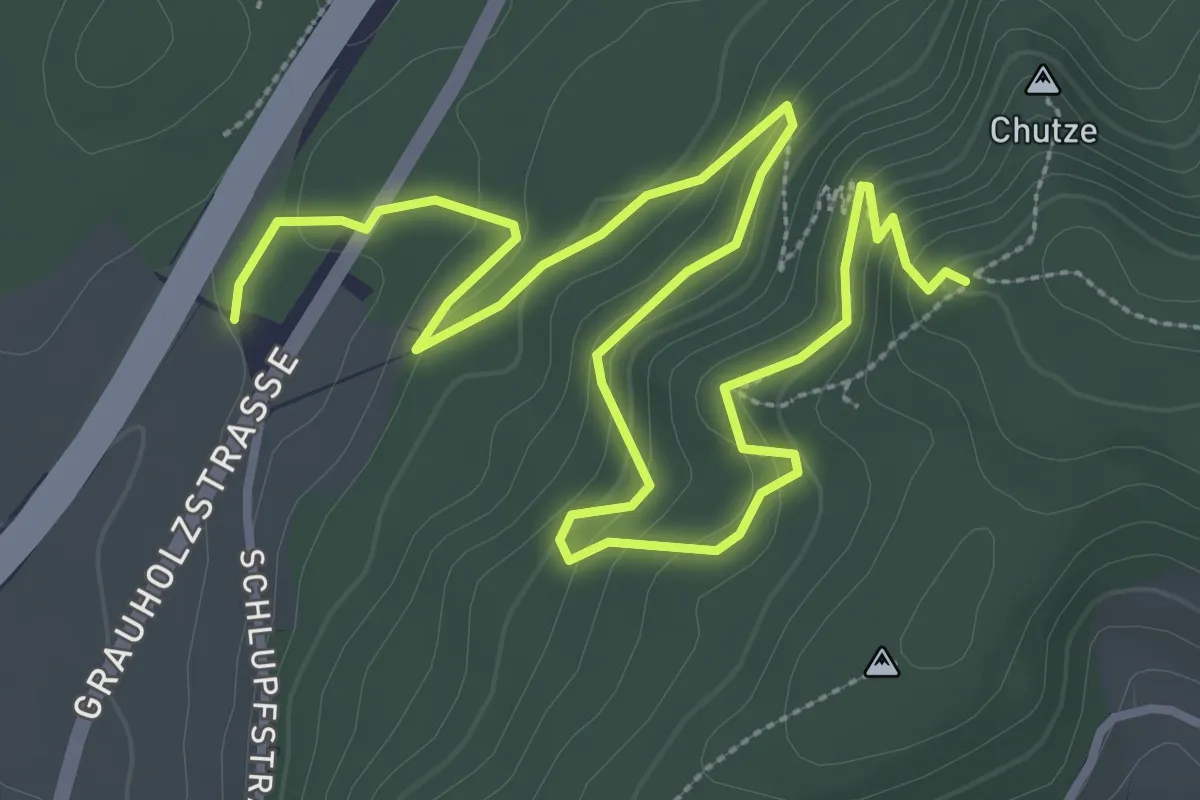
Medium · Trail
Forsthus – Grauholz/Schwarzkopf
5.1 km · ↑ 351 m · 1 h 58 min · 12 km away
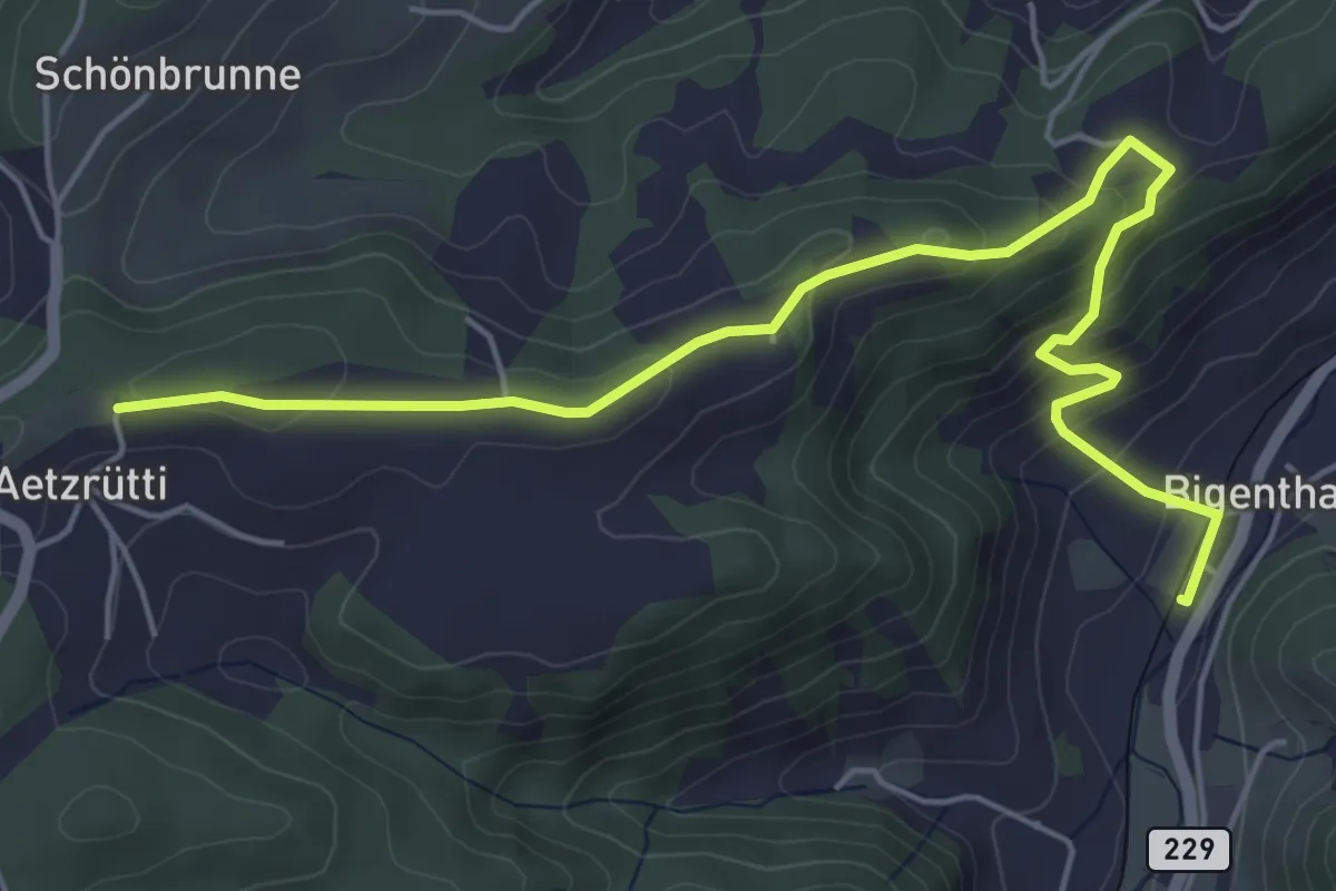
Easy · Trail
Ätzrüti – Bigenthal
6.1 km · ↑ 315 m · 2 h 8 min · 12 km away
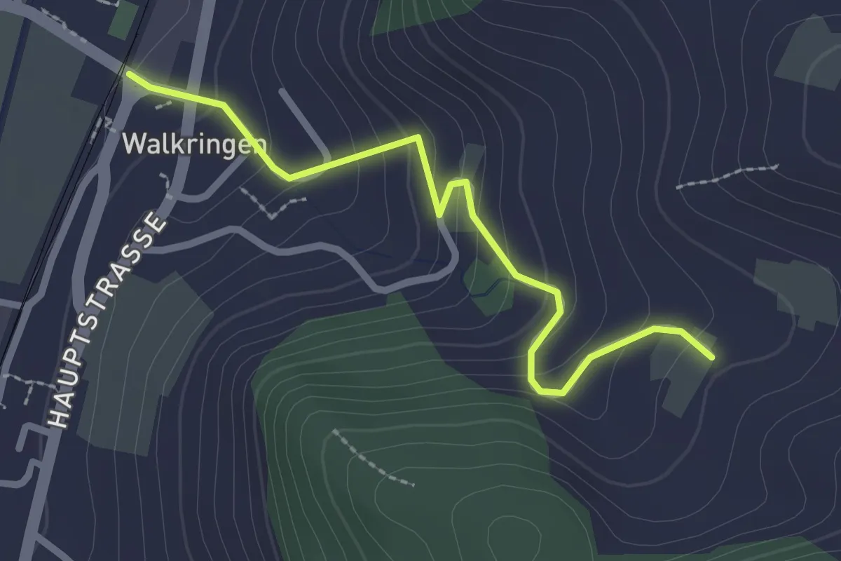
Easy · Trail
Golpisberg – Walkringen
2.3 km · ↑ 154 m · 53 min · 12 km away
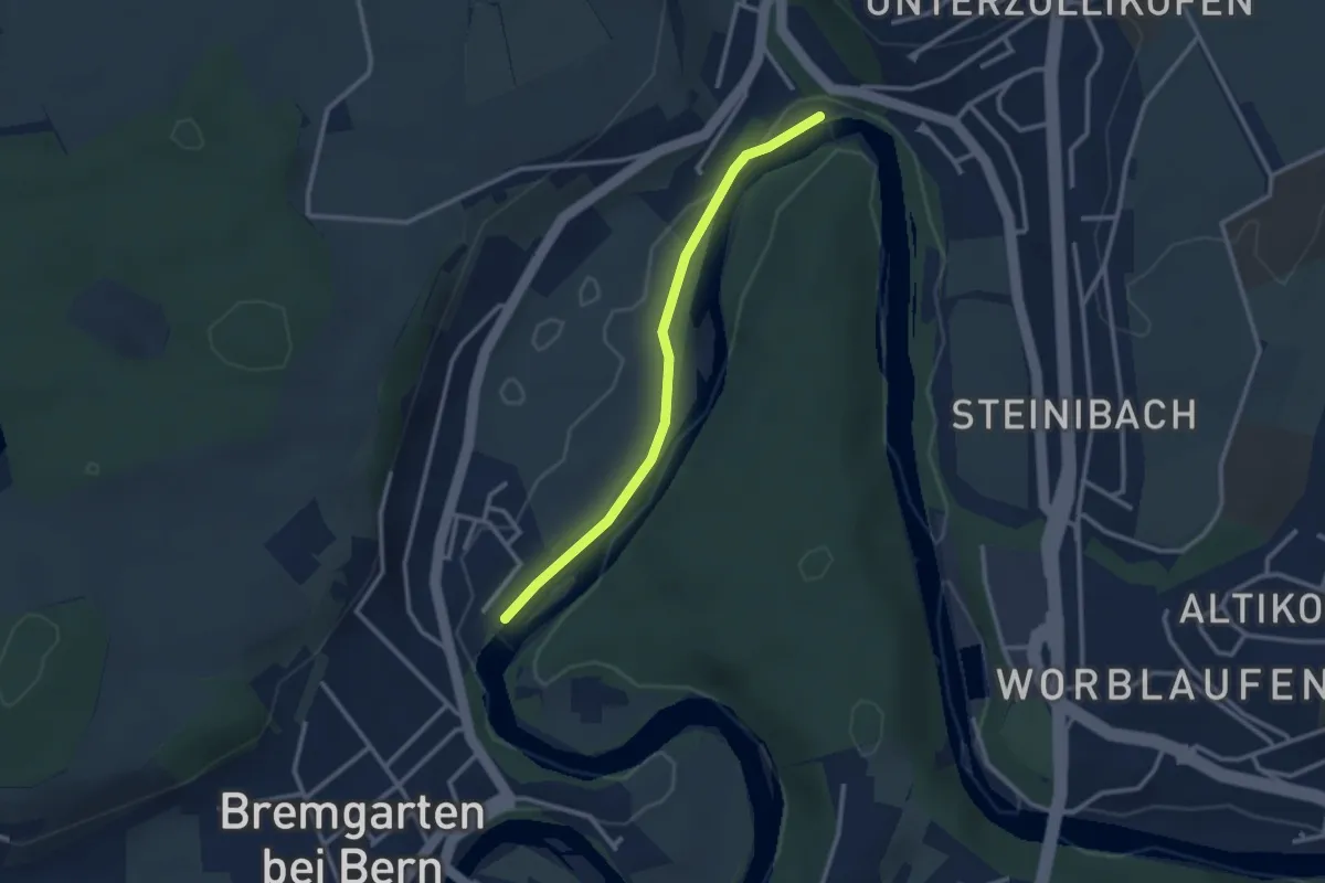
Easy · Trail
Fähre Zehndermätteli – Fähre Reichenbach
2.6 km · ↑ 17 m · 40 min · 12 km away
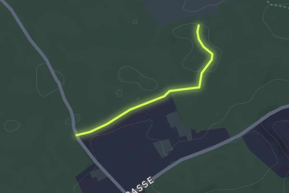
Easy · Trail
Niederwangenhubel - Ried
2.2 km · ↑ 23 m · 35 min · 12 km away
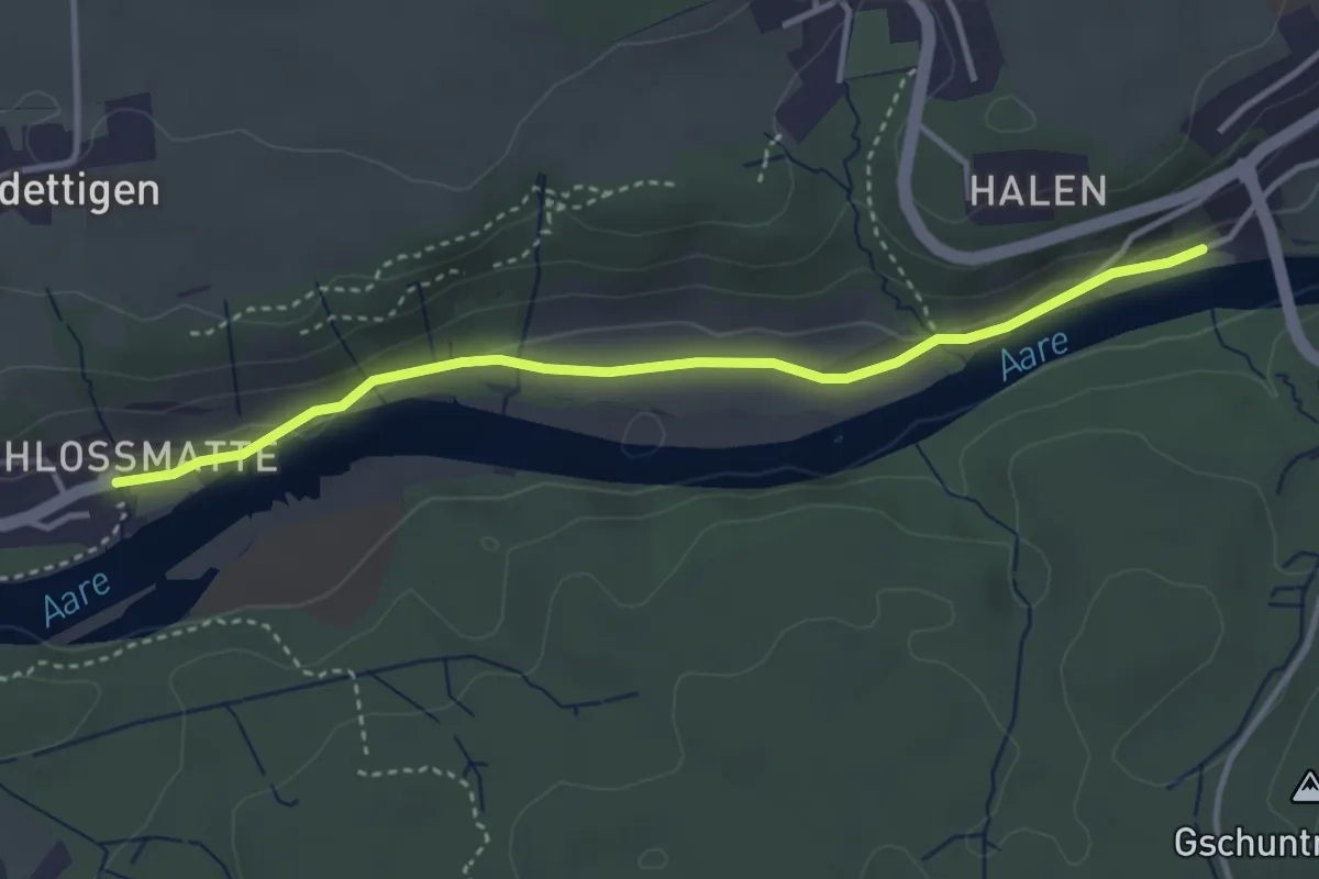
Easy · Trail
Unterdettigen – Halebrügg
3.6 km · ↑ 46 m · 57 min · 12 km away
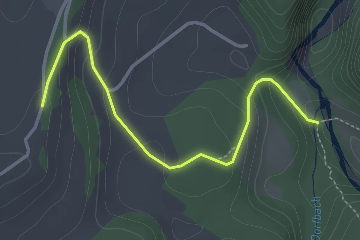
Easy · Trail
Burgbachstäg – Ried
2.5 km · ↑ 129 m · 53 min · 12 km away
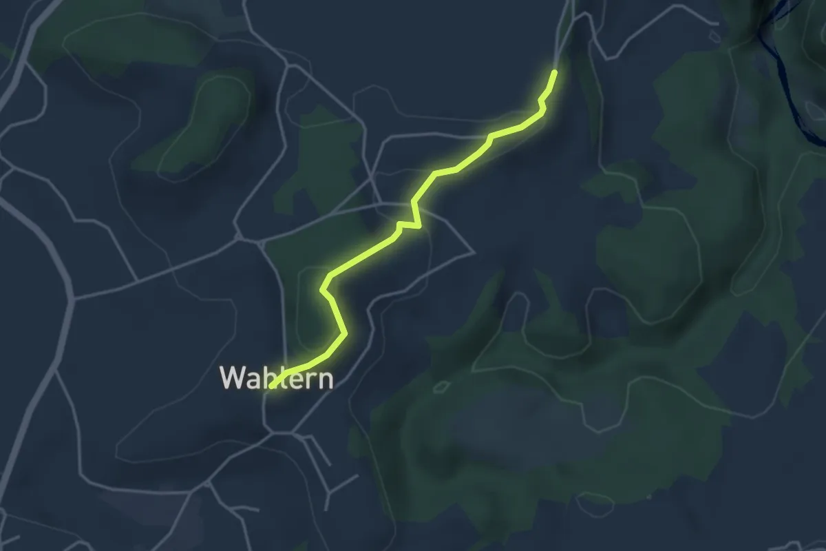
Easy · Trail
Ried - Wahlern
3.2 km · ↑ 103 m · 59 min · 12 km away
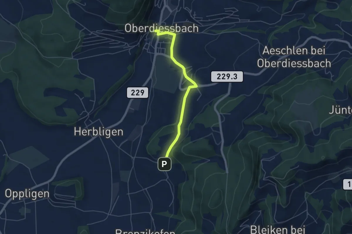
Easy · Trail
Oberdiessbach – Wydibühl
4.7 km · ↑ 124 m · 1 h 23 min · 12 km away