Trails near Belp
495 hikes starting within 15 km, nearest first.
Nearest first, page 2 of 11
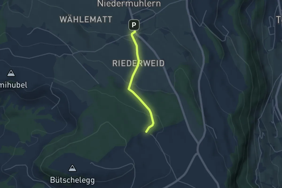
Easy · Trail
Niedermuhlern – Buechweid
3.1 km · ↑ 123 m · 1 h · 4 km away
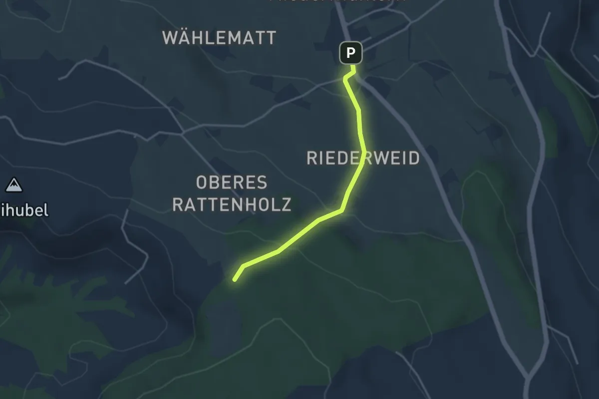
Easy · Trail
Seitenberg – Niedermuhlern
2.8 km · ↑ 141 m · 57 min · 4 km away
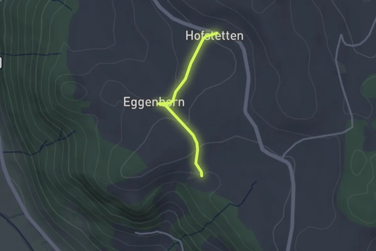
Easy · Trail
Schlatt - Hostete
2.1 km · ↑ 67 m · 38 min · 4 km away
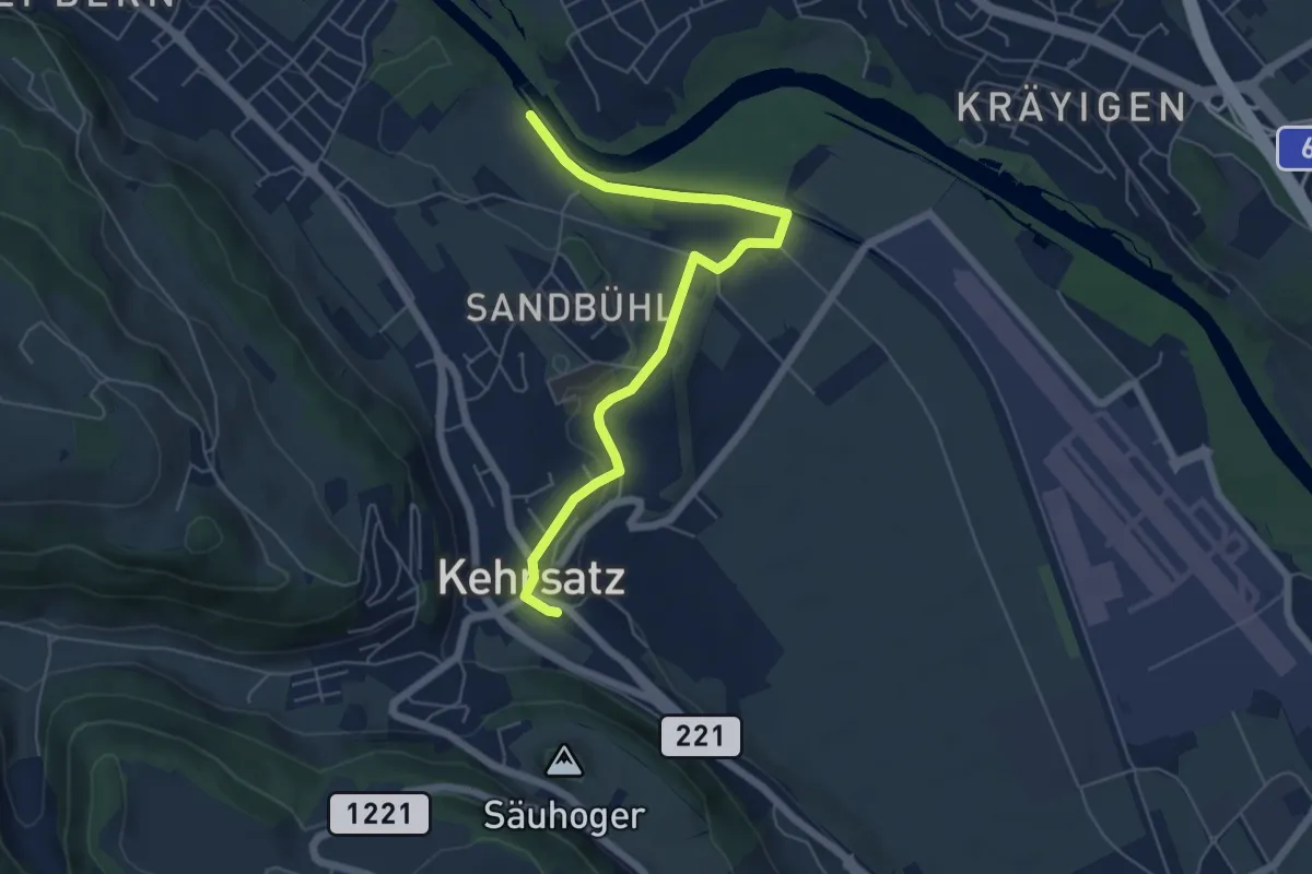
Easy · Trail
Bodenacherfähre - Kehrsatz
6.1 km · ↑ 89 m · 1 h 37 min · 4 km away
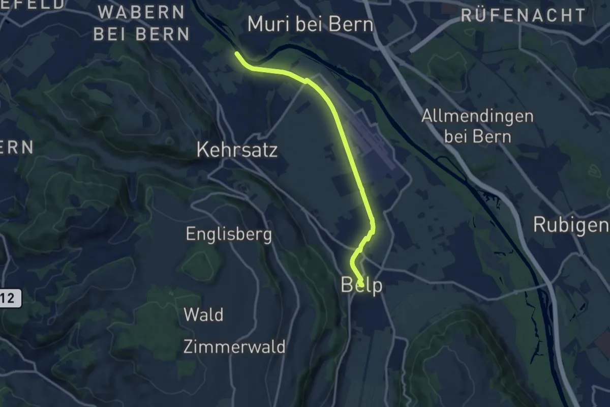
Medium · Trail
Bodenacherfähre - Belp
10.6 km · ↑ 22 m · 2 h 33 min · 4 km away
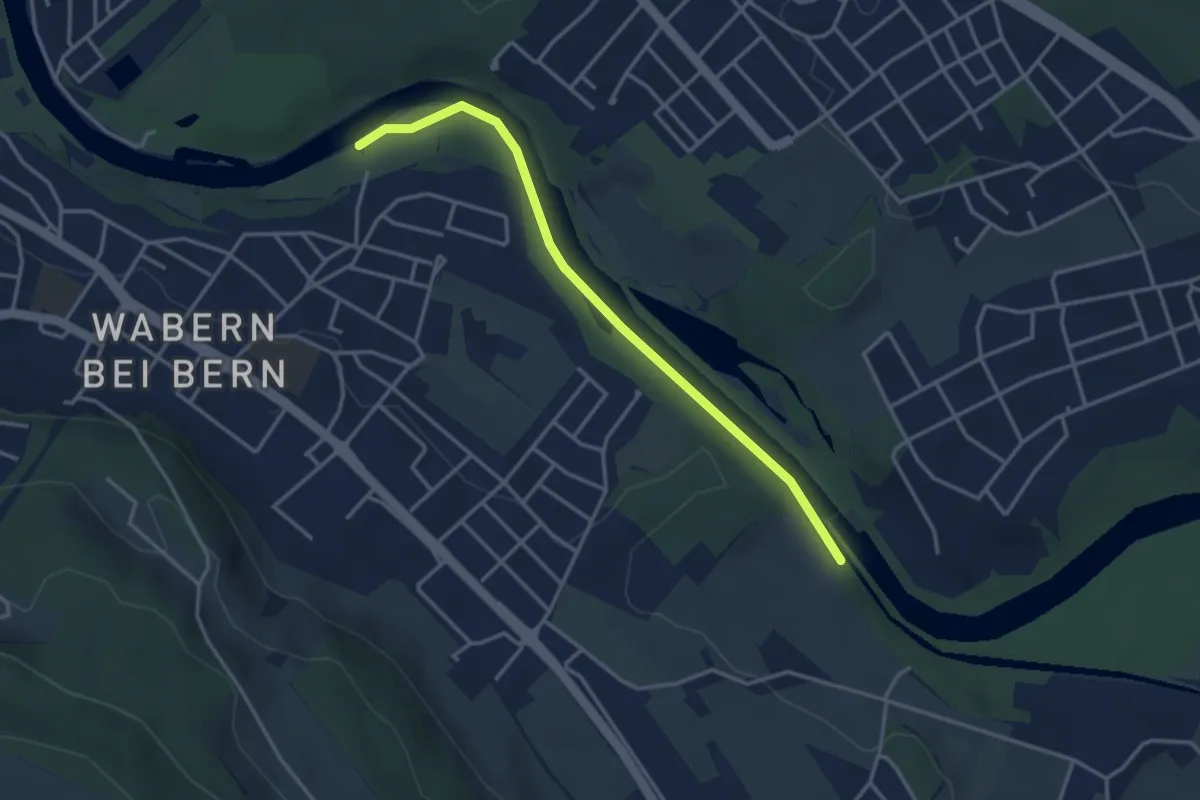
Easy · Trail
Bodenacherfähre - Eicholz
3.5 km · ↑ 25 m · 53 min · 4 km away
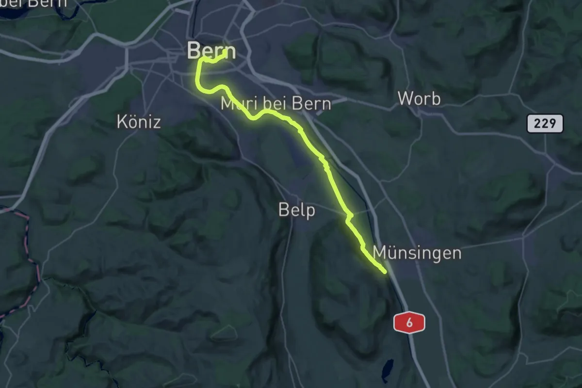
Demanding · Trail
ViaBerna Etappe 9
30.2 km · ↑ 349 m · 7 h 54 min · 4 km away
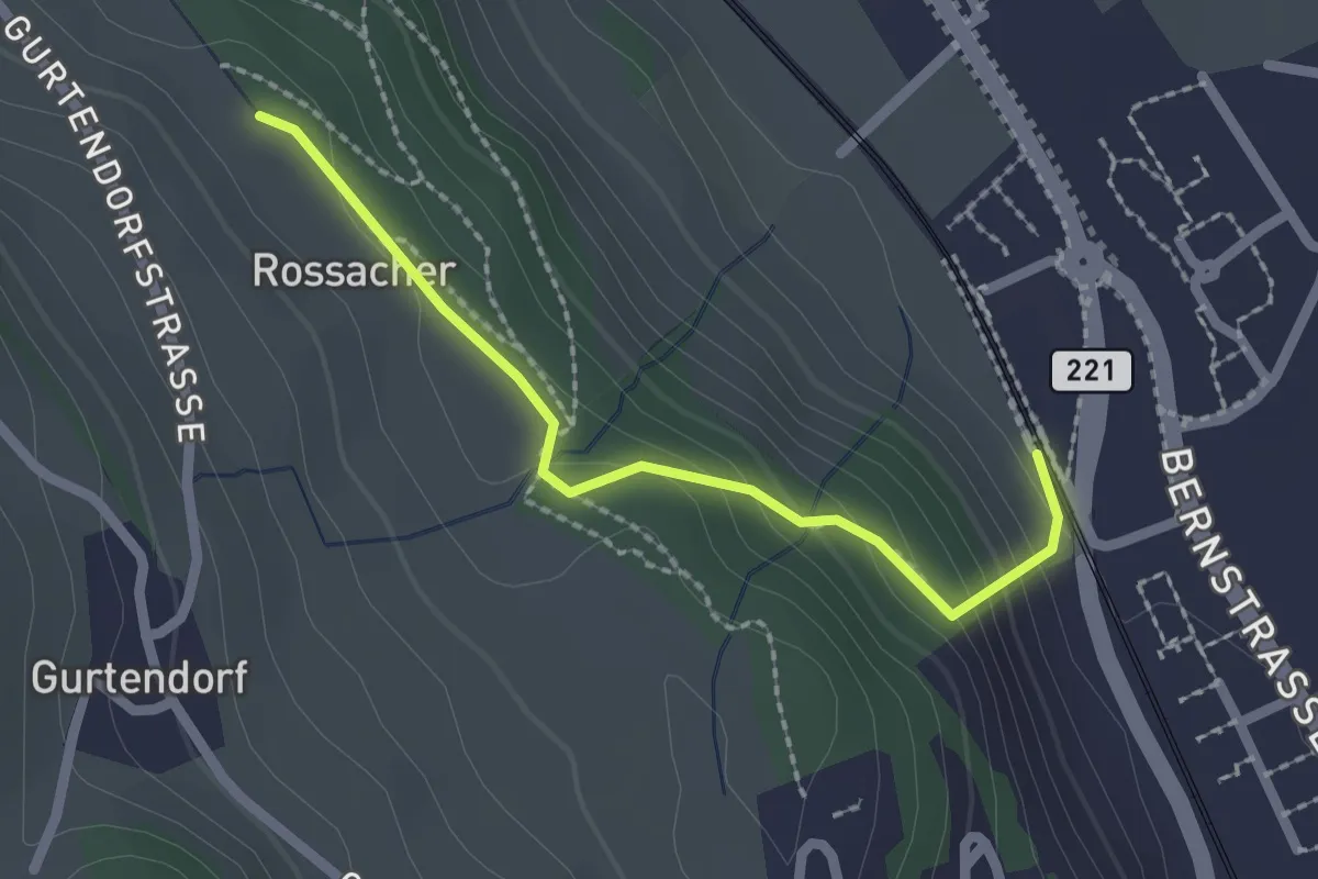
Easy · Trail
Kehrsatz Nord - Rossacker
2.0 km · ↑ 123 m · 45 min · 4 km away
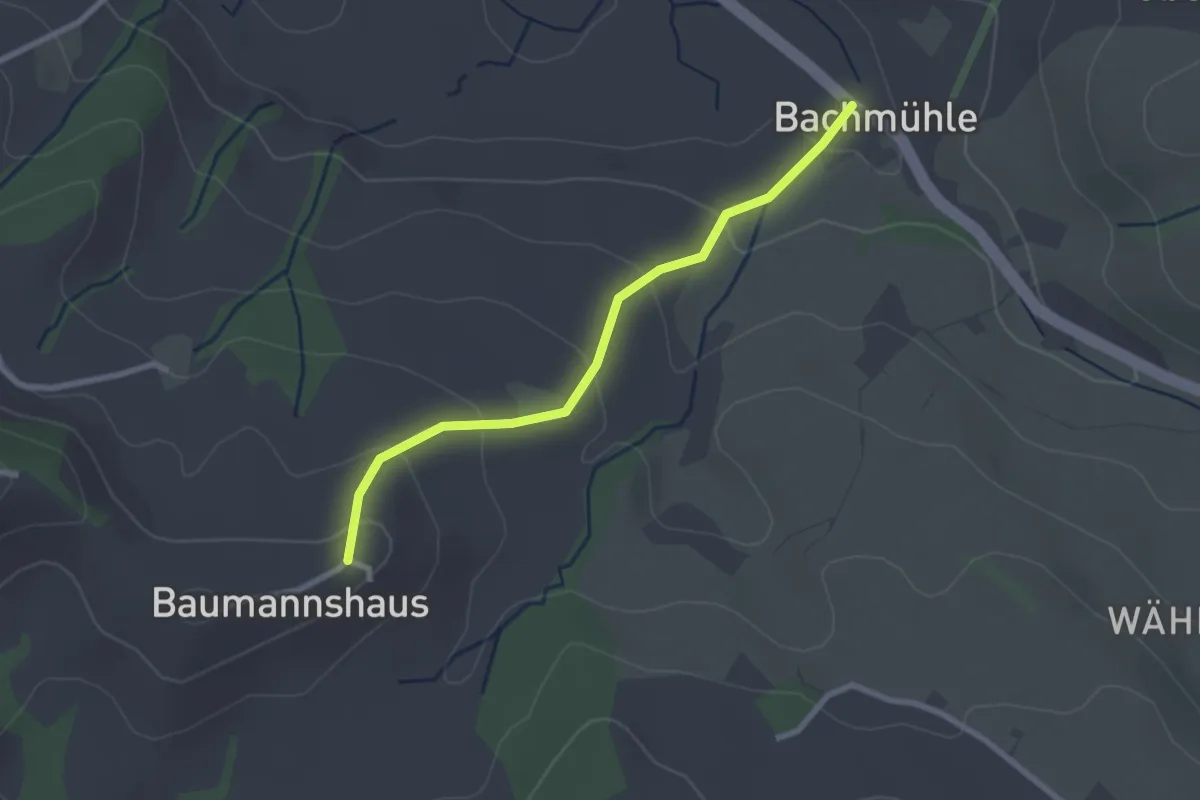
Easy · Trail
Bachmühle - Bumishus
2.4 km · ↑ 124 m · 51 min · 4 km away
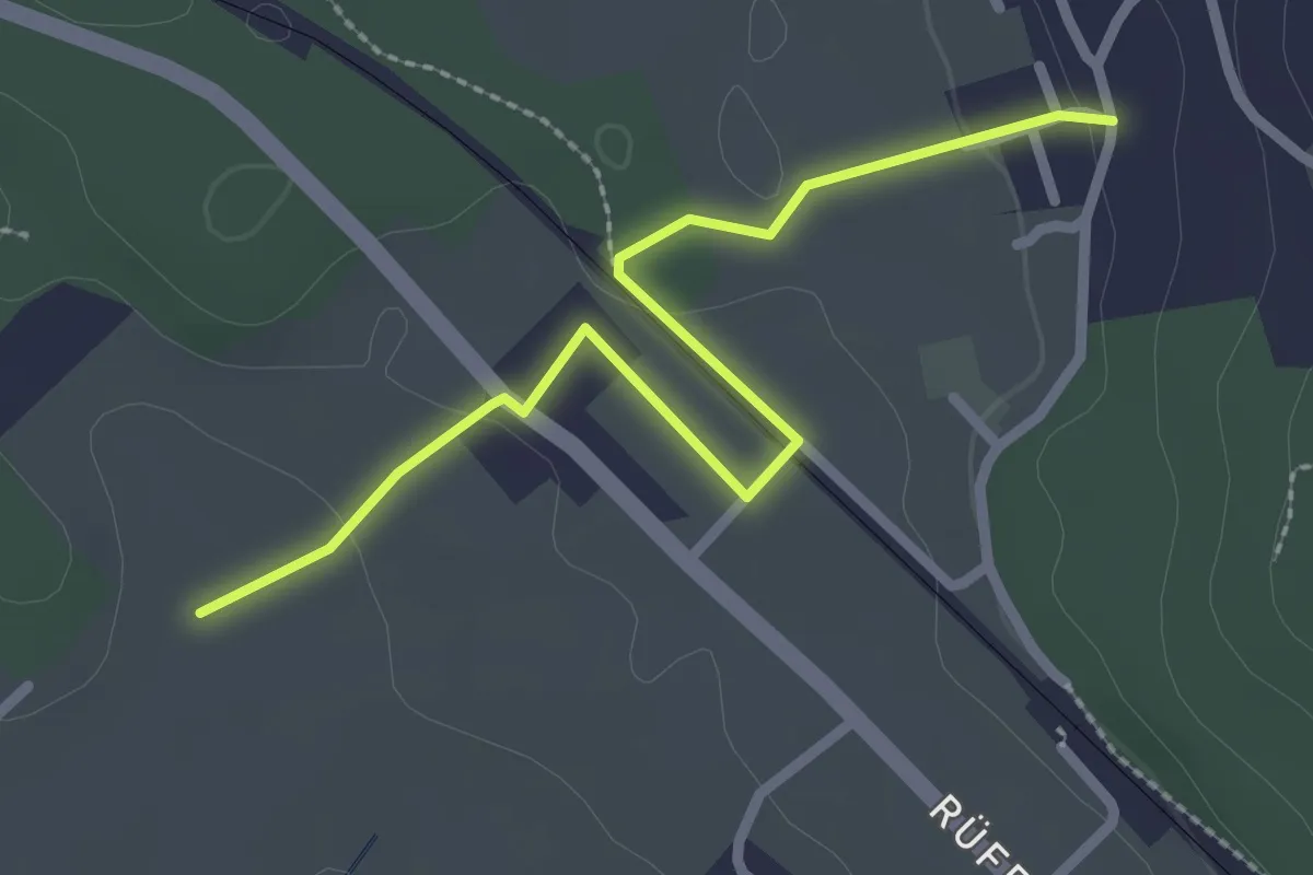
Easy · Trail
Chli Hüenliwald-Murmösli
2.7 km · ↑ 39 m · 43 min · 4 km away
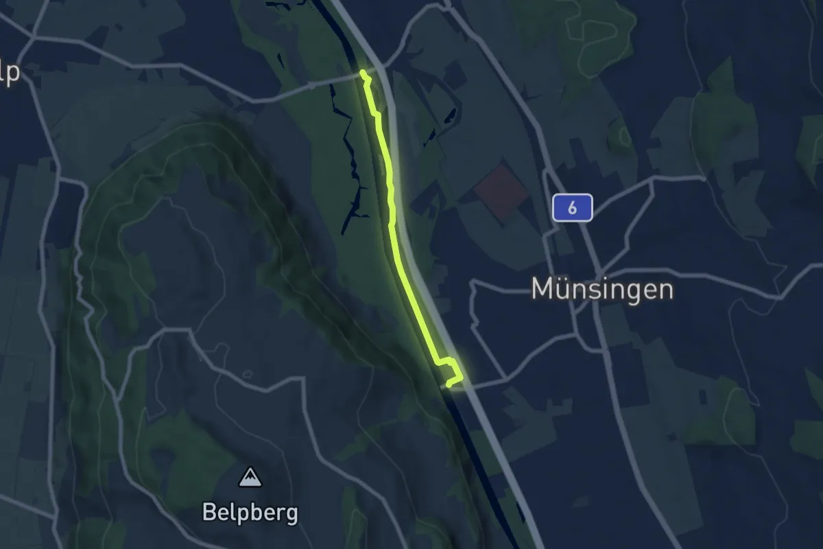
Easy · Trail
Hunzigenbrügg – Jabergbrücke
5.7 km · ↑ 18 m · 1 h 24 min · 4 km away
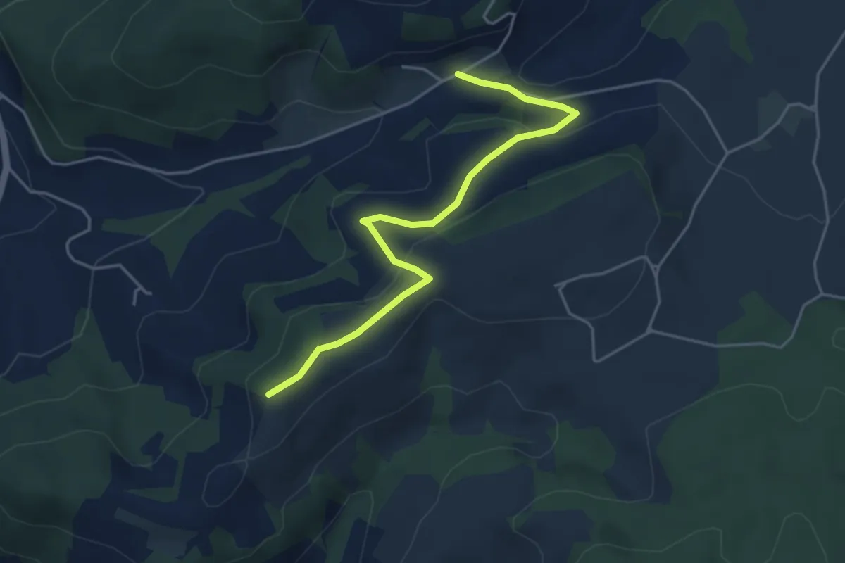
Easy · Trail
Oberulmiz – Zingghöch
4.4 km · ↑ 181 m · 1 h 26 min · 4 km away
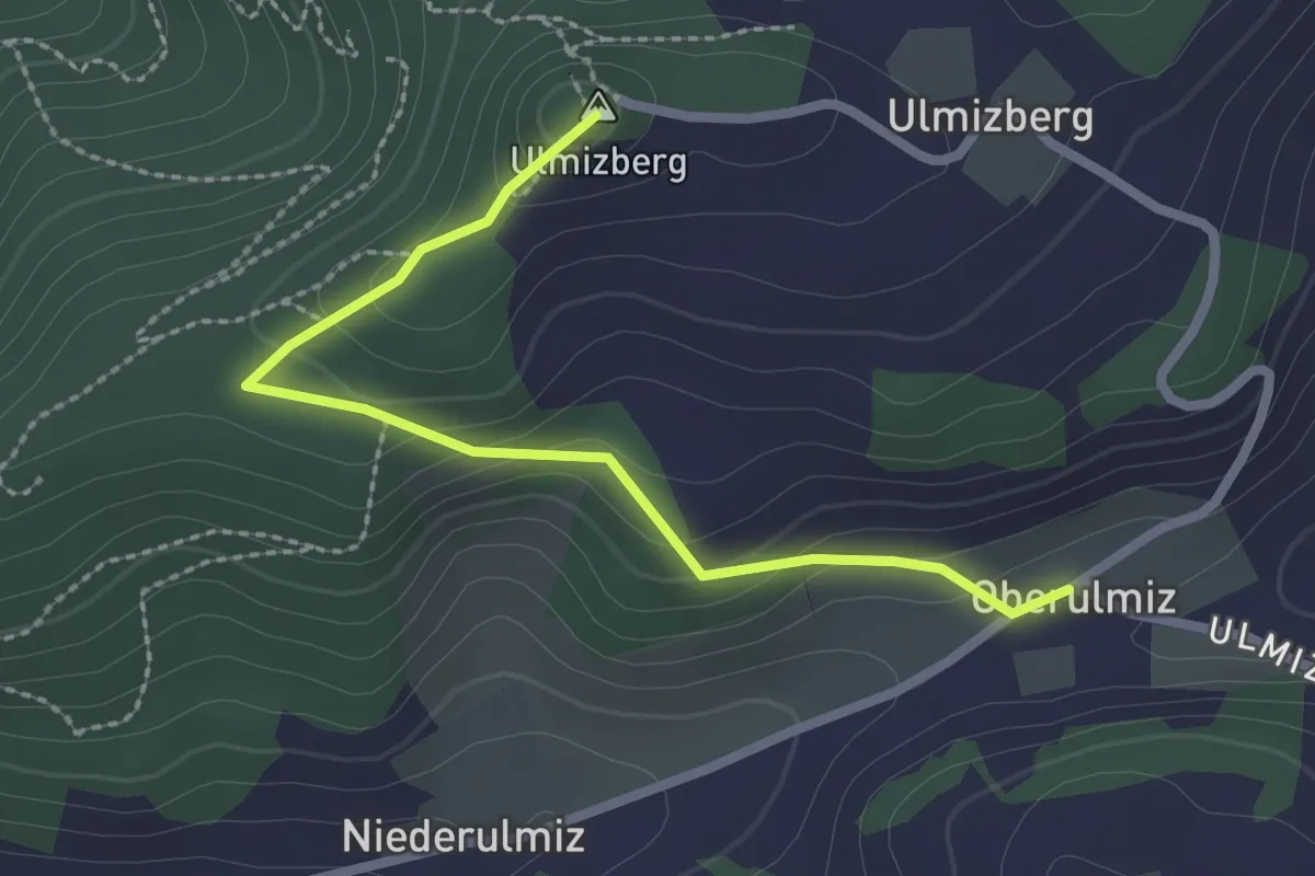
Easy · Summit
Ulmizberg – Oberulmiz
2.5 km · ↑ 118 m · 50 min · 4 km away
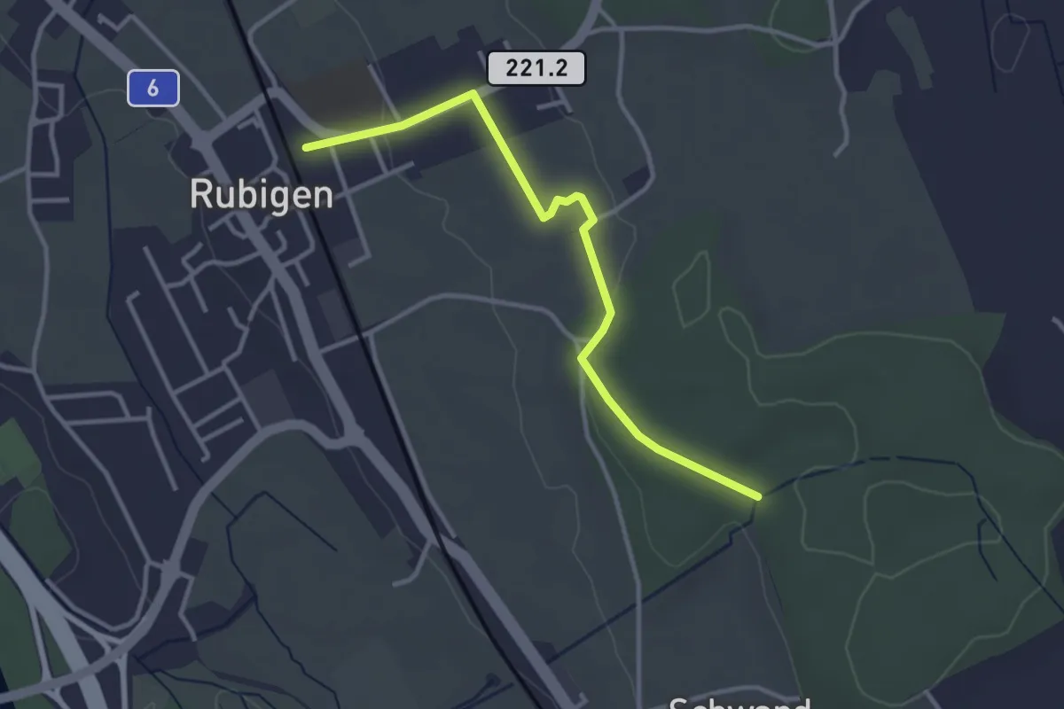
Easy · Trail
Rubigen – Schwandwald
3.2 km · ↑ 57 m · 53 min · 5 km away
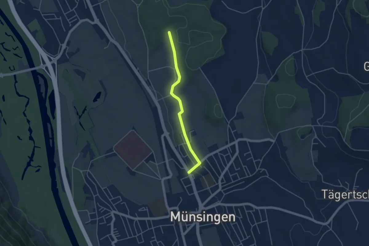
Easy · Trail
Münsingen – Schwandwald
3.7 km · ↑ 76 m · 1 h 2 min · 5 km away
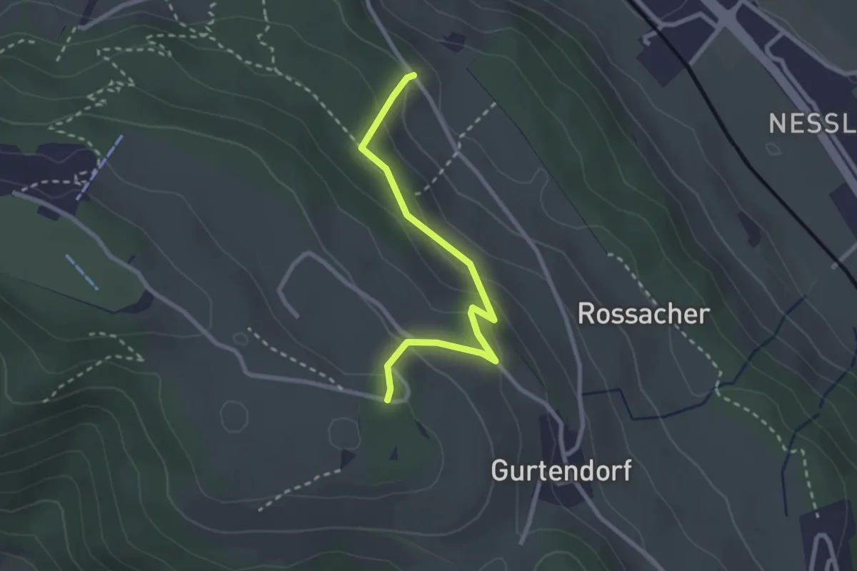
Easy · Trail
Bergweid – Studholz
2.5 km · ↑ 156 m · 56 min · 5 km away
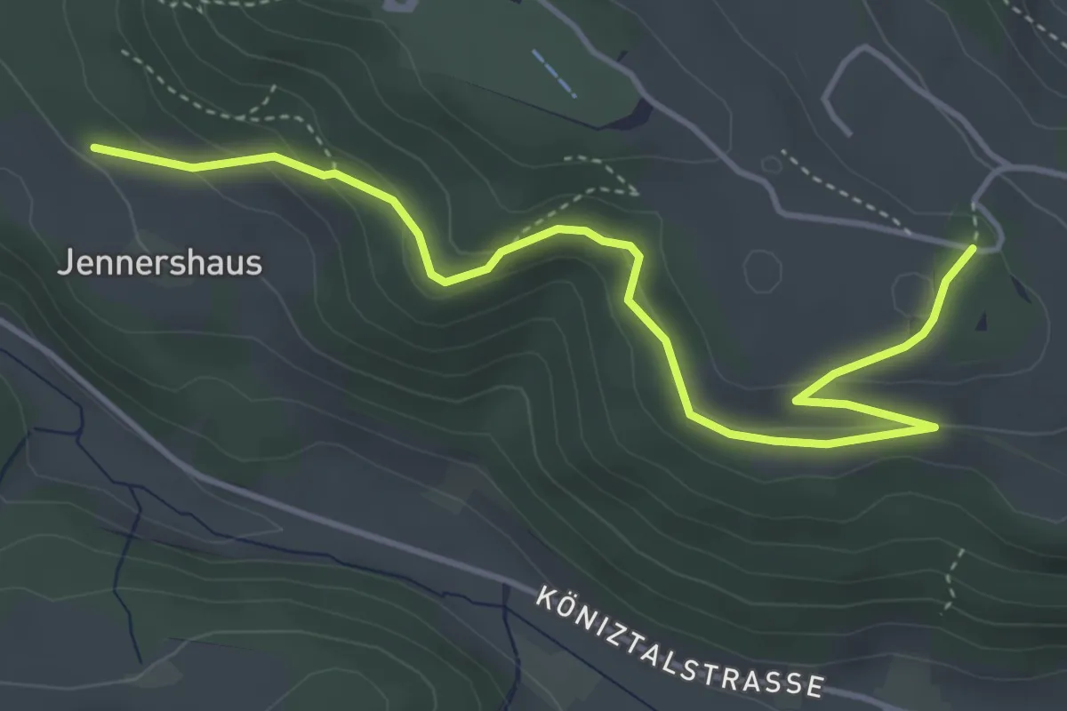
Easy · Trail
Jennershus – Studholz
4.7 km · ↑ 167 m · 1 h 29 min · 5 km away
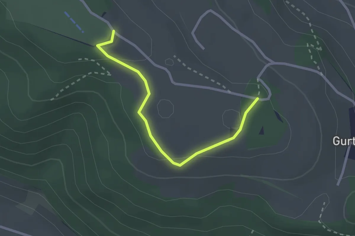
Easy · Summit
Studholz – Gurten/Ostsignal
2.3 km · ↑ 58 m · 39 min · 5 km away
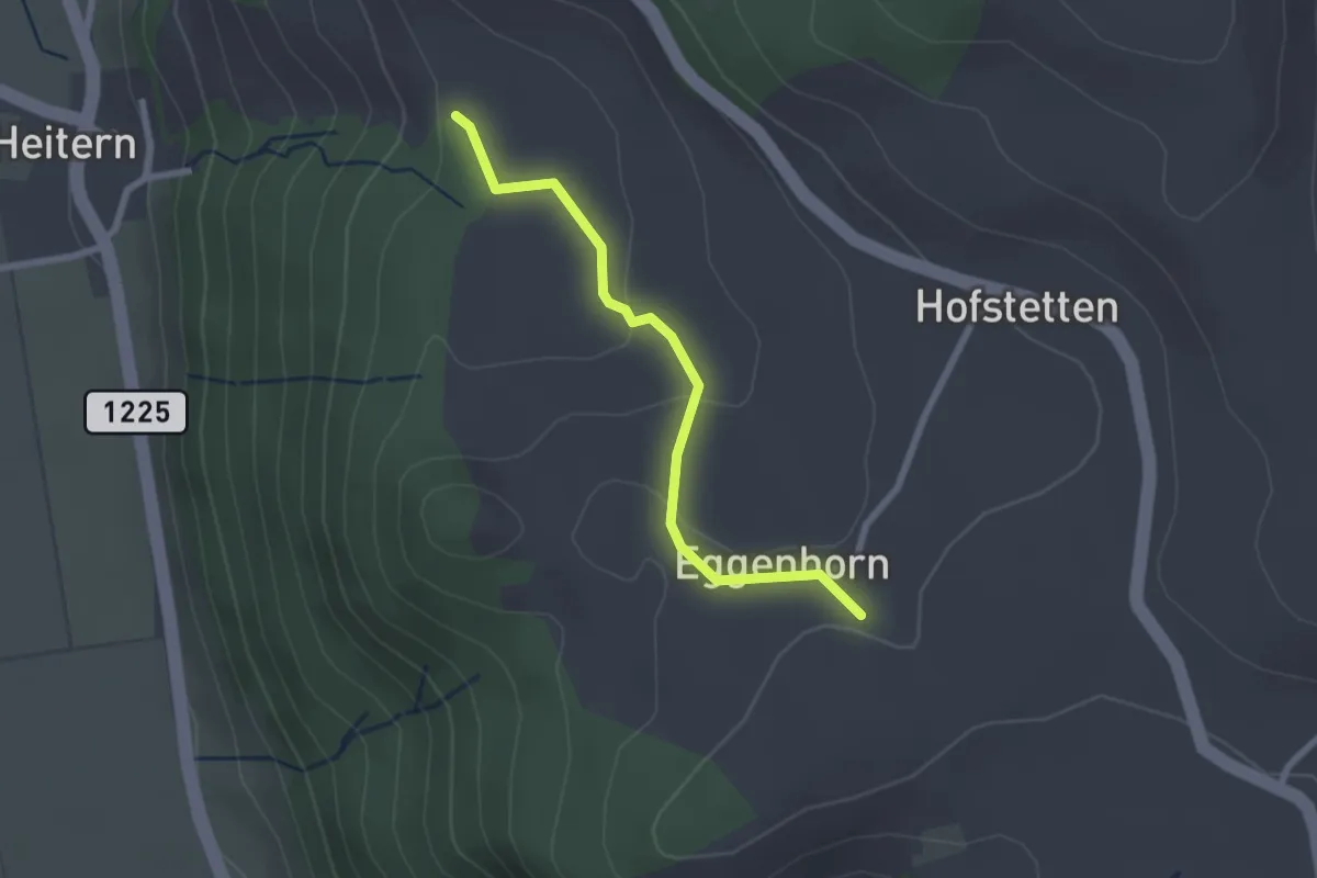
Easy · Trail
Schlatt - Chieffere
2.3 km · ↑ 73 m · 41 min · 5 km away
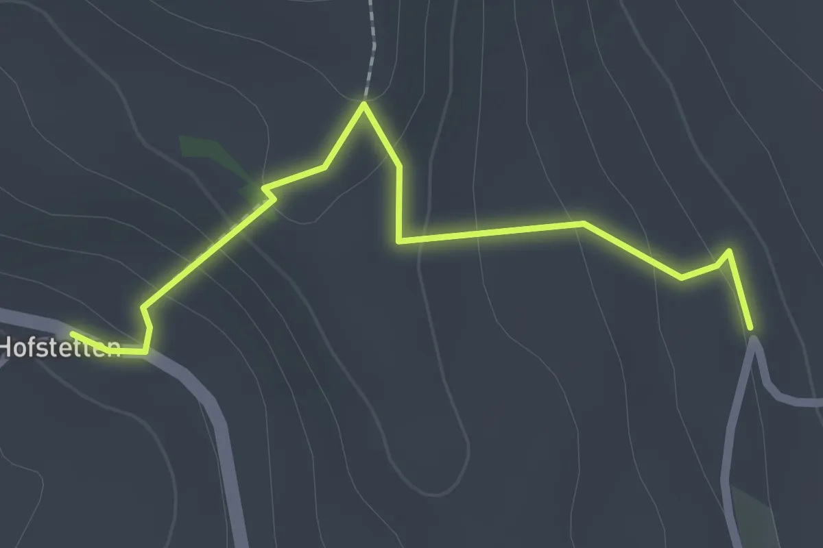
Easy · Trail
Hostete - Simmlere
2.1 km · ↑ 121 m · 45 min · 5 km away
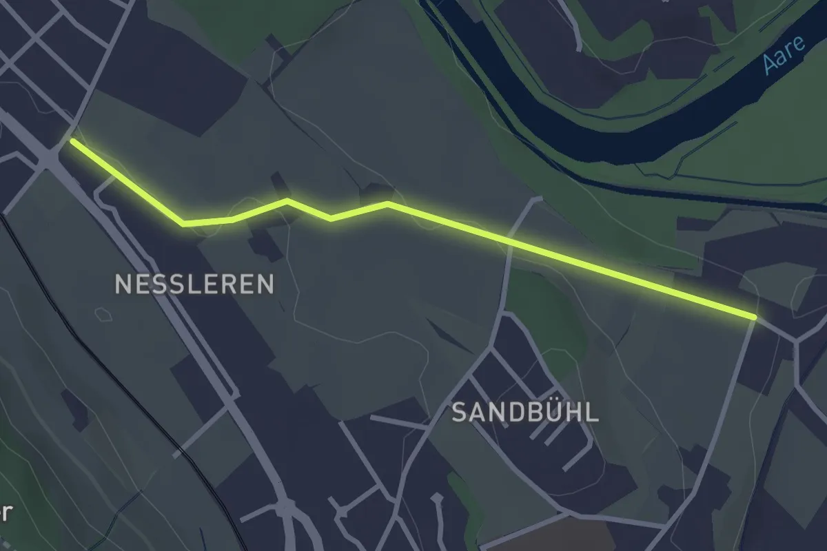
Easy · Trail
Chli Wabern – Unter Selhofen
2.8 km · ↑ 36 m · 44 min · 5 km away
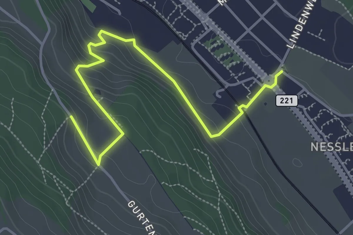
Easy · Trail
Chli-Wabern – Bergweid
3.8 km · ↑ 169 m · 1 h 15 min · 5 km away
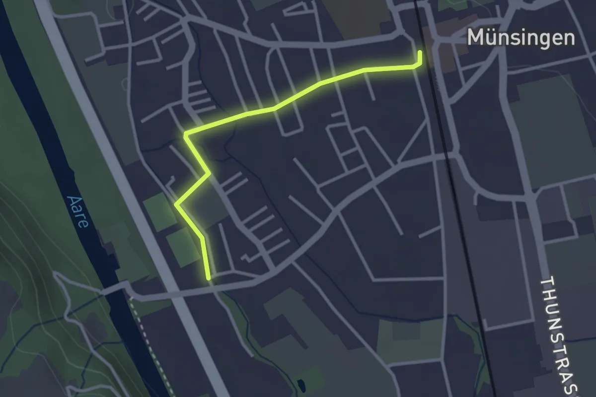
Easy · Trail
Aeussere Giesse - Münsingen/Bahnhof
2.7 km · ↑ 4 m · 39 min · 5 km away
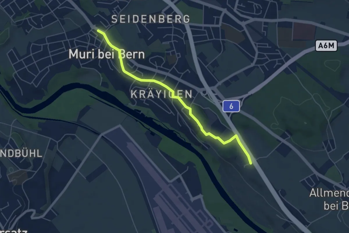
Easy · Trail
Muri – Vorder Märchligen
5.4 km · ↑ 49 m · 1 h 24 min · 5 km away
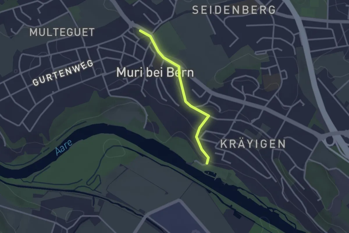
Easy · Trail
Muribad - Muri
2.3 km · ↑ 43 m · 38 min · 5 km away
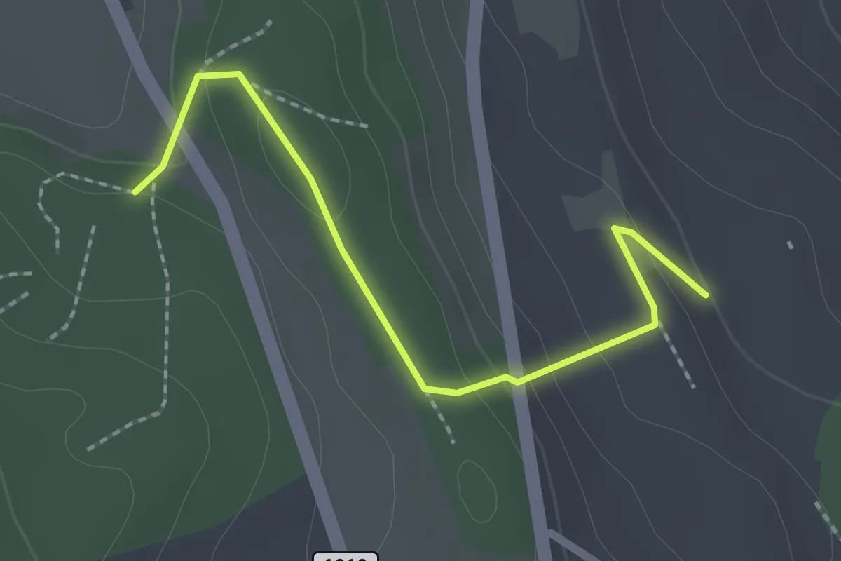
Easy · Trail
Rattenholz - Oberfeld
2.1 km · ↑ 70 m · 39 min · 5 km away
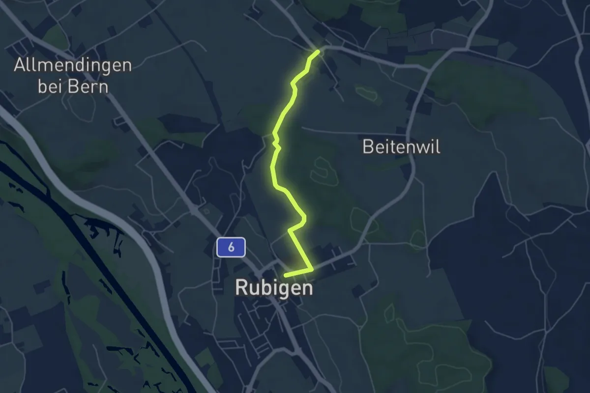
Easy · Trail
Rubigen – Vielbringen
4.6 km · ↑ 75 m · 1 h 15 min · 5 km away
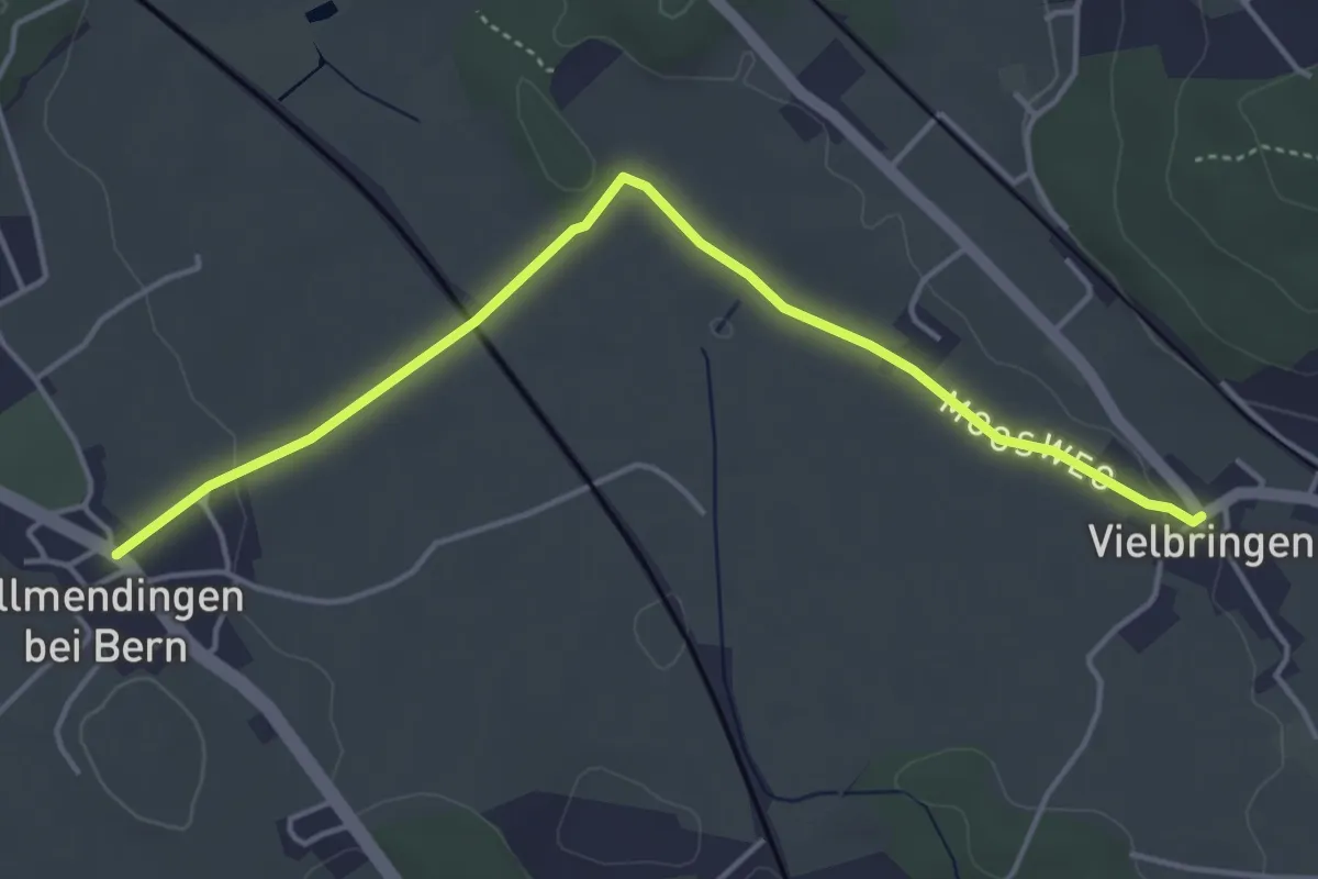
Easy · Trail
Allmendingen – Vielbringen
4.6 km · ↑ 32 m · 1 h 9 min · 5 km away
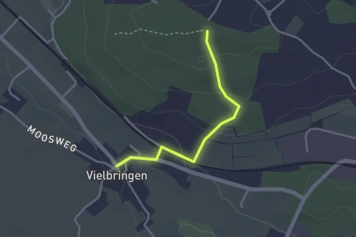
Easy · Trail
Vielbringen – Wislenwald
2.4 km · ↑ 85 m · 44 min · 5 km away
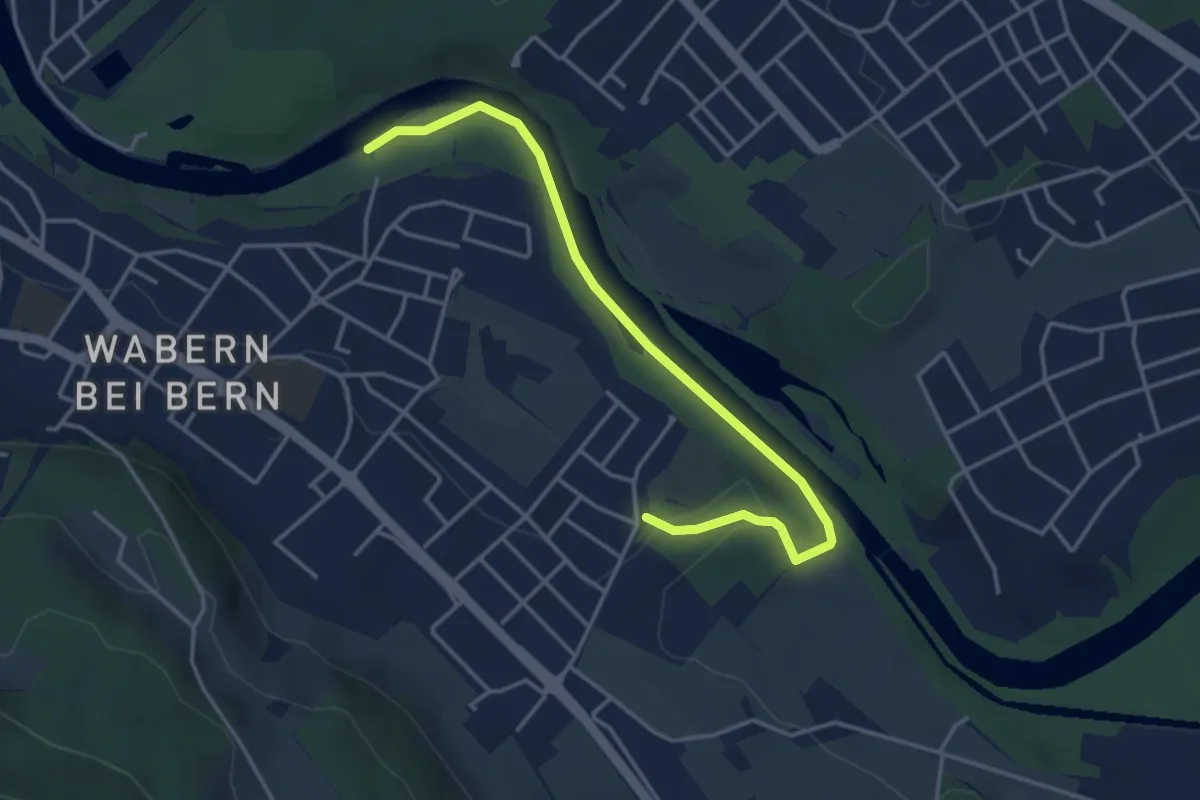
Easy · Trail
Nesslerenhölzli - Eichholz
4.1 km · ↑ 64 m · 1 h 7 min · 5 km away
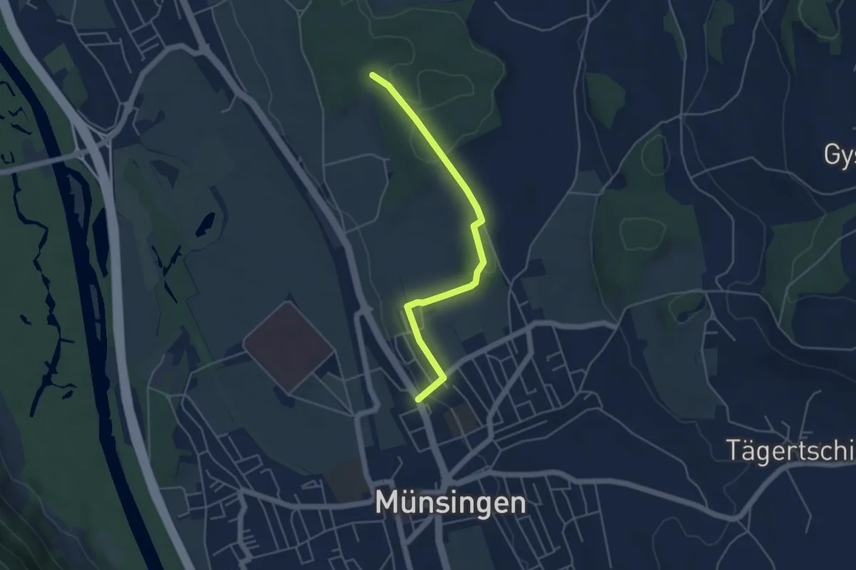
Easy · Trail
Münsingen – Schwandwald
4.4 km · ↑ 75 m · 1 h 12 min · 5 km away
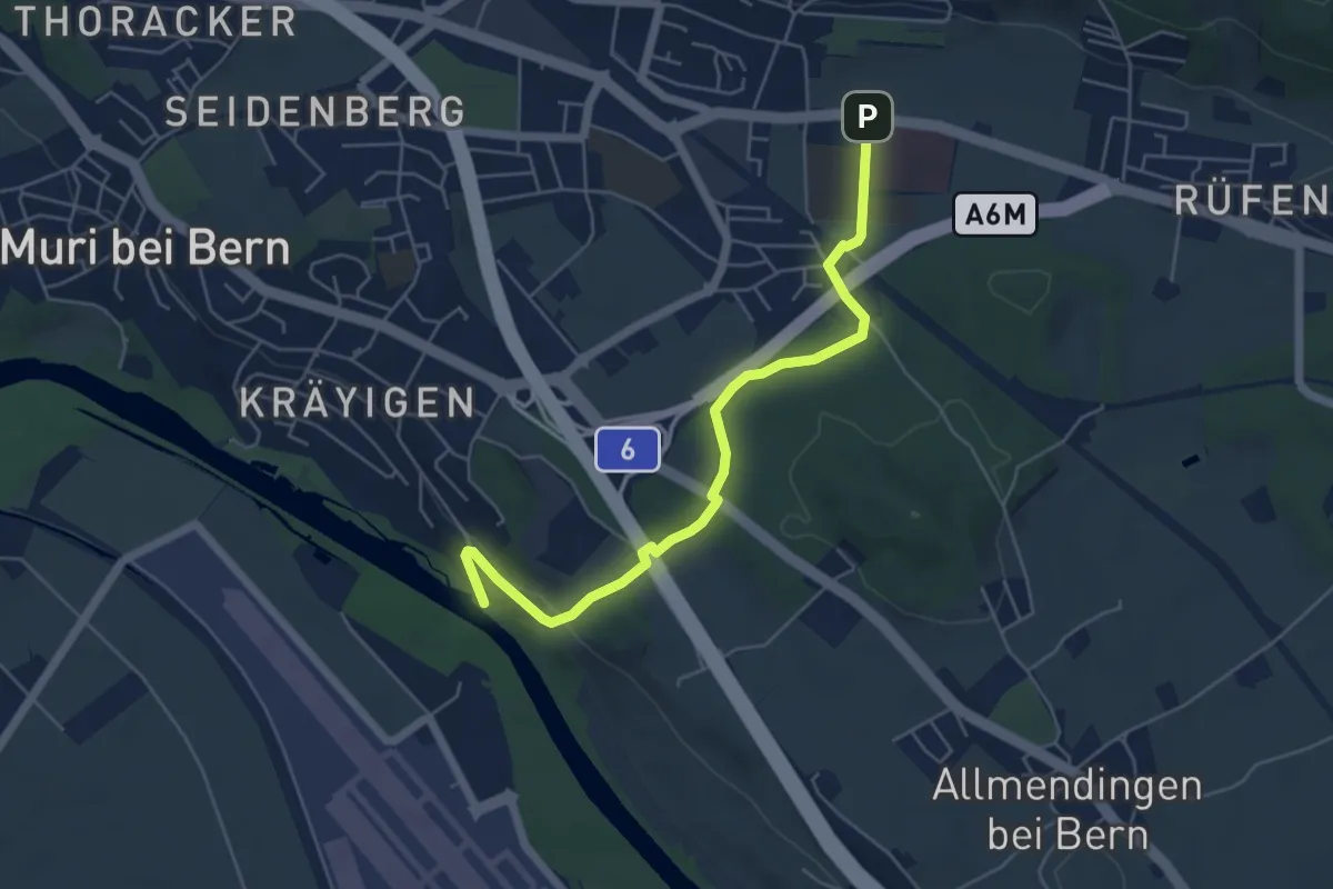
Easy · Trail
Gümligen Siloah – Auguetbrügg
5.5 km · ↑ 100 m · 1 h 31 min · 5 km away
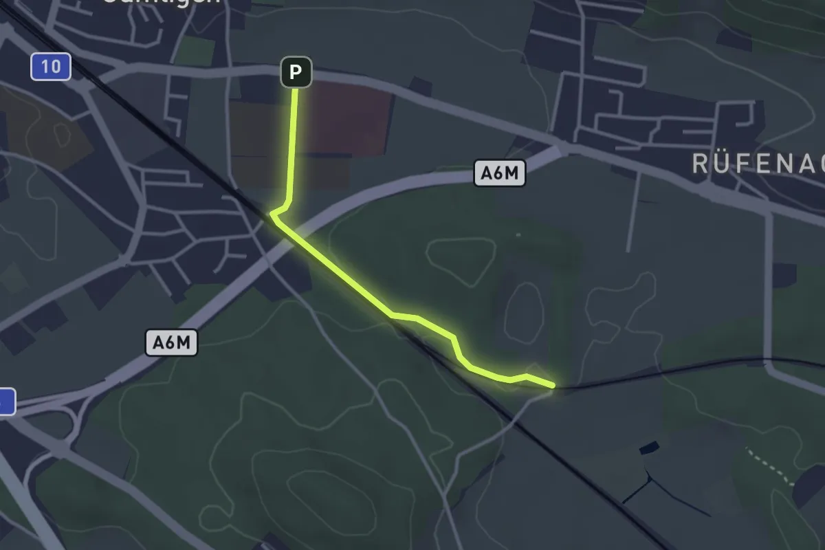
Easy · Trail
Gümligen Siloah – Rüti
2.7 km · ↑ 18 m · 41 min · 5 km away
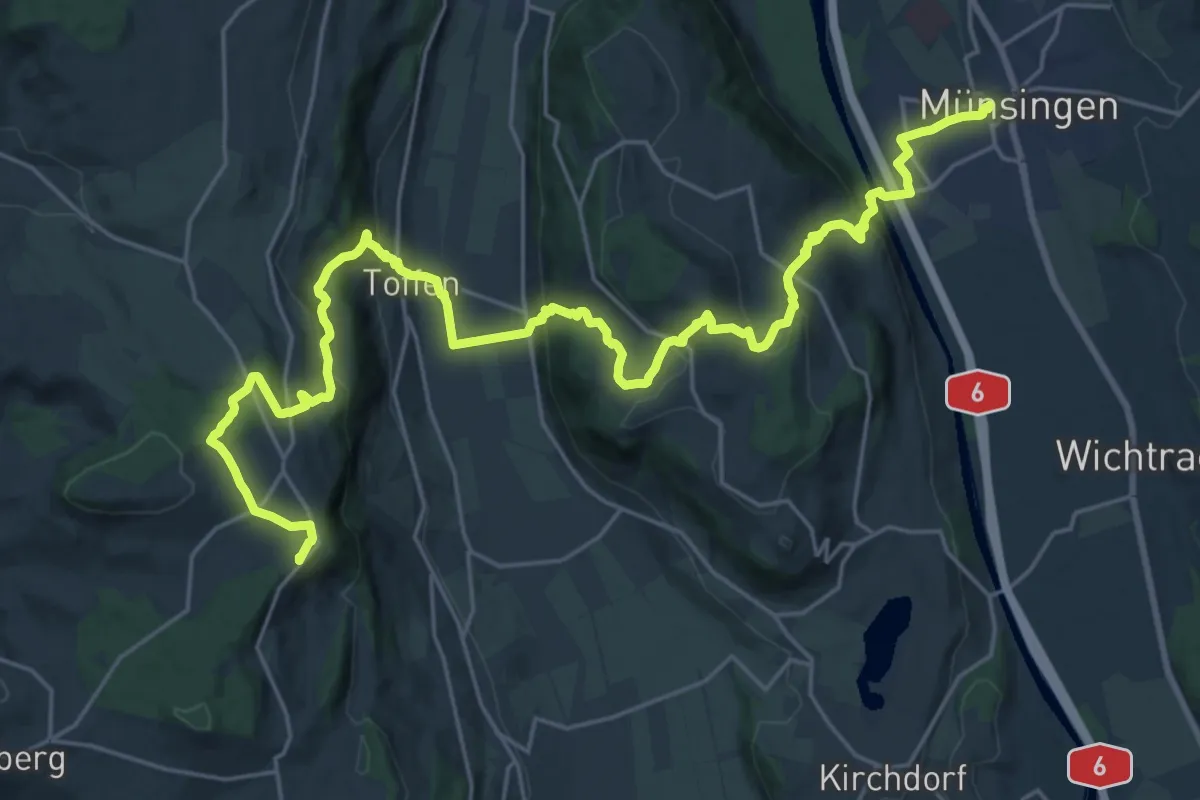
Demanding · Summit
Alpenpanorama-Weg
30.3 km · ↑ 1232 m · 9 h 50 min · 5 km away
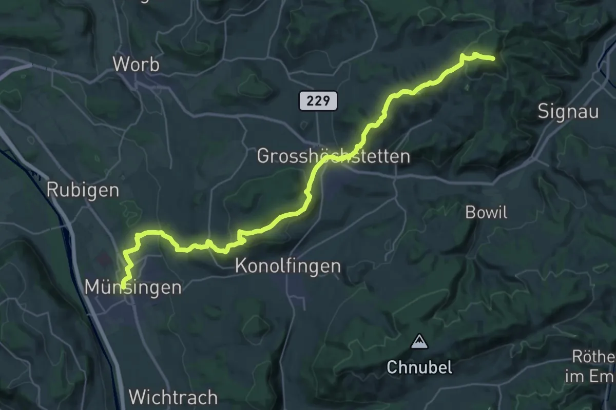
Demanding · Summit
Alpenpanorama-Weg
33.3 km · ↑ 1120 m · 10 h 17 min · 5 km away
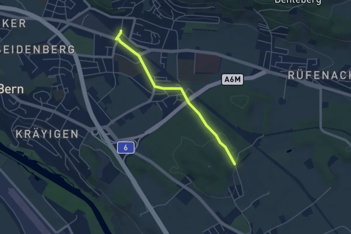
Easy · Trail
Hüenwald – Gümligen
4.0 km · ↑ 36 m · 1 h 2 min · 5 km away
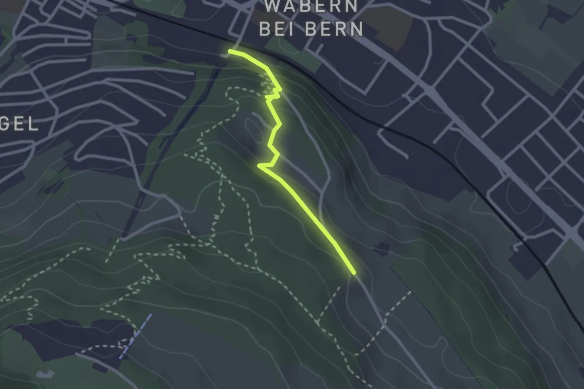
Easy · Trail
Wabern/Gurtenbahn – Bergweid
2.1 km · ↑ 103 m · 43 min · 5 km away
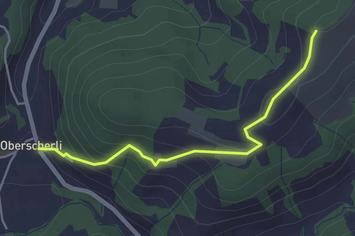
Easy · Trail
Zingghöch – Oberscherli
3.1 km · ↑ 195 m · 1 h 9 min · 5 km away
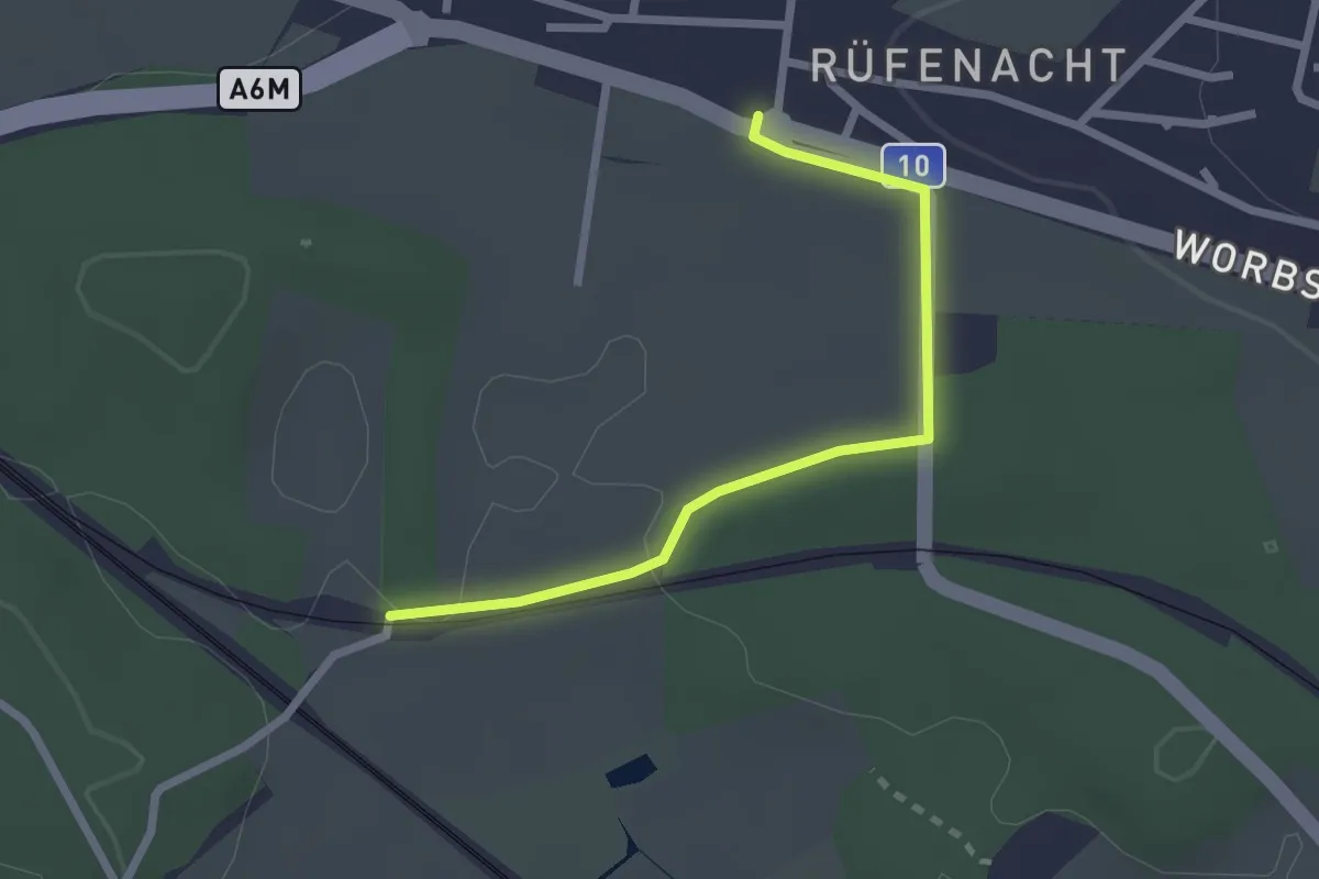
Easy · Trail
Rüti – Rüfenacht
2.3 km · ↑ 14 m · 35 min · 5 km away
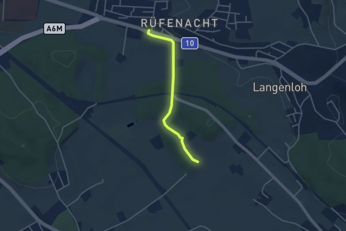
Easy · Trail
Rüfenacht – Chli Hüenliwald
2.6 km · ↑ 20 m · 40 min · 5 km away
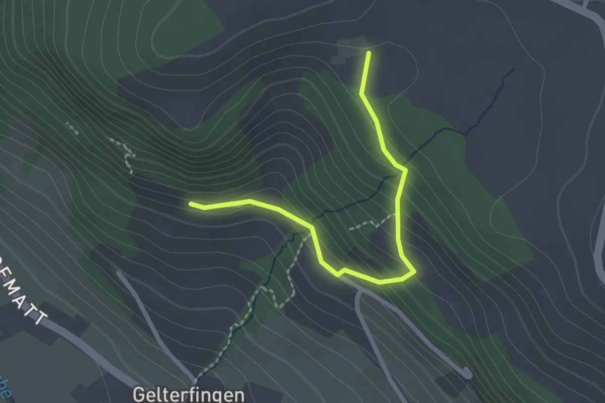
Easy · Trail
Chramburg - Schlatt
2.1 km · ↑ 133 m · 47 min · 5 km away
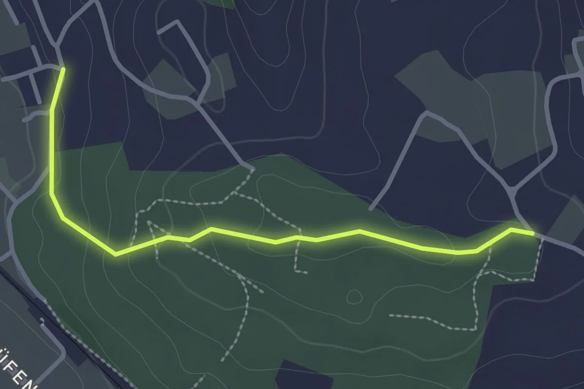
Easy · Trail
Langenloh-Wislen
2.6 km · ↑ 70 m · 46 min · 5 km away
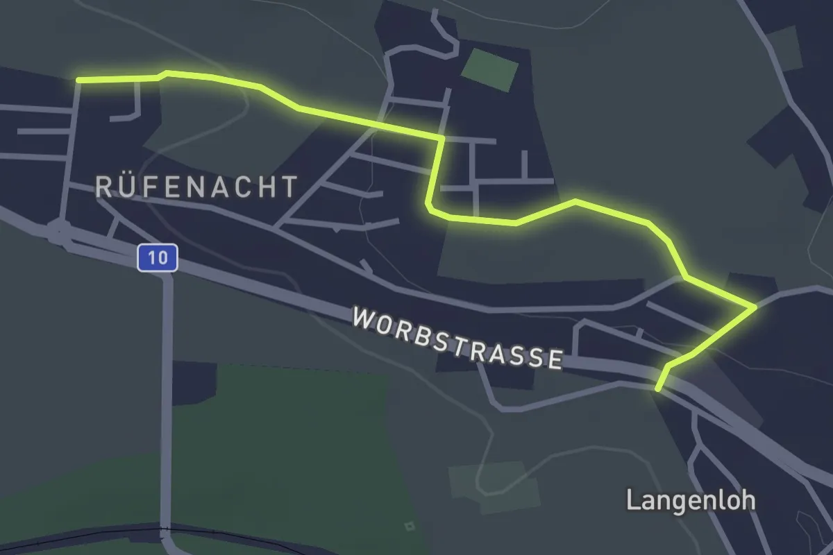
Easy · Trail
Langenloh – Rüfenacht
3.0 km · ↑ 57 m · 50 min · 5 km away
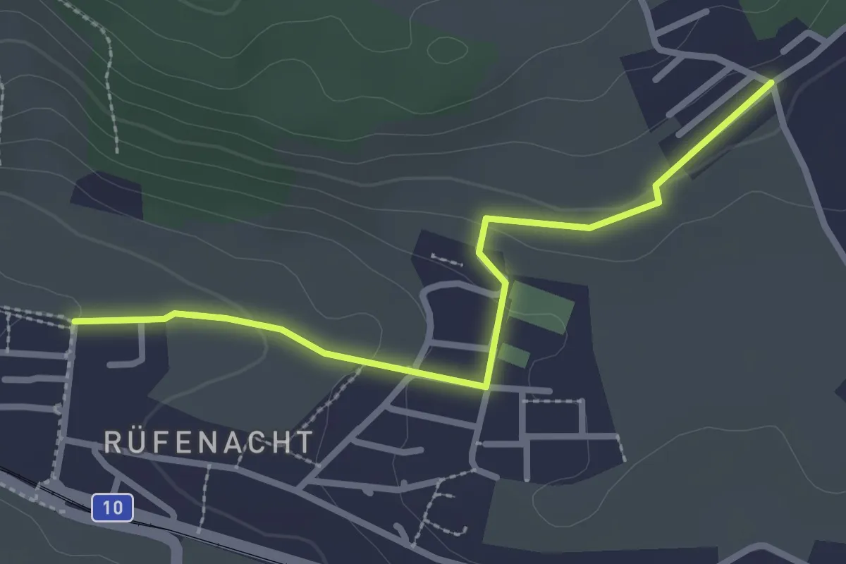
Easy · Trail
Neuhus – Rüfenacht
2.7 km · ↑ 67 m · 46 min · 5 km away
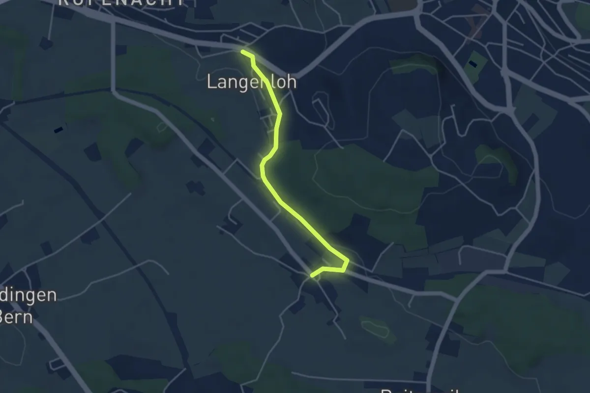
Easy · Trail
Langenloh – Vielbringen
3.7 km · ↑ 53 m · 59 min · 5 km away
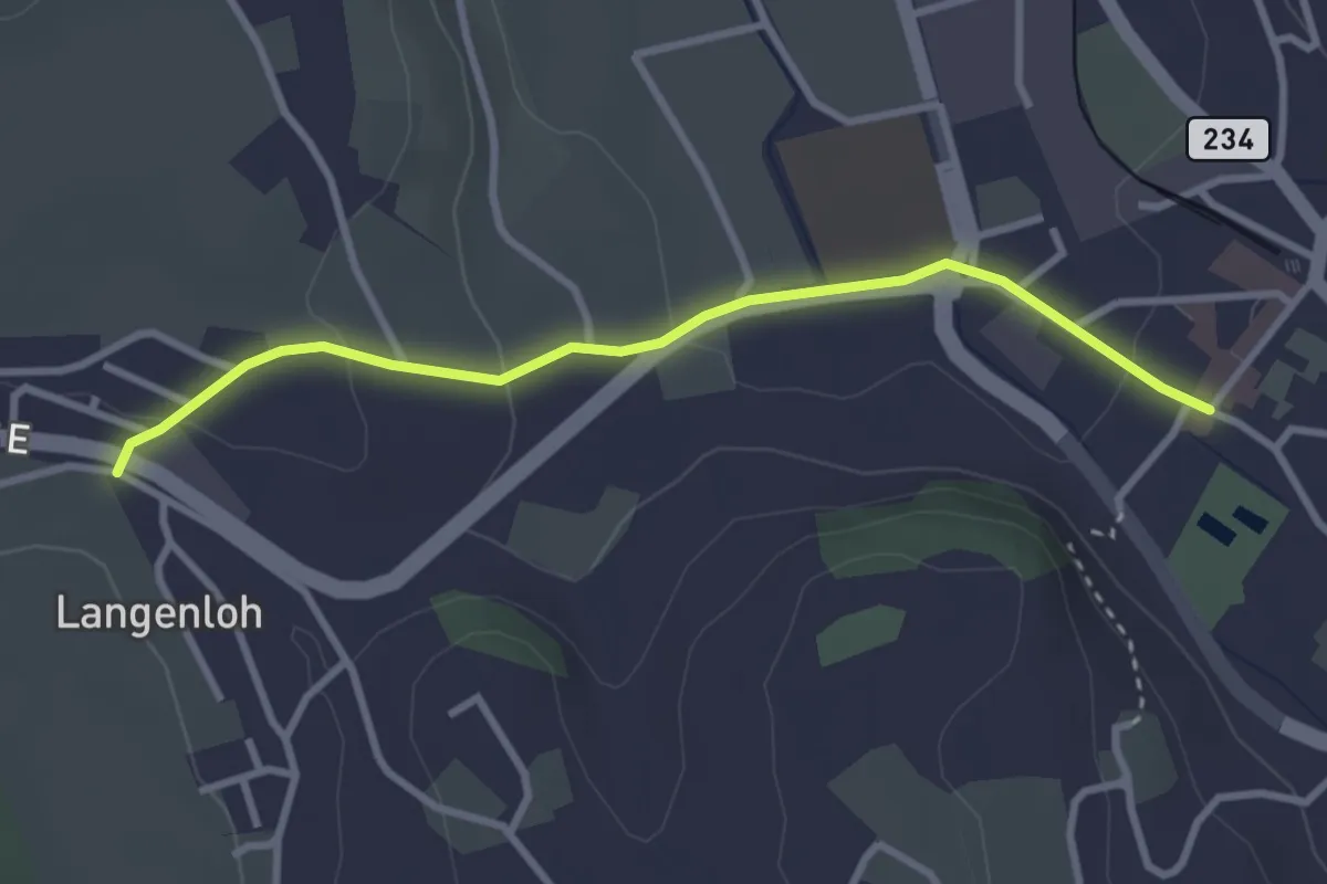
Easy · Trail
Langenloh – Worb Sternen
3.0 km · ↑ 66 m · 52 min · 5 km away
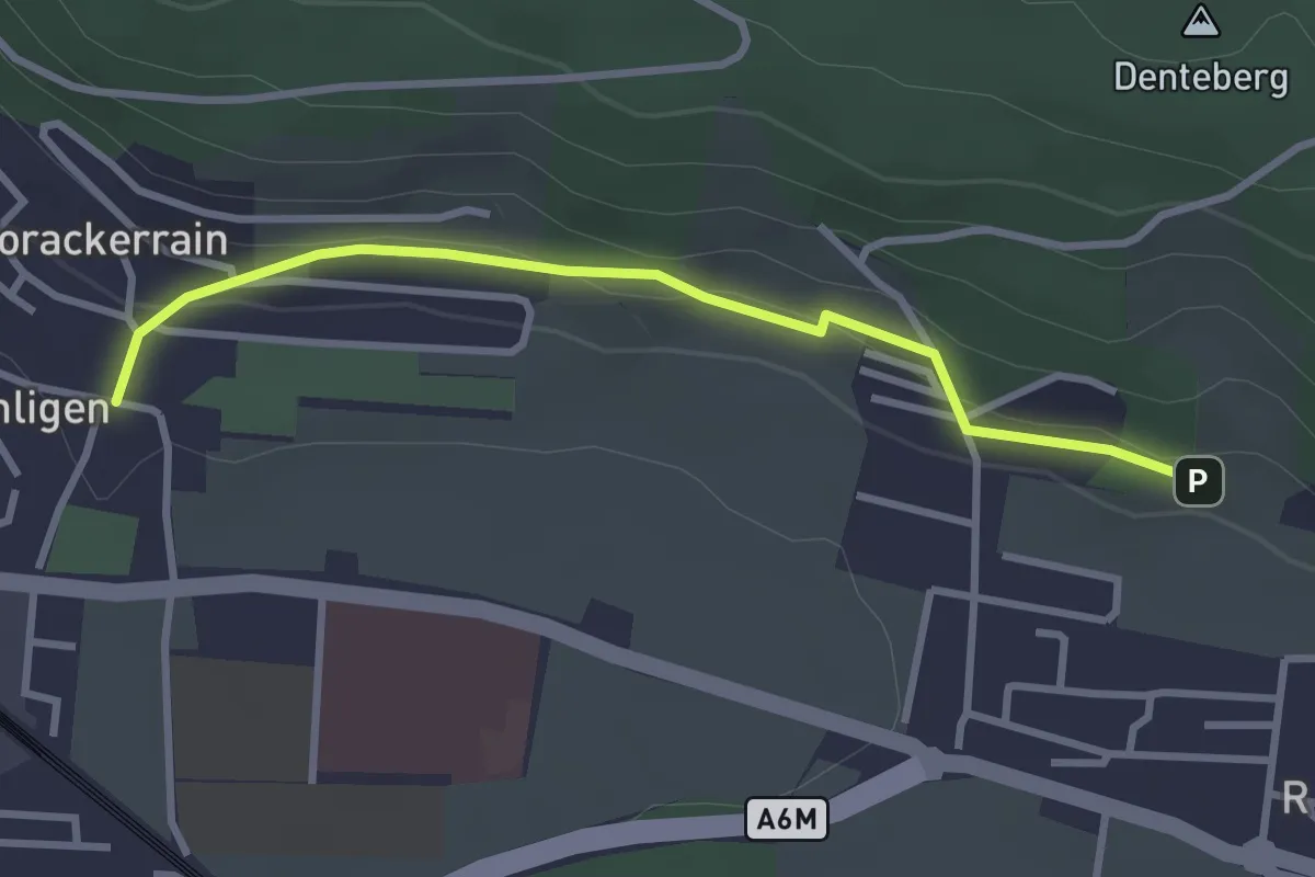
Easy · Trail
Sunnedörfli – Gümligen/Kirche
3.0 km · ↑ 80 m · 53 min · 5 km away
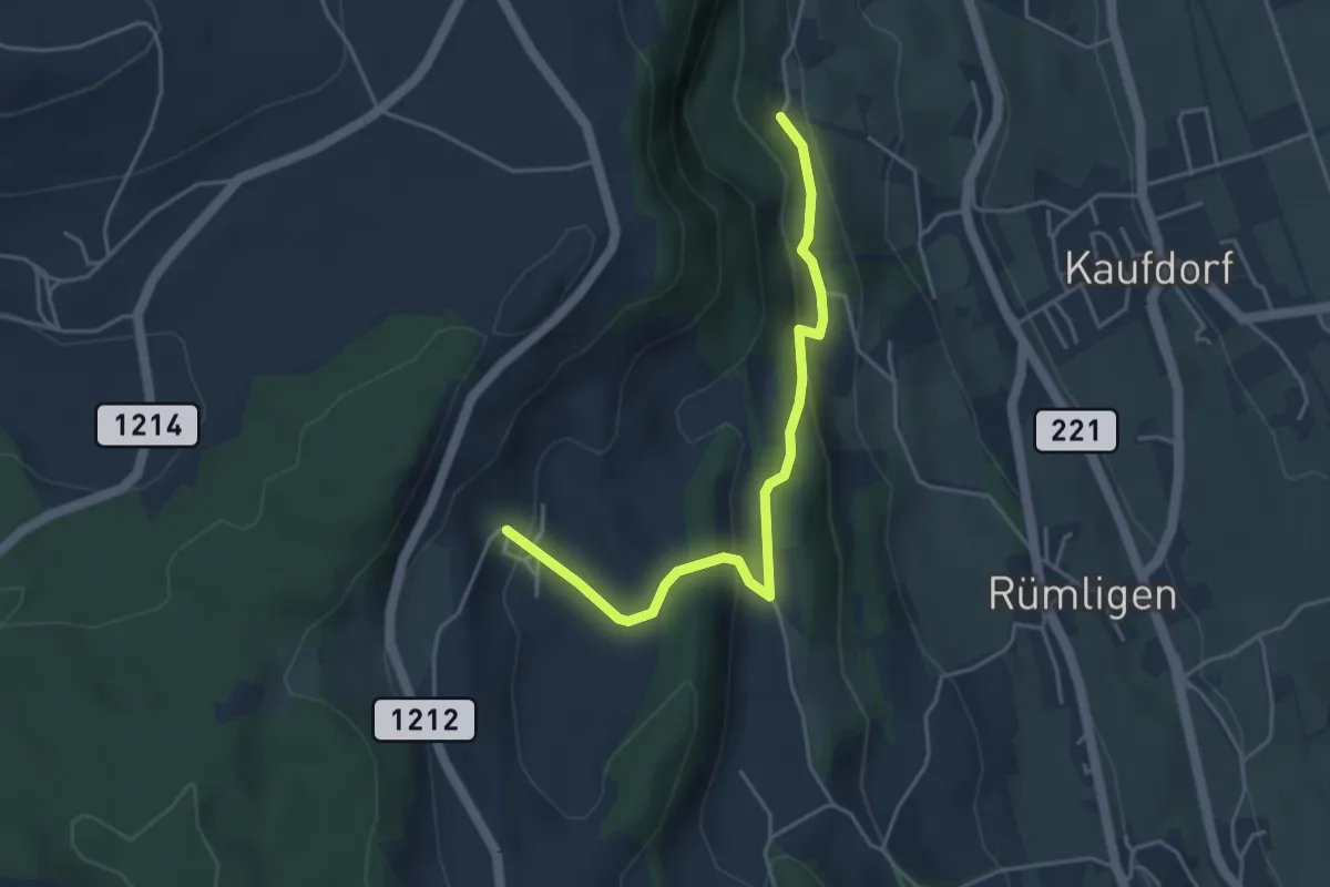
Easy · Trail
Gutenbrünnen - Hermiswil
4.3 km · ↑ 207 m · 1 h 28 min · 5 km away