Trails near Belp
495 hikes starting within 15 km, nearest first.
Nearest first, page 3 of 11
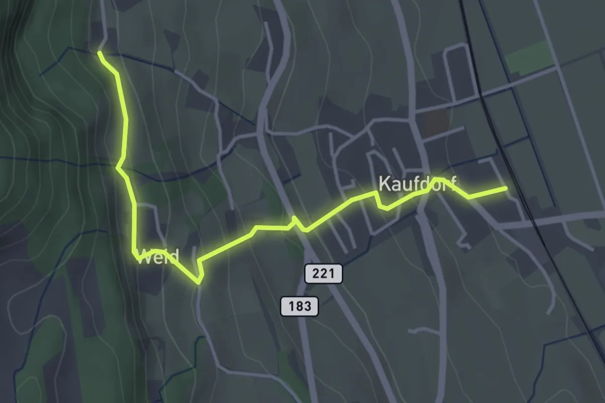
Easy · Trail
Kaufdorf - Gutenbrünnen
3.9 km · ↑ 237 m · 1 h 26 min · 5 km away
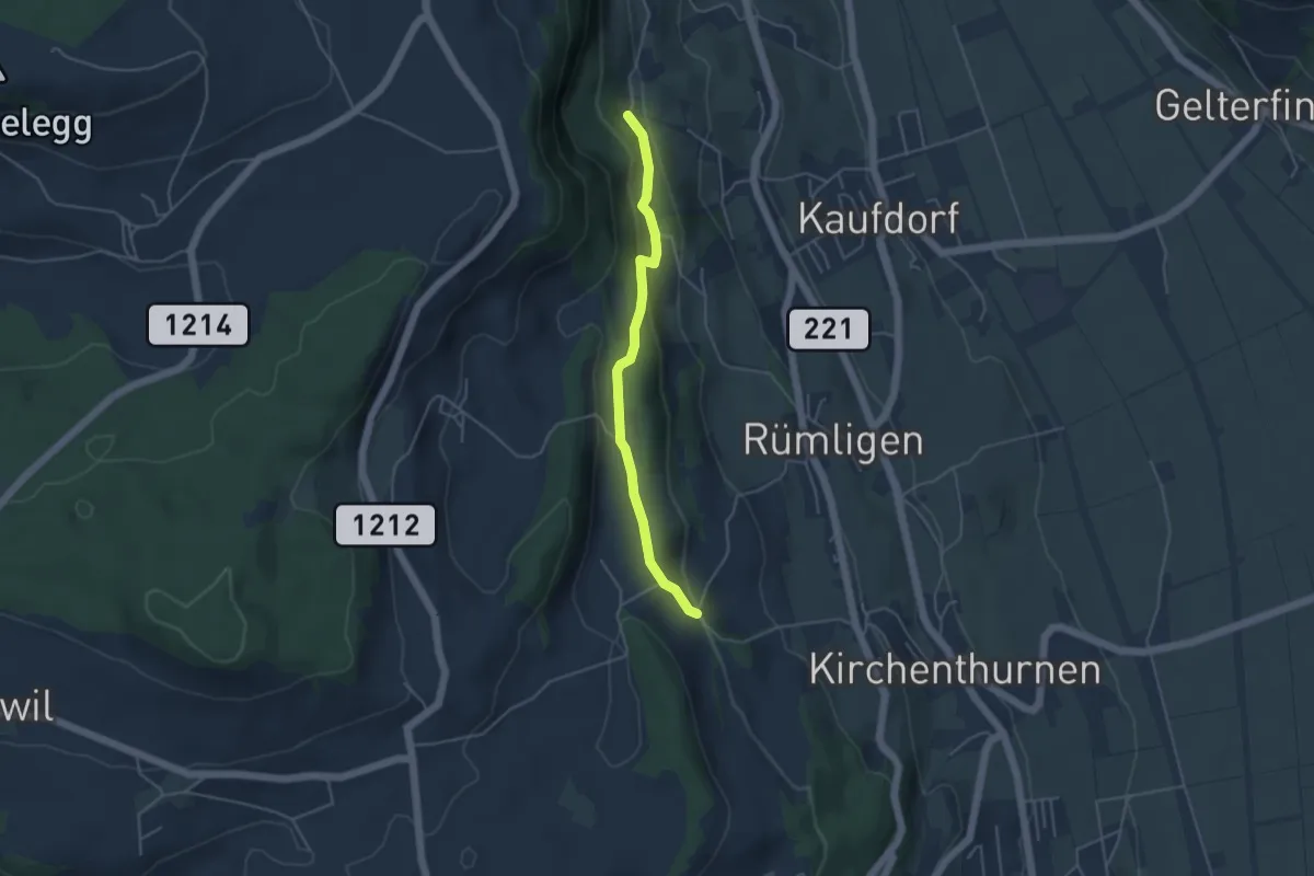
Easy · Trail
Gutenbrünnen - Uf der Mur
4.0 km · ↑ 157 m · 1 h 18 min · 5 km away
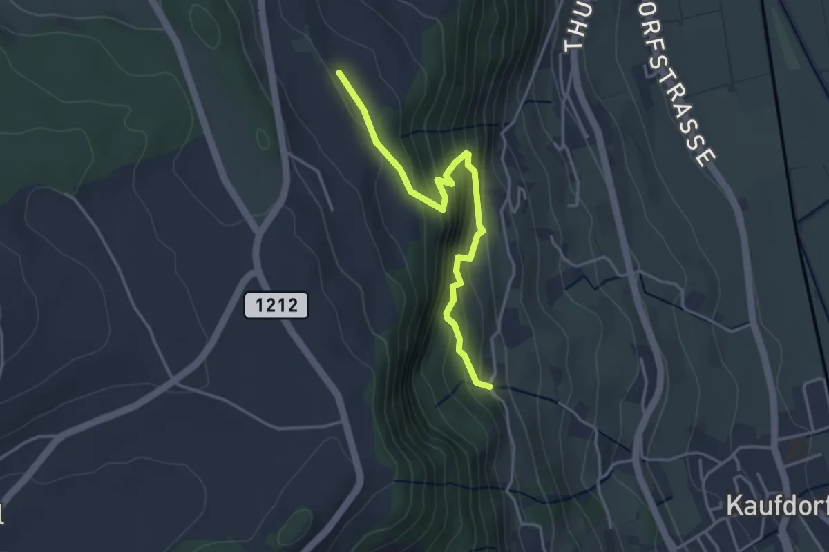
Easy · Trail
Oberfeld - Gutenbrünnen
3.4 km · ↑ 304 m · 1 h 28 min · 5 km away
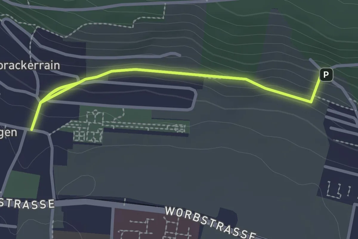
Easy · Trail
Gümligen/Kirche – Scheieholz
2.7 km · ↑ 103 m · 51 min · 6 km away
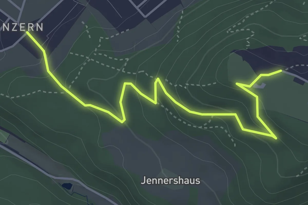
Easy · Trail
Blinzern – Gurten Kulm
4.5 km · ↑ 233 m · 1 h 34 min · 6 km away
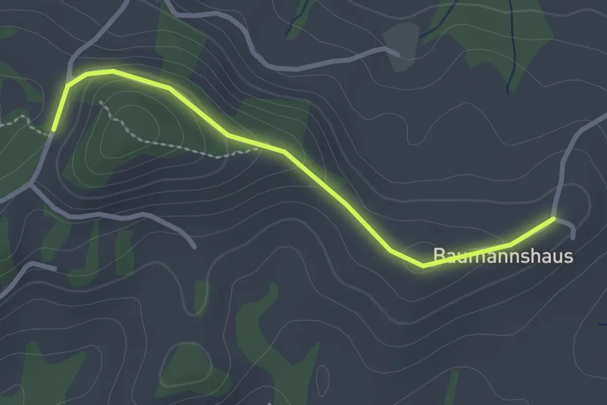
Easy · Trail
Tschuggen - Bumishus
2.3 km · ↑ 64 m · 41 min · 6 km away
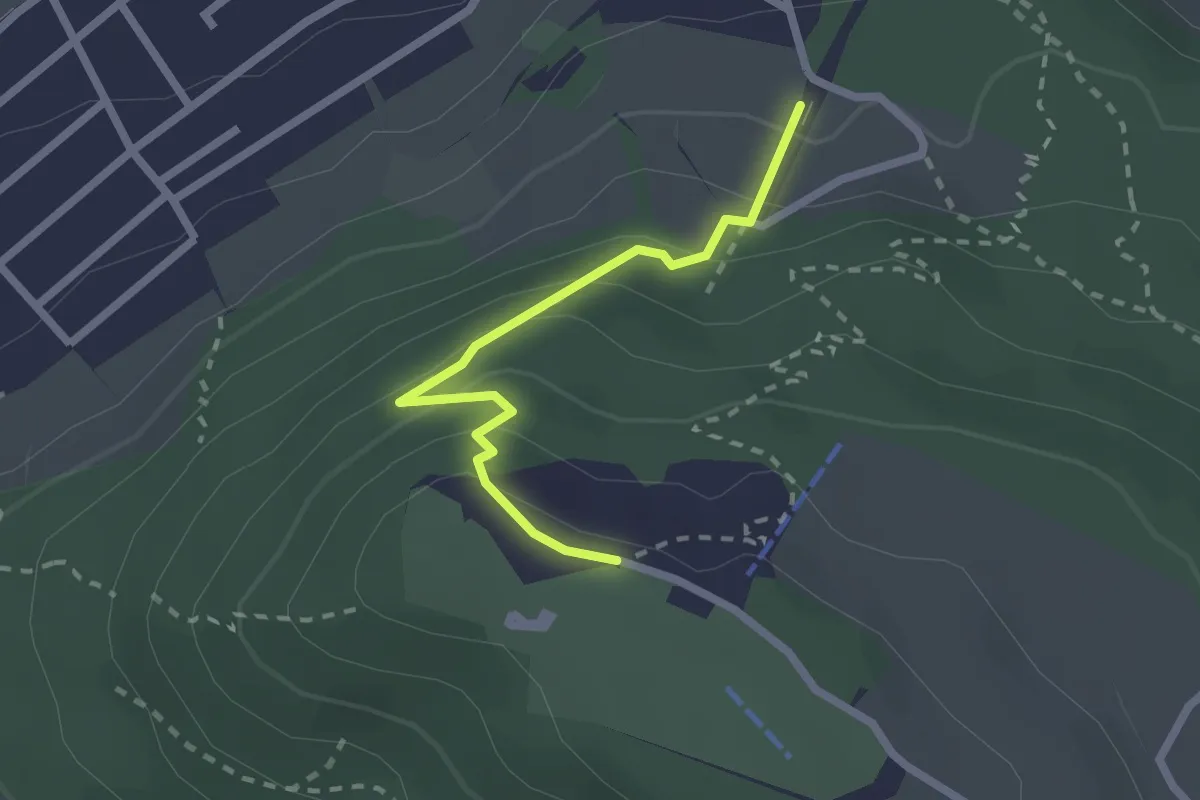
Easy · Trail
Grünenboden – Gurten Kulm
2.1 km · ↑ 138 m · 47 min · 6 km away
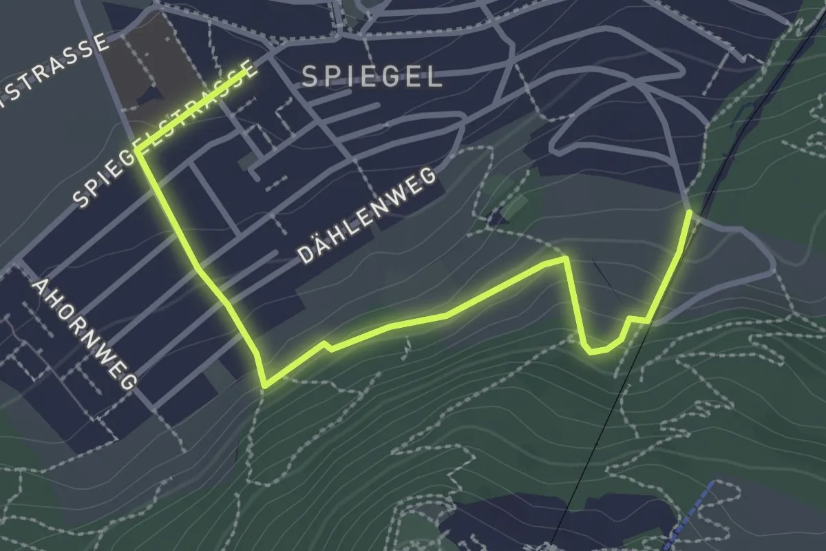
Easy · Trail
Grüenenboden – Spiegel Zentrum
3.1 km · ↑ 154 m · 1 h 4 min · 6 km away
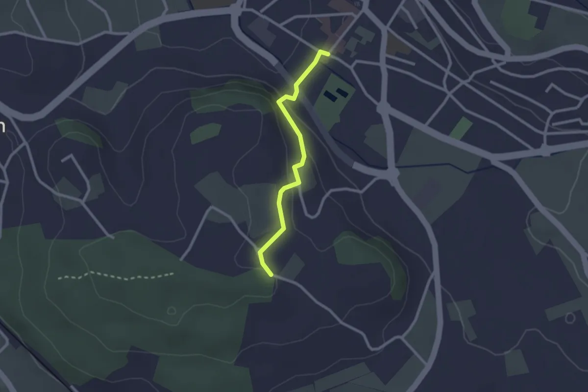
Easy · Trail
Wislen – Worb
2.1 km · ↑ 78 m · 40 min · 6 km away
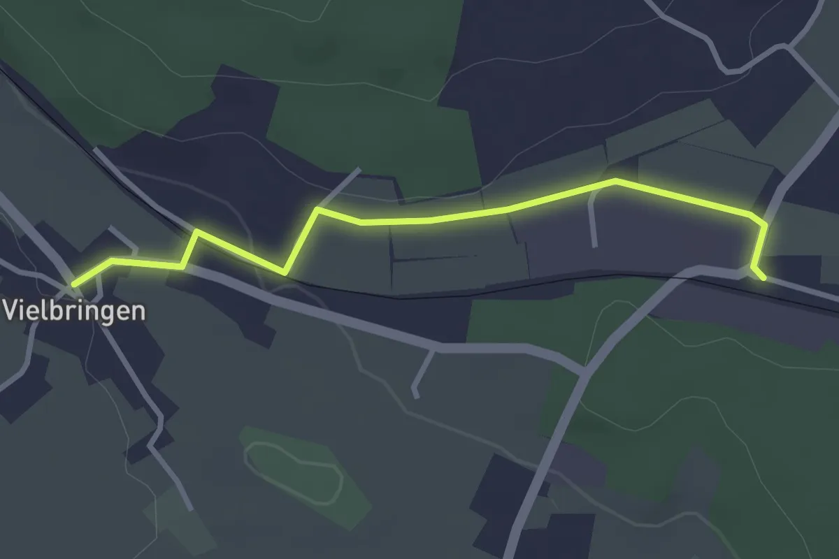
Easy · Trail
Vielbringen – Worb SBB
2.9 km · ↑ 41 m · 46 min · 6 km away
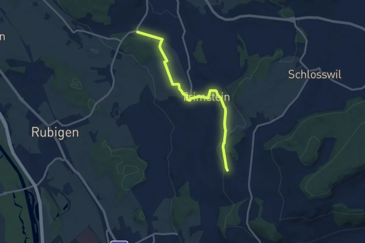
Medium · Trail
Worb SBB – Buechliacher
8.1 km · ↑ 165 m · 2 h 17 min · 6 km away
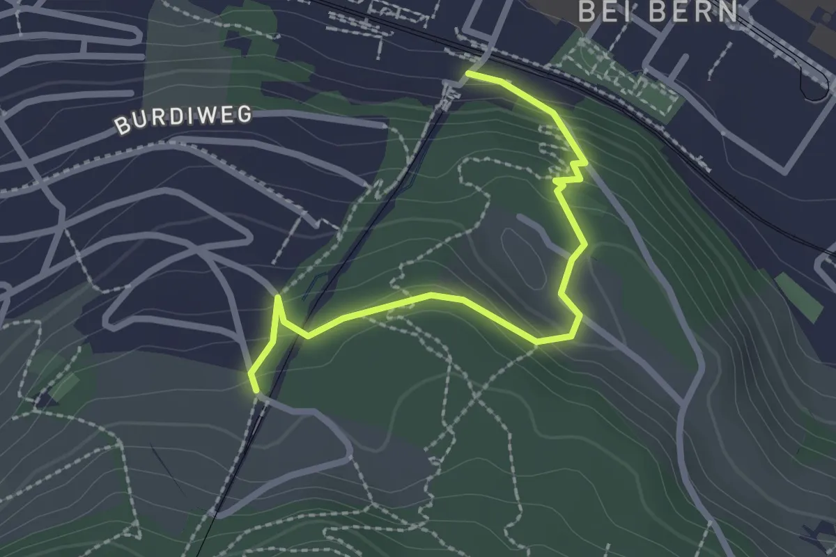
Easy · Trail
Wabern/Gurtenbahn – Grüneboden
2.3 km · ↑ 129 m · 49 min · 6 km away
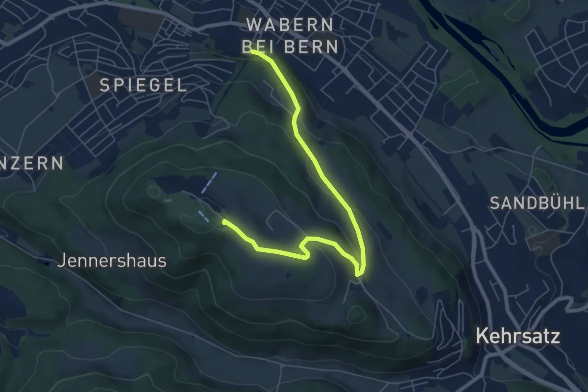
Easy · Summit
Spazierweg
6.4 km · ↑ 268 m · 2 h 5 min · 6 km away
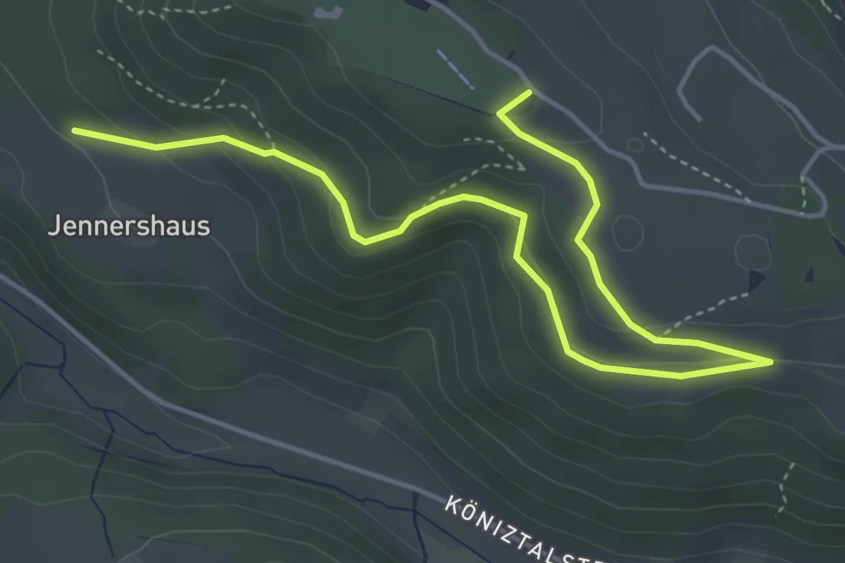
Easy · Summit
Gurten/Ostsignal – Jennershus
5.3 km · ↑ 188 m · 1 h 40 min · 6 km away
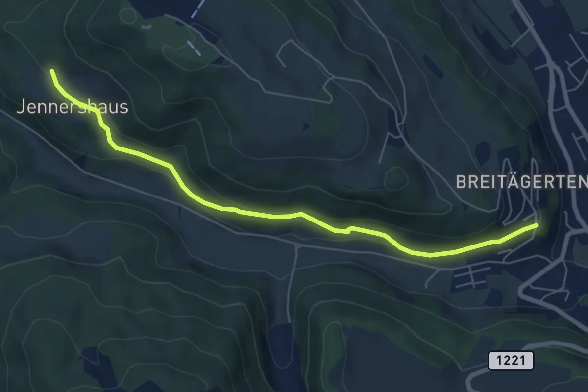
Easy · Trail
Jennershus - Breitägerte
6.0 km · ↑ 206 m · 1 h 52 min · 6 km away
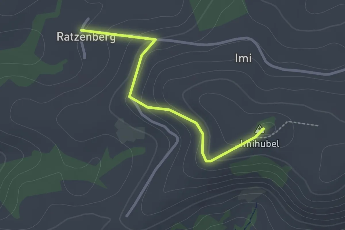
Easy · Summit
Ratzenberg - Imihubel
2.2 km · ↑ 97 m · 44 min · 6 km away
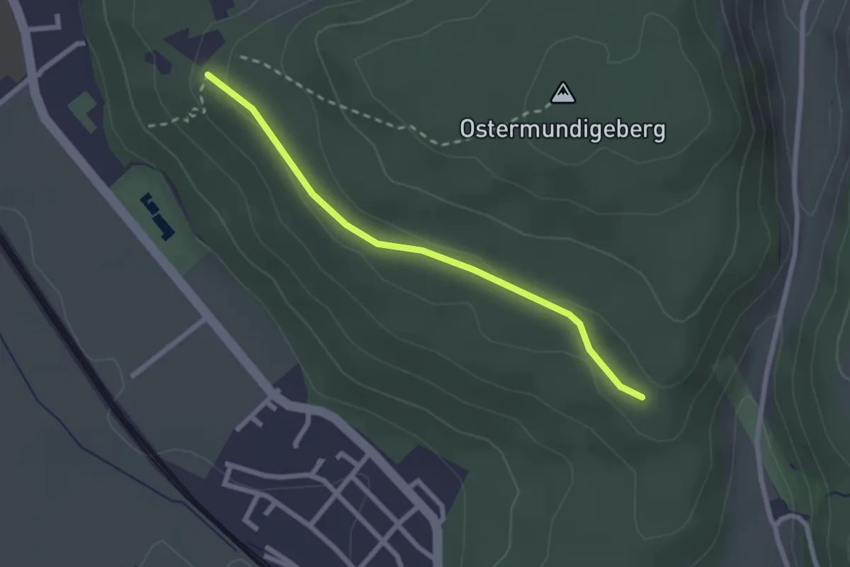
Easy · Trail
Harnischberg – Steinbrüche
2.2 km · ↑ 46 m · 38 min · 6 km away
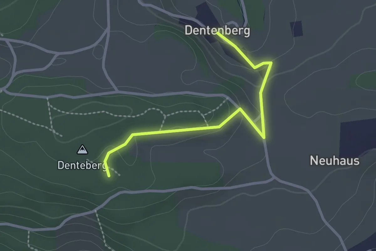
Easy · Trail
Dentenberg – Dentenberg
2.4 km · ↑ 69 m · 43 min · 6 km away
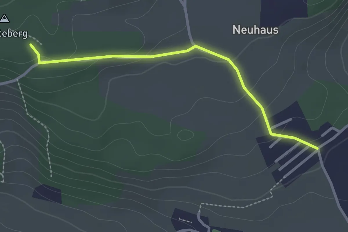
Easy · Trail
Neuhus – Denteberg
2.4 km · ↑ 76 m · 44 min · 6 km away
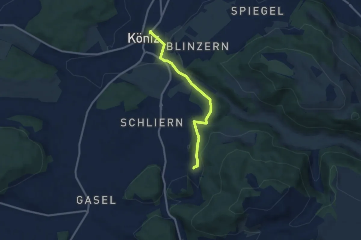
Easy · Trail
Platten - Köniz
5.9 km · ↑ 176 m · 1 h 46 min · 6 km away
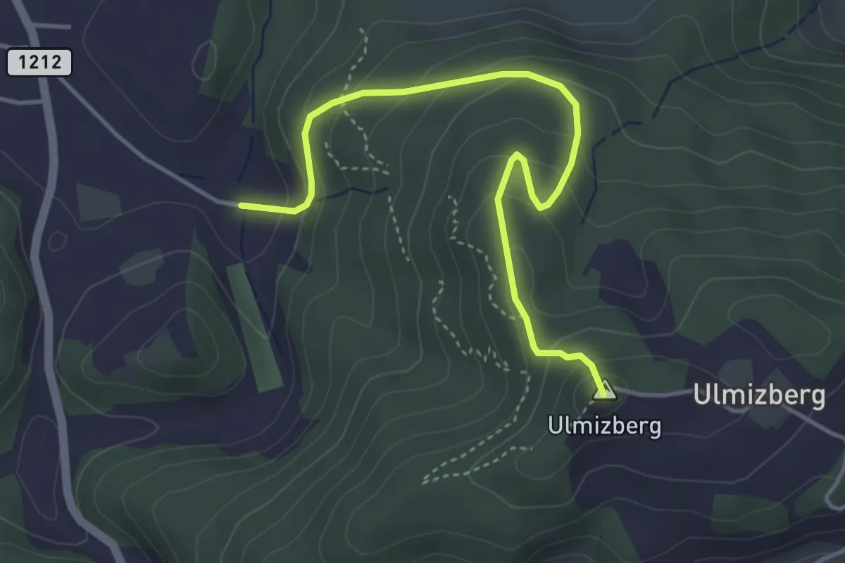
Easy · Summit
Ulmizberg - Platten
4.2 km · ↑ 291 m · 1 h 38 min · 6 km away
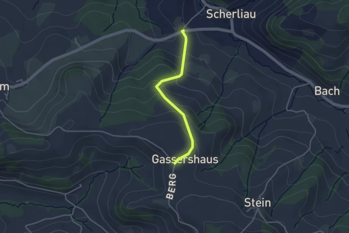
Easy · Trail
Leimen - Gassershus
2.5 km · ↑ 149 m · 55 min · 6 km away
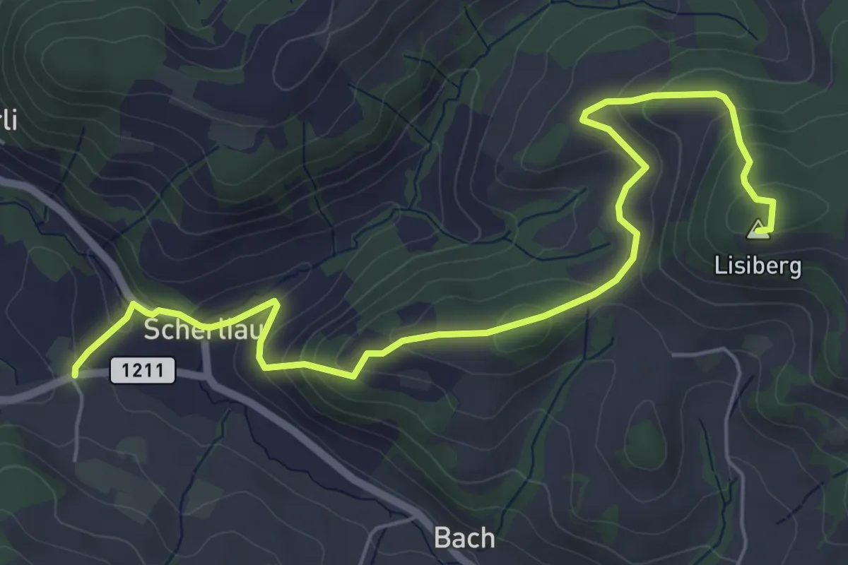
Medium · Summit
Leimen – Lisiberg
6.7 km · ↑ 367 m · 2 h 23 min · 6 km away
Easy · Trail
Leimen - Hübeli
3.2 km · ↑ 104 m · 59 min · 6 km away
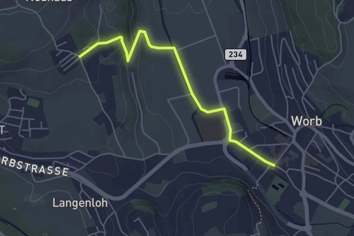
Easy · Trail
Neuhus – Worb Sternen
4.4 km · ↑ 113 m · 1 h 17 min · 6 km away
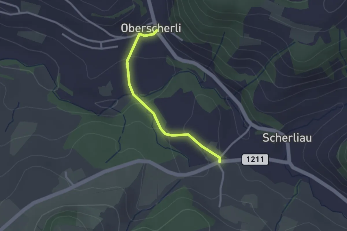
Easy · Trail
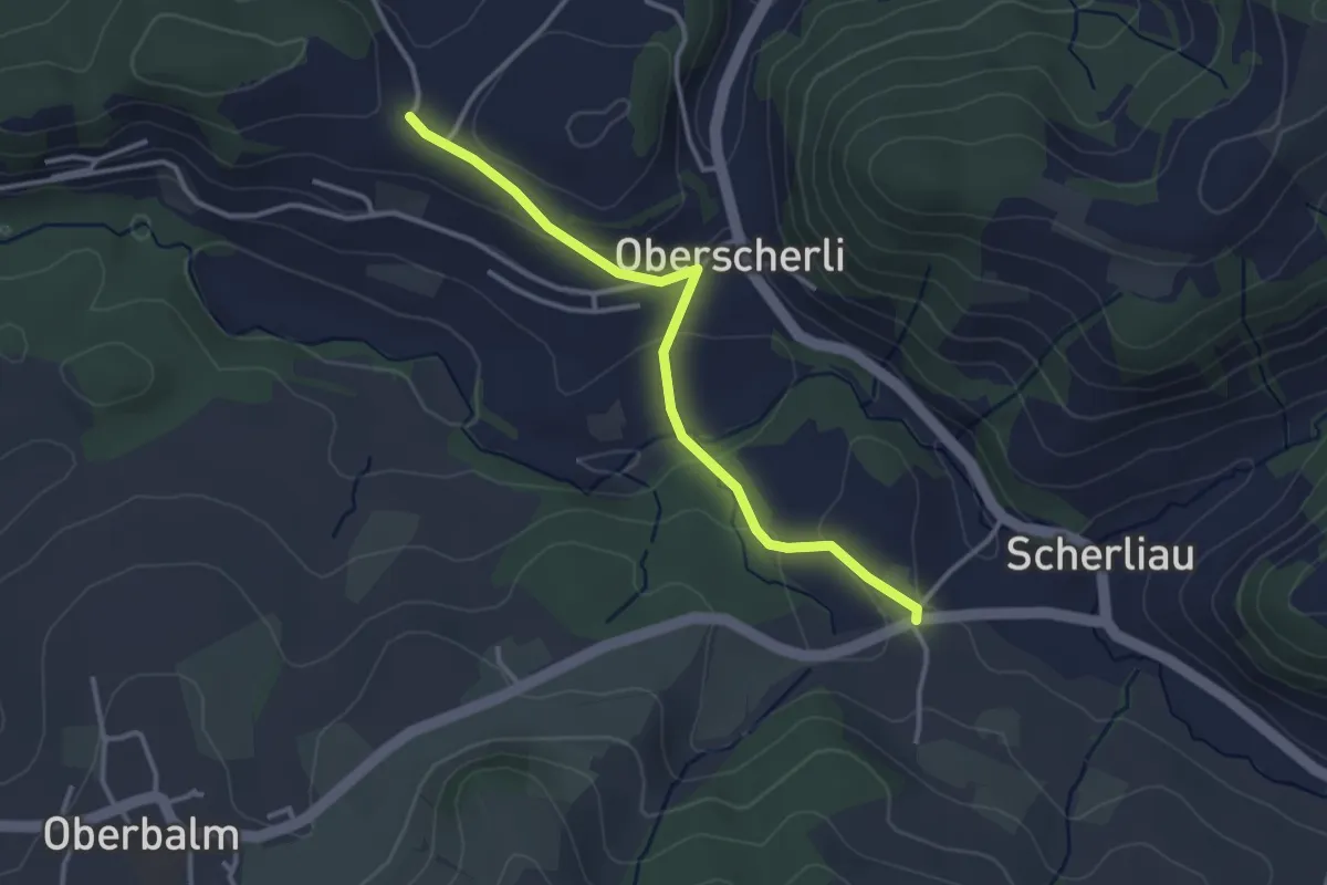
Oberscherli – Leiman
2.1 km · ↑ 65 m · 38 min · 6 km away
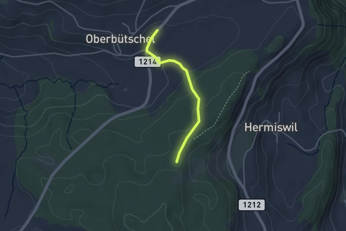
Easy · Trail
Oberbütschel – Taanwald
2.6 km · ↑ 101 m · 50 min · 6 km away
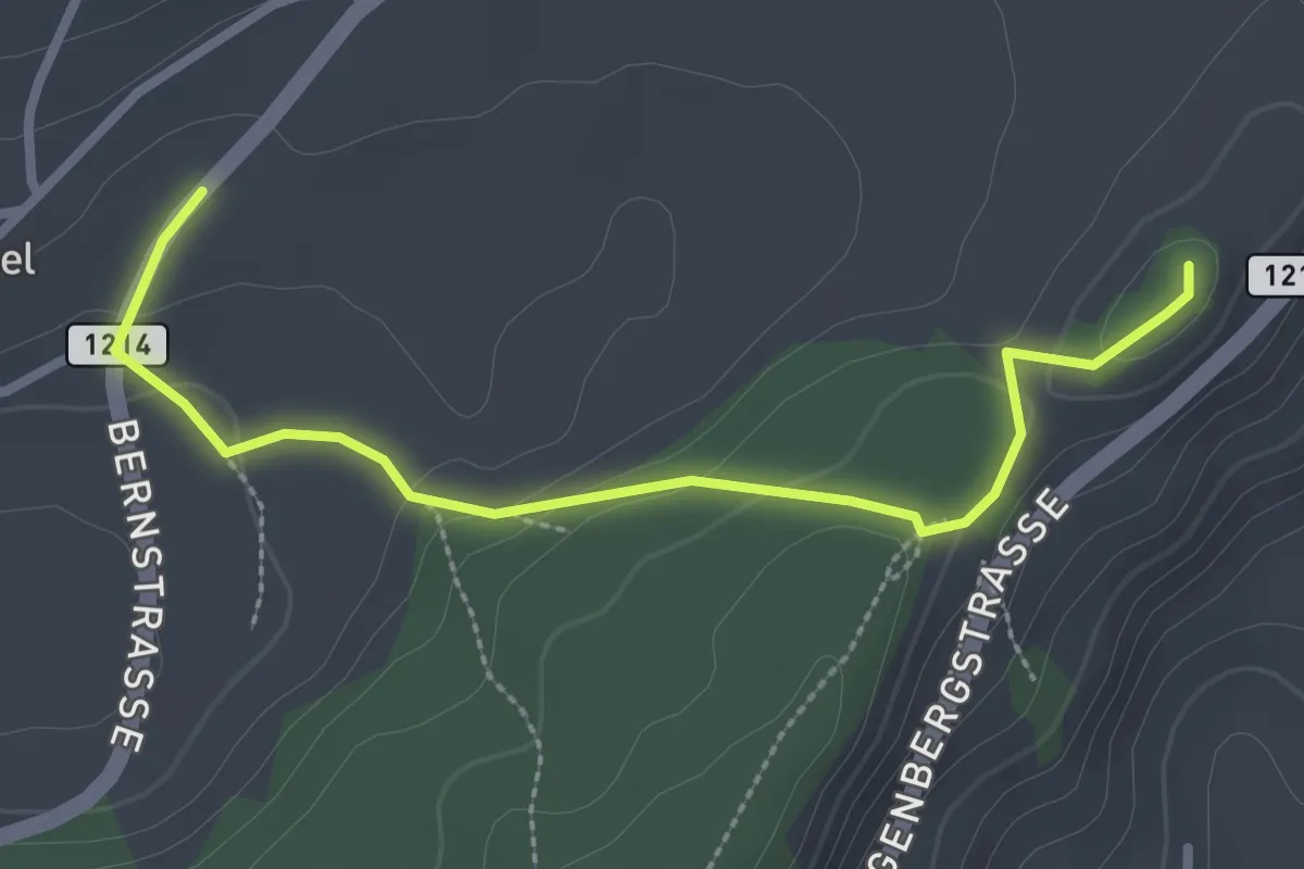
Easy · Summit
Oberbütschel – Tavelgedenkstätte
2.9 km · ↑ 84 m · 52 min · 6 km away
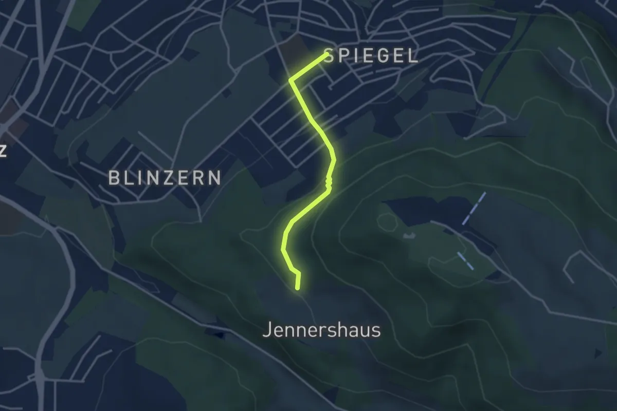
Easy · Trail
Jennerhus - Spiegel Zentrum
2.6 km · ↑ 112 m · 52 min · 6 km away
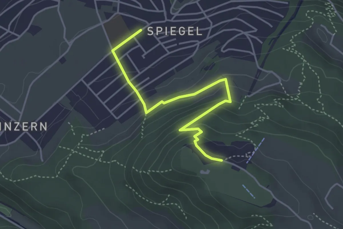
Easy · Trail
Spiegel Zentrum – Gurten Kulm
4.0 km · ↑ 214 m · 1 h 25 min · 6 km away
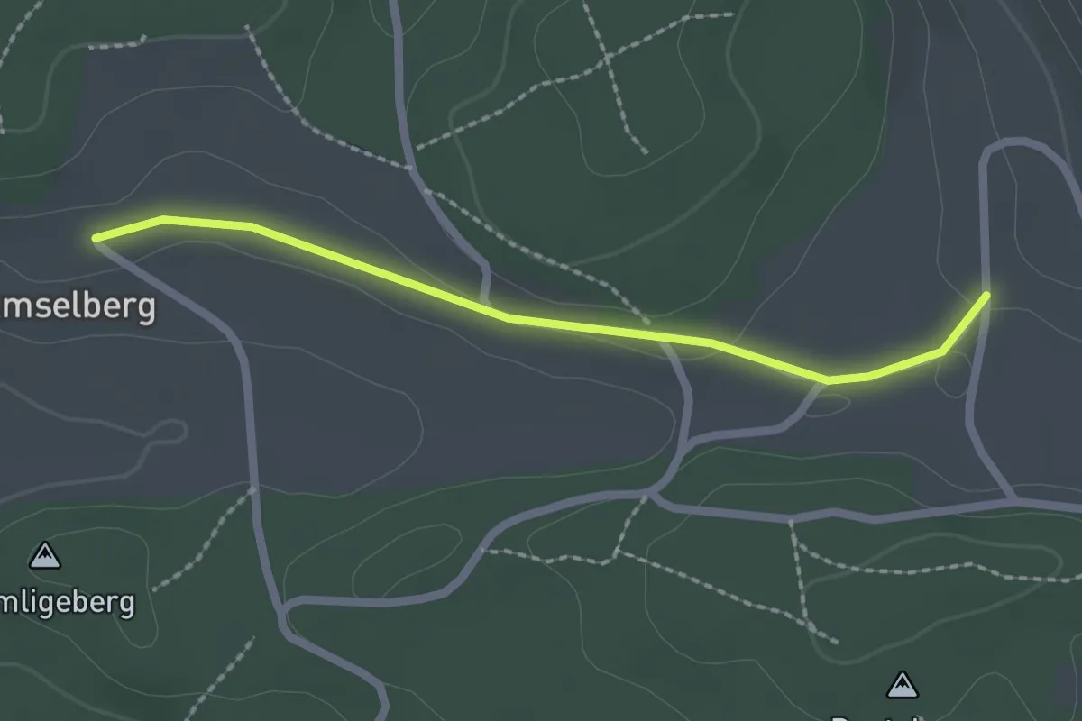
Easy · Trail
Dentenberg/Käserei – Amsleberg
2.0 km · ↑ 17 m · 31 min · 6 km away
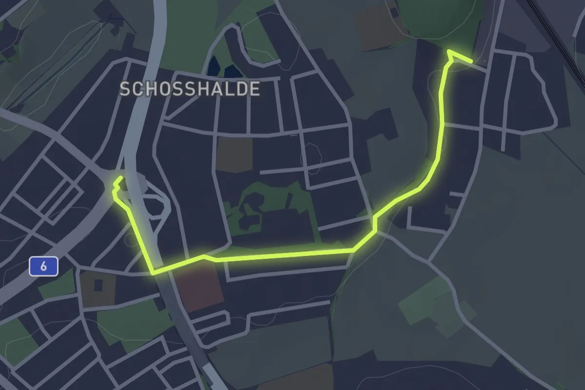
Easy · Trail
Tiefenmösli – Freudenbergerplatz
2.9 km · ↑ 44 m · 46 min · 6 km away
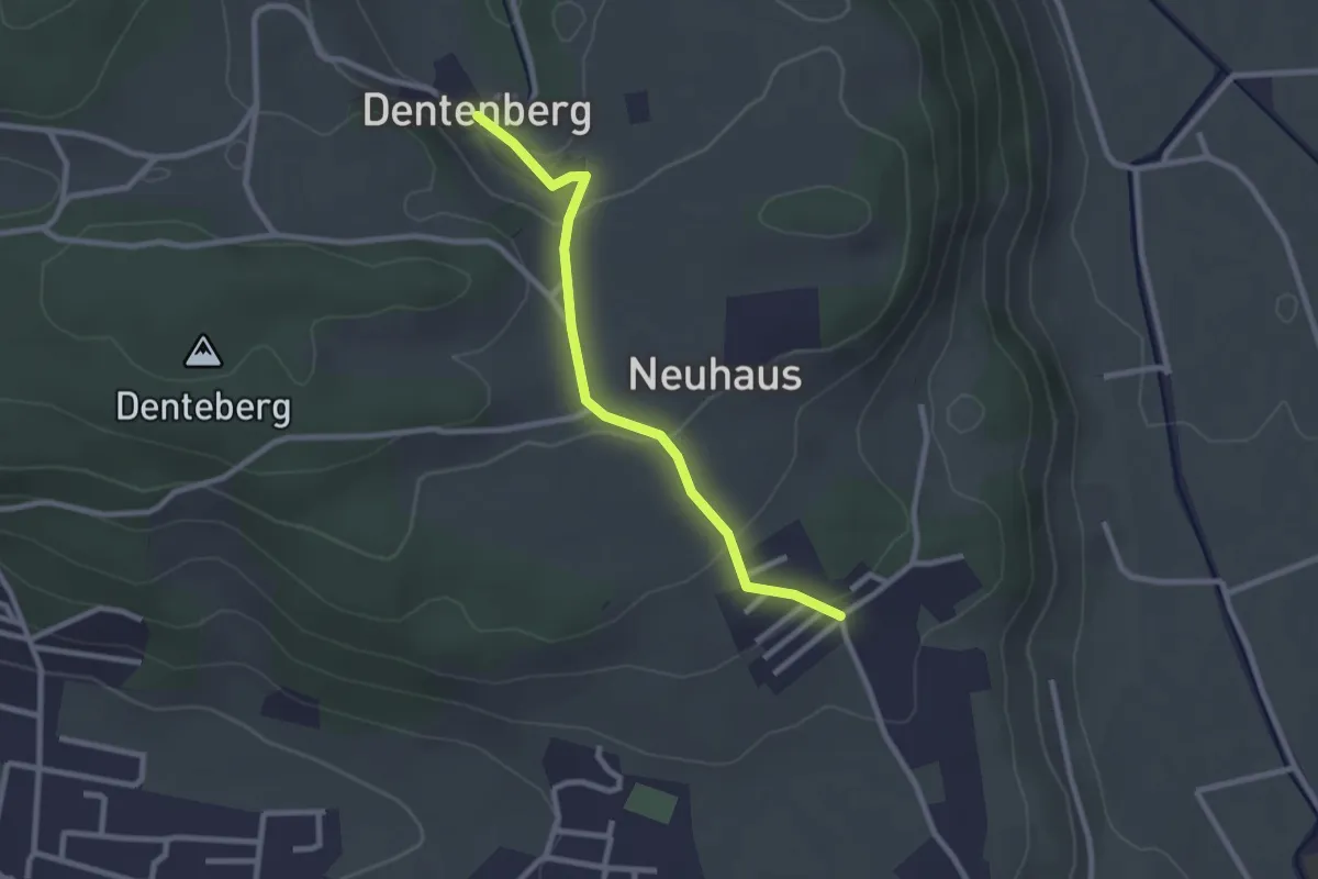
Easy · Trail
Neuhus – Dentenberg
2.4 km · ↑ 80 m · 45 min · 7 km away
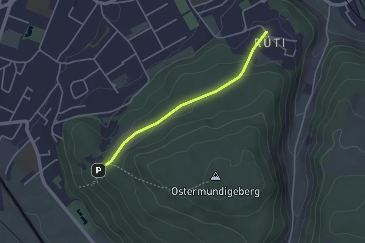
Easy · Trail
Rüti – Steinbrüche
2.7 km · ↑ 63 m · 46 min · 7 km away
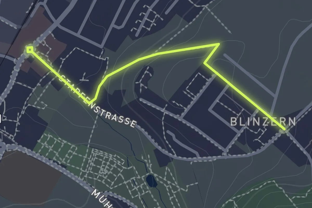
Easy · Trail
Köniz - Blinzeren
2.3 km · ↑ 49 m · 39 min · 7 km away
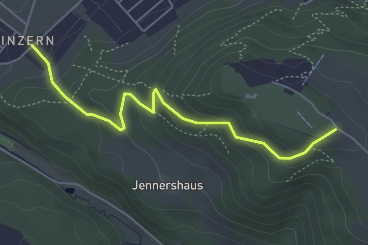
Easy · Summit
Blinzern – Gurten/Ostsignal
4.2 km · ↑ 238 m · 1 h 31 min · 7 km away
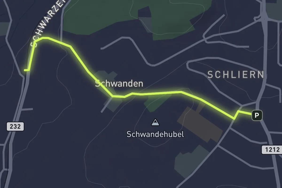
Easy · Trail
Moos - Schliern
2.9 km · ↑ 60 m · 49 min · 7 km away
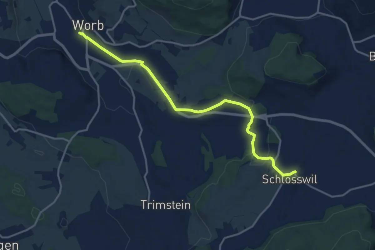
Medium · Trail
Worb – Schlosswil
10.2 km · ↑ 197 m · 2 h 50 min · 7 km away
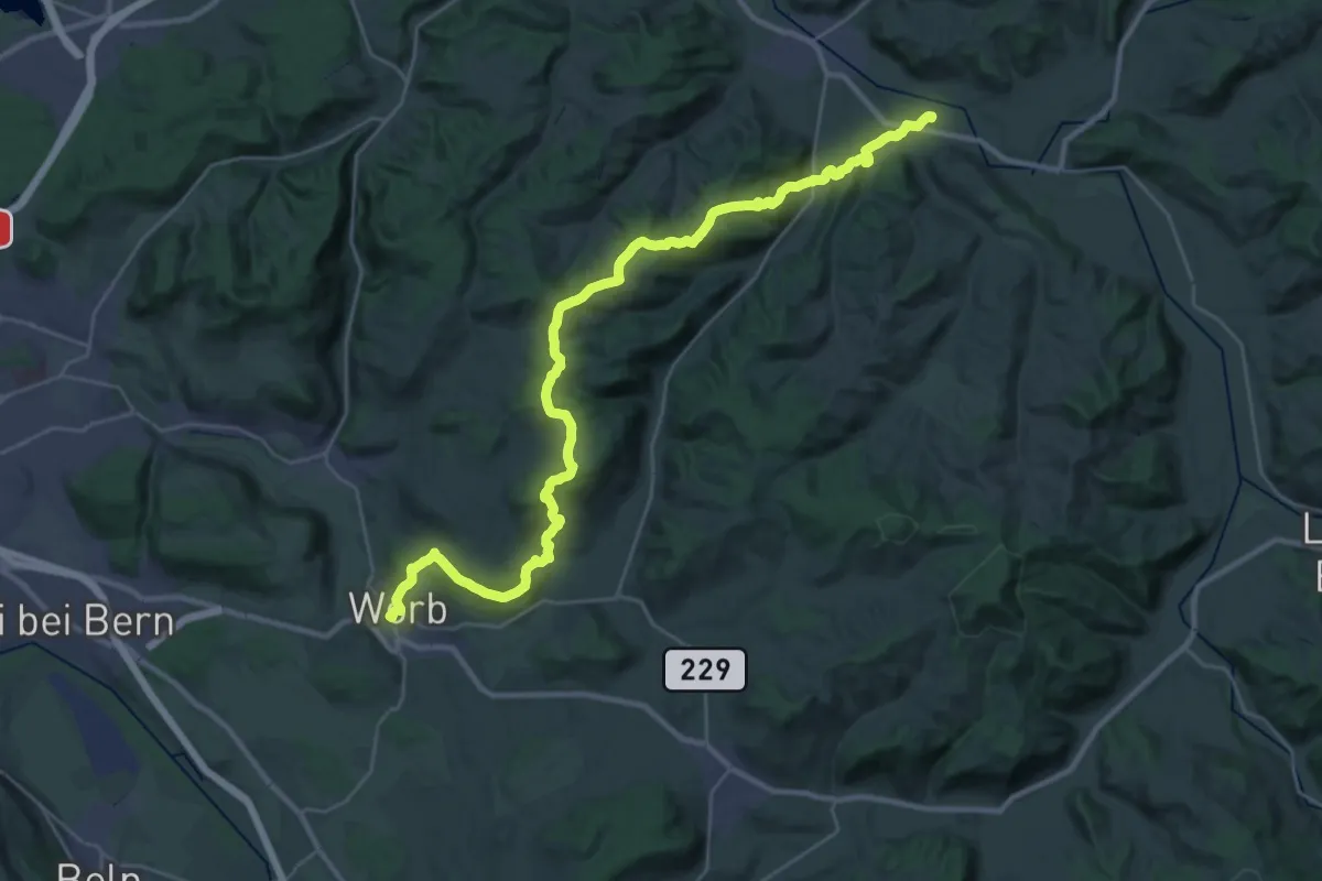
Medium · Trail
Trans Swiss Trail
17.7 km · ↑ 623 m · 5 h 47 min · 7 km away
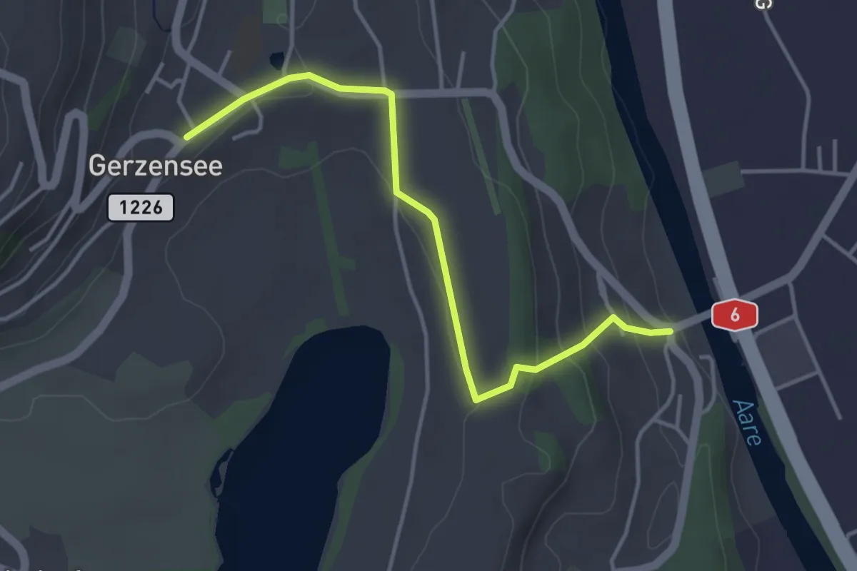
Easy · Trail
Gerzensee - Thalgutbrücke
3.9 km · ↑ 130 m · 1 h 12 min · 7 km away
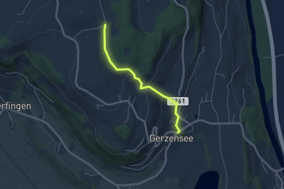
Easy · Trail
Nessleren - Gerzensee
3.8 km · ↑ 223 m · 1 h 23 min · 7 km away
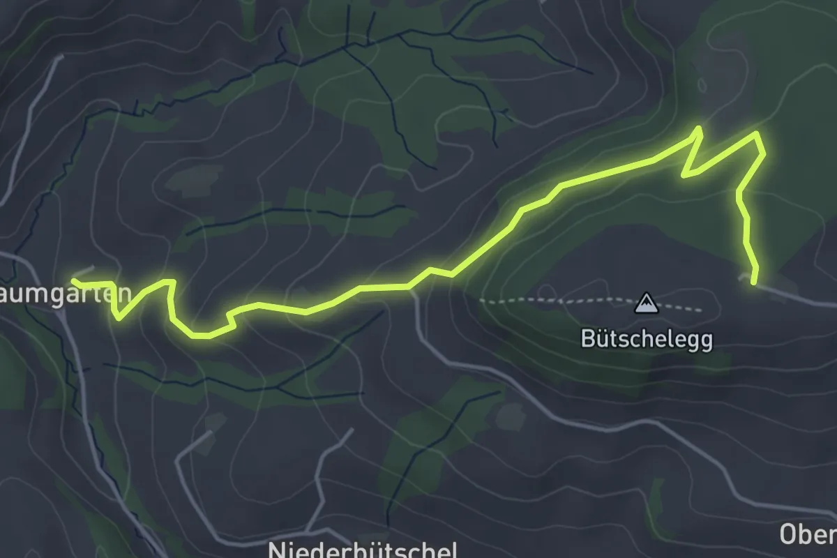
Easy · Trail
Bütschelegg – Baumgarten
5.4 km · ↑ 263 m · 1 h 50 min · 7 km away
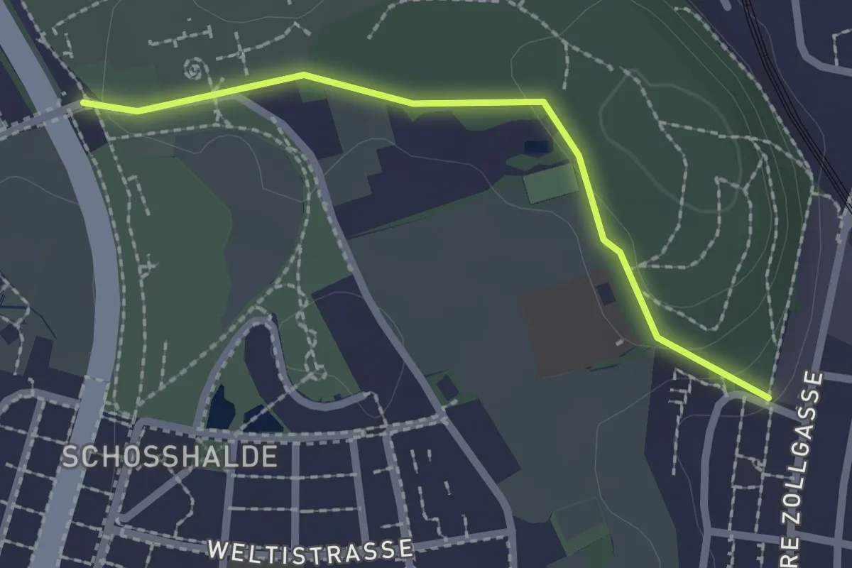
Easy · Trail
Tiefenmösli – Zentrum Paul Klee
2.0 km · ↑ 38 m · 33 min · 7 km away
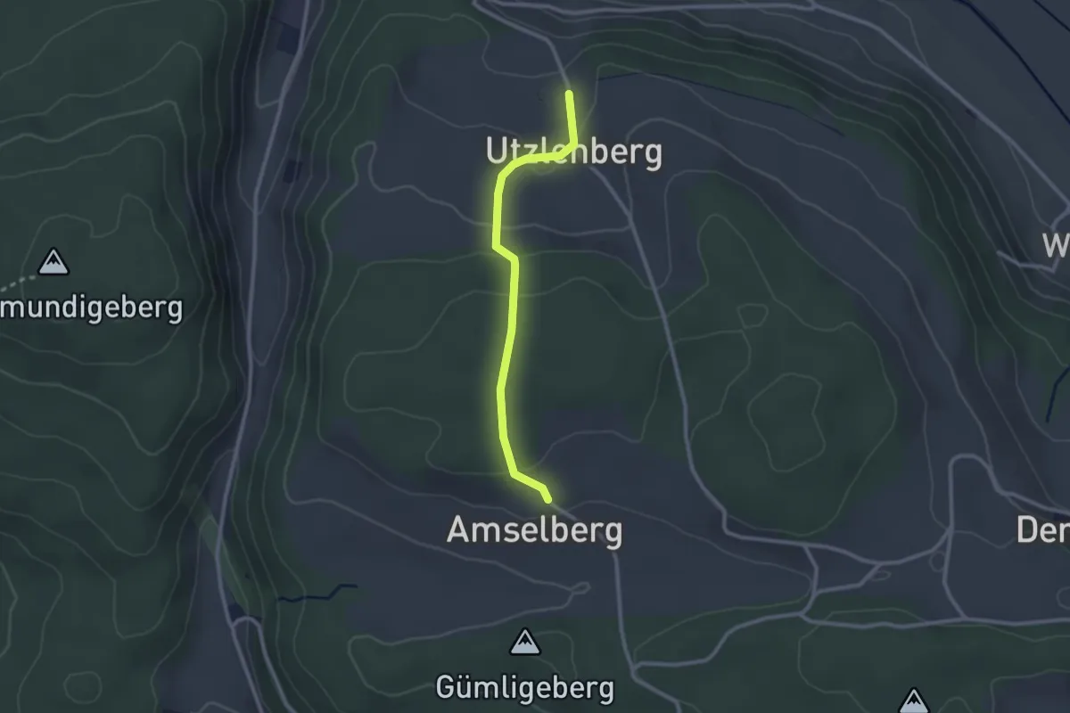
Easy · Trail
Amslenberg – Utzlenberg
2.3 km · ↑ 104 m · 46 min · 7 km away
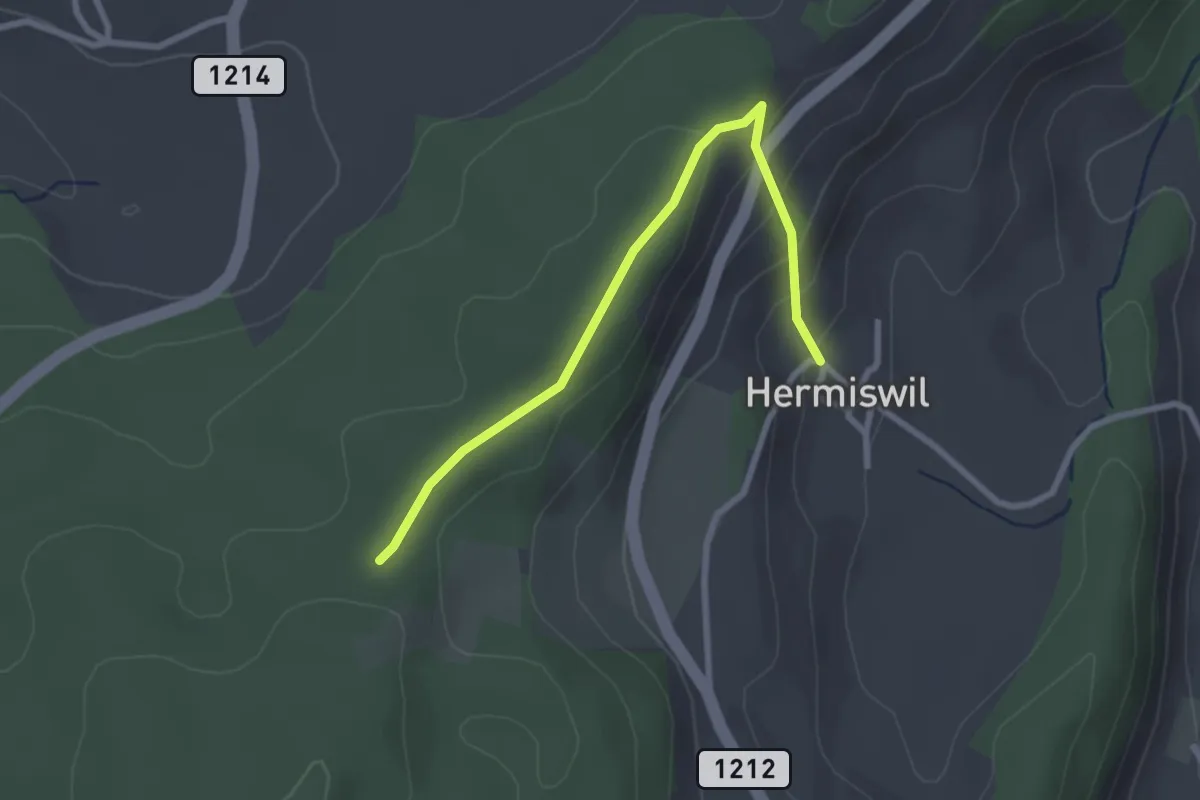
Easy · Trail
Hermiswil – Taanwald
2.7 km · ↑ 112 m · 53 min · 7 km away
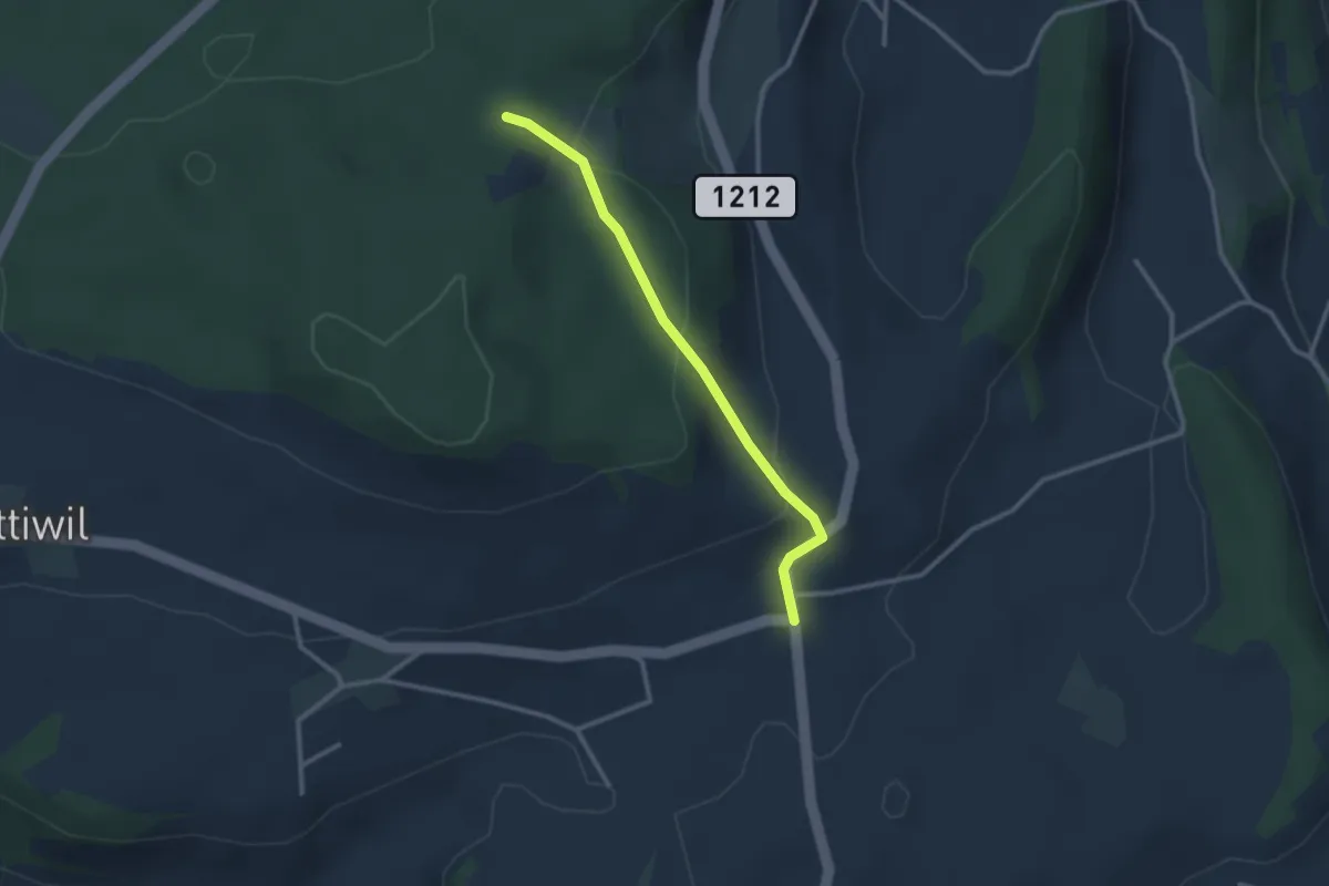
Easy · Trail
Taanwald – Hasli
2.6 km · ↑ 117 m · 52 min · 7 km away
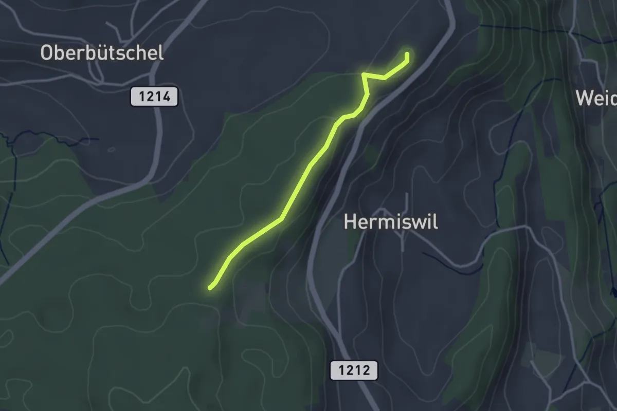
Easy · Summit
Tavelgedenkstätte – Taanwald
2.6 km · ↑ 53 m · 44 min · 7 km away
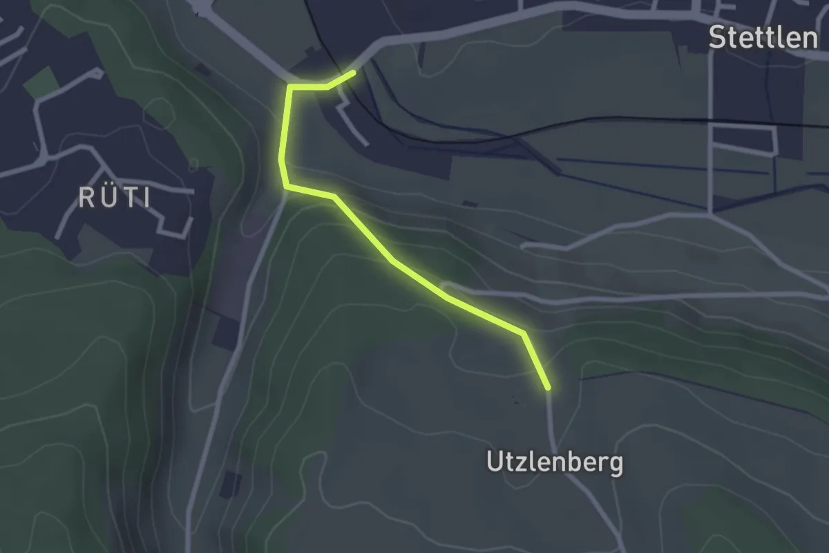
Easy · Trail
Deisswil – Utzlenberg
2.1 km · ↑ 124 m · 46 min · 7 km away