Trails near Belp
495 hikes starting within 15 km, nearest first.
Nearest first, page 4 of 11
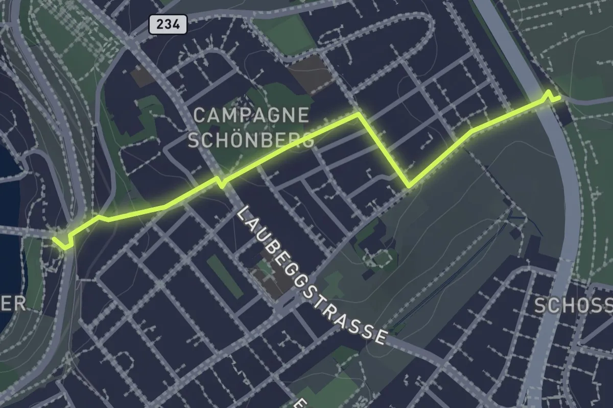
Easy · Trail
Bern/Bärenpark – Zentrum Paul Klee
2.5 km · ↑ 82 m · 46 min · 7 km away
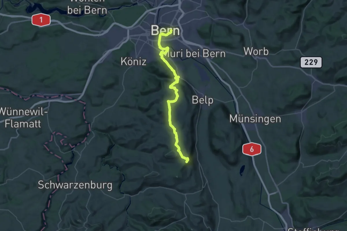
Demanding · Summit
ViaJacobi
38.0 km · ↑ 1072 m · 11 h 18 min · 7 km away
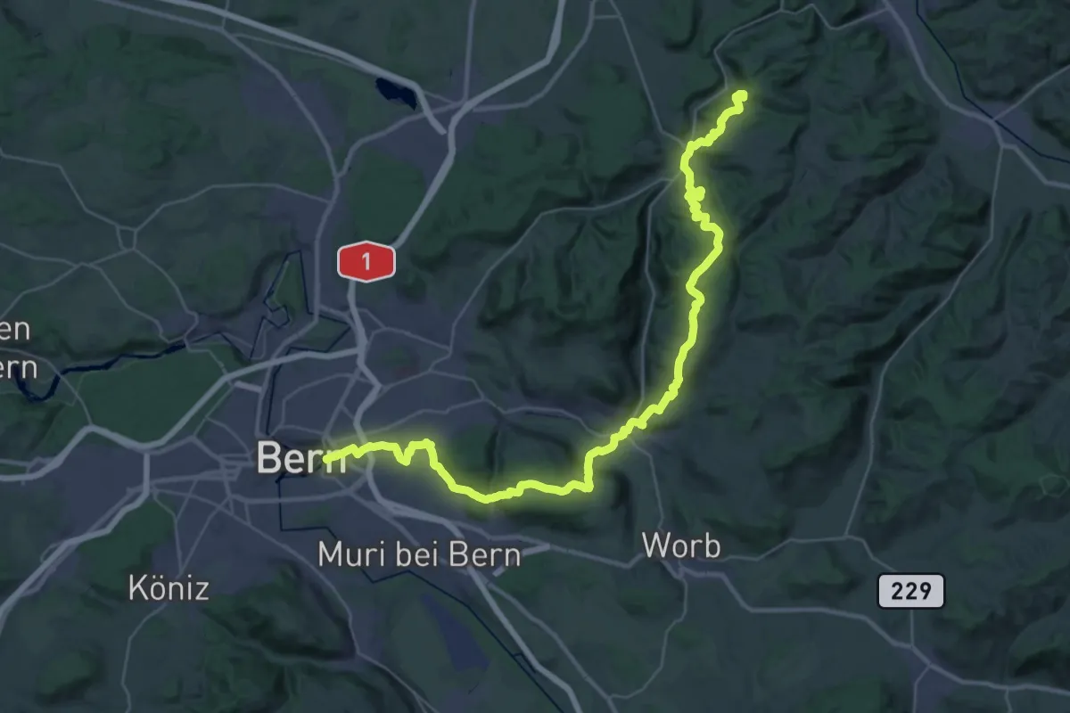
Demanding · Summit
ViaJacobi
42.9 km · ↑ 1593 m · 13 h 35 min · 7 km away
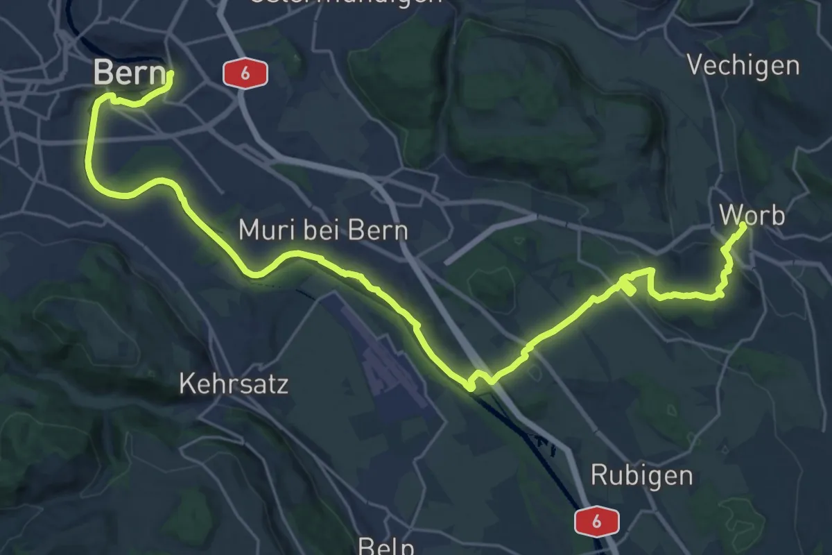
Medium · Trail
Trans Swiss Trail
15.7 km · ↑ 273 m · 4 h 29 min · 7 km away
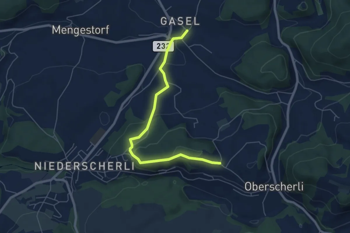
Easy · Trail
Hübeli - Gasel
5.6 km · ↑ 184 m · 1 h 44 min · 7 km away
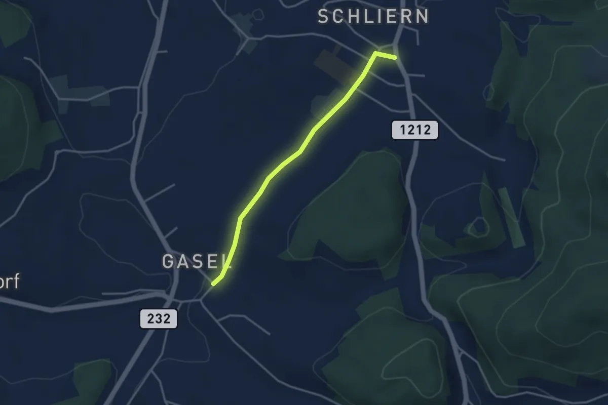
Easy · Trail
Gasel - Schliern
3.0 km · ↑ 41 m · 48 min · 7 km away
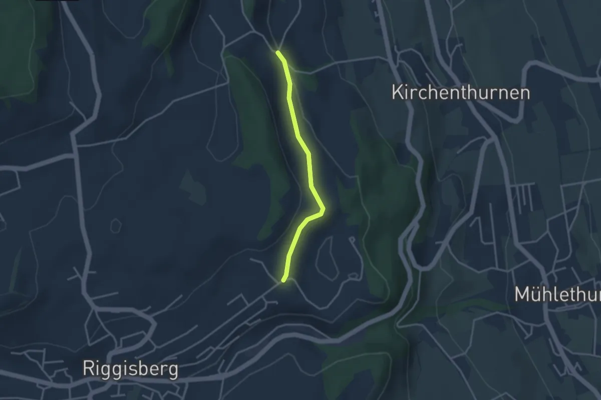
Easy · Trail
Uf der Mur – Eybrunne
2.6 km · ↑ 78 m · 47 min · 7 km away
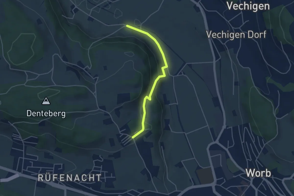
Easy · Trail
Nesselbank - Neuhus
3.8 km · ↑ 126 m · 1 h 10 min · 7 km away
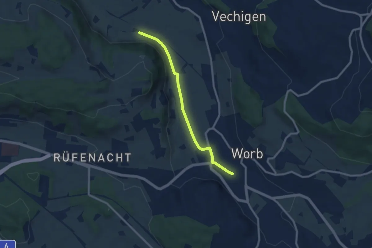
Easy · Trail
Nesselbank - Worb Sternen
5.6 km · ↑ 31 m · 1 h 24 min · 7 km away
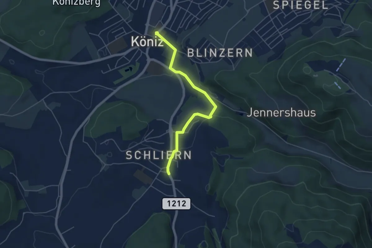
Easy · Trail
Schliern - Köniz
4.8 km · ↑ 145 m · 1 h 27 min · 7 km away
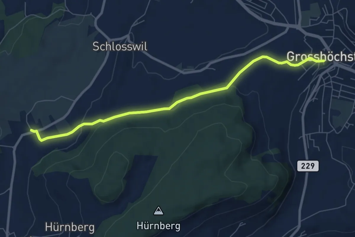
Easy · Trail
Grosshöchstetten – Herolfingen
7.0 km · ↑ 112 m · 1 h 54 min · 7 km away
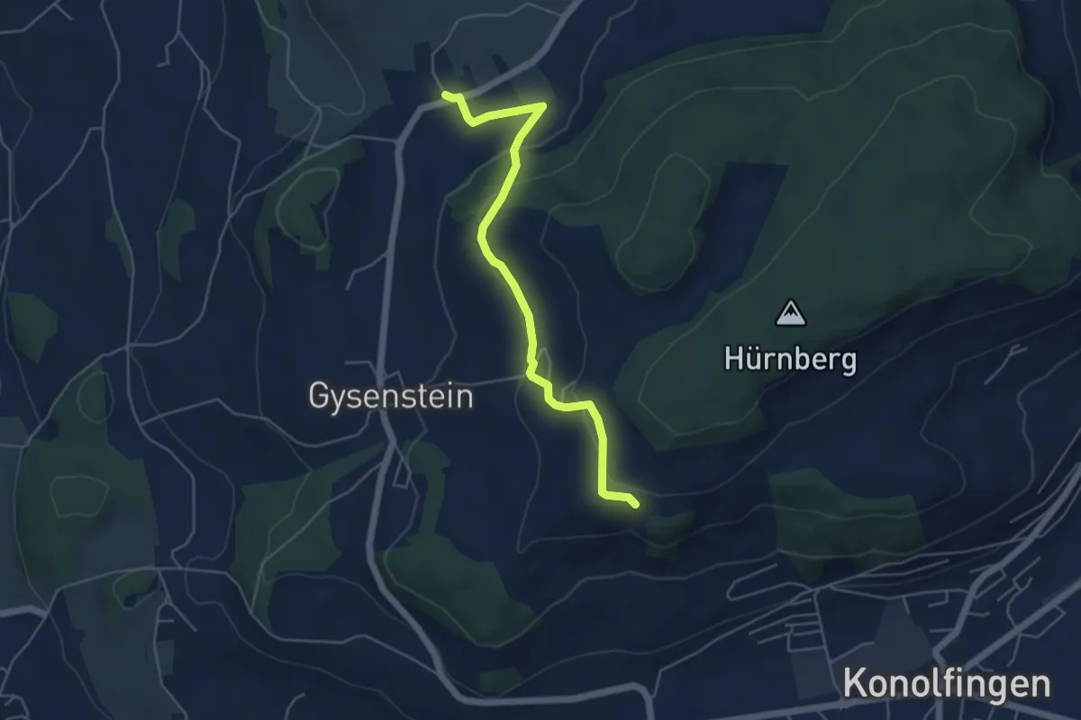
Easy · Trail
Herolfingen – Konolfingen
5.0 km · ↑ 146 m · 1 h 29 min · 7 km away
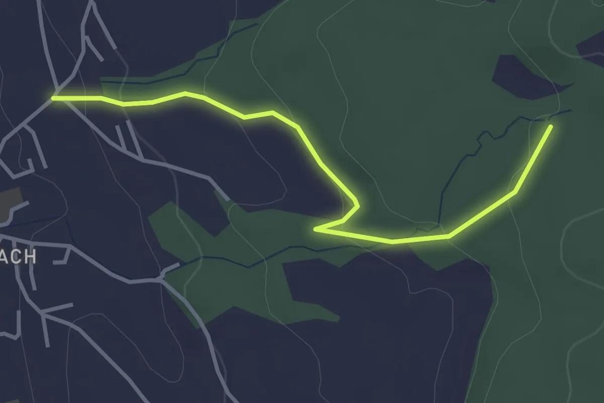
Easy · Trail
Wichtrach/Oberdorf – Rotebüel
3.3 km · ↑ 121 m · 1 h 2 min · 7 km away
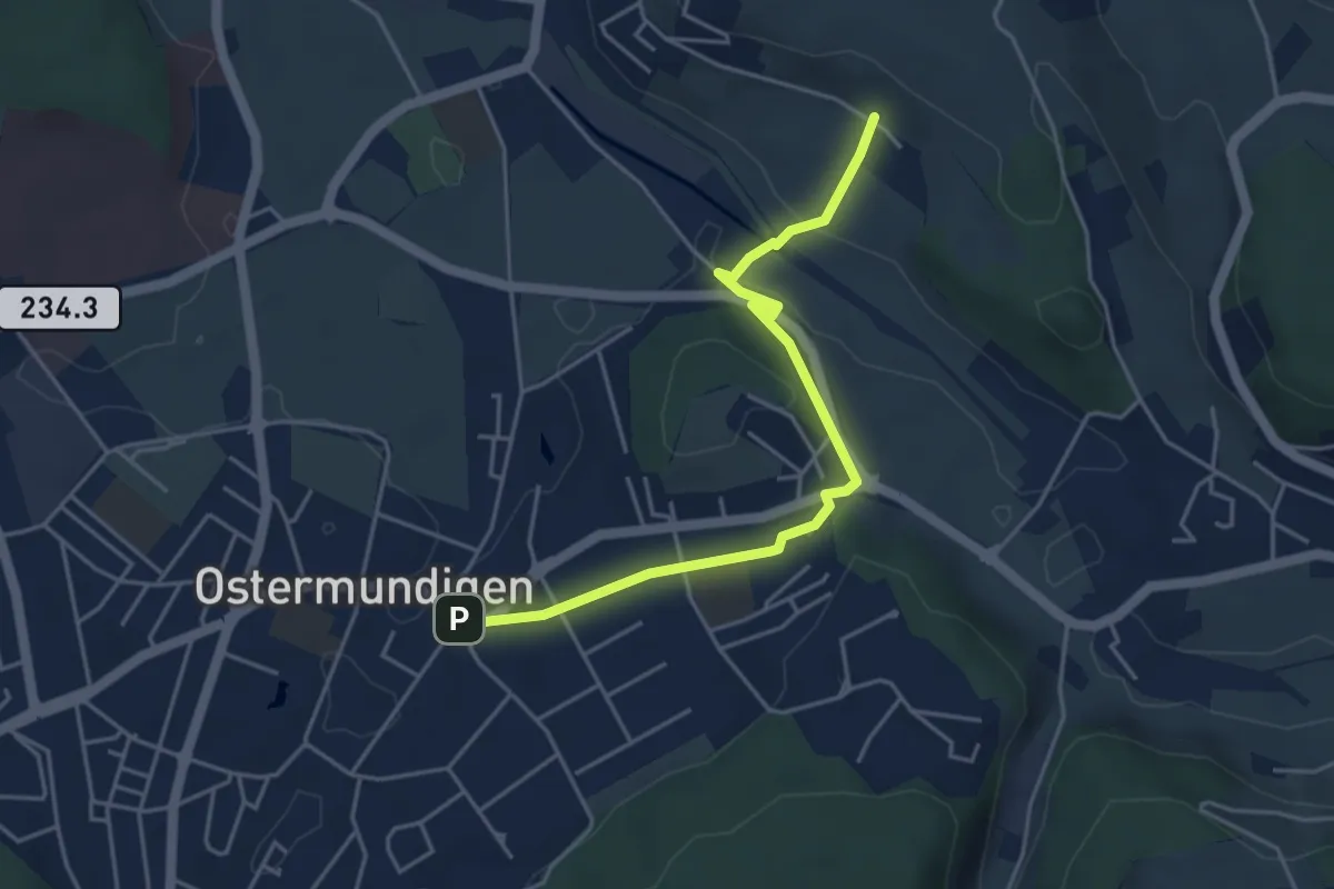
Easy · Trail
Hüenerbüel – Ostermundigen
4.6 km · ↑ 91 m · 1 h 17 min · 8 km away
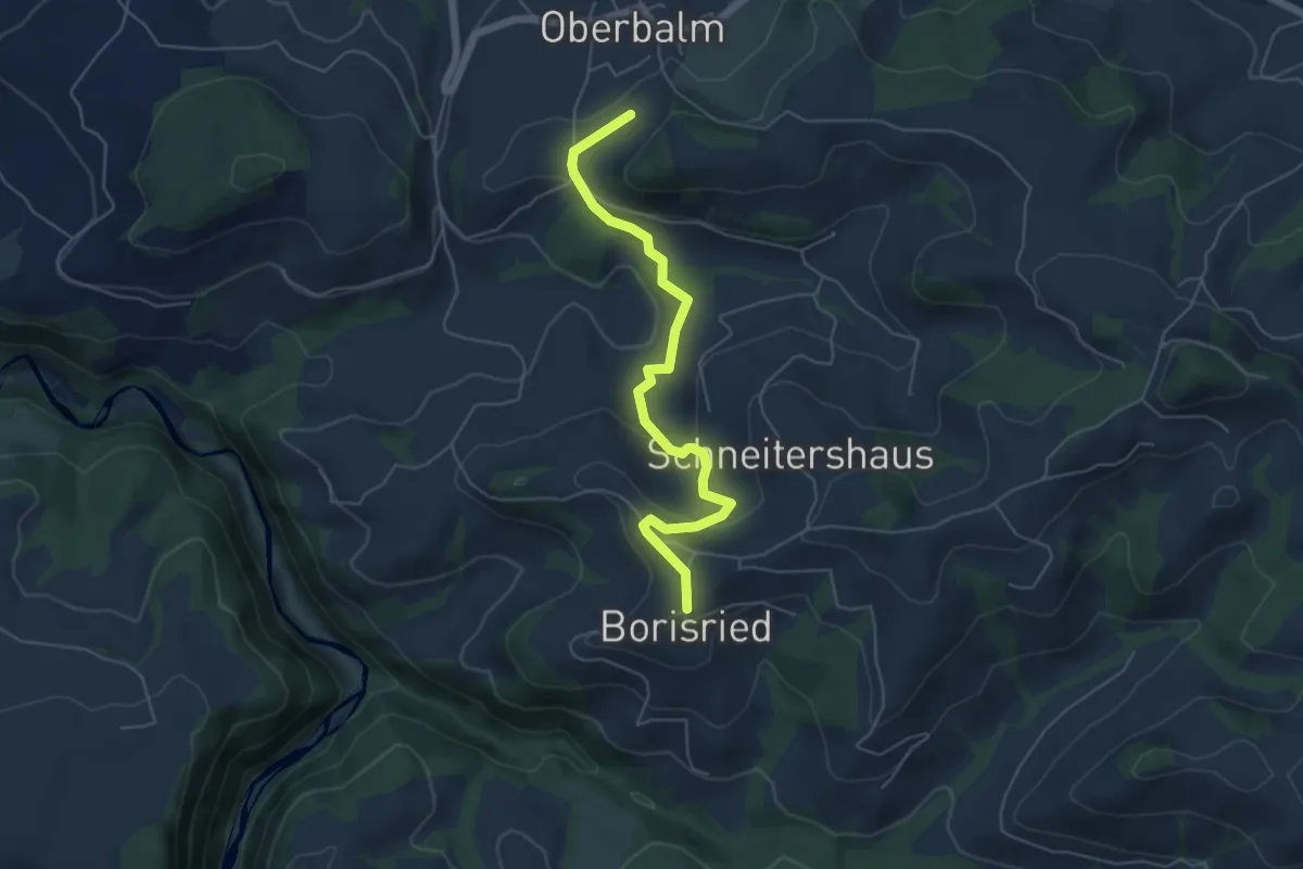
Easy · Trail
Boriswil – Oberbalm/Kirchweg
5.5 km · ↑ 195 m · 1 h 43 min · 8 km away
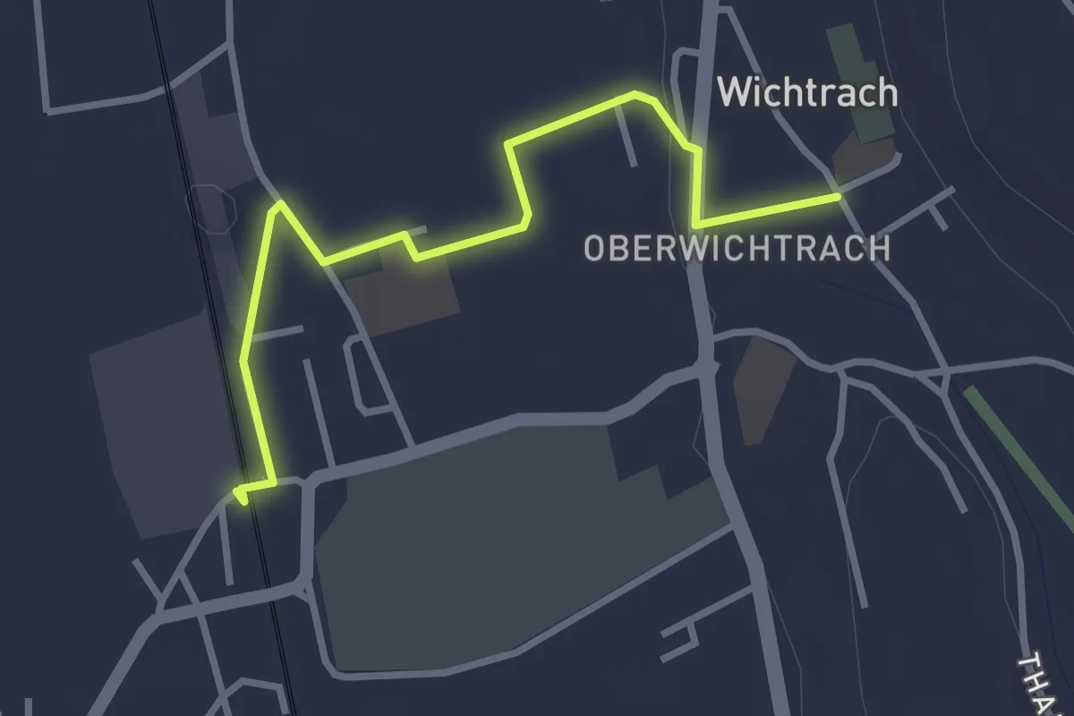
Easy · Trail
Wichtrach Bahnhof – Wichtrach/Kirche
3.0 km · ↑ 19 m · 45 min · 8 km away
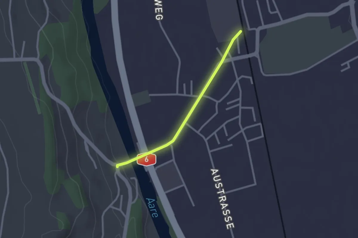
Easy · Trail
Thalgutbrücke - Wichtrach
2.1 km · ↑ 12 m · 31 min · 8 km away
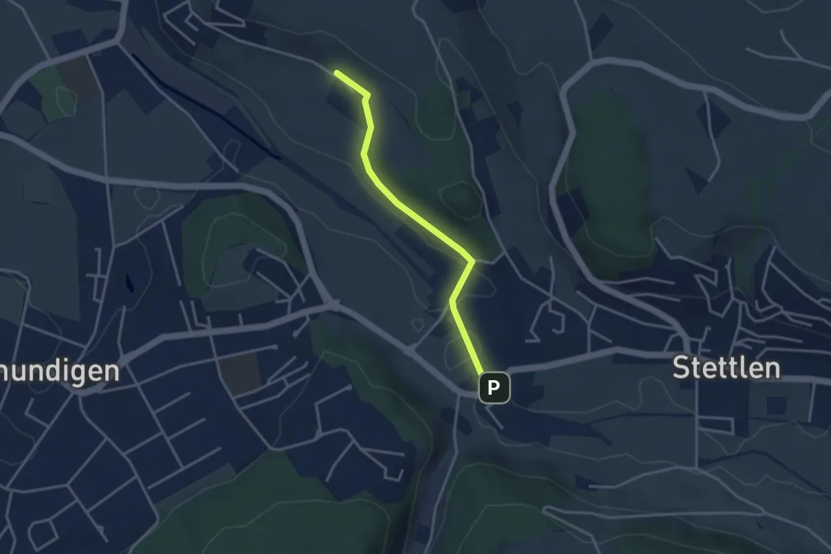
Easy · Trail
Hüenerbüel – Deisswil
2.9 km · ↑ 33 m · 45 min · 8 km away
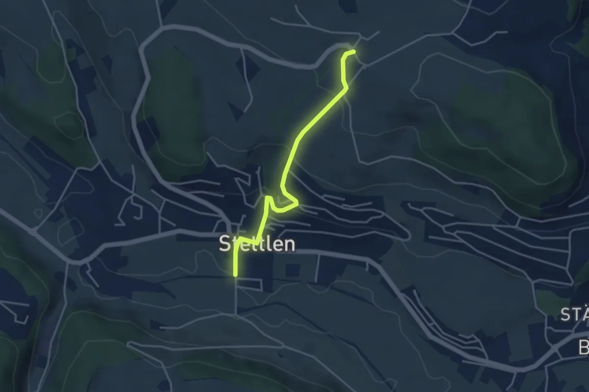
Easy · Trail
Ferenberg – Stettlen
3.4 km · ↑ 179 m · 1 h 11 min · 8 km away
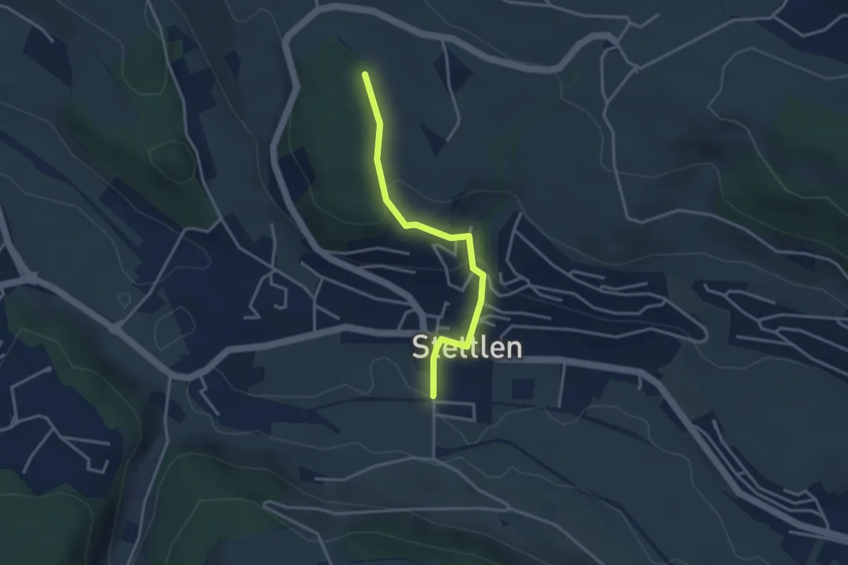
Easy · Trail
Buechholz – Stettlen
2.8 km · ↑ 115 m · 55 min · 8 km away
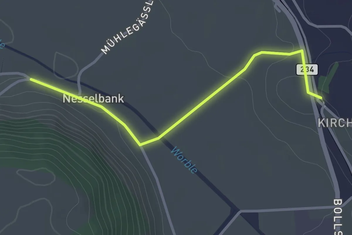
Easy · Trail
Nesselbank - Vechigen Hst.
2.7 km · ↑ 40 m · 43 min · 8 km away
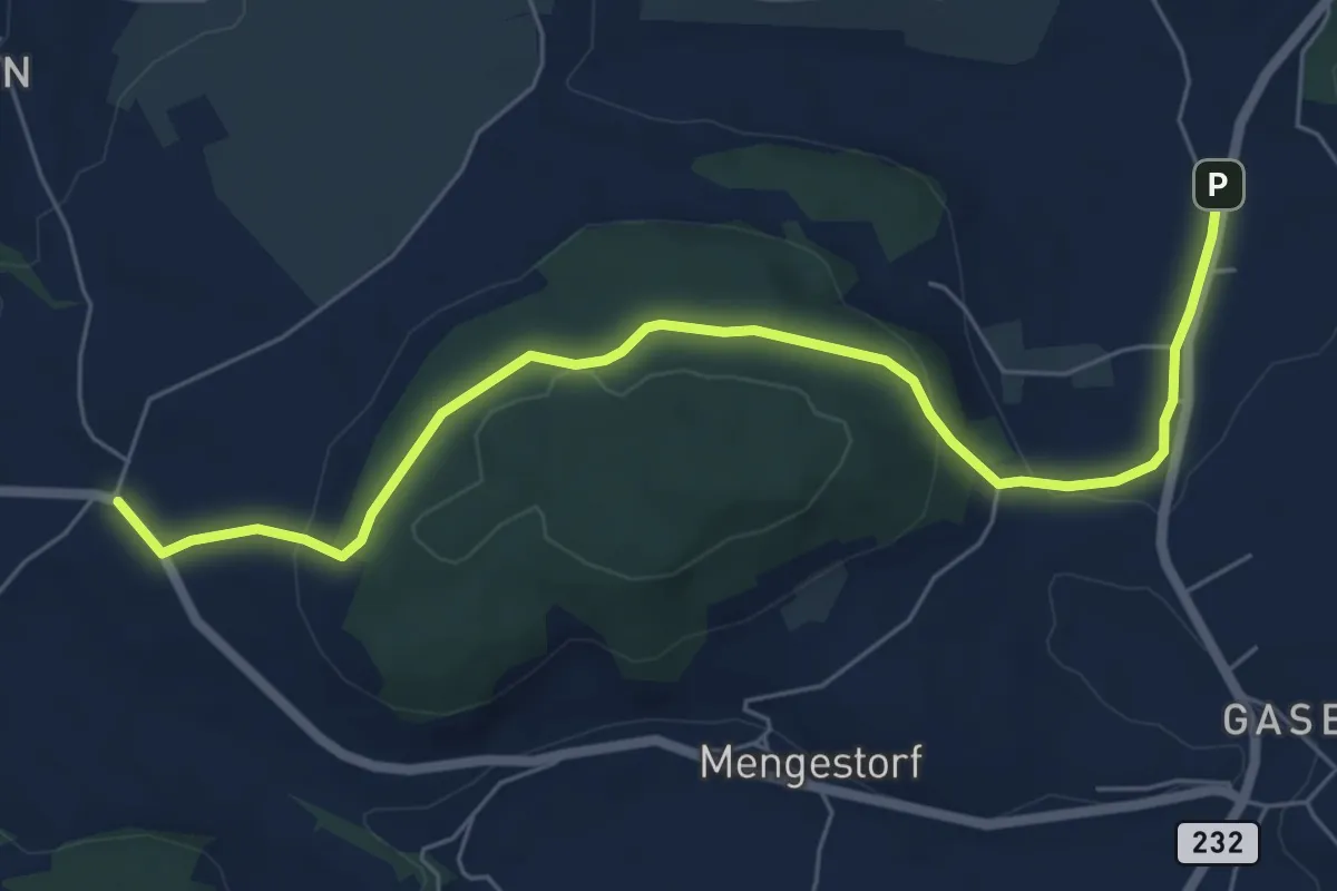
Easy · Trail
Liebewil - Moos
7.0 km · ↑ 194 m · 2 h 4 min · 8 km away
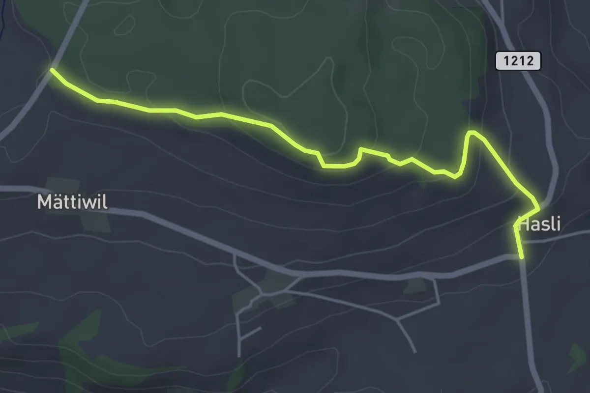
Easy · Trail
Hasli – Than
4.6 km · ↑ 179 m · 1 h 29 min · 8 km away
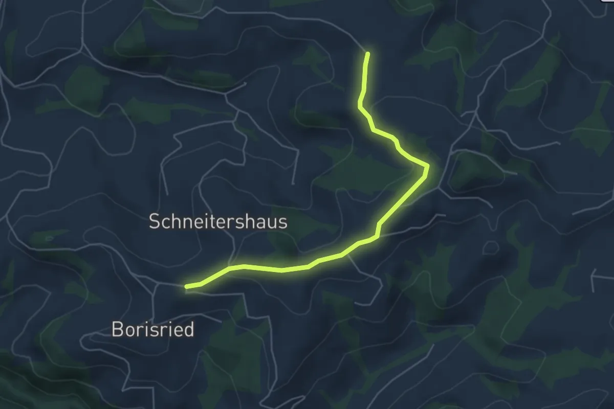
Easy · Trail
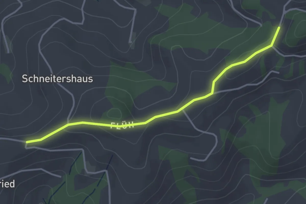
Gassershus - Borisried/Schulhaus
5.0 km · ↑ 129 m · 1 h 27 min · 8 km away
Easy · Trail
Borisried/Schulhaus - Tschuggen
3.5 km · ↑ 88 m · 1 h · 8 km away
Easy · Summit
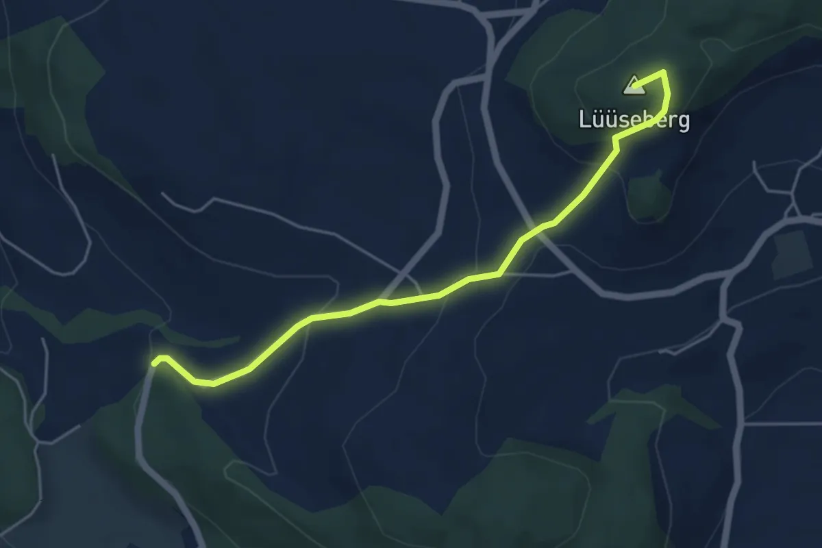
Worb/Hasli – Lüseberg
4.6 km · ↑ 219 m · 1 h 34 min · 8 km away
Easy · Trail
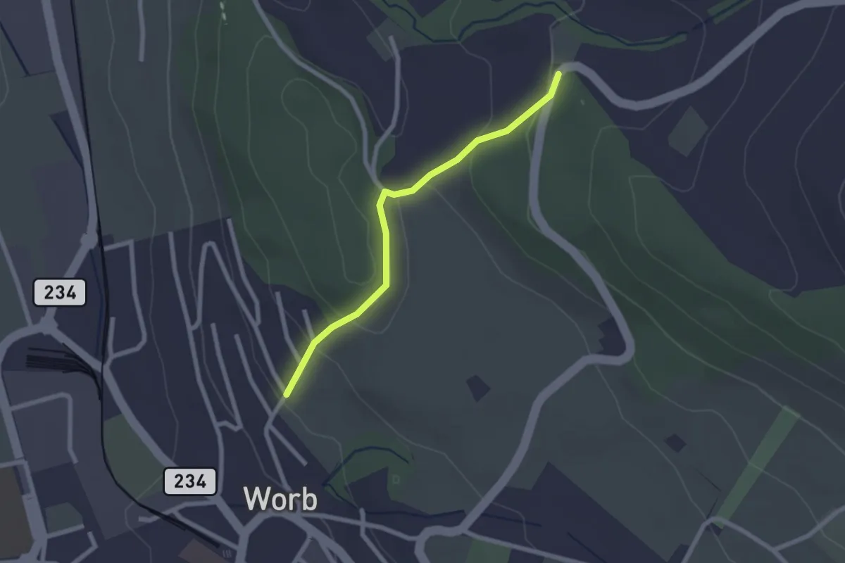
Egghalde – Worb/Hasli
2.1 km · ↑ 94 m · 41 min · 8 km away
Easy · Trail
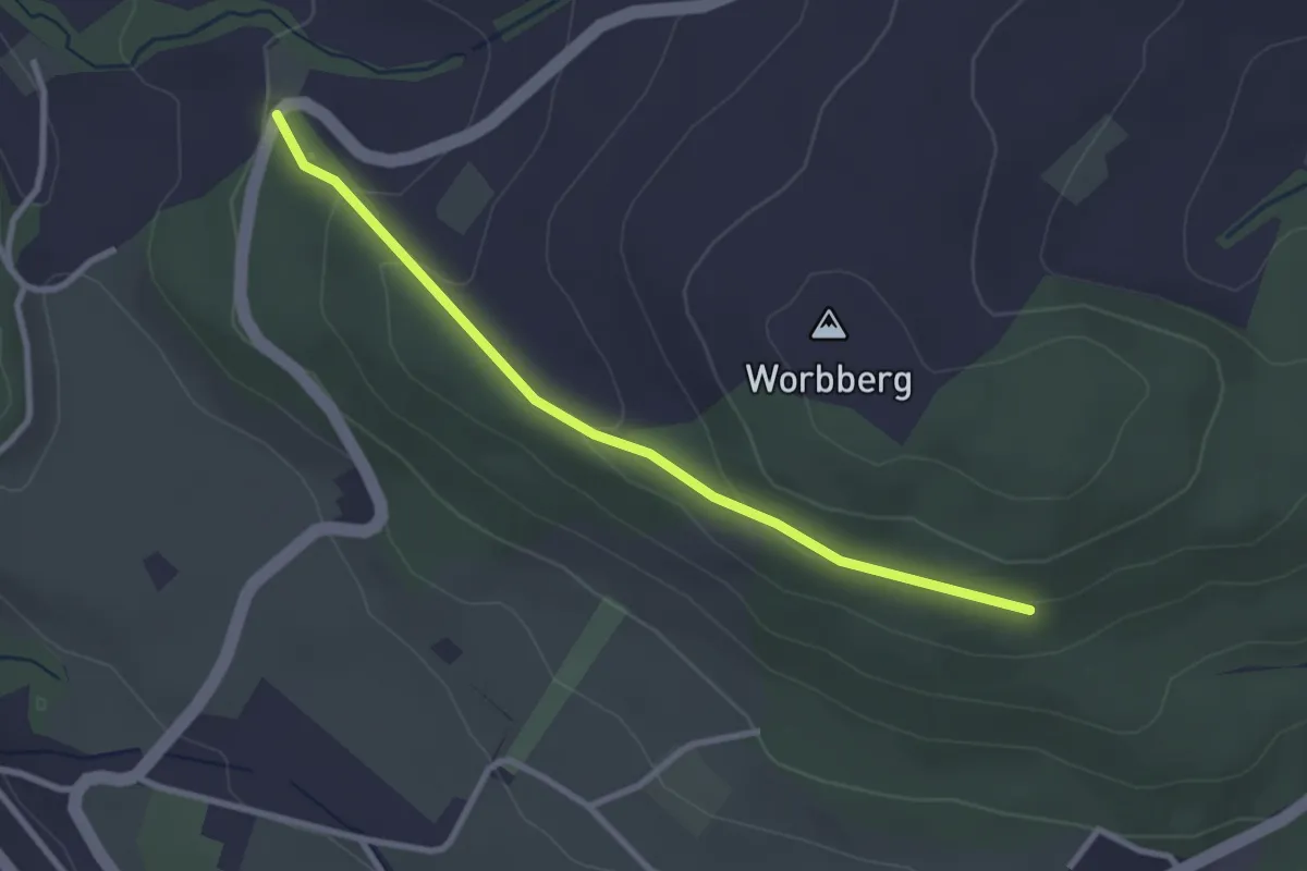
Worb/Hasli-Worbberg
2.8 km · ↑ 90 m · 52 min · 8 km away
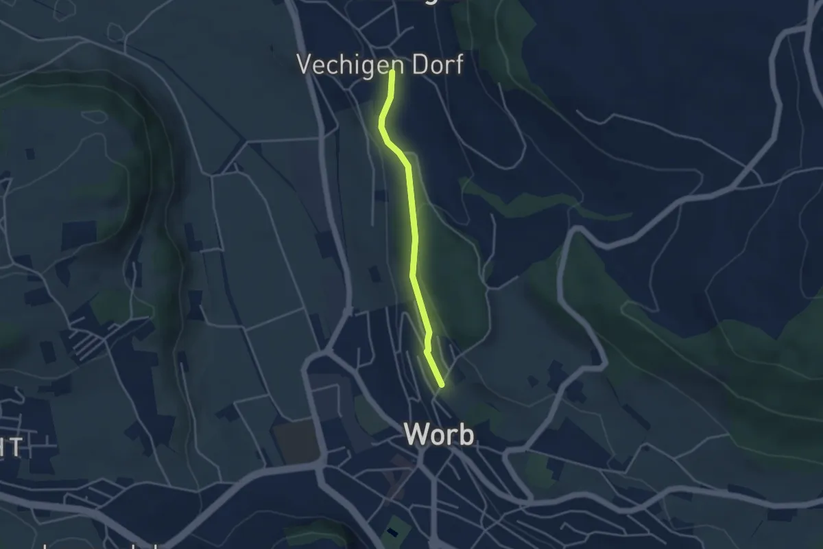
Easy · Trail
Vechingen - Egghalde
3.0 km · ↑ 77 m · 53 min · 8 km away
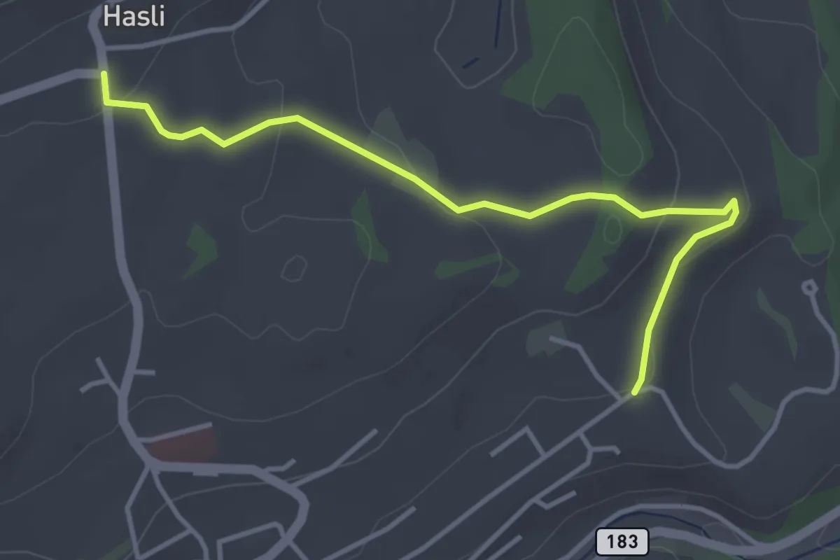
Easy · Trail
Hasli – Eybrunnen
3.8 km · ↑ 115 m · 1 h 9 min · 8 km away
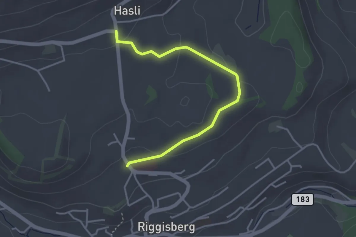
Easy · Trail
Riggisberg / Staudengasse – Hasli
3.4 km · ↑ 103 m · 1 h 1 min · 8 km away
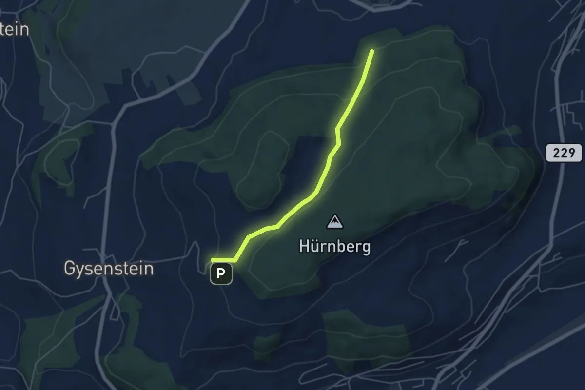
Easy · Trail
Ballenbühl – Schattacherwald
4.2 km · ↑ 130 m · 1 h 17 min · 8 km away
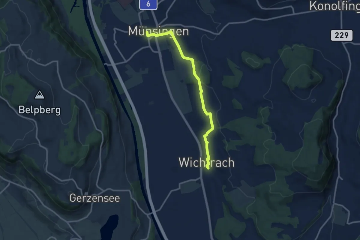
Medium · Trail
Münsingen – Wichtrach
9.1 km · ↑ 130 m · 2 h 26 min · 8 km away
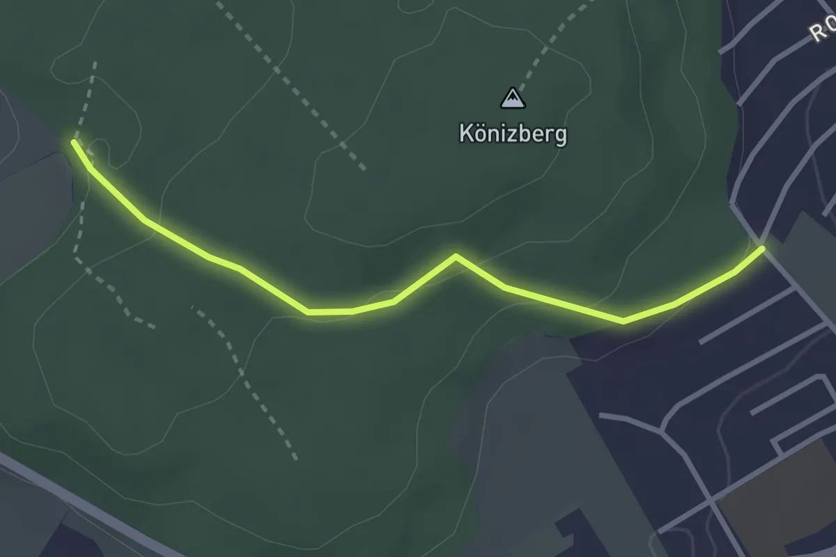
Easy · Trail
Tubentränke - Köniz/Ober Buchsee
2.7 km · ↑ 94 m · 51 min · 8 km away
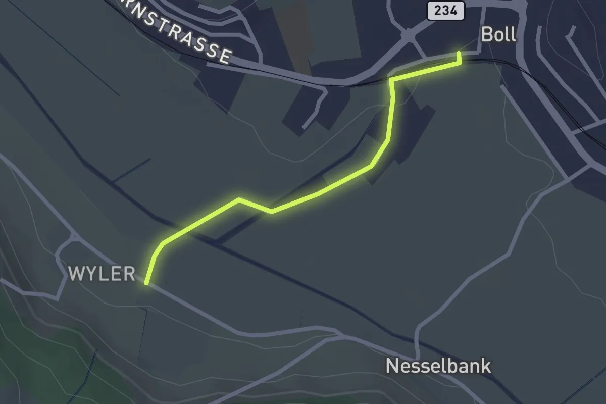
Easy · Trail
Boll - Wiler
2.1 km · ↑ 8 m · 31 min · 8 km away
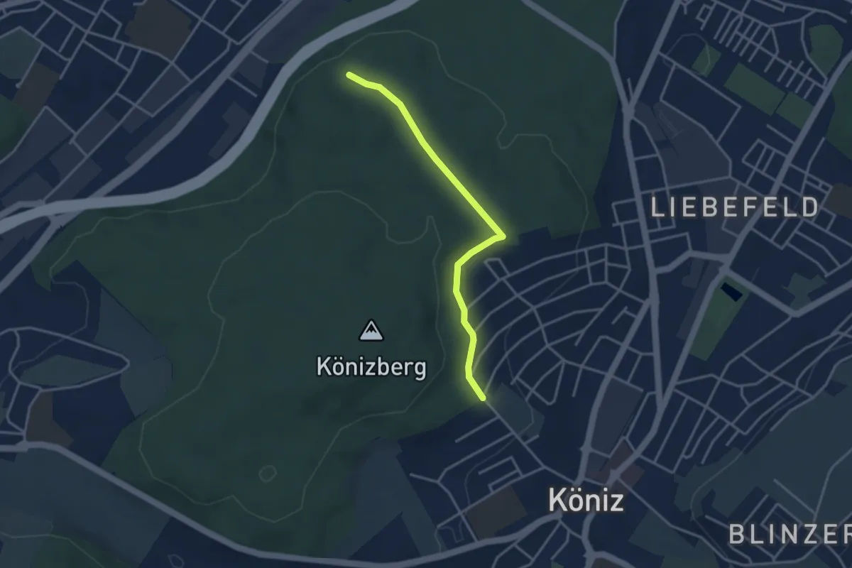
Easy · Trail
Köniz/Ober Buchsee – Pfaffensteig
3.2 km · ↑ 53 m · 52 min · 8 km away
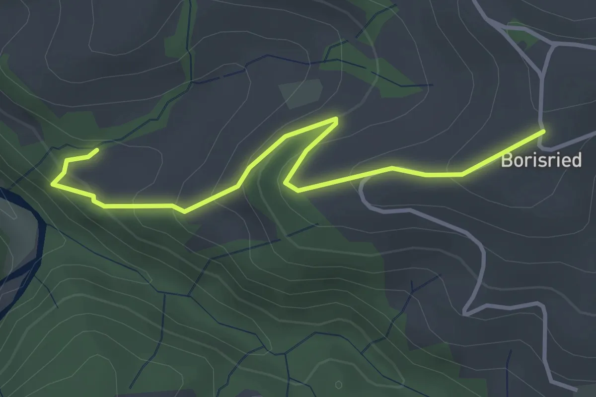
Easy · Trail
Mösli – Borisried
3.4 km · ↑ 227 m · 1 h 17 min · 8 km away
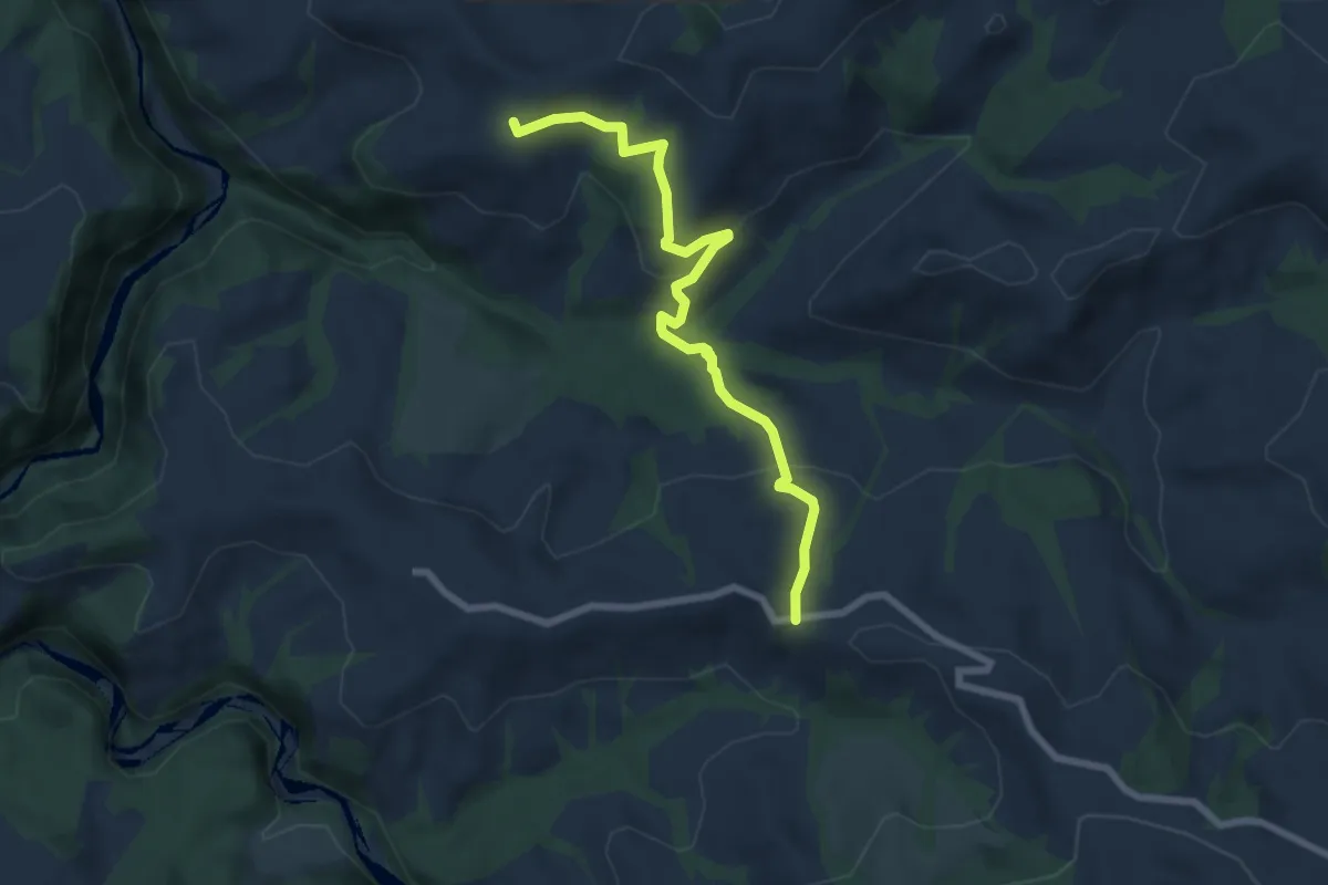
Medium · Trail
Borisried – Vorderfultigen
7.2 km · ↑ 329 m · 2 h 24 min · 8 km away
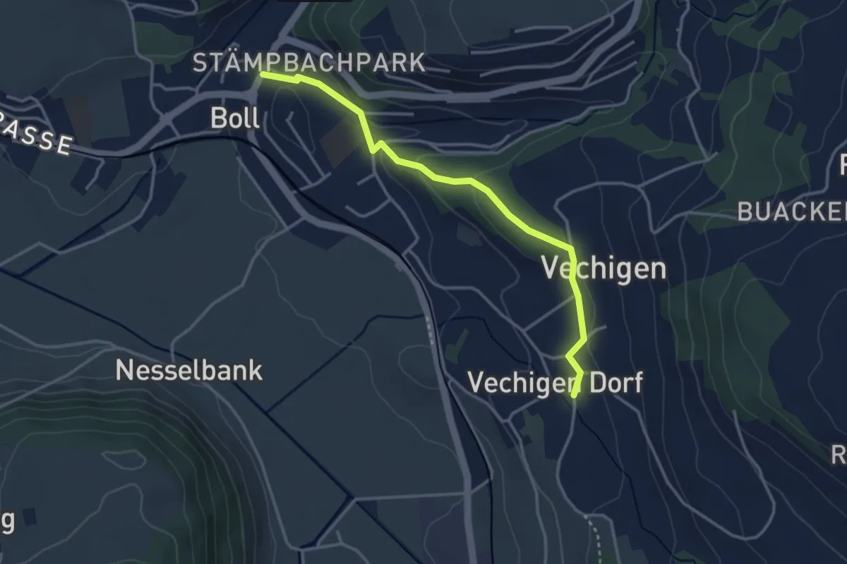
Easy · Trail
Boll – Vechigen
3.4 km · ↑ 74 m · 57 min · 8 km away
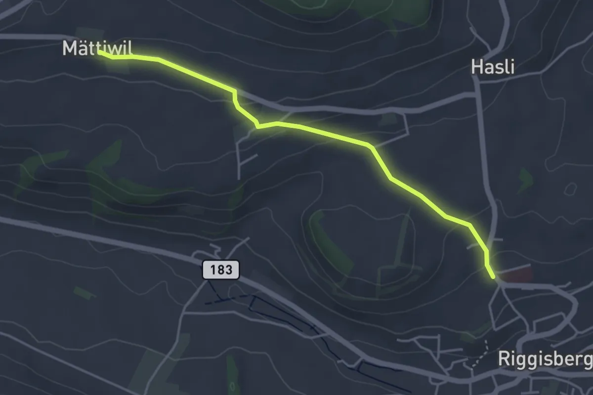
Easy · Trail
Riggisberg / Staudengasse – Mättiwil
4.0 km · ↑ 102 m · 1 h 10 min · 8 km away
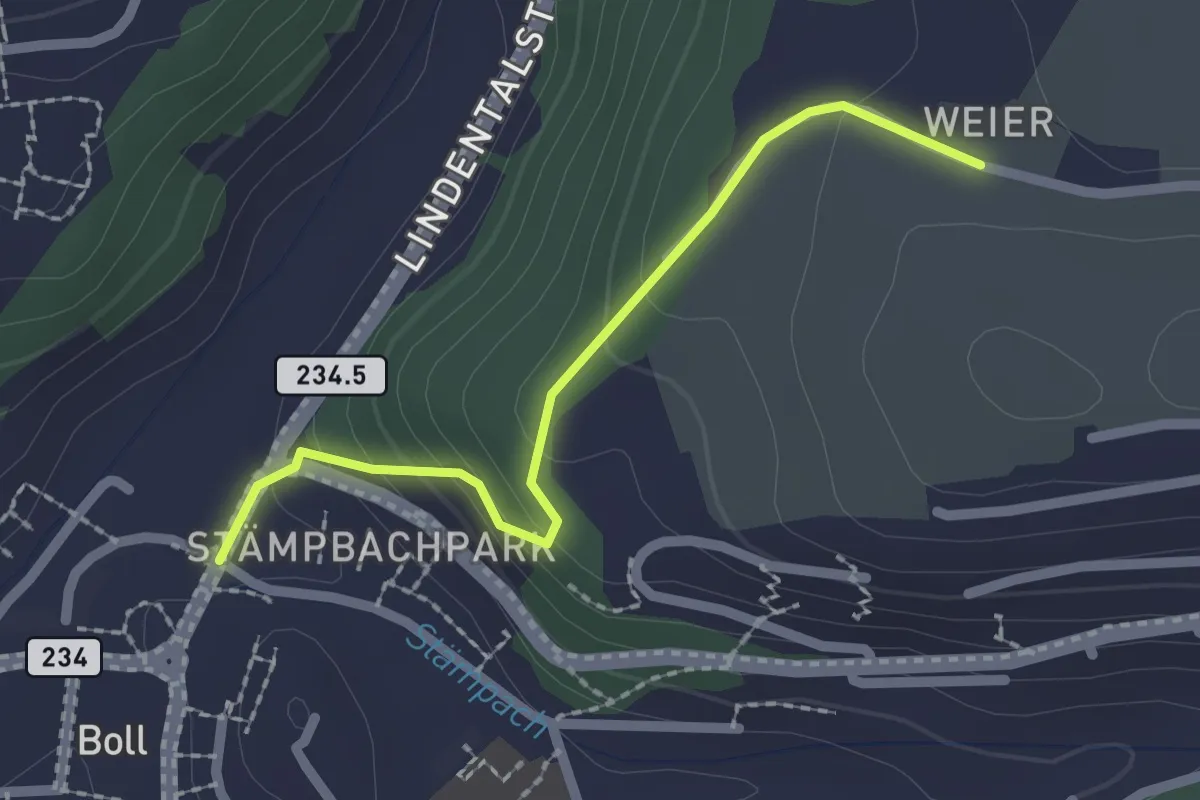
Easy · Trail
Boll - Weier
2.0 km · ↑ 113 m · 43 min · 8 km away
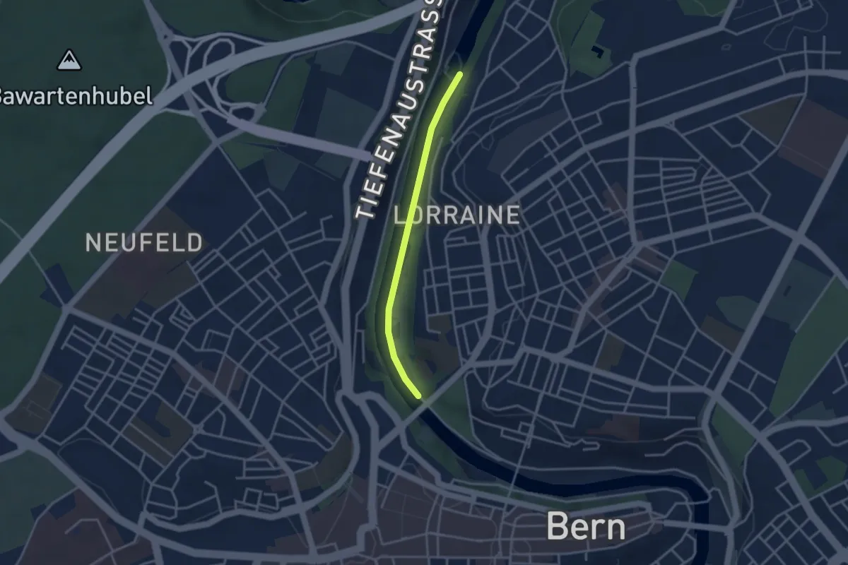
Easy · Trail
Felsenausteg – Lorrainebrücke
2.8 km · ↑ 5 m · 41 min · 8 km away
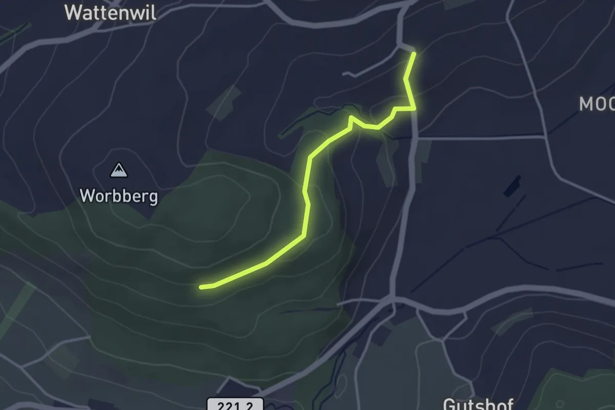
Easy · Trail
Worbberg-Rüttihubelbad
2.9 km · ↑ 104 m · 54 min · 8 km away
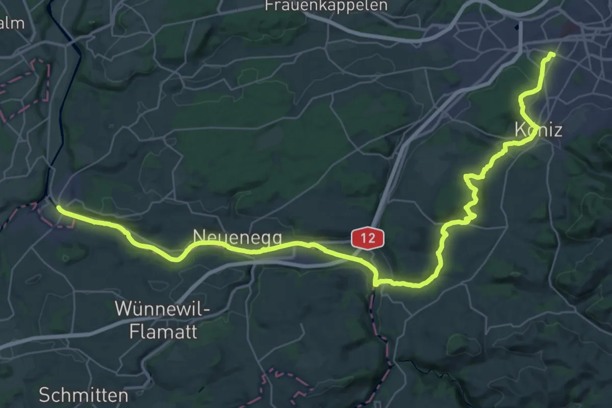
Demanding · Trail
Trans Swiss Trail
21.7 km · ↑ 317 m · 6 h 9 min · 8 km away
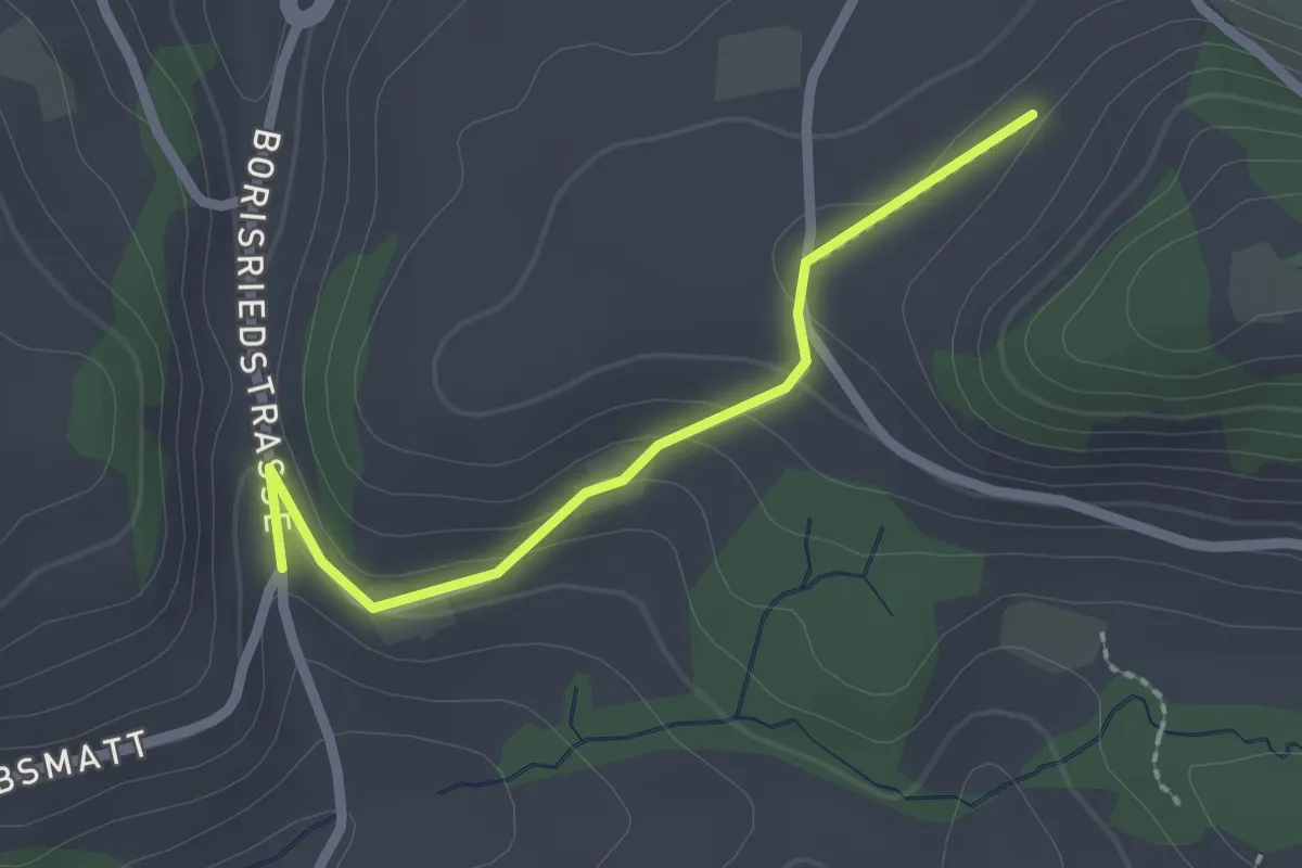
Easy · Trail
Oberbalm/Kirchweg – Schlatt
2.1 km · ↑ 73 m · 39 min · 8 km away
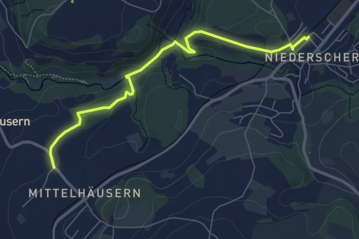
Easy · Trail
Mittelhäusern - Niederscherli
5.7 km · ↑ 165 m · 1 h 42 min · 8 km away
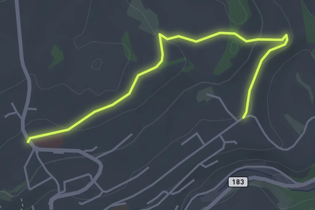
Easy · Trail
Riggisberg / Staudengasse – Eybrunnen
3.9 km · ↑ 112 m · 1 h 10 min · 8 km away
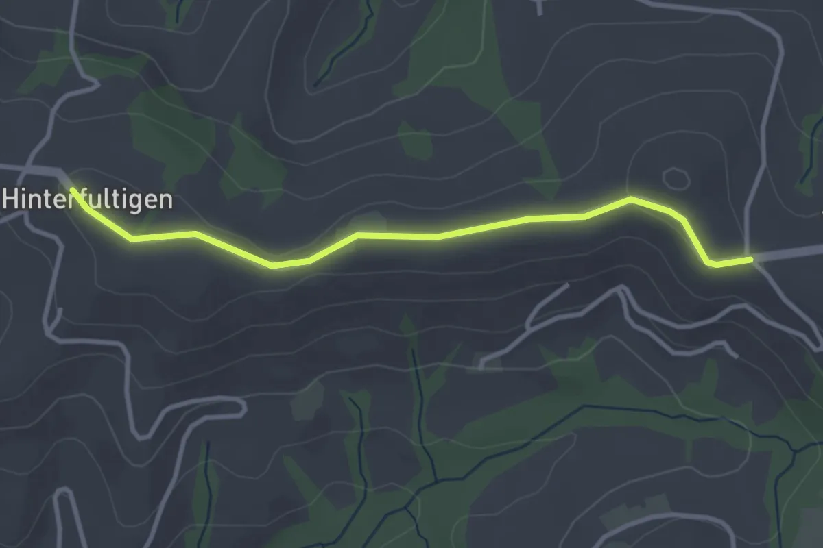
Easy · Trail
Hinterfultigen – Vorderfultigen
3.2 km · ↑ 42 m · 50 min · 8 km away