Trails near Belp
495 hikes starting within 15 km, nearest first.
Nearest first, page 5 of 11
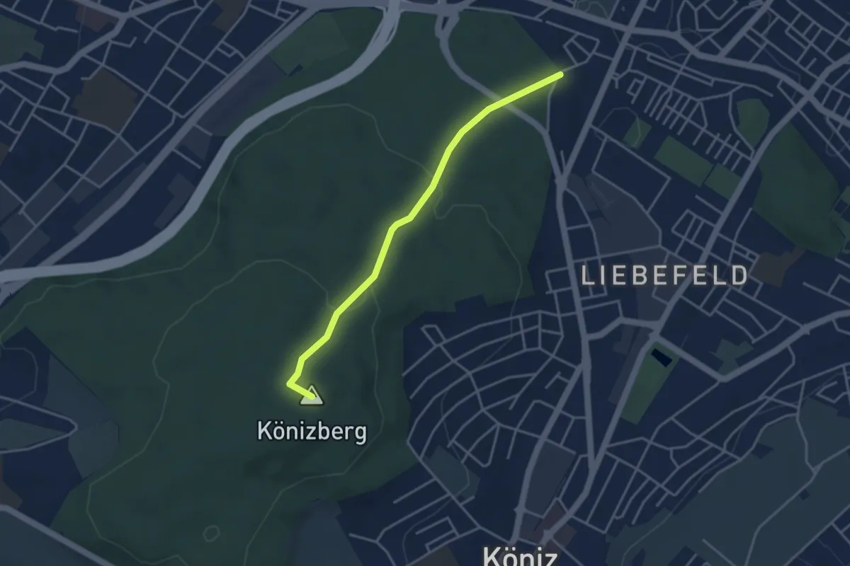
Easy · Summit
Fischermätteli - Könizberg/Stärn
3.5 km · ↑ 126 m · 1 h 7 min · 8 km away
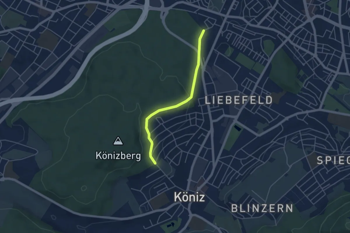
Easy · Trail
Köniz/Ober Buchsee - Fischermätteli
3.8 km · ↑ 89 m · 1 h 5 min · 8 km away
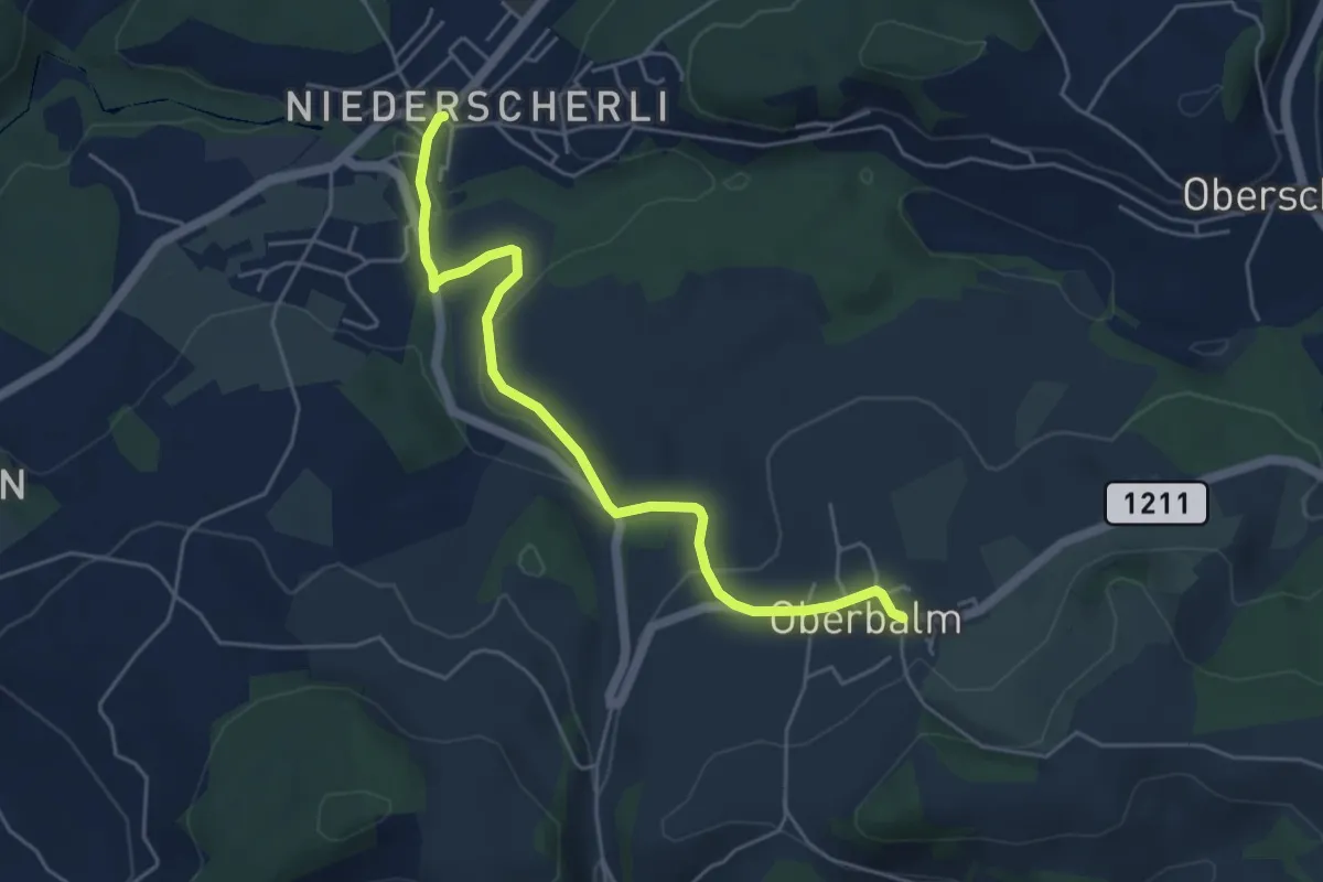
Easy · Trail
Niederscherli – Oberbalm
5.1 km · ↑ 142 m · 1 h 30 min · 8 km away
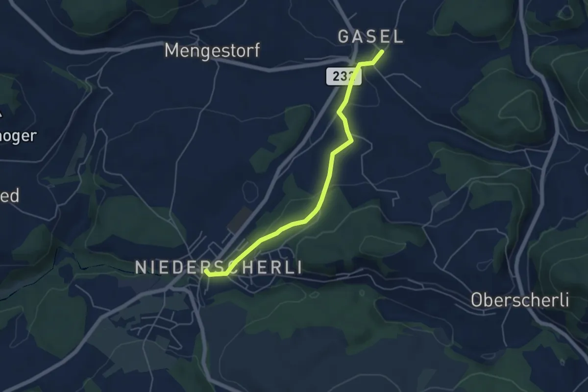
Easy · Trail
Niederscherli – Gasel
4.6 km · ↑ 143 m · 1 h 24 min · 8 km away
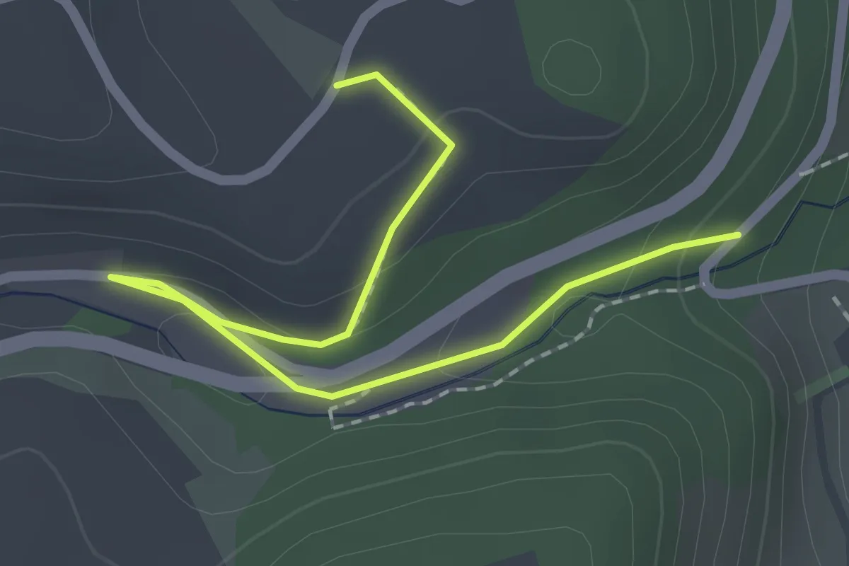
Easy · Trail
Abegg-Stiftung - Mülibach
2.2 km · ↑ 56 m · 38 min · 8 km away
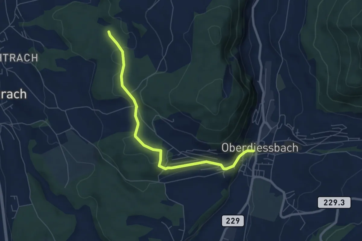
Easy · Trail
Oberdiessbach – Rotebüel
6.3 km · ↑ 169 m · 1 h 52 min · 8 km away
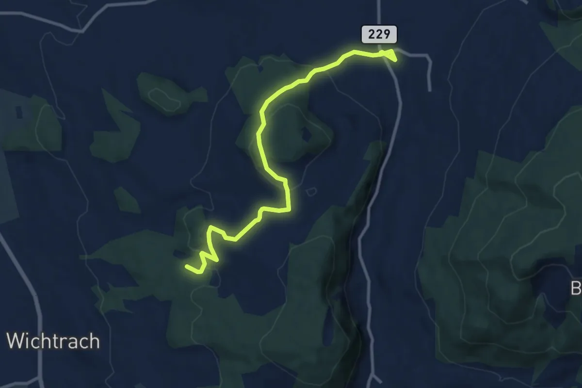
Medium · Trail
Stalden i. E. – Rotebüel
9.4 km · ↑ 302 m · 2 h 52 min · 8 km away
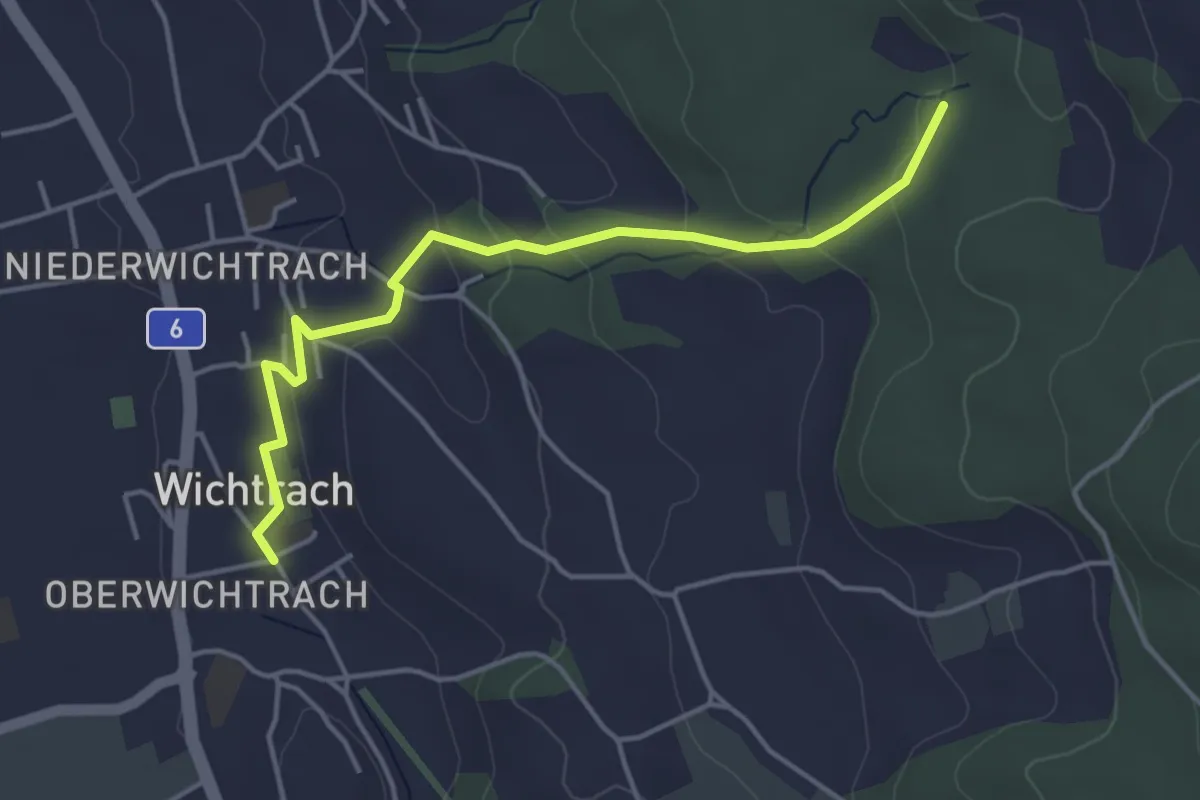
Easy · Trail
Wichtrach – Rotebüel
4.3 km · ↑ 138 m · 1 h 19 min · 8 km away
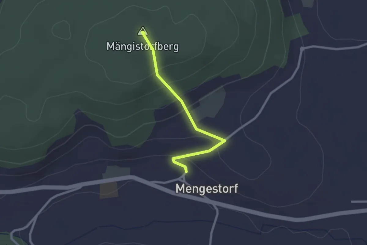
Easy · Summit
Mengestorfberg - Mengestorf
2.0 km · ↑ 124 m · 45 min · 8 km away
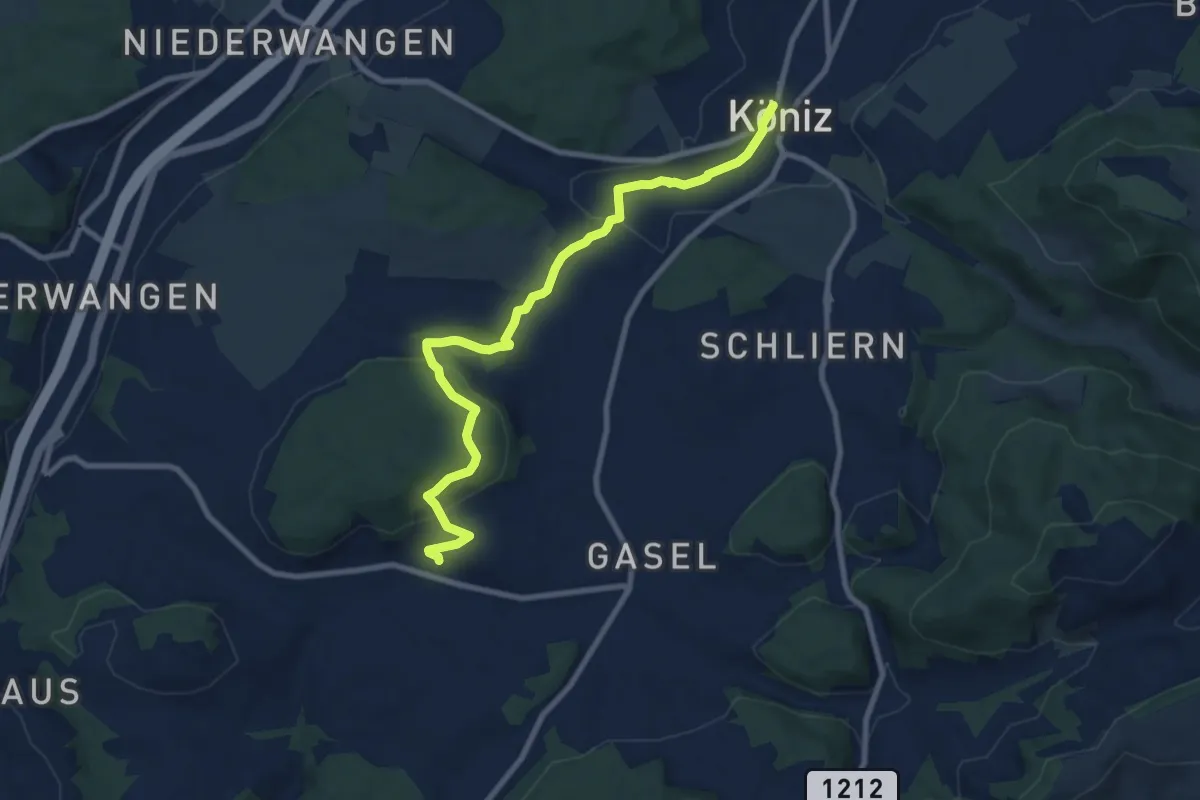
Medium · Trail
Mengestorf – Köniz
9.4 km · ↑ 280 m · 2 h 50 min · 8 km away
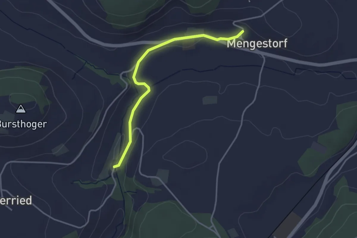
Easy · Trail
Grabenmüli – Mengestorf
3.2 km · ↑ 40 m · 50 min · 8 km away
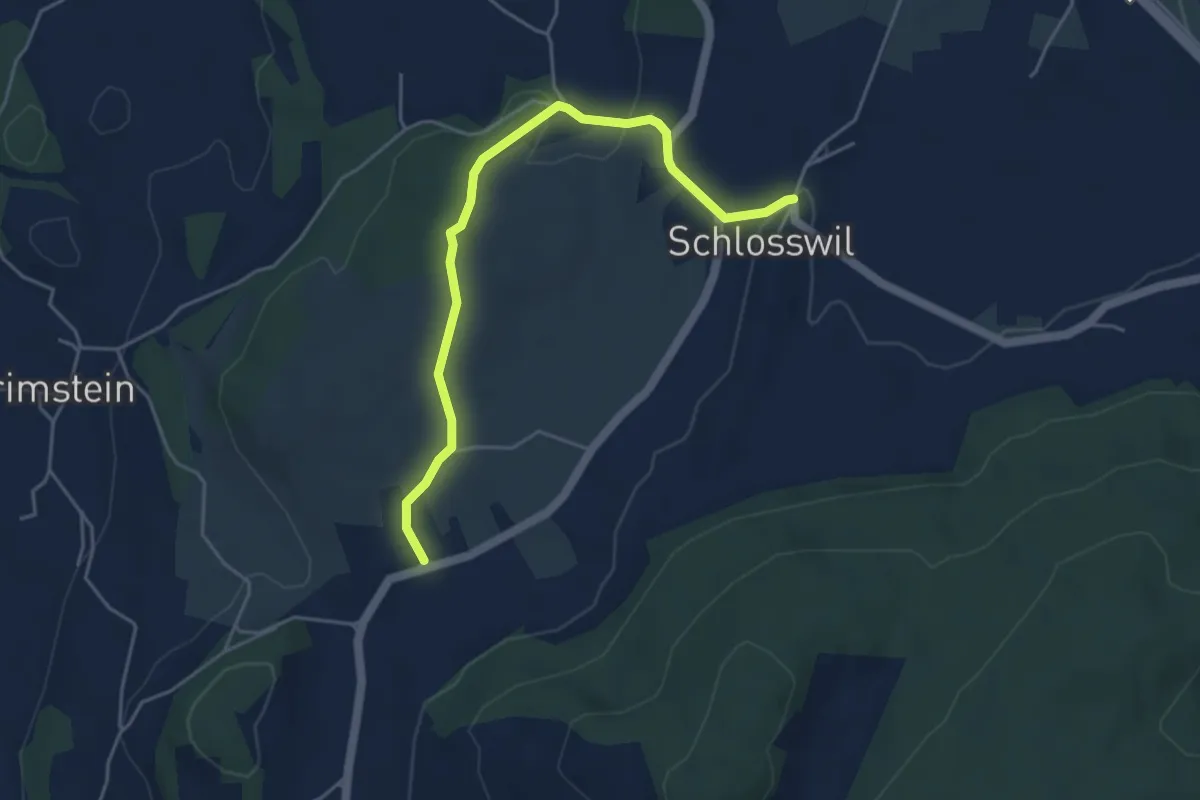
Easy · Trail
Herolfingen – Schlosswil
4.7 km · ↑ 105 m · 1 h 20 min · 9 km away
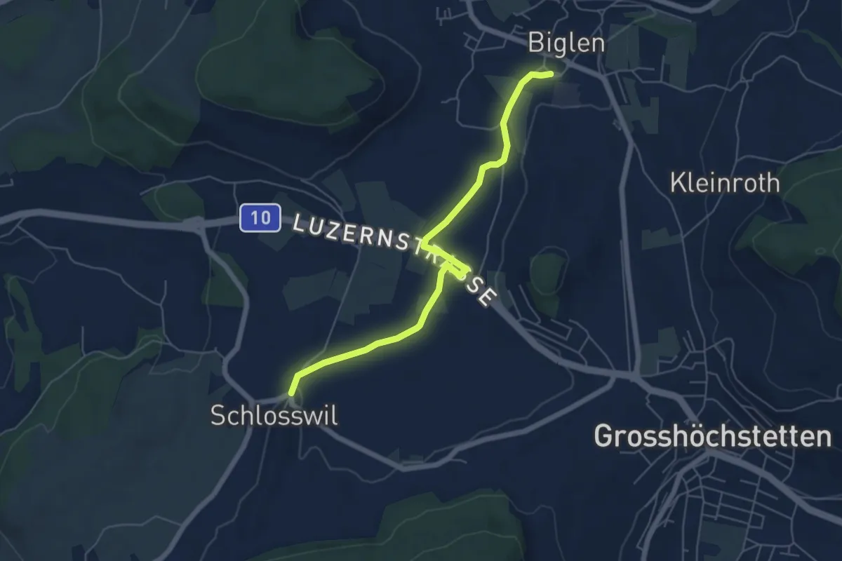
Easy · Trail
Schlosswil – Biglen
5.6 km · ↑ 36 m · 1 h 25 min · 9 km away
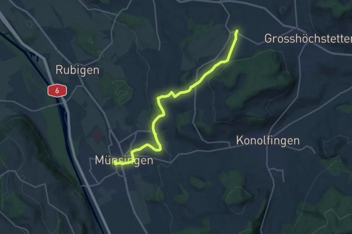
Medium · Trail
Münsingen – Schlosswil
14.9 km · ↑ 320 m · 4 h 12 min · 9 km away
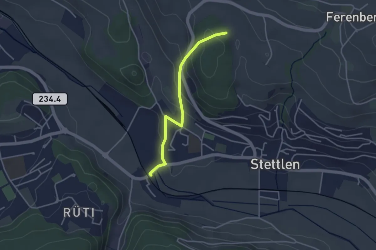
Easy · Trail
Buechholz – Deisswil
2.8 km · ↑ 135 m · 57 min · 9 km away
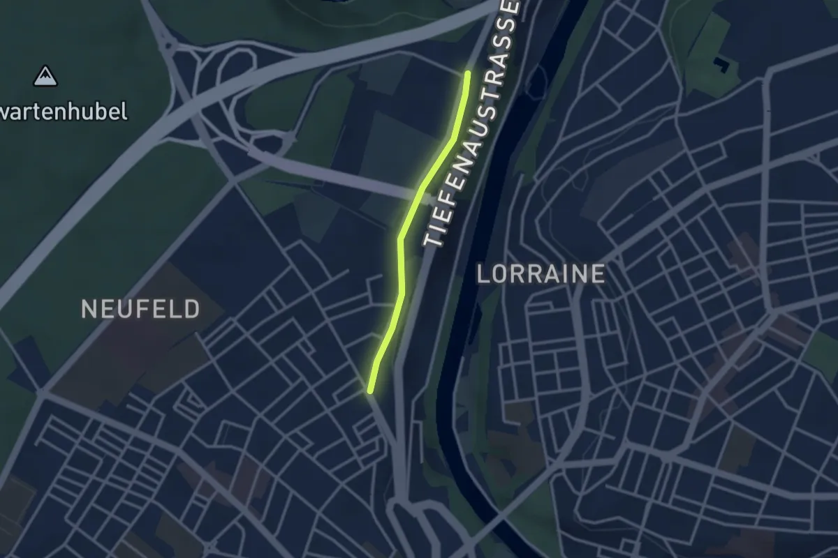
Easy · Trail
Bierhübeli – Äussere Enge
2.2 km · ↑ 9 m · 32 min · 9 km away
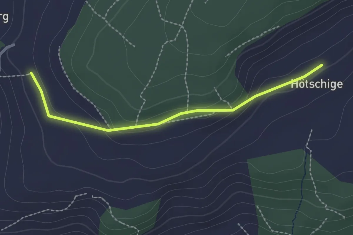
Easy · Trail
Ballenbüel – Ober Hötschige
2.2 km · ↑ 55 m · 38 min · 9 km away
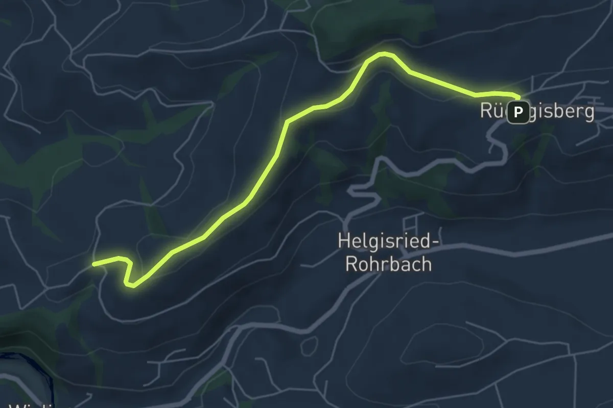
Easy · Trail
Rüeggisberg - Schwanden
5.7 km · ↑ 200 m · 1 h 47 min · 9 km away
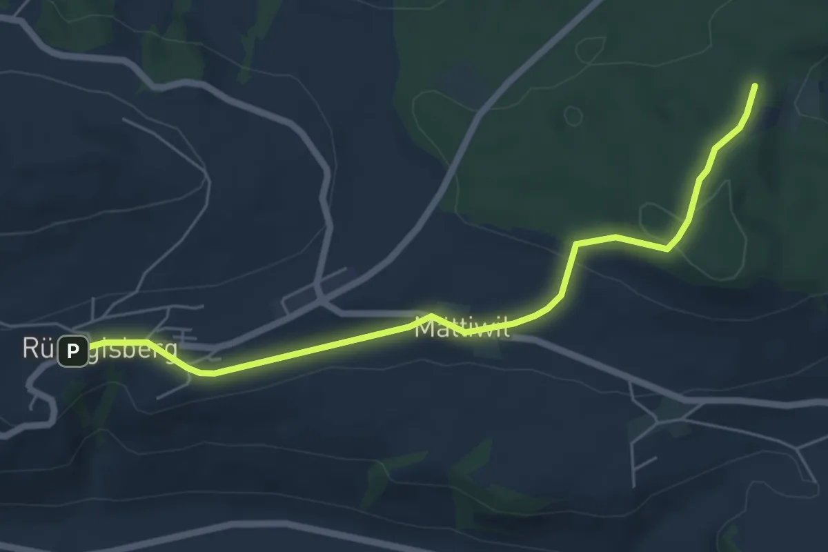
Easy · Trail
Rüeggisberg – Taanwald
5.8 km · ↑ 134 m · 1 h 39 min · 9 km away
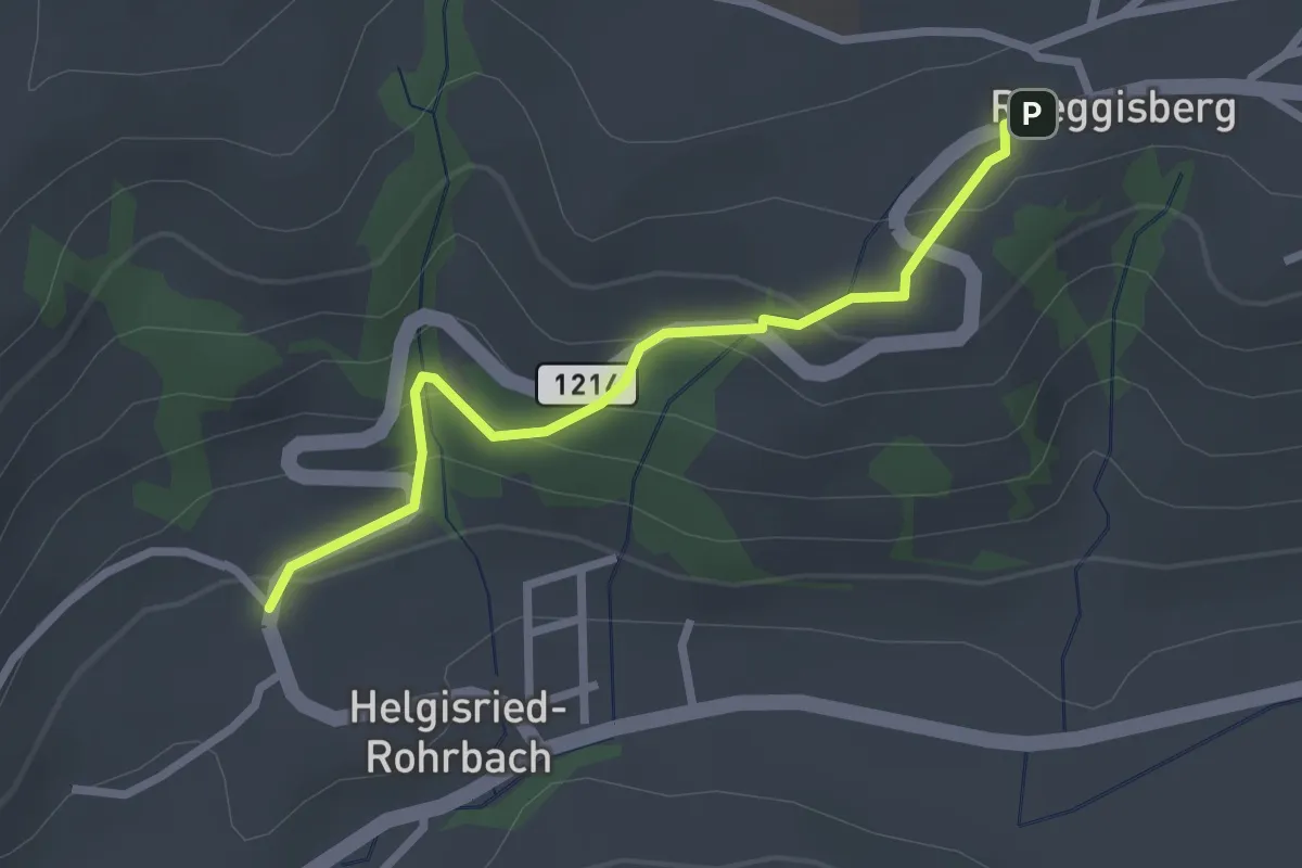
Easy · Trail
Ober Helgisried - Rüeggisberg
2.5 km · ↑ 161 m · 56 min · 9 km away
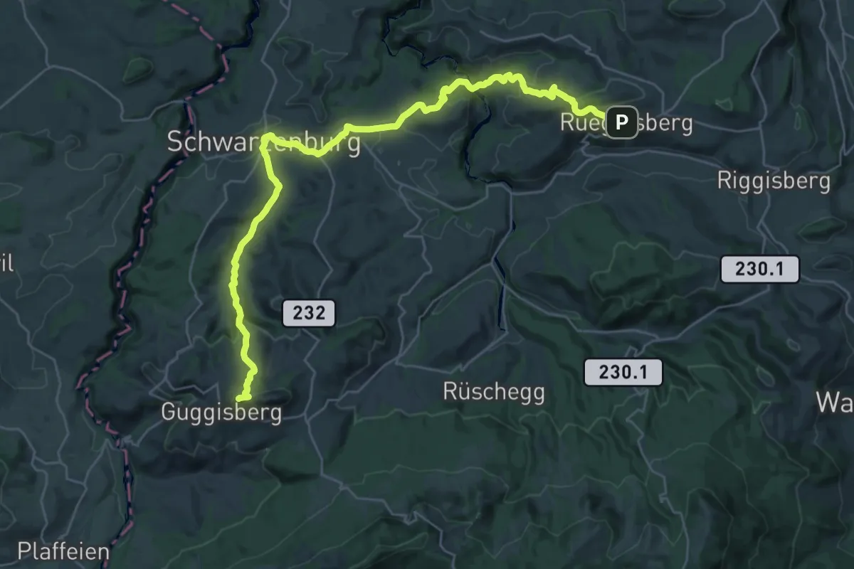
Demanding · Summit
Alpenpanorama-Weg
32.5 km · ↑ 1167 m · 10 h 12 min · 9 km away
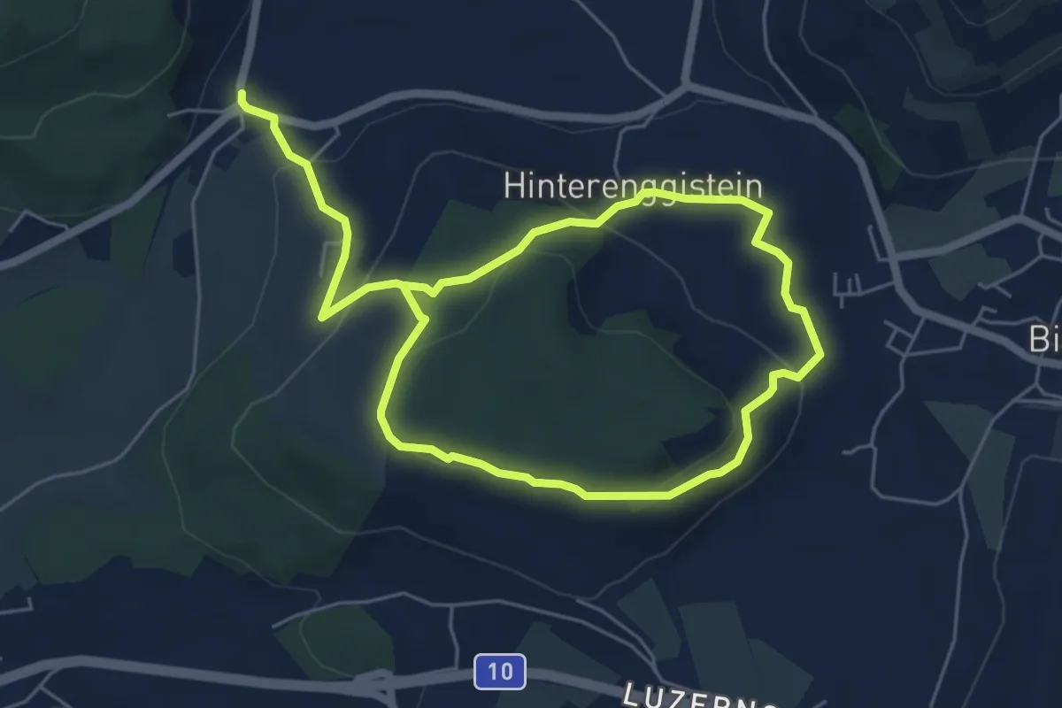
Medium · Trail
Enggistein – Biglen
9.3 km · ↑ 288 m · 2 h 49 min · 9 km away
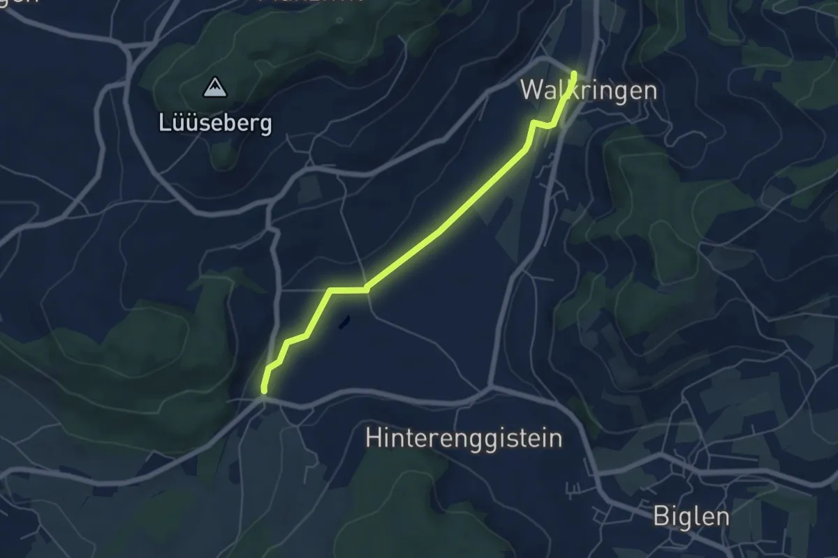
Easy · Trail
Enggistein – Walkringen
5.3 km · ↑ 23 m · 1 h 18 min · 9 km away
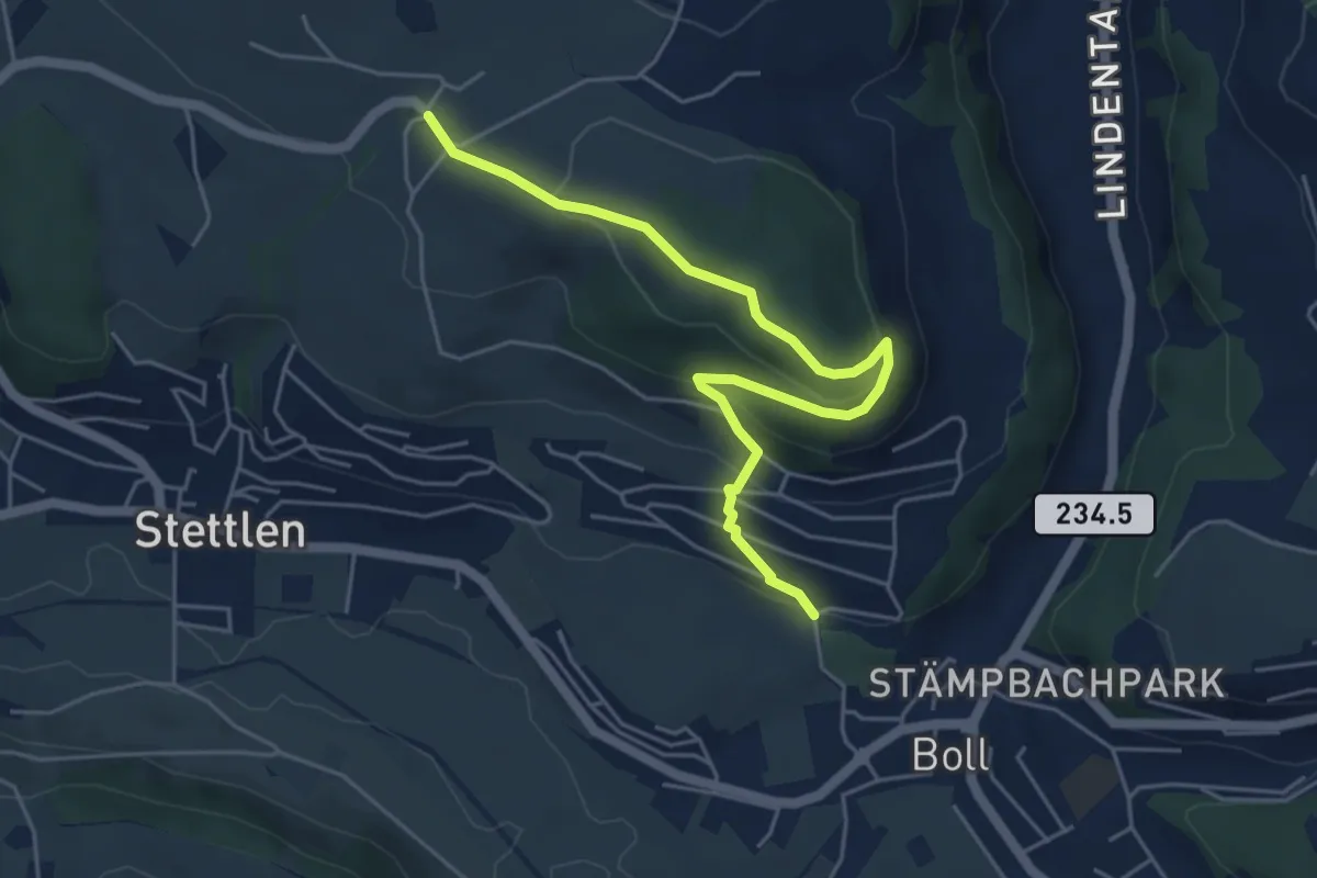
Easy · Trail
Ferenberg – Sinneringen
5.4 km · ↑ 245 m · 1 h 48 min · 9 km away
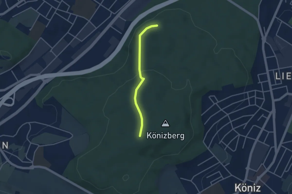
Easy · Trail
Pfaffensteig - Könizberg/Stärn
2.5 km · ↑ 70 m · 45 min · 9 km away
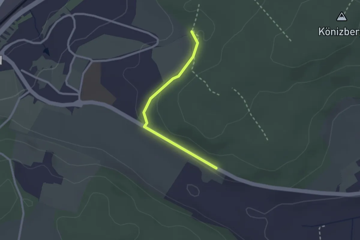
Easy · Trail
Leen - Tubentränke
2.0 km · ↑ 41 m · 34 min · 9 km away
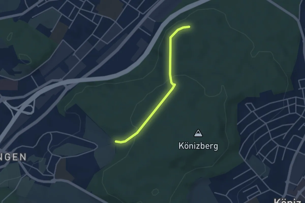
Easy · Trail
Pfaffensteig - Tubentränke
2.9 km · ↑ 88 m · 52 min · 9 km away
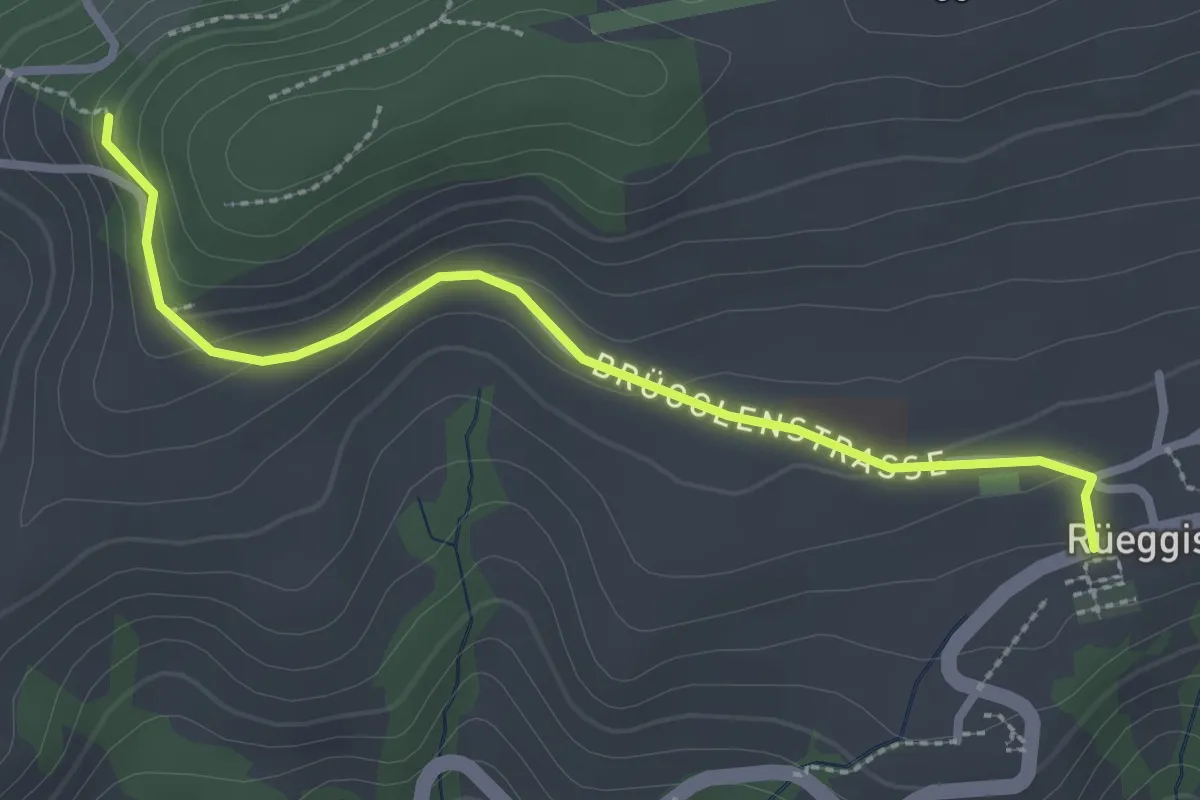
Easy · Trail
Rüeggisberg - Riedstettwald
2.7 km · ↑ 91 m · 50 min · 9 km away
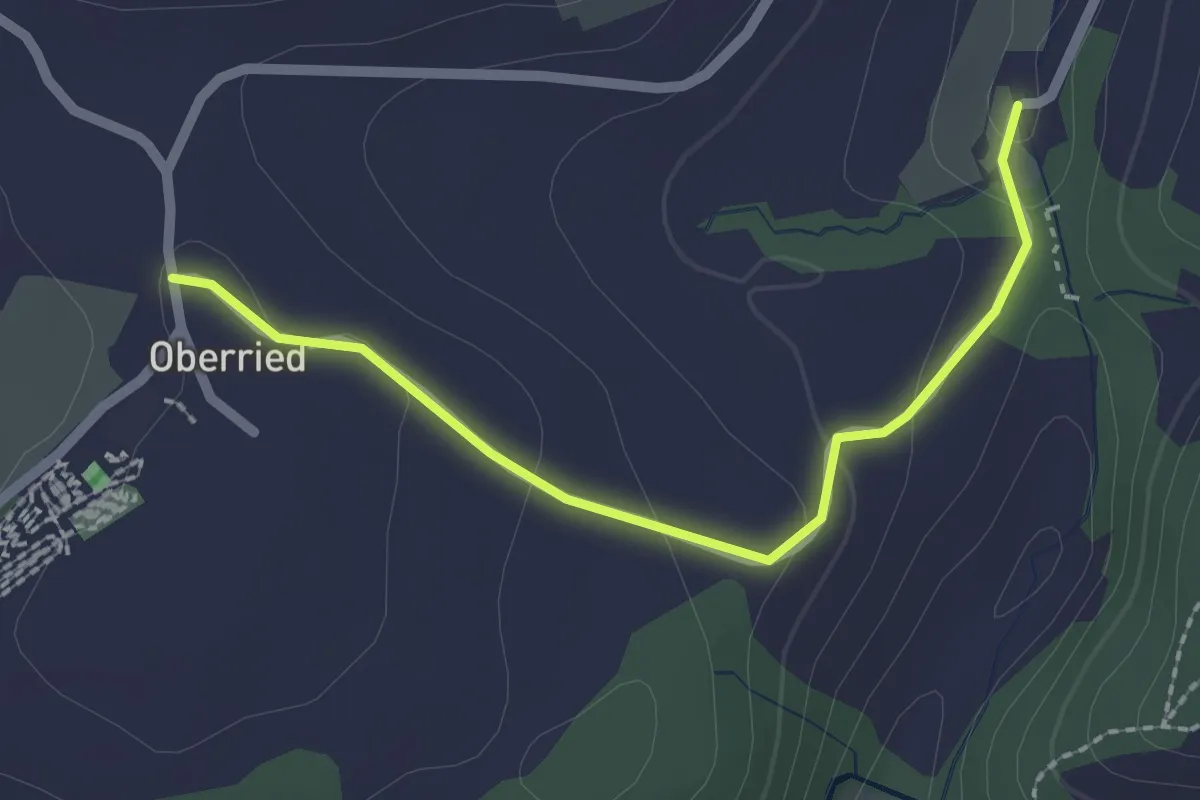
Easy · Trail
Oberried - Grabenmüli
2.2 km · ↑ 64 m · 39 min · 9 km away
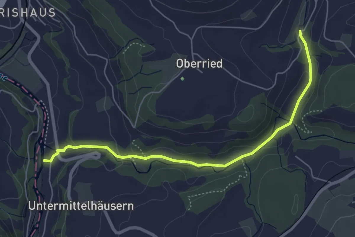
Easy · Trail
Sensematt – Grabenmüli
5.1 km · ↑ 116 m · 1 h 27 min · 9 km away
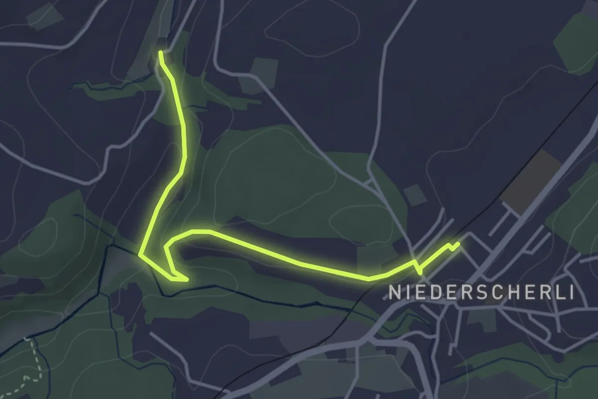
Easy · Trail
Niederscherli - Grabenmüli
3.9 km · ↑ 88 m · 1 h 7 min · 9 km away
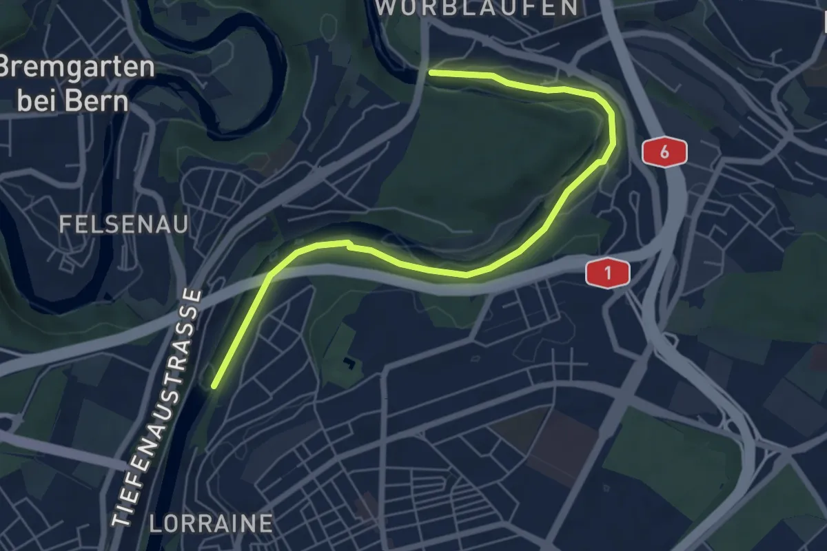
Easy · Trail
Tiefenaubrücke – Felsenausteg
6.4 km · ↑ 56 m · 1 h 38 min · 9 km away
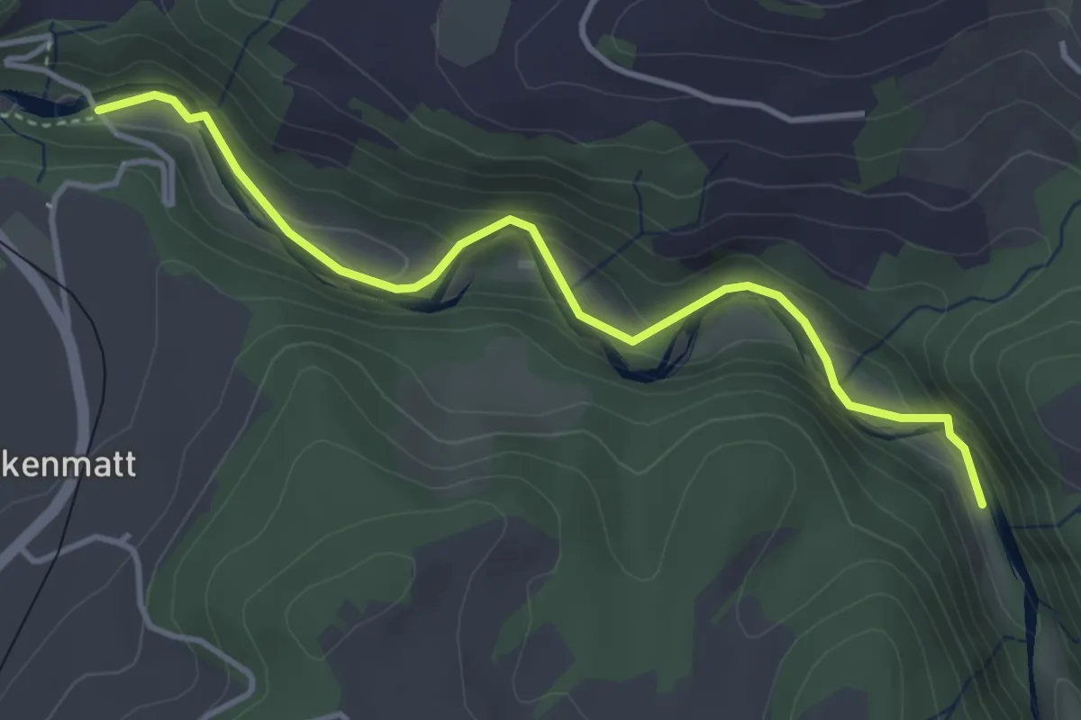
Easy · Trail
Alte Scharzwasserbrücke – Schwarzwassergraben
4.0 km · ↑ 138 m · 1 h 15 min · 9 km away
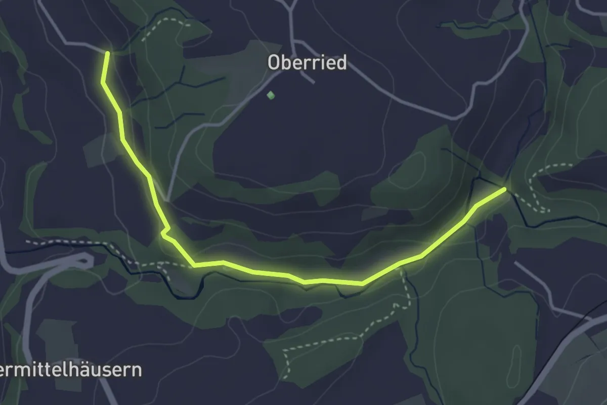
Easy · Trail
Grabenmüli - Grafenried
3.7 km · ↑ 75 m · 1 h 2 min · 9 km away
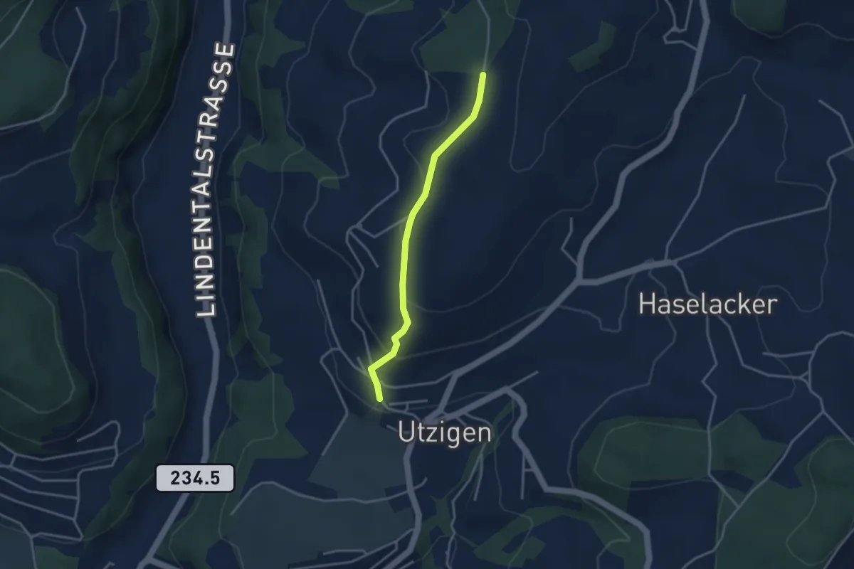
Easy · Trail
Utzigenwull – Utzigen/Schloss
3.0 km · ↑ 121 m · 58 min · 9 km away
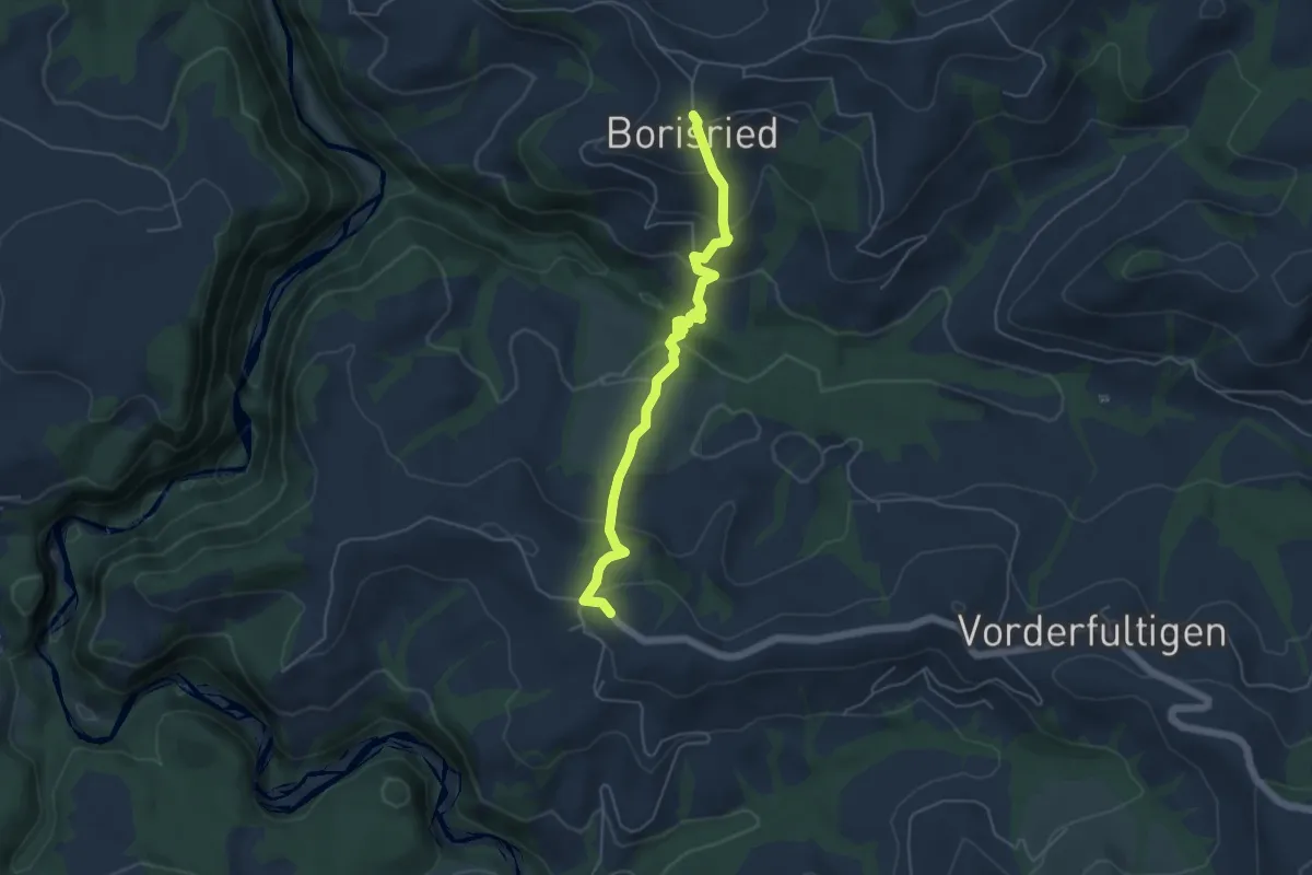
Easy · Trail
Borisried – Hinterfultigen
5.1 km · ↑ 295 m · 1 h 50 min · 9 km away
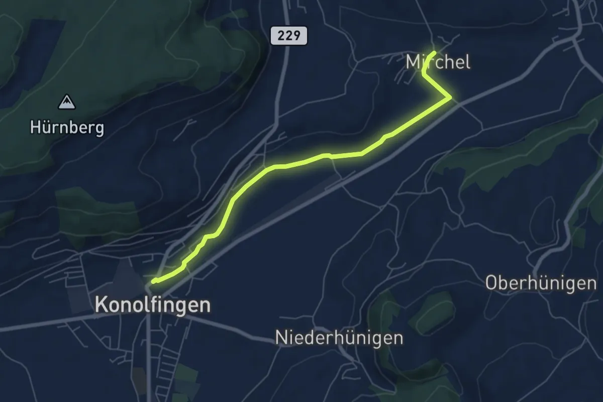
Easy · Trail
Mirchel – Konolfingen
6.2 km · ↑ 56 m · 1 h 35 min · 9 km away
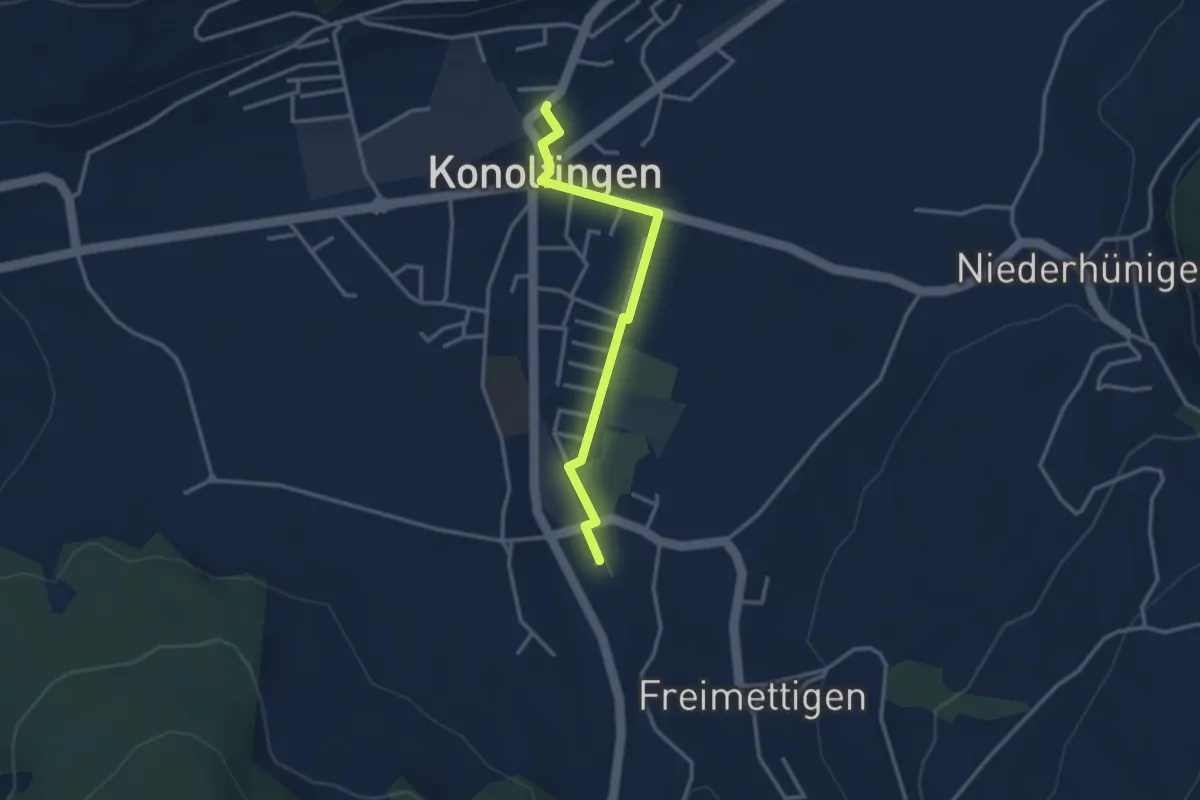
Easy · Trail
Stalden i. E. – Konolfingen
3.0 km · ↑ 9 m · 44 min · 9 km away
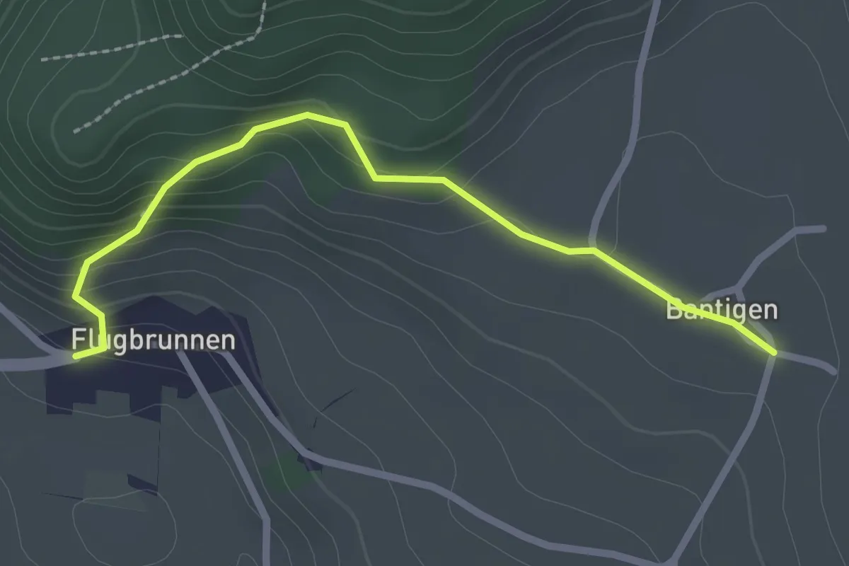
Easy · Trail
Bantigen – Flugbrunnen
2.3 km · ↑ 151 m · 53 min · 9 km away
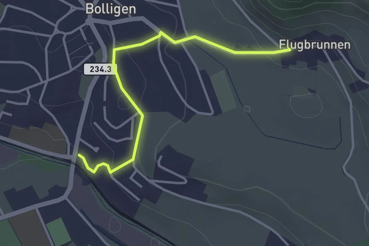
Easy · Trail
Flugbrunnen – Bolligen
2.9 km · ↑ 87 m · 53 min · 9 km away
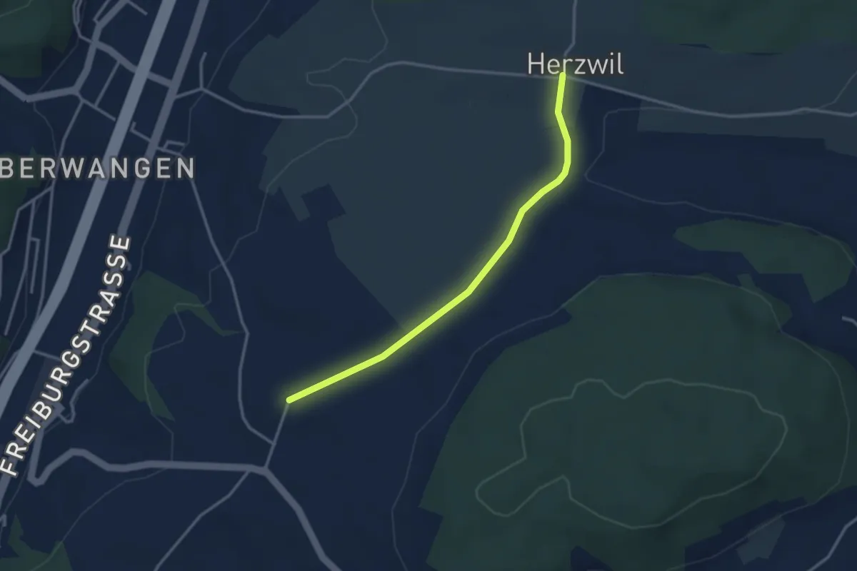
Easy · Trail
Herzwil - Liebewil/Resevoir
3.0 km · ↑ 31 m · 47 min · 9 km away
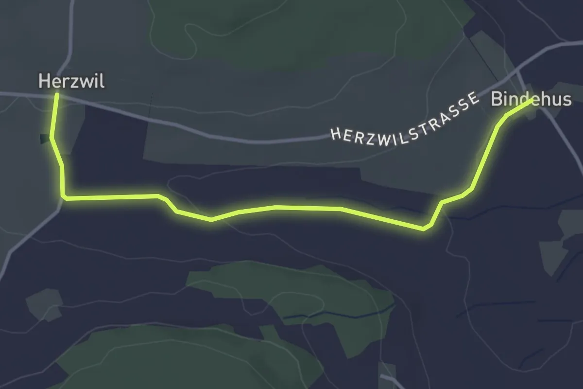
Easy · Trail
Herzwil - Bindenhaus
3.6 km · ↑ 41 m · 57 min · 9 km away
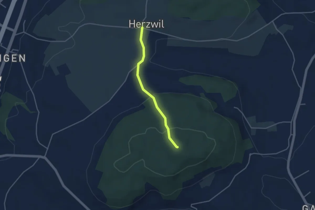
Easy · Summit
Herzwil - Mängistorfberg
2.7 km · ↑ 113 m · 52 min · 9 km away
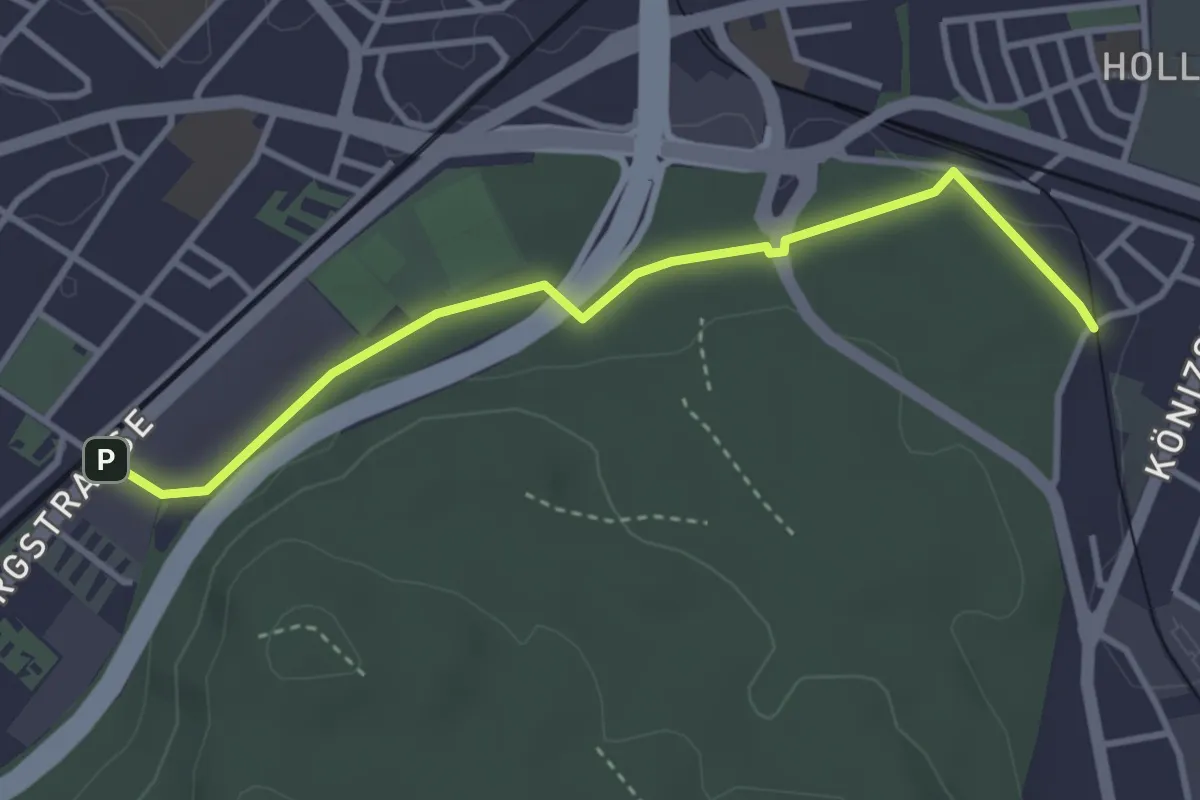
Easy · Trail
Bümpliz Süd - Fischermätteli
3.5 km · ↑ 43 m · 55 min · 9 km away
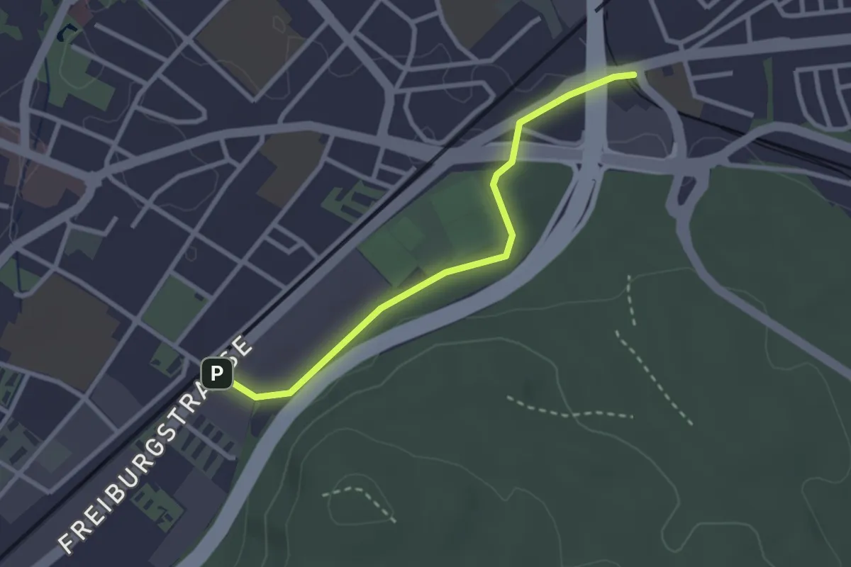
Easy · Trail
Bümpliz Süd - Ausserholigen
2.6 km · ↑ 36 m · 42 min · 9 km away
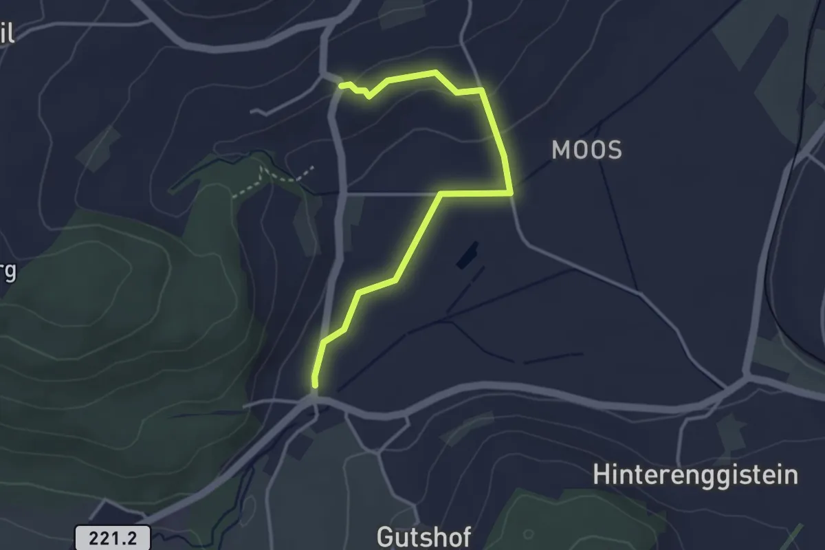
Easy · Trail
Enggistein – Rüttihubelbad
3.4 km · ↑ 62 m · 56 min · 9 km away
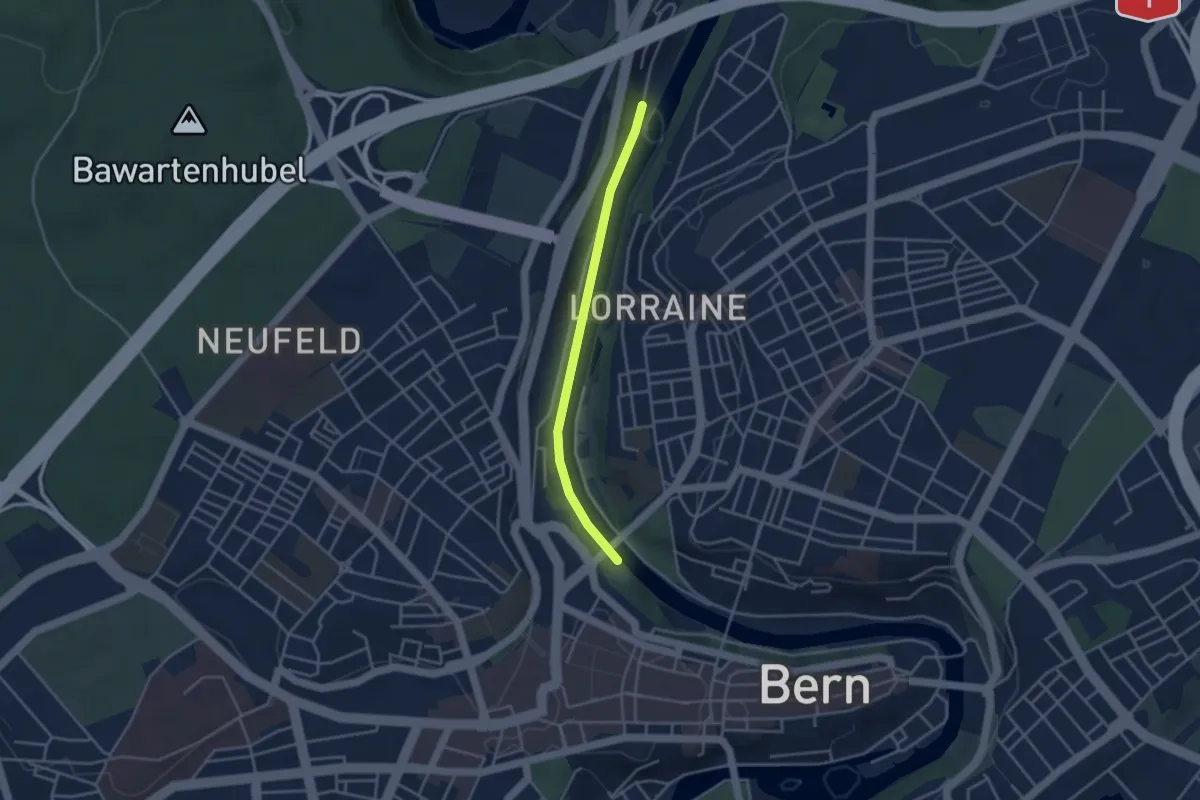
Easy · Trail
Blutturm – Stauwehr Felsenau
3.3 km · ↑ 60 m · 55 min · 9 km away
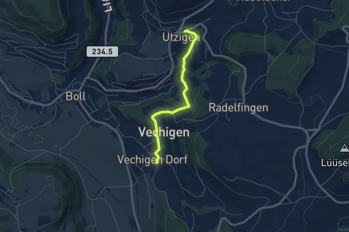
Easy · Trail
Utzigen – Vechigen
4.6 km · ↑ 145 m · 1 h 24 min · 9 km away