Trails near Bern
511 hikes starting within 15 km, nearest first.
Nearest first, page 1 of 11
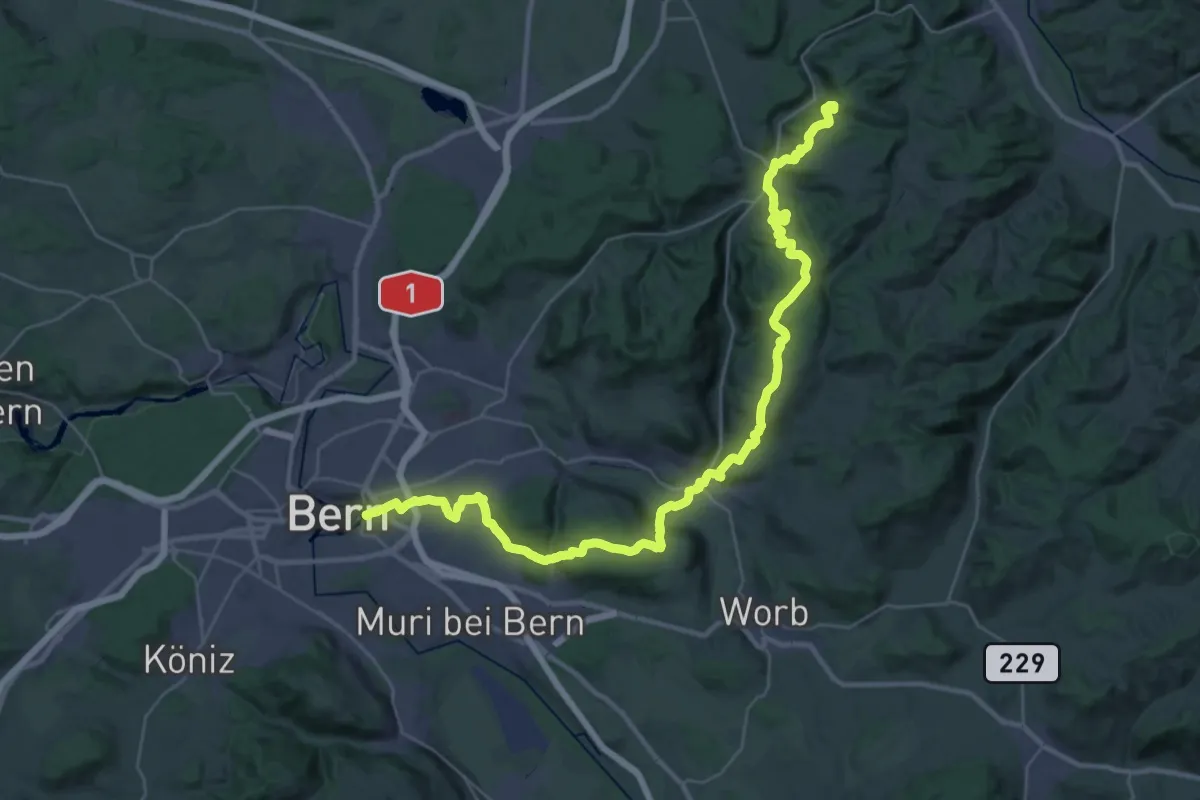
Demanding · Summit
ViaJacobi
42.9 km · ↑ 1593 m · 13 h 35 min · 1 km away
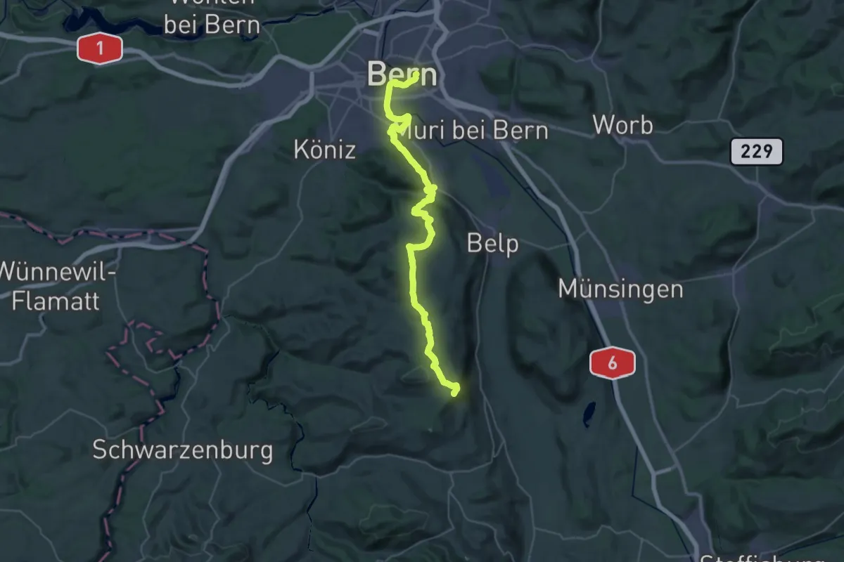
Demanding · Summit
ViaJacobi
38.0 km · ↑ 1072 m · 11 h 18 min · 1 km away
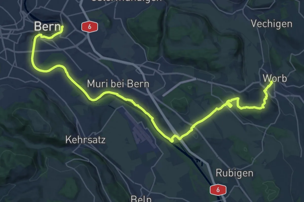
Medium · Trail
Trans Swiss Trail
15.7 km · ↑ 273 m · 4 h 29 min · 1 km away
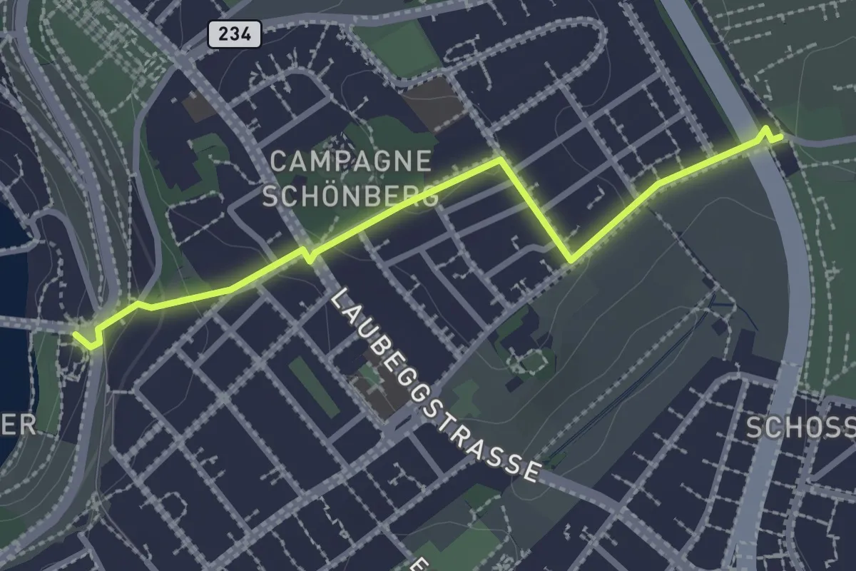
Easy · Trail
Bern/Bärenpark – Zentrum Paul Klee
2.5 km · ↑ 82 m · 46 min · 1 km away
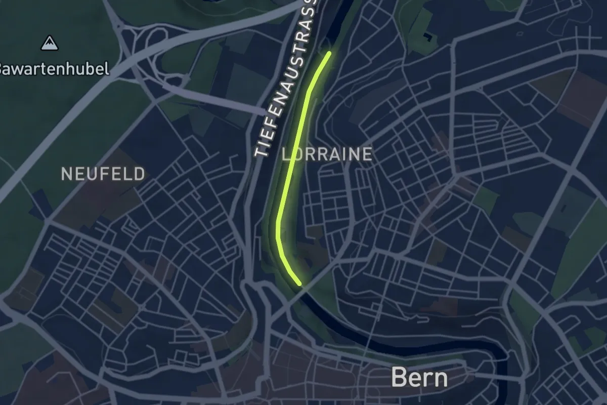
Easy · Trail
Felsenausteg – Lorrainebrücke
2.8 km · ↑ 5 m · 41 min · 1 km away
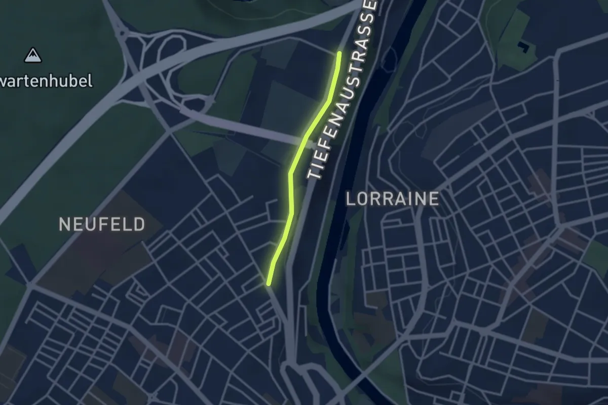
Easy · Trail
Bierhübeli – Äussere Enge
2.2 km · ↑ 9 m · 32 min · 1 km away
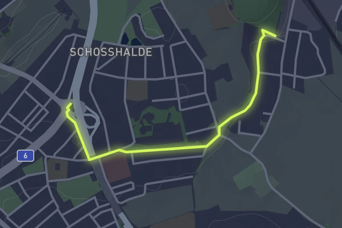
Easy · Trail
Tiefenmösli – Freudenbergerplatz
2.9 km · ↑ 44 m · 46 min · 2 km away
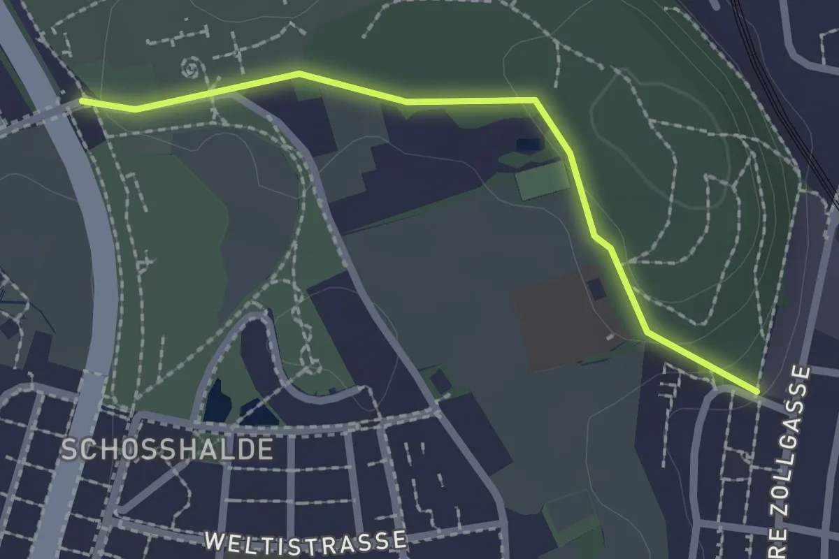
Easy · Trail
Tiefenmösli – Zentrum Paul Klee
2.0 km · ↑ 38 m · 33 min · 2 km away
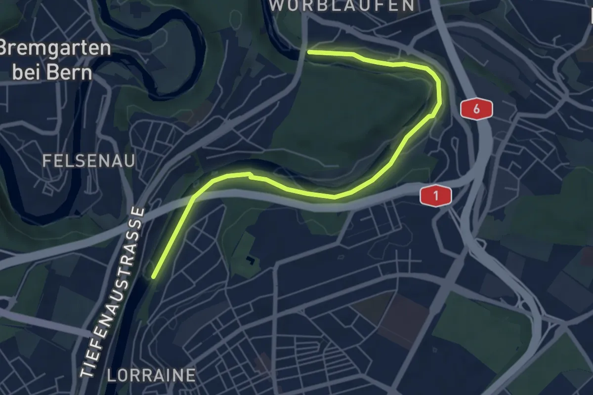
Easy · Trail
Tiefenaubrücke – Felsenausteg
6.4 km · ↑ 56 m · 1 h 38 min · 2 km away
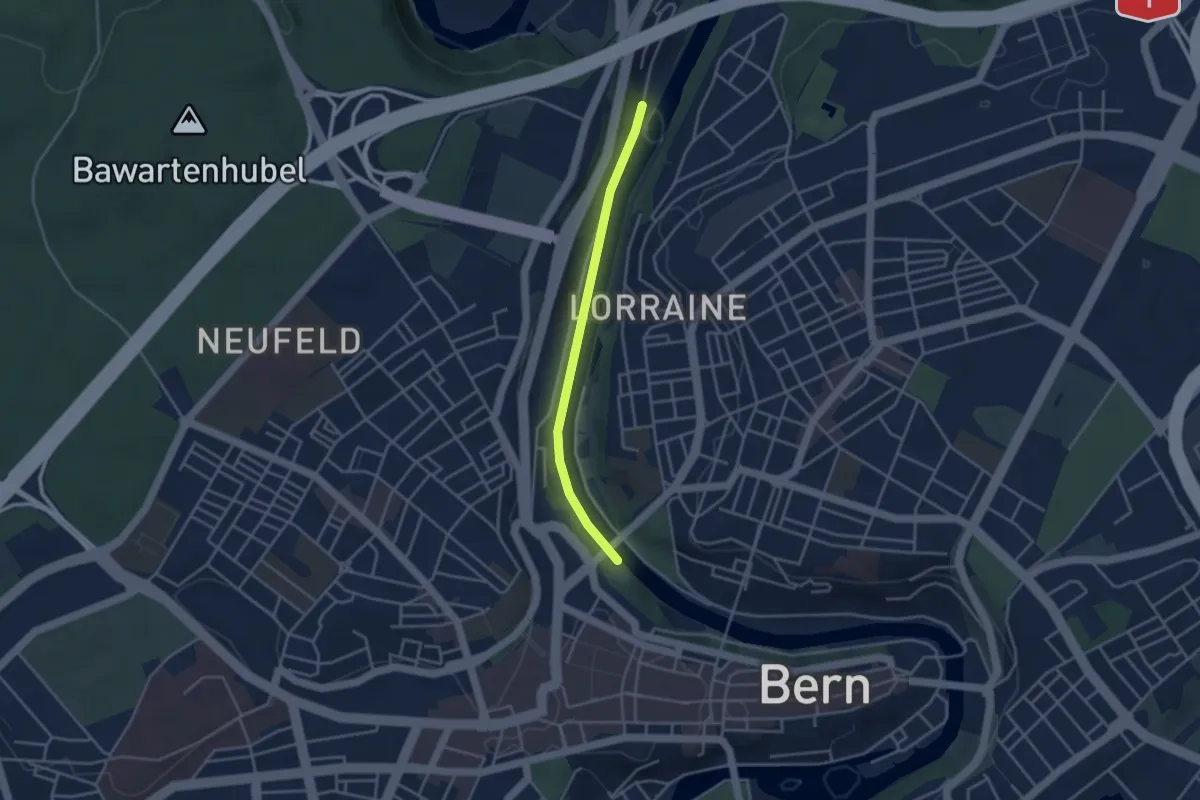
Easy · Trail
Blutturm – Stauwehr Felsenau
3.3 km · ↑ 60 m · 55 min · 2 km away
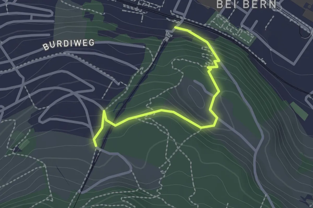
Easy · Trail
Wabern/Gurtenbahn – Grüneboden
2.3 km · ↑ 129 m · 49 min · 2 km away
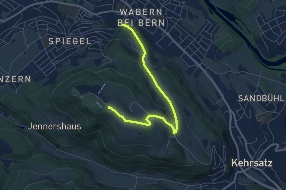
Easy · Summit
Spazierweg
6.4 km · ↑ 268 m · 2 h 5 min · 2 km away
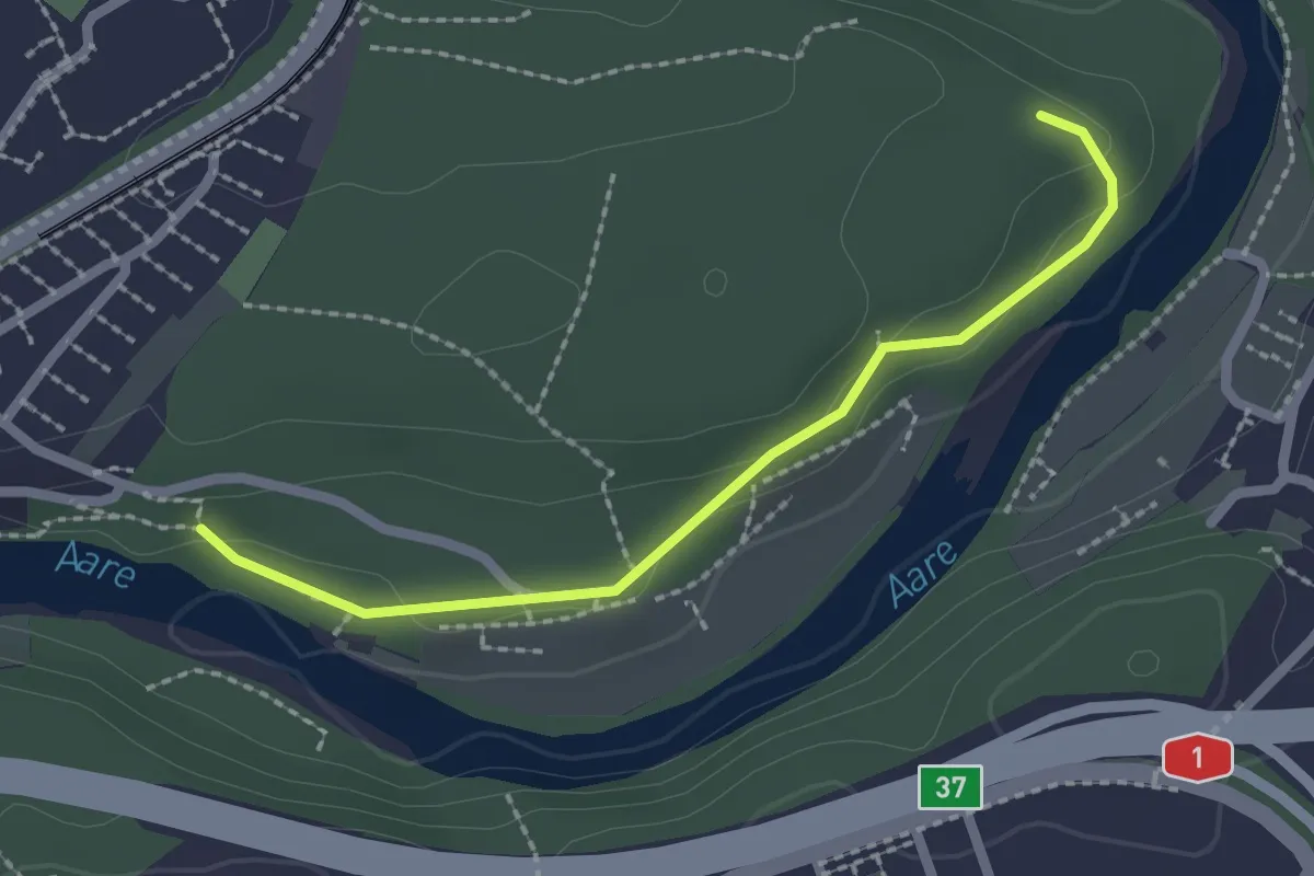
Easy · Trail
Aaregg – Thormeboden
2.1 km · ↑ 30 m · 34 min · 3 km away
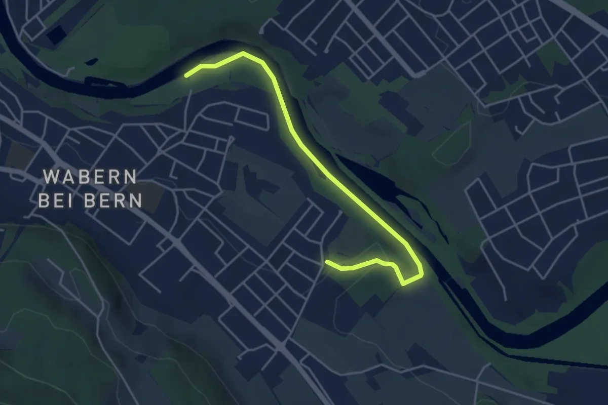
Easy · Trail
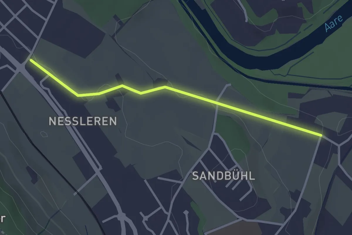
Nesslerenhölzli - Eichholz
4.1 km · ↑ 64 m · 1 h 7 min · 3 km away
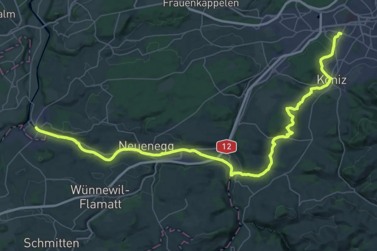
Demanding · Trail
Trans Swiss Trail
21.7 km · ↑ 317 m · 6 h 9 min · 3 km away
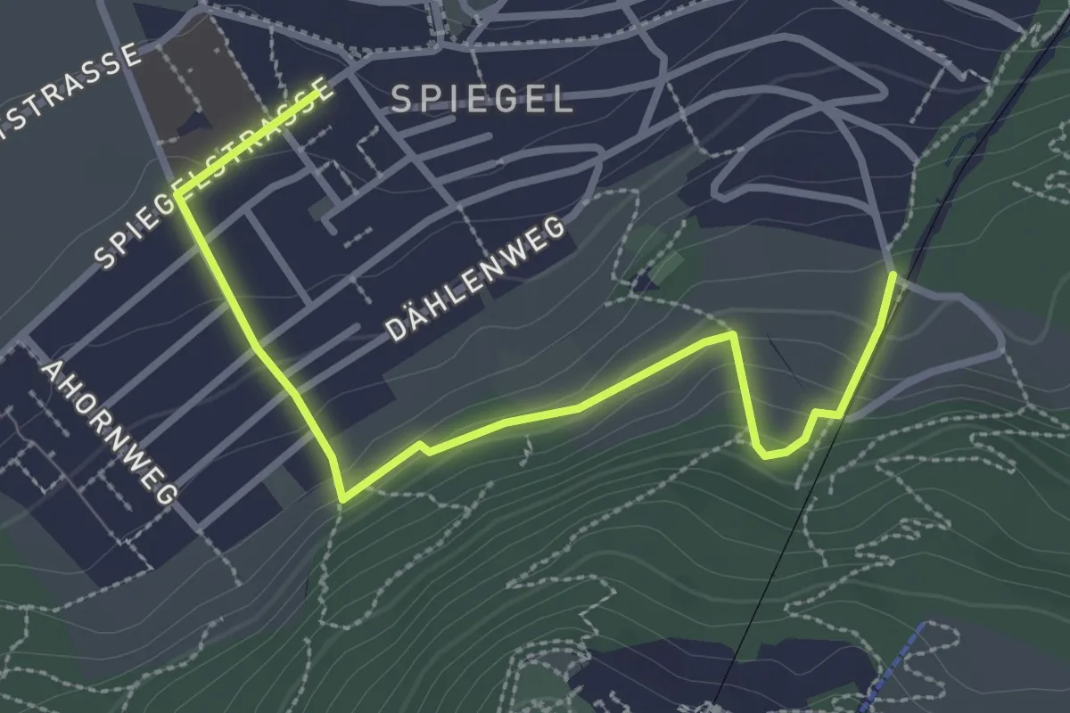
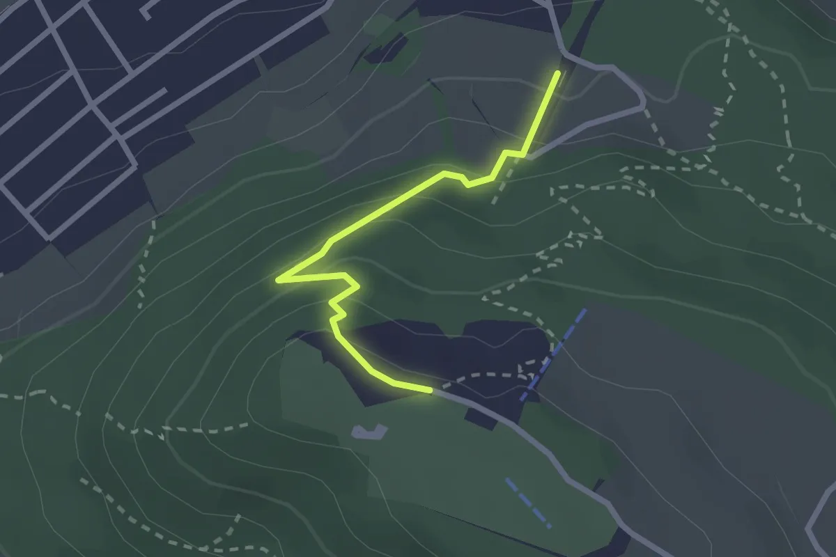
Easy · Trail
Grüenenboden – Spiegel Zentrum
3.1 km · ↑ 154 m · 1 h 4 min · 3 km away
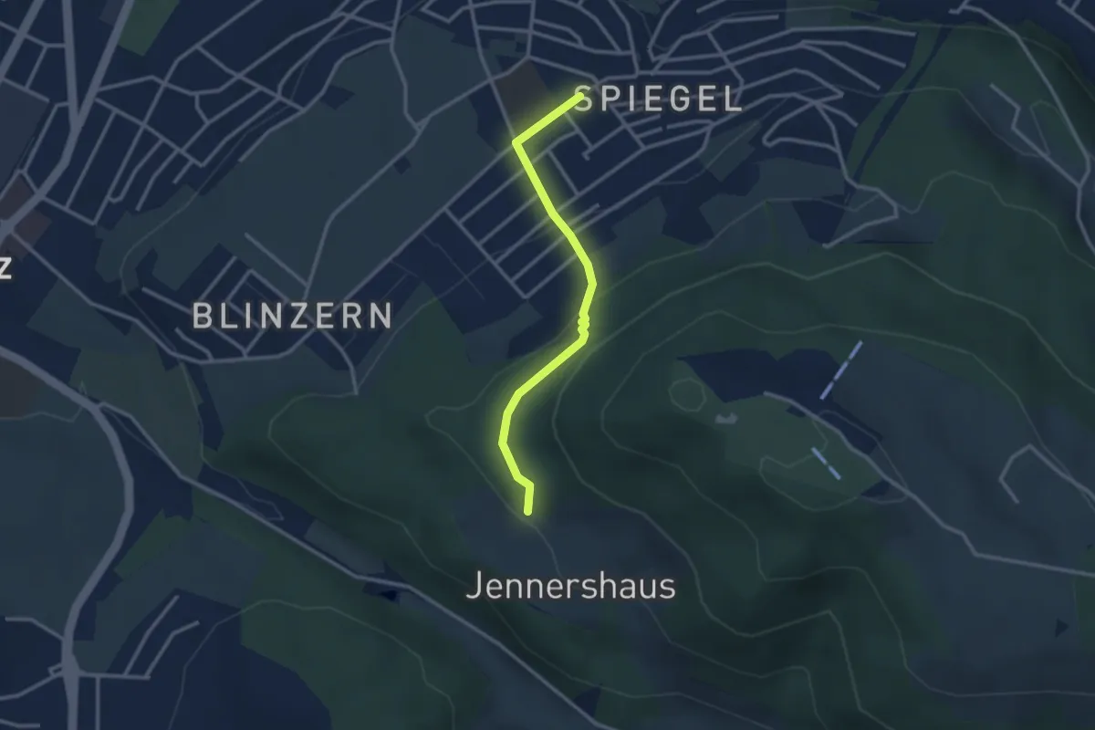
Easy · Trail
Grünenboden – Gurten Kulm
2.1 km · ↑ 138 m · 47 min · 3 km away
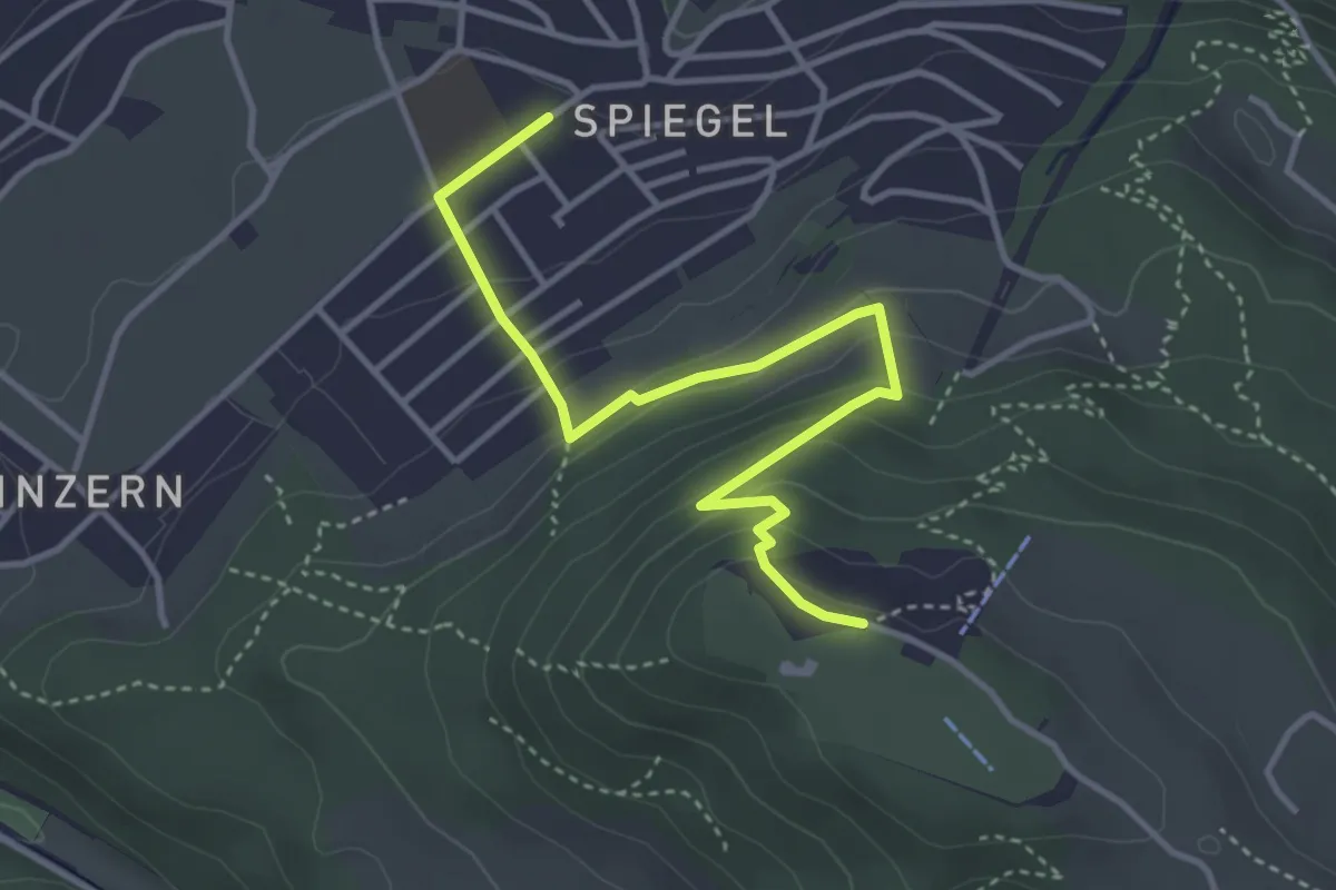
Easy · Trail
Jennerhus - Spiegel Zentrum
2.6 km · ↑ 112 m · 52 min · 3 km away
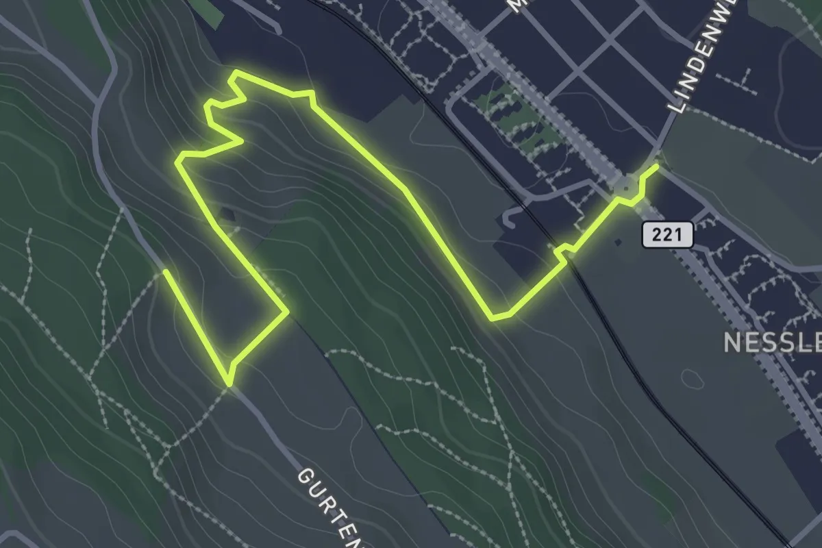
Easy · Trail
Spiegel Zentrum – Gurten Kulm
4.0 km · ↑ 214 m · 1 h 25 min · 3 km away
Easy · Trail
Chli-Wabern – Bergweid
3.8 km · ↑ 169 m · 1 h 15 min · 3 km away
Easy · Trail
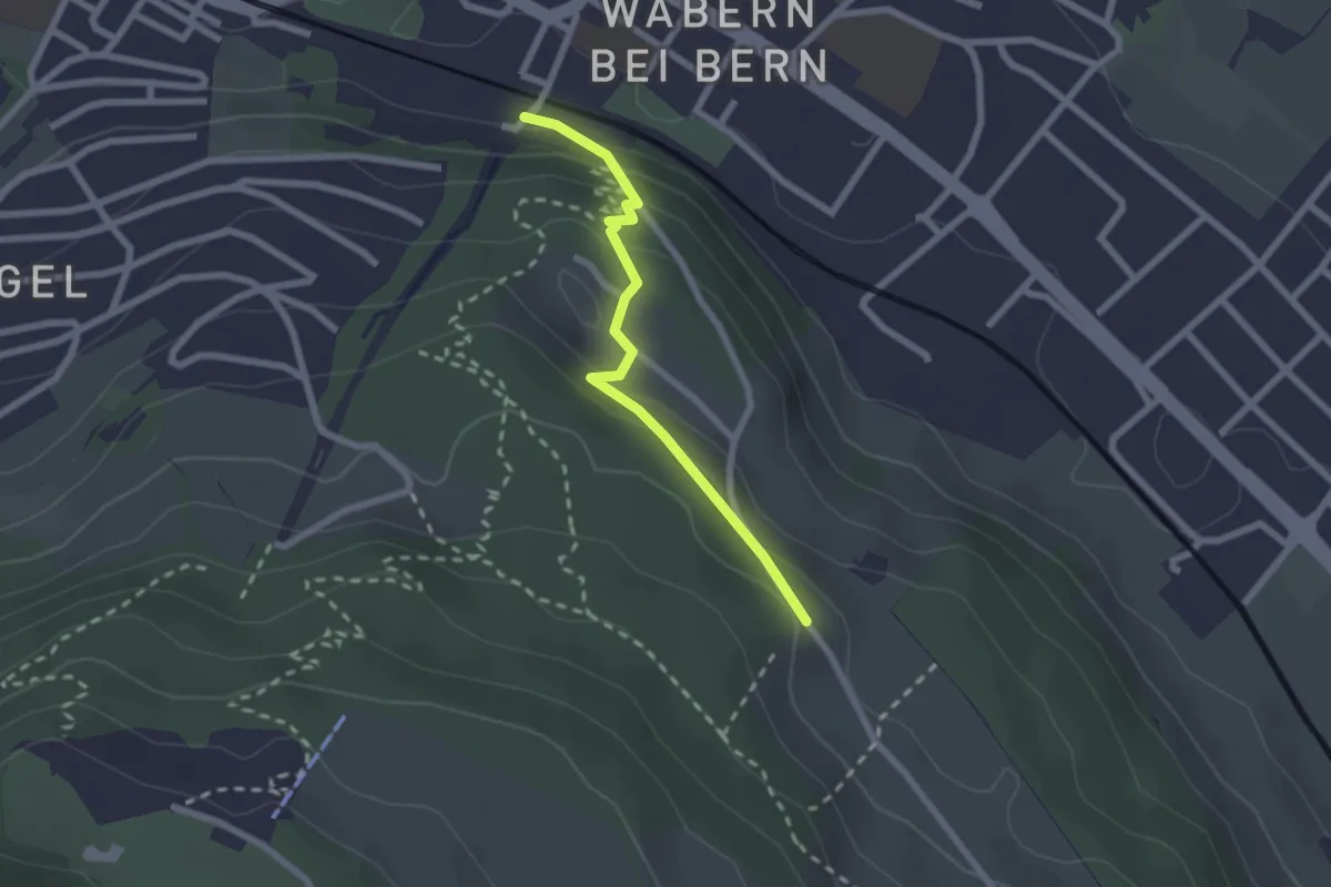
Chli Wabern – Unter Selhofen
2.8 km · ↑ 36 m · 44 min · 3 km away
Easy · Trail
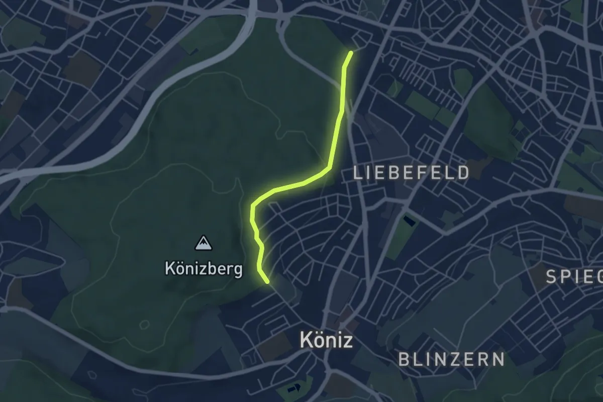
Wabern/Gurtenbahn – Bergweid
2.1 km · ↑ 103 m · 43 min · 3 km away
Easy · Trail
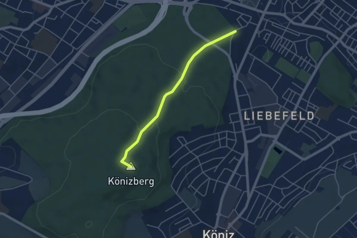
Köniz/Ober Buchsee - Fischermätteli
3.8 km · ↑ 89 m · 1 h 5 min · 3 km away
Easy · Summit
Fischermätteli - Könizberg/Stärn
3.5 km · ↑ 126 m · 1 h 7 min · 3 km away
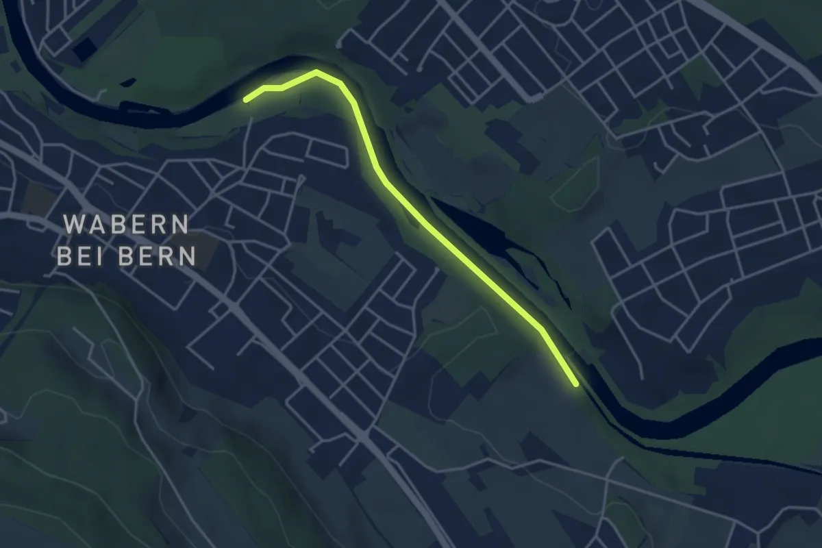
Easy · Trail
Bodenacherfähre - Eicholz
3.5 km · ↑ 25 m · 53 min · 3 km away
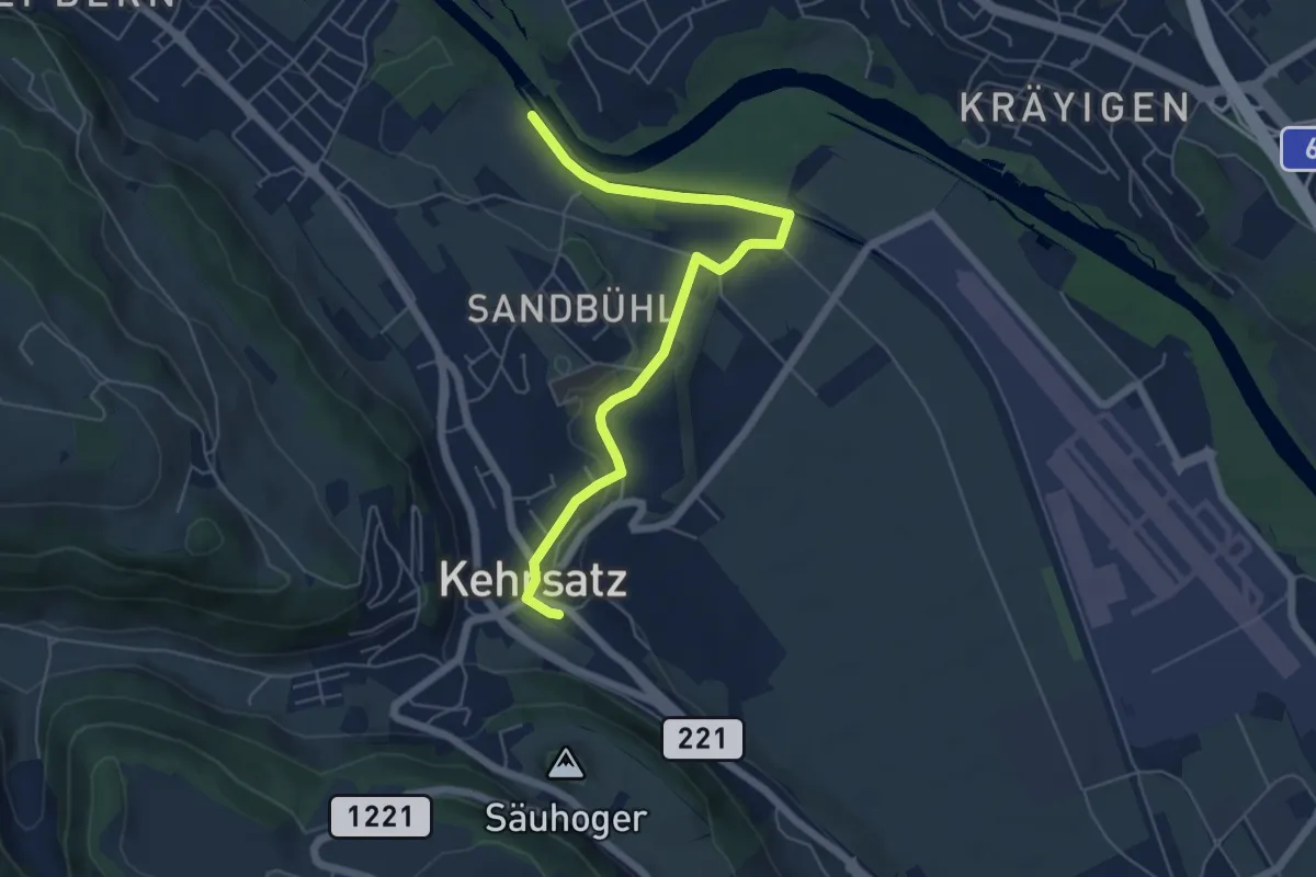
Easy · Trail
Bodenacherfähre - Kehrsatz
6.1 km · ↑ 89 m · 1 h 37 min · 3 km away
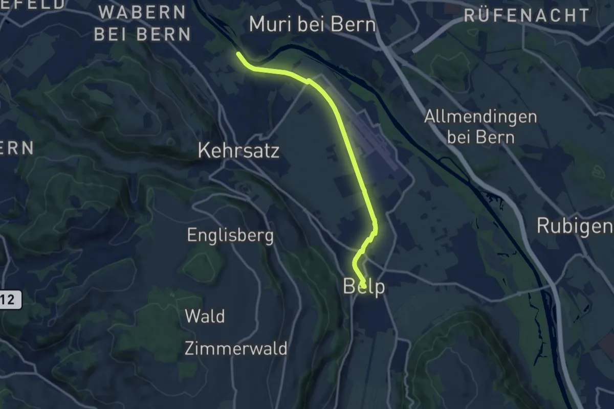
Medium · Trail
Bodenacherfähre - Belp
10.6 km · ↑ 22 m · 2 h 33 min · 3 km away
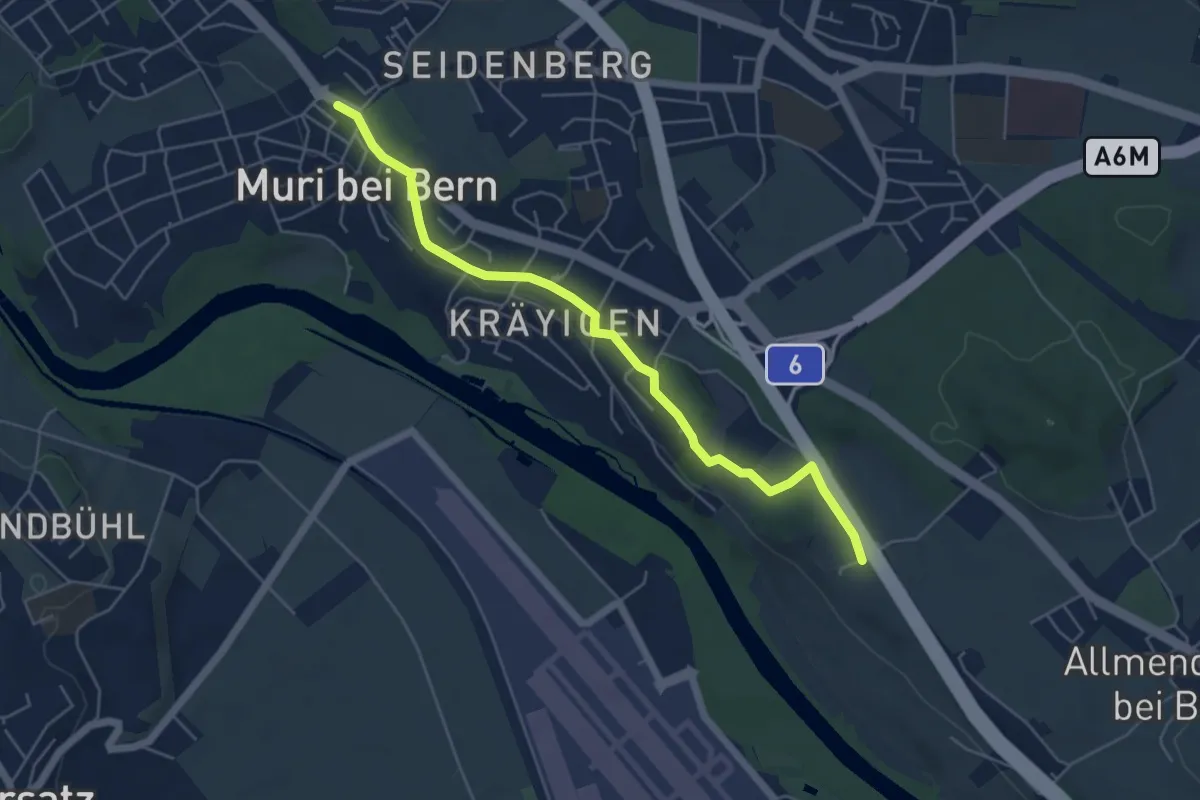
Easy · Trail
Muri – Vorder Märchligen
5.4 km · ↑ 49 m · 1 h 24 min · 3 km away
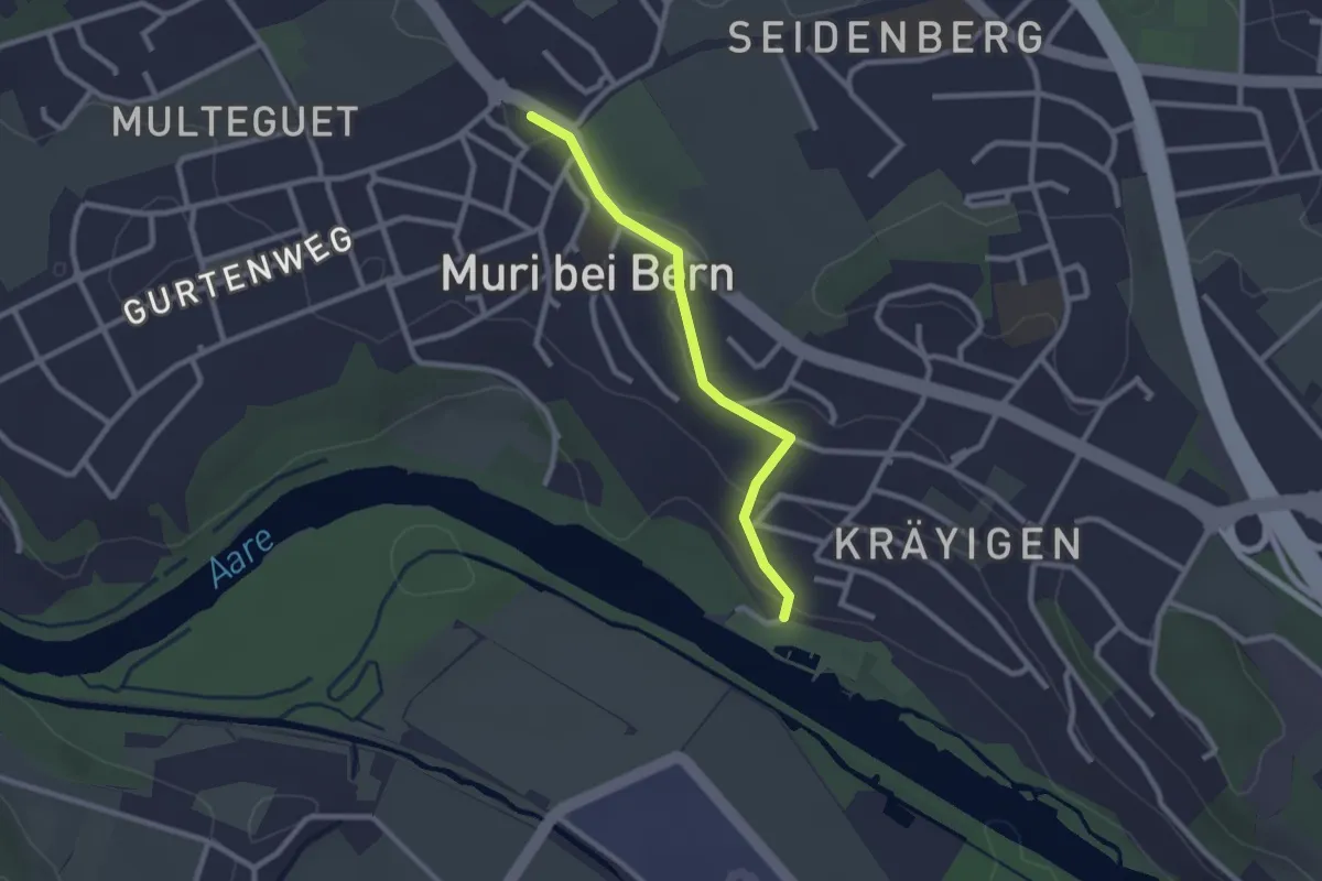
Easy · Trail
Muribad - Muri
2.3 km · ↑ 43 m · 38 min · 3 km away
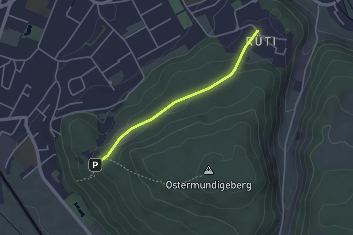
Easy · Trail
Rüti – Steinbrüche
2.7 km · ↑ 63 m · 46 min · 3 km away
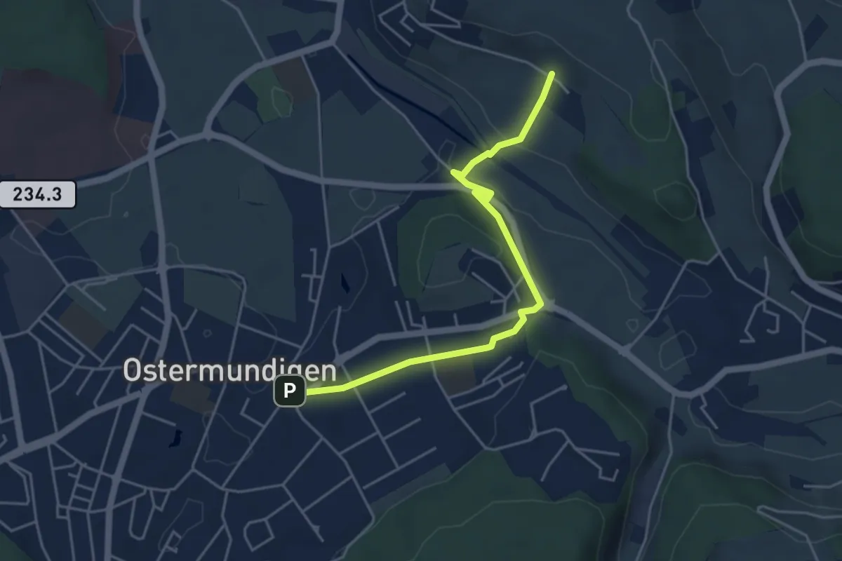
Easy · Trail
Hüenerbüel – Ostermundigen
4.6 km · ↑ 91 m · 1 h 17 min · 3 km away
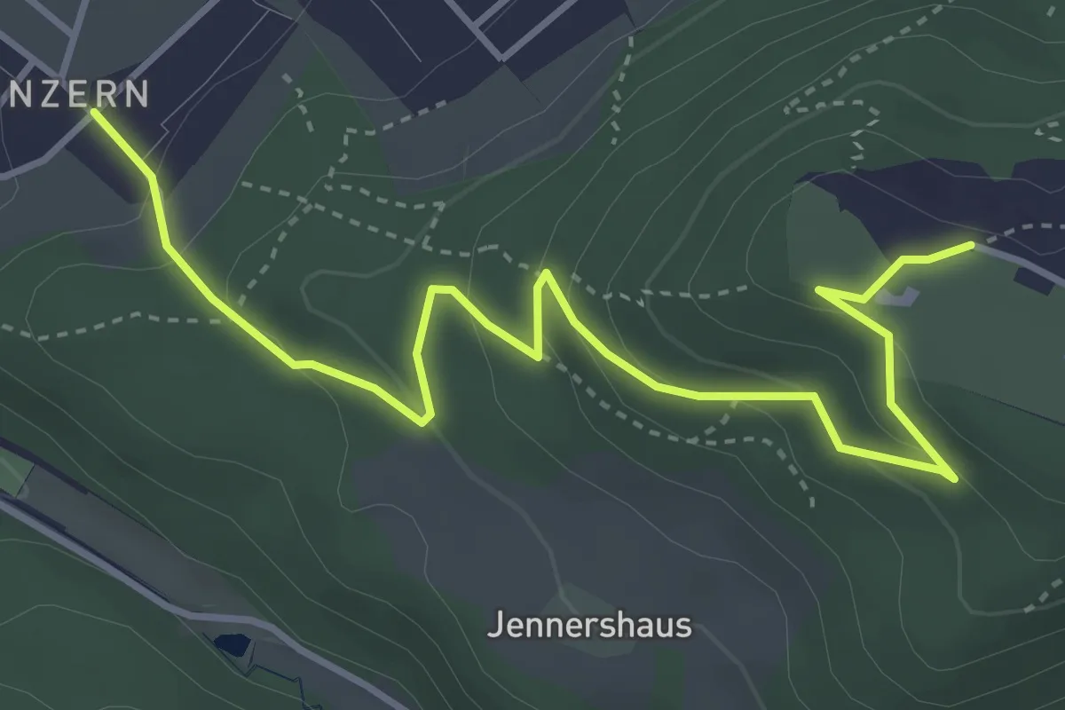
Easy · Trail
Blinzern – Gurten Kulm
4.5 km · ↑ 233 m · 1 h 34 min · 3 km away
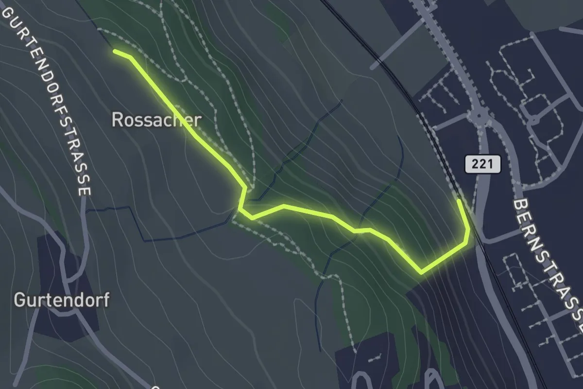
Easy · Trail
Kehrsatz Nord - Rossacker
2.0 km · ↑ 123 m · 45 min · 3 km away
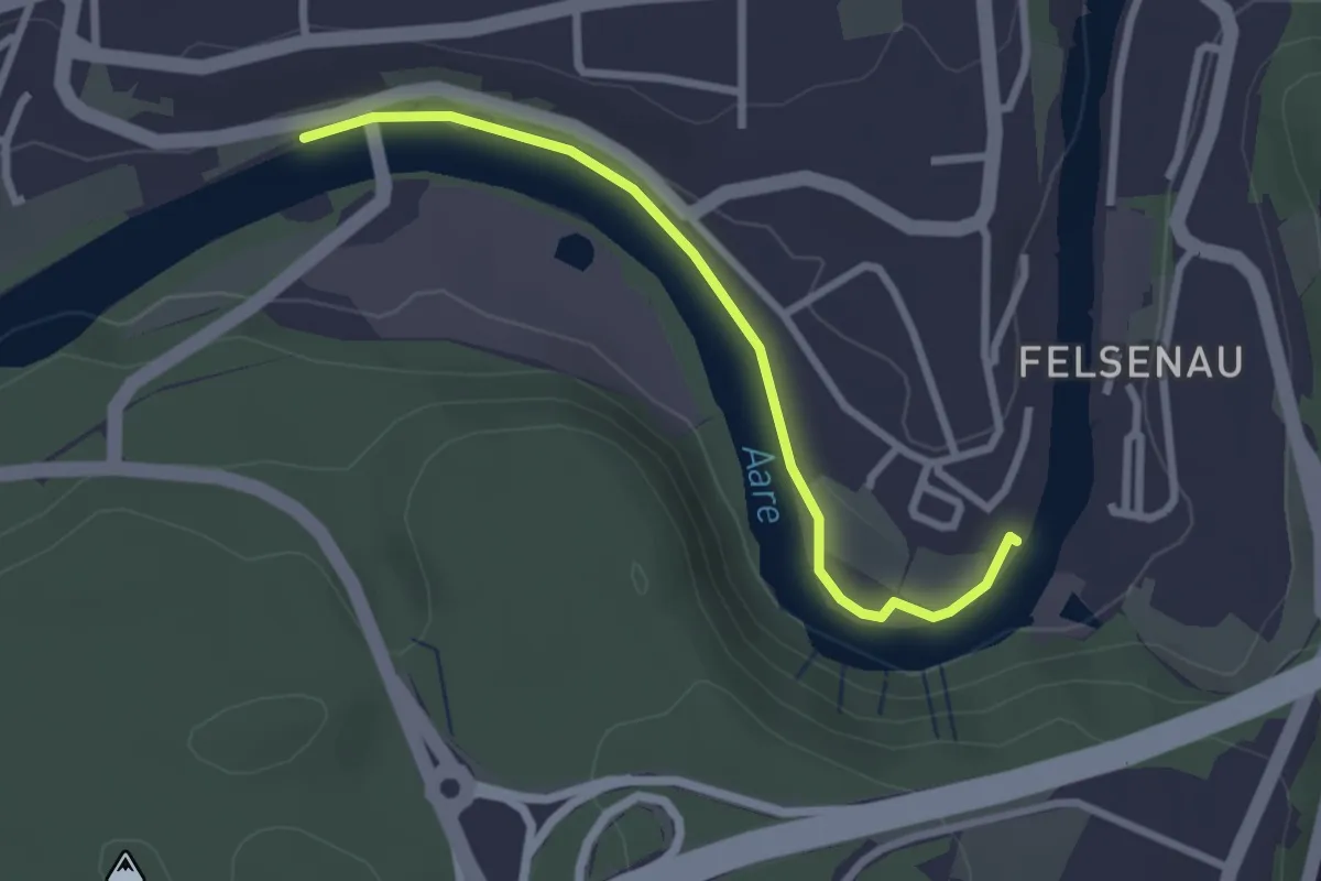
Easy · Trail
Neubrügg – Seftausteg
2.6 km · ↑ 9 m · 38 min · 3 km away
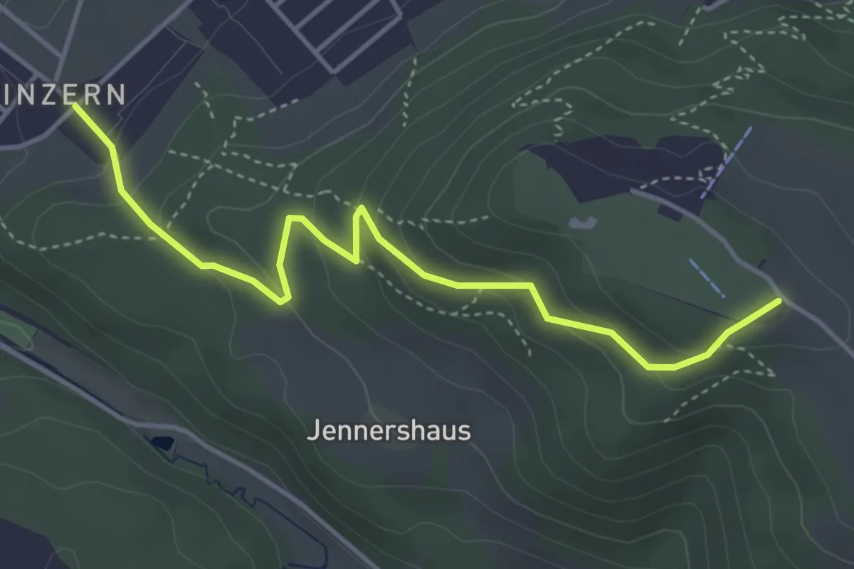
Easy · Summit
Blinzern – Gurten/Ostsignal
4.2 km · ↑ 238 m · 1 h 31 min · 4 km away
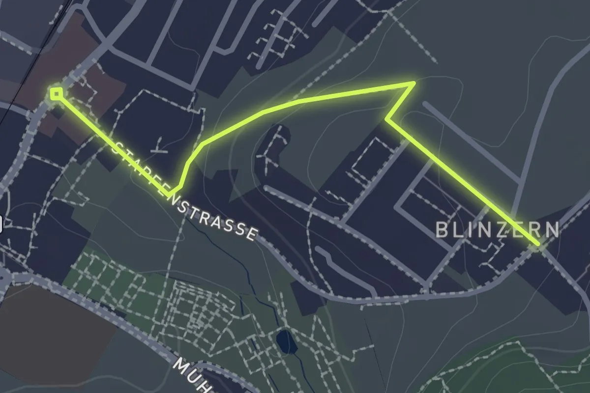
Easy · Trail
Köniz - Blinzeren
2.3 km · ↑ 49 m · 39 min · 4 km away
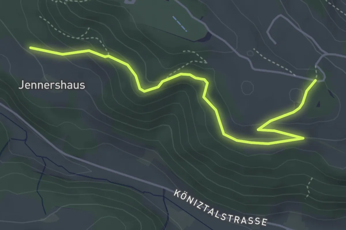
Easy · Trail
Jennershus – Studholz
4.7 km · ↑ 167 m · 1 h 29 min · 4 km away
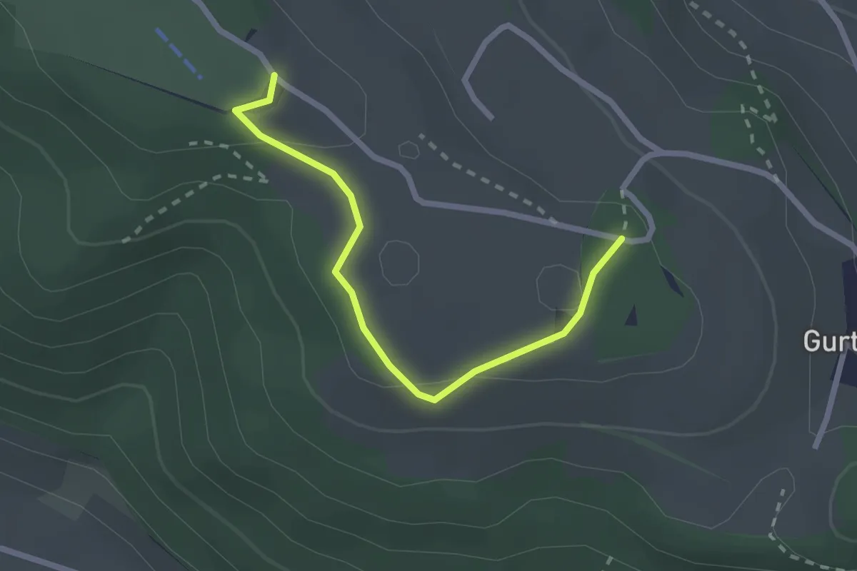
Easy · Summit
Studholz – Gurten/Ostsignal
2.3 km · ↑ 58 m · 39 min · 4 km away
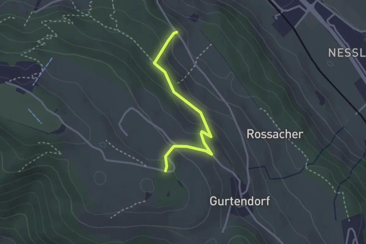
Easy · Trail
Bergweid – Studholz
2.5 km · ↑ 156 m · 56 min · 4 km away
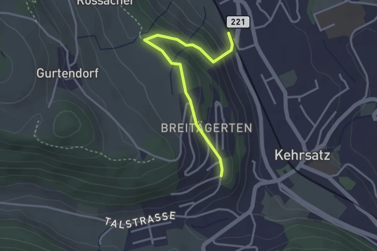
Easy · Trail
Kehrsatz Nord - Breitägerte
2.7 km · ↑ 167 m · 1 h 1 min · 4 km away
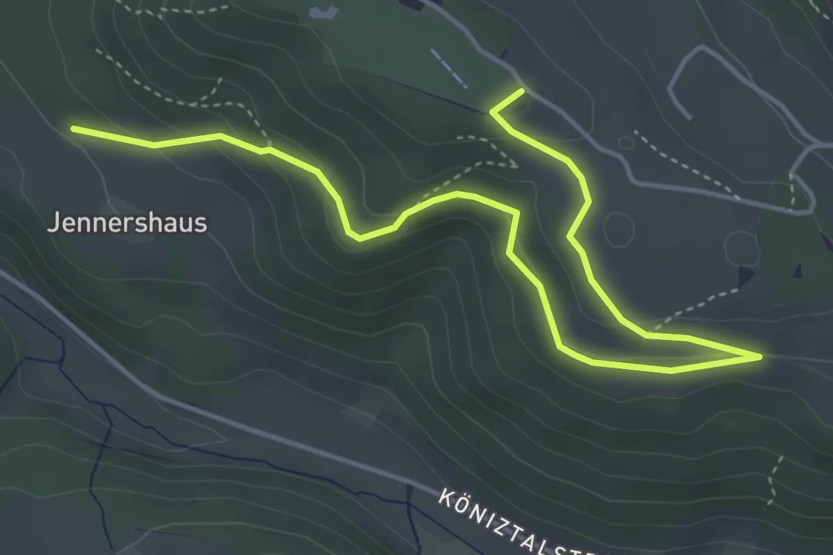
Easy · Summit
Gurten/Ostsignal – Jennershus
5.3 km · ↑ 188 m · 1 h 40 min · 4 km away
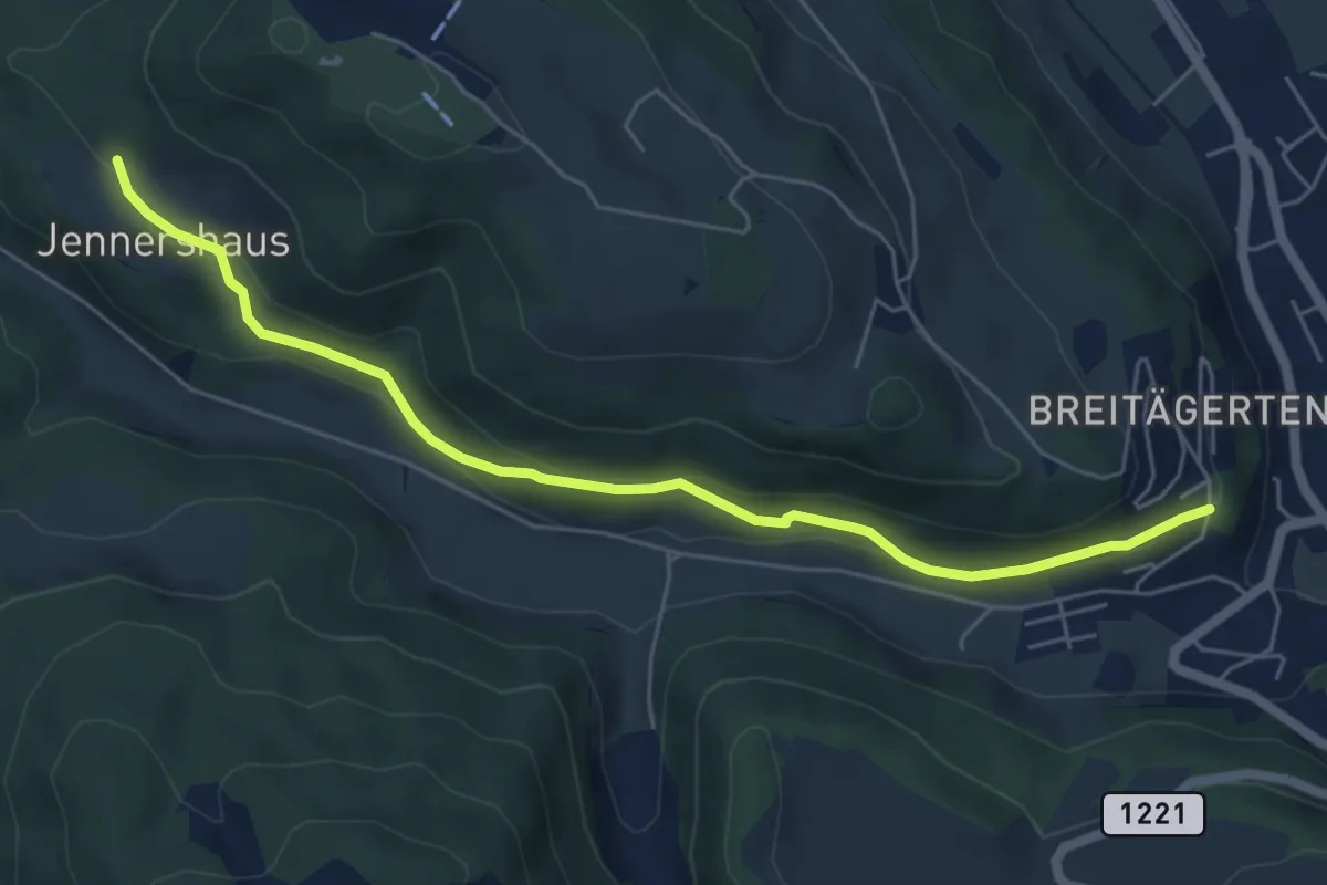
Easy · Trail
Jennershus - Breitägerte
6.0 km · ↑ 206 m · 1 h 52 min · 4 km away
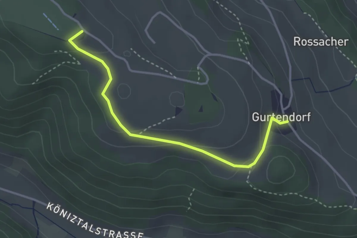
Easy · Summit
Gurten/Ostsignal – Gurtendorf
3.2 km · ↑ 99 m · 58 min · 4 km away
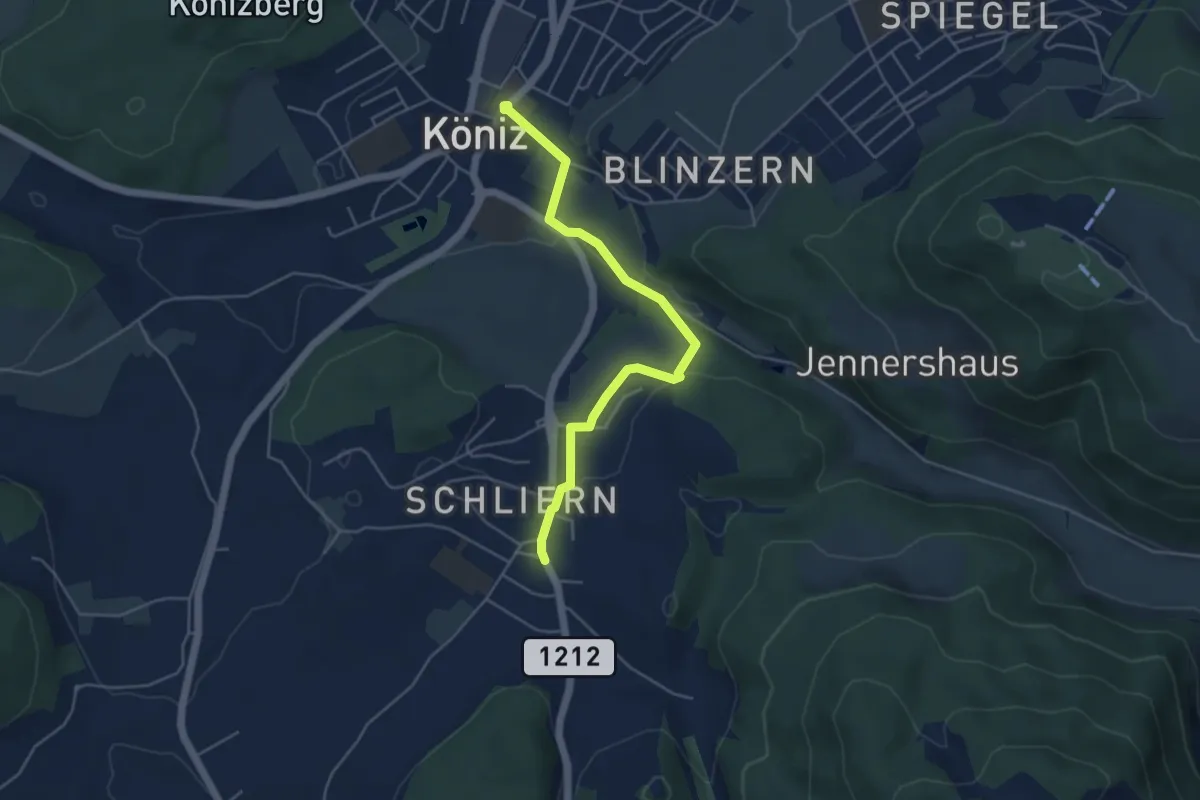
Easy · Trail
Schliern - Köniz
4.8 km · ↑ 145 m · 1 h 27 min · 4 km away
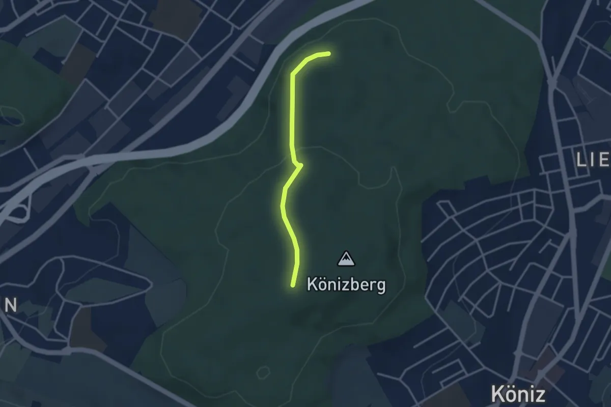
Easy · Trail
Pfaffensteig - Könizberg/Stärn
2.5 km · ↑ 70 m · 45 min · 4 km away
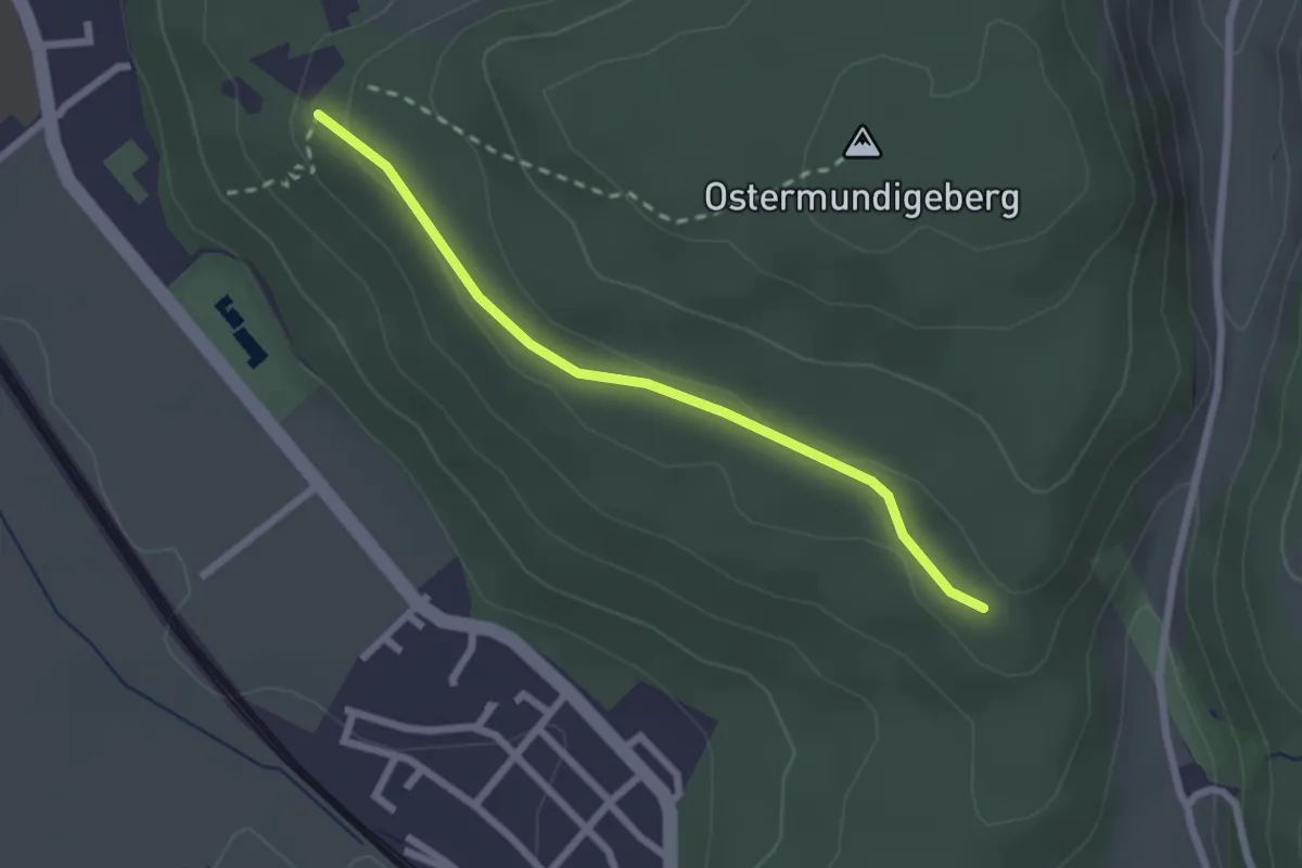
Easy · Trail
Harnischberg – Steinbrüche
2.2 km · ↑ 46 m · 38 min · 4 km away
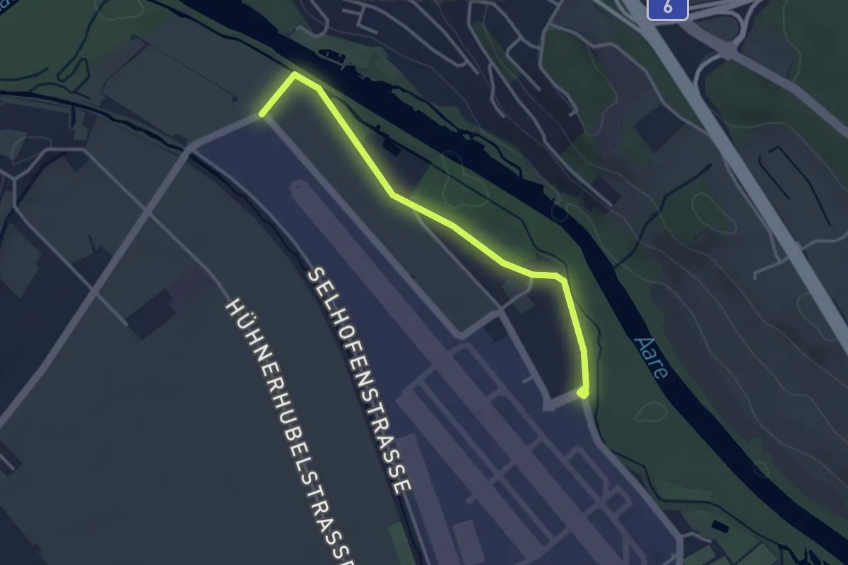
Easy · Trail
Flugplatz Bern Belp - Kehrsatz - fixme
3.2 km · ↑ 5 m · 46 min · 4 km away
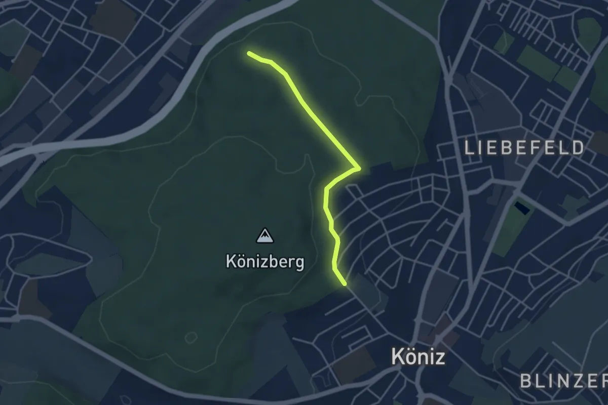
Easy · Trail
Köniz/Ober Buchsee – Pfaffensteig
3.2 km · ↑ 53 m · 52 min · 4 km away