Trails near Bern
511 hikes starting within 15 km, nearest first.
Nearest first, page 2 of 11
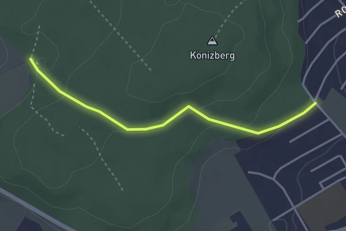
Easy · Trail
Tubentränke - Köniz/Ober Buchsee
2.7 km · ↑ 94 m · 51 min · 4 km away
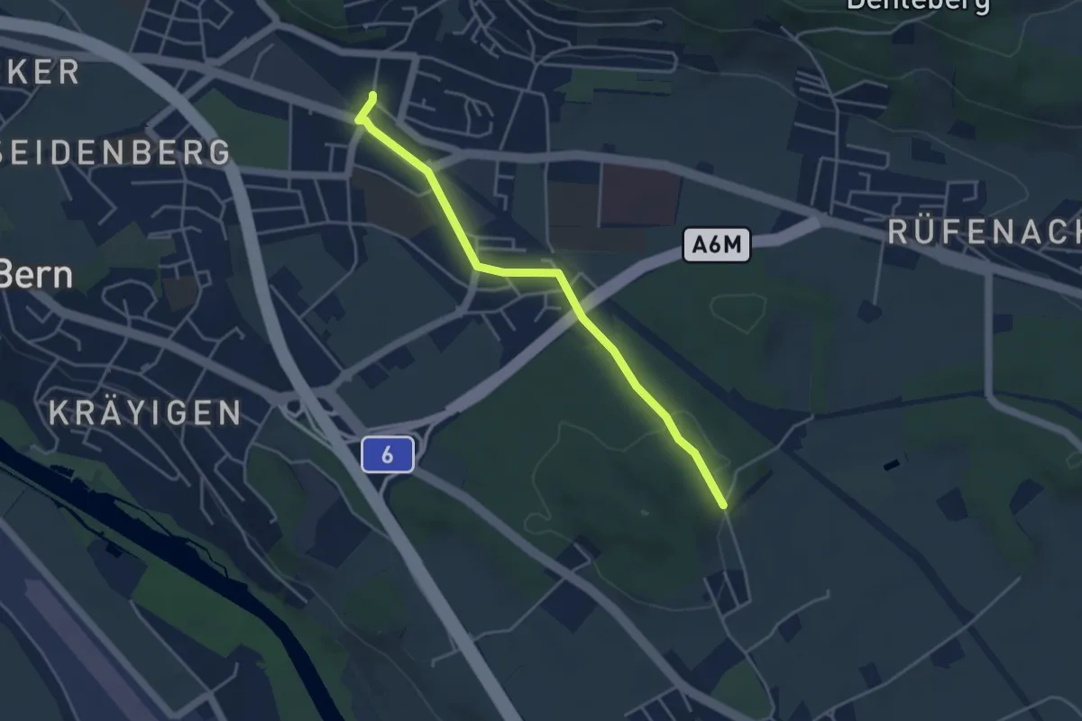
Easy · Trail
Hüenwald – Gümligen
4.0 km · ↑ 36 m · 1 h 2 min · 4 km away
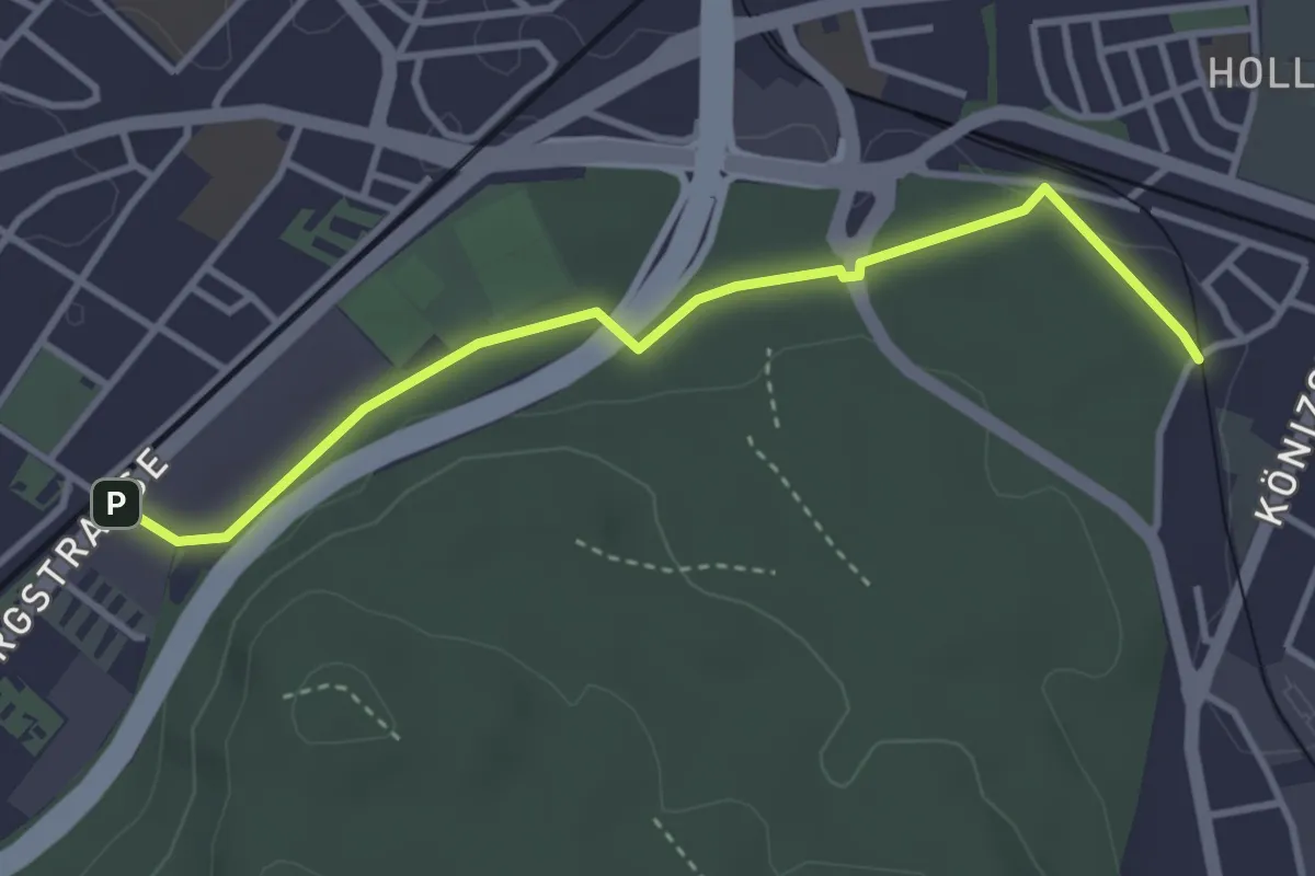
Easy · Trail
Bümpliz Süd - Fischermätteli
3.5 km · ↑ 43 m · 55 min · 4 km away
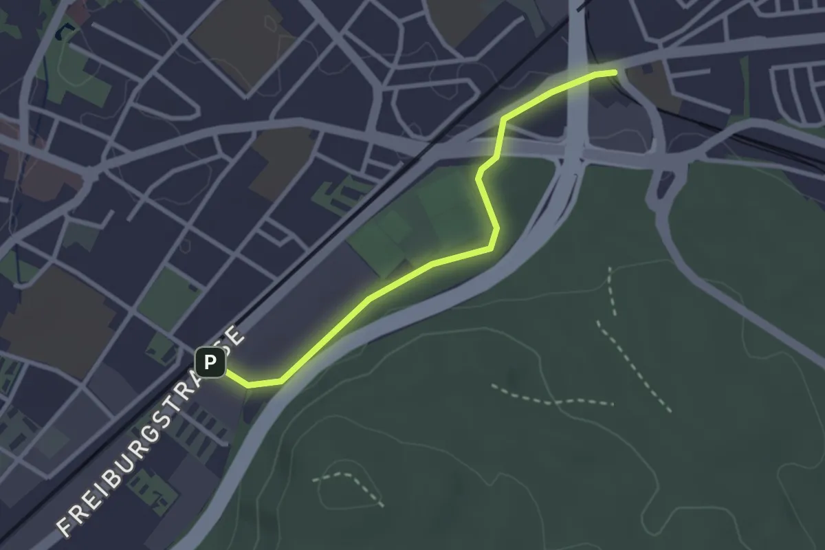
Easy · Trail
Bümpliz Süd - Ausserholigen
2.6 km · ↑ 36 m · 42 min · 4 km away
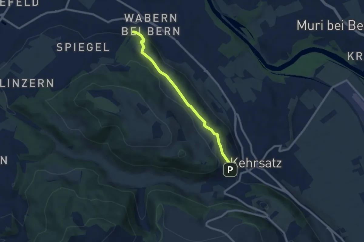
Easy · Trail
Wabern/Gurtenbahn – Breitägerte
5.6 km · ↑ 158 m · 1 h 40 min · 4 km away
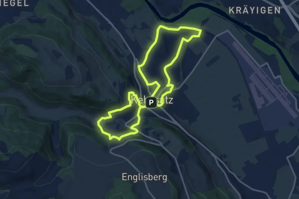
Medium · Trail
Kehrsatzer Rundweg
8.3 km · ↑ 288 m · 2 h 42 min · 5 km away
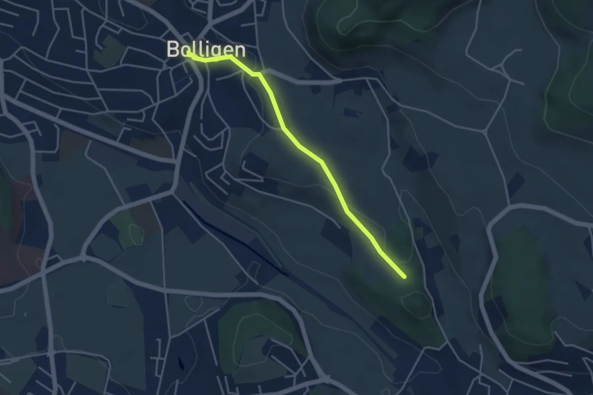
Easy · Trail
Bolligen / Sternen – Schwandiholz
3.4 km · ↑ 53 m · 55 min · 5 km away
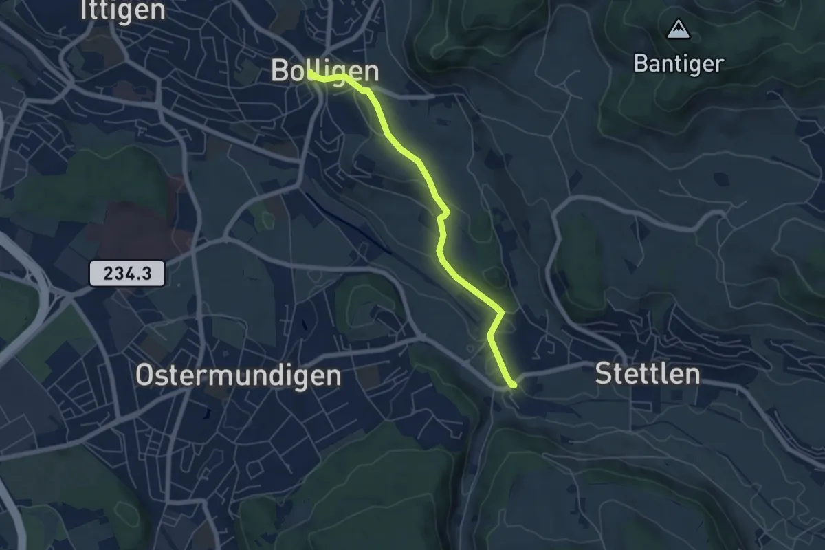
Easy · Trail
Bolligen / Sternen – Deisswil
5.4 km · ↑ 90 m · 1 h 29 min · 5 km away
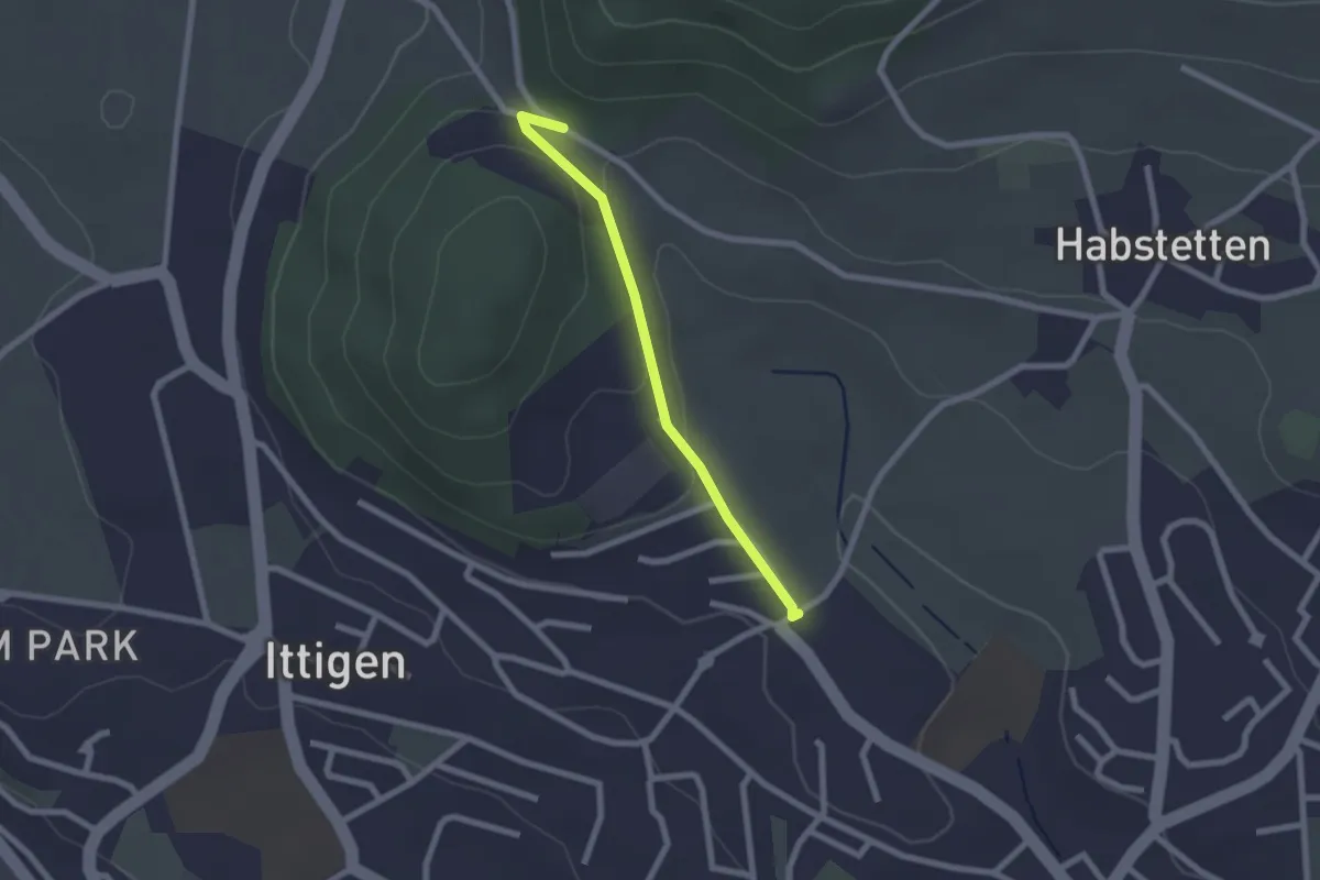
Easy · Trail
Schlupf – Schnägghubel
2.0 km · ↑ 56 m · 36 min · 5 km away
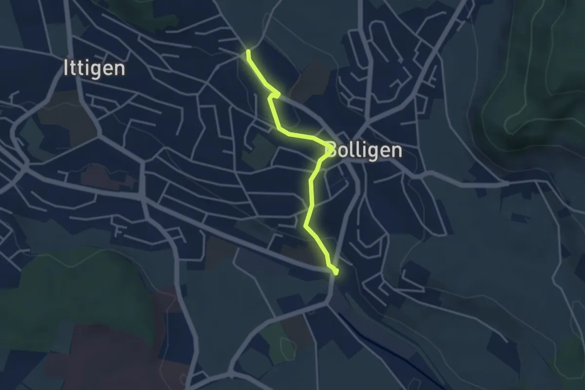
Easy · Trail
Schnägghubel – Bolligen
2.9 km · ↑ 59 m · 48 min · 5 km away
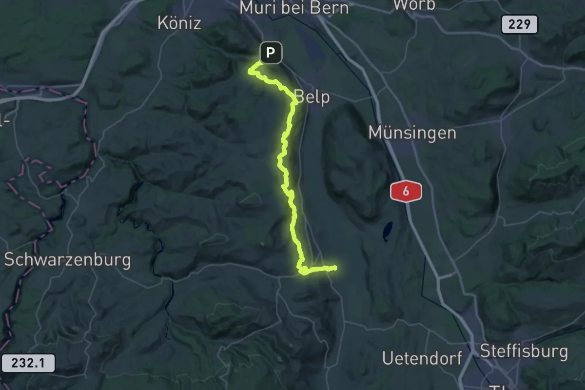
Demanding · Trail
Gürbetaler Höhenweg
18.2 km · ↑ 707 m · 6 h 6 min · 5 km away
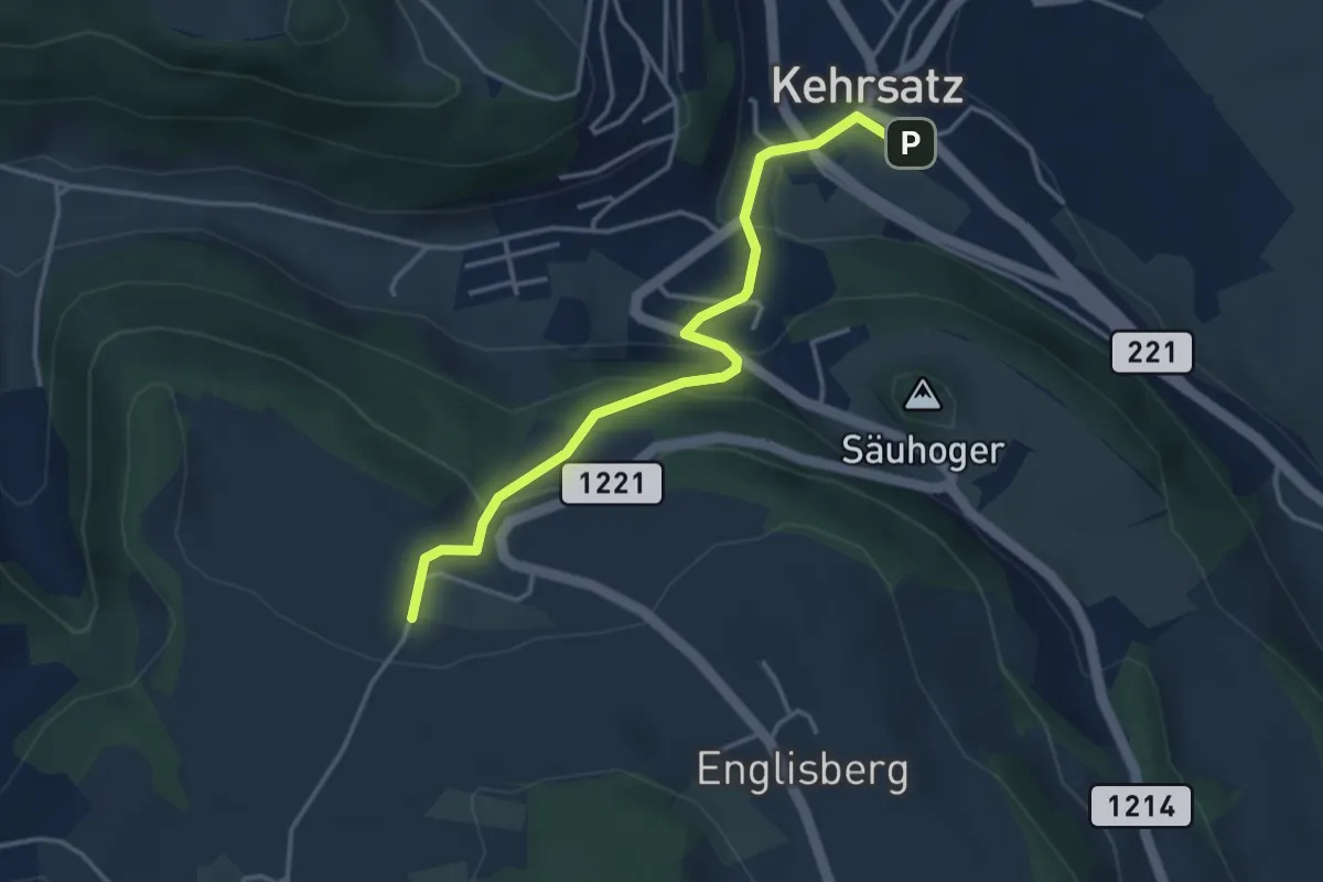
Easy · Trail
Breitägerte - Wohnheim Kühlewil
3.7 km · ↑ 218 m · 1 h 21 min · 5 km away
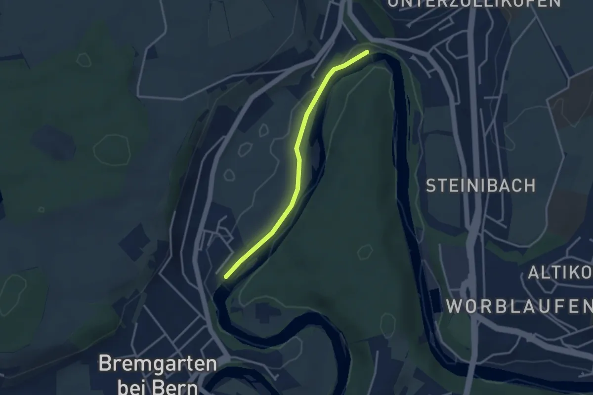
Easy · Trail
Fähre Zehndermätteli – Fähre Reichenbach
2.6 km · ↑ 17 m · 40 min · 5 km away
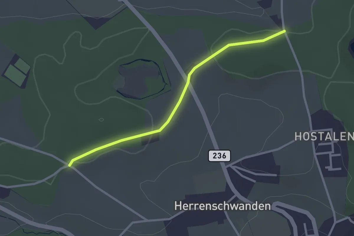
Easy · Trail
Burrishus – Lörwald
2.4 km · ↑ 34 m · 39 min · 5 km away
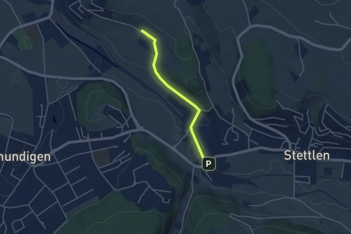
Easy · Trail
Hüenerbüel – Deisswil
2.9 km · ↑ 33 m · 45 min · 5 km away
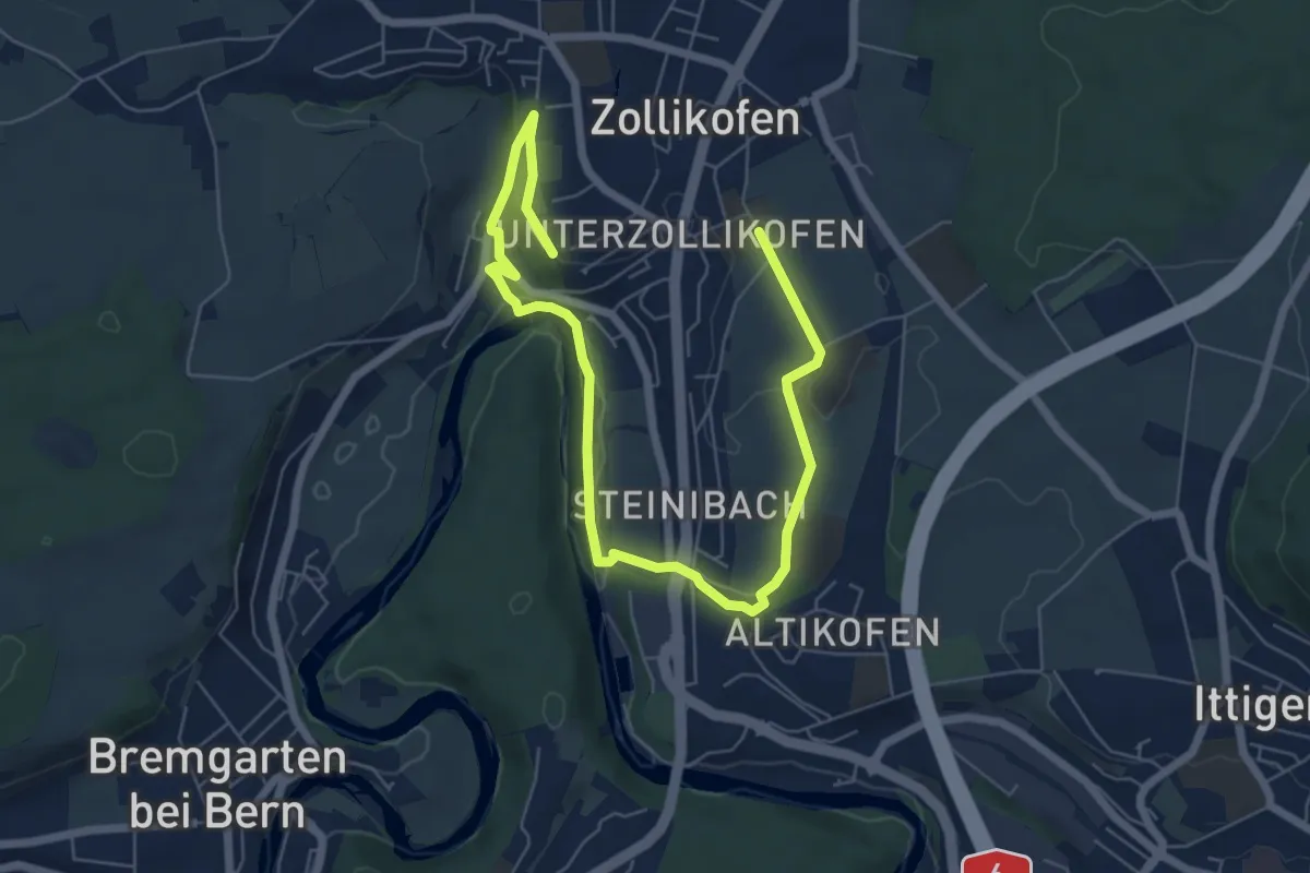
Medium · Trail
Landschaftsweg Zollikofen
8.5 km · ↑ 142 m · 2 h 19 min · 5 km away
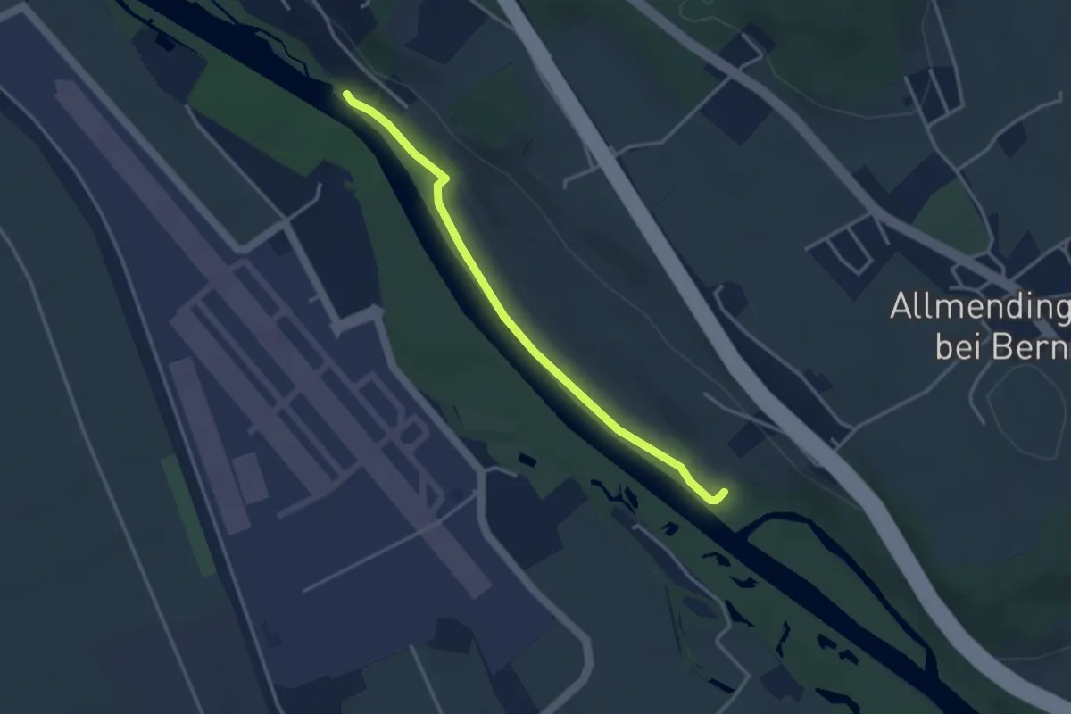
Easy · Trail
Auguetbrügg-Märchligenau
3.2 km · ↑ 35 m · 49 min · 5 km away
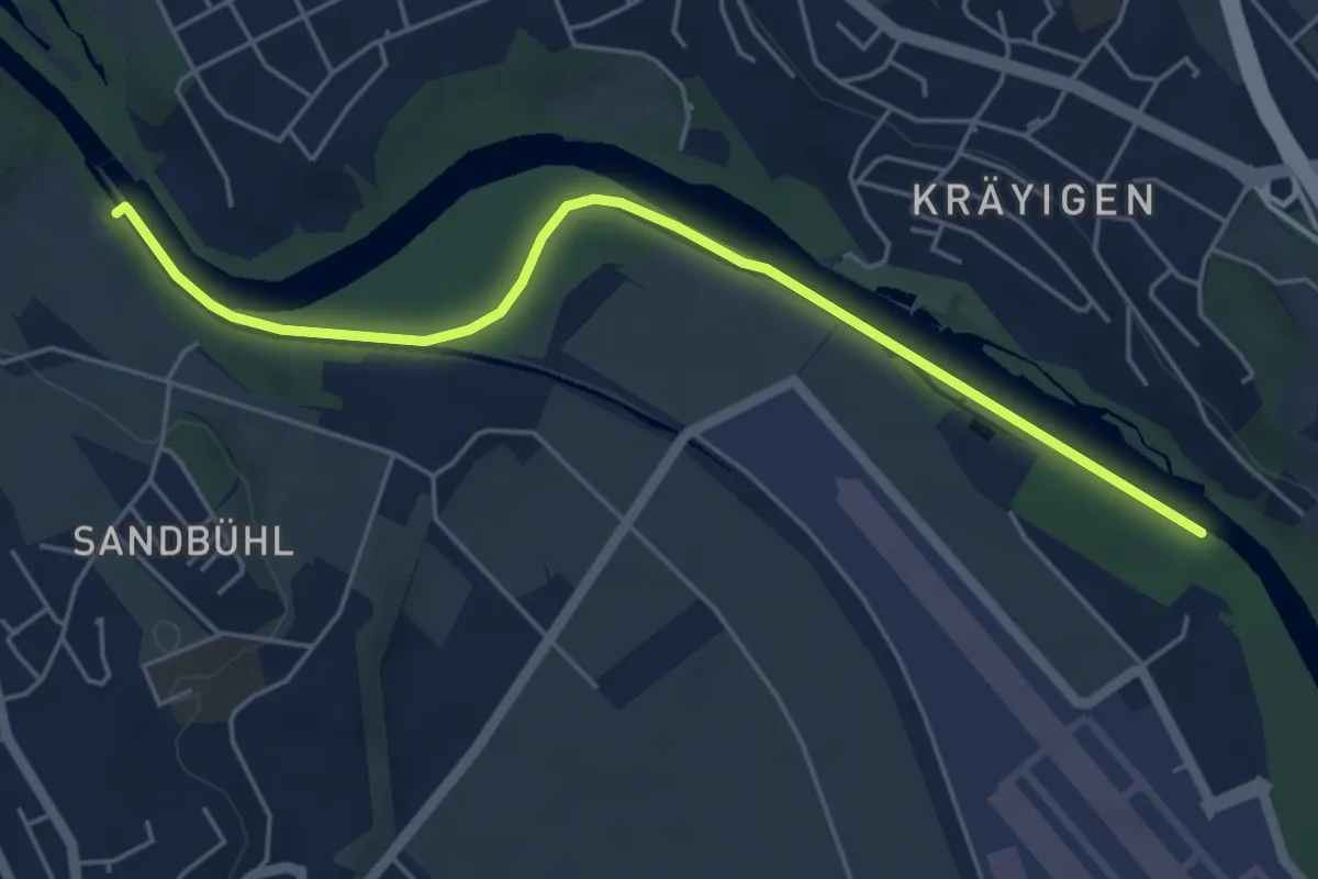
Easy · Trail
Auguetbrügg - Bodenacherfähre
5.3 km · ↑ 29 m · 1 h 18 min · 5 km away
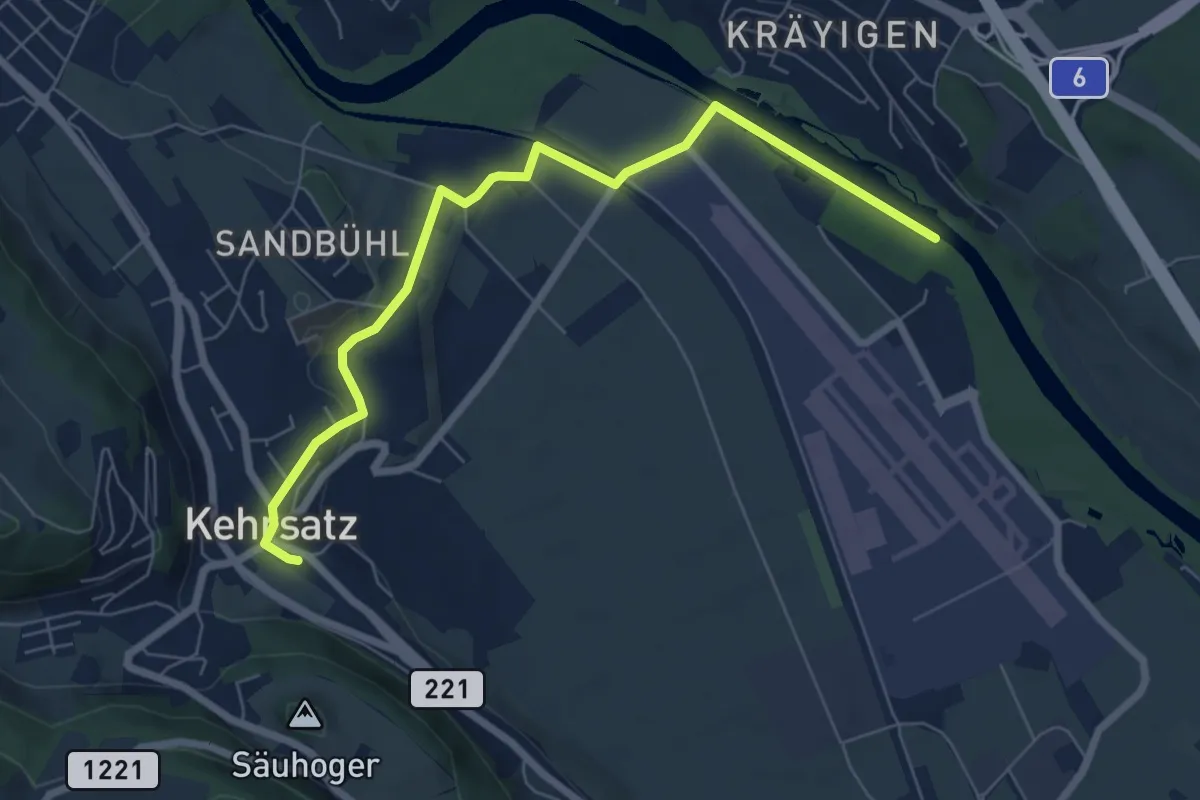
Easy · Trail
Auguetbrügg - Kehrsatz
7.2 km · ↑ 84 m · 1 h 53 min · 5 km away
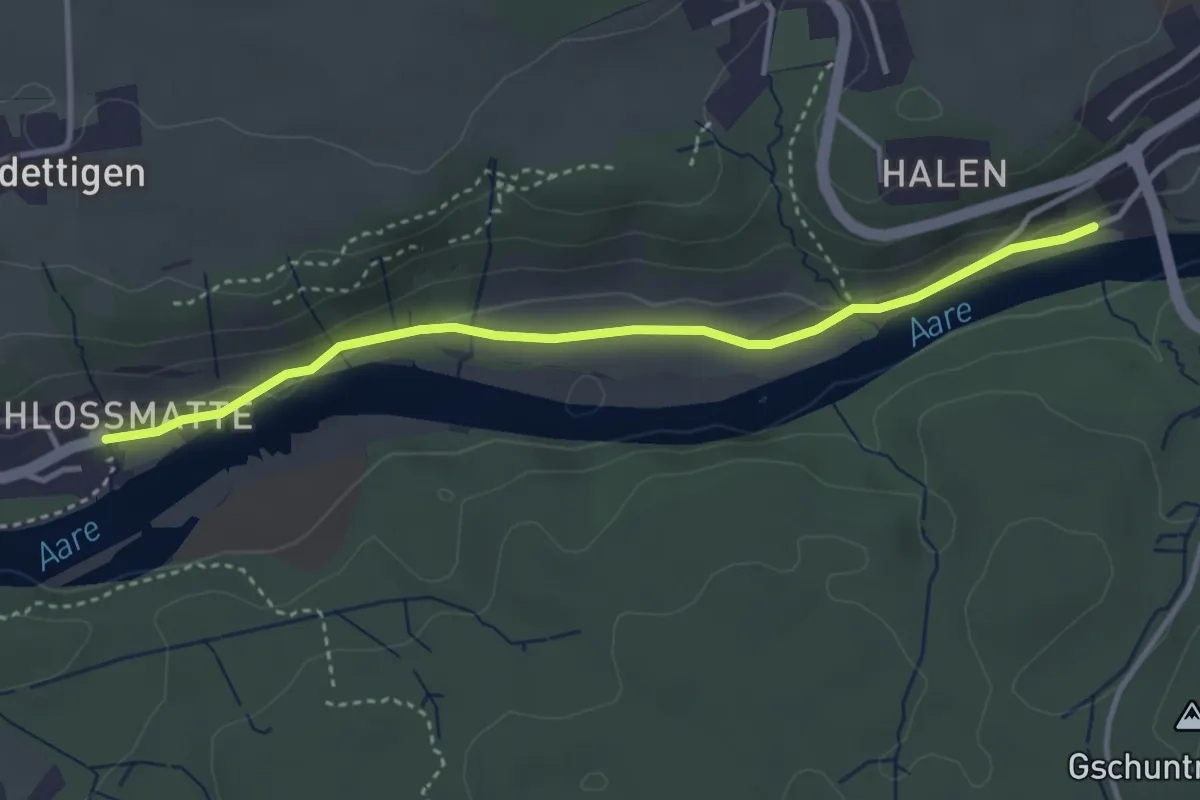
Easy · Trail
Unterdettigen – Halebrügg
3.6 km · ↑ 46 m · 57 min · 5 km away
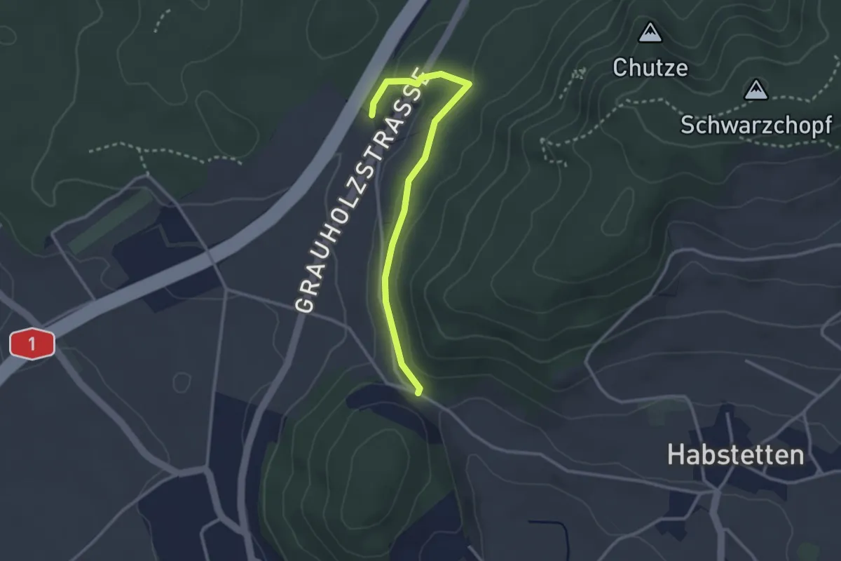
Easy · Trail
Forsthus – Schlupf
2.8 km · ↑ 40 m · 45 min · 5 km away
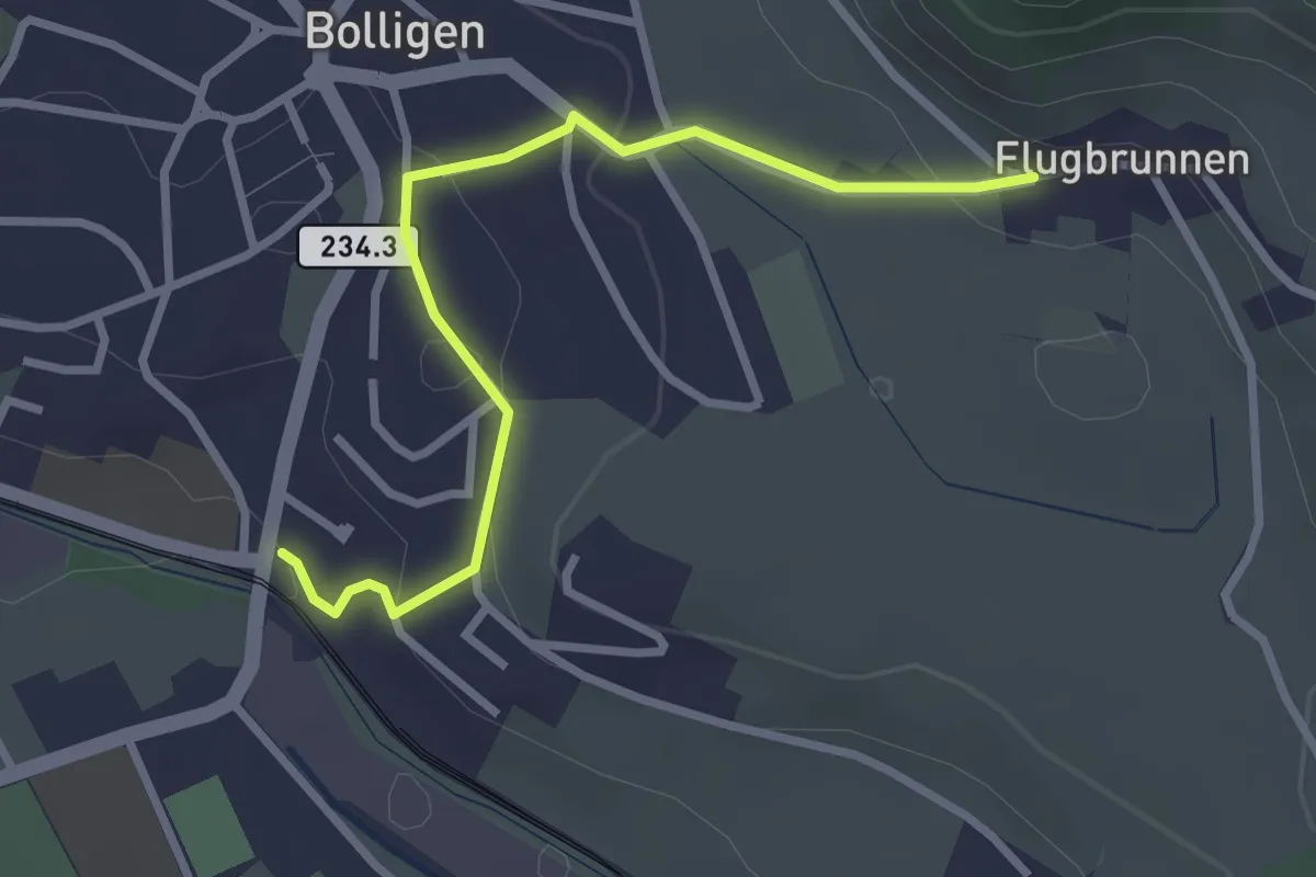
Easy · Trail
Flugbrunnen – Bolligen
2.9 km · ↑ 87 m · 53 min · 5 km away
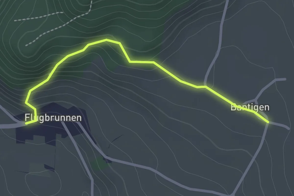
Easy · Trail
Bantigen – Flugbrunnen
2.3 km · ↑ 151 m · 53 min · 5 km away
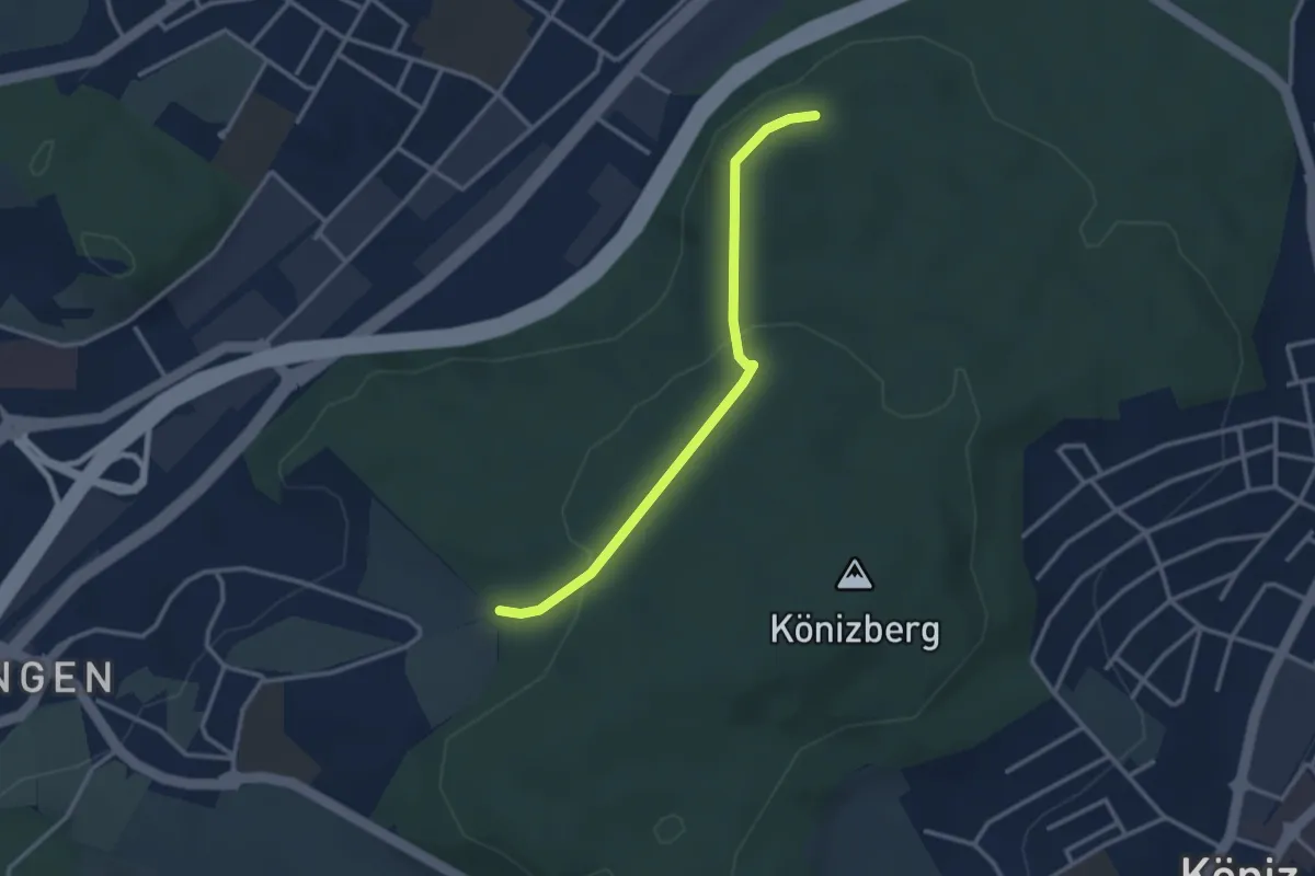
Easy · Trail
Pfaffensteig - Tubentränke
2.9 km · ↑ 88 m · 52 min · 5 km away
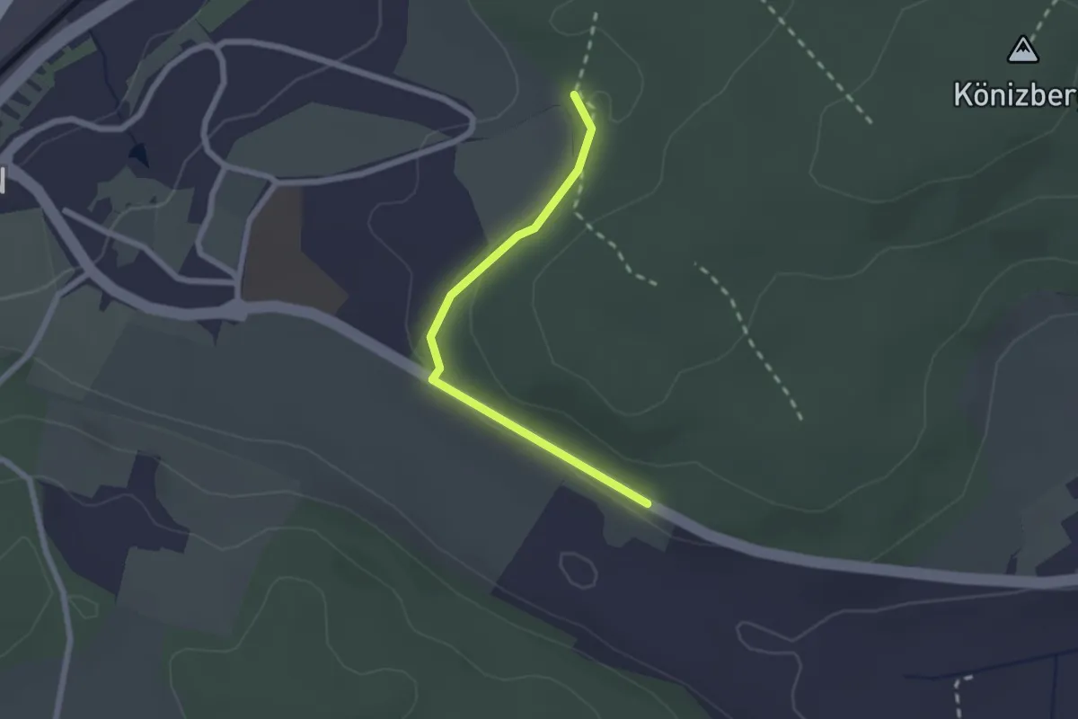
Easy · Trail
Leen - Tubentränke
2.0 km · ↑ 41 m · 34 min · 5 km away
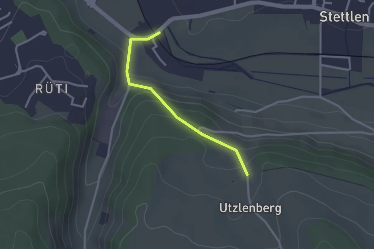
Easy · Trail
Deisswil – Utzlenberg
2.1 km · ↑ 124 m · 46 min · 5 km away
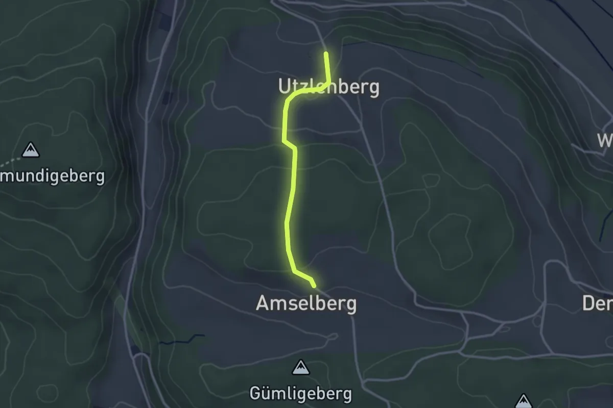
Easy · Trail
Amslenberg – Utzlenberg
2.3 km · ↑ 104 m · 46 min · 5 km away
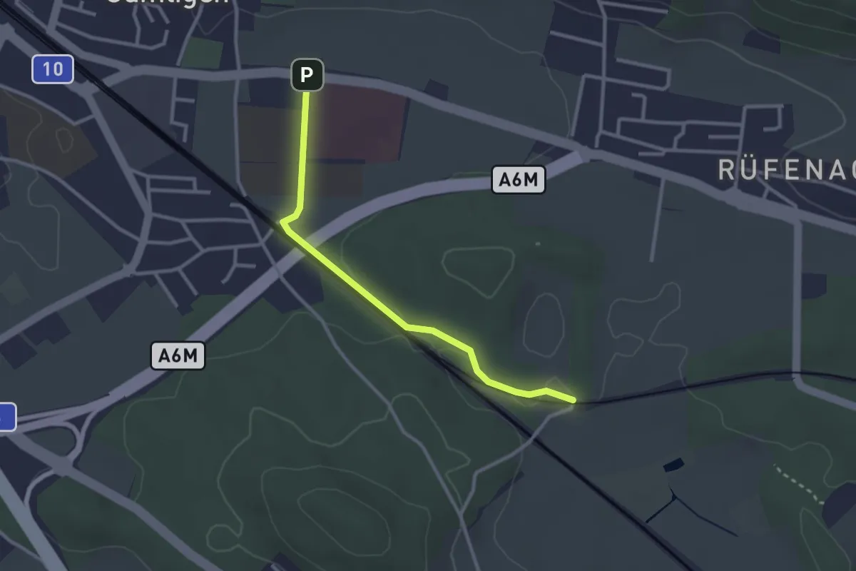
Easy · Trail
Gümligen Siloah – Rüti
2.7 km · ↑ 18 m · 41 min · 5 km away
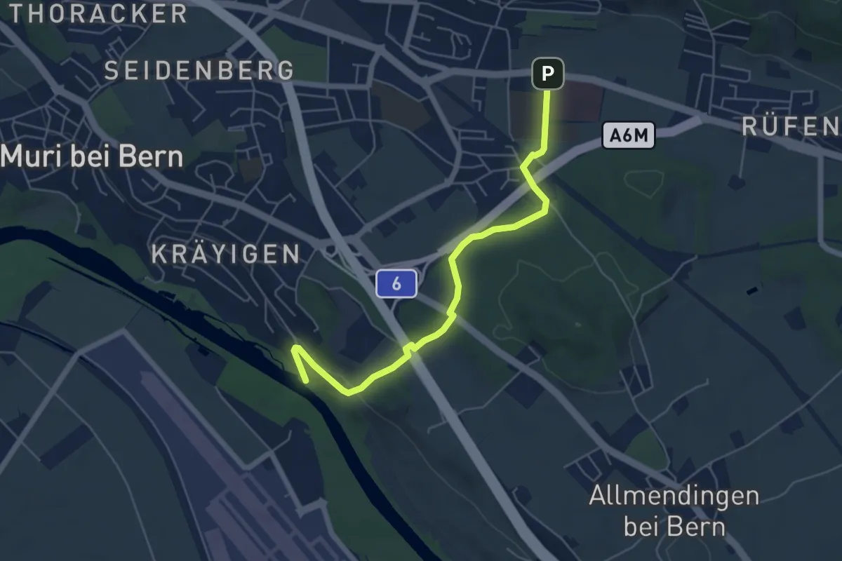
Easy · Trail
Gümligen Siloah – Auguetbrügg
5.5 km · ↑ 100 m · 1 h 31 min · 5 km away
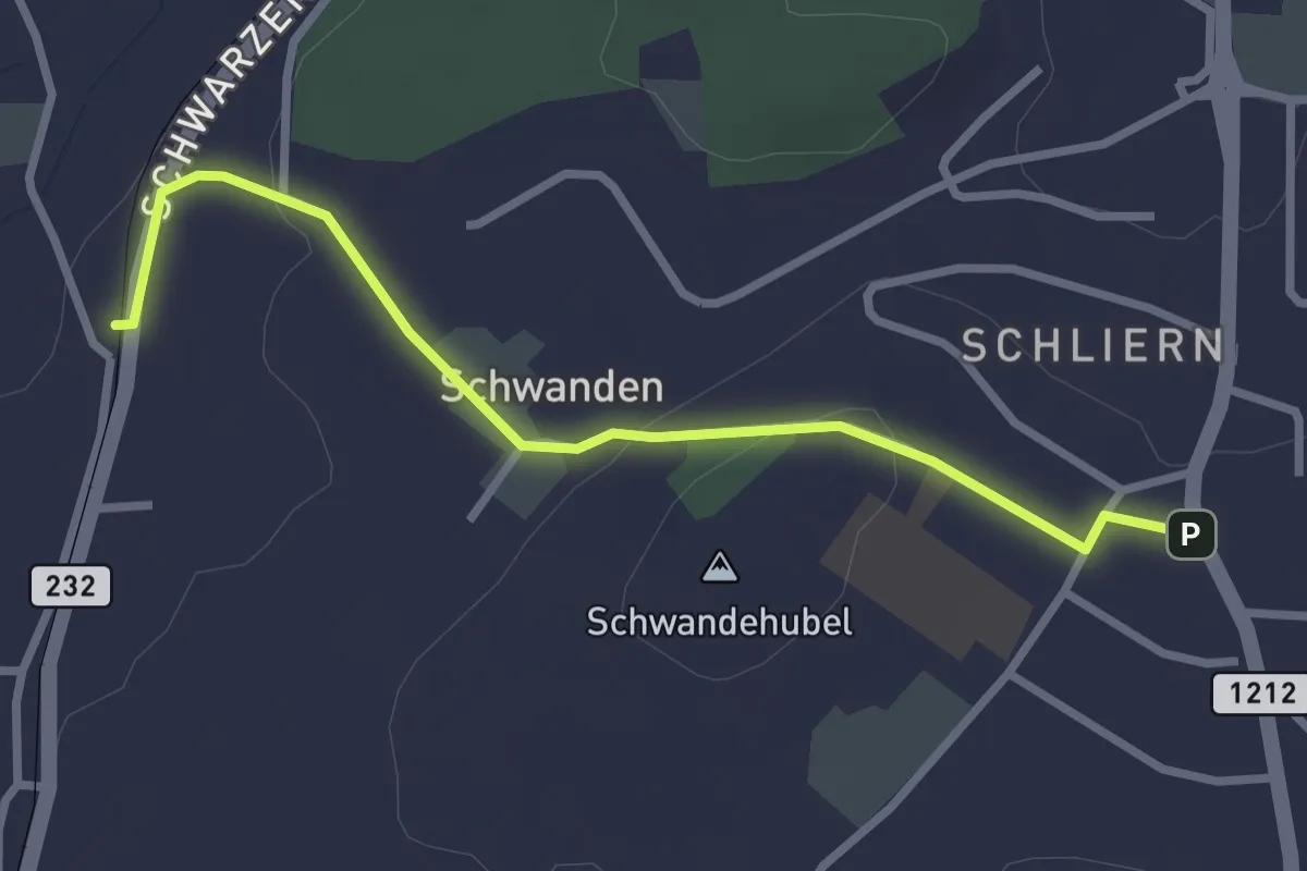
Easy · Trail
Moos - Schliern
2.9 km · ↑ 60 m · 49 min · 5 km away
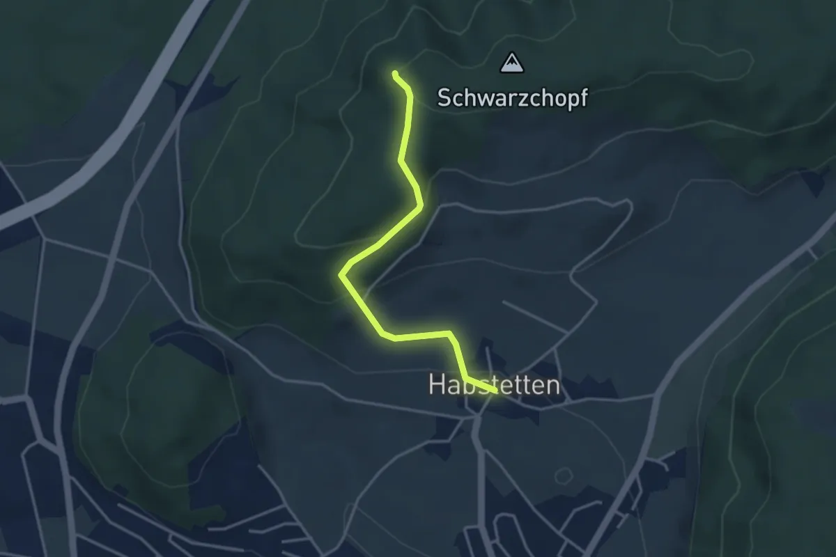
Easy · Trail
Grauholz/Schwarzkopf – Habstetten
3.2 km · ↑ 157 m · 1 h 5 min · 5 km away
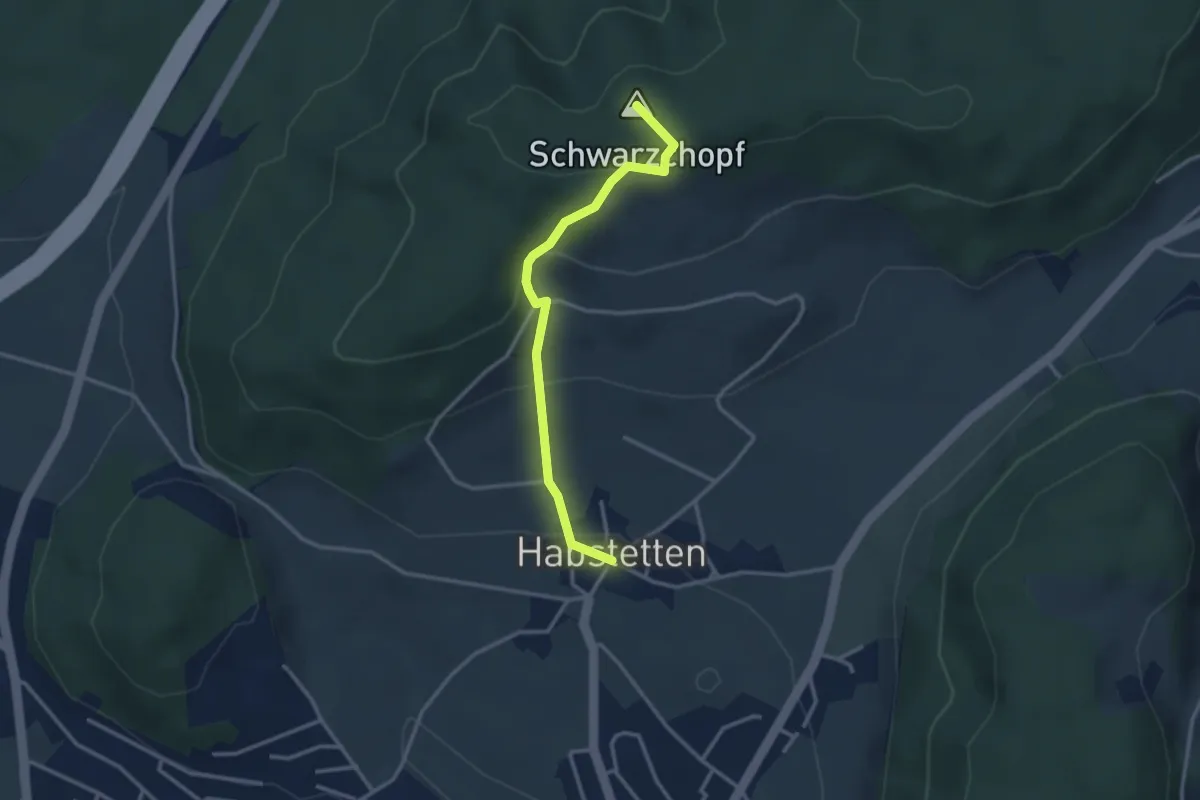
Easy · Summit
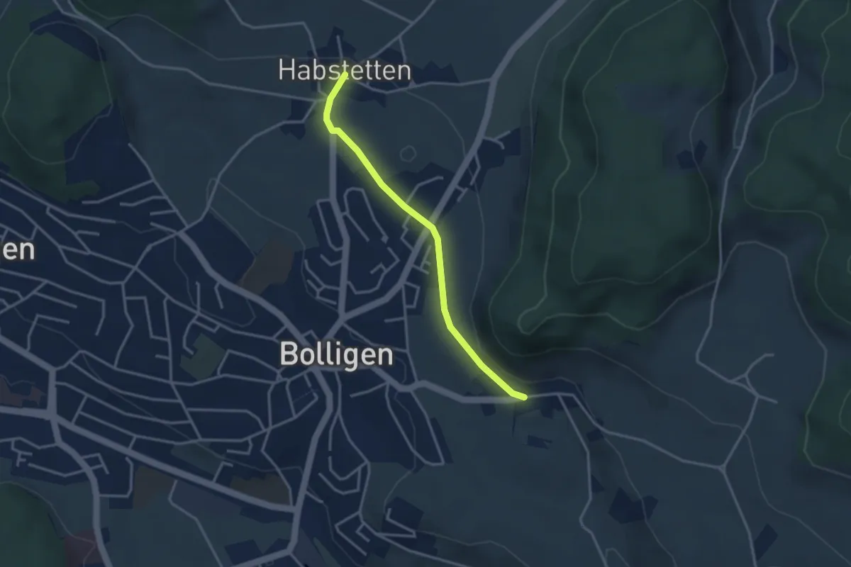
Bannholz – Habstetten
3.0 km · ↑ 167 m · 1 h 4 min · 5 km away
Easy · Trail
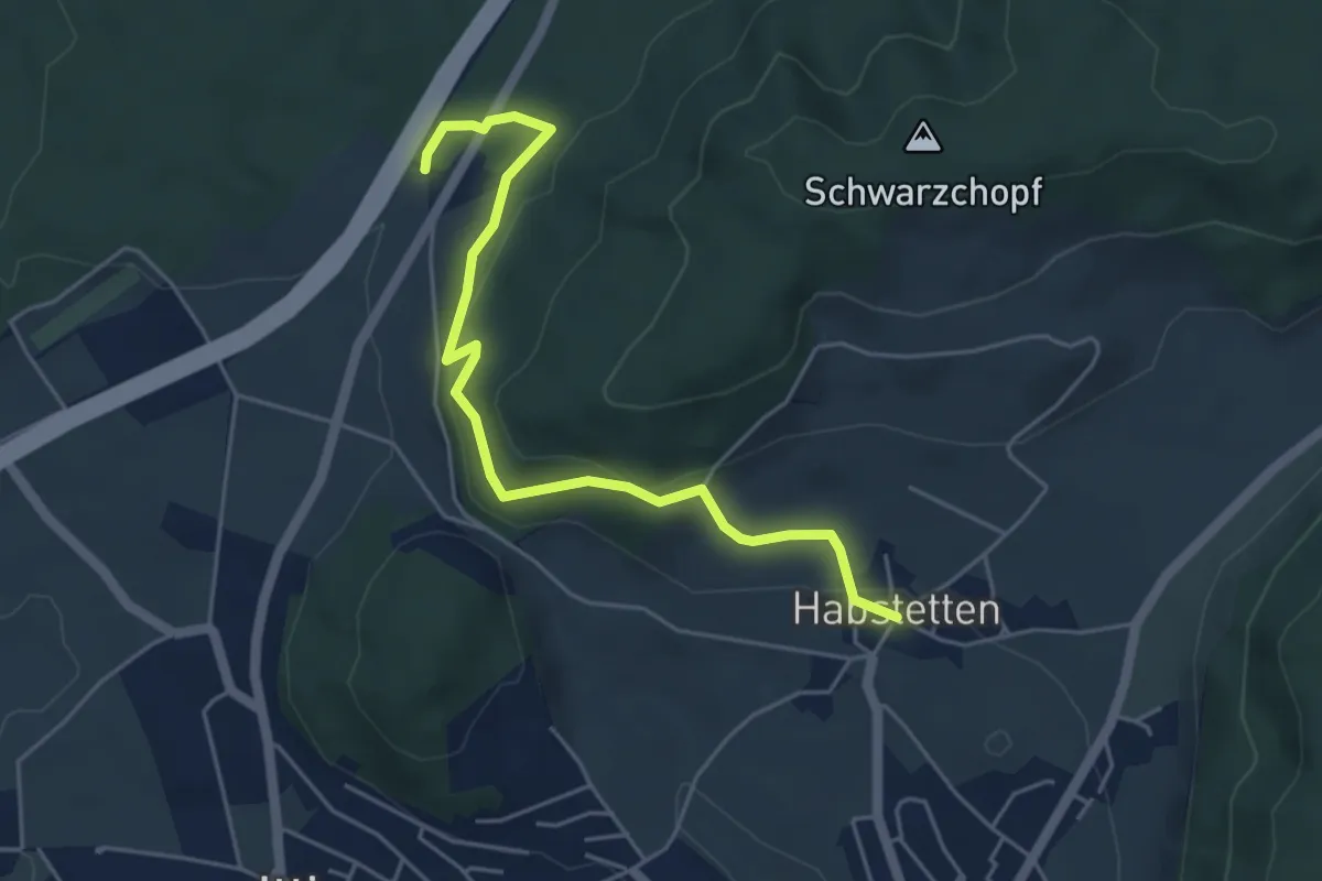
Habstetten – Flugbrunnen
3.0 km · ↑ 34 m · 47 min · 5 km away
Easy · Trail
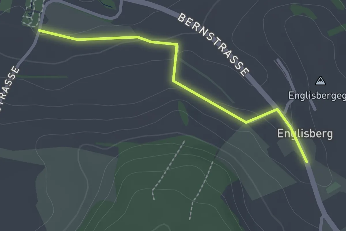
Forsthus – Habstetten
5.1 km · ↑ 162 m · 1 h 33 min · 5 km away
Easy · Trail
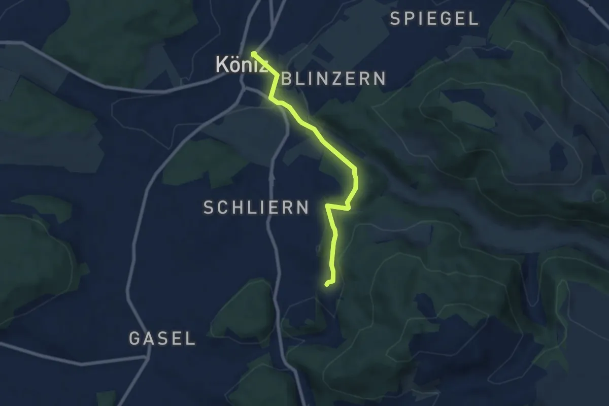
Wohnheim Kühlewil - Englisberg
2.1 km · ↑ 42 m · 36 min · 5 km away
Easy · Trail
Platten - Köniz
5.9 km · ↑ 176 m · 1 h 46 min · 5 km away
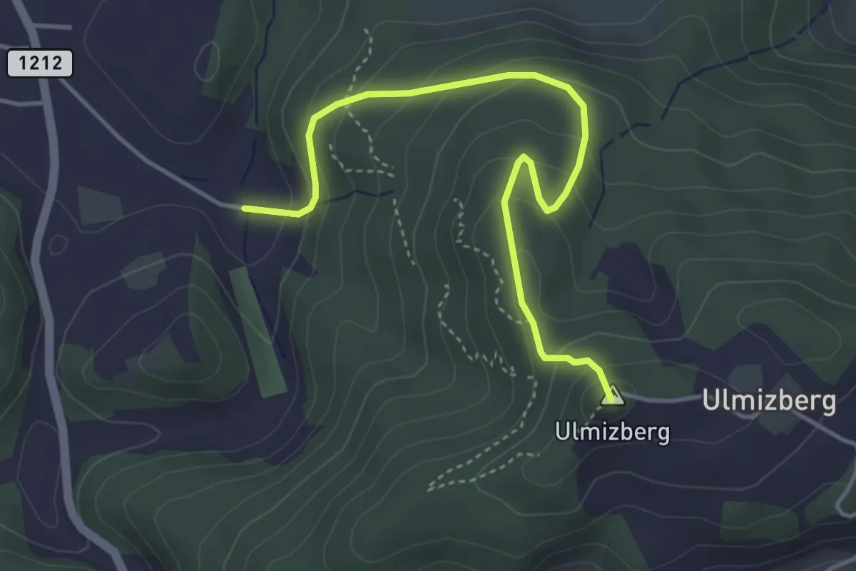
Easy · Summit
Ulmizberg - Platten
4.2 km · ↑ 291 m · 1 h 38 min · 5 km away
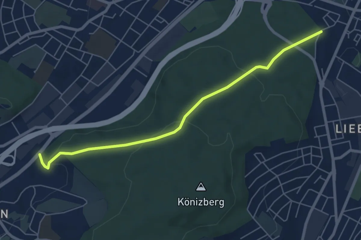
Easy · Trail
Hohliebe - Fischermätteli
5.5 km · ↑ 169 m · 1 h 39 min · 5 km away
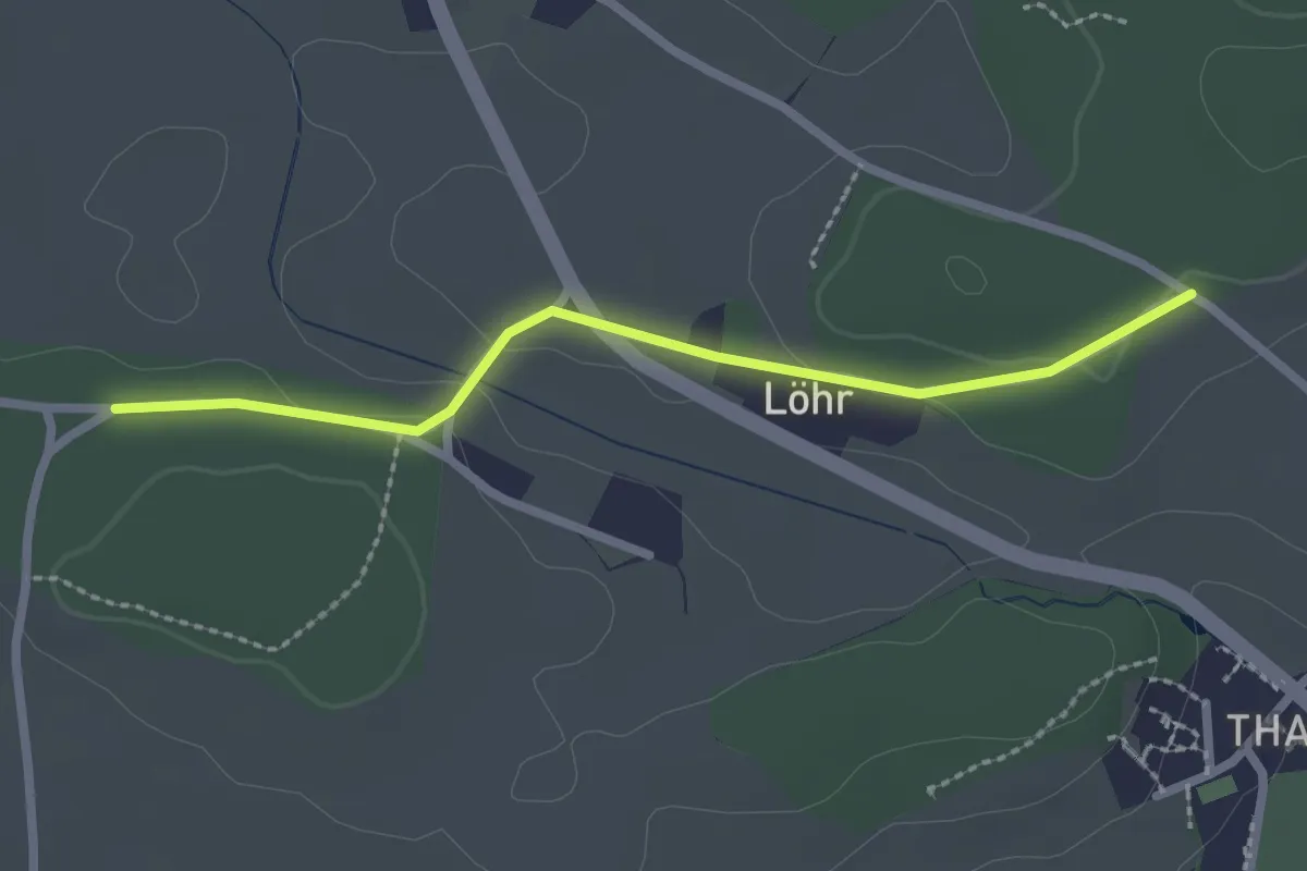
Easy · Trail
Buechwald – Lörwald
2.3 km · ↑ 29 m · 36 min · 5 km away
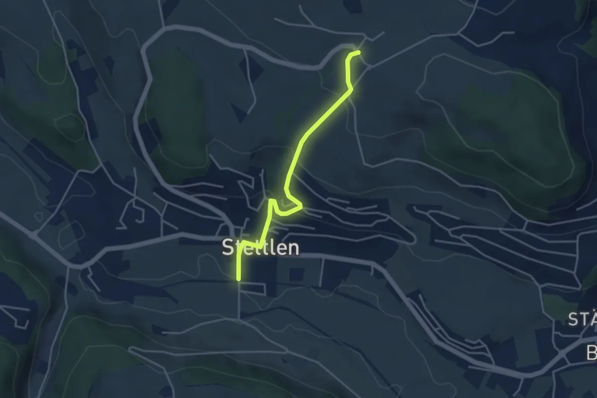
Easy · Trail
Ferenberg – Stettlen
3.4 km · ↑ 179 m · 1 h 11 min · 6 km away
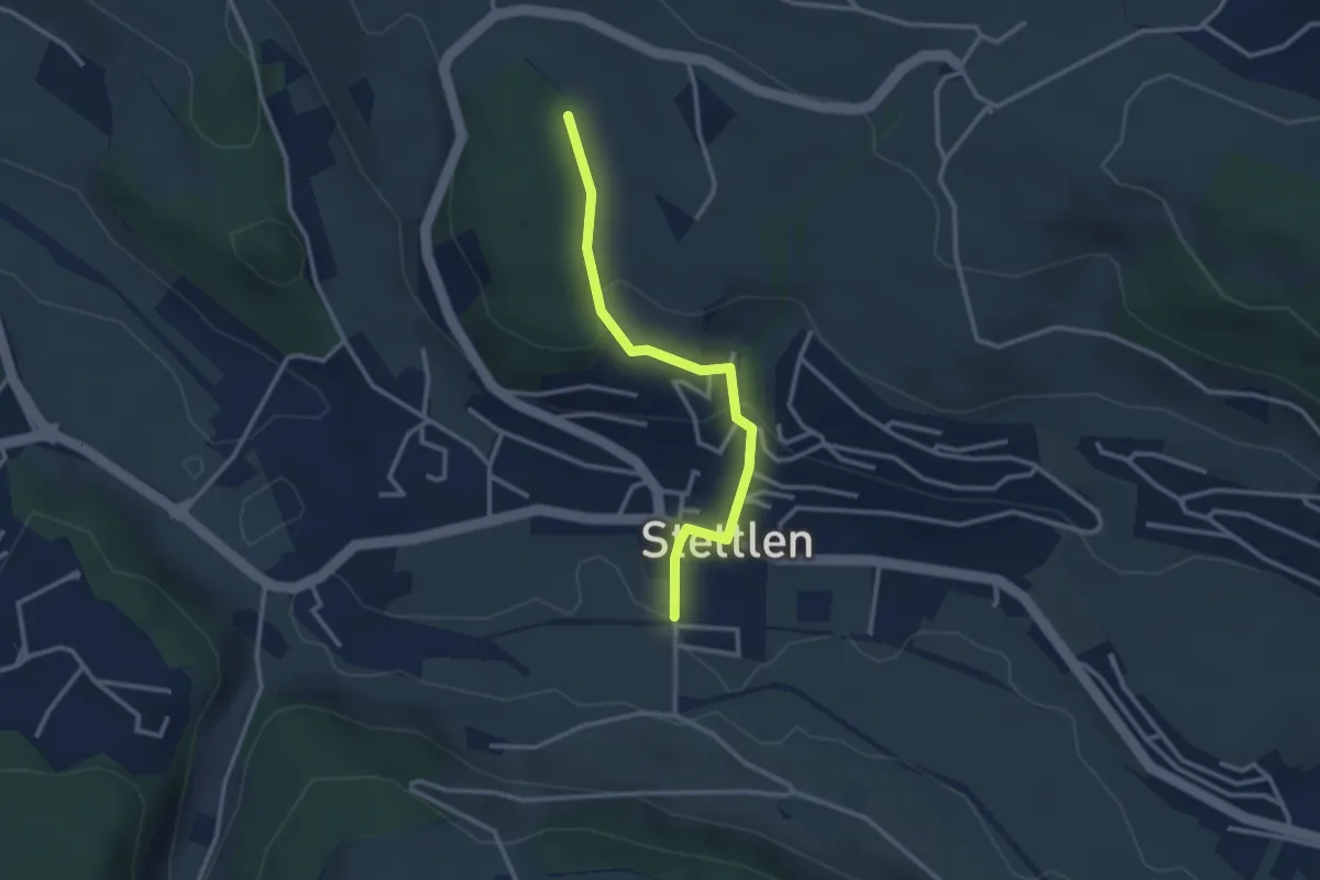
Easy · Trail
Buechholz – Stettlen
2.8 km · ↑ 115 m · 55 min · 6 km away
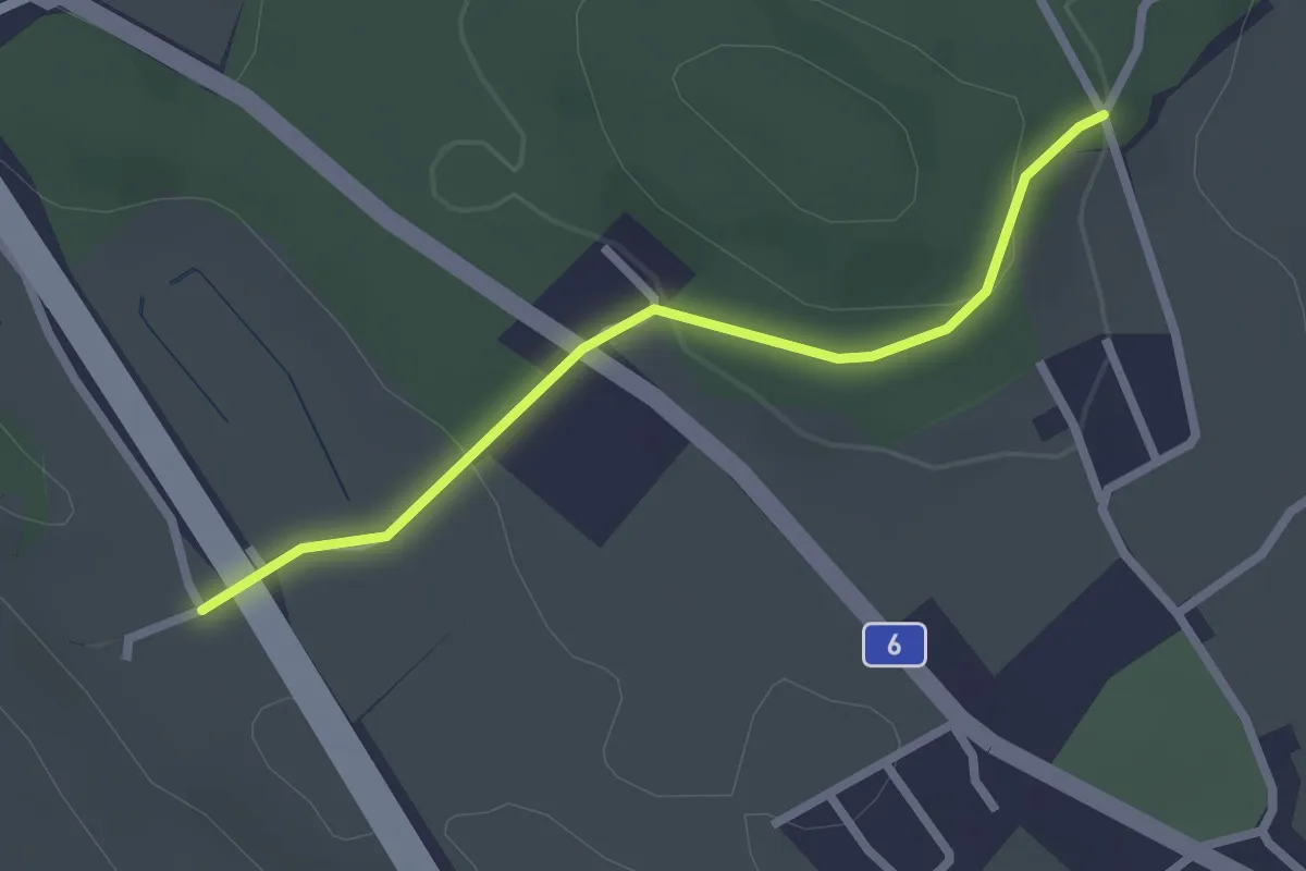
Easy · Trail
Hüenwald – Vorder Märchligen
2.3 km · ↑ 66 m · 41 min · 6 km away
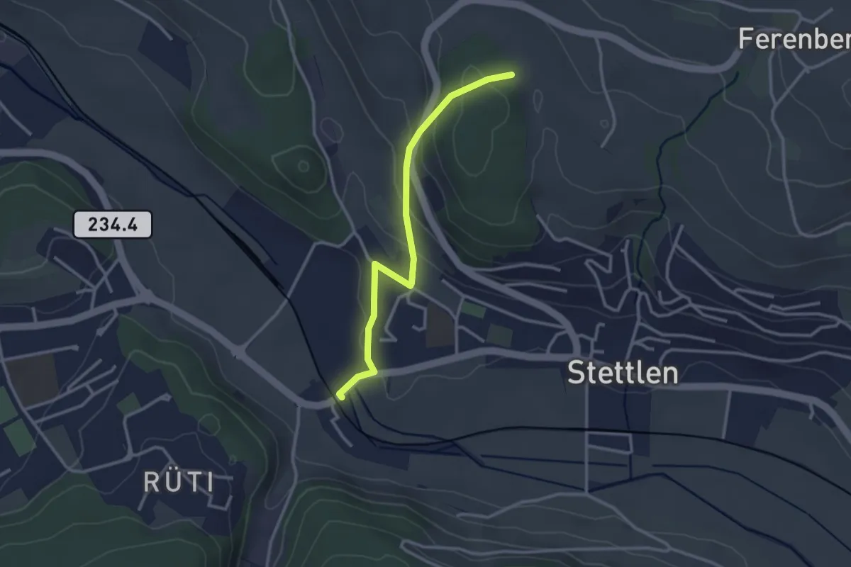
Easy · Trail
Buechholz – Deisswil
2.8 km · ↑ 135 m · 57 min · 6 km away
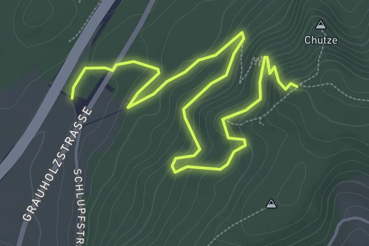
Medium · Trail
Forsthus – Grauholz/Schwarzkopf
5.1 km · ↑ 351 m · 1 h 58 min · 6 km away
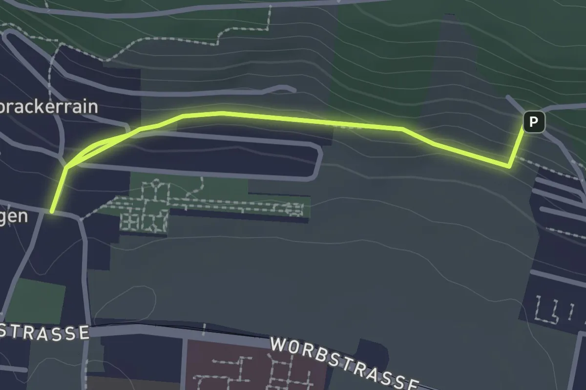
Easy · Trail
Gümligen/Kirche – Scheieholz
2.7 km · ↑ 103 m · 51 min · 6 km away
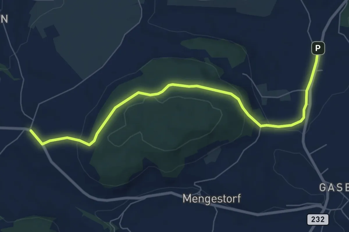
Easy · Trail
Liebewil - Moos
7.0 km · ↑ 194 m · 2 h 4 min · 6 km away
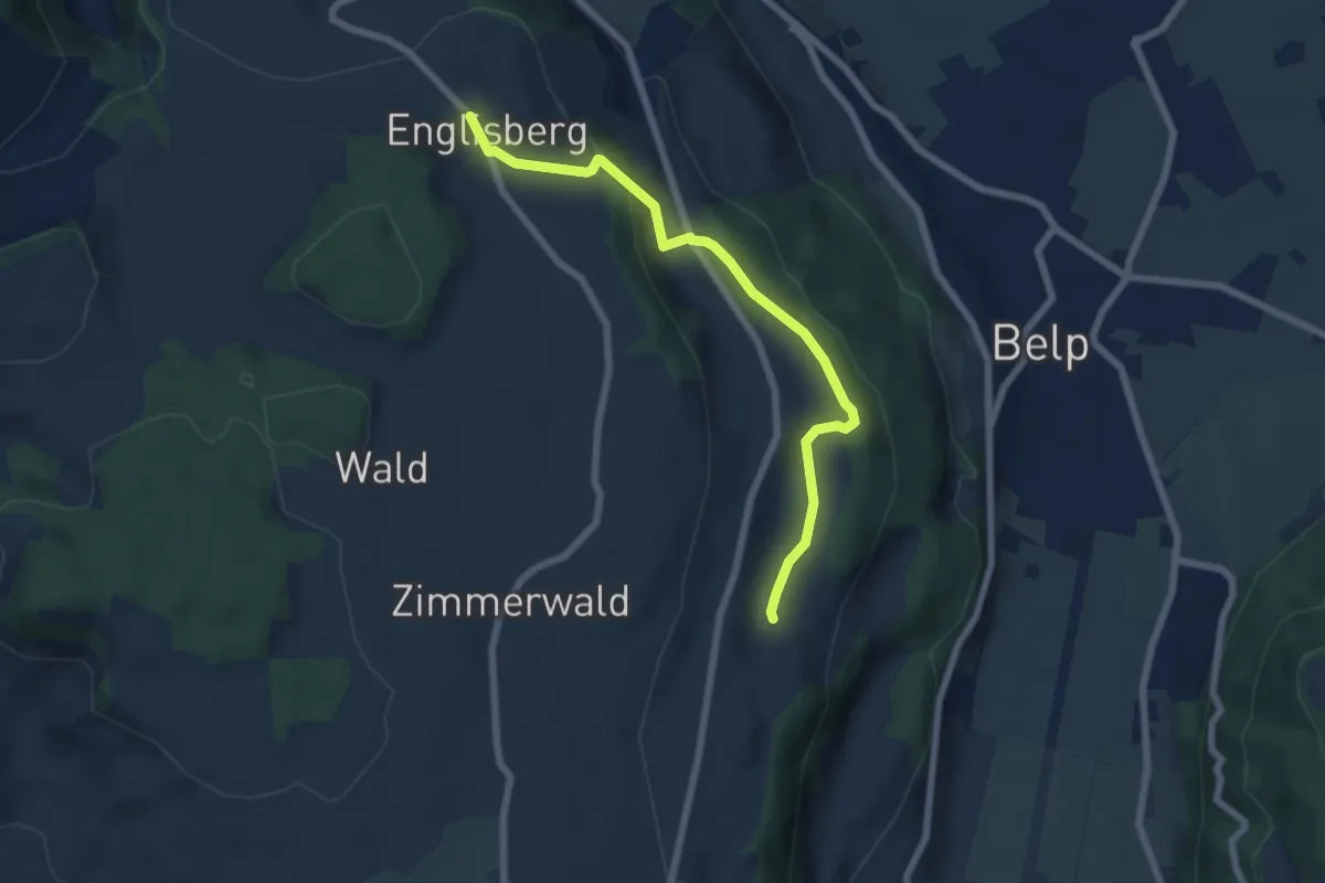
Easy · Trail
Englisberg – Hofmatt
6.5 km · ↑ 186 m · 1 h 56 min · 6 km away
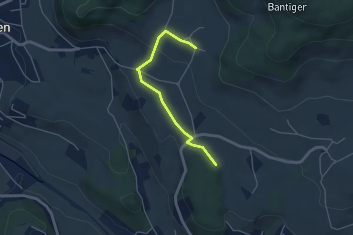
Easy · Trail
Bantigen – Buecholz
3.3 km · ↑ 57 m · 54 min · 6 km away