Trails near Bern
511 hikes starting within 15 km, nearest first.
Nearest first, page 3 of 11
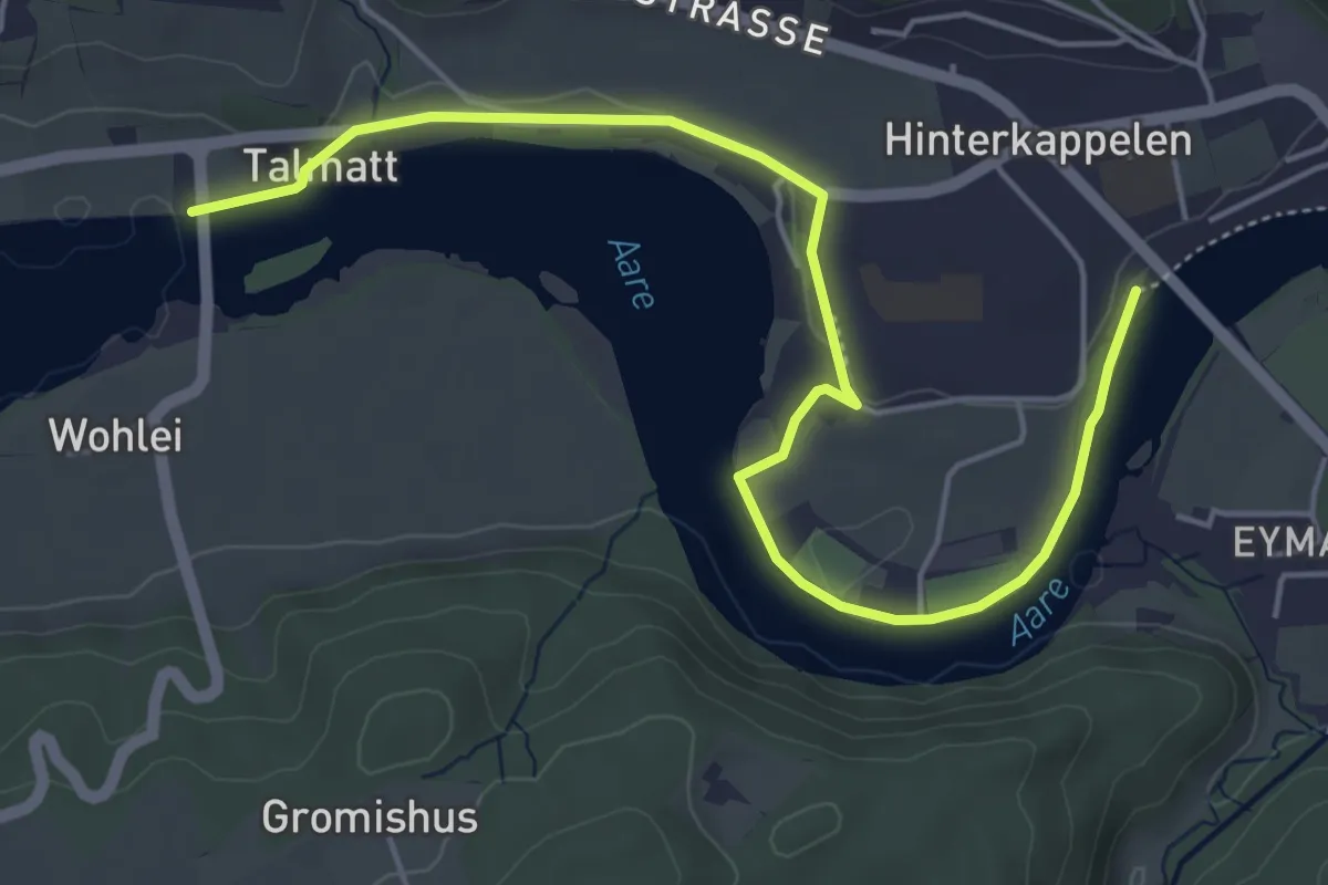
Easy · Trail
Wohleibrügg – Kappelenbrügg
5.9 km · ↑ 60 m · 1 h 31 min · 6 km away
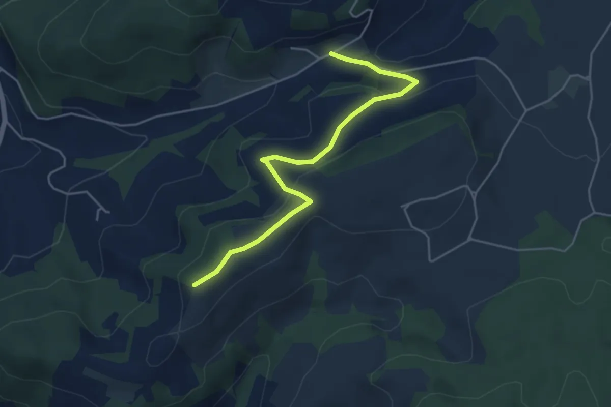
Easy · Trail
Oberulmiz – Zingghöch
4.4 km · ↑ 181 m · 1 h 26 min · 6 km away
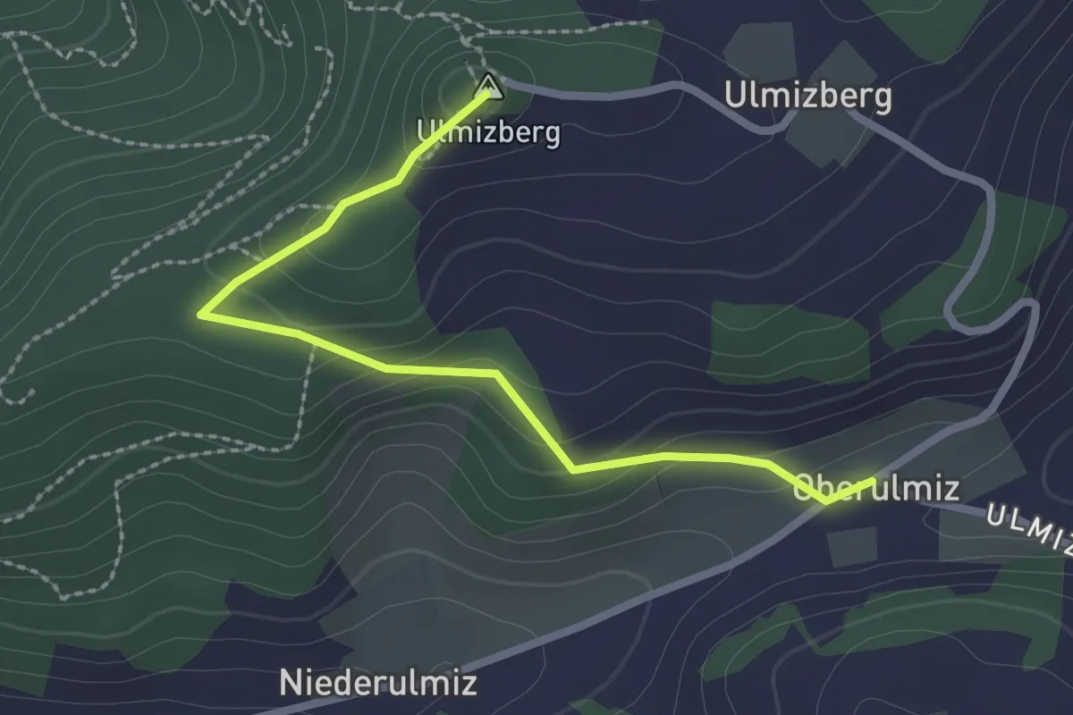
Easy · Summit
Ulmizberg – Oberulmiz
2.5 km · ↑ 118 m · 50 min · 6 km away
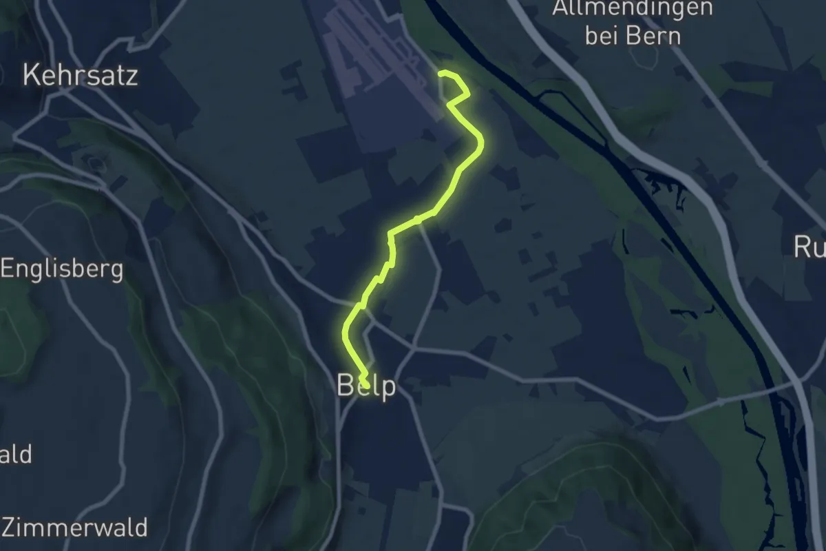
Easy · Trail
Belp – Flugplatz Bern Belp
6.4 km · ↑ 9 m · 1 h 32 min · 6 km away
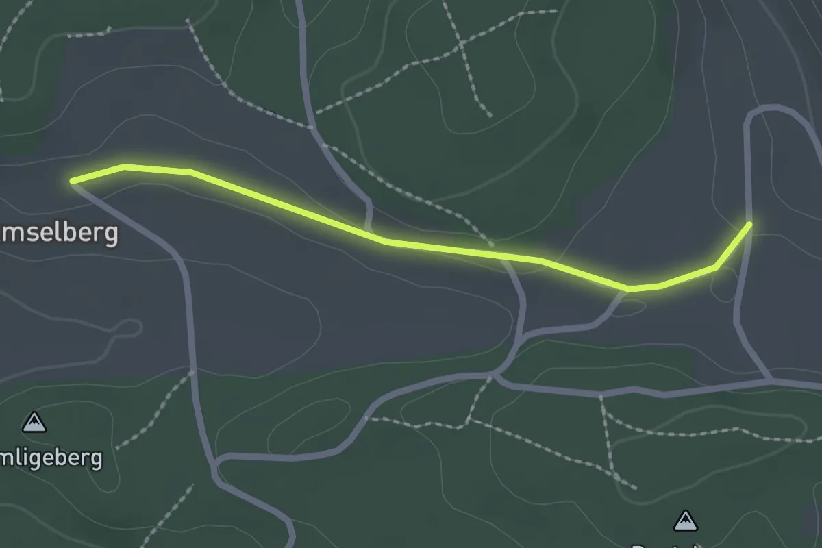
Easy · Trail
Dentenberg/Käserei – Amsleberg
2.0 km · ↑ 17 m · 31 min · 6 km away
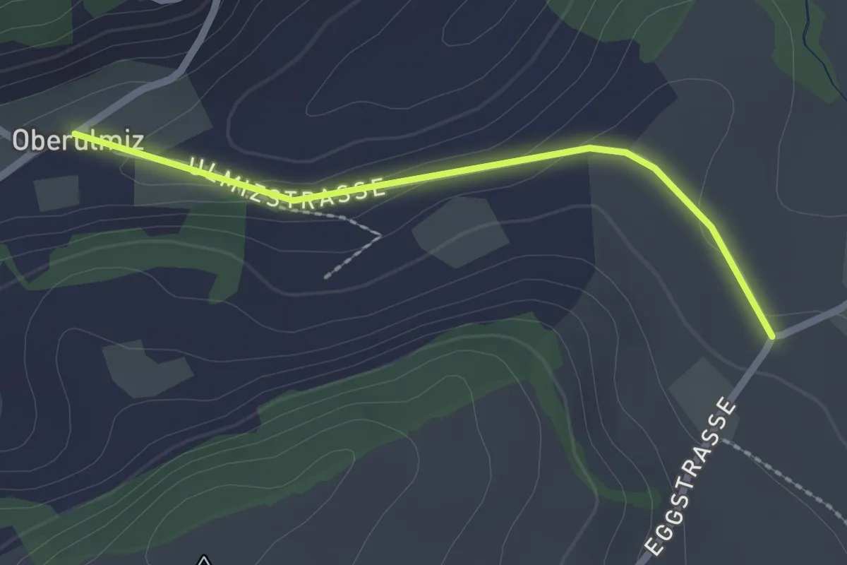
Easy · Trail
Oberulmiz – Kühlewil/Gütsch
2.0 km · ↑ 29 m · 32 min · 6 km away
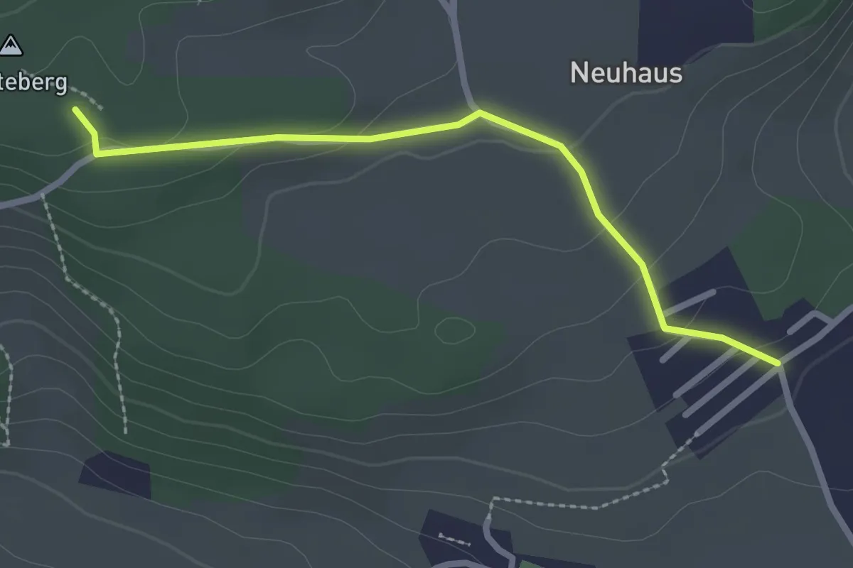
Easy · Trail
Neuhus – Denteberg
2.4 km · ↑ 76 m · 44 min · 6 km away
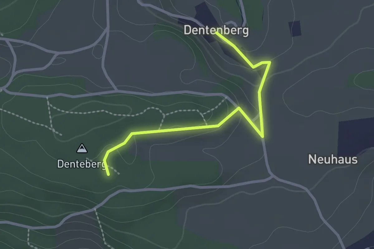
Easy · Trail
Dentenberg – Dentenberg
2.4 km · ↑ 69 m · 43 min · 6 km away
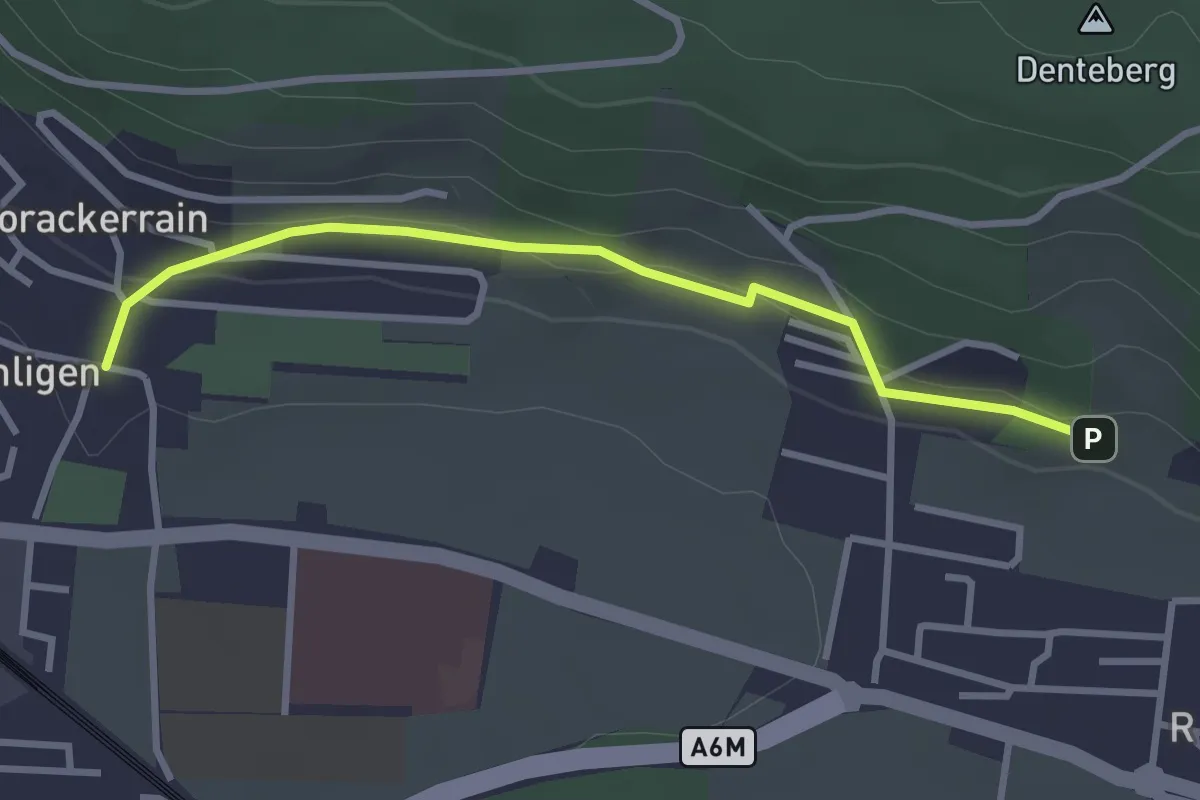
Easy · Trail
Sunnedörfli – Gümligen/Kirche
3.0 km · ↑ 80 m · 53 min · 6 km away
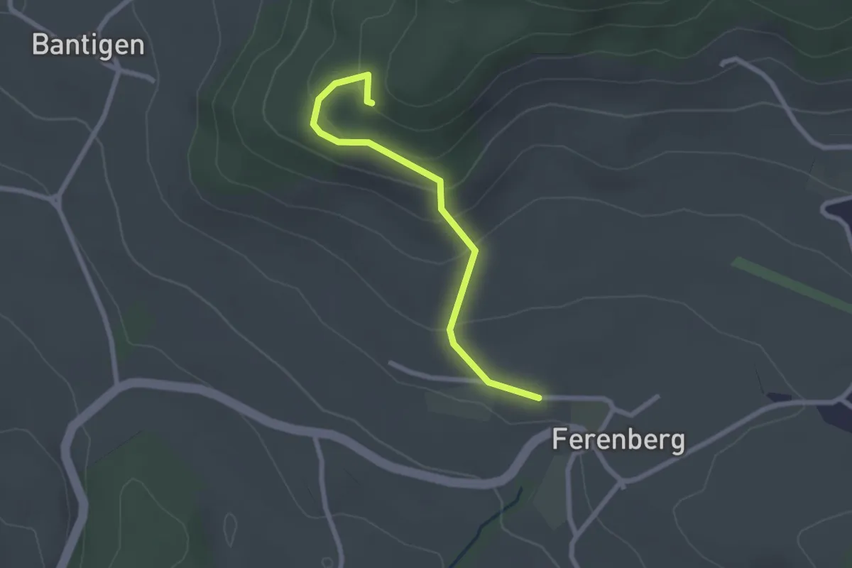
Easy · Trail
Chatzenstyg – Ferenberg
2.2 km · ↑ 131 m · 49 min · 6 km away
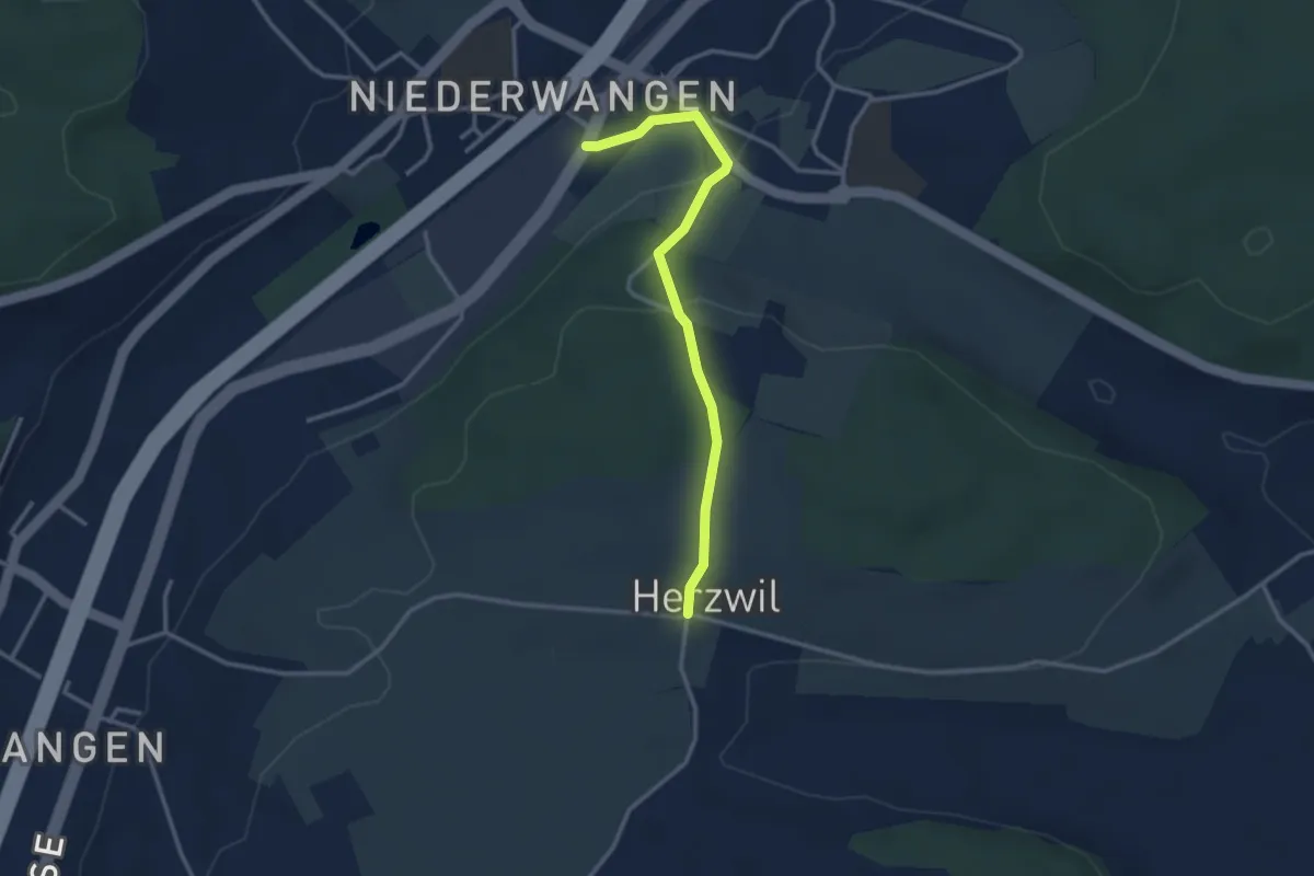
Easy · Trail
Wangen-brüggli - Herzwil
3.0 km · ↑ 112 m · 57 min · 6 km away
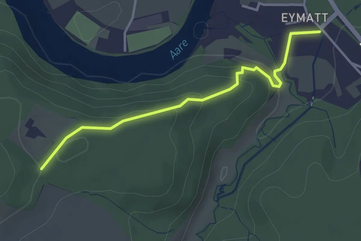
Easy · Trail
Eimatt – Stürleren
2.8 km · ↑ 116 m · 55 min · 6 km away
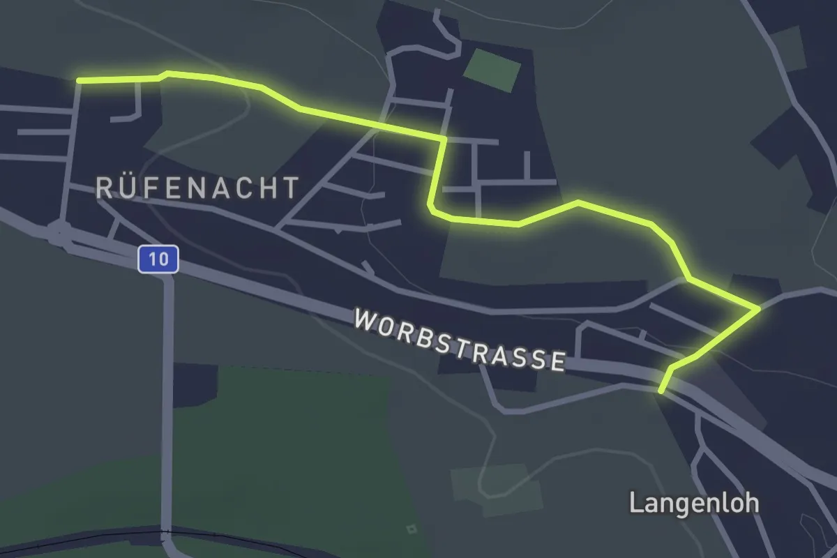
Easy · Trail
Langenloh – Rüfenacht
3.0 km · ↑ 57 m · 50 min · 6 km away
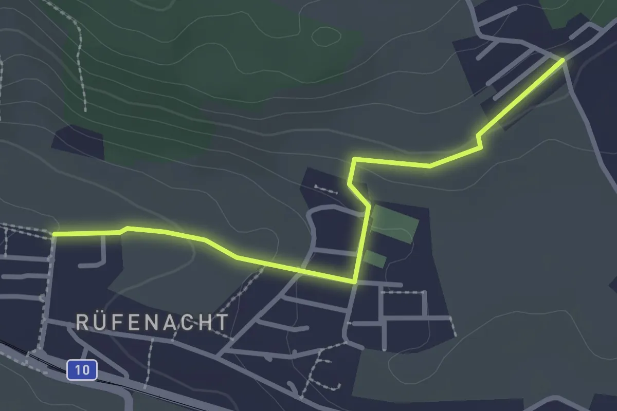
Easy · Trail
Neuhus – Rüfenacht
2.7 km · ↑ 67 m · 46 min · 6 km away
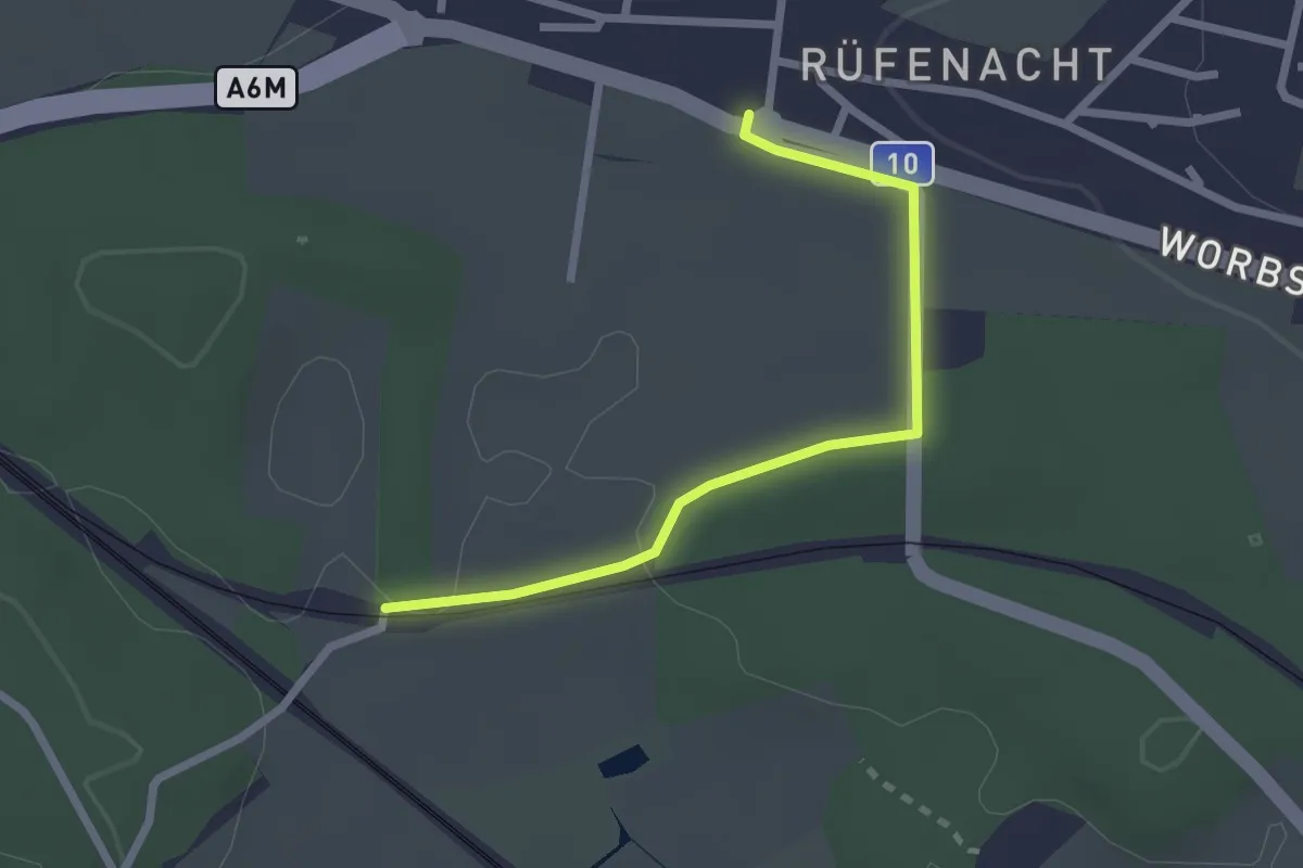
Easy · Trail
Rüti – Rüfenacht
2.3 km · ↑ 14 m · 35 min · 6 km away
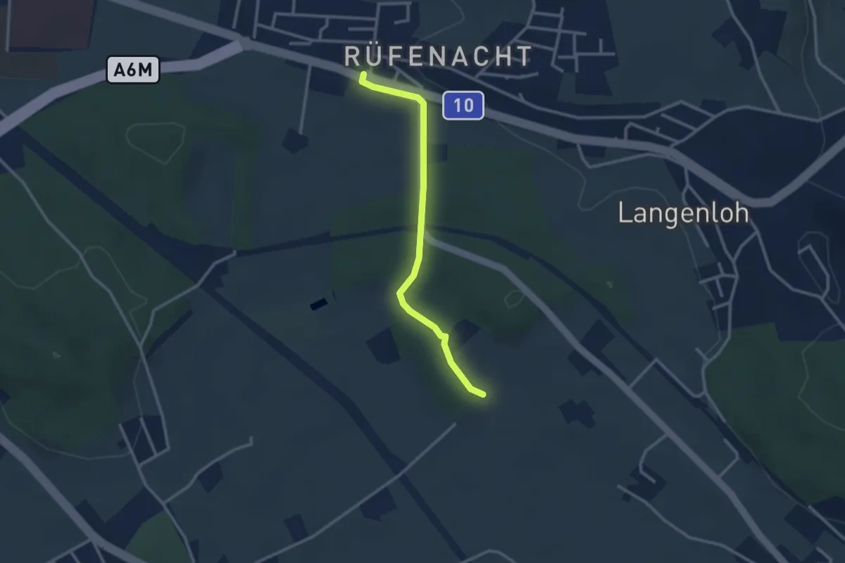
Easy · Trail
Rüfenacht – Chli Hüenliwald
2.6 km · ↑ 20 m · 40 min · 6 km away
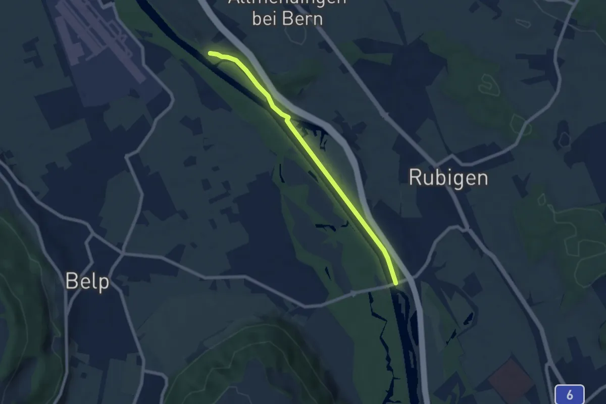
Easy · Trail
Märchligenau - Hunzigebrügg
5.9 km · ↑ 32 m · 1 h 28 min · 6 km away
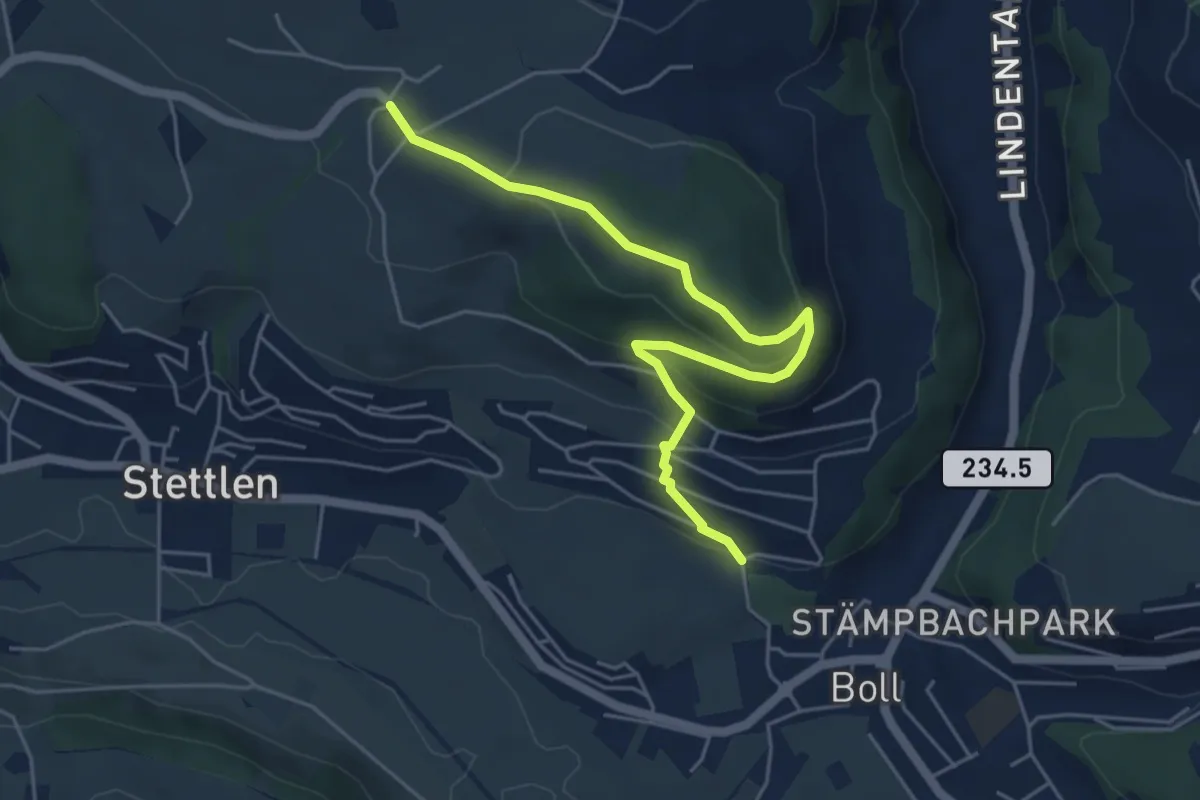
Easy · Trail
Ferenberg – Sinneringen
5.4 km · ↑ 245 m · 1 h 48 min · 6 km away
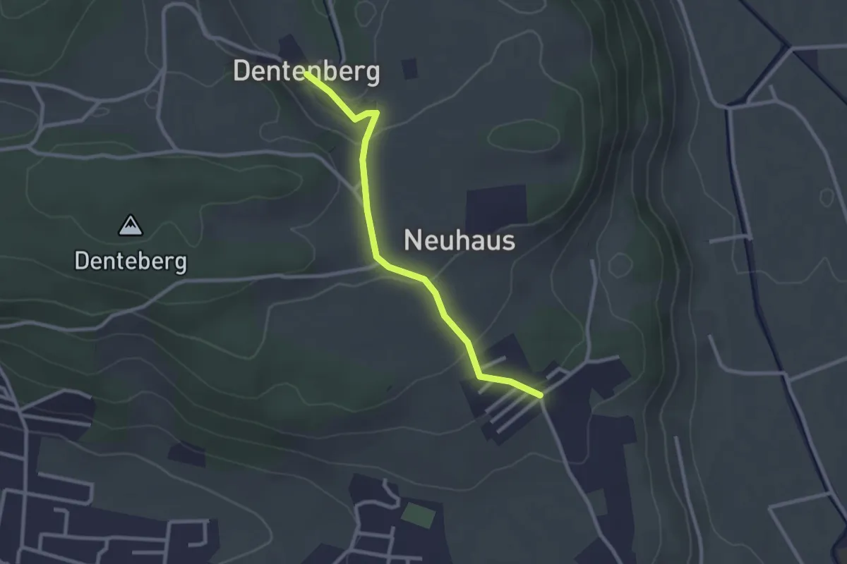
Easy · Trail
Neuhus – Dentenberg
2.4 km · ↑ 80 m · 45 min · 6 km away
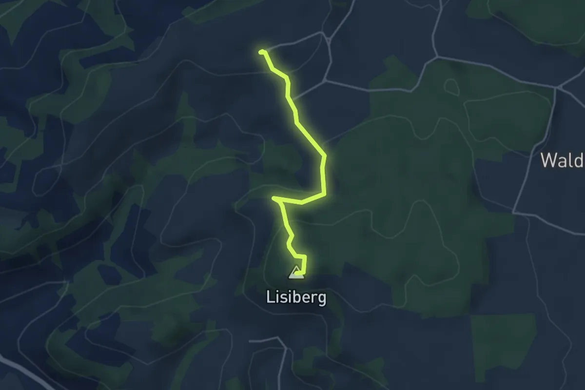
Easy · Summit
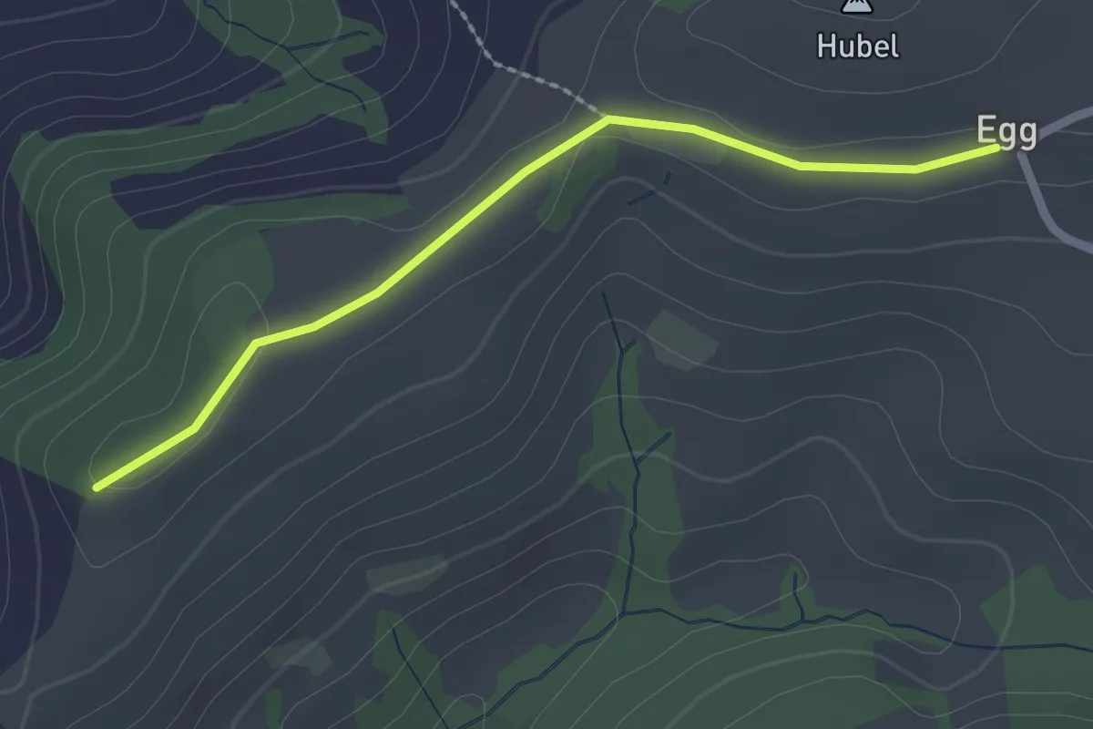
Egg - Lisiberg
3.2 km · ↑ 149 m · 1 h 4 min · 7 km away
Easy · Trail
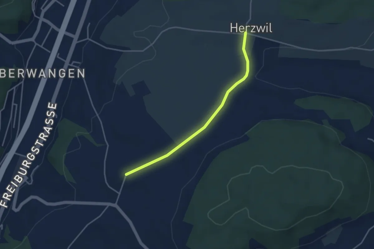
Egg – Zingghöch
2.1 km · ↑ 35 m · 34 min · 7 km away
Easy · Trail
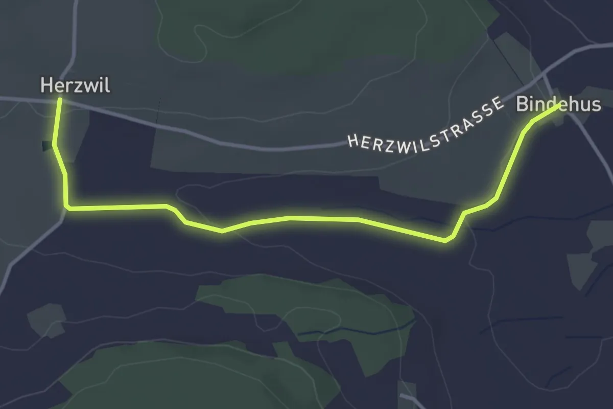
Herzwil - Liebewil/Resevoir
3.0 km · ↑ 31 m · 47 min · 7 km away
Easy · Trail
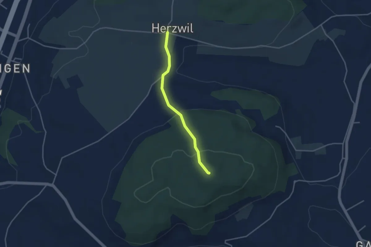
Herzwil - Bindenhaus
3.6 km · ↑ 41 m · 57 min · 7 km away
Easy · Summit
Herzwil - Mängistorfberg
2.7 km · ↑ 113 m · 52 min · 7 km away
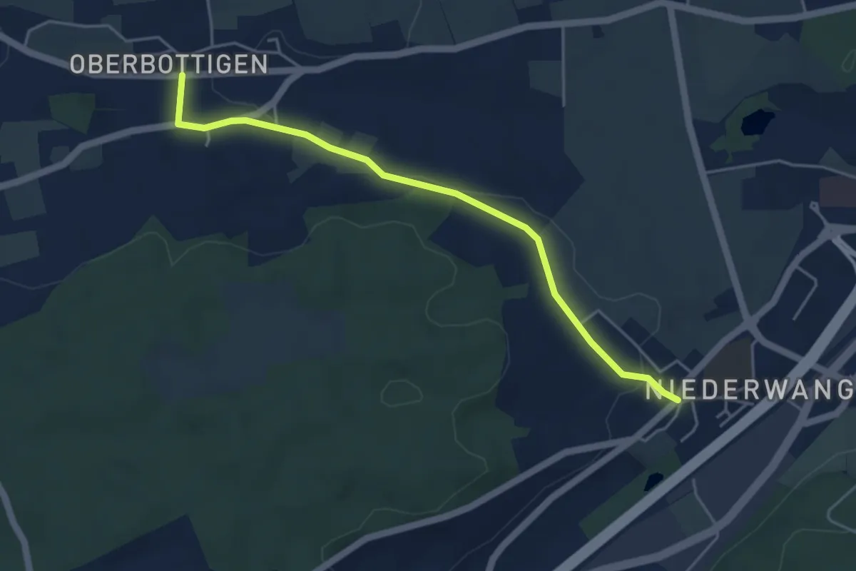
Easy · Trail
Niederwangen - Oberbottigen
4.4 km · ↑ 36 m · 1 h 8 min · 7 km away
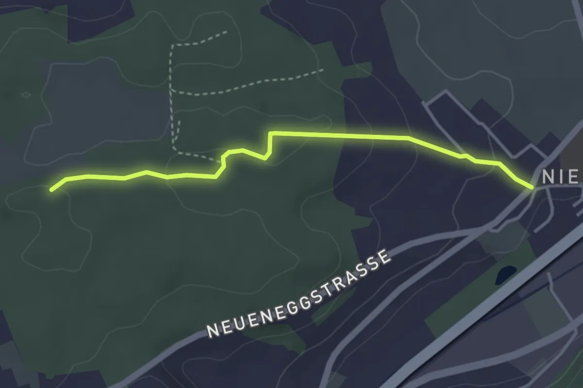
Easy · Trail
Niederwangen - Ried
3.3 km · ↑ 102 m · 1 h 1 min · 7 km away
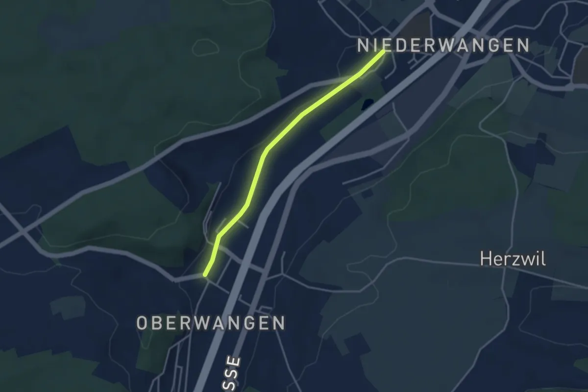
Easy · Trail
Oberwangen - Niederwangen
3.1 km · ↑ 34 m · 48 min · 7 km away
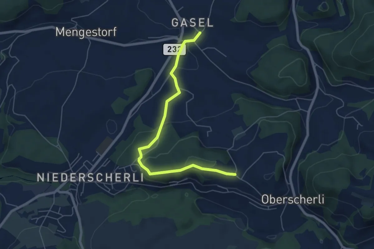
Easy · Trail
Hübeli - Gasel
5.6 km · ↑ 184 m · 1 h 44 min · 7 km away
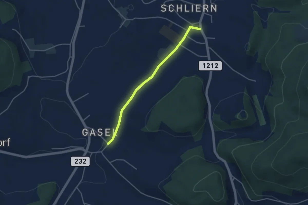
Easy · Trail
Gasel - Schliern
3.0 km · ↑ 41 m · 48 min · 7 km away
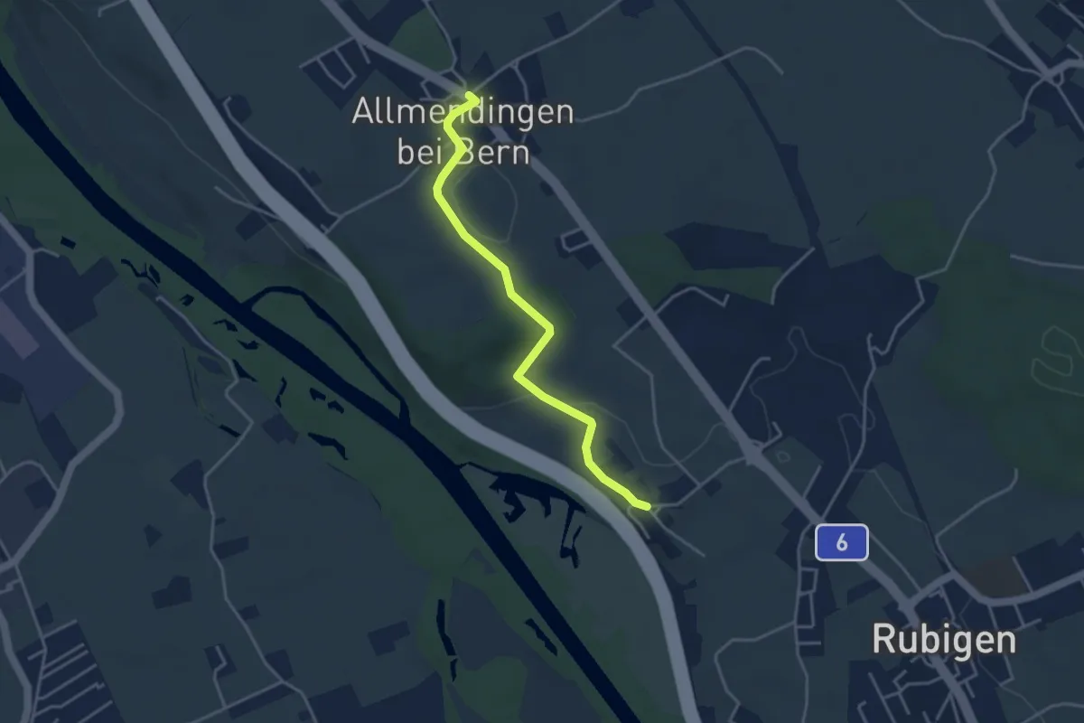
Easy · Trail
Kleinhöchstetten – Allmendingen
3.7 km · ↑ 71 m · 1 h 2 min · 7 km away
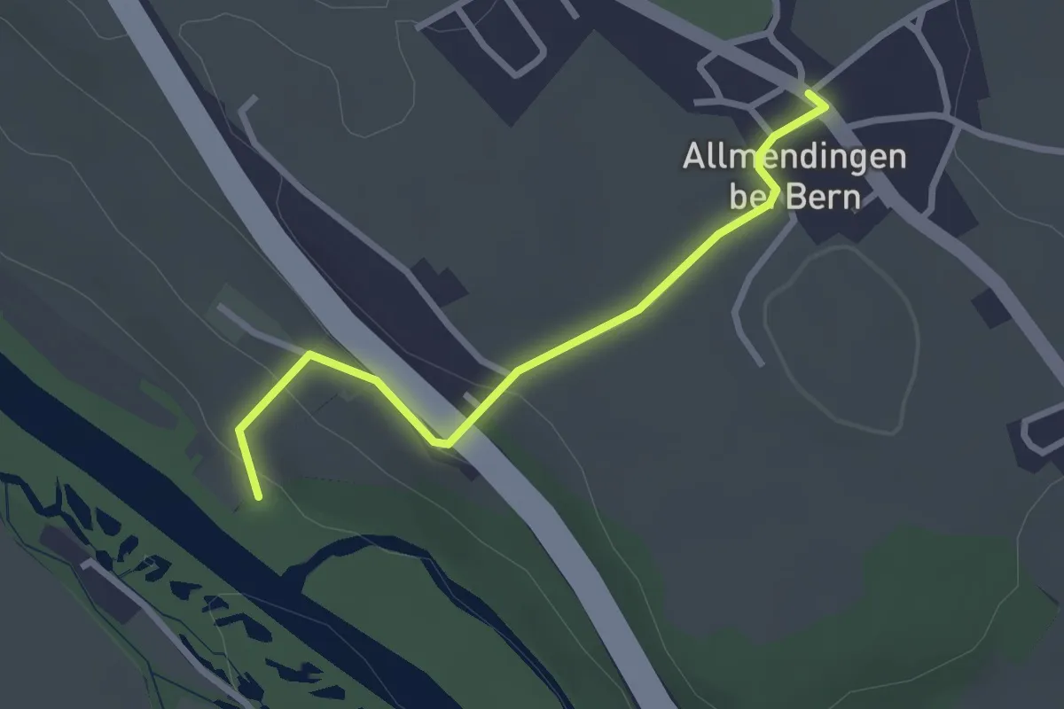
Easy · Trail
Märchligenau-Allmendingen
2.5 km · ↑ 63 m · 44 min · 7 km away
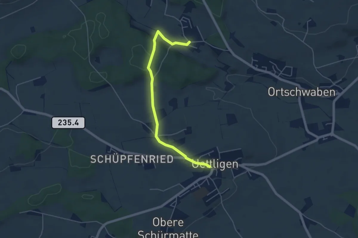
Easy · Trail
Uettligen/Linde - Weissenstein
4.6 km · ↑ 64 m · 1 h 13 min · 7 km away
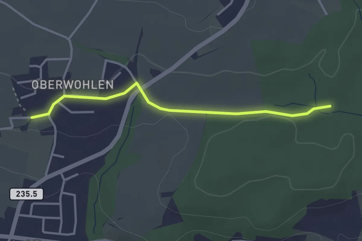
Easy · Trail
Buechholz – Oberwohlen
2.7 km · ↑ 45 m · 45 min · 7 km away
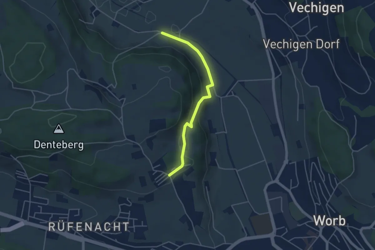
Easy · Trail
Nesselbank - Neuhus
3.8 km · ↑ 126 m · 1 h 10 min · 7 km away
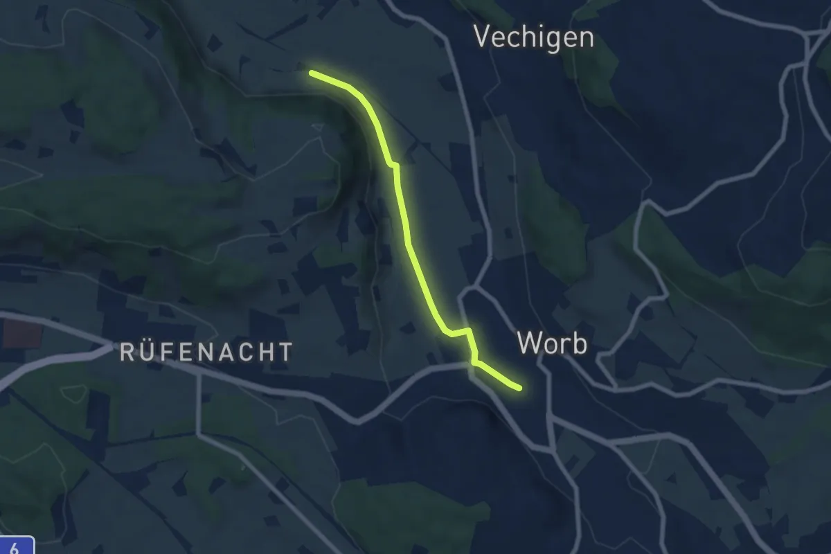
Easy · Trail
Nesselbank - Worb Sternen
5.6 km · ↑ 31 m · 1 h 24 min · 7 km away
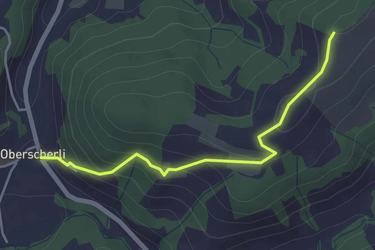
Easy · Trail
Zingghöch – Oberscherli
3.1 km · ↑ 195 m · 1 h 9 min · 7 km away
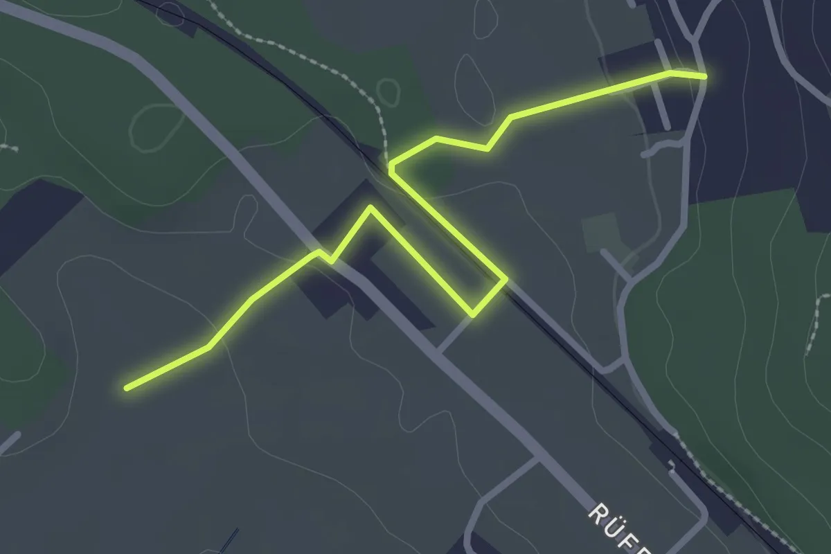
Easy · Trail
Chli Hüenliwald-Murmösli
2.7 km · ↑ 39 m · 43 min · 7 km away
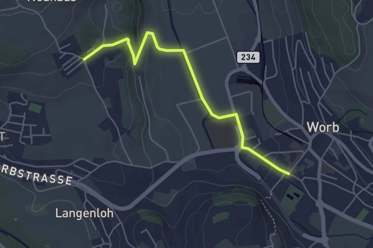
Easy · Trail
Neuhus – Worb Sternen
4.4 km · ↑ 113 m · 1 h 17 min · 7 km away
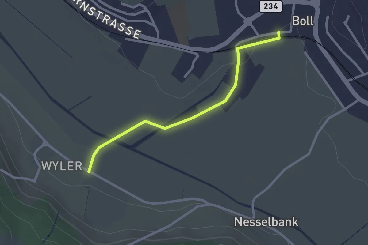
Easy · Trail
Boll - Wiler
2.1 km · ↑ 8 m · 31 min · 7 km away
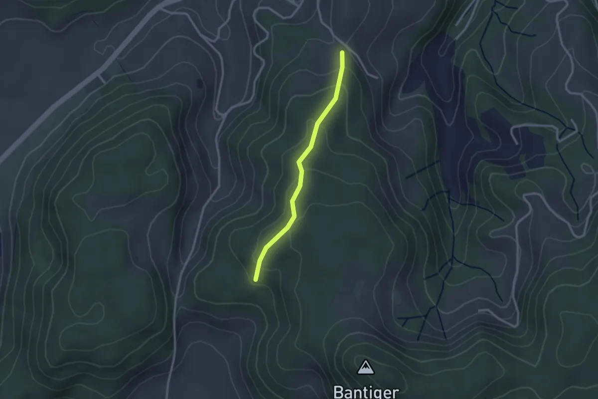
Easy · Trail
Geristein – Geristeinwald
2.2 km · ↑ 89 m · 42 min · 7 km away
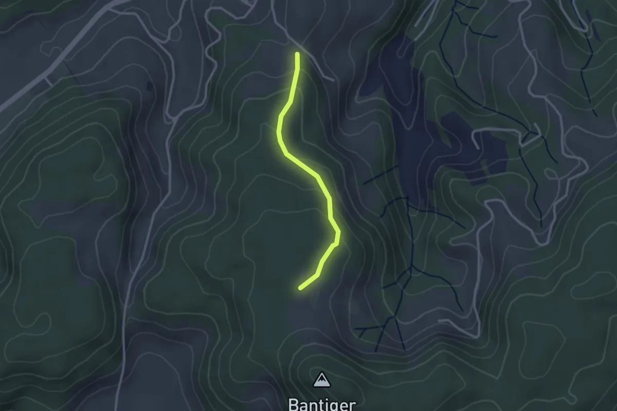
Easy · Trail
Geristein – Bantigenhubel
2.3 km · ↑ 111 m · 46 min · 7 km away
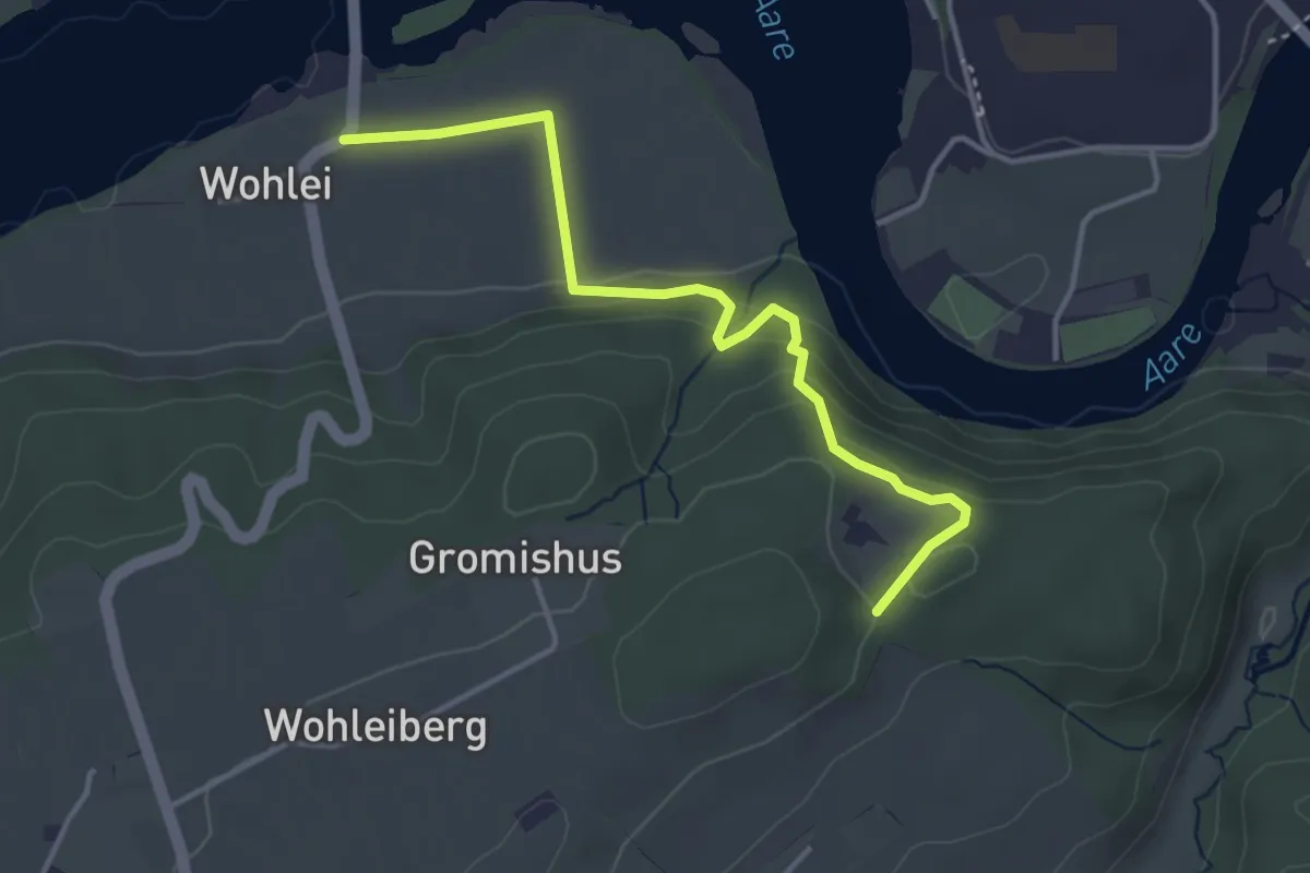
Easy · Trail
Stürleren – Wohlei
3.8 km · ↑ 176 m · 1 h 17 min · 7 km away
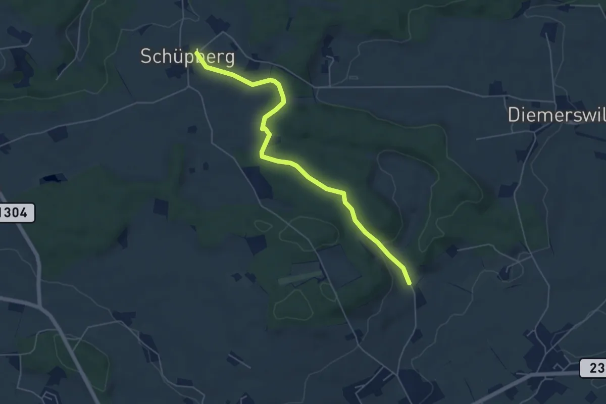
Easy · Trail
Schüpberg – Buchsacher
5.4 km · ↑ 117 m · 1 h 32 min · 7 km away
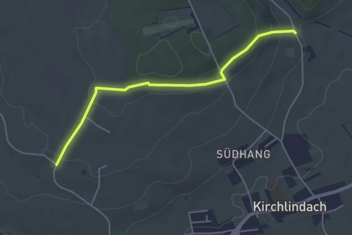
Easy · Trail
Jetzikofen – Buchsacher
3.8 km · ↑ 119 m · 1 h 9 min · 7 km away
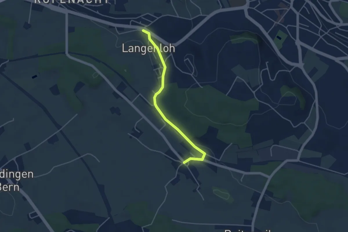
Easy · Trail
Langenloh – Vielbringen
3.7 km · ↑ 53 m · 59 min · 7 km away
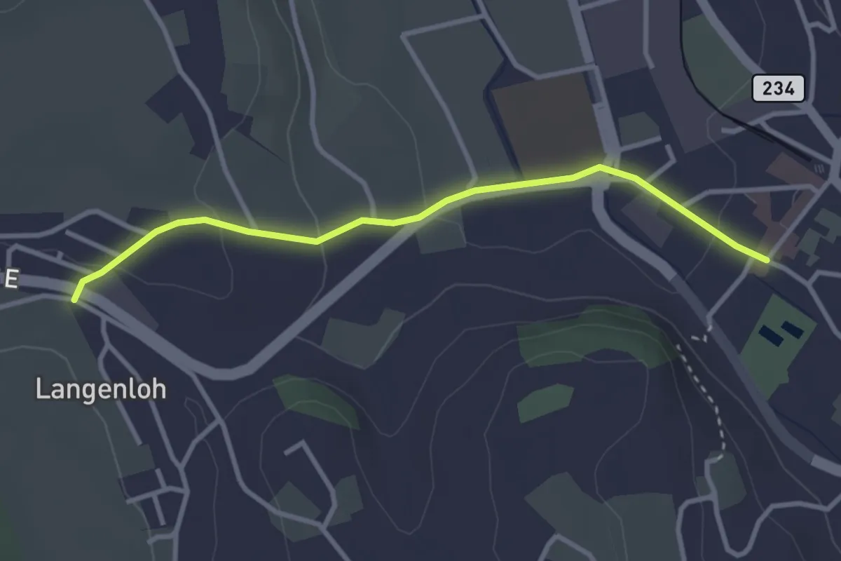
Easy · Trail
Langenloh – Worb Sternen
3.0 km · ↑ 66 m · 52 min · 7 km away
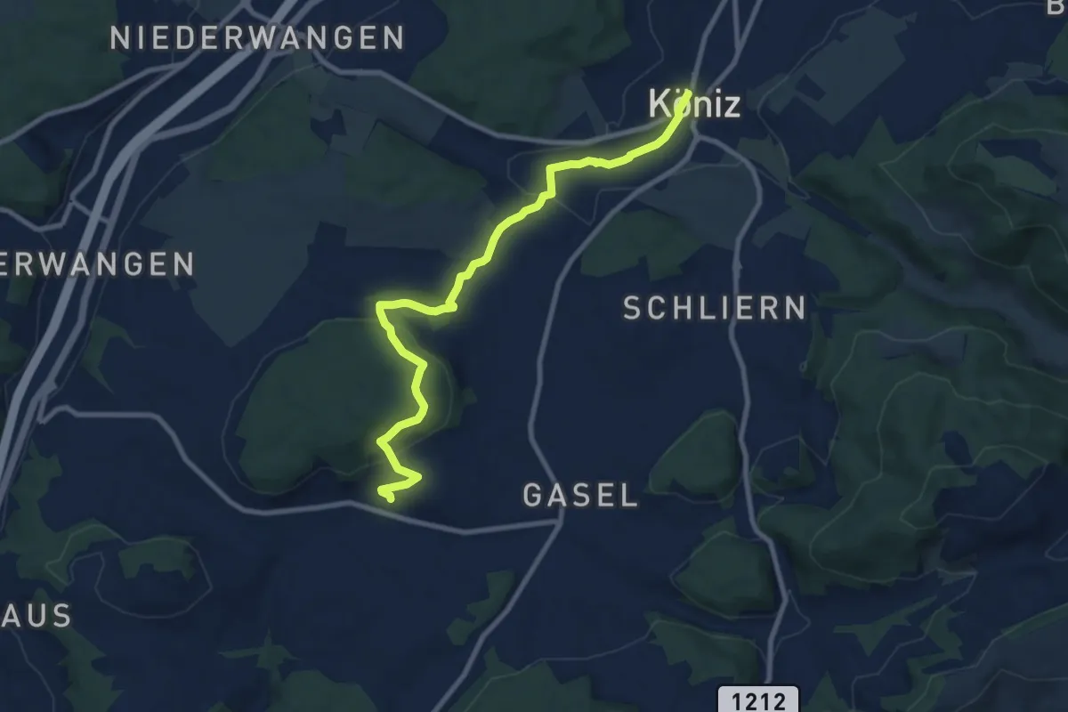
Medium · Trail
Mengestorf – Köniz
9.4 km · ↑ 280 m · 2 h 50 min · 7 km away
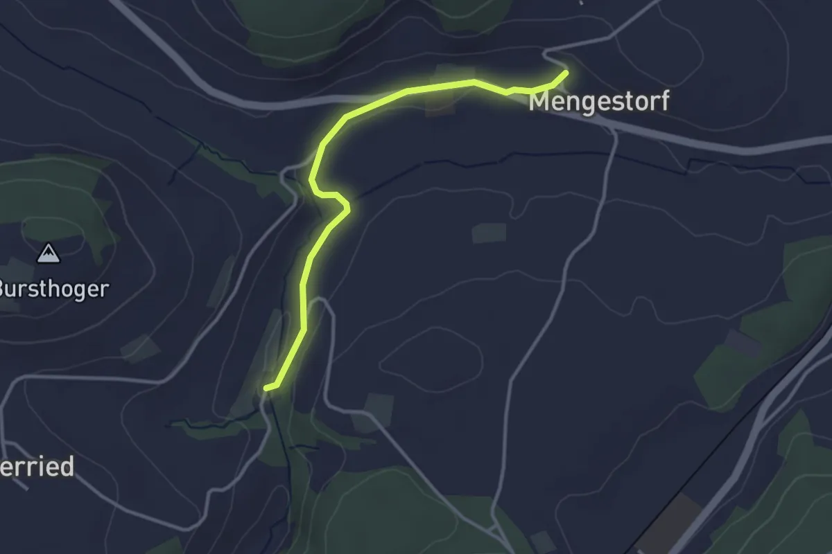
Easy · Trail
Grabenmüli – Mengestorf
3.2 km · ↑ 40 m · 50 min · 7 km away