Trails near Bern
511 hikes starting within 15 km, nearest first.
Nearest first, page 4 of 11
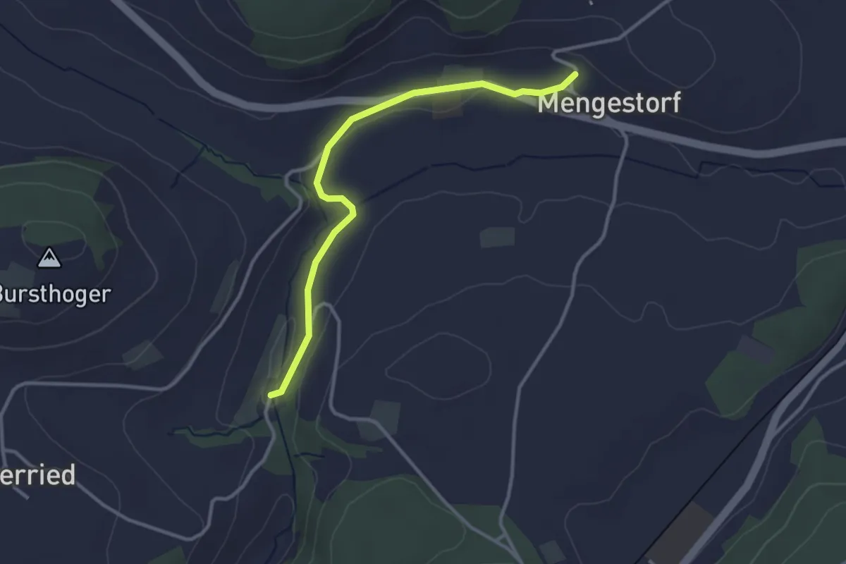
Easy · Trail
Grabenmüli – Mengestorf
3.2 km · ↑ 40 m · 50 min · 7 km away
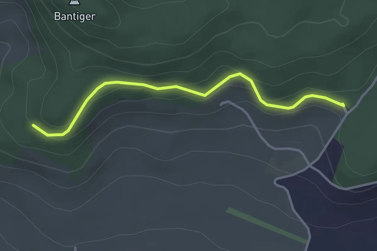
Easy · Trail
Chatzenstyg – Cholegruebe
2.8 km · ↑ 80 m · 51 min · 7 km away
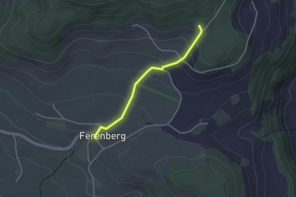
Easy · Trail
Cholegruebe – Ferenberg
2.4 km · ↑ 106 m · 48 min · 7 km away
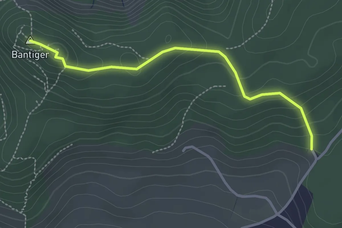
Easy · Summit
Bantiger – Cholgruebe
2.7 km · ↑ 119 m · 54 min · 7 km away
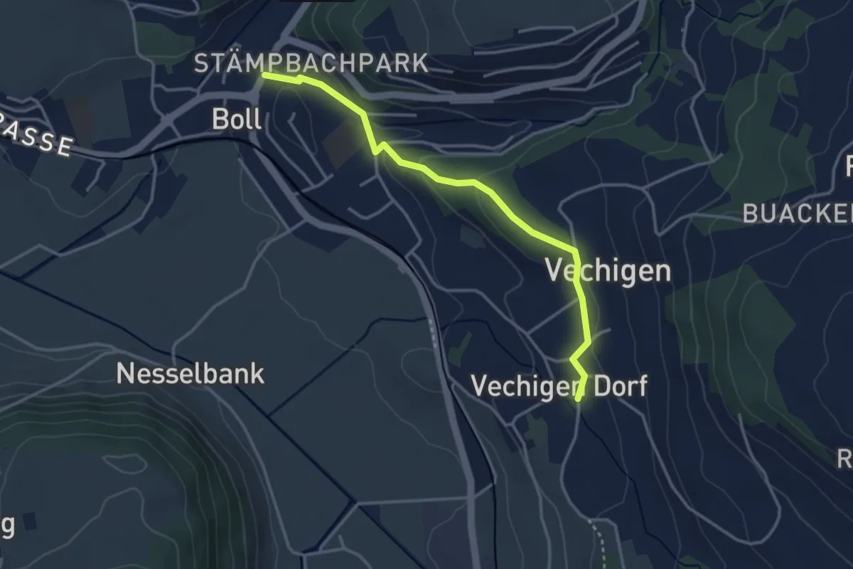
Easy · Trail
Boll – Vechigen
3.4 km · ↑ 74 m · 57 min · 7 km away
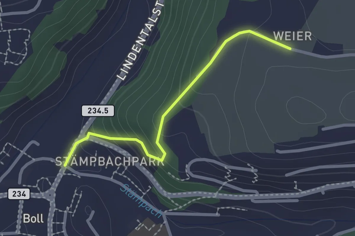
Easy · Trail
Boll - Weier
2.0 km · ↑ 113 m · 43 min · 7 km away
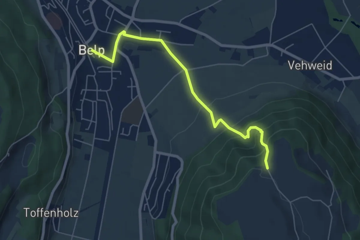
Easy · Trail
Belp – Hoburg
5.3 km · ↑ 310 m · 1 h 55 min · 7 km away
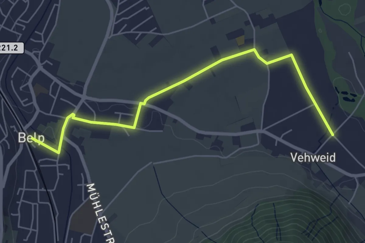
Easy · Trail
Belp – Vehweid
5.7 km · ↑ 9 m · 1 h 21 min · 7 km away
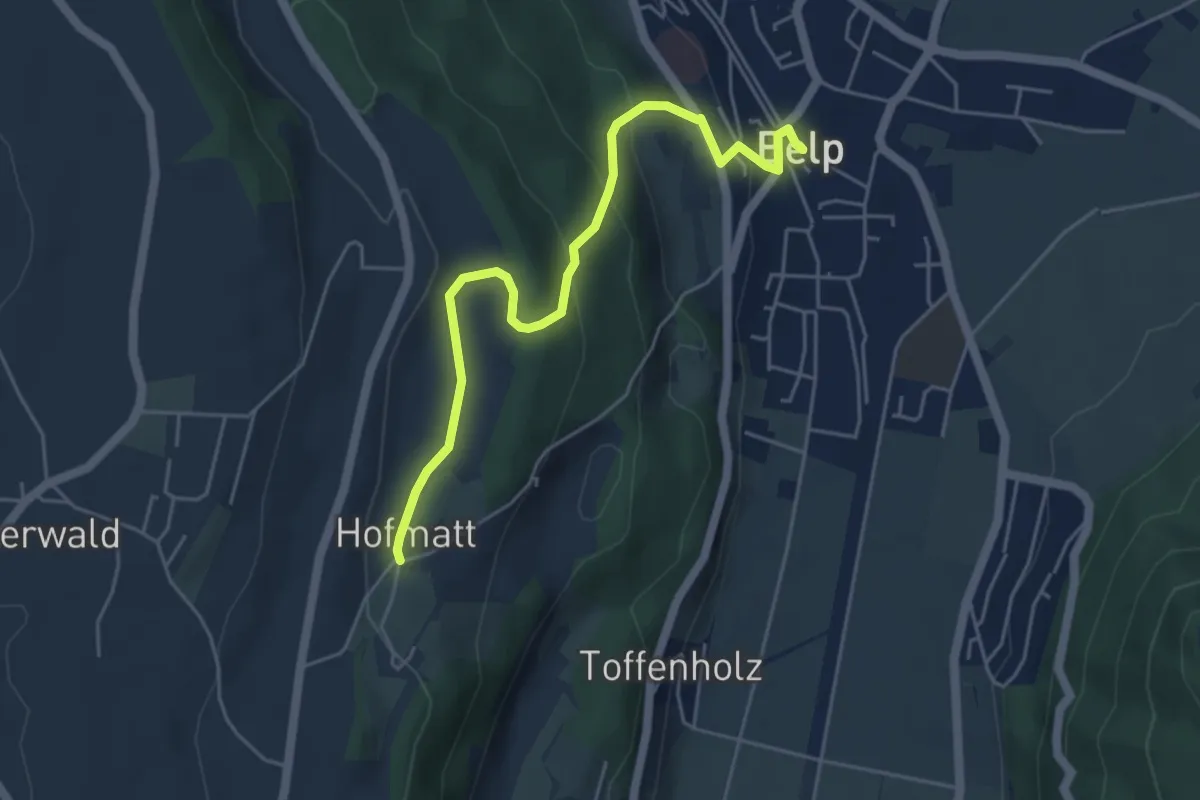
Easy · Trail
Hofmatt – Belp
5.1 km · ↑ 246 m · 1 h 44 min · 7 km away
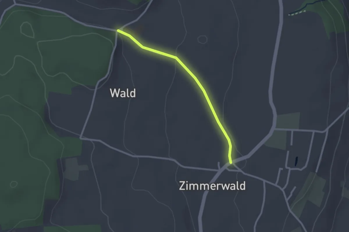
Easy · Trail
Zimmerwald – Undere Wald
2.1 km · ↑ 37 m · 35 min · 8 km away
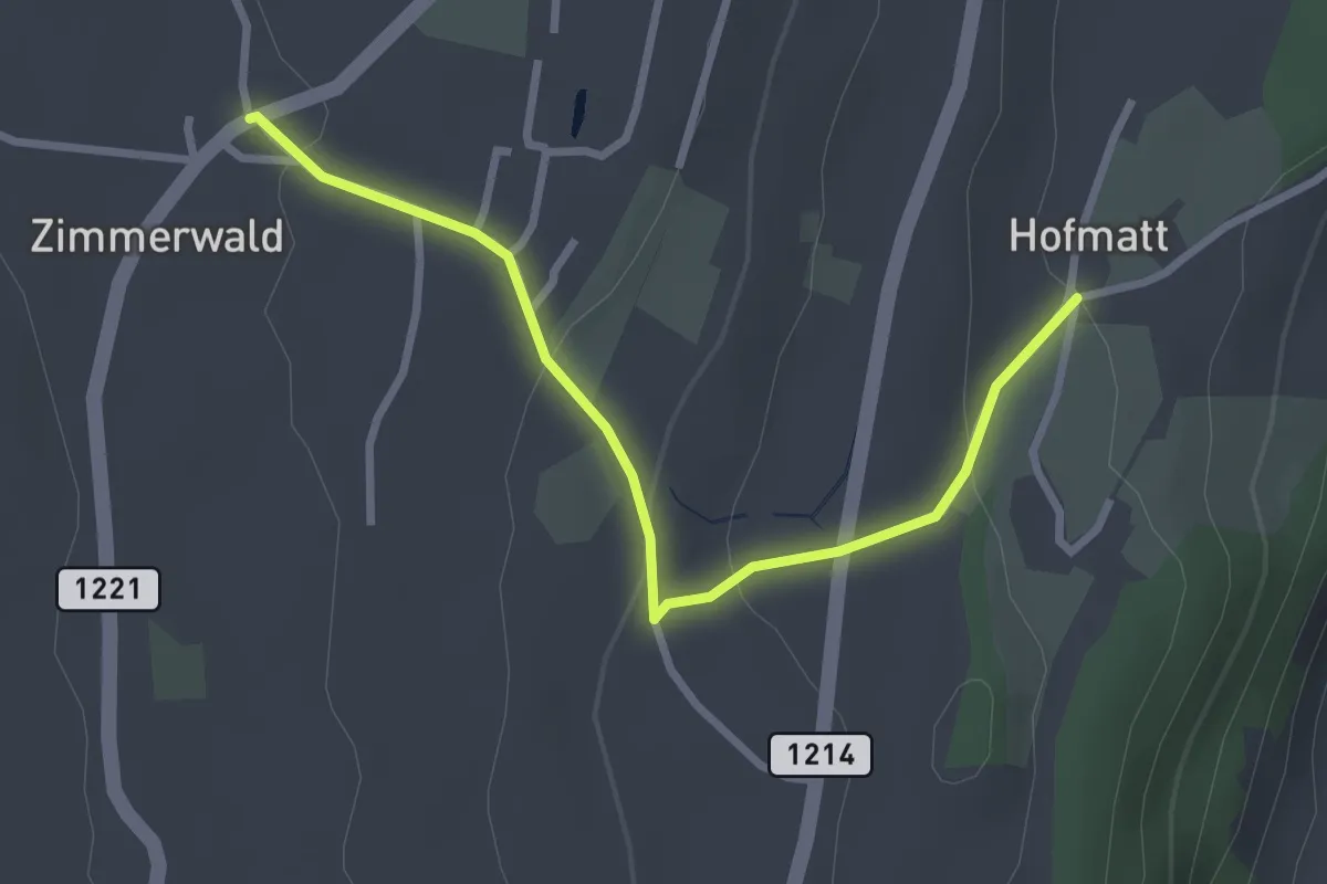
Easy · Trail
Zimmerwald – Hofmatt
2.9 km · ↑ 102 m · 54 min · 8 km away
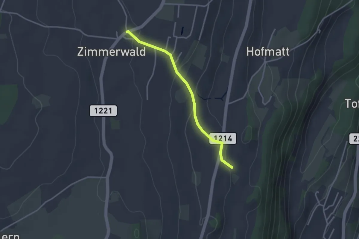
Easy · Trail
Zimmerwald – Rossweid
2.6 km · ↑ 64 m · 45 min · 8 km away
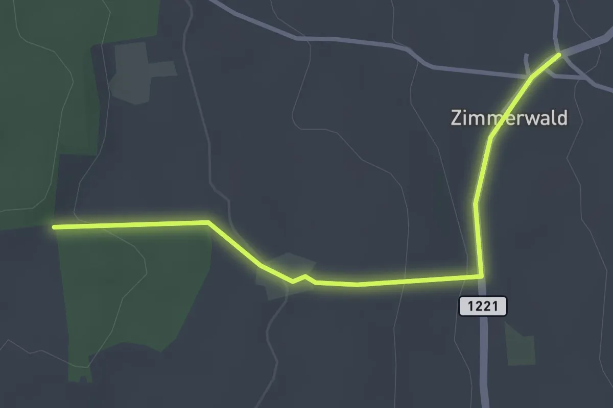
Easy · Trail
Allmid – Zimmerwald
3.0 km · ↑ 84 m · 53 min · 8 km away
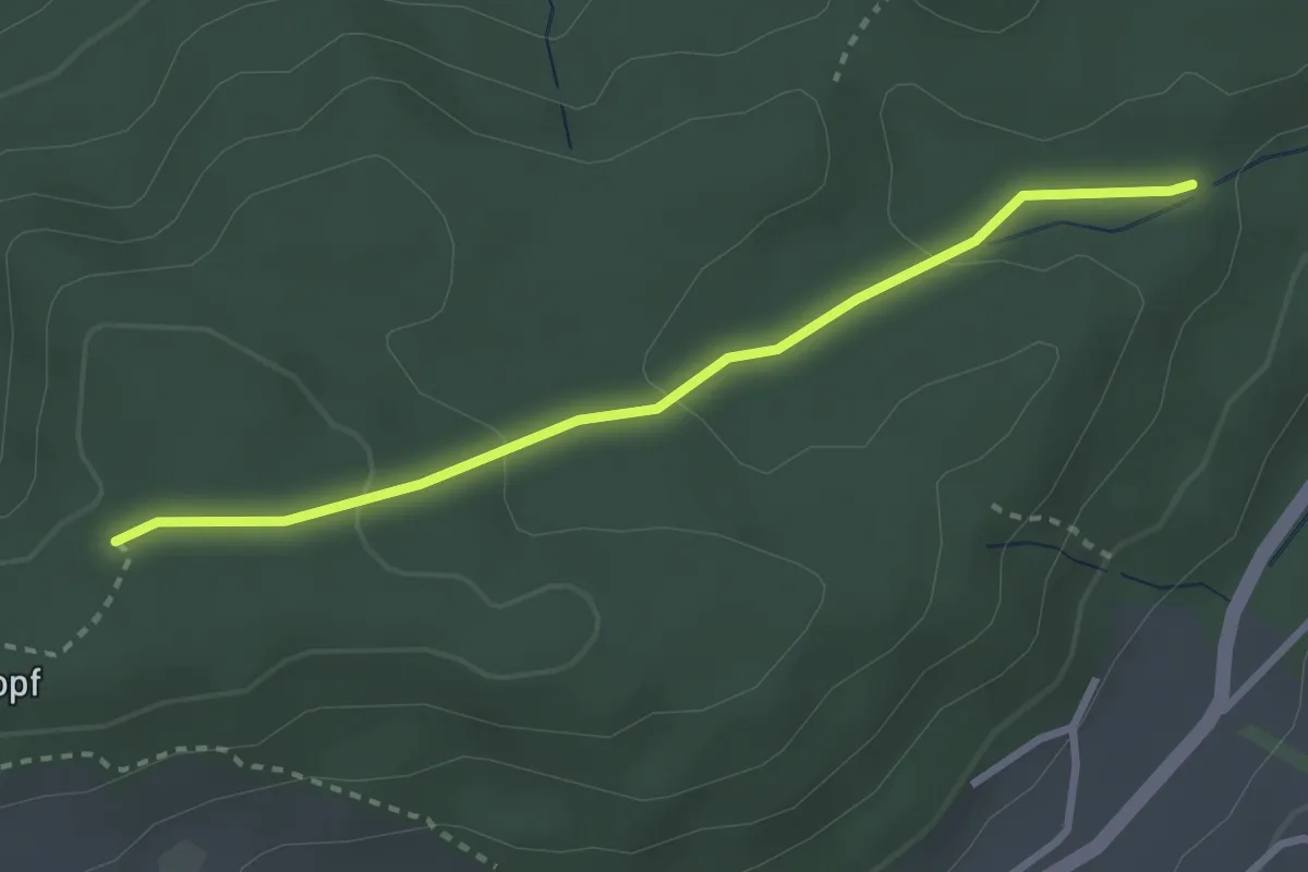
Easy · Trail
Sädelbachhüttli – Bannholz
2.8 km · ↑ 83 m · 50 min · 8 km away
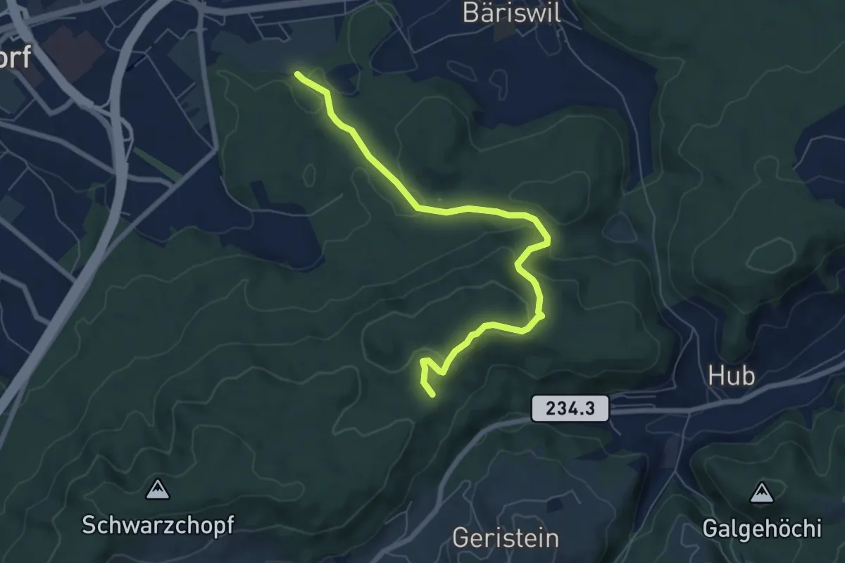
Easy · Trail
Holzmatt – Mattstettenberg
6.9 km · ↑ 277 m · 2 h 14 min · 8 km away
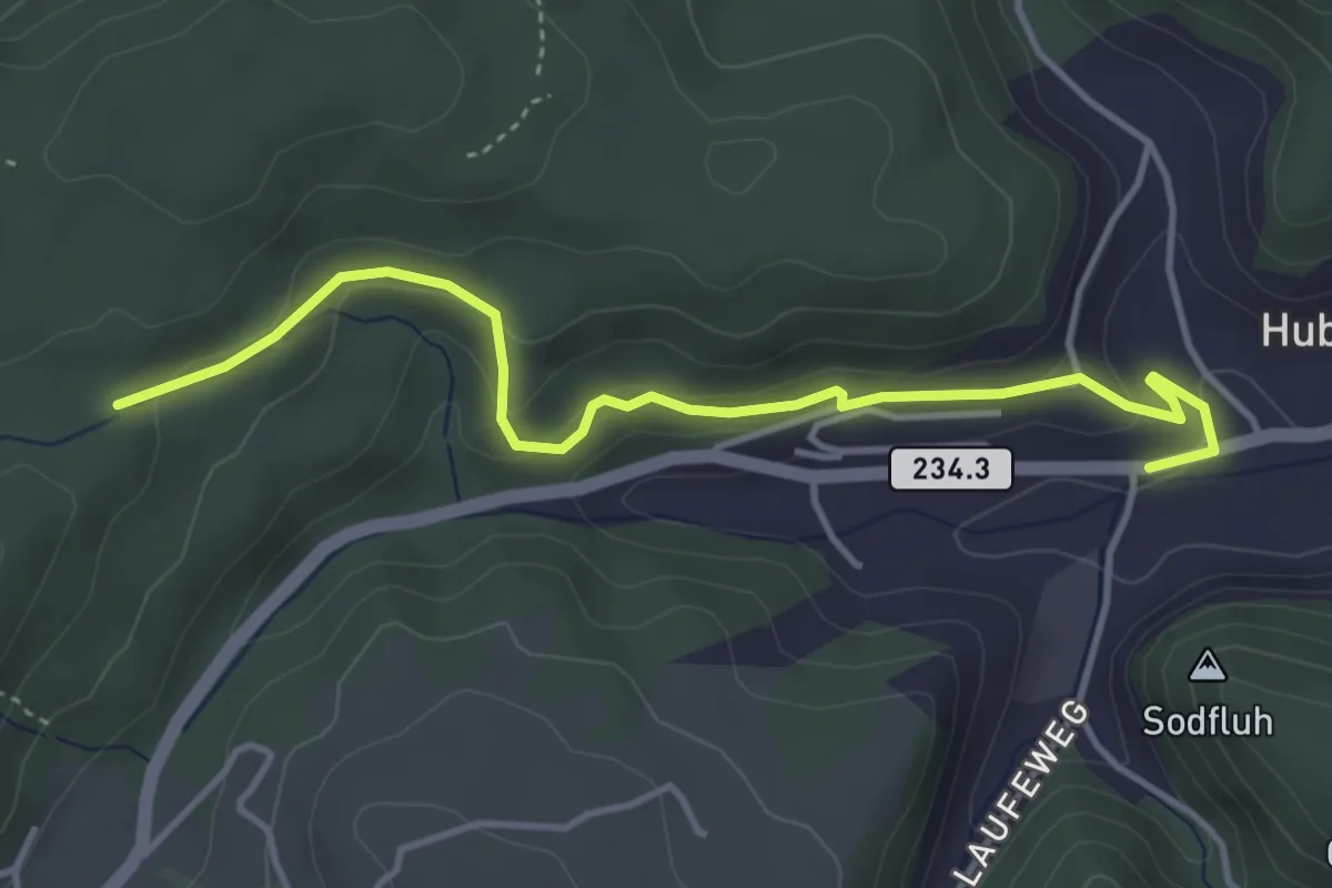
Easy · Trail
Sädelbachhüttli – Hueb
4.2 km · ↑ 167 m · 1 h 22 min · 8 km away
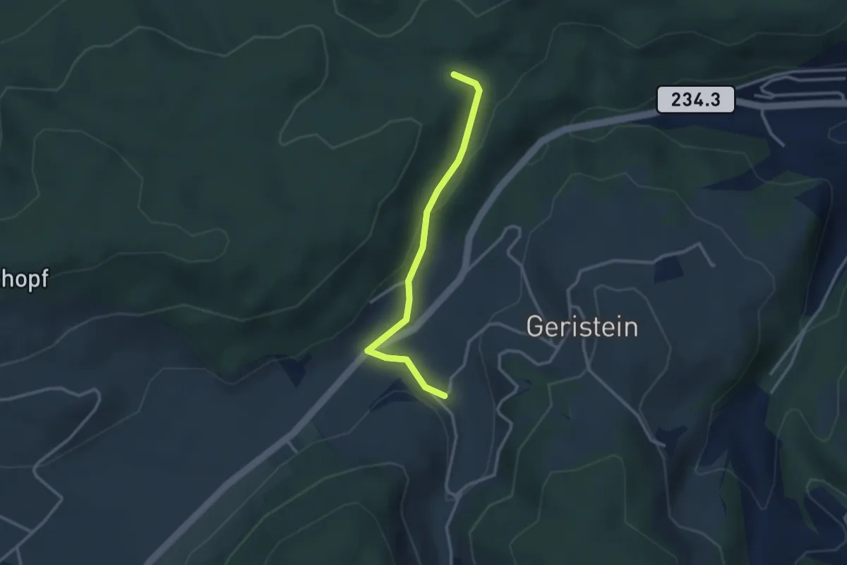
Easy · Trail
Sädelbachhüttli – Lutzere
2.7 km · ↑ 47 m · 44 min · 8 km away
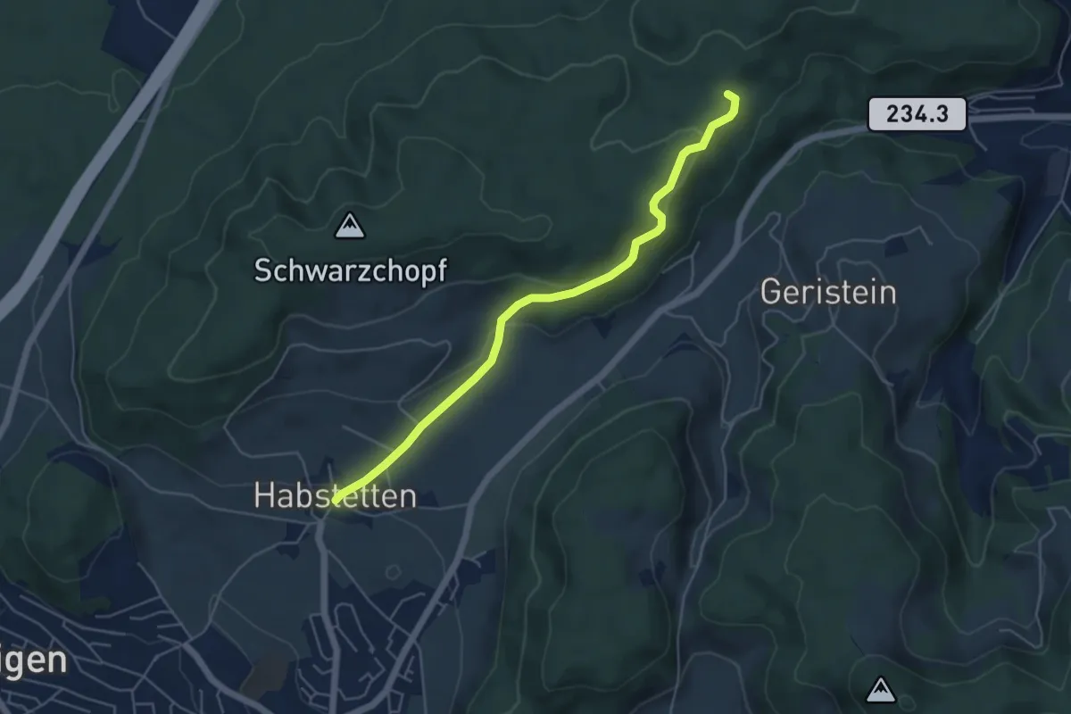
Easy · Trail
Sädelbachhüttli – Habstetten
5.0 km · ↑ 180 m · 1 h 35 min · 8 km away
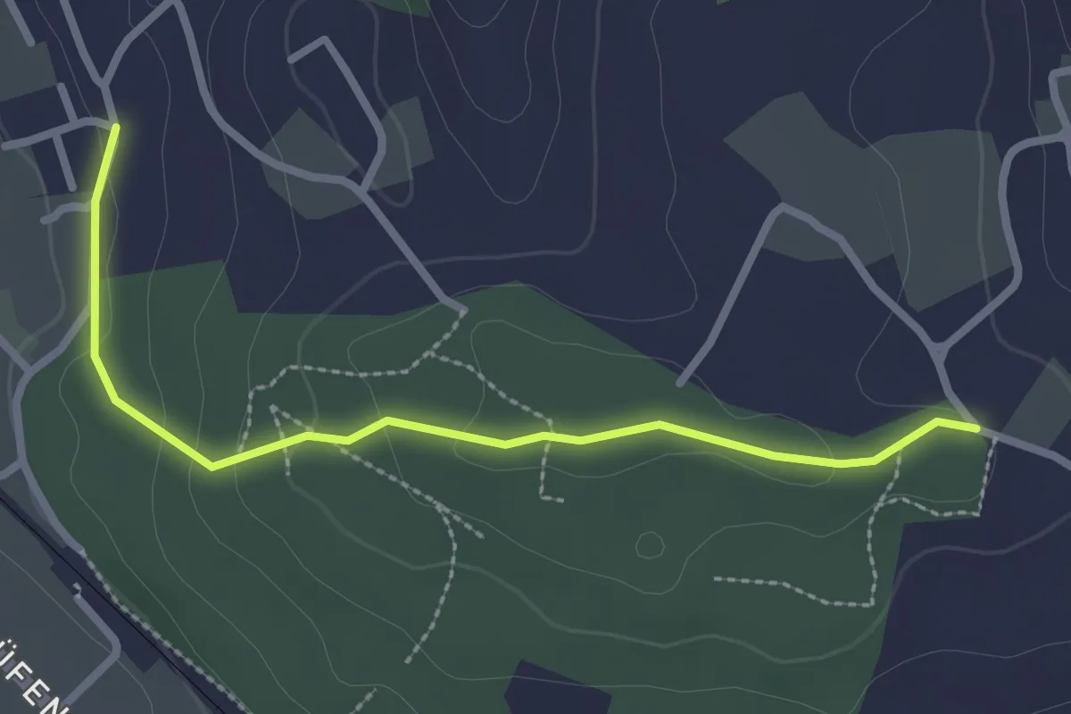
Easy · Trail
Langenloh-Wislen
2.6 km · ↑ 70 m · 46 min · 8 km away
Easy · Trail
Grauholzdenkmal – Forsthus
5.6 km · ↑ 122 m · 1 h 36 min · 8 km away
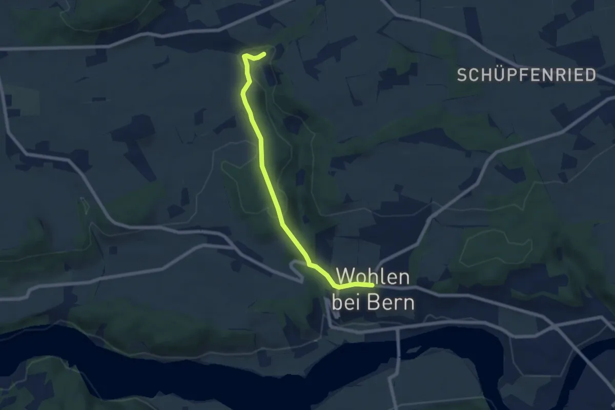
Easy · Trail
Wohlen - Grabenmüli
5.8 km · ↑ 156 m · 1 h 42 min · 8 km away
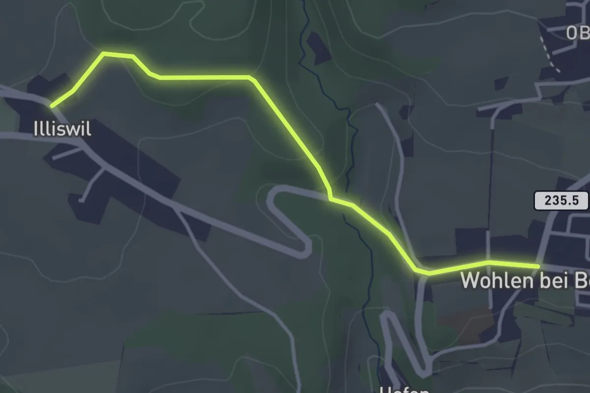
Easy · Trail
Illiswil - Wohlen
3.4 km · ↑ 79 m · 58 min · 8 km away
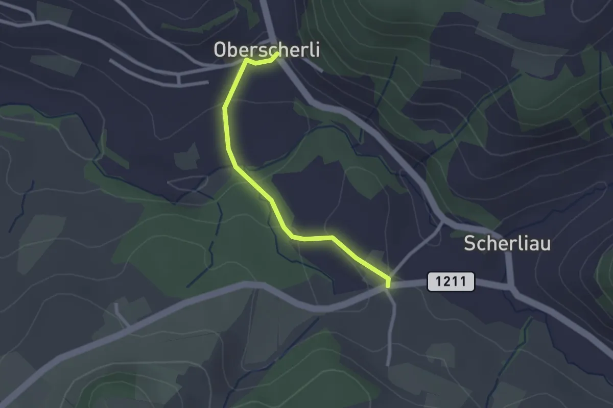
Easy · Trail
Oberscherli – Leiman
2.1 km · ↑ 65 m · 38 min · 8 km away
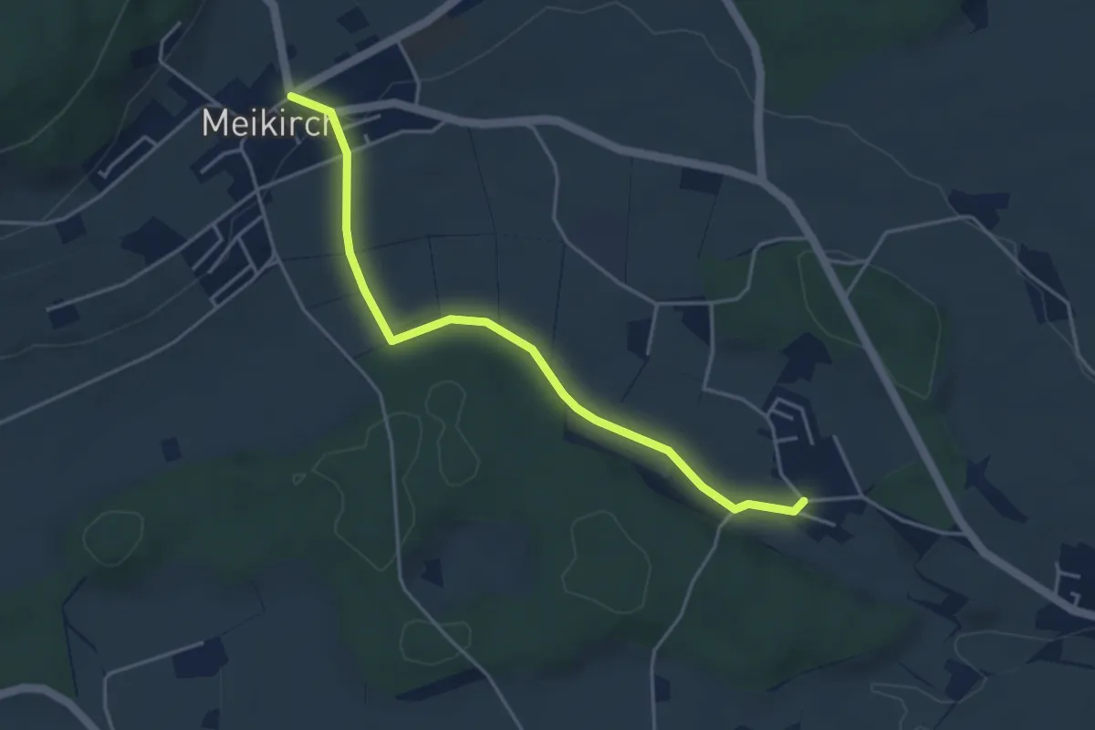
Easy · Trail
Weissenstein – Meikirch
4.2 km · ↑ 47 m · 1 h 5 min · 8 km away
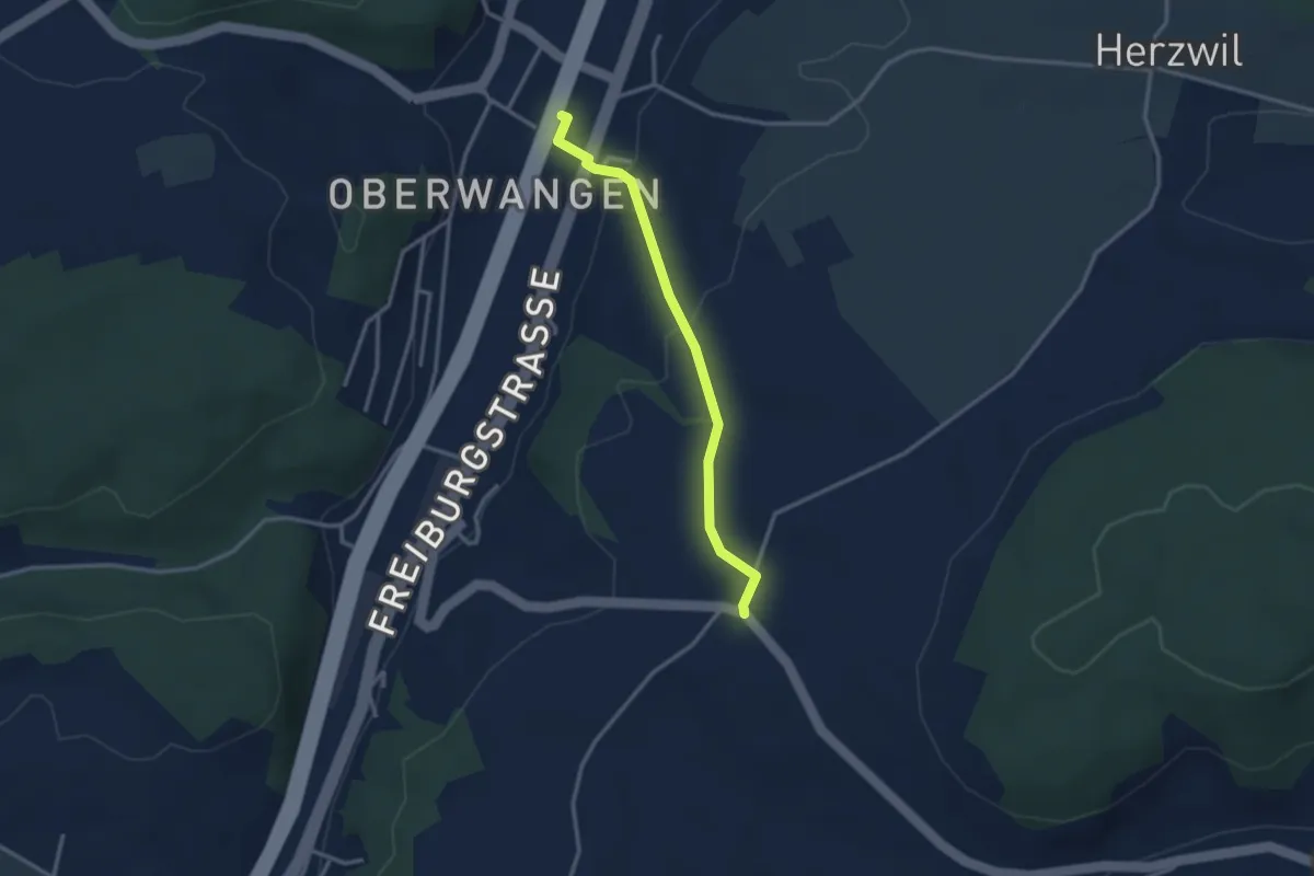
Easy · Trail
Oberwangen Station - Liebewil
2.8 km · ↑ 93 m · 51 min · 8 km away
Easy · Trail
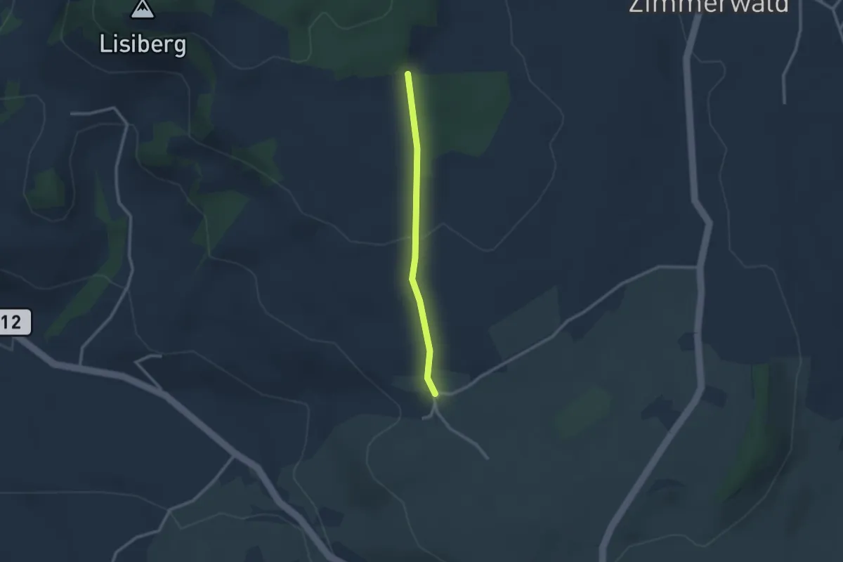
Allmid – Obermuhlern
2.1 km · ↑ 62 m · 38 min · 8 km away
Easy · Trail
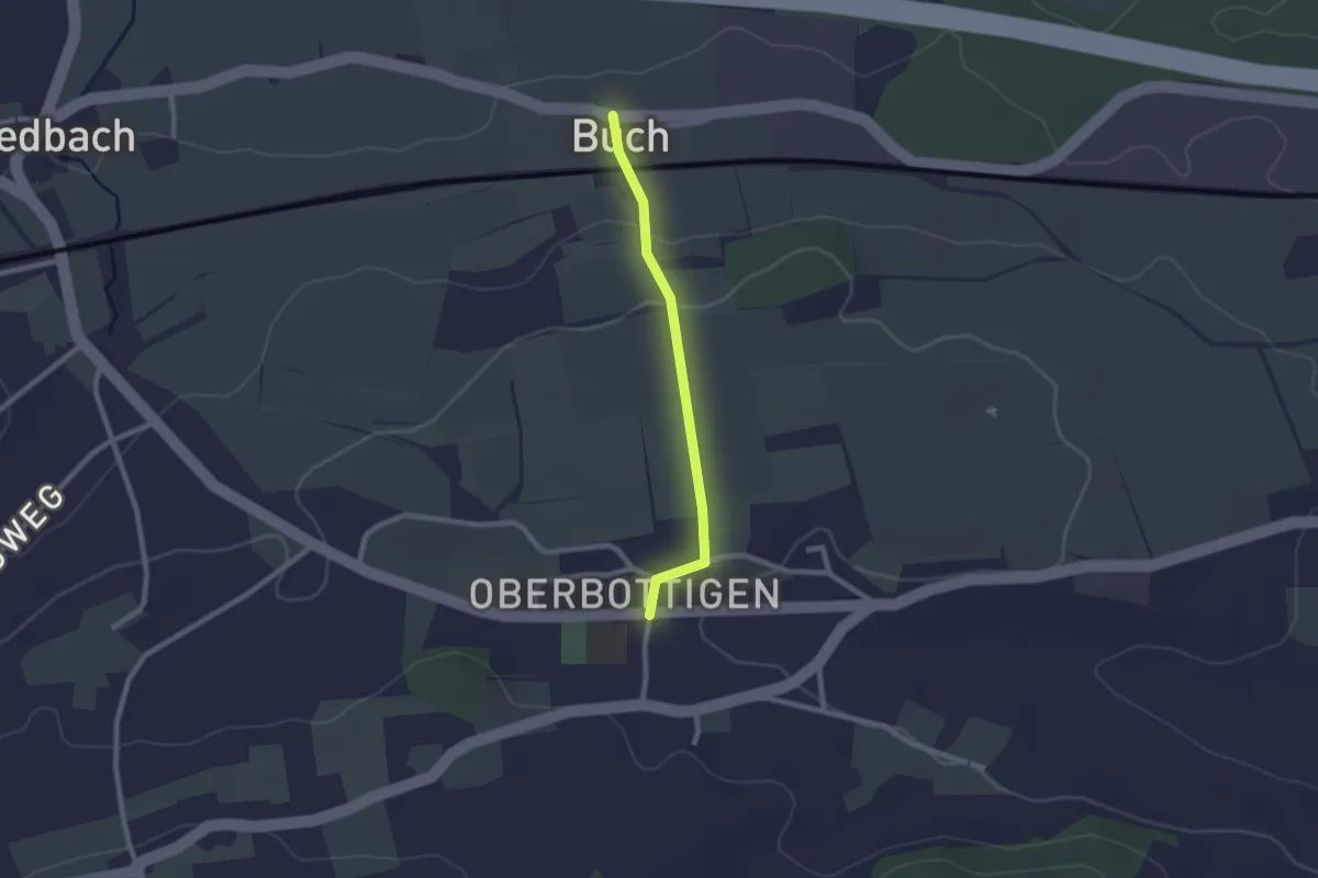
Buech - Oberbottigen
2.0 km · ↑ 43 m · 34 min · 8 km away
Easy · Trail
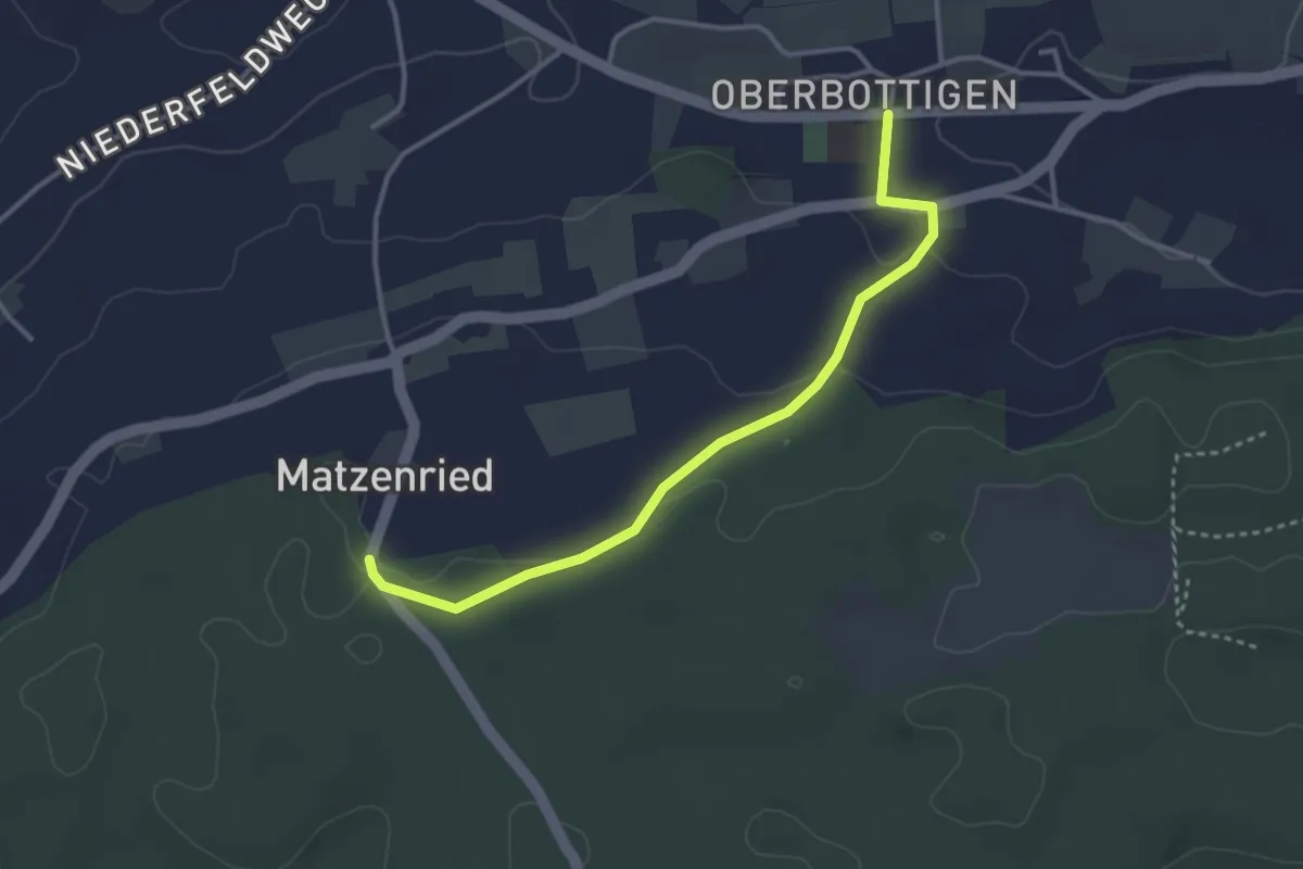
Oberbottigen - Holzeggen
3.4 km · ↑ 57 m · 56 min · 8 km away
Easy · Trail
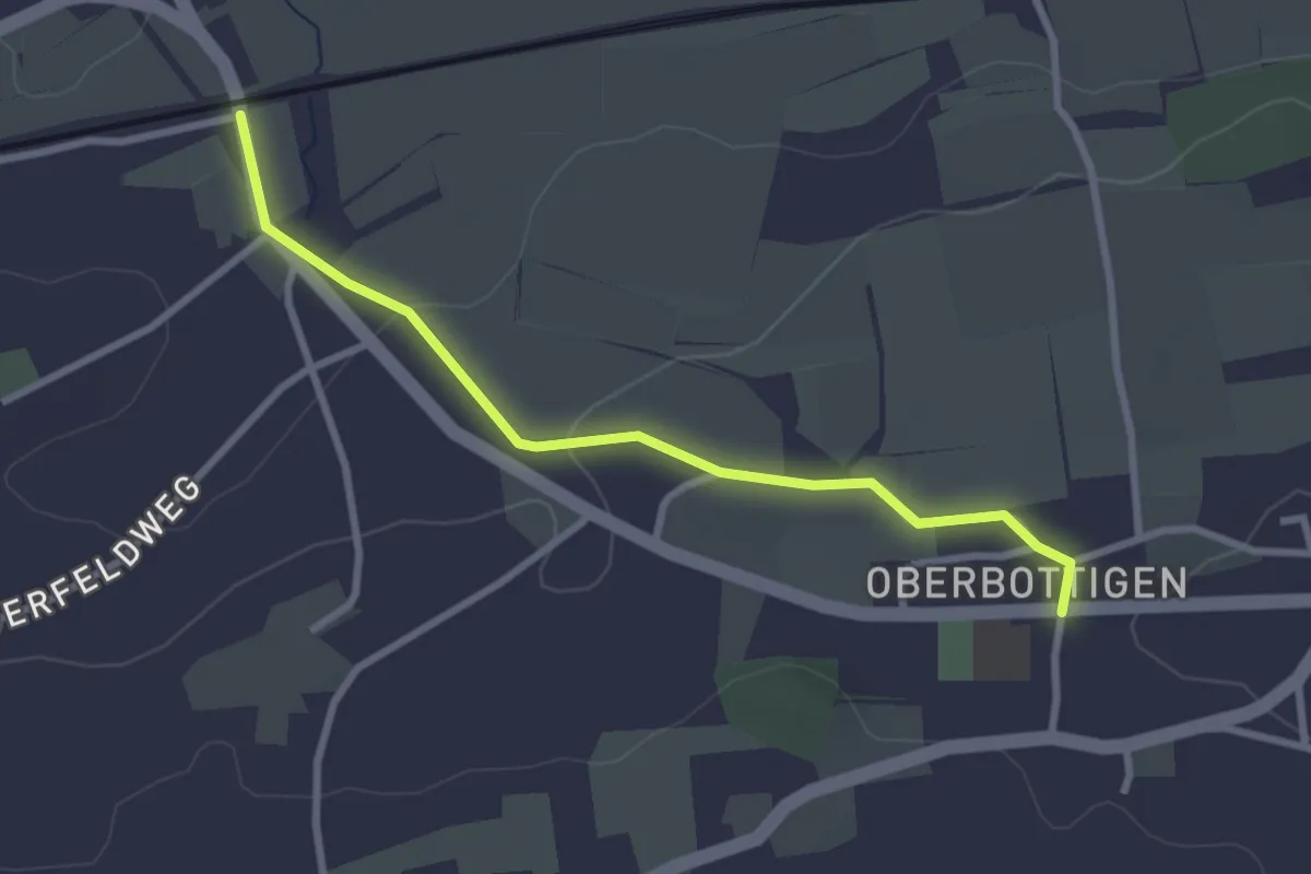
Oberbottigen - Riedbach/Station
2.9 km · ↑ 46 m · 47 min · 8 km away
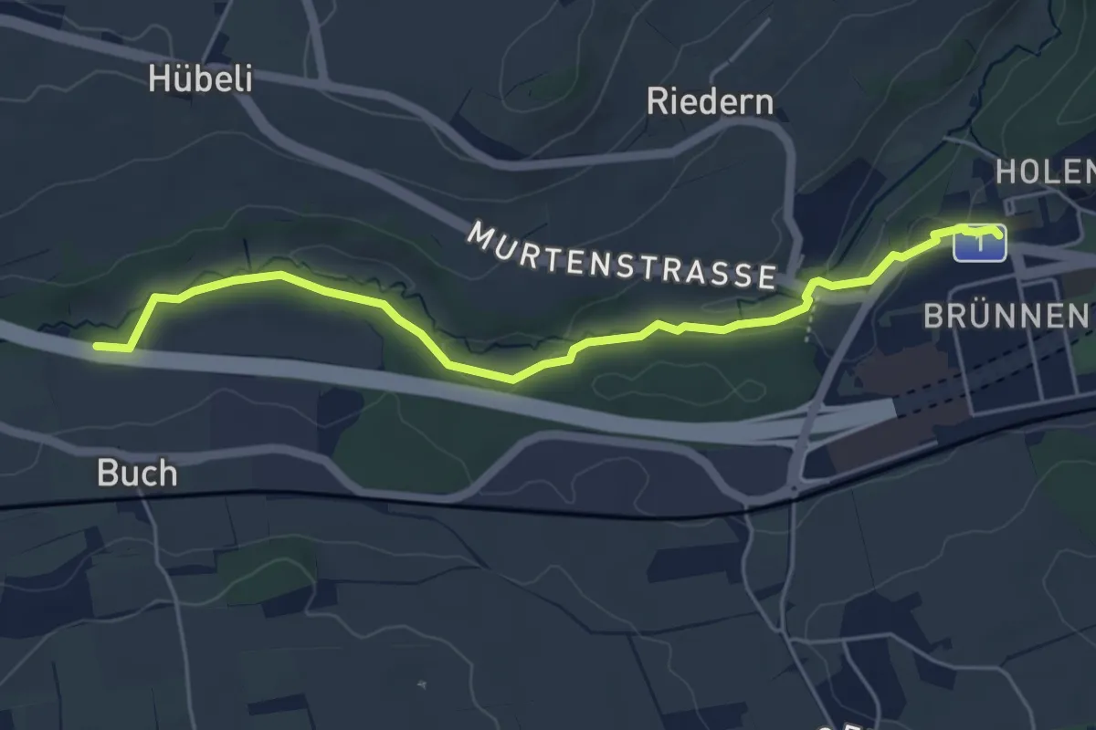
Easy · Trail
Gäbelbach – Autobahnviadukt
5.0 km · ↑ 49 m · 1 h 17 min · 8 km away
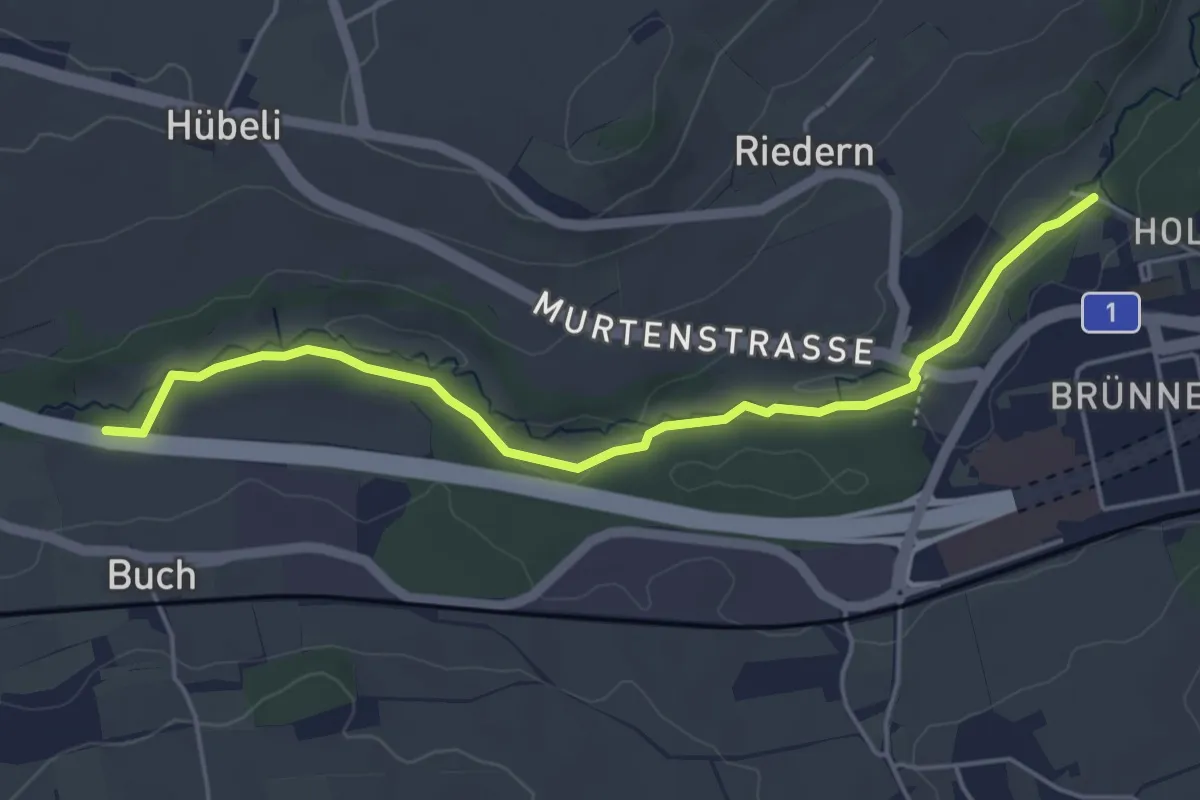
Easy · Trail
Gäbelbachbrücke - Autobahnviadukt
4.9 km · ↑ 37 m · 1 h 15 min · 8 km away
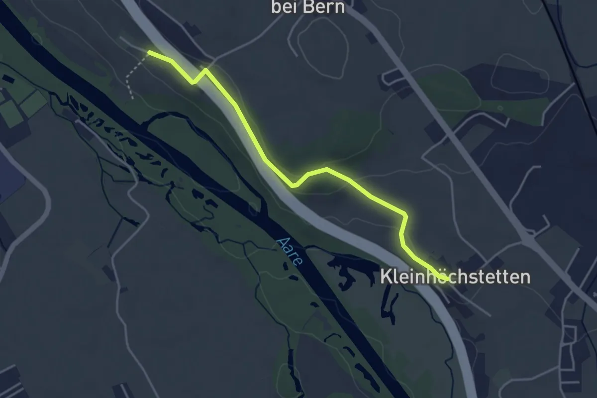
Easy · Trail
Kleinhöchstetten – Hinter Märchligen
3.7 km · ↑ 92 m · 1 h 5 min · 8 km away
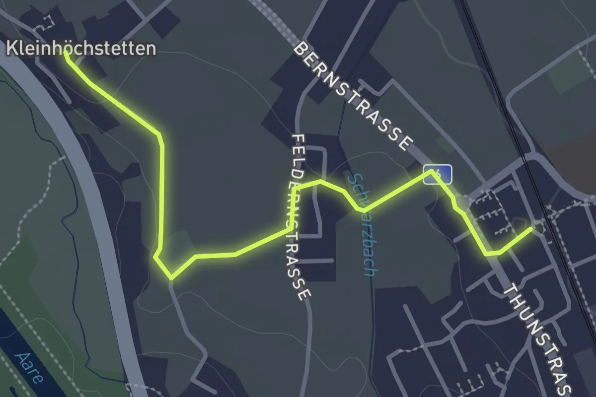
Easy · Trail
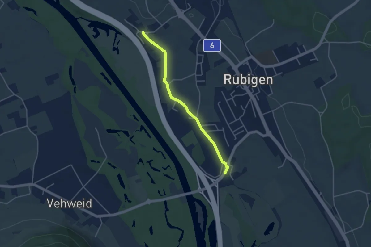
Rubigen - Kleinhöchstetten
3.3 km · ↑ 31 m · 50 min · 8 km away
Easy · Trail
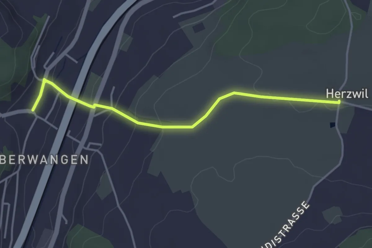
Kleinhöchstetten – Hunziken
3.2 km · ↑ 23 m · 49 min · 8 km away
Easy · Trail
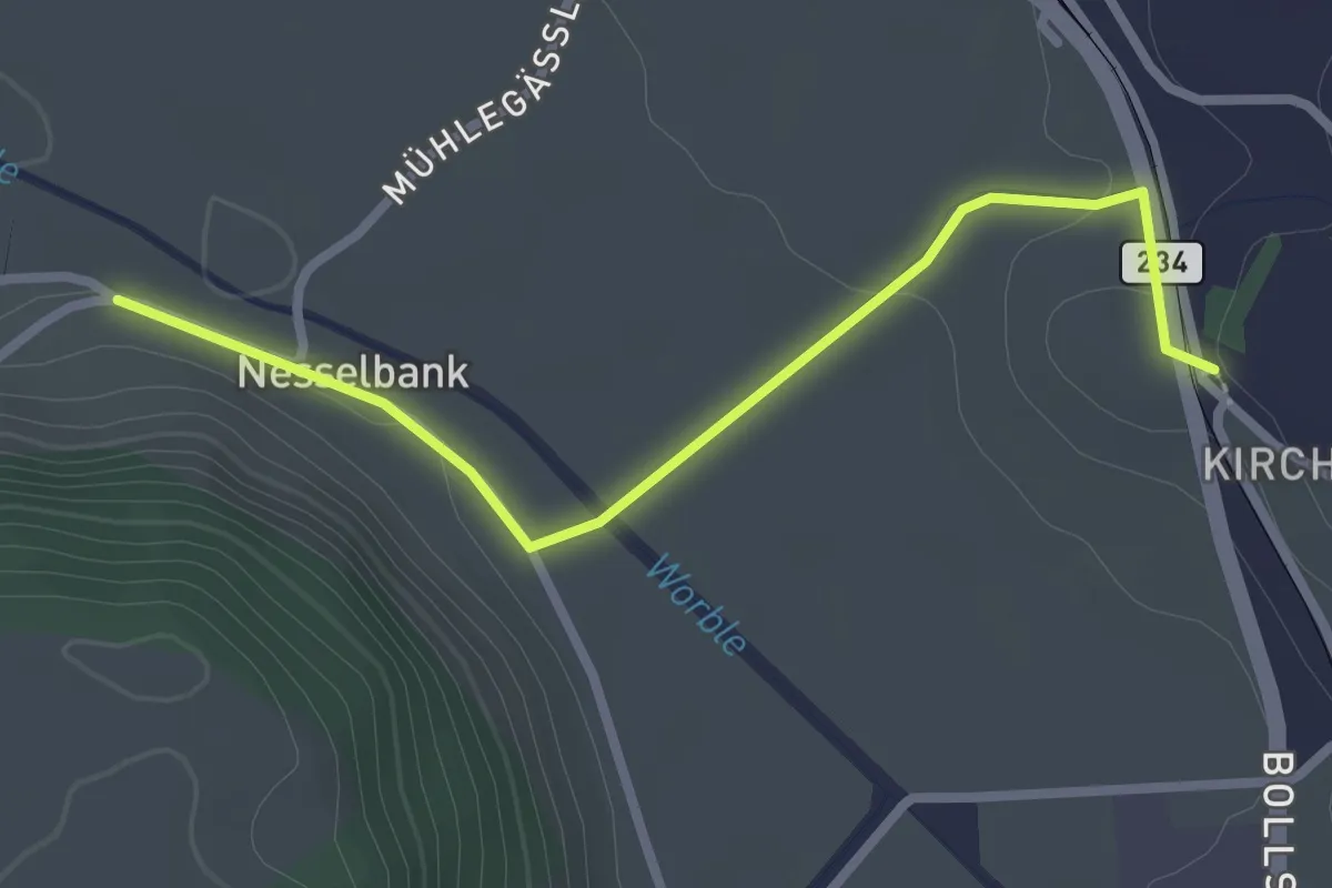
Herzwil - Oberwangen
3.7 km · ↑ 93 m · 1 h 4 min · 8 km away
Easy · Trail
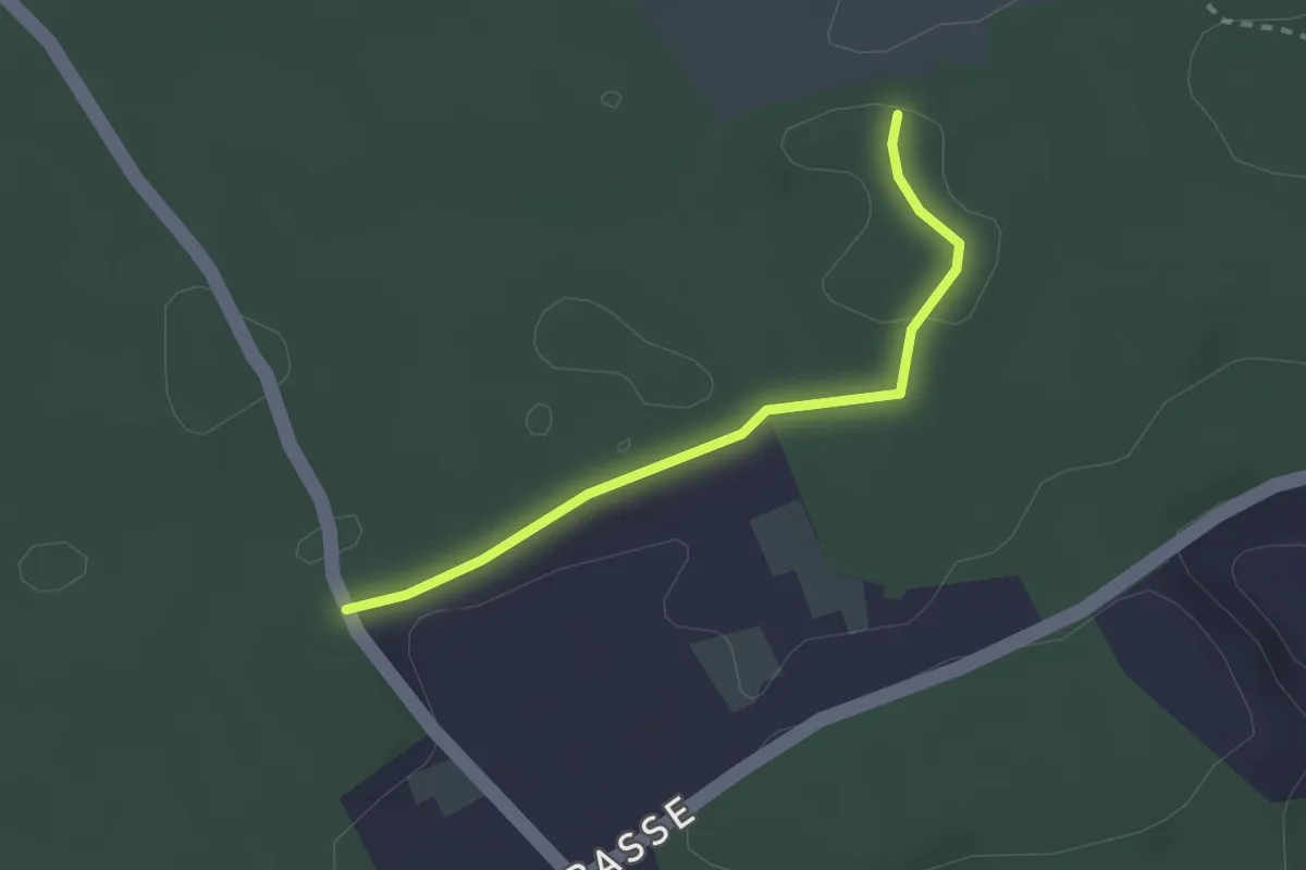
Nesselbank - Vechigen Hst.
2.7 km · ↑ 40 m · 43 min · 8 km away
Easy · Trail
Niederwangenhubel - Ried
2.2 km · ↑ 23 m · 35 min · 8 km away
Easy · Trail
Münchenbuchsee – Bäreried
3.4 km · ↑ 45 m · 54 min · 8 km away
Easy · Trail
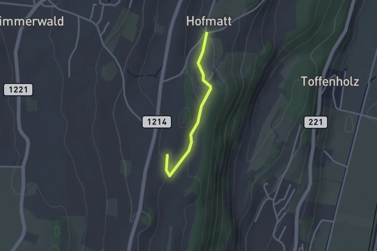
Hofmatt – Rossweid
2.1 km · ↑ 34 m · 35 min · 8 km away
Easy · Trail
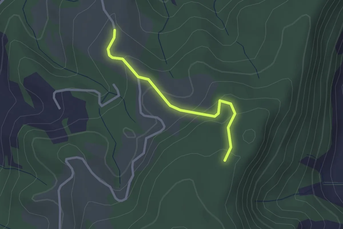
Vorder Jucke – Mühlestein
2.1 km · ↑ 142 m · 48 min · 8 km away
Easy · Trail
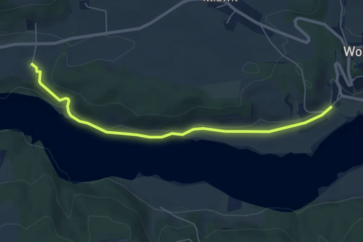
Steinisweg - Hofe
5.3 km · ↑ 112 m · 1 h 30 min · 8 km away
Easy · Trail
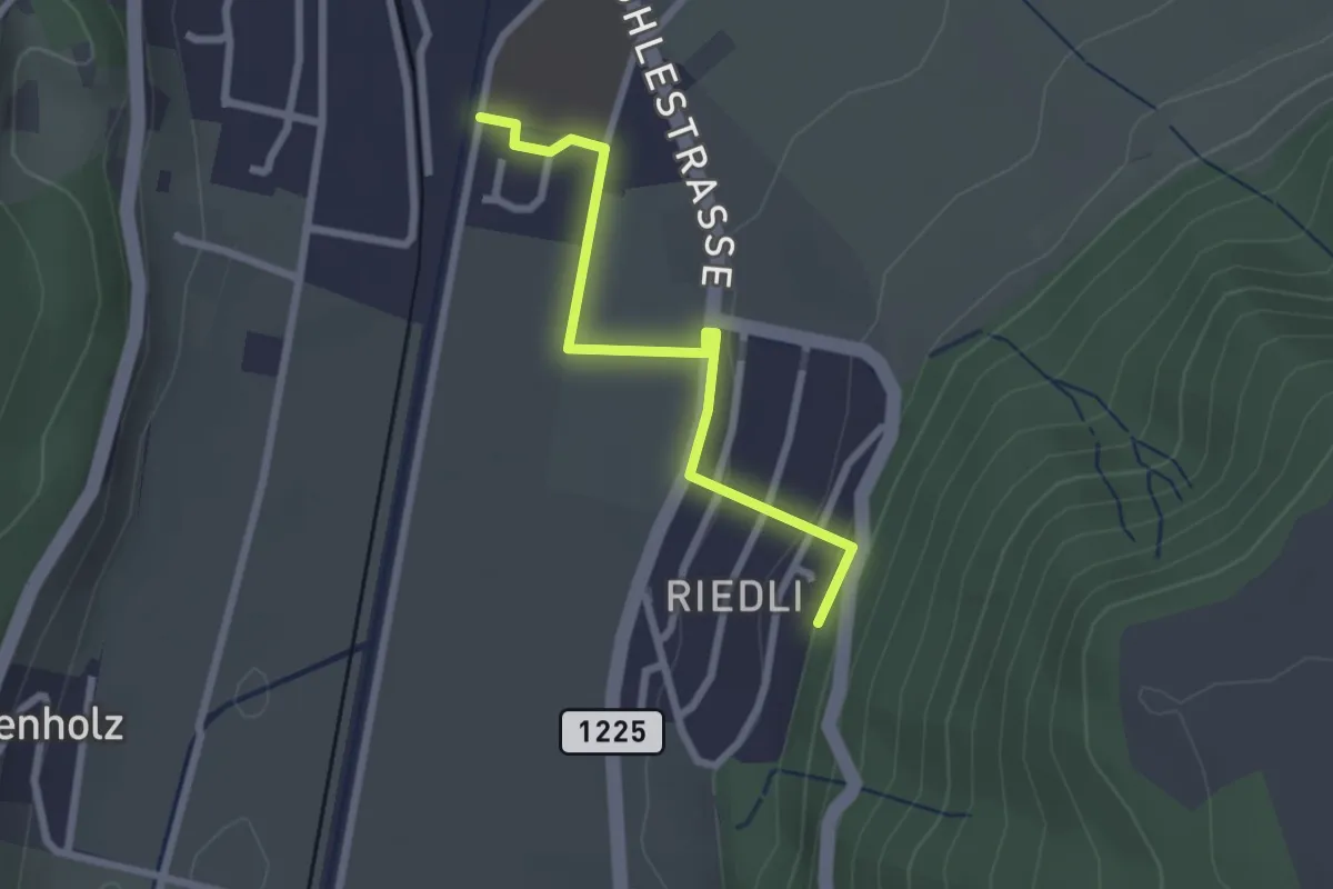
Belp – Riedli
2.4 km · ↑ 63 m · 42 min · 8 km away
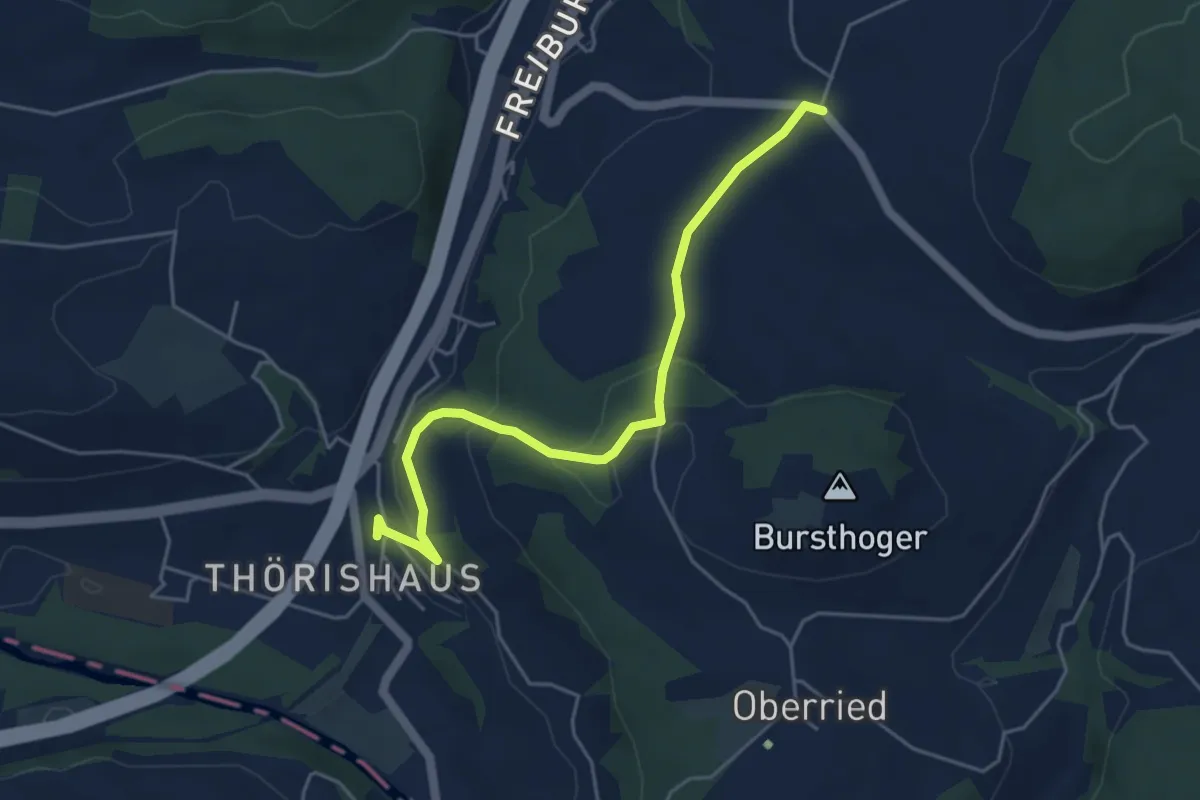
Easy · Trail
Thörishaus - Liebewil
4.9 km · ↑ 176 m · 1 h 32 min · 8 km away
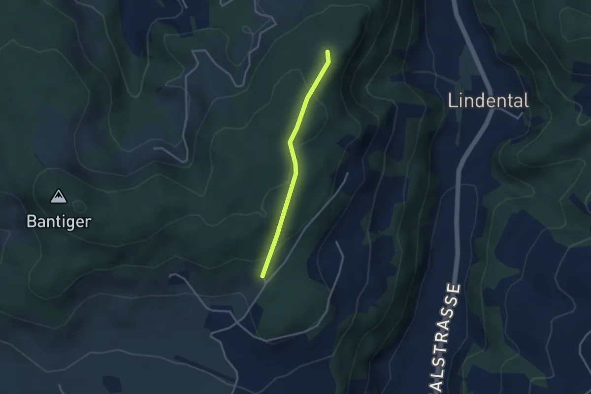
Easy · Trail
Mühlestein – Cholegruebe
2.4 km · ↑ 114 m · 49 min · 8 km away
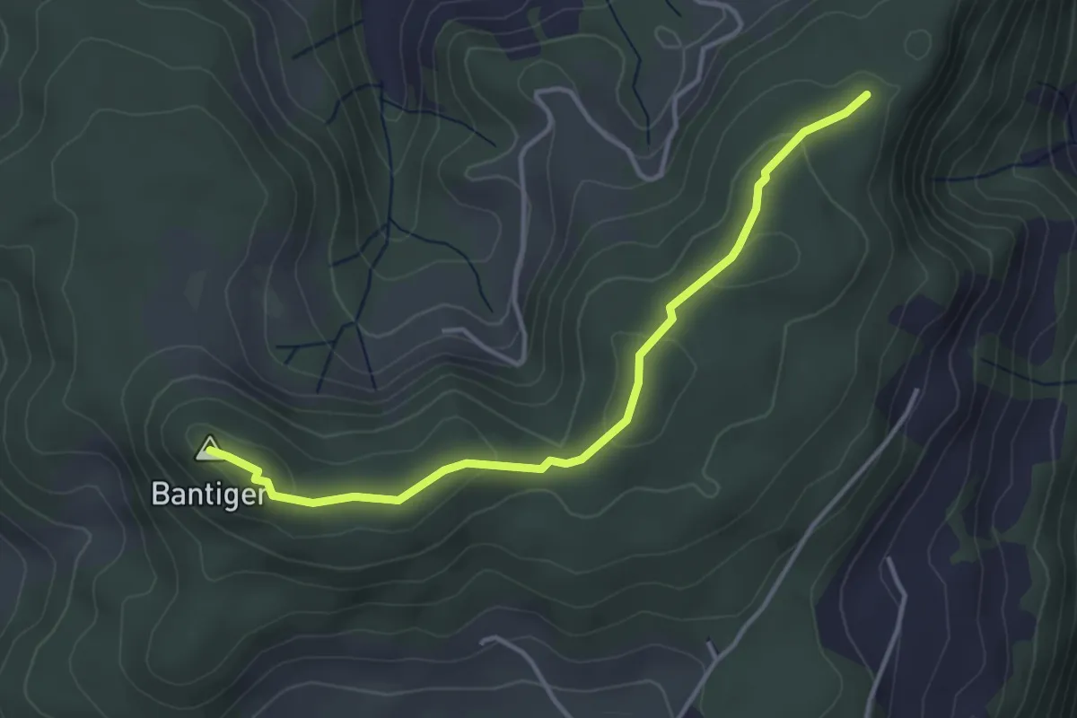
Easy · Summit
Mühlestein – Bantiger
3.7 km · ↑ 89 m · 1 h 4 min · 8 km away
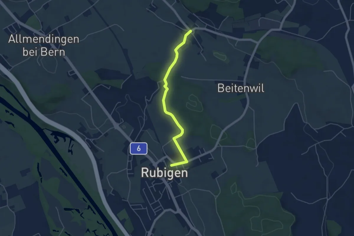
Easy · Trail
Rubigen – Vielbringen
4.6 km · ↑ 75 m · 1 h 15 min · 8 km away
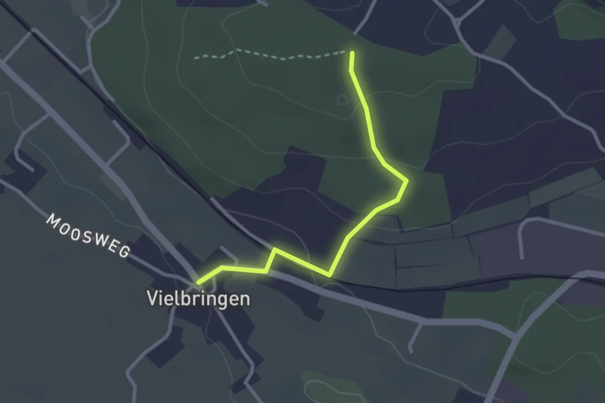
Easy · Trail
Vielbringen – Wislenwald
2.4 km · ↑ 85 m · 44 min · 8 km away
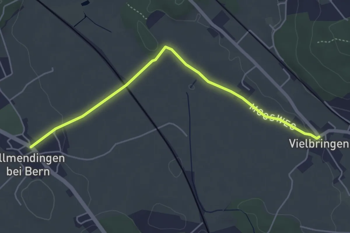
Easy · Trail
Allmendingen – Vielbringen
4.6 km · ↑ 32 m · 1 h 9 min · 8 km away