Trails near Bern
511 hikes starting within 15 km, nearest first.
Nearest first, page 5 of 11
Easy · Trail
Meikirch – Rüti
3.8 km · ↑ 62 m · 1 h 2 min · 8 km away
Easy · Trail
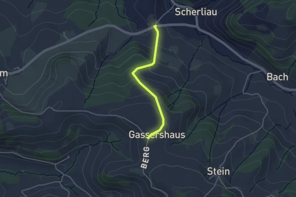
Leimen - Gassershus
2.5 km · ↑ 149 m · 55 min · 8 km away
Medium · Summit
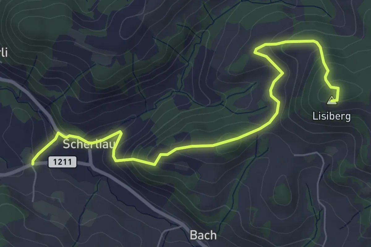
Leimen – Lisiberg
6.7 km · ↑ 367 m · 2 h 23 min · 8 km away
Easy · Trail
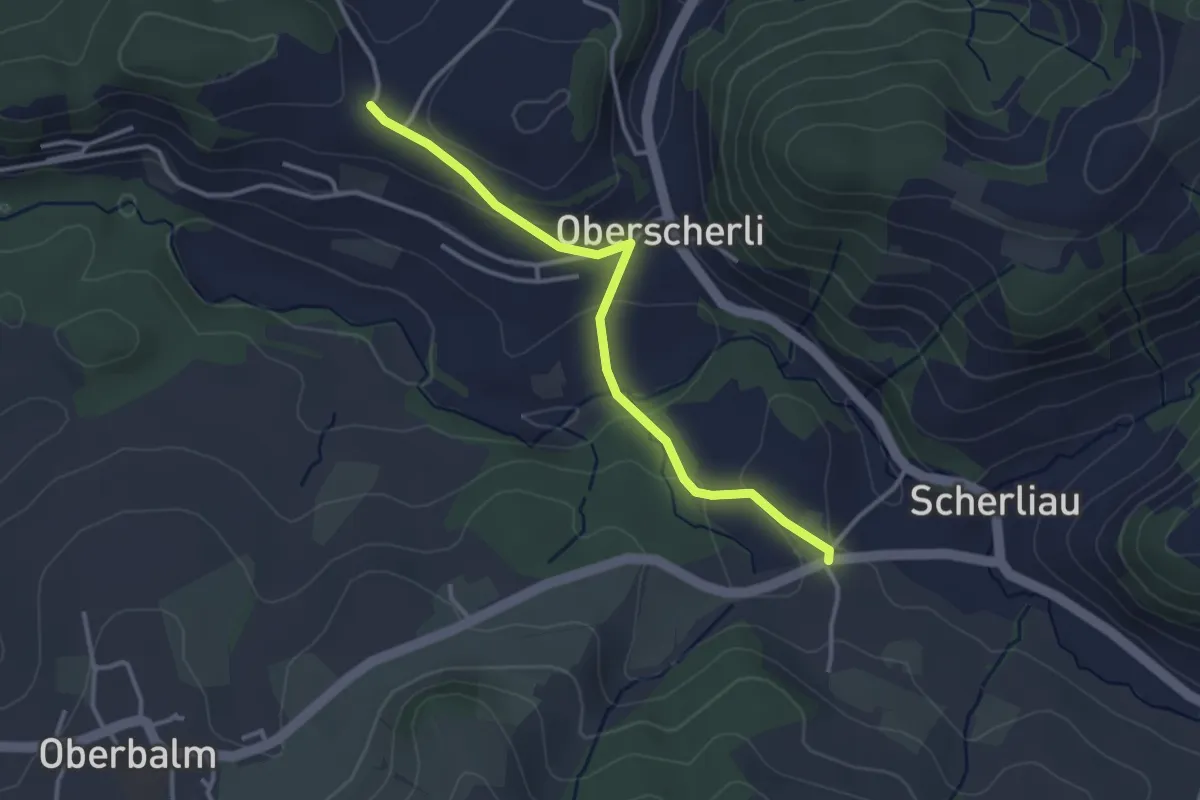
Leimen - Hübeli
3.2 km · ↑ 104 m · 59 min · 8 km away
Easy · Trail
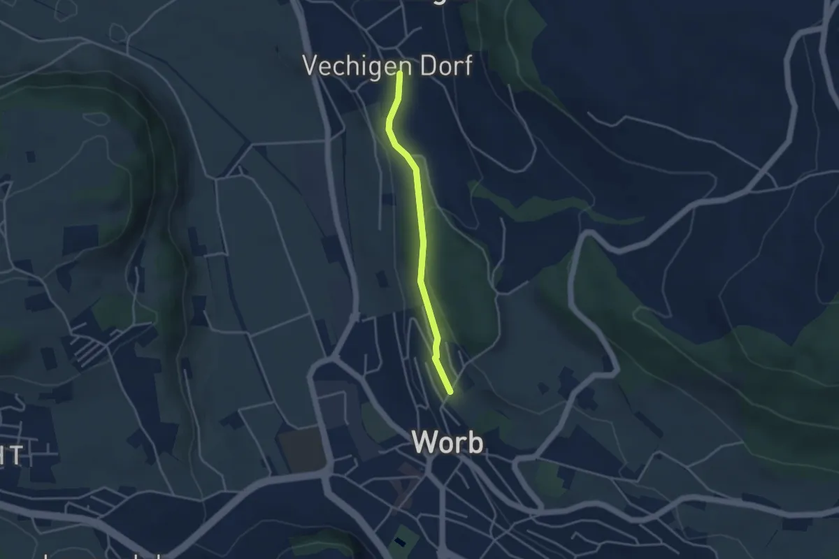
Vechingen - Egghalde
3.0 km · ↑ 77 m · 53 min · 8 km away
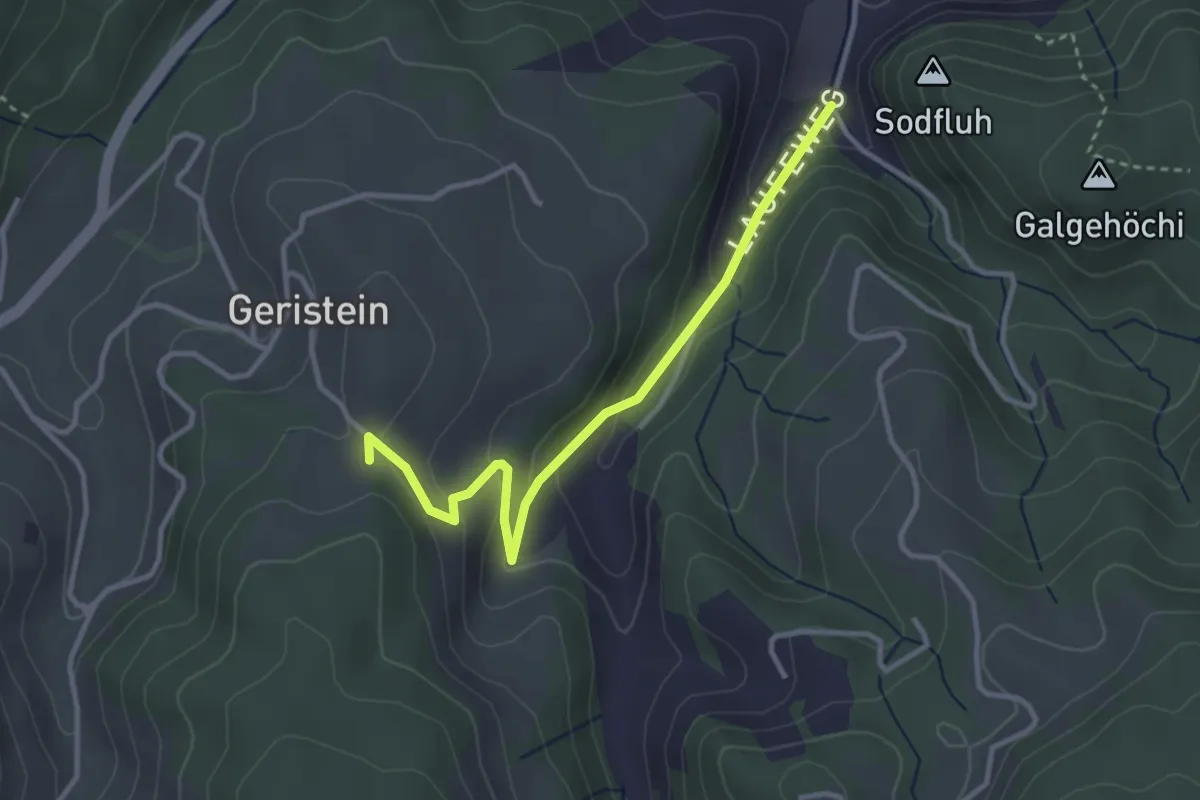
Easy · Trail
Laufe – Geristein
3.2 km · ↑ 163 m · 1 h 7 min · 8 km away
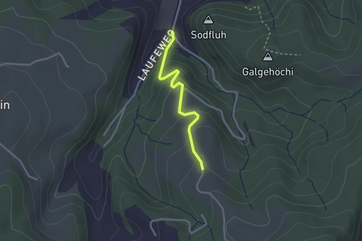
Easy · Trail
Laufe – Vordere Jucke
2.1 km · ↑ 151 m · 49 min · 8 km away
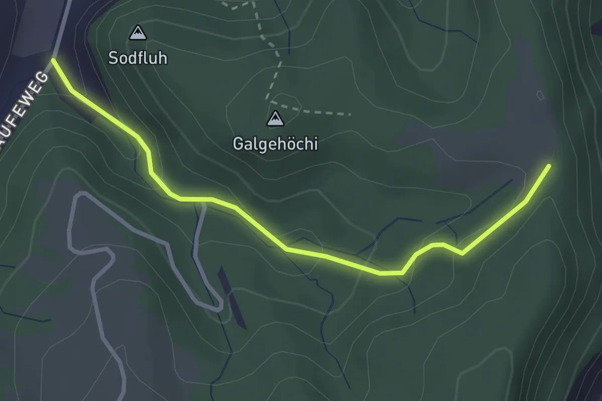
Easy · Trail
Chlosteralp – Laufe
2.7 km · ↑ 148 m · 58 min · 8 km away
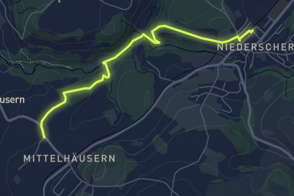
Easy · Trail
Mittelhäusern - Niederscherli
5.7 km · ↑ 165 m · 1 h 42 min · 8 km away
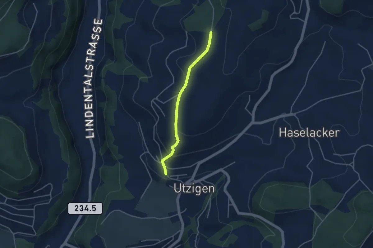
Easy · Trail
Utzigenwull – Utzigen/Schloss
3.0 km · ↑ 121 m · 58 min · 8 km away
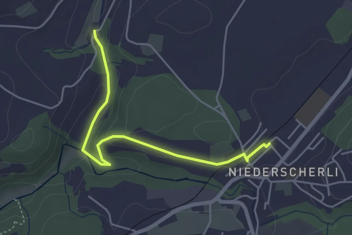
Easy · Trail
Niederscherli - Grabenmüli
3.9 km · ↑ 88 m · 1 h 7 min · 9 km away
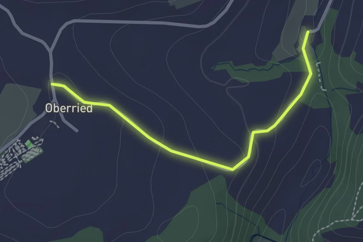
Easy · Trail
Oberried - Grabenmüli
2.2 km · ↑ 64 m · 39 min · 9 km away
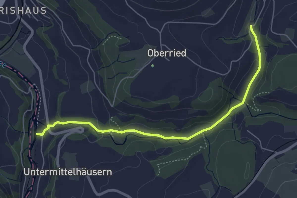
Easy · Trail
Sensematt – Grabenmüli
5.1 km · ↑ 116 m · 1 h 27 min · 9 km away
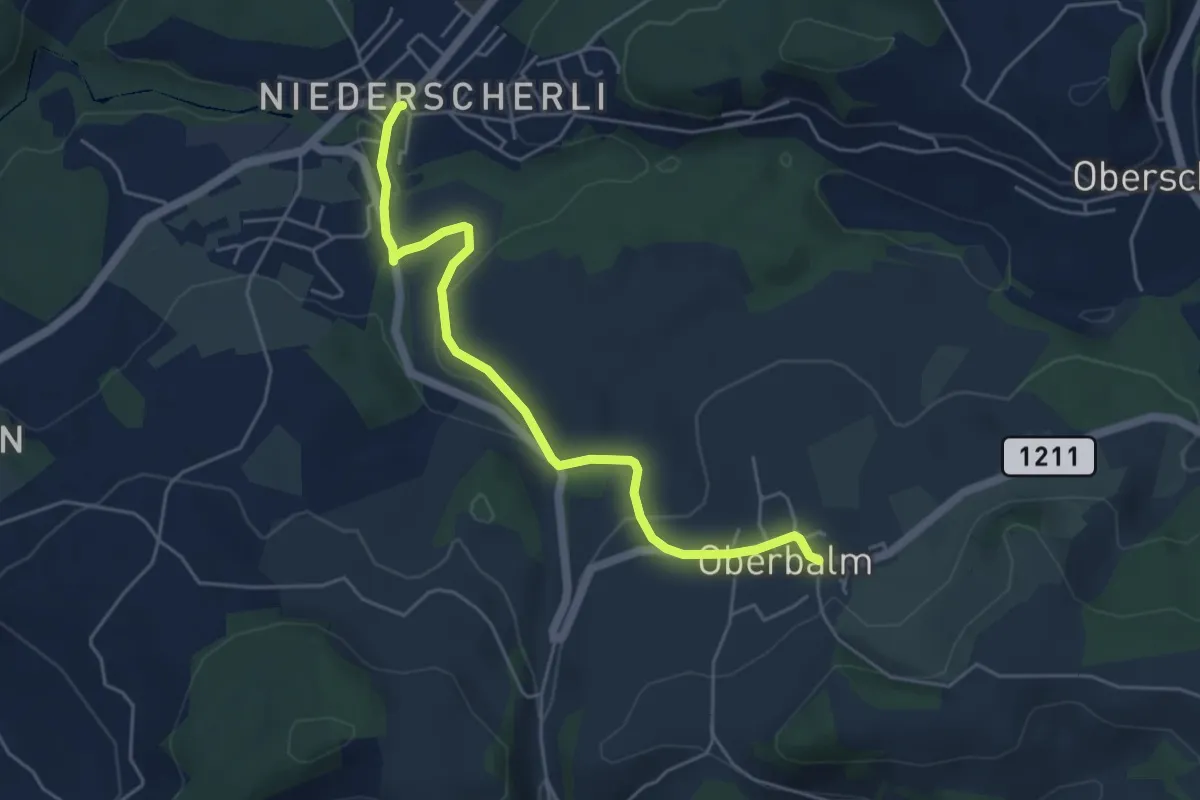
Easy · Trail
Niederscherli – Oberbalm
5.1 km · ↑ 142 m · 1 h 30 min · 9 km away
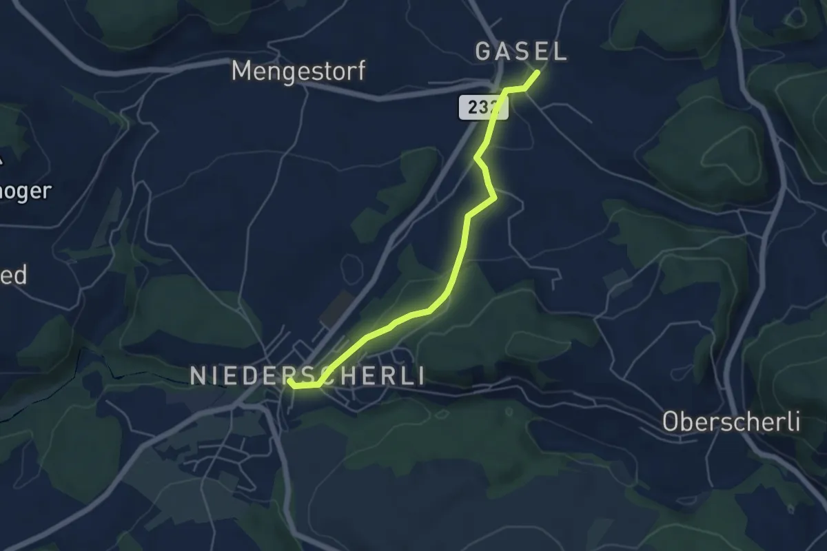
Easy · Trail
Niederscherli – Gasel
4.6 km · ↑ 143 m · 1 h 24 min · 9 km away
Easy · Trail
Schönbühl SBB – Holzmatt
2.4 km · ↑ 13 m · 35 min · 9 km away
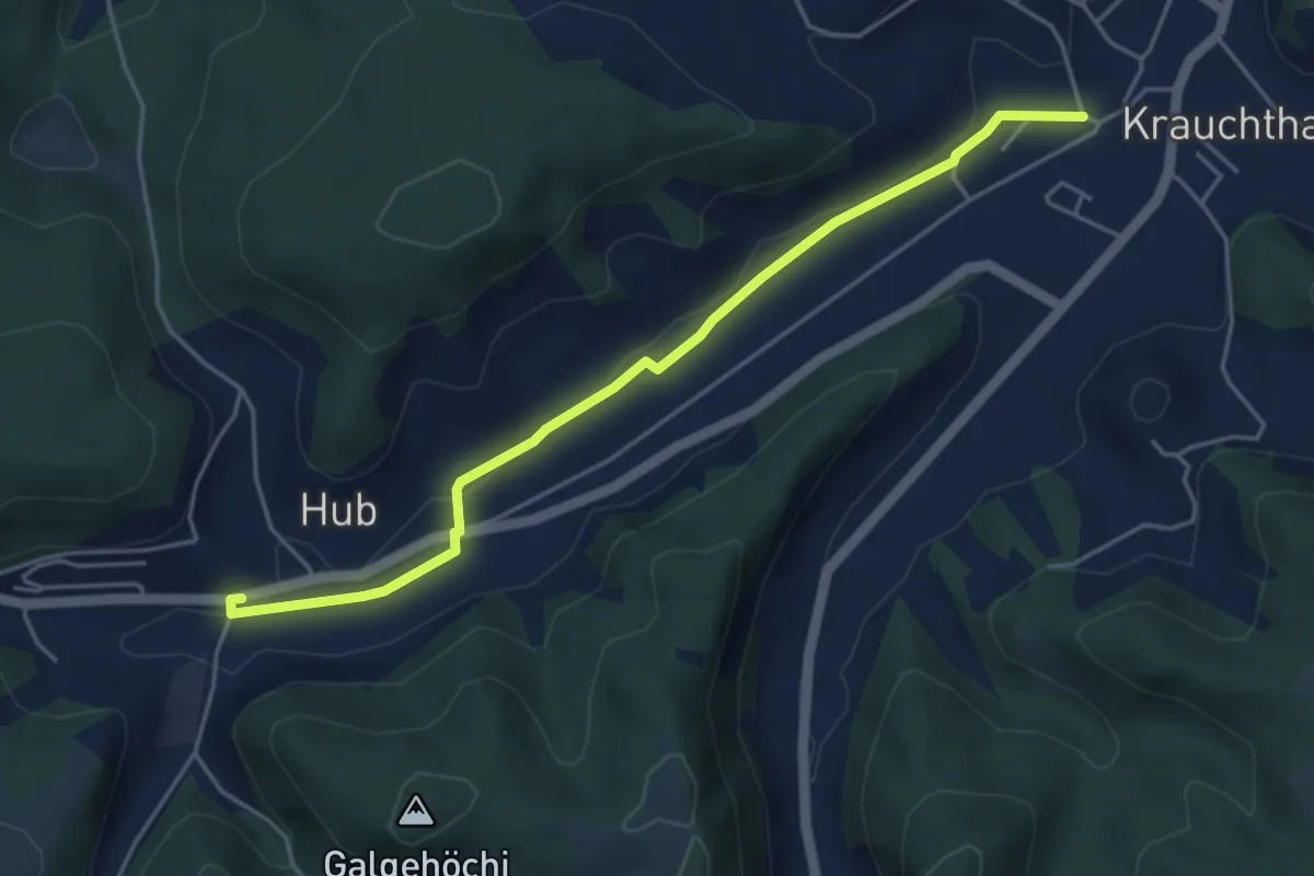
Easy · Trail
Sandhole – Hueb
4.7 km · ↑ 50 m · 1 h 14 min · 9 km away
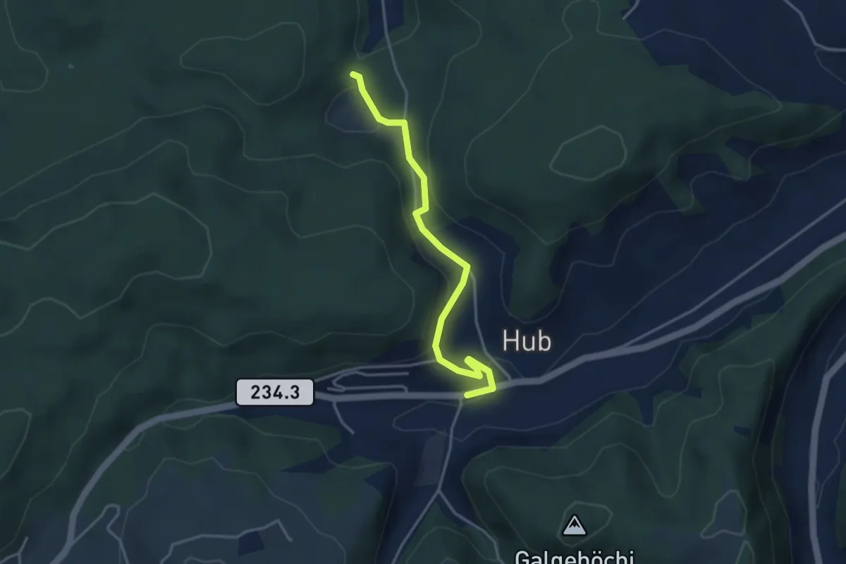
Easy · Trail
Wannetal – Hueb
3.5 km · ↑ 169 m · 1 h 11 min · 9 km away
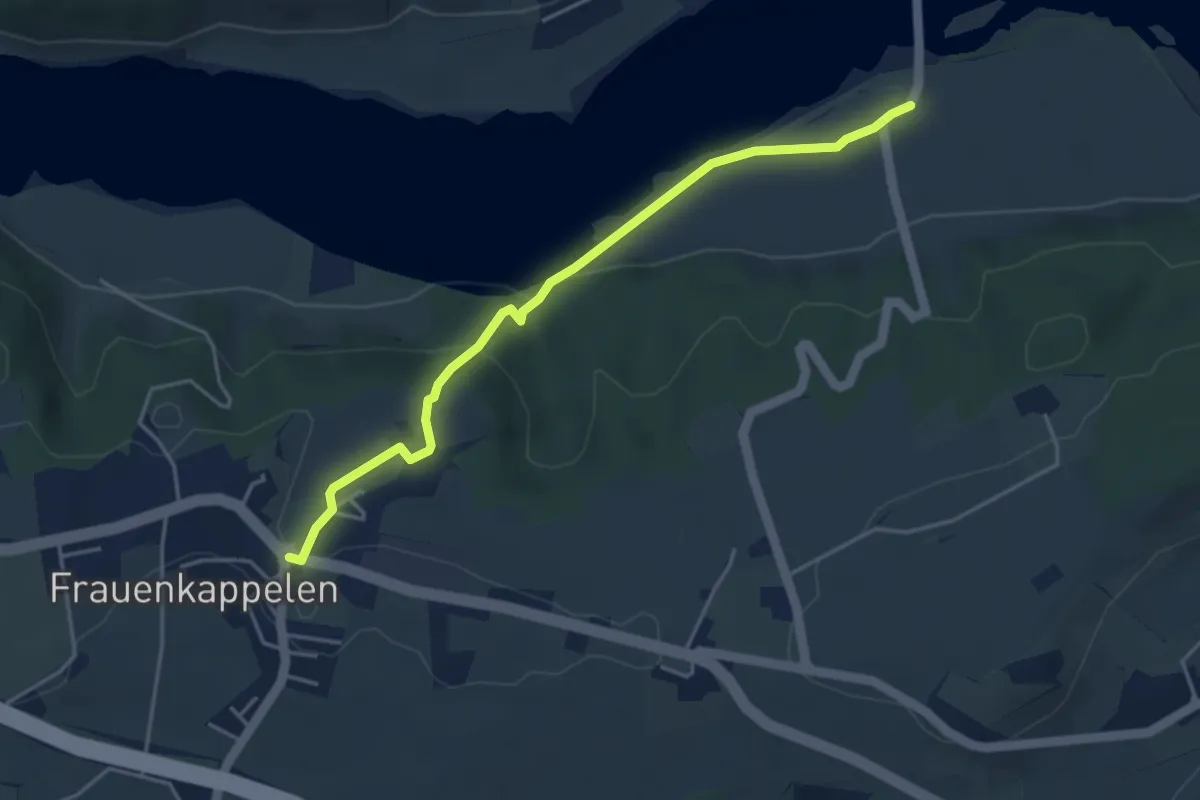
Easy · Trail
Wohlei - Frauenkappelen/Post
4.2 km · ↑ 160 m · 1 h 21 min · 9 km away
Easy · Trail
Wasebode – Holzmatt
2.2 km · ↑ 19 m · 33 min · 9 km away
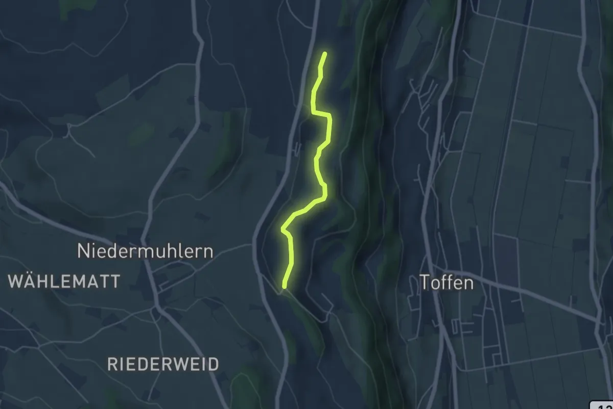
Easy · Trail
Rossweid – Falebach
3.8 km · ↑ 92 m · 1 h 5 min · 9 km away
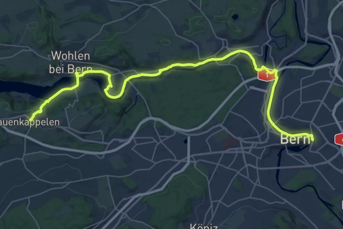
Medium · Trail
ViaBerna Etappe 8
14.8 km · ↑ 242 m · 4 h 16 min · 9 km away
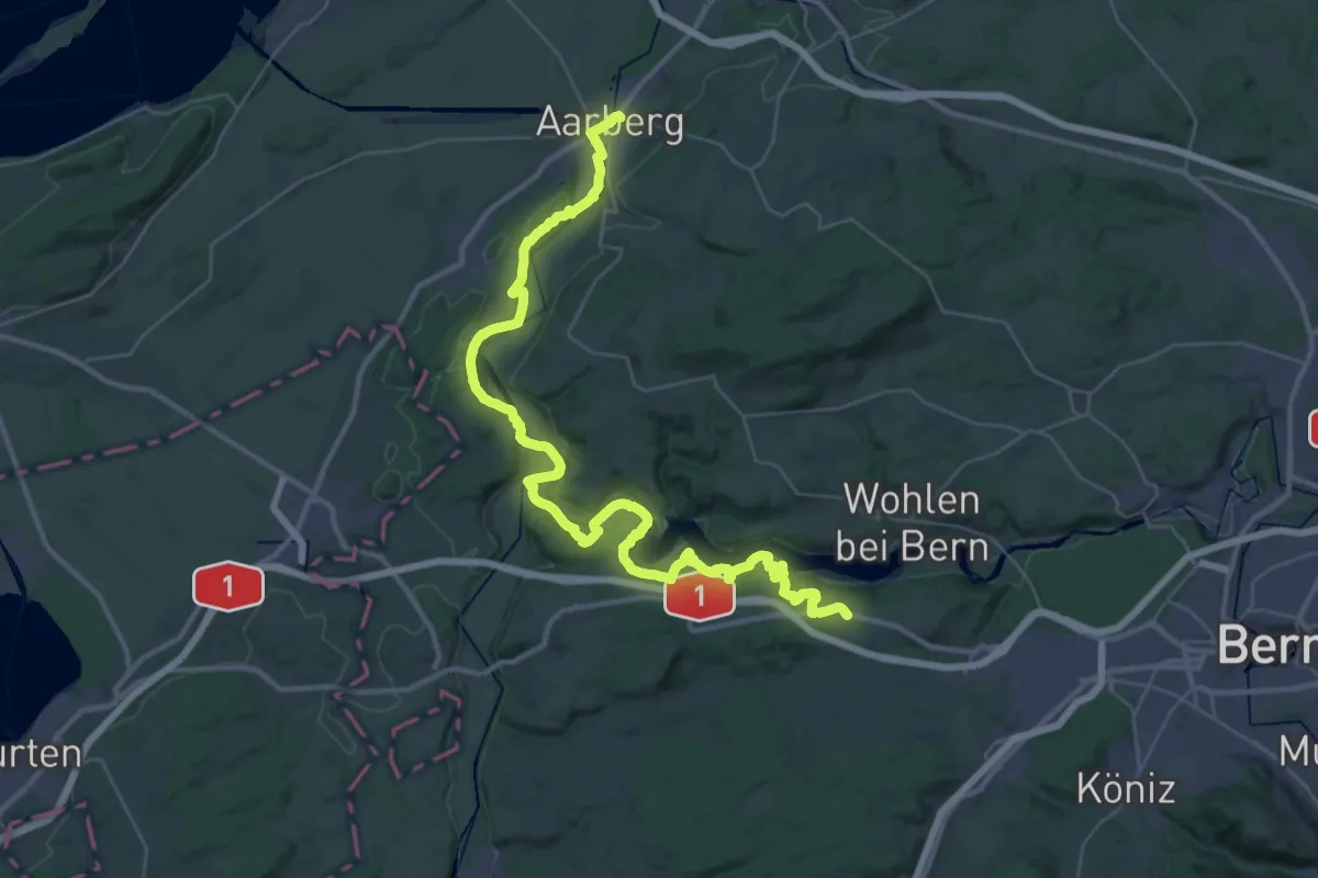
Demanding · Trail
ViaBerna Etappe 7
24.1 km · ↑ 499 m · 7 h 11 min · 9 km away
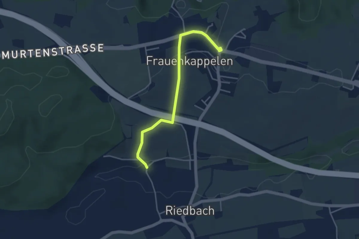
Easy · Trail
Frauenkappelen/Post - Riedbach/Mühle
3.2 km · ↑ 67 m · 54 min · 9 km away
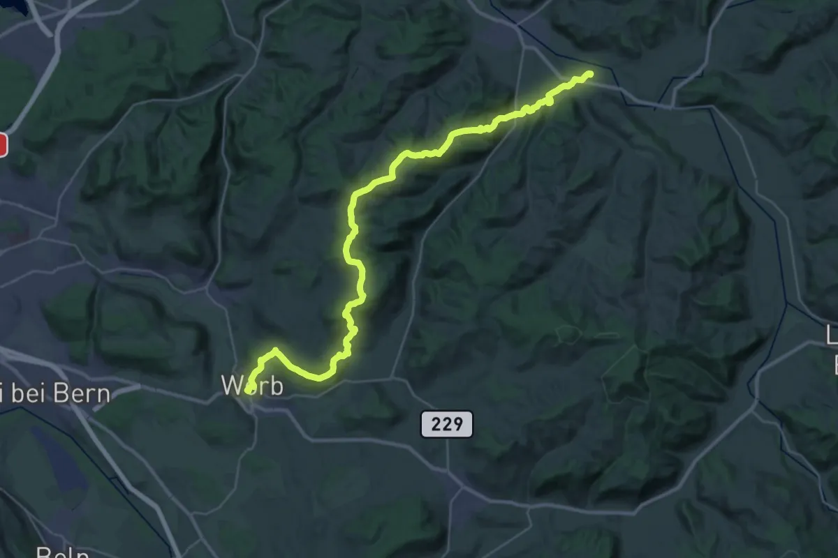
Medium · Trail
Trans Swiss Trail
17.7 km · ↑ 623 m · 5 h 47 min · 9 km away
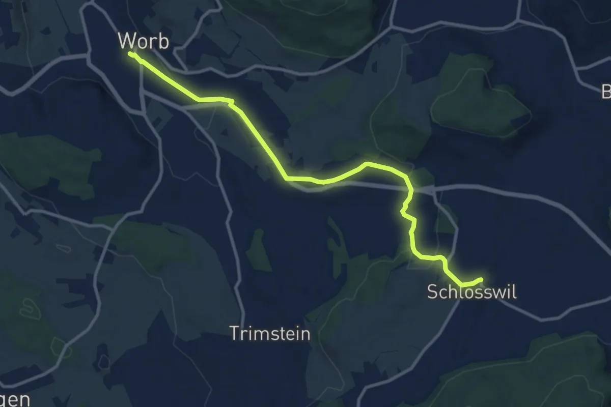
Medium · Trail
Worb – Schlosswil
10.2 km · ↑ 197 m · 2 h 50 min · 9 km away
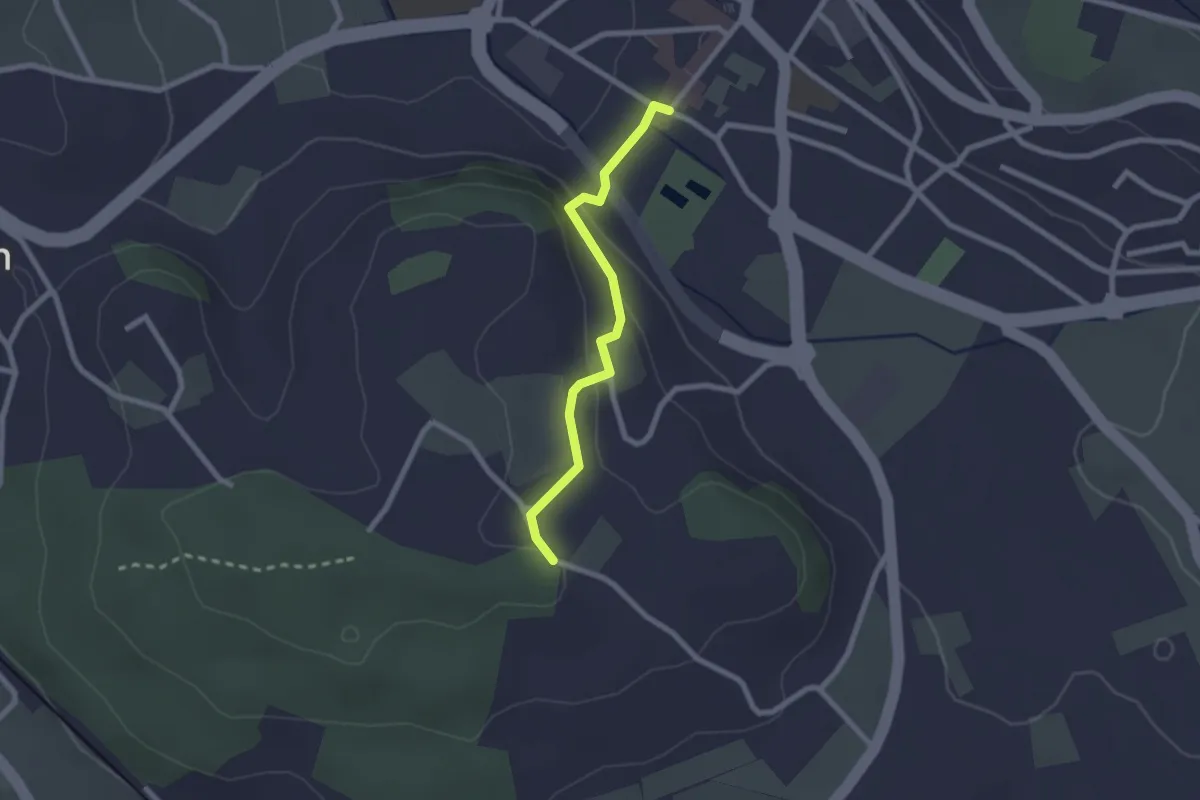
Easy · Trail
Wislen – Worb
2.1 km · ↑ 78 m · 40 min · 9 km away
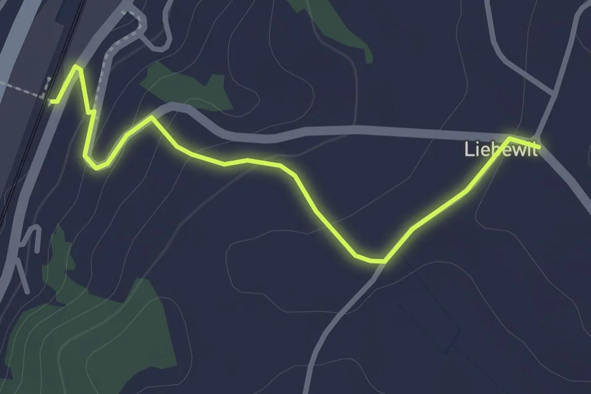
Easy · Trail
Liebewil - Thörishaus Station
2.5 km · ↑ 82 m · 46 min · 9 km away
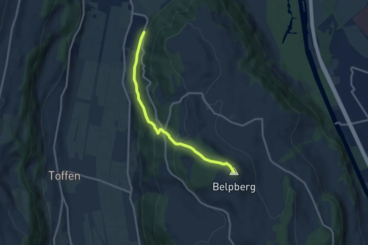
Medium · Summit
Belpberg/Chutze - Riedli
6.2 km · ↑ 336 m · 2 h 12 min · 9 km away
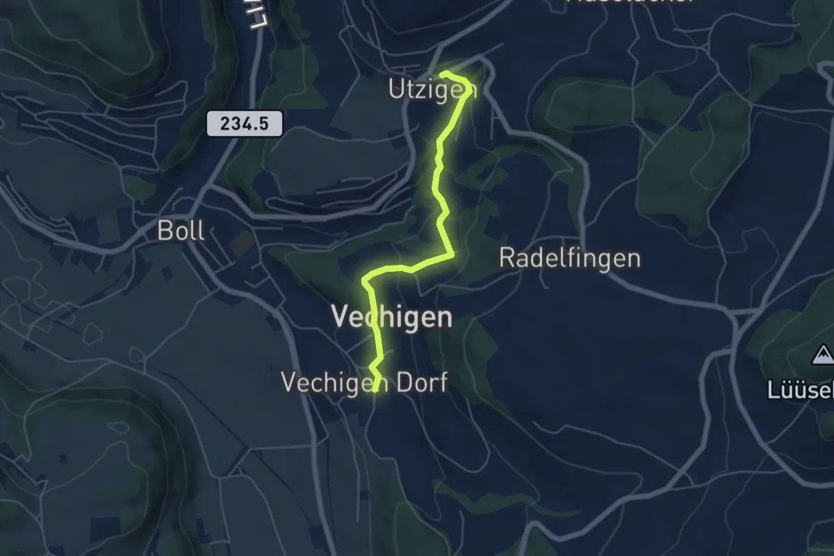
Easy · Trail
Utzigen – Vechigen
4.6 km · ↑ 145 m · 1 h 24 min · 9 km away
Easy · Trail
Bäreried – Schüpberg
6.0 km · ↑ 129 m · 1 h 41 min · 9 km away
Easy · Trail
Schwanden – Bäreried
6.0 km · ↑ 226 m · 1 h 54 min · 9 km away
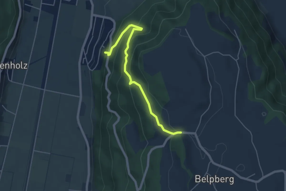
Easy · Trail
Weid - Riedli
4.2 km · ↑ 305 m · 1 h 39 min · 9 km away
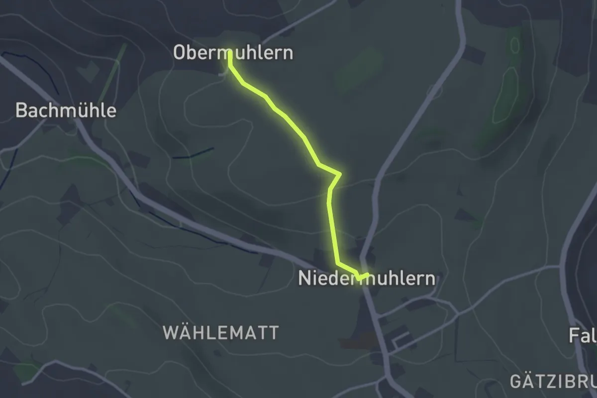
Easy · Trail
Obermuhlern – Niedermuhlern
2.2 km · ↑ 44 m · 37 min · 9 km away
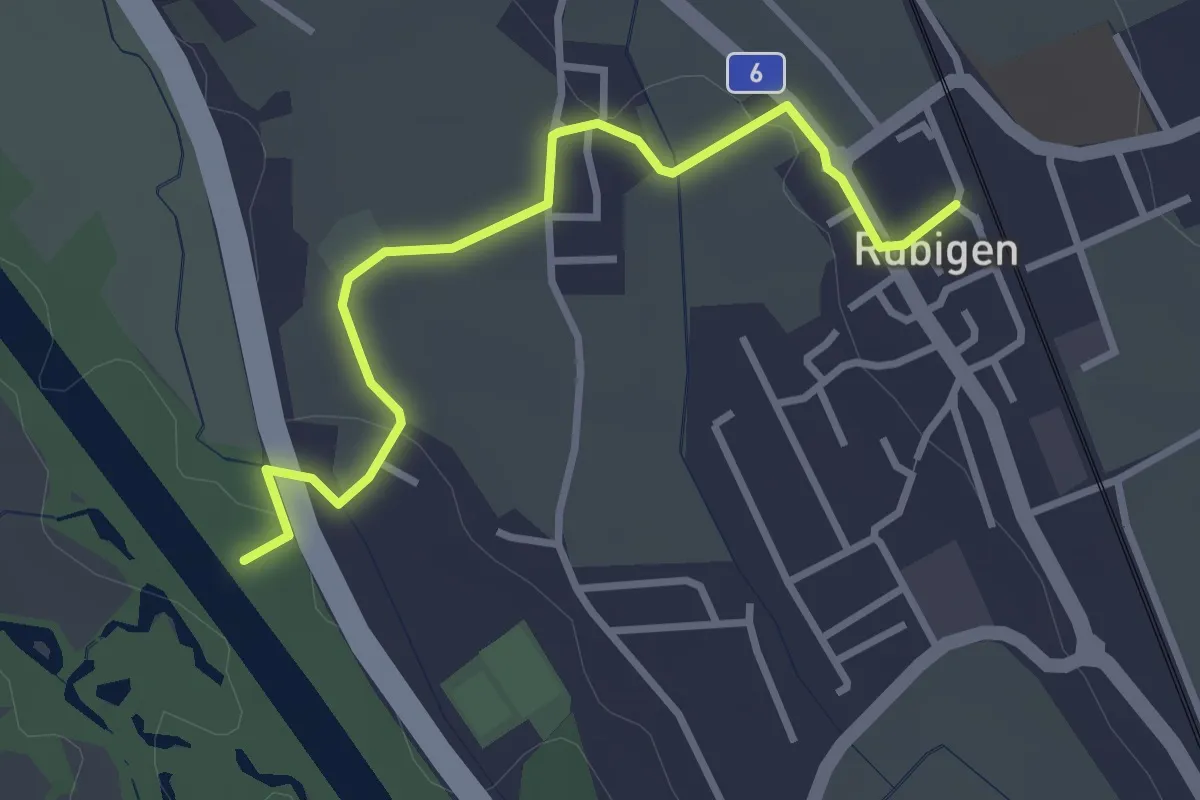
Easy · Trail
Rubigen - ?
3.2 km · ↑ 28 m · 49 min · 9 km away
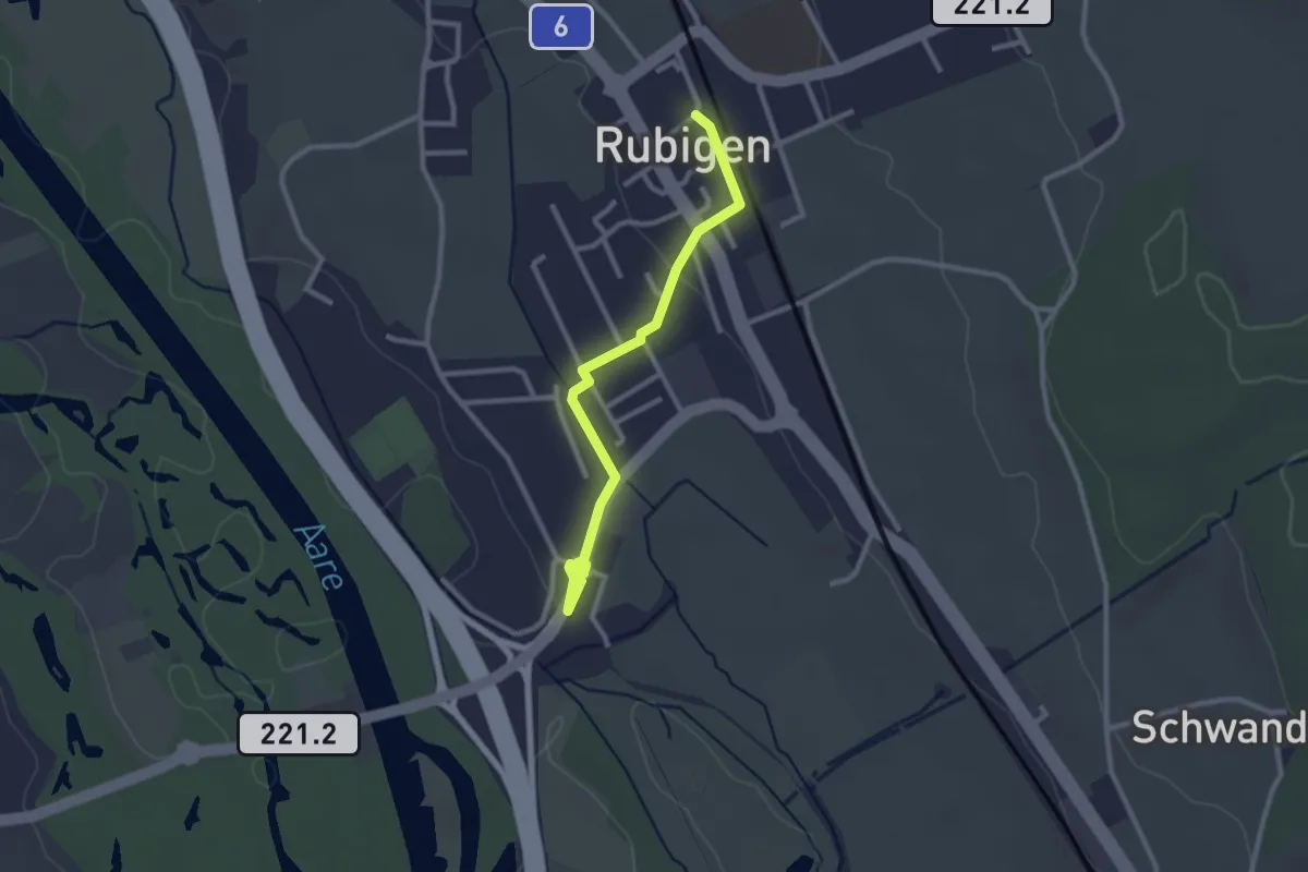
Easy · Trail
Rubigen – Hunziken
2.6 km · ↑ 24 m · 40 min · 9 km away
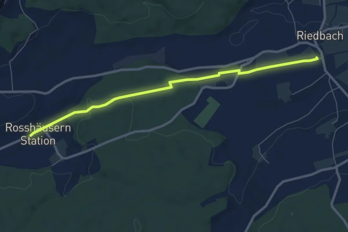
Easy · Trail
Rosshäusern/Station - Riedbach/Station
6.4 km · ↑ 72 m · 1 h 40 min · 9 km away
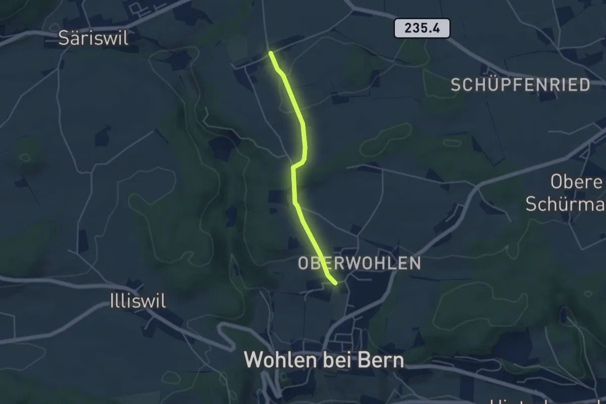
Easy · Trail
Oberwohlen – Möriswil
3.6 km · ↑ 84 m · 1 h 1 min · 9 km away
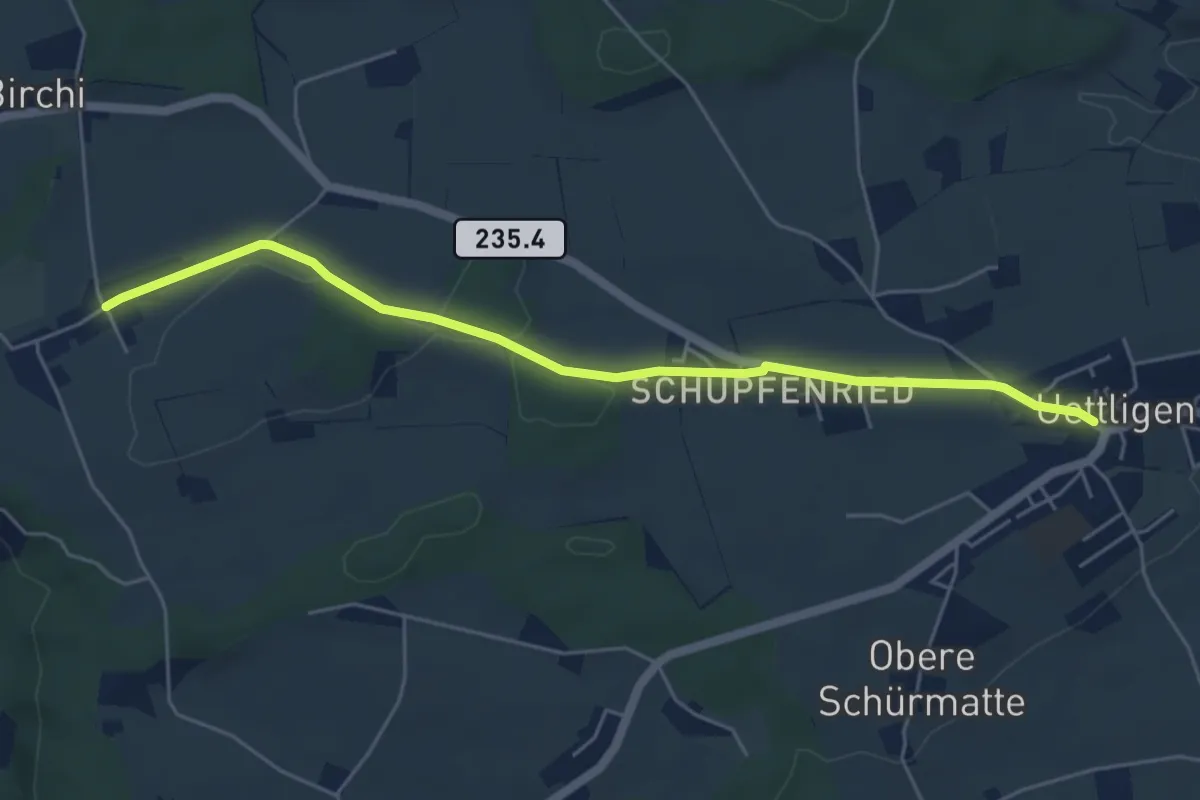
Easy · Trail
Uettligen/Linde - Möriswil
5.5 km · ↑ 46 m · 1 h 24 min · 9 km away
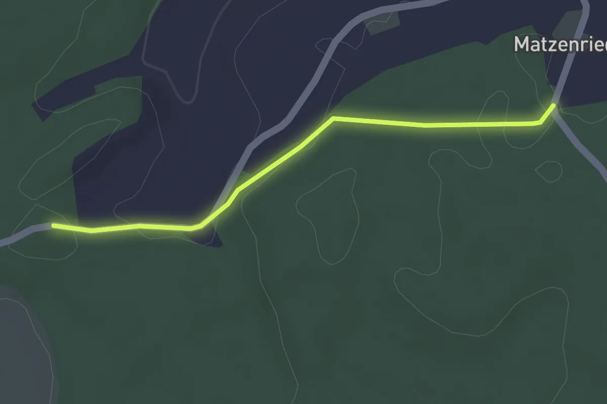
Easy · Trail
Holzeggen - Fuessacher
2.8 km · ↑ 63 m · 48 min · 9 km away
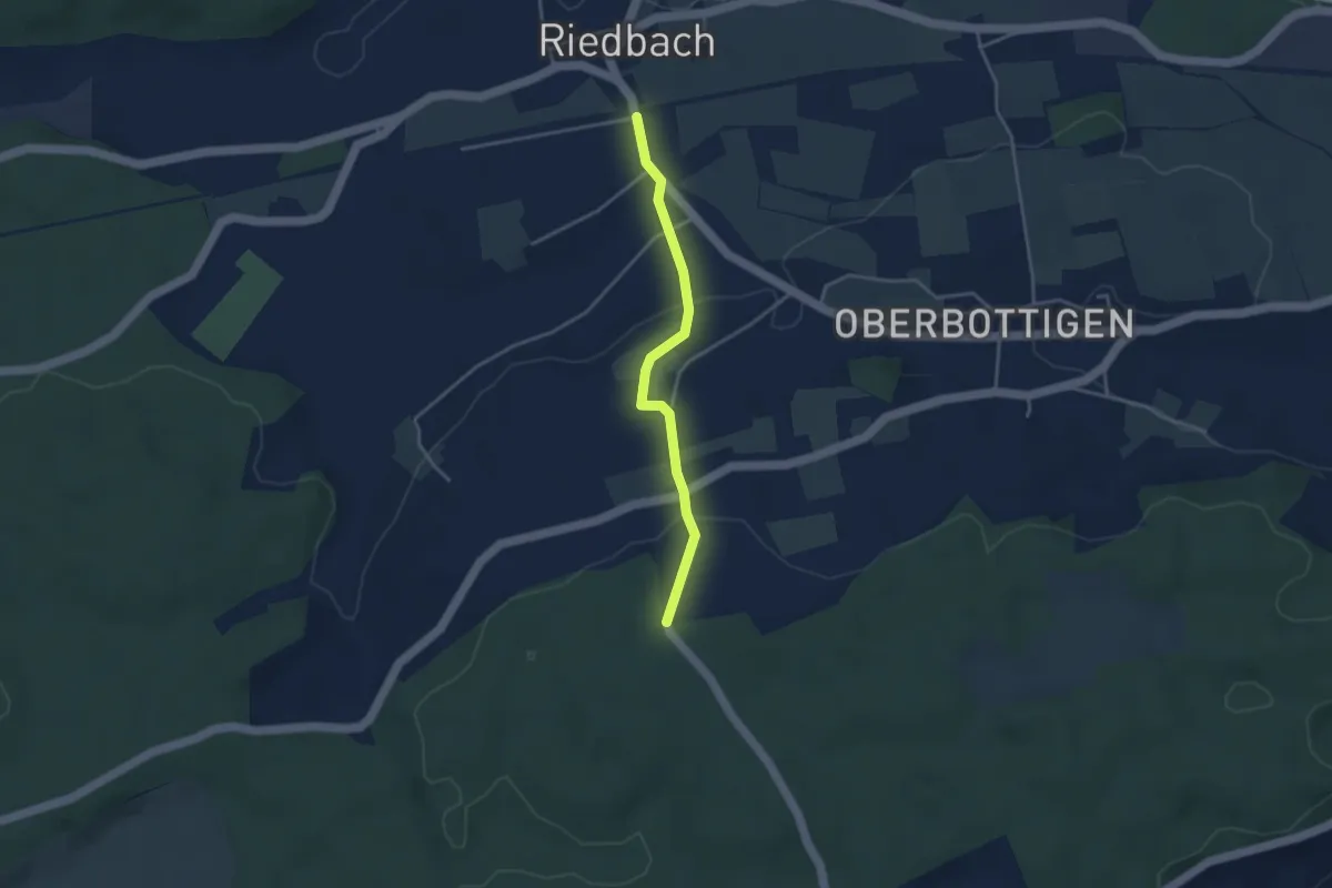
Easy · Trail
Riedbach/Station - Holzeggen
3.3 km · ↑ 93 m · 59 min · 9 km away
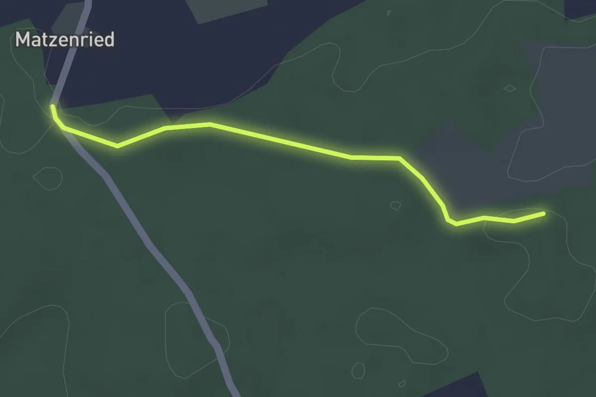
Easy · Trail
Holzeggen - Ried
2.6 km · ↑ 19 m · 39 min · 9 km away
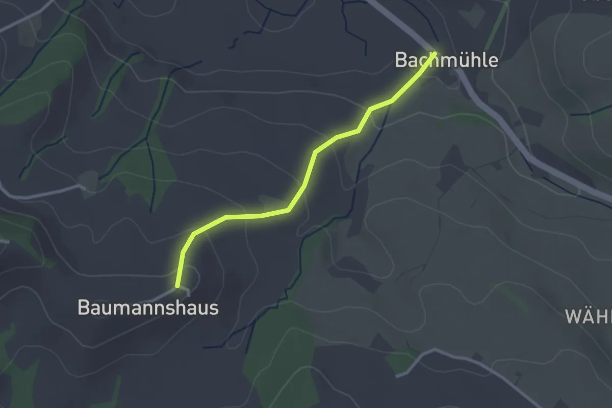
Easy · Trail
Bachmühle - Bumishus
2.4 km · ↑ 124 m · 51 min · 9 km away
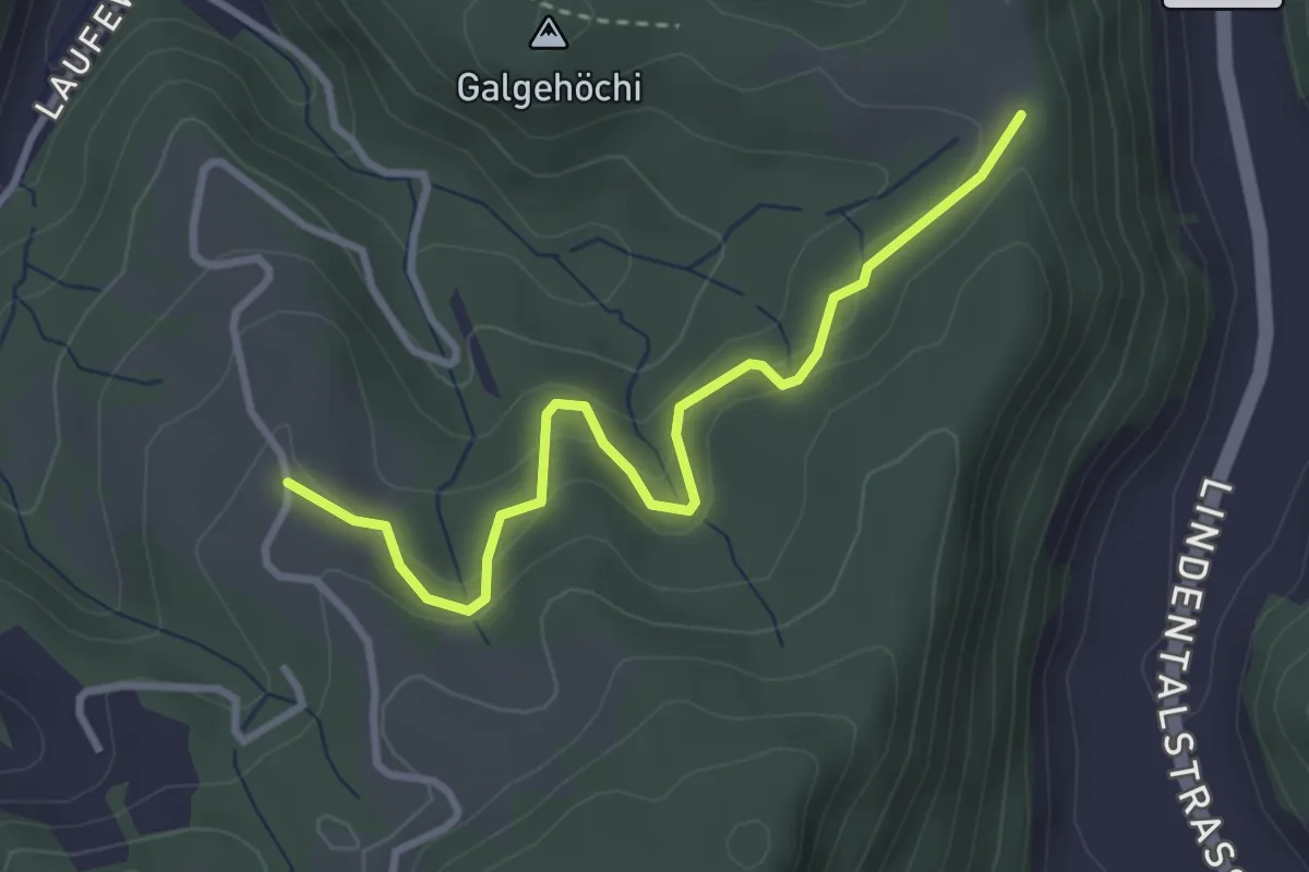
Easy · Trail
Chlosteralp – Vorder Jucke
3.2 km · ↑ 193 m · 1 h 11 min · 9 km away
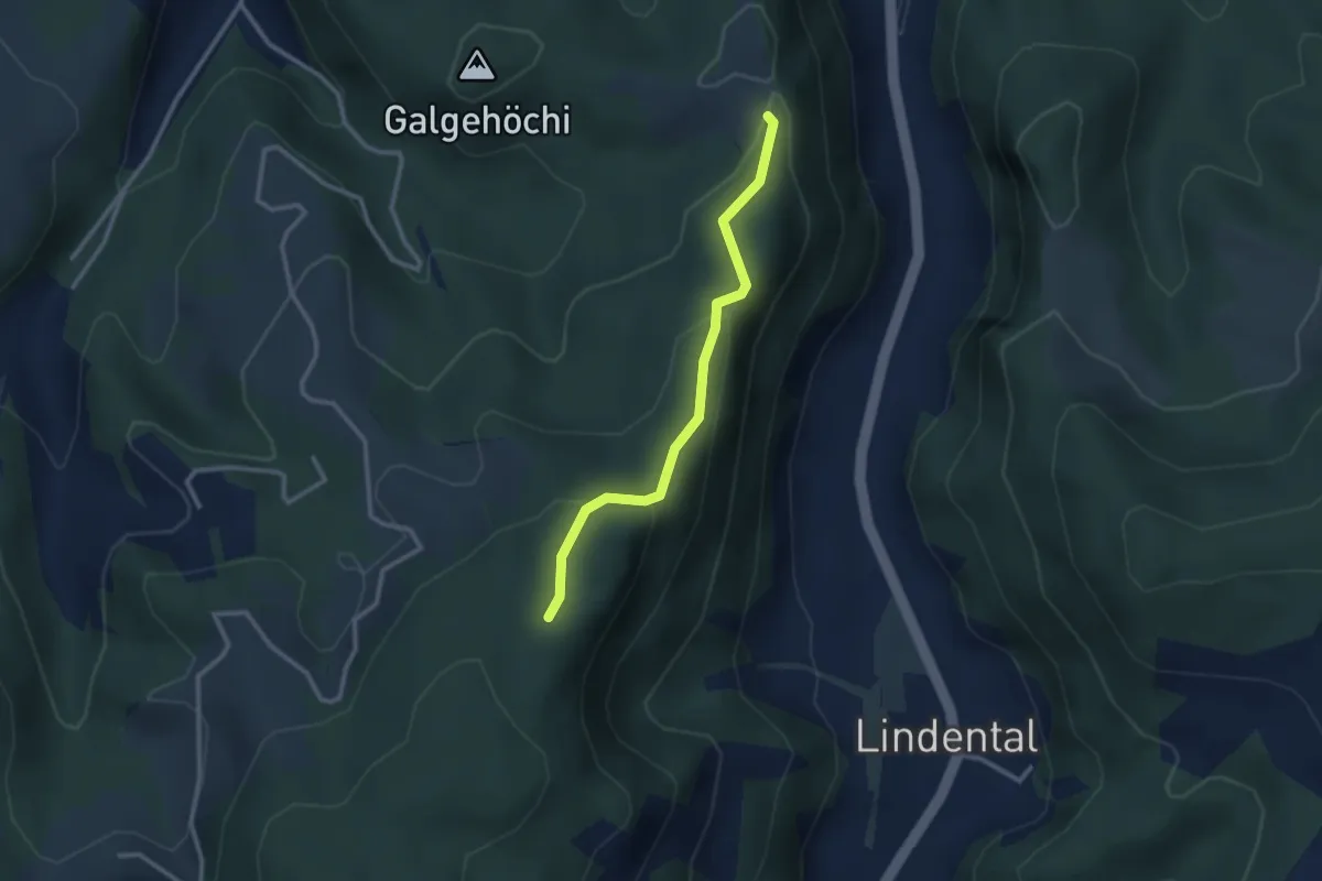
Easy · Trail
Chlosteralp – Mühlestein
2.6 km · ↑ 138 m · 54 min · 9 km away
Easy · Trail
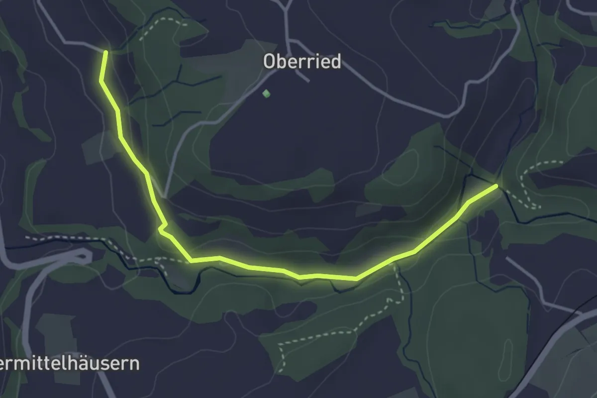
Grabenmüli - Grafenried
3.7 km · ↑ 75 m · 1 h 2 min · 9 km away
Easy · Trail
Wasebode – Wannetal
3.7 km · ↑ 69 m · 1 h 1 min · 9 km away
Easy · Trail
Wannetal – Mattstettenberg
3.0 km · ↑ 175 m · 1 h 6 min · 9 km away