Trails near Bern
511 hikes starting within 15 km, nearest first.
Nearest first, page 6 of 11
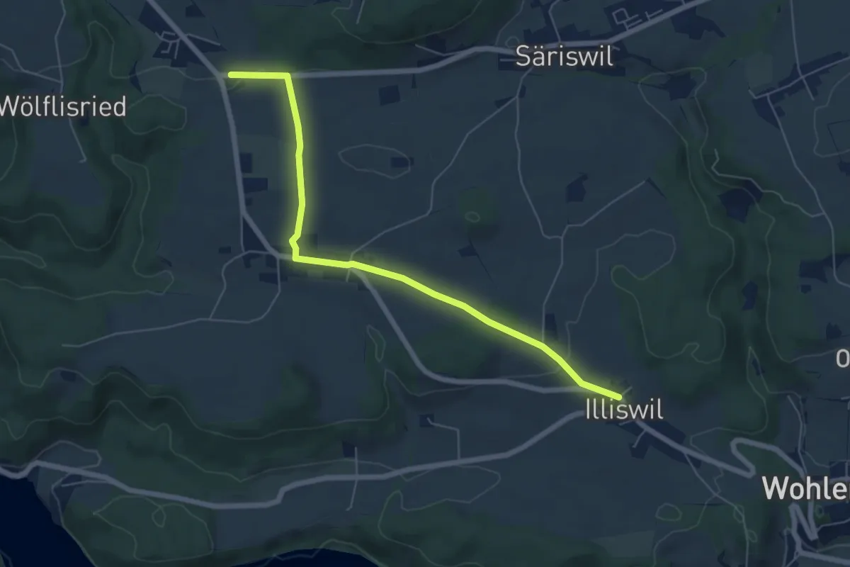
Easy · Trail
Illiswil – Weiermatt
6.3 km · ↑ 110 m · 1 h 44 min · 9 km away
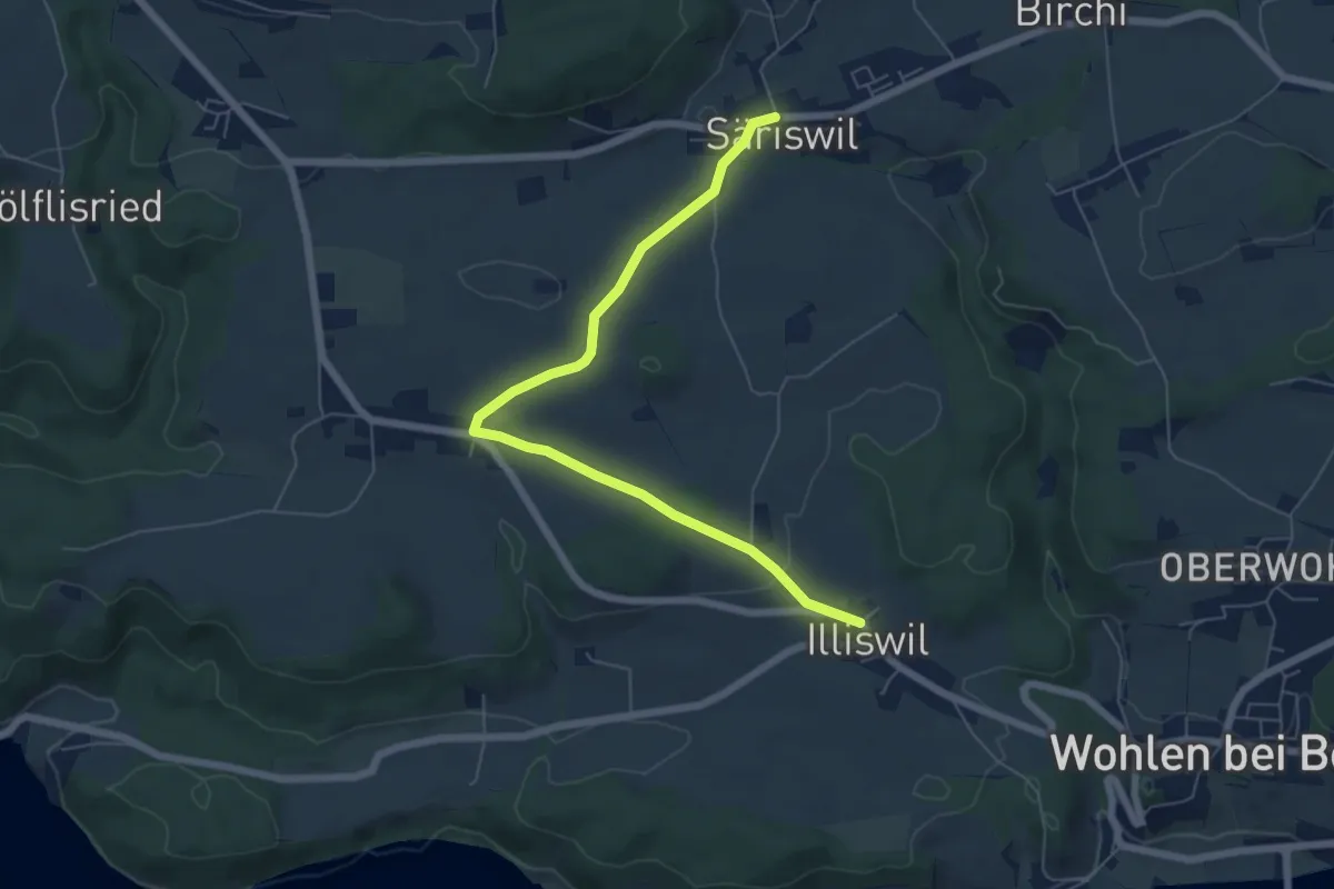
Easy · Trail
Säriswil – Illiswil
6.6 km · ↑ 97 m · 1 h 46 min · 9 km away
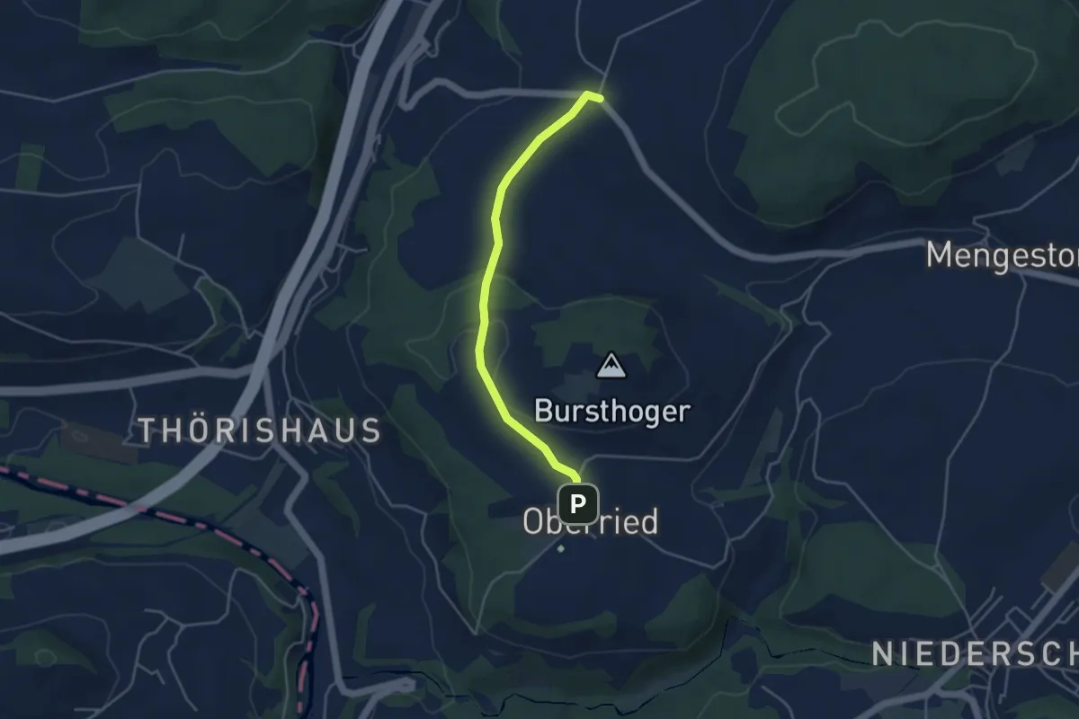
Easy · Trail
Oberried - Liebewil
3.8 km · ↑ 62 m · 1 h 2 min · 9 km away
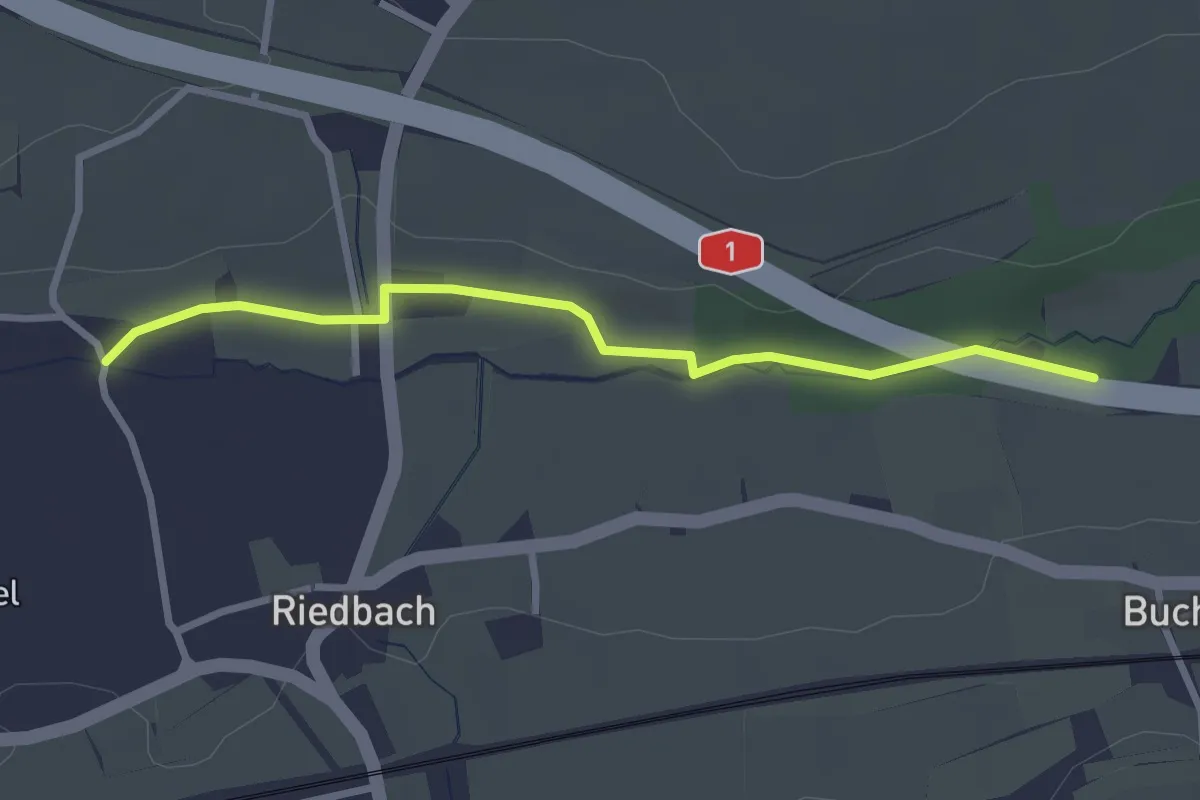
Easy · Trail
Autobahnviadukt - Riedbach/Mühle
2.8 km · ↑ 8 m · 41 min · 9 km away
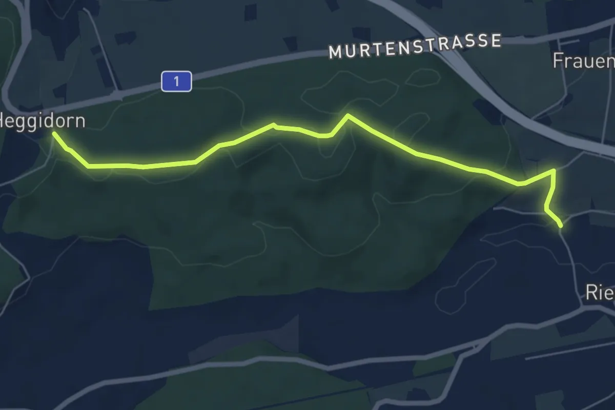
Easy · Trail
Heggidorn - Riedbach/Mühle
5.9 km · ↑ 125 m · 1 h 40 min · 9 km away
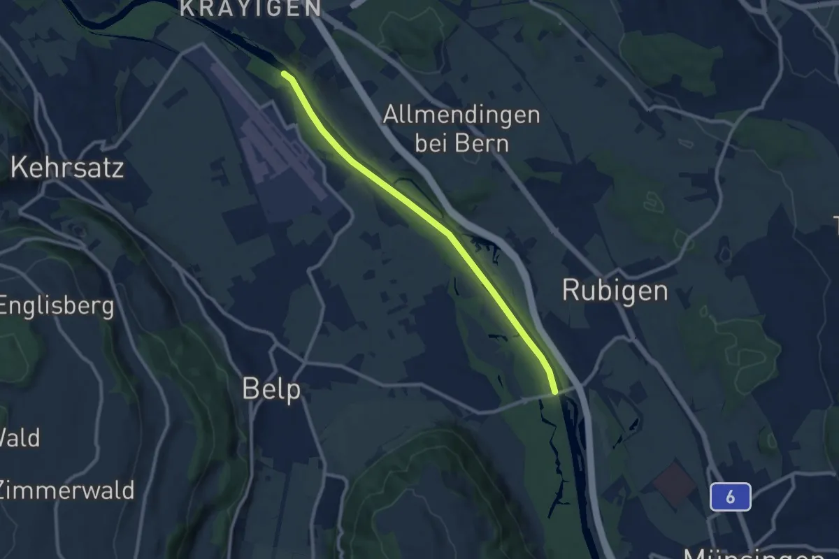
Medium · Trail
Auguetbrügg - Hunzigebrügg
8.7 km · ↑ 8 m · 2 h 4 min · 9 km away
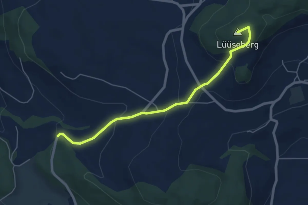
Easy · Summit
Worb/Hasli – Lüseberg
4.6 km · ↑ 219 m · 1 h 34 min · 9 km away
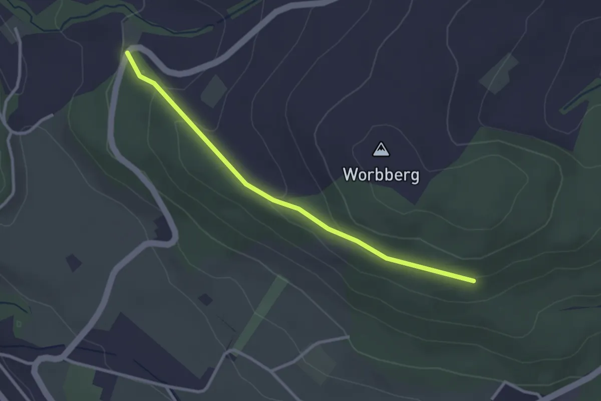
Easy · Trail
Worb/Hasli-Worbberg
2.8 km · ↑ 90 m · 52 min · 9 km away
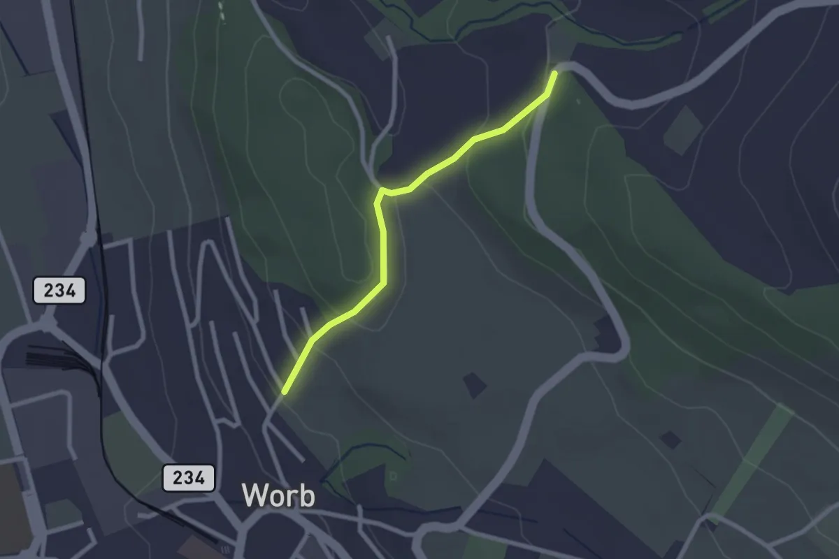
Easy · Trail
Egghalde – Worb/Hasli
2.1 km · ↑ 94 m · 41 min · 9 km away
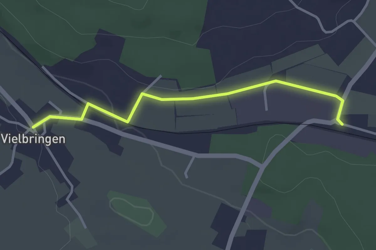
Easy · Trail
Vielbringen – Worb SBB
2.9 km · ↑ 41 m · 46 min · 9 km away
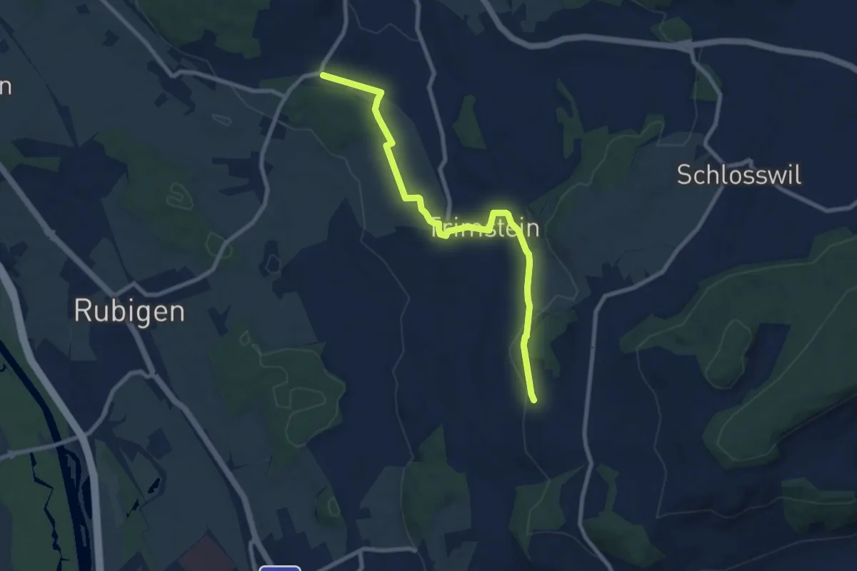
Medium · Trail
Worb SBB – Buechliacher
8.1 km · ↑ 165 m · 2 h 17 min · 9 km away
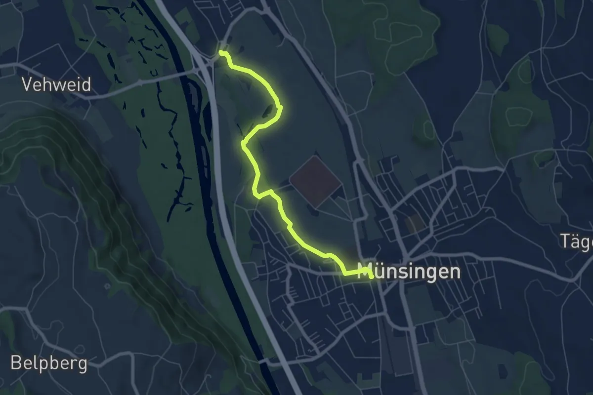
Easy · Trail
Münsingen – Hunziken
6.4 km · ↑ 21 m · 1 h 34 min · 9 km away
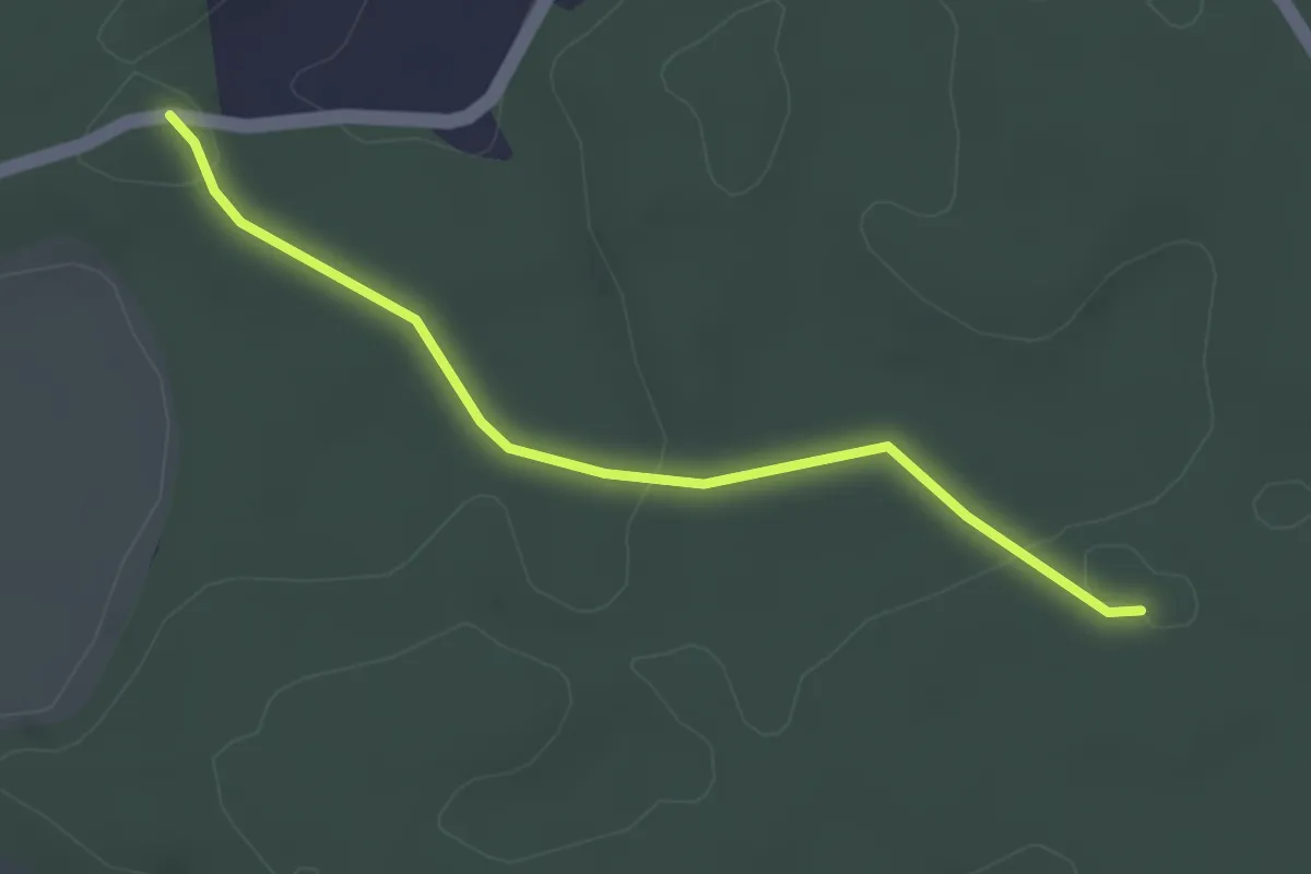
Easy · Trail
Fuessacher - Bruucheren
3.0 km · ↑ 40 m · 48 min · 9 km away
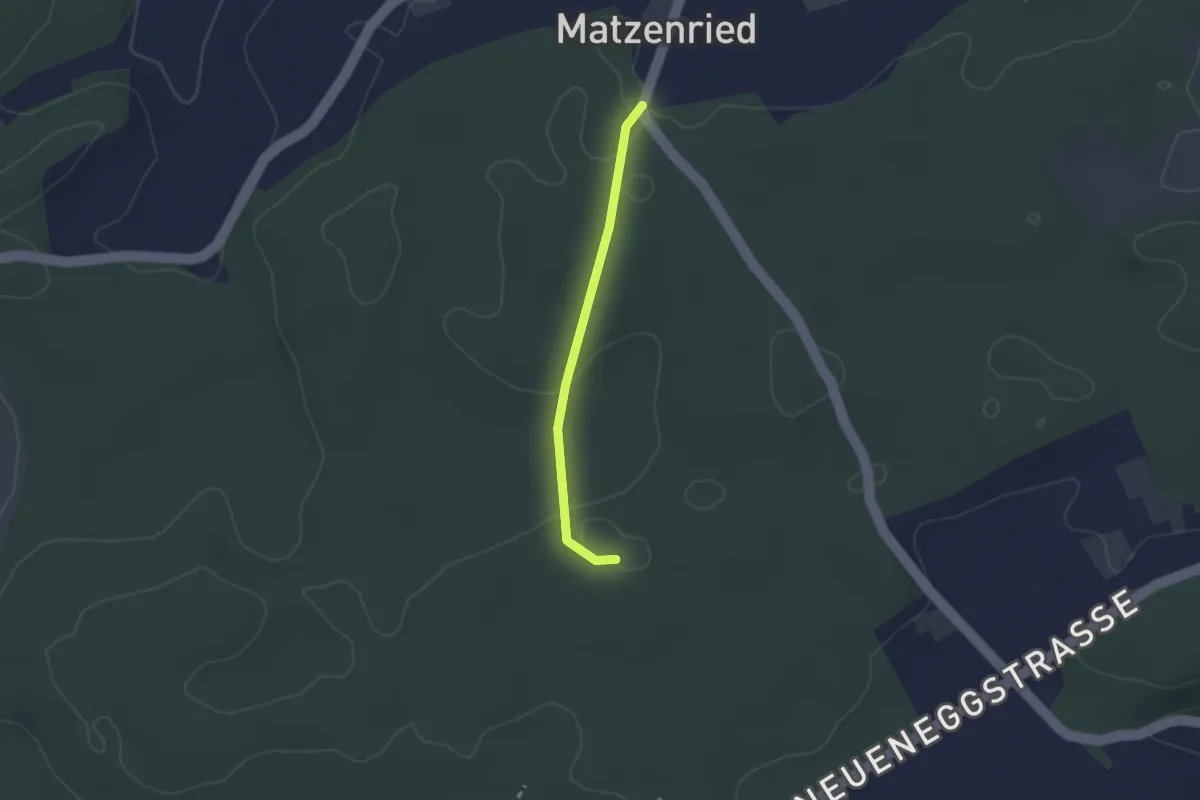
Easy · Trail
Holzeggen - Bruucheren
2.1 km · ↑ 39 m · 35 min · 9 km away
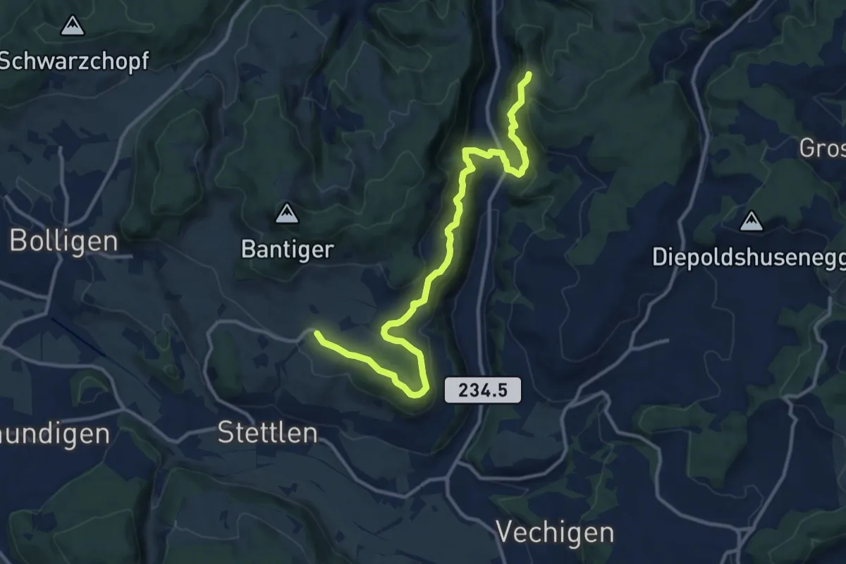
Medium · Trail
Vordere Geisme – Ferenberg
12.7 km · ↑ 592 m · 4 h 17 min · 9 km away
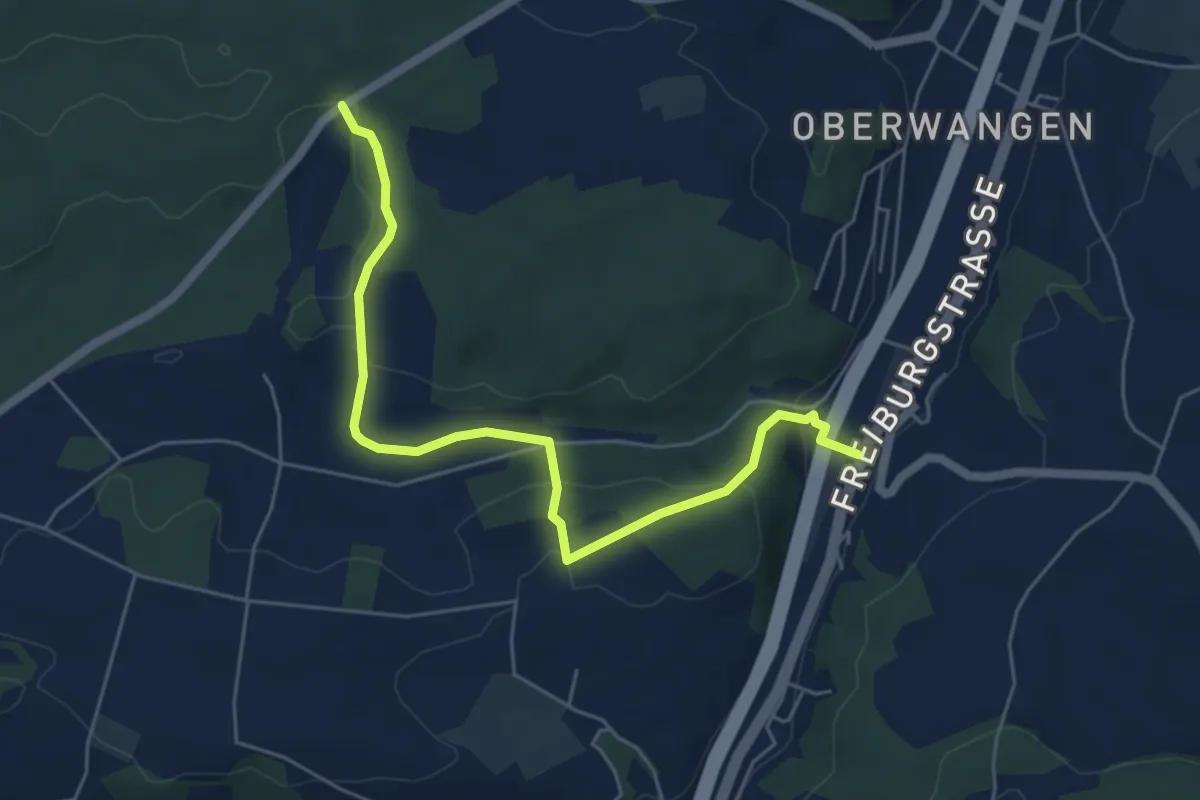
Easy · Trail
Bim Stundstei - Thörishaus Station
5.9 km · ↑ 146 m · 1 h 42 min · 9 km away
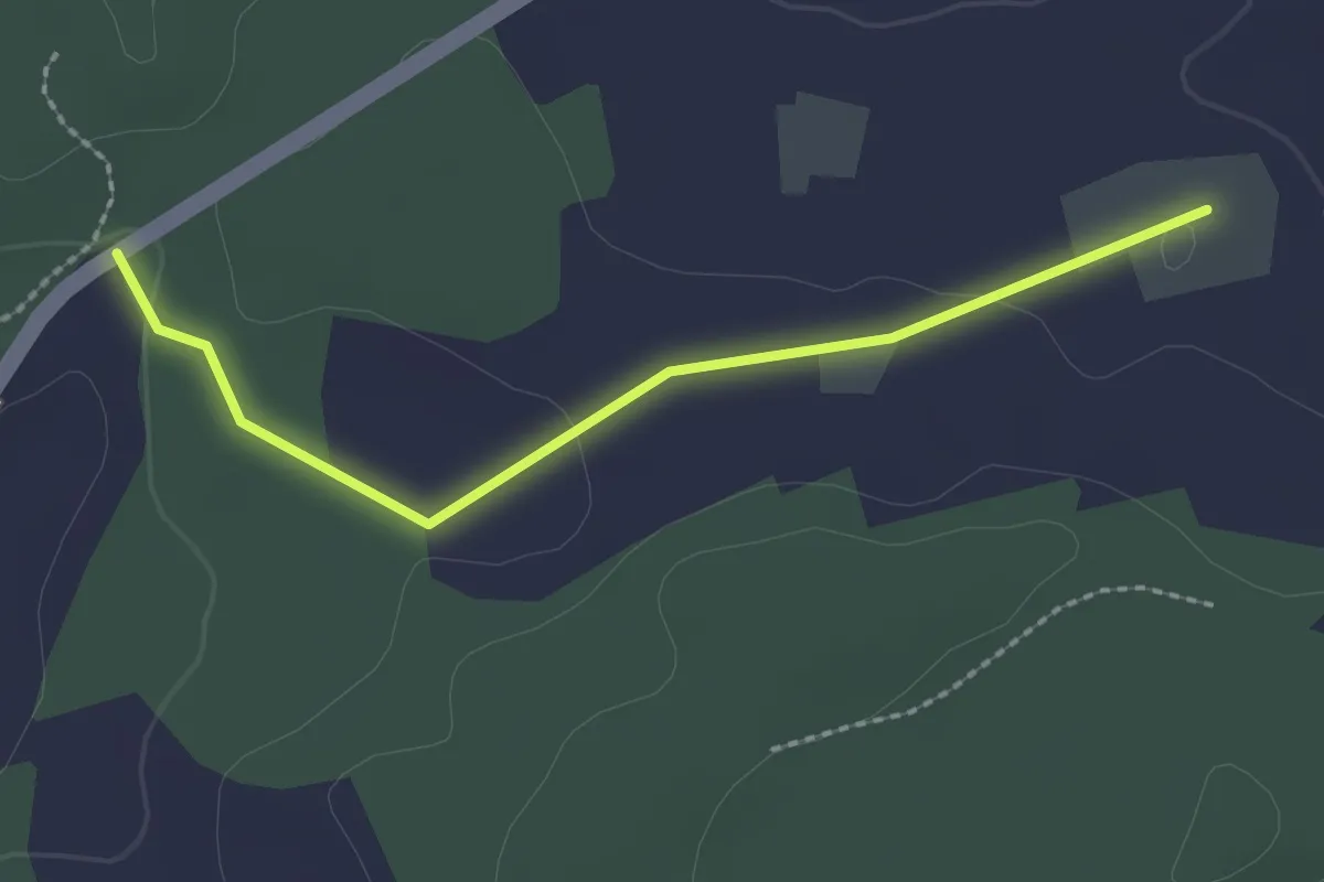
Easy · Trail
Bim Stundstei - Oberwangenhubel
2.2 km · ↑ 22 m · 34 min · 9 km away
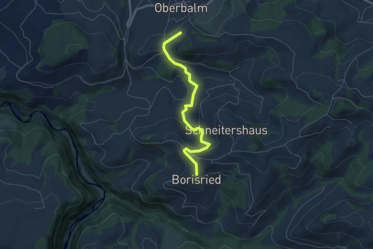
Easy · Trail
Boriswil – Oberbalm/Kirchweg
5.5 km · ↑ 195 m · 1 h 43 min · 9 km away
Easy · Trail
Schüpberg – Grächwil
3.5 km · ↑ 17 m · 52 min · 10 km away
Easy · Trail
Grächwil – Meikirch
2.6 km · ↑ 33 m · 42 min · 10 km away
Medium · Trail
Meikirch – Uettligen/Linde
10.5 km · ↑ 119 m · 2 h 44 min · 10 km away
Easy · Trail
Säriswil – Meikirch
7.6 km · ↑ 135 m · 2 h 5 min · 10 km away
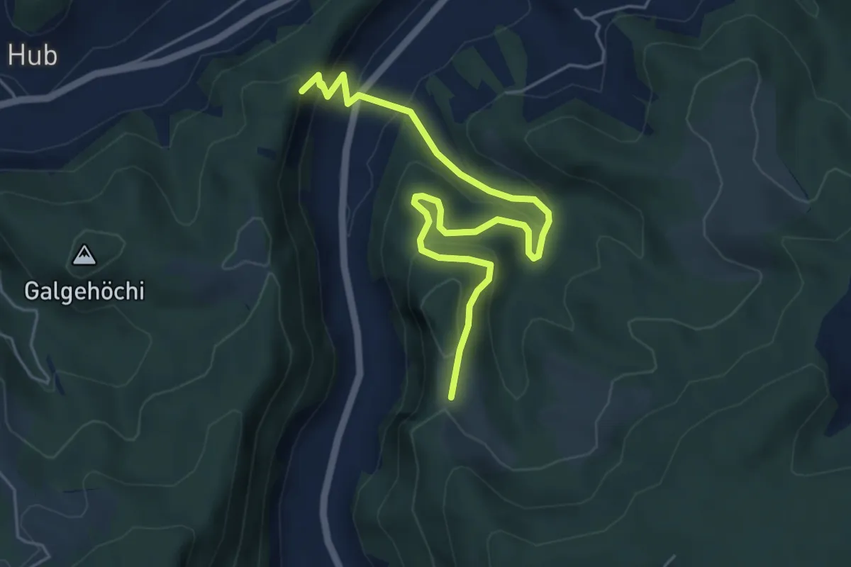
Medium · Trail
Fluehüsli – Vordere Geisme
5.6 km · ↑ 361 m · 2 h 6 min · 10 km away
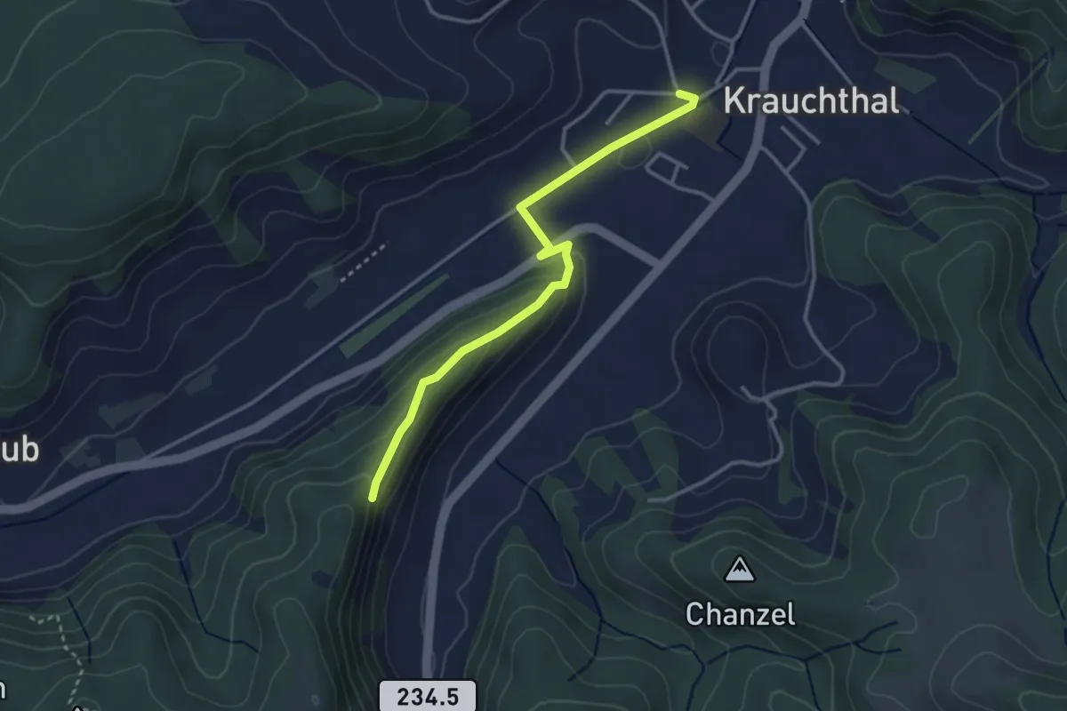
Easy · Trail
Sandhole – Fluehüsli
3.2 km · ↑ 113 m · 1 h · 10 km away
Easy · Trail
Mattstetten – Urtenen
2.2 km · ↑ 13 m · 32 min · 10 km away
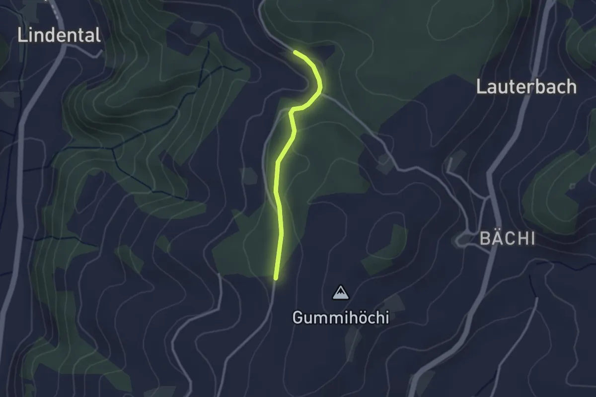
Easy · Trail
Sunnerain – Utzigenwull
2.1 km · ↑ 23 m · 33 min · 10 km away
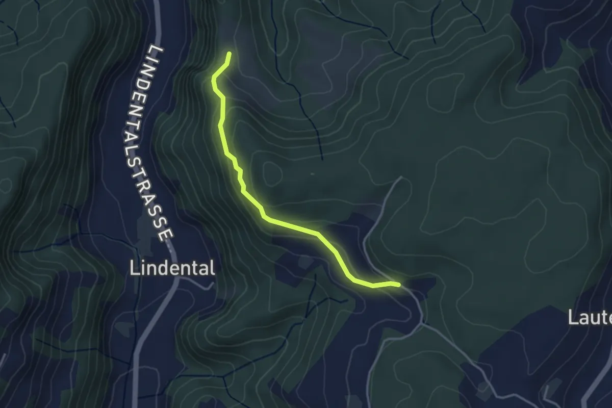
Easy · Trail
Vordere Geisme – Sonnenrain
3.0 km · ↑ 144 m · 1 h 1 min · 10 km away
Easy · Trail
Bäriswil – Wannetal
3.2 km · ↑ 64 m · 54 min · 10 km away
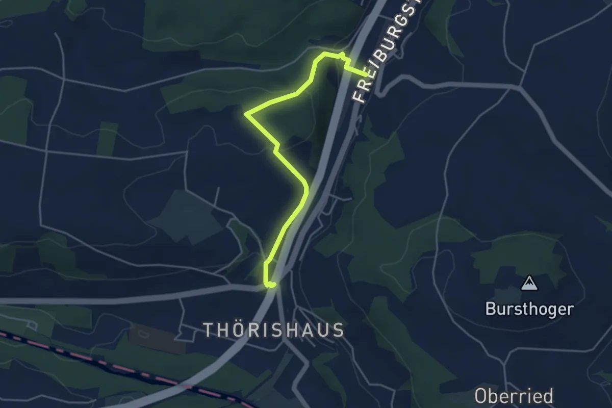
Easy · Trail
Thörishaus/Station - Thörishaus
4.0 km · ↑ 138 m · 1 h 15 min · 10 km away
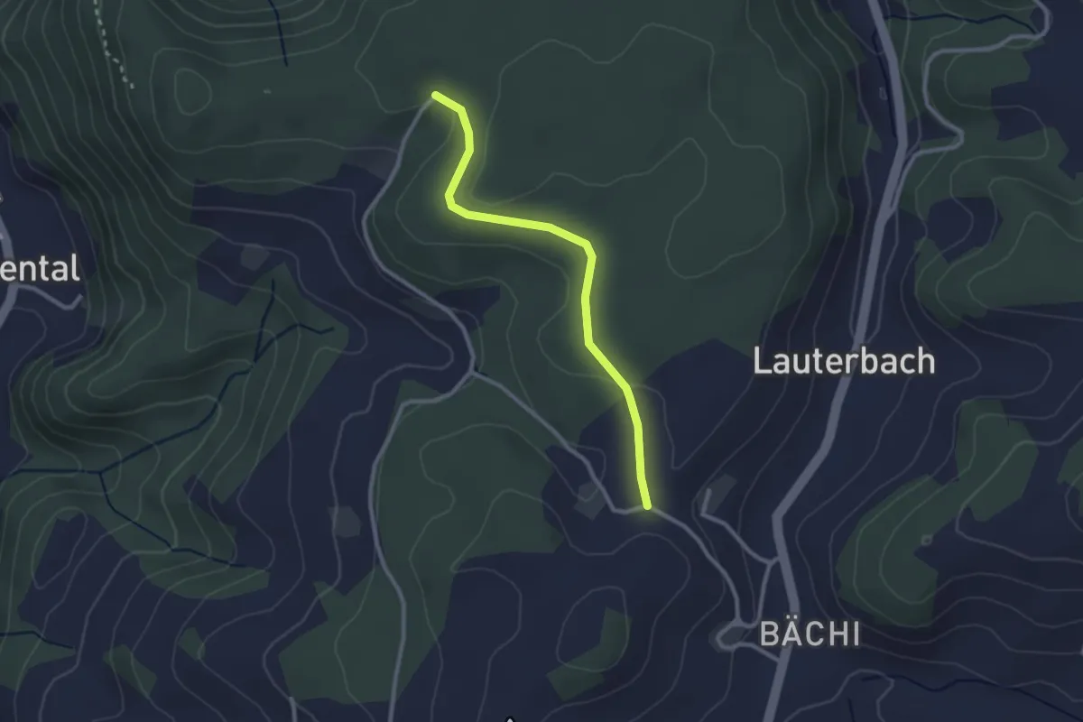
Easy · Trail
Aebnit/Klosterweg – Rötelismatt
2.5 km · ↑ 32 m · 40 min · 10 km away
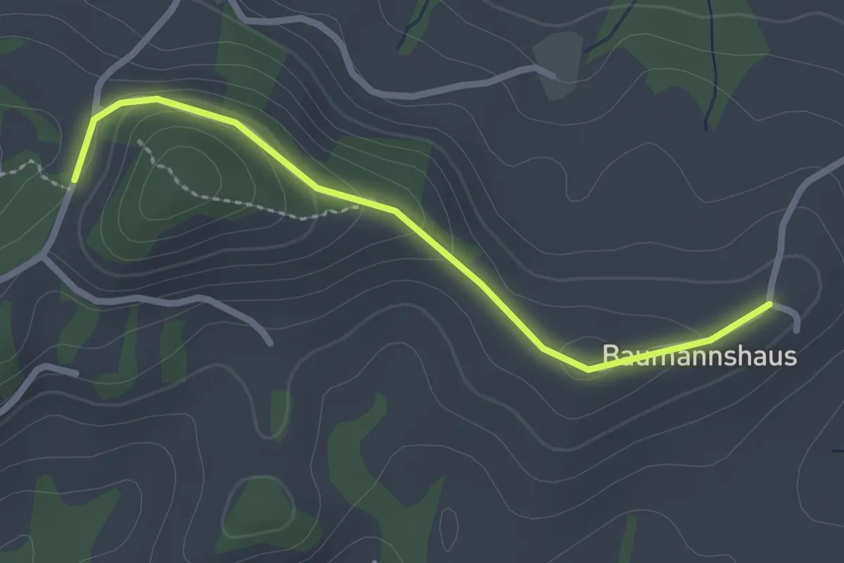
Easy · Trail
Tschuggen - Bumishus
2.3 km · ↑ 64 m · 41 min · 10 km away
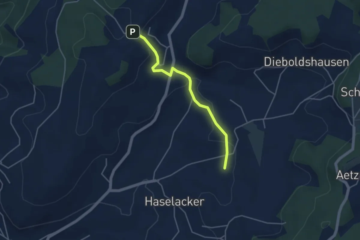
Easy · Trail
Rötelismatt – Sänggi
3.3 km · ↑ 88 m · 58 min · 10 km away
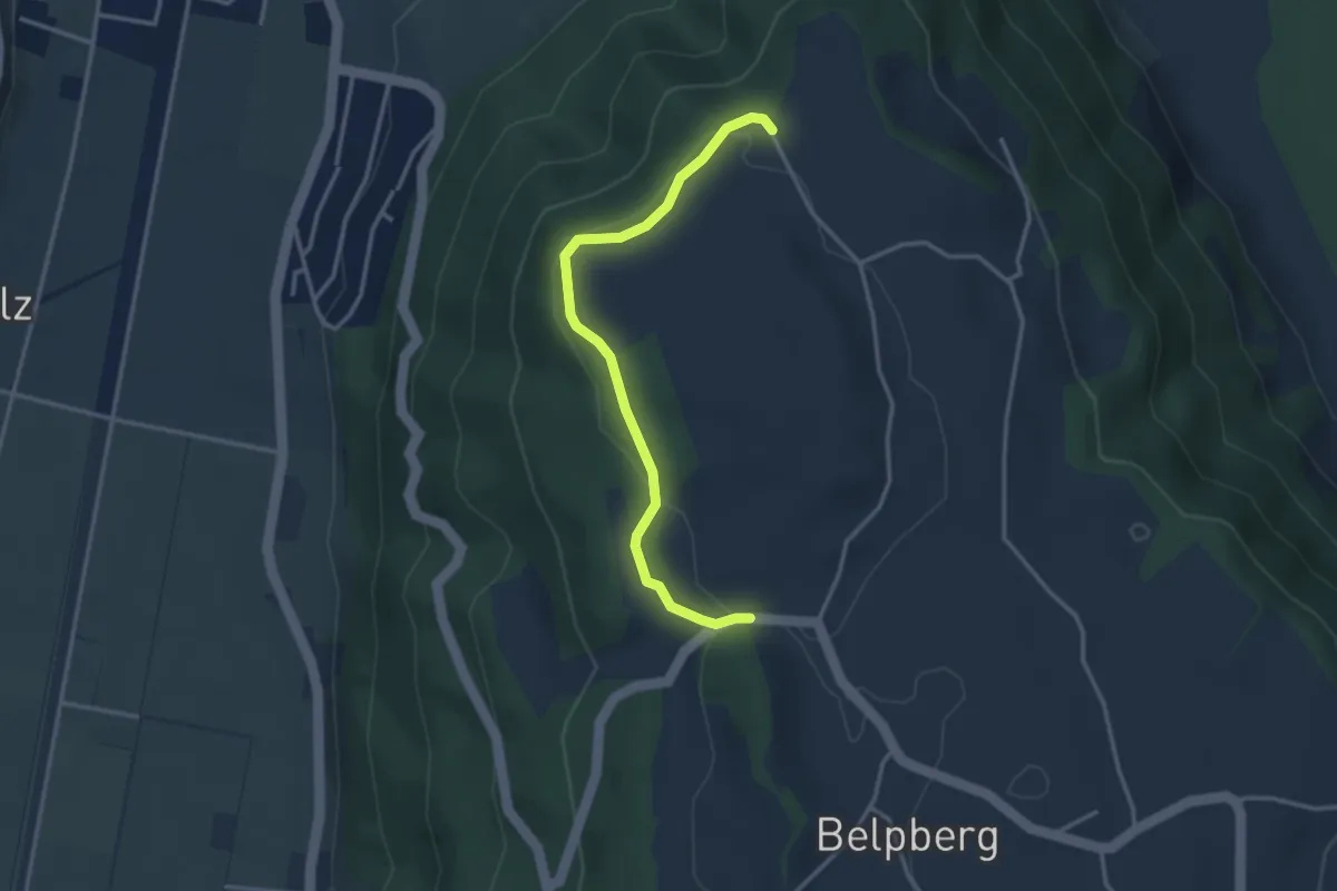
Easy · Trail
Hoburg - Weid
3.3 km · ↑ 114 m · 1 h 2 min · 10 km away
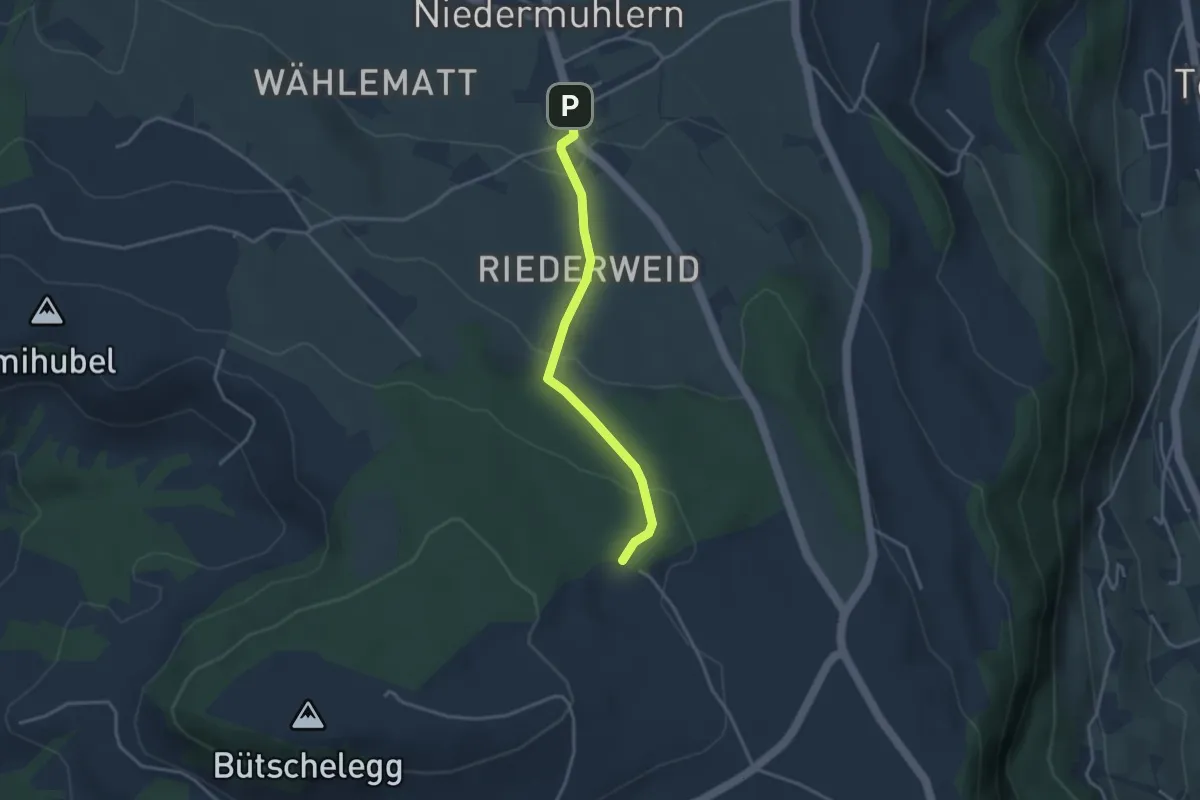
Easy · Trail
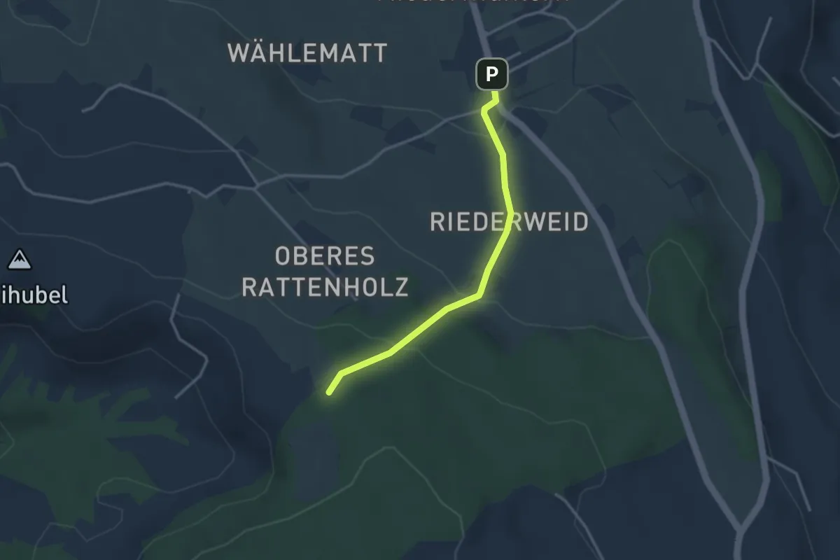
Niedermuhlern – Buechweid
3.1 km · ↑ 123 m · 1 h · 10 km away
Easy · Trail
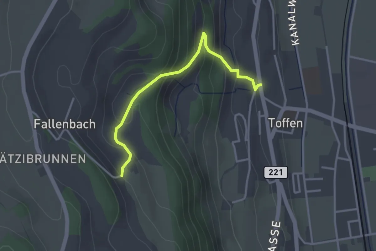
Seitenberg – Niedermuhlern
2.8 km · ↑ 141 m · 57 min · 10 km away
Easy · Trail
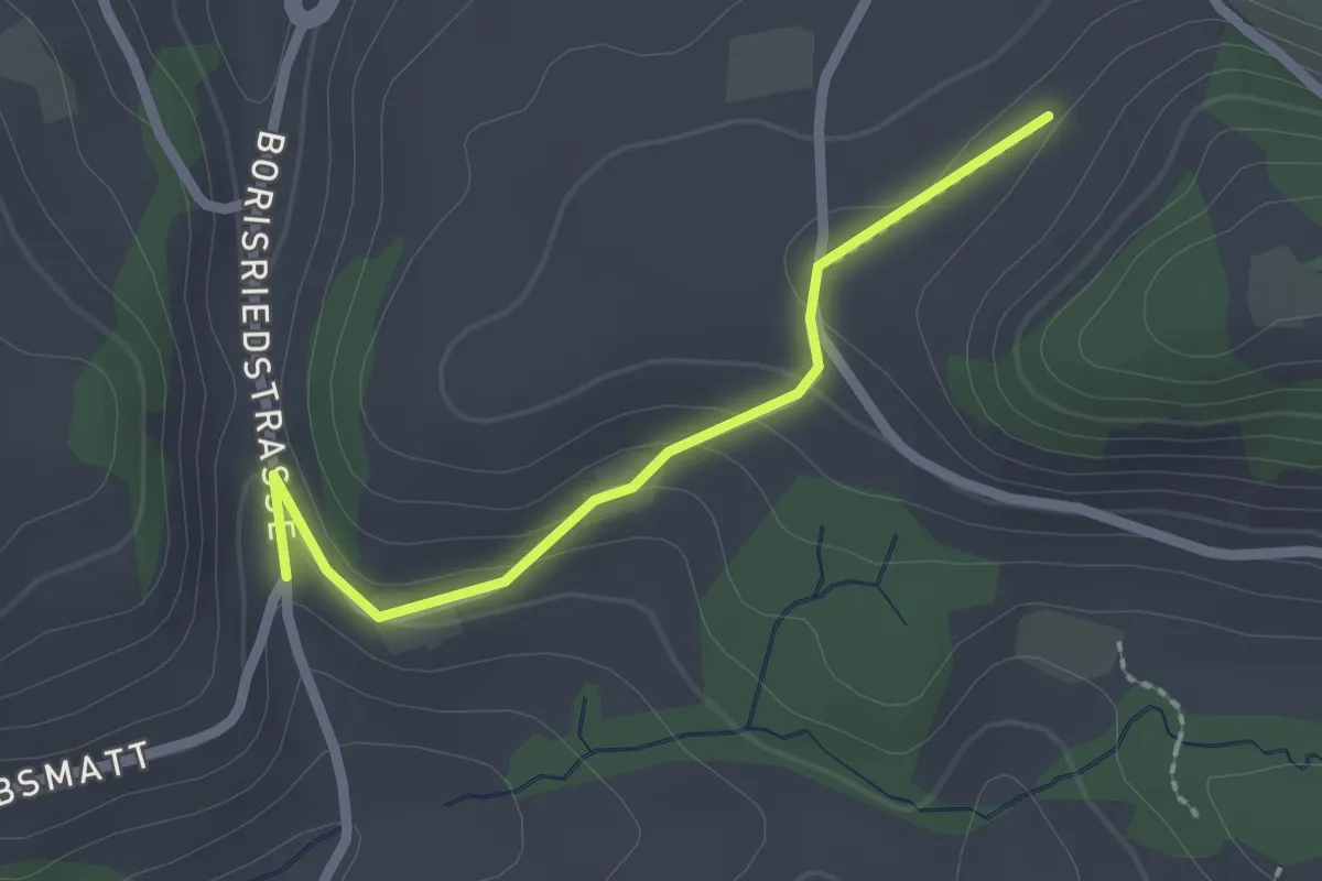
Obertoffen - Toffen/Dorf
2.8 km · ↑ 197 m · 1 h 6 min · 10 km away
Easy · Trail
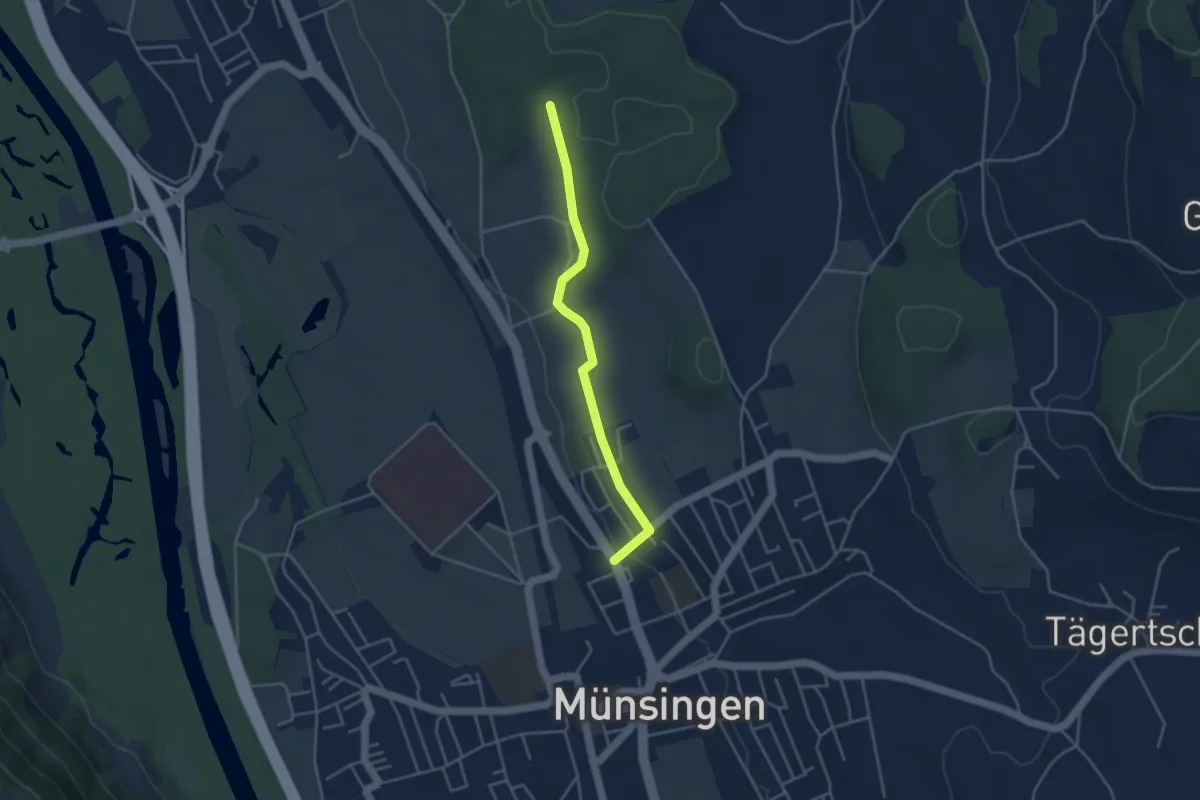
Oberbalm/Kirchweg – Schlatt
2.1 km · ↑ 73 m · 39 min · 10 km away
Easy · Trail
Münsingen – Schwandwald
3.7 km · ↑ 76 m · 1 h 2 min · 10 km away
Easy · Trail
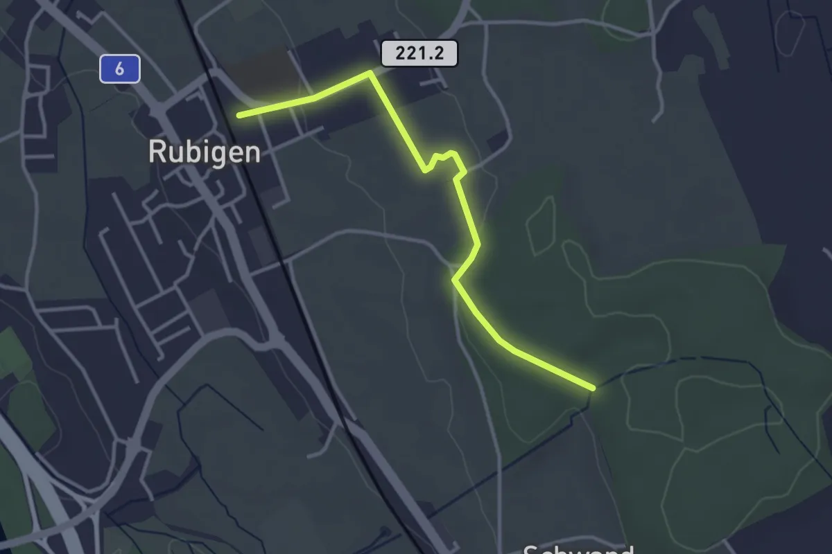
Rubigen – Schwandwald
3.2 km · ↑ 57 m · 53 min · 10 km away
Easy · Trail
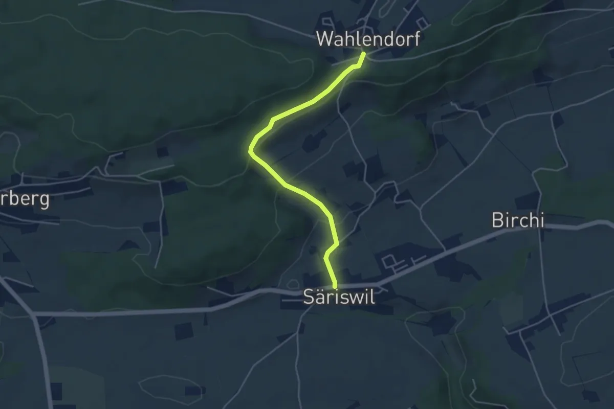
Wahlendorf Usserdorf – Säriswil
4.0 km · ↑ 132 m · 1 h 14 min · 10 km away
Easy · Trail
Chriegsholz – Längenberg
2.5 km · ↑ 70 m · 45 min · 10 km away
Easy · Trail
Hindelbank / Station – Mattstetten
7.3 km · ↑ 48 m · 1 h 49 min · 10 km away
Easy · Trail
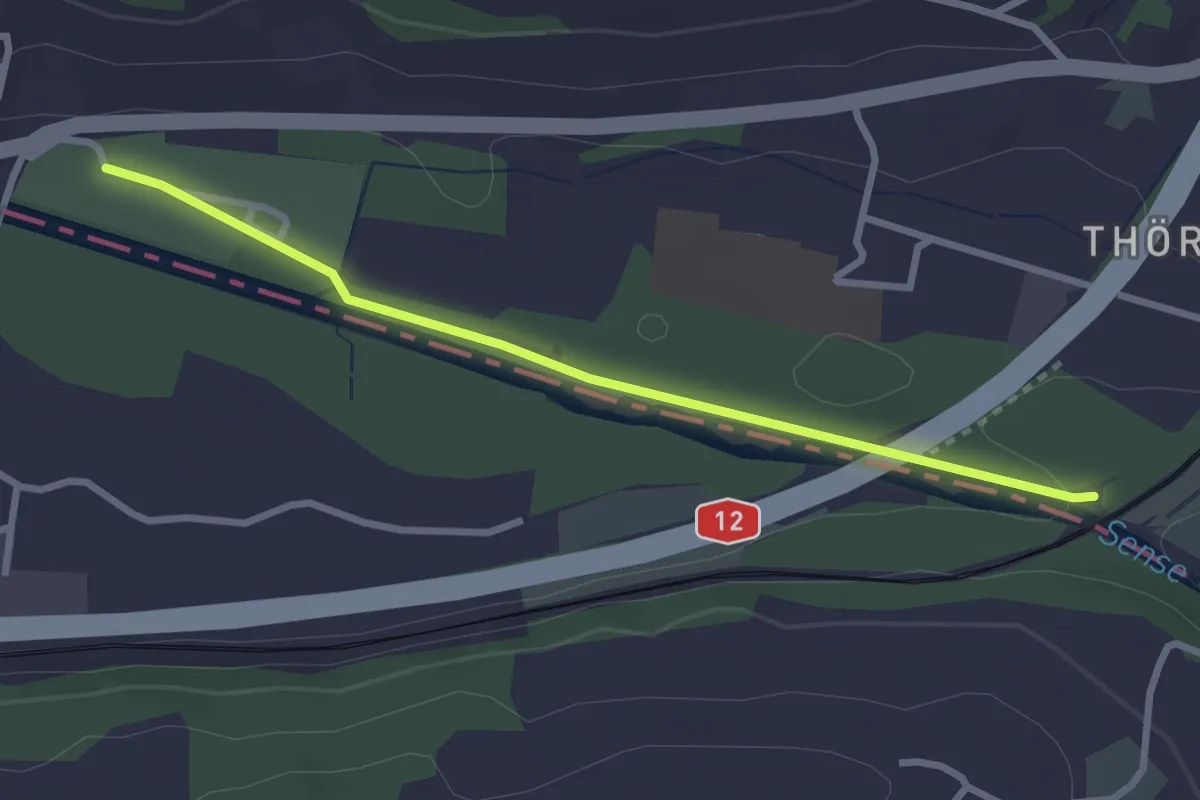
Steinerne Brücke – Thörishaus Au
2.8 km · ↑ 22 m · 42 min · 10 km away
Easy · Trail
Chriegsholz – Bäriswil
2.1 km · ↑ 67 m · 39 min · 10 km away
Easy · Summit
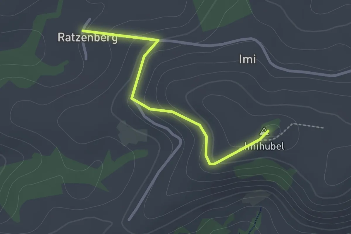
Ratzenberg - Imihubel
2.2 km · ↑ 97 m · 44 min · 10 km away
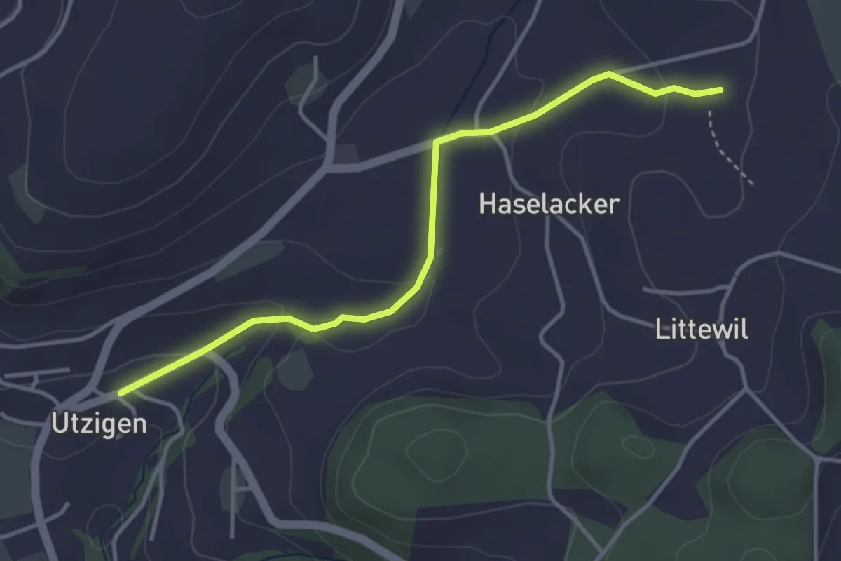
Easy · Trail
Sänggi – Utzigen
3.7 km · ↑ 98 m · 1 h 5 min · 10 km away
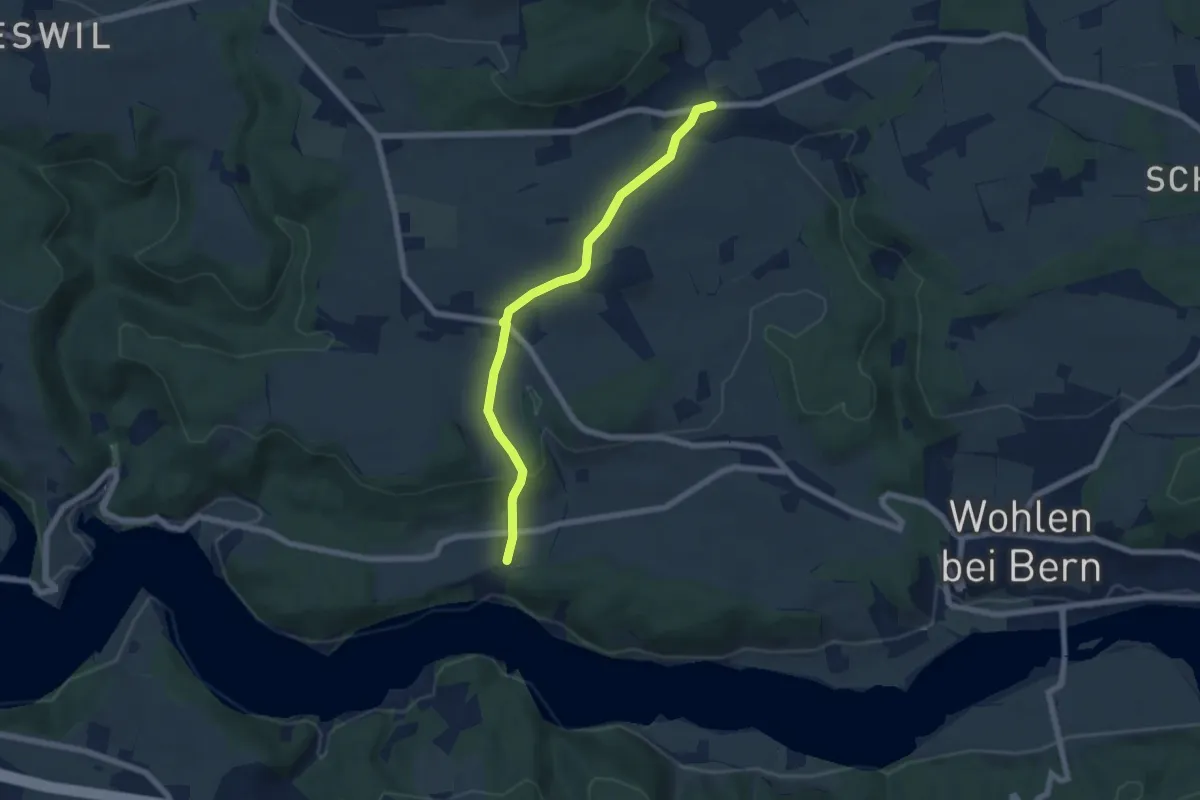
Easy · Trail
Säriswil – Steinisweg
6.1 km · ↑ 114 m · 1 h 42 min · 10 km away
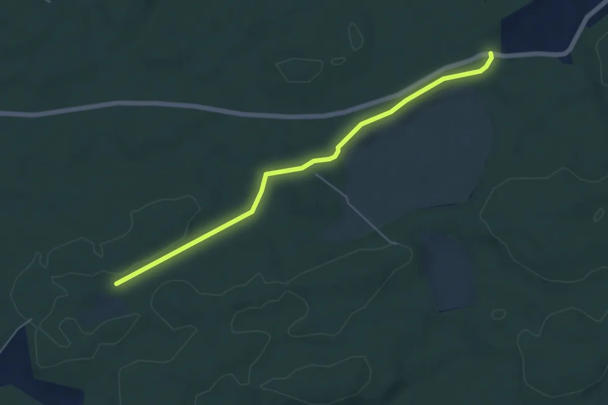
Easy · Trail
Mösli - Fuessacher
4.8 km · ↑ 53 m · 1 h 14 min · 10 km away