Trails near Bern
511 hikes starting within 15 km, nearest first.
Nearest first, page 10 of 11
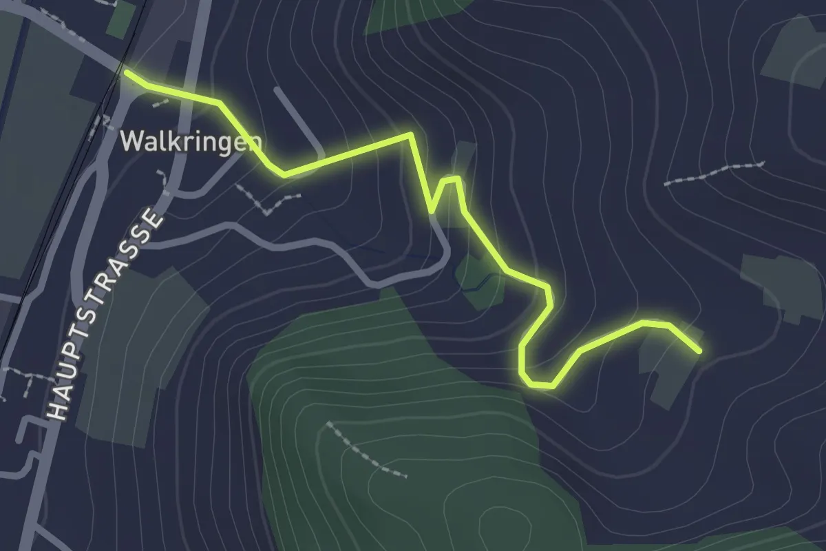
Easy · Trail
Golpisberg – Walkringen
2.3 km · ↑ 154 m · 53 min · 13 km away
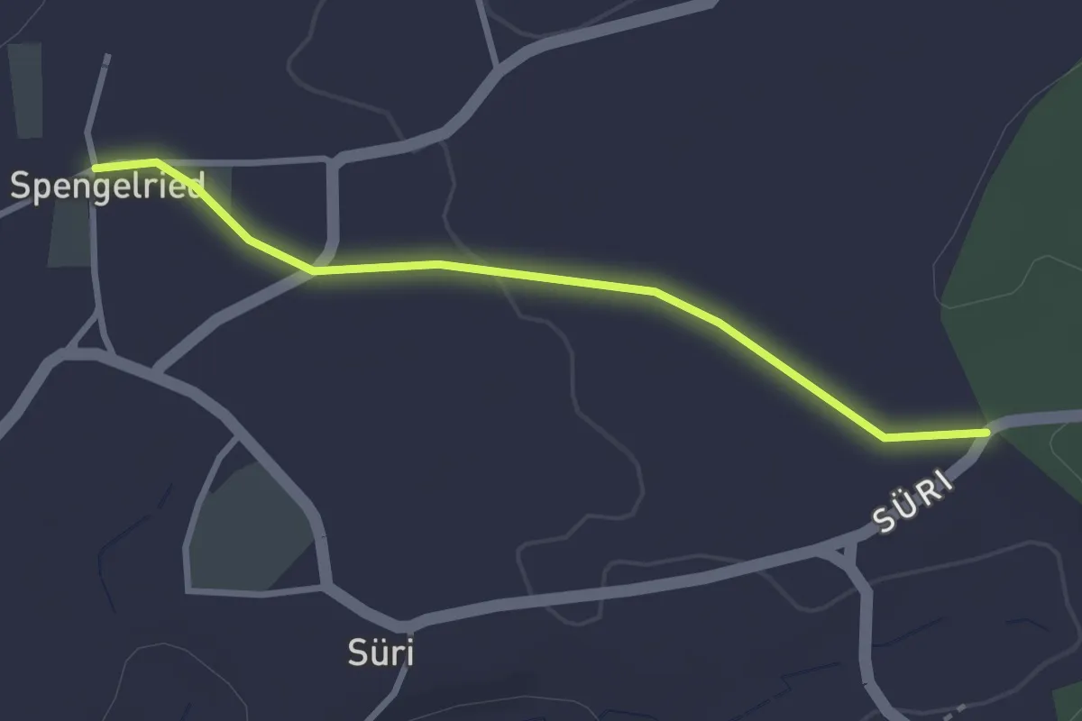
Easy · Trail
Spengelried - Süri
2.8 km · ↑ 22 m · 43 min · 13 km away
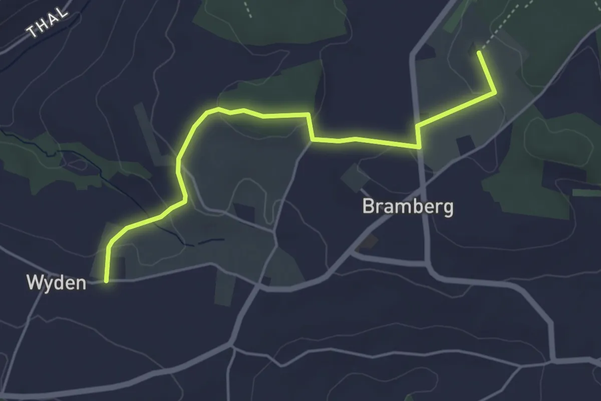
Easy · Trail
Wyden - Brambergdenkmal
4.5 km · ↑ 95 m · 1 h 17 min · 13 km away
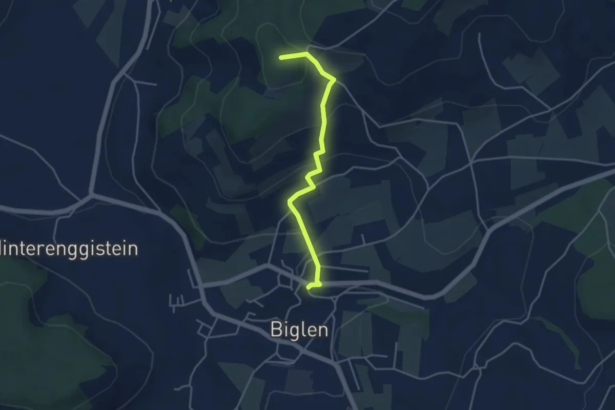
Easy · Summit
Biglen – Adlisberg
3.4 km · ↑ 169 m · 1 h 10 min · 14 km away
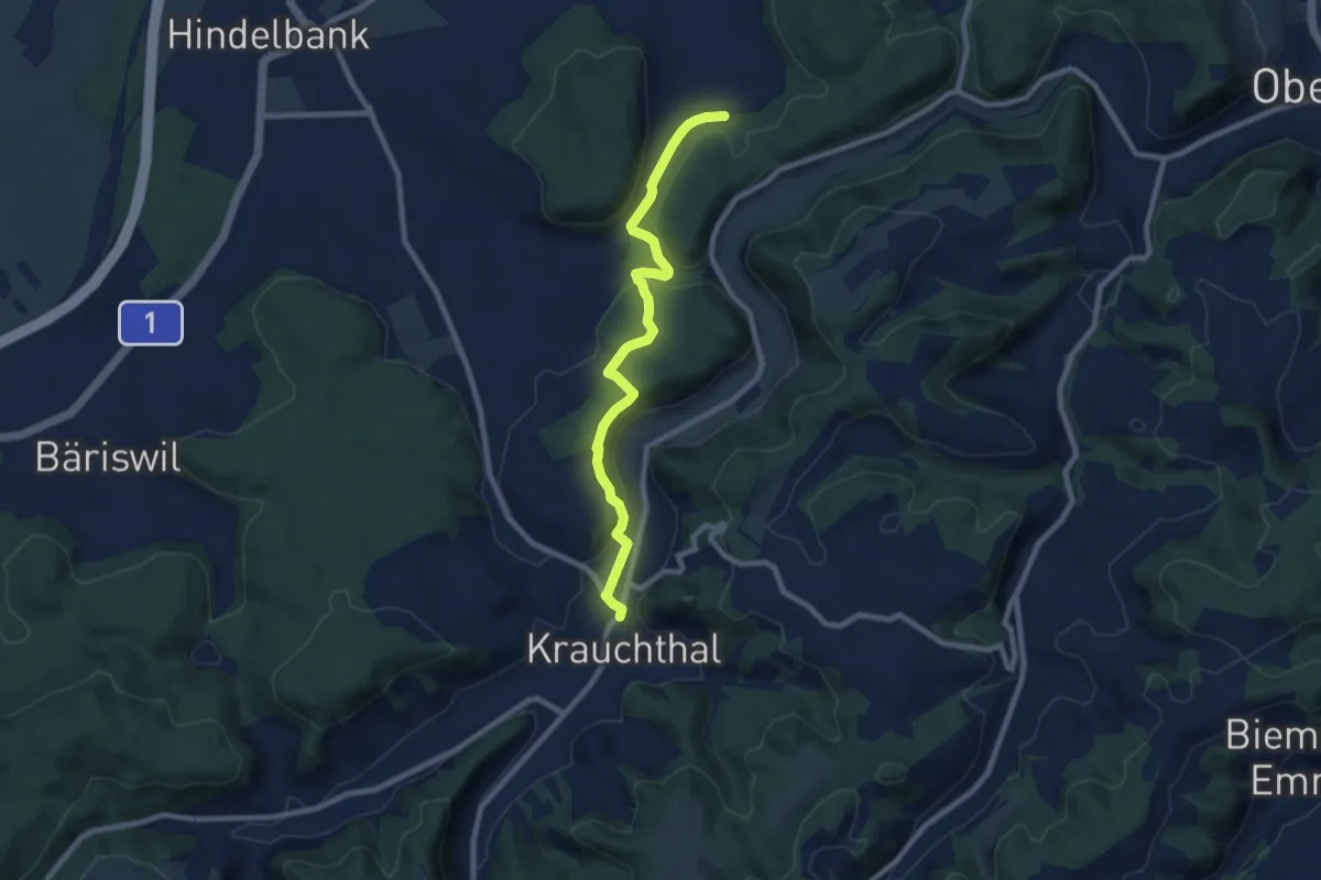
Medium · Trail
Schleumemoos – Krauchthal
8.4 km · ↑ 185 m · 2 h 22 min · 14 km away
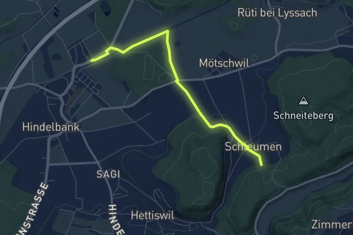
Easy · Trail
Hindelbank / Station – Schleumemoos
7.2 km · ↑ 122 m · 1 h 58 min · 14 km away
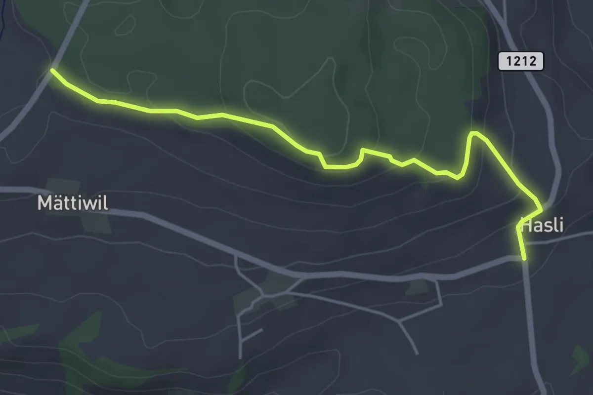
Easy · Trail
Hasli – Than
4.6 km · ↑ 179 m · 1 h 29 min · 14 km away
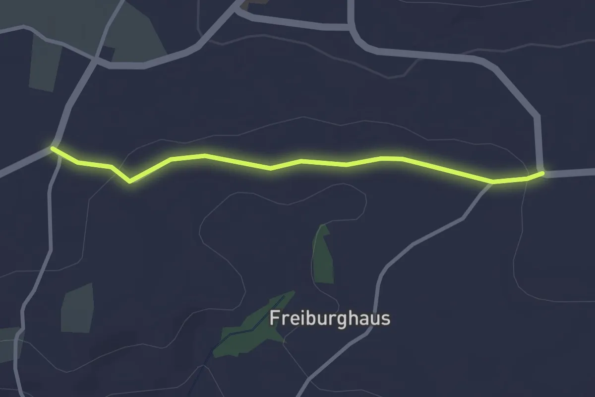
Easy · Trail
Sandgrube - Brüggelbach
2.5 km · ↑ 37 m · 41 min · 14 km away
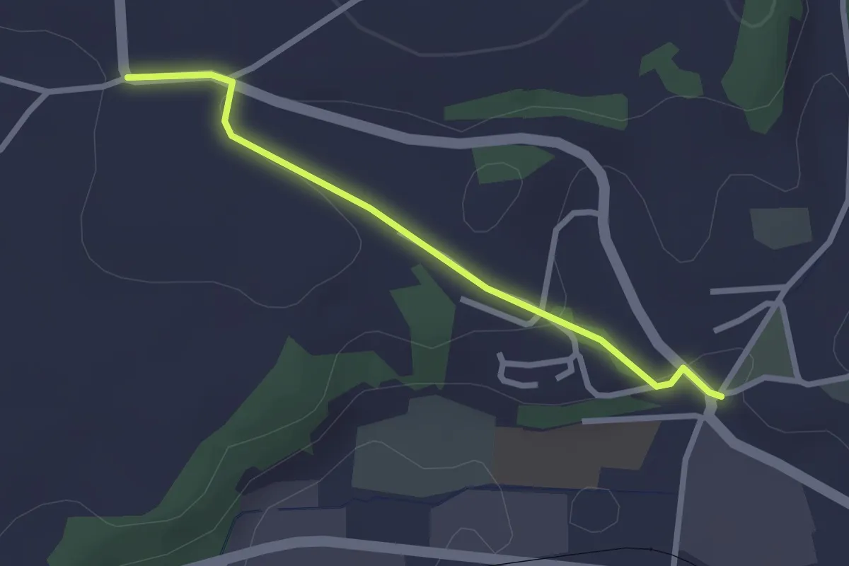
Easy · Trail
Brüggelbach - Neuenegg Kirche
2.3 km · ↑ 42 m · 38 min · 14 km away
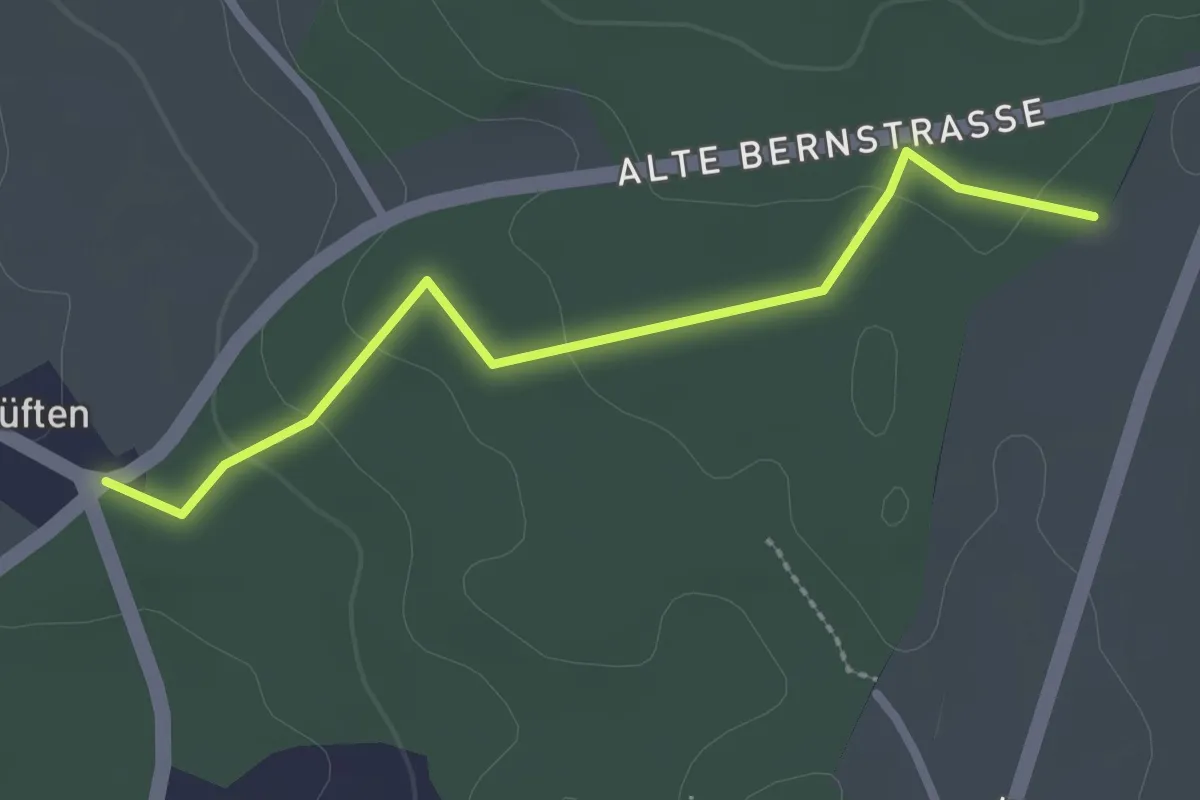
Easy · Trail
Allenlüften - Obere Ledi
2.5 km · ↑ 47 m · 41 min · 14 km away
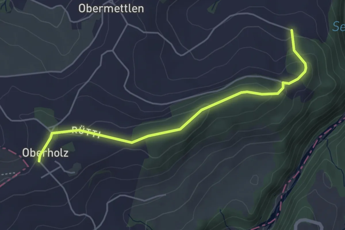
Easy · Trail
Burlingen - Summerauhöchi
4.6 km · ↑ 160 m · 1 h 26 min · 14 km away
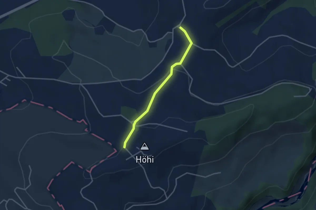
Easy · Trail
Sommerauhöchi – Obermettlen
2.5 km · ↑ 63 m · 44 min · 14 km away
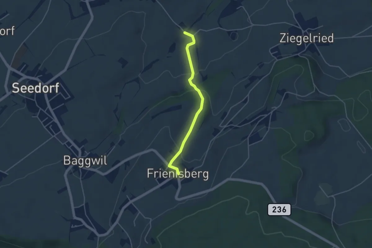
Easy · Trail
Allenwil - Frieniswil
3.6 km · ↑ 149 m · 1 h 10 min · 14 km away
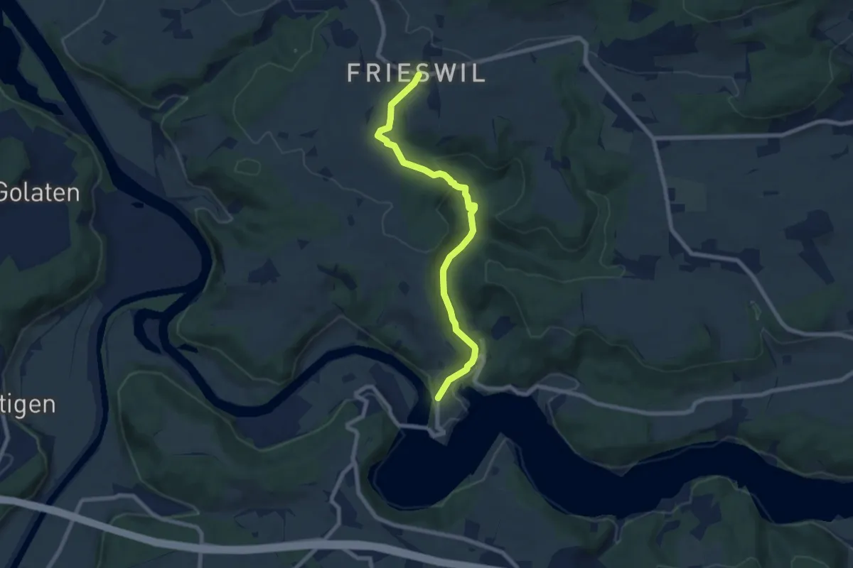
Easy · Trail
Frieswil – Wickacher
7.3 km · ↑ 222 m · 2 h 13 min · 14 km away
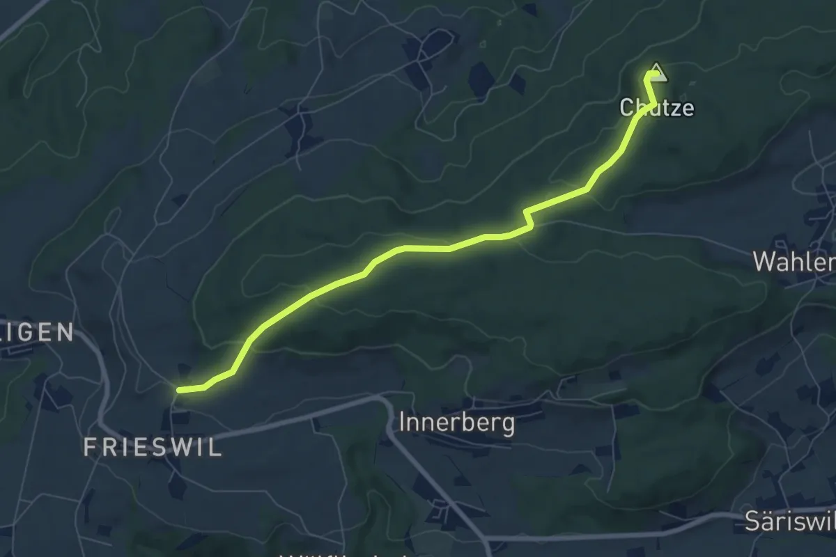
Easy · Summit
Gummen – Chutzenturm
7.5 km · ↑ 205 m · 2 h 13 min · 14 km away
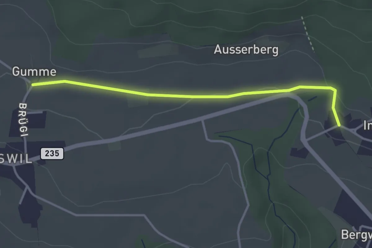
Easy · Trail
Gummen – Innerberg
3.1 km · ↑ 62 m · 52 min · 14 km away
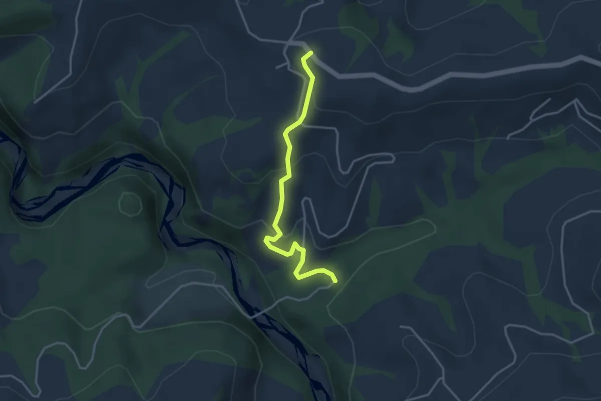
Easy · Trail
Schwandbachbrücke – Hinterfultigen
3.1 km · ↑ 152 m · 1 h 3 min · 14 km away
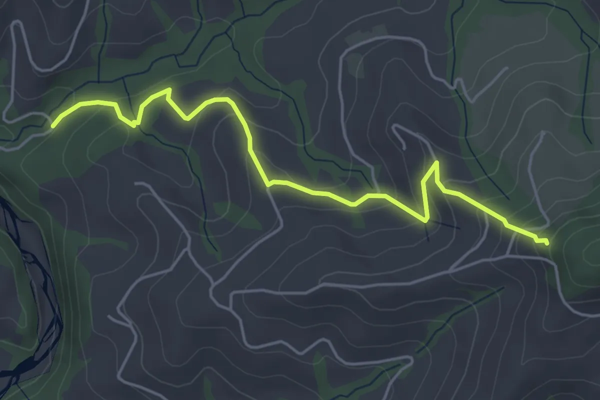
Easy · Trail
Riedstettwald - Schwandbachbrücke
5.0 km · ↑ 264 m · 1 h 45 min · 14 km away
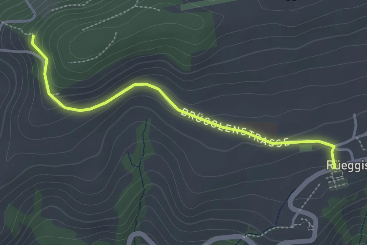
Easy · Trail
Rüeggisberg - Riedstettwald
2.7 km · ↑ 91 m · 50 min · 14 km away
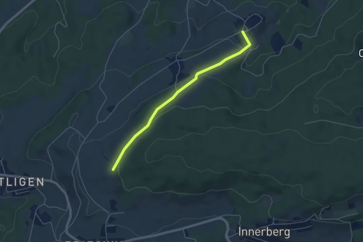
Easy · Trail
Ruchwil – Frieswilhubel
4.3 km · ↑ 122 m · 1 h 17 min · 14 km away
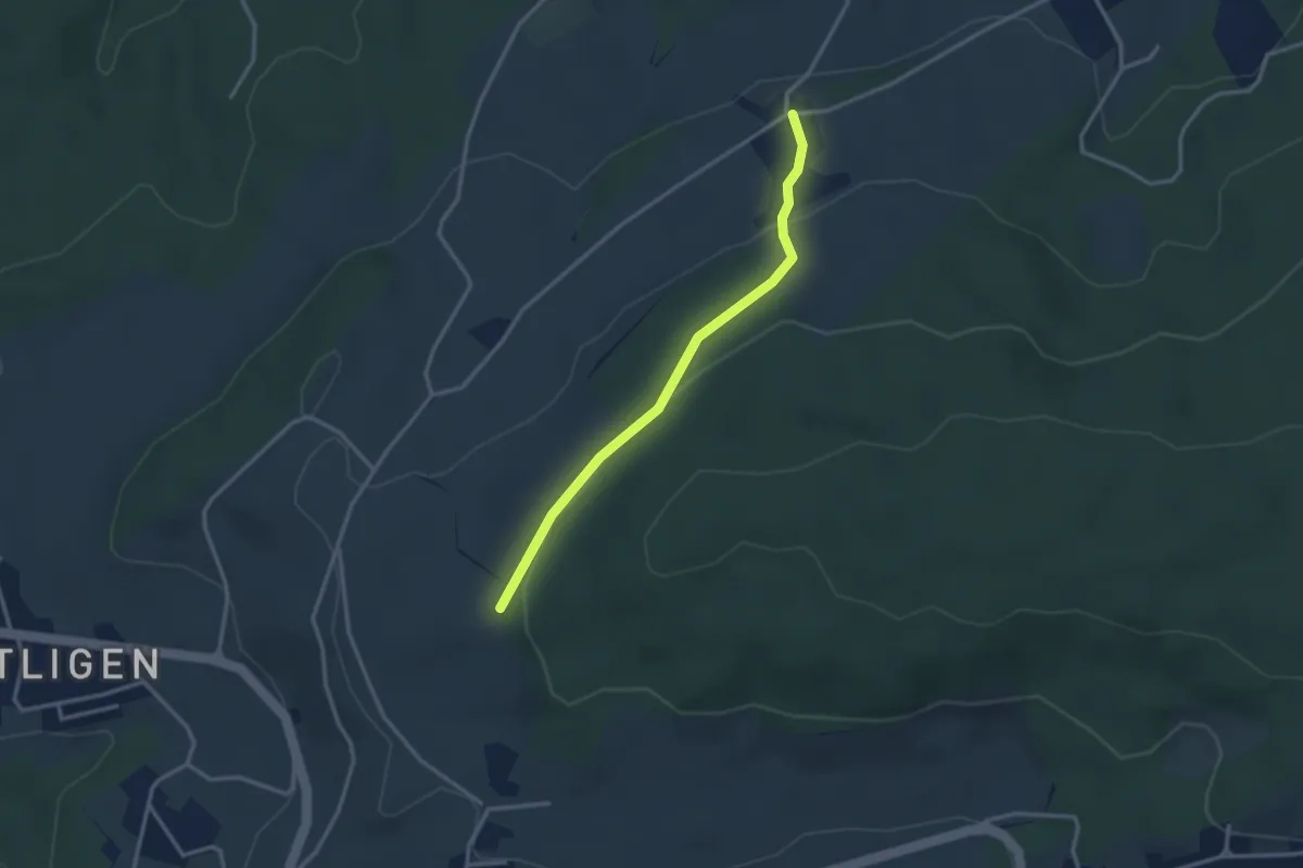
Easy · Trail
Dampfwil – Frieswilhubel
2.9 km · ↑ 96 m · 53 min · 14 km away
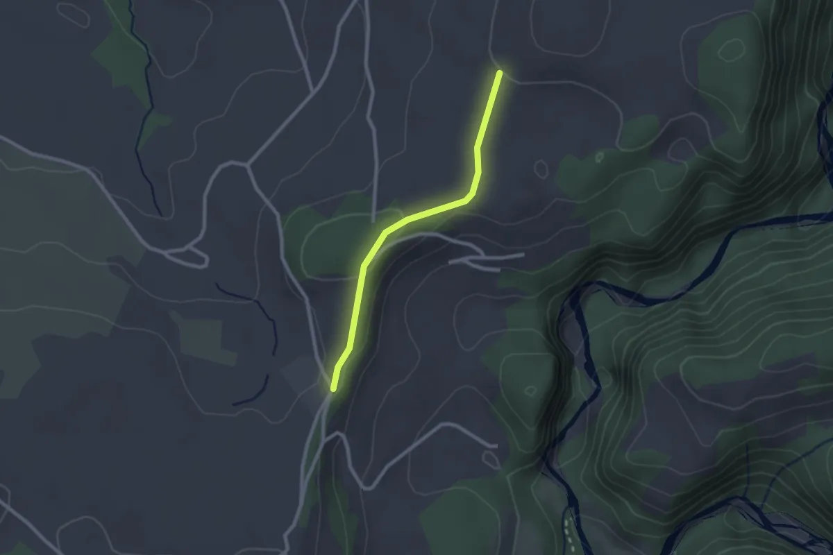
Easy · Trail
Chrummoos - Ried
2.1 km · ↑ 47 m · 36 min · 14 km away
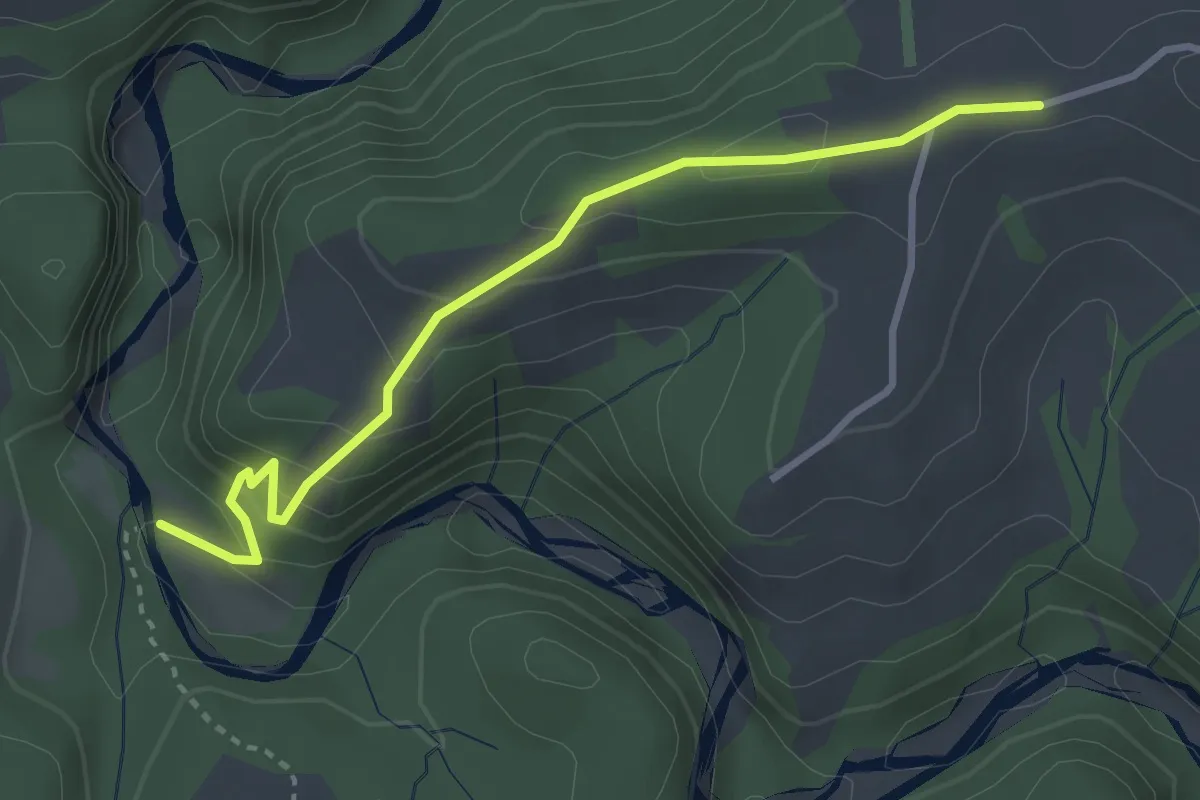
Easy · Trail
Krommen – Schwarzwasser / Steiglenau
3.3 km · ↑ 260 m · 1 h 20 min · 14 km away
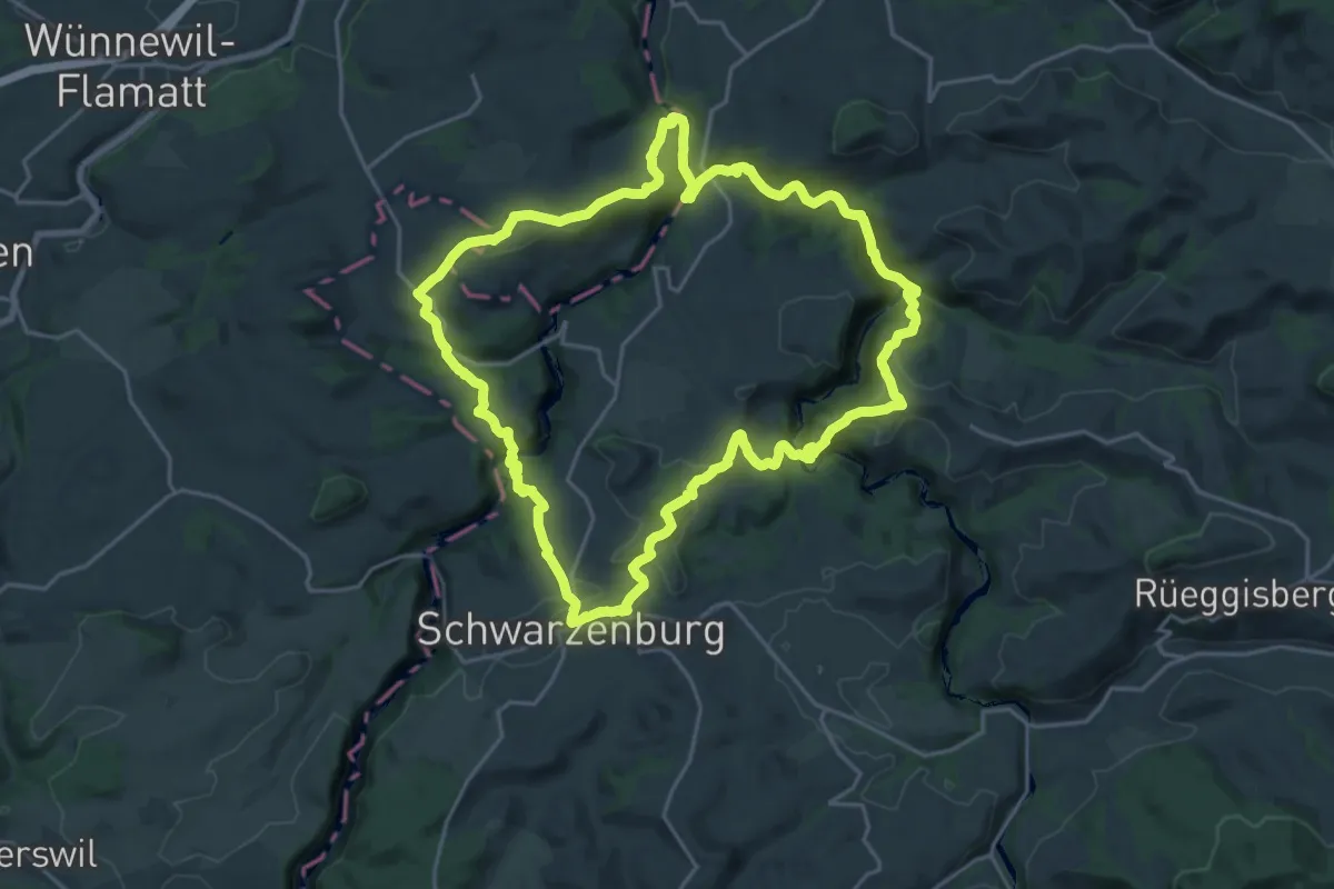
Demanding · Trail
Schwarzwasser Sense Schluchtenweg
21.9 km · ↑ 939 m · 7 h 31 min · 14 km away
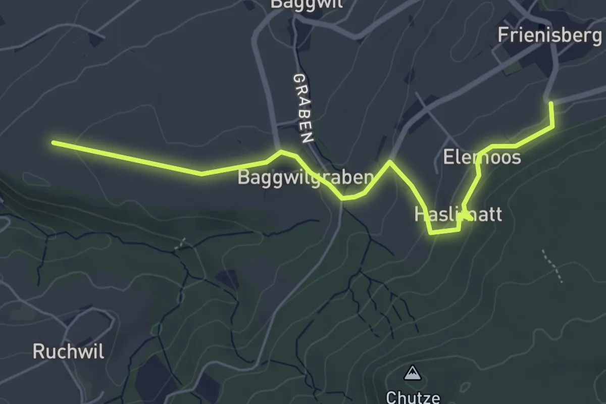
Easy · Trail
Klosterwege Frienisberg
5.5 km · ↑ 145 m · 1 h 37 min · 14 km away
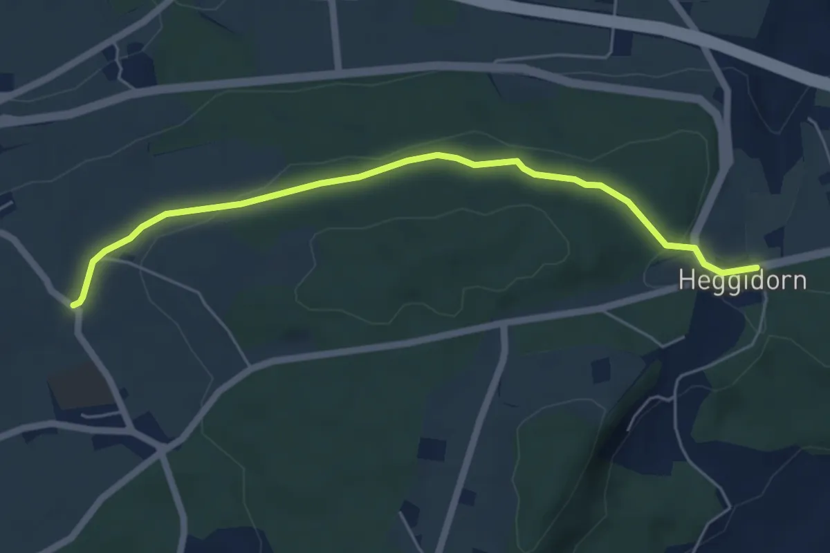
Easy · Trail
Buech - Heggidorn
5.2 km · ↑ 73 m · 1 h 23 min · 14 km away
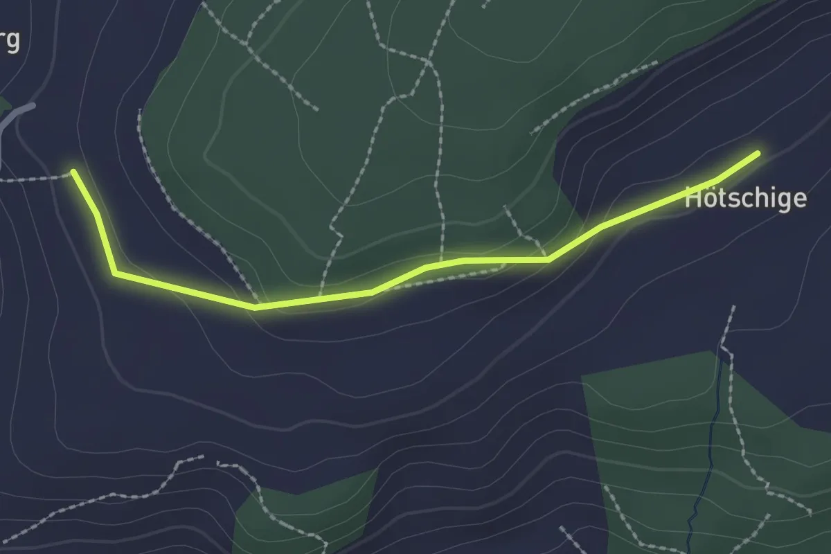
Easy · Trail
Ballenbüel – Ober Hötschige
2.2 km · ↑ 55 m · 38 min · 14 km away
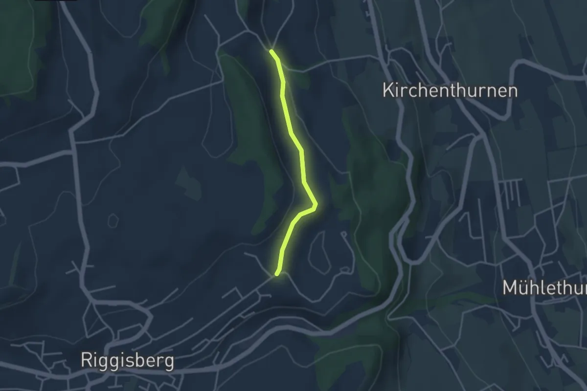
Easy · Trail
Uf der Mur – Eybrunne
2.6 km · ↑ 78 m · 47 min · 14 km away
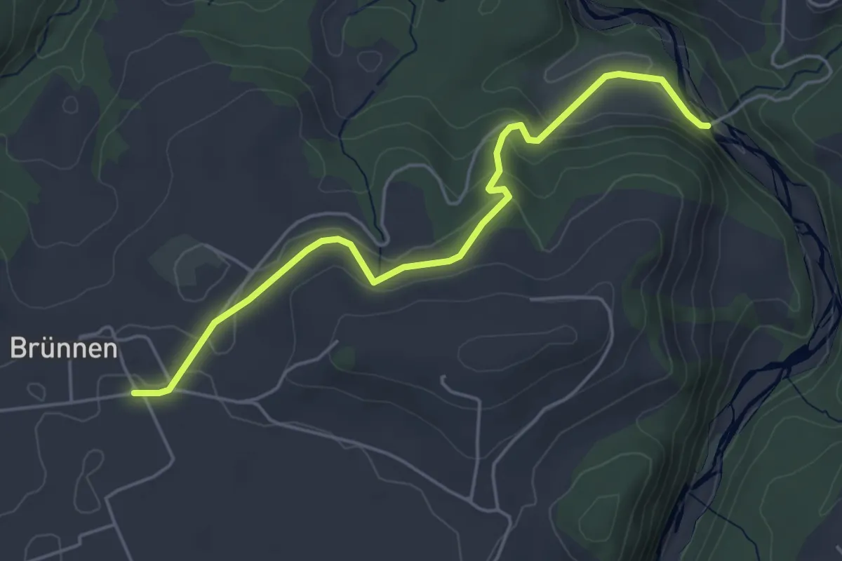
Easy · Trail
Rossgrabenbrücke – Elisried
4.9 km · ↑ 164 m · 1 h 31 min · 14 km away
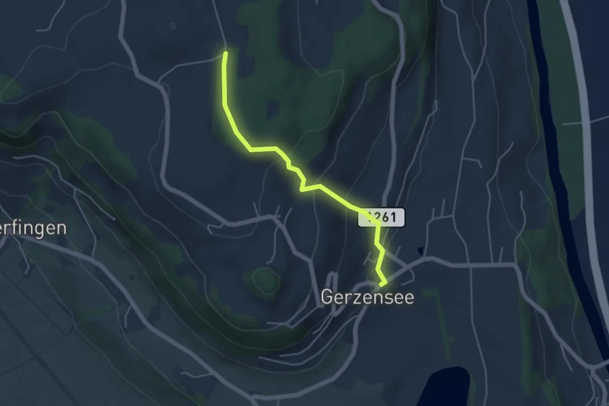
Easy · Trail
Nessleren - Gerzensee
3.8 km · ↑ 223 m · 1 h 23 min · 14 km away
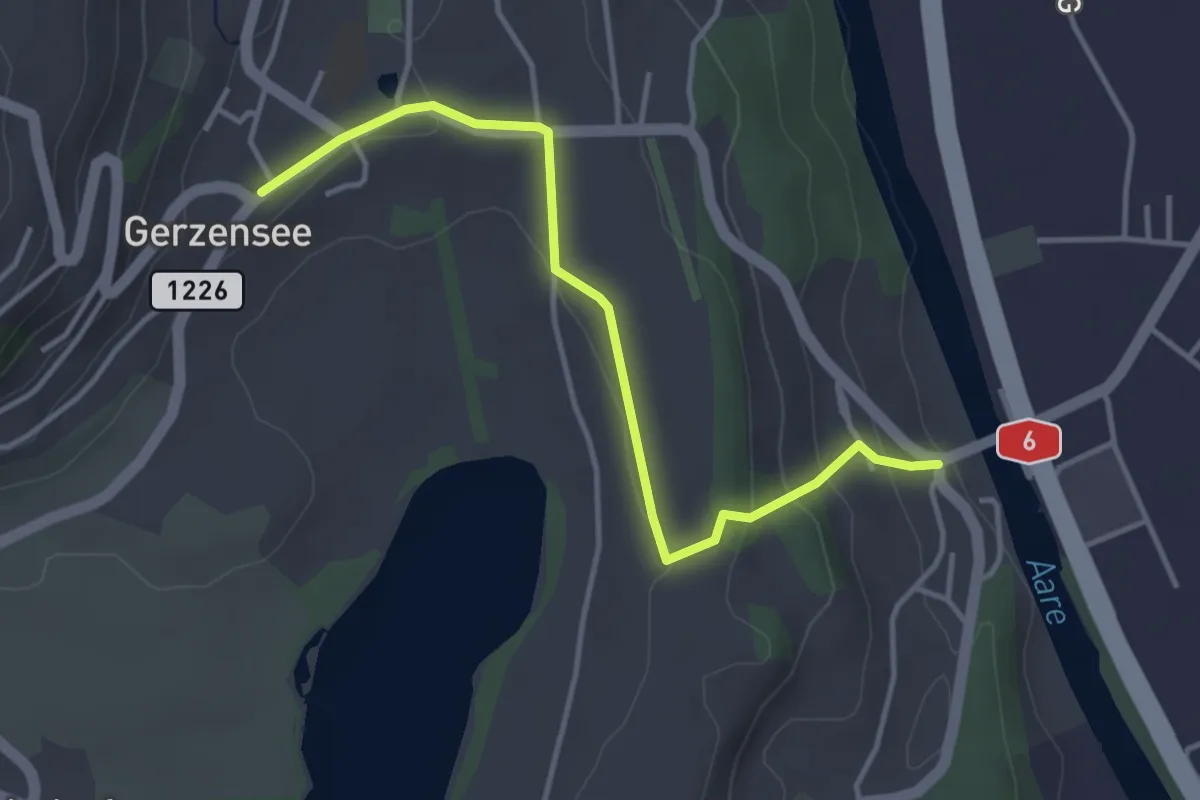
Easy · Trail
Gerzensee - Thalgutbrücke
3.9 km · ↑ 130 m · 1 h 12 min · 14 km away
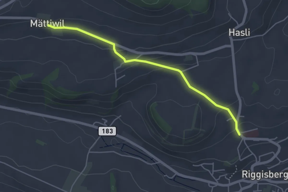
Easy · Trail
Riggisberg / Staudengasse – Mättiwil
4.0 km · ↑ 102 m · 1 h 10 min · 14 km away
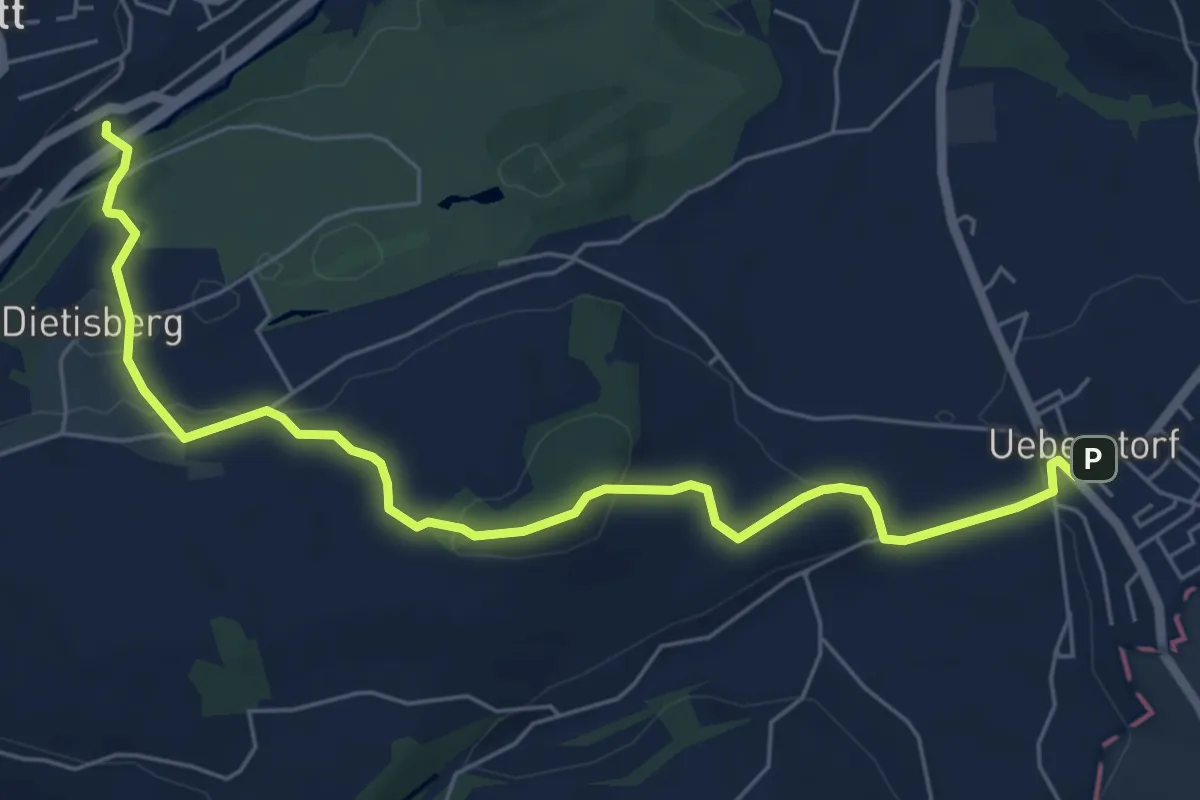
Easy · Trail
Wünnewil SBB - Ueberstorf
7.1 km · ↑ 225 m · 2 h 9 min · 14 km away
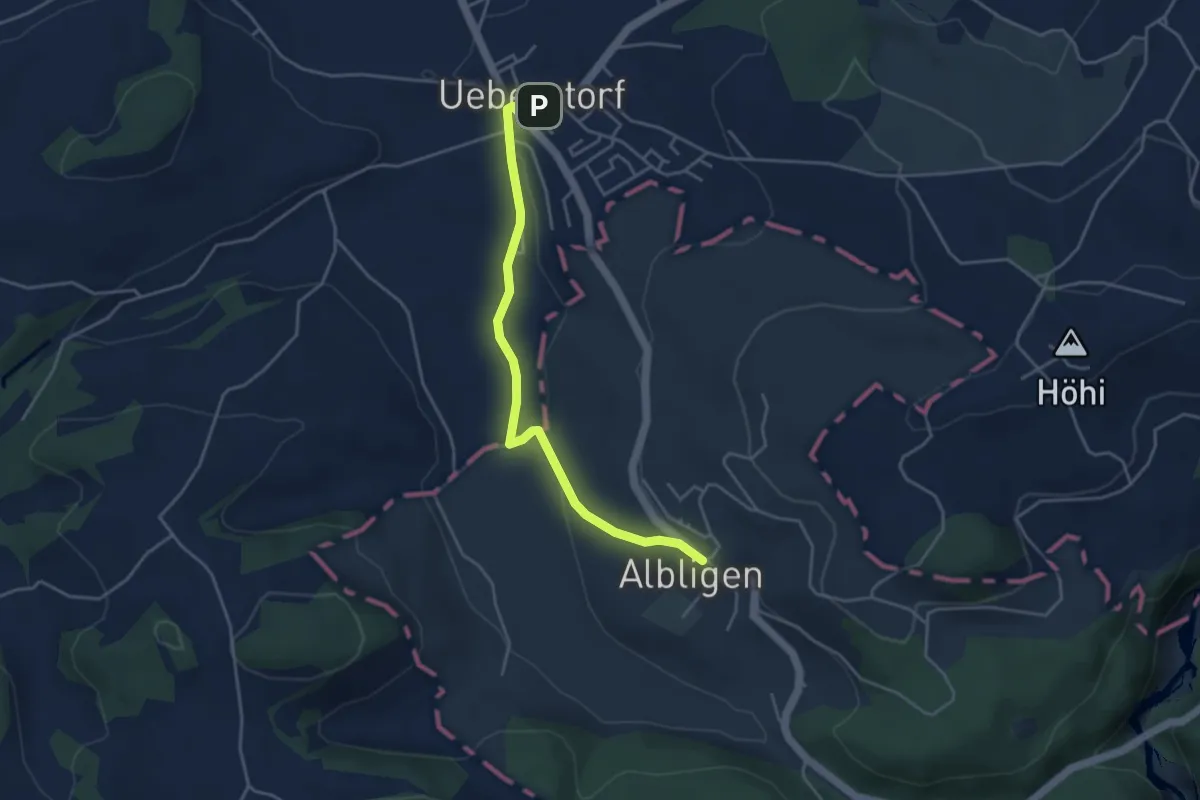
Easy · Trail
Ueberstorf - Albligen
4.1 km · ↑ 81 m · 1 h 9 min · 14 km away
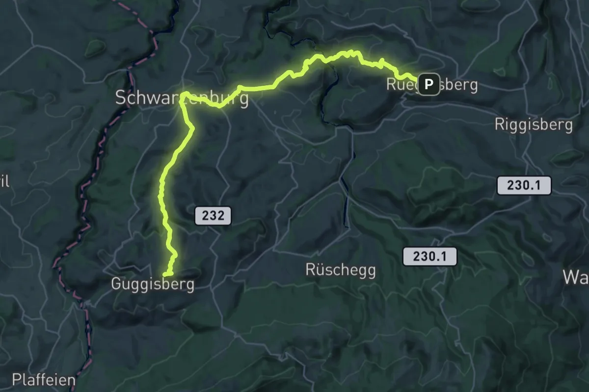
Demanding · Summit
Alpenpanorama-Weg
32.5 km · ↑ 1167 m · 10 h 12 min · 14 km away
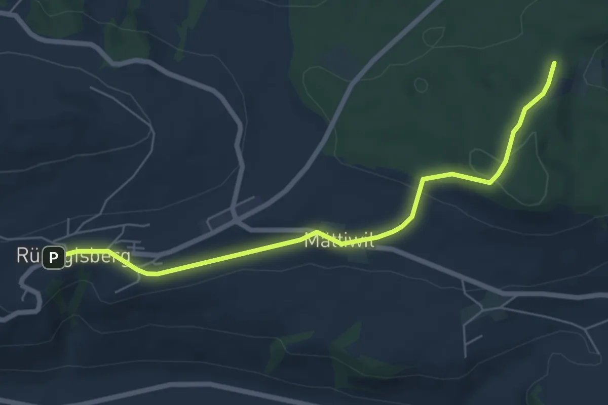
Easy · Trail
Rüeggisberg – Taanwald
5.8 km · ↑ 134 m · 1 h 39 min · 14 km away
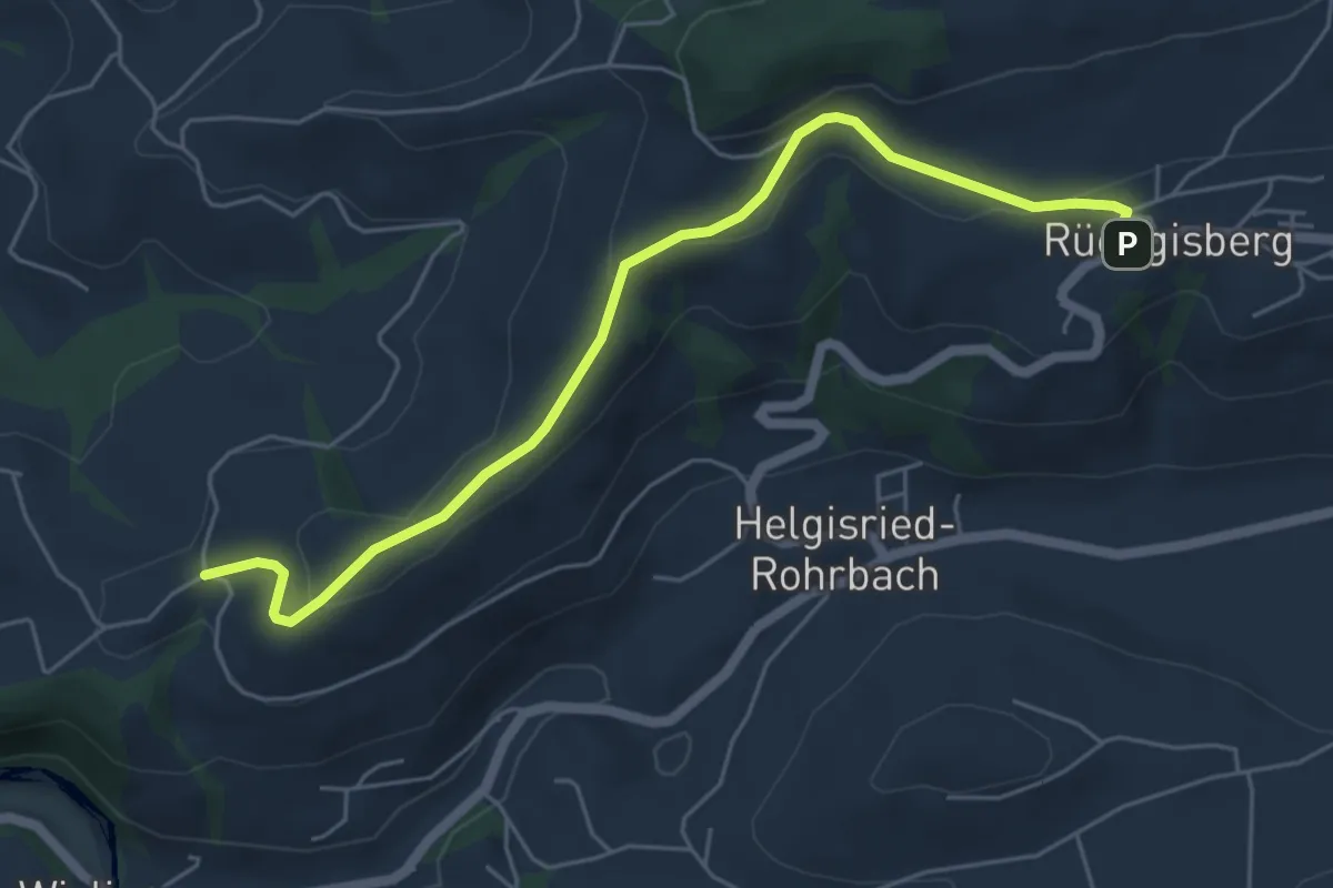
Easy · Trail
Rüeggisberg - Schwanden
5.7 km · ↑ 200 m · 1 h 47 min · 14 km away
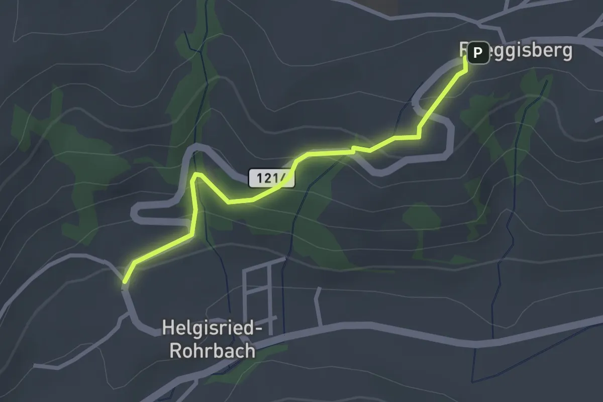
Easy · Trail
Ober Helgisried - Rüeggisberg
2.5 km · ↑ 161 m · 56 min · 14 km away
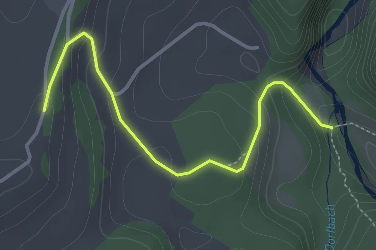
Easy · Trail
Burgbachstäg – Ried
2.5 km · ↑ 129 m · 53 min · 14 km away
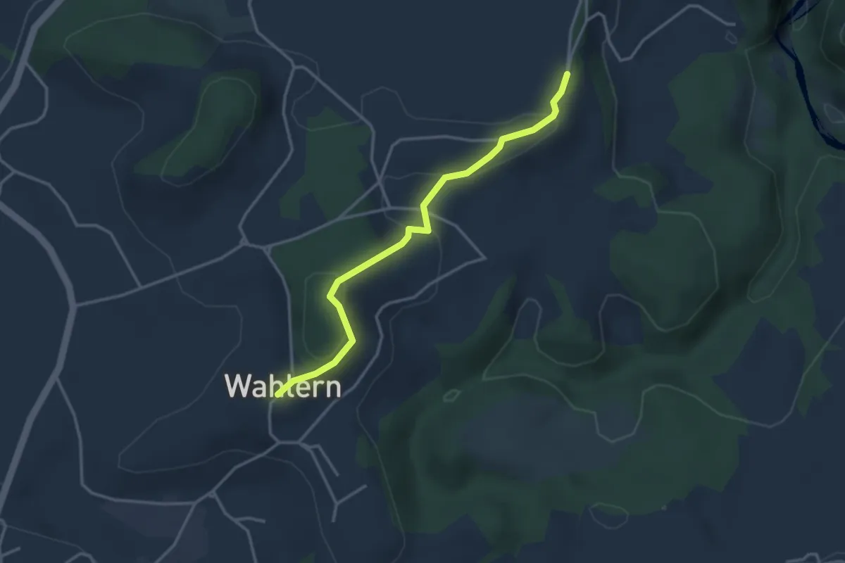
Easy · Trail
Ried - Wahlern
3.2 km · ↑ 103 m · 59 min · 14 km away
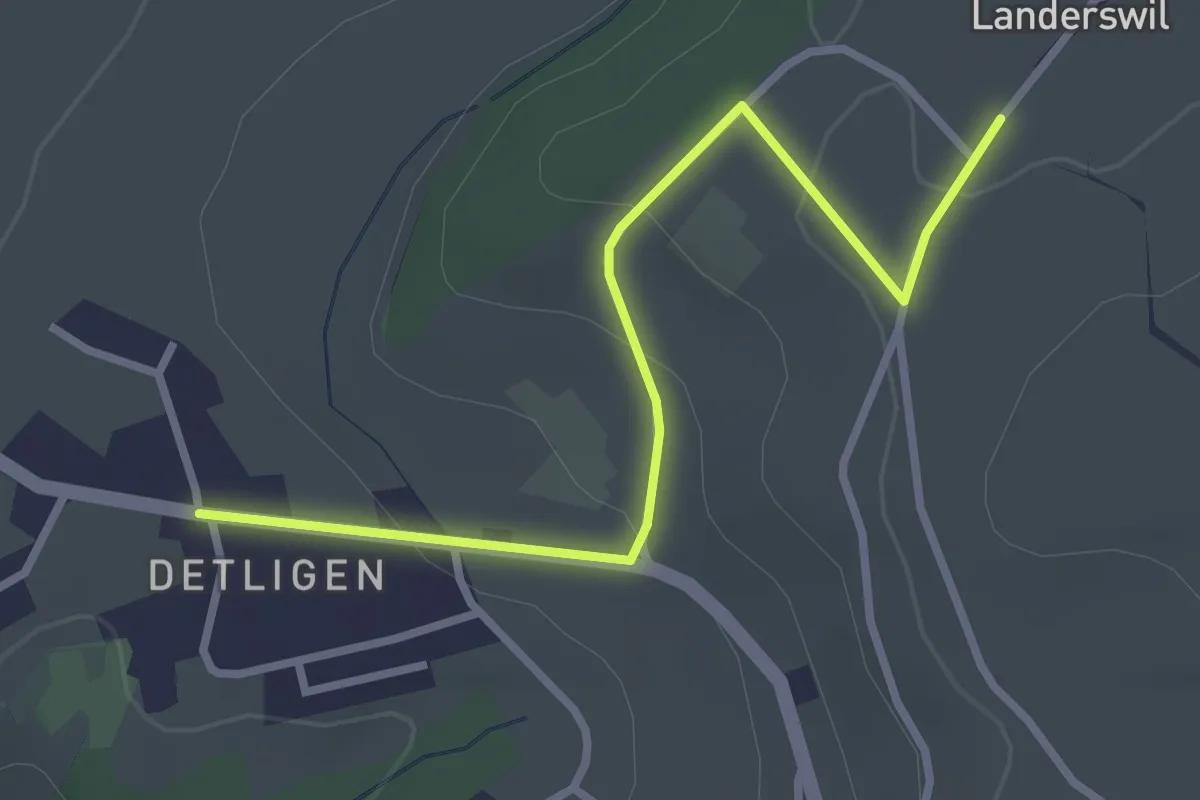
Easy · Trail
Landerswil – Detligen
3.1 km · ↑ 97 m · 56 min · 14 km away
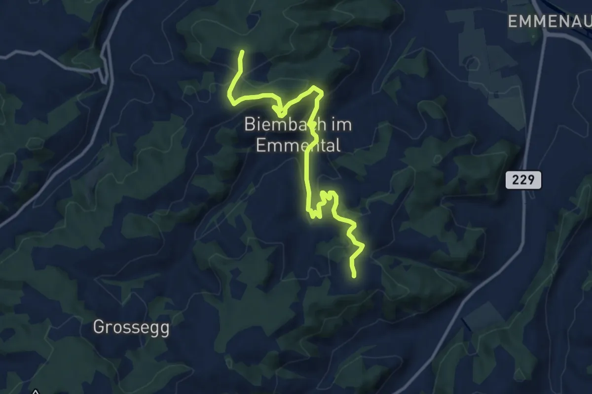
Medium · Trail
Wasenegg – Afterlehn
10.5 km · ↑ 513 m · 3 h 36 min · 14 km away
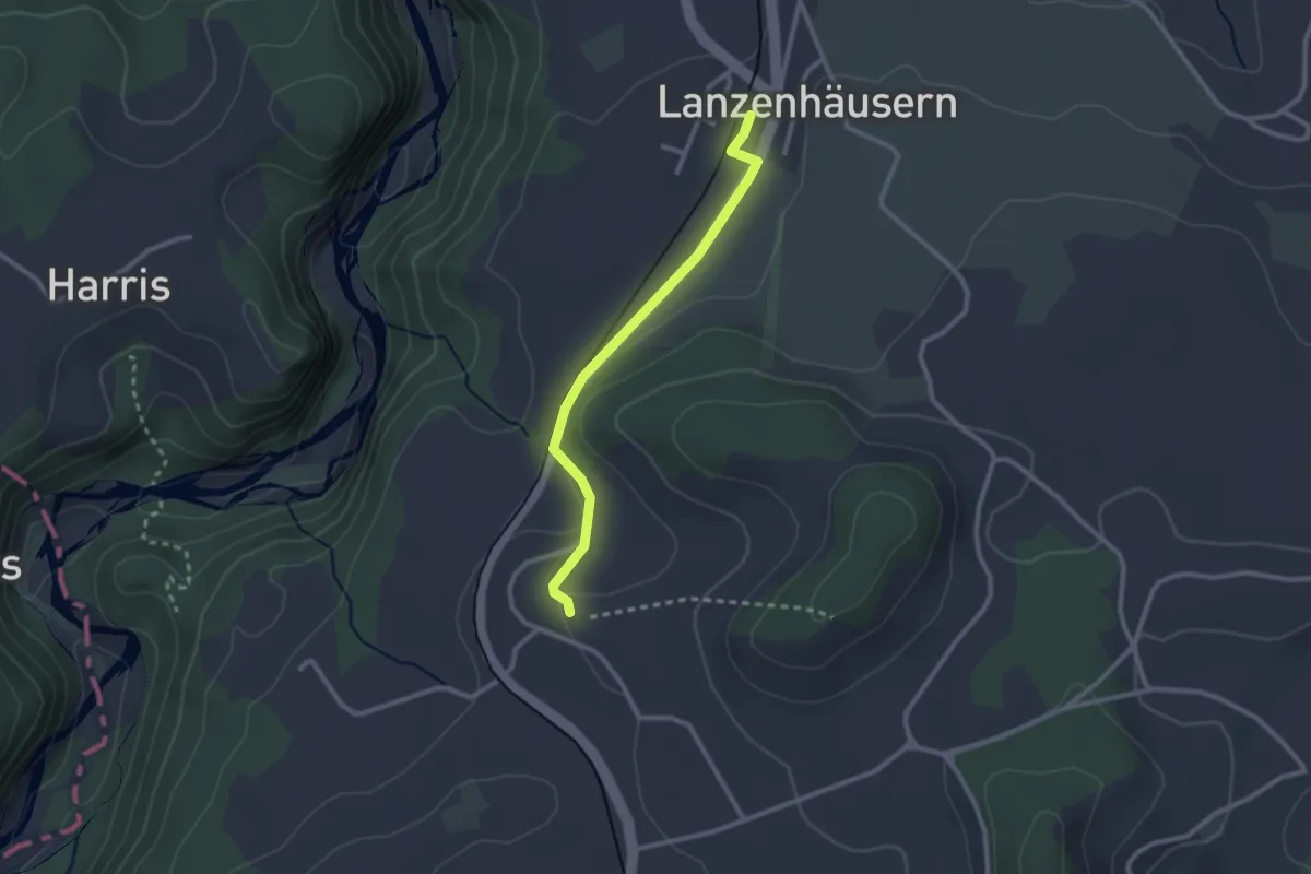
Easy · Trail
Steinhus - Lanzenhäusern
2.4 km · ↑ 30 m · 38 min · 14 km away
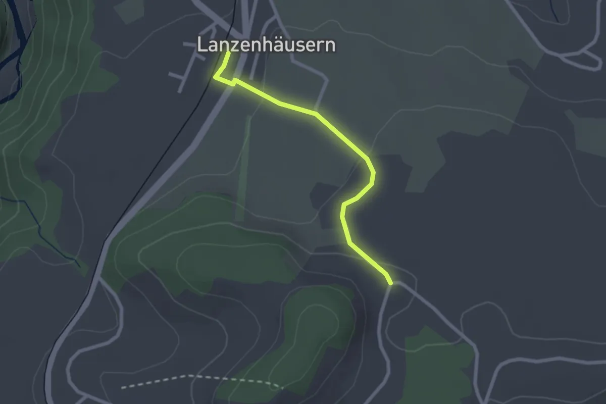
Easy · Trail
Lanzenhäusern - Obereichi
2.1 km · ↑ 58 m · 37 min · 14 km away
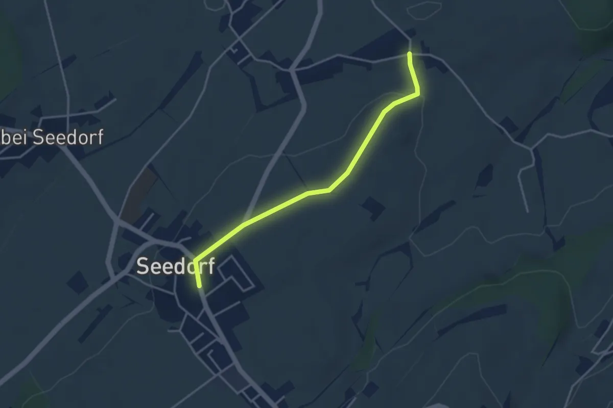
Easy · Trail
Grissenberg – Seedorf
3.3 km · ↑ 38 m · 51 min · 14 km away
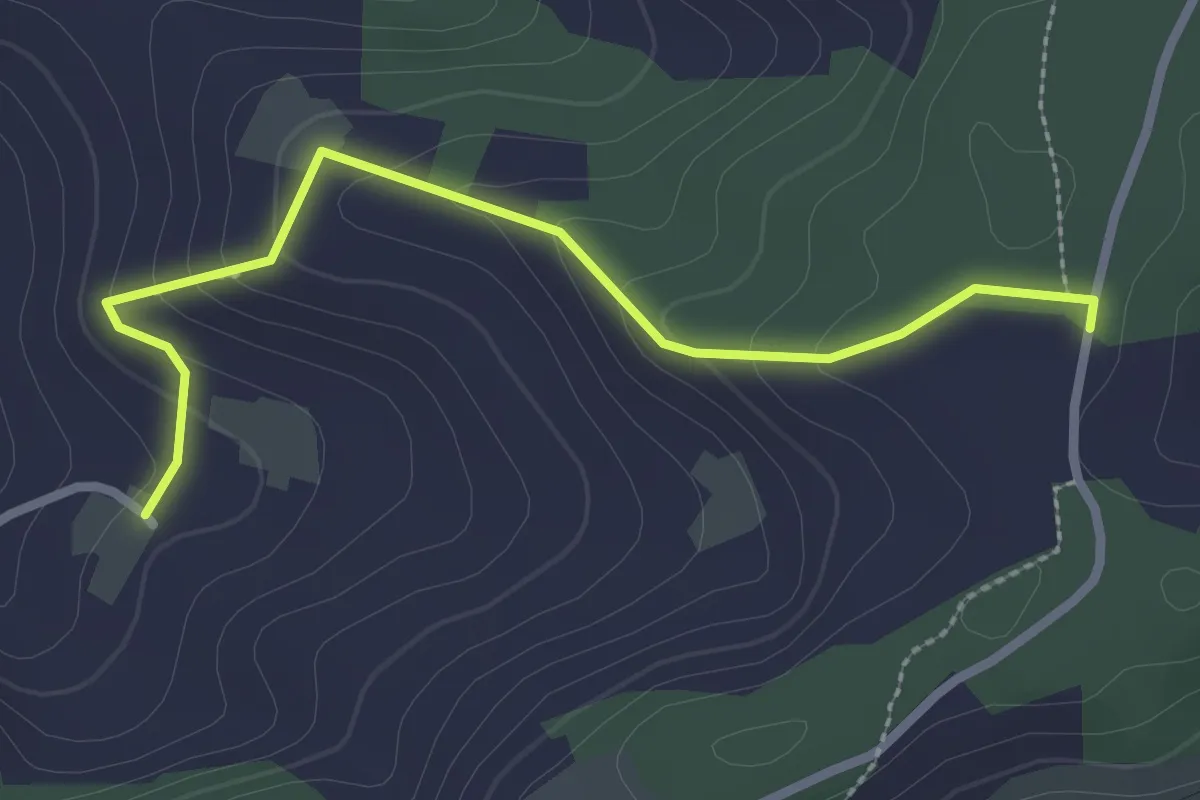
Easy · Trail
Neunhaupt – Golpisberg
2.7 km · ↑ 131 m · 56 min · 14 km away
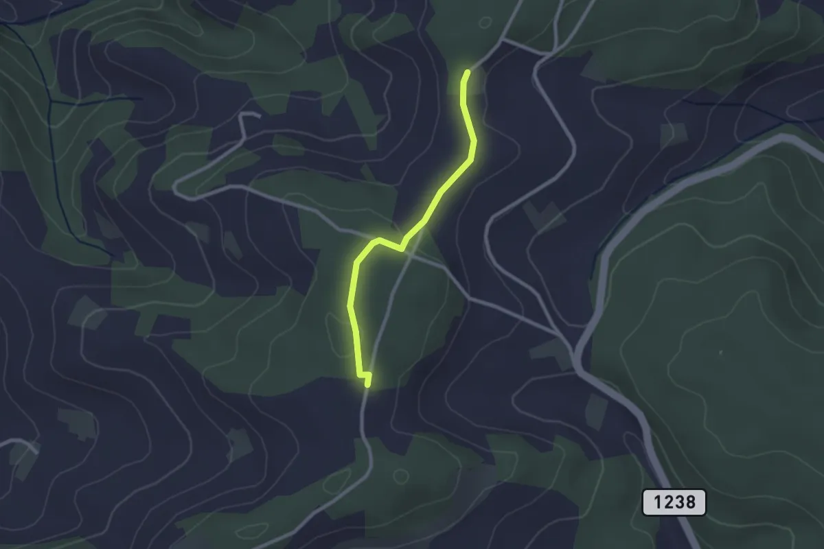
Easy · Trail
Neunhaupt – Hammegg
2.1 km · ↑ 27 m · 33 min · 14 km away
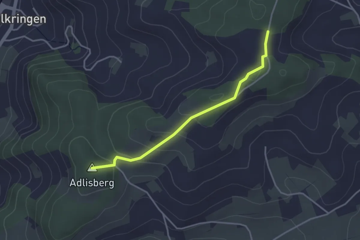
Easy · Summit
Adlisberg – Neunhaupt
3.0 km · ↑ 91 m · 55 min · 14 km away