Trails near Bern
511 hikes starting within 15 km, nearest first.
Nearest first, page 9 of 11
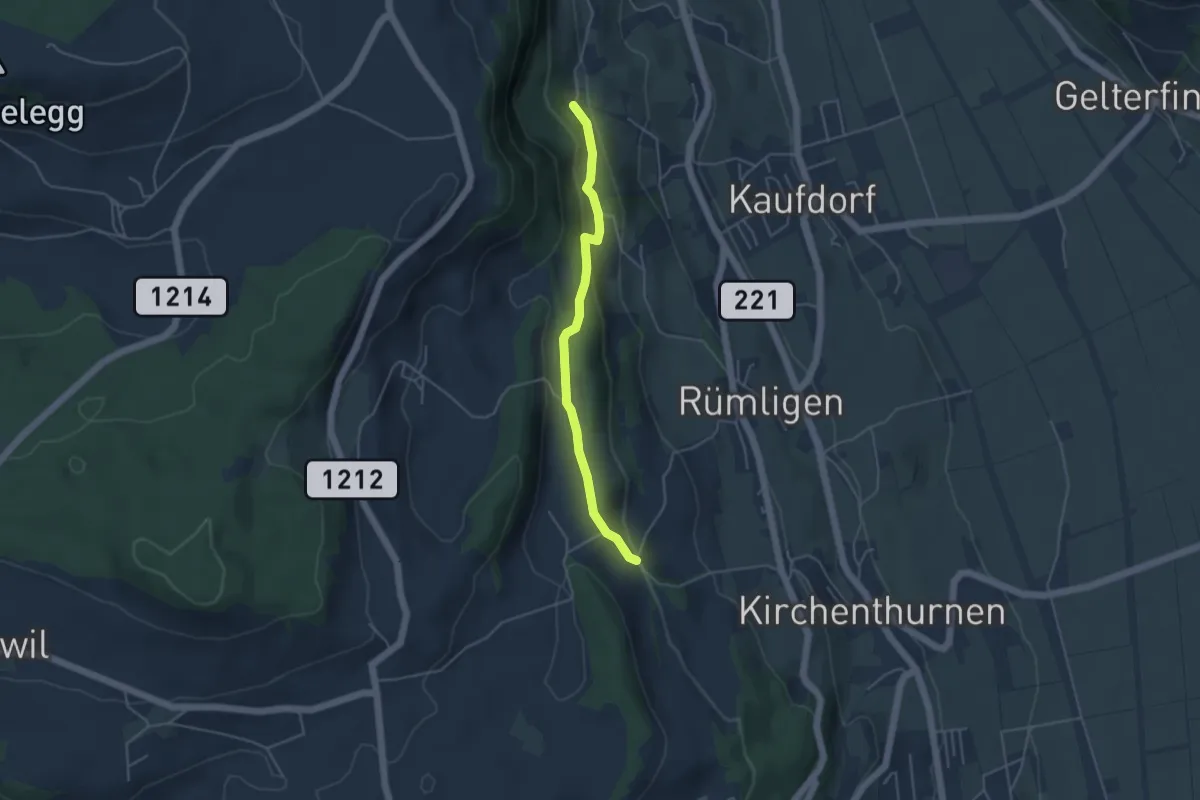
Easy · Trail
Gutenbrünnen - Uf der Mur
4.0 km · ↑ 157 m · 1 h 18 min · 12 km away
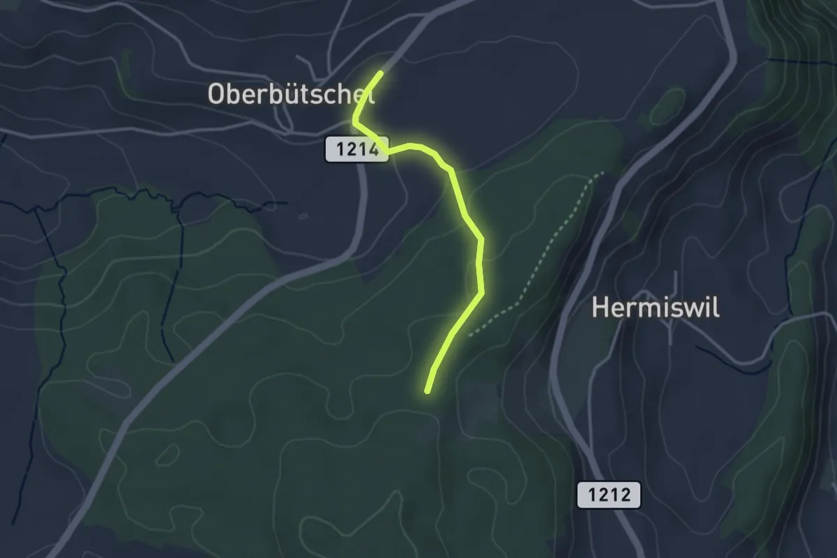
Easy · Trail
Oberbütschel – Taanwald
2.6 km · ↑ 101 m · 50 min · 12 km away
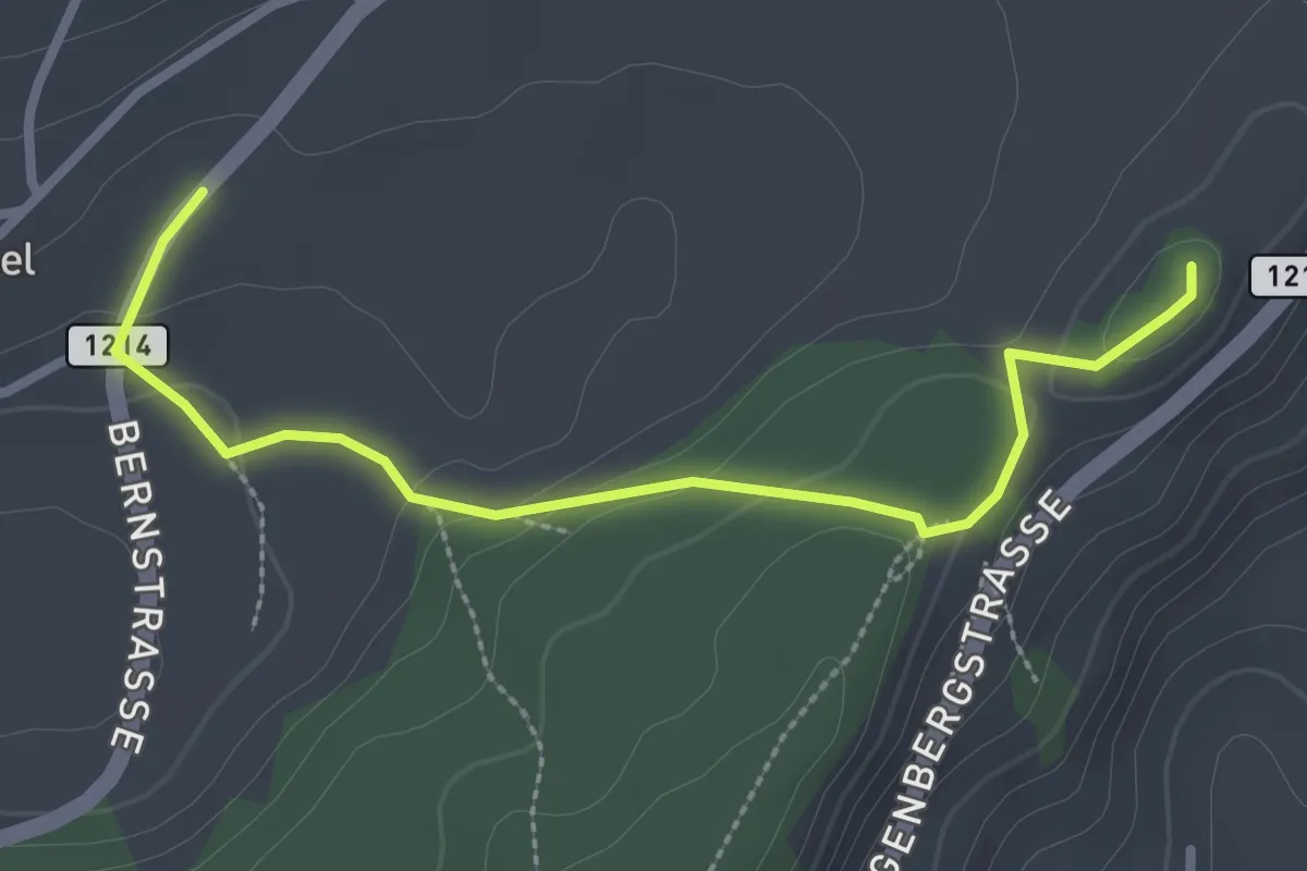
Easy · Summit
Oberbütschel – Tavelgedenkstätte
2.9 km · ↑ 84 m · 52 min · 12 km away
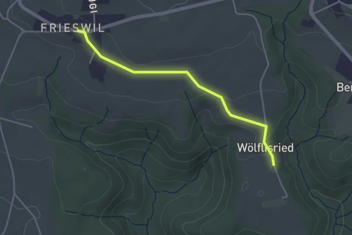
Easy · Trail
Wölflisried – Frieswil
3.1 km · ↑ 53 m · 51 min · 12 km away
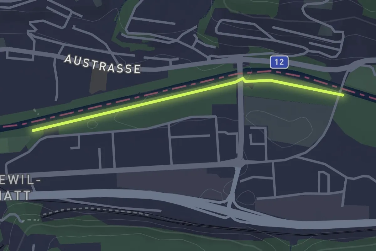
Easy · Trail
Ober Flamatt – Flamatt Sportplatz
2.6 km · ↑ 9 m · 38 min · 12 km away
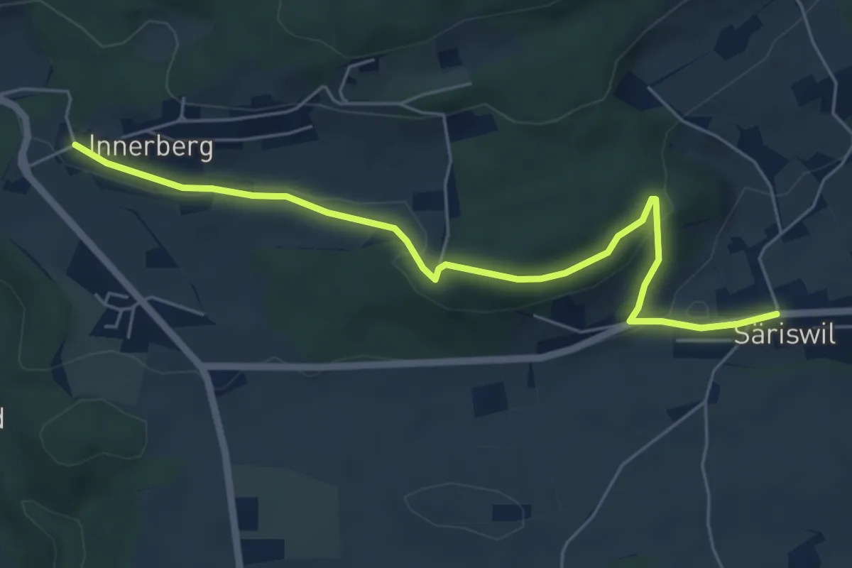
Easy · Trail
Innerberg – Säriswil
5.8 km · ↑ 147 m · 1 h 42 min · 12 km away
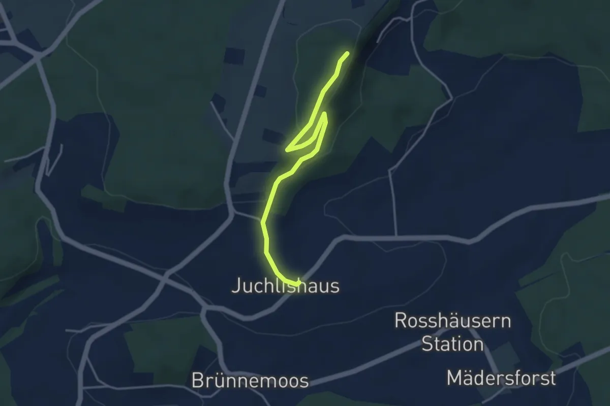
Easy · Trail
Lediflue - Juchlishus
3.5 km · ↑ 129 m · 1 h 7 min · 12 km away
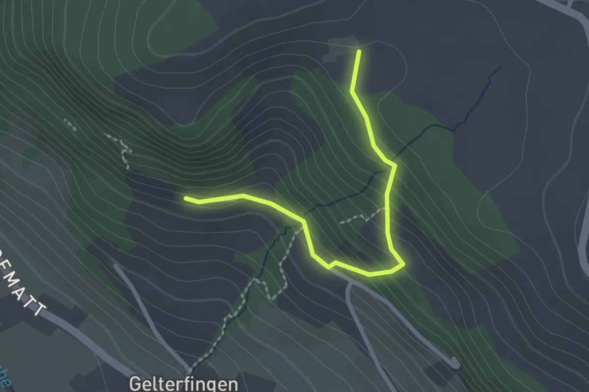
Easy · Trail
Chramburg - Schlatt
2.1 km · ↑ 133 m · 47 min · 12 km away
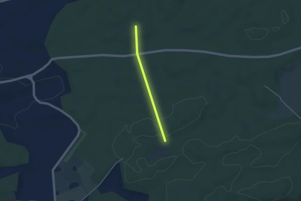
Easy · Trail
Scharzenbrünnen - Mösli
2.4 km · ↑ 51 m · 41 min · 13 km away
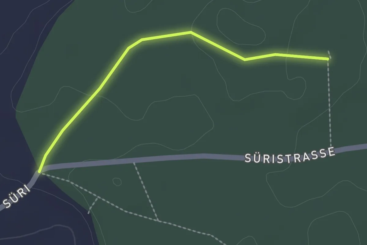
Easy · Trail
Scharzenbrünnen - Süri
2.2 km · ↑ 26 m · 34 min · 13 km away
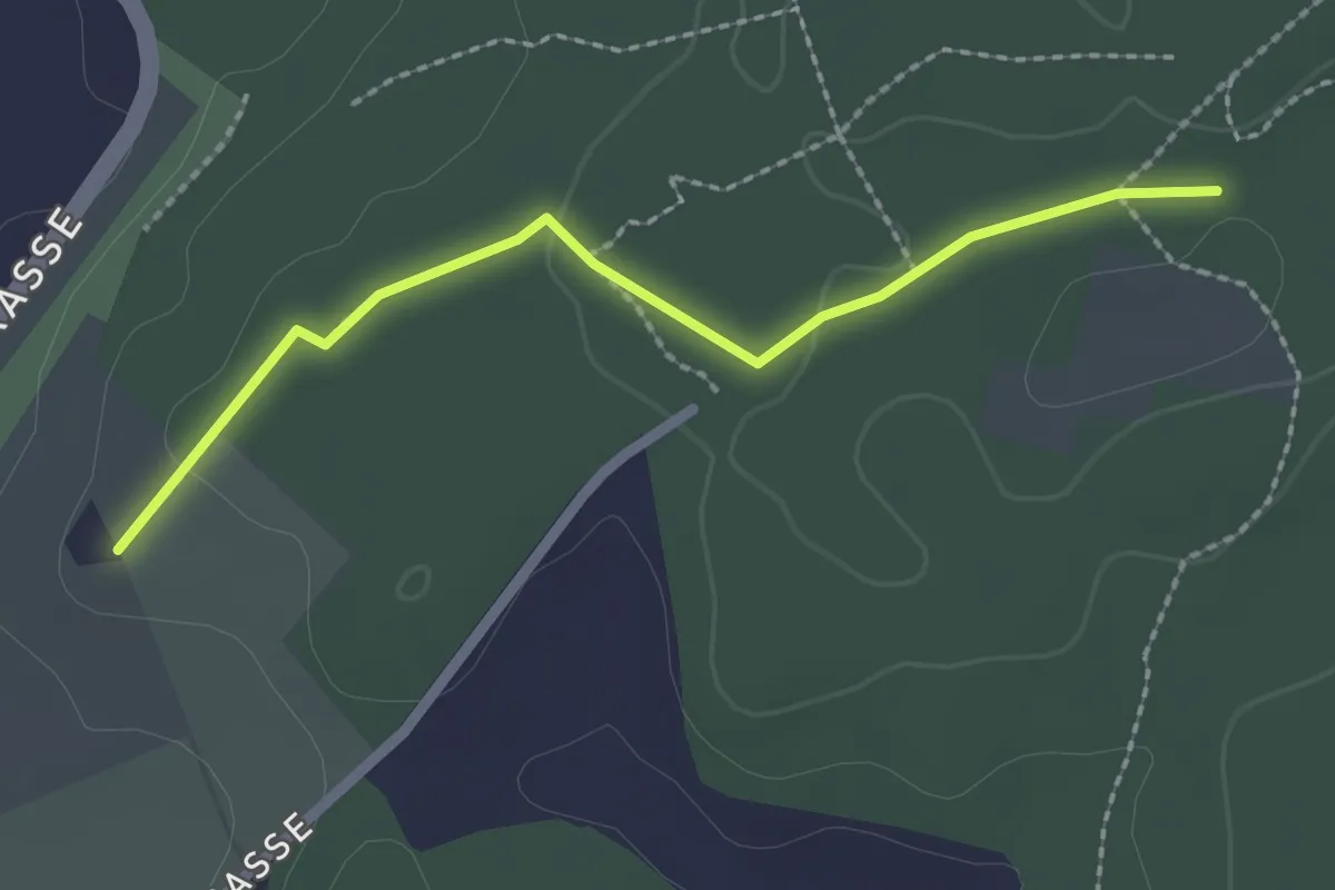
Easy · Trail
Brambergdenkmal - Mösli
2.2 km · ↑ 27 m · 35 min · 13 km away
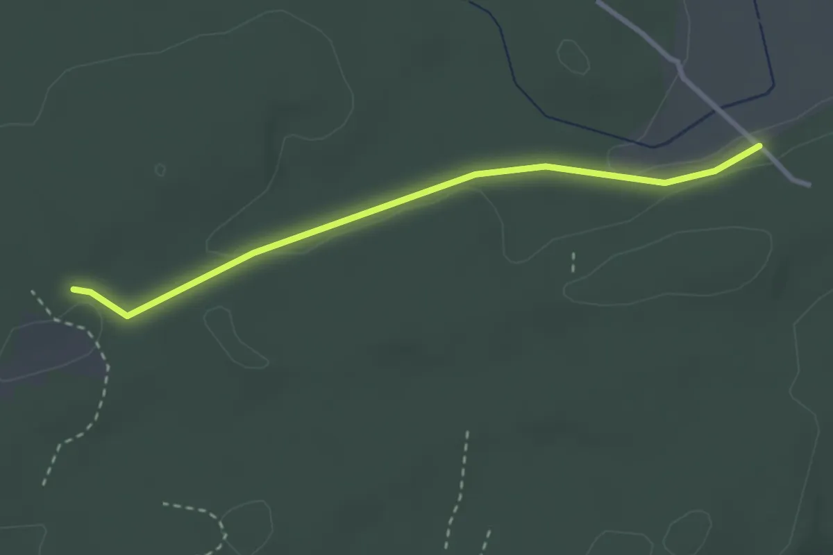
Easy · Trail
Mösli - Heitere
2.9 km · ↑ 18 m · 43 min · 13 km away
Easy · Trail
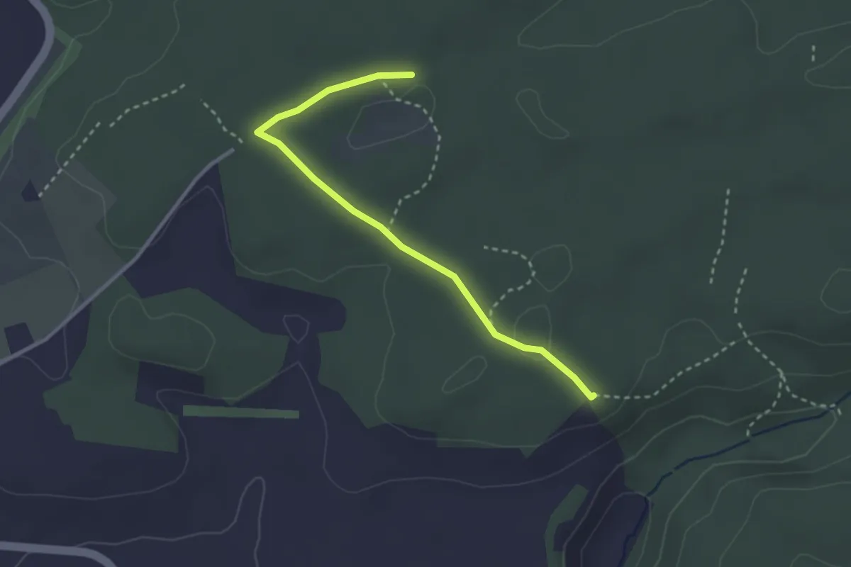
Mösli - Tannholzweid
2.9 km · ↑ 35 m · 46 min · 13 km away
Easy · Trail
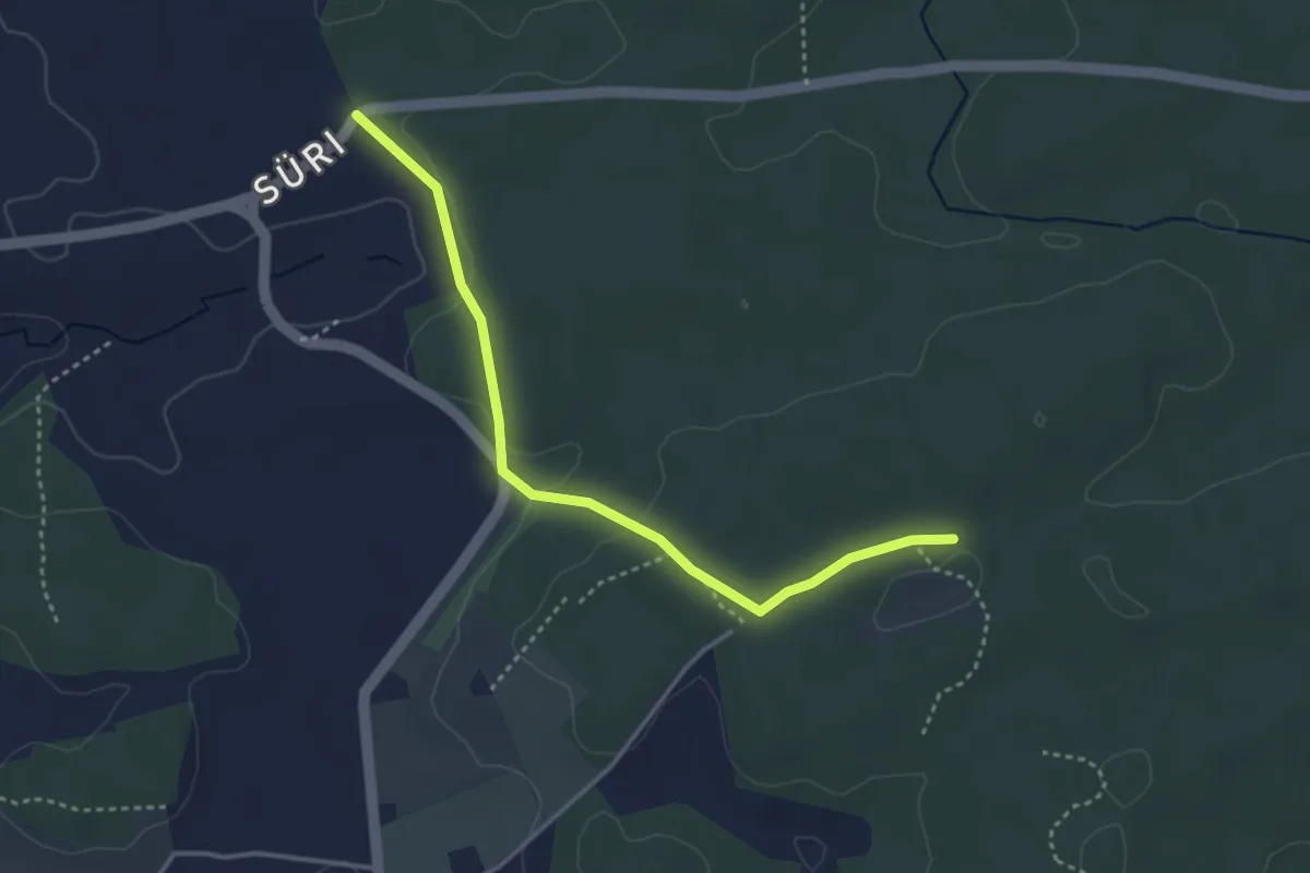
Süri - Mösli
3.6 km · ↑ 74 m · 1 h · 13 km away
Easy · Trail
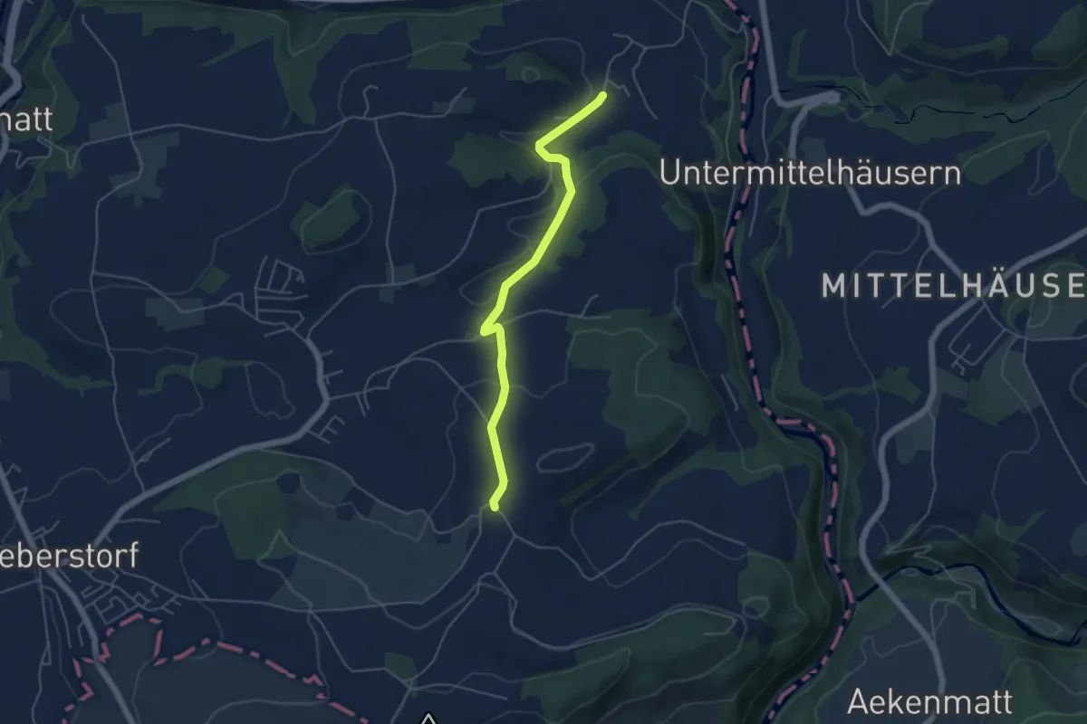
Obermettlen – Riederen
4.8 km · ↑ 129 m · 1 h 24 min · 13 km away
Easy · Trail
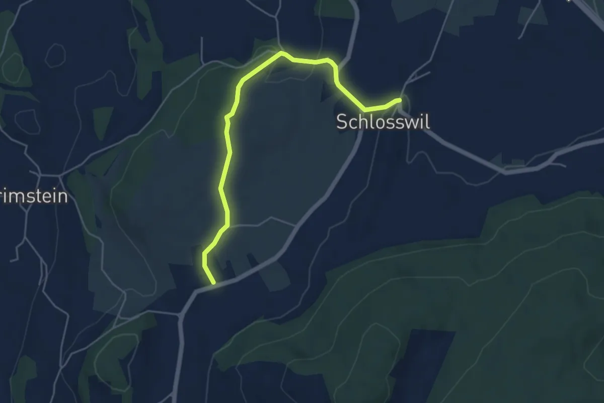
Herolfingen – Schlosswil
4.7 km · ↑ 105 m · 1 h 20 min · 13 km away
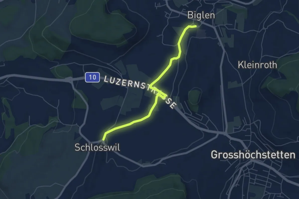
Easy · Trail
Schlosswil – Biglen
5.6 km · ↑ 36 m · 1 h 25 min · 13 km away
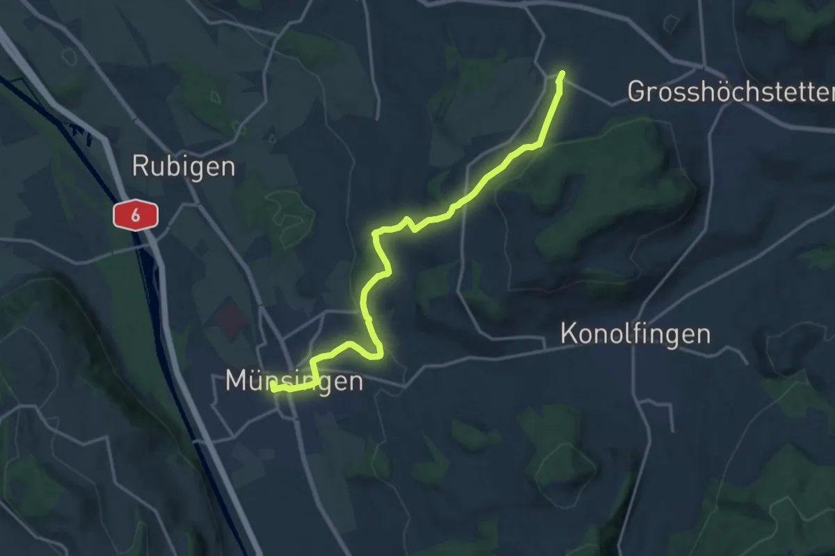
Medium · Trail
Münsingen – Schlosswil
14.9 km · ↑ 320 m · 4 h 12 min · 13 km away
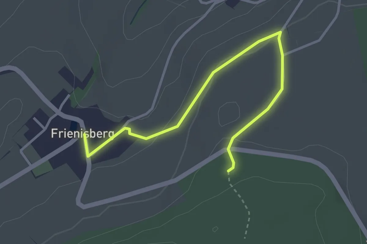
Easy · Trail
Frienisberg – Frienisberger
3.2 km · ↑ 74 m · 56 min · 13 km away
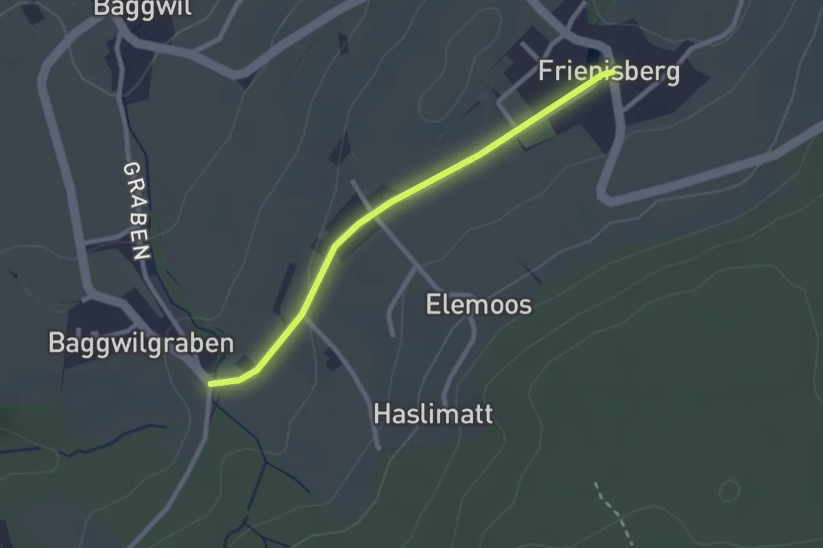
Easy · Trail
Frieniswil – Baggwilgraben
2.2 km · ↑ 37 m · 36 min · 13 km away
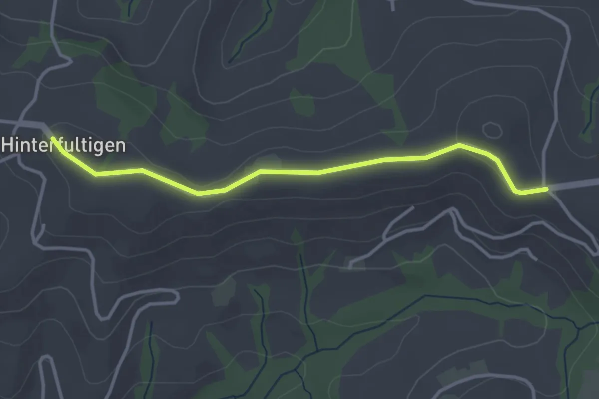
Easy · Trail
Hinterfultigen – Vorderfultigen
3.2 km · ↑ 42 m · 50 min · 13 km away
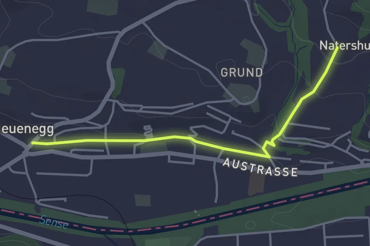
Easy · Trail
Neuenegg - Natershus
3.3 km · ↑ 67 m · 55 min · 13 km away
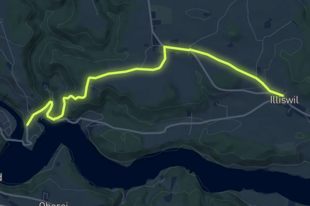
Medium · Trail
Illiswil - Wickacher
10.7 km · ↑ 277 m · 3 h 7 min · 13 km away
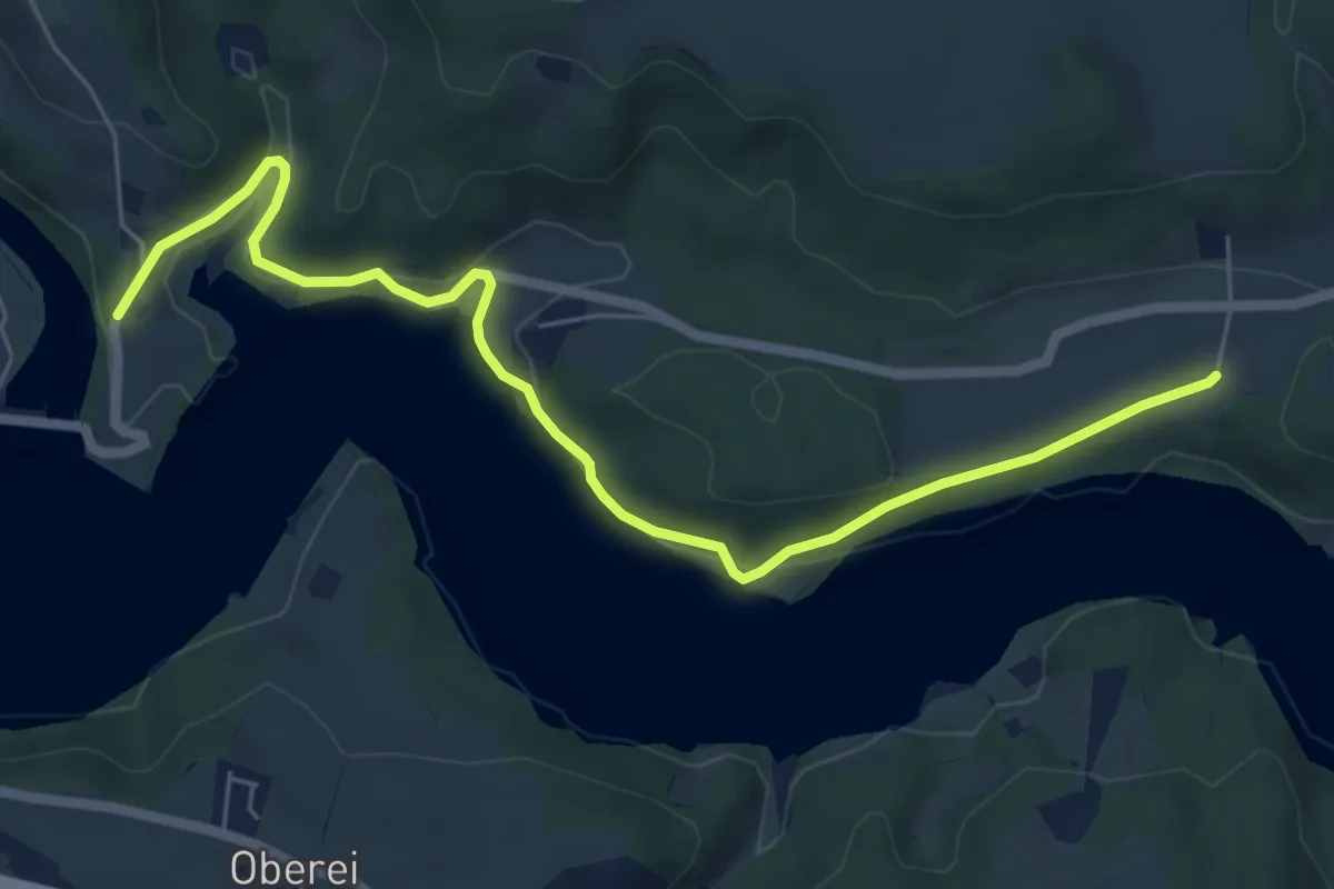
Easy · Trail
Steinisweg - Wickacker
7.0 km · ↑ 177 m · 2 h 2 min · 13 km away
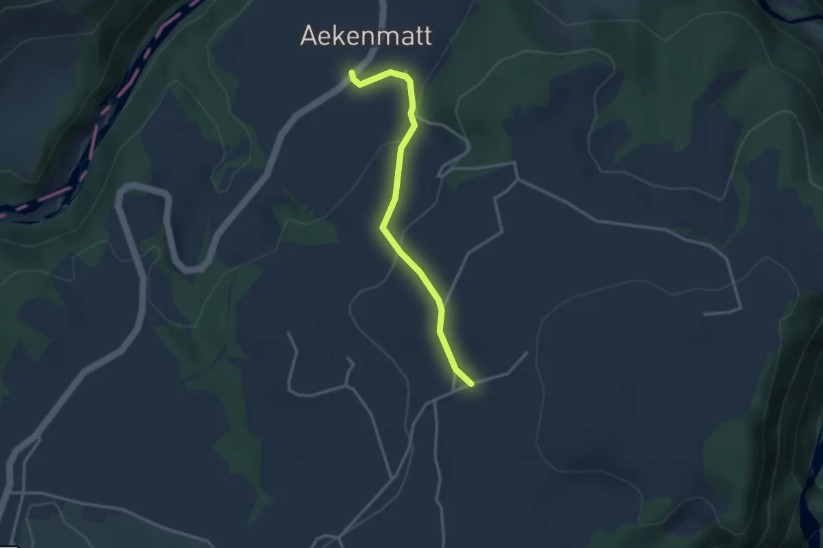
Easy · Trail
Steinenbrünnen – Aeckenmatt
2.7 km · ↑ 121 m · 54 min · 13 km away
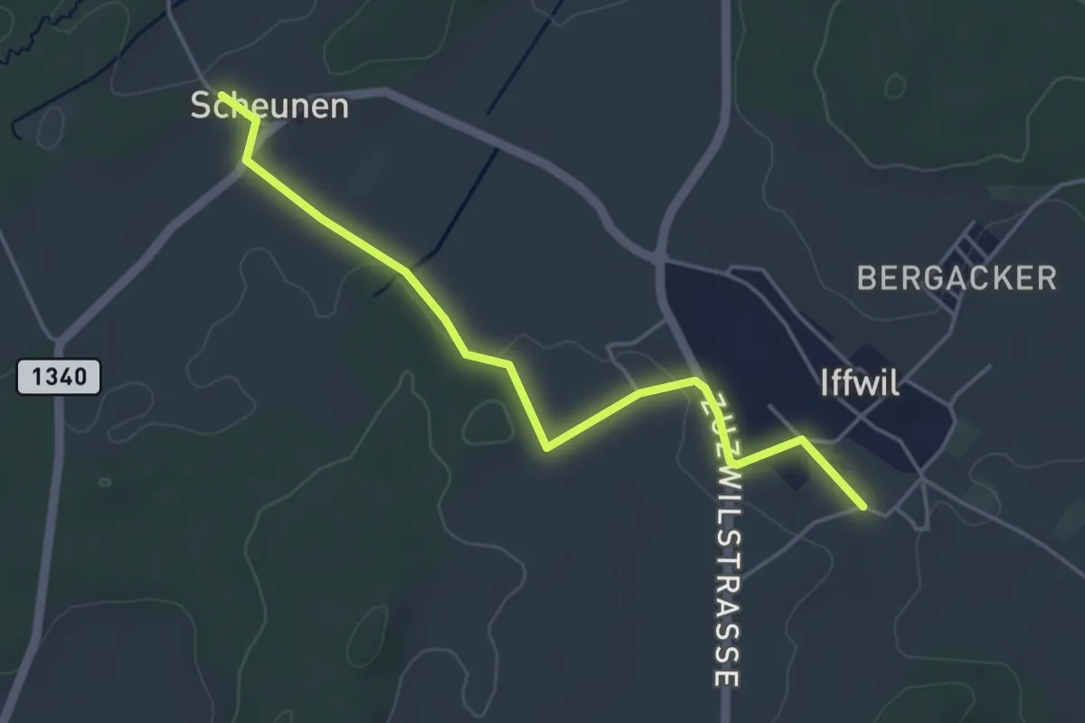
Easy · Trail
Scheunen – Iffwil
4.5 km · ↑ 46 m · 1 h 9 min · 13 km away
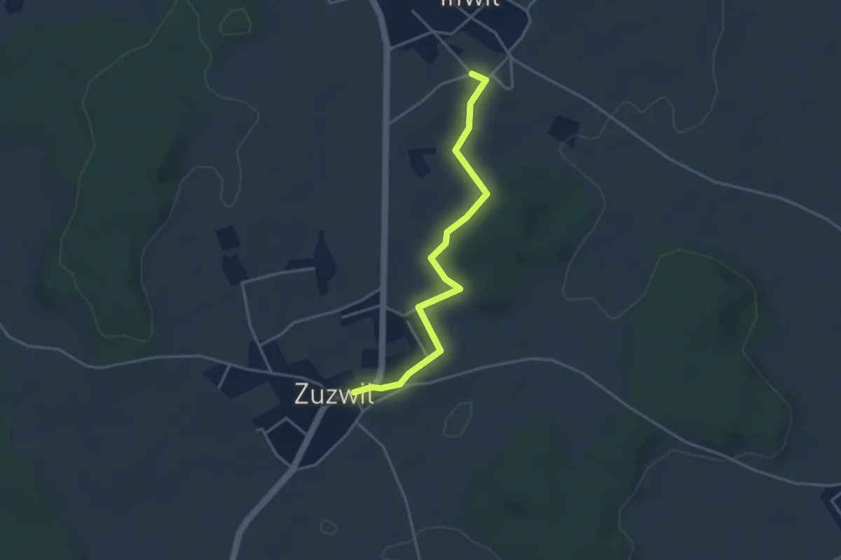
Easy · Trail
Iffwil – Zuzwil
3.5 km · ↑ 29 m · 54 min · 13 km away
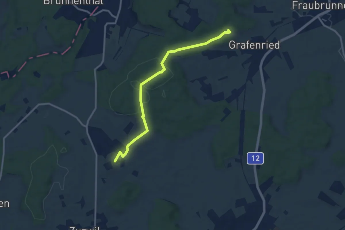
Easy · Trail
Vorder Eichsberg – Iffwil
7.5 km · ↑ 123 m · 2 h 2 min · 13 km away
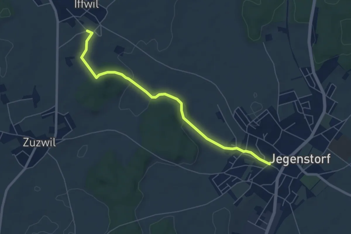
Easy · Trail
Iffwil – Jegenstorf
5.9 km · ↑ 98 m · 1 h 36 min · 13 km away
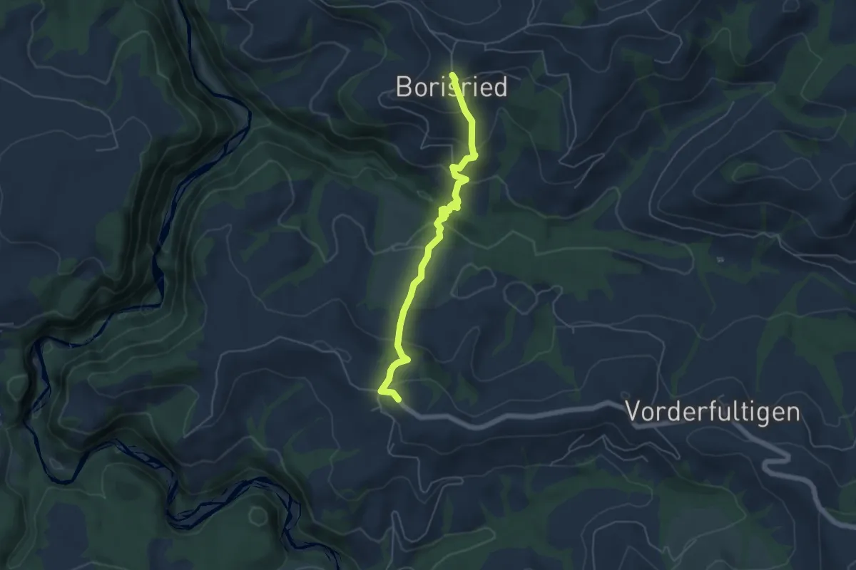
Easy · Trail
Borisried – Hinterfultigen
5.1 km · ↑ 295 m · 1 h 50 min · 13 km away
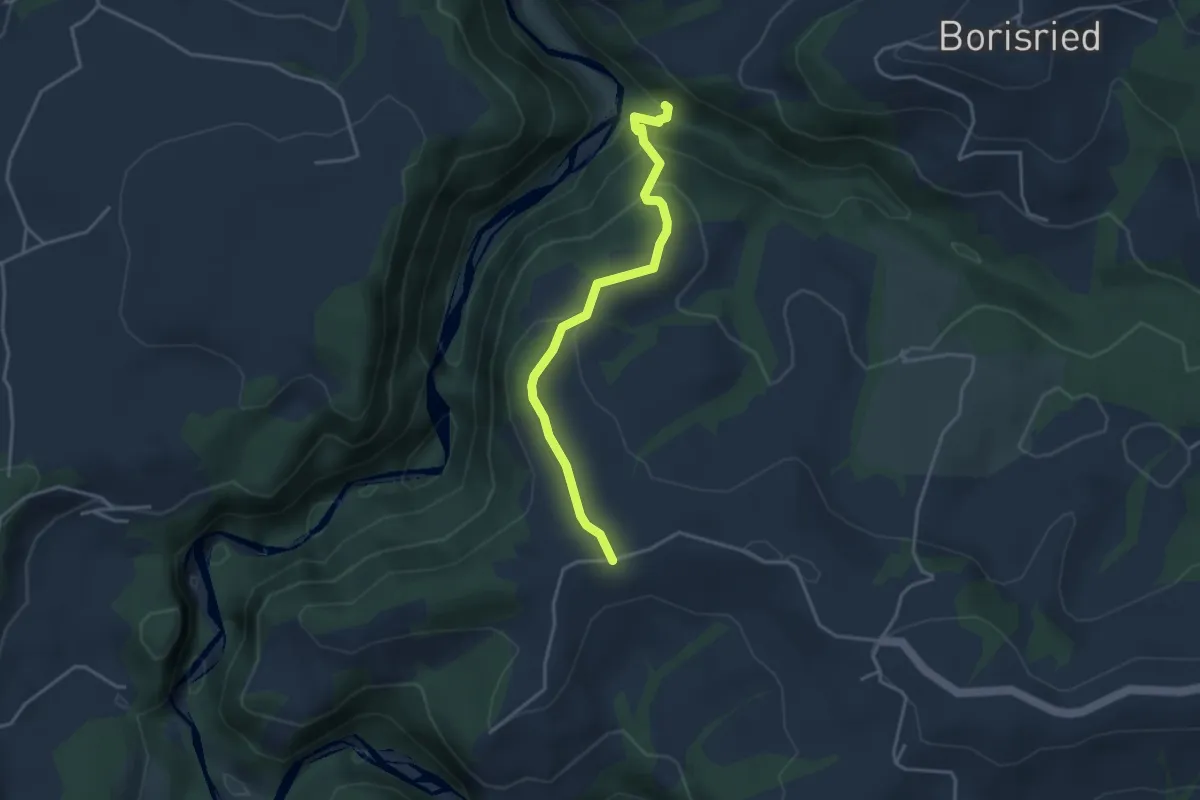
Easy · Trail
Bütschelbachsteg – Krommen
3.5 km · ↑ 192 m · 1 h 15 min · 13 km away
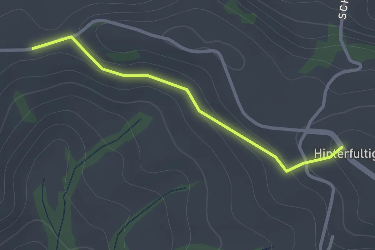
Easy · Trail
Krommen – Hinterfultigen
2.0 km · ↑ 41 m · 34 min · 13 km away
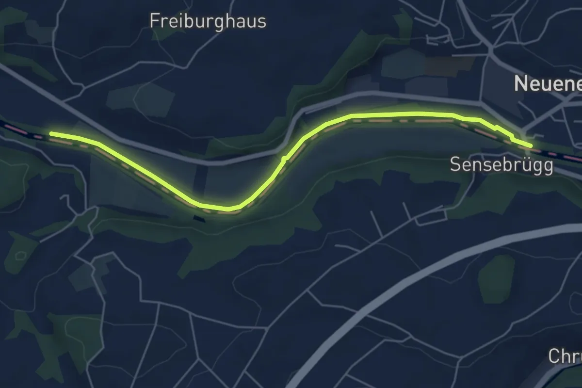
Easy · Trail
Rieldiau – Sensebrücke
5.5 km · ↑ 25 m · 1 h 21 min · 13 km away
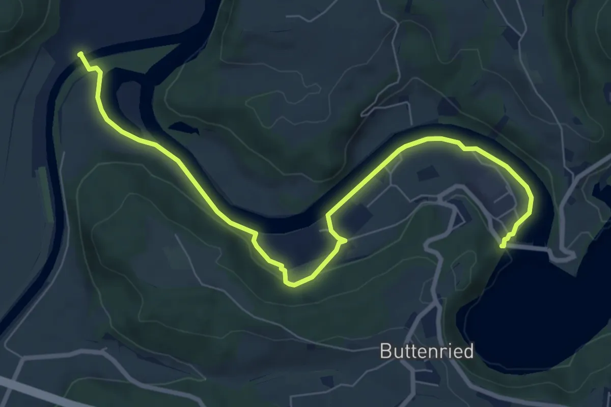
Medium · Trail
Saanesteg – Mühlebergwerk
8.3 km · ↑ 127 m · 2 h 14 min · 13 km away
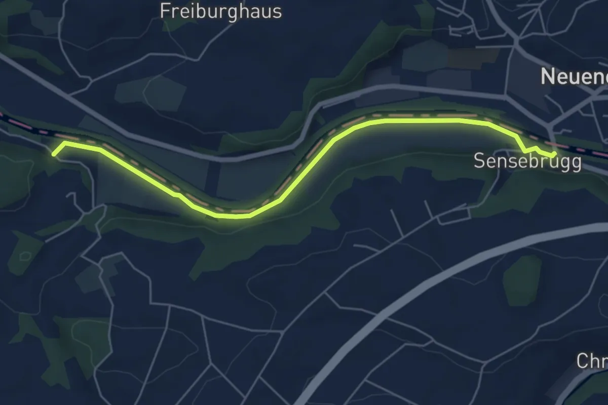
Easy · Trail
Sensebrücke – Noflenau
5.5 km · ↑ 34 m · 1 h 23 min · 13 km away
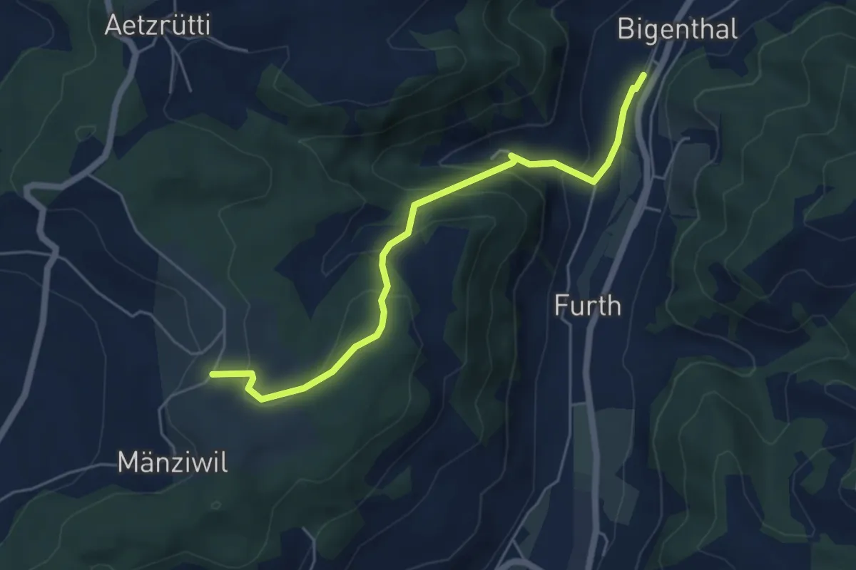
Easy · Trail
Mänziwilegg – Bigenthal
5.1 km · ↑ 272 m · 1 h 47 min · 13 km away
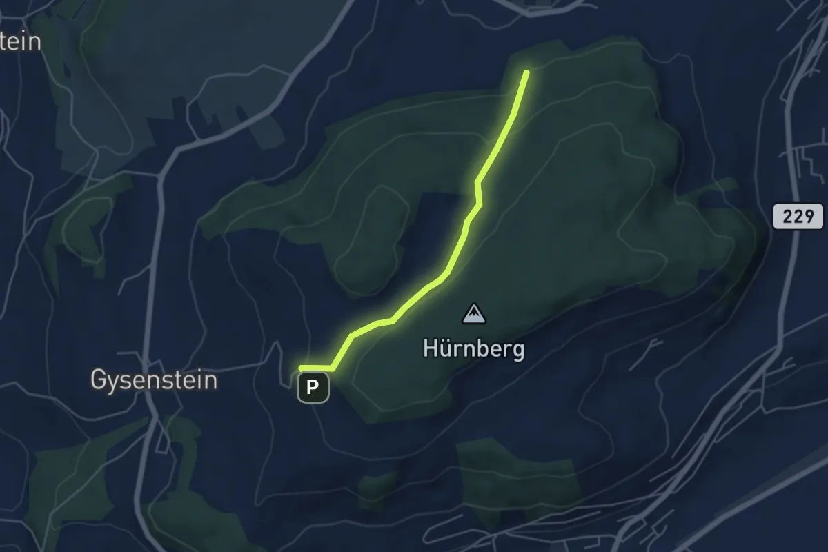
Easy · Trail
Ballenbühl – Schattacherwald
4.2 km · ↑ 130 m · 1 h 17 min · 13 km away
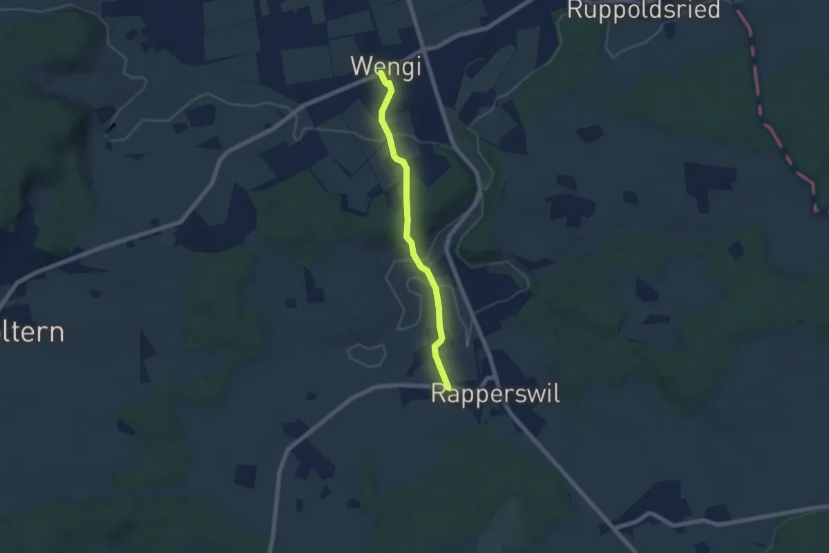
Easy · Trail
Wengi – Rapperswil
4.9 km · ↑ 117 m · 1 h 25 min · 13 km away
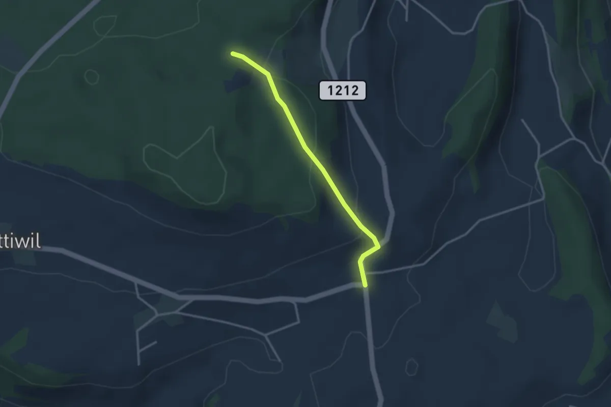
Easy · Trail
Taanwald – Hasli
2.6 km · ↑ 117 m · 52 min · 13 km away
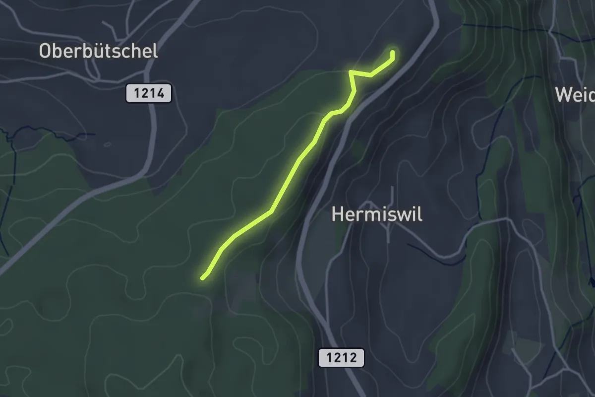
Easy · Summit
Tavelgedenkstätte – Taanwald
2.6 km · ↑ 53 m · 44 min · 13 km away
Easy · Trail
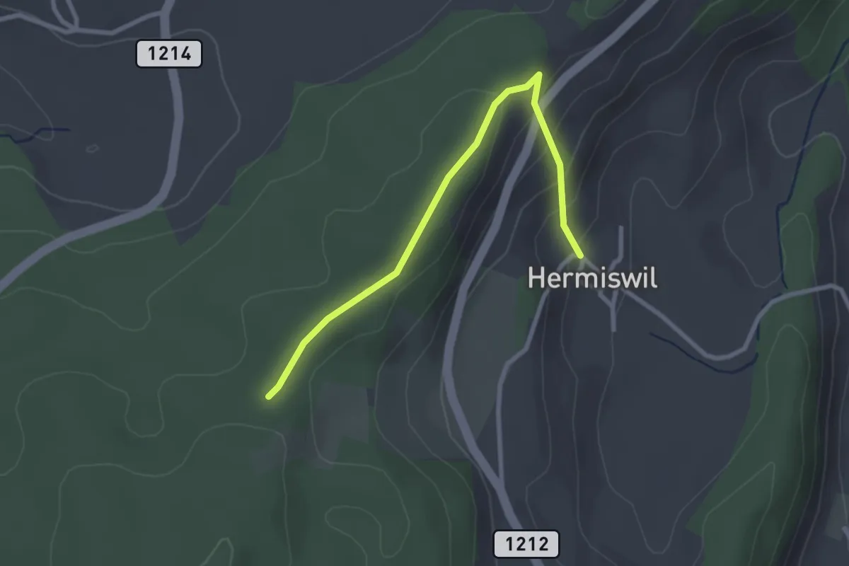
Hermiswil – Taanwald
2.7 km · ↑ 112 m · 53 min · 13 km away
Medium · Trail
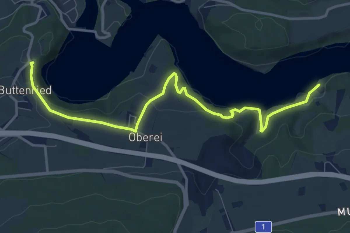
Fuchsenried - Jaggisbachau
8.3 km · ↑ 253 m · 2 h 30 min · 13 km away
Easy · Trail
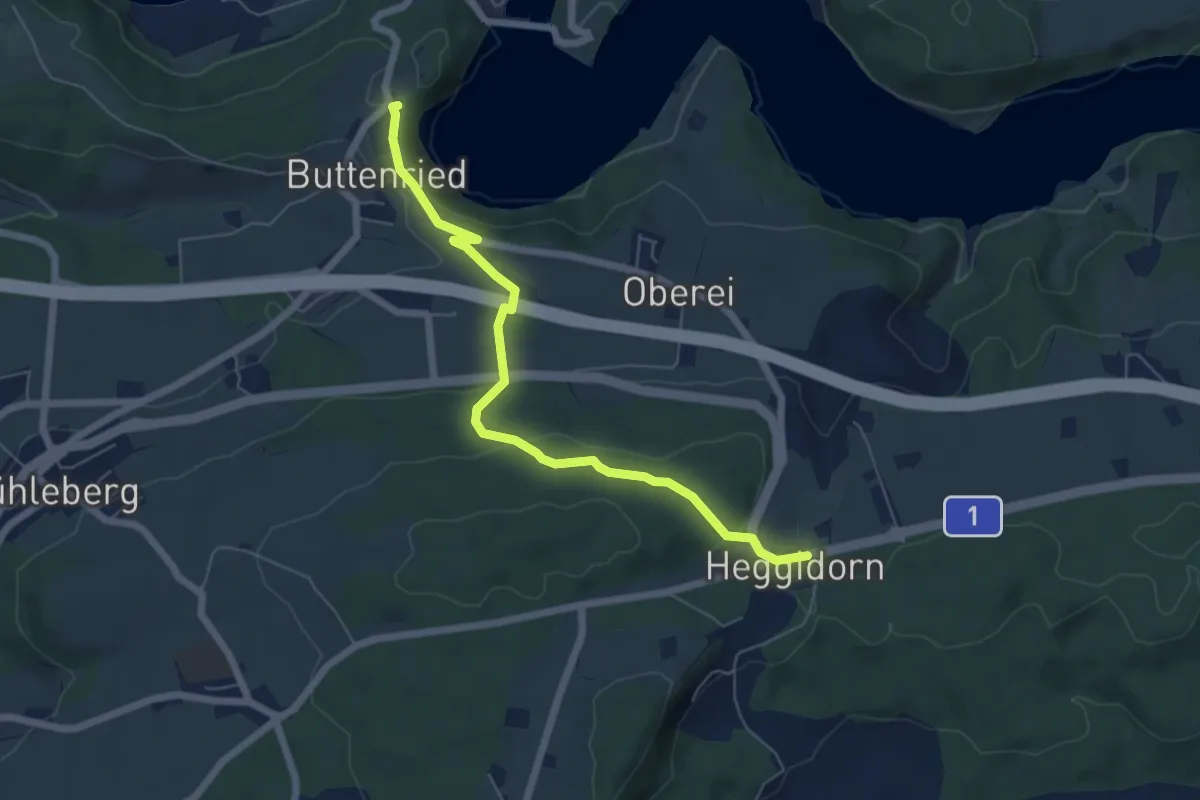
Heggidorn - Fuchsenried
6.1 km · ↑ 157 m · 1 h 47 min · 13 km away
Medium · Trail
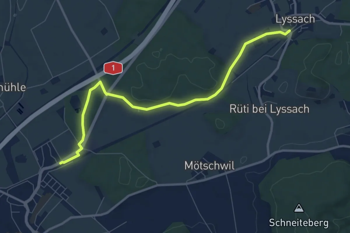
Lyssach Station – Hindelbank / Station
8.1 km · ↑ 54 m · 2 h 2 min · 13 km away
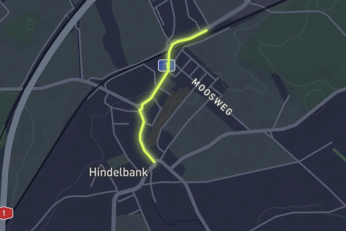
Easy · Trail
Hindelbank / Station – Hindelbank / Dorf
2.1 km · ↑ 8 m · 31 min · 13 km away
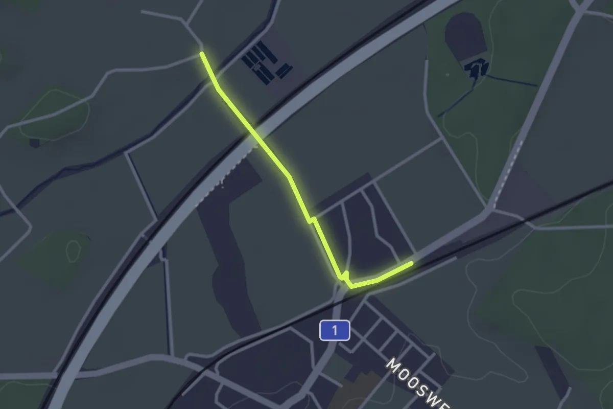
Easy · Trail
Holzmühle – Hindelbank / Station
2.3 km · ↑ 8 m · 34 min · 13 km away
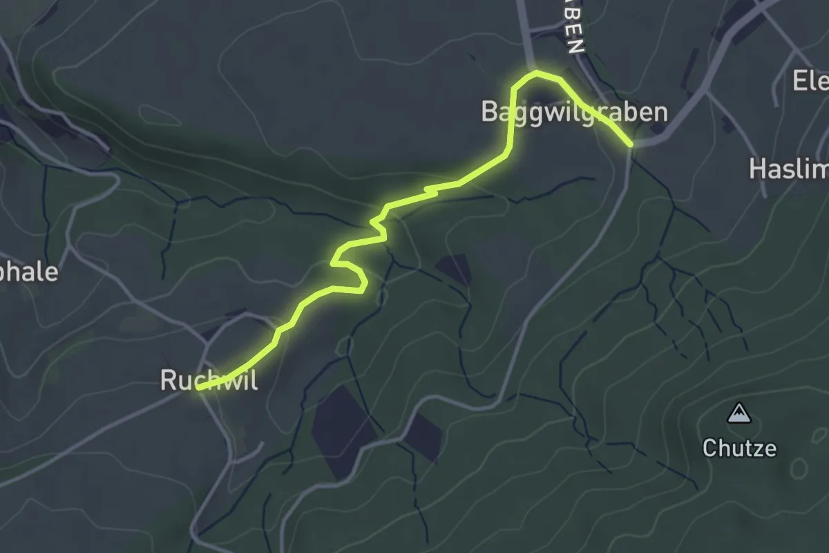
Easy · Trail
Baggwilgraben – Ruchwil
3.7 km · ↑ 98 m · 1 h 5 min · 13 km away
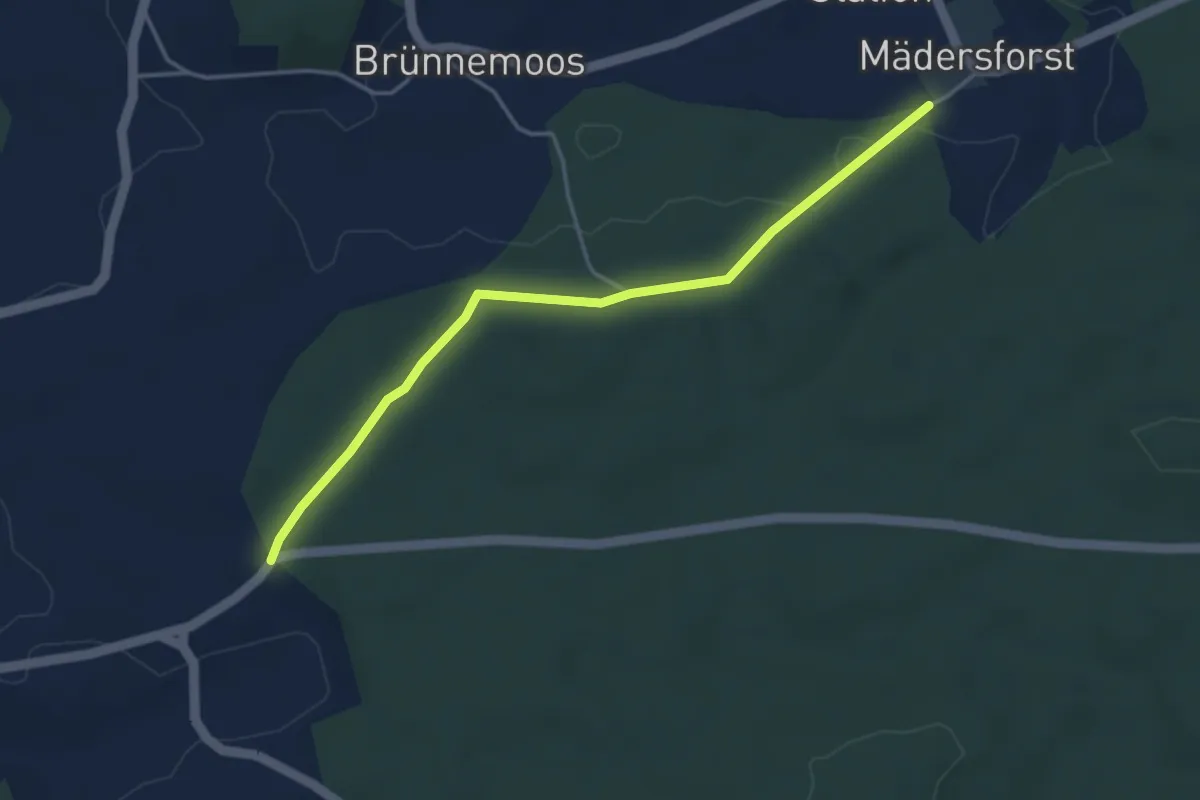
Easy · Trail
Mädersforst-Ischlag - Süri
4.0 km · ↑ 49 m · 1 h 3 min · 13 km away