Trails near Bern
511 hikes starting within 15 km, nearest first.
Nearest first, page 8 of 11
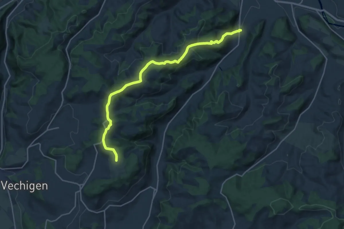
Medium · Trail
Mänziwilegg – Schafhausen
16.2 km · ↑ 533 m · 4 h 58 min · 11 km away
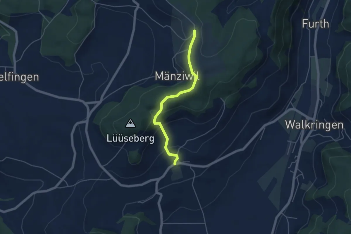
Easy · Trail
Wikartswil – Mänziwilegg
3.9 km · ↑ 187 m · 1 h 20 min · 11 km away
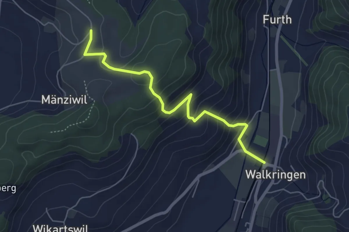
Easy · Trail
Mänziwilegg - Walkringen
4.7 km · ↑ 274 m · 1 h 43 min · 11 km away
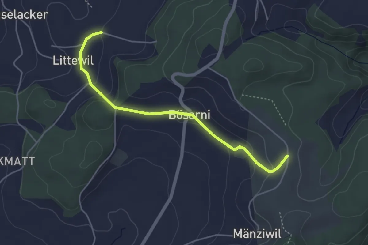
Easy · Trail
Littiwil – Vechigen
3.9 km · ↑ 120 m · 1 h 11 min · 11 km away
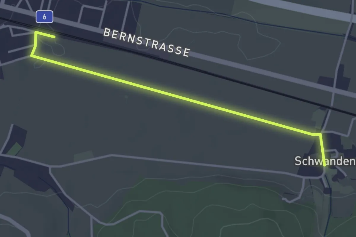
Easy · Trail
Schüpfen / Station – Schwanden
3.5 km · ↑ 13 m · 51 min · 12 km away
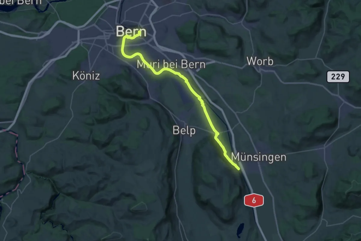
Demanding · Trail
ViaBerna Etappe 9
30.2 km · ↑ 349 m · 7 h 54 min · 12 km away
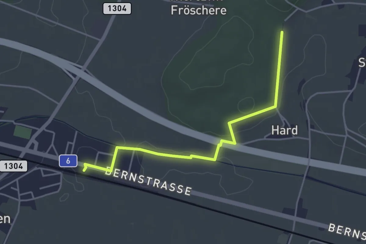
Easy · Trail
Hardwald – Schüpfen / Station
4.0 km · ↑ 45 m · 1 h 3 min · 12 km away
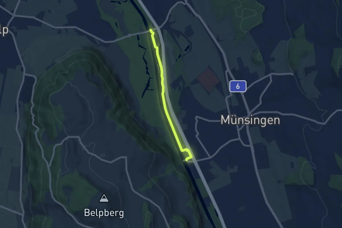
Easy · Trail
Hunzigenbrügg – Jabergbrücke
5.7 km · ↑ 18 m · 1 h 24 min · 12 km away
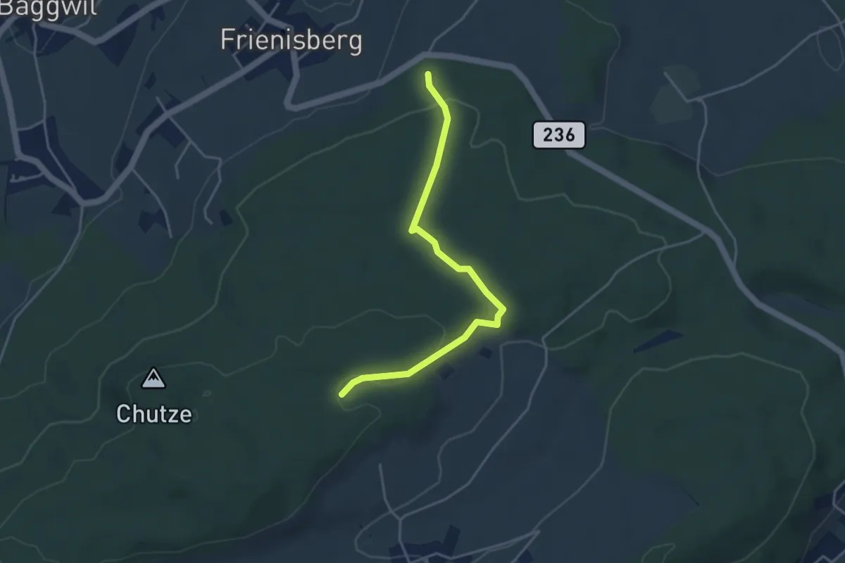
Easy · Trail
Frienisberger – Weichel
3.9 km · ↑ 101 m · 1 h 8 min · 12 km away
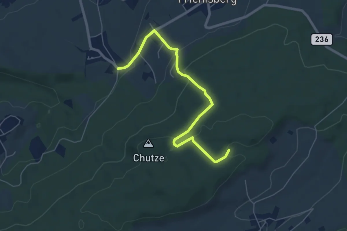
Easy · Trail
Baggwilgraben – Weichel
5.4 km · ↑ 183 m · 1 h 40 min · 12 km away
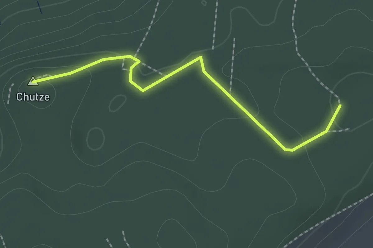
Easy · Summit
Chutzenturm – Weichel
2.0 km · ↑ 36 m · 34 min · 12 km away
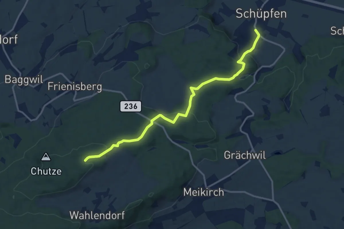
Medium · Trail
Weichel – Schüpfen
10.3 km · ↑ 350 m · 3 h 11 min · 12 km away
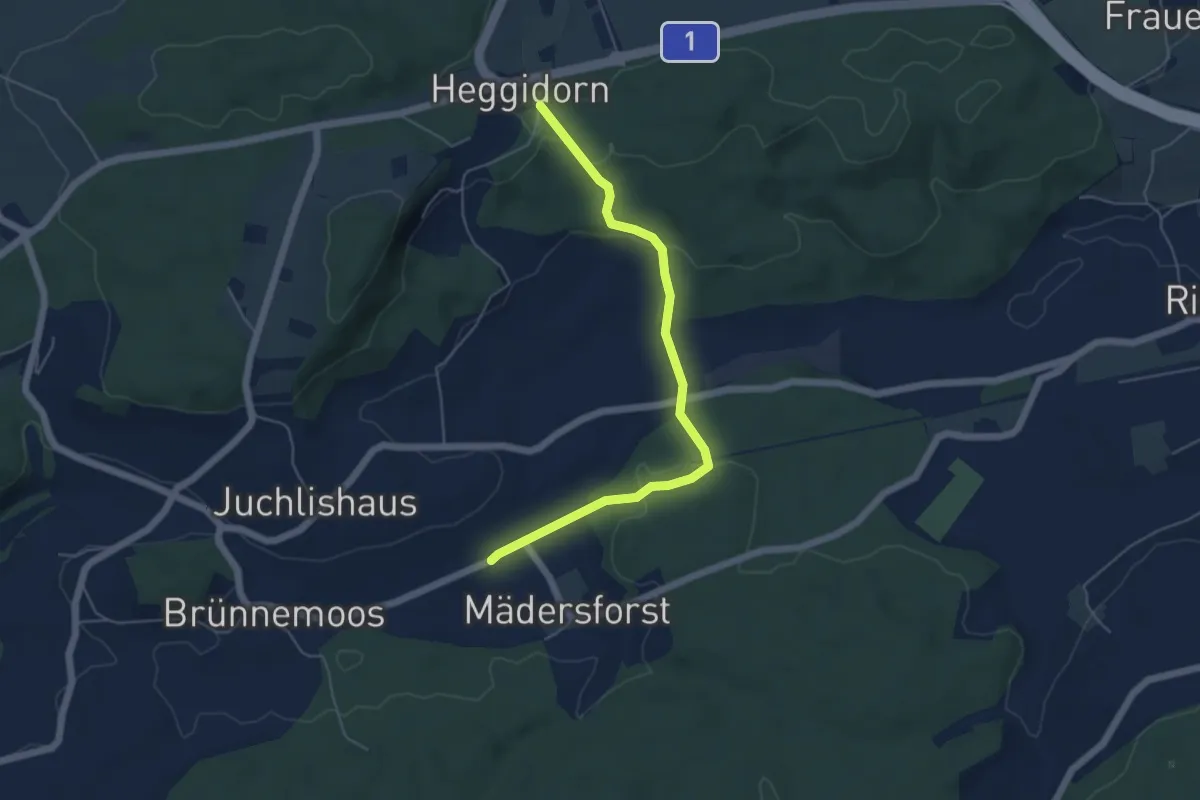
Easy · Trail
Rosshäusern/Station - Heggidorn
5.3 km · ↑ 157 m · 1 h 35 min · 12 km away
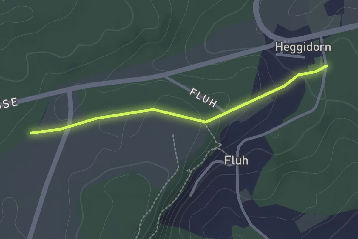
Easy · Trail
Obere Ledi - Heggidorn
2.1 km · ↑ 53 m · 37 min · 12 km away
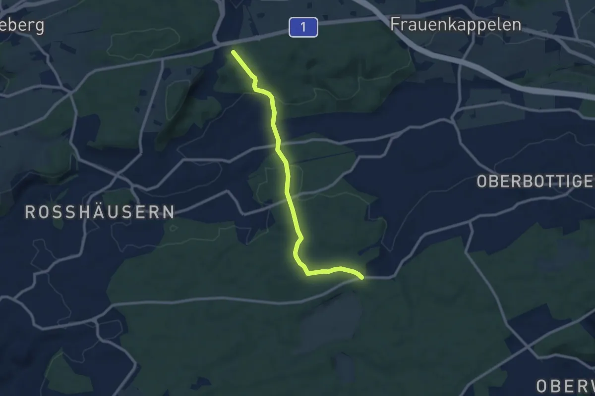
Easy · Trail
Heggidorn - Fuessacher
7.7 km · ↑ 218 m · 2 h 17 min · 12 km away
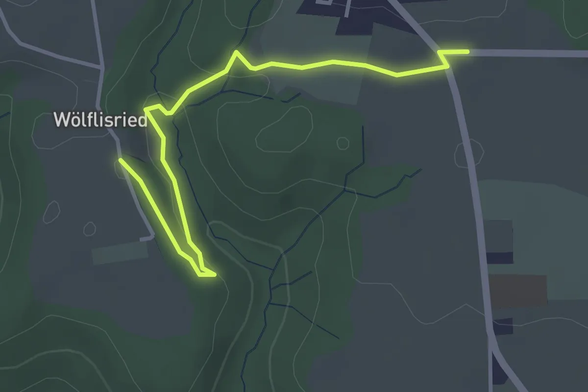
Easy · Trail
Weiermatt – Wölfisried
3.5 km · ↑ 81 m · 1 h · 12 km away
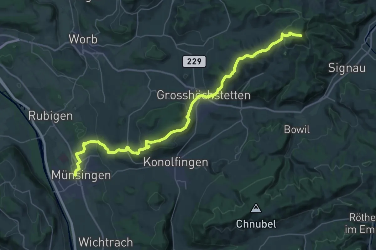
Demanding · Summit
Alpenpanorama-Weg
33.3 km · ↑ 1120 m · 10 h 17 min · 12 km away
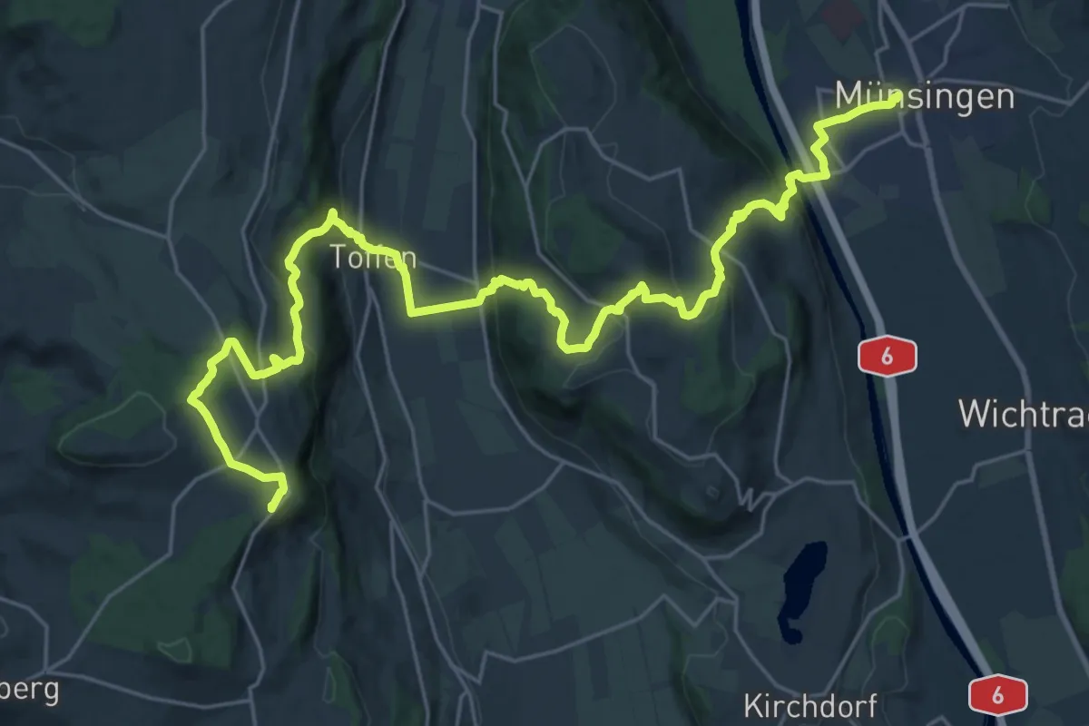
Demanding · Summit
Alpenpanorama-Weg
30.3 km · ↑ 1232 m · 9 h 50 min · 12 km away
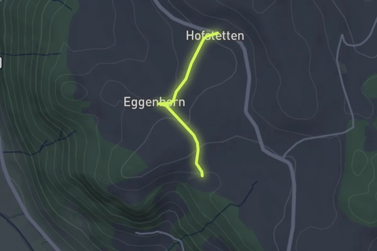
Easy · Trail
Schlatt - Hostete
2.1 km · ↑ 67 m · 38 min · 12 km away
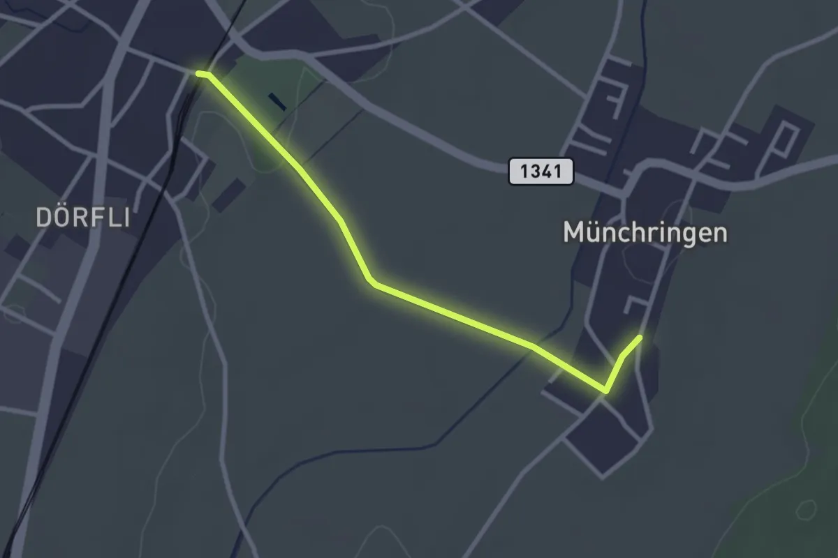
Easy · Trail
Jegenstorf – Münchringen
2.6 km · ↑ 22 m · 40 min · 12 km away
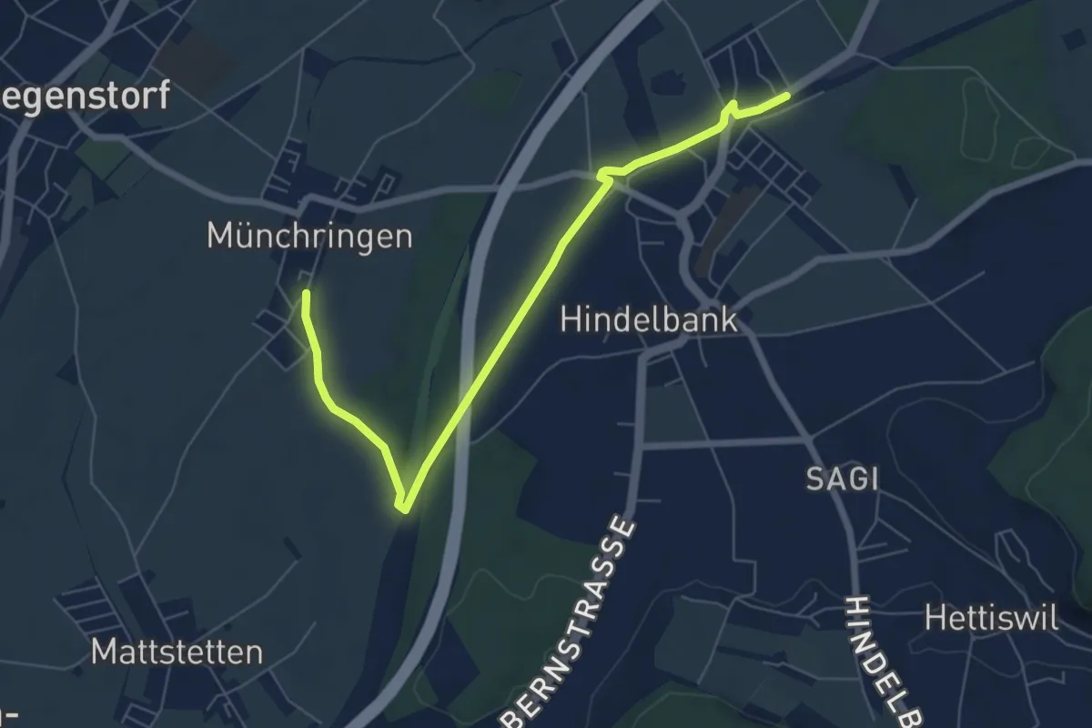
Easy · Trail
Münchringen – Hindelbank / Station
6.9 km · ↑ 50 m · 1 h 44 min · 12 km away
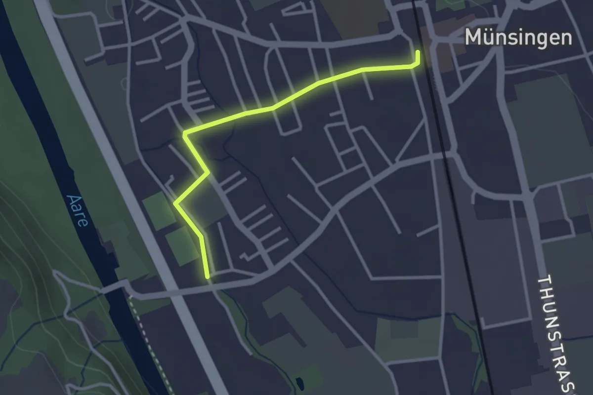
Easy · Trail
Aeussere Giesse - Münsingen/Bahnhof
2.7 km · ↑ 4 m · 39 min · 12 km away
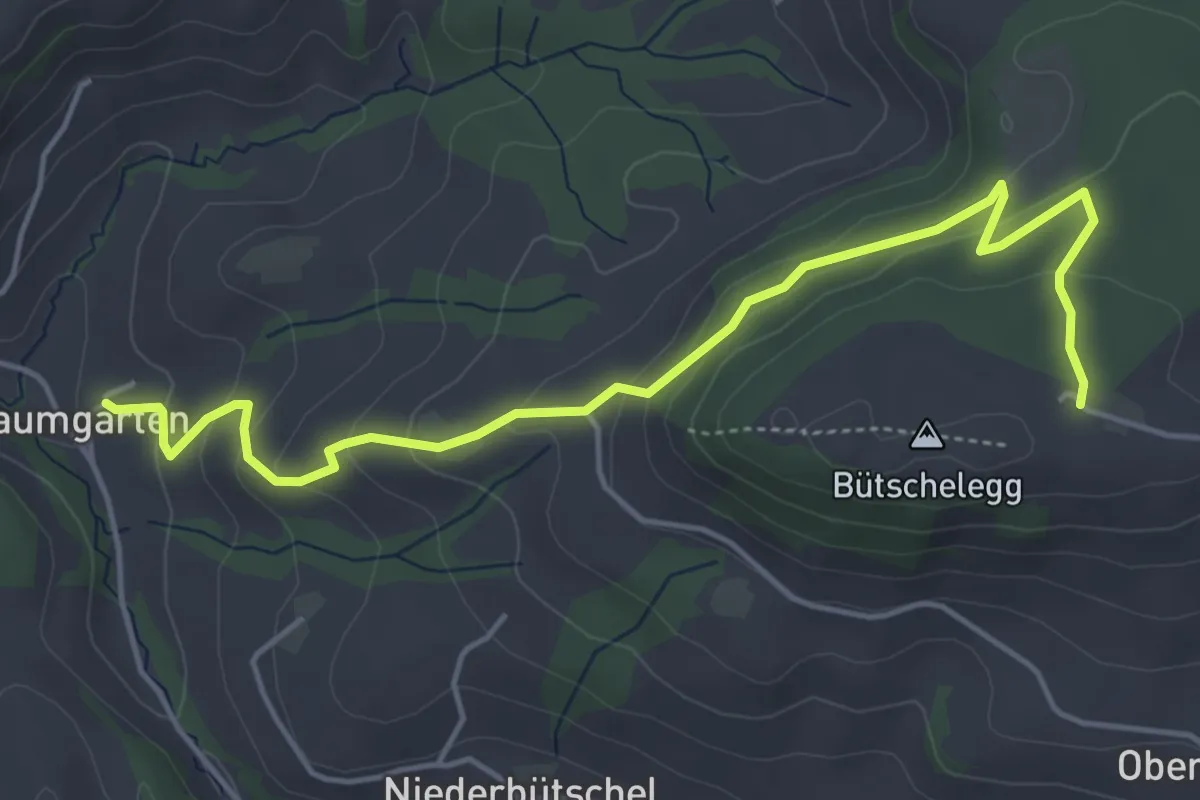
Easy · Trail
Bütschelegg – Baumgarten
5.4 km · ↑ 263 m · 1 h 50 min · 12 km away
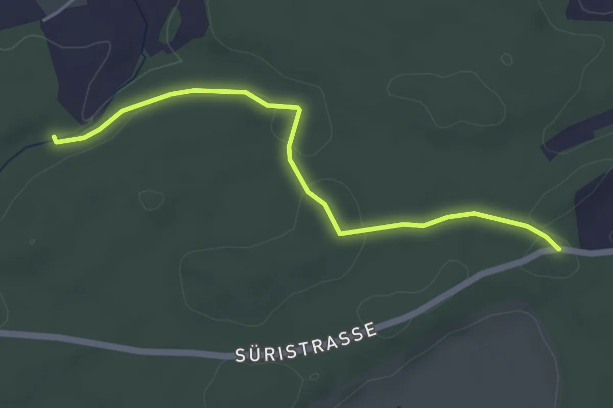
Easy · Trail
Fuessacher - Hollerengraben
3.9 km · ↑ 60 m · 1 h 3 min · 12 km away
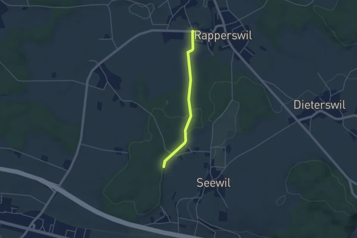
Easy · Trail
Rapperswil – Hardwald
3.4 km · ↑ 57 m · 55 min · 12 km away
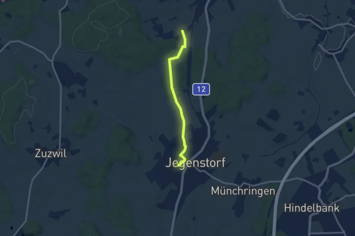
Easy · Trail
Stöckgass – Jegenstorf
6.0 km · ↑ 78 m · 1 h 35 min · 12 km away
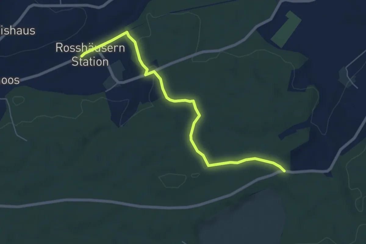
Easy · Trail
Fuessacher - Rosshäusern/Station
5.6 km · ↑ 125 m · 1 h 36 min · 12 km away
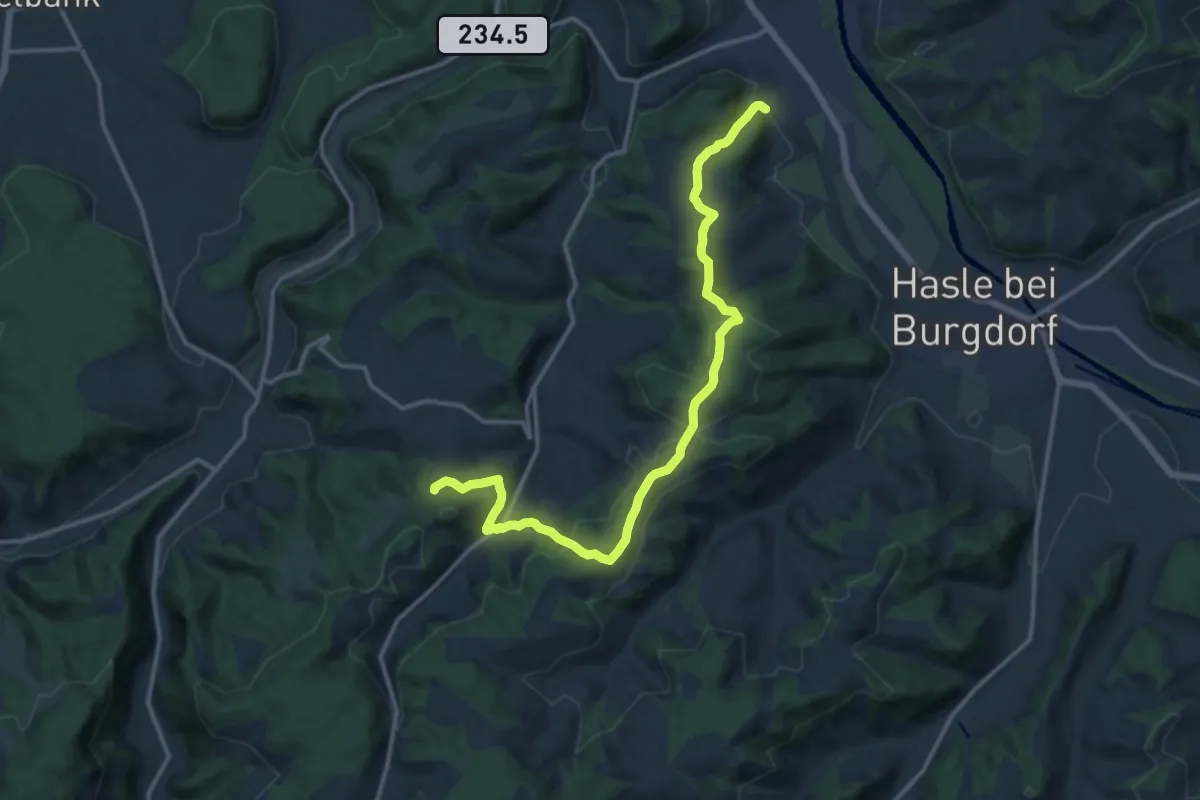
Medium · Trail
Oberburg – Buechwald
14.7 km · ↑ 578 m · 4 h 44 min · 12 km away
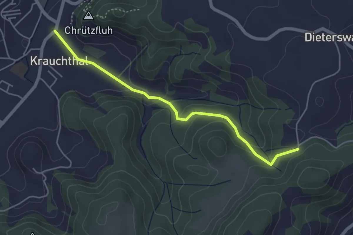
Easy · Trail
Krauchthal – Buechwald
4.0 km · ↑ 191 m · 1 h 21 min · 12 km away
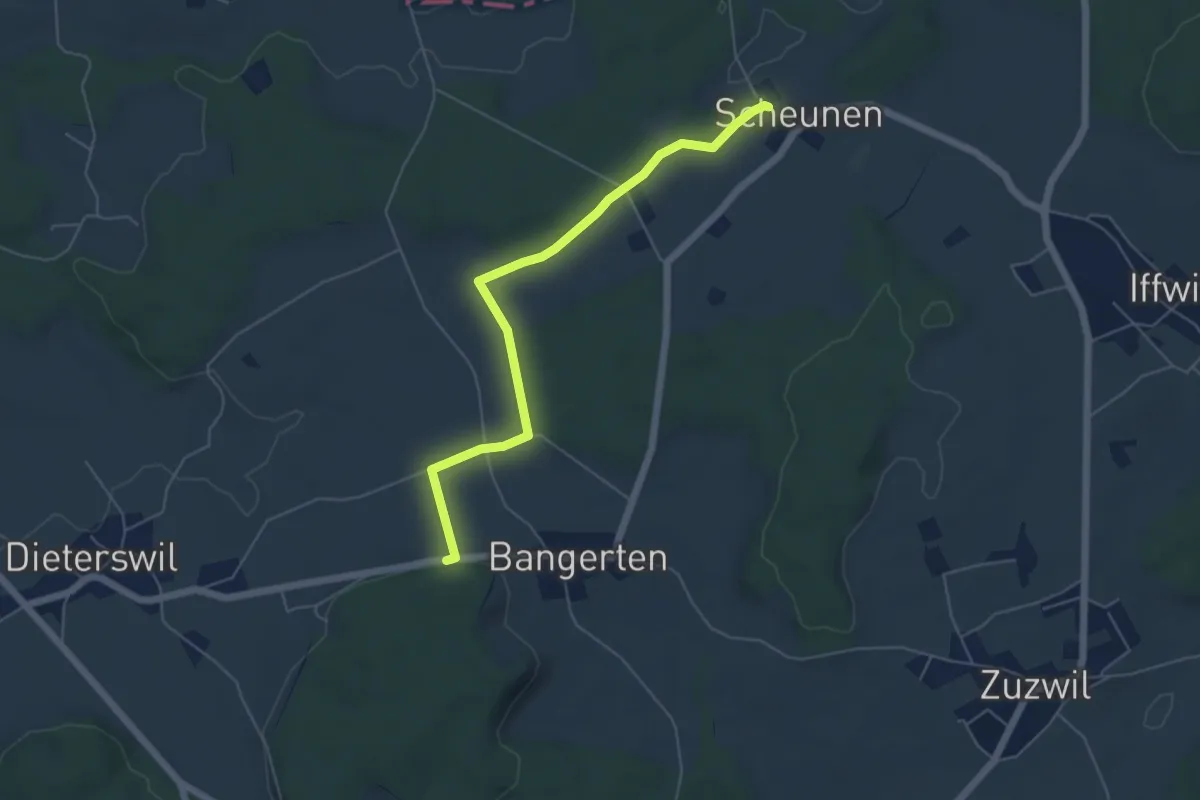
Easy · Trail
Scheunen – Hohrain
5.4 km · ↑ 75 m · 1 h 27 min · 12 km away
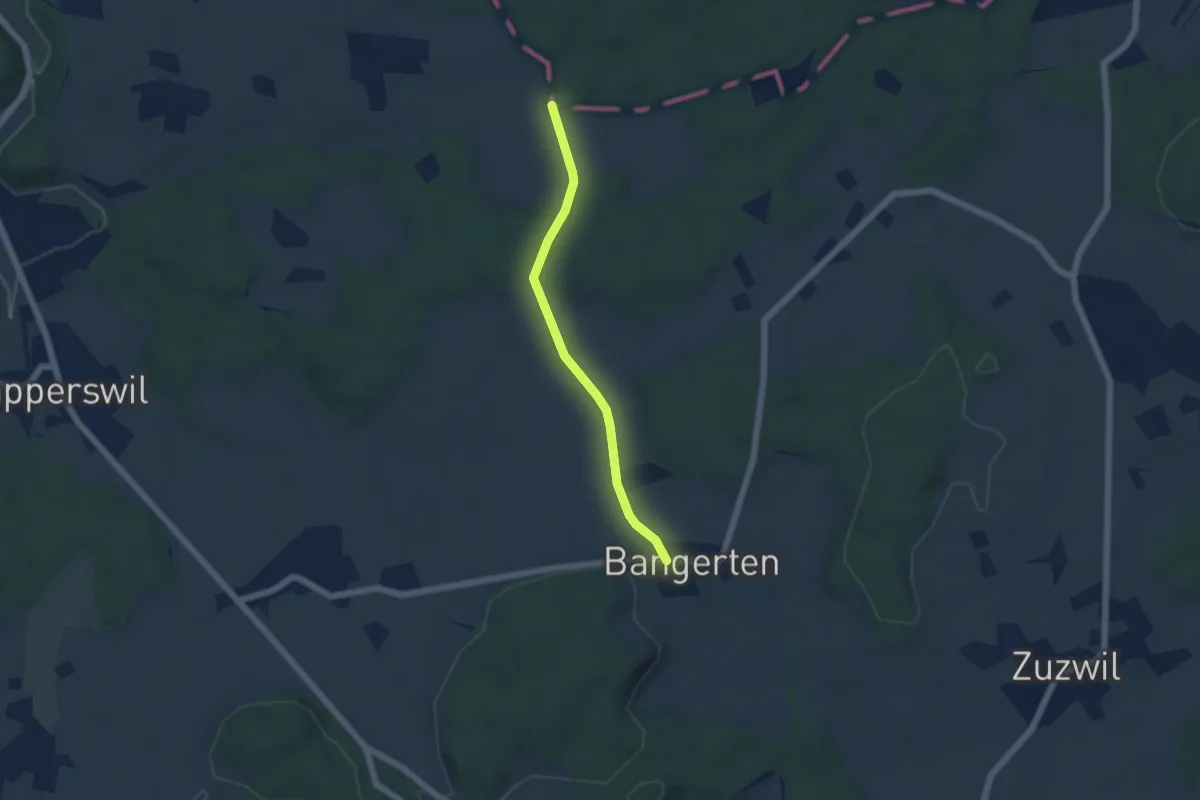
Easy · Trail
Bangerten - Messen Chorber Egge
4.6 km · ↑ 68 m · 1 h 14 min · 12 km away
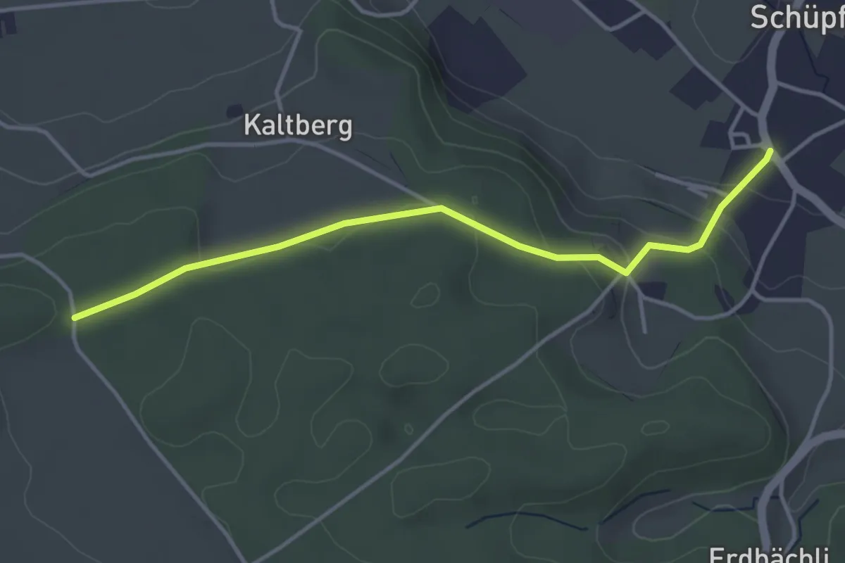
Easy · Trail
Schüpfen – Chappeliegge
3.8 km · ↑ 131 m · 1 h 11 min · 12 km away
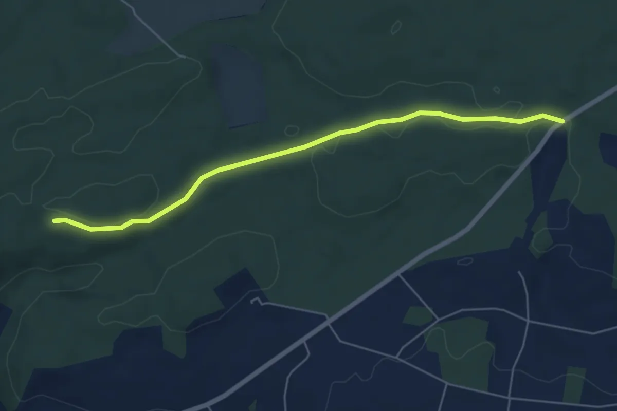
Easy · Trail
Sunnenrain - Bim Stundstei
5.3 km · ↑ 72 m · 1 h 25 min · 12 km away
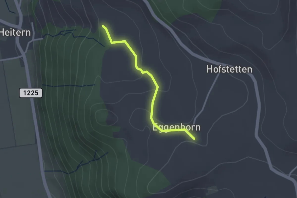
Easy · Trail
Schlatt - Chieffere
2.3 km · ↑ 73 m · 41 min · 12 km away
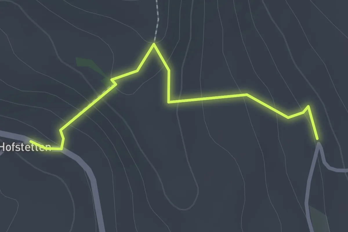
Easy · Trail
Hostete - Simmlere
2.1 km · ↑ 121 m · 45 min · 12 km away
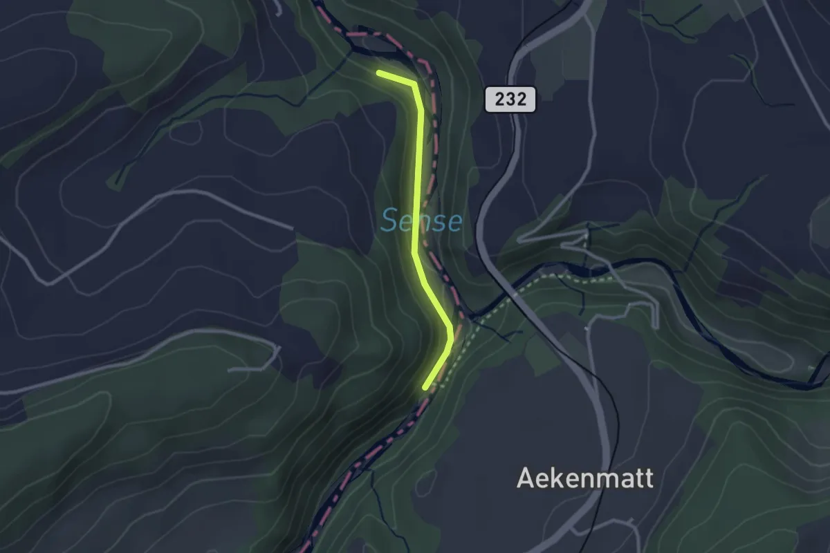
Easy · Trail
Hangried - Hängebrüggli
2.1 km · ↑ 62 m · 37 min · 12 km away
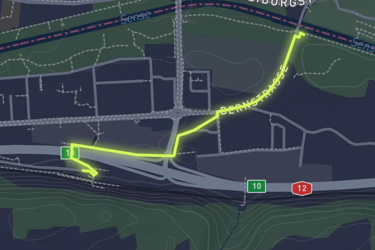
Easy · Trail
Ober Flamatt – Flamatt / Station
2.5 km · ↑ 21 m · 38 min · 12 km away
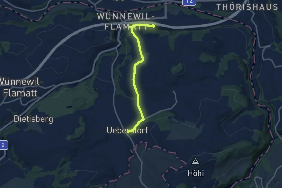
Easy · Trail
Flamatt / Station - Ueberstorf
7.5 km · ↑ 195 m · 2 h 11 min · 12 km away
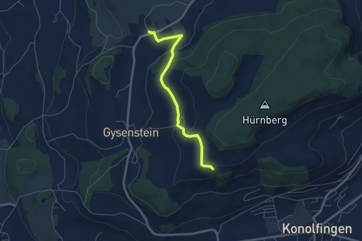
Easy · Trail
Herolfingen – Konolfingen
5.0 km · ↑ 146 m · 1 h 29 min · 12 km away
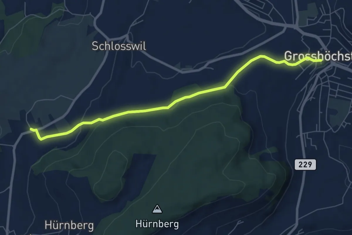
Easy · Trail
Grosshöchstetten – Herolfingen
7.0 km · ↑ 112 m · 1 h 54 min · 12 km away
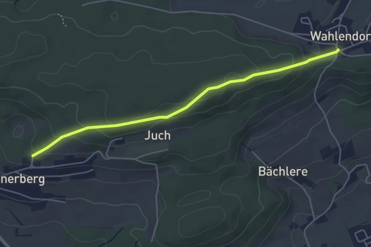
Easy · Trail
Wahlendorf Usserdorf – Innerberg Mösli
4.3 km · ↑ 155 m · 1 h 22 min · 12 km away
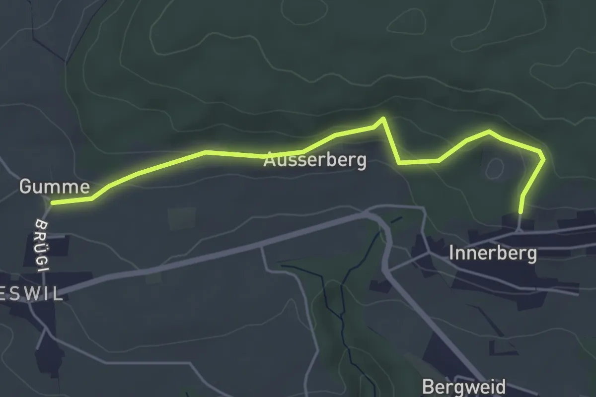
Easy · Trail
Gummen – Innerberg Mösli
4.6 km · ↑ 174 m · 1 h 27 min · 12 km away
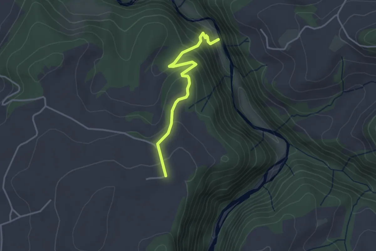
Easy · Trail
Schwarzwassergraben - Nidegg
3.0 km · ↑ 234 m · 1 h 13 min · 12 km away
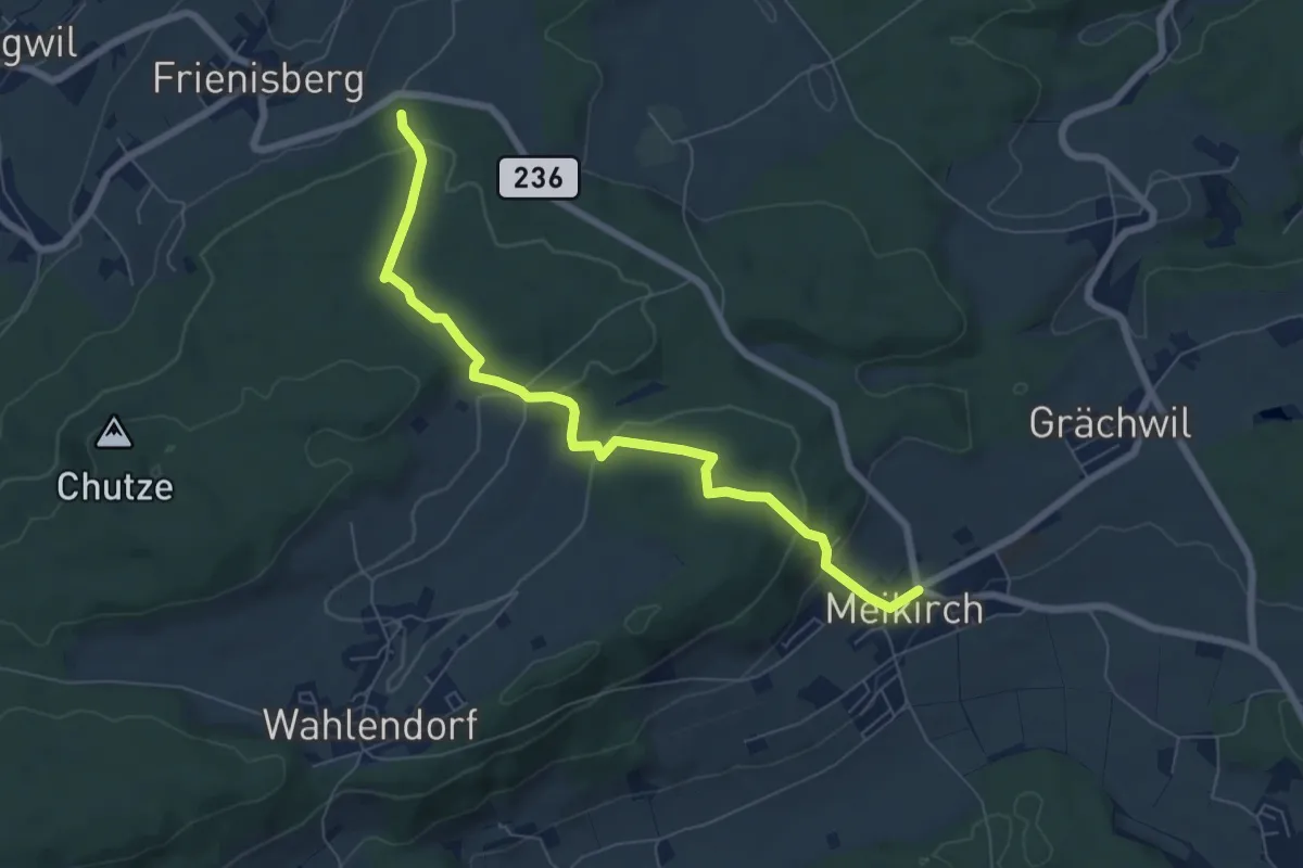
Easy · Trail
Meikrich – Frienisberg
7.1 km · ↑ 272 m · 2 h 16 min · 12 km away
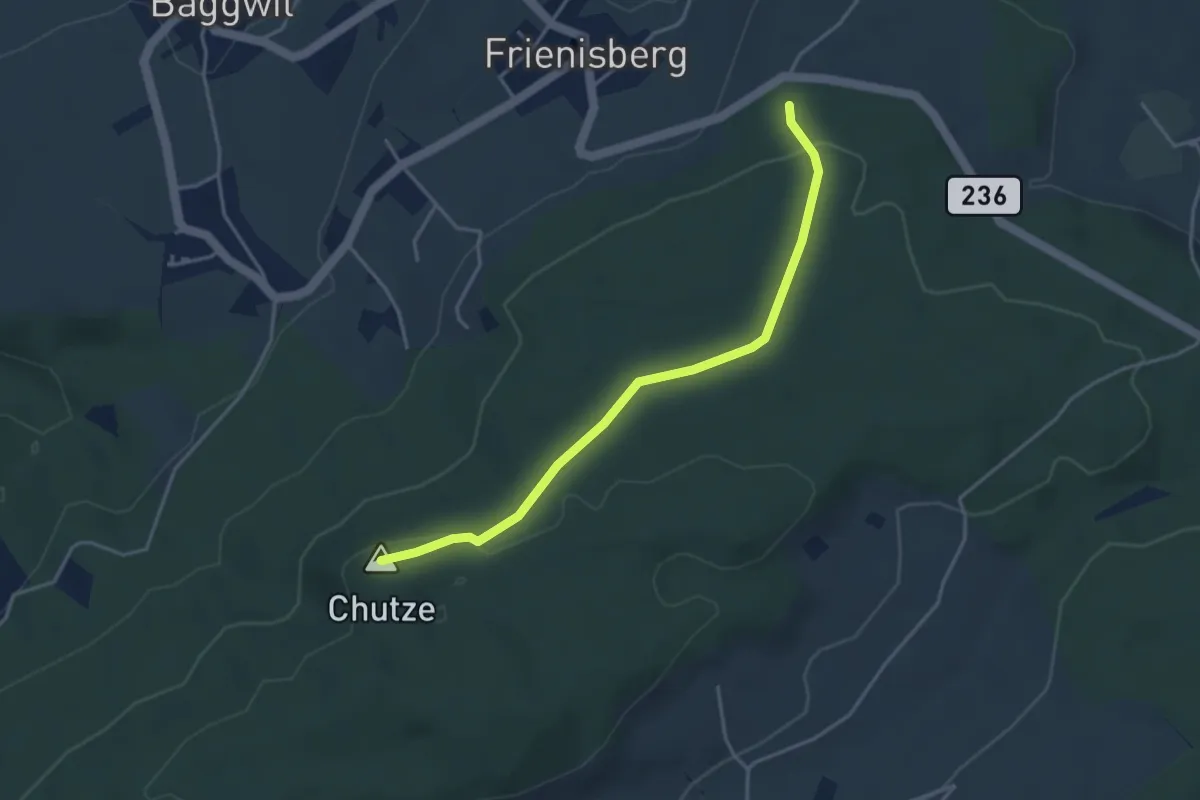
Easy · Summit
Chutzenturm – Frienisberger
3.8 km · ↑ 78 m · 1 h 4 min · 12 km away
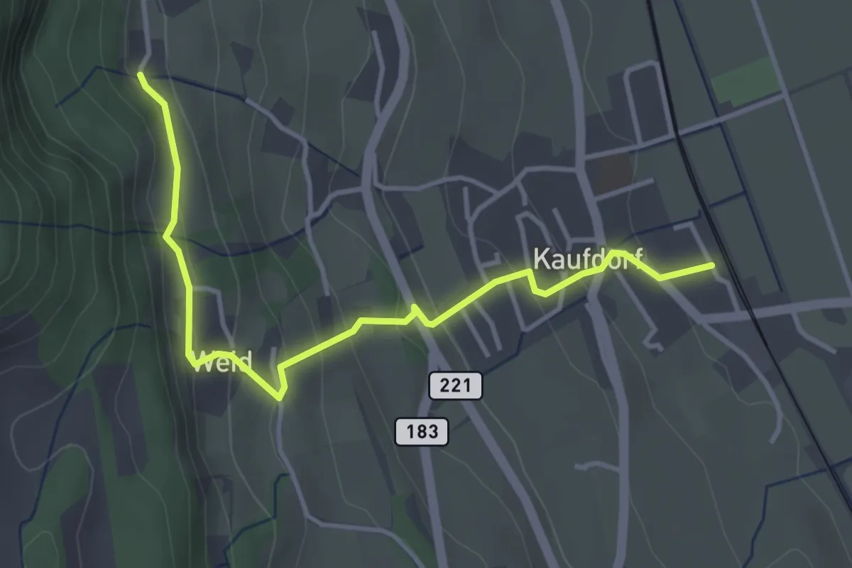
Easy · Trail
Kaufdorf - Gutenbrünnen
3.9 km · ↑ 237 m · 1 h 26 min · 12 km away
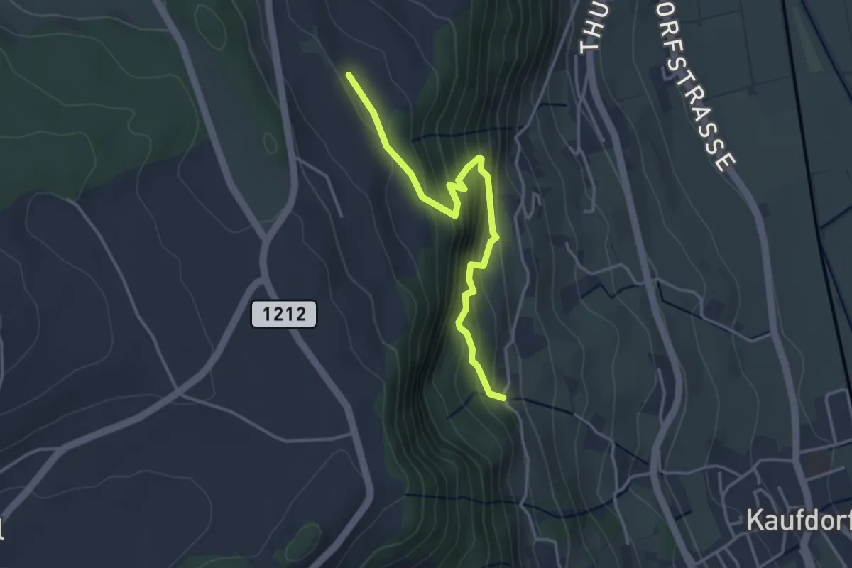
Easy · Trail
Oberfeld - Gutenbrünnen
3.4 km · ↑ 304 m · 1 h 28 min · 12 km away
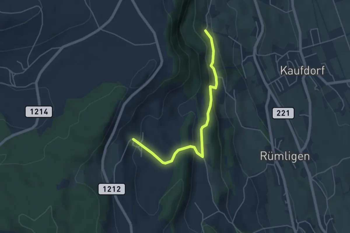
Easy · Trail
Gutenbrünnen - Hermiswil
4.3 km · ↑ 207 m · 1 h 28 min · 12 km away