Trails near Brig
348 hikes starting within 15 km, nearest first.
Nearest first, page 4 of 8
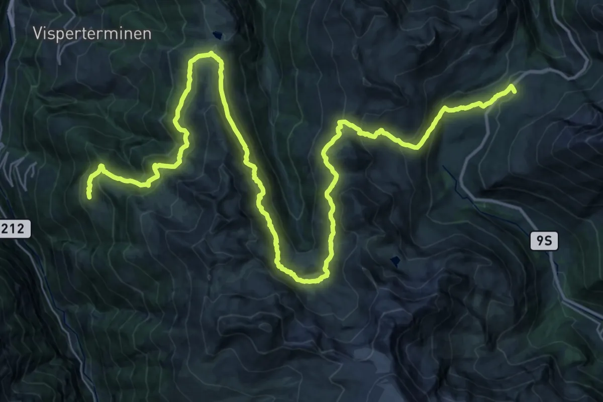
Demanding · Trail
18-Alpenpässe-Weg
23.1 km · ↑ 1230 m · 8 h 30 min · 8 km away
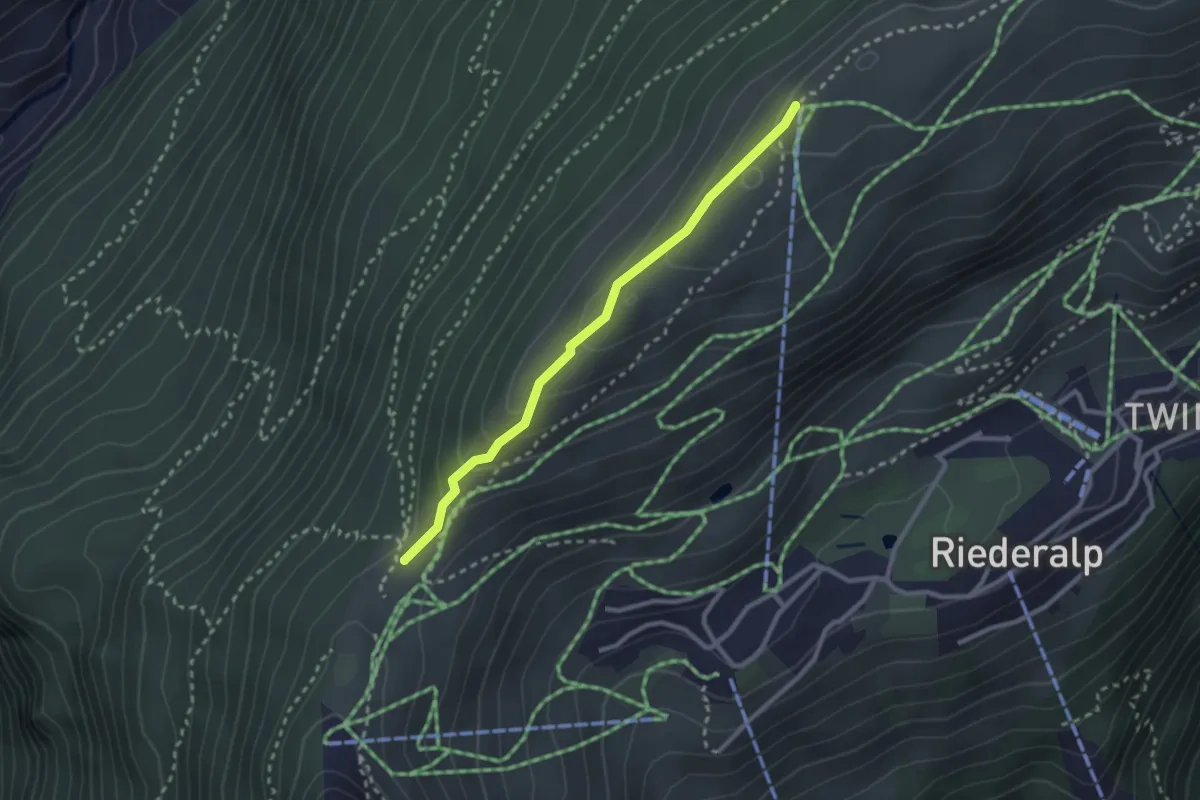
Easy · Trail
Riederfurka – Hohfluh
2.5 km · ↑ 136 m · 53 min · 8 km away
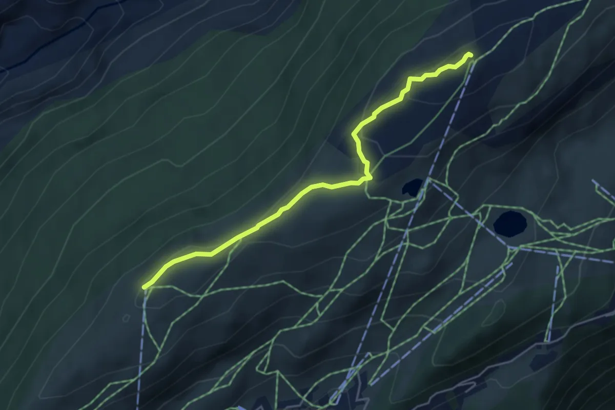
Easy · Trail
Moosfluh – Hohfluh
4.5 km · ↑ 170 m · 1 h 25 min · 8 km away
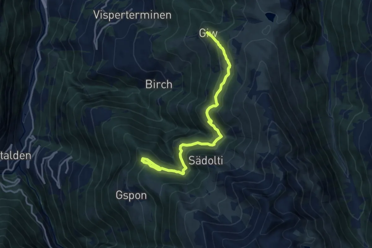
Medium · Trail
Giw - Gspon
11.7 km · ↑ 775 m · 4 h 27 min · 8 km away
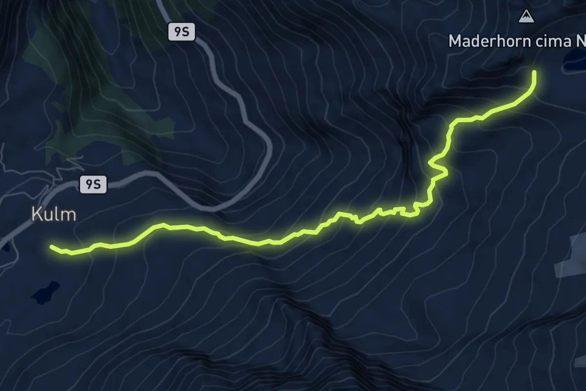
Demanding · Trail
Simplonpass - Mäderlicke
8.7 km · ↑ 817 m · 3 h 49 min · 8 km away
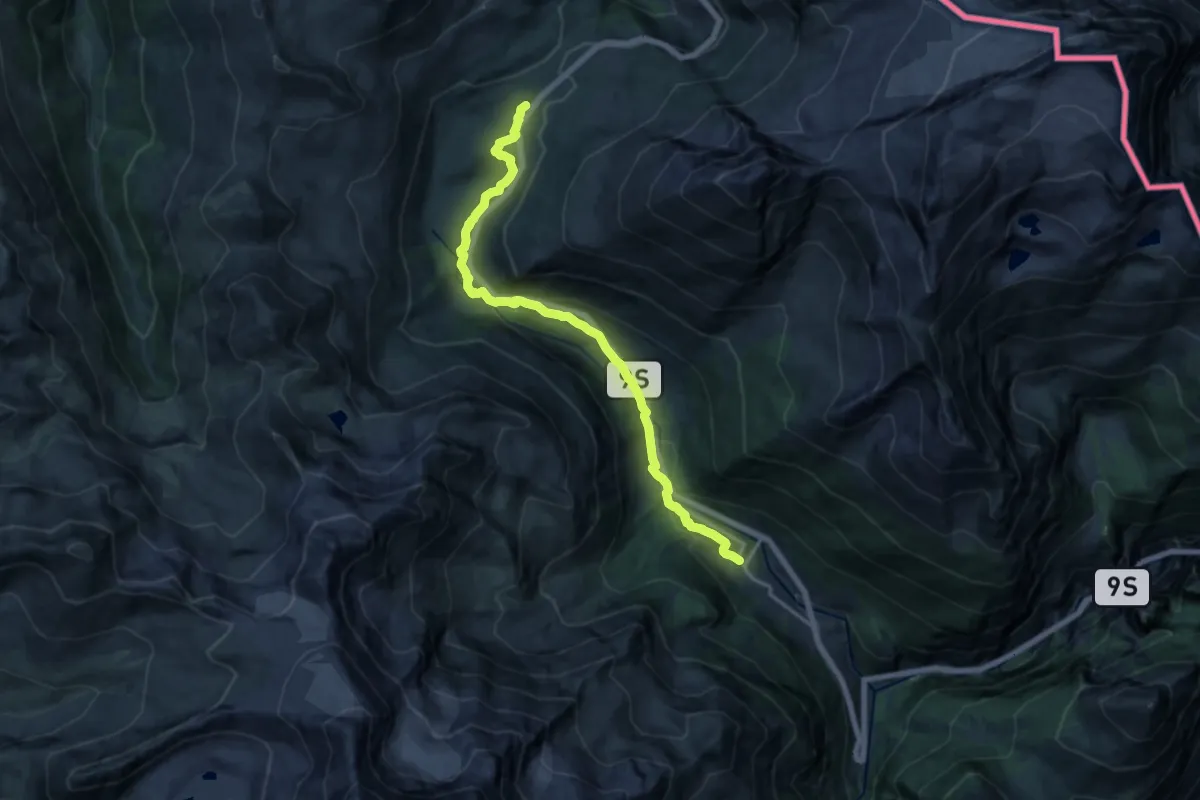
Medium · Trail
Simplonpass-Simplon Dorf
16.1 km · ↑ 515 m · 4 h 55 min · 8 km away
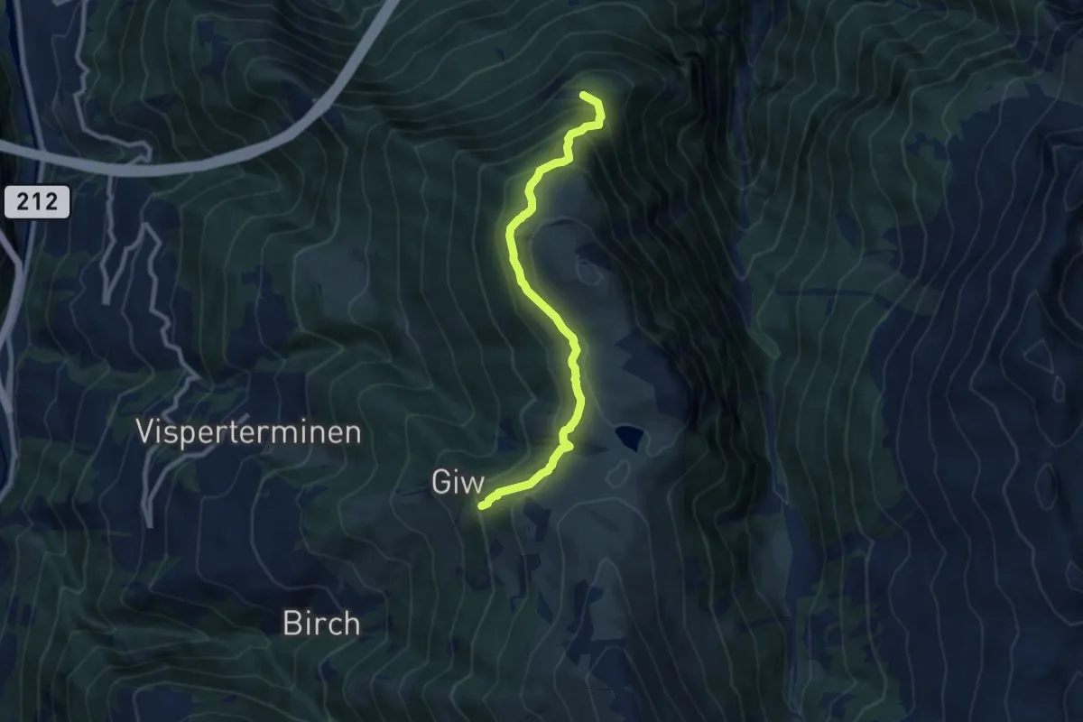
Medium · Trail
Wysse - Giw
8.6 km · ↑ 593 m · 3 h 18 min · 8 km away
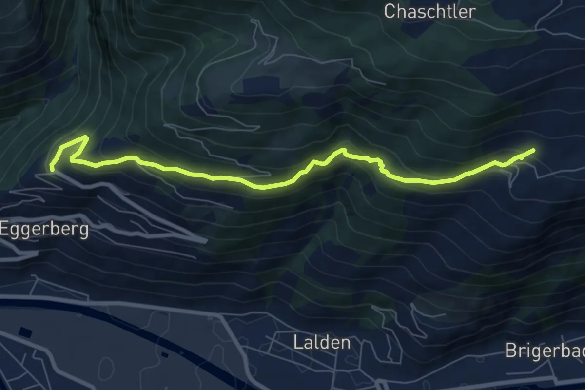
Medium · Trail
Eggerberg - Oberi Brich
7.3 km · ↑ 477 m · 2 h 45 min · 8 km away
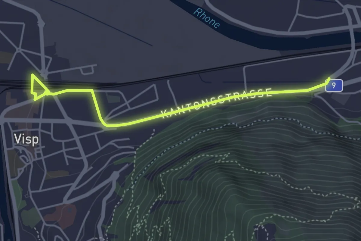
Easy · Trail
Visp - Eyholz
4.4 km · ↑ 35 m · 1 h 7 min · 8 km away
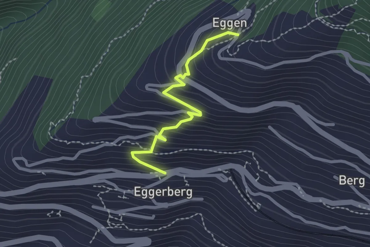
Easy · Trail
Eggerberg Dorf – Eggen
2.0 km · ↑ 203 m · 55 min · 9 km away
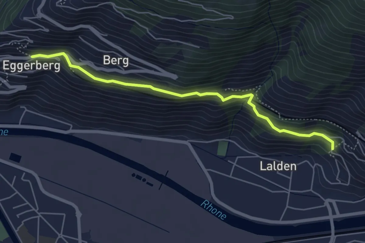
Easy · Trail
Lalden - Eggerberg
4.9 km · ↑ 273 m · 1 h 45 min · 9 km away
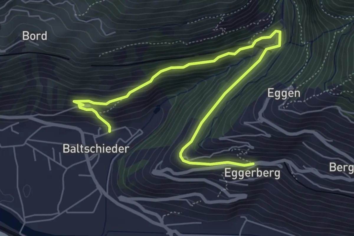
Medium · Trail
Baltschieder alter Dorfkern – Eggerberg Dorf
6.9 km · ↑ 354 m · 2 h 24 min · 9 km away
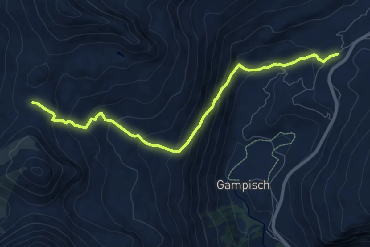
Medium · Trail
Bistinenpass-Simplonpass
8.4 km · ↑ 606 m · 3 h 18 min · 9 km away
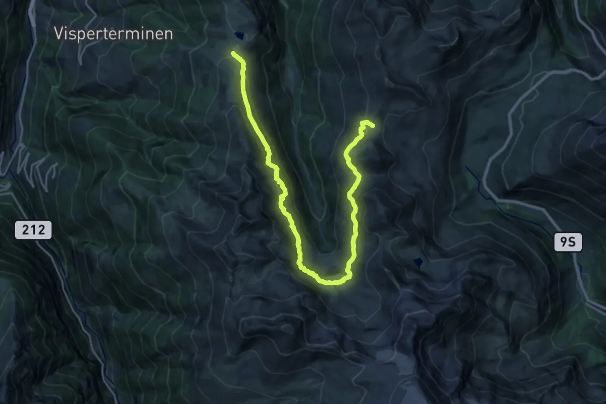
Demanding · Trail
Gebidempass-Bistinenpass
11.5 km · ↑ 532 m · 4 h 8 min · 9 km away
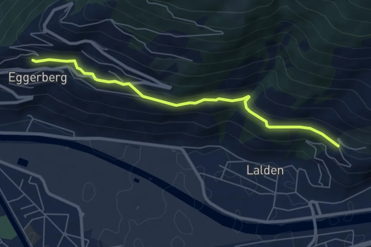
Medium · Trail
Eggerberg - Brigerbad
5.3 km · ↑ 227 m · 1 h 45 min · 9 km away
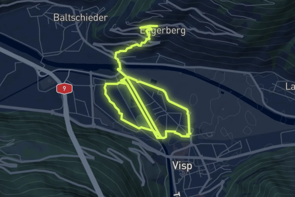
Medium · Trail
Visp - Eggerberg
13.0 km · ↑ 203 m · 3 h 30 min · 9 km away
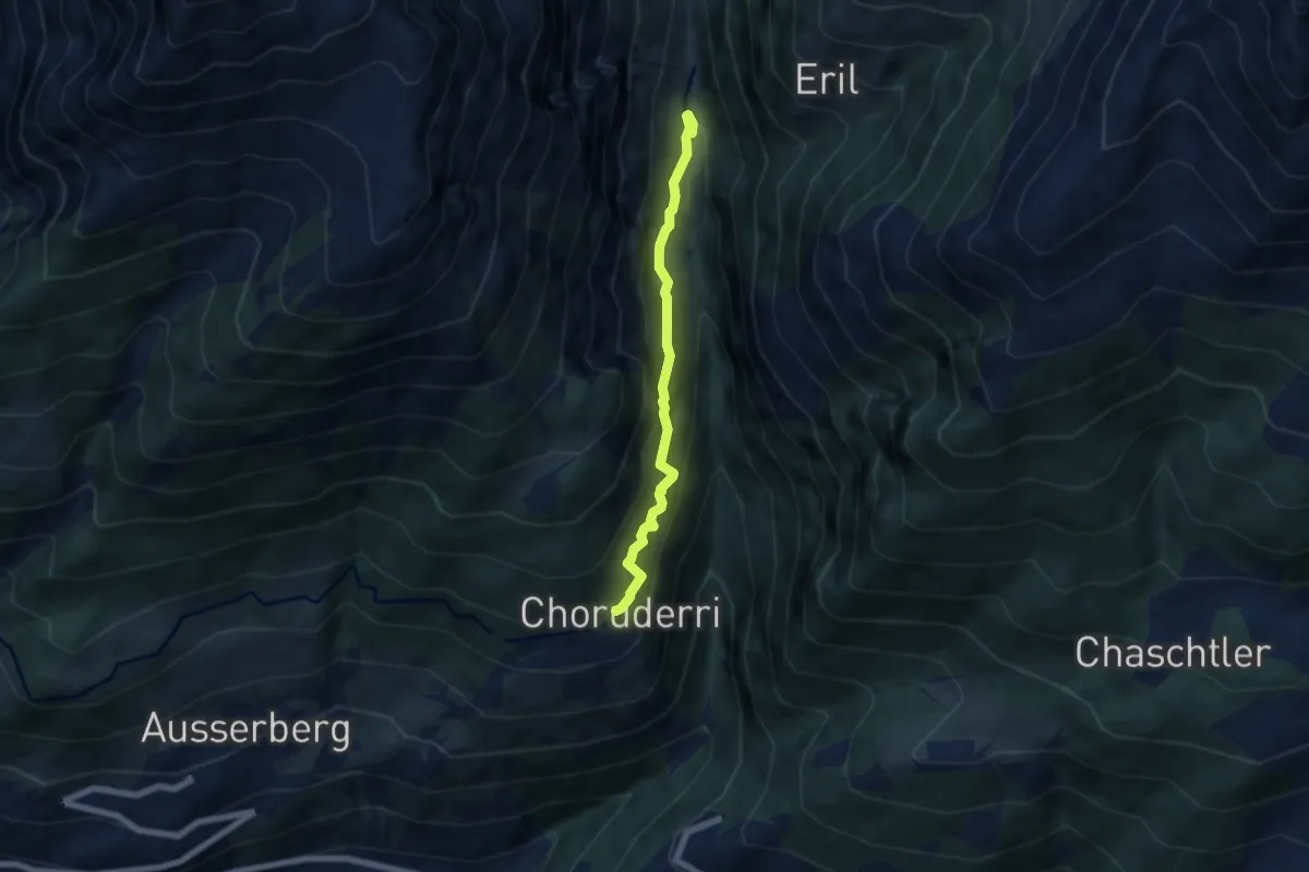
Demanding · Trail
Choruderri – Ze Steinu
5.5 km · ↑ 582 m · 2 h 33 min · 9 km away
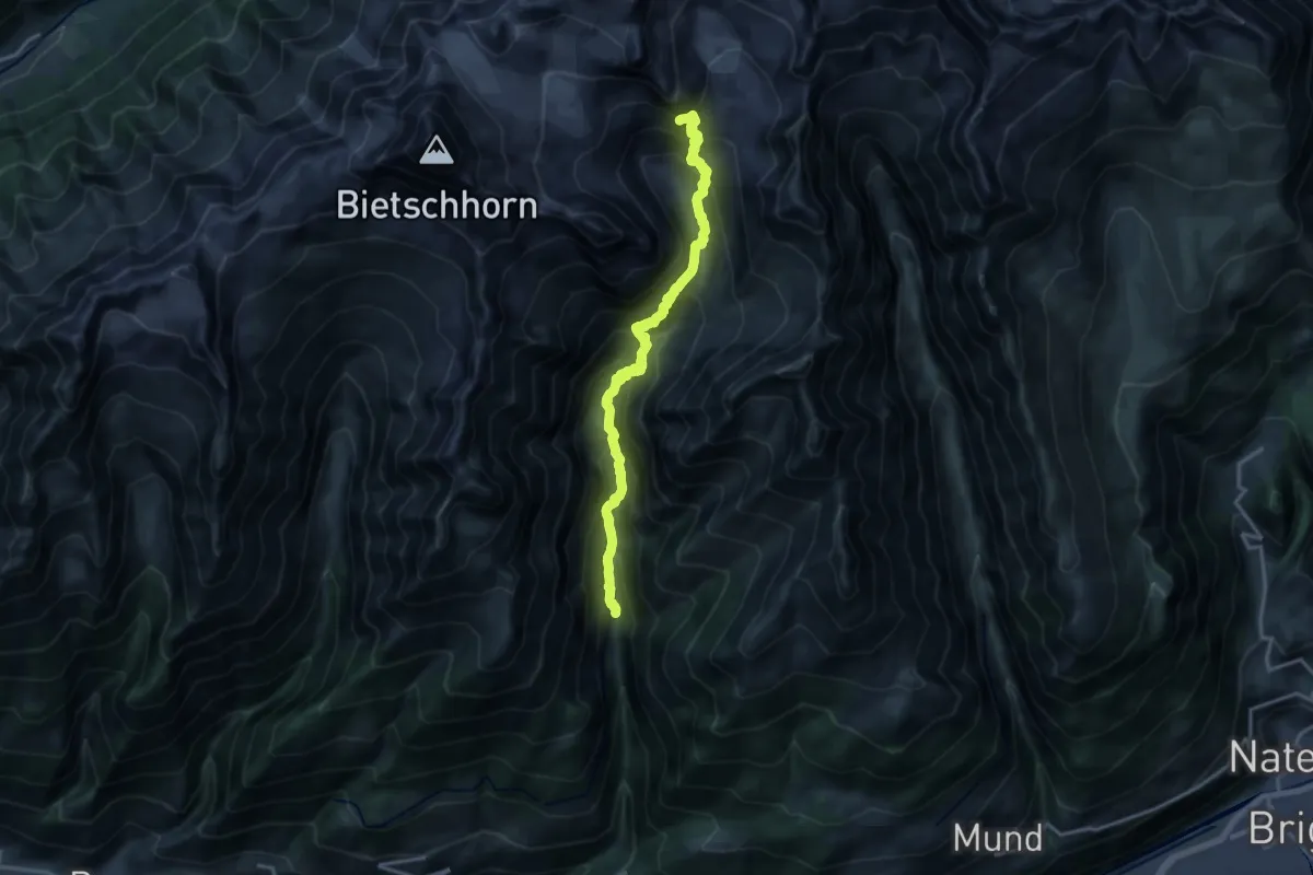
Demanding · Cabin
Ze Steinu - Baltschiederklause SAC
17.0 km · ↑ 1618 m · 7 h 32 min · 9 km away
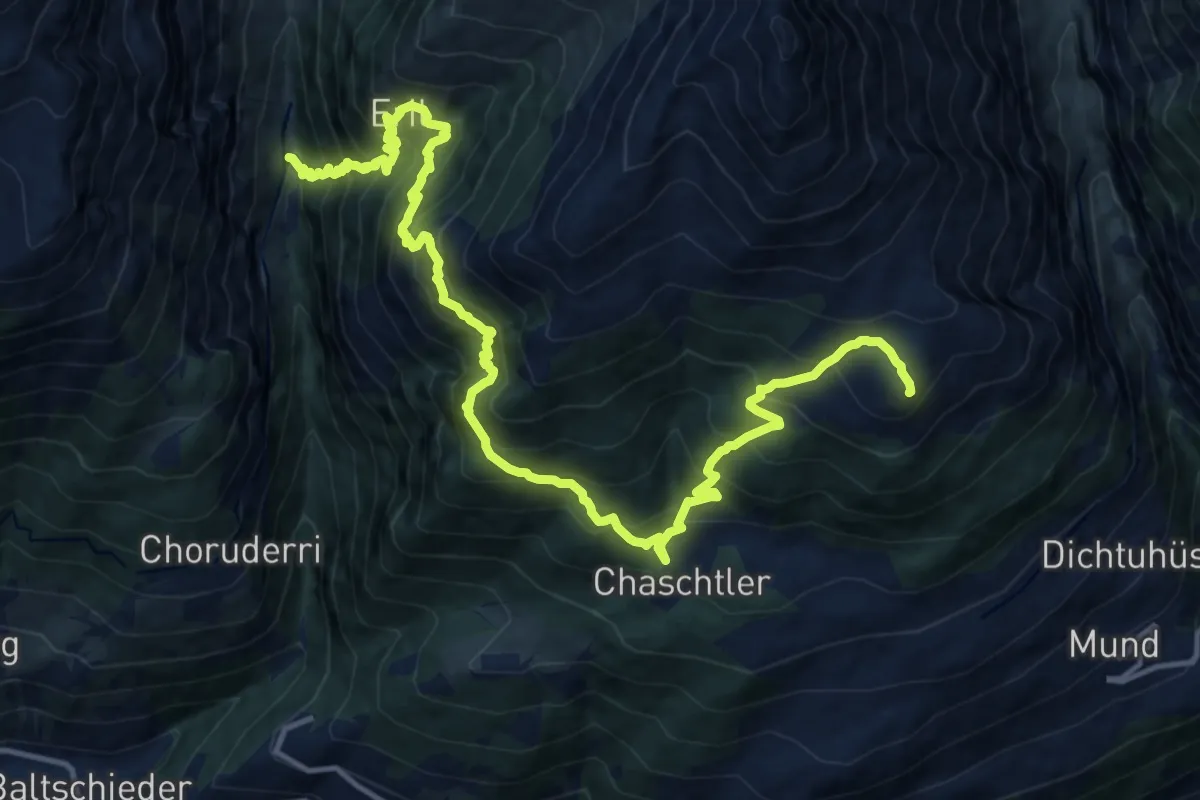
Demanding · Trail
Ze Steinu - Brischeru
9.0 km · ↑ 1455 m · 4 h 59 min · 9 km away
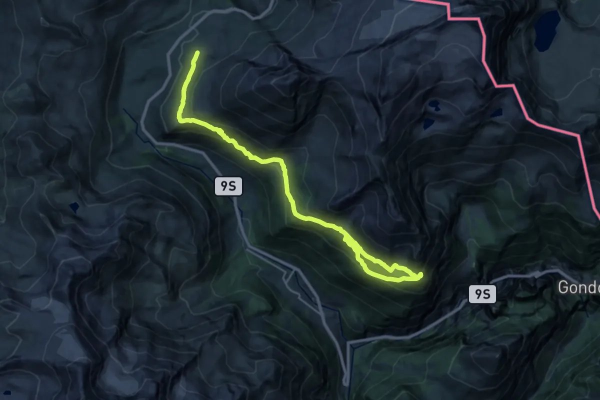
Medium · Trail
Simplonpass - Chastelbergpass
11.4 km · ↑ 728 m · 4 h 22 min · 9 km away
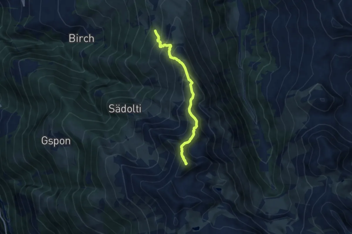
Demanding · Summit
Blausee - Rothorn
8.0 km · ↑ 758 m · 3 h 32 min · 9 km away
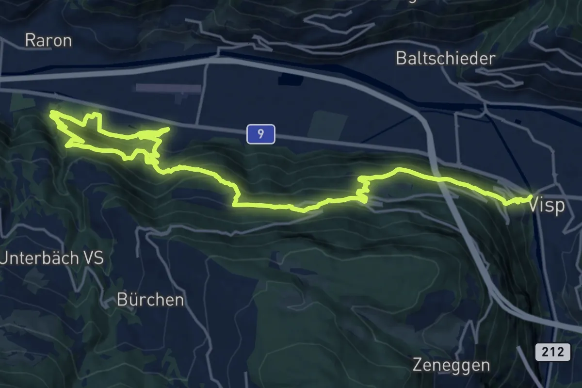
Demanding · Trail
Raron - Visp
11.7 km · ↑ 871 m · 4 h 45 min · 9 km away
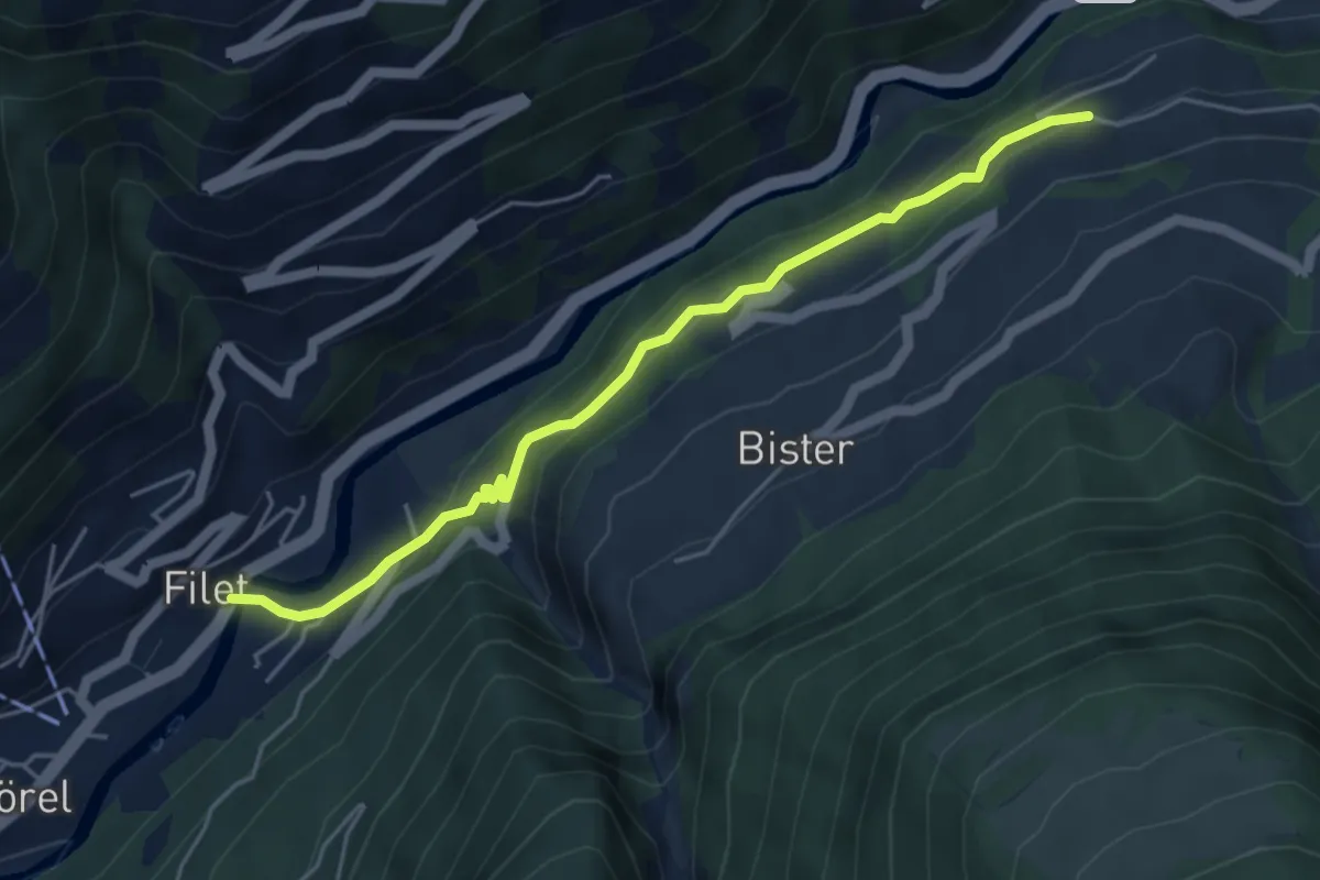
Medium · Trail
Mörel - Bettmeralp Talstation
4.9 km · ↑ 322 m · 1 h 51 min · 9 km away
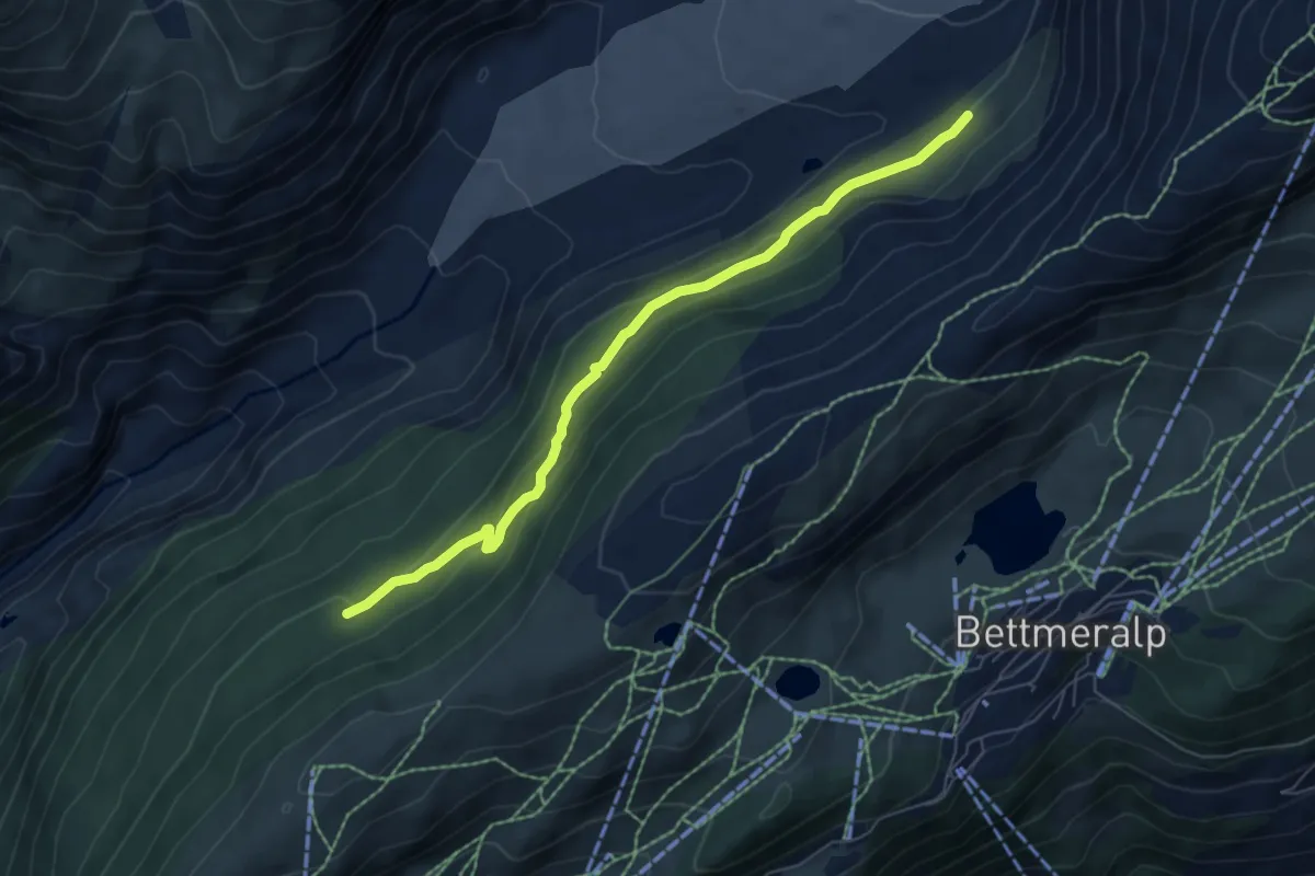
Medium · Trail
Lengmoosweg
6.3 km · ↑ 274 m · 2 h 5 min · 9 km away
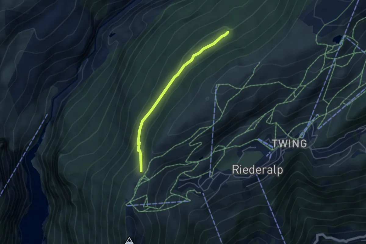
Medium · Trail
Riederfurka – Bischofssitz
3.8 km · ↑ 149 m · 1 h 13 min · 9 km away
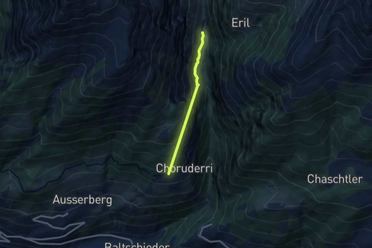
Medium · Trail
Stolleneingang Süd - Ze Steinu
5.2 km · ↑ 642 m · 2 h 37 min · 9 km away
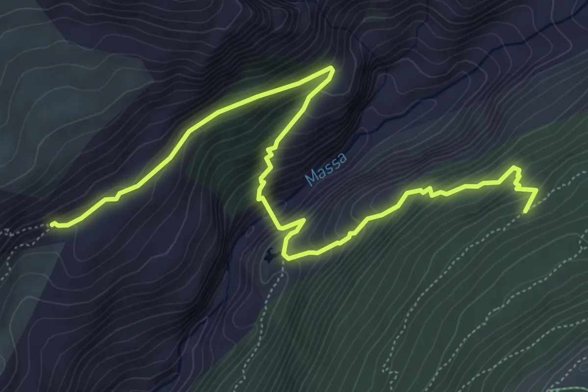
Medium · Trail
Oberaletsch - Silberstand
7.5 km · ↑ 633 m · 3 h 9 min · 9 km away
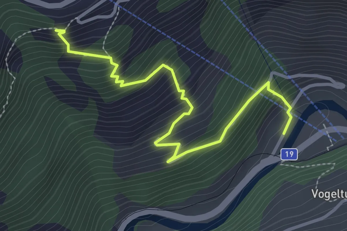
Medium · Trail
Betten - Bettmeralp Talstation
3.1 km · ↑ 354 m · 1 h 30 min · 9 km away
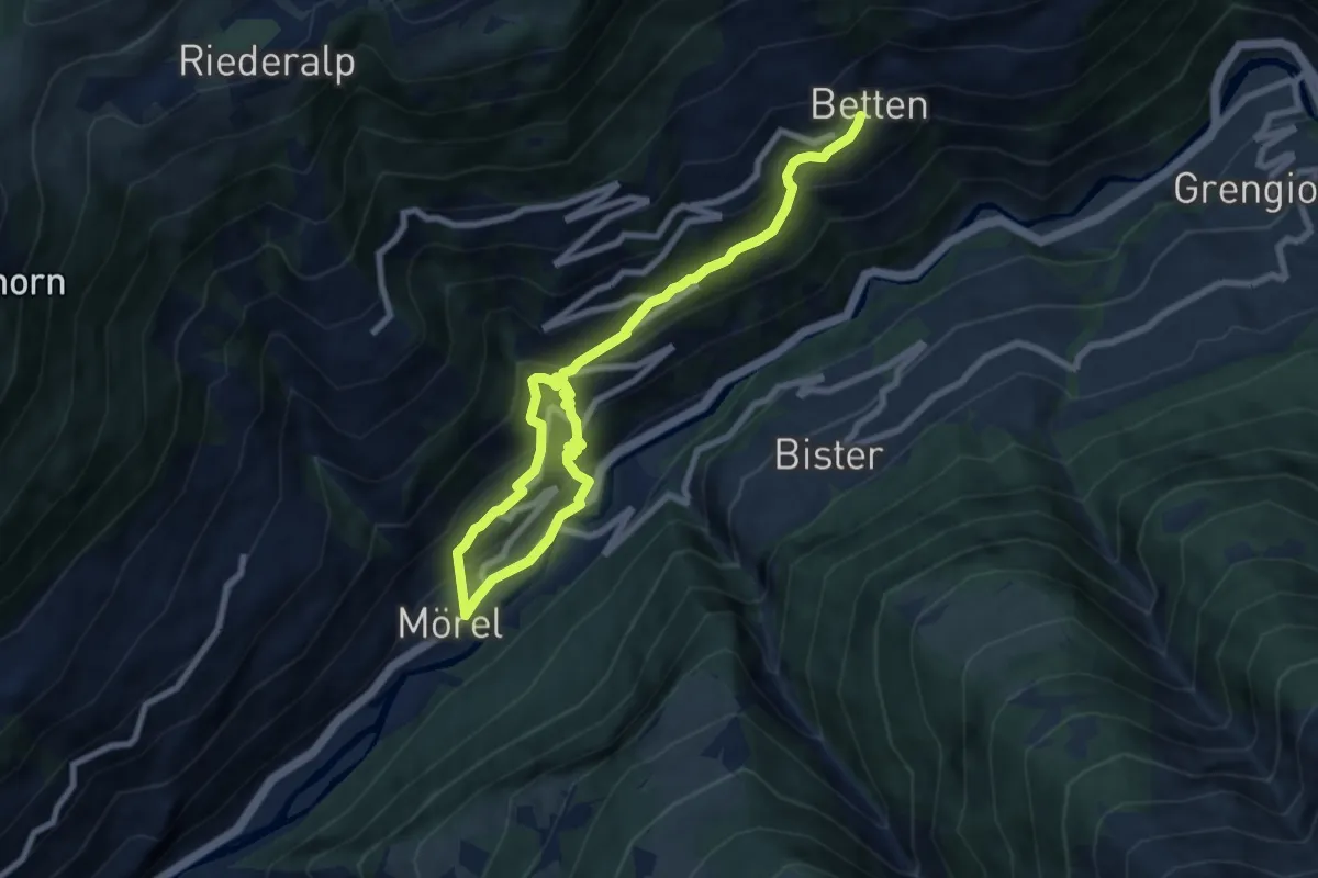
Medium · Trail
Mörel - Betten
10.2 km · ↑ 675 m · 3 h 52 min · 9 km away
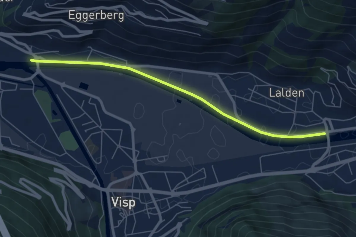
Easy · Trail
Visp - Lalden
5.6 km · ↑ 4 m · 1 h 19 min · 9 km away
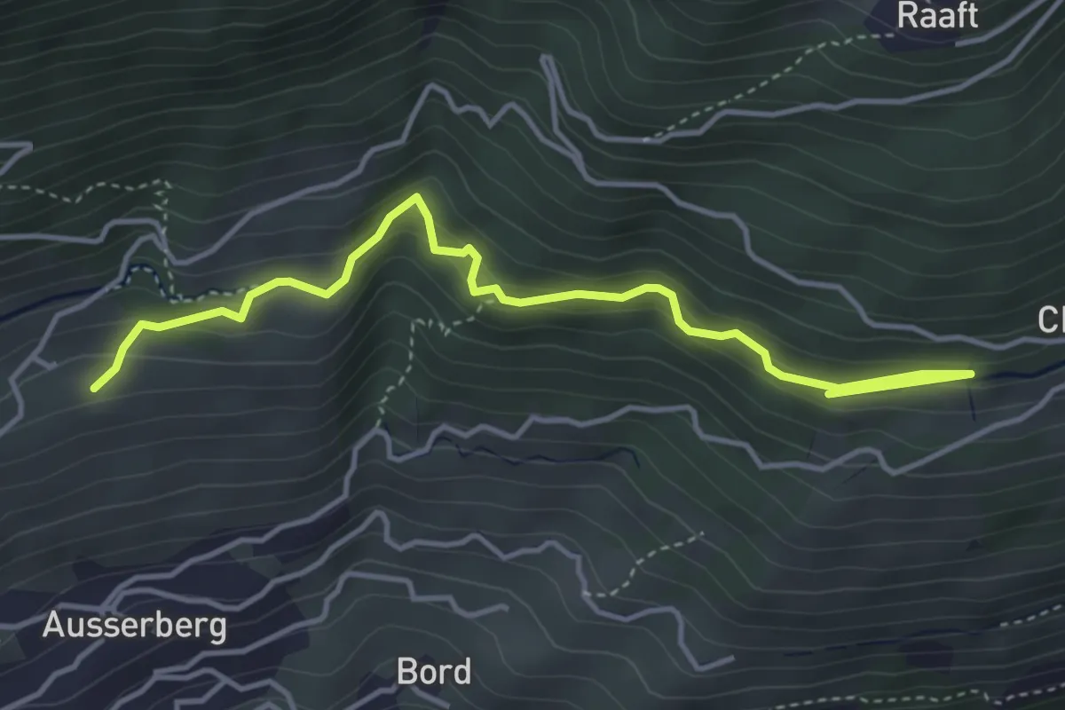
Easy · Trail
Niwärch Weiler – Stolleneingang Süd
4.5 km · ↑ 262 m · 1 h 37 min · 9 km away
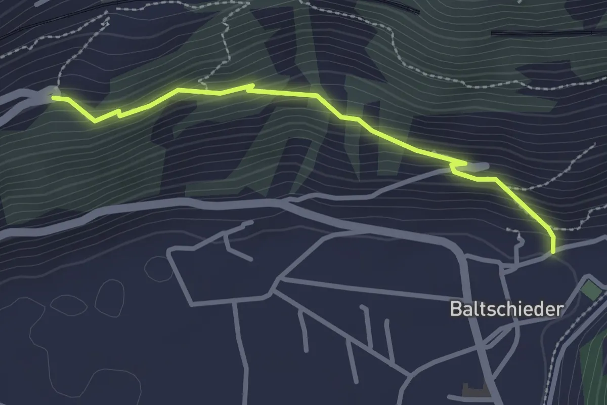
Easy · Trail
Baltschieder alter Dorfkern – Brannuhittu
2.5 km · ↑ 218 m · 1 h 3 min · 9 km away
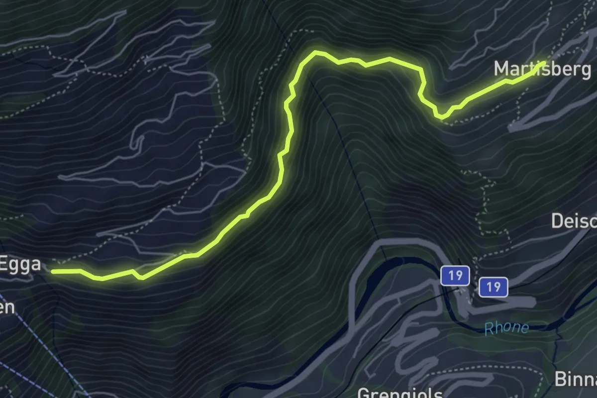
Medium · Trail
Martisberg - Betten
6.1 km · ↑ 507 m · 2 h 32 min · 9 km away
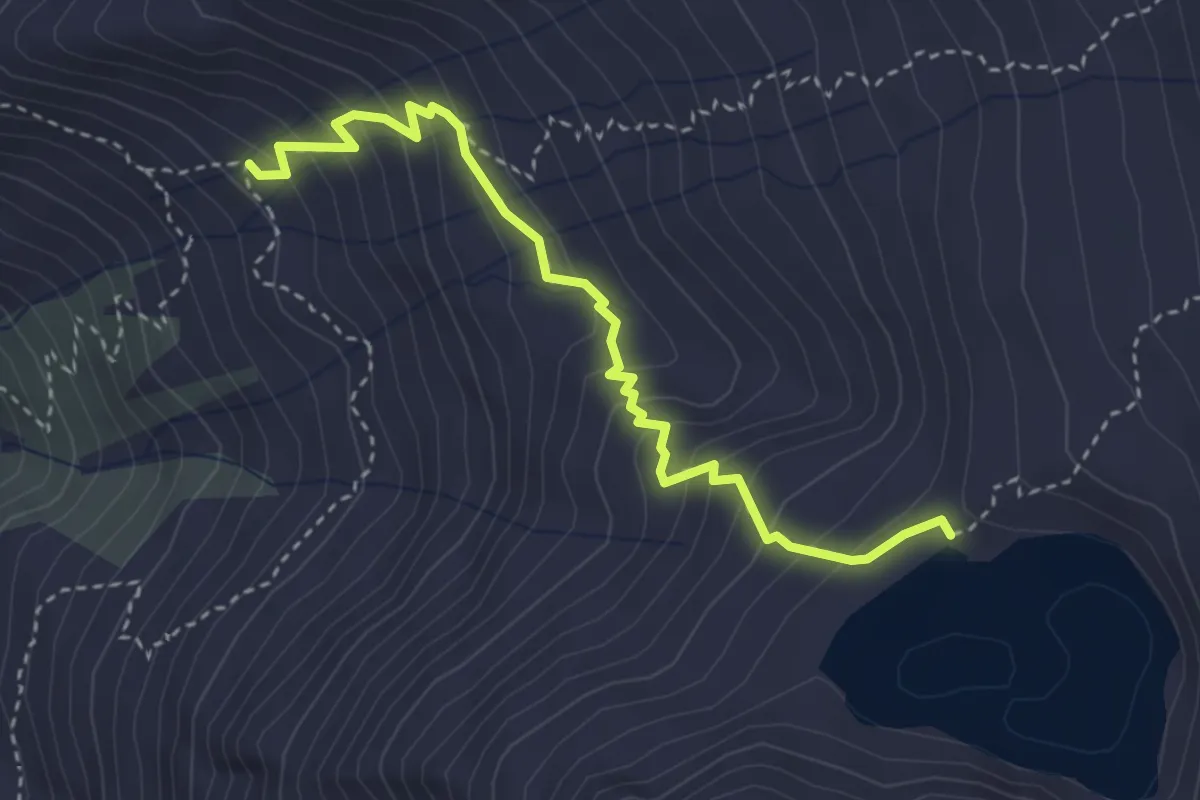
Medium · Cabin
Bortlehütten - Bortelsee
3.6 km · ↑ 336 m · 1 h 35 min · 10 km away
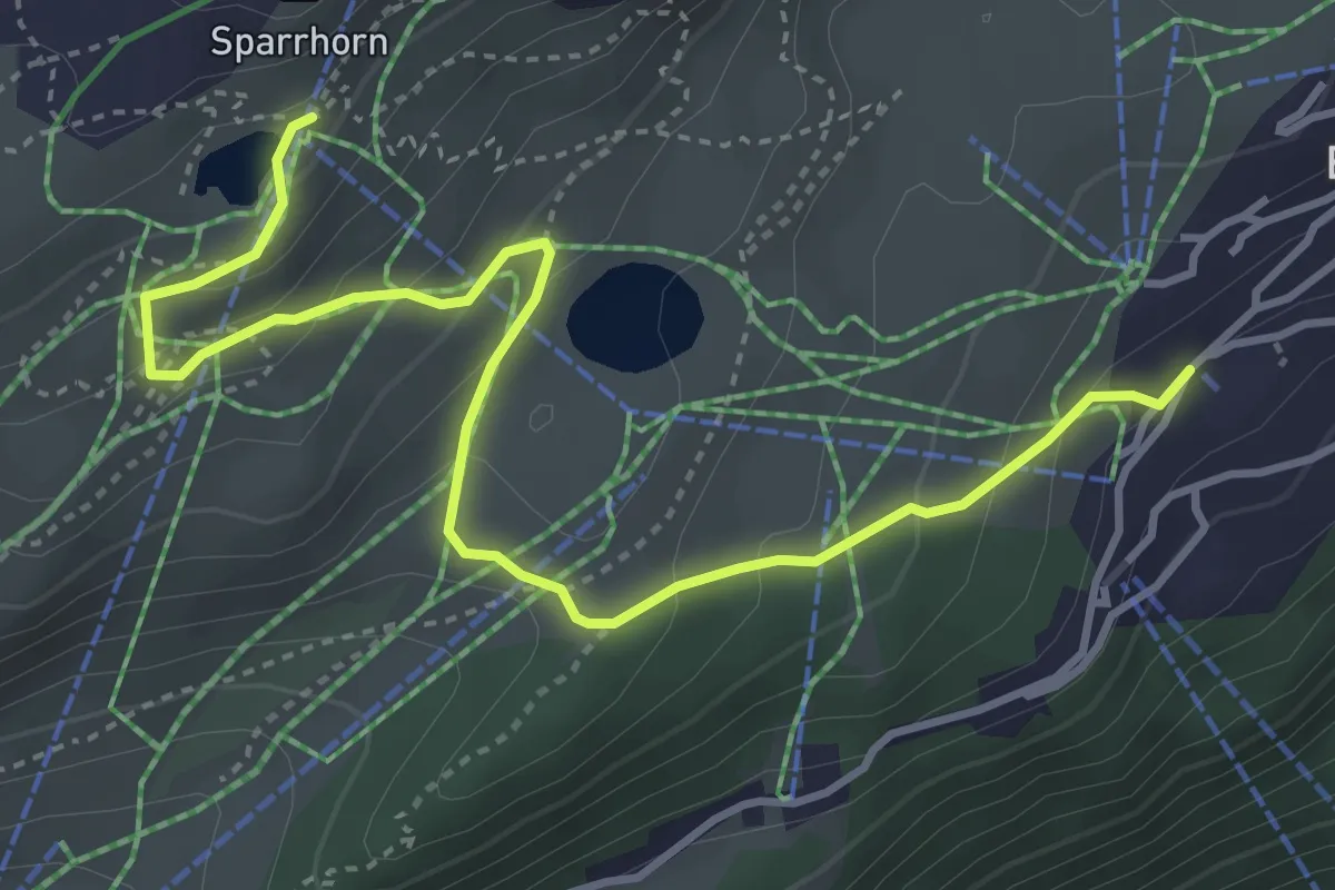
Easy · Trail
Blausee - Bettmeralp
4.6 km · ↑ 262 m · 1 h 40 min · 10 km away
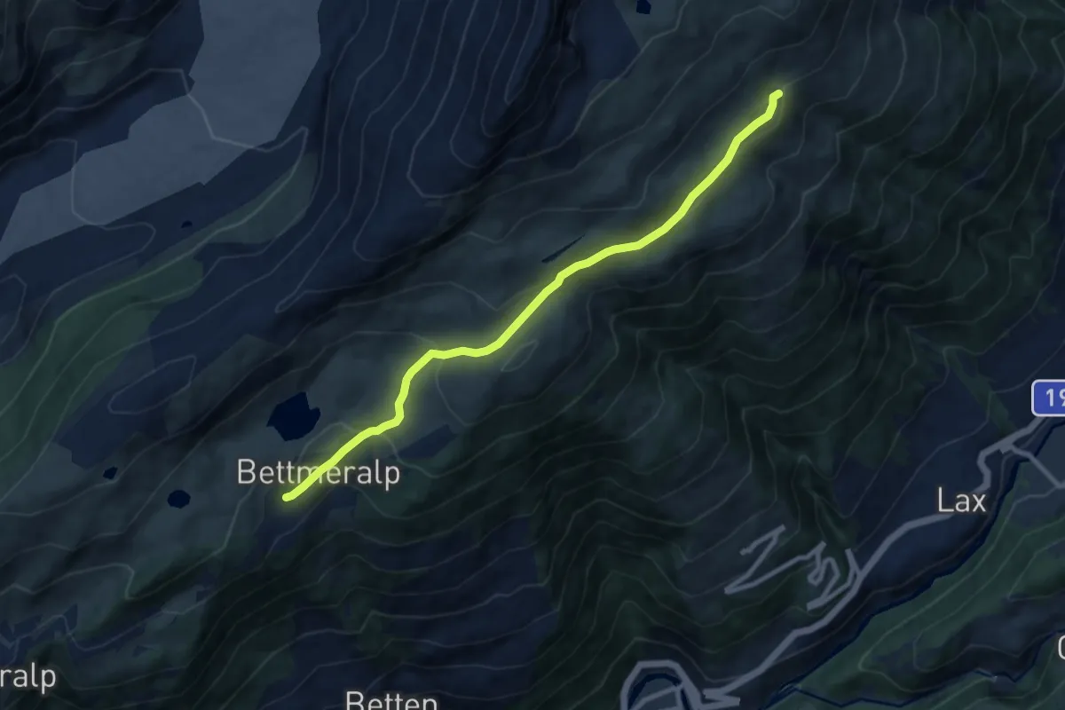
Medium · Trail
Fiescheralp - Bettmeralp
9.2 km · ↑ 317 m · 2 h 51 min · 10 km away
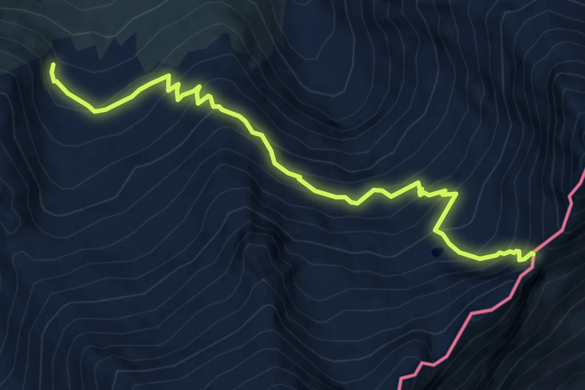
Demanding · Trail
Furggubäumlickeweg
7.0 km · ↑ 673 m · 3 h 6 min · 10 km away
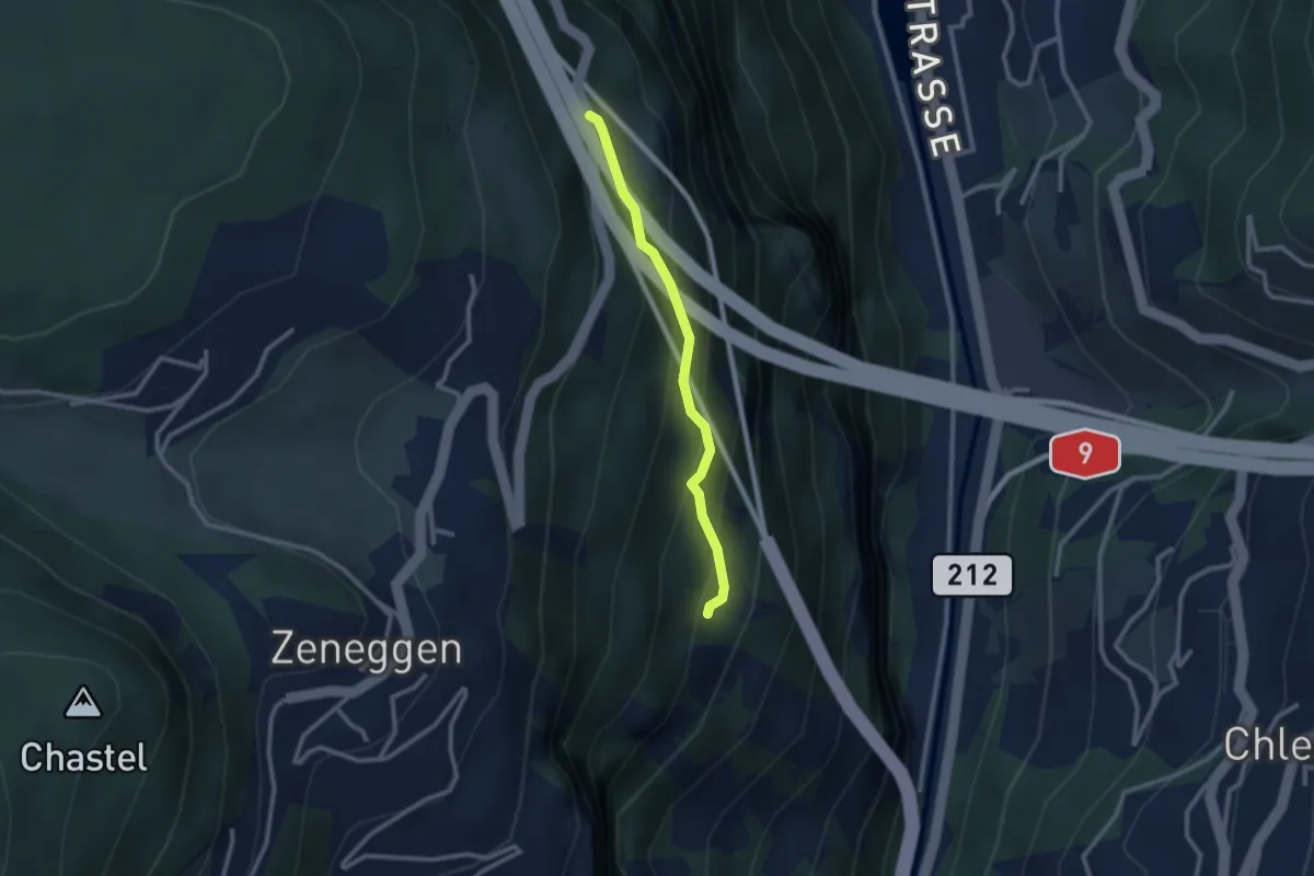
Easy · Trail
Eich – Helbriggachra
2.3 km · ↑ 193 m · 58 min · 10 km away
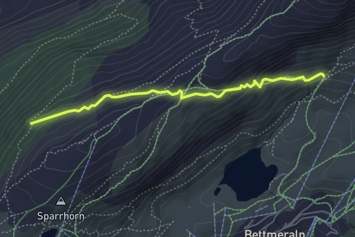
Easy · Trail
Alte Stafel - Bäättmer-Hitta
4.2 km · ↑ 256 m · 1 h 33 min · 10 km away
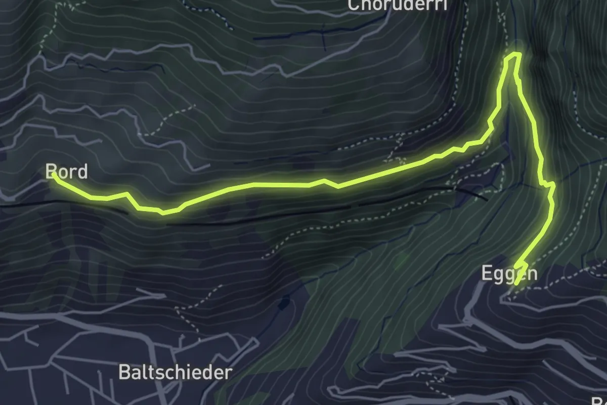
Medium · Trail
Eggen – Bord
6.2 km · ↑ 329 m · 2 h 11 min · 10 km away
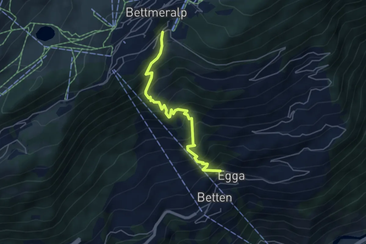
Medium · Trail
Betten - Bettmeralp
4.4 km · ↑ 693 m · 2 h 33 min · 10 km away
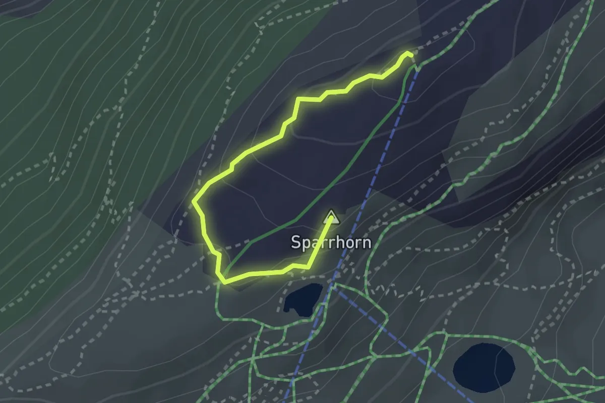
Medium · Summit
Moosfluh – Blausee
2.7 km · ↑ 111 m · 52 min · 10 km away
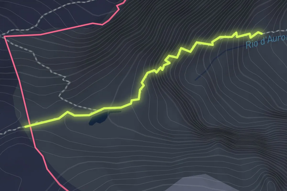
Expert · Trail
F28 - Alpe Veglia - Bocchetta di Aurona
1.9 km · ↑ 292 m · 1 h 5 min · 10 km away
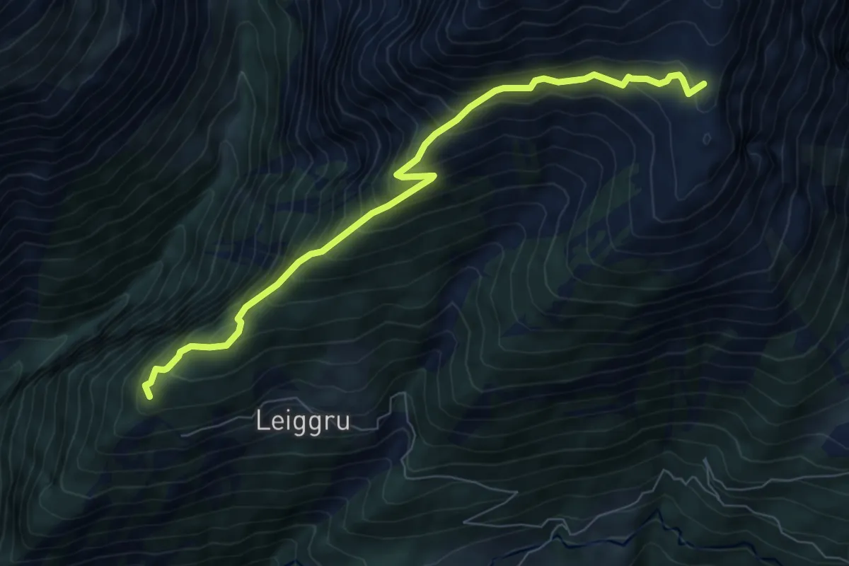
Medium · Trail
Trosibodo - Wiwannihütte
7.8 km · ↑ 798 m · 3 h 34 min · 10 km away
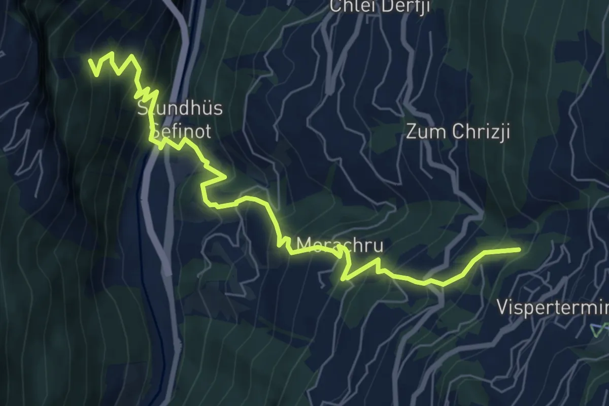
Demanding · Trail
Riedboden - Visperterminen
7.5 km · ↑ 801 m · 3 h 30 min · 10 km away
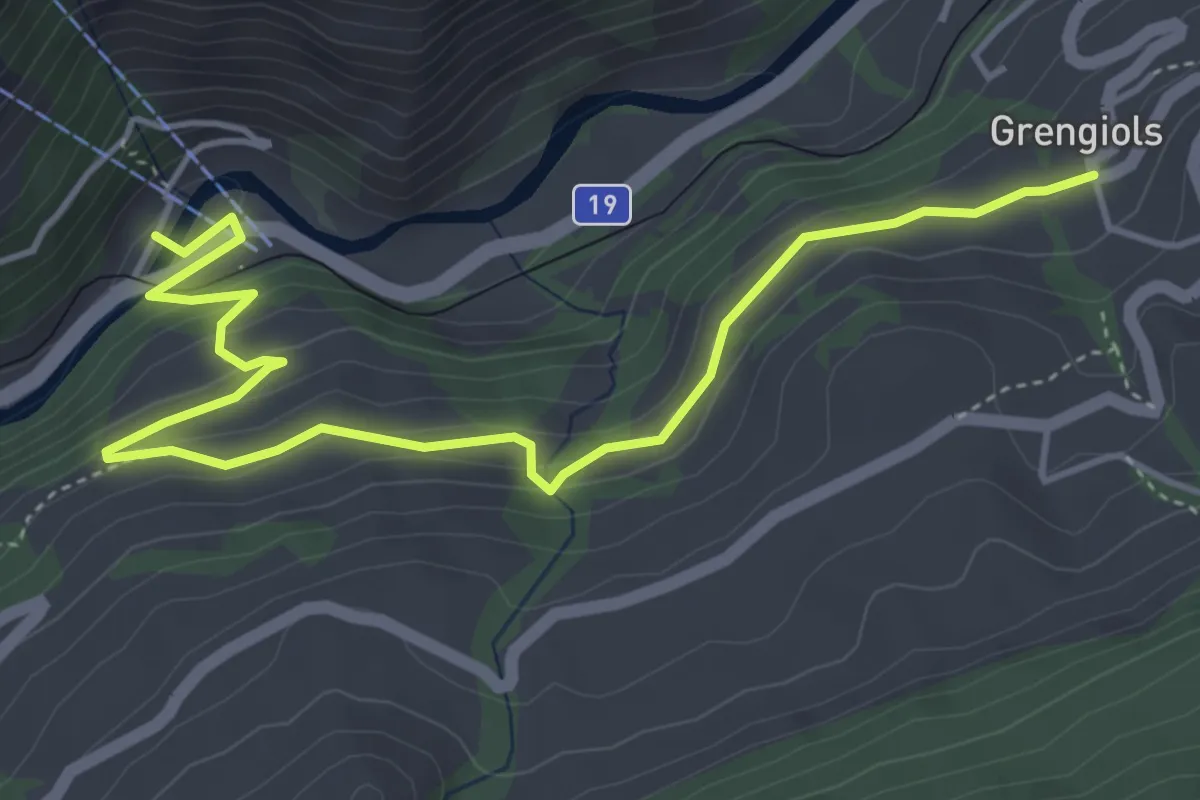
Medium · Trail
Grengiols - Bettmeralp Talstation
5.5 km · ↑ 282 m · 1 h 54 min · 10 km away
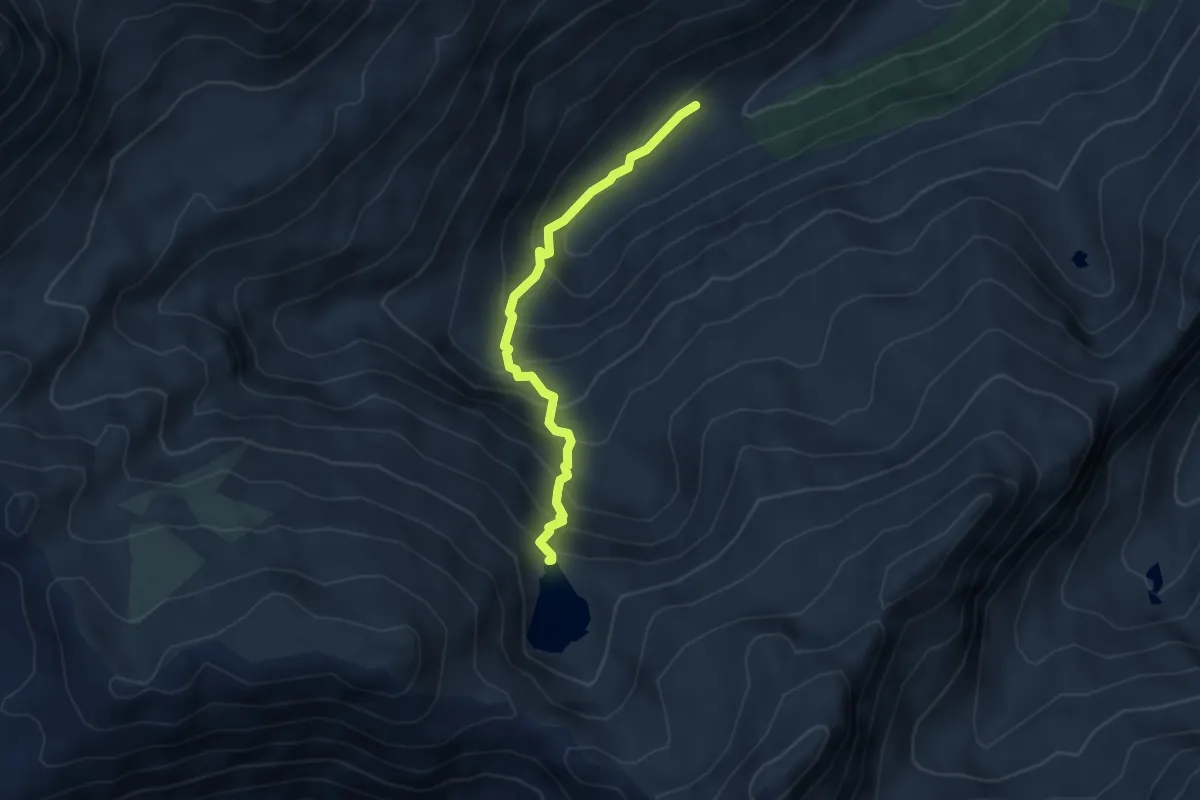
Medium · Trail
Sickerchäller - Blausee
4.0 km · ↑ 415 m · 1 h 51 min · 10 km away
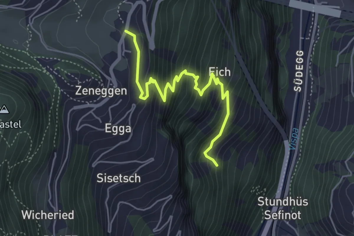
Medium · Trail
Zenstadlen – Riedboden
4.8 km · ↑ 431 m · 2 h 4 min · 10 km away