Trails near Brig
348 hikes starting within 15 km, nearest first.
Nearest first, page 5 of 8
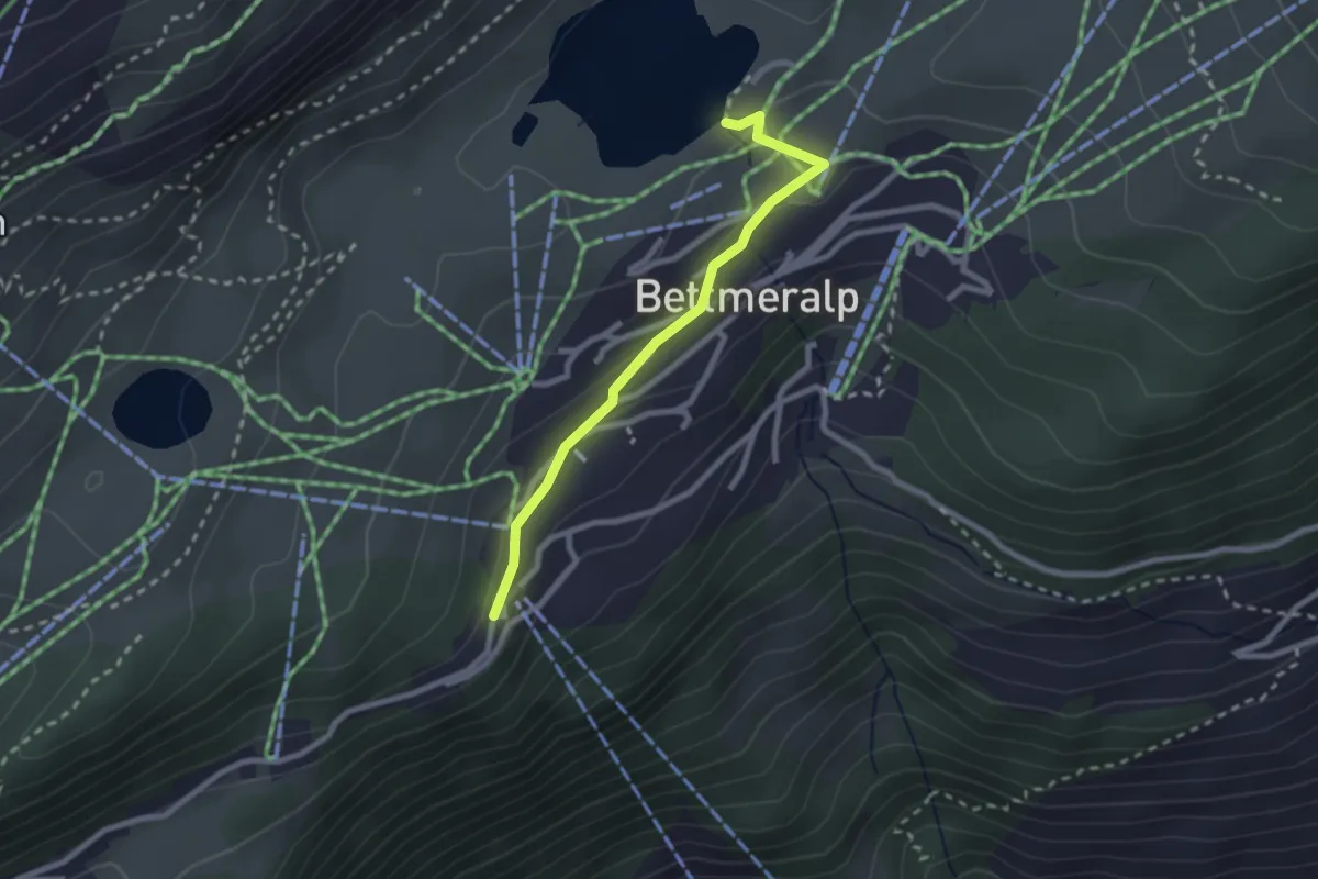
Medium · Trail
Bettmersee - Bettmeralp
2.3 km · ↑ 69 m · 42 min · 10 km away
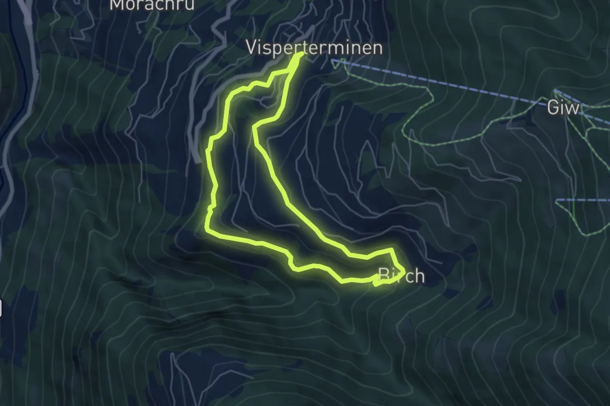
Medium · Trail
Suone Beitra
5.1 km · ↑ 281 m · 1 h 53 min · 10 km away
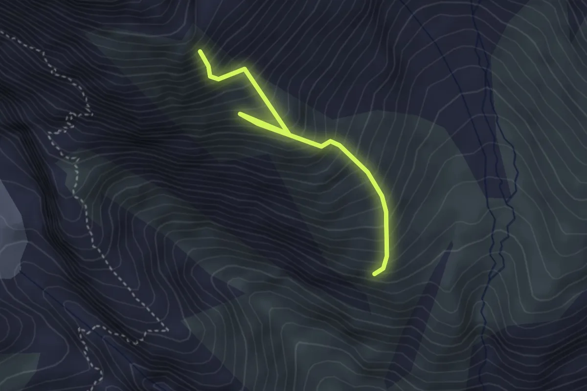
Medium · Trail
Driesthütte - Fusshorn-Biwak
3.3 km · ↑ 614 m · 2 h 6 min · 10 km away
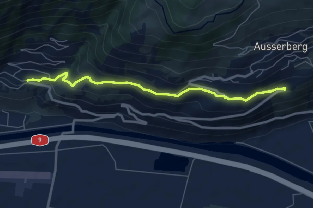
Easy · Trail
Brannuhittu – St. German
5.5 km · ↑ 247 m · 1 h 50 min · 10 km away
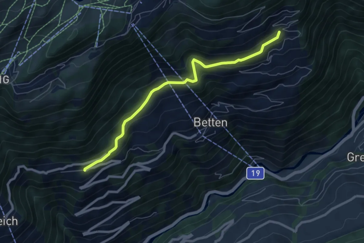
Medium · Trail
Domo - Goppisberg
6.2 km · ↑ 374 m · 2 h 16 min · 10 km away
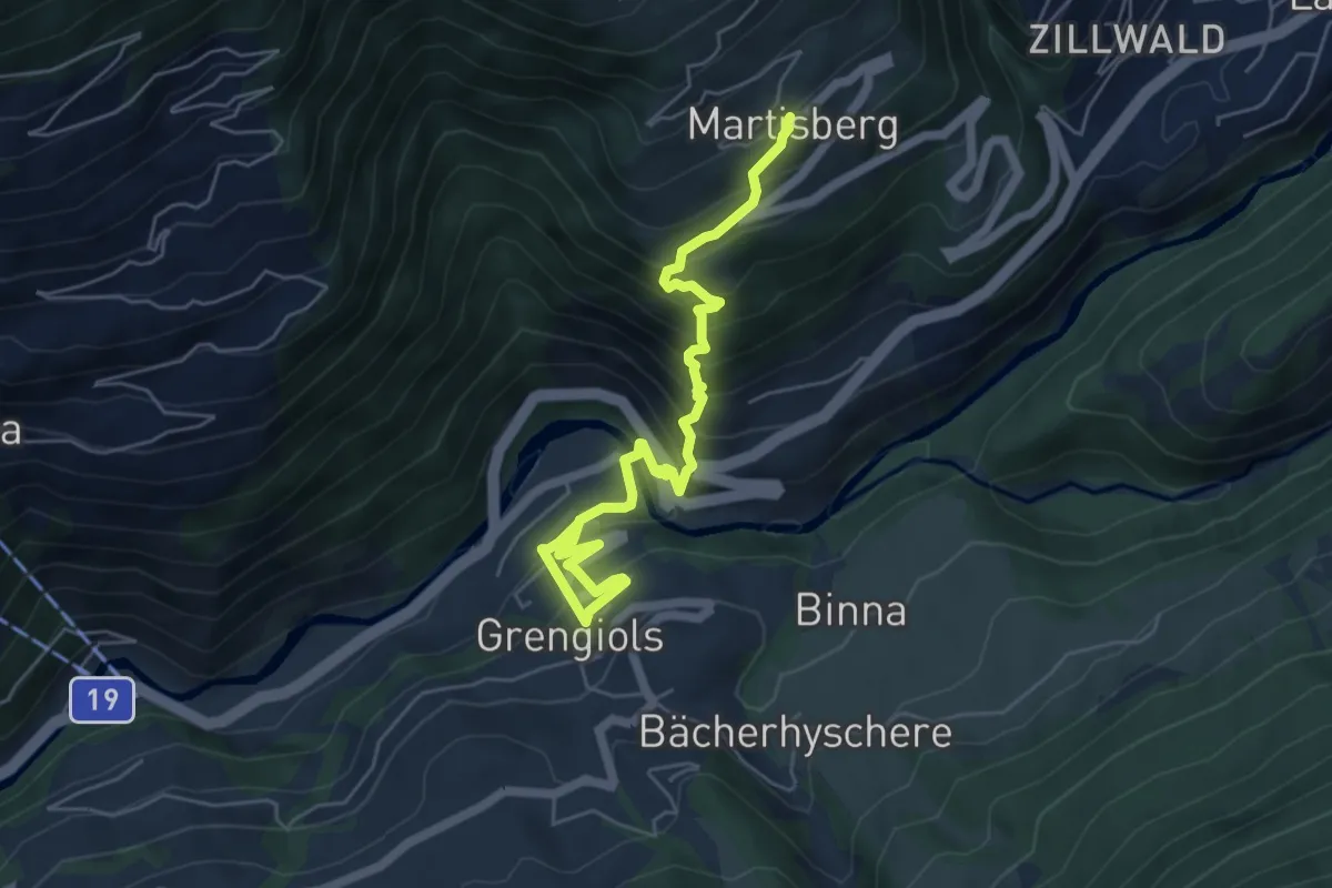
Medium · Trail
Grengiols - Martisberg
6.3 km · ↑ 623 m · 2 h 51 min · 10 km away
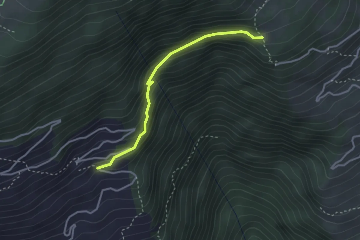
Easy · Trail
Domo - Martisberg
2.7 km · ↑ 157 m · 58 min · 10 km away
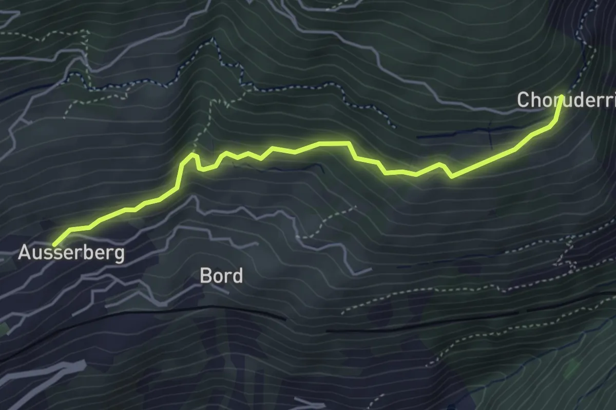
Easy · Trail
Ausserberg - Choruderri
4.4 km · ↑ 312 m · 1 h 43 min · 10 km away
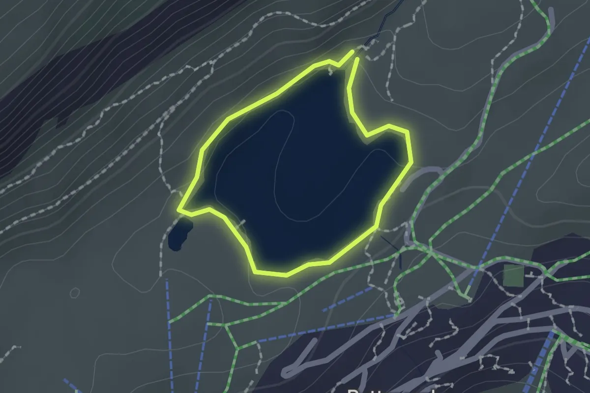
Easy · Trail
Bettmersee
1.2 km · ↑ 25 m · 21 min · 10 km away
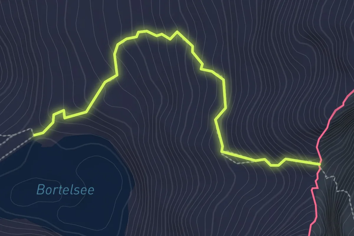
Expert · Trail
Bortelsee - Bortellicke
3.2 km · ↑ 307 m · 1 h 25 min · 11 km away
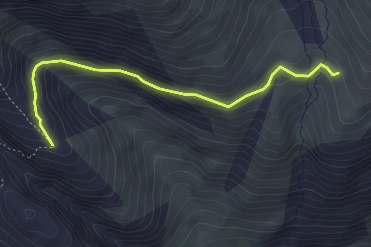
Easy · Trail
Punkt 2228 - Driest, Gletscherrand
3.9 km · ↑ 235 m · 1 h 25 min · 11 km away
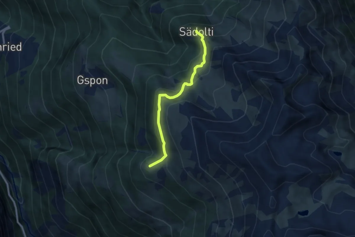
Medium · Trail
Sädolti - Häüschbiele
5.5 km · ↑ 429 m · 2 h 14 min · 11 km away
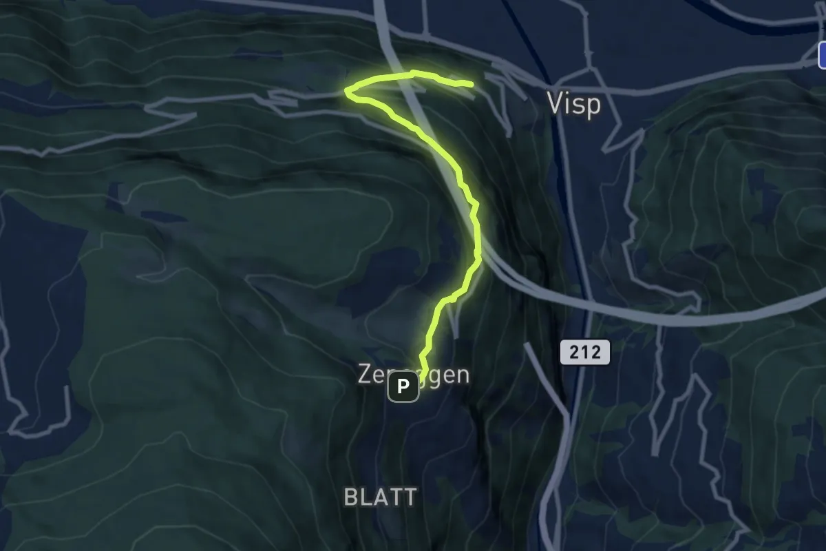
Medium · Trail
Zeneggen – Schlüsselacker
8.0 km · ↑ 630 m · 3 h 16 min · 11 km away
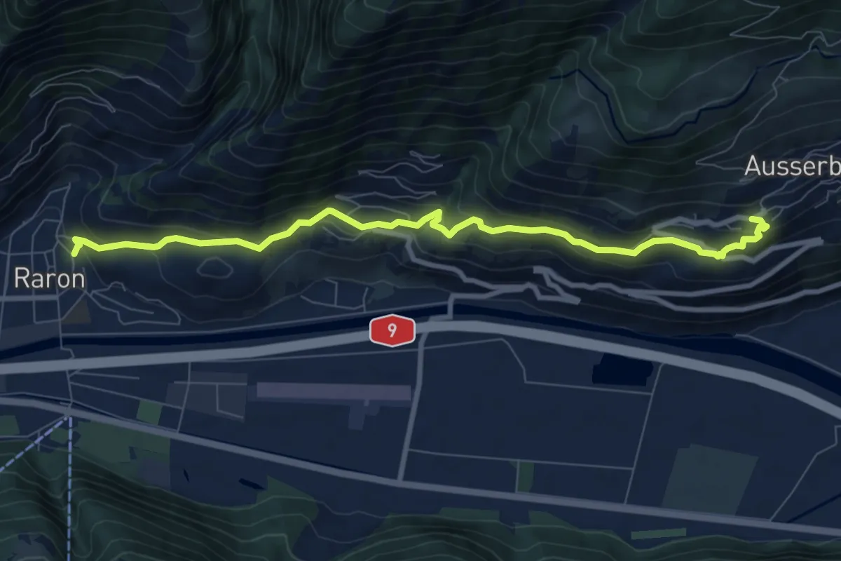
Medium · Trail
Kulturweg
8.9 km · ↑ 449 m · 3 h 4 min · 11 km away
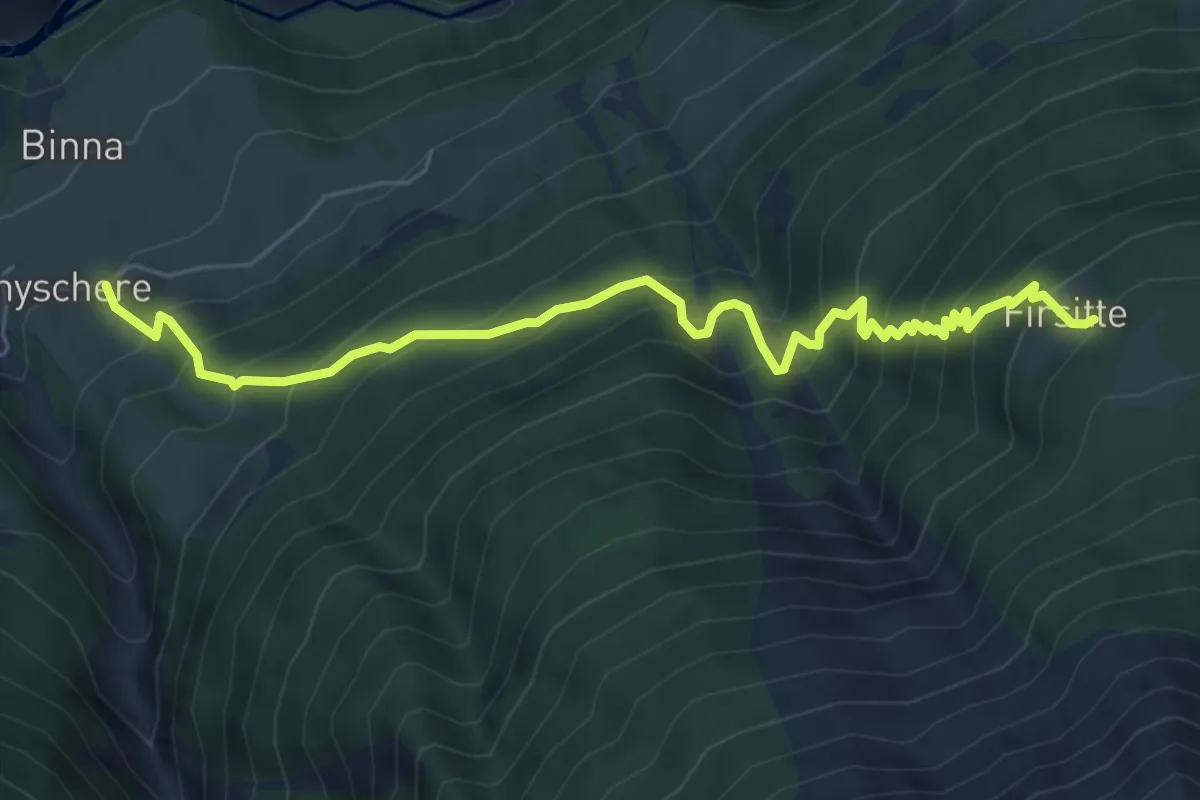
Demanding · Trail
Grengiols - Firsitte
6.7 km · ↑ 858 m · 3 h 27 min · 11 km away
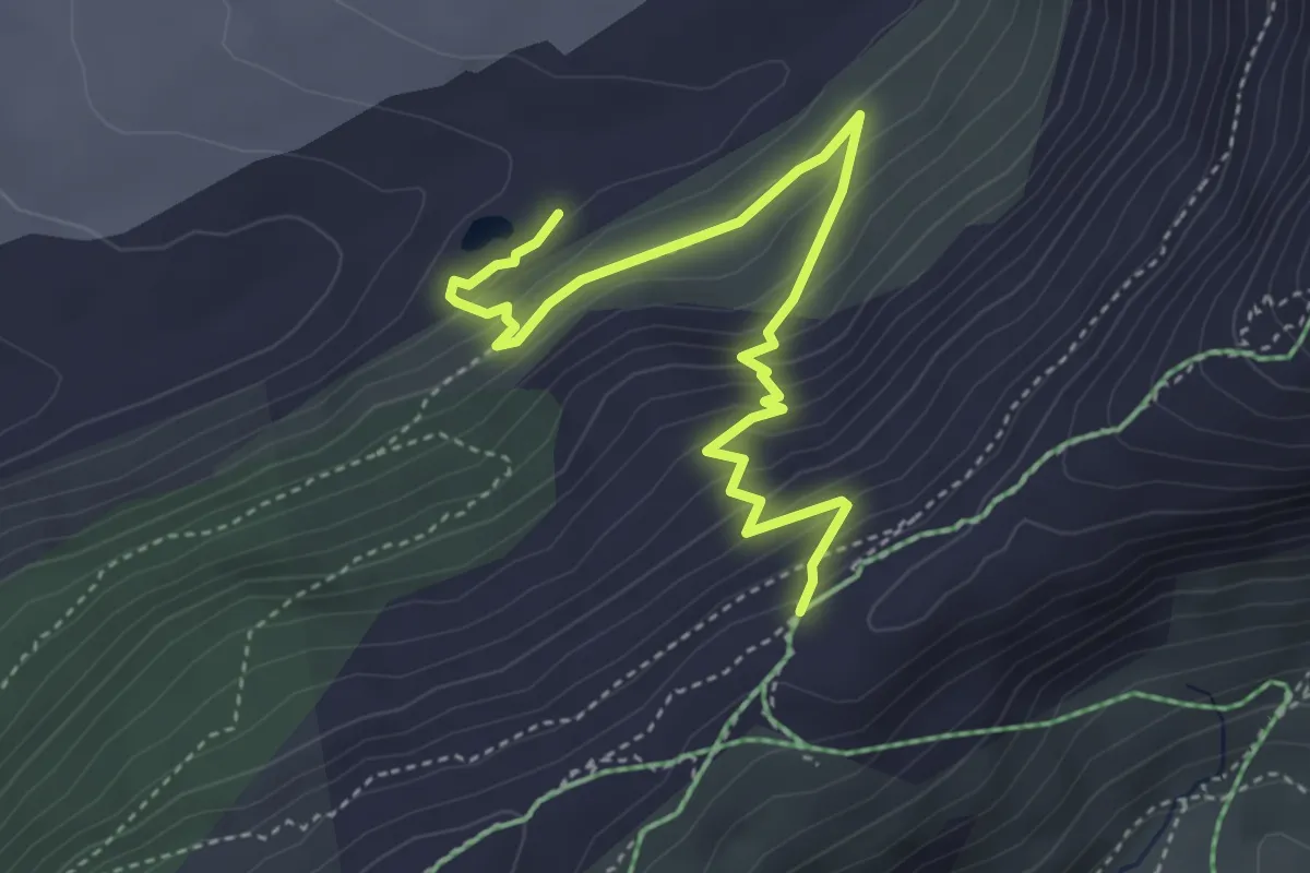
Medium · Trail
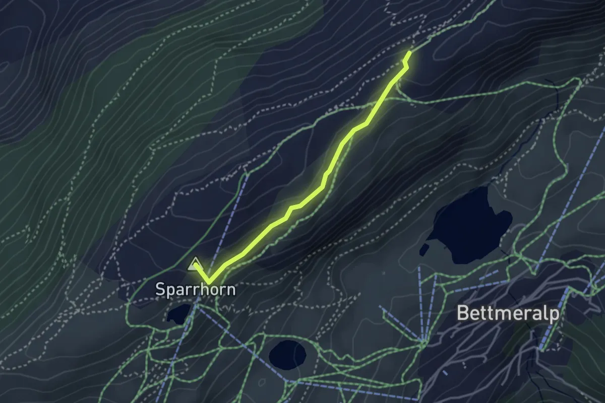
2285m – Gletscherrand
4.6 km · ↑ 355 m · 1 h 52 min · 11 km away
Medium · Summit
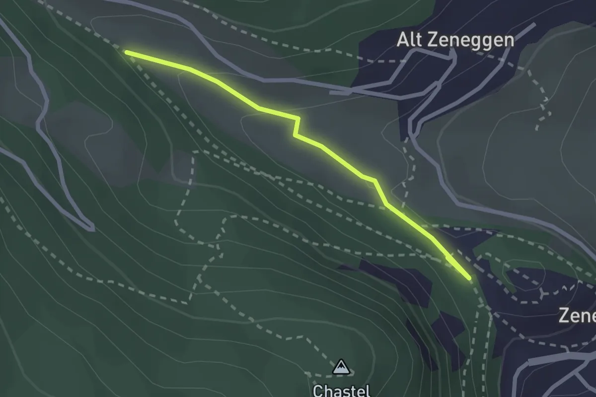
Blausee – 2285m
2.9 km · ↑ 98 m · 54 min · 11 km away
Easy · Trail
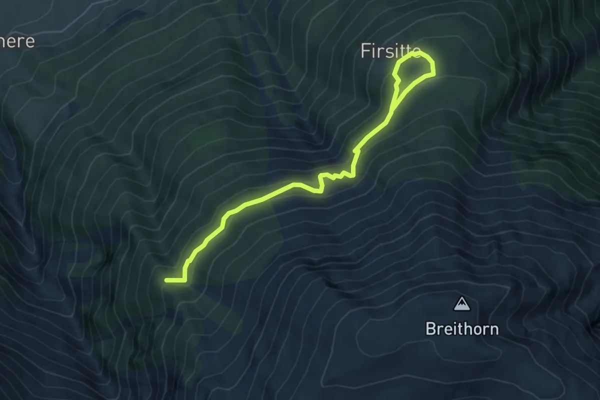
Riebe – Biel
2.1 km · ↑ 55 m · 37 min · 11 km away
Medium · Trail
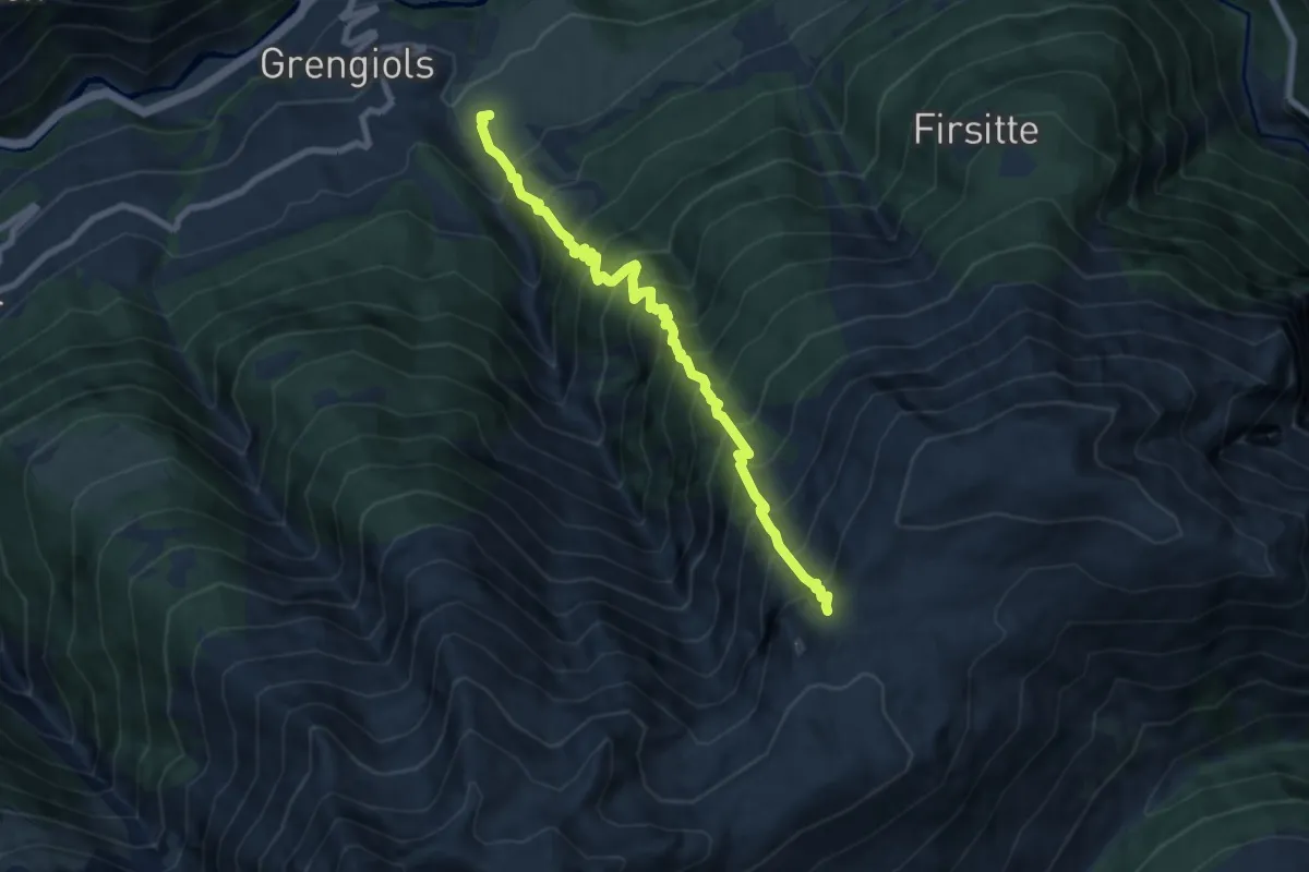
Meiggera - Firsitte
5.9 km · ↑ 355 m · 2 h 10 min · 11 km away
Demanding · Trail
Grengiols - Furggerchäller
8.0 km · ↑ 1427 m · 4 h 59 min · 11 km away
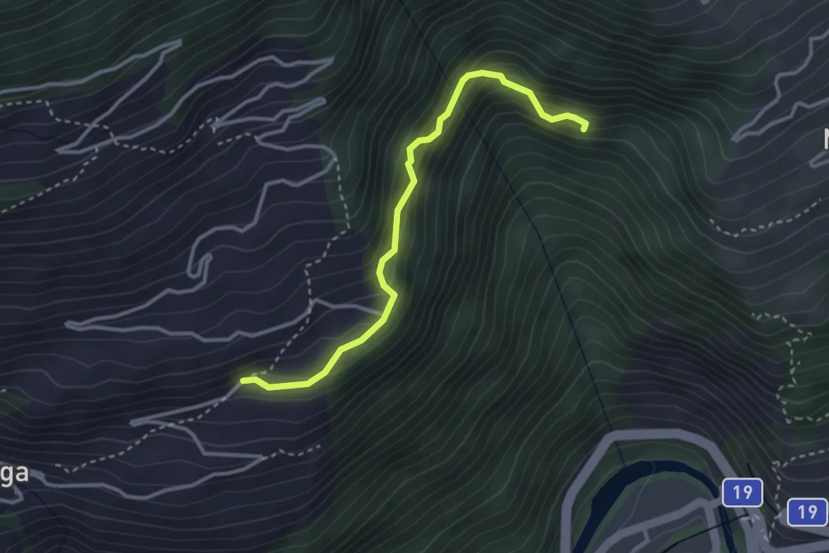
Medium · Trail
Betten - Martisberg
3.1 km · ↑ 310 m · 1 h 24 min · 11 km away
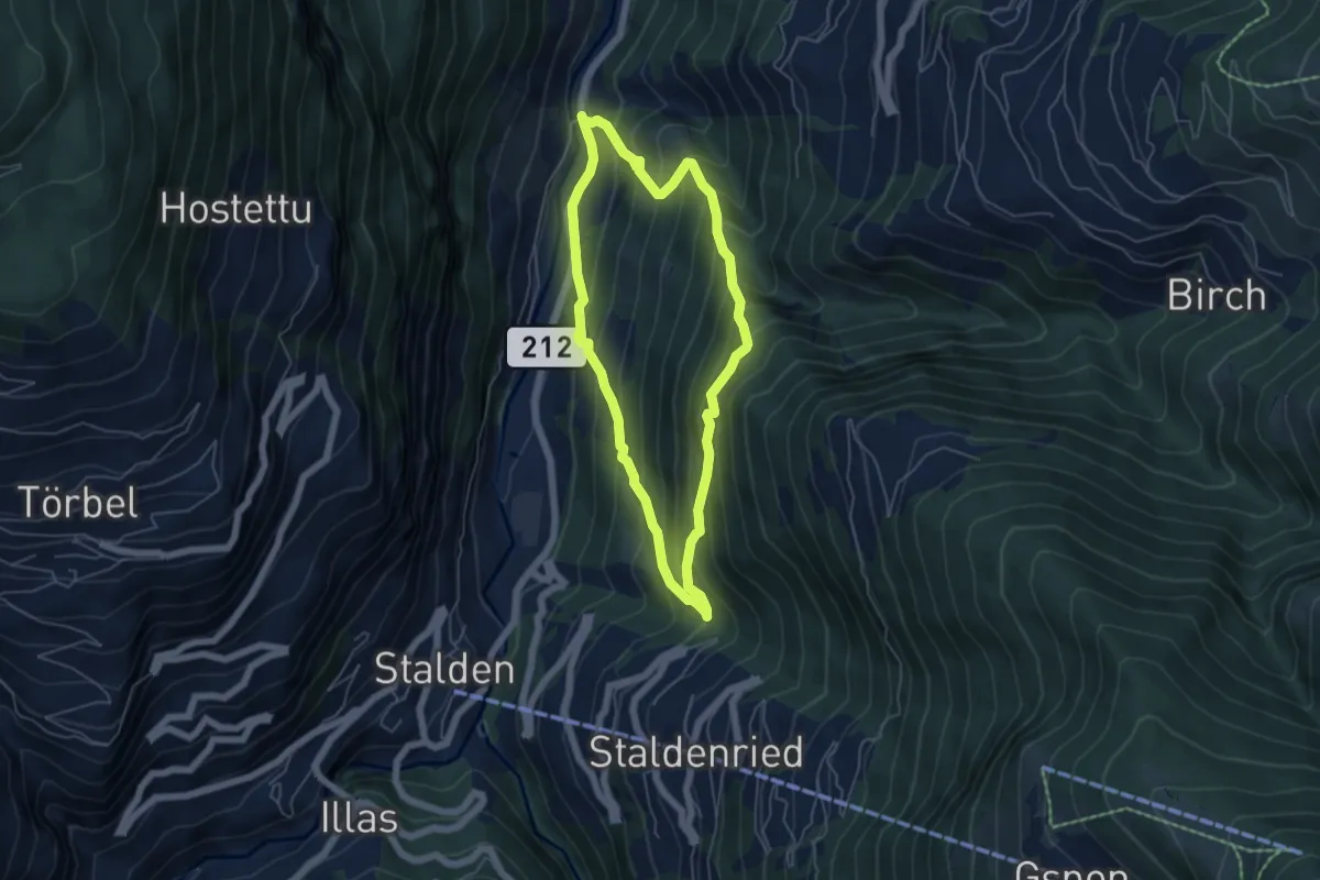
Medium · Trail
Neubrück - Staldenried
4.9 km · ↑ 473 m · 2 h 15 min · 11 km away
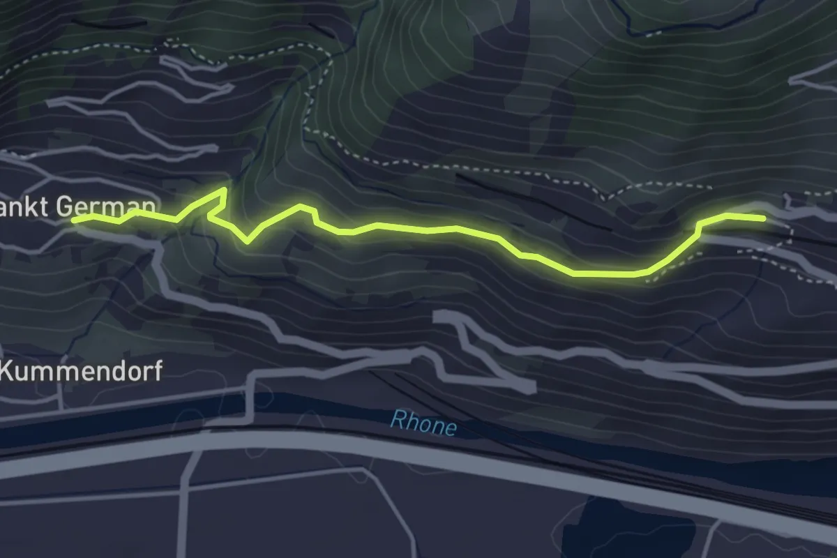
Easy · Trail
Ausserberg Bahnhof – St. German
4.0 km · ↑ 218 m · 1 h 24 min · 11 km away
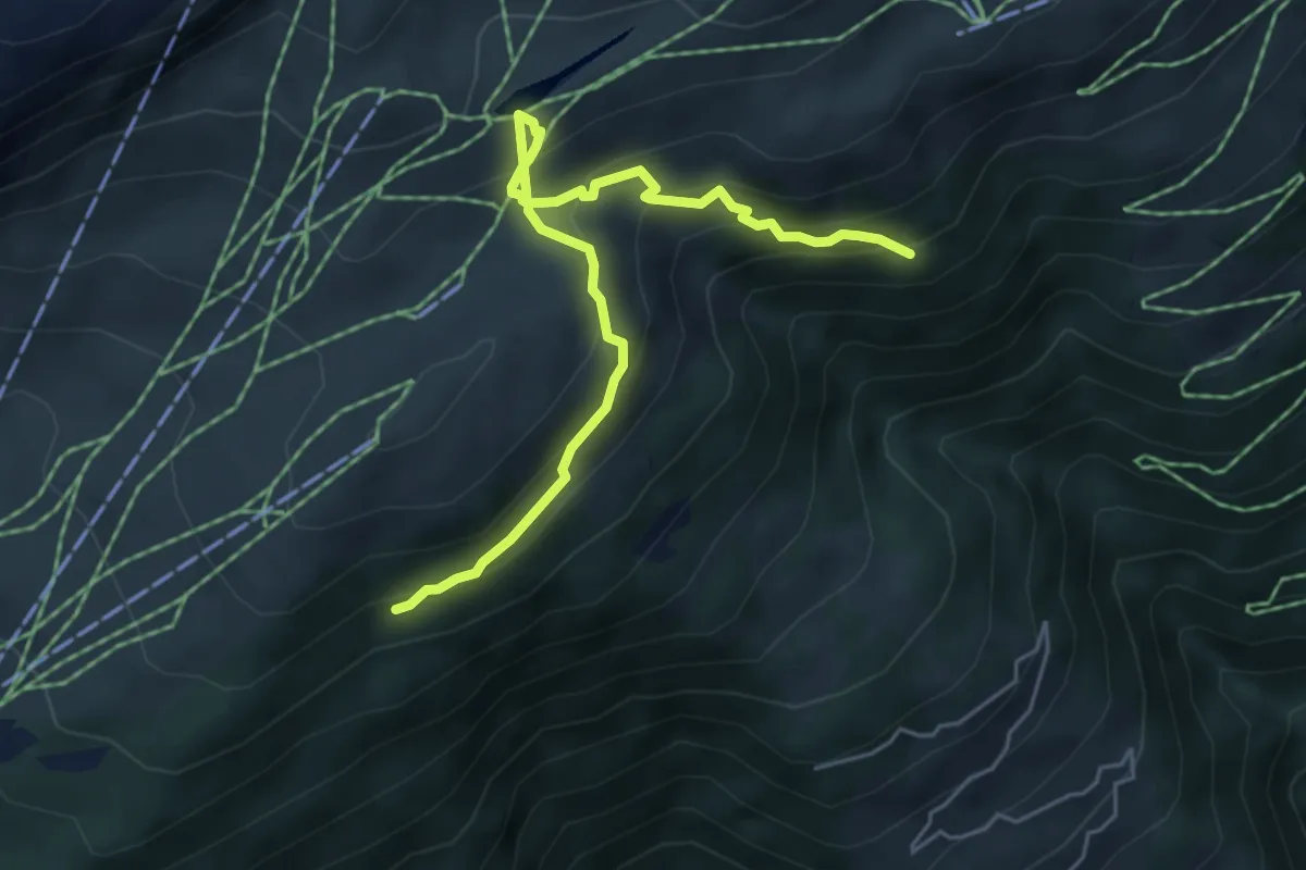
Medium · Trail
Bättmer-Hitta
5.5 km · ↑ 425 m · 2 h 13 min · 11 km away
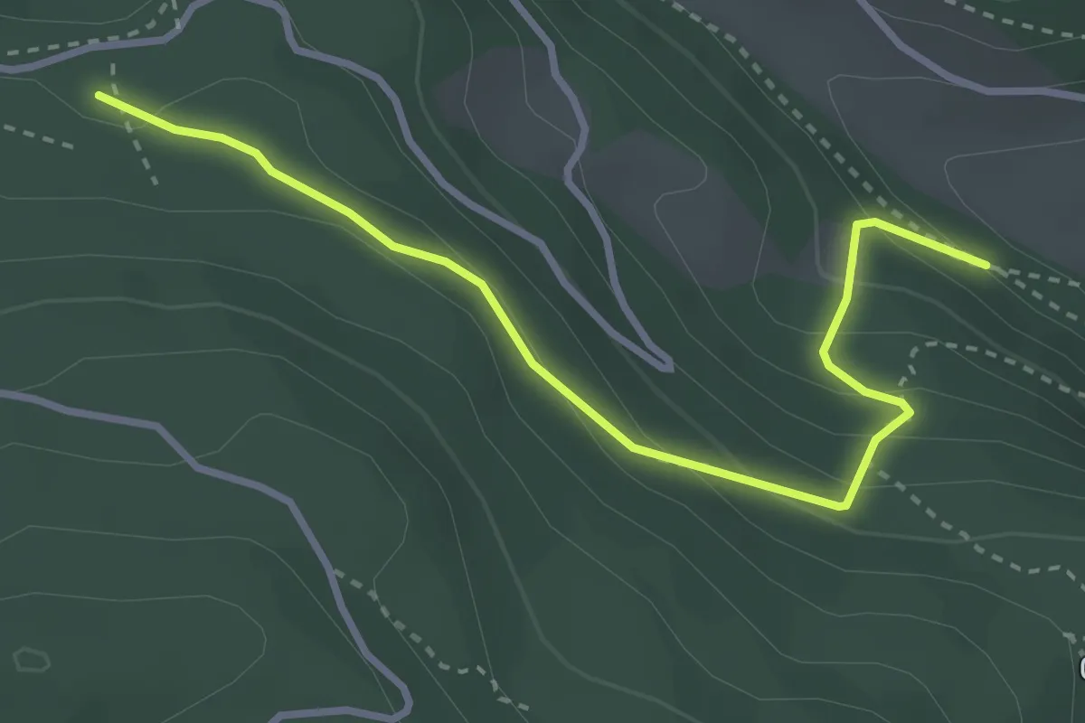
Medium · Trail
Mischini – Obri Hellala
3.4 km · ↑ 215 m · 1 h 16 min · 11 km away
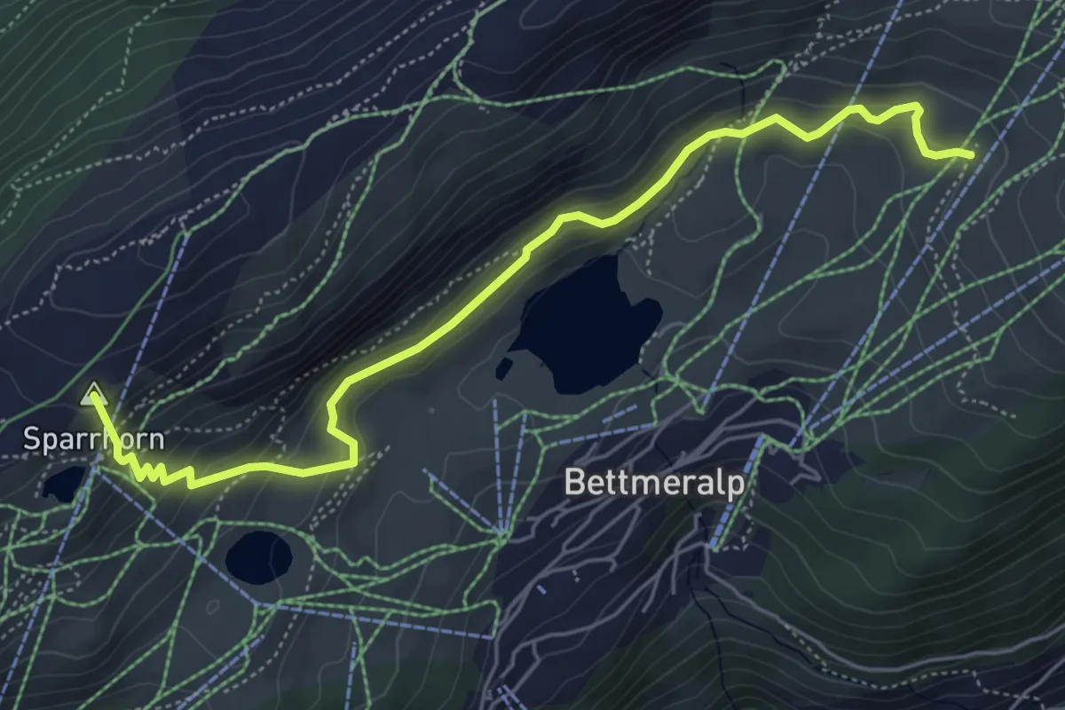
Medium · Summit
Blausee - Bättmer Hitta
6.0 km · ↑ 437 m · 2 h 22 min · 11 km away
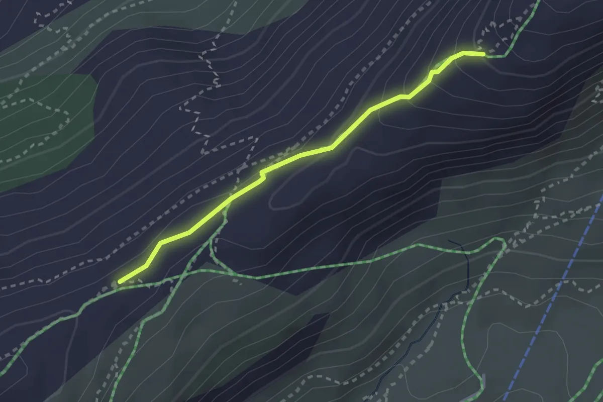
Medium · Trail
Aletschgletscher Aussichtsweg
2.4 km · ↑ 124 m · 50 min · 11 km away
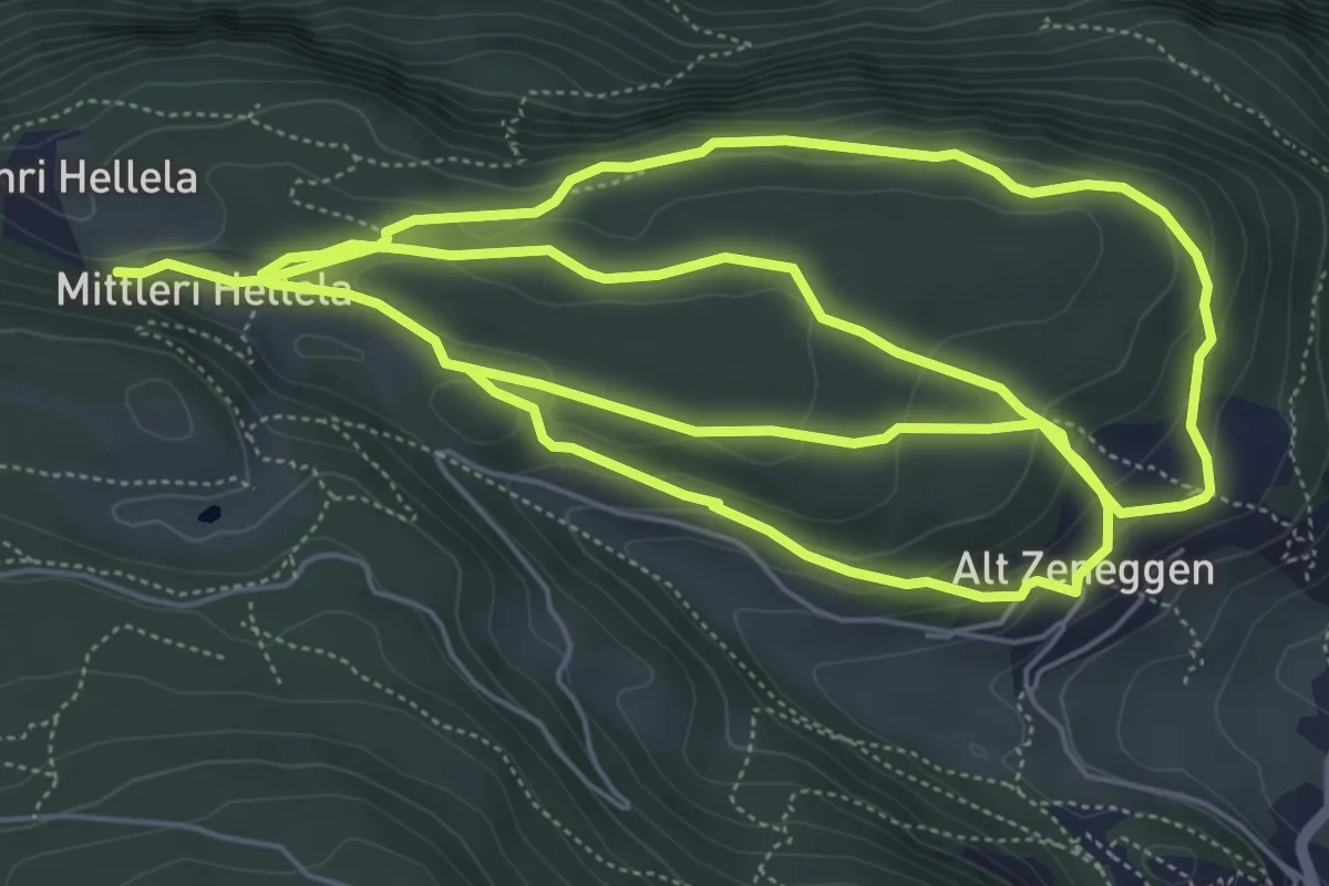
Medium · Trail
Mittleri Hellala – Alt Zeneggen
15.3 km · ↑ 548 m · 4 h 48 min · 11 km away
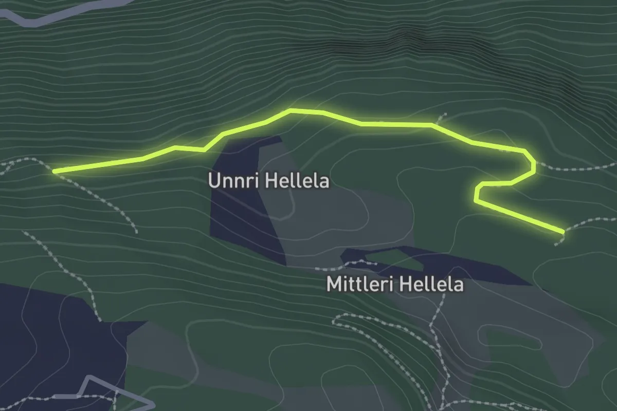
Medium · Trail
Mittleri Hellala – Alter Kalkofen
2.7 km · ↑ 99 m · 51 min · 12 km away
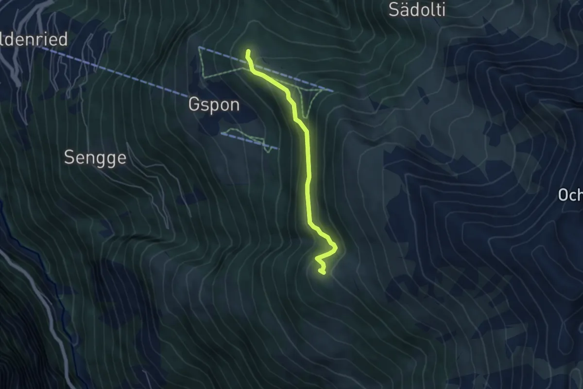
Easy · Trail
Gspon - Häüschbiele
4.3 km · ↑ 289 m · 1 h 38 min · 12 km away
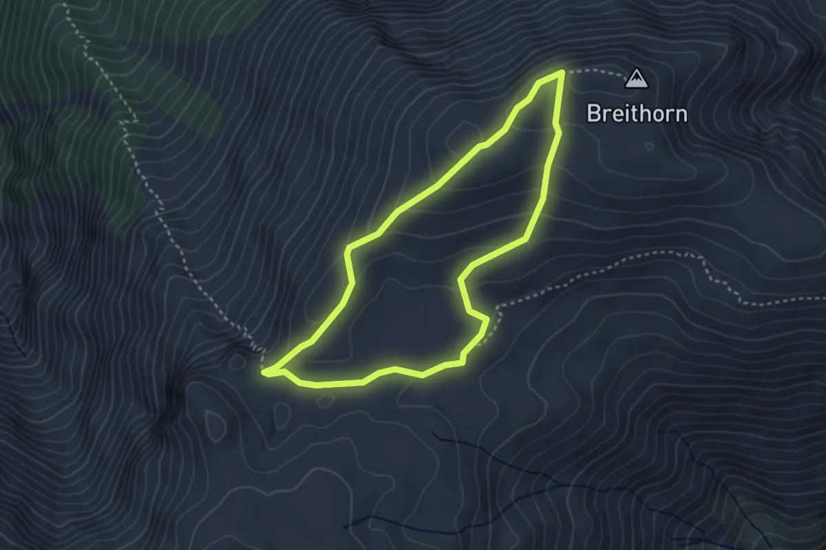
Easy · Trail
Breithorn- Furggerchäller
3.1 km · ↑ 138 m · 1 h 5 min · 12 km away
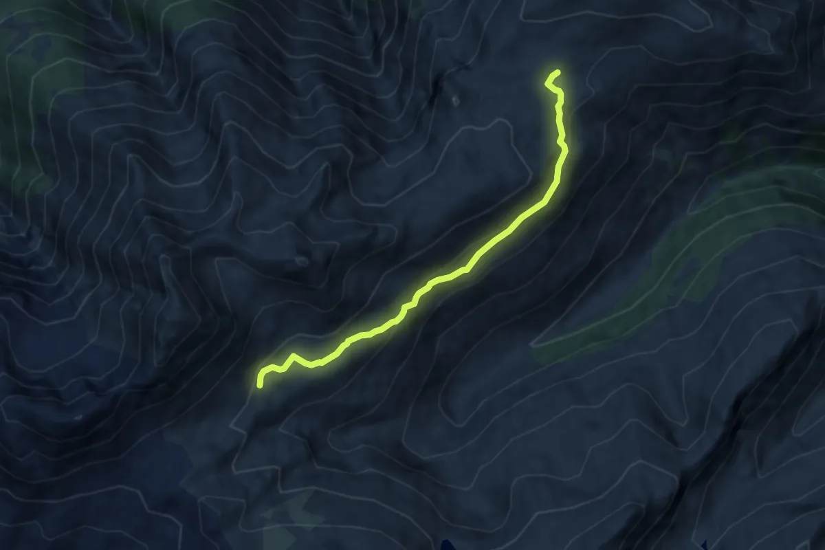
Easy · Trail
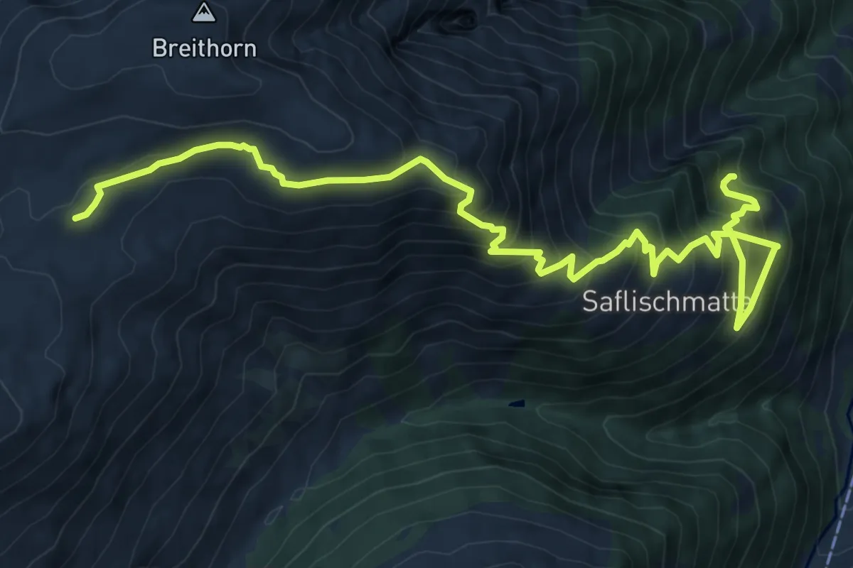
Saflischpass - Furggerchäller
7.7 km · ↑ 249 m · 2 h 21 min · 12 km away
Demanding · Trail
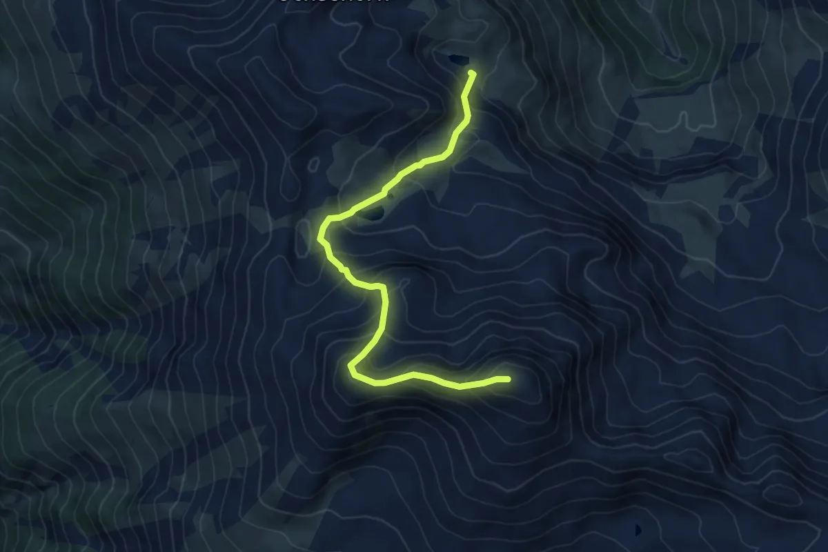
Binn - Breithorn
10.8 km · ↑ 995 m · 4 h 42 min · 12 km away
Expert · Summit
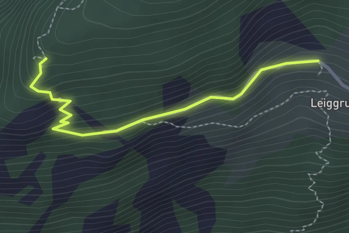
Blausee - Mattwaldhorn
6.9 km · ↑ 689 m · 3 h 8 min · 12 km away
Medium · Trail
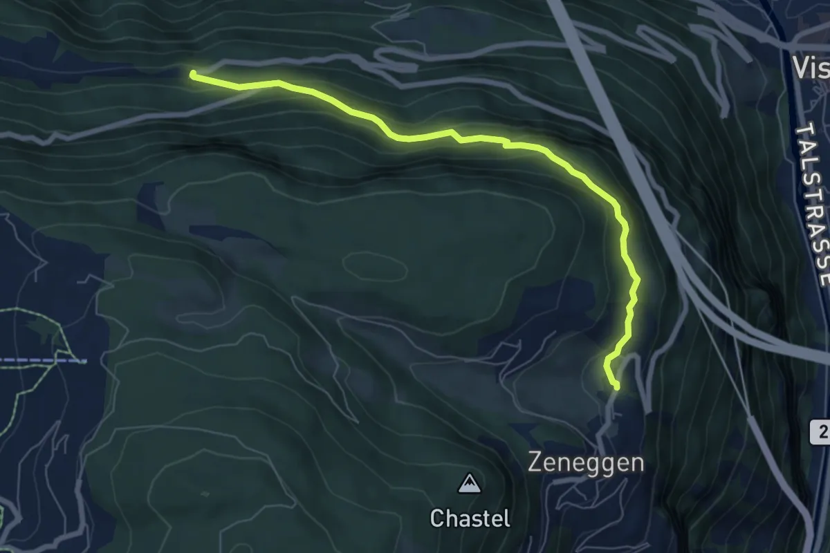
Trosibodo - Leiggern
2.2 km · ↑ 139 m · 50 min · 12 km away
Medium · Trail
Zenstalden – Vorderried
6.9 km · ↑ 369 m · 2 h 26 min · 12 km away
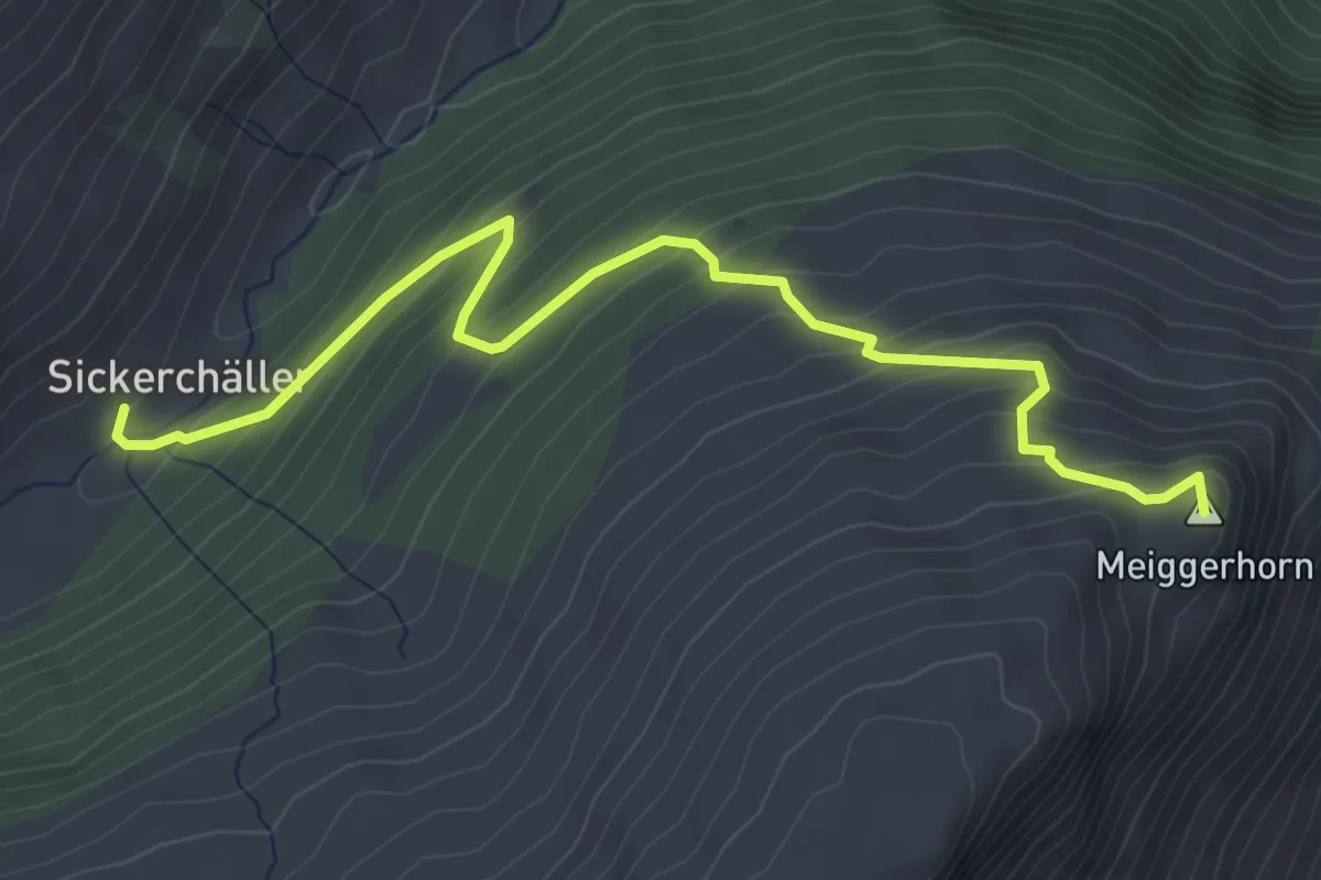
Medium · Summit
Sickerchäller - Meiggerhorn
4.6 km · ↑ 381 m · 1 h 54 min · 12 km away
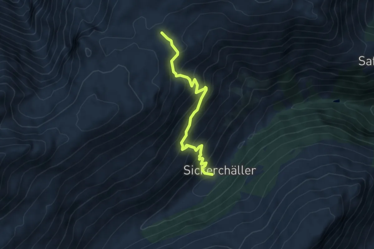
Medium · Trail
Sickerchäller - Furggerchäller
5.2 km · ↑ 485 m · 2 h 17 min · 12 km away
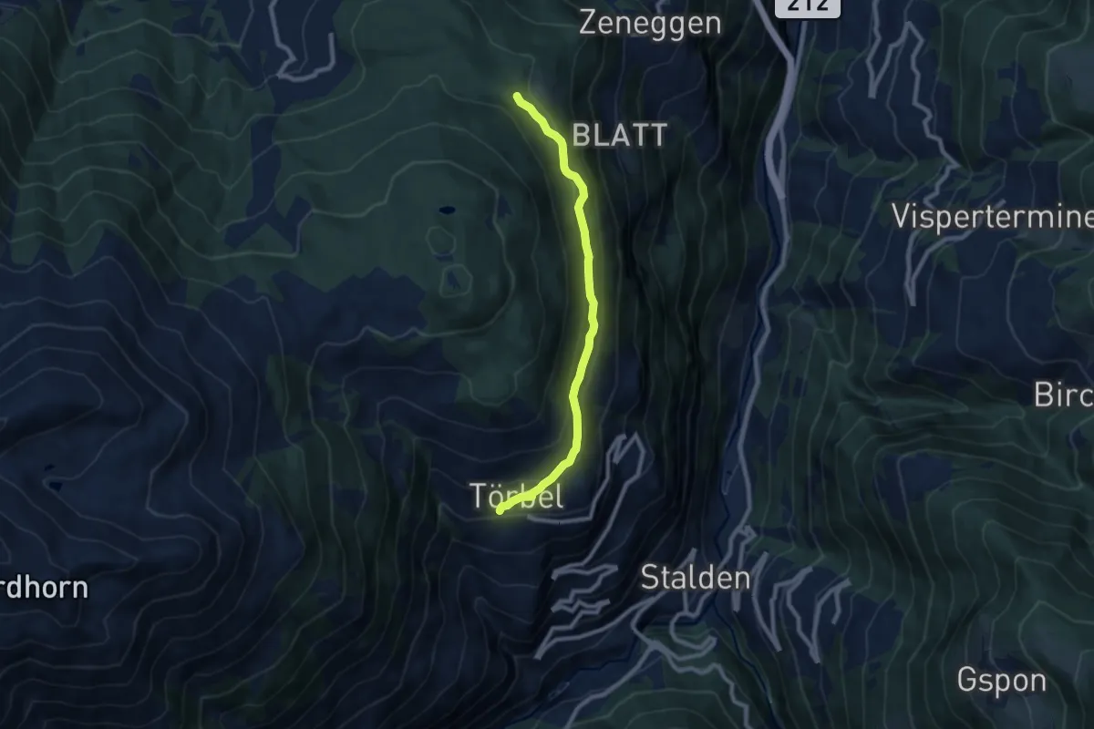
Medium · Trail
Diepja – Törbel
8.1 km · ↑ 284 m · 2 h 31 min · 12 km away
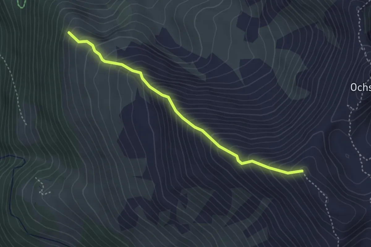
Medium · Trail
Mälachji - Wyssgrat
3.7 km · ↑ 504 m · 1 h 57 min · 12 km away
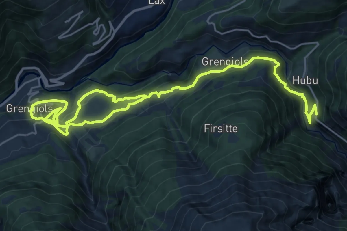
Demanding · Trail
Grengiols - Steinmatta
21.7 km · ↑ 1140 m · 7 h 35 min · 12 km away
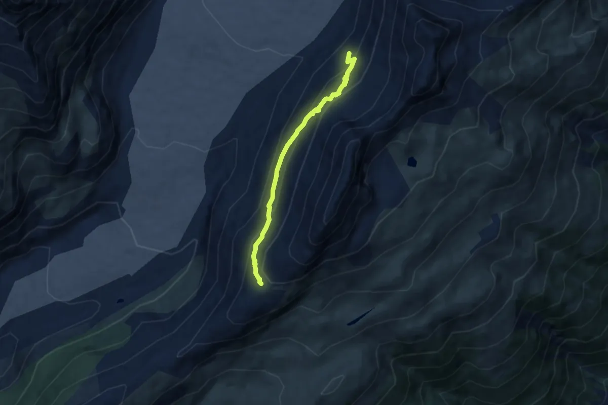
Demanding · Trail
Hohbalm – Roti Chumme
6.3 km · ↑ 484 m · 2 h 32 min · 12 km away
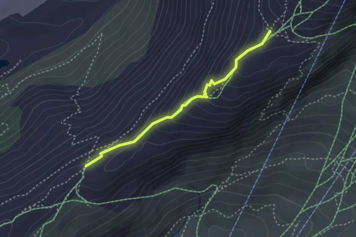
Demanding · Trail
2285m – Hohbalm
2.9 km · ↑ 216 m · 1 h 8 min · 12 km away
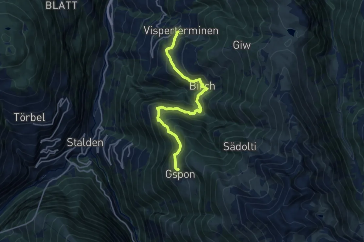
Demanding · Trail
Visperterminen - Gspon
13.0 km · ↑ 912 m · 5 h 2 min · 12 km away
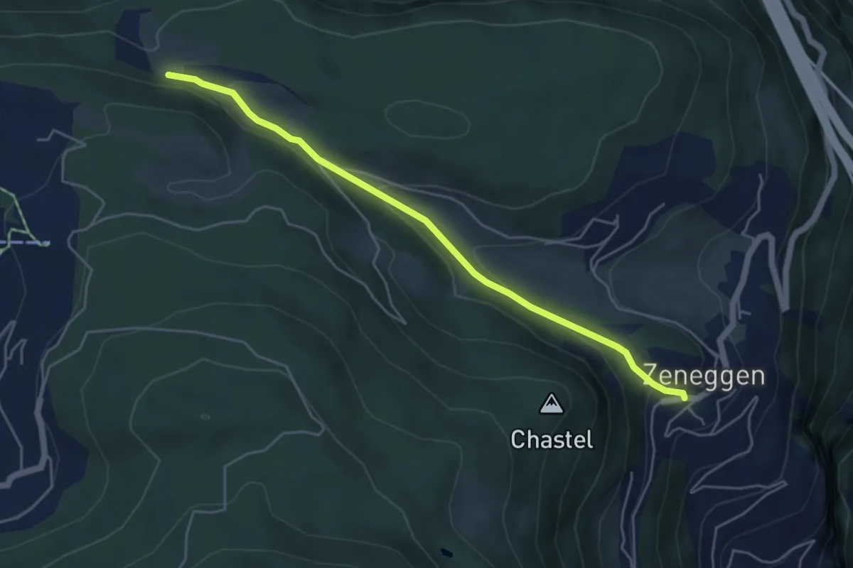
Easy · Trail
Unnri Hellala – Zeneggen
4.9 km · ↑ 148 m · 1 h 28 min · 12 km away
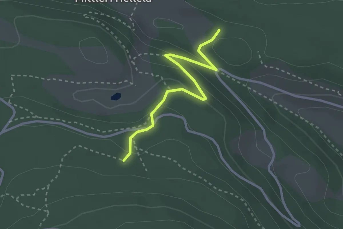
Easy · Trail
Obri Hellala – Loch
2.5 km · ↑ 110 m · 50 min · 12 km away
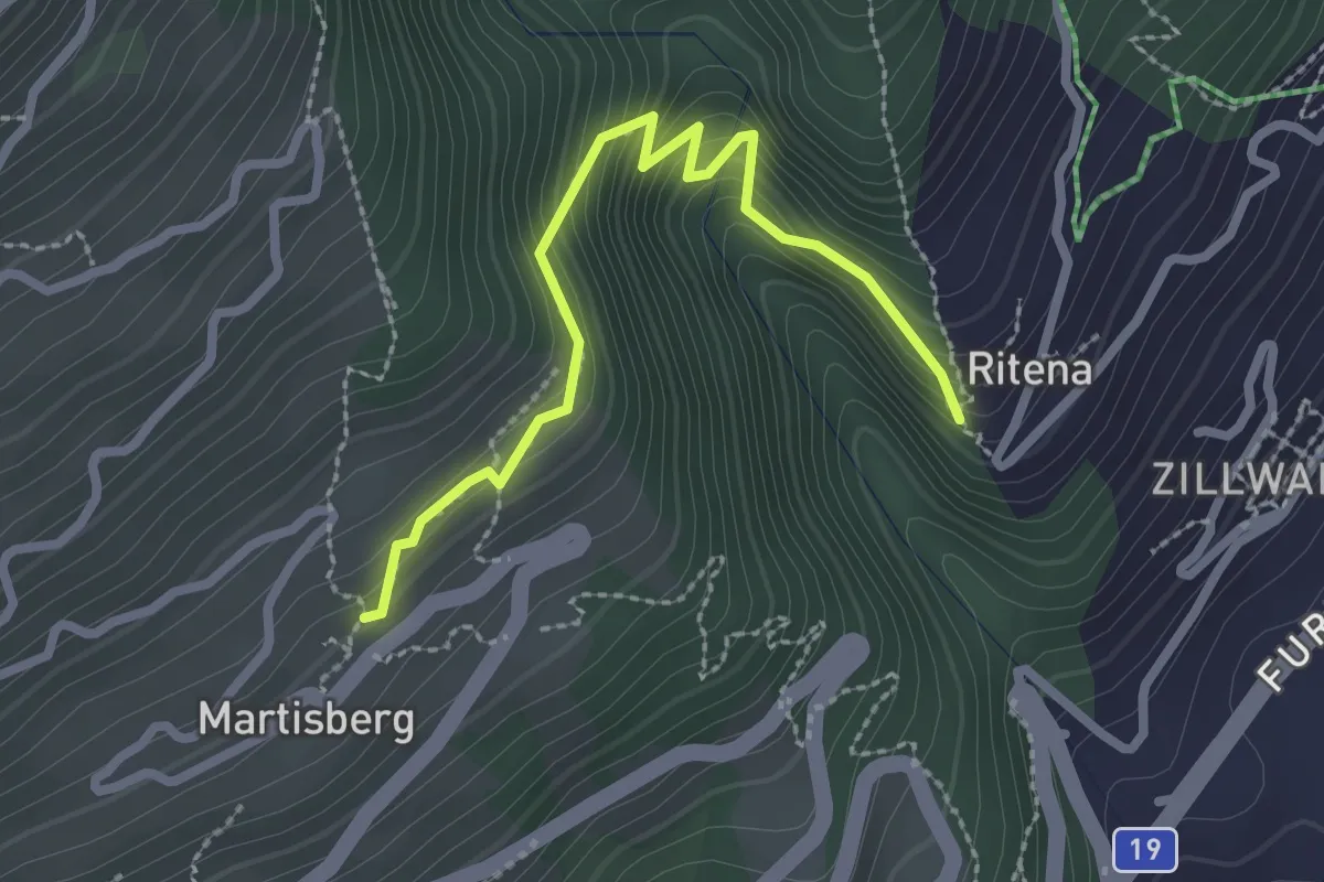
Medium · Trail
Lax - Martisberg
2.6 km · ↑ 250 m · 1 h 9 min · 12 km away
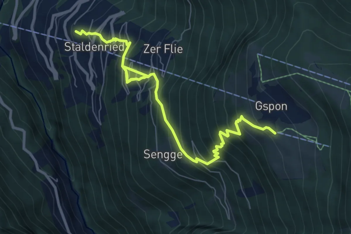
Demanding · Trail
Staldenried - Gspon
8.1 km · ↑ 963 m · 3 h 59 min · 12 km away