Trails near Brig
348 hikes starting within 15 km, nearest first.
Nearest first, page 6 of 8
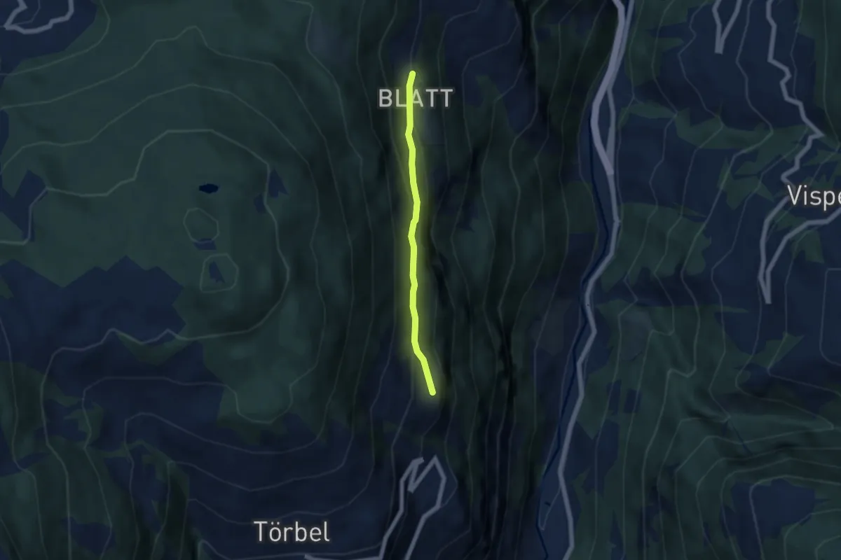
Easy · Trail
Burgen – Blatt
4.4 km · ↑ 232 m · 1 h 33 min · 12 km away
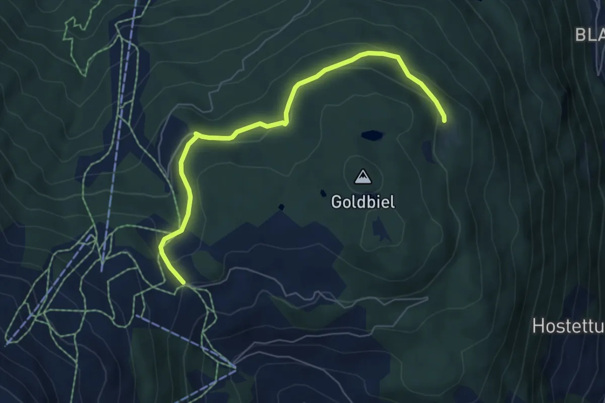
Easy · Trail
Breitmatte – Moosalp Chalte Brunne
6.1 km · ↑ 213 m · 1 h 54 min · 12 km away
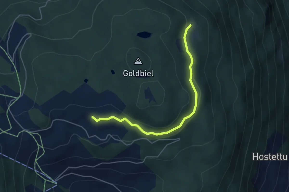
Easy · Trail
Plattjistei – Breitmatte
4.0 km · ↑ 96 m · 1 h 9 min · 12 km away
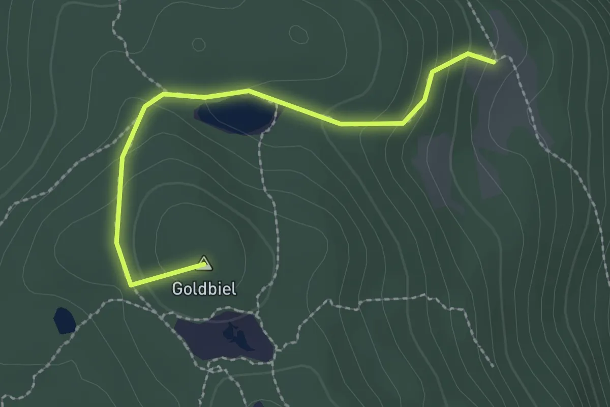
Easy · Summit
Boniger See – Breitmatte
2.2 km · ↑ 120 m · 47 min · 12 km away
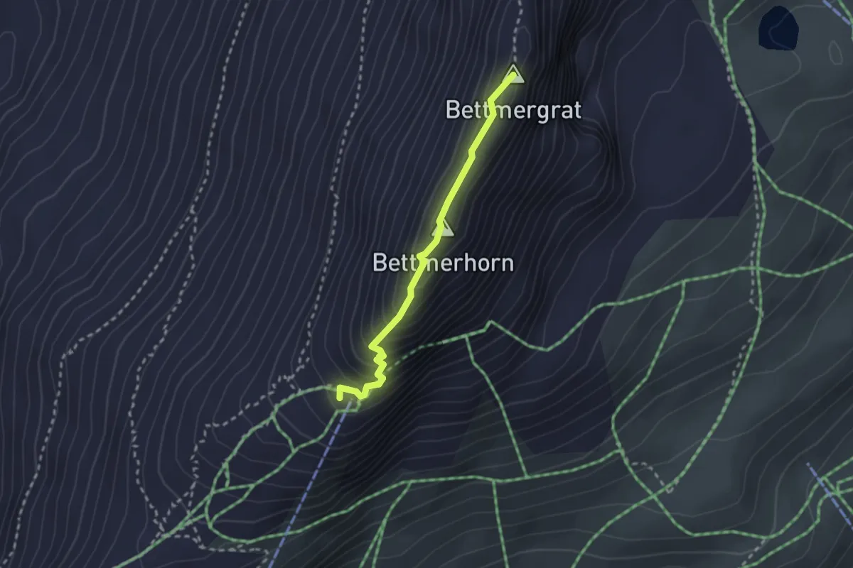
Expert · Summit
Bettmerhorn Bergstation – Elselicka
2.3 km · ↑ 186 m · 57 min · 12 km away
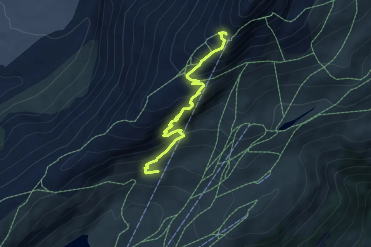
Medium · Trail
Bettmersee - Bettmergrat
4.9 km · ↑ 533 m · 2 h 19 min · 12 km away
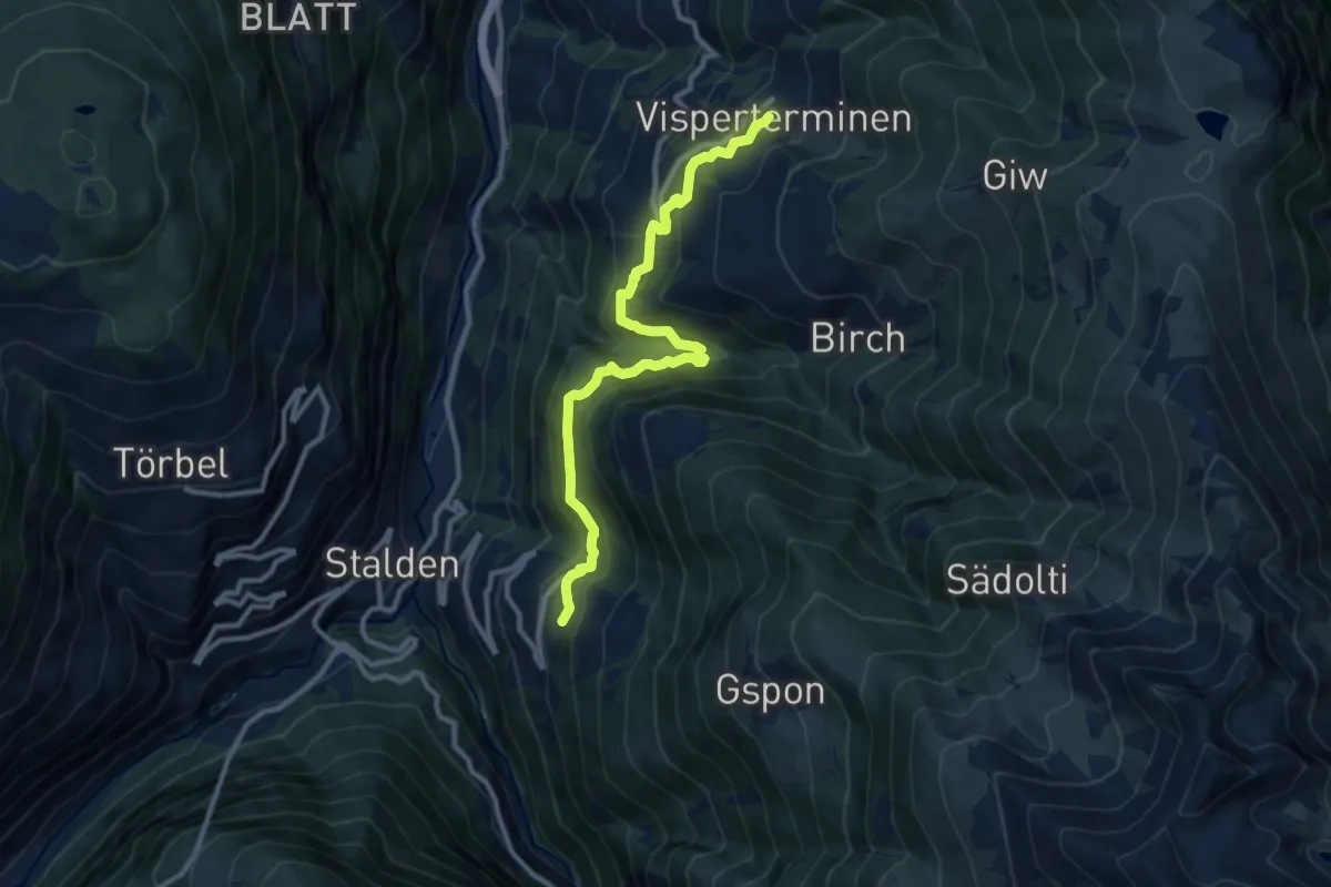
Demanding · Trail
Visperterminen - Staldenried
11.1 km · ↑ 900 m · 4 h 35 min · 13 km away
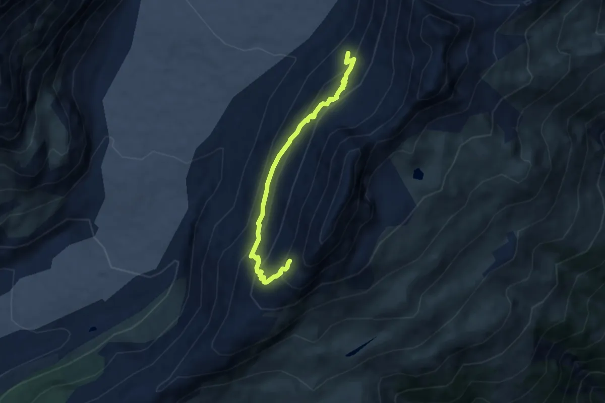
Demanding · Trail
Gletscherblick – Roti Chumme
6.7 km · ↑ 587 m · 2 h 51 min · 13 km away
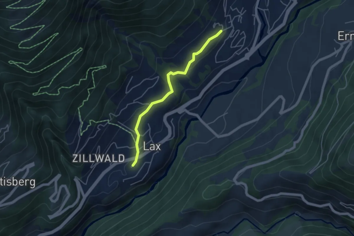
Easy · Trail
Fiesch - Lax
3.8 km · ↑ 141 m · 1 h 12 min · 13 km away
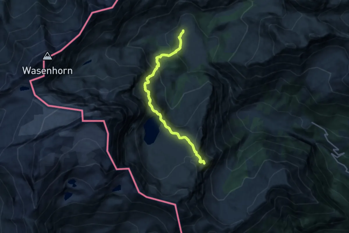
Demanding · Summit
Varzo, Alpe Veglia, bivio VBAF30-VBAF28 – Trasquera, presso Alpe Valle, bivio VBAF30-VBAF97
12.5 km · ↑ 875 m · 4 h 51 min · 13 km away
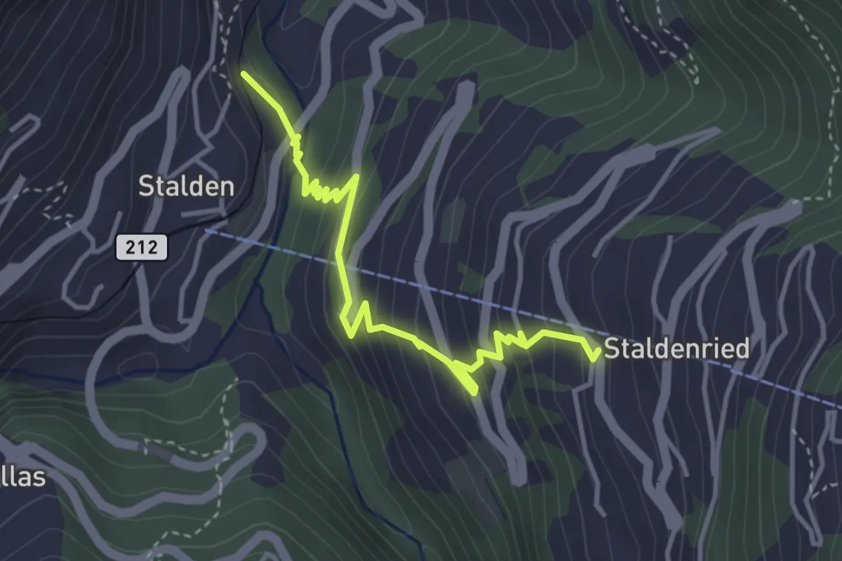
Medium · Trail
Stalden - Staldenried
3.7 km · ↑ 344 m · 1 h 38 min · 13 km away
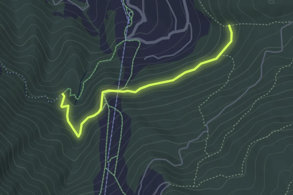
Easy · Trail
Gärlich – Ronalpa
4.0 km · ↑ 198 m · 1 h 23 min · 13 km away
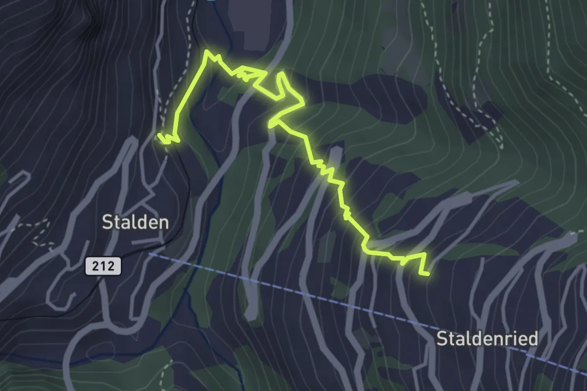
Medium · Trail
Stalden – Staldenried
4.3 km · ↑ 487 m · 2 h 4 min · 13 km away
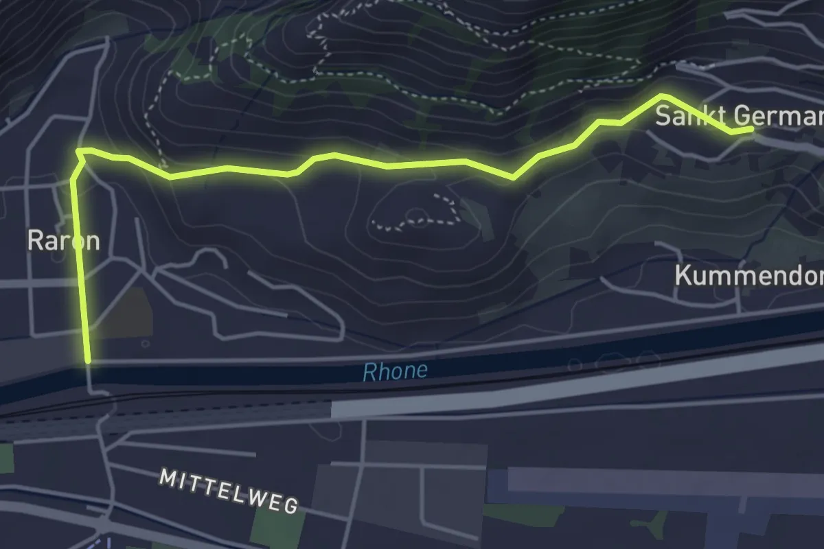
Easy · Trail
St. German – Raron
4.7 km · ↑ 180 m · 1 h 30 min · 13 km away
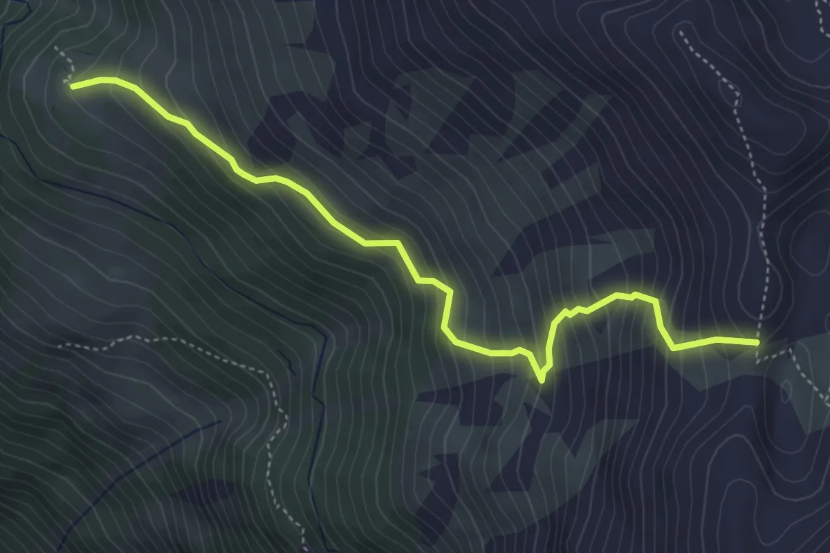
Demanding · Trail
Häüschbiele - Lägunde Tschuggo
5.0 km · ↑ 565 m · 2 h 25 min · 13 km away
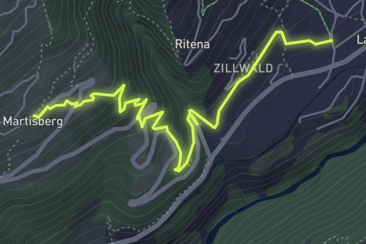
Medium · Trail
Lax - Martisberg
5.7 km · ↑ 381 m · 2 h 10 min · 13 km away
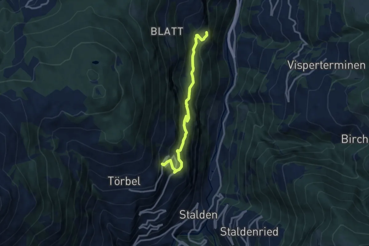
Medium · Trail
Burgen – Esch
8.0 km · ↑ 579 m · 3 h 8 min · 13 km away
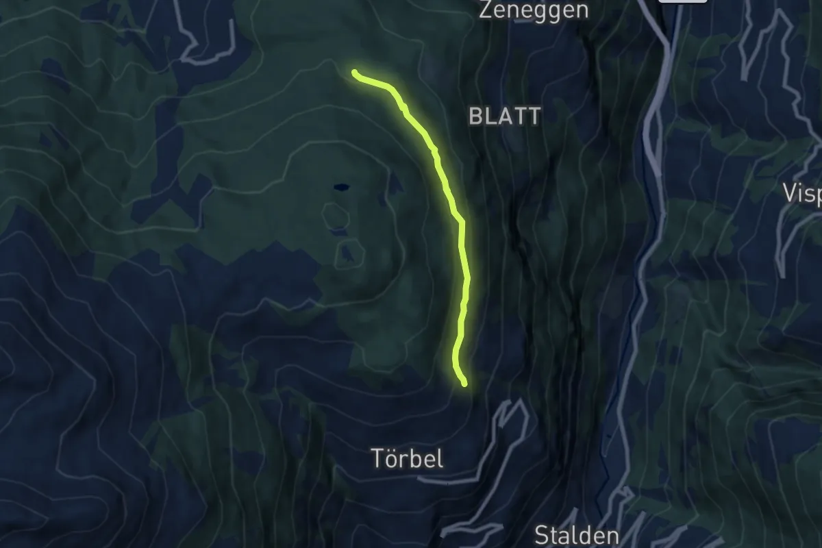
Medium · Trail
Eischmatte – Törbel
6.4 km · ↑ 325 m · 2 h 12 min · 13 km away
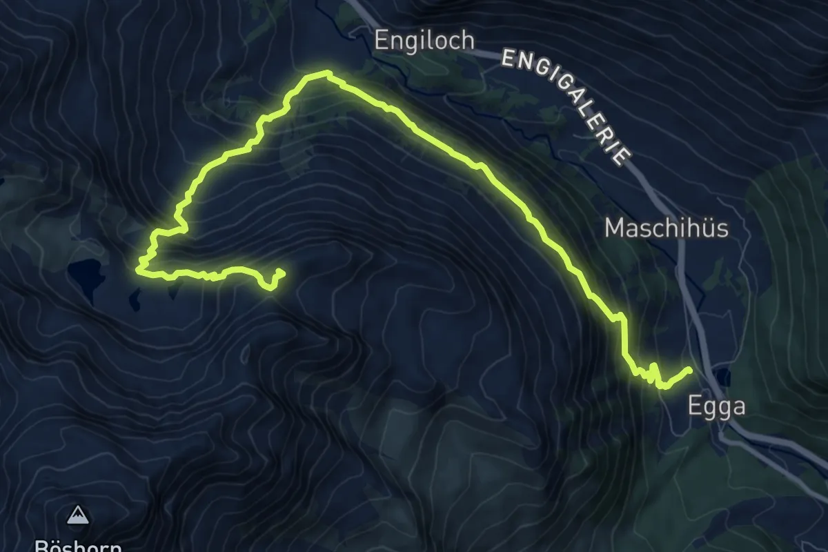
Expert · Summit
Galehorn - Simplon Dorf
13.2 km · ↑ 1270 m · 5 h 52 min · 13 km away
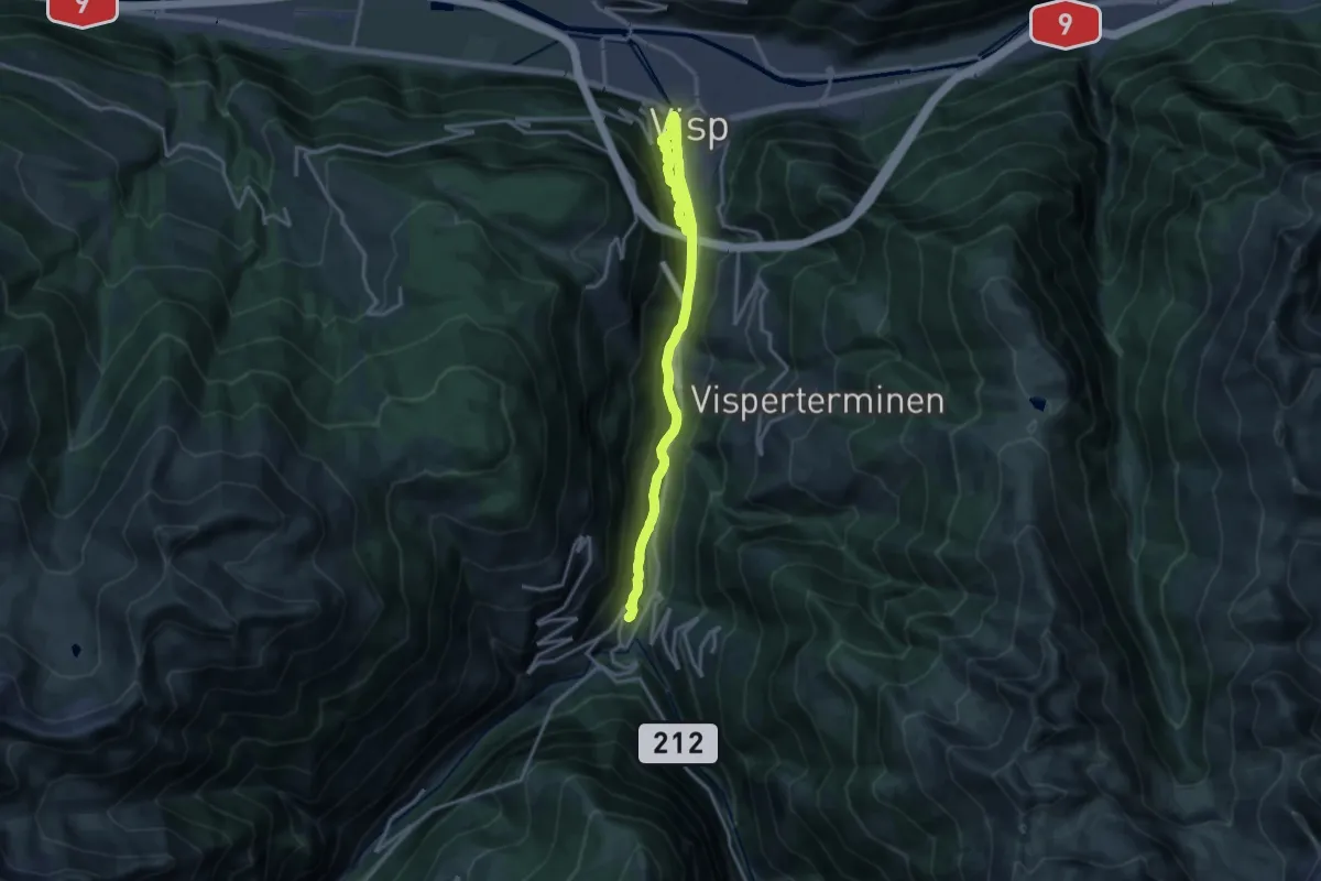
Medium · Trail
Visp - Stalden
17.6 km · ↑ 712 m · 5 h 42 min · 13 km away
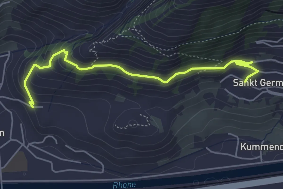
Easy · Trail
Suonenweg "NIWA"
4.5 km · ↑ 300 m · 1 h 43 min · 13 km away
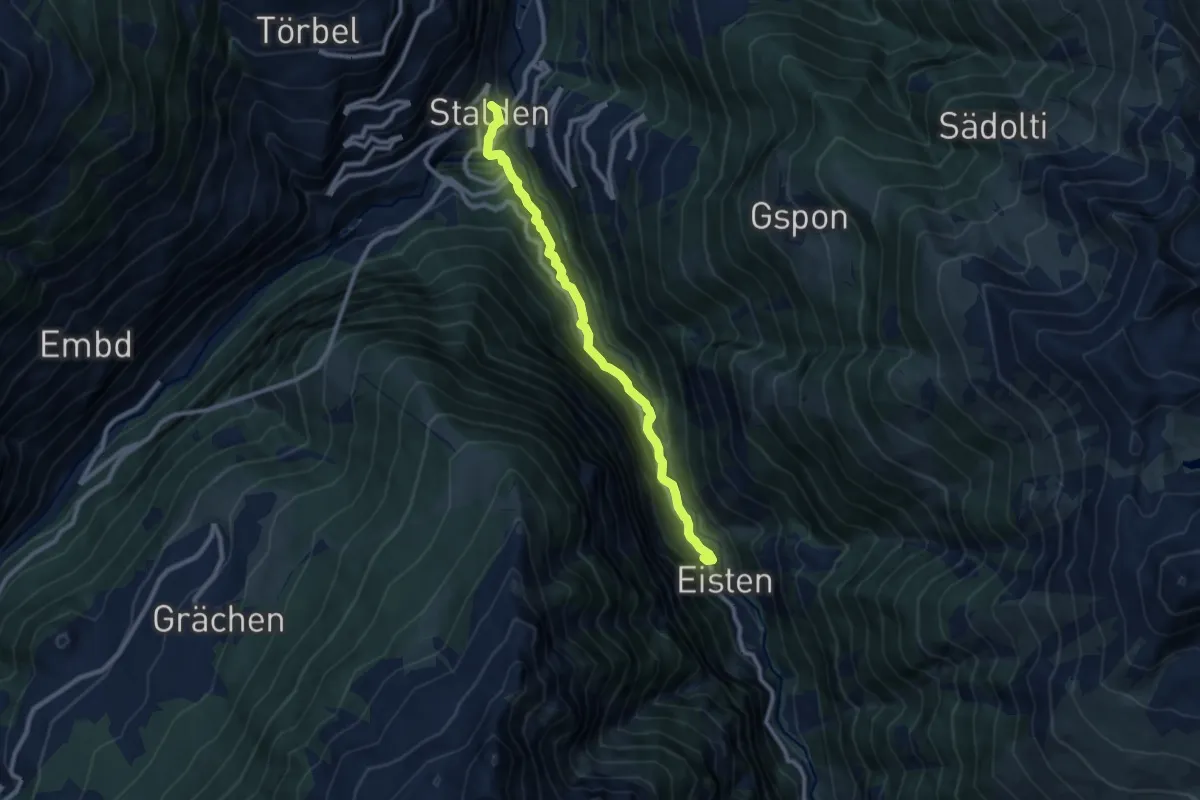
Medium · Trail
Stalden - Eisten
9.3 km · ↑ 608 m · 3 h 31 min · 13 km away
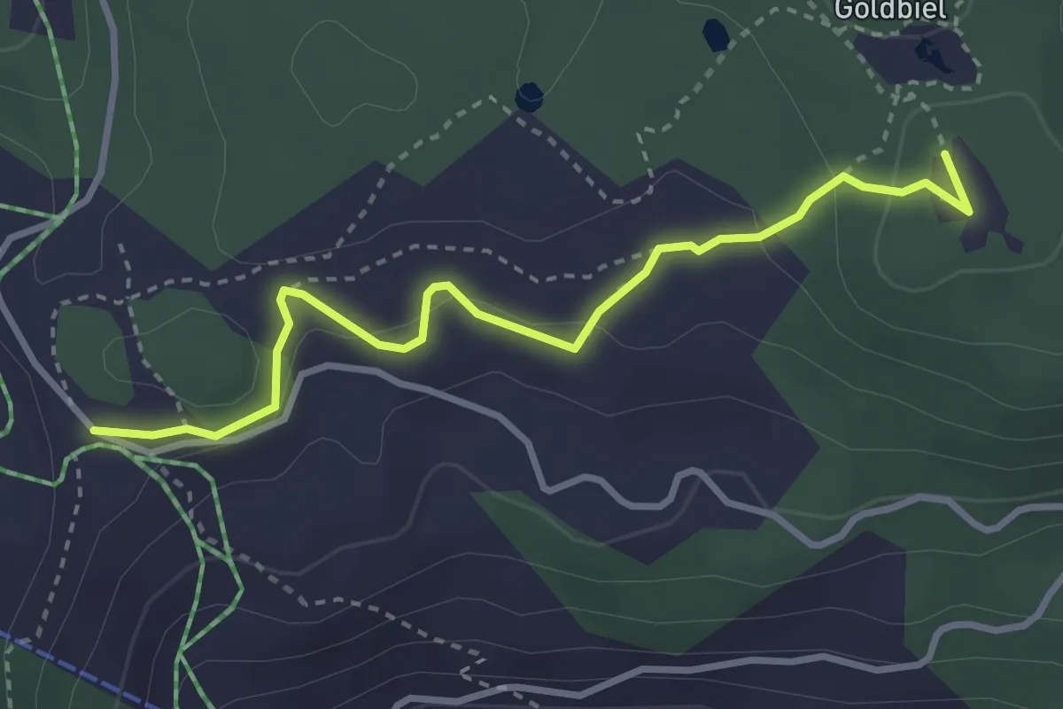
Easy · Trail
Moosalp Chalte Brunne – Stand
3.4 km · ↑ 131 m · 1 h 5 min · 13 km away
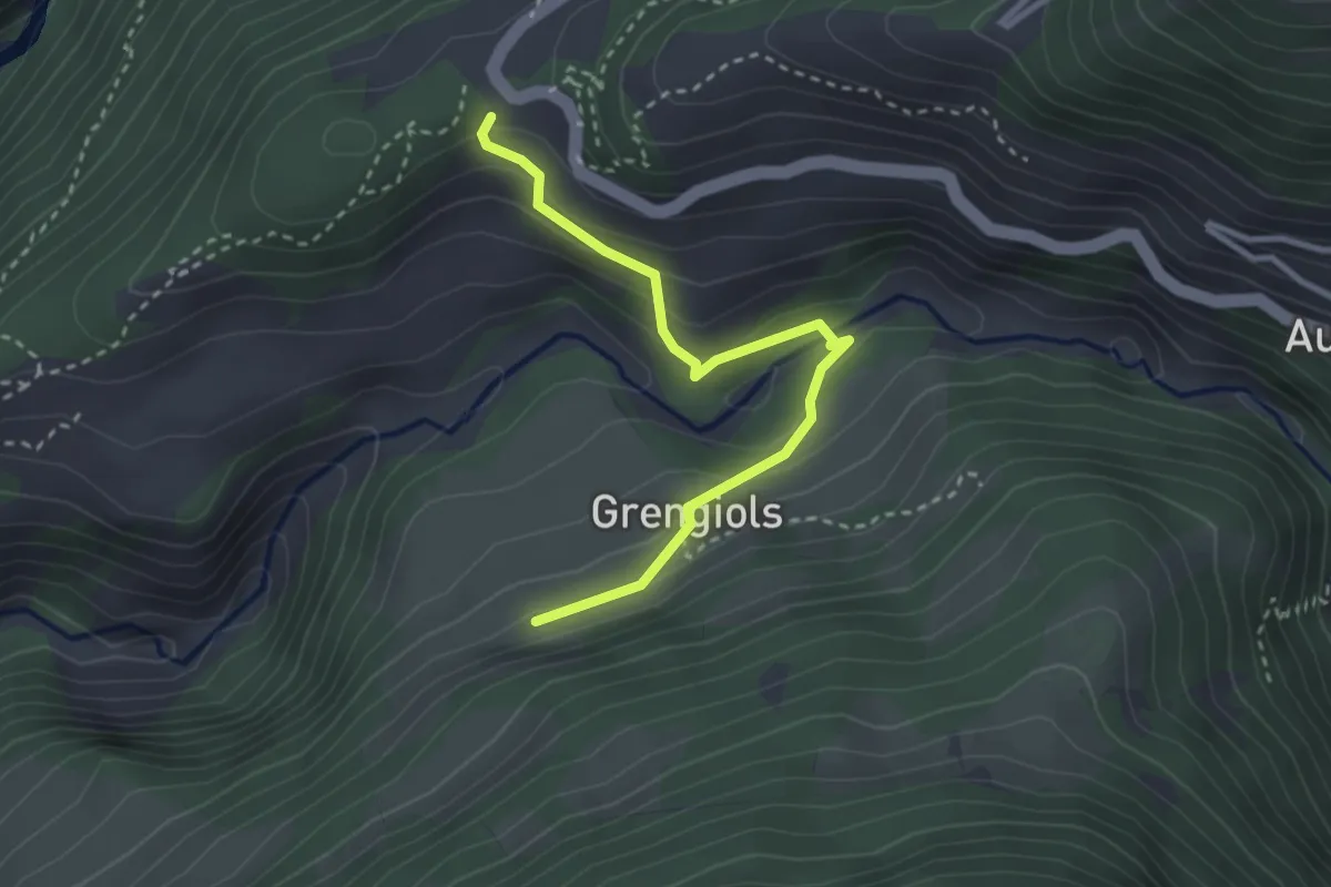
Medium · Trail
Wasen - Hockmatten
3.0 km · ↑ 173 m · 1 h 5 min · 13 km away
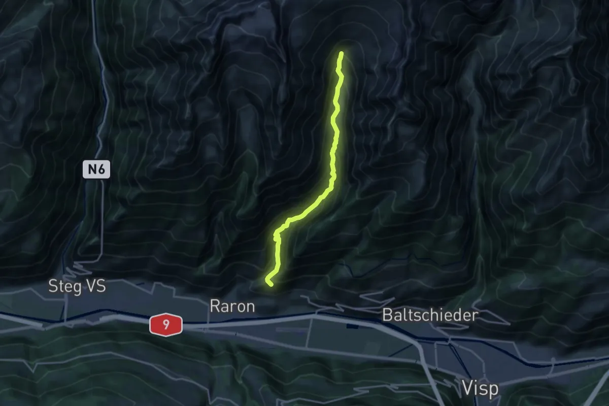
Expert · Trail
Ritzibodo - Reemistafel
14.4 km · ↑ 1266 m · 6 h 9 min · 13 km away
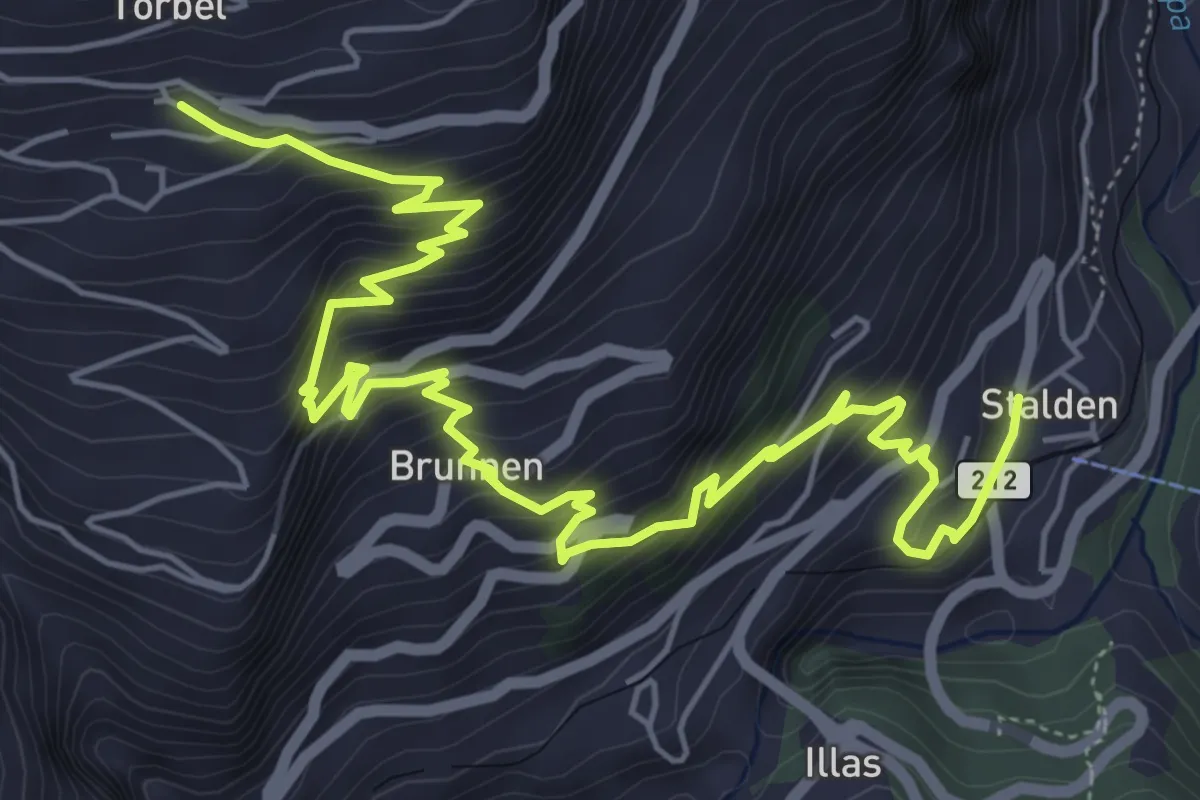
Medium · Trail
Törbel – Stalden
8.3 km · ↑ 777 m · 3 h 38 min · 13 km away
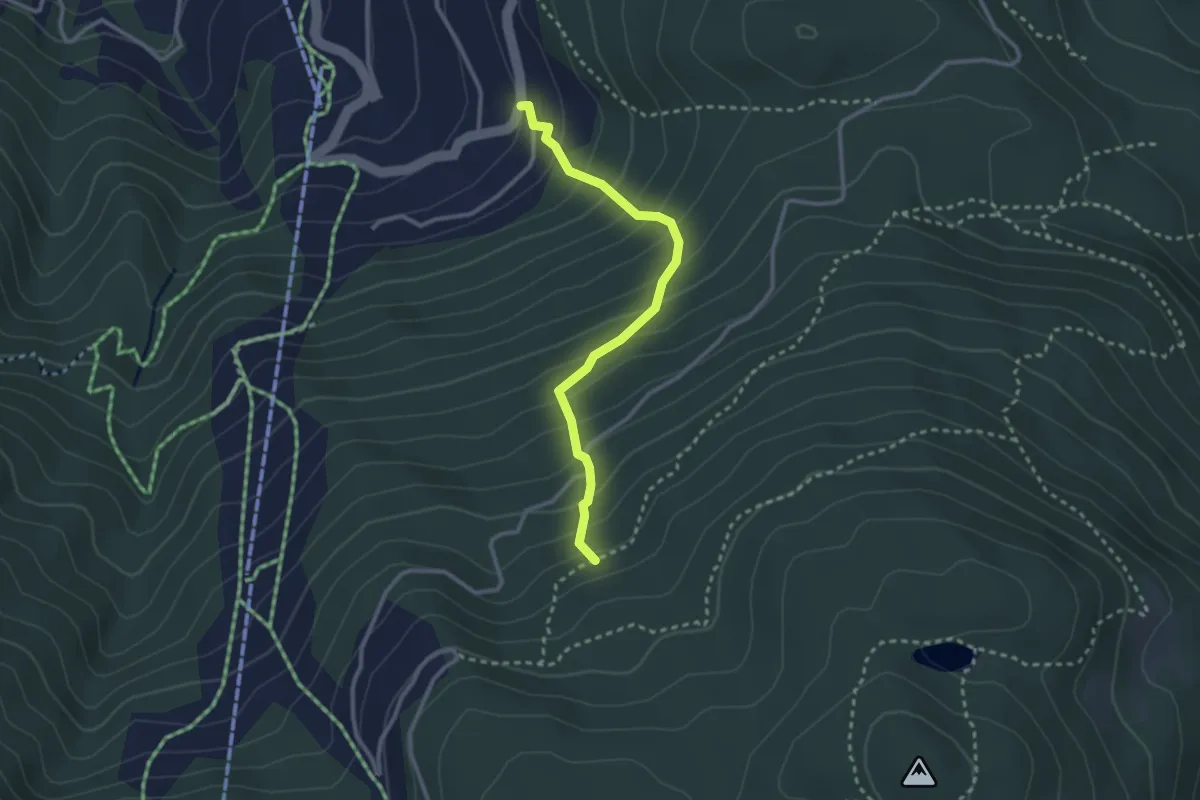
Easy · Trail
Gärlich – Teiffi-Matte
2.7 km · ↑ 300 m · 1 h 18 min · 13 km away
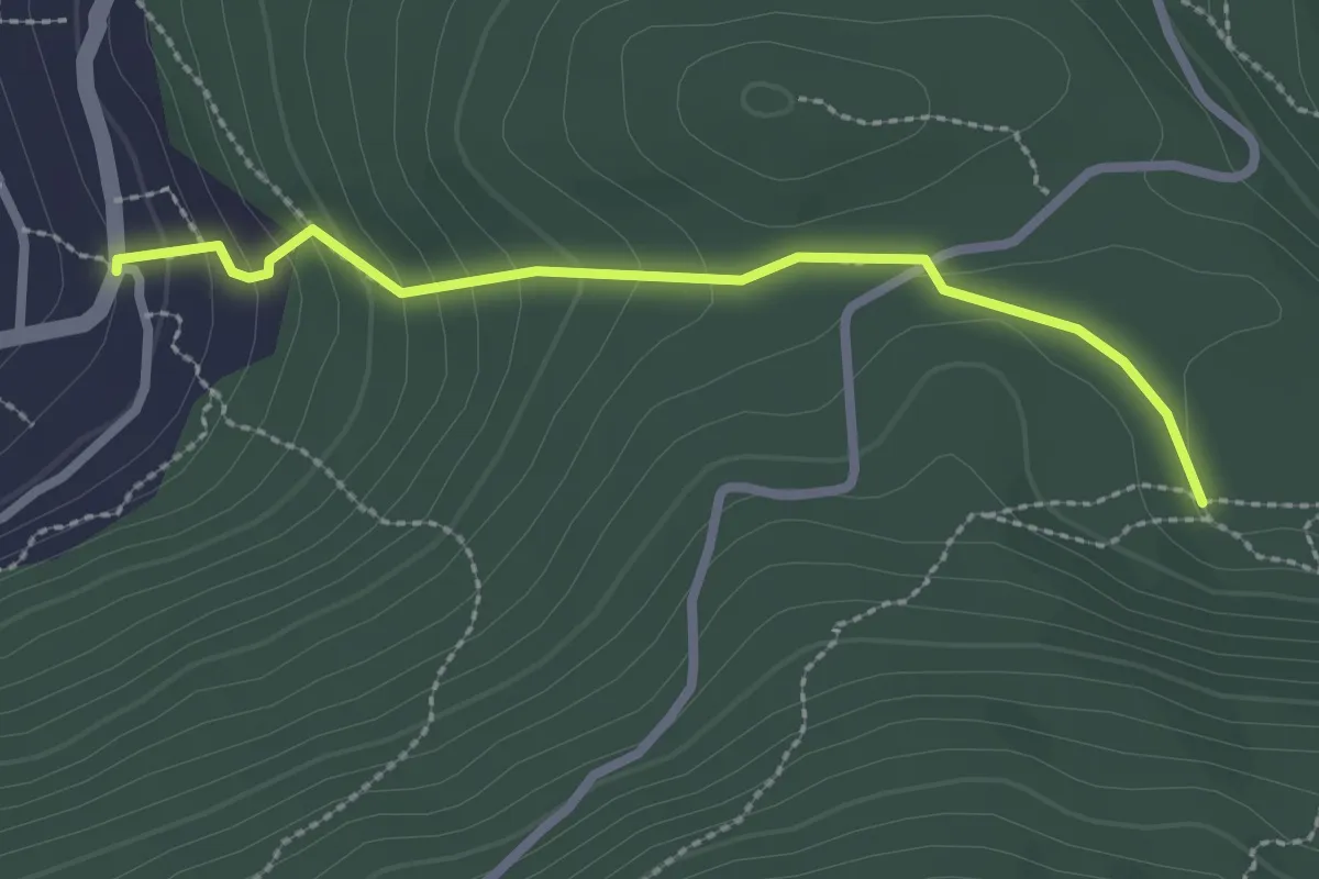
Easy · Trail
Eischmatte – Gärlich
2.5 km · ↑ 143 m · 53 min · 13 km away
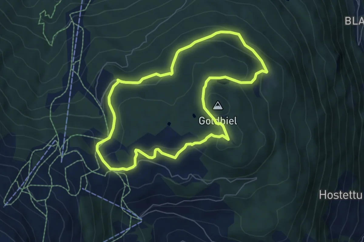
Easy · Summit
Moosalp Panoramaweg
6.0 km · ↑ 234 m · 2 h 1 min · 13 km away
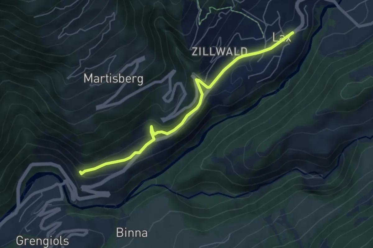
Medium · Trail
Grengiols - Lax
5.4 km · ↑ 256 m · 1 h 49 min · 13 km away
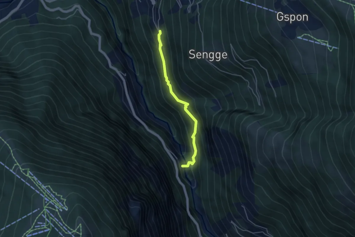
Medium · Trail
Staldenried - Raftgarten
3.7 km · ↑ 359 m · 1 h 38 min · 13 km away
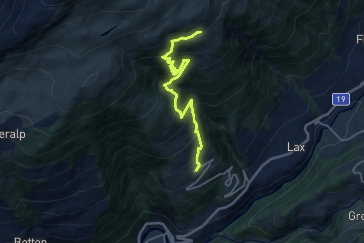
Demanding · Trail
Martisberg - Laxeralp
9.0 km · ↑ 946 m · 4 h 11 min · 13 km away
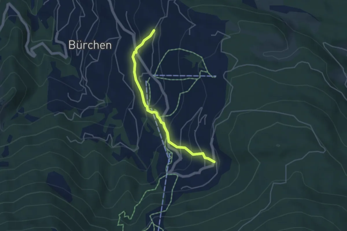
Easy · Trail
Zenhäusern – Gärlich
3.7 km · ↑ 245 m · 1 h 24 min · 13 km away
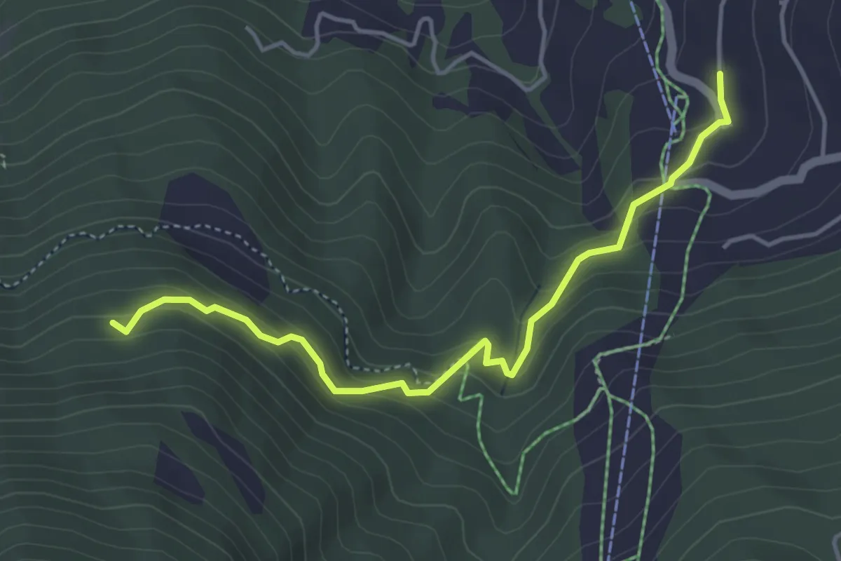
Medium · Trail
Gärwerwald – Moosalpbahn
4.3 km · ↑ 341 m · 1 h 46 min · 13 km away
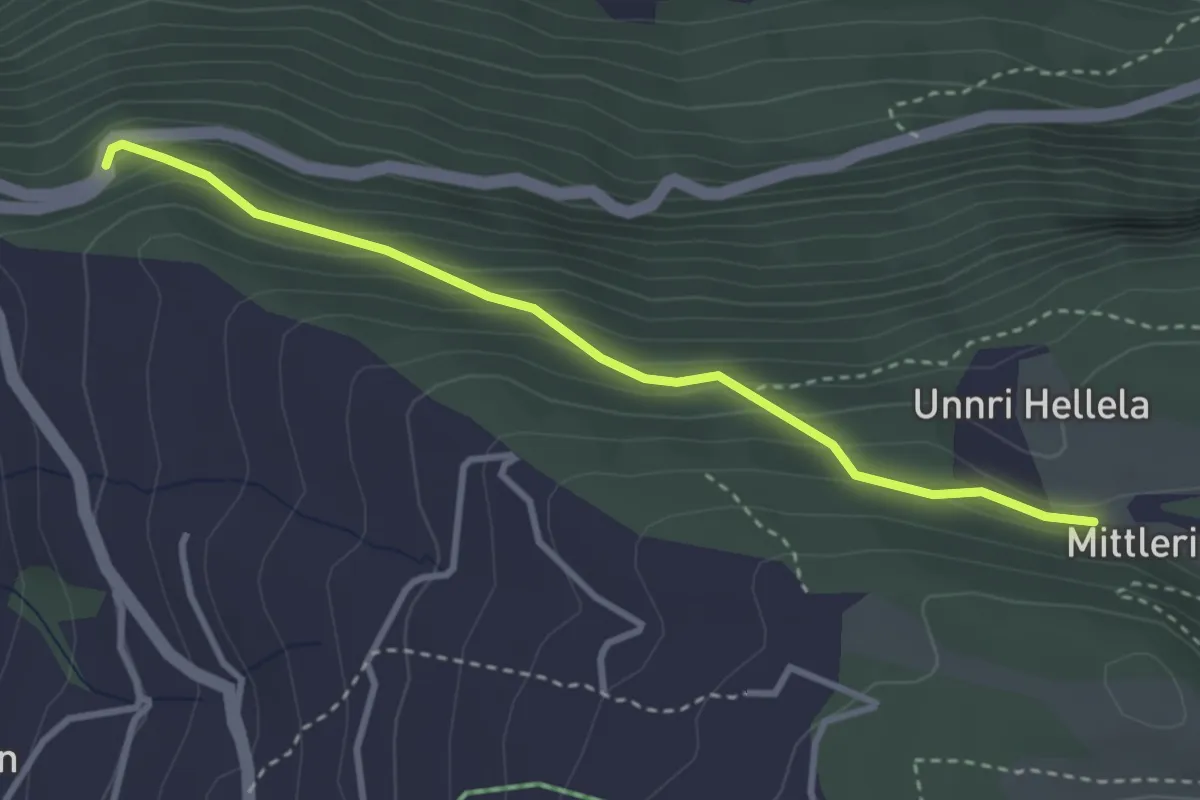
Medium · Trail
Mittleri Hellala – Albenwald
3.2 km · ↑ 249 m · 1 h 18 min · 13 km away
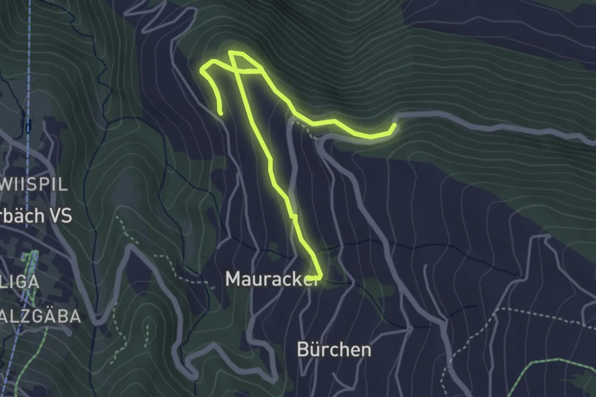
Easy · Trail
Bürchen – Hochaschtler
5.4 km · ↑ 246 m · 1 h 49 min · 13 km away
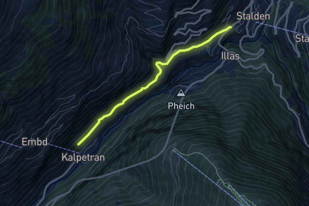
Medium · Trail
Kalpetran – Stalden
6.2 km · ↑ 421 m · 2 h 23 min · 13 km away
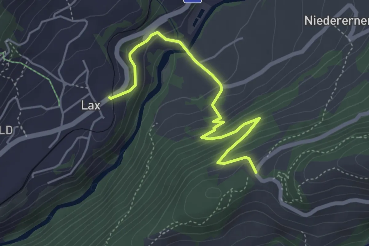
Medium · Trail
Lax - Wasen
4.4 km · ↑ 340 m · 1 h 47 min · 13 km away
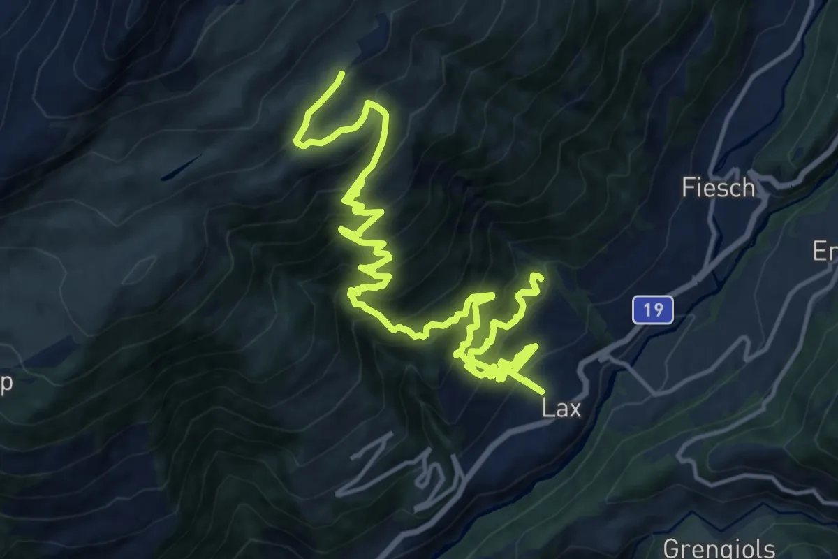
Demanding · Trail
Lax - Laxeralp
10.2 km · ↑ 1425 m · 5 h 9 min · 13 km away
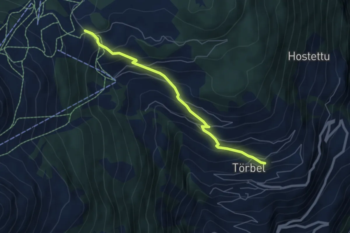
Medium · Trail
Moosalp – Törbel
5.4 km · ↑ 476 m · 2 h 18 min · 13 km away
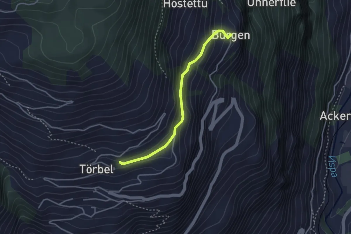
Easy · Trail
Furen – Burgen
2.9 km · ↑ 195 m · 1 h 6 min · 13 km away
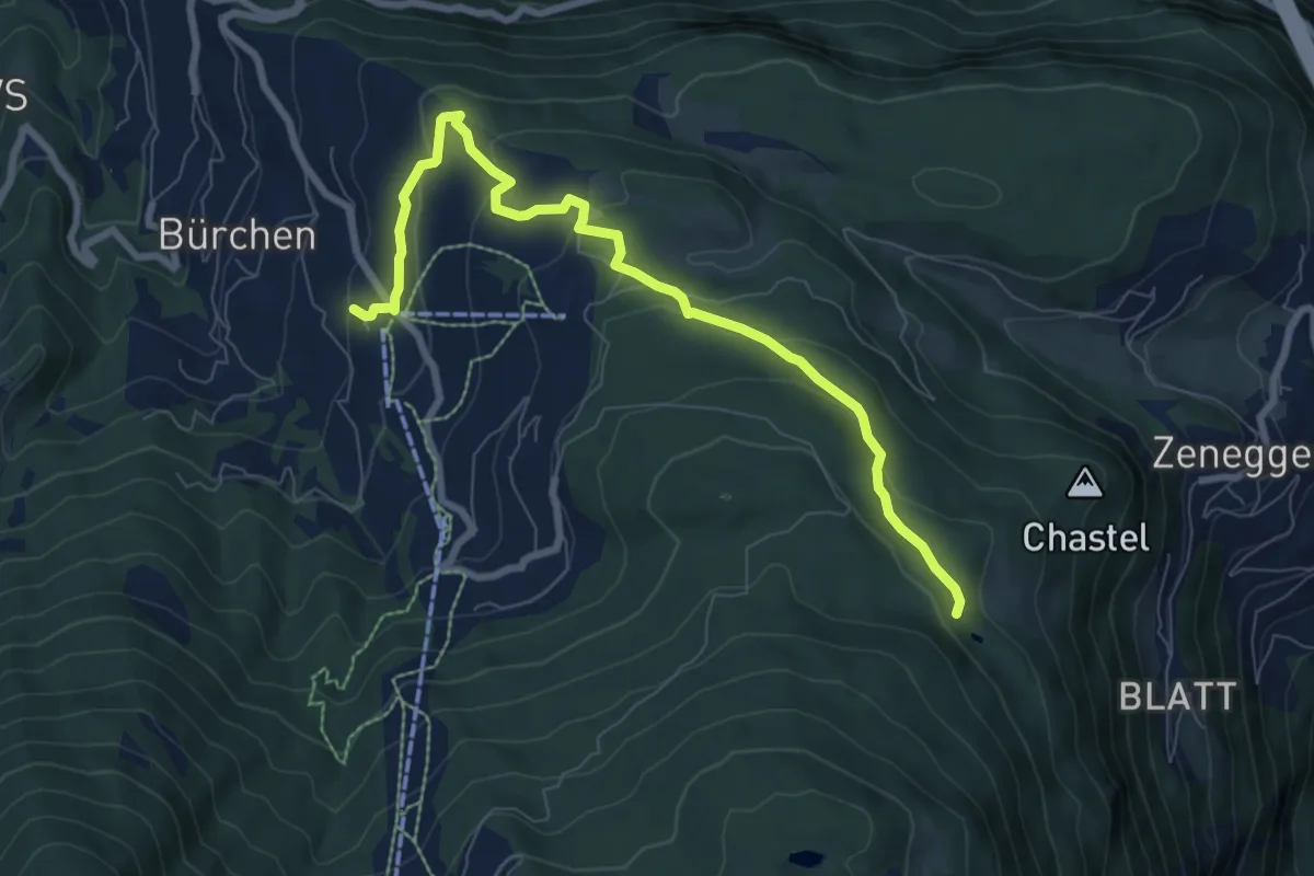
Medium · Trail
Diepja – Zenhäusern
8.5 km · ↑ 297 m · 2 h 39 min · 13 km away
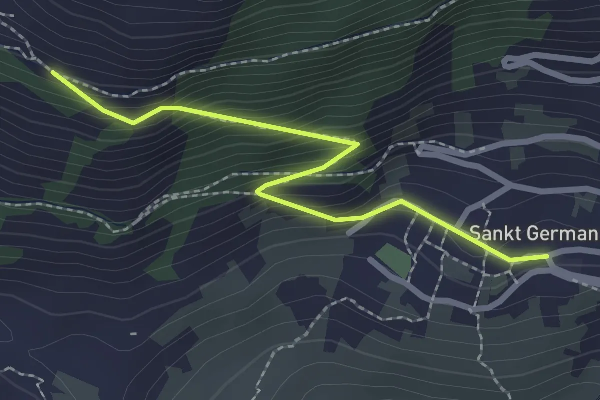
Easy · Trail
Riedgarto – St. German
2.2 km · ↑ 202 m · 58 min · 13 km away
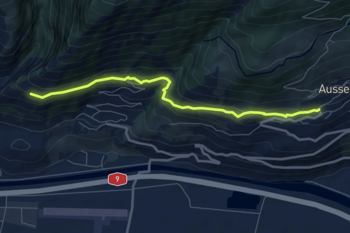
Easy · Trail
Riedgarto – Ausserberg
6.5 km · ↑ 278 m · 2 h 9 min · 13 km away
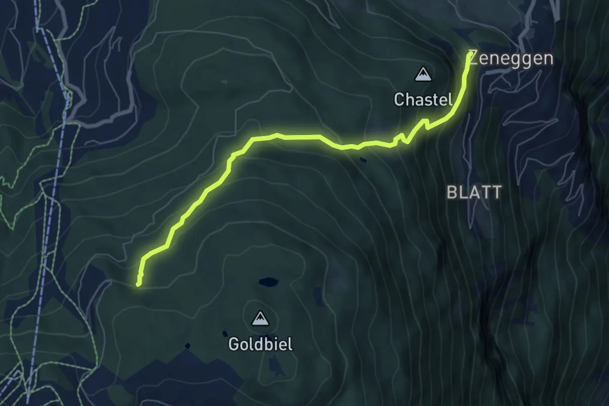
Medium · Trail
Panorama – Biel
6.7 km · ↑ 565 m · 2 h 49 min · 14 km away
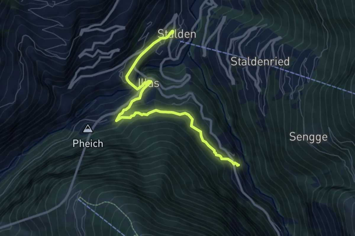
Medium · Trail
Stalden – Reschti
7.7 km · ↑ 480 m · 2 h 51 min · 14 km away
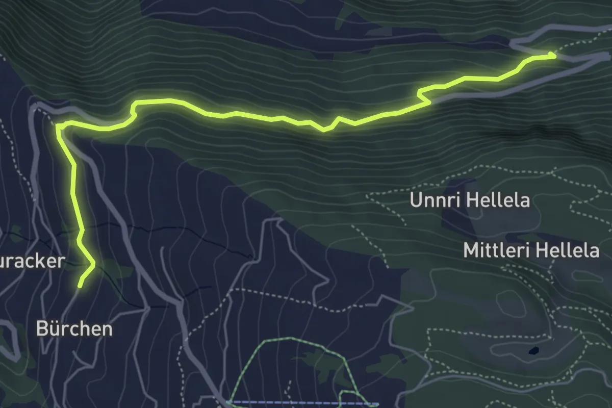
Medium · Trail
Vorderried – Hasel
6.1 km · ↑ 390 m · 2 h 17 min · 14 km away
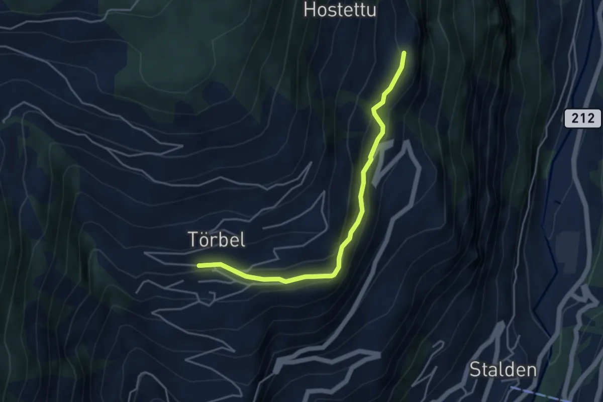
Easy · Trail
Törbel – Burgen
3.9 km · ↑ 262 m · 1 h 30 min · 14 km away