Trails near Brig
348 hikes starting within 15 km, nearest first.
Nearest first, page 7 of 8
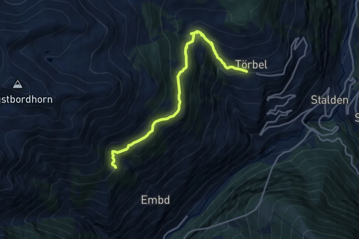
Medium · Trail
Hannig – Törbel
10.2 km · ↑ 773 m · 4 h 5 min · 14 km away
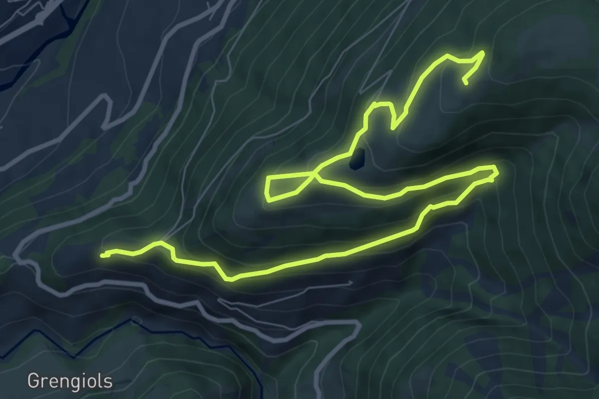
Medium · Trail
Uf en Egga
11.5 km · ↑ 799 m · 4 h 26 min · 14 km away
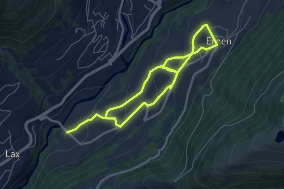
Medium · Trail
Ernen - Lax
8.2 km · ↑ 468 m · 2 h 57 min · 14 km away
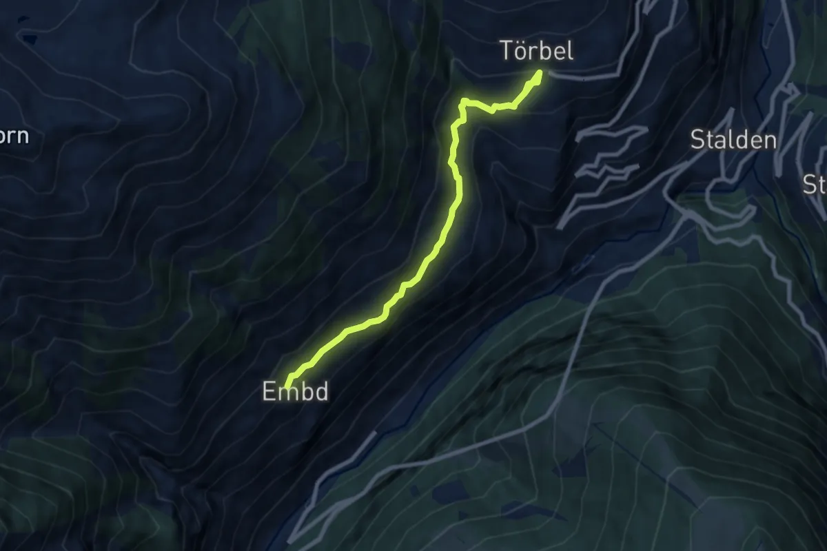
Medium · Trail
Embd – Törbel
7.5 km · ↑ 557 m · 2 h 59 min · 14 km away
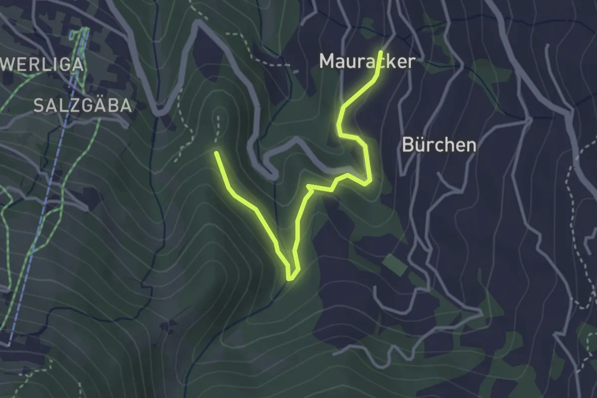
Easy · Trail
Mauracker – Hohegga
3.2 km · ↑ 194 m · 1 h 11 min · 14 km away
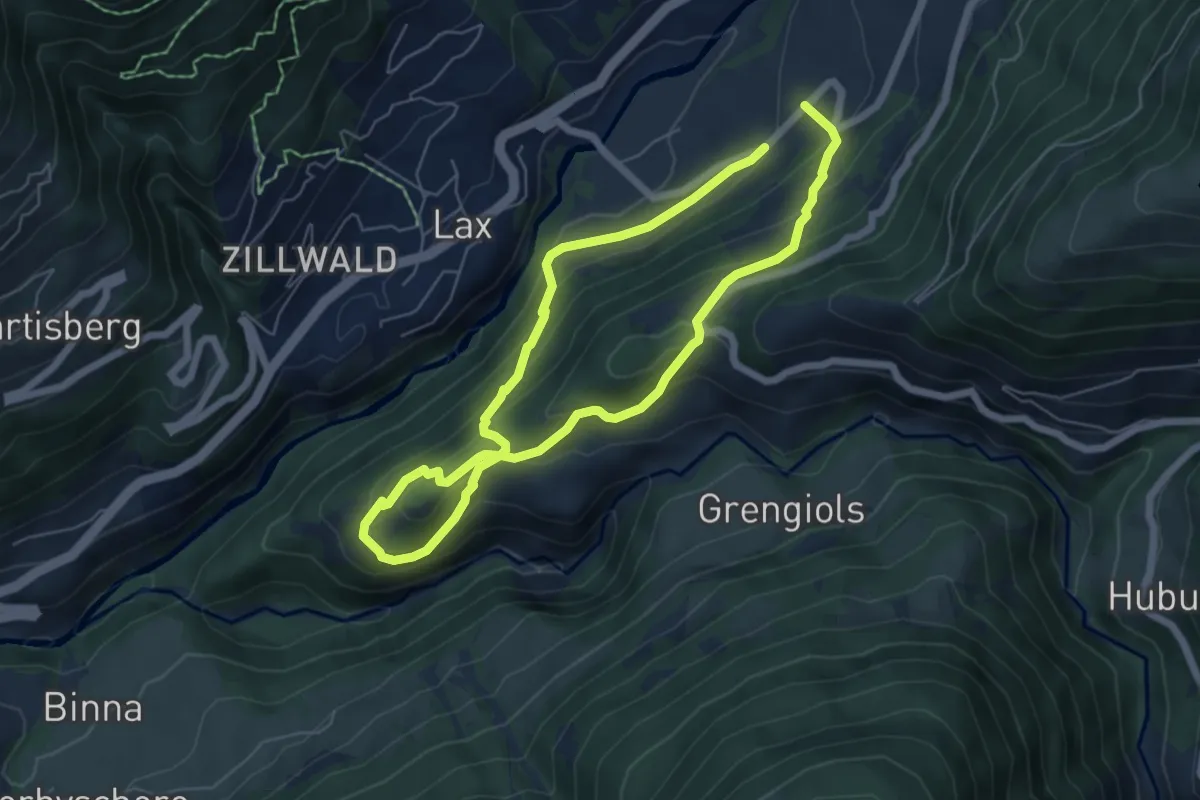
Demanding · Trail
Niederernen - Seng
10.2 km · ↑ 671 m · 3 h 52 min · 14 km away
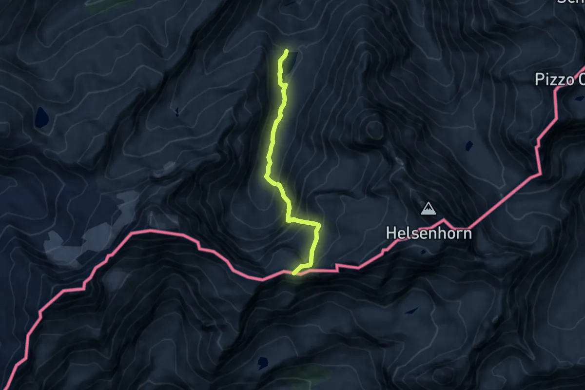
Expert · Trail
Einigehitte - Ritterpass
8.0 km · ↑ 703 m · 3 h 25 min · 14 km away
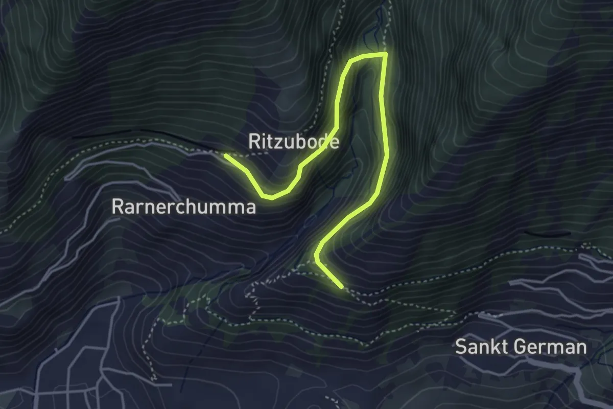
Medium · Trail
Rarnerchumma – Riedgarto
4.2 km · ↑ 420 m · 1 h 55 min · 14 km away
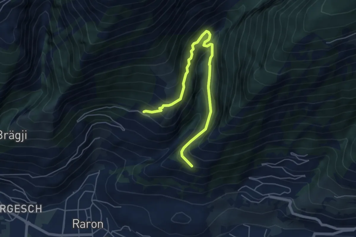
Demanding · Trail
Rarnerchumma – Riedgarto
5.4 km · ↑ 551 m · 2 h 29 min · 14 km away
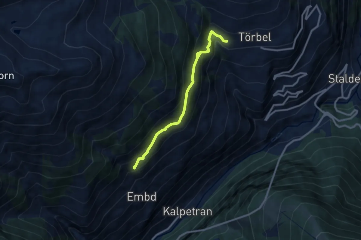
Medium · Trail
Riti Flüe – Törbel
6.2 km · ↑ 536 m · 2 h 38 min · 14 km away
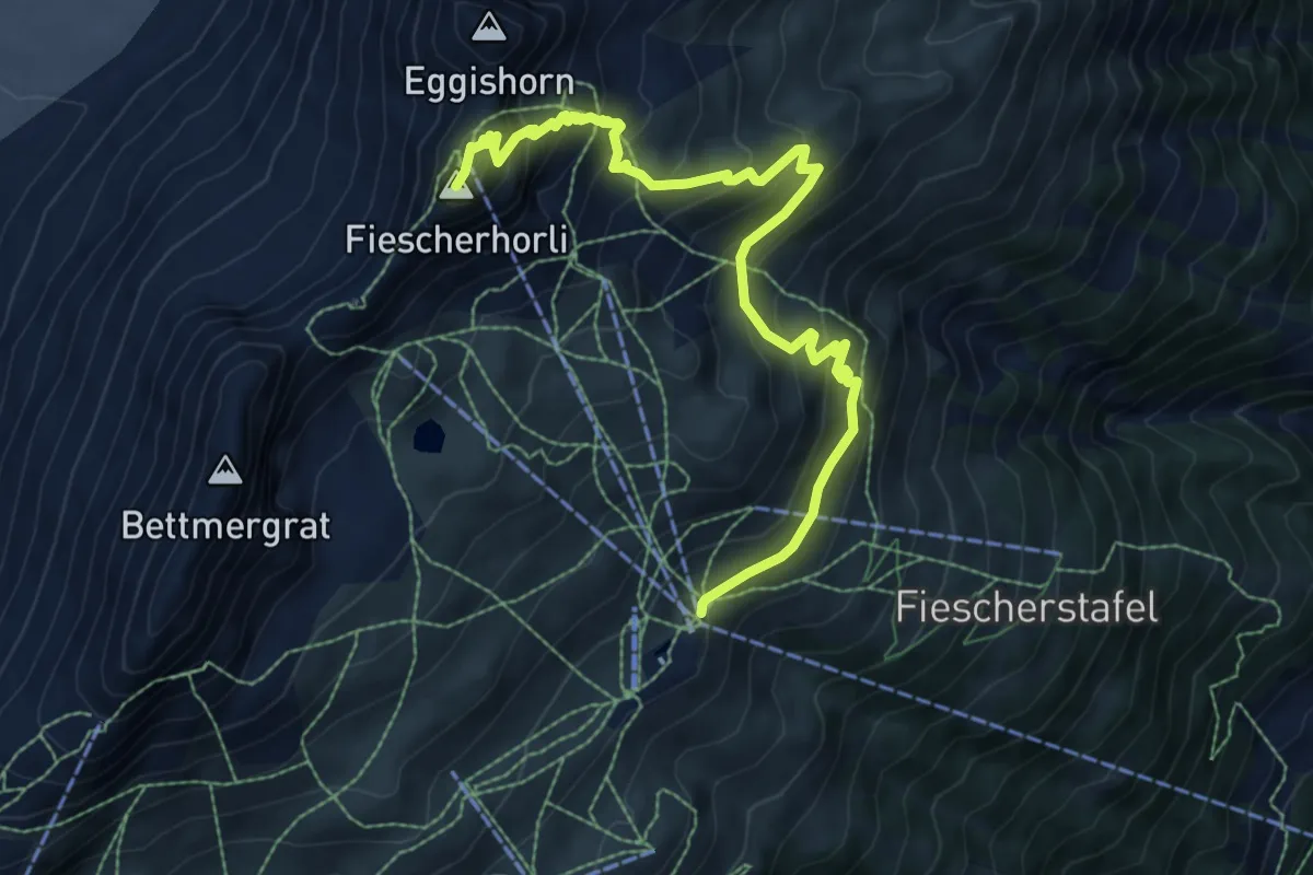
Demanding · Summit
Fiescheralp Kühboden – Eggishorn Bergstation
8.9 km · ↑ 748 m · 3 h 44 min · 14 km away
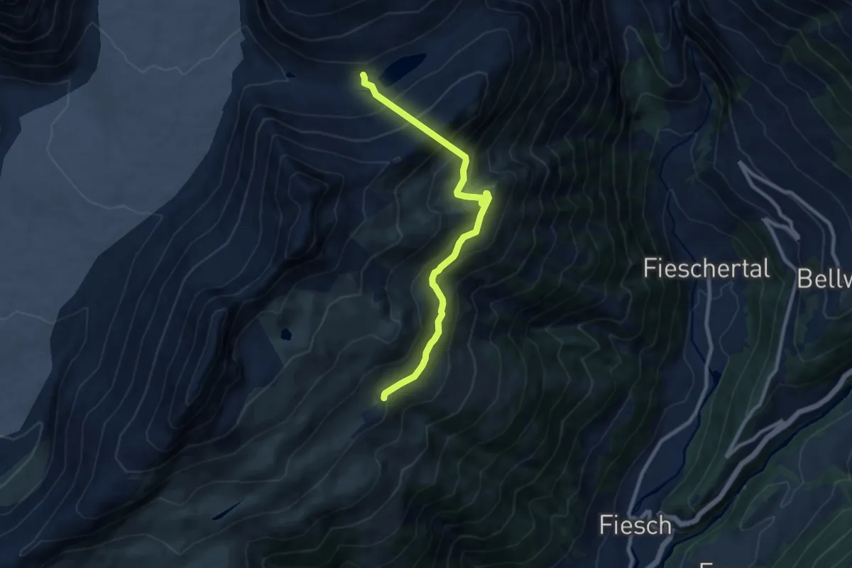
Medium · Cabin
Märjela Gletscherstube – Fiescheralp
8.9 km · ↑ 730 m · 3 h 40 min · 14 km away
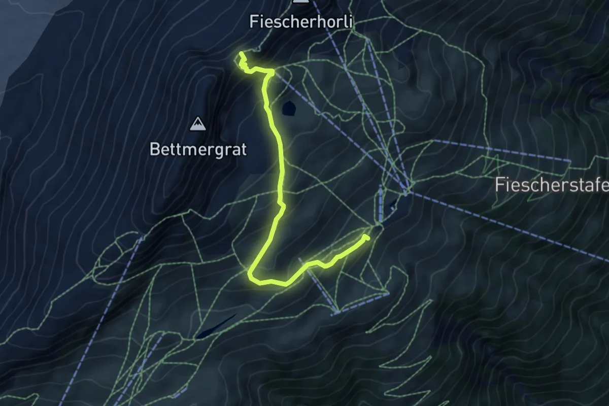
Medium · Trail
Laxeralp – Elselicka
6.4 km · ↑ 502 m · 2 h 35 min · 14 km away
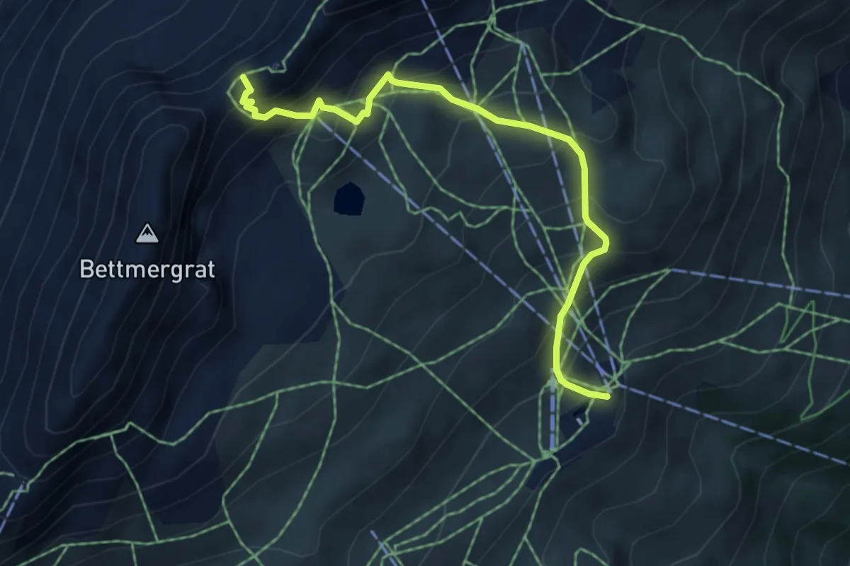
Medium · Trail
Fiescheralp – Elselicka
5.2 km · ↑ 506 m · 2 h 19 min · 14 km away
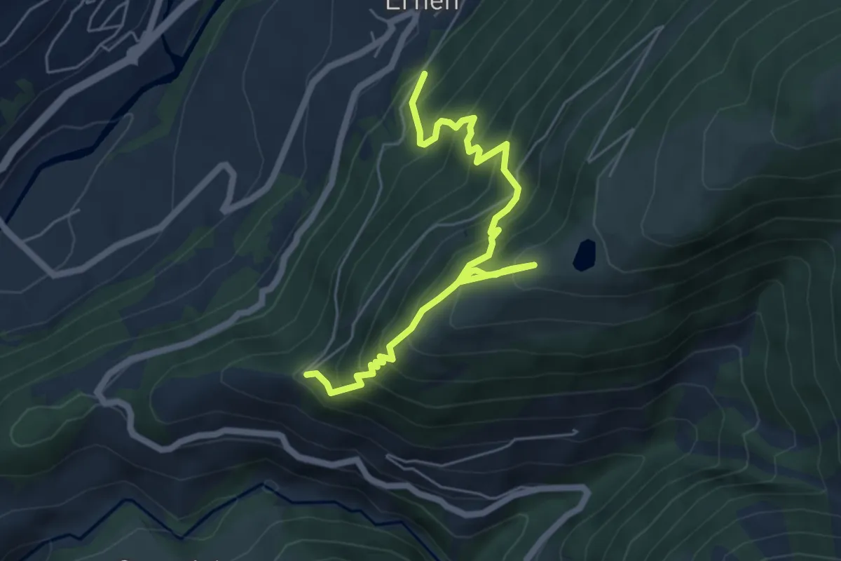
Medium · Trail
Ernen - Kalkofen
6.1 km · ↑ 786 m · 3 h 9 min · 14 km away
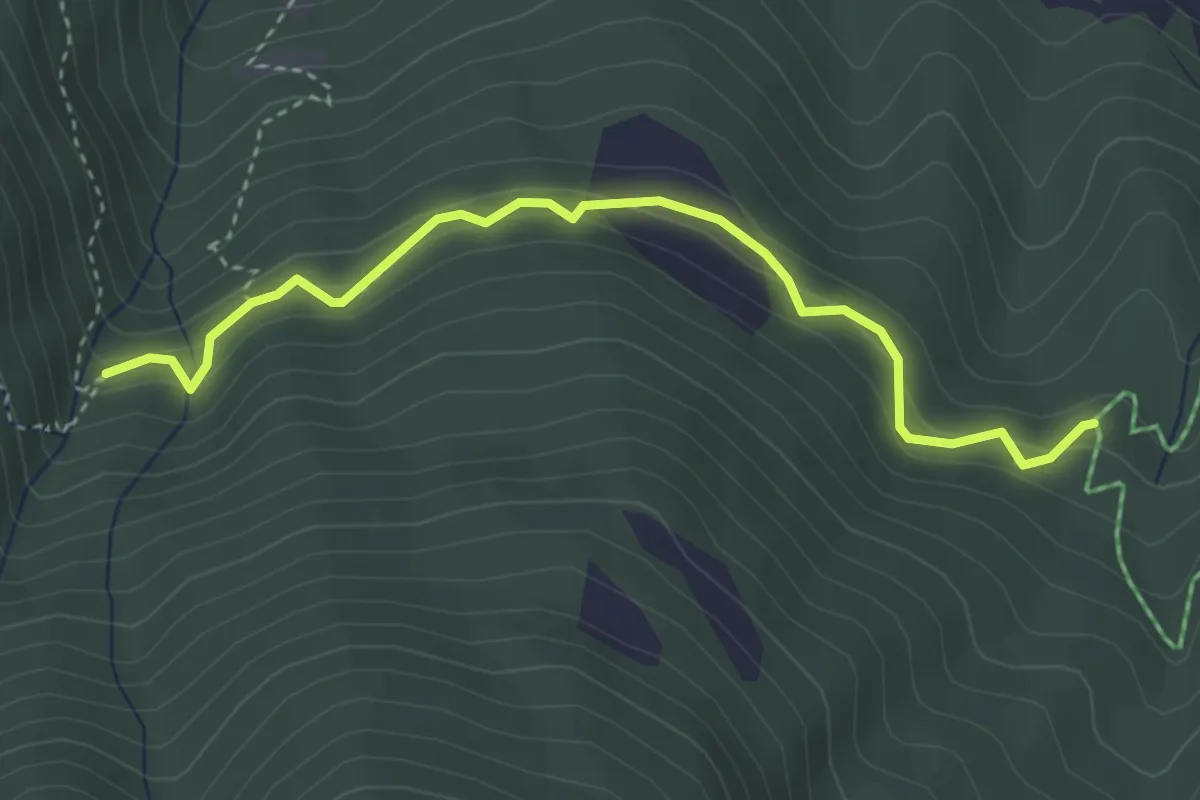
Easy · Trail
Ronalpa – Alte Suon
3.7 km · ↑ 318 m · 1 h 33 min · 14 km away
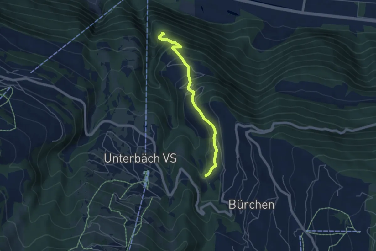
Medium · Trail
Wandflüe – Mauracker
4.3 km · ↑ 385 m · 1 h 52 min · 14 km away
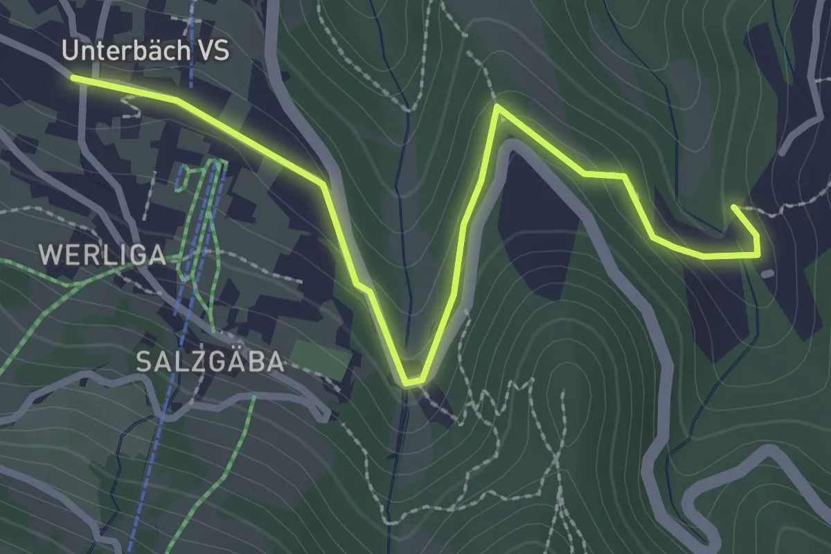
Easy · Trail
Unterbäch – Mauracker
3.0 km · ↑ 103 m · 55 min · 14 km away
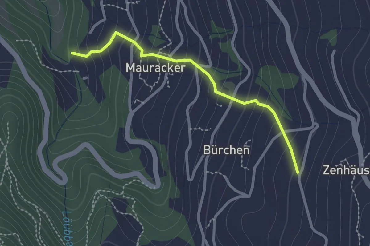
Easy · Trail
Zenhäusern – Mauracker
2.1 km · ↑ 192 m · 55 min · 14 km away
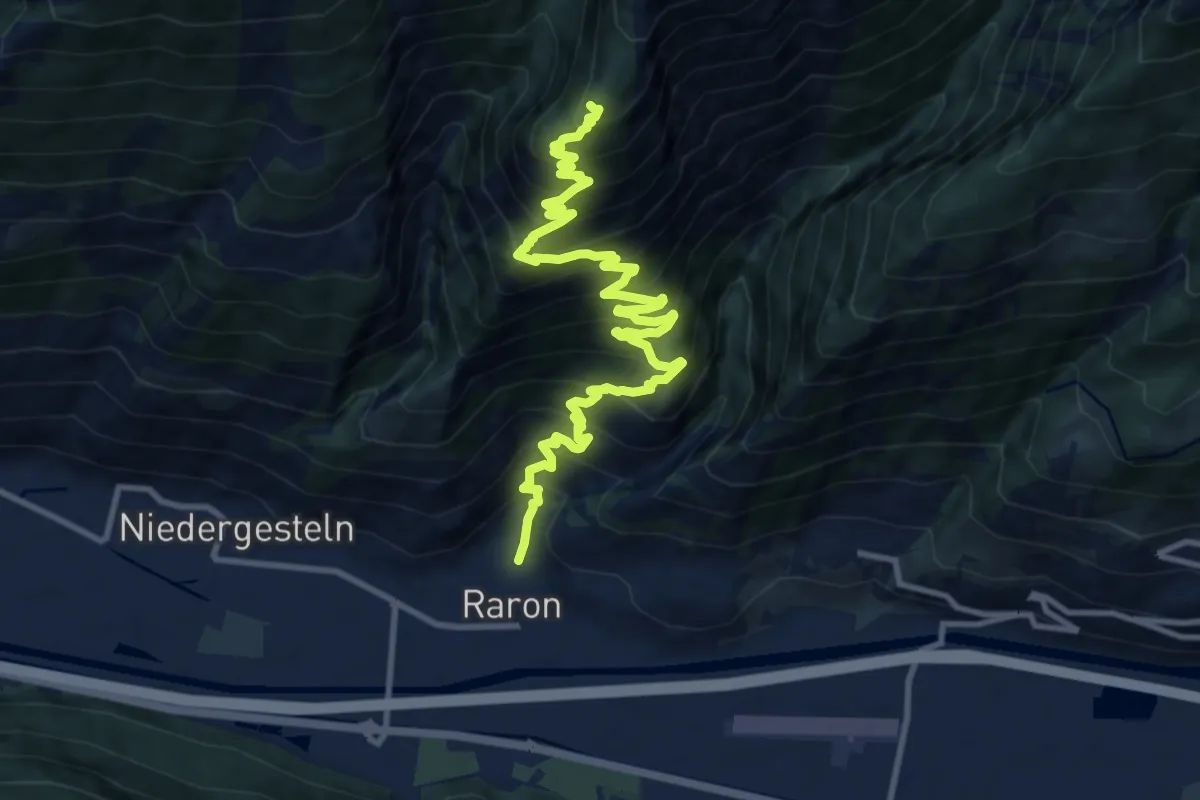
Demanding · Trail
Raron - Prag
13.6 km · ↑ 1296 m · 6 h 1 min · 14 km away
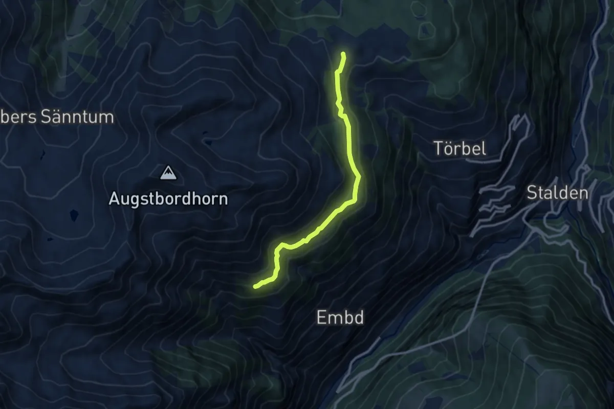
Expert · Trail
Läger – Moosalp
9.1 km · ↑ 346 m · 2 h 54 min · 14 km away
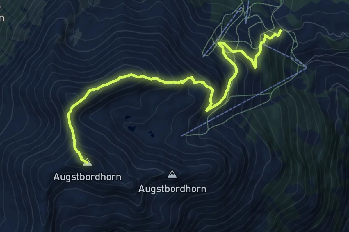
Demanding · Summit
Augstbordhorn – Moosalp
12.0 km · ↑ 963 m · 4 h 55 min · 14 km away
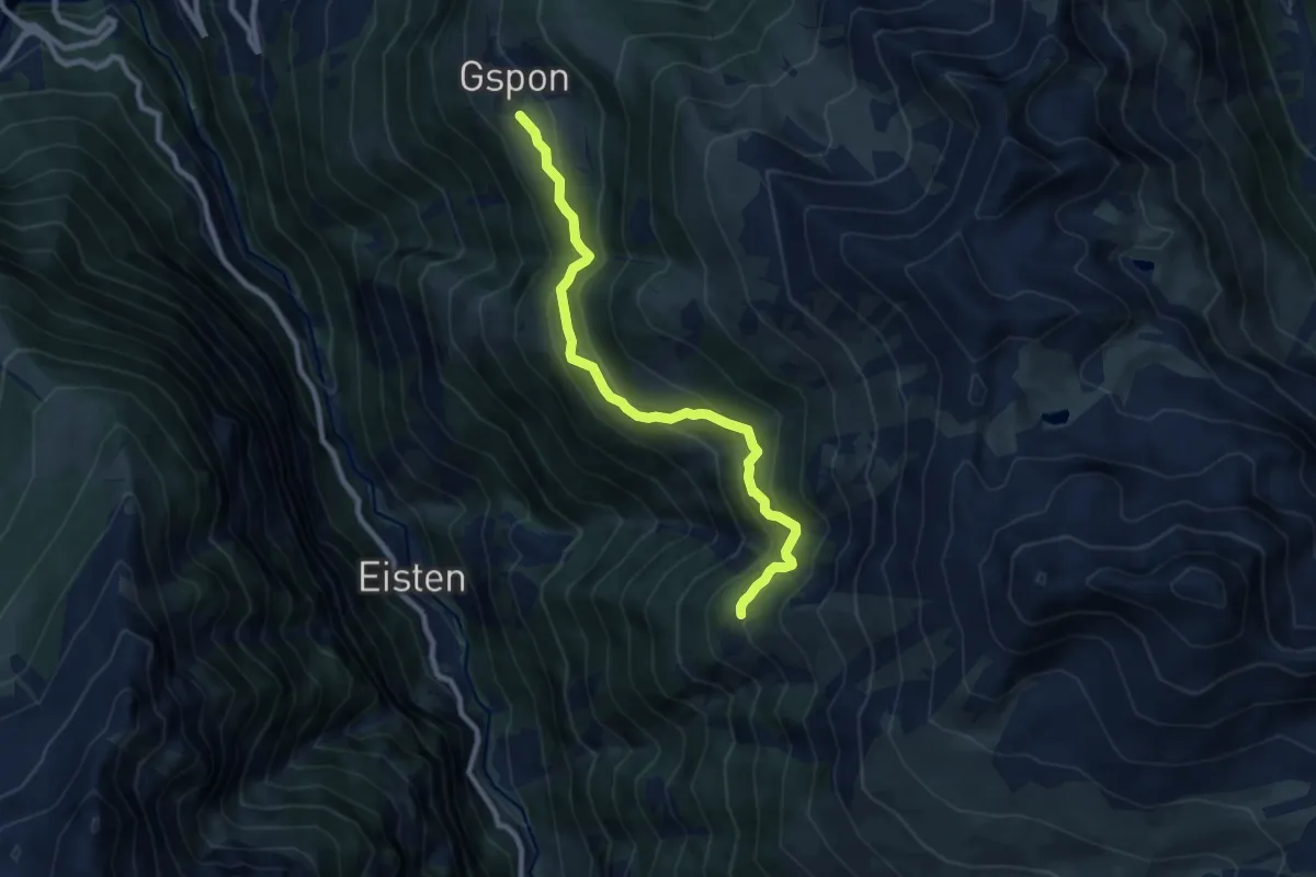
Medium · Trail
Gspon - Obere Schwarze Wald
8.6 km · ↑ 659 m · 3 h 28 min · 14 km away
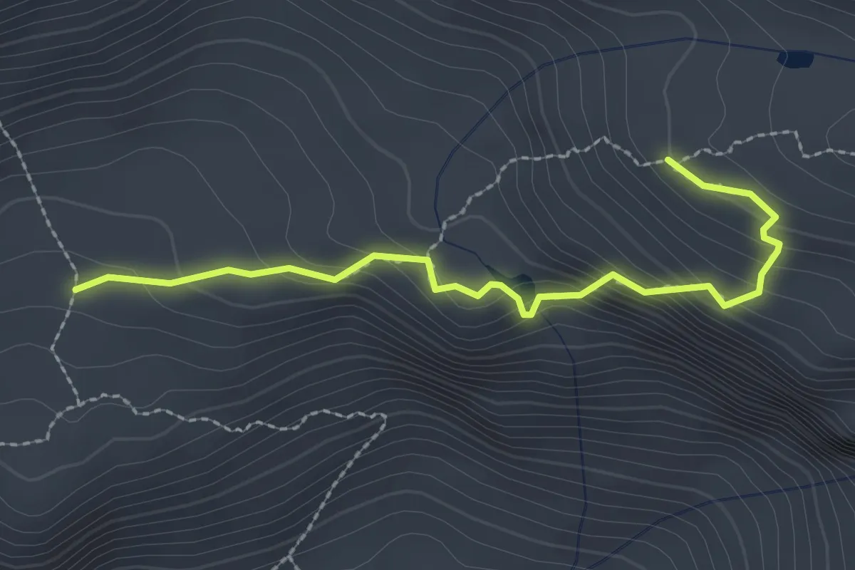
Medium · Cabin
XF4 - Pian d'Erbioi - Bivacco delle Guide Farello
2.5 km · ↑ 205 m · 1 h 2 min · 14 km away
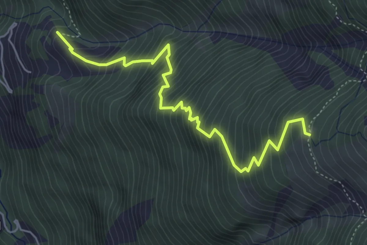
Demanding · Trail
Leidbach - Obere Schwarze Wald
5.3 km · ↑ 825 m · 3 h 2 min · 14 km away
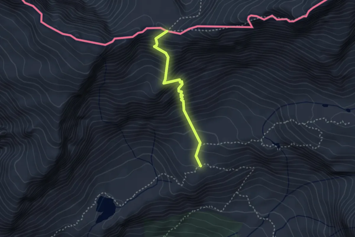
Demanding · Trail
F22 - Alpe Veglia - Lago Bianco - Passo di Boccareccio
2.6 km · ↑ 492 m · 1 h 41 min · 14 km away
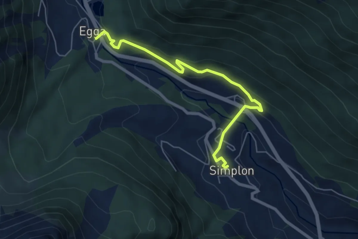
Easy · Trail
Simplon Dorf - Egga
5.1 km · ↑ 216 m · 1 h 40 min · 14 km away
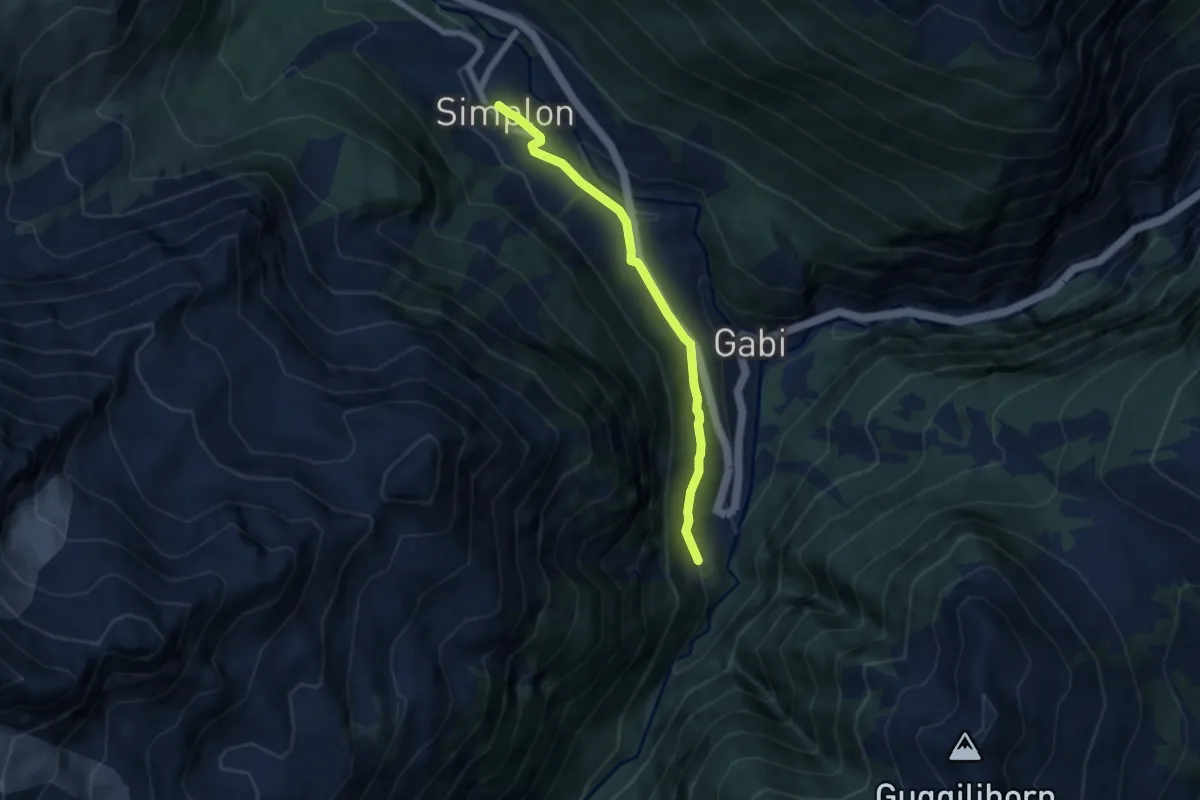
Easy · Trail
Laggin - Simplon Dorf
6.0 km · ↑ 236 m · 1 h 55 min · 14 km away
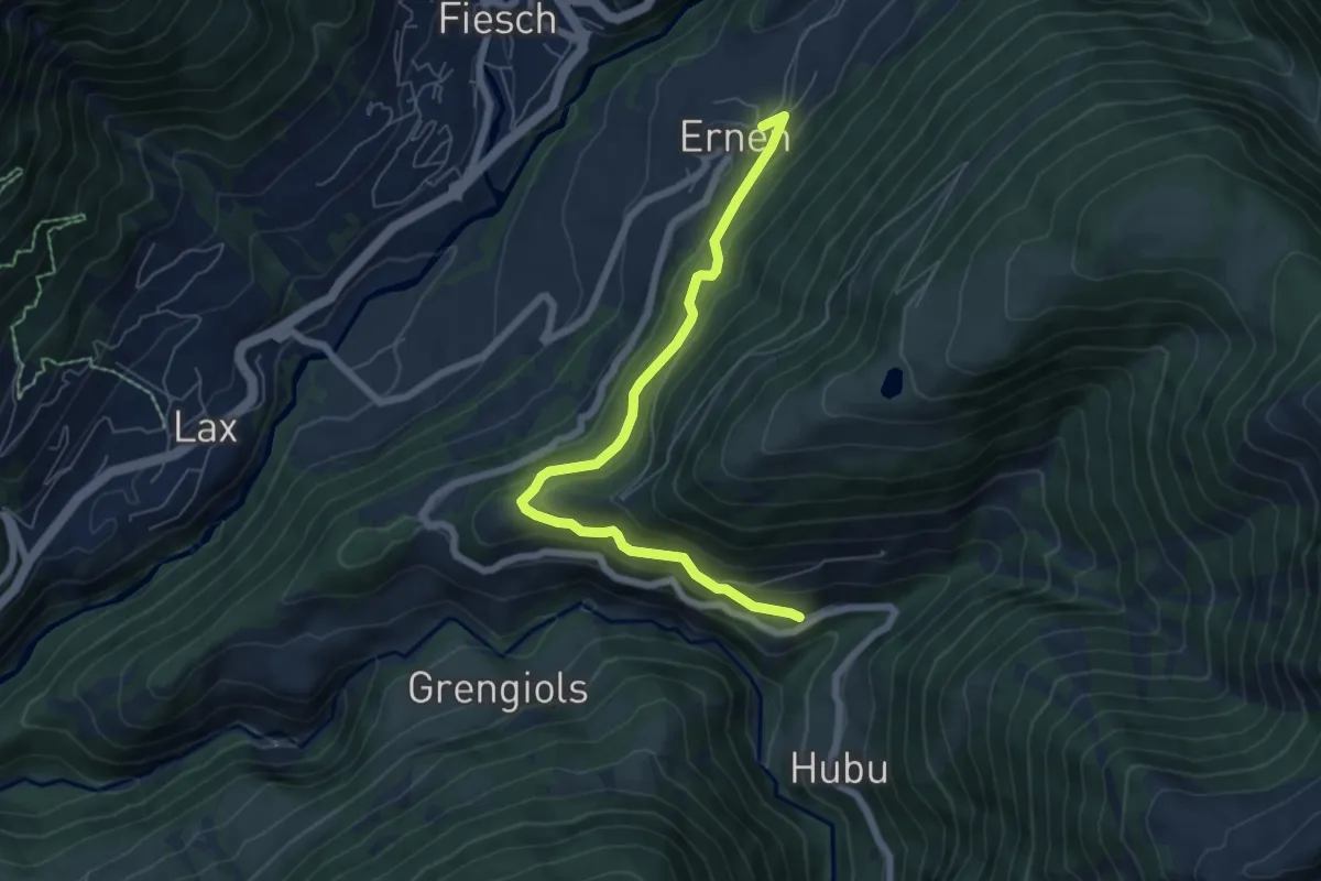
Medium · Trail
Ausserbinn-Ernen
6.5 km · ↑ 412 m · 2 h 26 min · 14 km away
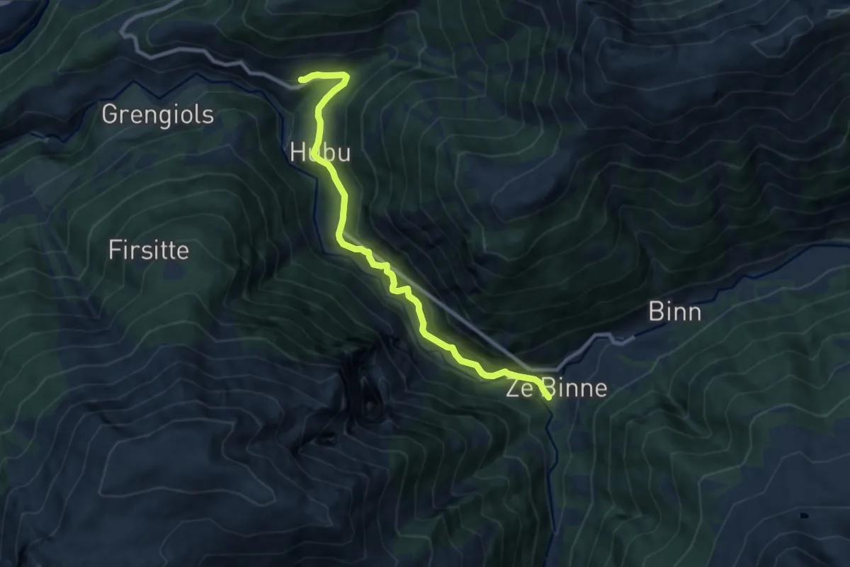
Medium · Trail
Binn-Ausserbinn
8.7 km · ↑ 599 m · 3 h 21 min · 14 km away
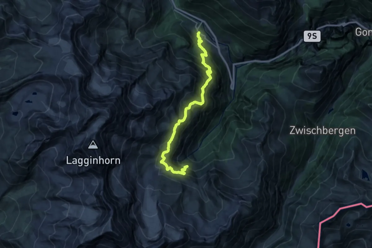
Demanding · Trail
Simplon Dorf - Bidumji
9.2 km · ↑ 1114 m · 4 h 28 min · 14 km away
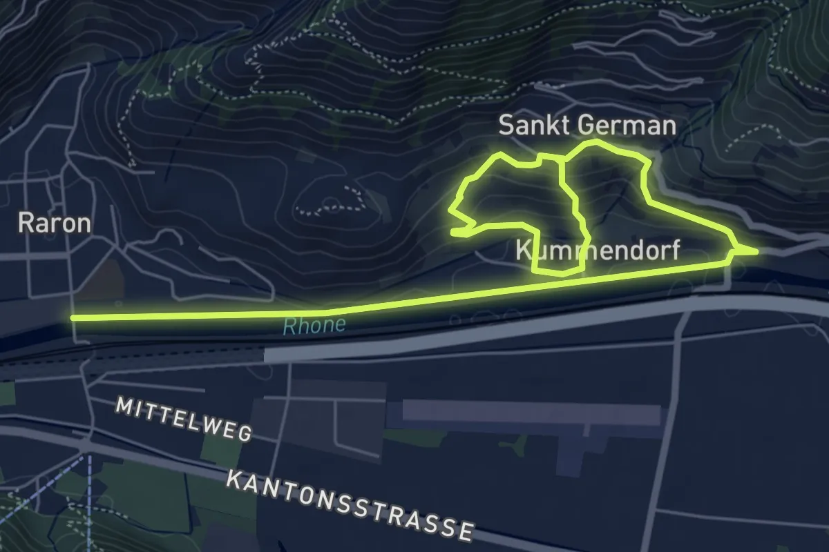
Medium · Trail
Raron - Sankt German
9.2 km · ↑ 350 m · 2 h 56 min · 14 km away
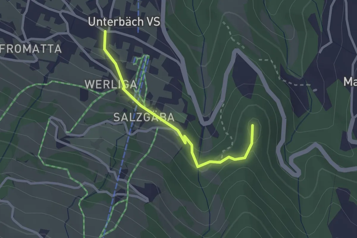
Easy · Trail
Unterbäch – Hohegge
2.2 km · ↑ 106 m · 46 min · 14 km away
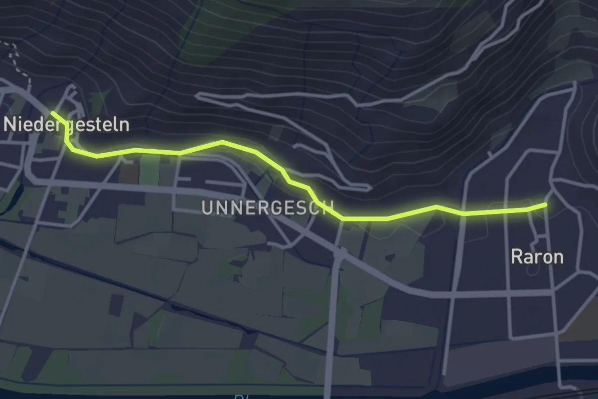
Easy · Trail
Raron - Niedergesteln
3.2 km · ↑ 51 m · 52 min · 14 km away
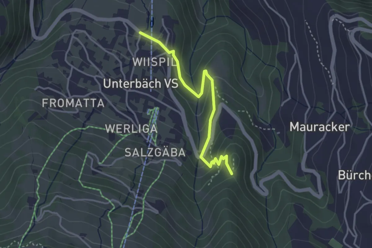
Easy · Trail
Hohegge – Wiispil
3.2 km · ↑ 136 m · 1 h 3 min · 14 km away
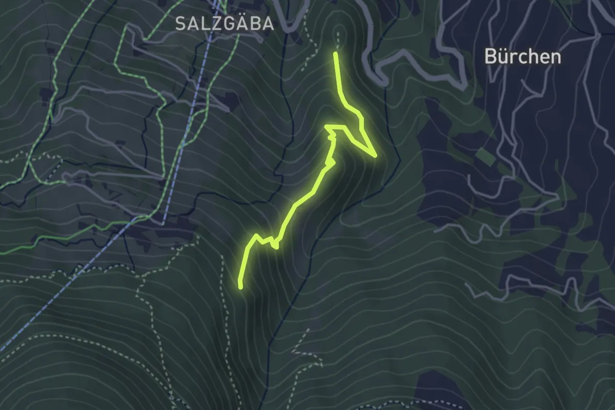
Medium · Trail
Brand – Hohegga
3.3 km · ↑ 321 m · 1 h 28 min · 14 km away
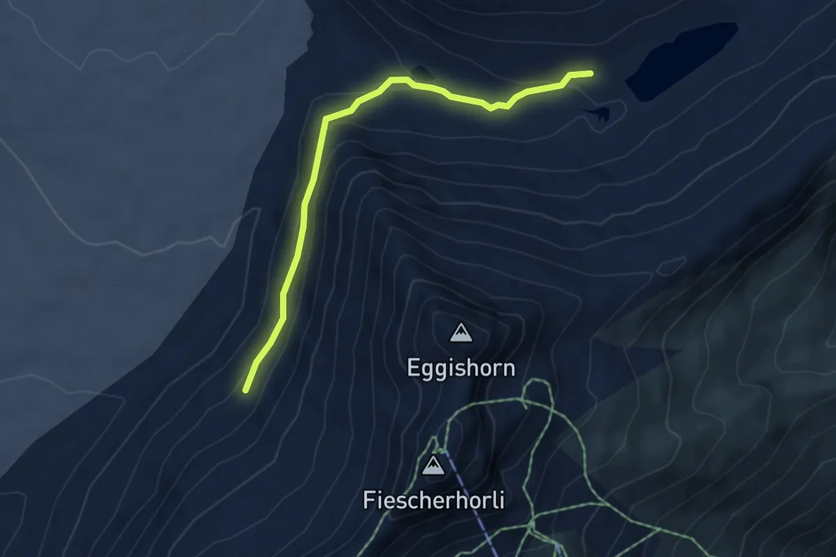
Medium · Cabin
Roti Chumme – Märjela Gletscherstube
4.7 km · ↑ 204 m · 1 h 33 min · 15 km away
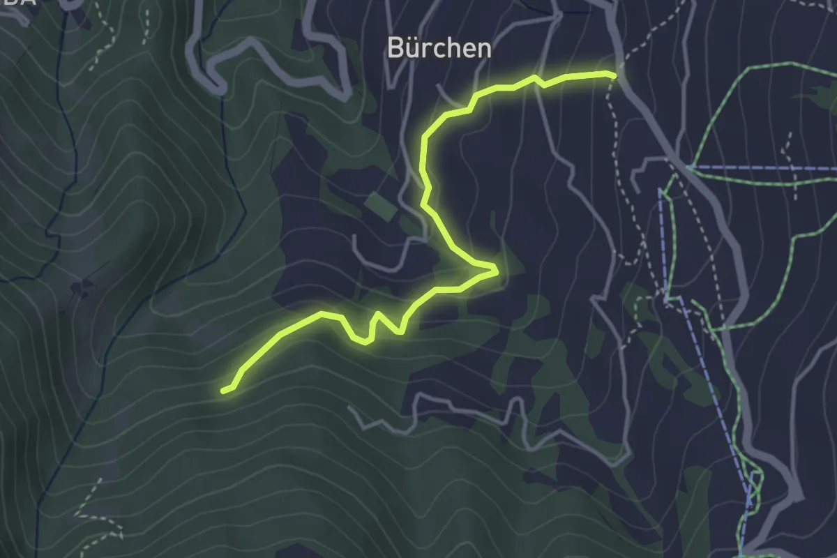
Easy · Trail
Zenhäusern – Wiisalpji
3.8 km · ↑ 261 m · 1 h 28 min · 15 km away
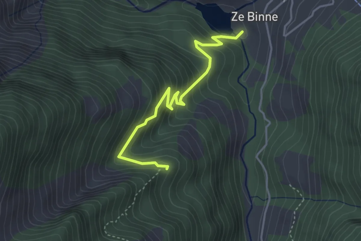
Medium · Trail
Schmalegga-Za Binne
3.6 km · ↑ 383 m · 1 h 41 min · 15 km away
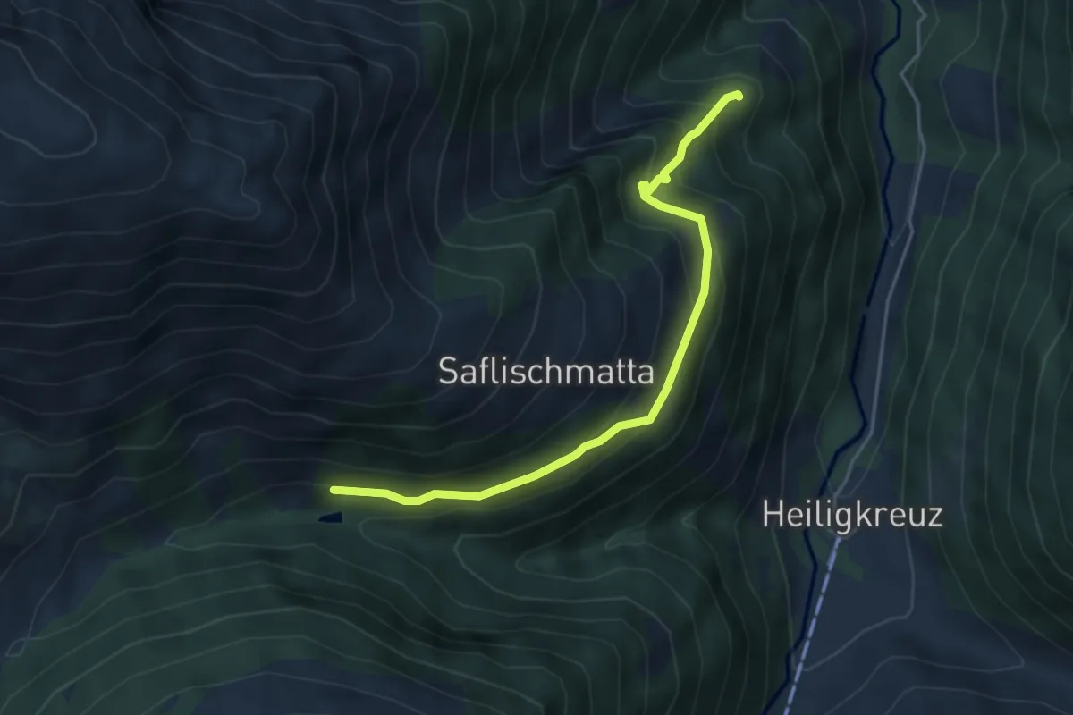
Medium · Trail
Chelliwald-Schmalegga
4.4 km · ↑ 417 m · 1 h 57 min · 15 km away
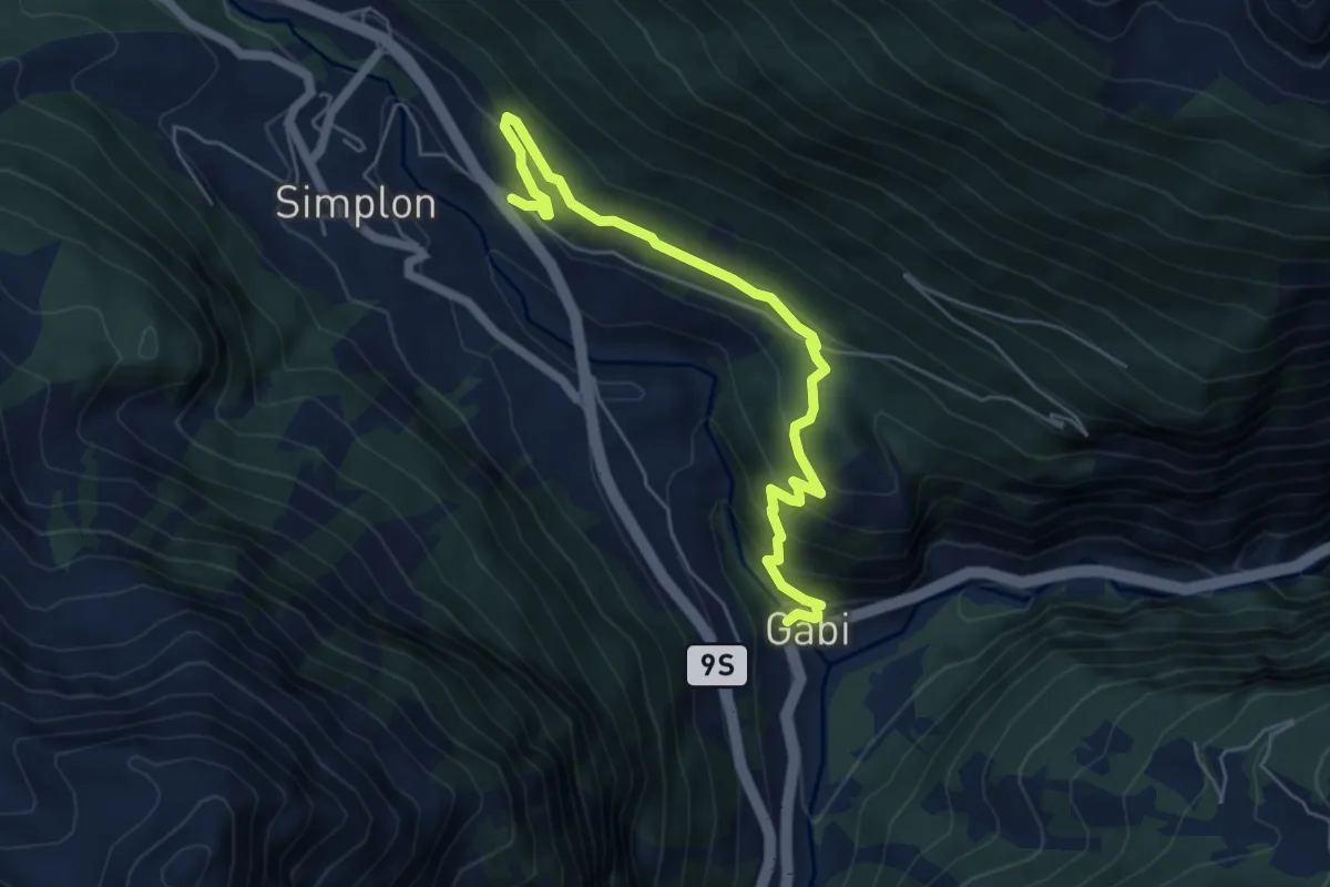
Medium · Trail
Gabi - Simplon Dorf
6.0 km · ↑ 393 m · 2 h 16 min · 15 km away
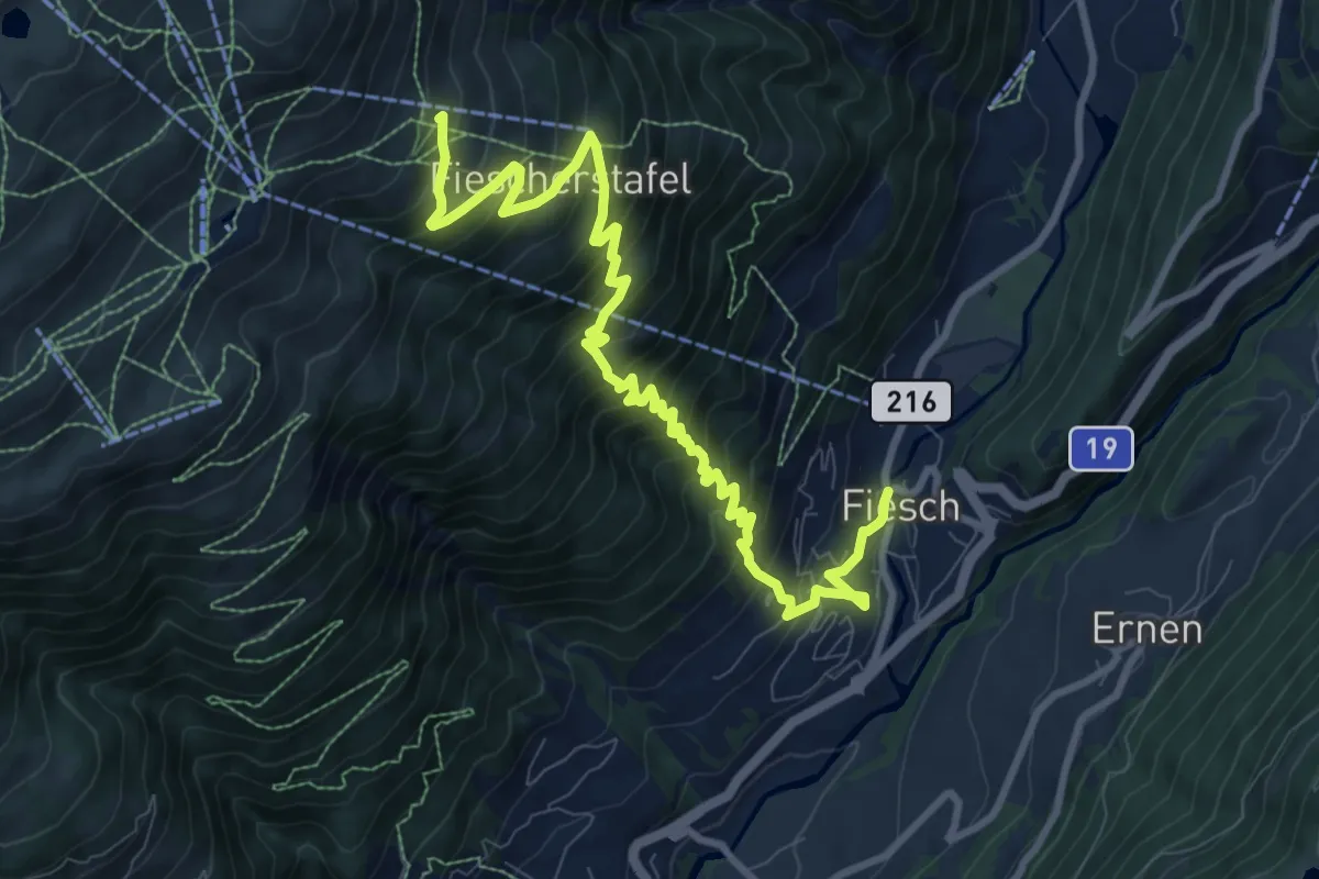
Demanding · Trail
Fiesch - Fiescheralp
11.2 km · ↑ 1061 m · 4 h 57 min · 15 km away
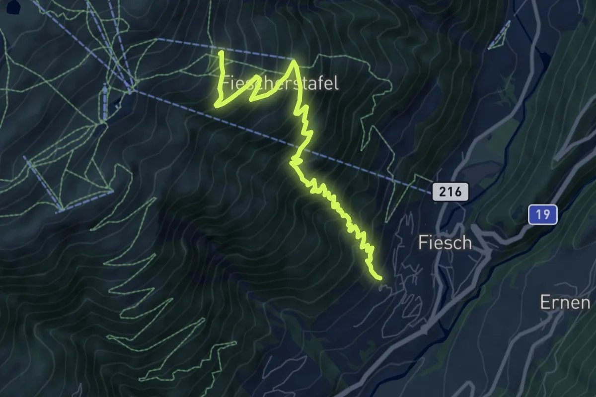
Demanding · Trail
Gogwärgiweg
8.9 km · ↑ 933 m · 4 h 8 min · 15 km away
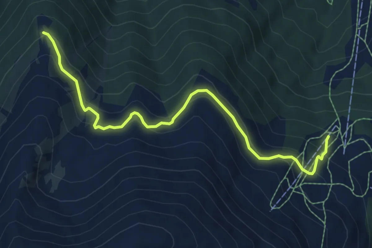
Medium · Trail
Unnerrat – Oberes Gibidum
7.3 km · ↑ 506 m · 2 h 49 min · 15 km away
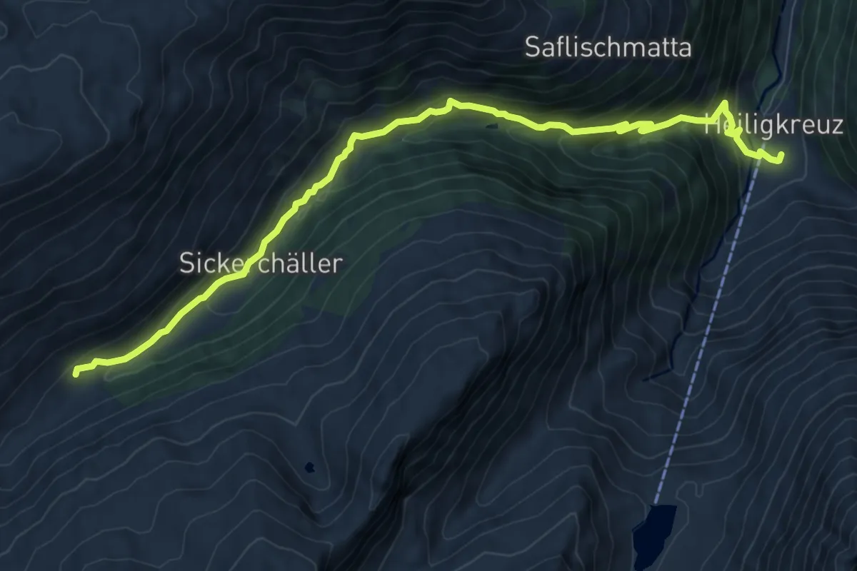
Medium · Trail
Saflischbachweg
10.0 km · ↑ 756 m · 4 h · 15 km away
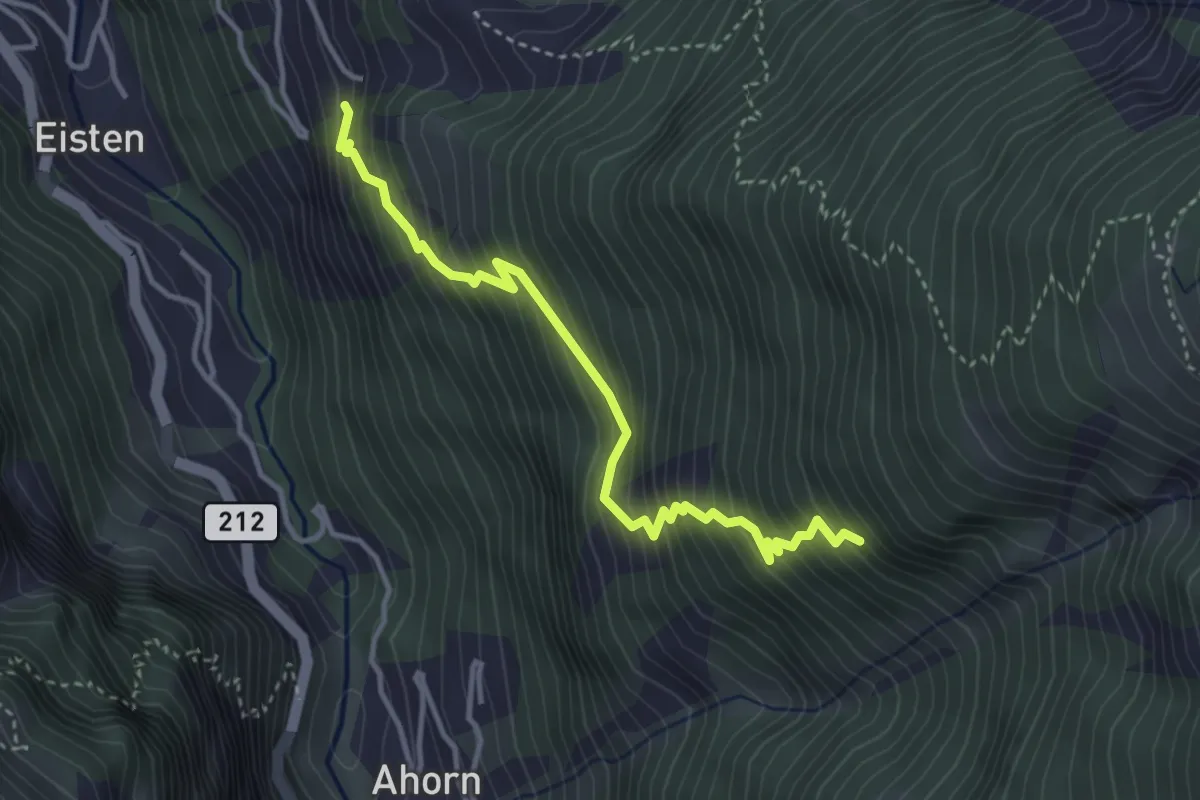
Medium · Trail
Asp - Stellinu
3.8 km · ↑ 553 m · 2 h 5 min · 15 km away
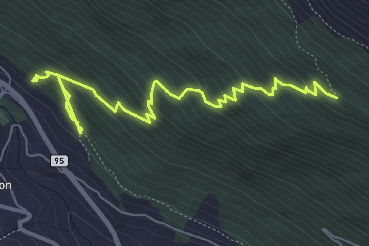
Medium · Trail
Simplo Dorf - Chastelbergpass
6.2 km · ↑ 609 m · 2 h 47 min · 15 km away
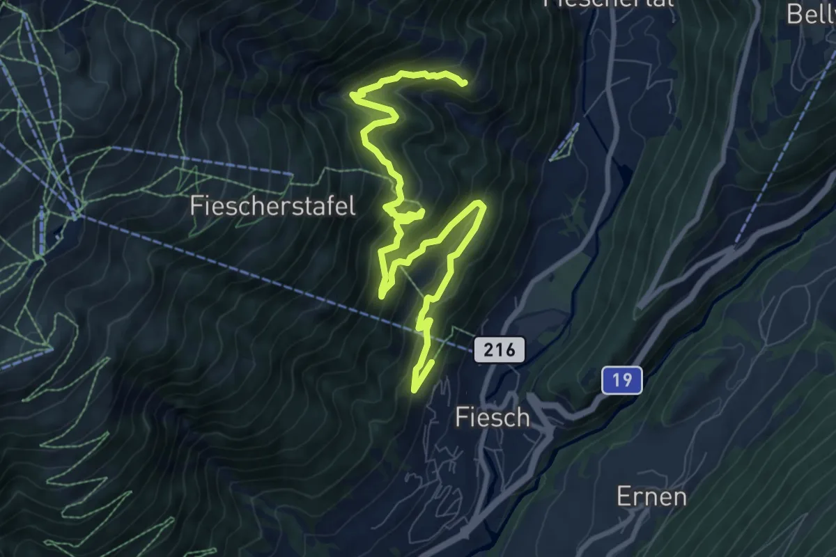
Medium · Trail
Fiesch - Bärg
10.4 km · ↑ 758 m · 4 h 6 min · 15 km away