Trails near Bulle
125 hikes starting within 15 km, nearest first.
Nearest first, page 2 of 3
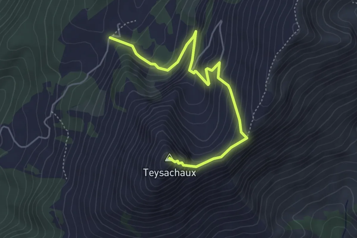
Medium · Summit
Le Villard-Dessus – Teysachaux
5.0 km · ↑ 429 m · 2 h 7 min · 10 km away
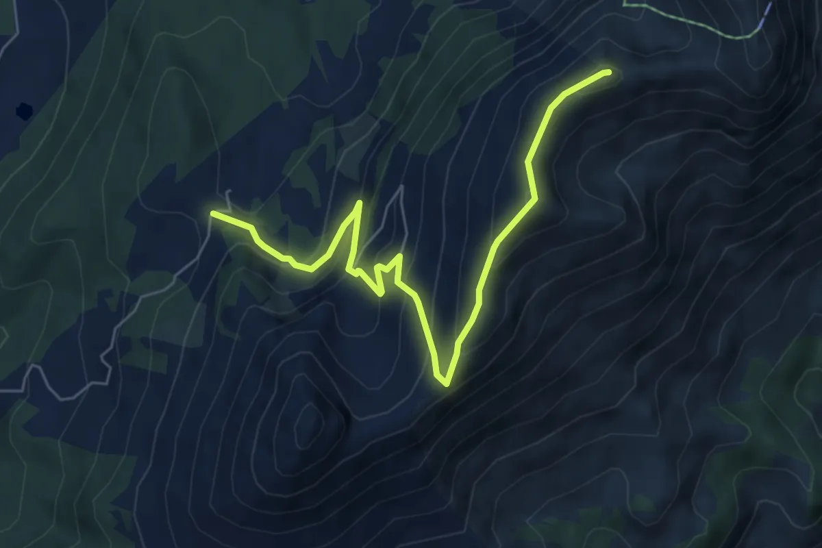
Medium · Summit
Le Villard-Dessus – Moléson
6.7 km · ↑ 467 m · 2 h 35 min · 10 km away
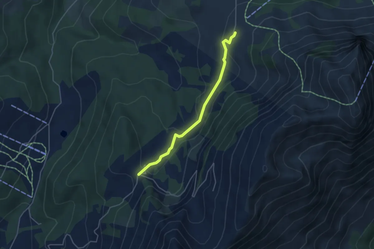
Easy · Cabin
Gros-Plané – Le Villard-Dessus
3.6 km · ↑ 125 m · 1 h 8 min · 10 km away
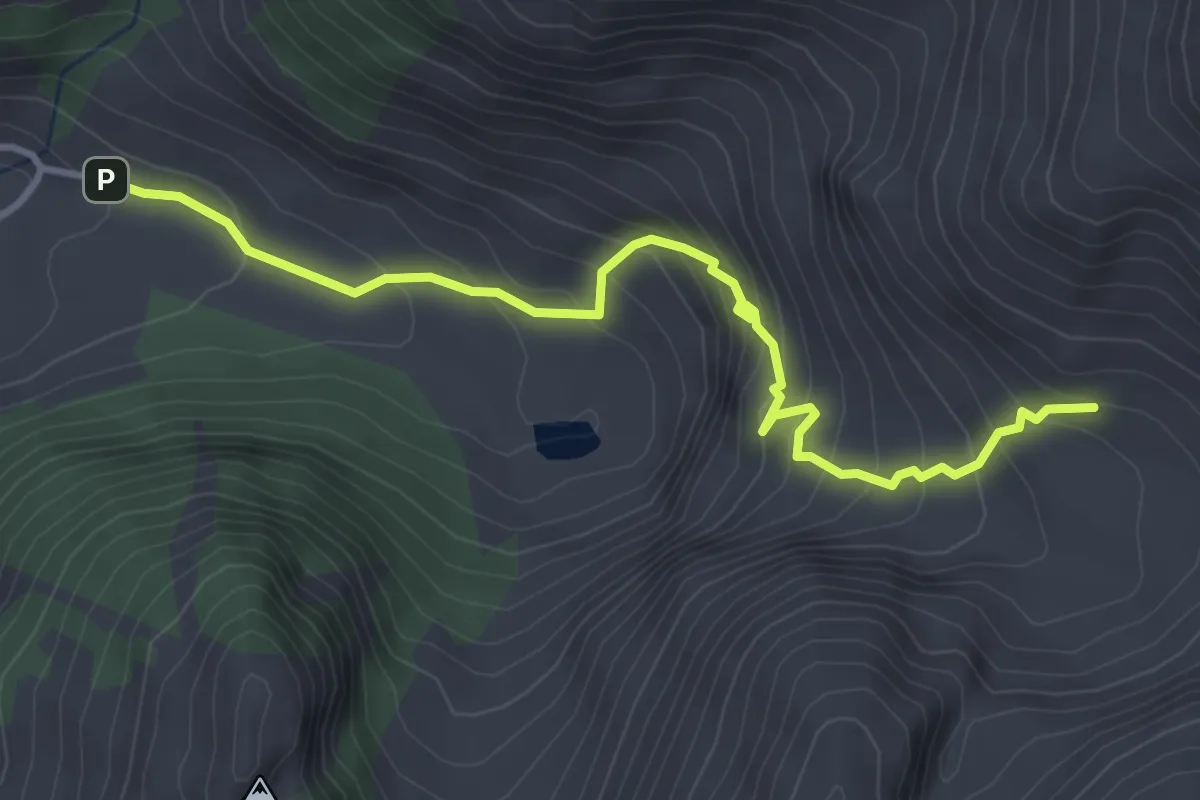
Medium · Cabin
Les Baudes - Cabane de Bounavaux
3.9 km · ↑ 376 m · 1 h 44 min · 10 km away
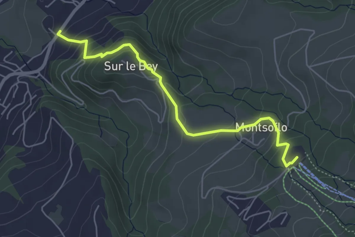
Easy · Trail
Le Brand – La Roche Eglise
4.9 km · ↑ 303 m · 1 h 48 min · 10 km away
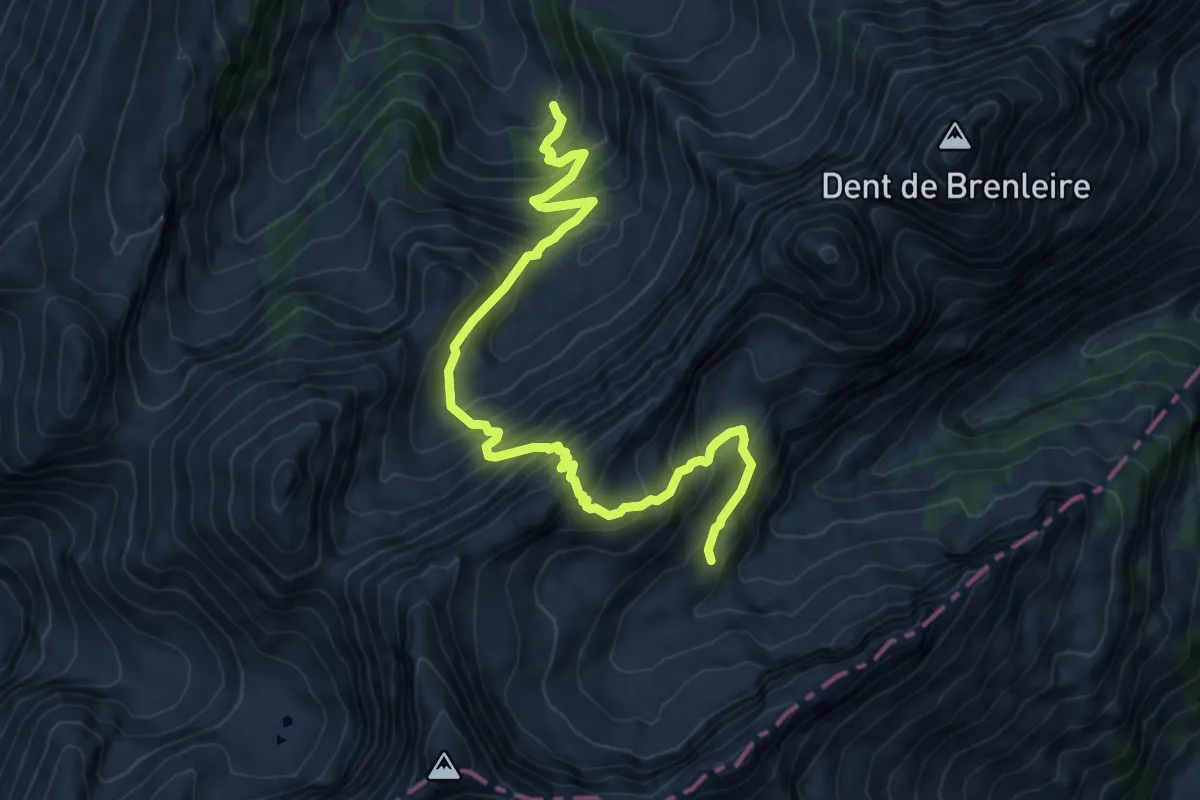
Expert · Cabin
Les Marindes-Motélon
8.8 km · ↑ 968 m · 4 h 11 min · 10 km away
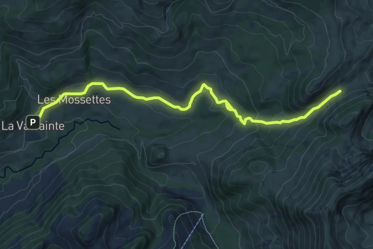
Medium · Cabin
La Balisa – La Valsainte
11.1 km · ↑ 416 m · 3 h 31 min · 11 km away
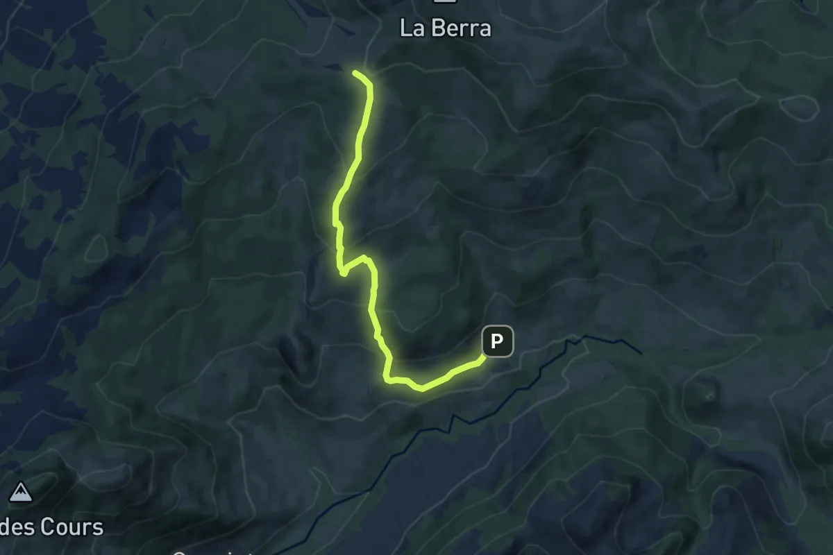
Medium · Cabin
La Valsainte – Les Allières
8.4 km · ↑ 510 m · 3 h 5 min · 11 km away
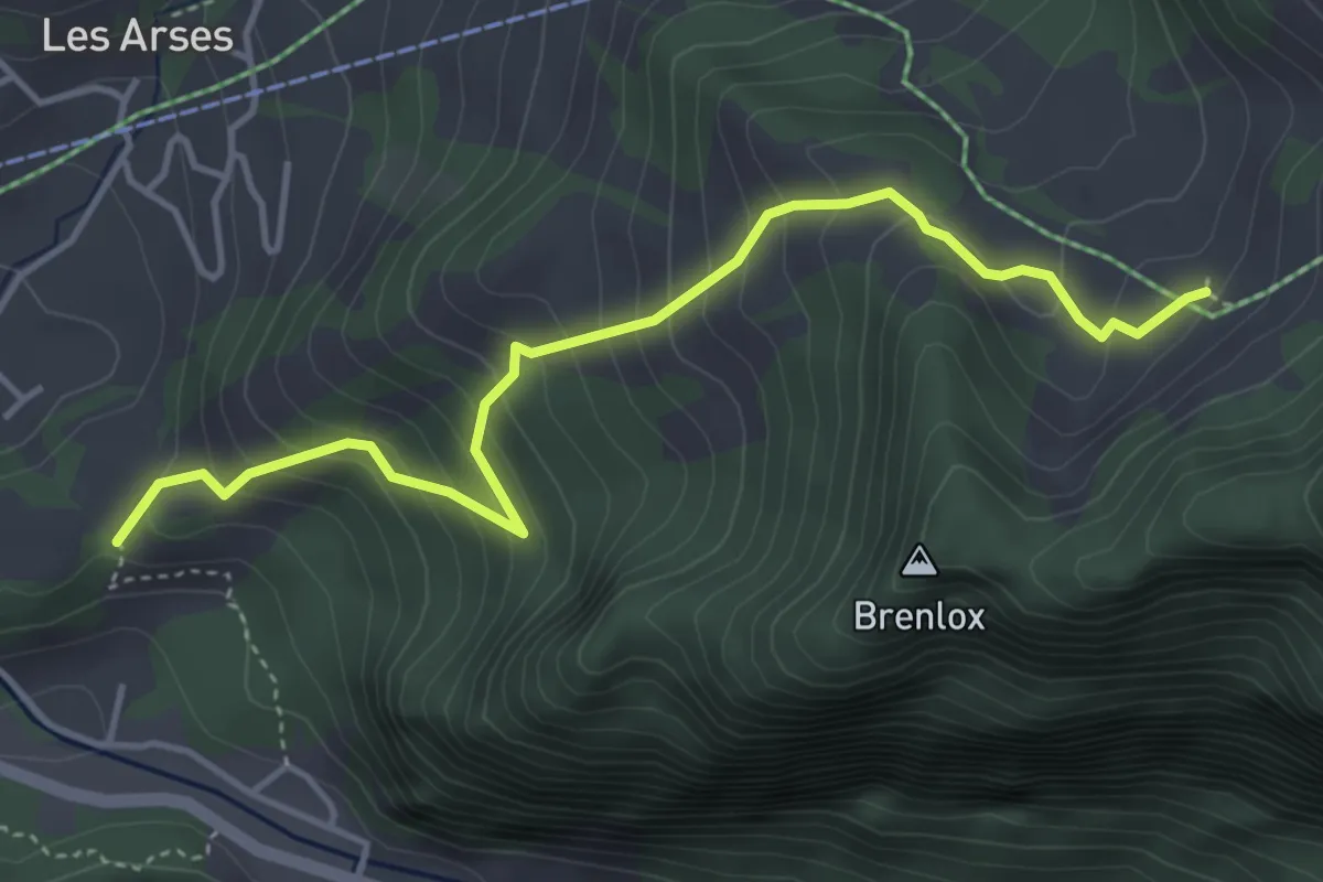
Medium · Trail
Pliaumont – Gros Ganet
4.4 km · ↑ 419 m · 1 h 57 min · 11 km away
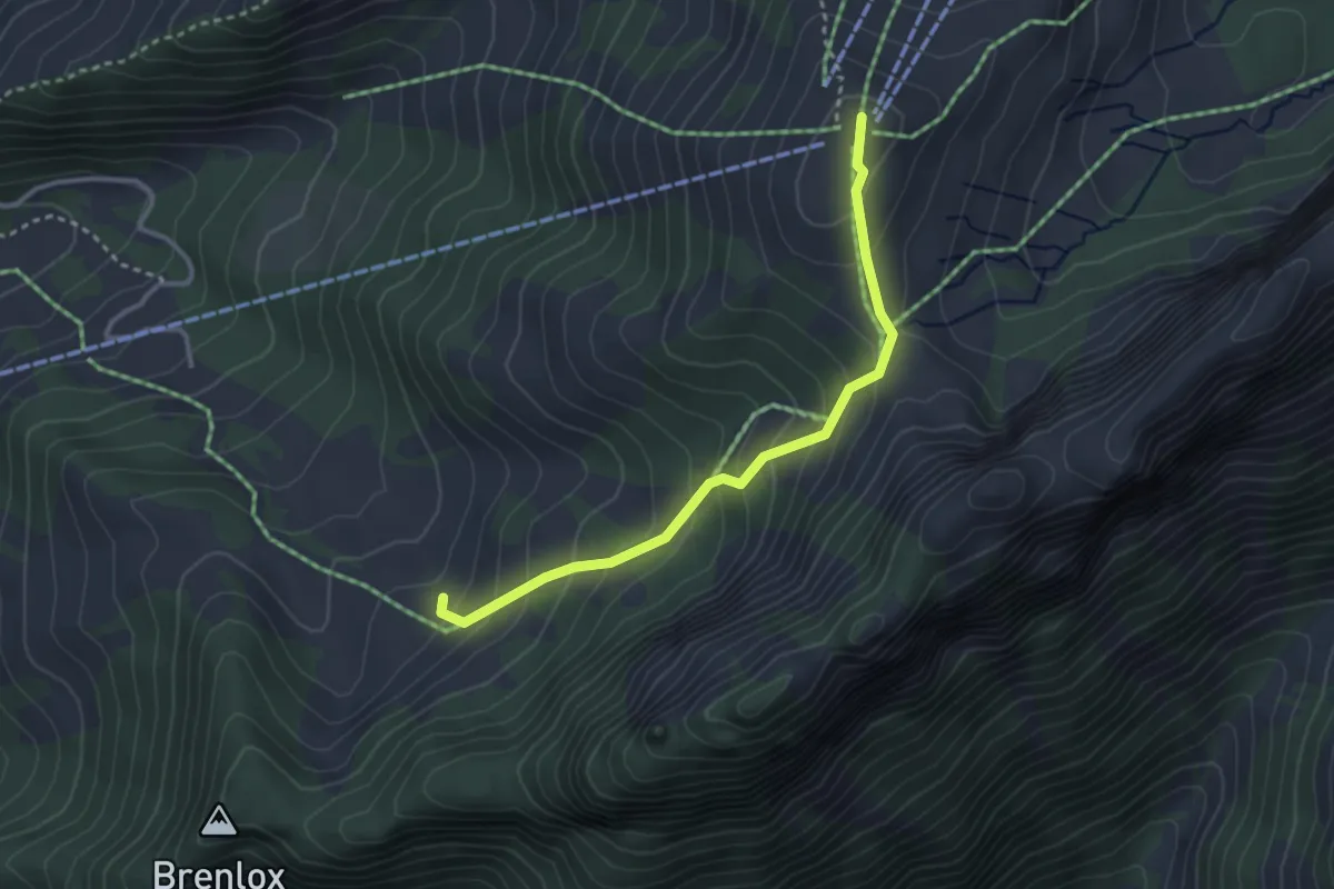
Easy · Summit
Gros Ganet – Vounetz
3.1 km · ↑ 278 m · 1 h 20 min · 11 km away
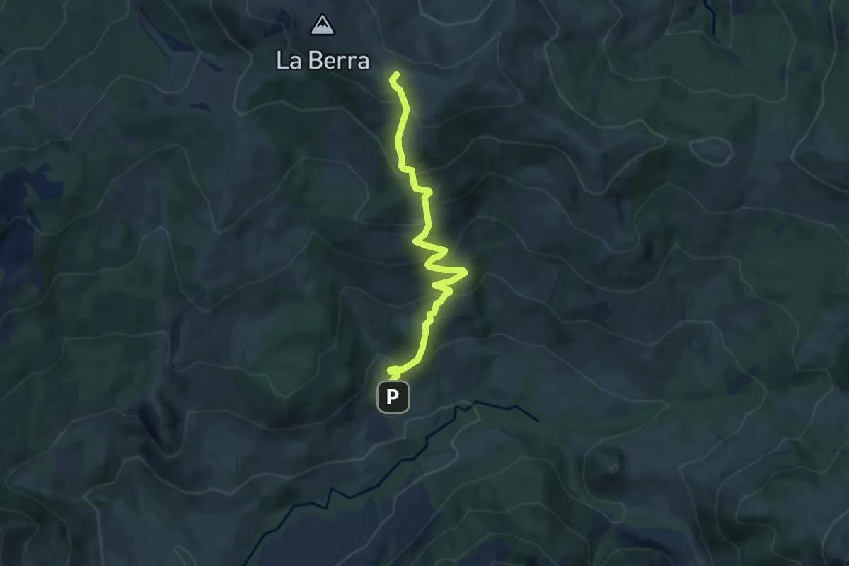
Medium · Cabin
La Valsainte – La Berra
7.5 km · ↑ 600 m · 3 h 4 min · 11 km away
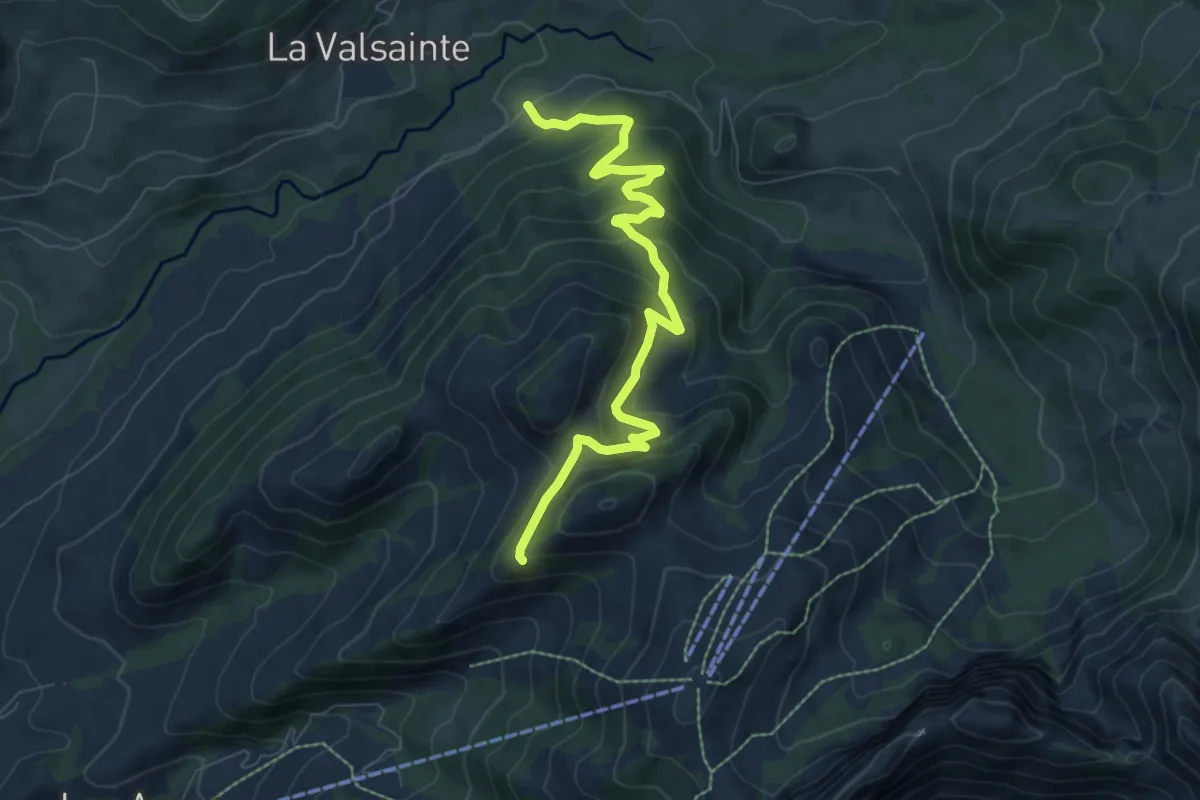
Medium · Trail
Les Reposoirs – Tissiniva
8.0 km · ↑ 487 m · 2 h 57 min · 11 km away
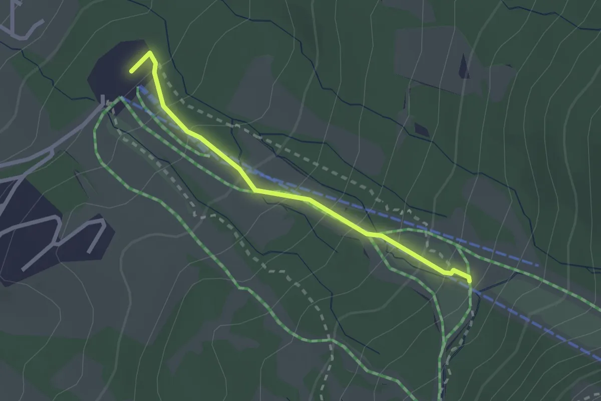
Easy · Trail
Le Brand – La Tschaka
2.1 km · ↑ 188 m · 55 min · 11 km away
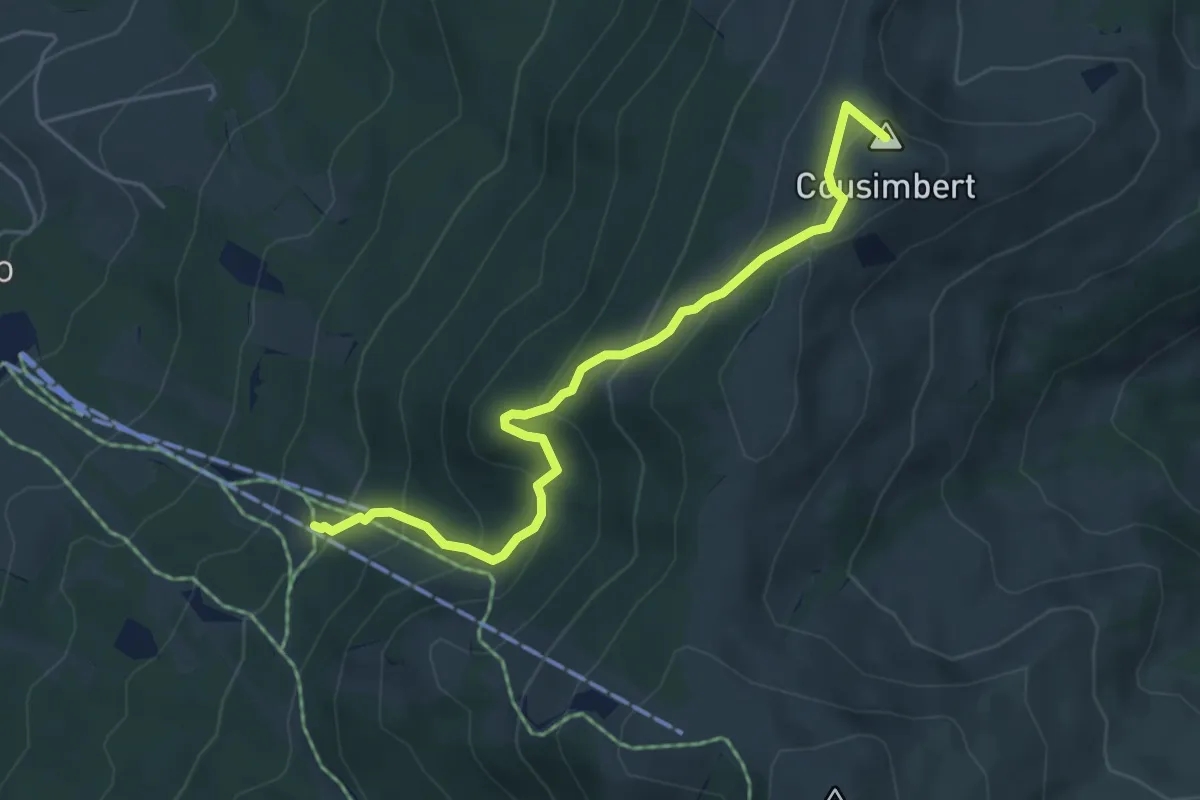
Medium · Summit
Gros Cousimbert Käsenberg – La Tschaka
5.2 km · ↑ 453 m · 2 h 13 min · 11 km away
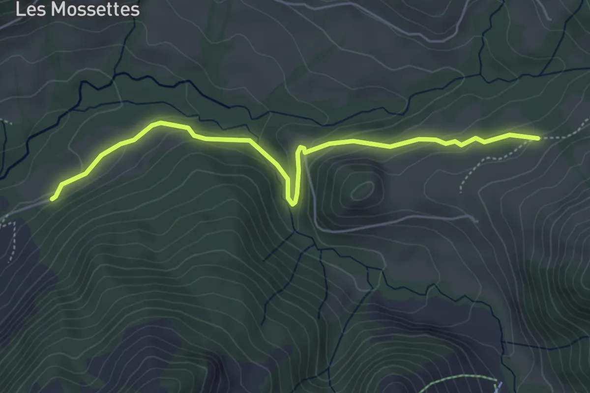
Medium · Trail
Les Reposoirs – Grattavache Dessous
5.1 km · ↑ 176 m · 1 h 36 min · 11 km away
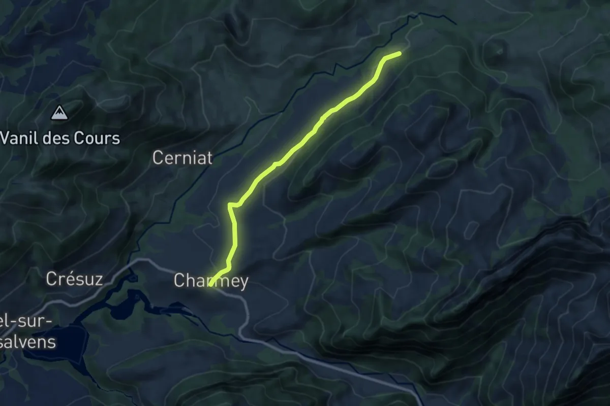
Medium · Trail
Charmey – Les Reposoirs
8.4 km · ↑ 166 m · 2 h 21 min · 11 km away
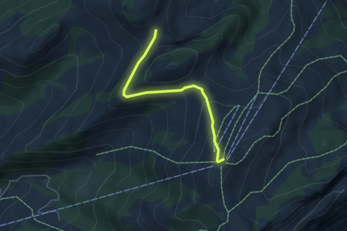
Medium · Summit
Les Reposoirs
3.6 km · ↑ 183 m · 1 h 15 min · 11 km away
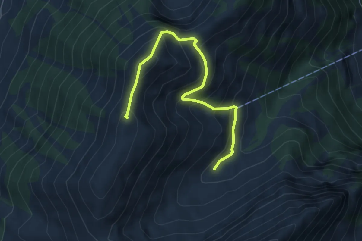
Medium · Summit
Grande Oudèche – Tissiniva de Motélon
5.3 km · ↑ 504 m · 2 h 20 min · 11 km away
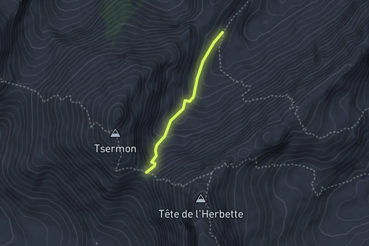
Easy · Trail
Col du Bounavalette – Porcheresse d'Enhaut
2.2 km · ↑ 217 m · 59 min · 11 km away
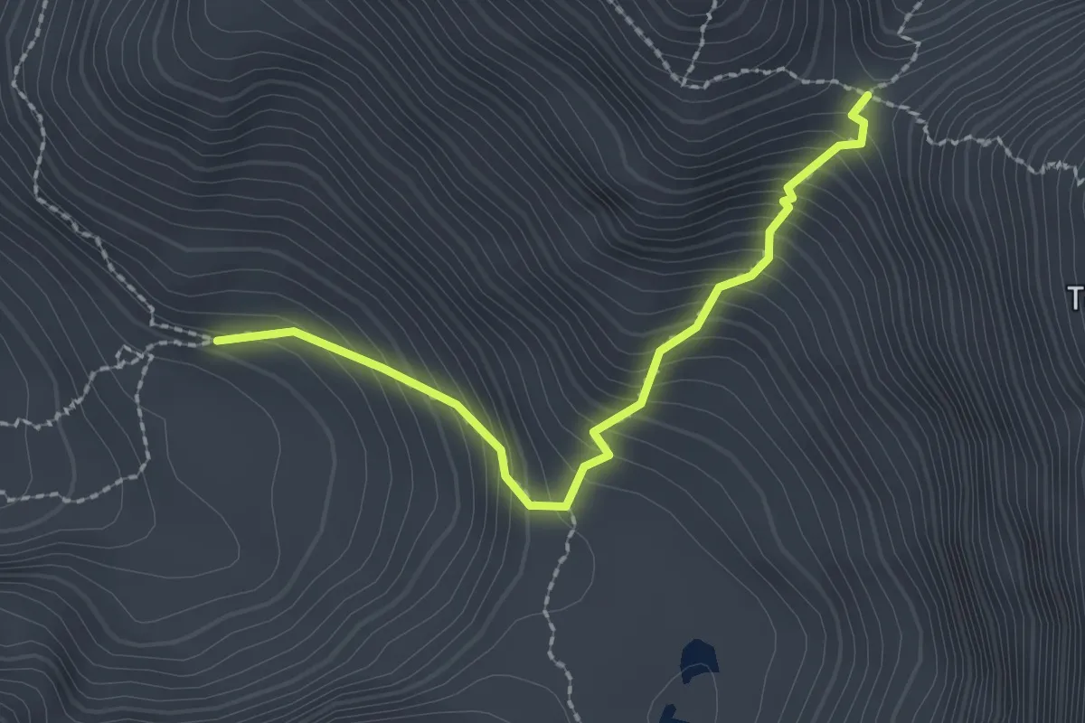
Medium · Cabin
Cabane de Bounavaux - Col de Bounavaletta
2.2 km · ↑ 332 m · 1 h 14 min · 11 km away
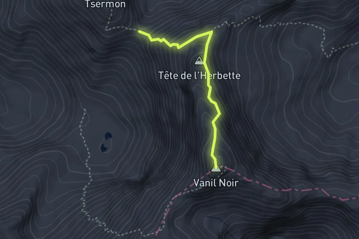
Expert · Summit
Col de Bounavaletta - Vanil Noir
2.7 km · ↑ 347 m · 1 h 23 min · 11 km away
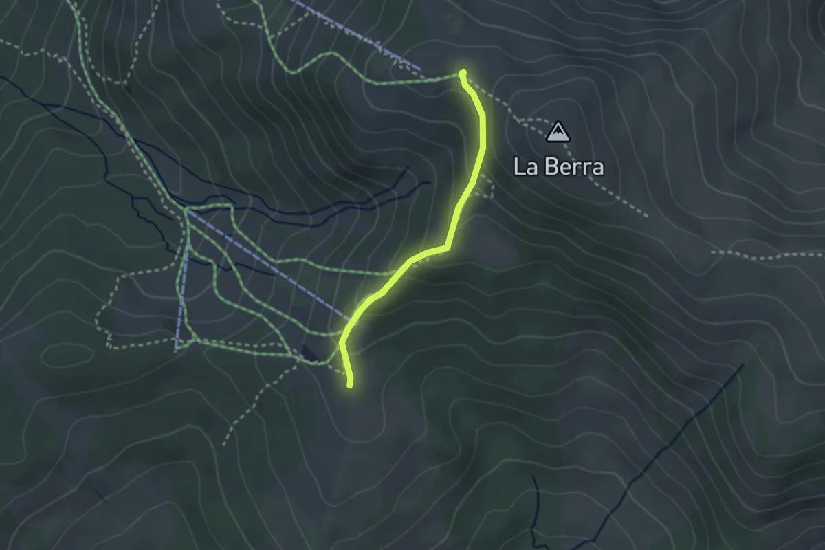
Easy · Cabin
La Berra Chalet – Gîte d'Allières
2.3 km · ↑ 146 m · 51 min · 11 km away
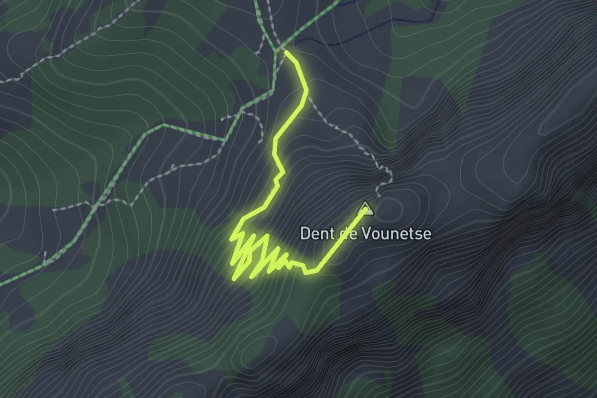
Easy · Summit
Vounetse – Dent du Vounetse
2.5 km · ↑ 210 m · 1 h 3 min · 11 km away
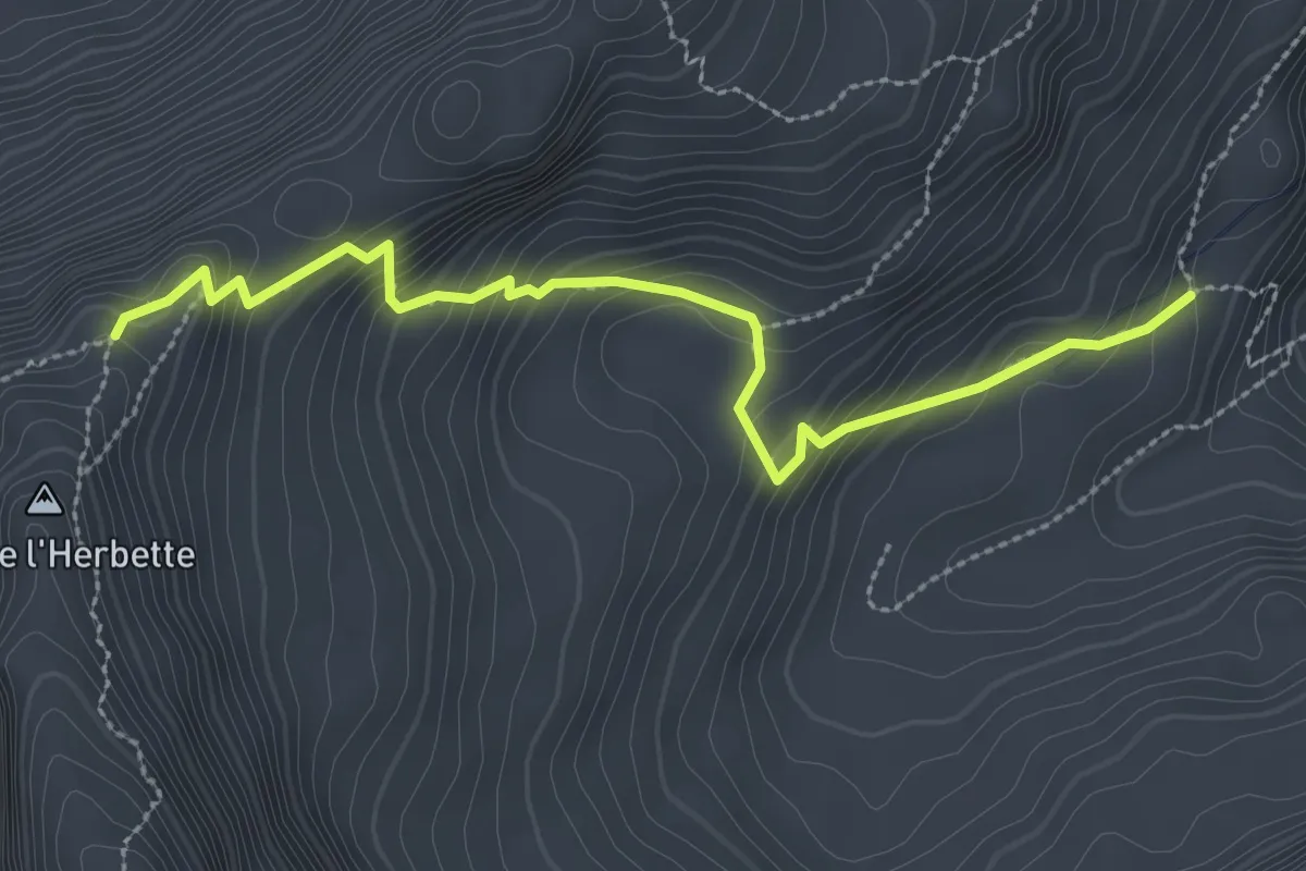
Expert · Cabin
Cabane des Marindes – Tête de l'Herbette
3.0 km · ↑ 279 m · 1 h 19 min · 12 km away
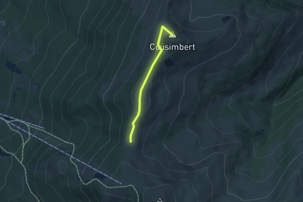
Easy · Summit
Gros Cousimbert Käsenberg – Supillette
2.9 km · ↑ 141 m · 1 h · 12 km away
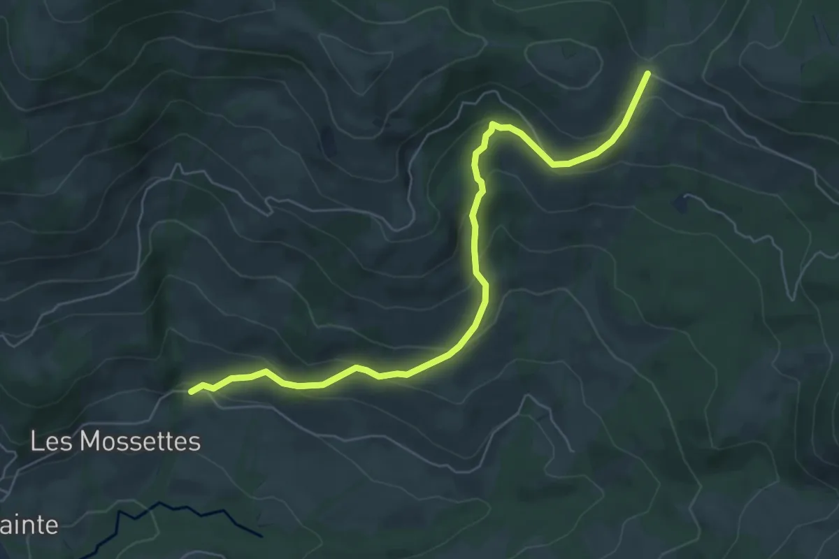
Medium · Cabin
Les Mossettes – Auta Chia
6.4 km · ↑ 369 m · 2 h 19 min · 12 km away
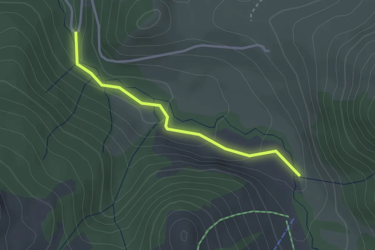
Easy · Trail
La Scie – Route des Revers
2.4 km · ↑ 83 m · 45 min · 12 km away
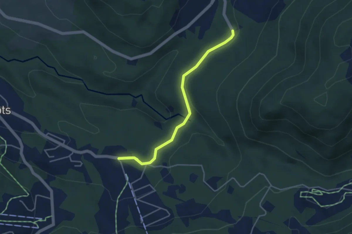
Easy · Trail
Les Rosalys – Les Pueys
3.4 km · ↑ 107 m · 1 h 3 min · 12 km away
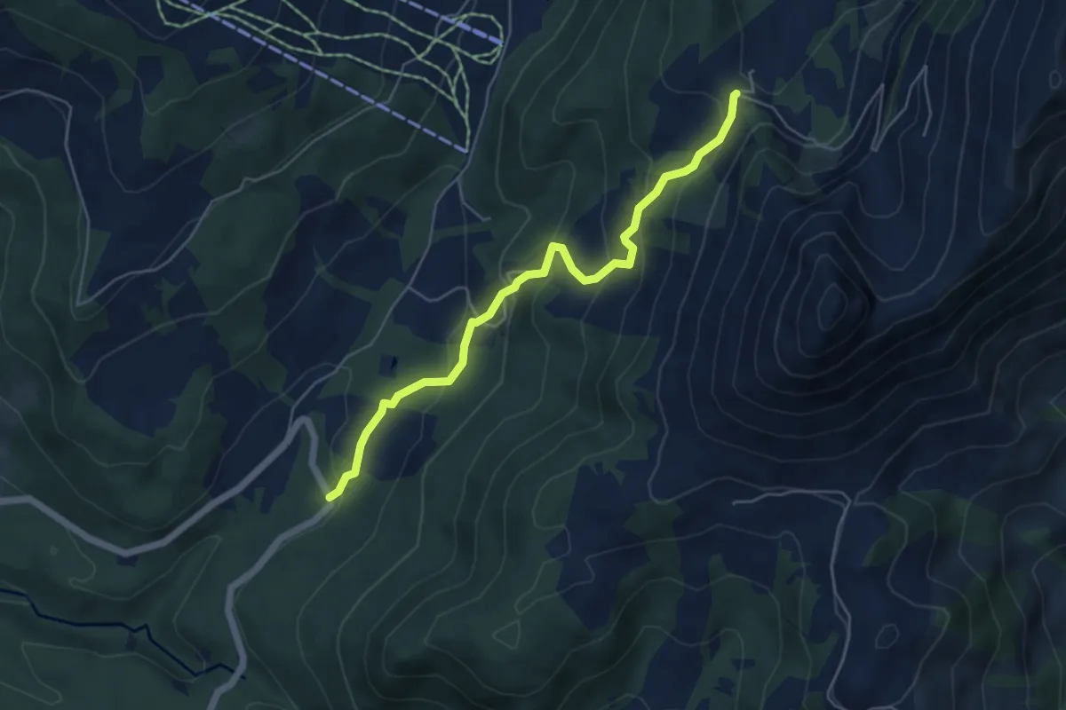
Medium · Trail
Les Pueys – Le Villard-Dessus
5.3 km · ↑ 331 m · 1 h 57 min · 12 km away
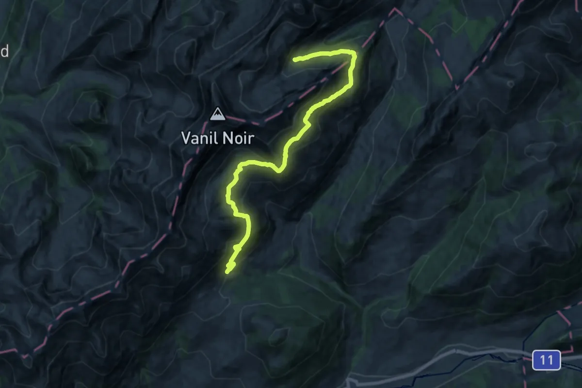
Demanding · Trail
Les Chargiaux – Les Morteys
15.8 km · ↑ 1001 m · 5 h 54 min · 12 km away
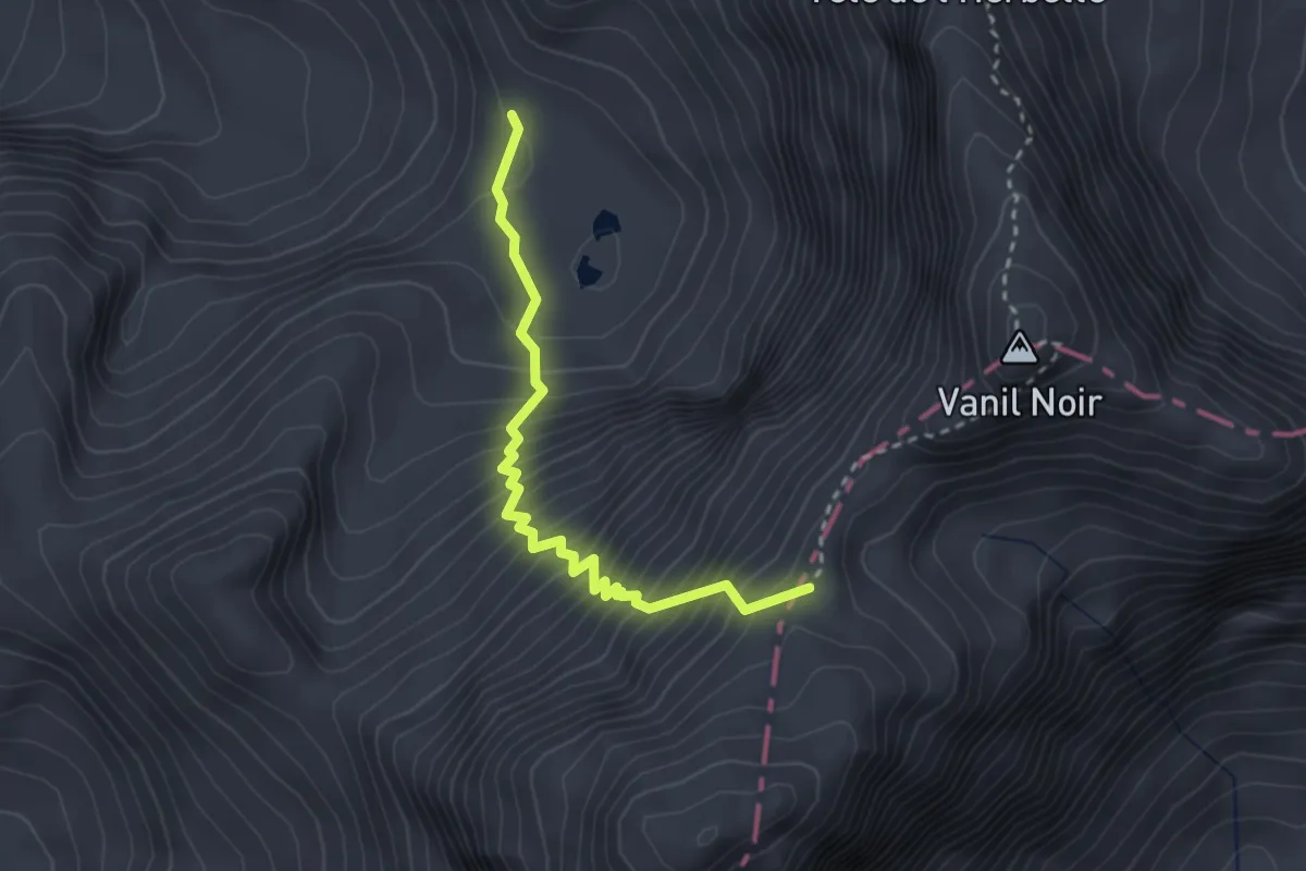
Demanding · Trail
Plan des Eaux - Bounaveletta
2.8 km · ↑ 460 m · 1 h 40 min · 12 km away
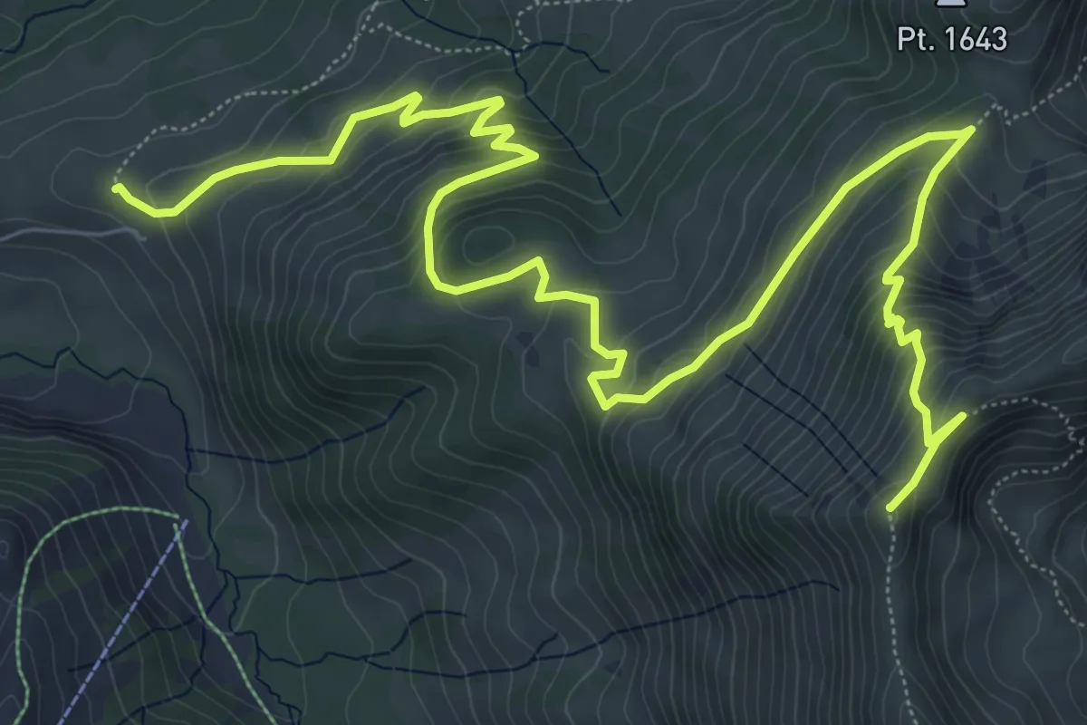
Medium · Summit
Pré de l'Essert – Patraflon
10.6 km · ↑ 712 m · 4 h 3 min · 13 km away
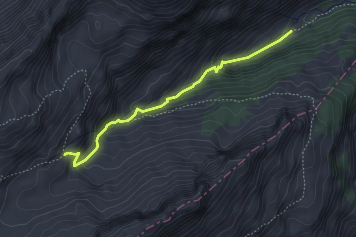
Medium · Cabin
Oussanne-Les Marindes
3.9 km · ↑ 343 m · 1 h 39 min · 13 km away
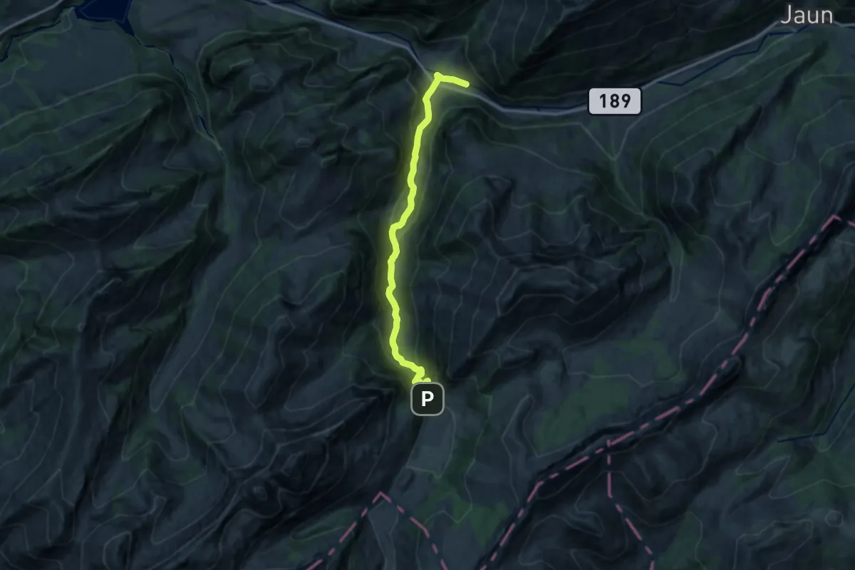
Medium · Trail
Praz-Jean – Gros Mont
12.7 km · ↑ 587 m · 4 h 16 min · 13 km away
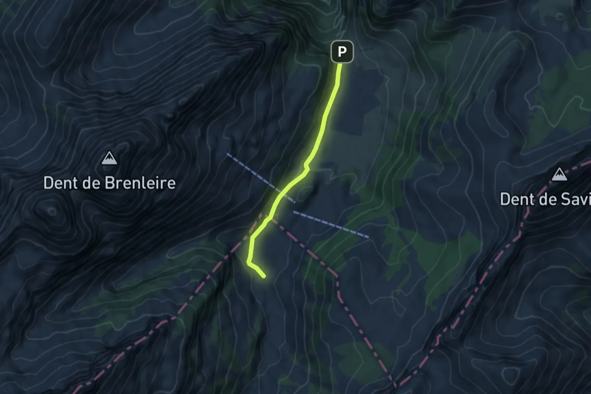
Easy · Trail
Gros-Mont-Flendruz
4.5 km · ↑ 101 m · 1 h 17 min · 13 km away
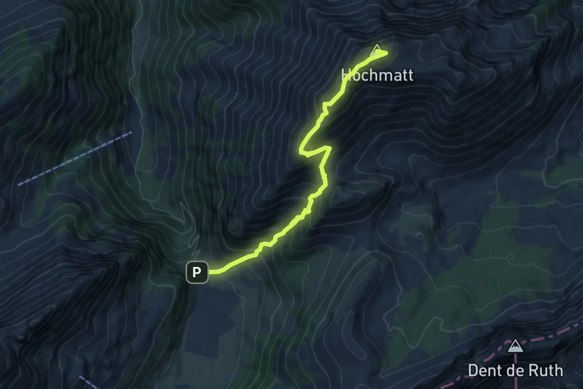
Demanding · Summit
Gros Mont – Hochmatt
7.0 km · ↑ 747 m · 3 h 17 min · 13 km away
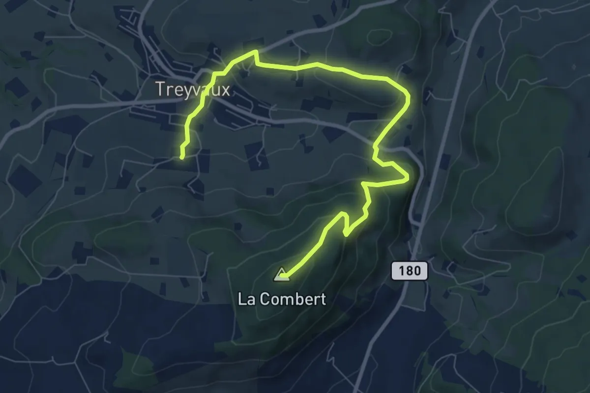
Medium · Summit
Circuit de la Combert par le sommet
9.4 km · ↑ 427 m · 3 h 8 min · 13 km away
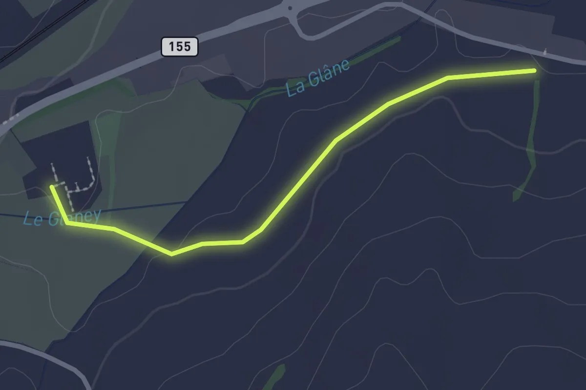
Easy · Trail
La Fille-Dieu – Chavannes-sous-Orsonnens
2.3 km · ↑ 9 m · 33 min · 13 km away
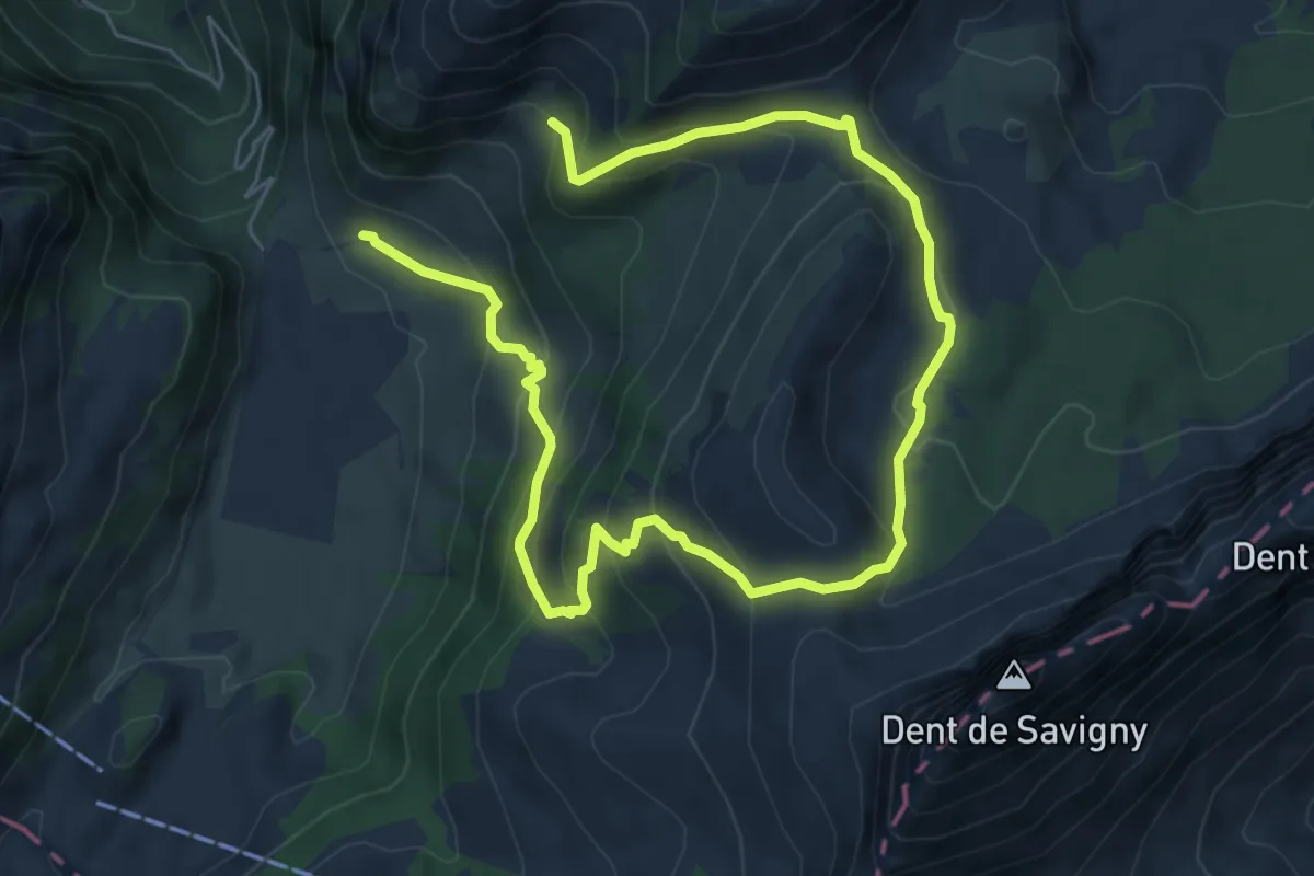
Medium · Trail
La Gueyre – Gros Mont
9.6 km · ↑ 695 m · 3 h 47 min · 13 km away
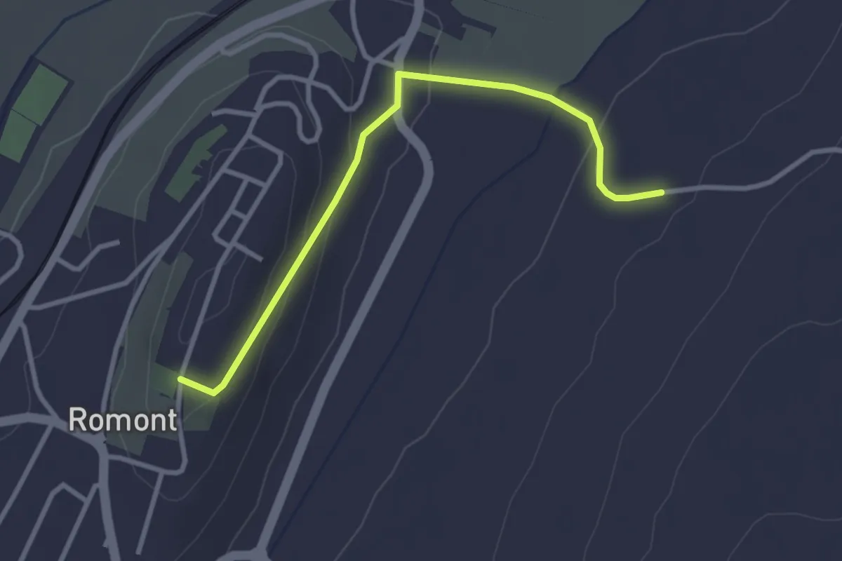
Easy · Trail
Romont – La Neirigue
3.0 km · ↑ 106 m · 56 min · 13 km away
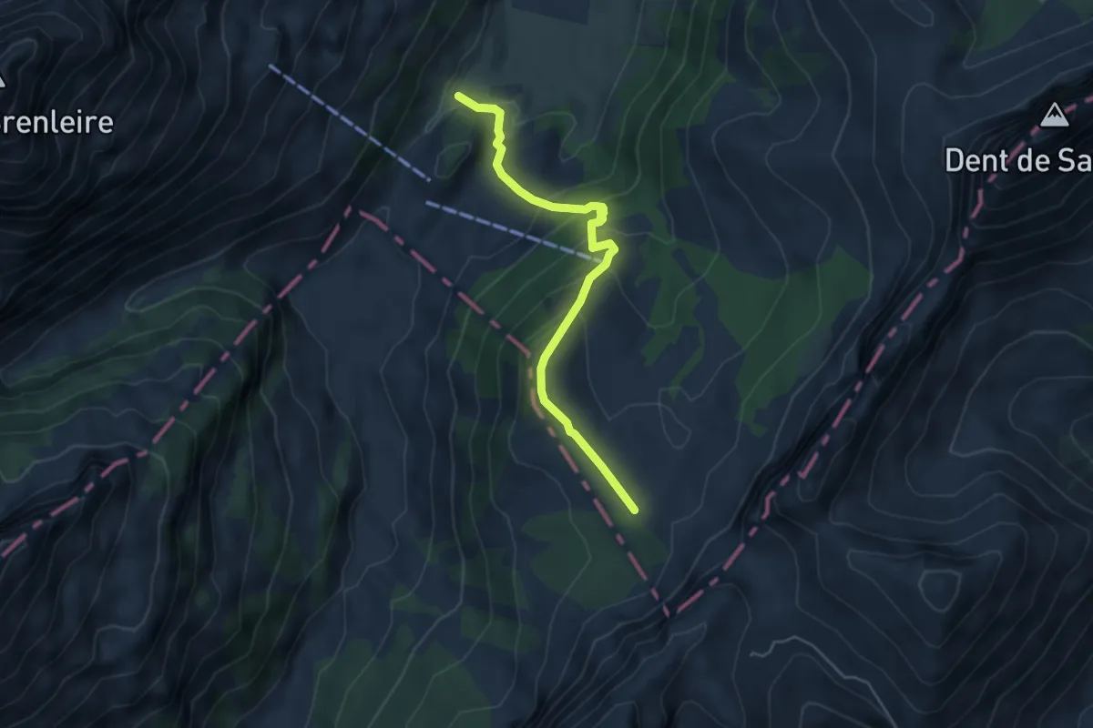
Easy · Trail
Gros Mont – Chalet du Pertet
4.6 km · ↑ 300 m · 1 h 45 min · 13 km away
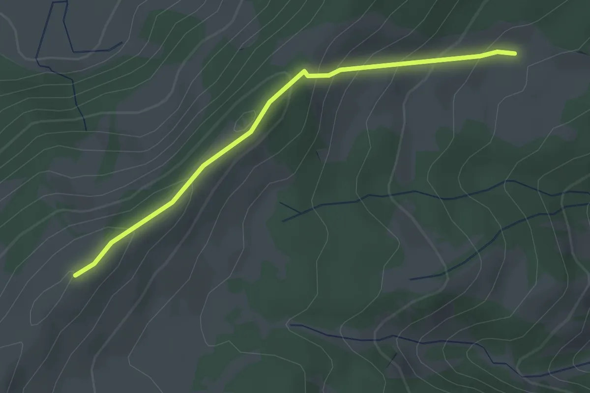
Easy · Cabin
Gros Cousimbert Käsenberg – Wusta
2.7 km · ↑ 180 m · 1 h 2 min · 13 km away
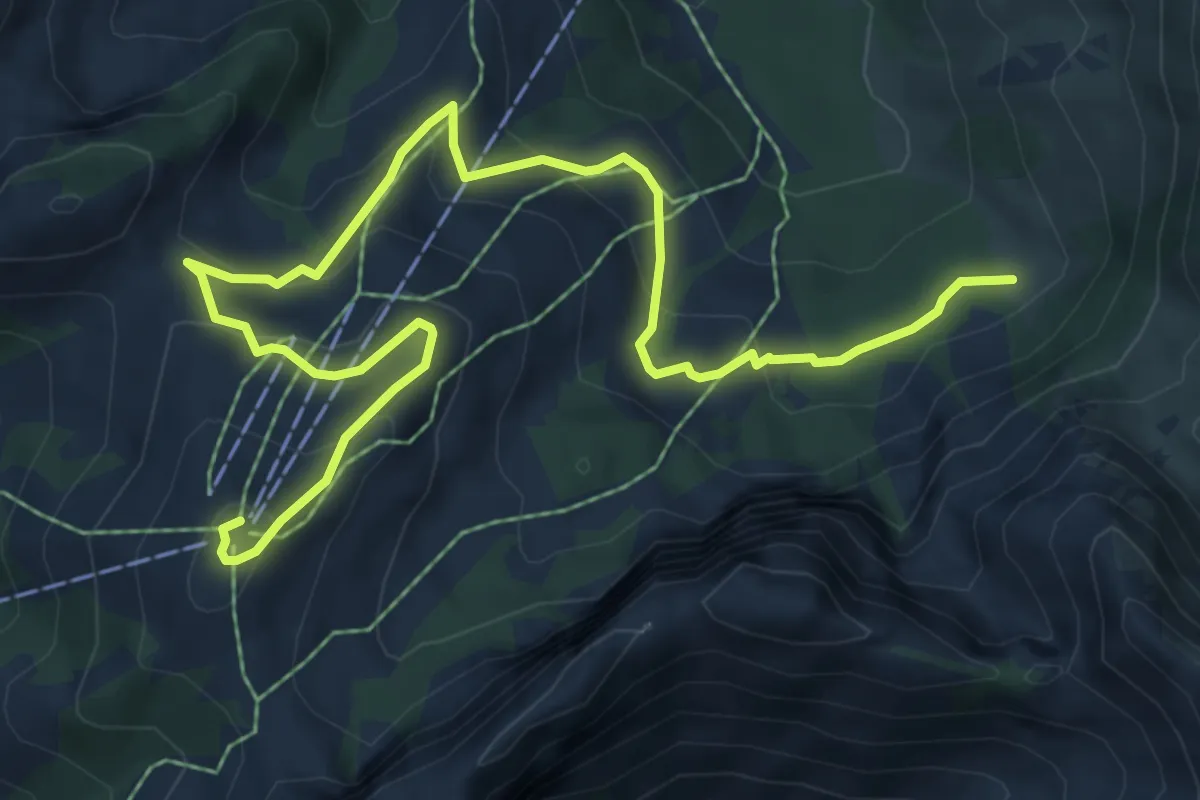
Medium · Summit
La Gisetta – Vounetz
8.8 km · ↑ 455 m · 3 h 4 min · 13 km away
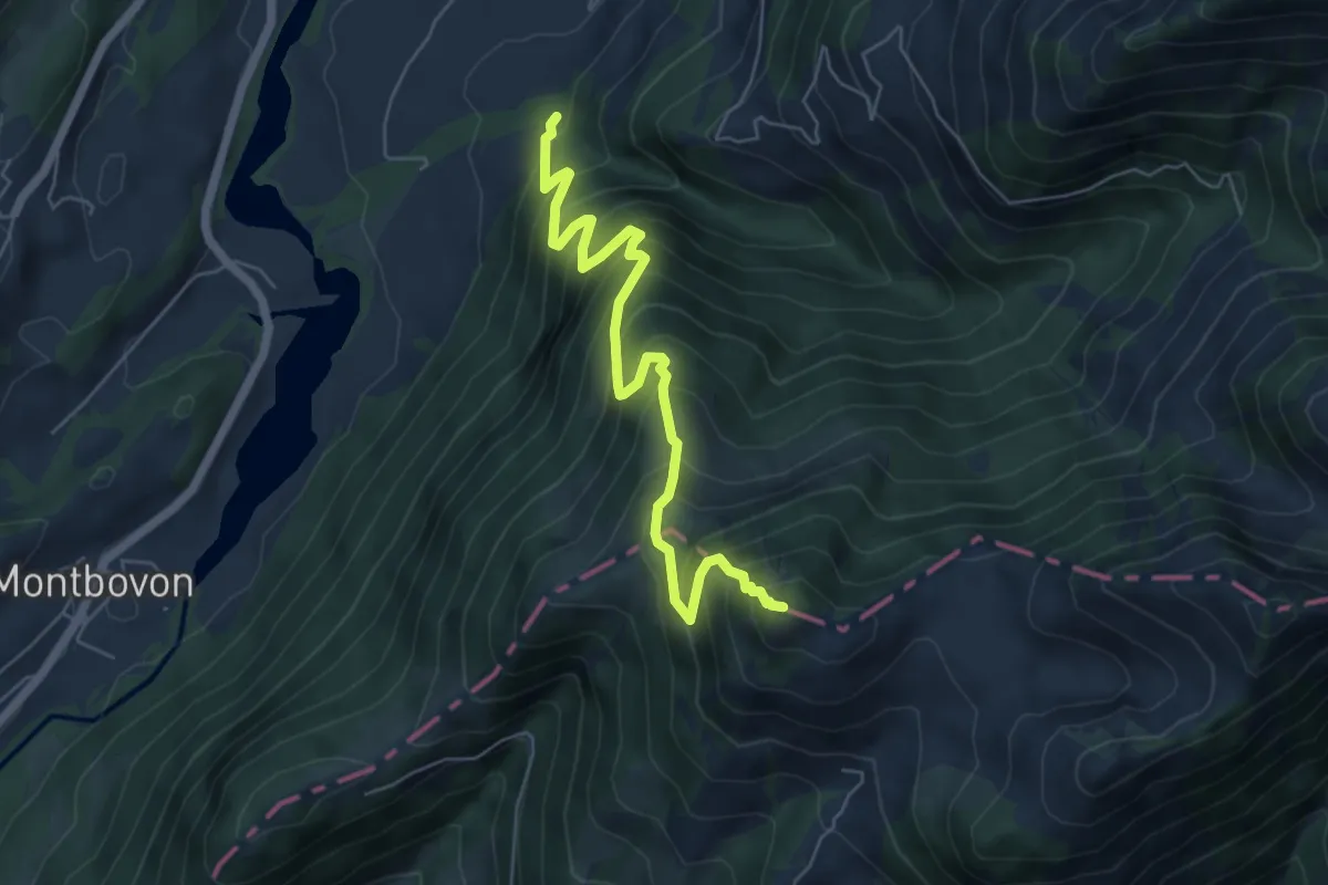
Demanding · Summit
Sur les Verbuts – L'Aiguille
6.2 km · ↑ 807 m · 3 h 13 min · 13 km away
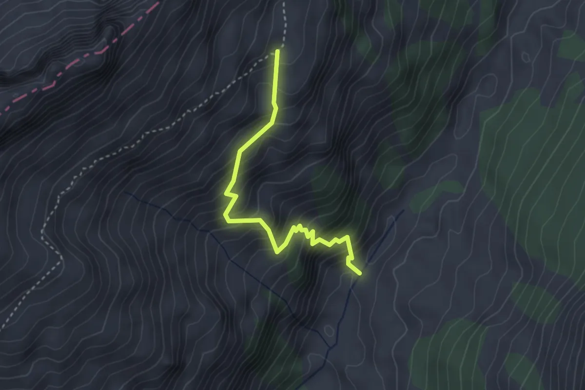
Medium · Trail
Ruisseau des Siernes Picaz – Les Bimis
3.1 km · ↑ 397 m · 1 h 35 min · 13 km away
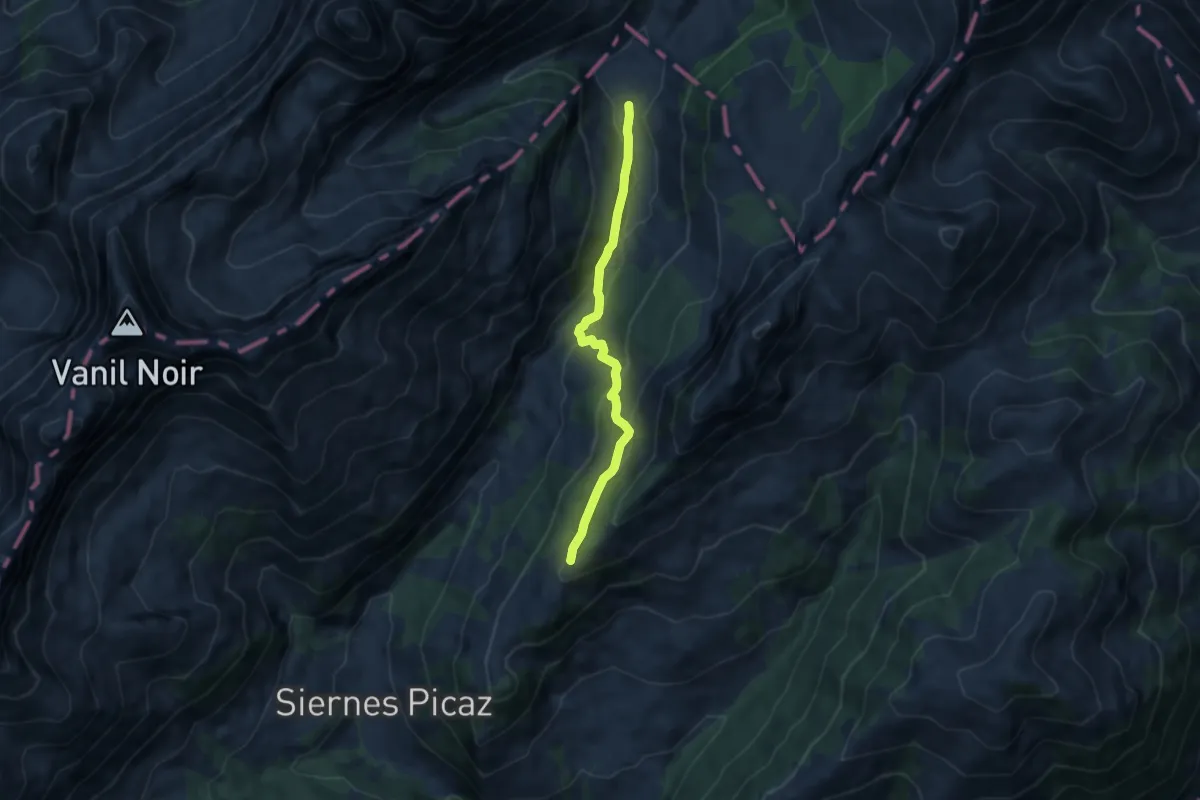
Medium · Trail
Le Sori – Montagne aux Manges
7.1 km · ↑ 334 m · 2 h 24 min · 13 km away
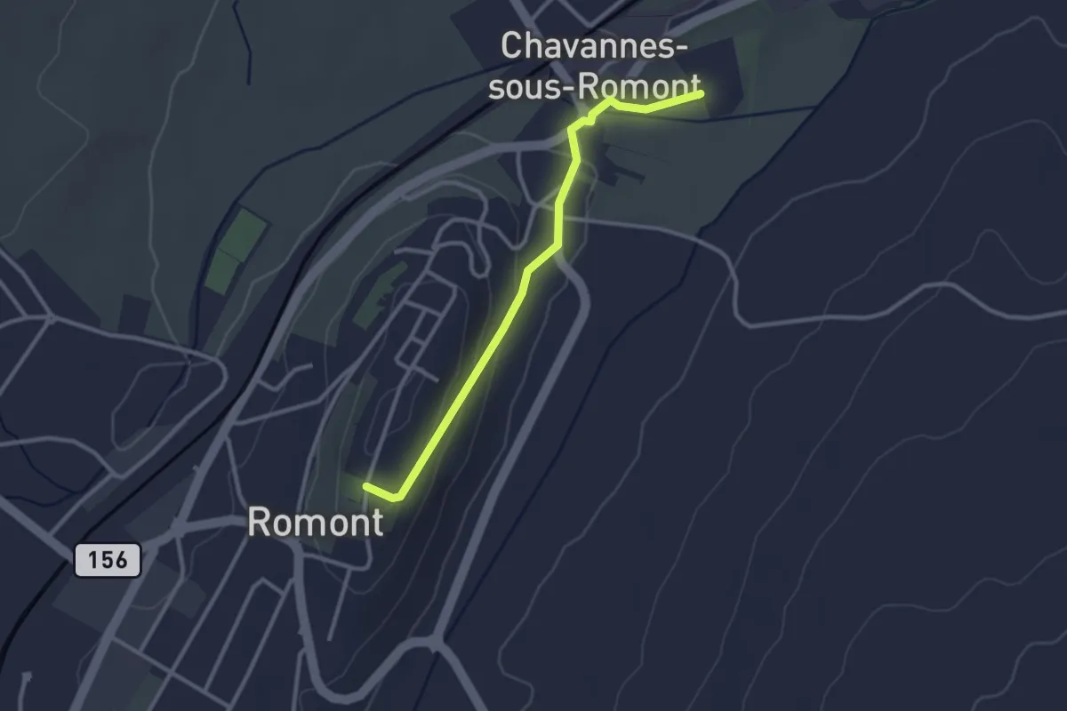
Easy · Trail
Romont – La Fille-Dieu
2.7 km · ↑ 82 m · 50 min · 14 km away
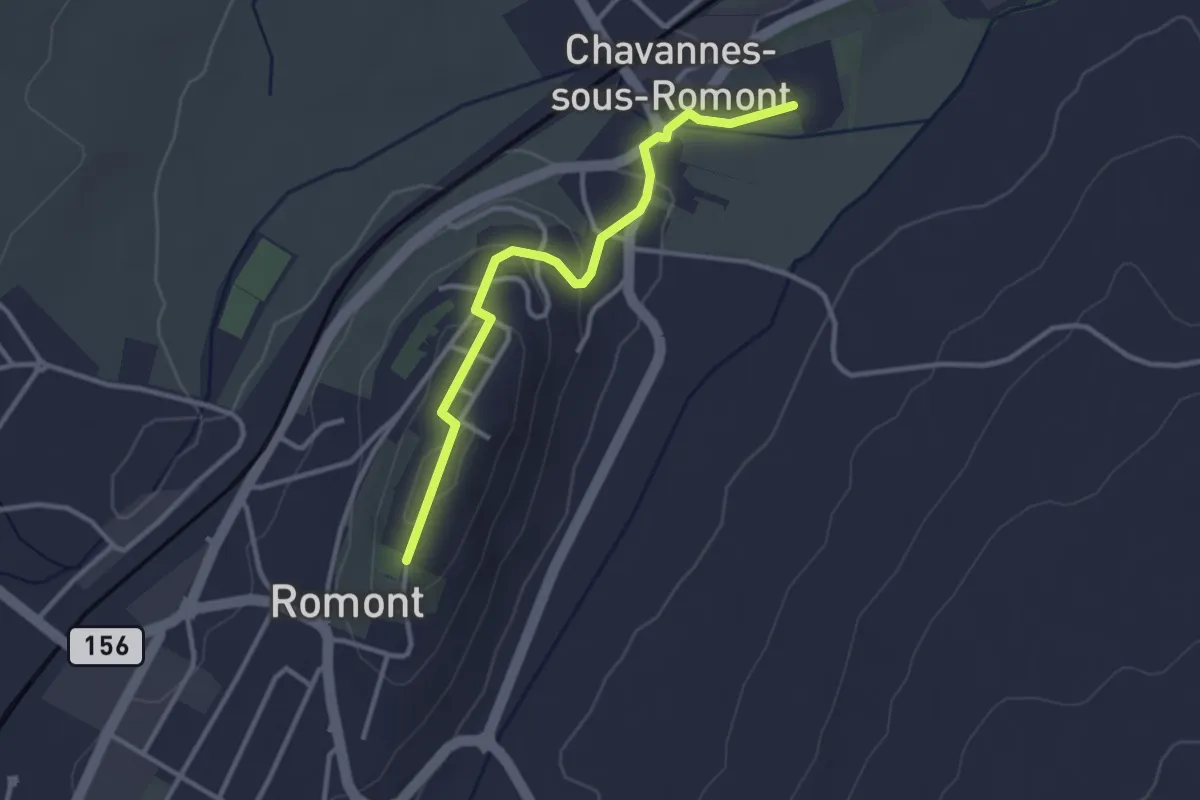
Easy · Trail
Romont – La Fille-Dieu
3.1 km · ↑ 77 m · 53 min · 14 km away