Trails near Bulle
125 hikes starting within 15 km, nearest first.
Nearest first, page 3 of 3
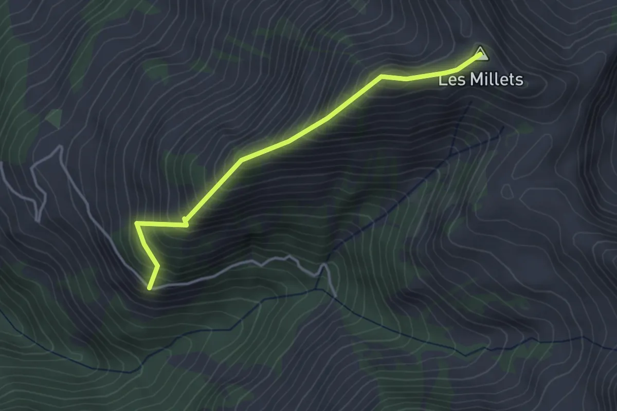
Medium · Summit
Saugerua – Les Millets
3.5 km · ↑ 504 m · 1 h 55 min · 14 km away
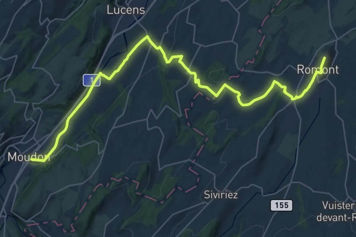
Medium · Trail
ViaJacobi
14.7 km · ↑ 131 m · 4 h 5 min · 14 km away
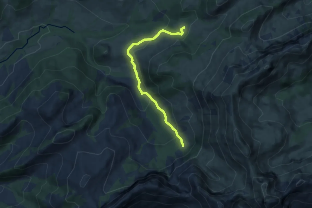
Medium · Trail
La Gisetta – Grattavache Dessous
6.8 km · ↑ 348 m · 2 h 22 min · 14 km away
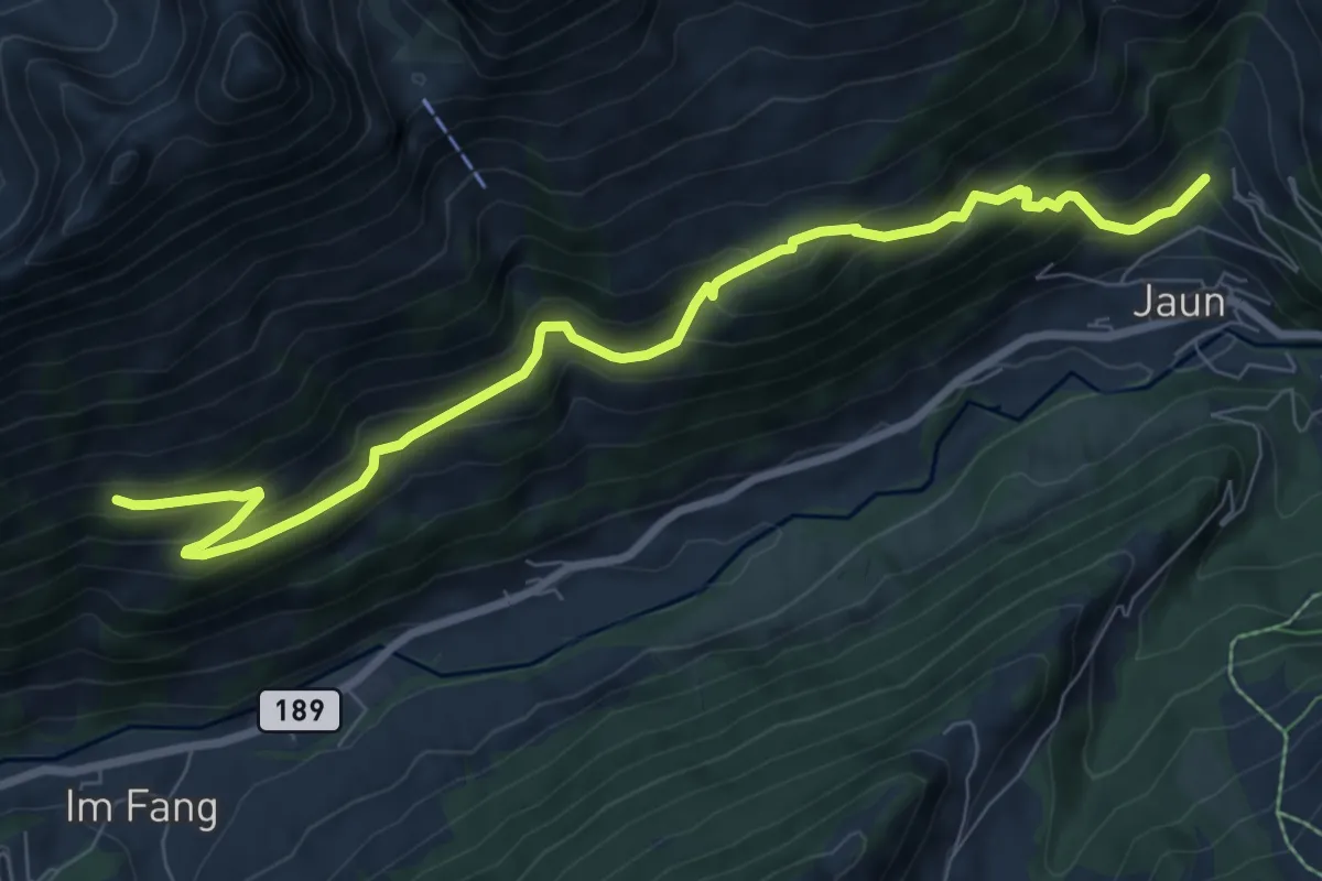
Medium · Trail
Oberberg – Jaun
8.8 km · ↑ 638 m · 3 h 28 min · 14 km away
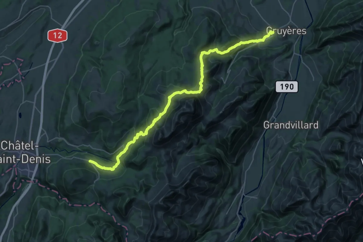
Medium · Trail
Chemin panorama alpin
15.7 km · ↑ 580 m · 5 h 21 min · 14 km away
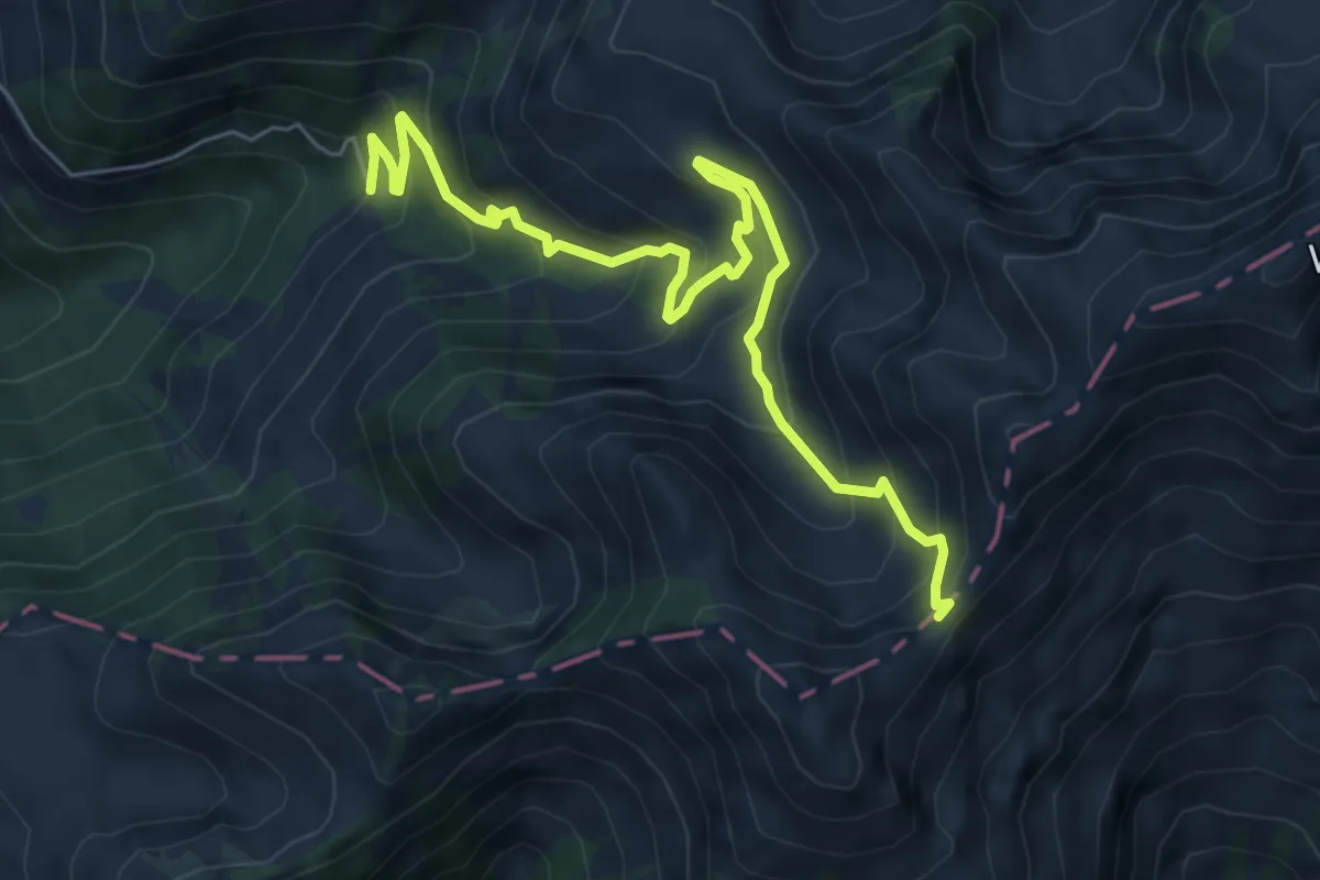
Medium · Trail
Col de Cray – 1383
7.1 km · ↑ 607 m · 3 h · 14 km away
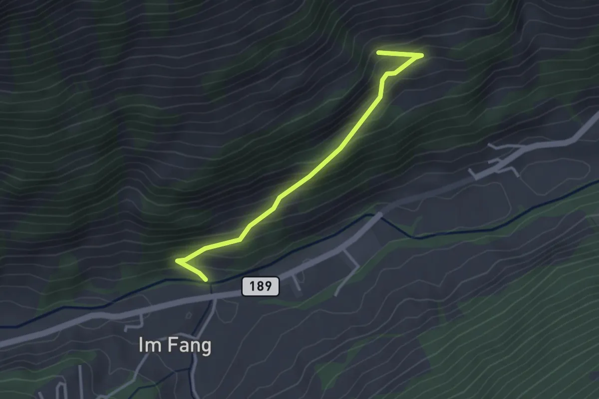
Easy · Trail
Im Fang – Unterberg
2.9 km · ↑ 273 m · 1 h 17 min · 14 km away
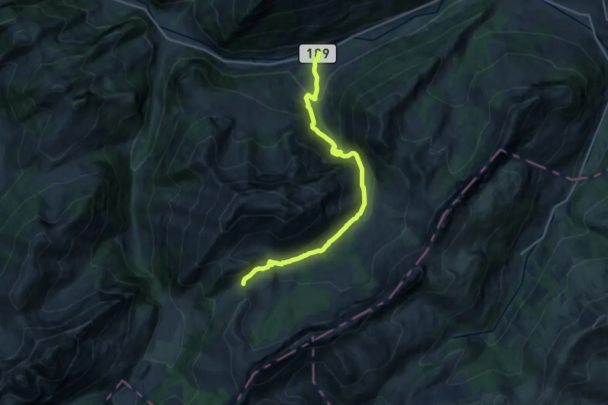
Demanding · Trail
Im Fang – Petit Mont
13.9 km · ↑ 893 m · 5 h 13 min · 14 km away
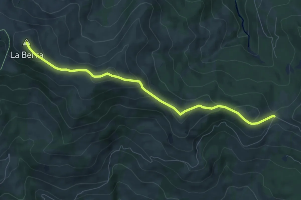
Medium · Summit
La Berra – Buvette de l'Hauta Chia
7.5 km · ↑ 359 m · 2 h 33 min · 14 km away
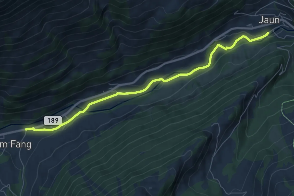
Easy · Trail
Im Fang – Jaun
6.8 km · ↑ 116 m · 1 h 52 min · 14 km away
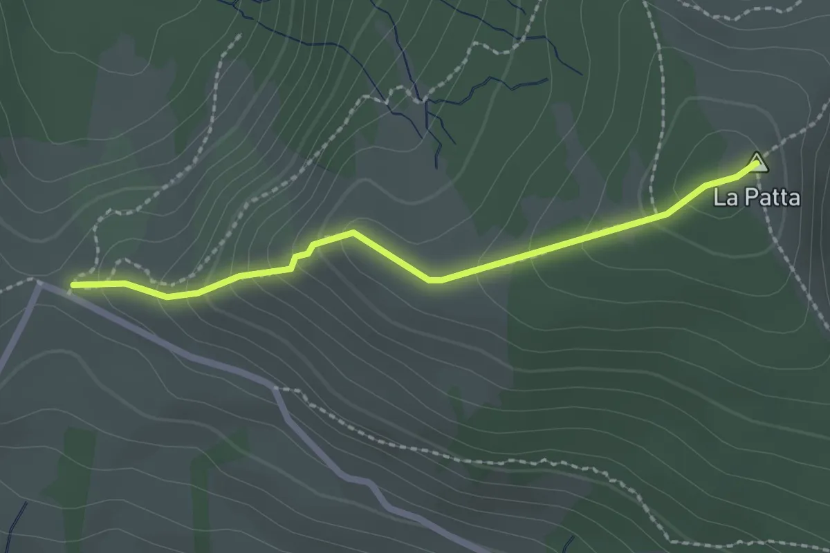
Easy · Summit
Auta Chia – La Patta
2.0 km · ↑ 152 m · 49 min · 14 km away
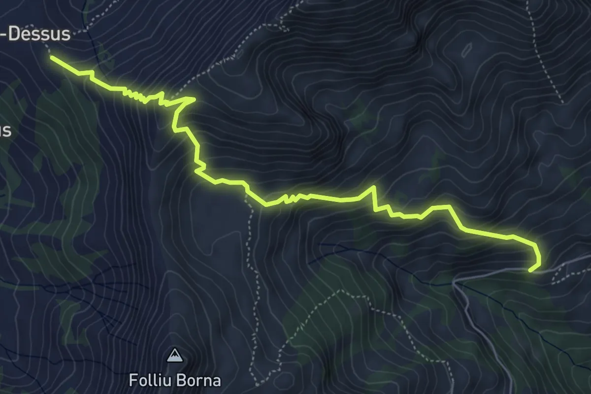
Medium · Trail
Paccot-Dessus – Chenalette
6.5 km · ↑ 678 m · 3 h · 14 km away
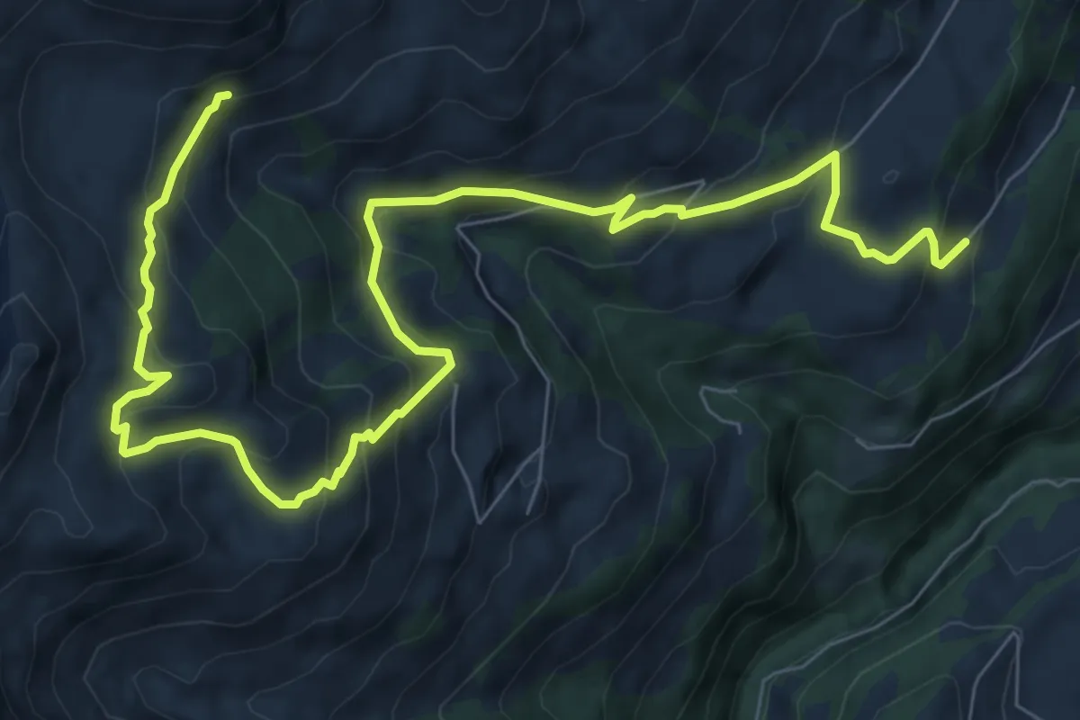
Medium · Trail
Châbloz – En Lys
10.9 km · ↑ 711 m · 4 h 6 min · 14 km away
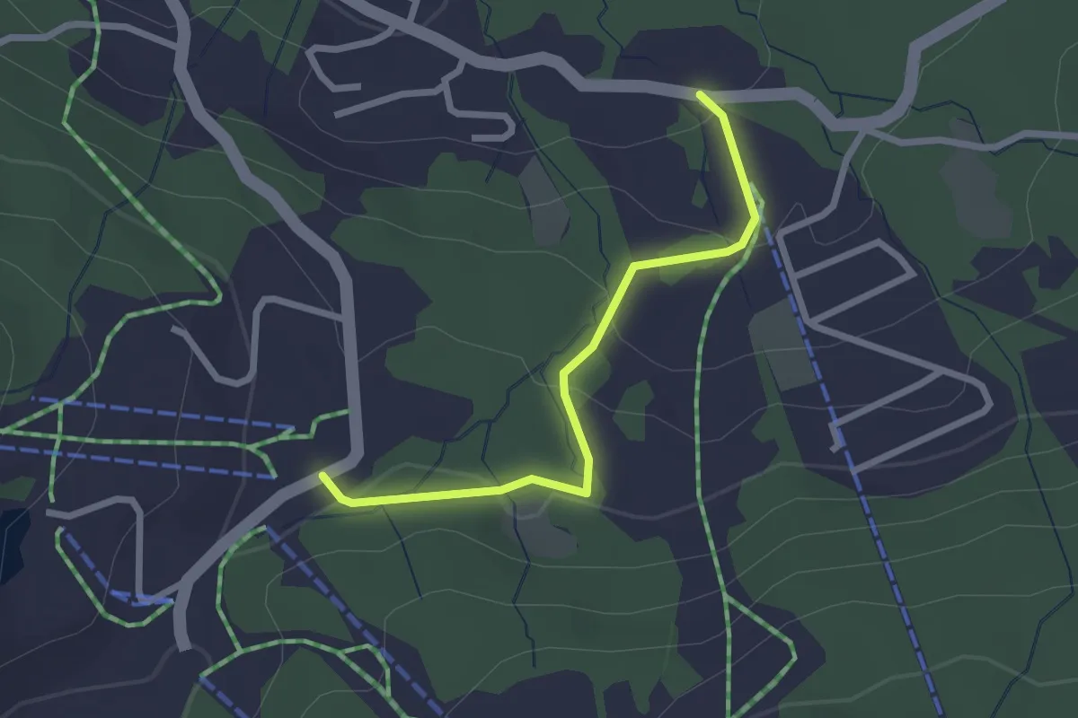
Easy · Trail
Sentier panoramique des Paccots
1.1 km · ↑ 10 m · 20 min · 14 km away
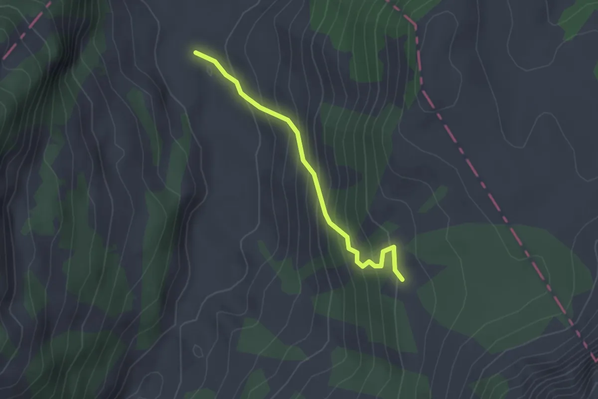
Easy · Trail
Le Sori – La Porsogne
2.2 km · ↑ 210 m · 58 min · 14 km away
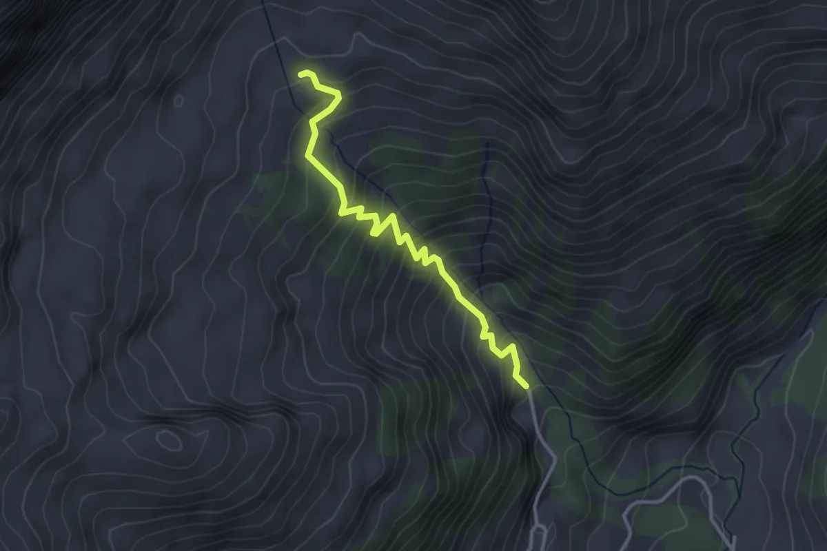
Medium · Trail
Béviau d'en Bas – Paray Doréna
3.1 km · ↑ 347 m · 1 h 29 min · 14 km away
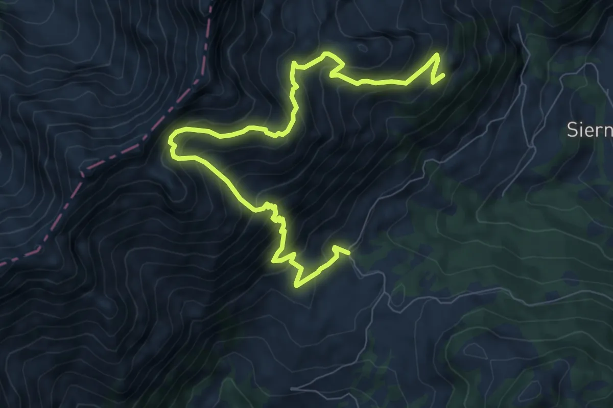
Demanding · Trail
Les Laitalets – Charbonnet
10.1 km · ↑ 1044 m · 4 h 39 min · 14 km away
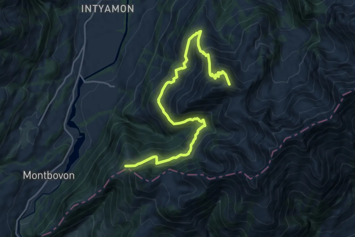
Demanding · Summit
La Brâ – Les Millets
15.8 km · ↑ 1223 m · 6 h 22 min · 14 km away
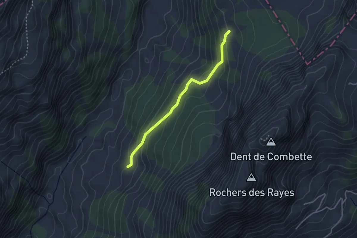
Easy · Trail
La Porsogne – Les Sauges
2.7 km · ↑ 157 m · 58 min · 14 km away
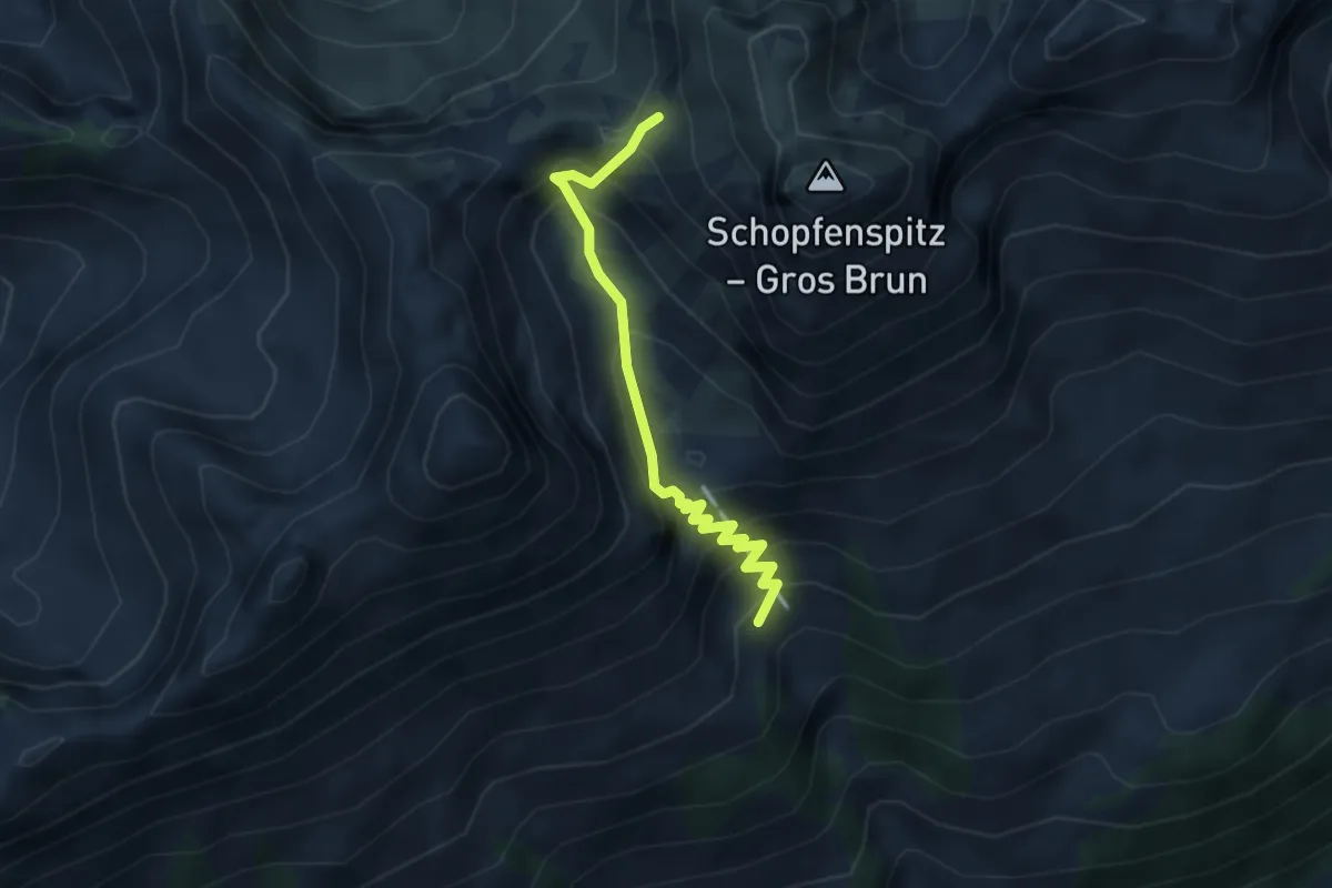
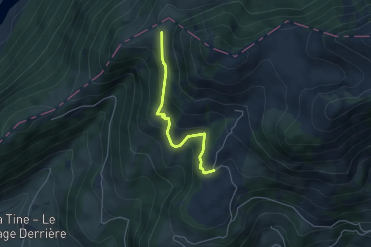
Expert · Trail
Vorder Maischüpfen – Schopfenspitz
3.4 km · ↑ 373 m · 1 h 37 min · 15 km away
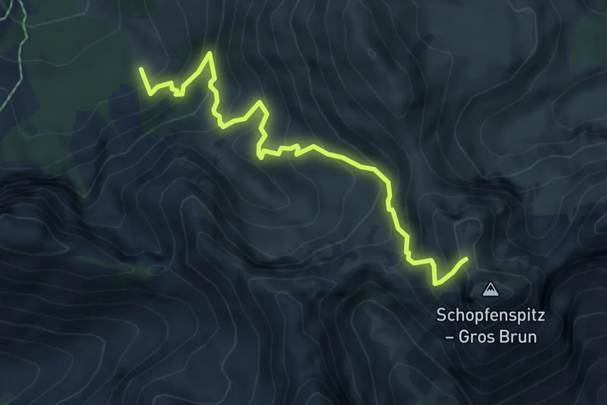
Easy · Trail
Les Clous – La Brá
3.3 km · ↑ 229 m · 1 h 17 min · 15 km away
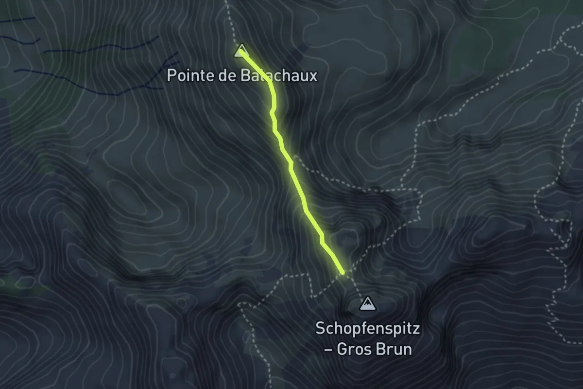
Expert · Trail
La Gisetta – Schopfenspitz
5.7 km · ↑ 682 m · 2 h 50 min · 15 km away
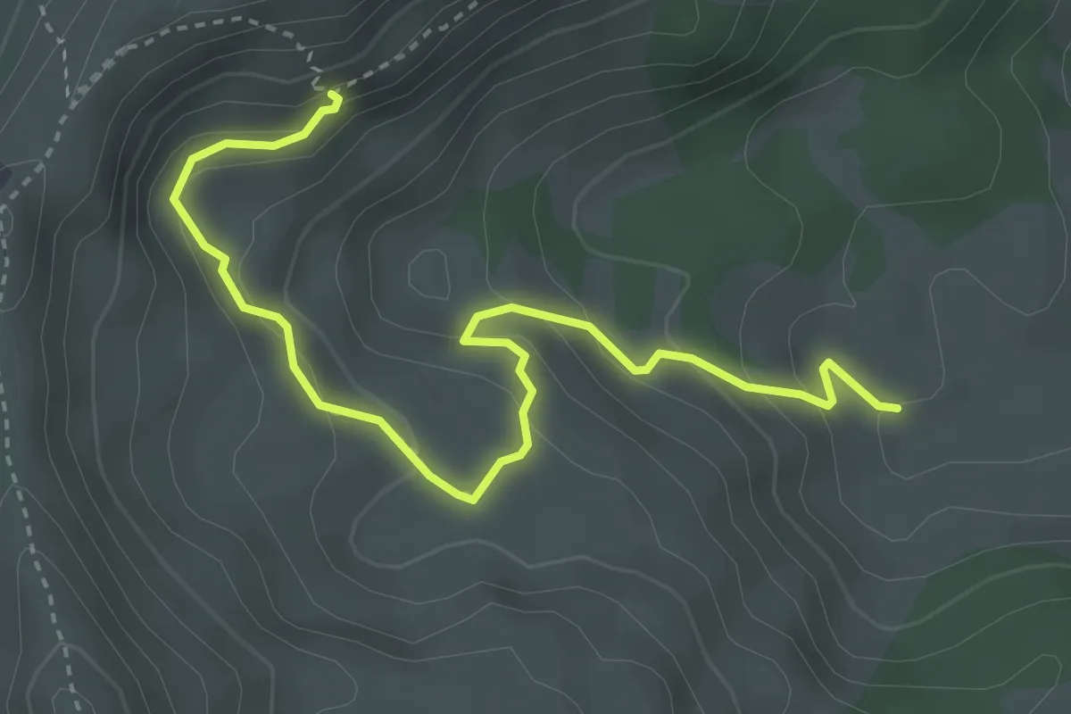
Expert · Summit
Patraflon – Schopfenspitz
2.2 km · ↑ 245 m · 1 h 3 min · 15 km away
Medium · Cabin
Cerniets – Col du Chamois
4.0 km · ↑ 263 m · 1 h 31 min · 15 km away
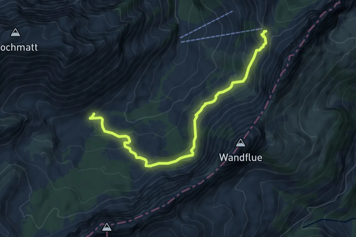
Medium · Cabin
Petit Mont – Chalet du Soldat
8.3 km · ↑ 384 m · 2 h 48 min · 15 km away
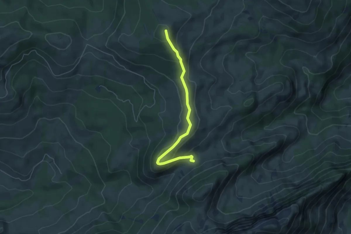
Easy · Summit
La Balisa – La Patta
4.9 km · ↑ 202 m · 1 h 36 min · 15 km away
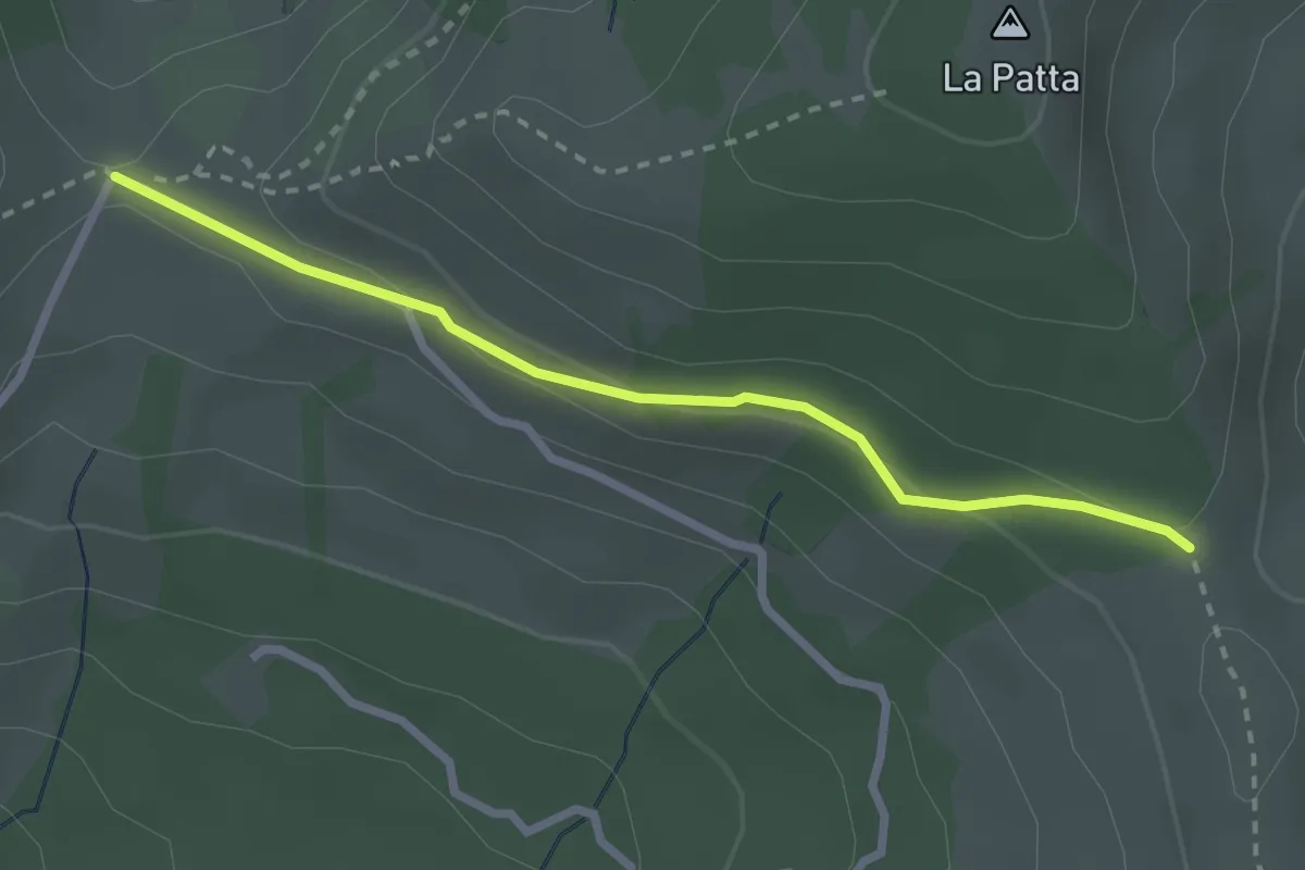
Easy · Cabin
Auta Chia – La Lenzbourguera
2.6 km · ↑ 63 m · 45 min · 15 km away
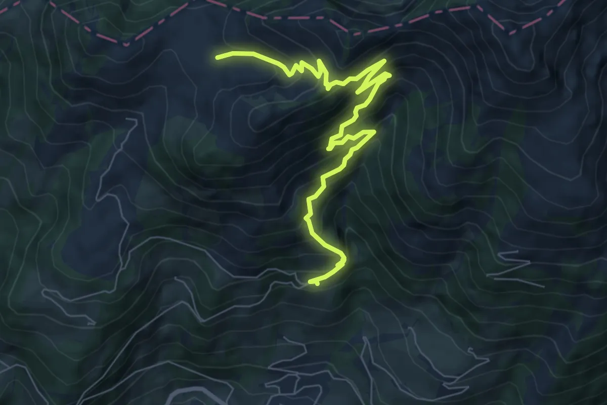
Medium · Trail
Clou des Mis – Culand
8.1 km · ↑ 788 m · 3 h 37 min · 15 km away
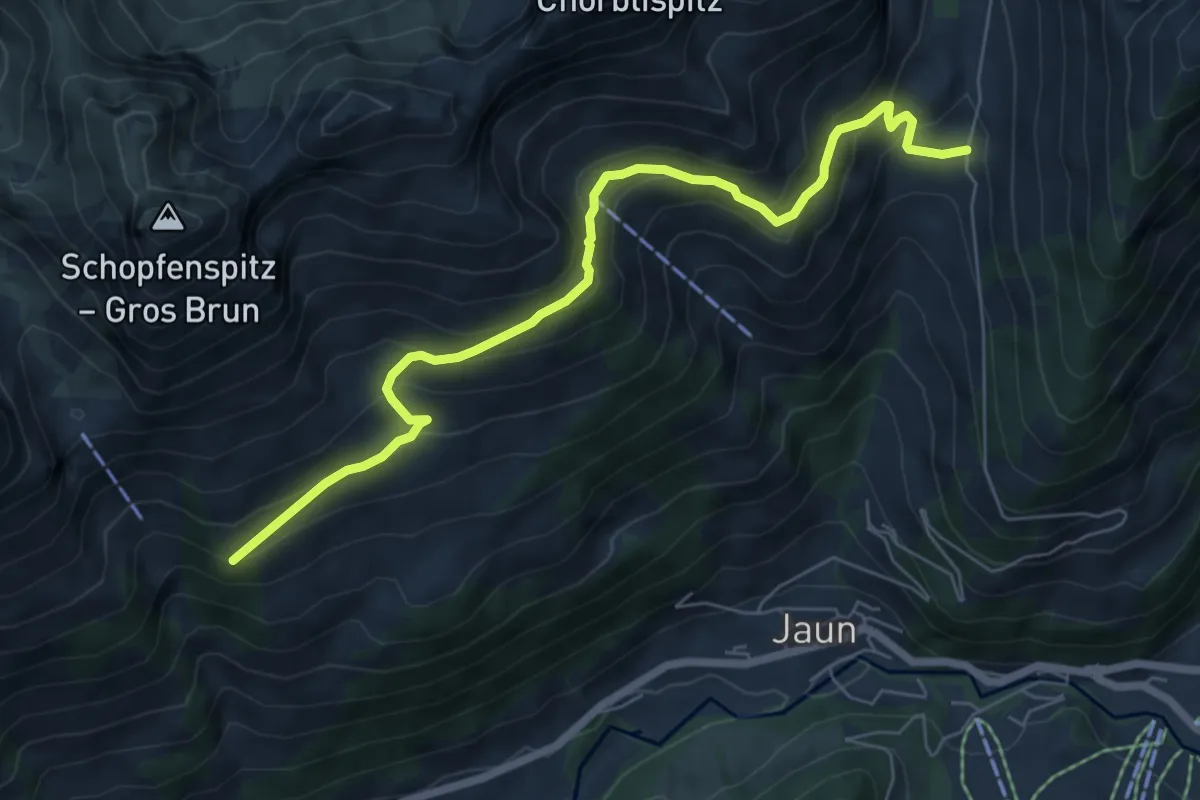
Expert · Trail
Ober Boden – Klein Brunn
6.9 km · ↑ 495 m · 2 h 43 min · 15 km away