Trails near Chur
131 hikes starting within 15 km, nearest first.
Nearest first, page 1 of 3
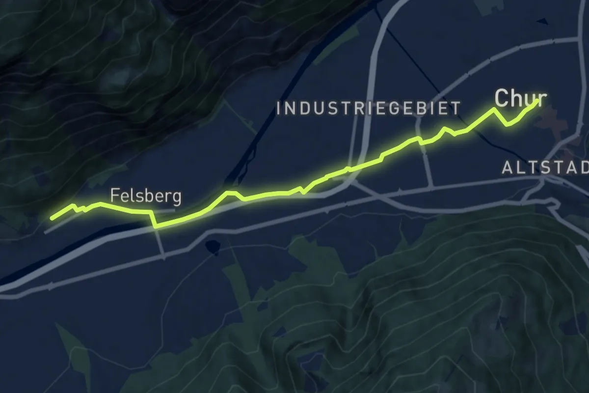
Medium · Trail
Chur-Felsberg
11.3 km · ↑ 53 m · 2 h 47 min · under 1 km away
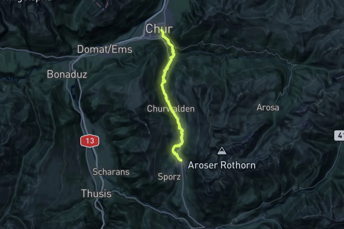
Demanding · Trail
ViaSett
19.6 km · ↑ 1171 m · 7 h · under 1 km away
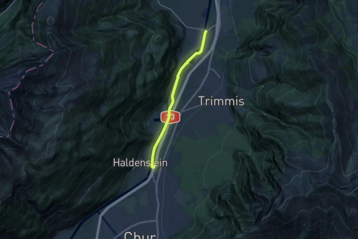
Medium · Trail
Untervaz Bahnhof - Haldenstein Station
10.8 km · ↑ 70 m · 2 h 42 min · 3 km away
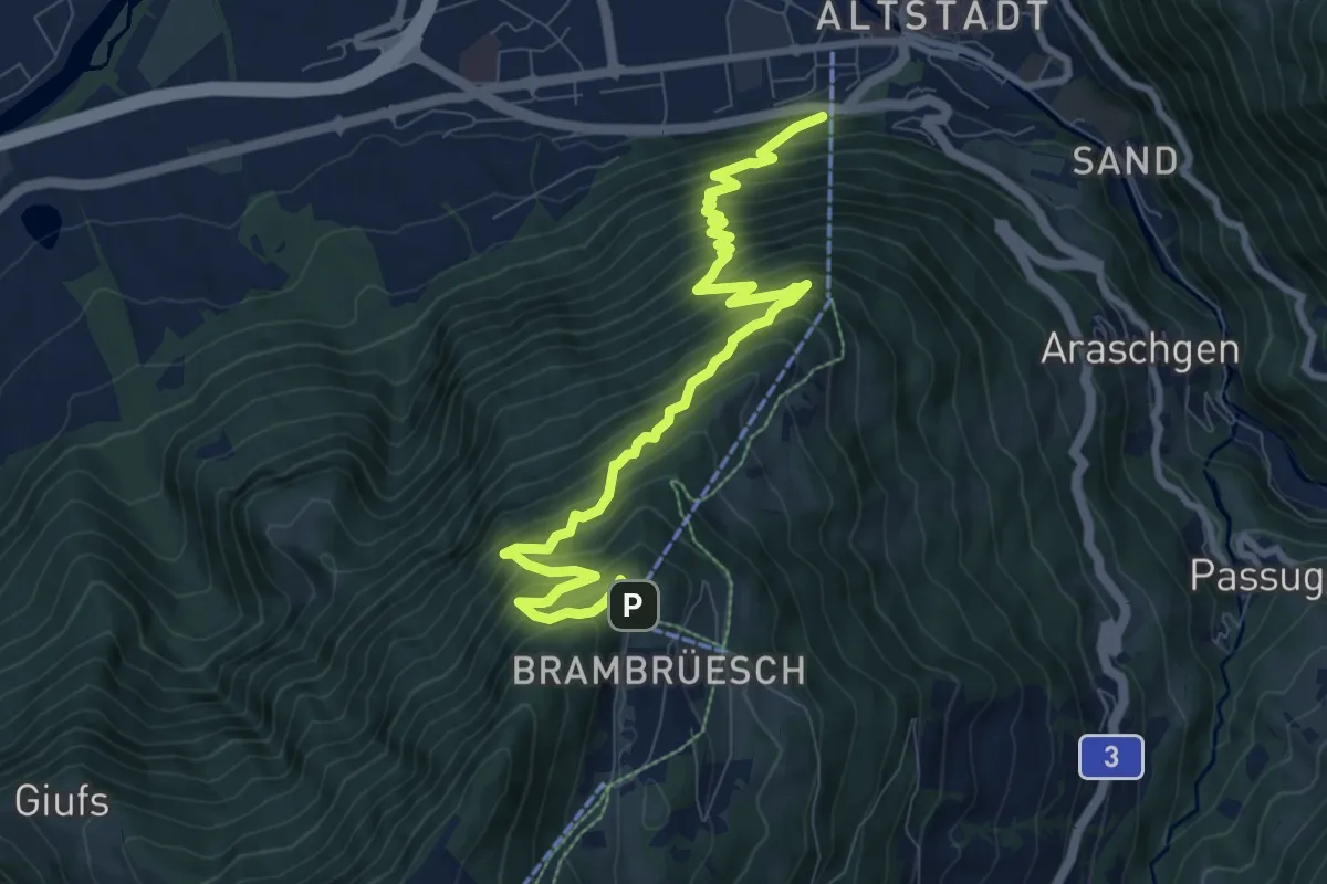
Demanding · Trail
Brambrüesch Bergstation - Chur
10.2 km · ↑ 1243 m · 5 h 6 min · 3 km away
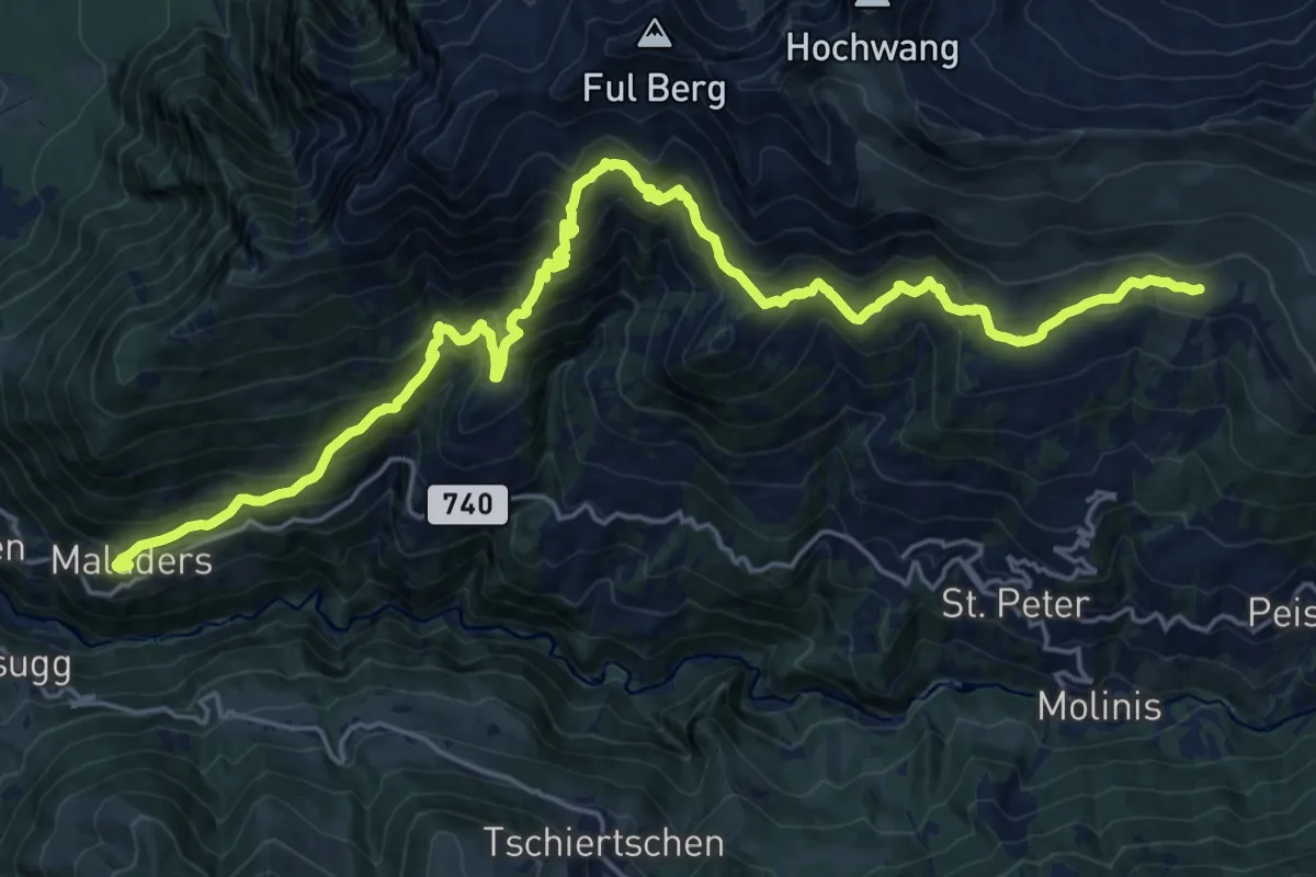
Demanding · Cabin
Schanfigger Höhenweg - Etappe 4
12.8 km · ↑ 1347 m · 5 h 38 min · 3 km away
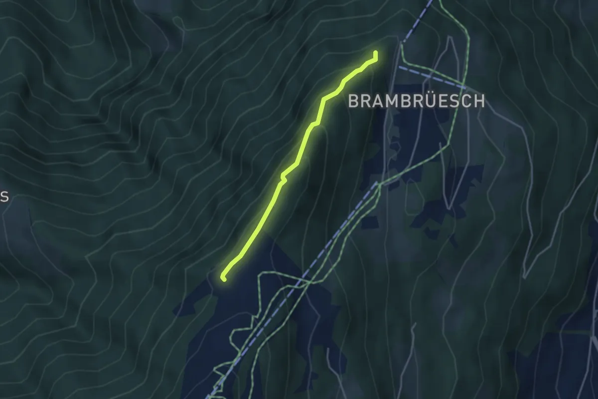
Easy · Trail
Spundisköpf See - Spundisköpf? / Känzeli? - fixme
3.0 km · ↑ 224 m · 1 h 12 min · 4 km away
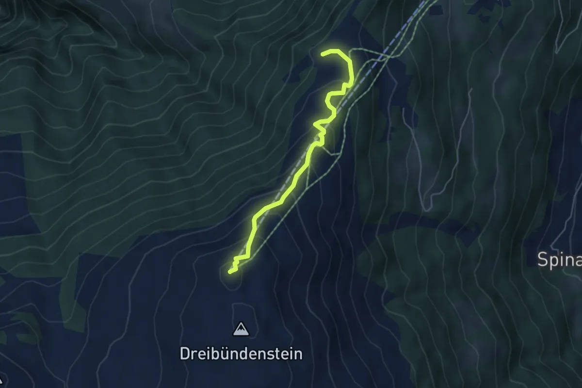
Medium · Summit
Dreibündenstein – Spundisköpf See
4.5 km · ↑ 349 m · 1 h 49 min · 4 km away
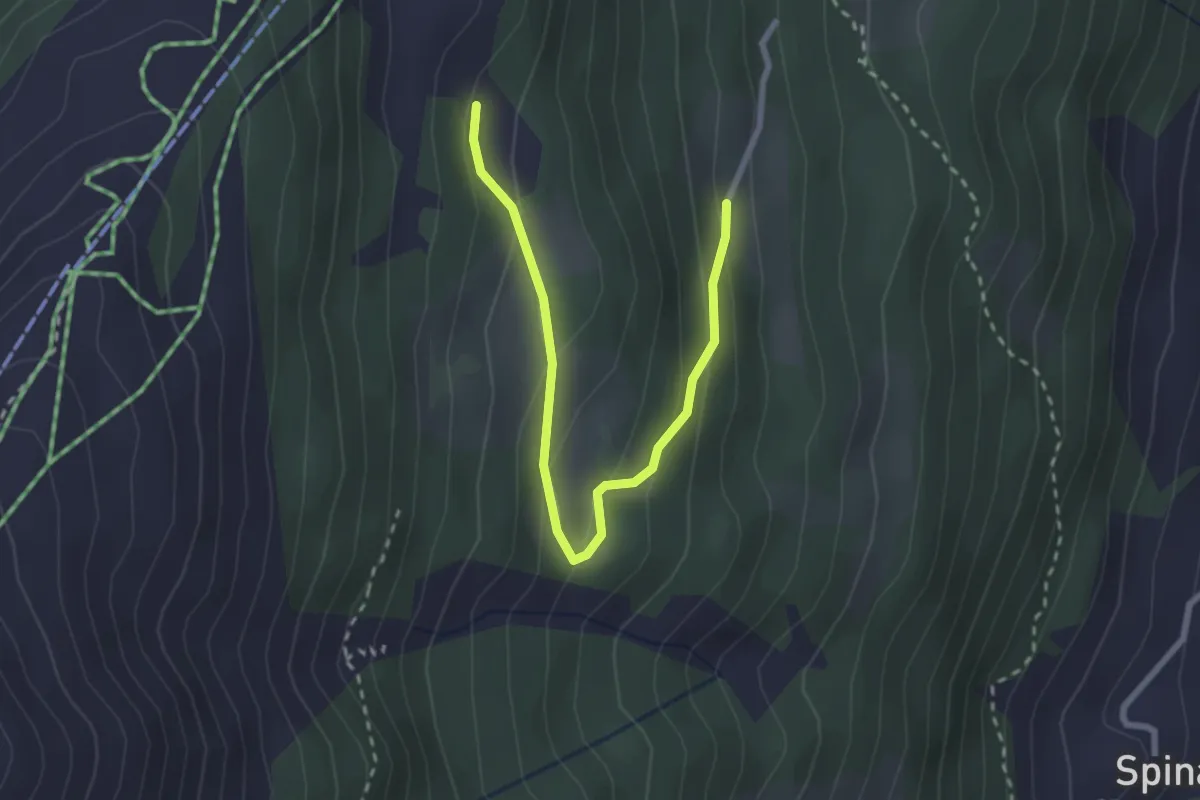
Easy · Trail
Märliweg
2.8 km · ↑ 139 m · 58 min · 5 km away
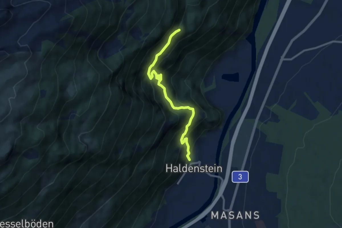
Medium · Trail
Bärenhag – Haldenstein
6.9 km · ↑ 660 m · 3 h 4 min · 5 km away
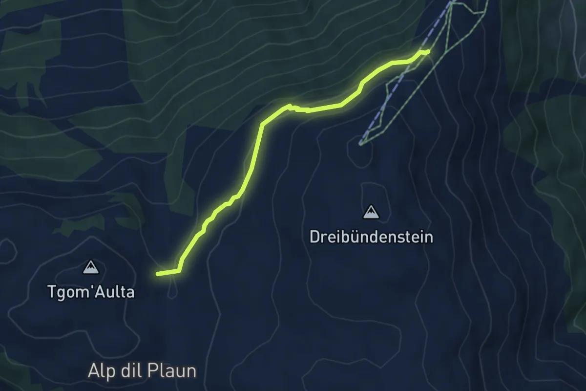
Easy · Cabin
Emser Skihütte - Aschira? / Hühnerköpfe? / Term Bel? / Brambrüsch? - fixme
4.7 km · ↑ 197 m · 1 h 33 min · 5 km away
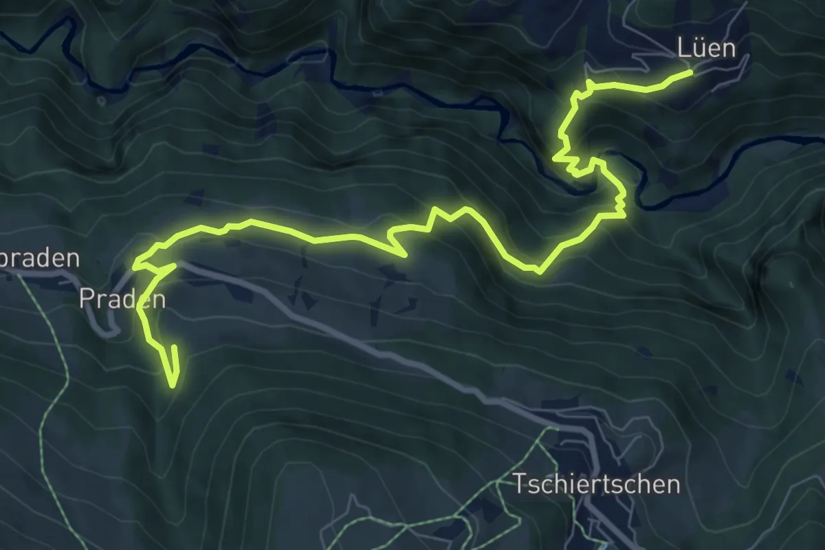
Medium · Trail
BAW Bündner Wanderwege (um Praden)
9.8 km · ↑ 729 m · 3 h 53 min · 6 km away
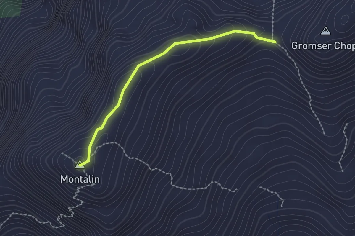
Easy · Summit
Furgga – Montalin
2.0 km · ↑ 82 m · 38 min · 6 km away
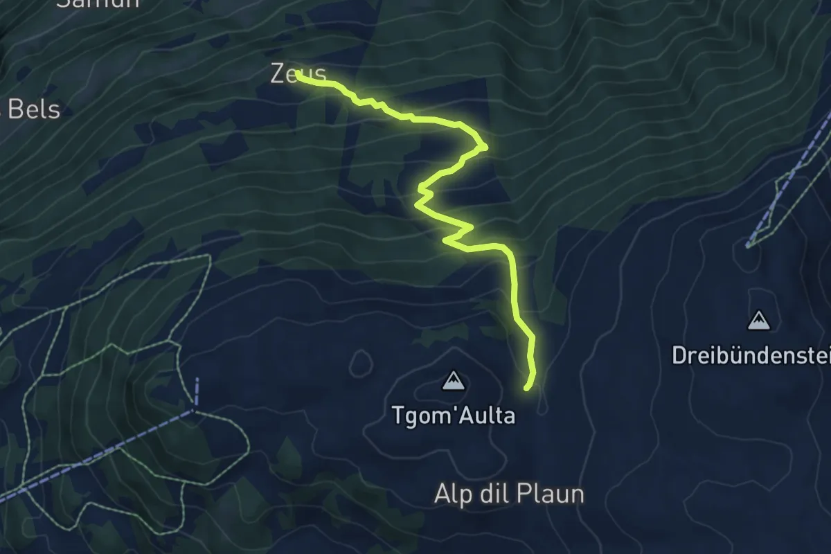
Medium · Cabin
Emser Skihütte - Alp Urtgicla? / Zeus? - fixme
6.8 km · ↑ 540 m · 2 h 47 min · 7 km away
Medium · Trail
Schmetterlingsweg
8.0 km · ↑ 564 m · 3 h 7 min · 7 km away
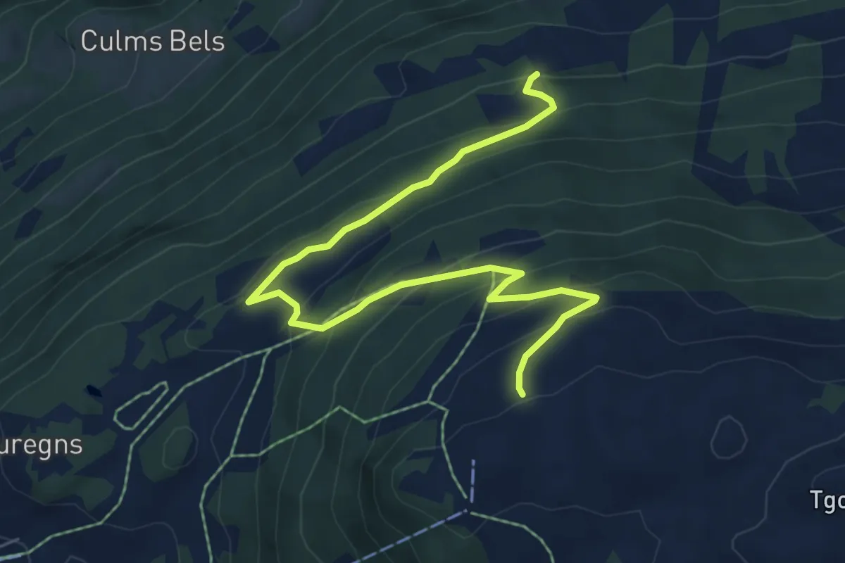
Medium · Trail
Alp da Veuden - Zeus? - fixme
7.2 km · ↑ 480 m · 2 h 44 min · 7 km away
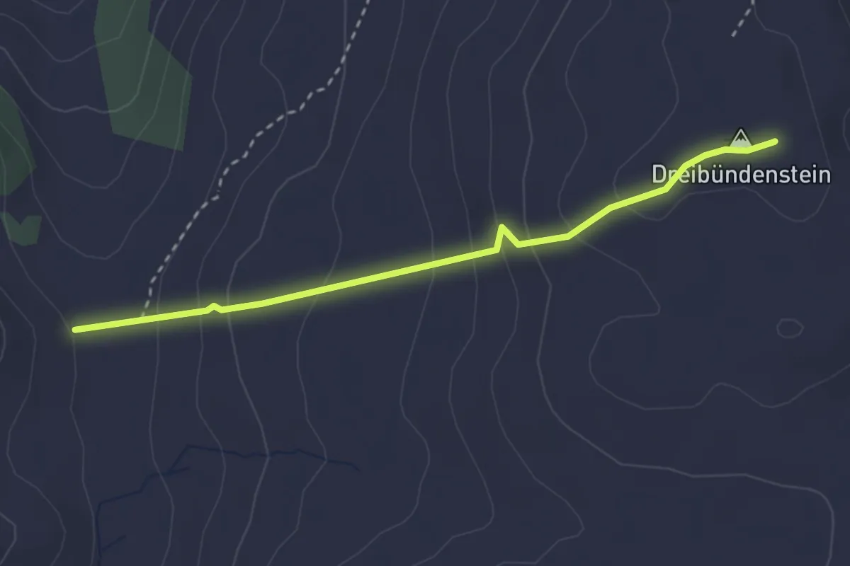
Medium · Summit
Emser Skihütte - Dreibündenstein
2.9 km · ↑ 201 m · 1 h 7 min · 7 km away
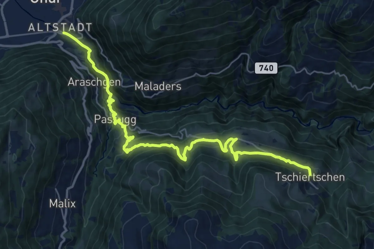
Medium · Pilgrim path
Via son Giachen
10.9 km · ↑ 253 m · 3 h 38 min · 7 km away
Medium · Pilgrim path
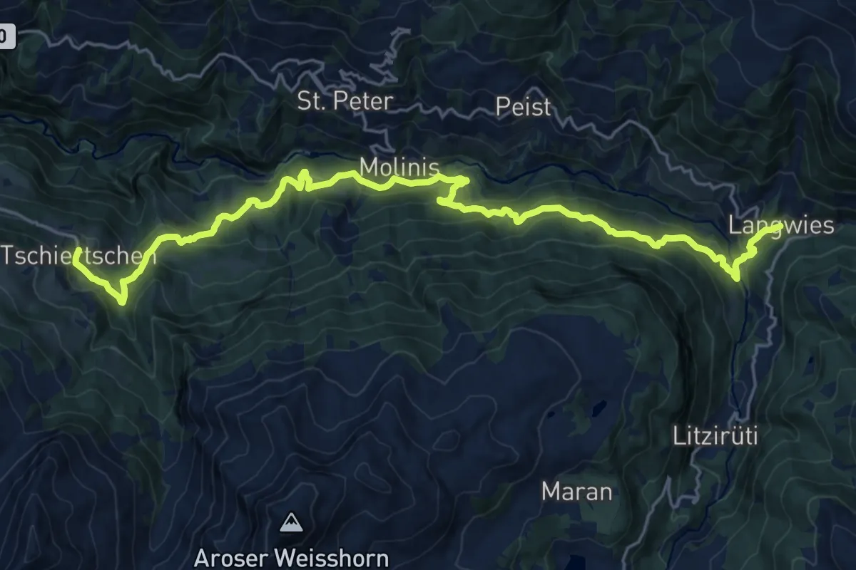
Via son Giachen
12.0 km · ↑ 730 m · 4 h 33 min · 7 km away
Medium · Summit
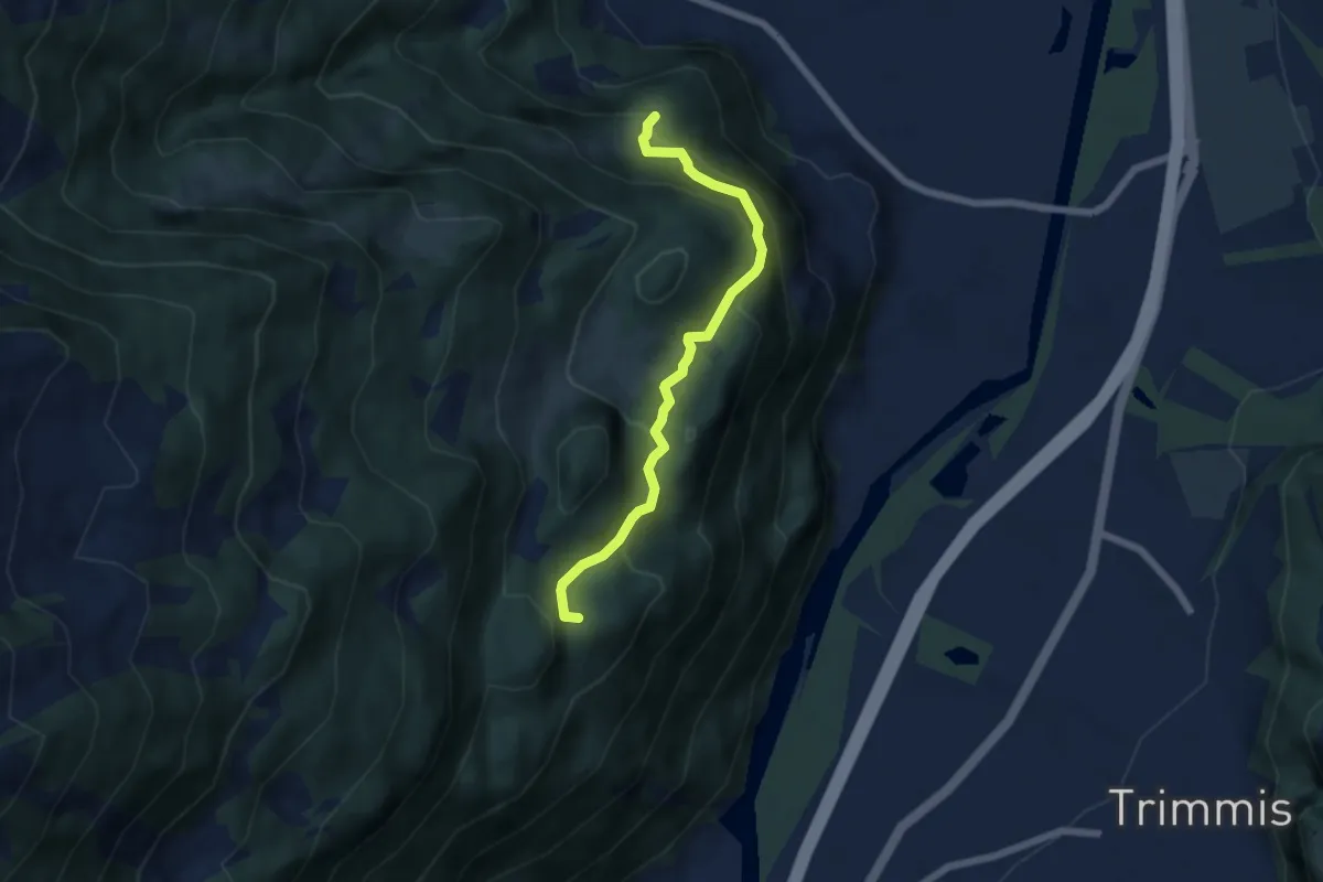
Fallboden – Bärenhag
5.7 km · ↑ 418 m · 2 h 15 min · 8 km away
Easy · Trail
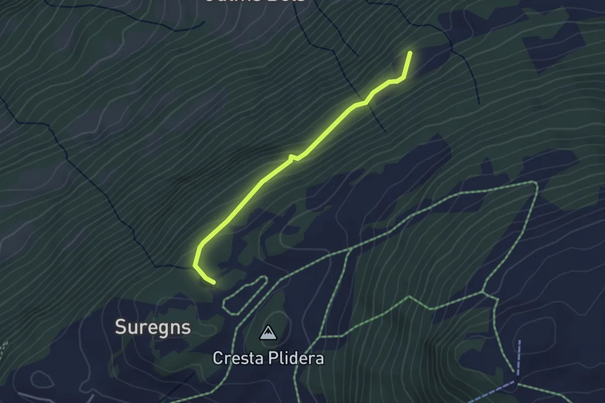
Plaun Graund - Tschetscha? / Zeus? / Juchs? - fixme
2.9 km · ↑ 144 m · 1 h · 8 km away
Easy · Summit
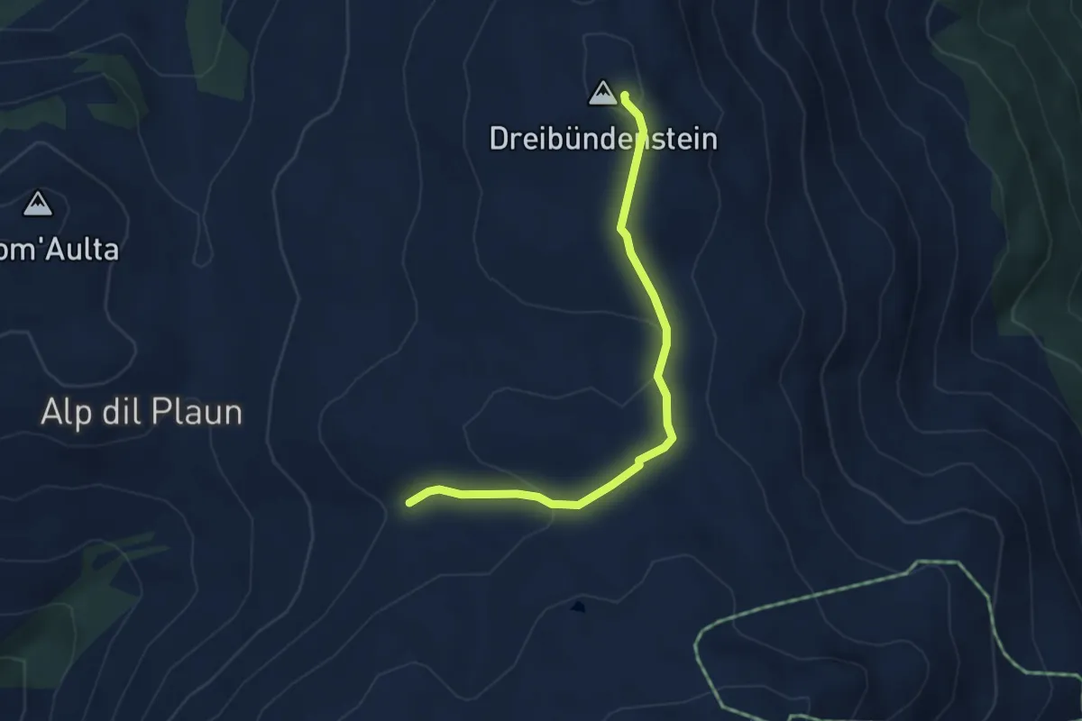
Dreibündenstein - Windegga? / Filbergegg? - fixme
3.9 km · ↑ 116 m · 1 h 10 min · 8 km away
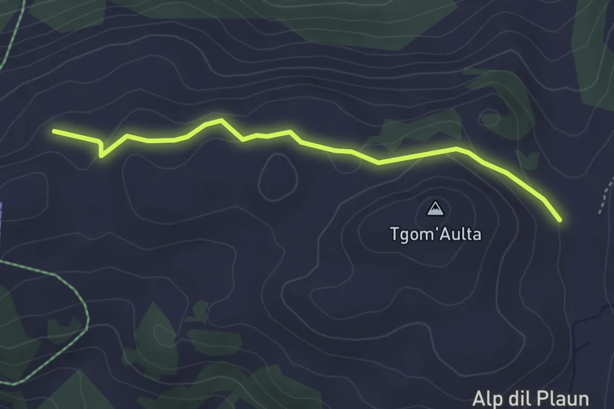
Easy · Cabin
Alp da Veuden - Emser Skihütte
3.7 km · ↑ 125 m · 1 h 8 min · 8 km away
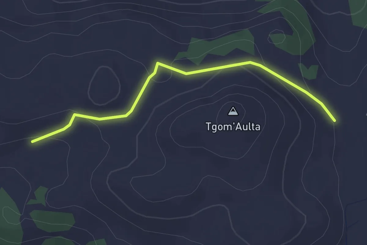
Easy · Cabin
Emser Skihütte - Skihütte Feldis
2.9 km · ↑ 100 m · 54 min · 8 km away
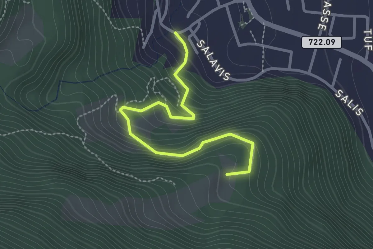
Easy · Trail
Büheli – Fallboden
2.7 km · ↑ 228 m · 1 h 7 min · 8 km away
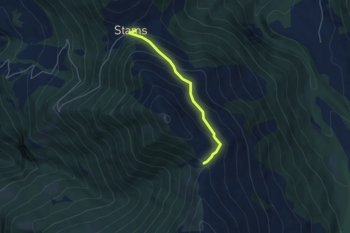
Easy · Trail
Zanutcher Boden – Stams
3.5 km · ↑ 256 m · 1 h 23 min · 8 km away
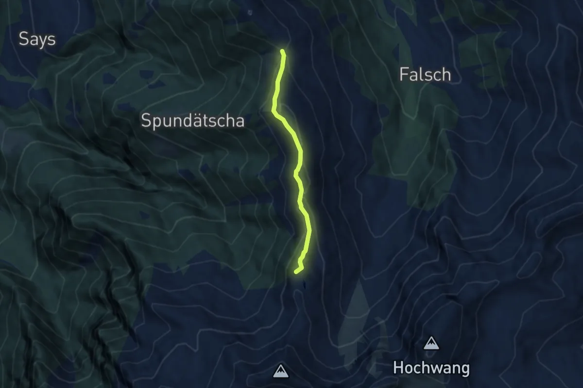
Easy · Summit
Alpe Zanutsch Vordersäss – Zanutscher Boden
5.2 km · ↑ 292 m · 1 h 52 min · 8 km away
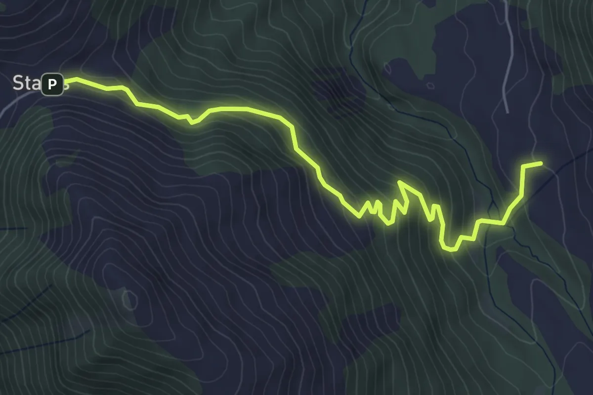
Medium · Trail
Stams – Laubenzug
6.1 km · ↑ 387 m · 2 h 17 min · 9 km away
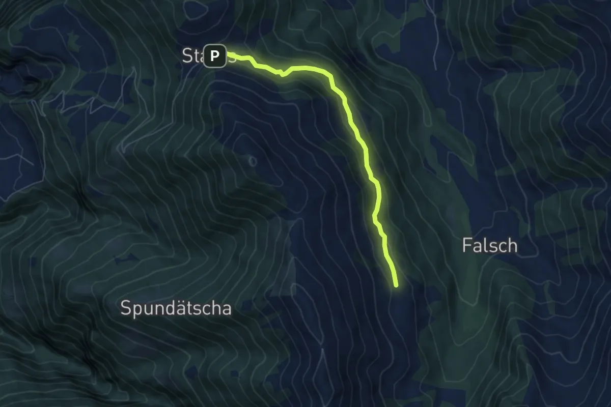
Easy · Cabin
Stams – Alpe Zanutsch Vordersäss
5.7 km · ↑ 265 m · 1 h 55 min · 9 km away
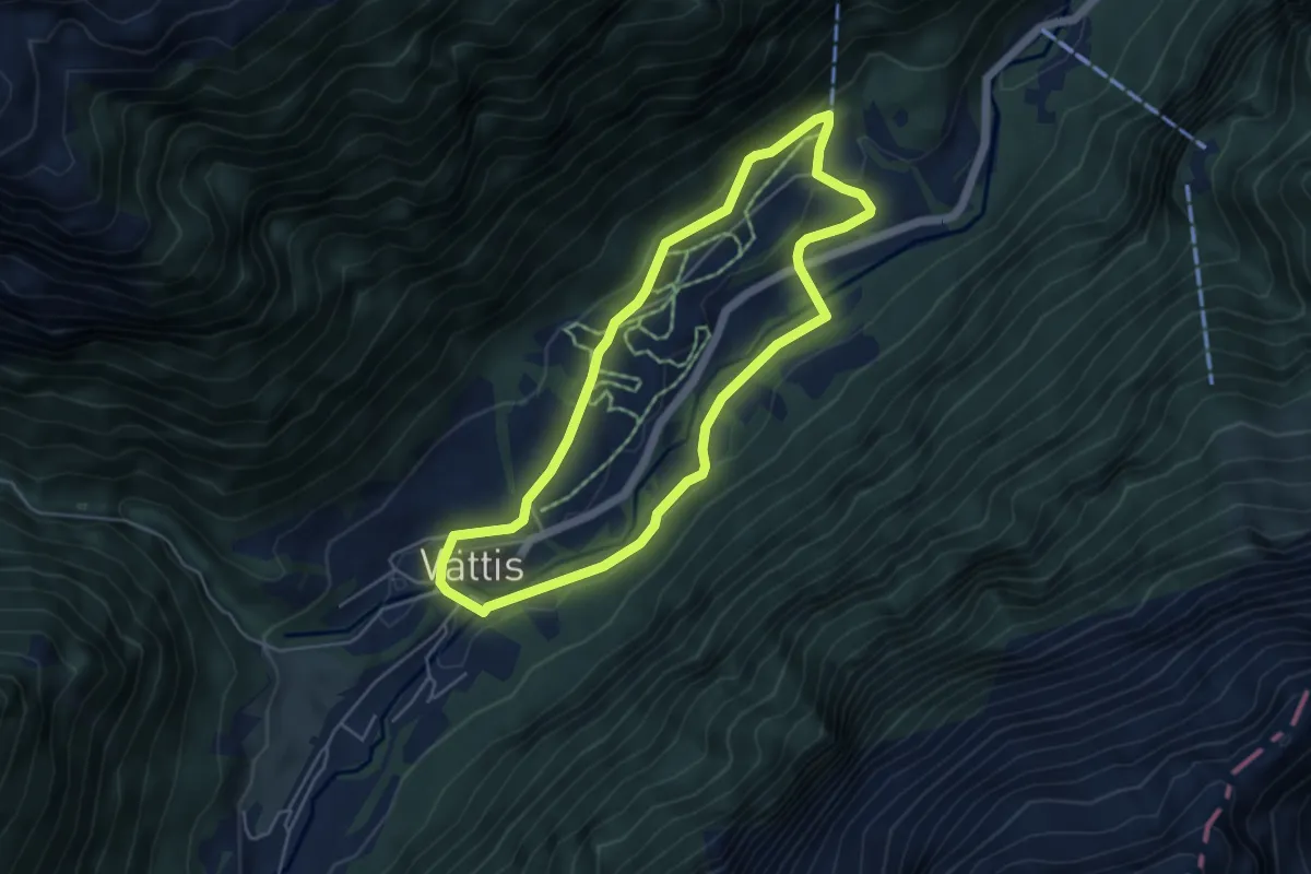
Easy · Trail
Spazier Rundweg Radein
4.6 km · ↑ 104 m · 1 h 22 min · 9 km away
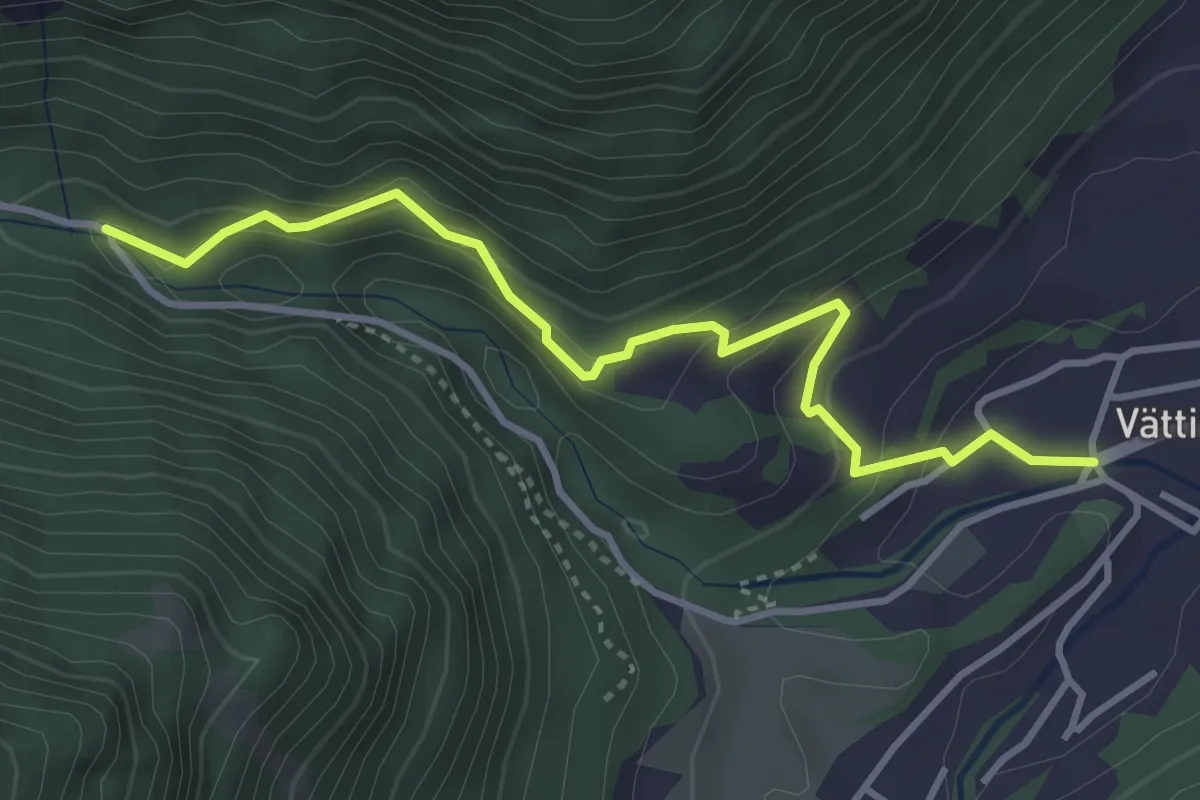
Medium · Trail
Vättis – Rot Herd "Isig Brugg"
3.7 km · ↑ 265 m · 1 h 27 min · 9 km away
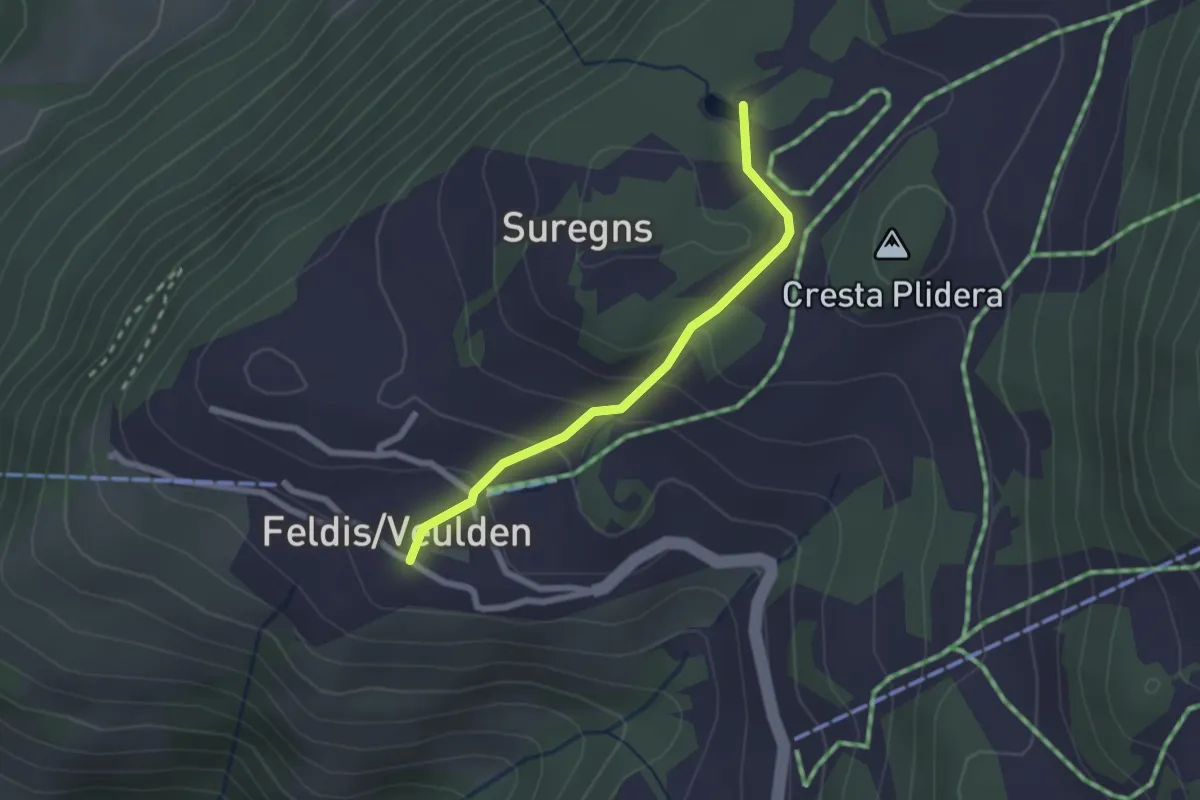
Easy · Trail
Feldis Platz - Plaun Graund
2.1 km · ↑ 104 m · 43 min · 9 km away
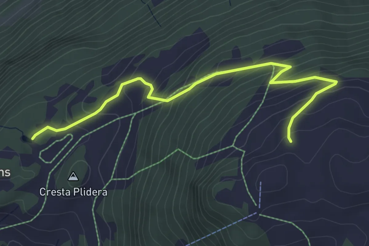
Medium · Trail
Plaun Graund - Alp da Veulden
5.5 km · ↑ 372 m · 2 h 6 min · 9 km away
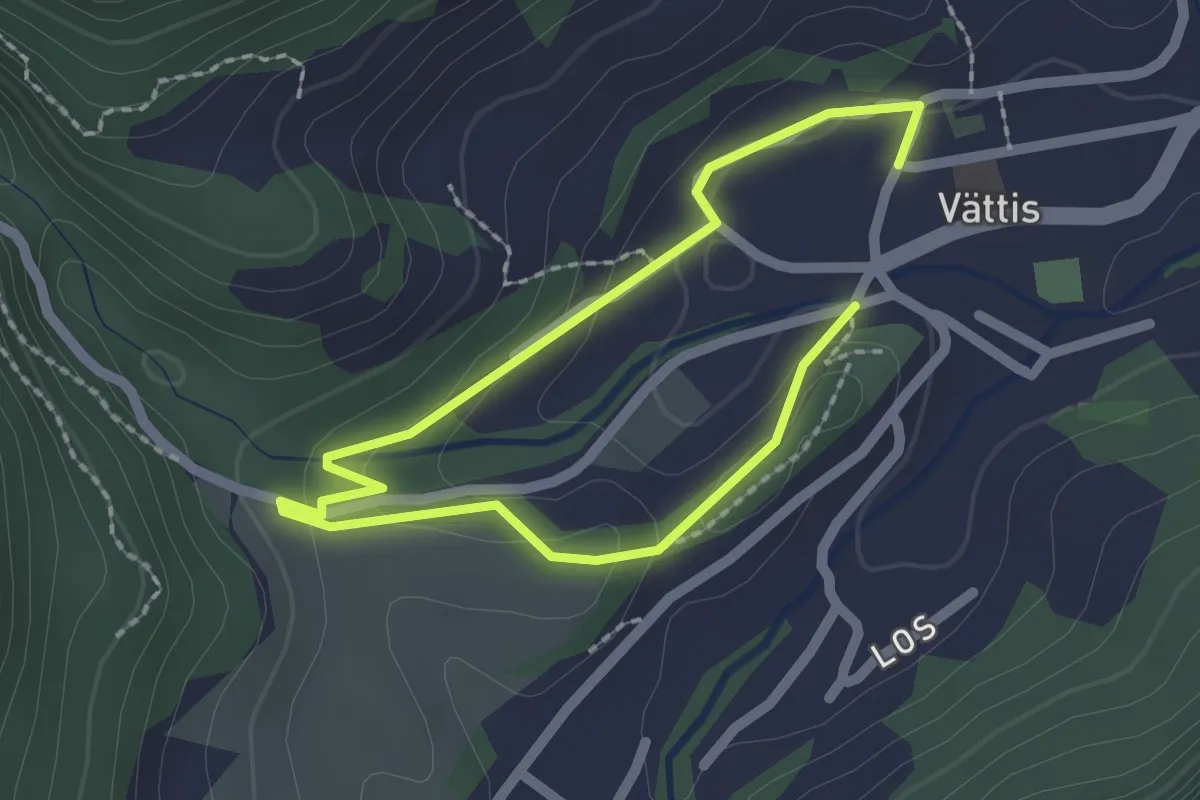
Easy · Trail
Spazier Rundweg Tamina
1.5 km · ↑ 47 m · 28 min · 9 km away
Easy · Trail
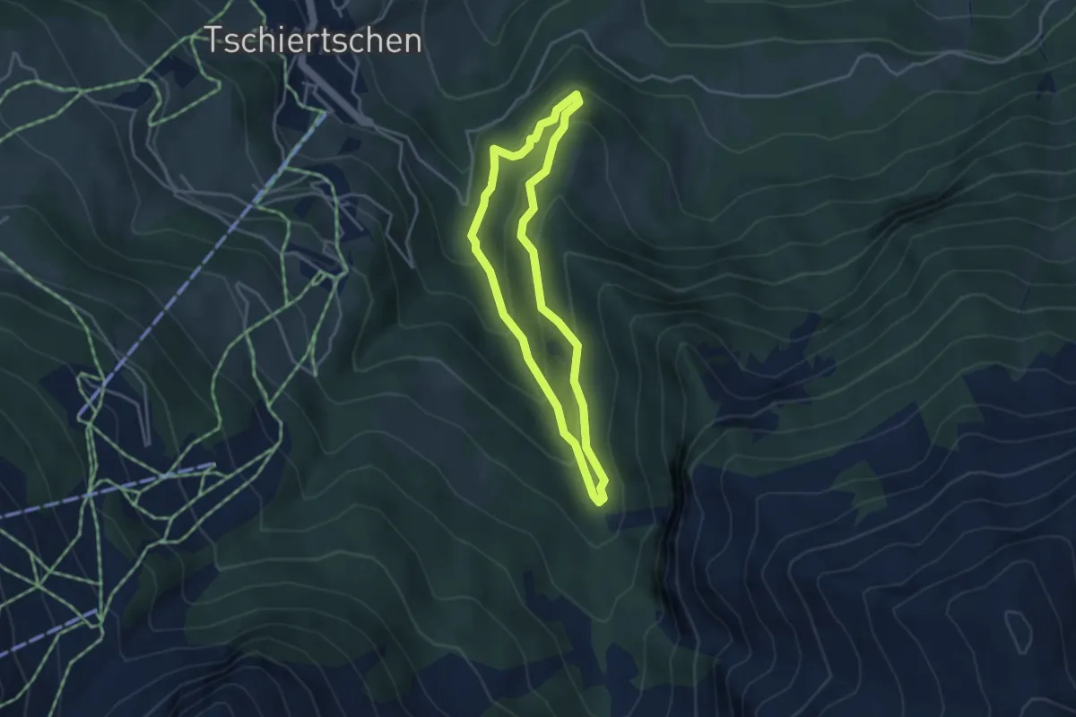
Füxliweg
3.2 km · ↑ 227 m · 1 h 17 min · 9 km away
Easy · Trail
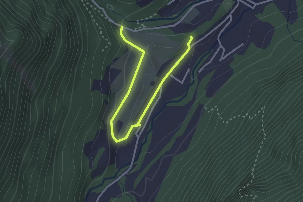
Rundweg Tamin
1.4 km · ↑ 18 m · 25 min · 9 km away
Easy · Trail
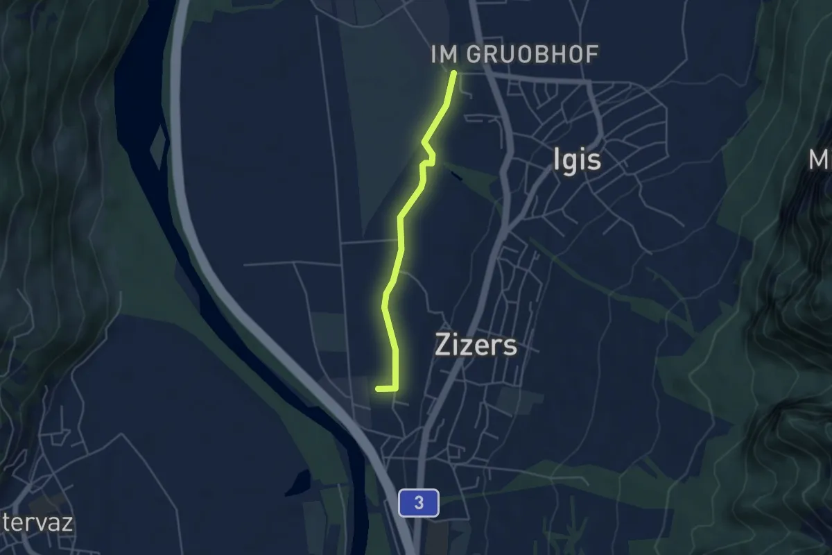
Igis RhB - Zizers RhB
3.8 km · ↑ 4 m · 55 min · 9 km away
Easy · Trail
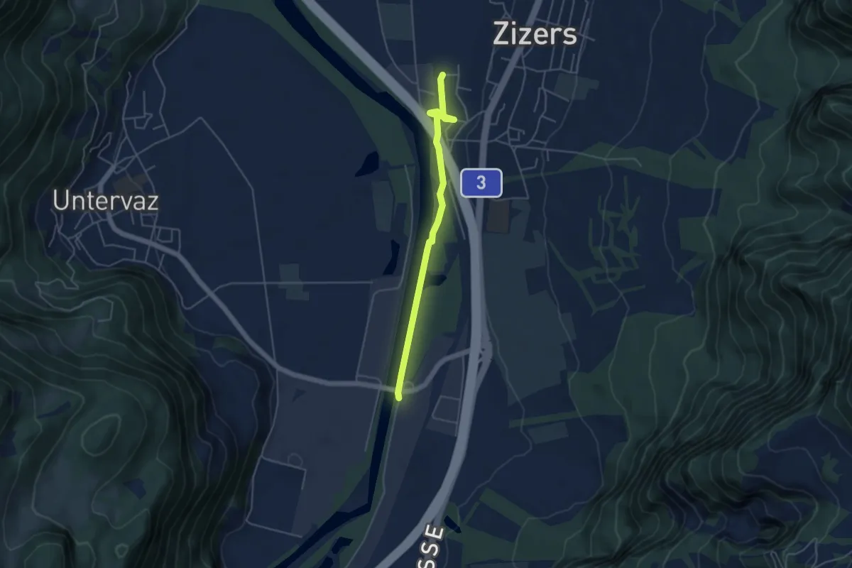
Zizers RhB - Untervaz Bahnhof
4.3 km · ↑ 22 m · 1 h 4 min · 9 km away
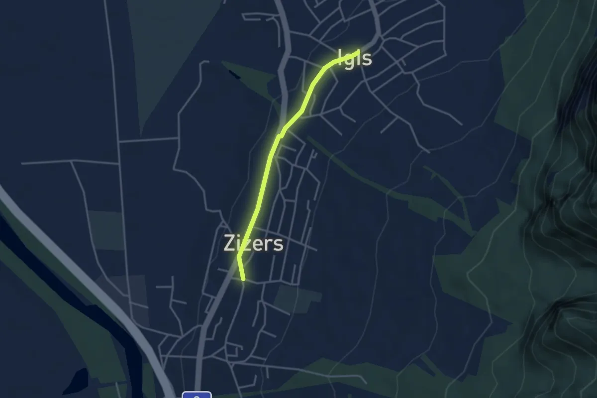
Easy · Trail
Igis - Zizers
2.9 km · ↑ 18 m · 43 min · 9 km away
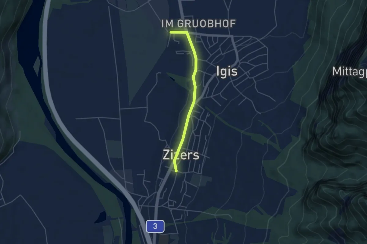
Easy · Trail
Zizers - Igis RhB
3.7 km · ↑ 52 m · 1 h · 9 km away
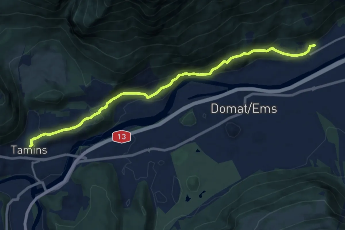
Medium · Trail
Felsberg-Tamins
10.5 km · ↑ 531 m · 3 h 38 min · 9 km away
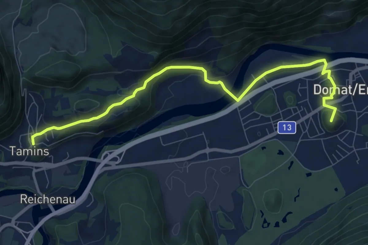
Easy · Summit
Via son Giachen
4.7 km · ↑ 128 m · 1 h 29 min · 9 km away
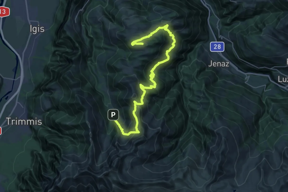
Demanding · Summit
Falsch – Alp Rona
32.4 km · ↑ 2051 m · 12 h 6 min · 10 km away
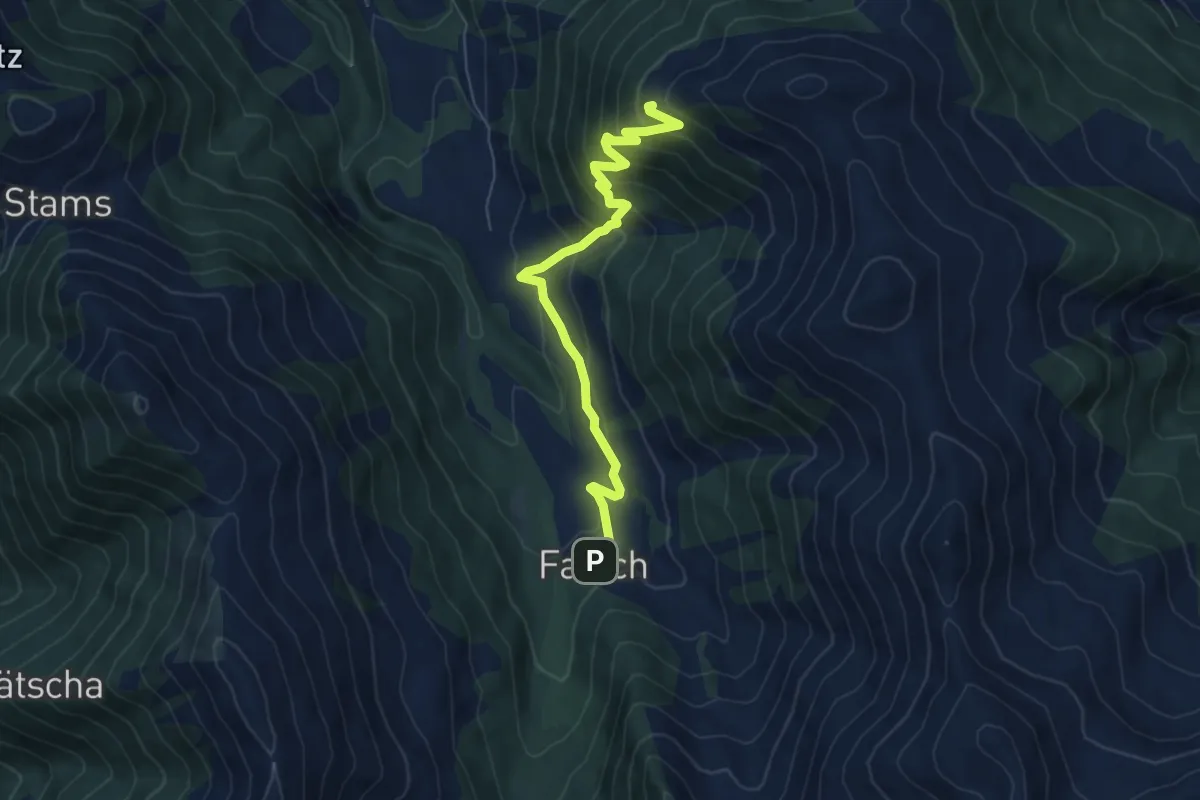
Medium · Cabin
Falsch – Katschlag
6.6 km · ↑ 506 m · 2 h 39 min · 10 km away
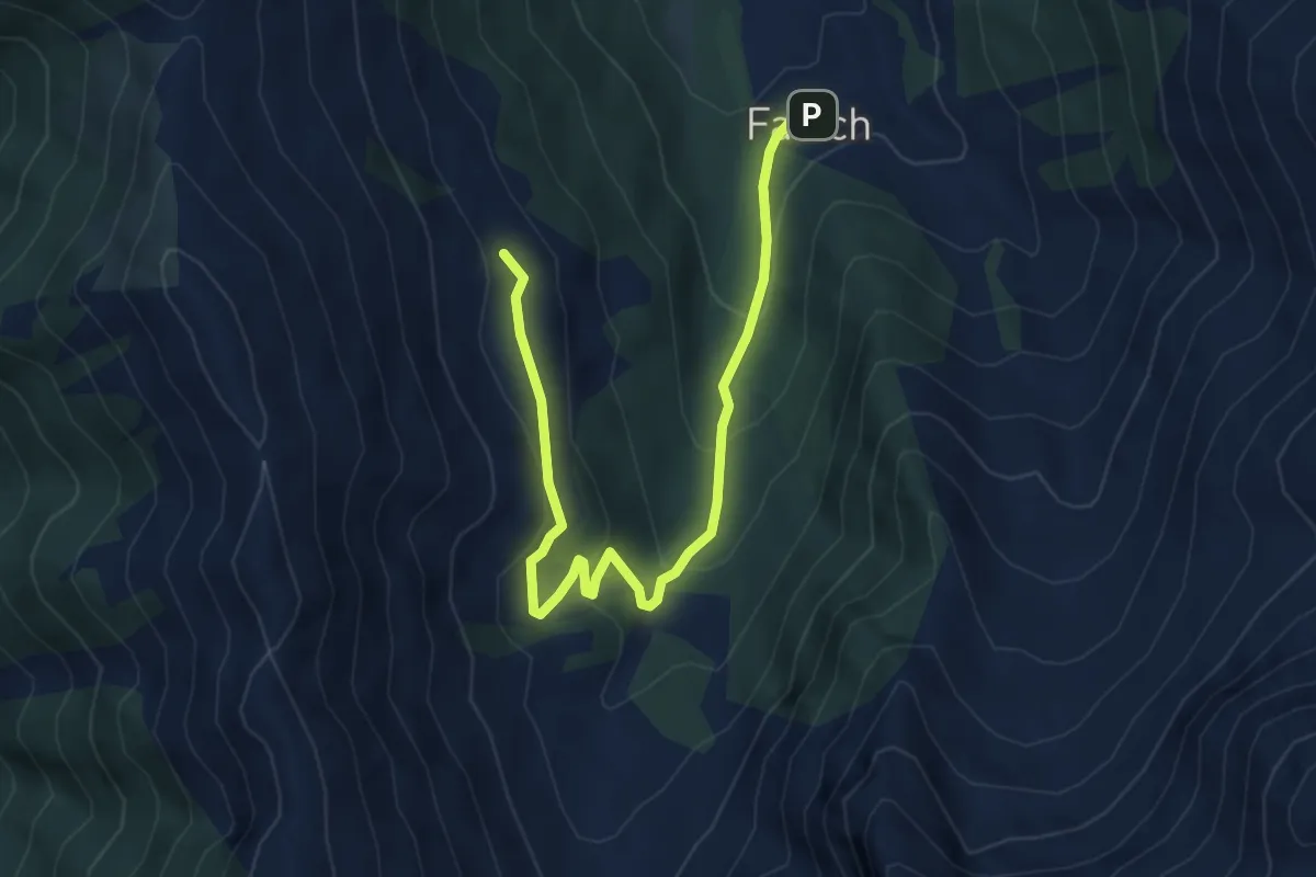
Easy · Cabin
Alpe Zanutsch Vordersäss – Falsch
5.7 km · ↑ 270 m · 1 h 56 min · 10 km away
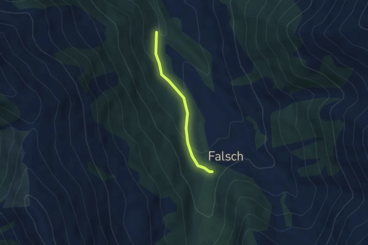
Easy · Trail
Saga – Falsch
2.6 km · ↑ 112 m · 51 min · 10 km away
Easy · Trail
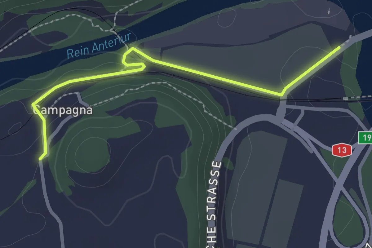
Farsch – Campagna
2.4 km · ↑ 60 m · 42 min · 10 km away
Easy · Trail
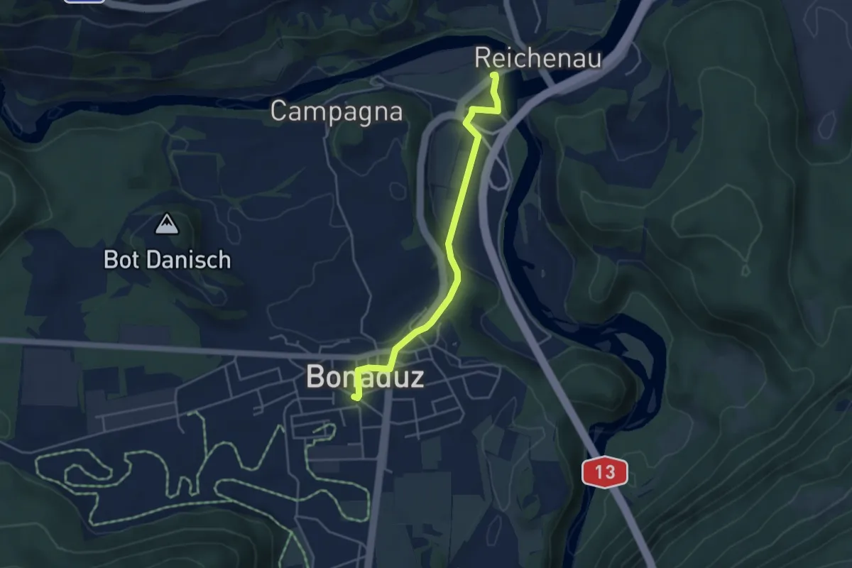
Farsch – Bonaduz
4.0 km · ↑ 73 m · 1 h 6 min · 10 km away
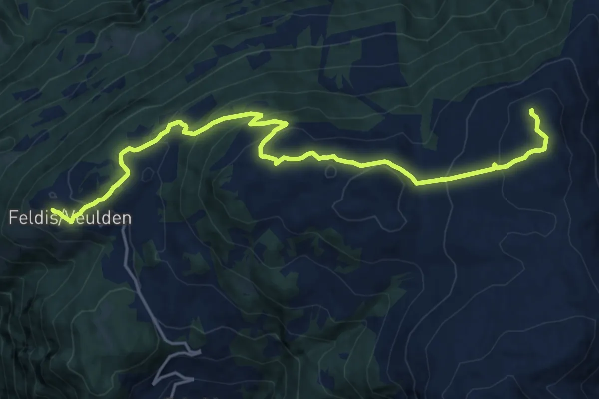
Demanding · Summit
Dreibündenstein Panoramaweg
15.6 km · ↑ 839 m · 5 h 30 min · 10 km away