Trails near Chur
131 hikes starting within 15 km, nearest first.
Nearest first, page 2 of 3
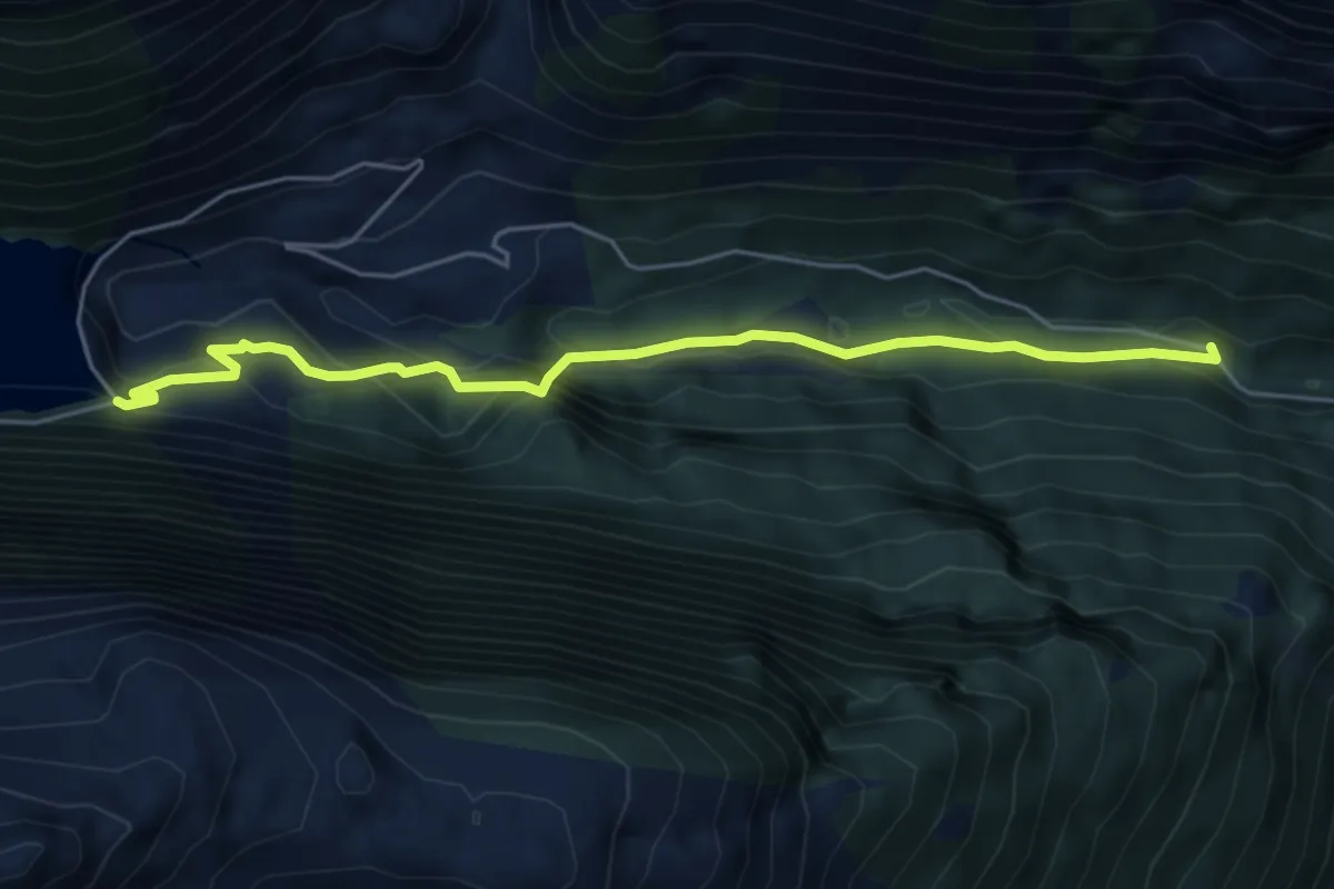
Medium · Trail
Rot Herd "Isig Brugg" – Staumauer Gigerwald
5.4 km · ↑ 334 m · 2 h · 10 km away
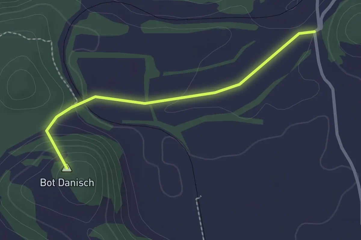
Easy · Summit
Campagna-Bonaduz (via Gurgs)
2.0 km · ↑ 66 m · 38 min · 11 km away
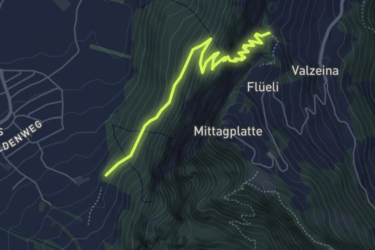
Expert · Trail
Trit
5.5 km · ↑ 974 m · 3 h 25 min · 11 km away
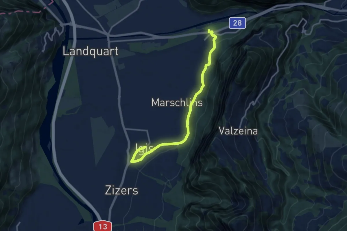
Medium · Trail
Ganda - Igis
9.7 km · ↑ 209 m · 2 h 45 min · 11 km away
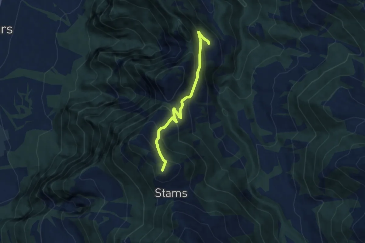
Medium · Summit
Stamps – Oberclavadätsch
6.3 km · ↑ 508 m · 2 h 36 min · 11 km away
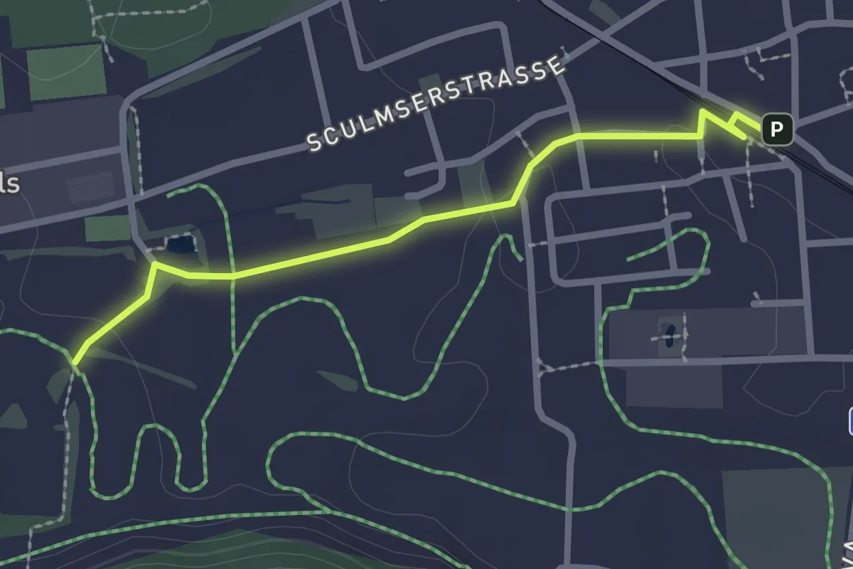
Easy · Trail
Bonaduz-Lag
2.2 km · ↑ 13 m · 33 min · 11 km away
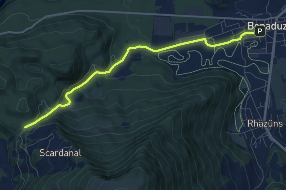
Medium · Trail
Bonaduz-Tenna
8.3 km · ↑ 316 m · 2 h 38 min · 11 km away
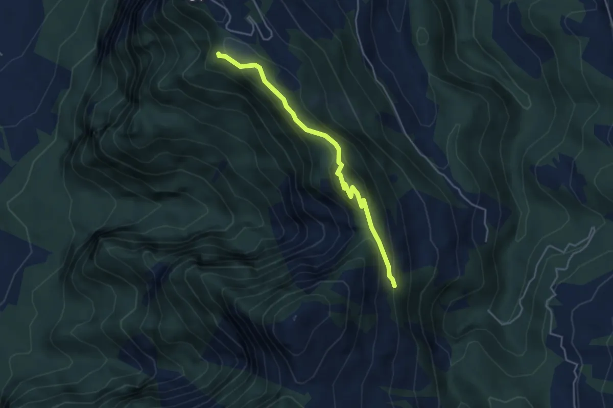
Expert · Trail
Gratweg
3.8 km · ↑ 236 m · 1 h 24 min · 11 km away
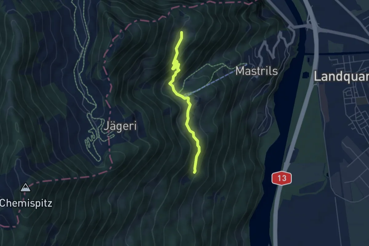
Easy · Trail
Spig – Chäppeli? / Untervaz? - fixme
4.6 km · ↑ 226 m · 1 h 35 min · 11 km away
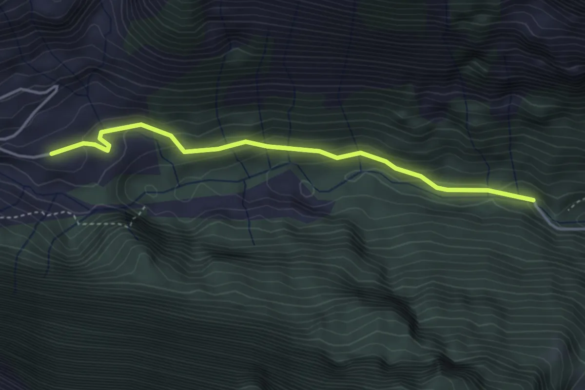
Easy · Trail
Gigerwald – Rot Herd "Isig Brugg"
3.8 km · ↑ 273 m · 1 h 29 min · 12 km away
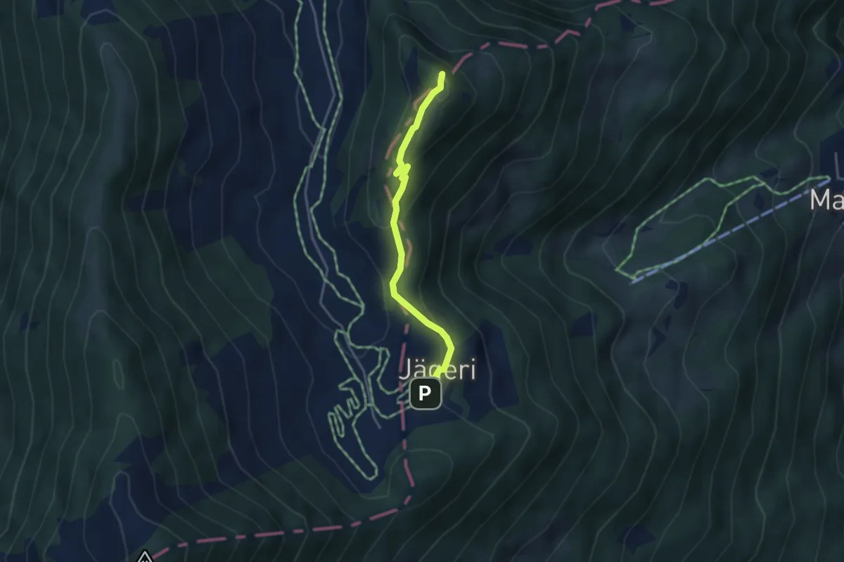
Easy · Summit
Jägeri – Fürggli
3.2 km · ↑ 174 m · 1 h 9 min · 12 km away
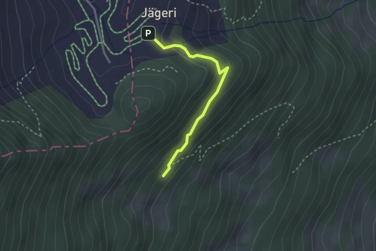
Easy · Trail
Jägeri – Vajuoza
2.2 km · ↑ 102 m · 44 min · 12 km away
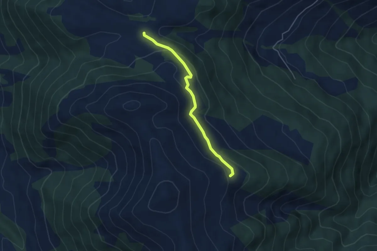
Easy · Trail
Scara – Obersass
3.6 km · ↑ 142 m · 1 h 10 min · 12 km away
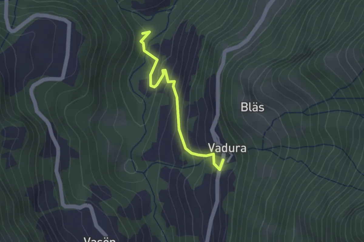
Easy · Trail
Vadura – Rüttenen
2.4 km · ↑ 201 m · 1 h 1 min · 12 km away
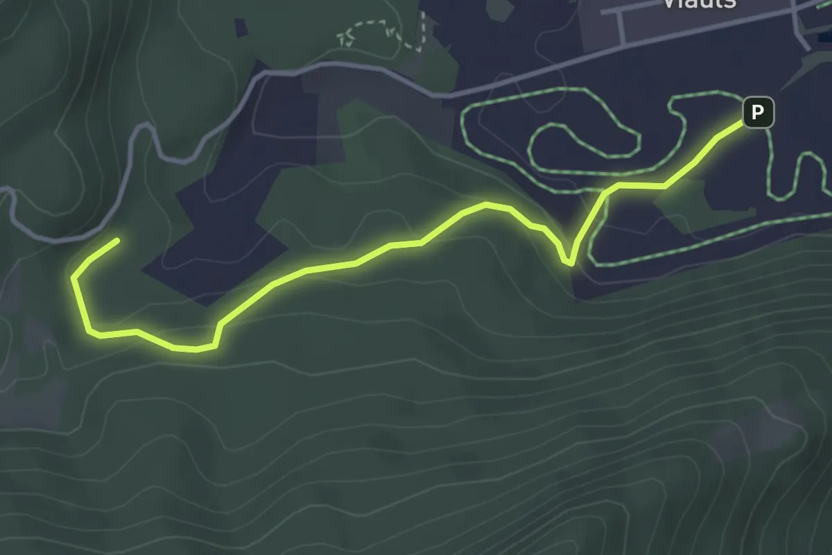
Easy · Trail
Lag-Sigl Ault
3.7 km · ↑ 149 m · 1 h 12 min · 12 km away
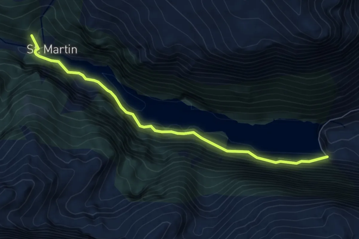
Demanding · Summit
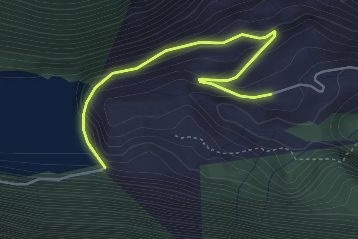
Staumauer Gigerwald – St.Martin
6.9 km · ↑ 974 m · 3 h 44 min · 12 km away
Easy · Trail
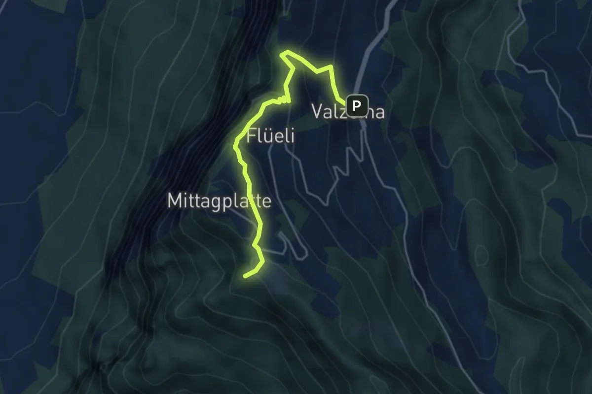
Staumauer Gigerwald – Gigerwald
3.5 km · ↑ 258 m · 1 h 23 min · 12 km away
Easy · Trail
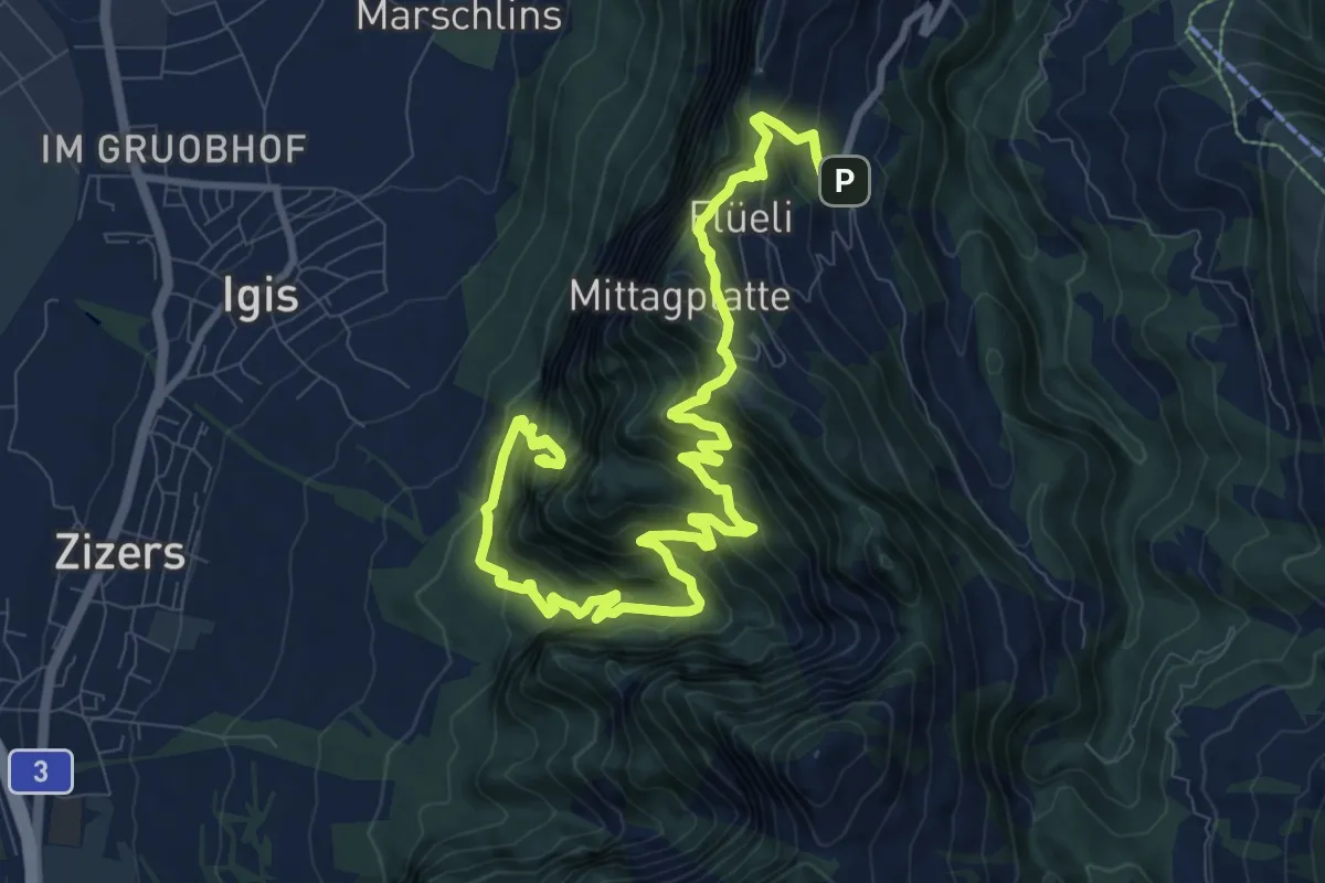
Valzeina – Sturnenboden
3.6 km · ↑ 256 m · 1 h 25 min · 12 km away
Demanding · Trail
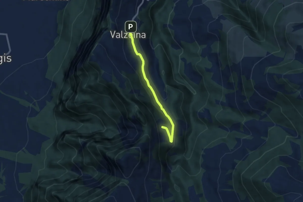
Igis – Valzeina
13.1 km · ↑ 1261 m · 5 h 49 min · 12 km away
Easy · Trail
Valzeina – Oberclavadätsch
5.1 km · ↑ 180 m · 1 h 36 min · 12 km away
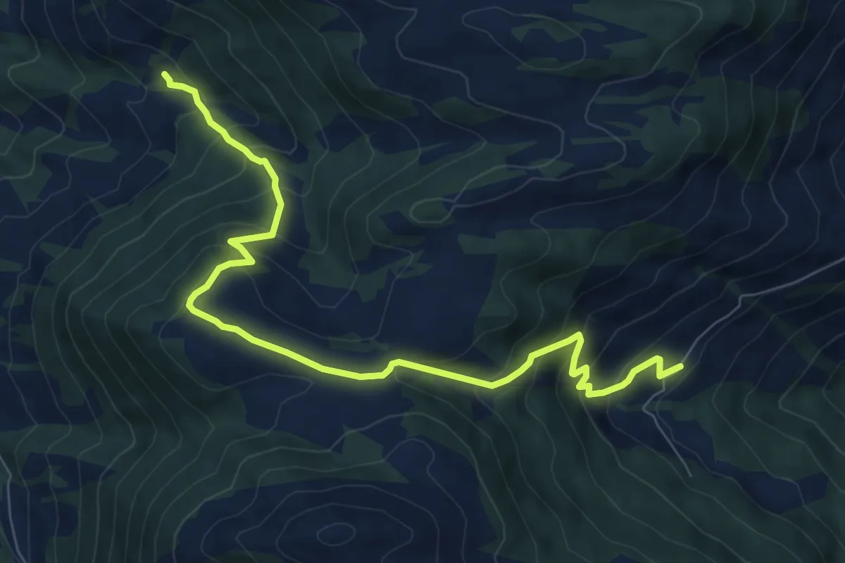
Medium · Trail
Hinterberg – Wissa Stein
9.0 km · ↑ 662 m · 3 h 33 min · 12 km away
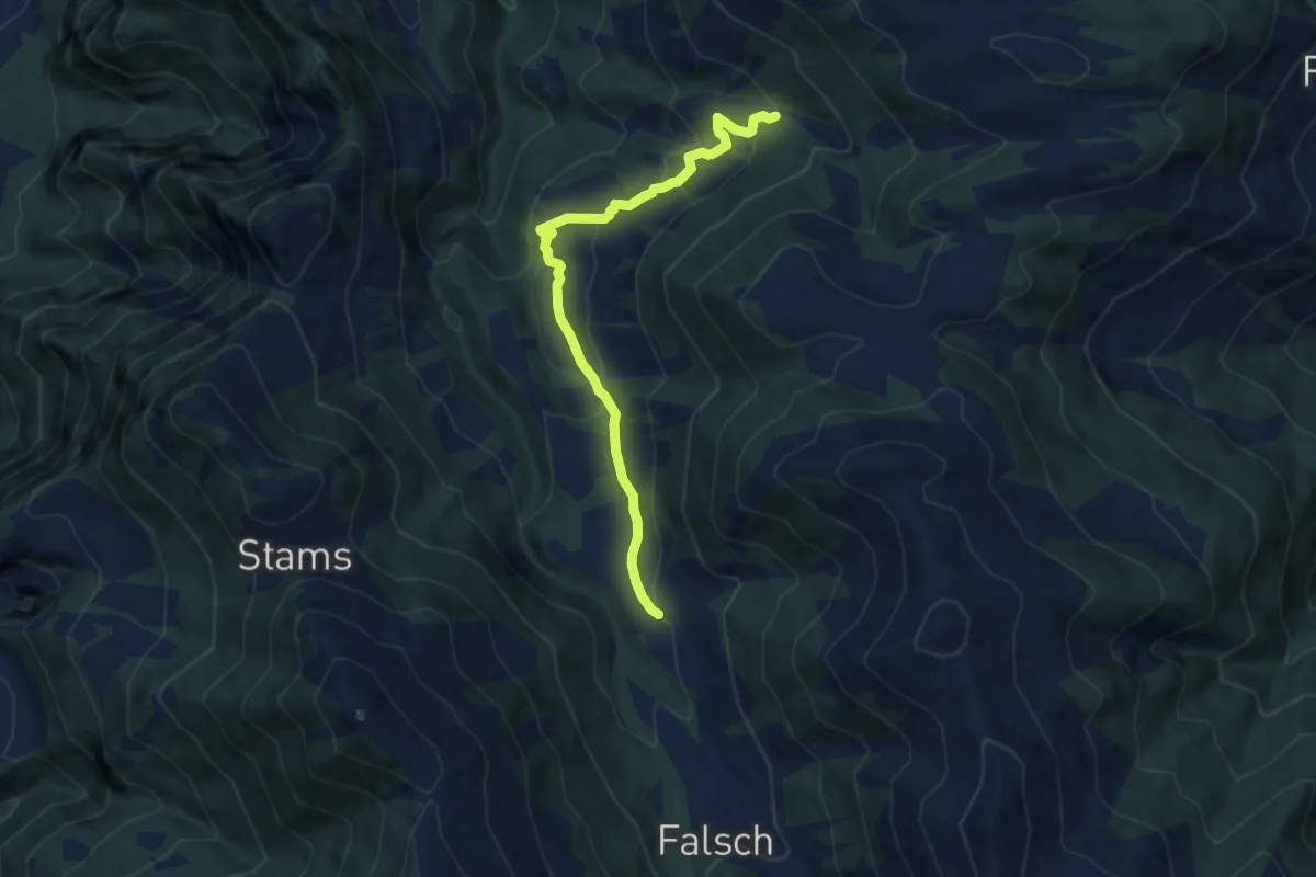
Medium · Trail
Laubenzug – Wissa Stein
8.2 km · ↑ 434 m · 2 h 53 min · 12 km away
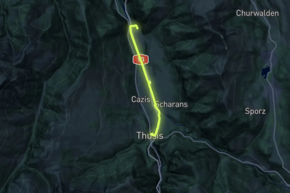
Demanding · Trail
Rothenbrunnen-Thusis
19.7 km · ↑ 117 m · 4 h 55 min · 12 km away
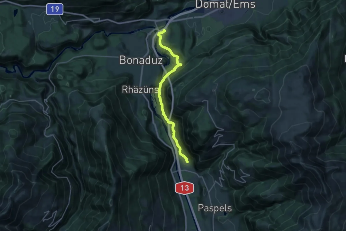
Medium · Trail
Reichenau-Rothenbrunnen
16.4 km · ↑ 712 m · 5 h 25 min · 12 km away
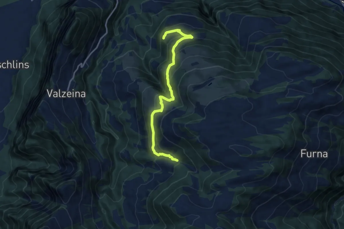
Medium · Trail
Wissa Stein – Cavadura
10.1 km · ↑ 555 m · 3 h 35 min · 12 km away
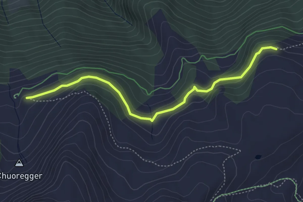
Easy · Trail
Rot Tritt – Ochsenalp
4.6 km · ↑ 204 m · 1 h 32 min · 12 km away
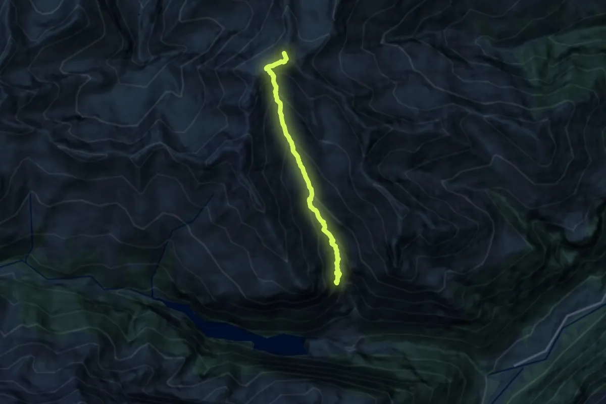
Expert · Summit
Gigerwald – Pizolsattel
10.3 km · ↑ 1205 m · 5 h 2 min · 12 km away
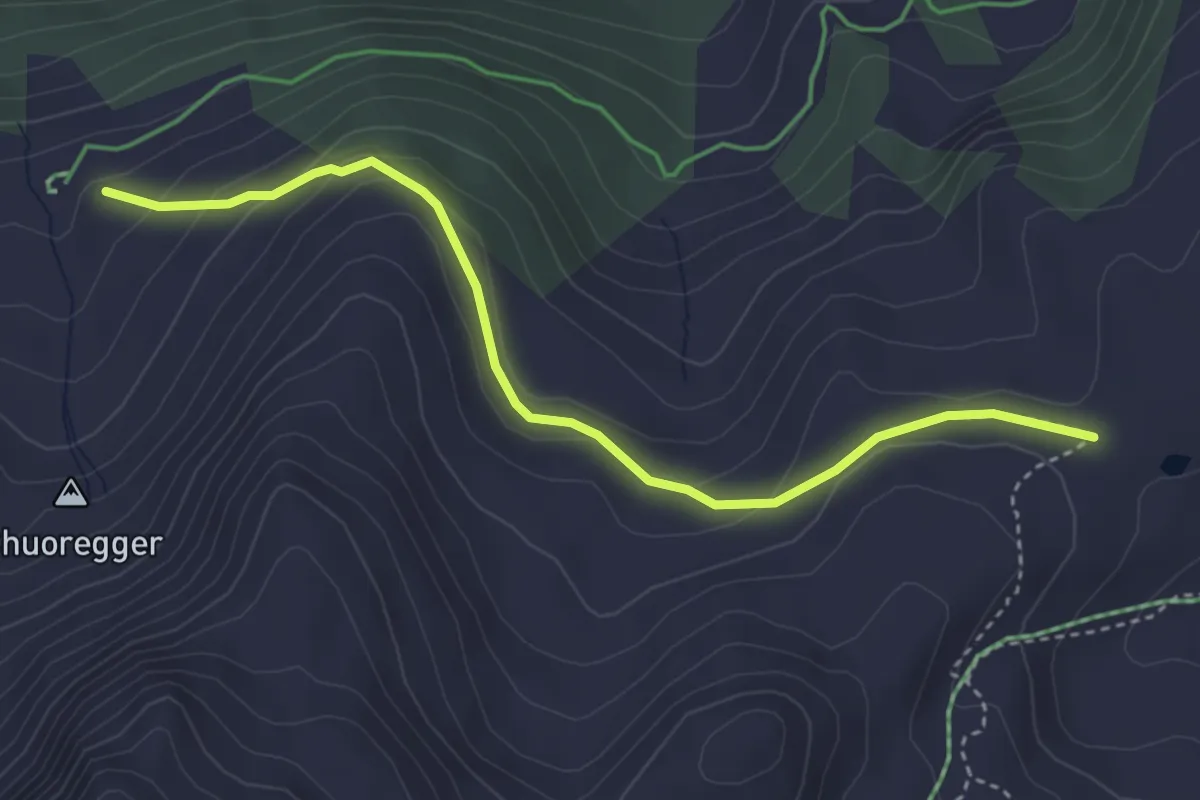
Easy · Trail
Scheidegg – Ochsenalp
3.9 km · ↑ 159 m · 1 h 16 min · 12 km away
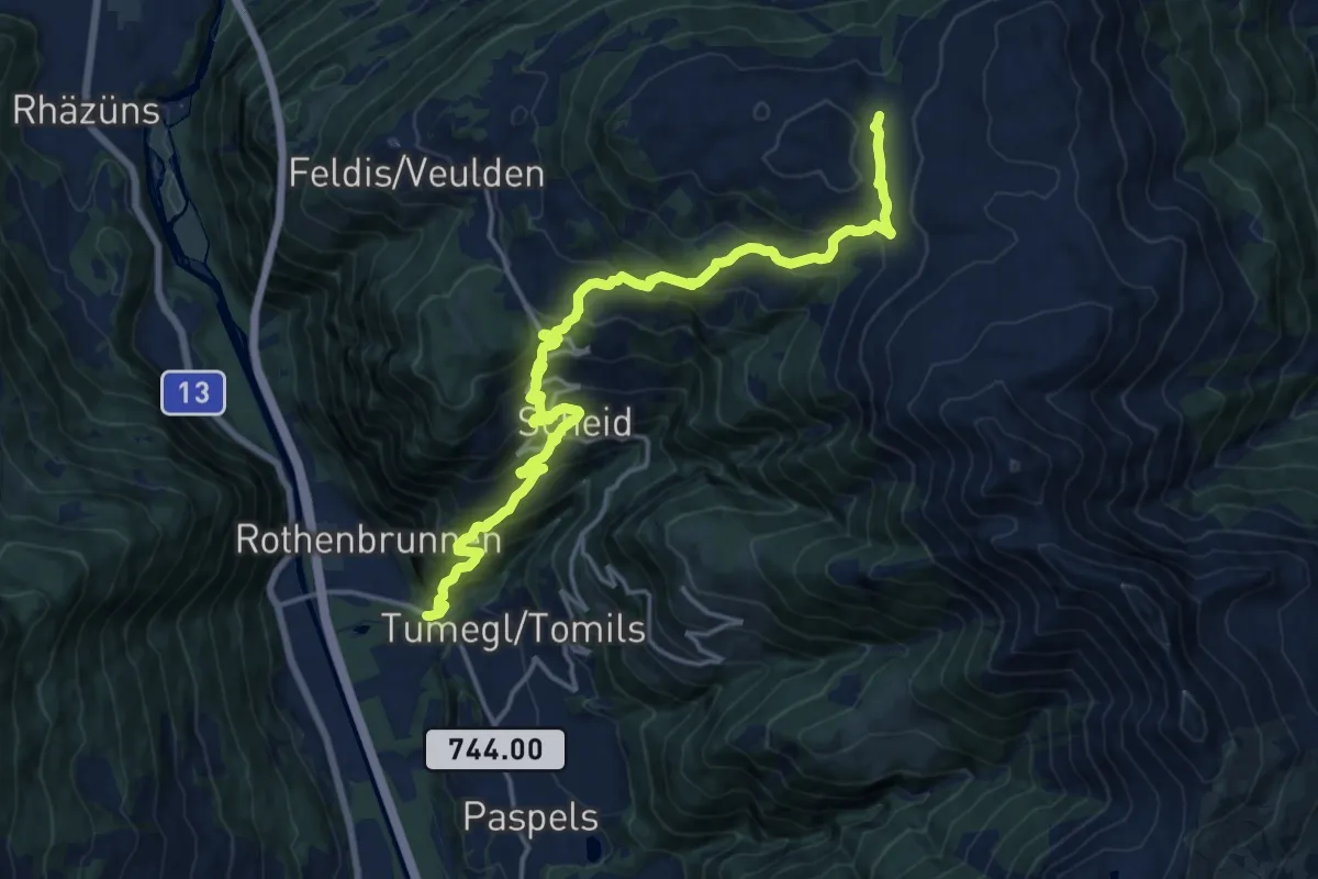
Demanding · Cabin
Rothenbrunnen Mulens Esmer Skihütte
18.4 km · ↑ 1412 m · 7 h 24 min · 12 km away
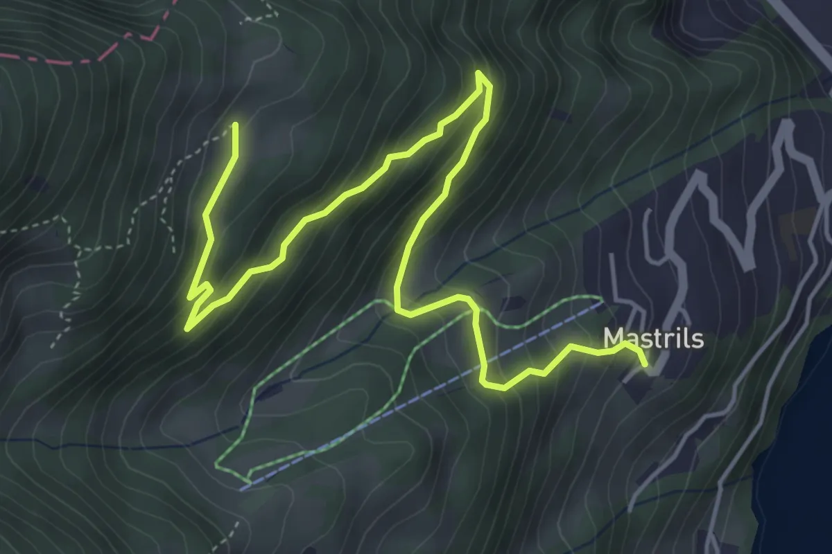
Medium · Trail
Mastrils Trätsch – Spig
5.8 km · ↑ 420 m · 2 h 17 min · 12 km away
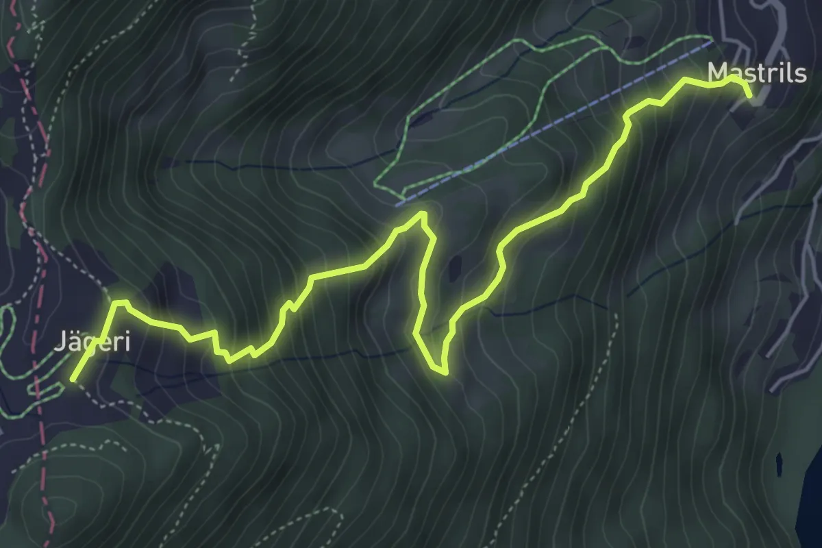
Medium · Trail
Mastril Trätsch – Jägeri
6.1 km · ↑ 632 m · 2 h 49 min · 12 km away
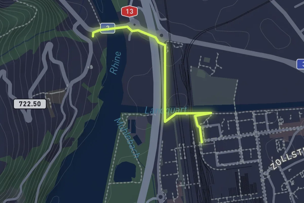
Easy · Trail
Landquart – Tardisbrugg
2.1 km · ↑ 34 m · 34 min · 13 km away
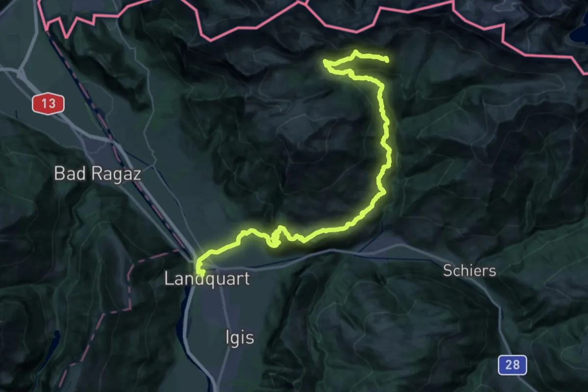
Demanding · Summit
Prättigauer Höhenweg - Etappe 1
46.2 km · ↑ 2816 m · 17 h · 13 km away
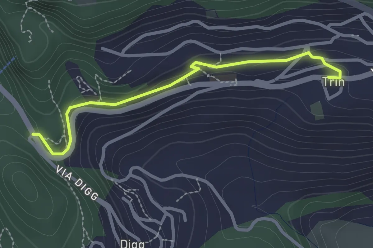
Easy · Trail
Trin - Porclis
2.4 km · ↑ 46 m · 39 min · 13 km away
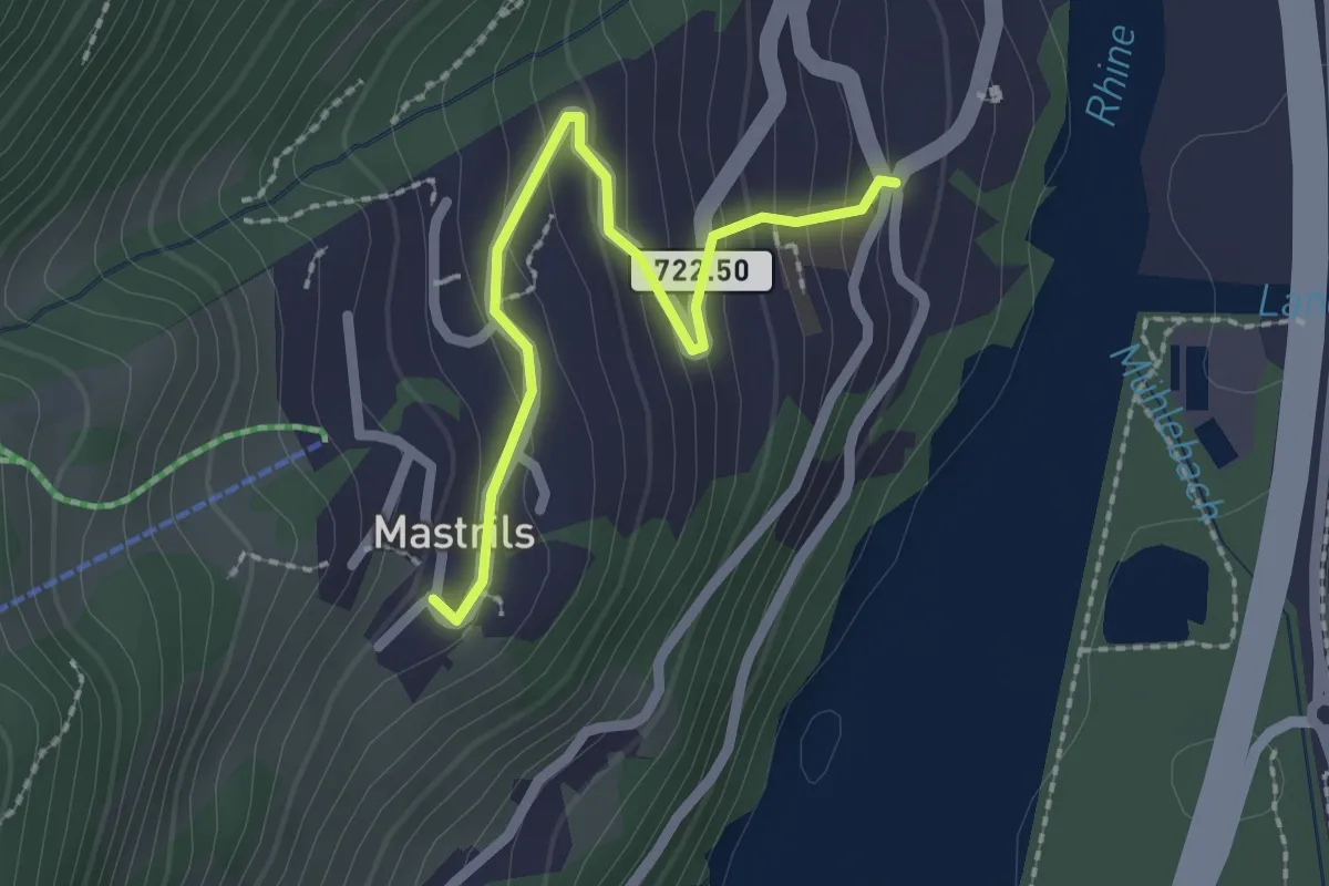
Easy · Trail
Mastrils Rösli – Mastrils Trätsch
2.1 km · ↑ 155 m · 50 min · 13 km away
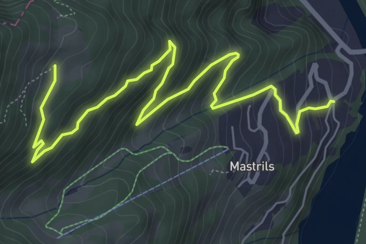
Medium · Trail
Mastrils Rösli – Spig
7.4 km · ↑ 576 m · 3 h · 13 km away
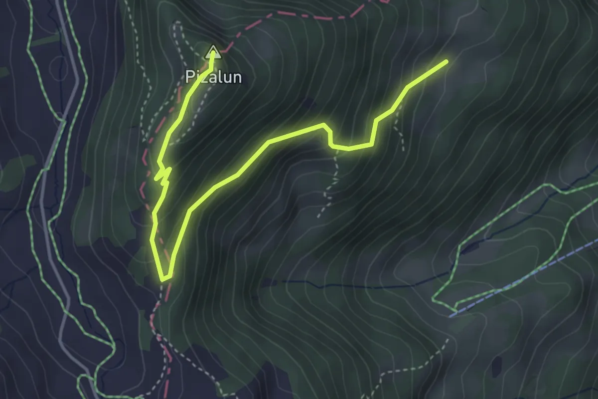
Medium · Summit
Spig – Pizalun
4.5 km · ↑ 370 m · 1 h 52 min · 13 km away
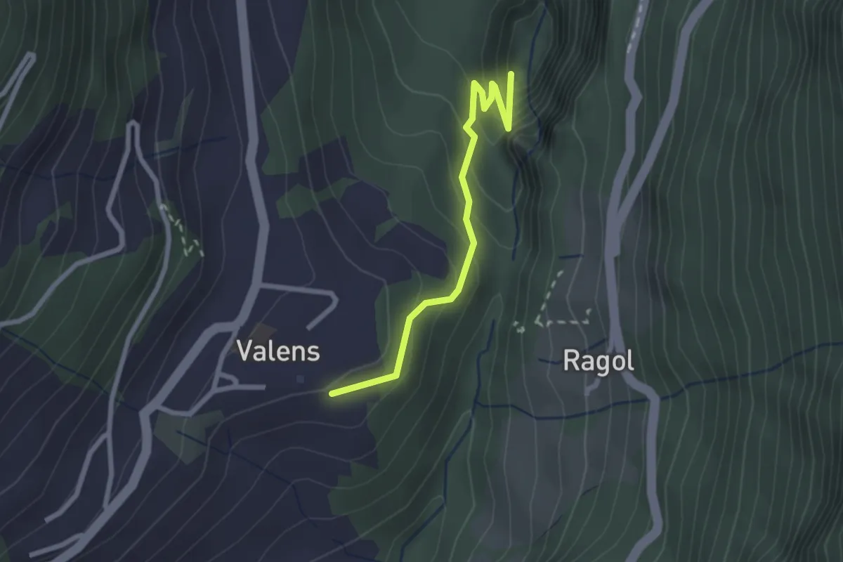
Easy · Trail
Bad Pfäfers – Valens
2.2 km · ↑ 196 m · 57 min · 13 km away
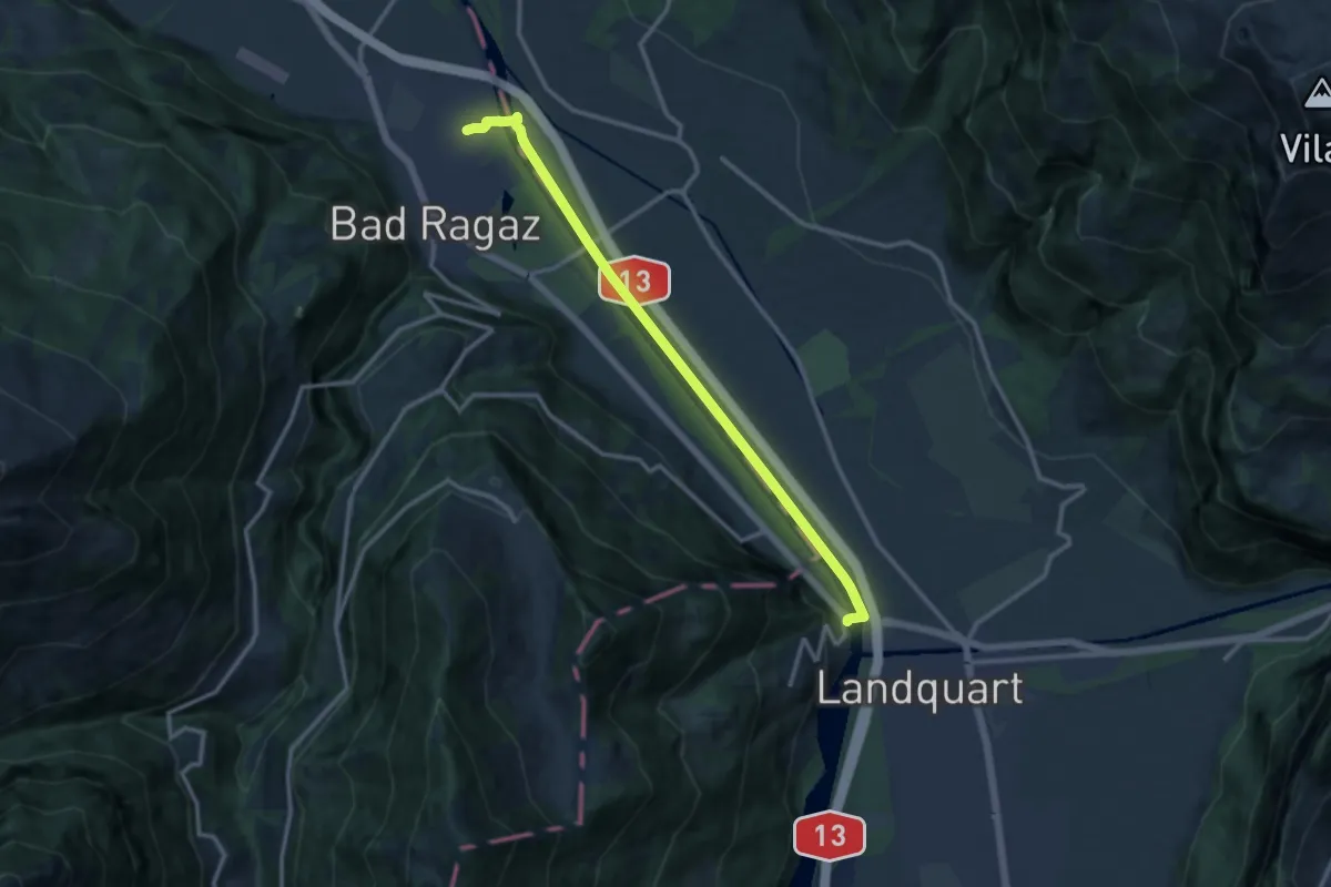
Medium · Trail
Bad Ragaz (Bf) - Tardisbrugg
12.0 km · ↑ 48 m · 2 h 56 min · 13 km away
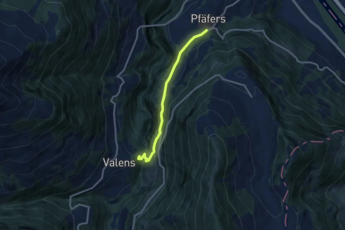
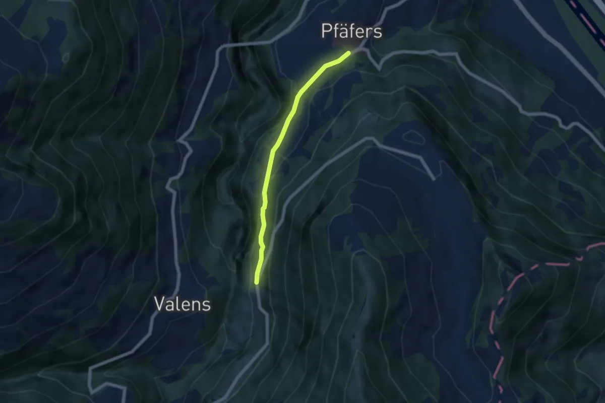
Easy · Trail
Pfäfers – Valens
5.9 km · ↑ 270 m · 1 h 59 min · 13 km away
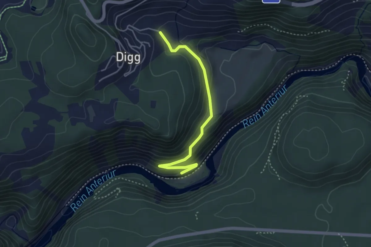
Easy · Trail
Eselrank – Pfäfers
4.6 km · ↑ 191 m · 1 h 30 min · 13 km away
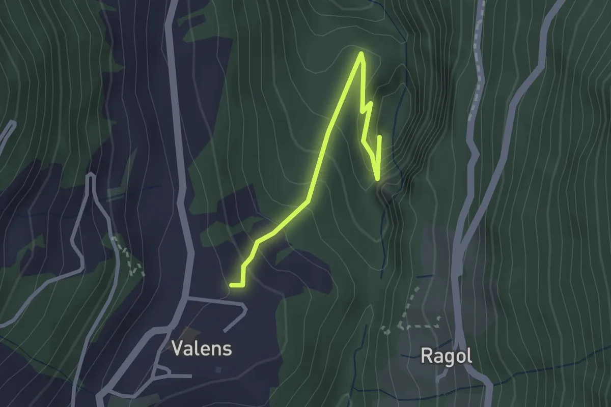
Easy · Trail
Trin Station - Trin
3.5 km · ↑ 151 m · 1 h 9 min · 13 km away
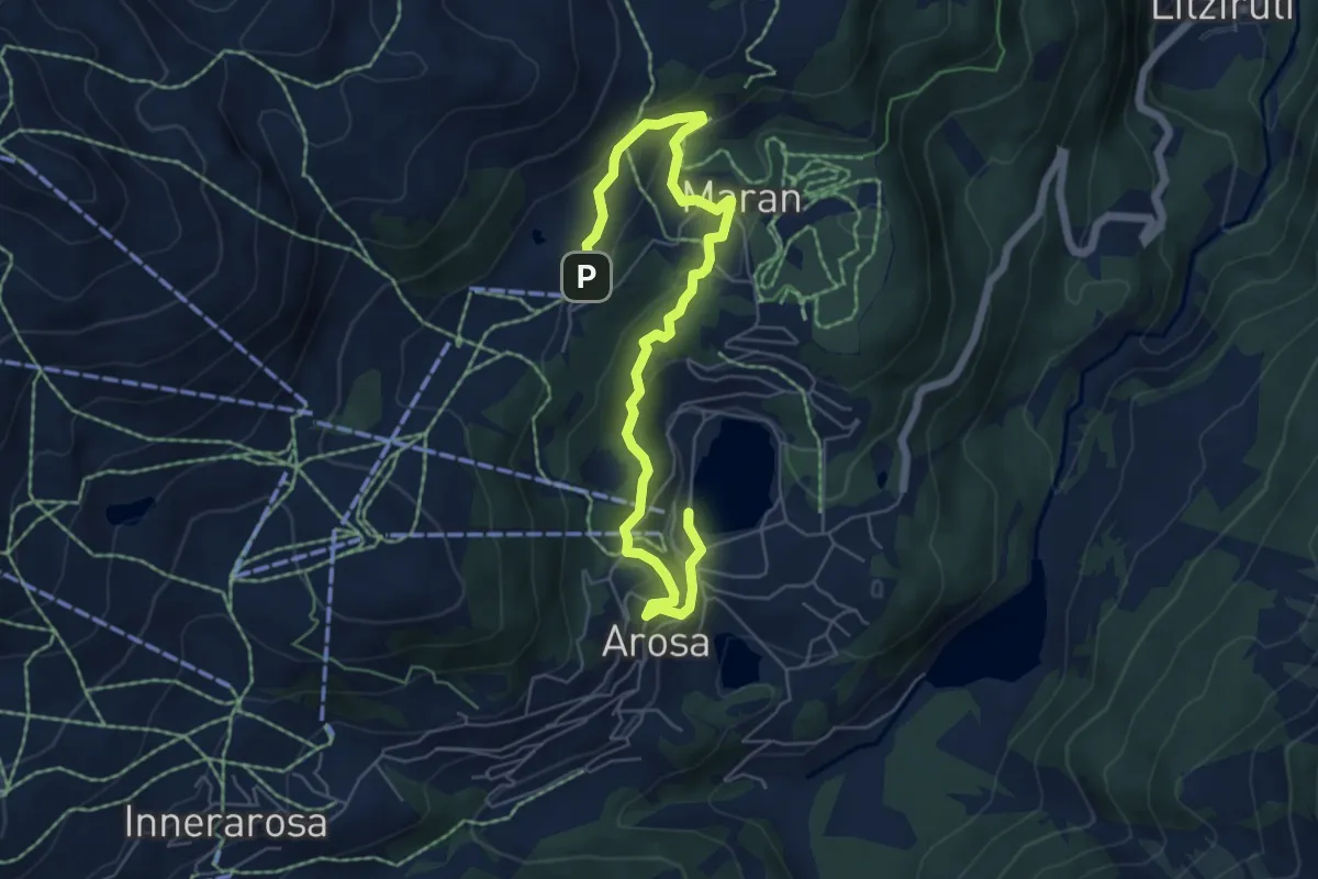
Easy · Trail
Bad Pfäfers – Valens
2.4 km · ↑ 249 m · 1 h 7 min · 13 km away
Easy · Trail
Prätschli-Eichhörnliweg (hindernisfreier Wanderweg)
7.2 km · ↑ 307 m · 2 h 22 min · 13 km away
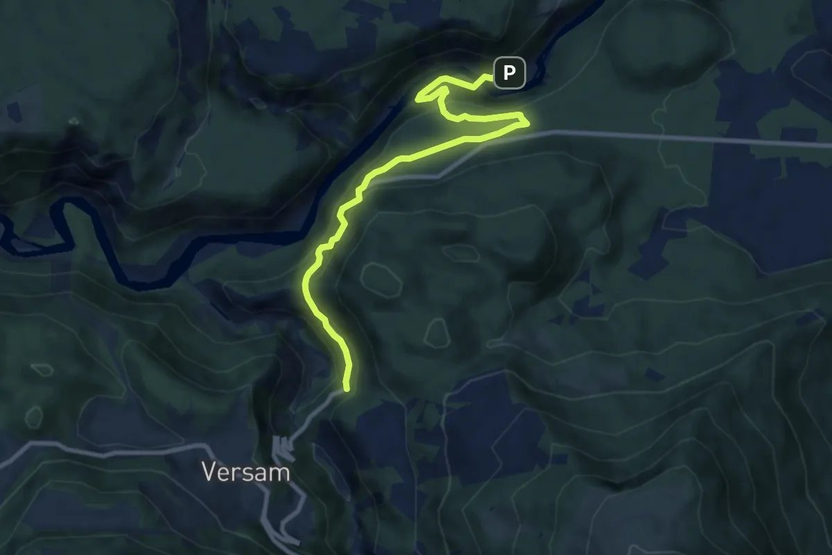
Medium · Trail
Versam Trin Stazion
9.2 km · ↑ 575 m · 3 h 25 min · 13 km away
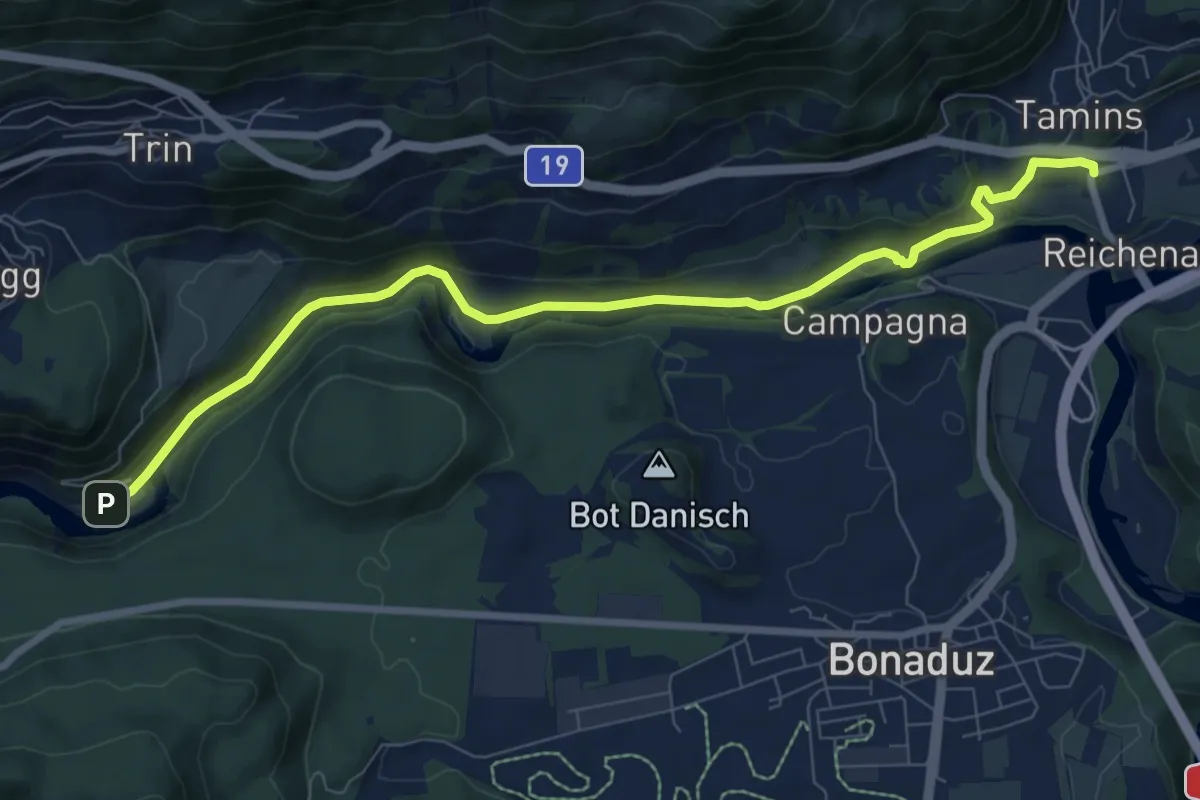
Medium · Trail
Tamins Post - Trin
8.9 km · ↑ 175 m · 2 h 29 min · 13 km away
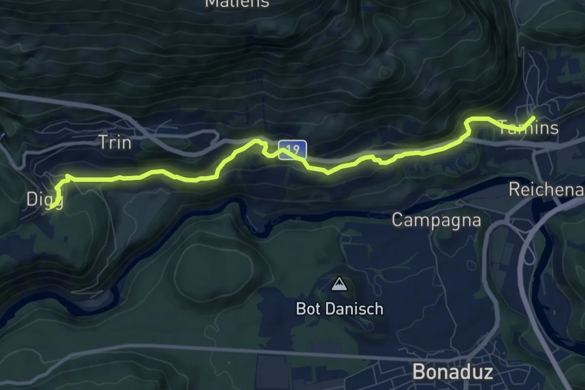
Easy · Pilgrim path
Via son Giachen
4.8 km · ↑ 134 m · 1 h 34 min · 13 km away
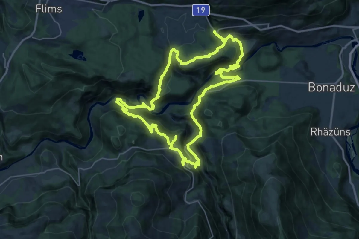
Demanding · Trail
Ruinaulta Sut
20.8 km · ↑ 1127 m · 7 h 40 min · 14 km away