Trails near Chur
131 hikes starting within 15 km, nearest first.
Nearest first, page 3 of 3
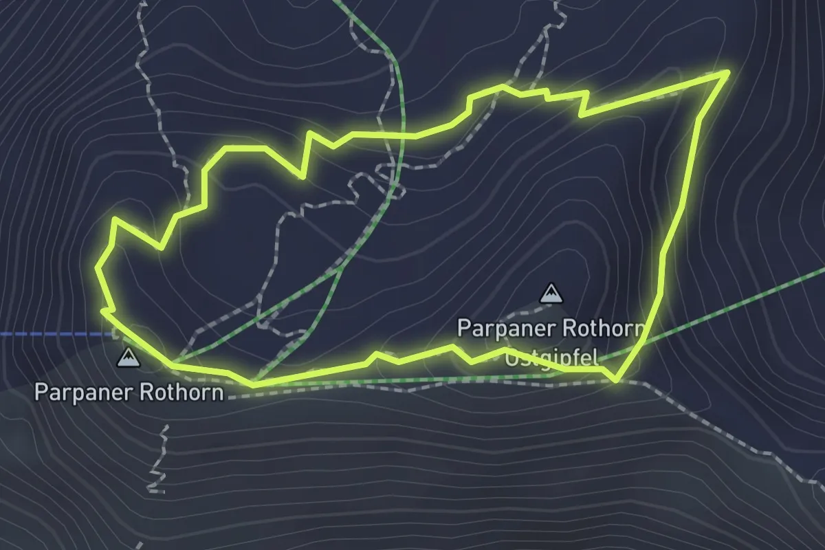
Demanding · Summit
Steinwichtelweg
2.0 km · ↑ 112 m · 44 min · 14 km away
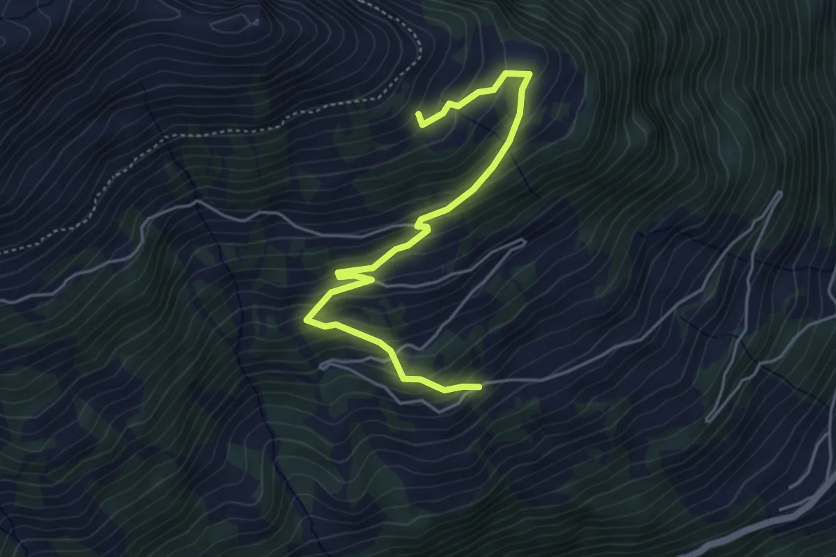
Medium · Trail
Rosser – Tristeli
4.8 km · ↑ 391 m · 1 h 59 min · 14 km away
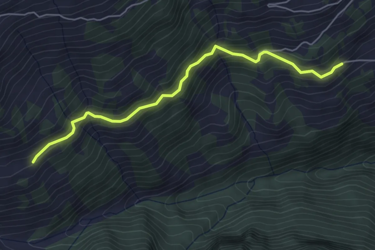
Medium · Trail
Rosser – Dreher Mittelsäss?
4.7 km · ↑ 333 m · 1 h 50 min · 14 km away
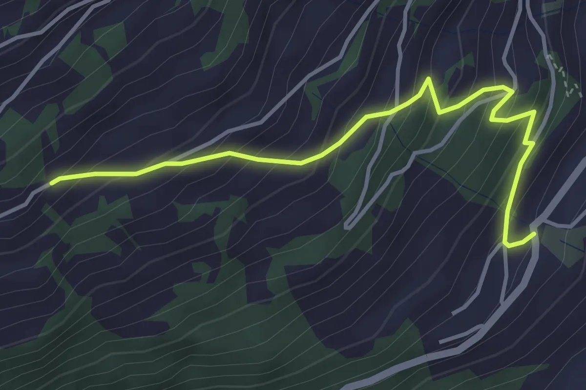
Medium · Trail
Valens – Rosser
3.8 km · ↑ 413 m · 1 h 47 min · 14 km away
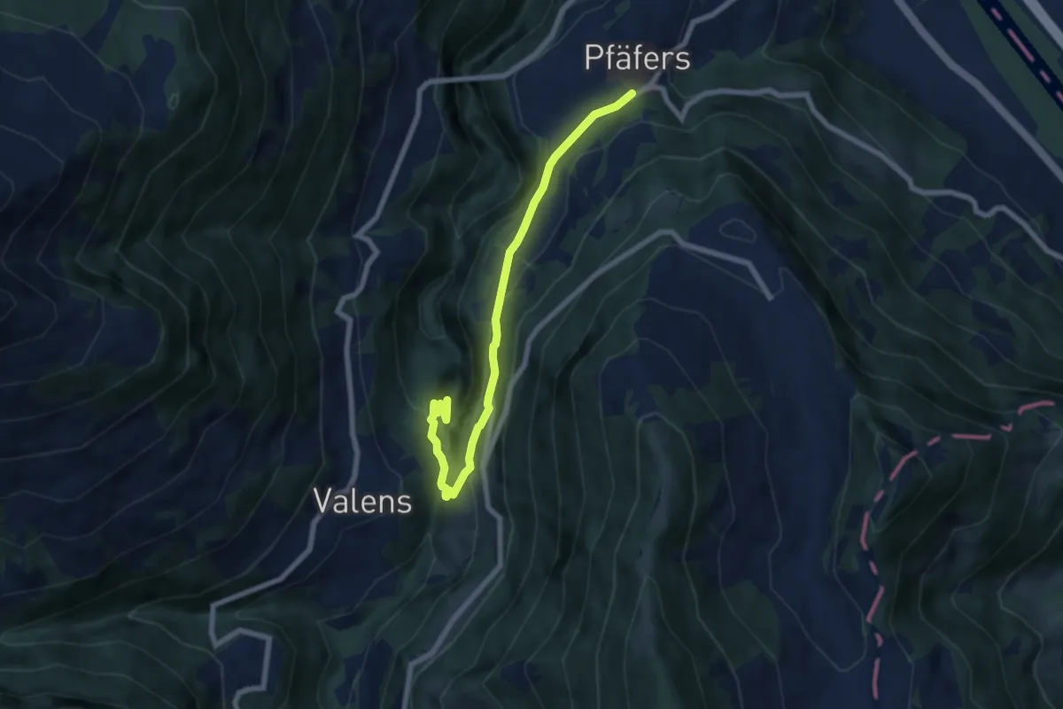
Medium · Trail
Bad Pfäfers – Pfäfers
6.9 km · ↑ 383 m · 2 h 28 min · 14 km away
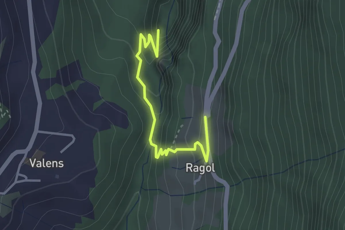
Easy · Trail
Eselrank – Bad Pfäfers
2.8 km · ↑ 229 m · 1 h 10 min · 14 km away
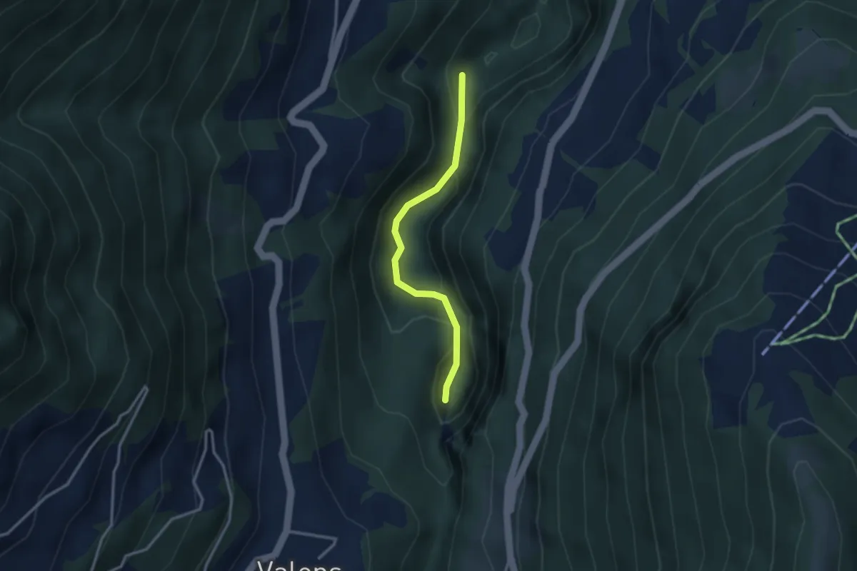
Easy · Trail
Bad Pfäfers – Badtobel Steg
2.5 km · ↑ 165 m · 57 min · 14 km away
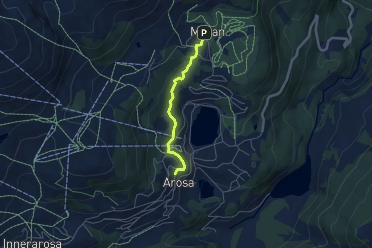
Easy · Trail
Eichhörnliweg
3.6 km · ↑ 144 m · 1 h 9 min · 14 km away
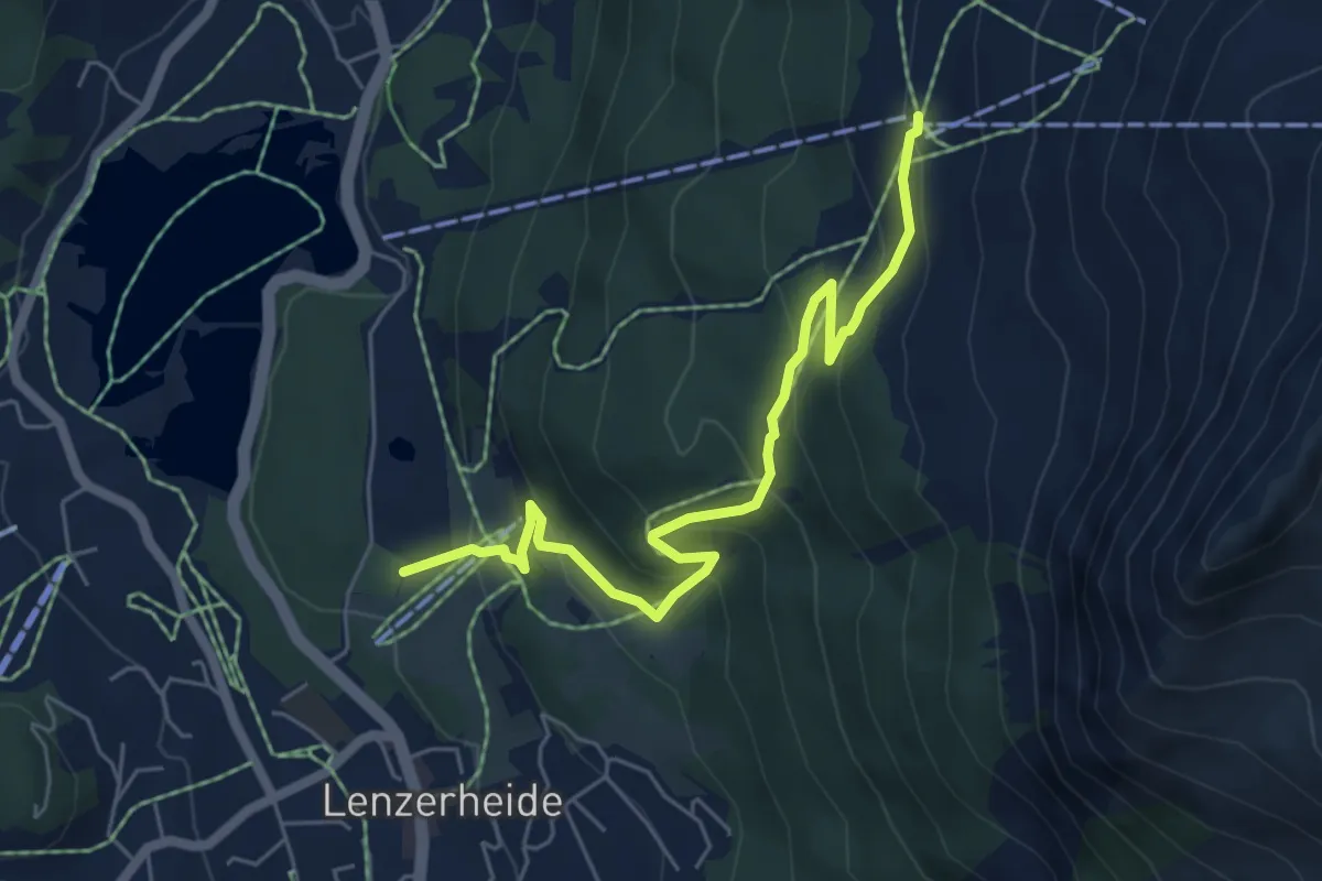
Medium · Trail
Autschliweg
6.0 km · ↑ 385 m · 2 h 15 min · 14 km away
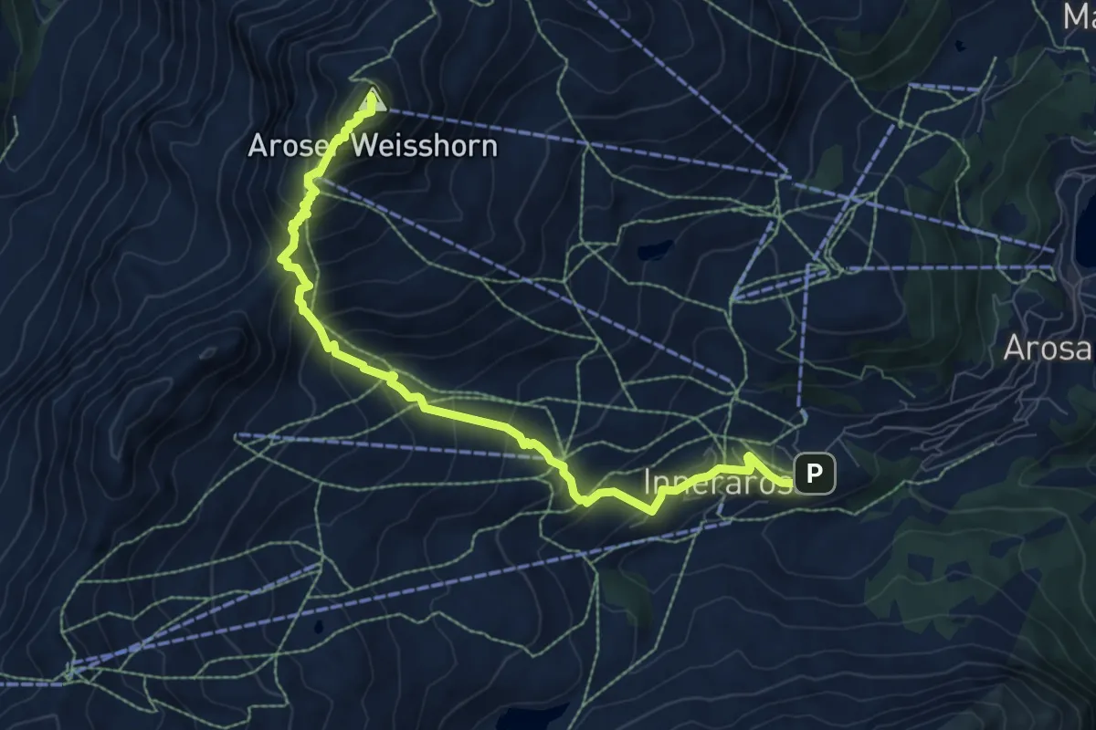
Demanding · Summit
Aroser-Weisshorn-Weg
8.9 km · ↑ 808 m · 3 h 51 min · 14 km away
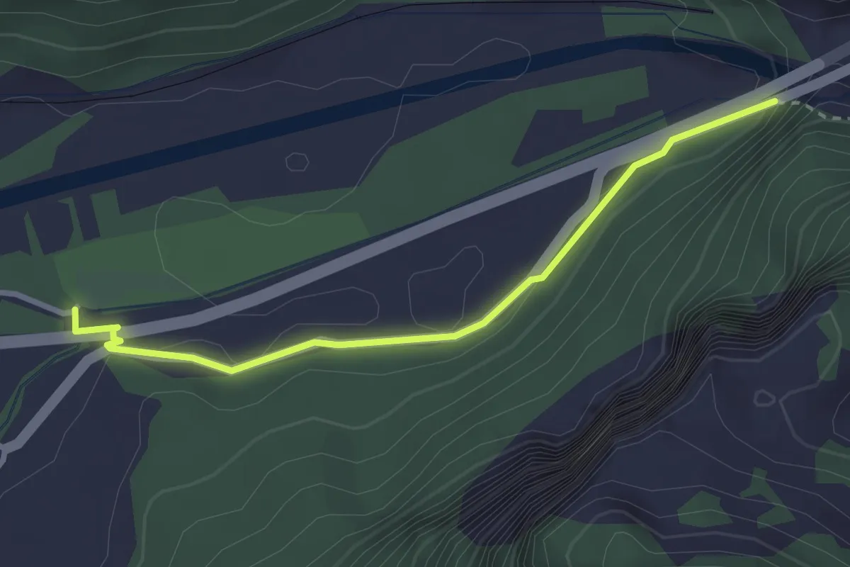
Easy · Trail
Felsenbach - Ganda
2.8 km · ↑ 80 m · 51 min · 14 km away
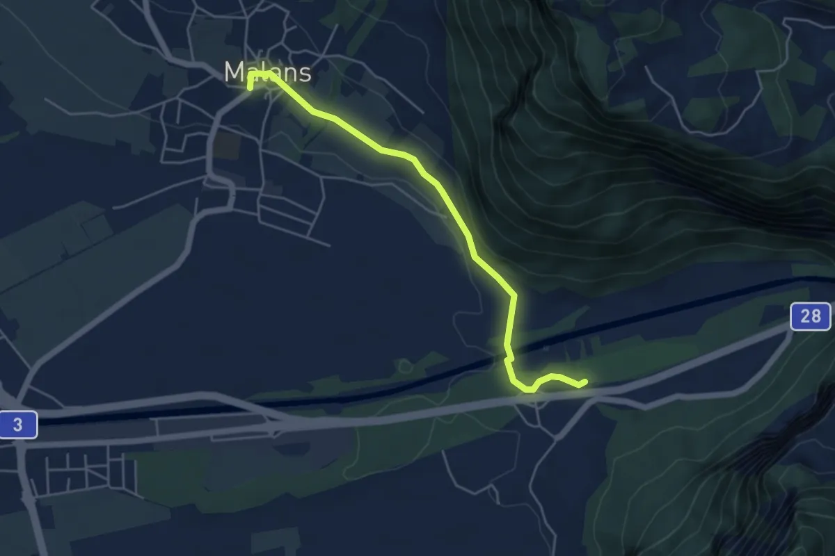
Easy · Trail
Malans - Ganda
4.6 km · ↑ 49 m · 1 h 12 min · 14 km away
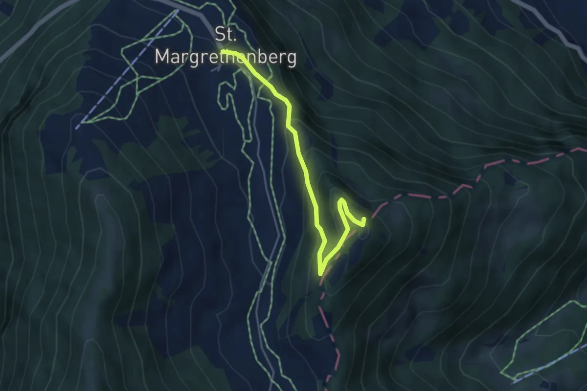
Easy · Summit
Furggels St. Margrethenberg – Pizalun
4.0 km · ↑ 239 m · 1 h 28 min · 14 km away
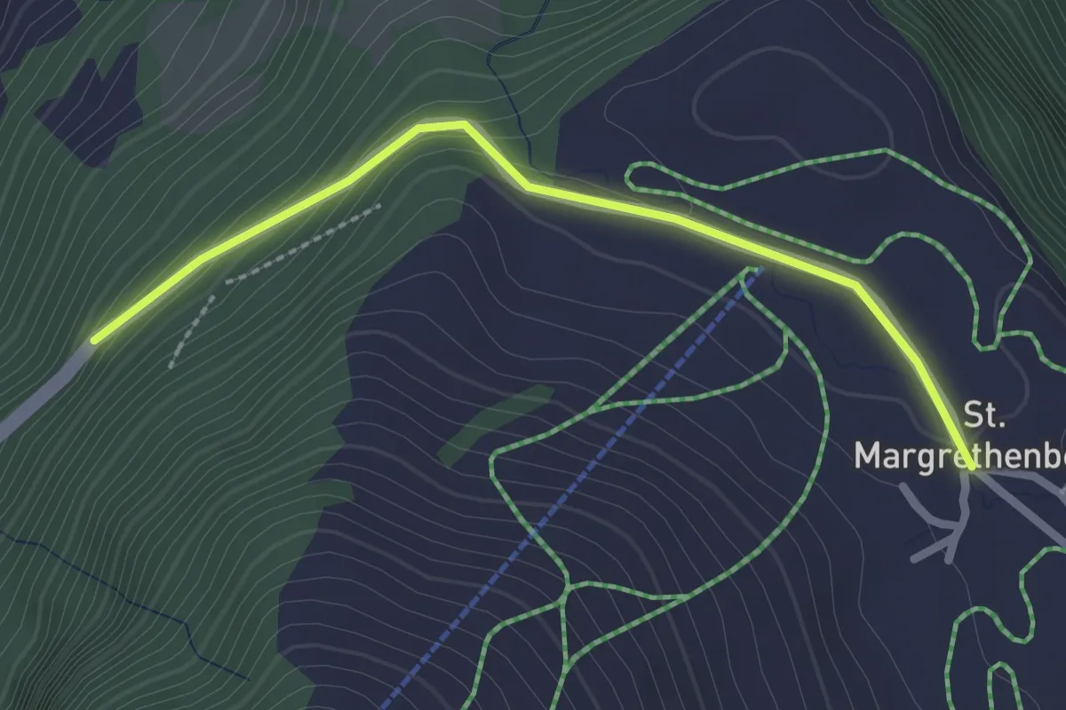
Easy · Trail
Furggels St. Margrethenberg – Tristeli Wald
2.3 km · ↑ 102 m · 47 min · 14 km away
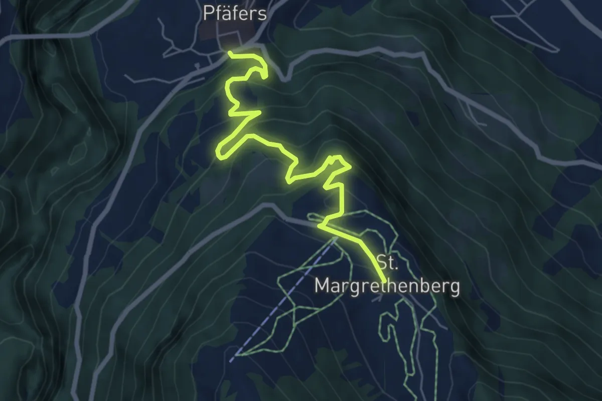
Medium · Trail
Furggels St. Margrethenberg – Pfäfers
6.1 km · ↑ 478 m · 2 h 29 min · 14 km away
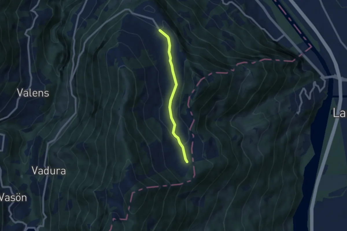
Easy · Trail
Fürggli – Furggels St. Margrethenberg
5.0 km · ↑ 114 m · 1 h 25 min · 14 km away
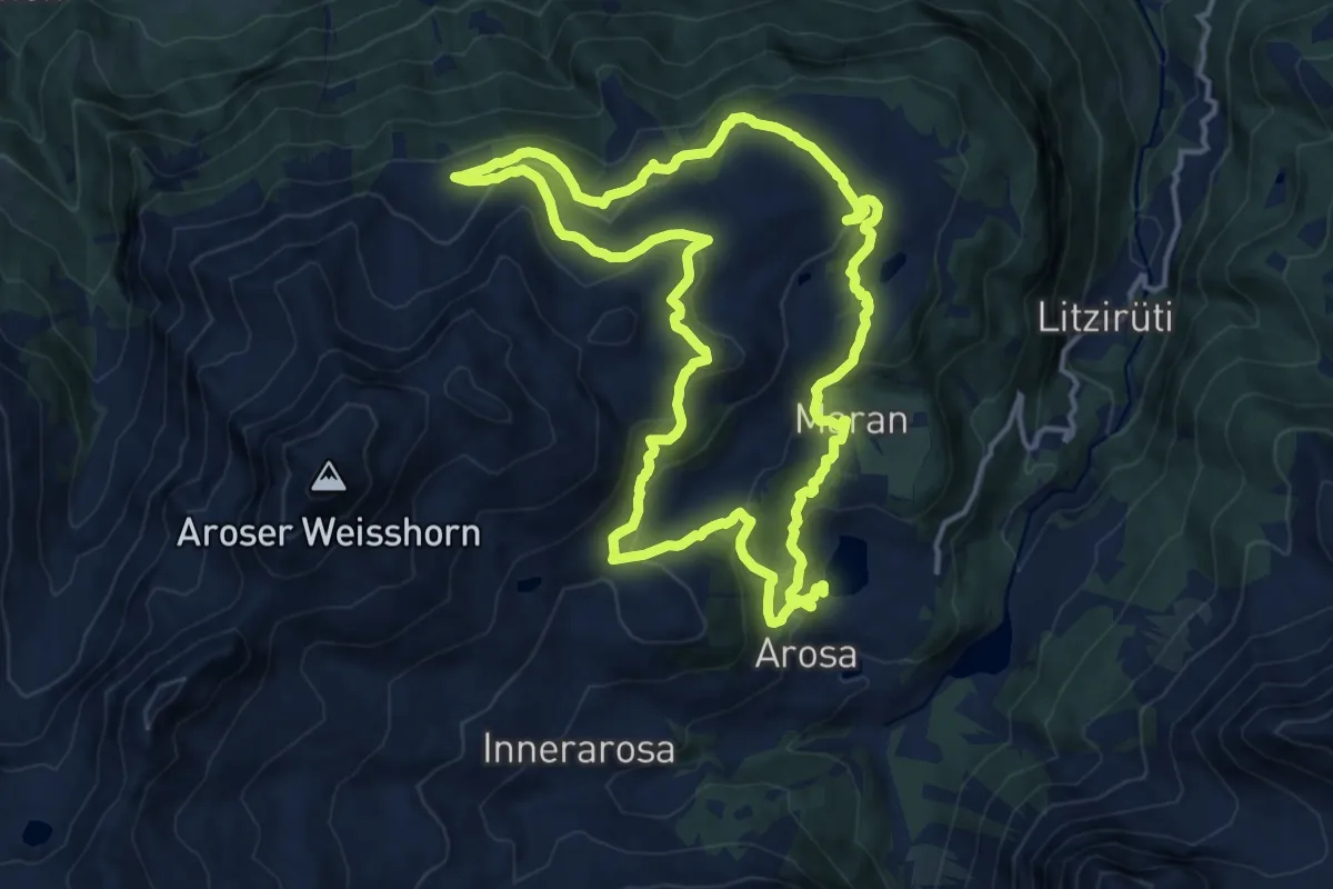
Medium · Summit
Arosa-Ochsenalp Rundtour
14.6 km · ↑ 581 m · 4 h 57 min · 14 km away
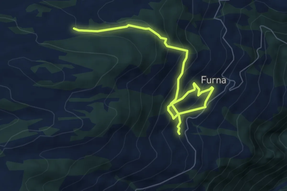
Medium · Trail
Gufer – Furna
6.8 km · ↑ 519 m · 2 h 43 min · 14 km away
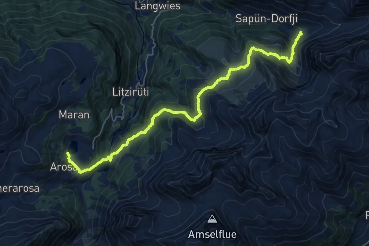
Demanding · Summit
Schanfigger Höhenweg - Etappe 1
21.1 km · ↑ 1072 m · 7 h 18 min · 14 km away
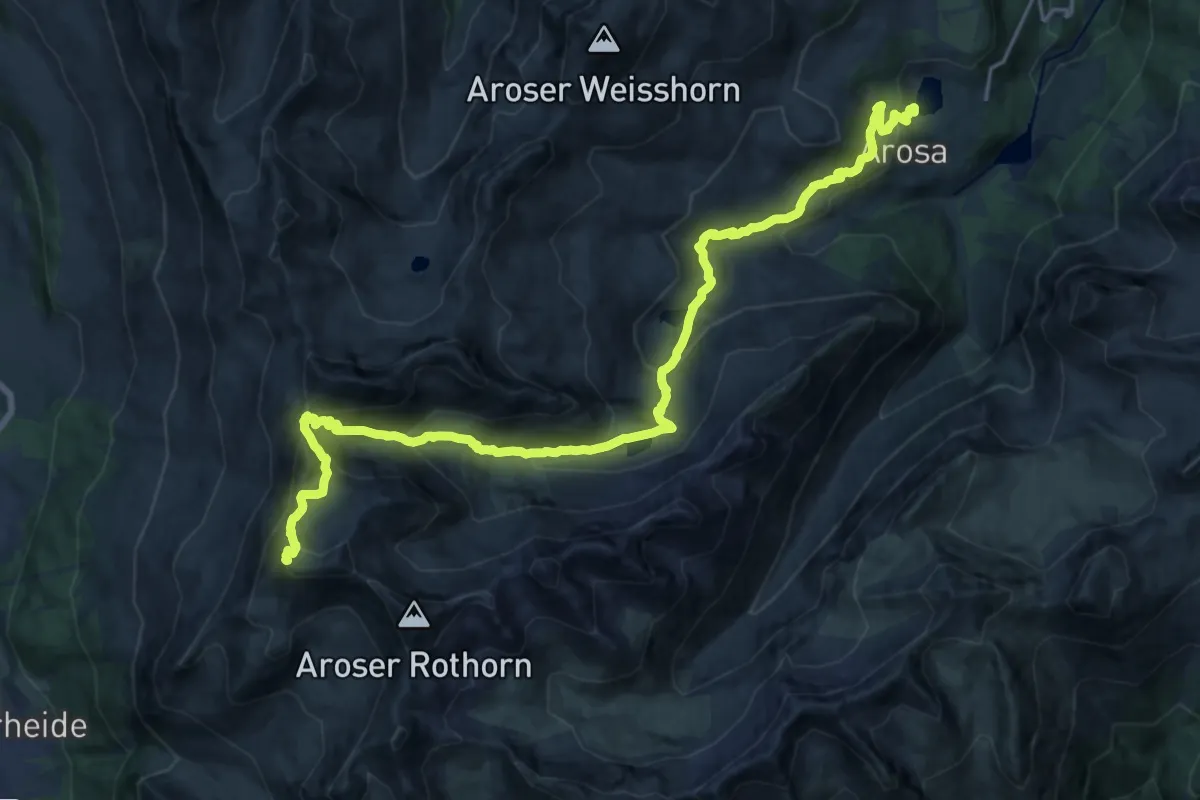
Demanding · Summit
Mittelbünden-Panoramaweg Stage 1
24.1 km · ↑ 1269 m · 8 h 26 min · 14 km away
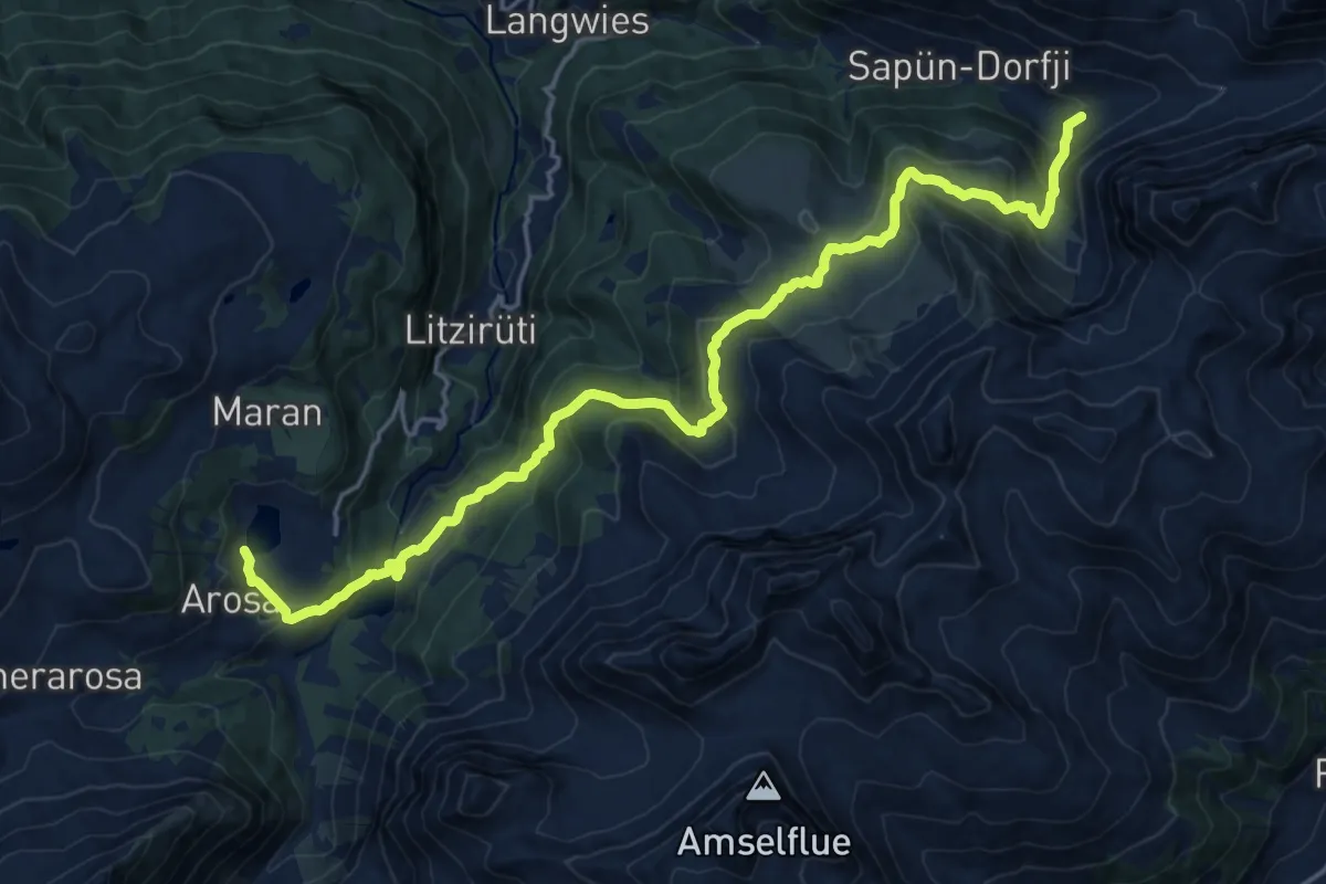
Demanding · Summit
Walserweg - Etappe 16
21.1 km · ↑ 1094 m · 7 h 21 min · 14 km away
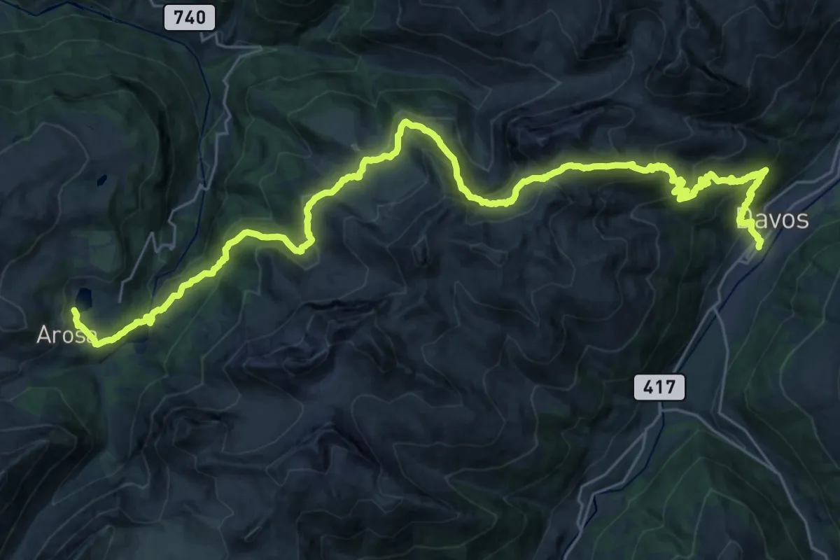
Demanding · Trail
Mittelbünden-Panoramaweg Stage 2
19.2 km · ↑ 1019 m · 7 h 6 min · 14 km away
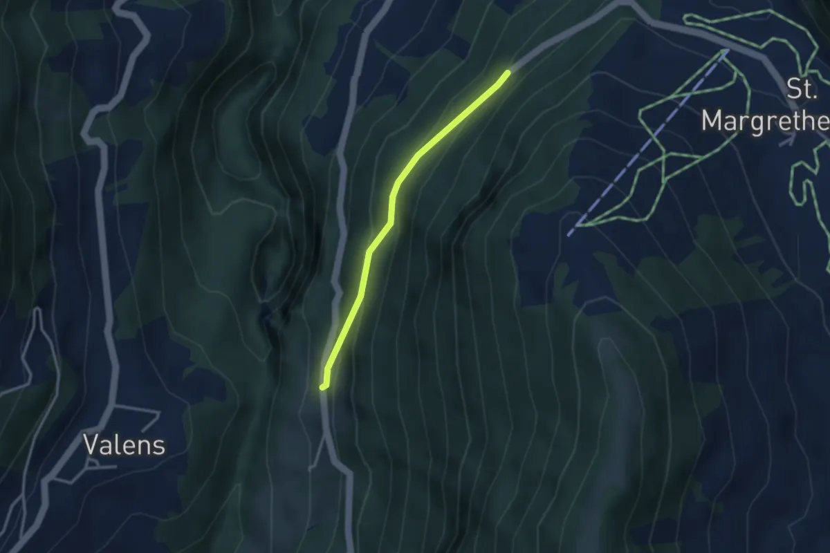
Easy · Trail
Tristeli Wald – Eselrank
2.5 km · ↑ 175 m · 58 min · 14 km away
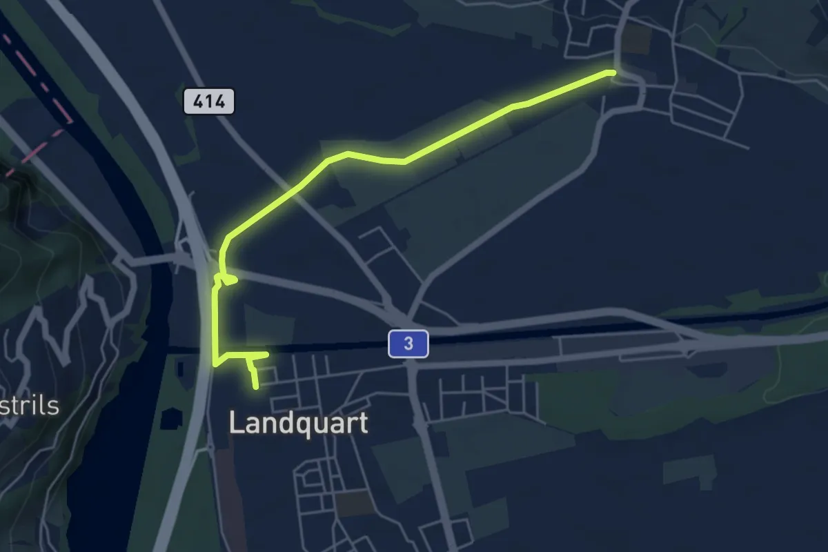
Easy · Trail
Malans – Landquart
5.3 km · ↑ 21 m · 1 h 18 min · 14 km away
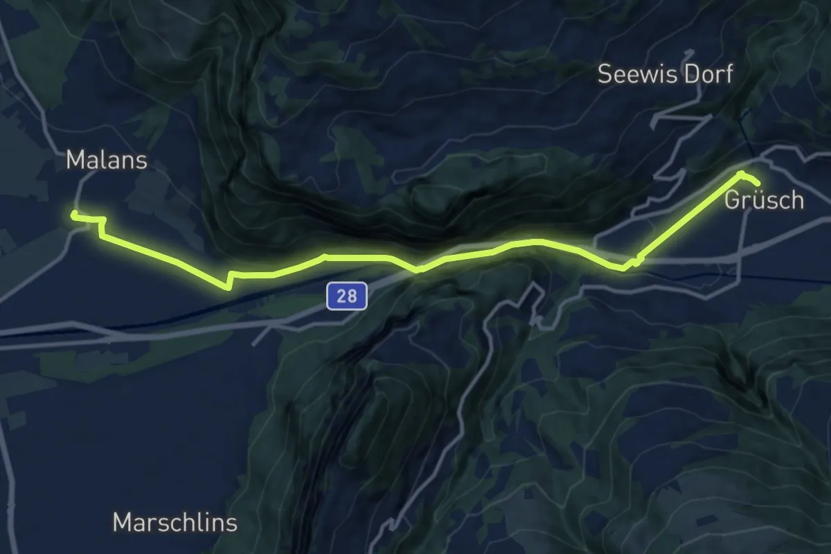
Medium · Trail
Grüsch – Malans
13.1 km · ↑ 478 m · 4 h 7 min · 14 km away
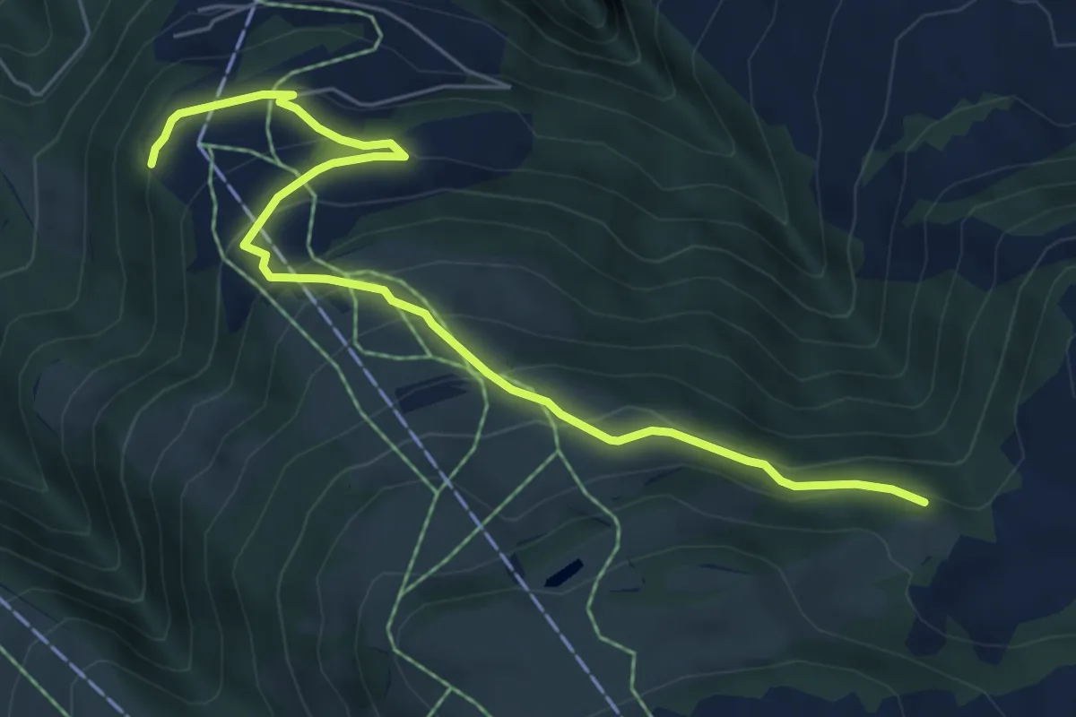
Medium · Trail
Cavadura – Teufried
6.7 km · ↑ 455 m · 2 h 34 min · 14 km away
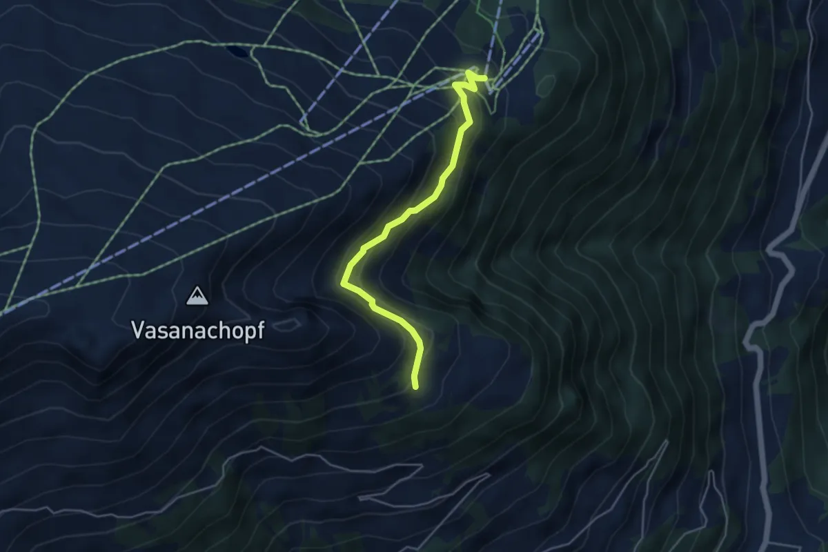
Easy · Trail
Tristeli – Pardiel
4.1 km · ↑ 277 m · 1 h 34 min · 14 km away
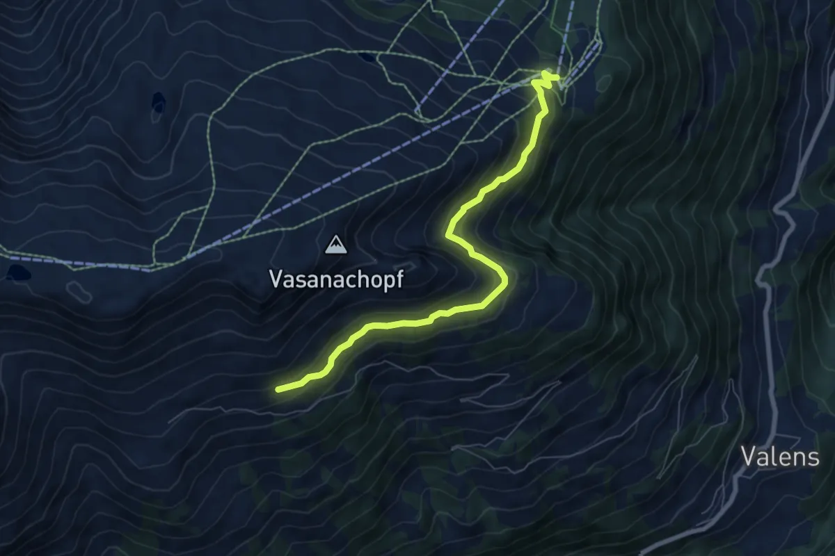
Medium · Trail
Pardiel – Lasa Obersäss? / Pizolhütte?
6.8 km · ↑ 393 m · 2 h 27 min · 15 km away
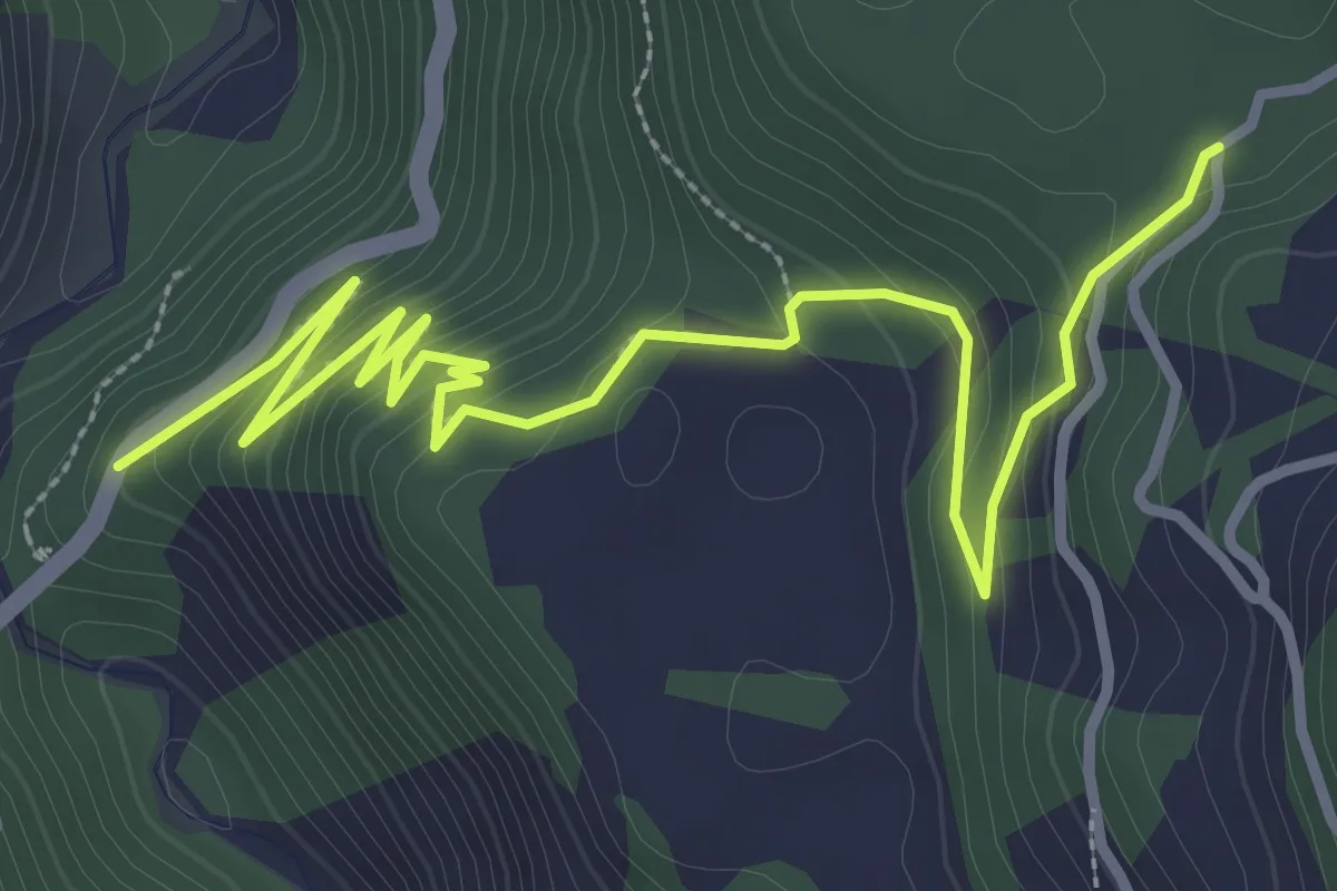
Easy · Trail
Sigl Ault - Brücke Versamer Tobel
4.3 km · ↑ 235 m · 1 h 32 min · 15 km away
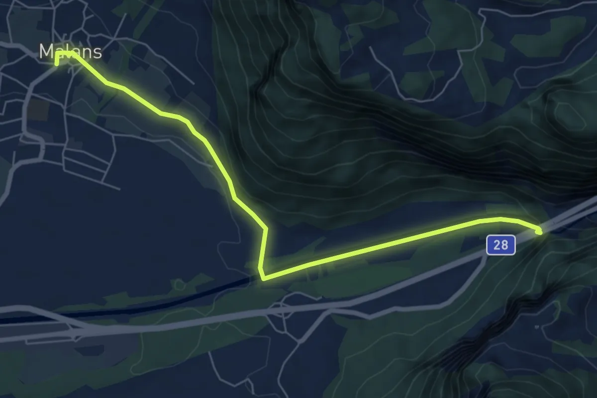
Easy · Trail
Malans - Felsenbach
6.8 km · ↑ 124 m · 1 h 52 min · 15 km away
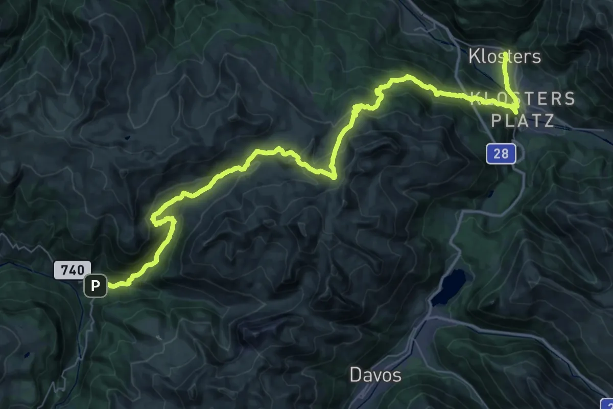
Demanding · Trail
Walserweg - Etappe 17
22.9 km · ↑ 1074 m · 8 h 11 min · 15 km away
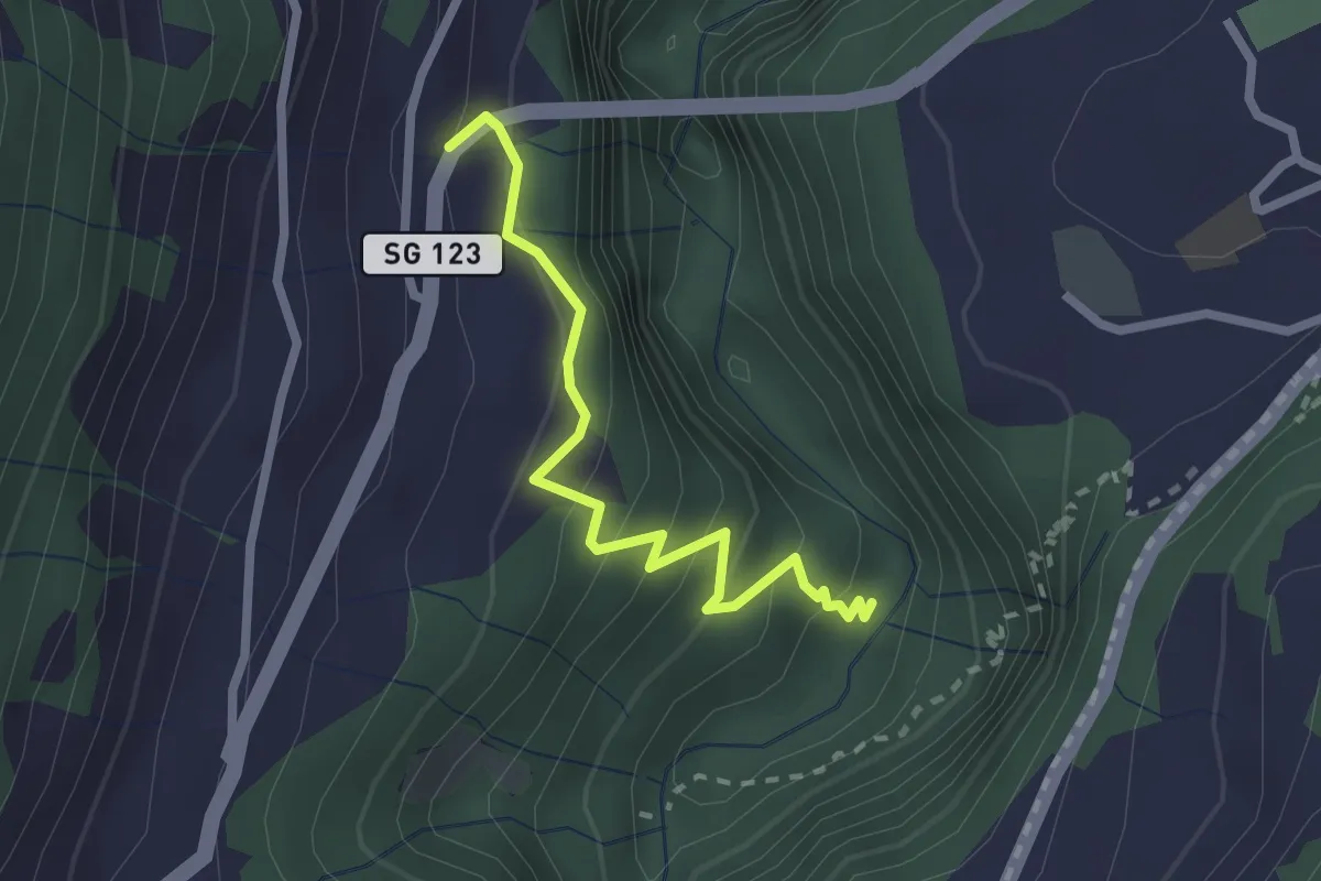
Easy · Trail
Badtobel – 6.339
2.3 km · ↑ 244 m · 1 h 4 min · 15 km away
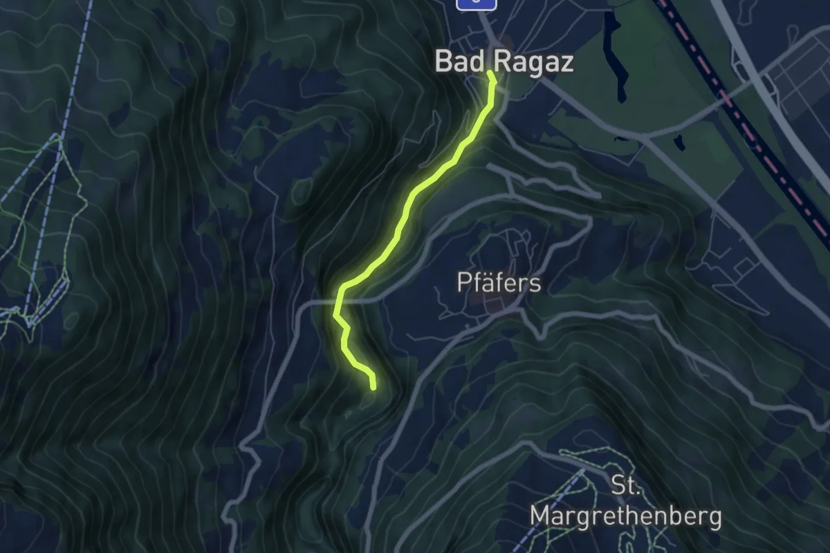
Easy · Trail
Bad Ragaz – Badtobel
4.6 km · ↑ 279 m · 1 h 42 min · 15 km away
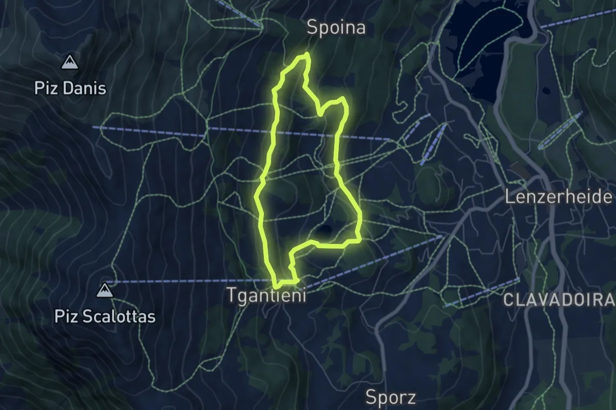
Easy · Trail
Globi Wanderweg
5.1 km · ↑ 197 m · 1 h 42 min · 15 km away
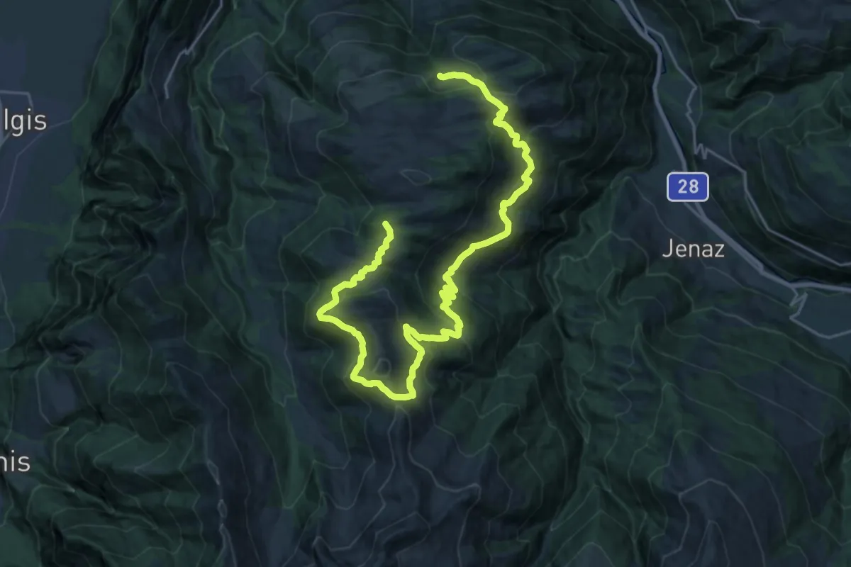
Demanding · Summit
Schwänzelegg – Schwänzelegg
28.5 km · ↑ 1396 m · 9 h 45 min · 15 km away