Trails near Ebikon
607 hikes starting within 15 km, nearest first.
Nearest first, page 11 of 13
Easy · Trail
Rundweg Sempach
7.3 km · ↑ 85 m · 2 h · 13 km away
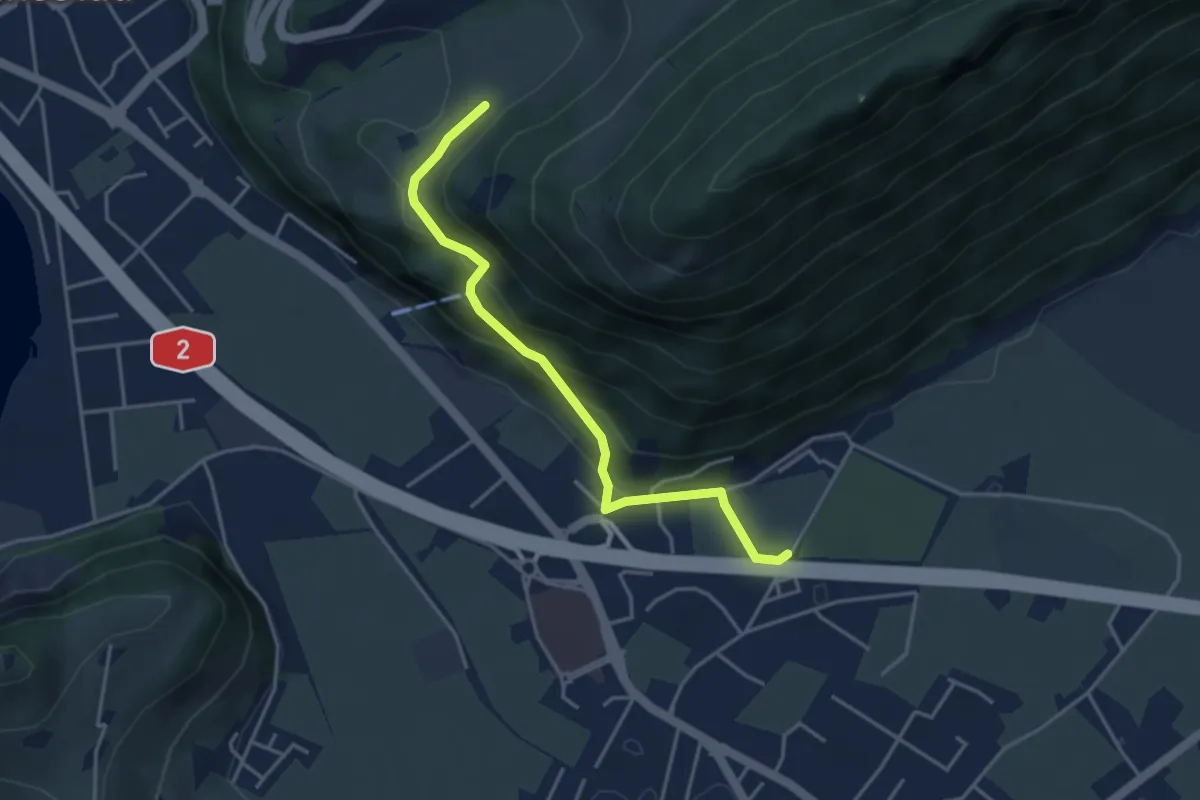
Easy · Trail
fixme - fixme
3.8 km · ↑ 220 m · 1 h 23 min · 13 km away
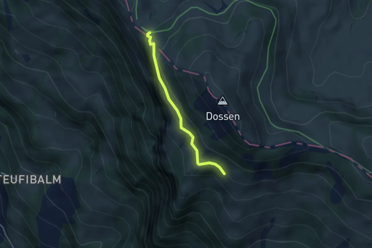
Easy · Trail
Oberstafel – Unterstetten
2.6 km · ↑ 152 m · 56 min · 13 km away
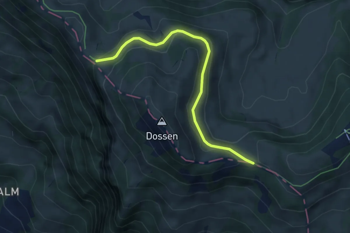
Easy · Trail
Hinder Dossen – Unterstetten
4.5 km · ↑ 128 m · 1 h 21 min · 13 km away
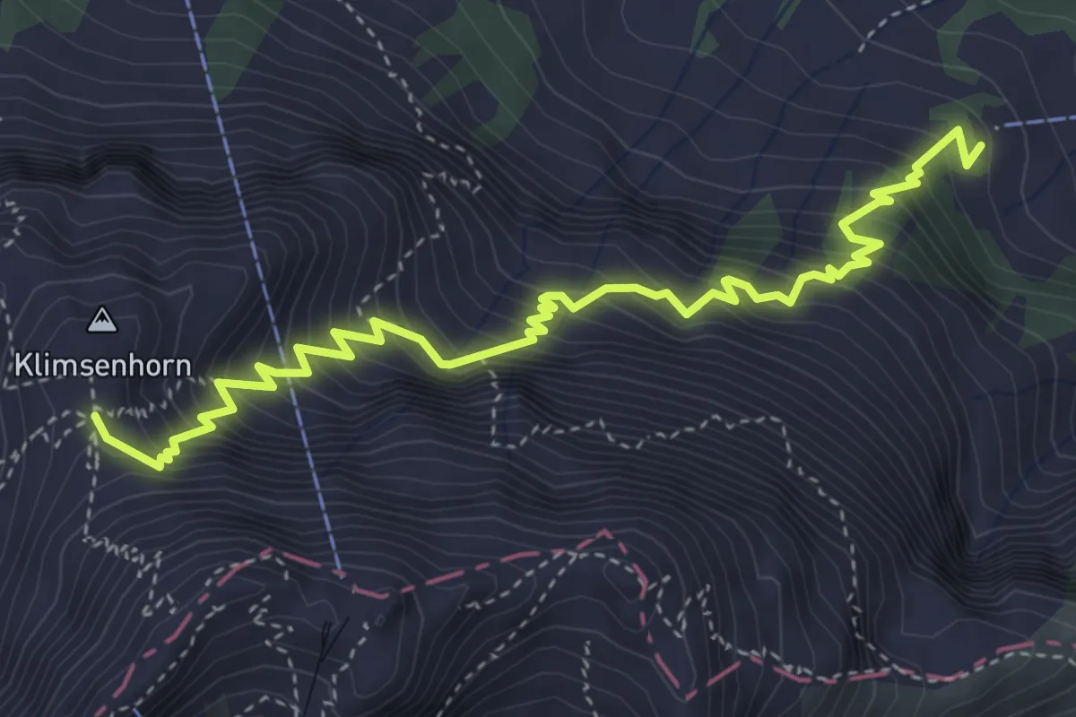
Medium · Cabin
Chlimsenhorn – Alpgschwänd
4.9 km · ↑ 774 m · 2 h 50 min · 13 km away
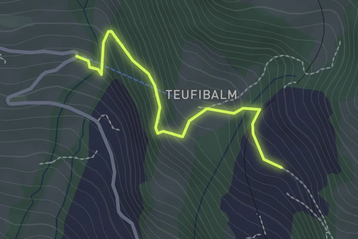
Easy · Trail
Langwilen – Schwanden
2.1 km · ↑ 216 m · 57 min · 13 km away
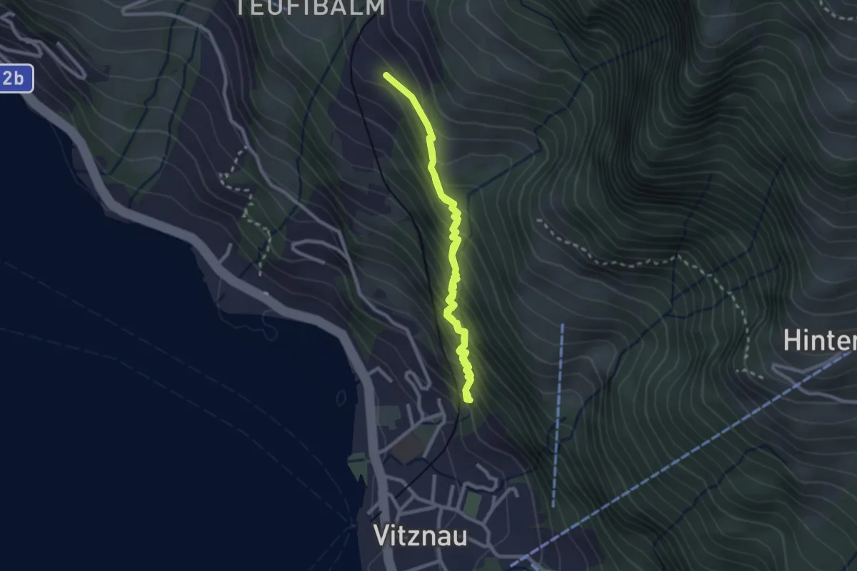
Medium · Trail
Vitznau Dorf – Schwanden
4.2 km · ↑ 502 m · 2 h 5 min · 13 km away
Easy · Trail
Hasel - Oberwil - Fixme
7.6 km · ↑ 294 m · 2 h 25 min · 13 km away
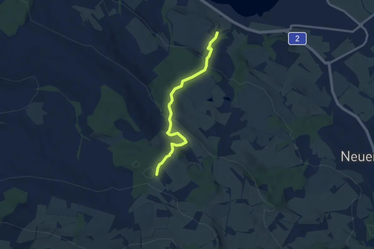
Easy · Trail
Schloss Wartensee – Ober Säliwald
5.8 km · ↑ 253 m · 1 h 55 min · 13 km away
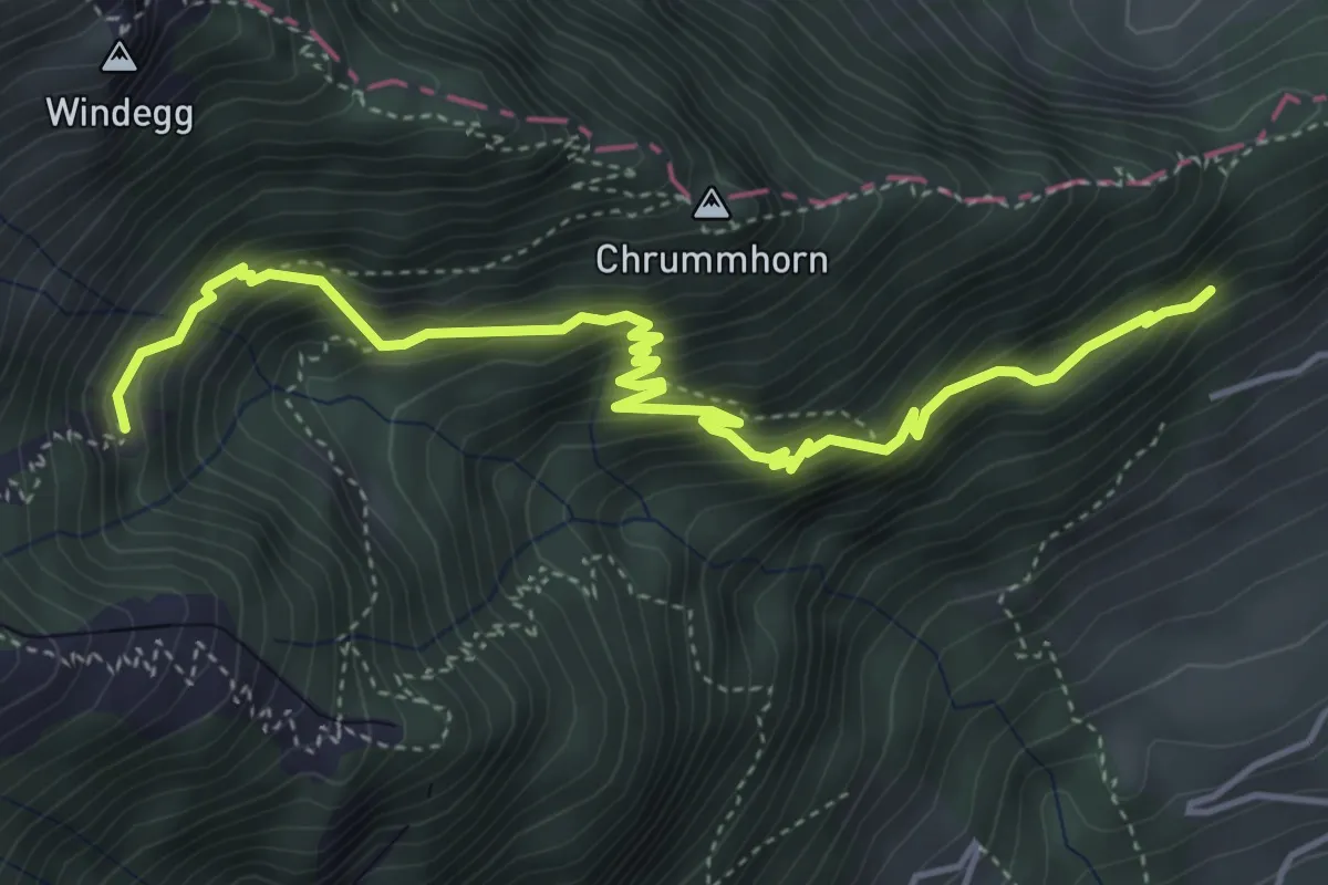
Demanding · Trail
Renggwald – Unter Steigli
5.2 km · ↑ 613 m · 2 h 33 min · 13 km away
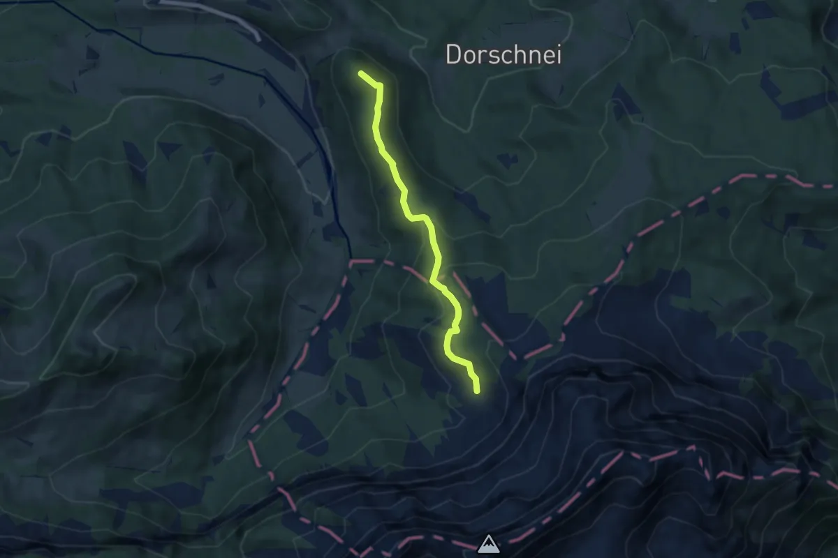
Medium · Summit
Chraigütsch – Ober Lauelen
5.8 km · ↑ 267 m · 1 h 57 min · 13 km away
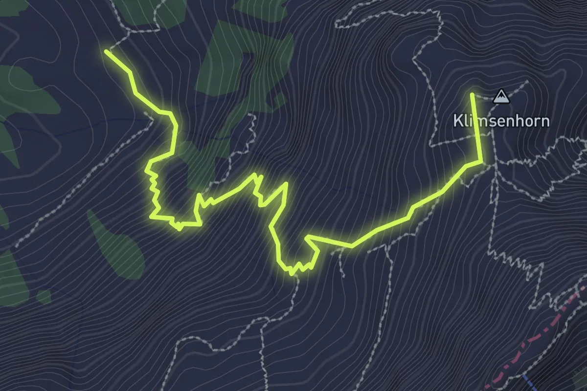
Demanding · Summit
Ober Lauelen – Chlimsenhorn
3.9 km · ↑ 640 m · 2 h 18 min · 13 km away
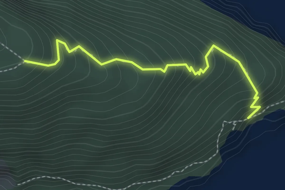
Medium · Trail
Unter Nas - Timmer Boden
2.3 km · ↑ 255 m · 1 h 5 min · 13 km away
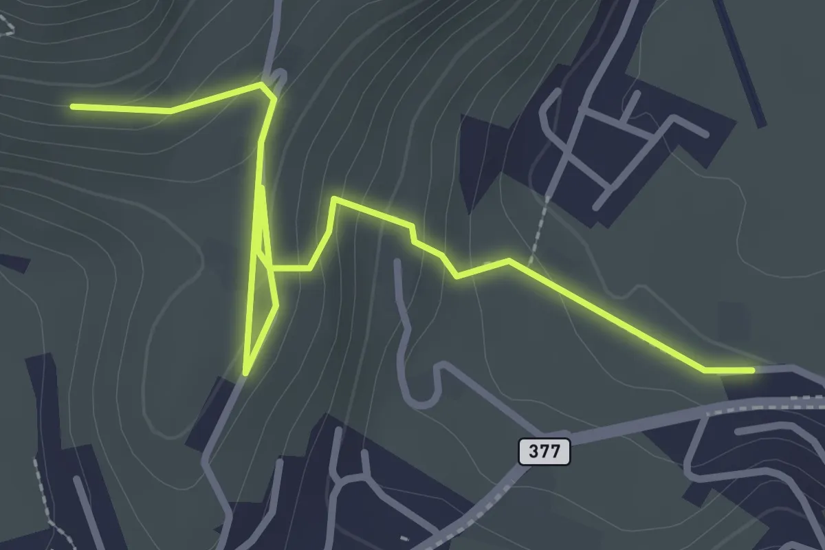
Easy · Trail
Lewengrueben - Burg
3.3 km · ↑ 150 m · 1 h 6 min · 13 km away
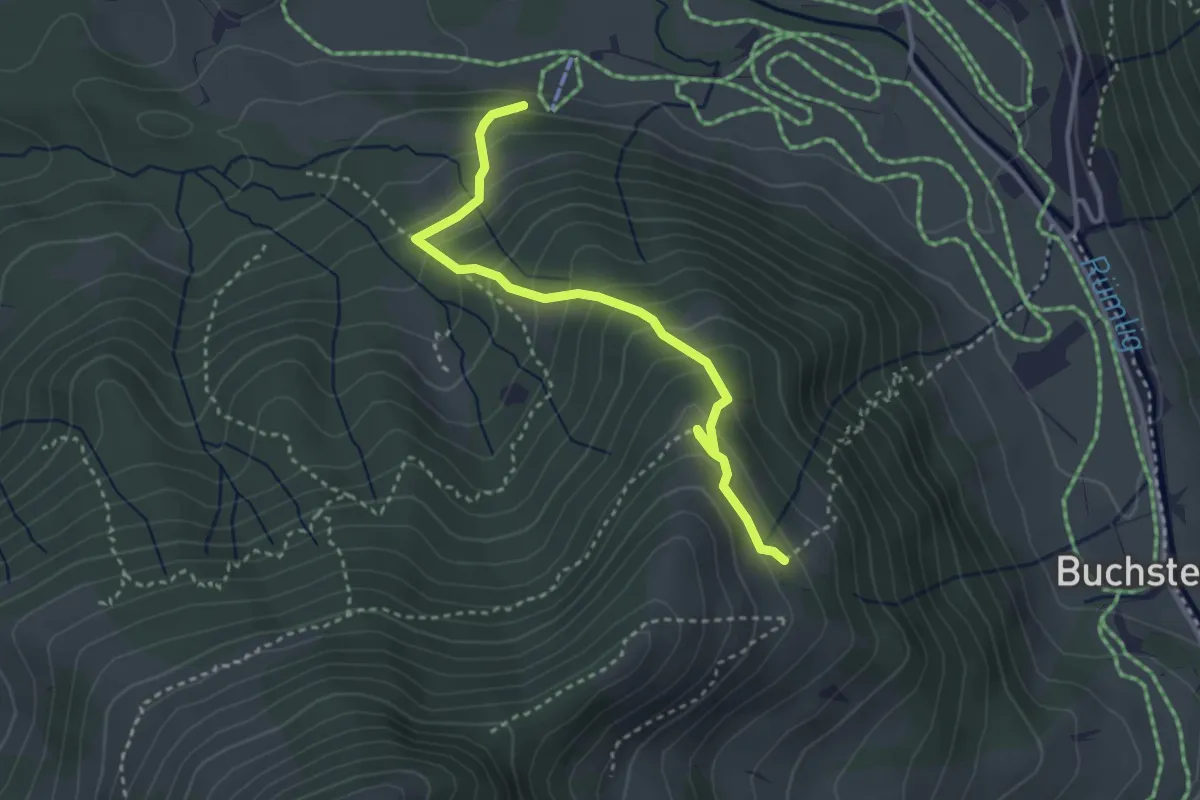
Medium · Trail
Rosenboden - Meienstoss
3.3 km · ↑ 313 m · 1 h 27 min · 13 km away
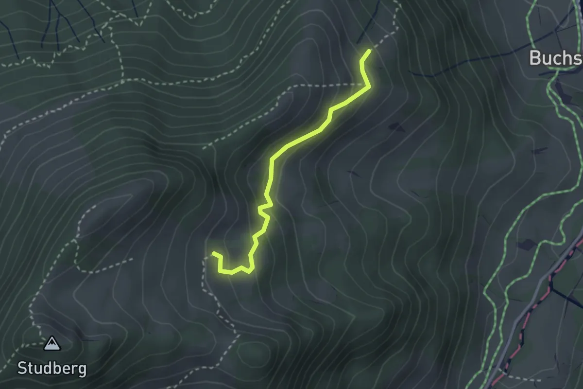
Easy · Trail
Rosenboden - Gumm
2.4 km · ↑ 181 m · 58 min · 13 km away
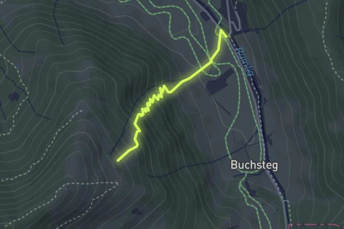
Medium · Trail
Rosenboden - Gantersei
2.5 km · ↑ 288 m · 1 h 13 min · 13 km away
Easy · Trail
Zythus - Langholz
2.3 km · ↑ 60 m · 41 min · 13 km away
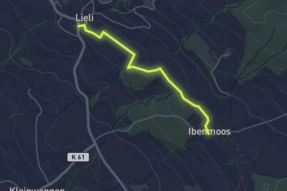
Easy · Trail
Lieli – Ibenmoos
3.4 km · ↑ 36 m · 53 min · 13 km away
Easy · Trail
Kleinwangen - Ibenmoos
3.6 km · ↑ 137 m · 1 h 9 min · 13 km away
Easy · Trail
Ibenmoos - Güniken
2.8 km · ↑ 79 m · 50 min · 13 km away
Easy · Trail
Wart - Lindencham
4.3 km · ↑ 27 m · 1 h 5 min · 13 km away
Easy · Trail
Wart - Zollhaus
5.0 km · ↑ 80 m · 1 h 22 min · 13 km away
Medium · Trail
Wart - Frauental
9.4 km · ↑ 95 m · 2 h 25 min · 13 km away
Easy · Trail
Chilchbüel - Steinibüel
3.6 km · ↑ 22 m · 54 min · 13 km away
Easy · Trail
Eich (Schulhaus) - Kirchbühl
4.2 km · ↑ 59 m · 1 h 8 min · 13 km away
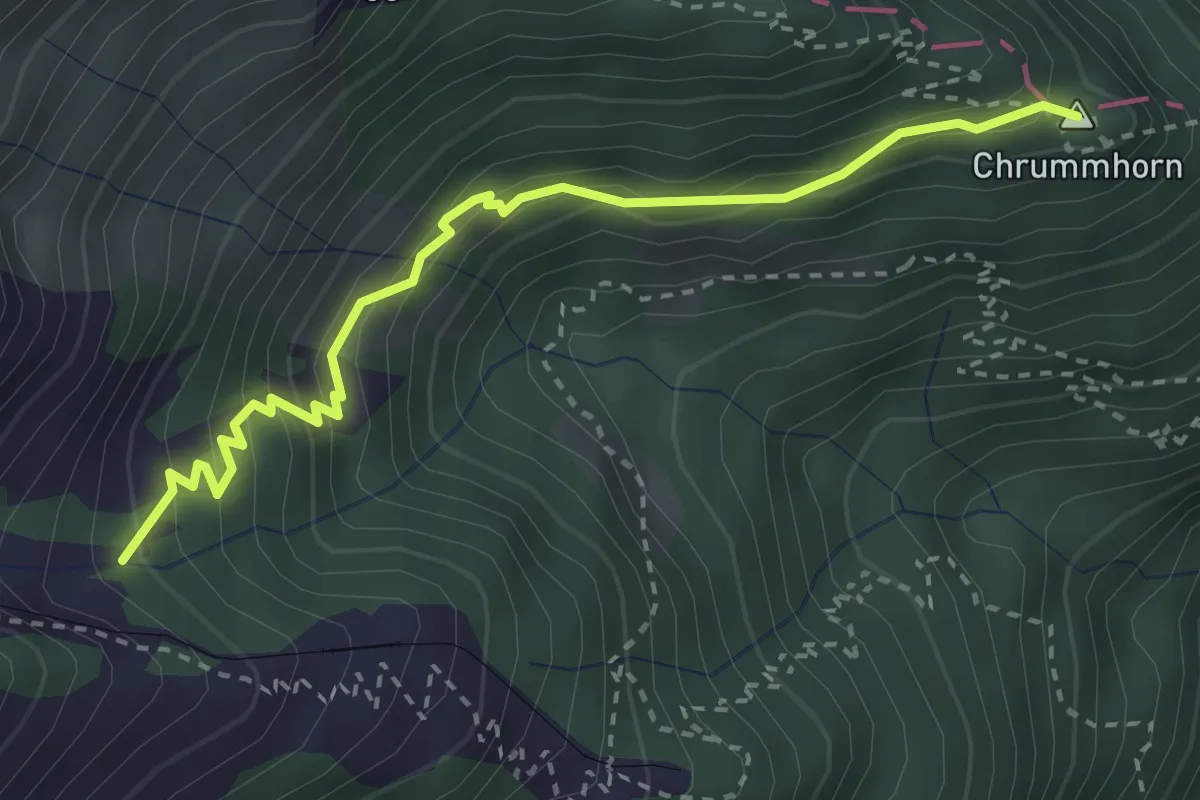
Demanding · Summit
Galtigen - Chrummhorn
3.2 km · ↑ 294 m · 1 h 24 min · 13 km away
Easy · Trail
Wassermoos - Lifelen
7.3 km · ↑ 201 m · 2 h 10 min · 13 km away
Easy · Trail
Lifelen - Moos - 850 - Meiestoss
6.4 km · ↑ 220 m · 1 h 59 min · 13 km away
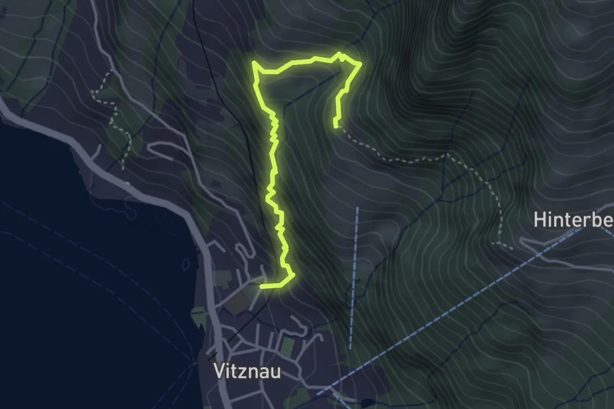
Medium · Trail
Vitznau Dorf – Gebetschwil
3.5 km · ↑ 450 m · 1 h 48 min · 13 km away
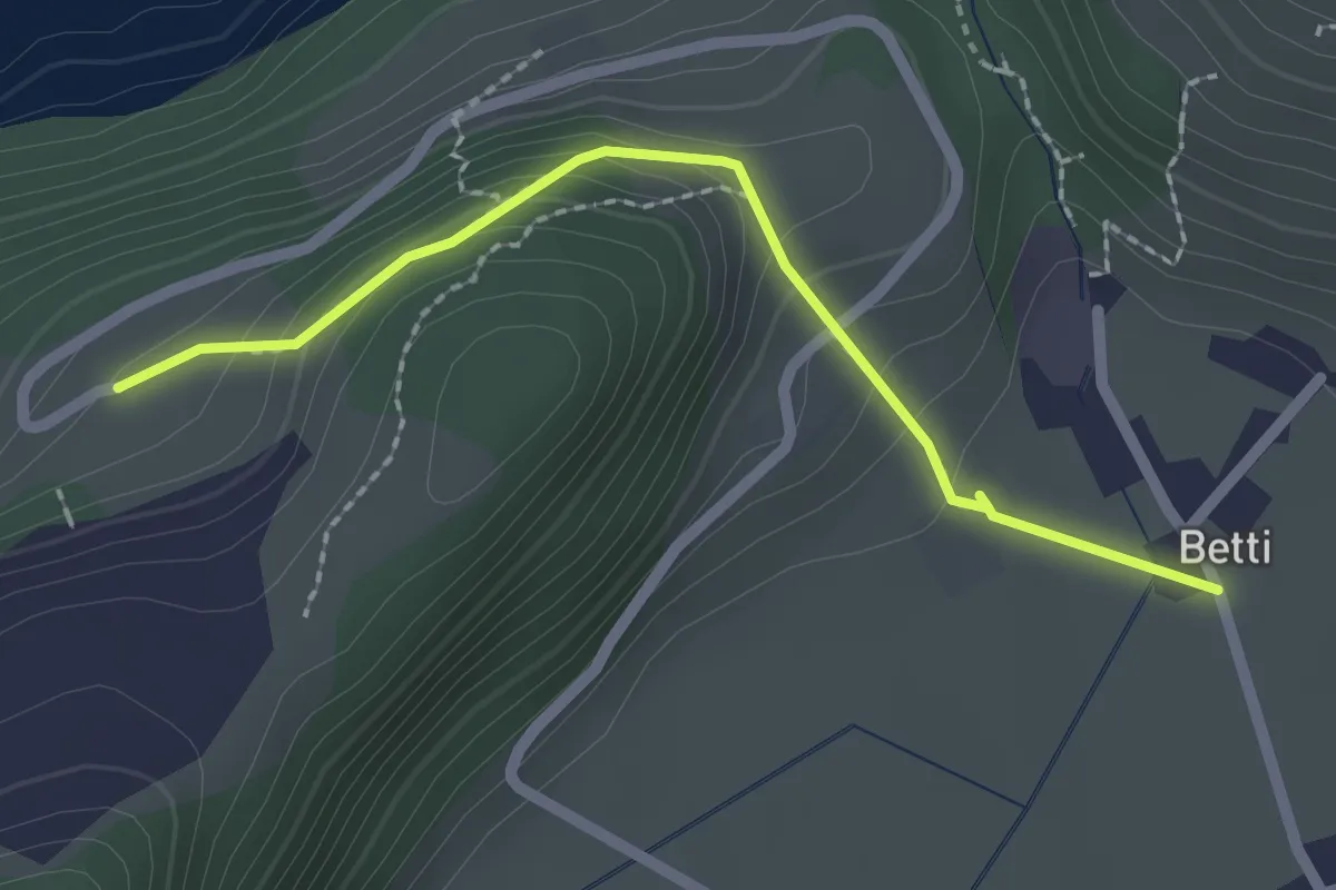
Easy · Trail
Betti - Oberrüti
2.1 km · ↑ 81 m · 41 min · 13 km away
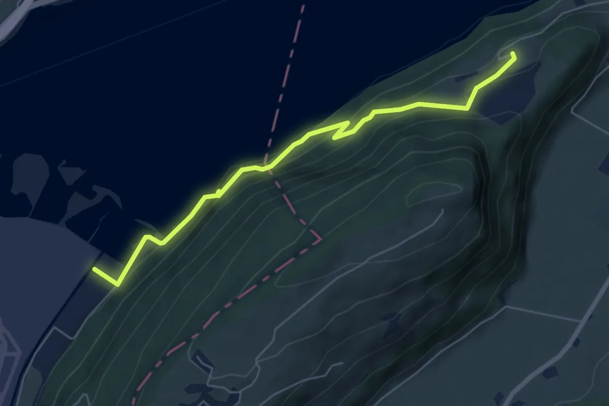
Medium · Trail
Eichiried - Oberrüti
5.9 km · ↑ 437 m · 2 h 21 min · 13 km away
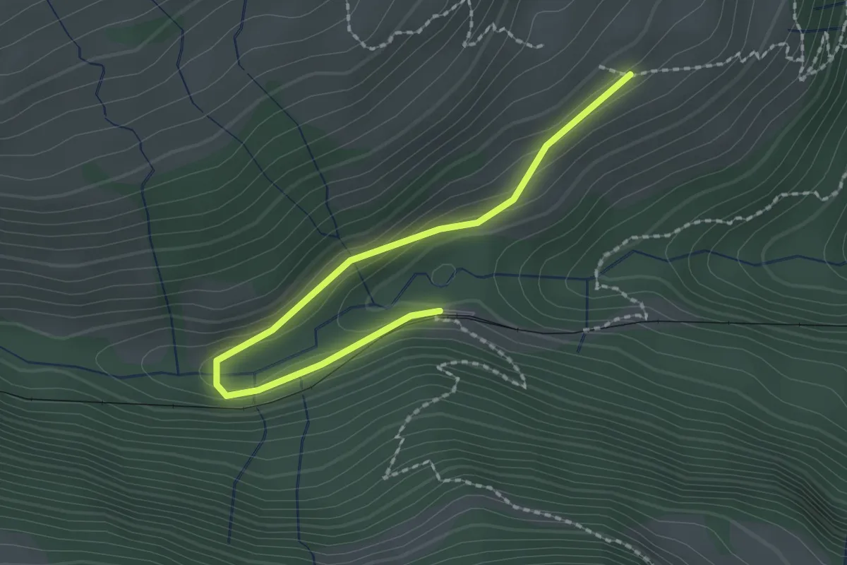
Easy · Trail
Resti-Fruttli
2.2 km · ↑ 97 m · 44 min · 13 km away
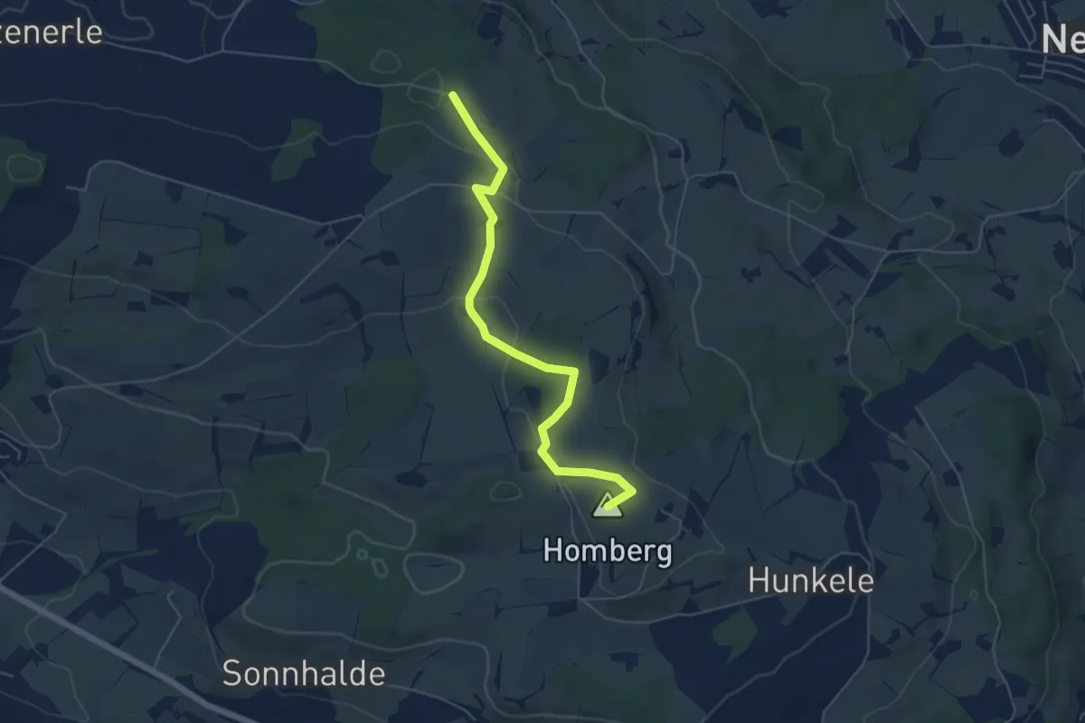
Easy · Summit
Hellbühl Kirche – Obersäliwald
5.5 km · ↑ 125 m · 1 h 35 min · 13 km away
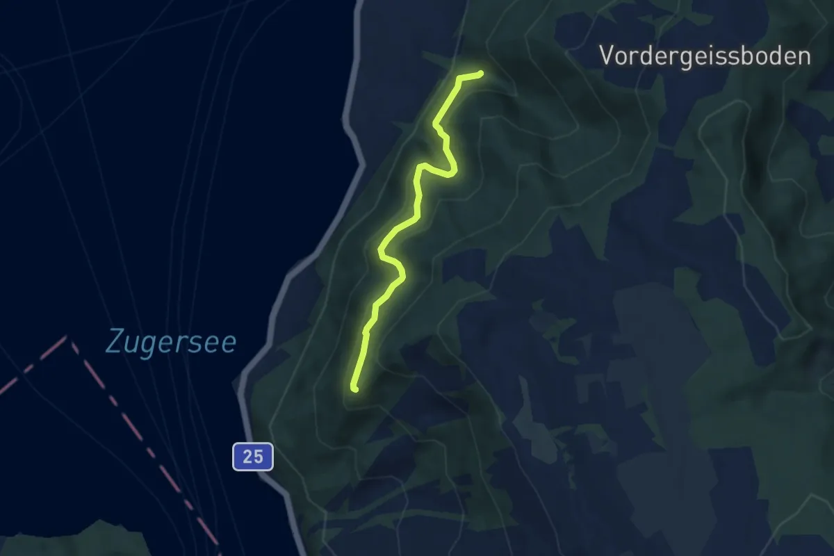
Medium · Trail
Mülibachbrücke – Eielenwaldhütte
5.8 km · ↑ 414 m · 2 h 15 min · 13 km away
Easy · Trail
Hasel - Eielenwald Hütte
3.0 km · ↑ 267 m · 1 h 17 min · 13 km away
Easy · Trail
Ausseregg - Oberdorf - fixme
2.0 km · ↑ 43 m · 34 min · 14 km away
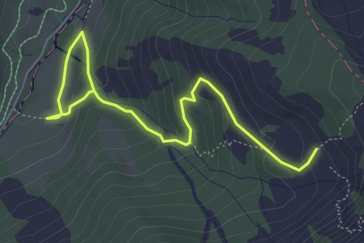
Medium · Trail
Oberlauwelen – Unterlauwelen
5.2 km · ↑ 322 m · 1 h 55 min · 14 km away
Demanding · Trail
Waldstätterweg - Etappe 1
14.7 km · ↑ 805 m · 5 h 25 min · 14 km away
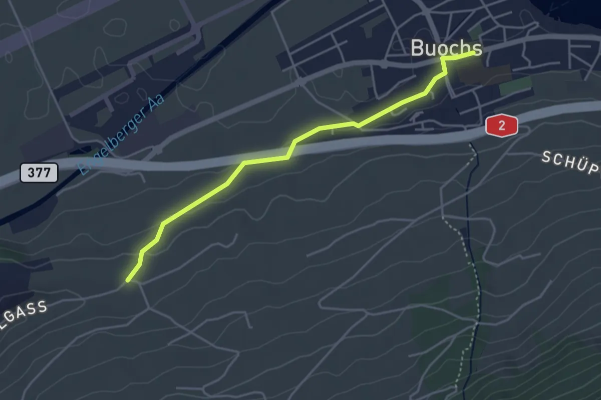
Easy · Trail
Buochs – Ännerberg
3.8 km · ↑ 68 m · 1 h 3 min · 14 km away
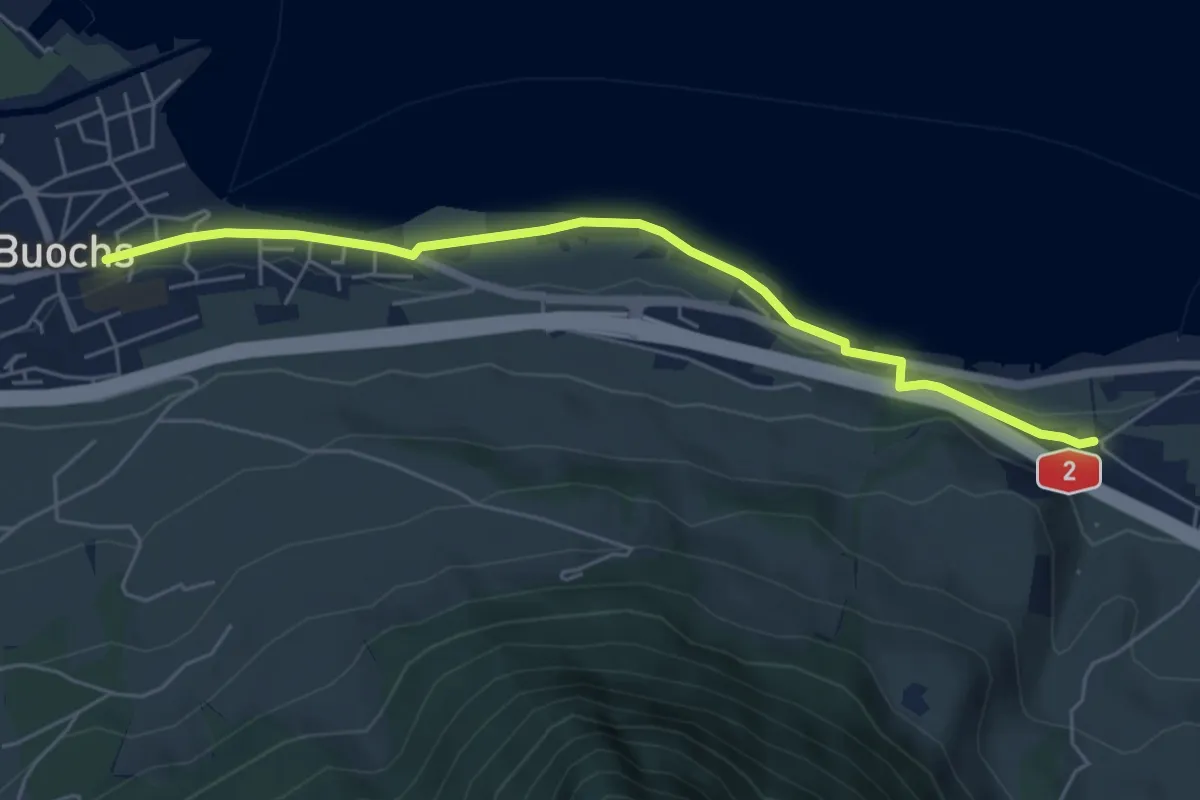
Easy · Trail
Ridli – Buochs
5.7 km · ↑ 53 m · 1 h 28 min · 14 km away
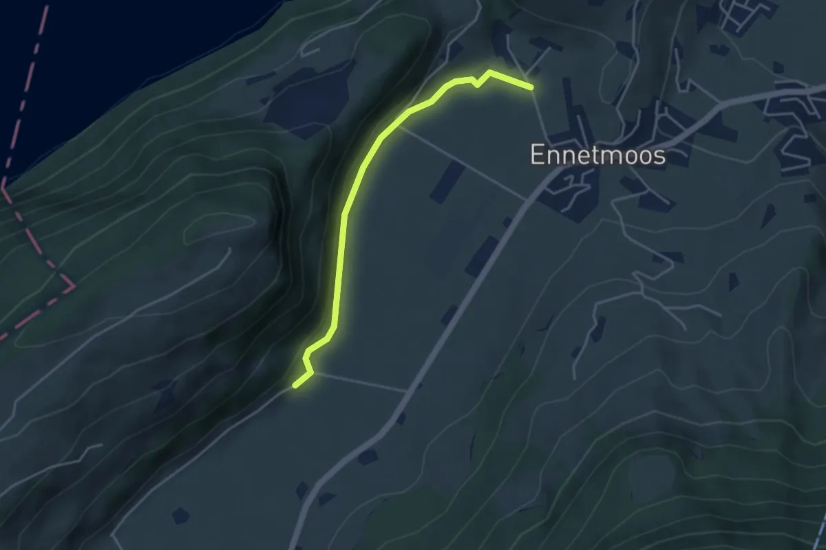
Easy · Trail
Betti – Drachenried
3.6 km · ↑ 76 m · 1 h 1 min · 14 km away
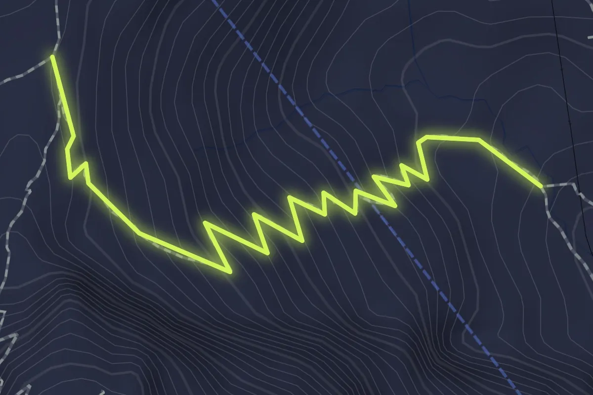
Medium · Trail
Chilchsteine - Mattalp
2.5 km · ↑ 265 m · 1 h 10 min · 14 km away
Medium · Trail
Resti-Dächli
2.4 km · ↑ 268 m · 1 h 10 min · 14 km away
Easy · Trail
Sonnhalde - Linden - Meiestoss - Moos
7.3 km · ↑ 180 m · 2 h 7 min · 14 km away
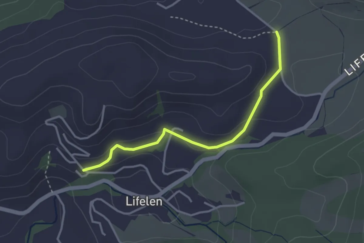
Easy · Trail
Lifelen – Scharmis
2.9 km · ↑ 91 m · 53 min · 14 km away
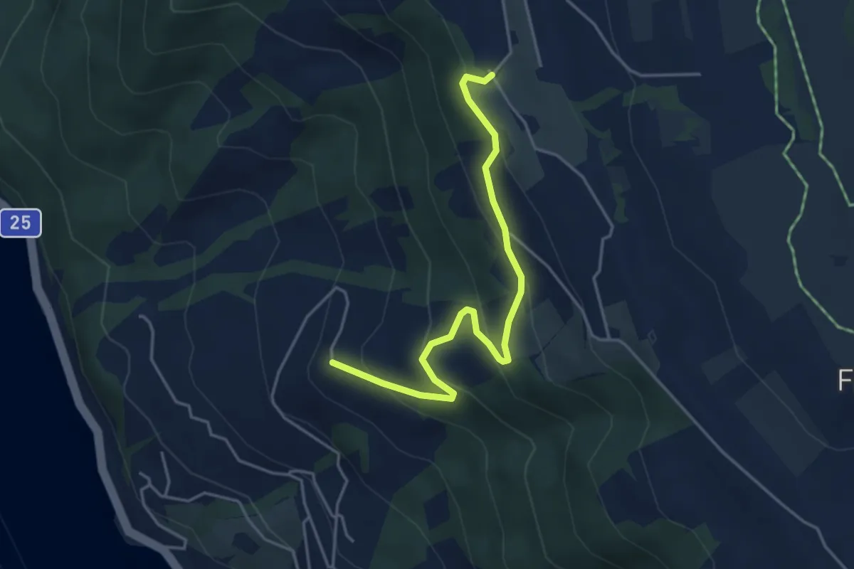
Easy · Trail
Gibel – Lienisberg
4.2 km · ↑ 235 m · 1 h 30 min · 14 km away
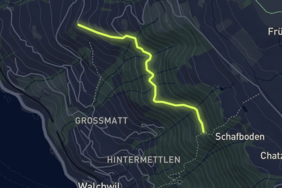
Easy · Trail
Herrenwald – Gibel
3.6 km · ↑ 281 m · 1 h 27 min · 14 km away