Trails near Ebikon
607 hikes starting within 15 km, nearest first.
Nearest first, page 12 of 13
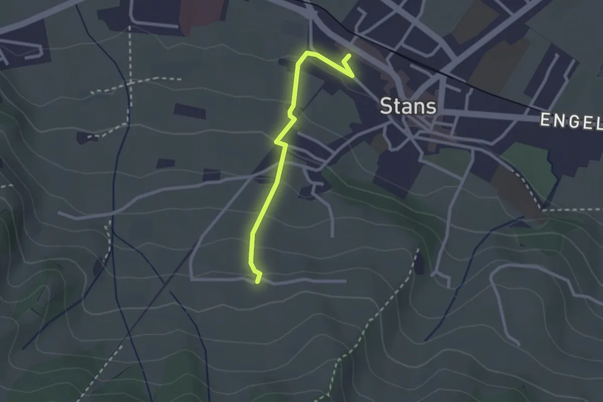
Easy · Trail
Stanserhornbahn – Unter Eggenburg
2.2 km · ↑ 128 m · 47 min · 14 km away
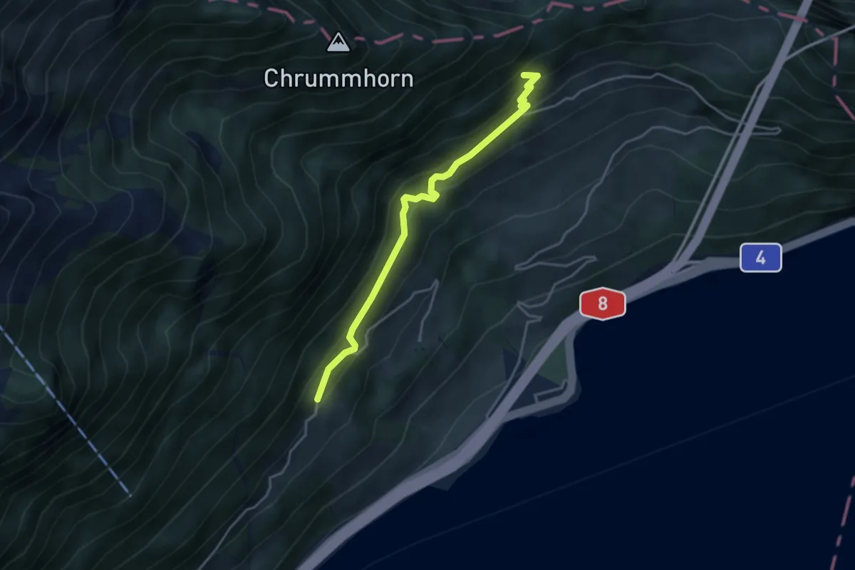
Medium · Trail
Grossrüti – Renggwald
3.6 km · ↑ 339 m · 1 h 36 min · 14 km away
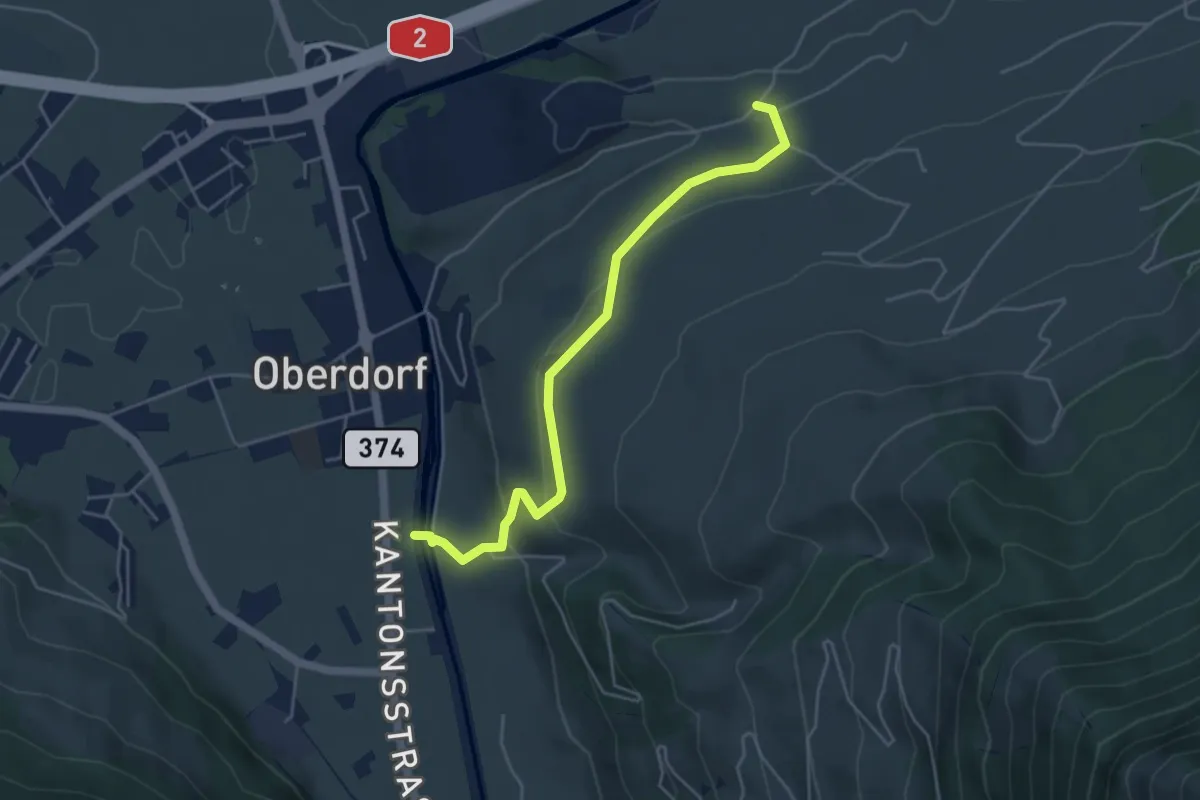
Easy · Trail
Ännerberg – Hostettenstäg
4.7 km · ↑ 158 m · 1 h 27 min · 14 km away
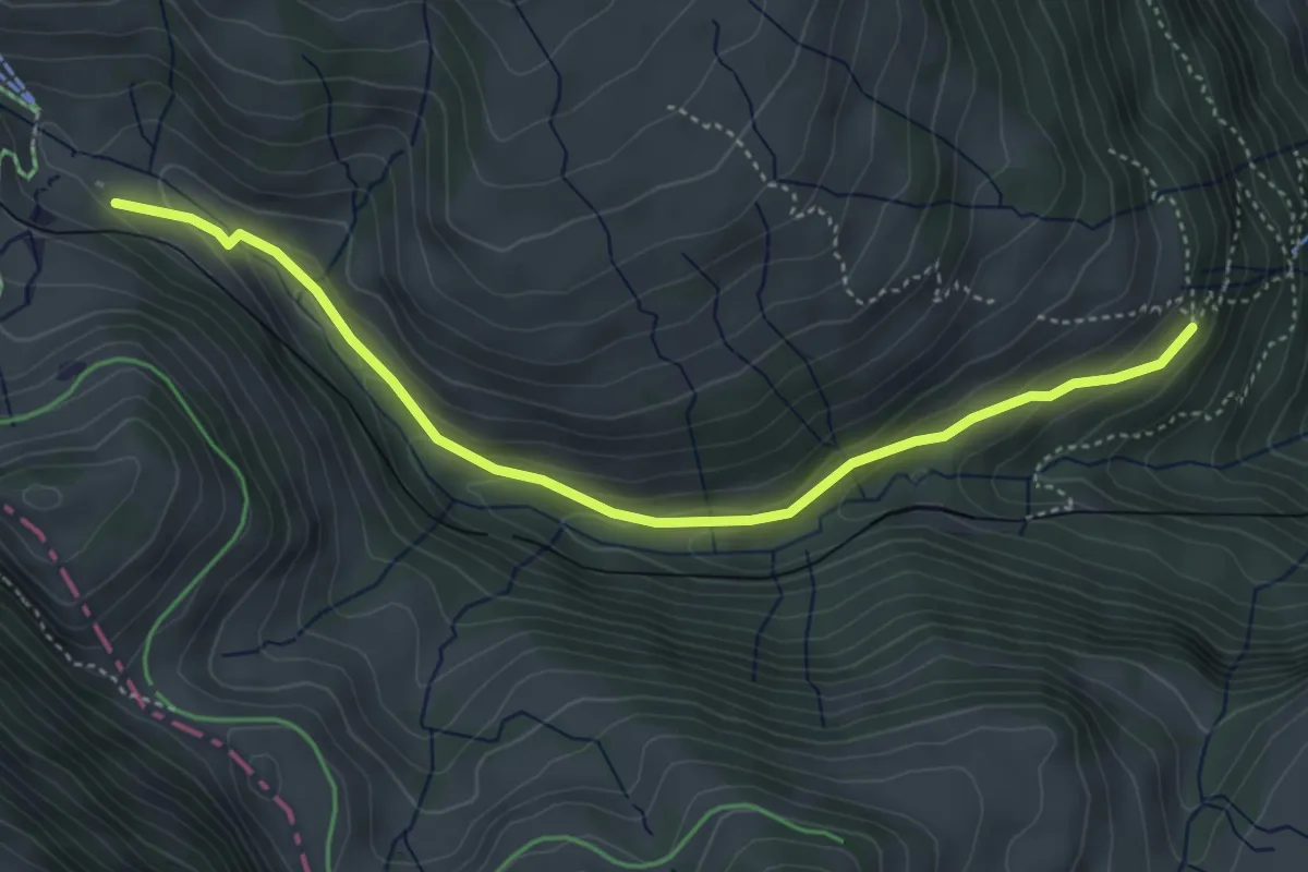
Medium · Trail
Rigi Klösterli – Dächli
4.5 km · ↑ 229 m · 1 h 34 min · 14 km away
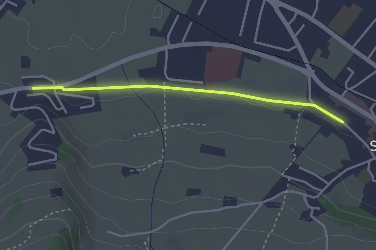
Easy · Trail
Stans Bahnhof – Lewengrueben
2.5 km · ↑ 12 m · 38 min · 14 km away
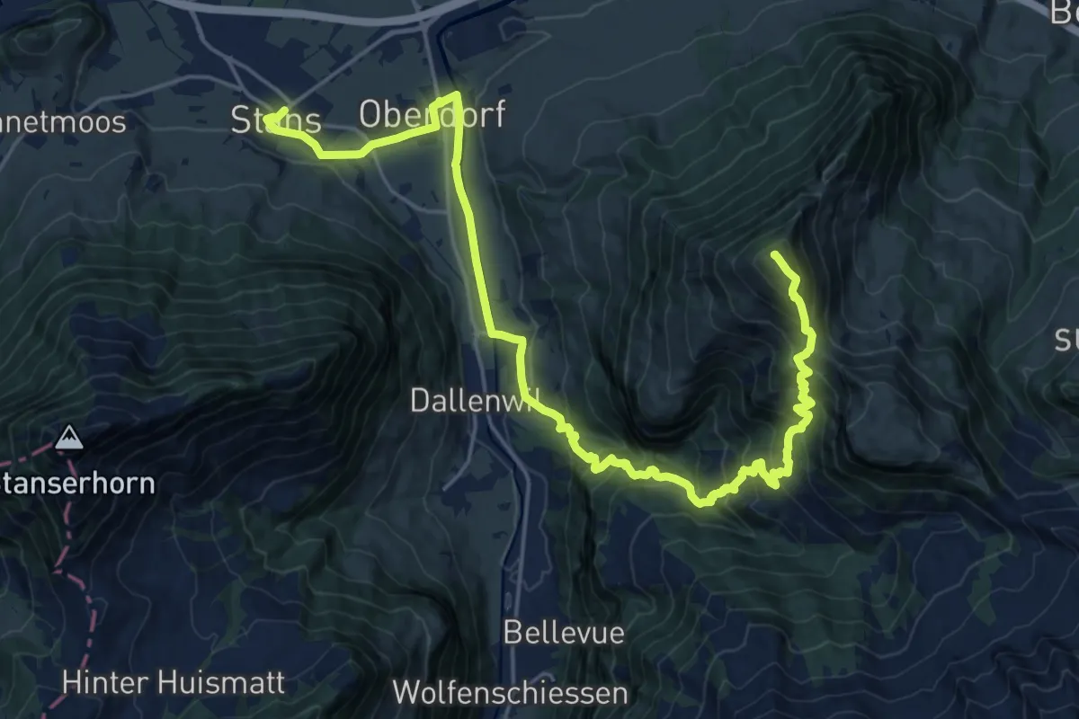
Demanding · Summit
Nidwaldner Zentrumsweg
25.3 km · ↑ 1406 m · 9 h 1 min · 14 km away
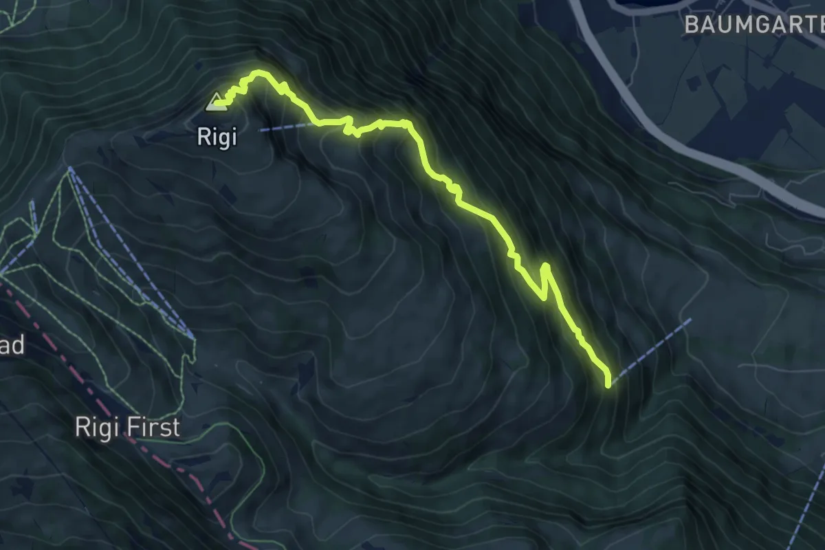
Demanding · Summit
Rigi Kulm - Dächli
8.0 km · ↑ 861 m · 3 h 45 min · 14 km away
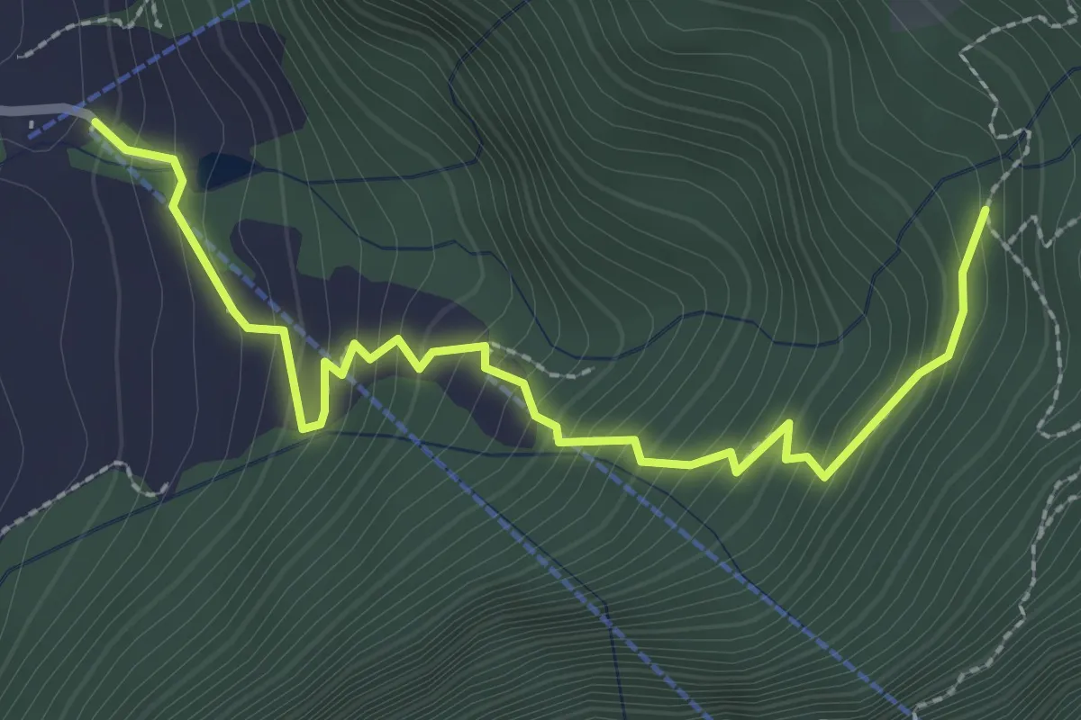
Medium · Trail
St. Antoni – Hinterbergen- / Wissilfuh Talstation
2.9 km · ↑ 327 m · 1 h 23 min · 14 km away
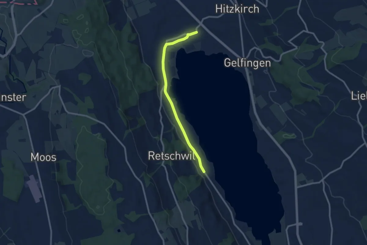
Easy · Trail
Retschwil - Stäfligen - Richensee
7.5 km · ↑ 17 m · 1 h 49 min · 14 km away
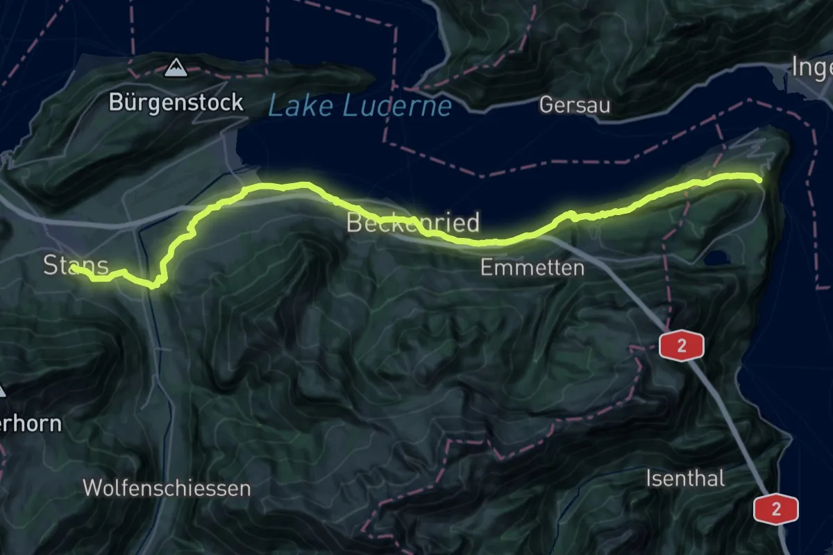
Demanding · Trail
Trans Swiss Trail
20.3 km · ↑ 860 m · 6 h 46 min · 14 km away
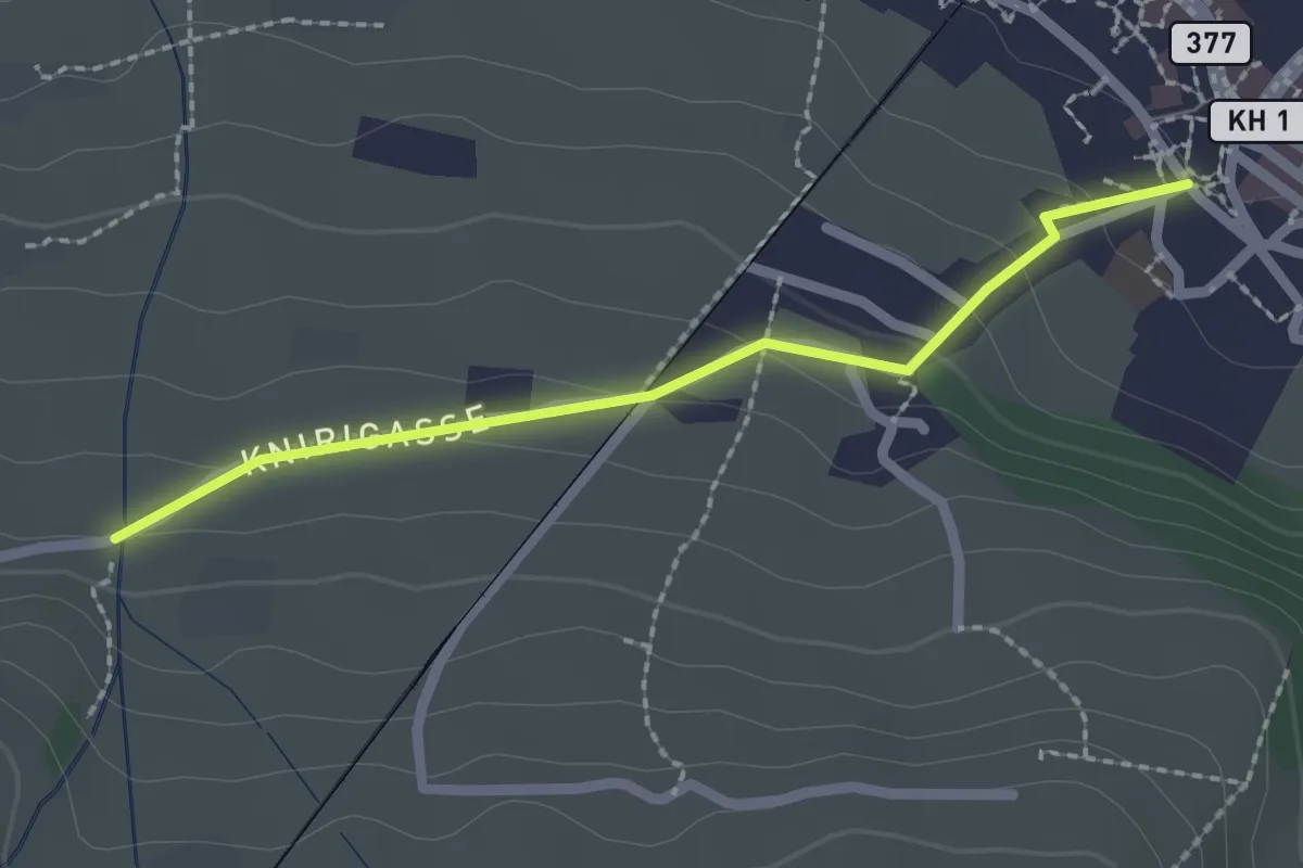
Easy · Trail
Stans Dorfplatz – Christenmatt
2.0 km · ↑ 76 m · 39 min · 14 km away
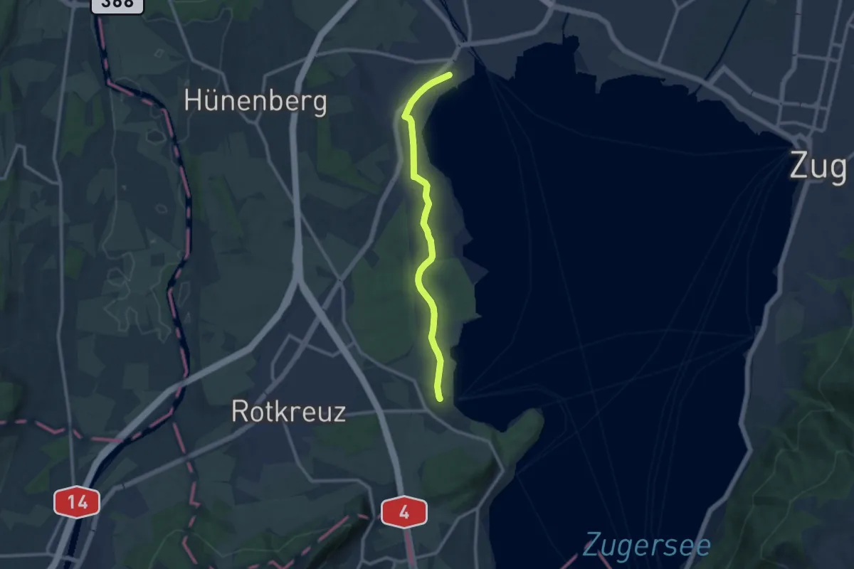
Medium · Trail
Cham-Buonas
9.1 km · ↑ 63 m · 2 h 17 min · 14 km away
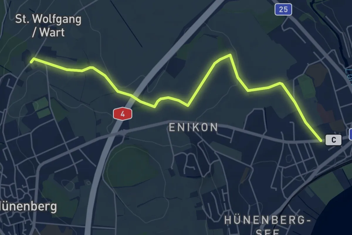
Easy · Trail
Cham - Wart
5.8 km · ↑ 50 m · 1 h 28 min · 14 km away
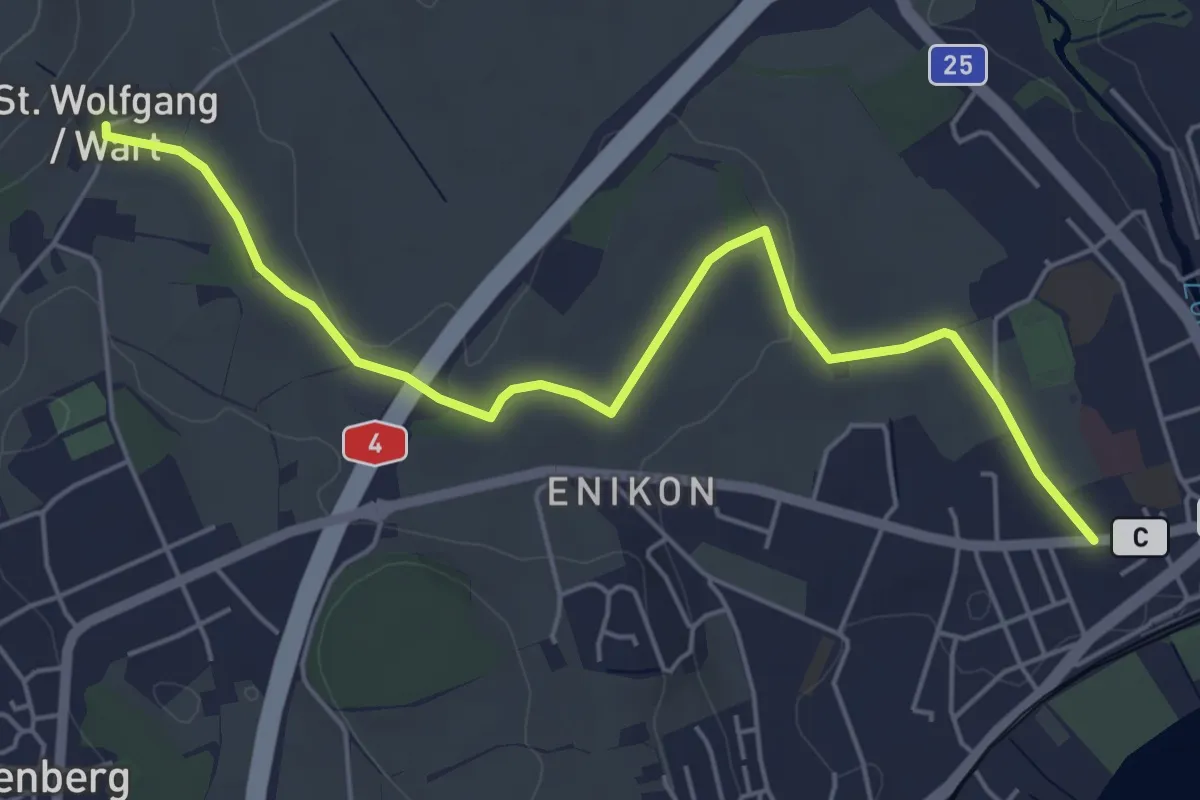
Easy · Trail
Cham - Sankt Wolfgang
5.8 km · ↑ 41 m · 1 h 27 min · 14 km away
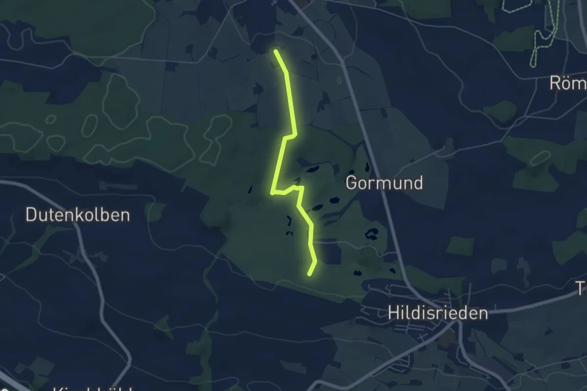
Easy · Trail
Schopfe – Weier
4.7 km · ↑ 50 m · 1 h 13 min · 14 km away
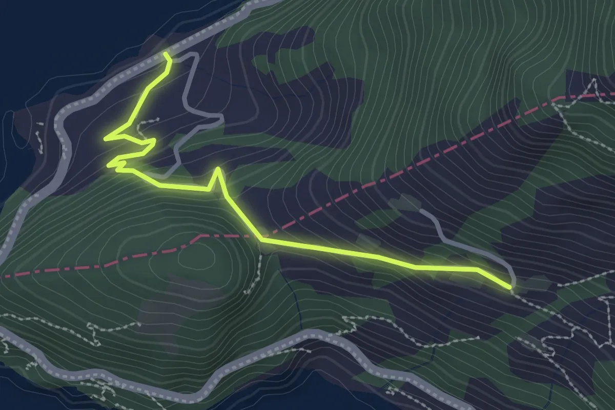
Easy · Trail
Äbnet – Bürglen
2.8 km · ↑ 228 m · 1 h 9 min · 14 km away
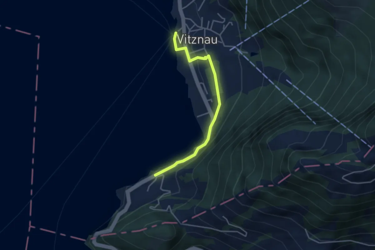
Easy · Trail
Bürglen – Vitznau
3.2 km · ↑ 114 m · 1 h 1 min · 14 km away
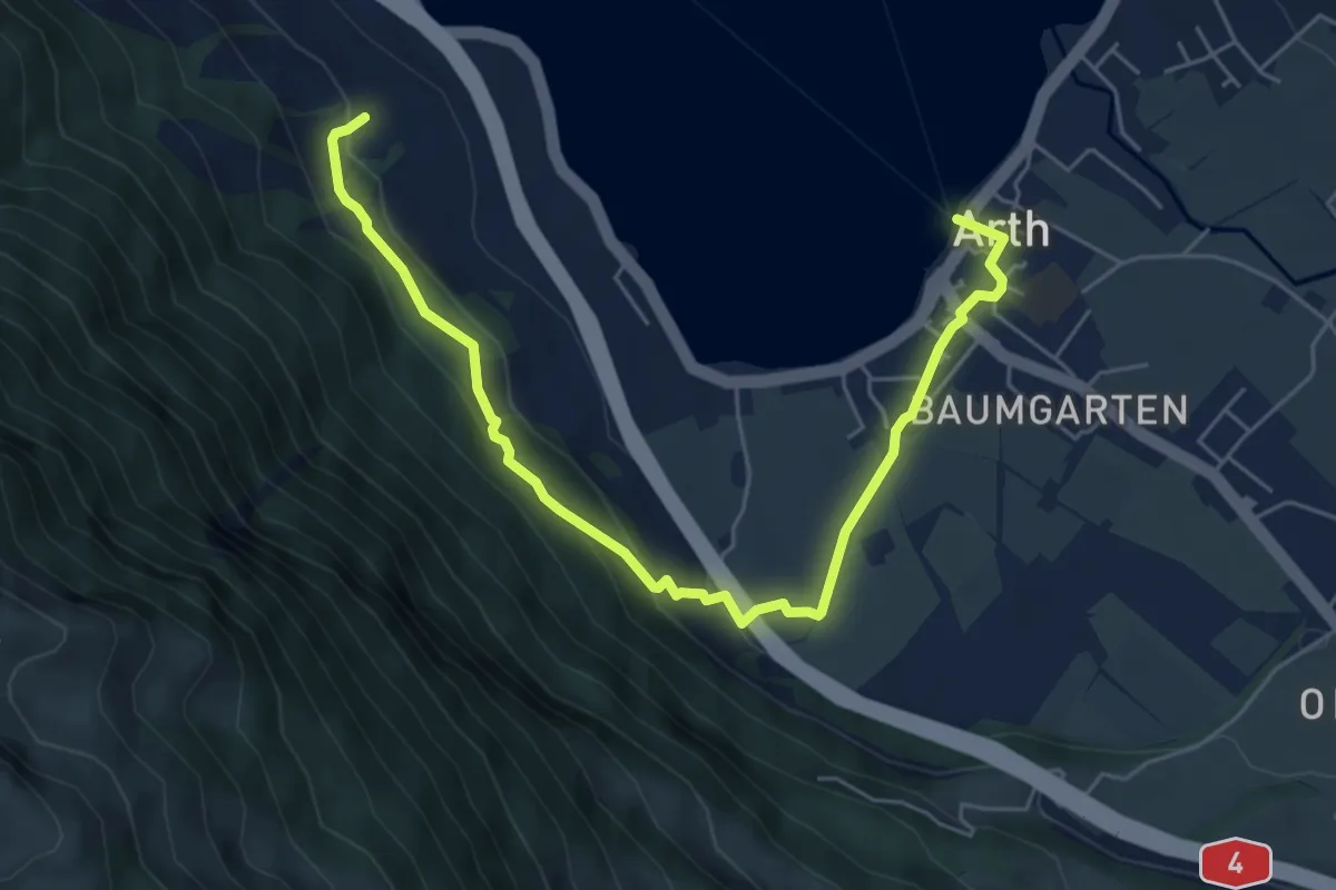
Easy · Trail
Schattenberg - Arth
6.4 km · ↑ 253 m · 2 h 3 min · 14 km away
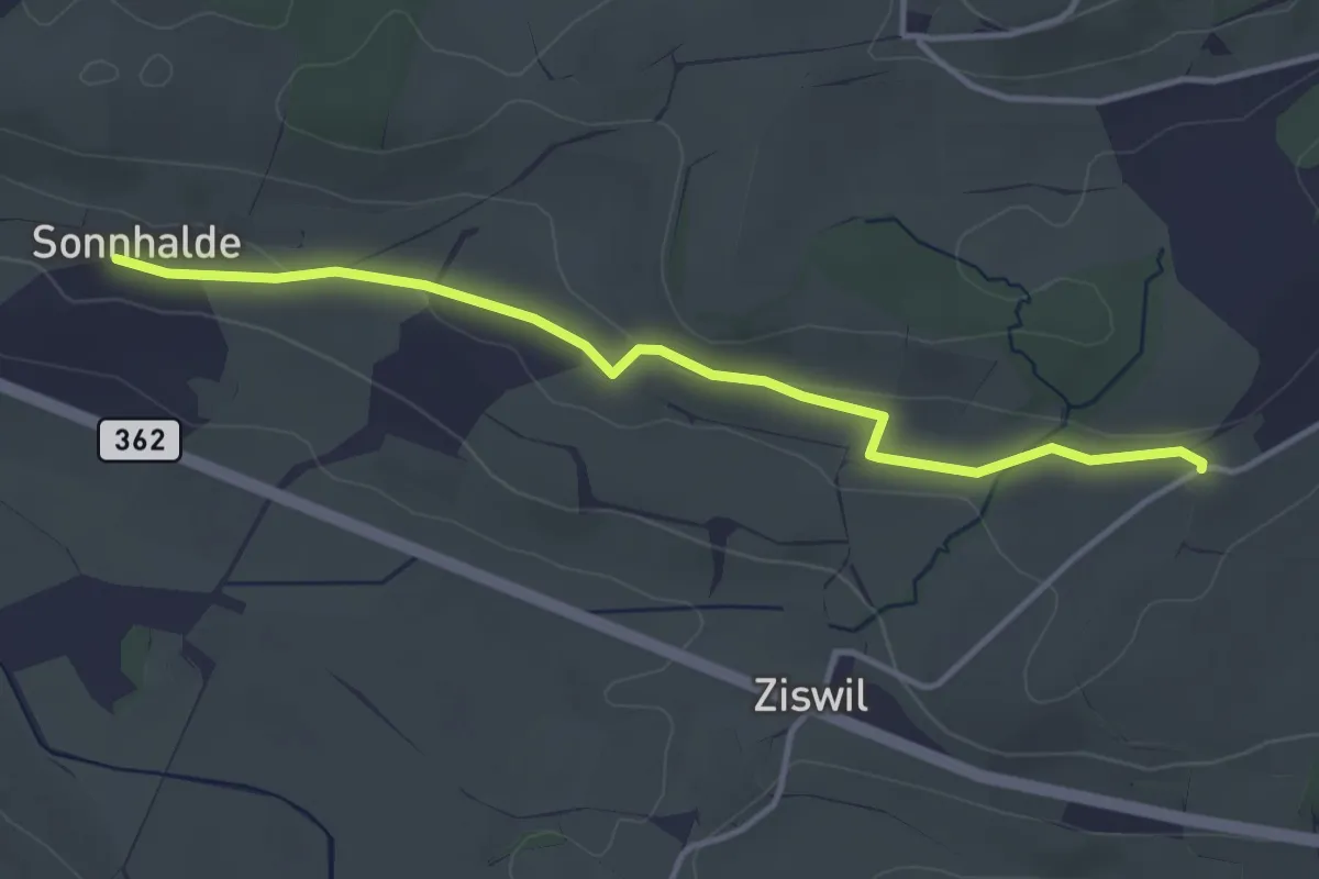
Easy · Trail
Sonnhalden - Hueb
3.9 km · ↑ 60 m · 1 h 2 min · 14 km away
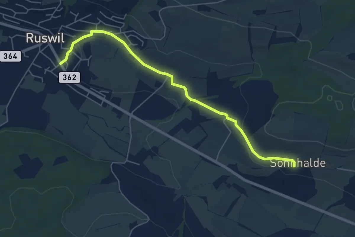
Easy · Trail
Ruswil - Sonnhalden
5.1 km · ↑ 111 m · 1 h 27 min · 14 km away
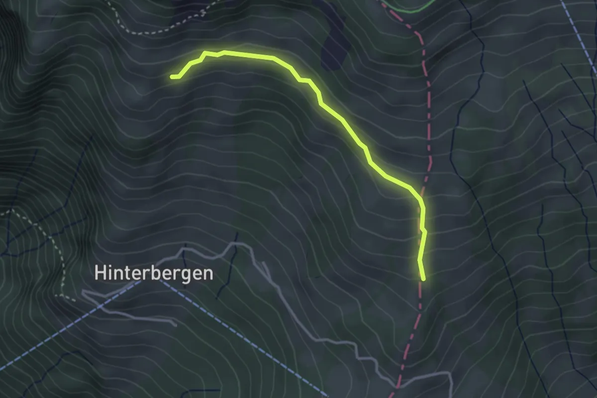
Easy · Trail
Gletti – Pfäng
3.0 km · ↑ 157 m · 1 h 2 min · 14 km away
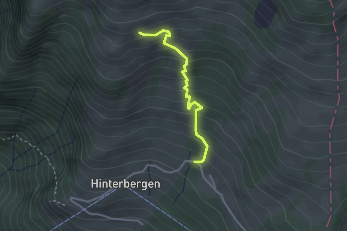
Easy · Trail
Hinterbergen – Glätti
2.2 km · ↑ 267 m · 1 h 5 min · 14 km away
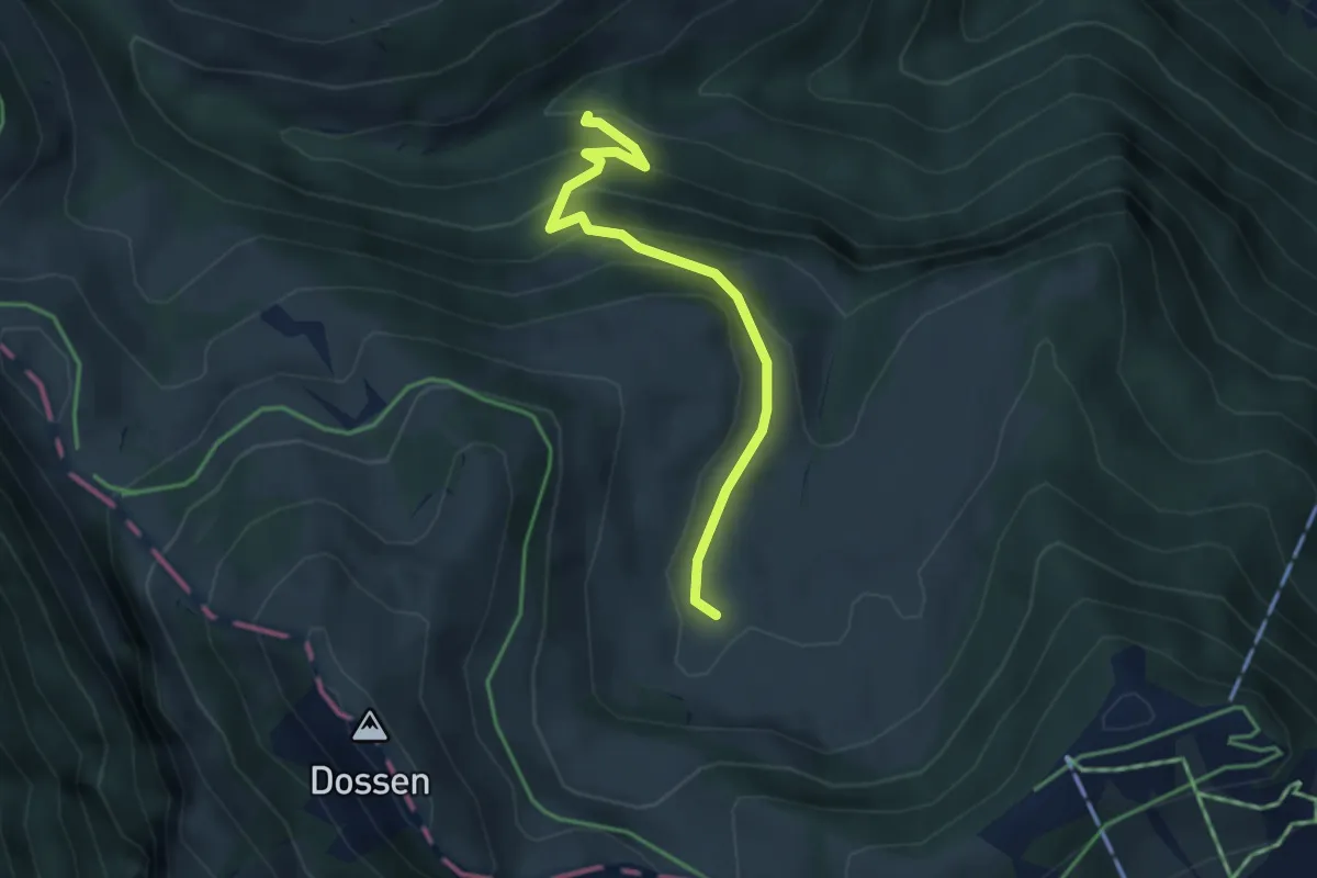
Easy · Trail
Fruttli -Rotenflue Allmig
3.4 km · ↑ 263 m · 1 h 22 min · 14 km away
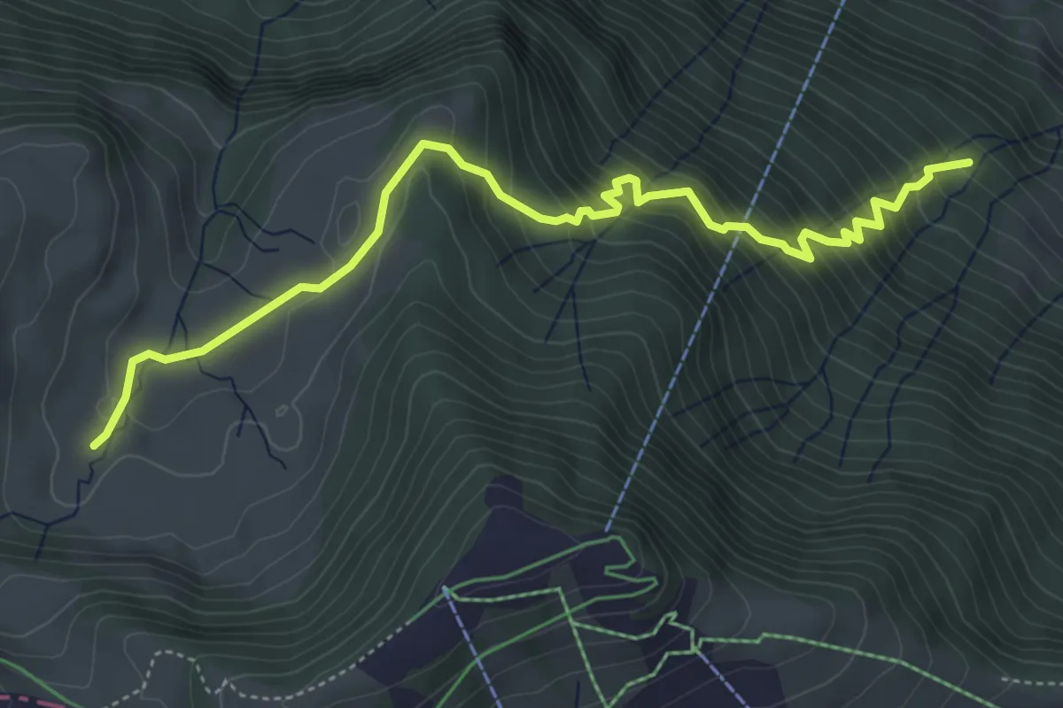
Medium · Trail
Ochsenchneu - Rotenflue Allmig
5.5 km · ↑ 573 m · 2 h 32 min · 14 km away
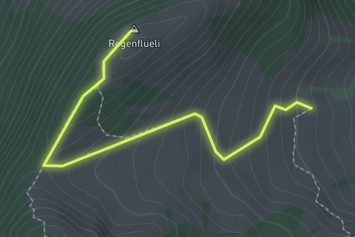
Medium · Summit
Regenflüeli - Gumm
2.3 km · ↑ 153 m · 52 min · 14 km away
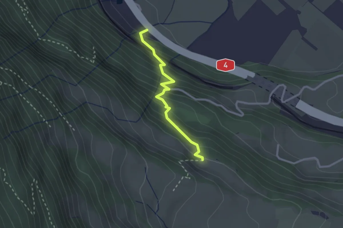
Medium · Trail
Arth – Dächli
2.1 km · ↑ 242 m · 1 h 1 min · 14 km away
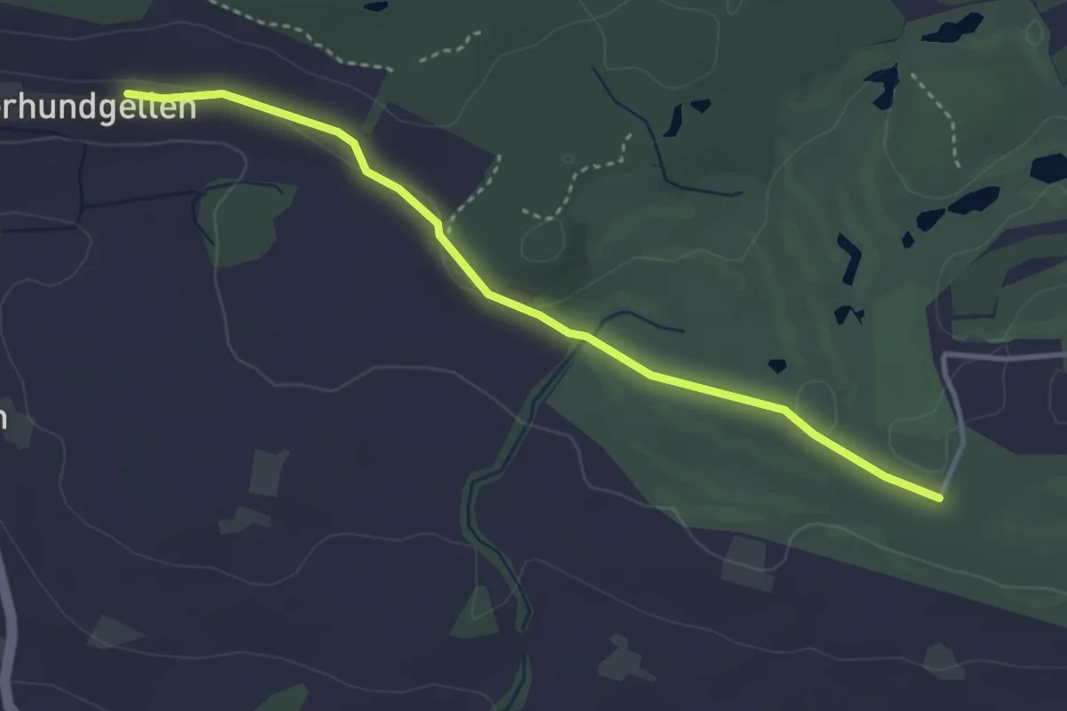
Easy · Trail
Schopfe – Ober Hundgellen
3.6 km · ↑ 24 m · 54 min · 14 km away
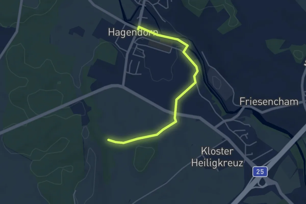
Easy · Trail
Hagendorn - Lindenchamerwald
4.2 km · ↑ 45 m · 1 h 5 min · 14 km away
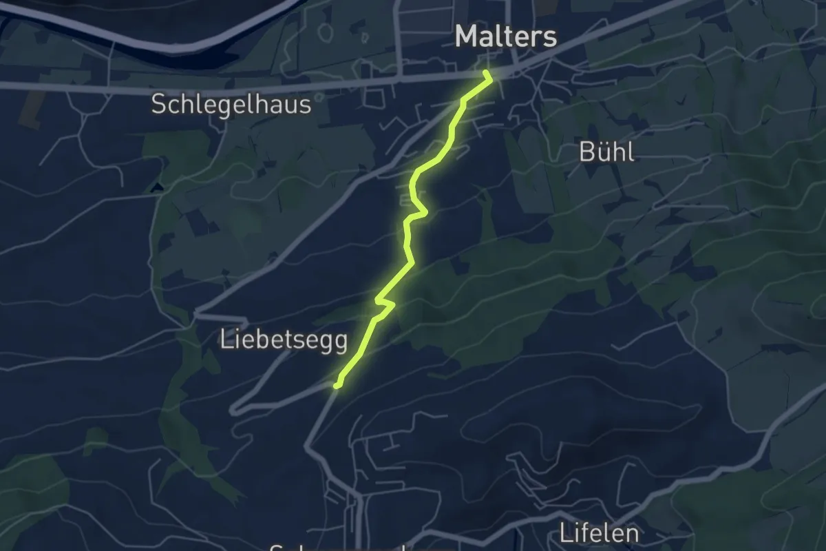
Easy · Trail
Malters - Boden
4.2 km · ↑ 259 m · 1 h 33 min · 14 km away
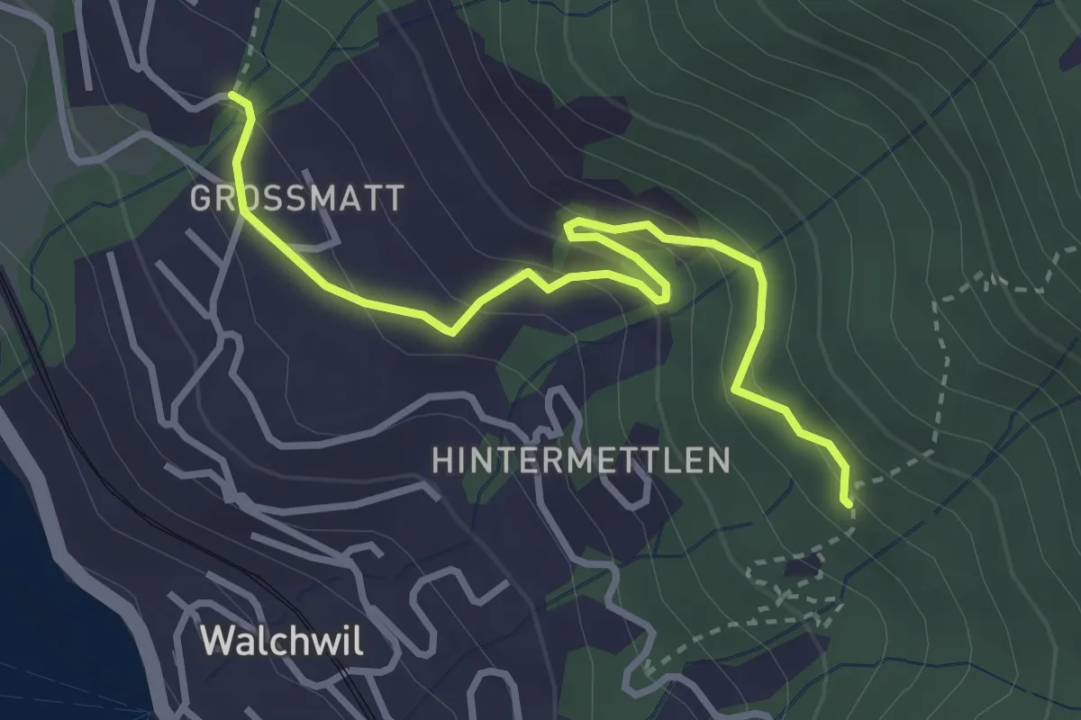
Easy · Trail
Geisswald – Dürrenburg
3.3 km · ↑ 194 m · 1 h 12 min · 14 km away
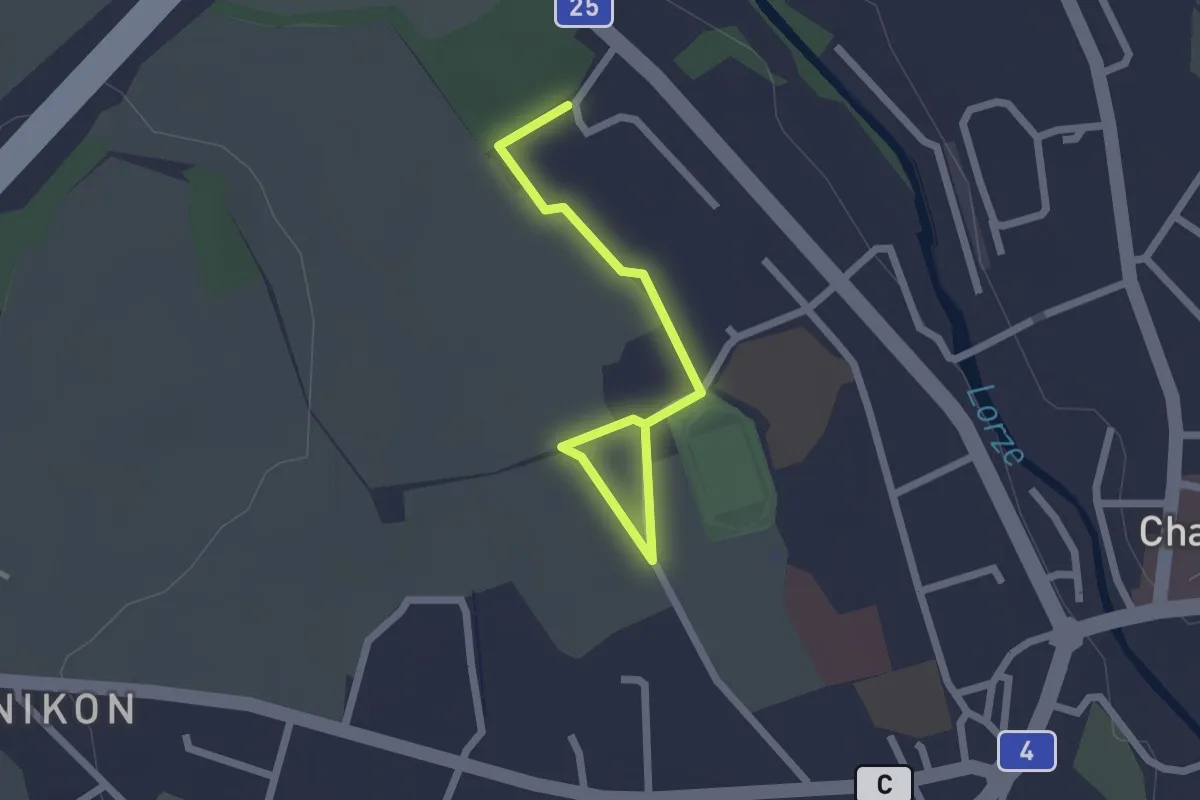
Easy · Trail
Cham Allmendhof - Röhrliberg
2.1 km · ↑ 0 m · 30 min · 14 km away
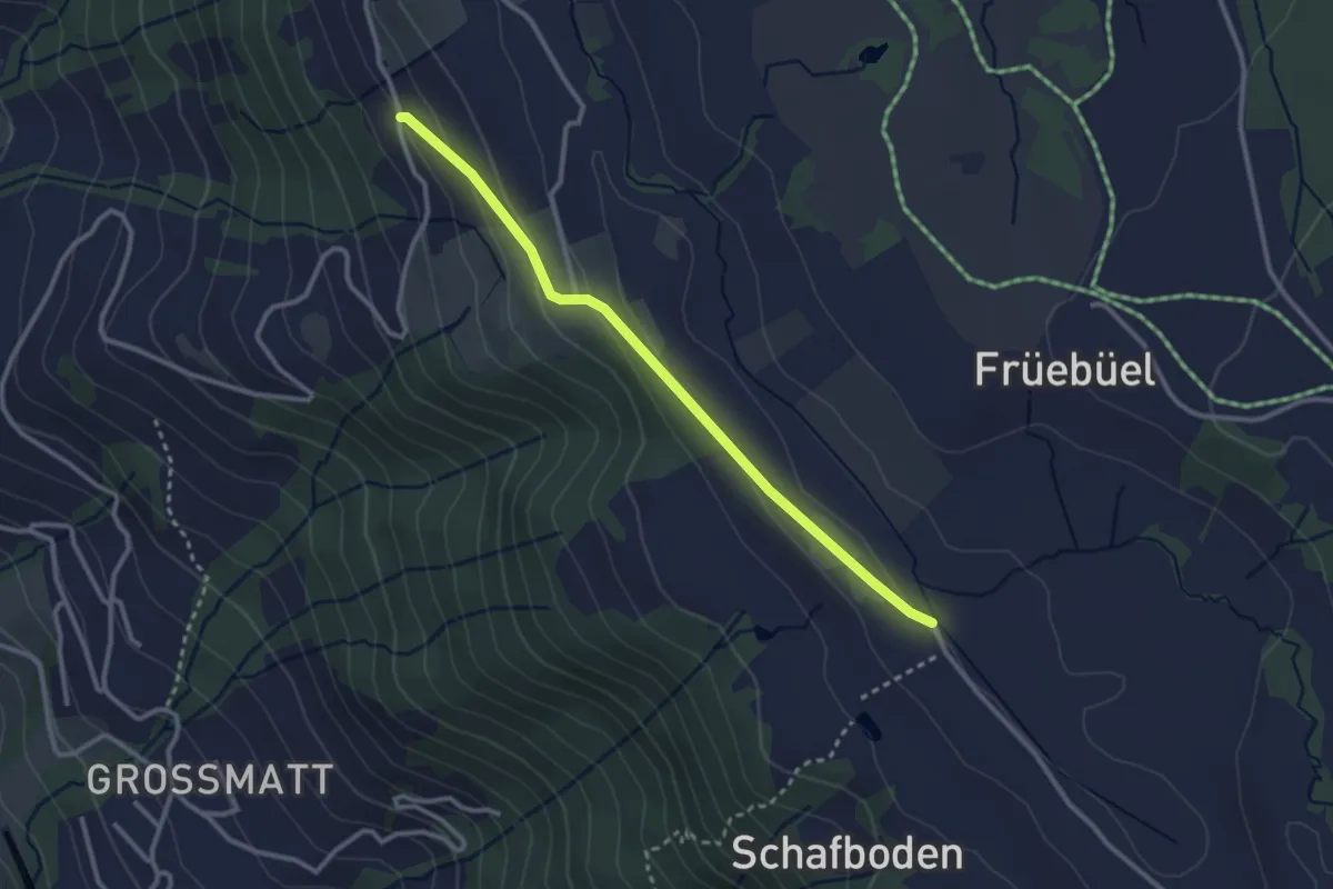
Easy · Trail
Balisbrugg - Tossetschwändi - fixme
2.8 km · ↑ 74 m · 50 min · 14 km away
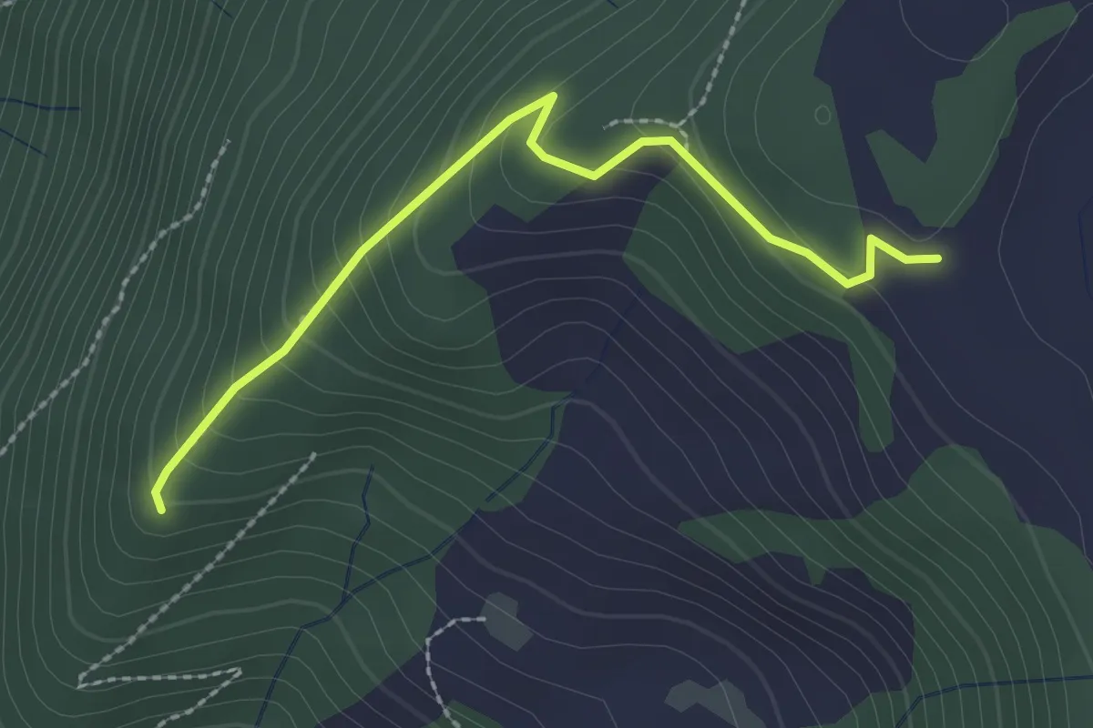
Easy · Trail
Eielenwald-Hütte - Lienisberg-Höhe
2.3 km · ↑ 184 m · 57 min · 14 km away
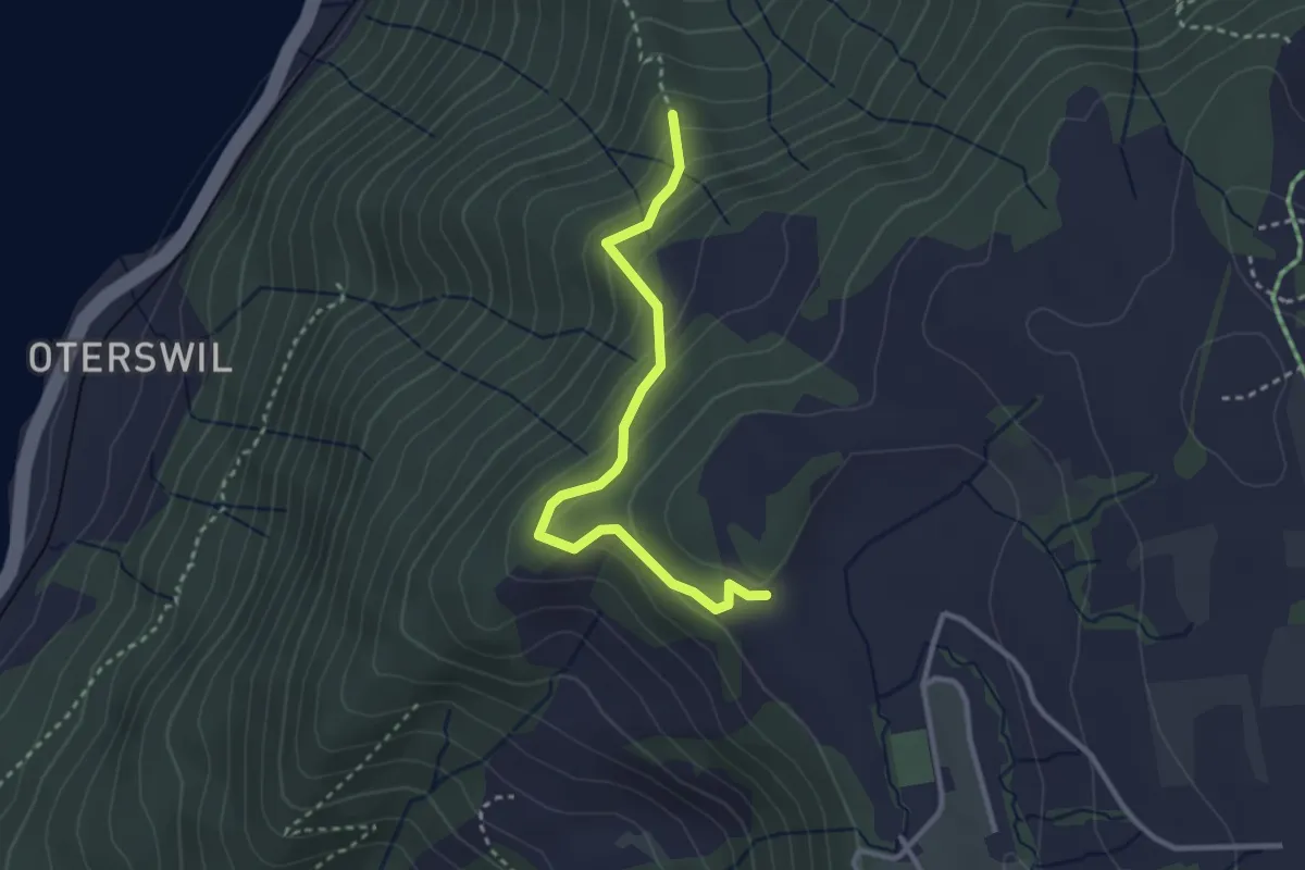
Easy · Trail
Lienisberg-Höhe - Maitlischritt Hütte
2.9 km · ↑ 232 m · 1 h 12 min · 14 km away
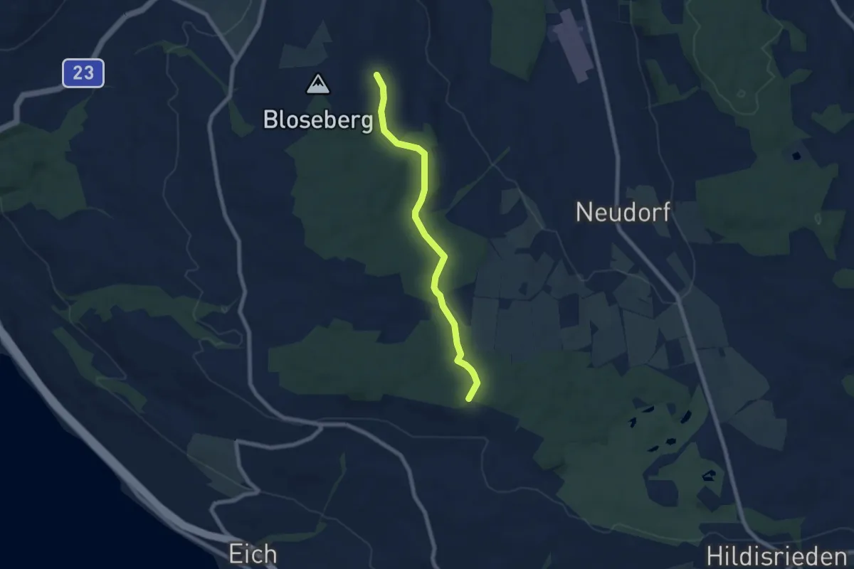
Easy · Trail
Morentaler Wald - Blosenberg
6.4 km · ↑ 49 m · 1 h 37 min · 14 km away
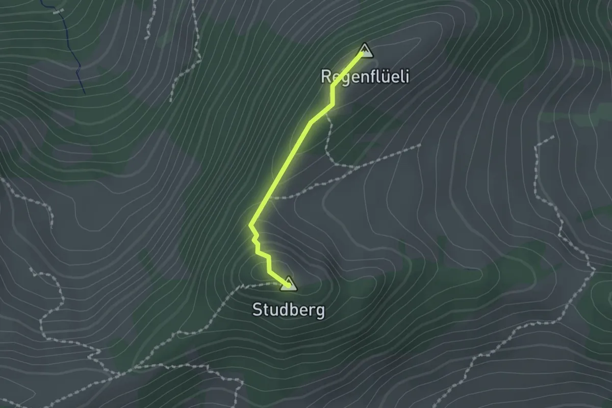
Medium · Summit
Regenflüeli - Pt. 1508
1.2 km · ↑ 79 m · 28 min · 14 km away
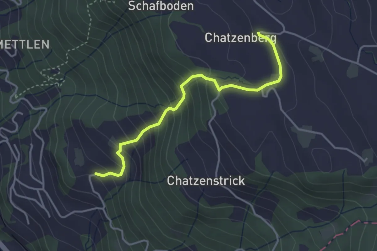
Easy · Trail
Chatzenboden - Utenberg
3.4 km · ↑ 305 m · 1 h 27 min · 14 km away
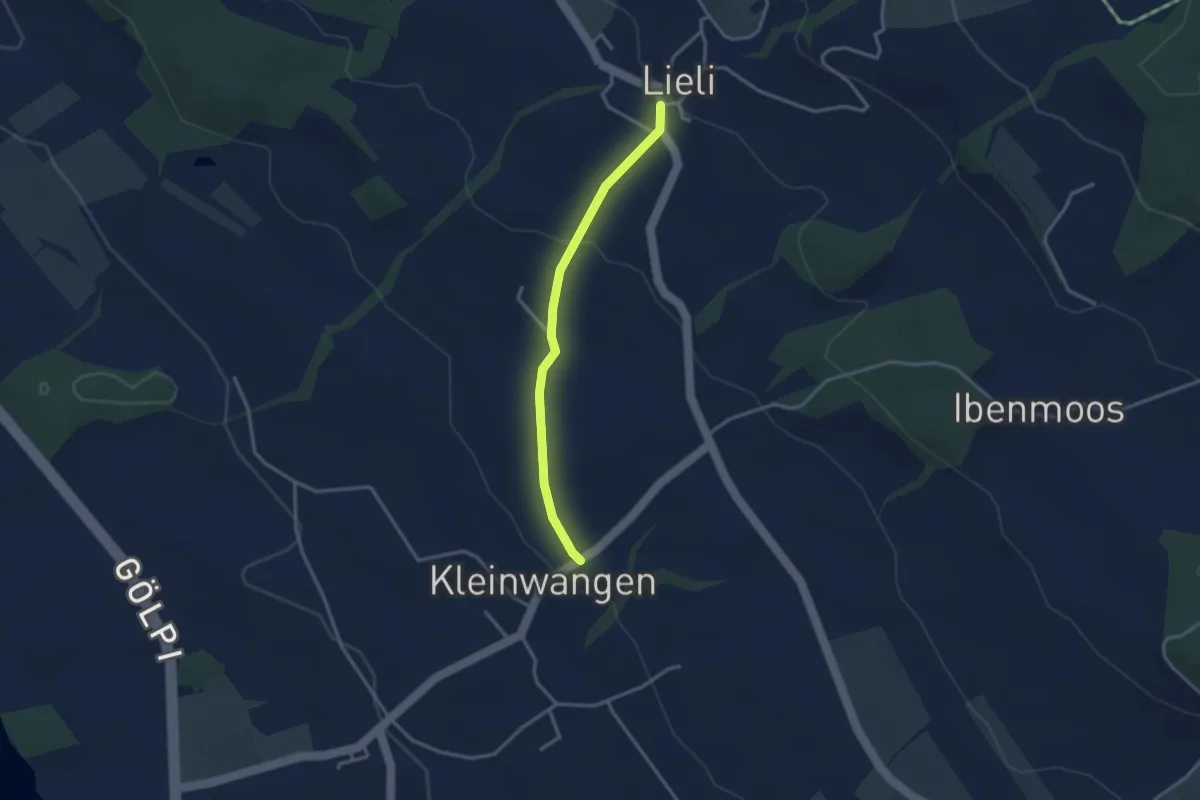
Easy · Trail
Kleinwangen – Lieli
2.9 km · ↑ 87 m · 52 min · 14 km away
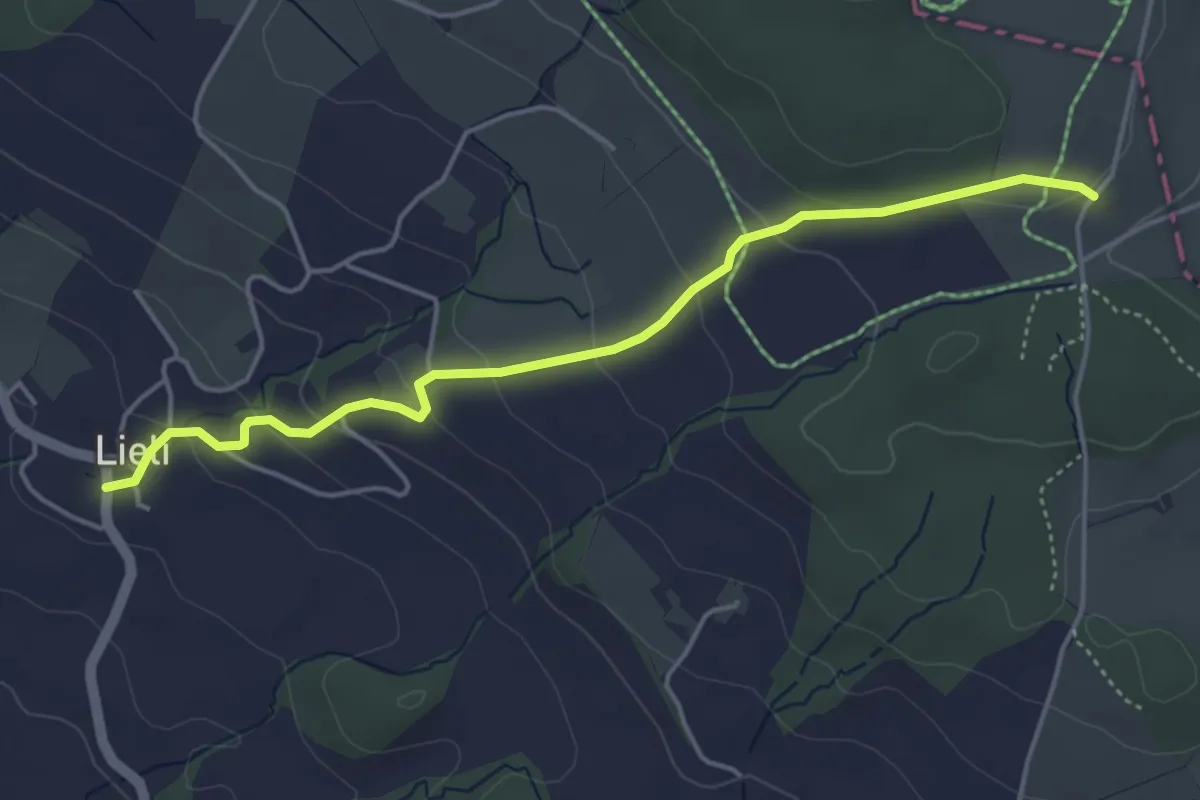
Easy · Trail
Oberillau – Lieli
4.5 km · ↑ 184 m · 1 h 28 min · 14 km away
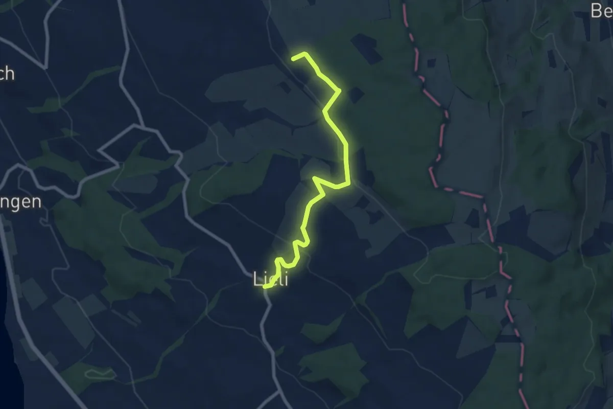
Easy · Trail
Lieli – Sulzerberg
6.8 km · ↑ 237 m · 2 h 8 min · 14 km away
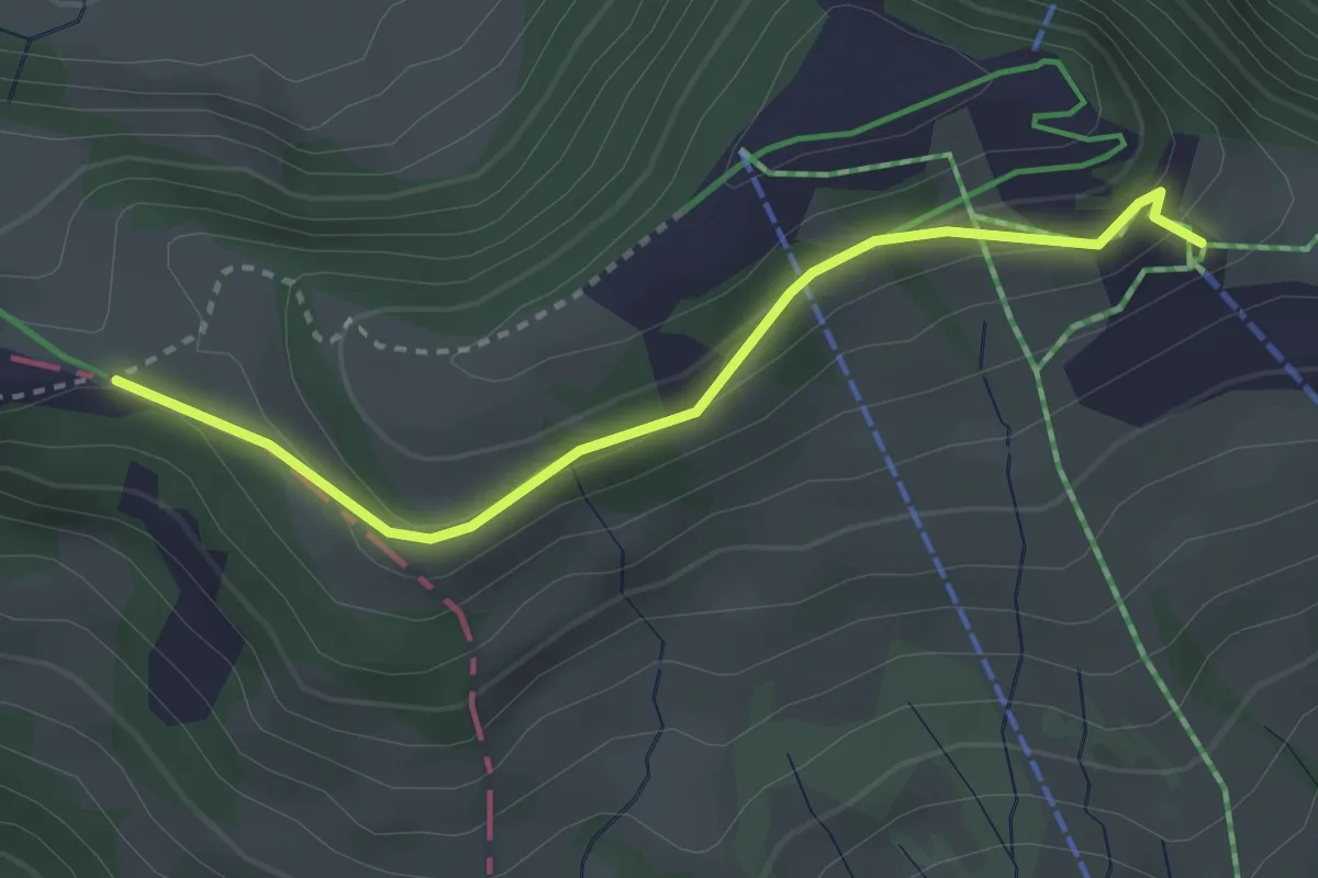
Easy · Trail
Burggeist – Hinder Dossen
3.0 km · ↑ 116 m · 57 min · 14 km away
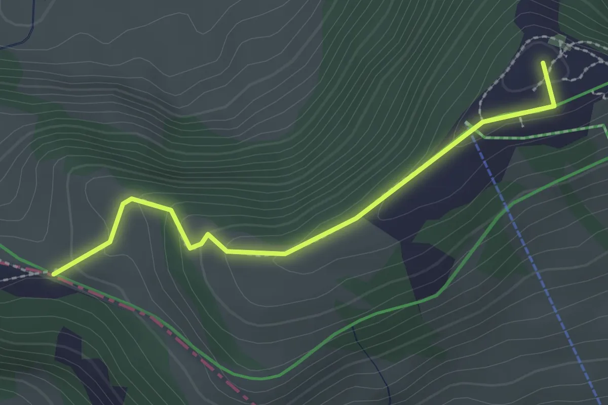
Medium · Summit
Rigi Scheidegg - Hinter Dossen
2.3 km · ↑ 97 m · 45 min · 14 km away
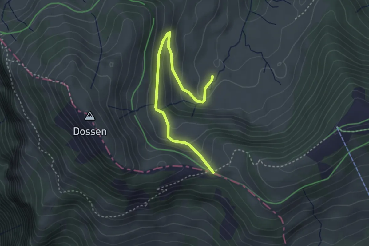
Easy · Trail
Rotenflue Allmig - Hinder Dossen
3.3 km · ↑ 171 m · 1 h 10 min · 14 km away
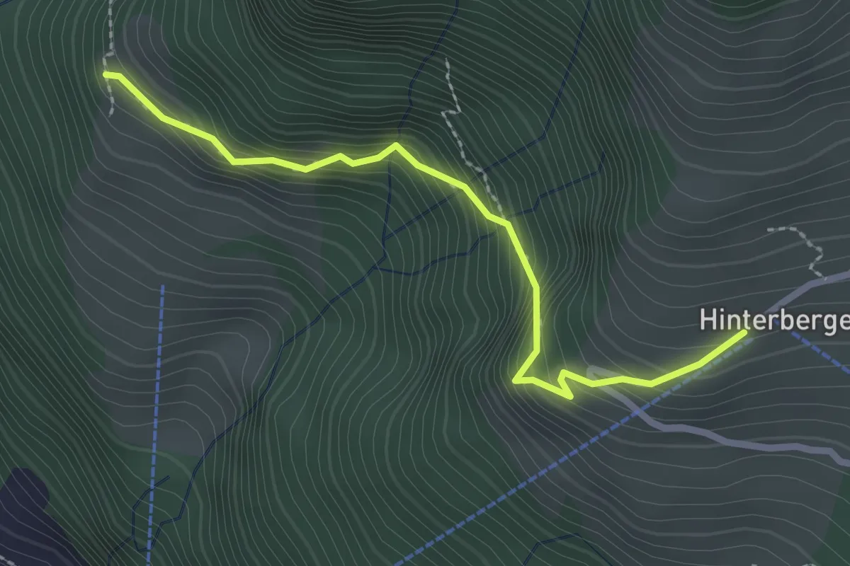
Medium · Trail
Gebetschwil – Hinterbergen 🚠
2.5 km · ↑ 291 m · 1 h 13 min · 14 km away
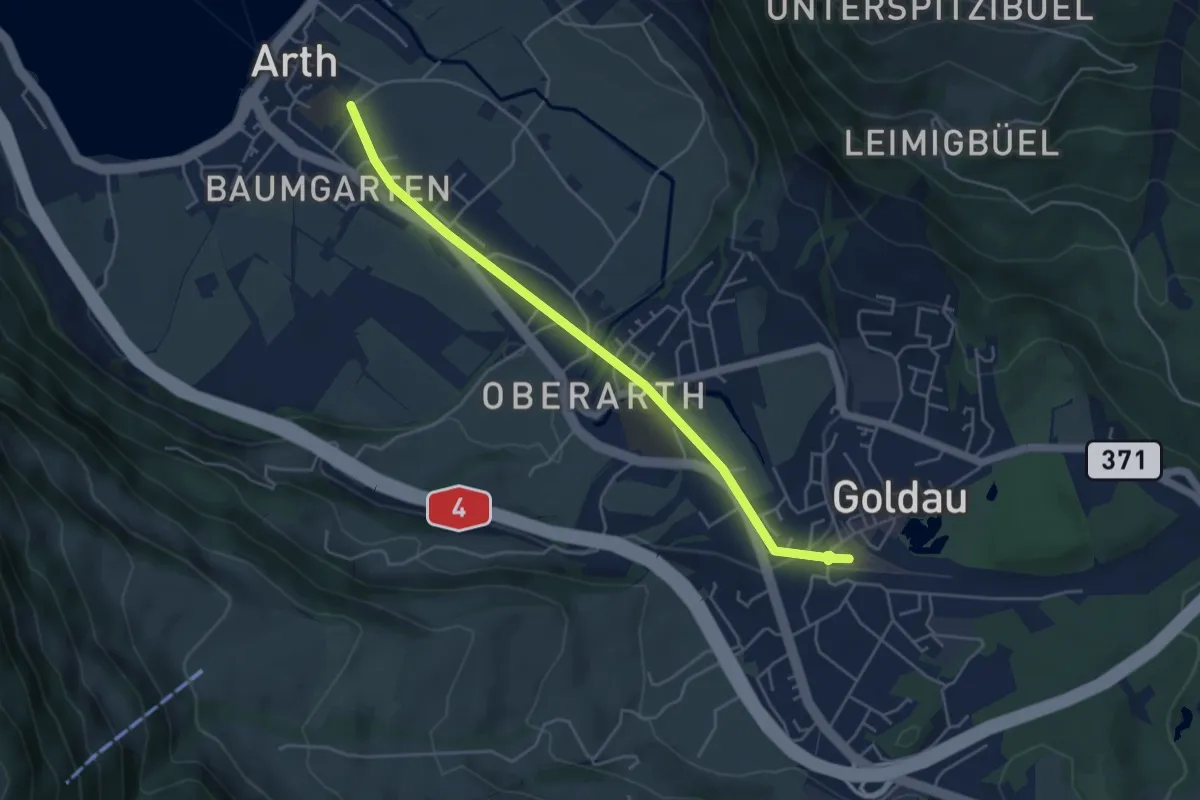
Easy · Trail
Arth - Goldau
4.8 km · ↑ 83 m · 1 h 19 min · 14 km away
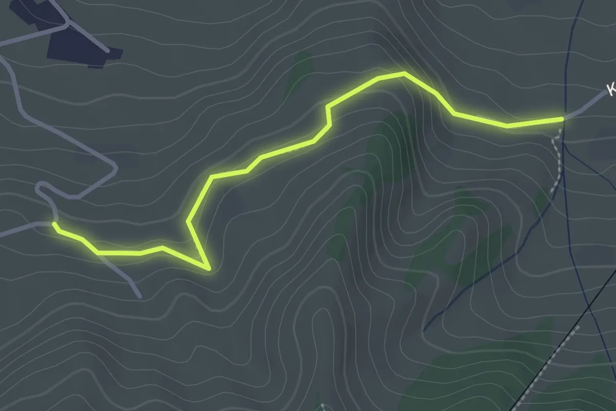
Easy · Trail
Murmatt – Christenmatt
2.8 km · ↑ 137 m · 57 min · 14 km away
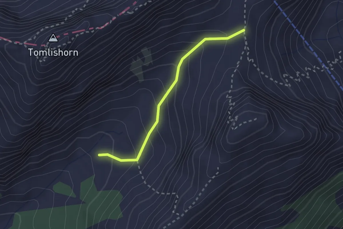
Medium · Trail
Chilchsteine - Laub
2.0 km · ↑ 154 m · 48 min · 14 km away
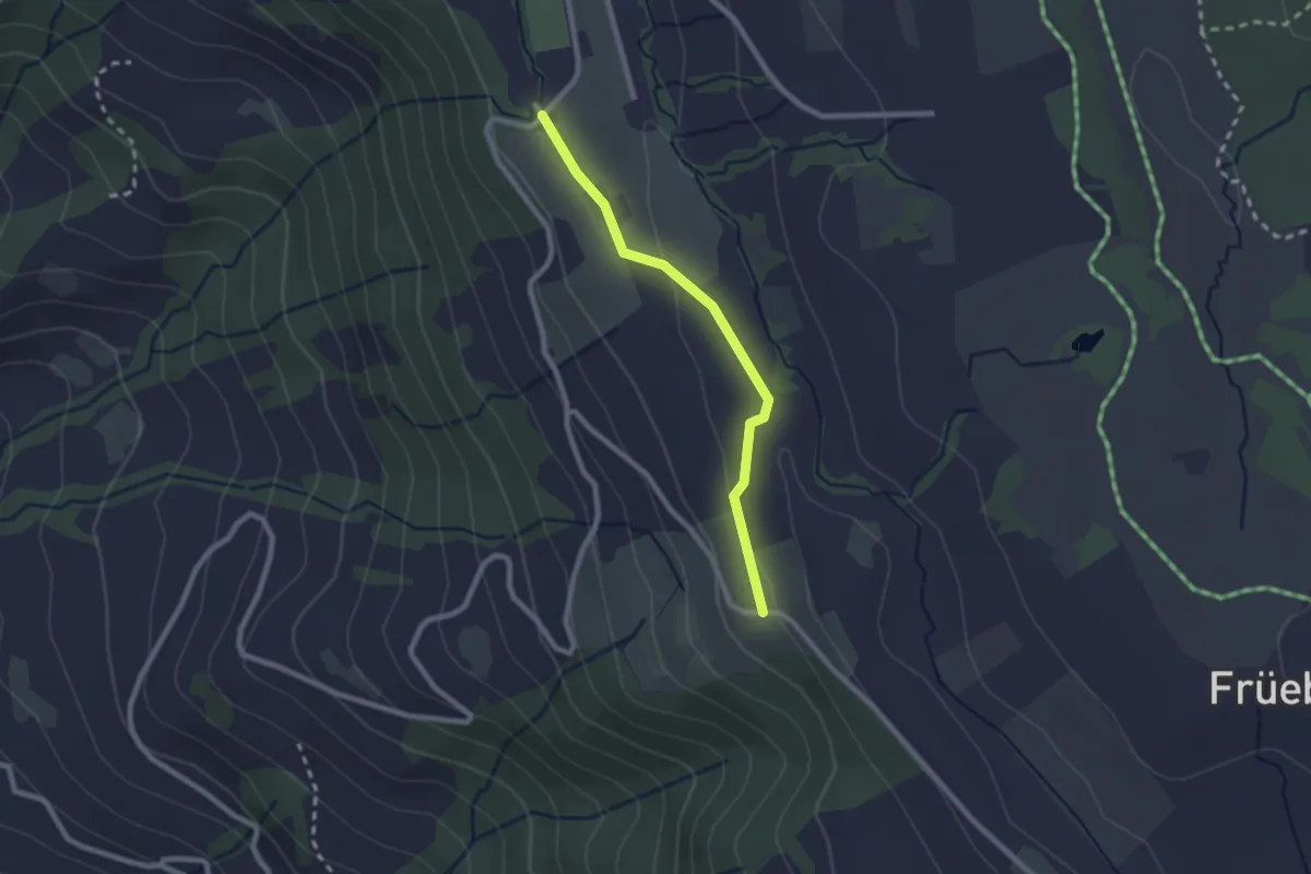
Easy · Trail
Lienisberg – Wissenschwändi
2.1 km · ↑ 52 m · 36 min · 14 km away