Trails near Einsiedeln
533 hikes starting within 15 km, nearest first.
Nearest first, page 11 of 12
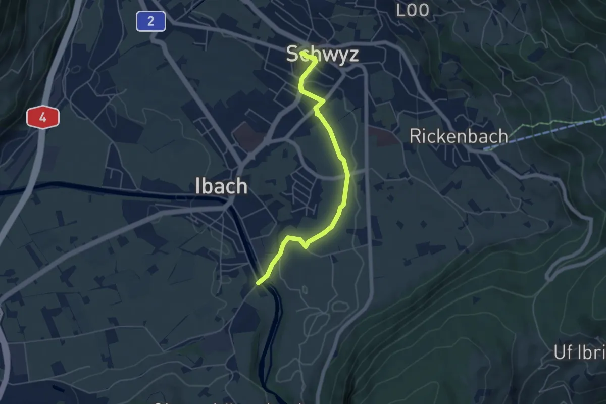
Easy · Trail
Hinter Ibach – Schwyz
4.9 km · ↑ 69 m · 1 h 19 min · 14 km away
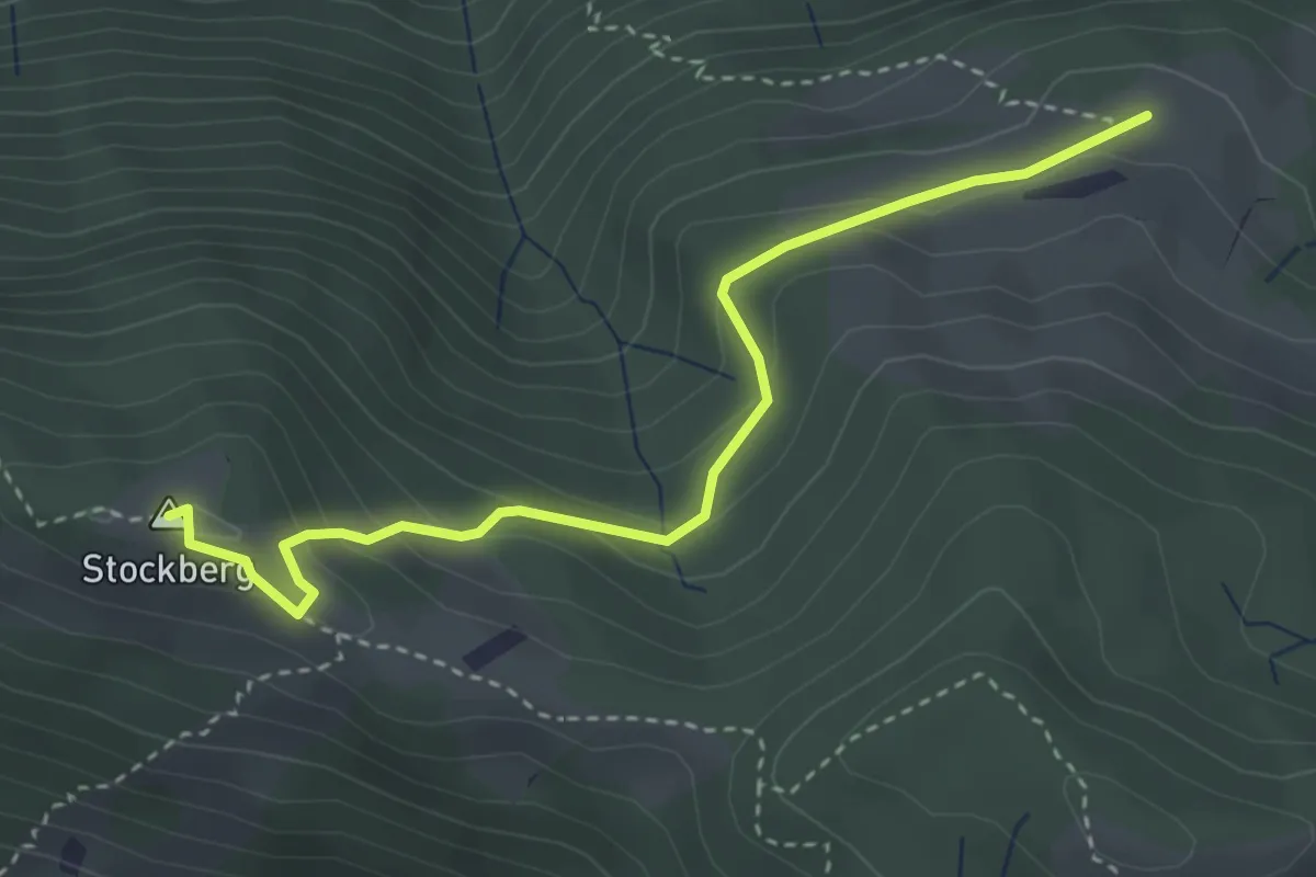
Medium · Summit
Tostel – Stockberg
3.6 km · ↑ 214 m · 1 h 19 min · 14 km away
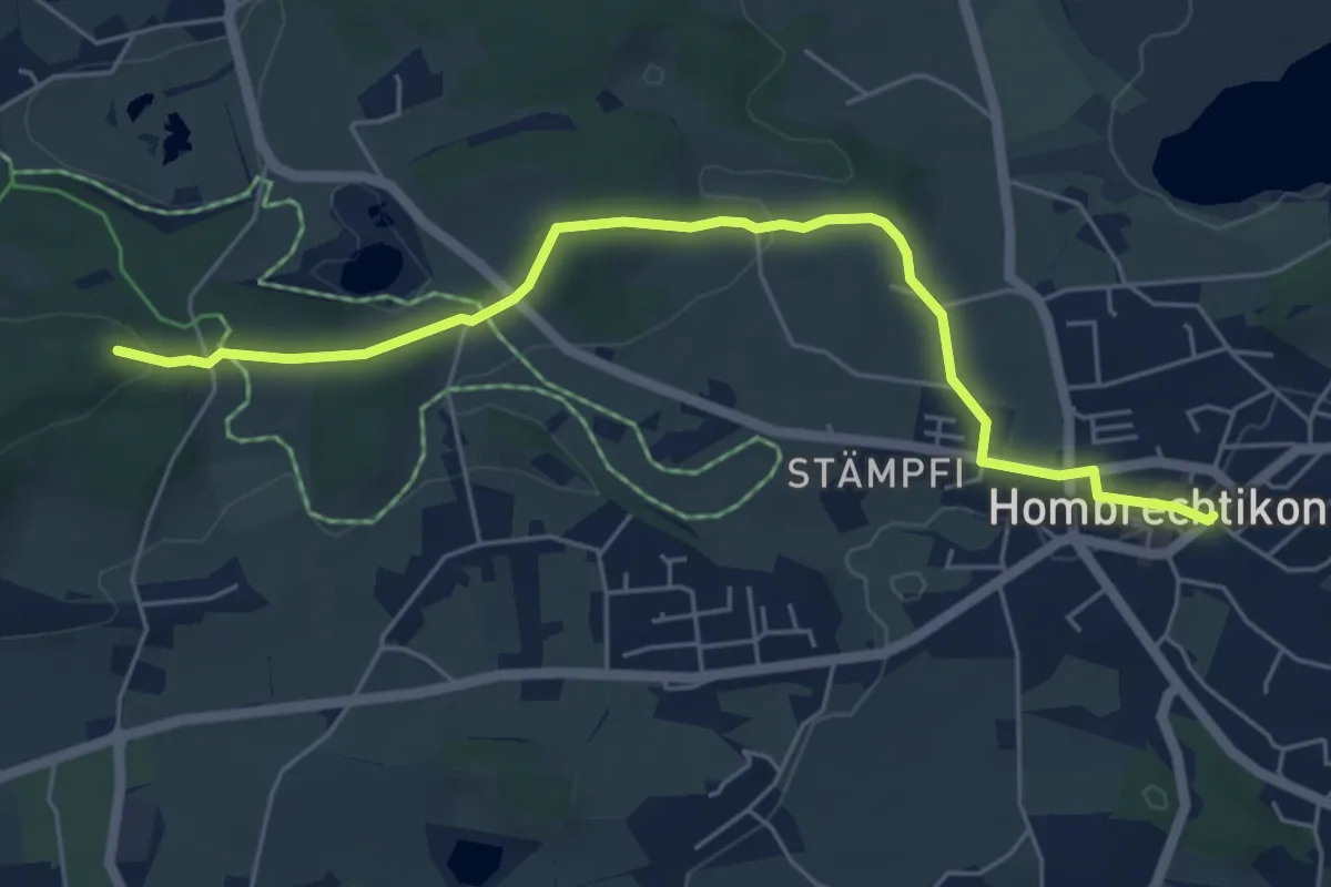
Easy · Trail
Hombrechtikon Post - Buechstutz
5.8 km · ↑ 131 m · 1 h 39 min · 14 km away
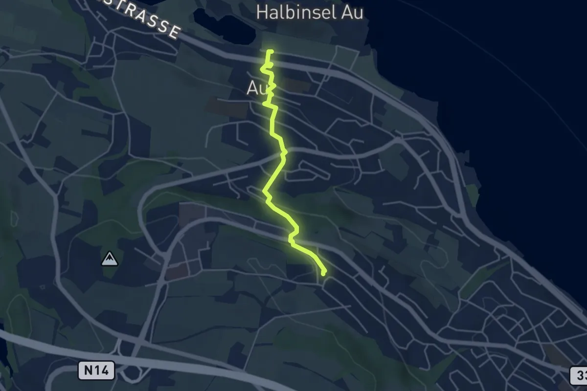
Easy · Trail
Au – Schönegg
3.7 km · ↑ 140 m · 1 h 11 min · 14 km away
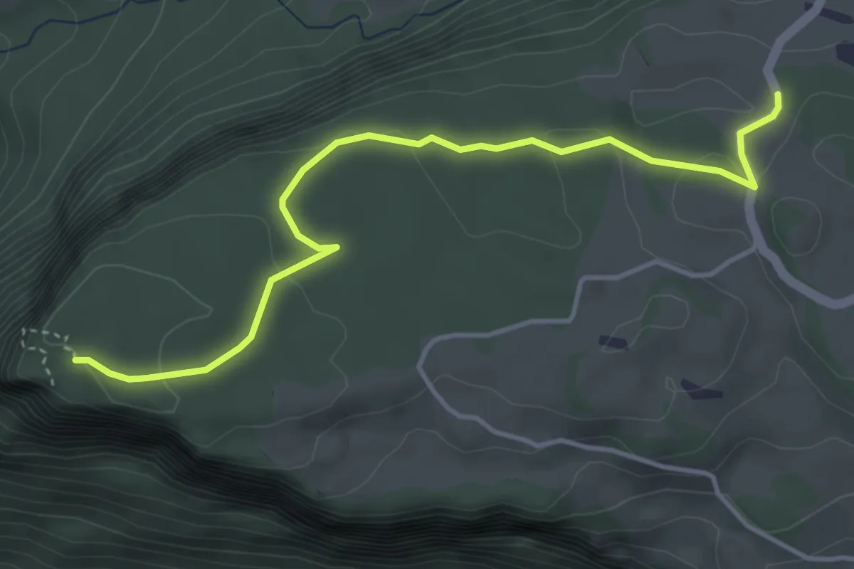
Easy · Trail
Fallenflue – Gründel
4.2 km · ↑ 108 m · 1 h 14 min · 14 km away
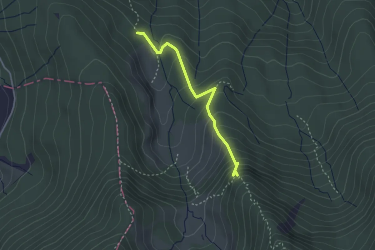
Demanding · Trail
Alplibachbrücke – Alplihorn
2.6 km · ↑ 214 m · 1 h 5 min · 14 km away
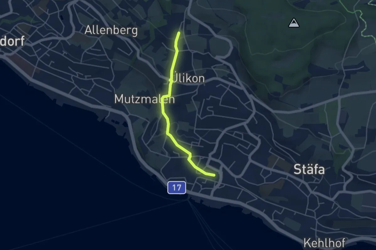
Easy · Trail
Püntacher – Stäfa
3.7 km · ↑ 141 m · 1 h 10 min · 14 km away
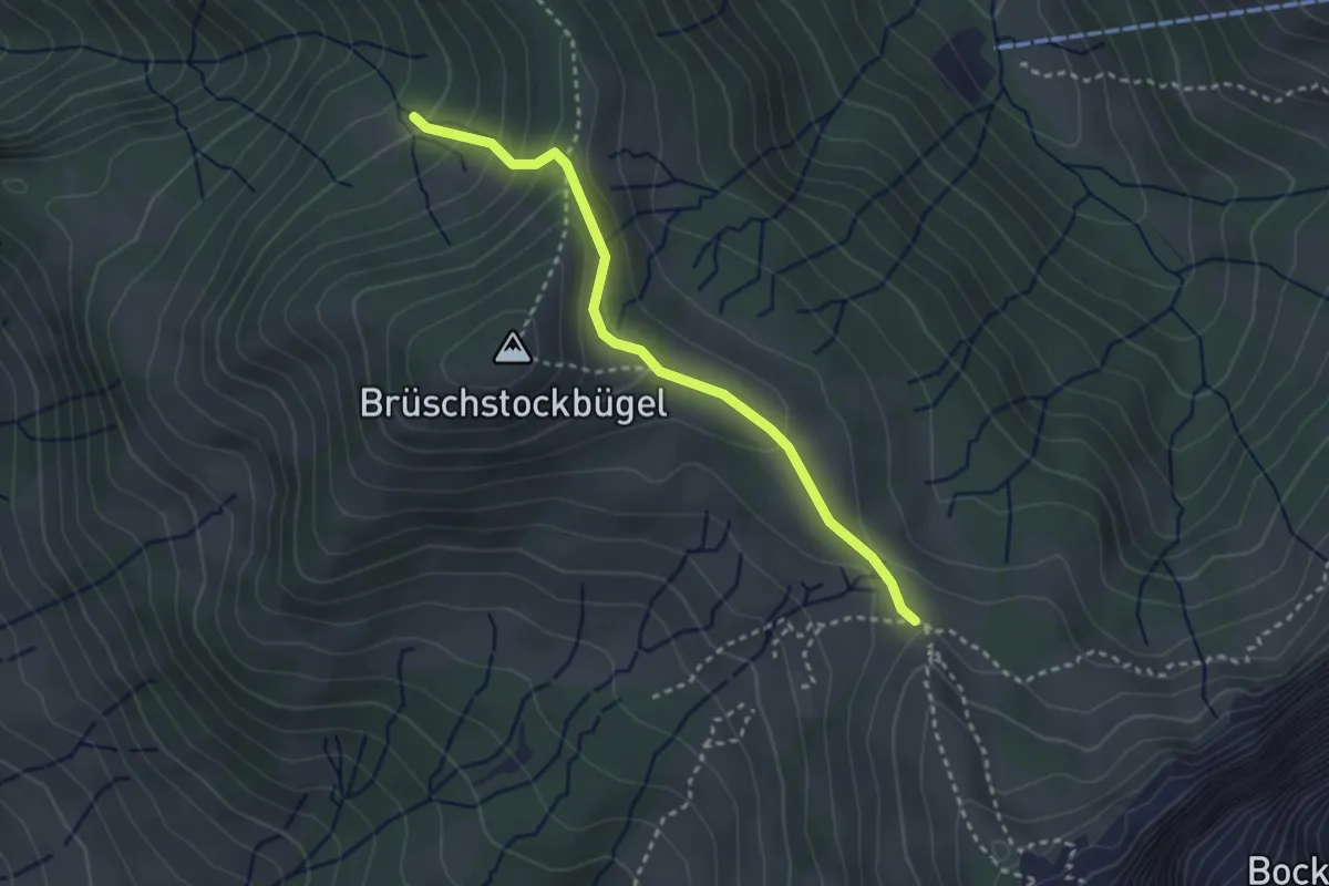
Medium · Trail
Stuckliwald - Schwarzenegghöchi
2.9 km · ↑ 199 m · 1 h 7 min · 14 km away
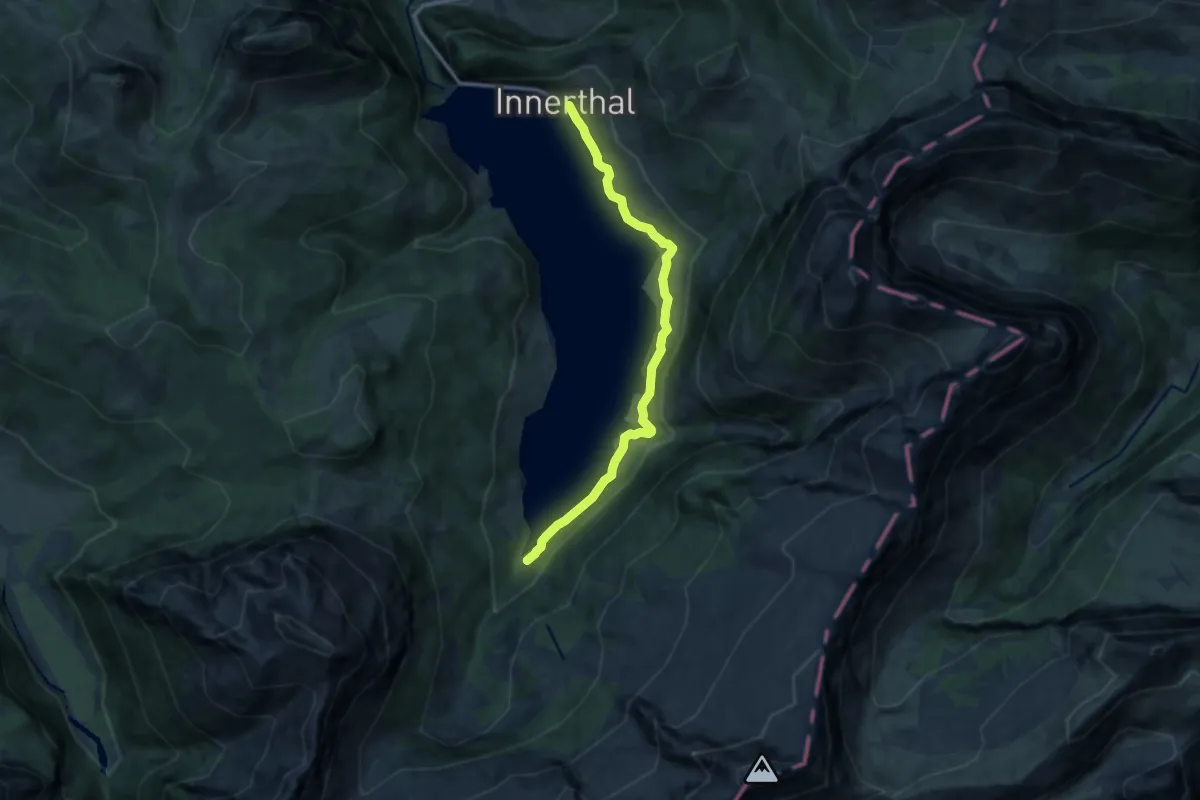
Medium · Trail
Innerthal - Hinter Bruch
11.0 km · ↑ 389 m · 3 h 27 min · 14 km away
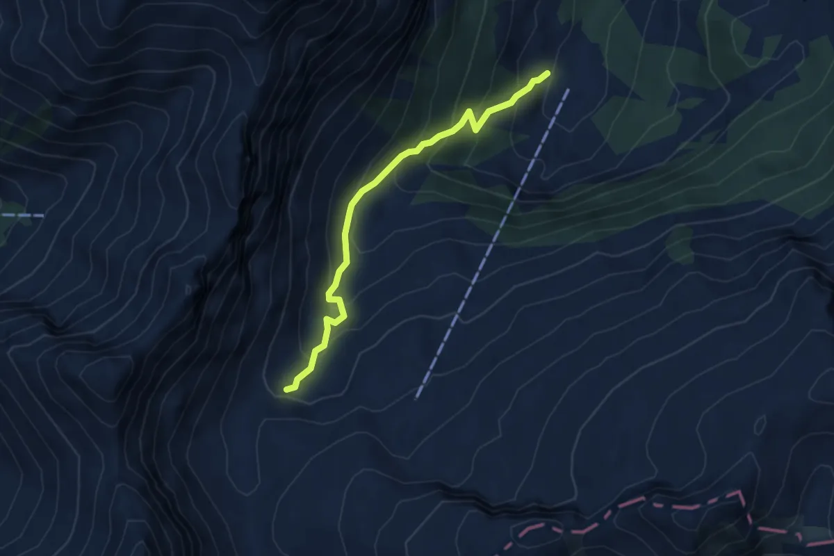
Medium · Trail
Aberen (West) – Otterenboden
4.2 km · ↑ 384 m · 1 h 49 min · 14 km away
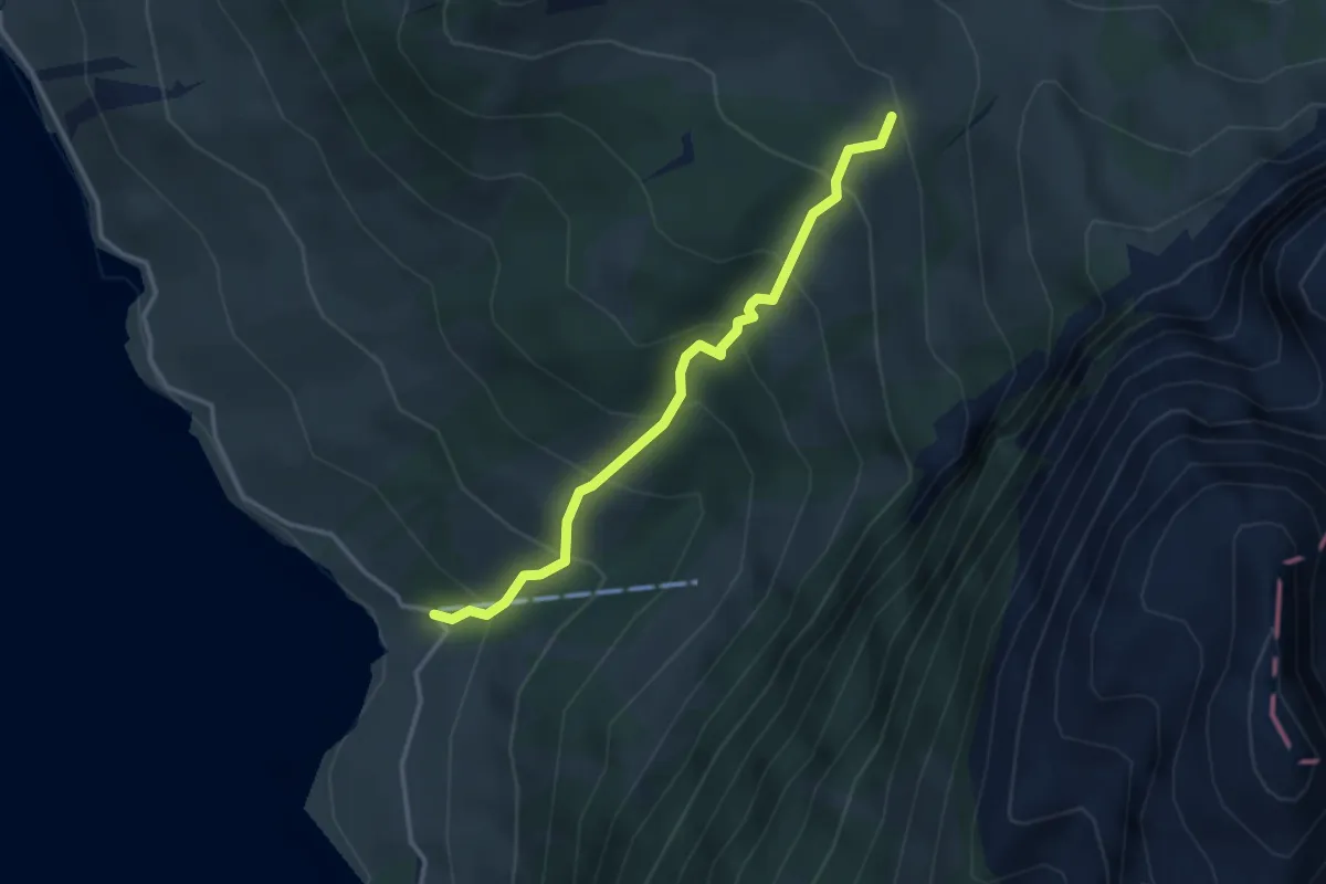
Medium · Trail
Innerthal - Schwarzenegg
3.2 km · ↑ 369 m · 1 h 33 min · 14 km away
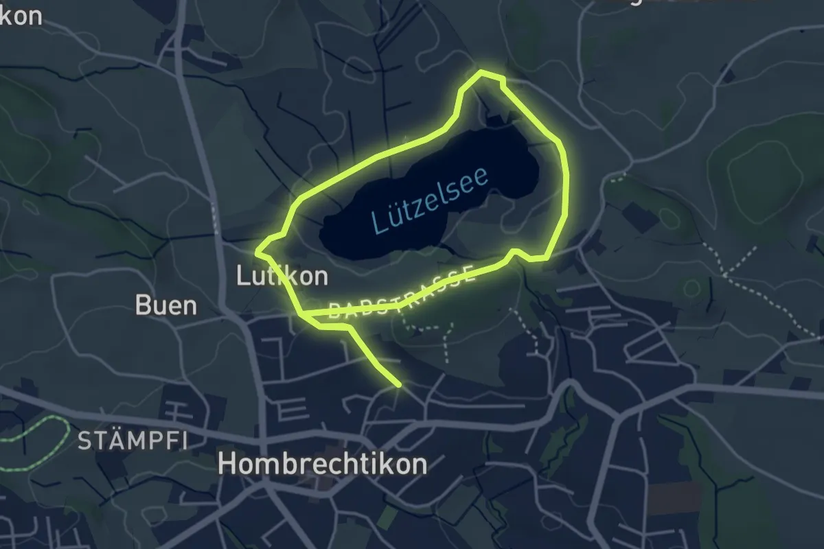
Easy · Trail
Lützelsee Rundweg
3.5 km · ↑ 45 m · 59 min · 14 km away
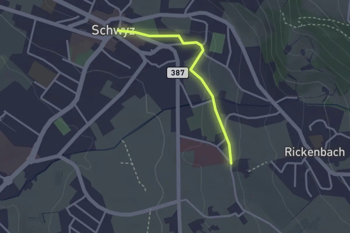
Easy · Trail
Schwyz Hauptplatz – Waldegg
2.2 km · ↑ 28 m · 35 min · 14 km away
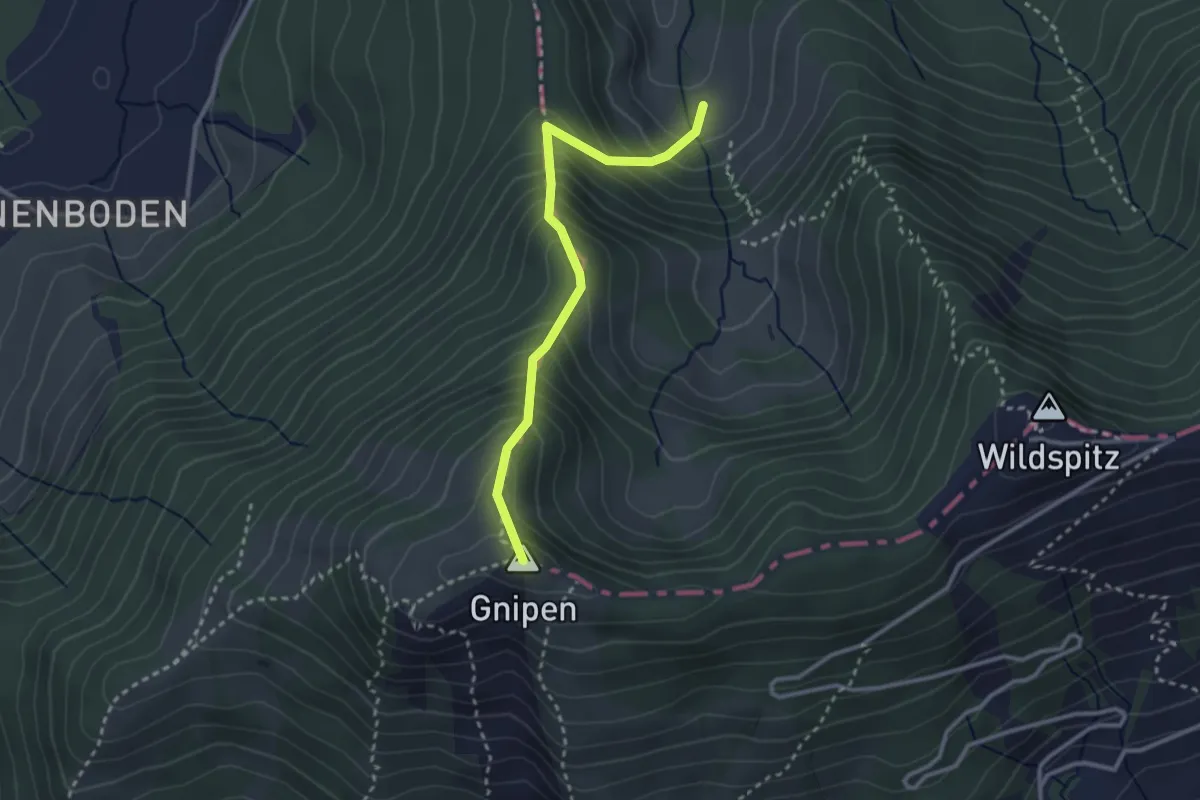
Medium · Summit
Alpli – Ober Beichli
2.8 km · ↑ 371 m · 1 h 27 min · 14 km away
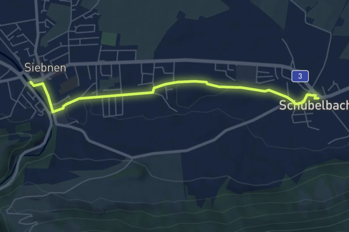
Easy · Trail
Siebnen - Schübelbach
5.6 km · ↑ 32 m · 1 h 23 min · 14 km away
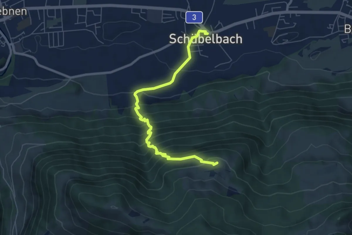
Medium · Trail
Schübelbach – Tostel
6.4 km · ↑ 600 m · 2 h 48 min · 14 km away
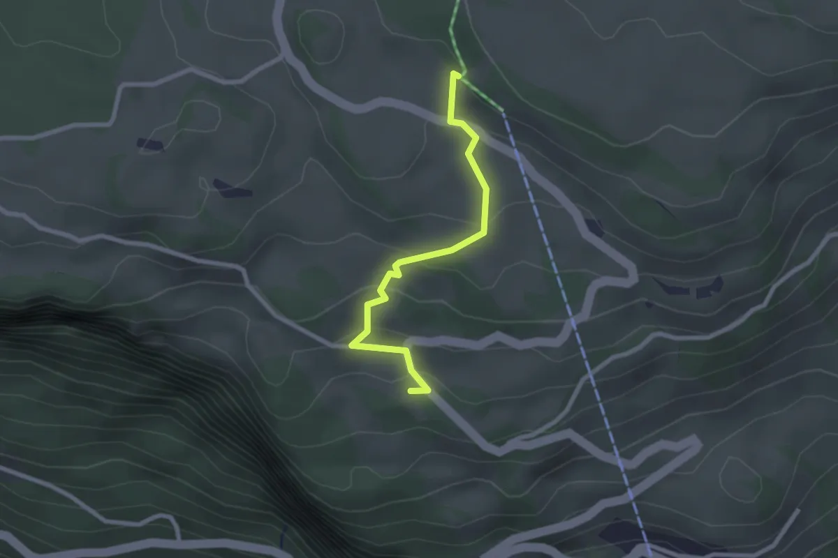
Easy · Trail
Wart – St. Karl
2.2 km · ↑ 112 m · 46 min · 14 km away
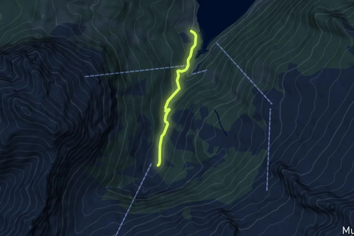
Easy · Trail
Au – Aberen
4.2 km · ↑ 202 m · 1 h 25 min · 14 km away
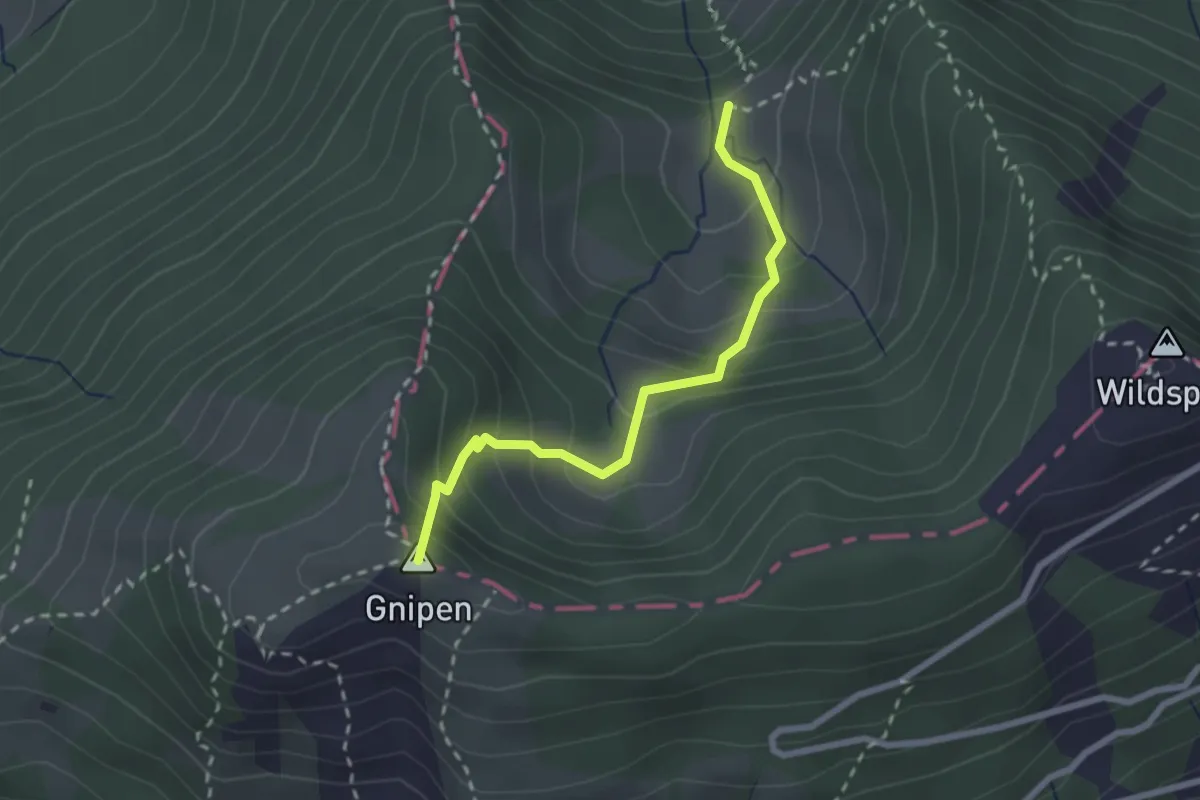
Medium · Summit
Ober Beichli – Ober Alpli
2.3 km · ↑ 255 m · 1 h 6 min · 14 km away
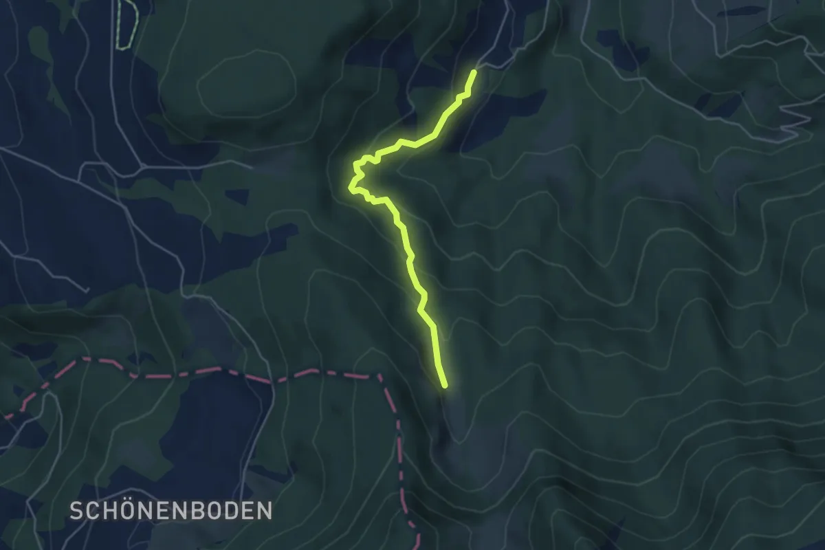
Medium · Trail
Ochsenfeissi – Unter Alpli
4.2 km · ↑ 271 m · 1 h 34 min · 14 km away
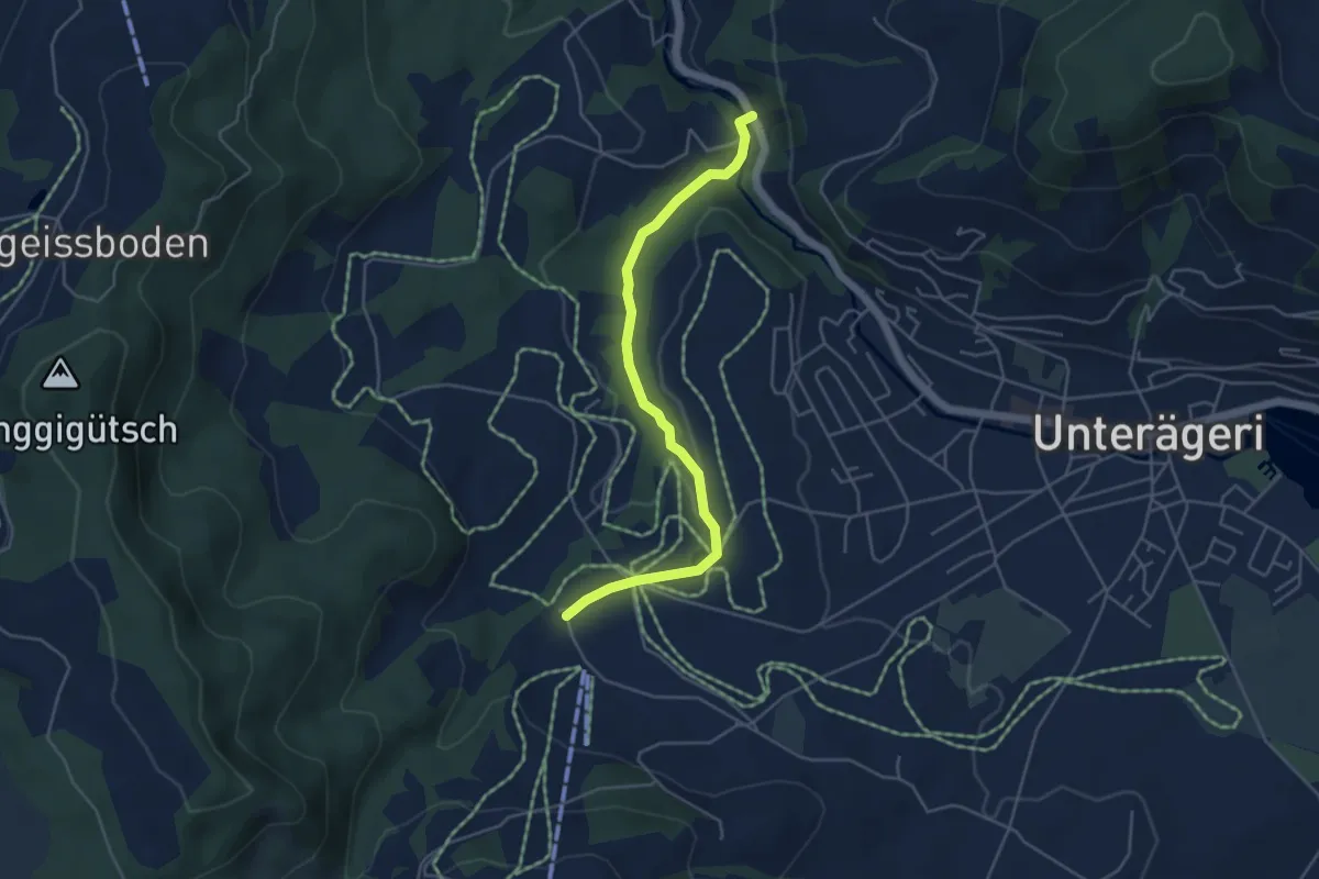
Easy · Trail
Mülischwändi Brücke - Boden
4.6 km · ↑ 48 m · 1 h 12 min · 14 km away
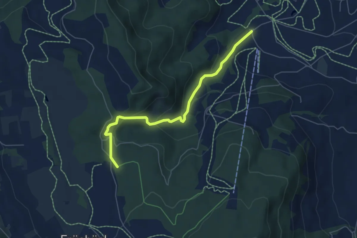
Easy · Trail
Fiselstuden – Boden
5.4 km · ↑ 220 m · 1 h 44 min · 14 km away
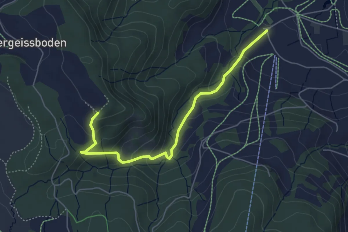
Easy · Trail
Räbrüti – Boden
4.7 km · ↑ 241 m · 1 h 38 min · 14 km away
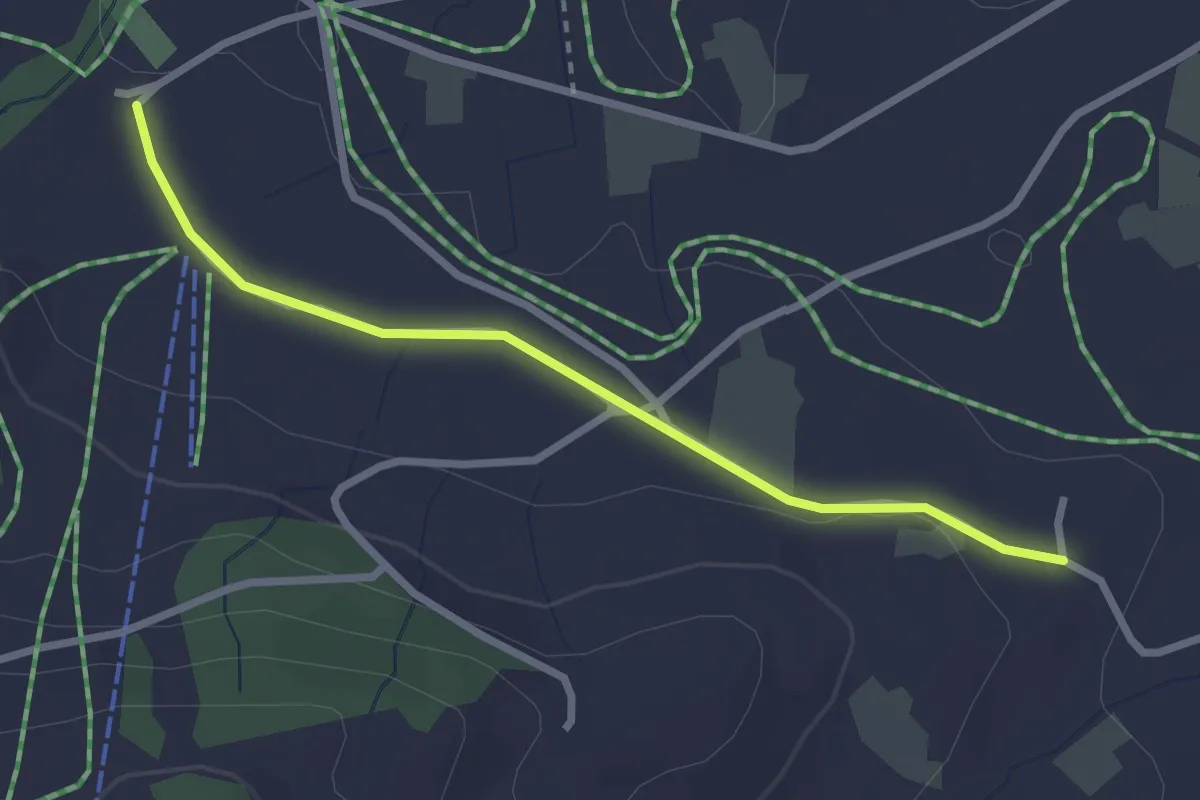
Easy · Trail
Boden – Wissenschwändi
2.6 km · ↑ 27 m · 40 min · 14 km away
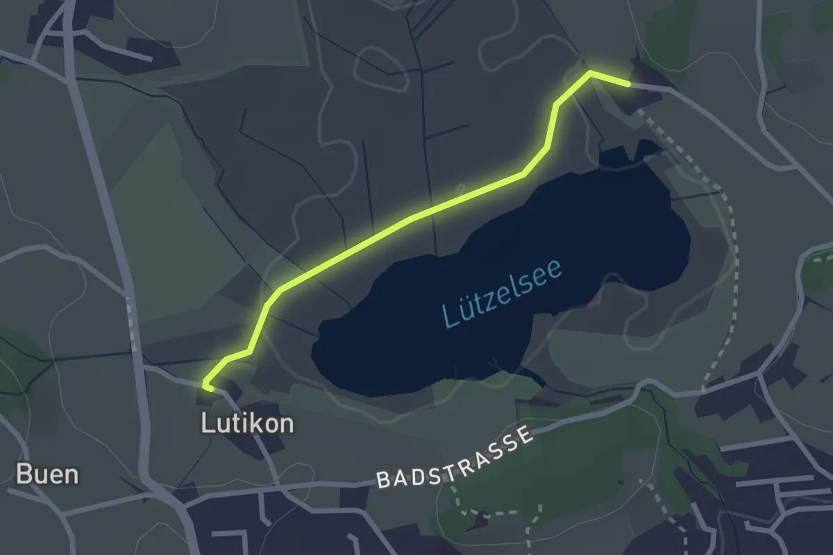
Easy · Trail
Lutikon - Hasel
2.1 km · ↑ 14 m · 31 min · 14 km away
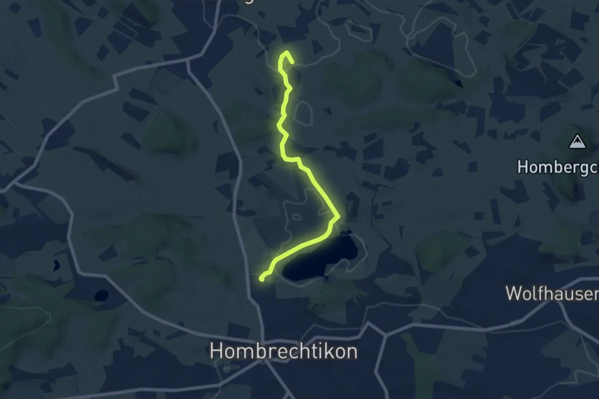
Easy · Trail
Botanischer Garten - Lutikon
5.9 km · ↑ 67 m · 1 h 32 min · 14 km away
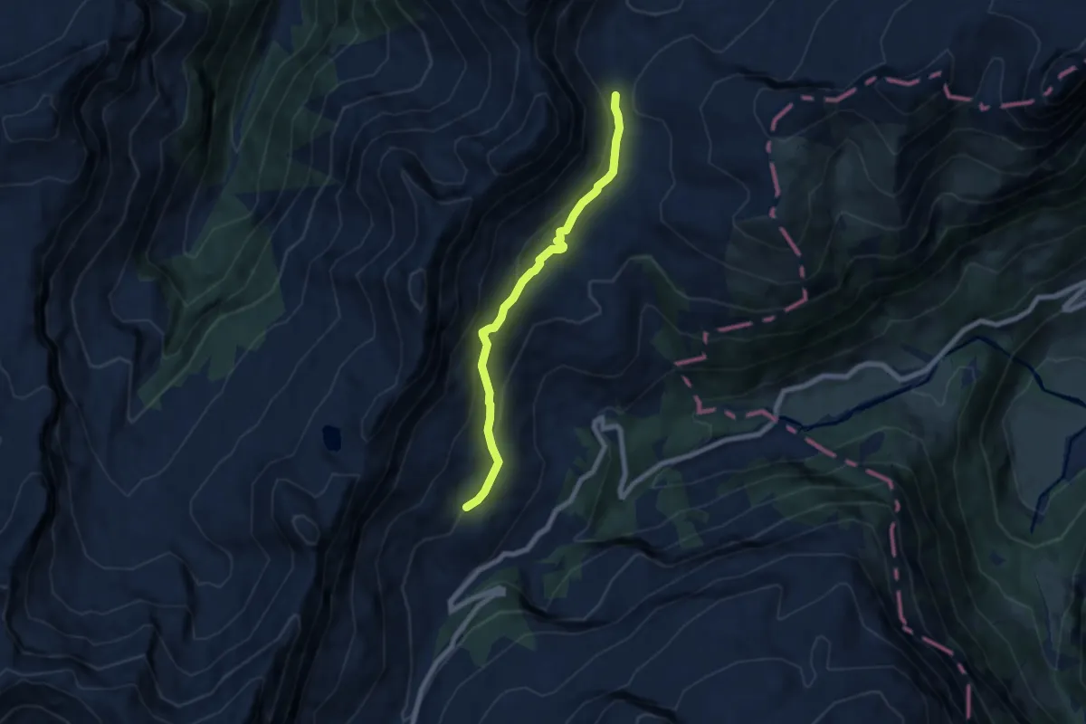
Medium · Trail
Saas – Schwialppass
6.3 km · ↑ 323 m · 2 h 11 min · 14 km away
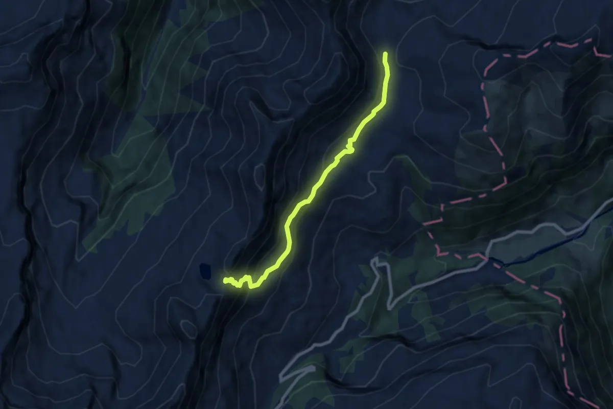
Demanding · Trail
Saaspass – Schwialppass
6.8 km · ↑ 472 m · 2 h 38 min · 14 km away
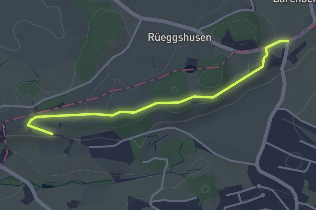
Easy · Trail
Rüssel - Schwösterrain
3.0 km · ↑ 61 m · 50 min · 15 km away
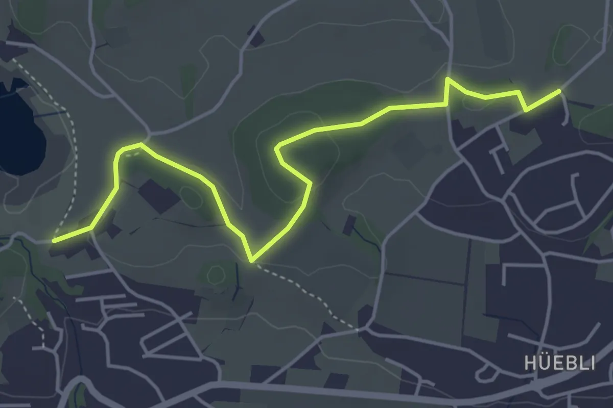
Easy · Trail
Lützelsee – Bühlhof
4.5 km · ↑ 86 m · 1 h 15 min · 15 km away
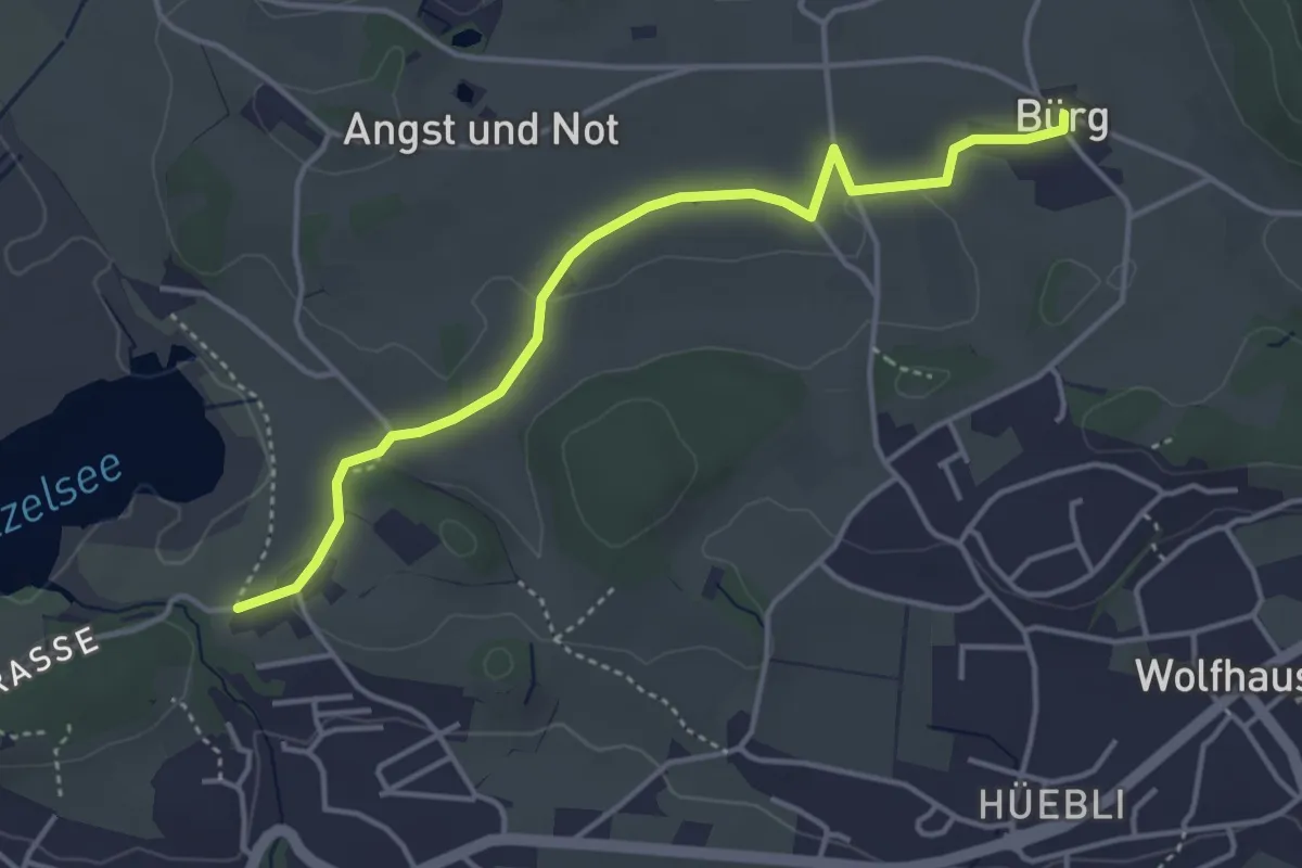
Easy · Trail
Bürg - Lützelsee
4.1 km · ↑ 36 m · 1 h 3 min · 15 km away
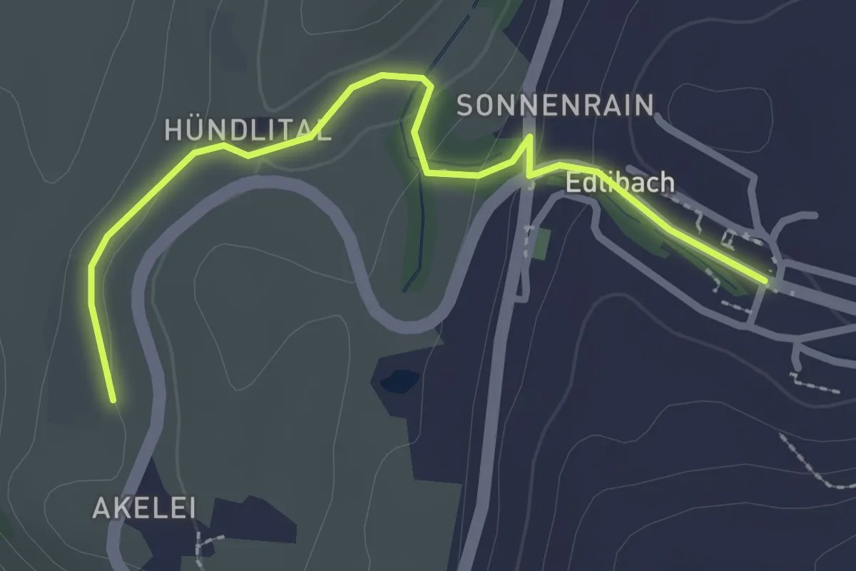
Easy · Trail
Wulfligen - Edlibach
2.5 km · ↑ 76 m · 46 min · 15 km away
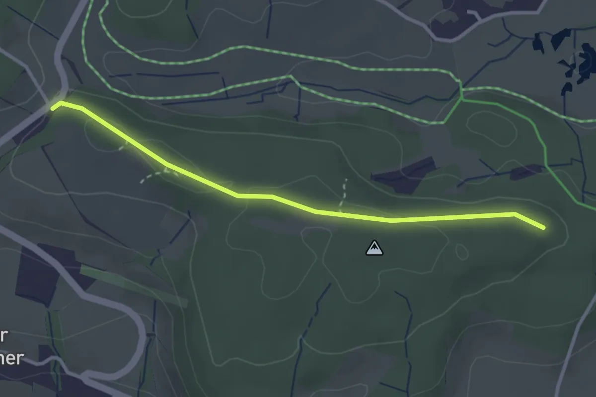
Easy · Trail
Buechstutz - Mülihölzli
2.9 km · ↑ 41 m · 46 min · 15 km away
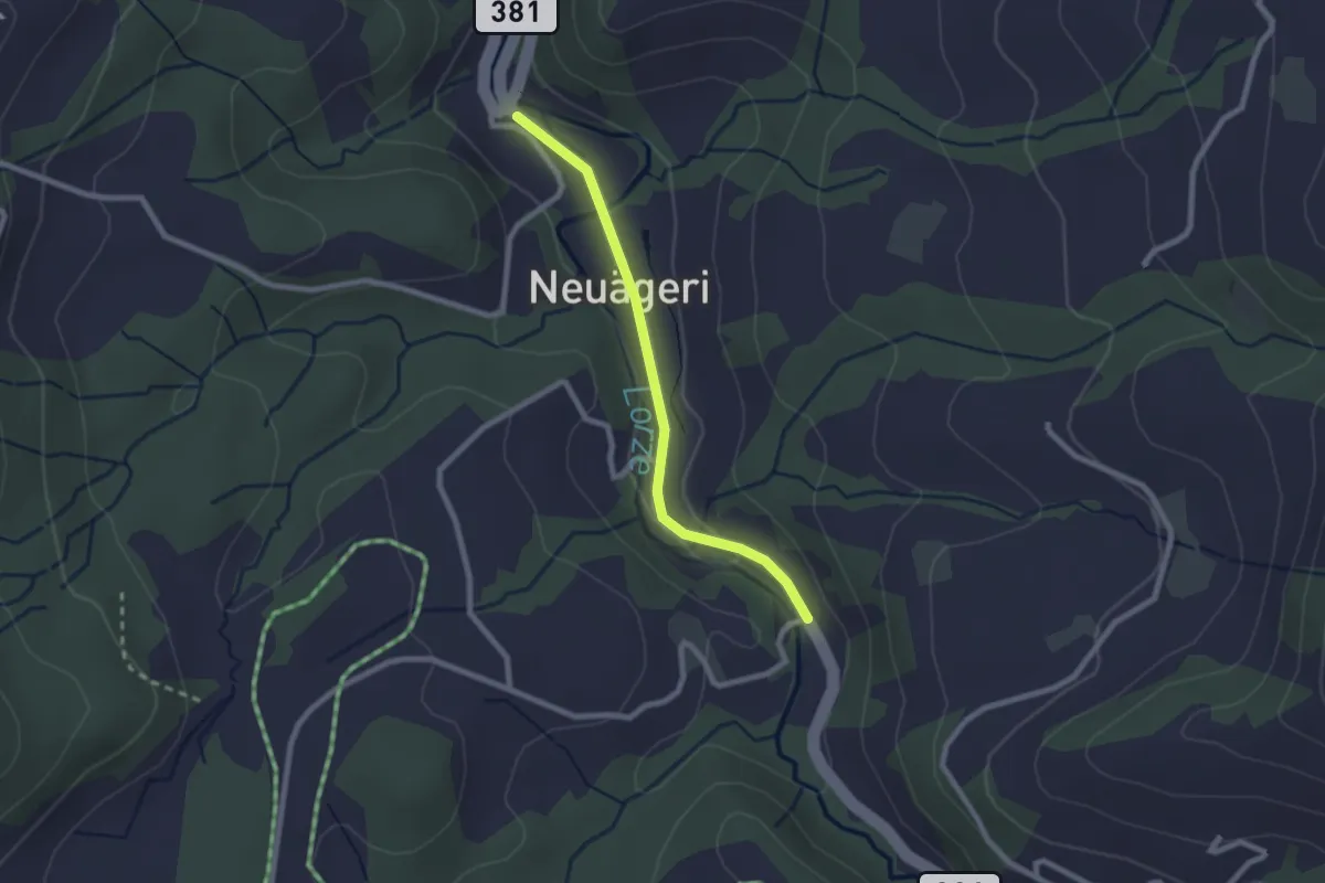
Easy · Trail
Schmittli - Mülischwändi Brücke
2.1 km · ↑ 36 m · 35 min · 15 km away
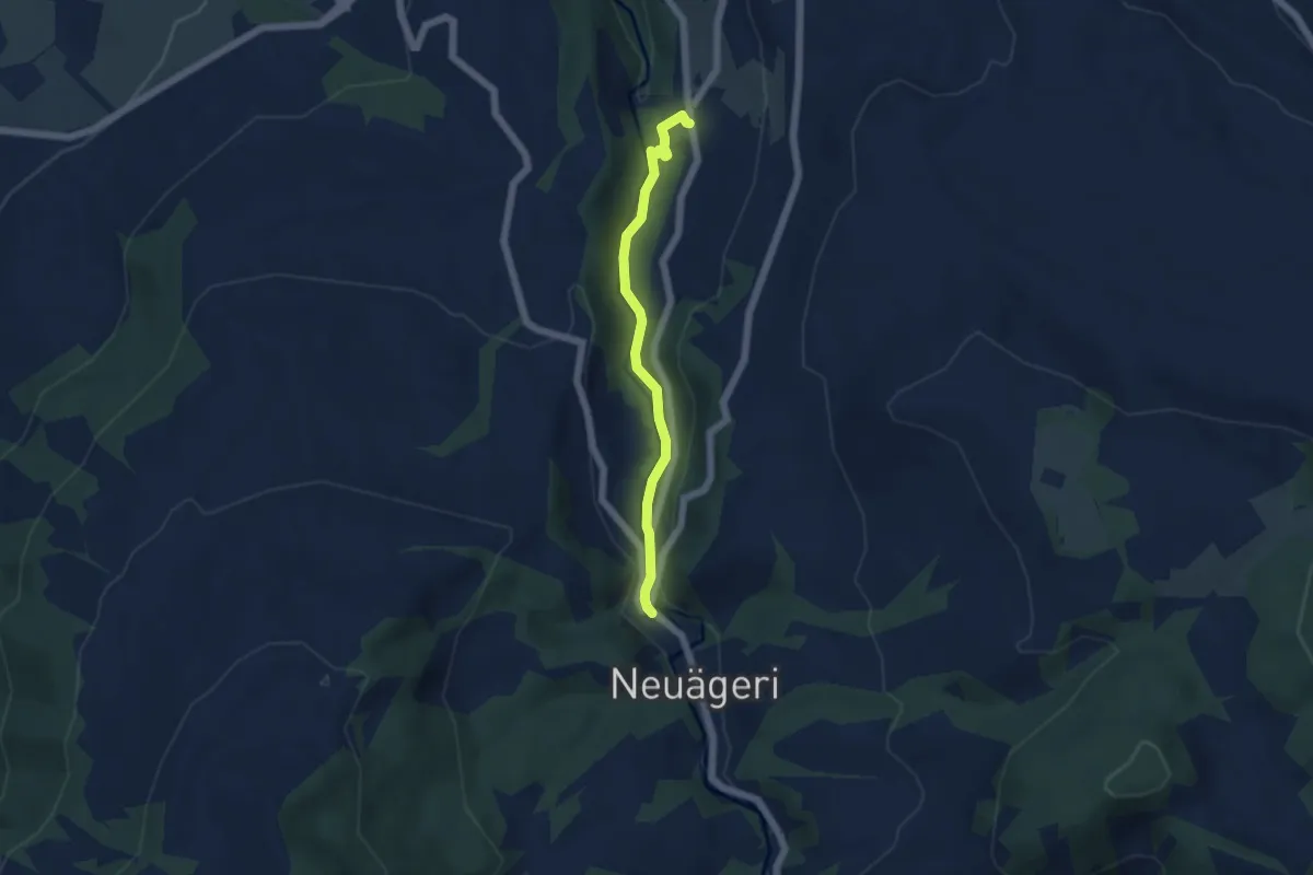
Easy · Trail
Schmittli - fixme
4.6 km · ↑ 118 m · 1 h 21 min · 15 km away
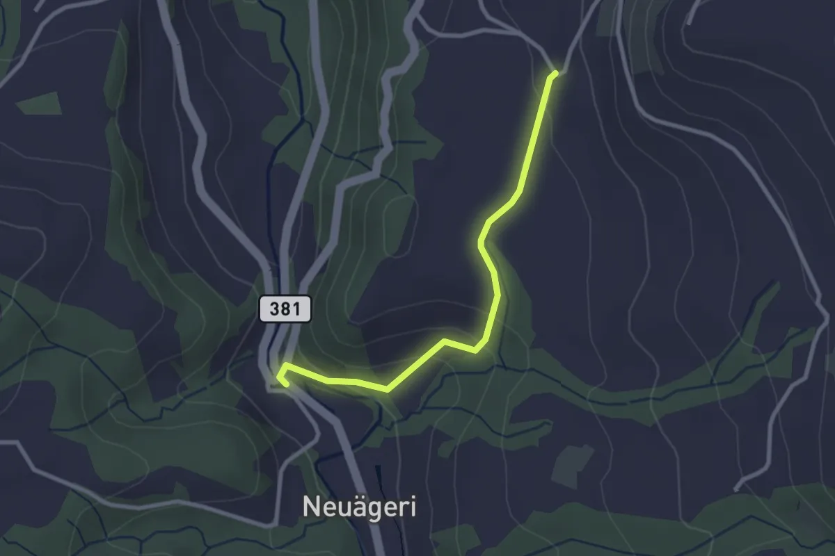
Easy · Trail
Schmittli - Heiterstalden
2.5 km · ↑ 99 m · 49 min · 15 km away
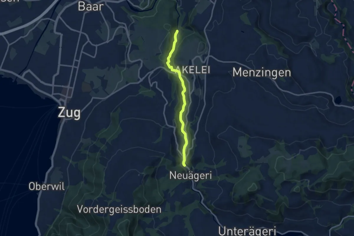
Medium · Trail
Höllbrücke - Schmittli
8.7 km · ↑ 242 m · 2 h 34 min · 15 km away
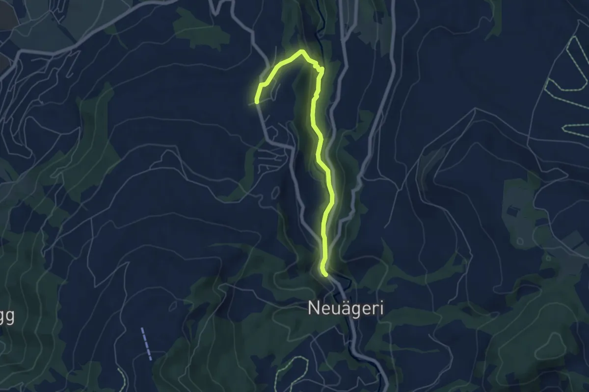
Easy · Trail
Schmittli - Allenwinden
5.6 km · ↑ 136 m · 1 h 37 min · 15 km away
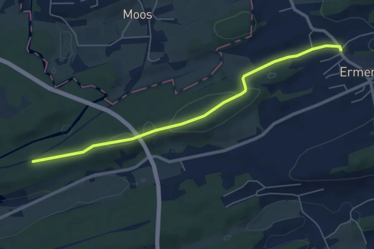
Easy · Trail
Ermenswil – Klimse
5.0 km · ↑ 71 m · 1 h 20 min · 15 km away
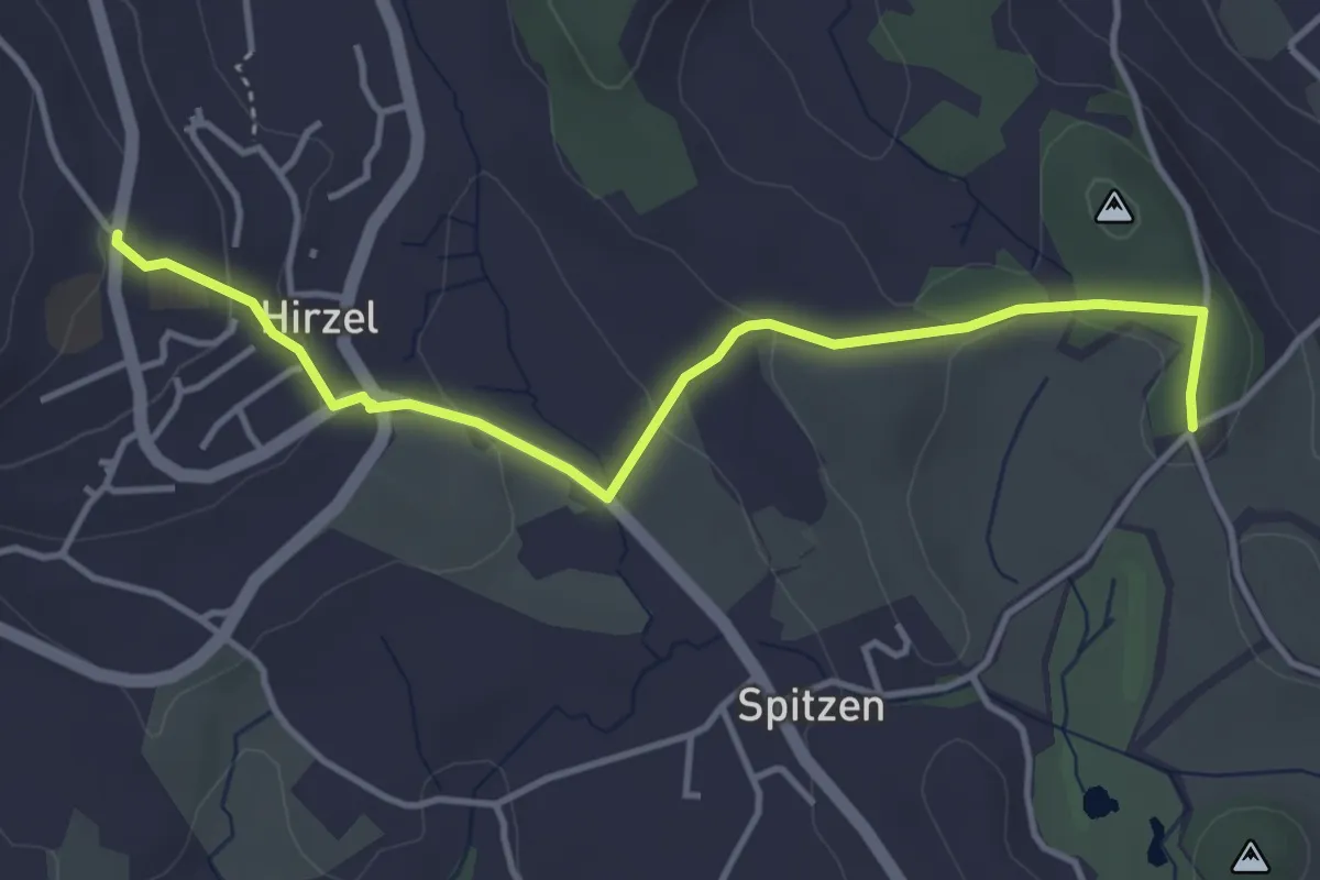
Easy · Trail
Hirzel – Schlieregg
4.2 km · ↑ 95 m · 1 h 12 min · 15 km away
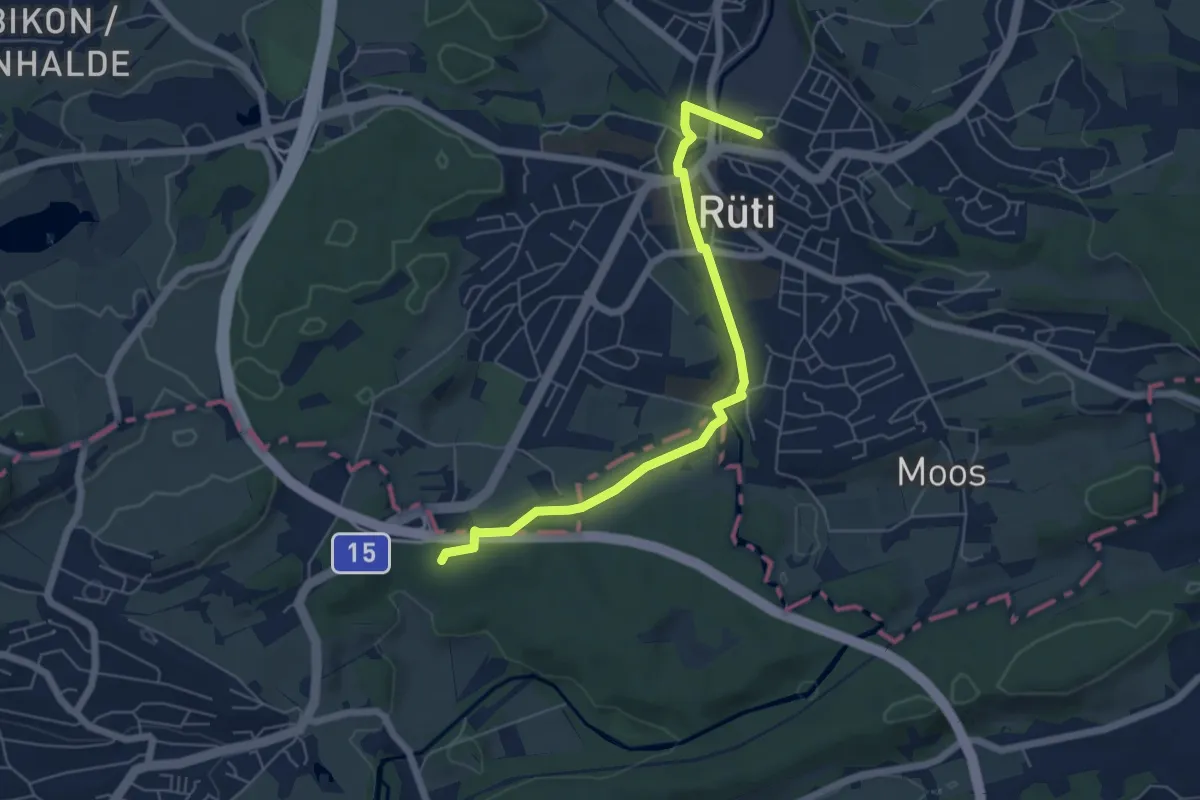
Easy · Trail
Rüti – Martinsbrünneli
5.9 km · ↑ 47 m · 1 h 29 min · 15 km away
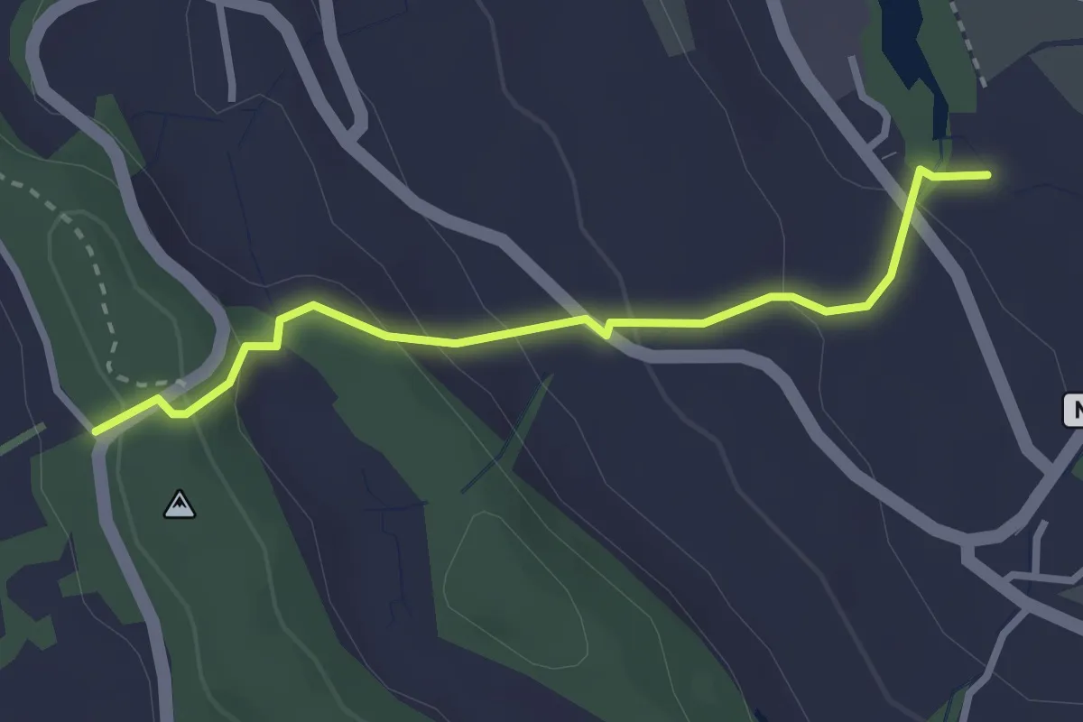
Easy · Trail
Chrutzelen – Aamüli
2.7 km · ↑ 160 m · 59 min · 15 km away
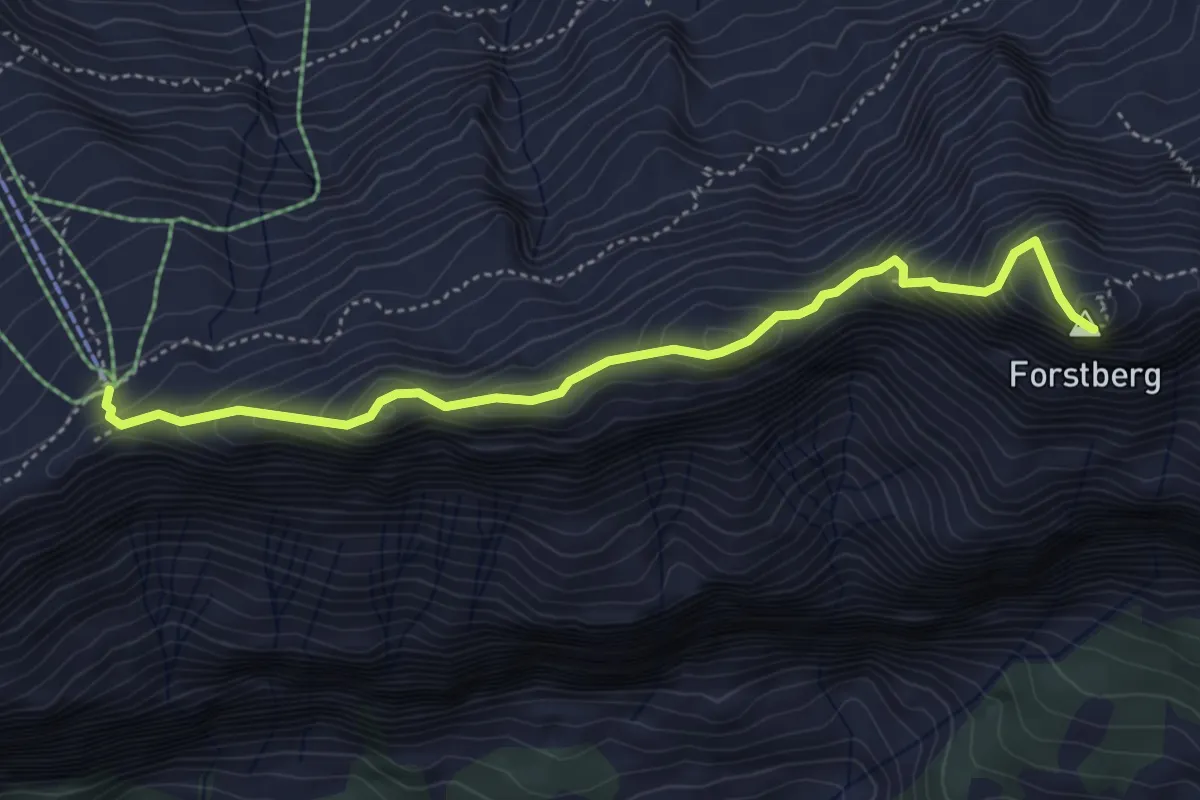
Expert · Summit
Druesberglücke - Klein Sternen
4.7 km · ↑ 458 m · 2 h 6 min · 15 km away
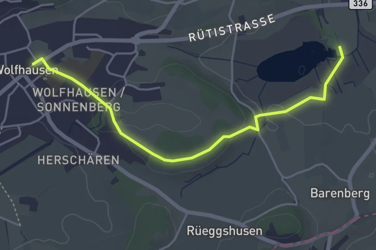
Easy · Trail
Wolfhausen – Egelsee
4.0 km · ↑ 50 m · 1 h 3 min · 15 km away
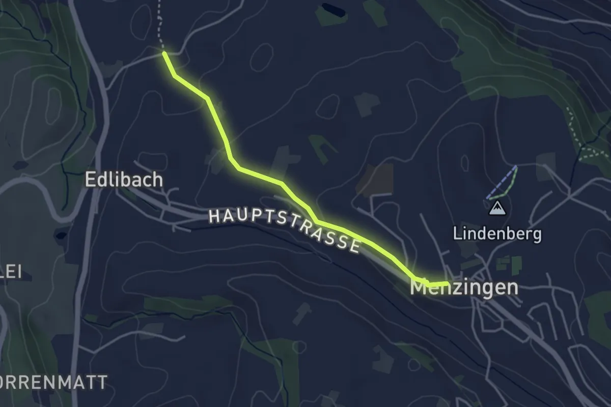
Easy · Trail
Lüthärtigen - Menzingen
3.2 km · ↑ 83 m · 57 min · 15 km away
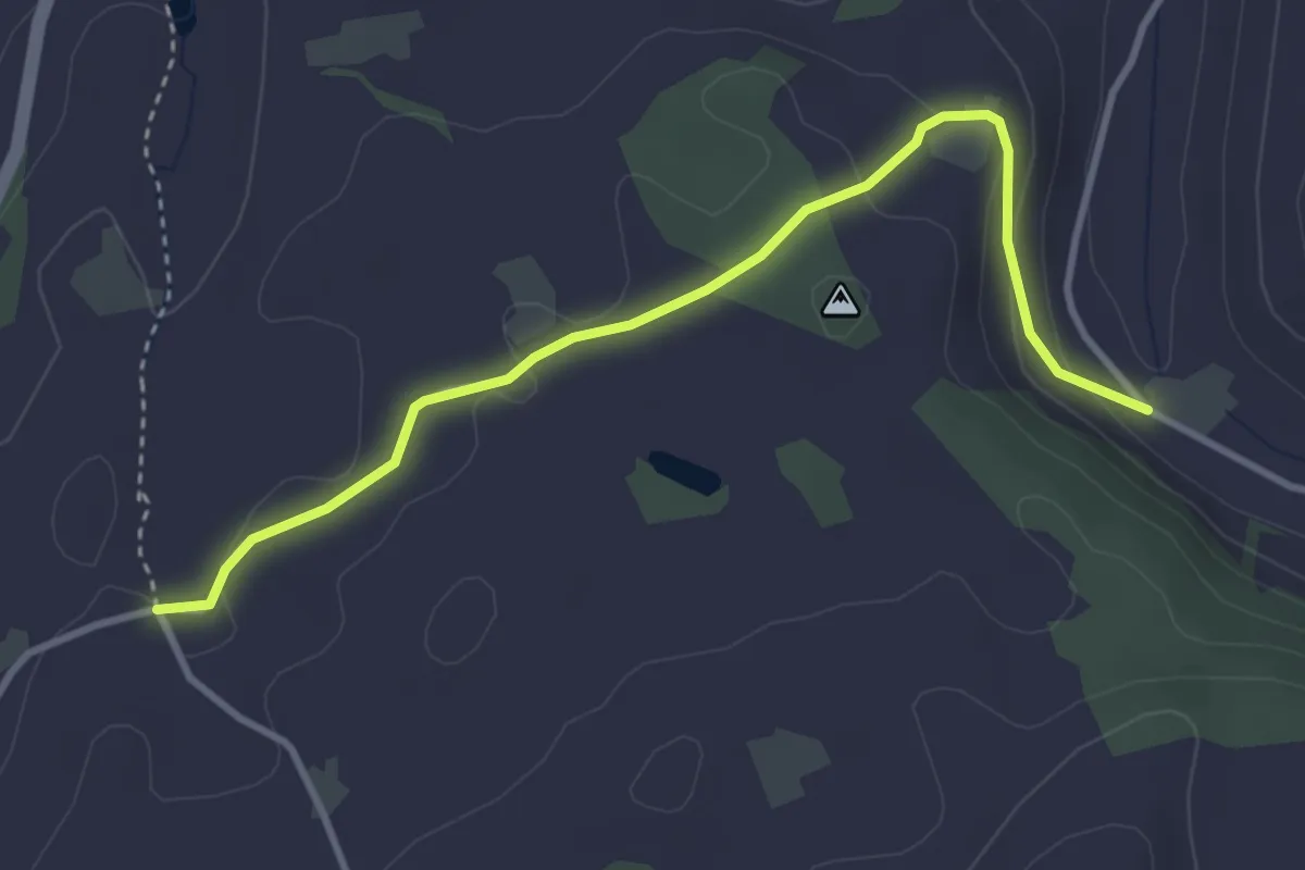
Easy · Trail
Lüthärtigen - Erlenbach
3.7 km · ↑ 97 m · 1 h 5 min · 15 km away
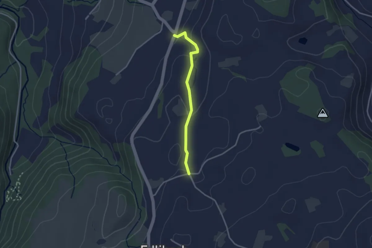
Easy · Trail
Lüthärtigen - Hinterburg-Müll
2.3 km · ↑ 62 m · 40 min · 15 km away
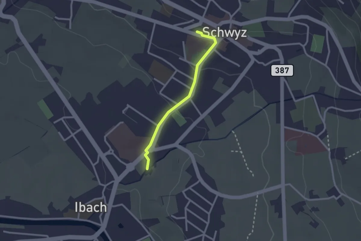
Easy · Trail
Schwyz – Ibach
2.0 km · ↑ 54 m · 35 min · 15 km away