Trails near Einsiedeln
533 hikes starting within 15 km, nearest first.
Nearest first, page 10 of 12
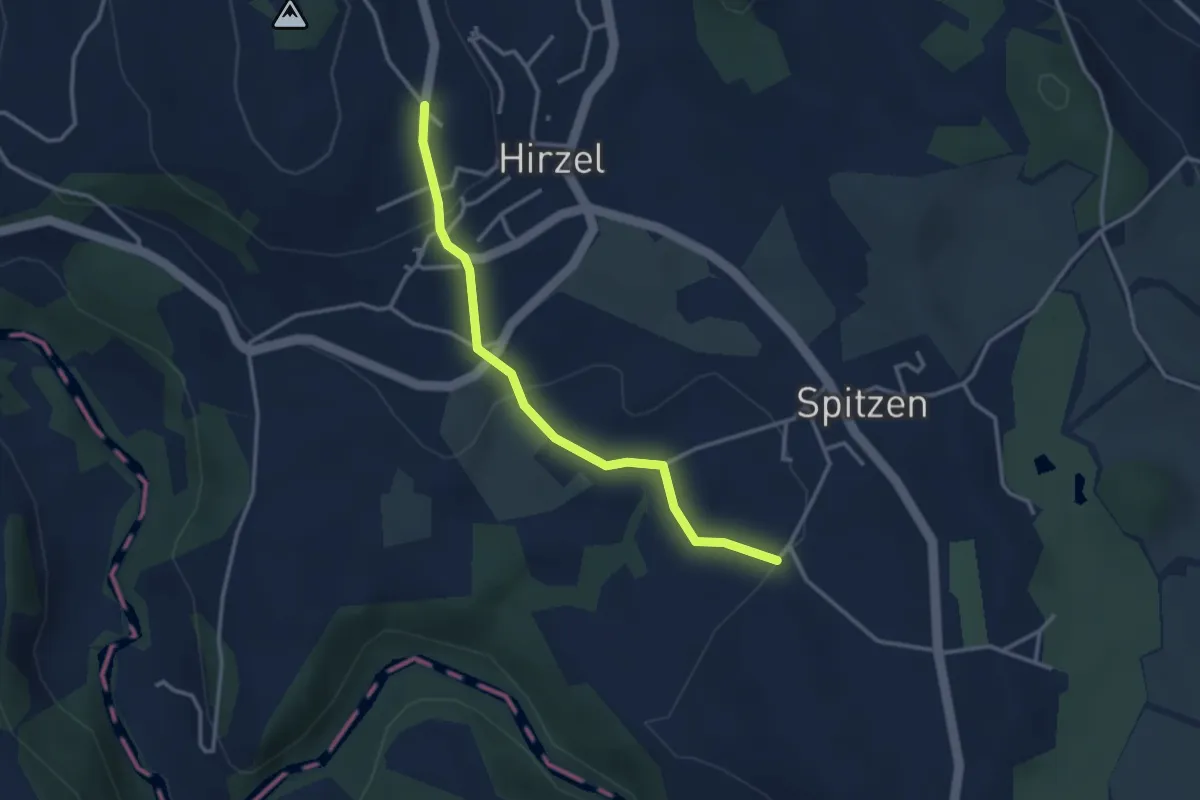
Easy · Trail
Hirzel - Bächenmoos
3.1 km · ↑ 86 m · 55 min · 13 km away
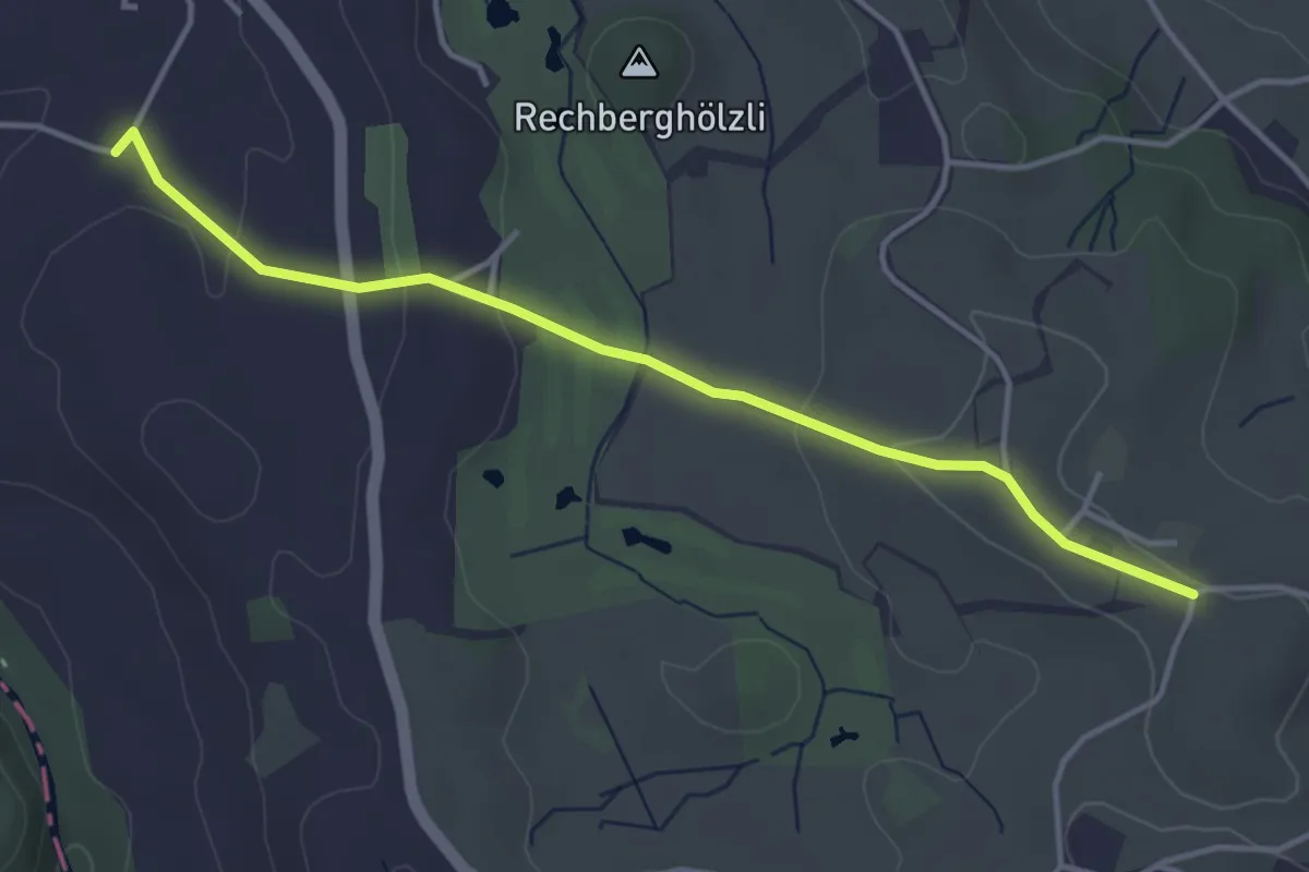
Easy · Trail
Bächenmoos – Stollen
4.0 km · ↑ 97 m · 1 h 9 min · 13 km away
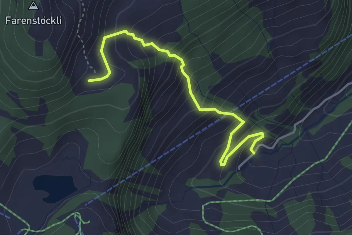
Medium · Trail
Roggenegg – Wang
3.4 km · ↑ 394 m · 1 h 39 min · 13 km away
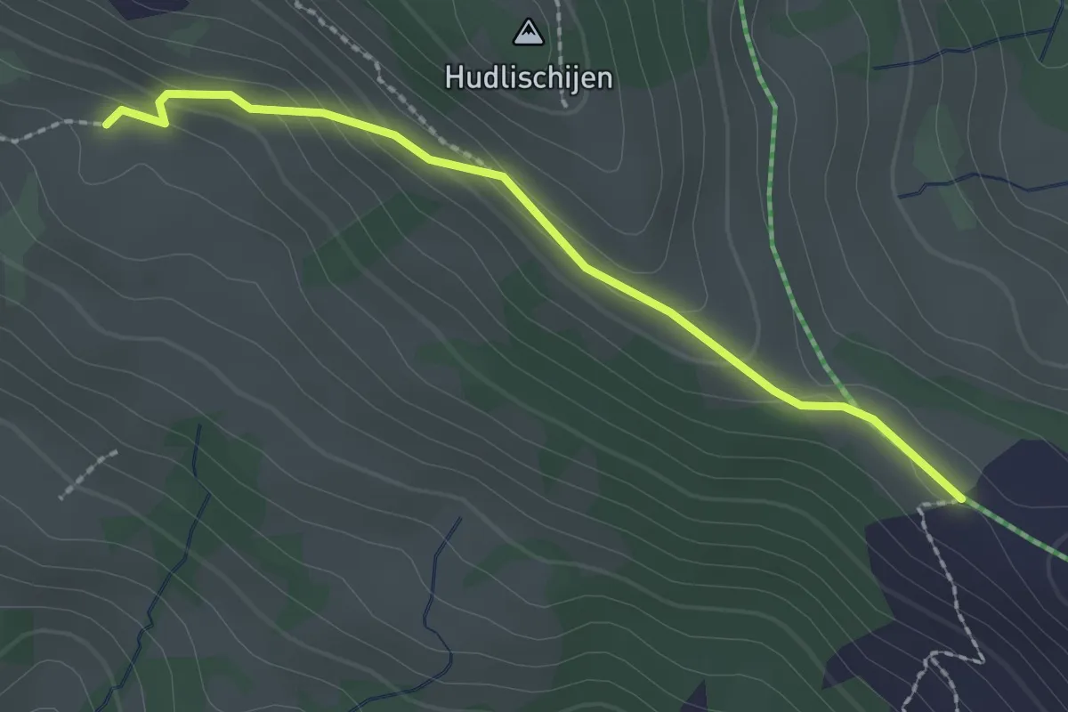
Easy · Cabin
Sternenegg – Ober Altberg
2.2 km · ↑ 108 m · 45 min · 13 km away
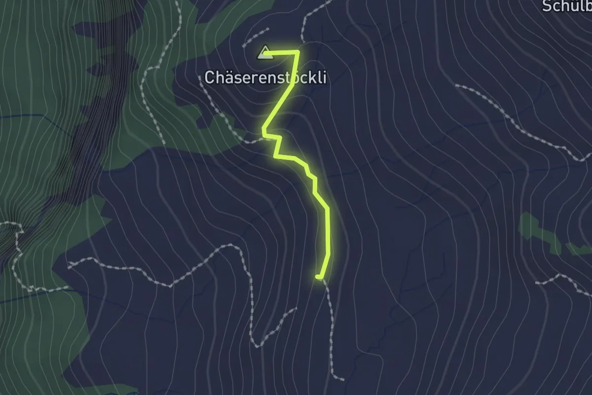
Easy · Summit
Druesberghütte - Hinterofen
1.3 km · ↑ 54 m · 25 min · 13 km away
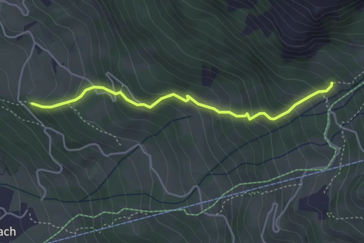
Medium · Trail
Tschütschiwald – Hasli
3.5 km · ↑ 377 m · 1 h 39 min · 13 km away
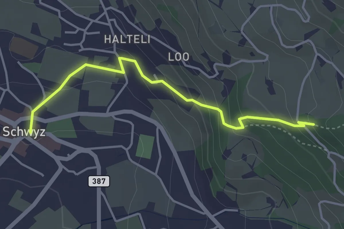
Medium · Trail
Schwyz Hauptplatz – Tschütschiwald
3.4 km · ↑ 211 m · 1 h 16 min · 13 km away
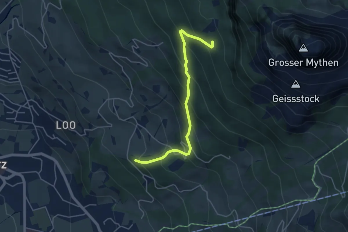
Medium · Trail
Tschütschiwald – Günterigs
3.8 km · ↑ 374 m · 1 h 42 min · 13 km away
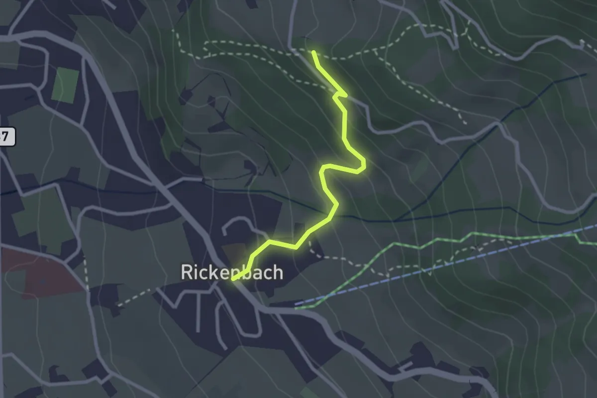
Easy · Trail
Rickenbach – Tschütschiwald
2.2 km · ↑ 158 m · 52 min · 13 km away
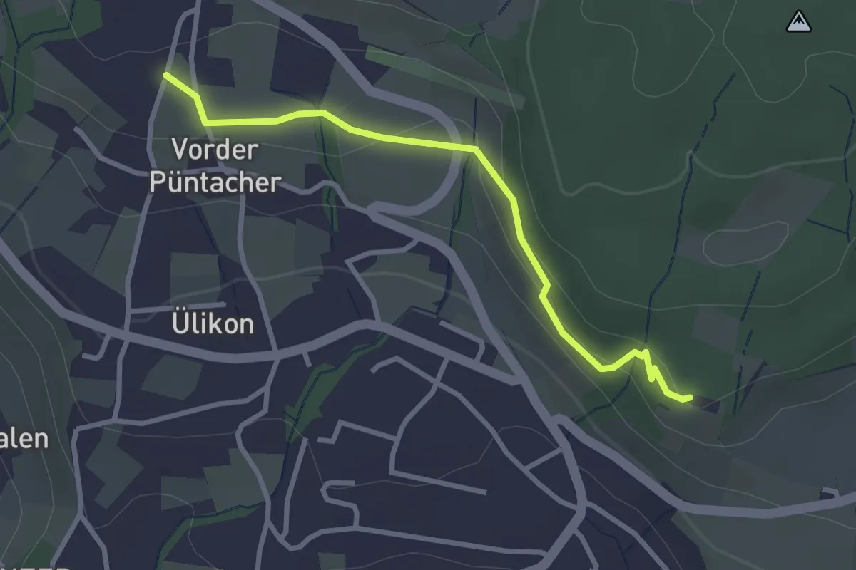
Easy · Trail
Risi - Püntacher
2.8 km · ↑ 100 m · 52 min · 13 km away
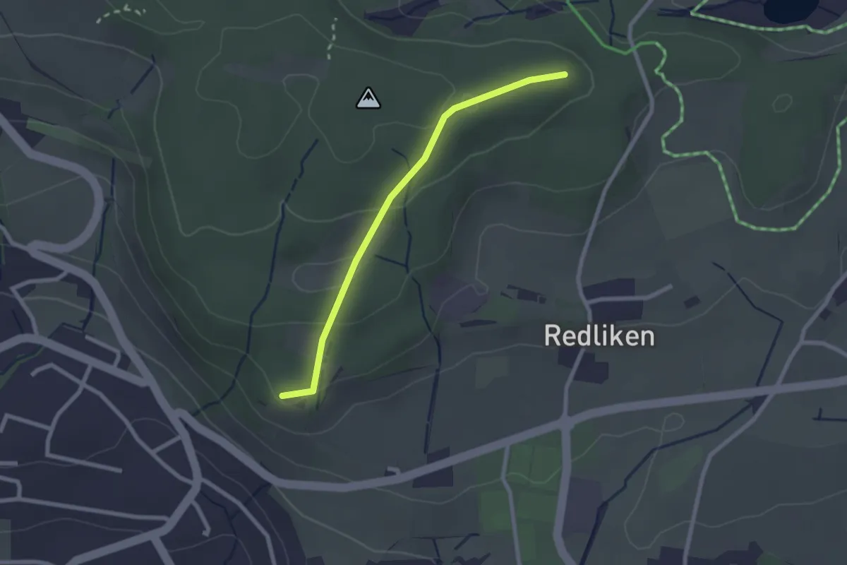
Easy · Trail
Buechstutz - Risi
2.2 km · ↑ 70 m · 40 min · 13 km away
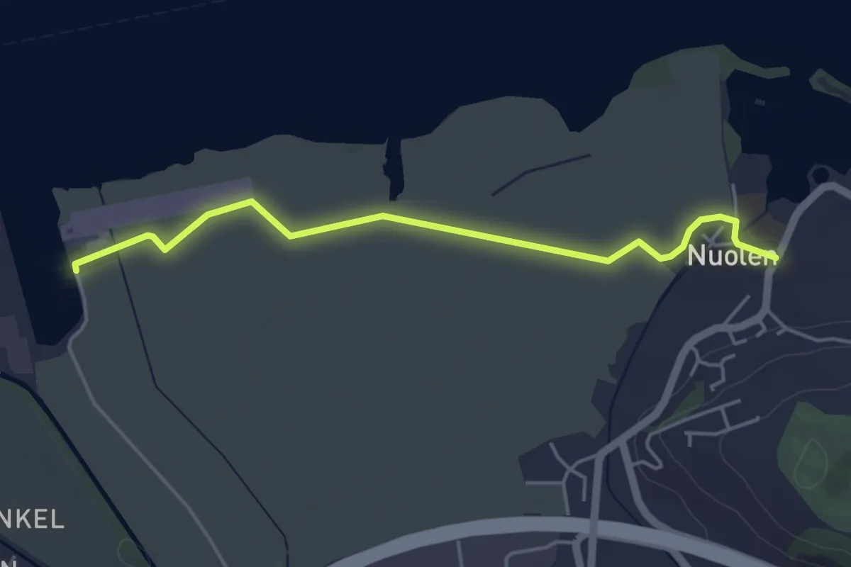
Easy · Trail
Flugplatz – Nuolen
4.4 km · ↑ 4 m · 1 h 2 min · 13 km away
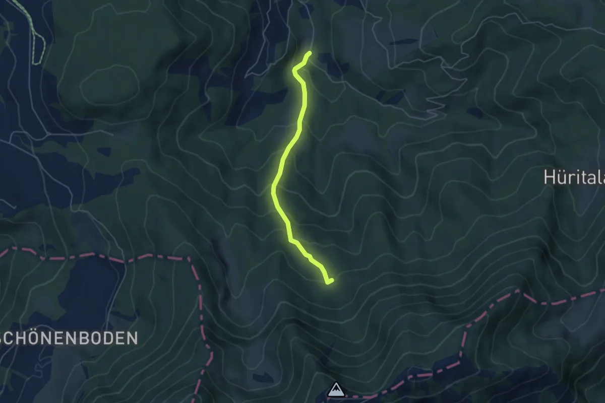
Easy · Trail
Urzlenboden - Stutzhütte
4.2 km · ↑ 317 m · 1 h 41 min · 13 km away
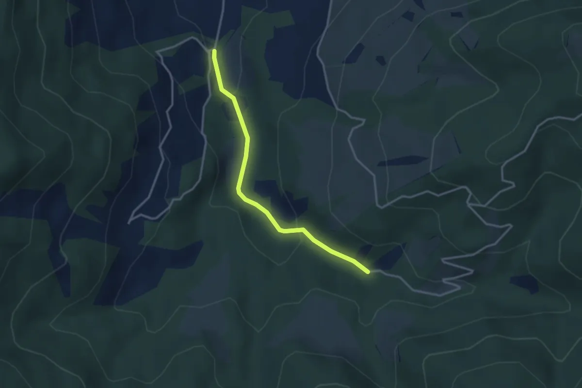
Easy · Trail
Egg Gatter – Schönalp Hütte
2.8 km · ↑ 81 m · 50 min · 13 km away
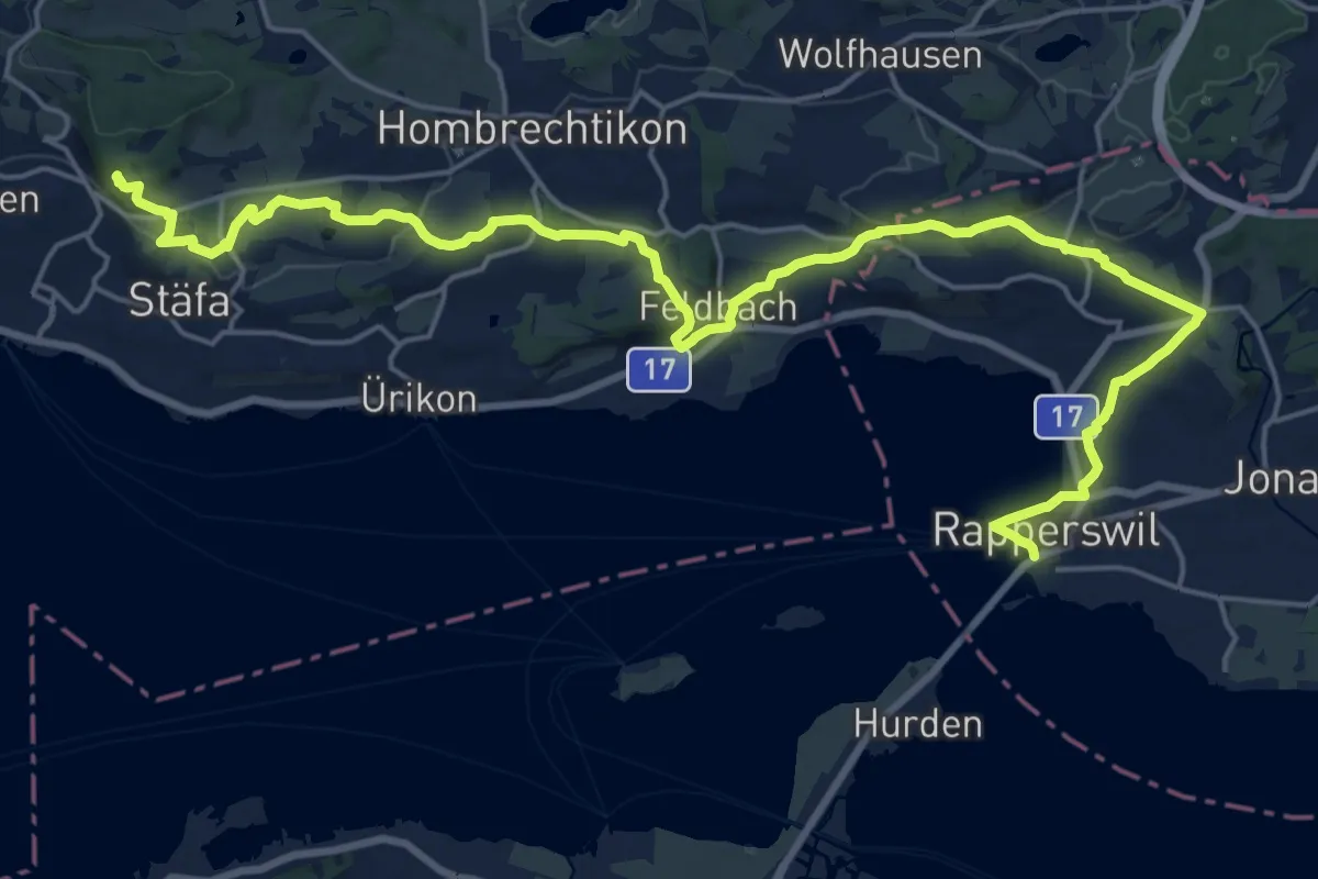
Demanding · Trail
Zürichsee Rundweg - Etappe 7
26.4 km · ↑ 477 m · 7 h 15 min · 14 km away
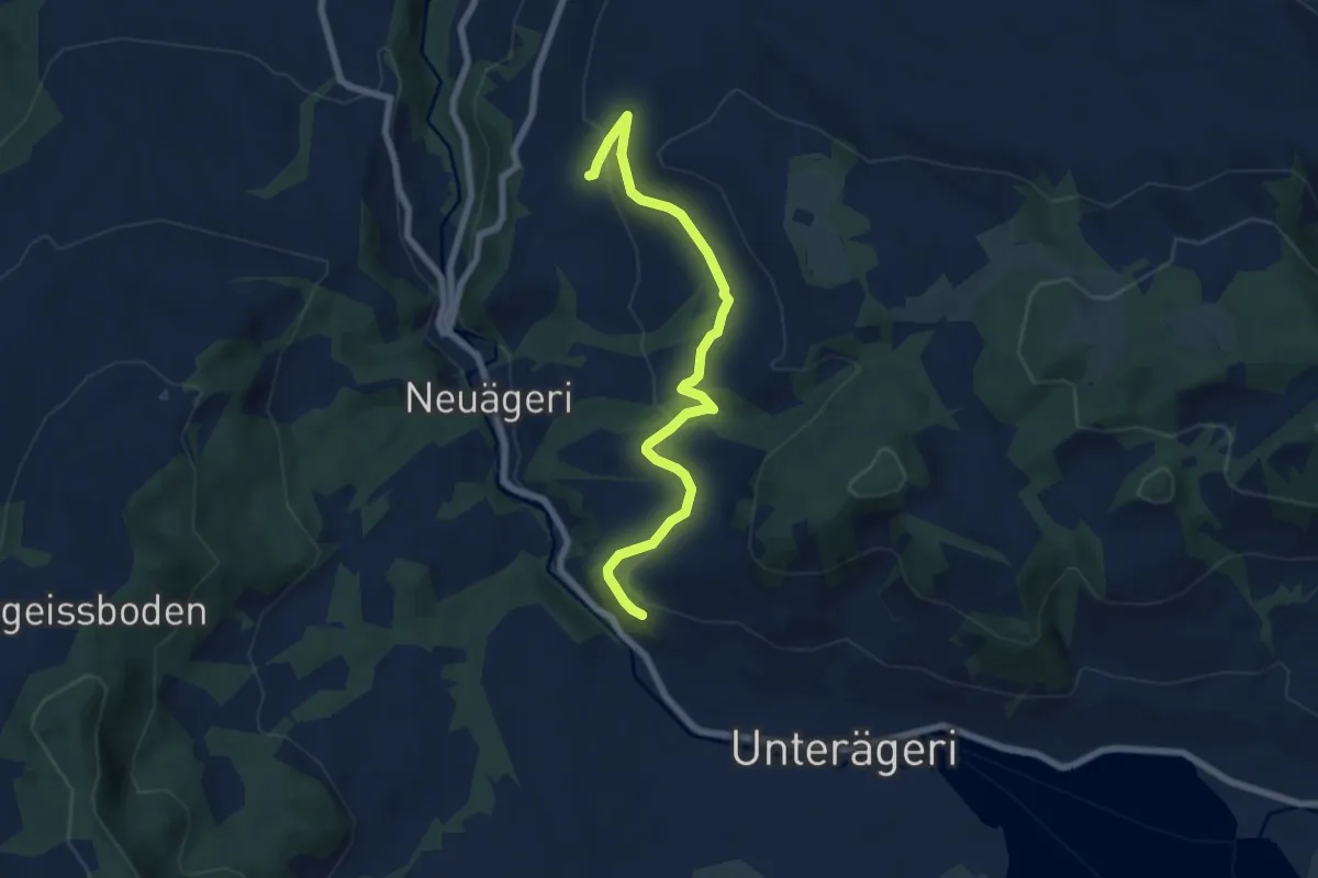
Easy · Trail
Waldheim -Heiterstaldena
7.1 km · ↑ 189 m · 2 h 5 min · 14 km away
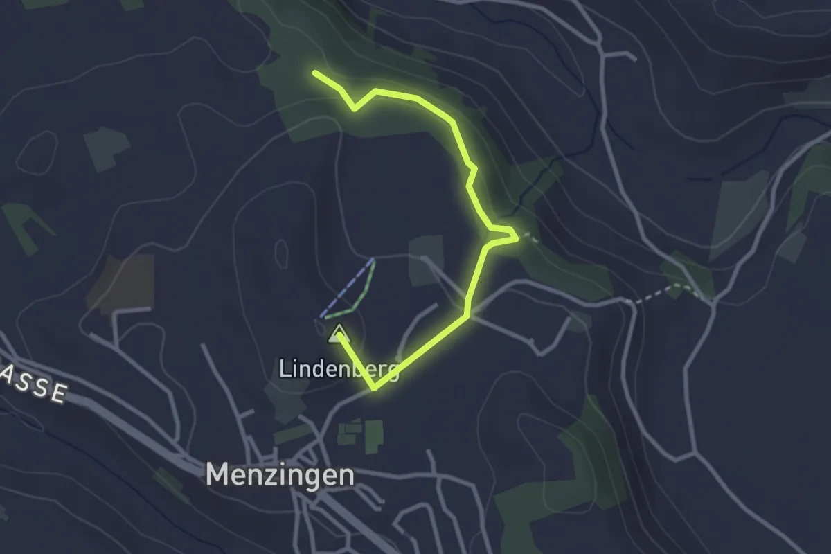
Easy · Summit
Chälenwald - Menzingen
2.8 km · ↑ 122 m · 55 min · 14 km away
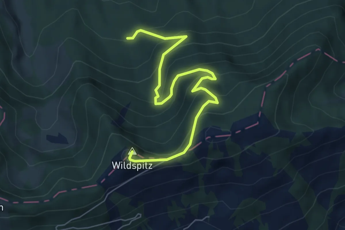
Medium · Summit
Wildspitz – Urzlenboden
6.4 km · ↑ 475 m · 2 h 32 min · 14 km away
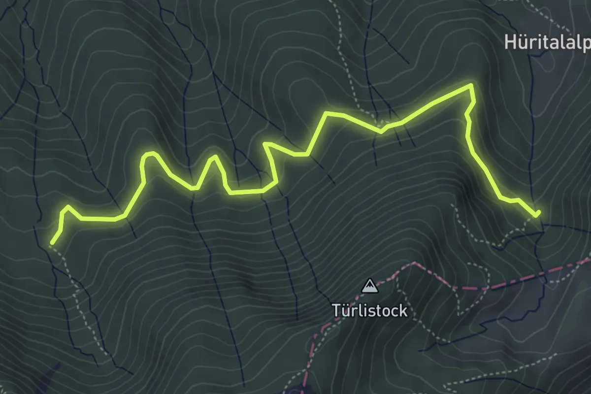
Medium · Trail
Urzlenboden - Geissfaren
6.5 km · ↑ 390 m · 2 h 23 min · 14 km away
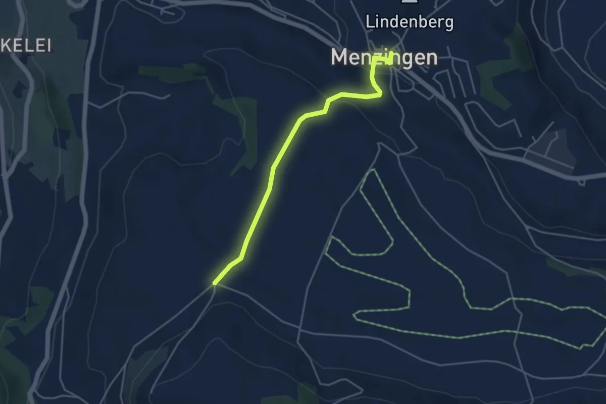
Easy · Trail
Menzingen - Bolzli
3.7 km · ↑ 70 m · 1 h 2 min · 14 km away
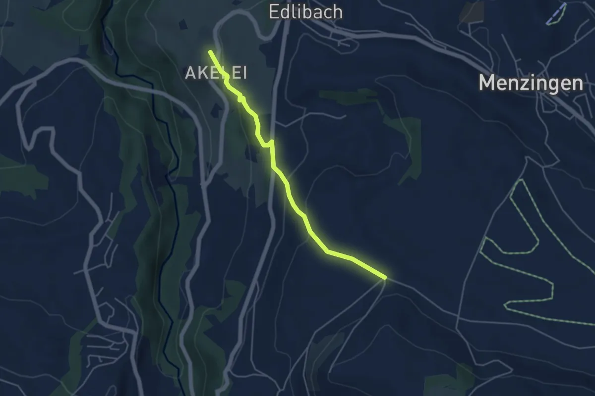
Easy · Trail
Bolzli - Wulfligen
4.0 km · ↑ 150 m · 1 h 16 min · 14 km away
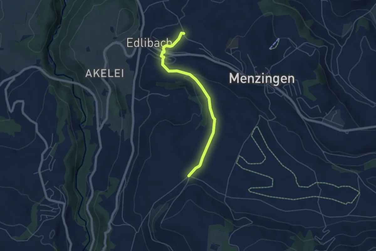
Easy · Trail
Edlibach – Bolzli
4.9 km · ↑ 91 m · 1 h 22 min · 14 km away
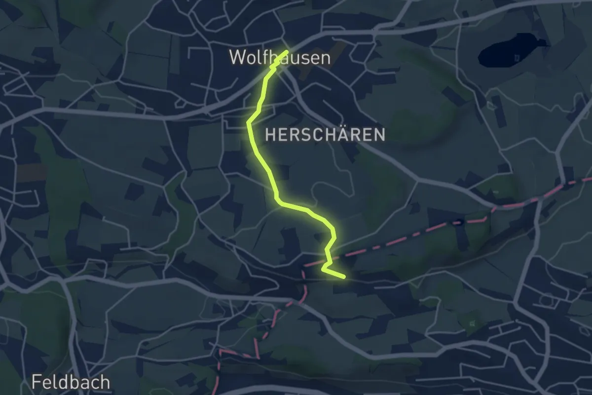
Easy · Trail
Wolfhausen – Schwösterrain
3.4 km · ↑ 57 m · 55 min · 14 km away
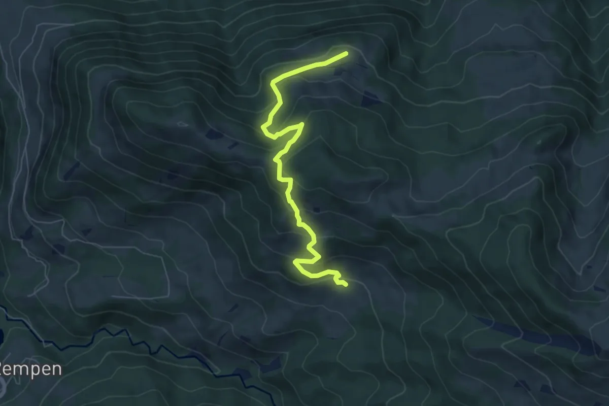
Medium · Trail
Tostel – Billmeschwändi
6.5 km · ↑ 407 m · 2 h 25 min · 14 km away
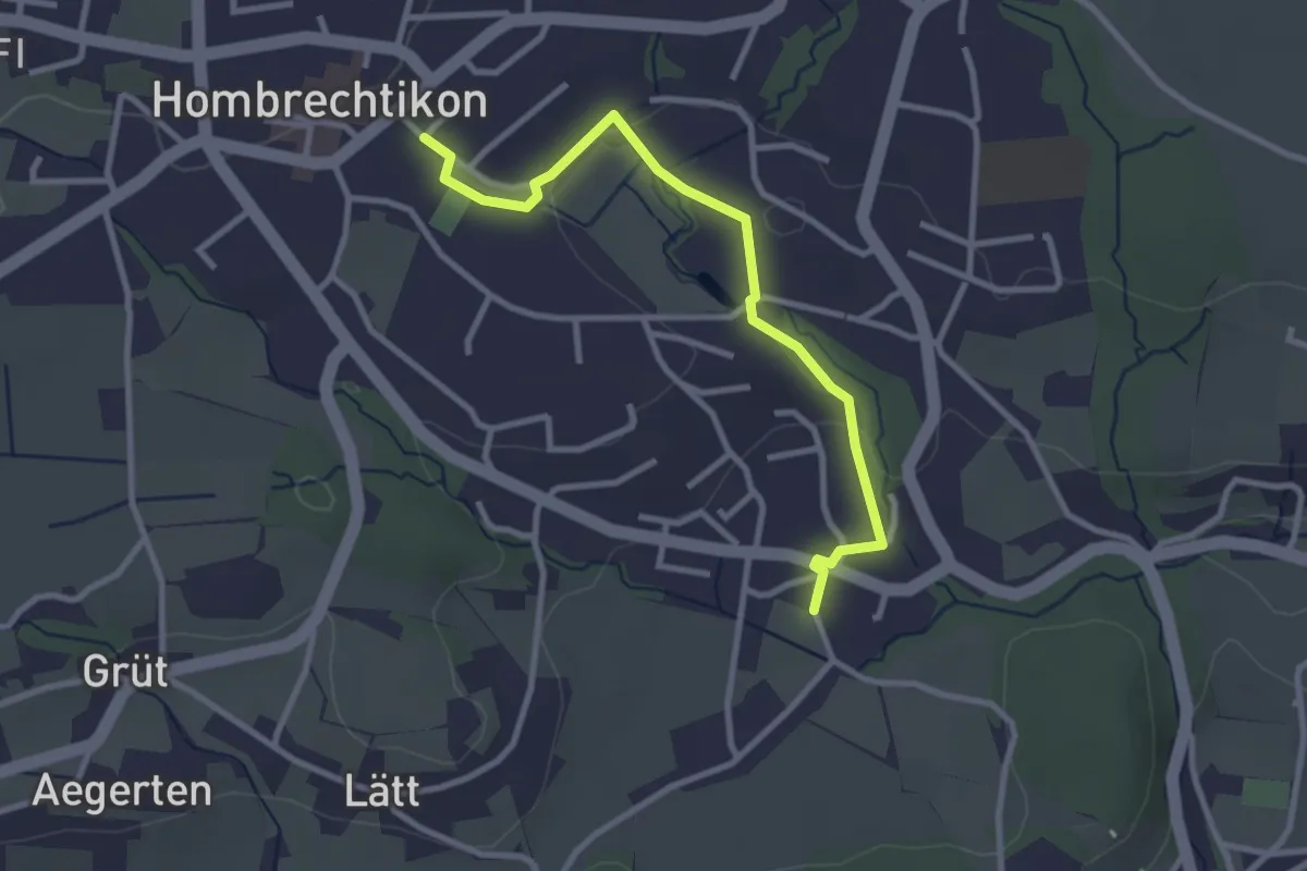
Easy · Trail
Langenriet - Hombrechtikon
3.0 km · ↑ 46 m · 48 min · 14 km away
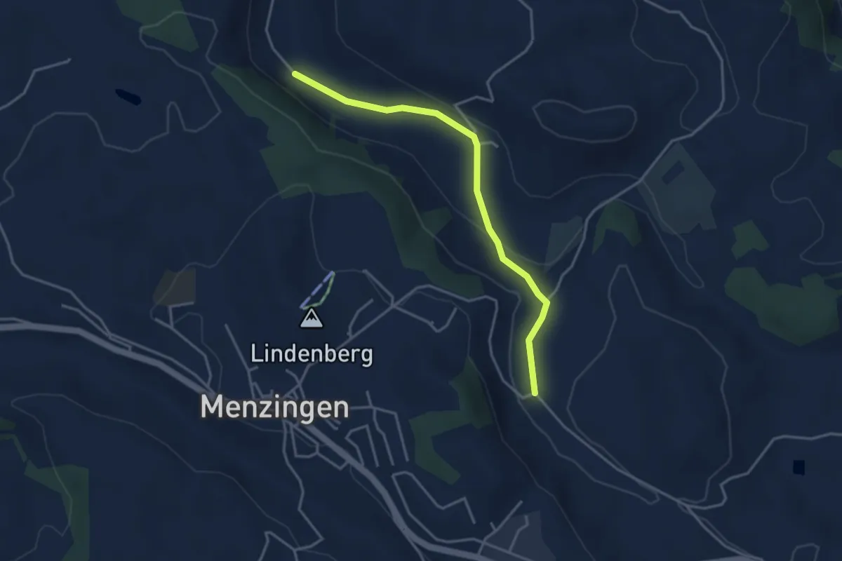
Easy · Trail
Brättigen - Erlenbach
3.6 km · ↑ 79 m · 1 h 1 min · 14 km away
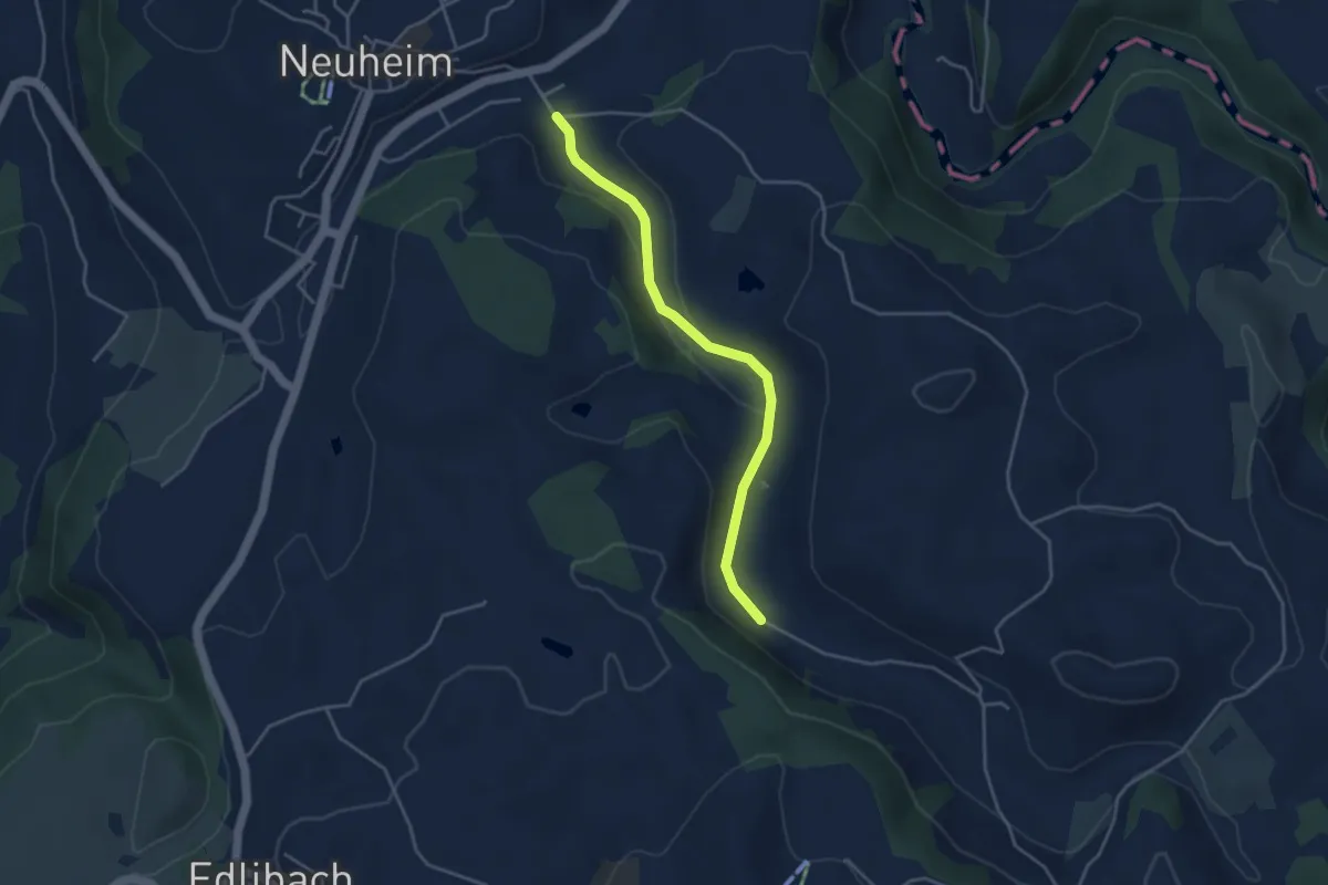
Easy · Trail
Erlenbach - Sarbach
3.8 km · ↑ 84 m · 1 h 5 min · 14 km away
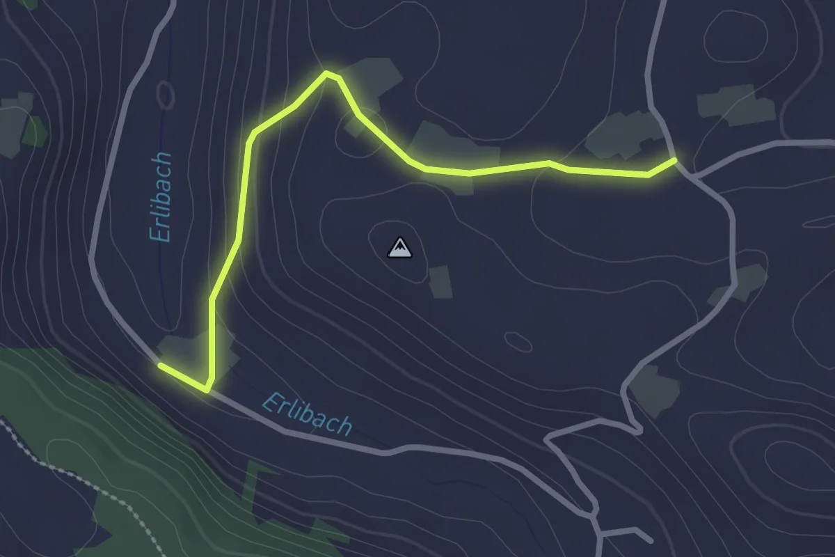
Easy · Trail
Blachen - Erlenbach
2.5 km · ↑ 87 m · 46 min · 14 km away
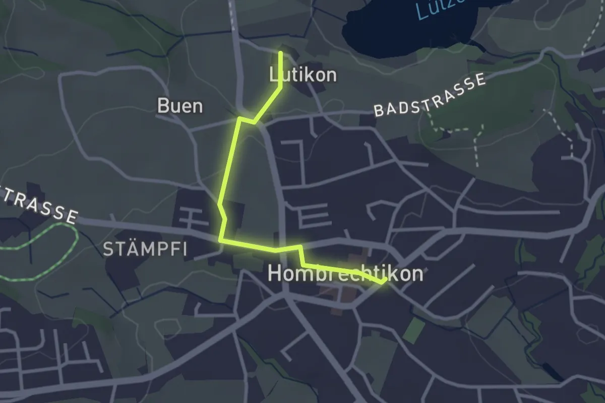
Easy · Trail
Lutikon - Hombrechtikon Post
2.4 km · ↑ 32 m · 38 min · 14 km away
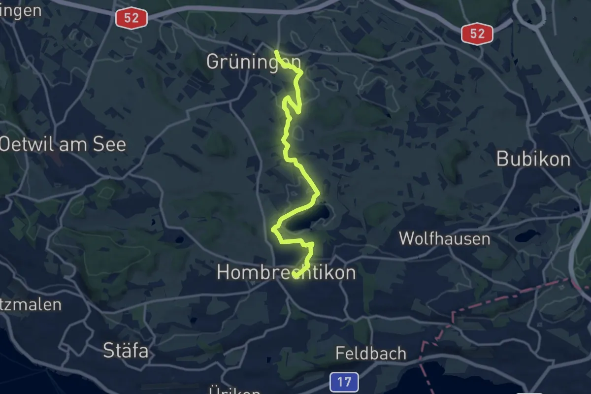
Medium · Trail
Familien-Wanderweg Hombrechtikon Post - Grüningen Haufland
11.6 km · ↑ 154 m · 3 h 4 min · 14 km away
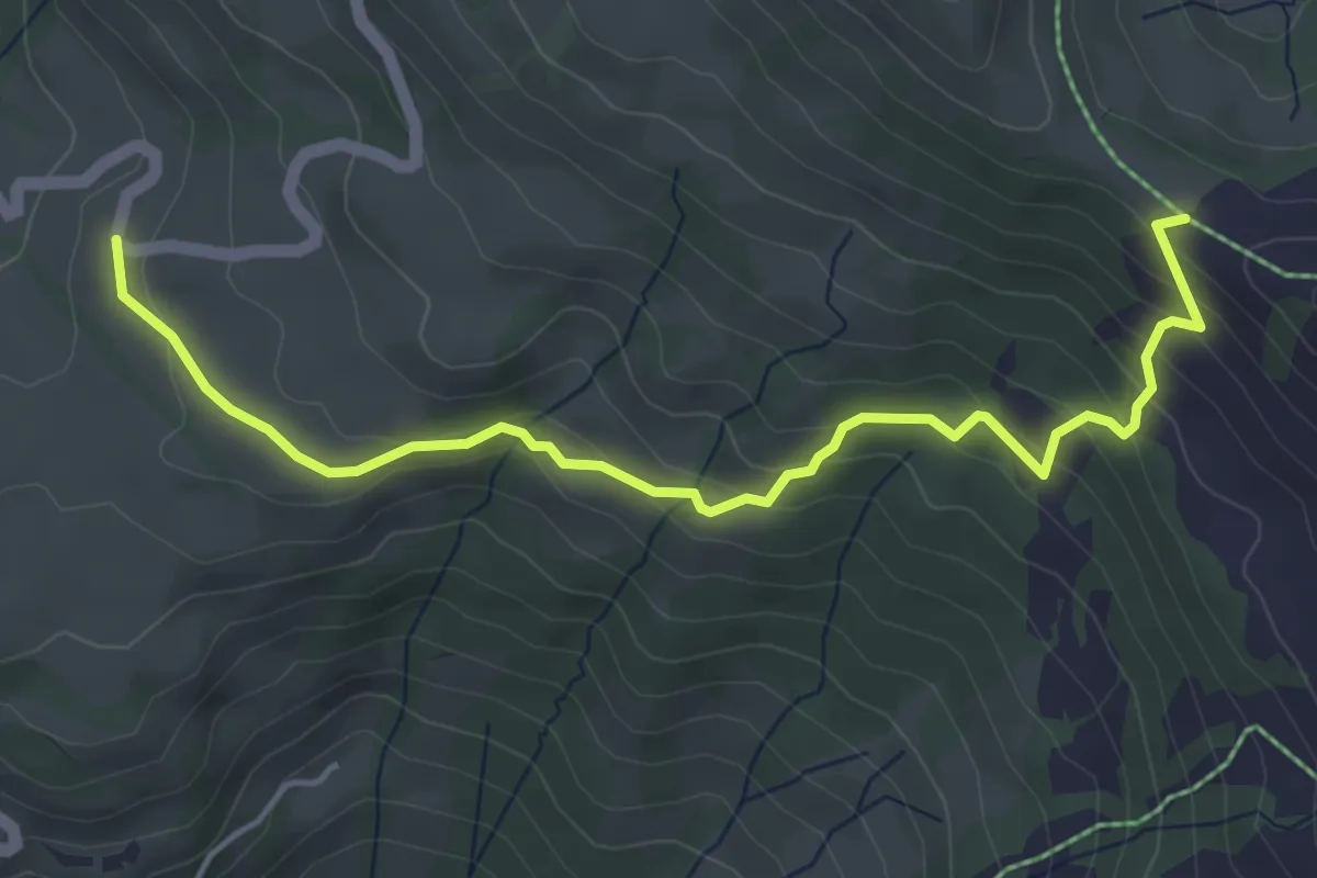
Easy · Cabin
Sternenegg – Chaltenbrunnen
5.0 km · ↑ 282 m · 1 h 48 min · 14 km away
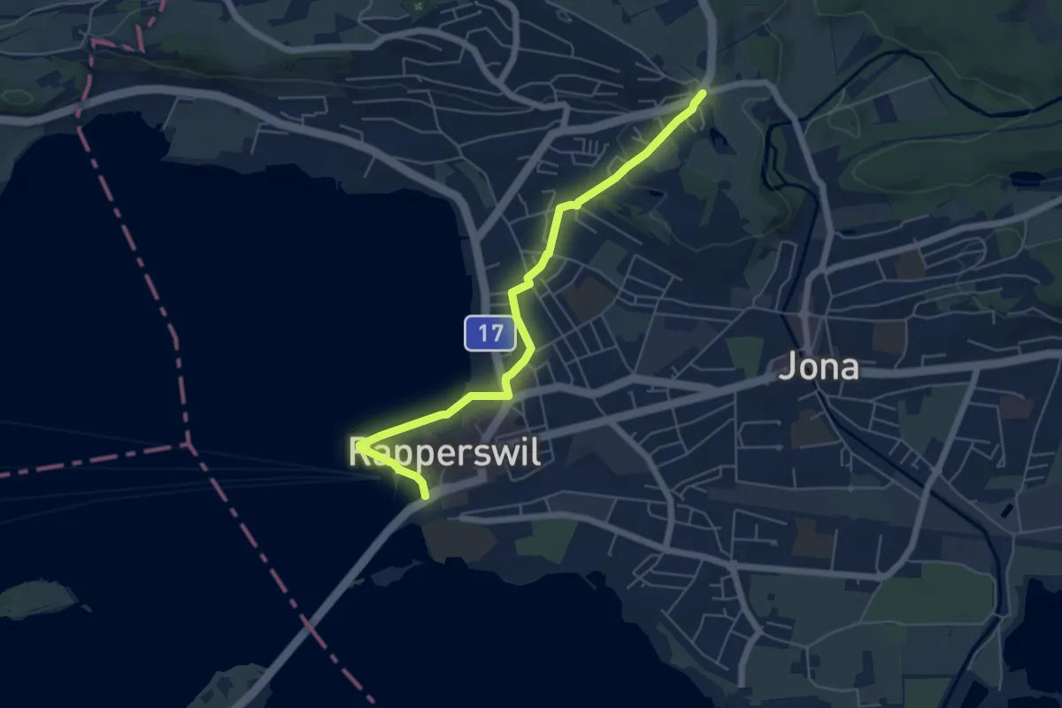
Easy · Trail
Verkehrsbüro – Schönau
5.7 km · ↑ 64 m · 1 h 29 min · 14 km away
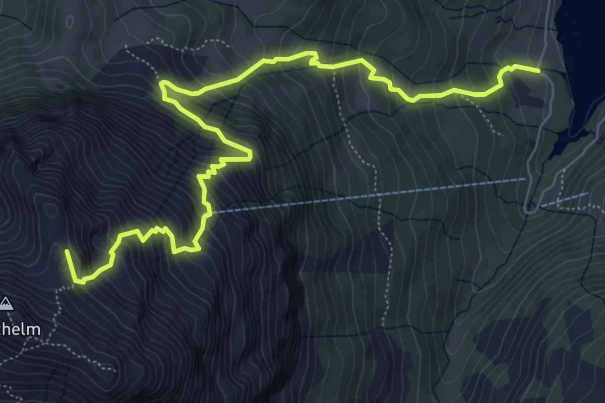
Demanding · Summit
Au-Diethelm
7.9 km · ↑ 1041 m · 4 h 7 min · 14 km away
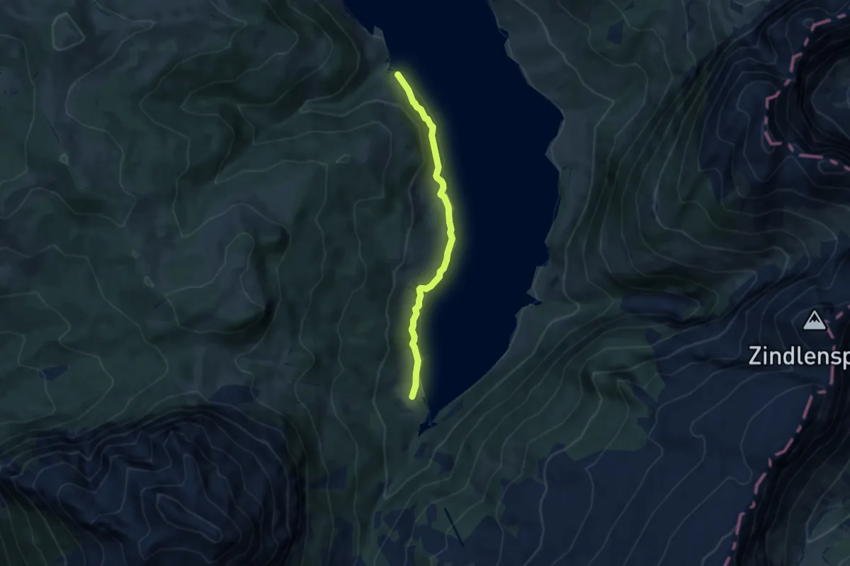
Easy · Trail
Au – Stock
6.5 km · ↑ 207 m · 1 h 59 min · 14 km away
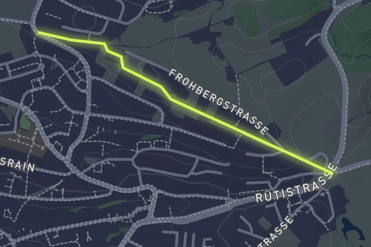
Easy · Trail
Schönau - Rotenweg
2.2 km · ↑ 29 m · 35 min · 14 km away
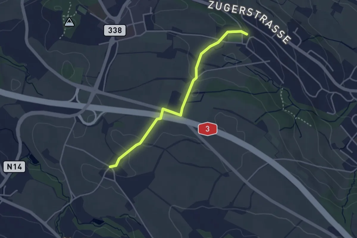
Easy · Trail
Schönegg – Stocken
3.2 km · ↑ 45 m · 51 min · 14 km away
Easy · Trail
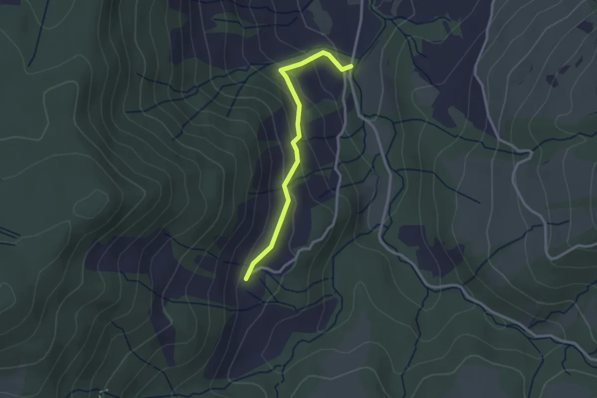
Egg-Gatter – Ochsenfeissi
2.3 km · ↑ 126 m · 50 min · 14 km away
Demanding · Trail
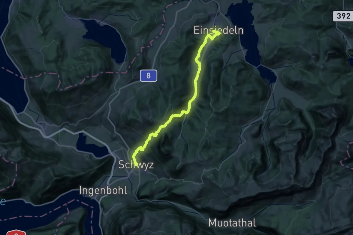
ViaJacobi
19.0 km · ↑ 978 m · 6 h 41 min · 14 km away
Demanding · Trail
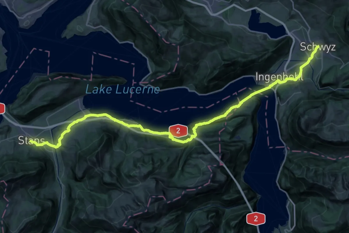
ViaJacobi
30.2 km · ↑ 902 m · 9 h 32 min · 14 km away
Medium · Summit
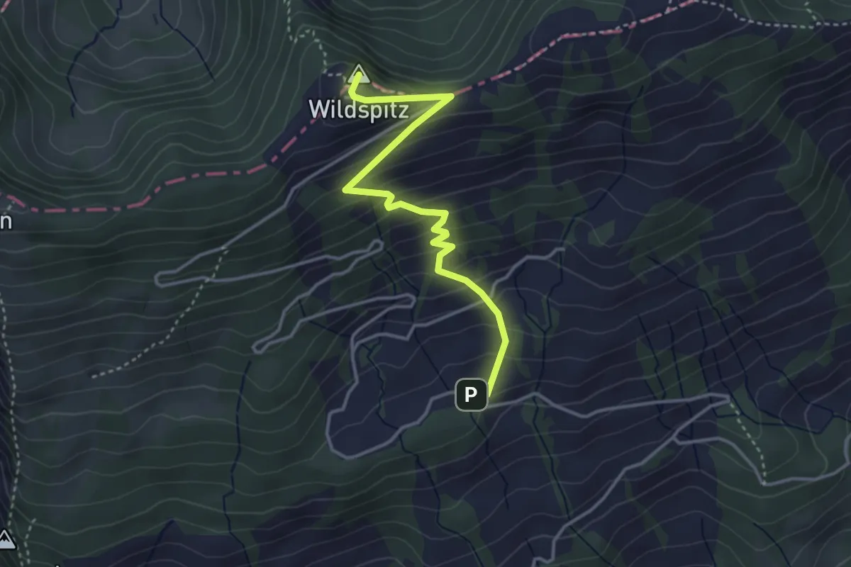
Obhegkapelle - Wildspitz
3.7 km · ↑ 323 m · 1 h 35 min · 14 km away
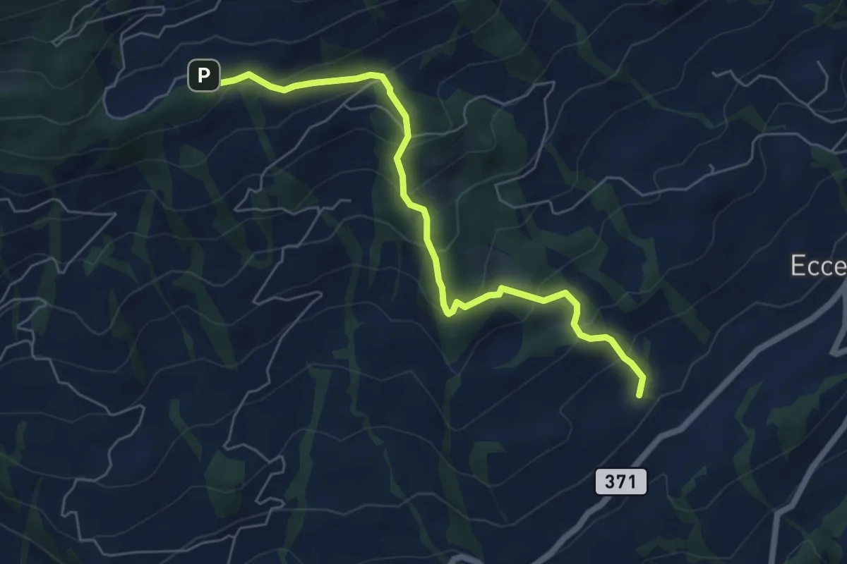
Medium · Trail
Obhegkapelle - Talacher? / Steinen? - fixme
6.0 km · ↑ 491 m · 2 h 29 min · 14 km away
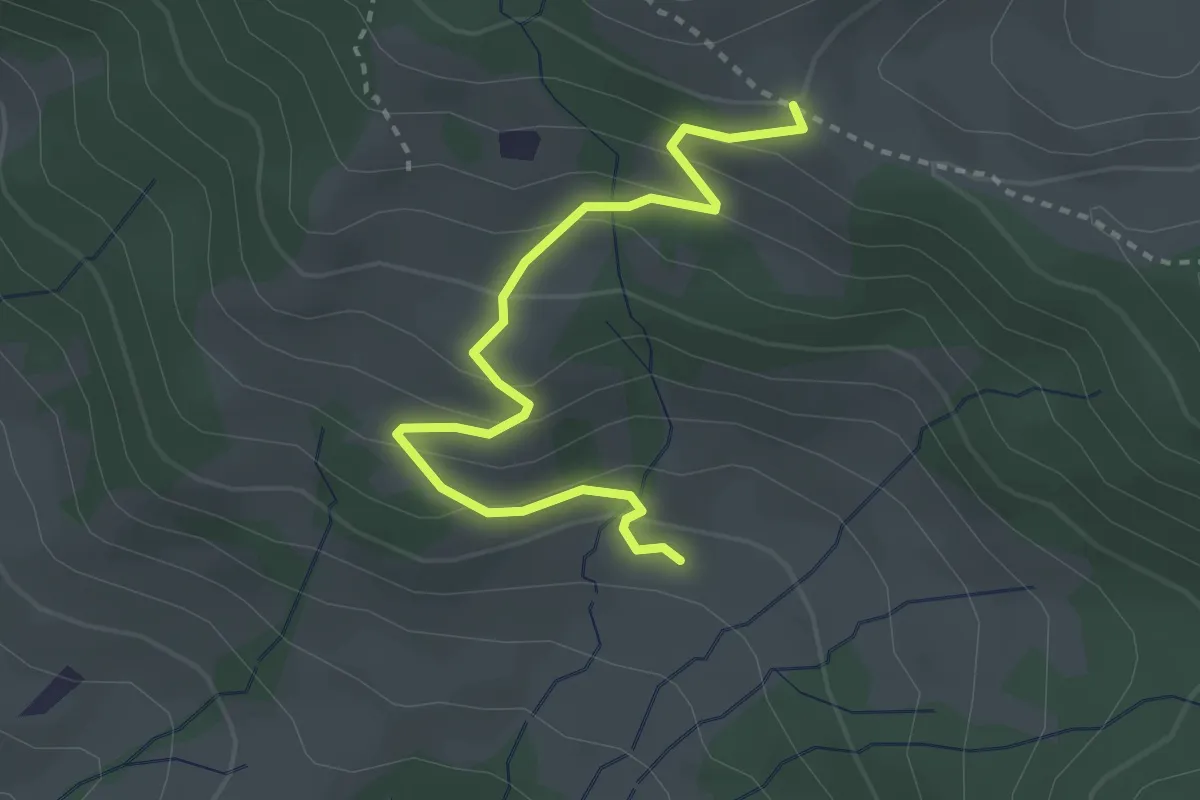
Easy · Trail
Ruebergschwänd – Billmeschwändi
3.1 km · ↑ 207 m · 1 h 10 min · 14 km away
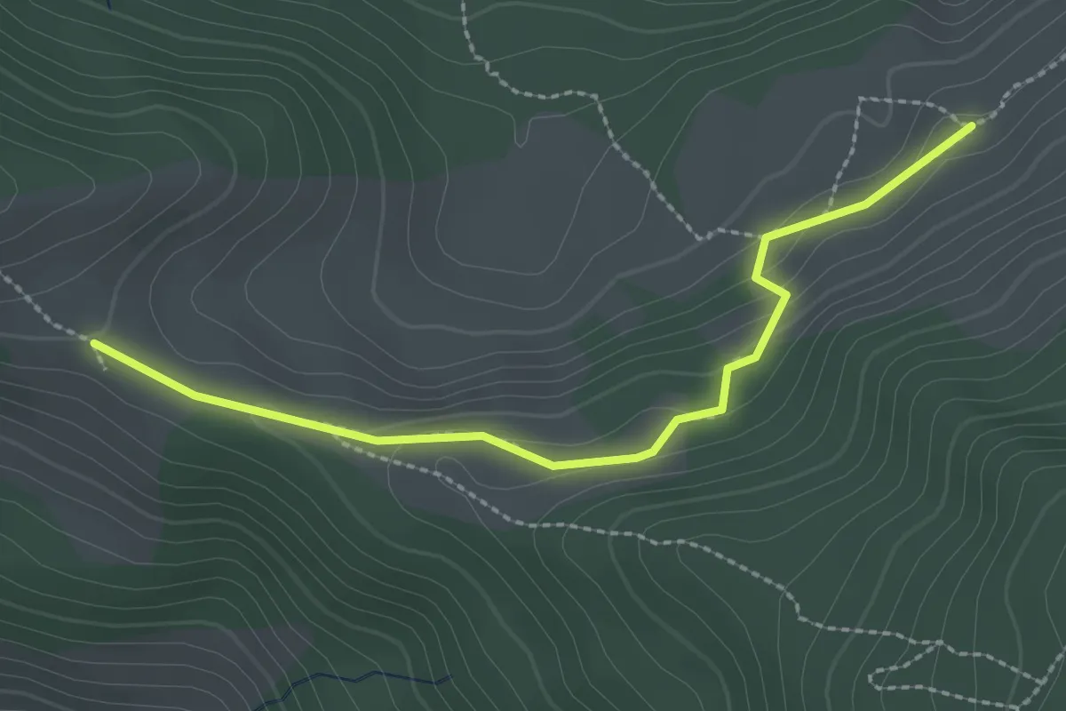
Medium · Trail
Ruebergschwänd – Müllergschwänd
2.5 km · ↑ 104 m · 49 min · 14 km away
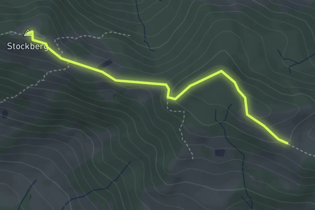
Medium · Summit
Stockberg – Ruebergschwänd
3.5 km · ↑ 161 m · 1 h 11 min · 14 km away
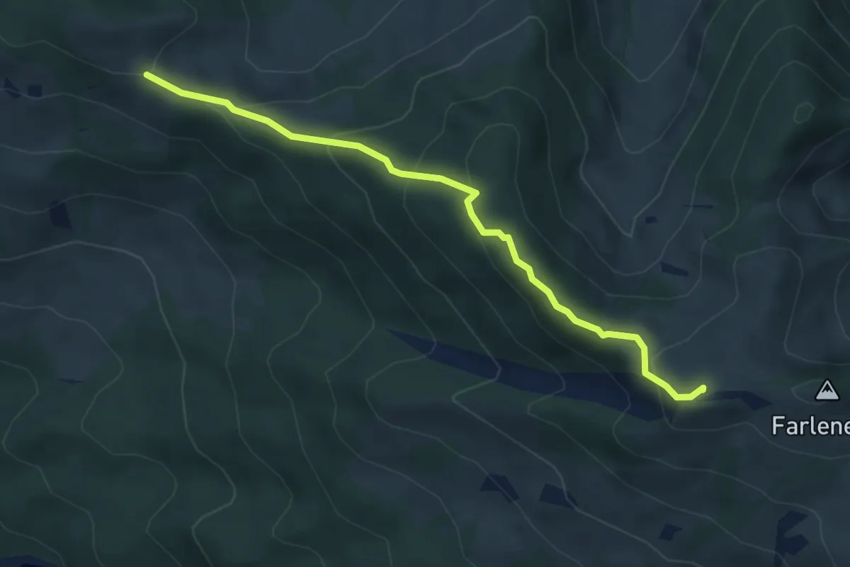
Medium · Summit
Ruebergschwänd – Lauihöchi
4.6 km · ↑ 247 m · 1 h 37 min · 14 km away
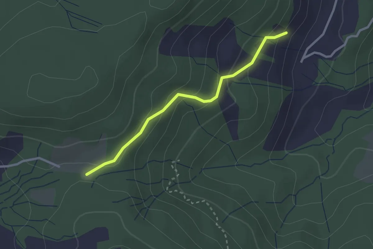
Easy · Trail
Langmösli - Ochsenfeissi - fixme
2.3 km · ↑ 124 m · 48 min · 14 km away
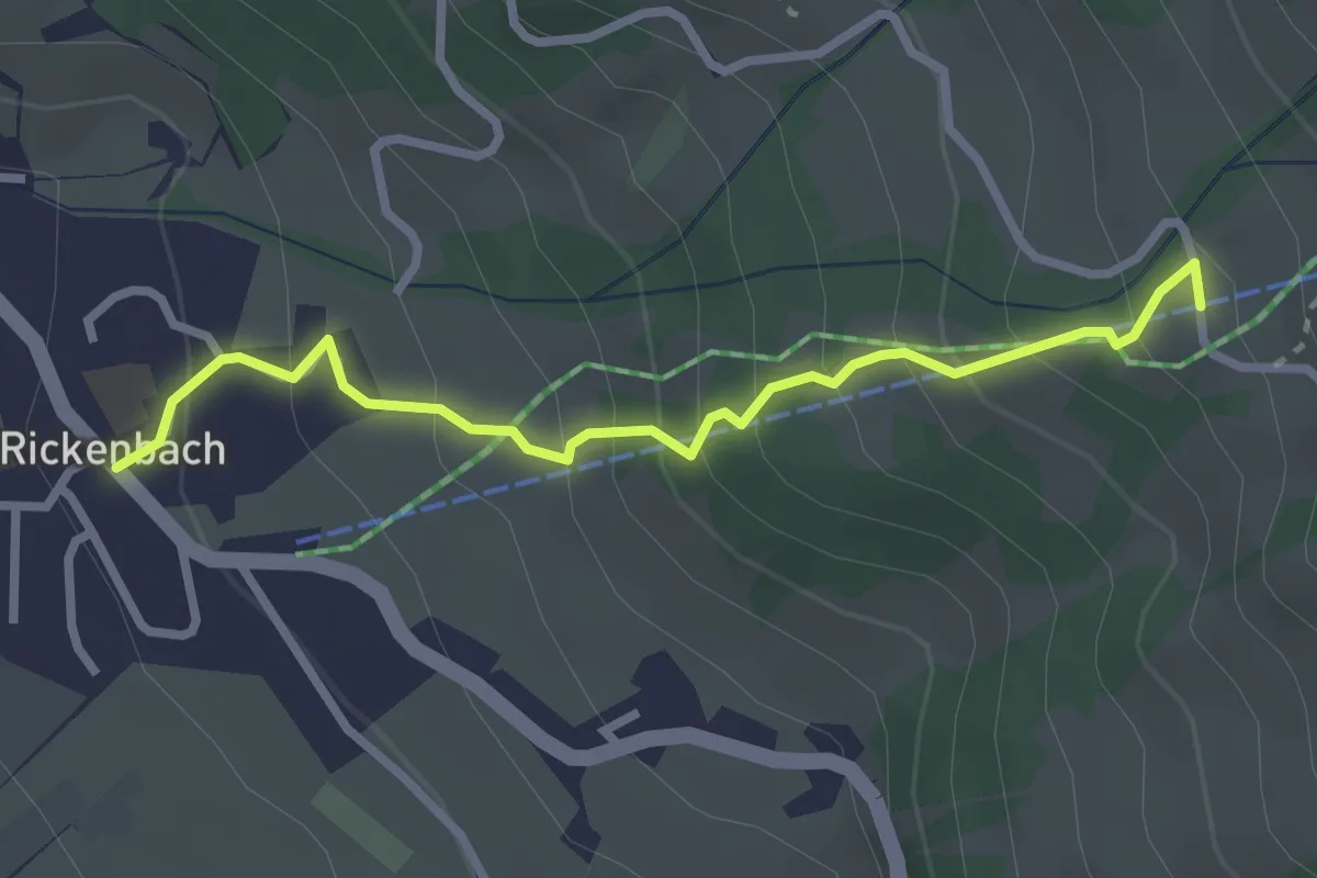
Easy · Trail
Rickenbach – Huserenberg
2.8 km · ↑ 272 m · 1 h 15 min · 14 km away
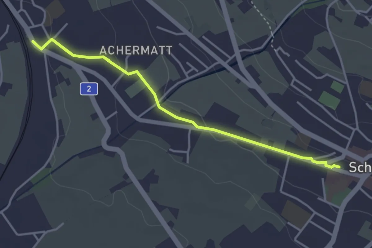
Easy · Trail
Seewen / Schwyz – Schwyz
5.0 km · ↑ 99 m · 1 h 23 min · 14 km away