Trails near Einsiedeln
533 hikes starting within 15 km, nearest first.
Nearest first, page 9 of 12
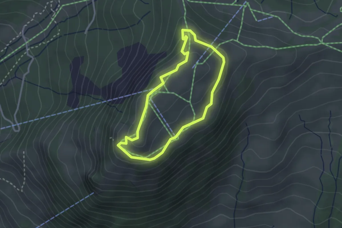
Easy · Trail
Rotenflue Rundweg
2.2 km · ↑ 106 m · 47 min · 13 km away
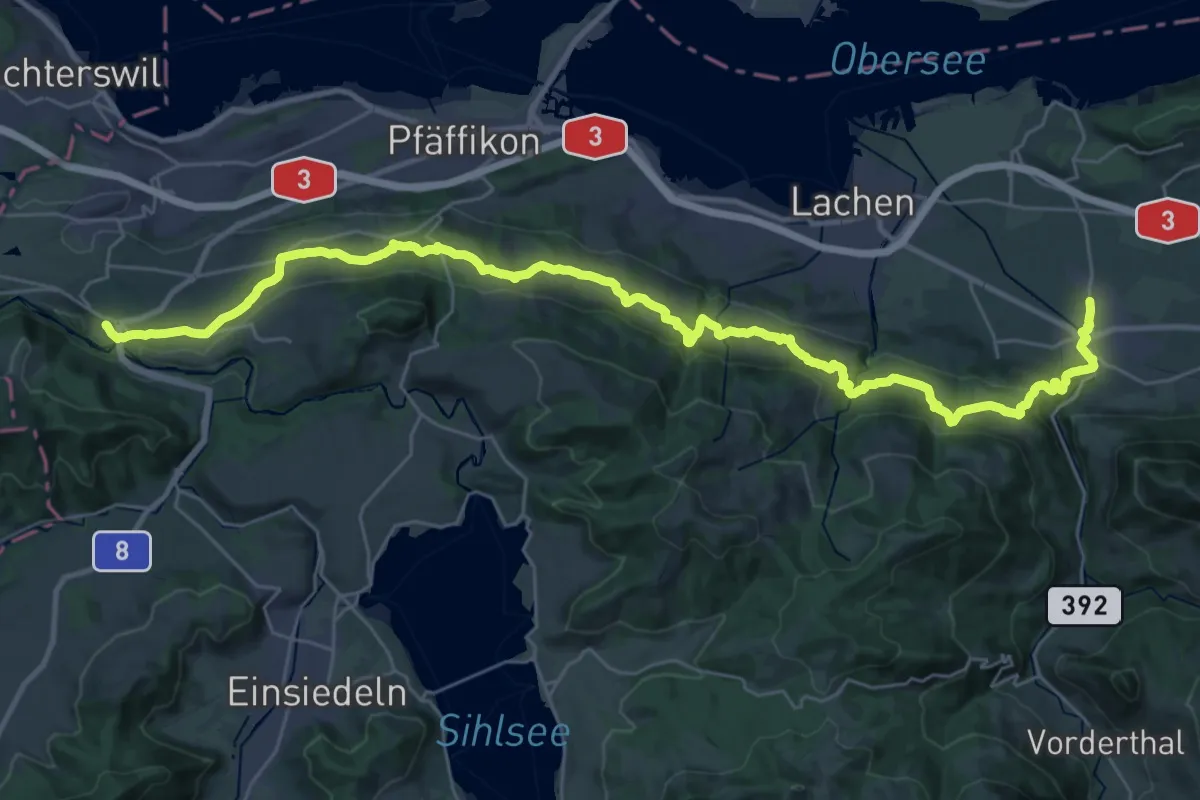
Demanding · Trail
Panoramaweg March Höfe
19.7 km · ↑ 863 m · 6 h 38 min · 13 km away
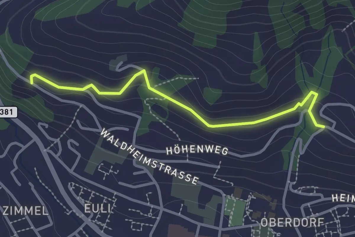
Easy · Trail
Heimhusen - Waldheim
2.6 km · ↑ 78 m · 48 min · 13 km away
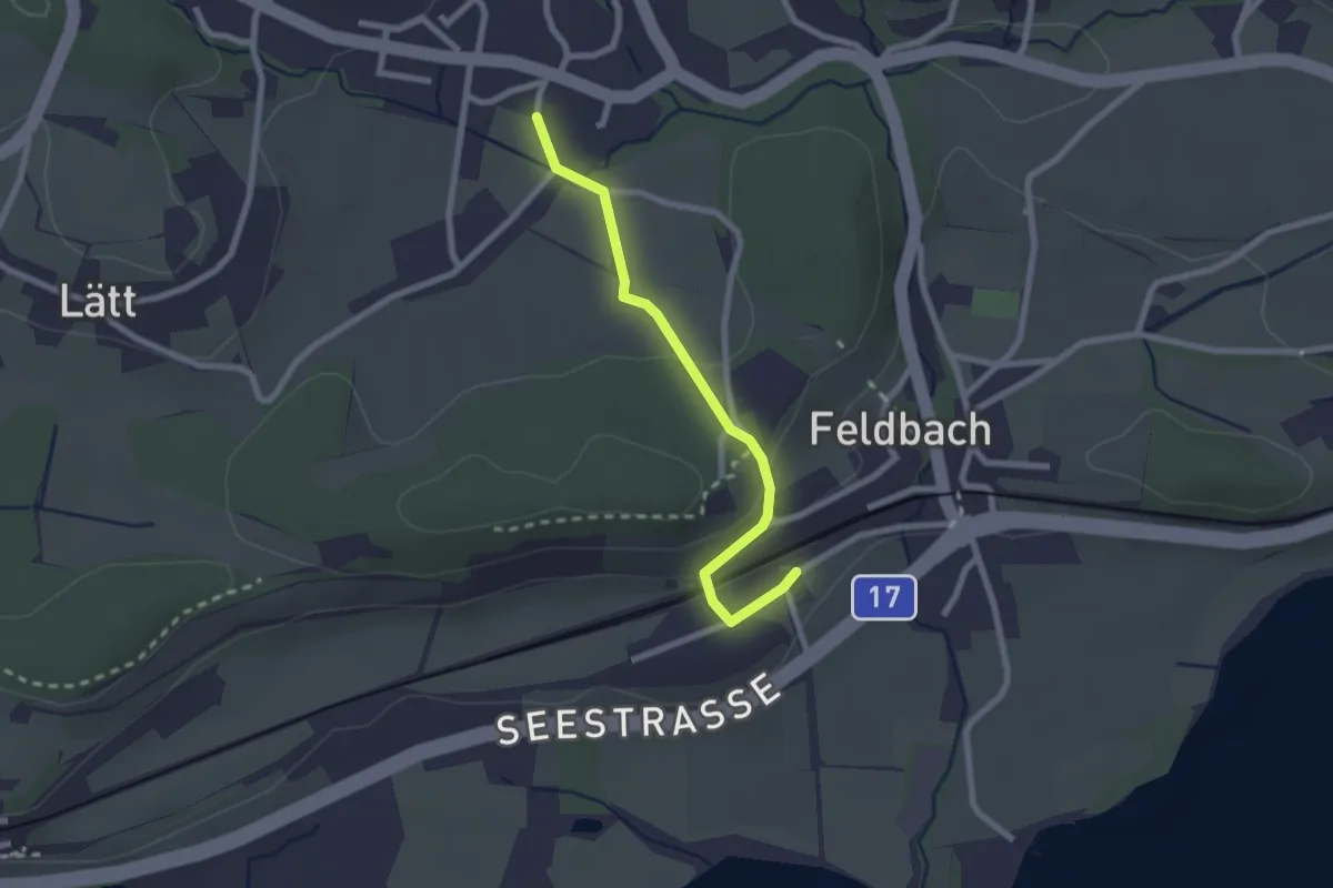
Easy · Trail
Feldbach - Langenriet
2.2 km · ↑ 56 m · 38 min · 13 km away
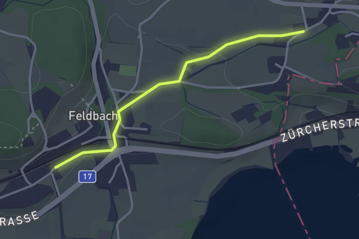
Easy · Trail
Feldbach Station - ?
2.6 km · ↑ 28 m · 41 min · 13 km away
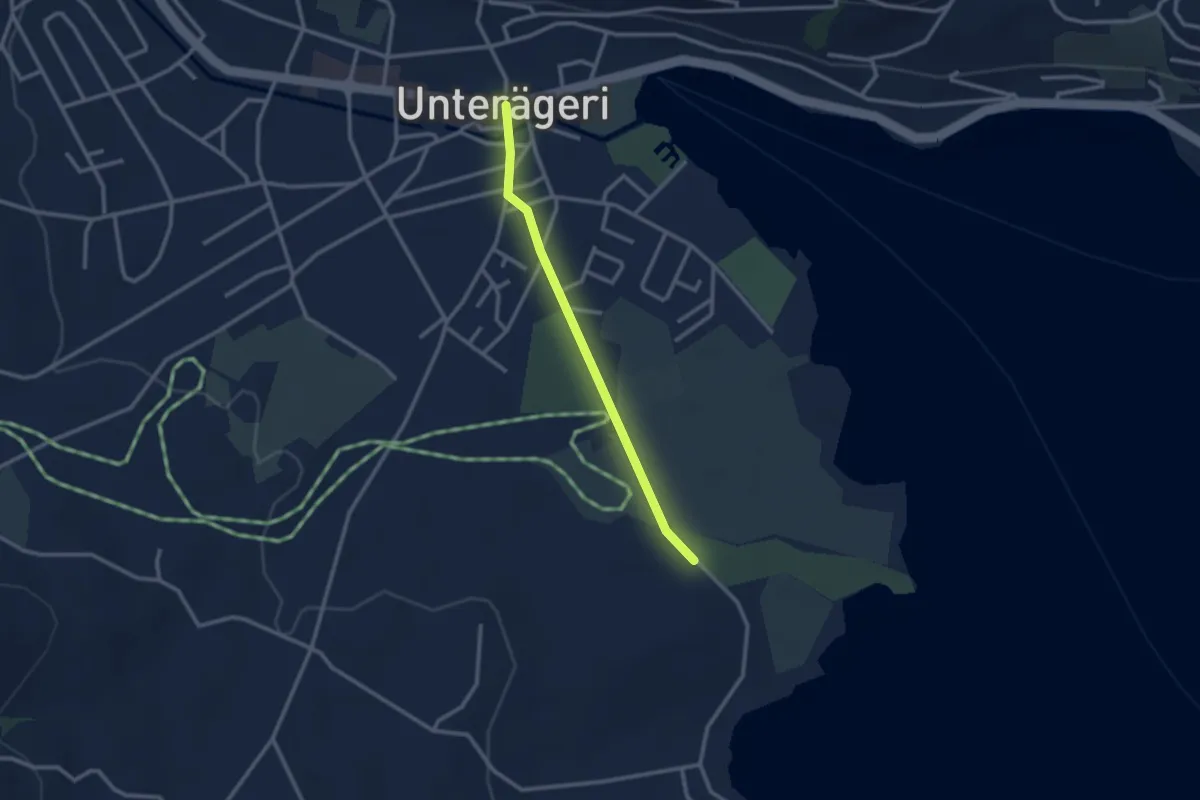
Easy · Trail
Campingplatz – Dorfplatz
2.4 km · ↑ 0 m · 34 min · 13 km away
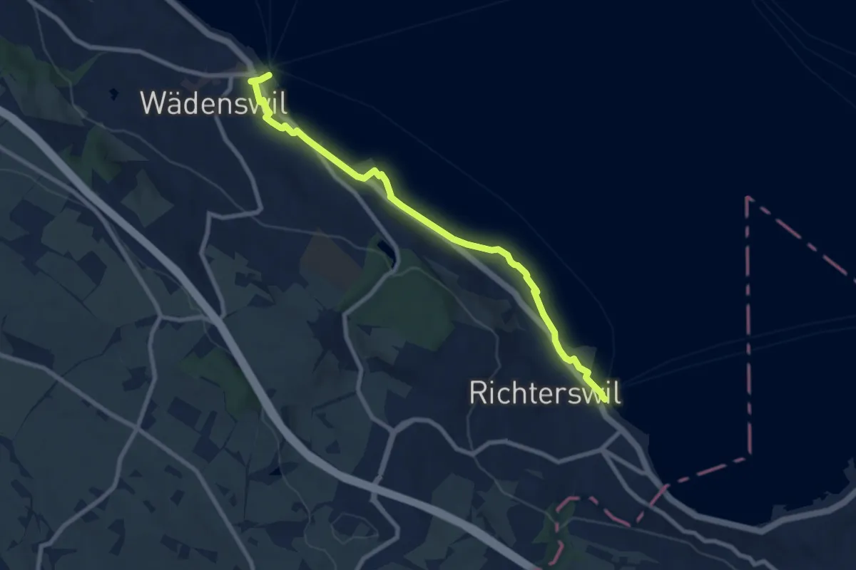
Medium · Trail
Wädenswil - Richterswil (Seeweg)
8.1 km · ↑ 76 m · 2 h 5 min · 13 km away
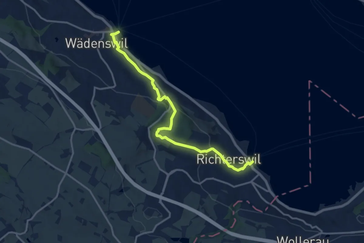
Medium · Trail
Richterswil Bahnhof - Wädenswil Bahnhof
10.0 km · ↑ 371 m · 3 h 10 min · 13 km away
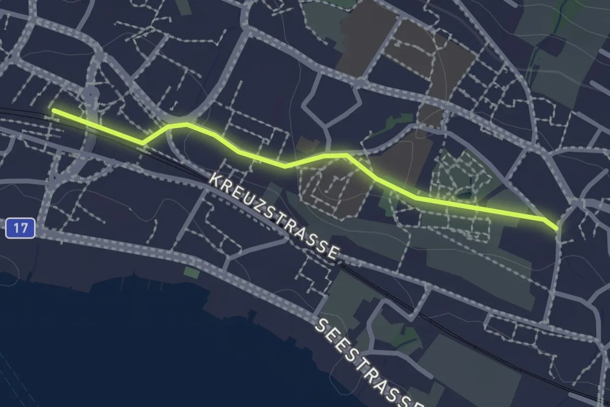
Easy · Trail
Dorf – Stäfa
2.1 km · ↑ 29 m · 33 min · 13 km away
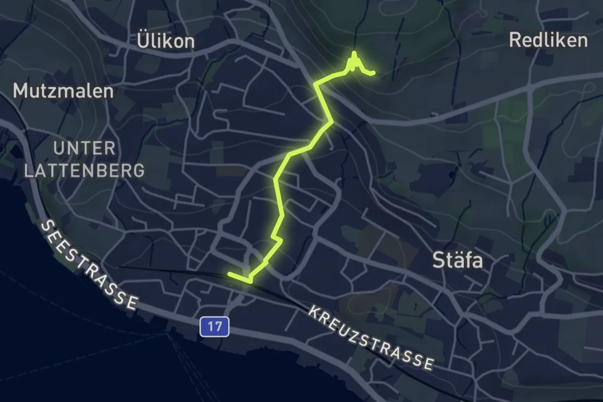
Easy · Trail
Risi – Stäfa
3.2 km · ↑ 165 m · 1 h 7 min · 13 km away
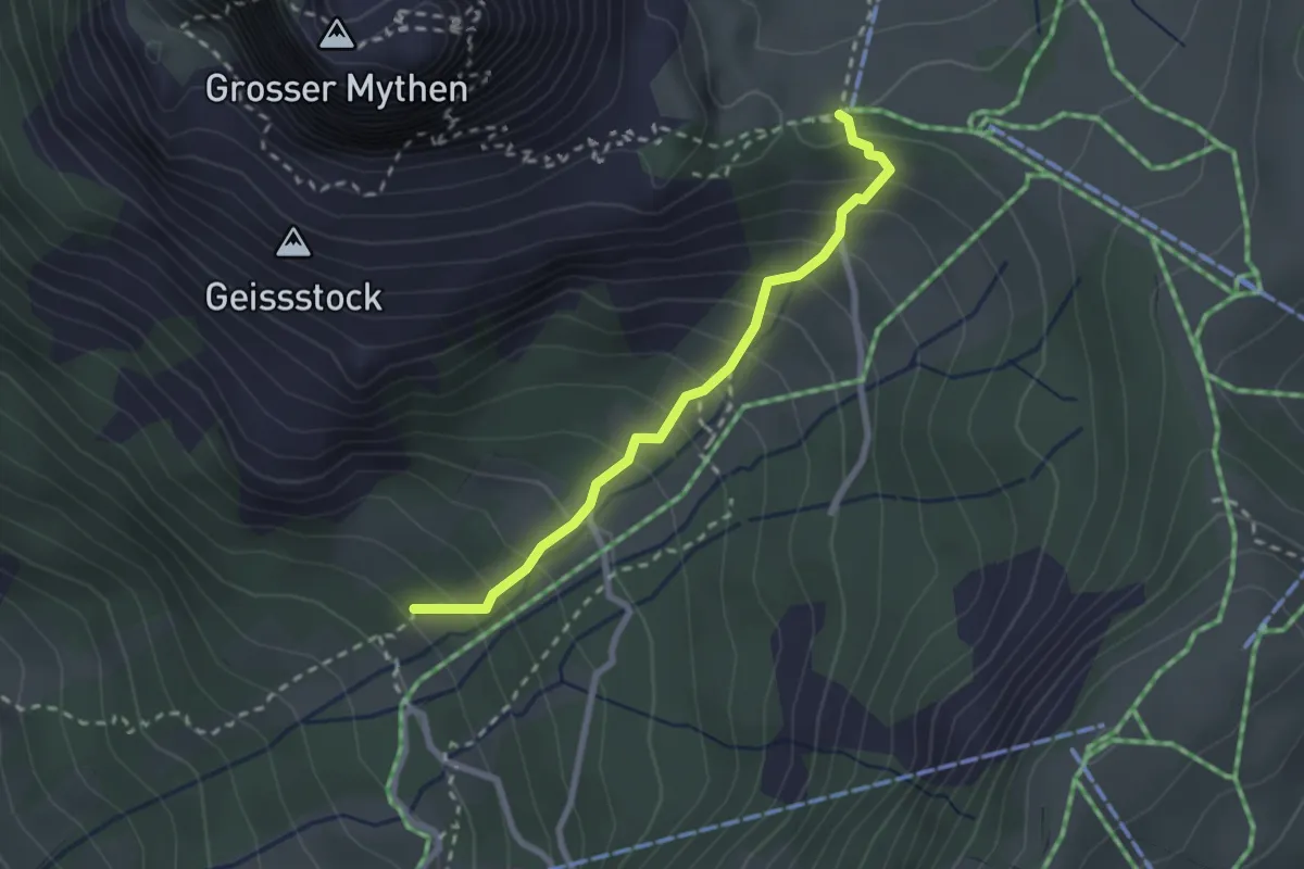
Easy · Trail
Hasli - Holzegg
2.3 km · ↑ 270 m · 1 h 8 min · 13 km away
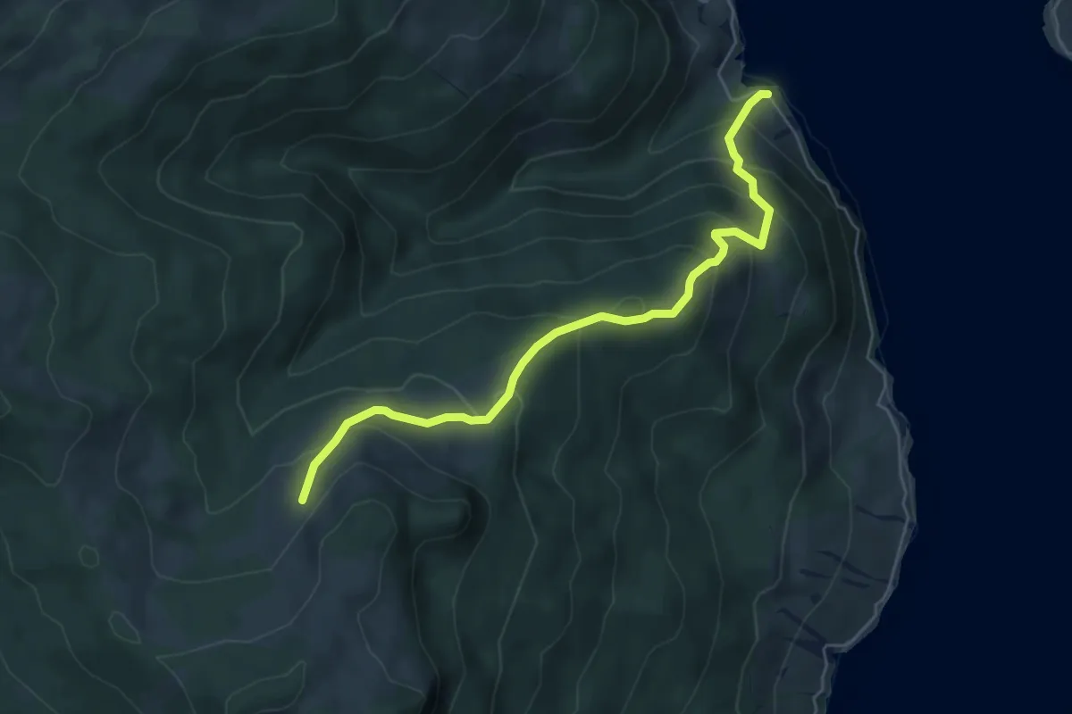
Medium · Trail
Stock – Tannstofel
5.7 km · ↑ 440 m · 2 h 18 min · 13 km away
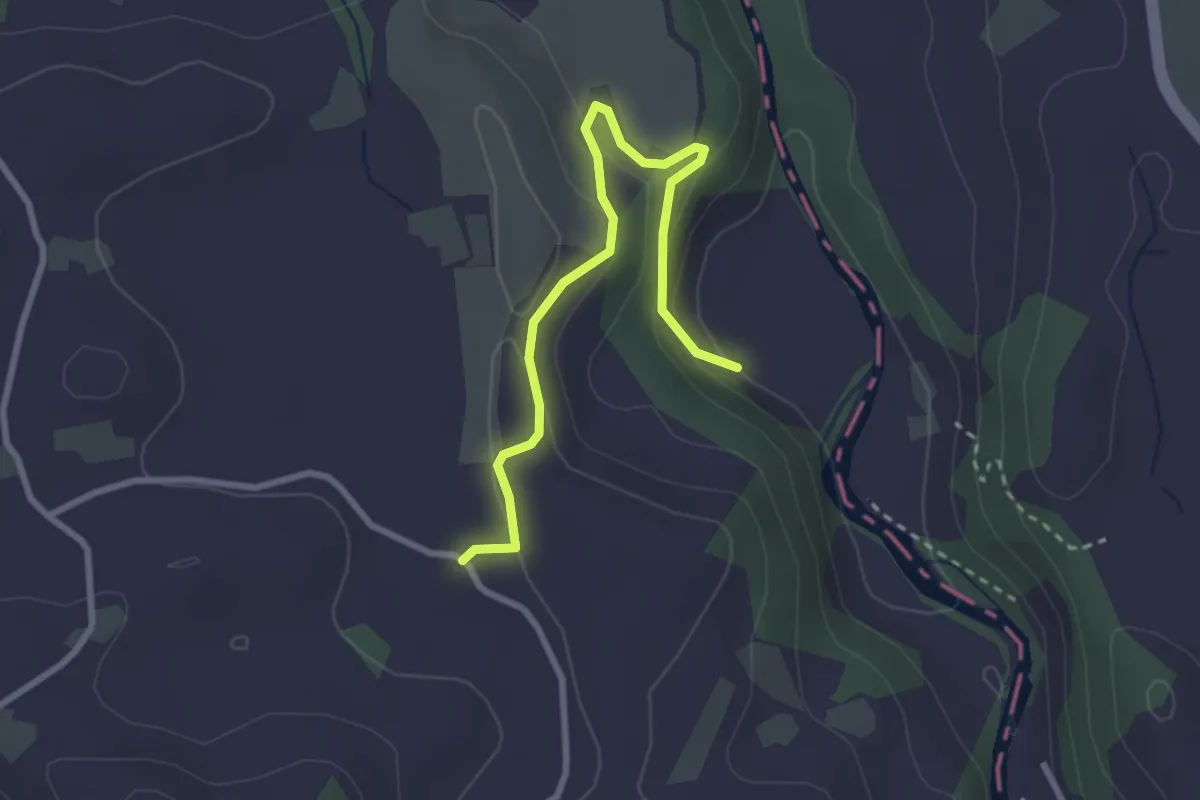
Easy · Trail
Sihlmatt - Schwand
3.0 km · ↑ 115 m · 57 min · 13 km away
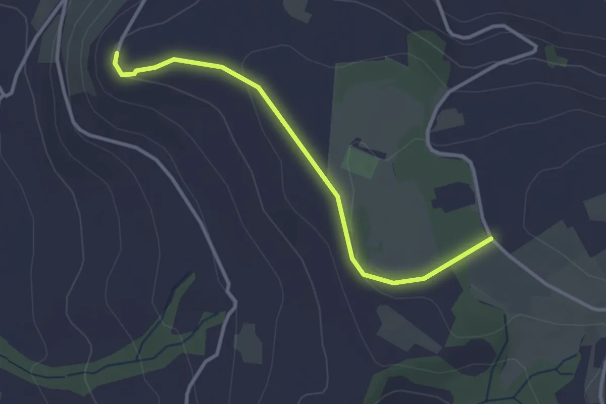
Easy · Trail
Brämen-Höchi - Gubel
2.9 km · ↑ 65 m · 49 min · 13 km away
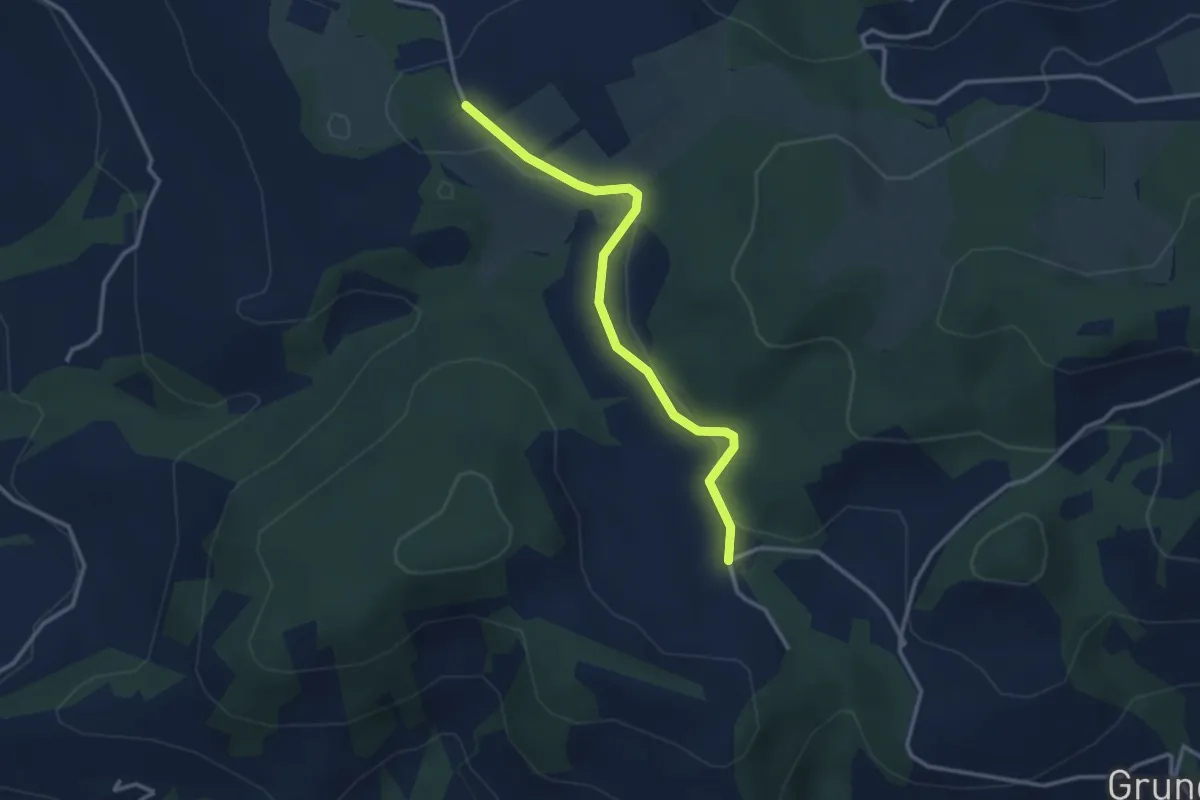
Easy · Trail
Hinterwiden - Brämen-Höchi
3.0 km · ↑ 21 m · 45 min · 13 km away
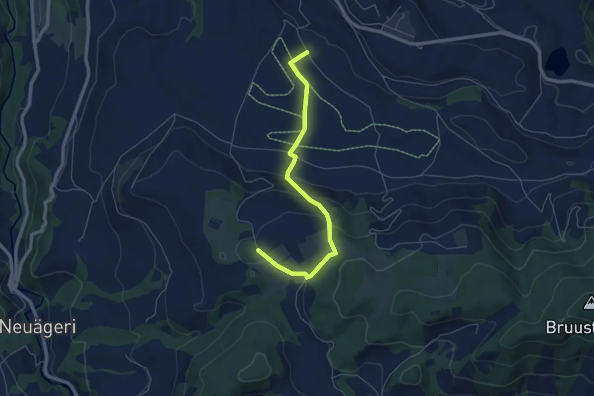
Easy · Trail
Brämen-Höchi - Grund
5.5 km · ↑ 172 m · 1 h 41 min · 13 km away
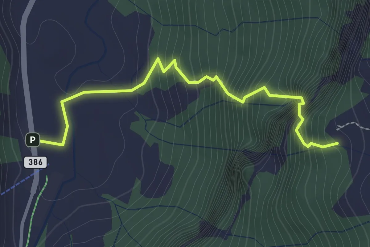
Expert · Trail
Weglosen - Ober Grueb (Leiteren)
2.7 km · ↑ 407 m · 1 h 31 min · 13 km away
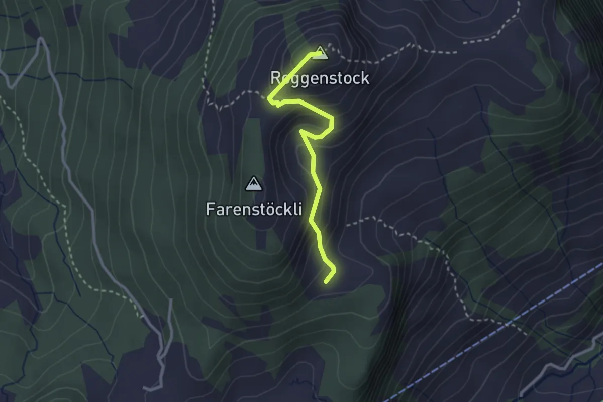
Demanding · Summit
Roggenhütte – Roggenstock
2.4 km · ↑ 213 m · 1 h 1 min · 13 km away
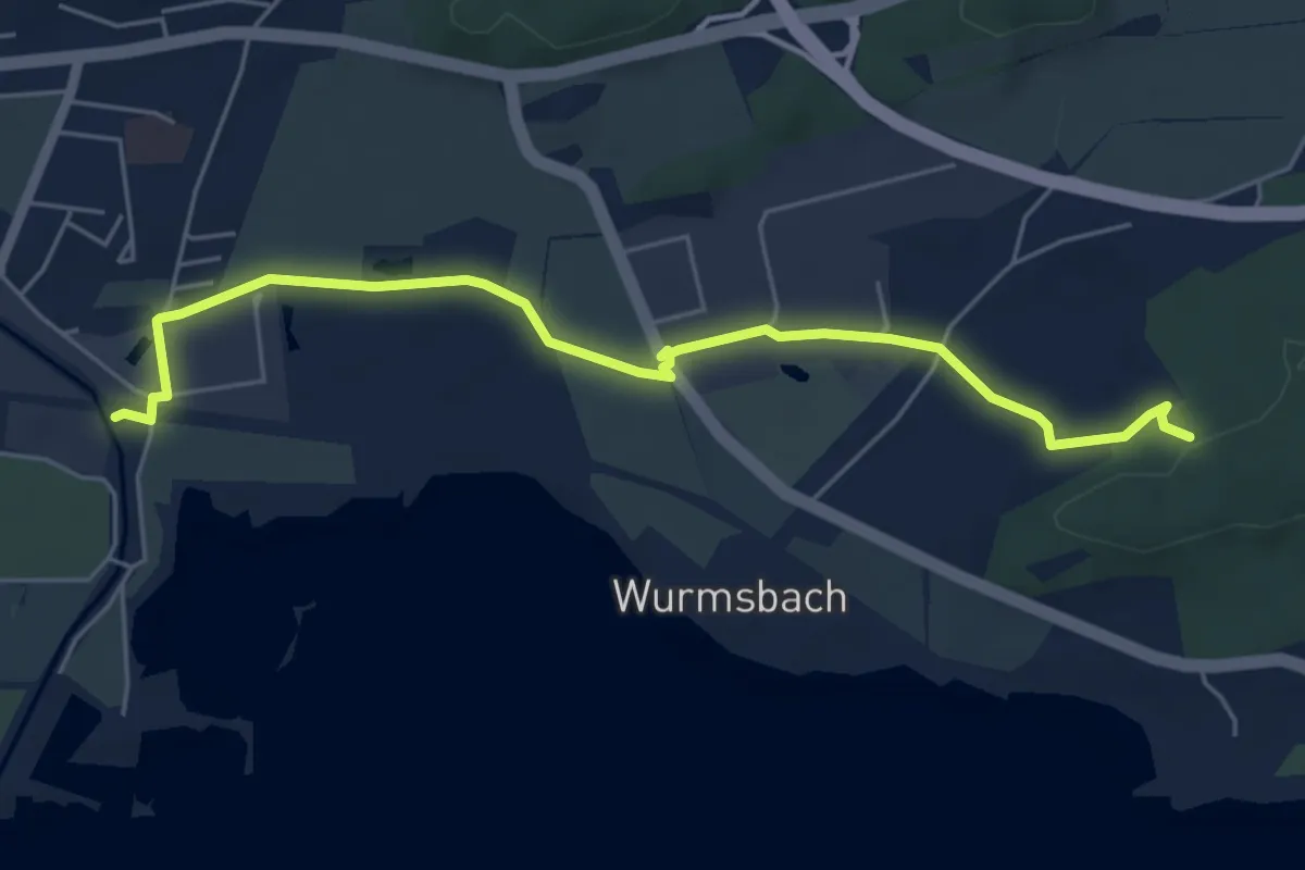
Easy · Trail
Grüenfeld - Underi Rüti
5.8 km · ↑ 43 m · 1 h 27 min · 13 km away
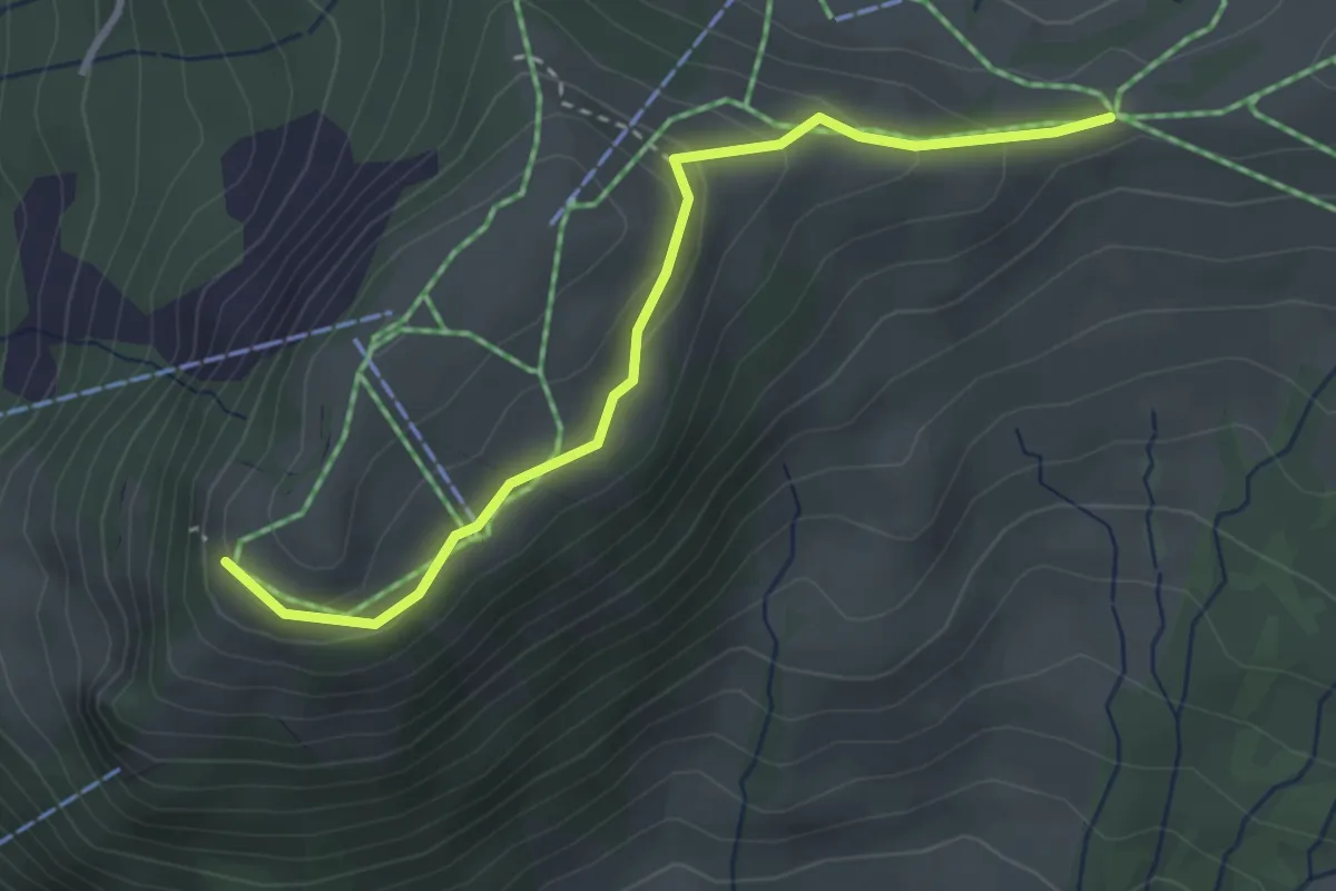
Easy · Trail
Rotenflue – Müsliegg
3.2 km · ↑ 138 m · 1 h 3 min · 13 km away
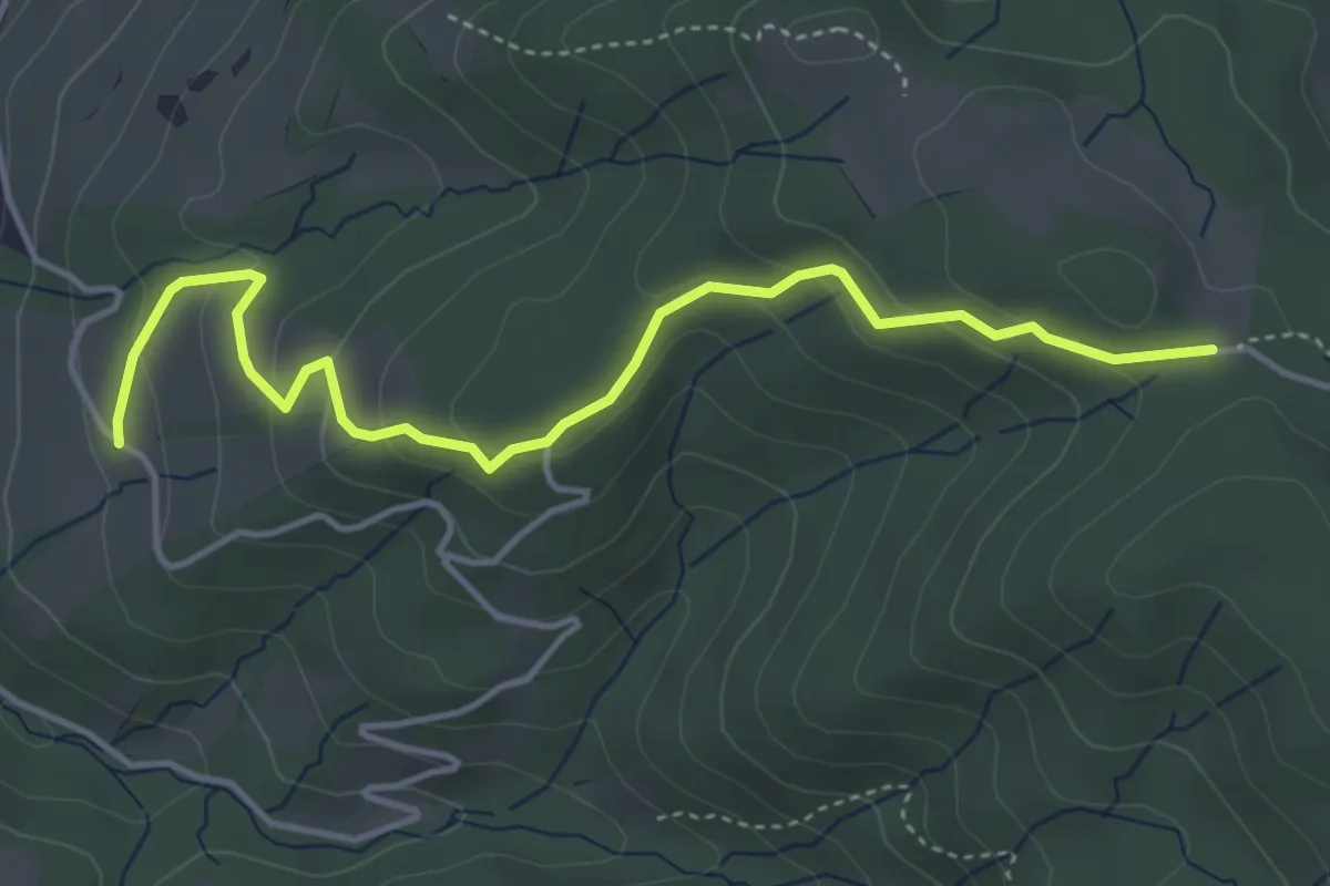
Easy · Trail
Rossallmig - Illenberg
4.5 km · ↑ 201 m · 1 h 30 min · 13 km away
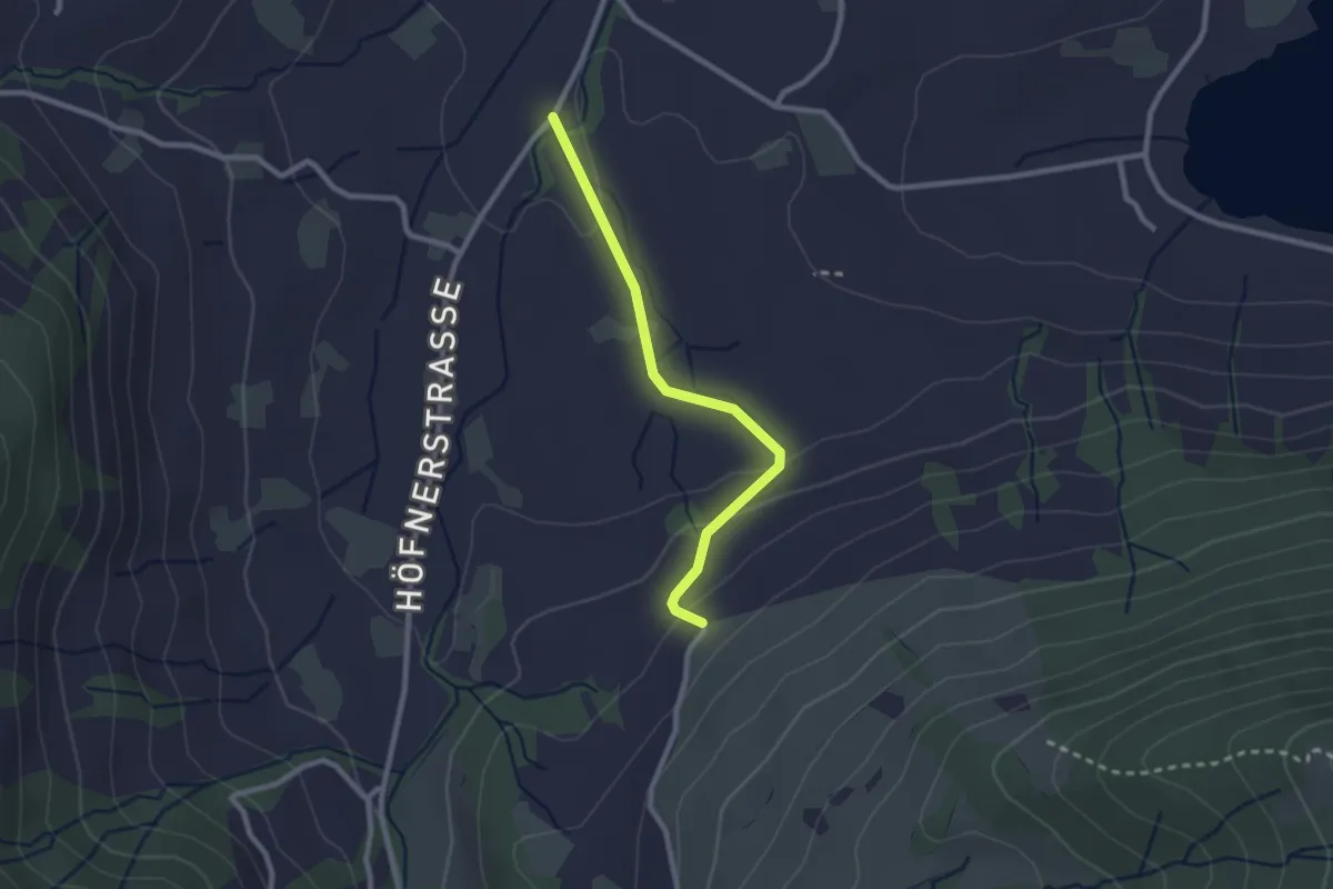
Easy · Trail
Resti - Rogenau Brücke
2.3 km · ↑ 65 m · 41 min · 13 km away
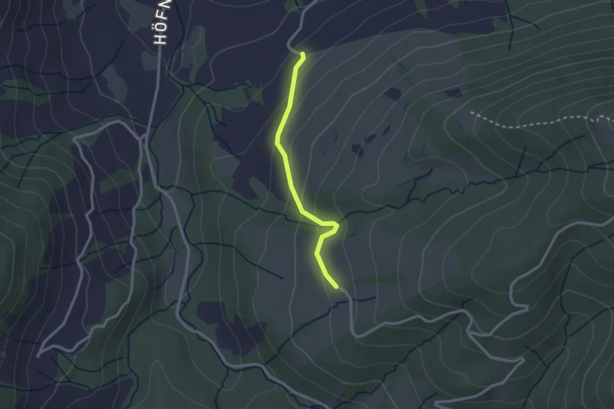
Easy · Trail
Illenberg - Resti
2.0 km · ↑ 118 m · 44 min · 13 km away
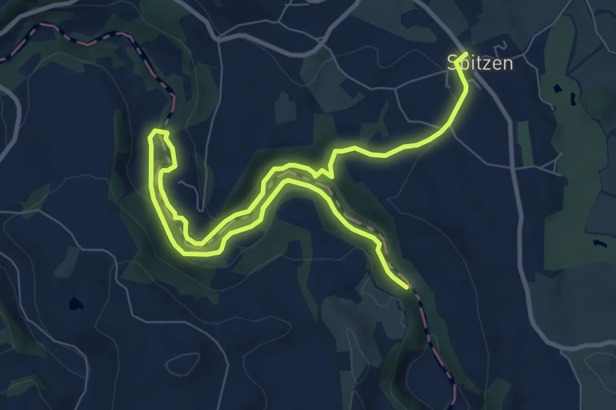
Medium · Trail
Spitzen-Sihlsprung
11.1 km · ↑ 218 m · 3 h 6 min · 13 km away
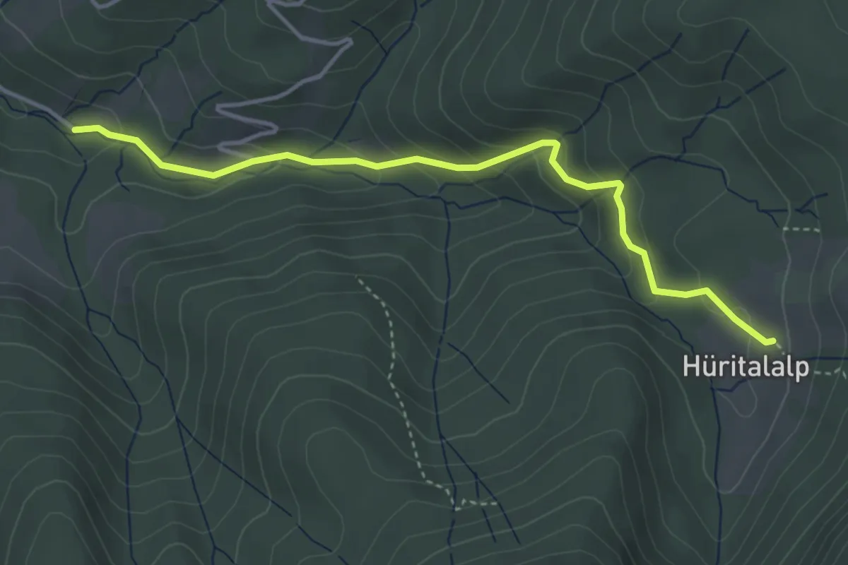
Easy · Trail
Schönalp Hütte - Hürtal Hütte
4.0 km · ↑ 249 m · 1 h 30 min · 13 km away
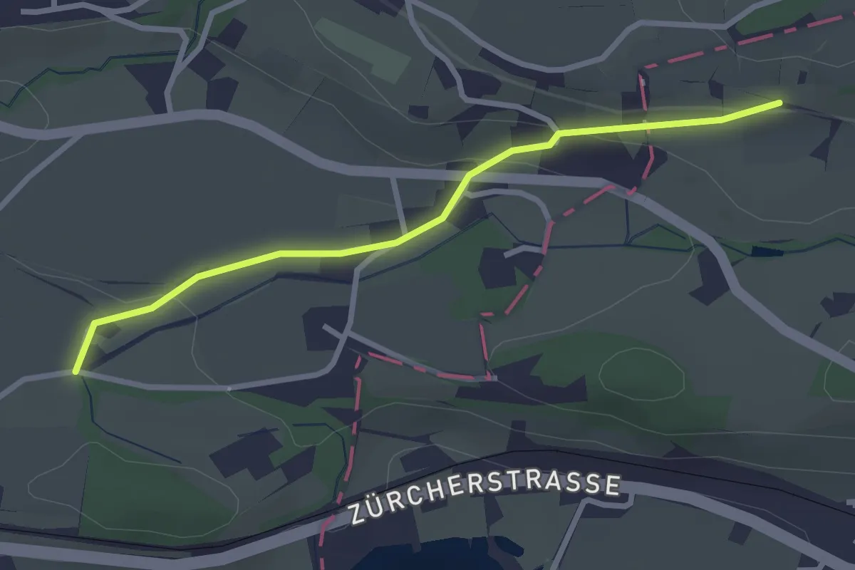
Easy · Trail
Goldenberg - Schwösterrain
2.6 km · ↑ 68 m · 46 min · 13 km away
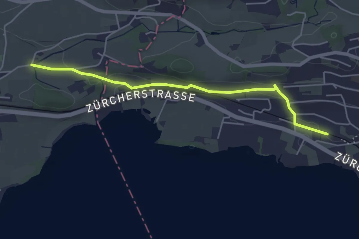
Easy · Trail
Goldenberg – Kempraten
4.1 km · ↑ 105 m · 1 h 12 min · 13 km away
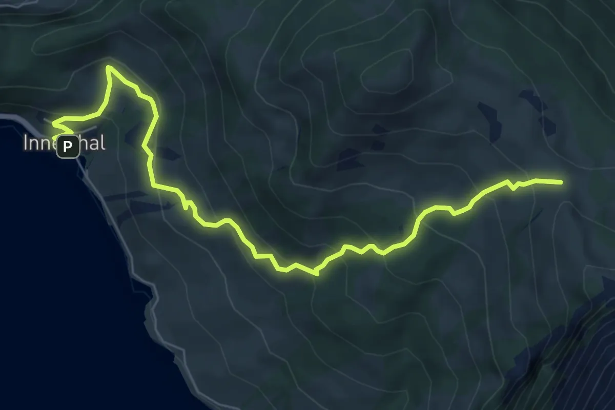
Medium · Trail
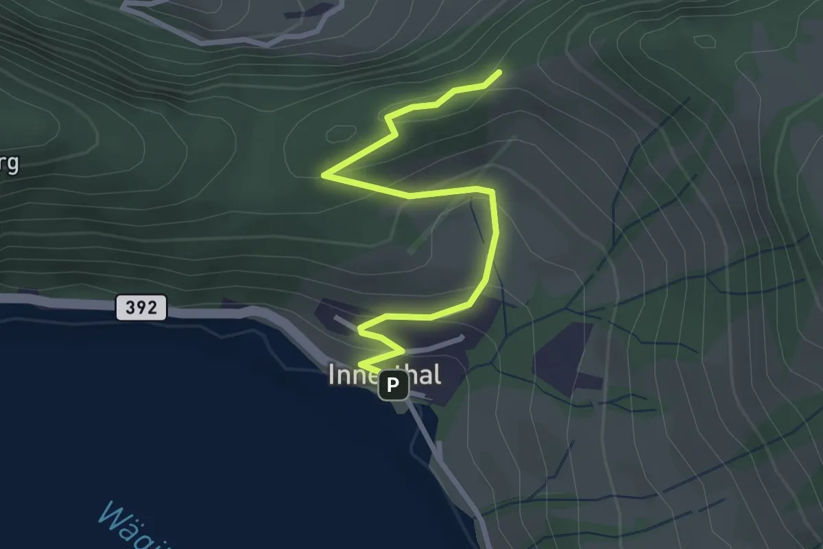
Innerthal – Schwarzenegghöchi
7.4 km · ↑ 522 m · 2 h 52 min · 13 km away
Easy · Trail
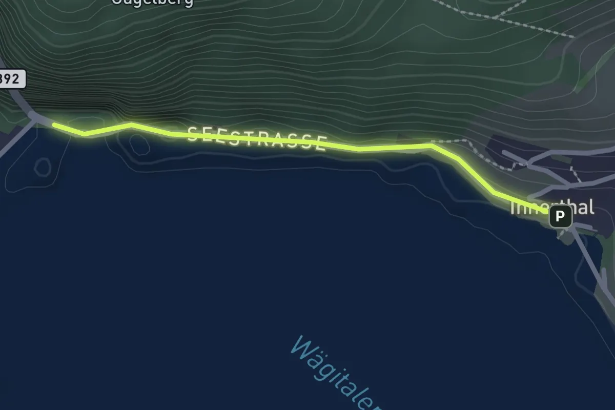
Innerthal - Ober Tritt
2.8 km · ↑ 179 m · 1 h 3 min · 13 km away
Easy · Trail
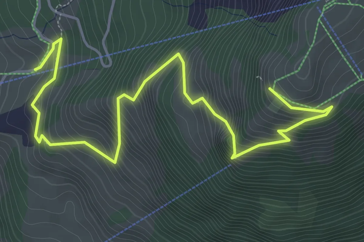
Innerthal - Staumauer
2.0 km · ↑ 46 m · 35 min · 13 km away
Medium · Trail
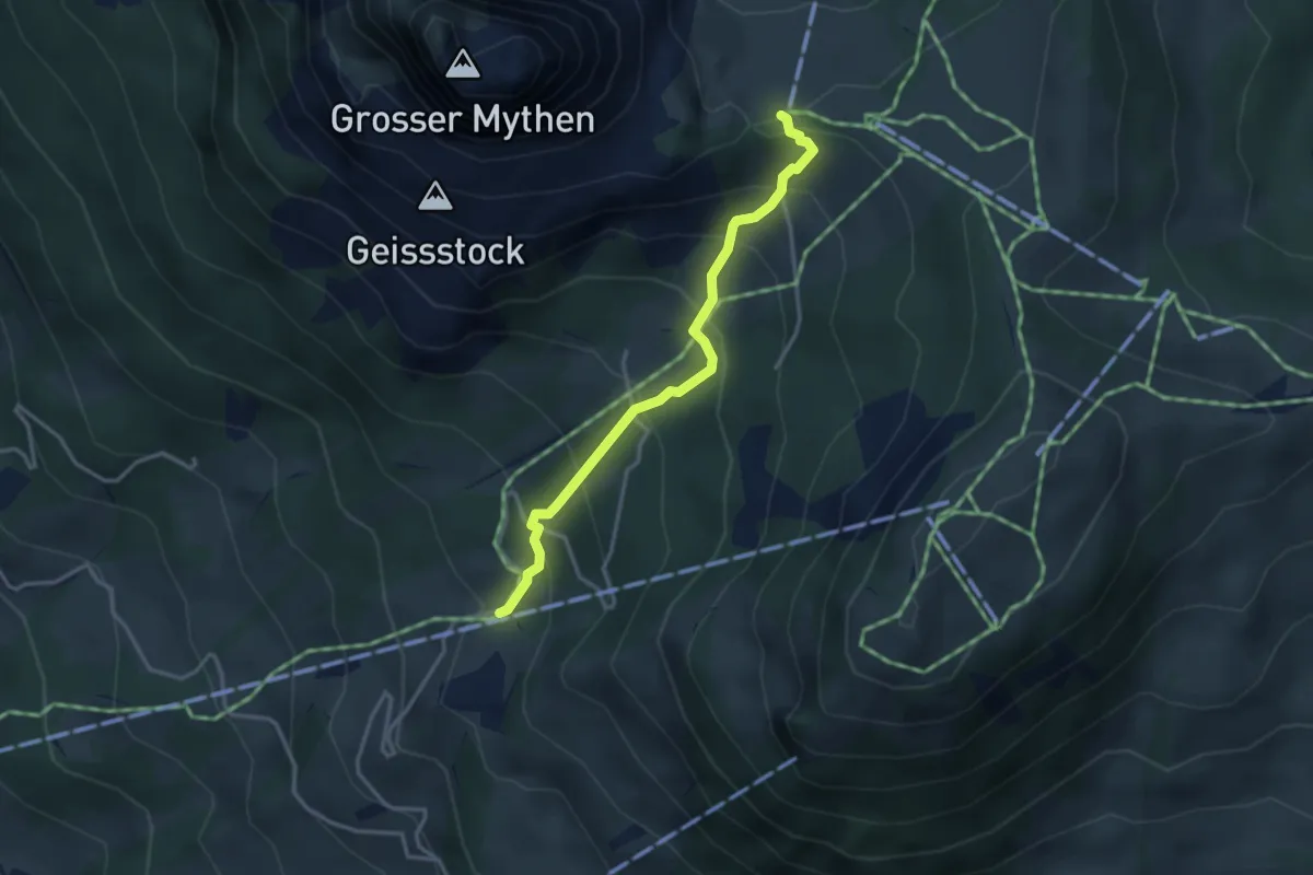
Rätigs – Rotenflue
5.2 km · ↑ 519 m · 2 h 21 min · 13 km away
Medium · Trail
Rätigs – Holzegg
3.2 km · ↑ 325 m · 1 h 27 min · 13 km away
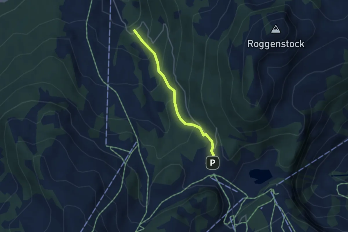
Easy · Trail
Fuederegg – Chäswald
2.8 km · ↑ 219 m · 1 h 8 min · 13 km away
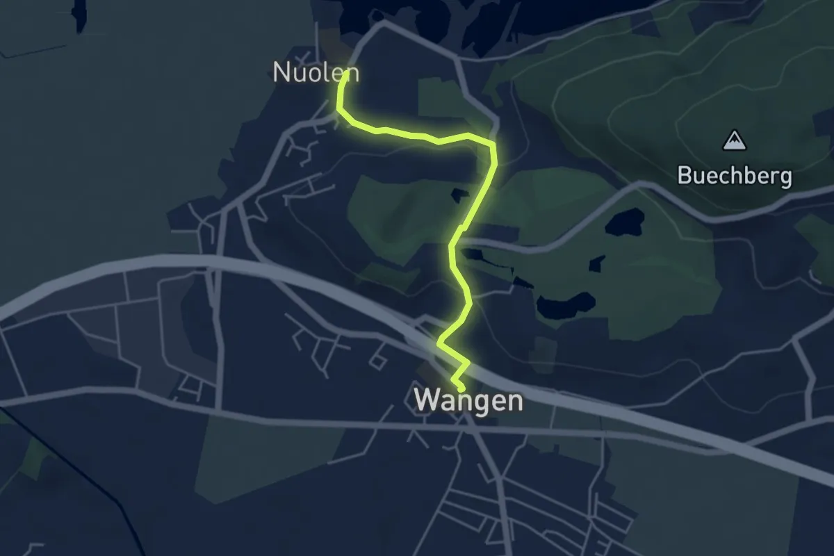
Easy · Trail
Wangen – Nuolen
3.8 km · ↑ 100 m · 1 h 7 min · 13 km away
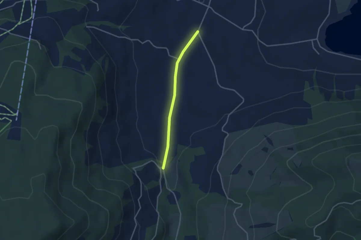
Easy · Trail
Rogeneubrücke – Egg Gatter
2.5 km · ↑ 36 m · 40 min · 13 km away
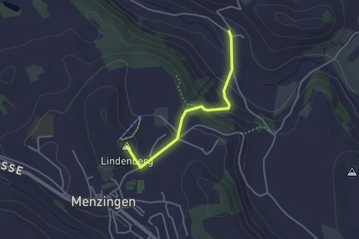
Easy · Summit
Winzwilen - Menzingen
2.7 km · ↑ 152 m · 57 min · 13 km away
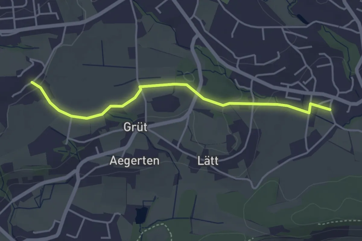
Easy · Trail
Widmen - Langenriet
3.8 km · ↑ 64 m · 1 h 2 min · 13 km away
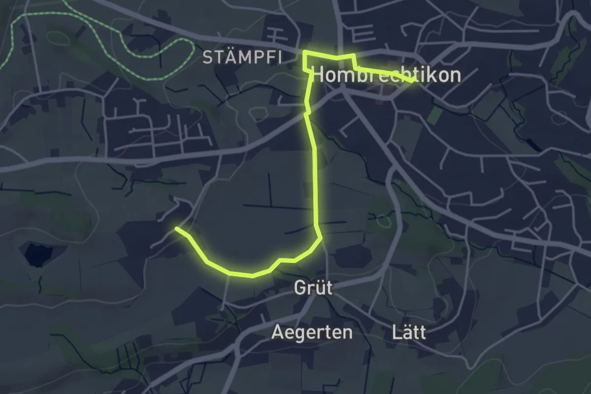
Easy · Trail
Hombrechtikon Post - Widmen
4.1 km · ↑ 46 m · 1 h 4 min · 13 km away
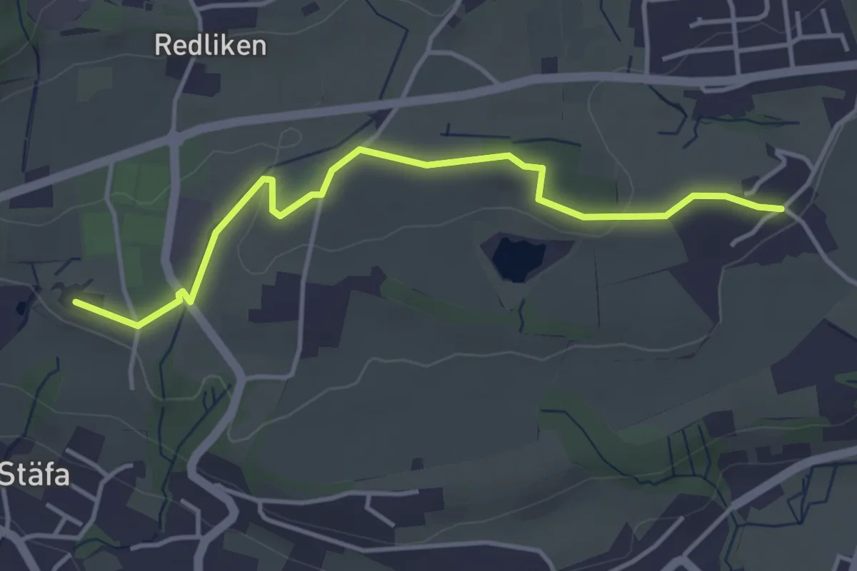
Easy · Trail
Frohberg - Widmen
4.0 km · ↑ 54 m · 1 h 4 min · 13 km away
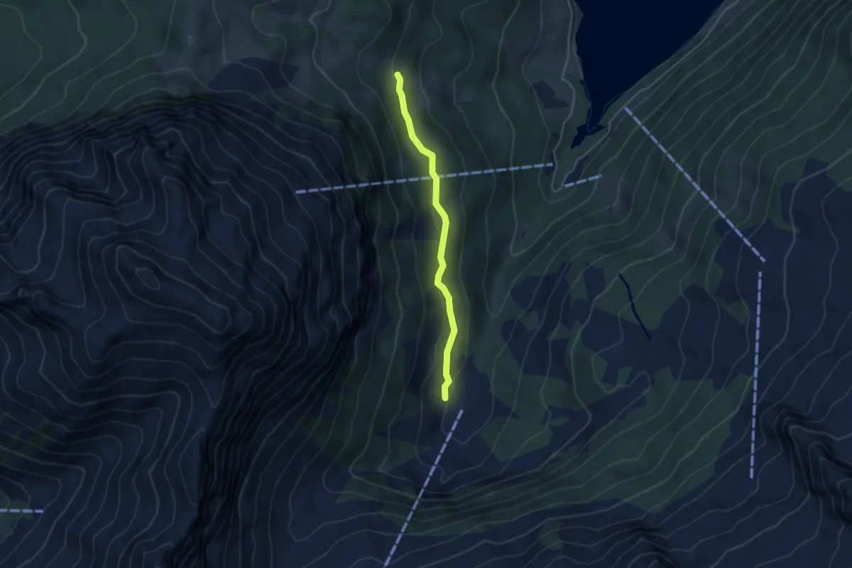
Medium · Trail
Aberen (West) – ?
3.6 km · ↑ 144 m · 1 h 10 min · 13 km away
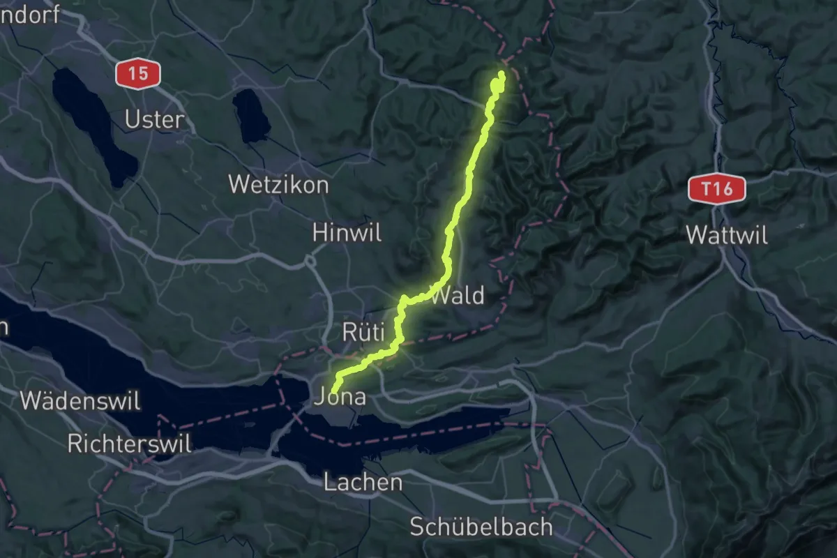
Demanding · Summit
ViaJacobi
47.8 km · ↑ 1417 m · 14 h 21 min · 13 km away
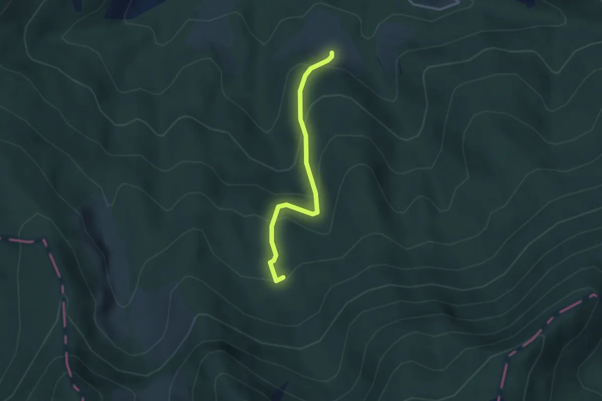
Easy · Trail
Urzlenboden - Fang
2.8 km · ↑ 262 m · 1 h 14 min · 13 km away
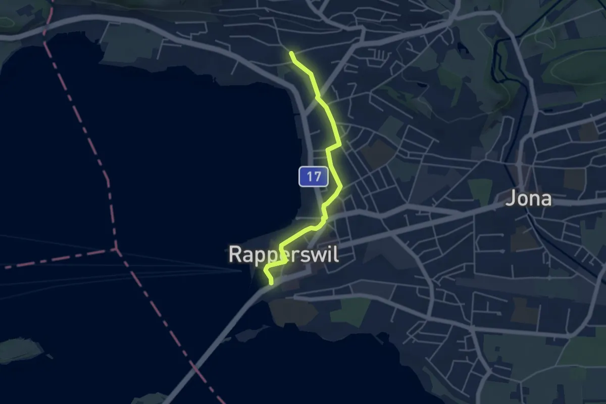
Easy · Trail
Fluh – Verkehrsbüro
4.0 km · ↑ 28 m · 1 h 1 min · 13 km away
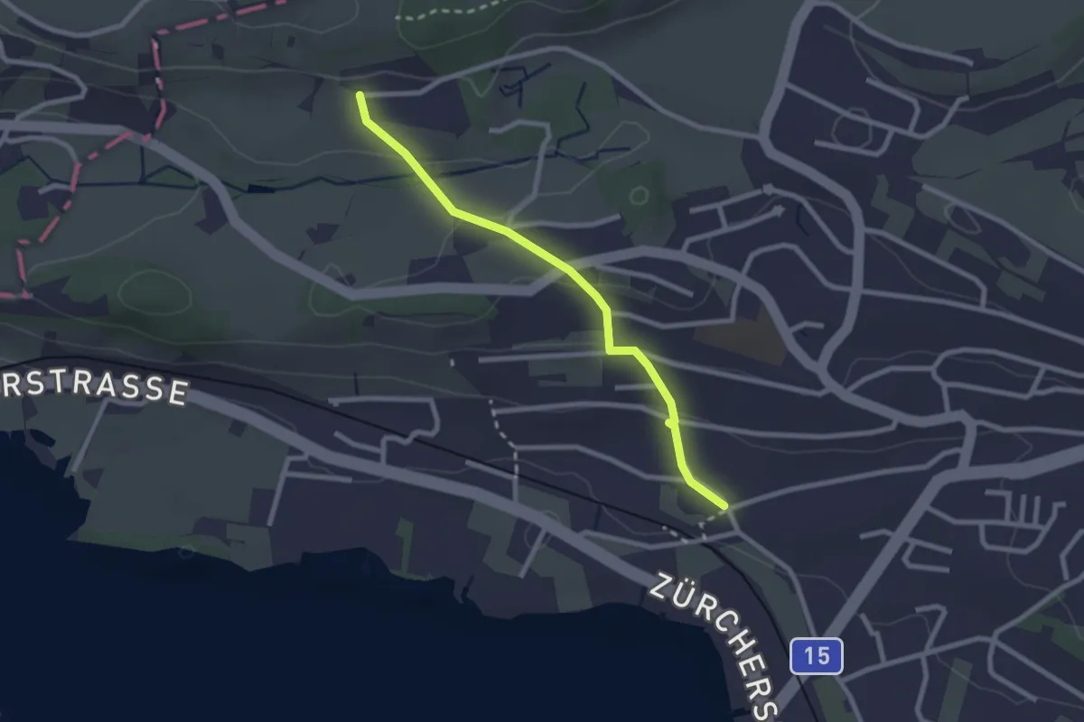
Easy · Trail
Fluh – Balm
2.3 km · ↑ 80 m · 43 min · 13 km away
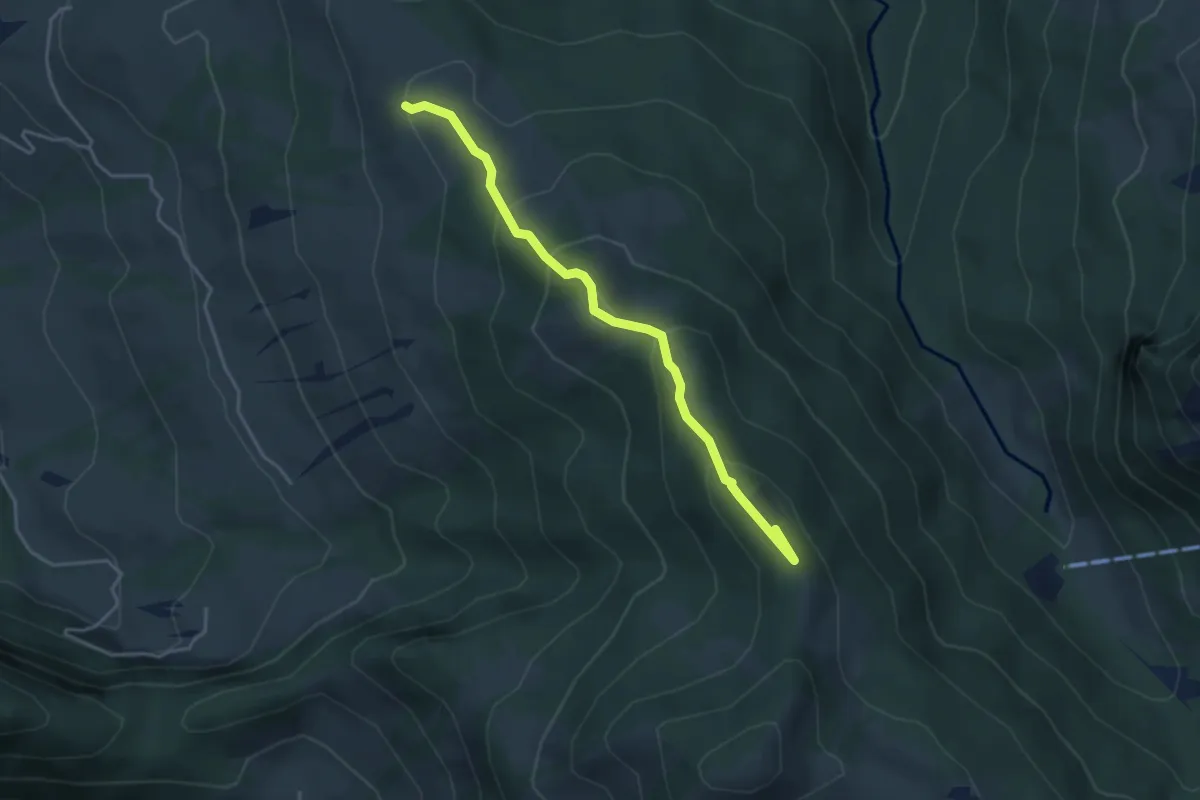
Medium · Summit
Rötstock – Schwarzenegghöchi
3.9 km · ↑ 225 m · 1 h 25 min · 13 km away
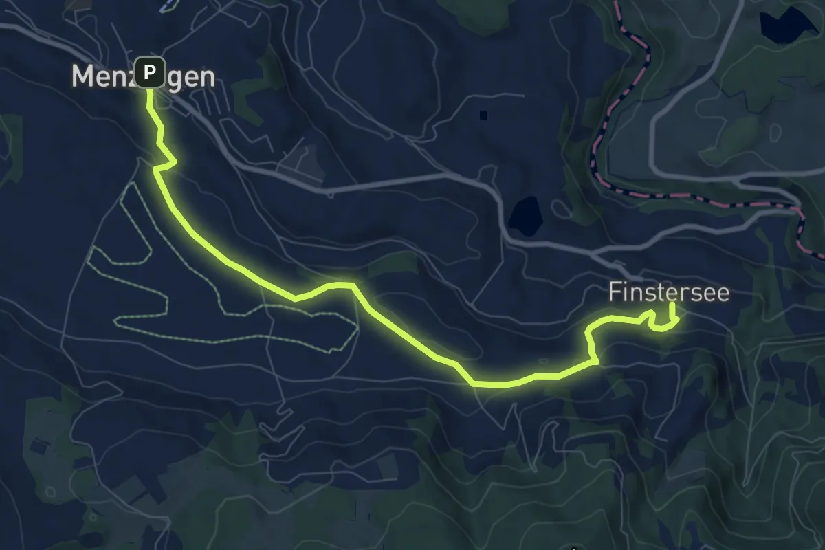
Medium · Trail
Menzingen - Finstersee
9.4 km · ↑ 171 m · 2 h 36 min · 13 km away
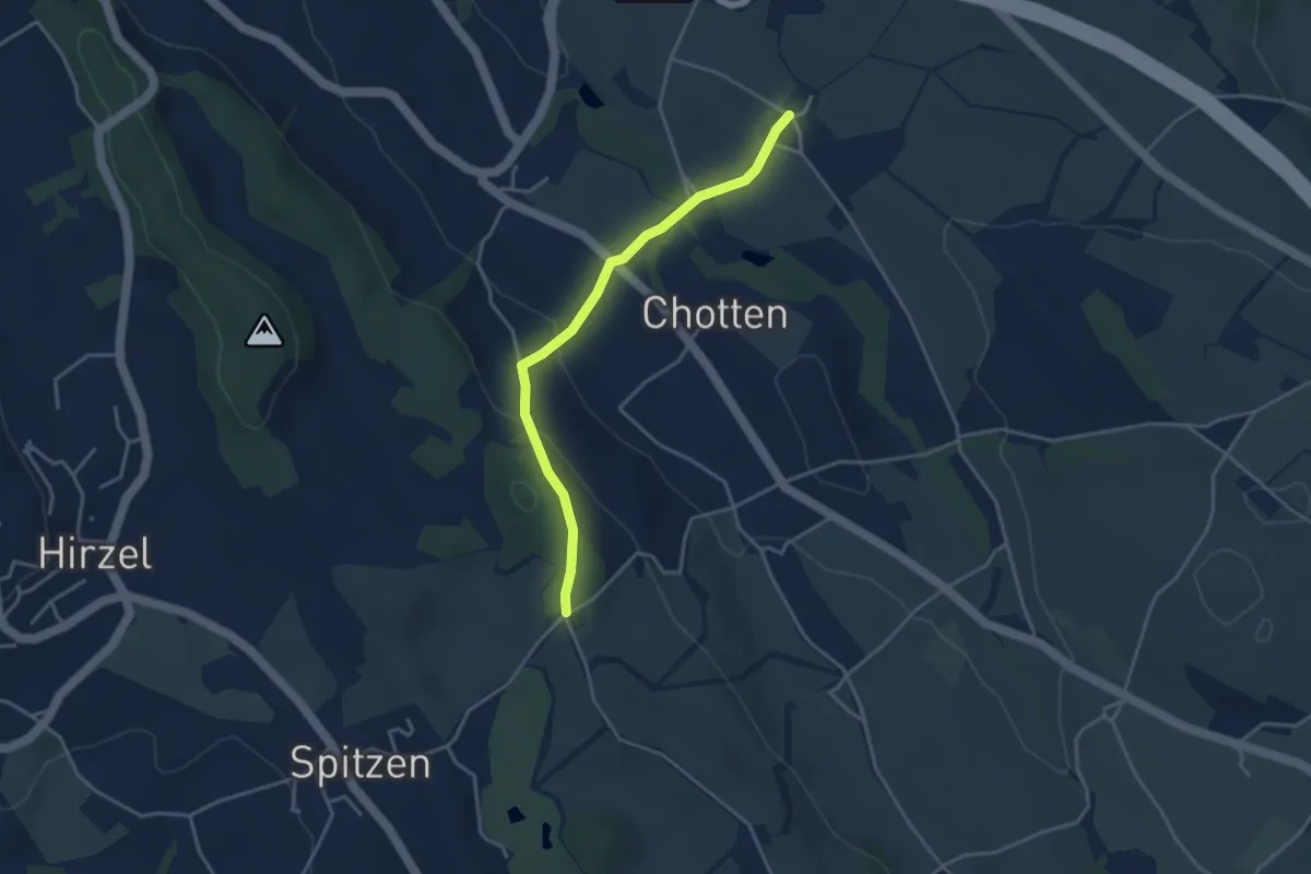
Easy · Trail
Stocken – Schlieregg
3.5 km · ↑ 128 m · 1 h 6 min · 13 km away
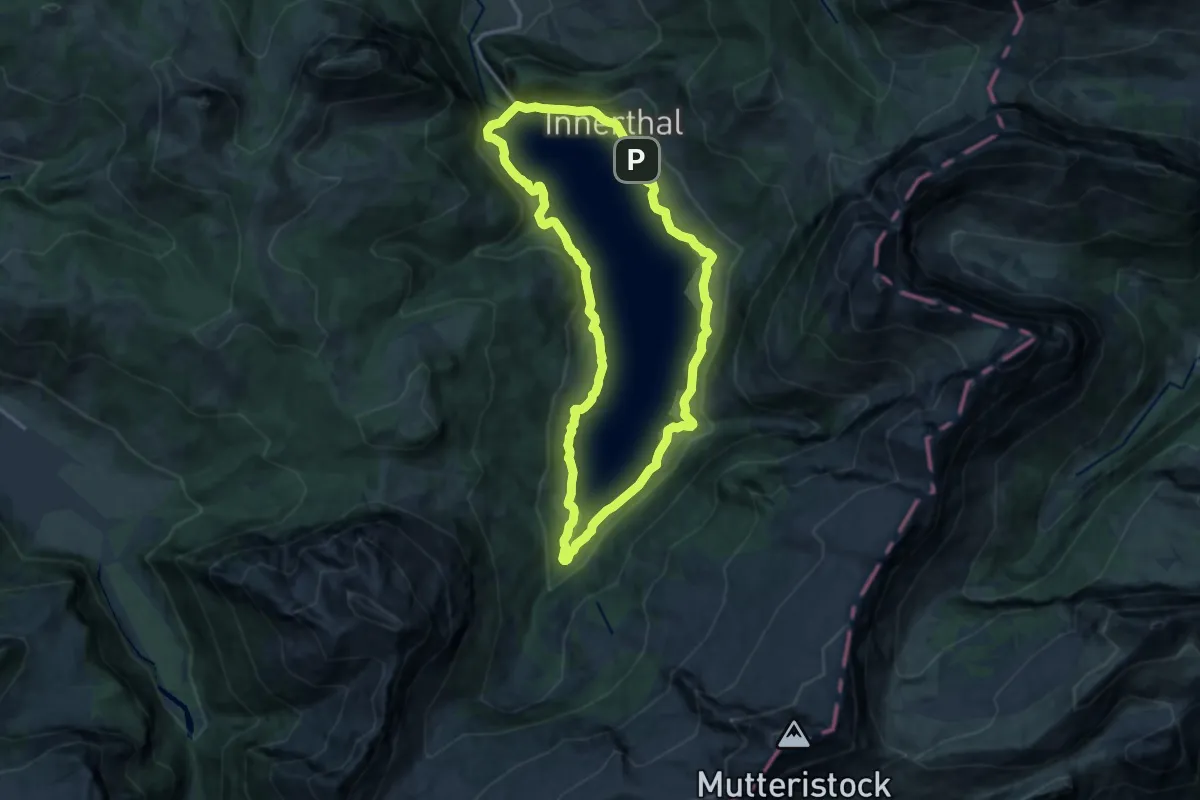
Medium · Trail
Rundgang Wägitalersee
12.7 km · ↑ 399 m · 4 h 2 min · 13 km away