Trails near Emmen
599 hikes starting within 15 km, nearest first.
Nearest first, page 10 of 13
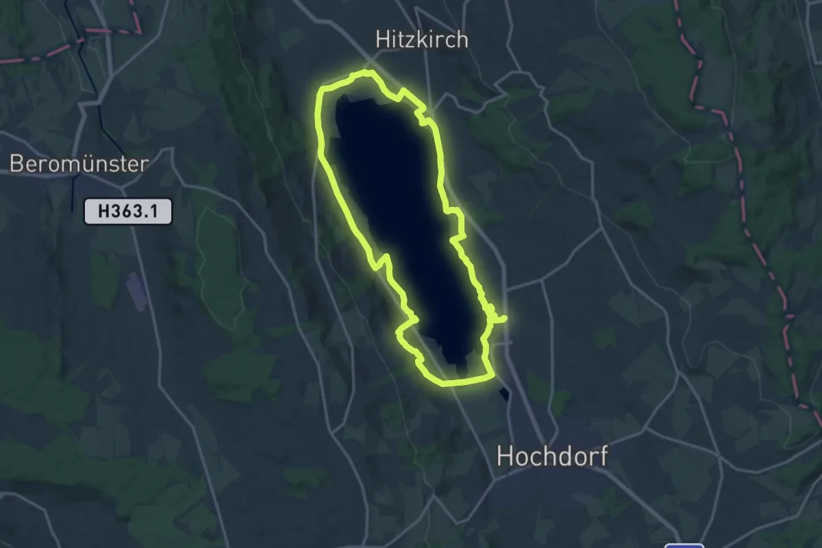
Demanding · Trail
Seeuferweg Baldeggersee
29.2 km · ↑ 256 m · 7 h 27 min · 12 km away
Easy · Trail
Weggis - Zopf
3.0 km · ↑ 77 m · 53 min · 12 km away
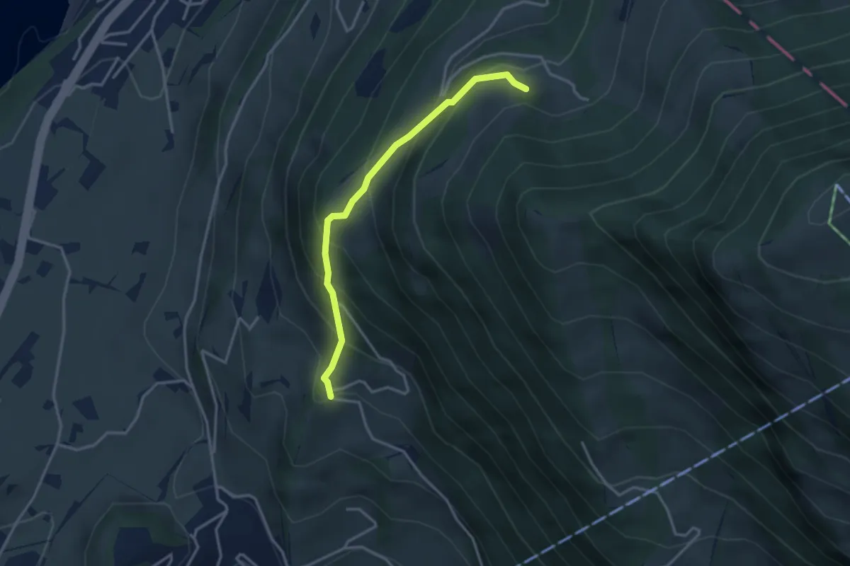
Medium · Trail
Tannenberg – Bergli
3.0 km · ↑ 328 m · 1 h 25 min · 12 km away
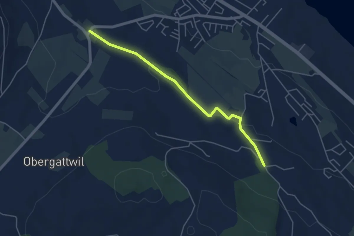
Easy · Trail
Bachtalen - Büel
4.0 km · ↑ 48 m · 1 h 3 min · 12 km away
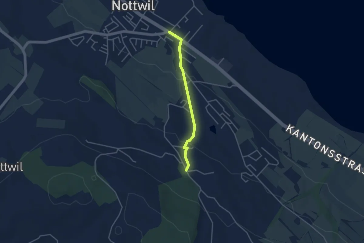
Easy · Trail
Nottwil - Bachtalen
2.7 km · ↑ 95 m · 51 min · 12 km away
Easy · Trail
Steinweid - Huprächigen
2.3 km · ↑ 48 m · 39 min · 12 km away
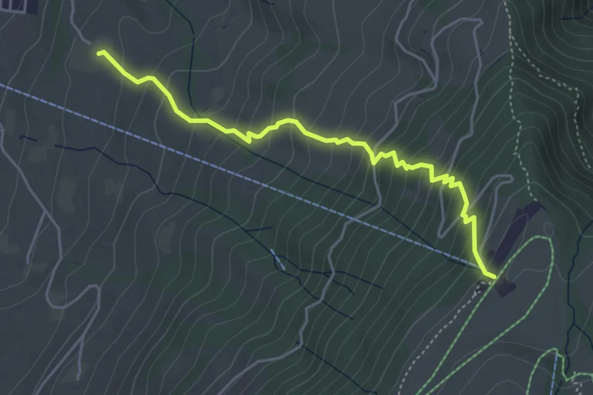
Medium · Trail
Alpenhof – Seebodenalp
4.4 km · ↑ 463 m · 2 h 2 min · 12 km away
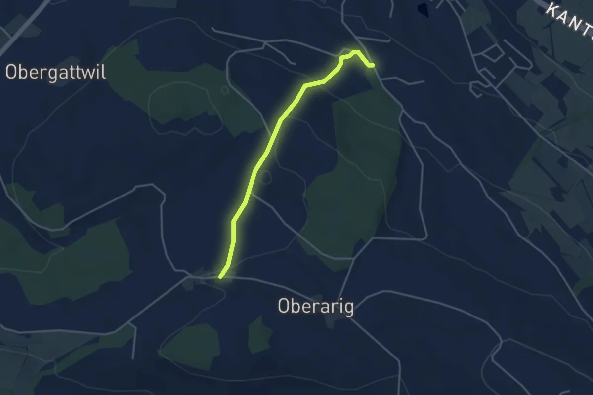
Easy · Trail
Bernern - Mittelarig
3.2 km · ↑ 104 m · 59 min · 12 km away
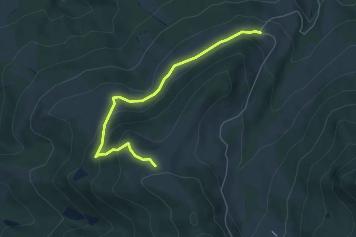
Medium · Trail
Gustihütten - Chridegg
4.6 km · ↑ 216 m · 1 h 34 min · 12 km away
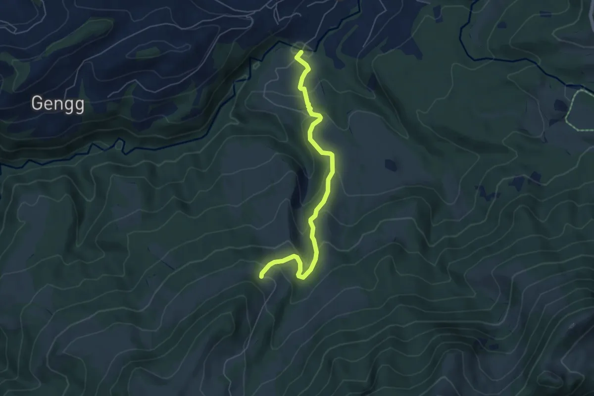
Medium · Trail
Bömmerenbrücke – Gustihütten
5.5 km · ↑ 343 m · 2 h 3 min · 12 km away
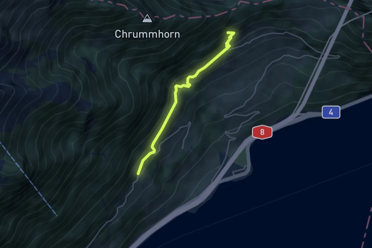
Medium · Trail
Grossrüti – Renggwald
3.6 km · ↑ 339 m · 1 h 36 min · 12 km away
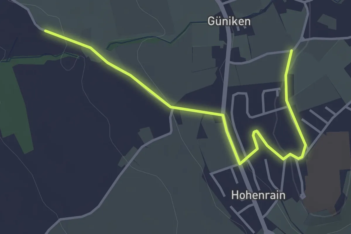
Easy · Trail
Güniken - Hohenrain
3.7 km · ↑ 81 m · 1 h 3 min · 12 km away
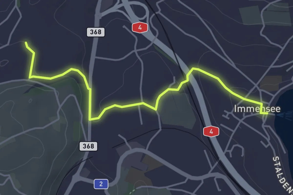
Easy · Trail
Immensee – St. Martin
4.3 km · ↑ 109 m · 1 h 16 min · 12 km away
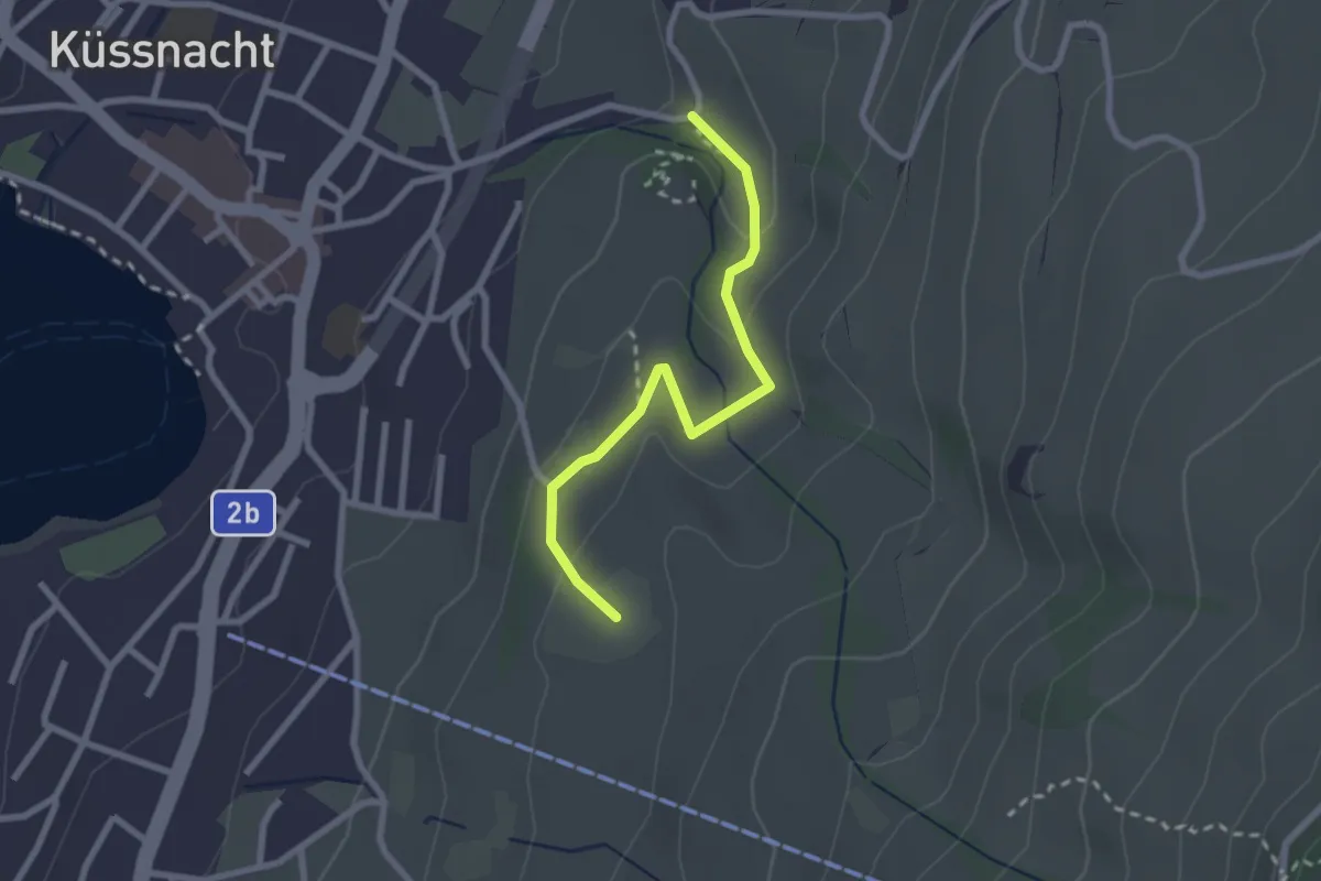
Easy · Trail
Gesslerber-Alpenhof
2.4 km · ↑ 89 m · 45 min · 13 km away
Medium · Trail
Greppen Rundwanderung
7.6 km · ↑ 395 m · 2 h 45 min · 13 km away
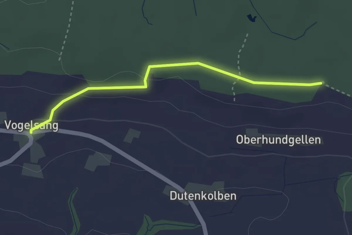
Easy · Trail
Morentaler Wald - Vogelsang
2.8 km · ↑ 54 m · 47 min · 13 km away
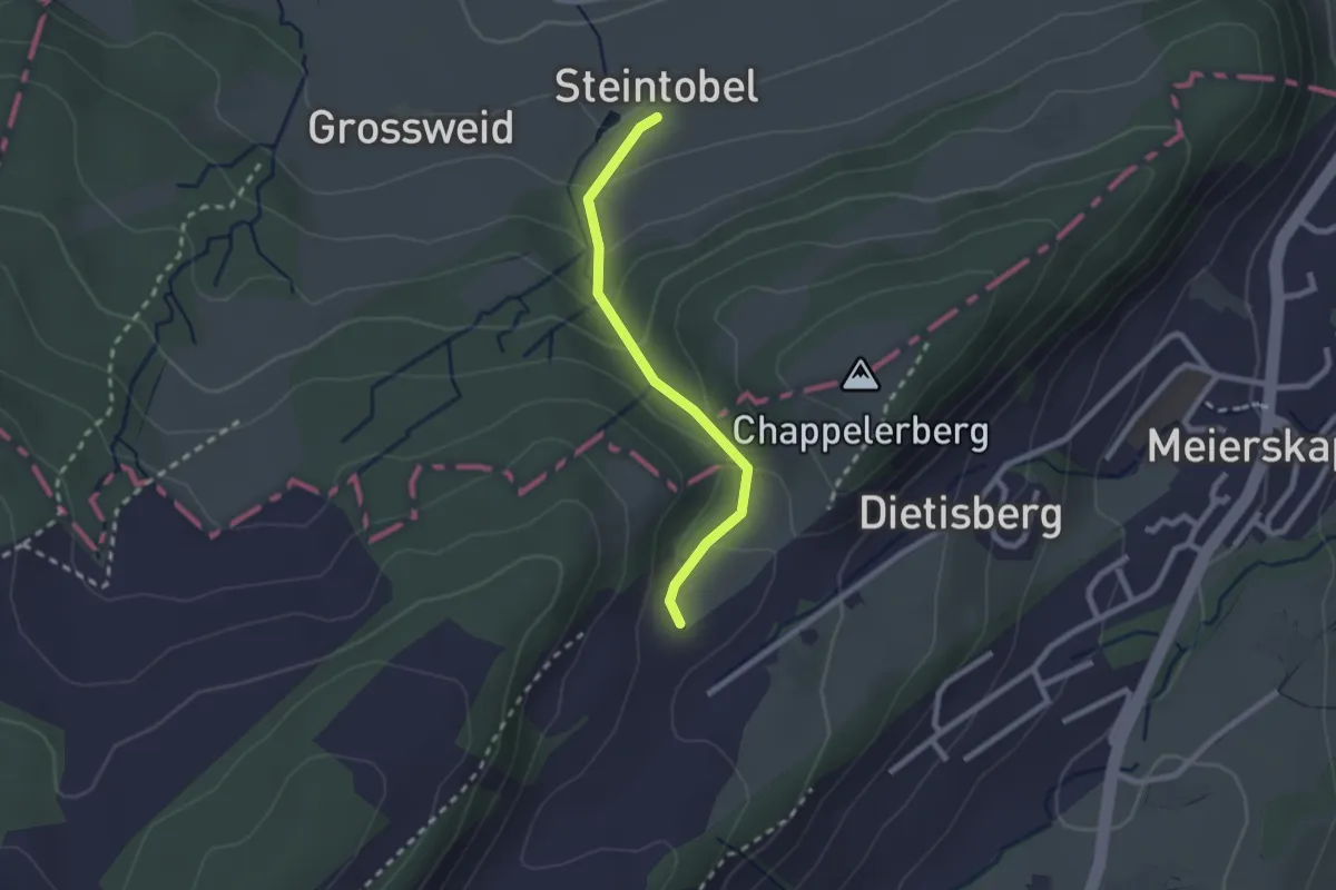
Easy · Trail
Steintobel - Obertal
2.0 km · ↑ 124 m · 45 min · 13 km away
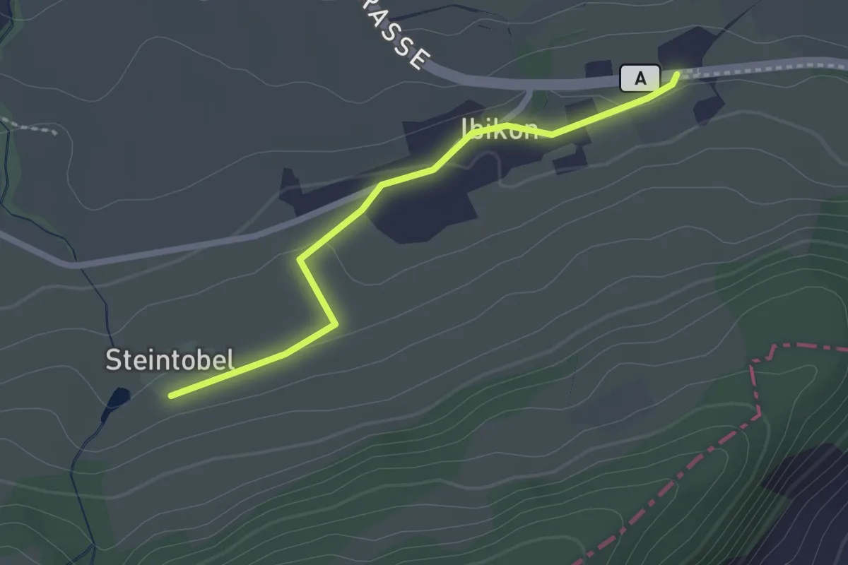
Easy · Trail
Ibikon - Steintobel
2.0 km · ↑ 38 m · 34 min · 13 km away
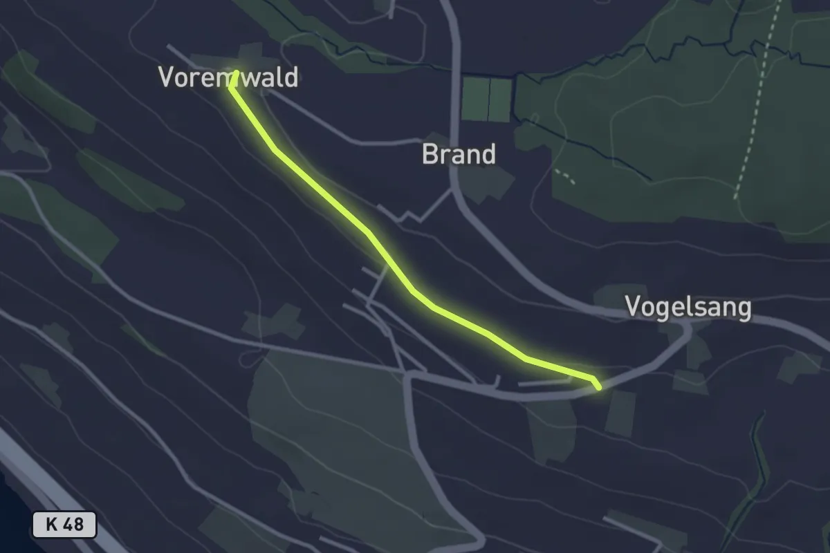
Easy · Trail
Eichberg - Voremwald
2.6 km · ↑ 26 m · 40 min · 13 km away
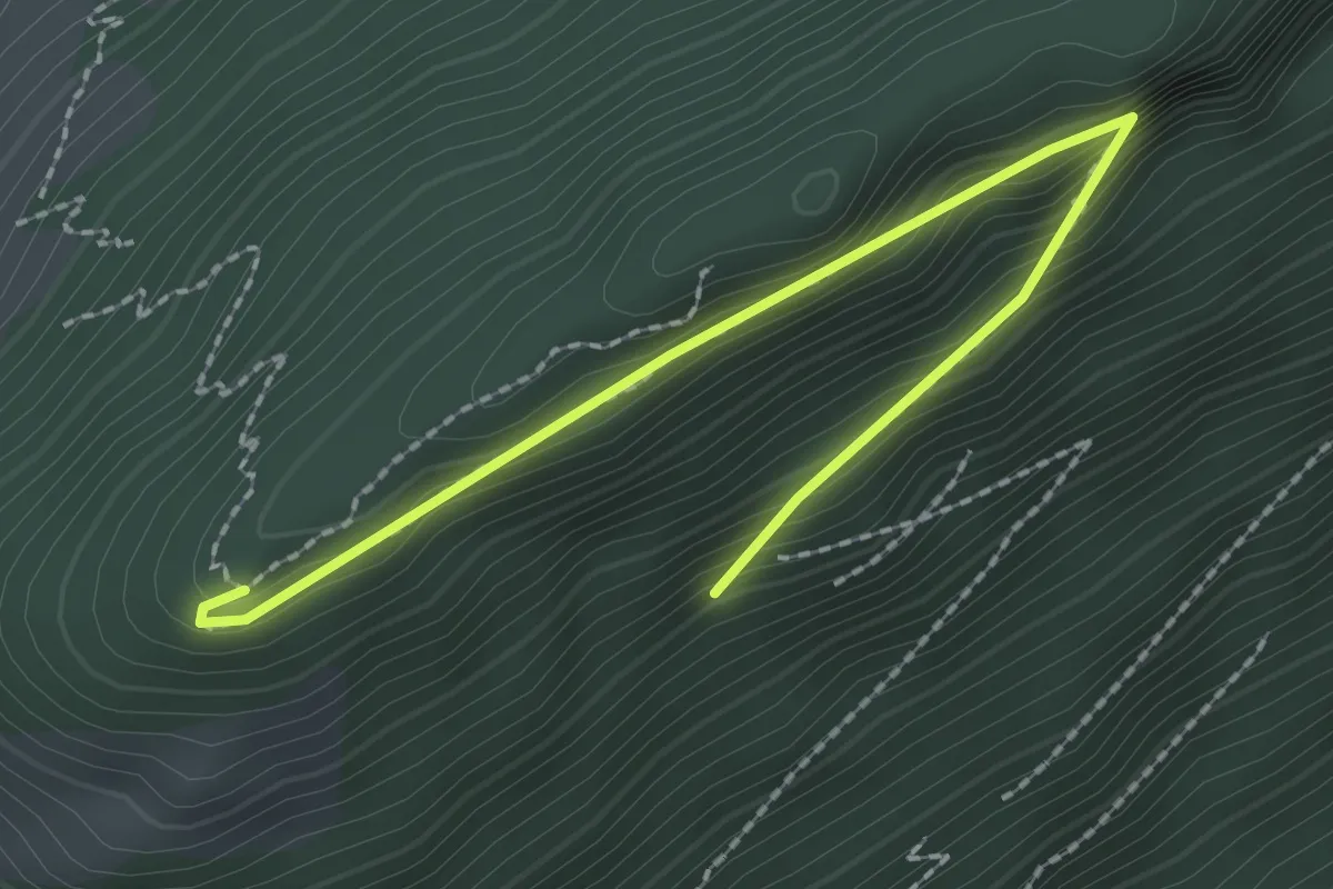
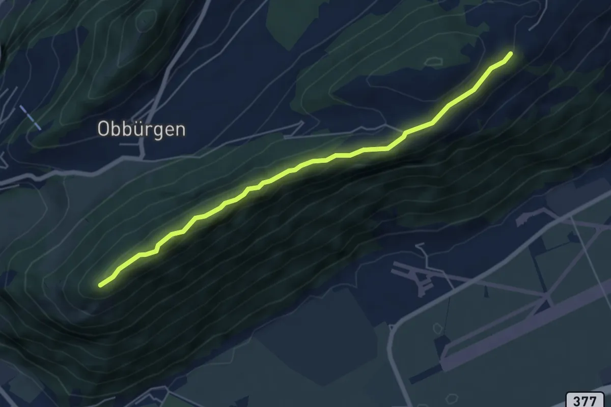
Easy · Trail
Bürgenberg – Seewligrat
2.5 km · ↑ 128 m · 52 min · 13 km away
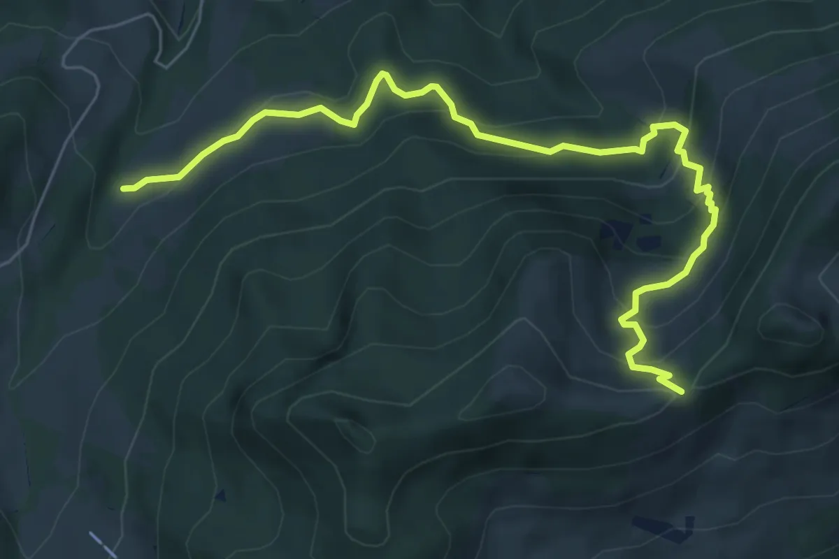
Easy · Trail
Ätschenried – Seewligrat
5.6 km · ↑ 217 m · 1 h 47 min · 13 km away
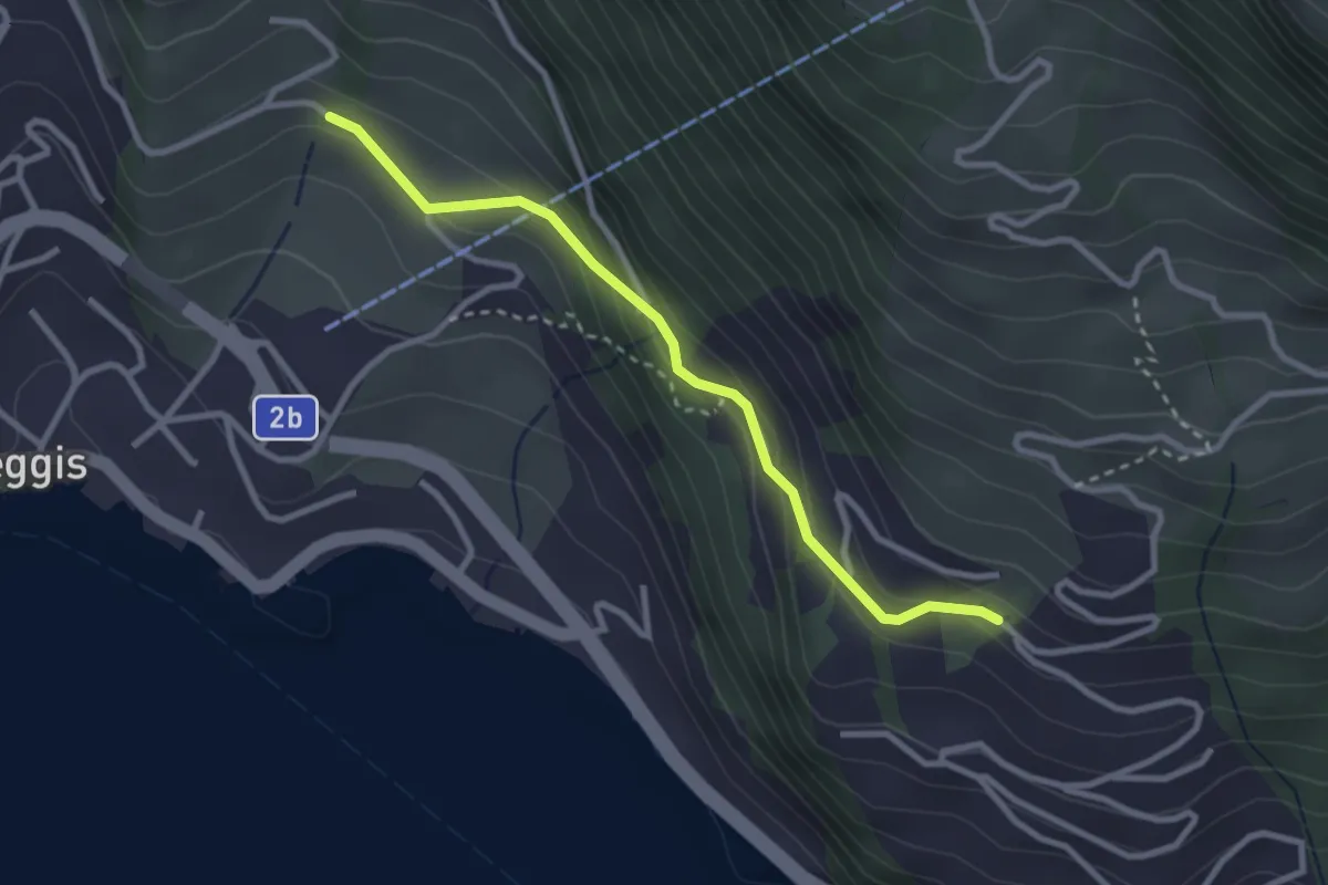
Medium · Trail
Mülimoos Sattel (Pt 1508) – Grünenwald (Pt 1077)
7.1 km · ↑ 485 m · 2 h 43 min · 13 km away
Easy · Trail
Gribsch – Bodenberg
2.8 km · ↑ 144 m · 58 min · 13 km away
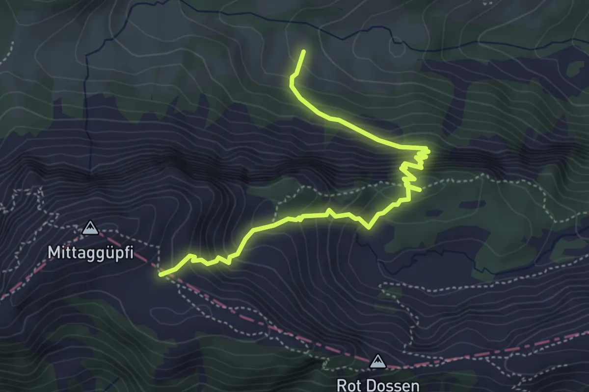
Medium · Trail
Stafel - Oberalp - 1805
5.1 km · ↑ 584 m · 2 h 27 min · 13 km away
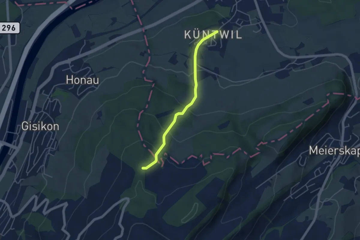
Easy · Trail
Chünten - Mittler Sonderi
3.7 km · ↑ 221 m · 1 h 21 min · 13 km away
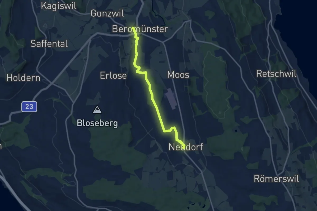
Medium · Trail
Neudorf - Beromünster
9.3 km · ↑ 65 m · 2 h 20 min · 13 km away
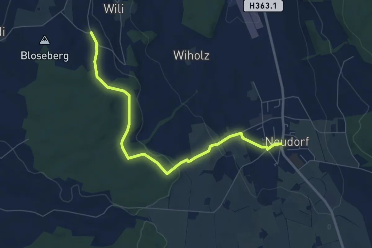
Easy · Trail
Neudorf - Unter Blosenberg
7.0 km · ↑ 118 m · 1 h 54 min · 13 km away
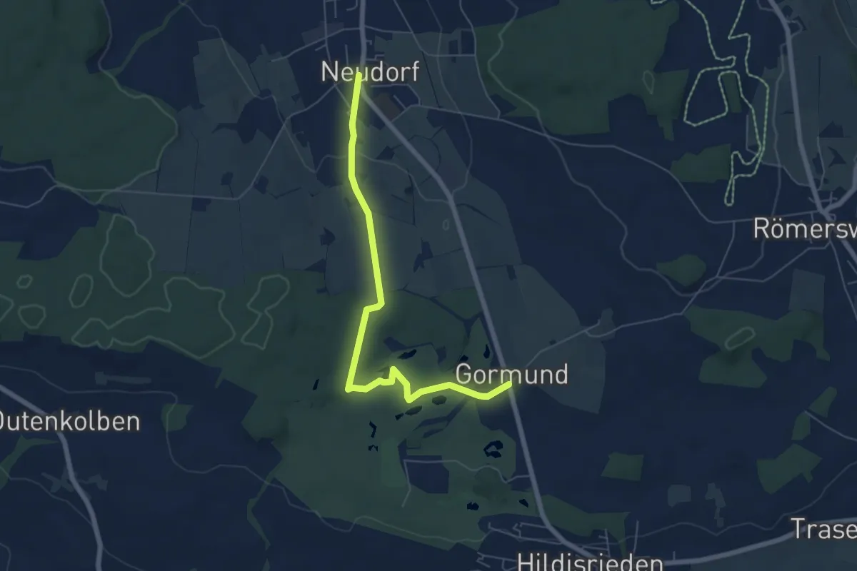
Easy · Trail
Gormund – Neudorf
6.2 km · ↑ 93 m · 1 h 40 min · 13 km away
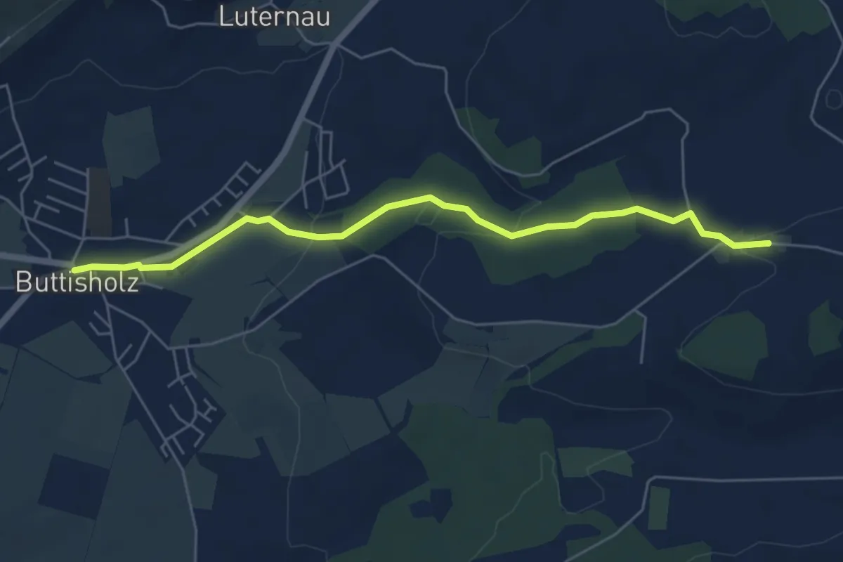
Easy · Trail
Mittelarig-Buttisholz
5.6 km · ↑ 132 m · 1 h 36 min · 13 km away
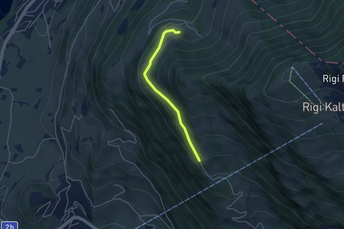
Easy · Trail
Bergli – Müseralp
3.1 km · ↑ 166 m · 1 h 5 min · 13 km away
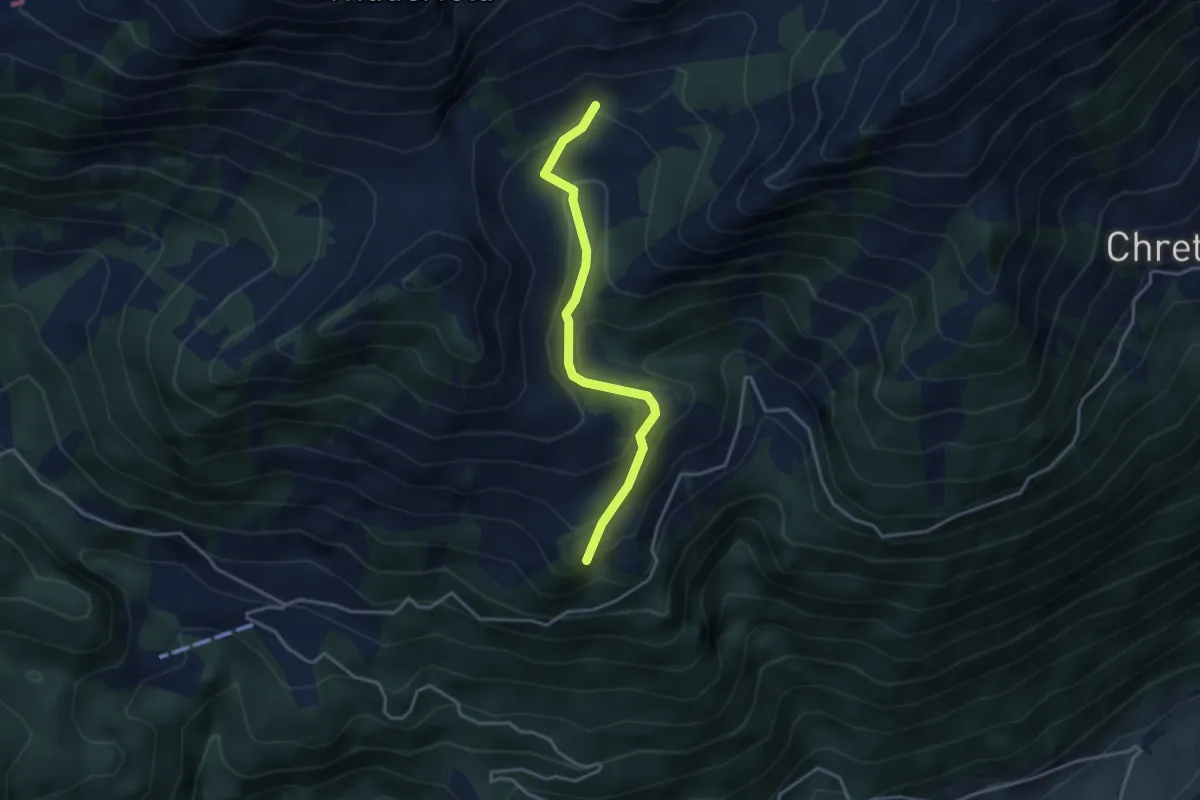
Easy · Trail
Fräkmünt - Langenmatt
3.3 km · ↑ 239 m · 1 h 18 min · 13 km away
Easy · Trail
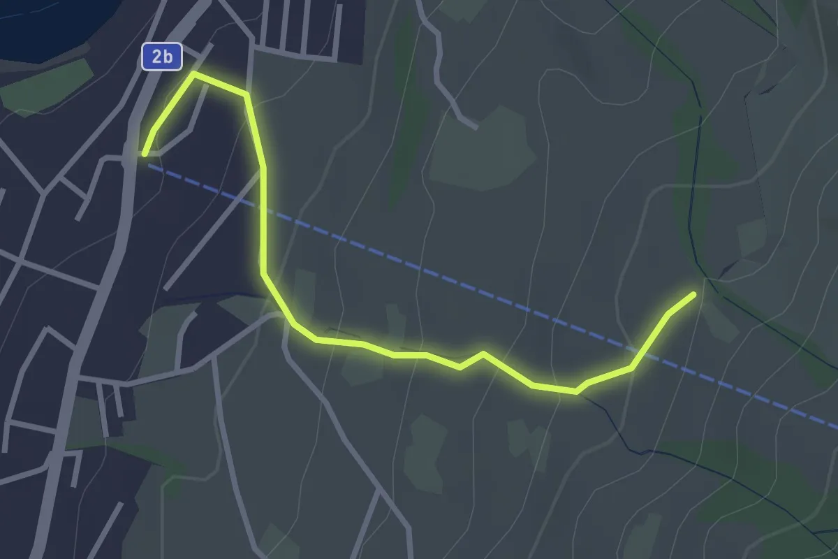
Sämpel – Talstation LKüS
2.8 km · ↑ 164 m · 1 h 1 min · 13 km away
Easy · Trail
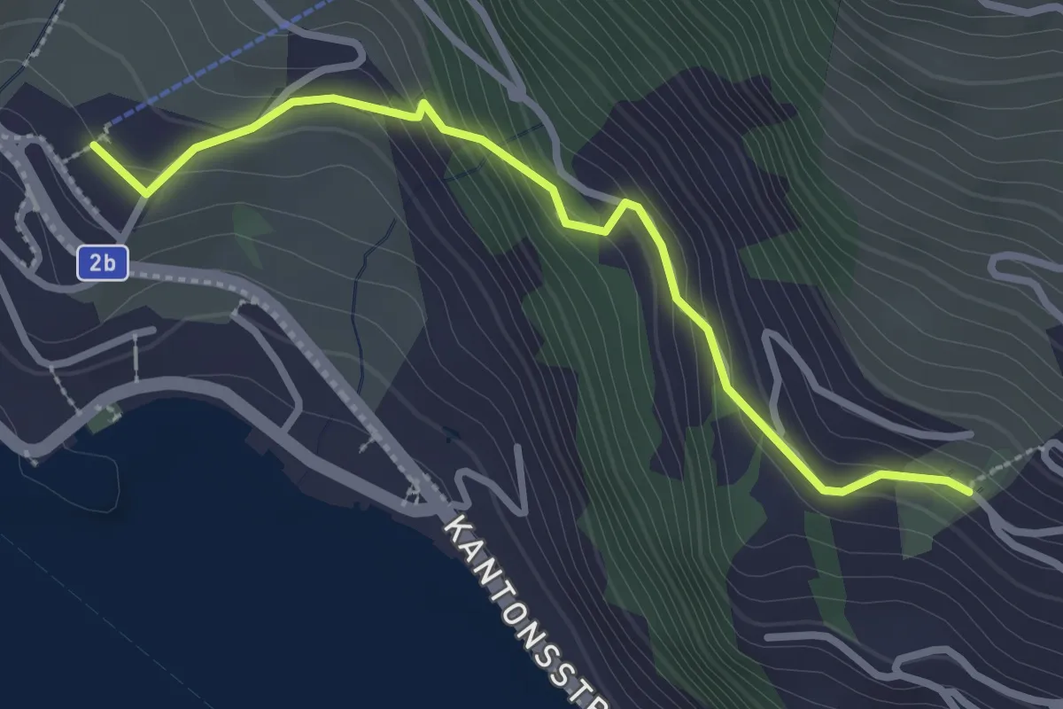
Weggis Luftseilbahn – Bodenberg
2.8 km · ↑ 203 m · 1 h 6 min · 13 km away
Medium · Trail
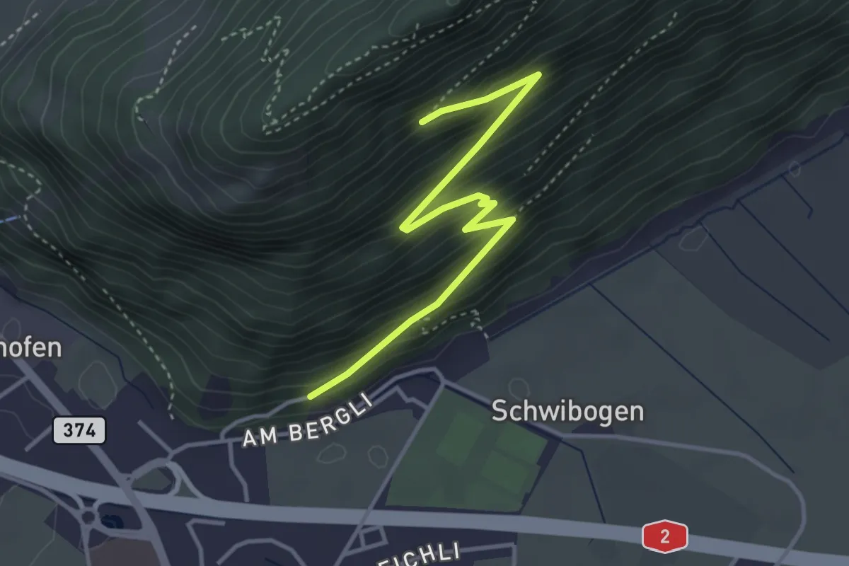
Bürgenberg - fixme
3.7 km · ↑ 351 m · 1 h 39 min · 13 km away
Easy · Trail
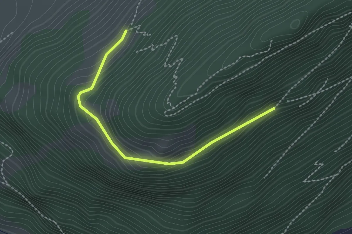
Bürgenberg – Seewliweid
2.2 km · ↑ 120 m · 47 min · 13 km away
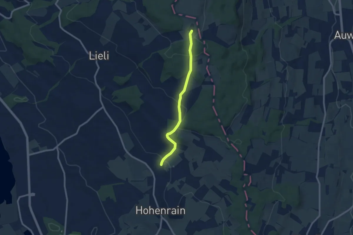
Easy · Trail
Güniken – Oberillau
6.1 km · ↑ 254 m · 2 h · 13 km away
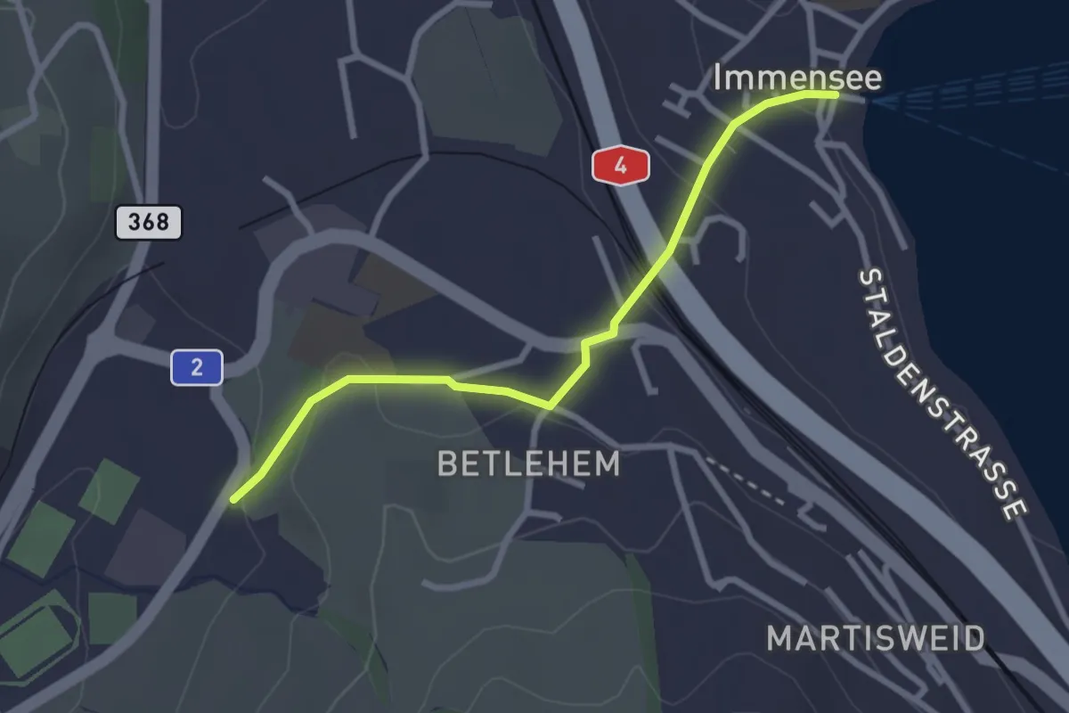
Easy · Trail
Hohle Gasse – Immensee
2.5 km · ↑ 67 m · 45 min · 13 km away
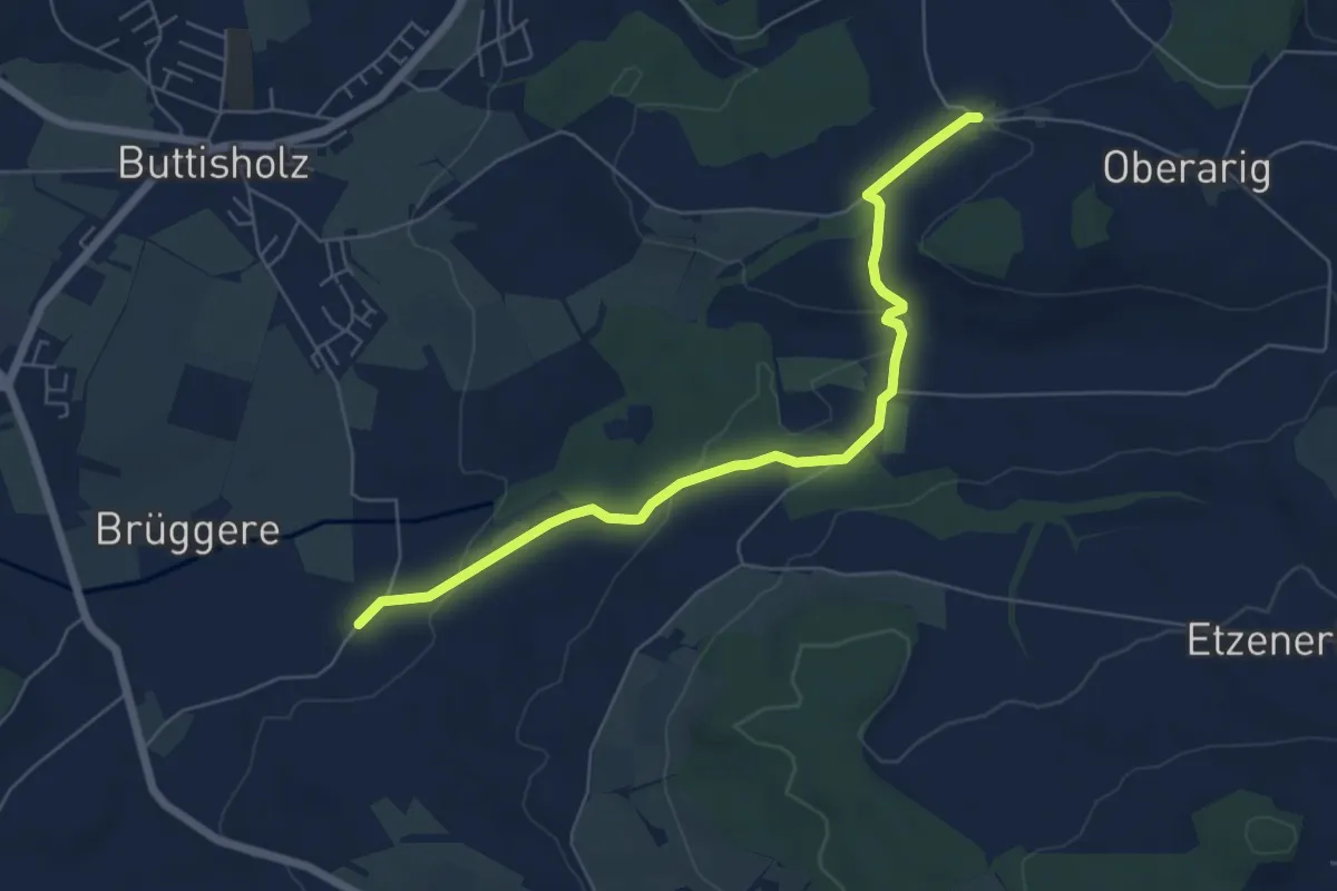
Easy · Trail
Mittelarig - St.Ottilien
6.3 km · ↑ 122 m · 1 h 45 min · 13 km away
Easy · Trail
Unterebersol - Ferren
5.7 km · ↑ 55 m · 1 h 28 min · 13 km away
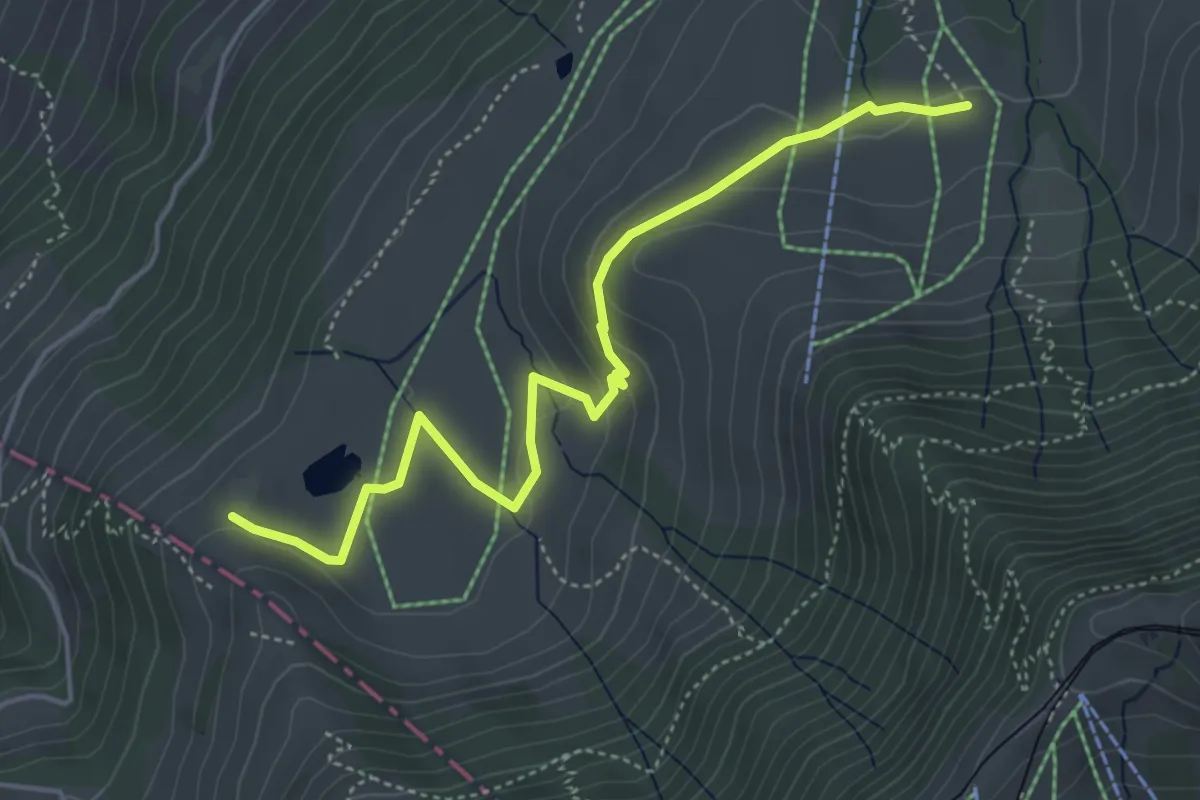
Easy · Trail
Altruodisegg – Holderen
4.9 km · ↑ 168 m · 1 h 32 min · 13 km away
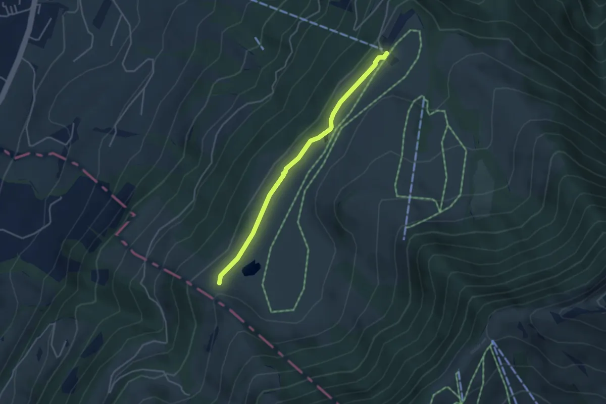
Easy · Trail
Schluchegg – Seebodenalp
3.6 km · ↑ 65 m · 59 min · 13 km away
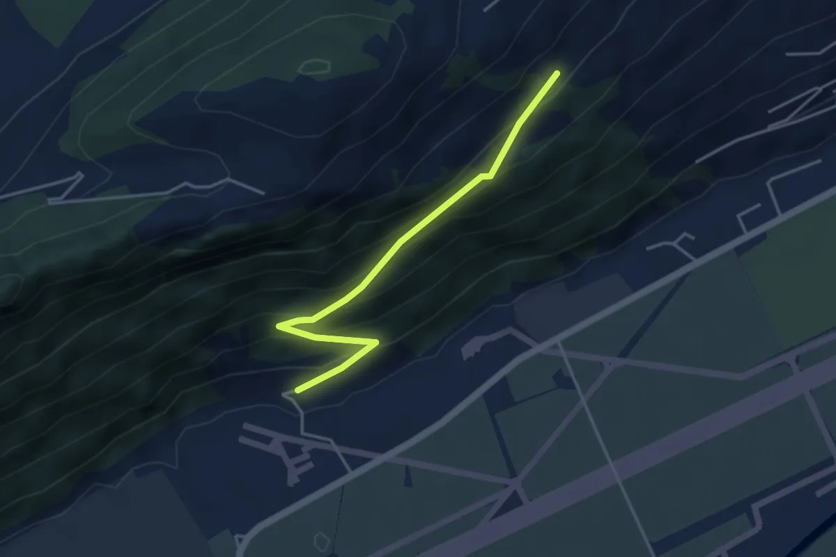
Easy · Trail
Ätschenried – Pilatuswerke
3.7 km · ↑ 296 m · 1 h 31 min · 13 km away
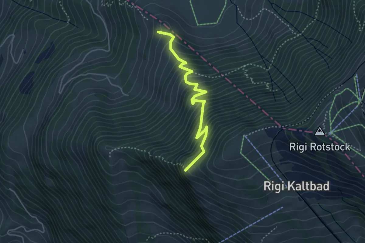
Medium · Trail
Chänzeli – Räbalp
3.6 km · ↑ 447 m · 1 h 49 min · 13 km away
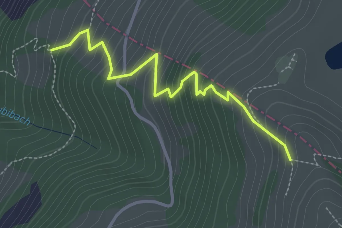
Medium · Trail
Räbalp – Rüti
2.6 km · ↑ 298 m · 1 h 16 min · 13 km away
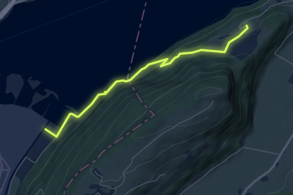
Medium · Trail
Eichiried - Oberrüti
5.9 km · ↑ 437 m · 2 h 21 min · 13 km away
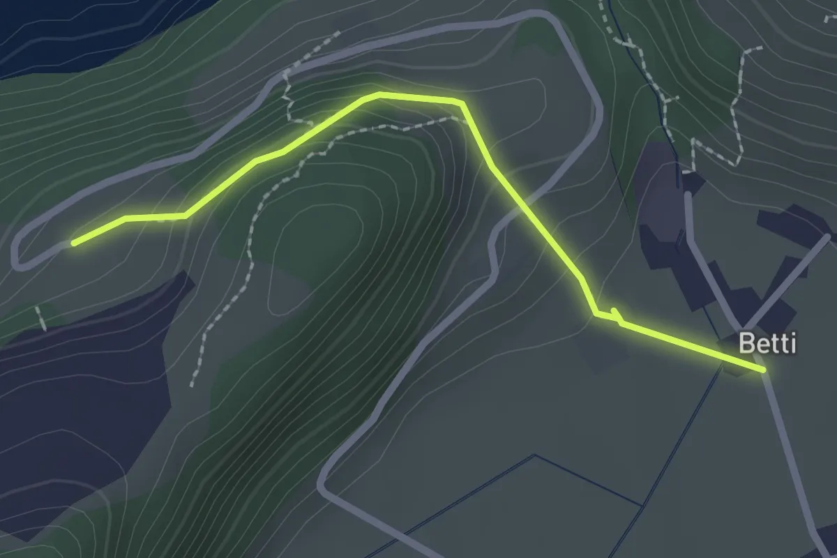
Easy · Trail
Betti - Oberrüti
2.1 km · ↑ 81 m · 41 min · 13 km away
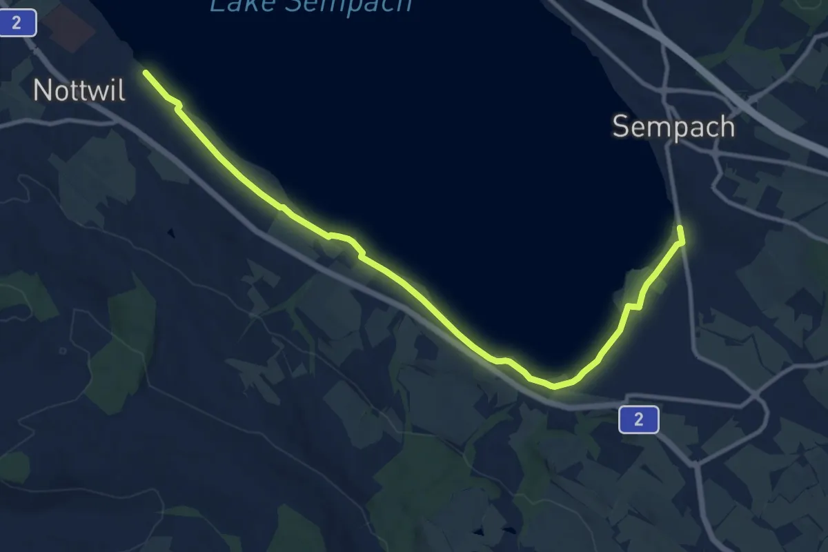
Medium · Trail
Nottwil – Sempach (Vogelwarte)
11.6 km · ↑ 41 m · 2 h 49 min · 13 km away
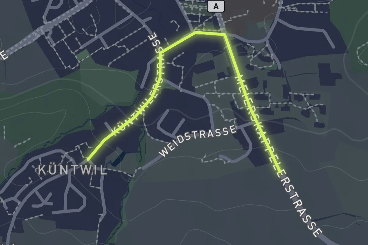
Easy · Trail
Rotkreuz - Chüntwil
2.1 km · ↑ 52 m · 36 min · 13 km away