Trails near Emmen
599 hikes starting within 15 km, nearest first.
Nearest first, page 11 of 13
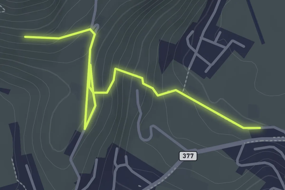
Easy · Trail
Lewengrueben - Burg
3.3 km · ↑ 150 m · 1 h 6 min · 13 km away
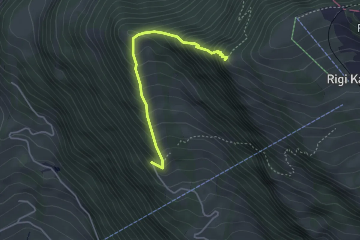
Demanding · Trail
Müseralp – Chänzeli
3.1 km · ↑ 409 m · 1 h 37 min · 13 km away
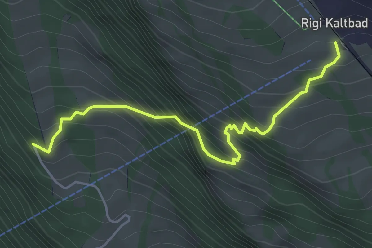
Demanding · Trail
Rigi Kaltbad – Müseralp
4.0 km · ↑ 480 m · 1 h 59 min · 13 km away
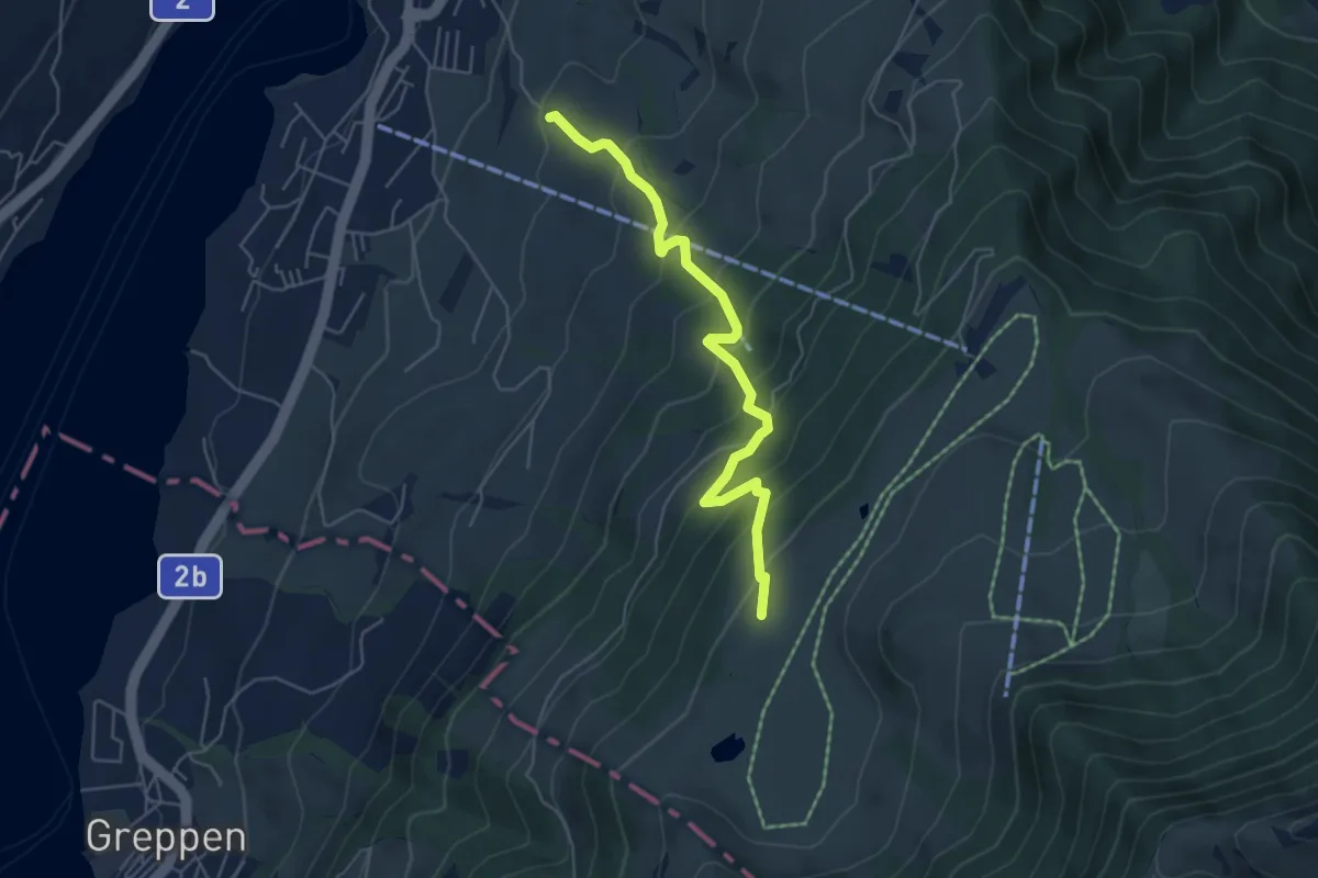
Medium · Trail
Alpenhof-Schluchegg
5.3 km · ↑ 495 m · 2 h 19 min · 13 km away
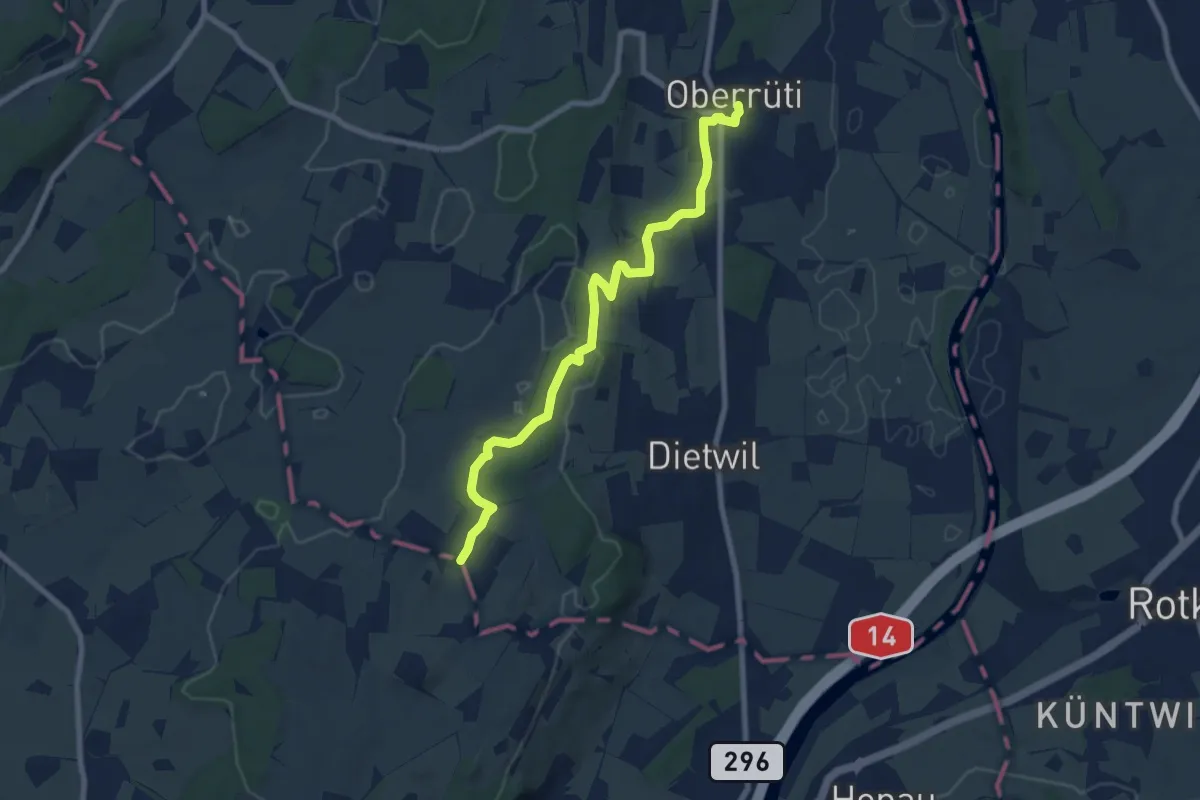
Medium · Trail
Oberrüti - Sulzberg
8.2 km · ↑ 132 m · 2 h 13 min · 13 km away
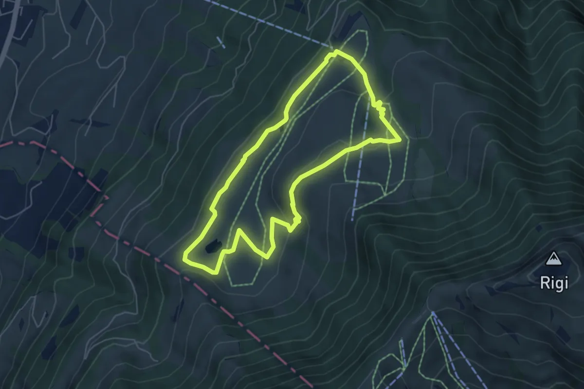
Easy · Trail
Panoramarundweg (Seebodenalp - Altruodisegg - Holderen - Seebodenalp)
5.1 km · ↑ 168 m · 1 h 39 min · 13 km away
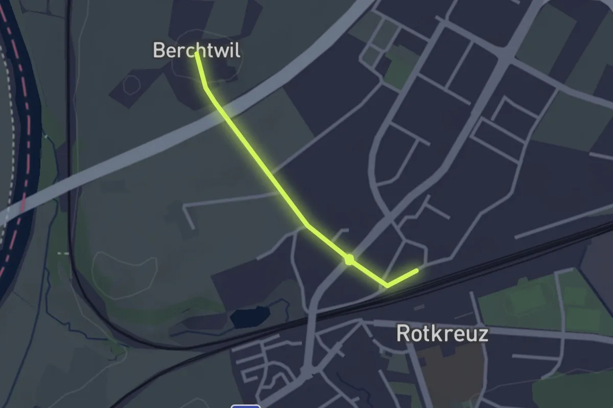
Easy · Trail
Rotkreuz - Berchtwil
2.2 km · ↑ 19 m · 33 min · 13 km away
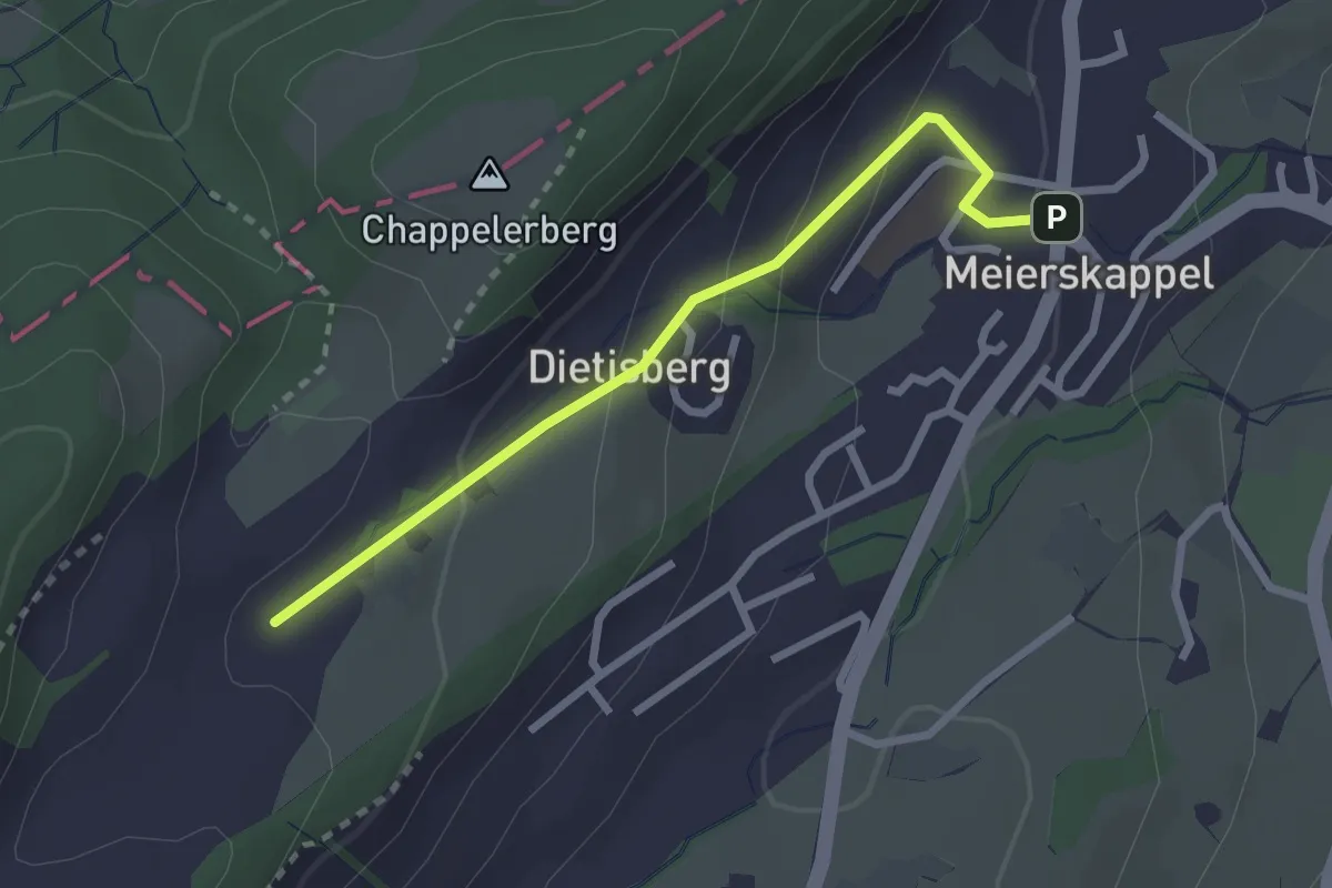
Easy · Trail
Meierskappel-Oberstenhof
2.5 km · ↑ 116 m · 50 min · 13 km away
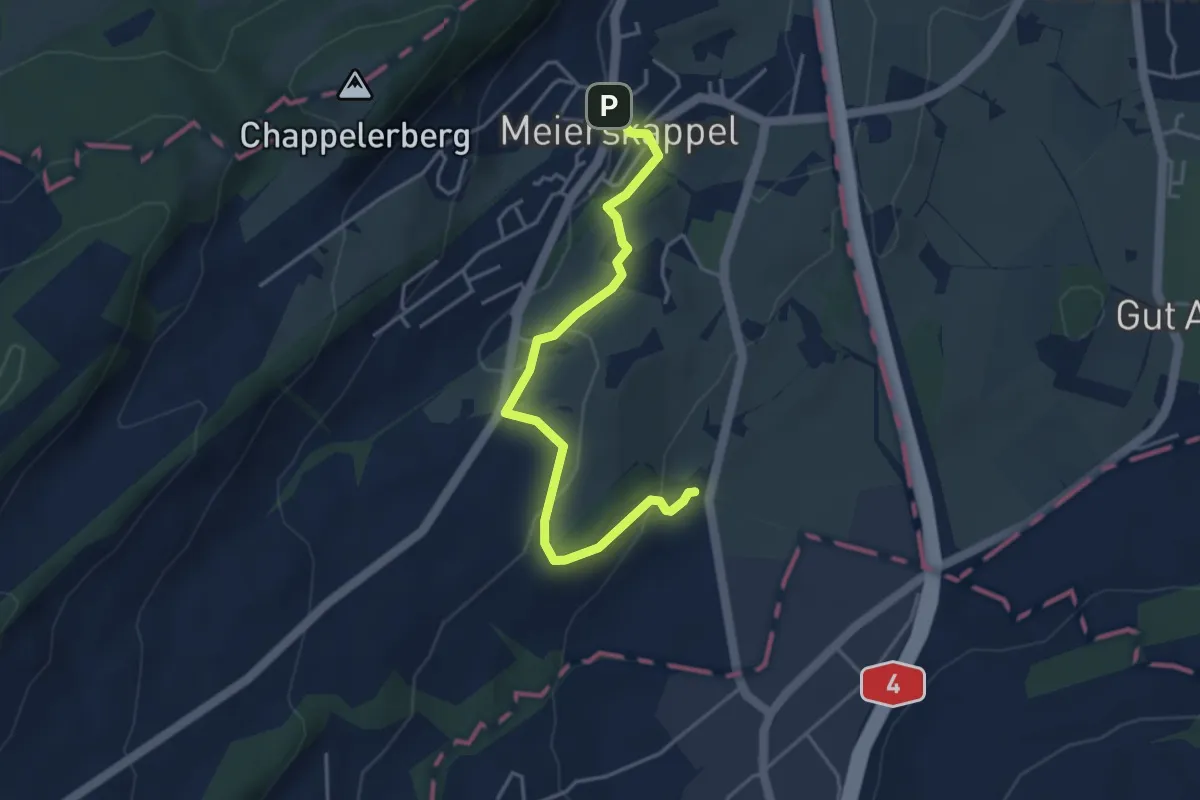
Easy · Trail
Spichte - Meierskappel
4.1 km · ↑ 112 m · 1 h 13 min · 13 km away
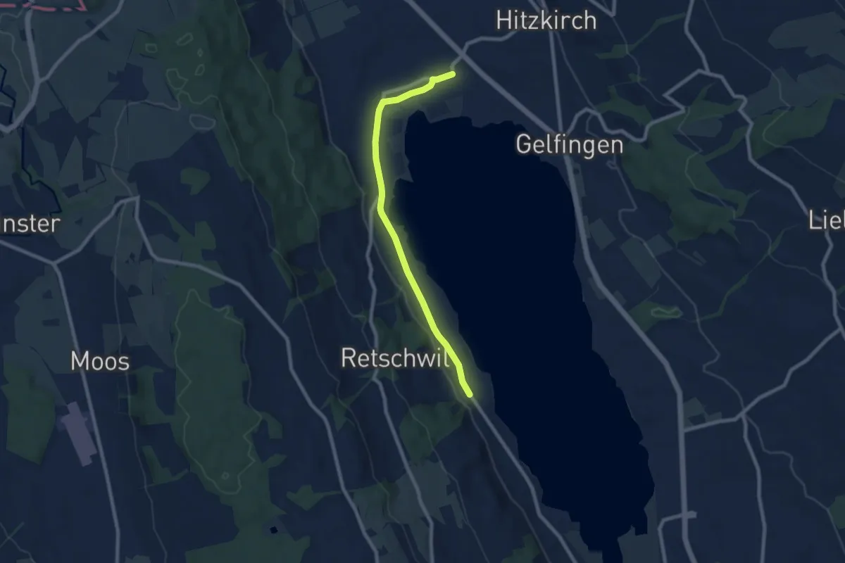
Easy · Trail
Retschwil - Stäfligen - Richensee
7.5 km · ↑ 17 m · 1 h 49 min · 13 km away
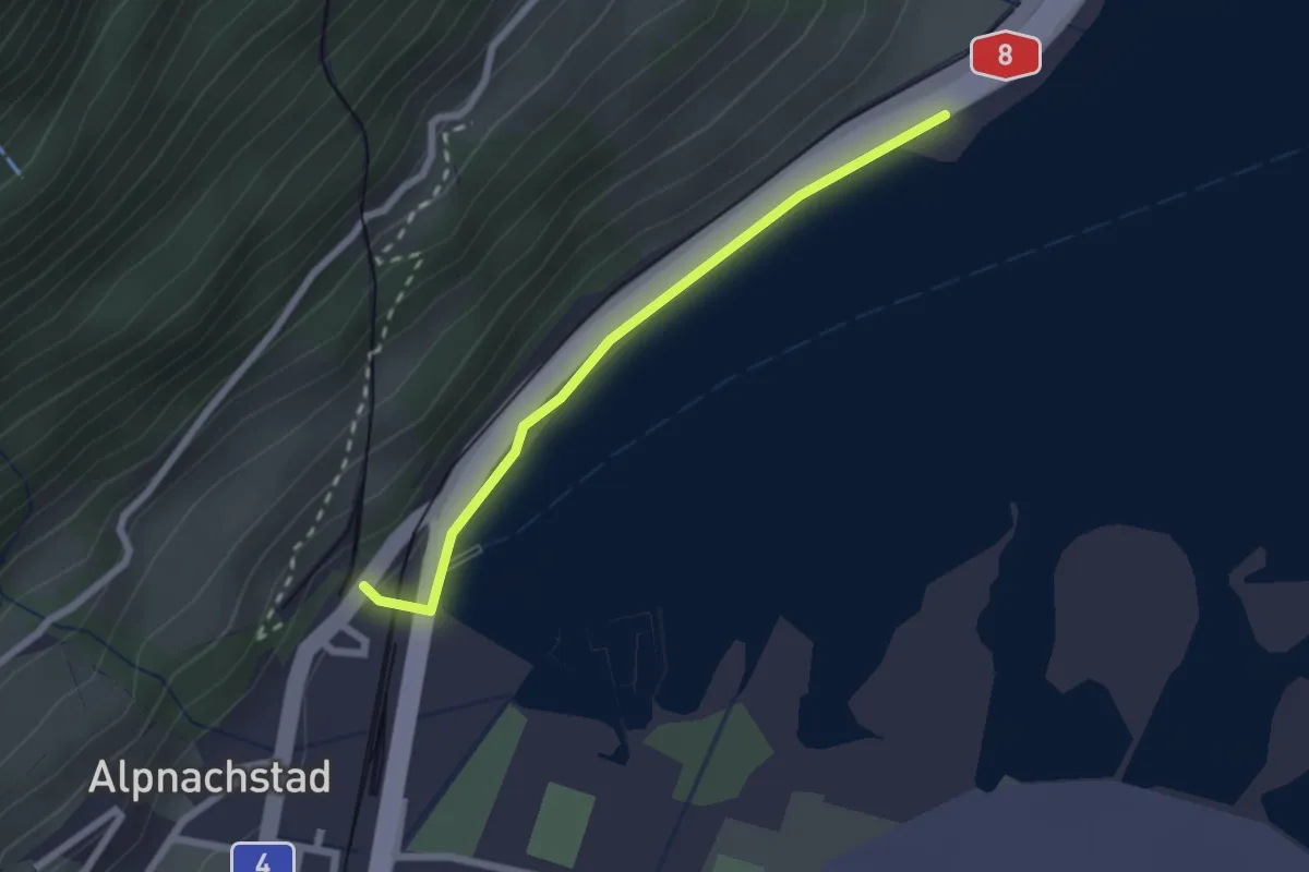
Easy · Trail
Alpnachstad – Niederstad
2.1 km · ↑ 28 m · 33 min · 13 km away
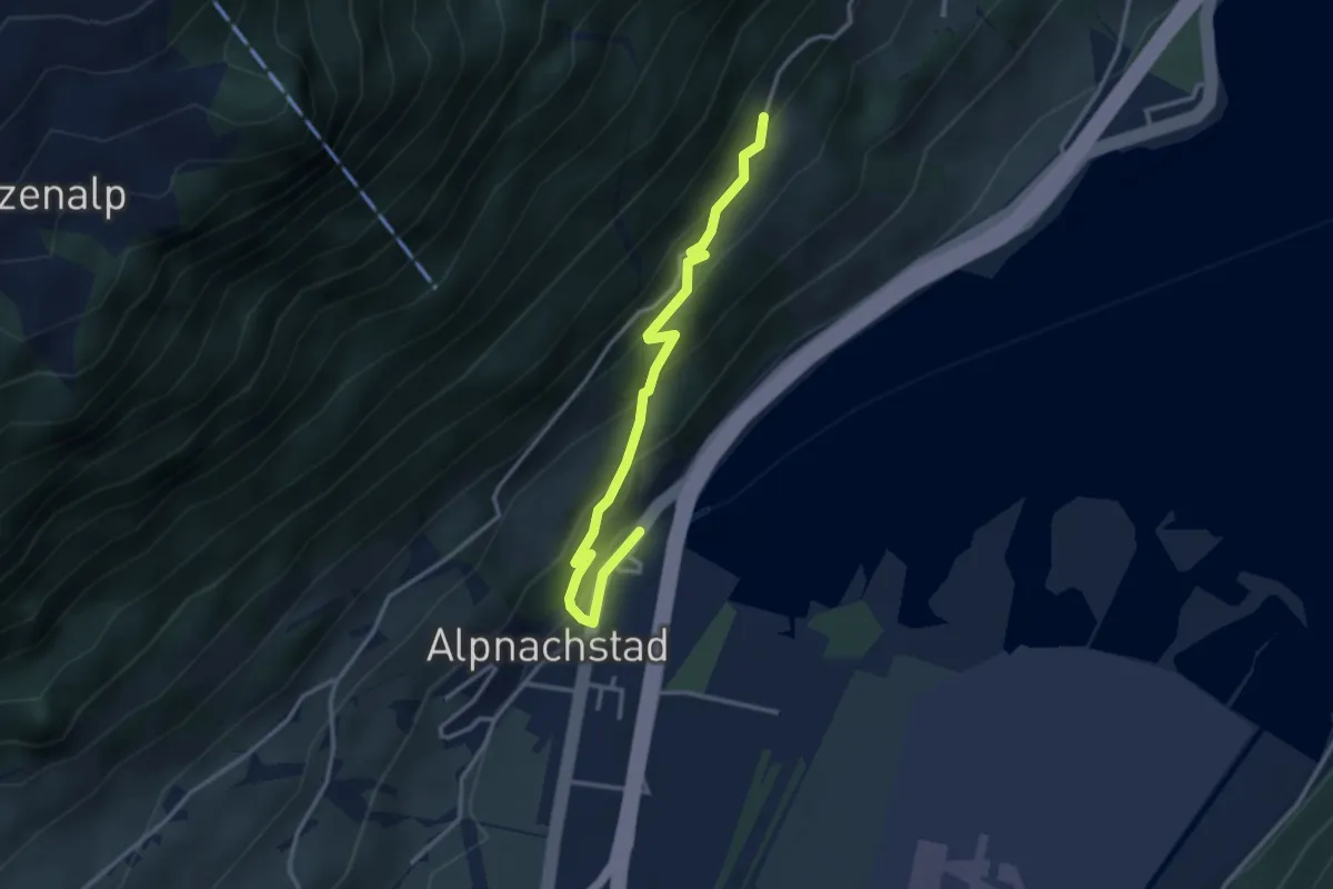
Easy · Trail
Alpnachstad – Grossrüti
3.4 km · ↑ 235 m · 1 h 18 min · 13 km away
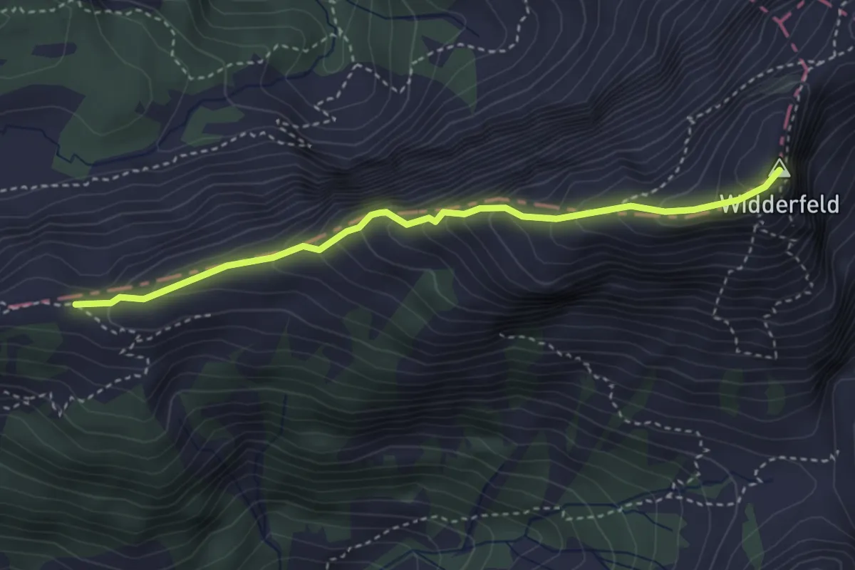
Demanding · Summit
Felli - Widderfeld
3.5 km · ↑ 401 m · 1 h 42 min · 13 km away
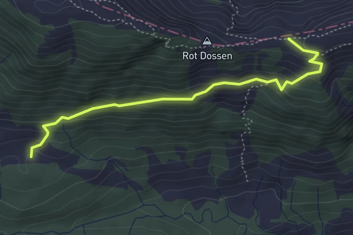
Medium · Trail
Balismatt - Felli
4.1 km · ↑ 270 m · 1 h 34 min · 13 km away
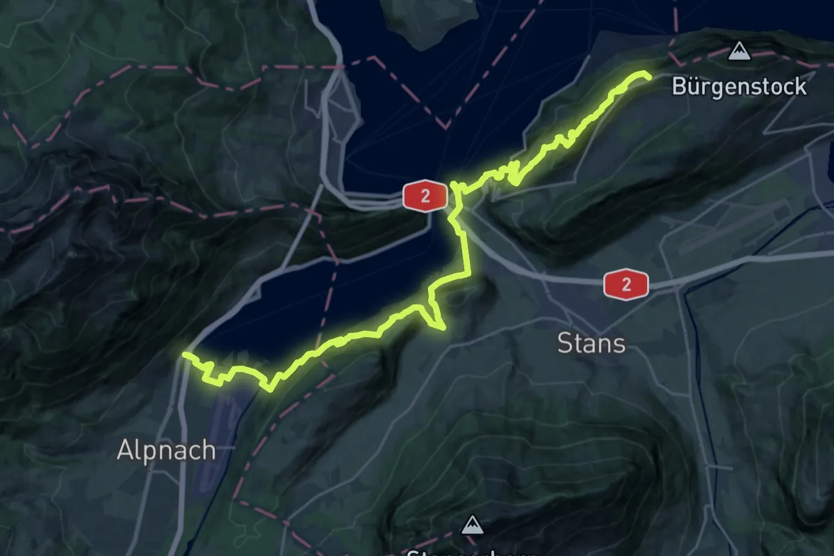
Demanding · Trail
Waldstätterweg - Etappe 5
15.3 km · ↑ 1052 m · 5 h 53 min · 13 km away
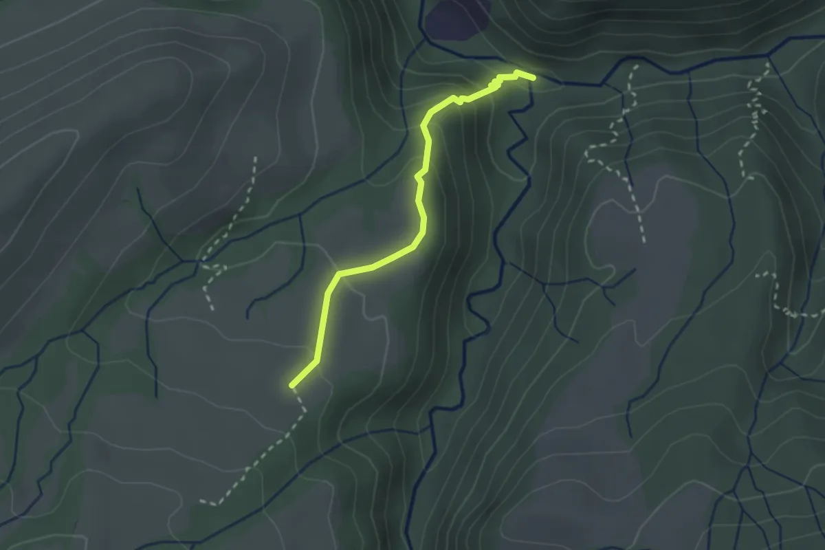
Medium · Trail
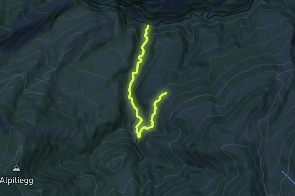
Haseleggstäg – Unt. Rotmoos
2.3 km · ↑ 141 m · 51 min · 13 km away
Medium · Trail
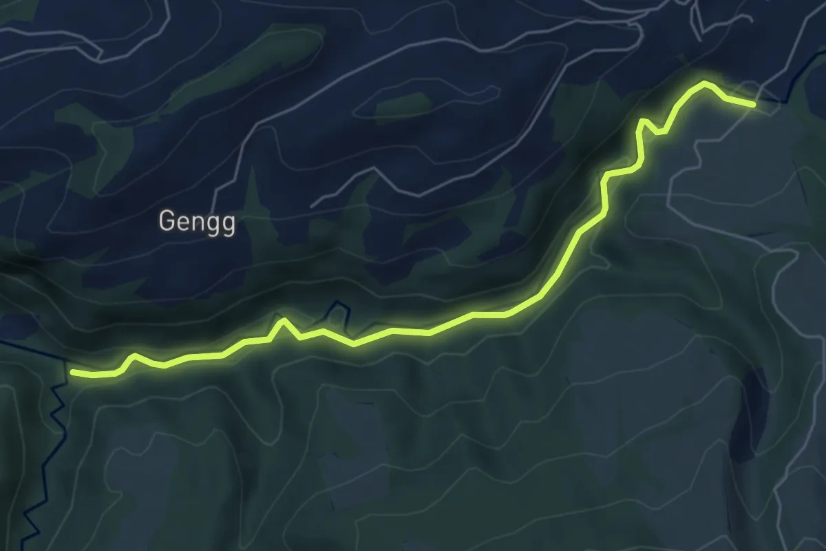
Tristboden – Haseleggstäg
6.4 km · ↑ 339 m · 2 h 14 min · 13 km away
Easy · Trail
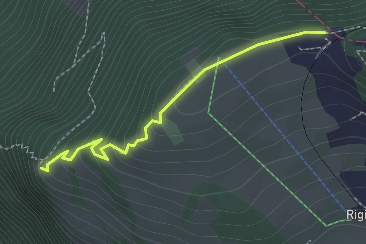
Haseleggstäg – Bömmerenbrücke
6.2 km · ↑ 158 m · 1 h 48 min · 13 km away
Easy · Trail
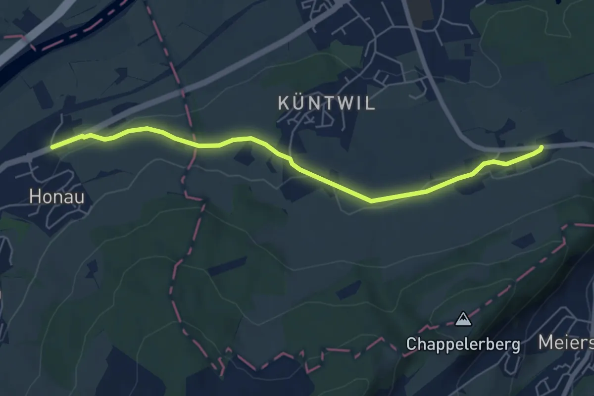
Rigi Staffelhöhe – Chänzeli
2.0 km · ↑ 123 m · 44 min · 13 km away
Easy · Trail
Ibikon - Honau
5.5 km · ↑ 68 m · 1 h 26 min · 13 km away
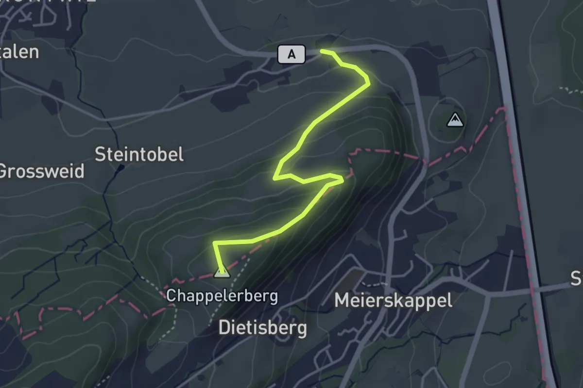
Easy · Summit
Ibikon - Honau
3.6 km · ↑ 192 m · 1 h 16 min · 13 km away
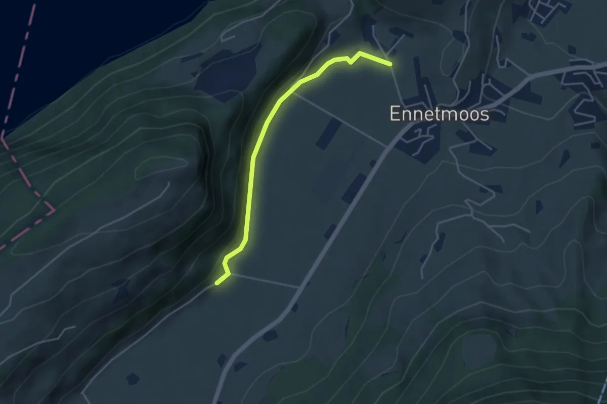
Easy · Trail
Betti – Drachenried
3.6 km · ↑ 76 m · 1 h 1 min · 13 km away
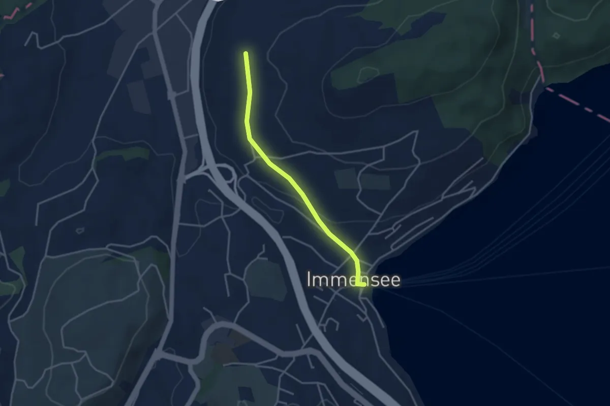
Easy · Trail
Hinter Chiemen – Immensee
3.0 km · ↑ 73 m · 52 min · 13 km away
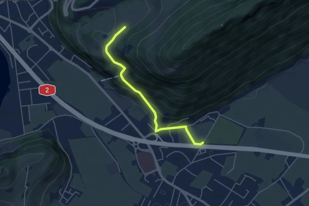
Easy · Trail
fixme - fixme
3.8 km · ↑ 220 m · 1 h 23 min · 13 km away
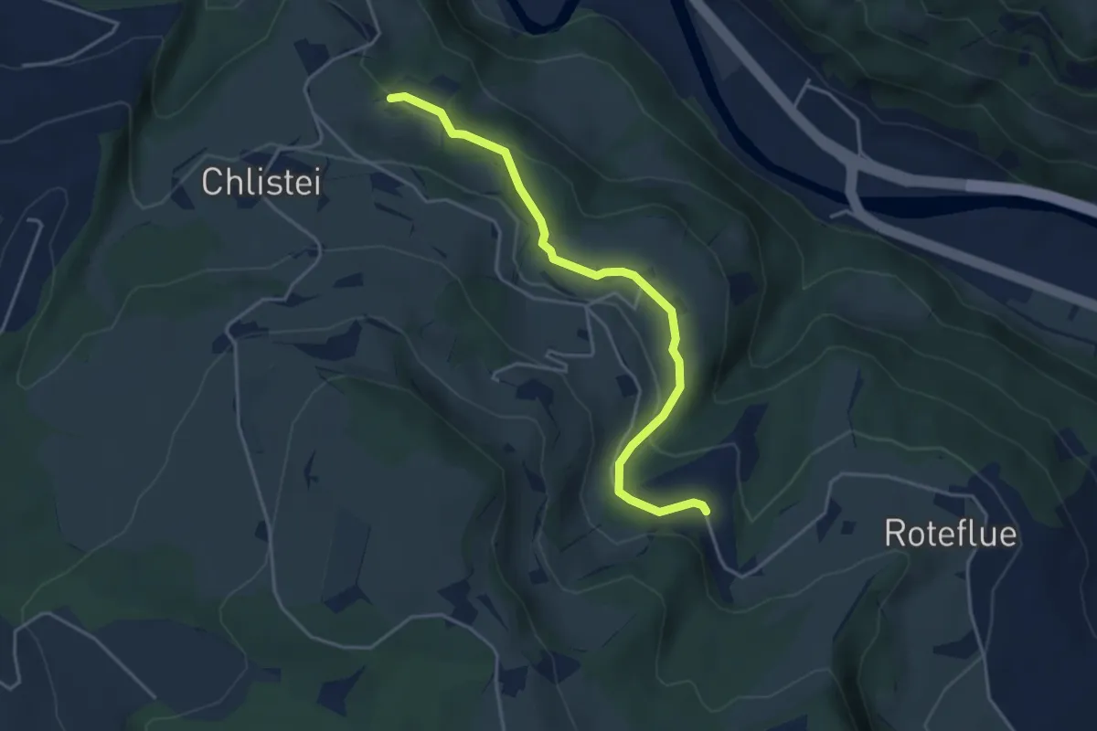
Easy · Trail
Chächebüel - Dünnhirs
4.0 km · ↑ 95 m · 1 h 9 min · 13 km away
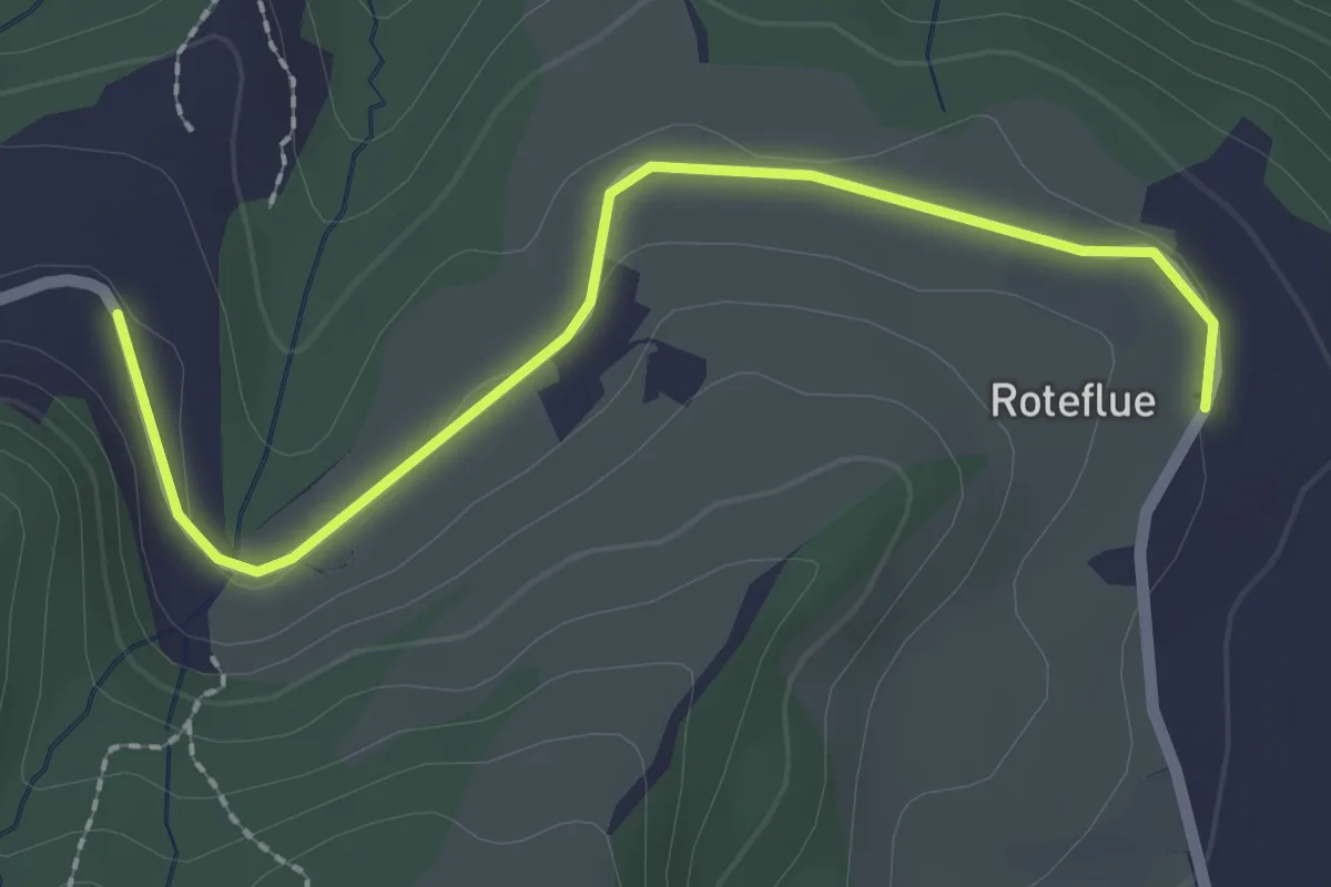
Easy · Trail
Dünnhirs - Rotenflue
2.3 km · ↑ 18 m · 36 min · 13 km away
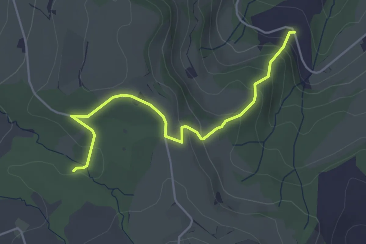
Easy · Trail
Dünnhirs - Chlosterwald
3.9 km · ↑ 177 m · 1 h 18 min · 13 km away
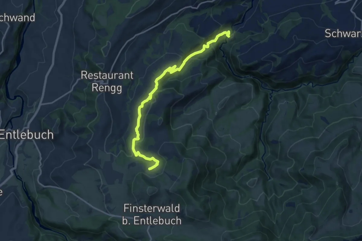
Medium · Trail
Munistein -Dietenwart Gräben
12.5 km · ↑ 585 m · 4 h 13 min · 14 km away
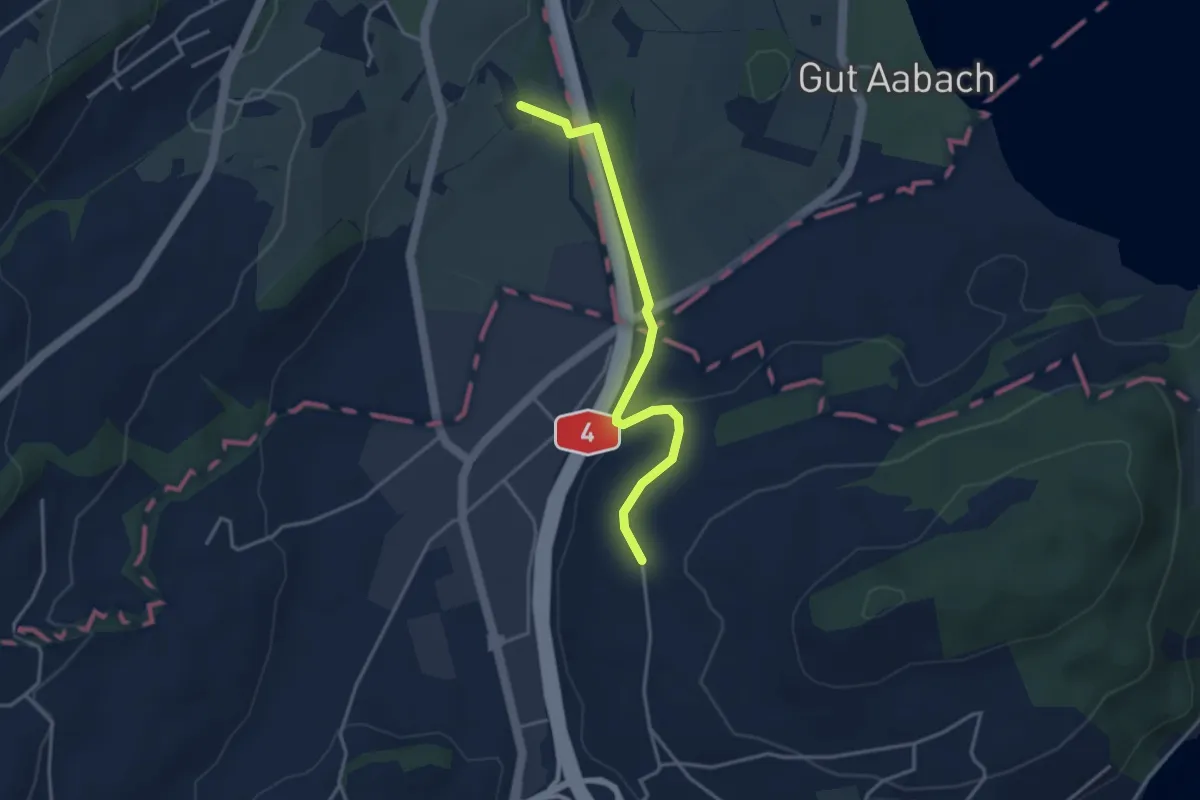
Easy · Trail
Laubbach - Hienter Chiemen
3.5 km · ↑ 77 m · 59 min · 14 km away
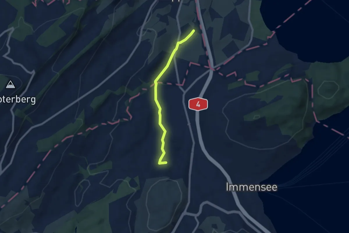
Easy · Trail
Laubbach - St. Martin
5.0 km · ↑ 59 m · 1 h 19 min · 14 km away
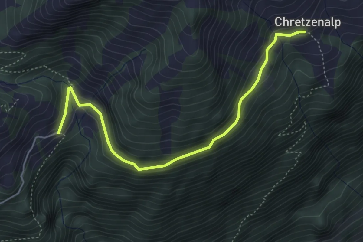
Easy · Trail
Deneten - Under Chretzen
4.6 km · ↑ 245 m · 1 h 37 min · 14 km away
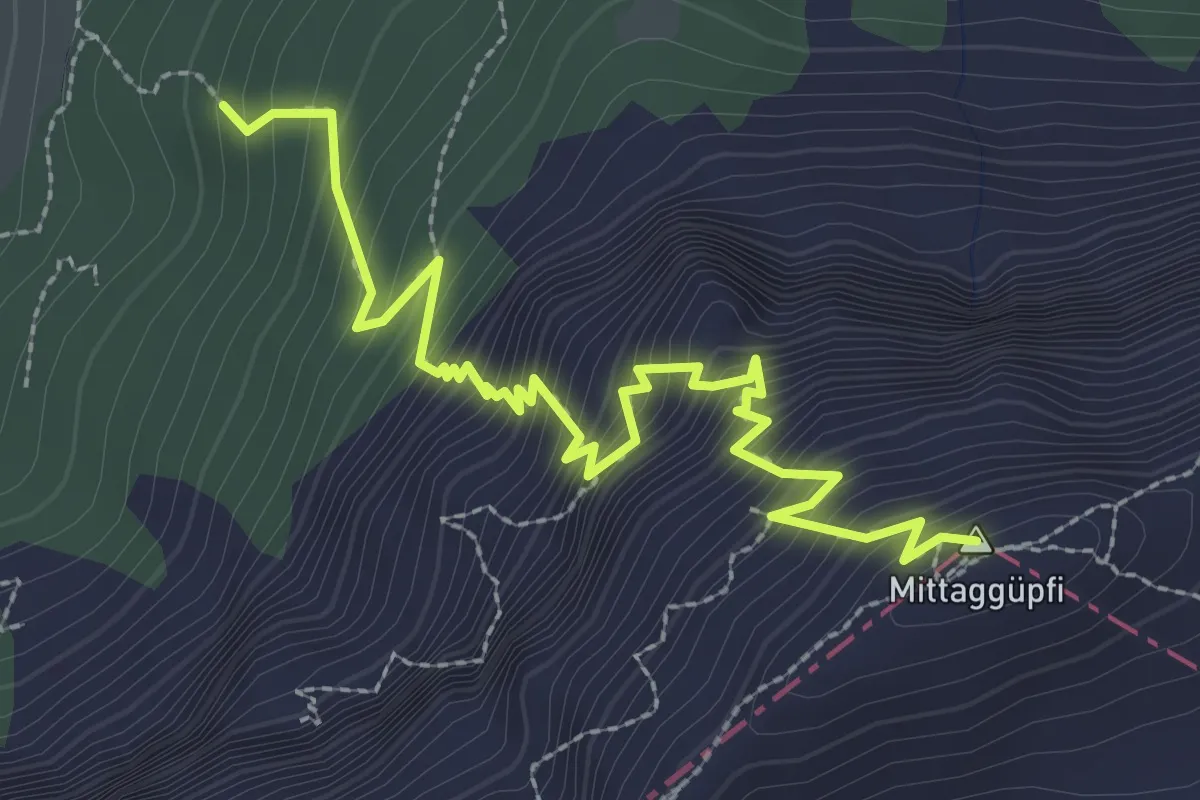
Demanding · Summit
Stäfeli-Mittaggüpfi
3.2 km · ↑ 516 m · 1 h 53 min · 14 km away
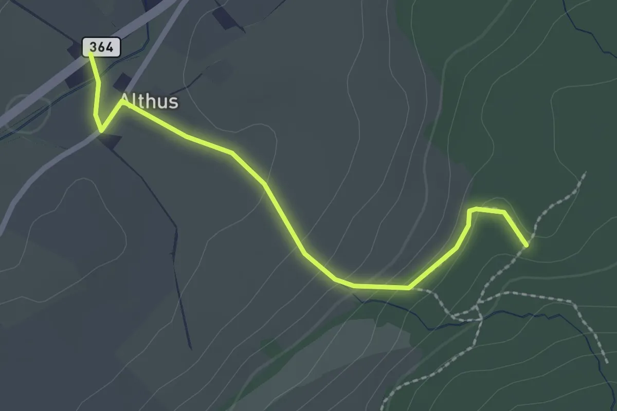
Easy · Trail
Althus - Mittelpunkt des Kantons Luzern
2.2 km · ↑ 83 m · 42 min · 14 km away
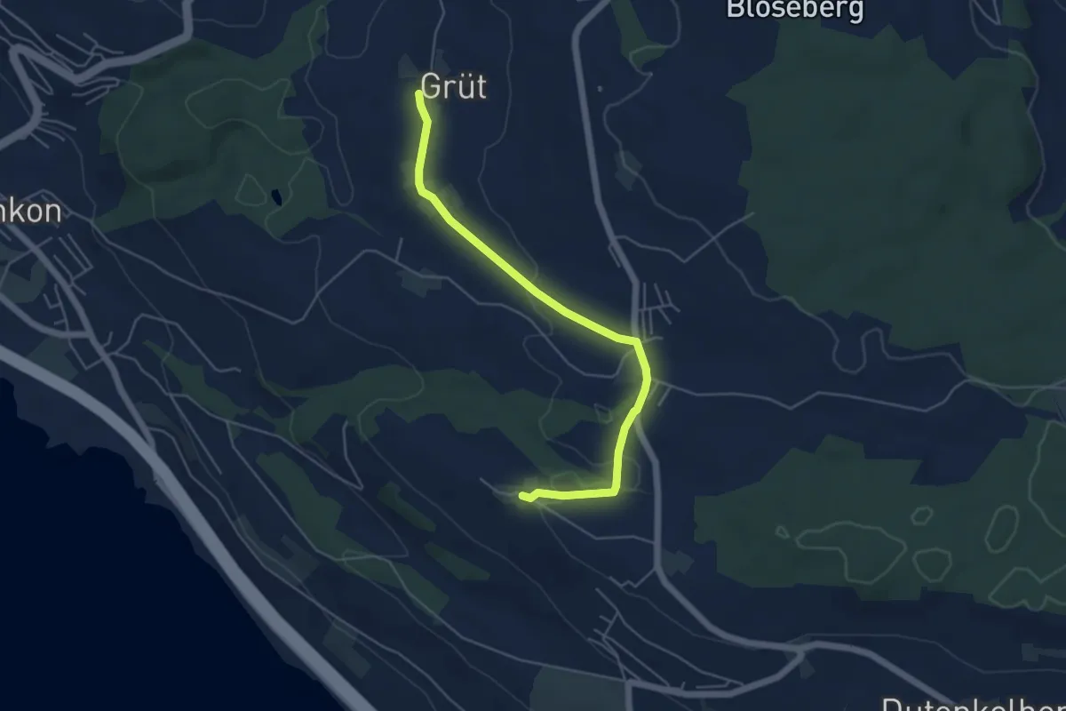
Easy · Trail
Voremwald – Grüt
5.1 km · ↑ 60 m · 1 h 20 min · 14 km away
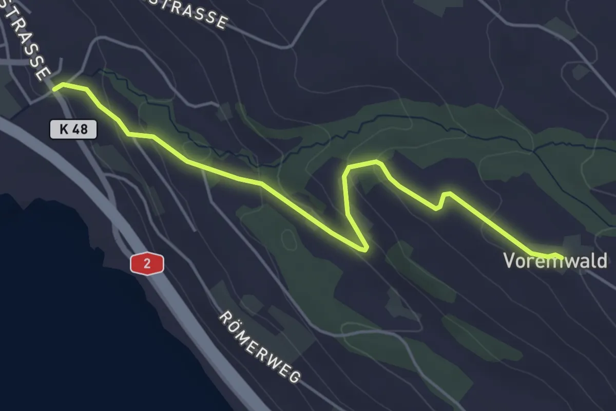
Easy · Trail
Voremwald - Schenkon
4.8 km · ↑ 167 m · 1 h 30 min · 14 km away
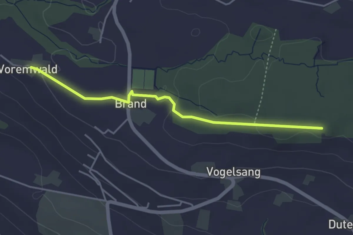
Easy · Trail
Voremwald - Eichwald
3.7 km · ↑ 61 m · 1 h · 14 km away
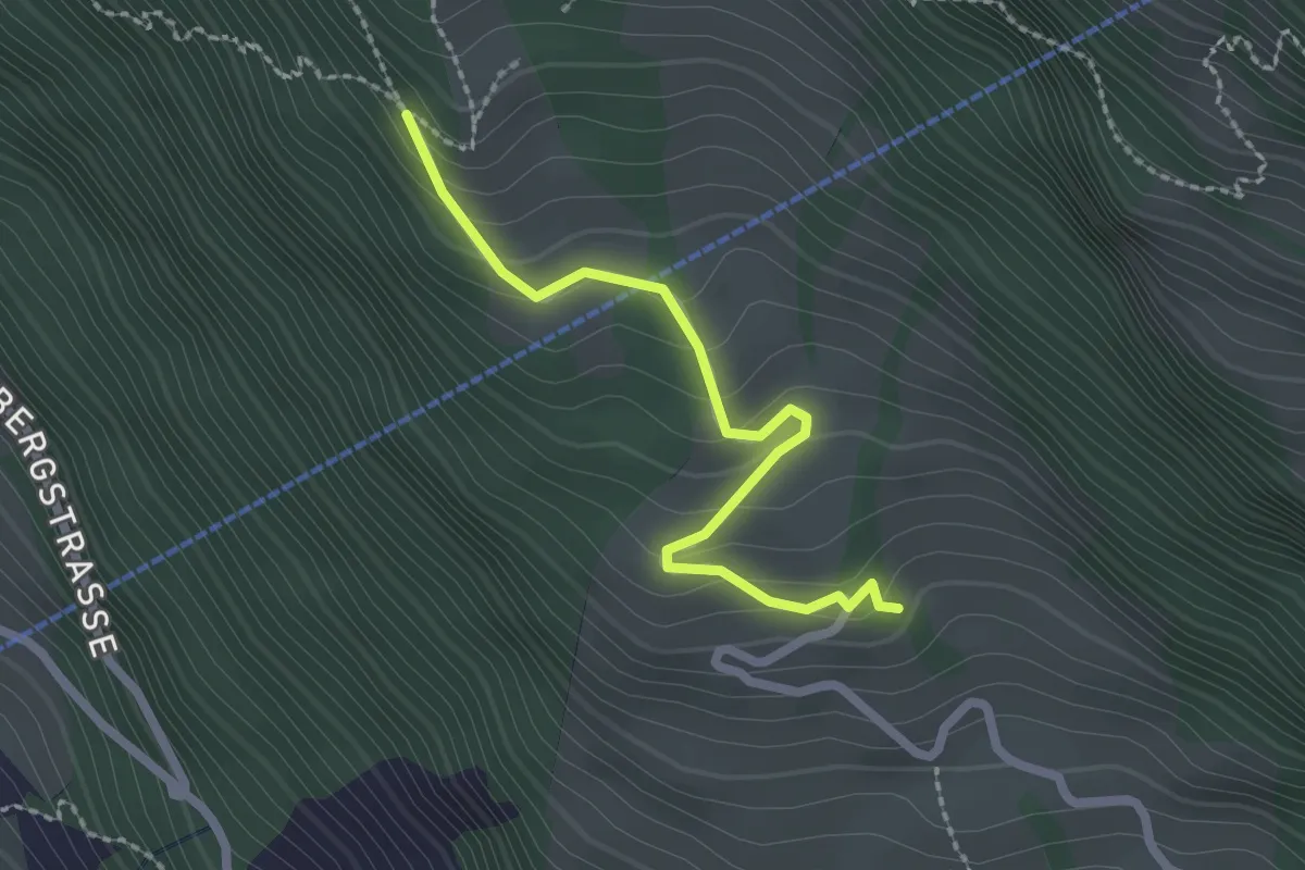
Easy · Trail
Müseralp – Ober Säntiberg
2.2 km · ↑ 131 m · 48 min · 14 km away
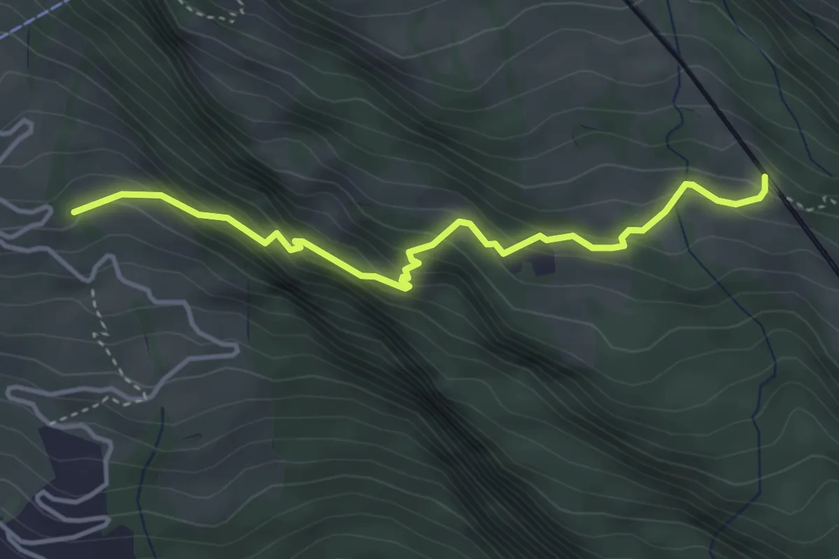
Medium · Trail
Ober Säntiberg – Romiti
3.8 km · ↑ 352 m · 1 h 39 min · 14 km away
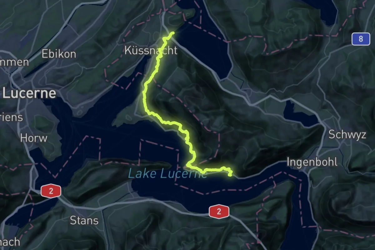
Demanding · Trail
Rigi Lehnenweg
22.4 km · ↑ 1180 m · 8 h 10 min · 14 km away
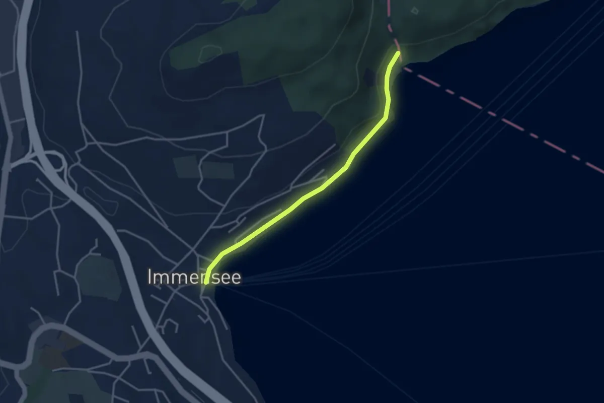
Easy · Trail
Baumgarten – Immensee
3.1 km · ↑ 36 m · 49 min · 14 km away
Medium · Trail
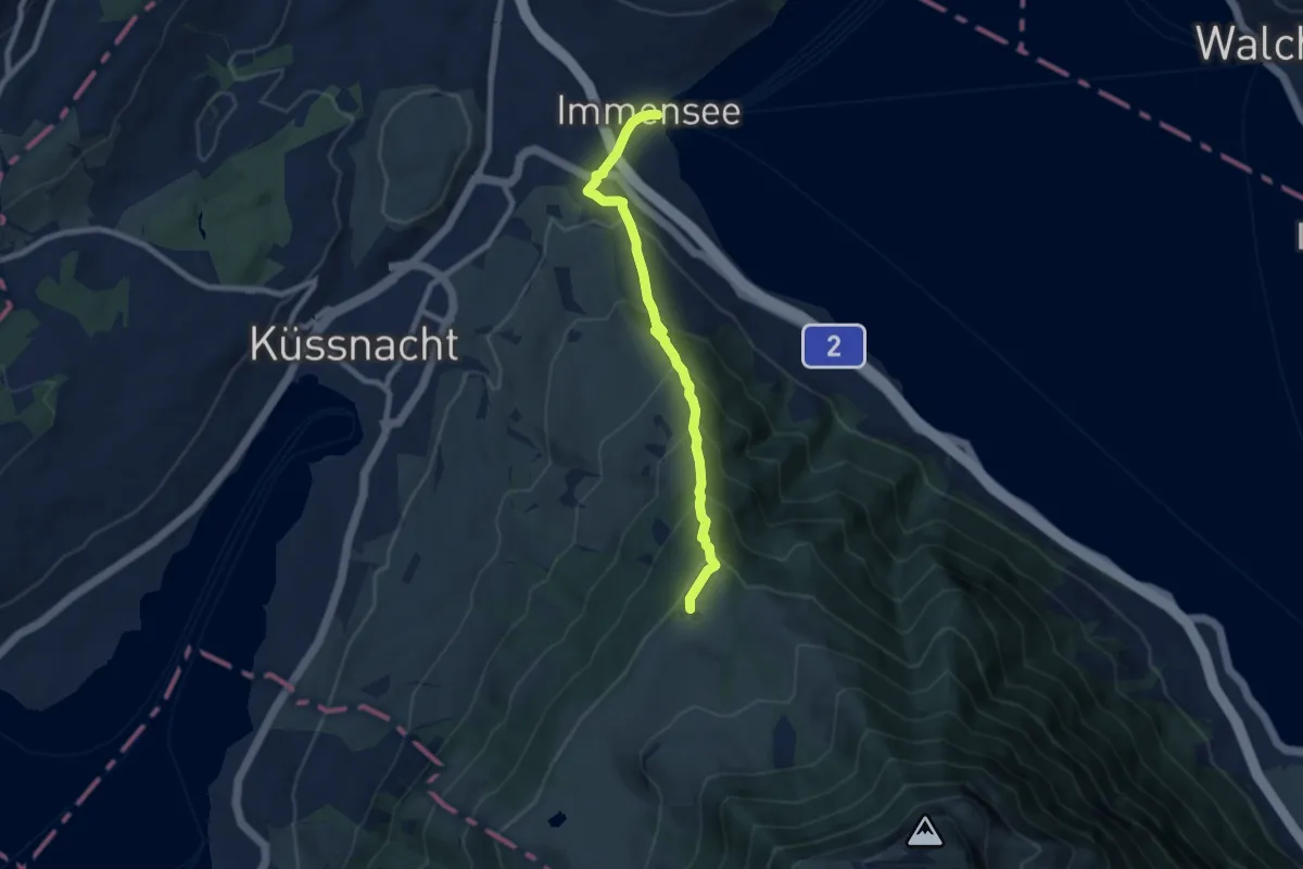
Immensee – Seebodenalp
7.5 km · ↑ 603 m · 3 h 5 min · 14 km away
Easy · Trail
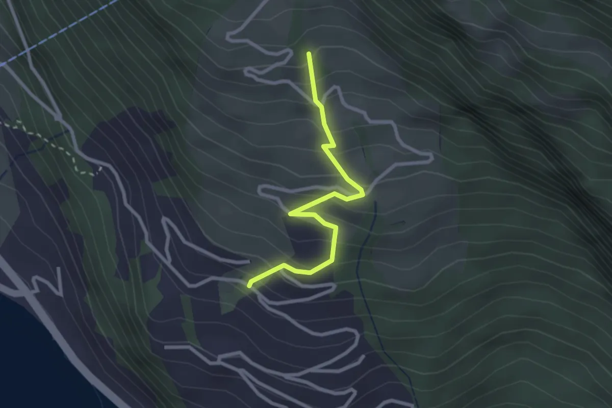
Ober Säntiberg – Bodenberg
2.4 km · ↑ 234 m · 1 h 4 min · 14 km away
Easy · Trail
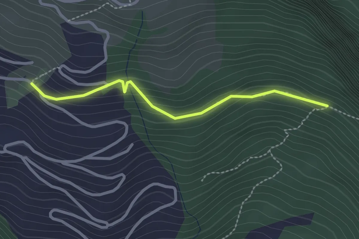
Bodenberg – Orefad
2.2 km · ↑ 155 m · 51 min · 14 km away
Demanding · Trail
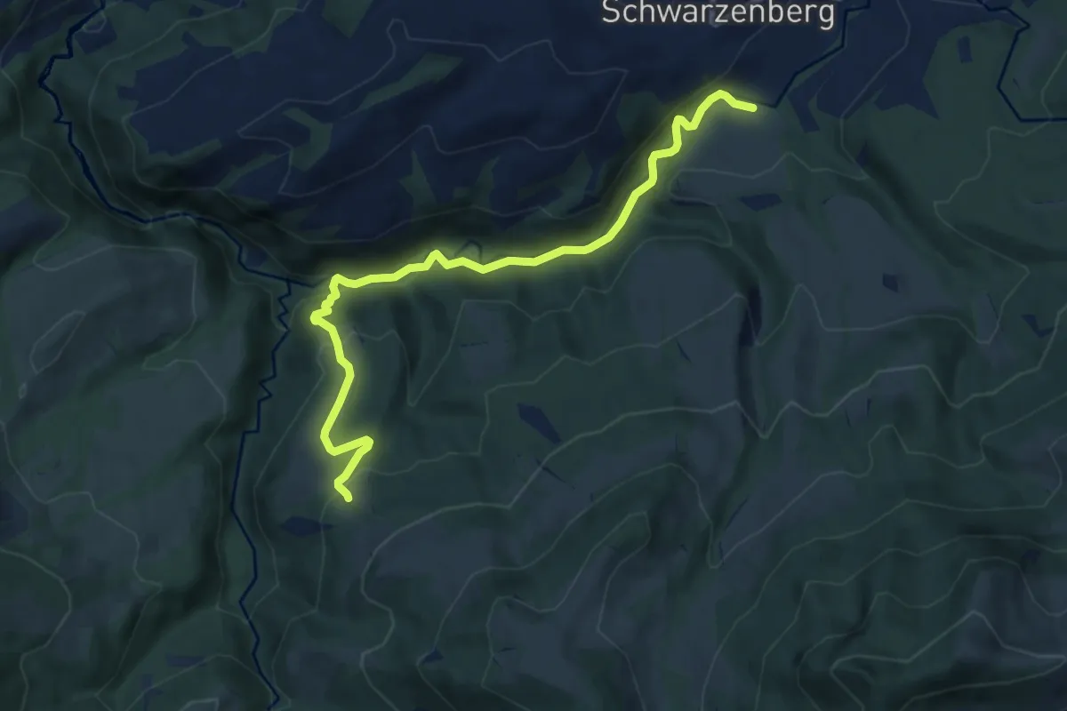
Tristboden – Bömmerenbrücke
9.0 km · ↑ 357 m · 2 h 54 min · 14 km away
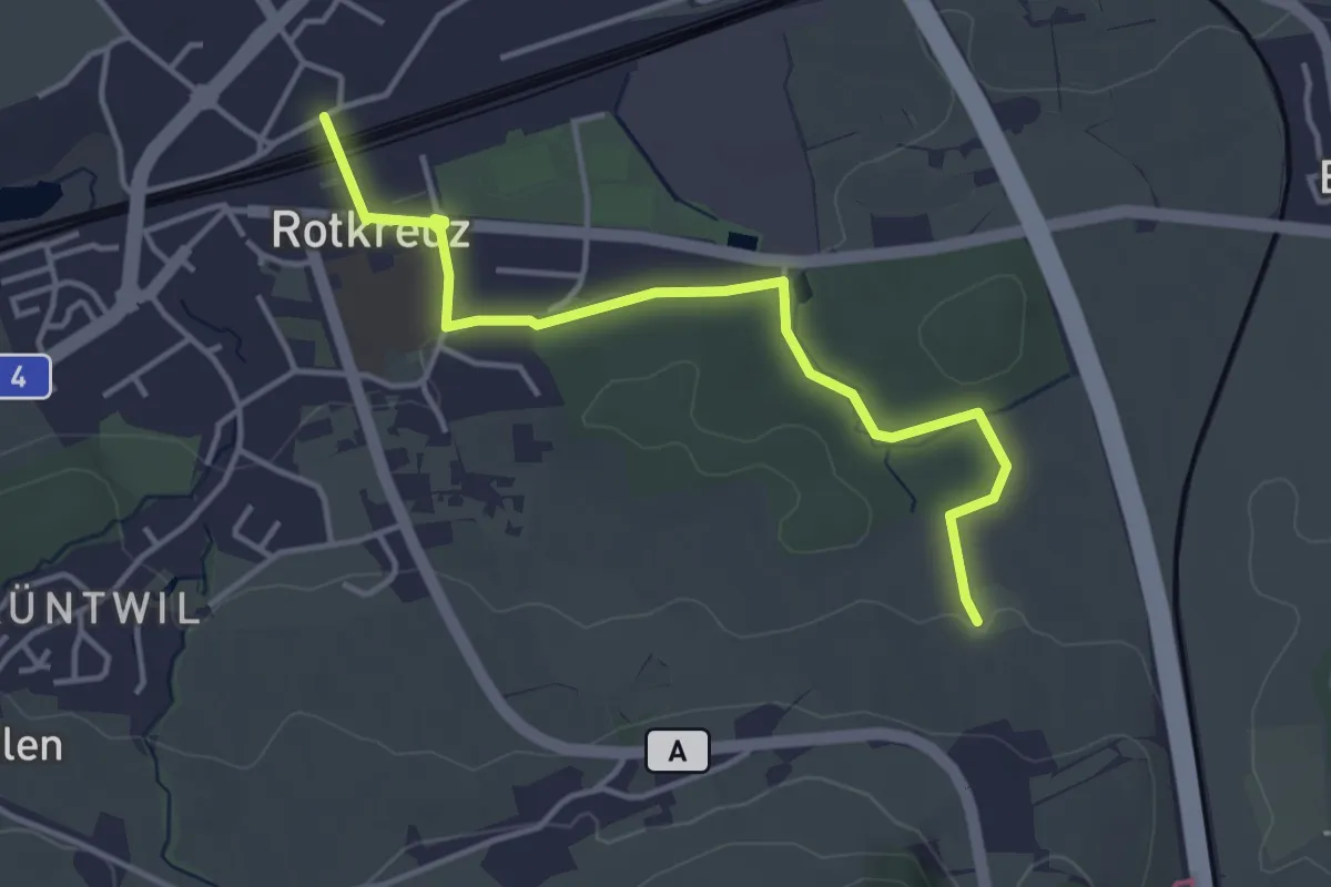
Easy · Trail
Rotkreuz - Auleten
4.1 km · ↑ 36 m · 1 h 3 min · 14 km away
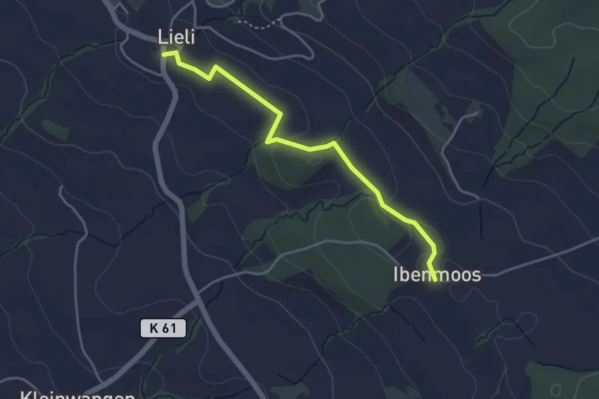
Easy · Trail
Lieli – Ibenmoos
3.4 km · ↑ 36 m · 53 min · 14 km away
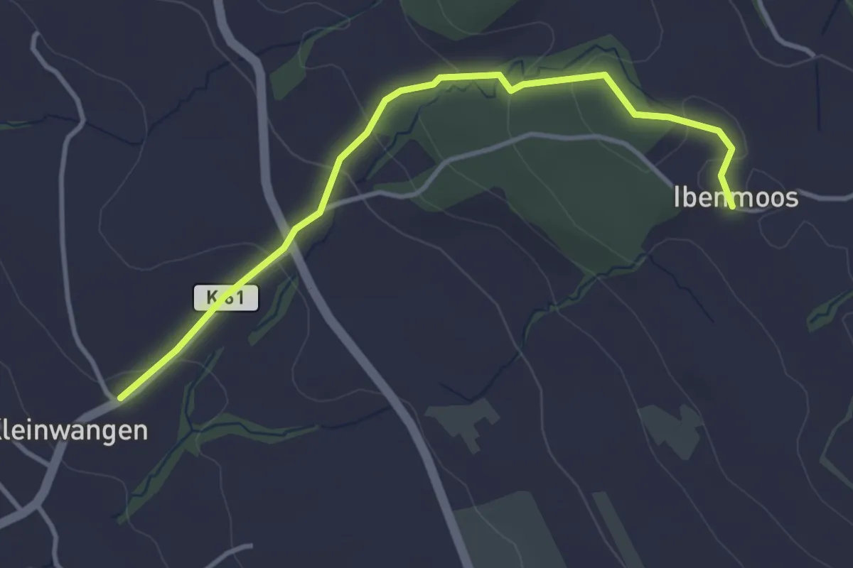
Easy · Trail
Kleinwangen - Ibenmoos
3.6 km · ↑ 137 m · 1 h 9 min · 14 km away
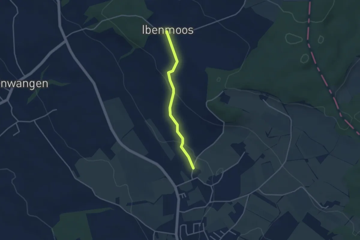
Easy · Trail
Ibenmoos - Güniken
2.8 km · ↑ 79 m · 50 min · 14 km away