Trails near Emmen
599 hikes starting within 15 km, nearest first.
Nearest first, page 12 of 13
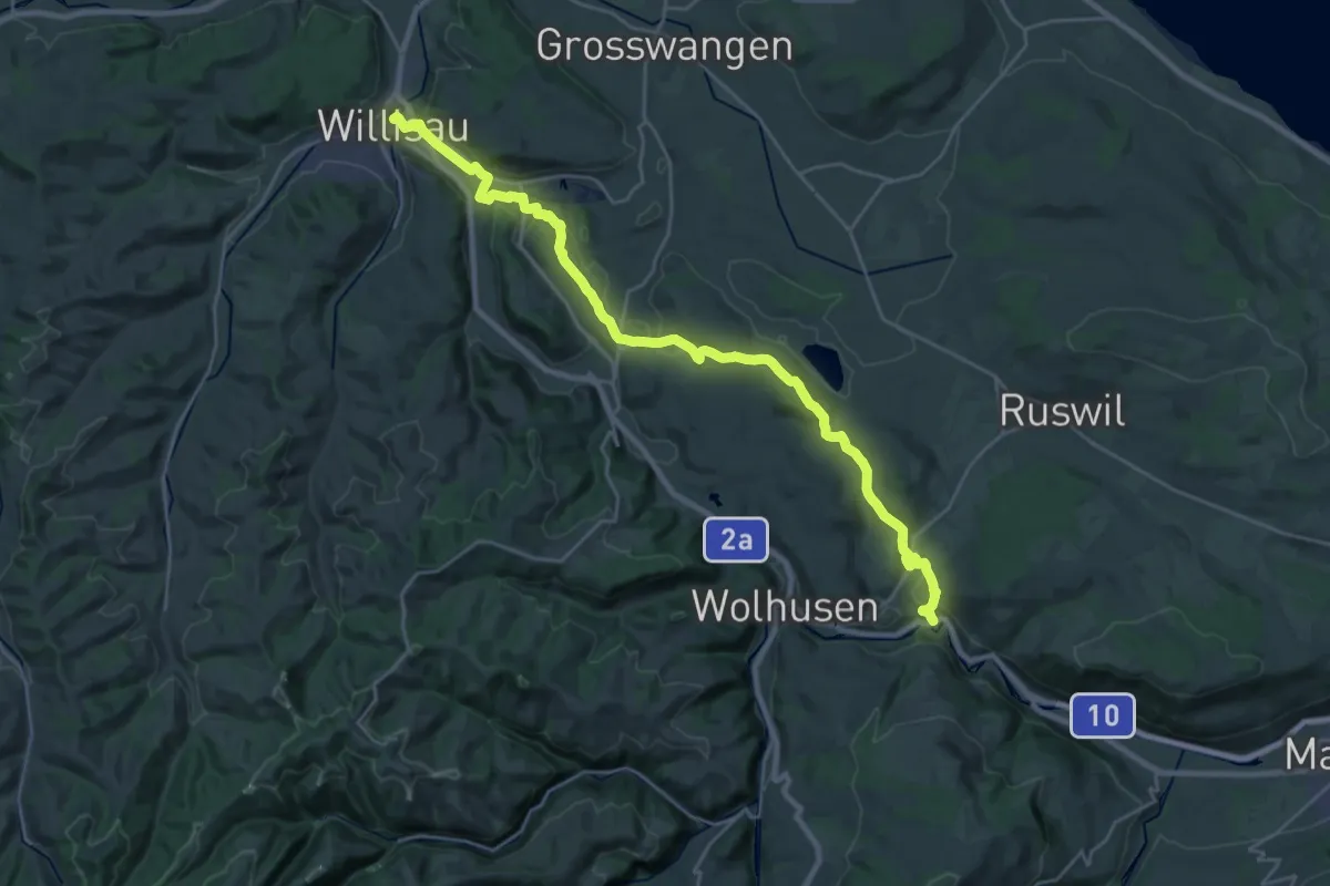
Demanding · Trail
ViaJacobi
27.3 km · ↑ 460 m · 7 h 27 min · 14 km away
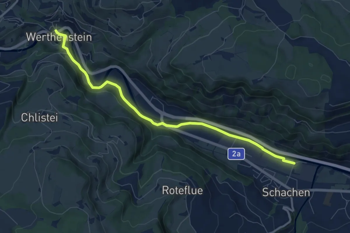
Medium · Trail
Werthenstein - Schachen
8.6 km · ↑ 148 m · 2 h 21 min · 14 km away
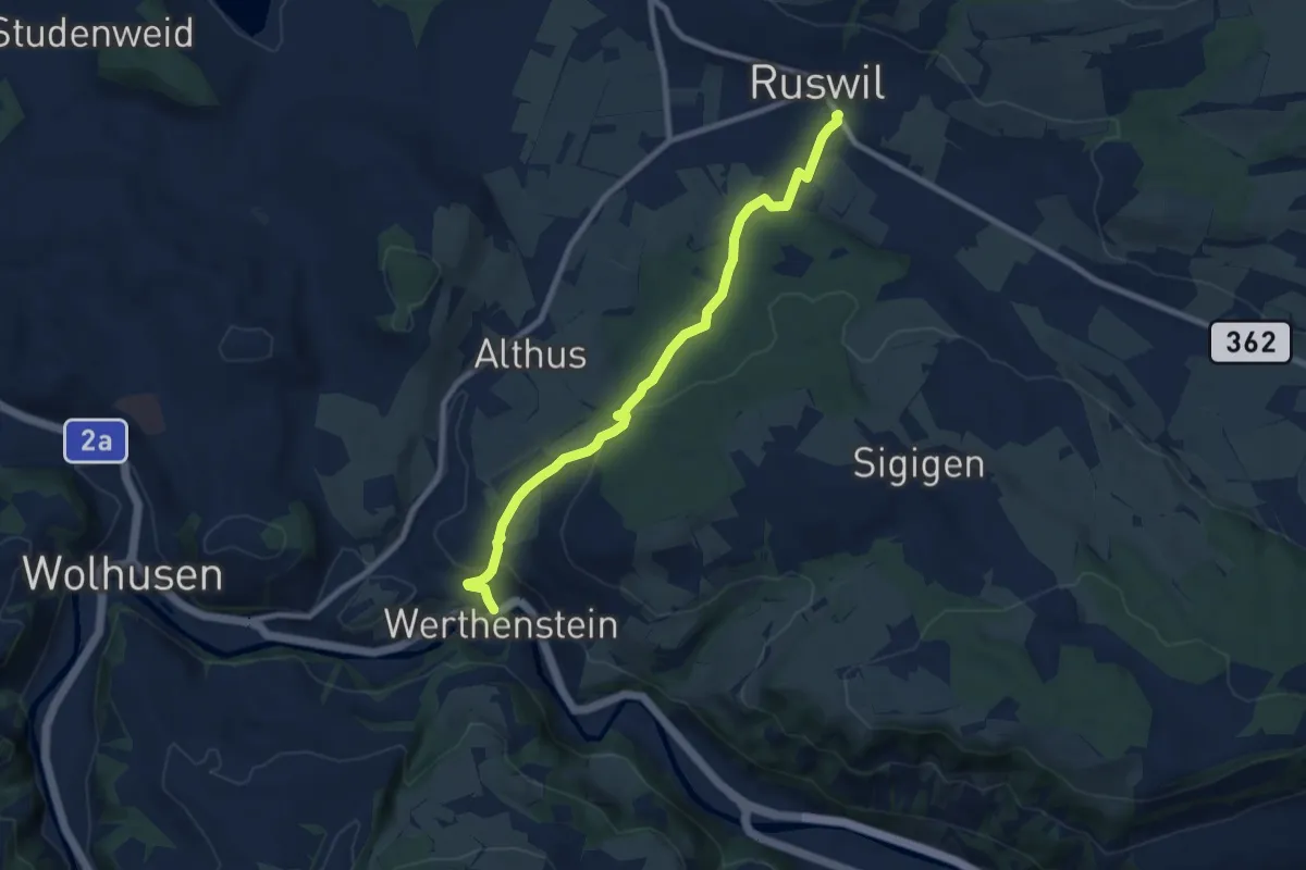
Medium · Trail
Werthenstein - Ruswil
8.5 km · ↑ 225 m · 2 h 29 min · 14 km away
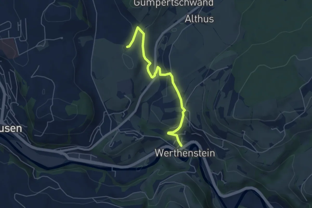
Easy · Trail
Werthenstein - Unter Chriesbaumen
4.8 km · ↑ 131 m · 1 h 25 min · 14 km away
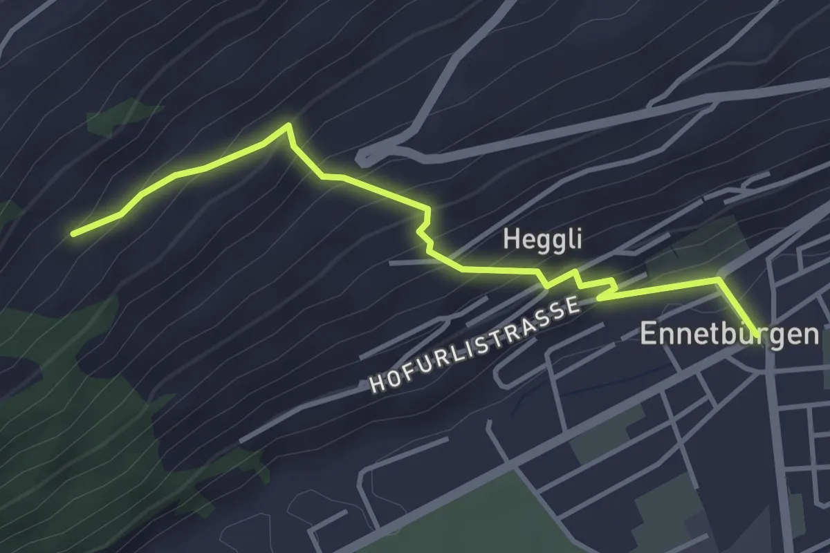
Medium · Trail
Ennetbürgen Post – Holzen
3.4 km · ↑ 321 m · 1 h 30 min · 14 km away
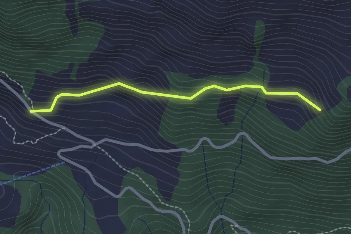
Easy · Trail
Schwandi - Lütoldsmatt
2.0 km · ↑ 160 m · 49 min · 14 km away
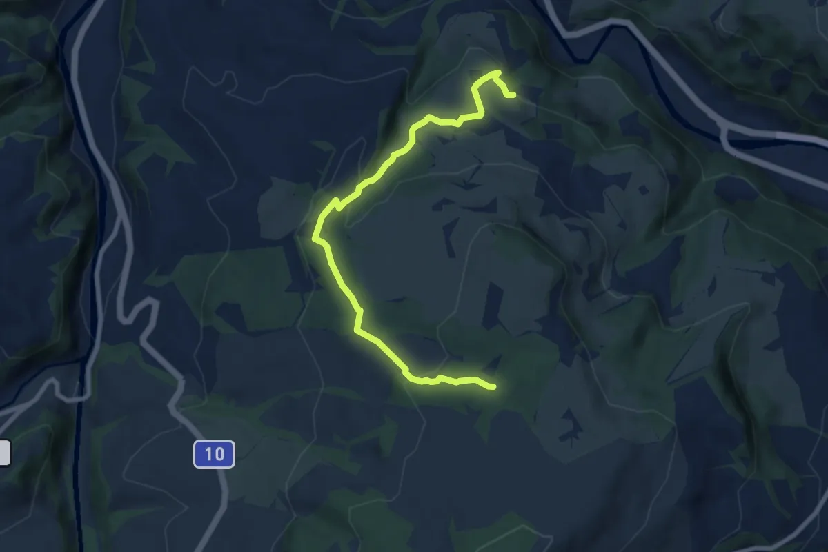
Easy · Trail
Chlosterwald - Chächebüel
7.7 km · ↑ 240 m · 2 h 20 min · 14 km away
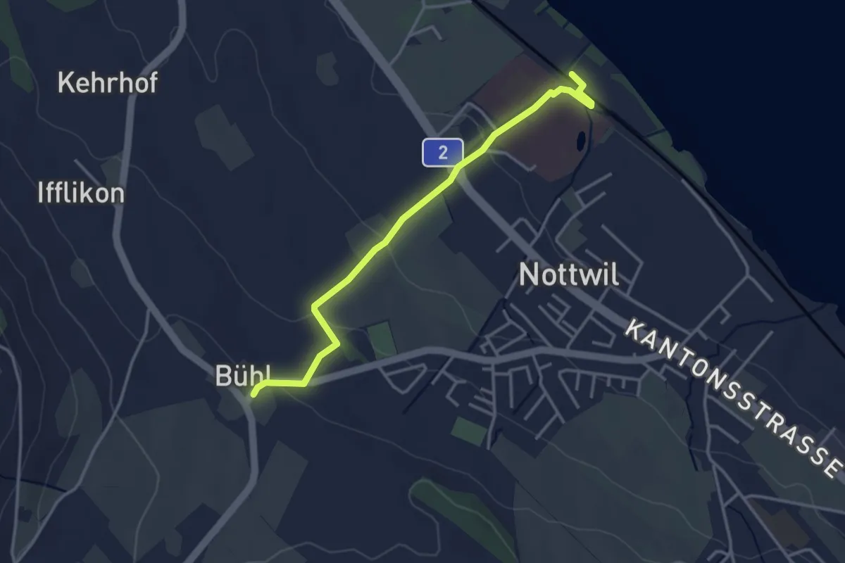
Easy · Trail
SPZ - Büel
3.4 km · ↑ 75 m · 58 min · 14 km away
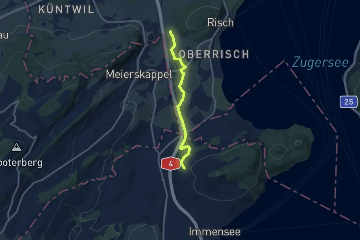
Easy · Trail
Brüglen - Hinter Chiemen
6.6 km · ↑ 122 m · 1 h 49 min · 14 km away
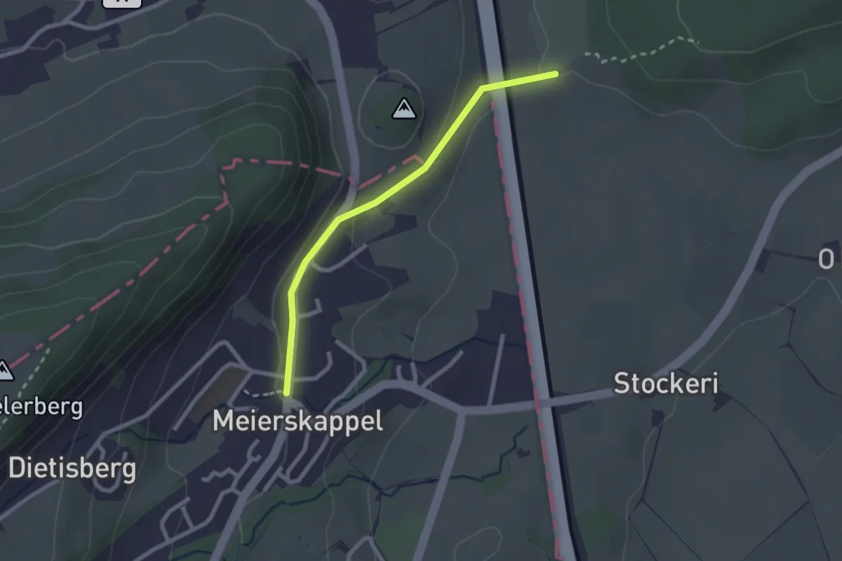
Easy · Trail
Brüglen-Meierskappel
2.2 km · ↑ 44 m · 36 min · 14 km away
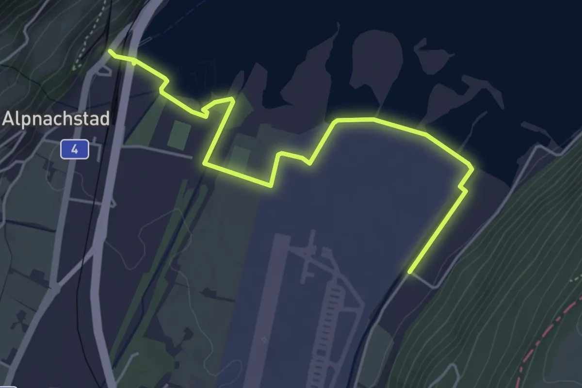
Easy · Trail
Alpnachstad – Wichelsee
5.2 km · ↑ 17 m · 1 h 16 min · 14 km away
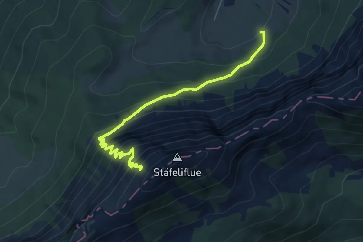
Demanding · Trail
Änerstäfeli - Kanapee
5.3 km · ↑ 540 m · 2 h 25 min · 14 km away
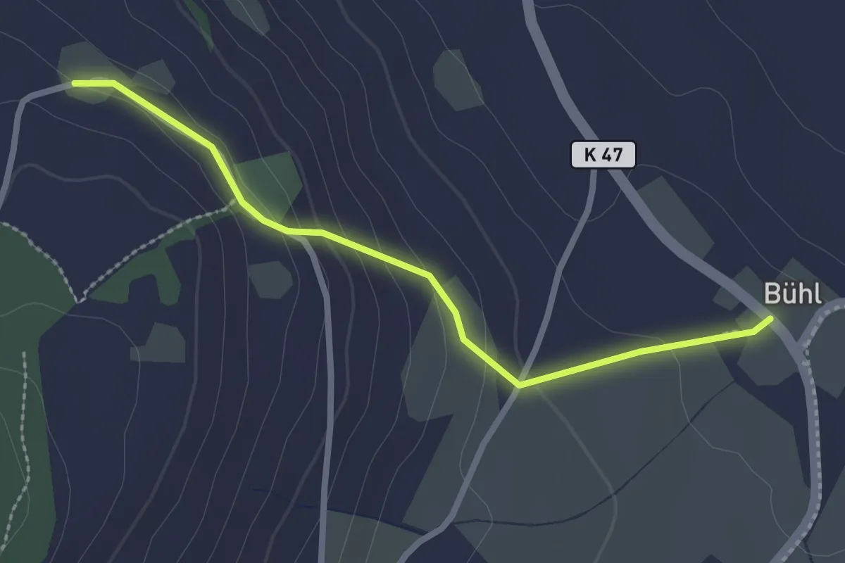
Easy · Trail
Büel-Hintertannenfels
2.4 km · ↑ 96 m · 47 min · 14 km away
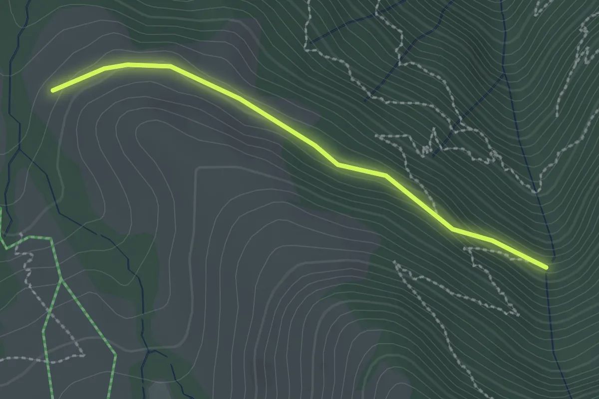
Easy · Trail
Stock – Alpetli
2.3 km · ↑ 41 m · 37 min · 14 km away
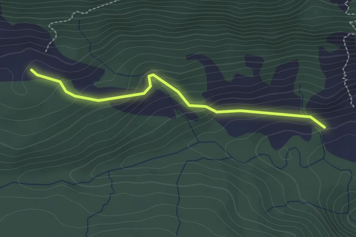
Easy · Trail
Märenschlag - Balismatt
2.3 km · ↑ 150 m · 52 min · 14 km away
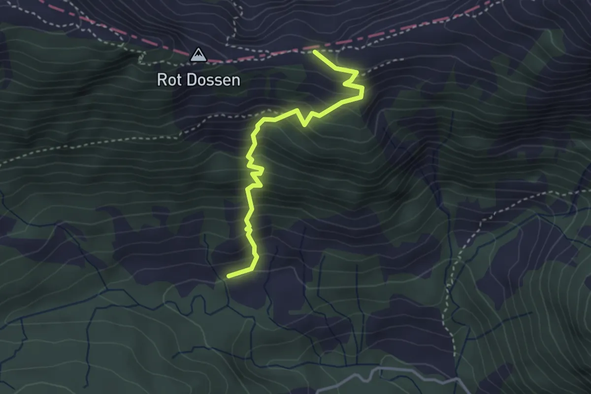
Medium · Trail
Märenschlag - Felli
3.1 km · ↑ 388 m · 1 h 34 min · 14 km away
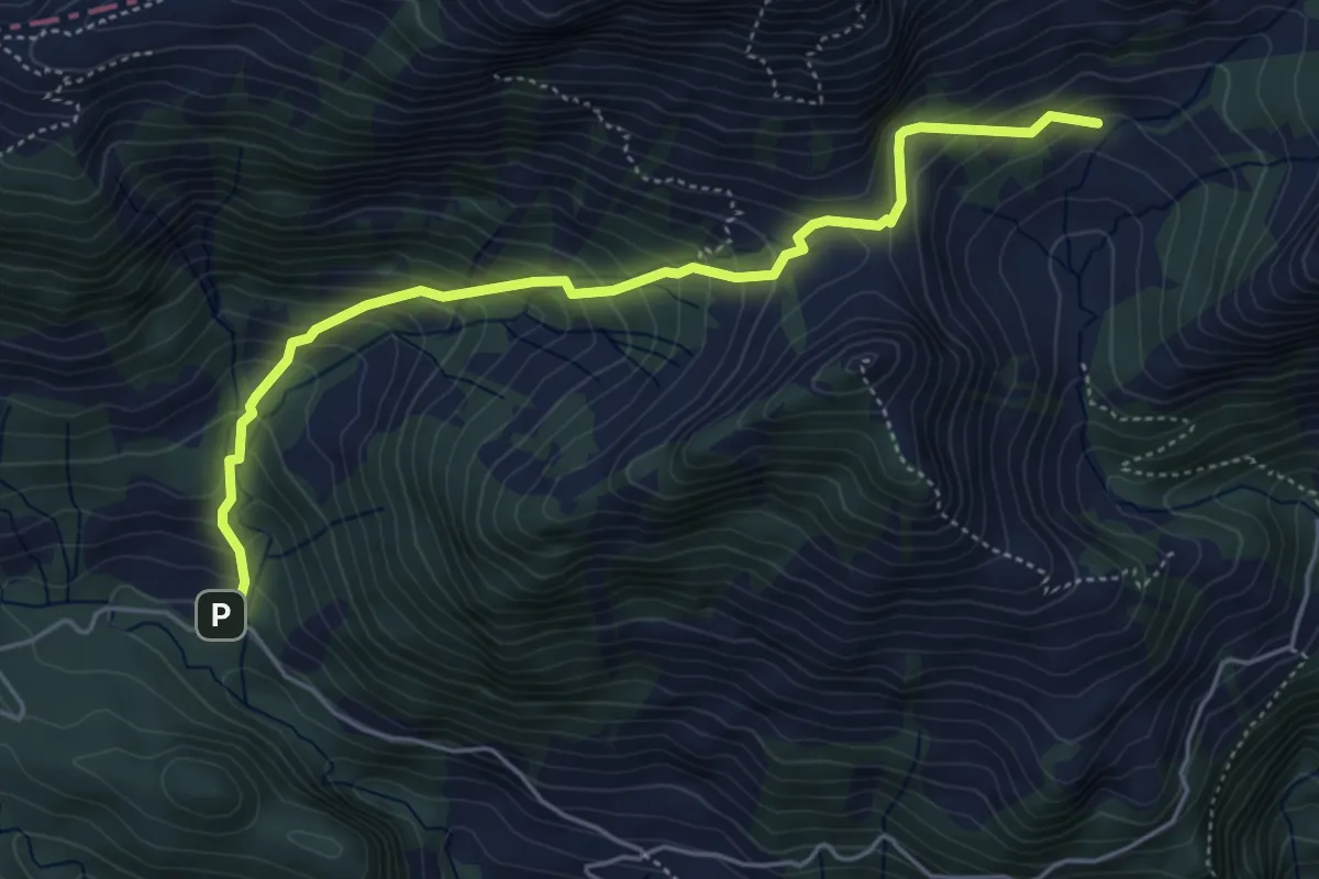
Medium · Trail
Fräkmünt - Schybach
5.1 km · ↑ 567 m · 2 h 25 min · 14 km away
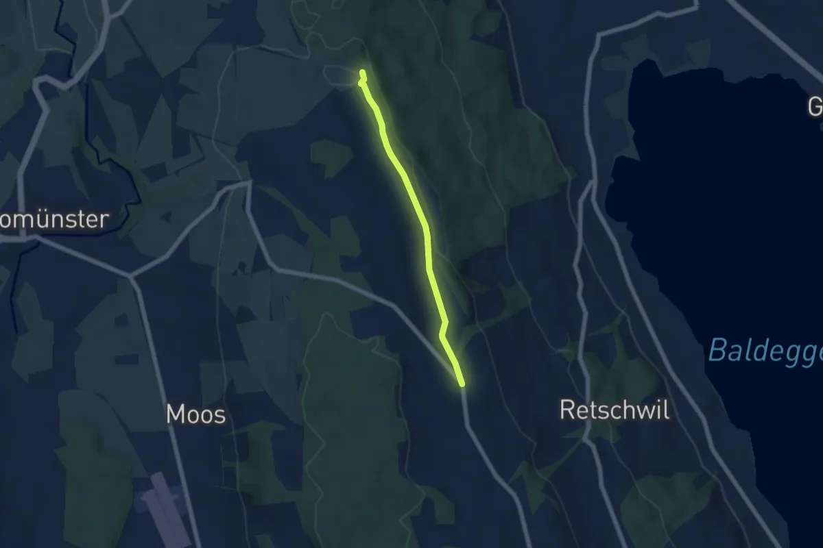
Easy · Trail
Erlosen - Herlisberg
4.5 km · ↑ 42 m · 1 h 9 min · 14 km away
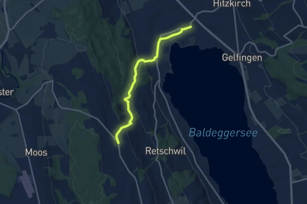
Easy · Trail
Richensee - Herlisberg
7.6 km · ↑ 305 m · 2 h 27 min · 14 km away
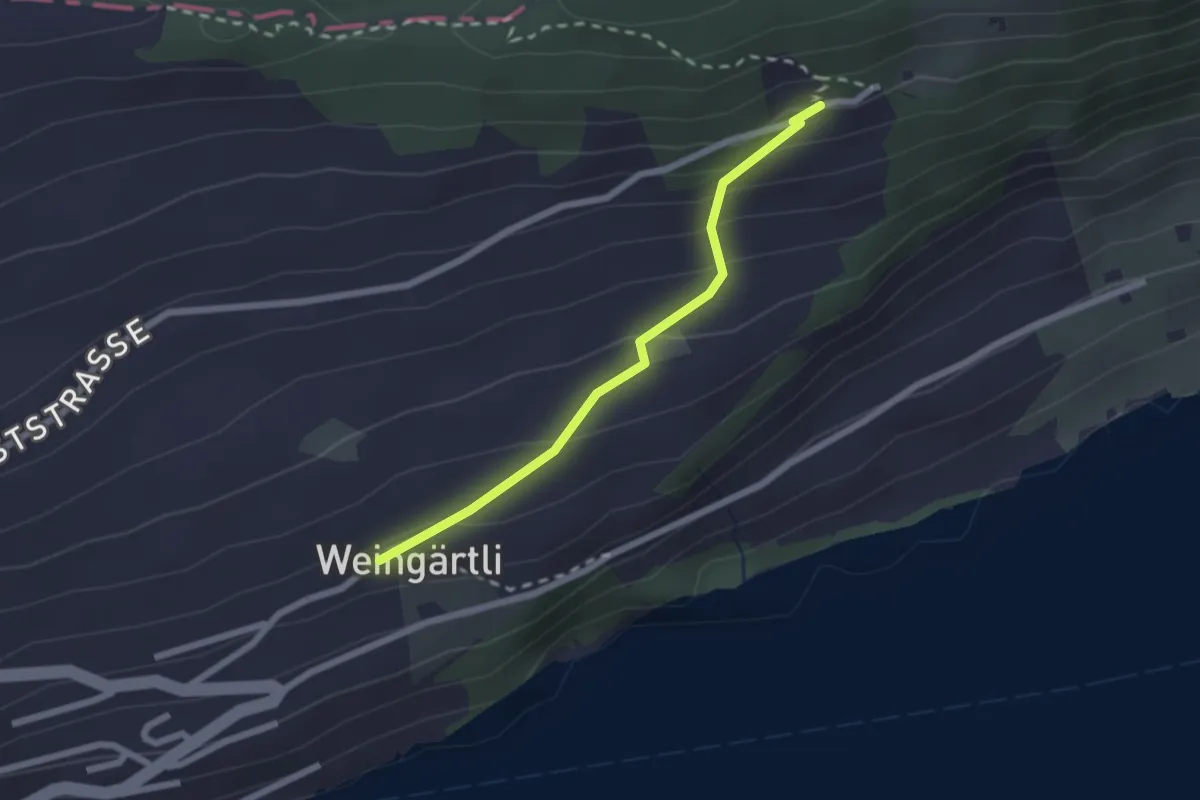
Easy · Trail
Wigärtli – St. Jost
2.0 km · ↑ 148 m · 48 min · 14 km away
Medium · Trail
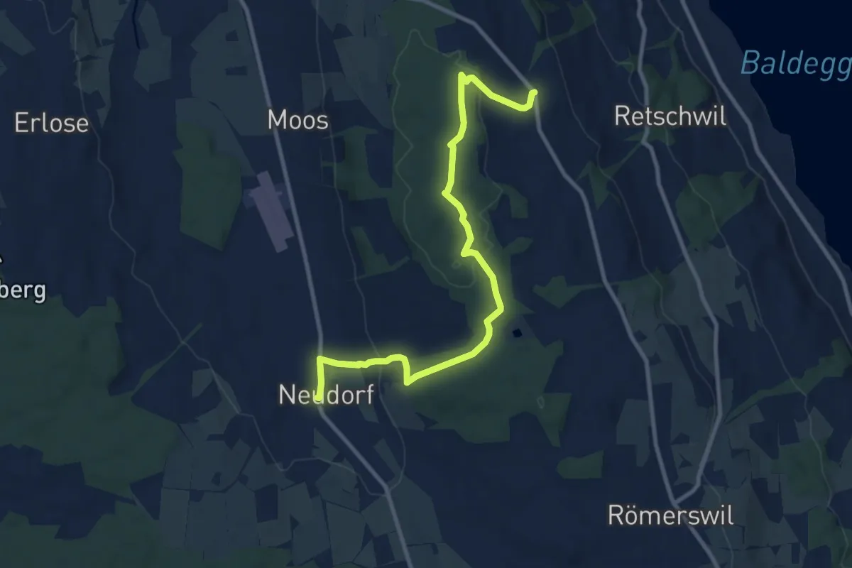
Neudorf - Herlisberg
9.9 km · ↑ 231 m · 2 h 50 min · 14 km away
Easy · Trail
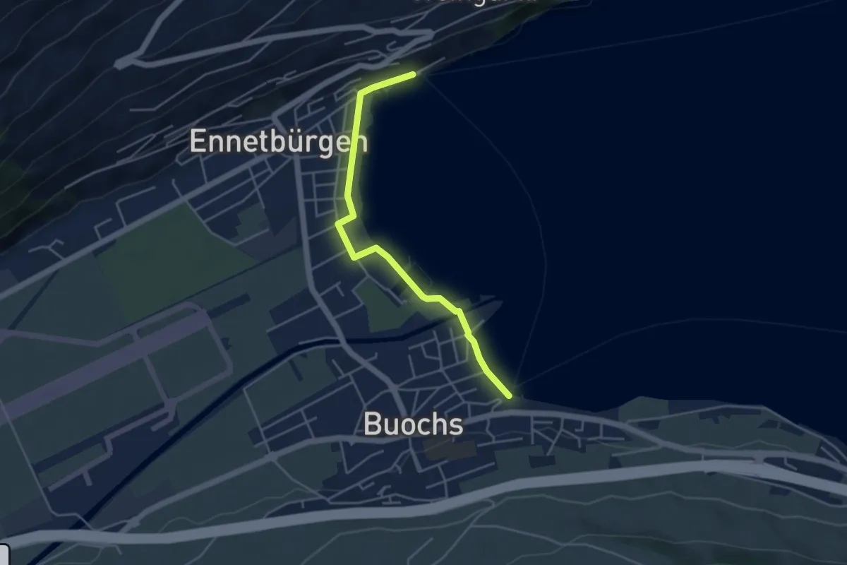
Buochs Schiffländi - Ennetbürgen Schiffländi
4.1 km · ↑ 25 m · 1 h 1 min · 14 km away
Easy · Trail
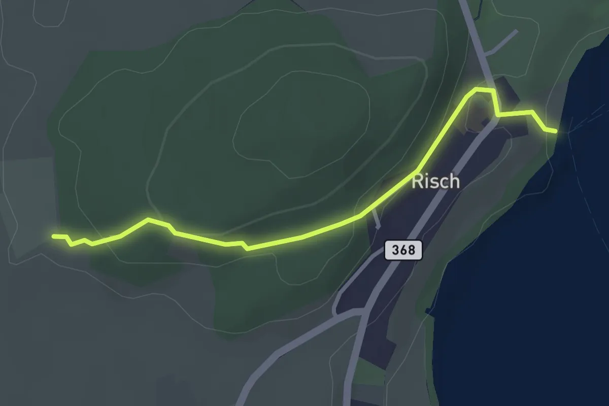
Risch - Brüglen
2.9 km · ↑ 104 m · 54 min · 14 km away
Easy · Trail
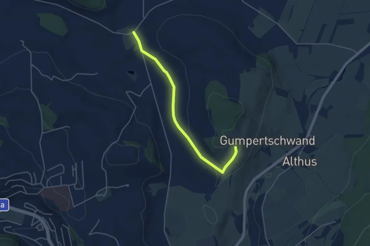
Buholz - Ober Chriesbaumen
3.9 km · ↑ 76 m · 1 h 5 min · 14 km away
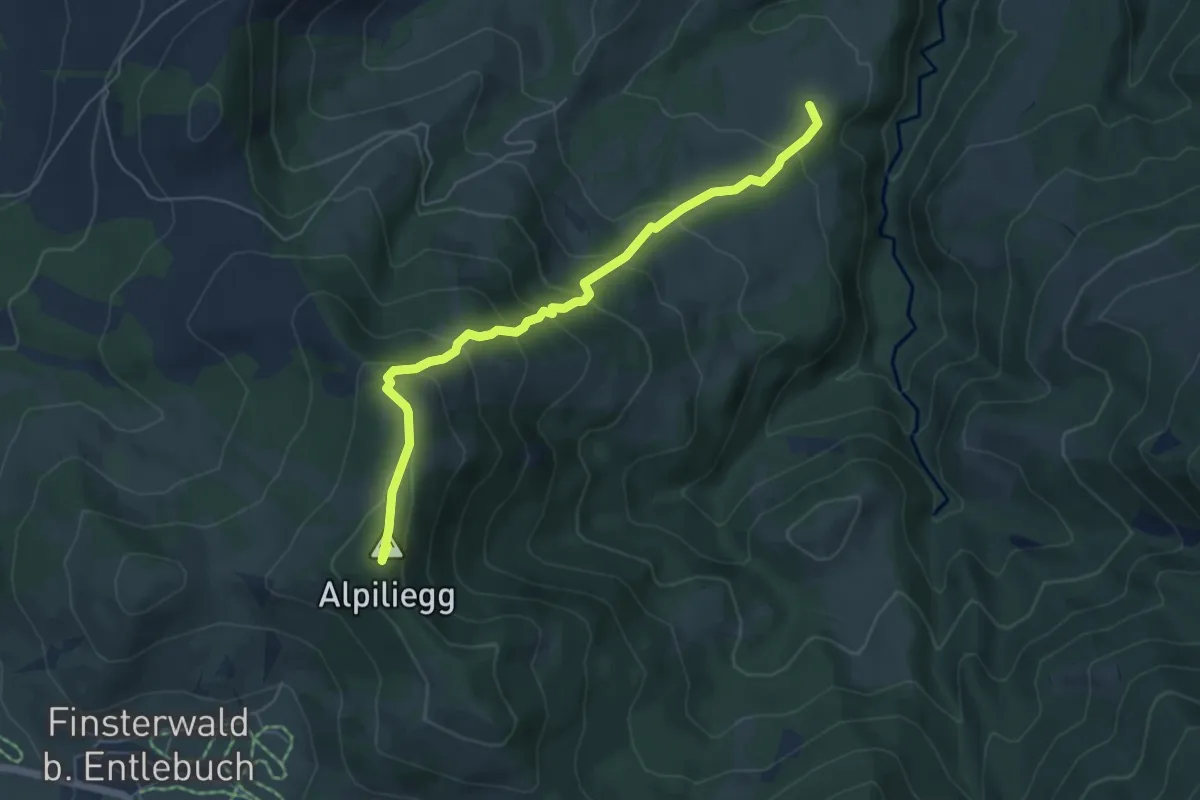
Medium · Summit
Alpiliegg – Unt. Rootmoos
5.7 km · ↑ 448 m · 2 h 19 min · 14 km away
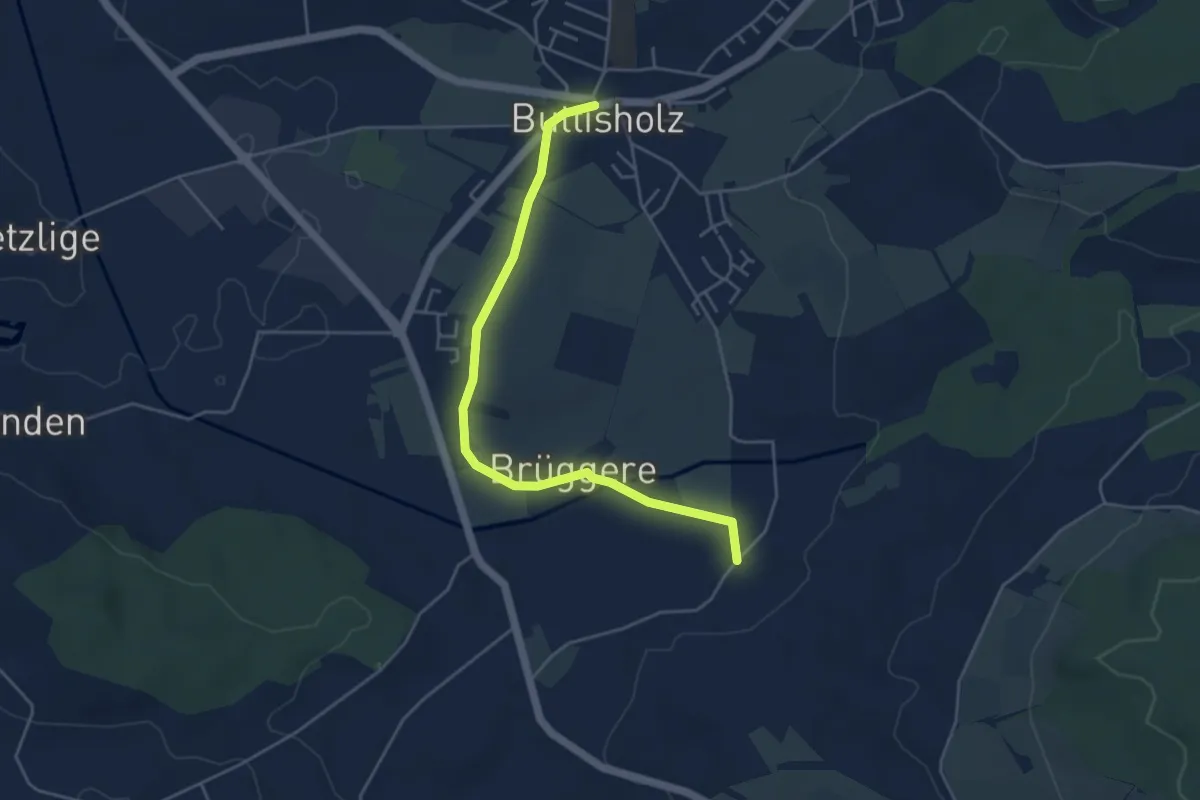
Easy · Trail
Buttisholz - St.Ottilien
4.7 km · ↑ 45 m · 1 h 13 min · 14 km away
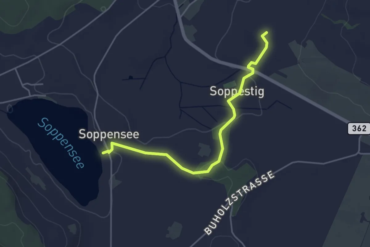
Easy · Trail
Soppensee-St.Ulrich
4.0 km · ↑ 46 m · 1 h 2 min · 14 km away
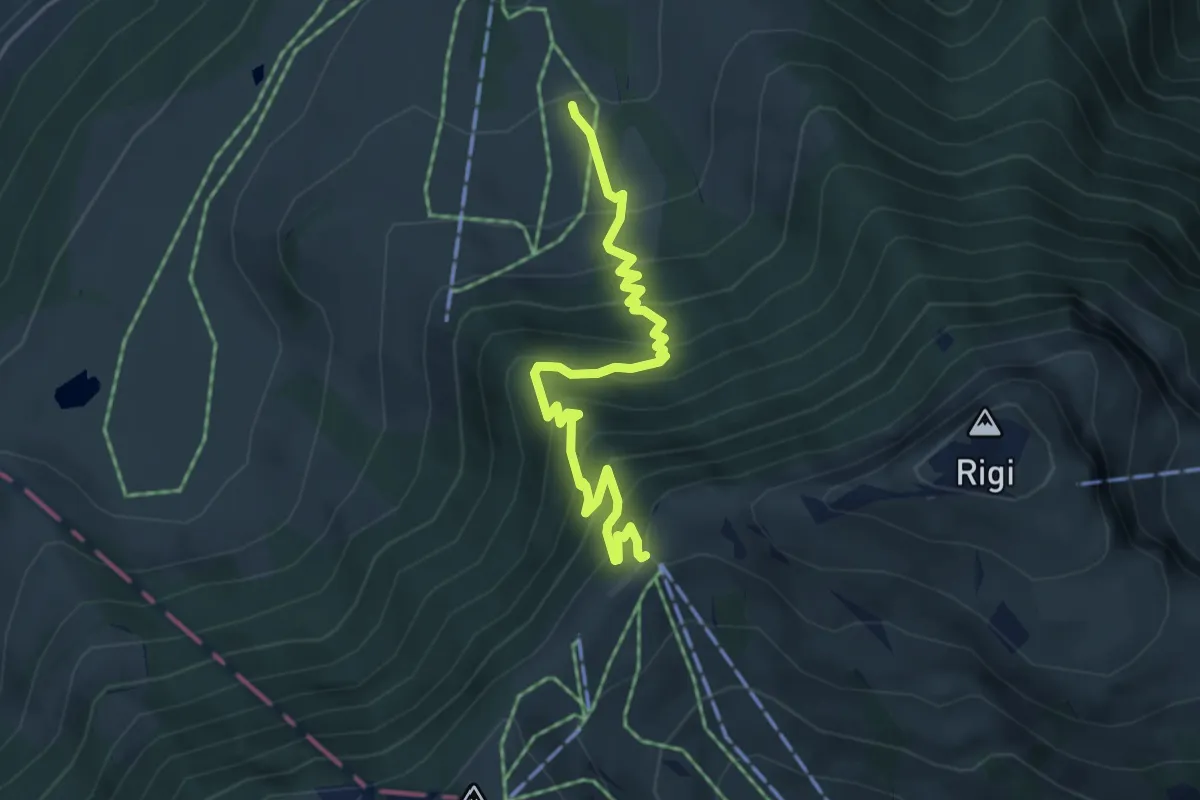
Medium · Trail
Holderen – Rigi Staffel
4.9 km · ↑ 513 m · 2 h 16 min · 14 km away
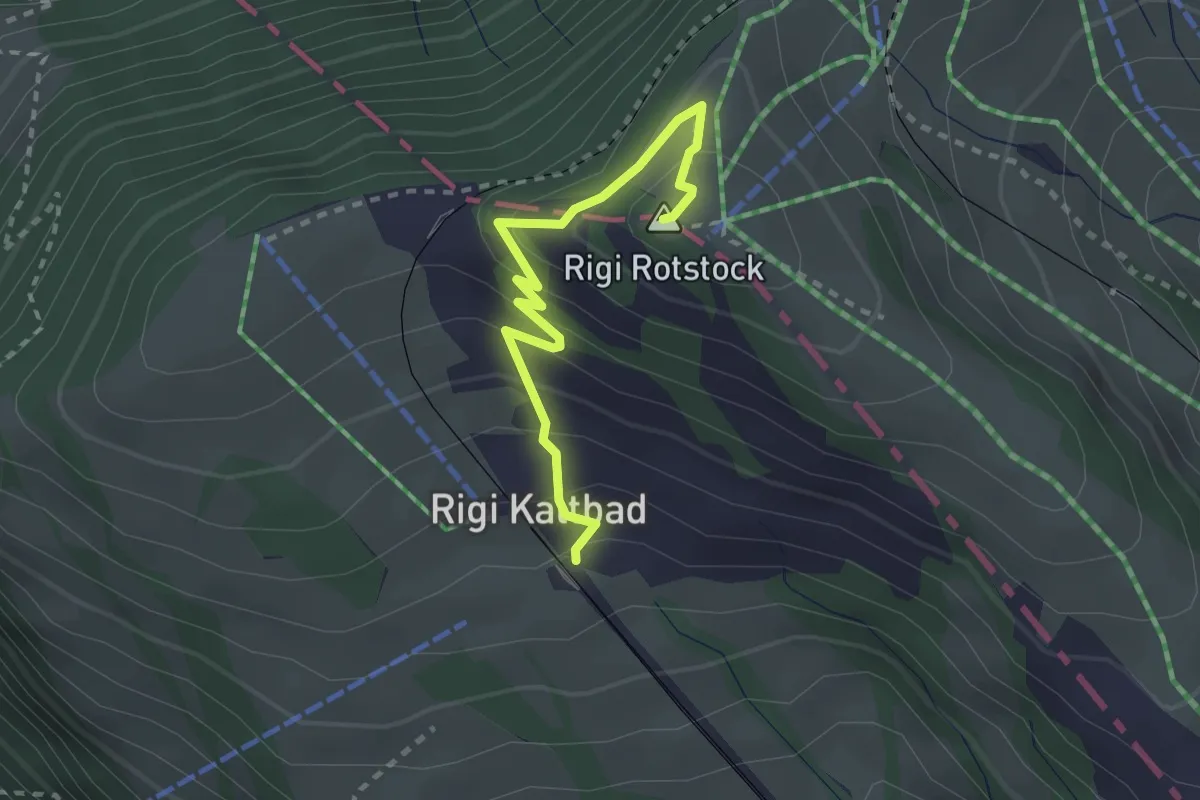
Medium · Summit
Rigi Kaltbad – Rotstock
2.5 km · ↑ 185 m · 1 h · 14 km away
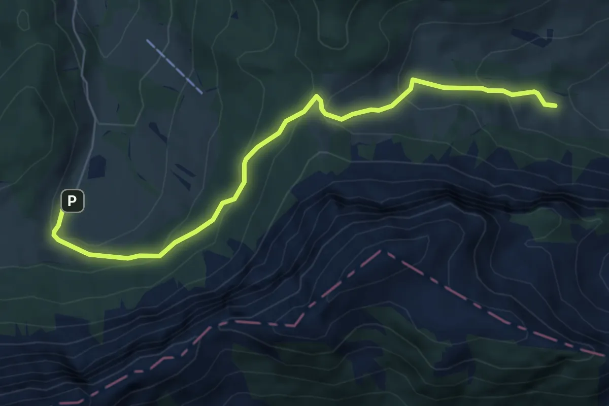
Easy · Trail
Stafel - Trochenmattsattel - Stäfeli
6.3 km · ↑ 318 m · 2 h 10 min · 14 km away
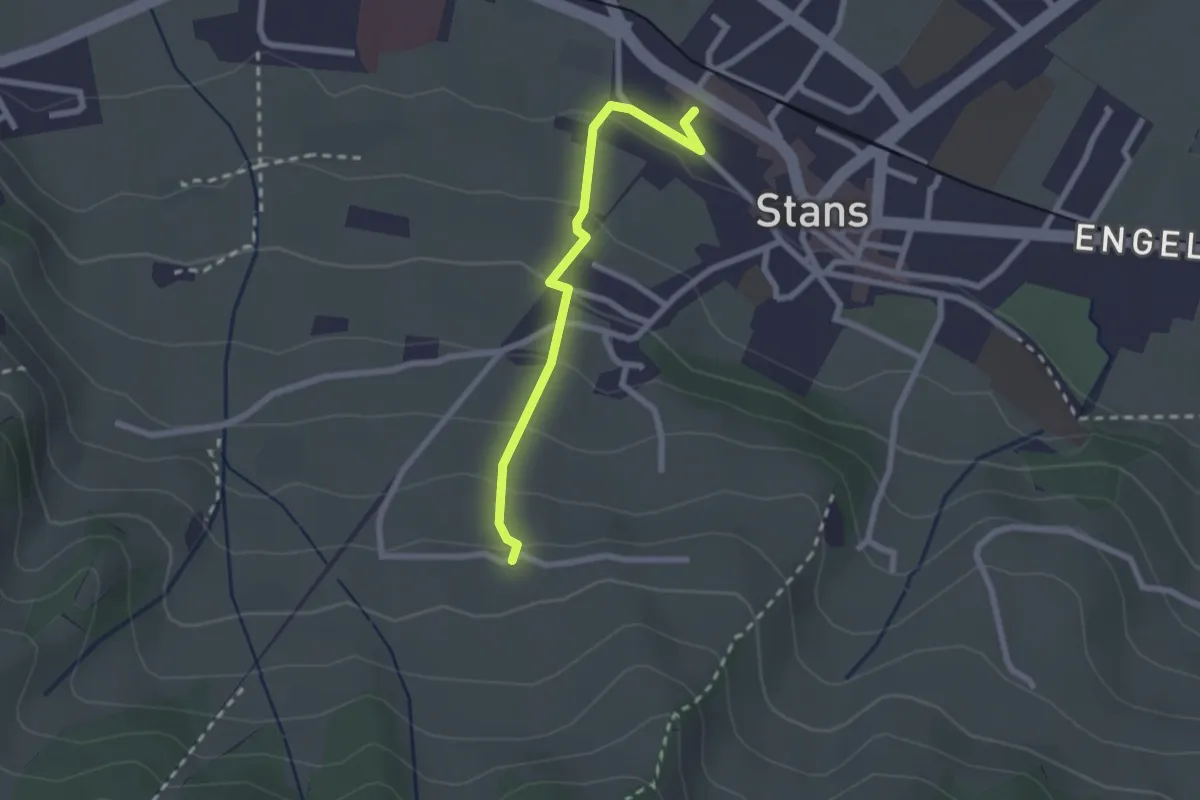
Easy · Trail
Stanserhornbahn – Unter Eggenburg
2.2 km · ↑ 128 m · 47 min · 14 km away
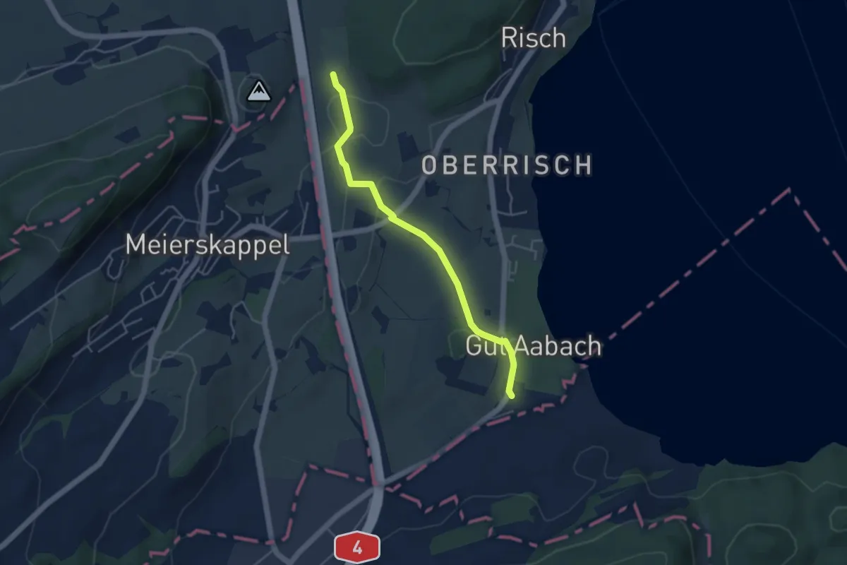
Easy · Trail
Brüglen - Landhaus
4.0 km · ↑ 65 m · 1 h 5 min · 14 km away
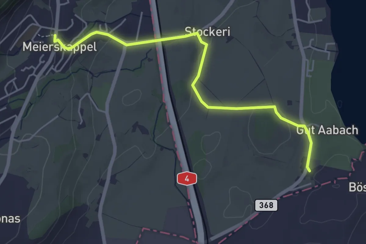
Easy · Trail
Meierskappel - Landhaus
4.7 km · ↑ 125 m · 1 h 22 min · 14 km away
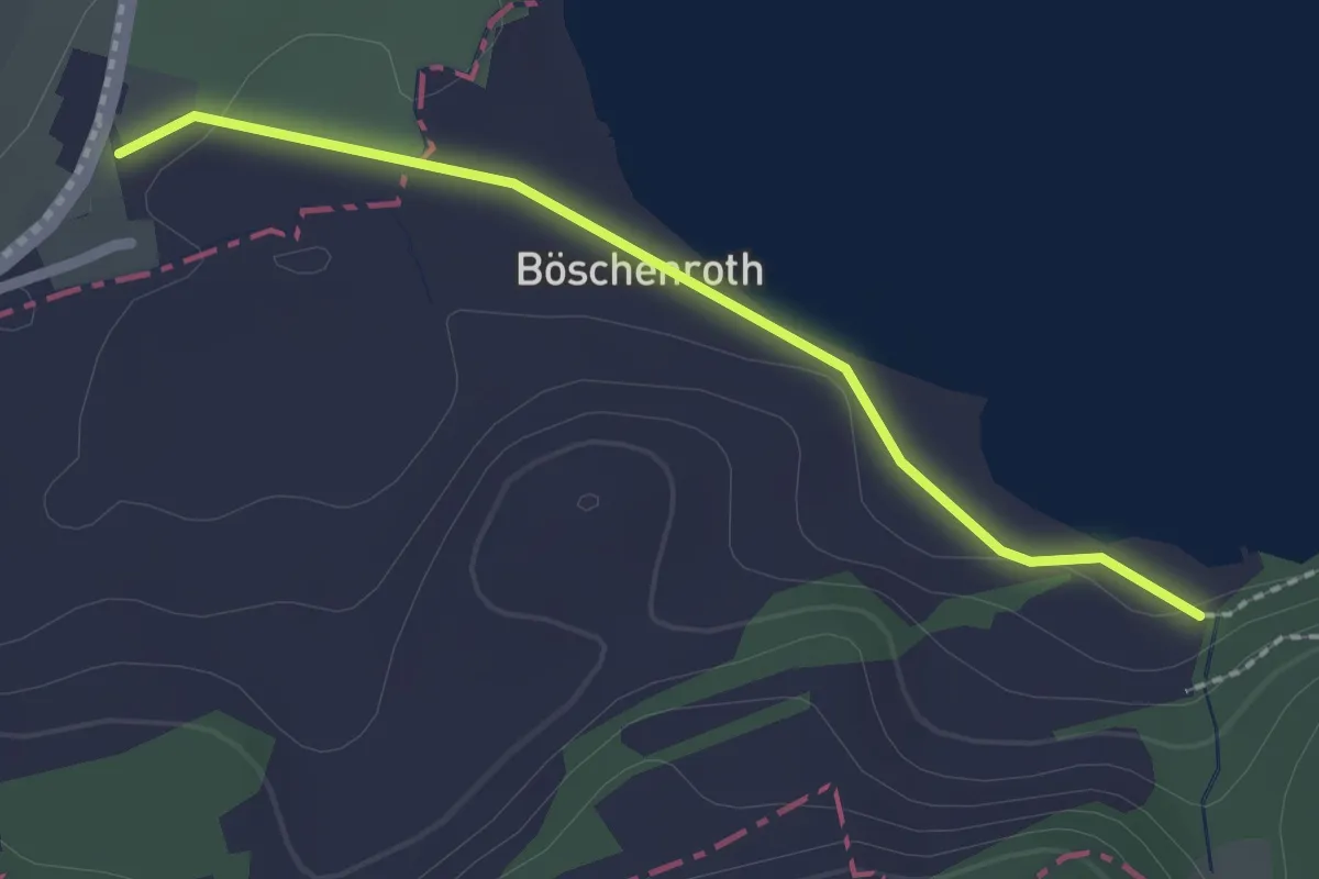
Easy · Trail
Itelfingen - Landhaus
2.1 km · ↑ 13 m · 31 min · 14 km away
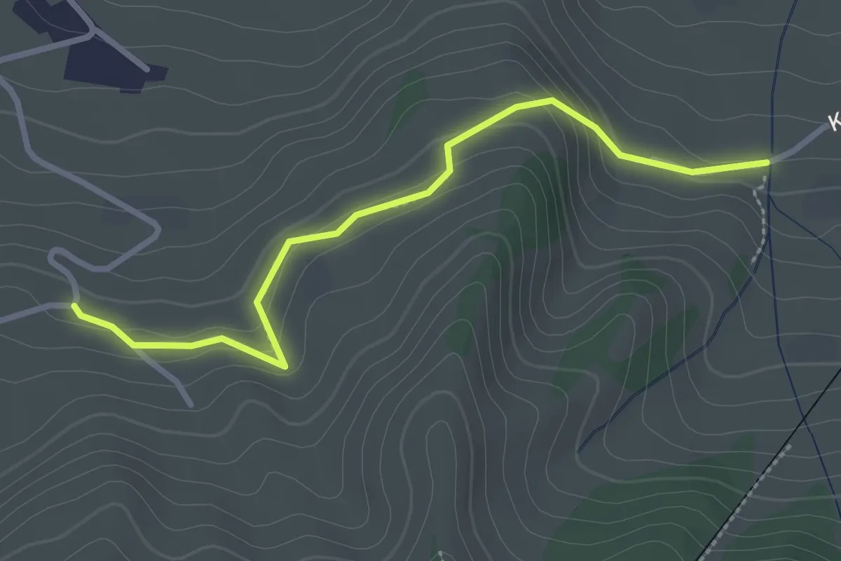
Easy · Trail
Murmatt – Christenmatt
2.8 km · ↑ 137 m · 57 min · 14 km away
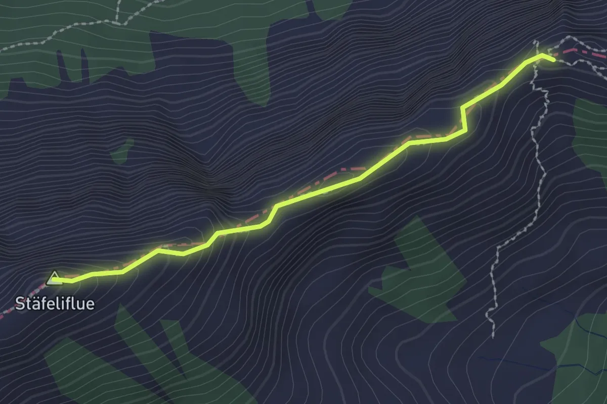
Demanding · Summit
Tripolihütte - Kanapee
2.3 km · ↑ 215 m · 1 h 1 min · 14 km away
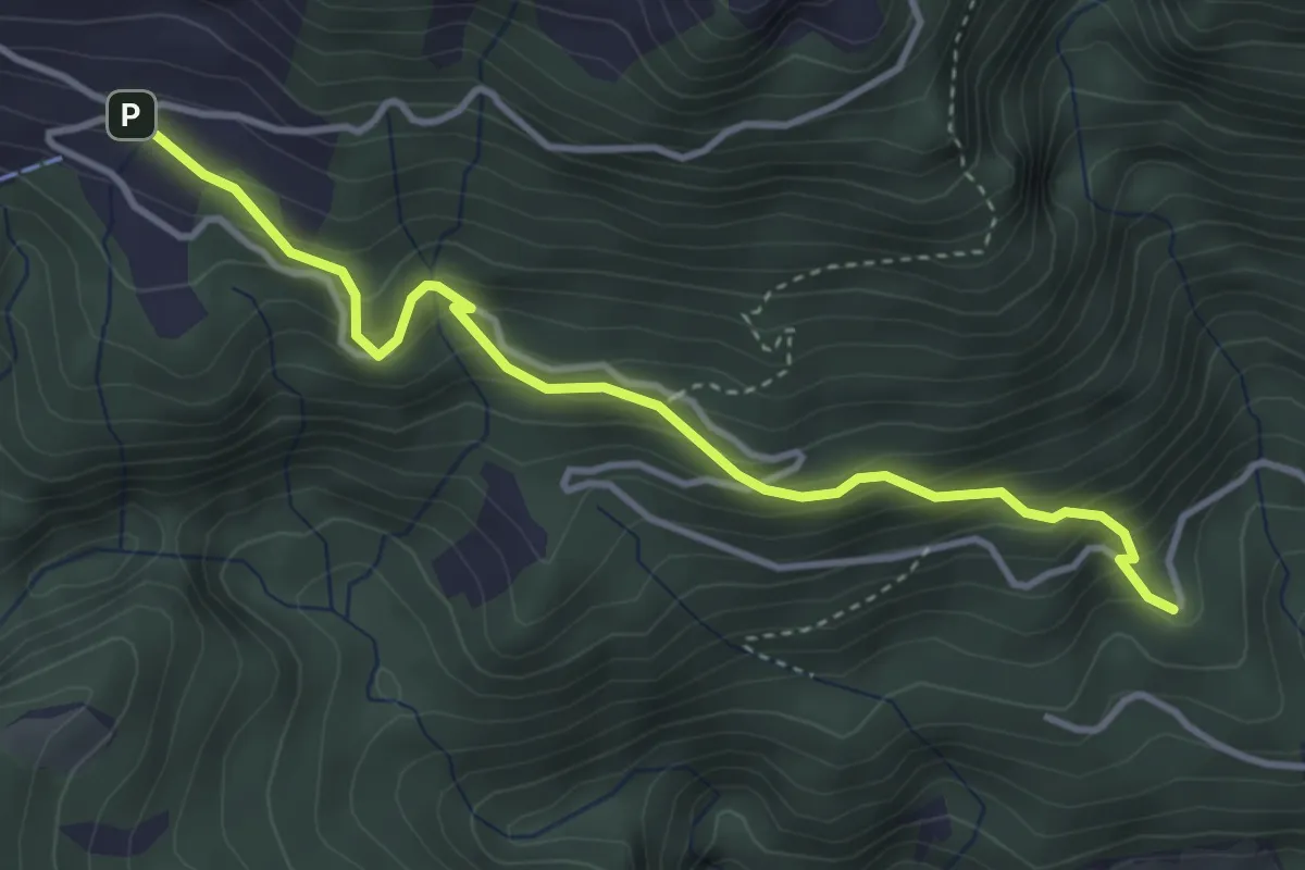
Medium · Trail
Winterhalten - Lütoldsmatt
3.8 km · ↑ 382 m · 1 h 43 min · 14 km away
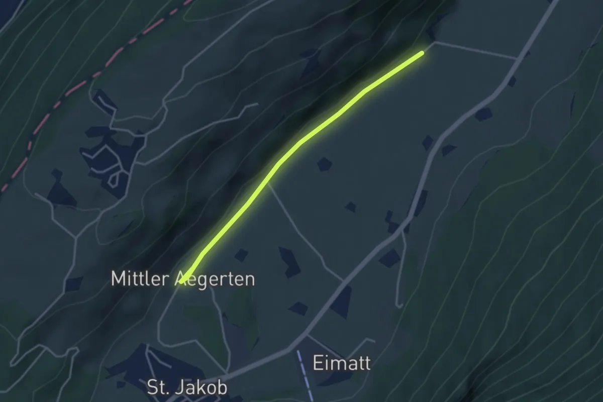
Easy · Trail
Drachenried – Mittelägerten
3.3 km · ↑ 46 m · 53 min · 14 km away
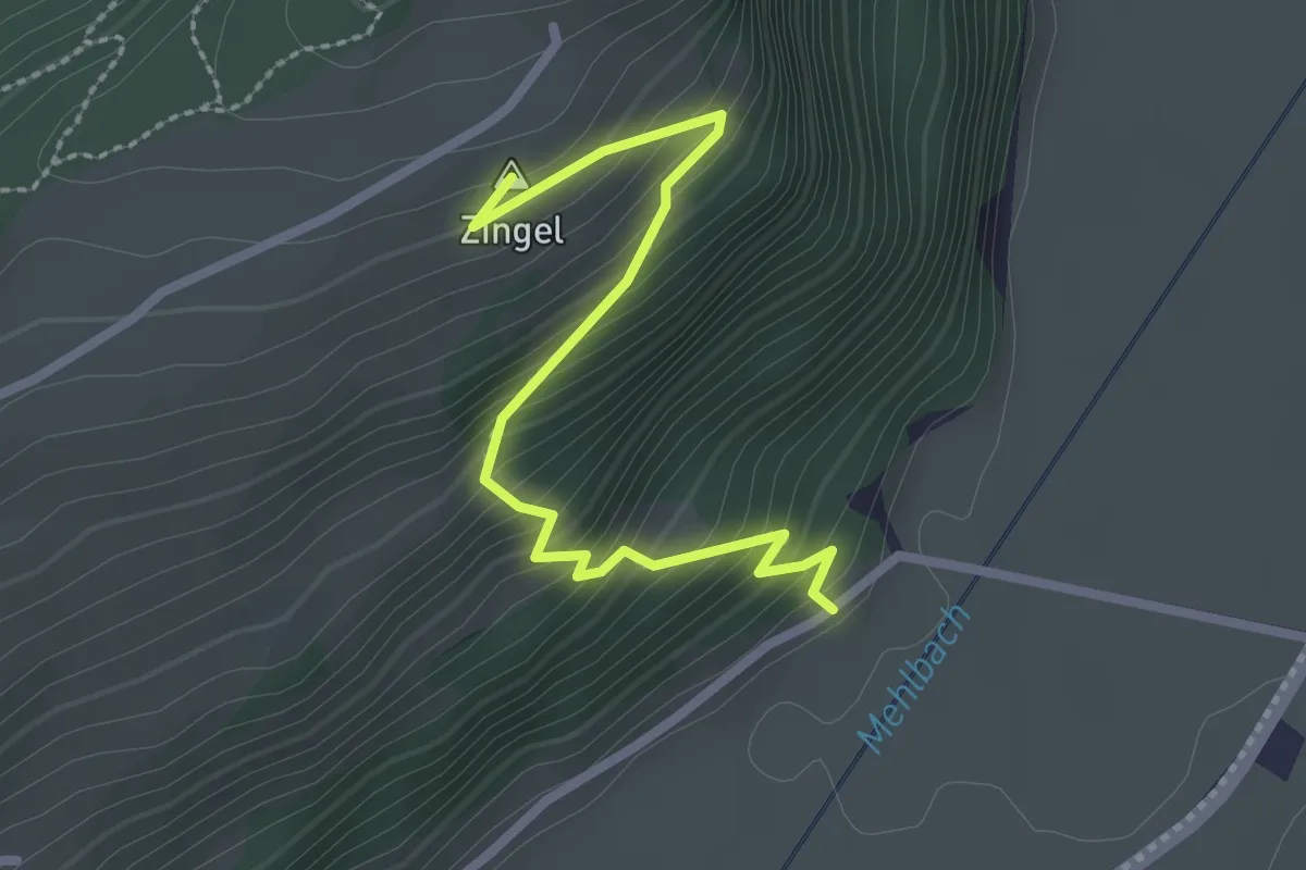
Easy · Summit
Drachenried – Neumatt
2.6 km · ↑ 285 m · 1 h 15 min · 14 km away
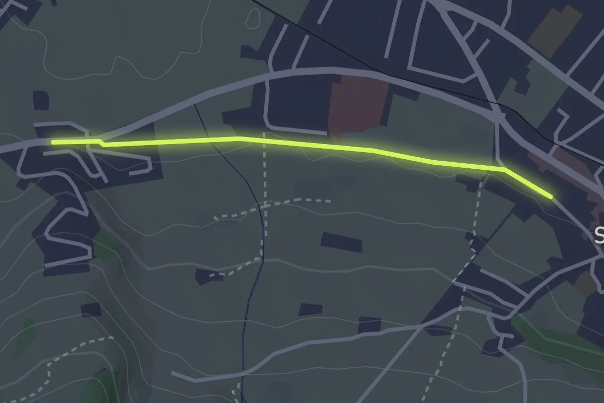
Easy · Trail
Stans Bahnhof – Lewengrueben
2.5 km · ↑ 12 m · 38 min · 14 km away
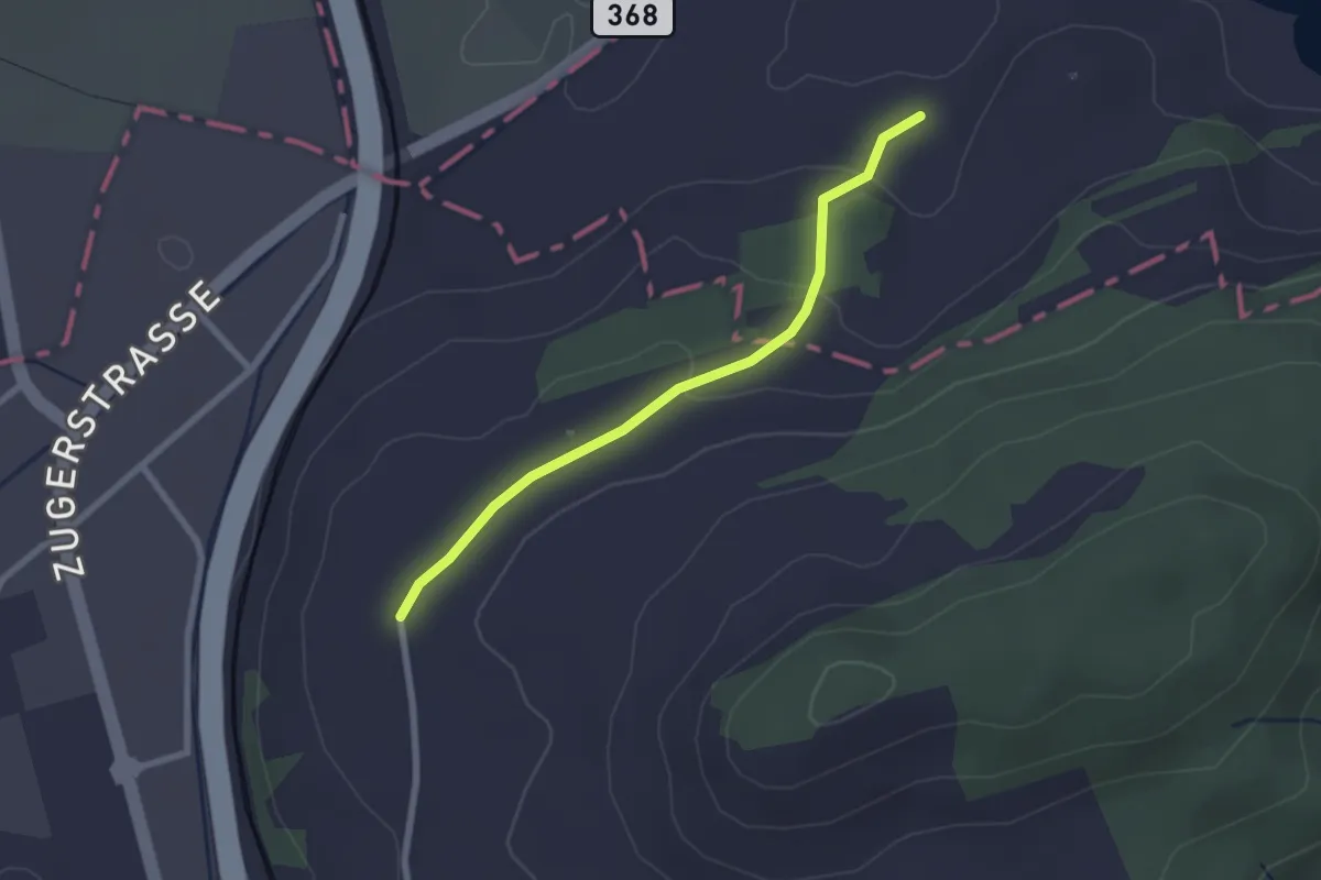
Easy · Trail
Böschenrot - Hinter Chiemen
2.2 km · ↑ 62 m · 40 min · 14 km away
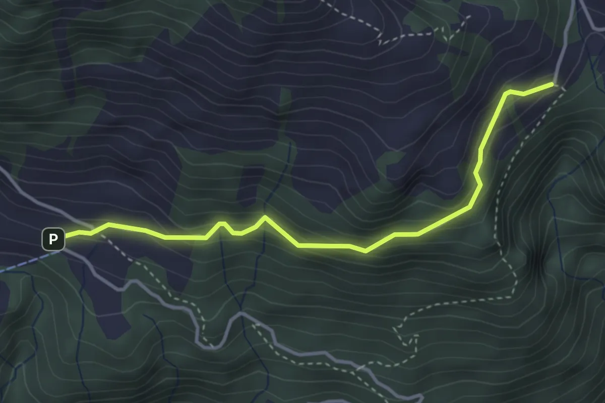
Easy · Trail
Lütoldsmatt - Deneten
3.5 km · ↑ 275 m · 1 h 25 min · 14 km away
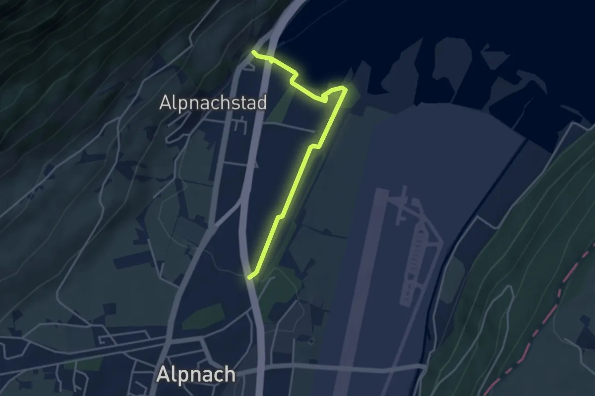
Easy · Trail
Alpnachstad – Alpnach
3.5 km · ↑ 37 m · 54 min · 14 km away
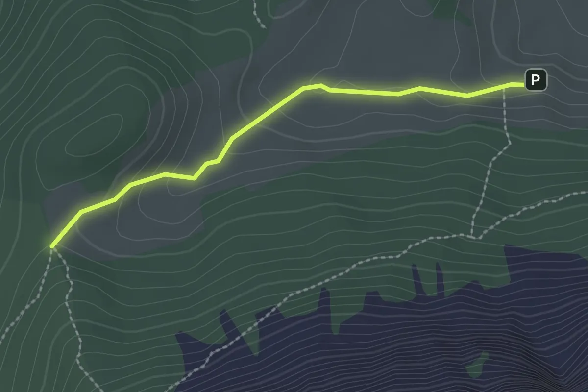
Easy · Trail
Stäfeli - Risetenegg
2.2 km · ↑ 110 m · 45 min · 14 km away
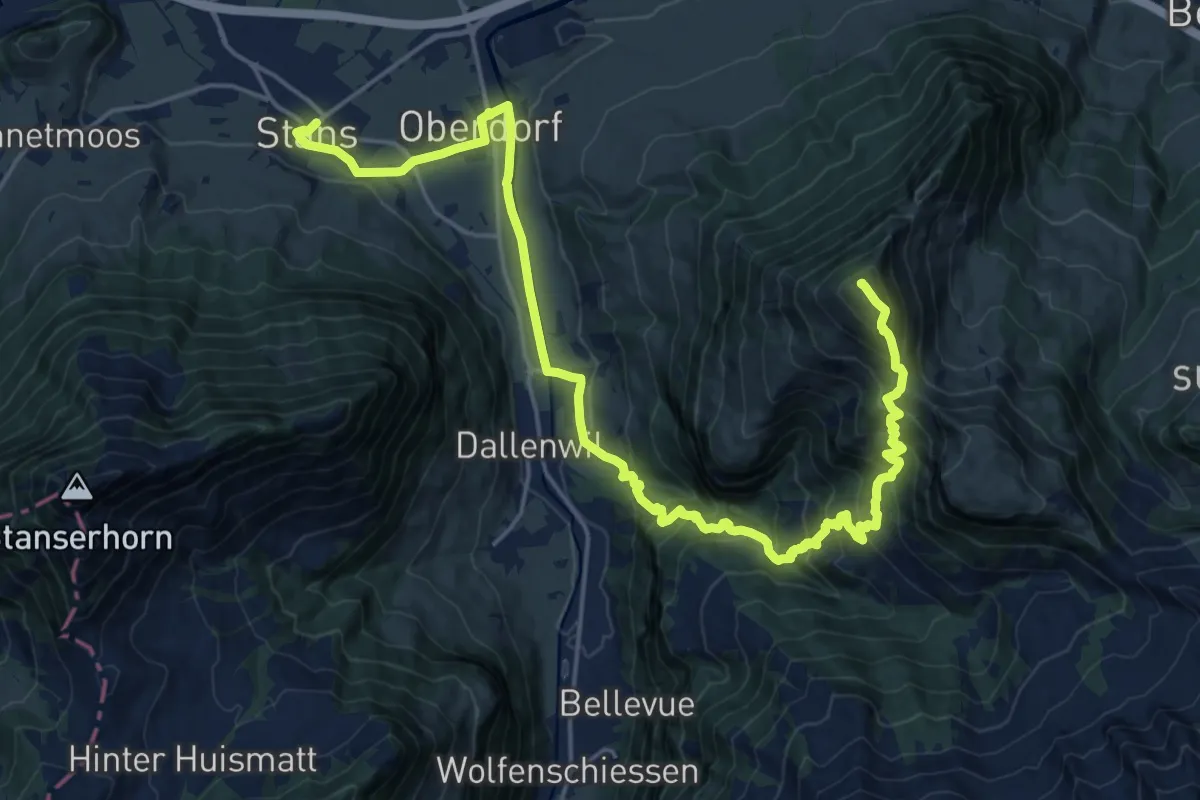
Demanding · Summit
Nidwaldner Zentrumsweg
25.3 km · ↑ 1406 m · 9 h 1 min · 14 km away
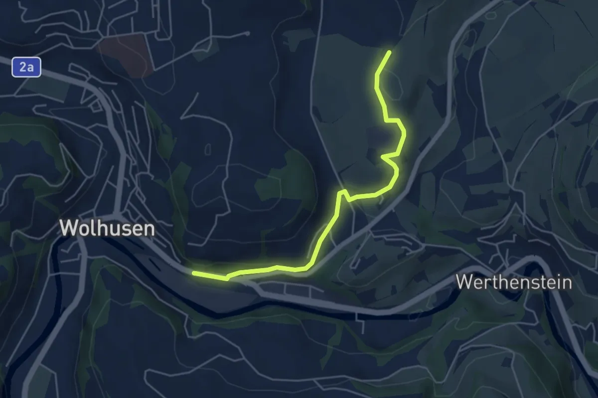
Easy · Trail
Wolhusen – Unter Chriesbaumen
4.7 km · ↑ 73 m · 1 h 16 min · 15 km away
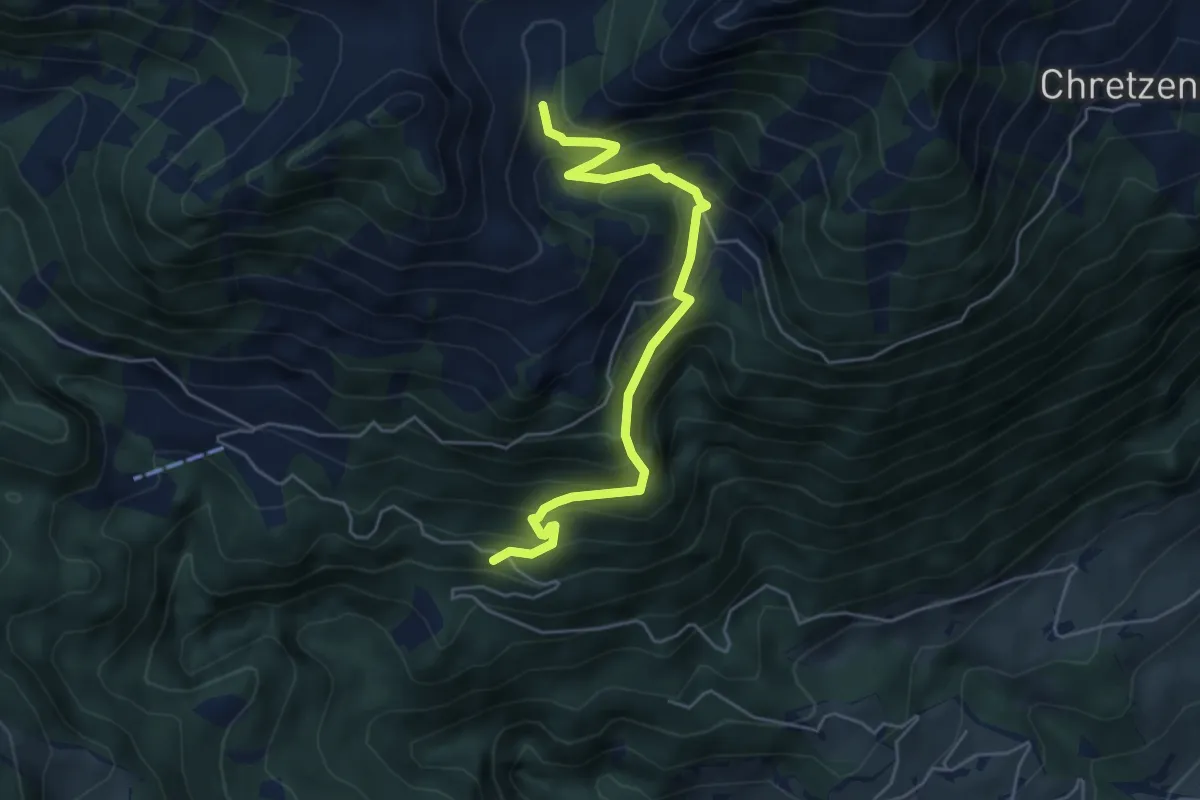
Medium · Trail
Deneten- Skiaufstieg
5.3 km · ↑ 527 m · 2 h 23 min · 15 km away
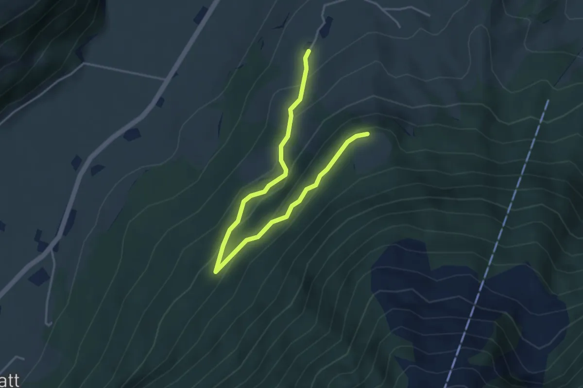
Easy · Trail
Brunnisboden – Äbnetboden
4.5 km · ↑ 272 m · 1 h 39 min · 15 km away